As a child, I was a fan of Laura Ingalls Wilder (author and heroine of the Little House on the Prairie series). I read all of her books, biographies about her, the books about her daughter, and as they began to be released the books about her mother, grandmother, and great grandmother. I also researched her family tree and found her ancestors back to the time of Henry VIII.
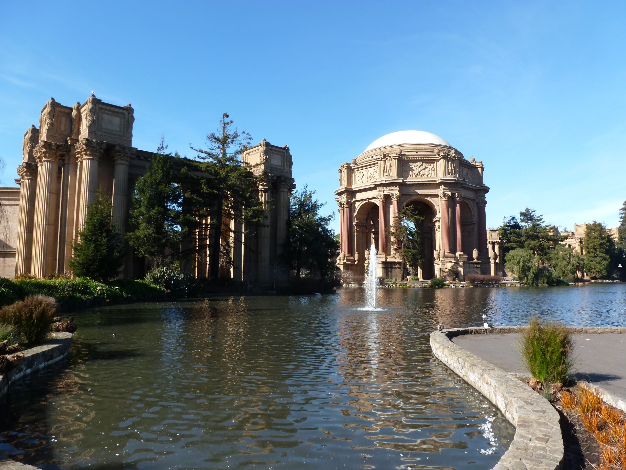
I no longer remember the exact order of events. When I was 12 (almost on my birthday), we moved to California. Either before or after that event, I read Laura Ingalls Wilder’s book West from Home, which are letters to her husband written on a visit to her daughter, a reporter in San Francisco, in 1915. Because Laura had visited the 1915 Panama-Pacific Exposition (World’s Fair) in San Francisco, I wanted to go visit what was left of it. I never got the chance while I lived in California. Years later, I finally got there.
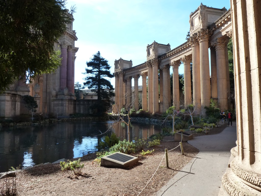
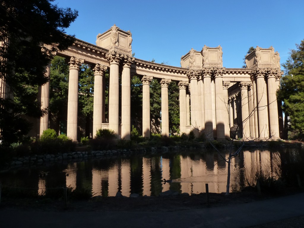
Sitting by the lagoon of the Palace of Fine Arts was very peaceful, with the small fountain splashing and birds chirping and cawing. As I sat there enjoying the scene, there was a moment when I could almost picture Laura Ingalls Wilder and other women of the 1910s in their multi-layer dresses, hats or bonnets, and gloves strolling past in a promenade and gazing with wonder at the sights around them.
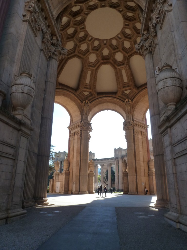
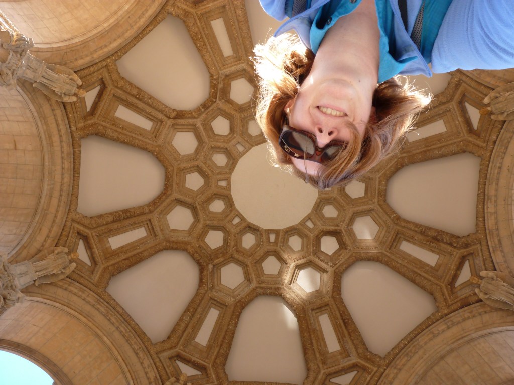
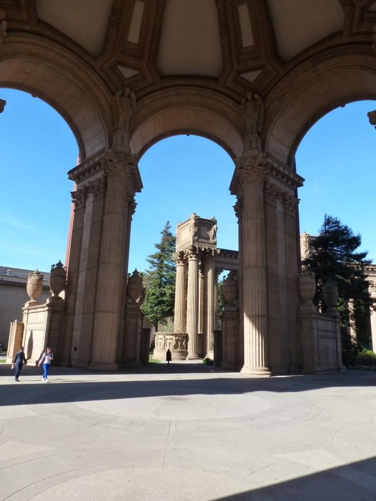
The Palace of Fine Arts was of a scale to inspire awe and intimidation. It was far more massive and taller than I had imagined. Walking underneath the rotunda, I felt insignificant. Are such large structures built to show us the insignificance of humanity? And yet, they are designed and constructed by humans, which means we create what makes us feel our own insignificance.
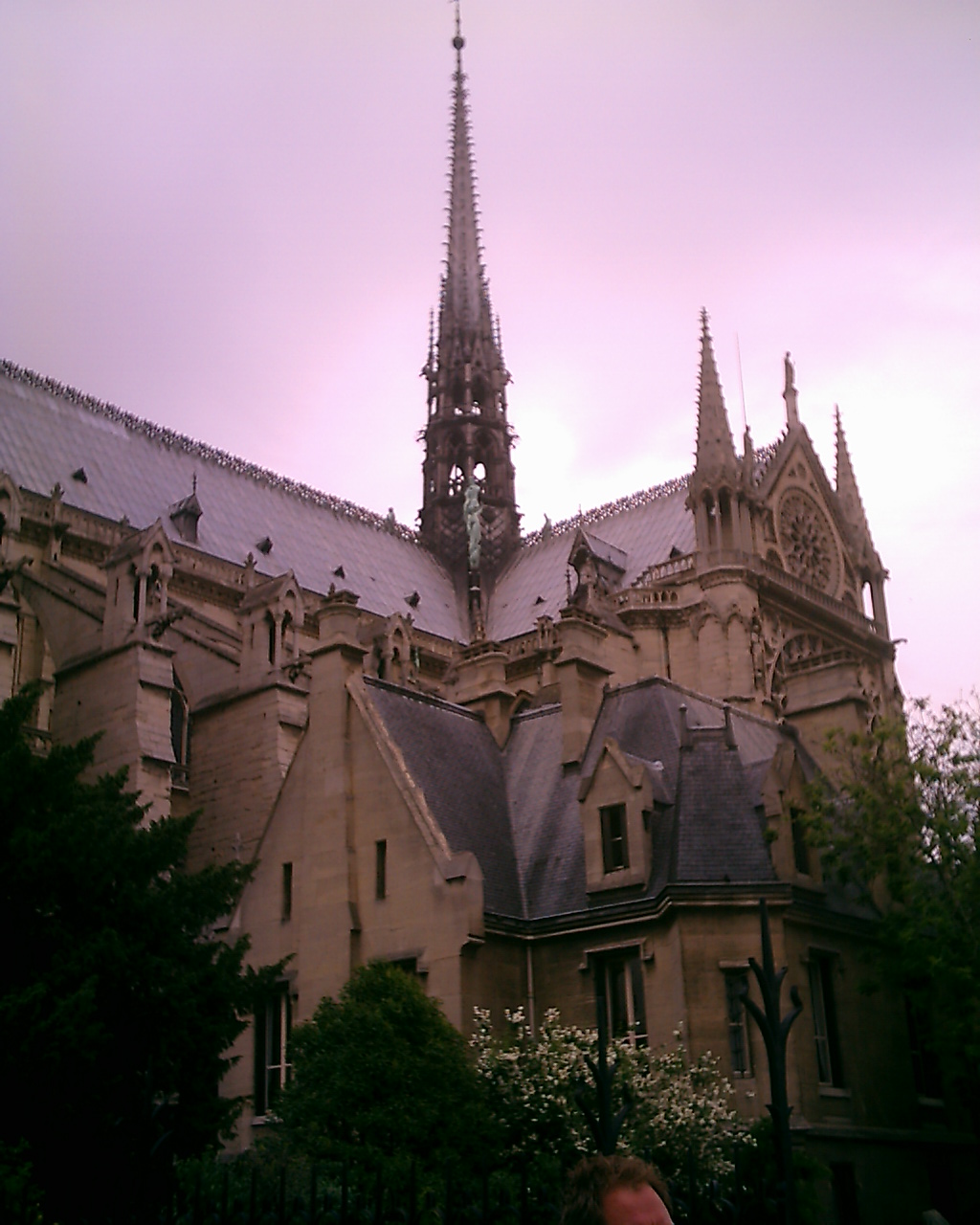
On April 15, 2019, the roof of Notre Dame caught fire and collapsed. The cathedral has been closed ever since. Almost immediately came promises to rebuild exactly as it was and reopen within 5 years. These promises are almost fulfilled. The new spire was recently uncovered and looks much like the one in my photo from 2005. The cathedral is scheduled to reopen in December 2024, five years and eight months after the fire. (Paris Je T’aime, Friends of Notre Dame; Mad White; World, April 4, 2024)
I was fascinated by the fire and commemorated it in 2019 with one of my architectural dessert masterpieces. 1 As I mentioned in that post, I visited Paris in 2005 and was fortunate to have a connection to a guest organist. We were invited to experience the cathedral from the organ loft. A unique experience that I was distracted from enjoying fully for a number of reasons.
This trip was before I officially began urbantraipsing, but was one of the first places I unknowingly tested out the habit. It was also the first time I liked a city, a foundational necessity for urbantraipsing which paved the way for my return trip to London in 2012 where I explored adaptively reused churches and bridges.
I enjoyed the Paris trip immensely and before we left was looking forward to returning. There was much I didn’t get to see on that trip and bridges that I didn’t know I would need to document walking. One day, I will return with a more advanced camera and improved photography skills.
Notre Dame organ pipes 2005Notre Dame woodwork from the organ loft 2005
Unfortunately, personal encounters with COVID have disrupted my intention to have an annual architectural dessert masterpiece over the last few years. I look forward to resuming the tradition one day. ↩︎
East Liberty Station Pedestrian Bridge, August 2020, Carolyn RistauSpahr Street Pedestrian Bridge, February 2022, Carolyn Ristau
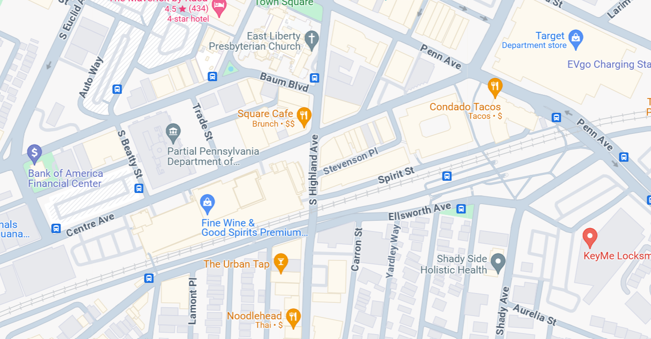
The winner of the 2024 Bridge Madness tournament, the East Liberty Station Pedestrian Bridge, faced stiff competition in the Final Four round from the Spahr Street Pedestrian Bridge. Both of these bridges are relatively new, constructed with funding sources from the Obama Administration. When I moved to Pittsburgh 15 years ago, neither of these bridges existed. There was no pedestrian connection at Spahr Street and the pedestrian bridges at East Liberty Station were boxed-in bridges with no greenery. (For a side-by-side comparison of the prior and current East Liberty Station bridges see their Then and Now post.) These are not the only changes to bridges in this area. In fact, I suggest that East Liberty has seen more bridge turn-over in the last 100 years than any other part of Pittsburgh.
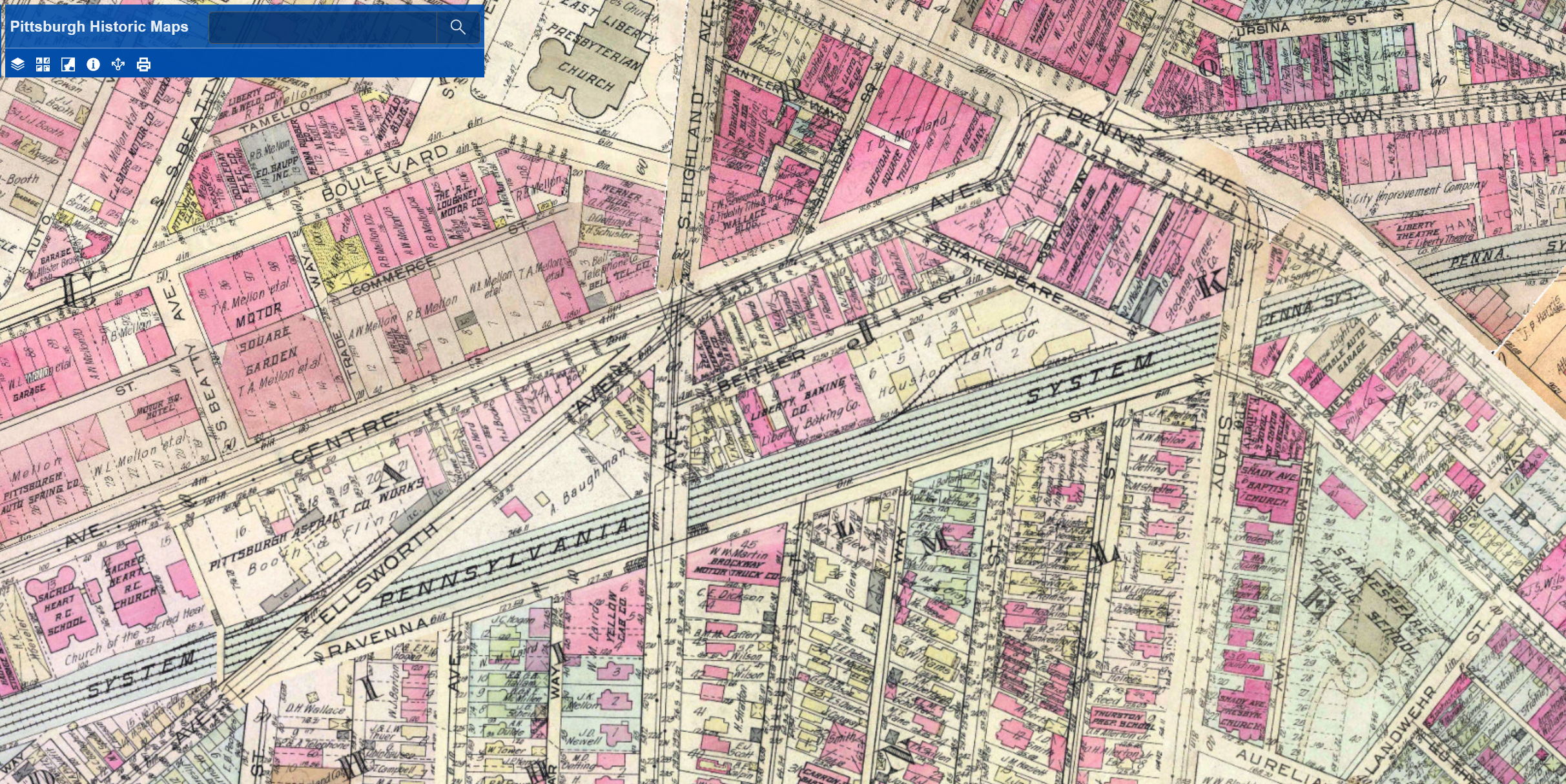
The Penn Avenue and South Highland Avenue Bridges have stayed fairly constant, at least as far as location is concerned. The South Highland Avenue Bridge was rebuilt and redesigned in the 15 years I’ve lived here. While the Spahr Street Pedestrian Bridge is new, the 1923 G. M. Hopkins map above shows that there used to be a pedestrian bridge at this same location. The historical precedent for a pedestrian bridge here may be another factor for why the bridge was located here and not further east where residents have been asking for a pedestrian bridge for years.
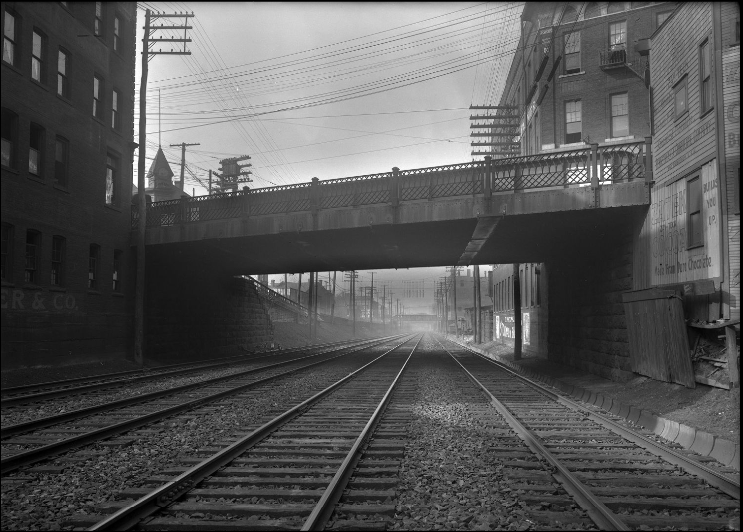
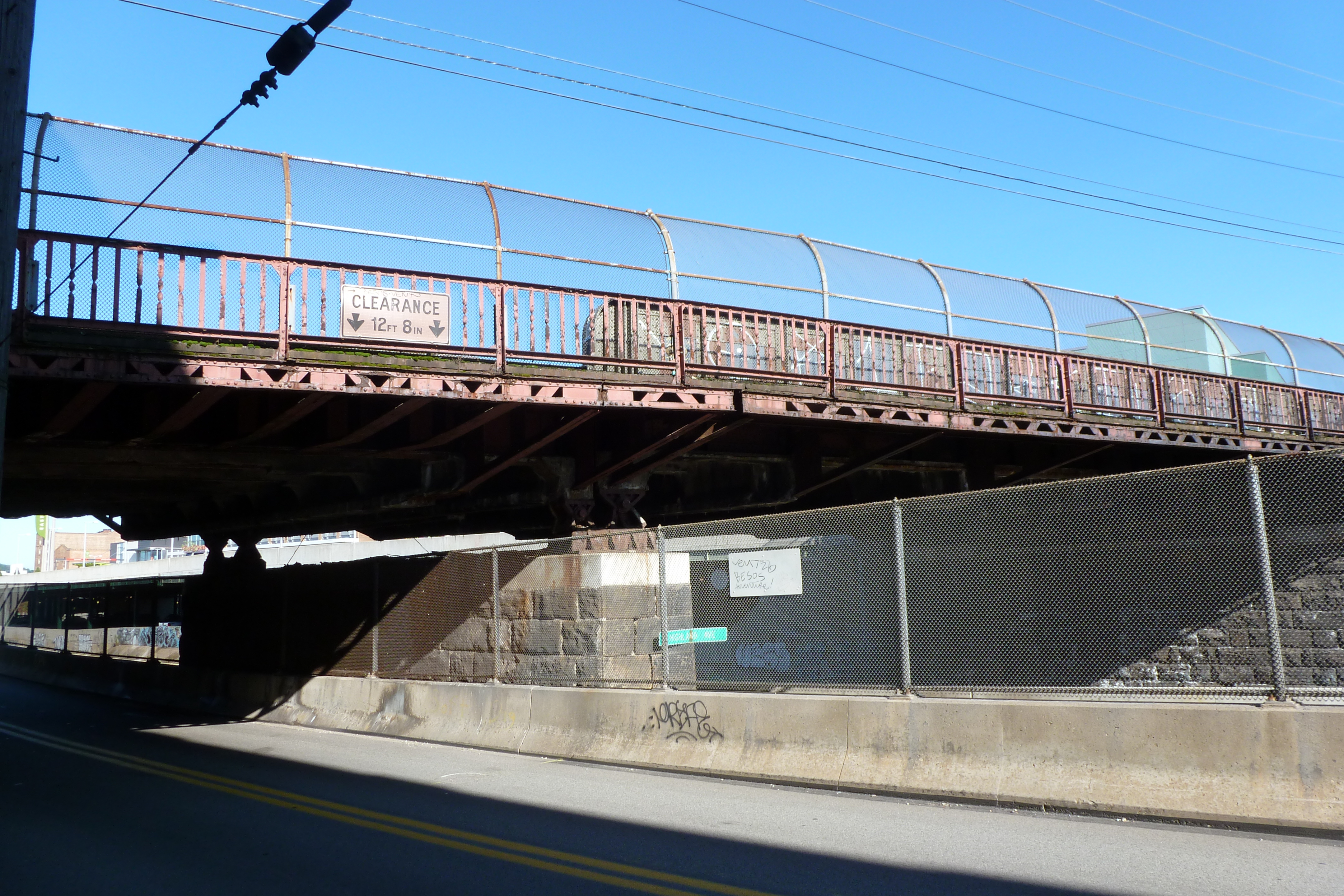
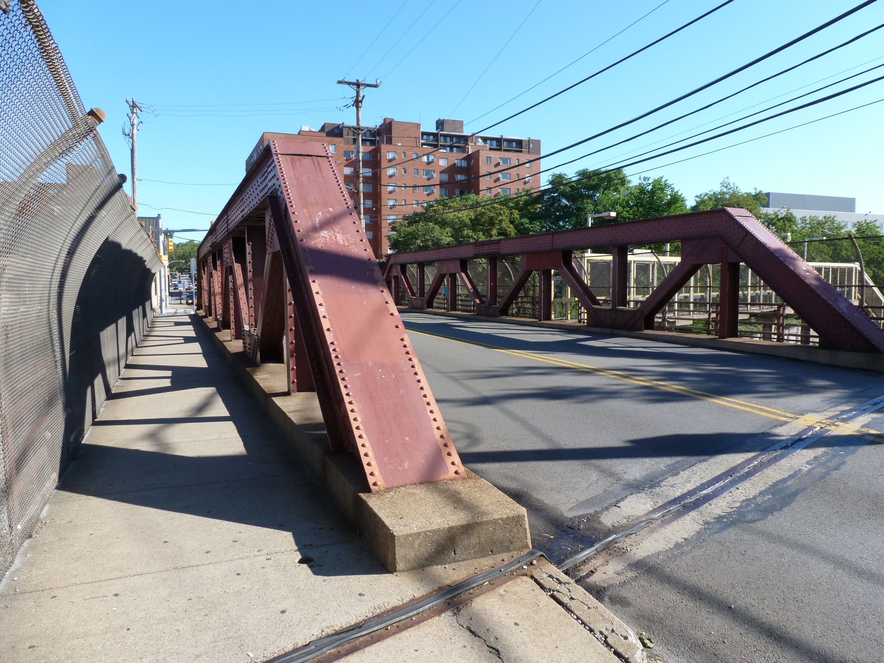
The other major bridge changes in this area are the former Ellsworth Avenue and Shady Avenue Bridges that show on the 1923 G. M. Hopkins map. Both of those are long gone. I assume they were casualties of the massive Urban Renewal of the neighborhood that significantly impacted the street grid of the area. The digital archives of Historic Pittsburgh include photos of these former bridges. The Shady Avenue Bridge seems to have been of a similar design to the former South Highland Avenue Bridge. The Ellsworth Avenue Bridge seems to have been of a similar design to the current South Negley Avenue Bridge that is just outside the map frame to the west. One key difference is that cages were added at some point to the South Highland and South Negley Bridges.
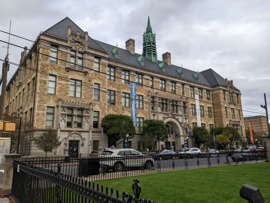
Walking toward the spires in Scranton, PA, I started and ended in Downtown and explored a portion of the Medical and University neighborhoods. Like Pittsburgh and Buffalo, the few religious buildings I found in the heart of downtown remained active. In the adjoining neighborhoods, I found several active religious buildings and others that had been converted to new uses.
Of the 10 total buildings built for religion that I encountered, six remained active while four had been converted to secular uses. One former synagogue is now used for housing. Two former churches are now university buildings. One former church is now a children’s library. This sampling seemed representative enough to contribute to my observations on trends in adaptive reuse and population change. Scranton has experienced a 47% drop in population since its peak population in the 1930s. Based on this information, I expected to find several vacant and reused religious buildings. The surprise finding was that none of them appeared vacant when I got out on the ground.
I also noticed several religious buildings as I drove through the southern neighborhoods on my way home. Because I was driving, I didn’t have the ability to stop and take notes or photos of these buildings, but those that I noticed appeared to be either active religious buildings or active in a secular reuse.
The lack of vacant buildings may perhaps be explained by the recent population trends. While overall, the population is significantly down from the peak, in the last couple decades the decline in population has slowed and the 2020 census showed a miniscule increase in population. It is, so far, the only one of my comparison cities that had a major population drop and a recent increase in population. While Bethlehem and Stroudsburg also saw population increases in the 2020 census, they did not have the same steep drop since the peak population that Scranton and most of the other cities in this survey did.
City
Population Loss Since Peak (Peak Year)
Population Change in 2020
Status of Religious Buildings
Bethlehem
1% (1960)
0.86%
Primarily active sacred uses
Erie
26% (1960)
-6.82%
Primarily active sacred uses
Homestead
85% (1920)
-9.04%
Significant numbers closed or converted to secular uses
Pittsburgh
55% (1950)
-0.96%
Significant numbers closed or converted to secular uses
Scranton
47% (1930)
0.30%
Significant numbers converted to secular uses
Stroudsburg
14% (1950)
6.47%
Primarily active sacred uses
Wilkinsburg
49% (1950)
-10%
Significant numbers closed or converted to secular uses
In addition to the religious and former religious buildings, I found 2 civic buildings and 1 school that sported spires.
When I visit a town, I have a habit of searching out the bridges and the spires to get a feel for the place. Buffalo is one of the most recent places where I applied this approach. Given the size of Buffalo (52 square miles with a population over 275,000), I wasn’t able to explore enough of the city on this trip to add to observations of population trends and adaptive reuse of the religious buildings. So instead, I focused on the spires I could see in downtown. Comparing this to Pittsburgh, where the downtown also has several spires and where I have done a pretty thorough survey of the entire city, I realized that neither Pittsburgh’s nor Buffalo’s downtowns would be indicative of the city-wide trends of adaptive reuse of sacred buildings. The development pressures of a downtown are significantly different from the outlying neighborhoods. In both cities, the religious buildings that survived the development pressures of a downtown have remained in active use.
What struck me while walking toward the spires in downtown Buffalo was how I typically eliminate or discount spires for secular buildings that I find while on these searches. In Buffalo, I felt that if I’m calling my approach “the story of the spires” leaving out the secular spires leaves out a part of the story.1 The secular spires that caught my eye were for buildings across a spectrum of uses. The Erie County building (1872); a former US Post Office (1901), now a part of SUNY Buffalo’s campus; and the former headquarters of the Buffalo General Electric Company (1912), now an office building, were the three secular spires that caught my eye. These three buildings underscore the larger trend in monumental architecture passing from religious to government to corporate buildings.
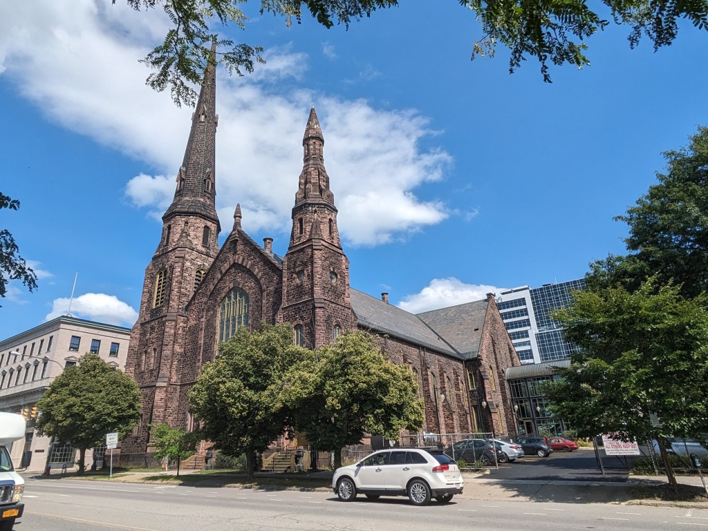
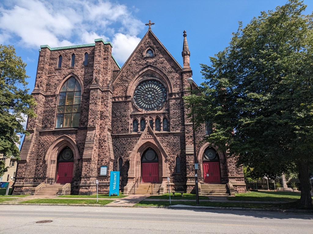
Below, I share photos of both the sacred and the secular spires that I found in downtown Buffalo.
Sacred Spires
Secular Spires
For those of you who are word nerds, I double checked the definition of spire as I typically only use it when talking about religious buildings, so I wanted to make sure that the term applies to the same kind of structure whatever the building’s use is. In doing this, I got the confirmation I wanted, but also discovered that Merriam-Webster’s #1 definition for spire is: “a slender tapering blade or stalk (as of grass).” ↩︎
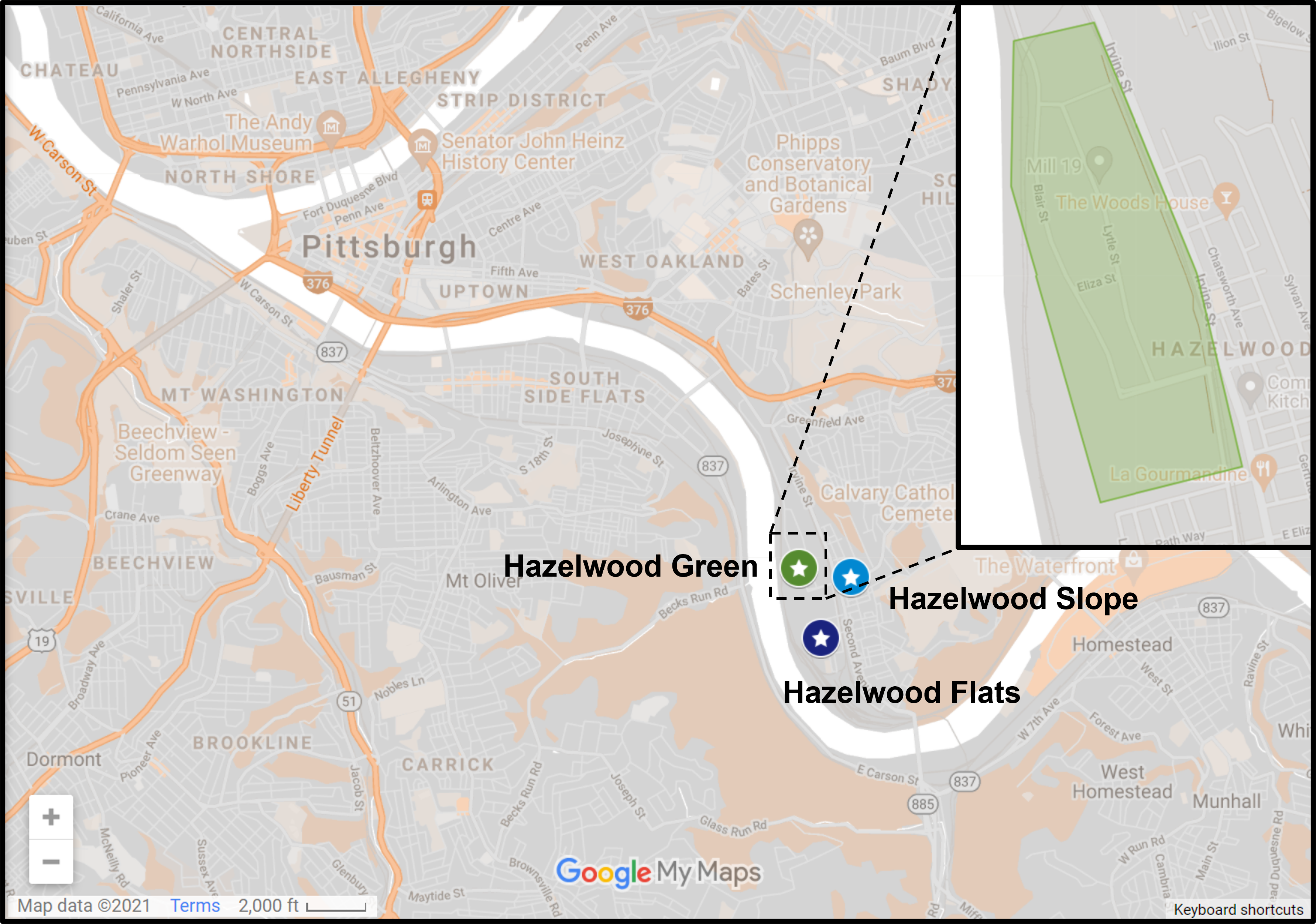
Hazelwood is a neighborhood about 4 miles down the Monongahela River from downtown Pittsburgh. It is currently experiencing significant change. Between Hazelwood’s main street (2nd Avenue) and the Monongahela River is a 178-acre site of the former Jones and Laughlin Steel Company. Most of the structures from the mill were demolished, leaving a large brownfield. In 2002, the site was purchased for redevelopment by Almono LP (at the time, an entity made up of four Pittsburgh foundations). After years of planning and a rebranding of the site as Hazelwood Green, a series of public streets and the first building opened for use in 2019. Construction is underway for more buildings and a public plaza.
During the planning and preparation stages, a question arose as to the effects of this redevelopment on the surrounding neighborhood. Hazelwood is one of Pittsburgh’s neighborhoods that has experienced high vacancy rates and subsequent demolition in its residential and business districts. While the building stock of the neighborhood has experienced a long downward trend, the community of people is strong. Only time will tell if the redevelopment of Hazelwood Green will connect with this community or if Hazelwood Green will become and isolated spot of prosperity for others.
Previously, I divided the approach to Keeping an Eye on Hazelwood into three series, Keeping an Eye on Hazelwood Green, Keeping an Eye on Hazelwood Flats, and Keeping an Eye on Hazelwood Slope. For this post and the 2023 post, I will be combining these into a single series. The goal of this series is to periodically document the physical changes to the former steel mill site and to the surrounding neighborhood.
The Photos
Due to a full schedule in 2022, I was not able to take any photographs of the neighborhood this year.
Hazelwood in the News
The big news of 2022 was the announcement of the plan for the current nonprofit owner (Almono LP) of Hazelwood Green to turn over management and eventually ownership of the site to a New York-based, for-profit development firm. (Pittsburgh Business Times, February 25, 2022, article 1 and article 2)
At the end of 2021, the plan and zoning regulations governing the redevelopment of Hazelwood Green was amended to respond to the current market. One of the changes was to allow more flexibility for temporary parking lots that the Planning Commission placed a condition that such parking lots must expire after 40 years. (Planning Commission agenda, Planning Commission minutes, City Council legislation page)
Public Source (October 27, 2021) discussed this amendment as well as community efforts to bring a grocery store to the neighborhood, to establish and maintain affordable housing, and to maintain and strengthen the ecosystem created by the greenway on the hill overlooking Hazelwood Green.
Also, toward the end of 2021, the One Valley innovation hub moved into the renovated Roundhouse (LinkedIn, July 20, 2021) and the University of Pittsburgh announced plans to build BioForge, a biomanufacturing facility, with funds from the Richard King Mellon Foundation (Pittsburgh Business Times, November 17, 2021, articles on funding and Pitt’s plans)
The City of Pittsburgh has a project page to track the restoration of the Hazelwood Greenway.
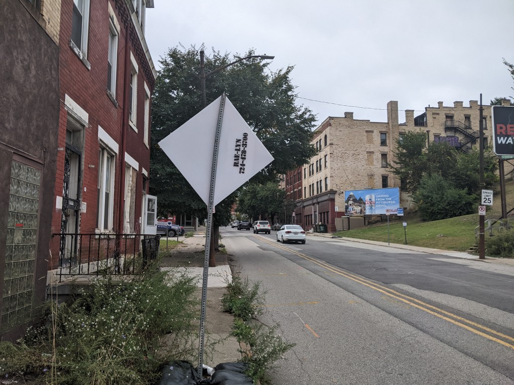
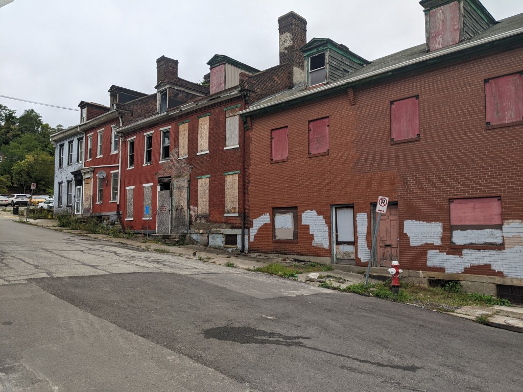
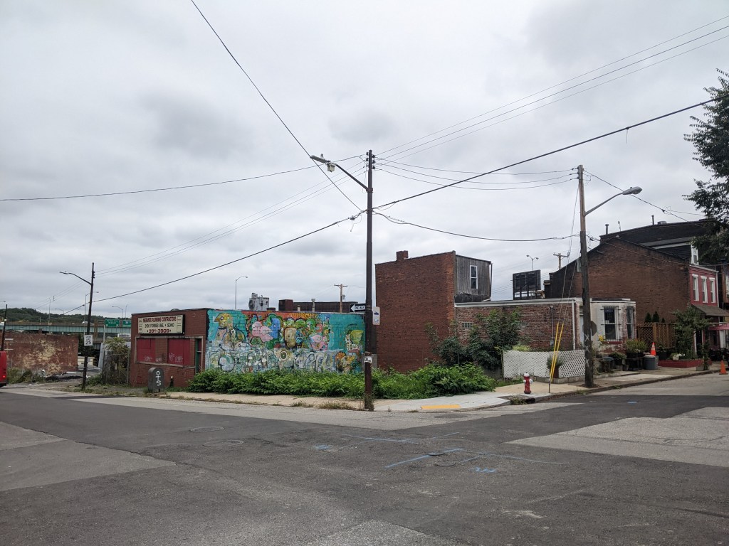
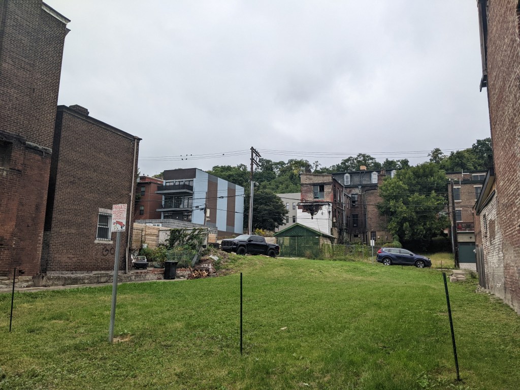
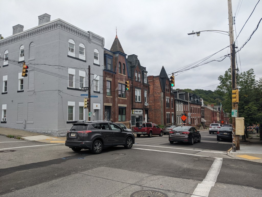
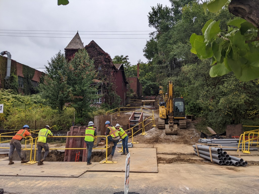
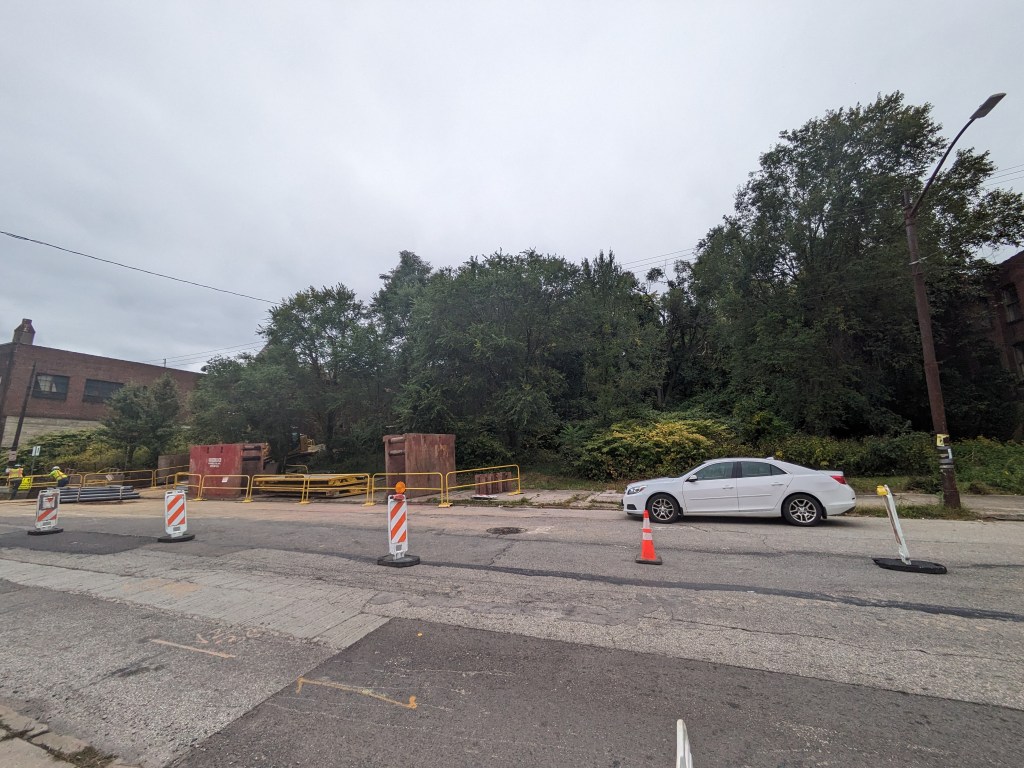
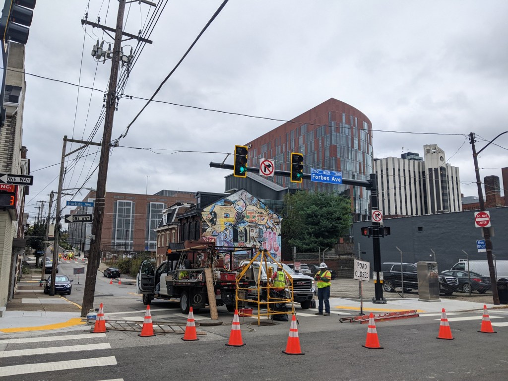
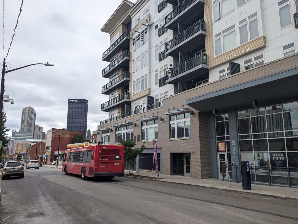
Uptown is one of the many neighborhoods in Pittsburgh that experienced decades of neglect. For this neighborhood, the neglect was despite Uptown being sandwiched between Oakland and downtown, two places among the state’s strongest economic regions. Zipping through Uptown from Oakland to downtown on Fifth Avenue or from downtown to Oakland on Forbes Avenue, it is easy to overlook or dismiss the hodgepodge of ruined home foundations turning back to forest; scattered vacant lots, parking lots, and industrial uses; and the intricate architectural details on abandoned and renovated townhomes.
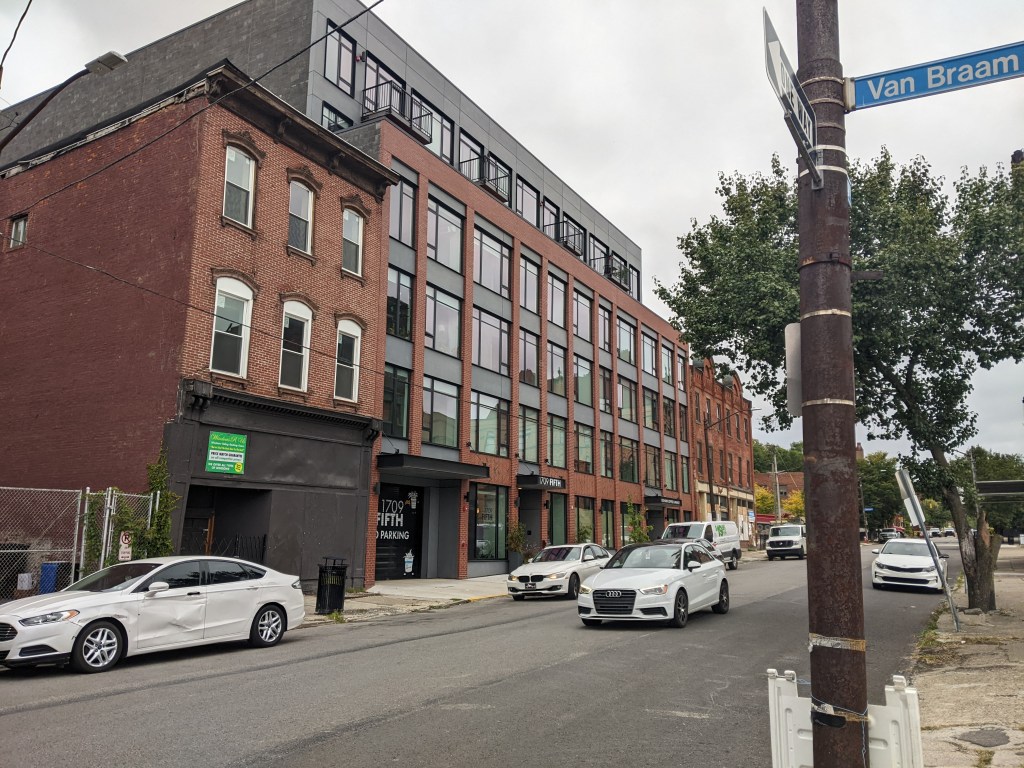
In recent years, new buildings started springing up here and there. Some of these new projects are the work of the two institutions in the neighborhood: UPMC Mercy Hospital and Duquesne University. Others are the work of a variety of commercial and residential developers. Two reasons for this recent investment are the proposed Bus Rapid Transit system, which will eventually run through the neighborhood, and the in-progress redevelopment of the Lower Hill, an adjacent neighborhood.
The Uptown community saw these changes coming and prepared. Between 2015 and 2017, the community organization Uptown Partners collaborated UPMC Mercy, Duquesne University, the City of Pittsburgh, and others to create the EcoInnovation District Plan and the Uptown Public Realm zoning district. The plan and new zoning district are intended to guide future development and leverage their economic investment for the greater good of the neighborhood. Ideally, this will reduce the number of those who will be left behind.
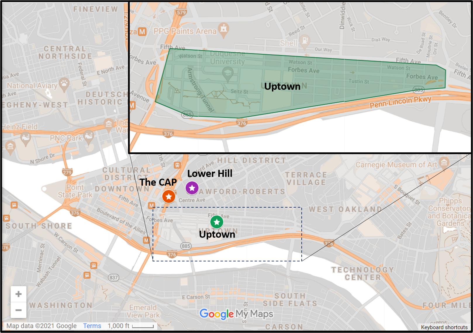
This blog post is part of an on-going series watching the changes in Uptown. Periodically, approximately once a year, I return to the neighborhood to take new photographs of the same areas. In addition, I include links to articles about the project that I’ve encountered since the previous post in the series. At the end of the post, there is a map showing the location of the neighborhood and links to the previous posts in the series.
What’s new
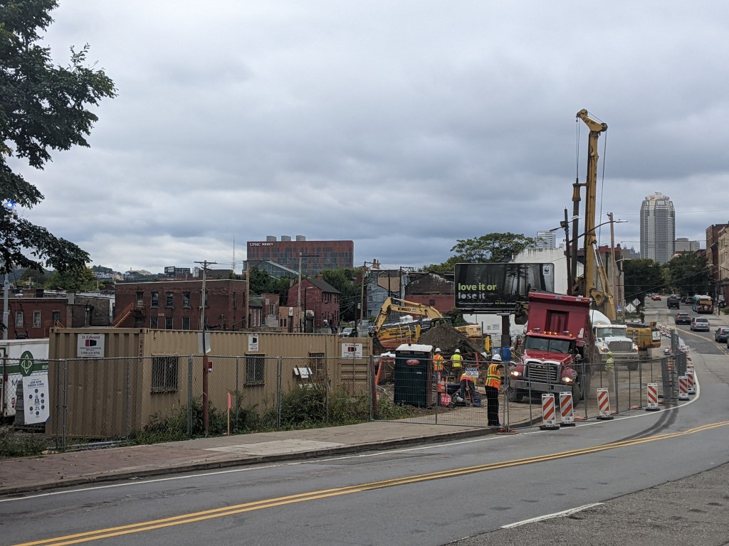
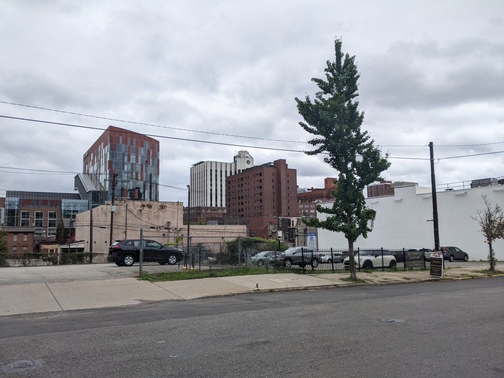
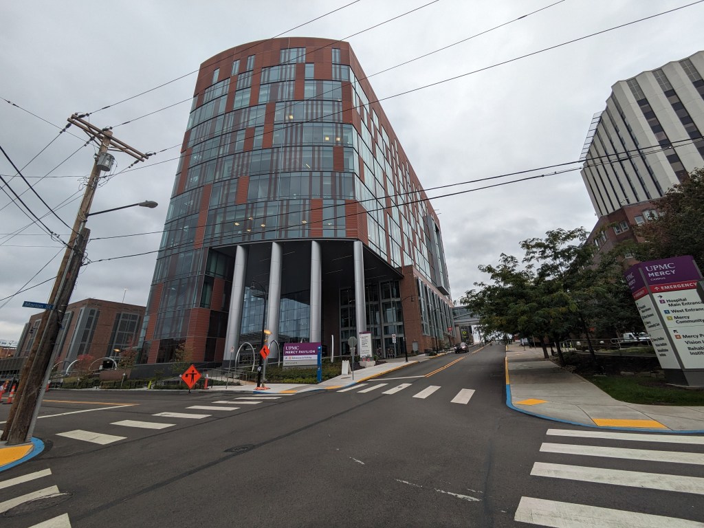
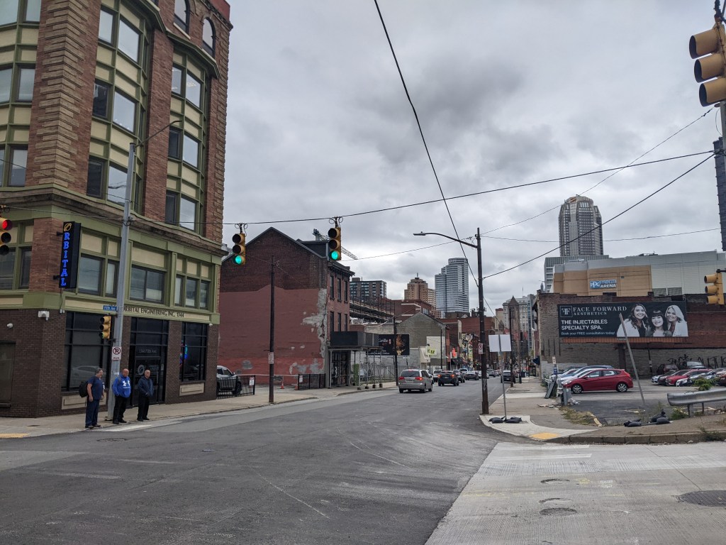
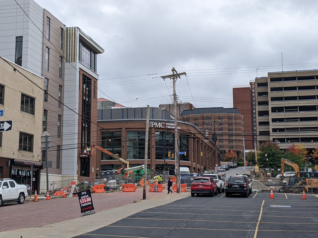
There’s been a lot of development in Uptown since the last on-the-ground photographs from December 2021. Several projects that were in progress at that time have since been completed (or at least appear completed) including the UPMC Mercy Pavilion for the new vision rehabilitation center. Many more projects have broken ground, including one near the Birmingham Bridge on a vacant lot that has an extreme grade change. The near cliff that ran through the middle of this site made me guess that it would take longer to develop that property than the vacant building across the street with the Burrell sign painted on the side. This suggests that it may be easier to develop a environmentally challenged site than to reuse an existing building – which is a disturbing thought.
In addition to the projects we can see developing in the photo series, several more have been announced for the neighborhood, which can be seen in the news section.
A small aside, as a picture tells a 1,000 words, the photo this year of the Shephard’s Heart Fellowship suggests an unfortunate story (slightly embellished from having ridden the bus past the building over the course of several months). While there is no good time to have a fire, it appears that Shephard’s Heart had a fire shortly after they finished putting a fresh coat of paint on their building. As it’s been at least four months since I first notice the damage and no exterior repairs are apparent, it seems they might be having difficulty in resolving the after affects.
The Photos
Uptown in the News & on the Web
Two projects in Uptown are listed in Next Pittsburgh‘s list of 8 major development projects to watch in 2023: UPMC Mercy’s Vision Rehabilitation Center and Duquesne University’s new 12-story student housing (January 11, 2023). The Pittsburgh Business Times got a first look at the new UPMC Mercy Pavilion – the home of the vision rehabilitation center – prior to its May 1 opening (April 19, 2023) and the University of Pittsburgh Health Sciences provided an description of the services that will be provided (May 10, 2023).
The Tito-Mecca-Zazza House continued to make the news. The developer and Uptown Partners reached an agreement that would donate the house to the nonprofit for restoration while the new construction multi-unit building would be built on the remaining parcels, including the one with the garage that is part of Rolling Rock’s origin story (Pittsburgh Business Times, July 21, 2023). A descendant of the Tito family has filed a lawsuit protesting the proposed demolition of the garage (Pittsburgh Business Times, August 28, 2023).
The Bethlehem Haven women’s shelter in Uptown sought and received approval from Planning Commission on its plans to renovate and expand (Public Source, April 4, 2023; TribLIVE, April 4, 2023; TribLIVE, April 19, 2023).
Several other housing projects received approvals or are moving forward in the neighborhood including:
a formerly stalled 110-unit mixed-use apartment building got an infusion of new funds from the URA (Pittsburgh Business Times, January 19, 2023)
a 240-unit apartment building proposed for a block that is primarily a parking lot today (Pittsburgh Business Times, February 21, 2023)
an affordable/workforce housing development that received approval from Planning Commission (Public Source, July 25, 2023)
Panelists were interviewed by the Pittsburgh Business Times prior to their talk about the projects and opportunities coming to Uptown and the Lower Hill and another Pittsburgh Business Times article focused on the prominent role of Black developers in these projects (both articles: June 8, 2023). Another article discusses the panel (Pittsburgh Business Times, June 13, 2023).
Tech companies are also interested in Uptown with a tech venture studio taking over part of the former Paramount Building in Uptown (Pittsburgh Business Times, March 31, 2023).