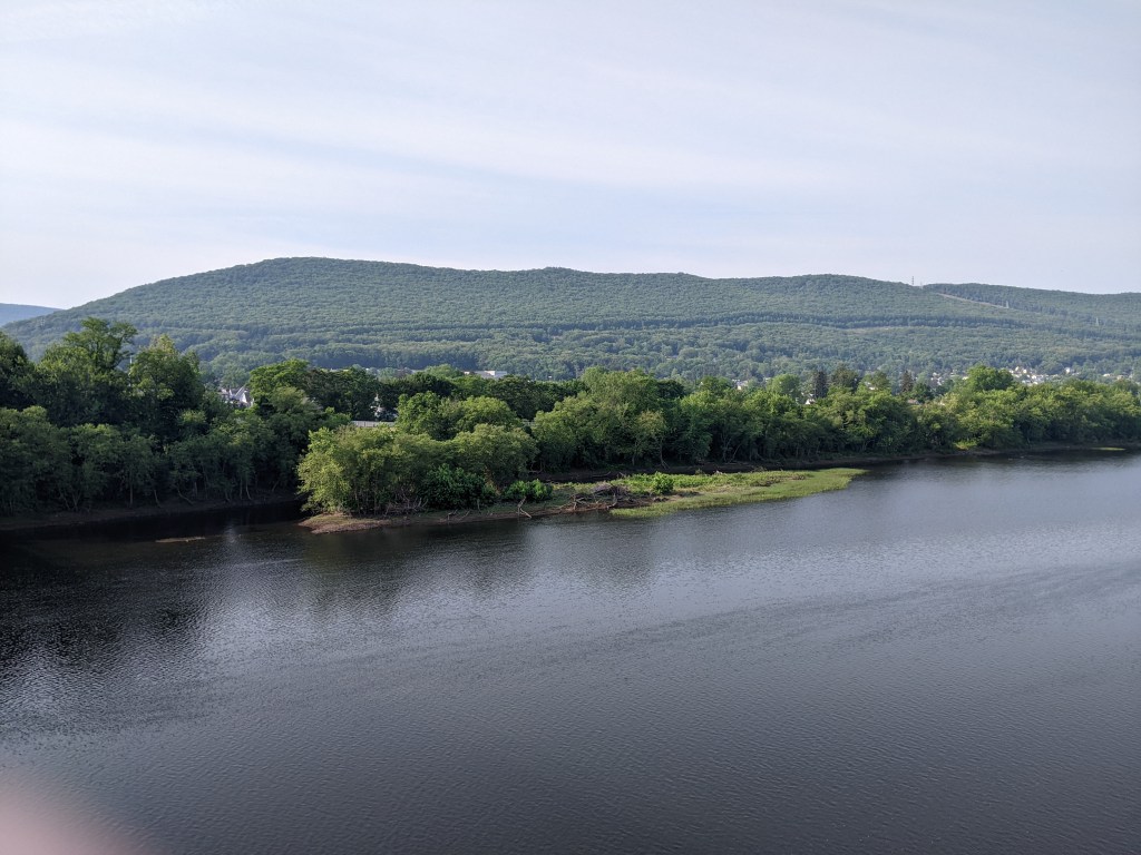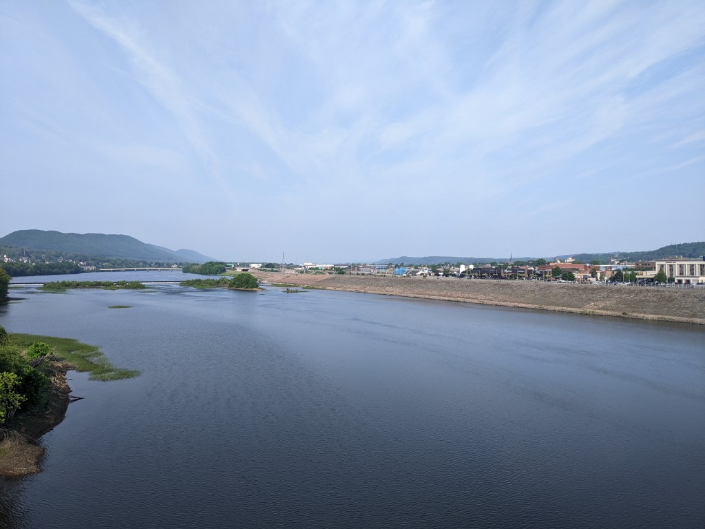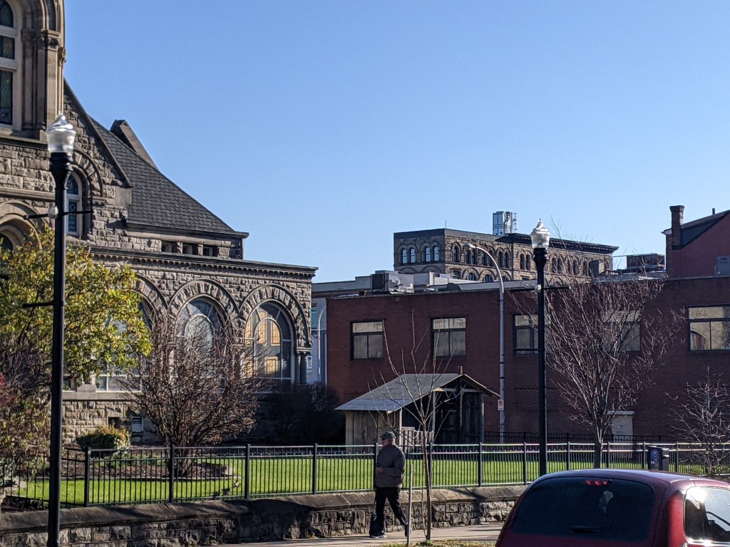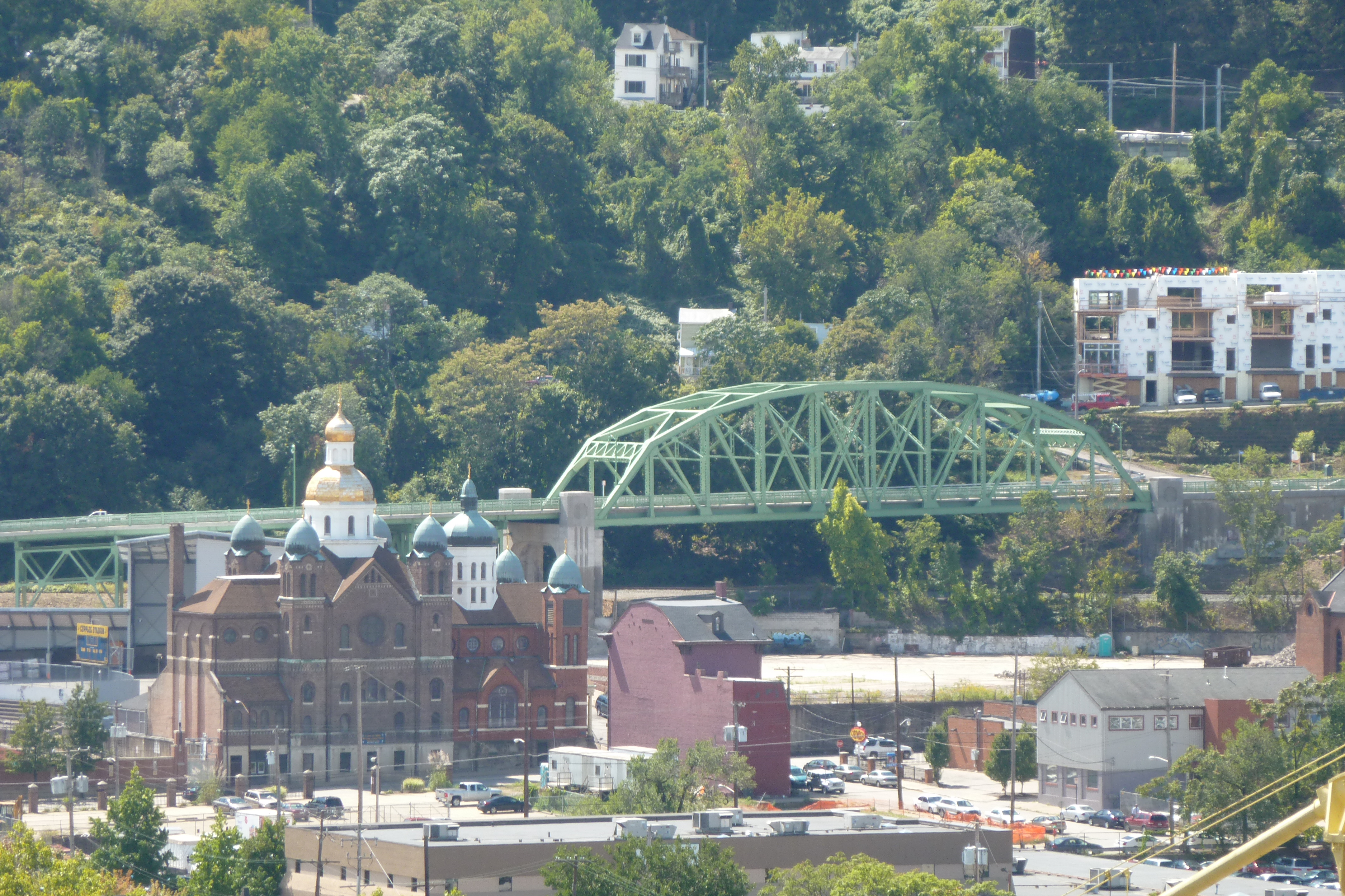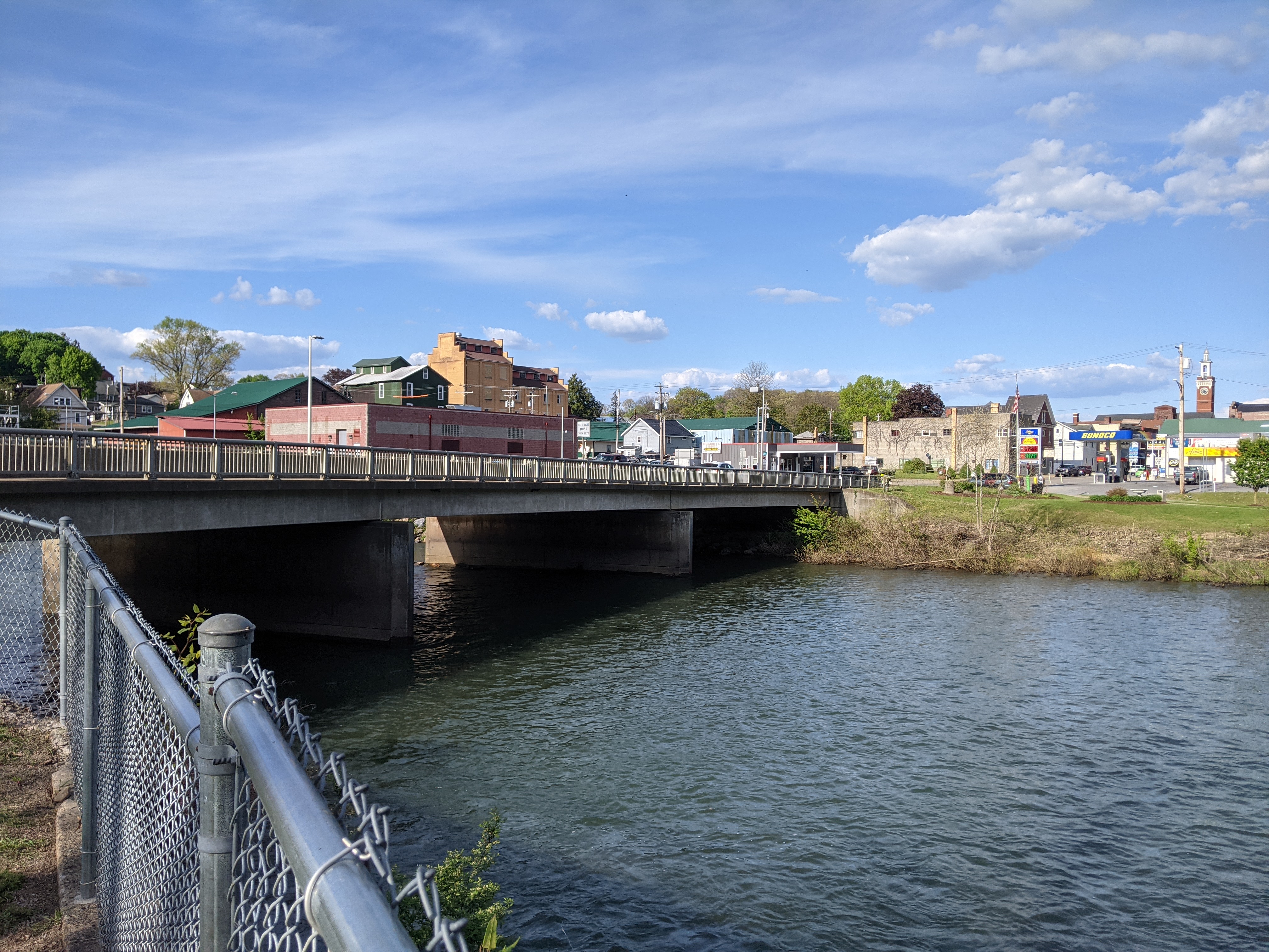
Williamsport is a town of just over 25,000 along the upper Susquehanna River in Pennsylvania. I discovered it as an excellent stop-over point to break up the drive home from my relatives in Rutland (where I’ve explored public art, a bridge, covered bridges, and the drawing of municipal boundaries). I enjoy a historic hotel, good restaurants, and a great bookstore (particularly useful when I’ve run out of reading on a trip) whenever I stop in Williamsport.
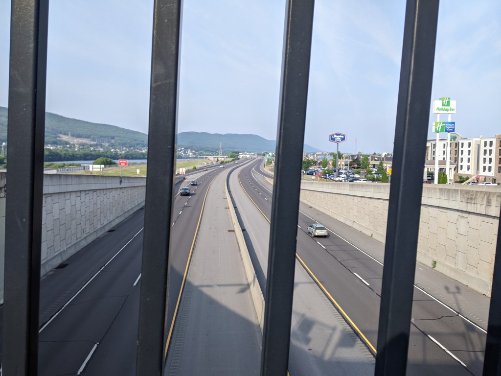
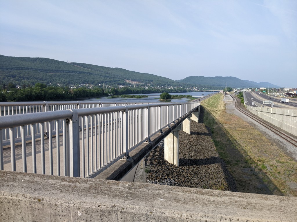
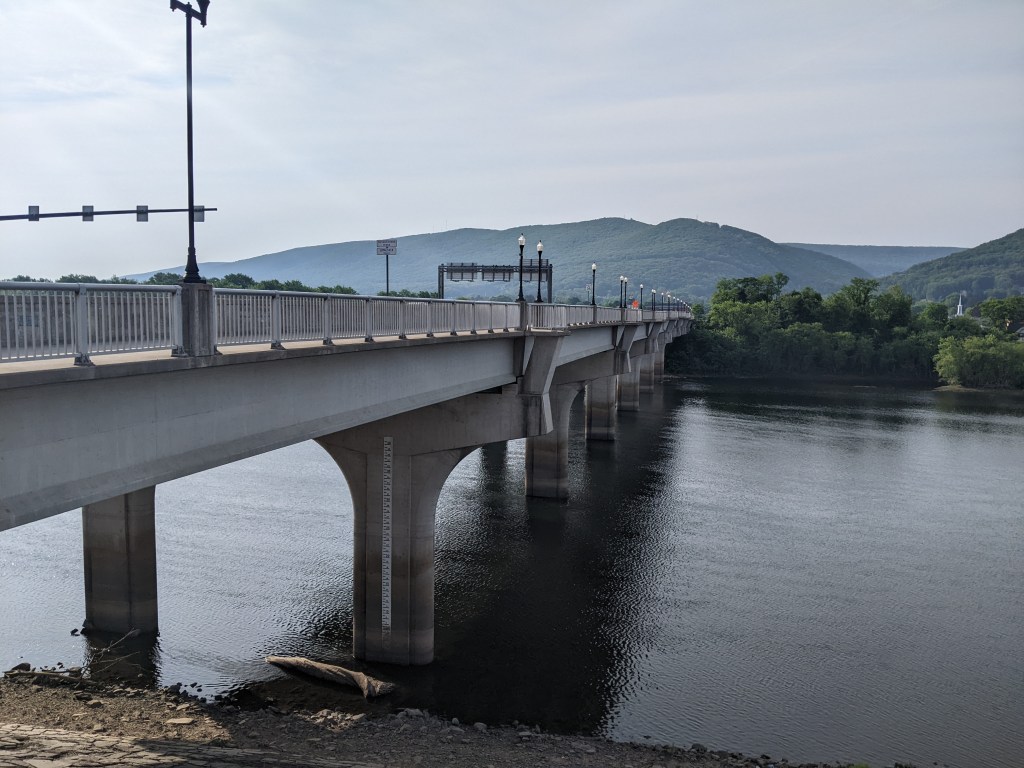
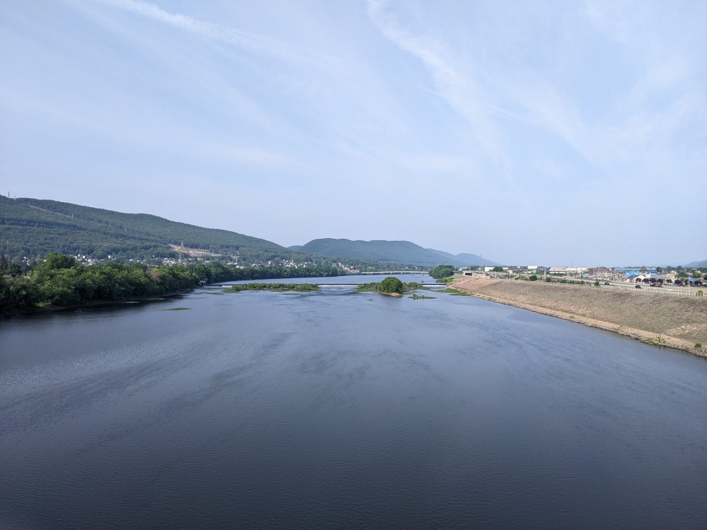
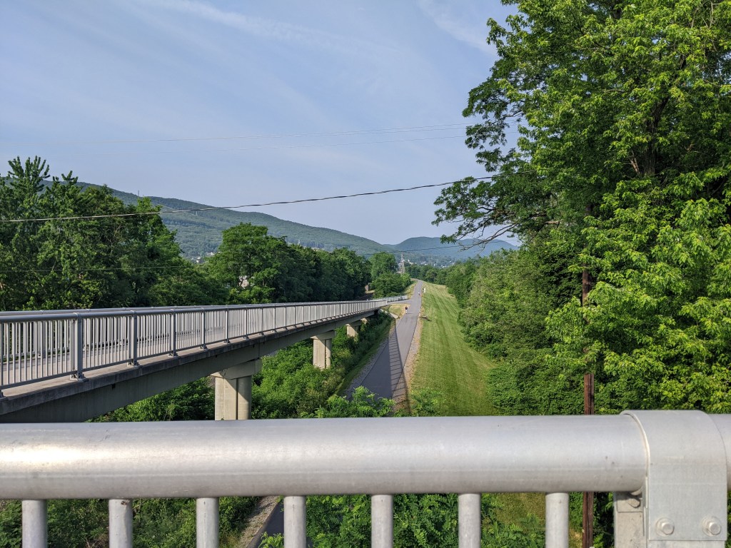
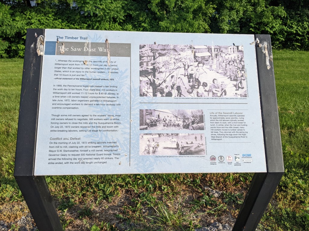
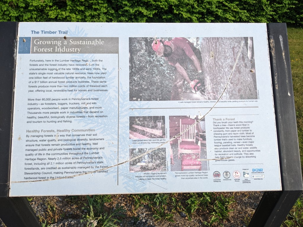
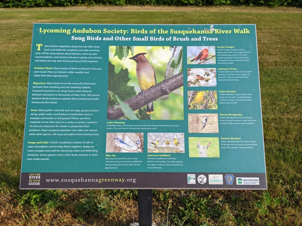
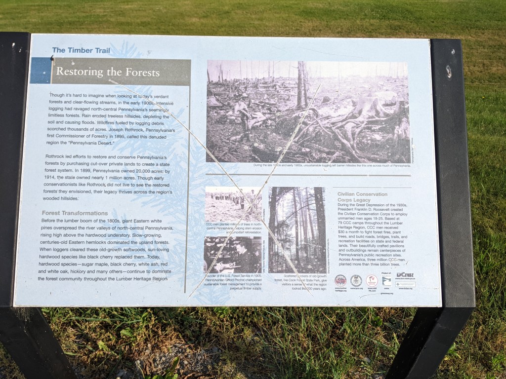
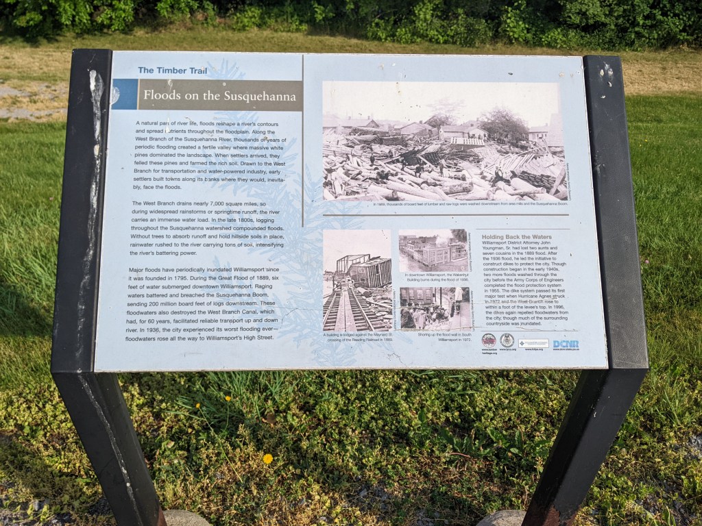
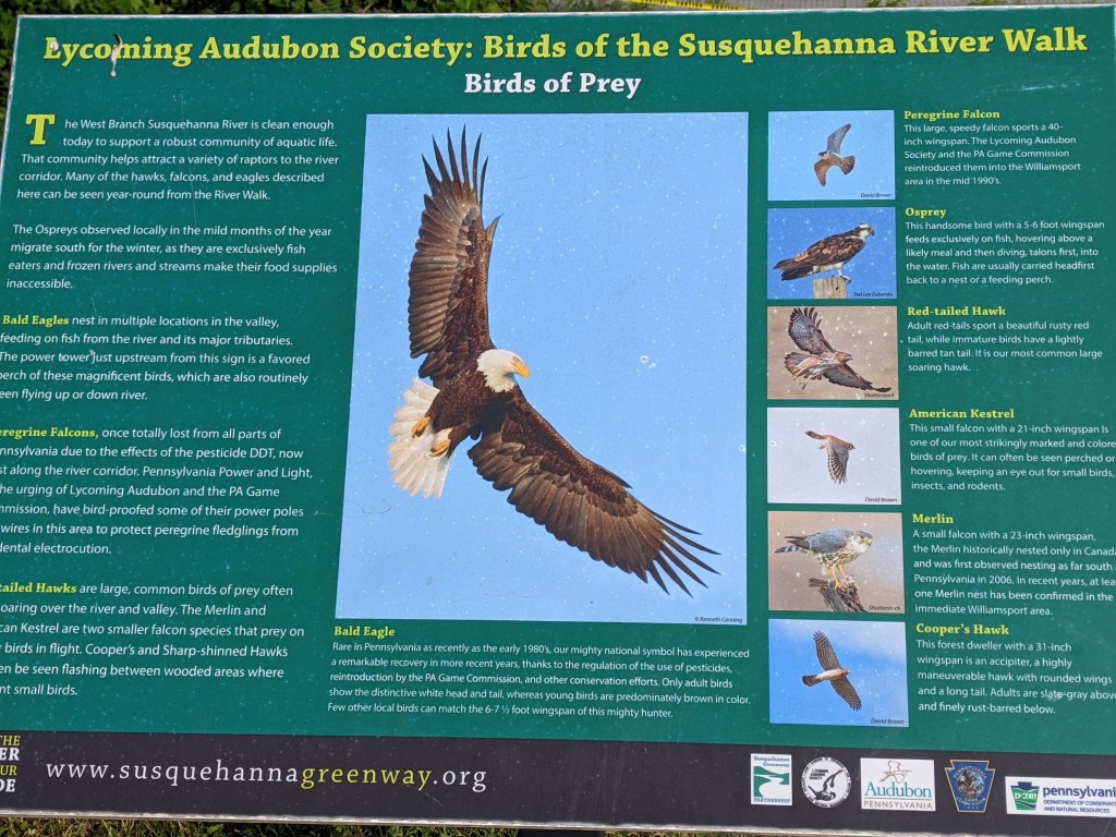
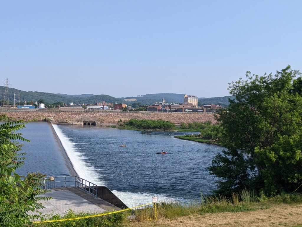
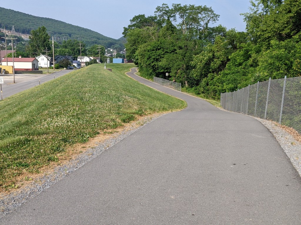
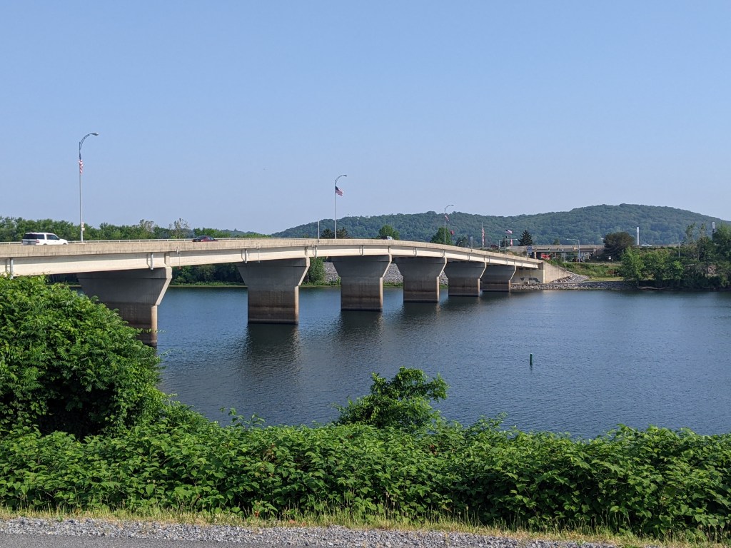
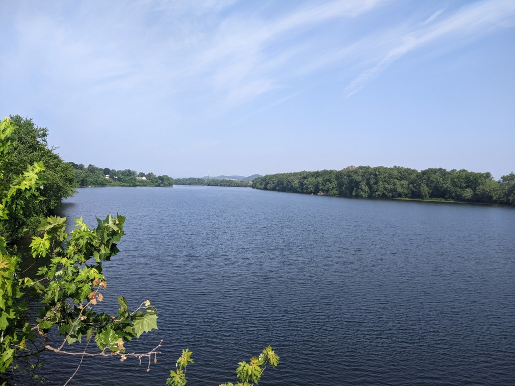
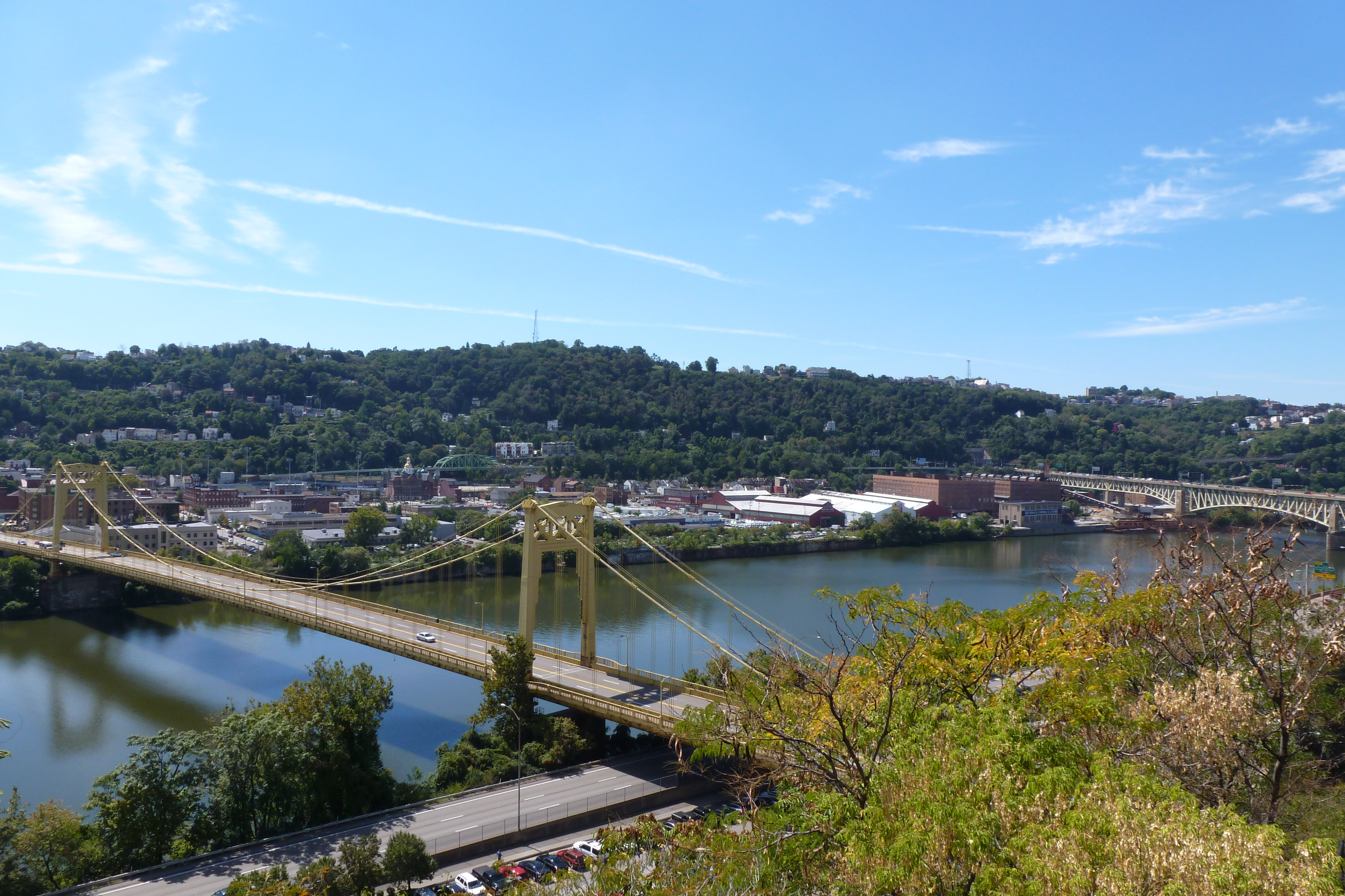
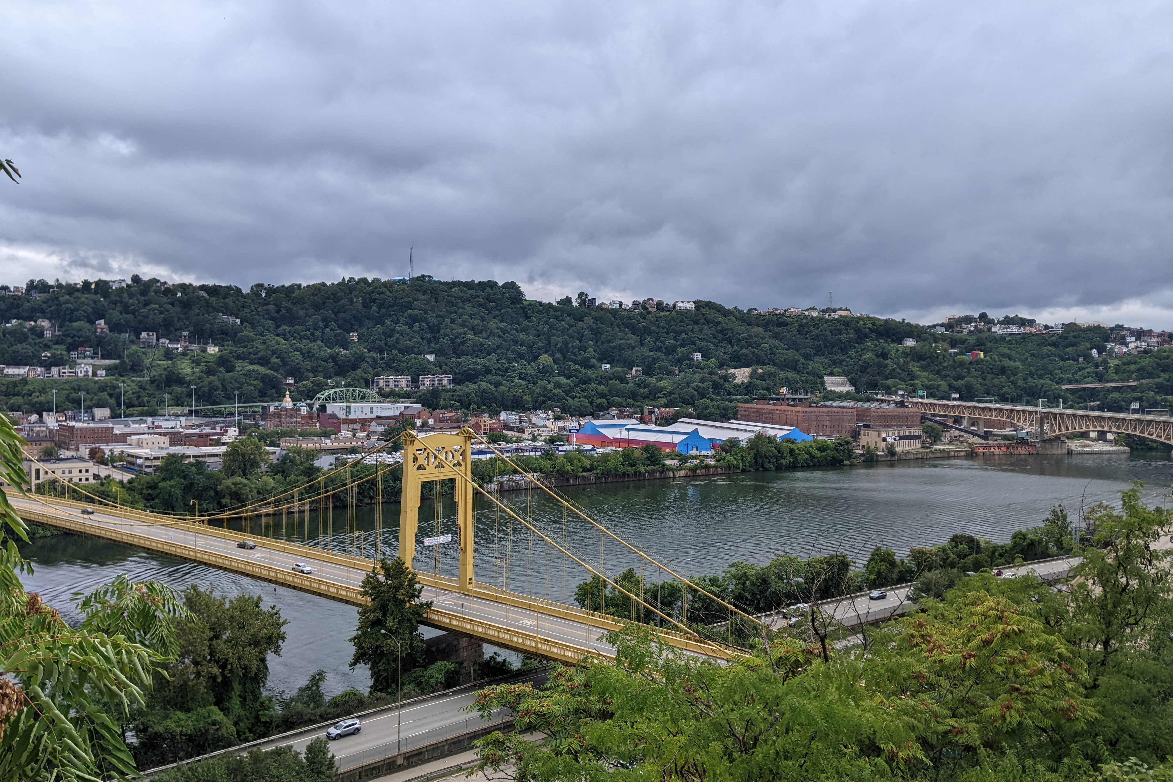
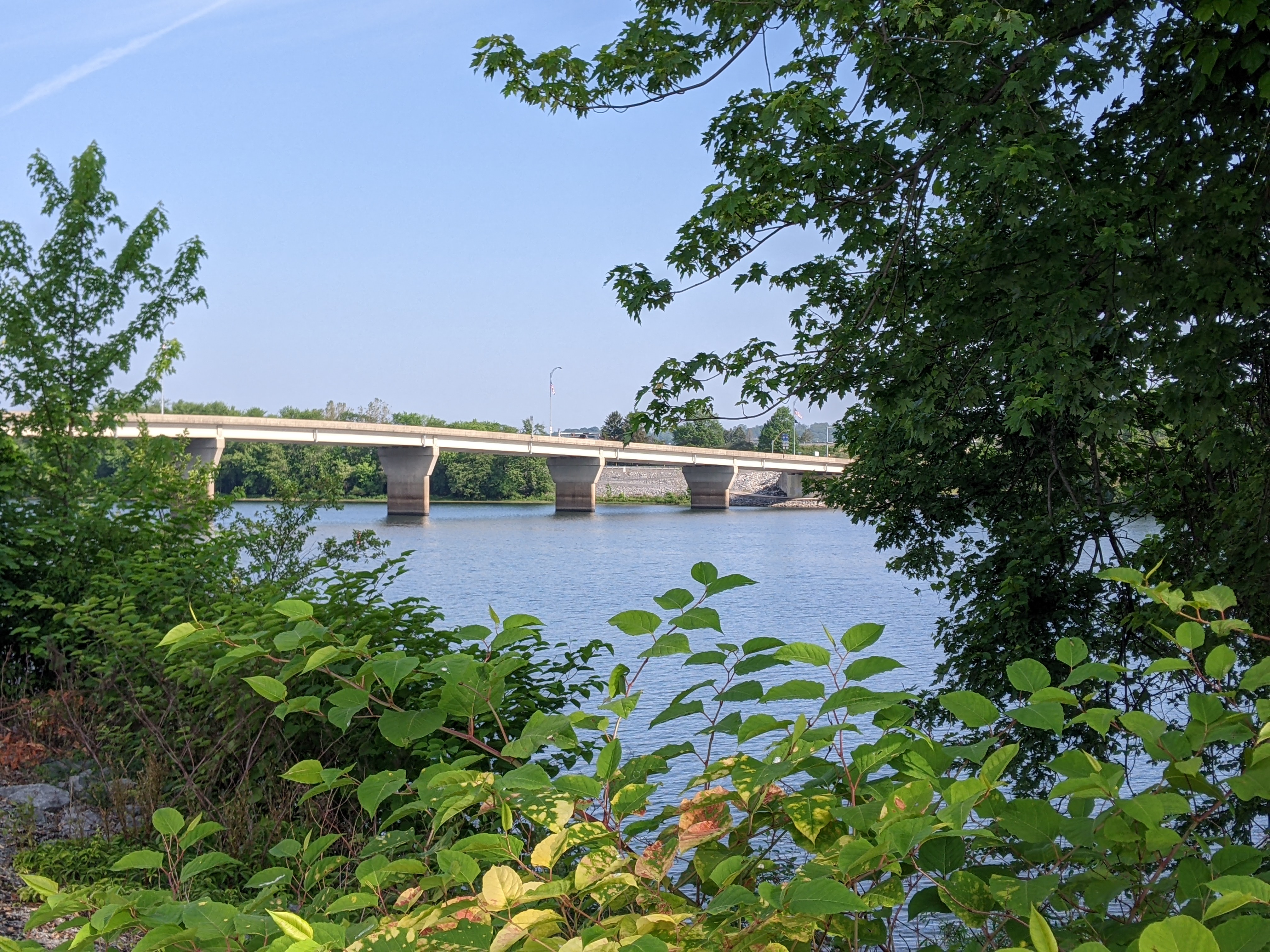
On a recent trip, I decided to walk the Market Street and Maryland Street Bridges over the Susquehanna while I was there. I took the walk in the morning, leaving my hotel shortly before 8:00 AM, so that I’d be back before checkout time. The sun was already high enough in the sky to be uncomfortably warm and there was very little relief from shade over the bridges and along the river. I spent most of the walk looking forward to when it would be over. A nice riverside trail connected the two bridges. I walked the southern route and frequently wished that the trees came closer to the trail to provide some relief from the sun. As such, I did not take the time to stop and read the informational signs about the region’s history in lumbering or about the birds that might be seen along the river.