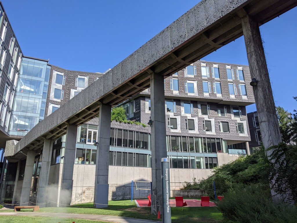
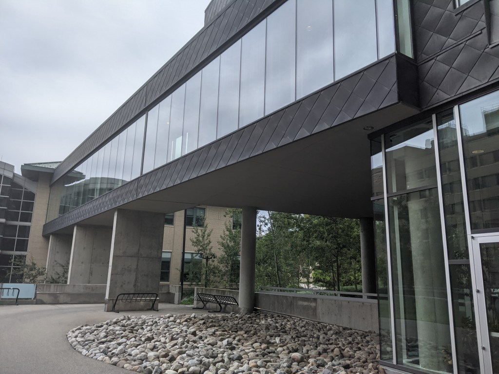
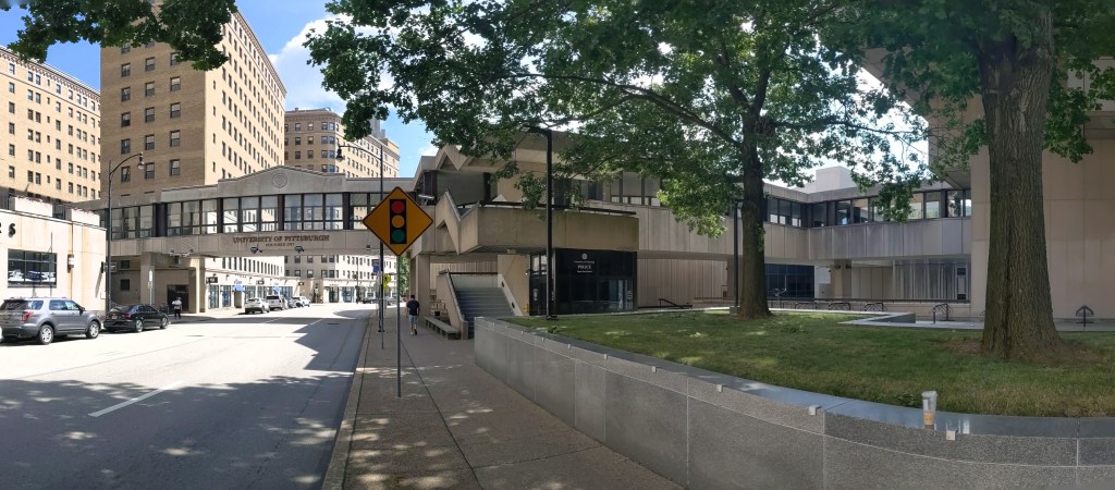
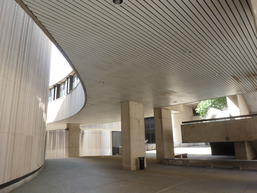
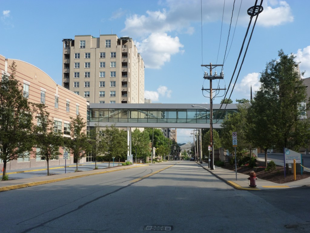
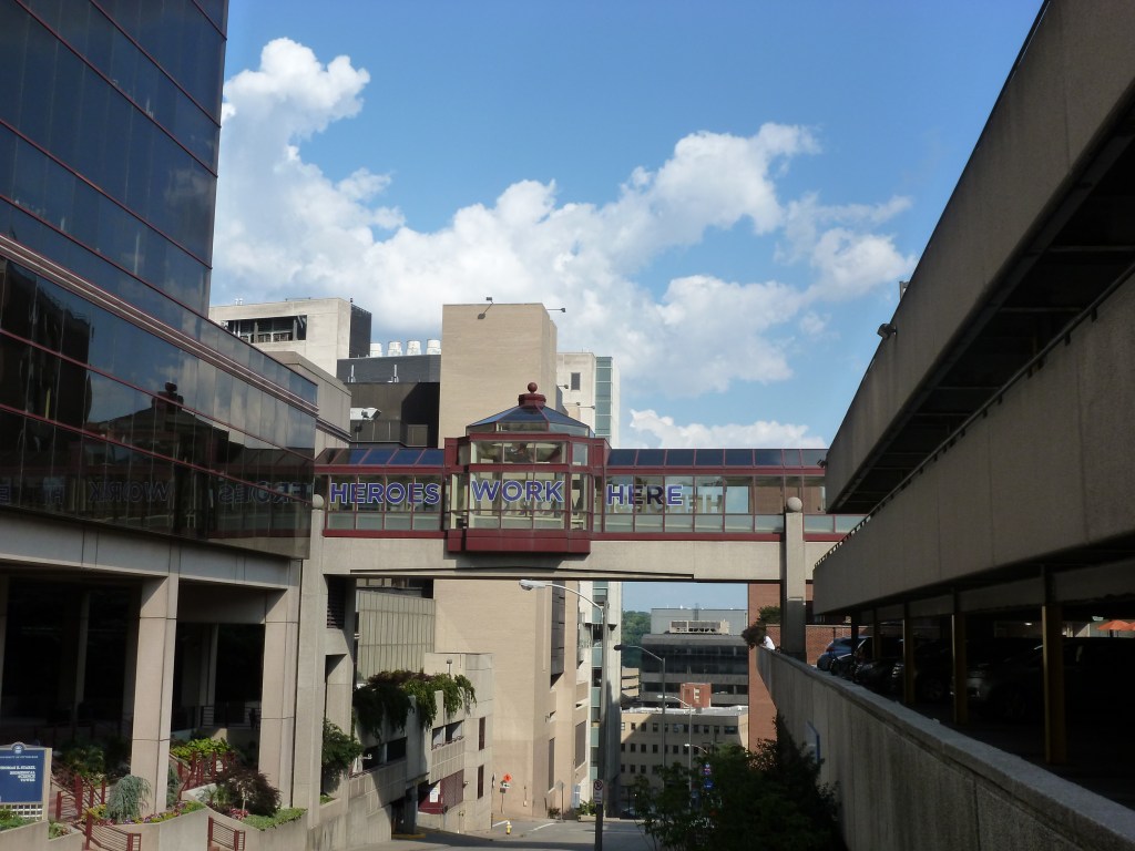
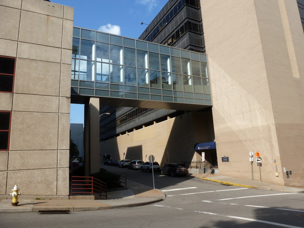
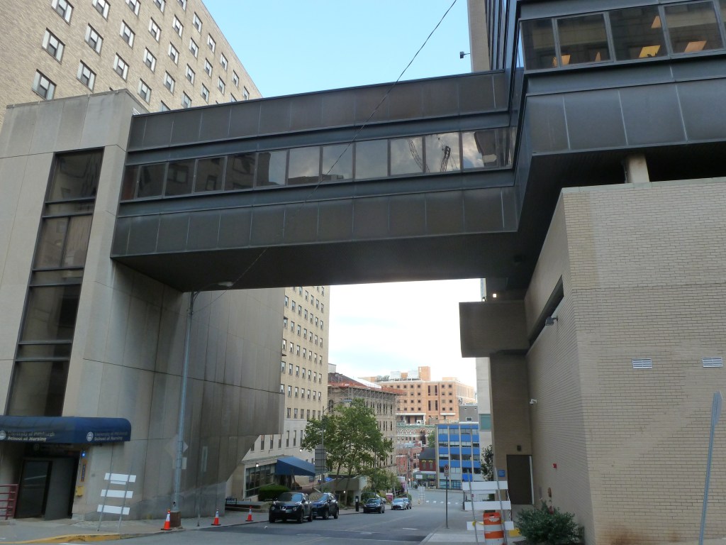
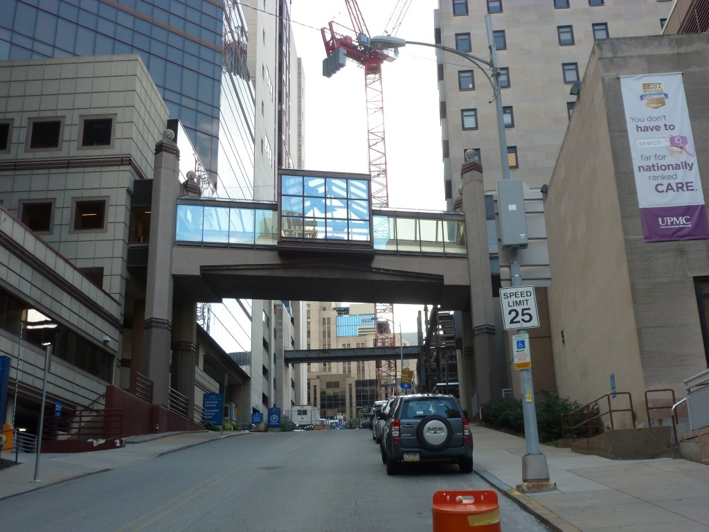
The Oakland neighborhoods in Pittsburgh’s East End are the home to a number of institutions. Among them are Carlow College, the University of Pittsburgh (Pitt), Carnegie Mellon University (CMU), multiple UPMC hospitals, the Phipps Conservatory (Phipps), the Western Pennsylvania School for Blind Children, and the Carnegie Institute complex (housing the Carnegie Museums of Art and Natural History, the main Carnegie Library, and the Carnegie Music Hall). Institutions seem to have a predilection for pedestrian bridges and the ones in Oakland are no exception.
My first encounter with an elevated, enclosed pedestrian bridge was one of the ones in the UPMC hospital complex. The summer I turned six, my grandfather was admitted to the hospital and our trip to Pittsburgh to visit him included many impressionable firsts for me:
- First time in a hospital
- First time to walk across an enclosed, elevated pedestrian bridge
- First time to encounter trick candles on a birthday cake
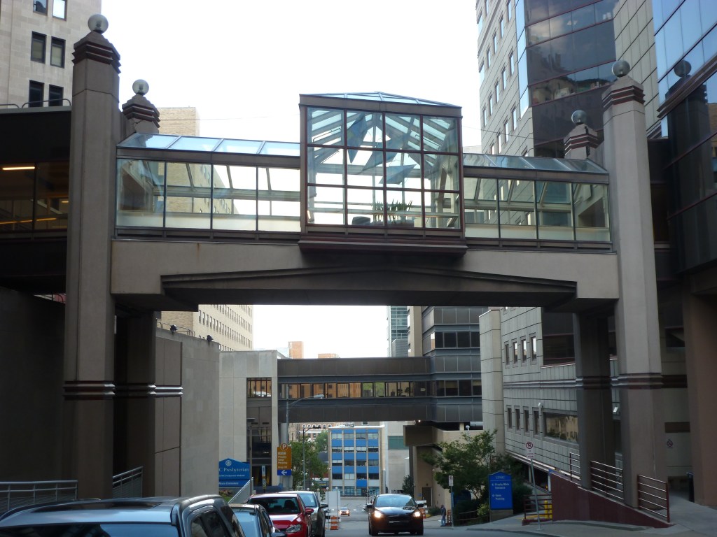
While I can now appreciate the importance of an enclosed pedestrian bridge to transport patients between facilities in a hospital without having to expose them to the unregulated outside air, I found it an odd and foreign structure when I was six. Decades later, outside of the use for hospital patients, I still find enclosed pedestrian bridges to be odd and foreign. I much prefer getting a breath of fresh air (even if it’s below freezing) to the often stale, manufactured air of these bridges.