Then & Now: Centre Ave & Baum Blvd Bridges

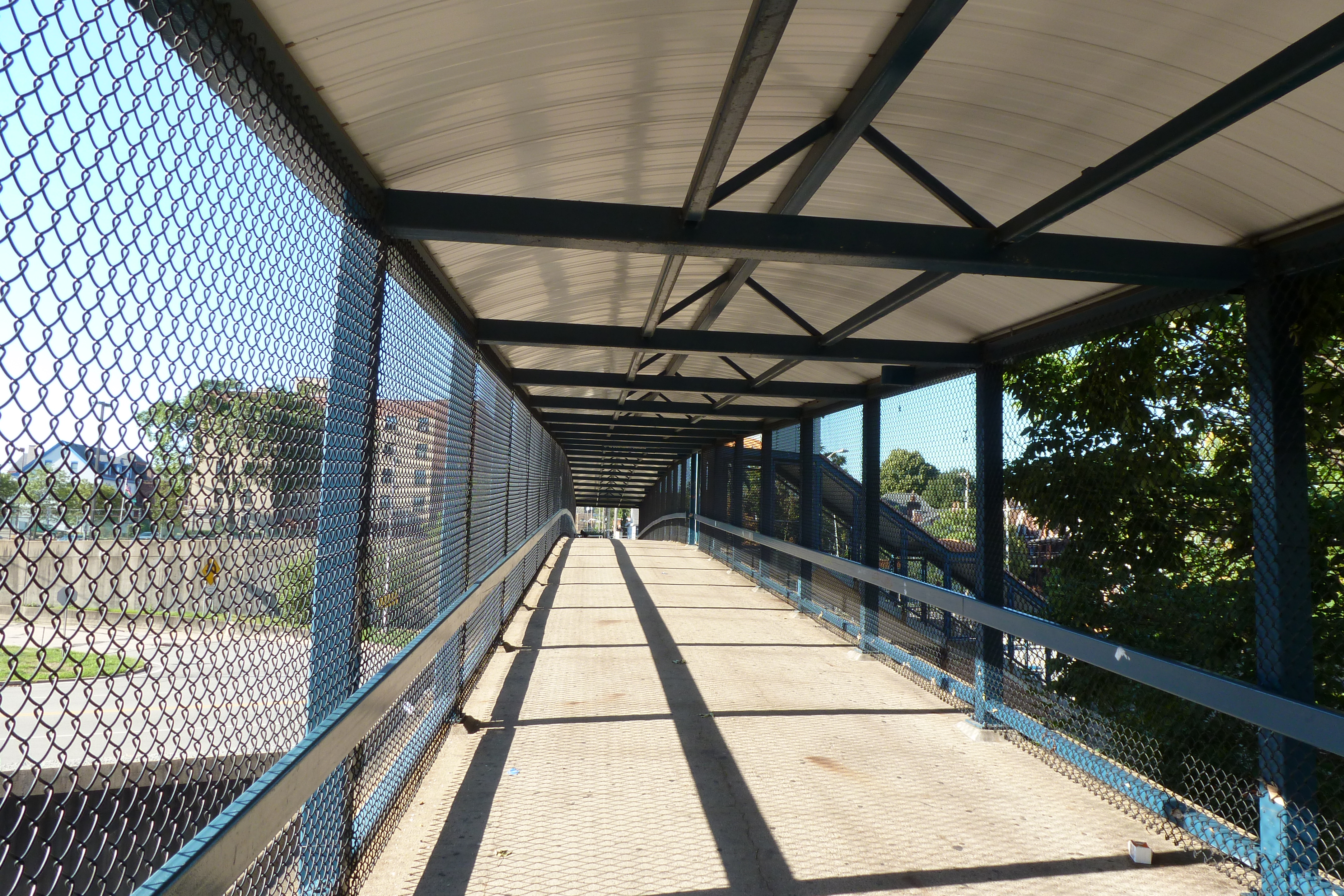
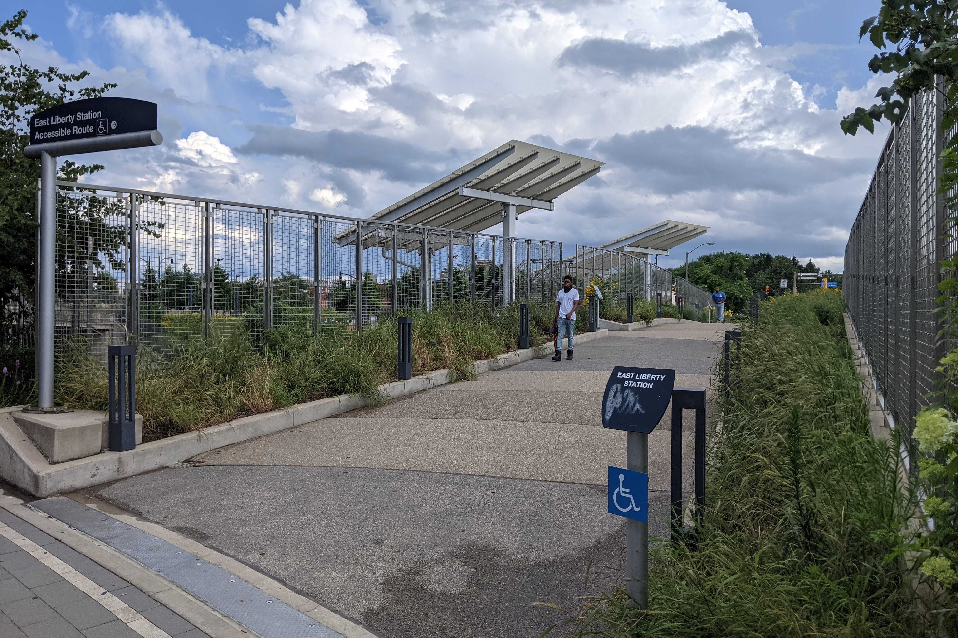
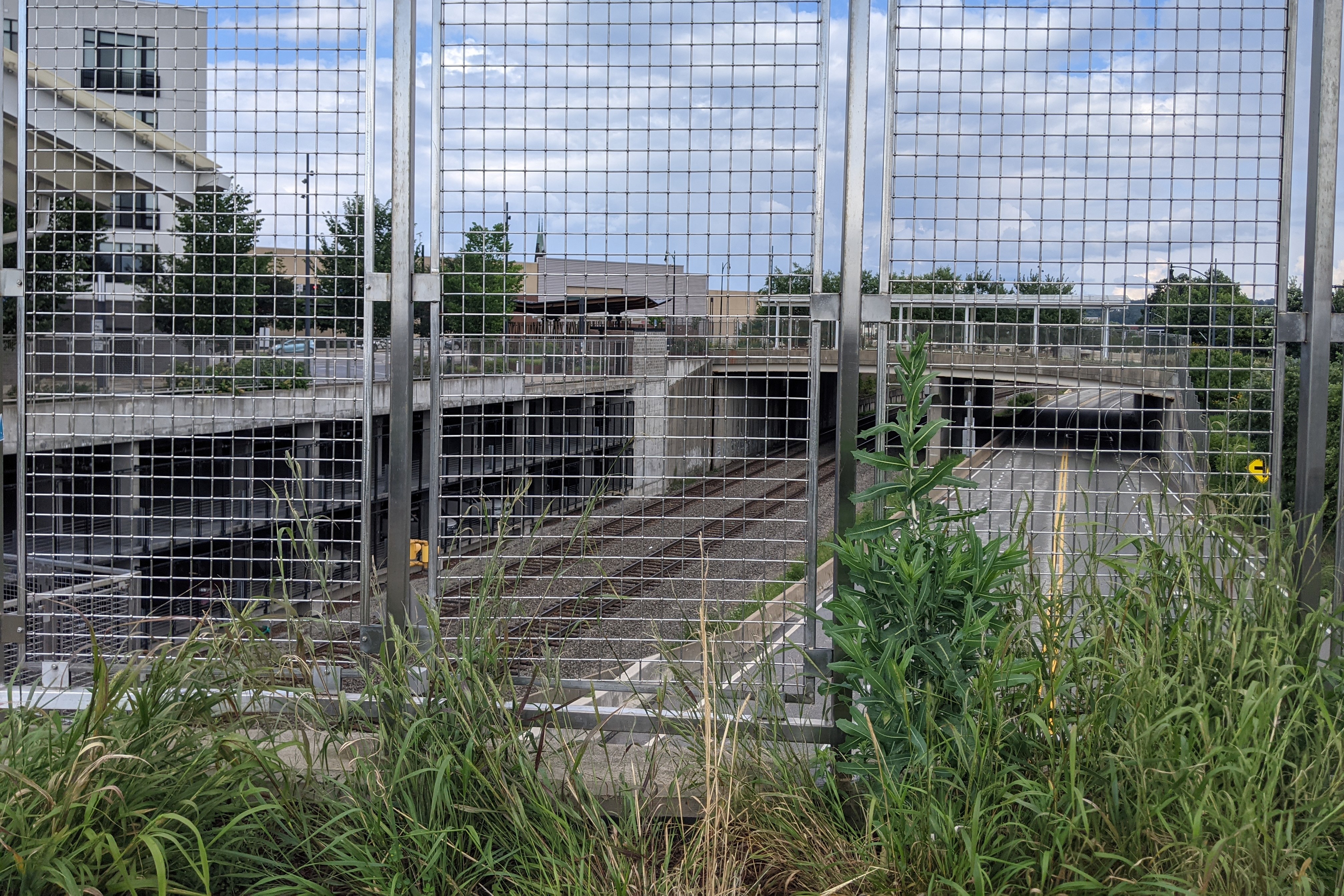
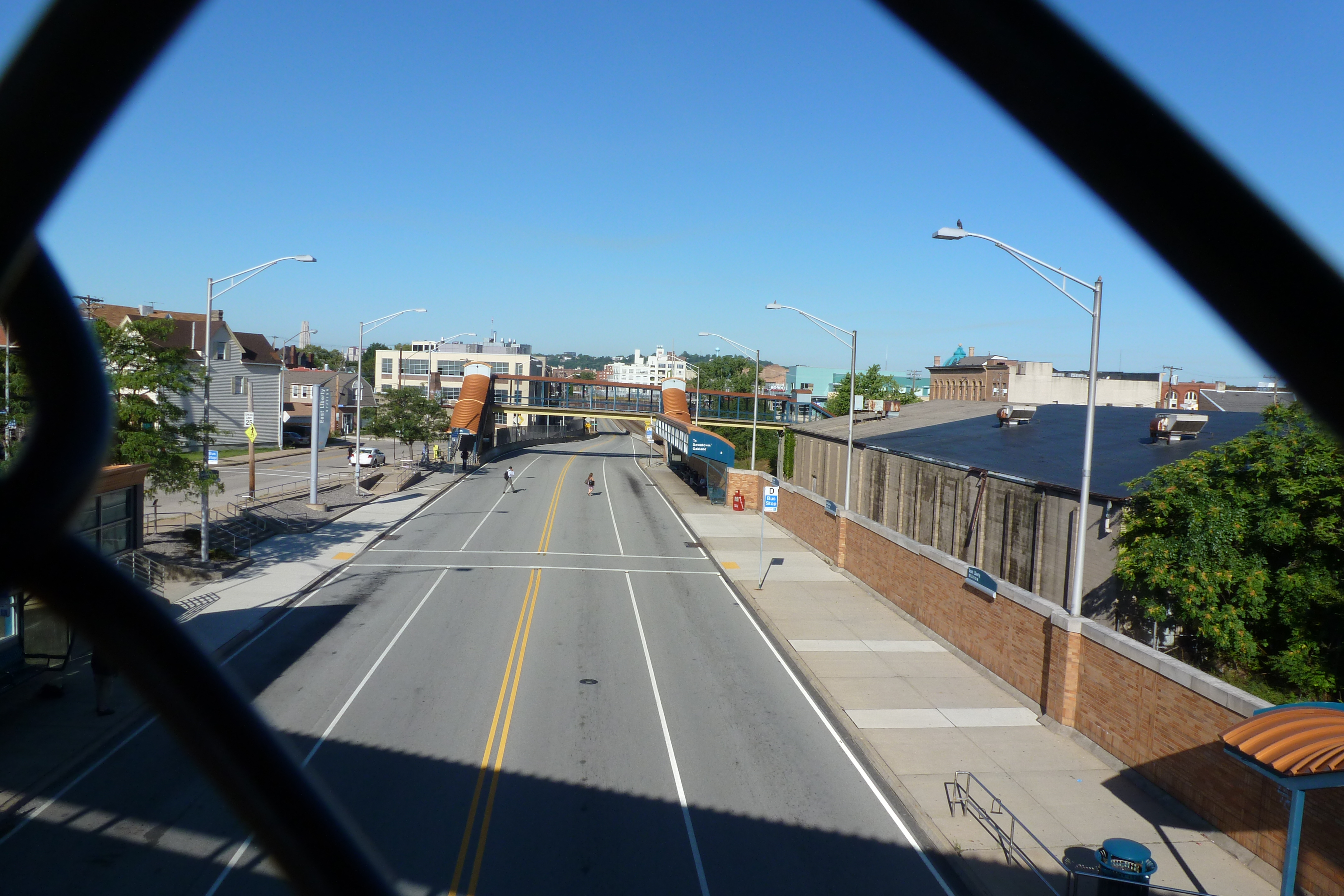
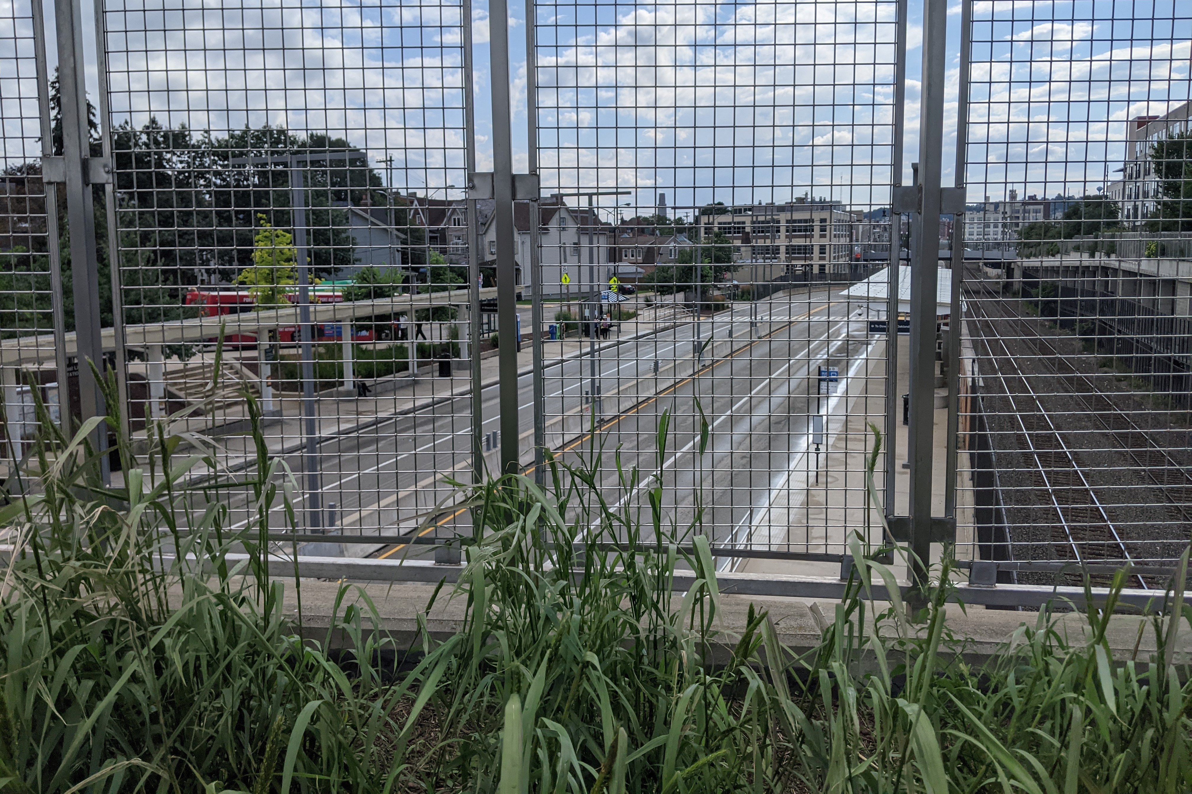
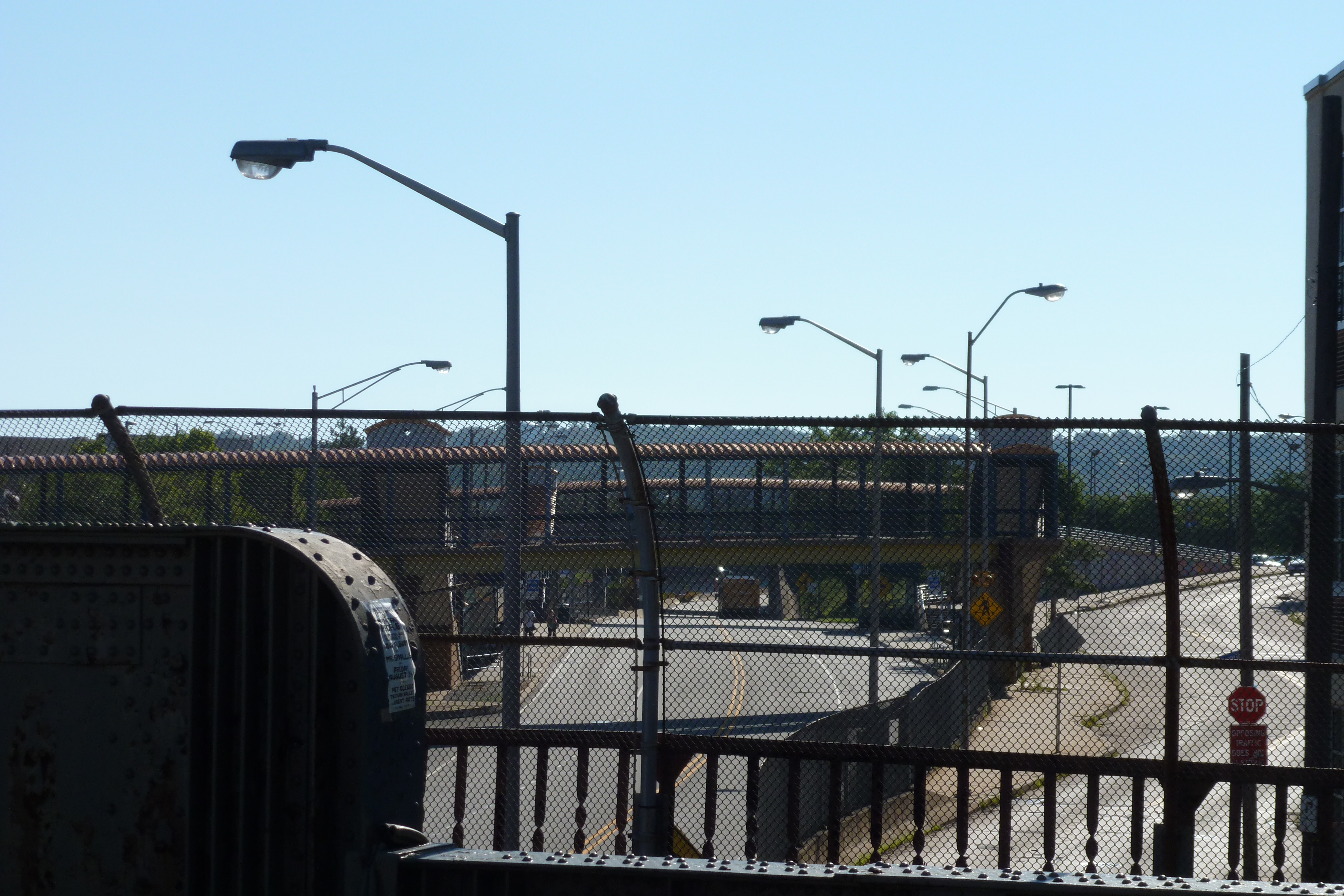
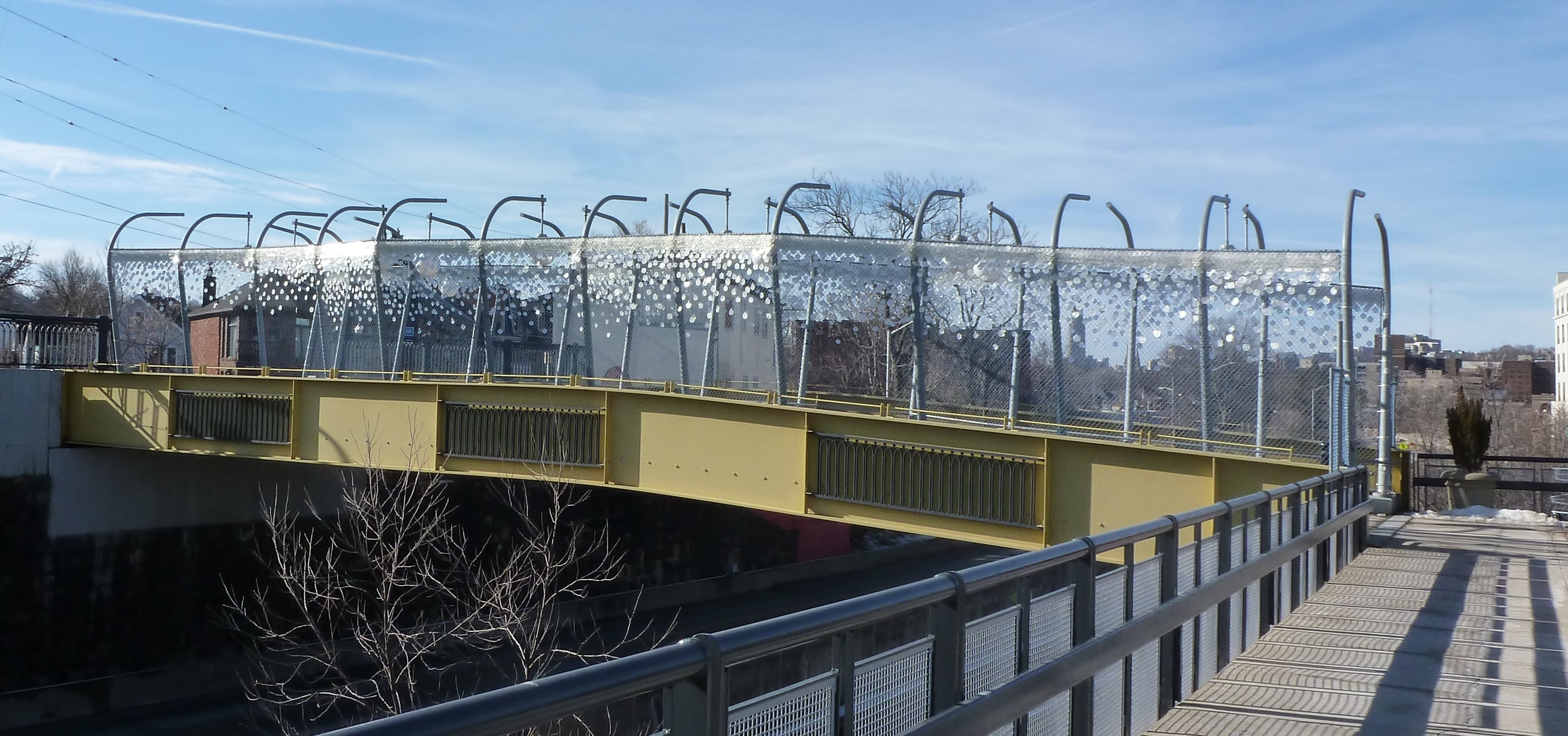
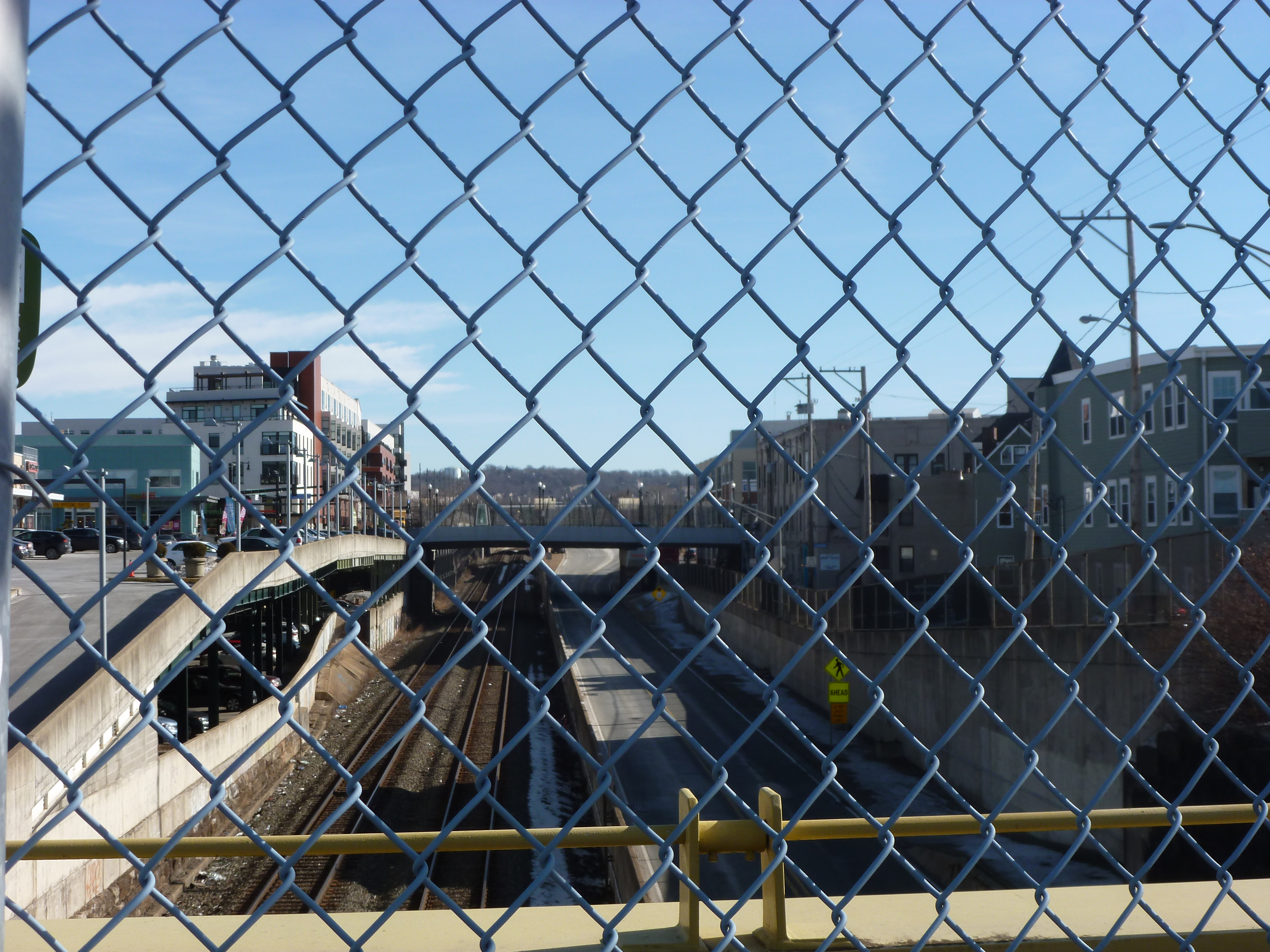
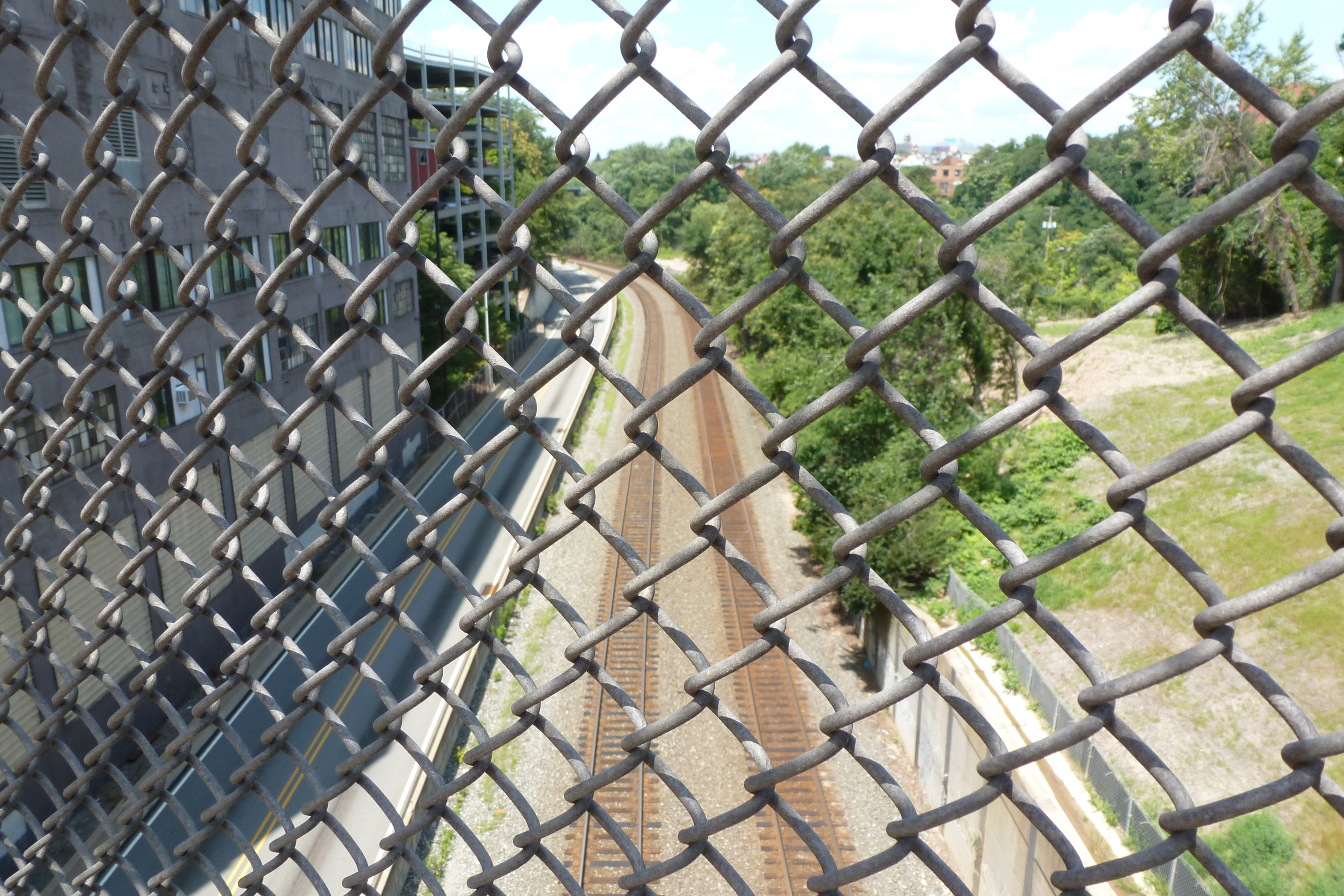
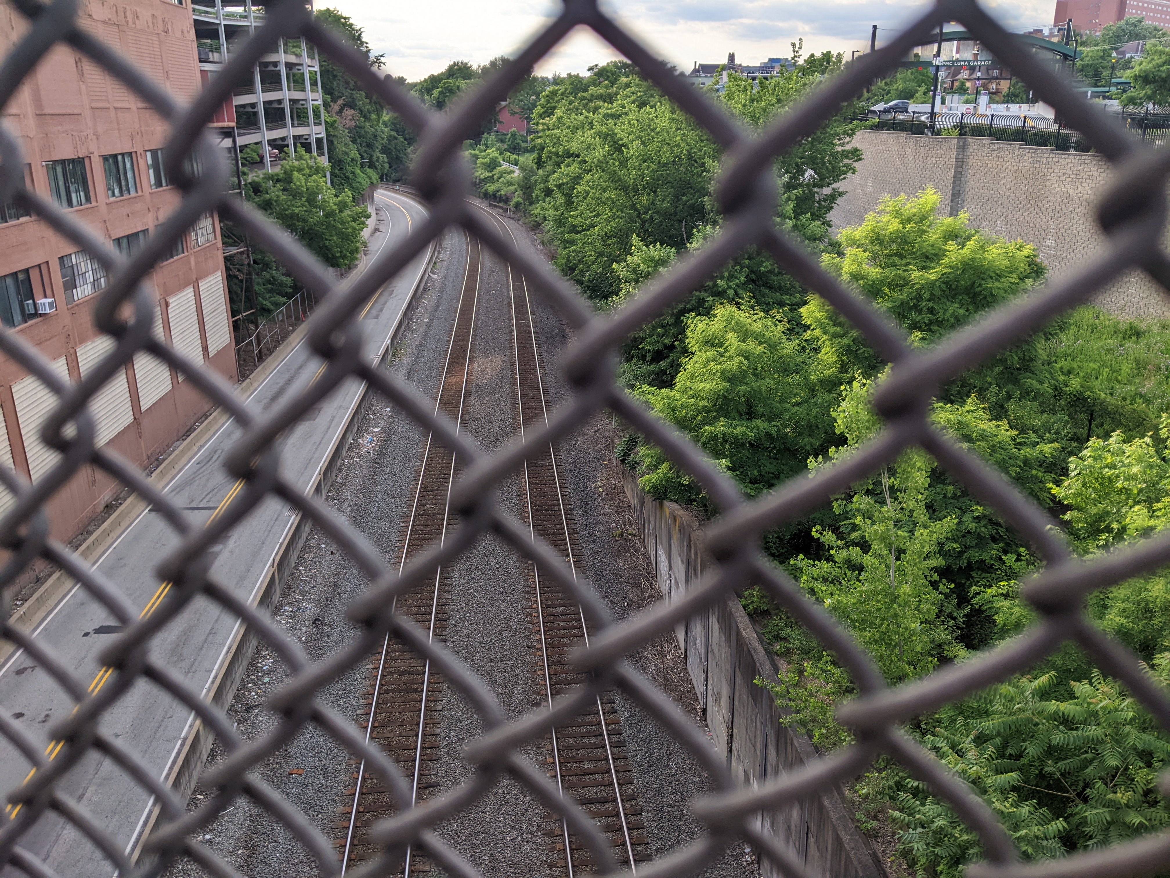
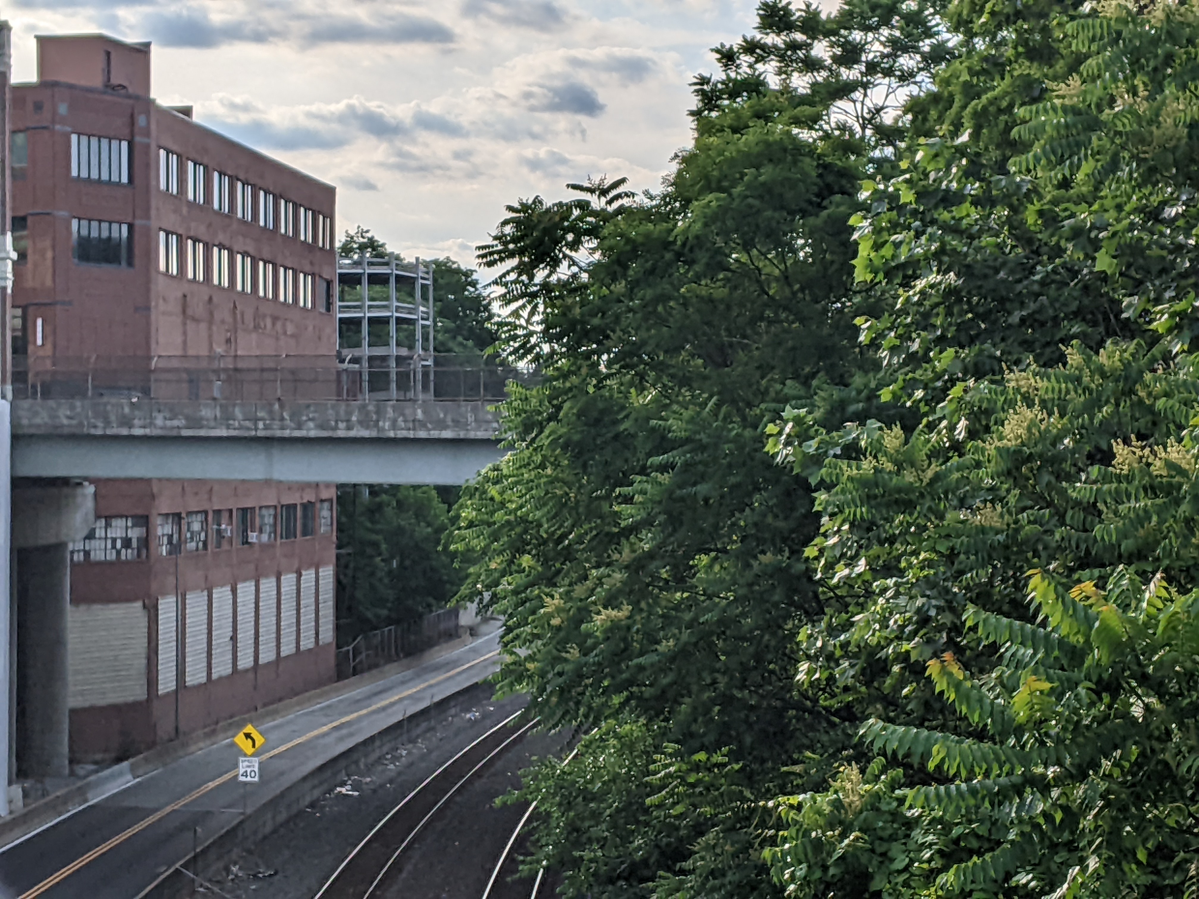
The next look back at the bridges I first walked 10 years ago moves “downstream” or toward downtown on the former riverbed now east busway and railroad route. From the East Liberty Pedestrian Bridge featured in February, the inbound buses and trains pass underneath three bridges in Pittsburgh’s Shadyside neighborhood (the South Negley Avenue and South Aiken Avenue Bridges and the Graham Street Pedestrian Bridge) before reaching the approximately parallel Centre Avenue and Baum Boulevard Bridges. The bus station next to the Negley Avenue bridge is currently under reconstruction, otherwise the three bridges and their surroundings in Shadyside are relatively unchanged – except perhaps for some deterioration due to long deferred maintenance. On the other hand, the surroundings of the Centre Avenue and Baum Boulevard Bridges have seen a couple new developments since I first walked these bridges.

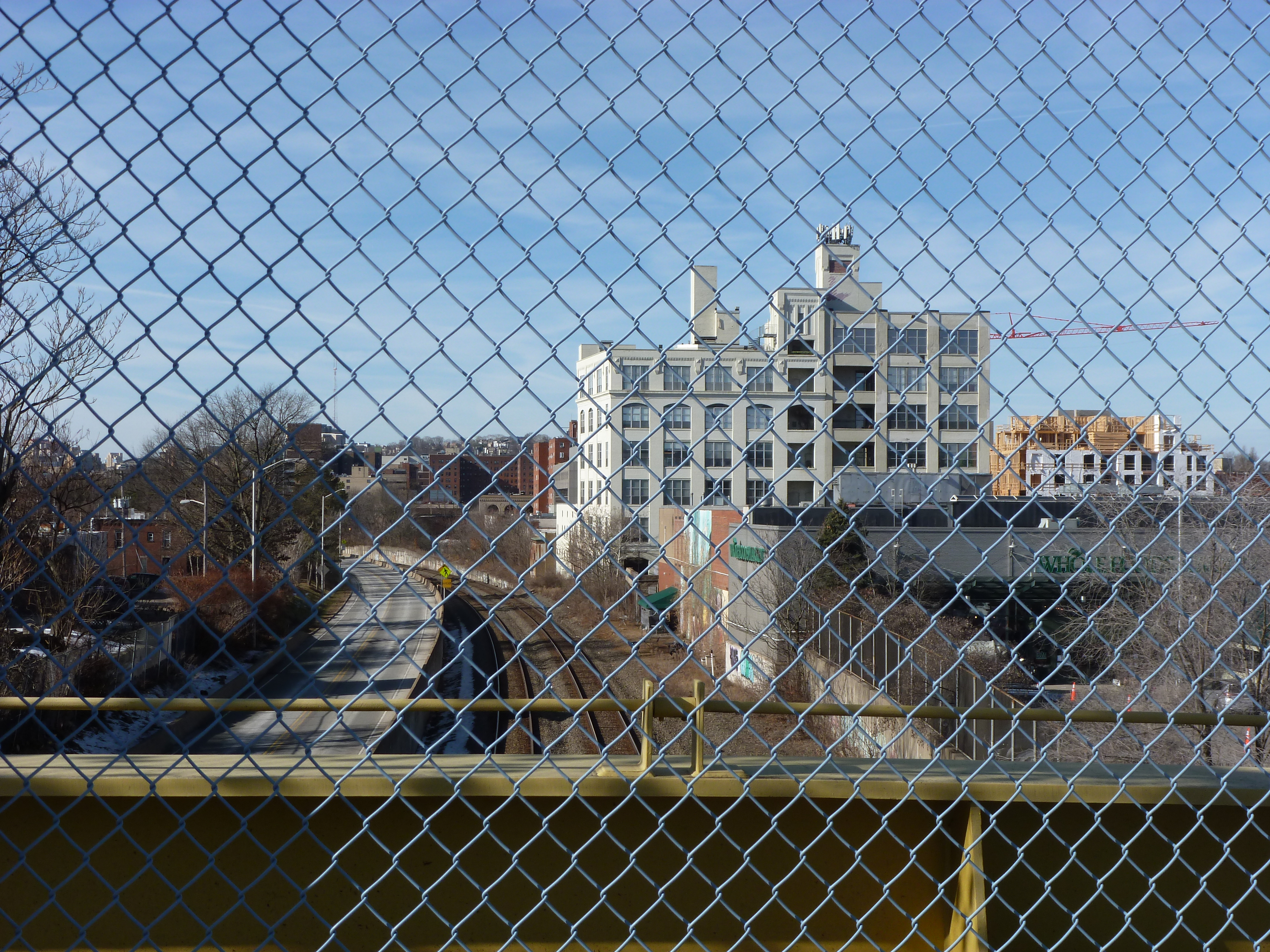
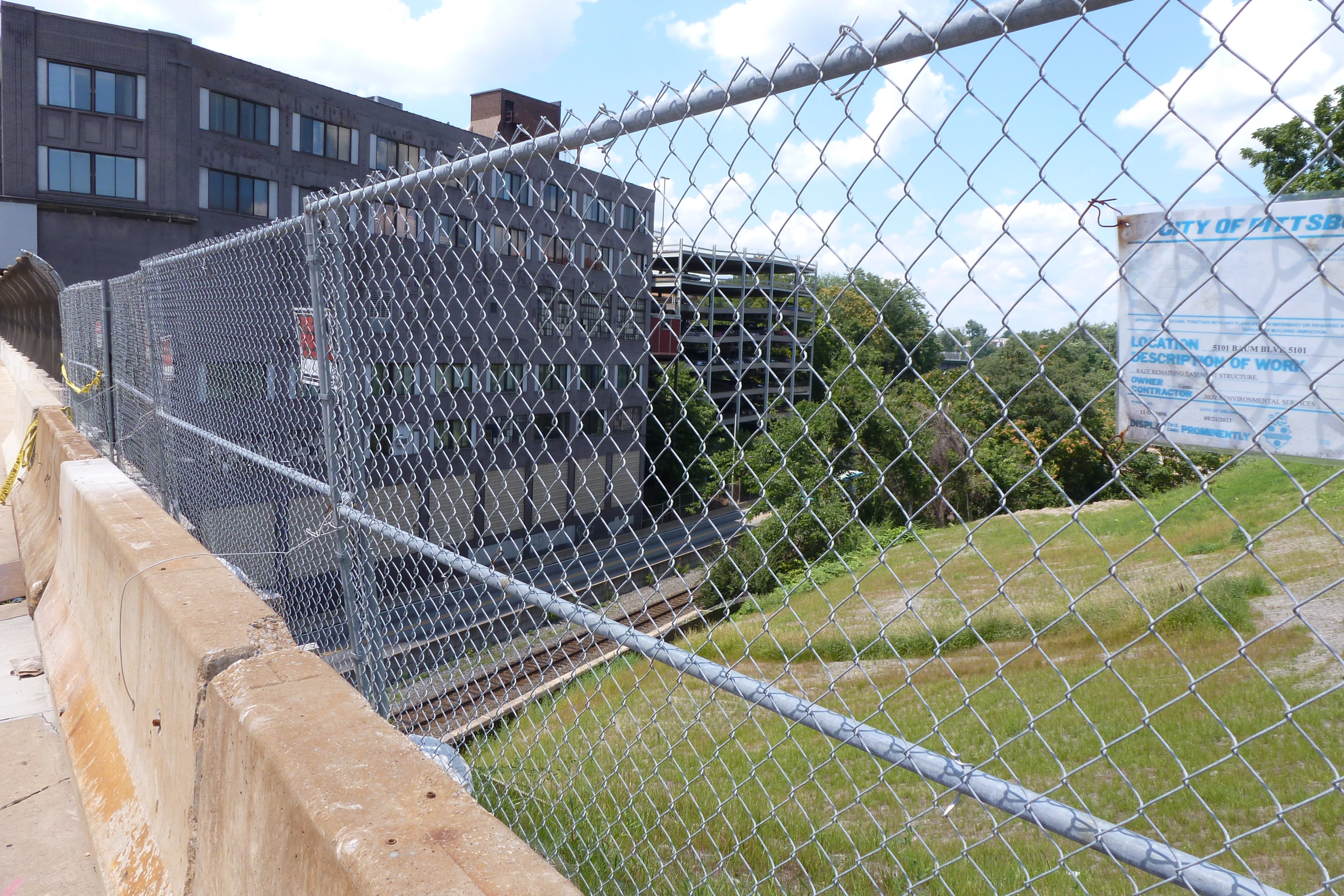
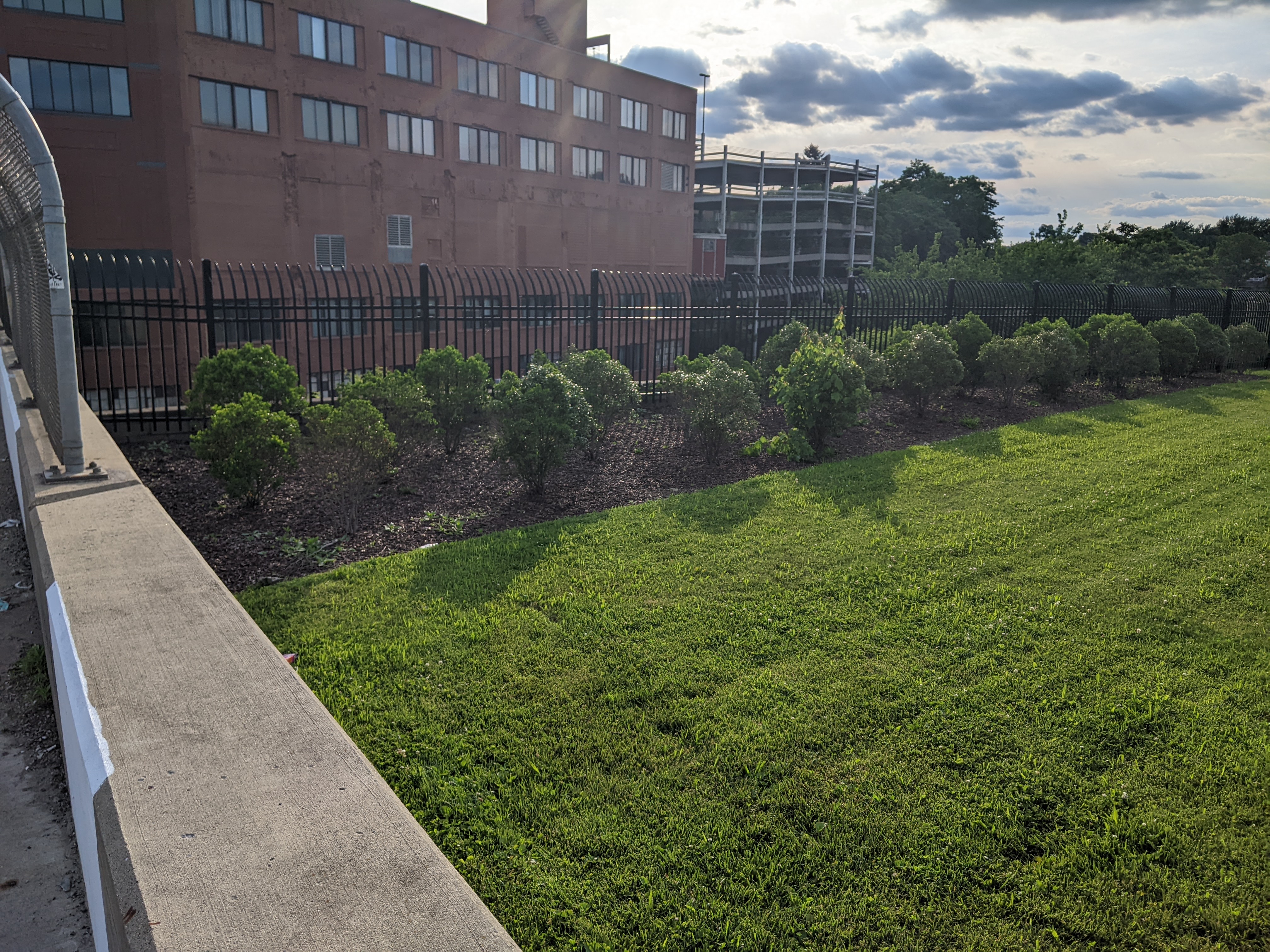
The first of these developments is the Luna Parking Garage for employees of the local, ever-expanding hospital giant UPMC. UPMC Shadyside is on Centre Avenue two blocks away from this new(ish) garage on Baum Boulevard. Work had already begun on the parking garage when I walked by in 2012. The permit in the first photo in the then & now sets below is to finish the demolition of the structure formerly on the site. In the paired photo, the landscaping appears in good condition several years after completion of the construction. The second set of photos shows the formerly sloped site change into a massive retaining wall with multi-level garage. On a side note: the “Luna” in the garage’s name is a reference to the Luna Park amusement park that had a short life in the early 1900s on a site across the tracks and two blocks up the hill.

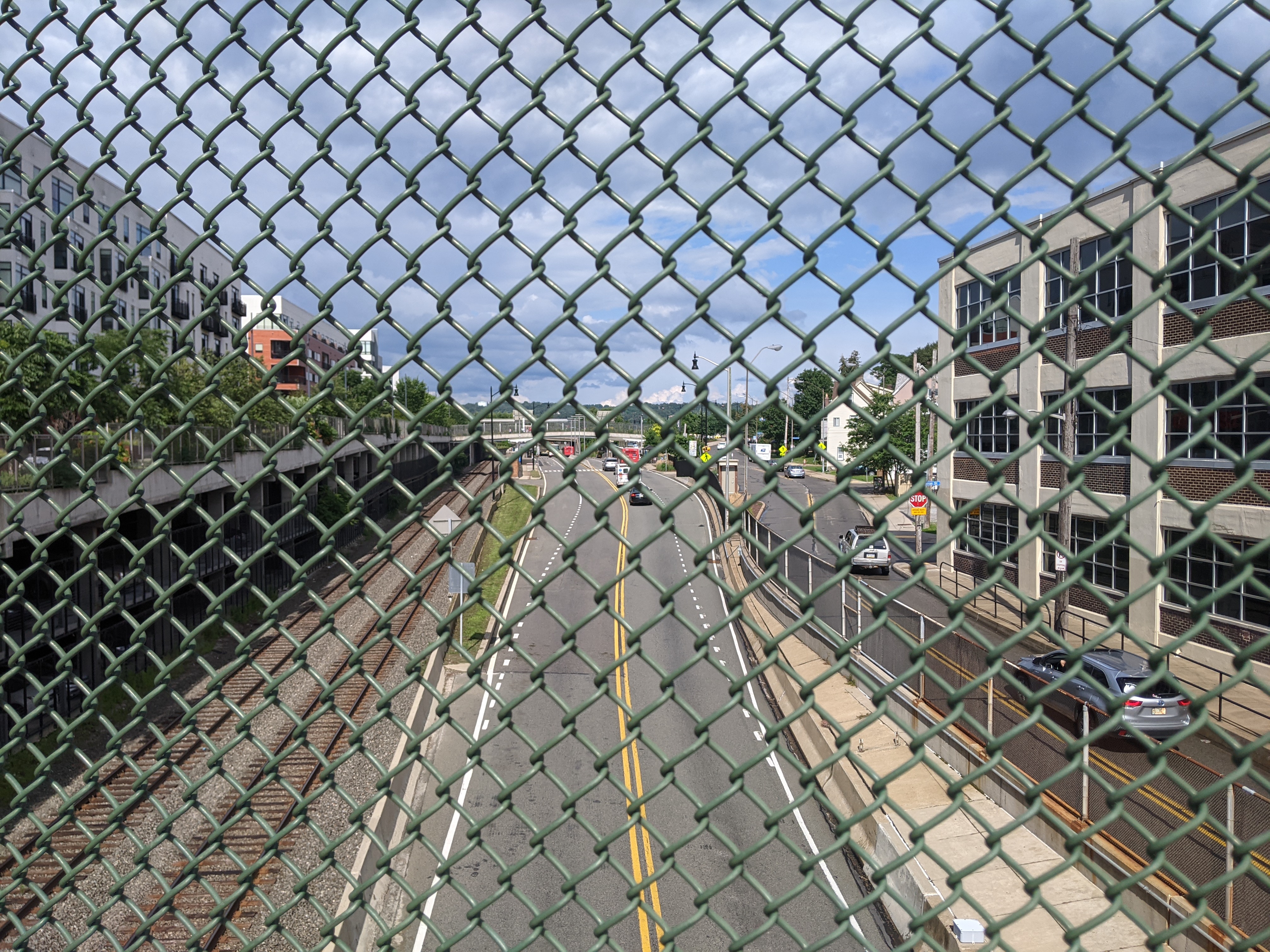
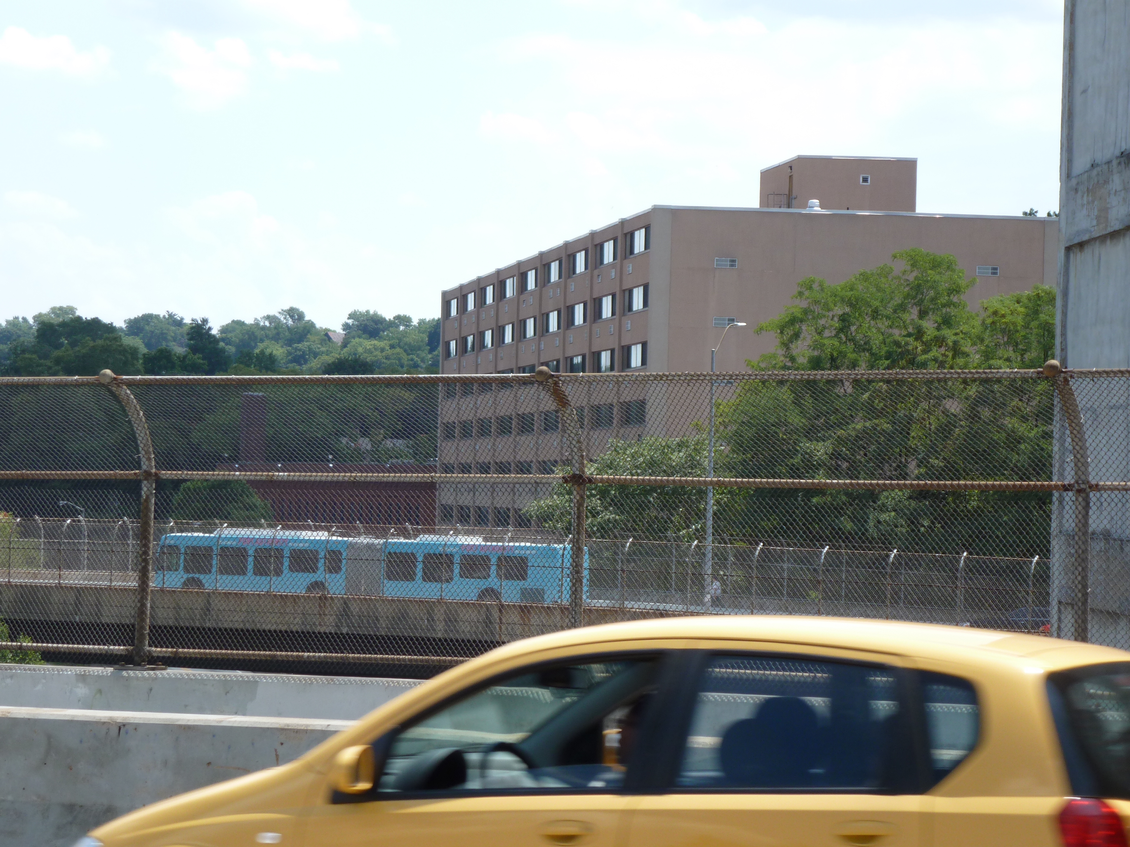
Between the Baum Boulevard and Centre Avenue Bridges is a site that has had a much longer life. Originally a Ford plant and showroom, this building and site were redeveloped by the University of Pittsburgh (Pitt) into a research and development space with laboratories, offices, an auditorium, and parking (Pittsburgh Business Times, May 5, 2022). Prior to the redevelopment, this site had caught my eye as I rode the bus by every day on my way to Pitt. The floating doorways and loading docks captured my imagination. My imagination now speculates that these openings were used to create connections with the new addition seen in the fourth photo pair. The pedestrian experience walking by the sloped parking lot in the early 2010s wasn’t pleasant. While the sidewalks felt larger now, the experience was still unpleasant as I felt like I was walking through a pedestrian unfriendly loading and service area while the cantilevered building towering over me felt oppressive. The final photo pair shows the sidewalk experience on both sides of the new addition.

Then & Now: Penn Ave Bridge Ramp

Closing out the East Liberty portion of the Then & Now 10-year anniversary series is the Penn Ave Bridge Ramp. This ramp inspired the second Pittsburgh edition of What is a Bridge?. As best as I can make out from the data on the National Bridge Inventory, the Federal Highway Commission does not consider the ramp a bridge. It is not marked as one of the bridges inventoried by the Commission. And the data for the Penn Avenue Bridge does not include any approach spans. This leaves me wondering who, if anyone, inspects the ramp.

As I cannot find a public source that shares inspection data of the ramp (if it is inspected), its condition rating is anyone’s guess. However, this lack of data may be attributable to the change the ramp underwent in the last ten years. It was originally a ramp for buses to travel from a major bus stop off Penn Avenue onto the East Busway. With the redevelopment of the East Busway Station, this bus stop was redesigned as a regular on-street stop and the ramp was converted to pedestrian access only (second photo set below). The National Bridge Inventory seems to skip over pedestrian bridges as the East Liberty Pedestrian Bridge featured in February is also not listed.

Regardless of the ramp’s condition, its fate now seems tied to the fate of the Penn Avenue Bridge as the gap between the two been filled in with much needed greenspace (first photo set below). The Penn Avenue Bridge was last inspected in May 2020 (which means it probably has been or will be inspected again this month). It received a “poor” condition rating in that inspection – a rating that is worrying for Pittsburghers since the collapse of the “poor” condition Fern Hollow Bridge, despite reassurances from the bridge engineering community that “poor” condition does not necessarily equate to imminent danger.

Then & Now: East Liberty Station Bridge(s)

Just beyond the South Highland Bridge from the East Liberty Pedestrian bridge is the busway’s East Liberty Station. When I moved to Pittsburgh over a decade ago, there were two pedestrian bridges over the busway and train tracks – one at either end of the station – and a ramp providing buses on Penn Avenue access to the busway. Across the tracks from the busway was a one-story, graffiti-covered warehouse, a parking lot, and a drive-through bank. Along Penn Avenue and connected by the ramp to the busway was a major bus stop on its own governor’s drive.

All of this was replaced in 2014-2015 with a transit-oriented development. The two boxed-in (a step beyond caged) pedestrian bridges were demolished and replaced by a new open bridge (first photo pair below) and a crosswalk on the busway. The bus ramp was renovated into an accessible pedestrian ramp (seen in the east view, second photo pair). Plantings were introduced on both the bridge and the ramp, changing this portion of the vast paved, treeless area into a desert oasis. It is still a hot and uncomfortable place to be in the summer months, but at least now there are black-eyed Susans to bring cheer.

The warehouse, parking lot, drive-through bank, and Penn Avenue bus stop were replaced with a massive mixed-use complex called EastSide Bond (glimpsed on the right in the final pair of photos, also visible in the South Highland Avenue Bridge Then & Now post). The new development features 360 residential units, 43,000 sq ft of retail (most of which is occupied, except for the promised anchor tenant), 554 parking spaces in a garage under the buildings, and a 120-space bike parking garage (which I’ve only ever seen a handful of bikes in, probably because Penn Avenue is not a bike-friendly thoroughfare).

Similar to the older, new developments near the East Liberty Pedestrian Bridge, this site and its uses cater to a White and moneyed demographic. However, in 2010, East Liberty had a population that was 67% Black (down from 72.5% a decade prior) and the median income was $23,000. This means the site is catering to an audience that currently makes up a minority of the neighborhood. Perhaps that is why whenever I pass by or stop at one of the retail locations at EastSide Bond, I feel like it has a luke-warm success. In contrast, the Target across the street is heavily trafficked as is the busway station – both are used by the current population.

Once upon a time, Black residents were pushed to East Liberty through Urban Renewal and the demolition of their previous lives. Now, we may be witnessing the pushing out of Black residents through redevelopment and the demolition of their current lives. The current proposed redevelopment of the shopping center south of the East Liberty Station promises to bring the grocery store back and to include 35 affordable units out of 232. There is no mention of whether any of the other smaller retail stores that catered to the current population will be returning. I also wonder if the grocery store will still carry beauty products for darker skin tones when it reopens. Down the street, the redevelopment of the former affordable and predominantly Black Penn Plaza apartments is the latest project that is definitely catering to people who are not the majority residents of the neighborhood, after permitting affordable housing units to deteriorate through neglect before demolishing them.

Then & Now: South Highland Ave Bridge

When I first started walking Pittsburgh’s bridges, the South Highland Avenue Bridge rated among those that were more than a little creepy. First, you were partially caged in. Second, the integrity of the wooden planks holding you up seemed more than questionable. I have no doubt that this bridge was rated in “poor condition” at that time. Now, the new bridge is considered in “good condition” per the National Bridge Inventory as of its November 2017 inspection. It has presumably been inspected twice more since then (November 2019 & November 2021), but those results have not been made publicly available yet.

The reconstruction of this bridge in 2013 made me hopeful that the similarly creepy bridge at South Negley Avenue would also shortly be reconstructed. This has yet to happen. My hope is renewed with the passage of the Infrastructure Investment and Jobs Act coupled with the greater attention “poor condition” bridges are receiving this year after the collapse of the Fern Hollow Bridge. However, according to a recent article on the redevelopment of the busway station adjacent to the South Negley Avenue bridge (Tribune Review, February 16, 2022), funding issues and coordination with Norfolk-Southern Railroad are causing continued delays to the proposed reconstruction of this bridge.

The new South Highland Avenue is a definite improvement over the last one. I no longer cringe at the thought of walking across it as being fenced in is better than being caged in (second photo set below). Yet, it is still not a pleasant experience to walk this bridge.  On the other hand, the Smithfield Street Bridge, for example, is a nice bridge to walk despite the many places where the sidewalk has rusted out providing direct views to the river below. The difference in these experiences is in part due to the bridges’ environments – nothing short of climate change will return the former river to what is now the busway and train tracks under the South Highland Bridge. However, design also plays a part in the experience. Many people in Pittsburgh’s architecture and design community are concerned that a poor bridge design will be rushed through on the Fern Hollow Bridge replacement with the excuse that it is an emergency (WESA, March 3, 2022). As the Fern Hollow Bridge has pleasant surroundings, it will be the bridge’s design that makes or breaks the experience of using the future bridge.

The South Highland Avenue bridge was replaced before it turned into an emergency. I assume the reason why it was replaced when it was while the South Negley Bridge continues to rust away is the massive amount of investment and redevelopment that was put into the East Liberty neighborhood in the last 10+ years. Looking west from the bridge, the early developments are visible, including the East Liberty Pedestrian bridge that was last month’s 10-year anniversary featured bridge and the Whole Foods location. These developments are old enough that the “Then” and “Now” views (third photo pairing) look substantially the same. The newer developments are clear in the east view (final photo pairing below), which looks like a completely different world between the “Then” and “Now” views. Next month’s feature will discuss this redevelopment in greater detail.

Then & Now: East Liberty Pedestrian Bridge

Just after I began my 10-year anniversary celebration of bridge walking, the Forbes Ave Bridge over Fern Hollow collapsed on January 28, 2022. This accident shone a light on a pattern of infrastructure funding in the time since I became a bridge person. Ten years ago, there were several bridges built, repaired, or replaced in Pittsburgh. Five years later, the flurry of long overdue investment in our infrastructure stopped – before all the bridges that needed help received it. An article on the aftermath of last month’s bridge collapse reminded me that federal funds were allocated toward infrastructure under the Obama administration. As a result, many bridges that were falling apart were fixed or replaced. It seems that when that funding stopped, so did the repairs. Now that new funding has been allocated under the Biden administration, we should see a similar spurt of investment in our infrastructure, starting with the now missing Fern Hollow Bridge.

One of the bridges presumably supported by the Obama infrastructure funding was the brand-new pedestrian bridge across the East Busway connecting the Shadyside and East Liberty neighborhoods. This bridge is 10-years old this month. The “road” surface of the bridge hasn’t held up very well: the paint was faded and the top surface was patchy when I returned this month. On the other hand, the over-the-top lamps and giant glitter looked like they have held up well. Though it’s hard to say in wintertime, the landscaping between the cage and the bridge walls also appeared to be well maintained.

From the bridge, some of the new developments in East Liberty are visible. Looking southwest toward the current location of Whole Foods (soon to relocate), one of the several new apartment buildings along the Baum-Centre corridor is visibly under construction in the far right of the second set of photos. In the third set, the northeast view shows the new South Highland Avenue Bridge and (to the left of the bridge) the final phase of the East Side Bond development that brought several buildings of first floor commercial with residences above.

I was surprised to find that the highly controversial and massive redevelopment of the former Penn Plaza affordable housing complex was not visible from this bridge. Despite being only a quarter mile apart, the first phase of redevelopment is blocked from the bridge’s view by the iconic Motor Square Gardens building. One of the controversies of this new development is that affordable housing units were demolished without replacement for a series of commercial buildings which include the feature anchor of the pricey Whole Foods grocery store.

The pedestrian bridge was controversial when it was proposed and built. It connects the wealthy Shadyside neighborhood to the expensive Whole Foods, a high-end liquor store, and other luxury shops. It is also redundant as the South Highland Avenue bridge is only 0.1 miles away. A quarter mile away, is the neighborhood of Larimar whose residents are primarily living on low-incomes and do not have a walkable route to the lower cost Giant Eagle grocery store or Trader Joes that are just on the other side of the busway from their homes. For years, the residents have been asking for a pedestrian bridge over the busway to give them better access to these stores. Instead of a bridge serving those who need it, an ornamental bridge was built to provide access for those who already have abundant options.

Around the same time that this bridge was built, the Port Authority altered its bus service by eliminating the 94B bus that connected the low-income residents of Larimar with a shopping center featuring Walmart, Giant Eagle, TJ Maxx and similar clothing retailers, and other stores. In addition to providing shopping opportunities for necessities, these locations provided jobs. The 94B bus was never less than half-full (an unusual condition for Pittsburgh buses outside of rush hour). This bus was replaced by the 75 bus, which connected the higher-end shopping centers of South Side Works and Bakery Square through the wealthy residential neighborhood of Shadyside. For years, it was common to be the only person or one of a handful of people riding the 75. Eventually, the Port Authority acknowledged the value of the 94B route and tact it on to the end of the 75 route.

Presumably both the pedestrian bridge and bus route changes of 2012 were supported at least in part by the federal infrastructure funds of the time. With the current round of federal funding, it would be nice to see a greater focus of infrastructure investment for those who need it and not on additional luxury options.

Street Trees: Alive or Dead

Street trees have a tough life. Between extensive pruning away from power, cable, and internet lines, baking in the radiant heat from the surrounding pavement, and (in winter climates) runoff from salt or sand, it is amazing any survive. Yet in some neighborhoods street trees are thriving while in others they are non-existent or barely hanging on.

Street trees first appeared in US cities in the 1840s and 1850s as part of a growing interest in landscape architecture. However, they soon encountered challenges. Fire insurance companies banned street trees in towns that relied on bucket brigades as the trees helped spread fires that decimated swaths of towns. Then, the street trees worst nemesis arrived – the overhead lines. First telephone companies then power companies pruned trees away from their lines. John R. Stilgoe in Outside Lies Magic notes that the resultant loss of street trees created a “nationwide uproar” by 1920. One hundred years later, this conflict between wires and trees is still unresolved.

As I traveled around Pittsburgh this spring and summer, I noticed that some neighborhoods seem to have found a way to maintain both old, large canopy street trees and overhead lines. Other neighborhoods appear to struggle to establish and maintain even understory or decorative trees. The pattern of where street trees are thriving versus where they aren’t appears to match the wealth of the neighborhood.

I first noticed this pattern as a child, though I couldn’t articulate it as such at the time. The Pennsylvania town where I partially grew up had a Green Street. The name made a strong impression on me at the time because half of Green Street was very aptly named. It had the oldest and thickest street tree canopy in town. The other half of the street, as I remember it, did not have a single street tree (or yard tree). This dichotomy fascinated me as a child.

Now, looking back on this memory with my urbanist eyes, it seems the perfect example of the correlation between wealth and street trees. The half of Green Street with the street trees was predominantly detached, single-family dwellings with large front, side, and rear yards. The half of Green Street without street trees was predominantly attached homes, possibly with some duplexes, and shallower front yards.

In Pittsburgh, the division is by neighborhood, not block. Neighborhoods like Squirrel Hill, Point Breeze, and Shadyside, which used to contain most of the city’s millionaires rows and continue to have housing values 3-4 times the city’s average, have old, well-established street trees that are somehow able to grow around the overhead lines. Neighborhoods like Homewood and the Hill District, which were victimized by Urban Renewal policies in the ‘50s and ‘60s and now have housing values two-thirds the city’s average, have few street trees, most of which were planted within the last ten years.