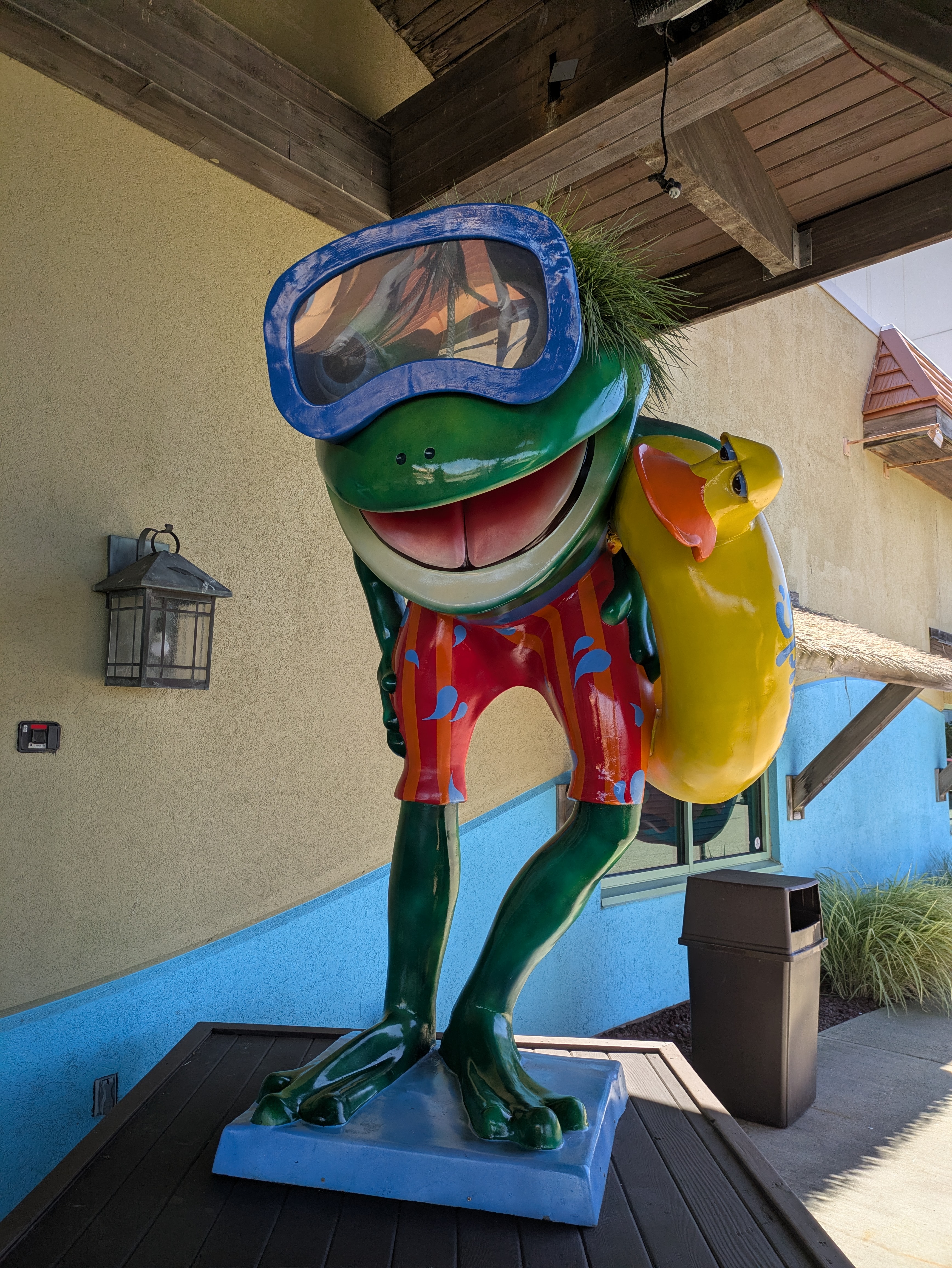
LeapFrog! was a fundraiser in Erie, PA, in 2004. I had been aware for a few years that there was a frog at Splash Lagoon, but I didn’t capture a photo of it until Summer 2025. “Croaker Soaker” looks like he’s ready to splash into some fun!

LeapFrog! was a fundraiser in Erie, PA, in 2004. I had been aware for a few years that there was a frog at Splash Lagoon, but I didn’t capture a photo of it until Summer 2025. “Croaker Soaker” looks like he’s ready to splash into some fun!
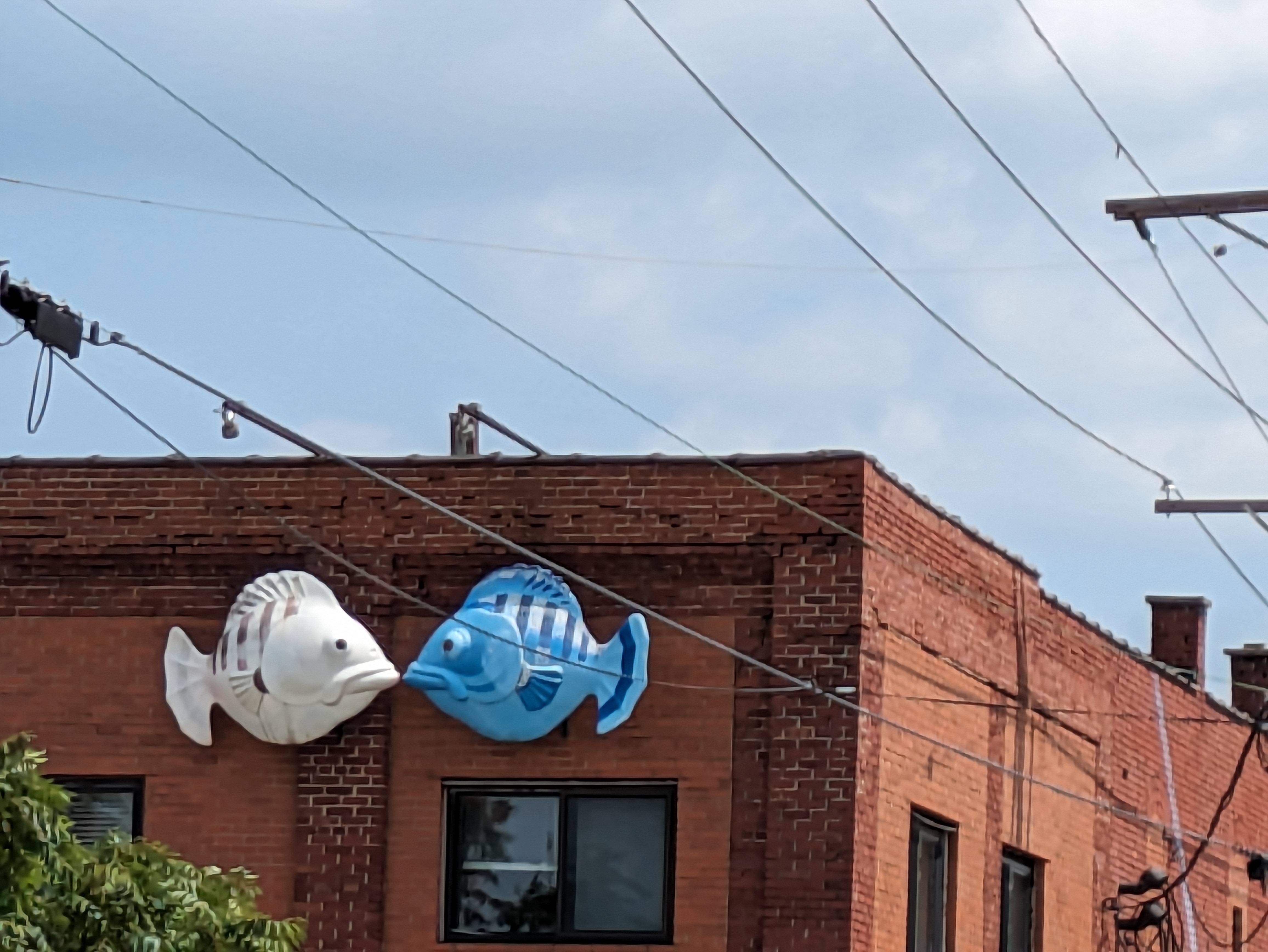
GoFish! was a fundraiser in Erie, PA, in 2001. We were able to head straight toward this pair of fish in 2023 thanks to Amy H.’s map. “Kissing Fish” by Francis T. Schanz have had at least one makeover since 2001. The one on the left used to be pink and red and the one on the right seems to have had a little more purple tint in its blues. As our final fishing find of the trip, it was nice to get two for the price of one!
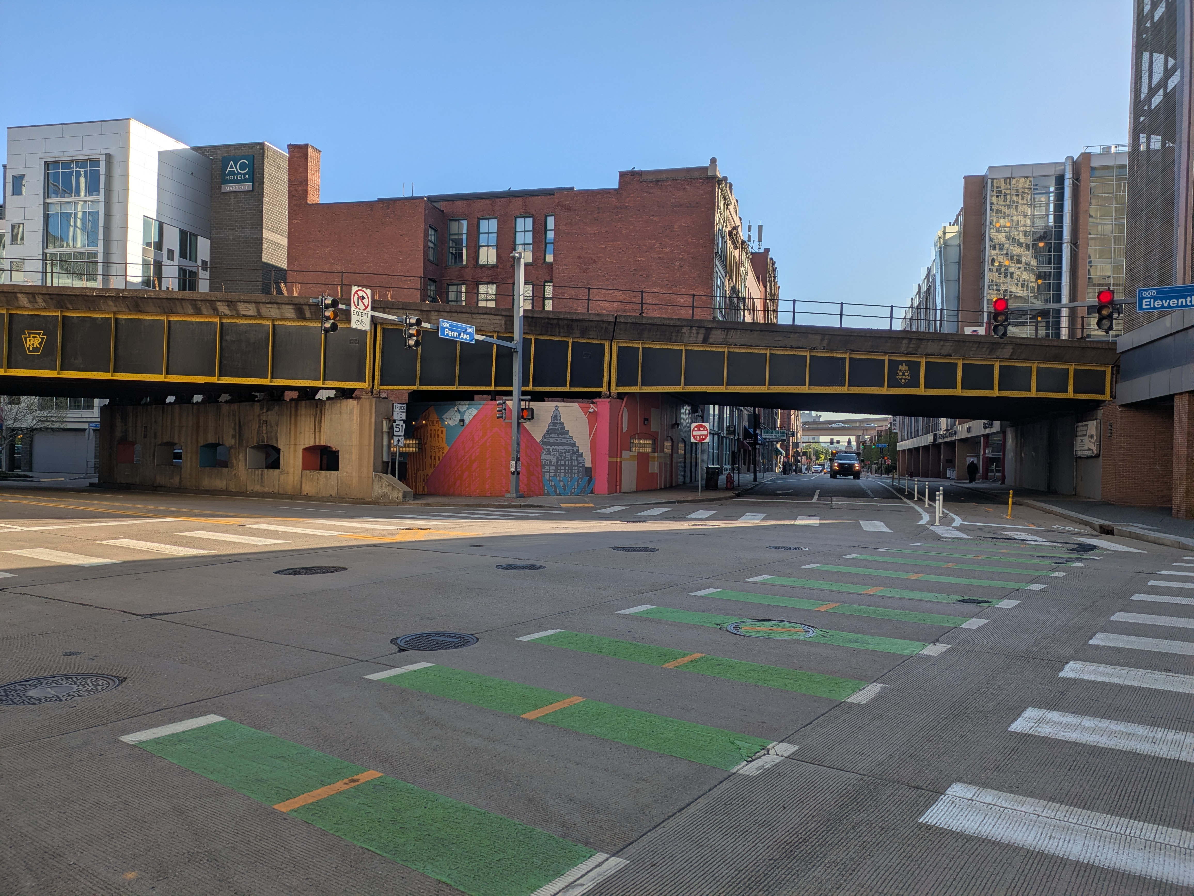
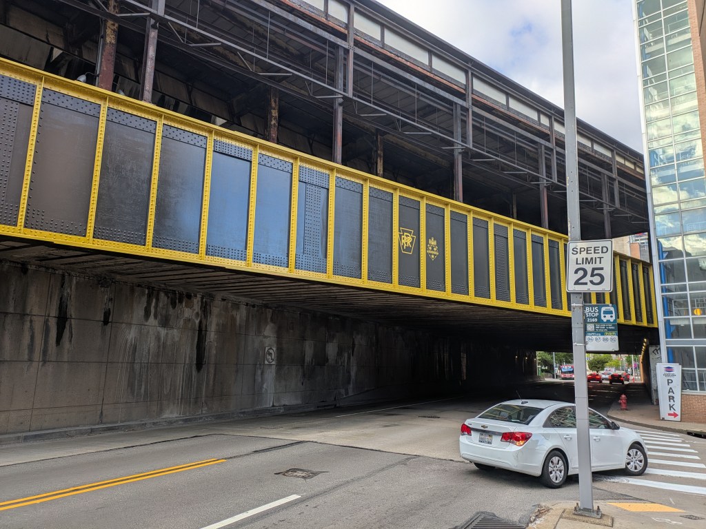
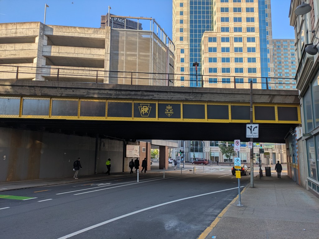
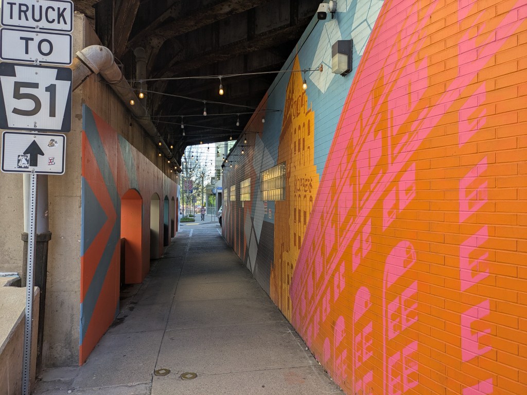
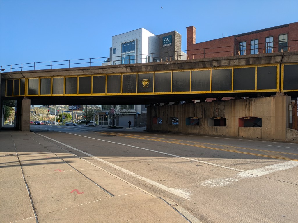
Pittsburgh has been redding up for the NFL Draft with increasing fervor over the last several weeks. Among the actions taken was painting a series of railroad trestles that pass over a number of streets downtown. I was prepared to say, “how cool, but why couldn’t we spruce up the pedestrian experience with these trestles while we’re at it?”
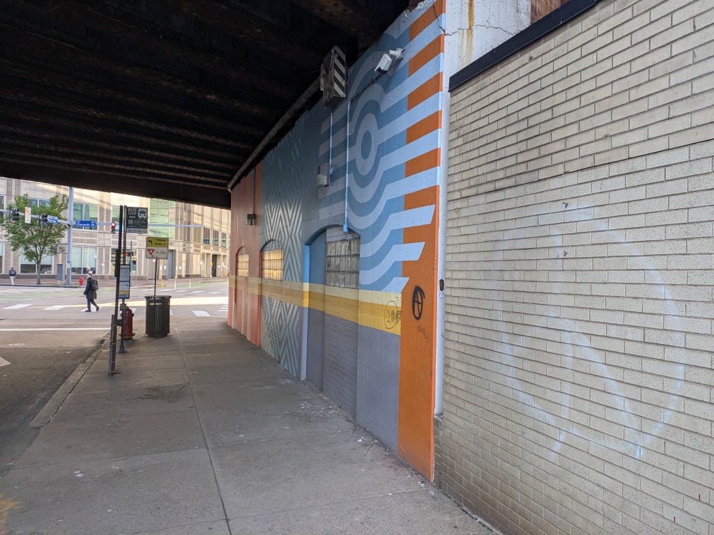
However, gearing up to make that compliant, I finally noticed that two of them already have murals, despite my rant a few months ago about the lack of murals to spruce up the pedestrian experience when passing underneath railroad bridges in Pittsburgh compared to other cities. One takes it a step further and also has a series of lights strung over the sidewalk. I don’t know how long the mural or the lights have been in place, but my reaction to the mural this week was “oh yeah, I forgot this was there.”
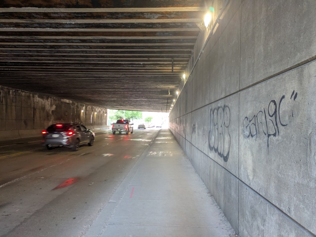
In my defense, the third of the newly painted trestles I explored this week is the longest and darkest of these three, and the one I’ve walked under the most. It is also one of the top three I pictured when making my compliant in February. The other two being the one where this same railroad crosses over Merchant Street on the North Side and the one carrying the T tracks over First Avenue on the opposite side of downtown. I still maintain that these would benefit from the addition of a mural or other intervention.
In the meantime, I will enjoy the approach to our new black & gold trestles.
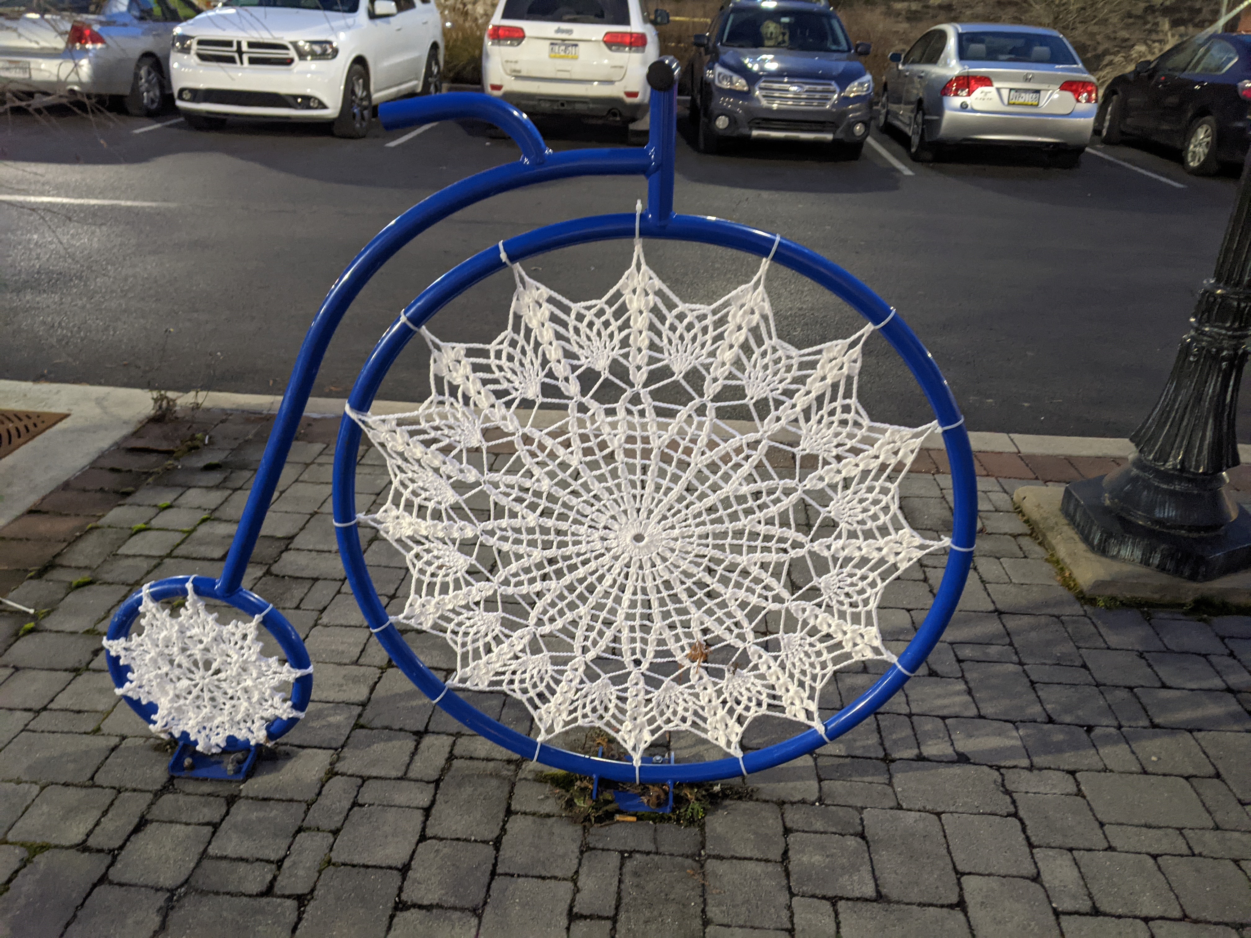
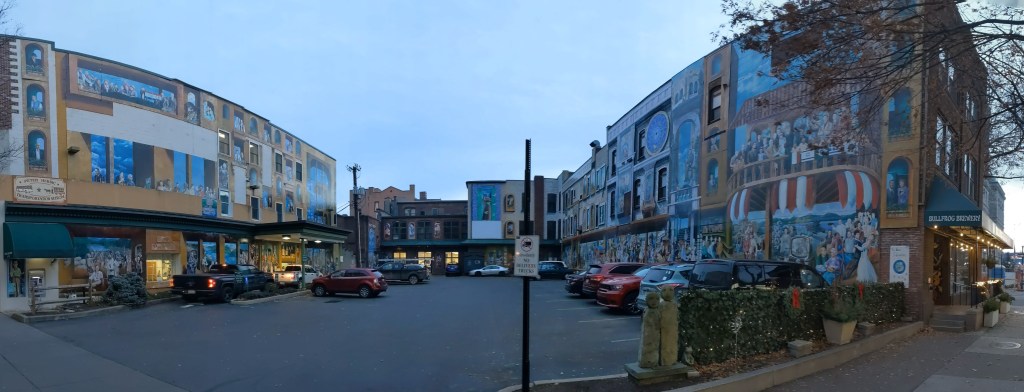
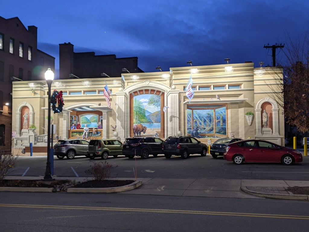
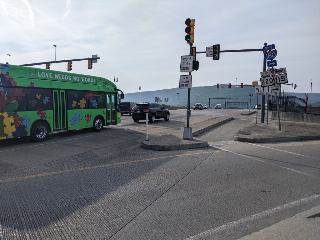
I enjoy my layovers in Williamsport, PA, even though I introduced the town on my blog with my least favorite experience there so far – walking its bridges. I am always on the tail end of a trip when I’m visit, which may explain why I have a tendency to not take as many photographs as I otherwise would. For example, the Little League Museum is in Williamsport and at one intersection the public art reflects this with a statue at each corner of little leagues players one each at home plate and the three bases. When I stumbled across that intersection I was too tired to hit all four corners and so I didn’t even take photographs of the statues at the two corners I did pass. However, the crochet-filled penny-farthing bike rack and a couple murals filling in the normally blank walls along parking lots were inspiring enough for me to stop for a minute to take photos, despite being so tired.
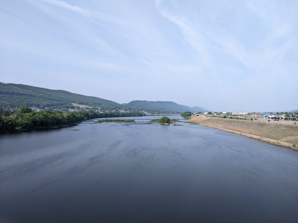
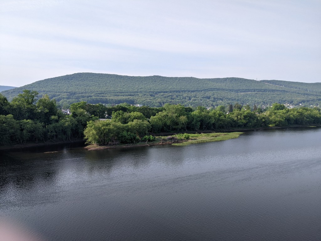
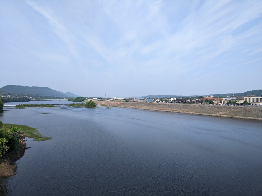
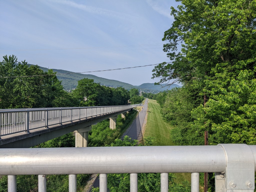
Williamsport is a town of just over 25,000 along the upper Susquehanna River in Pennsylvania. I discovered it as an excellent stop-over point to break up the drive home from my relatives in Rutland (where I’ve explored public art, a bridge, covered bridges, and the drawing of municipal boundaries). I enjoy a historic hotel, good restaurants, and a great bookstore (particularly useful when I’ve run out of reading on a trip) whenever I stop in Williamsport.
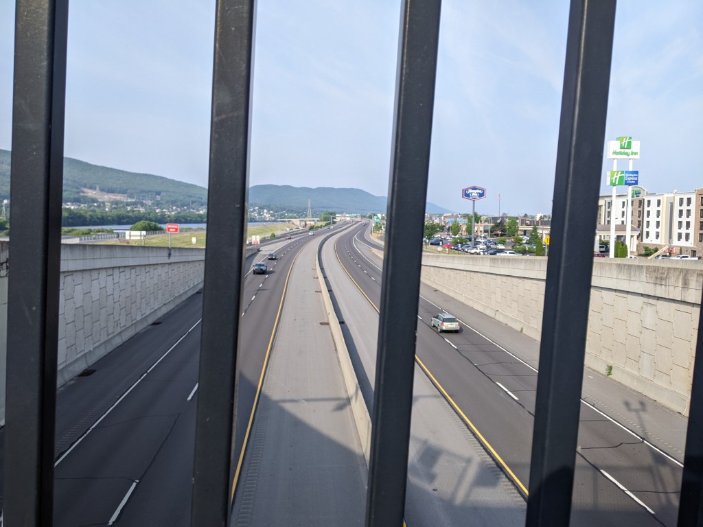
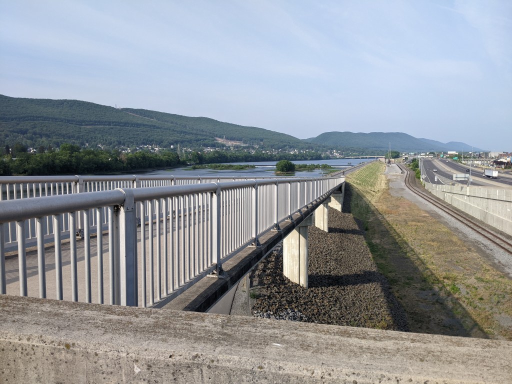
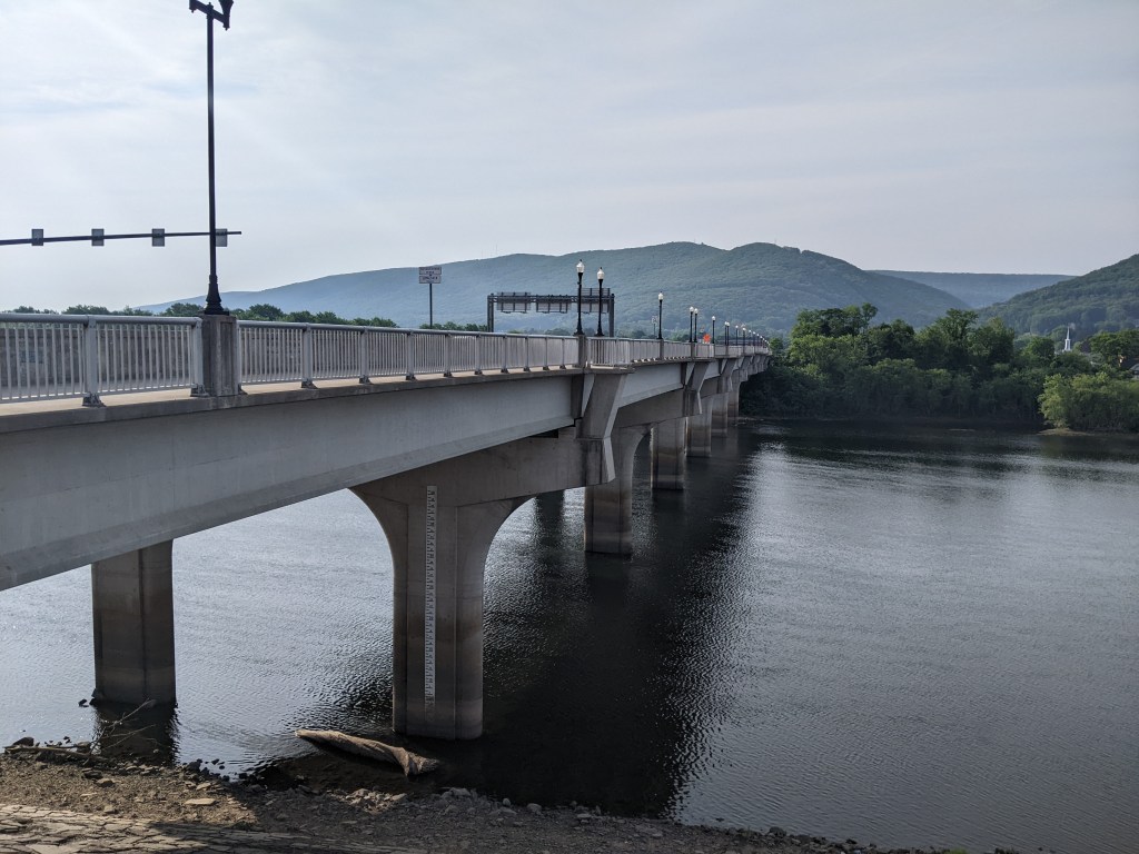
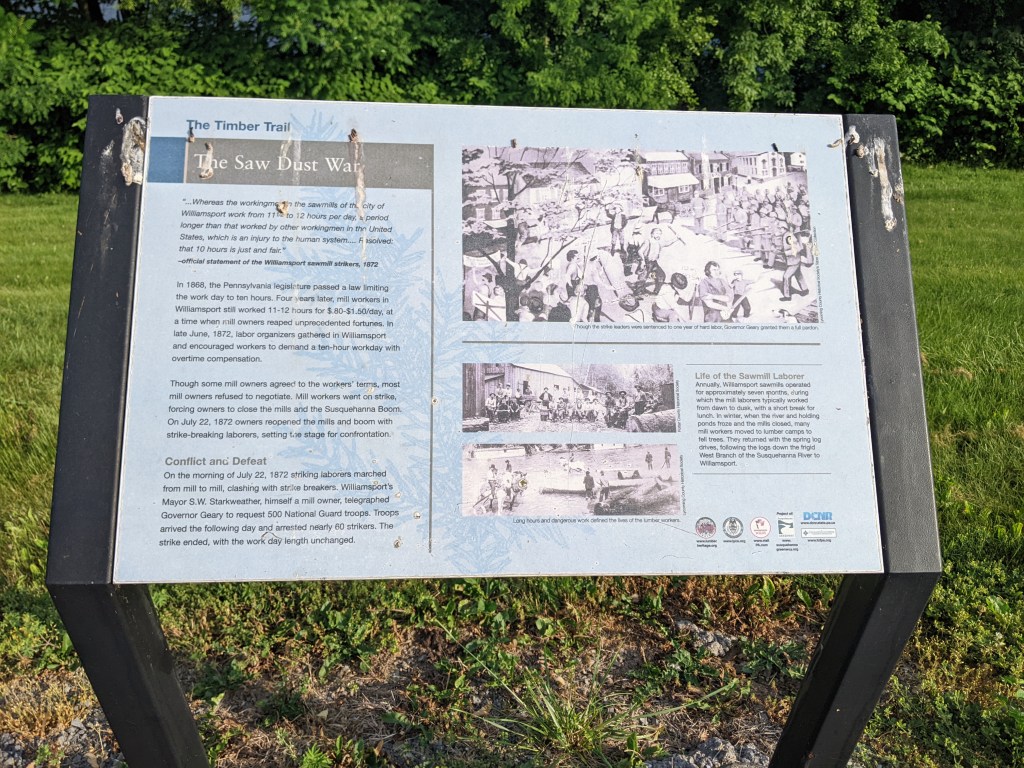
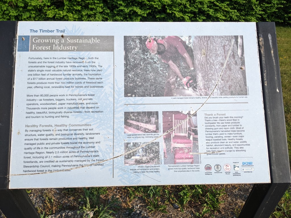
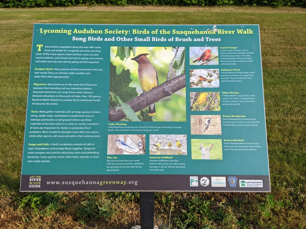
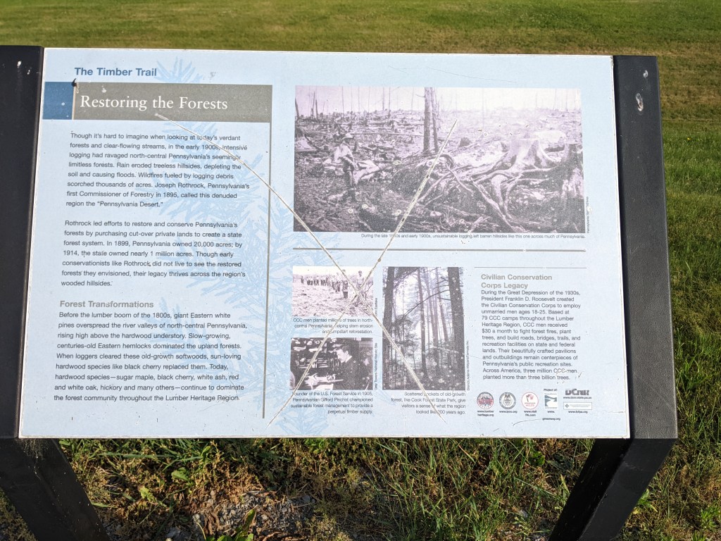
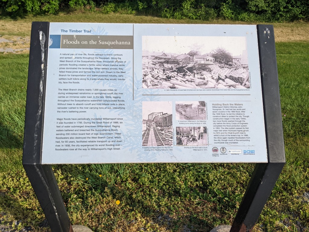
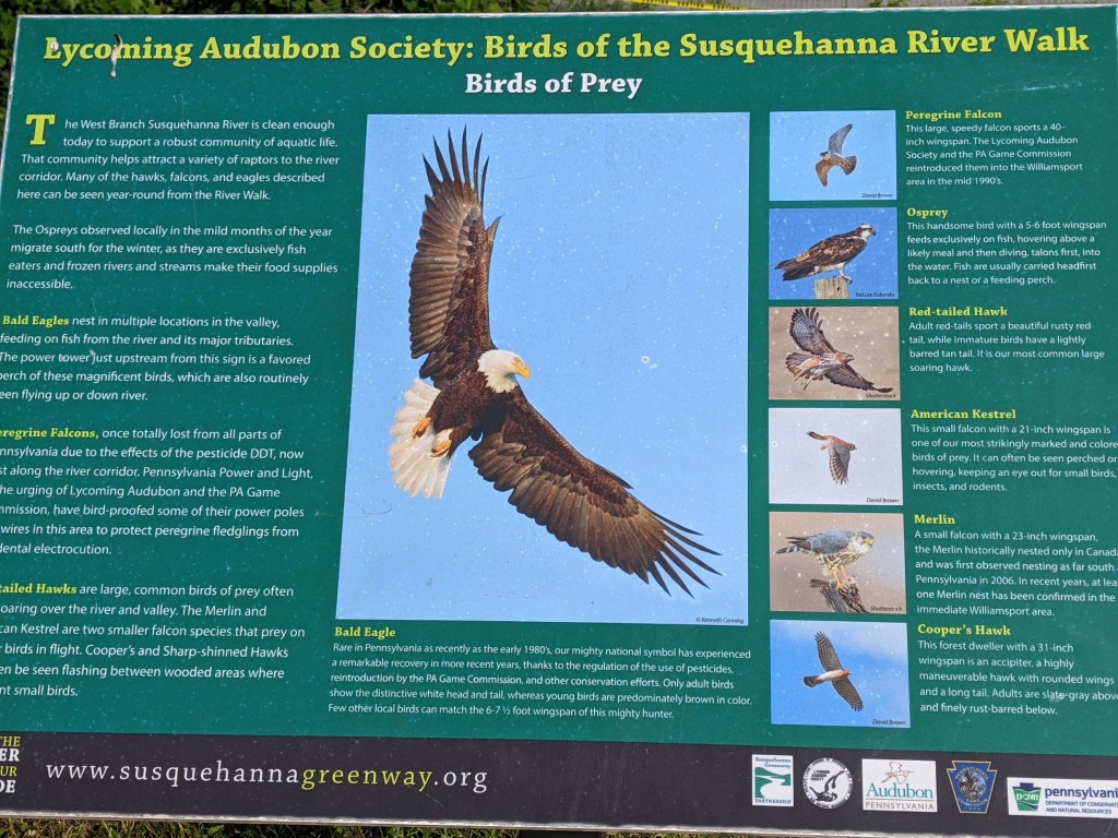
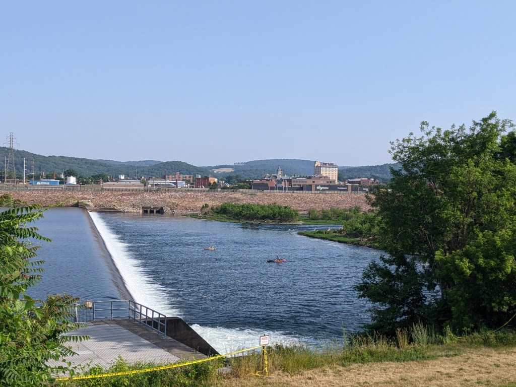
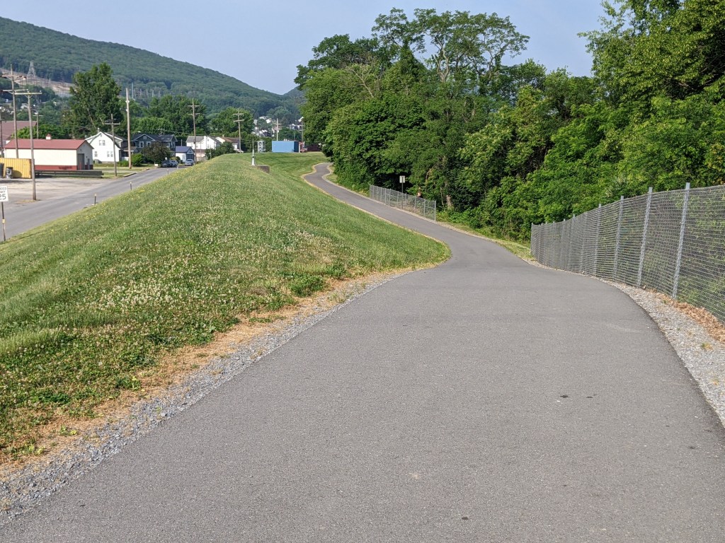
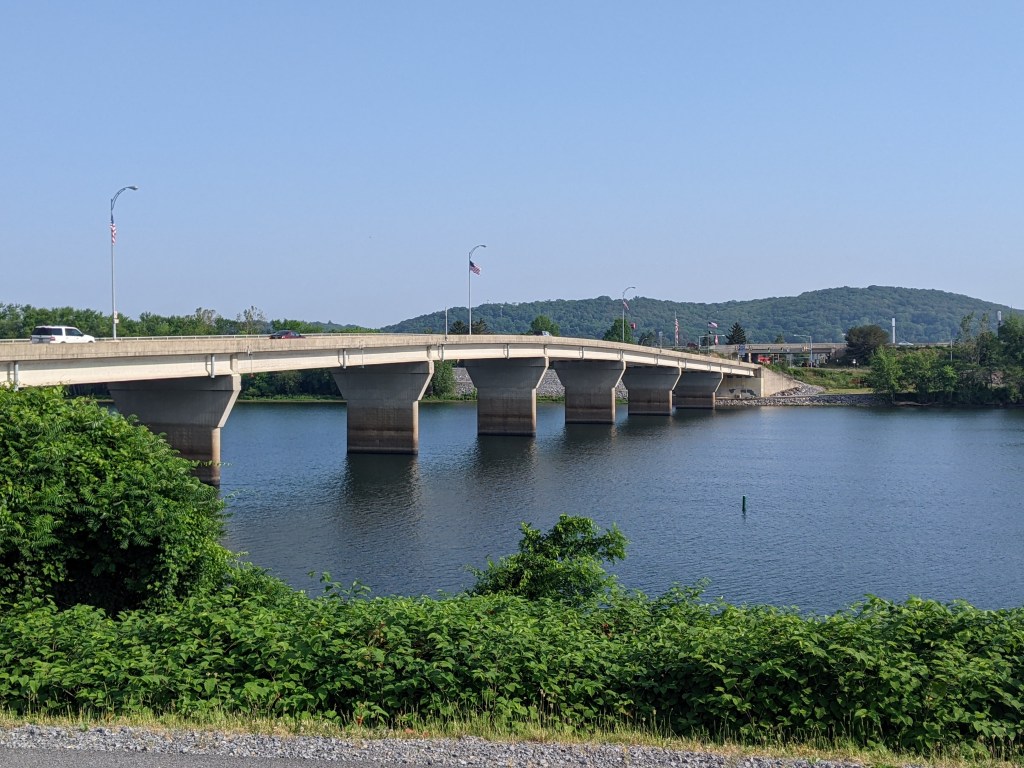
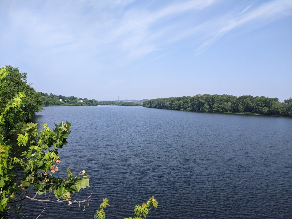
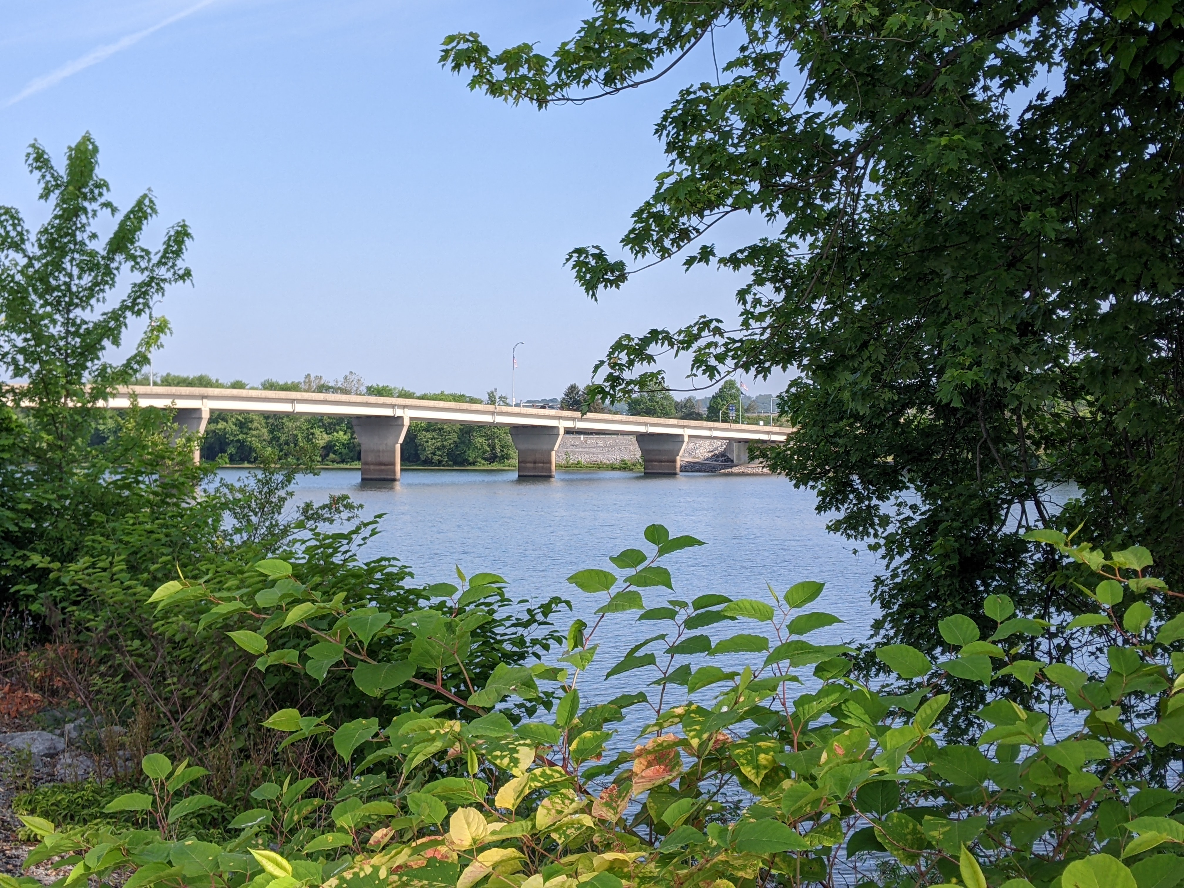
On a recent trip, I decided to walk the Market Street and Maryland Street Bridges over the Susquehanna while I was there. I took the walk in the morning, leaving my hotel shortly before 8:00 AM, so that I’d be back before checkout time. The sun was already high enough in the sky to be uncomfortably warm and there was very little relief from shade over the bridges and along the river. I spent most of the walk looking forward to when it would be over. A nice riverside trail connected the two bridges. I walked the southern route and frequently wished that the trees came closer to the trail to provide some relief from the sun. As such, I did not take the time to stop and read the informational signs about the region’s history in lumbering or about the birds that might be seen along the river.
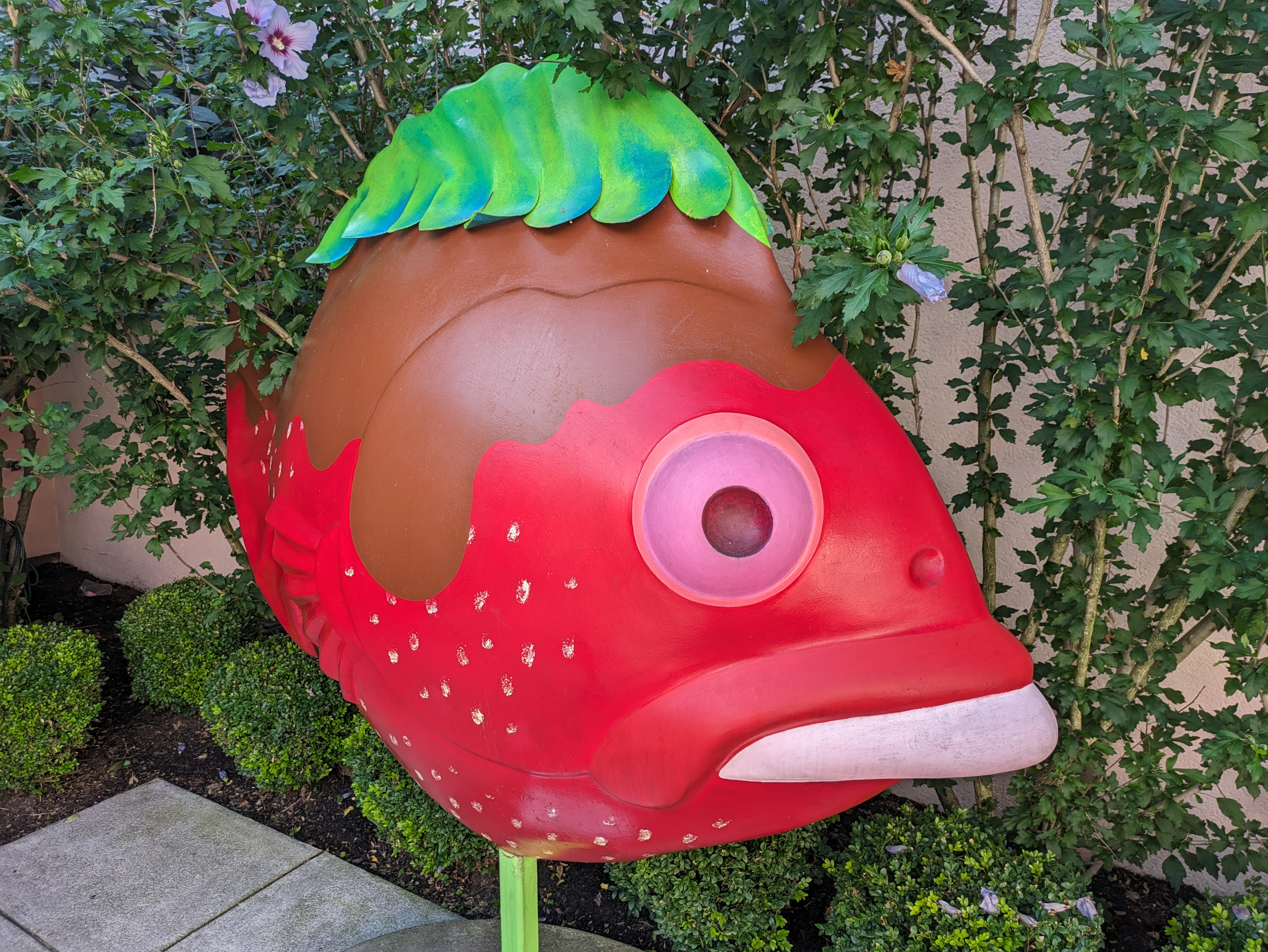
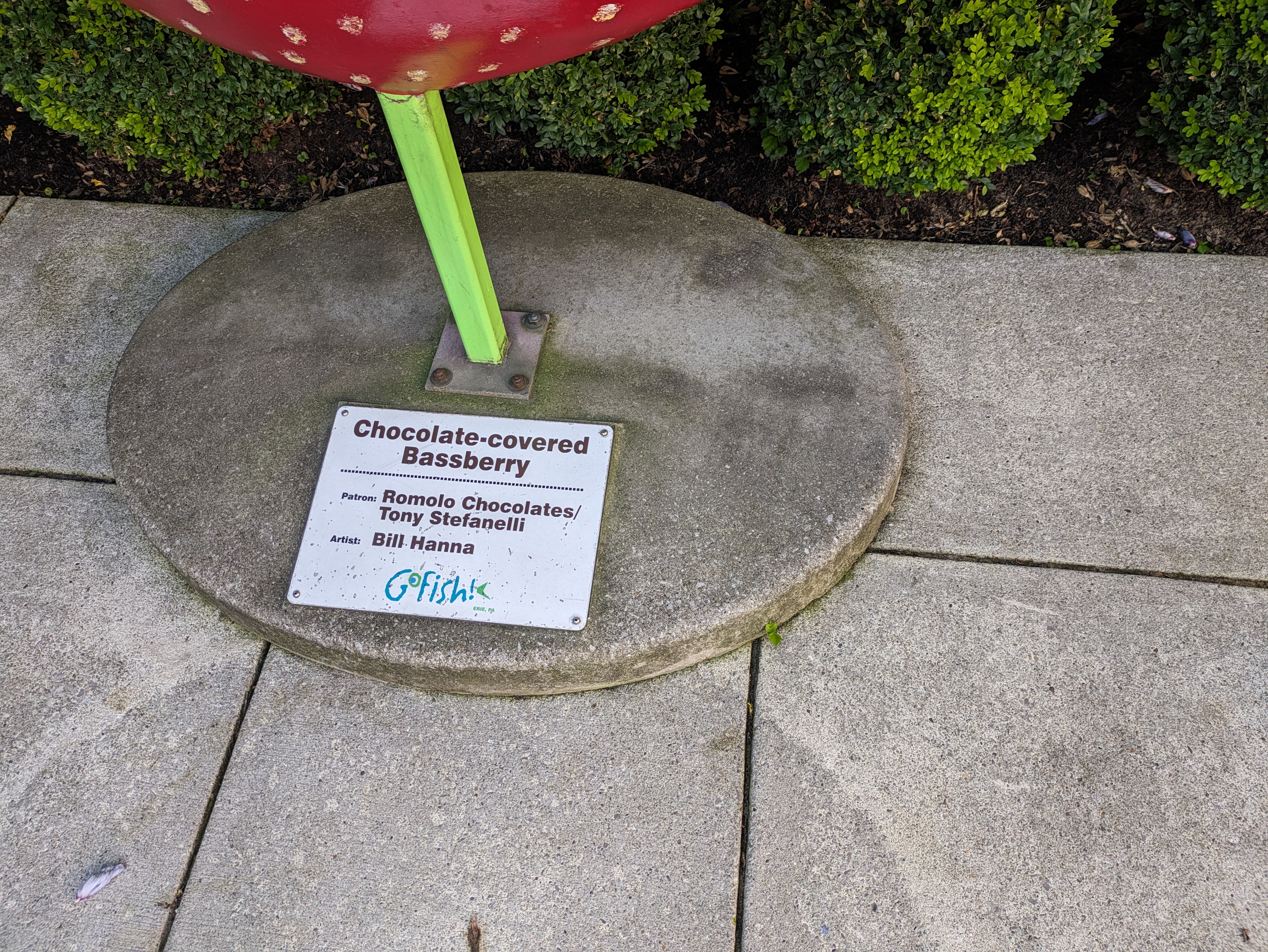
GoFish! was a fundraiser in Erie, PA, in 2001. This may be my favorite of the 8 fish installations we found on our trip in 2023 as I’m a big fan of strawberries and of chocolate. “Chocolate-covered Bassberry” by Bill Hanna was underdevelopment when the offishial GoFish! book was published. It is listed in the index, but there was no photo in the book. This makes me wonder if more fish (and frogs and dinosaurs) that I cannot find matches for in the books were created as part of the official fundraisers, but after the official books were published.
Once again, Amy H.’s FourSquare map was instrumental in helping us find this fish.
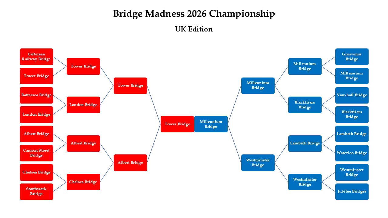
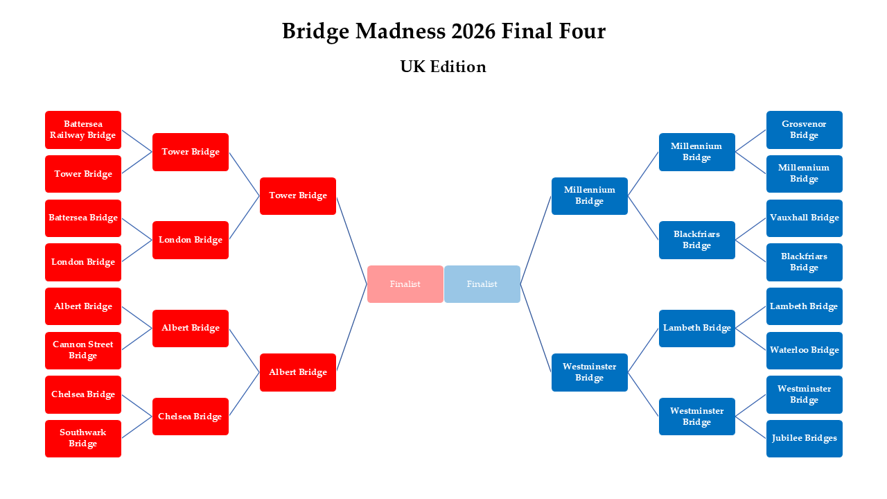
Thank you for participating in the 2026 Bridge Madness Tournament! I hope you had as much fun voting as I did watching the votes add up.
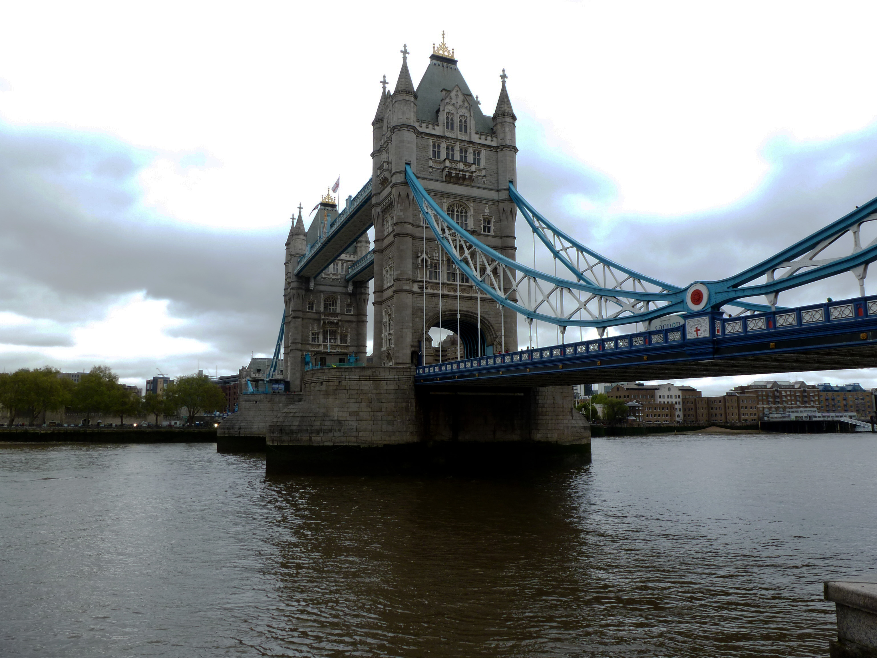
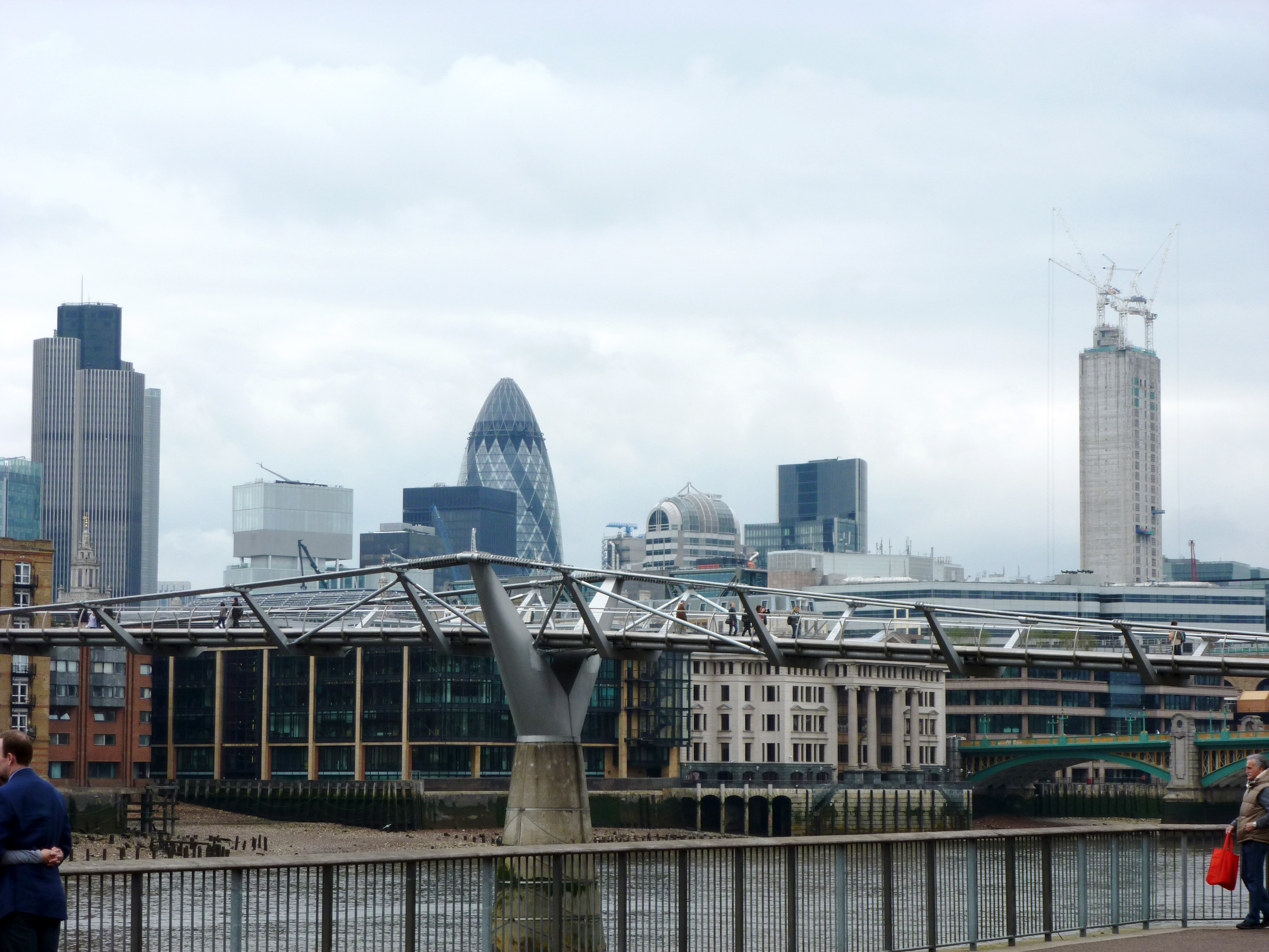
As a reminder, this year’s tournament featured bridges visited by urbantraipsing in London in 2012. Below are the completed brackets for Bridge Madness 2026. To learn more about the bridges, revisit the introduction which has links to posts on each bridge. Keep scrolling to see past winners and for an opportunity to send me feedback on Bridge Madness.
I’m already brainstorming for Bridge Madness 2027. Hope you come back!
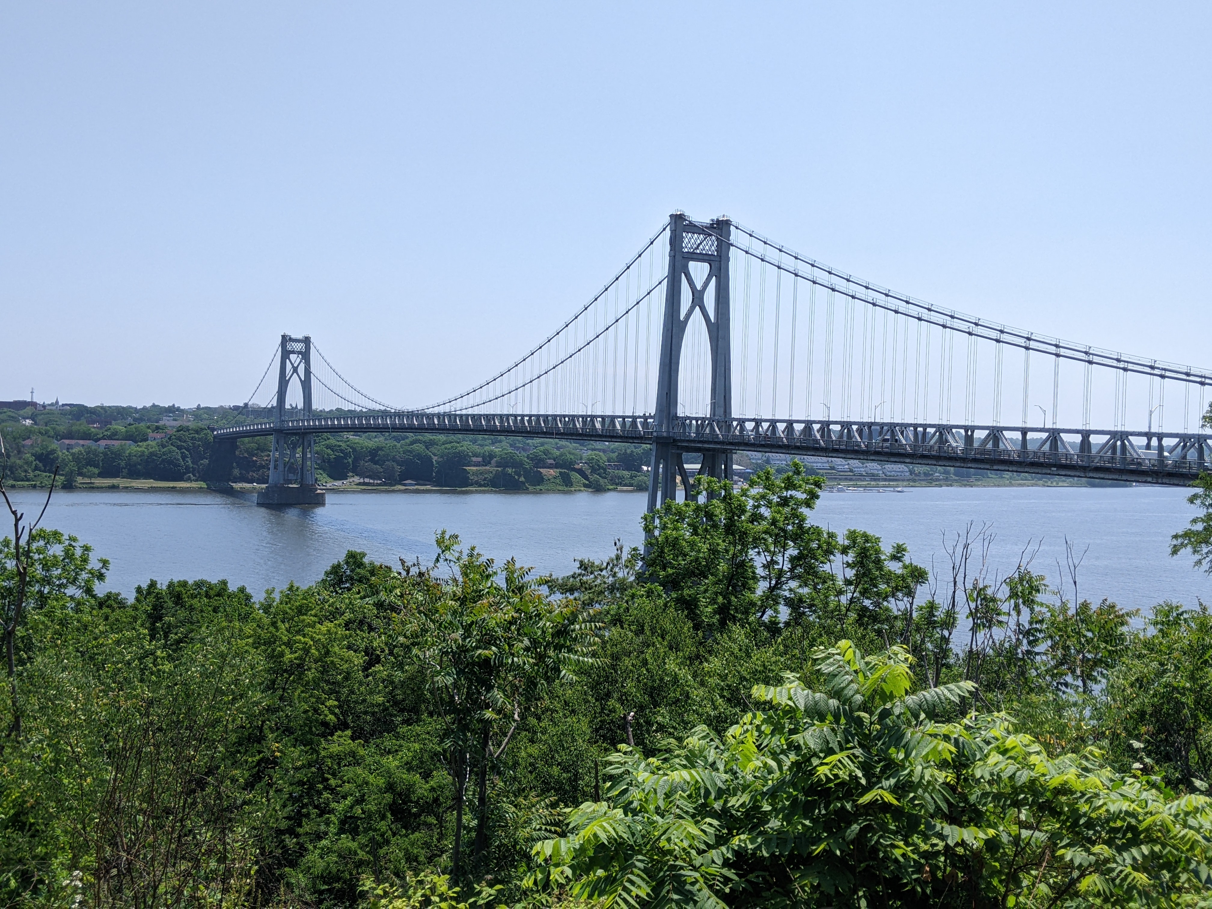
Bridge Madness 2025: National & International Suspension Bridges Winner – Mid-Hudson Bridge
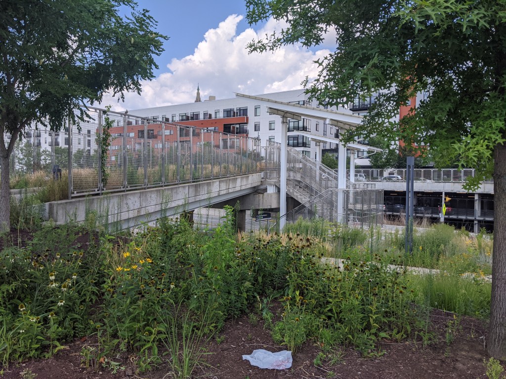
Bridge Madness 2024: Pittsburgh Pedestrian Bridges Winner – East Liberty Station Pedestrian Bridge
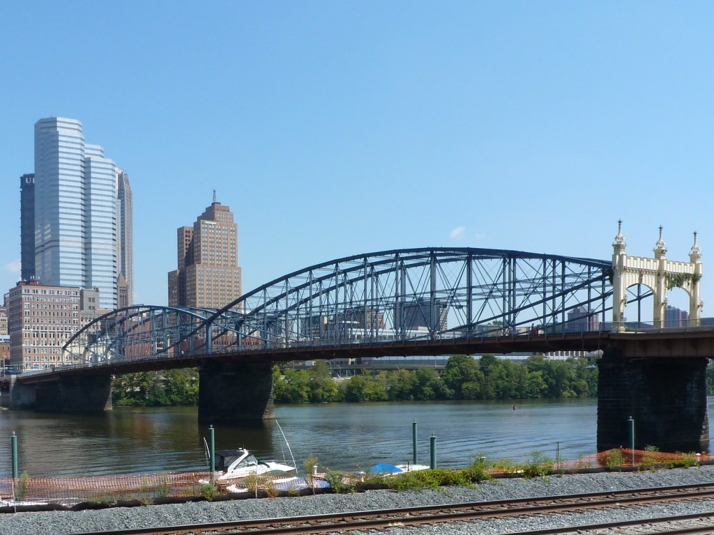
Bridge Madness 2023: Pittsburgh River Bridges Winner – Smithfield Street Bridge
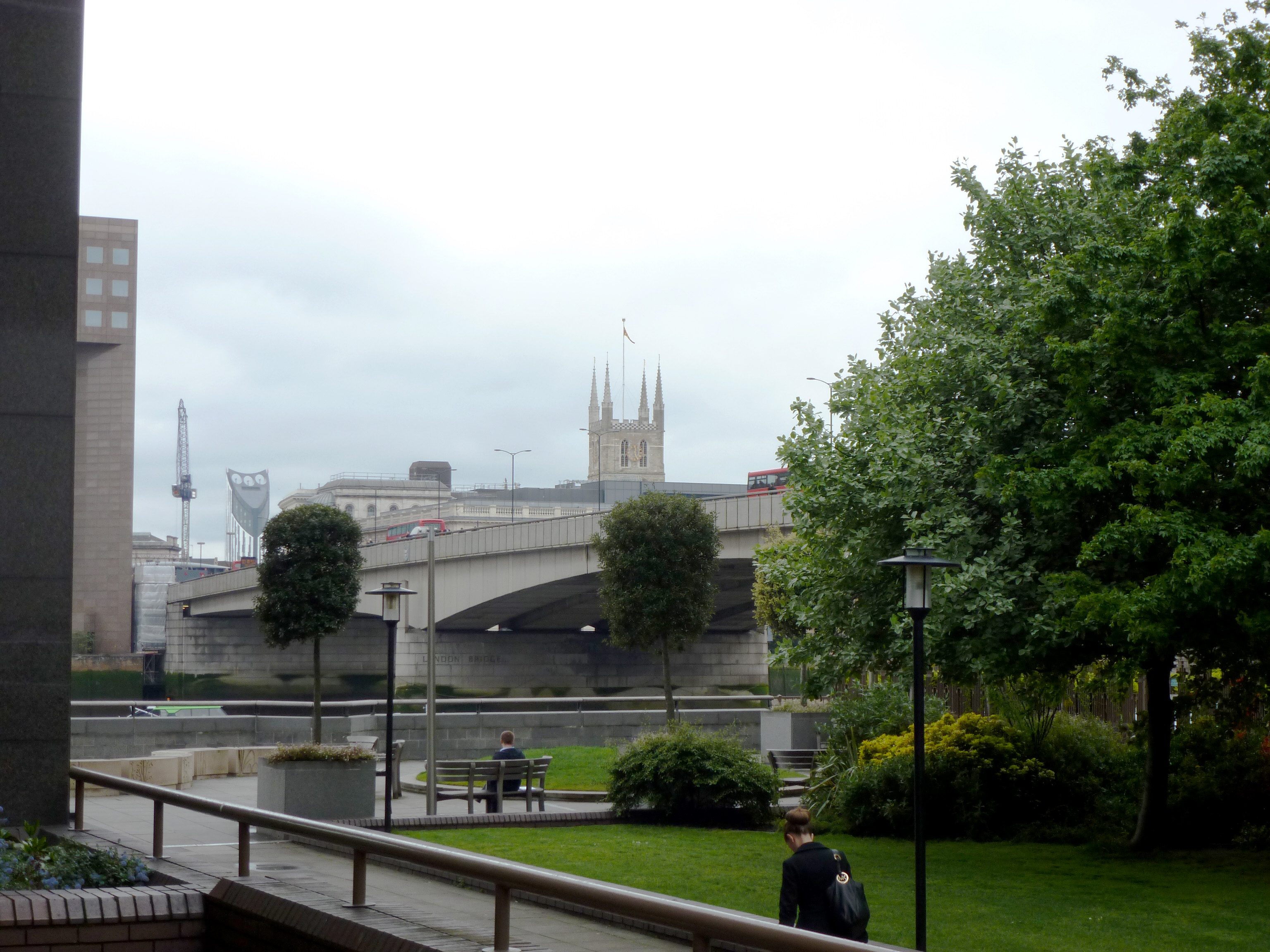
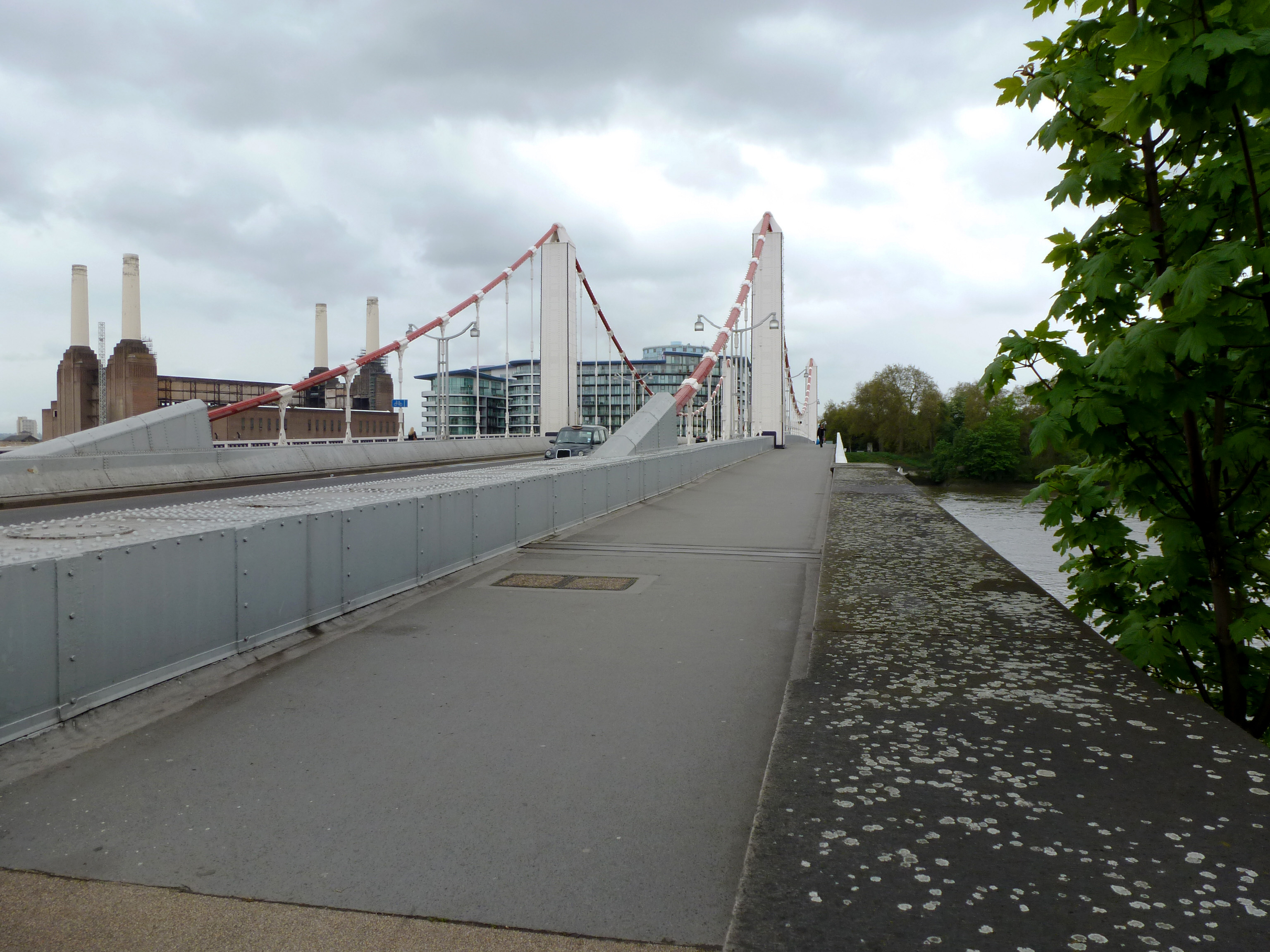
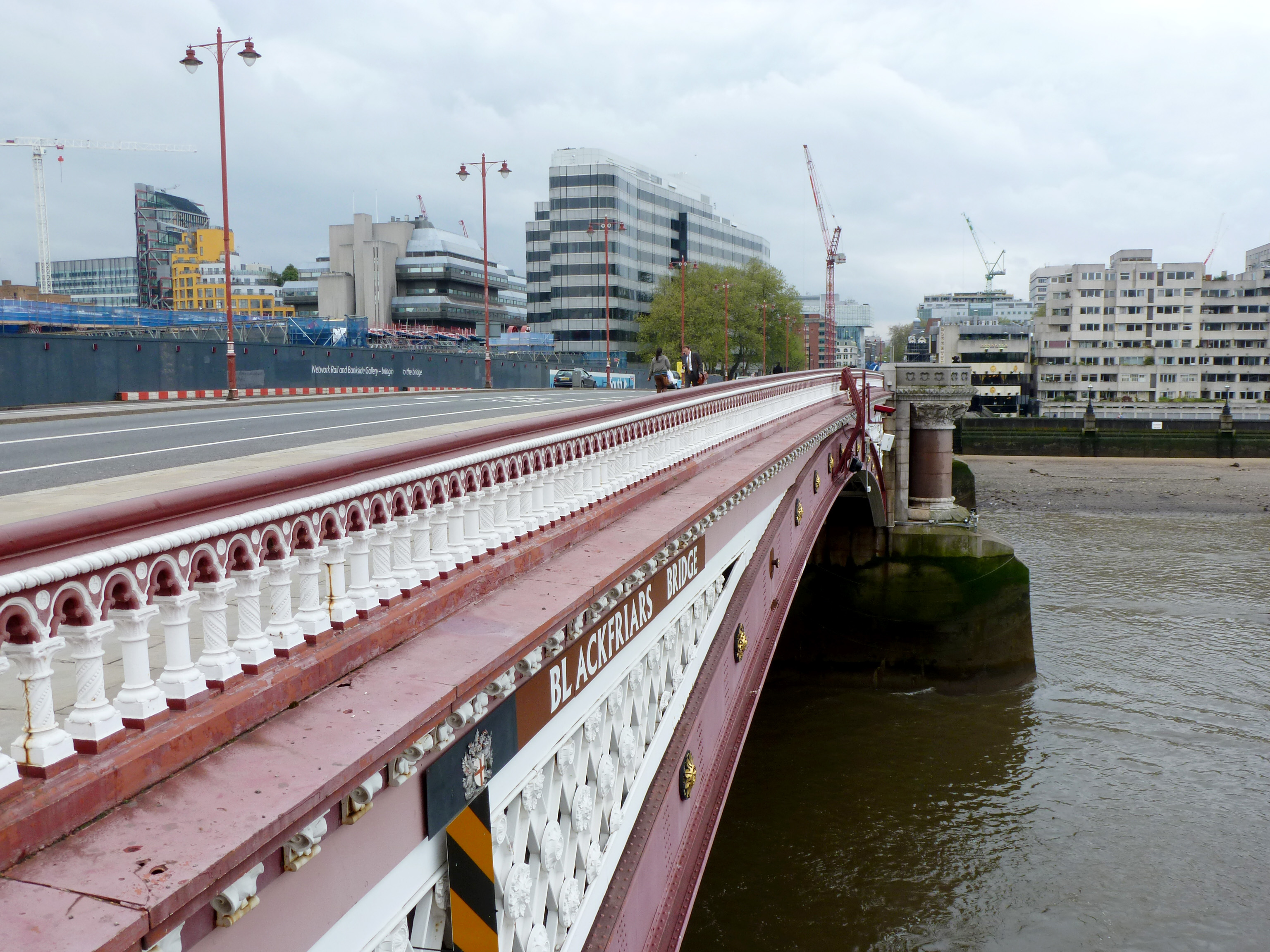
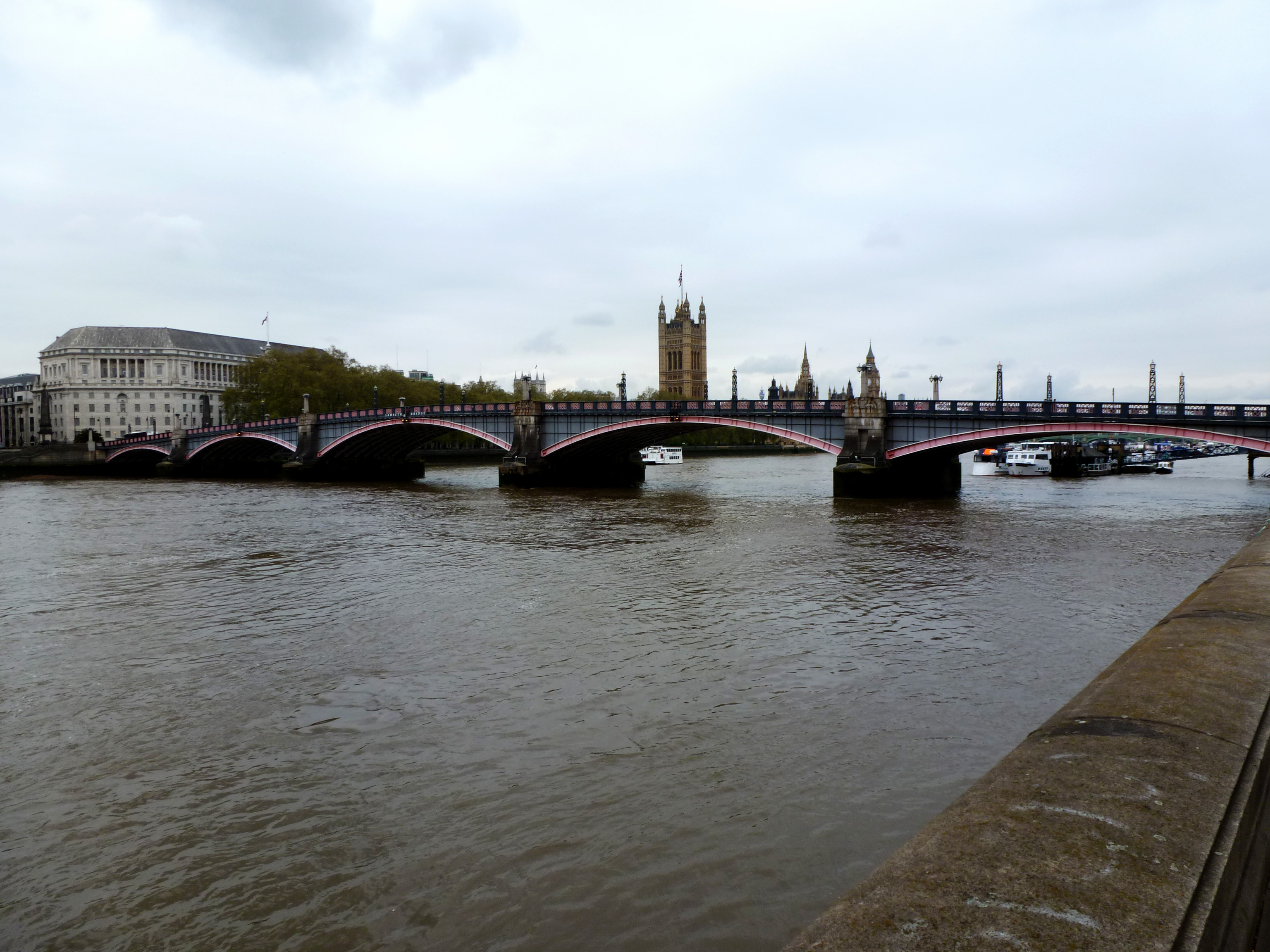
In the 2026 Bridge Madness Tournament, 16 bridges that cross the Thames River in London go pier-to-pier in a reader’s choice tournament to pick the best one. This year’s tournament features bridges visited by urbantraipsing on a 2012 bridge-walking expedition.
Results of the Final Four:
Below is the Championship bracket. Remember to vote for your favorite bridge by noon on Saturday, March 28th, and then return on March 29th to see the Champion.
To learn more about the bridges, revisit the introduction which has links to posts on each bridge.
In the 2026 Bridge Madness Tournament, 16 bridges that cross the Thames River in London go pier-to-pier in a reader’s choice tournament to pick the best one. This year’s tournament features bridges visited by urbantraipsing on a 2012 bridge-walking expedition.
Results of the Elite Eight:
Below are the brackets for the Final Four. Remember to vote for one bridge in each bracket by noon on Saturday, March 21st, and then return on March 12th to vote for the Championship.
To learn more about the bridges, revisit the introduction which has links to posts on each bridge.
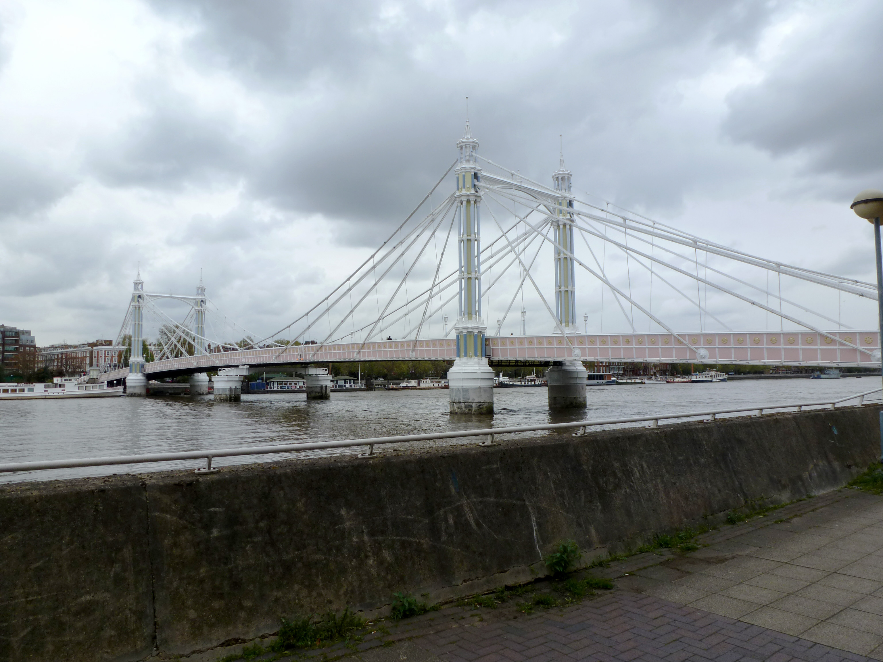
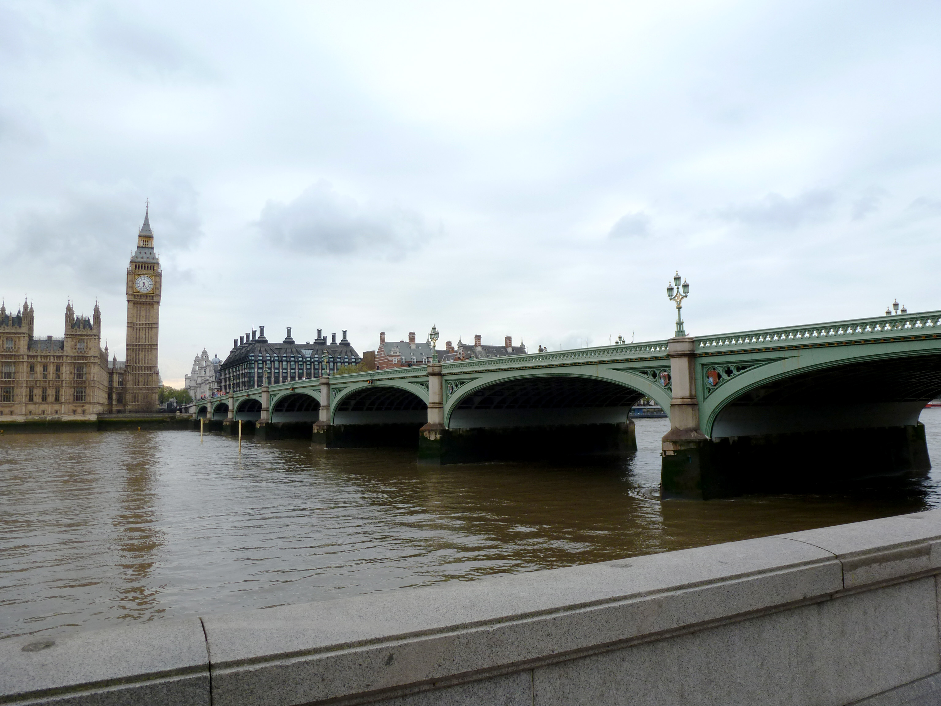
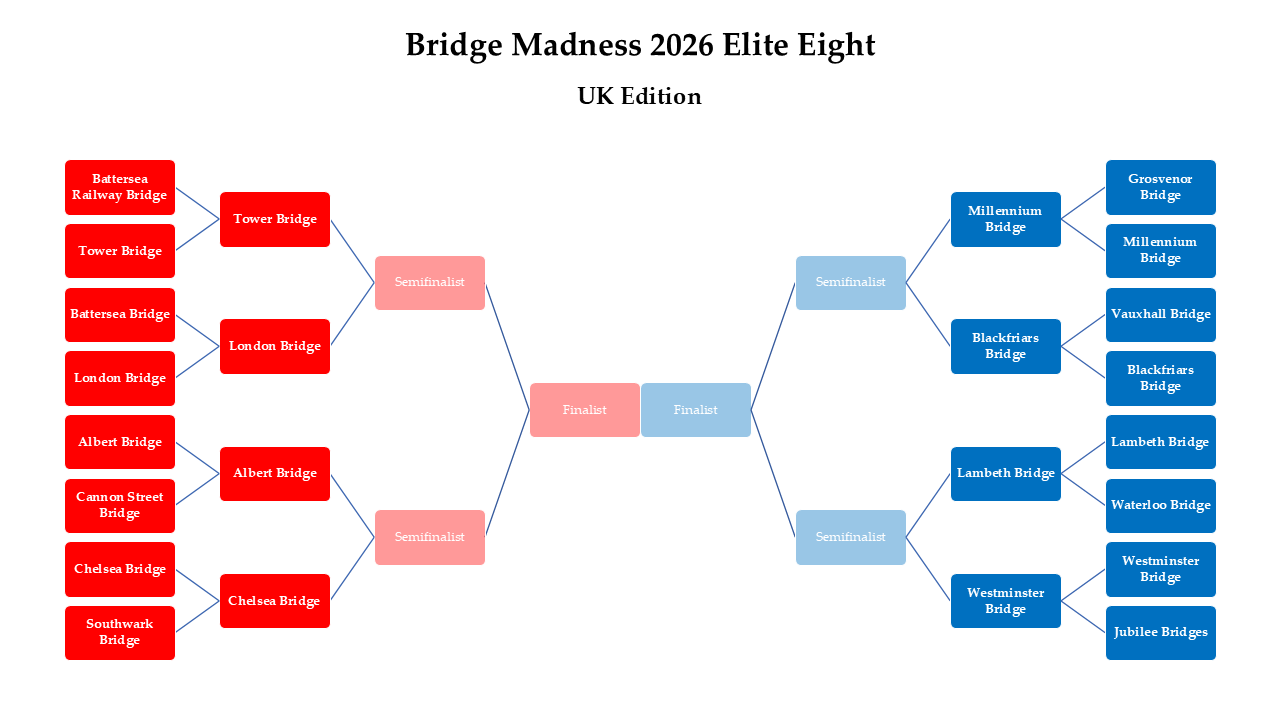
In the 2026 Bridge Madness Tournament, 16 bridges that cross the Thames River in London go pier-to-pier in a reader’s choice tournament to pick the best one. This year’s tournament features bridges visited by urbantraipsing on a 2012 bridge-walking expedition.
Results of the Sweet Sixteen:
Below are the brackets for the Elite Eight. Remember to vote for one bridge in each bracket by noon on Saturday, March 14th, and then return on March 15th to vote for the Final Four.
To learn more about the bridges, revisit the introduction which has links to posts on each bridge.