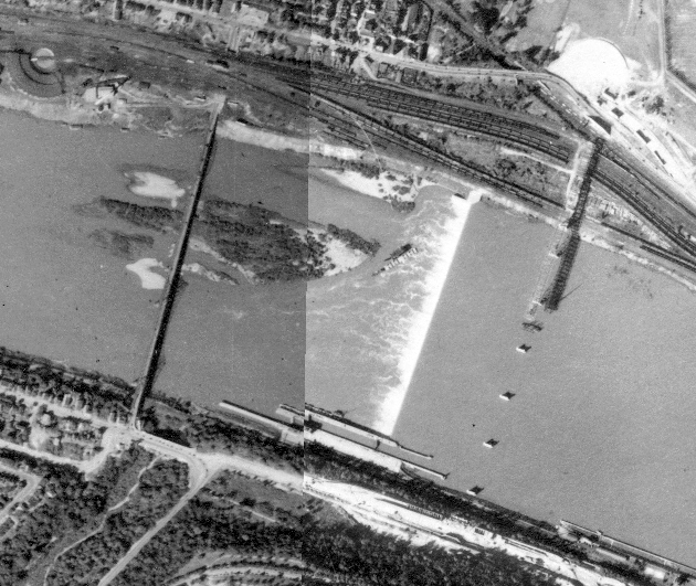
My primary day job this year involves spending lots of time with Pittsburgh archives, particularly maps. That was how I discovered that East Liberty used to have more bridges. Since then, I discovered that the Highland Park Bridge used to be in a completely different location, adjacent to the western end of Heth’s Run Bridge. The image above from the Pittsburgh Historic Maps, an online ArcGIS map viewer, shows the 1939 satellite images for the area with the former Highland Park Bridge to the left and the current Highland Park Bridge under construction on the right.
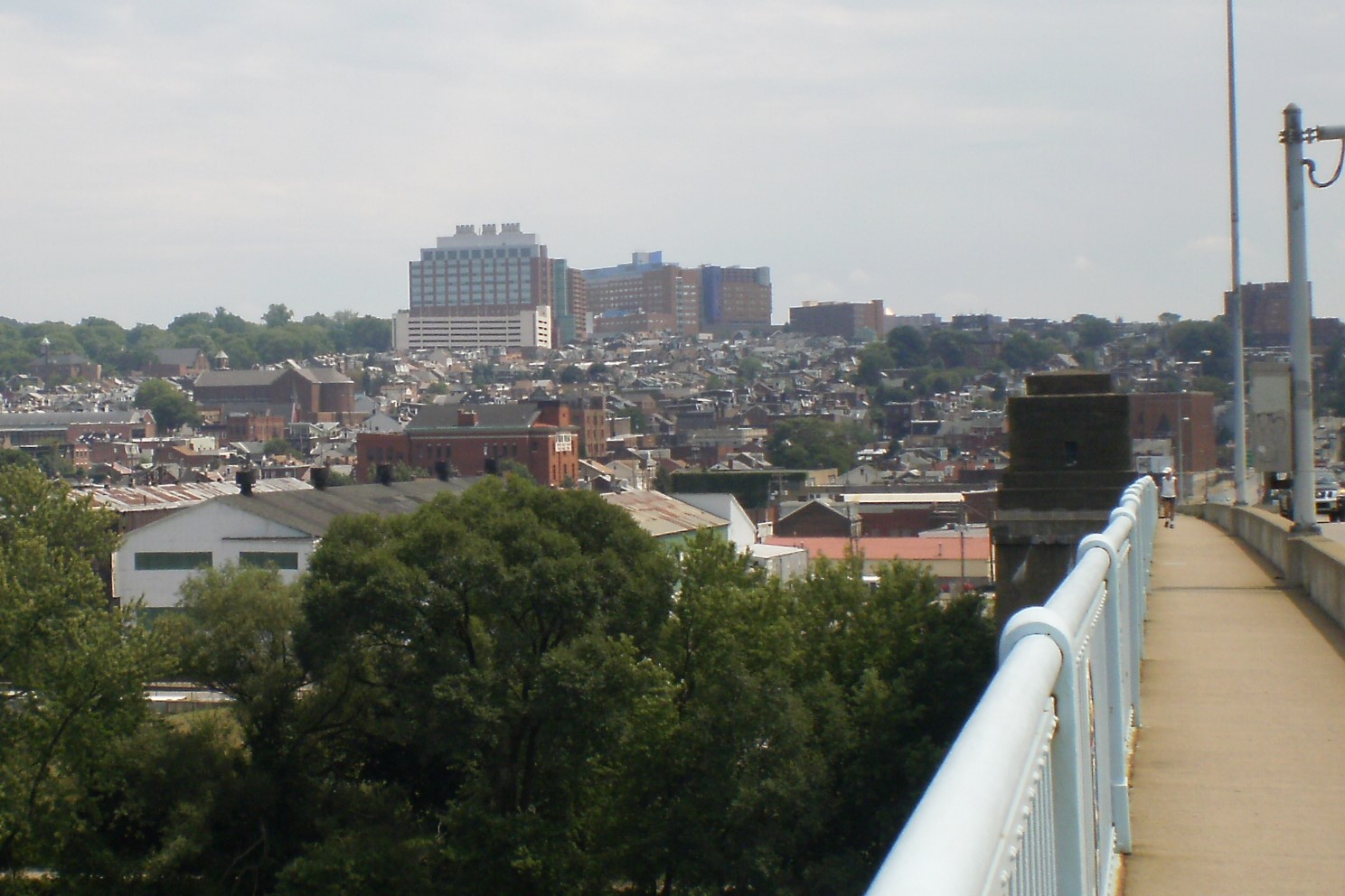
Once again, thanks to Historic Pittsburgh, I found photos of the former bridge. The first pair of photos below shows the Highland Park Bridge beyond the Heth’s Run Bridge, the older one looking west and the newer one looking east. The second pair of photos compares the Heth’s Run ravine in it’s original condition after being bridged to its restored condition after being filled in and then re-excavated. The third pair of photos compares the former and current Highland Park Bridges.
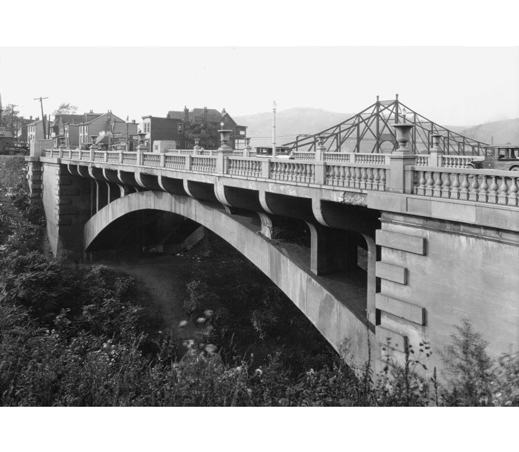
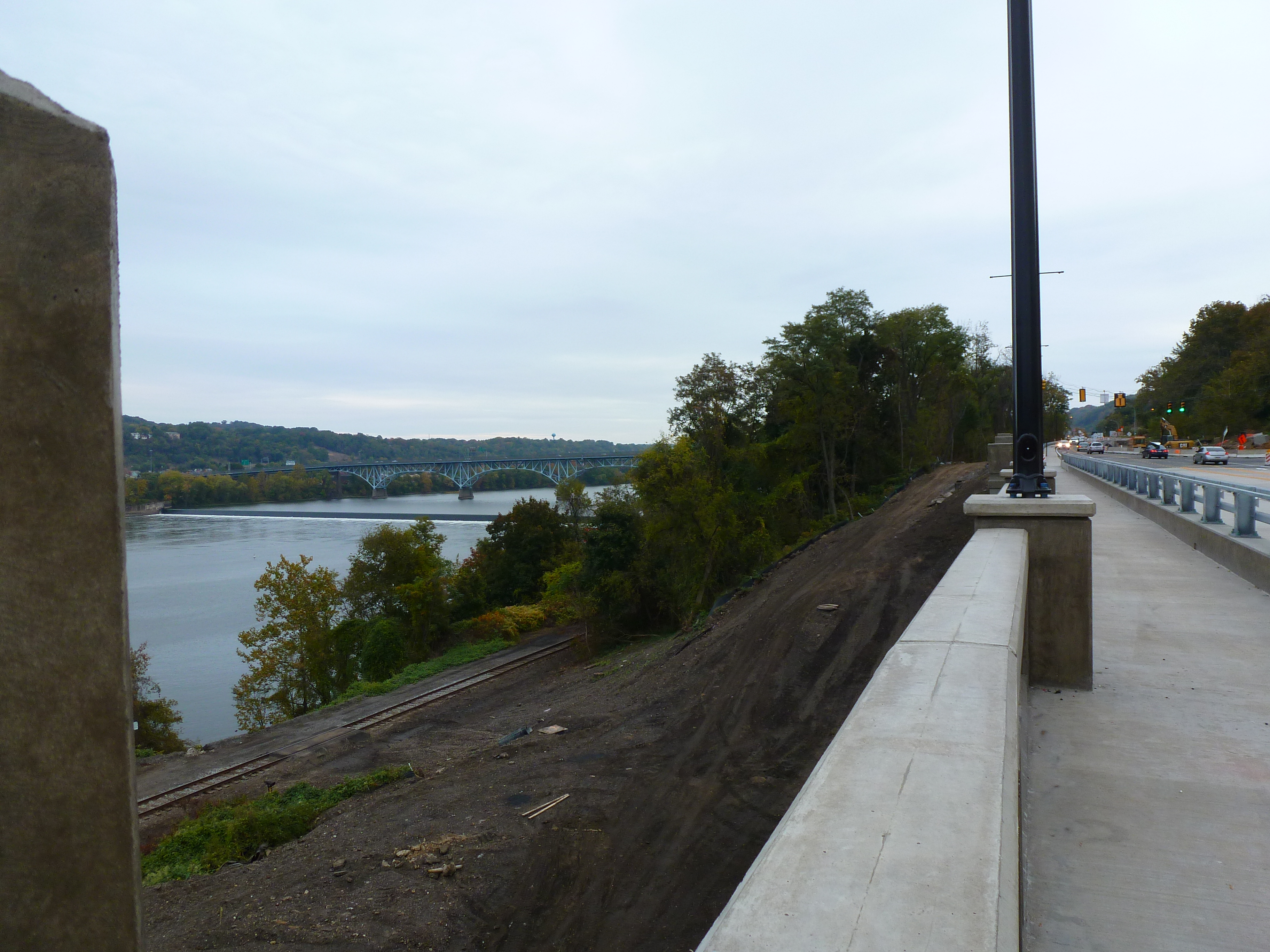
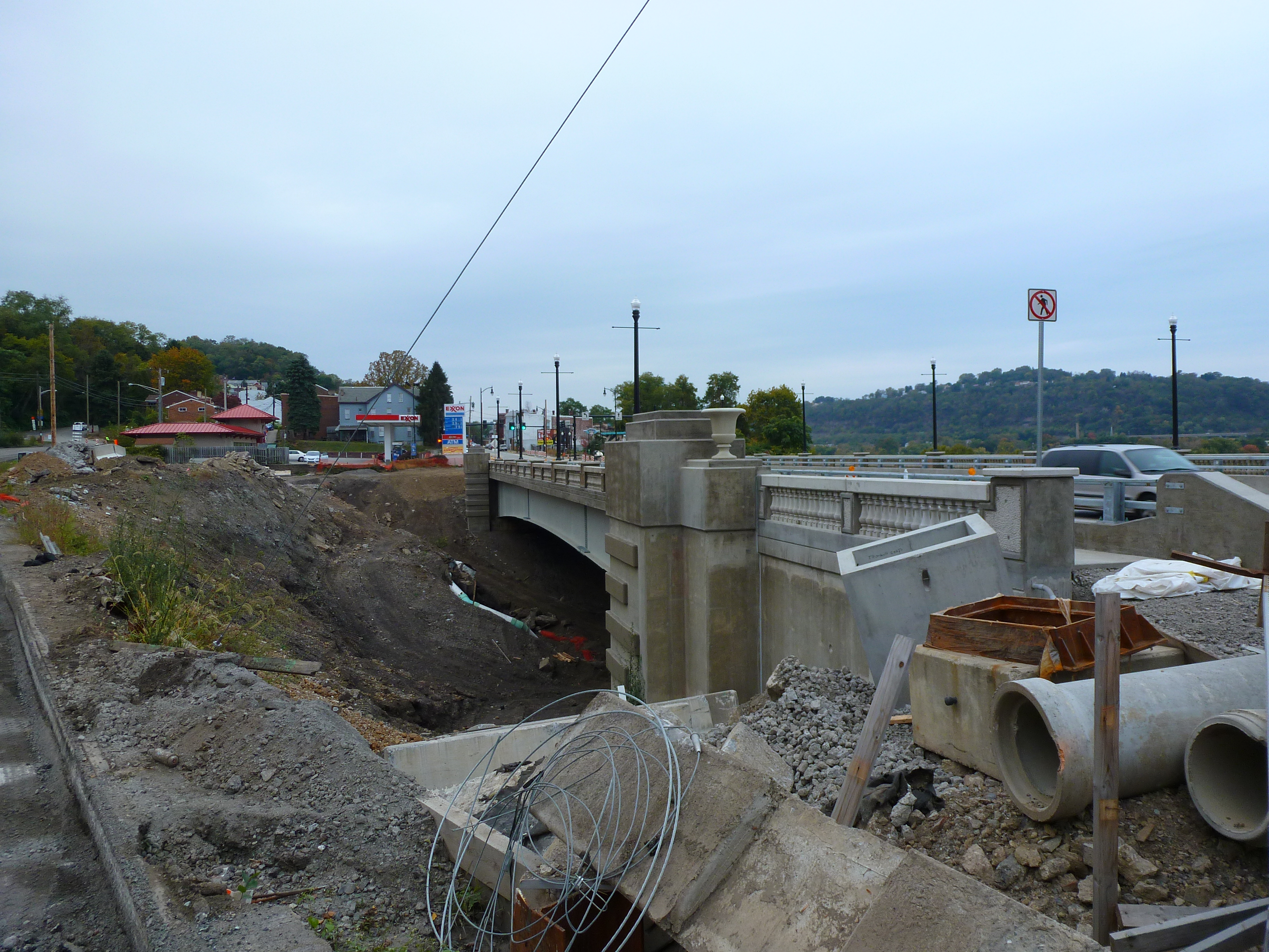
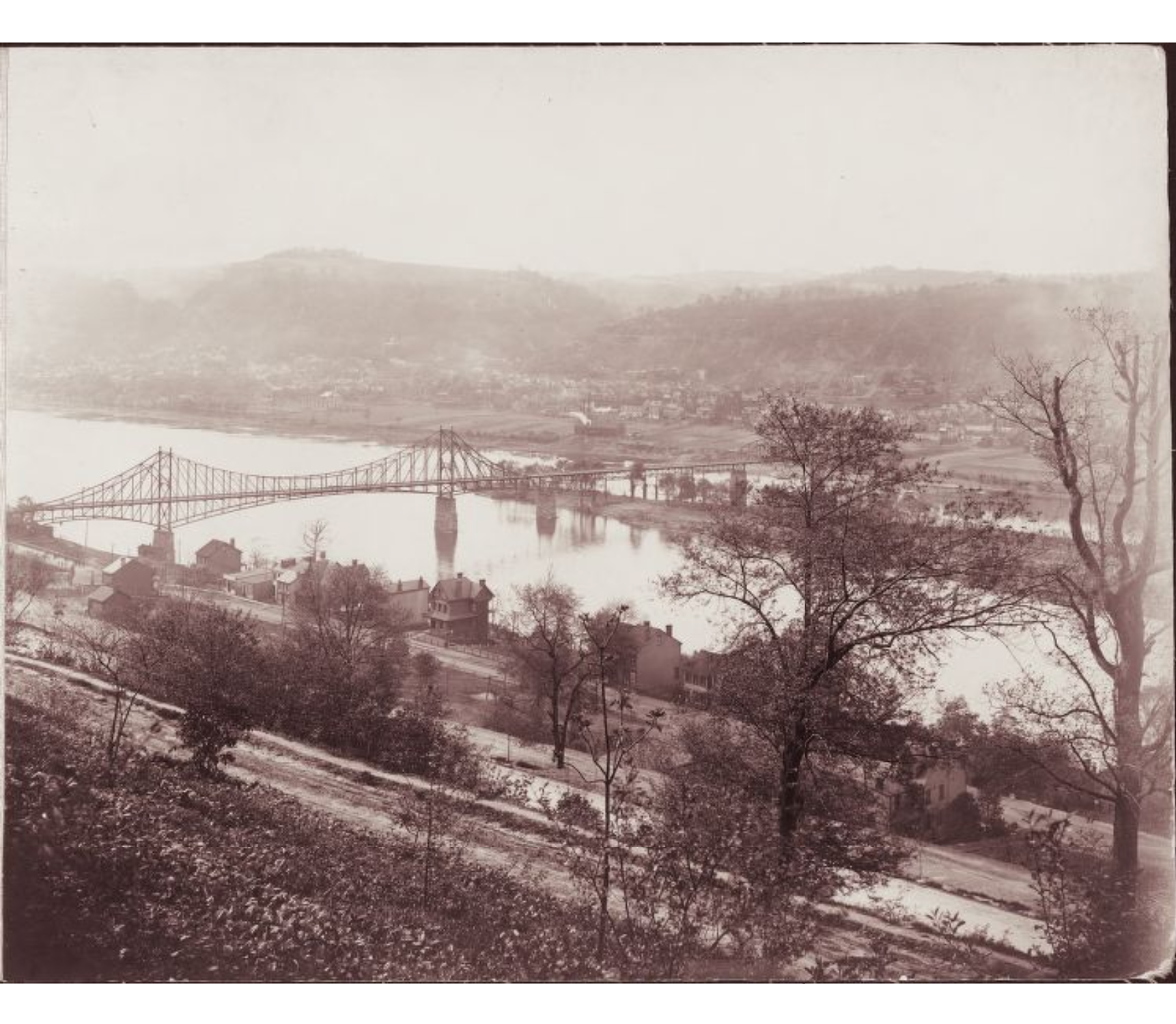
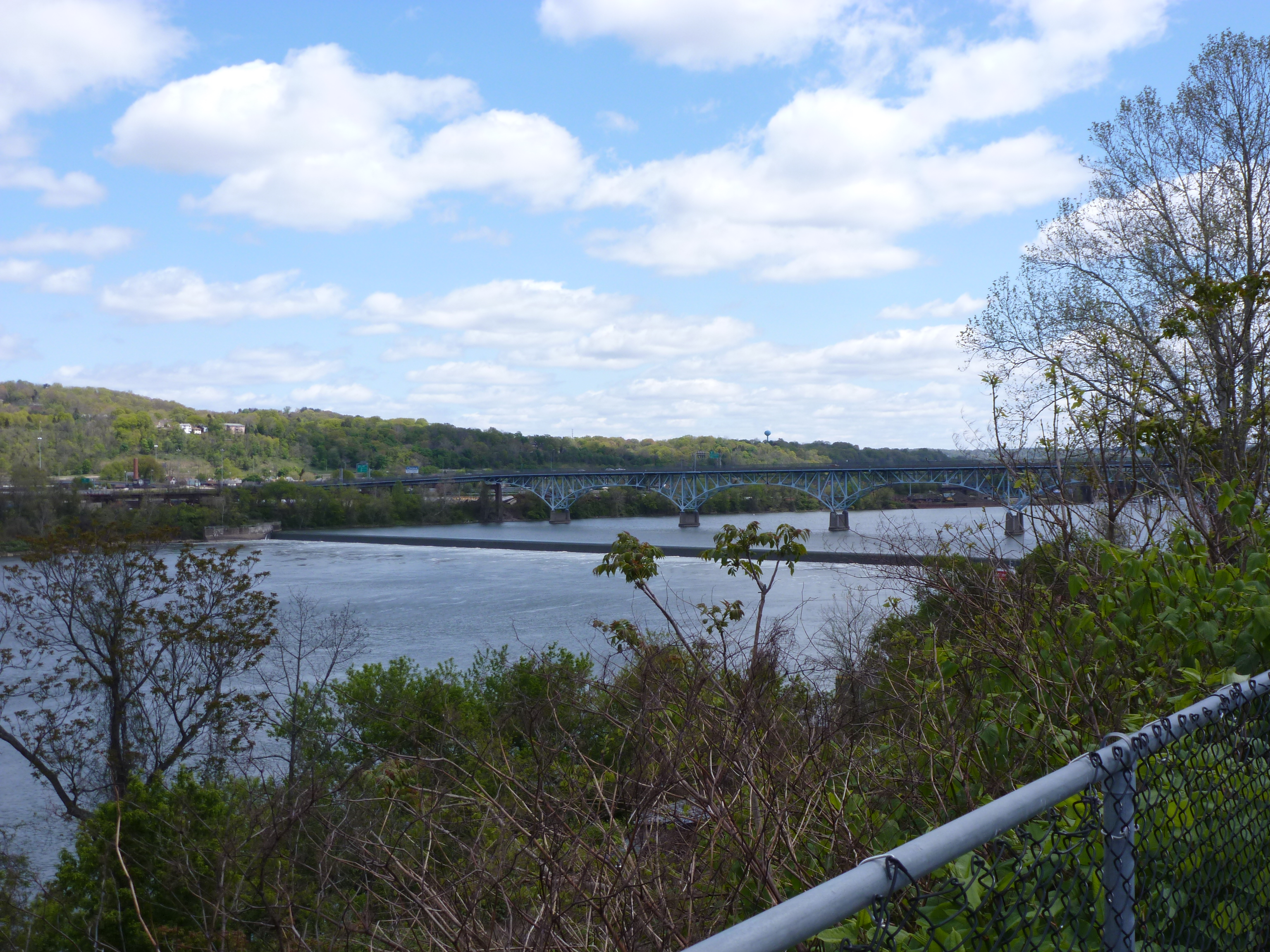
Photo sources:
Heth’s Run Bridge Photo: https://historicpittsburgh.org/islandora/object/pitt%3A715.262240.CP
Highland Park Bridge Photo: https://historicpittsburgh.org/islandora/object/pitt%3A1999.34.9