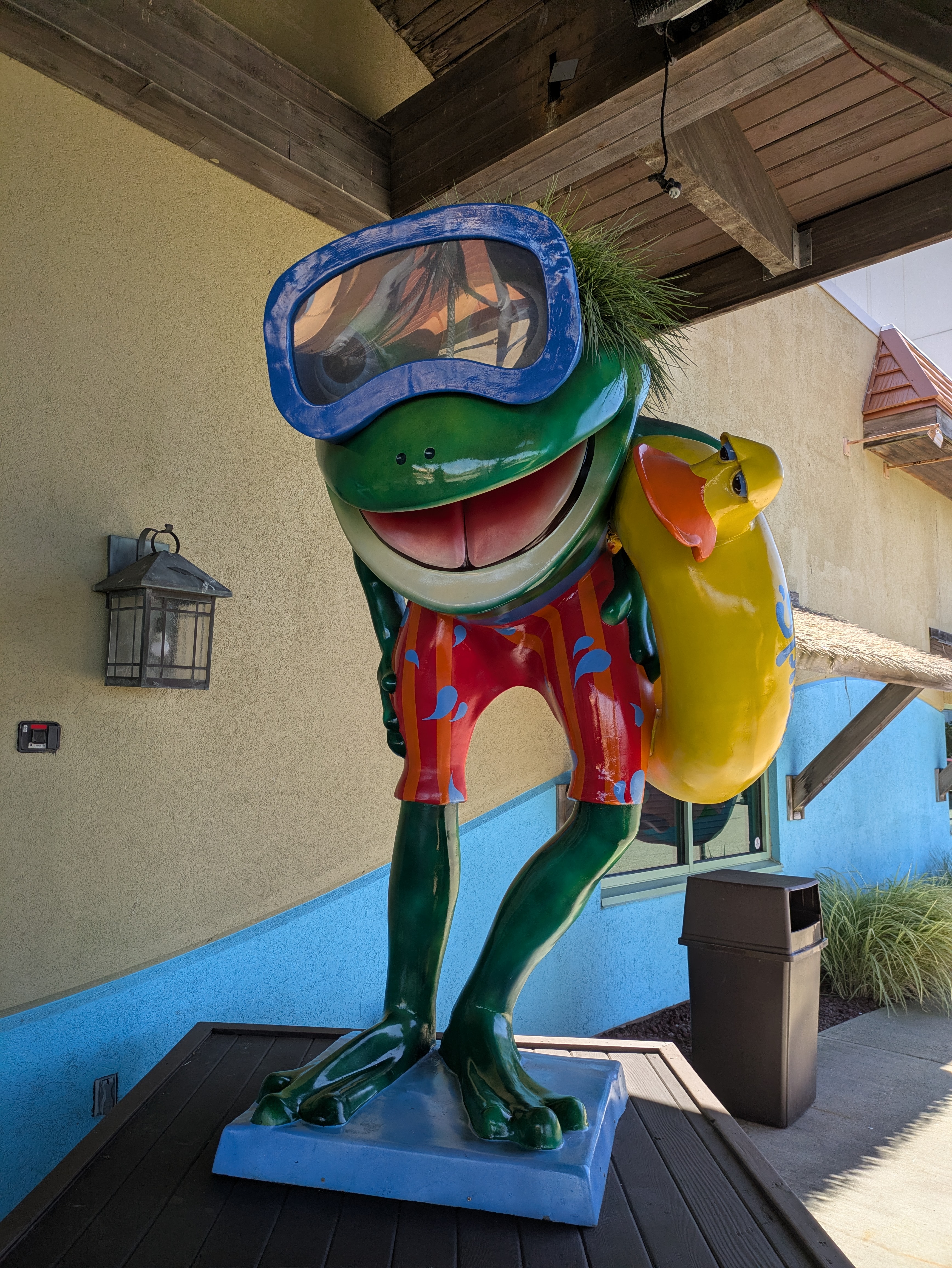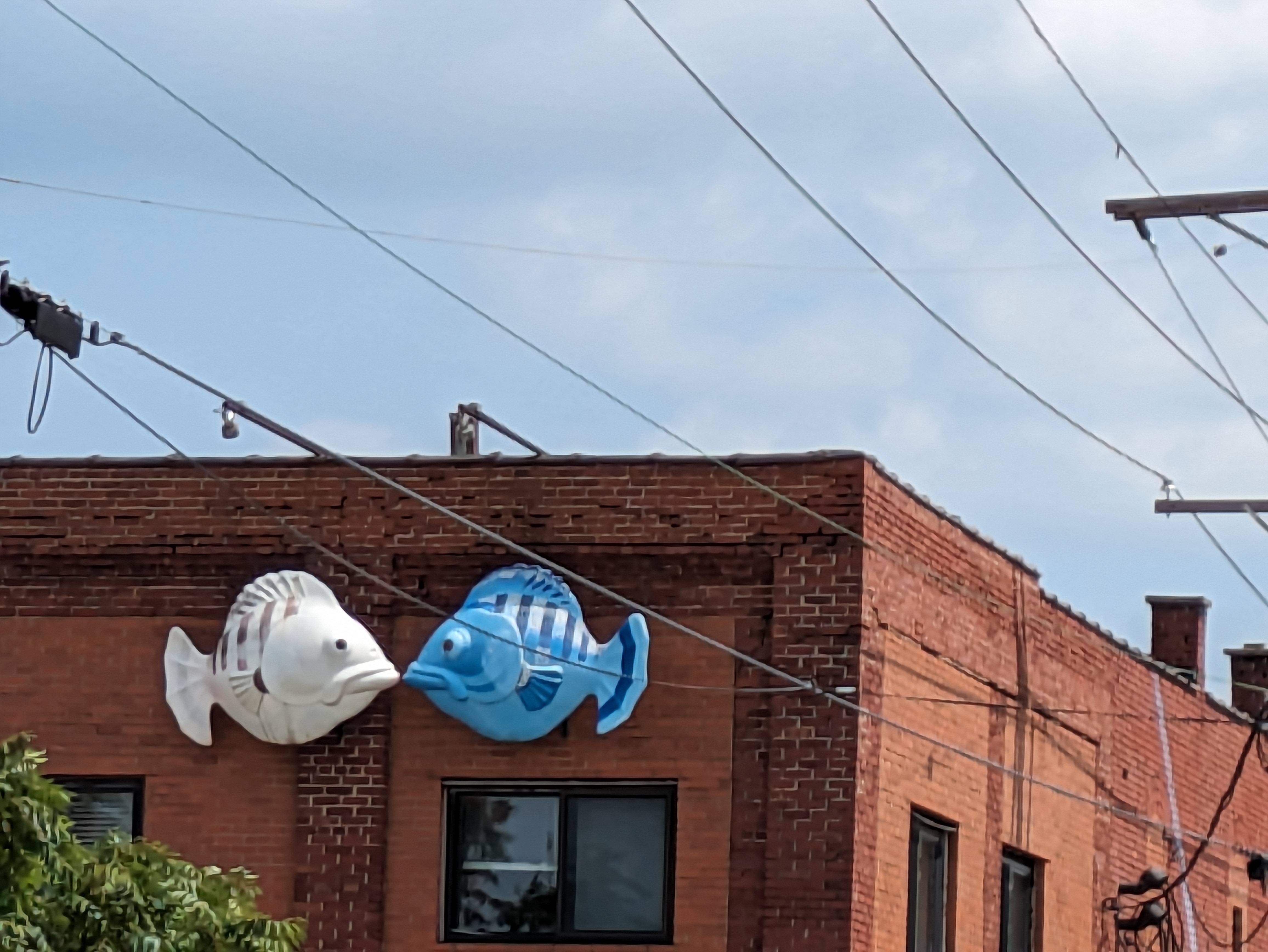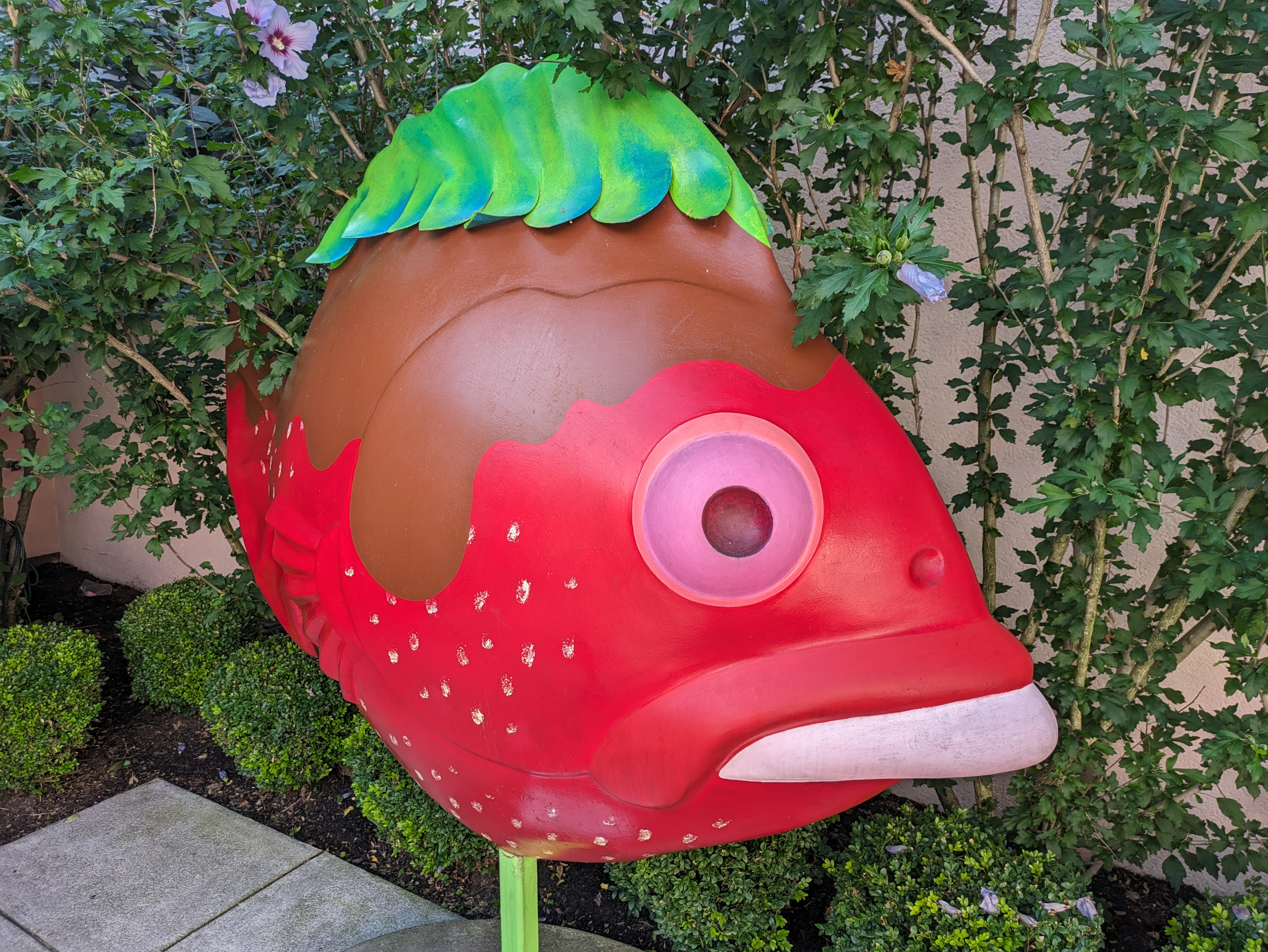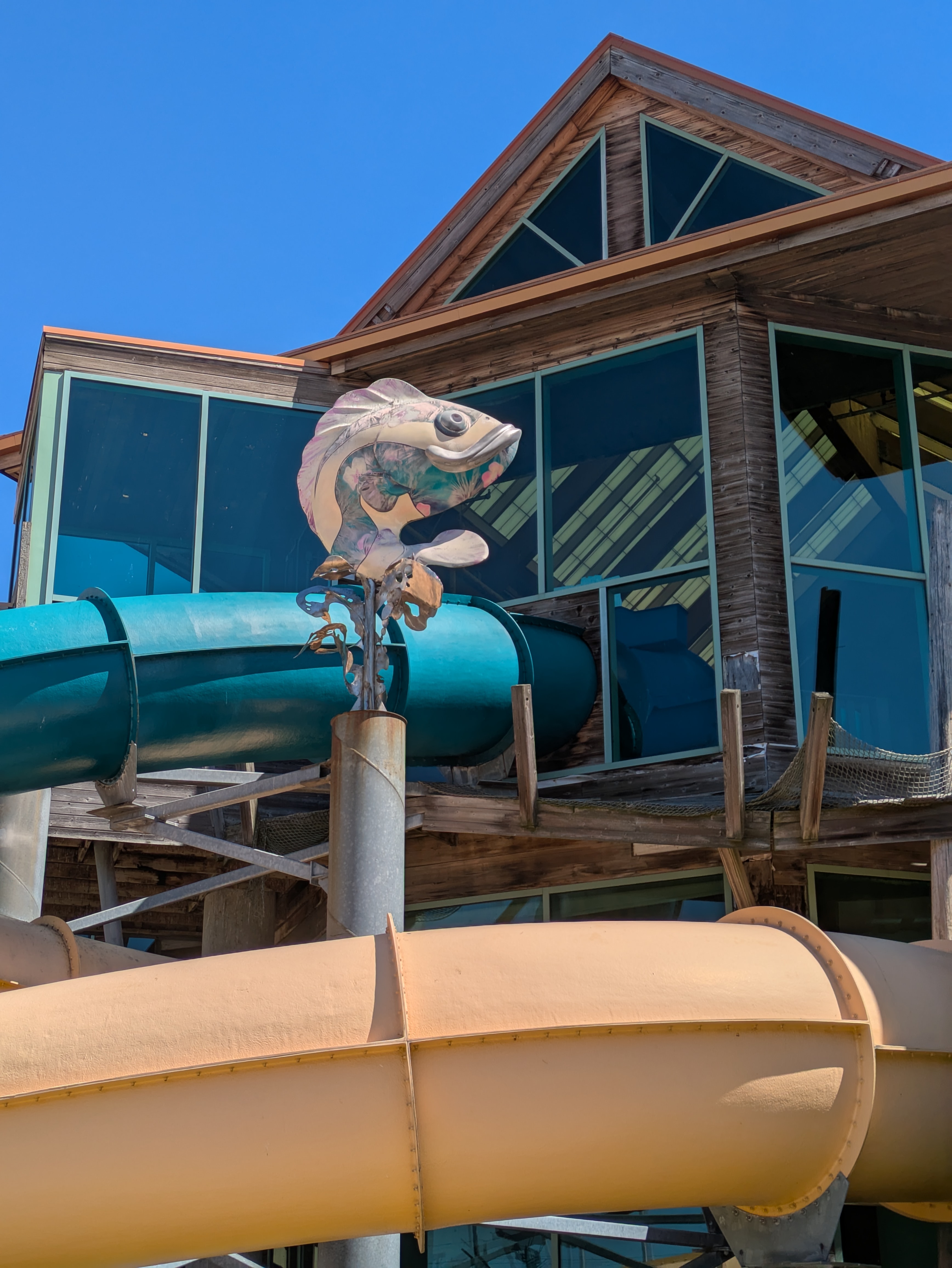
GoFish! was a fundraiser in Erie, PA, in 2001. In 2023, Shelly and I took a long weekend in Erie with a goal to find as many fish as we could. We used Amy H.’s FourSquare map to locate probable locations. Several fish were shown as being at Splash Lagoon. I assumed they would be inside the amusement facility and so we did not try to collect photos of them. However, when I went to Erie in Summer 2025 and stayed at a hotel across the street from Splash Lagoon, I found that their fish and frogs were all outside (three fish and one frog, plus one frog at an adjacent business).
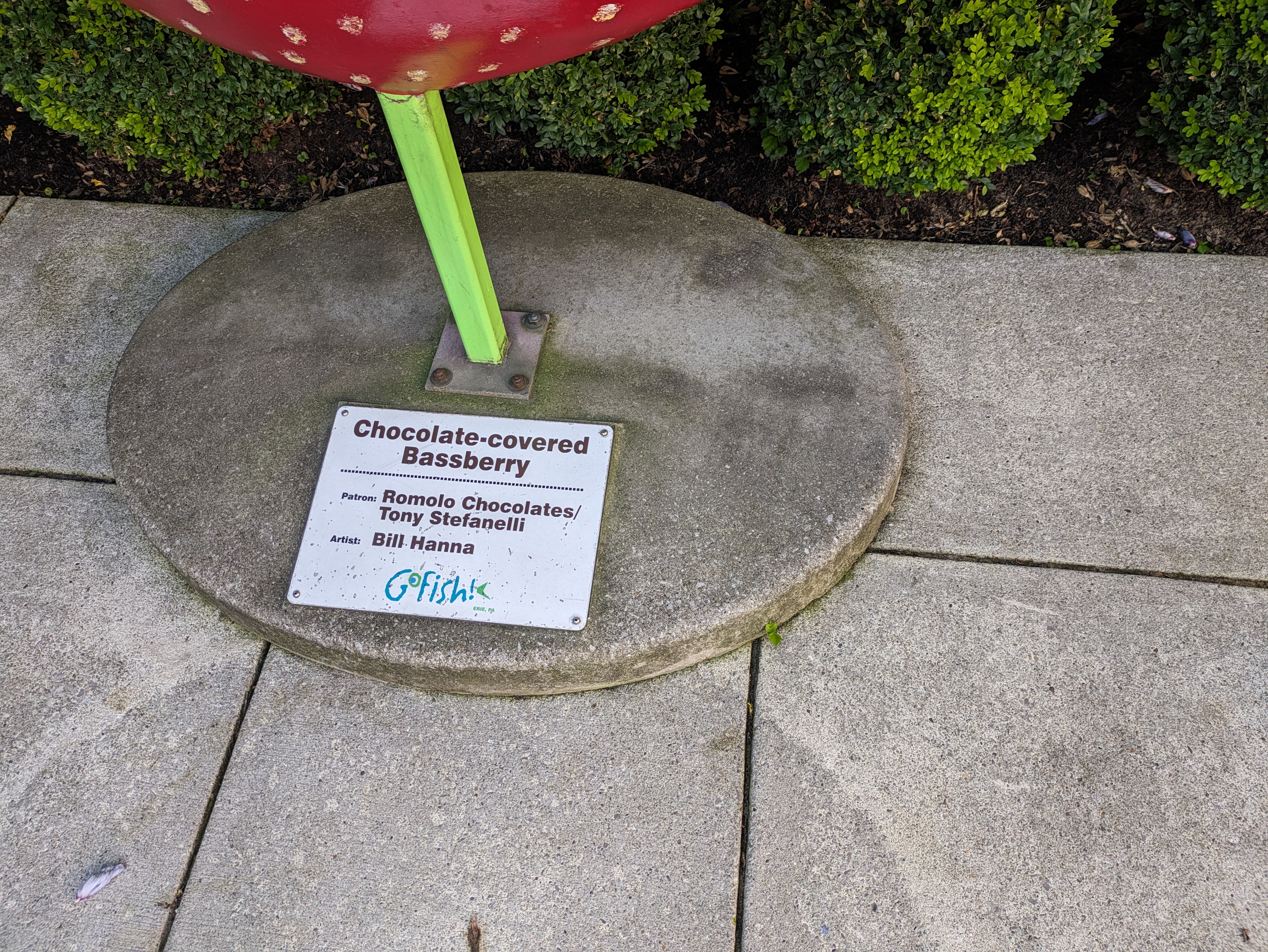
“Splash-the-Lagoon-A-Tuna” was designed by artist Dan Byler and sponsored by Scott Enterprises.