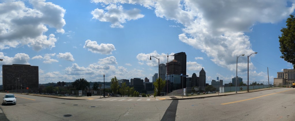
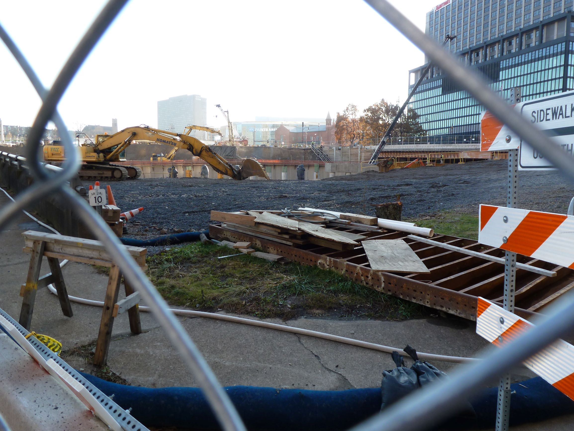
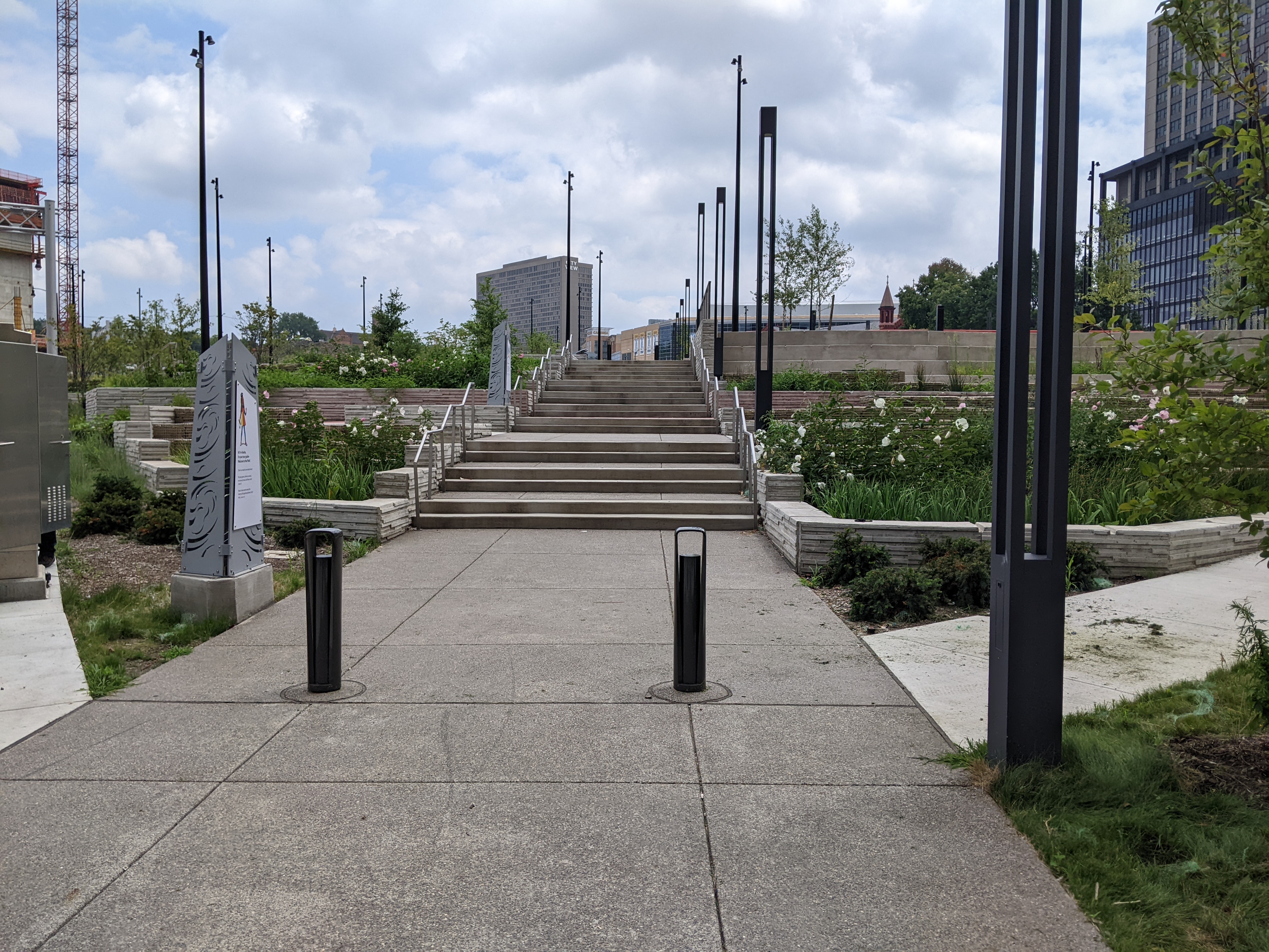
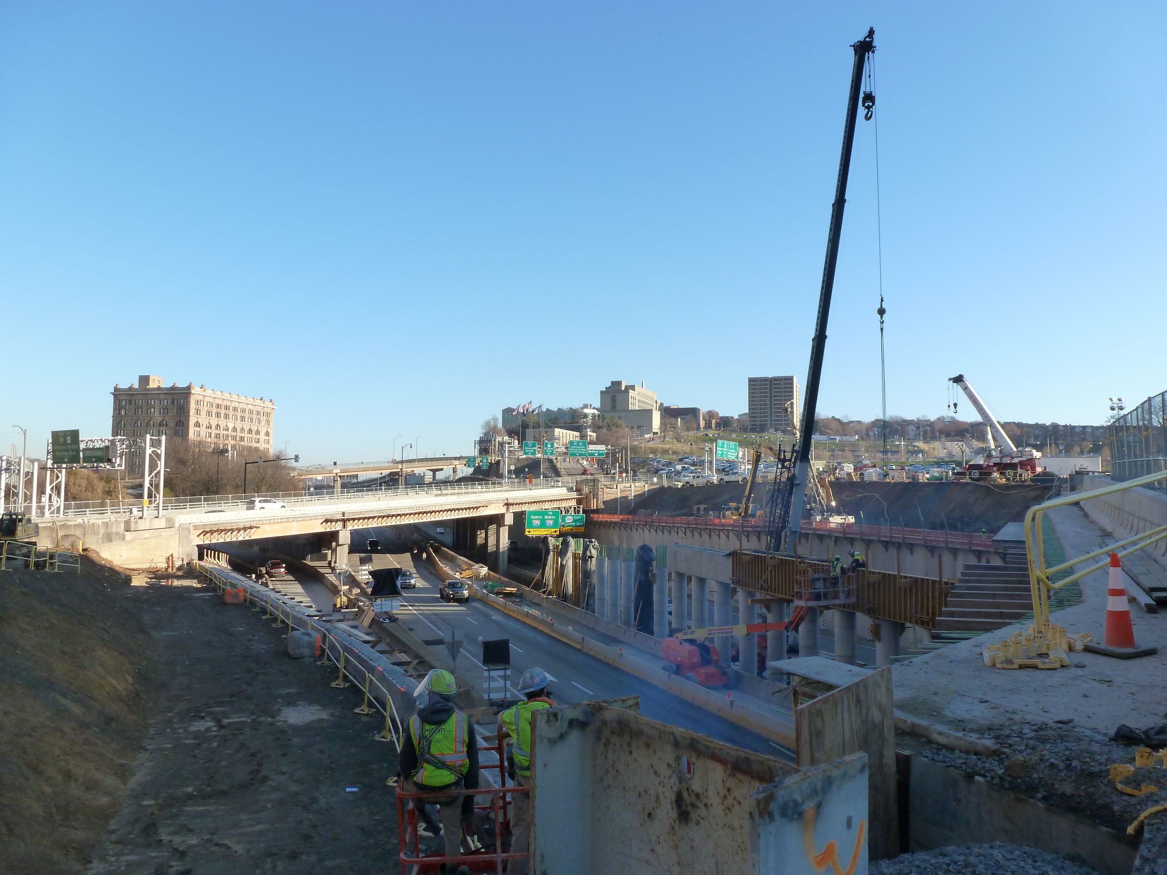
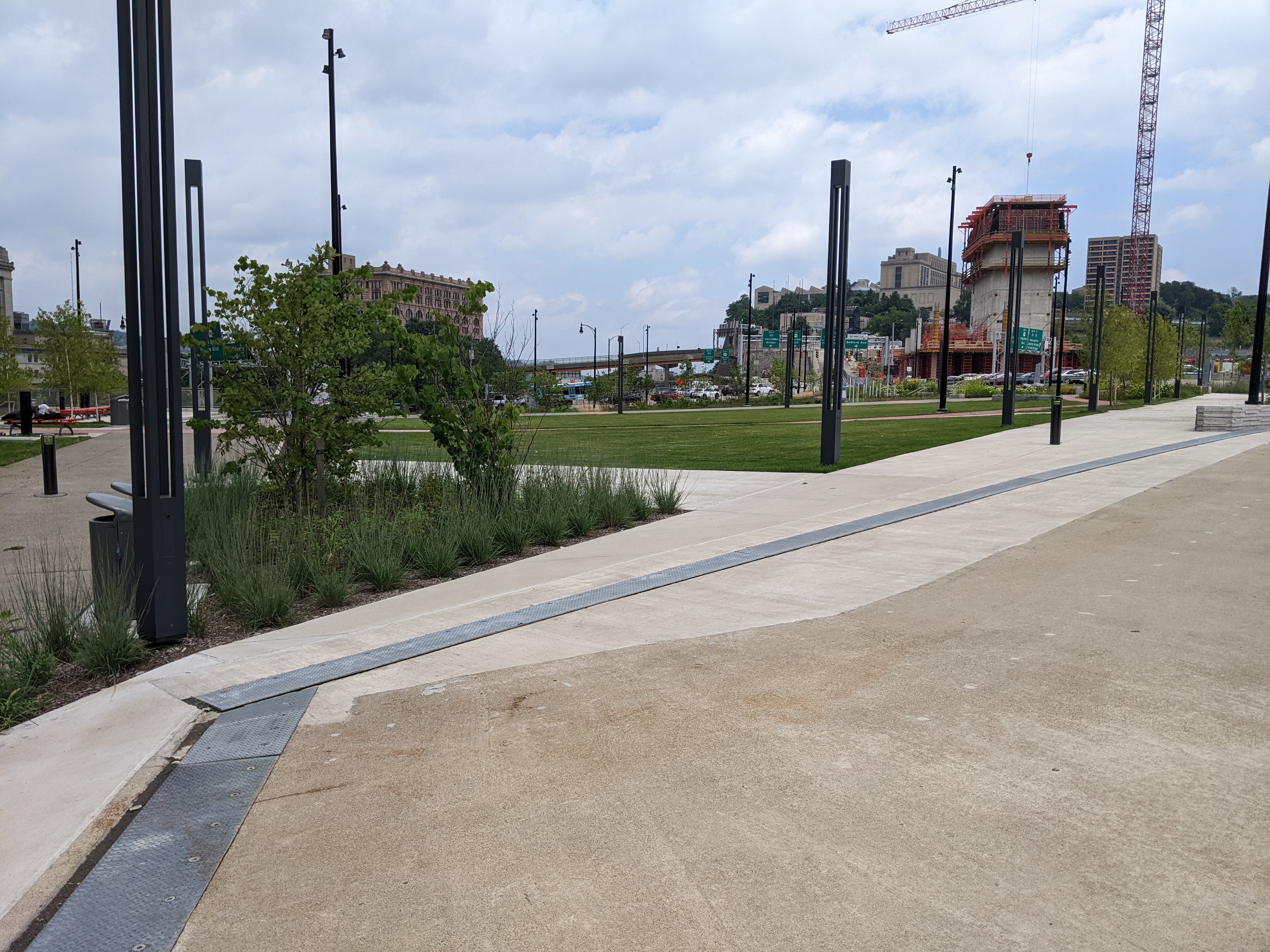
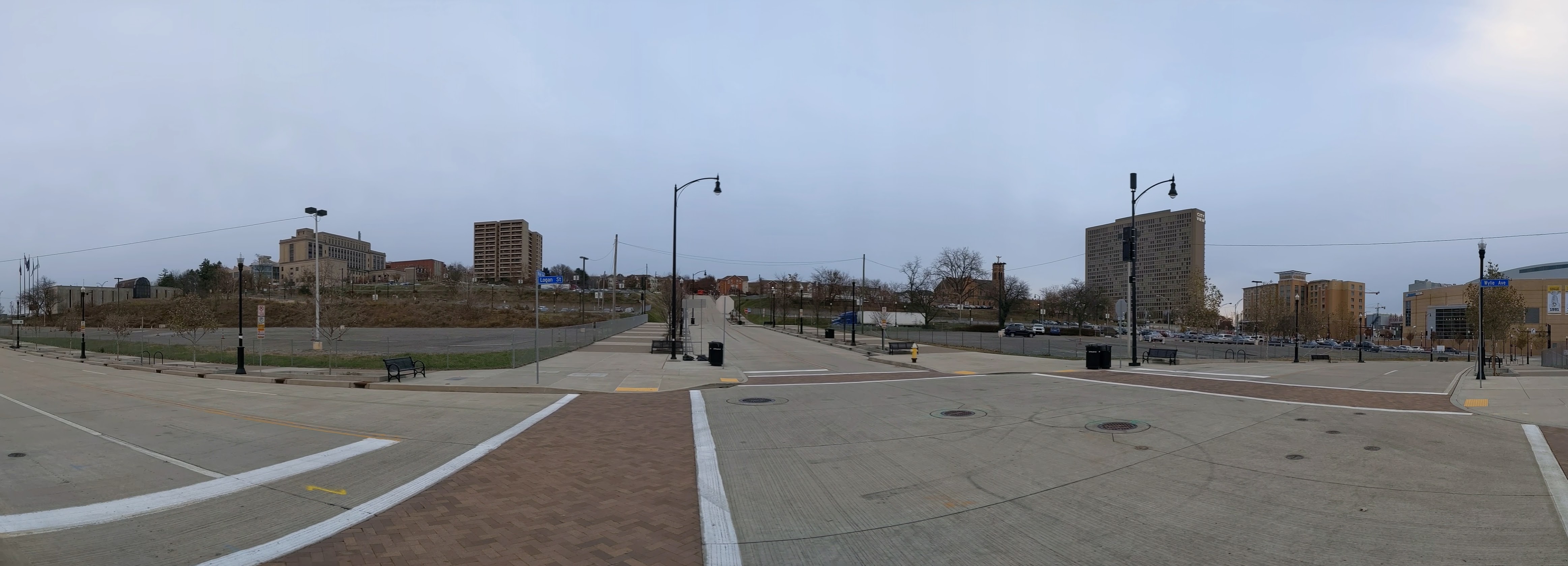
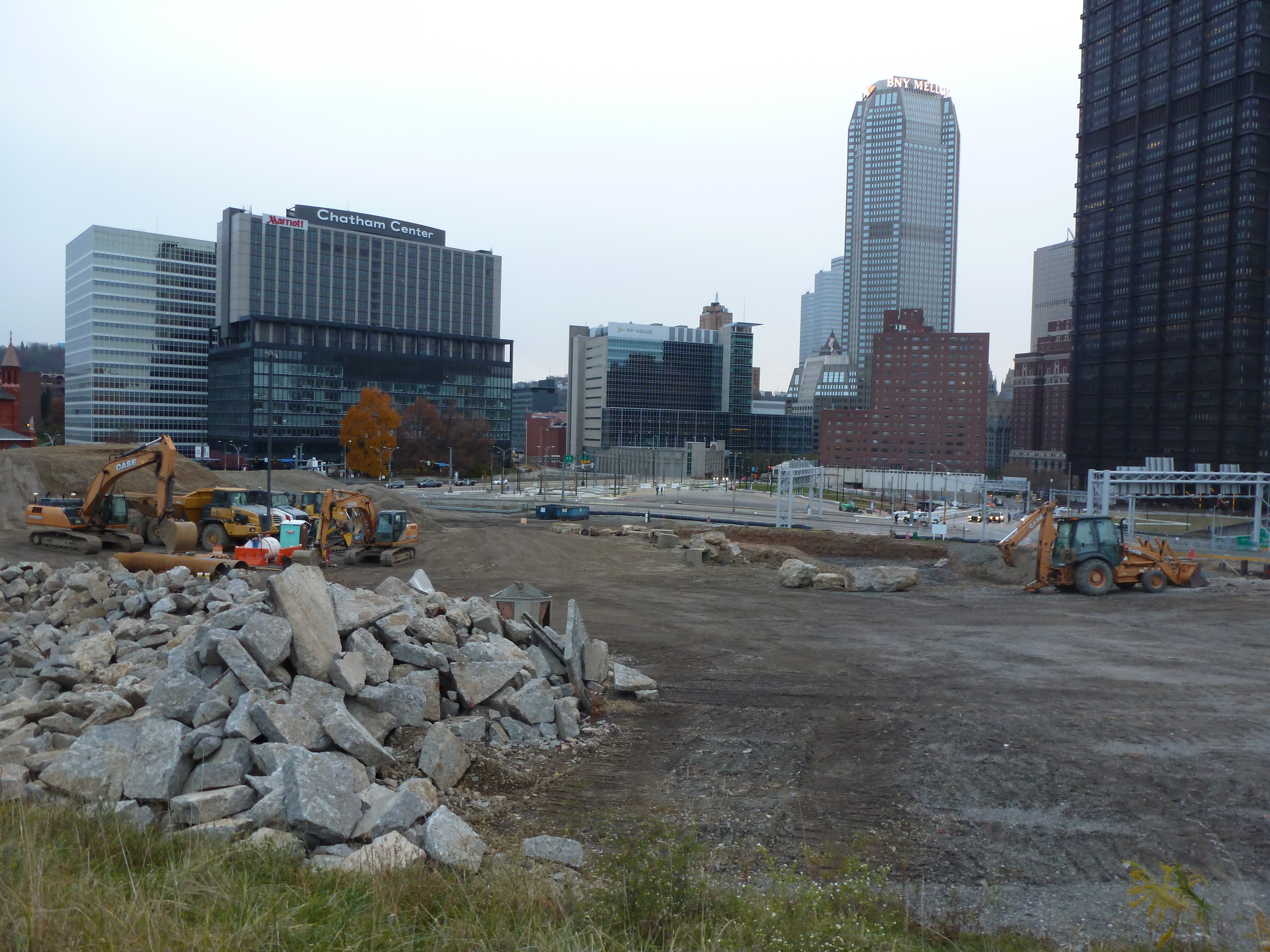
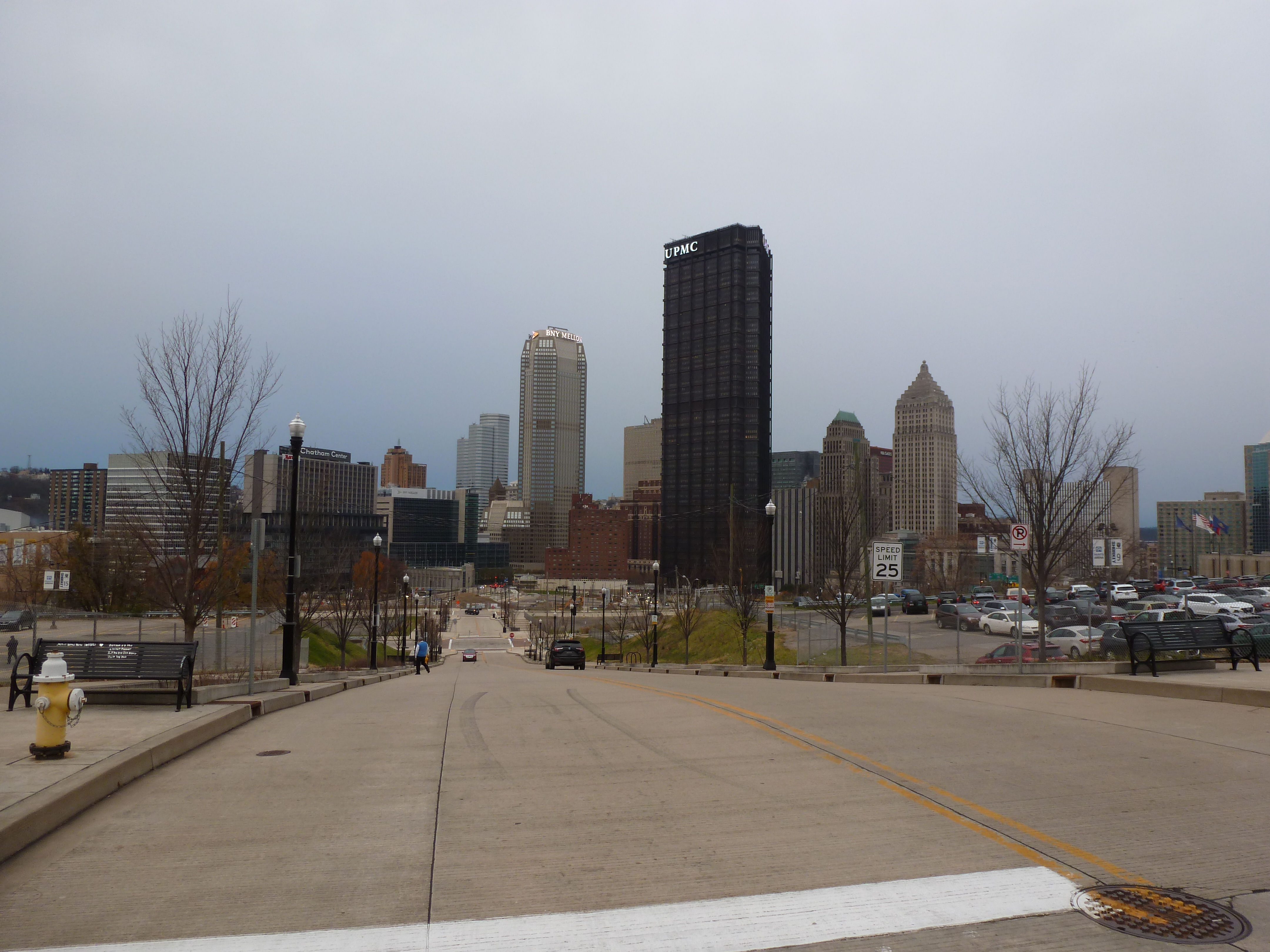
Overview
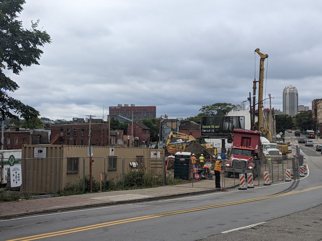
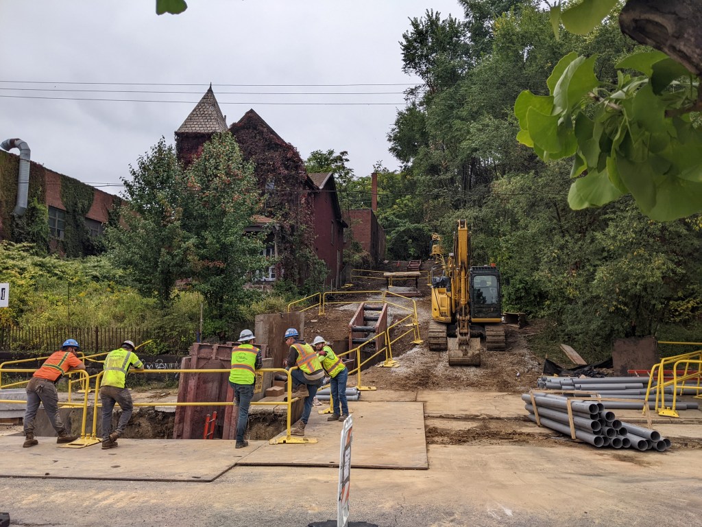
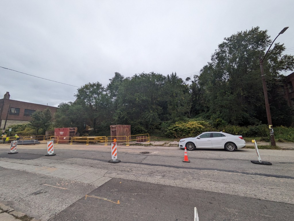
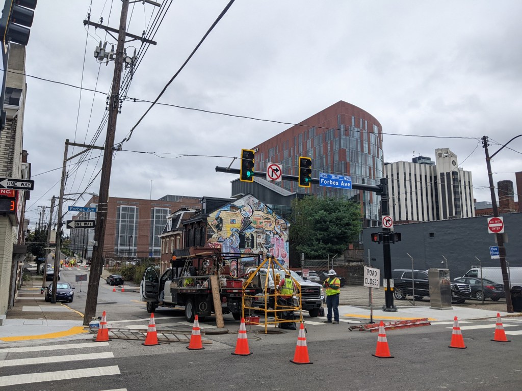
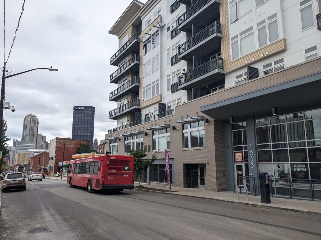
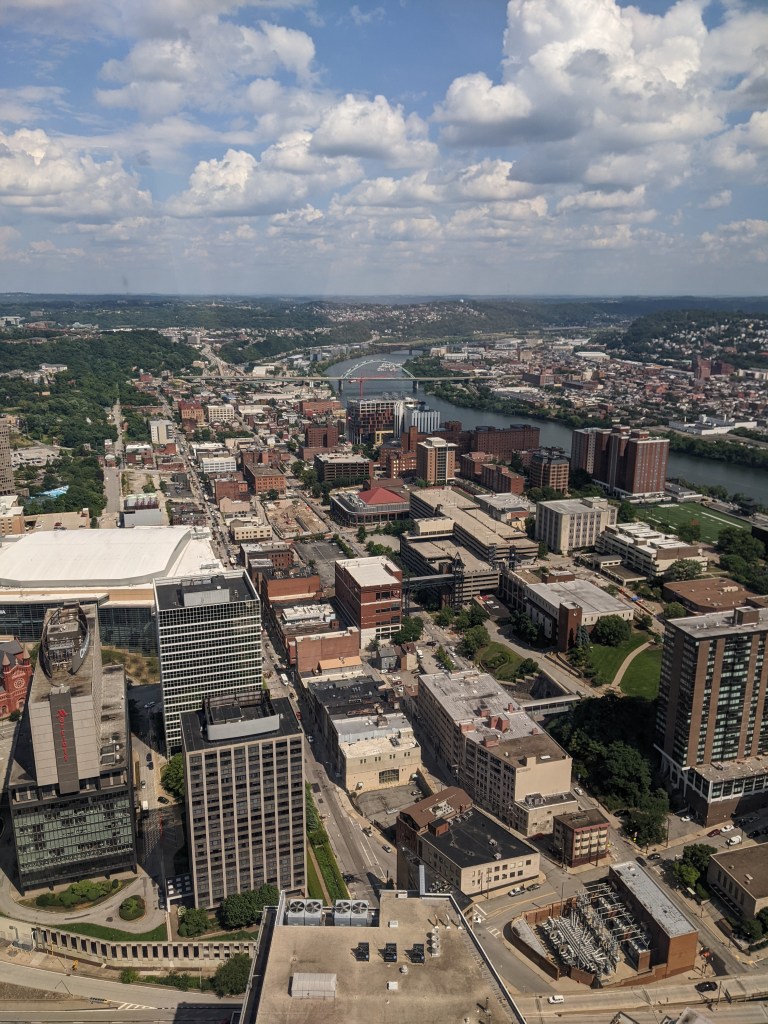
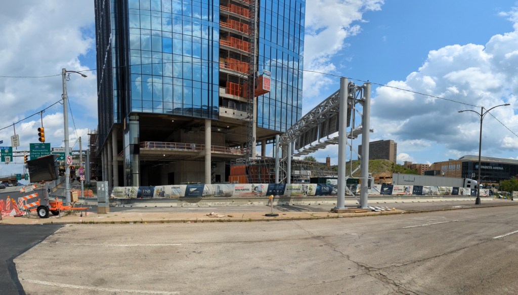
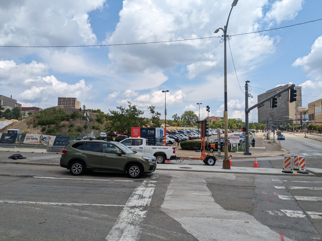
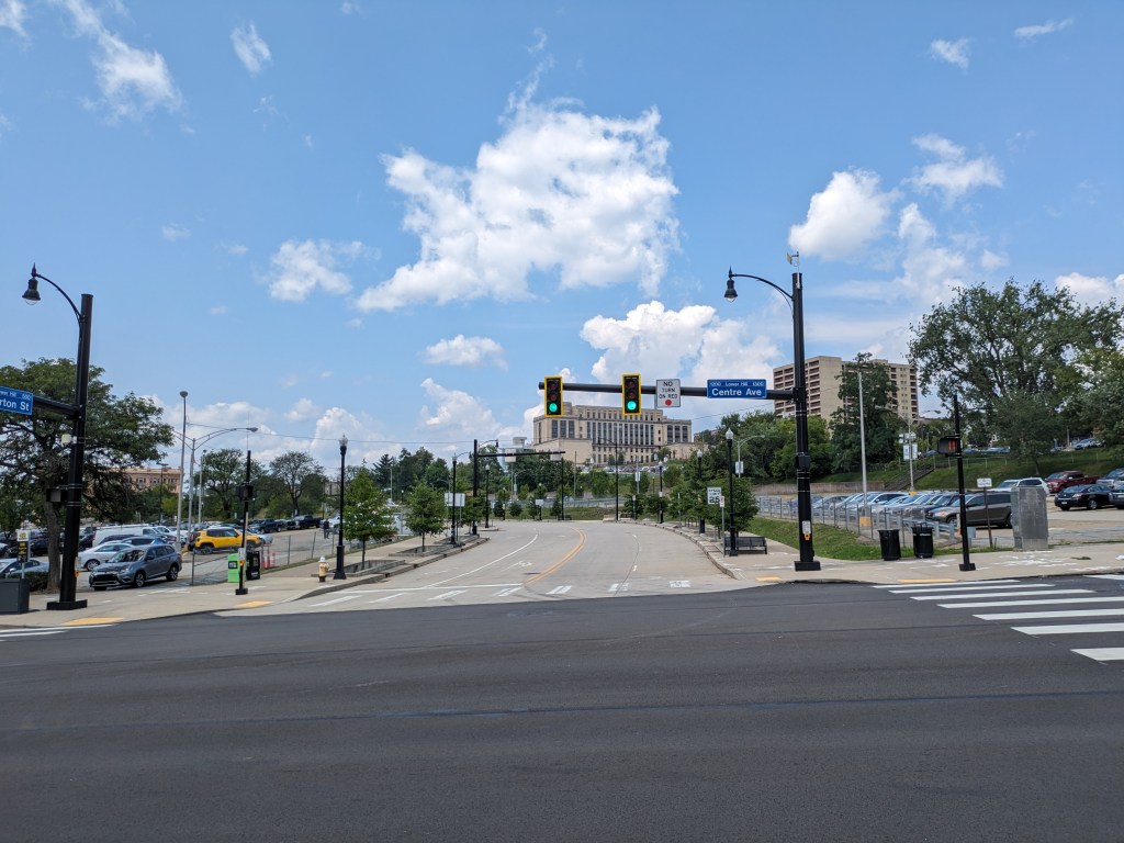
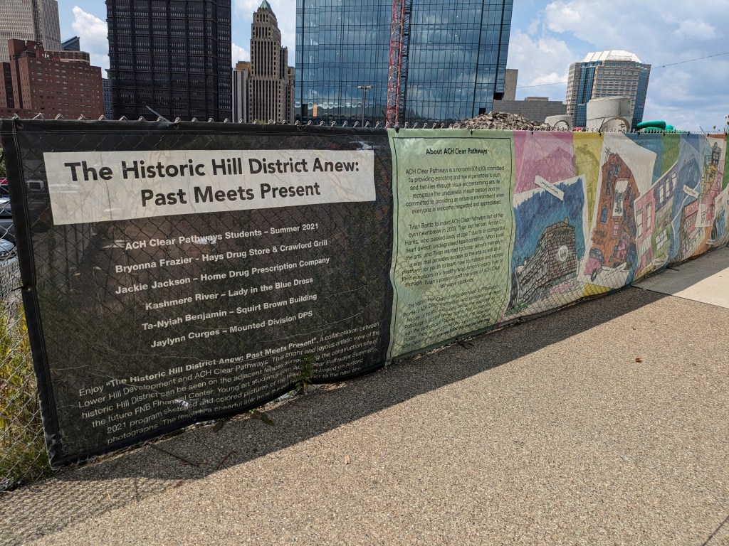
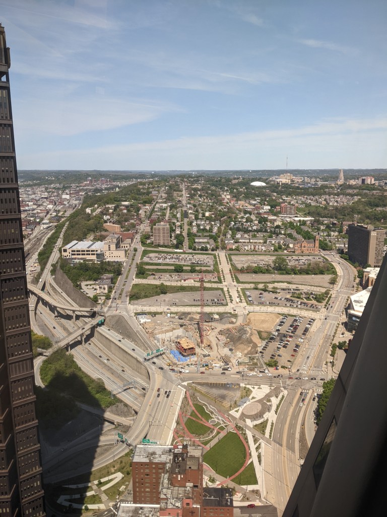
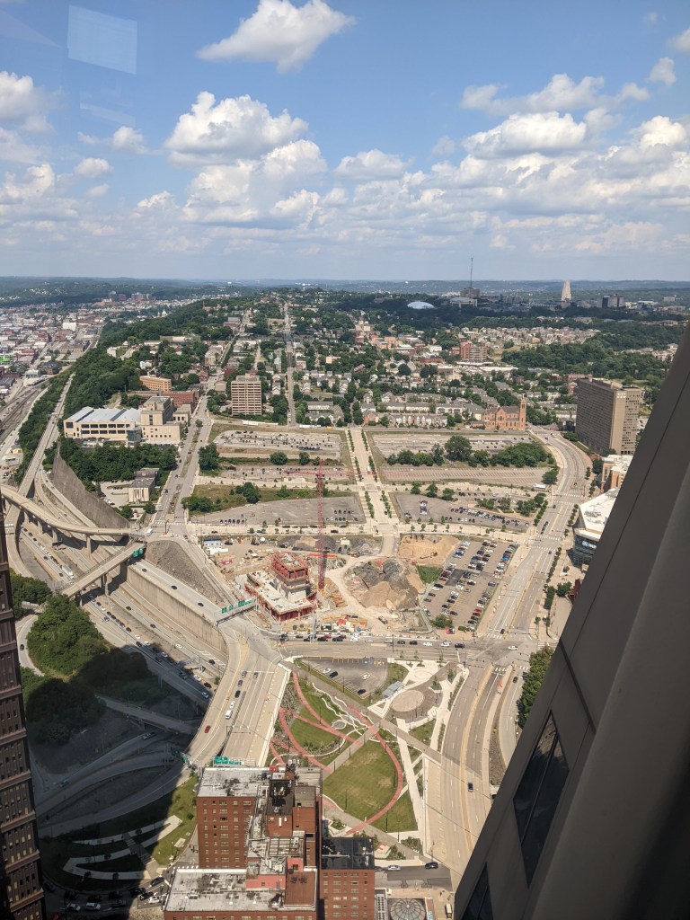
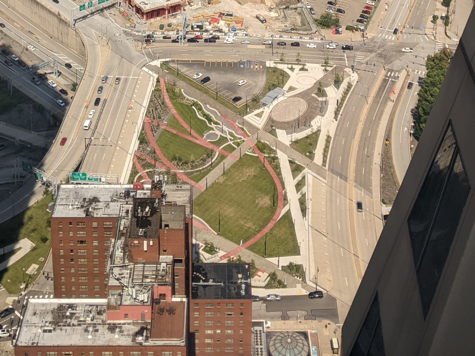
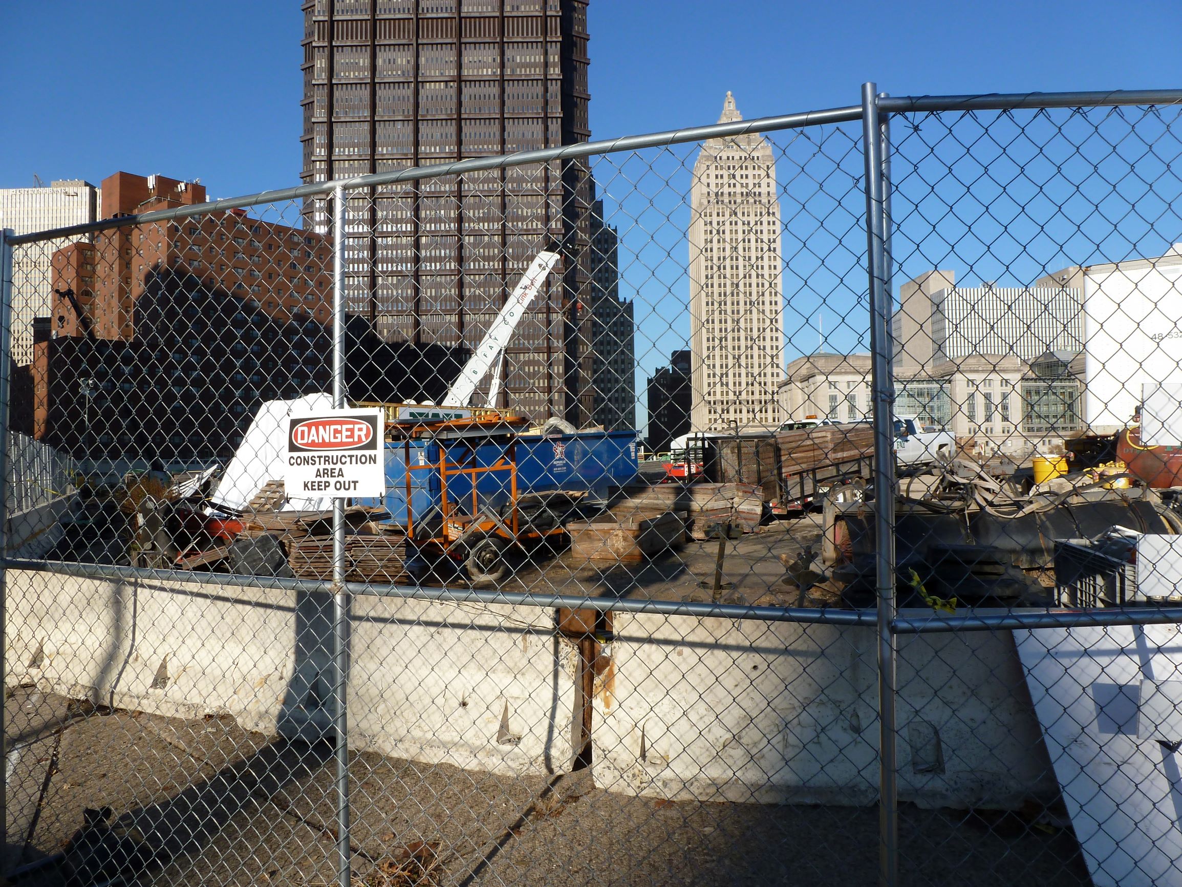
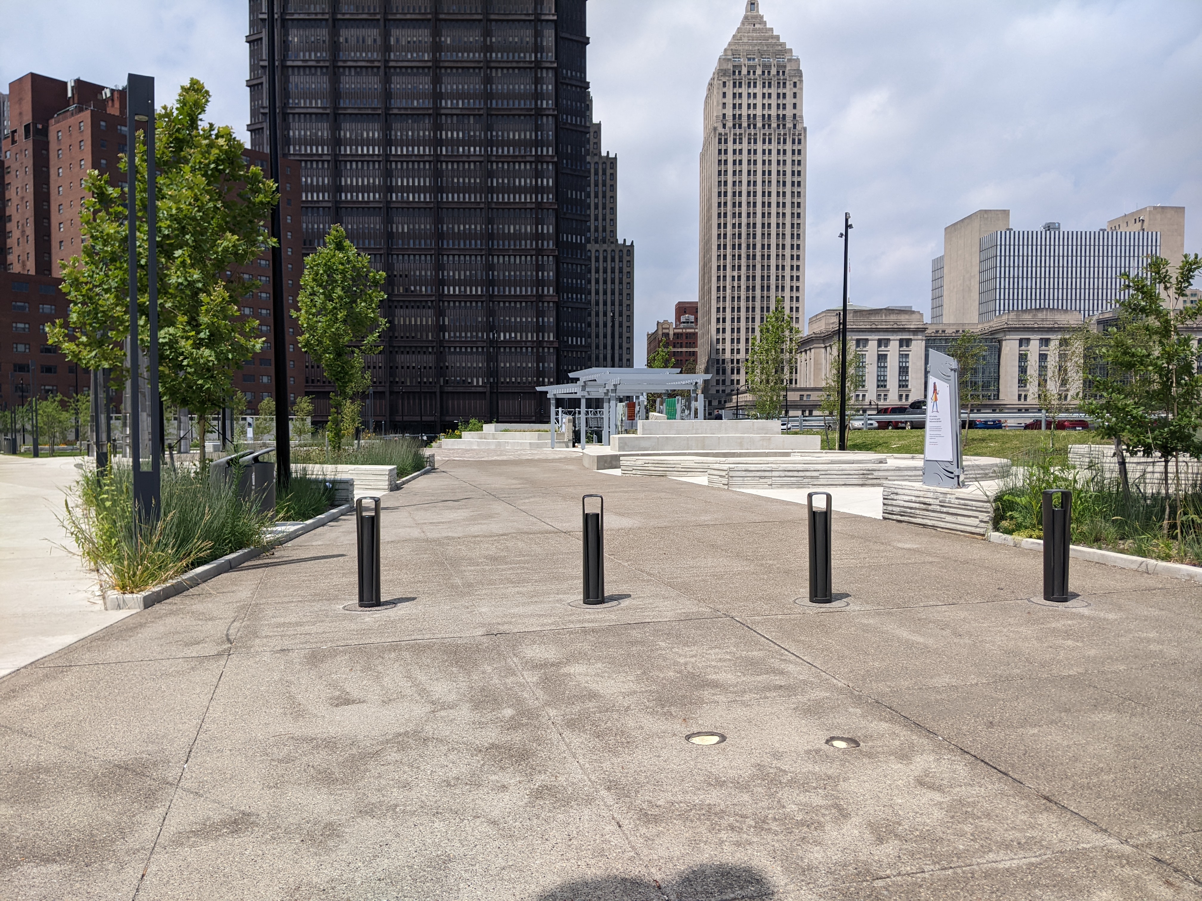
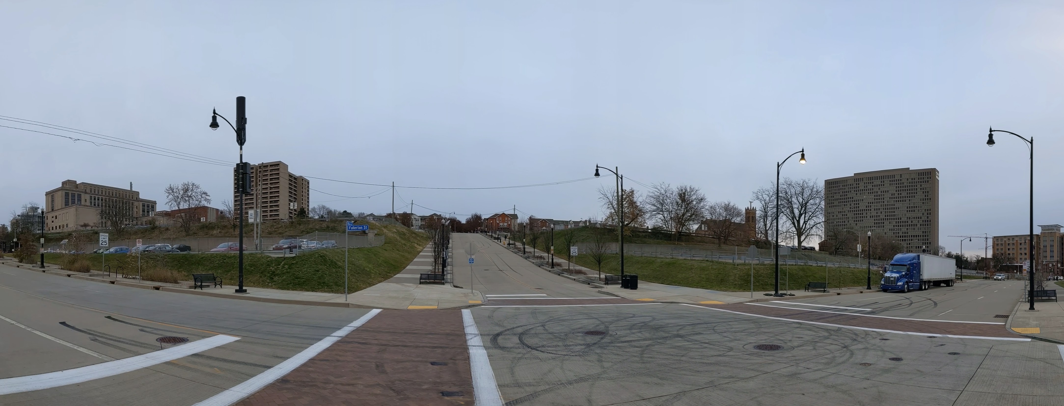
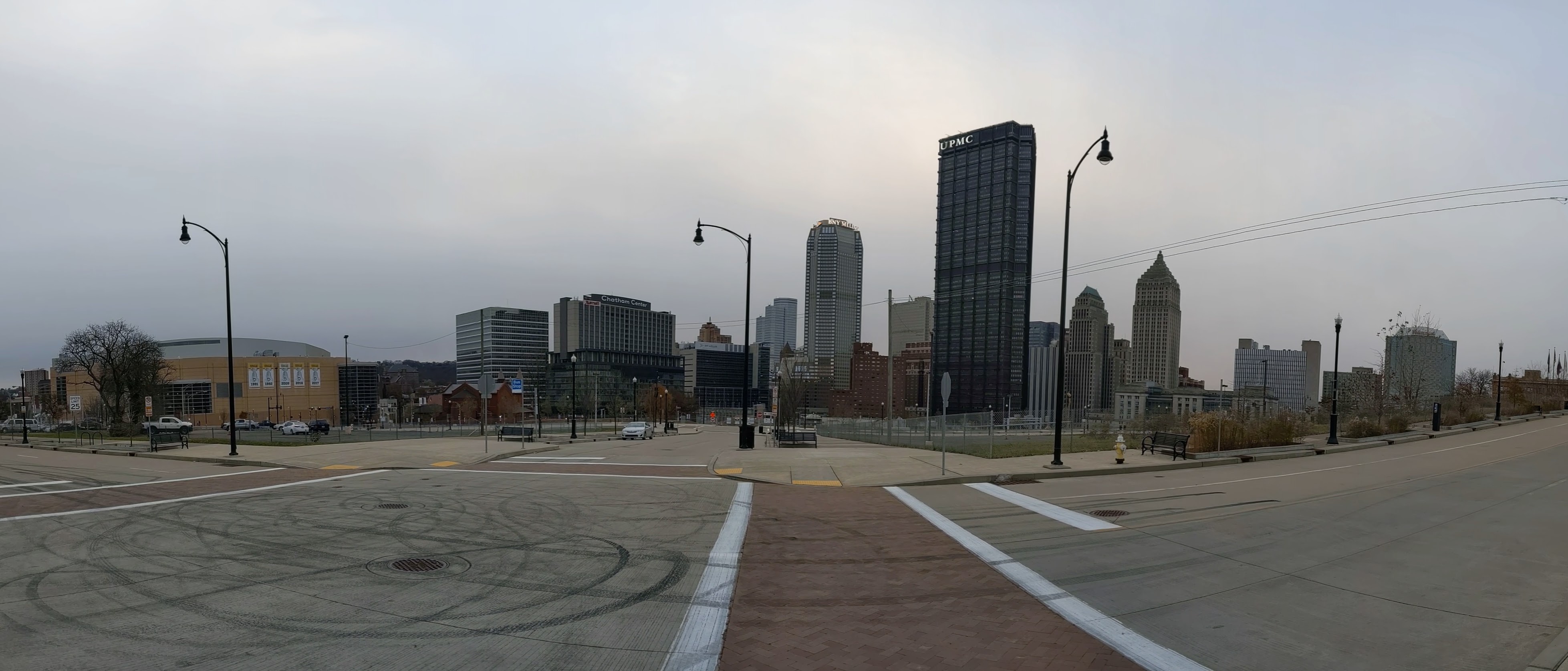
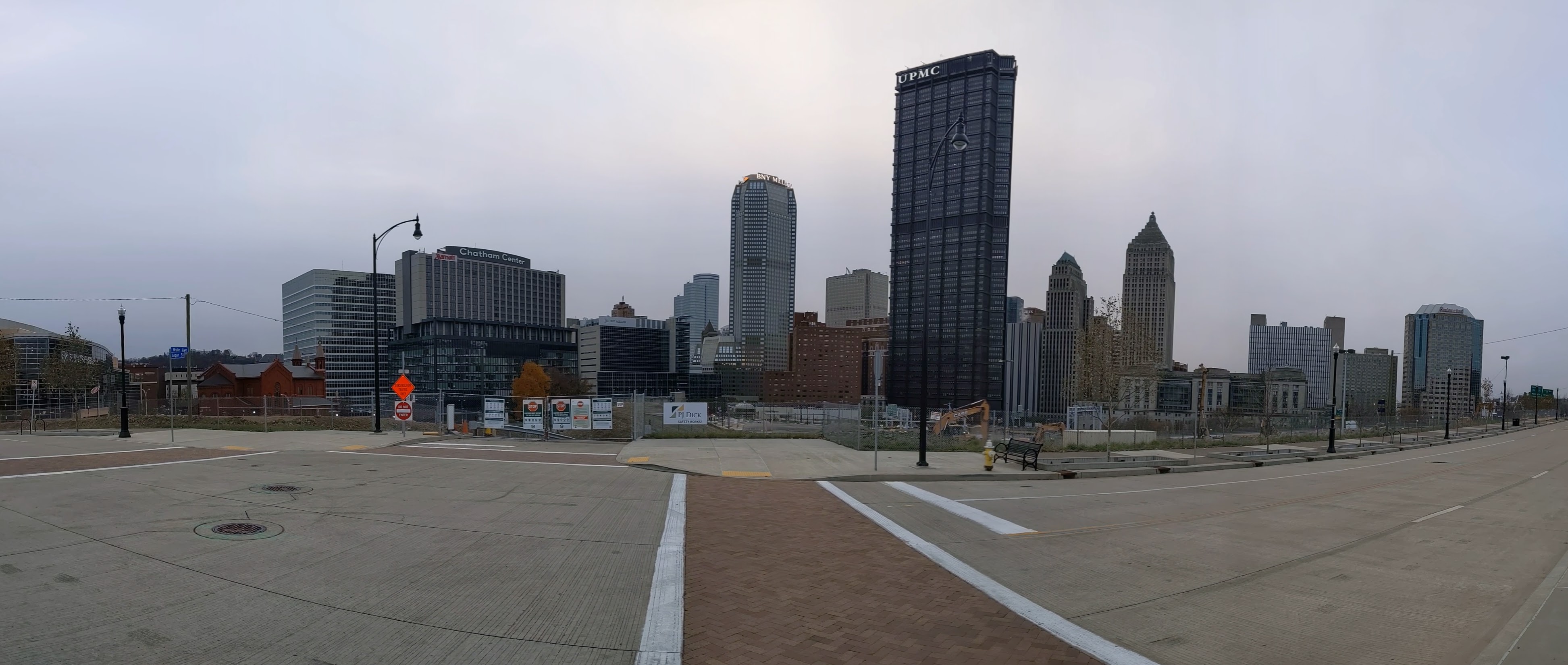
Hazelwood is a neighborhood about 4 miles down the Monongahela River from downtown Pittsburgh. It is currently experiencing significant change. Between Hazelwood’s main street (2nd Avenue) and the Monongahela River is a 178-acre site of the former Jones and Laughlin Steel Company. Most of the structures from the mill were demolished, leaving a large brownfield. In 2002, the site was purchased for redevelopment by Almono LP (at the time, an entity made up of four Pittsburgh foundations). After years of planning and a rebranding of the site as Hazelwood Green, a series of public streets and the first building opened for use in 2019. Construction is underway for more buildings and a public plaza.
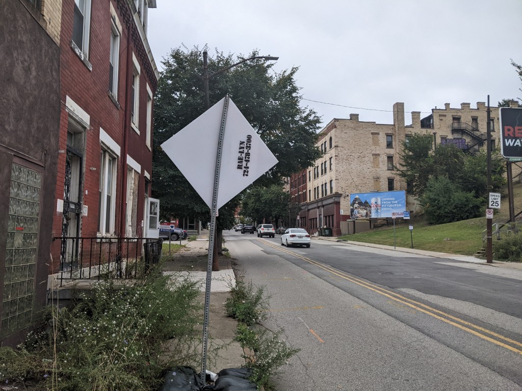
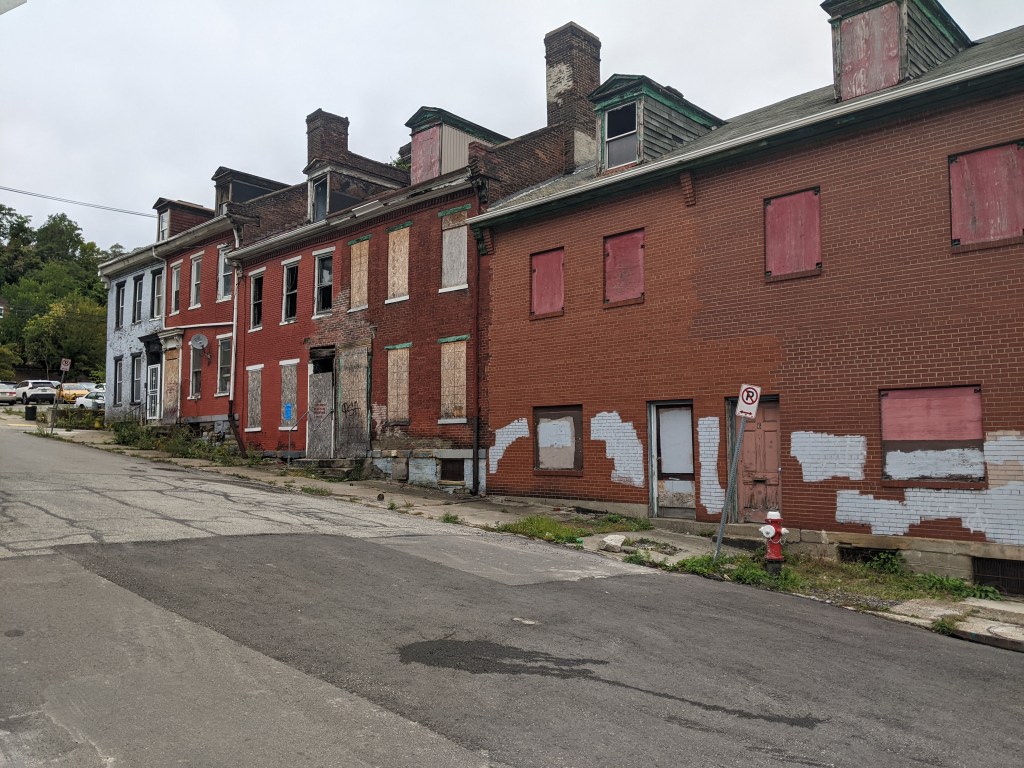
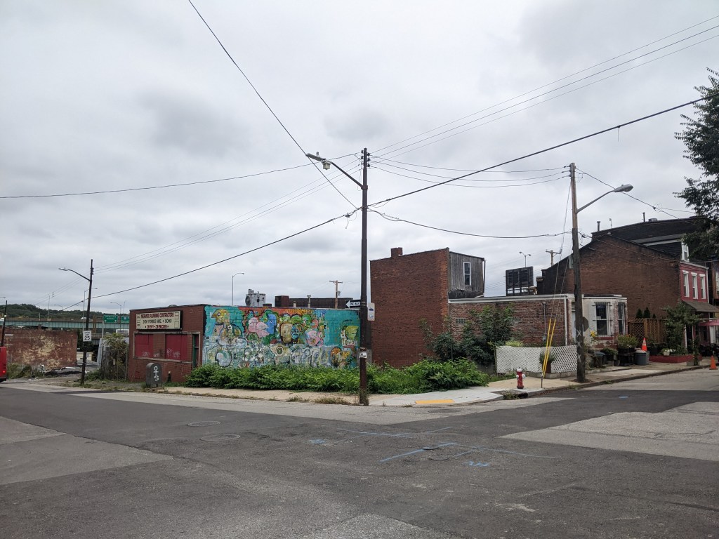
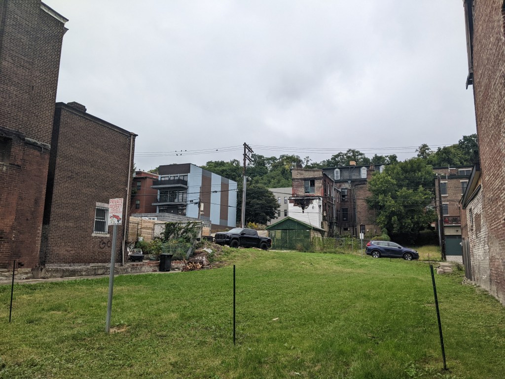
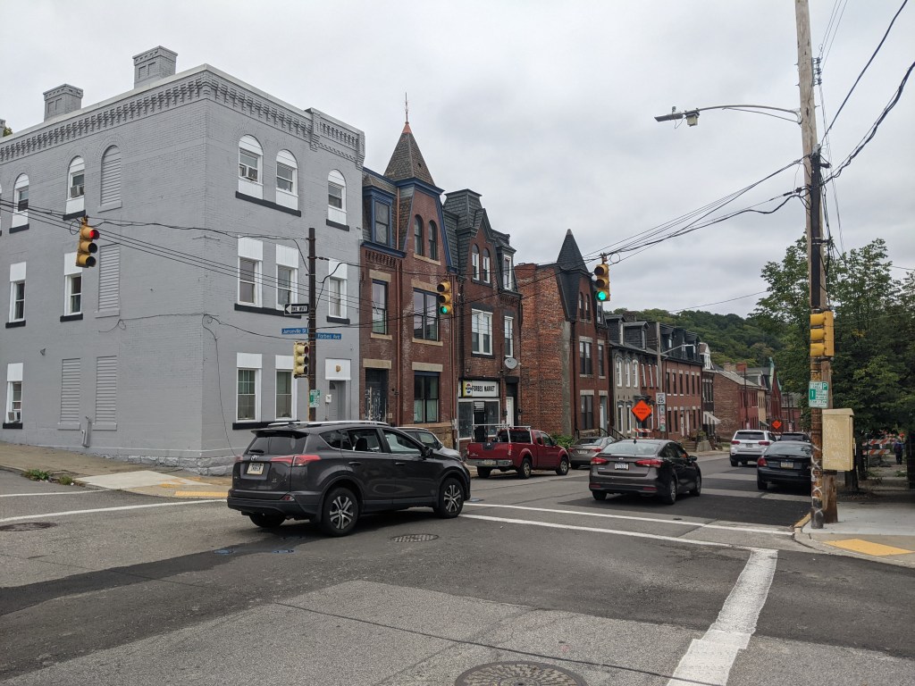
During the planning and preparation stages, a question arose as to the effects of this redevelopment on the surrounding neighborhood. Hazelwood is one of Pittsburgh’s neighborhoods that has experienced high vacancy rates and subsequent demolition in its residential and business districts. While the building stock of the neighborhood has experienced a long downward trend, the community of people is strong. Only time will tell if the redevelopment of Hazelwood Green will connect with this community or if Hazelwood Green will become and isolated spot of prosperity for others.
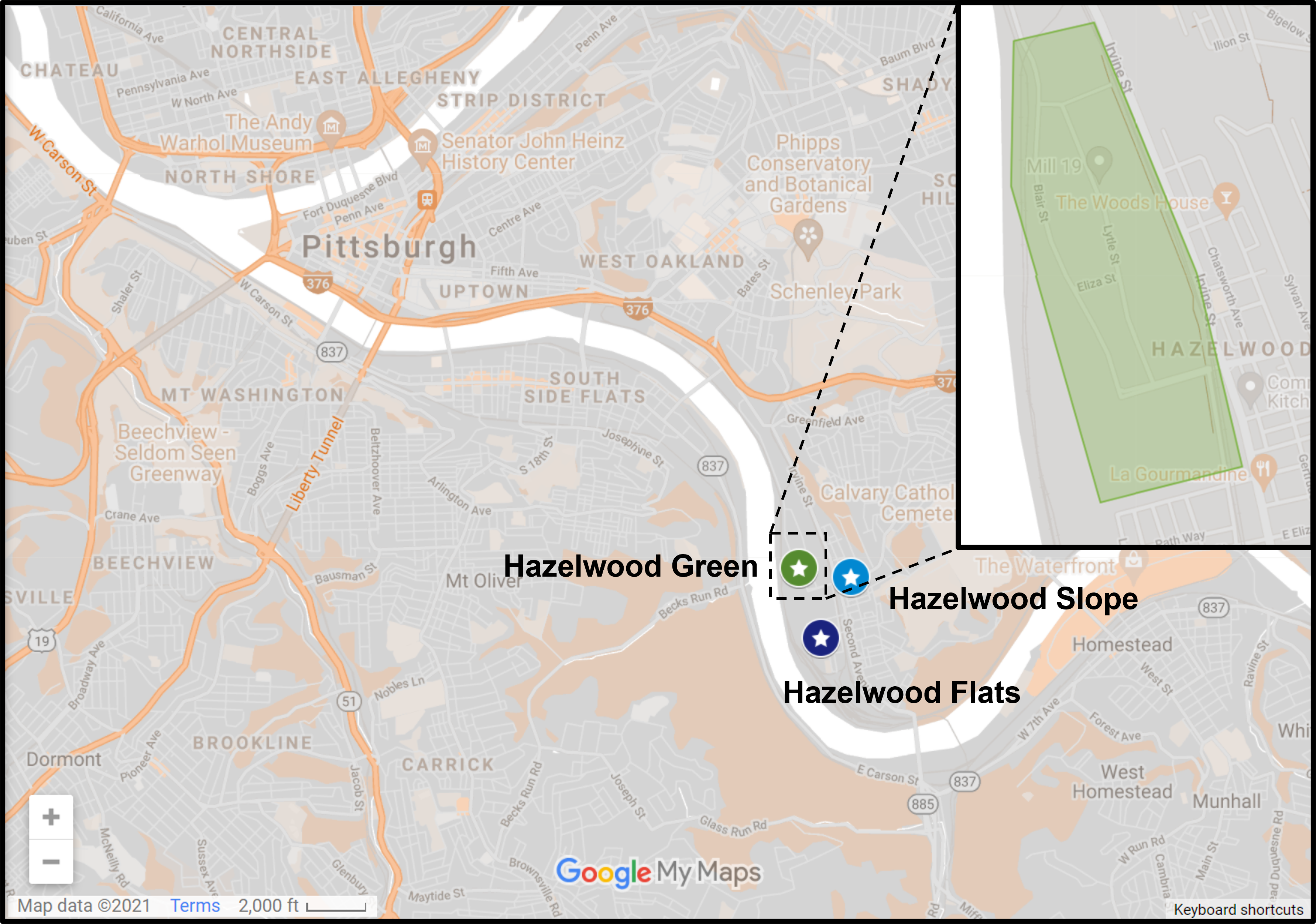
Previously, I divided the approach to Keeping an Eye on Hazelwood into three series, Keeping an Eye on Hazelwood Green, Keeping an Eye on Hazelwood Flats, and Keeping an Eye on Hazelwood Slope. For this post and the 2023 post, I will be combining these into a single series. The goal of this series is to periodically document the physical changes to the former steel mill site and to the surrounding neighborhood.
The Photos
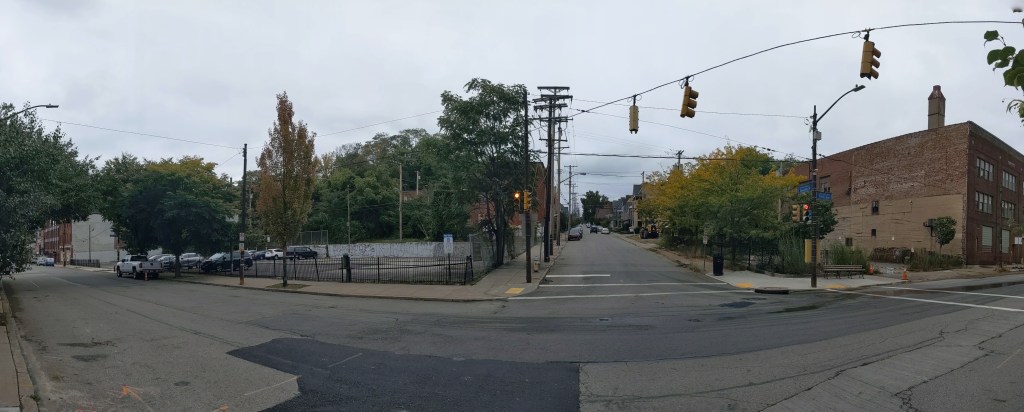
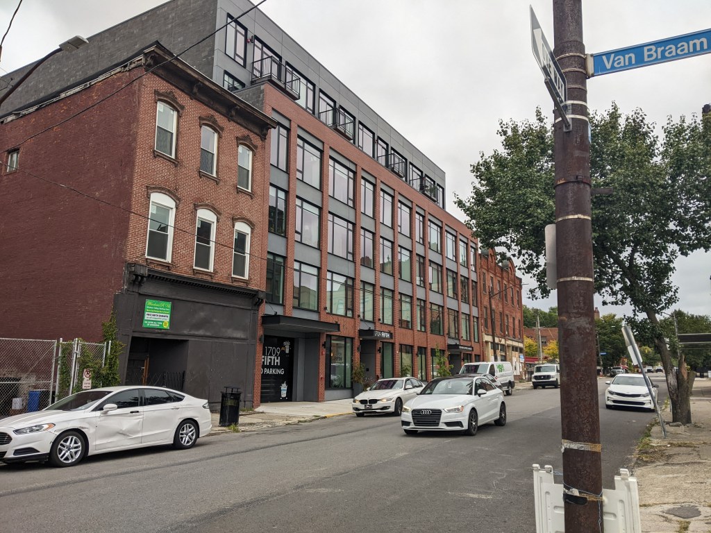
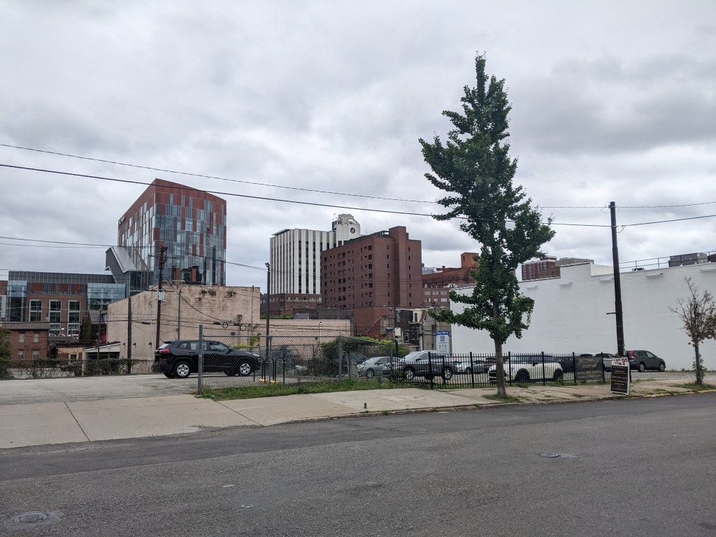
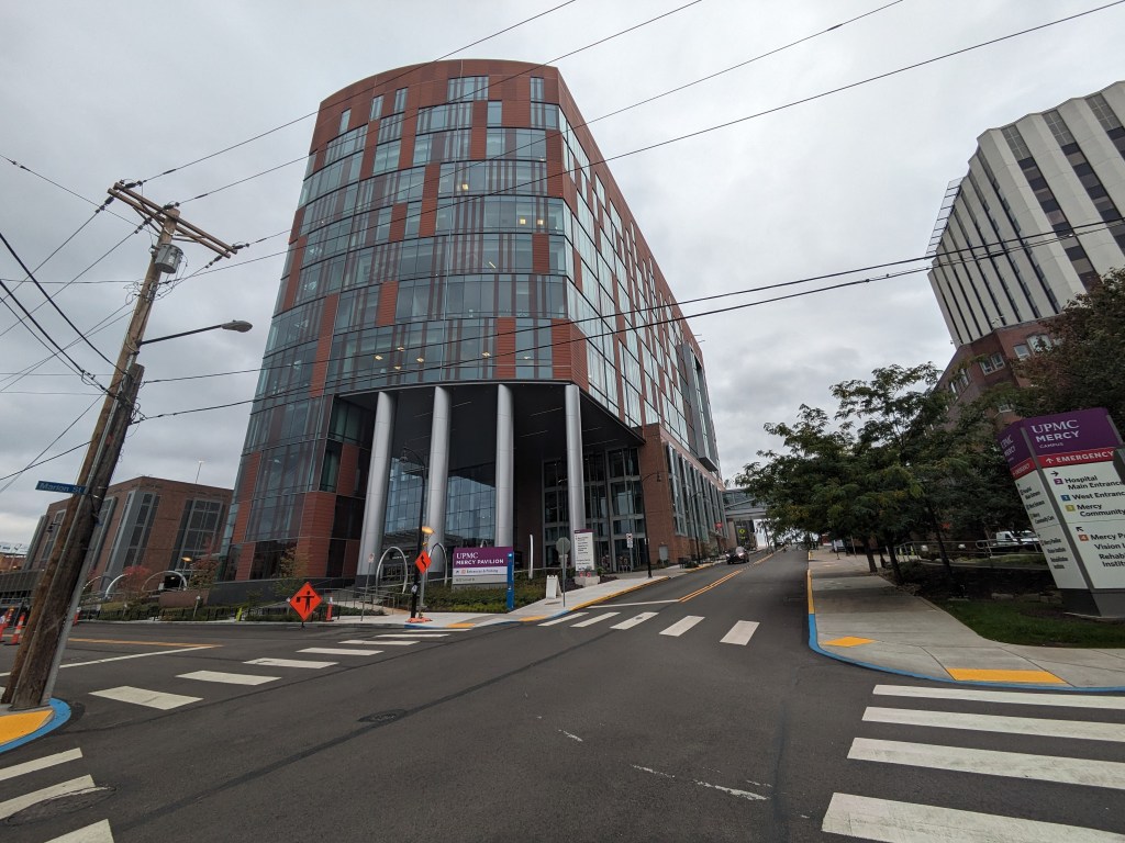
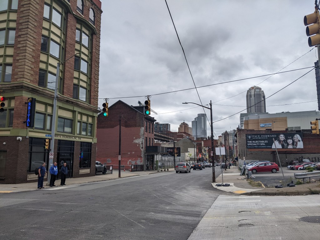
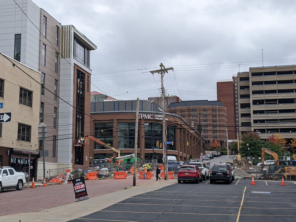
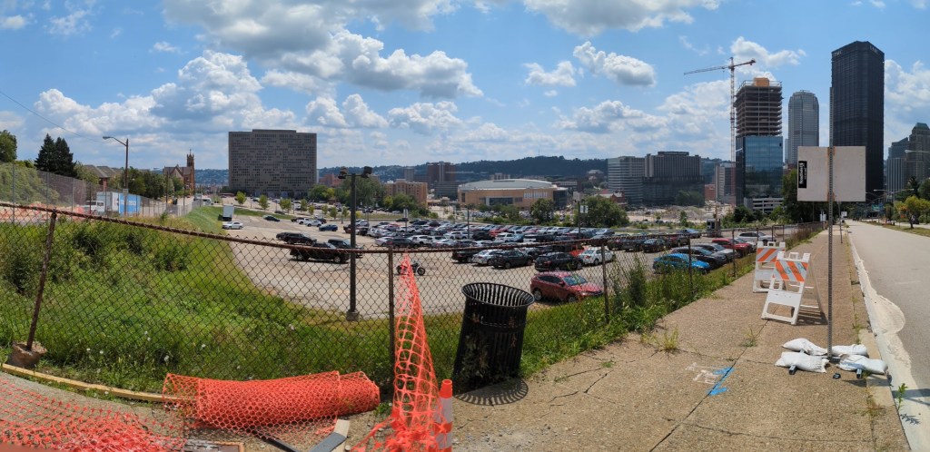
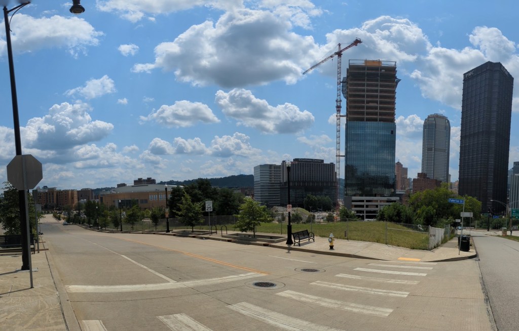
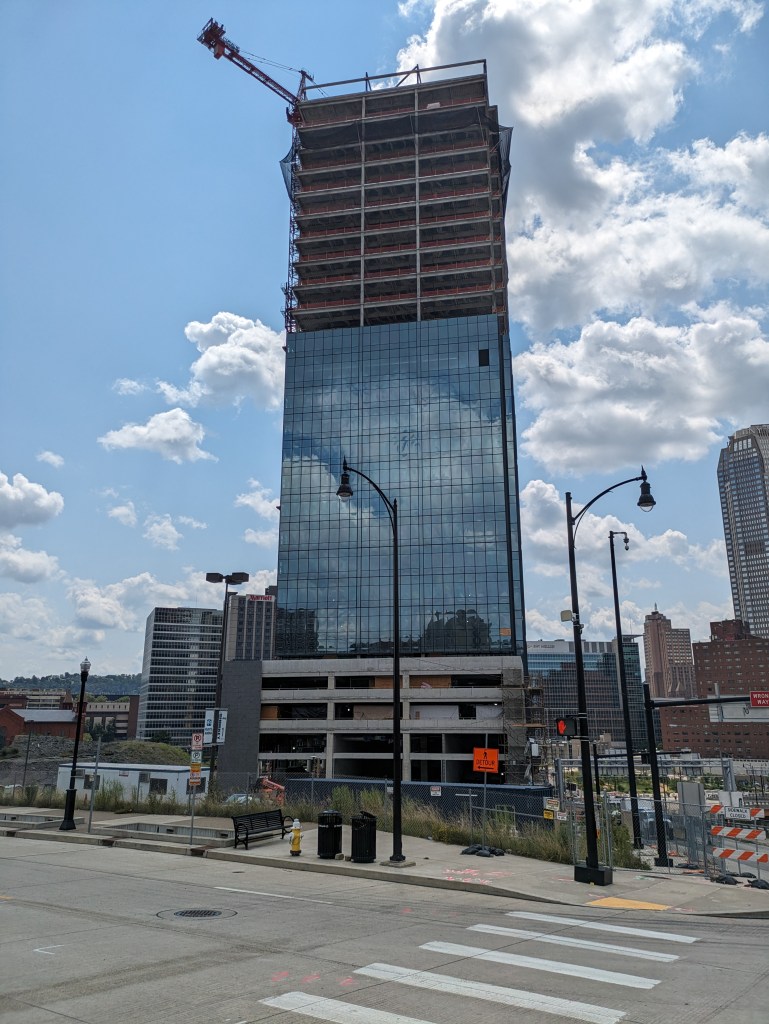
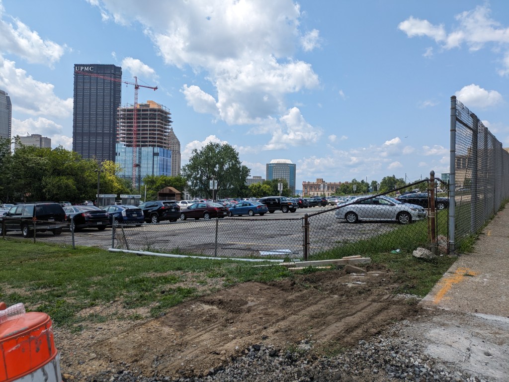
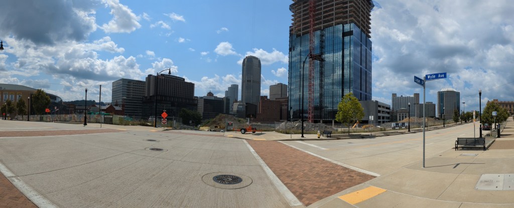
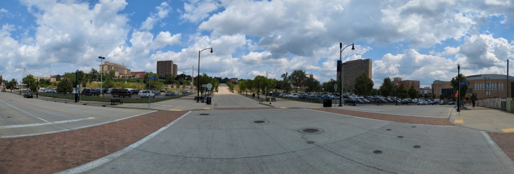
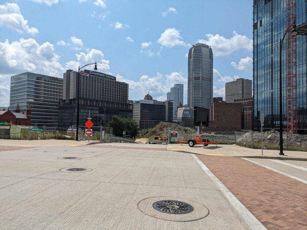
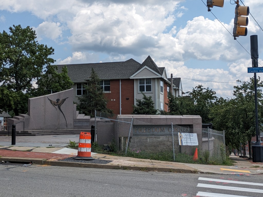
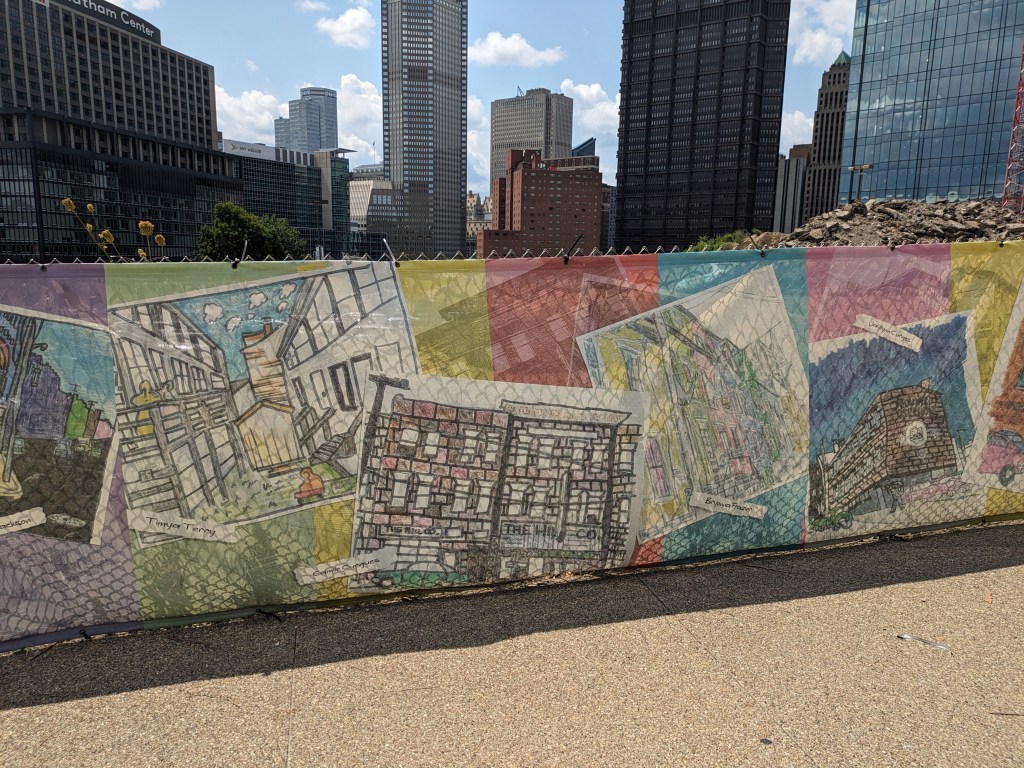
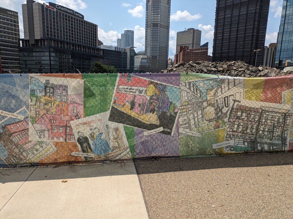
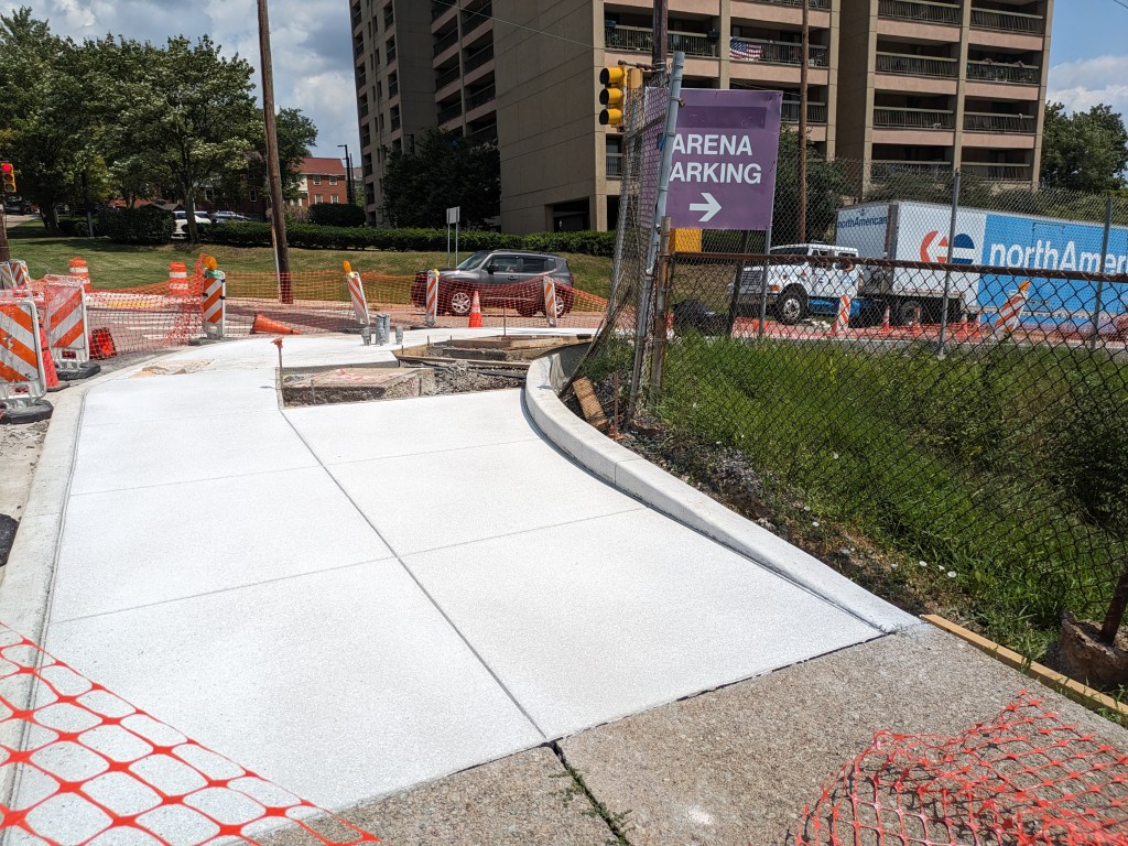
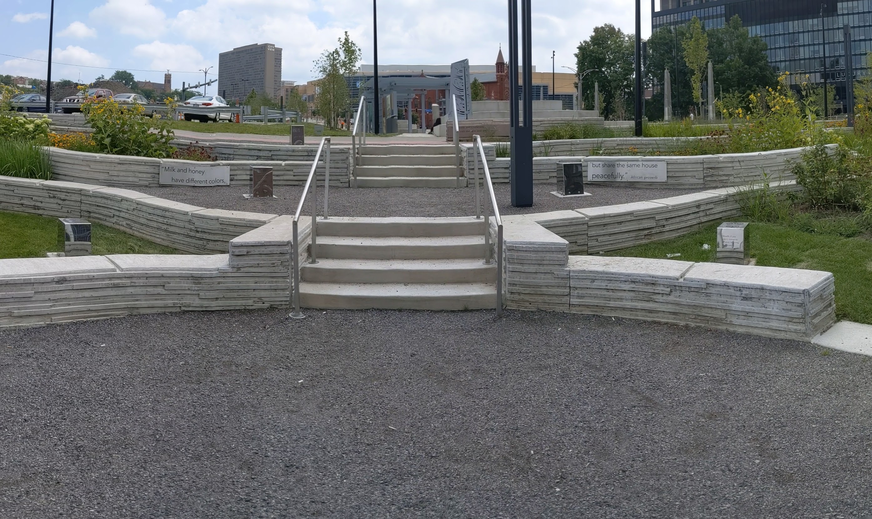
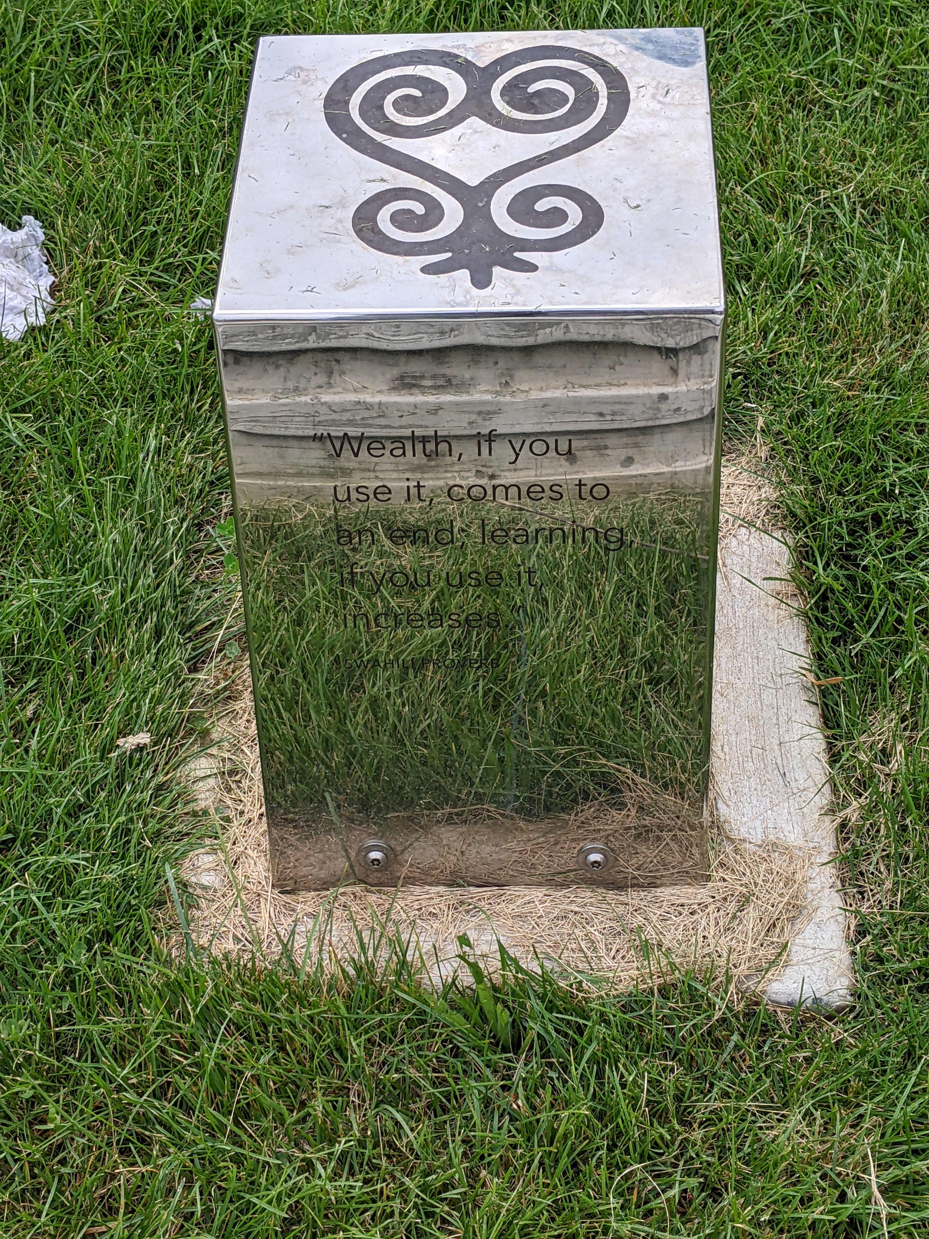
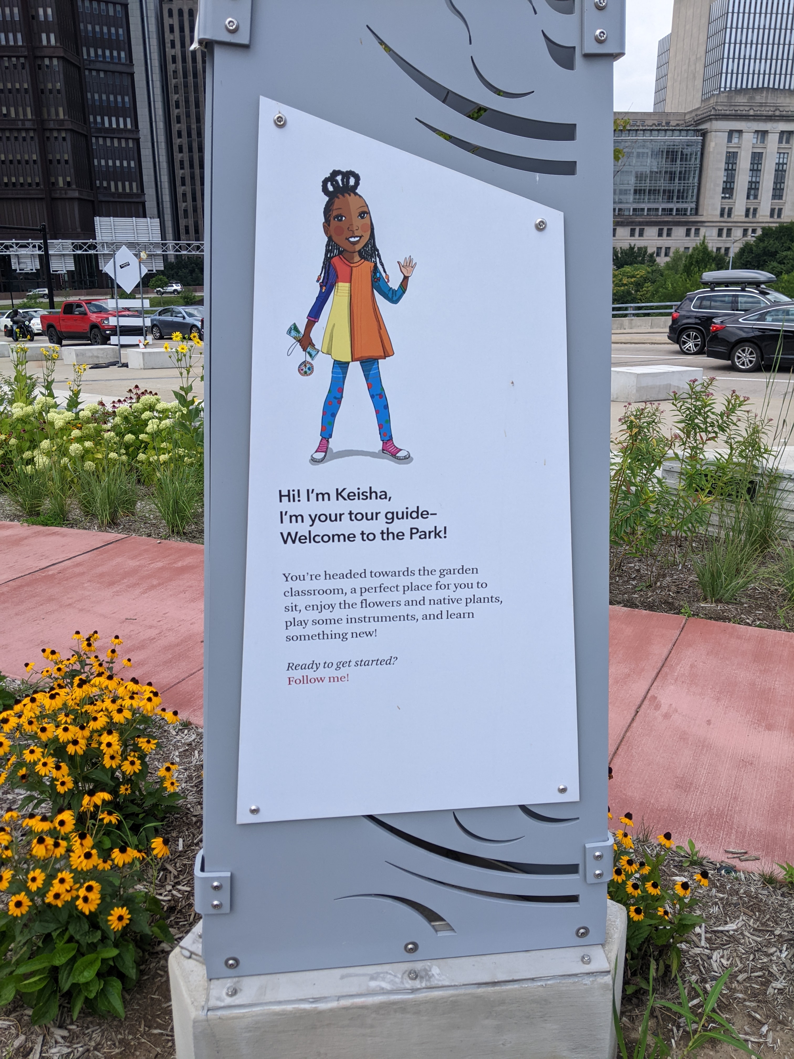
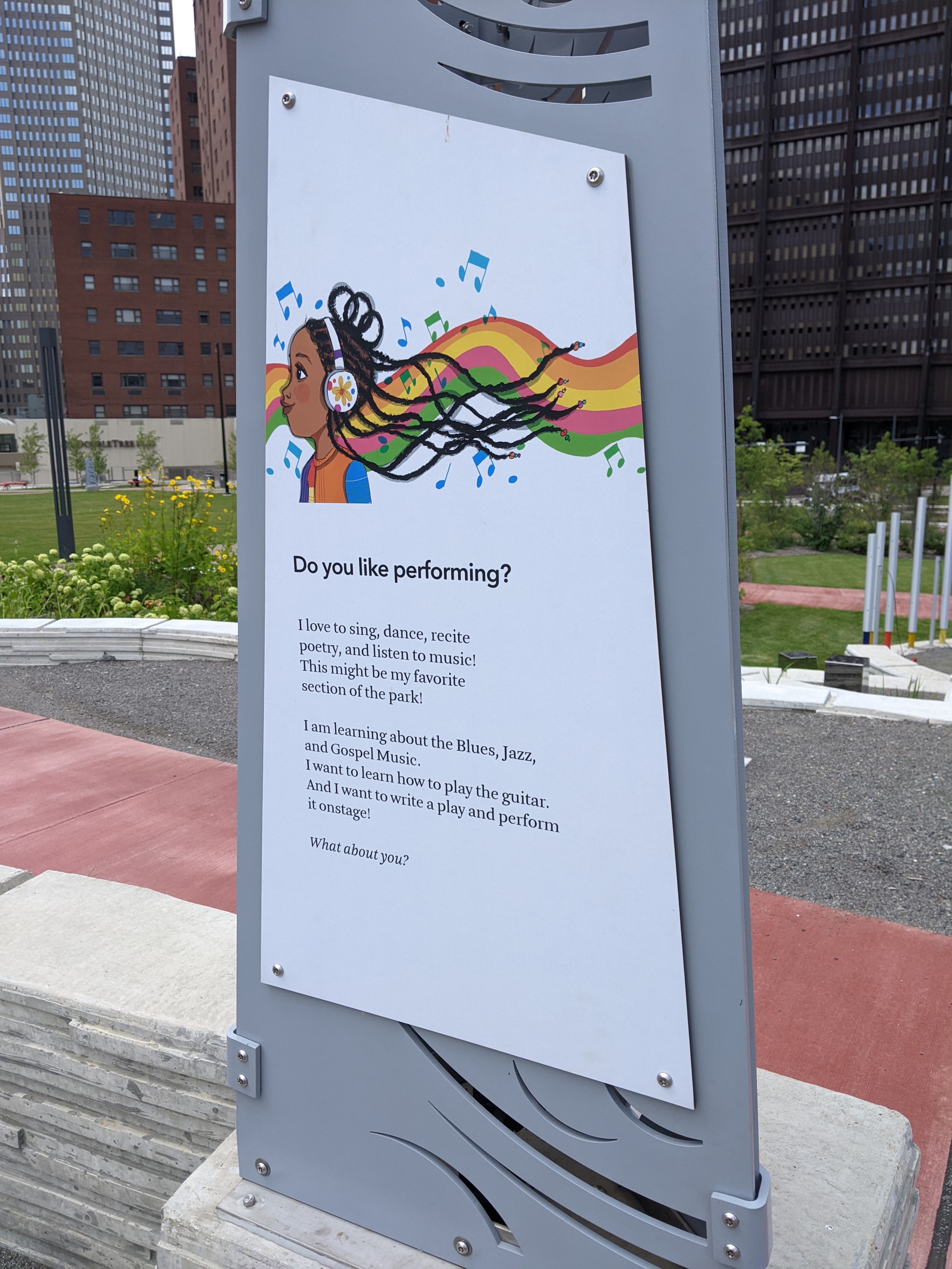
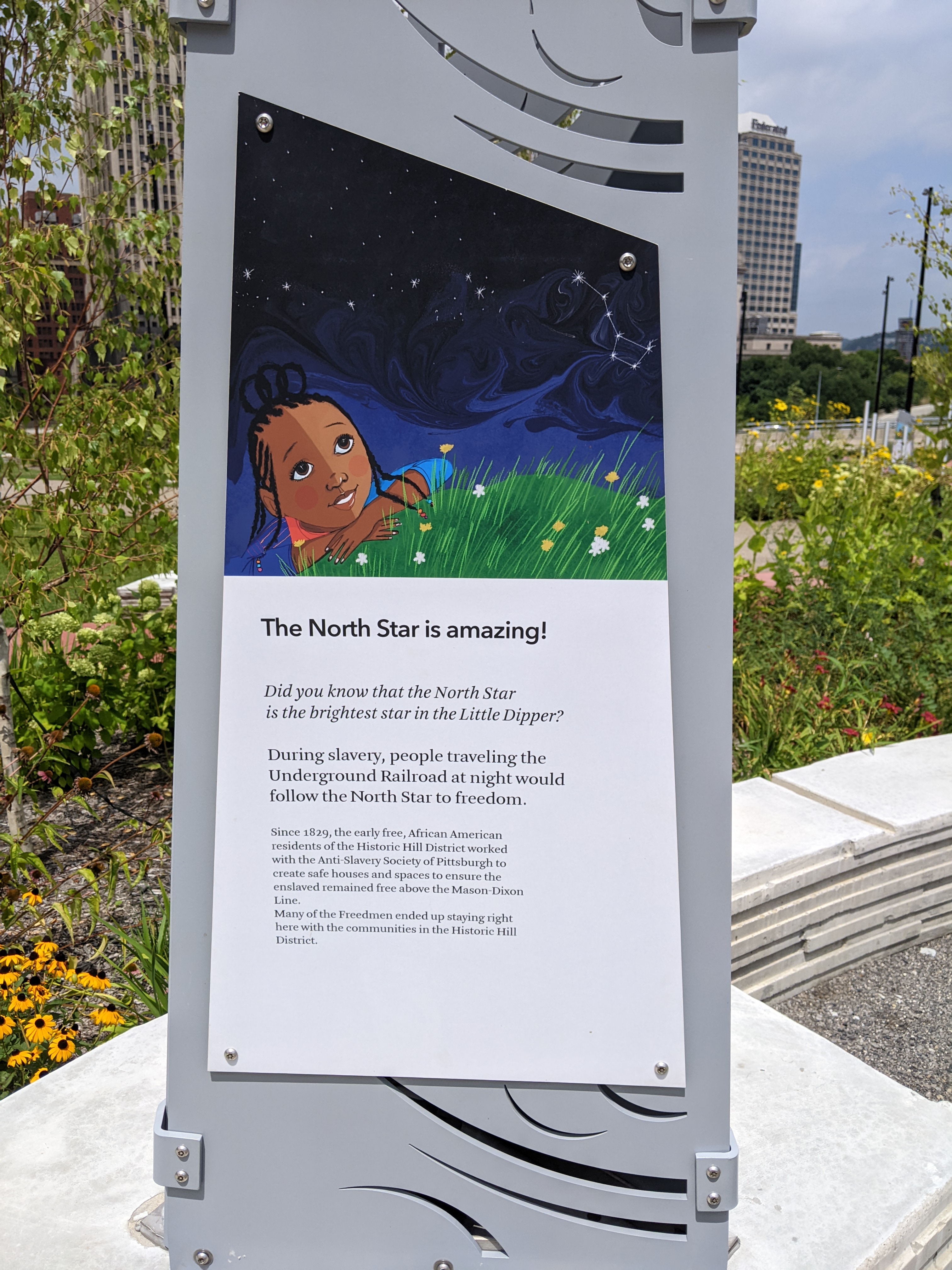
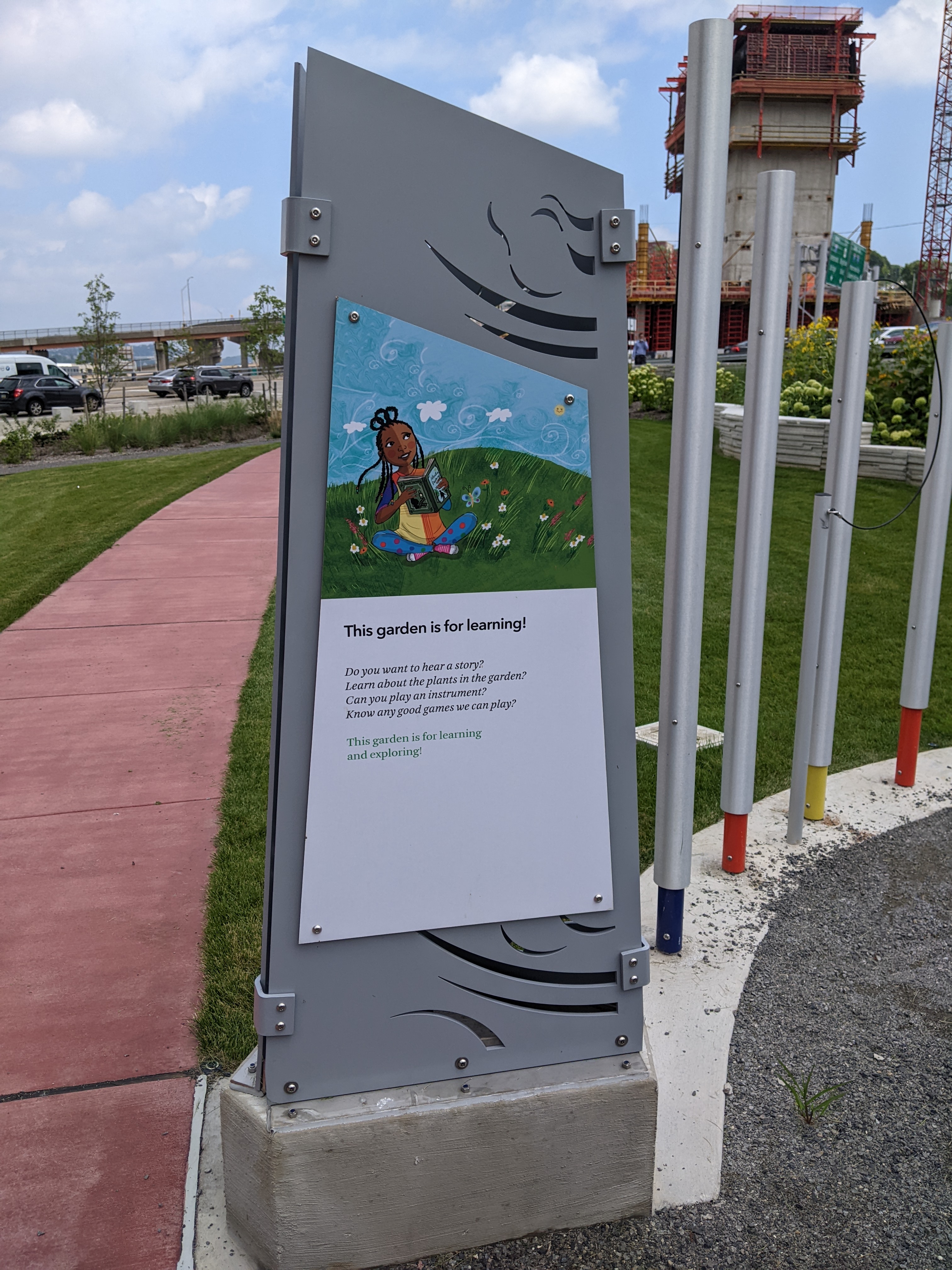
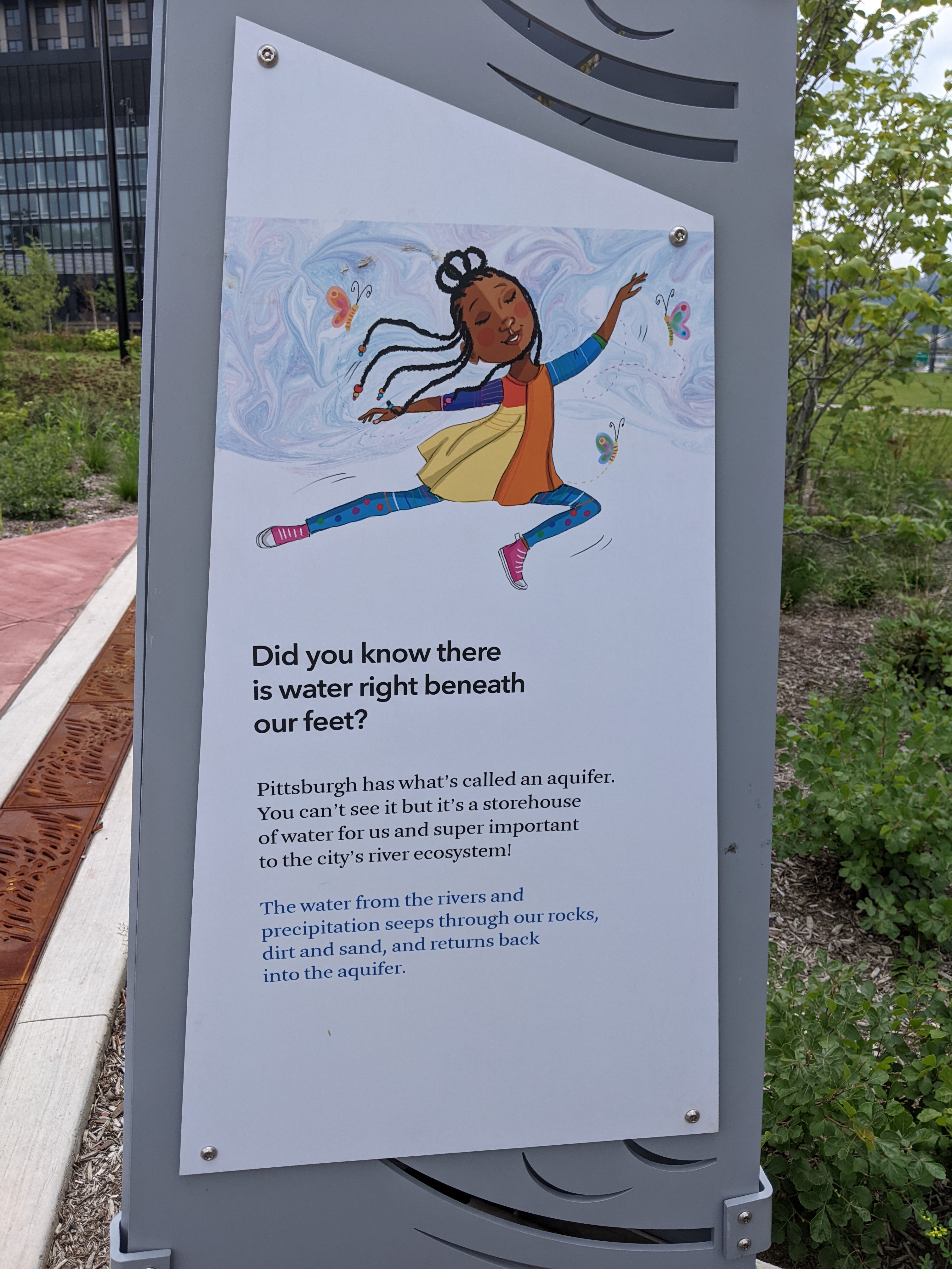
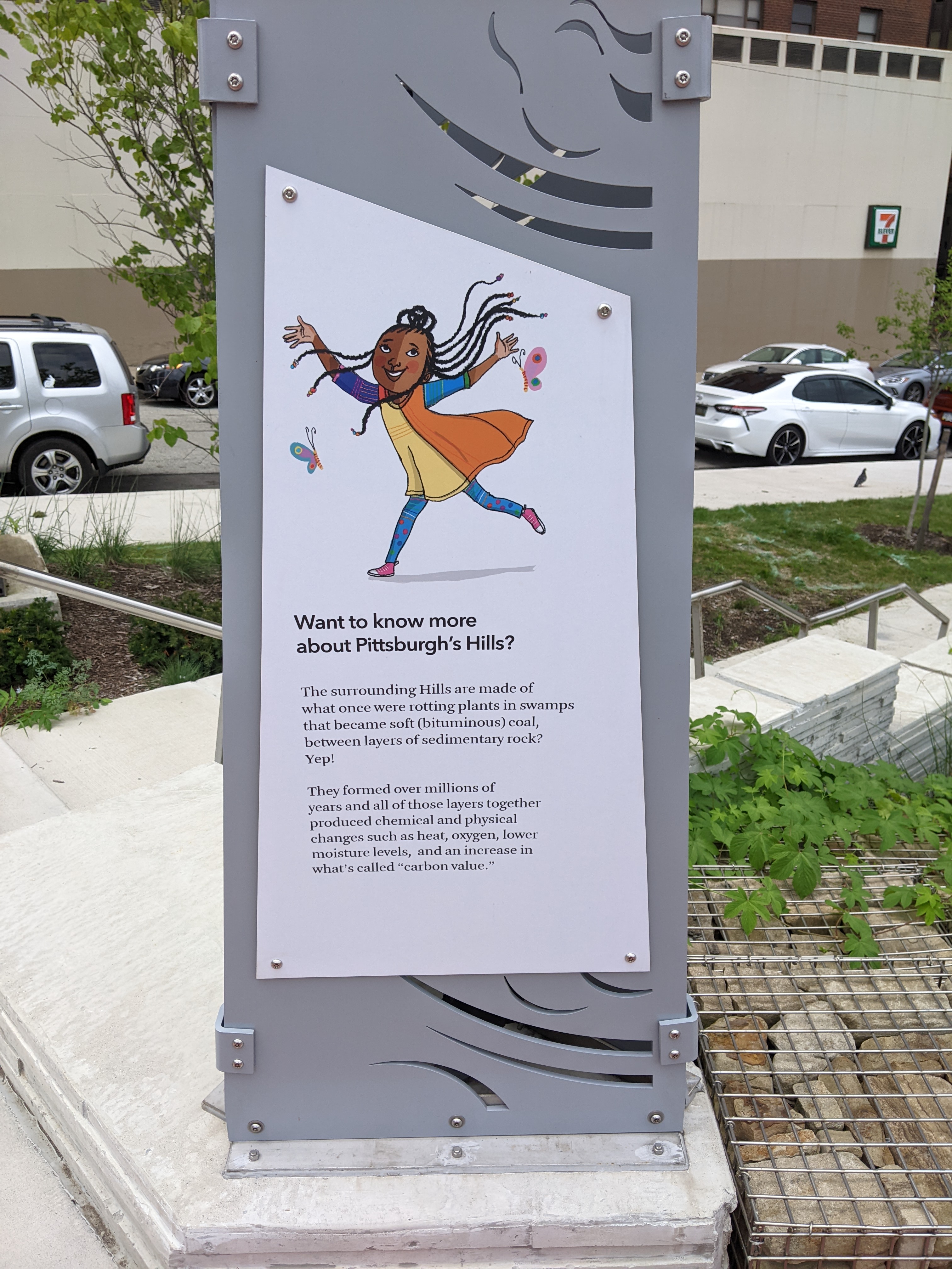
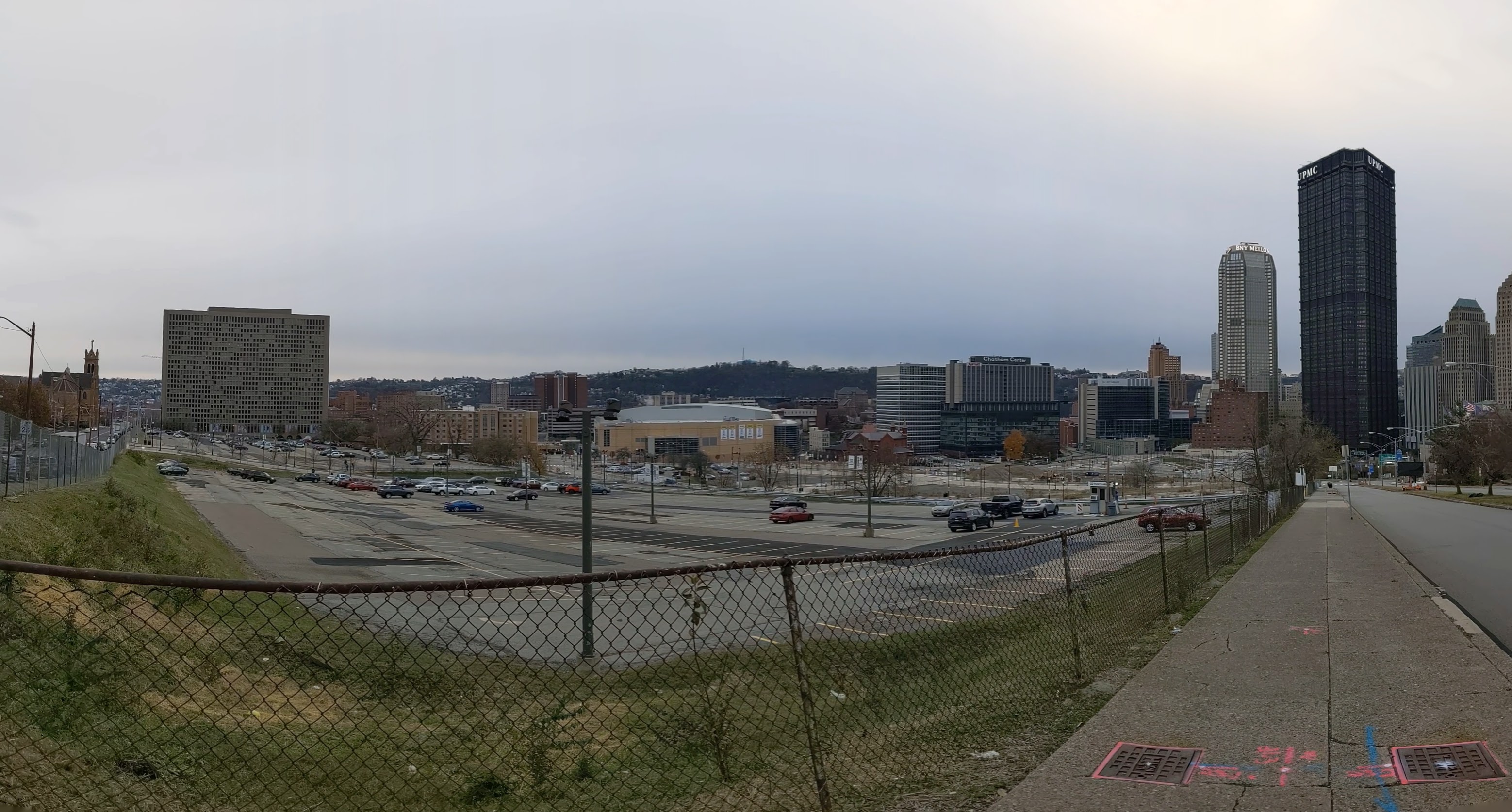
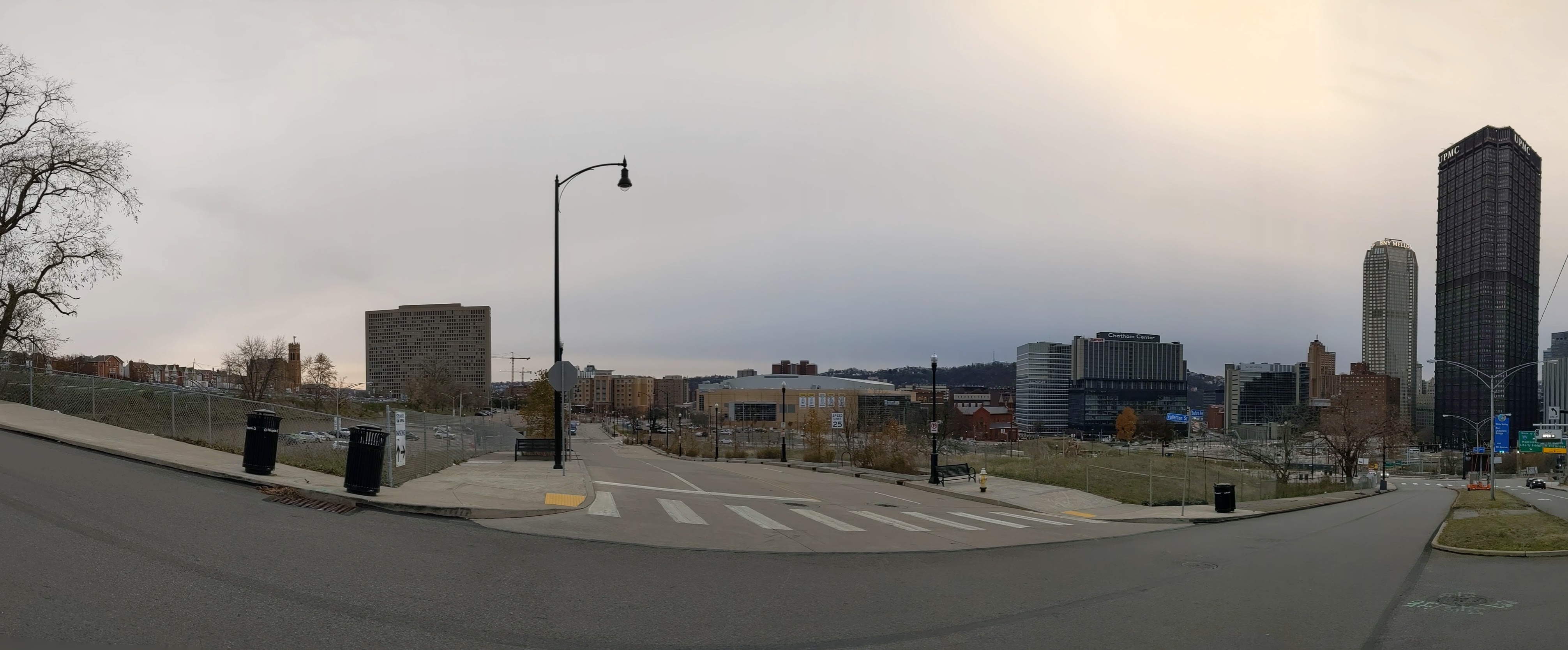
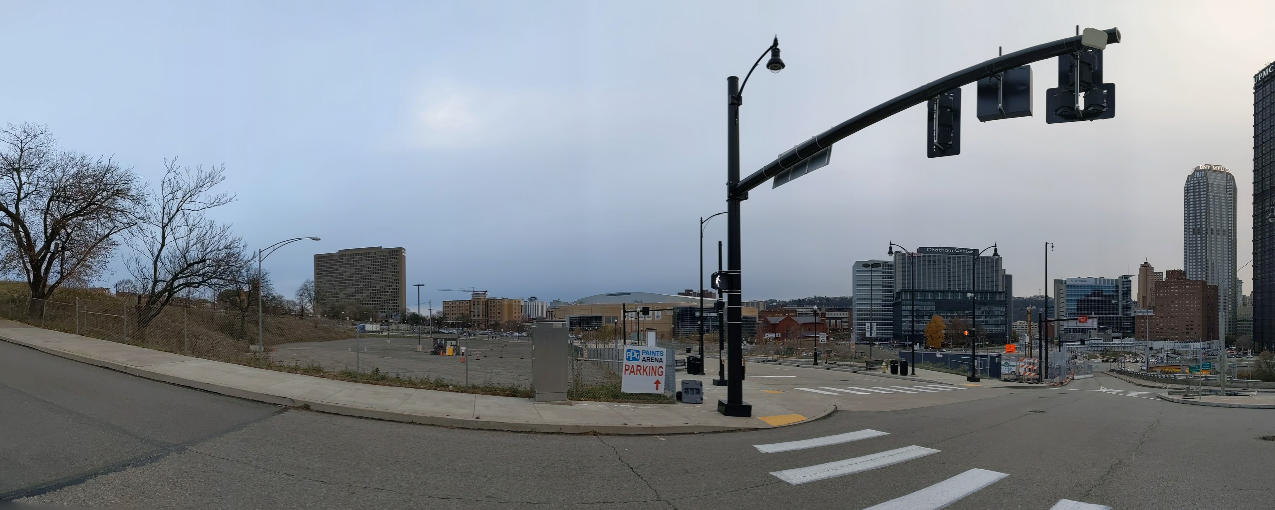
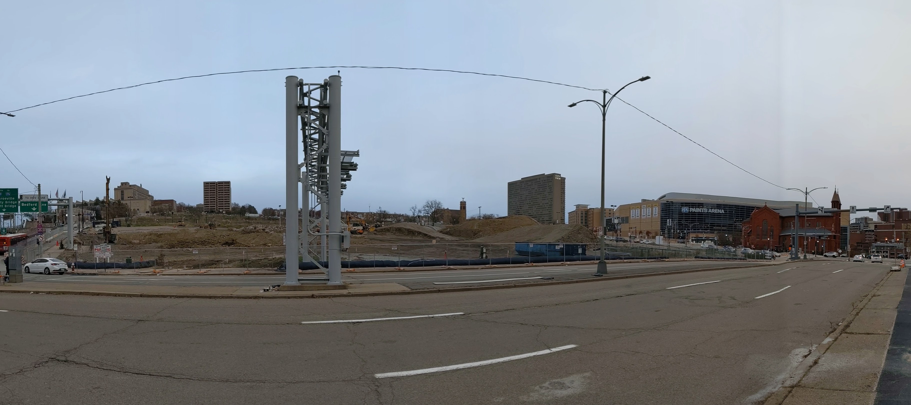
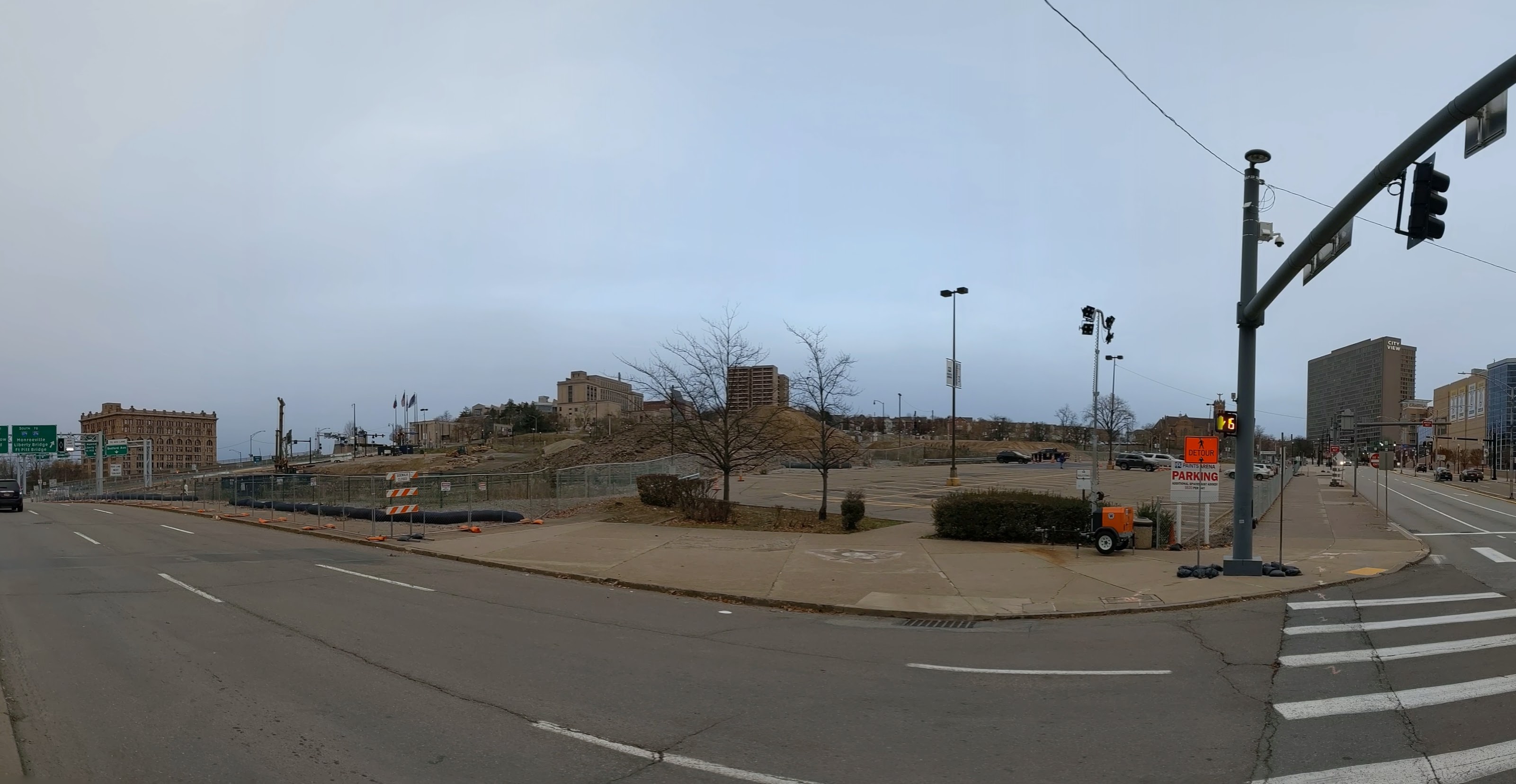
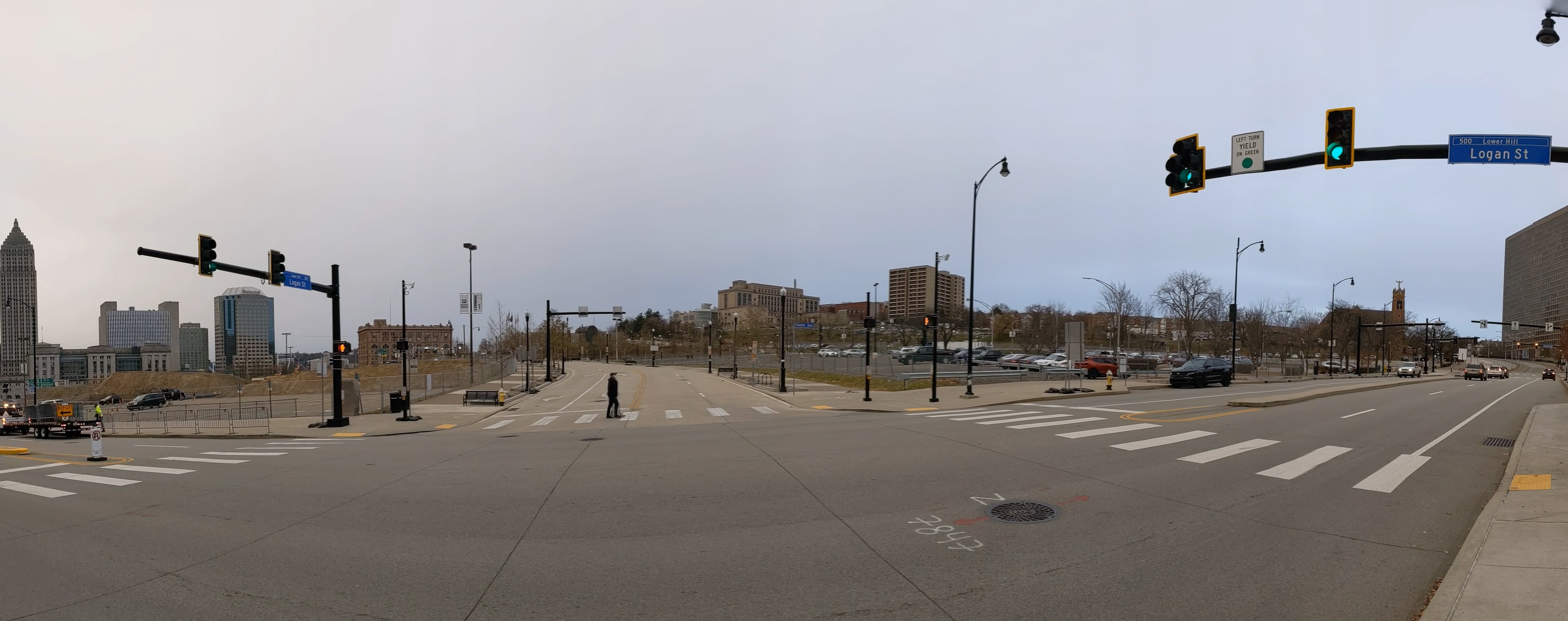
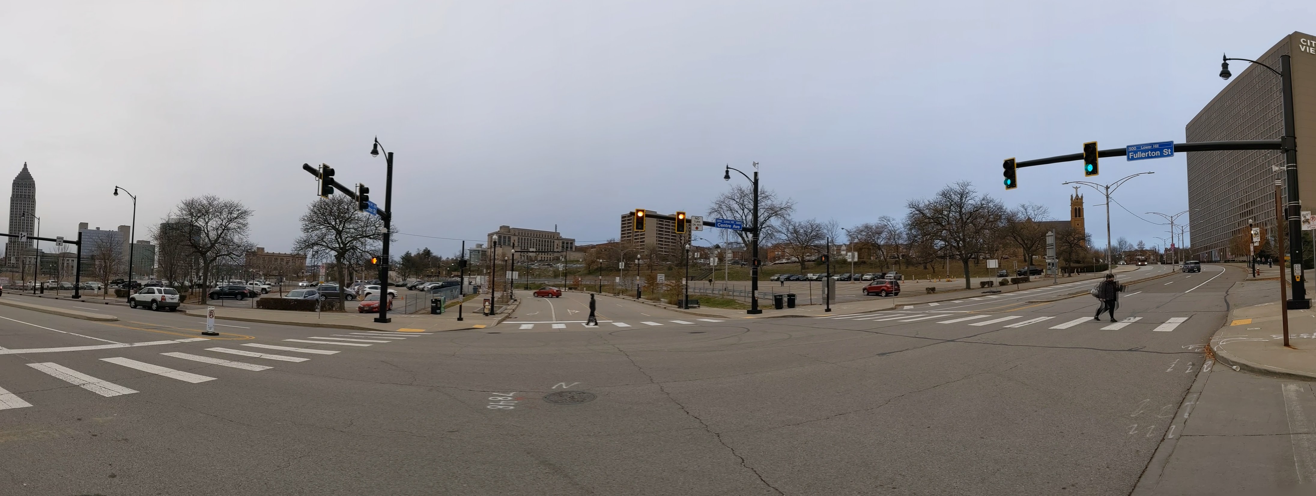
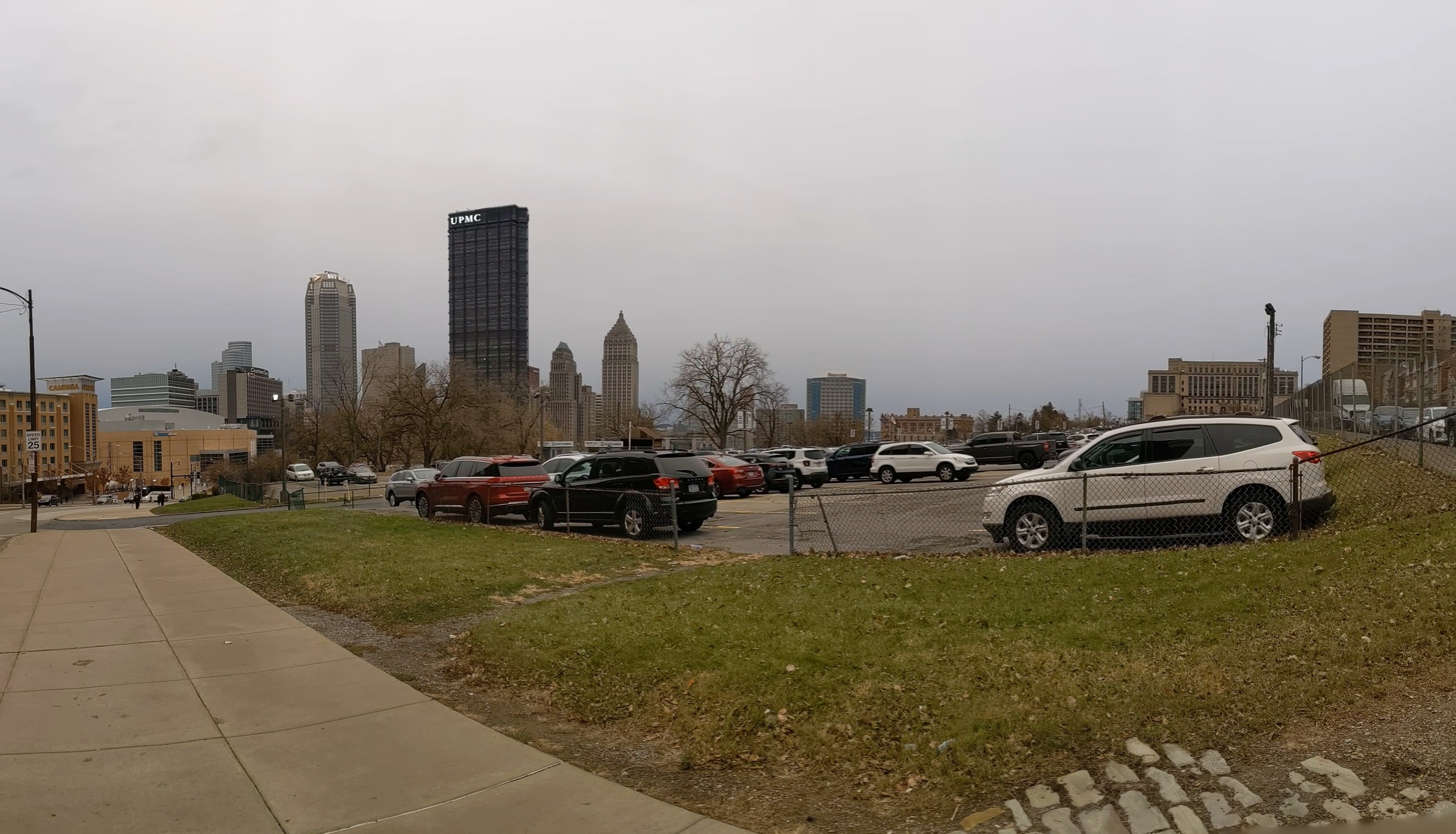
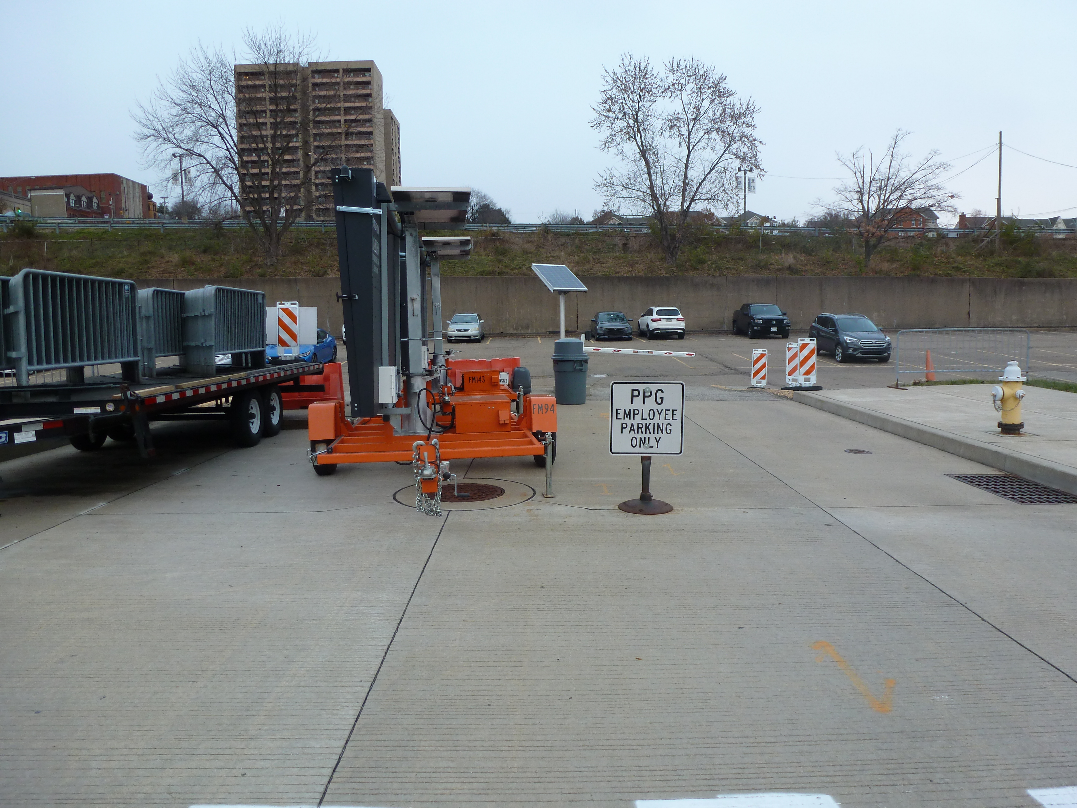
Due to a full schedule in 2022, I was not able to take any photographs of the neighborhood this year.
Hazelwood in the News
The big news of 2022 was the announcement of the plan for the current nonprofit owner (Almono LP) of Hazelwood Green to turn over management and eventually ownership of the site to a New York-based, for-profit development firm. (Pittsburgh Business Times, February 25, 2022, article 1 and article 2)
At the end of 2021, the plan and zoning regulations governing the redevelopment of Hazelwood Green was amended to respond to the current market. One of the changes was to allow more flexibility for temporary parking lots that the Planning Commission placed a condition that such parking lots must expire after 40 years. (Planning Commission agenda, Planning Commission minutes, City Council legislation page)
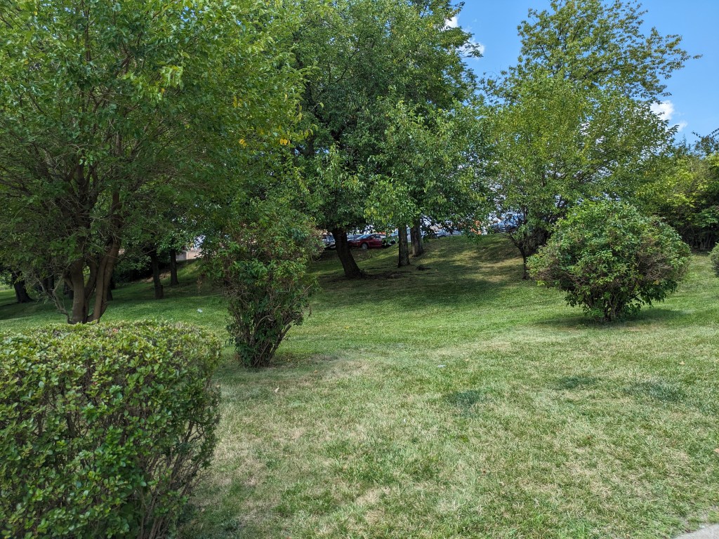
Public Source (October 27, 2021) discussed this amendment as well as community efforts to bring a grocery store to the neighborhood, to establish and maintain affordable housing, and to maintain and strengthen the ecosystem created by the greenway on the hill overlooking Hazelwood Green.
Also, toward the end of 2021, the One Valley innovation hub moved into the renovated Roundhouse (LinkedIn, July 20, 2021) and the University of Pittsburgh announced plans to build BioForge, a biomanufacturing facility, with funds from the Richard King Mellon Foundation (Pittsburgh Business Times, November 17, 2021, articles on funding and Pitt’s plans)
The City of Pittsburgh has a project page to track the restoration of the Hazelwood Greenway.
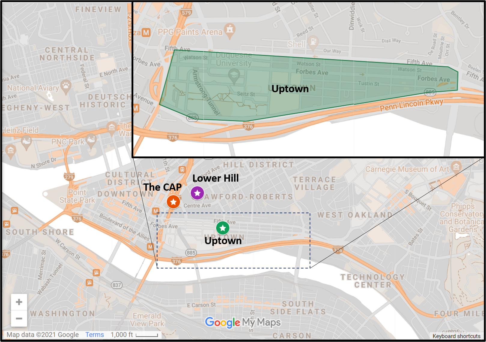
Locating Hazelwood and Hazelwood Green
Previous posts in series
Keeping an Eye on Hazelwood Slope: Sept. 2021
Keeping an Eye on Hazelwood Flats: Aug. 2021
Keeping an Eye on Hazelwood Green: Jul. 2021
Keeping an Eye on Hazelwood: Sept. 2020
Keeping an Eye on Hazelwood (across the tracks): Sept. 2020
Keeping an Eye on Hazelwood Green: Aug 2020
Keeping an Eye on Hazelwood: May 2020
Keeping an Eye on Hazelwood (across the tracks): Apr. 2020