Bedford Dwellings Neighborhood
One of the five neighborhoods collectively known as The Hill District, Bedford Dwellings is a neighborhood named after a public housing project from the 1930s & 1940s. It is a strip of land, a block wide for most of its length, situated between Bedford Avenue and the cliff that overlooks the Strip District and Allegheny River. While no redevelopment projects were undertaken in this neighborhood during the official “Urban Renewal” era (approximately 1949-1970s) per the City’s 1970 report, the neighborhood has been erased and redeveloped multiple times in the last 100 years.
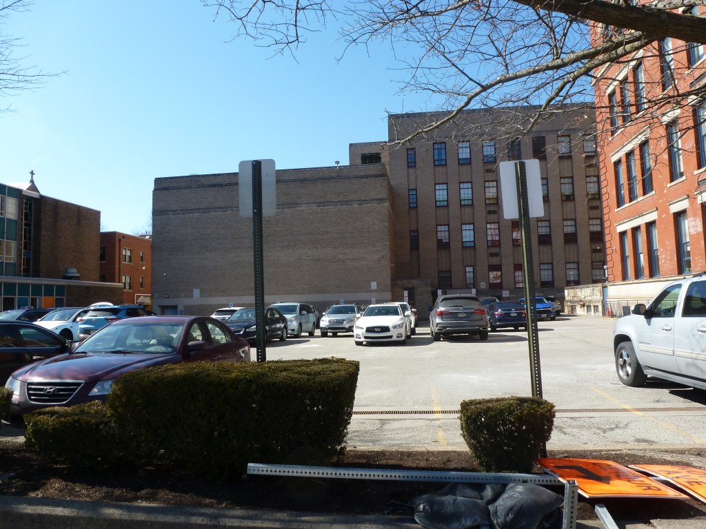
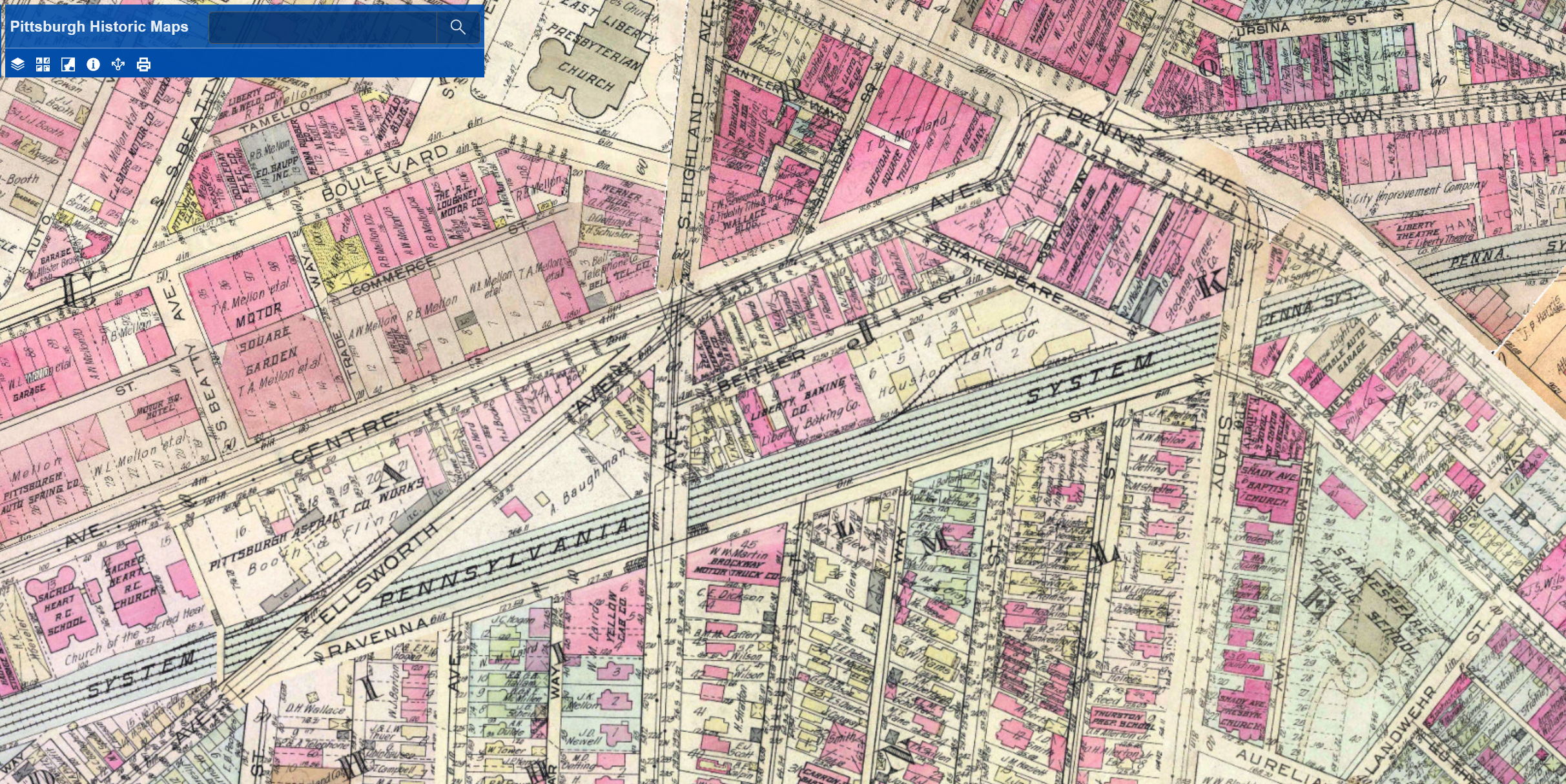
The 1923 G. M. Hopkins map shows a mix of uses along this 1-mile section of Bedford Avenue. There are blocks of small lots partially built out with homes, the Lincoln Memorial Cemetery, the Entress Brick Company and a few other small businesses, the Municipal Hospital, and the Tuberculosis League Hospital.
By April 1932, Entress Brick Company is replaced with Greenlee Field, the first baseball park built by a Black businessman. “At Forbes Field, Yankee Stadium, and every other major league stadium where Negroes played, they weren’t allowed to use the locker facilities. But tonight [opening night] the men of the [Pittsburgh] Crawfords and the Black Yankees didn’t have to change at a boardinghouse or on a bus. Tonight, thanks to Gus Greenlee, they slipped out of their sweaty uniforms and muddy cleats in the dignity of their own locker room.”2
Unfortunately, the city had a different vision for the use of the land and Greenlee Field closed after only 4 years. The “Housing Authority offered Greenless $38,000 for the land and threatened to seize it if he didn’t take the deal.”3 The Housing Authority then built its first public housing development.
Today, as the Housing Authority works to replace their 20th-Century housing units with 21st-Century housing units across the city, some parts of the Bedford Dwellings neighborhood have been redeveloped, again, using HUD HOPE grants and others are slated for their next redevelopment project funded by the federal Choice Neighborhoods grant program.
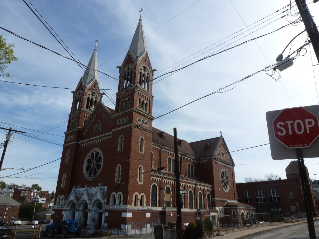
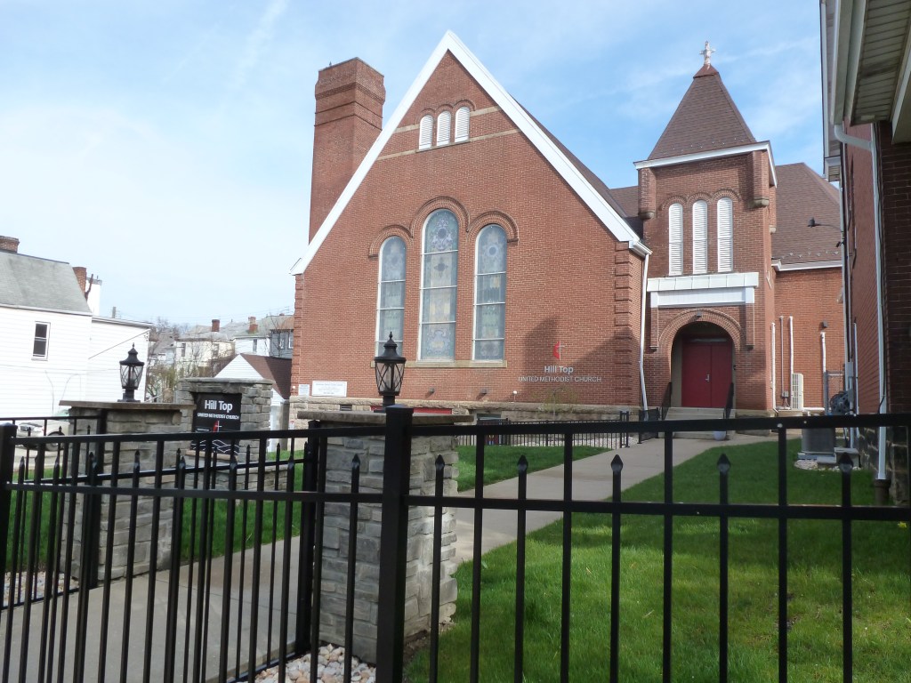
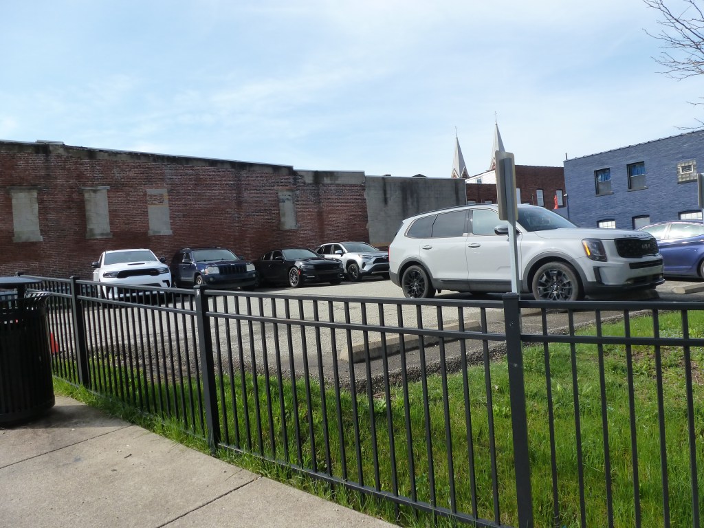
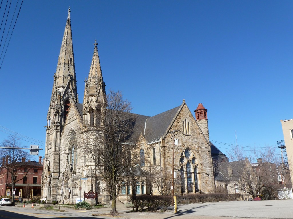
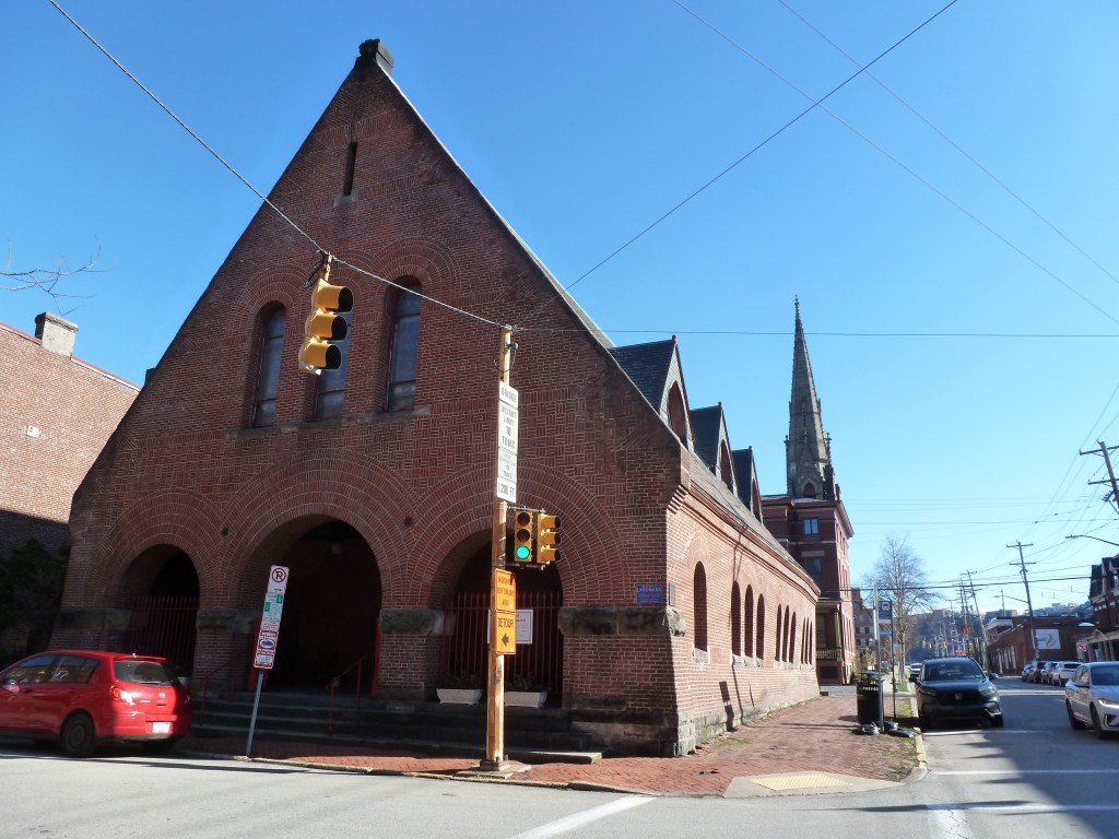
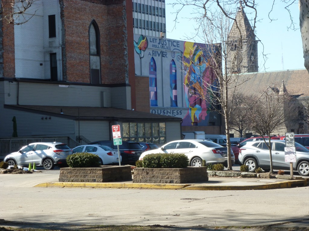
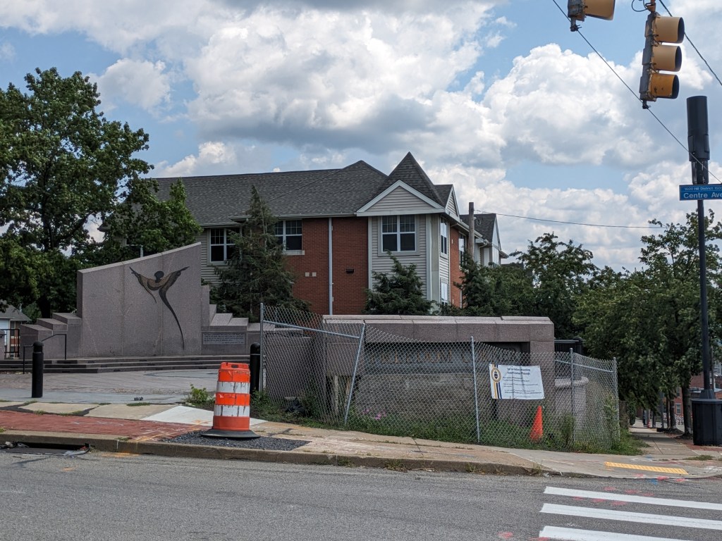
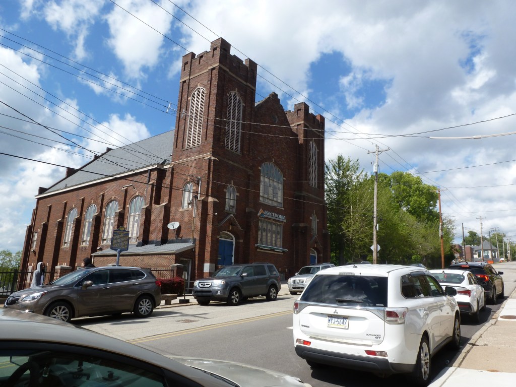
The two religious sites listed in the 1926 city directory were located near the part of the neighborhood most built out with housing per the 1923 G. M. Hopkins maps. One likely succumbed to the same project that erased Greenlee Field; the other survived and today shows a strong presence both in the church building and in nearby properties.
Neighborhood Statistics (Out of 70 in this Series)
- 67th largest by acreage
- 53rd highest number of sites (multi-way tie)
- 32nd most sites/acre
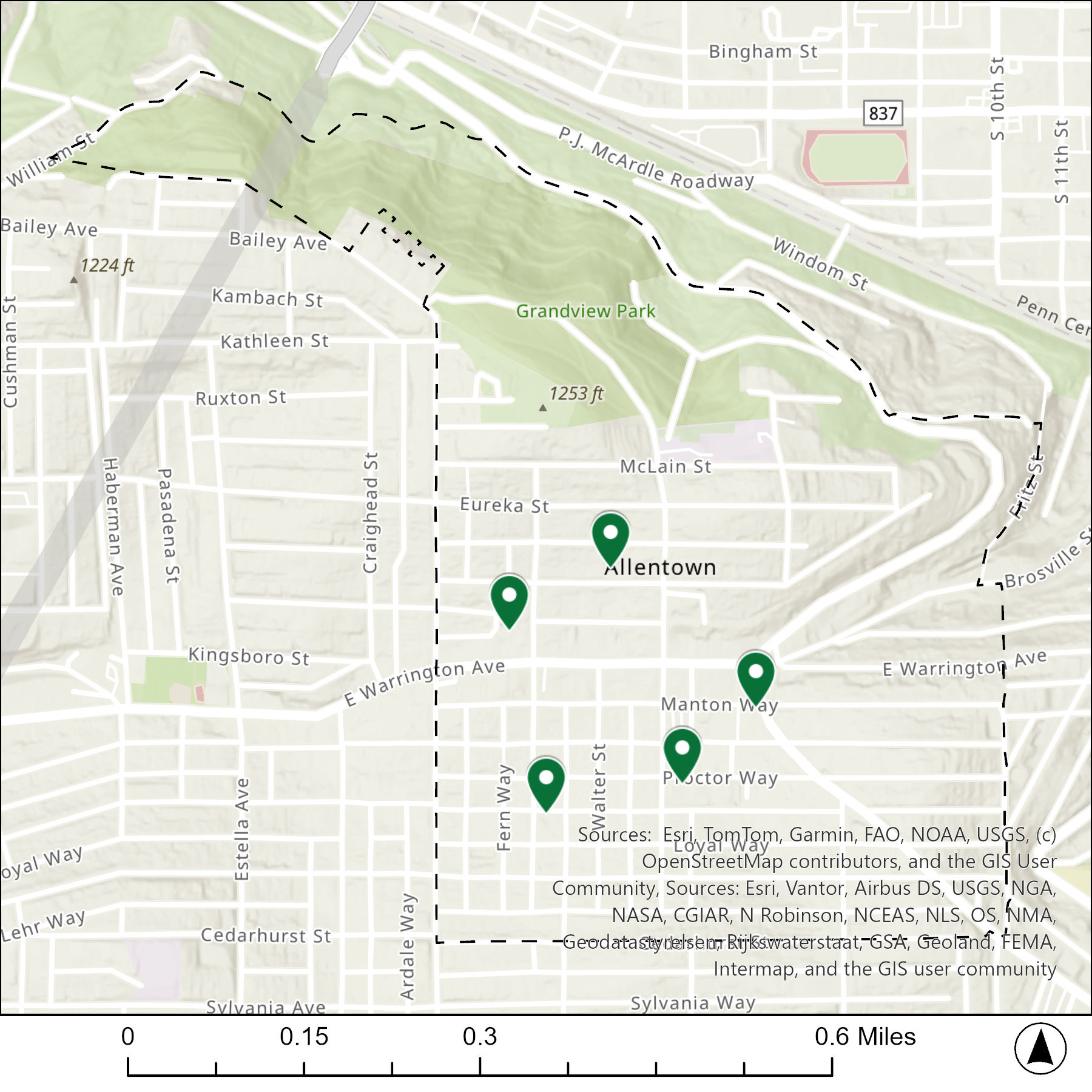
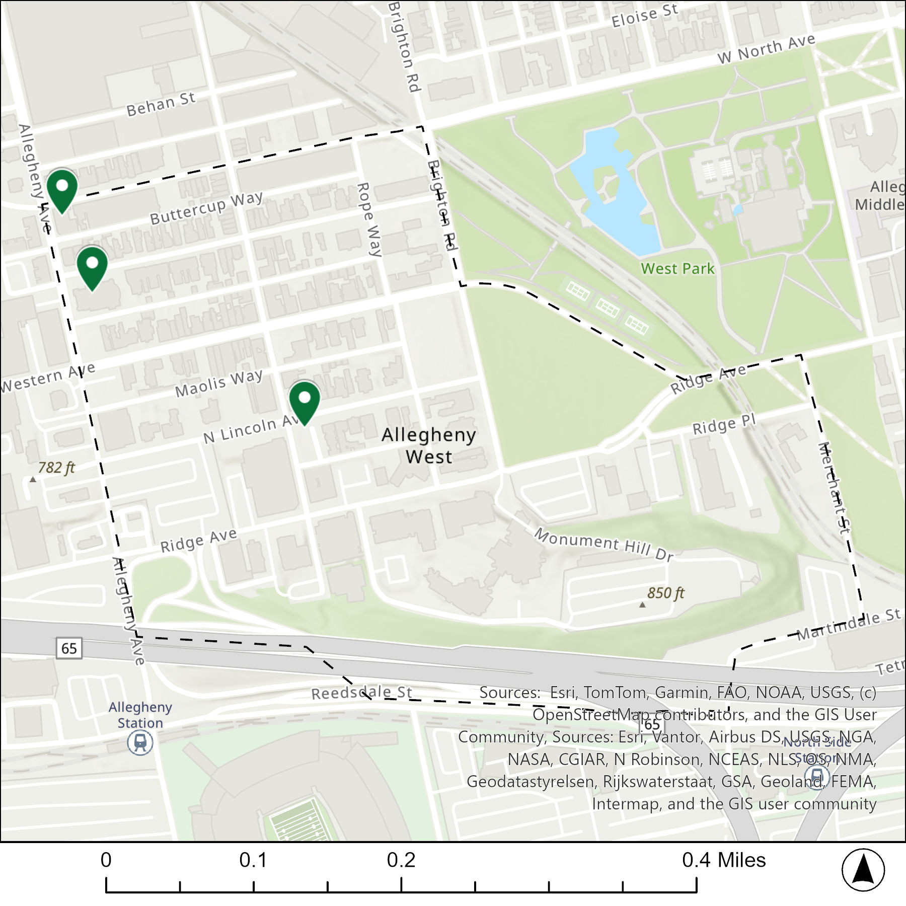
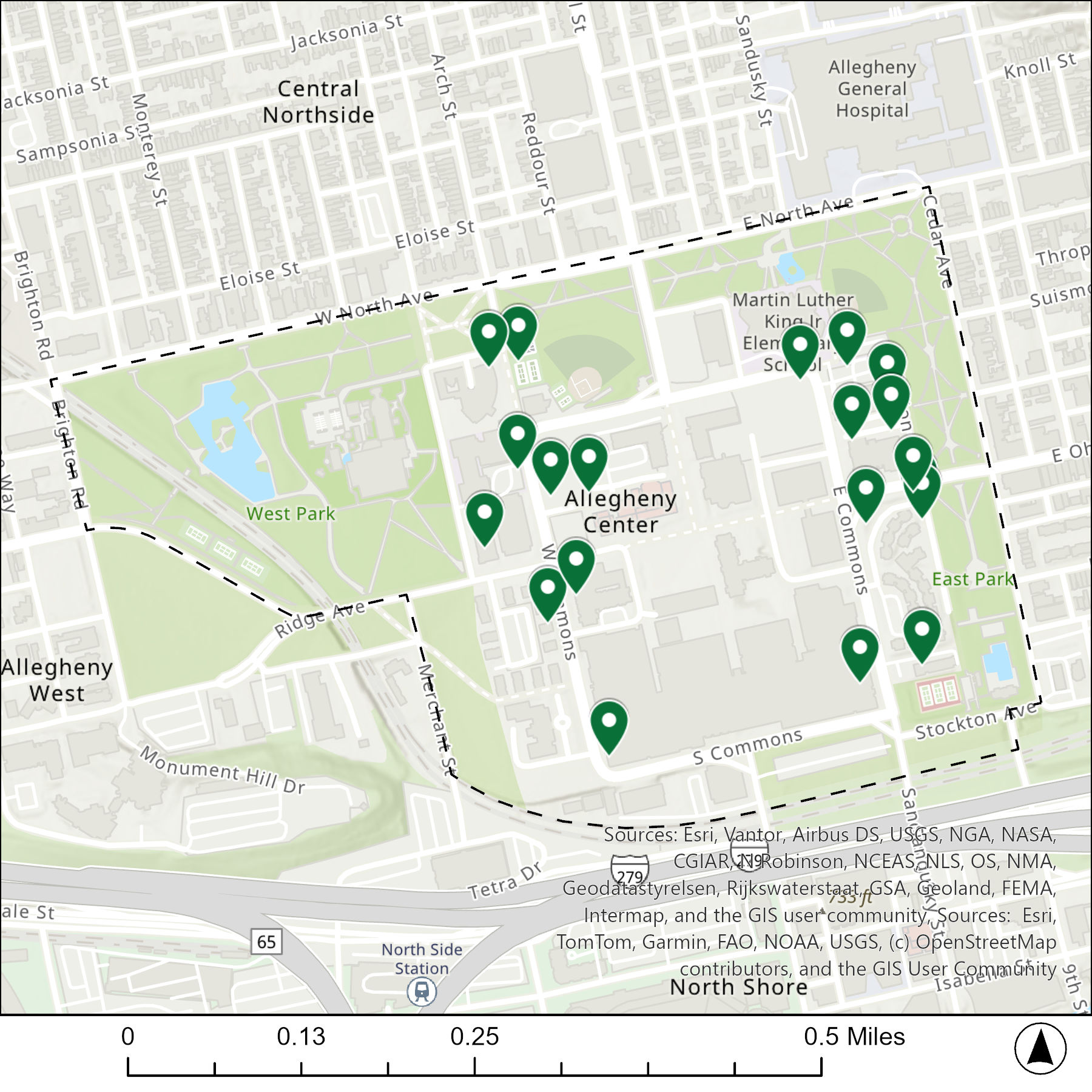
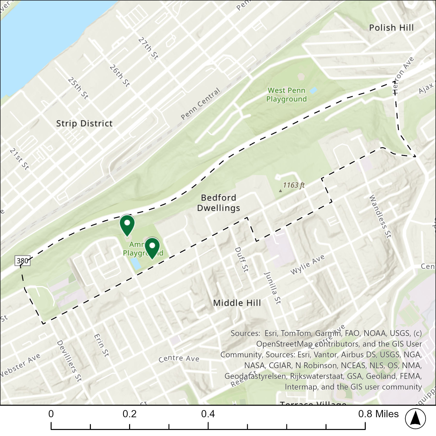
Locations
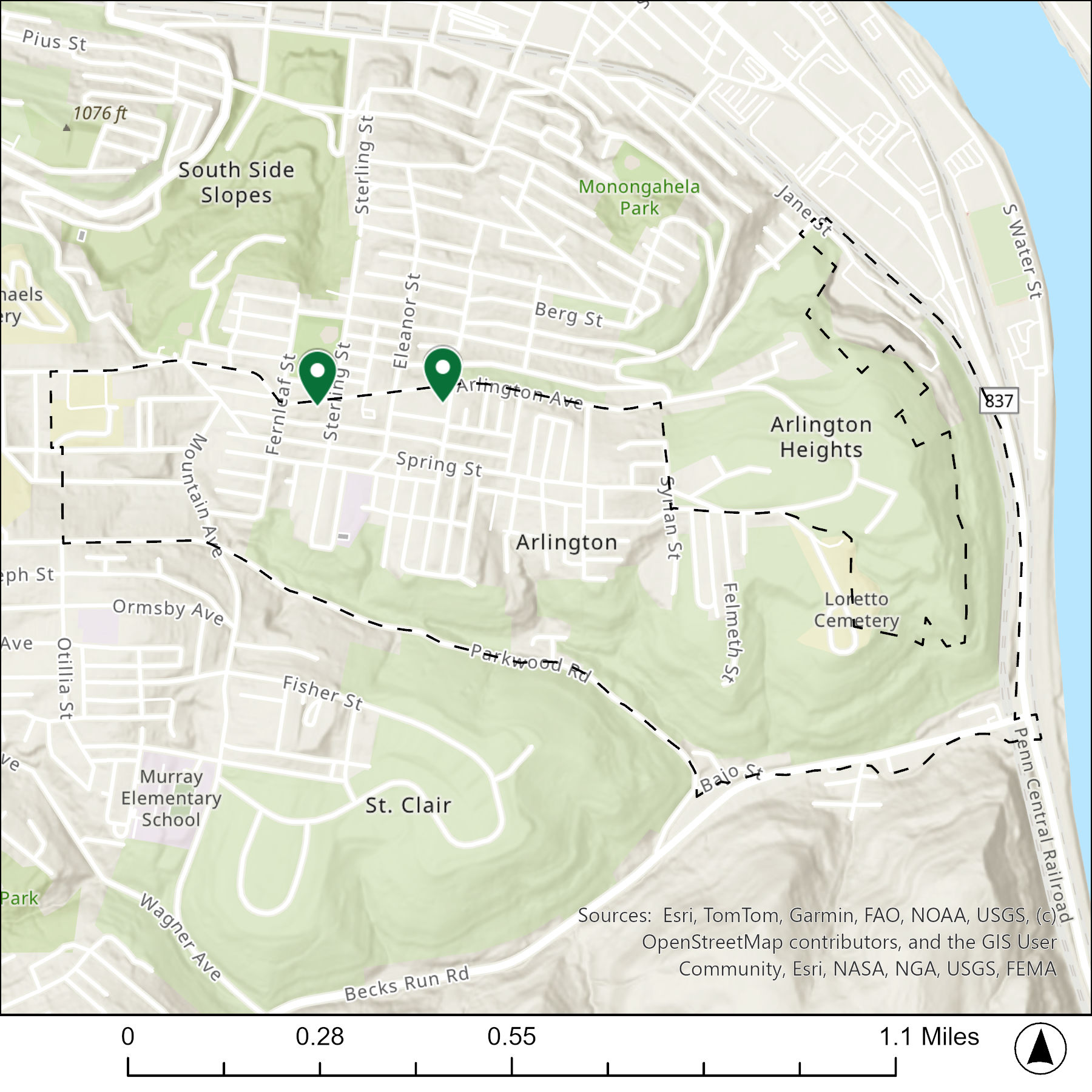
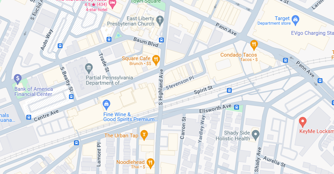
The map below shows the locations of the 2 congregations listed in the 1926 directory for Bedford Dwellings (the dotted line marks the neighborhood boundary).
What are they now?
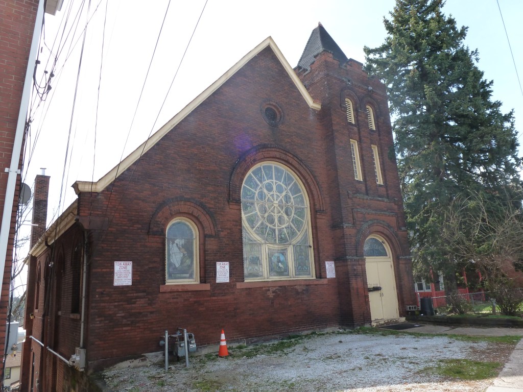
The table below matches the 2 congregations listed in the 1926 directory with the current use of the site.
| 1926 Congregation Name | By 2026 the Congregation’s Building is: |
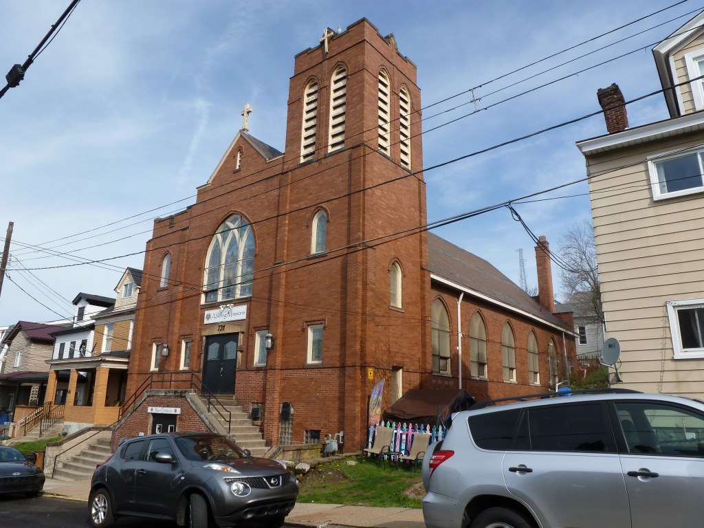
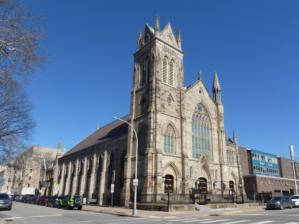
| Macedonia Baptist Church | still Macedonia Baptist Church |
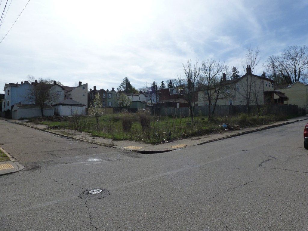
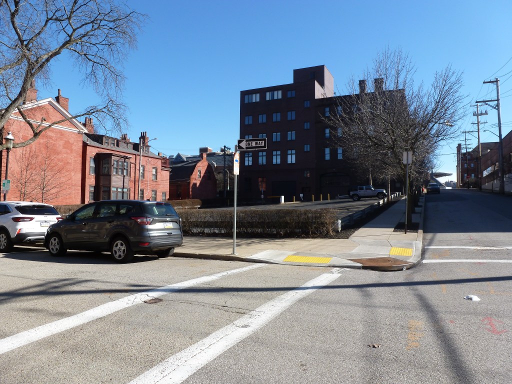
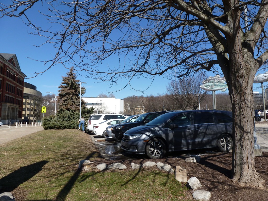
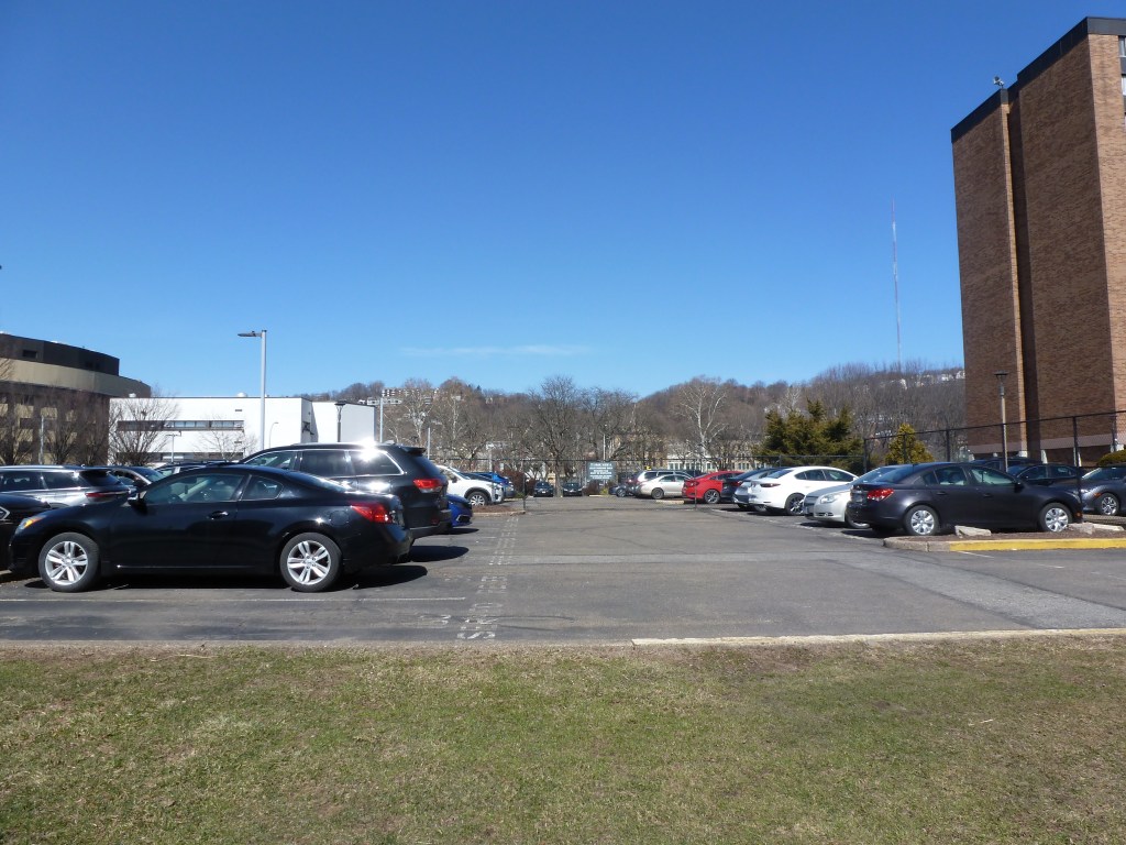
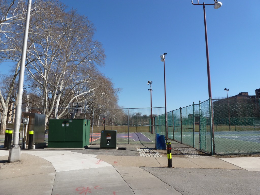
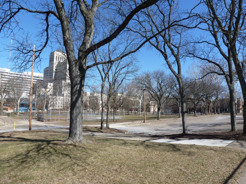
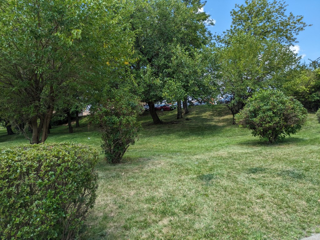
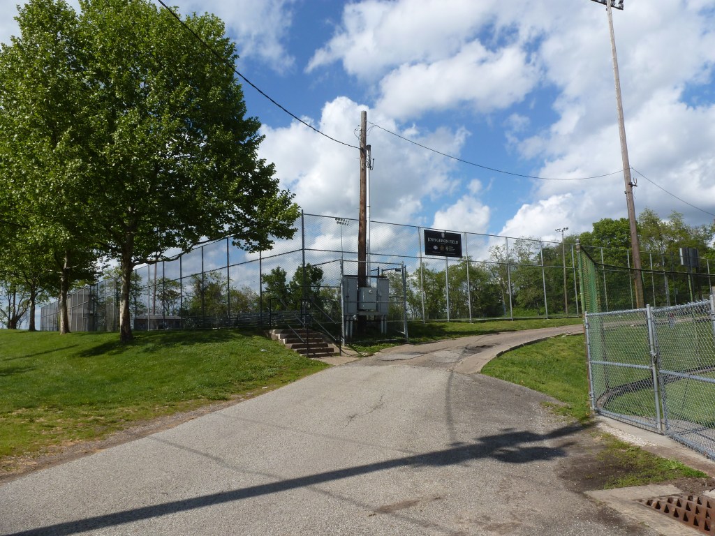
| New Light Baptist Church | replaced with a community baseball diamond |
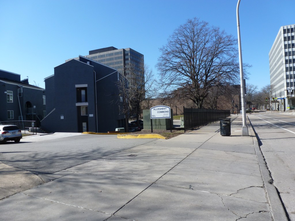
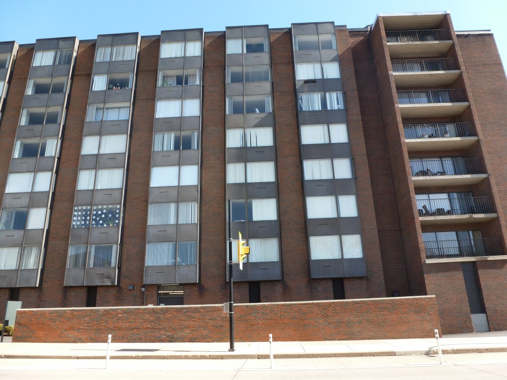
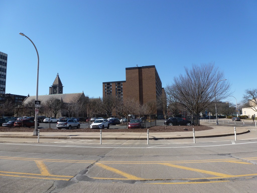
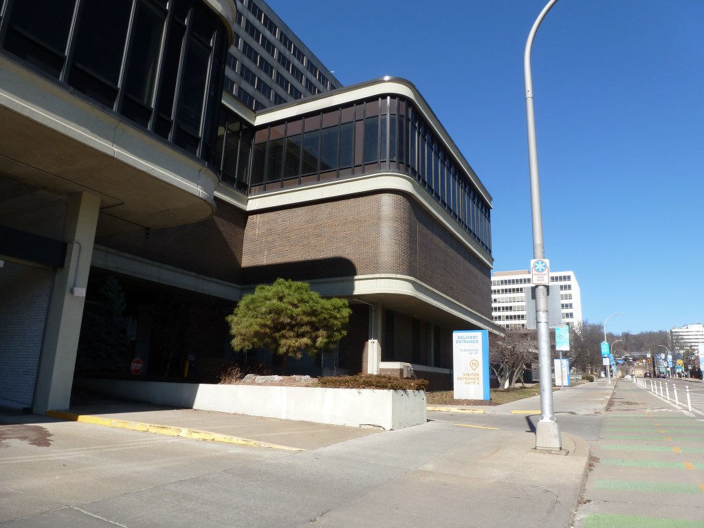
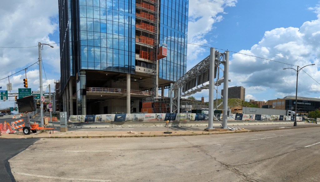
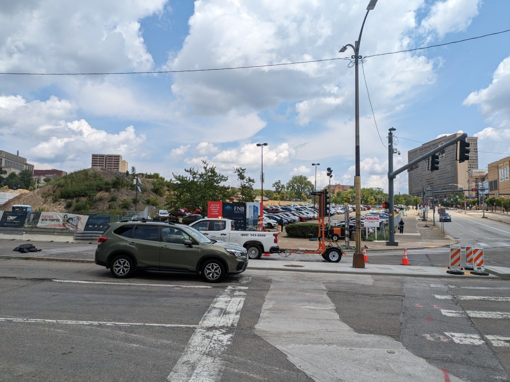
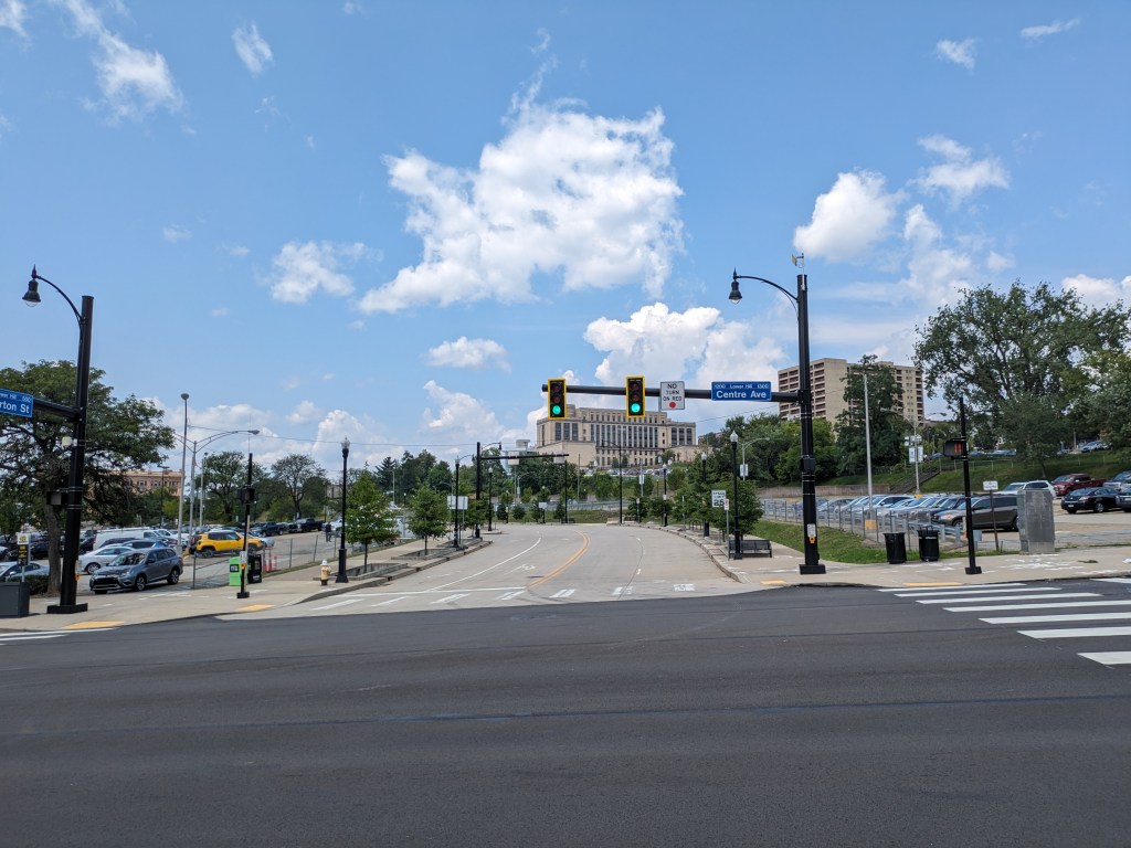
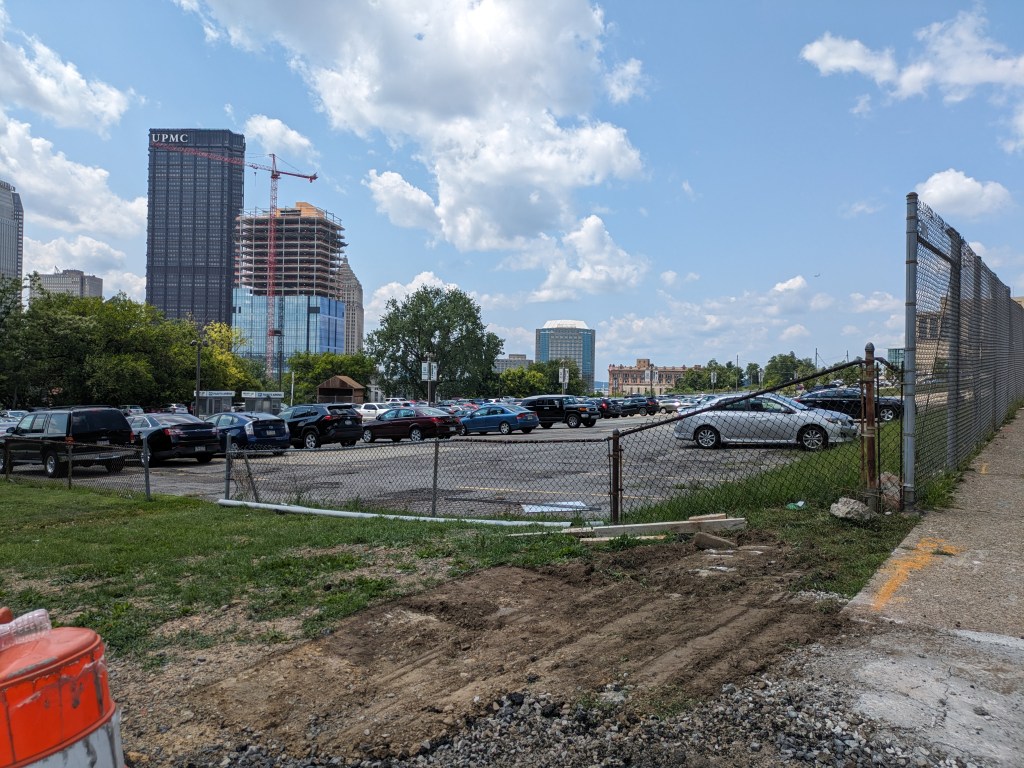
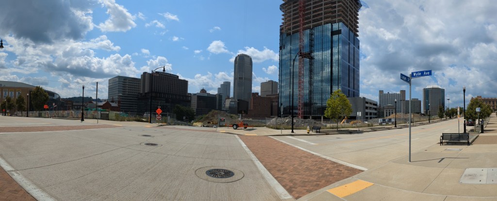
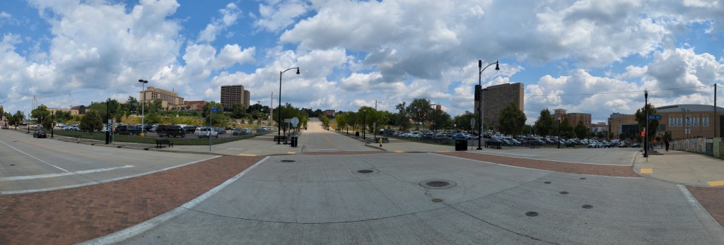
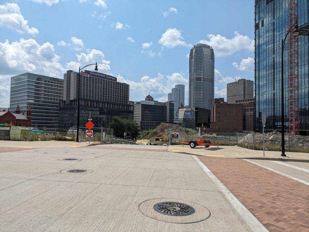
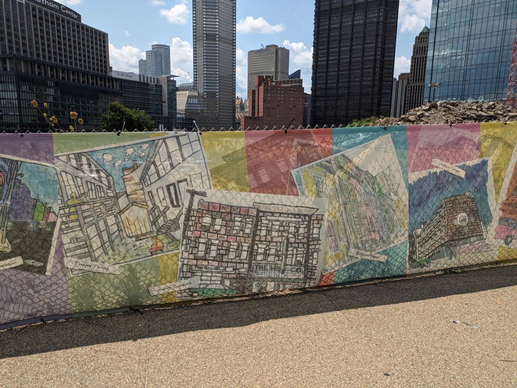
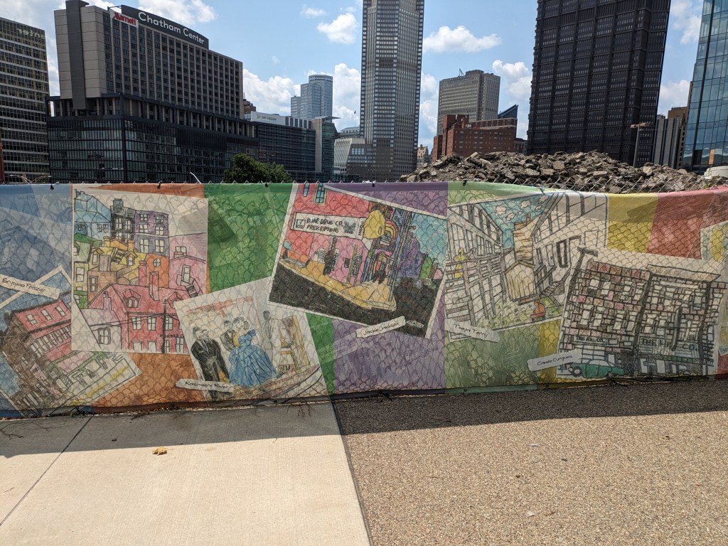
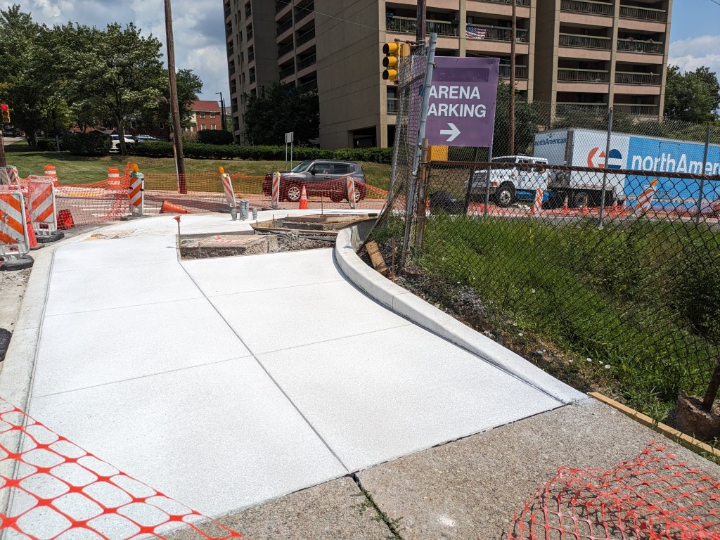
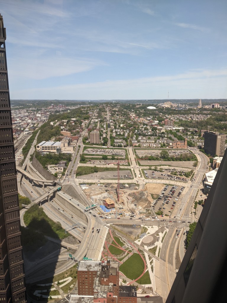
Photos
Footnotes
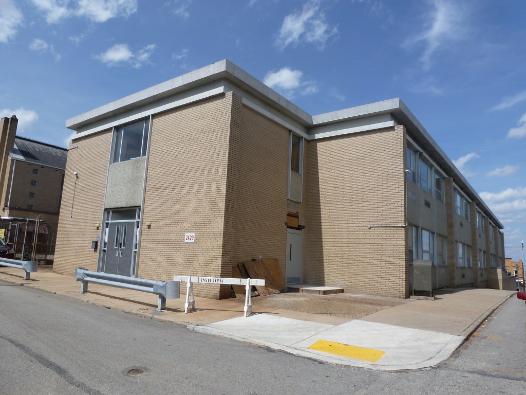
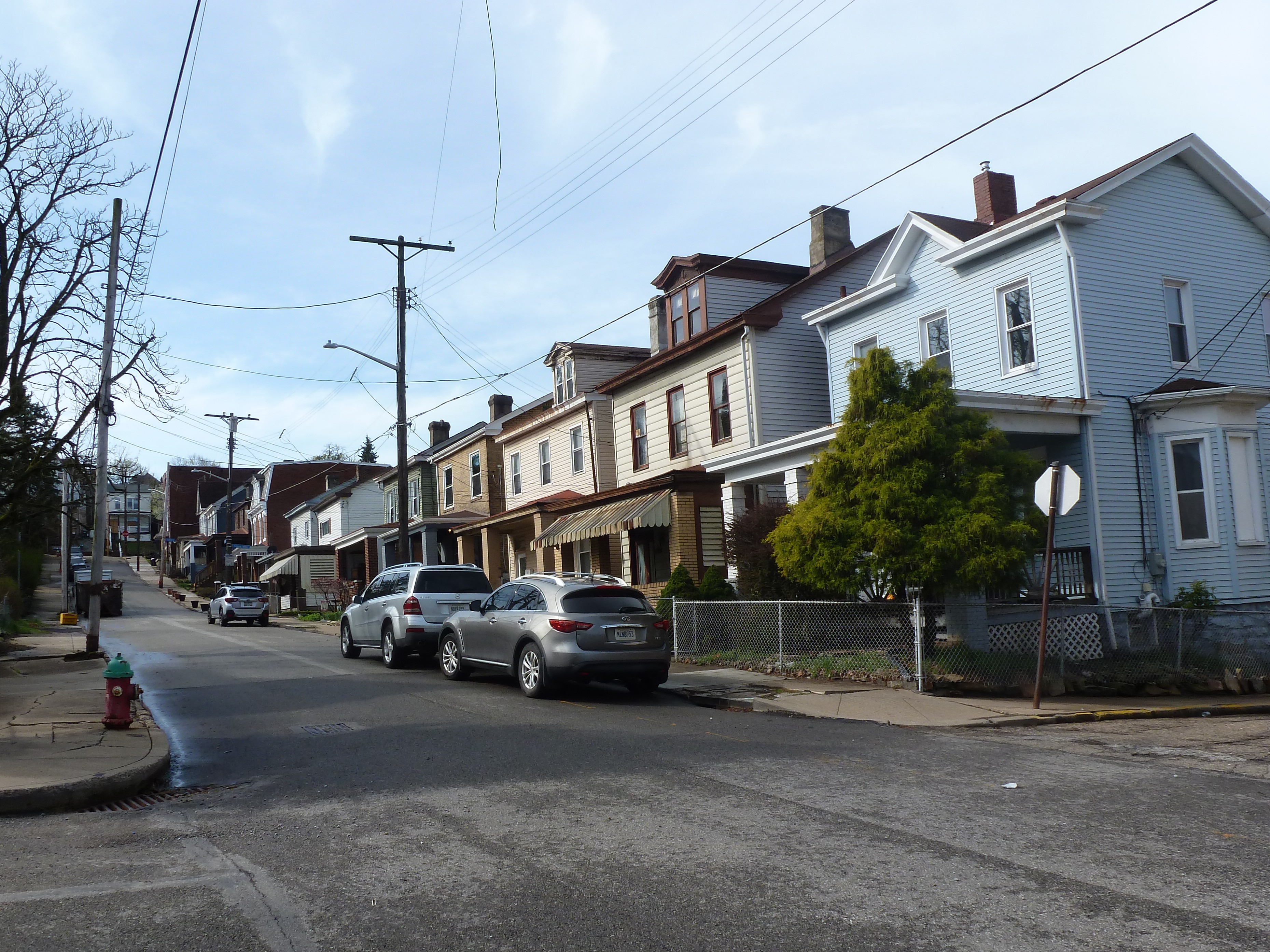
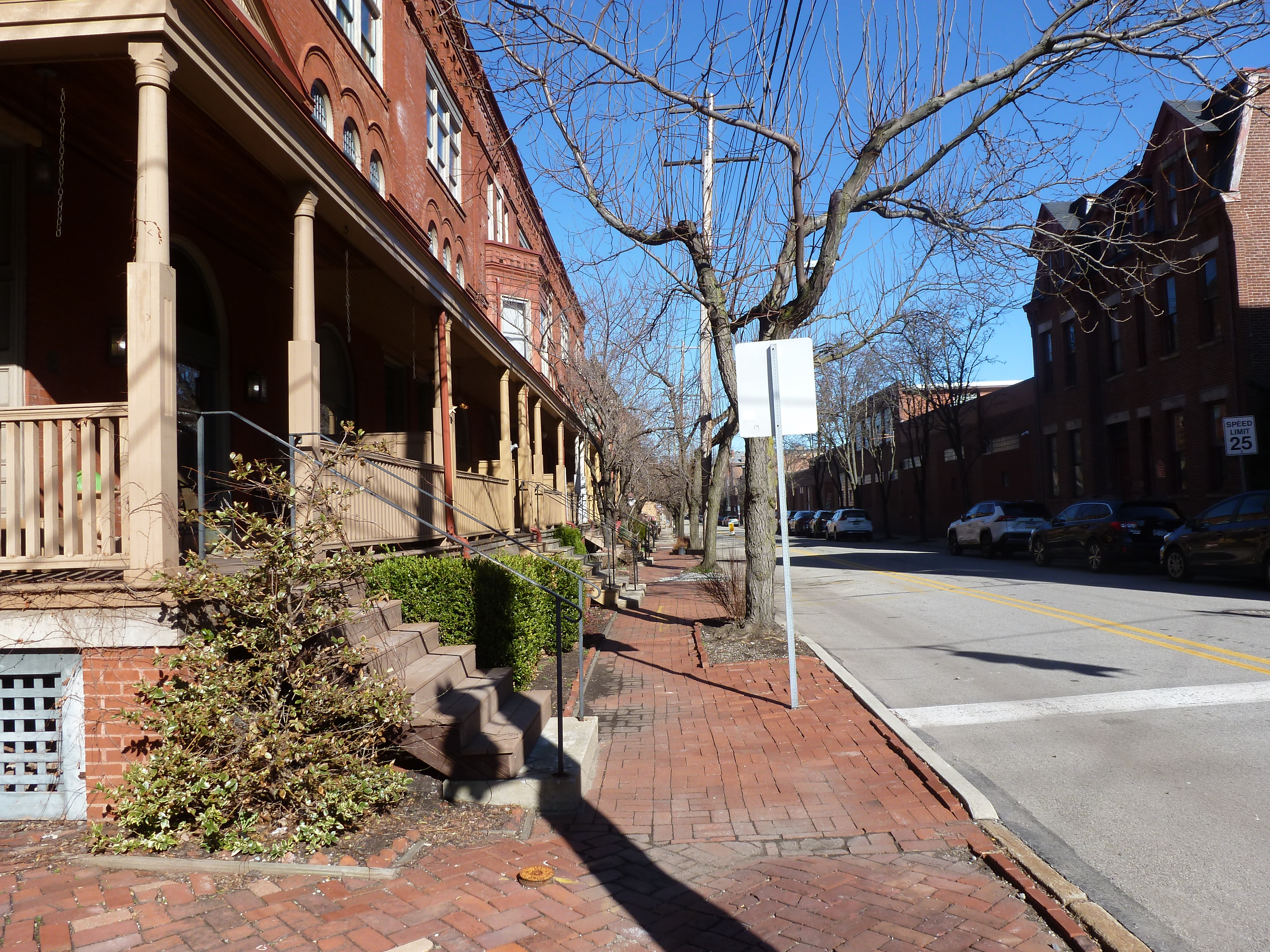
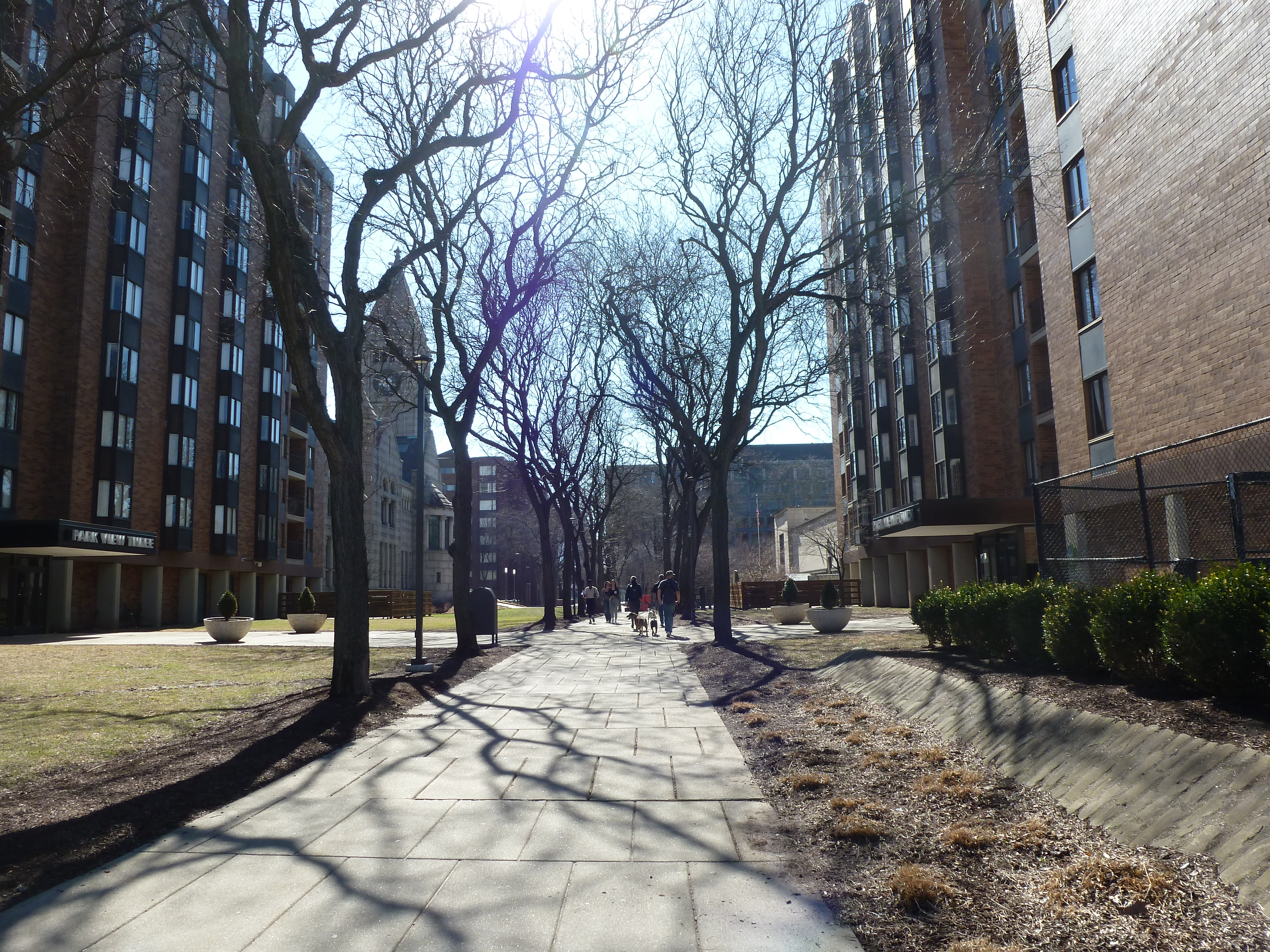
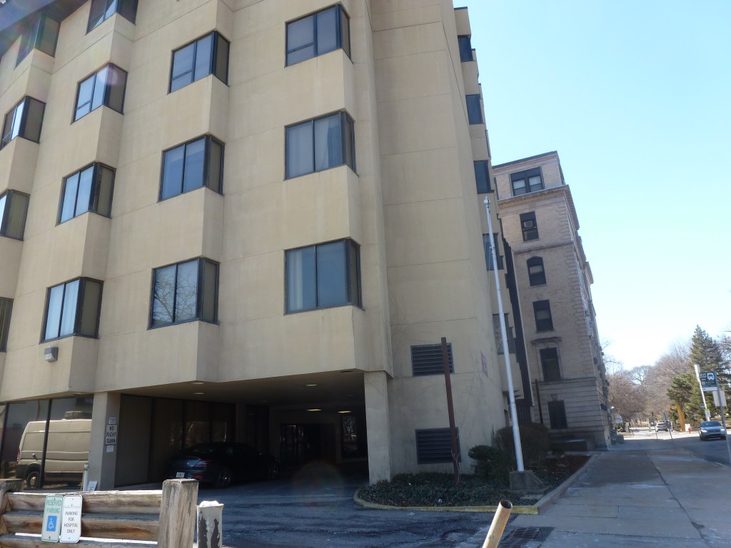
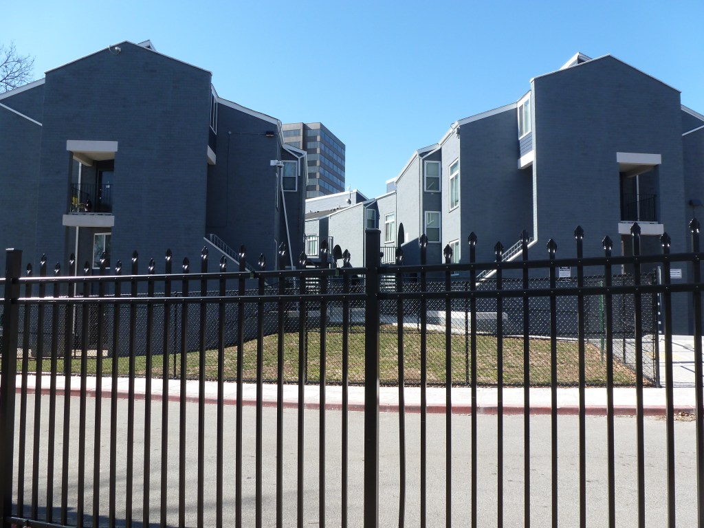
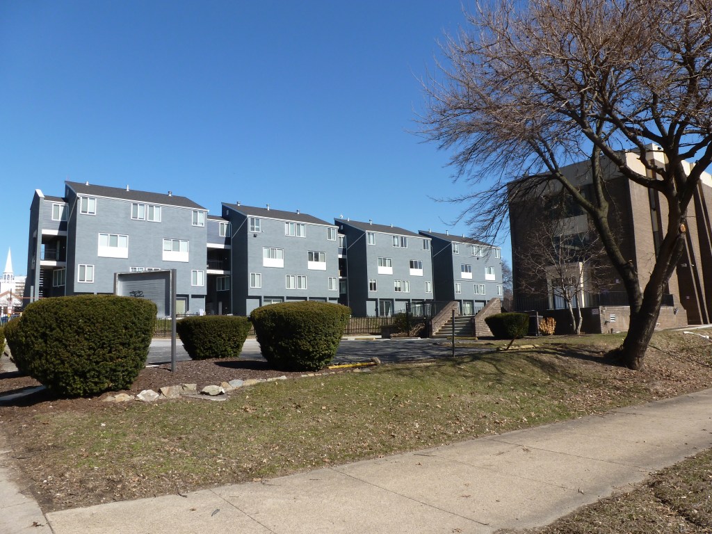
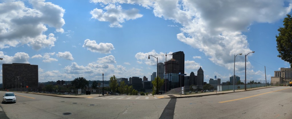
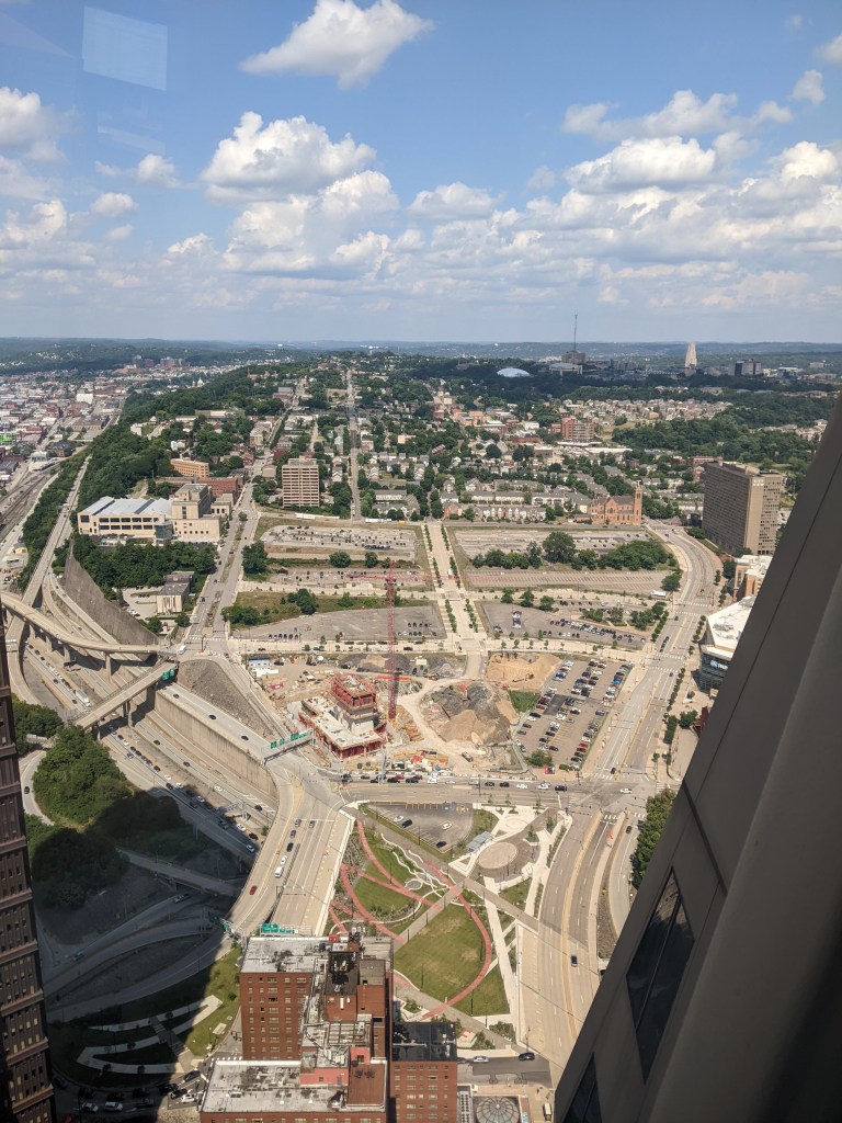
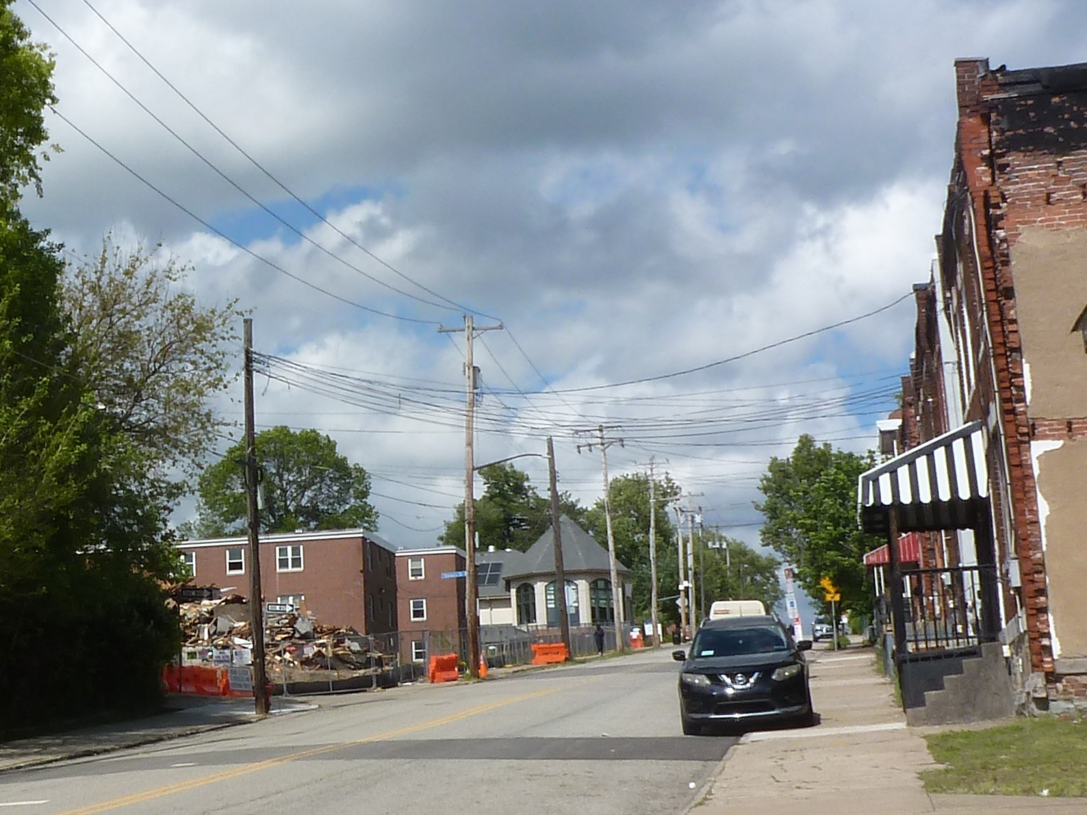
- On left: beginnings of the demolition of the 1938 Bedford Dwellings public housing;
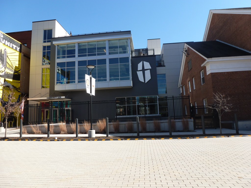
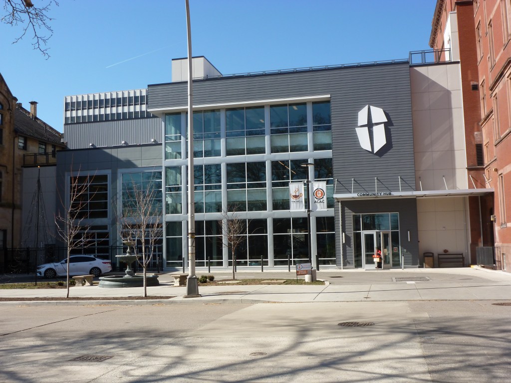
Center: the 2000s community center from the HUD HOPE VI grant redevelopment;
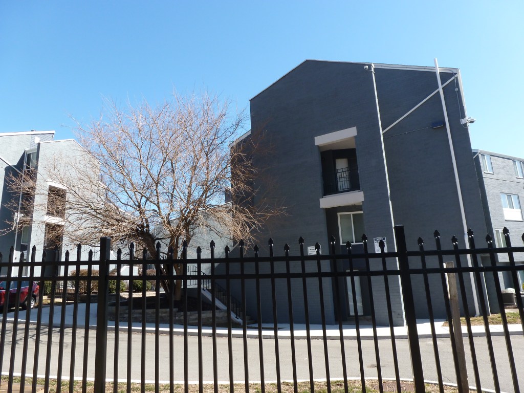
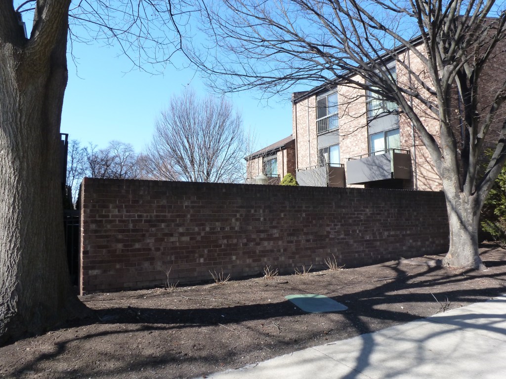
On right: rowhouses in the Middle Hill neighborhood that illustrate what the housing pre-1938 in Bedford Dwellings neighborhood might have looked like. ↩︎ - Whitaker, 90-91 ↩︎
- Whitaker, 121 ↩︎
For more on this series, visit our introductory post.
Sources:
G. M. Hopkins & Co. Bedford Dwellings. Plate 30A. 1923. https://historicpittsburgh.org/islandora/object/pitt%3A23v0130a
G. M. Hopkins & Co. Crawford-Roberts. Plate 11B. 1923. https://historicpittsburgh.org/islandora/object/pitt%3A23v0111b
G. M. Hopkins & Co. Middle Hill. Plate 29A. 1923. https://historicpittsburgh.org/islandora/object/pitt:23v0129a
Housing Authority of the City of Pittsburgh. A Report to the People: Public Housing in Pittsburgh, 1938-1953. Pittsburgh, 1953. https://pittsburgharchives.access.preservica.com/uncategorized/IO_b74e0198-8ee1-4b50-93d6-b631adc3dc44/
Housing Authority City of Pittsburgh. Bedford Dwellings Redevelopment Planning. https://hacp.org/bedfordconnects/
Pittsburgh Department of City Planning. A Community Profile of Bedford Dwellings. 1974. https://historicpittsburgh.org/islandora/object/pitt%3A31735070065887
Pittsburgh Department of City Planning. A Development and Renewal Program for Pittsburgh, Summary Documentation, Pittsburgh Community Renewal Program. Pittsburgh, 1970. https://pittsburgharchives.access.preservica.com/uncategorized/IO_d1f07da0-9303-4aee-a162-04c83a0eaaa0/
Polk’s Pittsburgh City Directory, 1926. Pittsburgh: R. L. Polk & Co. https://digital.library.pitt.edu/islandora/object/pitt%3A31735056286846/viewer#page/4/mode/1up
U.S. Department of Housing and Urban Development. “HUD Secretary Ben Carson Designates the Bedford Hope Center as New EnVision Center.” October 16, 2020. https://archives.hud.gov/news/2020/pr20-174.cfm?utm_source=chatgpt.com
Whitaker, Mark. The Untold Story of Smoketown: The Other Great Black Renaissance. New York: Simon & Schuster Paperbacks, 2018.