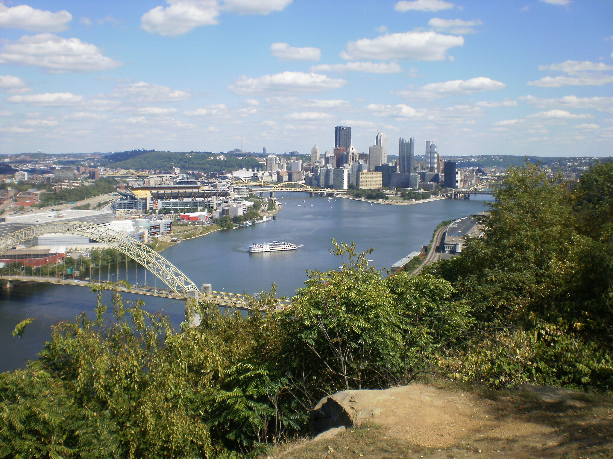
Beechview Neighborhood
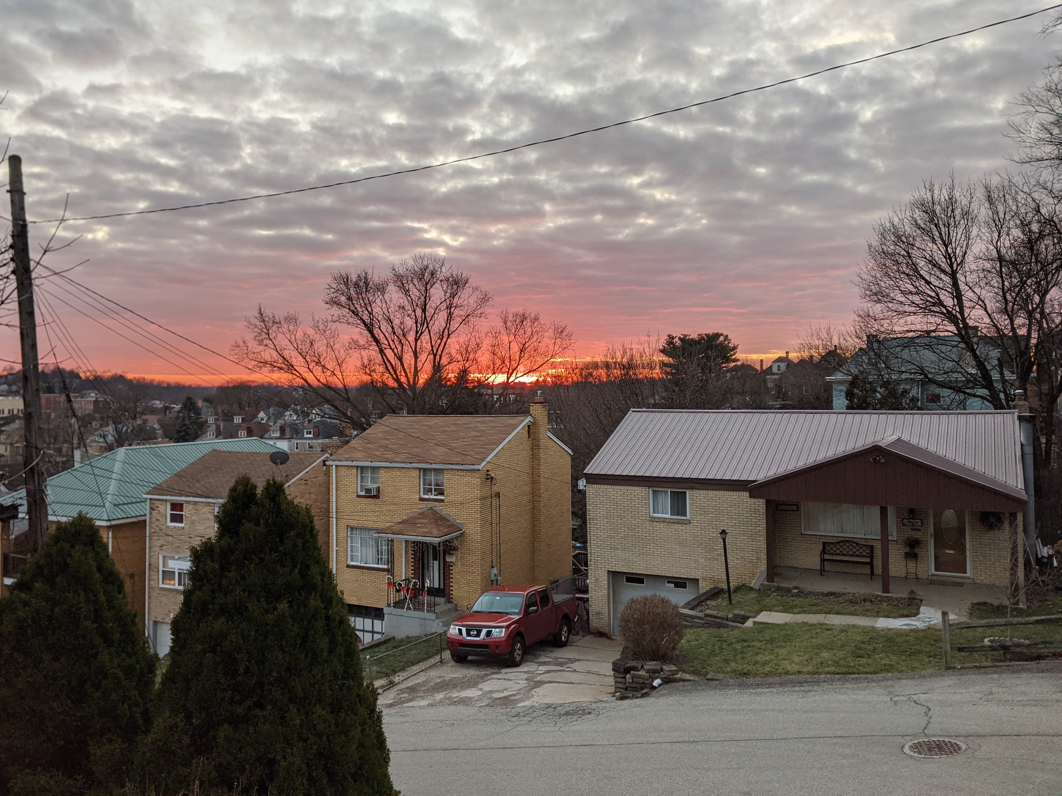
Beechview was its own borough until annexed by the city in 1909. It was a small community, mostly farms or other rural estates, until the Liberty Tubes opened in 1924 when it quickly transformed into one of the first bedroom communities in the region. The main street (Broadway Avenue) follows the crest of the main ridge while the rest of the neighborhood attempts to drape an urban grid over the steep, undulating terrain. Most of the housing south of Crane Avenue was built in the 1920s and 1930s and features a blend of small to moderate detached single-family homes, rowhouses, duplexes, and small apartment buildings. Several lots remained undeveloped until after WWII, but were quickly filled in at that time with the traditional detached post-war suburban house with integral garage. North of Crane Avenue remained largely rural until after WWII and features uniform blocks of post-war suburban housing, mostly single-family, but with an intentional, uniform pocket of duplexes separate from the single-family homes.
While the neighborhood has experienced population changes since then, population loss and demographic shifts, it’s housing stock has remained relatively stable. Urban renewal did not turn its sights onto Beechview and other demolition initiatives throughout the city also primarily passed by Beechview. Perhaps that is why only one and a half sites for the 9 congregations listed in the 1926 directory have since been demolished. Two have been converted to secular uses and the rest remain active as religious centers.
Neighborhood Statistics (Out of 70 in this Series)
- 5th largest by acreage
- 19th highest number of religious sites (multi-way tie)
- 52nd most sites/acre
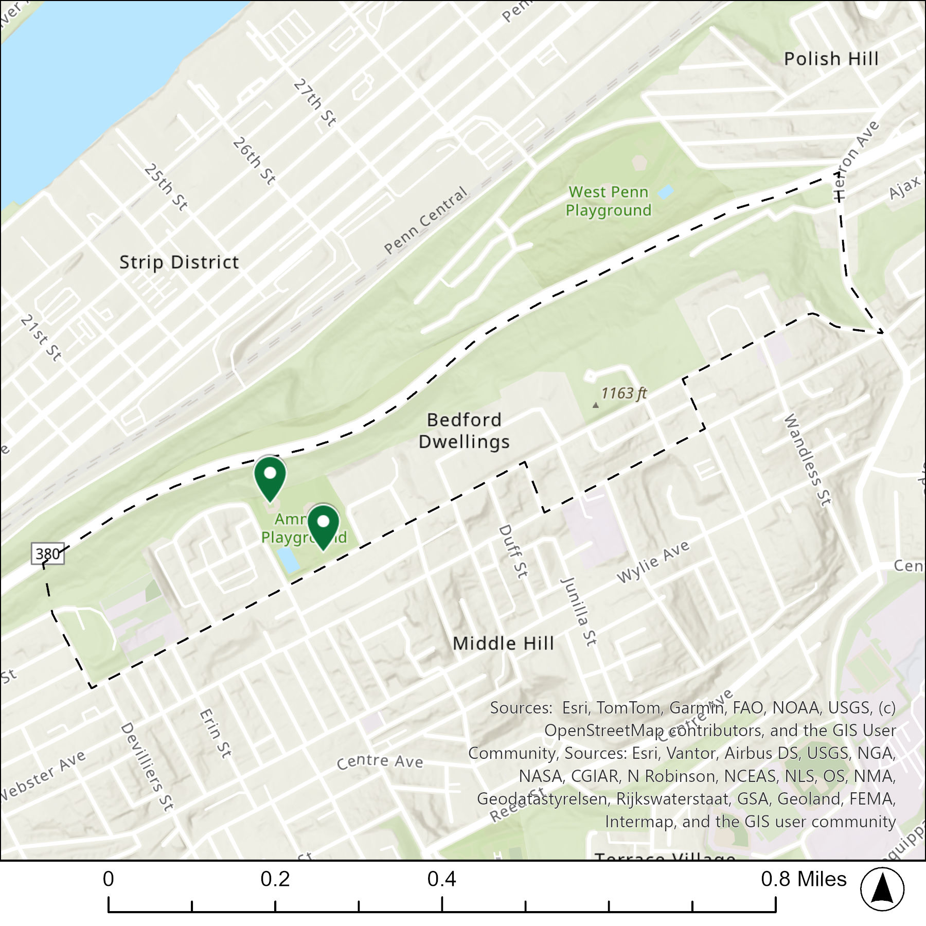
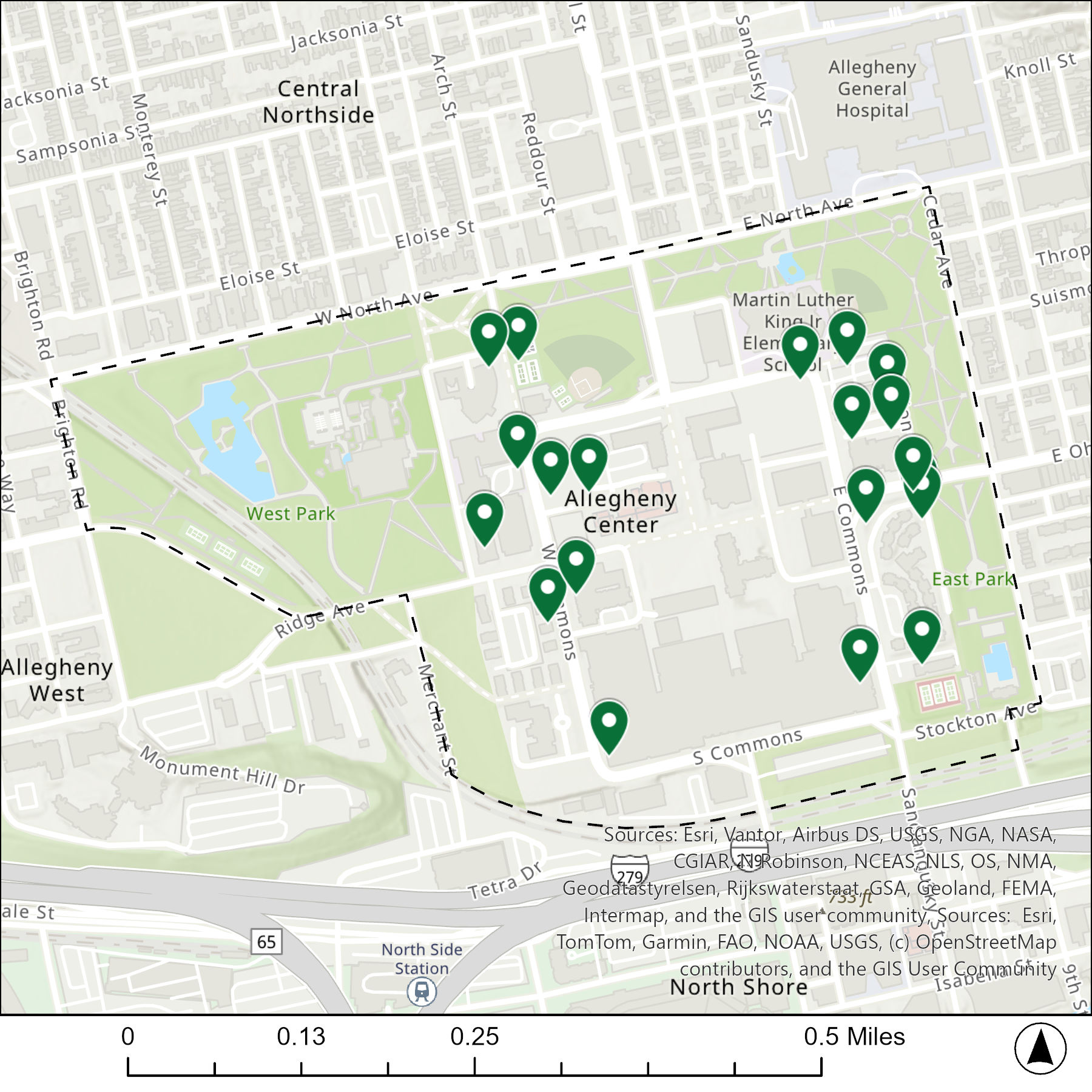
Locations
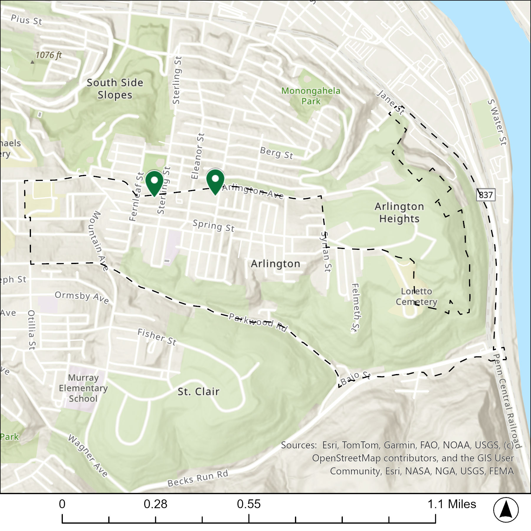
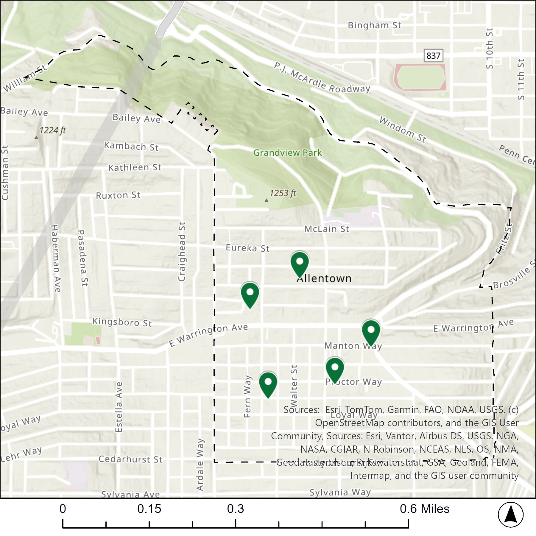
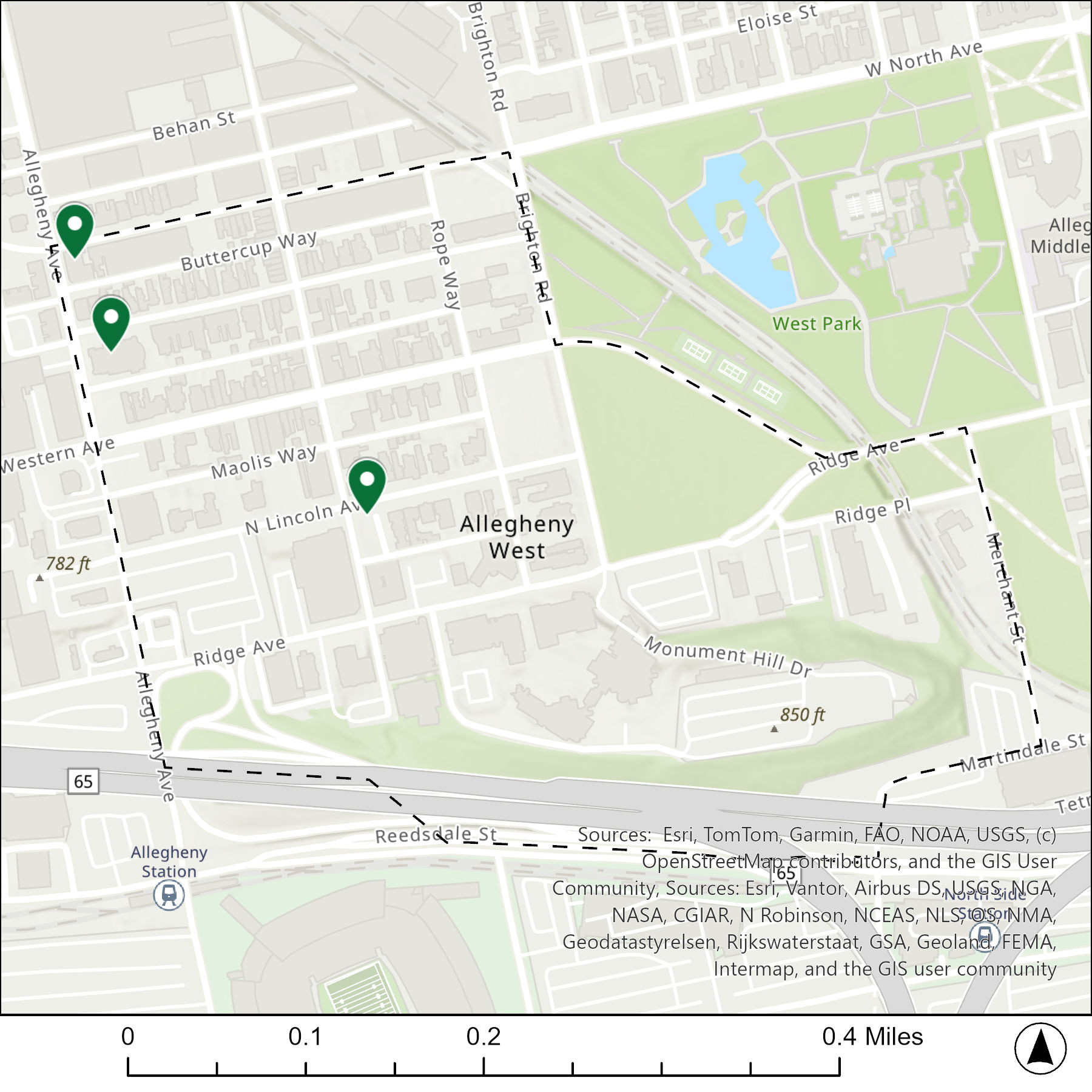
The map below shows the locations of the 9 congregations listed in the 1926 directory for Beechview (the dotted line marks the neighborhood boundary).

What are they now?
The table below matches the 9 congregations listed in the 1926 directory with the current use of the site.
| 1926 Congregation Name | By 2026 the Congregation’s Building is: |
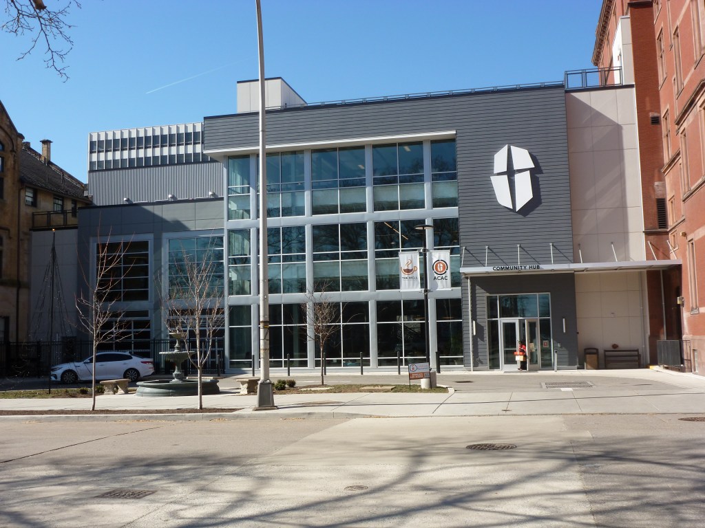
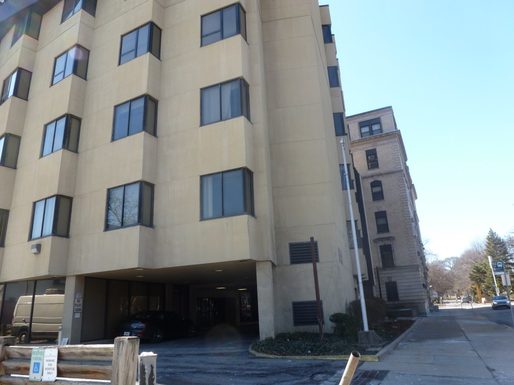
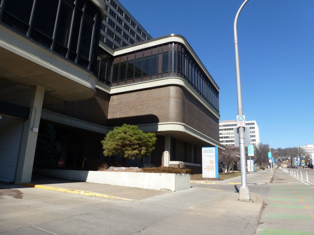
| Beechview Christian Church | converted to secular use, healthcare |
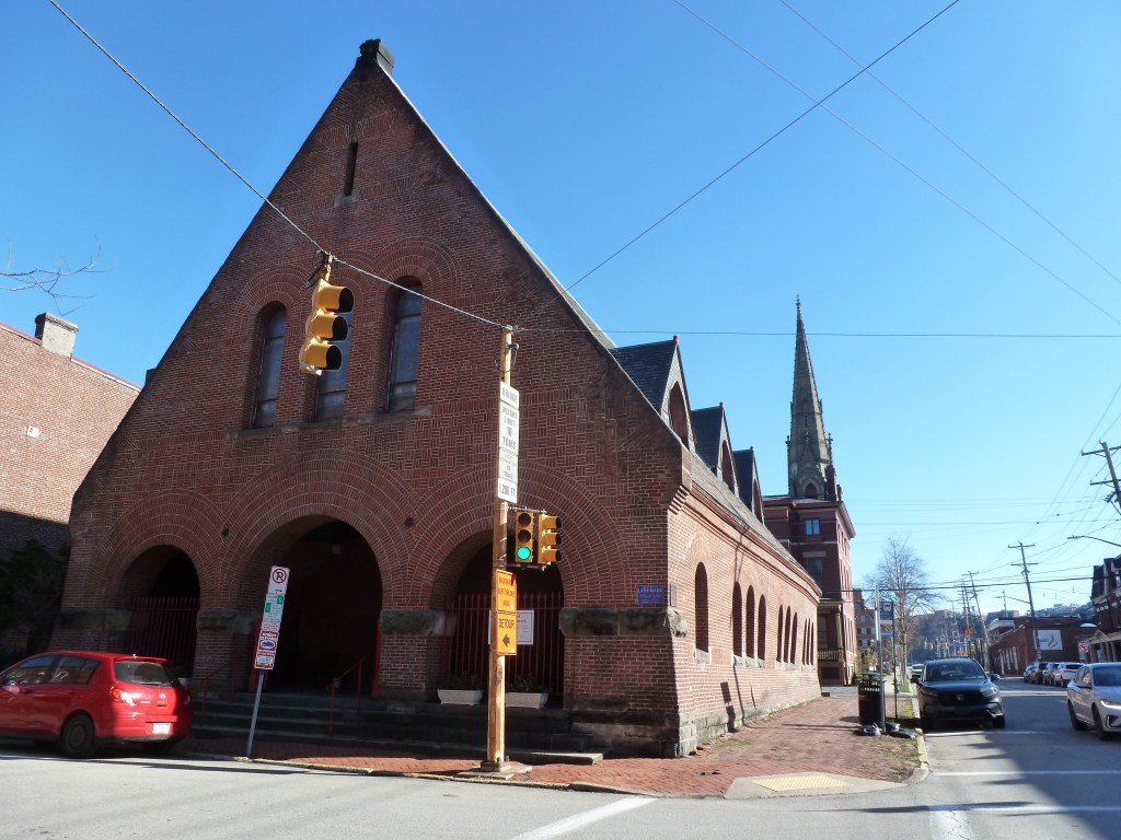
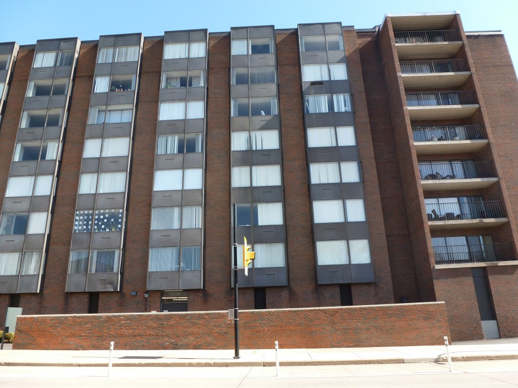
| Beechview Methodist Episcopal Church | changed to a different religious institution |
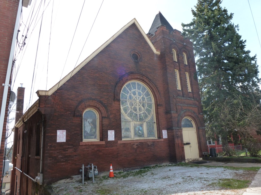
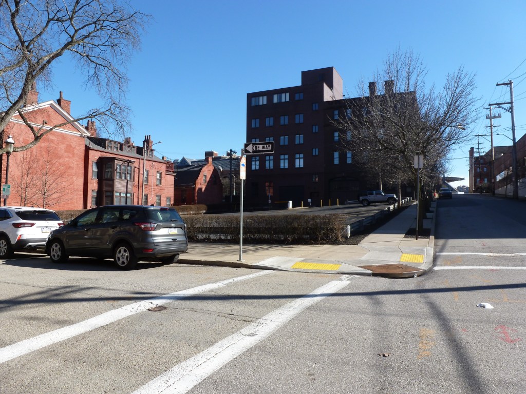
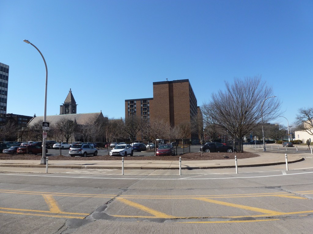
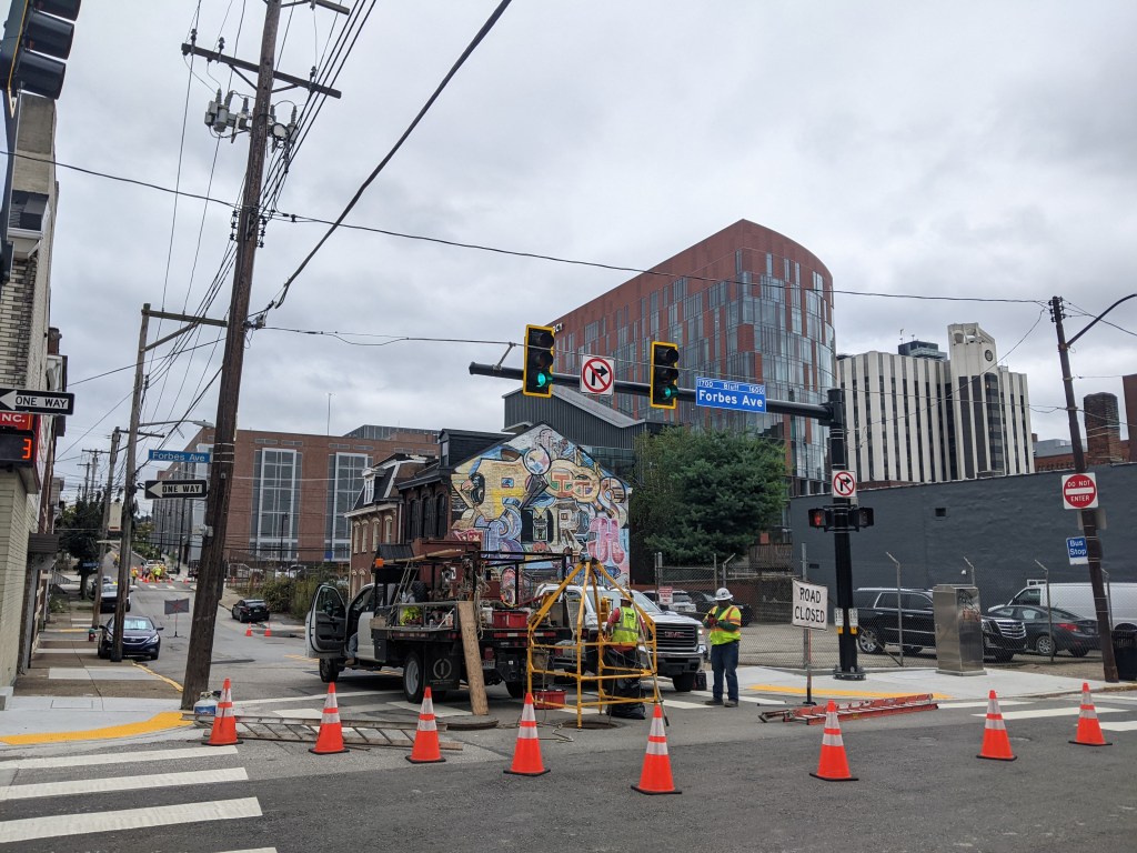
| Beechview Presbyterian Church | partially demolished and replaced with a fire station |
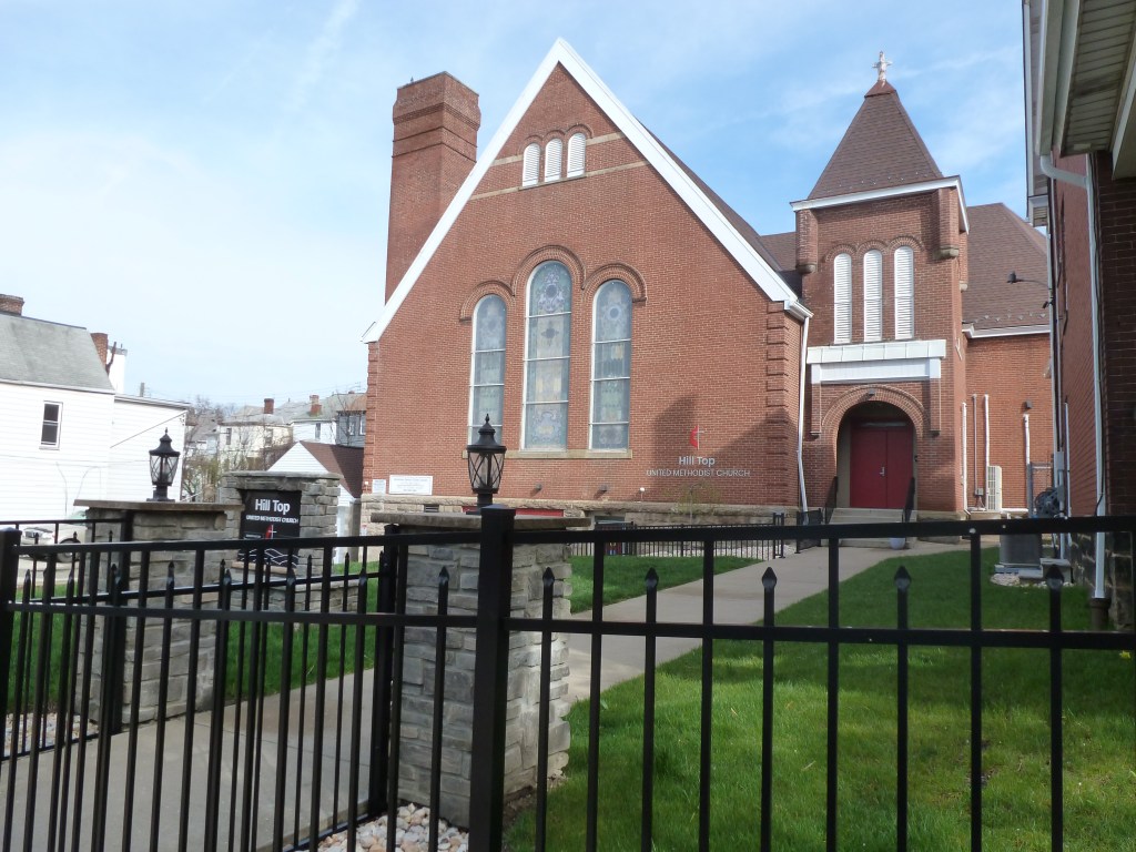
| Beechview United Presbyterian Church | still Beechview United Presbyterian Church |
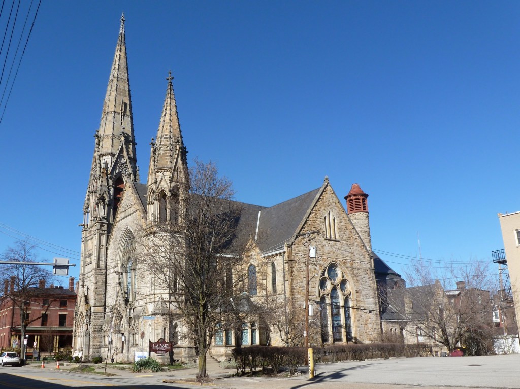
| Holy Trinity Lutheran Evangelical Church | still Trinity Lutheran Evangelical Church |
| Reorganized Church of Jesus Christ Latter Day Saints | changed to a different religious institution |
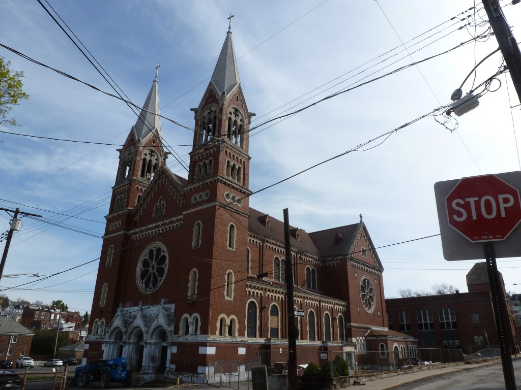
| St. Catherine Catholic Church | new St. Catherine of Siena Catholic Church |
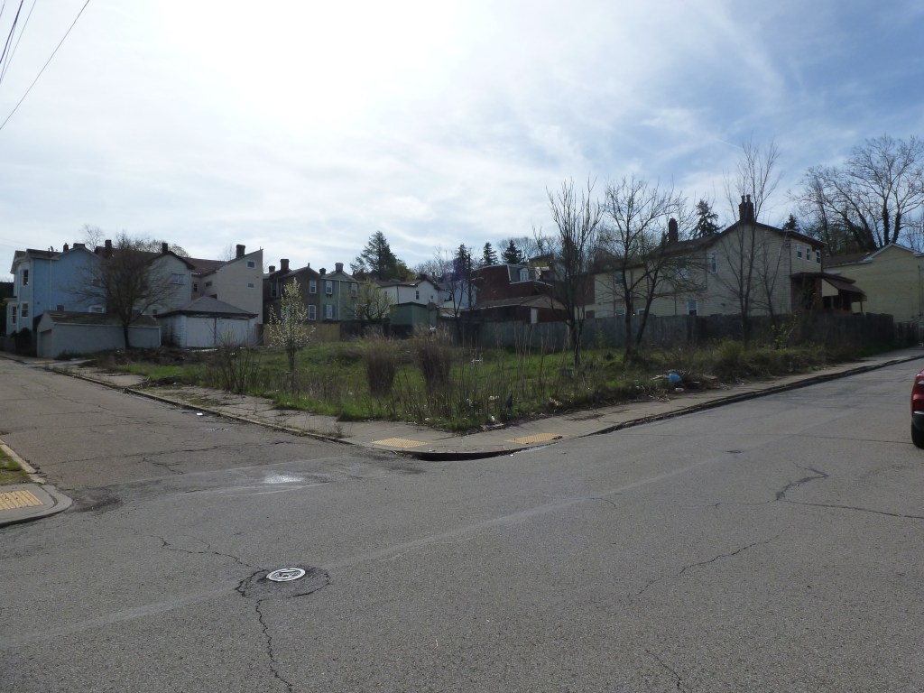
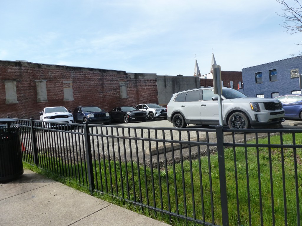
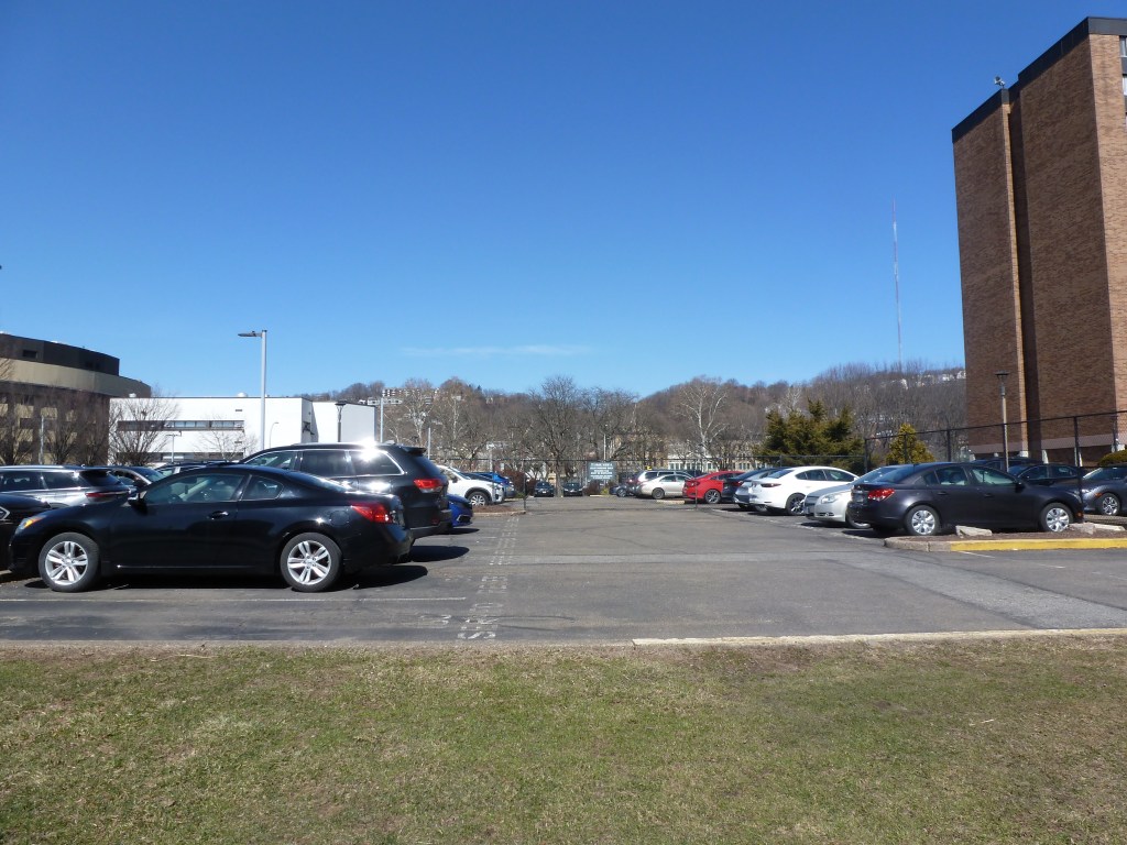
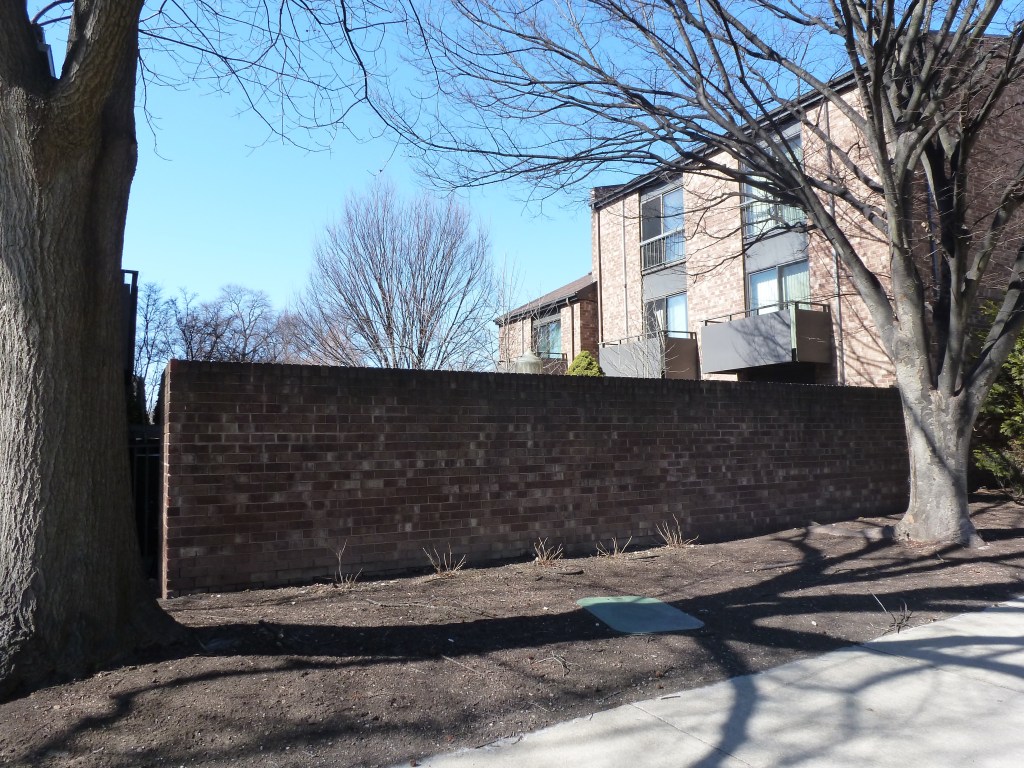
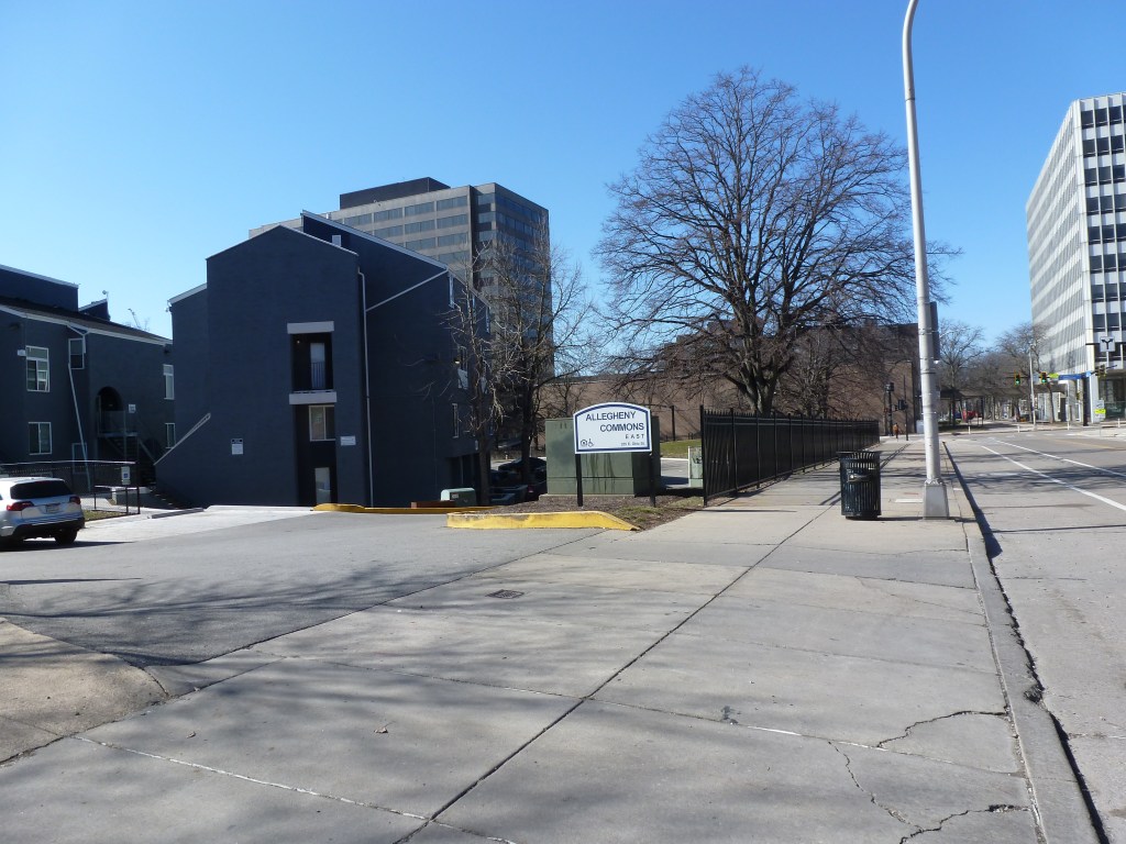
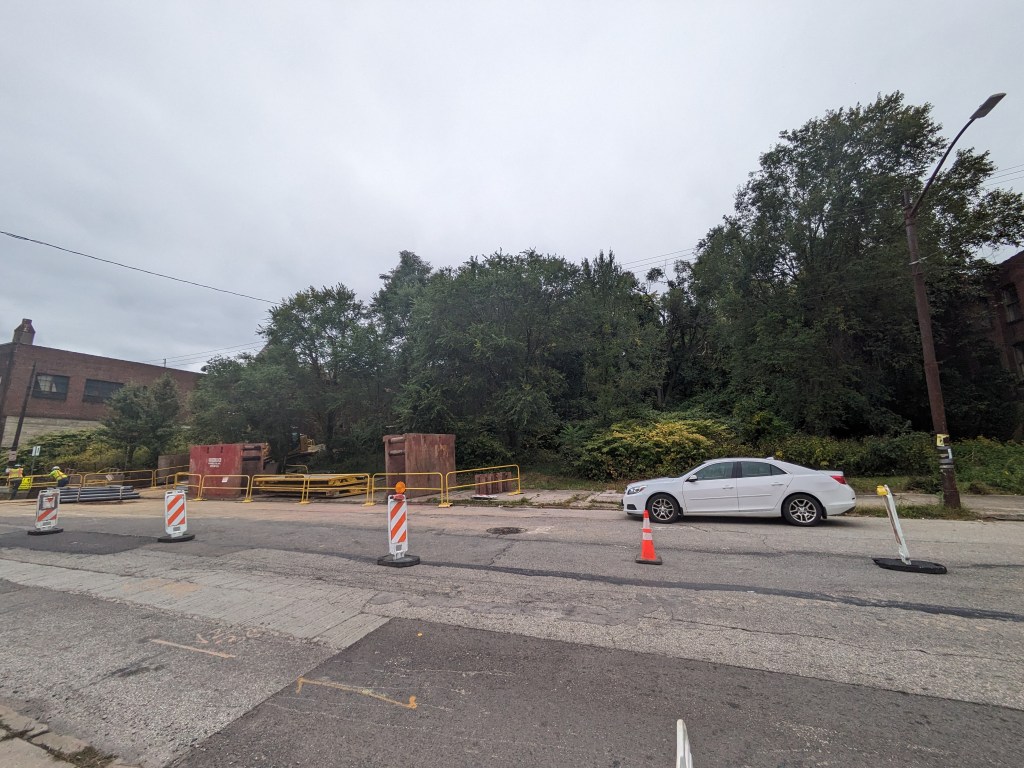
| Third Christian Science Church | demolished, now a side yard |
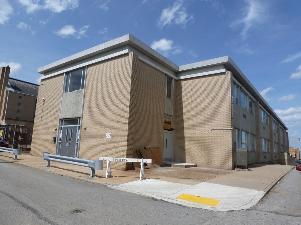
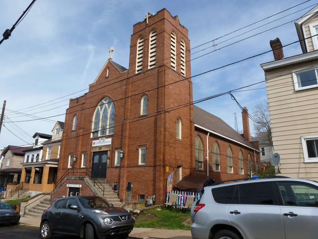
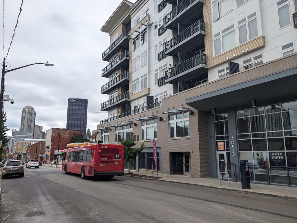
| West Liberty Union Mission | converted to residential use |
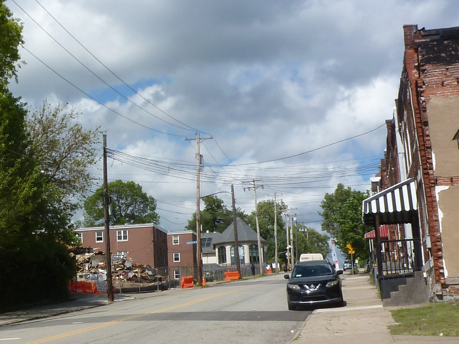
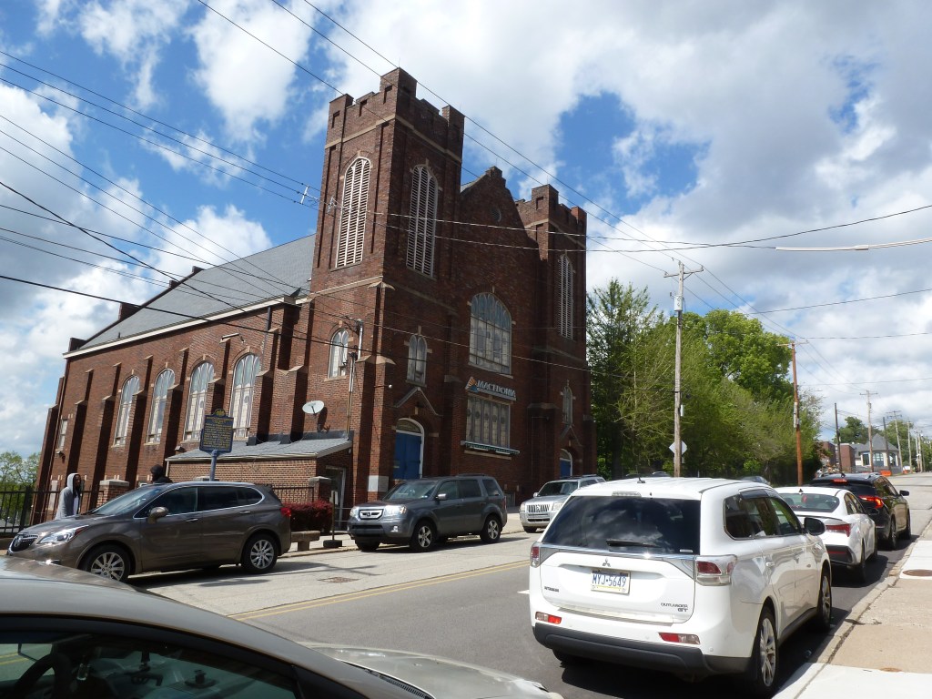
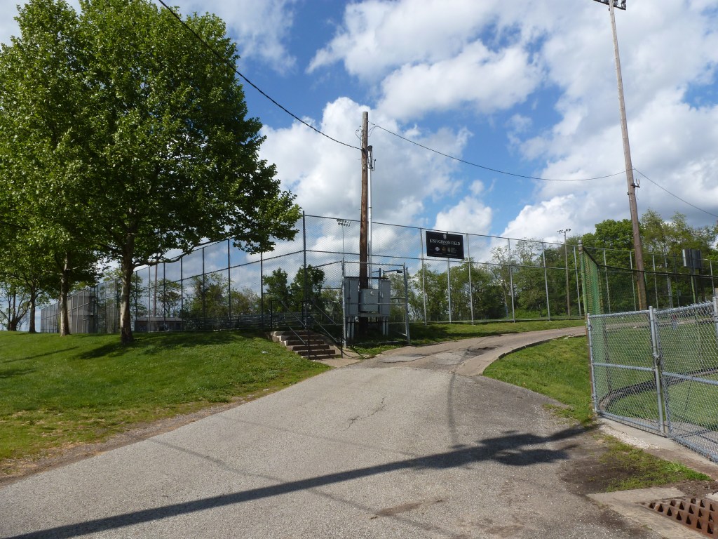
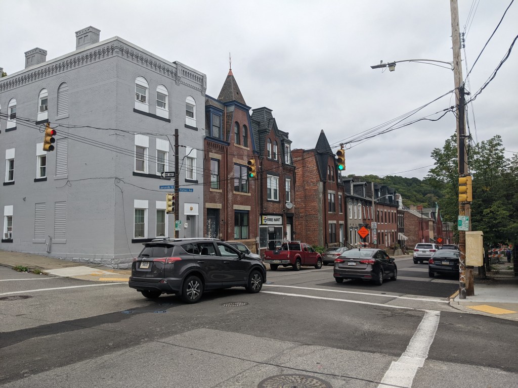
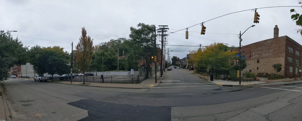
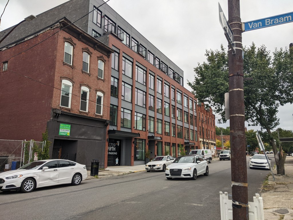
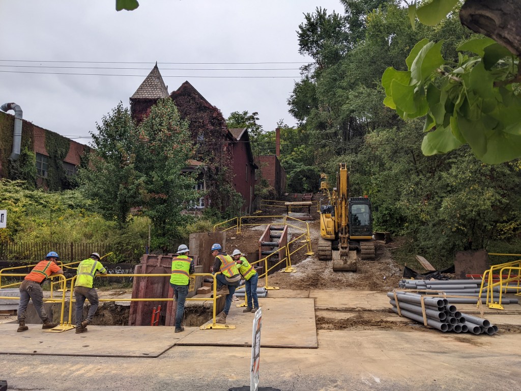
Photos

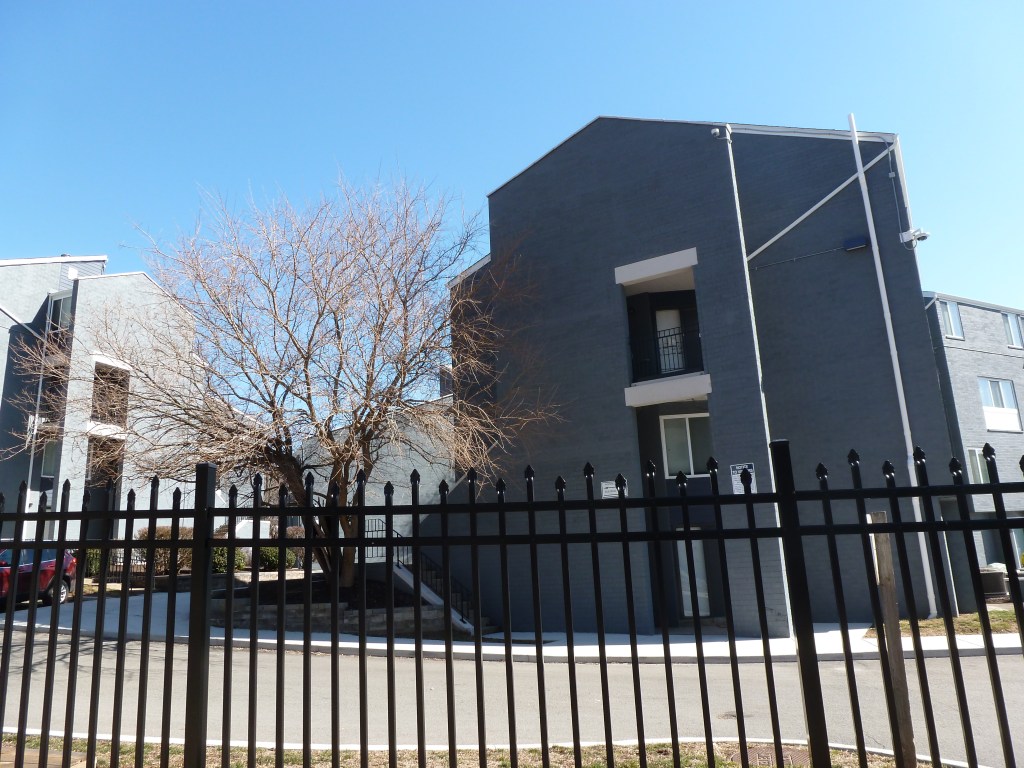
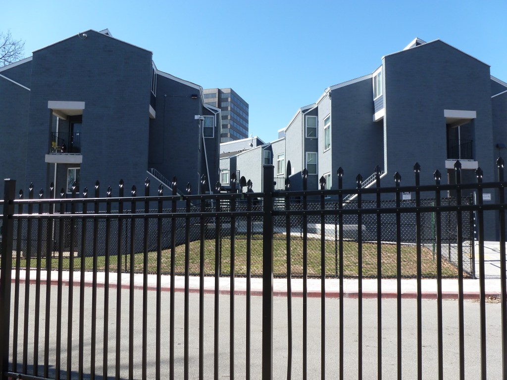
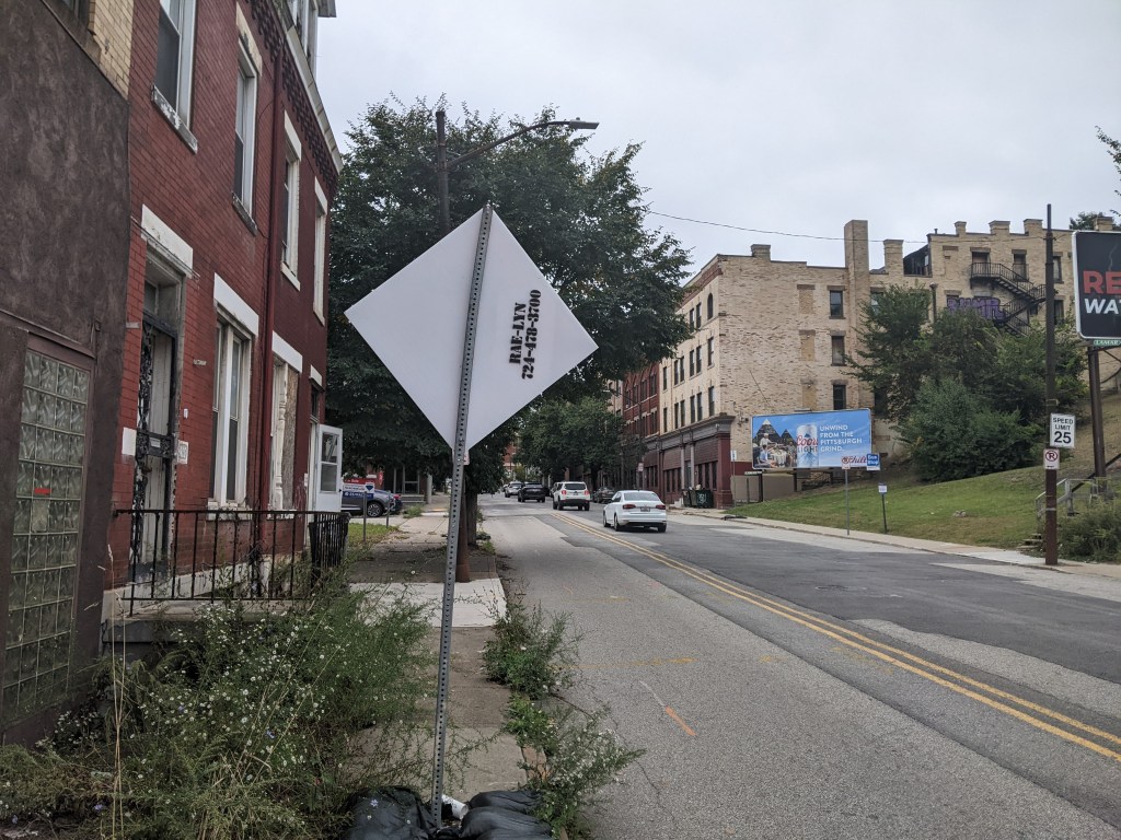
former West Liberty Union Mission (2026) 
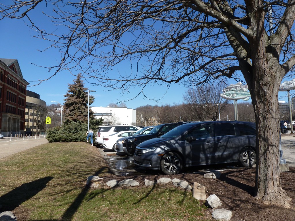
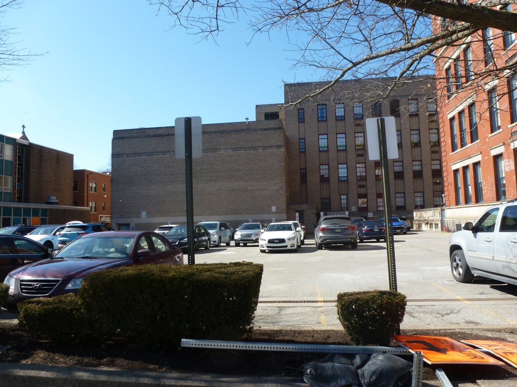
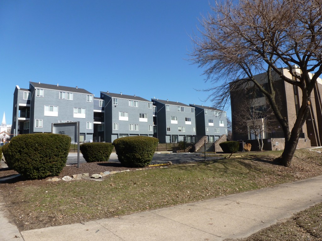
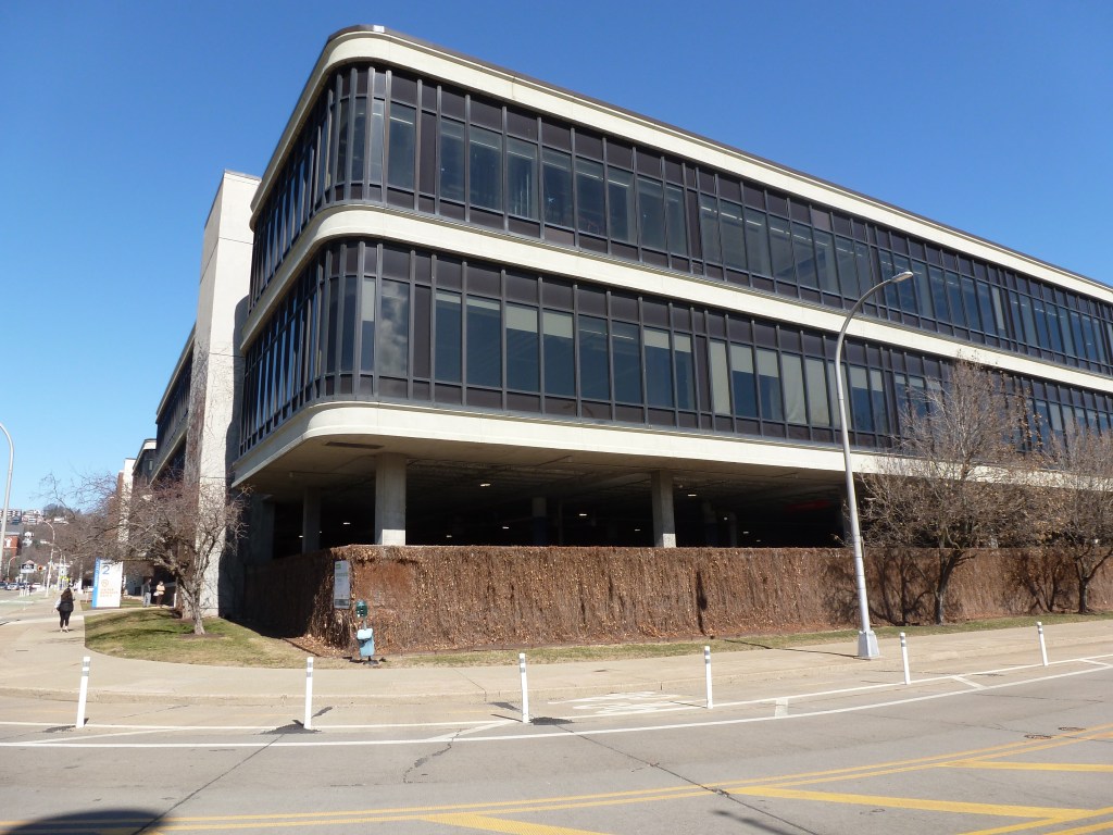
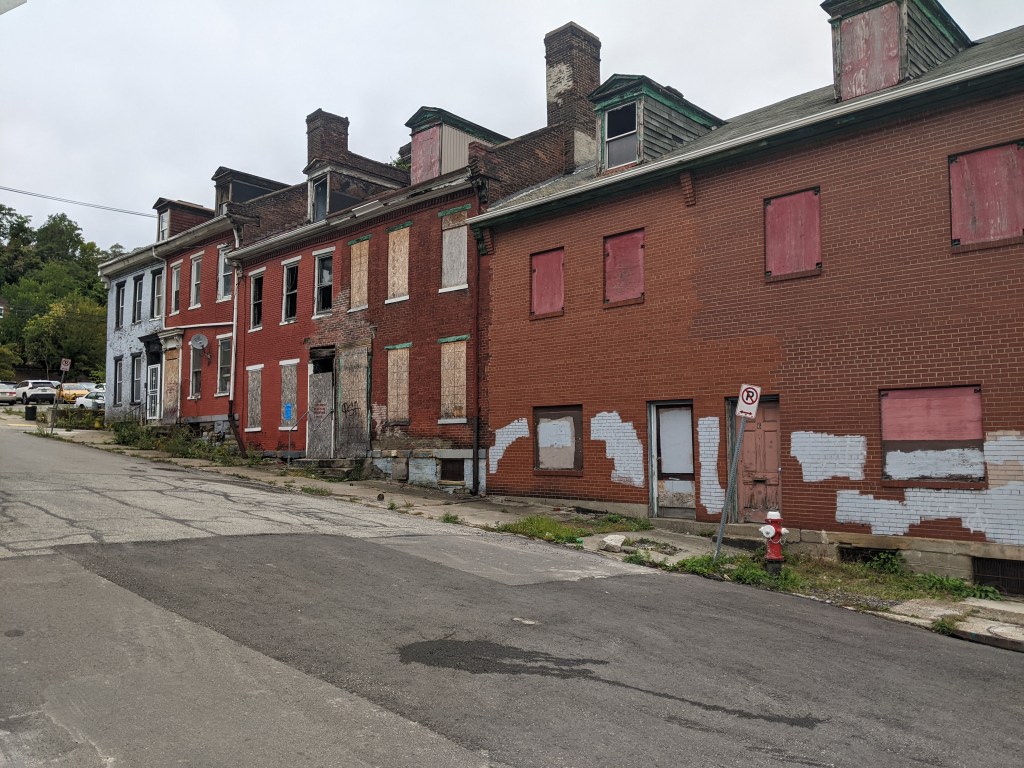
Beechview Presbyterian Church site (2026) 
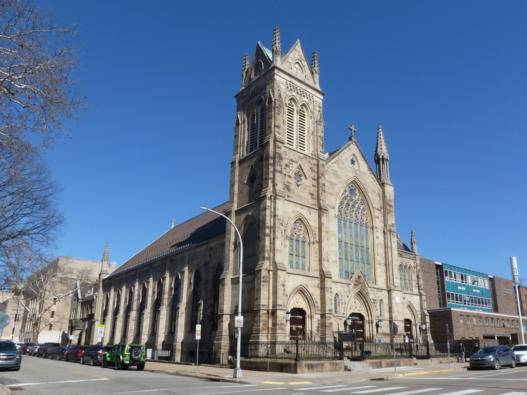
Holy Trinity Evangelical Lutheran Church (2016) 
former Beechview Methodist Episcopal Church (2016) 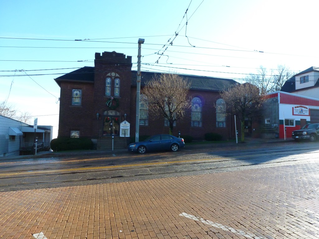
Beechview United Presbyterian (2016) 
former Reorganized Church of Jesus Christ Latter Day Saints (2026) 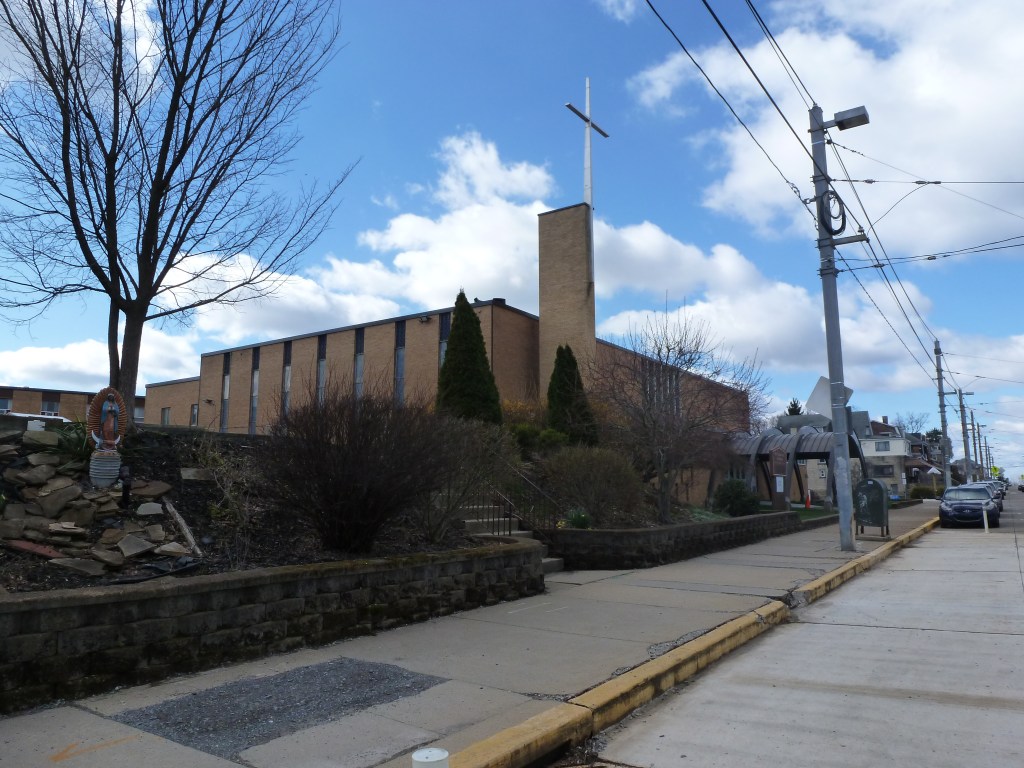
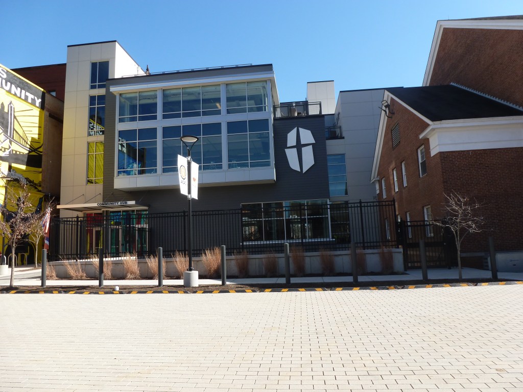
St. Catherine Catholic Church site (2026) 
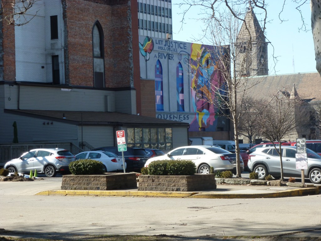
former Beechview Christian Church (2026) 
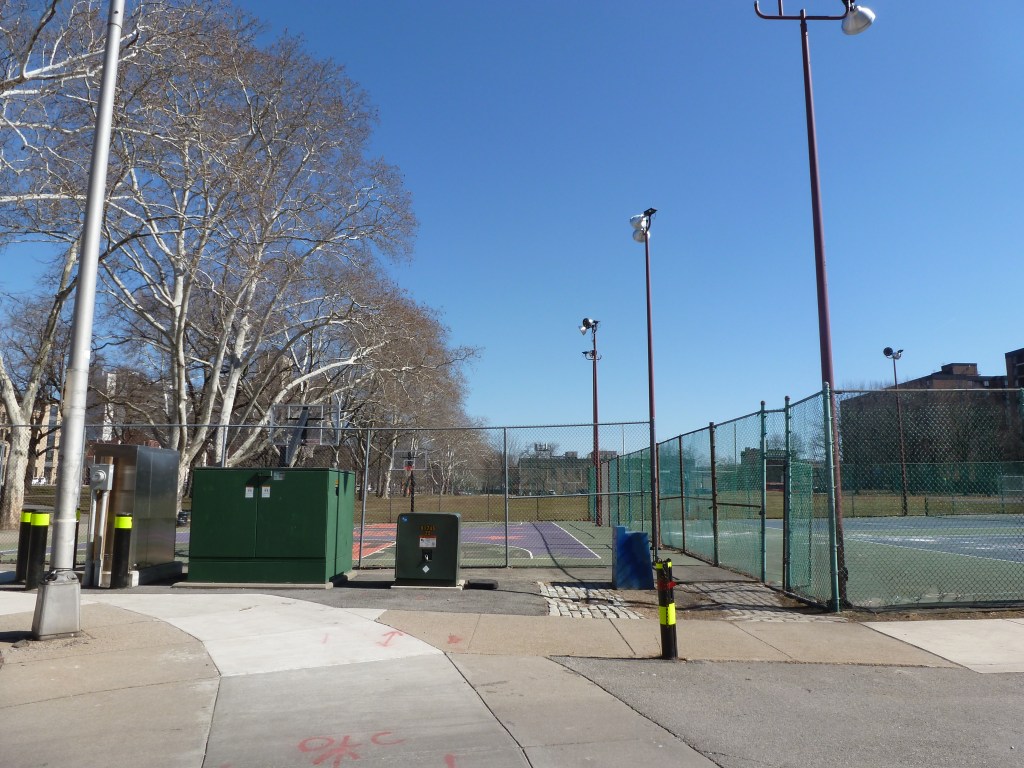
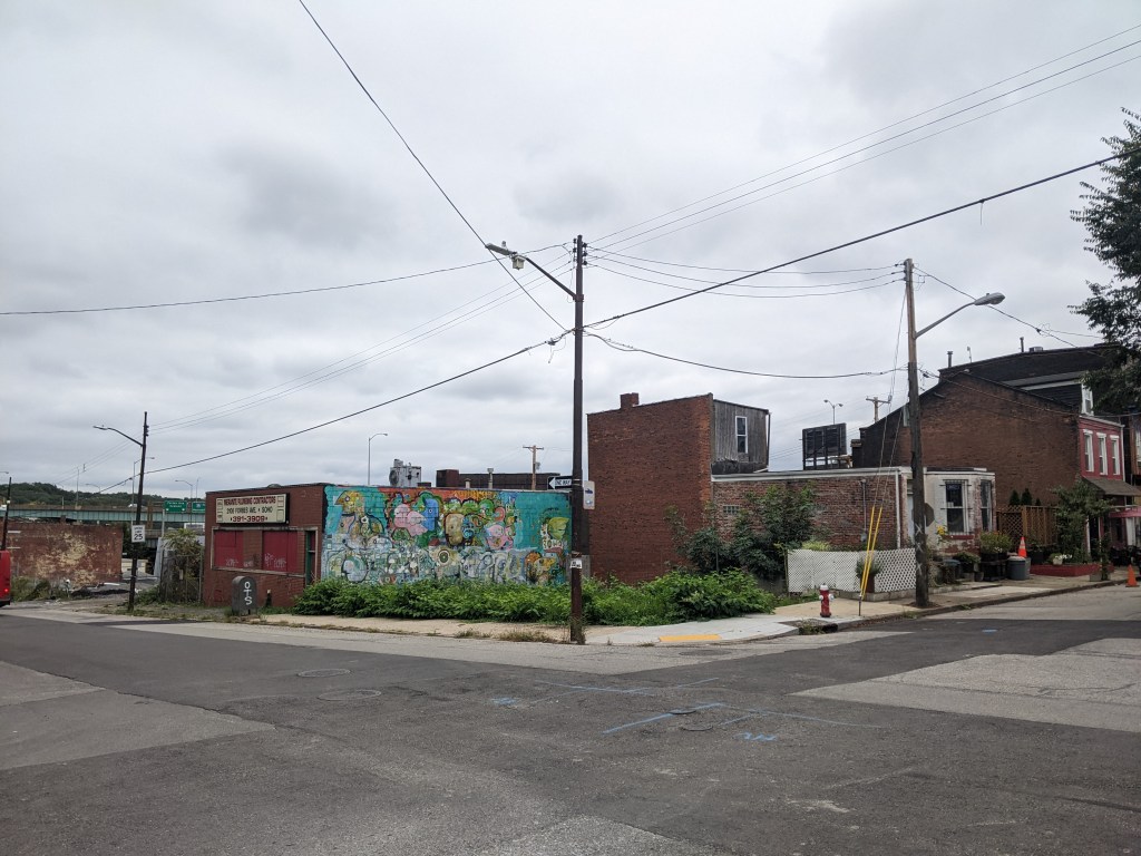
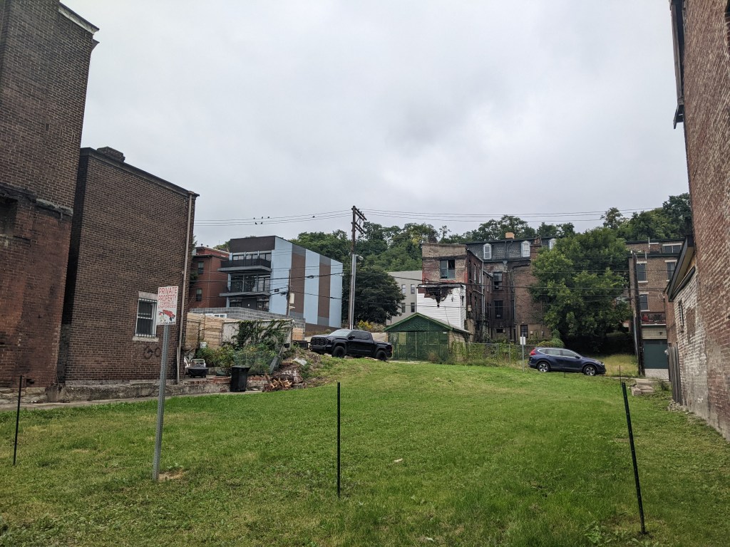
Third Christian Science Church site (2026)
For more on this series, visit our introductory post.
Sources:
Polk’s Pittsburgh City Directory, 1926. Pittsburgh: R. L. Polk & Co. https://digital.library.pitt.edu/islandora/object/pitt%3A31735056286846/viewer#page/4/mode/1up