
Why Religious Buildings?
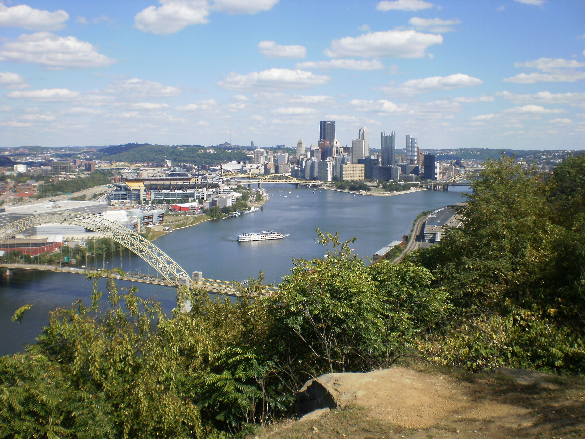
In 2010, as I travelled around different neighborhoods in Pittsburgh for work, school, and play, I began to notice a number of former religious buildings that were being used for secular purposes from child care to community centers to homes. Yet, I only heard people talk about one or two that made the news for the controversial way in which they were now used, particularly the brewpub that brewed in the former altar space. This inspired me to try to identify how many former religious buildings in Pittsburgh were being used for secular purposes and what those new uses were. While I have since learned that this is a moving target, I have become more and more fascinated about what these buildings tell us about the history of the city and the people who’ve lived here.
Eventually, I will write a book about Pittsburgh and its communities featuring Pittsburgh’s former religious buildings. In the meantime, I’m broadening the parameters of my research to gather information about former religious buildings that have been demolished or that sit vacant.
Why 1926?
The more I learn about 1926, the more it seems a significant moment in Pittsburgh’s history. It sits in the middle of the city’s final decade of significant population growth, which gets a boost from the numerous boroughs annexed that decade. The city’s boundary in 1926 only encompasses 85% of what will become the city’s full extent after the last annexation in 1955. While the City adopted zoning in 1923 with two types of residential districts (one for single-unit and two-unit dwellings and one for any number of units), in 1926, it added a third type of residential district for only single-unit dwellings.
Granted, given my day job, this last fact may be the reason I’ve become so focused on the year 1926. However, since we are now exactly 100 years later, it seems worth elevating 1926 and 2026 to another “Then & Now” series.
Scope of the Series
Polk’s Pittsburgh City Directory of 1926 identifies over 500 listings under the category “Churches.” Over the next couple of years, this Then & Now series will visit these sites by neighborhood to identify what they look like in 2026. I expect there will be 71 posts in this series occasionally interrupted by other posts, including the monthly public art posts and annual Bridge Madness series.
In 2026, there are 90 neighborhoods officially recognized by Pittsburgh’s Department of City Planning. Only 70 of these will be featured in this series. The others do not have religious sites that are listed in the 1926 city directory. This is because they were were largely undeveloped at that time, not yet annexed to the city, or both (parts of the neighborhood undeveloped and other parts not annexed).
- Neighborhoods Featured in the Series
- Allegheny Center
- Allegheny West
- Allentown
- Arlington
- Bedford Dwellings
- Beechview
- Beltzhoover
- Bloomfield
- Bluff
- Brighton Heights
- Brookline
- California-Kirkbride
- Central Business District
- Central Lawrenceville
- Central Northside
- Central Oakland
- Chateau
- Crafton Heights
- Crawford-Roberts
- Duquesne Heights
- East Allegheny
- East Carnegie
- East Hills
- East Liberty
- Elliott
- Esplen
- Fineview
- Friendship
- Garfield
- Greenfield
- Hazelwood
- Highland Park
- Homewood North
- Homewood South
- Homewood West
- Larimer
- Lincoln-Lemington-Belmar
- Lower Lawrenceville
- Manchester
- Marshall-Shadeland
- Middle Hill
- Morningside
- Mt. Oliver
- Mt. Washington
- North Oakland
- North Shore
- Perry North
- Perry South
- Point Breeze
- Point Breeze North
- Polish Hill
- Shadyside
- Sheraden
- South Oakland
- South Shore
- South Side Flats
- South Side Slopes
- Spring Garden
- Spring Hill-City View
- Squirrel Hill North
- Squirrel Hill South
- Stanton Heights
- Strip District
- Swisshelm Park
- Terrace Village
- Troy Hill
- Upper Hill
- Upper Lawrenceville
- West End
- West Oakland
- Neighborhoods Annexed after 1926
- Carrick (1927)
- Hays (1929 & 1951)
- Knoxville (1927)
- Lincoln Place (1929)
- New Homestead (1931)
- Northview Heights (1931)
- Overbrook (1927)
- Neighborhoods Largely Undeveloped in 1926
- Arlington Heights
- Bon Air
- Chartiers City
- Fairywood
- Glen Hazel
- Oakwood
- Regent Square
- Saint Clair
- Windgap
- Neighborhoods w/Portions Undeveloped in 1926 and Portions Annexed after 1926
- Ridgemont (a portion annexed 1928)
- Summer Hill (a portion annexed 1929)
- Westwood (a portion annexed 1927)
Sources:
Polk’s Pittsburgh City Directory, 1926. Pittsburgh: R. L. Polk & Co. https://digital.library.pitt.edu/islandora/object/pitt%3A31735056286846/viewer#page/4/mode/1up
Discover more from urbantraipsing
Subscribe to get the latest posts sent to your email.
