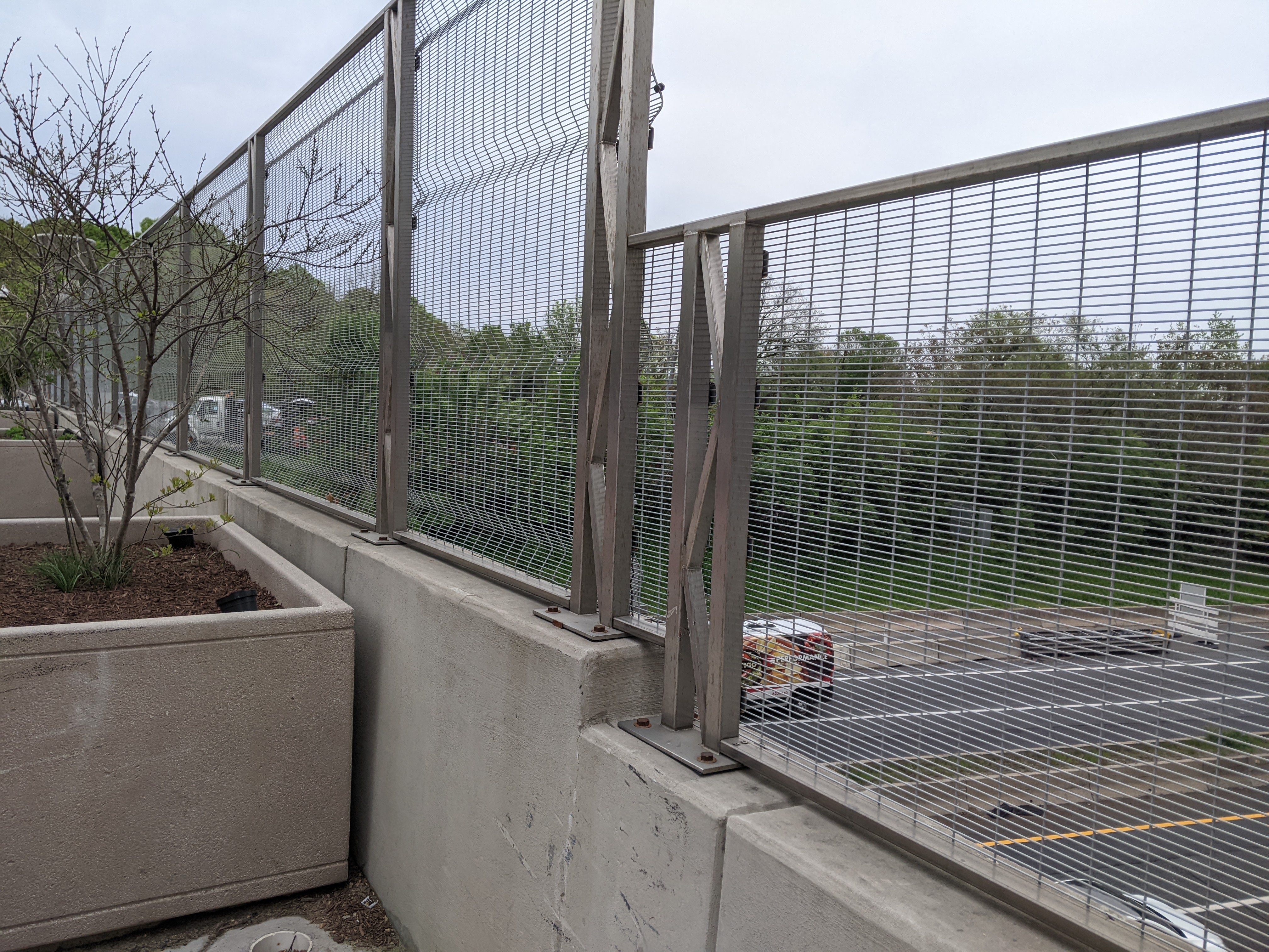
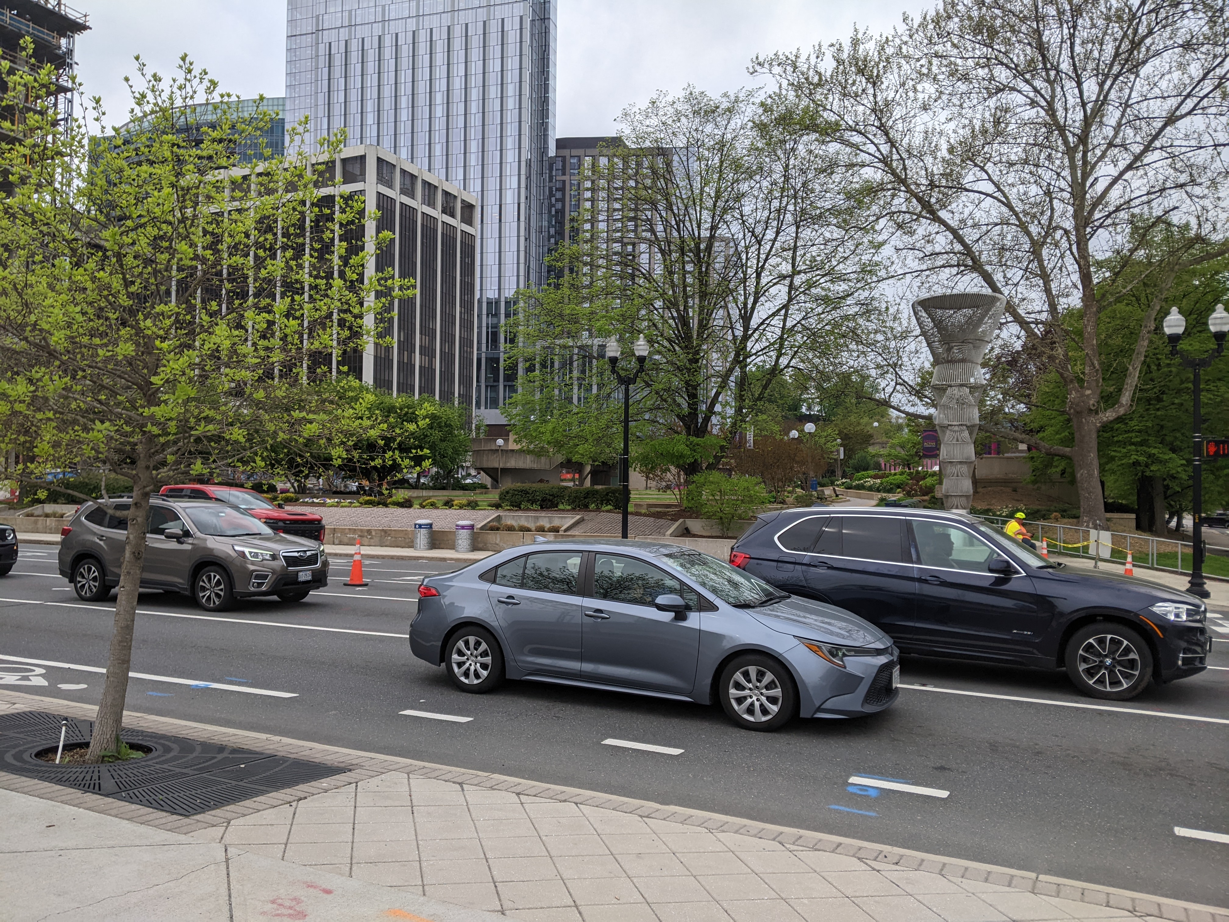
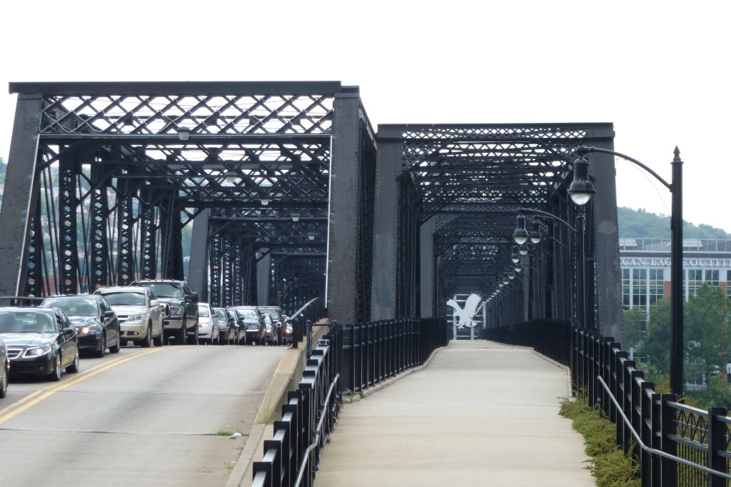
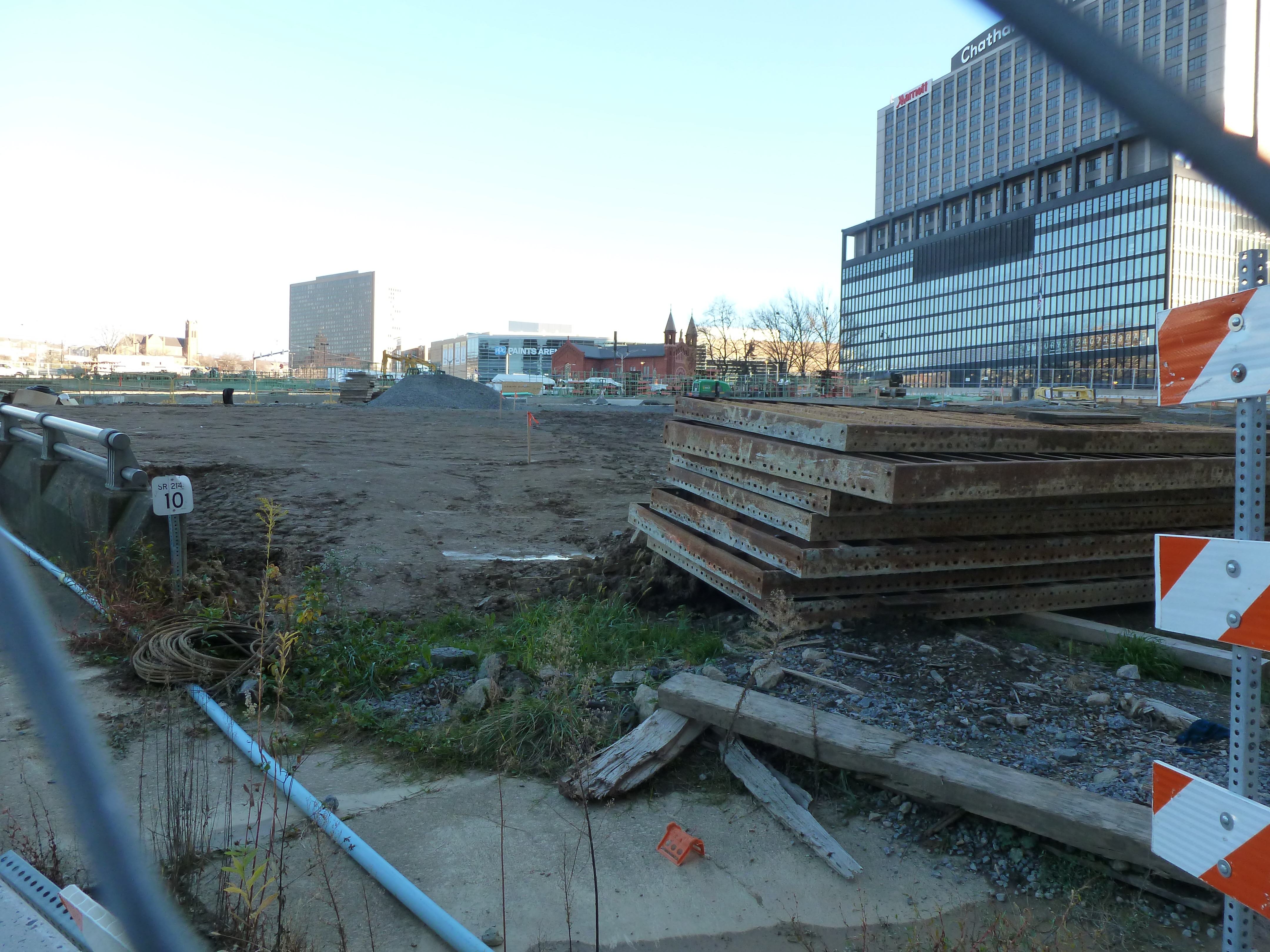
While walking from the Rosslyn Metro Station to the Francis Scott Key Memorial Bridge over the Potomac, we walked over a surprise bridge. If we had chosen to walk over on the upriver side of the Francis Scott Key Memorial Bridge, I may have completely missed that we walked a bridge over I-66.
Gateway Park is a “cap” over the freeway and is both a park and a bridge. Unlike Pittsburgh’s CAP or Frankie Pace Park, Gateway Park was built in the 1980s at the same time as the freeway it covers. It also distinguishes itself from Pittsburgh’s park/bridge by appearing to be fully integrated with the surrounding city and having well-utilized programming.
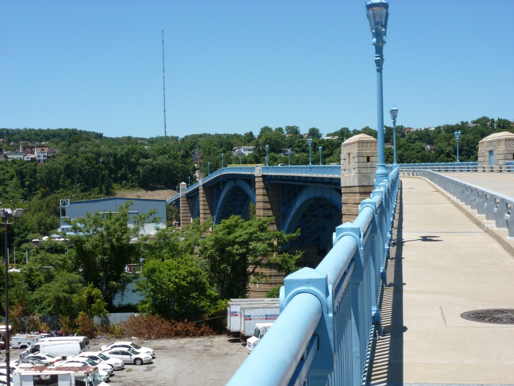
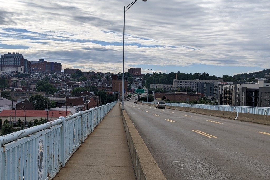
From time to time, someone will ask me which Pittsburgh bridge is my favorite. I typically answer the Smithfield Street Bridge. The shape and color of its trusses are unique in a city of golden bridges. The lights gently rising and falling along the curves the the trusses create a soft reflection on the river. Walking over it placed the stress of work on the other side of the river. Walking over it, it’s best not to look down at the holes rusted through the sidewalk that reveal the rushing water underneath.
This question came up again when my family was visiting for the holidays. I had postponed my first walk across the new Fern Hollow Bridge about a week to share the experience with them. While we were walking across it, I was asked what bridge(s) I liked in Pittsburgh. While I answered that the Smithfield Bridge is probably my favorite, we had experienced that one multiple times in the past, so I started to think about what are the other bridges I find interesting that are less visible than the Smithfield Bridge. This spurred an impromptu driving tour of bridges in Pittsburgh.
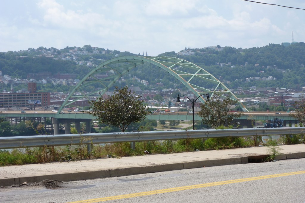
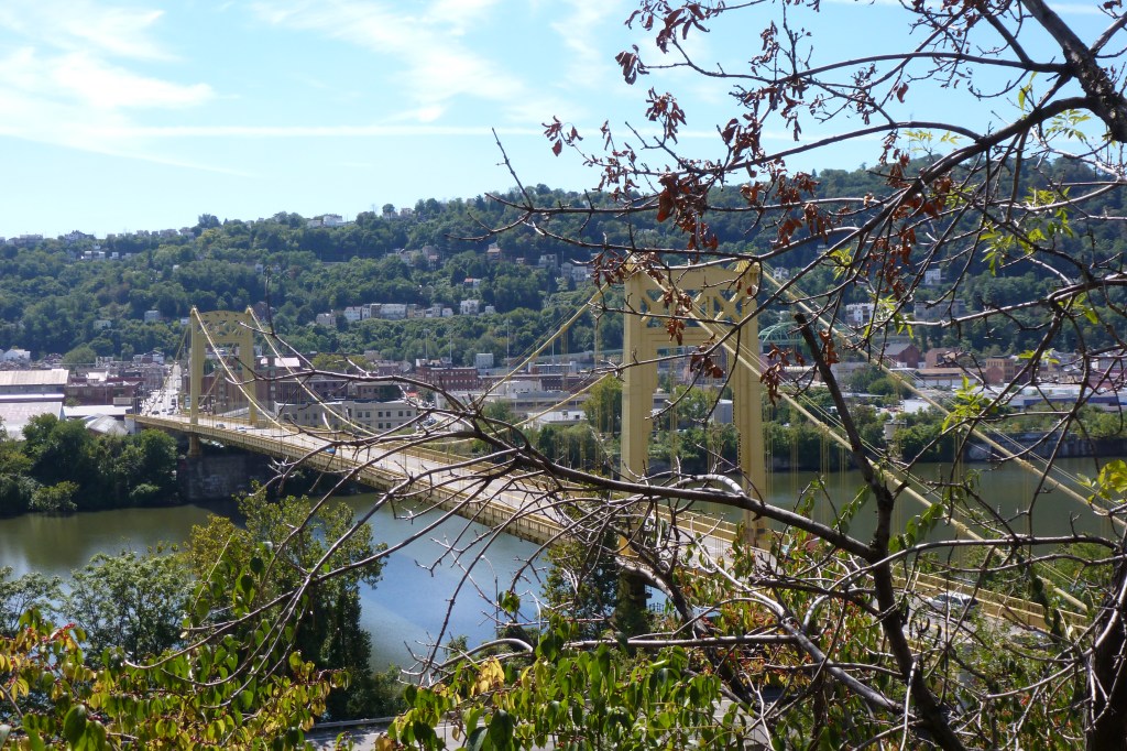
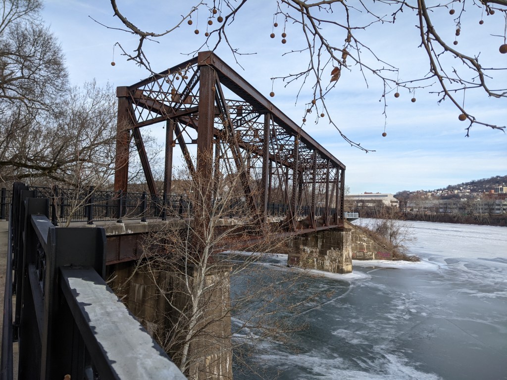
We went from the Fern Hollow Bridge to the Greenfield Bridge, as the last time we were all in Pittsburgh together we watched the cloud of dust from the implosion of the former bridge through the trees of Schenley Park. We passed the Hot Metal Bridge, Birmingham Bridge, and South 10th Street Bridge before passing through the Armstrong Tunnel for the fun of it. That positioned us to encounter the CAP – which is one of those bridges that doesn’t look like a bridge – on our way toward the Allegheny River. I added an extra turn so that we could pass over the 28th Street Bridge – the only through truss bridge over the busway – before crossing the 31st Street Bridge (my other favorite bridge to walk, except for the fact that it is out of the way). We got out of the car at this point to walk the pedestrian/bike trail bridge to Herr’s Island. While that was the end of this unofficial tour, we did pass by the 40th Street Bridge and cross the R.D. Fleming or 62nd Street Bridge to complete our loop.
Your Choice
In March, you will have the chance to vote for your favorite Pittsburgh River Bridges in the 2023 Bridge Madness Tournament. Details will be announced on March 7.
Bridge Photos
Fern Hollow BridgeGreenfield BridgeHot Metal BridgeBirmingham BridgeSouth 10th Street BridgeCAP / Frankie Pace Park28th Street Bridge31st Street BridgePed/Bike Bridge40th Street BridgeR.D. Fleming / 62nd Street Bridge
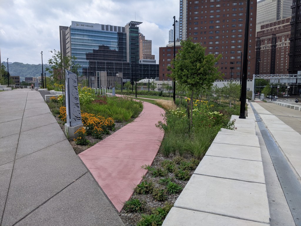
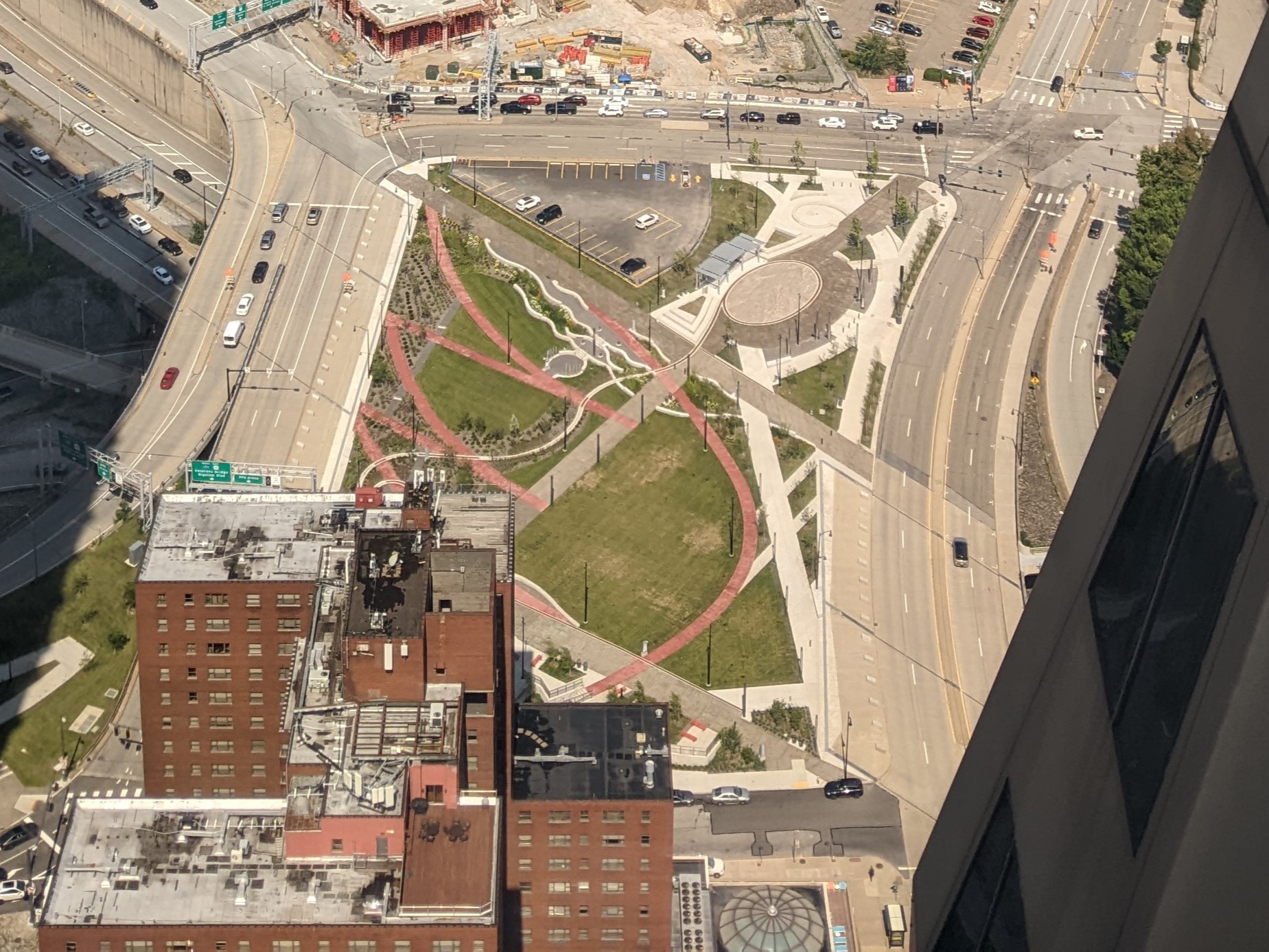
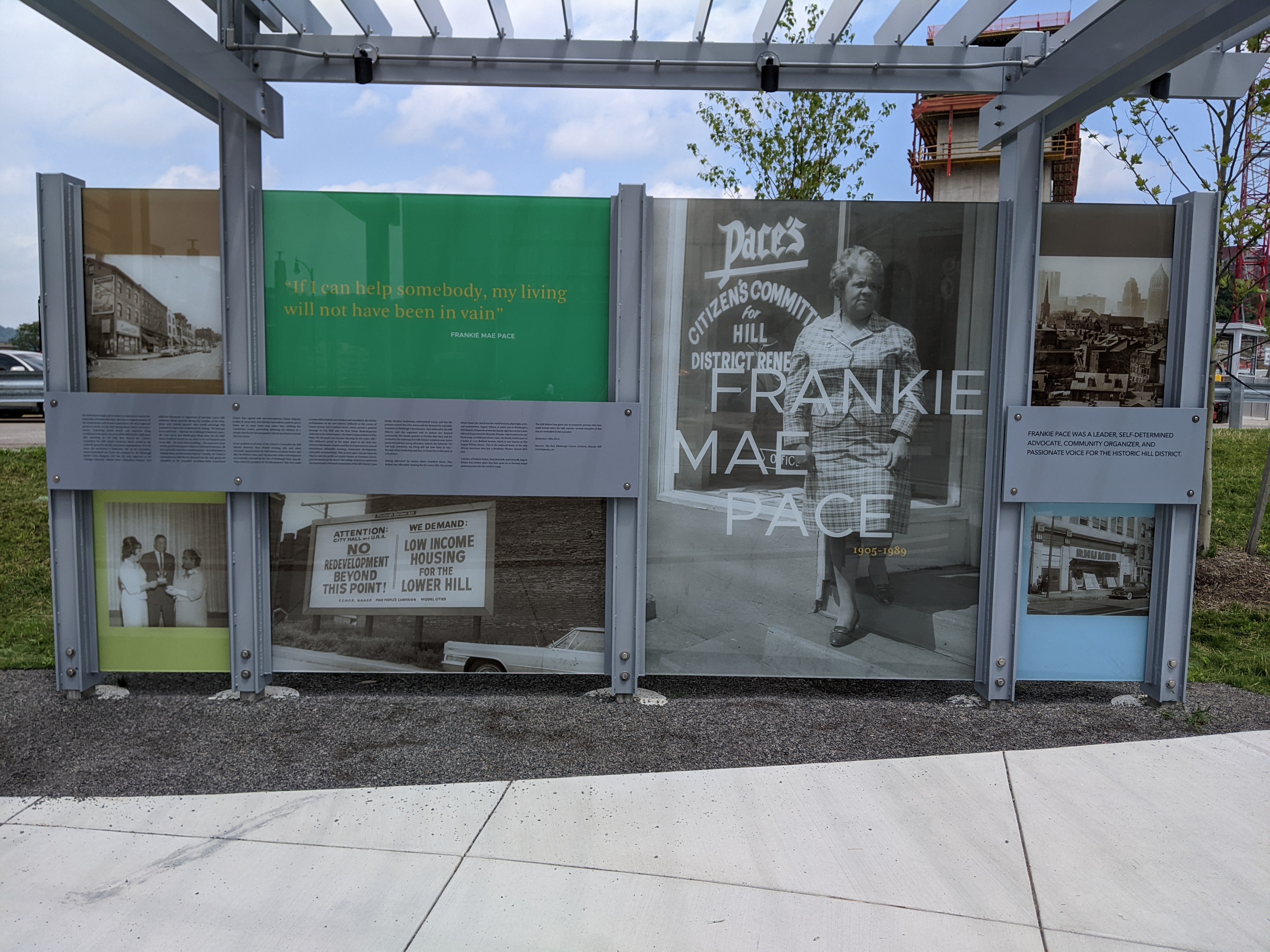
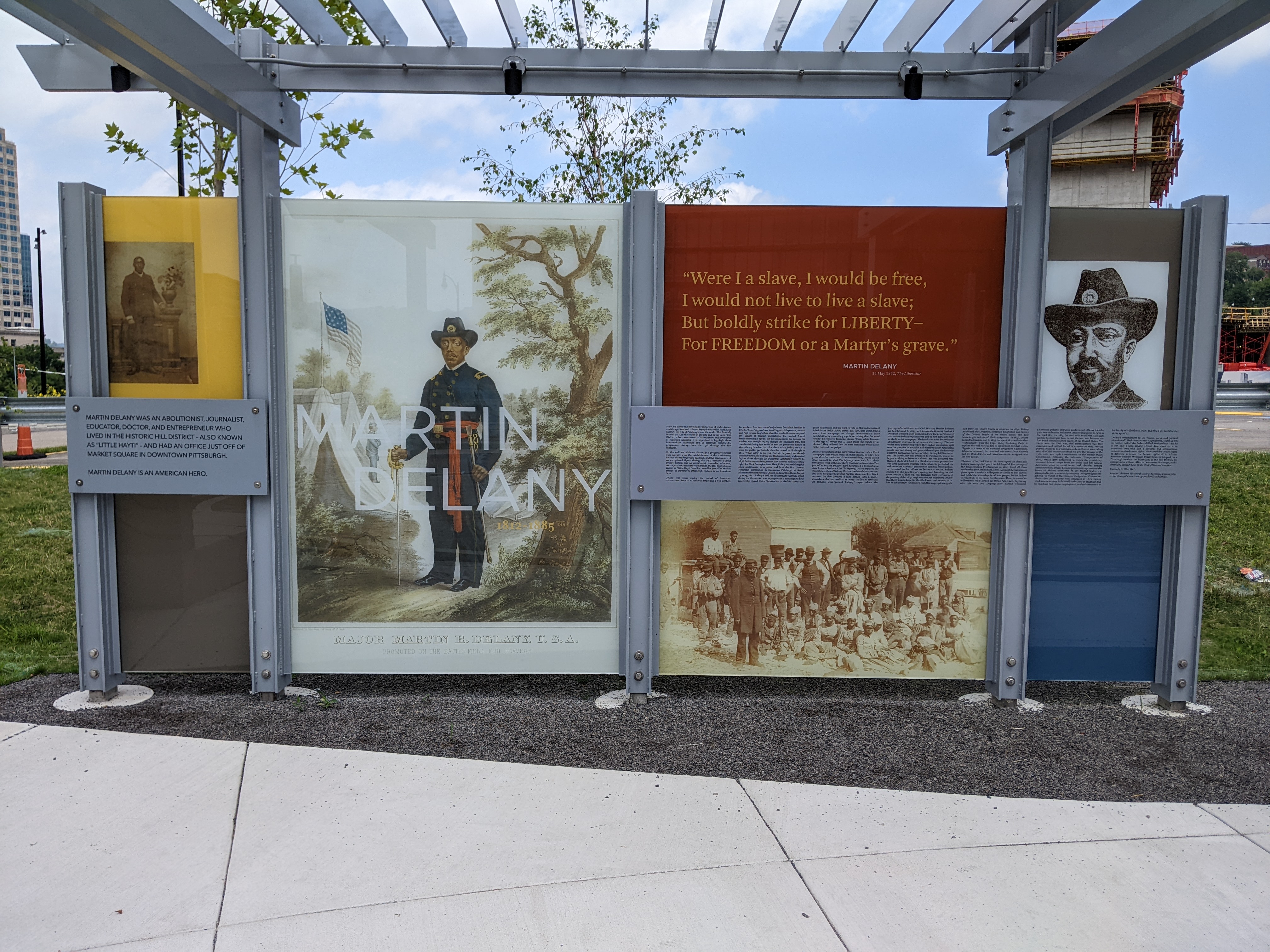
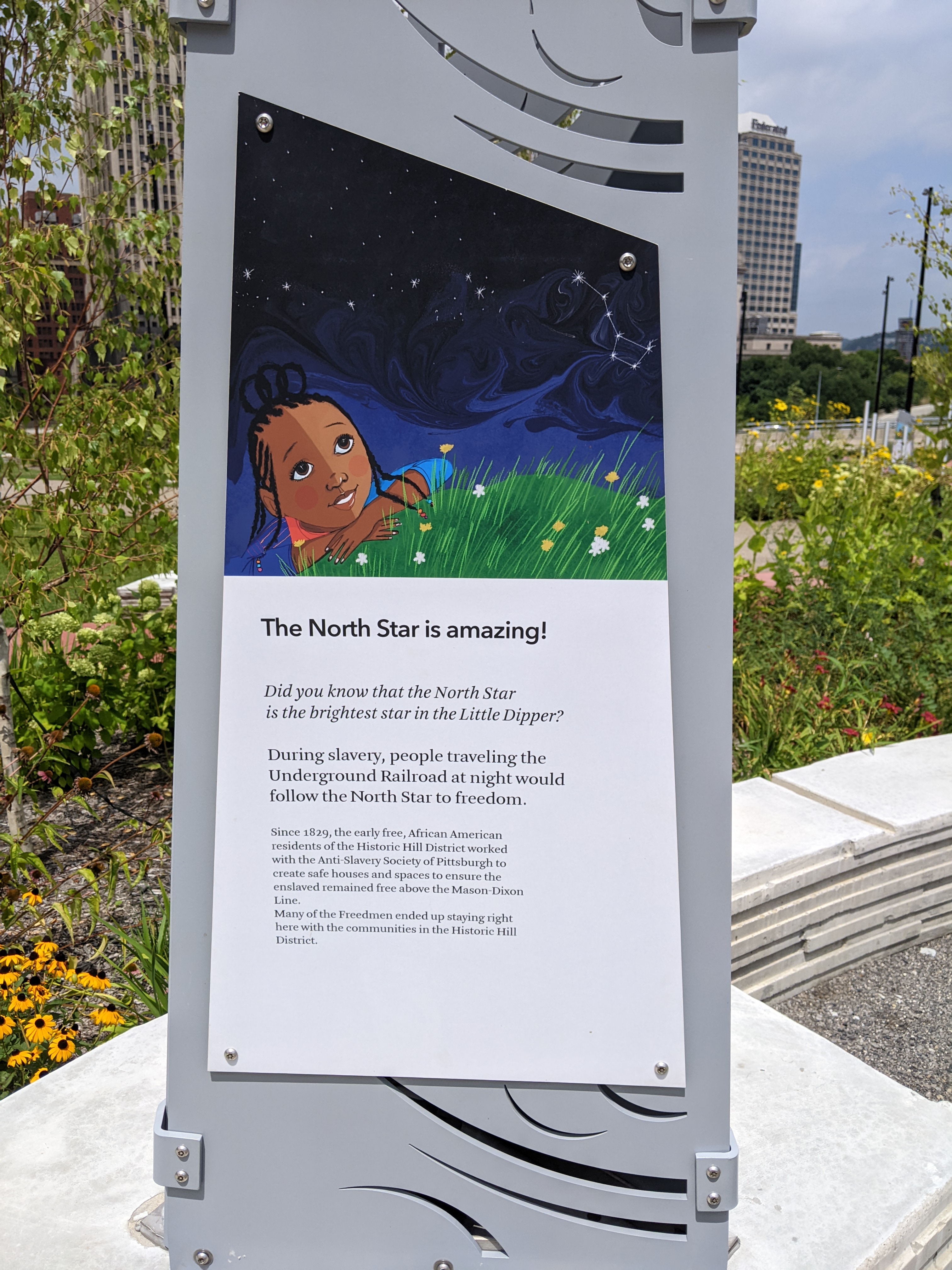
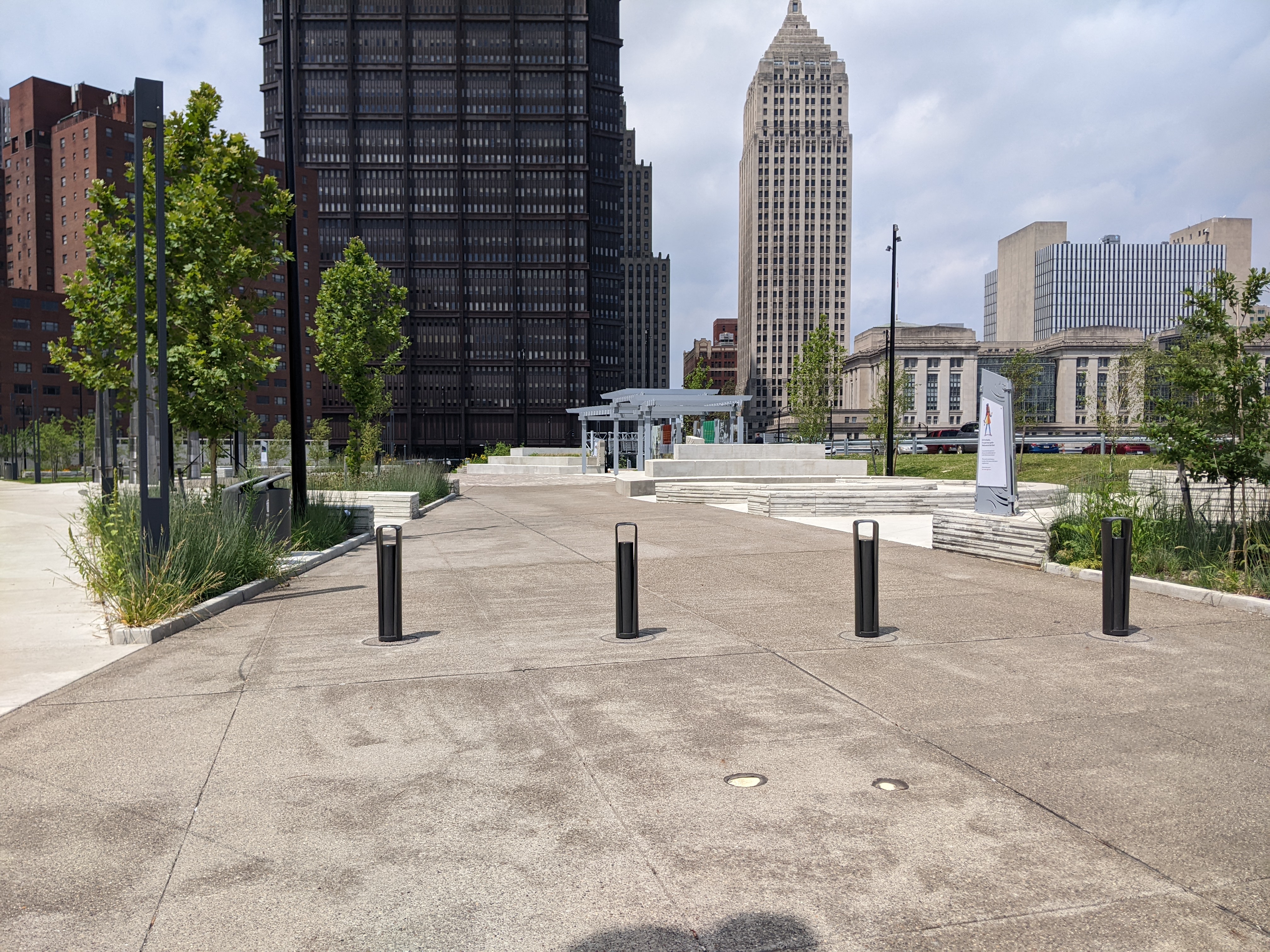
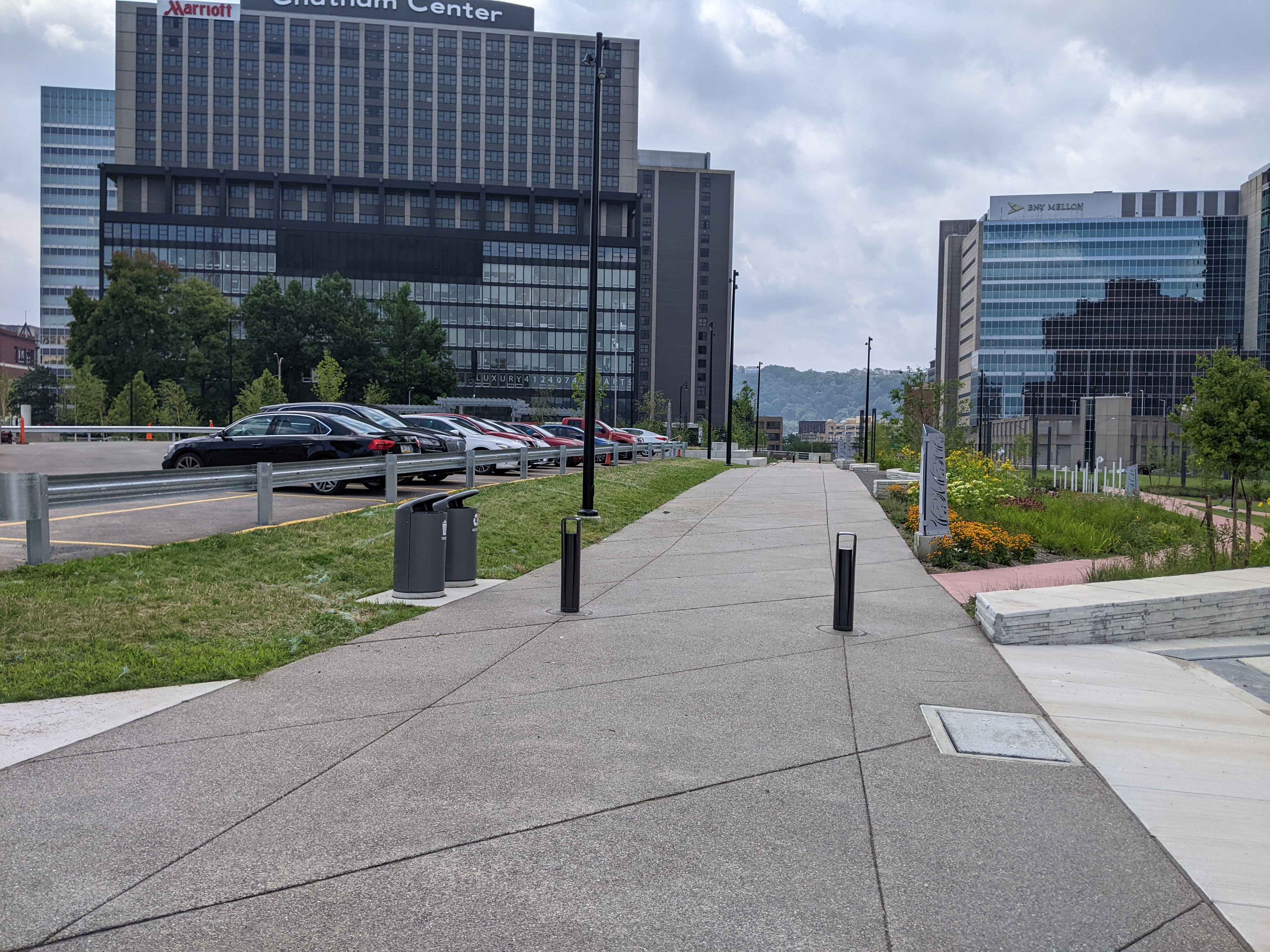
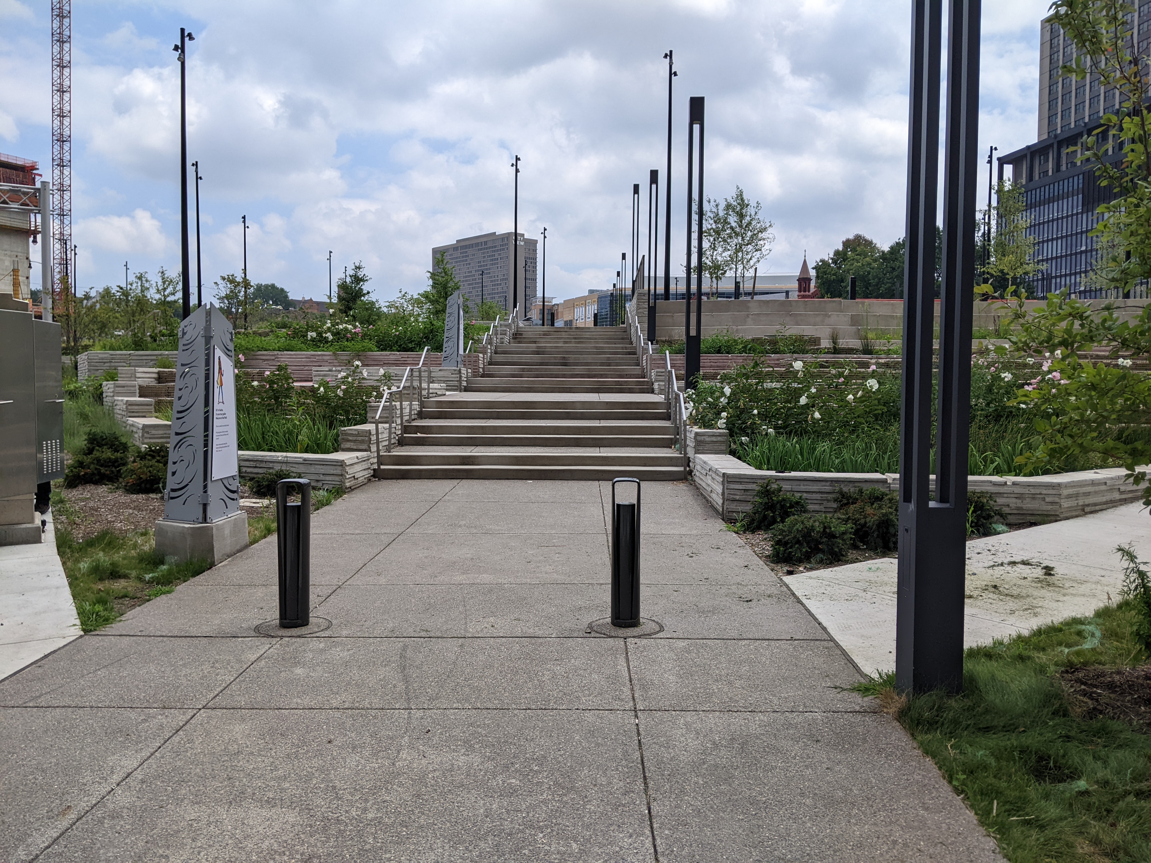
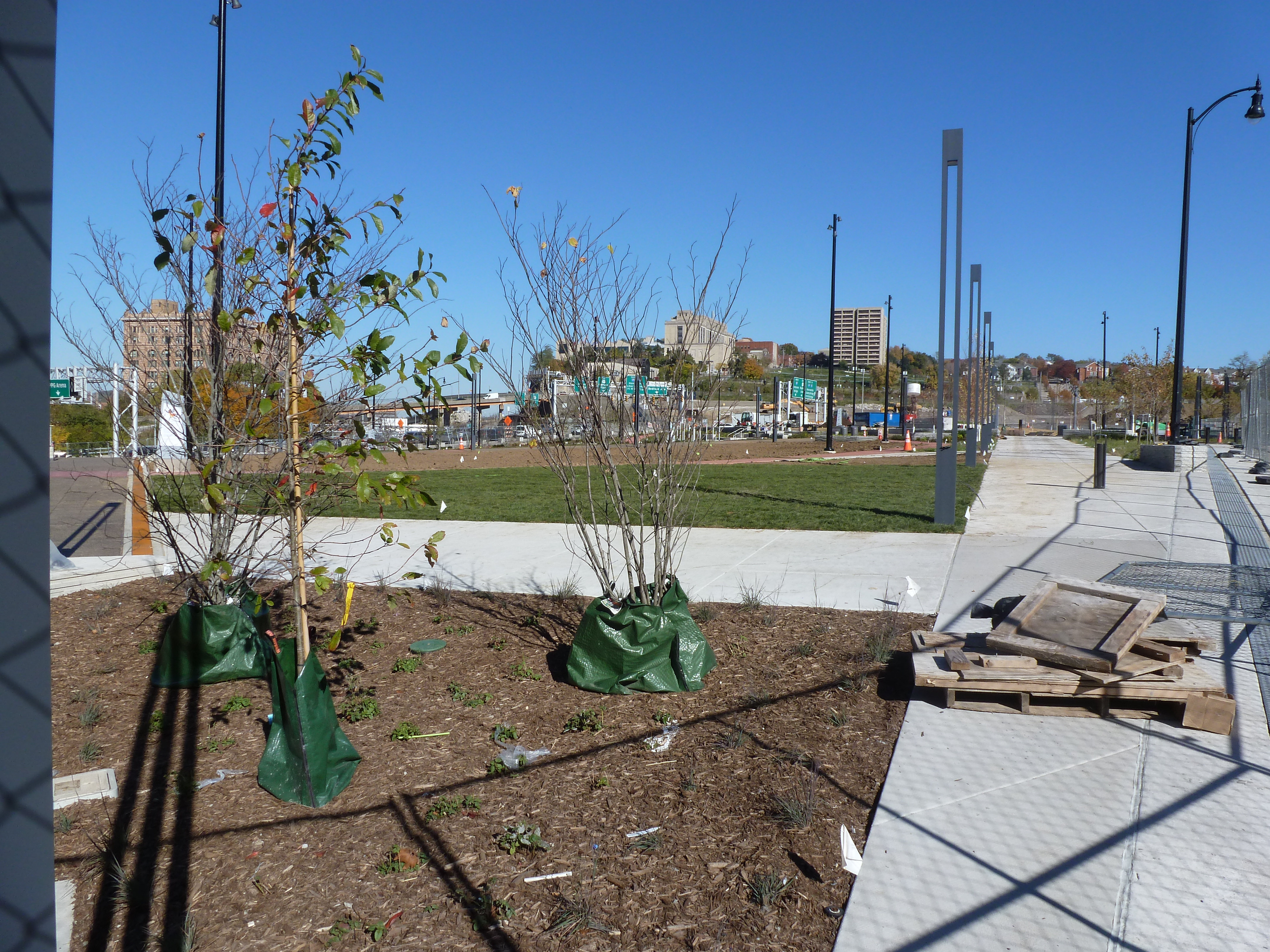
At the November 2021 ribbon cutting for the Frankie Pace Park on the CAP, Governor Wolf said, “A great injustice was done in the ’50s and this is finally a way to address that injustice.” He was referring to Pittsburgh’s poster child Urban Renewal project that demolished thousands of homes and businesses that once formed the physical infrastructure of a community whose members were predominantly Black, poor, or both. The buildings of the Lower Hill neighborhood were demolished, and the people dispersed to make way for the Civic Arena, a cultural amenity for the wealthy and White featuring opera performances. This erasure of community was followed in the early 1960s by the construction of a moat between the Lower Hill and downtown for the I-579 freeway, also known as the Crosstown Boulevard. The CAP now covers that moat and provides an educational park (and a pedestrian connection between downtown and the Penguins arena).
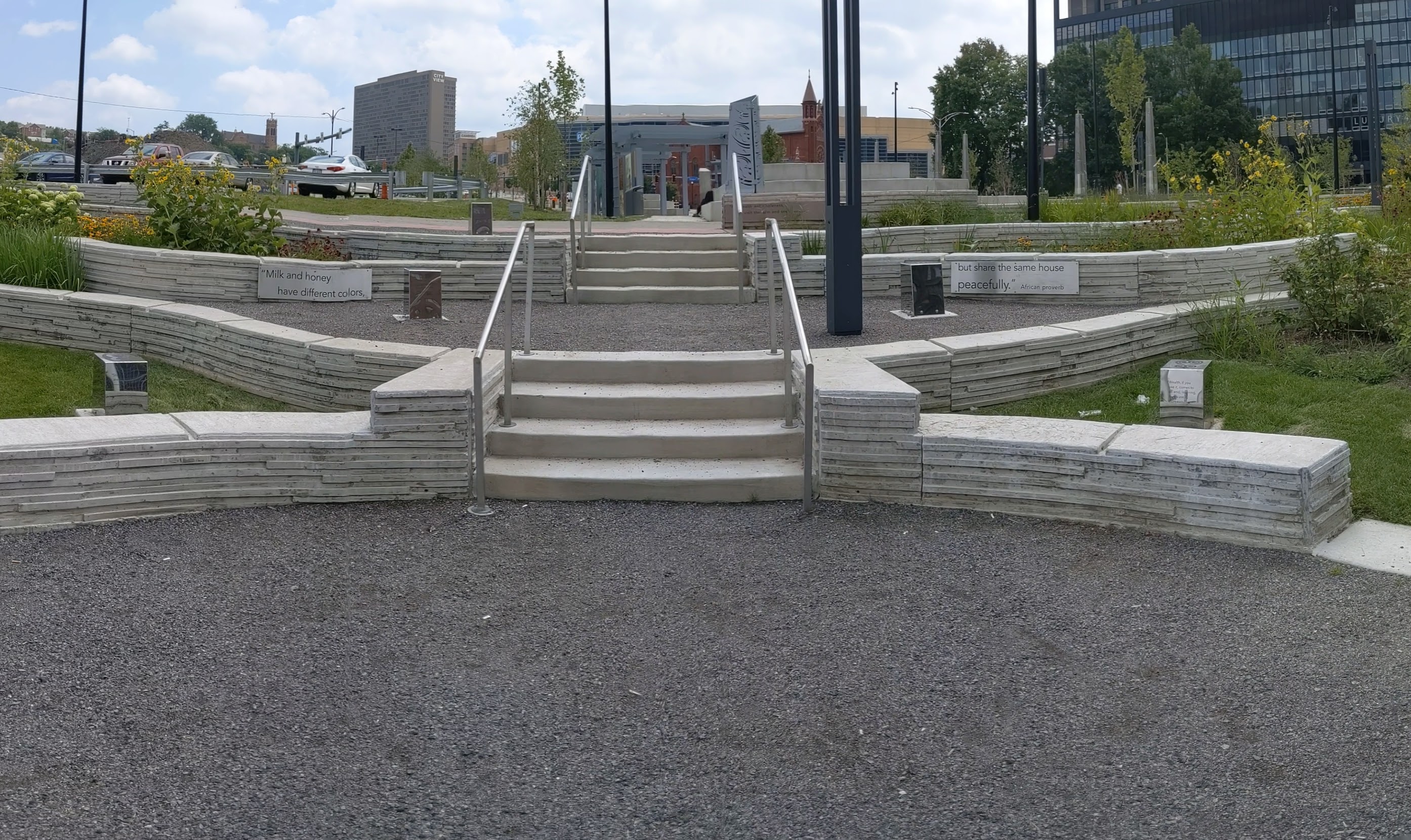
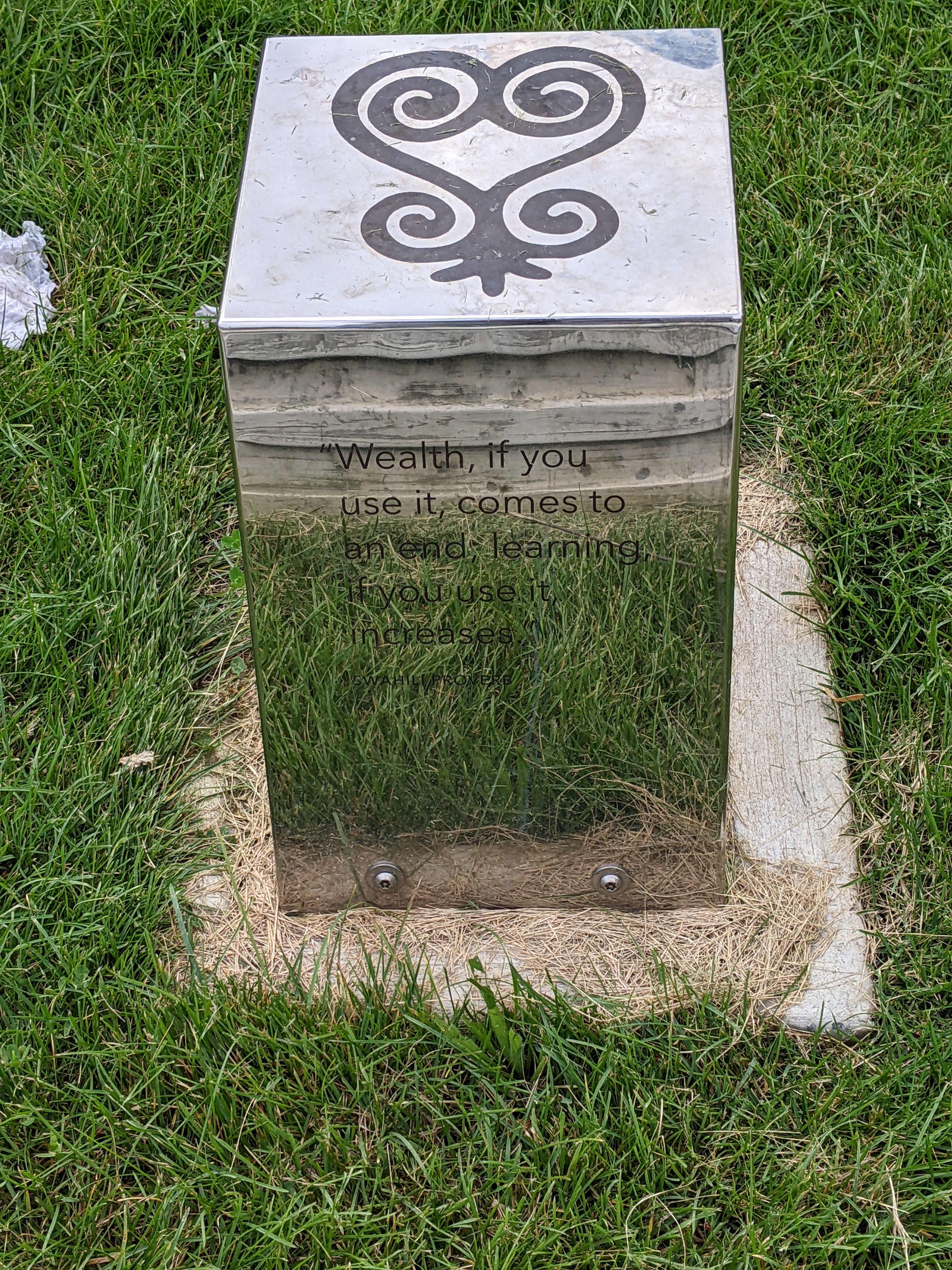
In addition to the infrastructure restitching the physical gap between downtown and the Lower Hill, the public art installed throughout the park aims to at least partially stitch the cultural gap that is one of the legacies of Urban Renewal and other segregationist policies. An educational display tells the stories of Frankie Pace, a 20th century activist for the Hill District neighborhoods of Pittsburgh, and Martin Delany, an abolitionist, journalist, and doctor in 19th century Pittsburgh. Throughout the park, proverbs of African heritage are etched on the walls and on metal blocks as reflective as Chicago’s Cloud Gate.
Below is a slideshow of some of the public art in the park. At the end of the post, there are links to all the previous posts in the series.
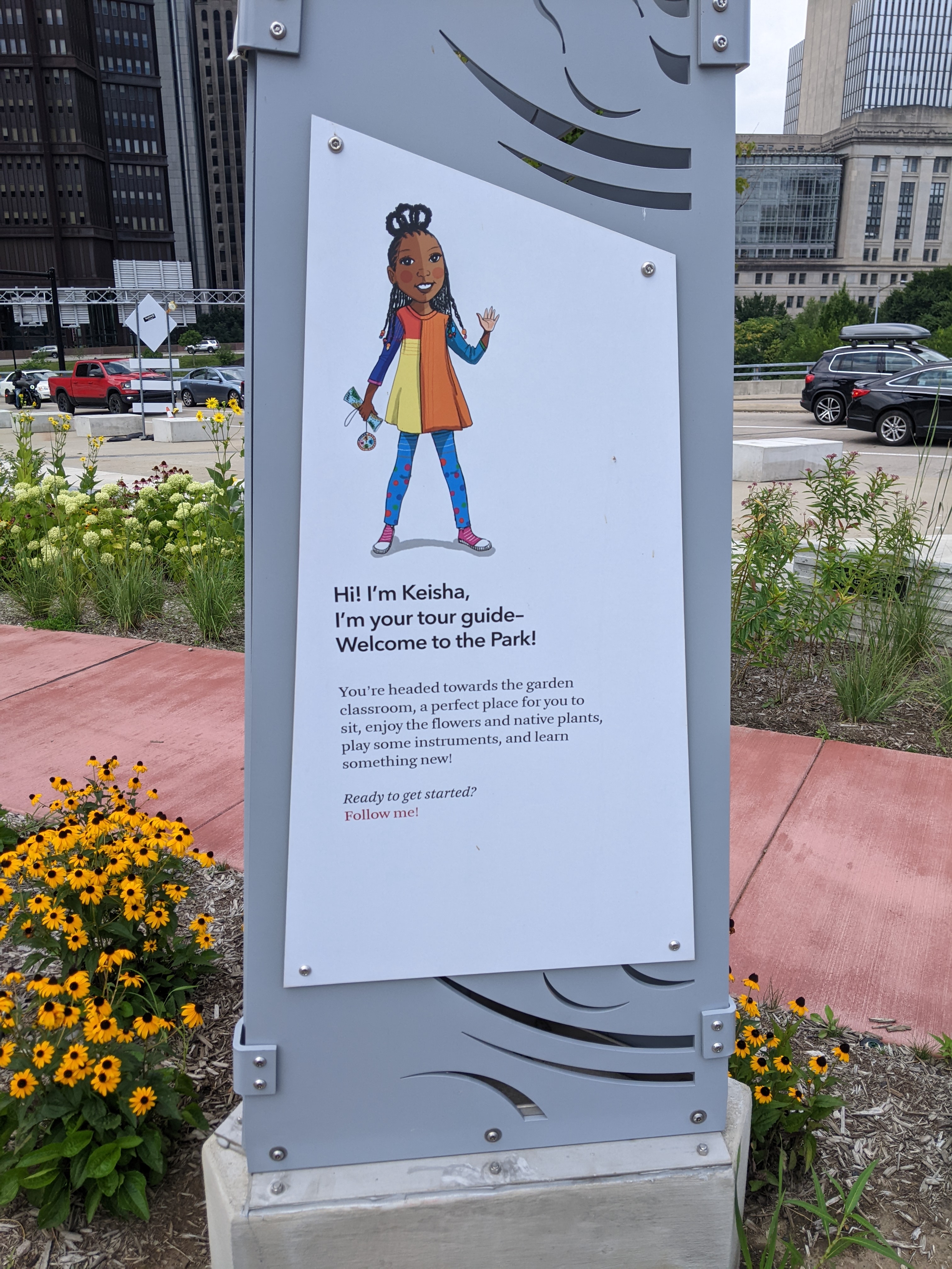
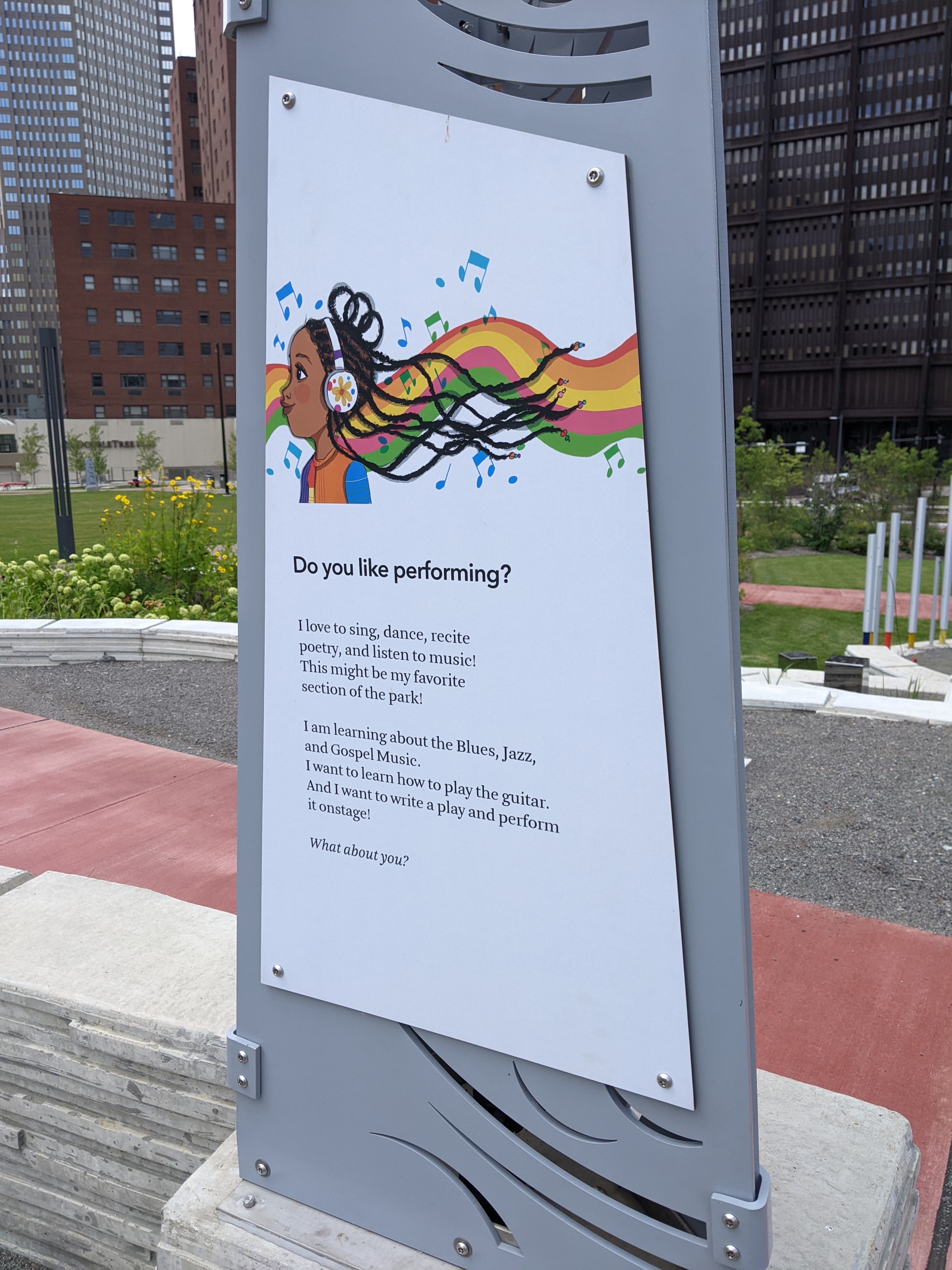
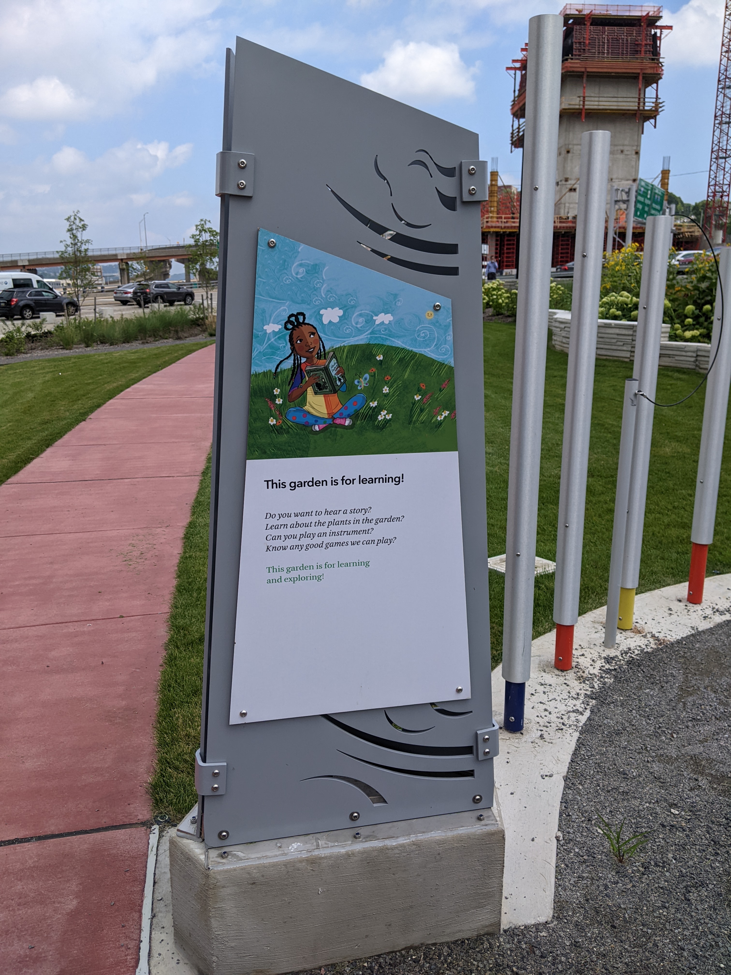
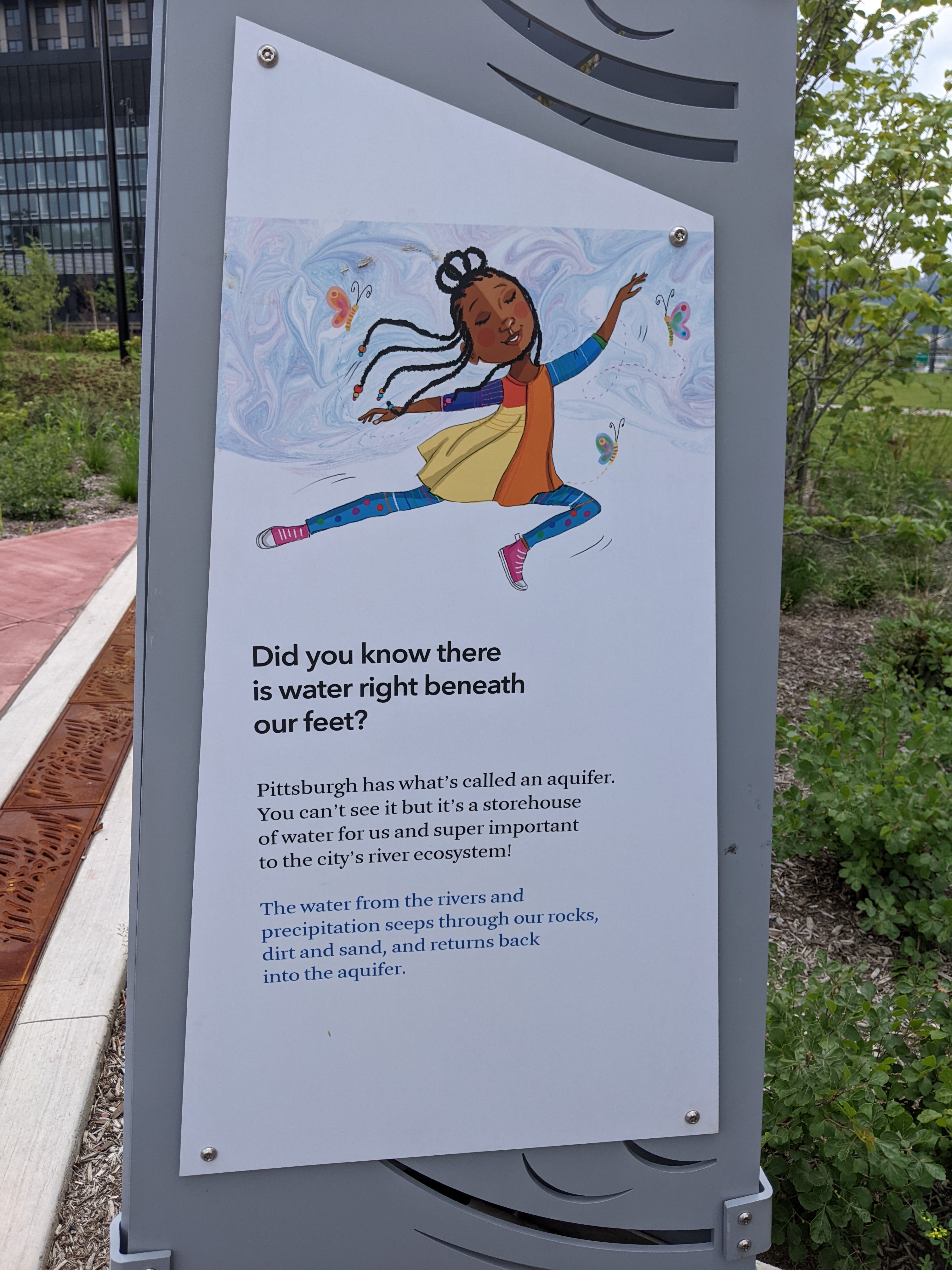
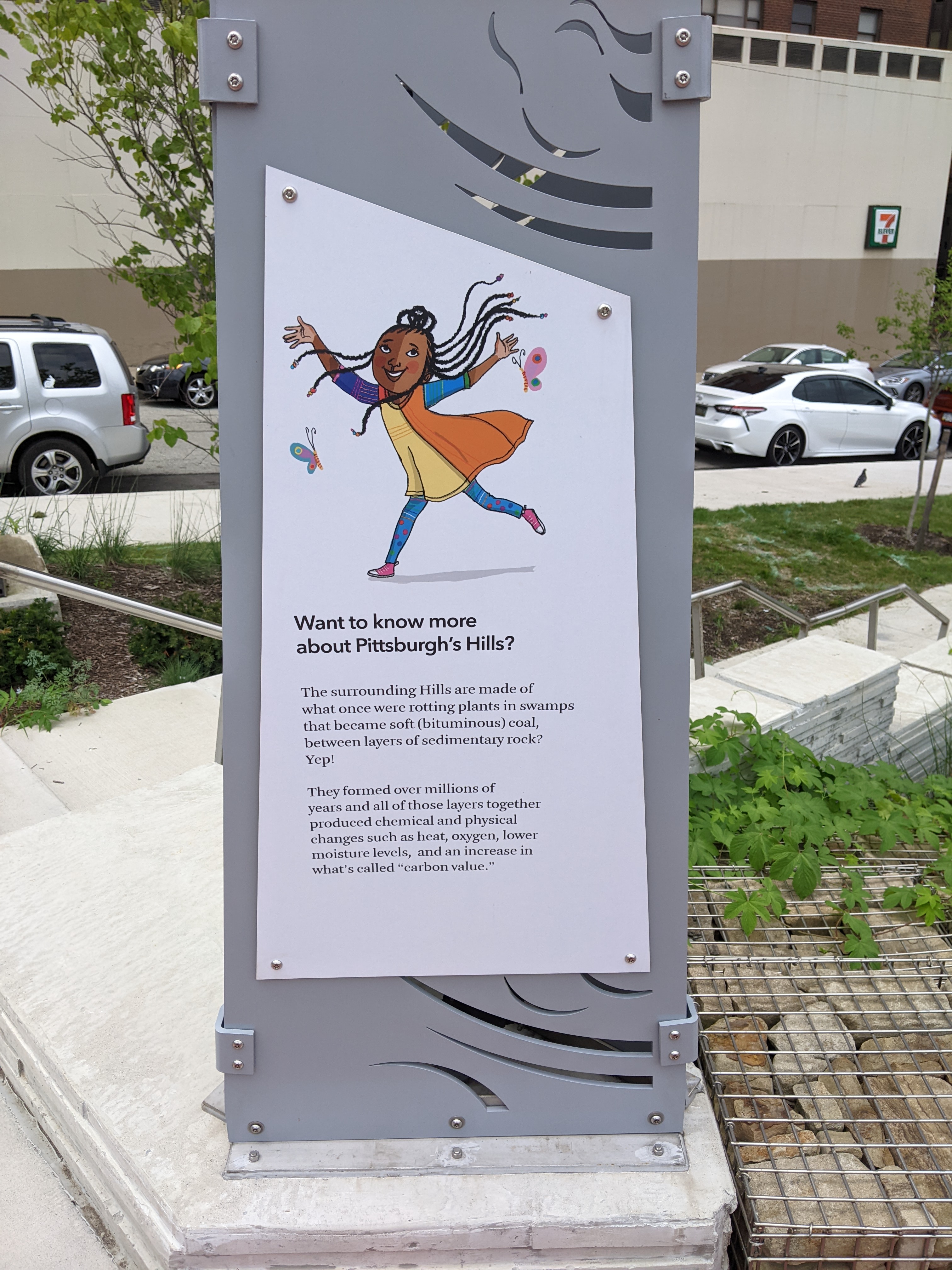
When I first explored the interior of the Frankie Pace Park, I was surprised by the wayfinding approach. A series of signs are posted throughout the site describing different features of the park, such as the rain garden. The surprising part was the choice of a Black girl narrator who wants you to join her as you journey through the park. It felt like the intended audience is elementary school-aged children. Given the park’s location adjacent to the tallest office skyscrapers downtown, adjacent to the first new building to be built on the Lower Hill – another office building, and kitty-corner-ish to the Penguins hockey arena, children seem to be a very small percentage of the prospective users of the park.
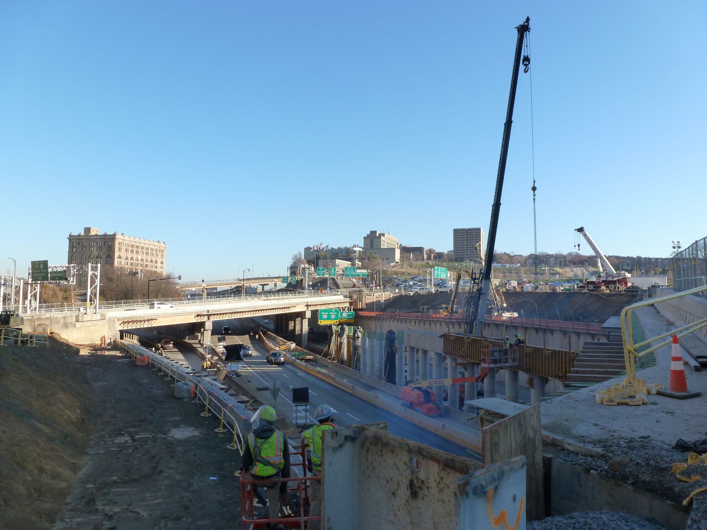
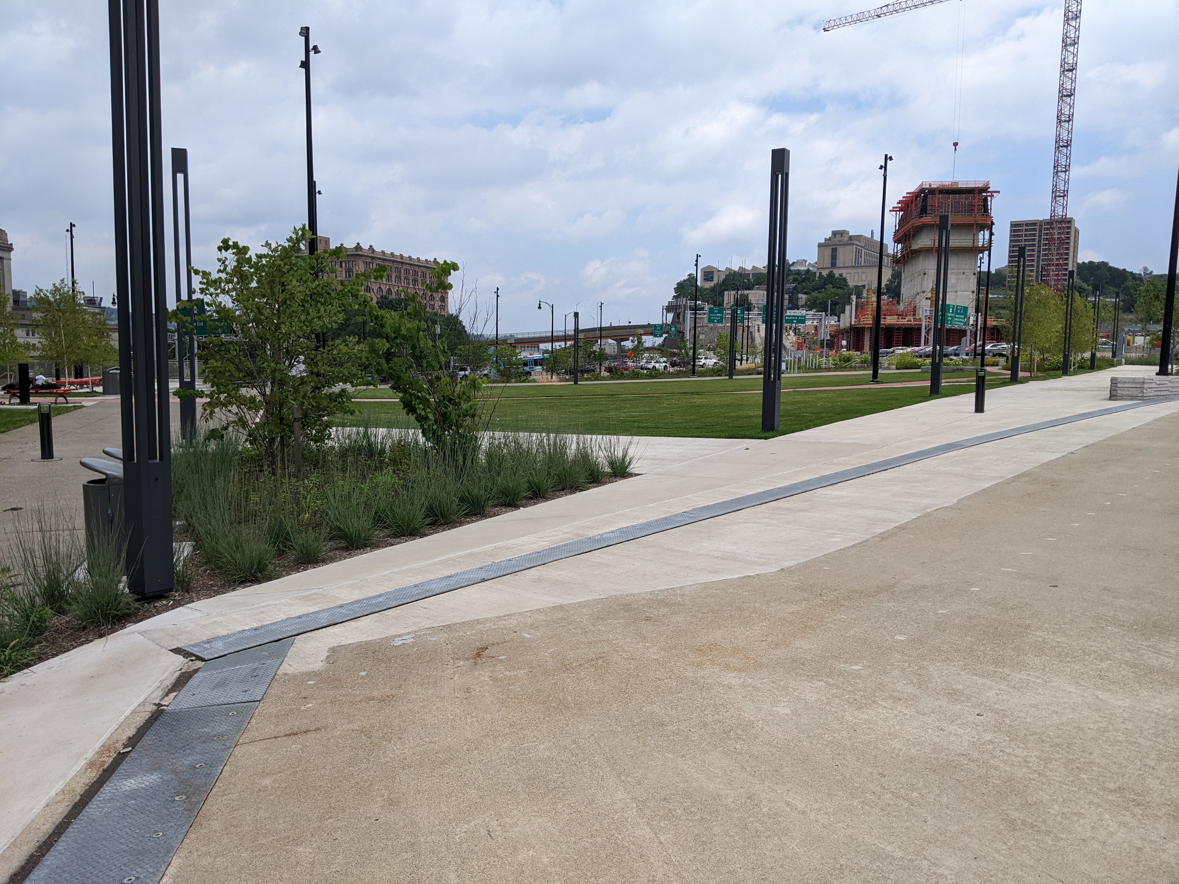
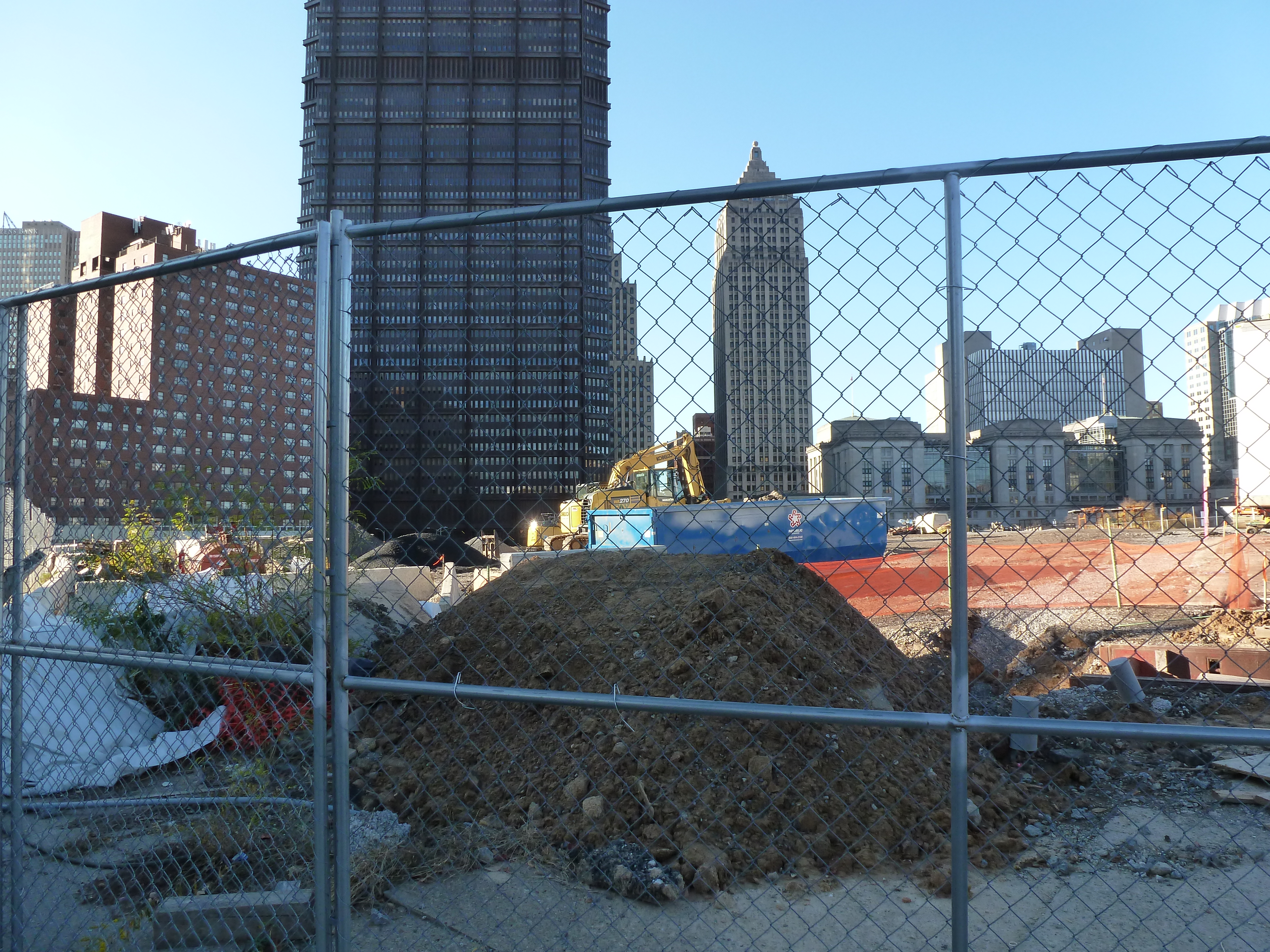
The CAP is a project in Pittsburgh “fixing the mistakes” of Urban Renewal. The Crosstown Blvd was built in the 1960s creating a freeway in a canyon dividing the Lower Hill neighborhood from downtown. The Lower Hill neighborhood, formerly predominantly poor and black, had already been demolished by this point to make way for the Civic Arena and other cultural amenities that were never built.
The CAP is a park on a bridge built over the Crosstown Blvd and is intended to reconnect downtown and the Lower Hill, while the Lower Hill is being rebuilt by the Penguins hockey team. Construction began in June 2019 and was completed in November 2021.
Below is a slideshow of these wayfinding signs. At the end of the post, there are links to all the previous posts in the series.
This week, I took a lunch-time walk through the new Frankie Pace Park to see what the completed CAP project looks like and how it is used. There were two men sleeping on benches in the park and a handful of other people walking the paths singly or in pairs. Prior to 2020, I would have interpreted this as a failure of the park to attract users because any green space downtown between 12 and 1 was always full of people. However, in the continuing fallout of the pandemic, a handful of people walking or using the seats is typical even of the parks that you used to need to arrive before 11:59 if you wanted to find a seat to eat your lunch.
The CAP is a project in Pittsburgh “fixing the mistakes” of Urban Renewal. The Crosstown Blvd was built in the 1960s creating a freeway in a canyon dividing the Lower Hill neighborhood from downtown. The Lower Hill neighborhood, formerly predominantly poor and black, had already been demolished by this point to make way for the Civic Arena and other cultural amenities that were never built.
The CAP is a park on a bridge built over the Crosstown Blvd and is intended to reconnect downtown and the Lower Hill, while the Lower Hill is being rebuilt by the Penguins hockey team. Construction began in June 2019 and was completed in November 2021.
Below is a side-by-side comparison of the four corners of the CAP from November 2019 when I first started this photographic series and from my August 2022 walk. At the end of the post, there are links to all the previous posts in the series.
The Photos
CAP Northwest view – November 2019CAP Northwest view – August 2022CAP Southwest view – November 2019CAP Southwest view – August 2022CAP Southeast view – November 2019CAP Southeast view – August 2022CAP Northeast view – November 2019CAP Northeast view – August 2022
The ribbon-cutting for the CAP, now called the Frankie Pace Park, happened on schedule on November 22, 2021. The Tribune-Review, Pittsburgh Post=Gazette, WTAE, KDKA/CBS, and SAI Consulting Engineers reported on the ceremony. The Tribune-Review and WTAE also have articles on the resolution earlier this month by City Council to name the park after Frankie Pace (1905-1989), a community activist and business owner in the Lower Hill.
The CAP is a project in Pittsburgh “fixing the mistakes” of Urban Renewal. The Crosstown Blvd was built in the 1960s creating a freeway in a canyon dividing the Lower Hill neighborhood from downtown. The Lower Hill neighborhood, formerly predominantly poor and black, had already been demolished by this point to make way for the Civic Arena and other cultural amenities that were never built.
The CAP is a park on a bridge built over the Crosstown Blvd and is intended to reconnect downtown and the Lower Hill, while the Lower Hill is being rebuilt by the Penguins hockey team. Construction began in June 2019 and was completed in November 2021.
This post is an update on the on-going photographic series to watch the development and usage patterns of the CAP. Periodically, once or twice a year, I return to the site to take new photographs. I plan to take the next series of photos next year in the warmer weather to see who uses the park and how. At the end of the post, there are links to the previous posts in this series.
The CAP is a project in Pittsburgh “fixing the mistakes” of Urban Renewal. The Crosstown Blvd was built in the 1960s creating a freeway in a canyon dividing the Lower Hill neighborhood from downtown. The Lower Hill neighborhood, formerly predominantly poor and black, had already been demolished by this point to make way for the Civic Arena and other cultural amenities that were never built.
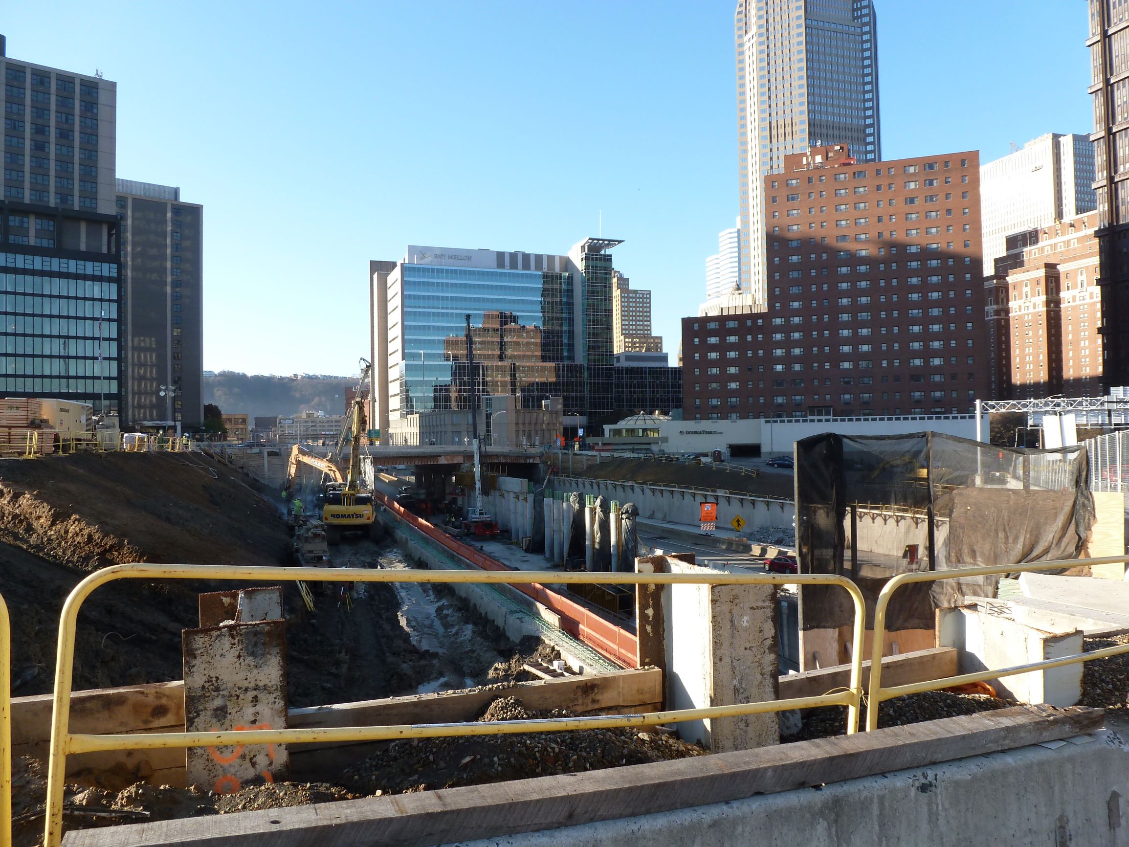
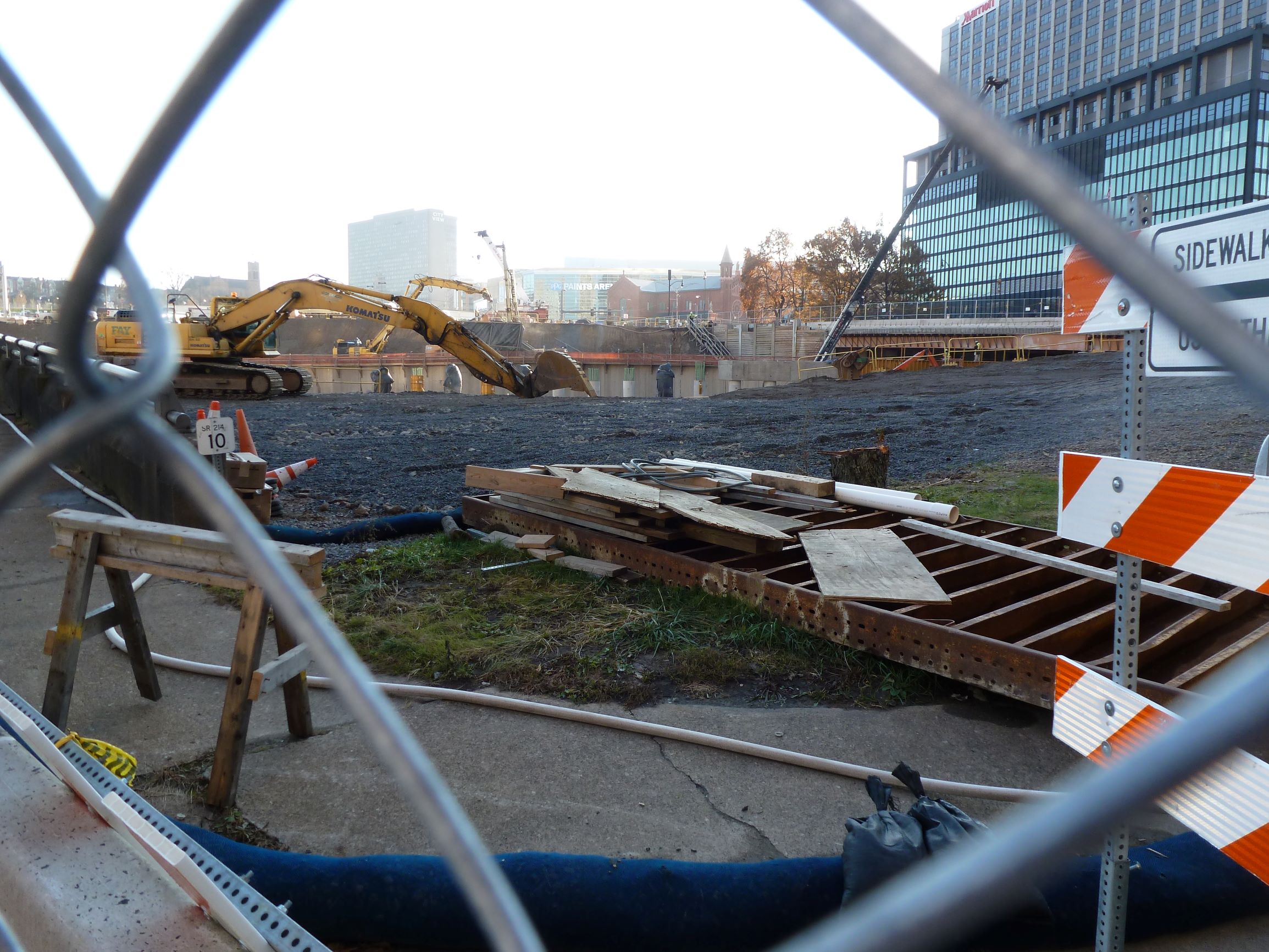
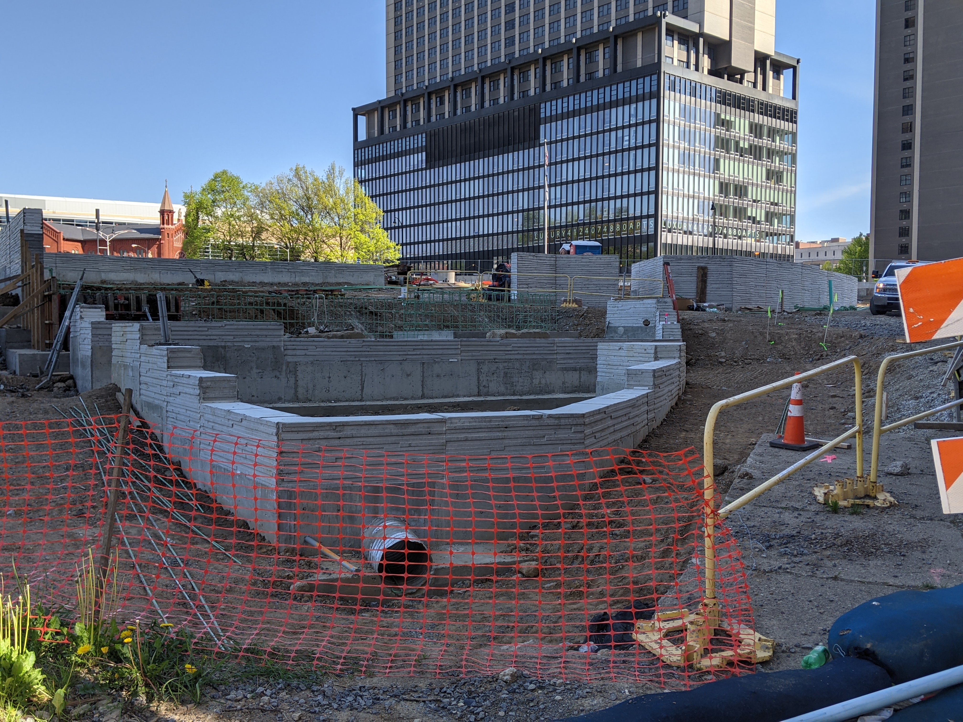
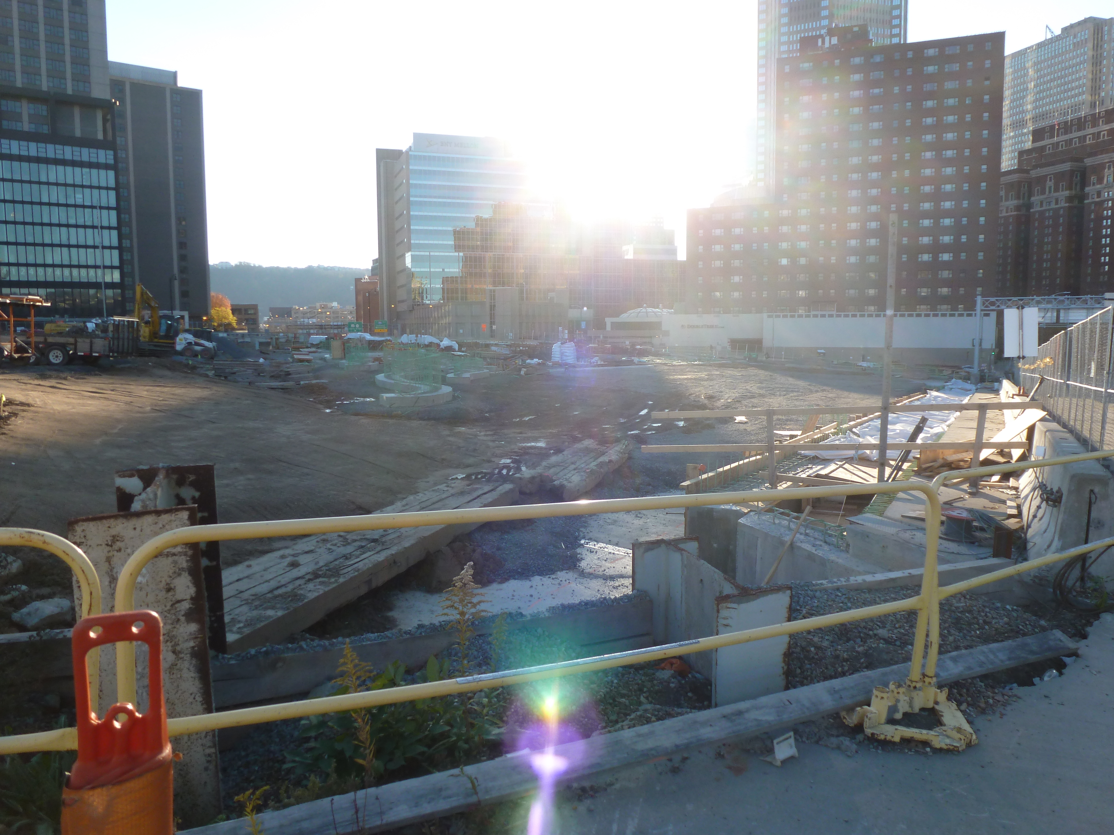
The CAP is a park on a bridge being built over the Crosstown Blvd and is intended to reconnect downtown and the Lower Hill, while the Lower Hill is being rebuilt by the Penguins hockey team. Construction began in June 2019 and was expected to be completed in November 2021. As the photos below show, it appears to be predominantly completed mid-November 2021, but the construction fence was still up. There are still a couple weeks left in the month to meet the project schedule. There do not appear to be any news articles about this project since the May post of Keeping an Eye on the CAP. The next bit of news about the site will probably be either announcing the ribbon cutting or a project delay.
This post is part of an on-going photographic series to watch the development and usage patterns of the CAP. Periodically, approximately once every six months, I return to the site to take new photographs. At the end of the post, there are links to all the previous posts in the series.
The CAP is a project in Pittsburgh “fixing the mistakes” of Urban Renewal. The Crosstown Blvd was built in the 1960s creating a freeway in a canyon dividing the Lower Hill neighborhood from downtown. The Lower Hill neighborhood, formerly predominantly poor and black, had already been demolished by this point to make way for the Civic Arena and other cultural amenities that were never built.
The CAP is a park on a bridge being built over the Crosstown Blvd and is intended to reconnect downtown and the Lower Hill, while the Lower Hill is being rebuilt by the Penguins hockey team. Construction began in June 2019 and is expected to complete in November 2021.
This blog post is part of an on-going photographic series to watch the development and usage patterns of the CAP. Periodically, approximately once every six months, I return to the site to take new photographs. In addition, I include links to articles about the project that I’ve encountered since the previous post in the series. At the end of the post, there are links to all the previous posts in the series.
The CAP in the News:
WPXI and the Post-Gazette both shared an update on the project in March noting that construction had progressed far enough for the outlines of a park to begin to be recognizable.
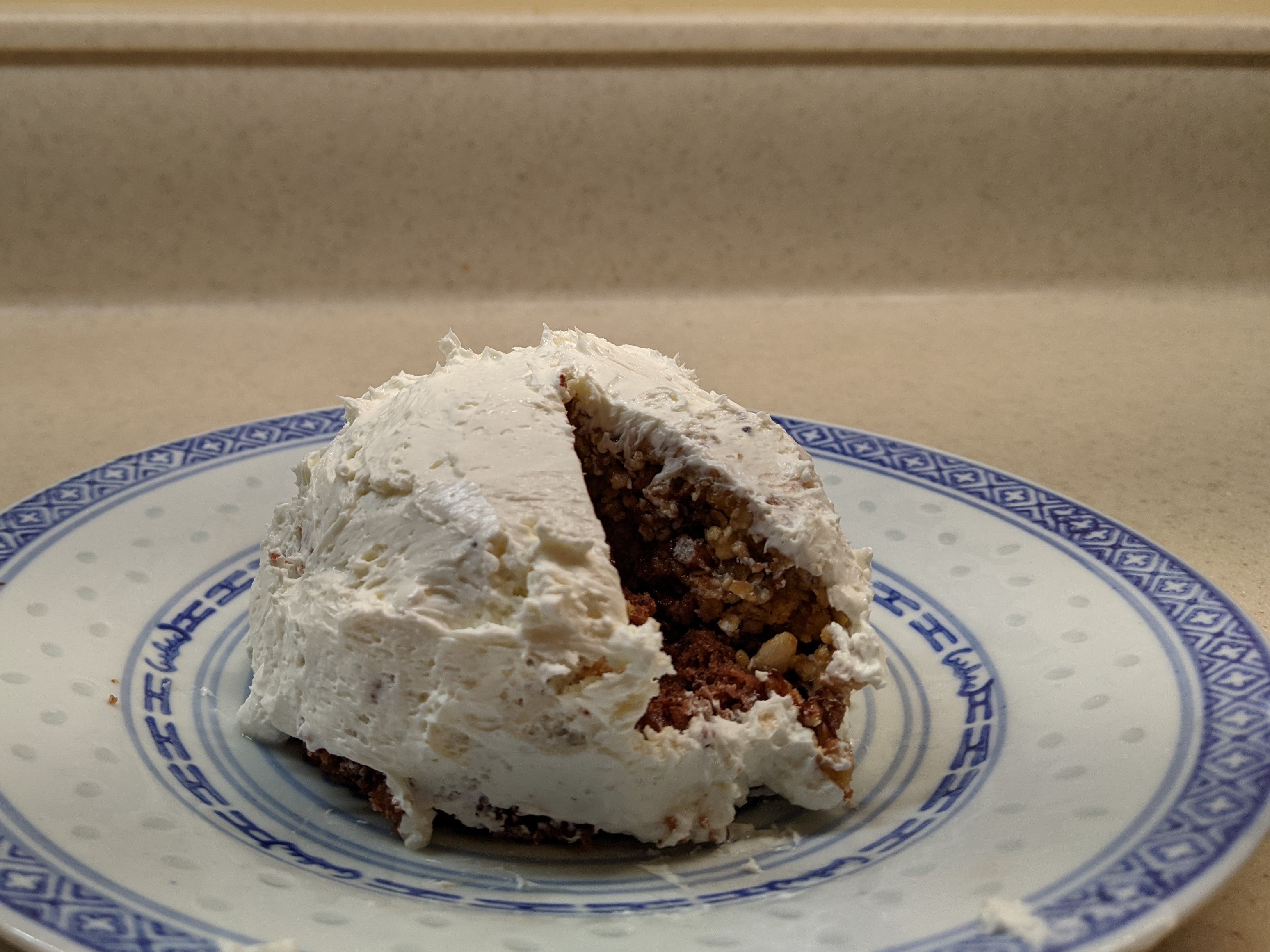
For this year’s Architectural Dessert Masterpiece, I chose Pittsburgh’s Civic Arena for the subject mostly because of the pandemic. The travel restrictions of 2020 prevented me from finding an inspiring building while exploring a new place. The social distancing requirements meant that whatever I made I would have to eat myself. Earlier in the year, I found a granola bar recipe that actually sticks together, which inspired me to take another foray into domes. As December drew near and I put together the conditions of a single-serve dessert with a dome that had some relationship to the themes of the year, the Civic Arena was the obvious choice.
The result was a single-serve cake topped with a granola bar dome and frosted with cream cheese to keep the sugar content down. Once frosted it looked to me more like an igloo than the Civic Arena, but fortunately, the building’s nickname was the Igloo. So, it all worked out in the end.
Whether it will all work out in the end and for who are still open questions for the site of the Civic Arena. The Arena opened in 1961 as the central feature of the redevelopment of the Lower Hill neighborhood that had been deemed “blighted” and in need of “revitalization.” Intended as a cultural mecca housing the Pittsburgh opera company, hockey, and other uses under a retractable roof, it rarely lived up to its promises. In the end, it was surrounded by a sea of parking lots instead of a cultural park, the roof rarely opened, and the opera quickly found a different home more conducive to using sets that need support from the ceiling. For a time, the building did find success as a hockey arena and concert venue until it was deemed obsolete and a new arena was built. The Civic Arena was demolished 50 years after opening, paving the way for a new redevelopment of the Lower Hill to “revitalize” the area.
Architectural historian Franklin Toker describes the first redevelopment of the Lower Hill in his 1986 book Pittsburgh: An Urban Portrait:
The reconstruction of the Lower Hill began in 1955 with $17 million in federal grants. In an area of 100 acres, 1,300 buildings housing 413 businesses and 8,000 residents (a majority of them black) were displaced in an attempt to extend the revitalization of the adjacent Golden Triangle. Even were one to overlook the devastating social impact of the Lower Hill redevelopment, its success could only be judged as minor. The new complex failed to graft on to the Golden Triangle because of the intrusion of the Crosstown Expressway and the misalignment of the street grids of the Golden Triangle and The Hill. Some bad luck also dogged the Lower Hill redevelopment, particularly the bankruptcy of William Zeckendorf, one of its major supporters, and the decision by the Heinz foundations to locate their new concert hall in the Triangle rather than on The Hill. But the major cause of its failure was the animosity between the developers and the black community. When that animosity boiled over as part of the nationwide racial riots of 1968, Pittsburgh’s dream of a cultural Acropolis on the Lower Hill ended. (234)
The second redevelopment started with restoring the street grid and building a CAP over the Crosstown Expressway. While it is easy to rebuild the roads, it will take a lot more to rebuild what was once “The Crossroads of the World” as the intersection of Wylie Ave and Fullerton Street was known prior to the first redevelopment, according to Mark Whittaker in Smoketown: The Untold Story of the Other Great Black Renaissance.