
To date I have walked the 31st Street Bridge twice. The first time was a few years ago when I had over two hours to kill between an event downtown and a meeting in the Strip a few blocks from the bridge. So I naturally decided to spend it by walking from the first to second location along the Three Rivers Heritage Trail. It was winter and I saw the first flurries of the season as I crossed this bridge. For that reason, I remember the walk and the bridge fondly though I was disappointed and surprised when I arrived at the Strip District end of the bridge to realize how far away I was from the stores in the Strip. I had been planning on getting a snack at one of the nice little ethnic groceries or perhaps at the bakery. As I was in a car every other time I had been to the Strip, I never realized how little of the neighborhood the stores took up. Fortunately, there was hot chocolate and a good spread of fruit and pastries at my meeting.
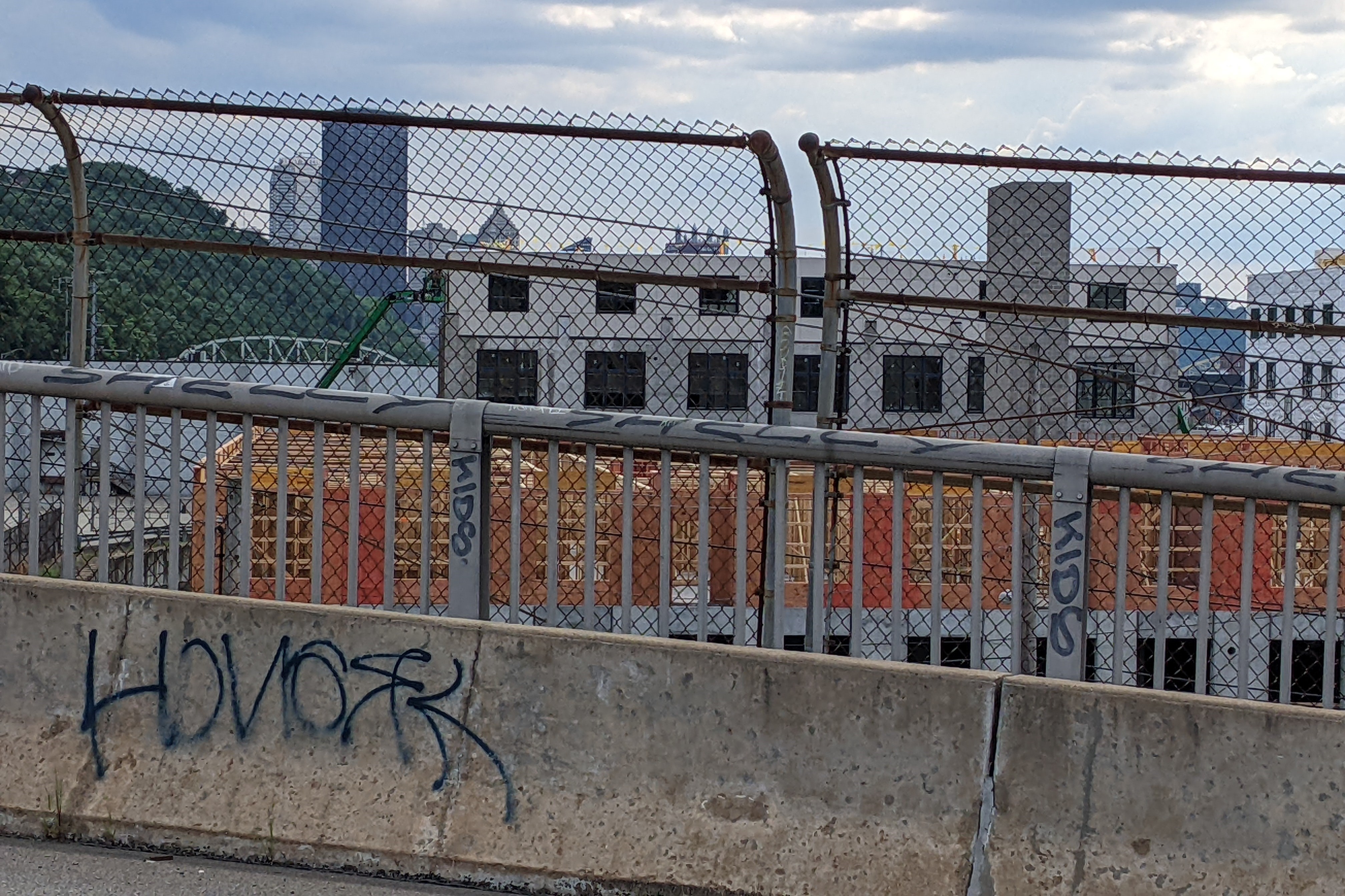
As I sat down to write this post, I realized that I have already discussed most of the observations I had or at least something similar in other posts. So I went to PGHbridges.com to look for some inspiration of something new to write. It has a nice description of the decorations on the bridge (see link), which I completely missed as I walked it this summer either because they aren’t there or because I looked in the wrong places as I thought there might be some decoration. The other thing that intrigued me on the website was the name of the bridge which is 31st Street Bridge, Number Six Allegheny River. I thought perhaps this meant it was the sixth bridge at this location; however PGHbridges.com says that the 31st Street Bridge replaced a former bridge at 30th Street. While the streets aren’t that far apart, it seems more likely that “number six” refers to it being the sixth bridge up the Allegheny from the Point, yet this would have to be only counting road bridges (not railroad). The 1929 G.M. Hopkins map shows that the sixth bridge from the point is the 16th Street Bridge when you count the railroad bridge between the 9th and 16th Street bridges.


These are the pictures that go with the topics I’ve discussed in other posts. On the left is the cookie-cutter, perfectly manicured housing development on Herr’s Island. In my Converted Railroad Bridge post, I mention how I feel like a trespasser when I walk through this part of the island. Except for the little lighthouse/widow’s walk attachments on top of the houses (the circular, red peaked roof thing), the development looks identical to some of the newer developments (older being 1960s) in the California town I lived in for several years.
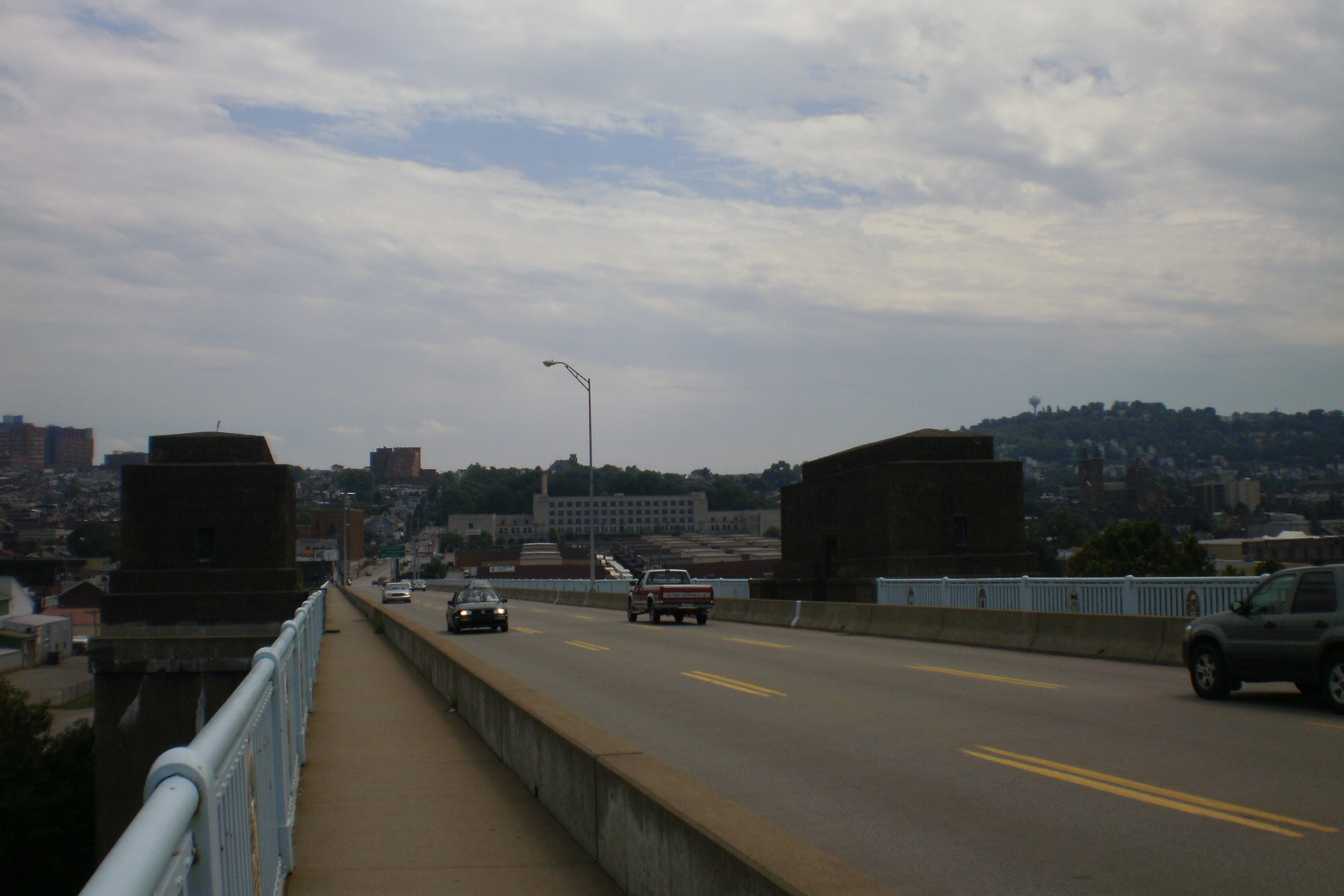
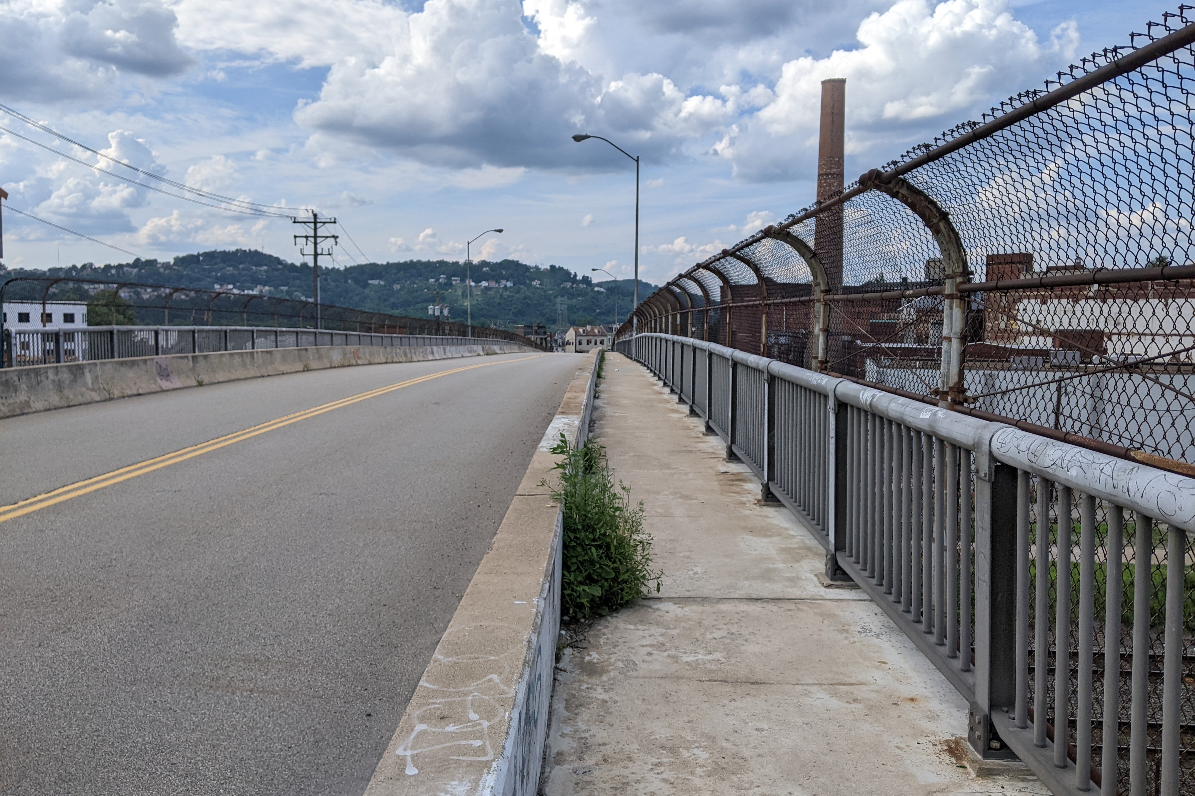
The view downriver, above on the right, shows again the two clusters of tall buildings downtown that I first observed on the 16th Street Bridge (see July 13 post).


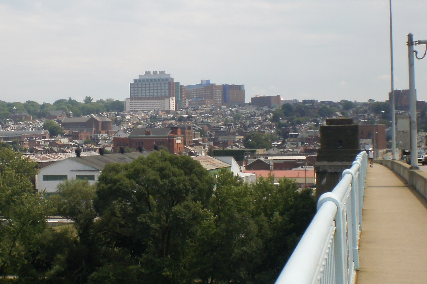
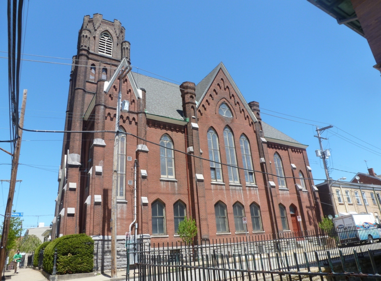
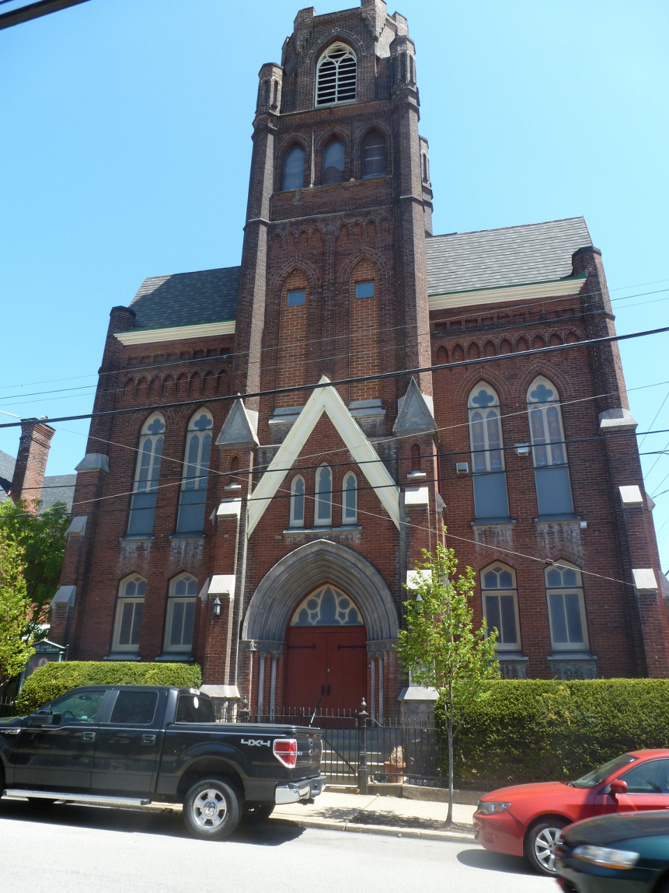
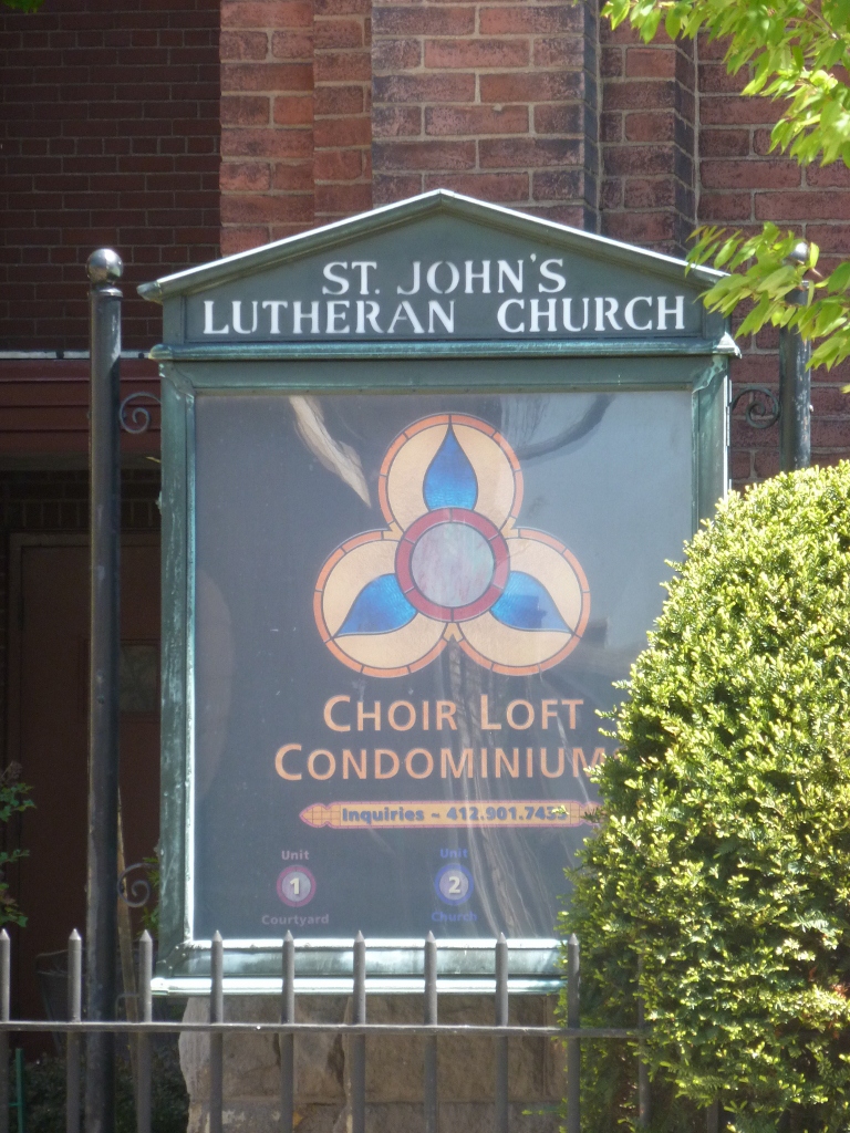
Several well-known landmarks (which I have mentioned in other posts) are visible from the 31st Street Bridge. First on the downstream side (above left) is the Immaculate Heart of Mary Church. Perhaps because of the lighting and angle, I don’t think it appears as impressive in the picture as it does in real life. I mentioned this landmark previously in my post about the Fort Duquesne Bridge. On the other side of the bridge (above right), the most famous landmark is Children’s Hospital, which came up in the 9th Street Bridge post. Before doing this project, I don’t think I realized just how big Children’s Hospital is. I thought it was big, but I’ve learned from observing it from the 9th and 31st Street bridges that it is actually huge. Closer to the bridge a little lower on the hill from the hospital is the St. Augustine Church in Lawrenceville, one of the many large, old, and beautiful churches in the city. I’d also like to point out the little church on the right-hand side of the photo towering above its surroundings. I don’t want to go into much detail about it now, but it is one of Pittsburgh’s repurposed churches and I will be coming back to it in a future post.


")


