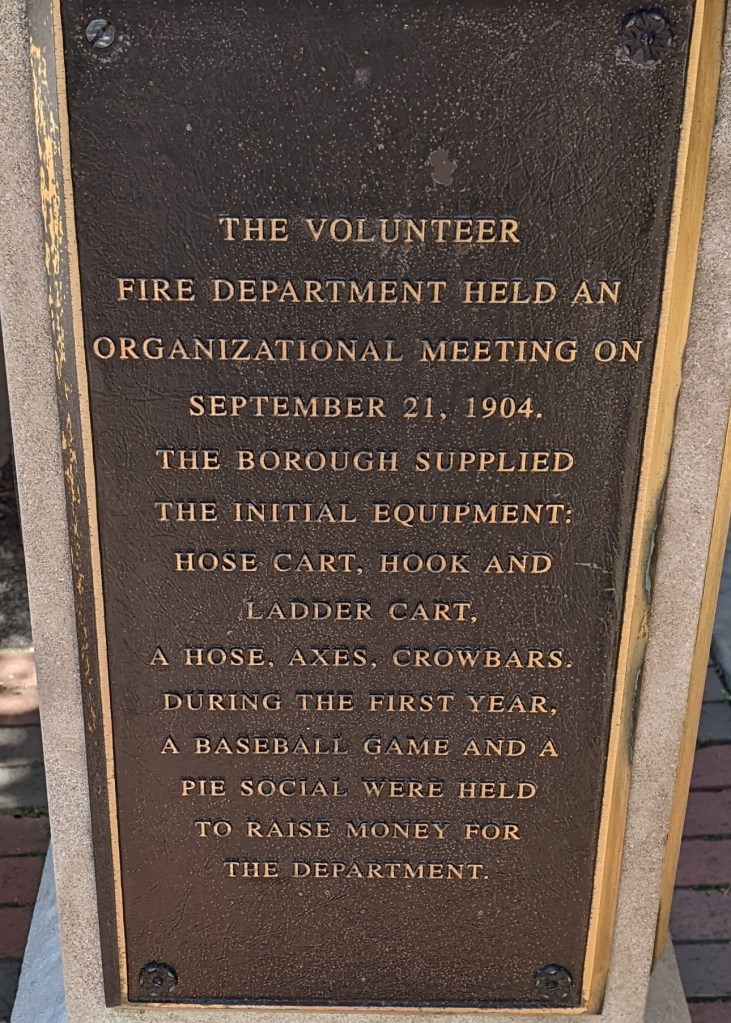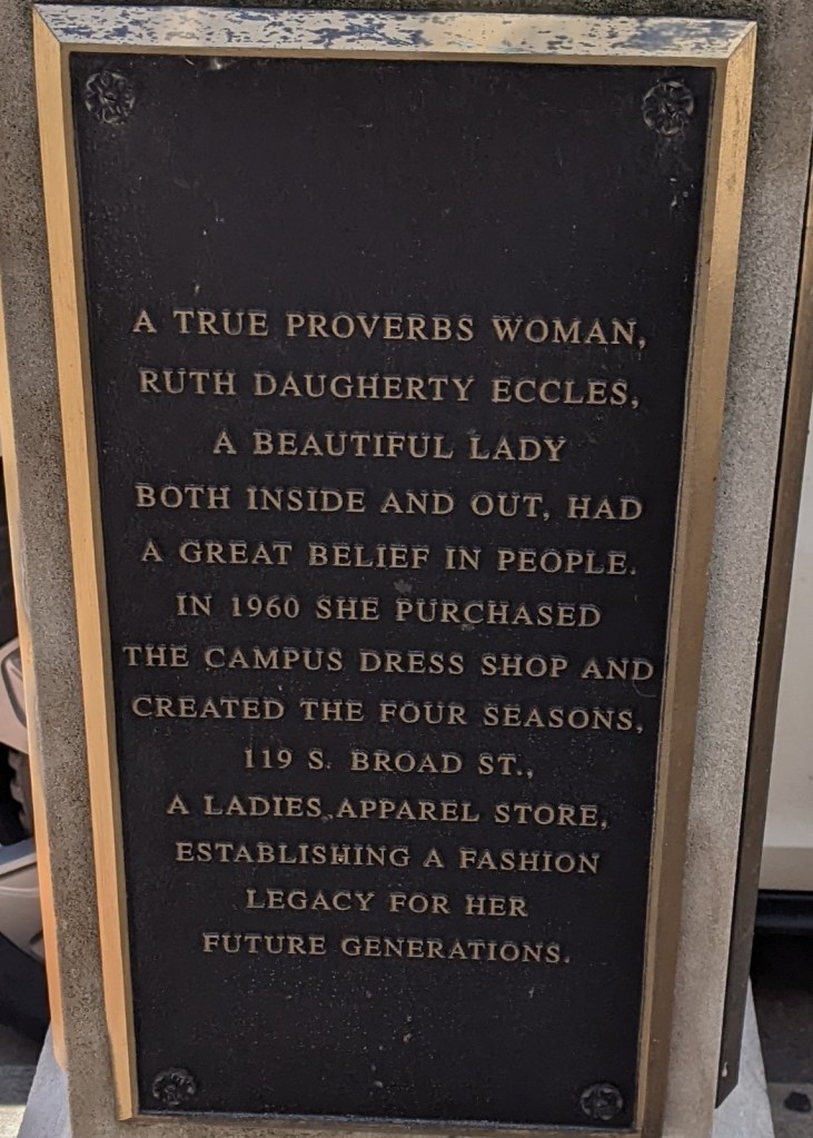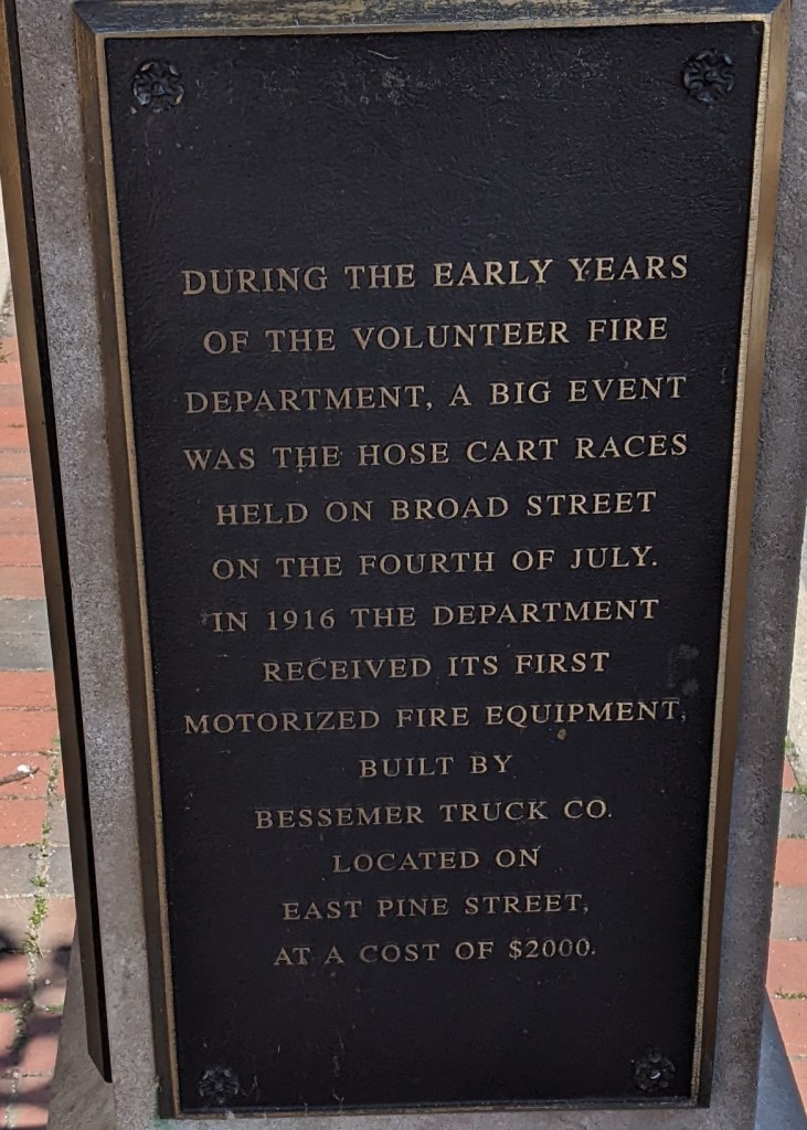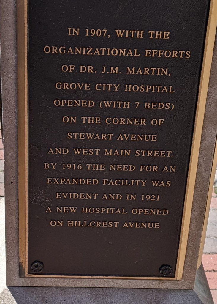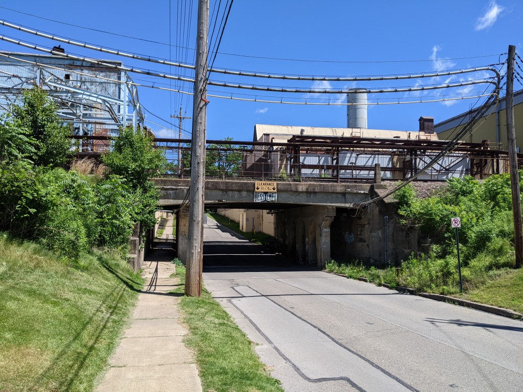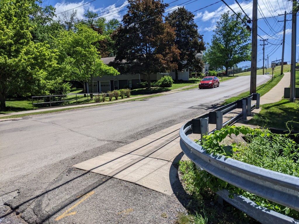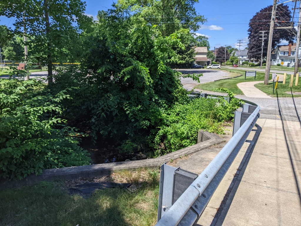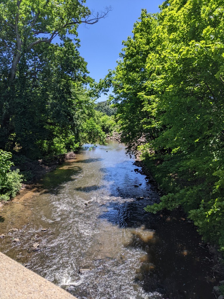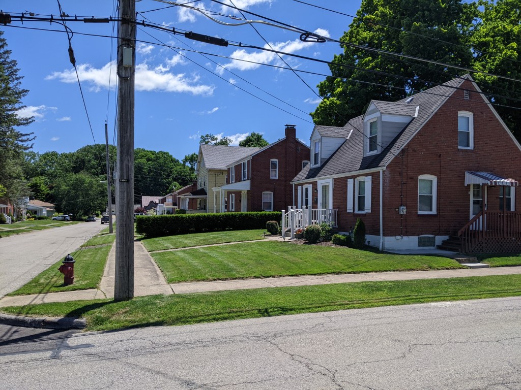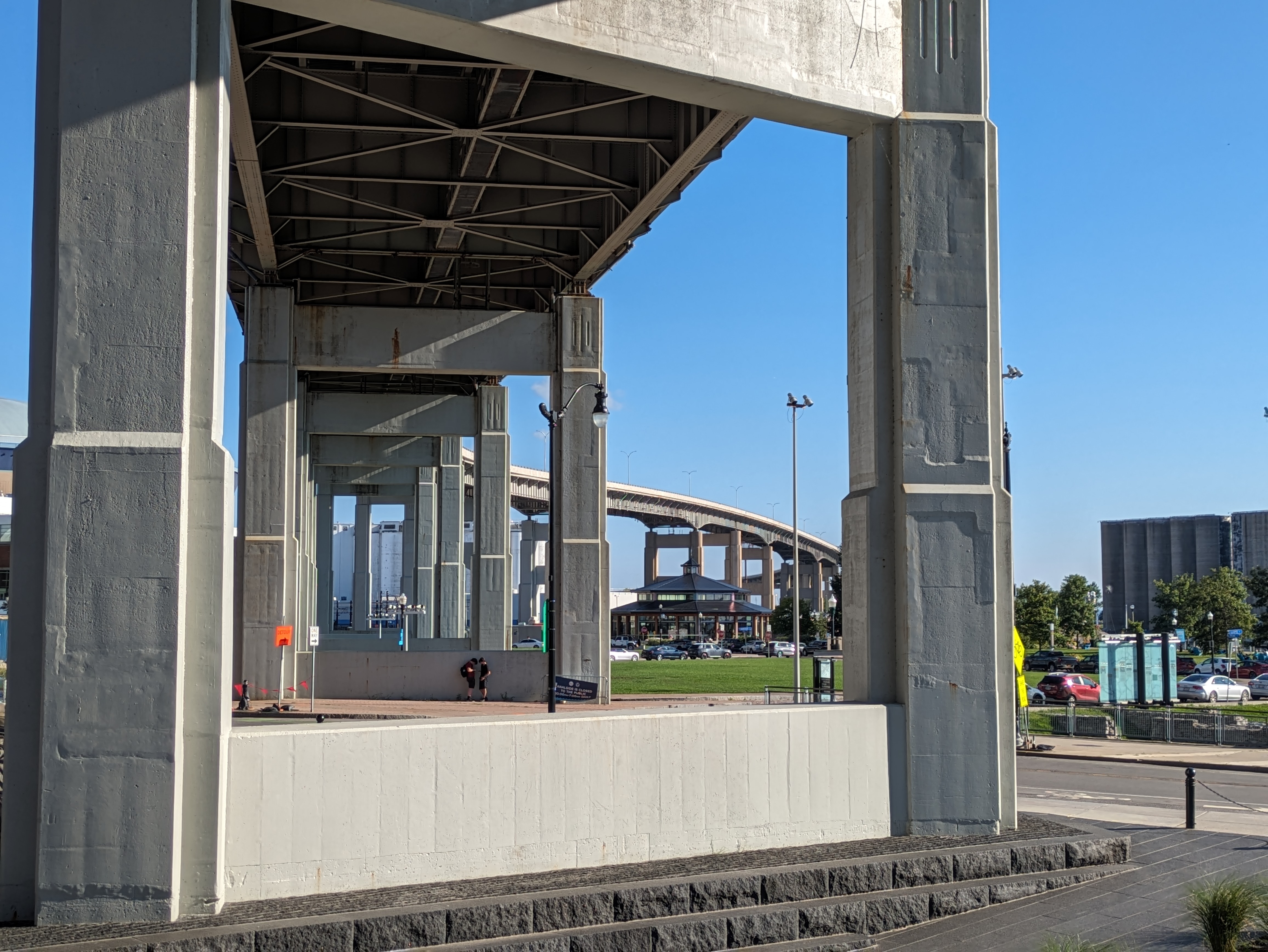
I have dealt with the question of what is a bridge multiple times in the last decade. Buffalo adds to this philosophical conversation by combining the questions “what is a bridge?” and “what is the purpose of a bridge?” I’ve previous walked through what is the difference between a bridge and a ramp (Pittsburgh Edition I and Edition II), this time the nuance is “what is the difference between a bridge and an overpass?”
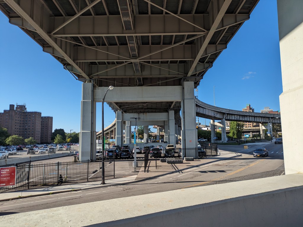
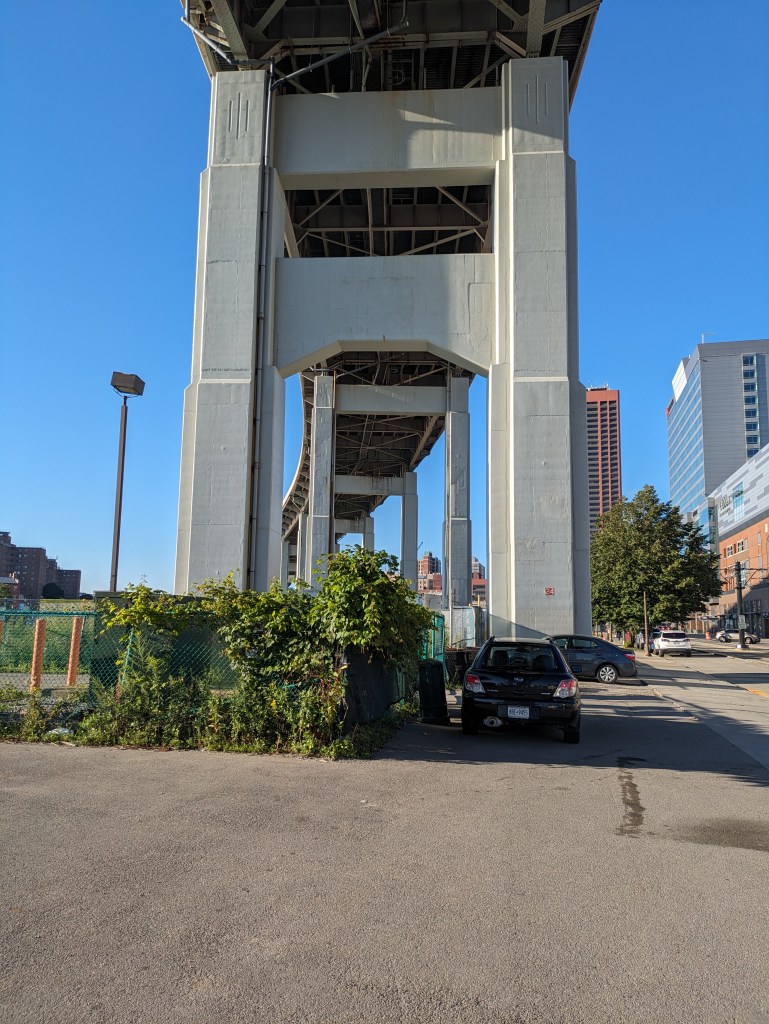
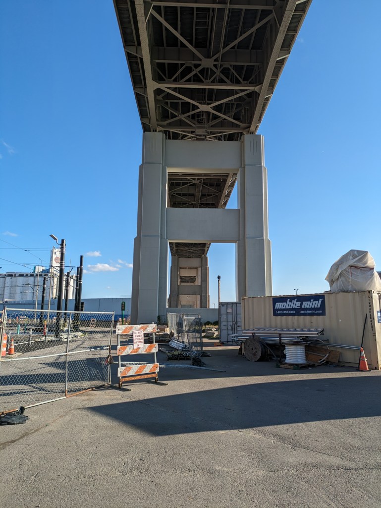
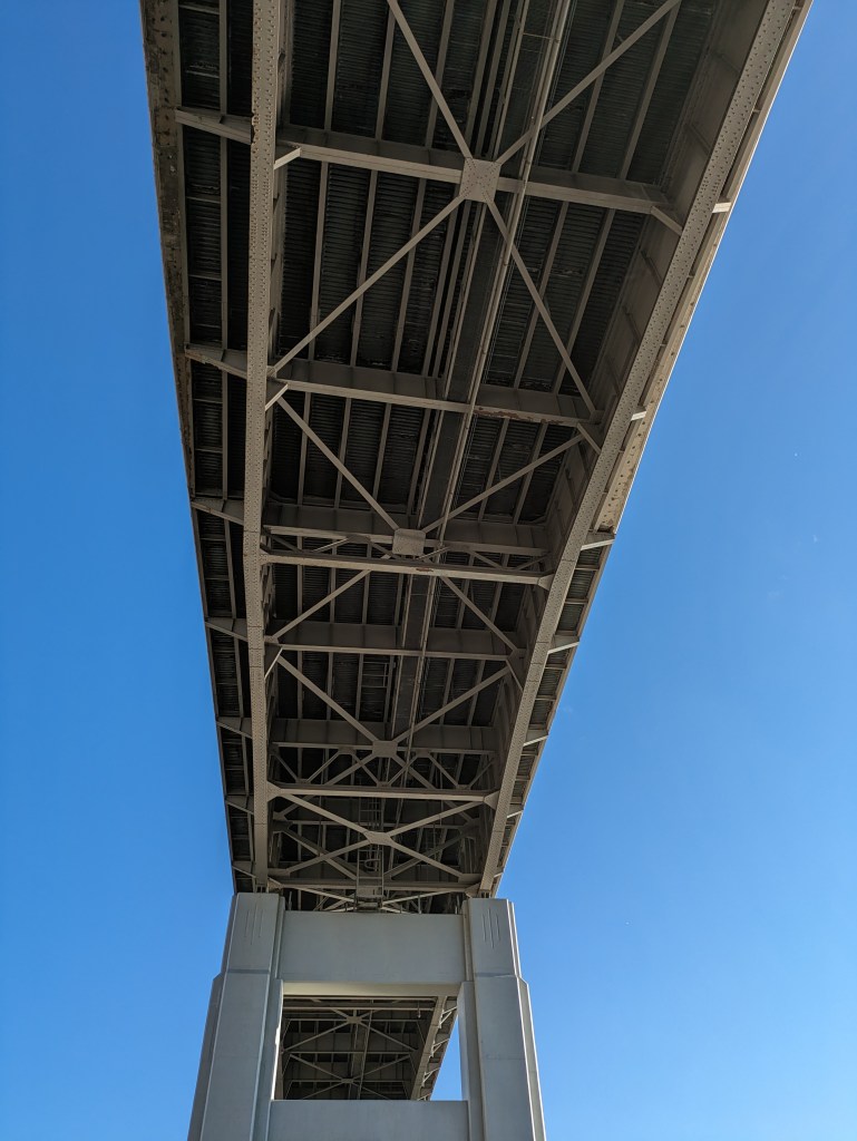
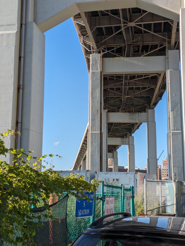
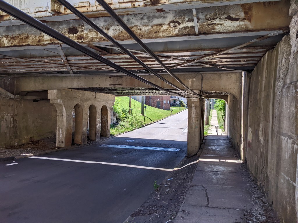
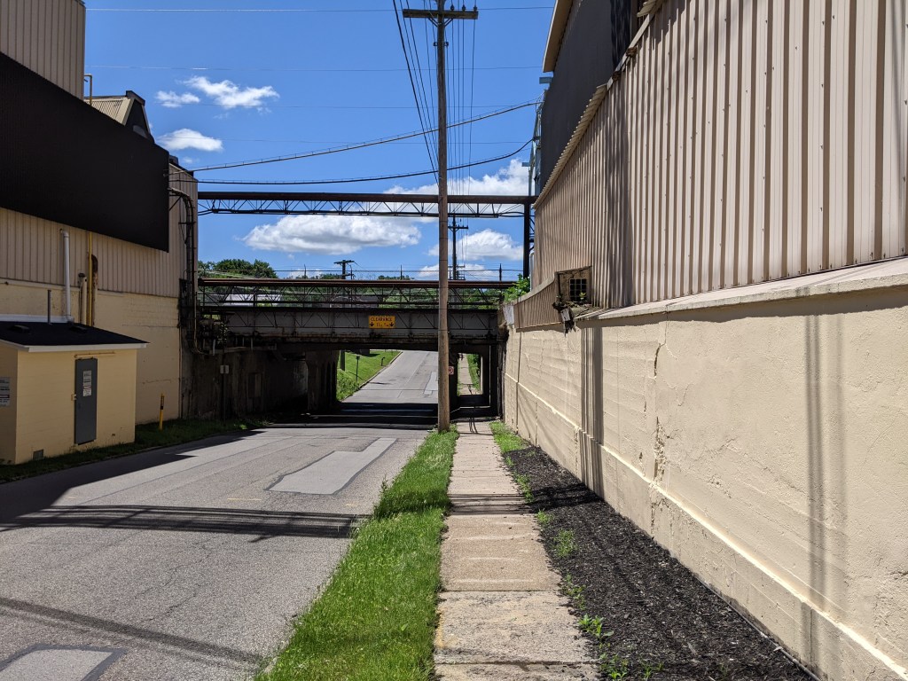
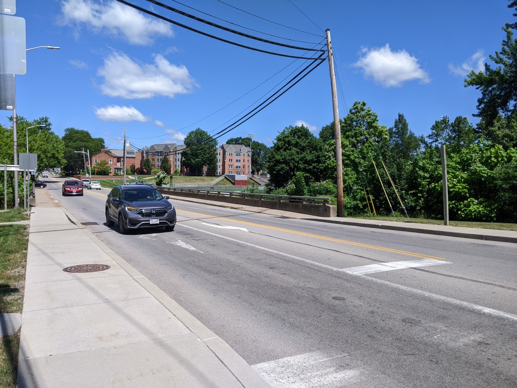
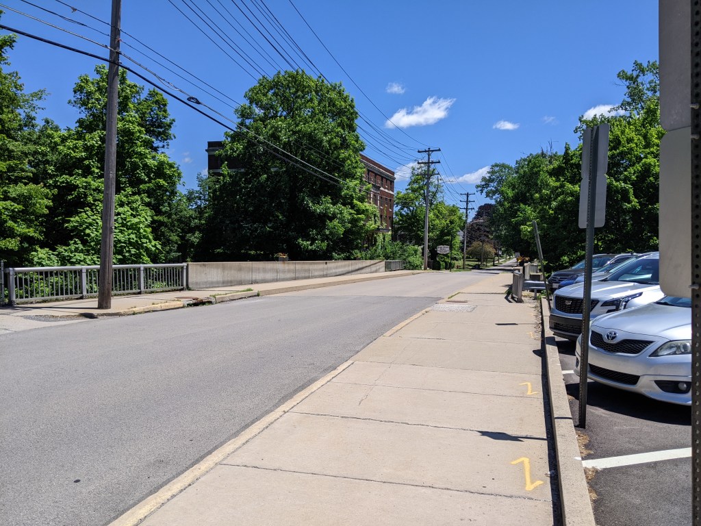
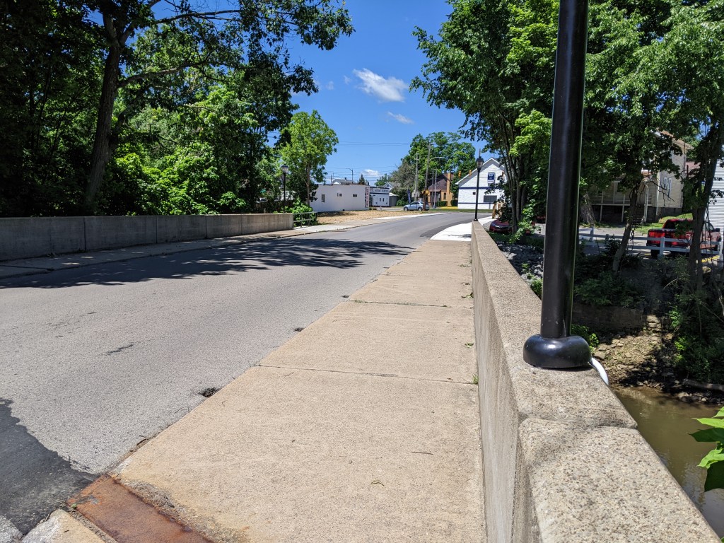
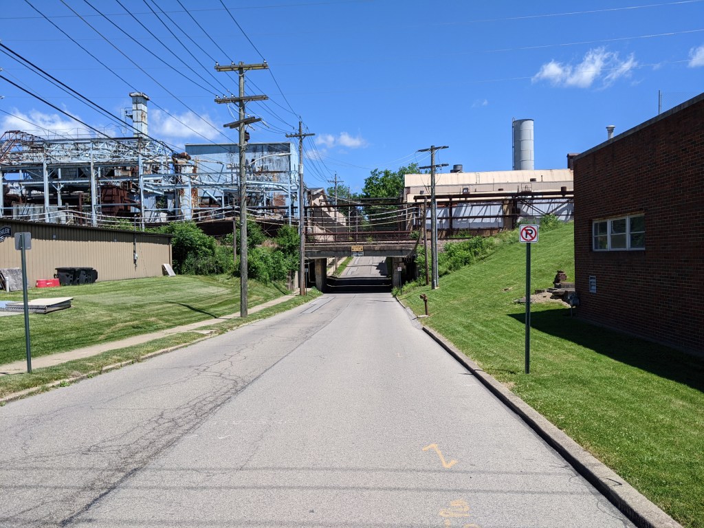
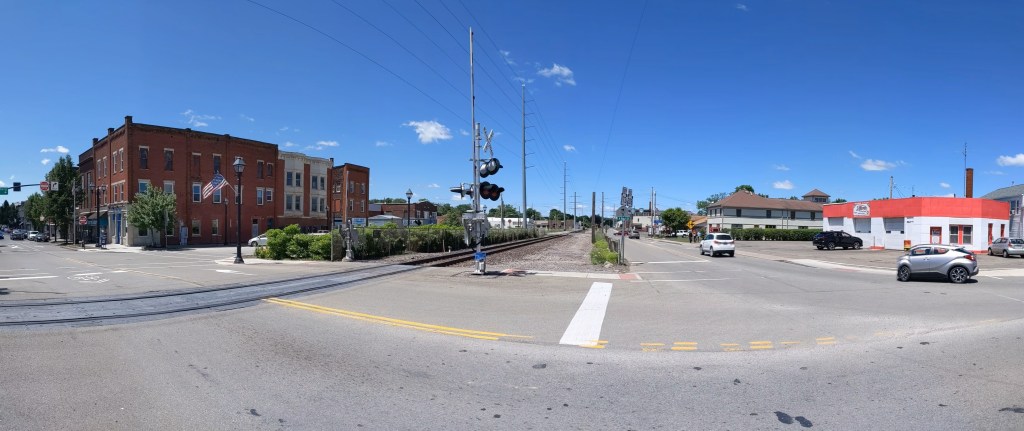
In Buffalo, the structure that carries Route 5 over what used to be largely industrial areas with some residential parts reads to me like an overpass. But sitting down to think it through, I realized that I may have to call it a bridge as well. It has all the structural components that are found in bridges: roadbed, spans, support. Yet, its purpose does not feel like a bridge.
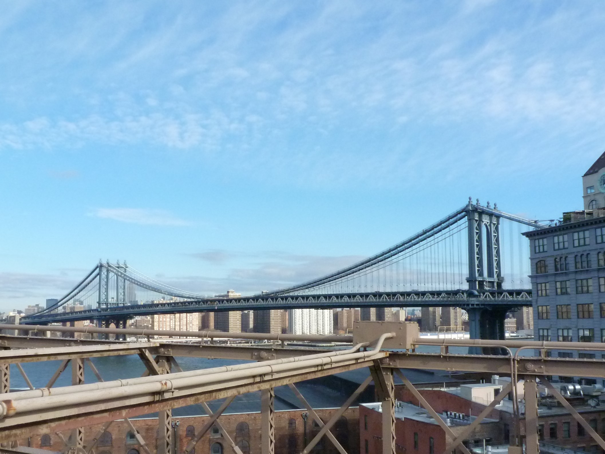
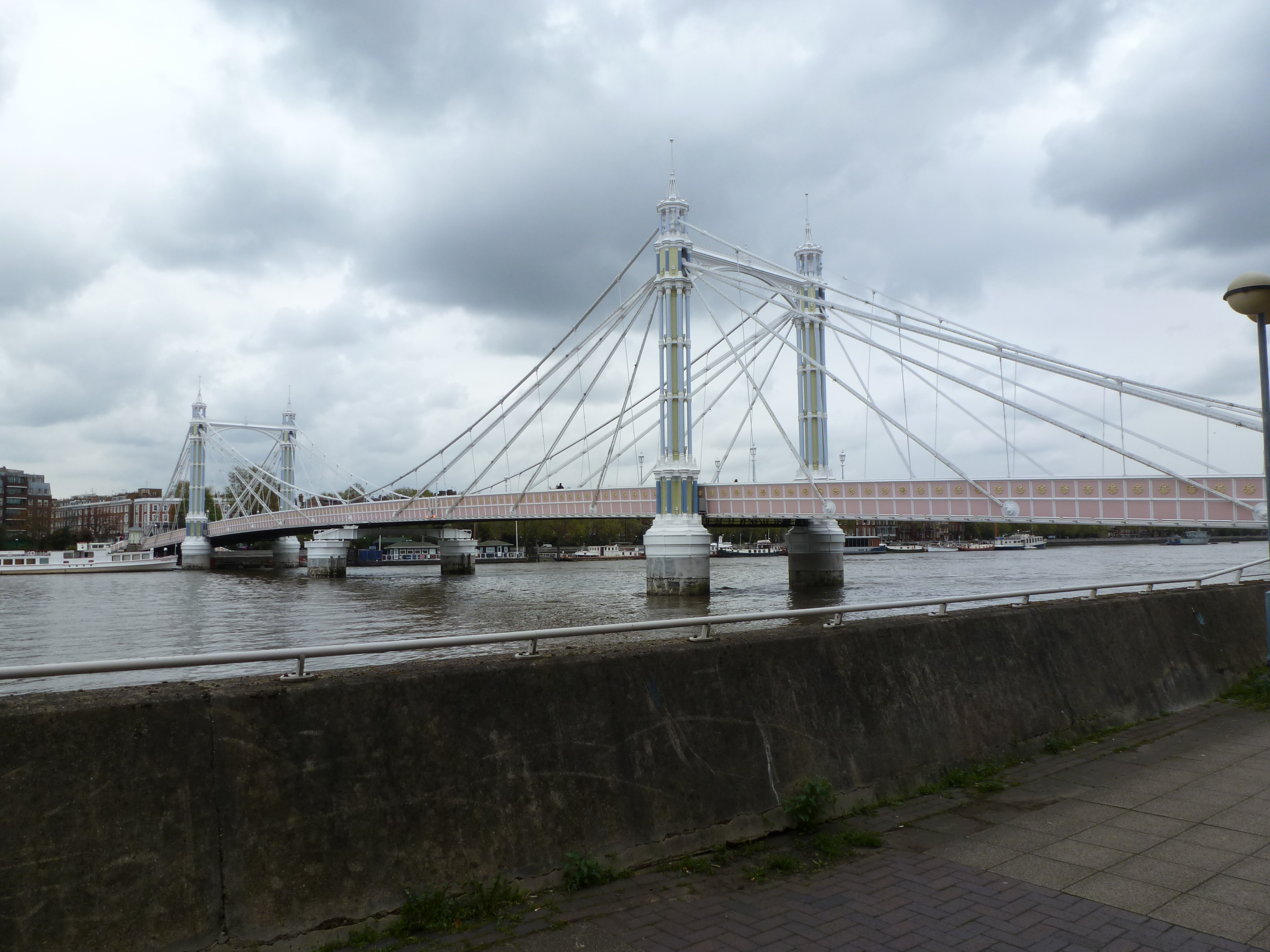
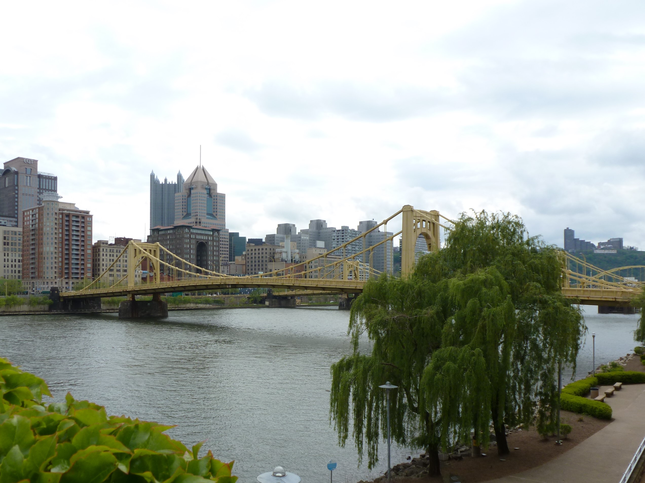
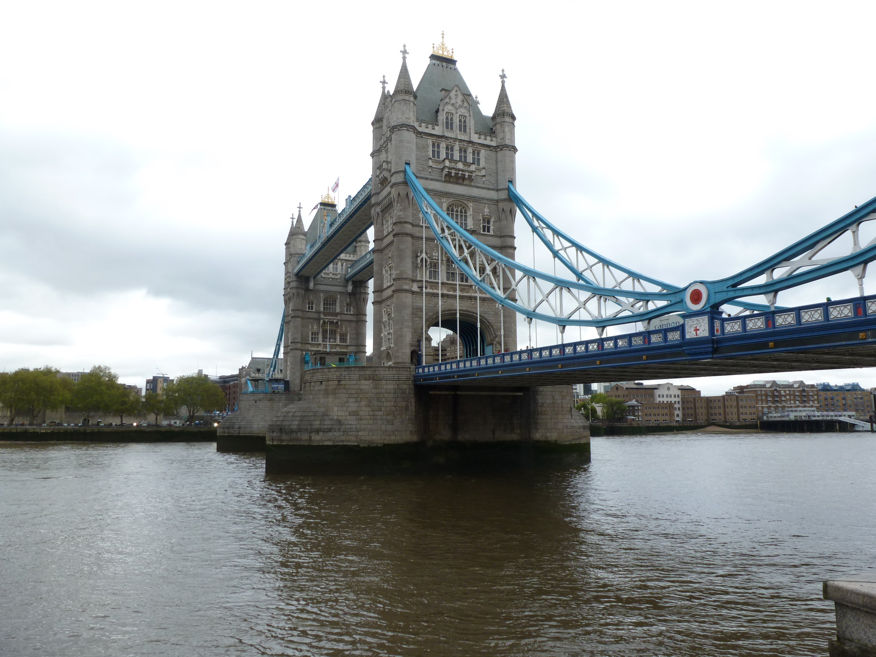
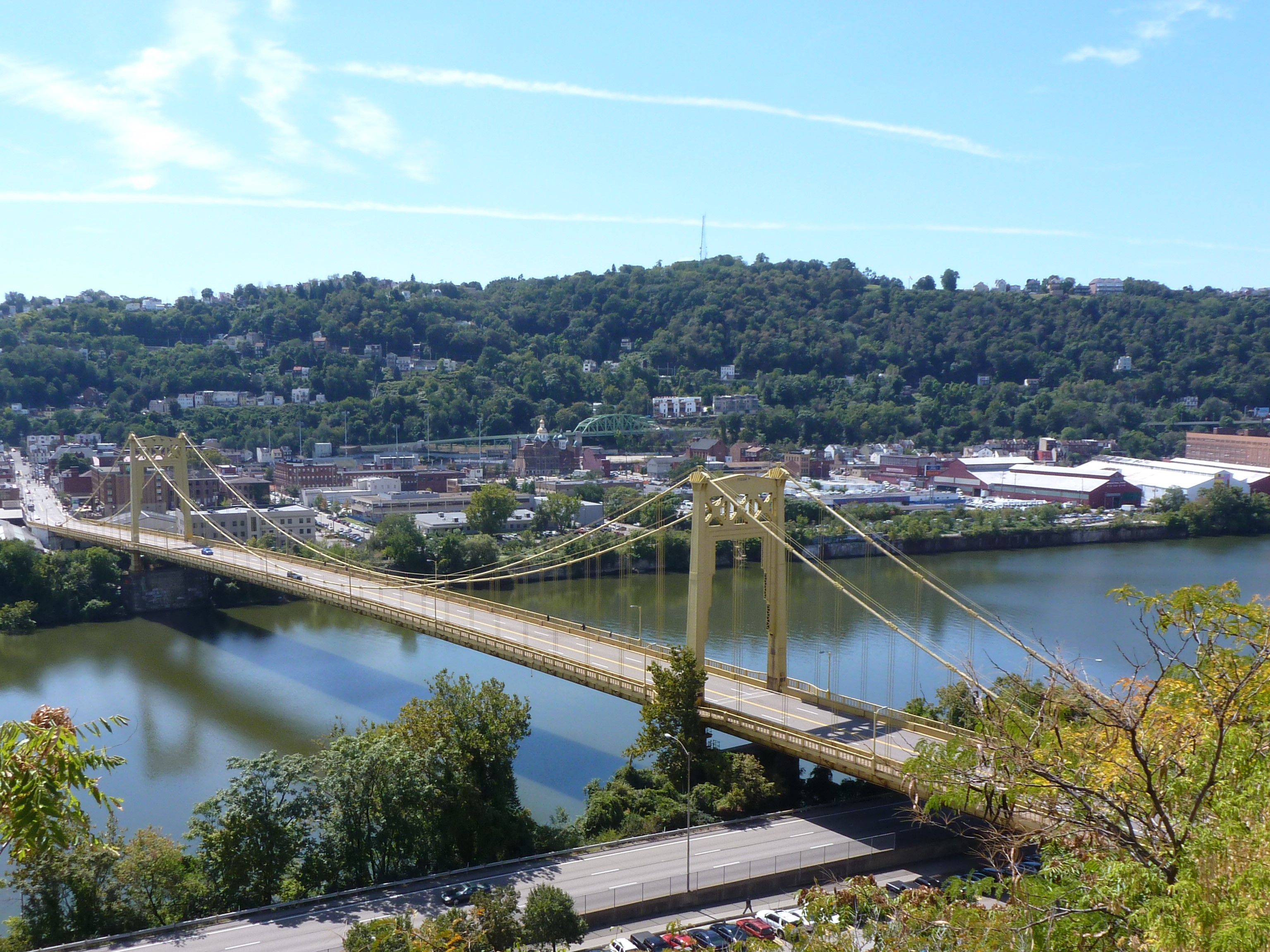
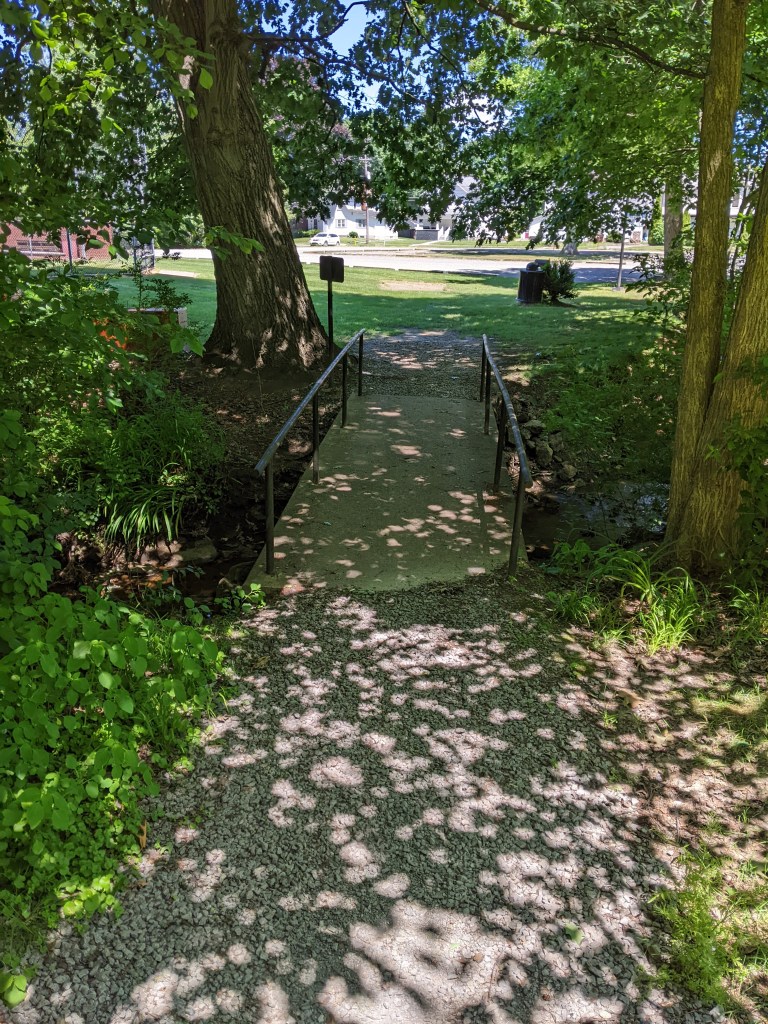
While in Pittsburgh bridges divide the residents of the city, more typically bridges are about making connections. We use the term “bridge” metaphorically for building a connection. I see physical bridges as a structure that connects two (or more) points.
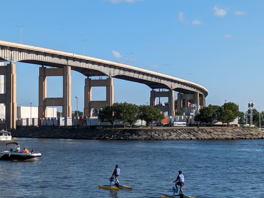
But Route 5 is not about connection, it is all about passing over. So can I call it a bridge?
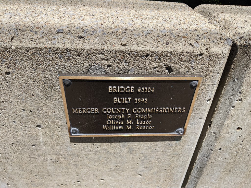
I think an engineer would say yes. Since I started this philosophical debate of what is a bridge, the Fern Hollow Bridge in Pittsburgh collapsed, which led me to discover the Federal Highway Administration’s bridge database. It took a minute to figure out which dot on their map referred to Route 5’s structure, but I’m pretty sure it’s the one that is 1.38 miles long with 112 spans. The FHA, therefore, considers it a bridge.
From a structural viewpoint then, an overpass is a bridge; but from a philosophical one, an overpass may not be a bridge unless it is also a path of connection.