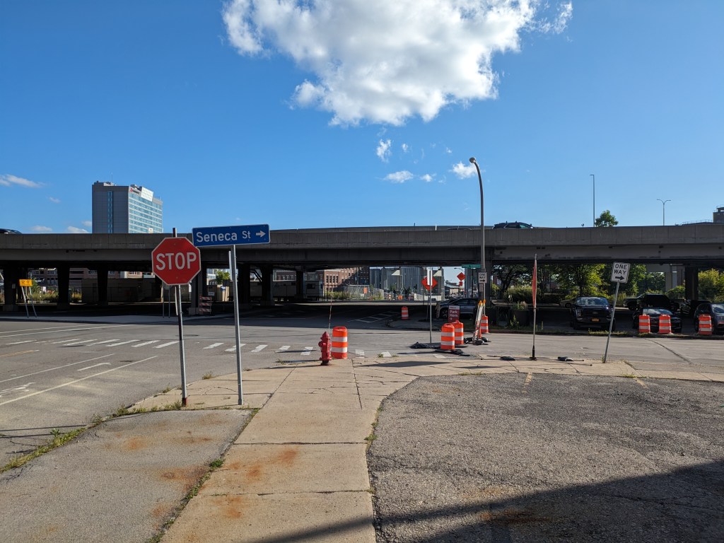
I got off the bus a stop or two before the Homestead High Level Bridge (aka Homestead Grays Bridge). As I walked down Brown’s Hill Road, I was unpleasantly surprised to find that my sidewalk turned into a drain. From a distance it looked like the sidewalk continued all the way to the bridge as it was the same material and same width the whole way down. However, at one point it suddenly changed from being a flat sidewalk to a v-shaped drain. Fortunately it had not rained recently, so the drain was dry and I was able to continue on my way. If I were a person with a mobility disability trying to get down to the bridge, this would have presented a serious problem. There was no warning for this change and the nearest traffic light was some distance back uphill (because of the traffic level this is not a road where it is wise for any person to attempt to j-walk). I did not walk on the other side of the road, so I am only assuming that the sidewalk there would be accessible (that is, not turn into a drain).
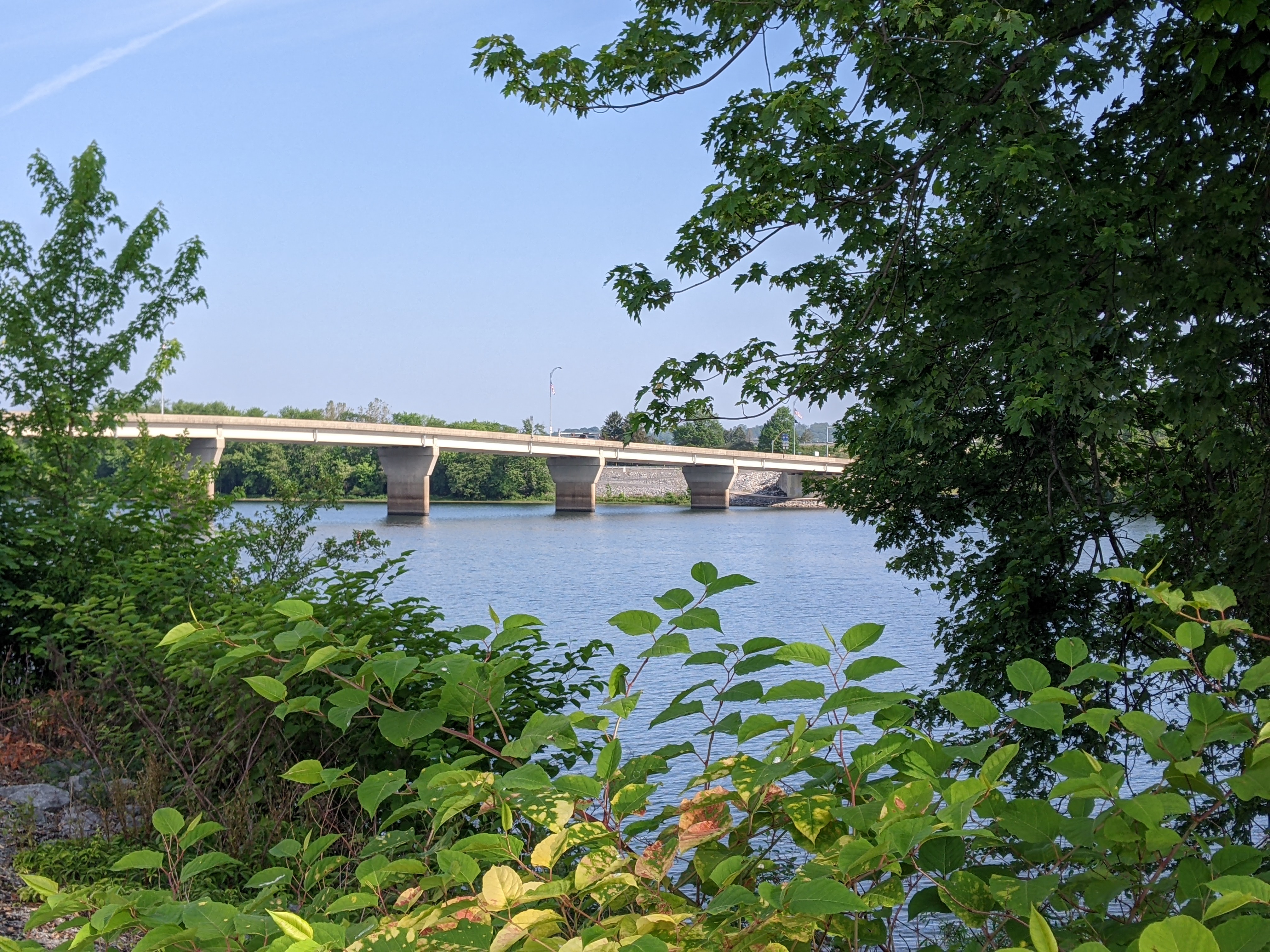
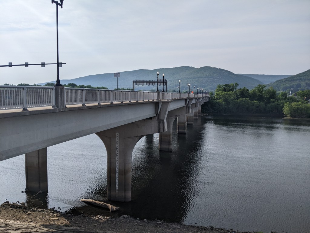
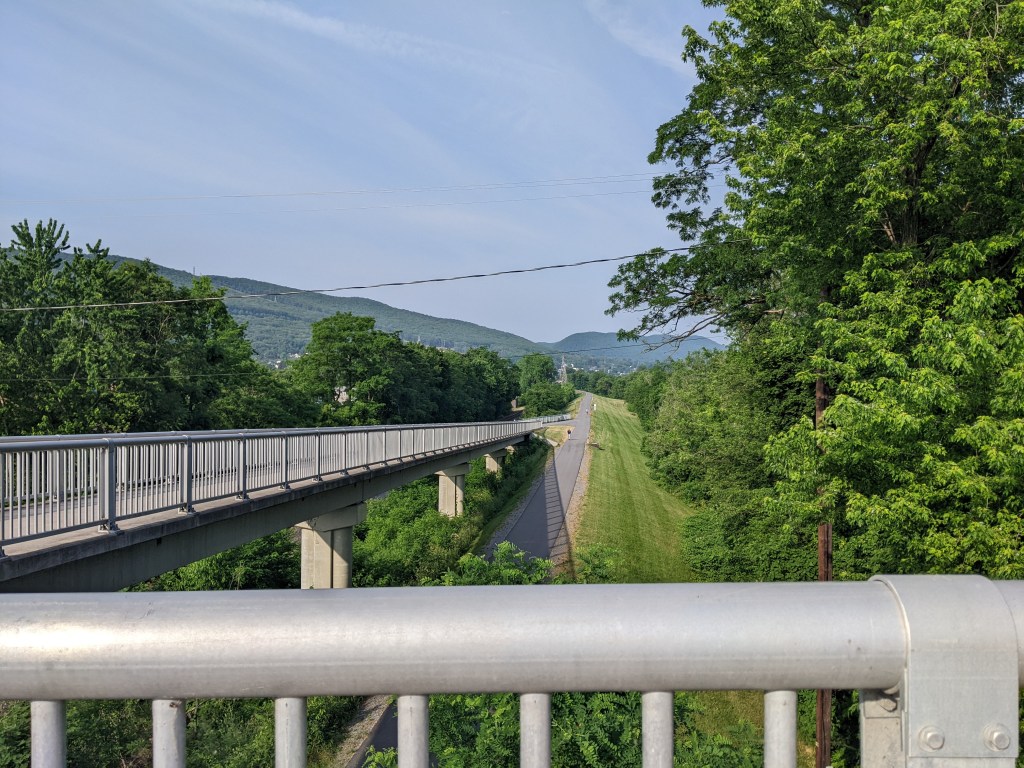
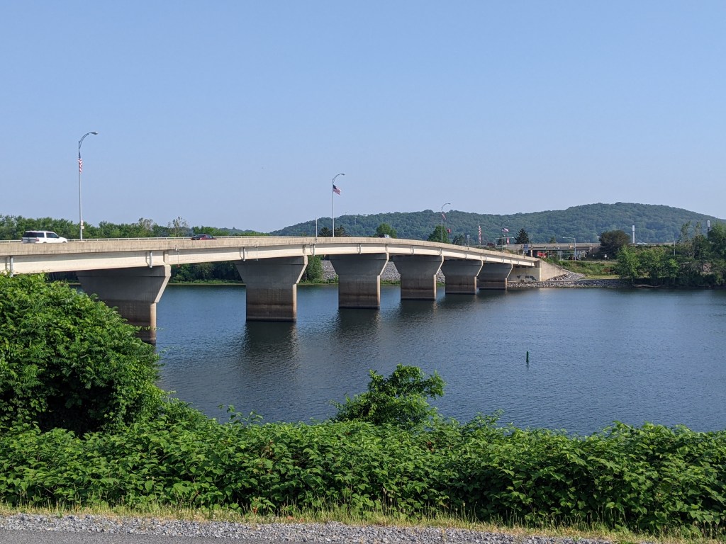
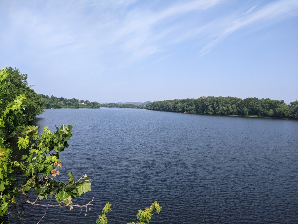
The walk across the bridge itself was fine. There is sidewalk on both sides and no fence to cage you in or to block the views. It was a windy crossing, which reminded me that every time I’ve walked the Highland Park Bridge, I’ve noticed the wind. It made me wonder if there is something special about the location of these two bridges or if it is merely coincidence that they are windy. One factor in common between the bridges is that there are the last bridges within the city on their respective rivers when traveling away from downtown.

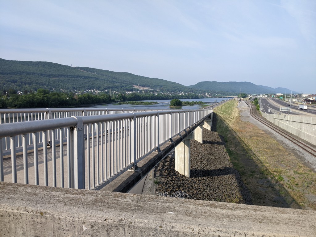
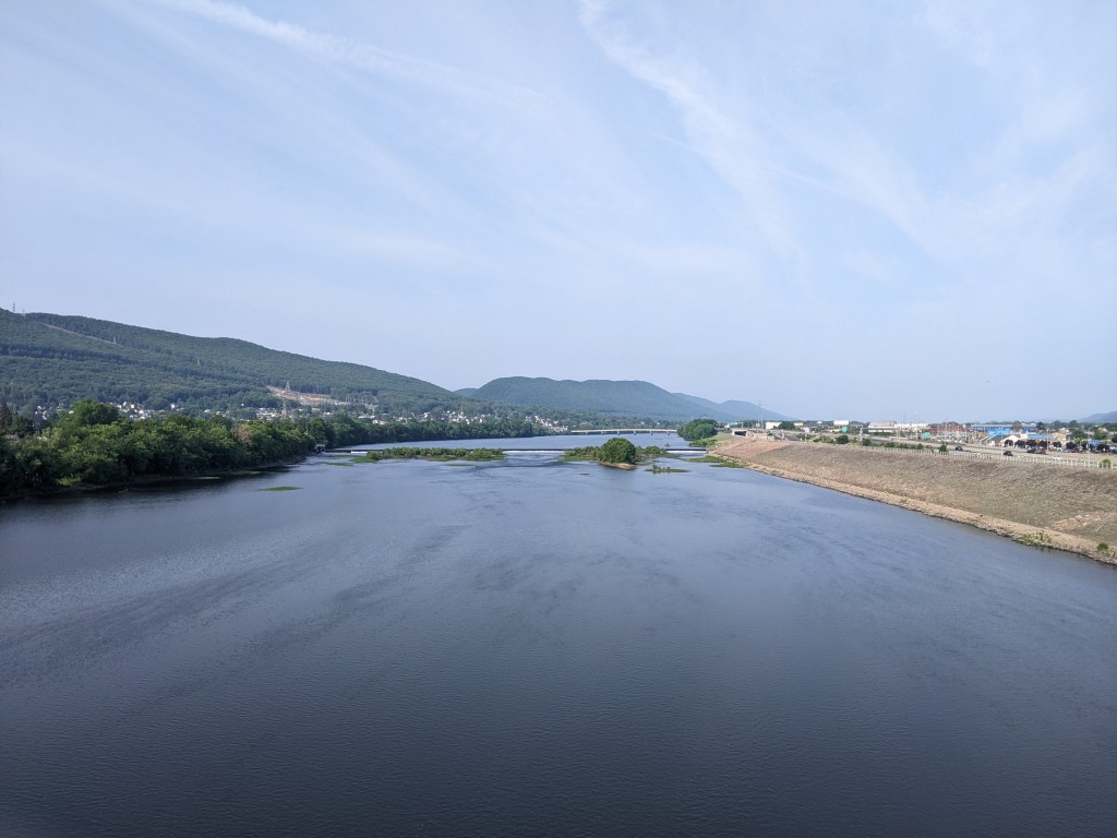
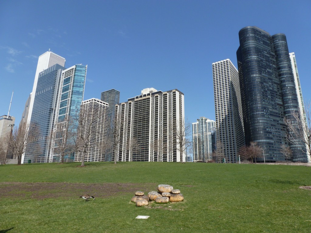
There are several interesting sites visible from this bridge (most of which are not within the boundaries of the city of Pittsburgh). First is the view above of Homestead. In this shot there are five churches visible, just outside the frame are three more to the left and one more to the right, within several additional churches just a little farther out from this core. I find the close proximity of so many churches interesting first because it is a clear indicator of the past of this town (a major mill town with numerous immigrant groups) and second because about half of these church buildings are vacant or for sale. It is a dream of mine to create a master plan for adapting these churches to new uses that complement each other, address some of the needs of the town and act as a productive catalyst for lifting the town out of decay. As I still haven’t figured out what these uses would be or how to implement the adaption, it currently remains a dream.

A project that I’ve heard was supposed to lead to the revitalization of Homestead was the creation of the Waterfront Mall on the former Homestead Steel Works site (originally part of the Carnegie steel empire before being sold to US Steel). The revitalization plan did not work out and it is popular to criticize the design of the mall and point out all the reasons for this failure. The most glaring reason is that the roads were designed so that people coming from the city can completely avoid going into the town when going to the mall.
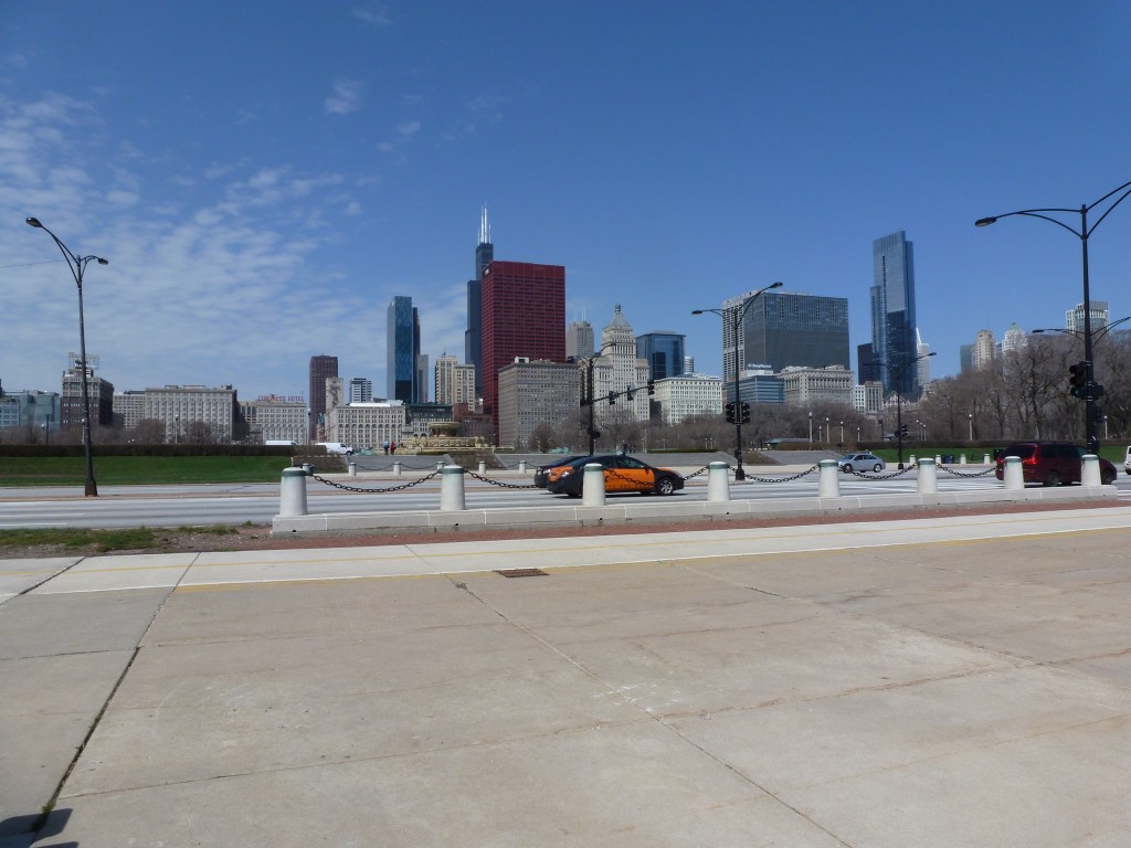
Another negative factor about the mall, which doesn’t necessarily have any effect on the potential to revitalize the surrounding area, is the limited walkability of the site. It drives me nuts and definitely is a major factor curtailing my use of the mall. Part of the mall, pictured above, is walking friendly. However, as someone once pointed out to me, this is where all the expensive stores are and chances are that people shopping here have cars. On the other side of the bridge and across a couple parking lots are the rest of the shops laid out in a long string of big box stores including Target and the grocery store (which as the same helpful person pointed out are frequented by people without cars). I have nightmares of the long trek lugging my growing number of purchases all over this site as I travel between stores and then try to find a bus stop that will take me out of this barren landscape toward home (an absurdly difficult feat).

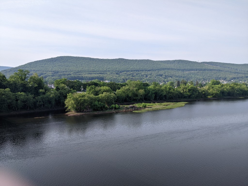
The image above shows the never-ending parking lots along the long string of stores. From this view it looks far more green than it feels on the ground. One other aspect of interest is the black shapes above the America flag, which are the abandoned structures of the Carrie Furnace, one of the few remnants from the Pittsburgh region’s industrial and steel past. I say “abandoned” but this perhaps is not an accurate term as there are plans and efforts underway to use the site. An August article in the Post-Gazette discusses the efforts of volunteers to save the site and turn it into a museum. The first half of another article from June talks about development plans for turning the land surrounding the furnace into an office/industrial park.

A final site of interest visible from the Homestead High Level Bridge is the slag heap which is now home to the “Somerset at Frick Park” housing development. When I get caught up with posting about the walks I’ve done since starting my blog, I’d like to write about some I took before my blog began, including the hike through Frick Park and over this slag heap. I suppose given my interest in seeing vacant property, including brownfields, within a city reused, I should be pleased with this development. I think I’m getting a bit hung up on the irony of the site–once a dump site for the refuse of mines and industrial sites, now the site of luxury homes and condominiums.