Then & Now: Duquesne University Pedestrian Bridge

I first walked the Duquesne University Pedestrian Bridge as part of my 10th Street Bridge walk in September 2012. However, by that point I was walking bridges faster than I could post about them. This is one of the bridges that I hadn’t posted about until now. It is accessed by a multi-story staircase from the northern end of the 10th Street Bridge and it crosses the speedy Blvd of the Allies. Students who prefer walking (and climbing) to transit and who live or party on the South Side use the 10th Street Bridge-staircase-pedestrian bridge path to get to and from campus.

Because of this bridge’s perch on The Bluff, it has great views up and down the Monongahela River. Some of the developments that have happened since 2012 along this river are visible from this bridge. The first pair of photos show a new construction self-storage complex that was built on a vacant, but complex, industrial site. Zooming out some in the second pair, a now brightly colored set of warehouses stand out (which incidentally are next to the Highline/Terminal Way Bridge). Less clearly visible is the white smudge that is the extension into the river built by the gravel company just on the other side of the Liberty Bridge.

The most surprising thing to me on this return trip is that the new UPMC Mercy Vision Rehabilitation Center that is still under construction and looks massive from the views in my Keeping an Eye on Uptown series is not very visible from this bridge. If it had been a sunny day when I was out taking photos, perhaps the glass would have glinted a little more behind the freeway sign, but as it is, the dark spot visible under the freeway sign now isn’t much different than the dark spot from 10 years unless you zoom in close (final photo pair).

Moral Economics

The strongest impression from my last trip to Cardiff was the feeling that it is morally wrong to invest heavily in touristy neighborhoods while skipping the neighborhoods of the residents. Tourists may provide a bigger return per touch point, but residents have many more touch points (including voting). Perhaps I have become jaded since that trip, but I now accept that economics and morals rarely work together.

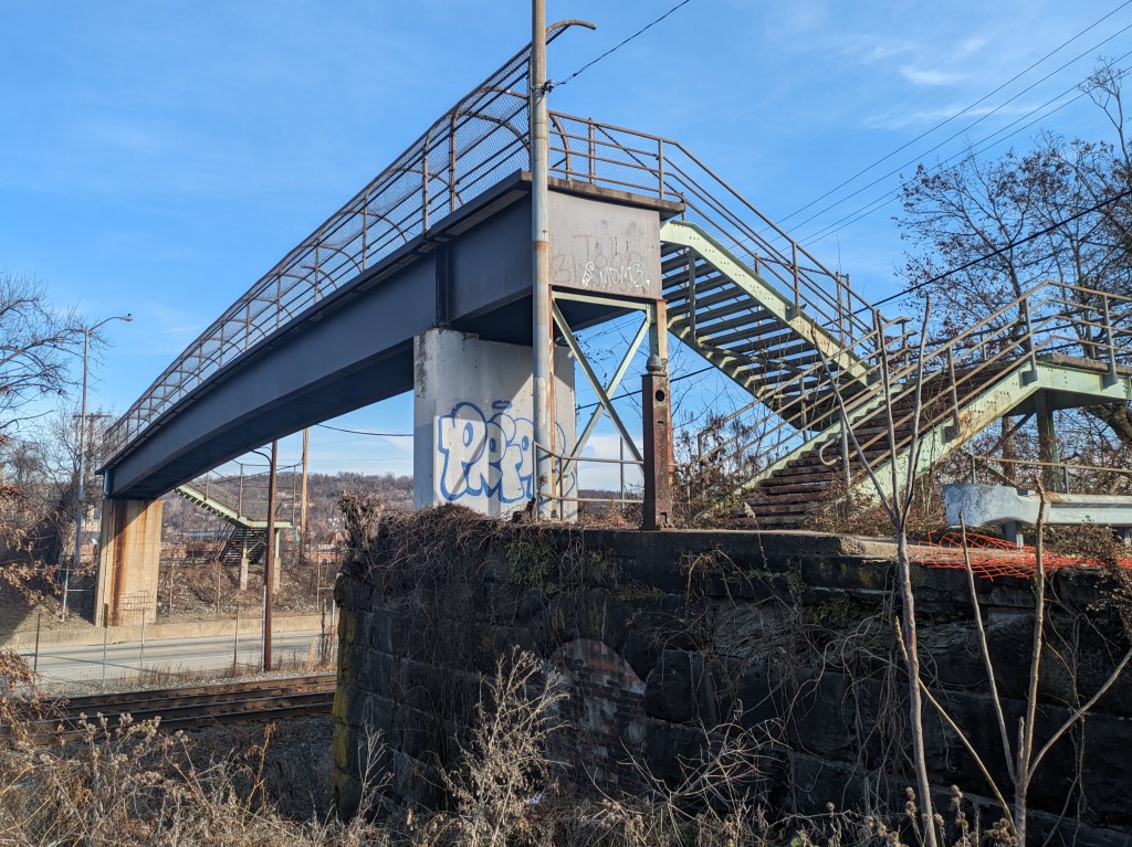
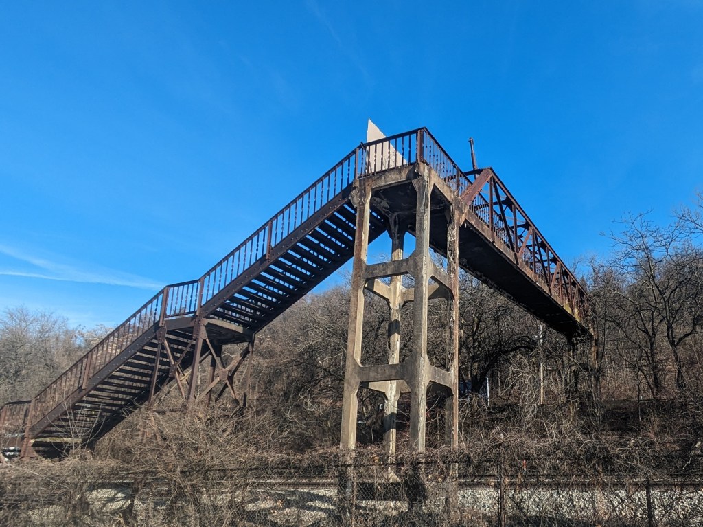
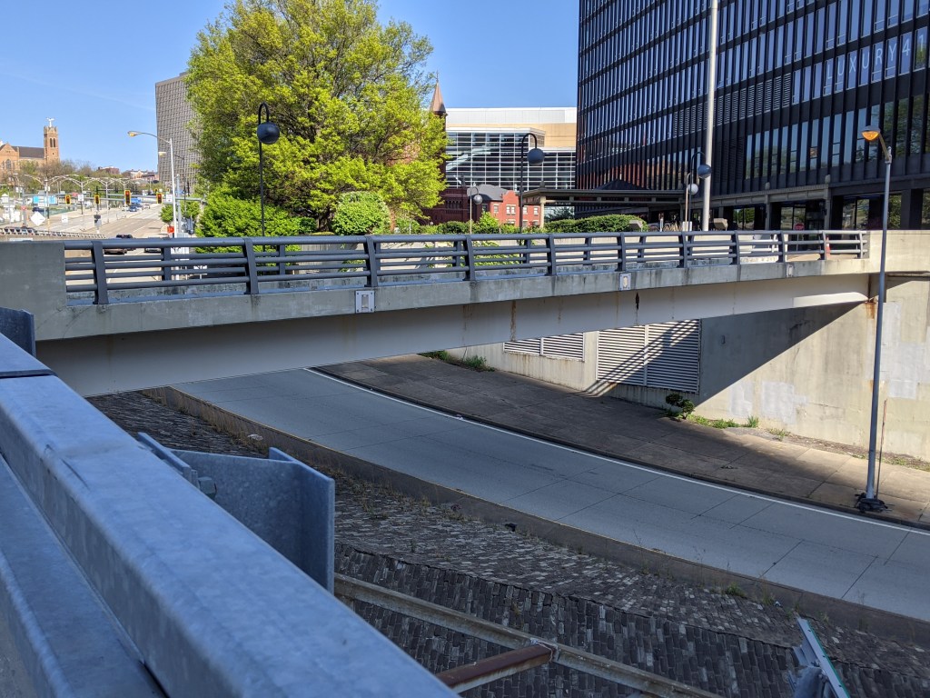
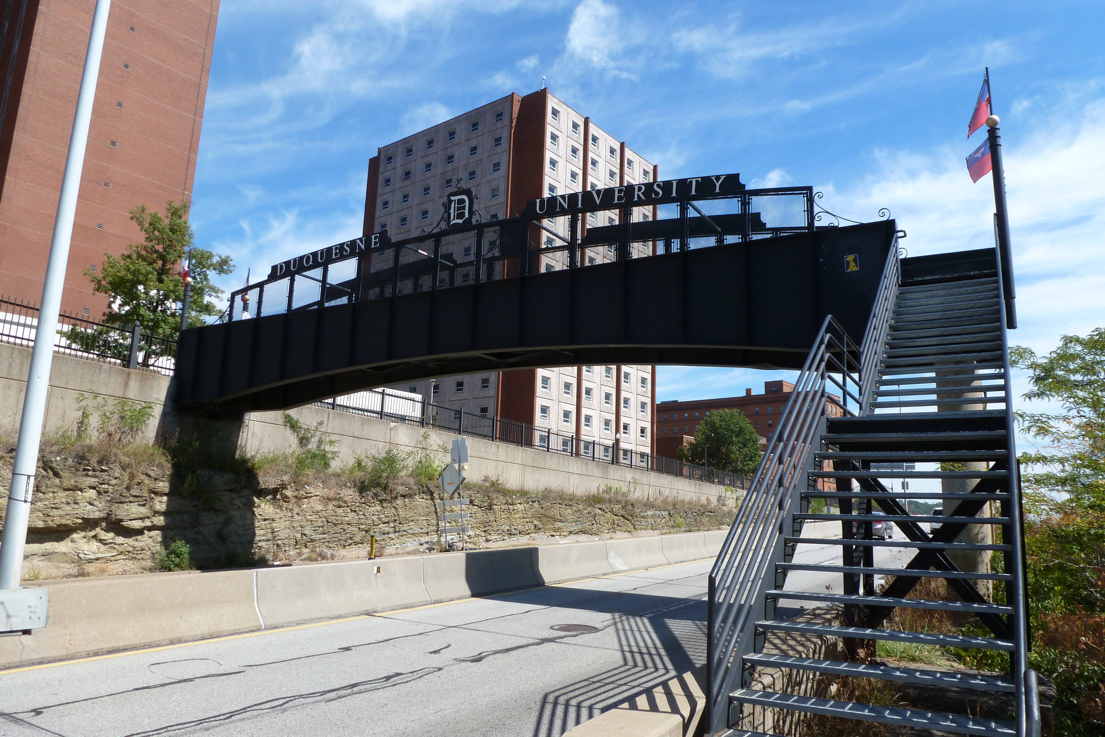
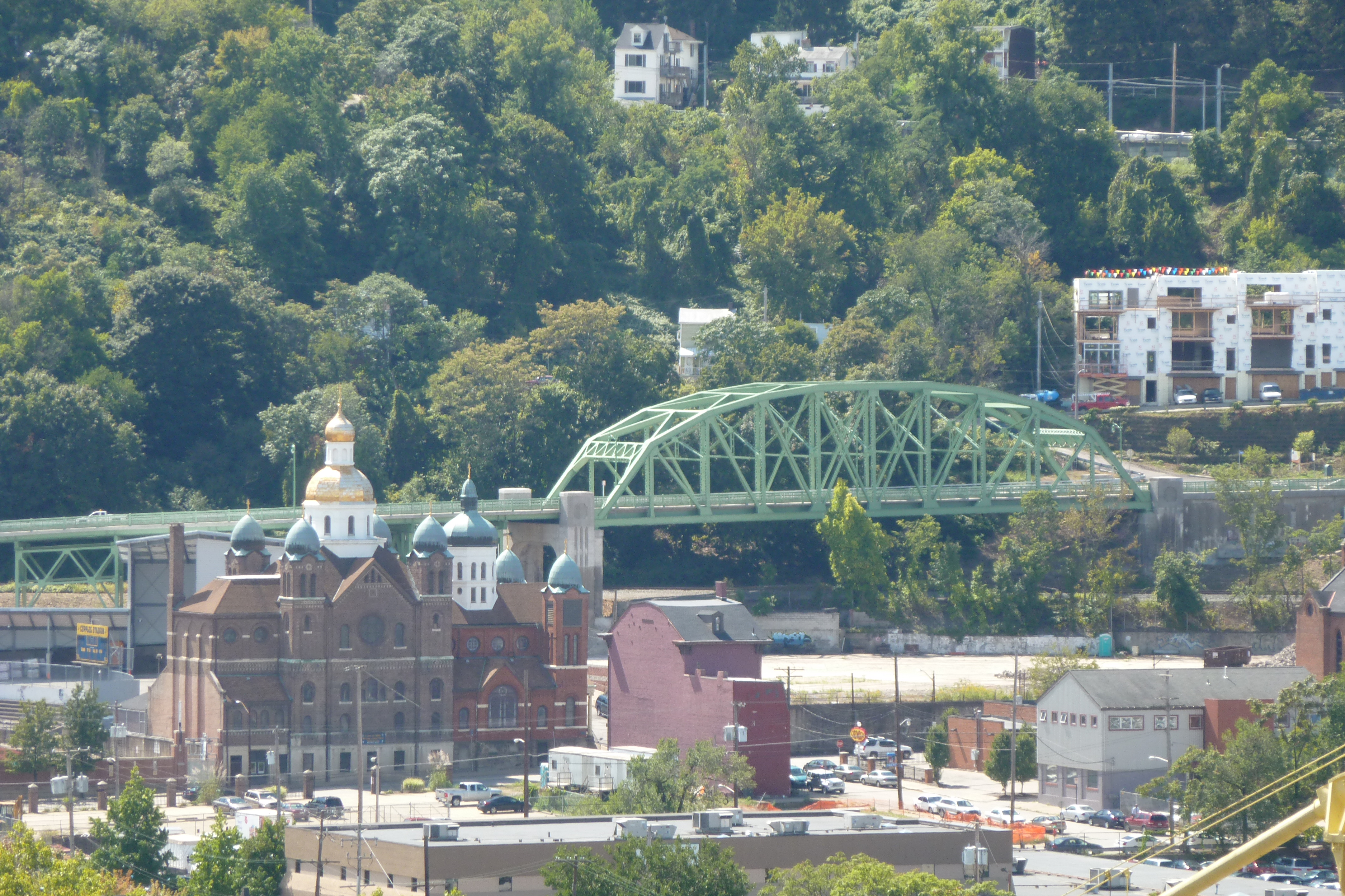
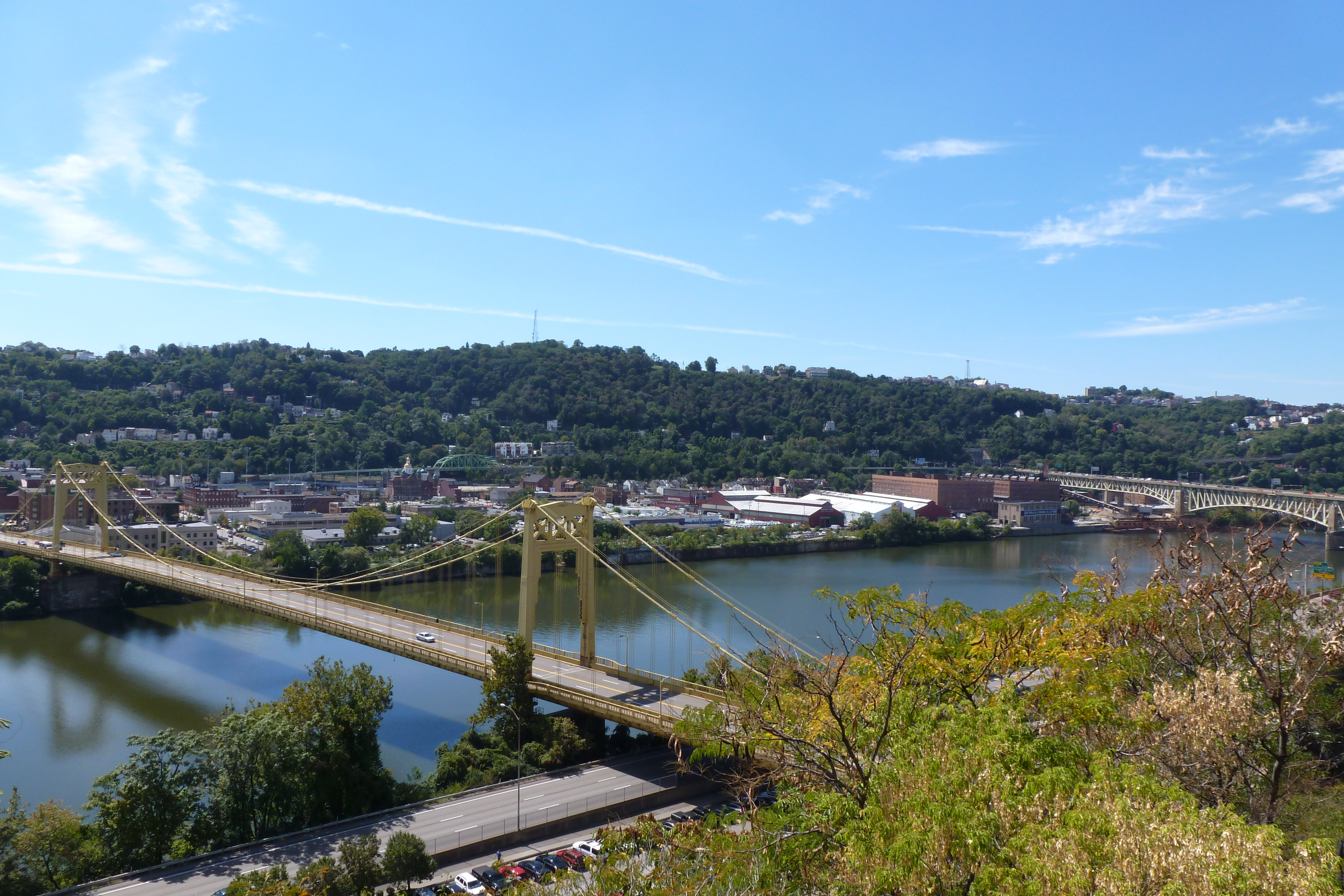
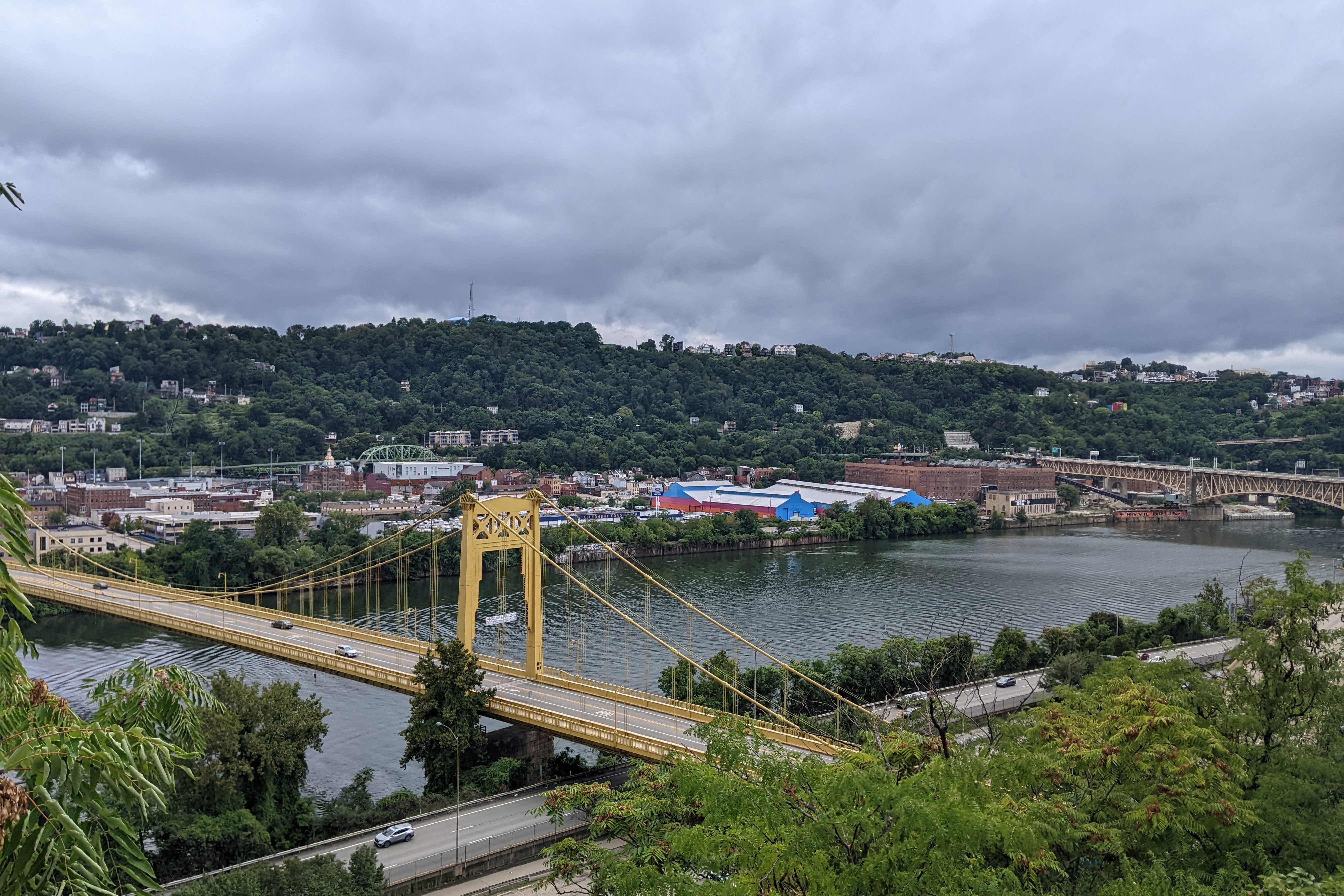
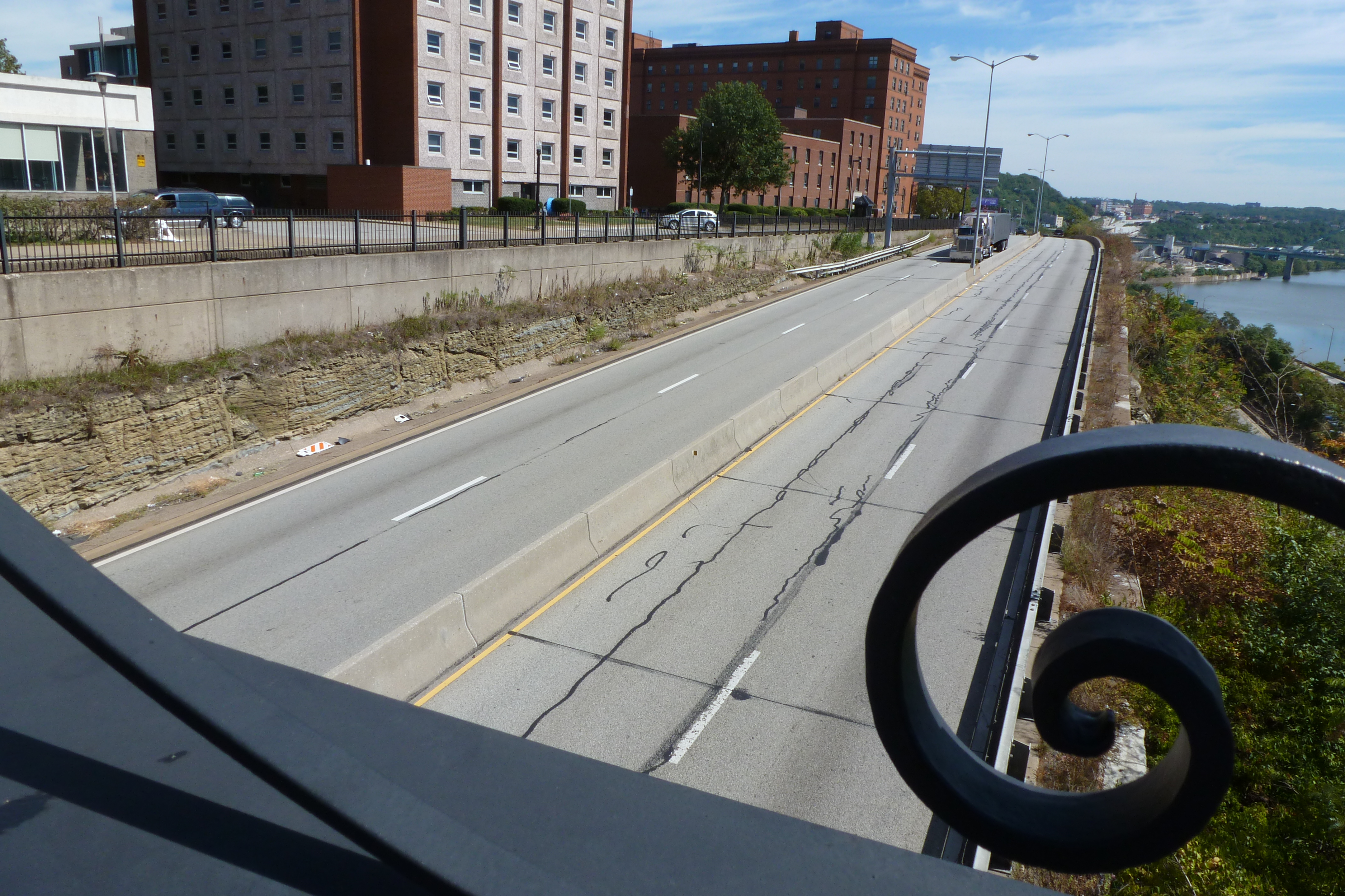
Pittsburgh’s Uptown neighborhood is trying a different approach to see if economic investment can be leveraged for the greater good. Uptown experienced disinvestment and decay for decades, despite being located between and within walking distance of Oakland and downtown, two of the largest economic engines in the state. Not to mention the main roads connecting these prosperous and growing areas run directly through Uptown. Zipping down Fifth Avenue from Oakland to downtown, it is easy to overlook or ignore the ruined home foundations turning back to forest, the wide-spread vacant lots and parking lots, and the intricate architectural details on the remaining old structures.

Former Rialto Theatre

The bland brick and glass facade on Fifth Avenue identifies this building as another mid-century warehouse. Turning the corner, the decorative parapet wall and bricked over arched opening tell the story of an older, more interesting building.

One such structure was one of the many movie theaters dotting the city in the 1920s. In the 1950s, the adjacent buildings were demolished, and an addition was added to the theater to turn it into a storeroom. After a time as a plasma center in the 1980s and 1990s, the building sat vacant and dusty for many years. Now, it is undergoing renovations for its next life. This is just one of the many signs that investment is coming to Uptown.

The community of Uptown that held on through the economically rough times prepared for this moment. In collaboration with many partners, including local institutions such as Duquesne University and UPMC Mercy as well as the City of Pittsburgh, the community created a new neighborhood plan. This designated Uptown and West Oakland as an EcoInnovation District. One of the first actions from this plan developed a new zoning district, the first progressive zoning district in Pittsburgh. The goal of the plan and the zoning district is to leverage the coming economic investment to create an inclusive and environmentally sustainable neighborhood.

It will be interesting to watch this neighborhood over the next few years to see if the plans are successful at introducing some moral components to the economic investment.

10th Street Bridge

The 10th Street Bridge (which a reader pointed out is nicknamed the Phillip Murray Bridge after the first president of the United Steelworkers of America) was the last of the bridges over the Monongahela River for me to walk.  Or so I thought.  It turns out that the Liberty Bridge also has a sidewalk despite the fact that it is a freeway bridge like the Veteran’s Bridge (see post).  So I’ll have to come back to the Liberty Bridge at some point.

I delayed my walk of the 10th Street Bridge in part because it seemed like an awkward one to get to and from.  One end is in the middle of the South Side, but the other connects to the Armstrong Tunnel, which would obviously not be pedestrian friendly.  Last week, I finally went out and walked it and as I hoped, it turns out there is a pedestrian access over the hill to the high-bus-traffic corridor of Fifth and Forbes avenues in the form of a giant staircase that I will address in another post.  This end of the 10th Street Bridge was more well-connected than I had anticipated.  Not only do the stairs provide access to the top of the hill when Duquesne University sits, but there is also access to a parking lot down by the river which also connects to the Three Rivers Trail System.  The best proof of this bridge’s connectivity is the number of other pedestrians I saw walking the bridge.  While I did not keep a count, I noticed that there was a comparatively high level of pedestrian traffic.  It certainly wasn’t as much as the Smithfield Street Bridge (see post), but it was comparable to or higher than that on the other downtown bridges.

My favorite part about this bridge was the dinosaurs painted at the top of the southern tower.  I couldn’t tell if they were official or freelance graffiti, but it seemed appropriate given that Pittsburgh is famous for dinosaurs.  Andrew Carnegie brought the first dinosaur skeletons on display anywhere in the world to his natural history museum.  I found someone else wrote a post about the dinosaurs on the bridge, which the artist apparently calls geese, which suggests that the painting may not have been officially sanctioned.

The post mentioned above about the dinosaurs also comments on the “rusty” condition of the bridge.  While I didn’t notice the rust much (it wasn’t nearly as bad as the 28th Street Bridge), I did notice the condition of the sidewalk.  I thought my theory that the top of the sidewalk had worn away to expose the metal framework supporting the structure rather farfetched, as how could the entire sidewalk (on both sides as far as I could tell) wear out so evenly.  Yet, I cannot think of any other sidewalk I’ve walked that looks like this and given the other bloggers comments on the poor physical condition of the bridge, perhaps my idea isn’t totally crazy?