Chicago Waterfront I

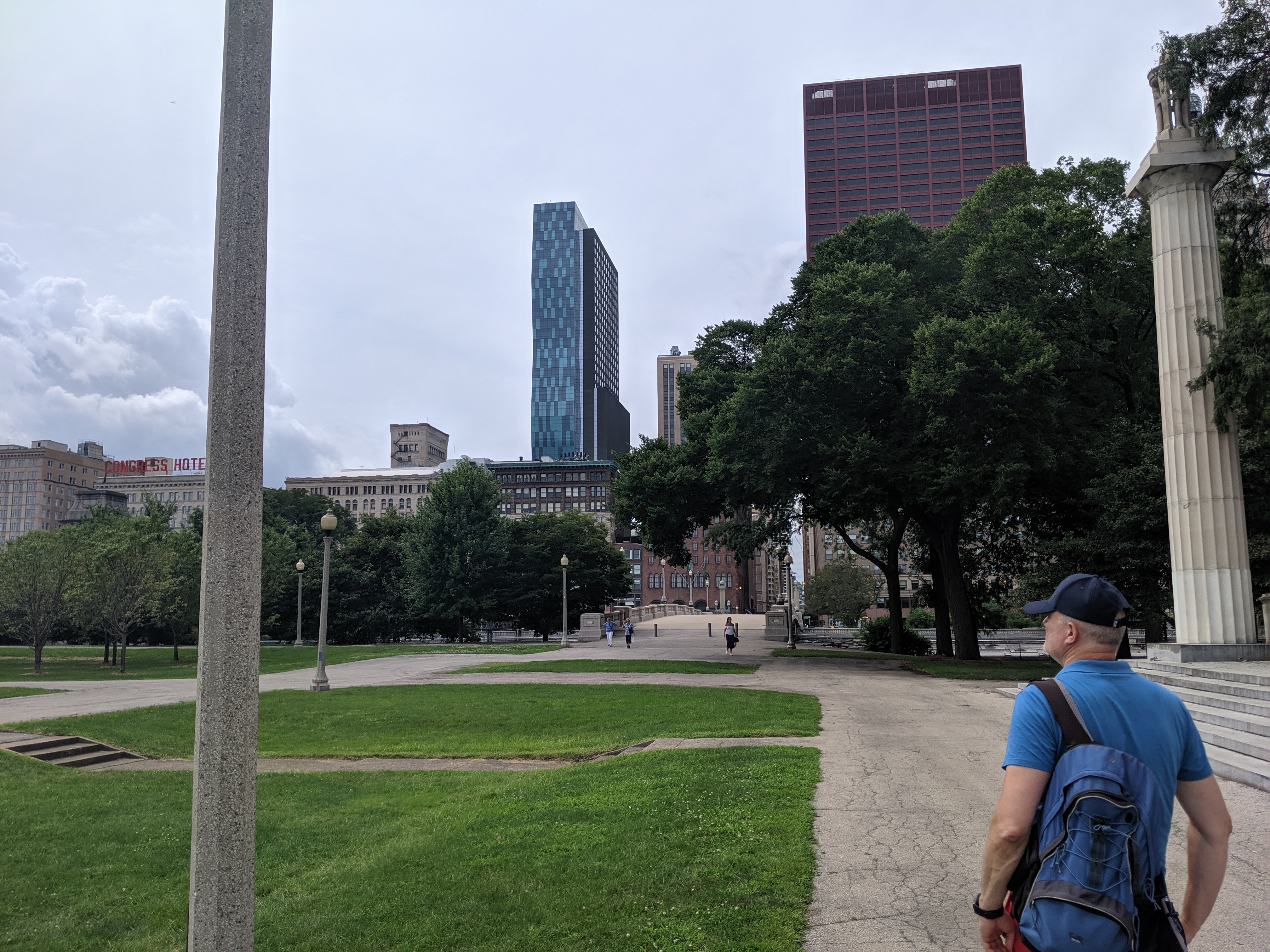
While exploring the Grant Park viaducts on my 2019 trip to Chicago, I discovered that they were connected to promenades leading to the lake. I decided to wend my way through Grant Park by strolling down one promenade to the lake and another back to Michigan Avenue and so on, weaving back and forth. It turns out that this is no longer an option.

On the 1920s map that inspired me to visit the viaducts, the only divider in Grant Park was the railroad tracks bridged by the viaducts. The rest of the park showed on the map as a vast open space where I assumed the promenades were designed for wealthy residents and visitors to take the air and see who else was in town (or perhaps that is just the influence of reading Jane Austen so much). While it didn’t matter to me who else was in town, strolling along the promenades seemed a nice way to take the air.
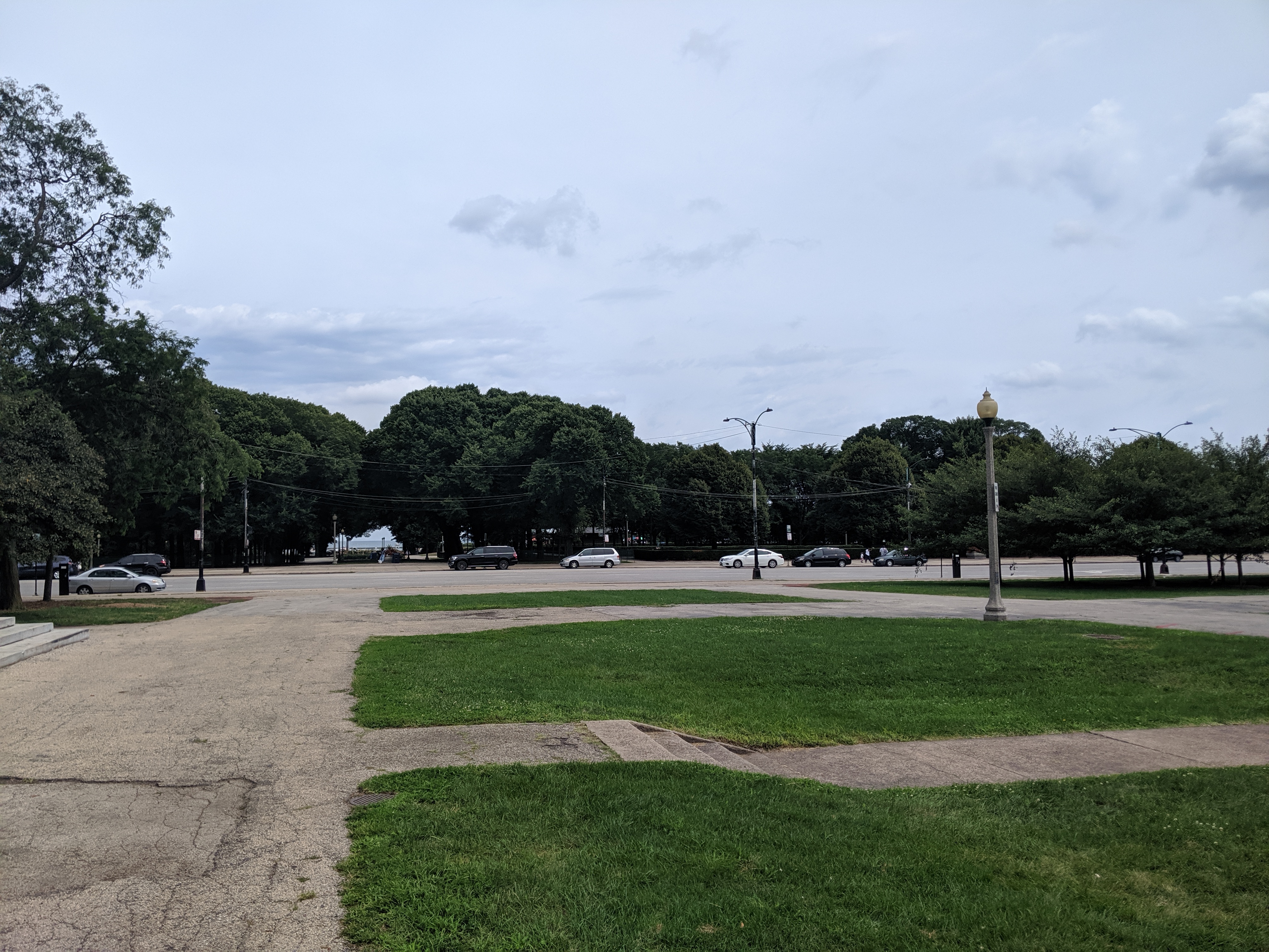
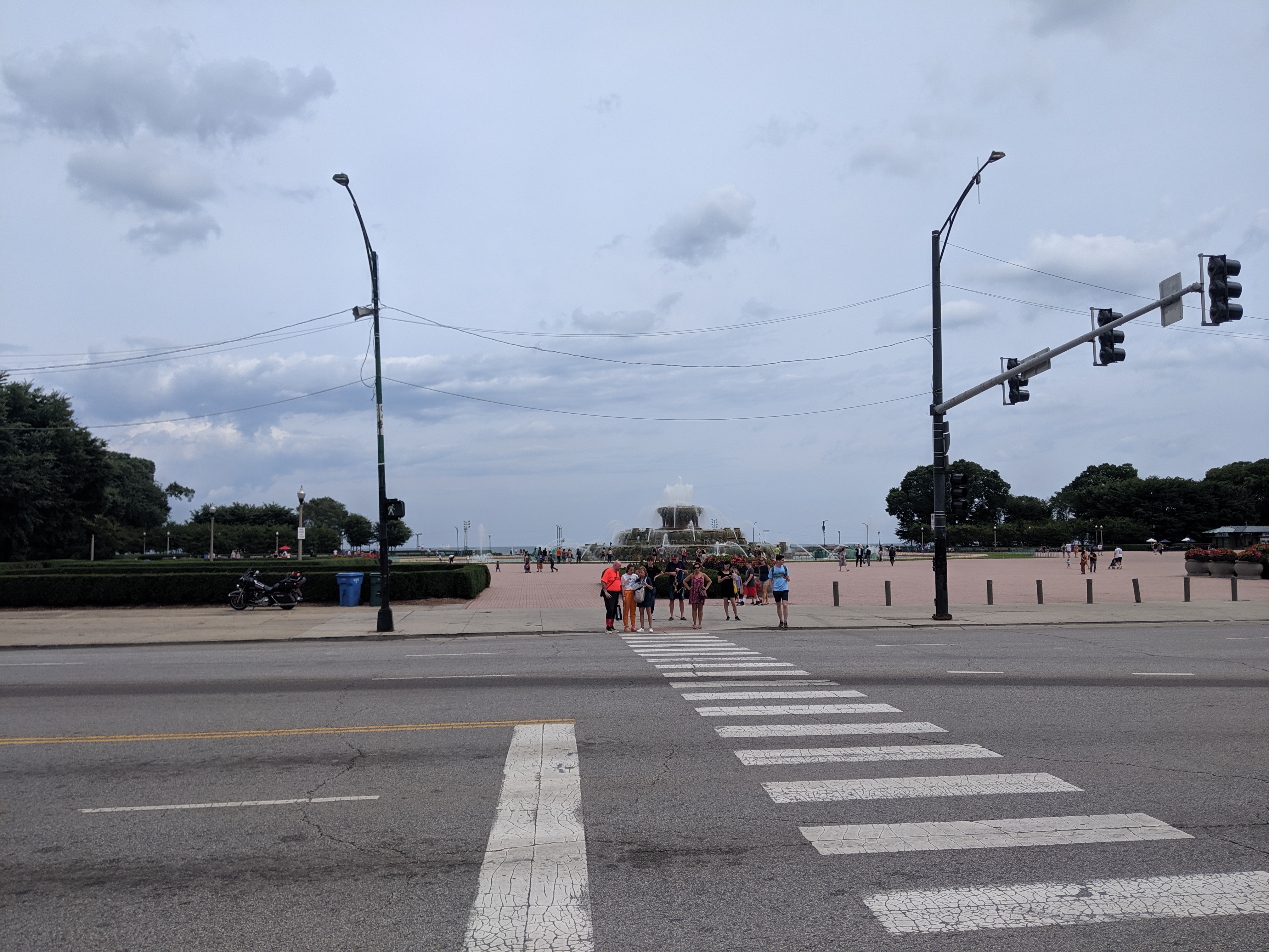
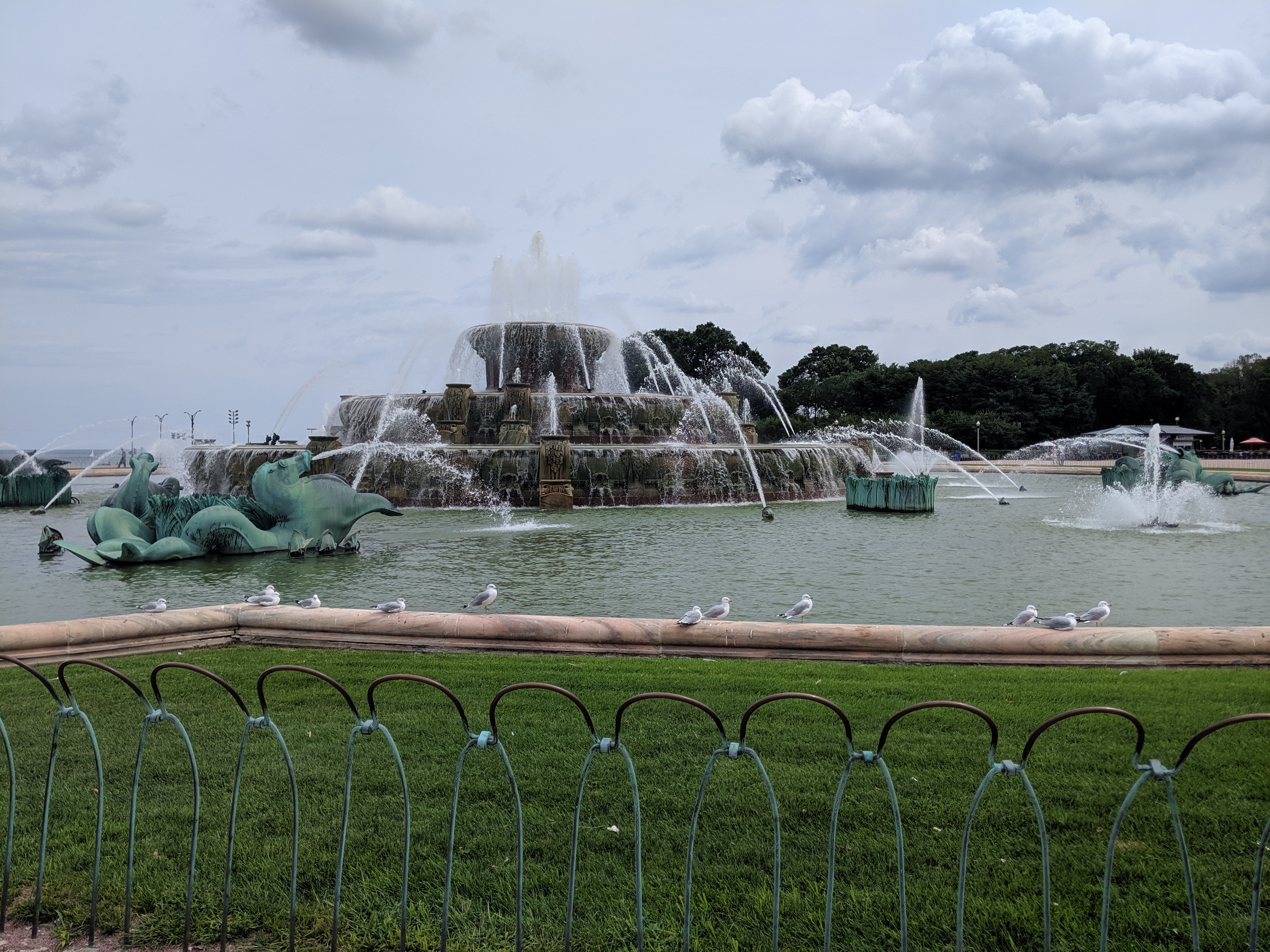
Whatever the original intent, today the promenades are chopped up by their modern antithesis – the multi-lane, high speed road. While there are several promenades spaced throughout the park, I only found one that had a protected pedestrian crossing over the many lanes of Columbus Drive. Clearly, this was the grand promenade. In addition to being the only one with a safe passage, past Columbus it featured an opulent water fountain.

Having already crossed a significant barrier, I assumed it would be a clear walk to the waterfront after that point. However, on the other side of the fountain, I found the even more formidable barrier of Lake Shore Drive, aka Route 41. All interest in continuing with my promenade evaporated even though the lights and crosswalks suggested the ability to cross safely. Instead, I spent some time admiring the fountain before returning to my hotel.

I was disappointed at discovering that the connection between the park and the lake was an optical illusion. Yet, it came as no surprise to find the lake front prioritized for cars. It is a recurring experience to find an urban waterfront cut off from the rest of the city by a major roadway barrier, or in this case two.

The Igloo

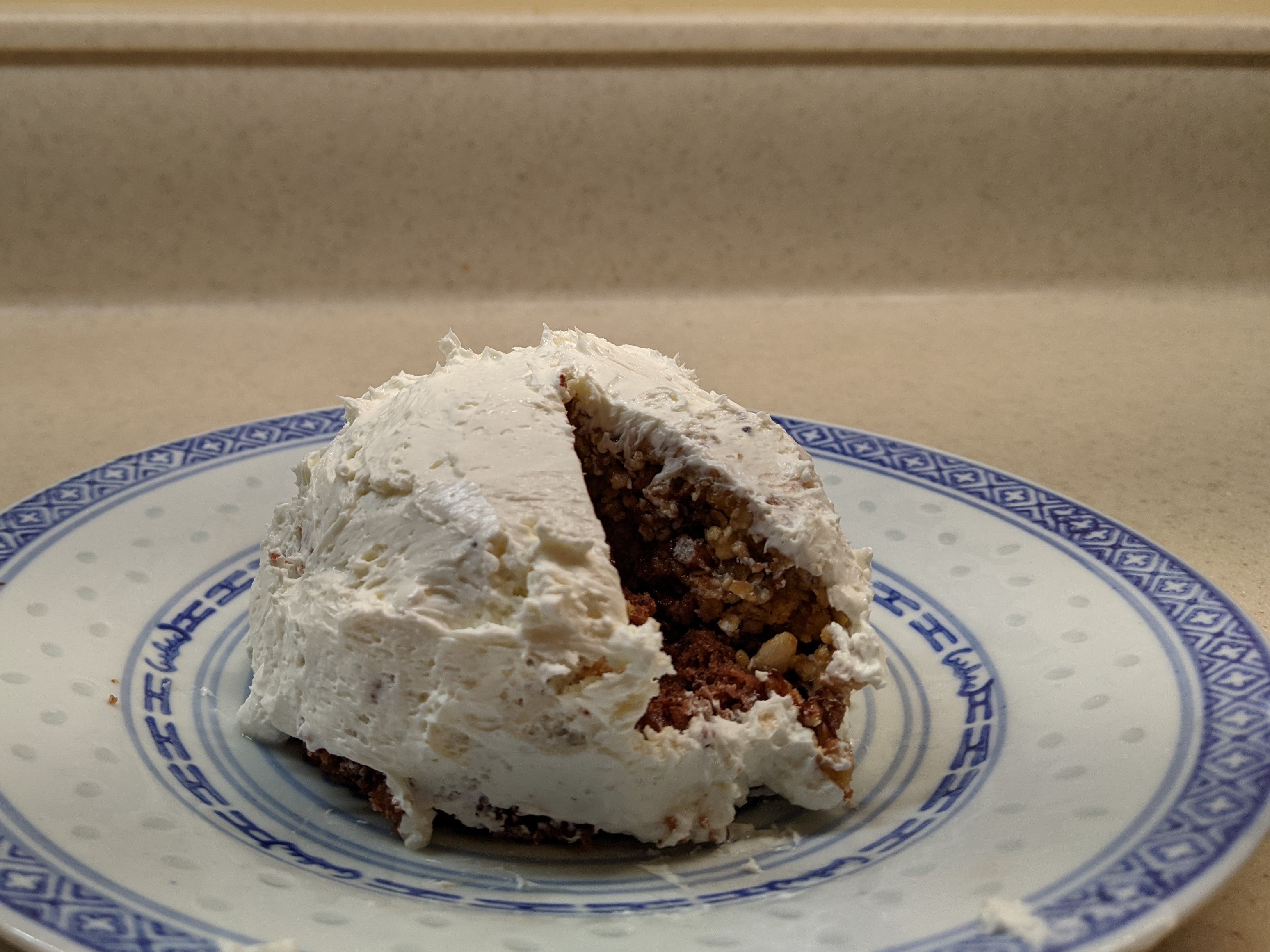
For this year’s Architectural Dessert Masterpiece, I chose Pittsburgh’s Civic Arena for the subject mostly because of the pandemic. The travel restrictions of 2020 prevented me from finding an inspiring building while exploring a new place. The social distancing requirements meant that whatever I made I would have to eat myself. Earlier in the year, I found a granola bar recipe that actually sticks together, which inspired me to take another foray into domes. As December drew near and I put together the conditions of a single-serve dessert with a dome that had some relationship to the themes of the year, the Civic Arena was the obvious choice.

The result was a single-serve cake topped with a granola bar dome and frosted with cream cheese to keep the sugar content down. Once frosted it looked to me more like an igloo than the Civic Arena, but fortunately, the building’s nickname was the Igloo. So, it all worked out in the end.
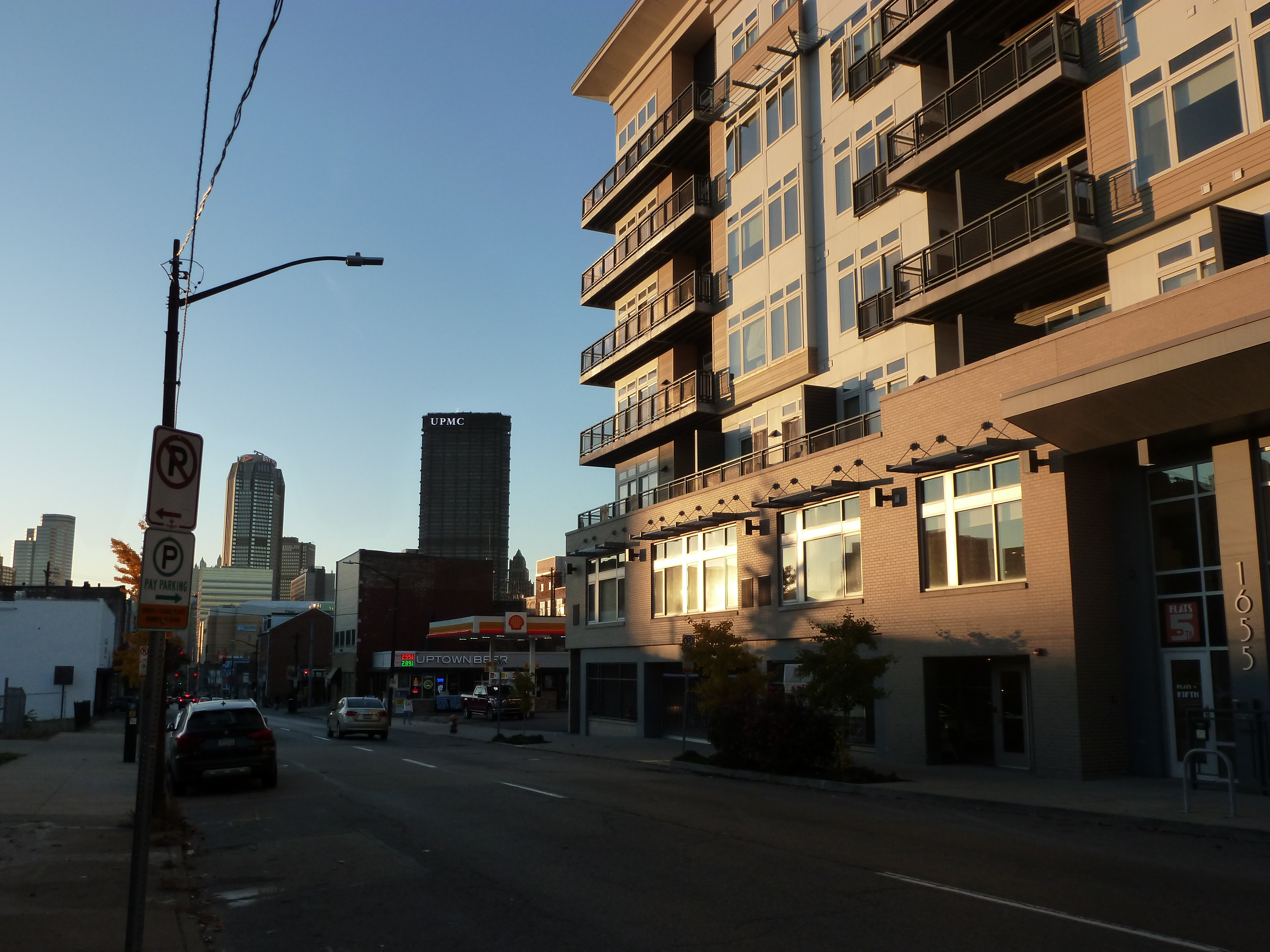
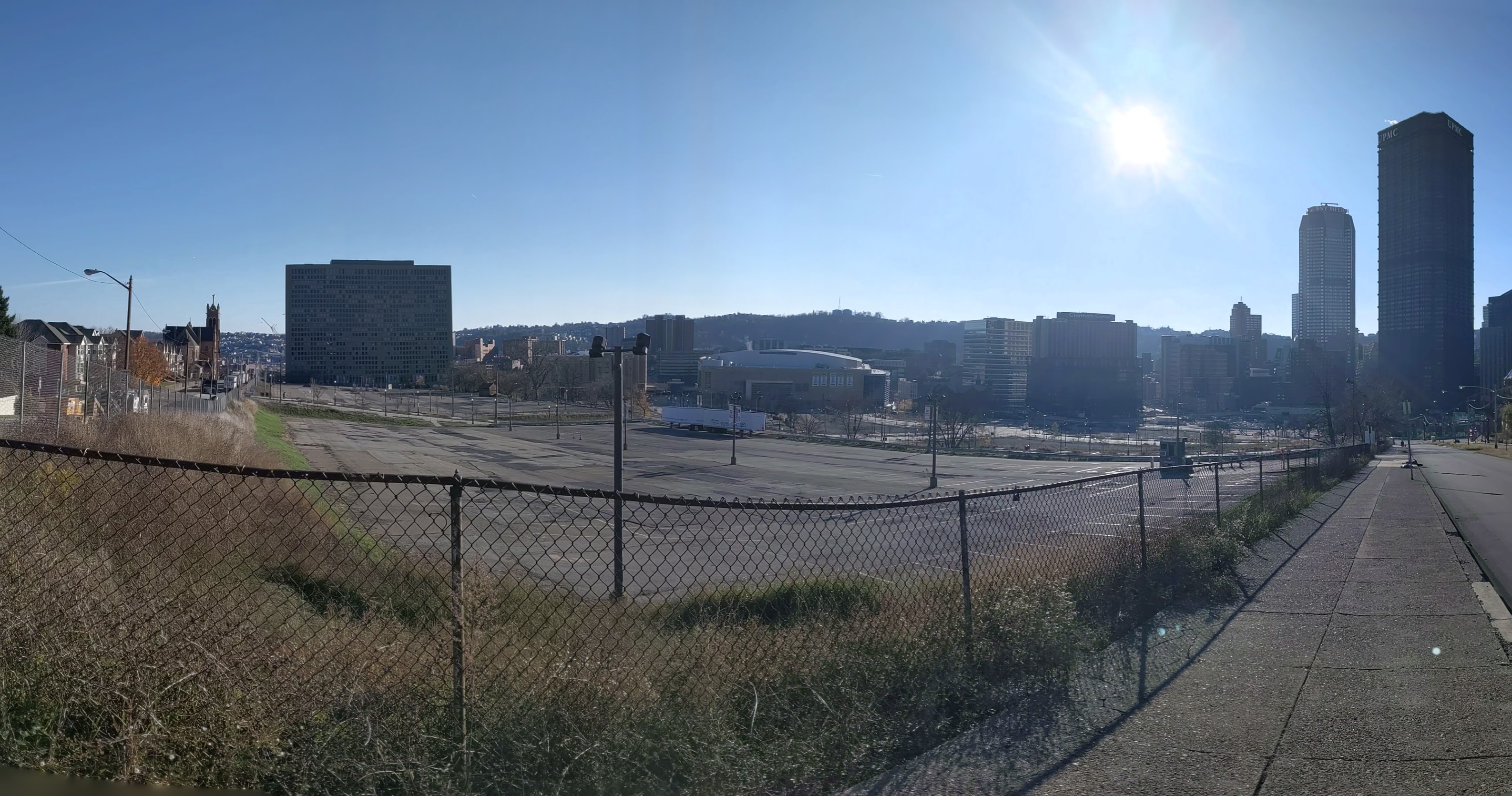
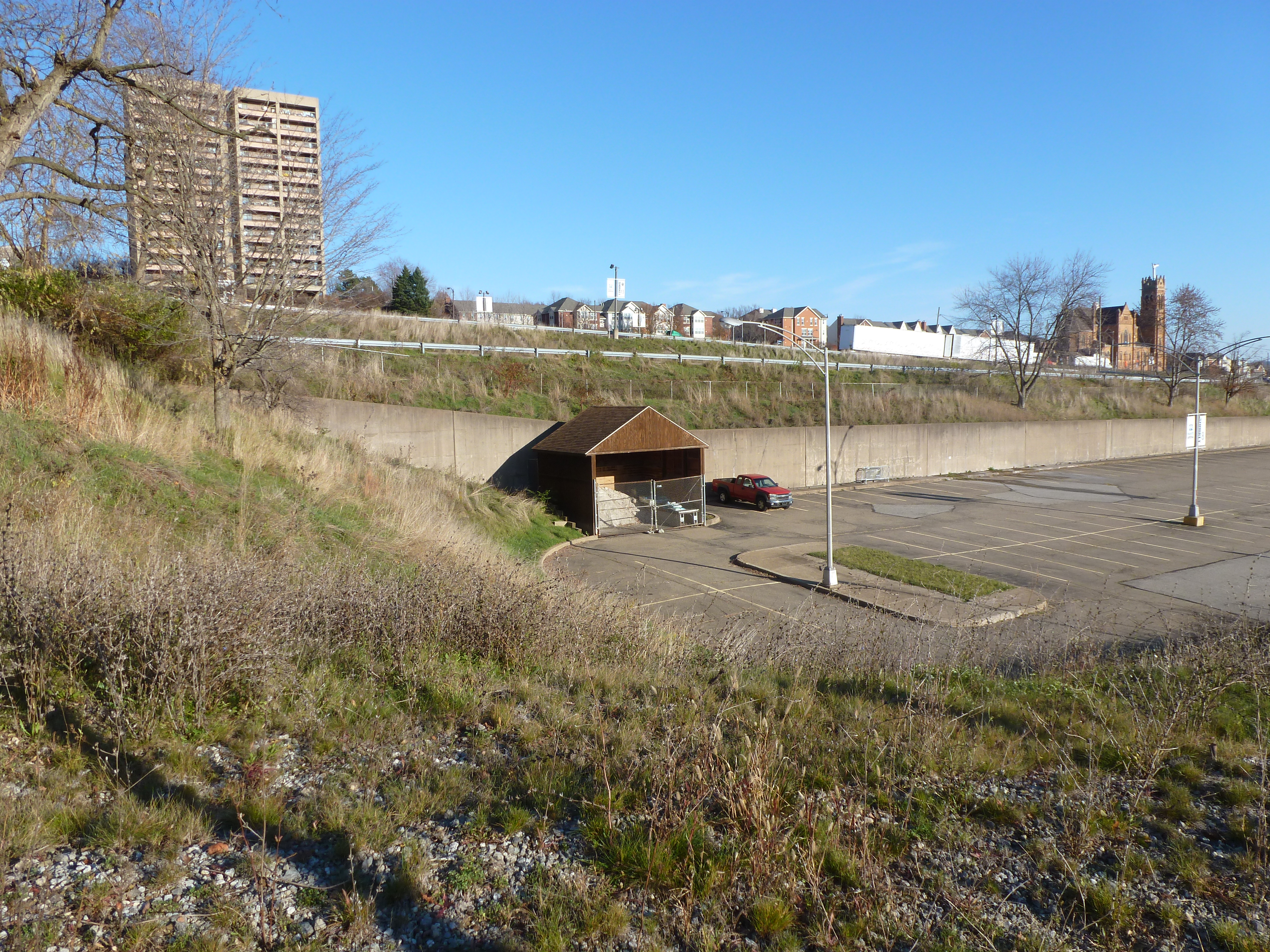
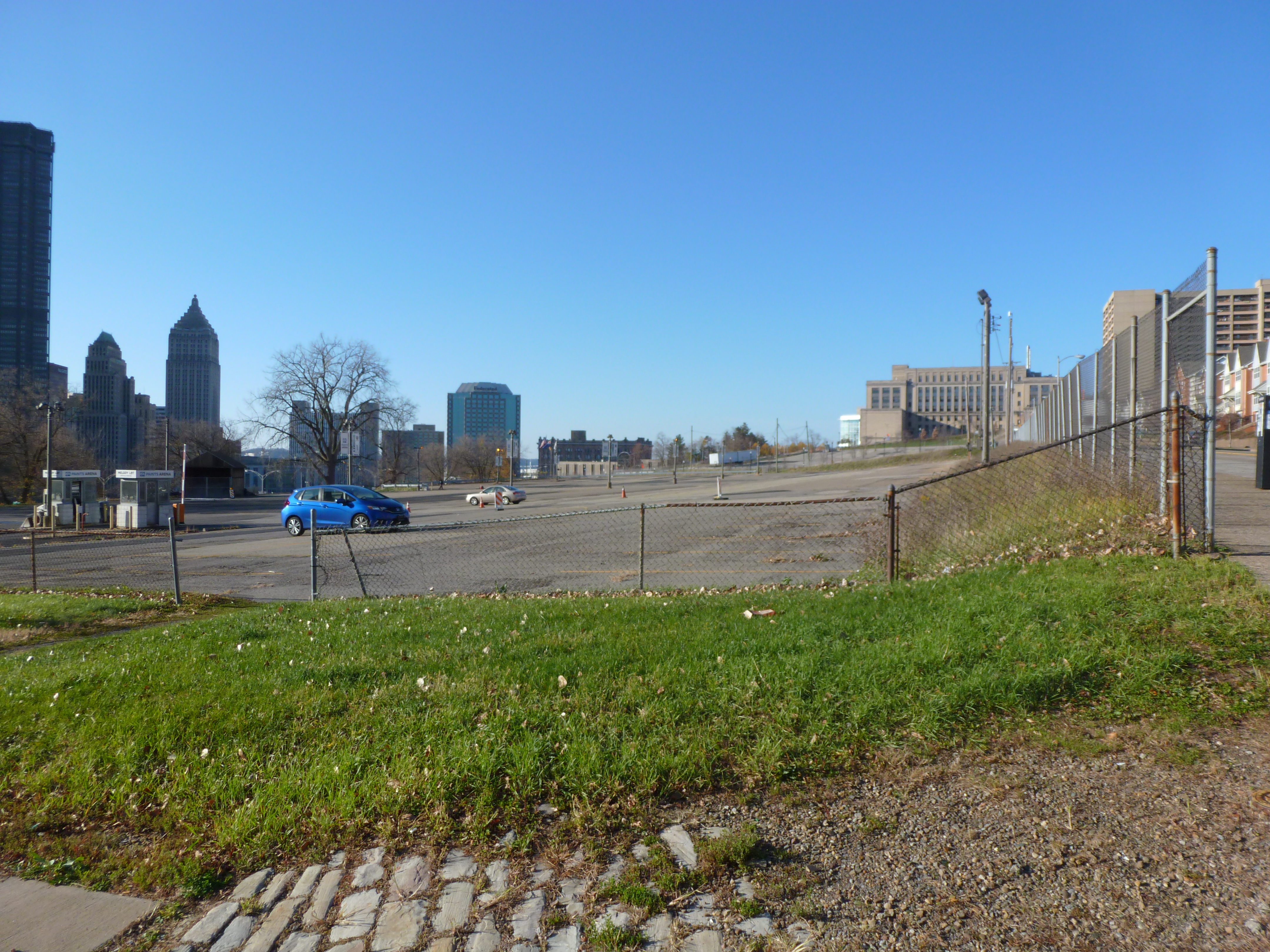
Whether it will all work out in the end and for who are still open questions for the site of the Civic Arena. The Arena opened in 1961 as the central feature of the redevelopment of the Lower Hill neighborhood that had been deemed “blighted” and in need of “revitalization.” Intended as a cultural mecca housing the Pittsburgh opera company, hockey, and other uses under a retractable roof, it rarely lived up to its promises. In the end, it was surrounded by a sea of parking lots instead of a cultural park, the roof rarely opened, and the opera quickly found a different home more conducive to using sets that need support from the ceiling. For a time, the building did find success as a hockey arena and concert venue until it was deemed obsolete and a new arena was built. The Civic Arena was demolished 50 years after opening, paving the way for a new redevelopment of the Lower Hill to “revitalize” the area.

Architectural historian Franklin Toker describes the first redevelopment of the Lower Hill in his 1986 book Pittsburgh: An Urban Portrait:

The reconstruction of the Lower Hill began in 1955 with $17 million in federal grants. In an area of 100 acres, 1,300 buildings housing 413 businesses and 8,000 residents (a majority of them black) were displaced in an attempt to extend the revitalization of the adjacent Golden Triangle. Even were one to overlook the devastating social impact of the Lower Hill redevelopment, its success could only be judged as minor. The new complex failed to graft on to the Golden Triangle because of the intrusion of the Crosstown Expressway and the misalignment of the street grids of the Golden Triangle and The Hill. Some bad luck also dogged the Lower Hill redevelopment, particularly the bankruptcy of William Zeckendorf, one of its major supporters, and the decision by the Heinz foundations to locate their new concert hall in the Triangle rather than on The Hill. But the major cause of its failure was the animosity between the developers and the black community. When that animosity boiled over as part of the nationwide racial riots of 1968, Pittsburgh’s dream of a cultural Acropolis on the Lower Hill ended. (234)

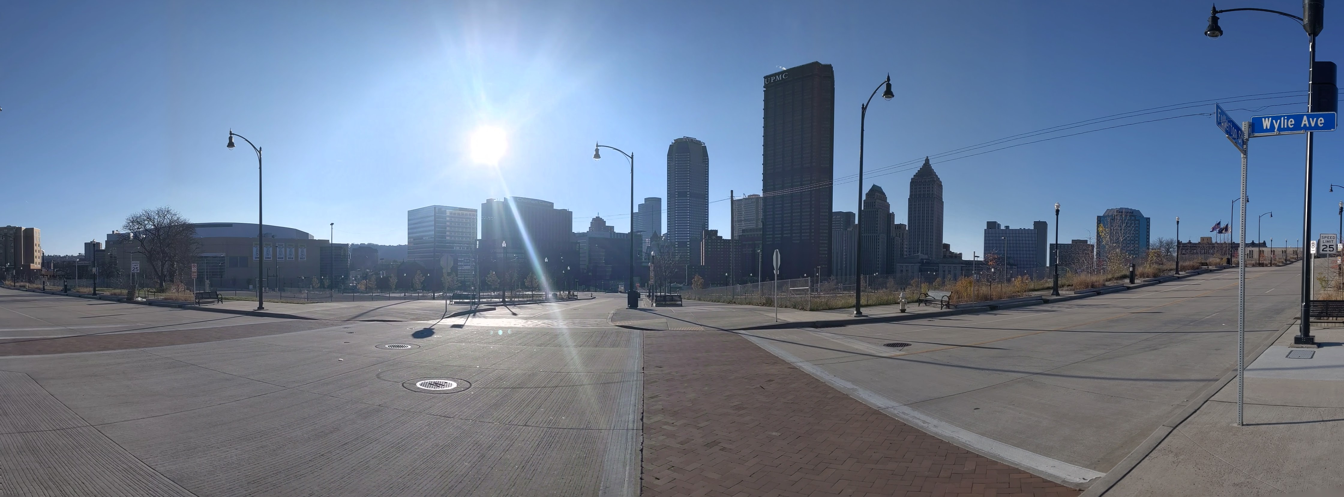
The second redevelopment started with restoring the street grid and building a CAP over the Crosstown Expressway. While it is easy to rebuild the roads, it will take a lot more to rebuild what was once “The Crossroads of the World” as the intersection of Wylie Ave and Fullerton Street was known prior to the first redevelopment, according to Mark Whittaker in Smoketown: The Untold Story of the Other Great Black Renaissance.

My series of posts Keeping an Eye on the Lower Hill is following the progress of this second redevelopment.


Want to see how my Architectural Dessert Masterpiece compares with the submissions in Pittsburgh’s 18th Annual Gingerbread Competition? Click here.


Previous Architectural Dessert Masterpieces:
Flying Cashews (Built December 2019)
Building the Bridge (Built December 2014)
Reaching for the Heights (Built December 2013)
Conquering the Dome (Built December 2012)
Gingerbread Blue Mosque (Built December 2011)
Parthenon Cake (Built December 2010)

Keeping an Eye on the Lower Hill: Dec. 2020

Lower Hill in the News:

URA board votes in favor of FNB Tower (Pittsburgh Business Times, May 21, 2020)

FNB tower will be among first post-pandemic buildings (Pittsburgh Business Times, May 22, 2020)

The Penguins and FNB Corp provide funds for tech center in the Hill District (Pittsburgh Business Times, August 27, 2020)

FNB and Penguins establish partnership (Pittsburgh Business Times, September 10, 2020)

Funding secured for FNB tower in Lower Hill (Pittsburgh Business Times, October 8, 2020)

Penguins miss deadline; URA considering next moves (Pittsburgh Business Times, November 12, 2020)

Lower Hill commercial redeveloper, Mayor Peduto, and Councilman Lavelle announce partnership (Mayor’s Press Release, November 19, 2020)

New Lower Hill partnership could move project forward (Public Source, November 19, 2020)

Lower Hill redeveloper establishes downtown office and announces local firms and personnel added to team (Pittsburgh Business Times, November 19, 2020)

Previous posts in series:

Keeping an Eye on the Lower Hill: Jun. 2020

Keeping an Eye on the Lower Hill: Jan. 2020

Keeping an Eye on Uptown: Introduction

Keeping an Eye on the CAP: Dec. 2020


The CAP in the News:

Project on schedule despite pandemic (Tribune Review, July 29, 2020)

Project continues on schedule (WESA, October 5, 2020)


Previous Posts in the Series:

Keeping an Eye on the CAP: Jun. 2020

Keeping an Eye on the CAP: Dec. 2019

Keeping an Eye on Uptown: Introduction

Keeping an Eye on Uptown: Nov. 2020

Uptown in the News & on the Web:

President Trump tweets about BRT grant award (Post-Gazette, May 29, 2020)

Locust/Miltenberger Development Website

51-unit apartment proposed in 1700 block of Fifth Avenue (Pittsburgh Business Times, June 1, 2020)

$99.95 million awarded for BRT (Next Pittsburgh, June 2, 2020)

Funding awarded for proposed mixed-use with affordable housing project (Pittsburgh Business Times, August 18, 2020)

BRT service may start in 2023 (Pittsburgh Post-Gazette, September 21, 2020)

Solidarity murals coming to the city (Next Pittsburgh, September 27, 2020)

Gentrification concerns raised for proposed tech development (Pittsburgh Business Times, September 30, 2020)

Interview with developer of proposed Uptown mixed-use project (Pittsburgh Business Times, October 5, 2020)

Partner pulls out of Fifth and Dinwiddie project (Pittsburgh Business Times, October 26, 2020)

Planning Commission approves Uptown tech development (Public Source – Develop PGH Bulletins, October 27, 2020)

Commercial portion presented for Fifth and Dinwiddie project (Pittsburgh Business Times, November 10, 2020)


Previous posts in series:

Keeping an Eye on Uptown: May 2020

Keeping an Eye on Uptown: Nov. 2019

Keeping an Eye on Uptown: Introduction

Arena Developments

Allentown, PA, had been on my travel list for years because of the awards and acknowledgements it was receiving from the planning community (and because I grew up near there). When I finally visited, the only thing that engaged my interest was the Liberty Bell Museum. There was a stark contrast between the cohesion and vibrancy of Bethlehem’s main street, where I stayed, and the hodge-podge of Allentown’s main street. The proportions in Allentown felt all wrong. In the core, the roads and sidewalks felt too narrow for the density and height of the buildings. At odd moments, this claustrophobic spacing suddenly opened out into large vacant plazas with buildings placed far from the road. After the pleasant surprise of Bethlehem’s tree-lined, historic business district with wide sidewalks for promenading and window shopping (and now social distancing), Allentown was a disappointment.

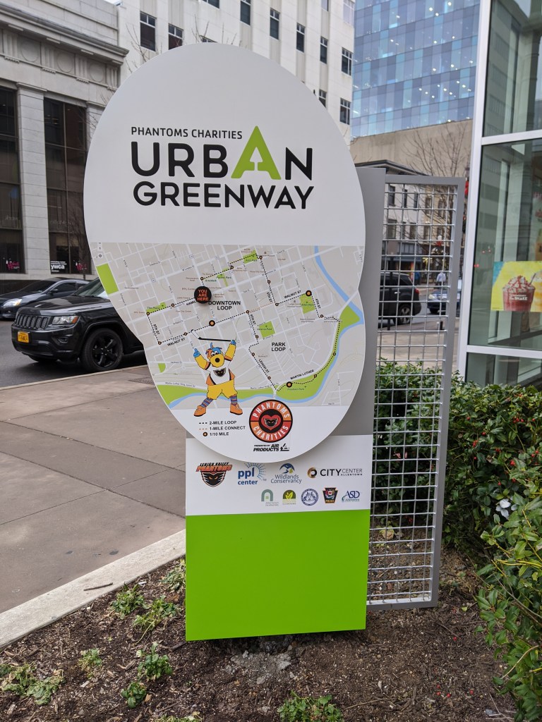
However, since being home, I find I have a growing appreciation for one of Allentown’s newer developments. The PPL Center gave me a sterile vibe at the time. I only glanced at the façade as I investigated the map out front with recommended lunchbreak walks and the historic building next door. From the outside, the partial attention I gave the center suggested a shopping or office complex. It wasn’t until I accidentally entered the lobby and saw the stadium seating beyond the ticket booth that I realized it was an arena. Perhaps due to my distraction at the time, it was only in the comfort of my home that I registered my shock over finding an arena that managed the rare feat of fitting into its surroundings.

Pittsburgh’s arenas have done the opposite. For decades, there was the Civic Arena that looked like a spaceship plopped down in the middle of a city spewing parking lots out from the landing center. A flagship of Pittsburgh’s Urban Renewal, it has since been demolished with the plan to rebuild the urban fabric on the site to reconnect the Hill District to downtown. The replacement arena made some attempts to fit in more with its neighborhood. It is built up to the sidewalk or, rather, the sidewalk is built up to it creating a large sea of concrete out of proportion with the sidewalks opposite. The principal street façade includes one restaurant open to anyone inside or outside the arena during normal restaurant hours, though I don’t recall ever seeing anyone eating at their sidewalk café (even before quarantine and social distancing). Instead, the restaurant feels like a weird mistake pasted onto the building’s towering blank wall.

In contrast, the street facing restaurants in Allentown’s arena are part of the reason I mistakenly identified the structure as a retail and office building. They felt like places with lives of their own, independent of special events. The plaza in front of the arena is proportional to the plaza on the adjacent corner. The building is built up to the sidewalks with the same building height and sidewalk width as the surrounding urban fabric. As a result, this arena blends into its neighborhood, such as it is.

Everyday Art – Bethlehem

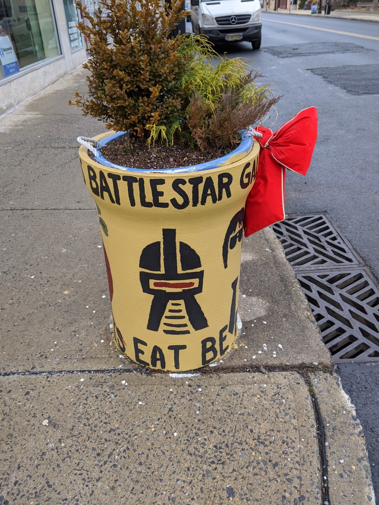
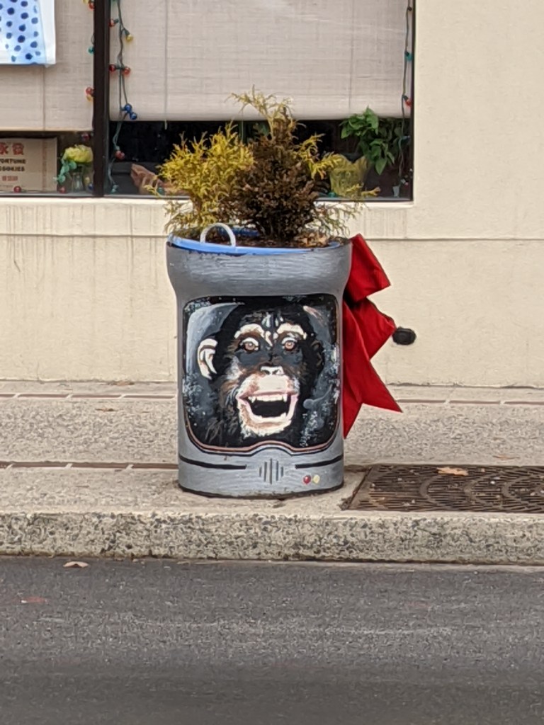
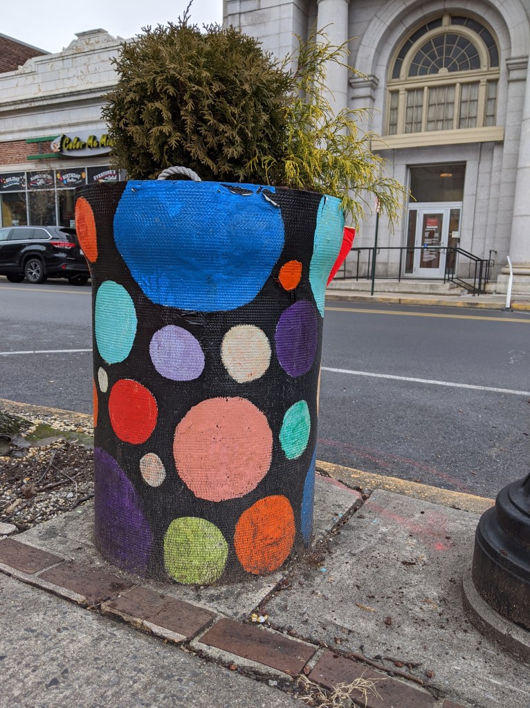
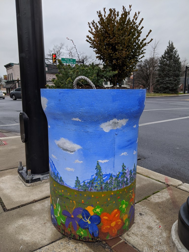
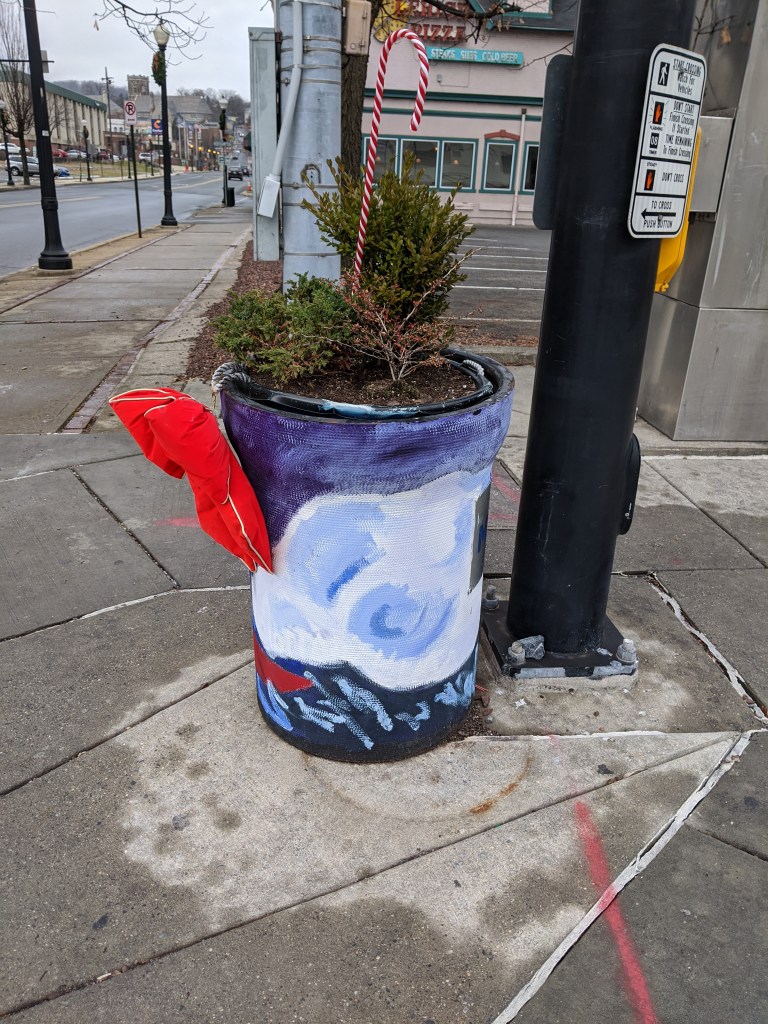
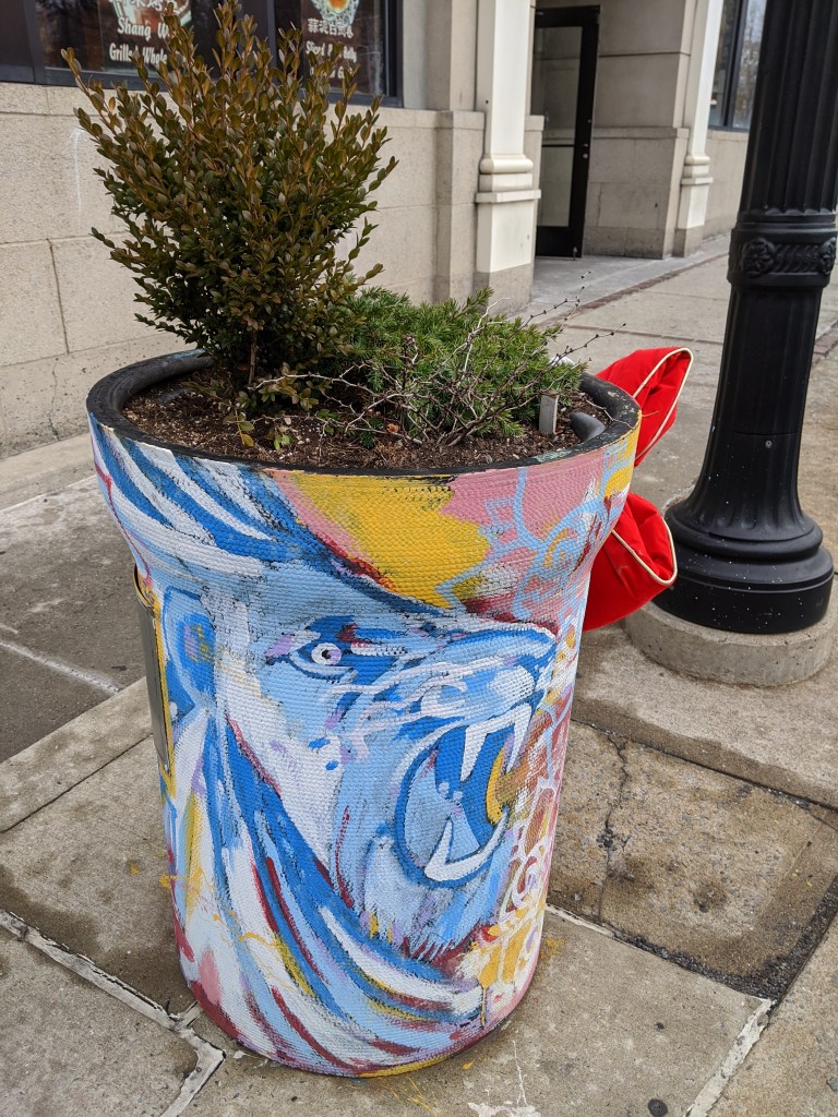
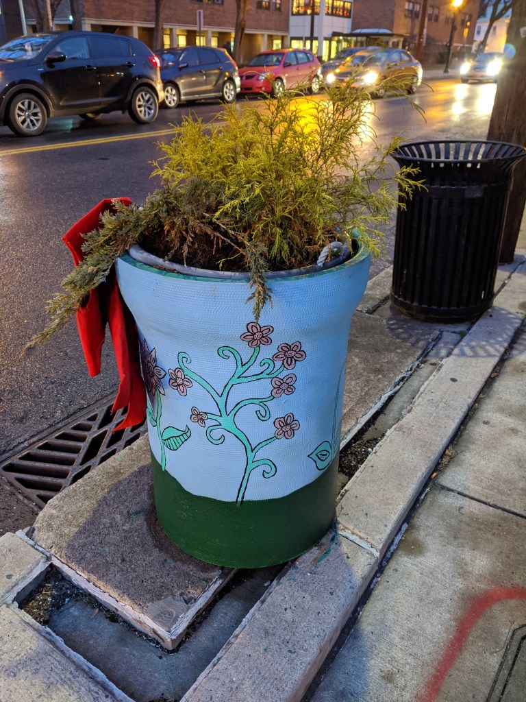
While looking for churches on Bethlehem’s South Side, I discovered fun, colorful planters lining the business district’s streets. I photographed 25 that were along my path, though there were many others if I had taken time to continue wandering.

The planters are a beautification project of Bethlehem’s South Side Arts District Main Street Program. Pittsburgh gets a shout-out as inspiration for the arts work of this organization, but I think they’ve surpassed Pittsburgh with this project. While Pittsburgh has various murals and hosted a dinosaur fiberglass fundraiser during that fad, it doesn’t have initiatives to turn everyday street objects into public art canvases. I’ve enjoy stumbling across these everyday artworks in Bethlehem and Harrisburg.

The Story of the Spires – Bethlehem

While exploring Bethlehem’s bridges, my eye was caught by the numerous spires rising above the surrounding buildings of South Bethlehem. Instead of resting upon returning to the hotel, I felt compelled to go back out and take a survey of religious buildings within walking distance. Due to the topography, those on the slopes of South Bethlehem were the easiest to spot, but I also located some in Bethlehem’s historic district and in West Bethlehem. I found twenty-three buildings in all.

As with my experience in Erie, I was surprised that the vast majority of these buildings were still open for use as religious worship. Bethlehem Steel Company was the main employer in Bethlehem for most of the 20th Century. Like steel mills elsewhere in the northeast, its business declined. In the early 2000s, the company went bankrupt. This makes it seem like the town should have experienced the classic rise and decline of other Rust Belt Cities.

One of the typical landmarks of this change is an abundance of vacant or adaptively reused religious buildings. In Pittsburgh, I have found over 50 former churches and synagogues now being used for secular purposes or in the process of being converted to secular purposes. Many more are vacant and boarded. Wilkinsburg, a town adjacent to Pittsburgh, has so many closed churches that its zoning code incorporates guidelines for converting church buildings to secular uses. Homestead, PA, the former home to US Steel and the site of the famous Homestead Steel Strike, has several shuttered churches. Bethlehem’s religious buildings did not fit this pattern.

In searching for an answer to what made Bethlehem different than other steel towns, I realized that the business districts and residential areas I passed through were mostly intact. There were few vacant buildings and no vacant and abandoned grass lots. This suggested that Bethlehem did not experience the same decline as the other former steel towns that I have explored. The historical population data corroborated this hypothesis. Bethlehem and Erie experienced their peak populations in 1960; Pittsburgh and Wilkinsburg in 1950; and Homestead in 1920. In 2010, the cumulative population loss from each city’s peak was:

CityPopulation Loss
Bethlehem1%
Erie26%
Pittsburgh55%
Wilkinsburg49%
Homestead85%

The stable population of Bethlehem explains why so many religious institutions are still operating. It doesn’t explain why the people stayed when the jobs left.

I picked up Jeffrey A Parks’s “Stronger than Steel: Forging a Rust Belt Renaissance” to look for clues to what made Bethlehem different from other Rust Belt cities. For the most part, it seems to have pursued the same actions and initiatives as elsewhere. Bethlehem’s leaders even hired consultants from Pittsburgh in the 1950s to learn how to do Urban Renewal. Other similarities include the creation of a redevelopment authority, the use of eminent domain to force people out of their homes for commercial development, the building of a highway through town, and the change of traffic patterns to prioritize the regional over the local.

The one thing mentioned in Parks’s book that was different from other cities was the school district. In the 1960s, the Bethlehem School District expanded to incorporate two rural townships. These townships later became wealthy suburbs that combined with the population of Bethlehem to create a racially and economically diverse district. Parks’s implication seemed to be that the result was a school district with better funding and resources than its neighbors. Perhaps, as a result, families did not have the conversation about moving to the suburbs for better schools as their children approached school age.

A decent inner-city school district may reduce the flight to the suburbs. It also may attract new residents. Yet, I wonder if it is enough to prevent hemorrhaging population loss as a region’s major employer cuts jobs in the decades before it closes.