Overview
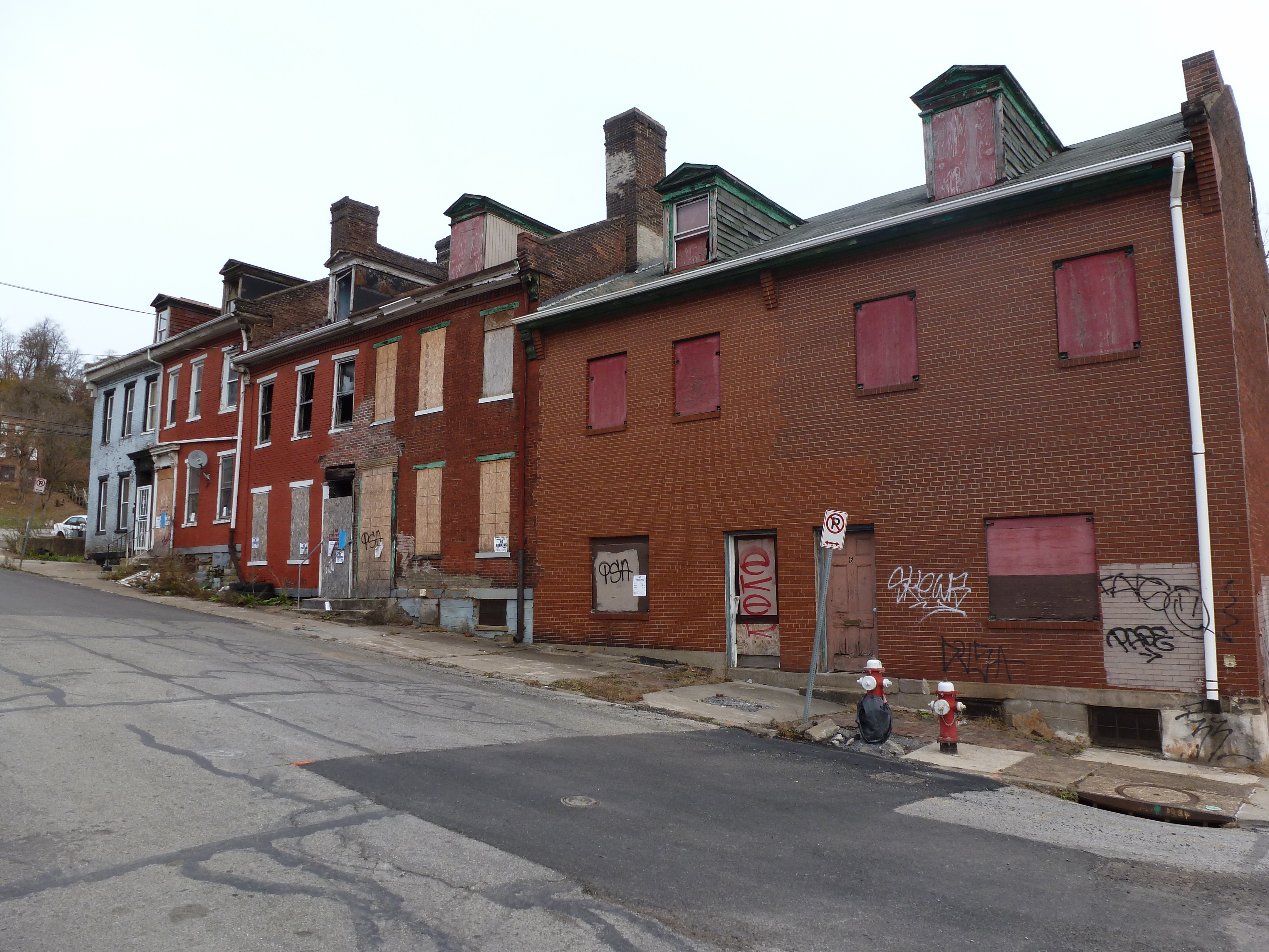
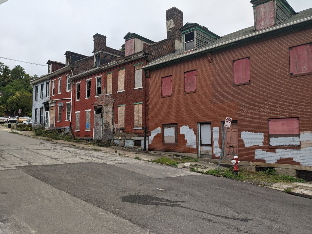
Uptown is one of the many neighborhoods in Pittsburgh that experienced decades of neglect. For this neighborhood, the neglect was despite Uptown being sandwiched between Oakland and downtown, two places among the state’s strongest economic regions. Zipping through Uptown from Oakland to downtown on Fifth Avenue or from downtown to Oakland on Forbes Avenue, it is easy to overlook or dismiss the hodgepodge of ruined home foundations turning back to forest; scattered vacant lots, parking lots, and industrial uses; and the intricate architectural details on abandoned and renovated townhomes.
In recent years, new buildings started springing up here and there. Some of these new projects are the work of the two institutions in the neighborhood: UPMC Mercy Hospital and Duquesne University. Others are the work of a variety of commercial and residential developers. Two reasons for this recent investment are the proposed Bus Rapid Transit system, which will eventually run through the neighborhood, and the in-progress redevelopment of the Lower Hill, an adjacent neighborhood.
The Uptown community saw these changes coming and prepared. Between 2015 and 2017, the community organization Uptown Partners collaborated UPMC Mercy, Duquesne University, the City of Pittsburgh, and others to create the EcoInnovation District Plan and the Uptown Public Realm zoning district. The plan and new zoning district are intended to guide future development and leverage their economic investment for the greater good of the neighborhood. Ideally, this will reduce the number of those who will be left behind.
This blog post is part of an on-going series watching the changes in Uptown. Periodically, approximately once a year, I return to the neighborhood to take new photographs of the same areas. In addition, I include links to articles about the project that I’ve encountered since the previous post in the series. At the end of the post, there is a map showing the location of the neighborhood and links to the previous posts in the series.
What’s new
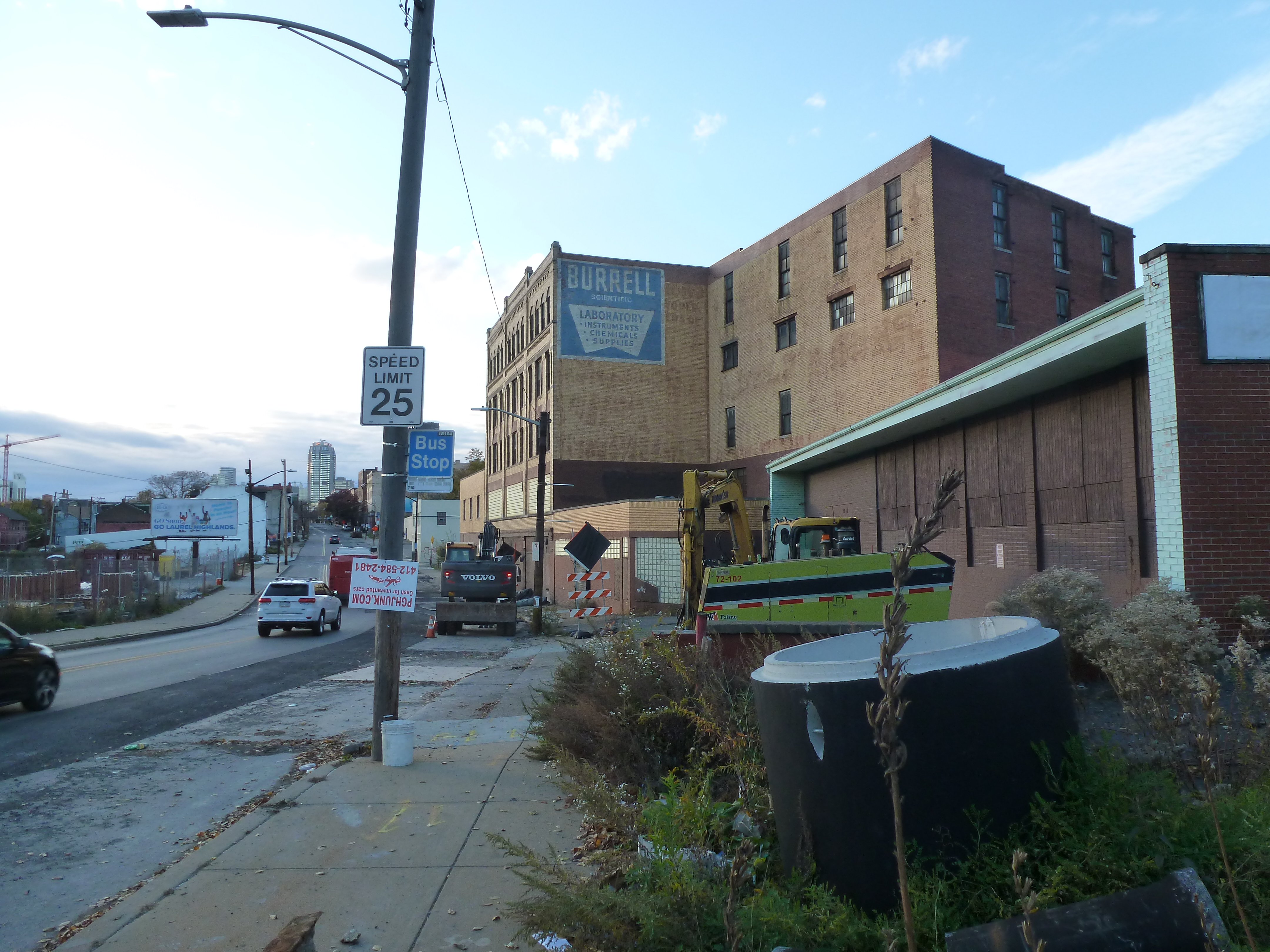
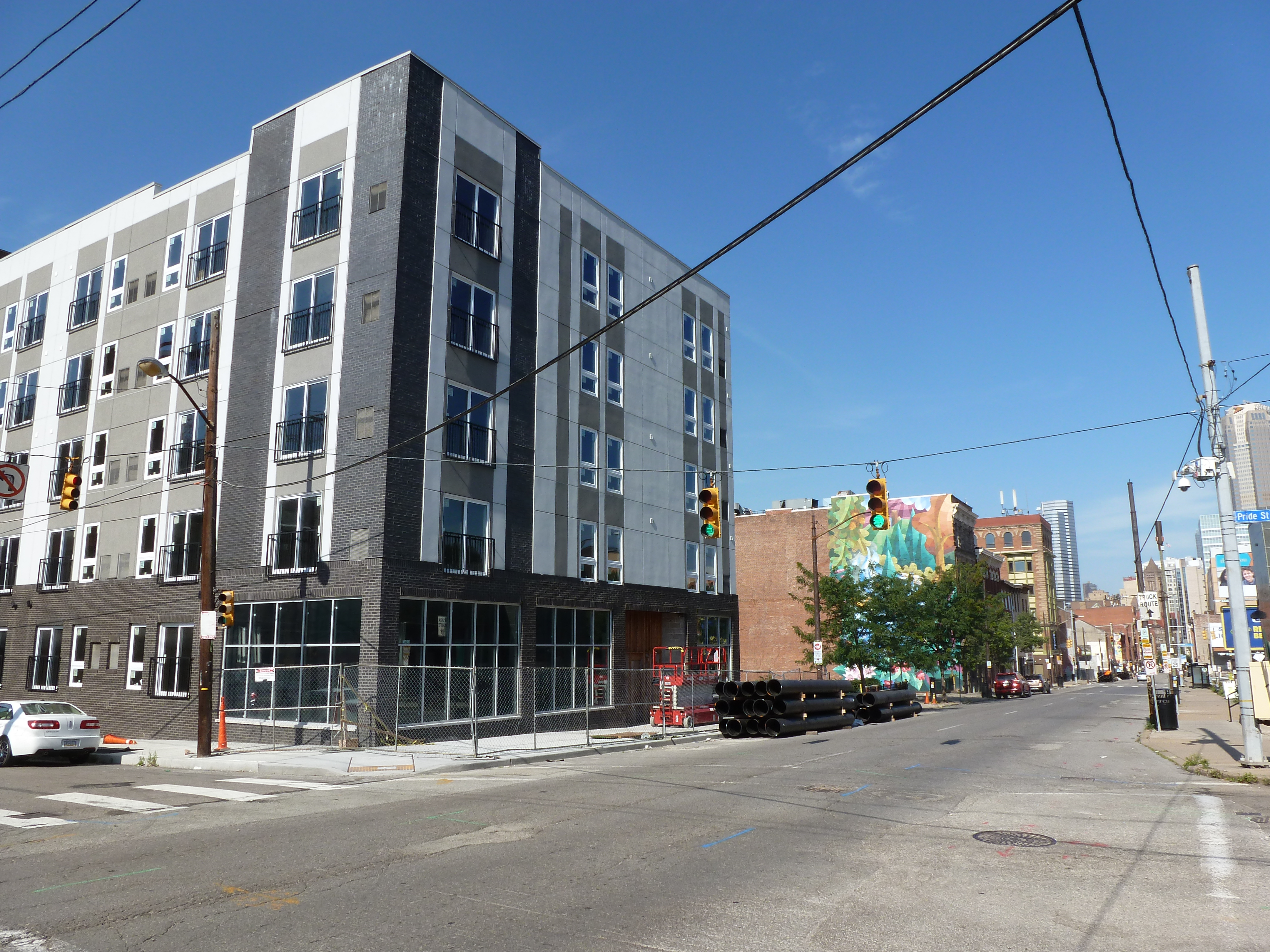
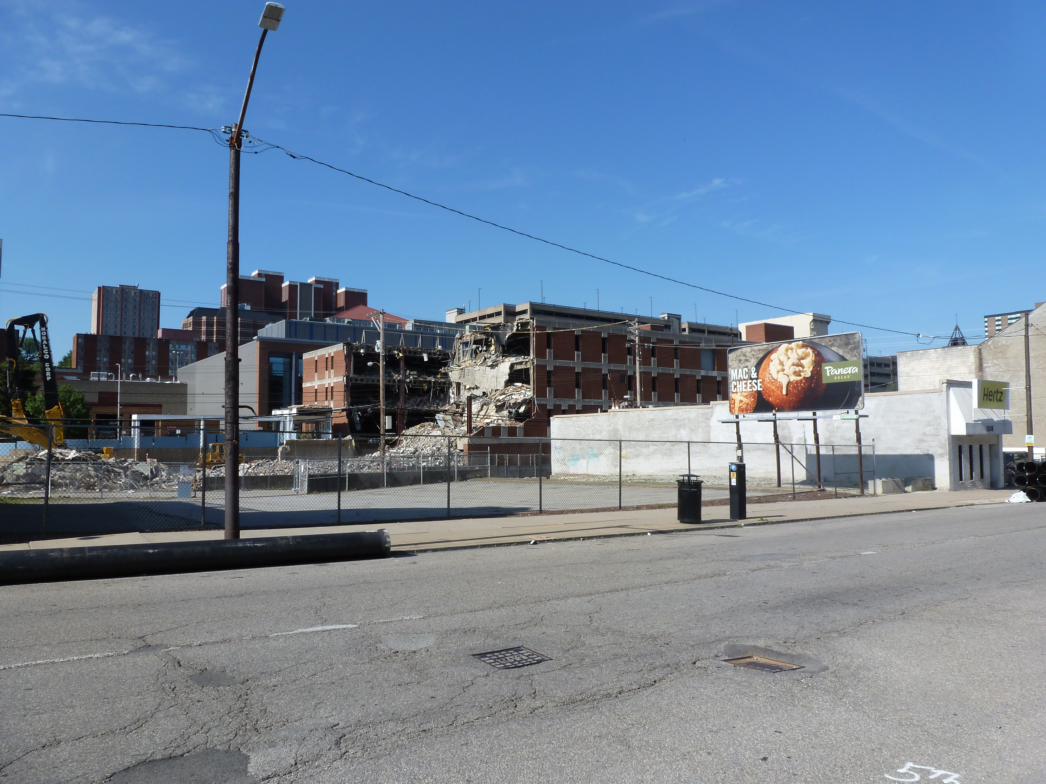
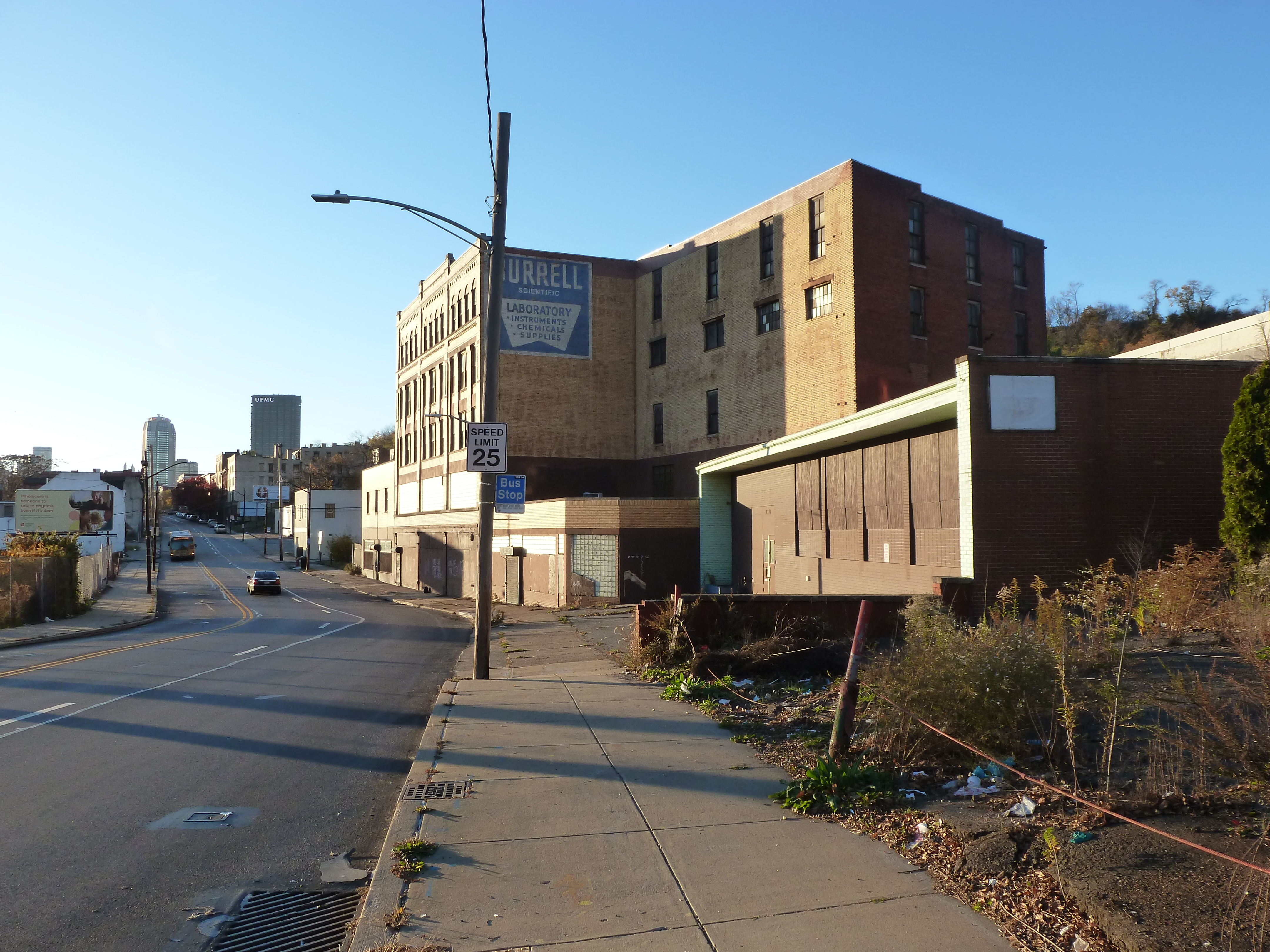
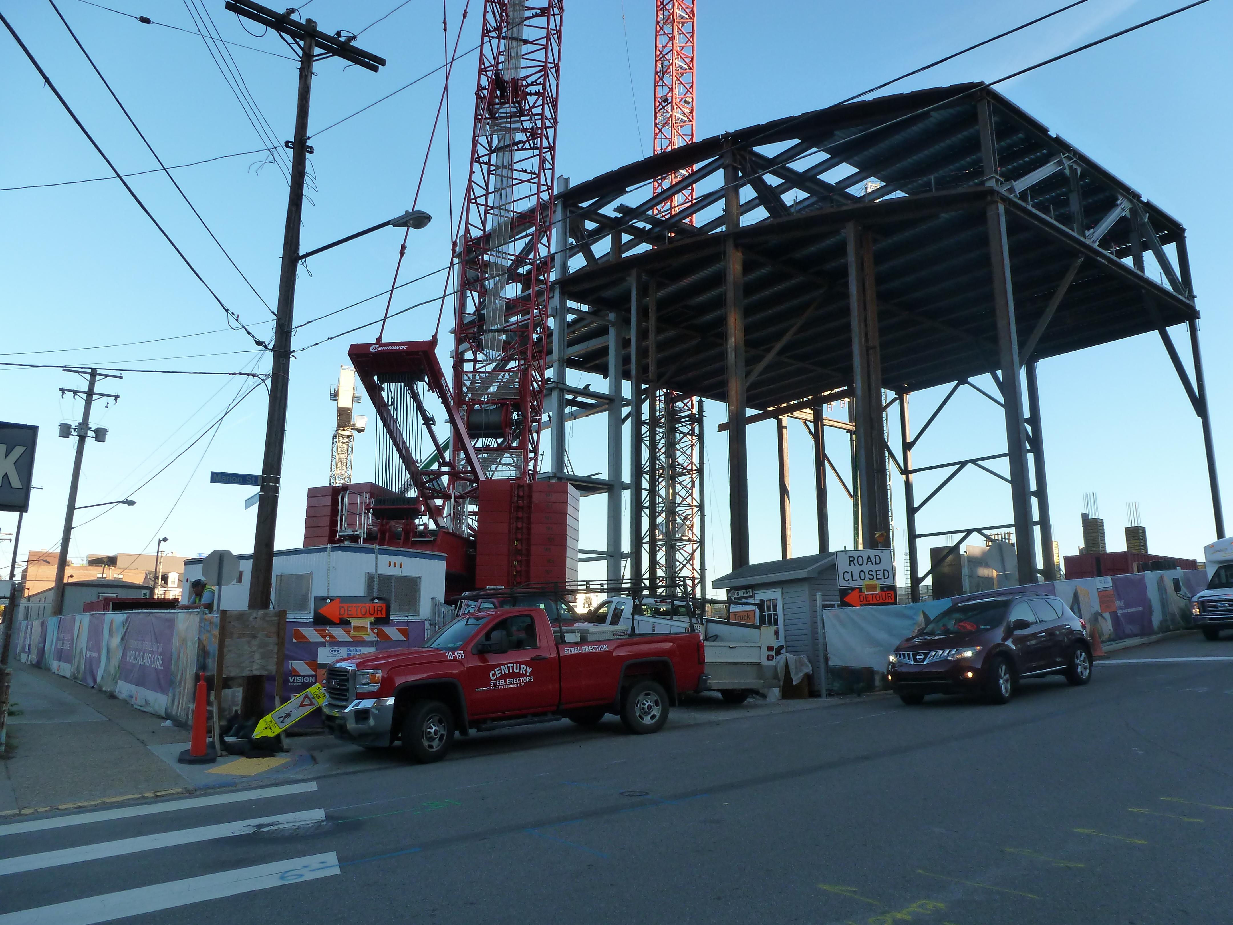
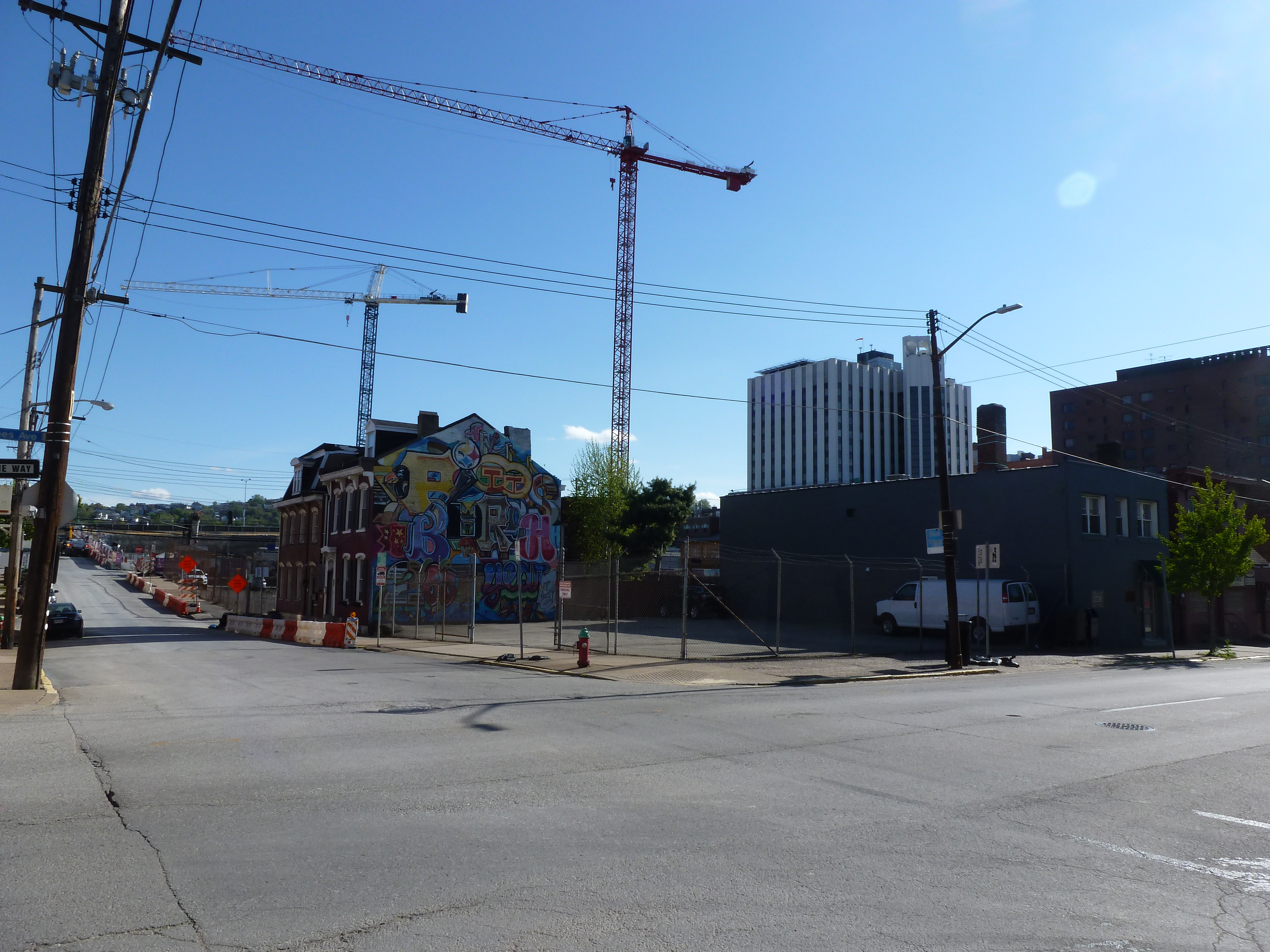
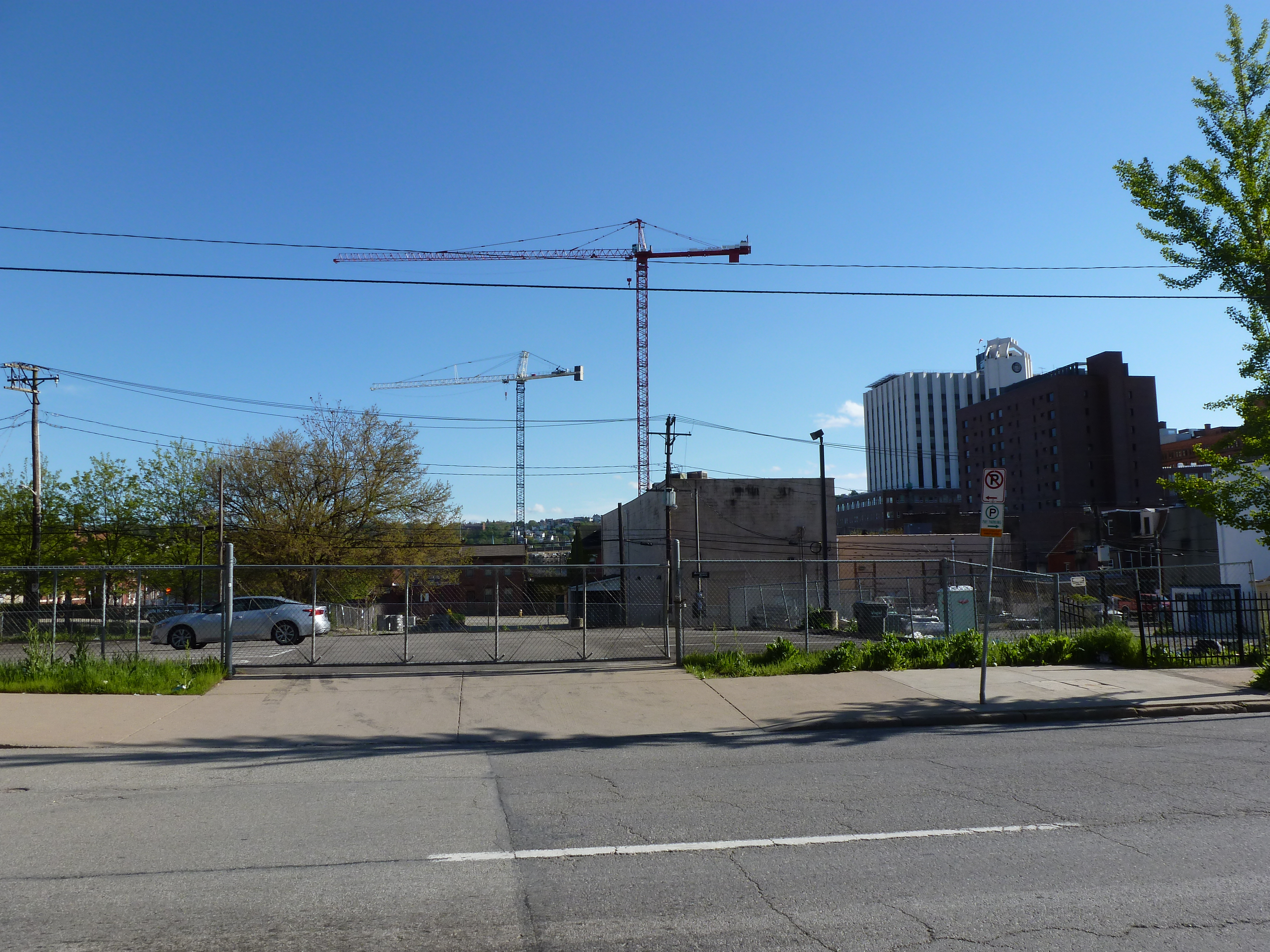
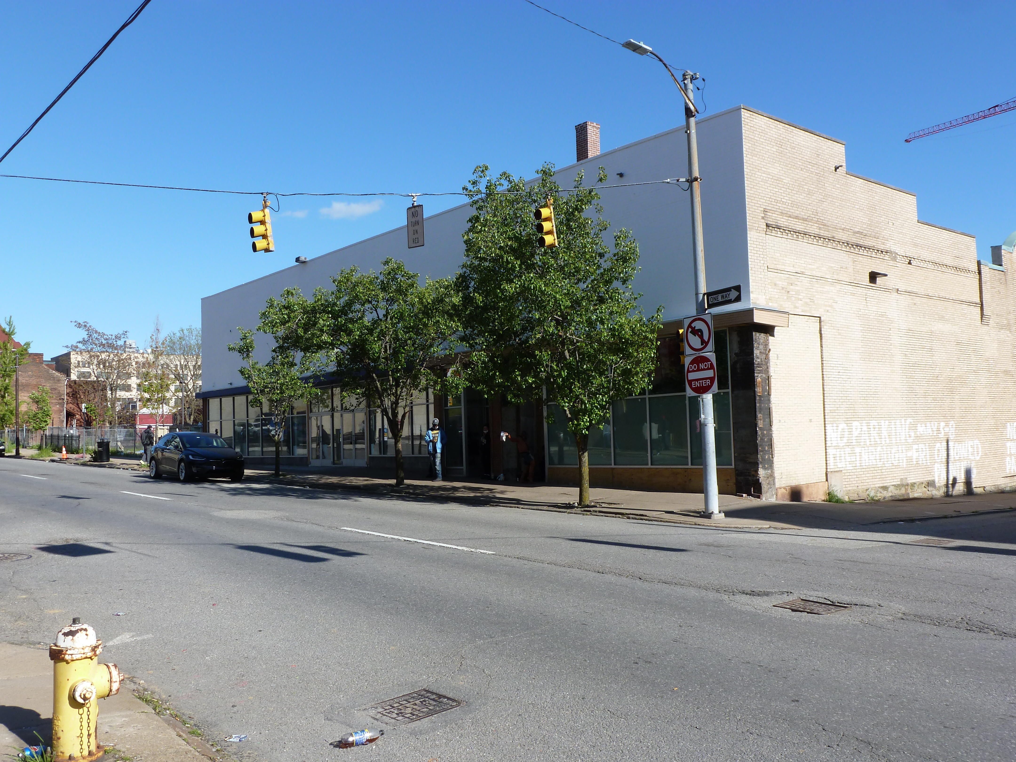
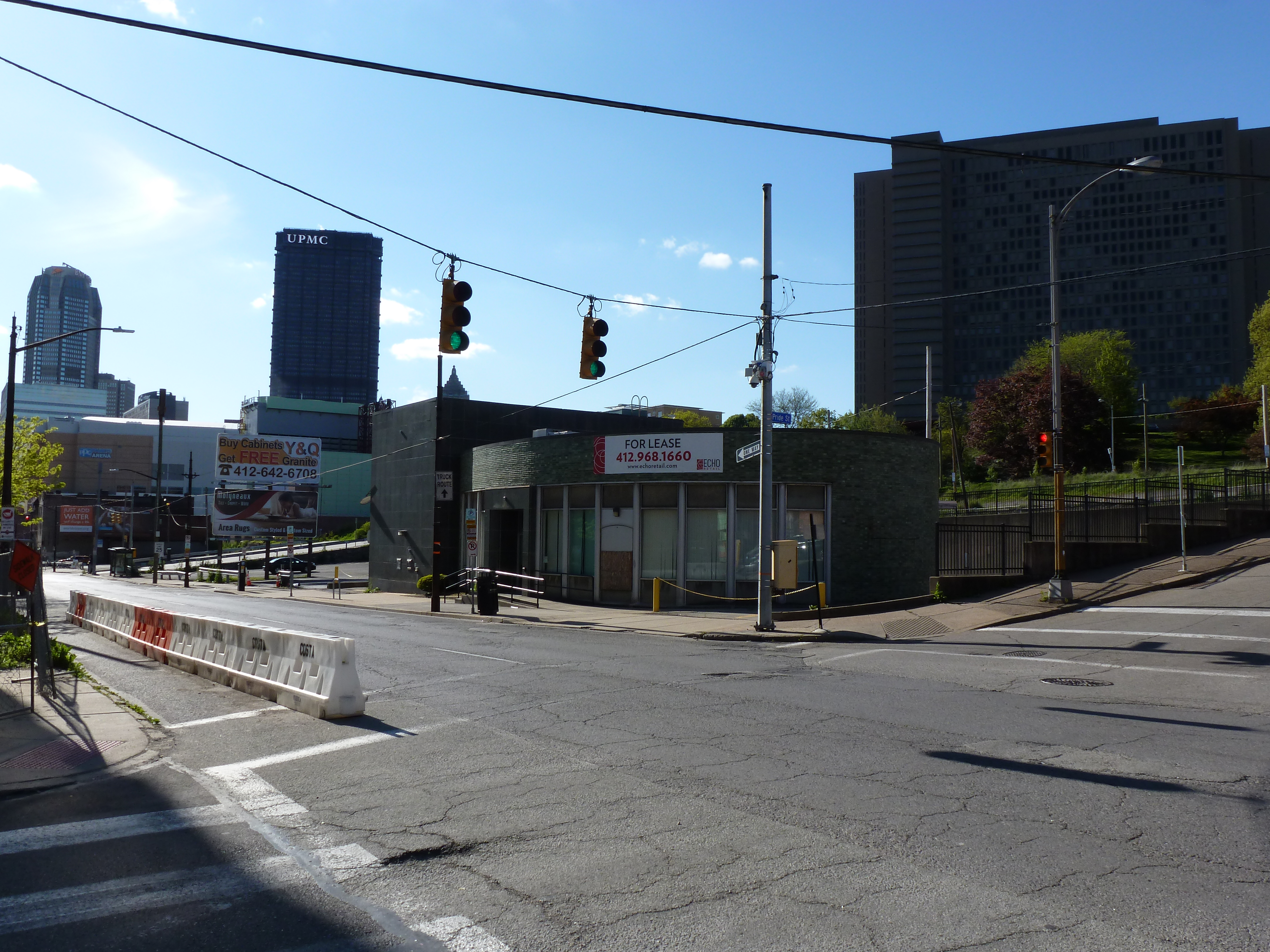
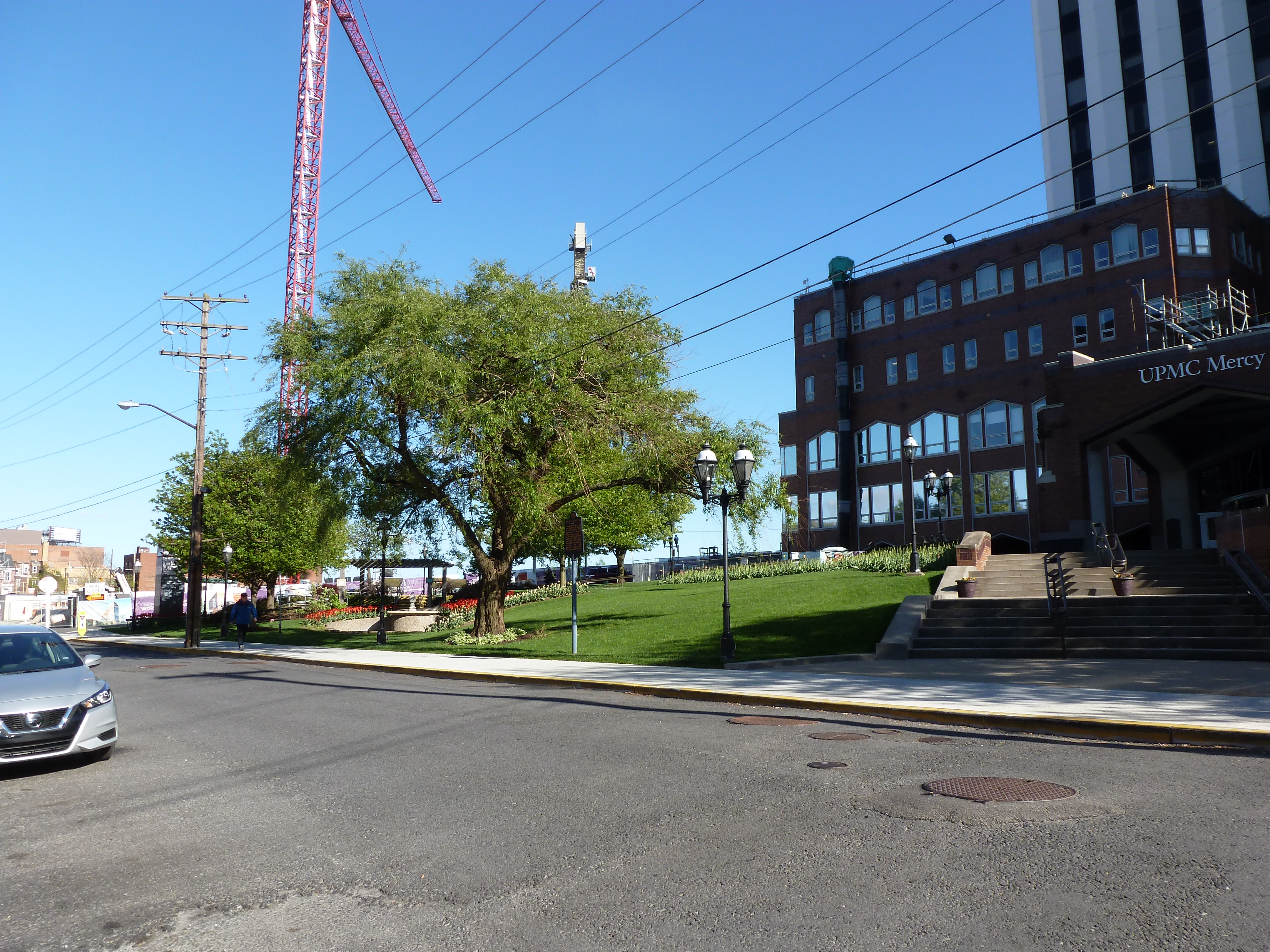
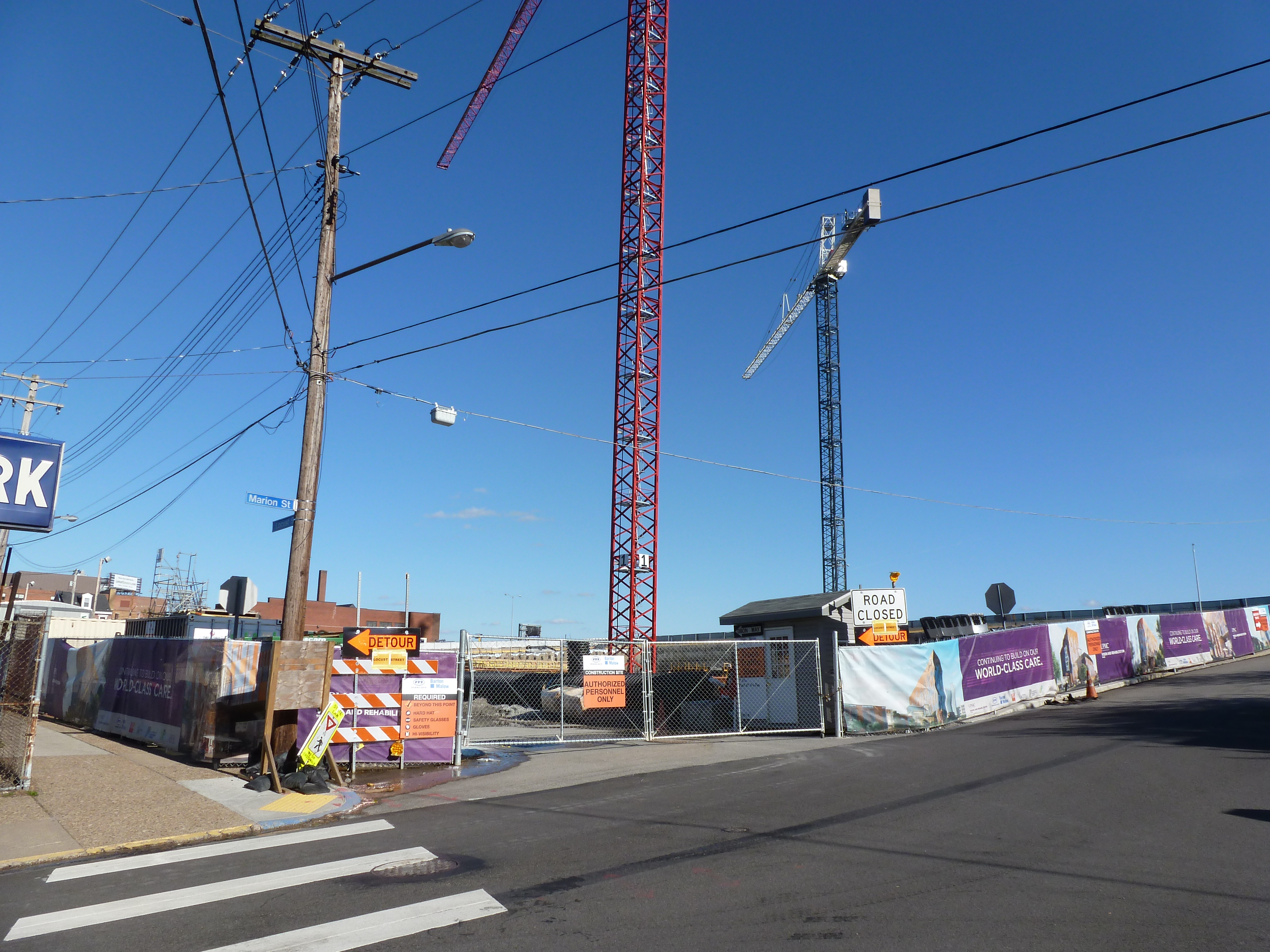
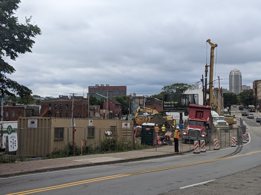
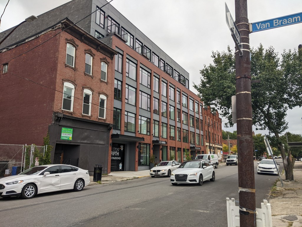
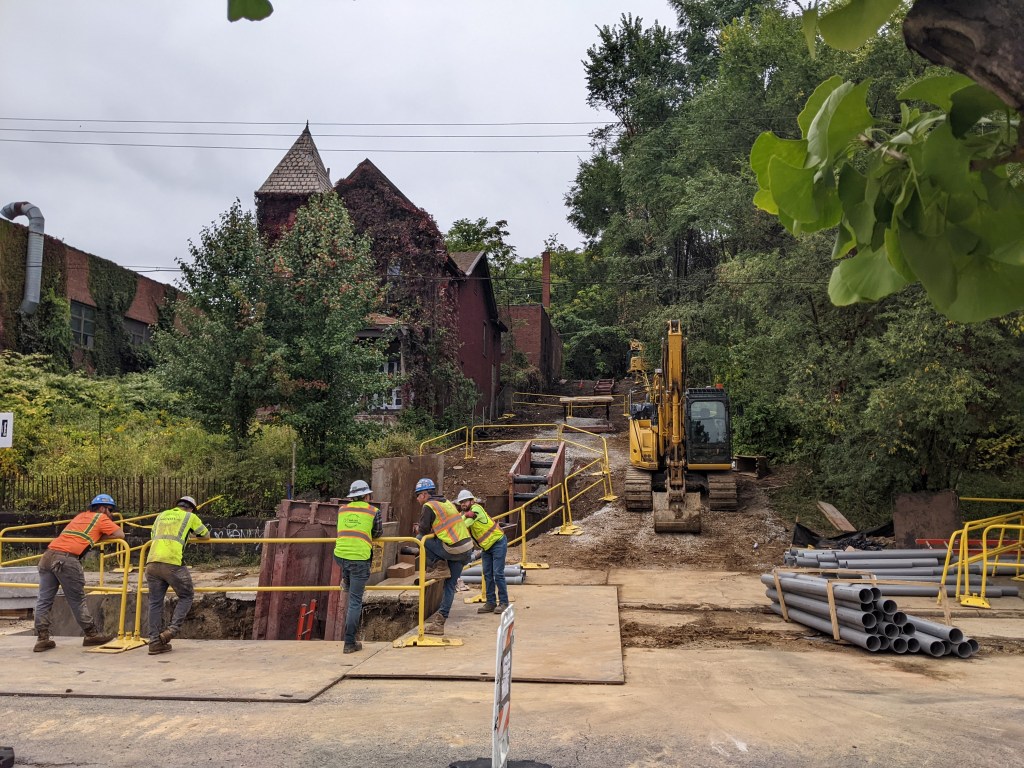
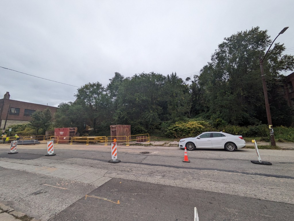
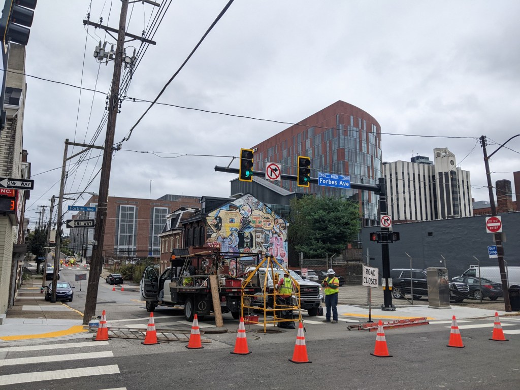
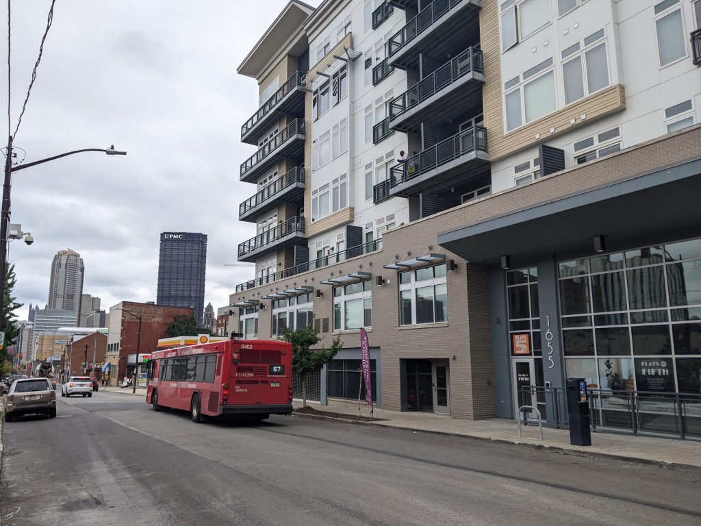
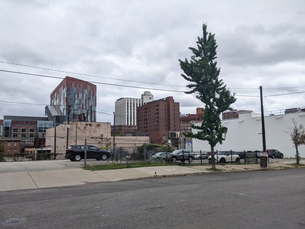
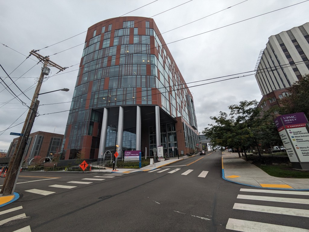
There’s been a lot of development in Uptown since the last on-the-ground photographs from December 2021. Several projects that were in progress at that time have since been completed (or at least appear completed) including the UPMC Mercy Pavilion for the new vision rehabilitation center. Many more projects have broken ground, including one near the Birmingham Bridge on a vacant lot that has an extreme grade change. The near cliff that ran through the middle of this site made me guess that it would take longer to develop that property than the vacant building across the street with the Burrell sign painted on the side. This suggests that it may be easier to develop a environmentally challenged site than to reuse an existing building – which is a disturbing thought.
In addition to the projects we can see developing in the photo series, several more have been announced for the neighborhood, which can be seen in the news section.
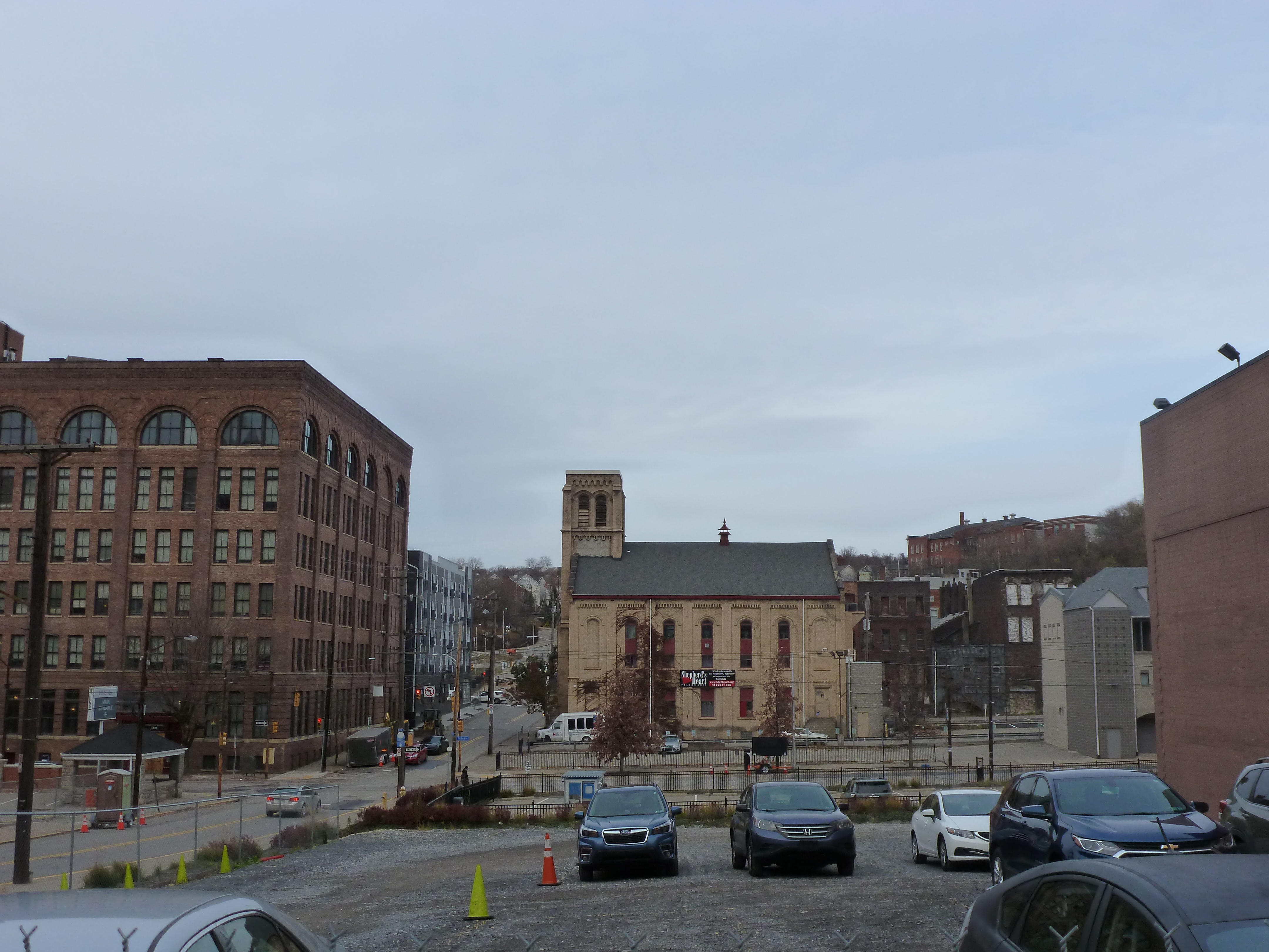
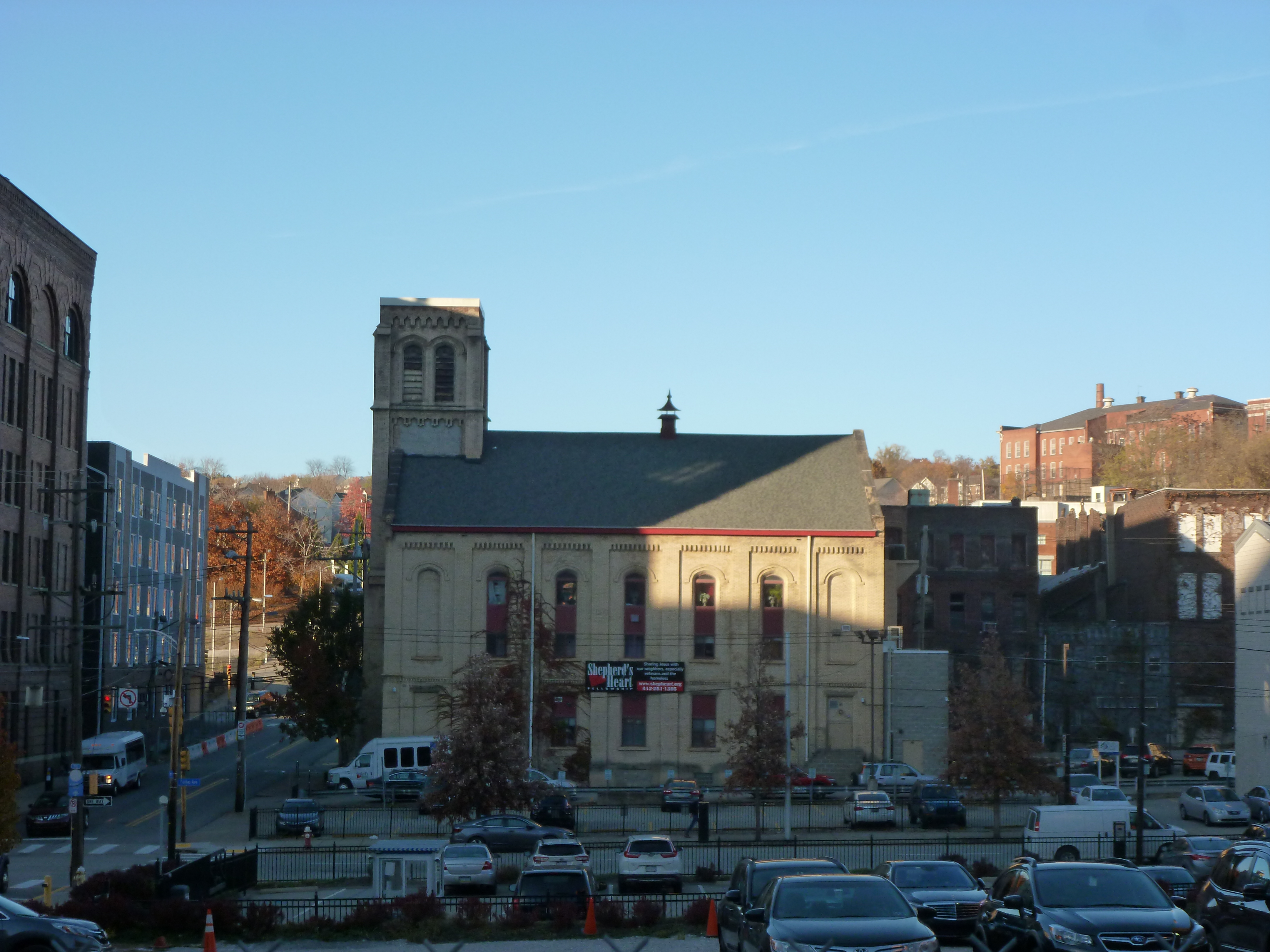
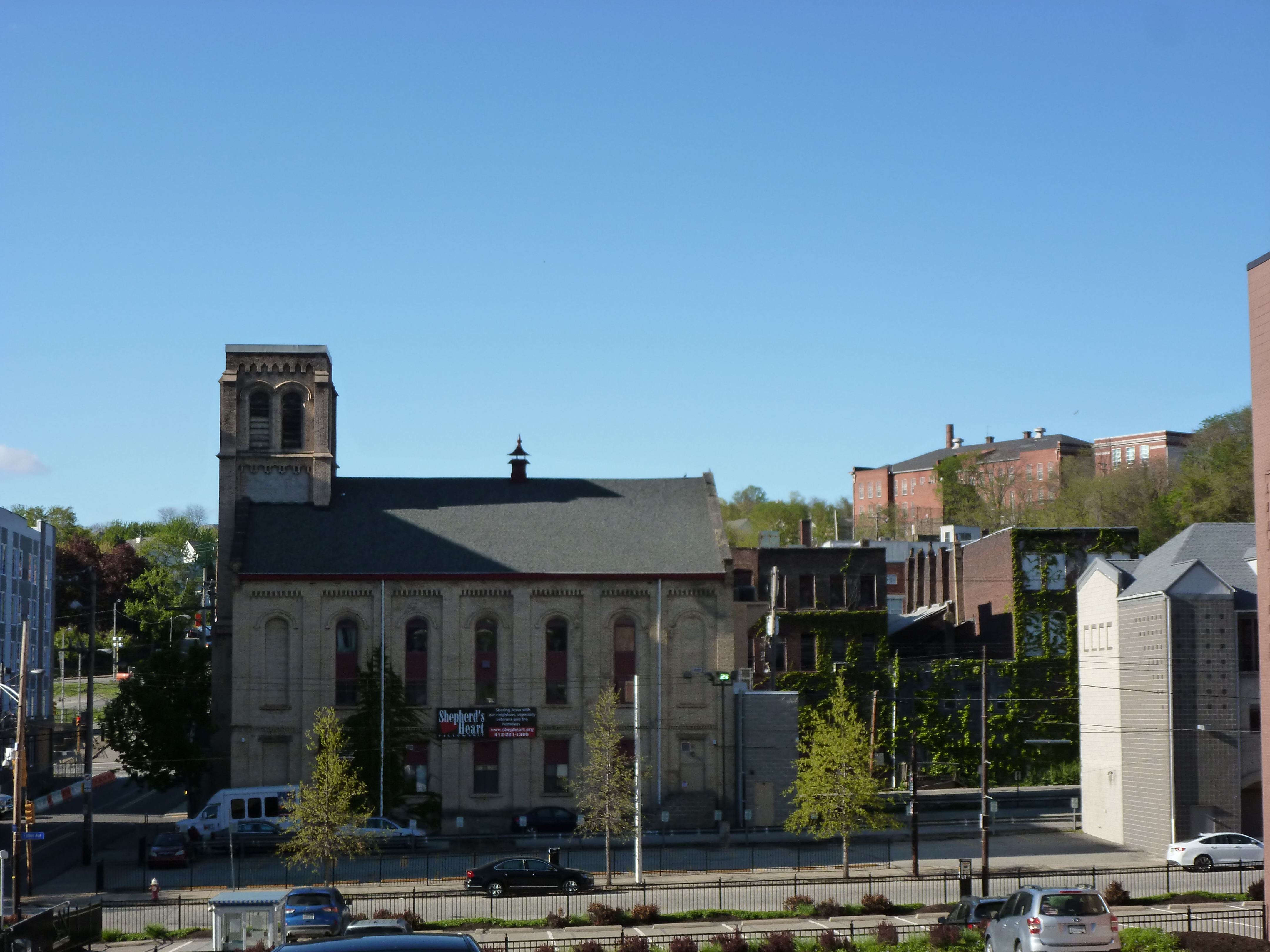
A small aside, as a picture tells a 1,000 words, the photo this year of the Shephard’s Heart Fellowship suggests an unfortunate story (slightly embellished from having ridden the bus past the building over the course of several months). While there is no good time to have a fire, it appears that Shephard’s Heart had a fire shortly after they finished putting a fresh coat of paint on their building. As it’s been at least four months since I first notice the damage and no exterior repairs are apparent, it seems they might be having difficulty in resolving the after affects.
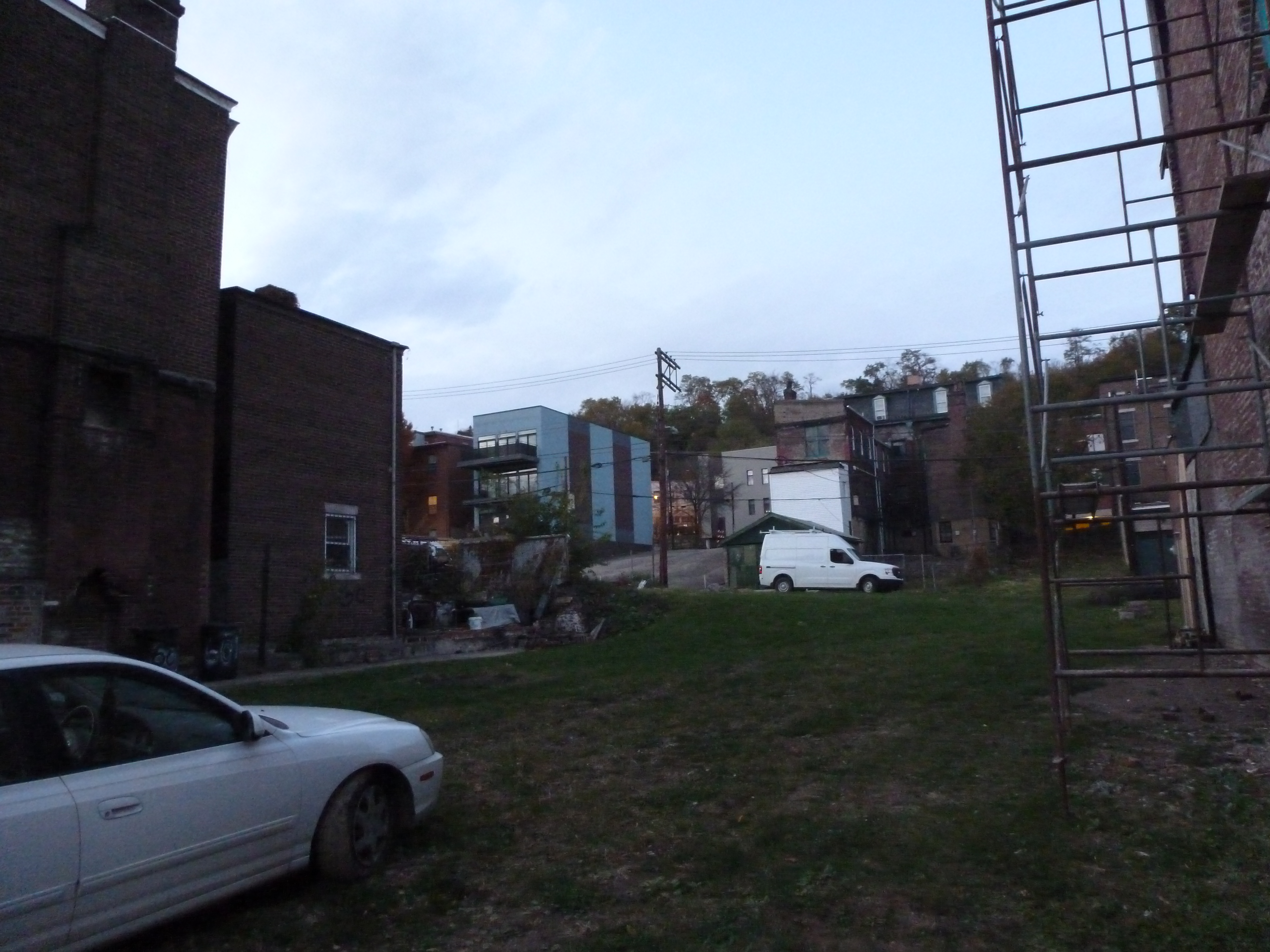
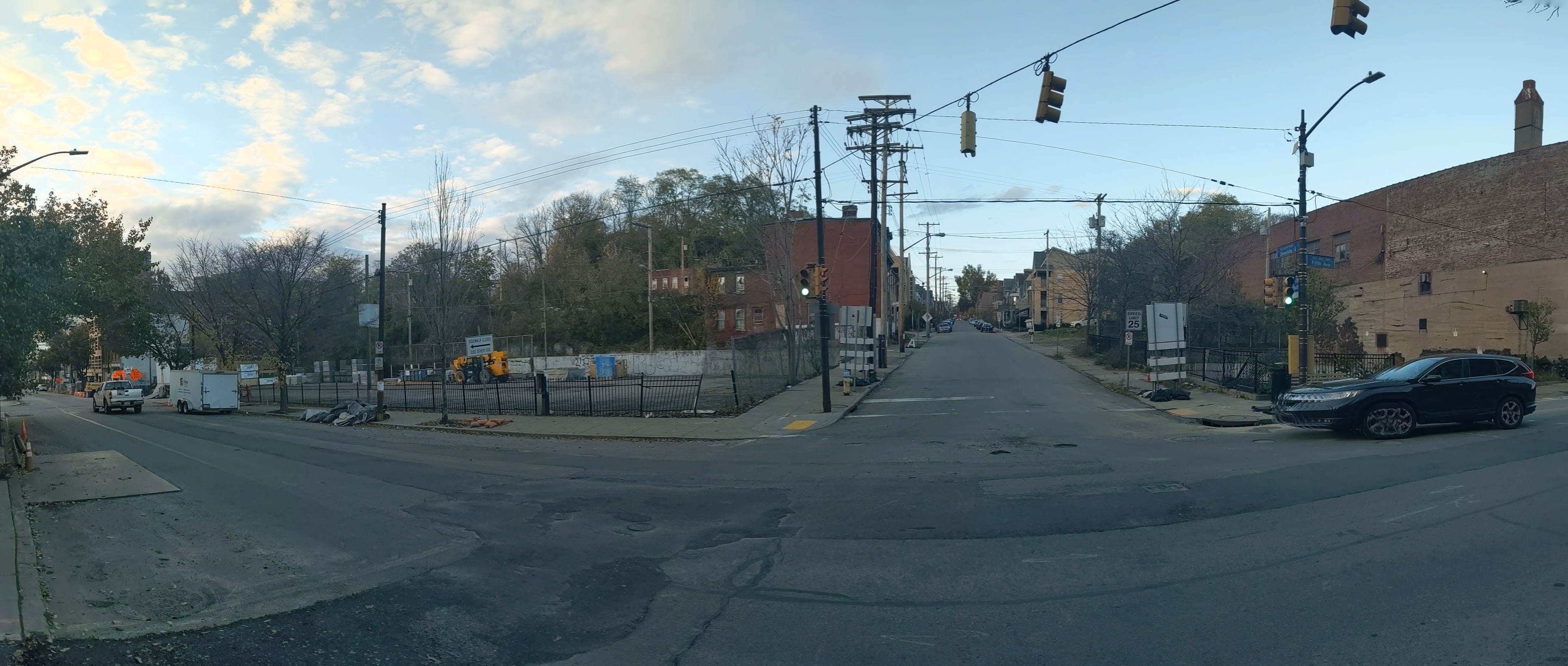
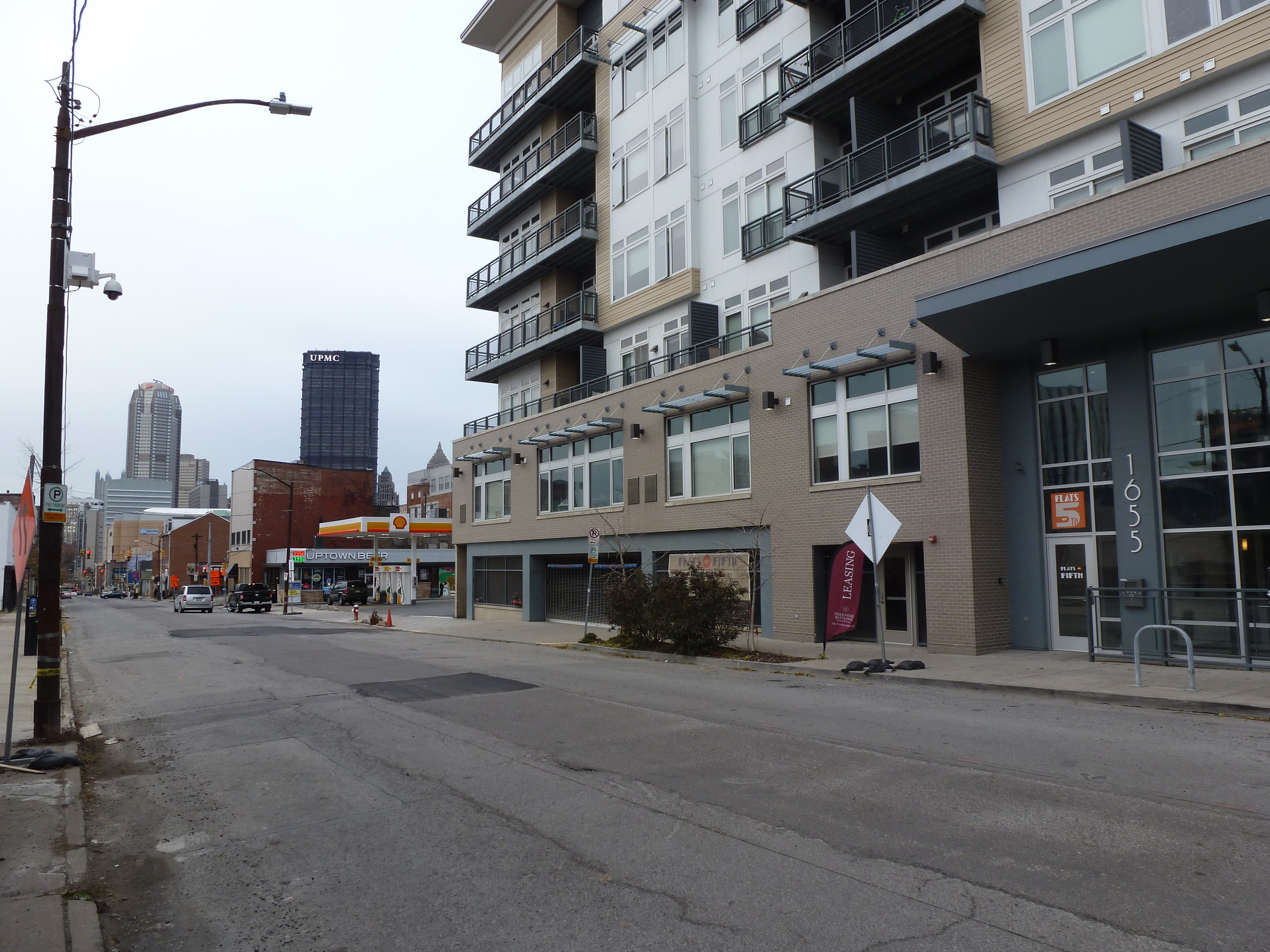
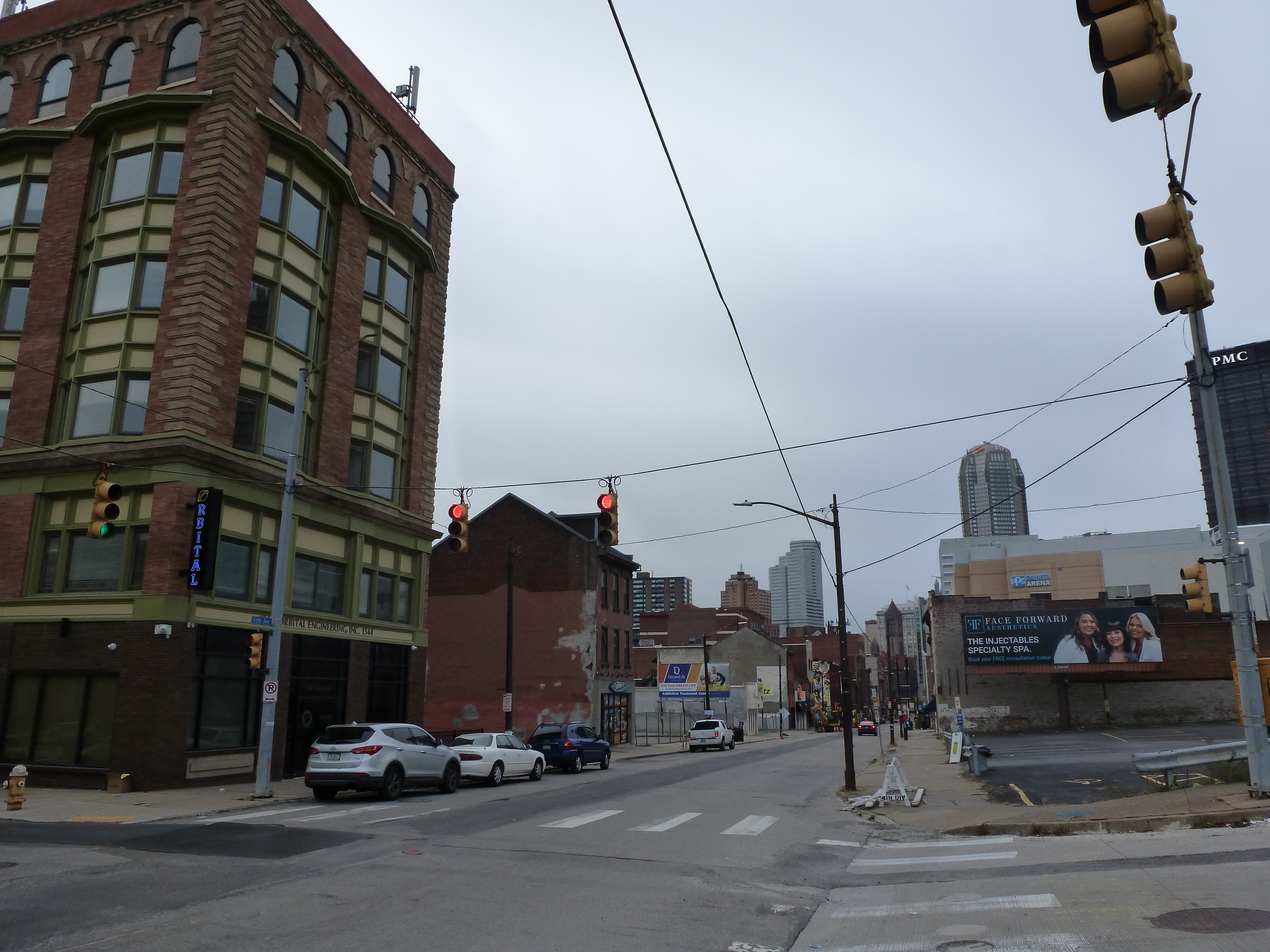
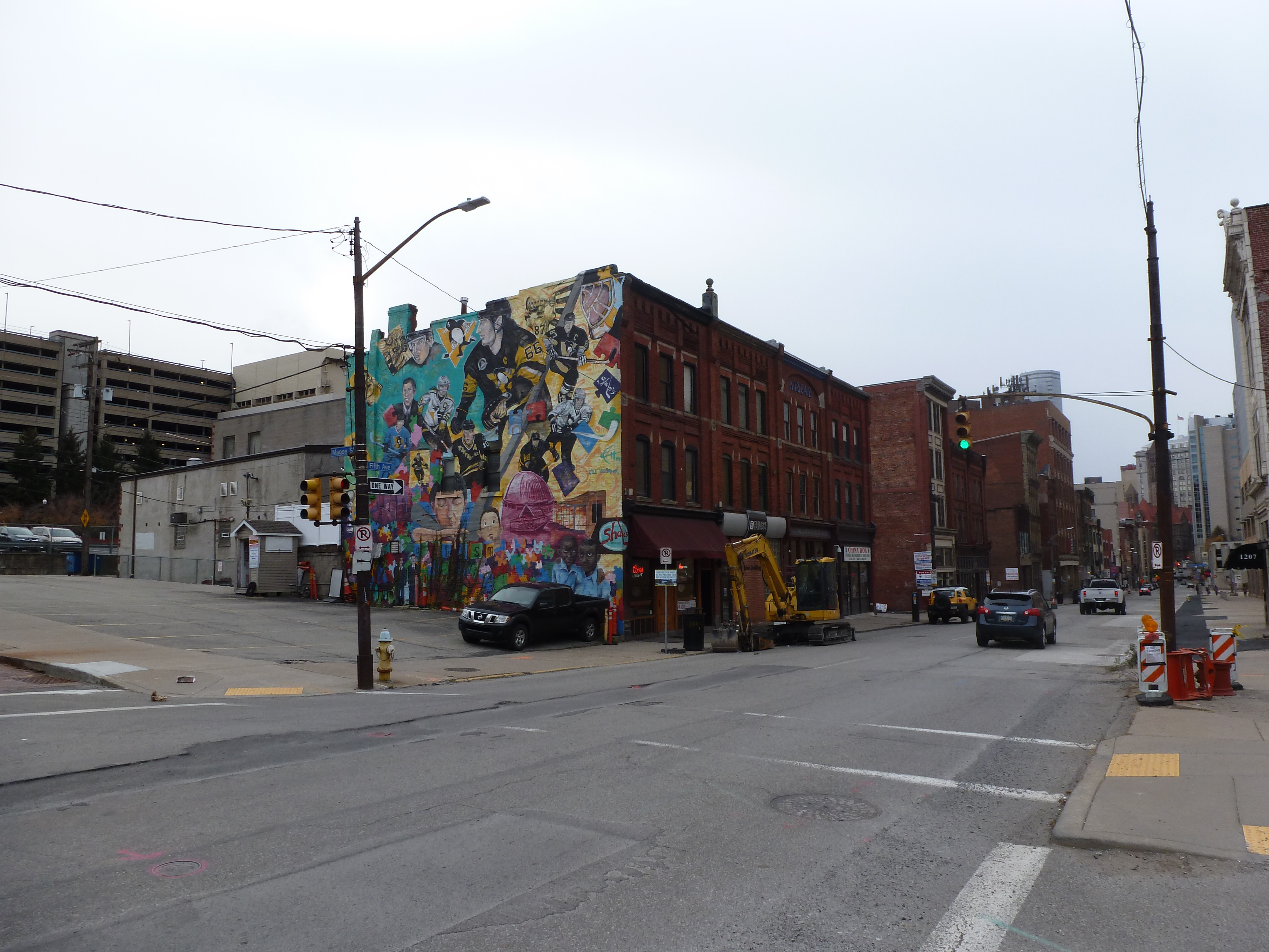
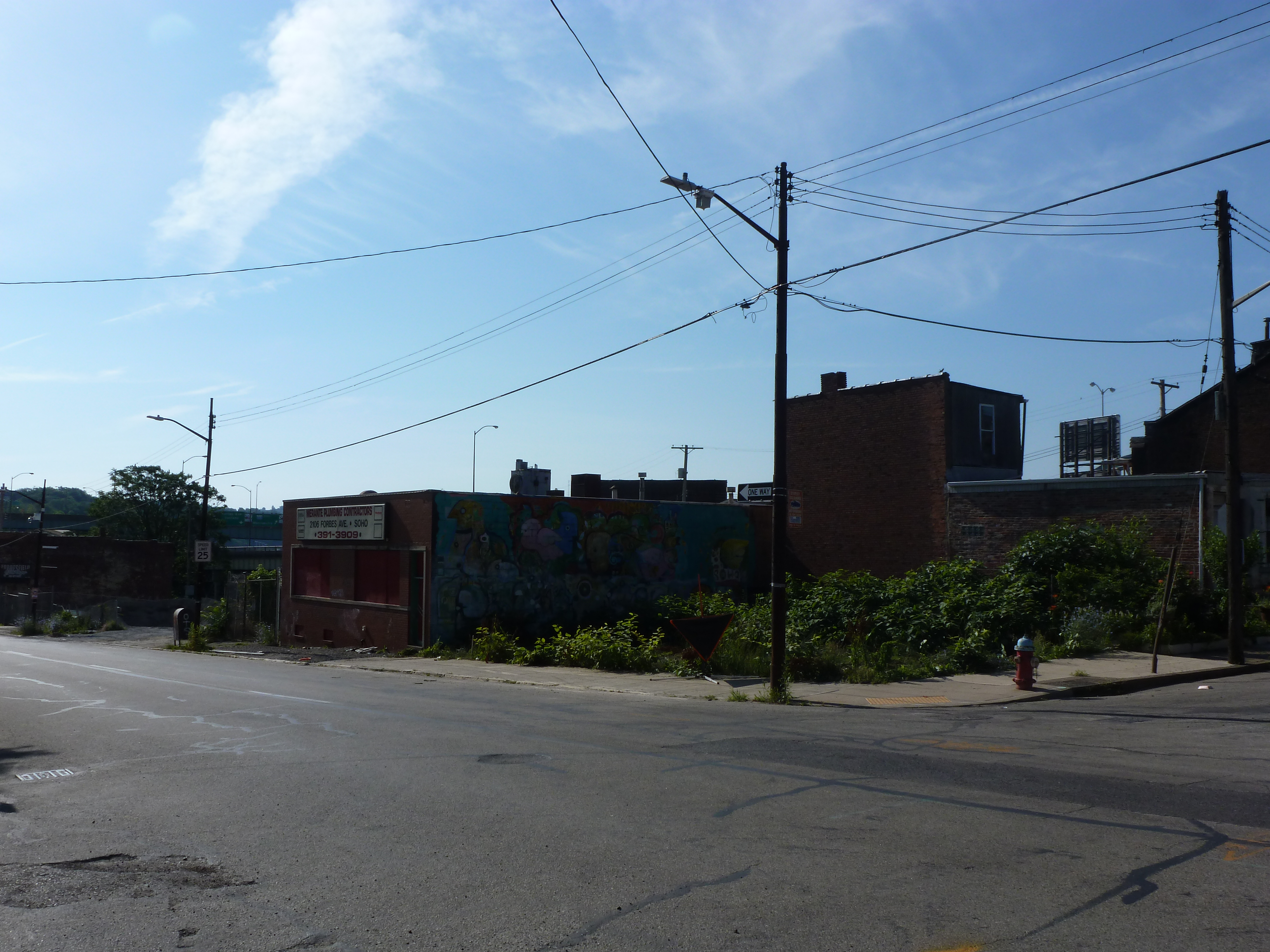
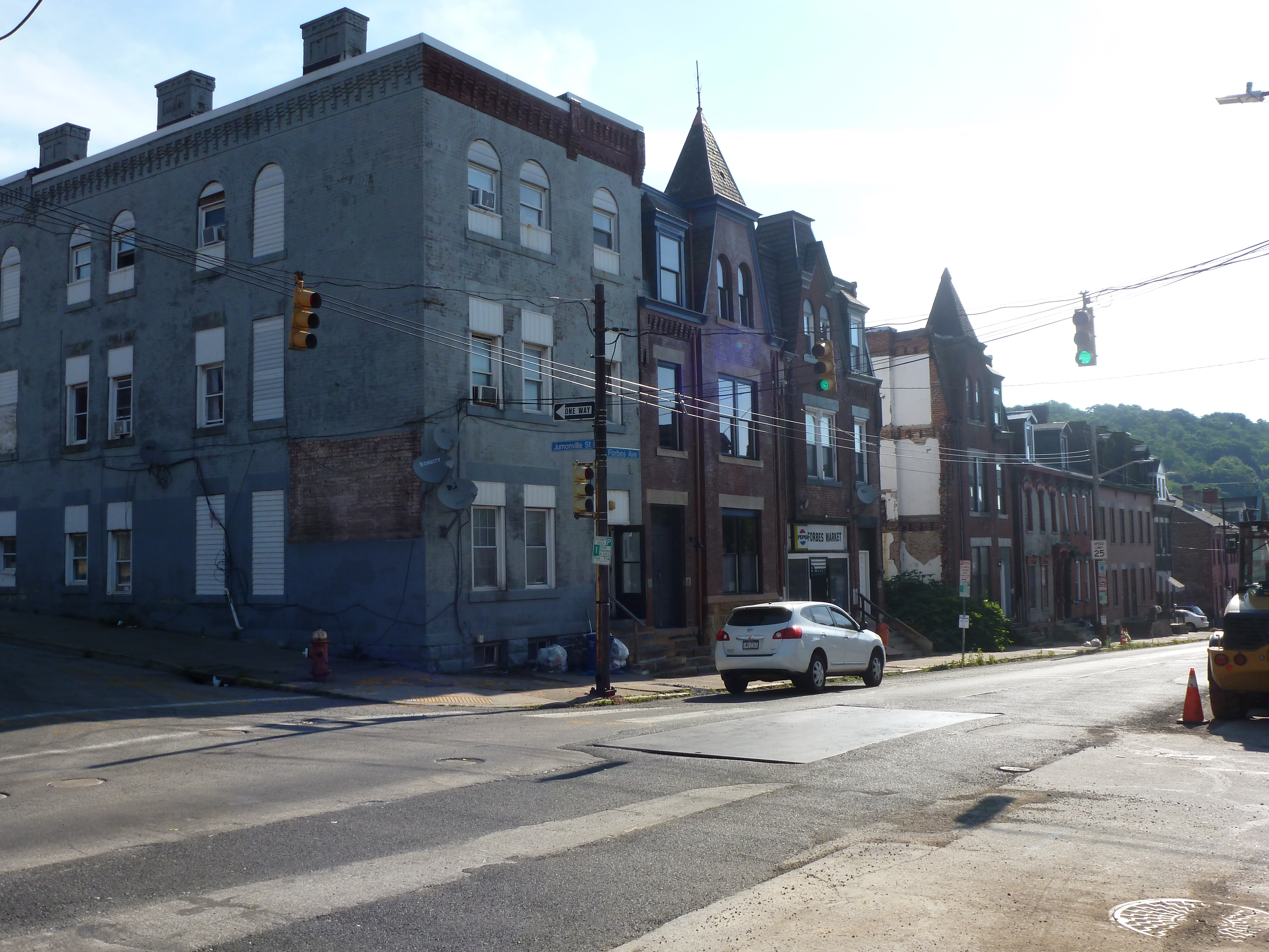
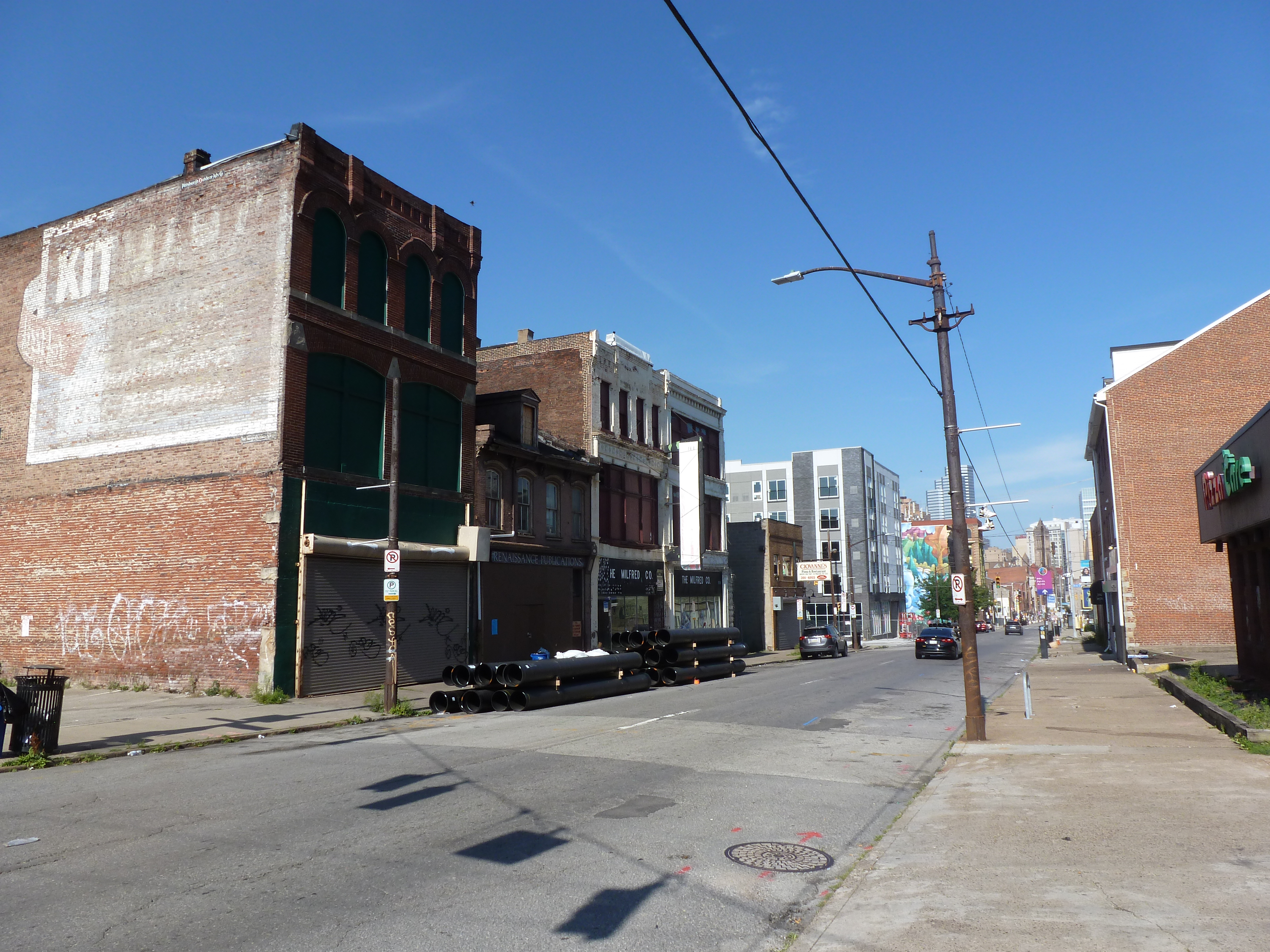
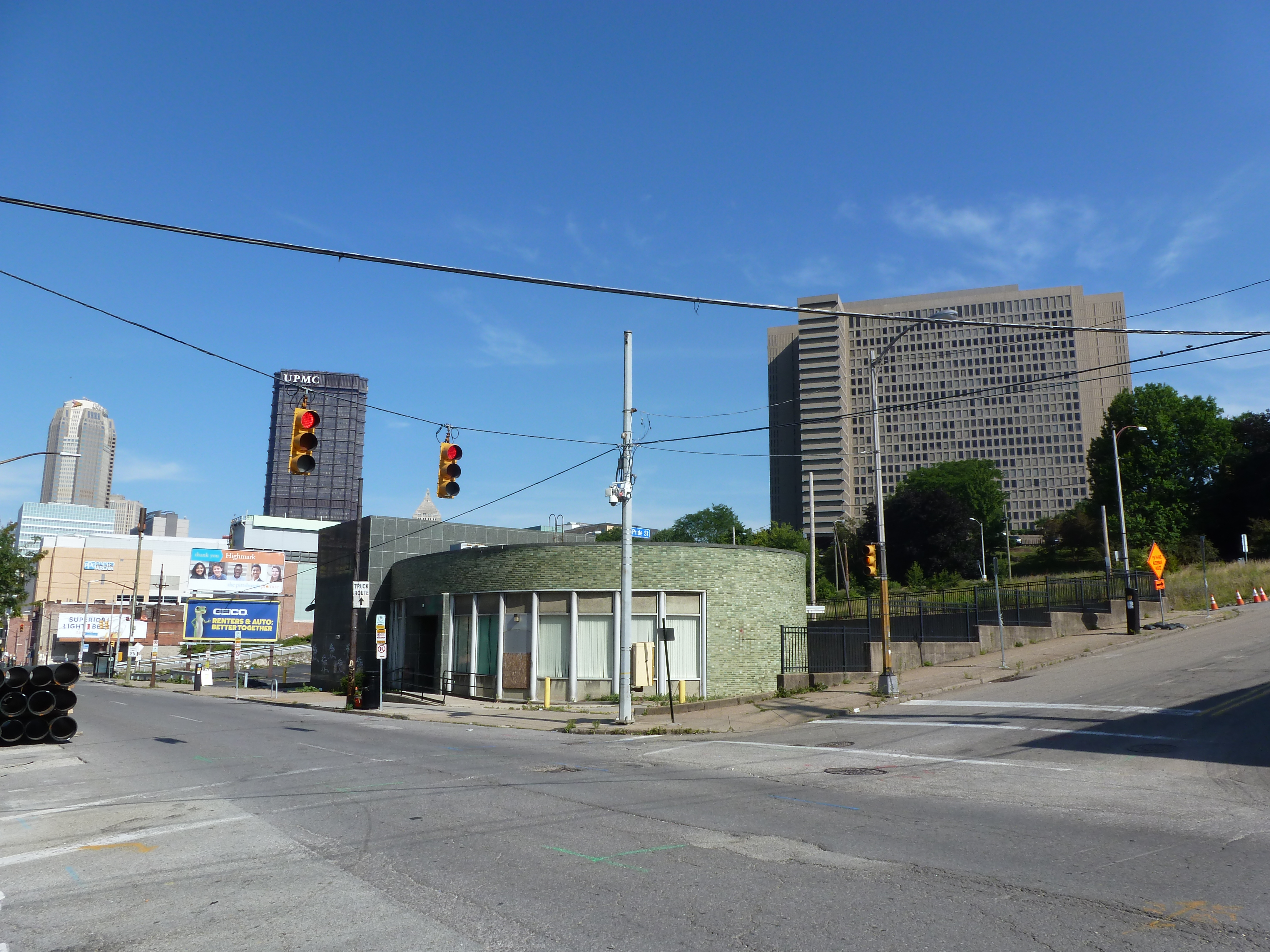
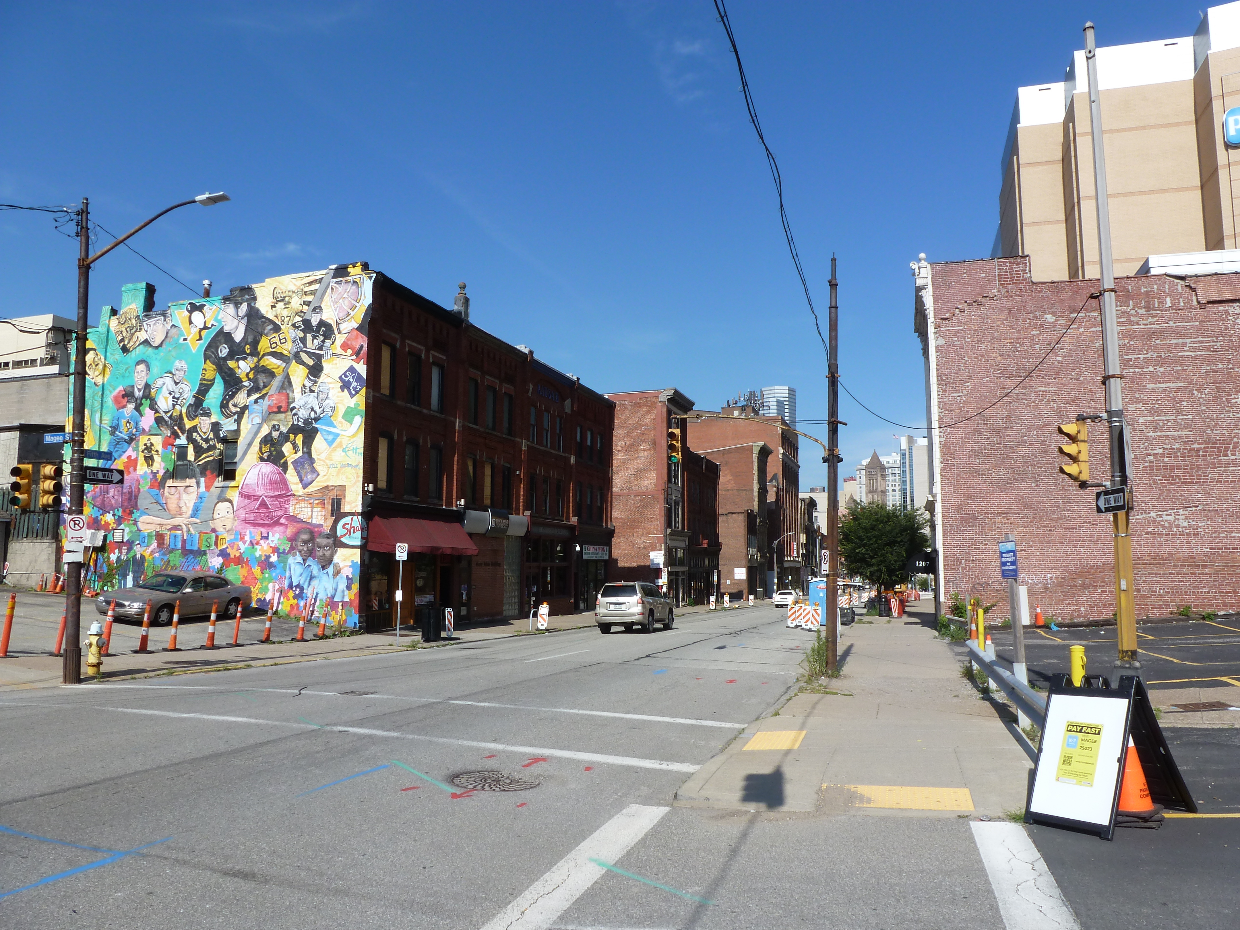
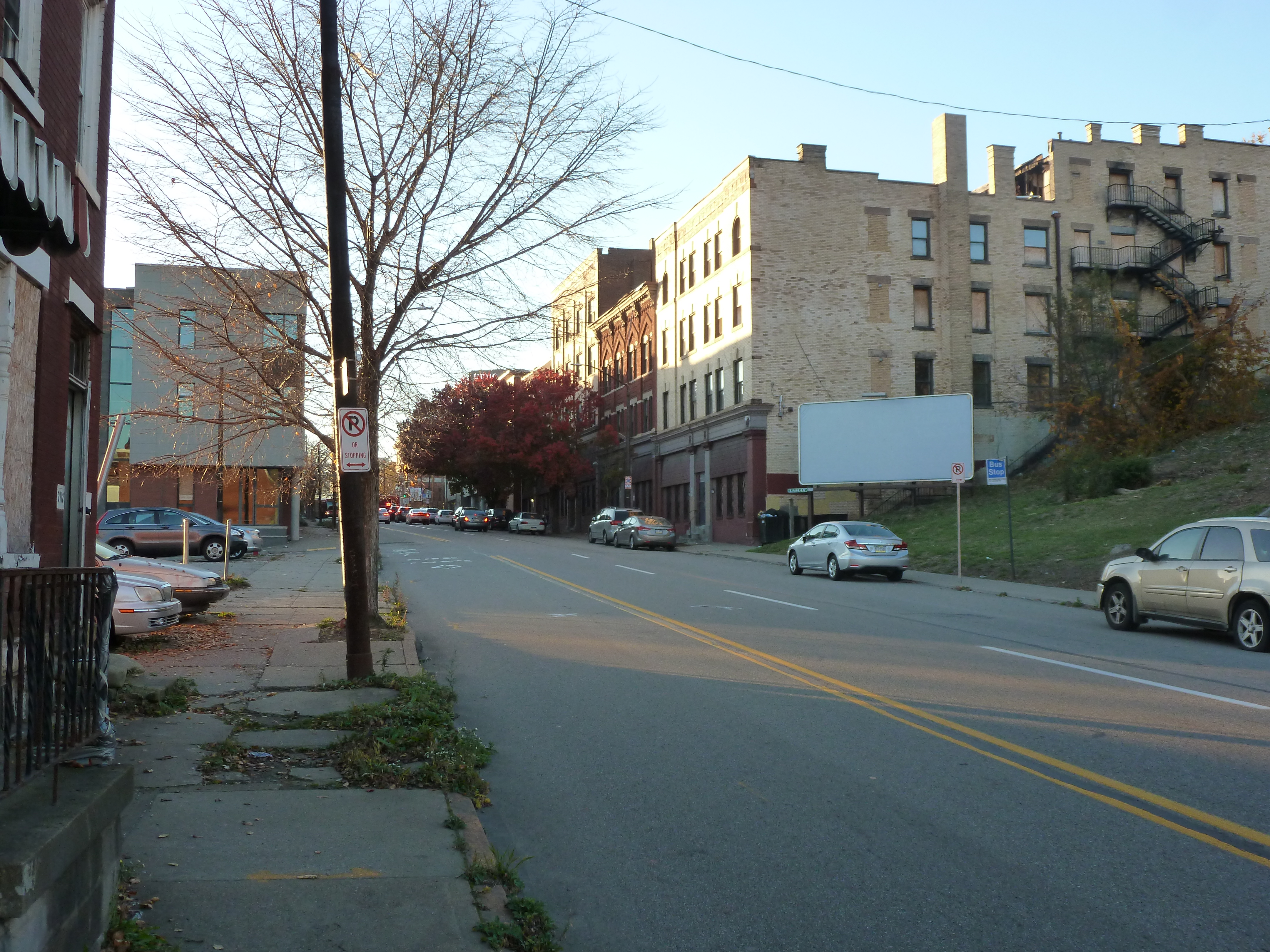
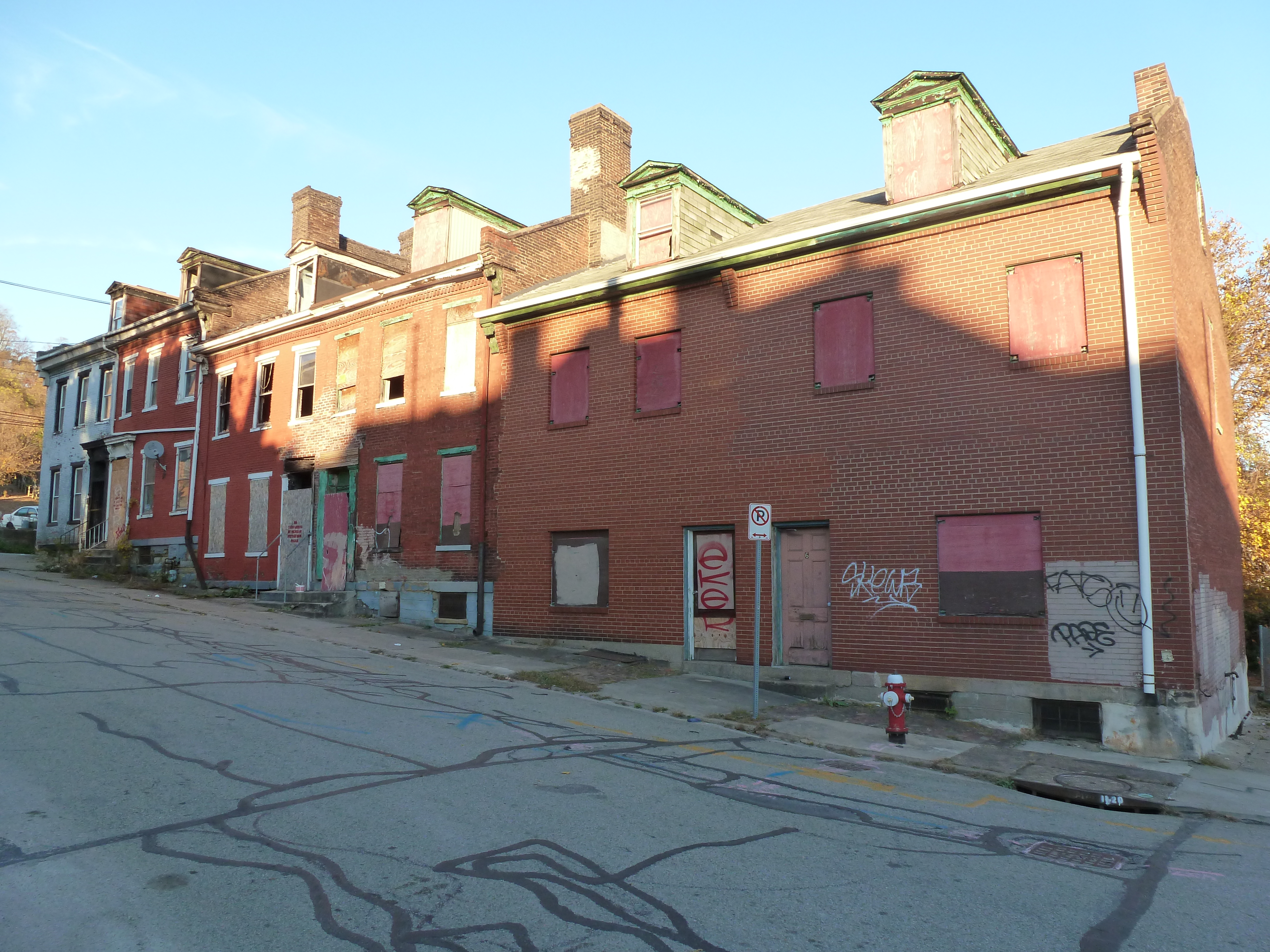
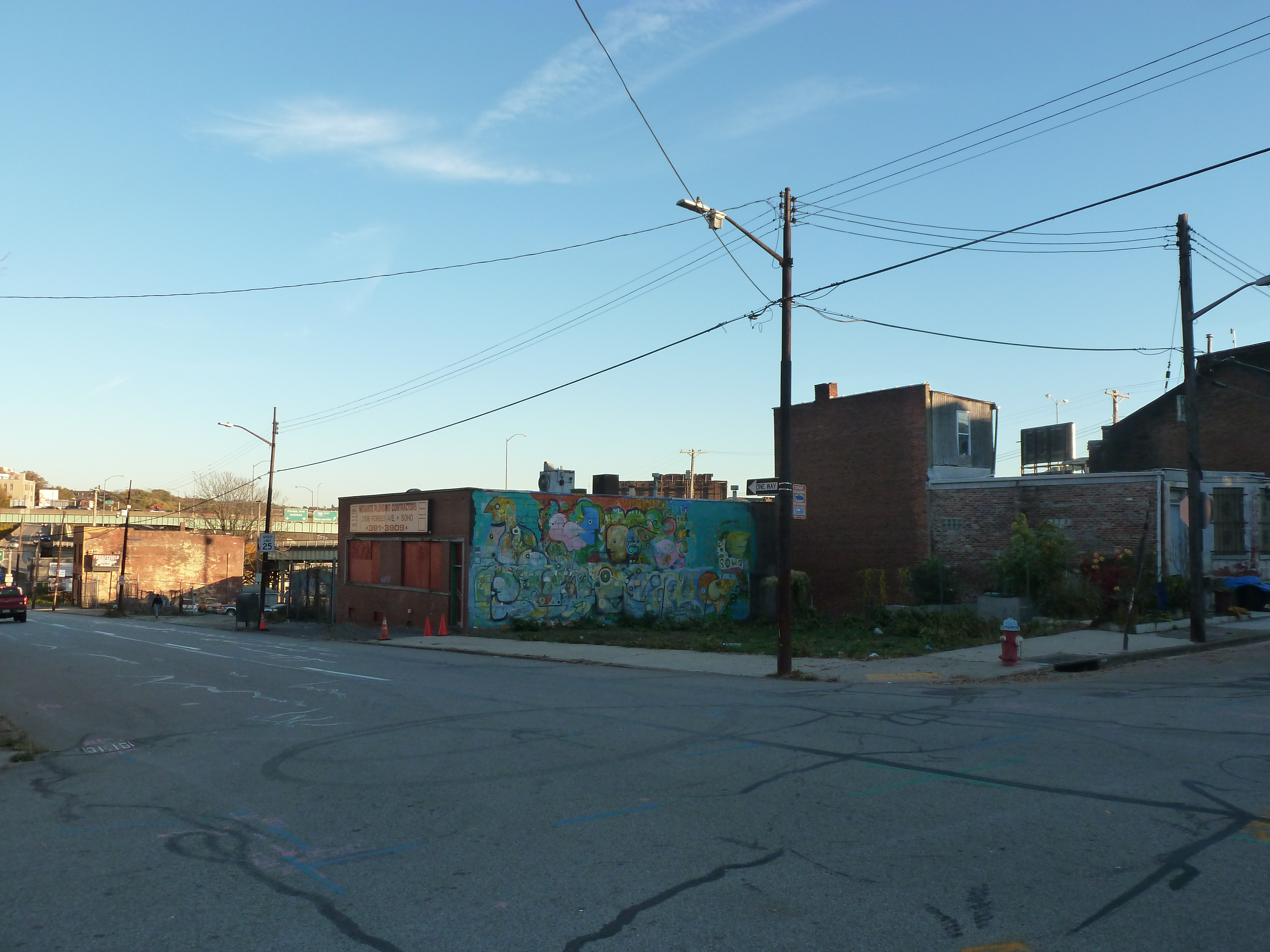
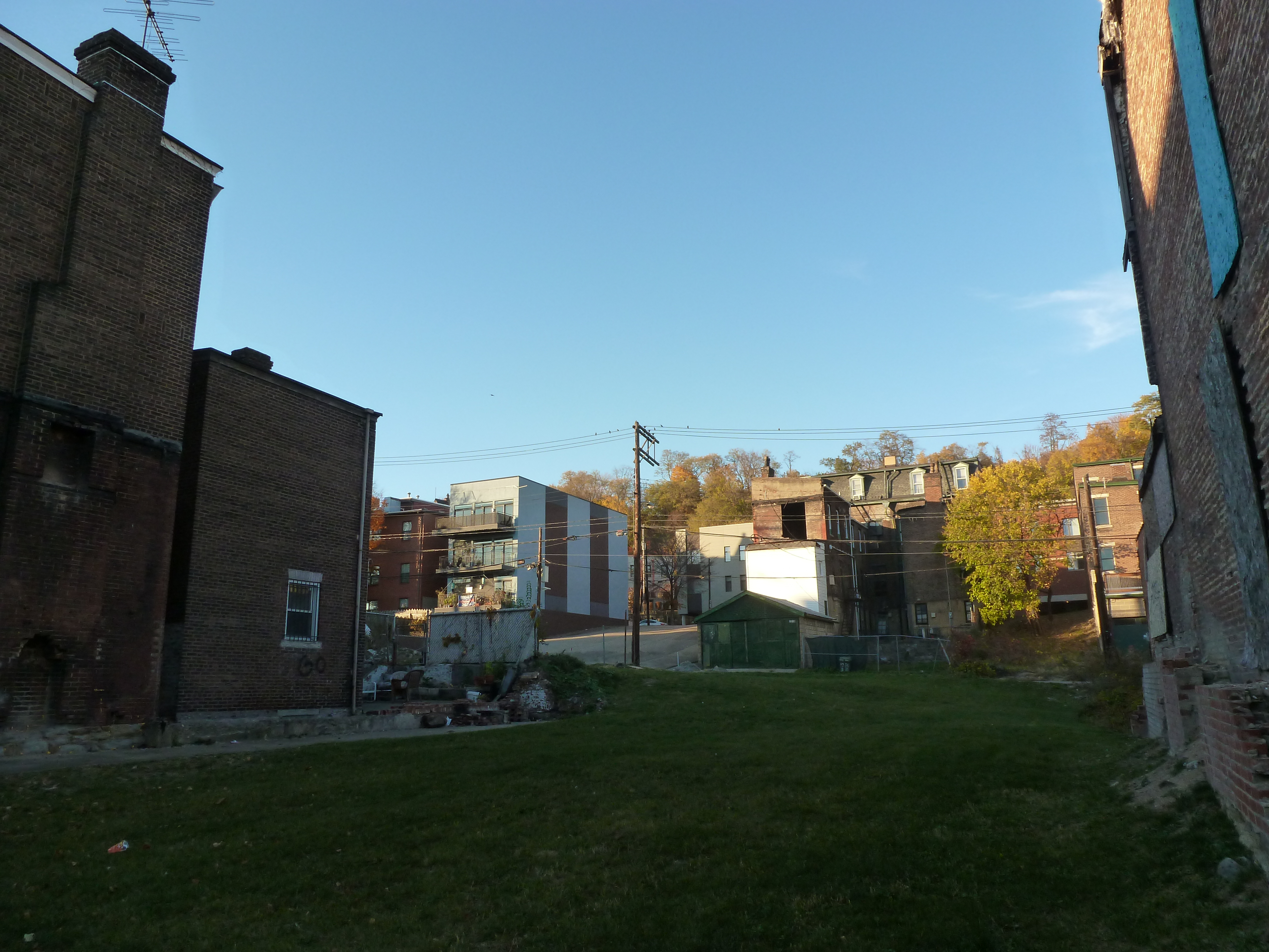
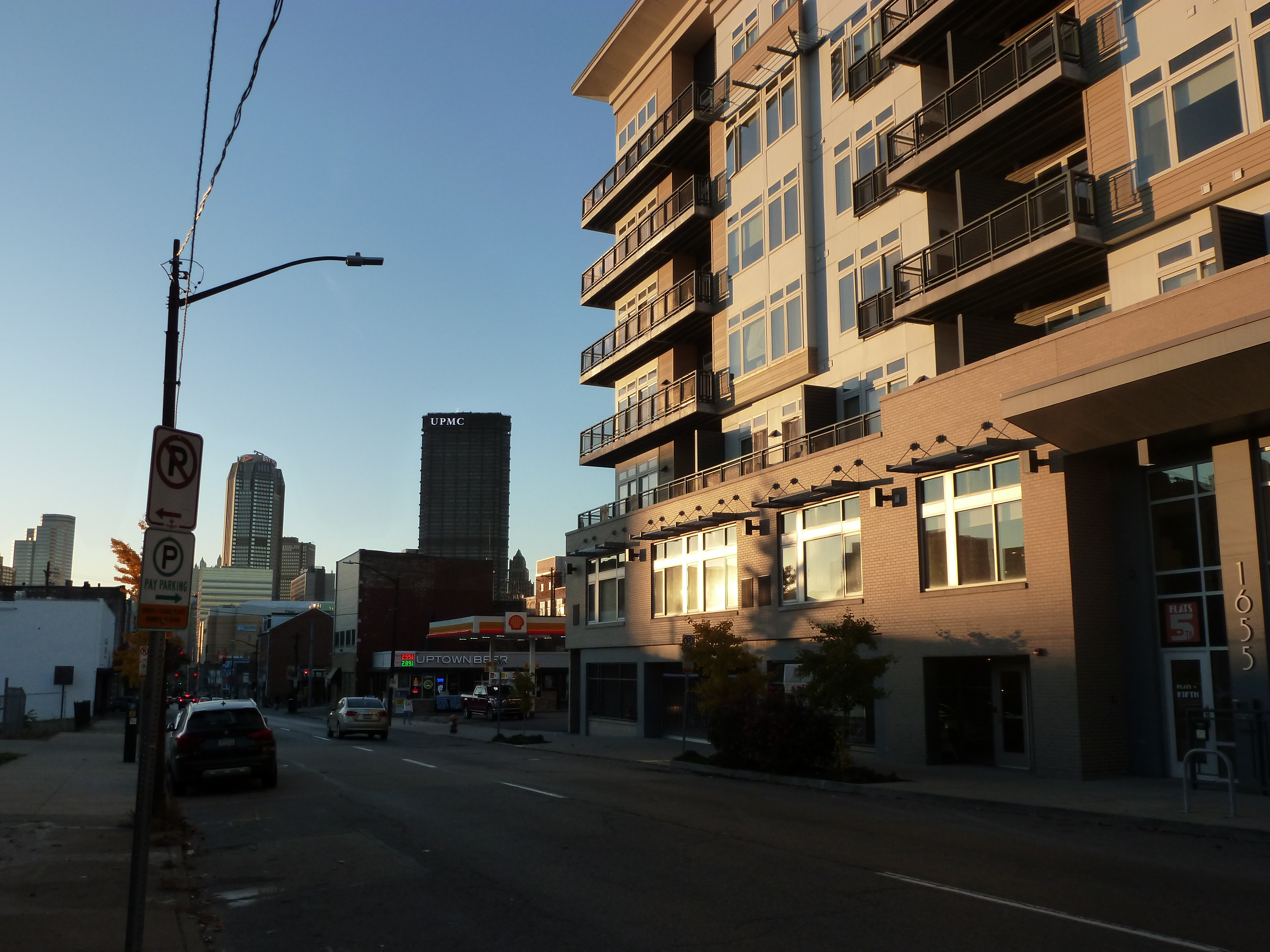
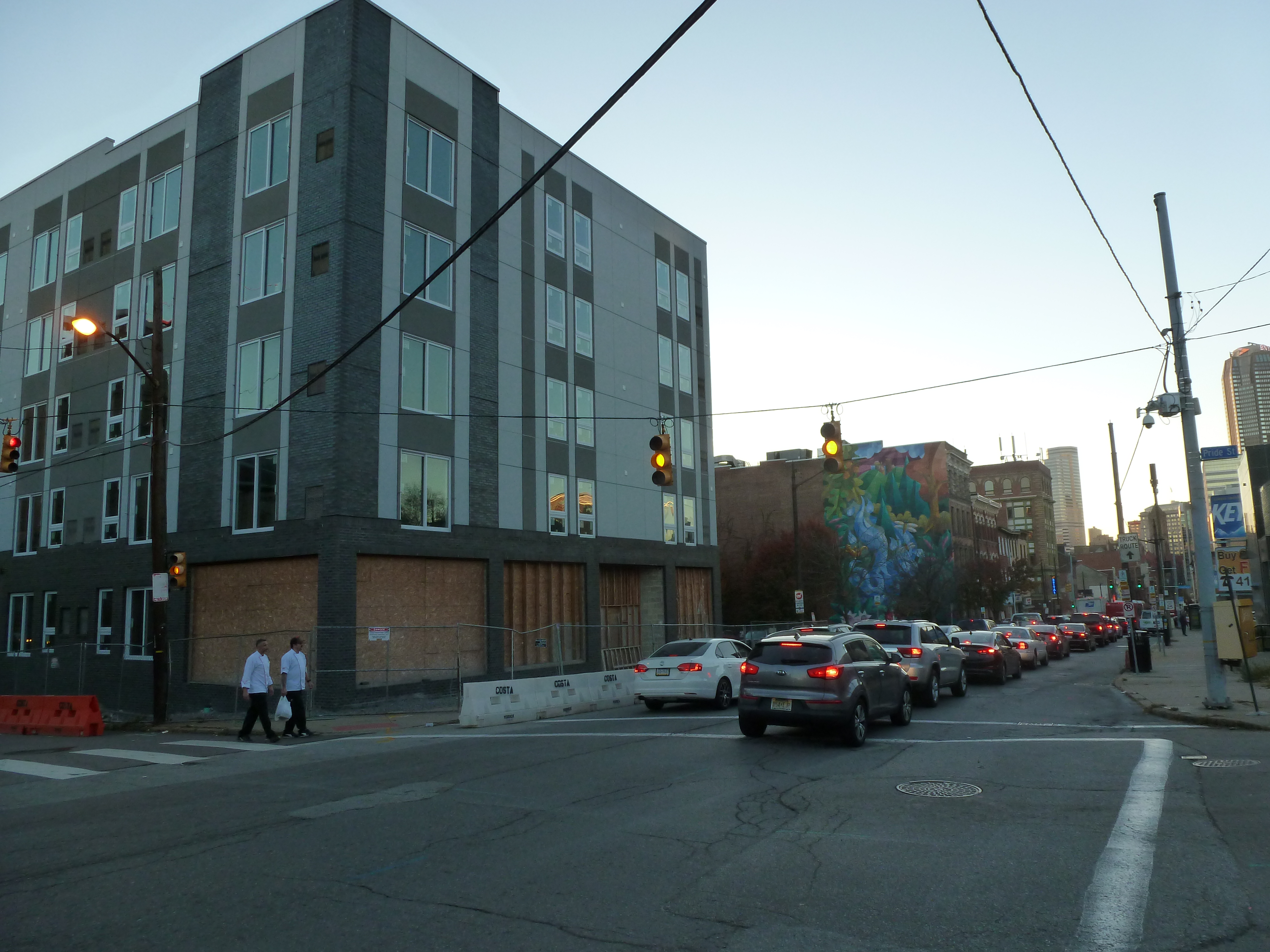
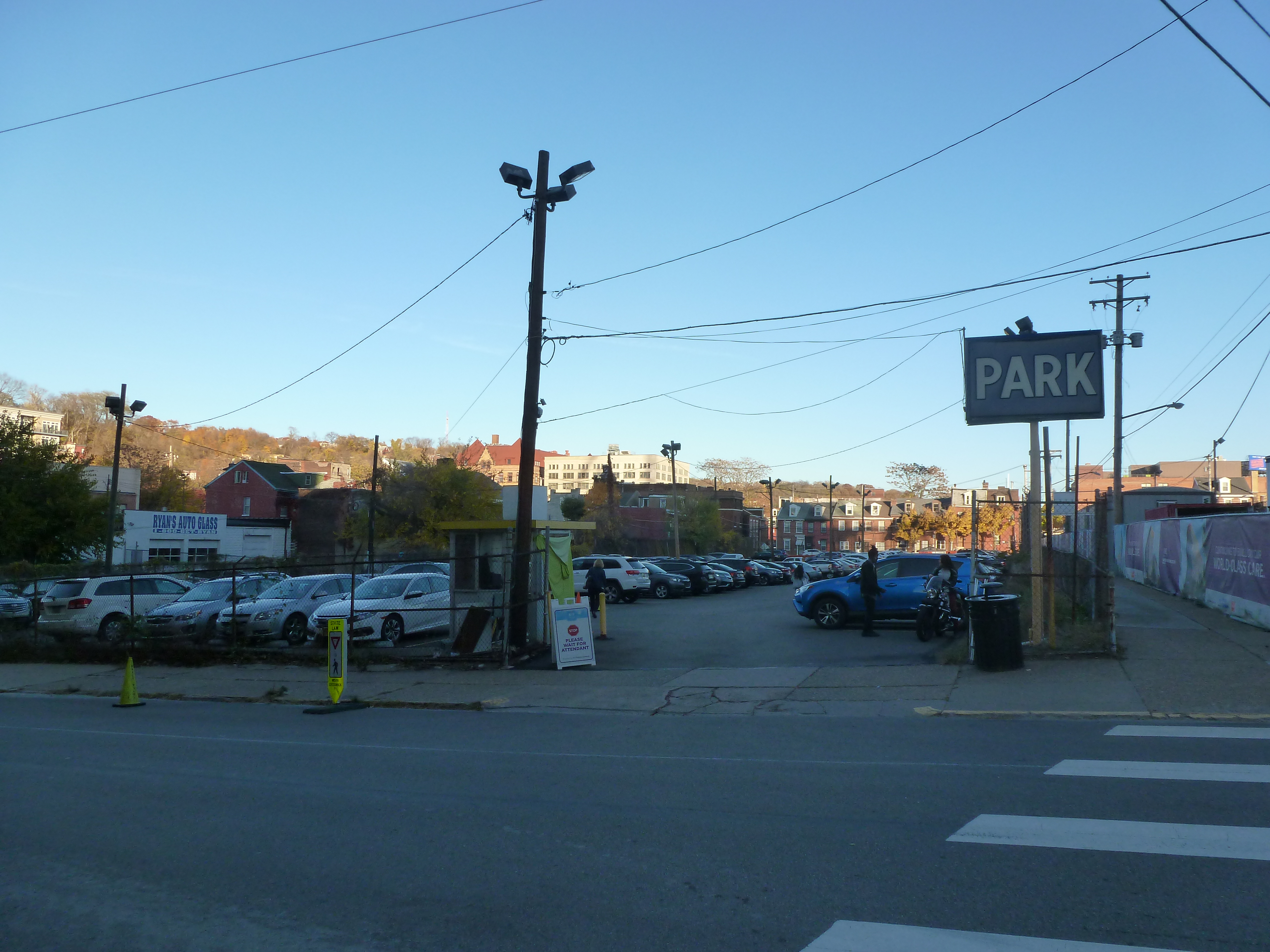
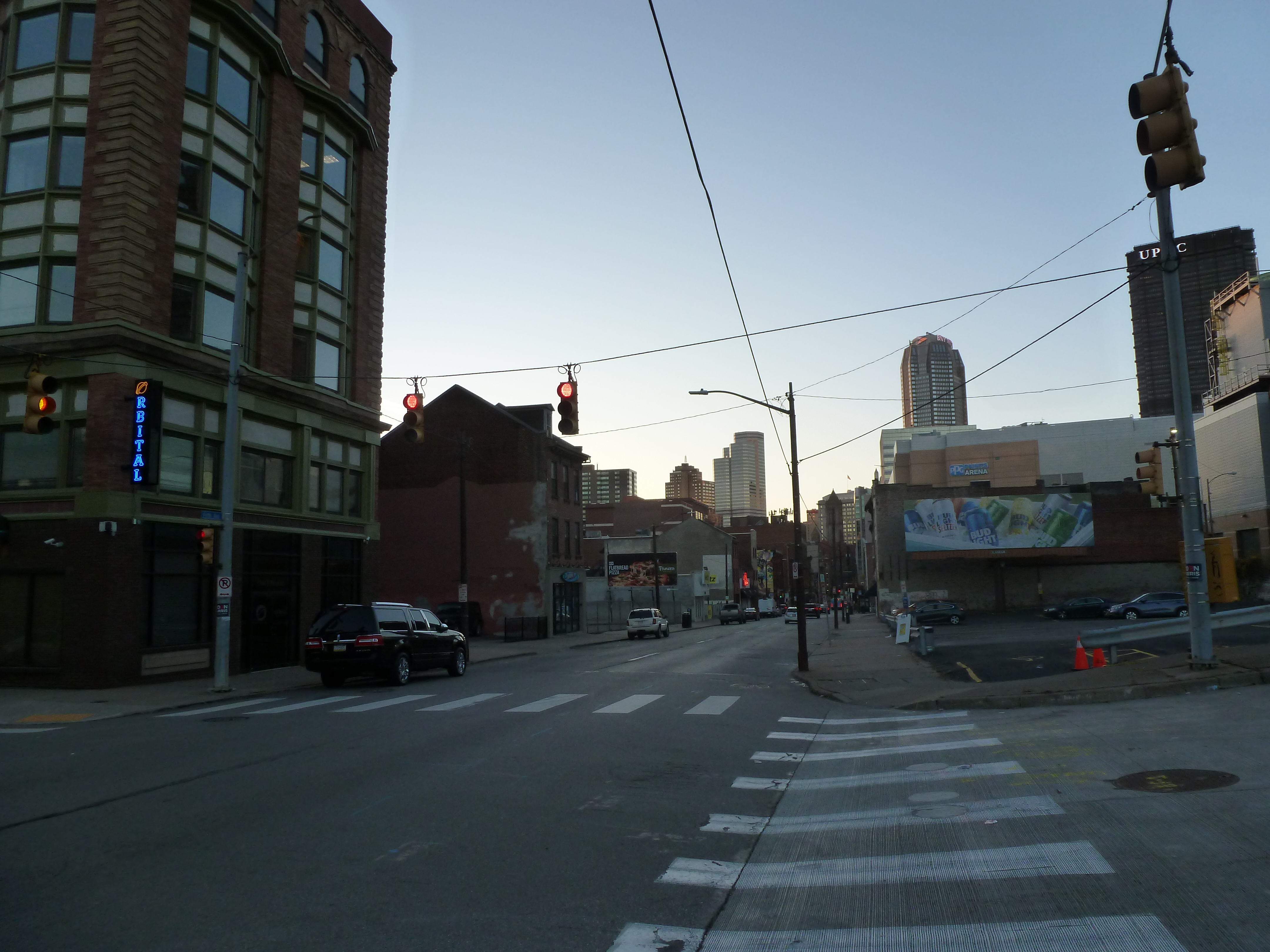
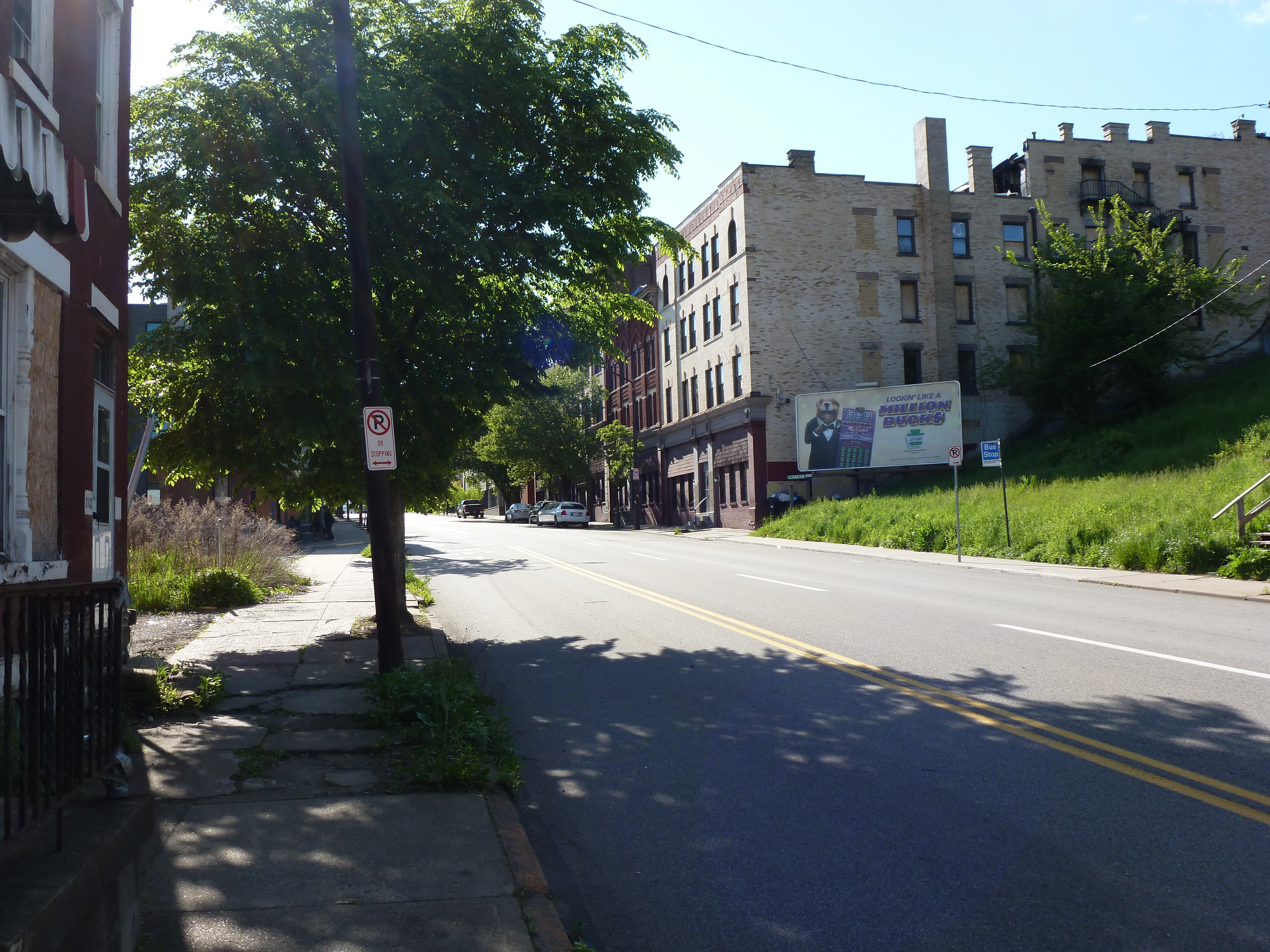
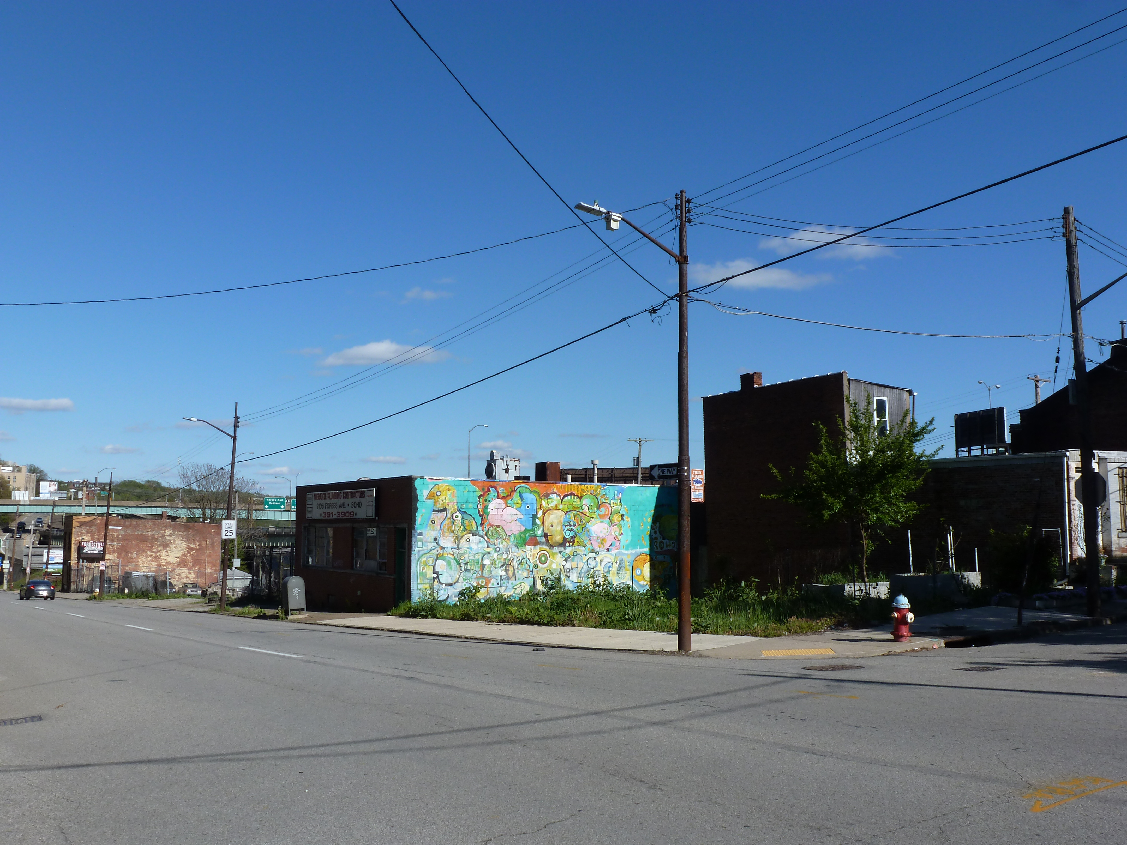
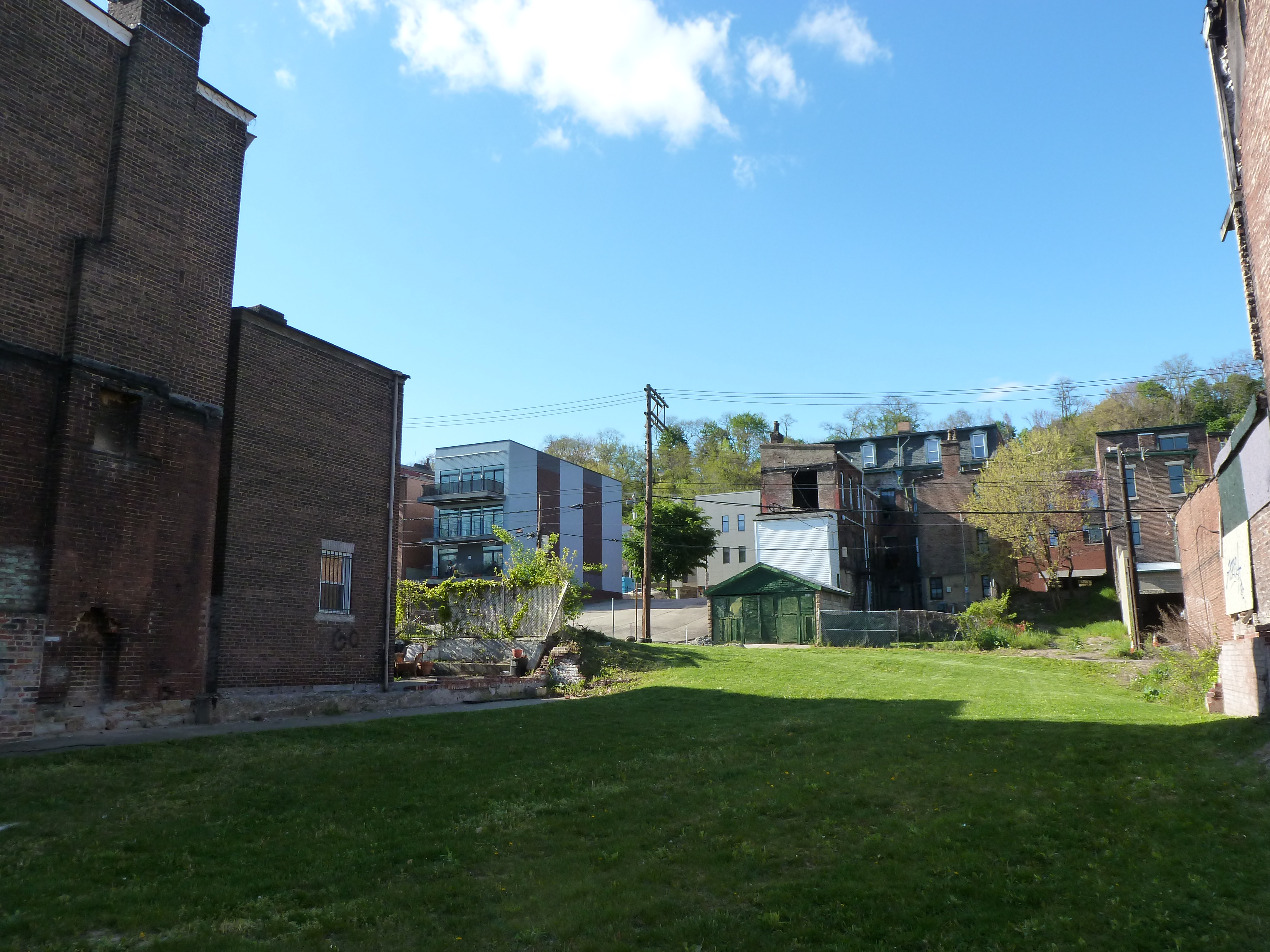
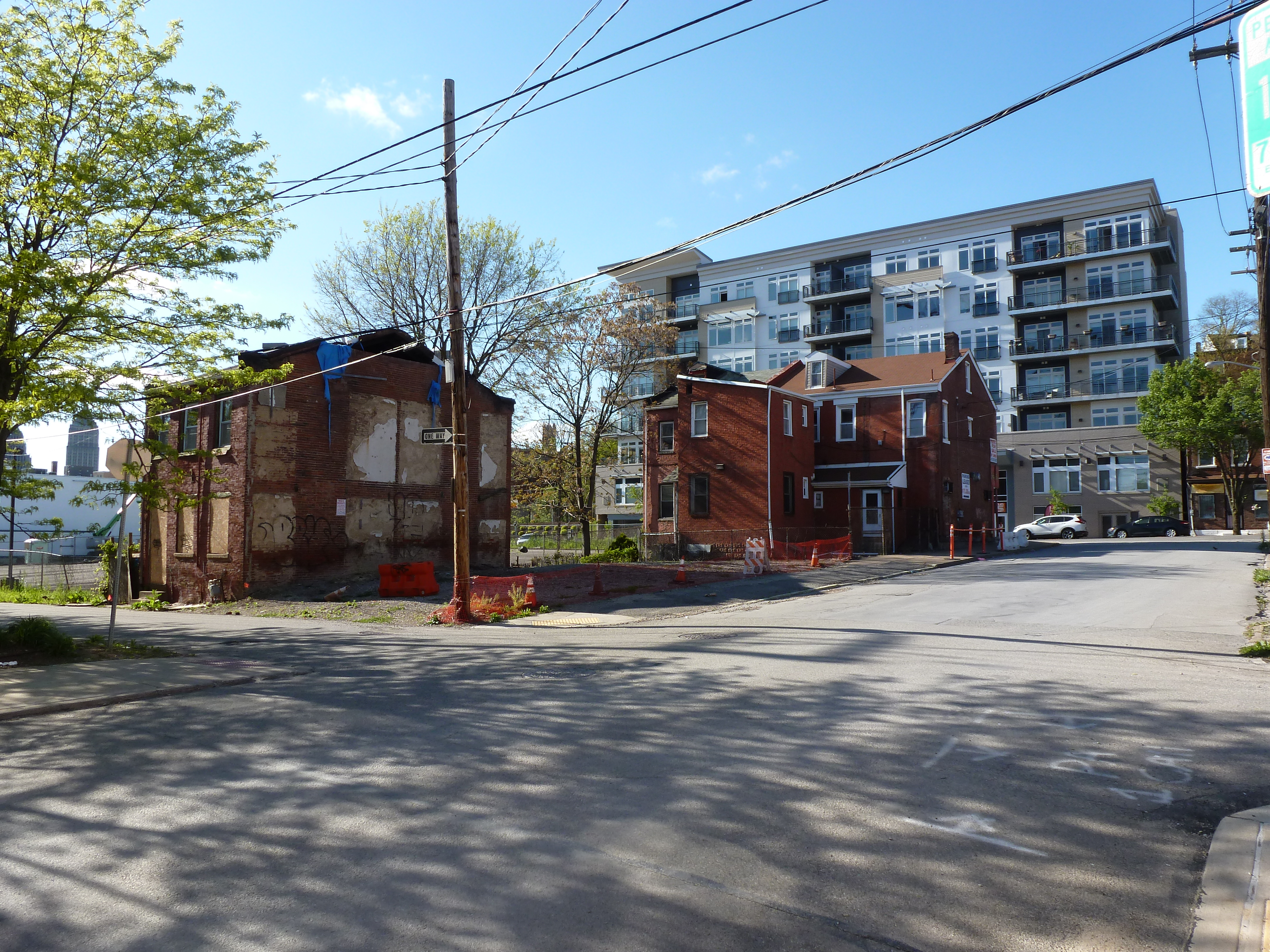
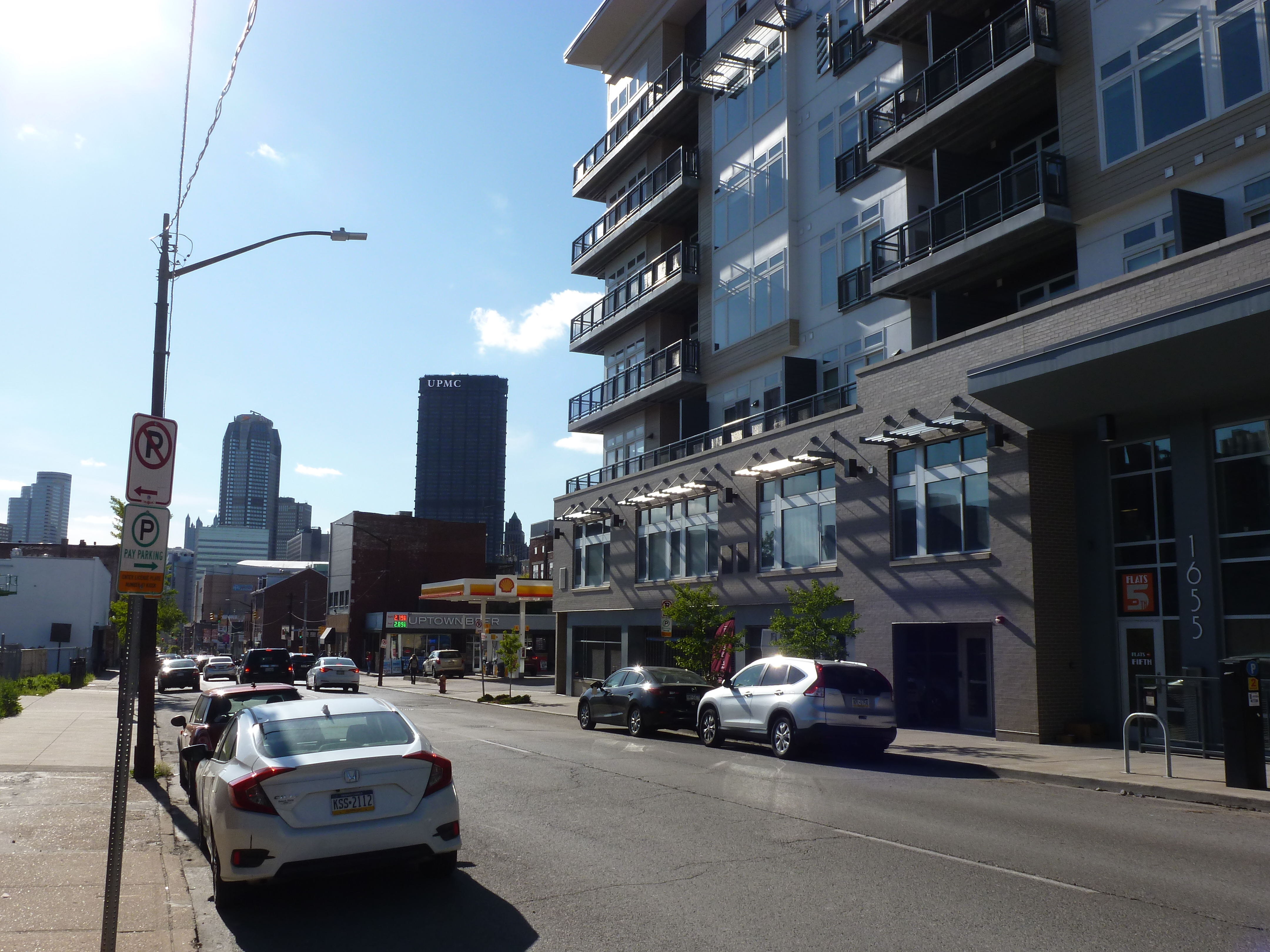
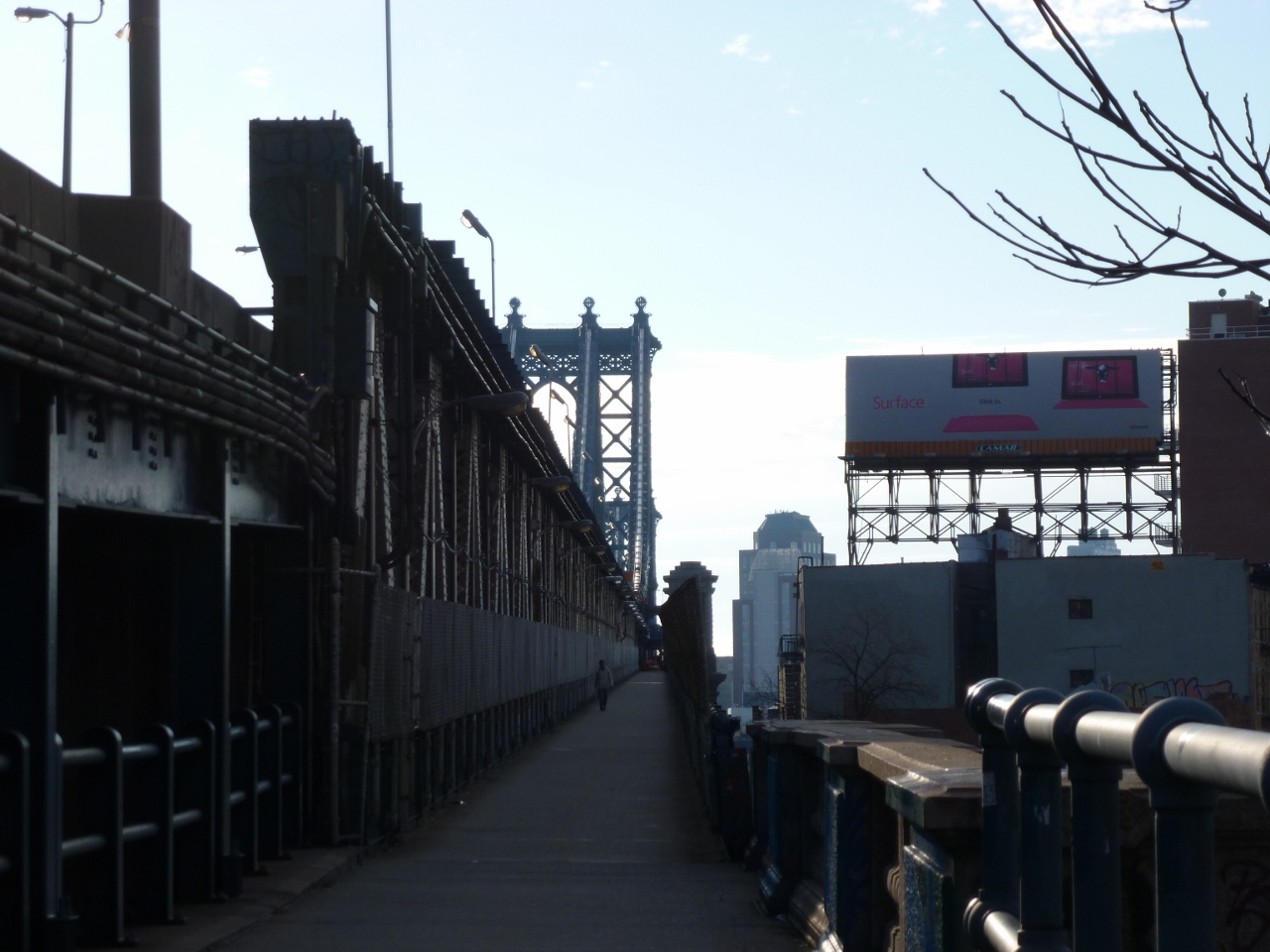
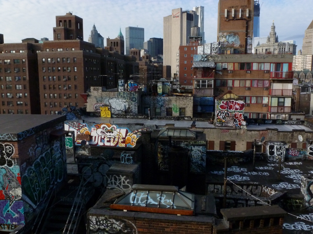
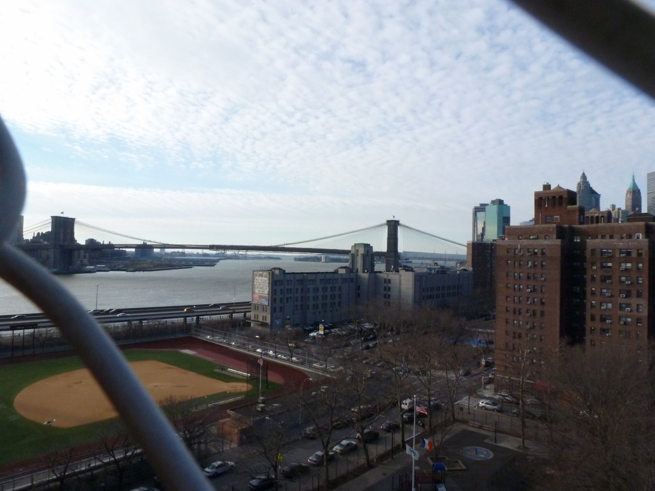
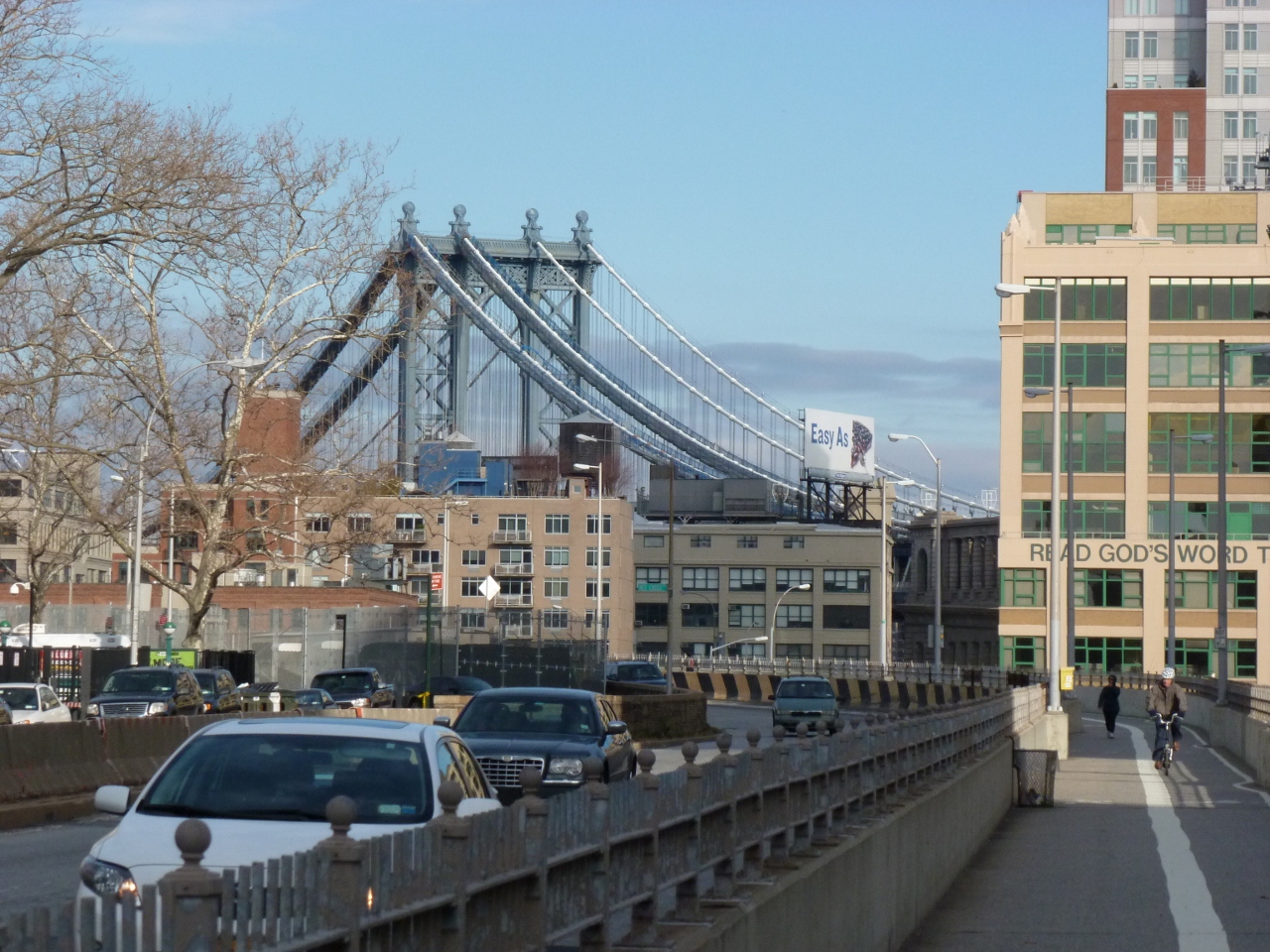
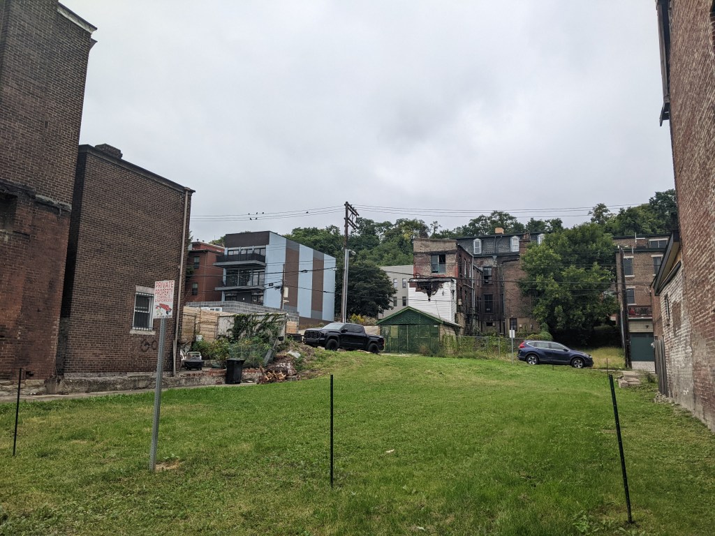
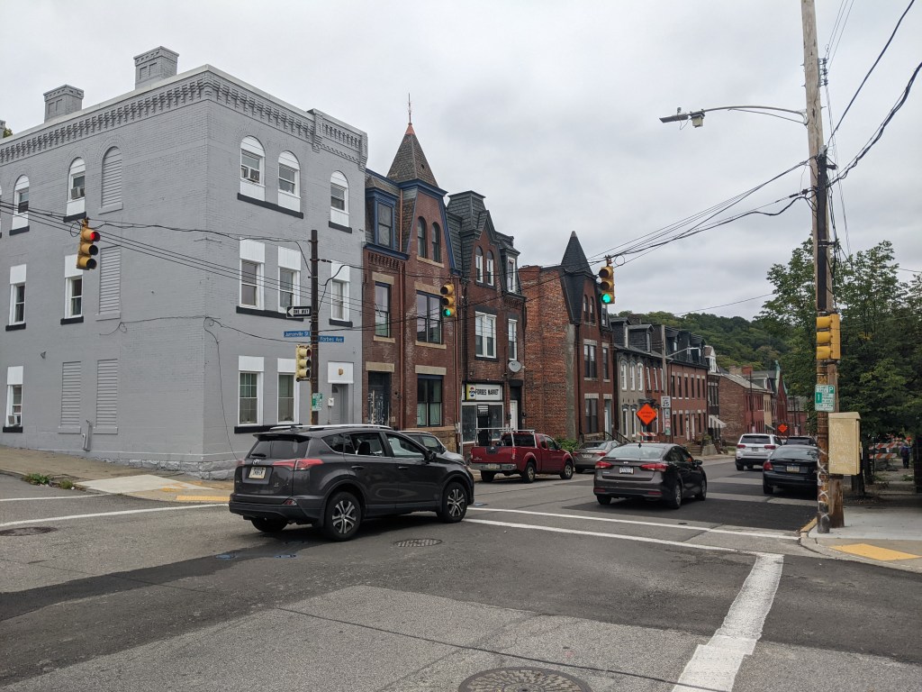
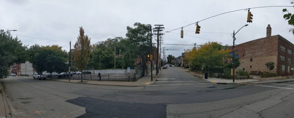
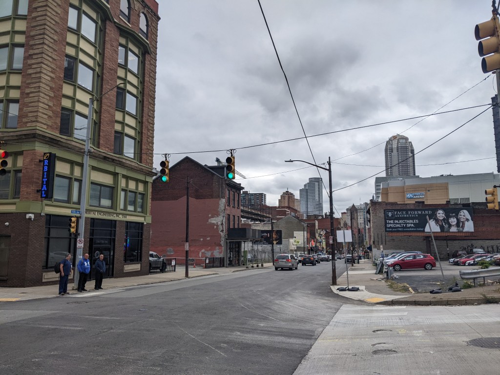
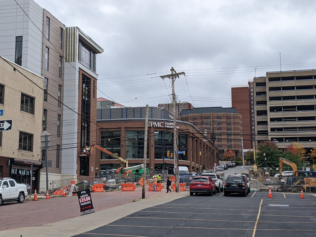
The Photos


Uptown in the News & on the Web
Two projects in Uptown are listed in Next Pittsburgh‘s list of 8 major development projects to watch in 2023: UPMC Mercy’s Vision Rehabilitation Center and Duquesne University’s new 12-story student housing (January 11, 2023). The Pittsburgh Business Times got a first look at the new UPMC Mercy Pavilion – the home of the vision rehabilitation center – prior to its May 1 opening (April 19, 2023) and the University of Pittsburgh Health Sciences provided an description of the services that will be provided (May 10, 2023).
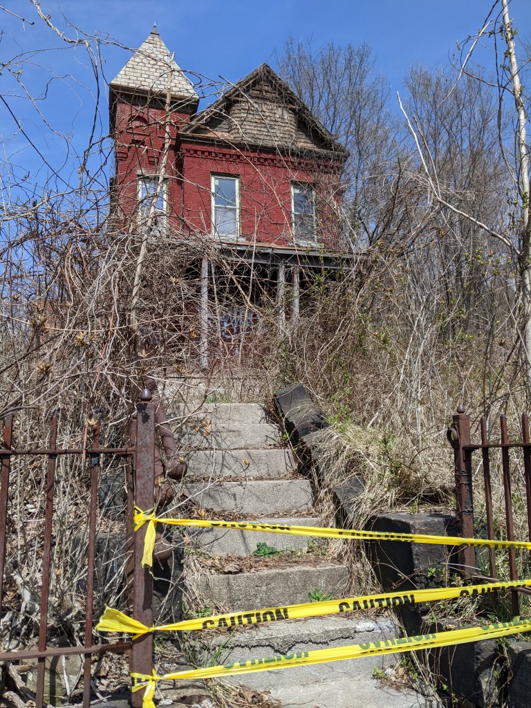
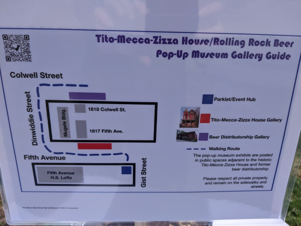
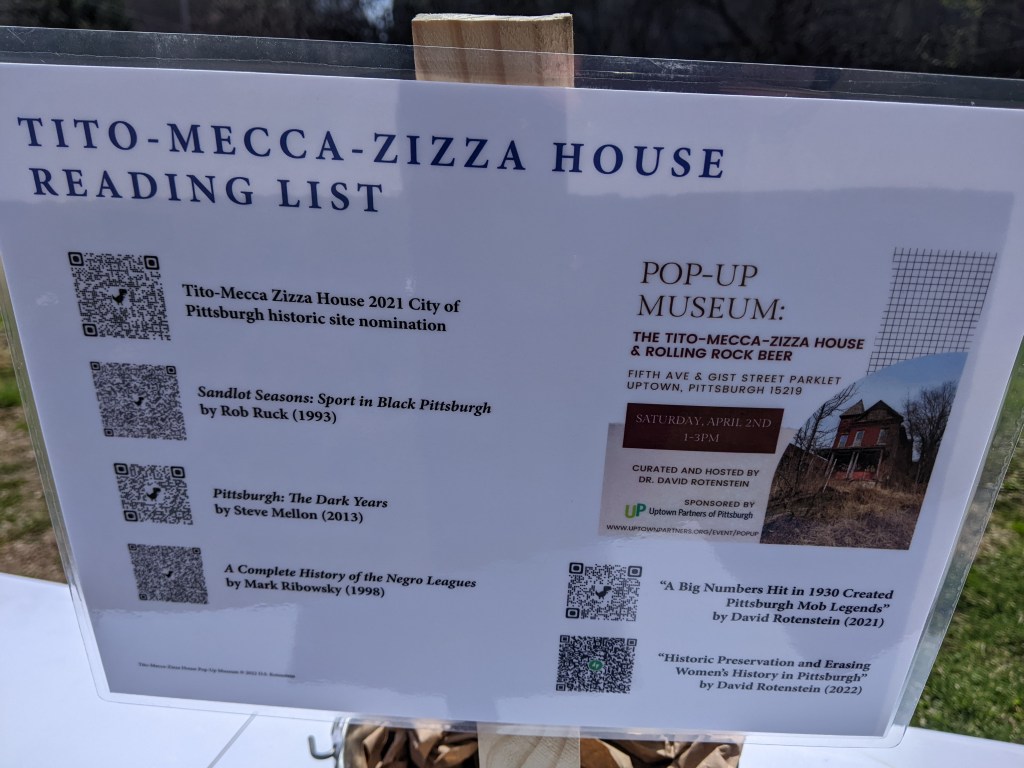
The Tito-Mecca-Zazza House continued to make the news. The developer and Uptown Partners reached an agreement that would donate the house to the nonprofit for restoration while the new construction multi-unit building would be built on the remaining parcels, including the one with the garage that is part of Rolling Rock’s origin story (Pittsburgh Business Times, July 21, 2023). A descendant of the Tito family has filed a lawsuit protesting the proposed demolition of the garage (Pittsburgh Business Times, August 28, 2023).
The Bethlehem Haven women’s shelter in Uptown sought and received approval from Planning Commission on its plans to renovate and expand (Public Source, April 4, 2023; TribLIVE, April 4, 2023; TribLIVE, April 19, 2023).
Several other housing projects received approvals or are moving forward in the neighborhood including:
- a formerly stalled 110-unit mixed-use apartment building got an infusion of new funds from the URA (Pittsburgh Business Times, January 19, 2023)
- a 240-unit apartment building proposed for a block that is primarily a parking lot today (Pittsburgh Business Times, February 21, 2023)
- a new 211-unit apartment project was proposed (Pittsburgh Business Times, May 17, 2023)
- an affordable/workforce housing development that received approval from Planning Commission (Public Source, July 25, 2023)
Panelists were interviewed by the Pittsburgh Business Times prior to their talk about the projects and opportunities coming to Uptown and the Lower Hill and another Pittsburgh Business Times article focused on the prominent role of Black developers in these projects (both articles: June 8, 2023). Another article discusses the panel (Pittsburgh Business Times, June 13, 2023).
Tech companies are also interested in Uptown with a tech venture studio taking over part of the former Paramount Building in Uptown (Pittsburgh Business Times, March 31, 2023).
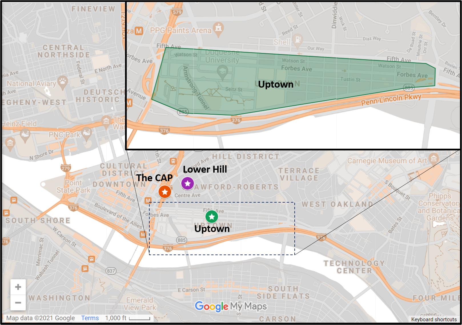
Locating Uptown
Previous posts in series:
Keeping an Eye on Uptown: 2022 Recap
Keeping an Eye on Uptown: Dec. 2021
Keeping an Eye on Uptown: Jul. 2021
Keeping an Eye on Uptown: Nov. 2020
Keeping an Eye on Uptown: May 2020
Keeping an Eye on Uptown: Nov. 2019
Keeping an Eye on Uptown: Introduction (November 15, 2019)
Moral Economics (September 1, 2019)