
East Allegheny Neighborhood
East Allegheny is a neighborhood cut in half. The middle section of the neighborhood, along with a significant portion of its southern parts, was erased for the sake of some highways and their interchanges in the 1960s-1980s. The project was still in its early stages in 1970, at which time the city estimated that 358 families, 383 individuals, and 184 businesses would need to be relocated to execute the planned “renewal.”
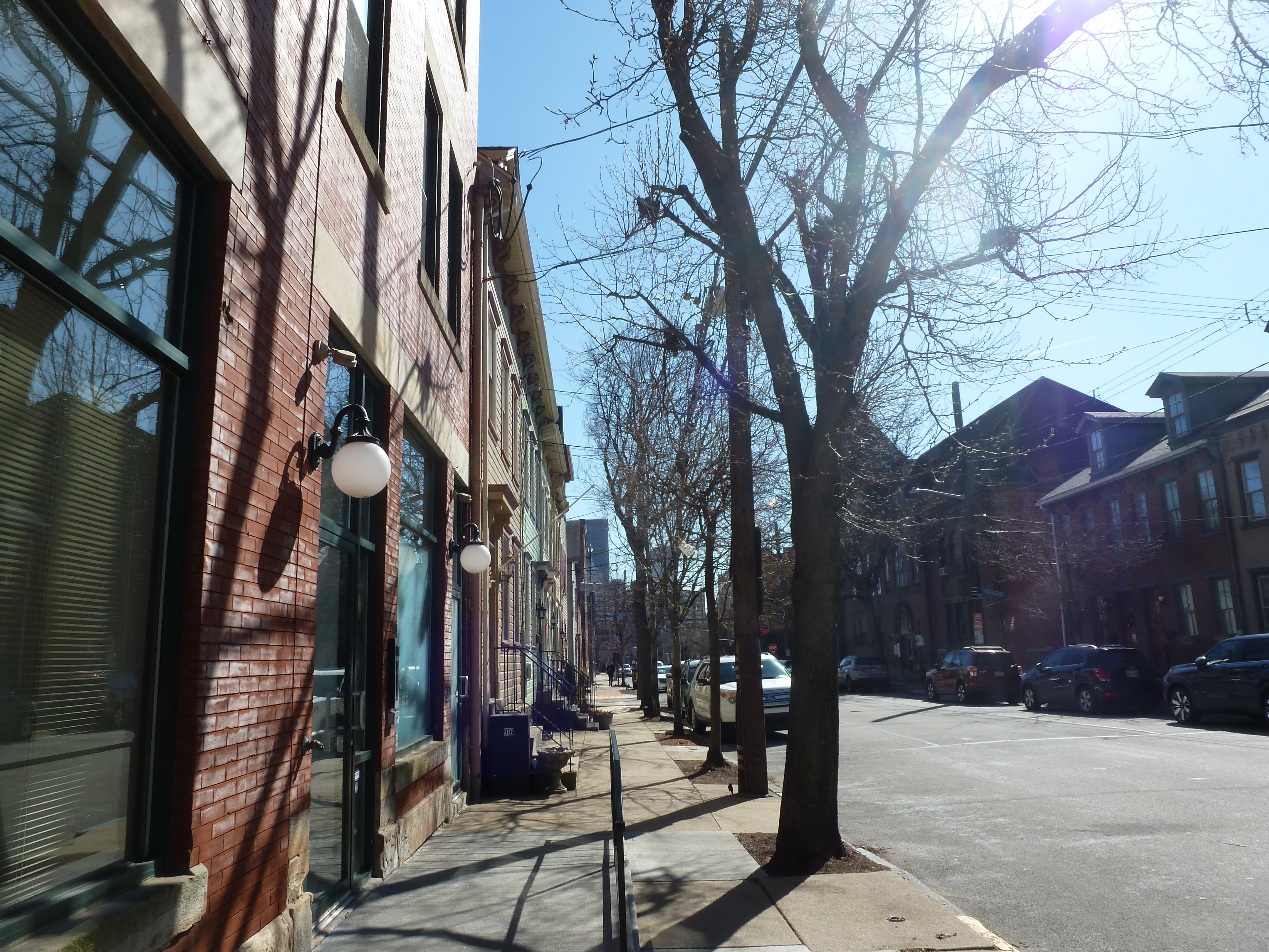
Except for where the highways now sit, the remainder of the neighborhood seems largely intact, at least as far as the buildings are concerned. It is a dense neighborhood. Houses and commercial spaces sit shoulder to shoulder directly against the sidewalks. Those closest to East Park in Allegheny Center are largest, more frequently built with brick or stone and featuring architectural embellishments. Moving eastward, the buildings are more plain and more frequently built with wood and covered in siding. The dividing line of the freeway brings that change into stark contrast.
In 1926, there were 16 congregations listed in the Polk Directory. They were concentrated in the west and central parts of the neighborhood. While many of their buildings still stand, nearly half were victims of the freeway. The remaining neighborhood provided context clues to approximate where they were once located.
Neighborhood Statistics (Out of 70 in this Series)
- 59th largest by acreage
- 7th highest number of religious sites
- 4th most sites/acre
Locations
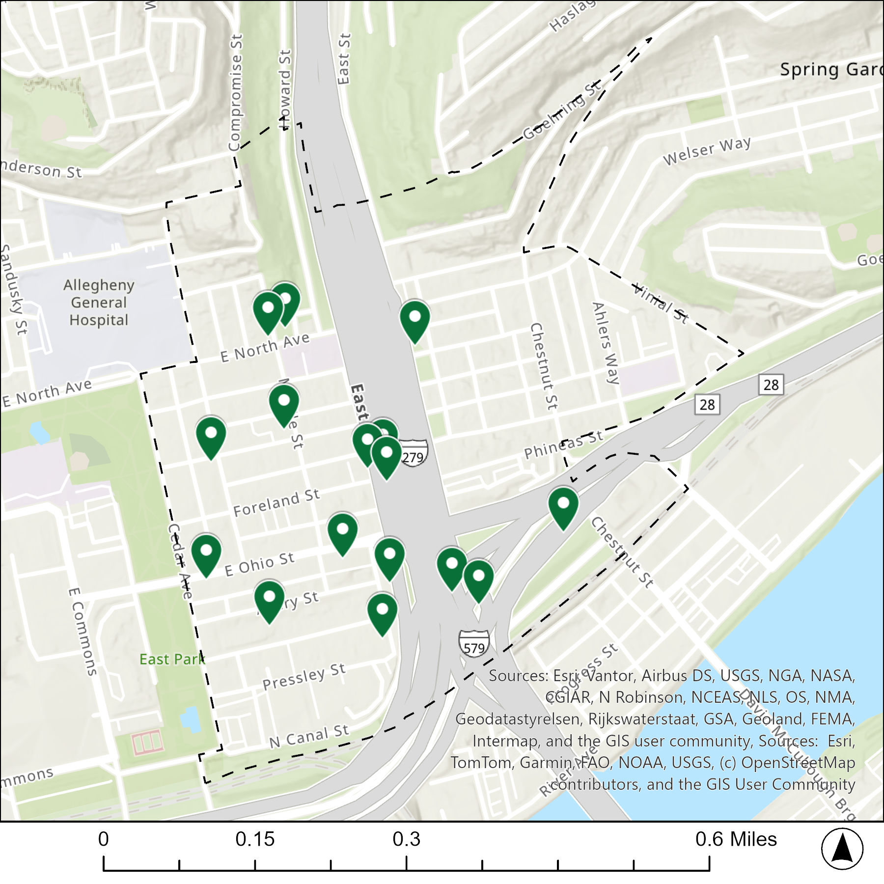
The map below shows the locations of the 16 congregations listed in the 1926 directory for East Allegheny (the dotted line marks the neighborhood boundary).
What are they now?
The table below matches the 16 congregations listed in the 1926 directory with the current use of the site.
| 1926 Congregation Name | By 2026 the Congregation’s Building is: |
| Avery Mission African Methodist Episcopal Zion Church | replaced with a parking lot/freeway |
| Bethel Israel Synagogue | replaced with a parking lot |
| Eighth Spiritualists | replaced with a freeway |
| First Spiritualists | mixed-use building still stands, nonsecular uses |
| Madison Avenue Immanuel Evangelical Lutheran Church | converted to community arts center |
| Mt. Hope Spiritualists | mixed-use building still stands, nonsecular uses |
| Providence Presbyterian Church | replaced with a freeway |
| Simpson Methodist Episcopal Church | replaced with a freeway |
| St. Emmanuel (Slovak) Evangelical Lutheran Church | vacant |
| St. John’s Evangelical Lutheran Church | replaced with a freeway |
| St. Mark’s Evangelical Lutheran Church | converted to unknown secular use |
| St. Mary’s (German) Catholic Church | converted to rental hall/catering |
| St. Matthew’s (German) Evangelical Lutheran Church | converted to youth service use |
| St. Paul’s German Evangelical Church | replaced with a freeway |
| St. Peter’s Evangelical Lutheran Church | converted to housing |
| Tenth United Presbyterian Church | changed to a different religious institution |
Photos

Avery Mission African Methodist Episcopal Zion site 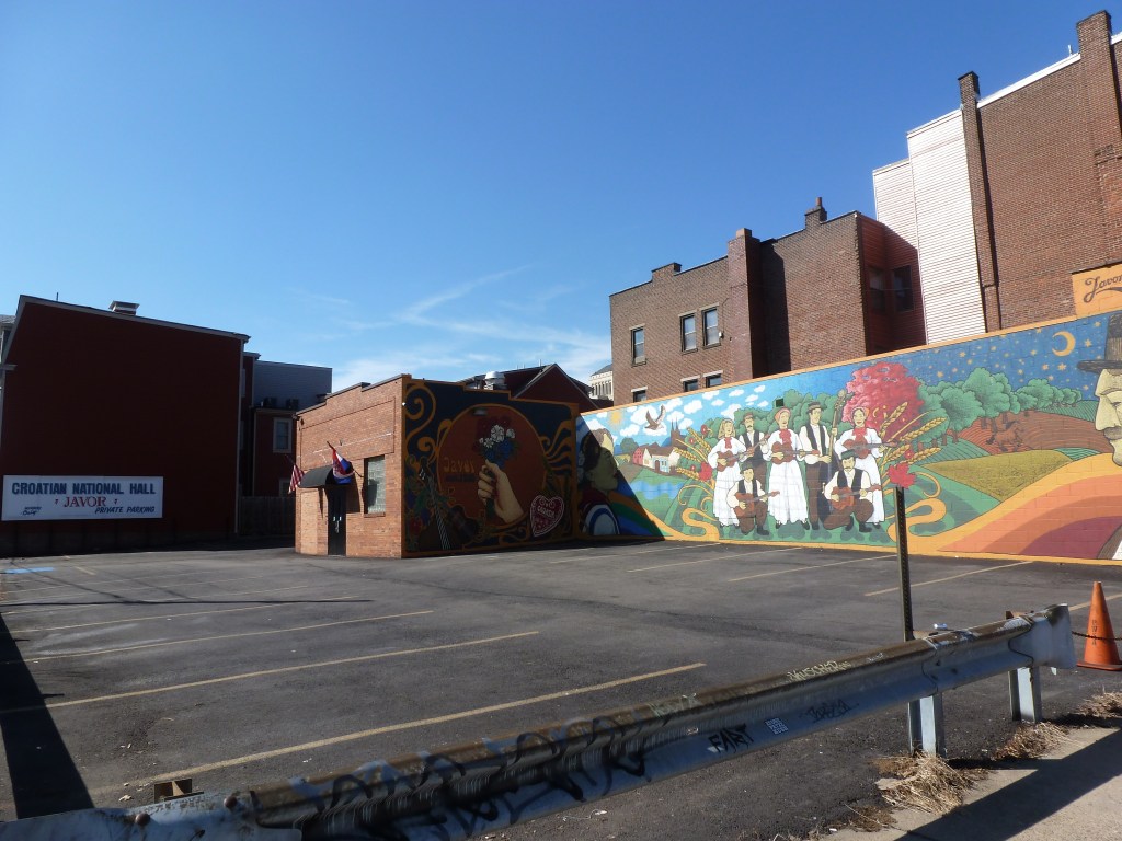
Beth Israel Synagogue site 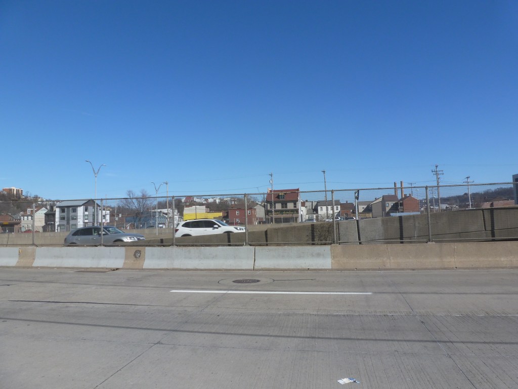
Eighth Spiritualists site 
former Madison Avenue Immanuel Evangelical Lutheran Church 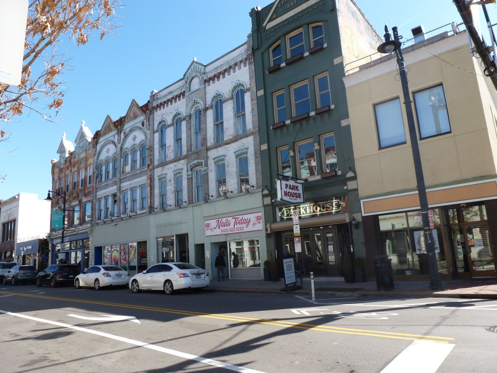
former Mt. Hope Spiritualists 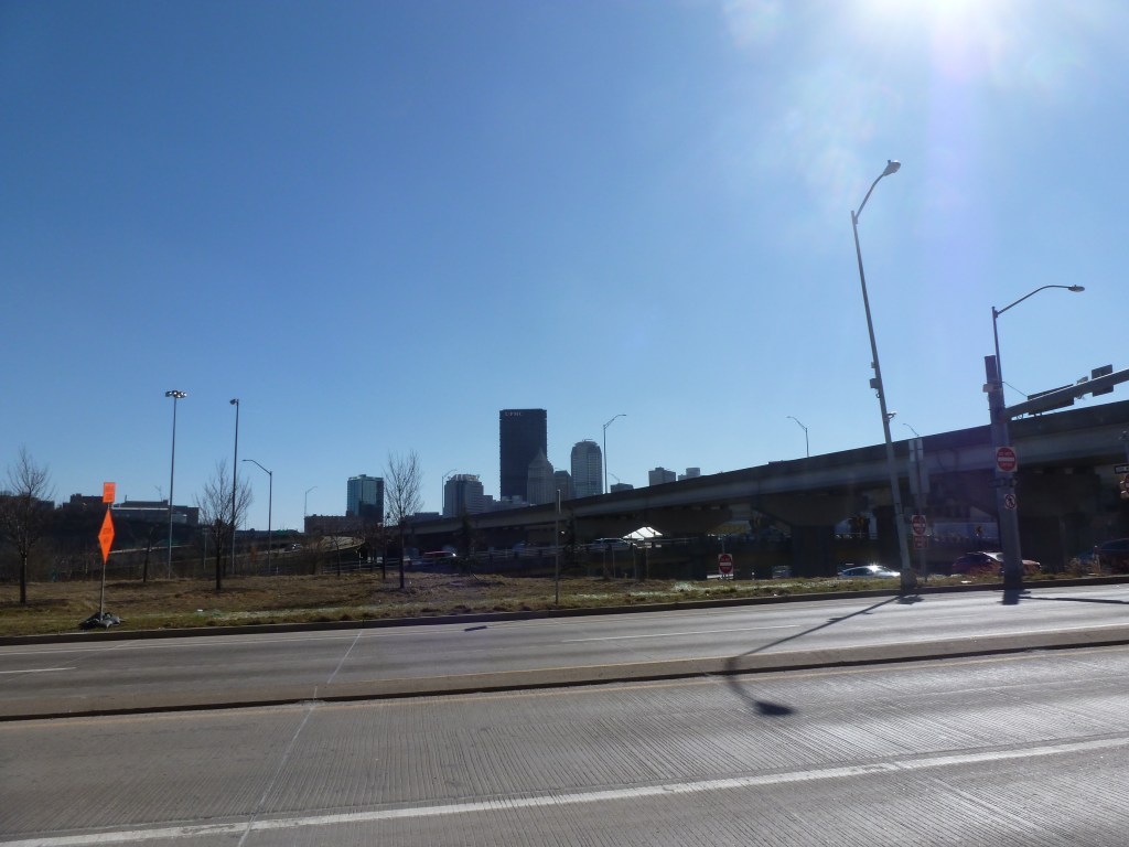
Providence Presbyterian Church site 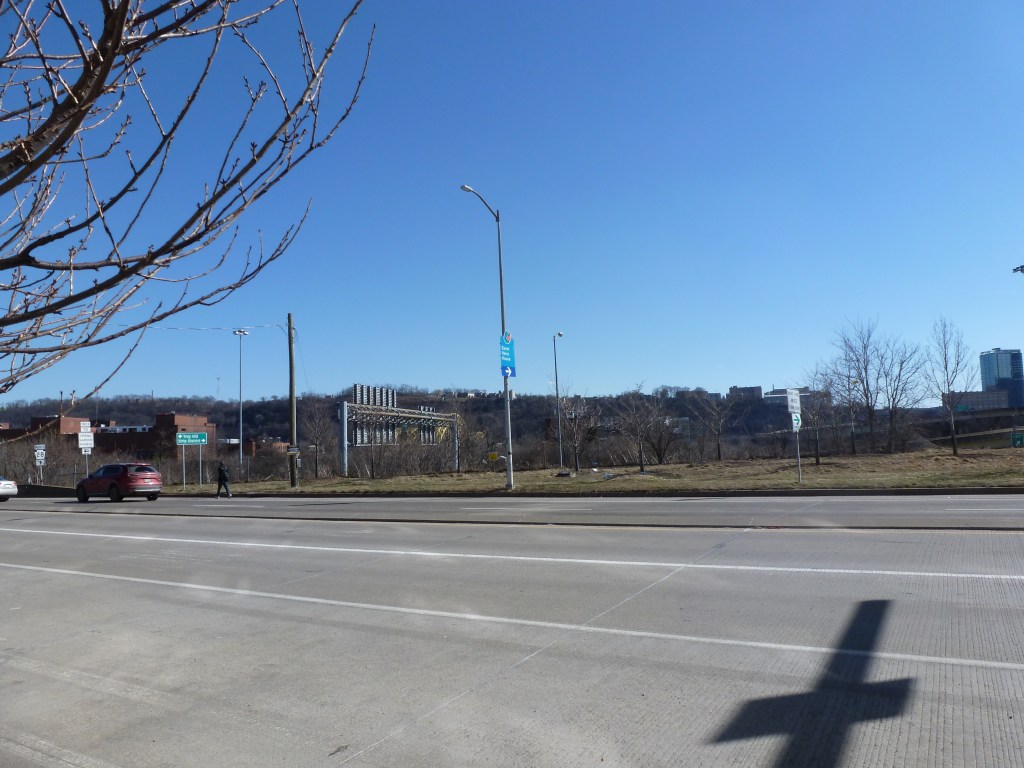
Simpson Methodist Episcopal Church site 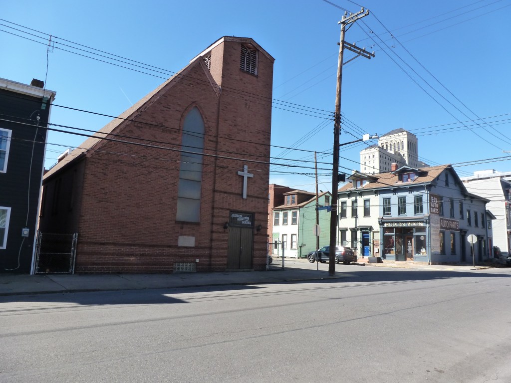
St. Emmanuel Evangelical Lutheran Church (closed) 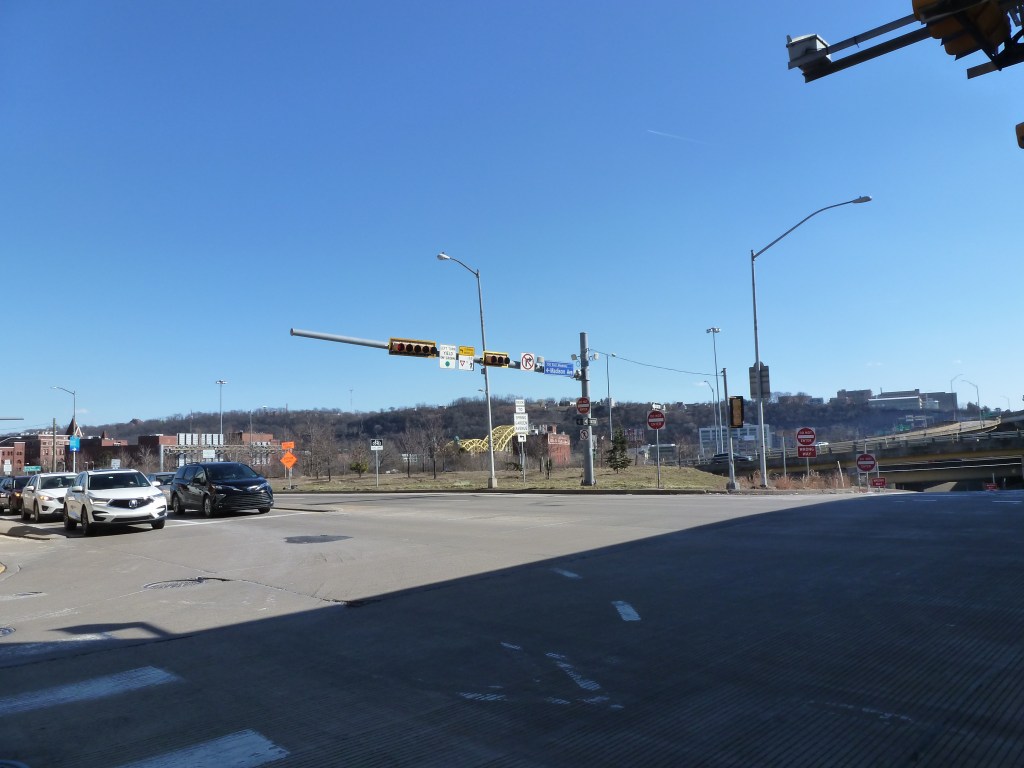
St. John’s Evangelical Lutheran Church site 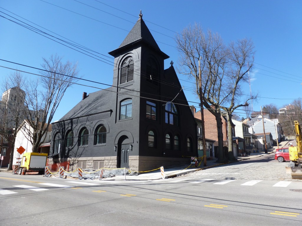
former St. Mark’s Evangelical Lutheran Church 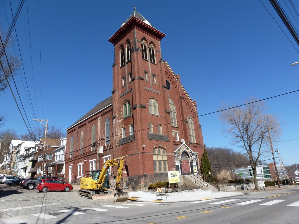
former St. Matthew’s Evangelical Lutheran Church 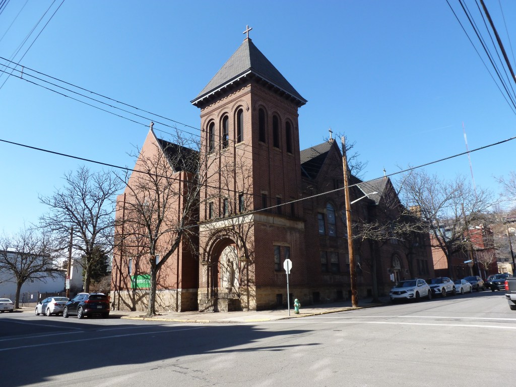
former Tenth United Presbyterian Church 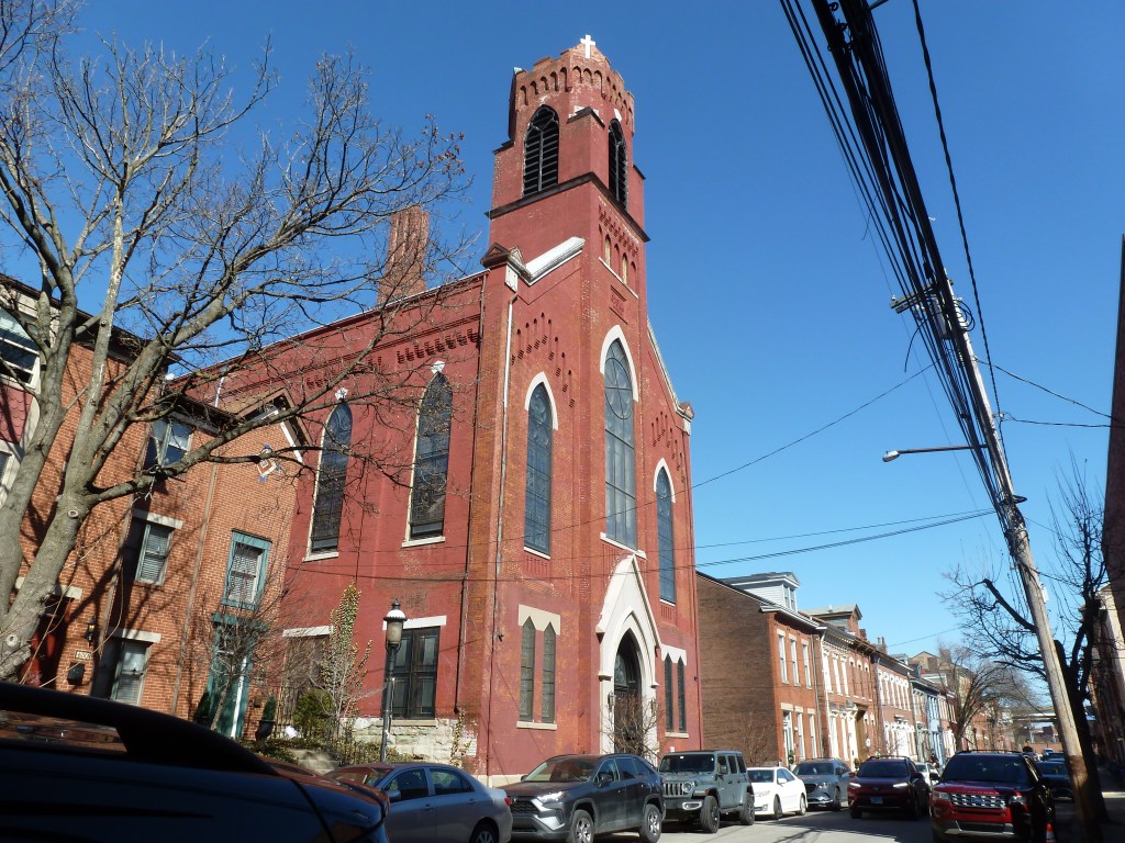
former St. Peter’s Evangelical Lutheran Church (2026) 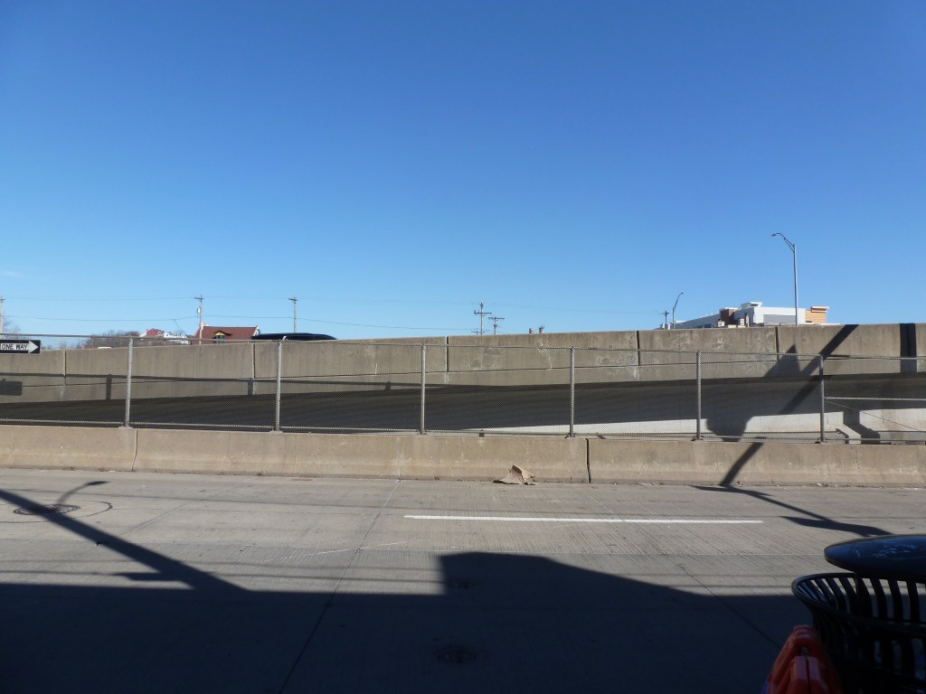
St. Paul’s German Evangelical Church site (2026) 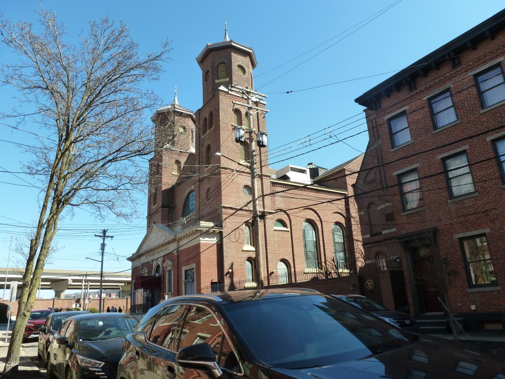
former St. Mary’s Catholic Church (2026)
For more on this series, visit our introductory post.
Sources:
Pittsburgh Department of City Planning. A Development and Renewal Program for Pittsburgh, Summary Documentation, Pittsburgh Community Renewal Program. Pittsburgh, 1970. https://pittsburgharchives.access.preservica.com/uncategorized/IO_d1f07da0-9303-4aee-a162-04c83a0eaaa0/
Polk’s Pittsburgh City Directory, 1926. Pittsburgh: R. L. Polk & Co. https://digital.library.pitt.edu/islandora/object/pitt%3A31735056286846/viewer#page/4/mode/1up
Discover more from urbantraipsing
Subscribe to get the latest posts sent to your email.

