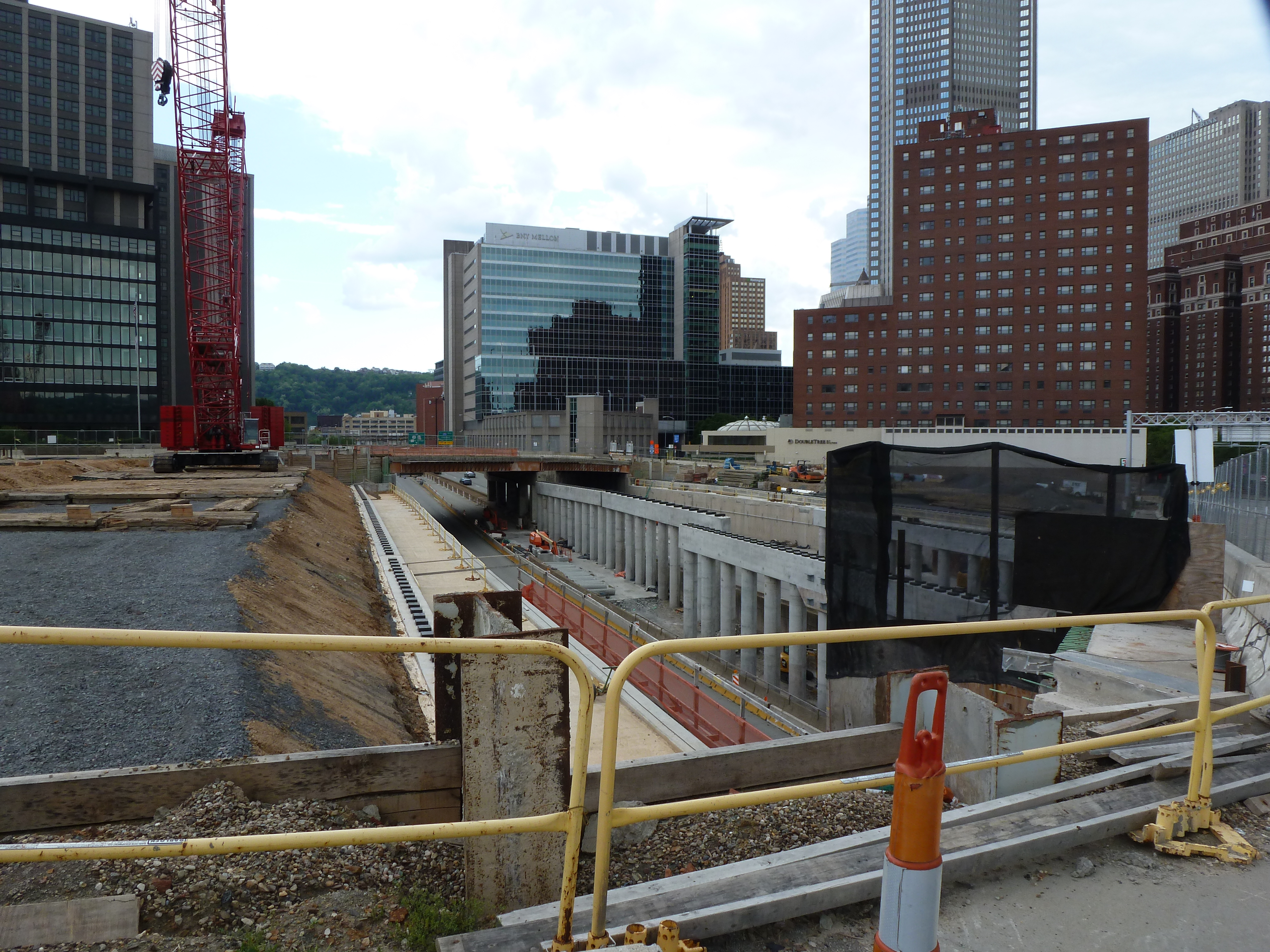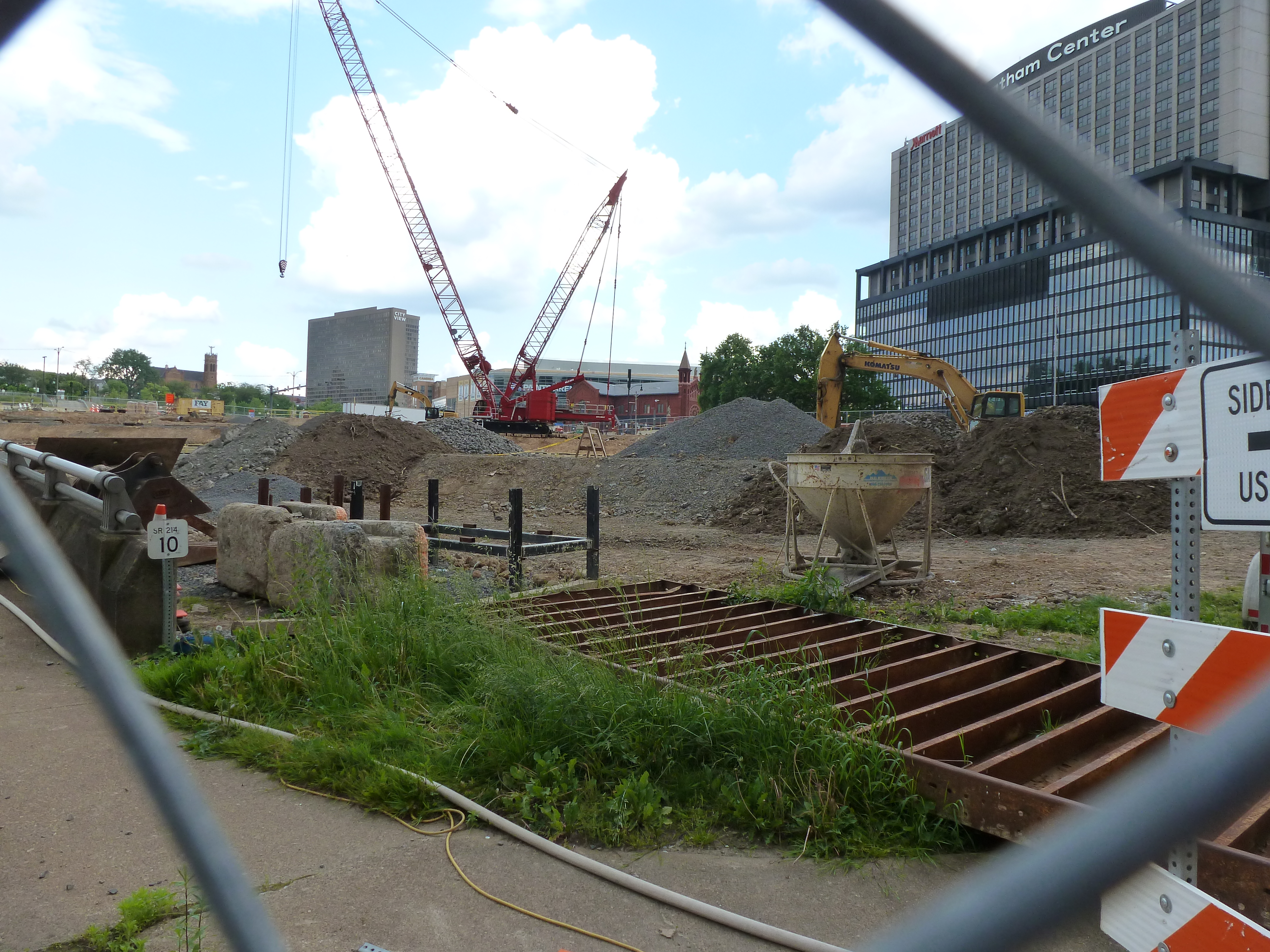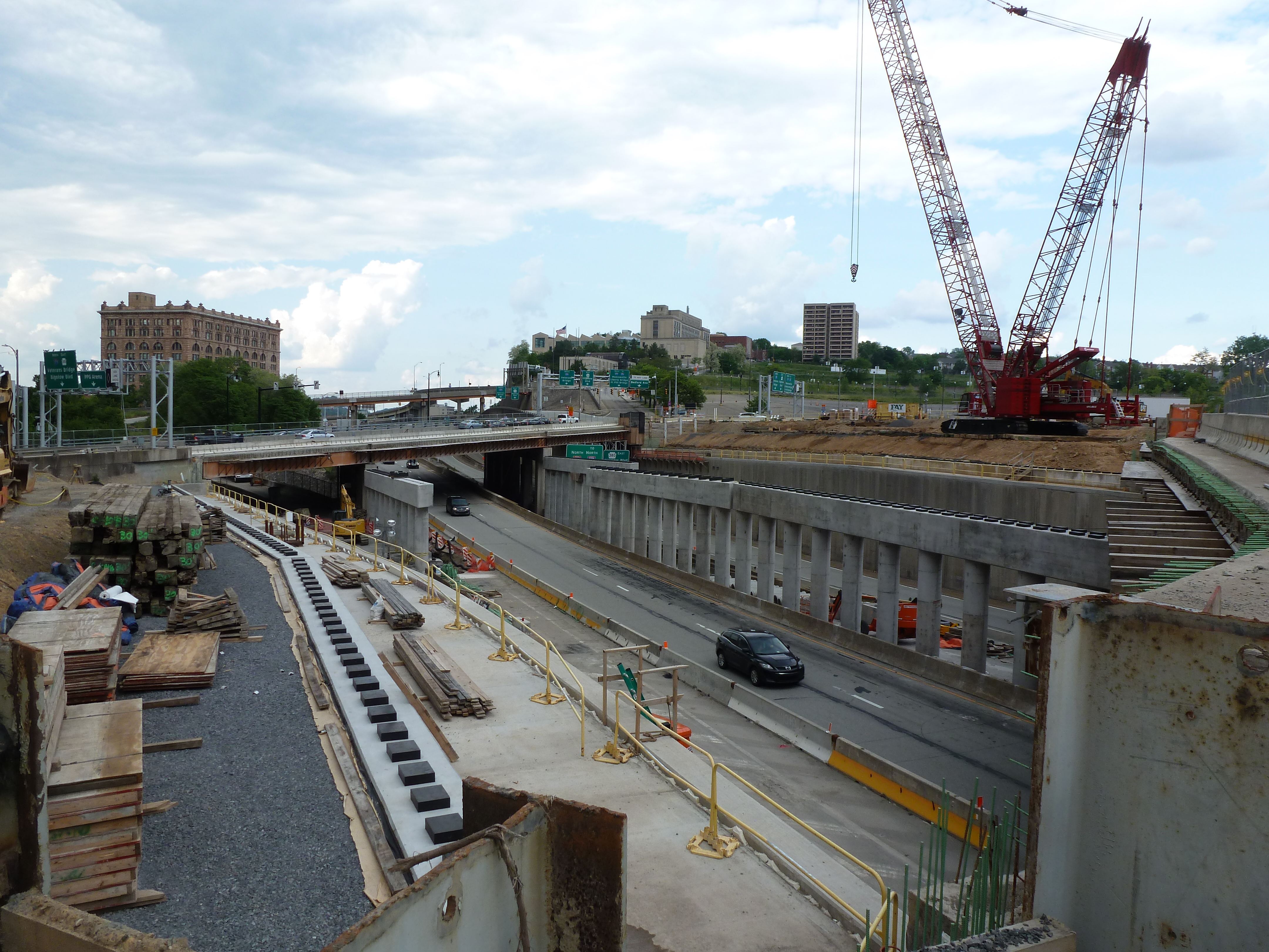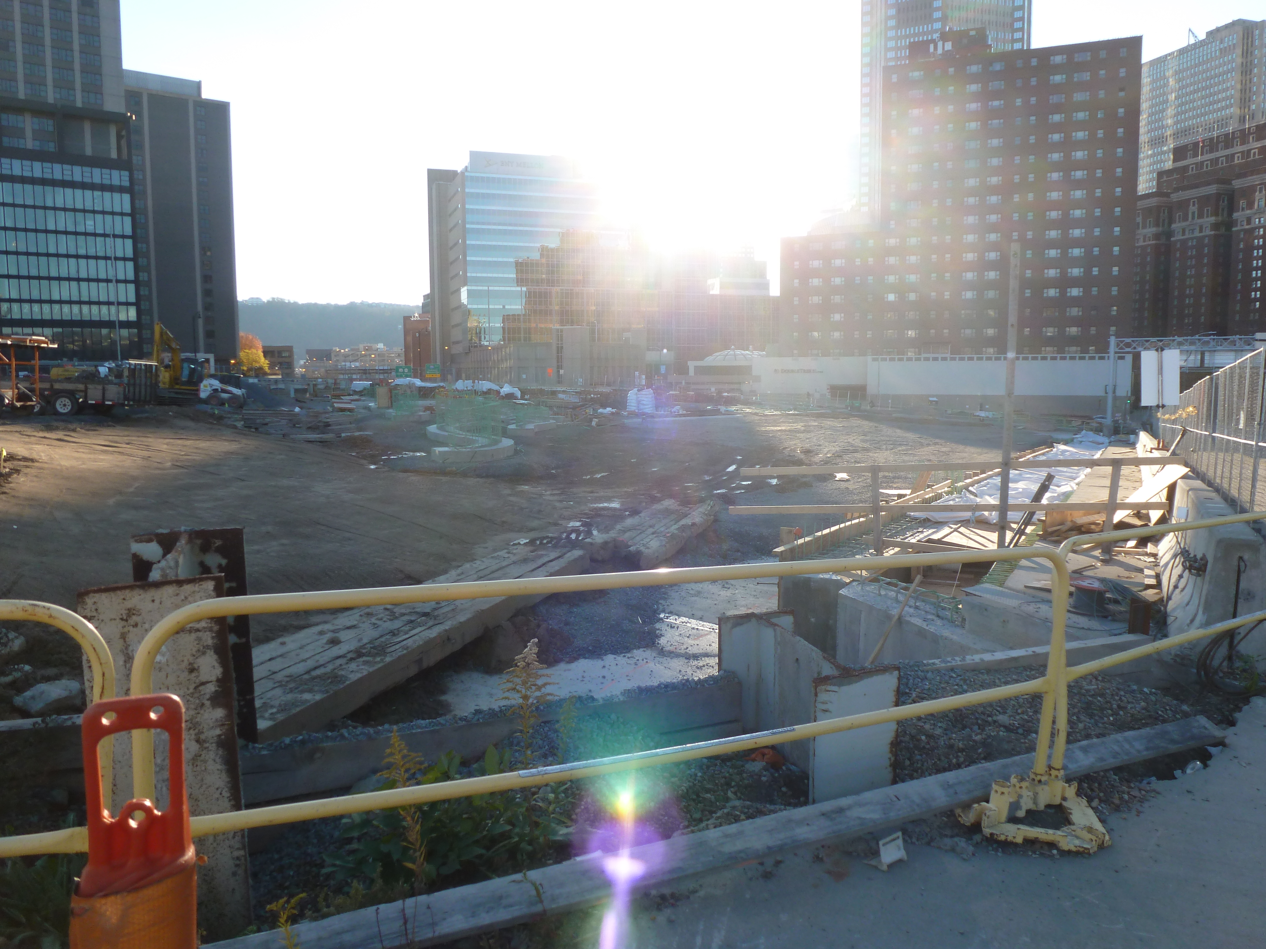
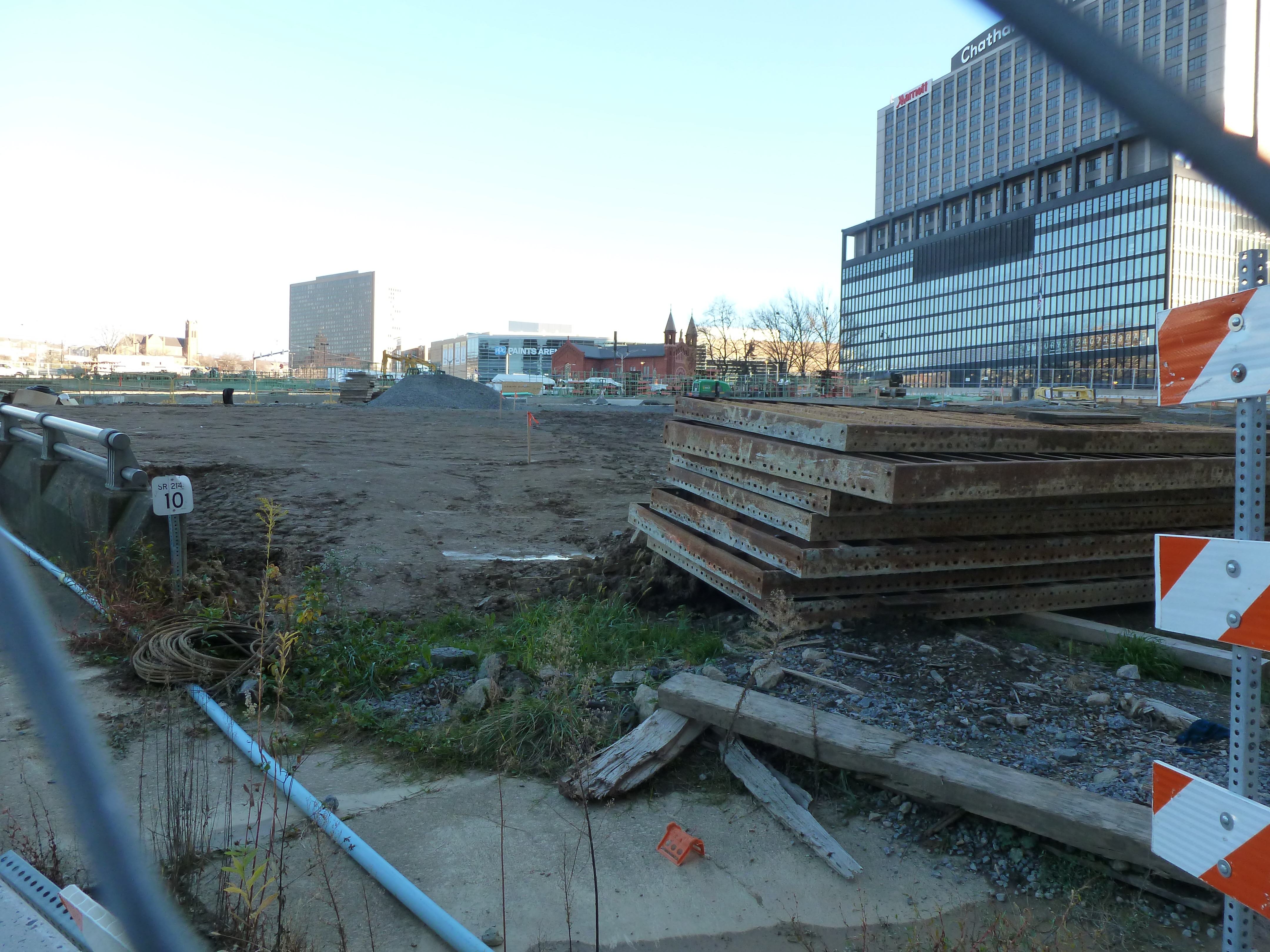
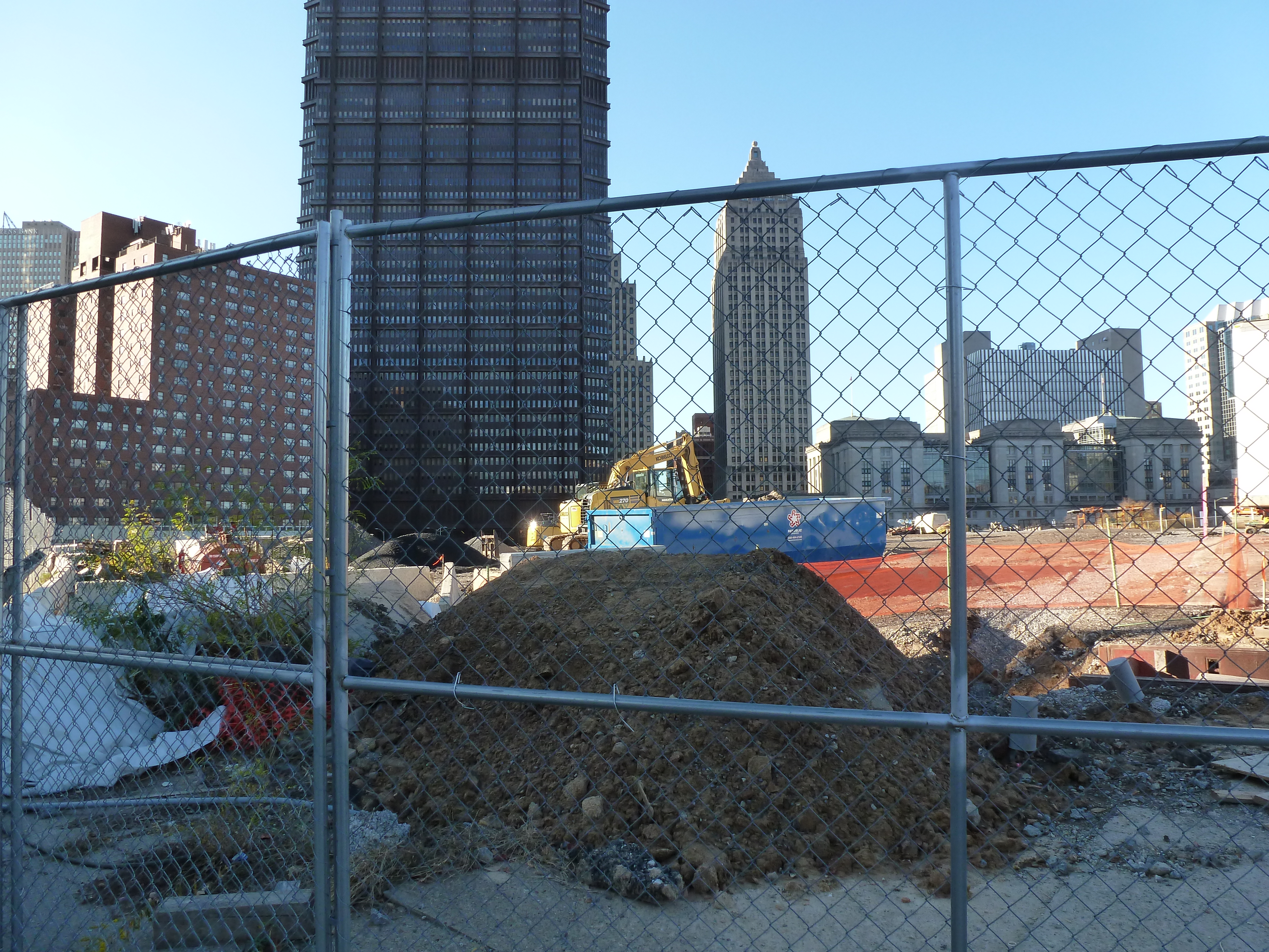

The CAP in the News:
Project on schedule despite pandemic (Tribune Review, July 29, 2020)
Project continues on schedule (WESA, October 5, 2020)
Previous Posts in the Series:
Keeping an Eye on the CAP: Jun. 2020

The CAP in the News:
Project on schedule despite pandemic (Tribune Review, July 29, 2020)
Project continues on schedule (WESA, October 5, 2020)
Previous Posts in the Series:
Keeping an Eye on the CAP: Jun. 2020

Allentown, PA, had been on my travel list for years because of the awards and acknowledgements it was receiving from the planning community (and because I grew up near there). When I finally visited, the only thing that engaged my interest was the Liberty Bell Museum. There was a stark contrast between the cohesion and vibrancy of Bethlehem’s main street, where I stayed, and the hodge-podge of Allentown’s main street. The proportions in Allentown felt all wrong. In the core, the roads and sidewalks felt too narrow for the density and height of the buildings. At odd moments, this claustrophobic spacing suddenly opened out into large vacant plazas with buildings placed far from the road. After the pleasant surprise of Bethlehem’s tree-lined, historic business district with wide sidewalks for promenading and window shopping (and now social distancing), Allentown was a disappointment.
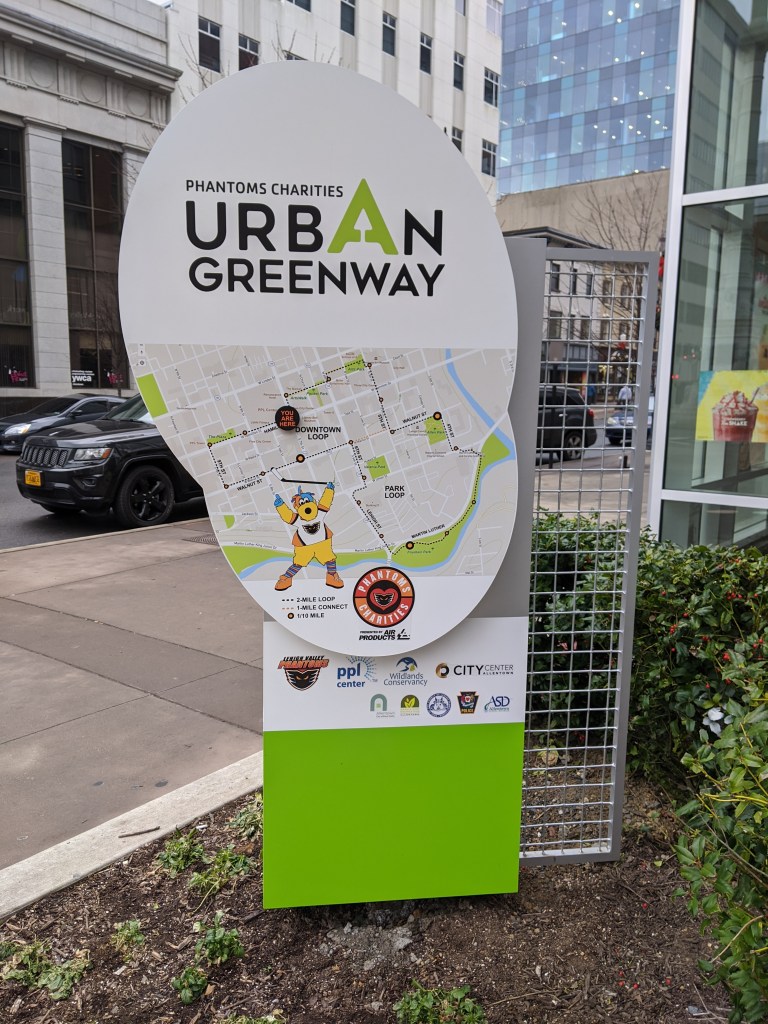
However, since being home, I find I have a growing appreciation for one of Allentown’s newer developments. The PPL Center gave me a sterile vibe at the time. I only glanced at the façade as I investigated the map out front with recommended lunchbreak walks and the historic building next door. From the outside, the partial attention I gave the center suggested a shopping or office complex. It wasn’t until I accidentally entered the lobby and saw the stadium seating beyond the ticket booth that I realized it was an arena. Perhaps due to my distraction at the time, it was only in the comfort of my home that I registered my shock over finding an arena that managed the rare feat of fitting into its surroundings.
Pittsburgh’s arenas have done the opposite. For decades, there was the Civic Arena that looked like a spaceship plopped down in the middle of a city spewing parking lots out from the landing center. A flagship of Pittsburgh’s Urban Renewal, it has since been demolished with the plan to rebuild the urban fabric on the site to reconnect the Hill District to downtown. The replacement arena made some attempts to fit in more with its neighborhood. It is built up to the sidewalk or, rather, the sidewalk is built up to it creating a large sea of concrete out of proportion with the sidewalks opposite. The principal street façade includes one restaurant open to anyone inside or outside the arena during normal restaurant hours, though I don’t recall ever seeing anyone eating at their sidewalk café (even before quarantine and social distancing). Instead, the restaurant feels like a weird mistake pasted onto the building’s towering blank wall.
In contrast, the street facing restaurants in Allentown’s arena are part of the reason I mistakenly identified the structure as a retail and office building. They felt like places with lives of their own, independent of special events. The plaza in front of the arena is proportional to the plaza on the adjacent corner. The building is built up to the sidewalks with the same building height and sidewalk width as the surrounding urban fabric. As a result, this arena blends into its neighborhood, such as it is.
While exploring Bethlehem’s bridges, my eye was caught by the numerous spires rising above the surrounding buildings of South Bethlehem. Instead of resting upon returning to the hotel, I felt compelled to go back out and take a survey of religious buildings within walking distance. Due to the topography, those on the slopes of South Bethlehem were the easiest to spot, but I also located some in Bethlehem’s historic district and in West Bethlehem. I found twenty-three buildings in all.
As with my experience in Erie, I was surprised that the vast majority of these buildings were still open for use as religious worship. Bethlehem Steel Company was the main employer in Bethlehem for most of the 20th Century. Like steel mills elsewhere in the northeast, its business declined. In the early 2000s, the company went bankrupt. This makes it seem like the town should have experienced the classic rise and decline of other Rust Belt Cities.
One of the typical landmarks of this change is an abundance of vacant or adaptively reused religious buildings. In Pittsburgh, I have found over 50 former churches and synagogues now being used for secular purposes or in the process of being converted to secular purposes. Many more are vacant and boarded. Wilkinsburg, a town adjacent to Pittsburgh, has so many closed churches that its zoning code incorporates guidelines for converting church buildings to secular uses. Homestead, PA, the former home to US Steel and the site of the famous Homestead Steel Strike, has several shuttered churches. Bethlehem’s religious buildings did not fit this pattern.
In searching for an answer to what made Bethlehem different than other steel towns, I realized that the business districts and residential areas I passed through were mostly intact. There were few vacant buildings and no vacant and abandoned grass lots. This suggested that Bethlehem did not experience the same decline as the other former steel towns that I have explored. The historical population data corroborated this hypothesis. Bethlehem and Erie experienced their peak populations in 1960; Pittsburgh and Wilkinsburg in 1950; and Homestead in 1920. In 2010, the cumulative population loss from each city’s peak was:
| City | Population Loss |
| Bethlehem | 1% |
| Erie | 26% |
| Pittsburgh | 55% |
| Wilkinsburg | 49% |
| Homestead | 85% |
The stable population of Bethlehem explains why so many religious institutions are still operating. It doesn’t explain why the people stayed when the jobs left.
I picked up Jeffrey A Parks’s “Stronger than Steel: Forging a Rust Belt Renaissance” to look for clues to what made Bethlehem different from other Rust Belt cities. For the most part, it seems to have pursued the same actions and initiatives as elsewhere. Bethlehem’s leaders even hired consultants from Pittsburgh in the 1950s to learn how to do Urban Renewal. Other similarities include the creation of a redevelopment authority, the use of eminent domain to force people out of their homes for commercial development, the building of a highway through town, and the change of traffic patterns to prioritize the regional over the local.
The one thing mentioned in Parks’s book that was different from other cities was the school district. In the 1960s, the Bethlehem School District expanded to incorporate two rural townships. These townships later became wealthy suburbs that combined with the population of Bethlehem to create a racially and economically diverse district. Parks’s implication seemed to be that the result was a school district with better funding and resources than its neighbors. Perhaps, as a result, families did not have the conversation about moving to the suburbs for better schools as their children approached school age.
A decent inner-city school district may reduce the flight to the suburbs. It also may attract new residents. Yet, I wonder if it is enough to prevent hemorrhaging population loss as a region’s major employer cuts jobs in the decades before it closes.

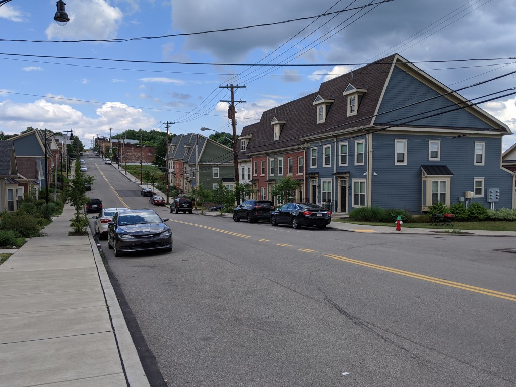
Street trees have a tough life. Between extensive pruning away from power, cable, and internet lines, baking in the radiant heat from the surrounding pavement, and (in winter climates) runoff from salt or sand, it is amazing any survive. Yet in some neighborhoods street trees are thriving while in others they are non-existent or barely hanging on.
Street trees first appeared in US cities in the 1840s and 1850s as part of a growing interest in landscape architecture. However, they soon encountered challenges. Fire insurance companies banned street trees in towns that relied on bucket brigades as the trees helped spread fires that decimated swaths of towns. Then, the street trees worst nemesis arrived – the overhead lines. First telephone companies then power companies pruned trees away from their lines. John R. Stilgoe in Outside Lies Magic notes that the resultant loss of street trees created a “nationwide uproar” by 1920. One hundred years later, this conflict between wires and trees is still unresolved.
As I traveled around Pittsburgh this spring and summer, I noticed that some neighborhoods seem to have found a way to maintain both old, large canopy street trees and overhead lines. Other neighborhoods appear to struggle to establish and maintain even understory or decorative trees. The pattern of where street trees are thriving versus where they aren’t appears to match the wealth of the neighborhood.
I first noticed this pattern as a child, though I couldn’t articulate it as such at the time. The Pennsylvania town where I partially grew up had a Green Street. The name made a strong impression on me at the time because half of Green Street was very aptly named. It had the oldest and thickest street tree canopy in town. The other half of the street, as I remember it, did not have a single street tree (or yard tree). This dichotomy fascinated me as a child.
Now, looking back on this memory with my urbanist eyes, it seems the perfect example of the correlation between wealth and street trees. The half of Green Street with the street trees was predominantly detached, single-family dwellings with large front, side, and rear yards. The half of Green Street without street trees was predominantly attached homes, possibly with some duplexes, and shallower front yards.
In Pittsburgh, the division is by neighborhood, not block. Neighborhoods like Squirrel Hill, Point Breeze, and Shadyside, which used to contain most of the city’s millionaires rows and continue to have housing values 3-4 times the city’s average, have old, well-established street trees that are somehow able to grow around the overhead lines. Neighborhoods like Homewood and the Hill District, which were victimized by Urban Renewal policies in the ‘50s and ‘60s and now have housing values two-thirds the city’s average, have few street trees, most of which were planted within the last ten years.
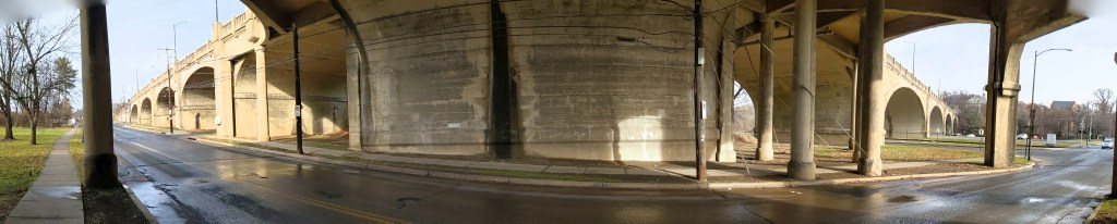
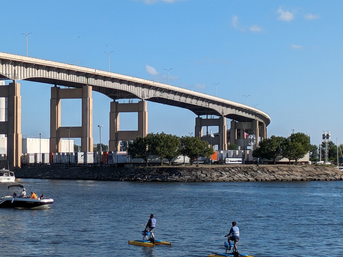
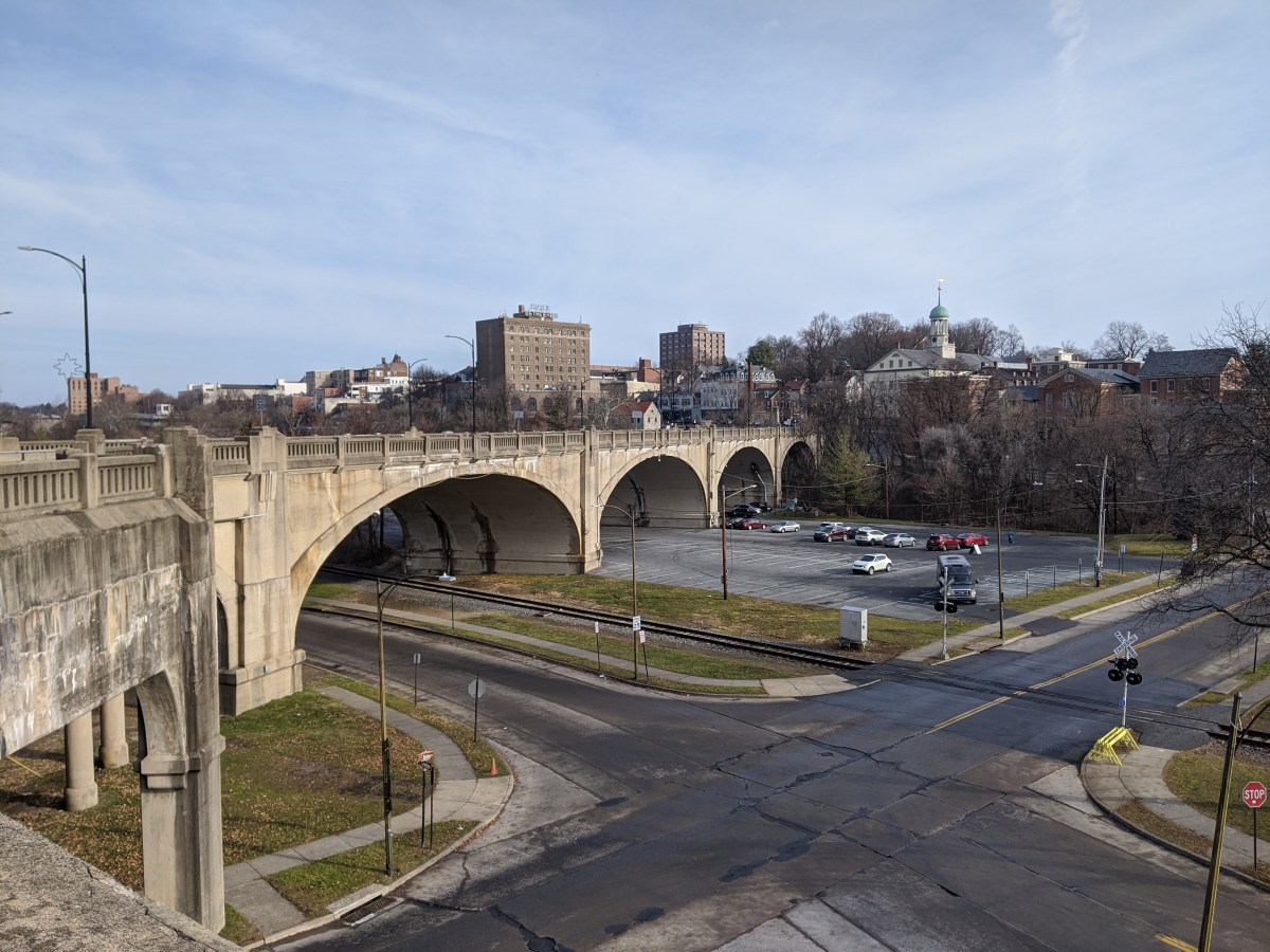
Looking back at the original intent of the Hill-to-Hill Bridge and comparing it to its use today, I find myself asking a new question: what is the purpose of a bridge? The word bridge is often used metaphorically to describe something that brings two things together. At the same time, there is a running joke in Pittsburgh (the City of Bridges) that if it involves crossing a bridge, people would rather stay home. This conflict of ideas between a bridge as a connector and a bridge as a divider is illustrated by the Hill-to-Hill Bridge.
The Hill-to-Hill Bridge started out as a connector. A Y at the north end linked West Bethlehem and Bethlehem to the main span which connected to South Bethlehem. The ramps in-between connected the neighborhoods to the businesses on the flats by the water.* Over time, the priority on connection disappeared as the bridge was modified. Of the seven original approaches, three were demolished, one was permanently closed to through traffic, and one was changed to one-way traffic.
The explanations I came across for alterations to the bridge seem reasonable, but they do not tell the whole story.
The story that is overlooked by these explanations is that in the 1960s a new highway was built from the north directly tying into the bridge. The introduction of high-speed traffic to the bridge, or to any roadway, certainly makes it less safe for local traffic.
As a result of the addition of the highway, instead of connecting the neighborhoods of West Bethlehem, Bethlehem, and South Bethlehem, the bridge funnels traffic directly toward the former steel mill, Lehigh University, and other points south. In fact, the residents of West Bethlehem are practically excluded from using the bridge to get anywhere, as the western ramp is closed to through traffic (though open to parking). To use the Hill-to-Hill Bridge to reach South Bethlehem, a resident of West Bethlehem would have to drive north several blocks to get on the highway going south. Alternately, a resident could go south by taking Spring Street, a road parallel to the western and eastern wings of the bridge, (by)passing under the main span, then skirting around the hill of historic downtown, and taking the Fahy Bridge instead.
People living and working in the historic downtown area (the Bethlehem neighborhood) are also now limited in their use of the bridge. If coming across the bridge from the south, they can take the eastern viaduct to enter the historic downtown, but to leave the area by way of the Hill-to-Hill Bridge, they would have to drive north to the same highway access point as the residents of West Bethlehem. They could alternately take the Fahy Bridge for a more direct route south.
Use of the bridge is a little easier as a pedestrian, though it is still the most challenging for residents of West Bethlehem. For pedestrians to access the bridge from the west, they would have to use the sidewalks on Spring Street, walk under the main span, and climb a towering staircase up to the sidewalks on the bridge. If they are not able to use the stairs, they could keep going on Spring Street up the hill to the eastern end of the viaduct. Once on the bridge, both the historic downtown and south side are accessible. Given the history of the bridge, I imagine that there once was a time when there were crosswalks at the intersection of the main span and the east and west spurs so that pedestrians had full use of the structure just as drivers would have had.
The shift in the bridge’s focus from local to regional traffic seems like a classic case of the Urban Renewal efforts of the 1950s and 1960s. The discussion among planners and officials in recent years is how do they undo or erase the mistakes of Urban Renewal. Pittsburgh is trying to reconnect the local by returning some one-way roads to two-way traffic and by building a cap over the highway that divided downtown and the Hill District. As I watch these developments in Pittsburgh, I wonder if there are ways to return the Hill-to-Hill Bridge to a focus on the local.
For example: The highway has to end at some point, which is currently at the southern end of the bridge. What if it were moved to the north end of the bridge? If a traffic light were introduced there, the western branch could be reopened to through traffic and the eastern branch could be restored to two-way traffic. Pedestrians would also be able to then use all the remaining approaches. Thus, West Bethlehem, Bethlehem, and South Bethlehem would be reconnected for the enjoyment of pedestrians and drivers.
This suggestion is based upon the assumption that the local community would want to be better connected by way of this bridge. Perhaps the question that should come before “what is the purpose of a bridge?” is “who gets to decide the purpose of a bridge?”
*By prioritizing connections, Clarence W Hudson, the bridge’s designer, was forced to develop a one-of-a-kind truss design to accommodate the railroad tracks beneath the bridge and the connections coming into the bridge. There is no record of this truss design being used on any other bridge.

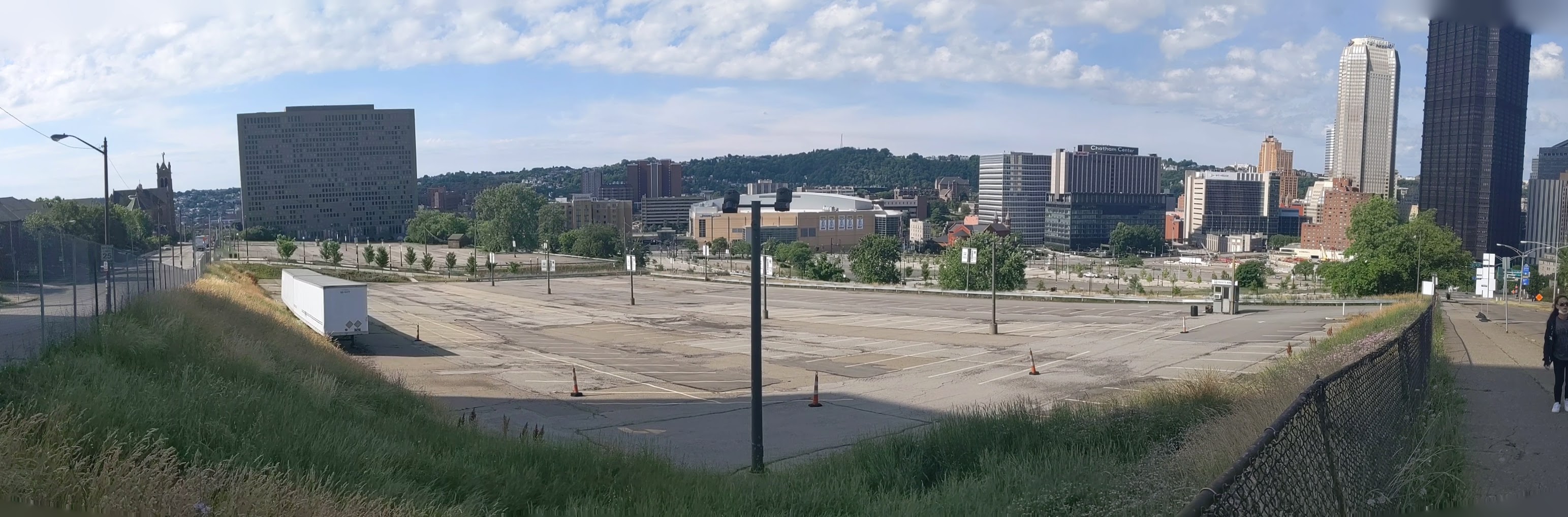







Lower Hill in the News:
Mayor’s Press Release (May 5, 2020)
Penguins Stop Development (Public Source, May 14, 2020)
Penguins Pull Out (Trib, May 14, 2020)
Penguins Back Out (WPXI, May 15, 2020)
Penguins Cease Redevelopment (Patch, May 15, 2020)
Penguins Halt Lower Hill Development (WESA, May 18, 2020)
Mayor’s Press Release (May 20, 2020)
Mayor Urges URA to Approve Development (Trib, May 20, 2020)
URA Explanation of Community Benefits
URA Board Votes to Move Lower Hill Development Forward (May 21, 2020)
URA Board Approves Development Project (WPXI, May 21, 2020)
Never Mind, Penguins Back In (WTAE, May 21, 2020)
President Trump Tweets about BRT Grant Award (May 29, 2020)
Previous posts in series:


Lower Hill Redevelopment in the news:
October 8, 2019, Post-Gazette: Lacing the skates: Former Civic Arena redevelopment may be ready to roll
October 9, 2019, Post-Gazette: First wave of ex-Civic Arena site redevelopment would add garage, music and maybe money for Hill projects
October 10, 2019, KDKA: Urban Redevelopment Authority To Vote On Civic Arena Site Plans
October 10, 2019, Tribune-Review: Pittsburgh redevelopment authority postpones vote on construction at Civic Arena site
October 18, 2019, Tribune-Review: Pittsburgh authority gives preliminary OK for development of former Civic Arena site
October 18, 2019, WESA: URA Vote Sets the Stage for Lower Hill Development in Spring 2020
October 18, 2019, WPXI: City board green lights former Civic Arena site redevelopment
October 21, 2019, Arena Digest: Civic Arena Redevelopment Plan Moves Forward
Lower Hill Redevelopment project sites:
Sports and Exhibition Authority


Inspired by my post from this summer, I decided to start a photographic series of Pittsburgh’s Uptown neighborhood. This neighborhood is a hodgepodge of abandoned and renovated townhomes, parking lots, car-oriented businesses, corner stores, industrial uses, and new construction residential buildings. It is predicted to be on a tipping point from being mostly ignored to experiencing intense growth fueled by activities in and around the neighborhood. These activities include:
As these projects move forward, there will likely be more investment and changes to Uptown. This photographic series is intended to capture these changes by revisiting the same sites at regular intervals over the next several years.
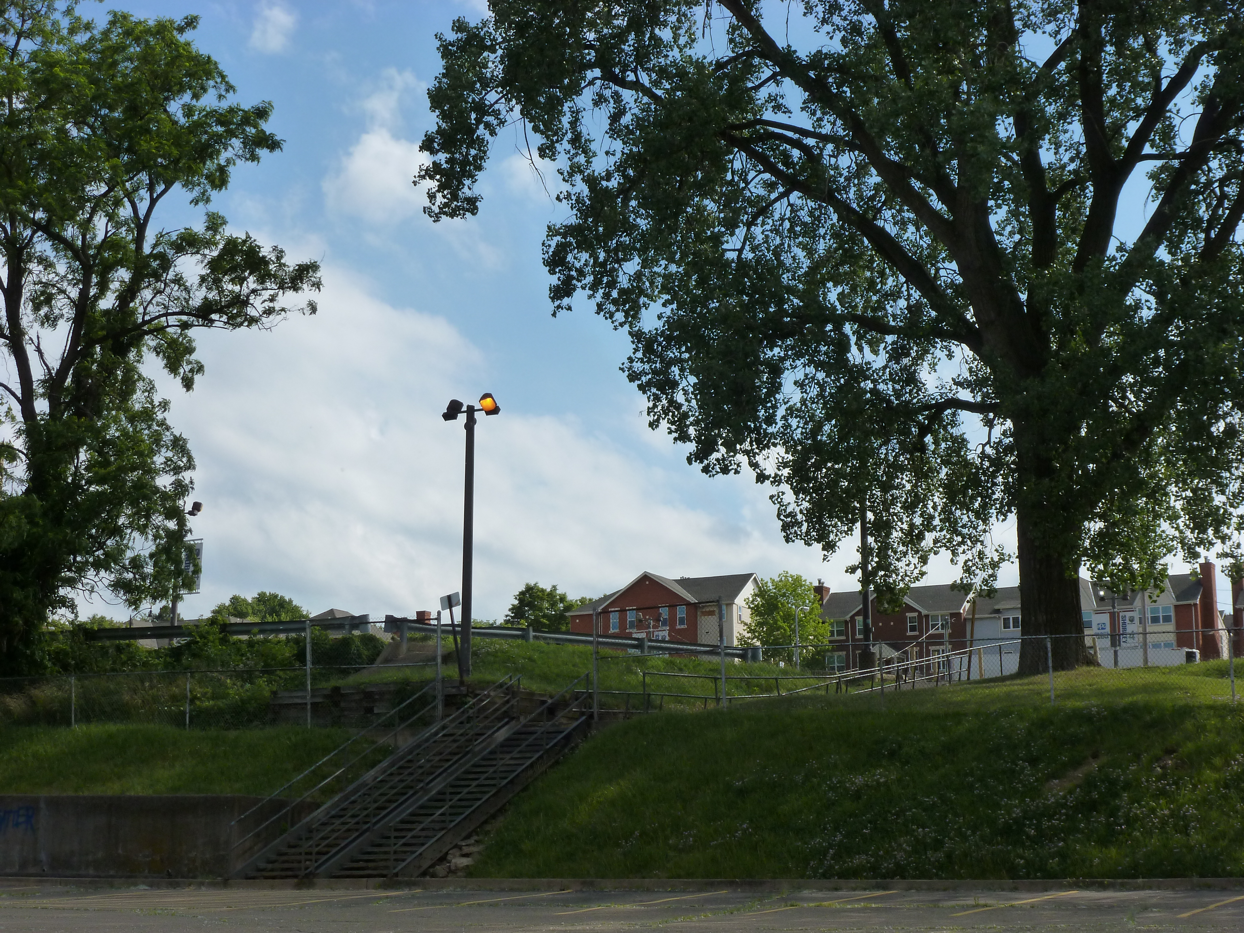
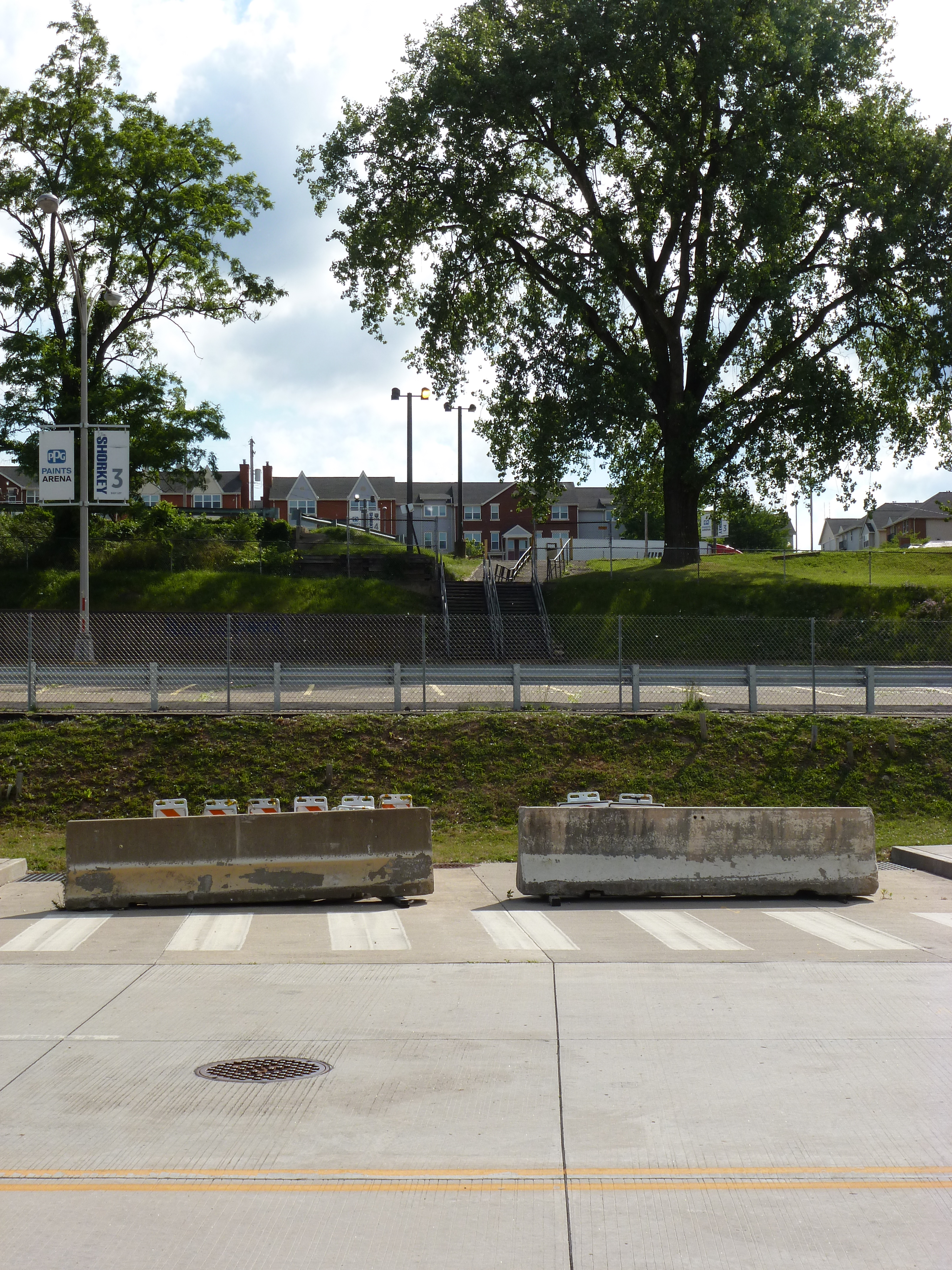
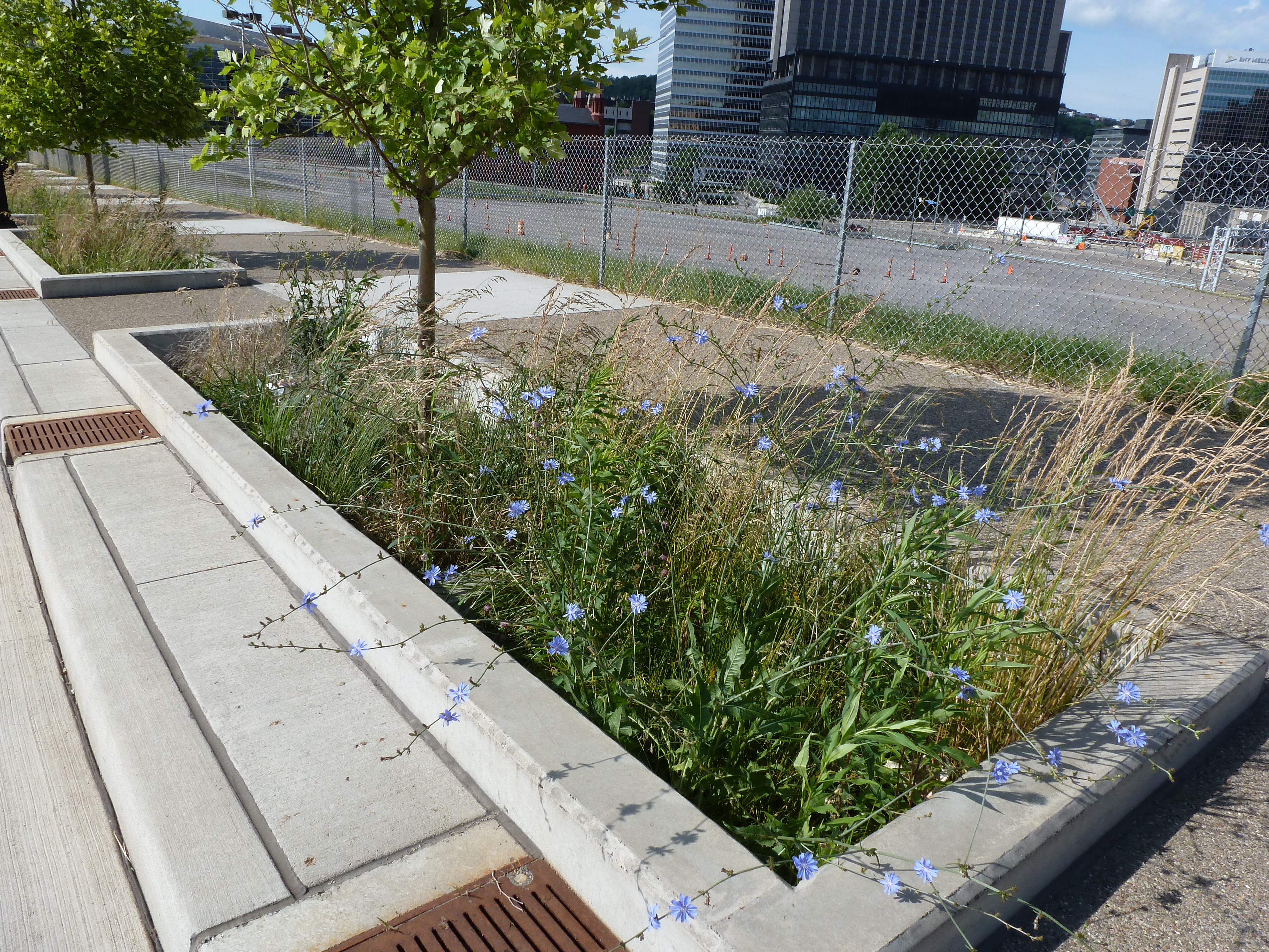
In the coming months, I intend to release two related series to record the progress of the CAP and the Lower Hill redevelopment.