
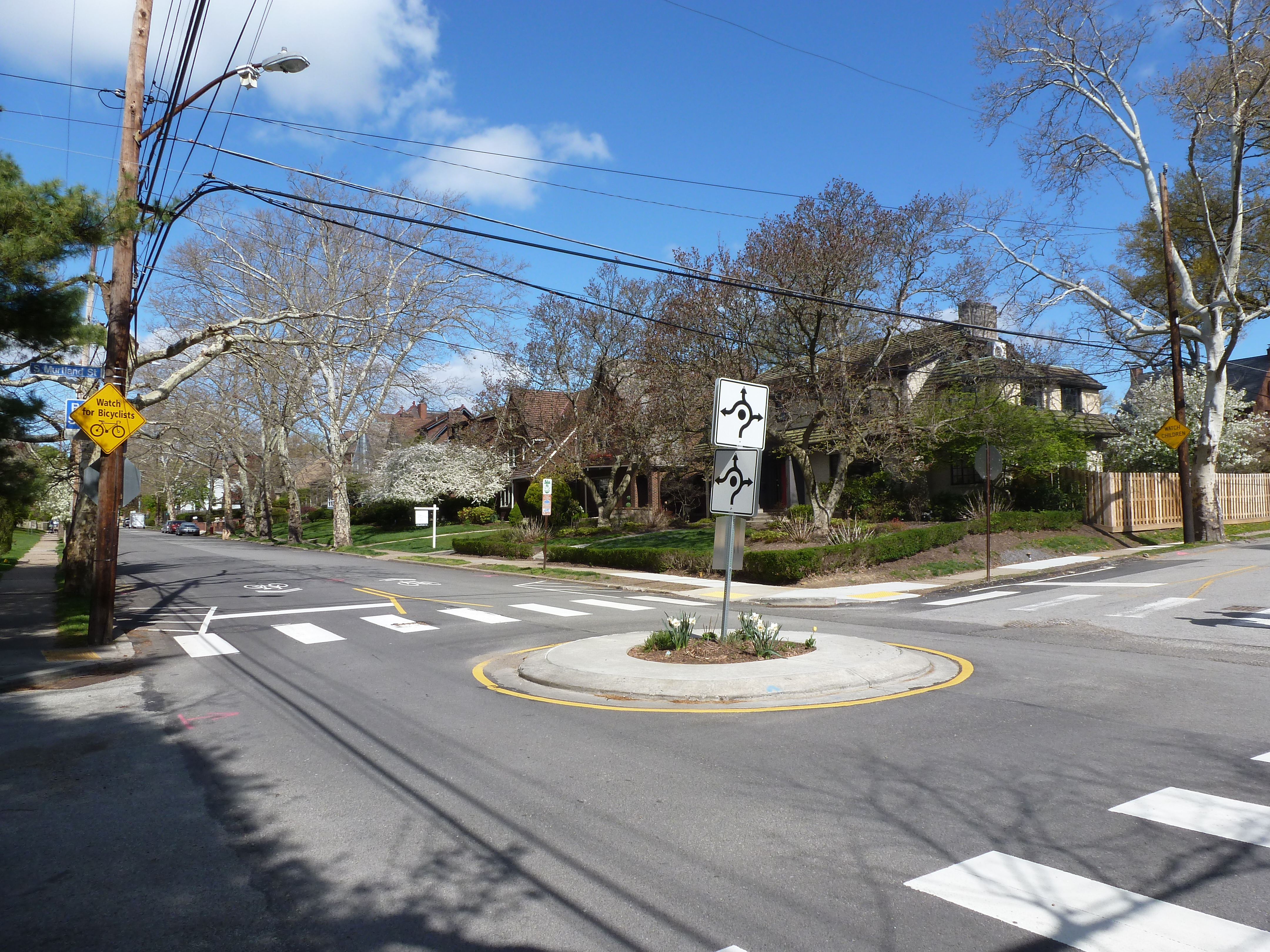
Point Breeze Neighborhood
When I think of Point Breeze, I picture wide, tree-lined streets with large houses on large lots. However, that is only a small portion of the neighborhood. The two religious sites from the 1926 directory sit in parts of the neighborhood across their respective streets from close-set, sometimes attached, modest houses. For the neighborhood context photo above, I picked a block that showcases neither of those conditions, instead featuring a wide, tree-lines street with moderate-sized houses and moderate-sized front yards, but small side yards.
Point Breeze’s high numbers of property-owning, white residents likely contributed to its relative stability compared to other parts of the city. No “urban renewal” projects targeted any parts of the neighborhood. Population loss started a decade later than most of the city and always stayed lower than the citywide average. In 1974, the City described this neighborhood together with today’s Squirrel Hill North as “residential in nature with a preponderance of single family owner occupied dwellings, many of them fine brick quality.” It remains a pleasant neighborhood for those who can afford it.
Both religious sites from 1926 remain active under the same congregation names.
Neighborhood Statistics (Out of 70 in this Series)
- 12th largest by acreage
- 53rd highest number of sites (multi-way tie)
- 69th most sites/acre
Locations
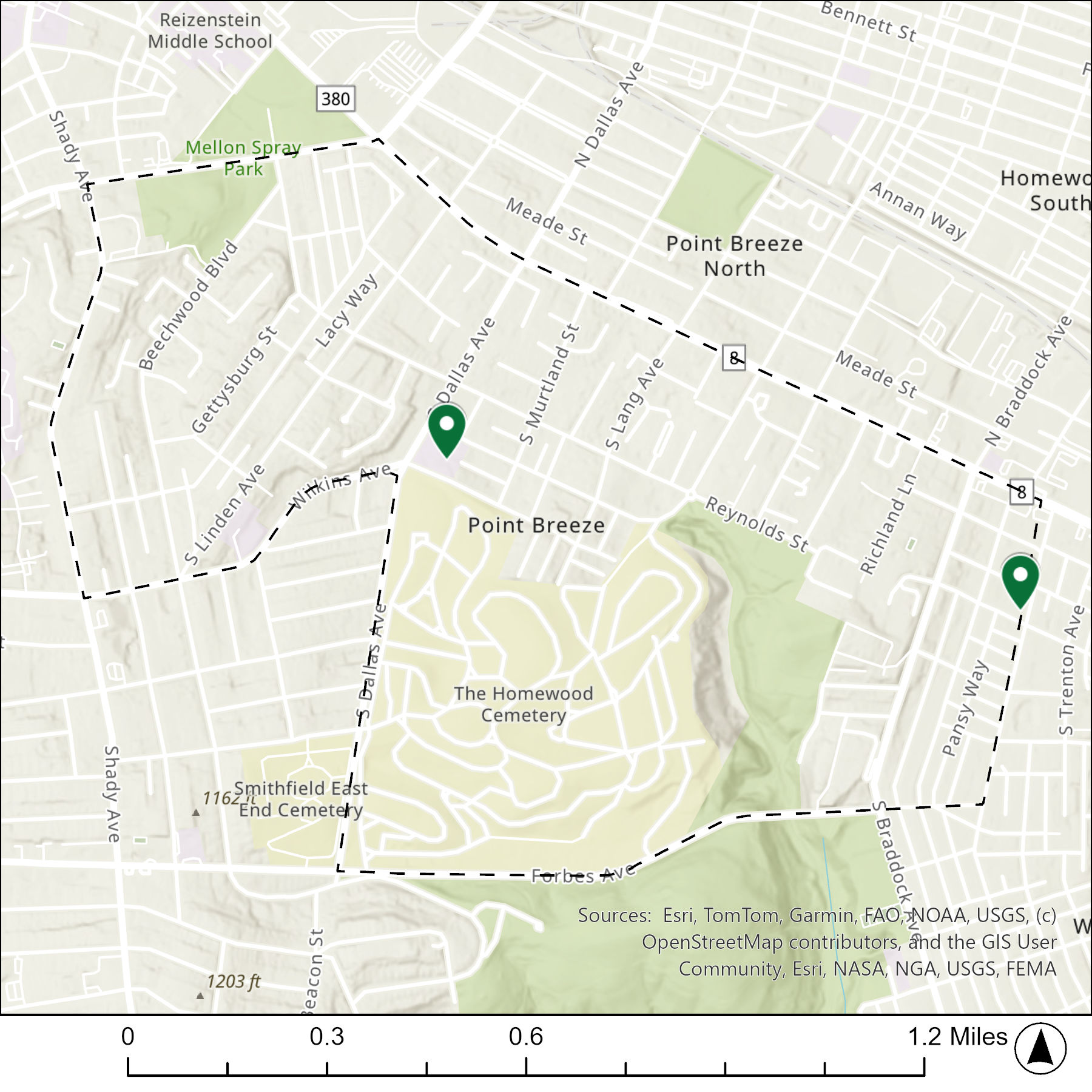
The map below shows the locations of the 2 congregations listed in the 1926 directory for Point Breeze (the dotted line marks the neighborhood boundary).
What are they now?
The table below matches the 2 congregations listed in the 1926 directory with the current use of the site.
| 1926 Congregation Name | By 2026 the Congregation’s Building is: |
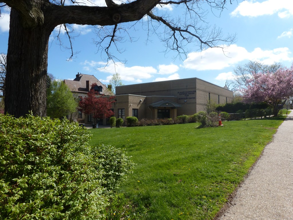
| St. Bede’s Catholic Church | replaced with the gym & activities center of a greatly expanded St. Bede’s Catholic Church campus |
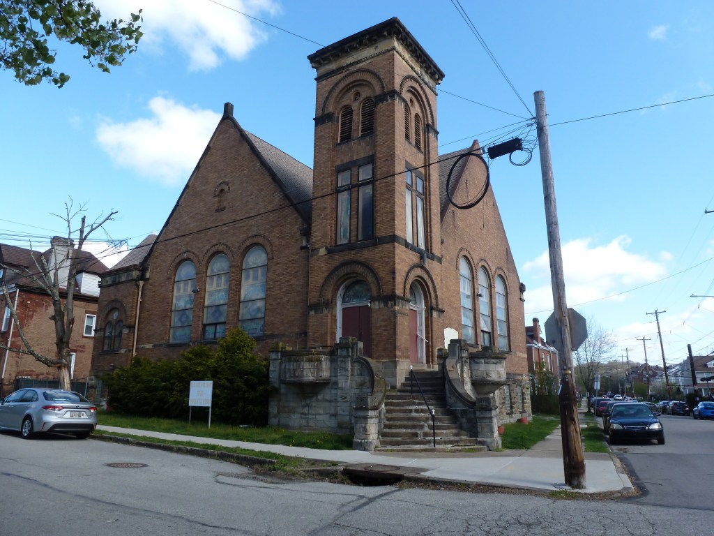
| Waverly Presbyterian Church | still Waverly Presbyterian Church |
Photos
For more on this series, visit our introductory post.
Sources:
Pittsburgh Department of City Planning. A Community Profile of Squirrel Hill North of Forbes. Pittsburgh, 1974. https://historicpittsburgh.org/islandora/object/pitt%3A31735070066422#page/1/mode/1up
Pittsburgh Department of City Planning. A Development and Renewal Program for Pittsburgh, Summary Documentation, Pittsburgh Community Renewal Program. Pittsburgh, 1970. https://pittsburgharchives.access.preservica.com/uncategorized/IO_d1f07da0-9303-4aee-a162-04c83a0eaaa0/
Pittsburgh Department of City Planning. Census: Pittsburgh. January 2006.
Pittsburgh Department of City planning. PGHSnap. City of Pittsburgh. 2011.
Pittsburgh Neighborhood Alliance. An Atlas of the Point Breeze Neighborhood of Pittsburgh, 1977. https://historicpittsburgh.org/islandora/object/pitt%3A31735070289164#page/1/mode/1up
Polk’s Pittsburgh City Directory, 1926. Pittsburgh: R. L. Polk & Co. https://digital.library.pitt.edu/islandora/object/pitt%3A31735056286846/viewer#page/4/mode/1up
Discover more from urbantraipsing
Subscribe to get the latest posts sent to your email.
 urbantraipsing