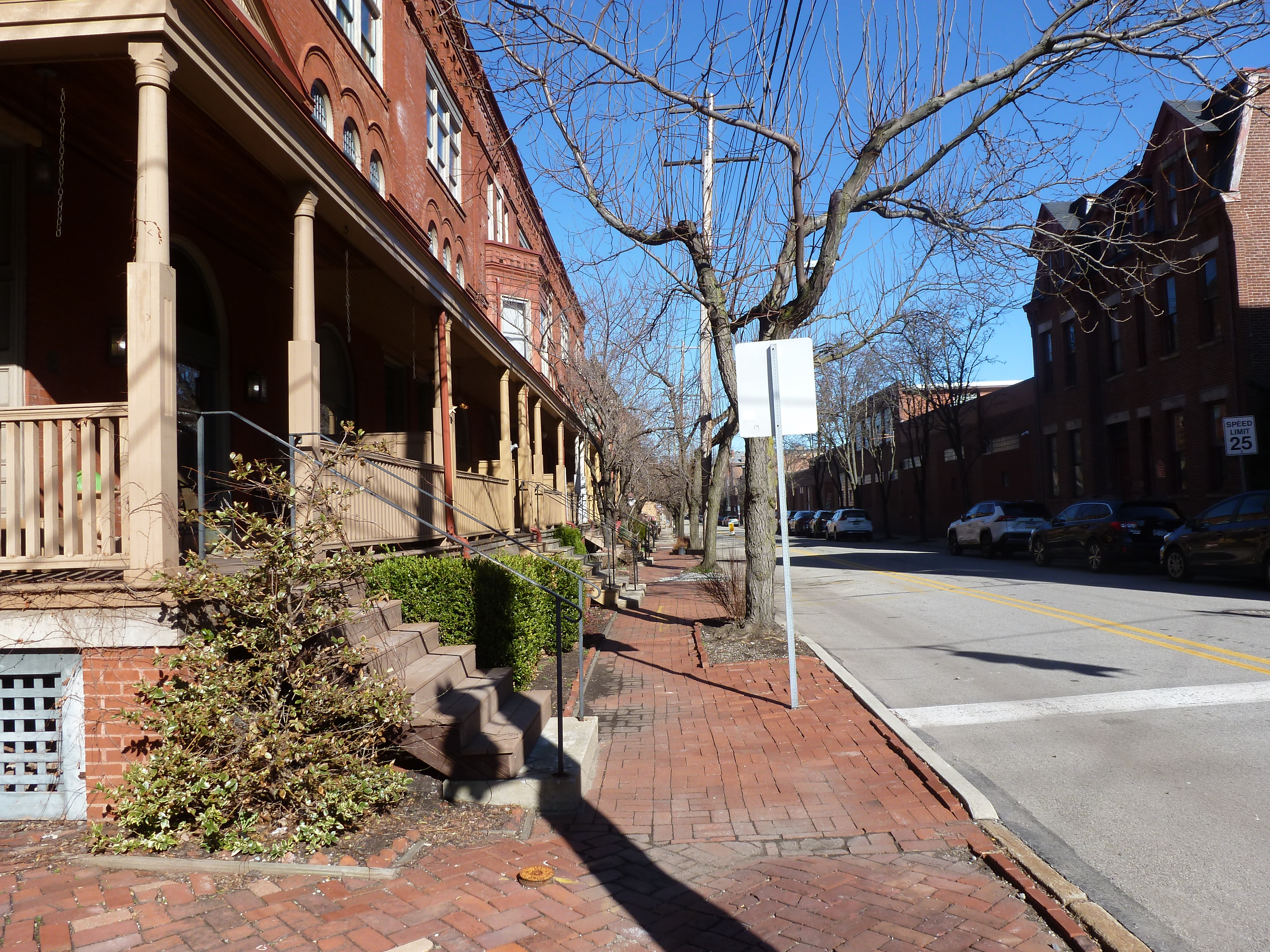
Allegheny West is a neighborhood that features a blend of stability and destruction in its built environment.
Allegheny City’s Millionaires Row once occupied this part of town. It is a dense neighborhood, with a mix of uses. While the houses are frequently attached, many have front porches that provide a buffer from the street. Architectural ornamentation is common and the sidewalks are often paved in brick.
Parts of the neighborhood were impacted by “urban renewal.” The southern portion, between Ridge Avenue and the railroads, was designated as a “renewal” area on behalf of the community college. In 1970, the project was just getting started. It was projected that 10 families and 25 individuals would need to be relocated to make way for the community college campus. A few other areas of the neighborhood north of Ridge Avenue have also seen block-scale demolition and redevelopment into parking lots, warehouses, and a fast food restaurant.
One of the buildings from the congregations listed in the 1926 Polk Directory was lost through these smaller demolition/redevelopments. The other two buildings remain intact with the same congregations.
Neighborhood Statistics (Out of 70 in this Series)
68th largest by acreage
45th highest number of sites (multi-way tie)
16th most sites/acre
Locations
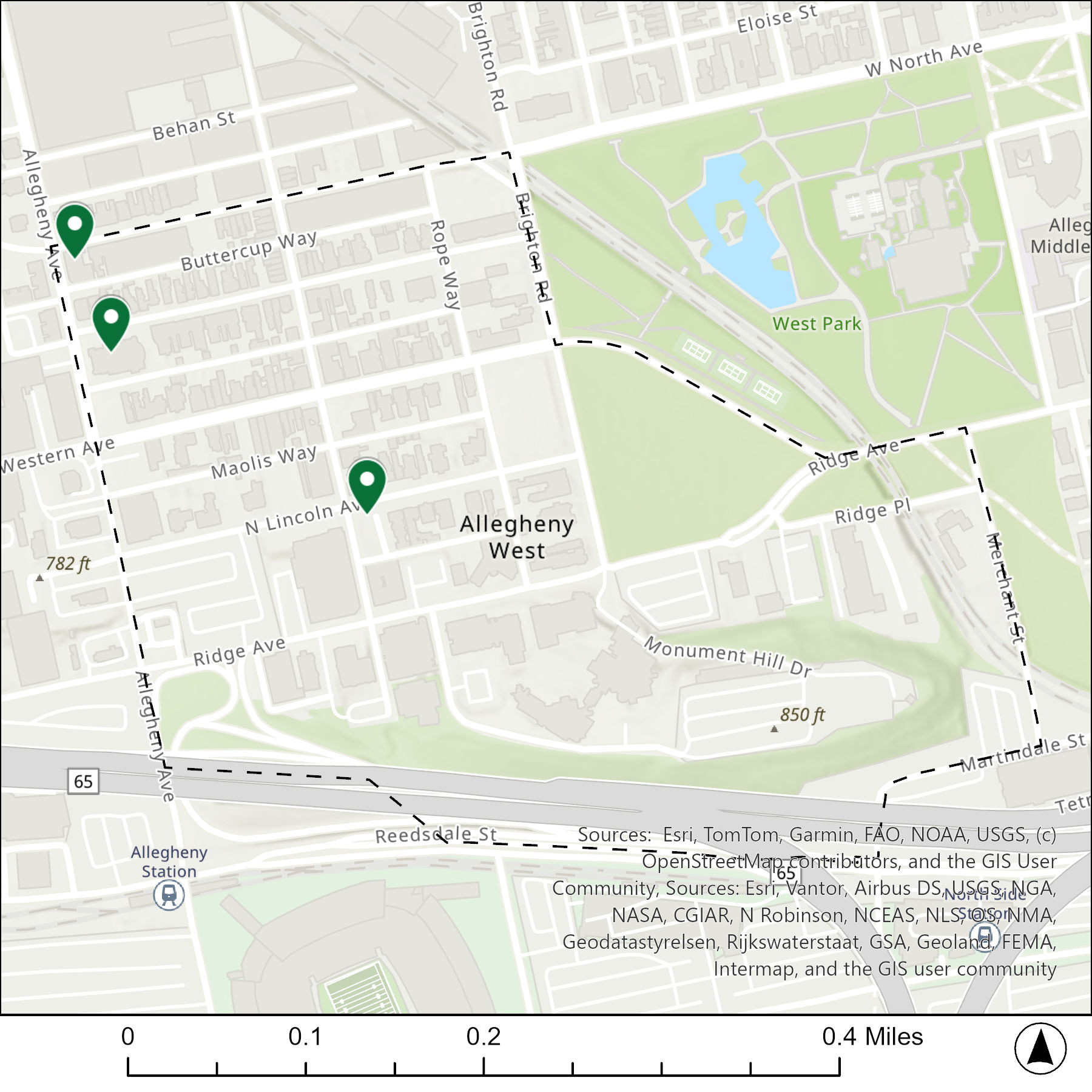
The map below shows the locations of the 3 congregations listed in the 1926 directory for Allegheny West (the dotted line marks the neighborhood boundary).
What are they now?
The table below matches the 3 congregations listed in the 1926 directory with the current use of the site.
Reconstructing a neighborhood that has been almost completely reconfigured is difficult. Pittsburgh’s Allegheny Center neighborhood was once the center of Allegheny City, which was annexed by Pittsburgh in 1907. In the 1800s and first half on the 1900s, the heart of this bustling city was 36 blocks of dense, walkable, mixed-use activity. Most of the buildings and streets of these blocks were erased in the 1960s and 1970s when the City of Pittsburgh and the Urban Redevelopment Authority led a major, federally-funded, “urban renewal” project in the neighborhood. Four existing streets were converted into a one-way ring road, while most of the other streets were erased or converted to pedestrian plazas. The buildings were mostly demolished and replaced by parking lots and mid- to high-rise buildings within the ring road and parking lots and housing complexes outside the ring road.
To facilitate this “renewal,” 376 families, 1161 individuals, and 598 businesses were relocated outside the neighborhood by 1970. Unsurprisingly, given the scope and extent of this displacement in the name of renewal, only one of the buildings used by the 22 congregations listed in the 1926 directory survives. What is surprising is that a former parish house survives, which helped locate the former locations of several of the church buildings that used to sit nearby.
Neighborhood Statistics (Out of the 70 in this series)
64th largest by acreage
4th highest number of religious sites
2nd most sites/acre
Locations
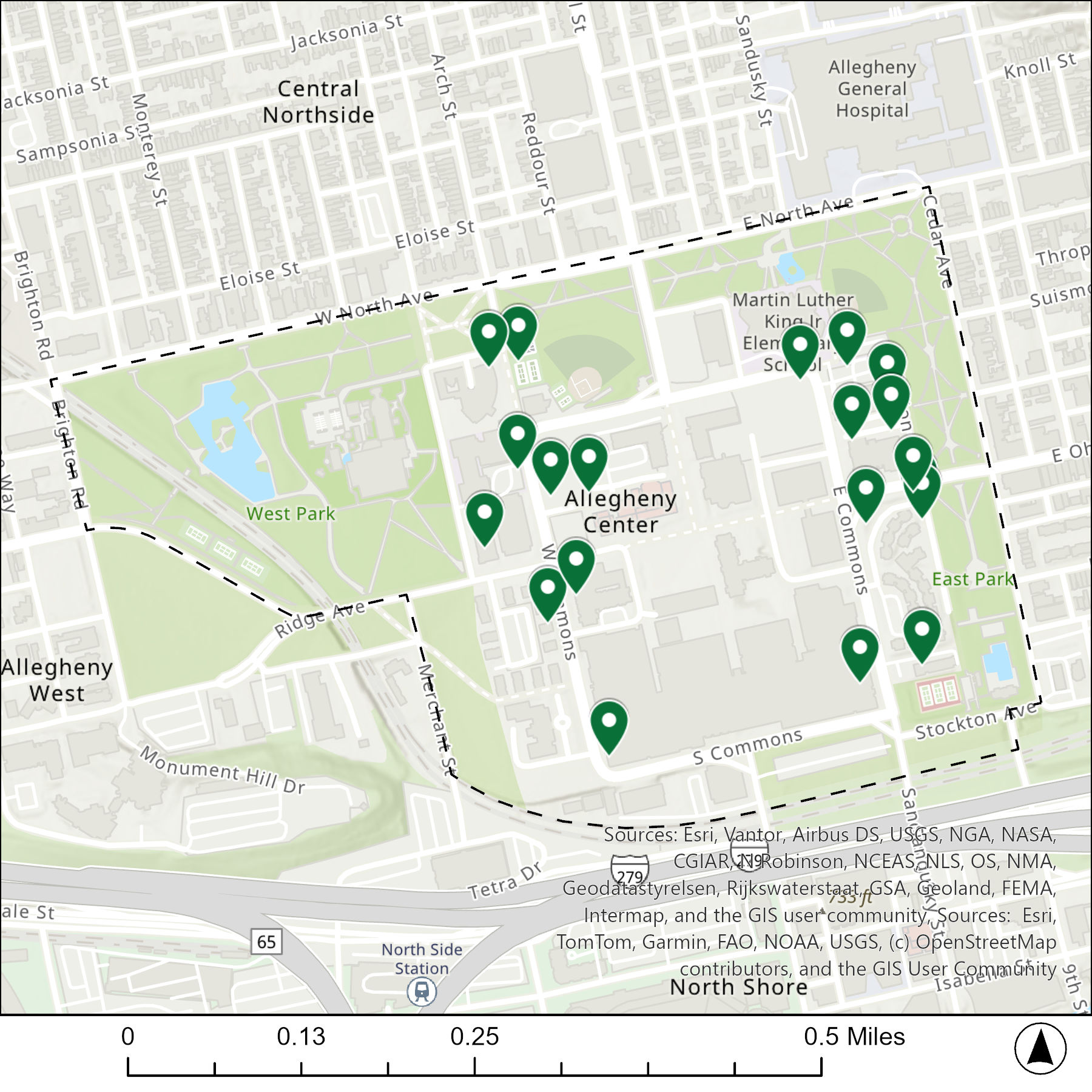
The map below shows the locations of the 22 congregations listed in the 1926 directory for Allegheny Center (the dotted line marks the neighborhood boundary). Note that there are only 20 pins because three congregations apparently shared the same space.
What are they now?
The table below matches the 22 congregations listed in the 1926 directory with the current use of the site.
1926 Congregation Name
By 2026 the Congregation’s Building is:
Arch Street Methodist Episcopal Church
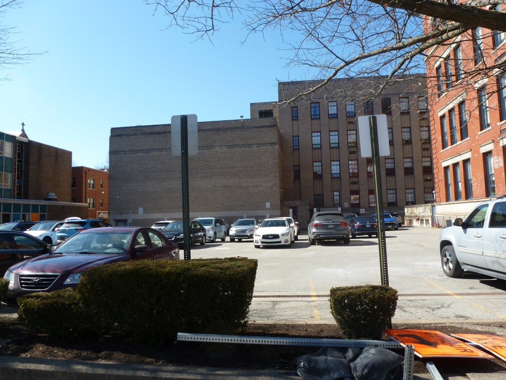
replaced with a parking lot
Central Presbyterian Church
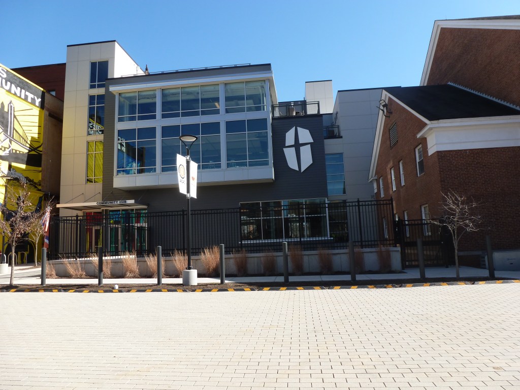
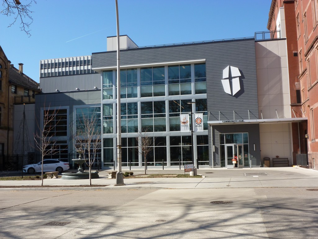
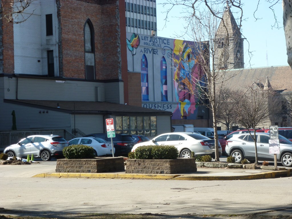
replaced with a community service building
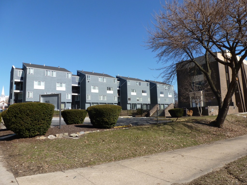
Central Reformed Presbyterian Church
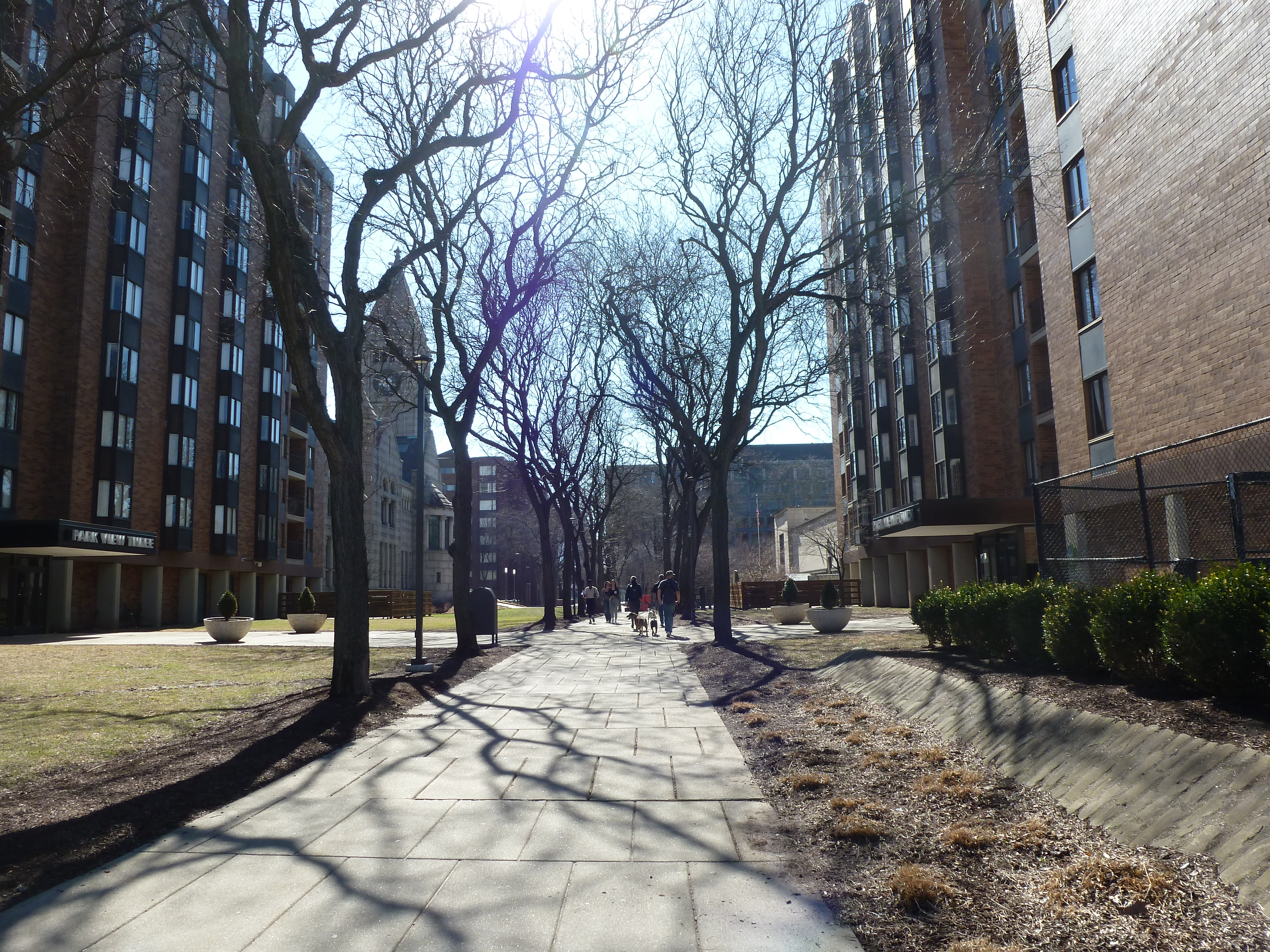
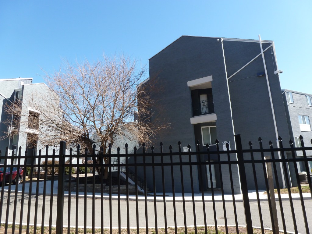
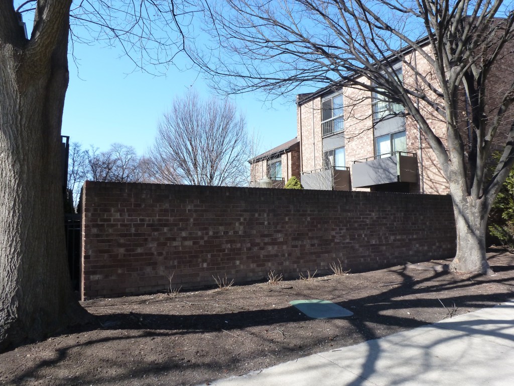
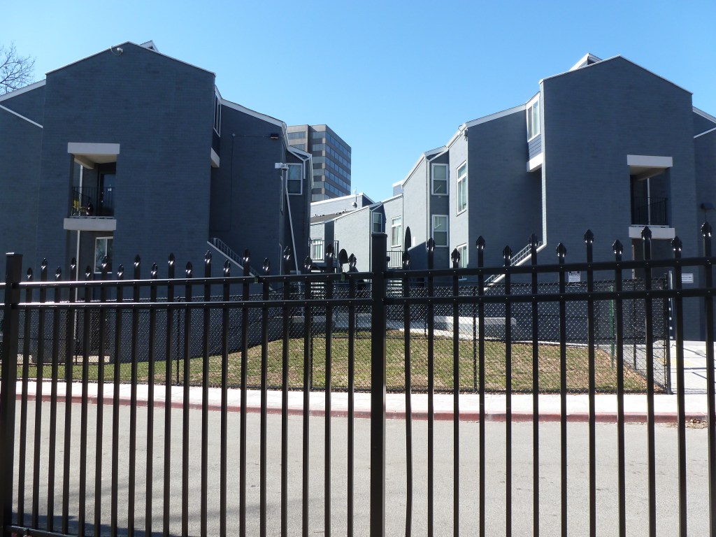
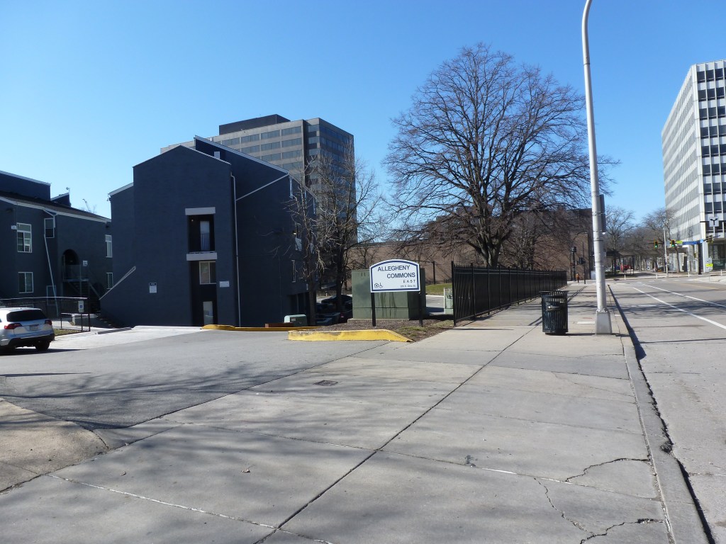
replaced with a housing complex
Christ Episcopal Church
replaced with a community service building
Church of the Soul
replaced with a parking lot
First Protestant Methodist Church
replaced with a housing complex
First United Presbyterian Church
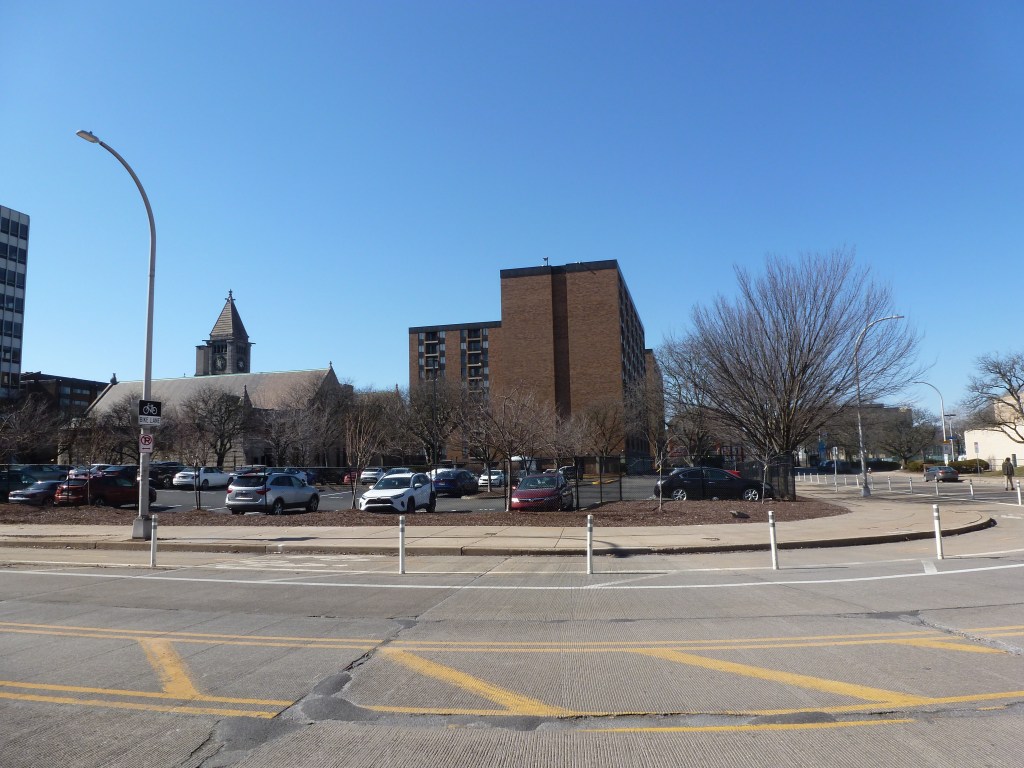
replaced with a parking lot
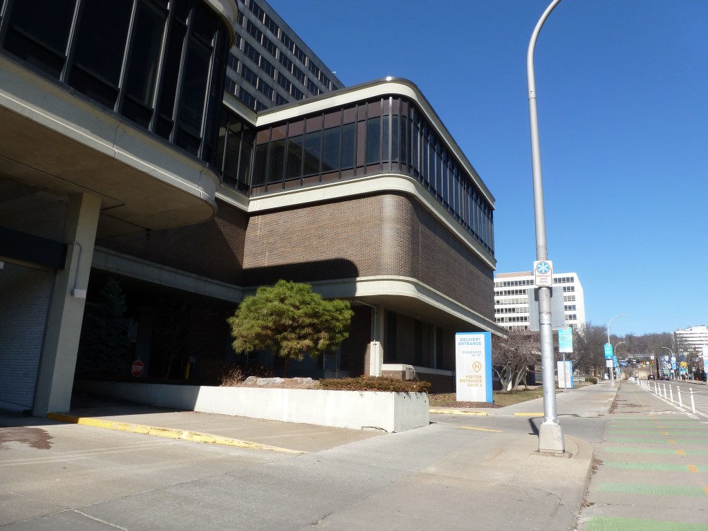
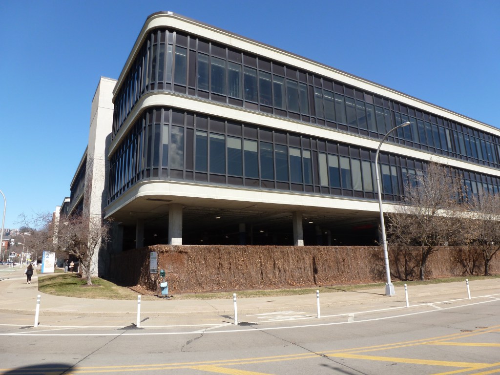
First Allegheny Christian Church
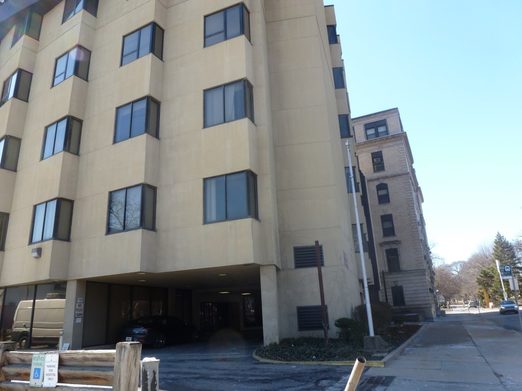
replaced with a small scale hospital
First Presbyterian Church of Allegheny
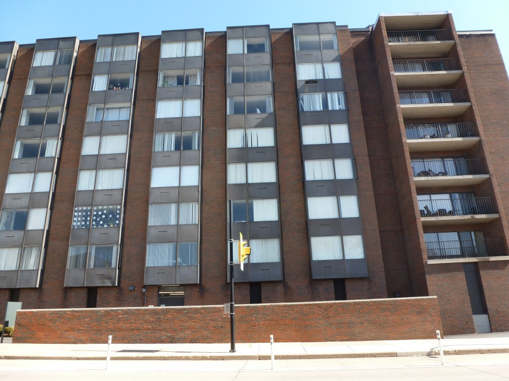
replaced with a housing complex
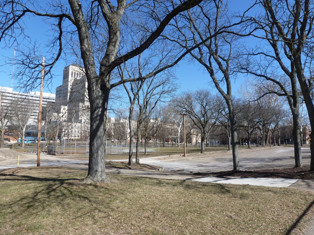
Fourth United Presbyterian Church
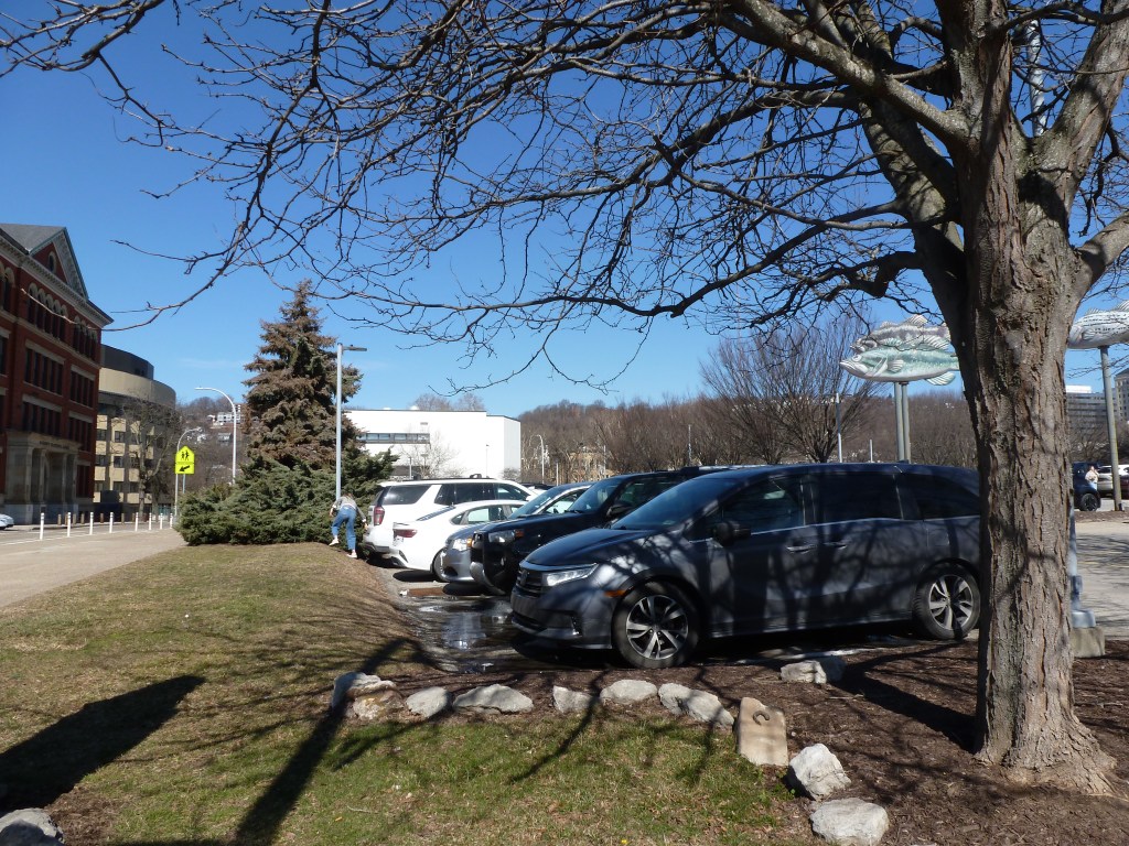
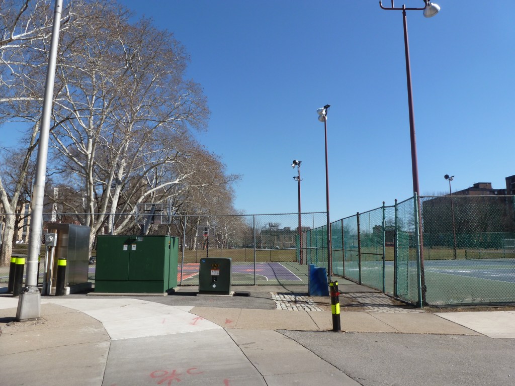
replaced with a park (tennis and basketball courts)
Fourth Spiritualists
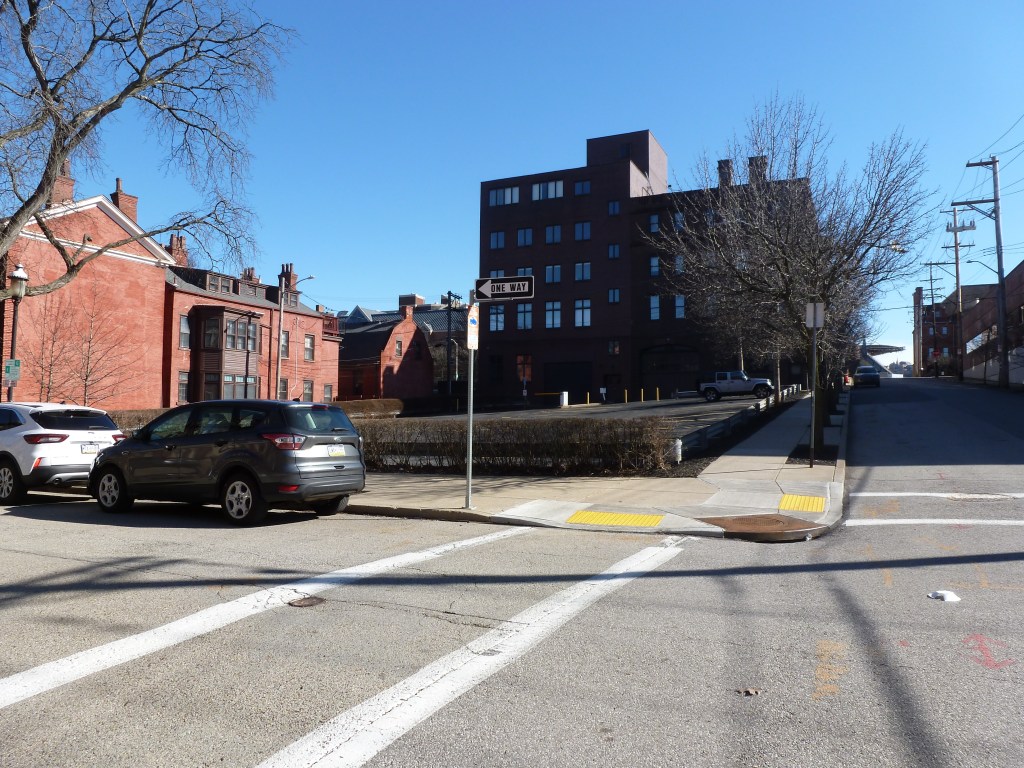
replaced with a parking lot
Gospel Tabernacle
replaced with a parking lot
Metropolitan Church Mission
replaced with a parking lot
Ohio Street Episcopal Methodist Church
replaced with a housing complex
Pentecostal Mission
replaced with a apartment building
Sandusky Street Baptist Church
replaced with a parking lot
Second United Presbyterian Church
replaced with a commercial building
Spiritualist Church of Truth
replaced with a housing complex
St. Cyprian Catholic Church
replaced with a housing complex
St. Paul’s Evangelical Lutheran Church
replaced with a school baseball diamond
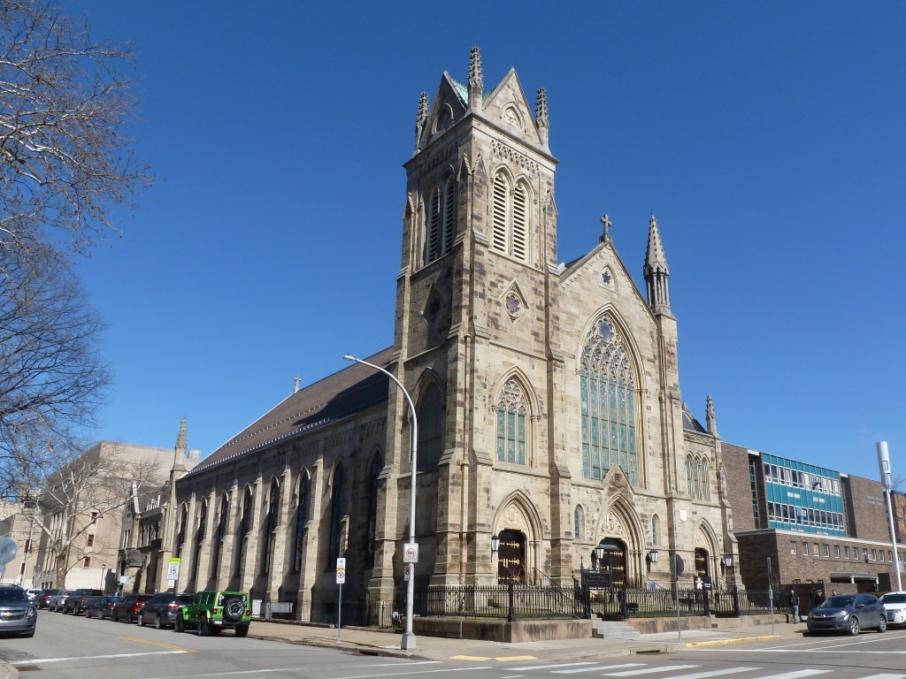
St. Peter Catholic Church
still St. Peter Catholic Church
Trinity Lutheran Church
replaced with a commercial building
Photos
Arch Street Methodist Episcopal Church site (2026)
Central Presbyterian Church site (2026)
Central Reformed Presbyterian Church site (2026)
Christ Episcopal Church site (2026)
Church of the Soul site shared with two other congregations (2026)
First Allegheny Christian Church site (2026)
First Presbyterian Church of Allegheny site (2026)
First Protestant Methodist Church of Northside site, adjacent to a Spiritualist site (2026)
First United Presbyterian Church site (2026)
Fourth United Presbyterian Church site (2026)
Gospel Tabernacle site (2026)
Ohio Street Methodist Episcopal Church site (2026)
Pentecostal Mission site (2026)
Sandusky Street Baptist Church site (2026)
Second United Presbyterian Church site (2026)
St. Cyprian Catholic Church site (2026)
St. Paul’s Evangelical Lutheran Church site (2026)