The week before Bridge Madness 2025, my aunt asked why I’m interested in bridges. The answer actually has nothing to do with the bridges themselves.
In 2009-2010, I volunteered in AmeriCorps in Pittsburgh, a city I thought I knew until AmeriCorps exposed me to a different side of the city. After 11 months of eye-opening experiences teaching me that Pittsburgh is far more than its downtown, museums, universities, and middle- and upper-income neighborhoods, I found myself attending a fundraiser at a house on Grandview Avenue.
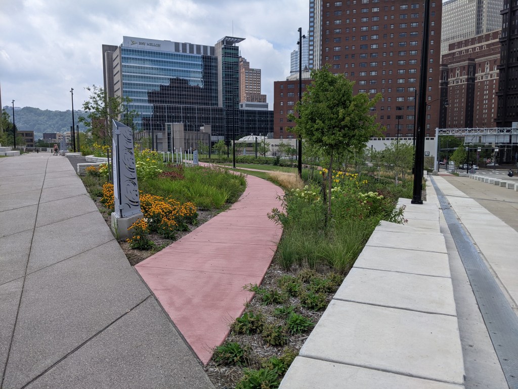
Grandview Avenue is well named. It sits on top of a ridge directly across the river from downtown Pittsburgh, providing great views of the skyline and neighborhoods along the rivers. It is a popular spot to bring out-of-town visitors to show off the city and ride one of the two remaining inclines. I had been there countless times first as an out-of-town visitor and later as a resident bringing out-of-towners. The view from the street and lookout platforms is very familiar to me (and still fun).
But on that day in 2010, I suddenly found myself up 4 stories on a rooftop deck, looking at the same buildings, rivers, and neighborhoods I thought I knew and feeling like I was looking at a completely different scene.
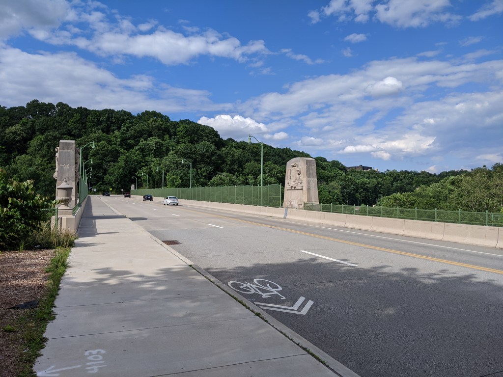
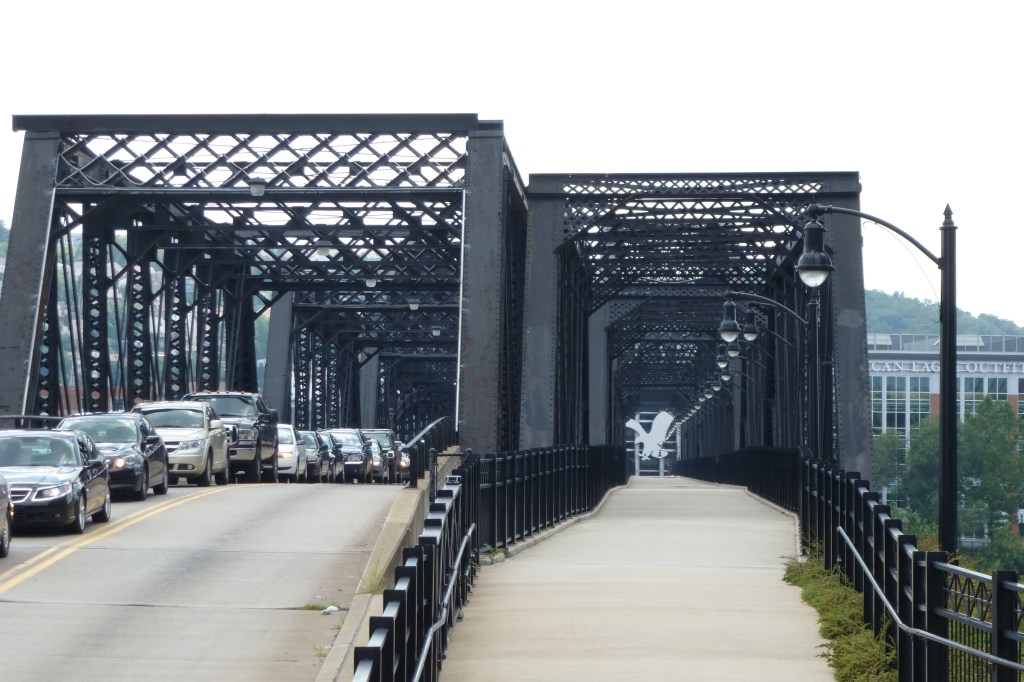
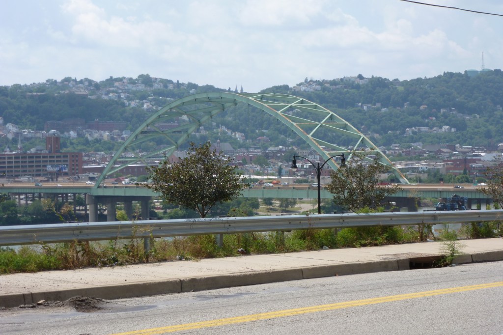
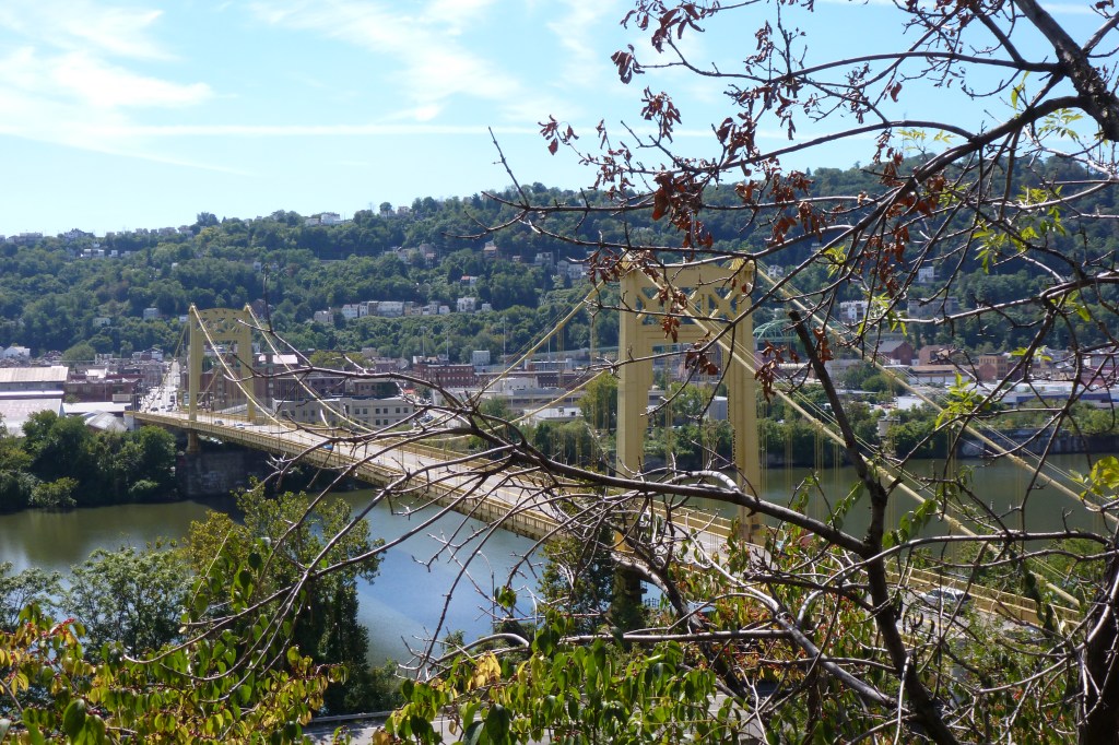
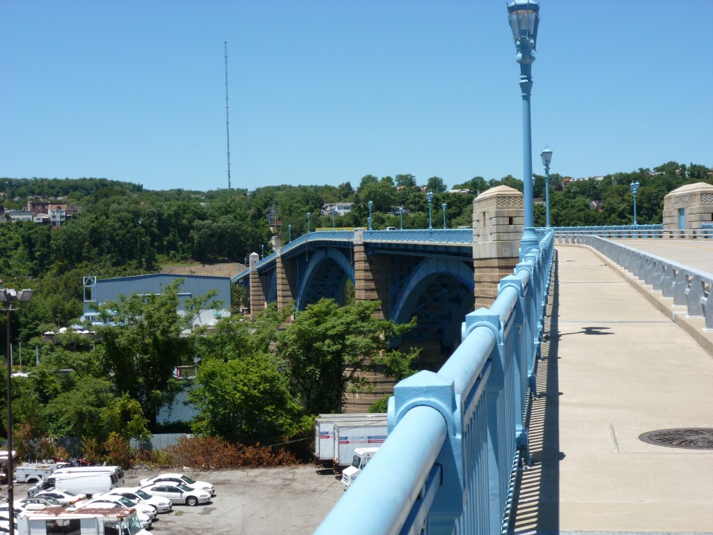
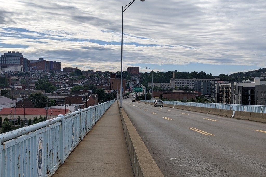
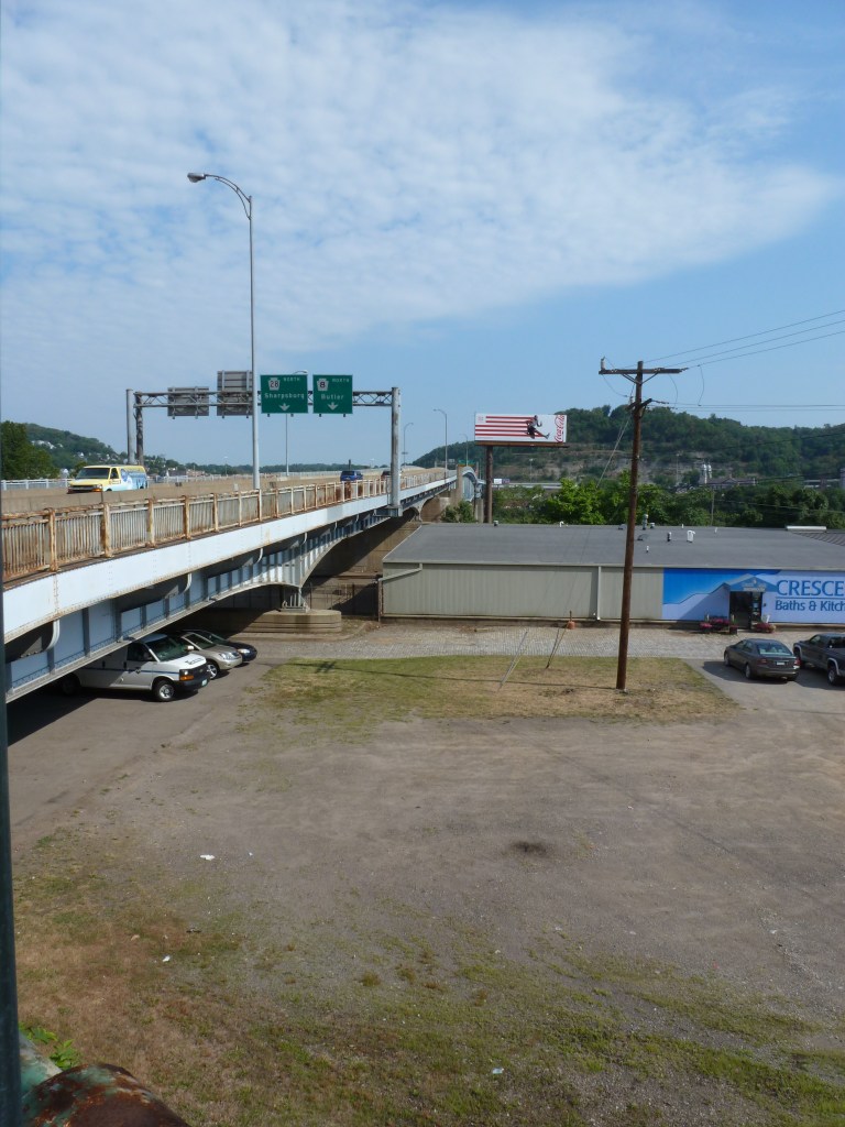
It fascinated me that moving 40 feet made something familiar look brand new. As I stood at the railing pondering this, instead of mingling with the strangers who could afford a ticket to this fundraiser (unlike me who had been gifted a ticket), Pittsburgh’s iconic bridges were part of the view. I realized that the city would look completely differently from each of those bridges. And so I decided to start walking the bridges to continue increasing my perspectives and awareness of Pittsburgh.
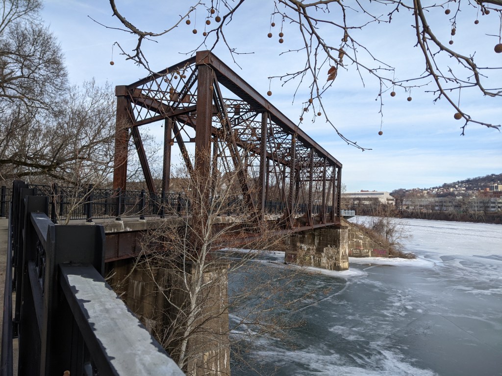
The rest, as they say, is history. I thought it would be just a summer project. However, it has been so interesting….and there are still so many bridges to walk….that it has become a life habit. In the meantime, I have started getting interested in the structures themselves, not just the views from them.
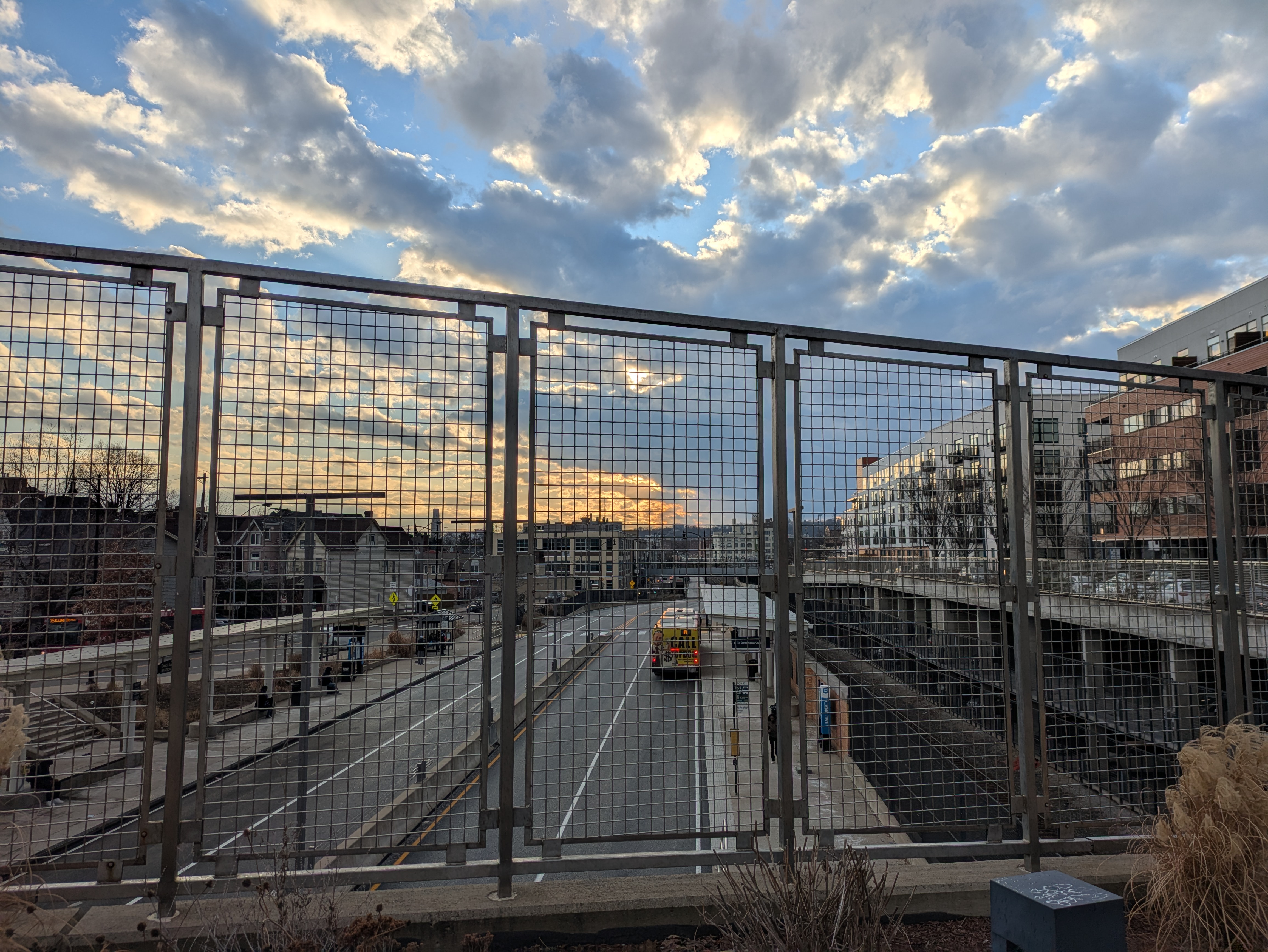
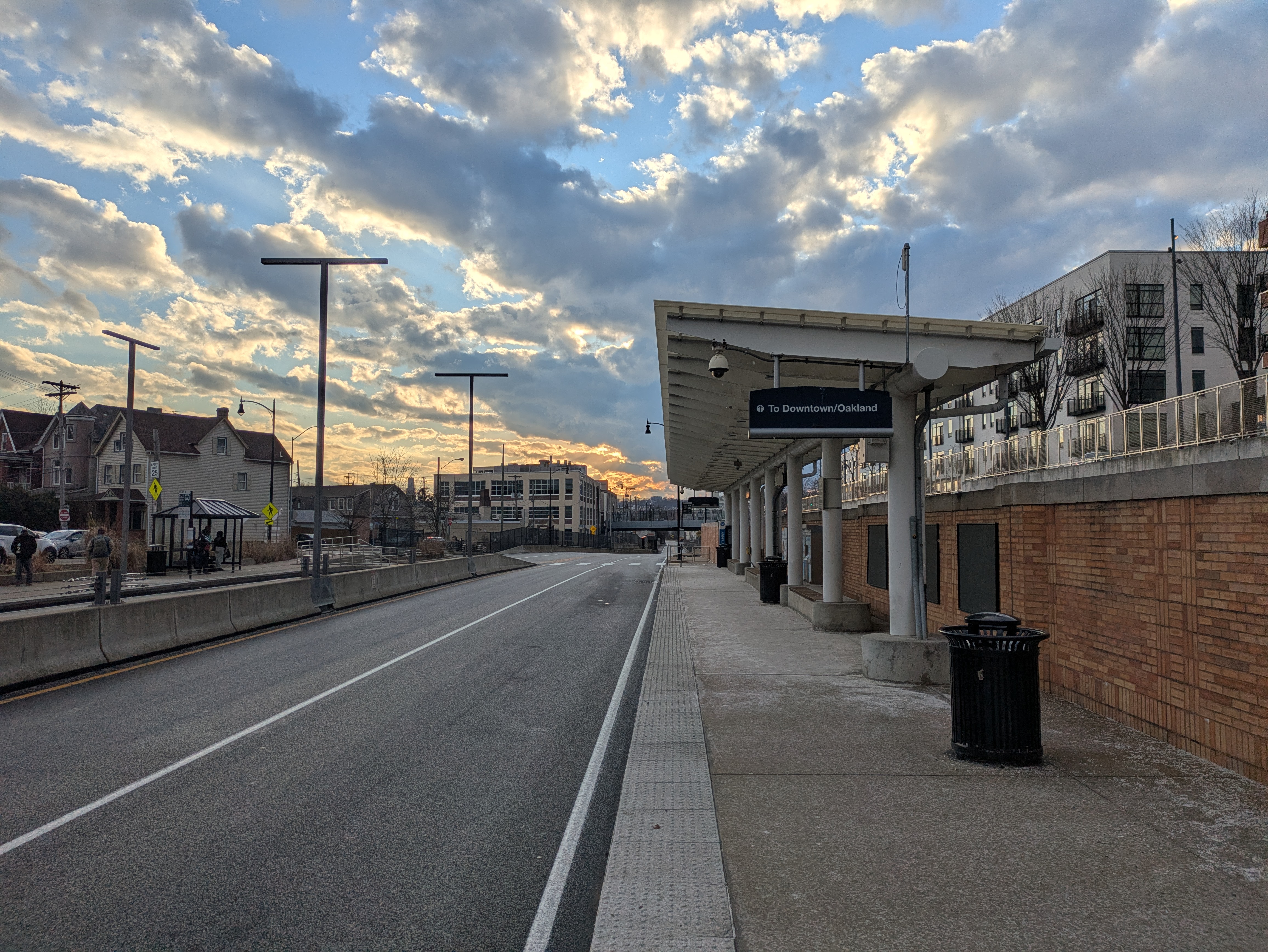
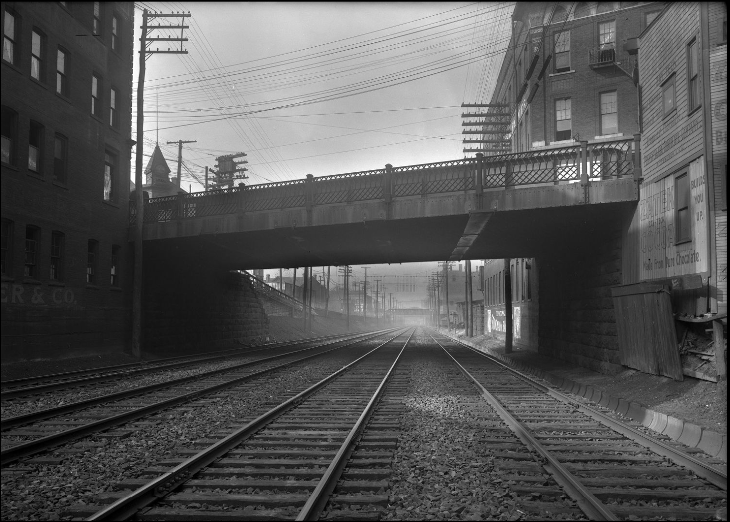
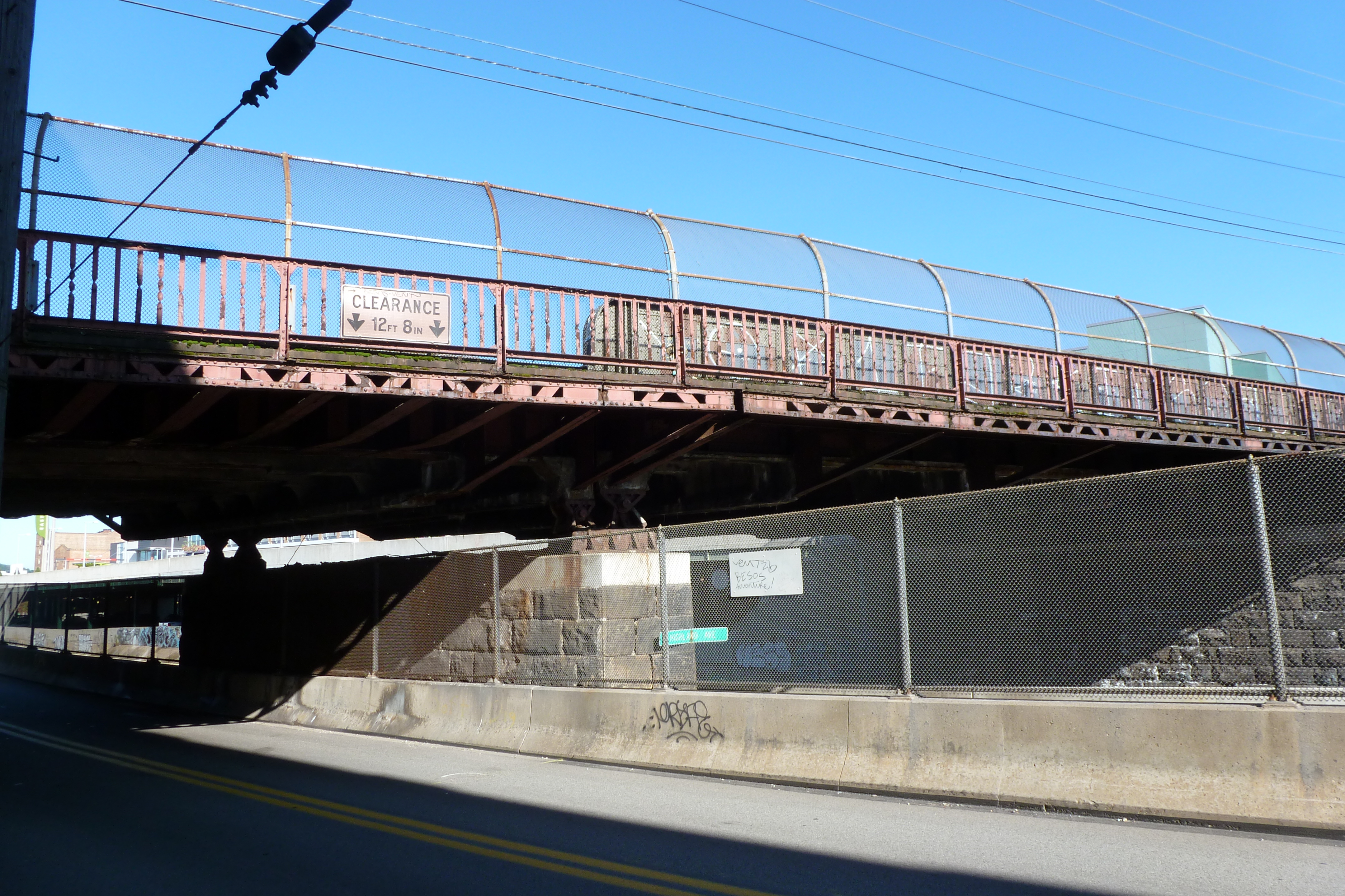
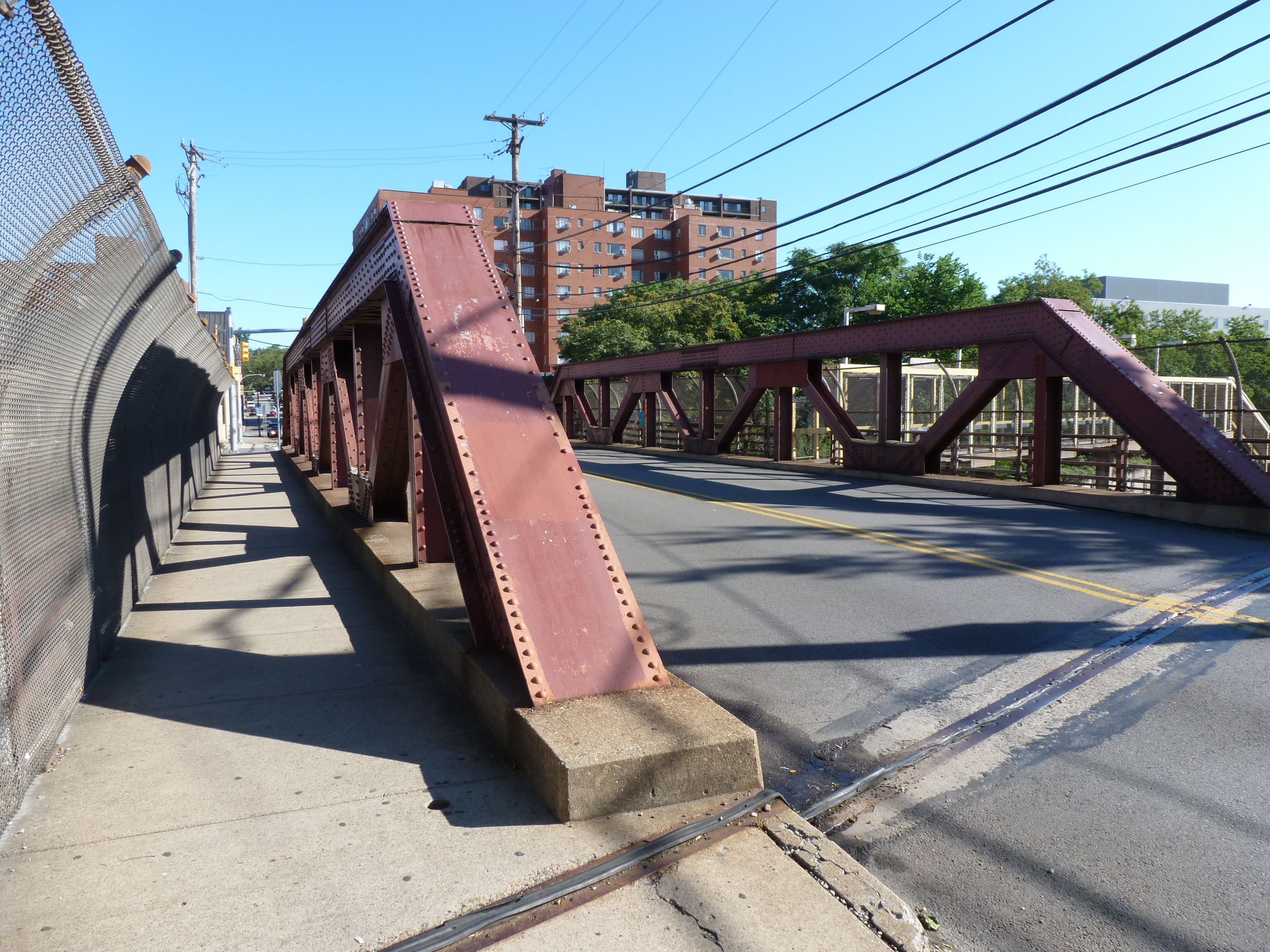
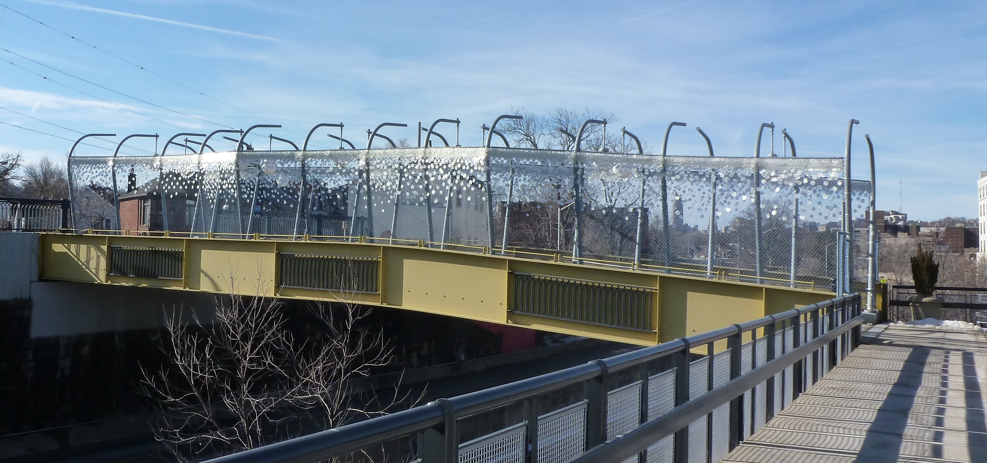
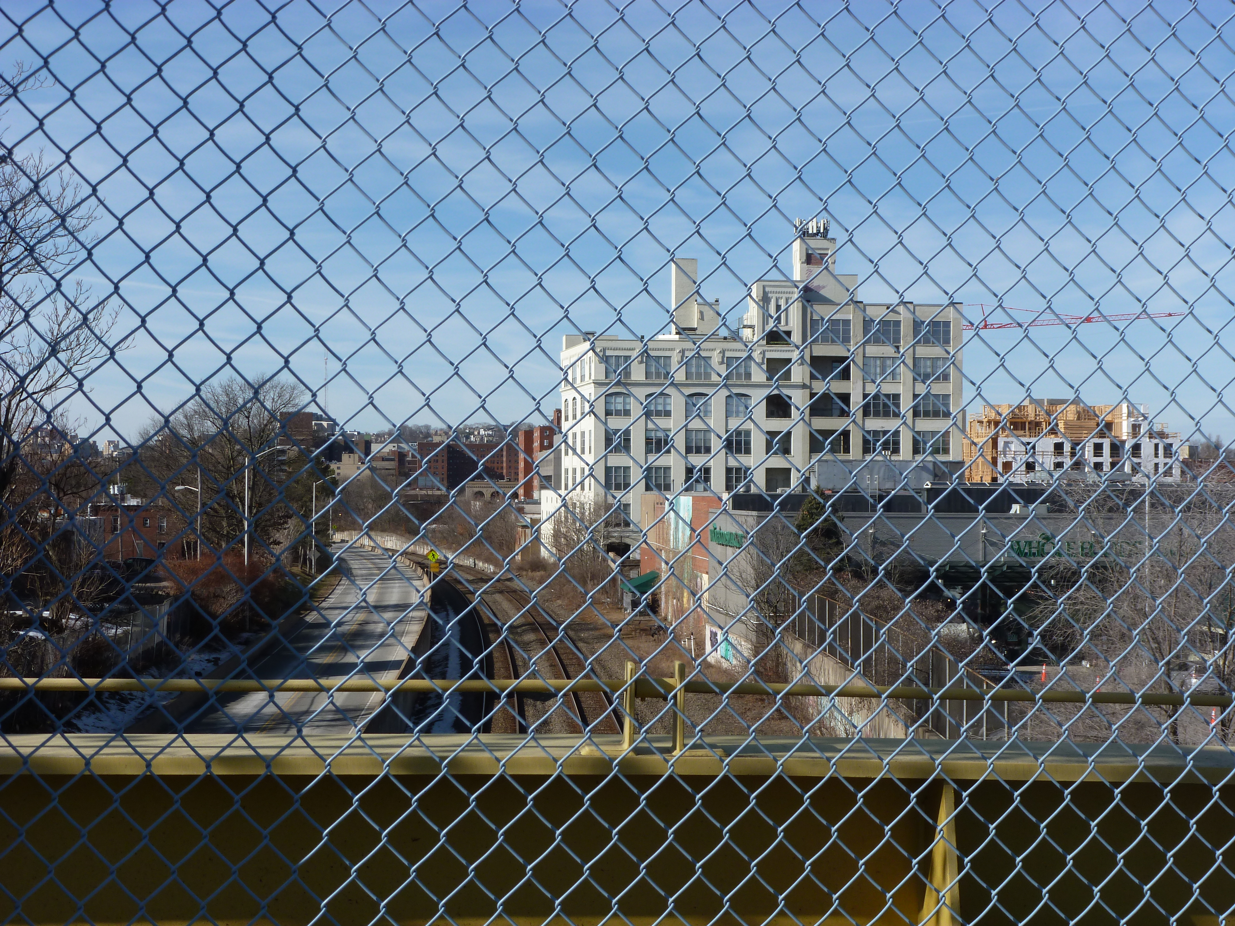
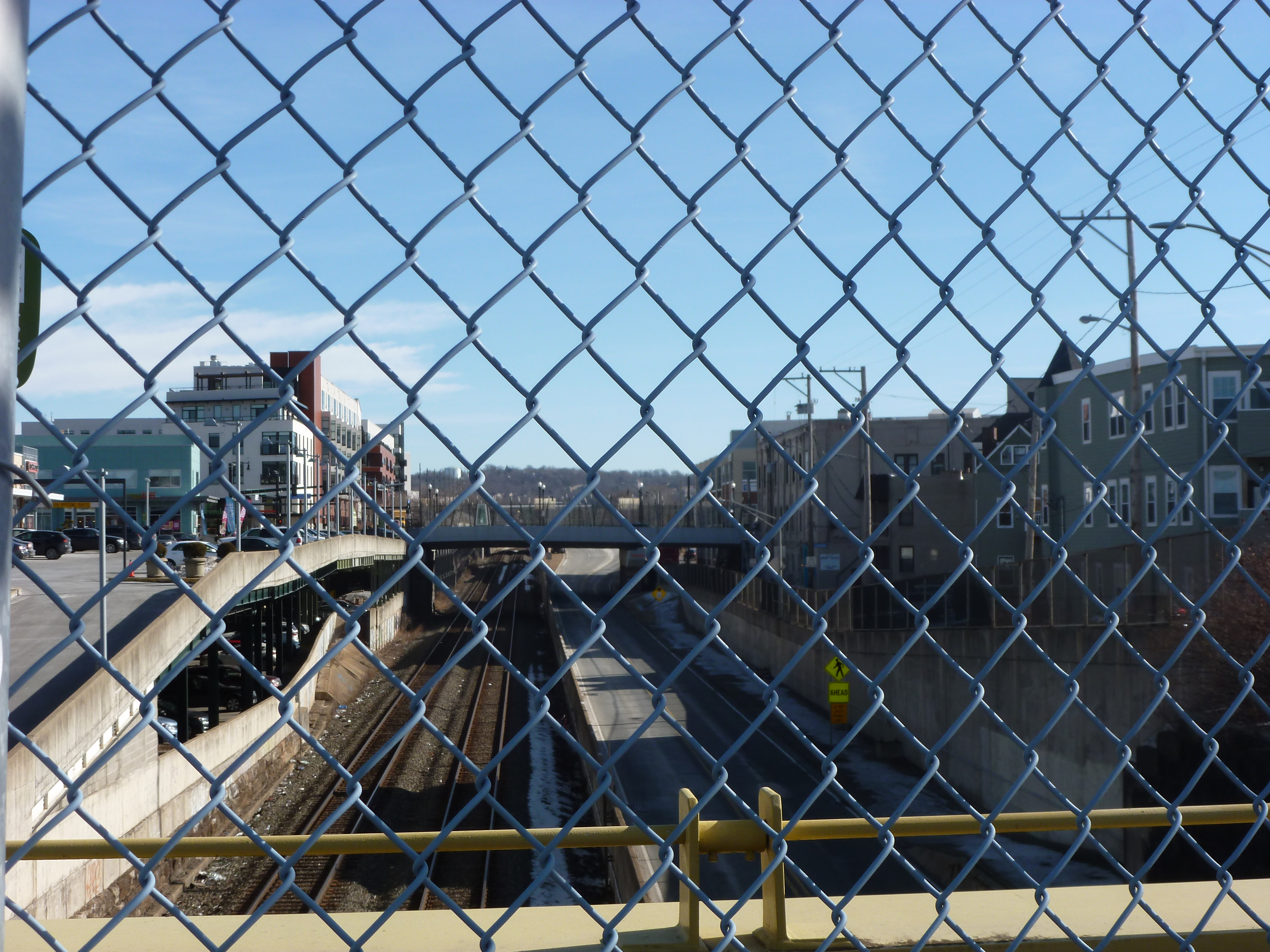
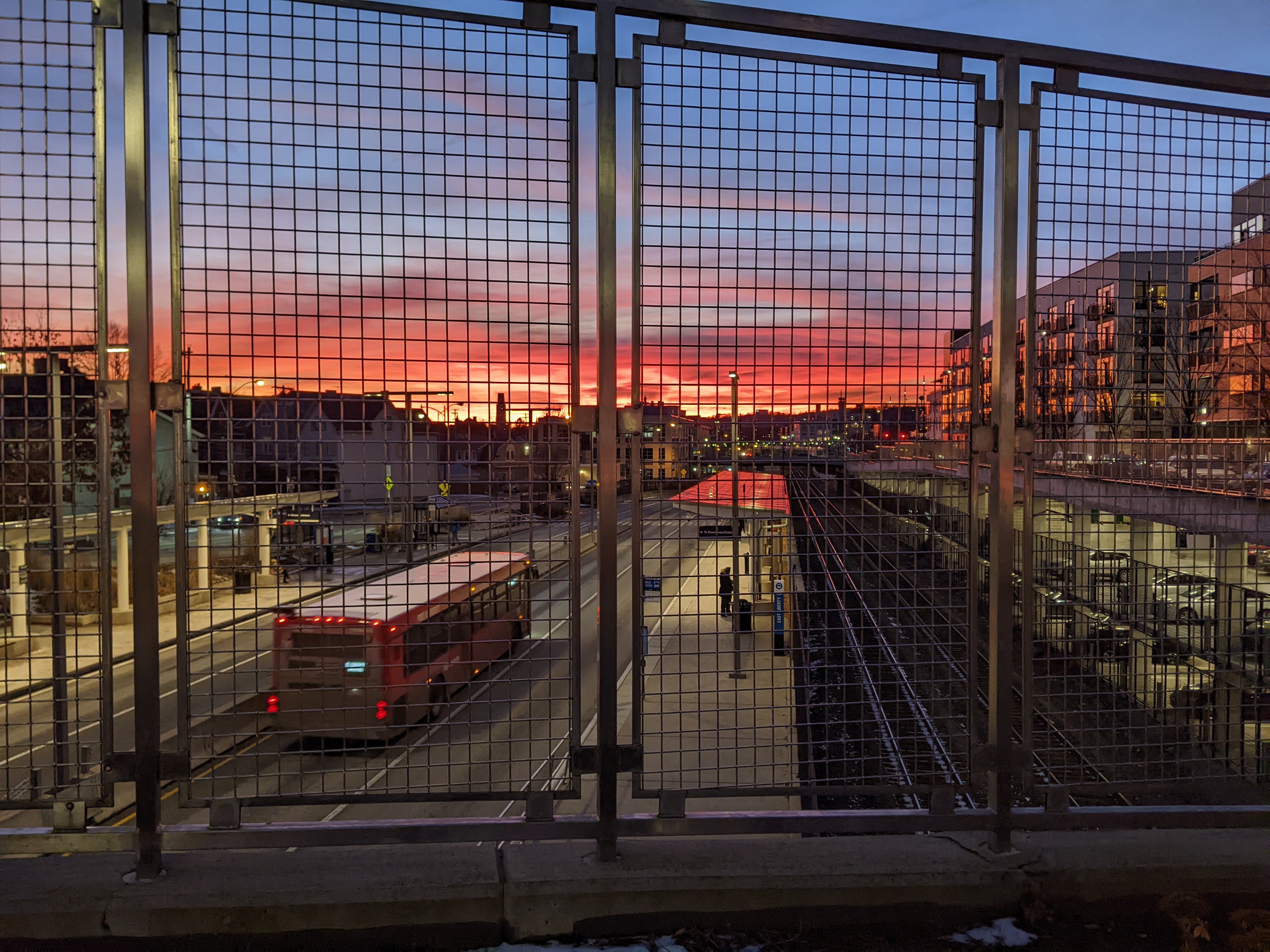
Two days after I told this story to my aunt, I walked across part of the East Liberty Station Pedestrian Bridge (Bridge Madness Champion 2024) at sunset. This is not the first time I’ve been on this bridge going about my daily business when I needed to stop to take photos of the view of sunset. In this instance, I then immediately walked down the steps to the busway station below. My experience of the sunset changed completely with the change in perspective. From the bridge, it seemed spectacular, but at the sidewalk below I no longer recognized it as something worthy of notice.
Have you ever noticed a time when a slight shift in perspective changed how you viewed your surroundings?