Then & Now 1926-2026: Allegheny West Religious Buildings

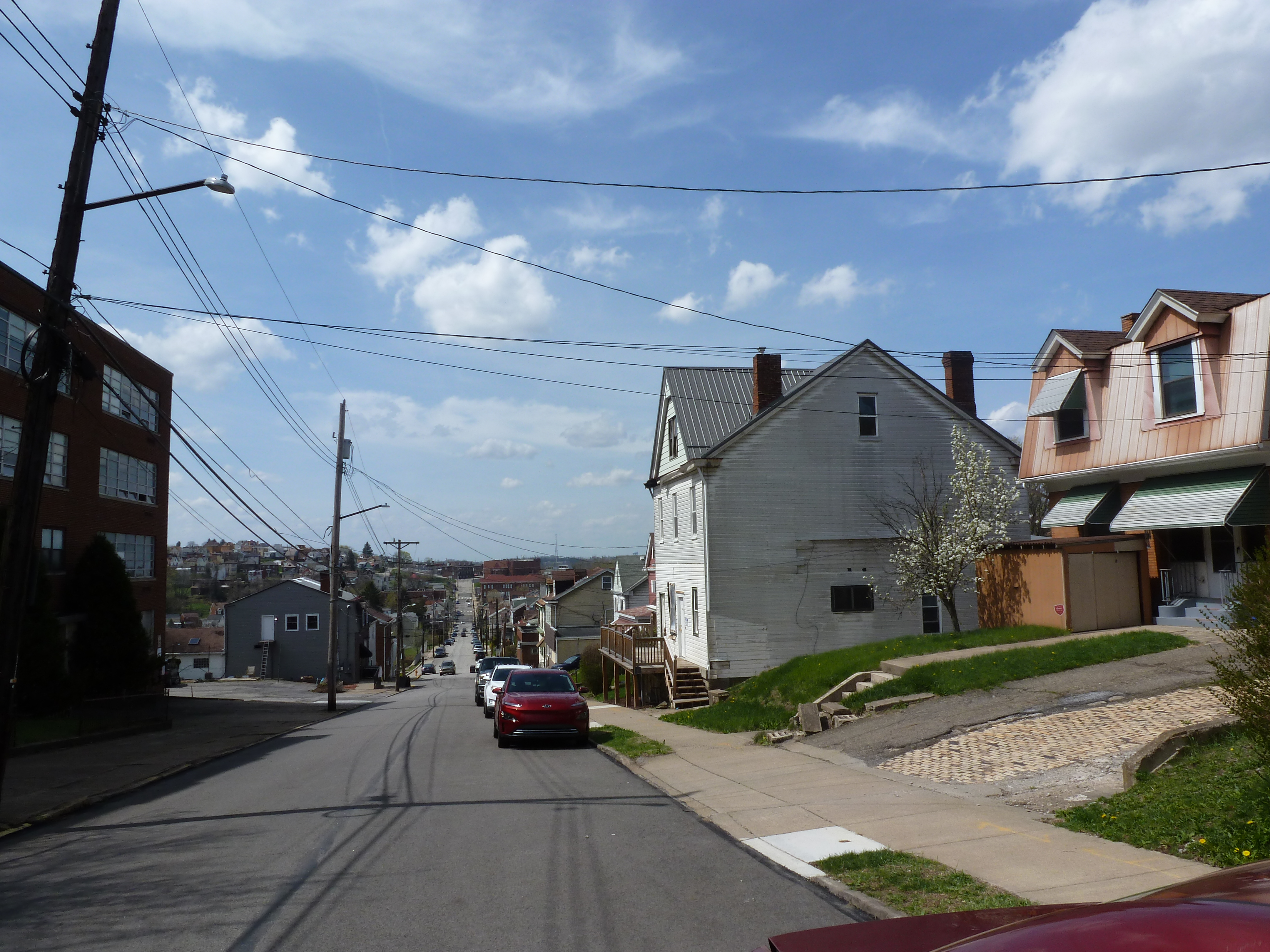
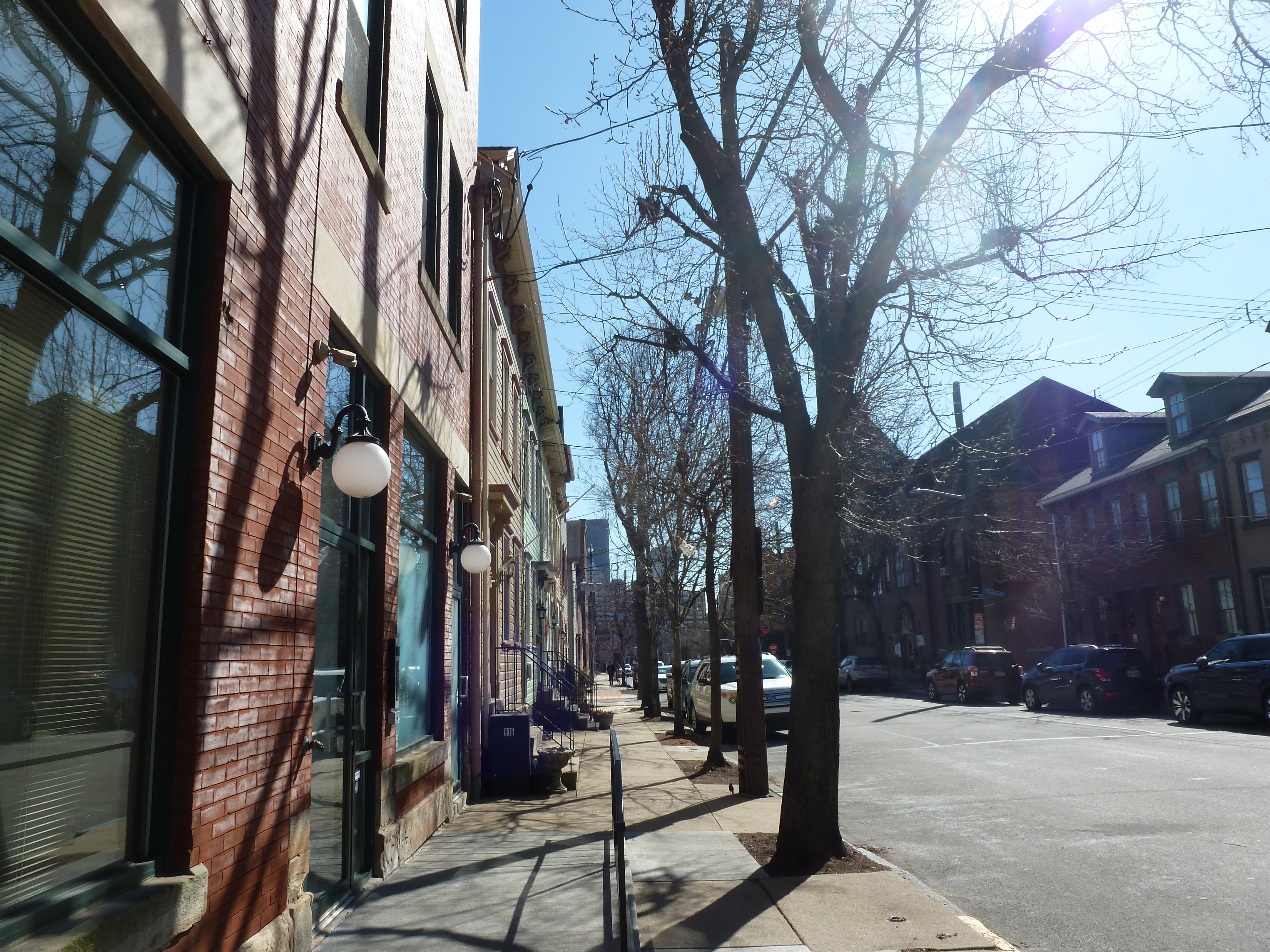
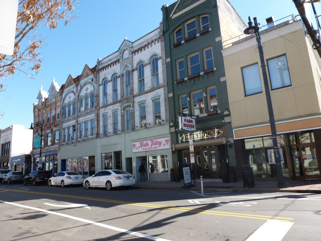
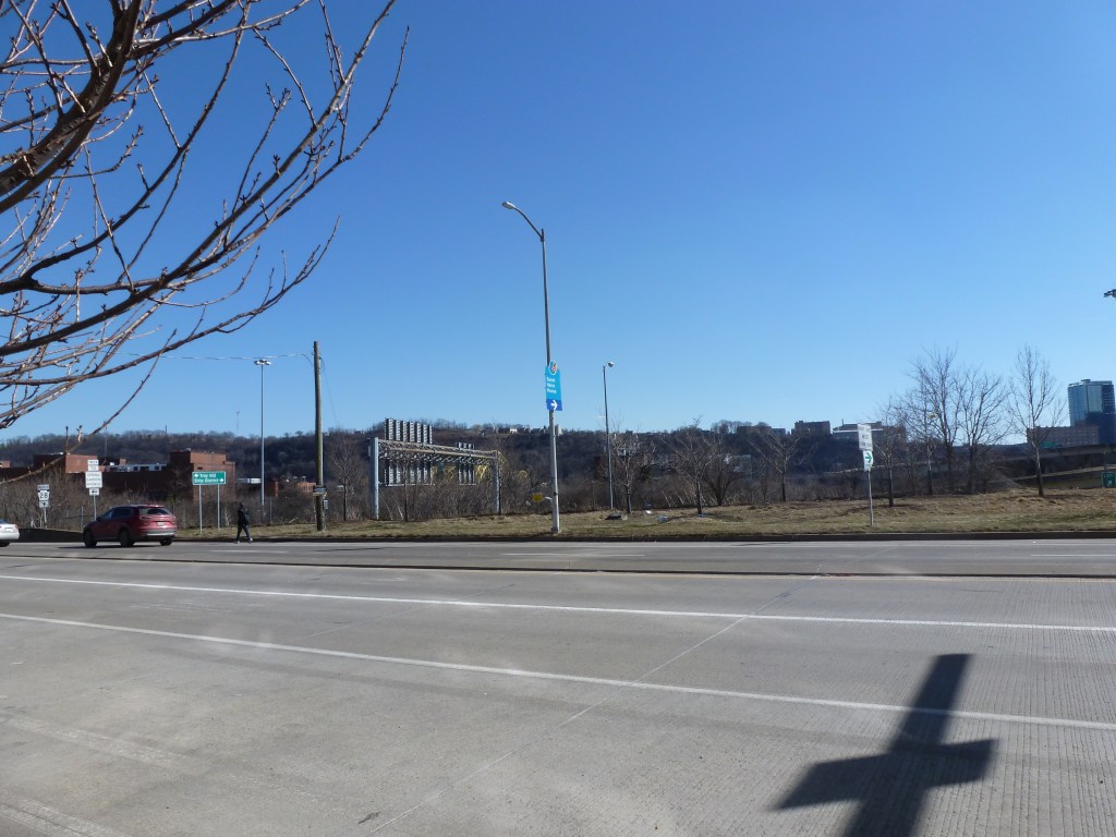
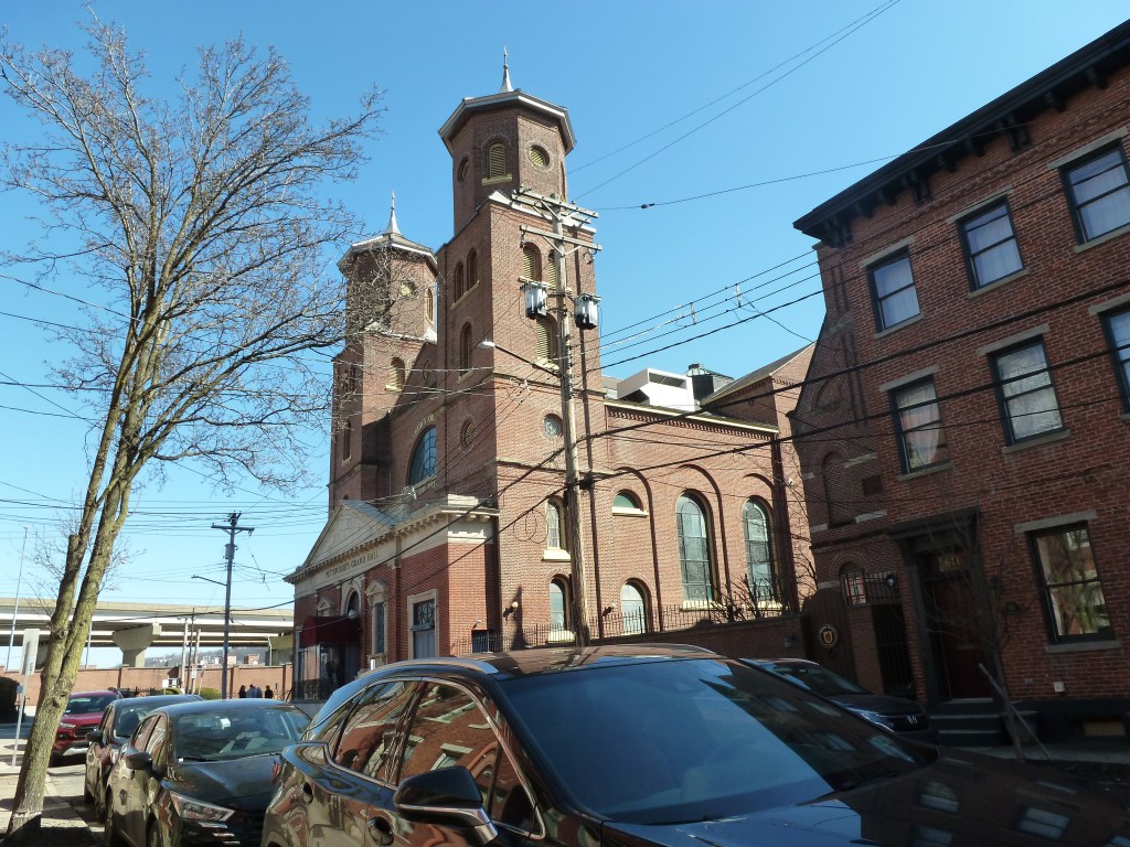
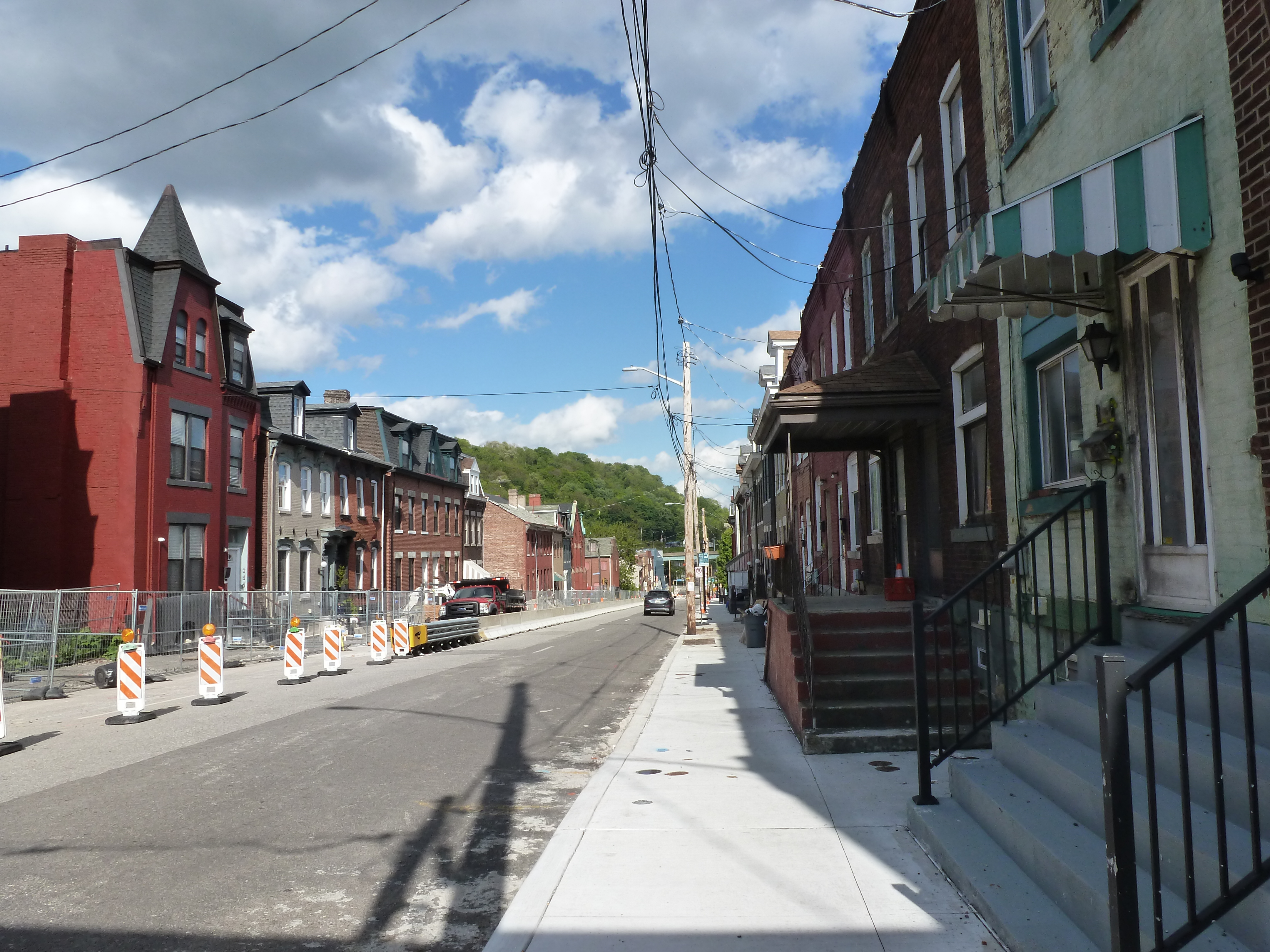
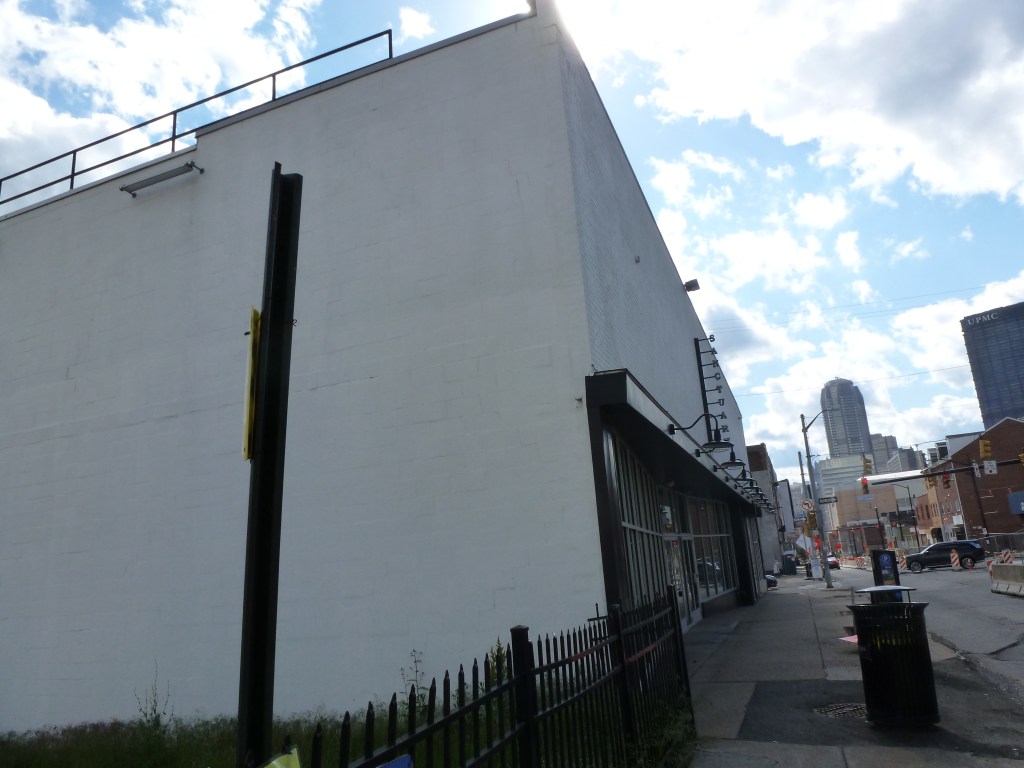
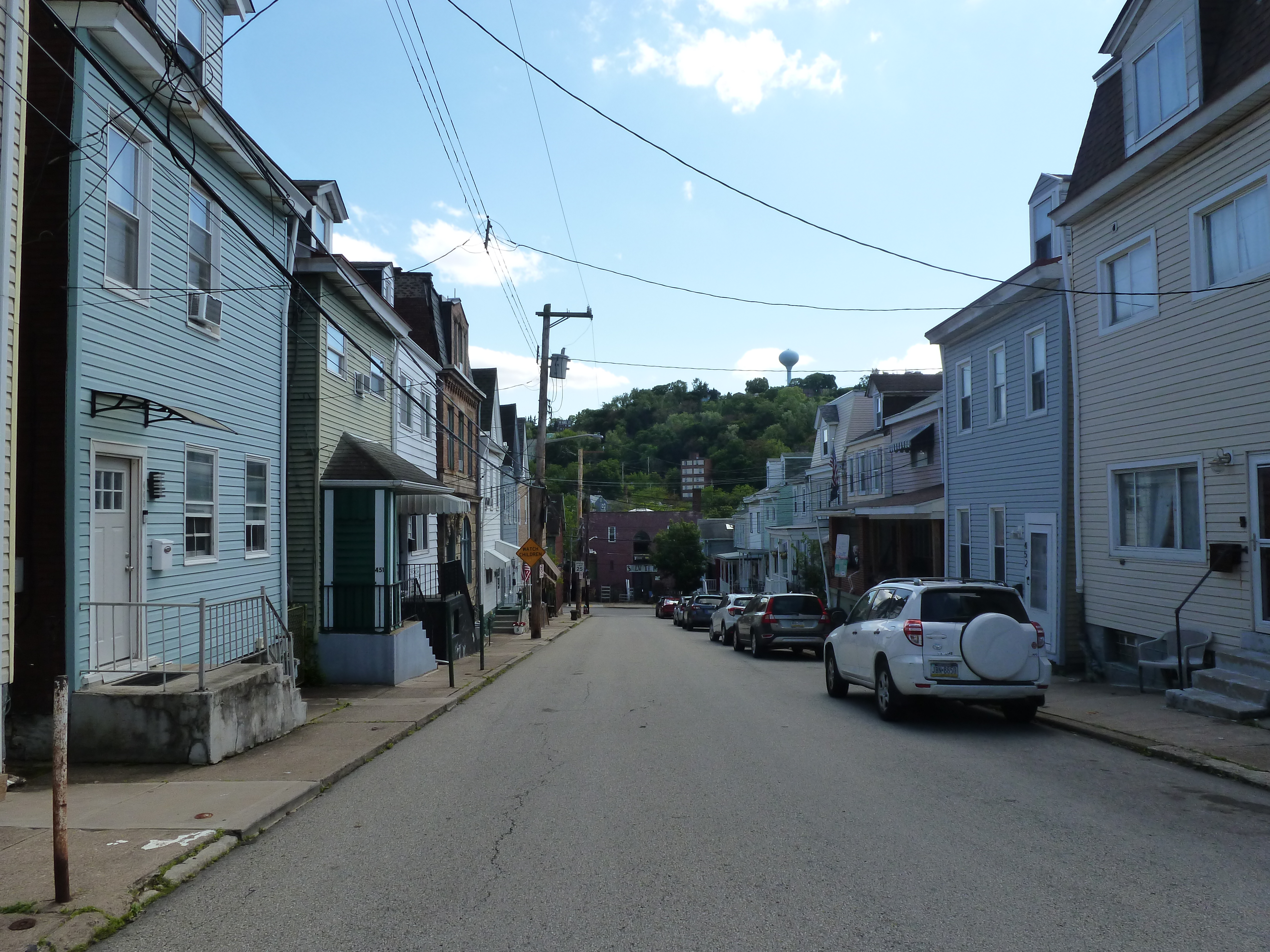
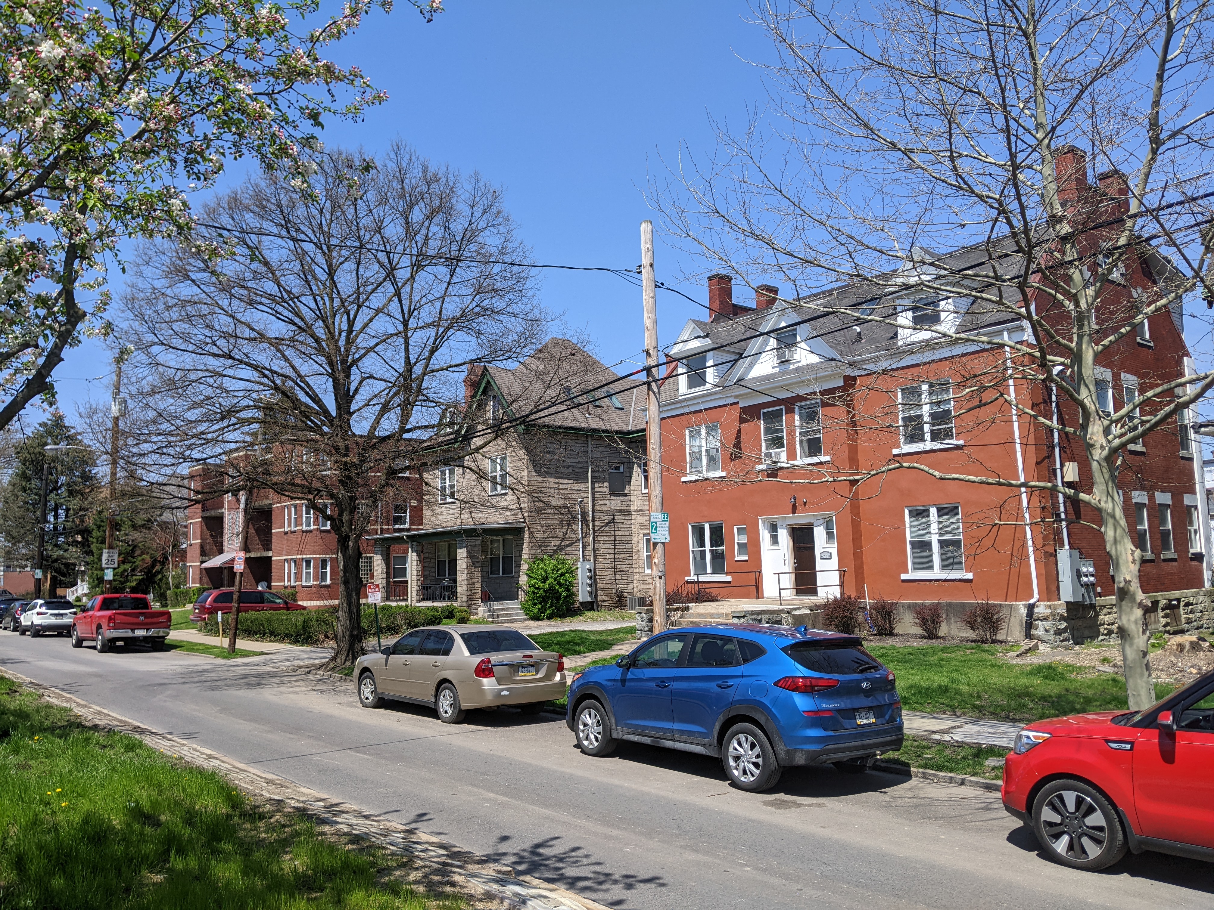
View of West North Avenue, Allegheny West

Allegheny West Neighborhood

Allegheny West is a neighborhood that features a blend of stability and destruction in its built environment.

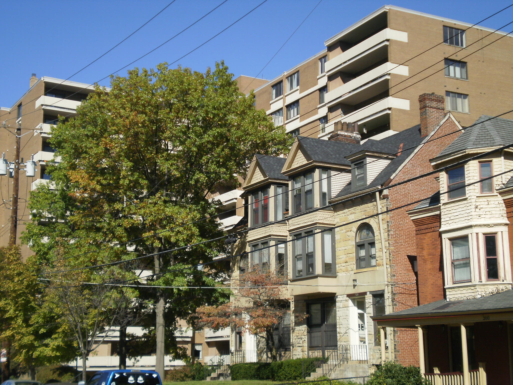
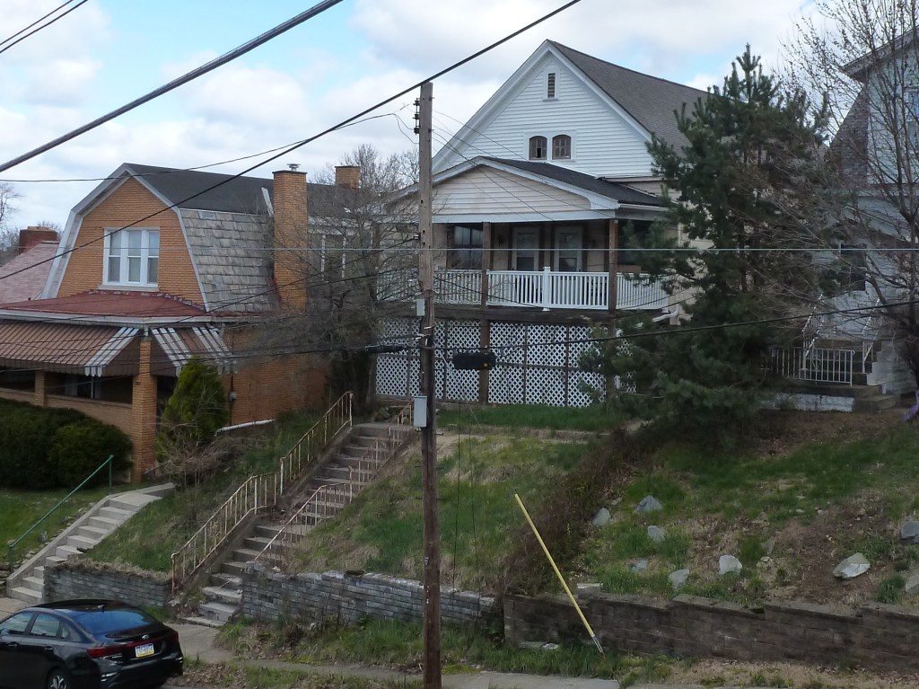
Allegheny City’s Millionaires Row once occupied this part of town. It is a dense neighborhood, with a mix of uses. While the houses are frequently attached, many have front porches that provide a buffer from the street. Architectural ornamentation is common and the sidewalks are often paved in brick.

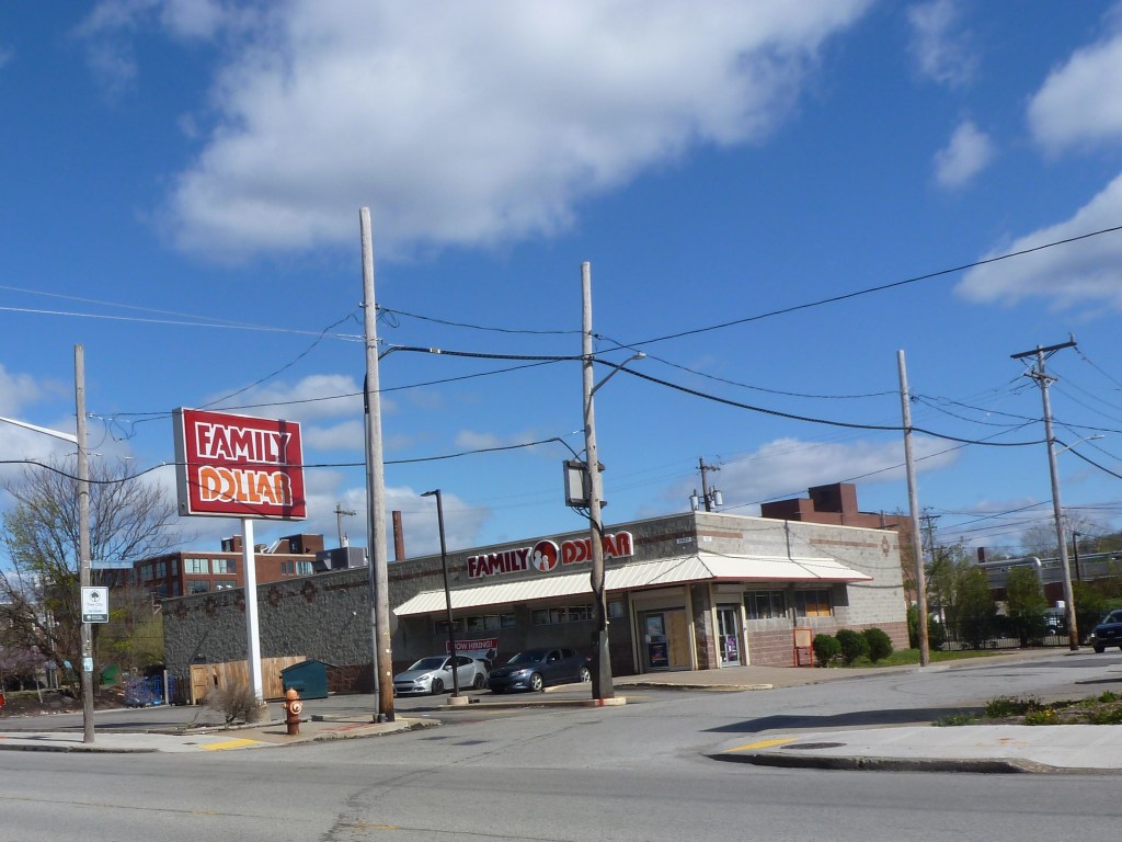
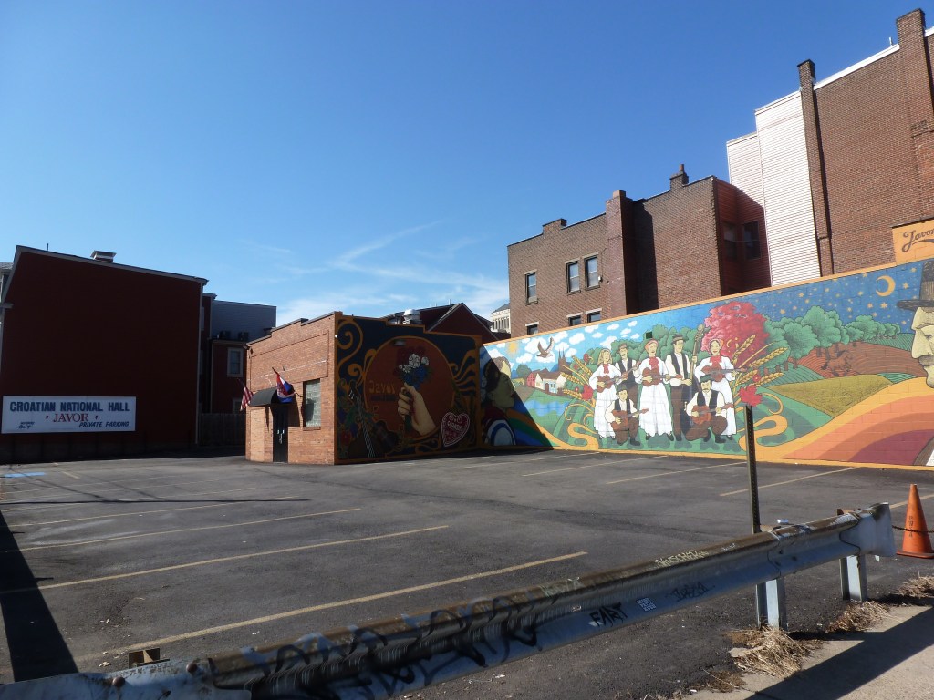
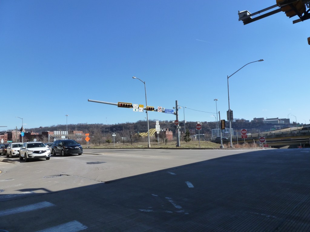
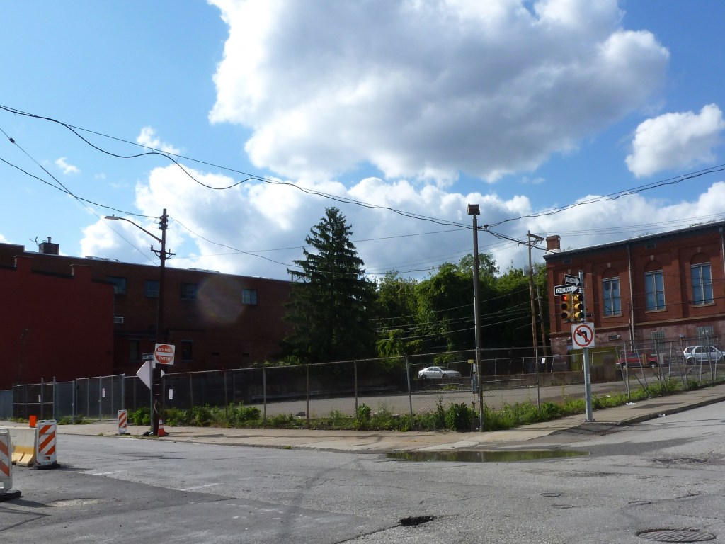
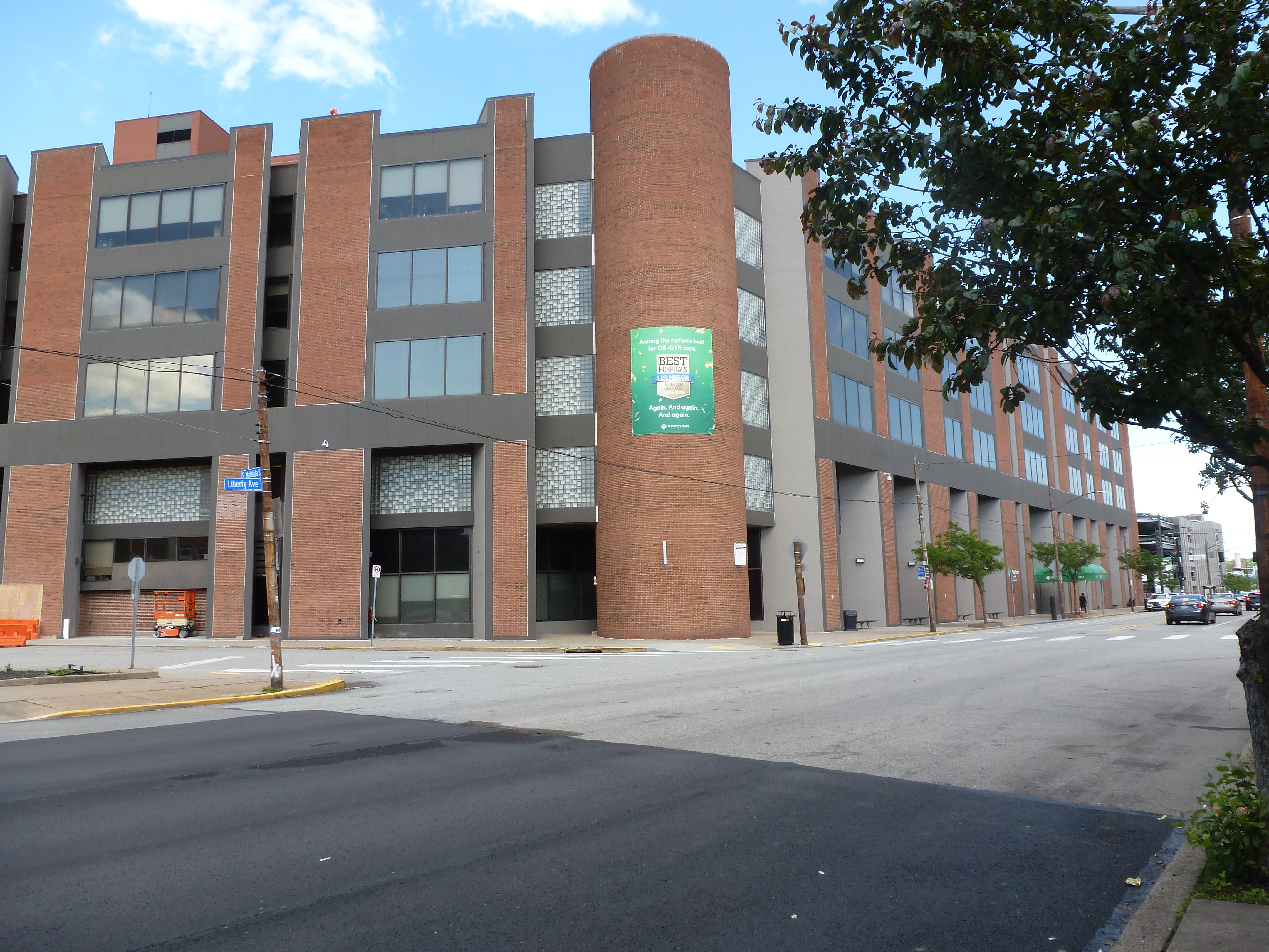
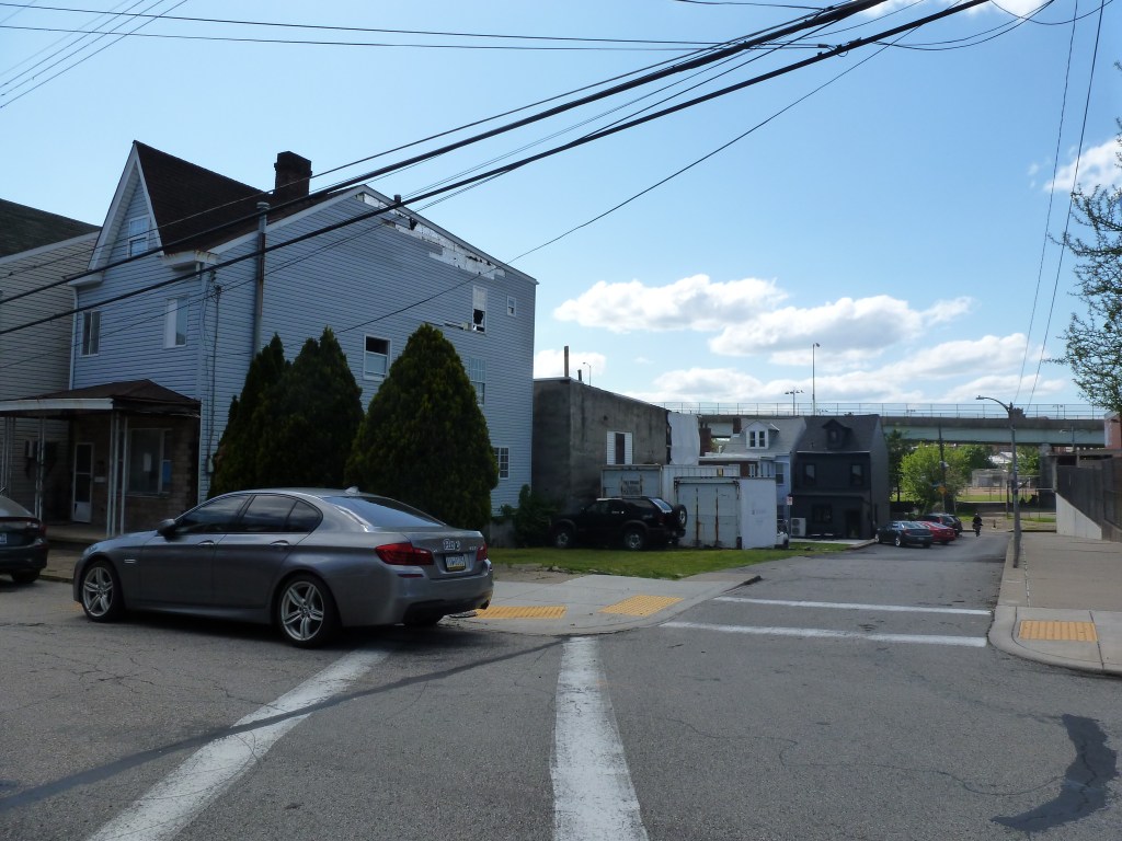
Parts of the neighborhood were impacted by “urban renewal.” The southern portion, between Ridge Avenue and the railroads, was designated as a “renewal” area on behalf of the community college. In 1970, the project was just getting started. It was projected that 10 families and 25 individuals would need to be relocated to make way for the community college campus. A few other areas of the neighborhood north of Ridge Avenue have also seen block-scale demolition and redevelopment into parking lots, warehouses, and a fast food restaurant.

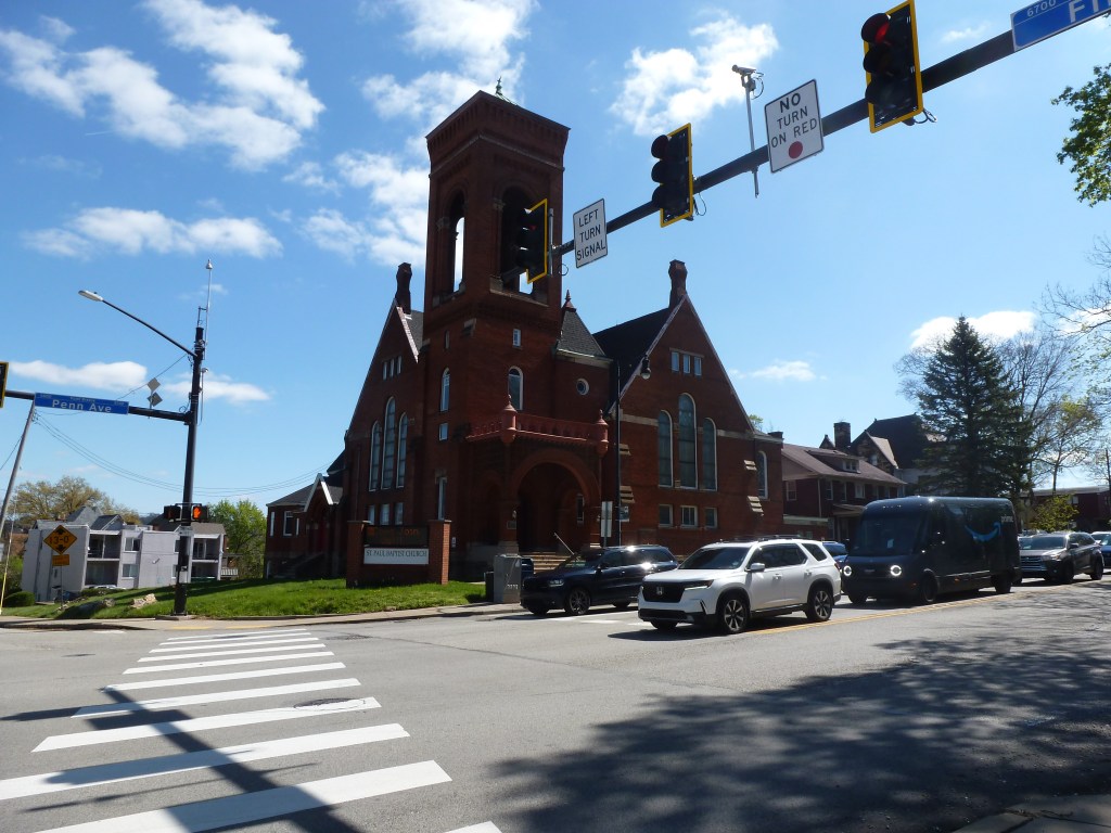
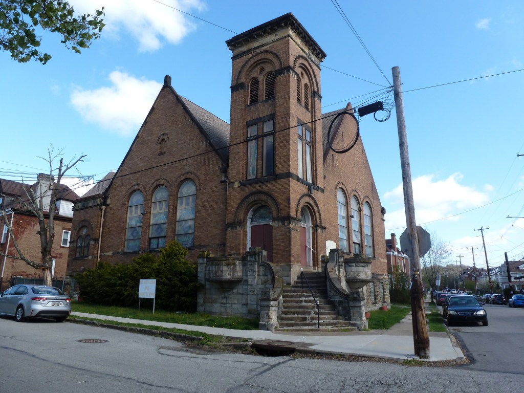
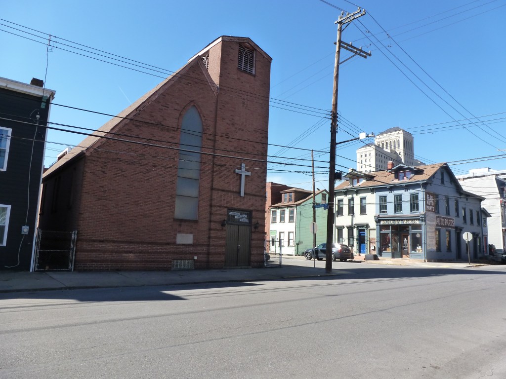
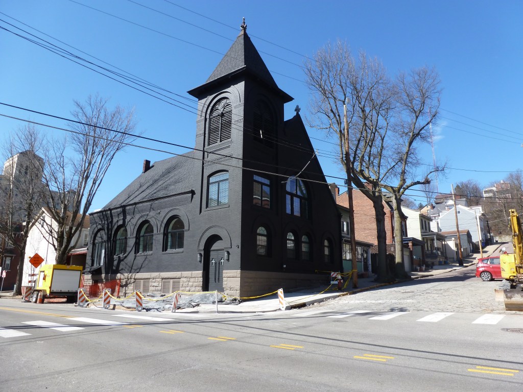
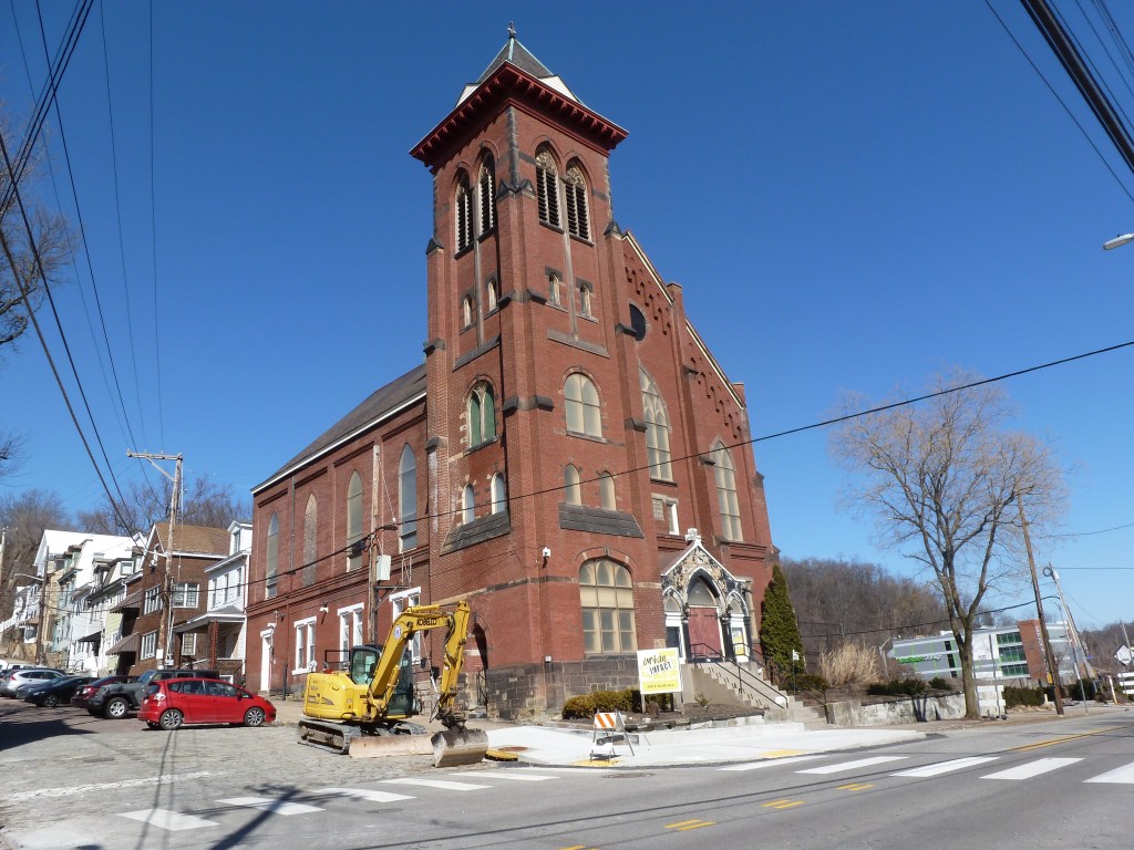
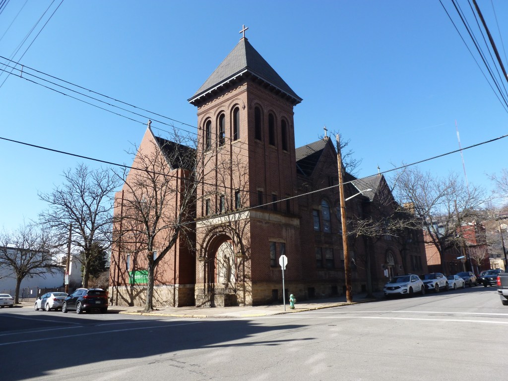
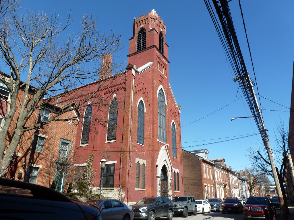
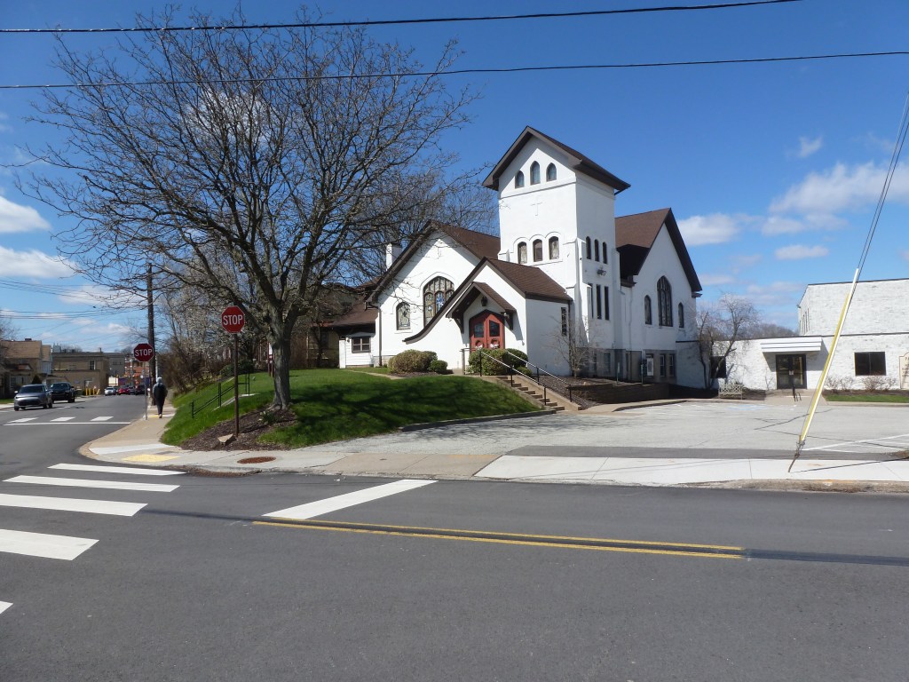
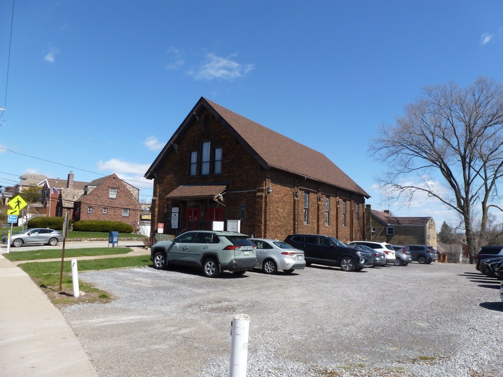
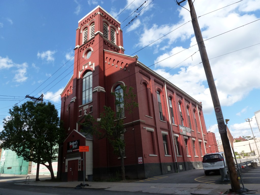
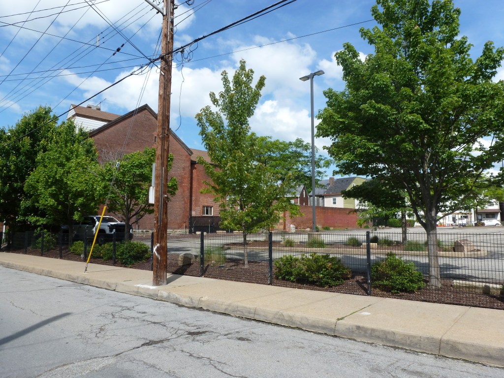
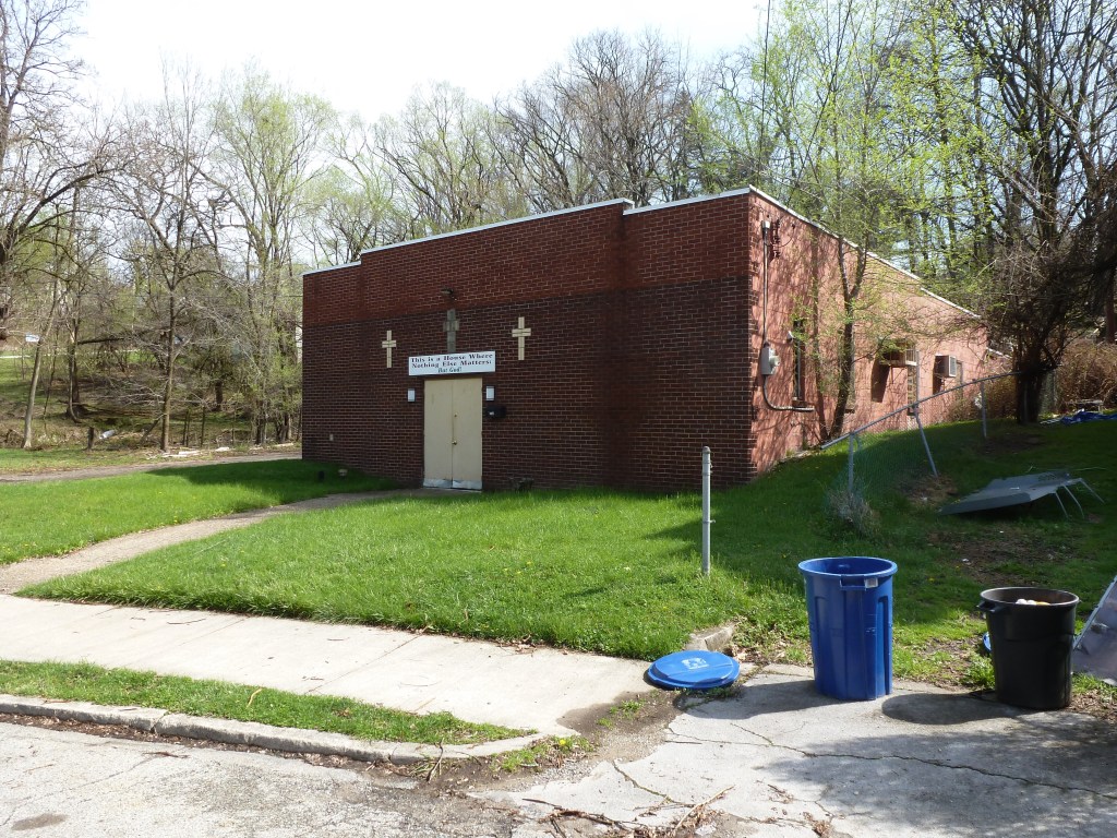
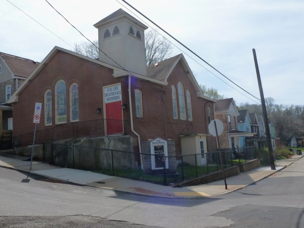
One of the buildings from the congregations listed in the 1926 Polk Directory was lost through these smaller demolition/redevelopments. The other two buildings remain intact with the same congregations.

Neighborhood Statistics (Out of 70 in this Series)

  • 68th largest by acreage
  • 45th highest number of sites (multi-way tie)
  • 16th most sites/acre

Locations

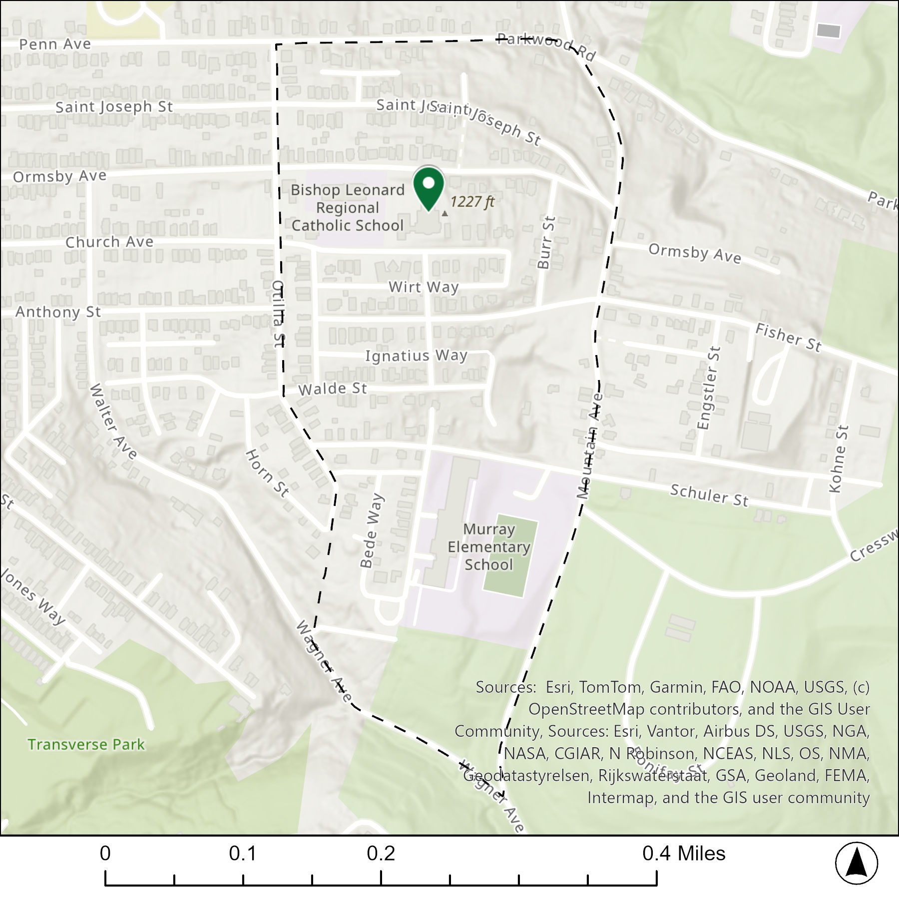
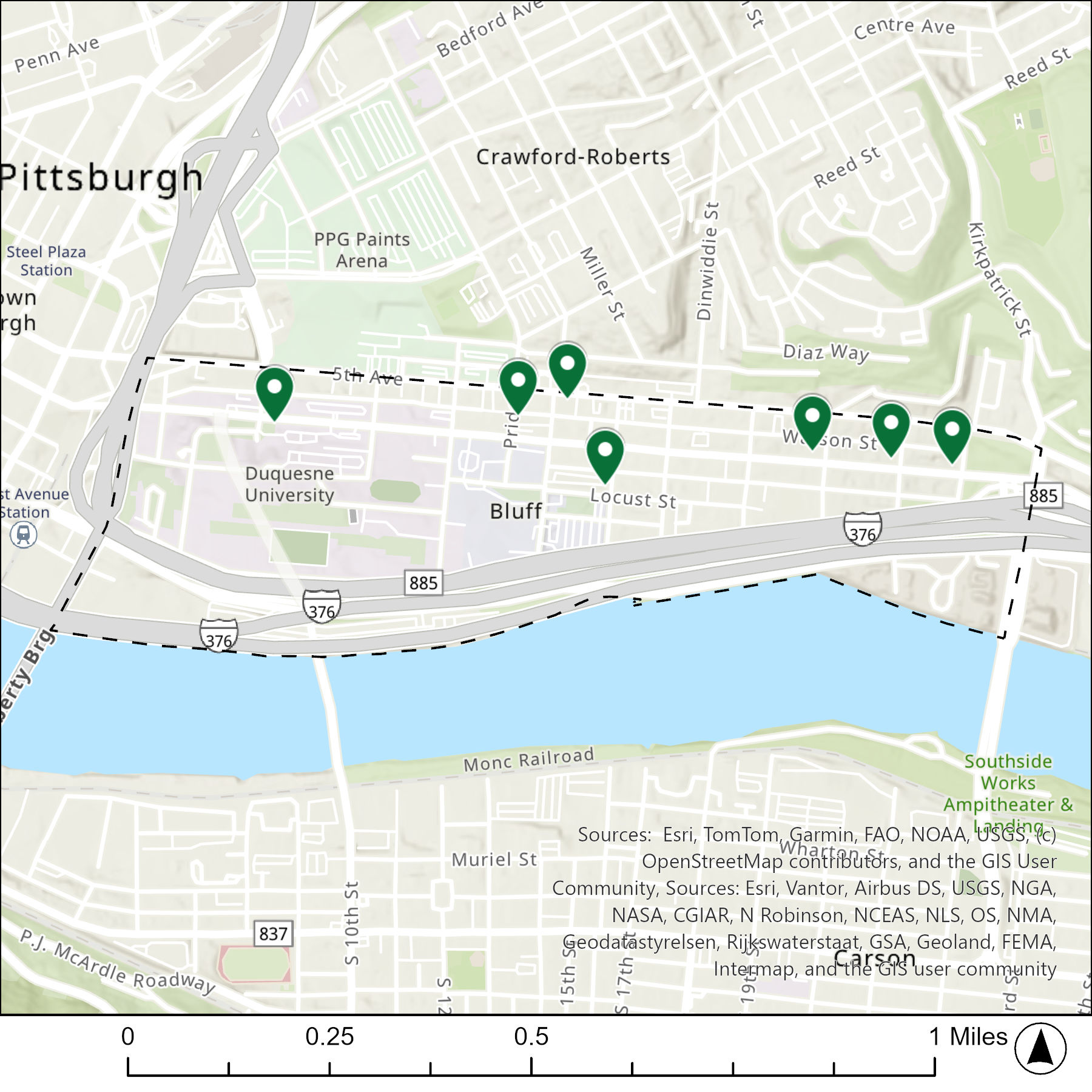
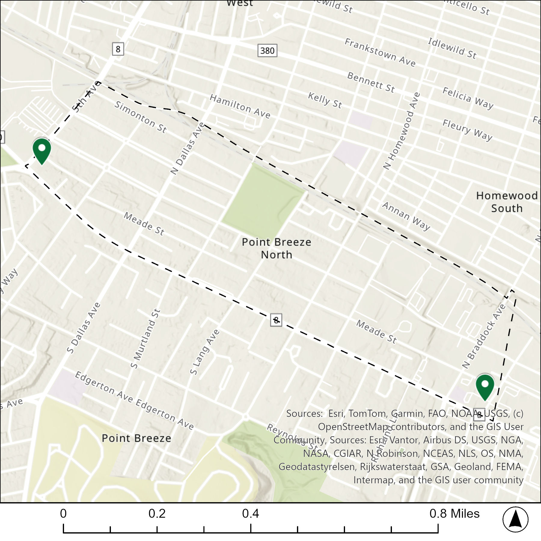
The map below shows the locations of the 3 congregations listed in the 1926 directory for Allegheny West (the dotted line marks the neighborhood boundary).
What are they now?

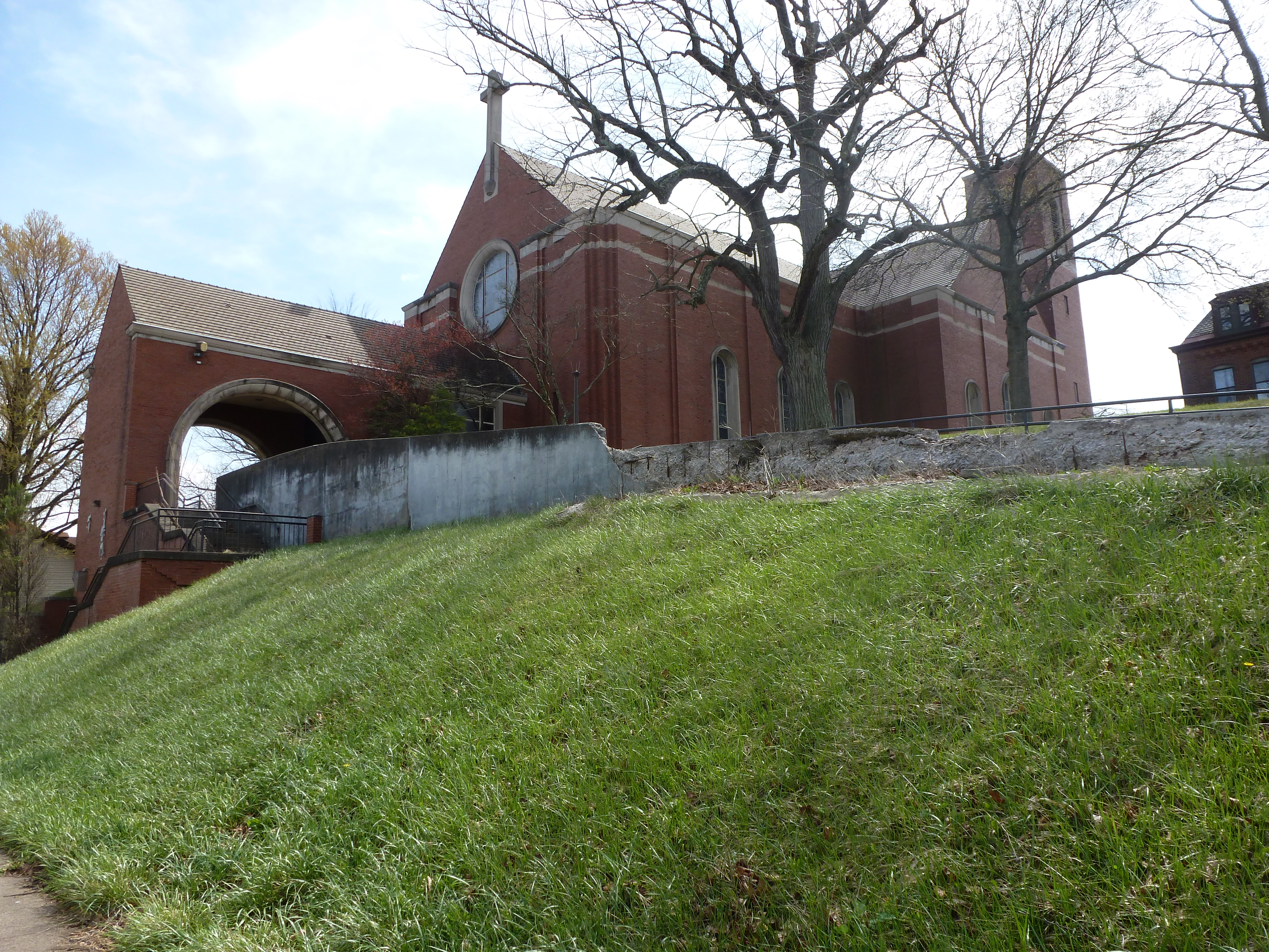
The table below matches the 3 congregations listed in the 1926 directory with the current use of the site.

1926 Congregation NameBy 2026 the Congregation’s Building is:
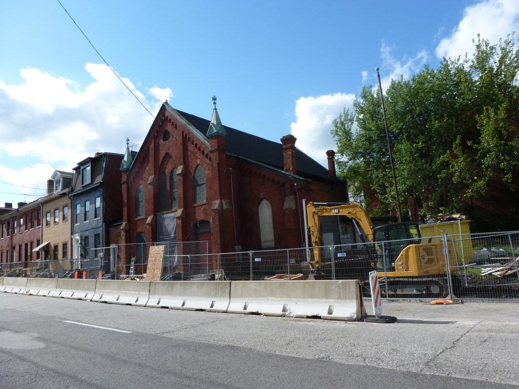
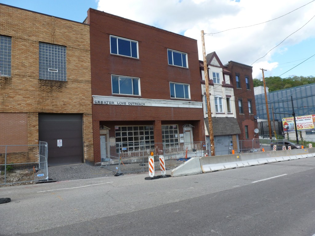
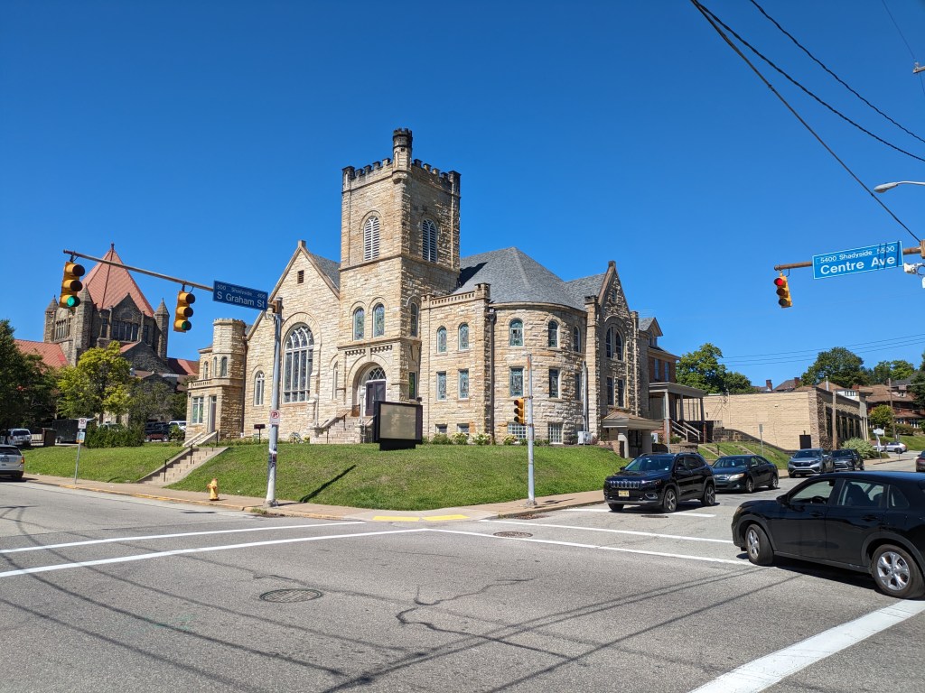
Calvary Methodist Episcopal Churchstill Calvary Methodist Episcopal Church
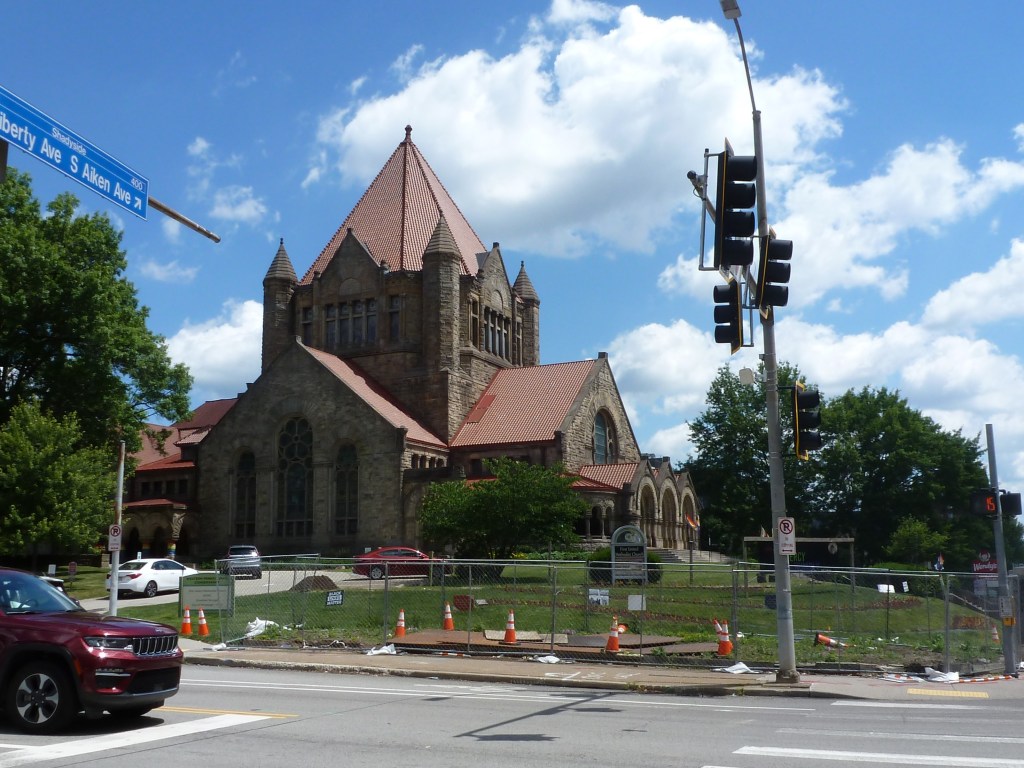
Emmanuel Episcopal Churchstill Emmanuel Episcopal Church
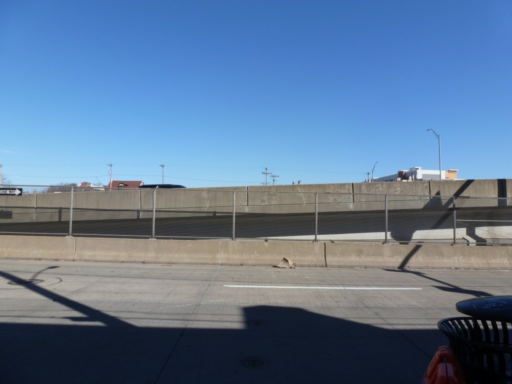
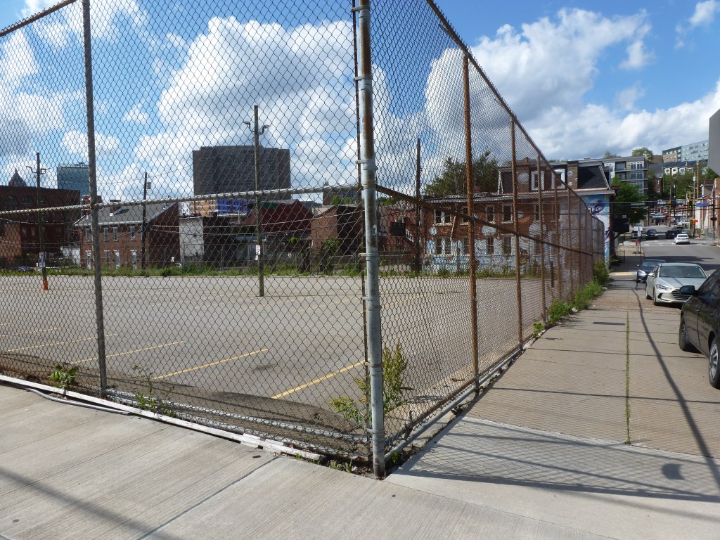
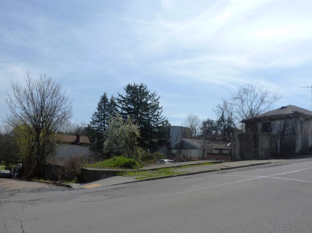
North Presbyterian Churchreplaced with a parking lot

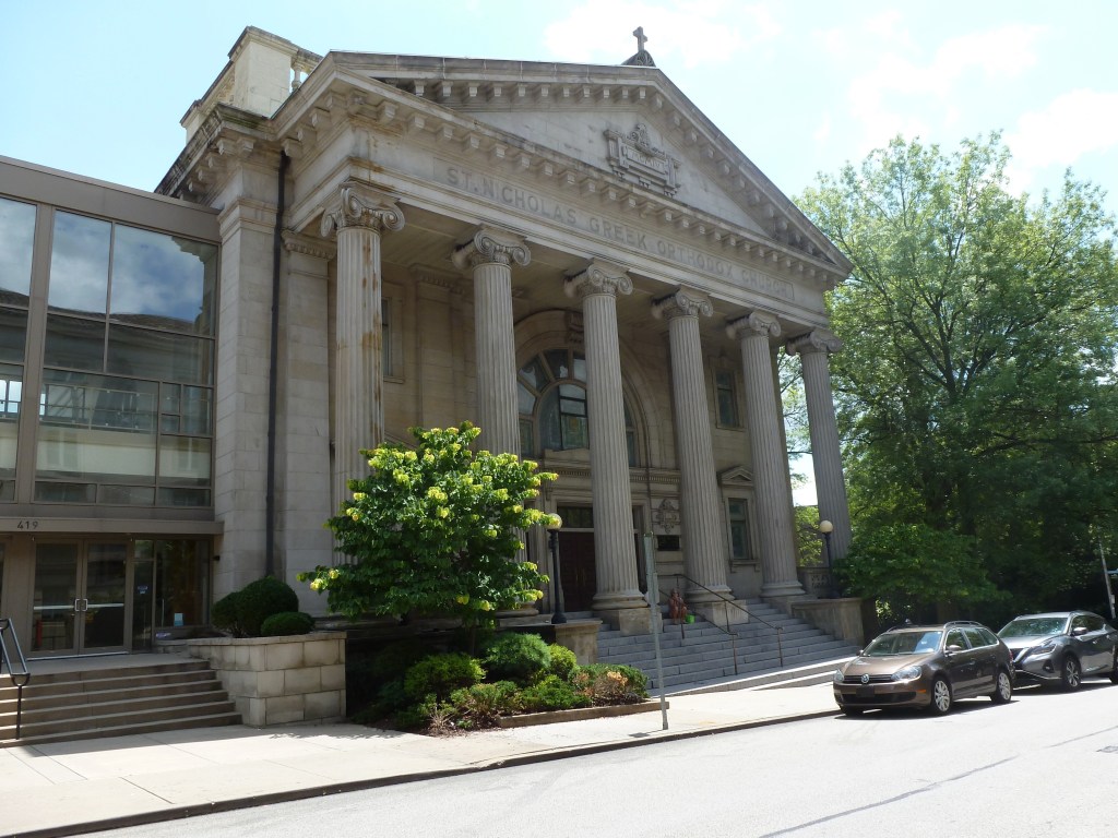
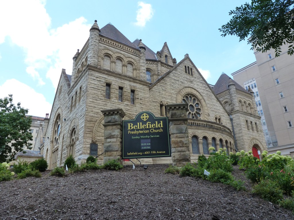
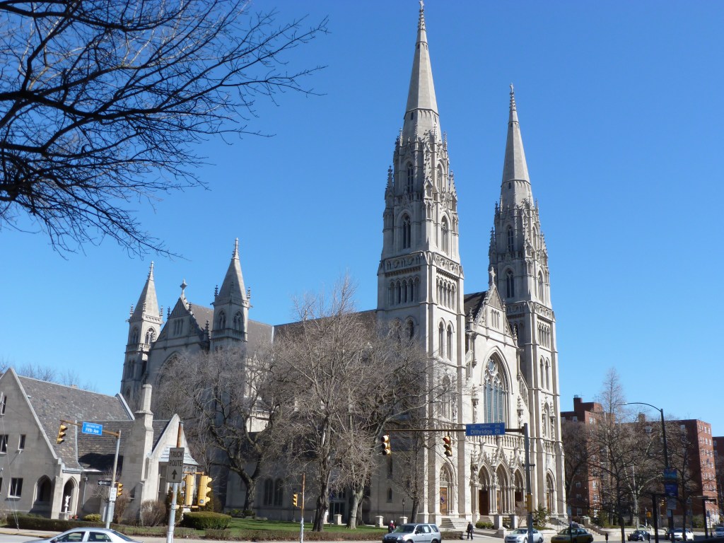
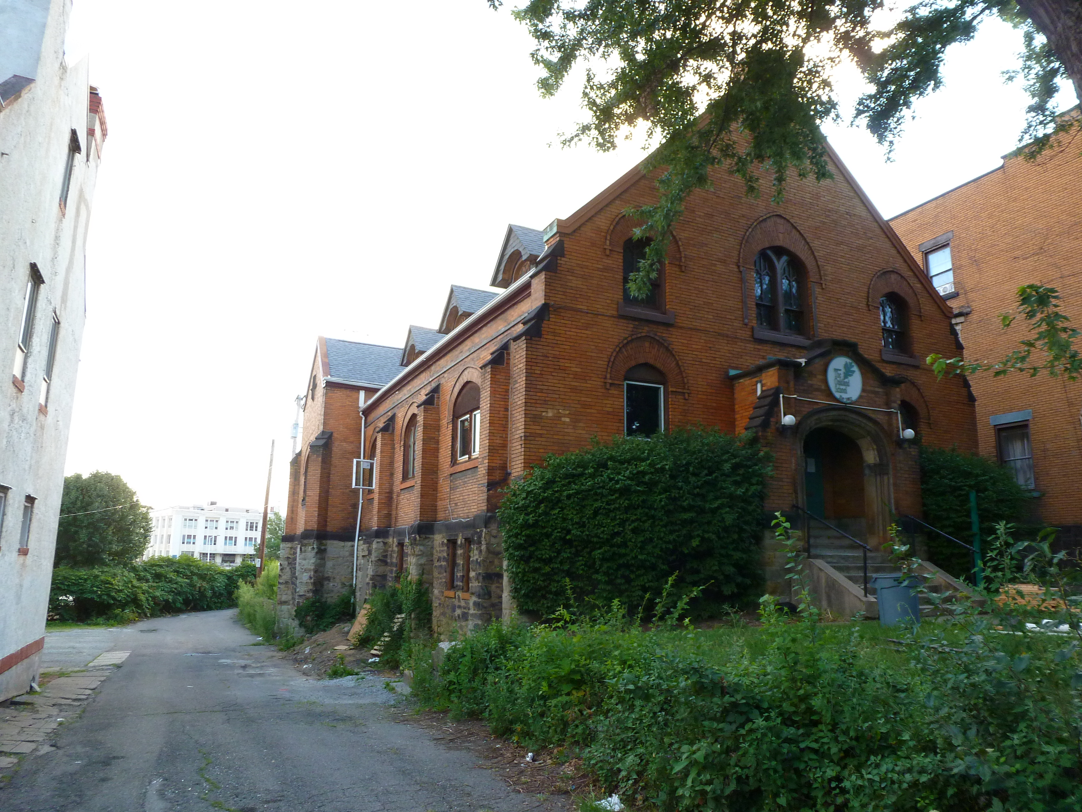
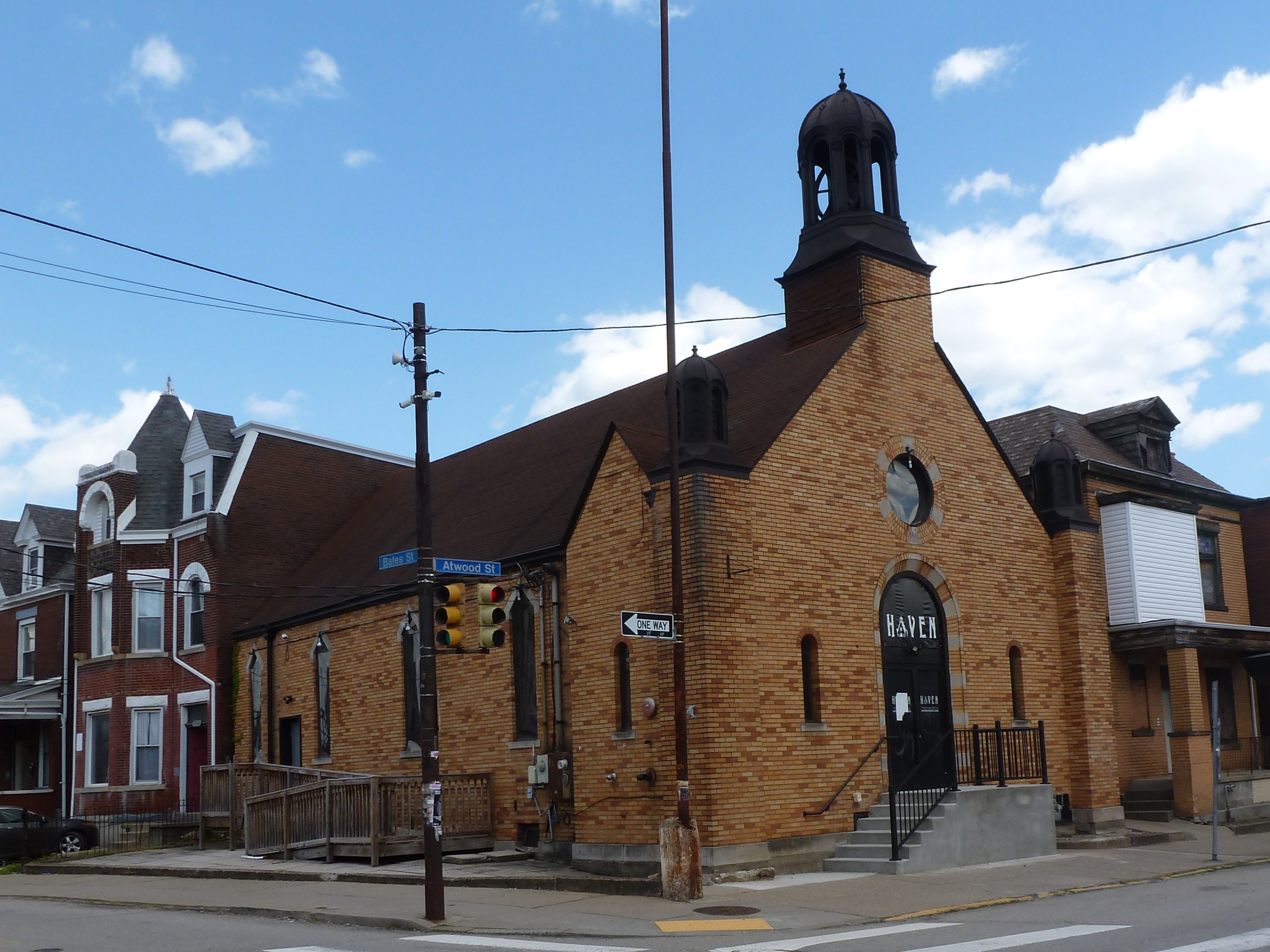
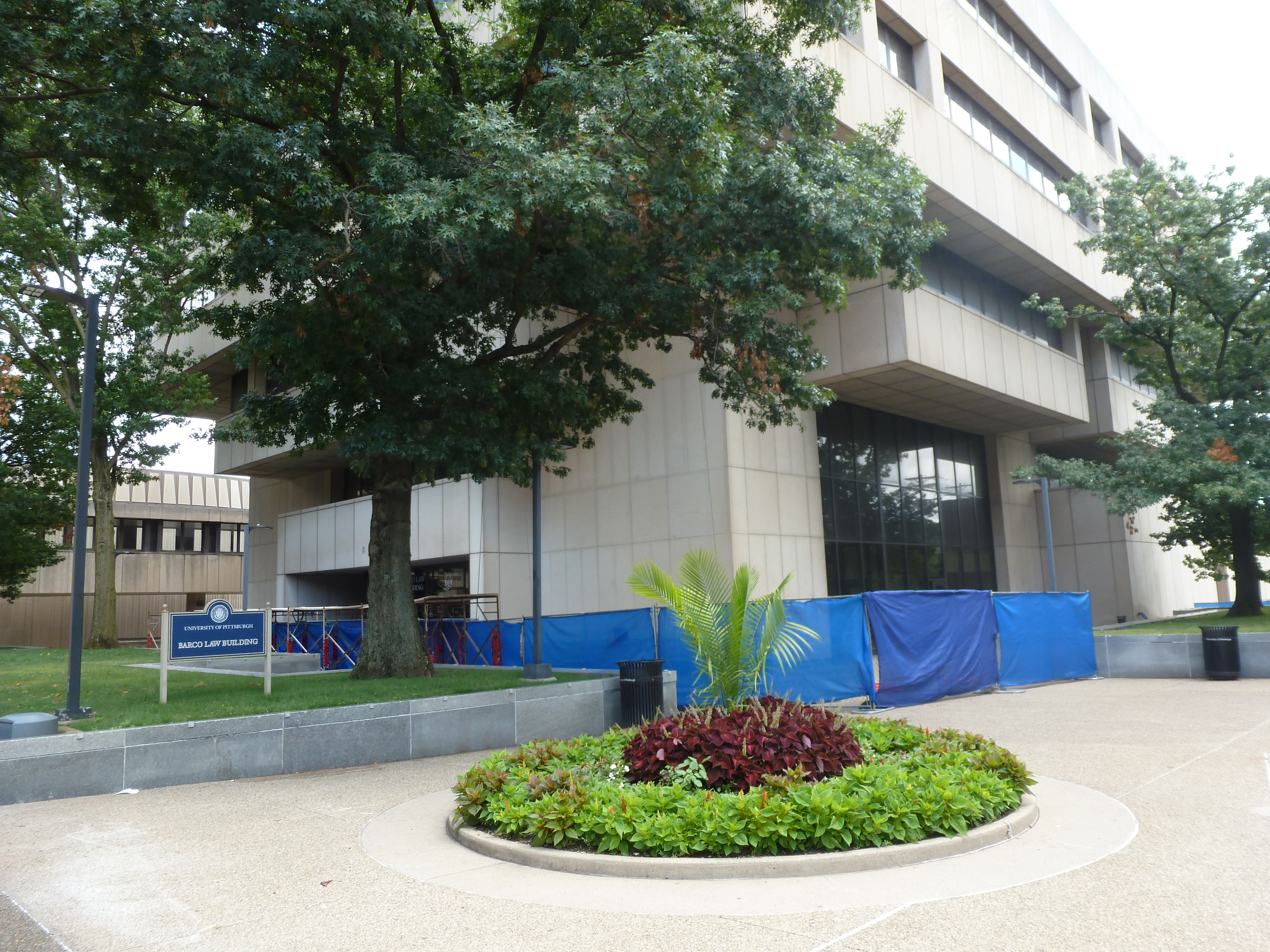
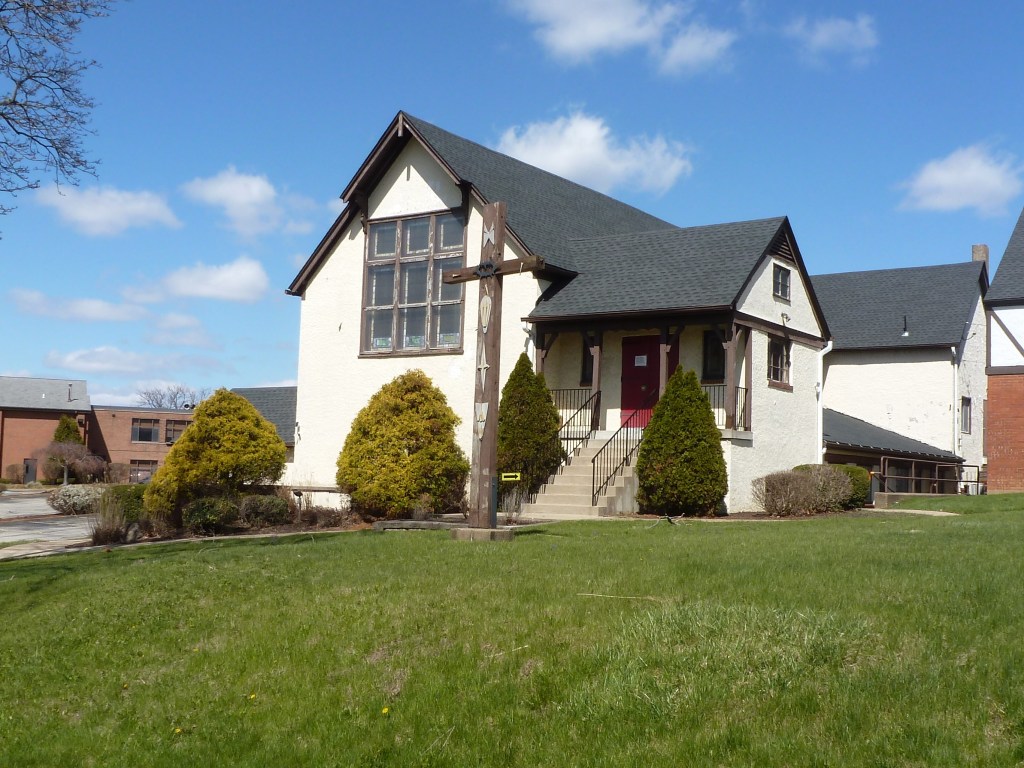
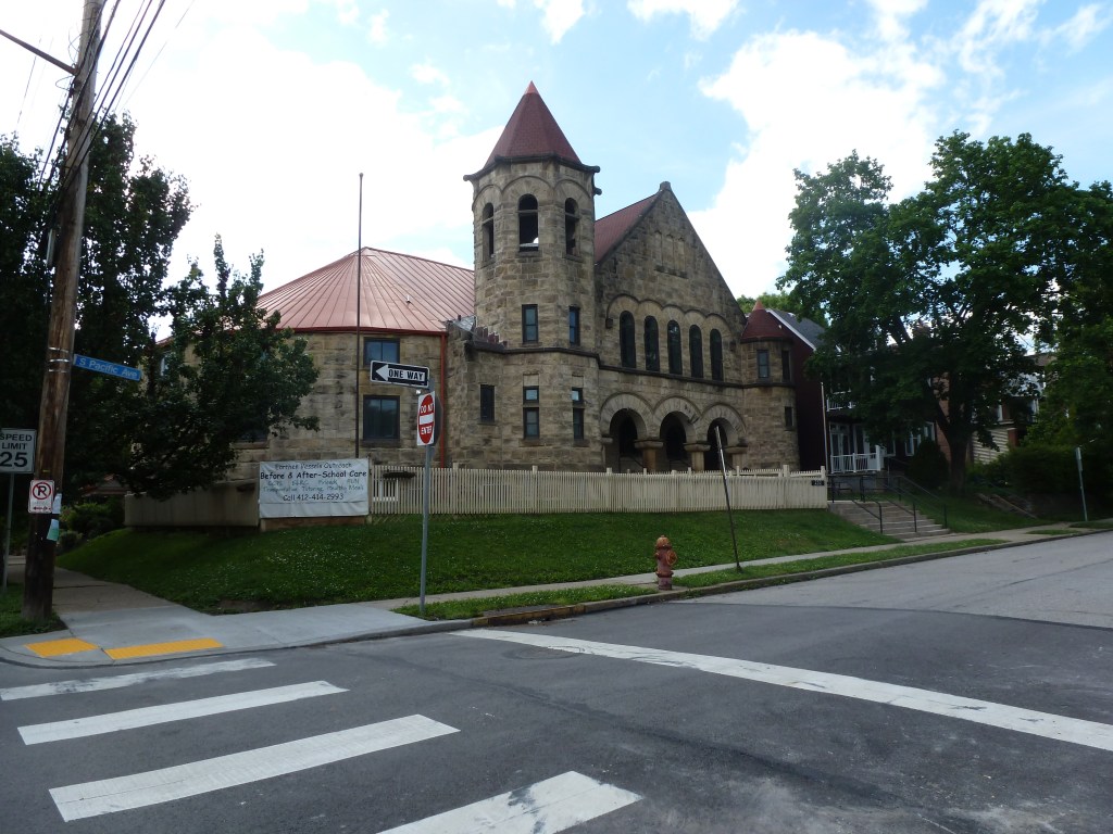
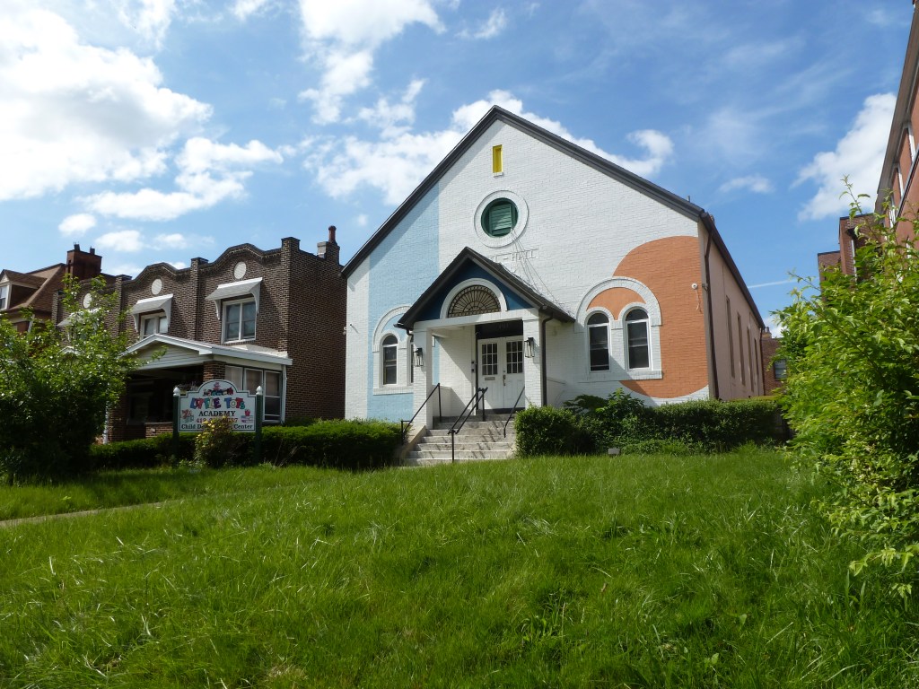
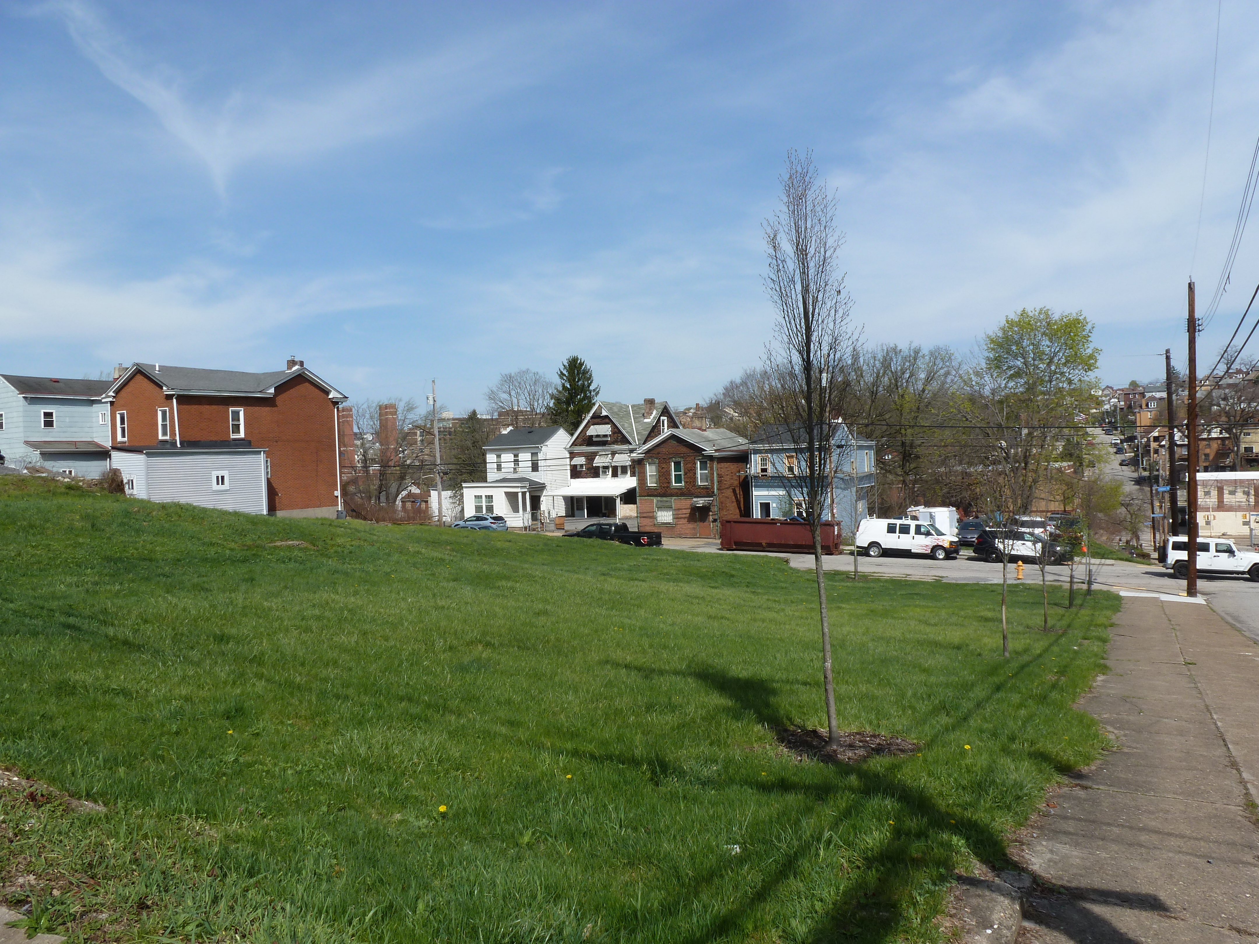
Photos


For more on this series, visit our introductory post.


Sources:

Pittsburgh Department of City Planning. A Development and Renewal Program for Pittsburgh, Summary Documentation, Pittsburgh Community Renewal Program. Pittsburgh, 1970. https://pittsburgharchives.access.preservica.com/uncategorized/IO_d1f07da0-9303-4aee-a162-04c83a0eaaa0/

Polk’s Pittsburgh City Directory, 1926. Pittsburgh: R. L. Polk & Co. https://digital.library.pitt.edu/islandora/object/pitt%3A31735056286846/viewer#page/4/mode/1up
Then & Now 1926-2026: Allegheny Center Religious Buildings

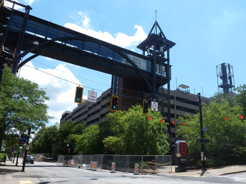
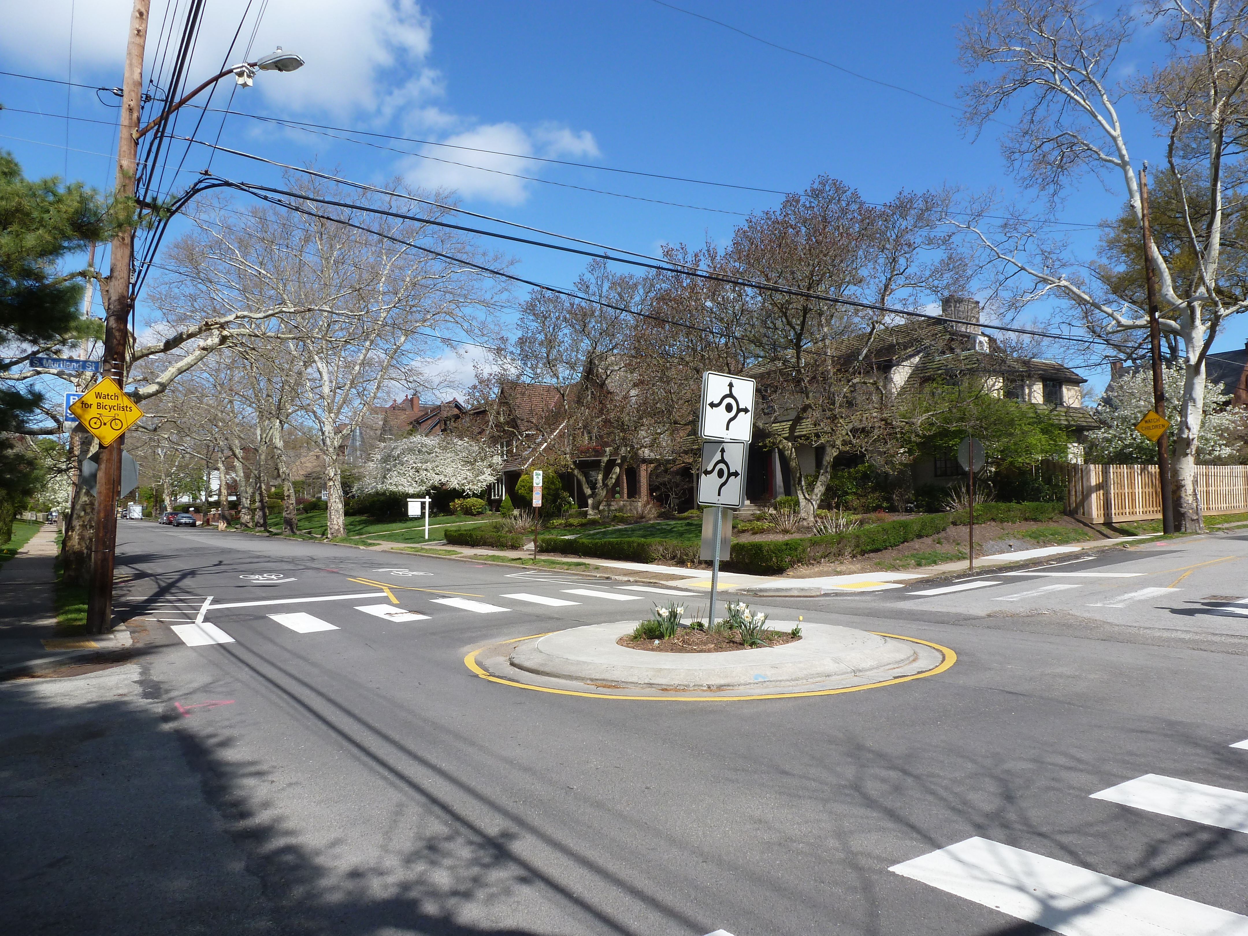
View of the pedestrian mall, Allegheny Center

Allegheny Center Neighborhood

Reconstructing a neighborhood that has been almost completely reconfigured is difficult. Pittsburgh’s Allegheny Center neighborhood was once the center of Allegheny City, which was annexed by Pittsburgh in 1907. In the 1800s and first half on the 1900s, the heart of this bustling city was 36 blocks of dense, walkable, mixed-use activity. Most of the buildings and streets of these blocks were erased in the 1960s and 1970s when the City of Pittsburgh and the Urban Redevelopment Authority led a major, federally-funded, “urban renewal” project in the neighborhood. Four existing streets were converted into a one-way ring road, while most of the other streets were erased or converted to pedestrian plazas. The buildings were mostly demolished and replaced by parking lots and mid- to high-rise buildings within the ring road and parking lots and housing complexes outside the ring road.

To facilitate this “renewal,” 376 families, 1161 individuals, and 598 businesses were relocated outside the neighborhood by 1970. Unsurprisingly, given the scope and extent of this displacement in the name of renewal, only one of the buildings used by the 22 congregations listed in the 1926 directory survives. What is surprising is that a former parish house survives, which helped locate the former locations of several of the church buildings that used to sit nearby.

Neighborhood Statistics (Out of the 70 in this series)

  • 64th largest by acreage
  • 4th highest number of religious sites
  • 2nd most sites/acre

Locations

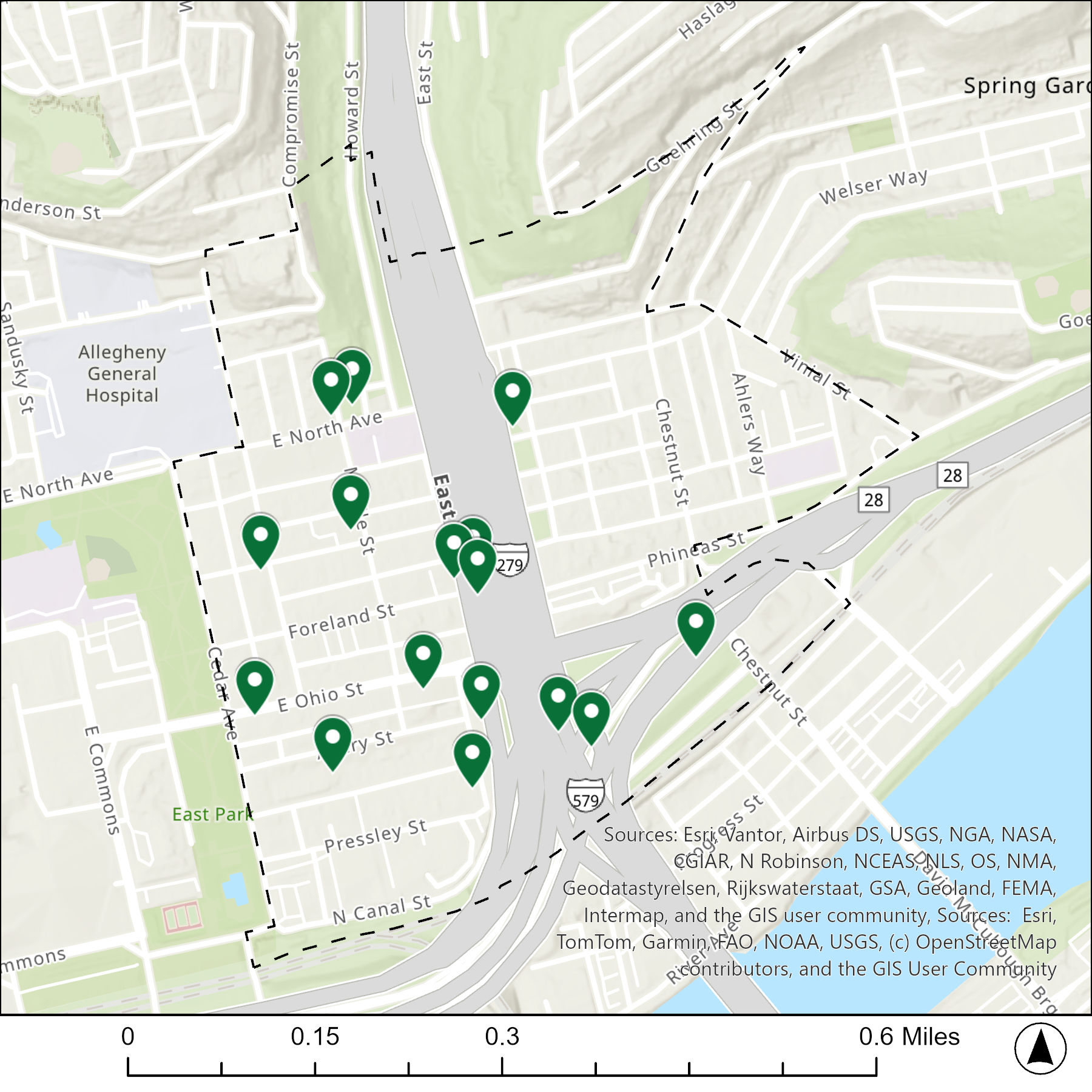
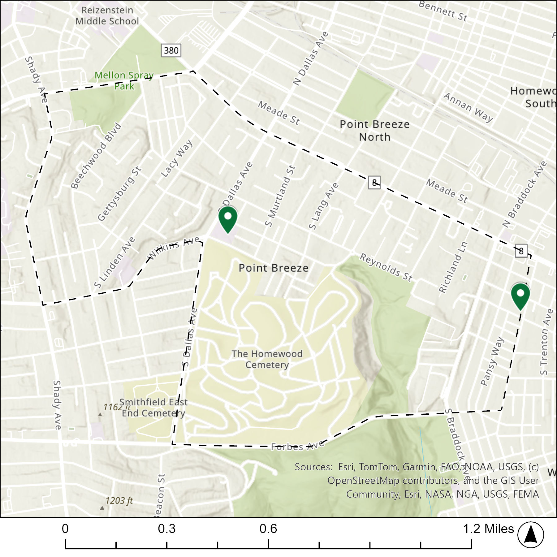
The map below shows the locations of the 22 congregations listed in the 1926 directory for Allegheny Center (the dotted line marks the neighborhood boundary). Note that there are only 20 pins because three congregations apparently shared the same space.

What are they now?

The table below matches the 22 congregations listed in the 1926 directory with the current use of the site.

1926 Congregation NameBy 2026 the Congregation’s Building is:
Arch Street Methodist Episcopal Churchreplaced with a parking lot
Central Presbyterian Churchreplaced with a community service building
Central Reformed Presbyterian Churchreplaced with a housing complex
Christ Episcopal Churchreplaced with a community service building
Church of the Soulreplaced with a parking lot
First Protestant Methodist Churchreplaced with a housing complex
First United Presbyterian Churchreplaced with a parking lot
First Allegheny Christian Churchreplaced with a small scale hospital
First Presbyterian Church of Alleghenyreplaced with a housing complex
Fourth United Presbyterian Churchreplaced with a park (tennis and basketball courts)
Fourth Spiritualistsreplaced with a parking lot
Gospel Tabernacle replaced with a parking lot
Metropolitan Church Missionreplaced with a parking lot
Ohio Street Episcopal Methodist Churchreplaced with a housing complex
Pentecostal Missionreplaced with a apartment building
Sandusky Street Baptist Churchreplaced with a parking lot
Second United Presbyterian Churchreplaced with a commercial building
Spiritualist Church of Truthreplaced with a housing complex
St. Cyprian Catholic Churchreplaced with a housing complex
St. Paul’s Evangelical Lutheran Churchreplaced with a school baseball diamond
St. Peter Catholic Churchstill St. Peter Catholic Church
Trinity Lutheran Churchreplaced with a commercial building

Photos


For more on this series, visit our introductory post.


Sources:

Pittsburgh Department of City Planning. A Development and Renewal Program for Pittsburgh, Summary Documentation, Pittsburgh Community Renewal Program. Pittsburgh, 1970. https://pittsburgharchives.access.preservica.com/uncategorized/IO_d1f07da0-9303-4aee-a162-04c83a0eaaa0/

Polk’s Pittsburgh City Directory, 1926. Pittsburgh: R. L. Polk & Co. https://digital.library.pitt.edu/islandora/object/pitt%3A31735056286846/viewer#page/4/mode/1up
Then & Now 1926-2026: Pittsburgh’s Religious Buildings

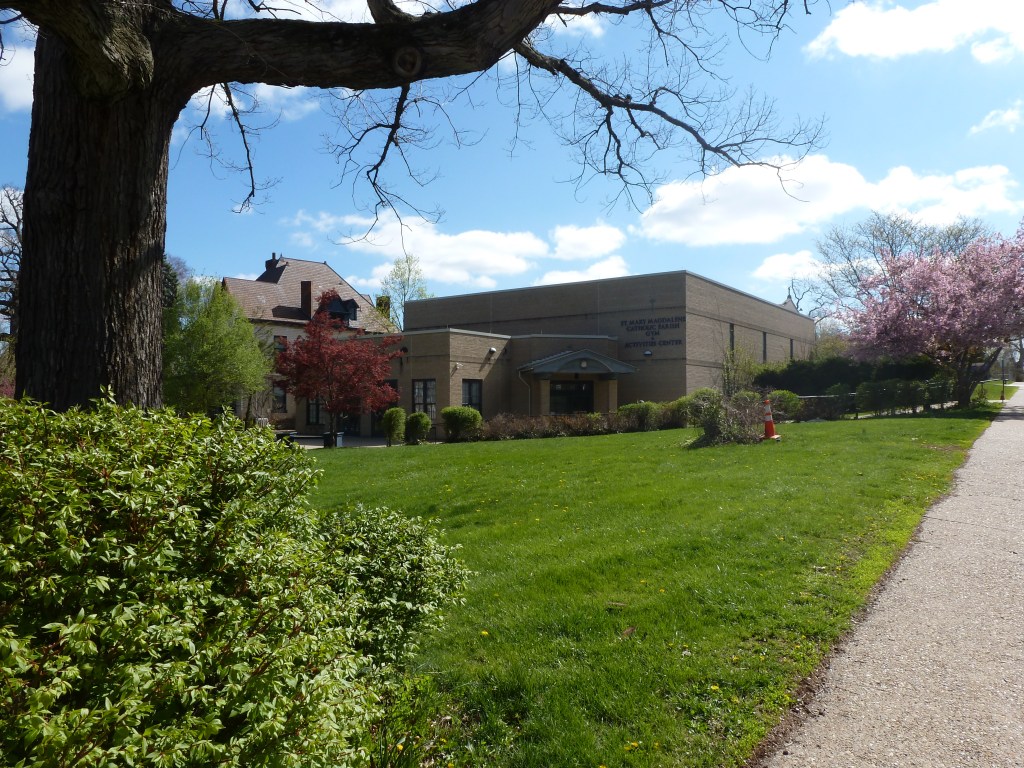
View of Pittsburgh from West End Overlook

Why Religious Buildings?

In 2010, as I travelled around different neighborhoods in Pittsburgh for work, school, and play, I began to notice a number of former religious buildings that were being used for secular purposes from child care to community centers to homes. Yet, I only heard people talk about one or two that made the news for the controversial way in which they were now used, particularly the brewpub that brewed in the former altar space. This inspired me to try to identify how many former religious buildings in Pittsburgh were being used for secular purposes and what those new uses were. While I have since learned that this is a moving target, I have become more and more fascinated about what these buildings tell us about the history of the city and the people who’ve lived here.

Eventually, I will write a book about Pittsburgh and its communities featuring Pittsburgh’s former religious buildings. In the meantime, I’m broadening the parameters of my research to gather information about former religious buildings that have been demolished or that sit vacant.

Why 1926?

The more I learn about 1926, the more it seems a significant moment in Pittsburgh’s history. It sits in the middle of the city’s final decade of significant population growth, which gets a boost from the numerous boroughs annexed that decade. The city’s boundary in 1926 only encompasses 85% of what will become the city’s full extent after the last annexation in 1955. While the City adopted zoning in 1923 with two types of residential districts (one for single-unit and two-unit dwellings and one for any number of units), in 1926, it added a third type of residential district for only single-unit dwellings.

Granted, given my day job, this last fact may be the reason I’ve become so focused on the year 1926. However, since we are now exactly 100 years later, it seems worth elevating 1926 and 2026 to another “Then & Now” series.

Scope of the Series

Polk’s Pittsburgh City Directory of 1926 identifies over 500 listings under the category “Churches.” Over the next couple of years, this Then & Now series will visit these sites by neighborhood to identify what they look like in 2026. I expect there will be 71 posts in this series occasionally interrupted by other posts, including the monthly public art posts and annual Bridge Madness series.

In 2026, there are 90 neighborhoods officially recognized by Pittsburgh’s Department of City Planning. Only 70 of these will be featured in this series. The others do not have religious sites that are listed in the 1926 city directory. This is because they were were largely undeveloped at that time, not yet annexed to the city, or both (parts of the neighborhood undeveloped and other parts not annexed).

  • Neighborhoods Featured in the Series
    • Allegheny Center
    • Allegheny West
    • Allentown
    • Arlington
    • Bedford Dwellings
    • Beechview
    • Beltzhoover
    • Bloomfield
    • Bluff
    • Brighton Heights
    • Brookline
    • California-Kirkbride
    • Central Business District
    • Central Lawrenceville
    • Central Northside
    • Central Oakland
    • Chateau
    • Crafton Heights
    • Crawford-Roberts
    • Duquesne Heights
    • East Allegheny
    • East Carnegie
    • East Hills
    • East Liberty
    • Elliott
    • Esplen
    • Fineview
    • Friendship
    • Garfield
    • Greenfield
    • Hazelwood
    • Highland Park
    • Homewood North
    • Homewood South
    • Homewood West
    • Larimer
    • Lincoln-Lemington-Belmar
    • Lower Lawrenceville
    • Manchester
    • Marshall-Shadeland
    • Middle Hill
    • Morningside
    • Mt. Oliver
    • Mt. Washington
    • North Oakland
    • North Shore
    • Perry North
    • Perry South
    • Point Breeze
    • Point Breeze North
    • Polish Hill
    • Shadyside
    • Sheraden
    • South Oakland
    • South Shore
    • South Side Flats
    • South Side Slopes
    • Spring Garden
    • Spring Hill-City View
    • Squirrel Hill North
    • Squirrel Hill South
    • Stanton Heights
    • Strip District
    • Swisshelm Park
    • Terrace Village
    • Troy Hill
    • Upper Hill
    • Upper Lawrenceville
    • West End
    • West Oakland
  • Neighborhoods Annexed after 1926
    • Carrick (1927)
    • Hays (1929 & 1951)
    • Knoxville (1927)
    • Lincoln Place (1929)
    • New Homestead (1931)
    • Northview Heights (1931)
    • Overbrook (1927)
  • Neighborhoods Largely Undeveloped in 1926
    • Arlington Heights
    • Bon Air
    • Chartiers City
    • Fairywood
    • Glen Hazel
    • Oakwood
    • Regent Square
    • Saint Clair
    • Windgap
  • Neighborhoods w/Portions Undeveloped in 1926 and Portions Annexed after 1926
    • Ridgemont (a portion annexed 1928)
    • Summer Hill (a portion annexed 1929)
    • Westwood (a portion annexed 1927)

Sources:

Polk’s Pittsburgh City Directory, 1926. Pittsburgh: R. L. Polk & Co. https://digital.library.pitt.edu/islandora/object/pitt%3A31735056286846/viewer#page/4/mode/1up