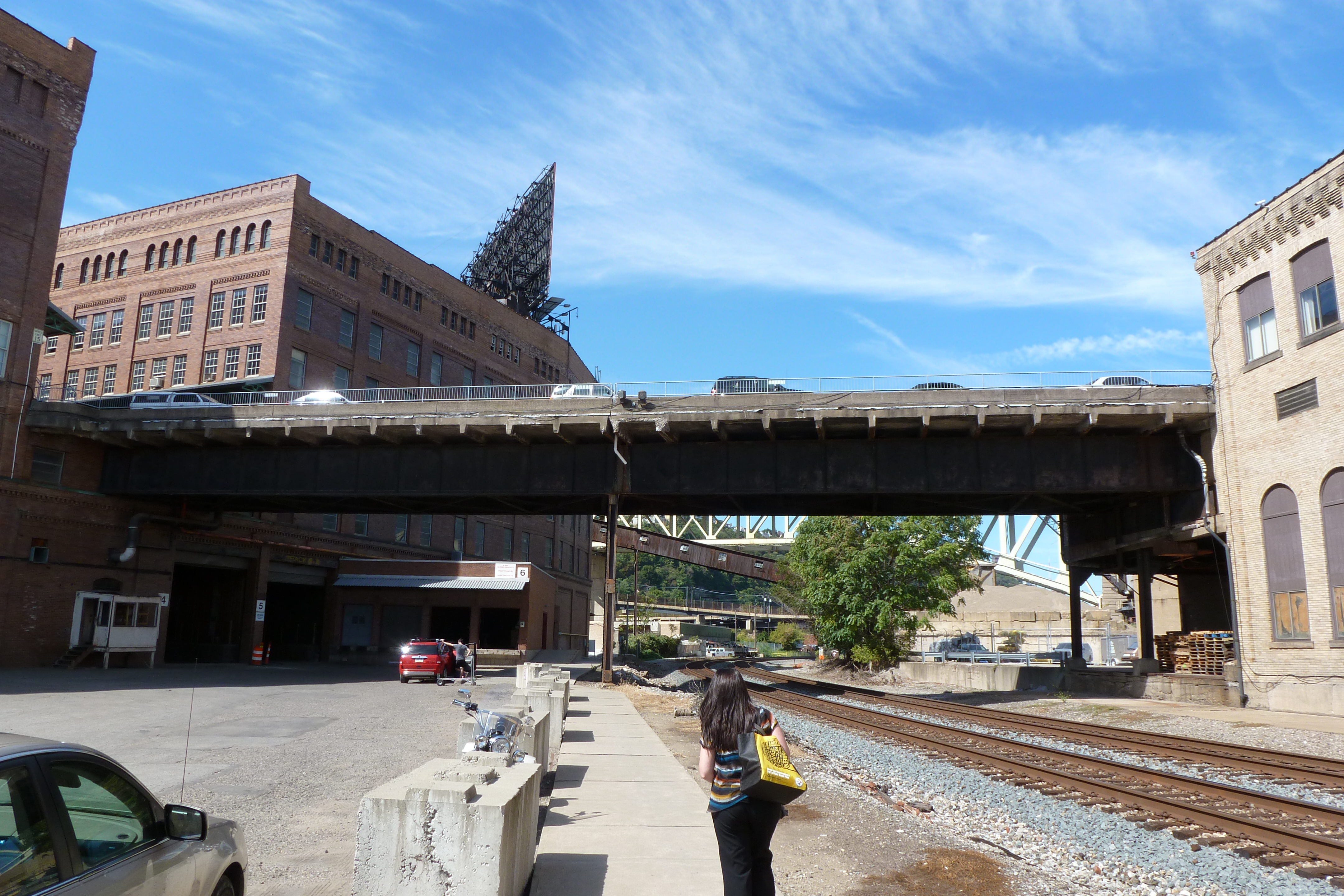
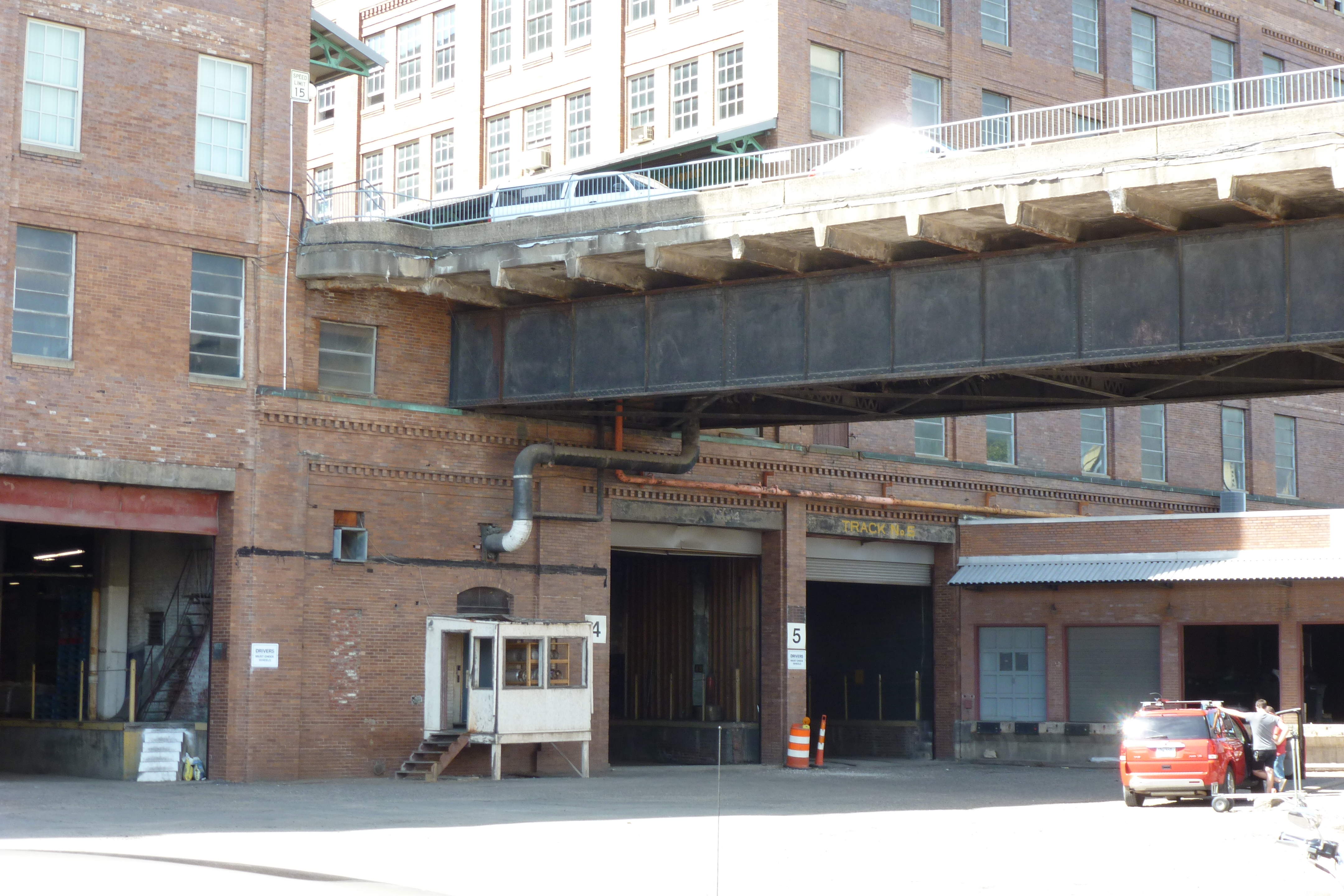
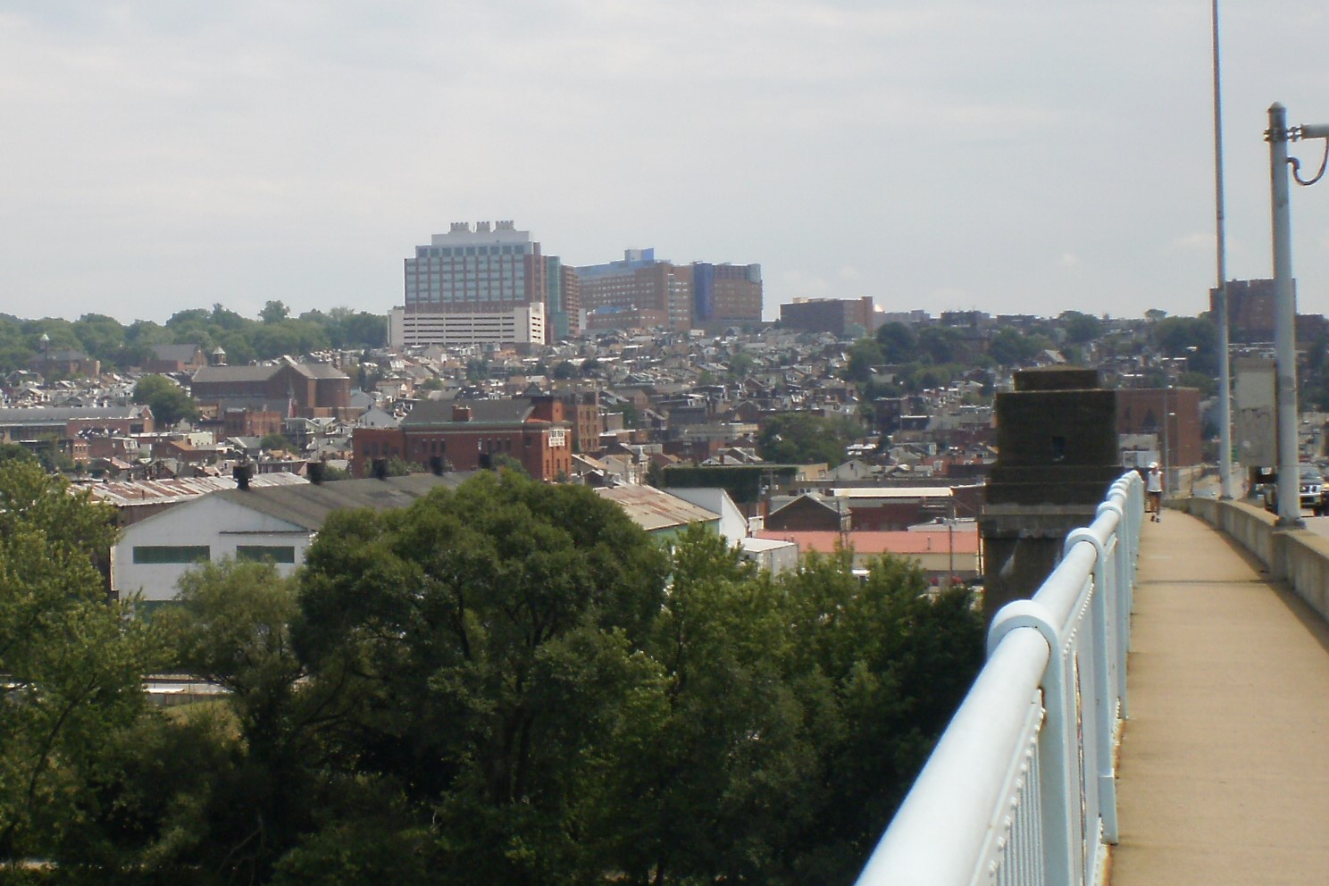
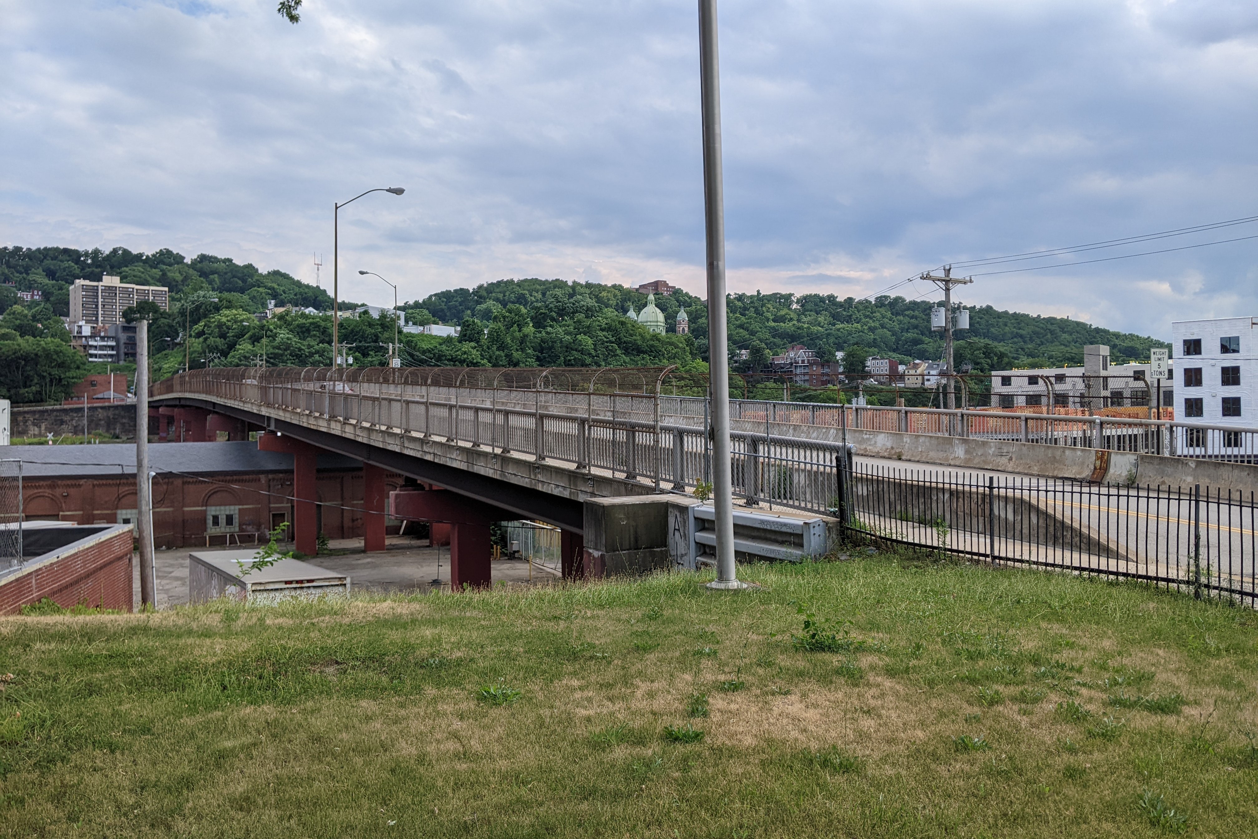
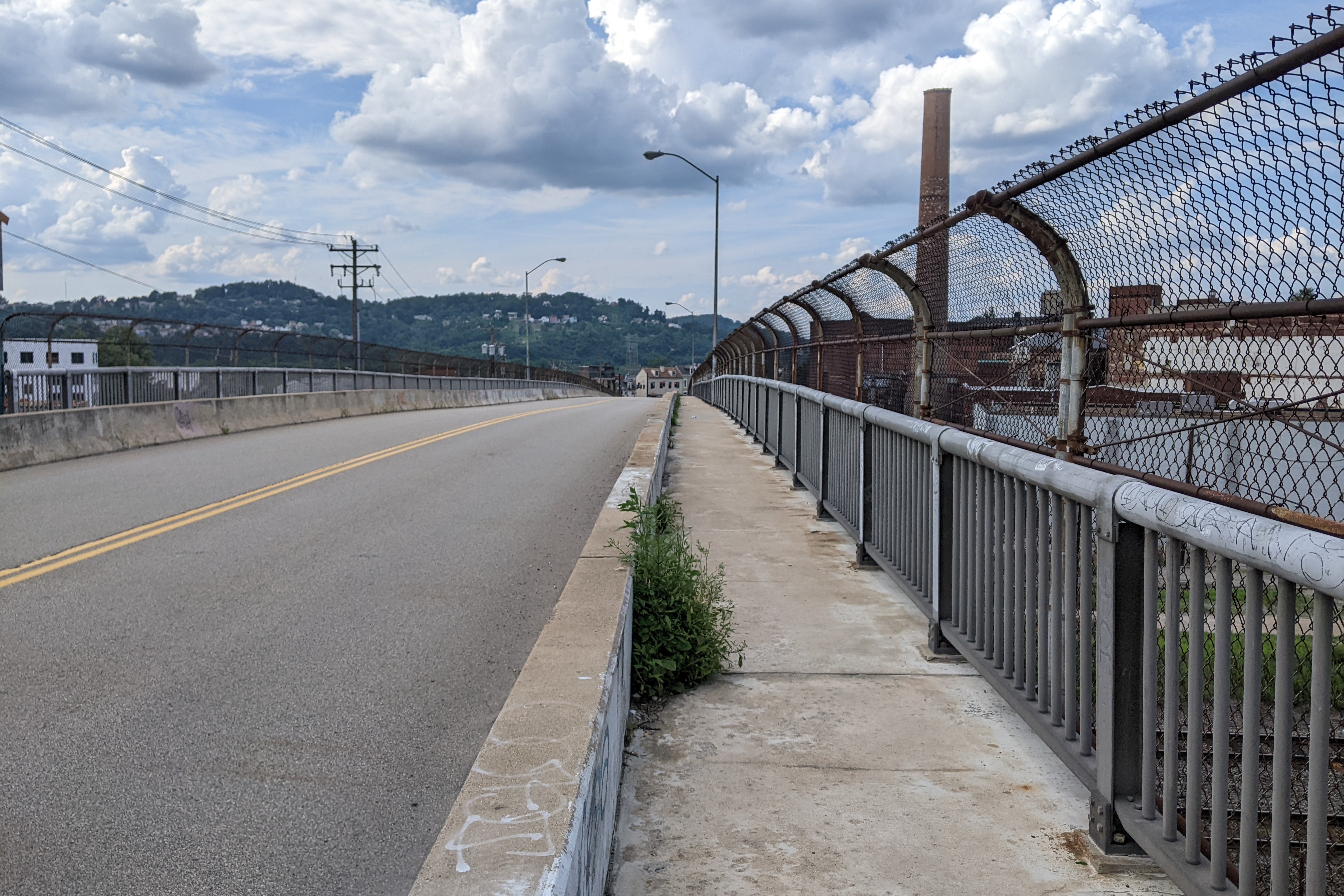
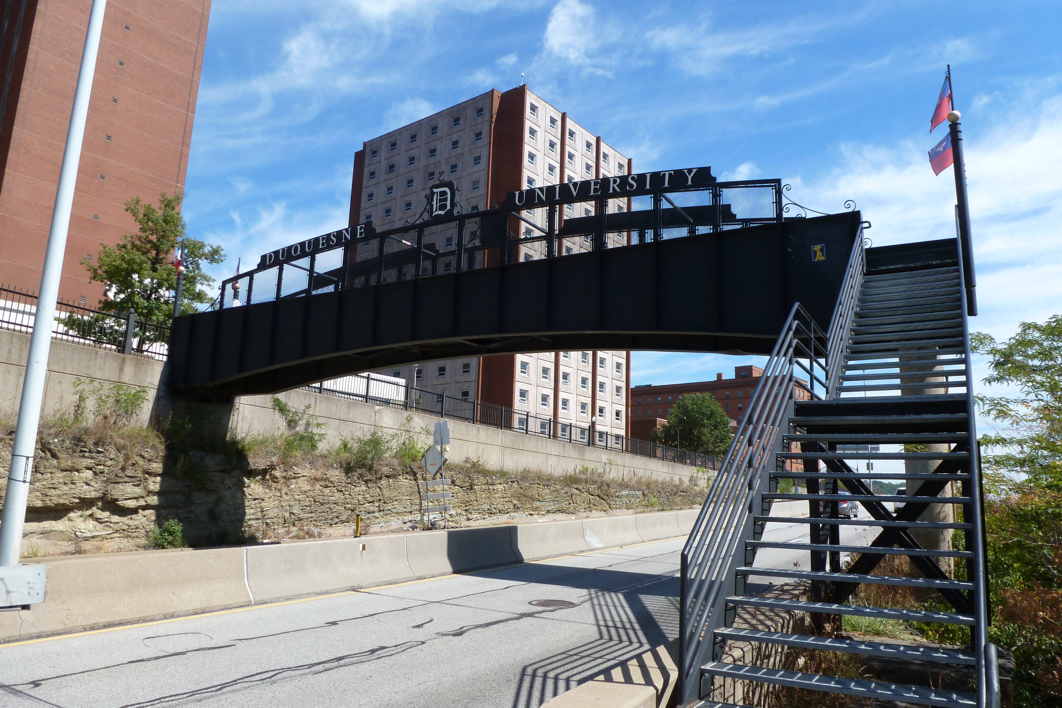
I first walked the Duquesne University Pedestrian Bridge as part of my 10th Street Bridge walk in September 2012. However, by that point I was walking bridges faster than I could post about them. This is one of the bridges that I hadn’t posted about until now. It is accessed by a multi-story staircase from the northern end of the 10th Street Bridge and it crosses the speedy Blvd of the Allies. Students who prefer walking (and climbing) to transit and who live or party on the South Side use the 10th Street Bridge-staircase-pedestrian bridge path to get to and from campus.
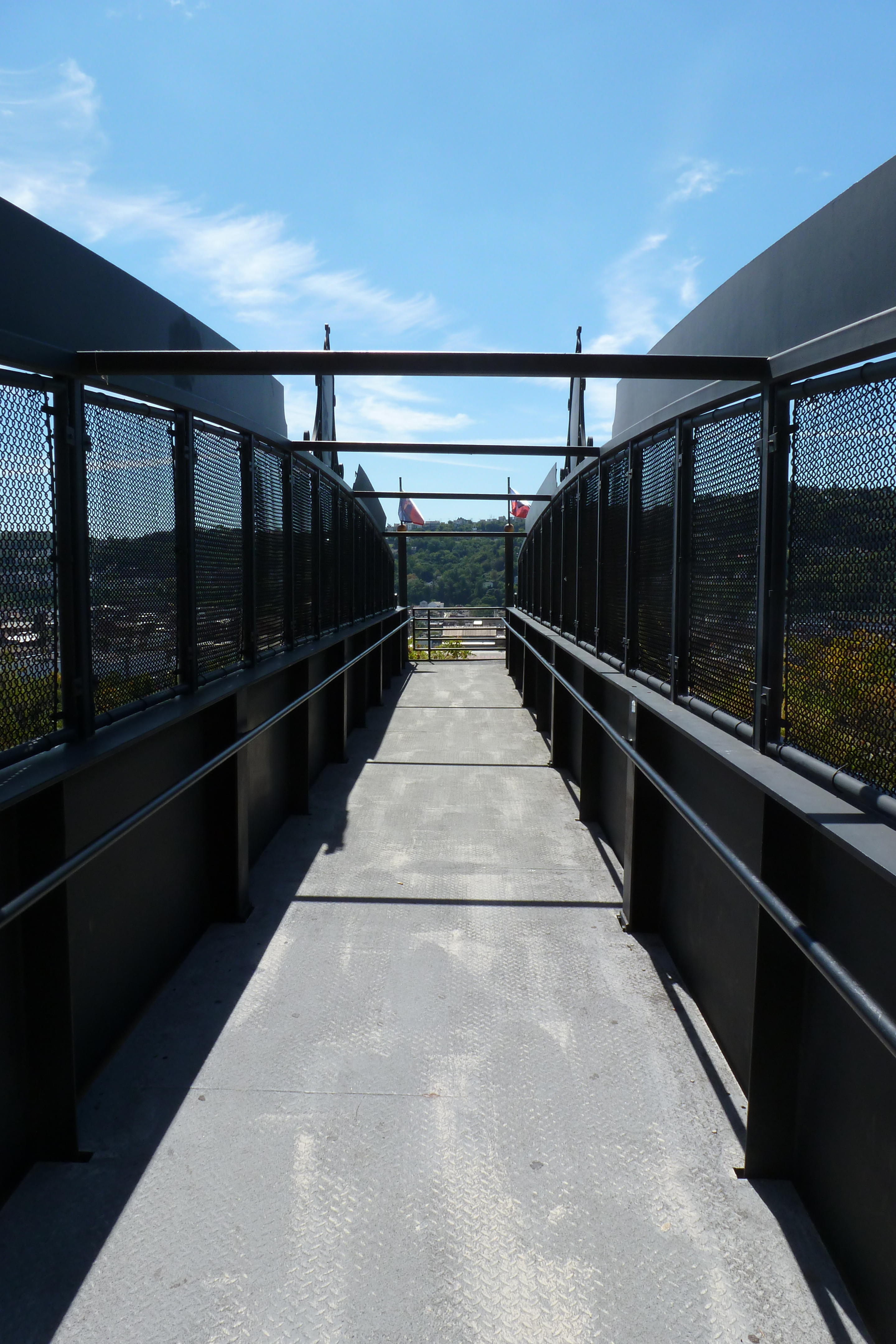
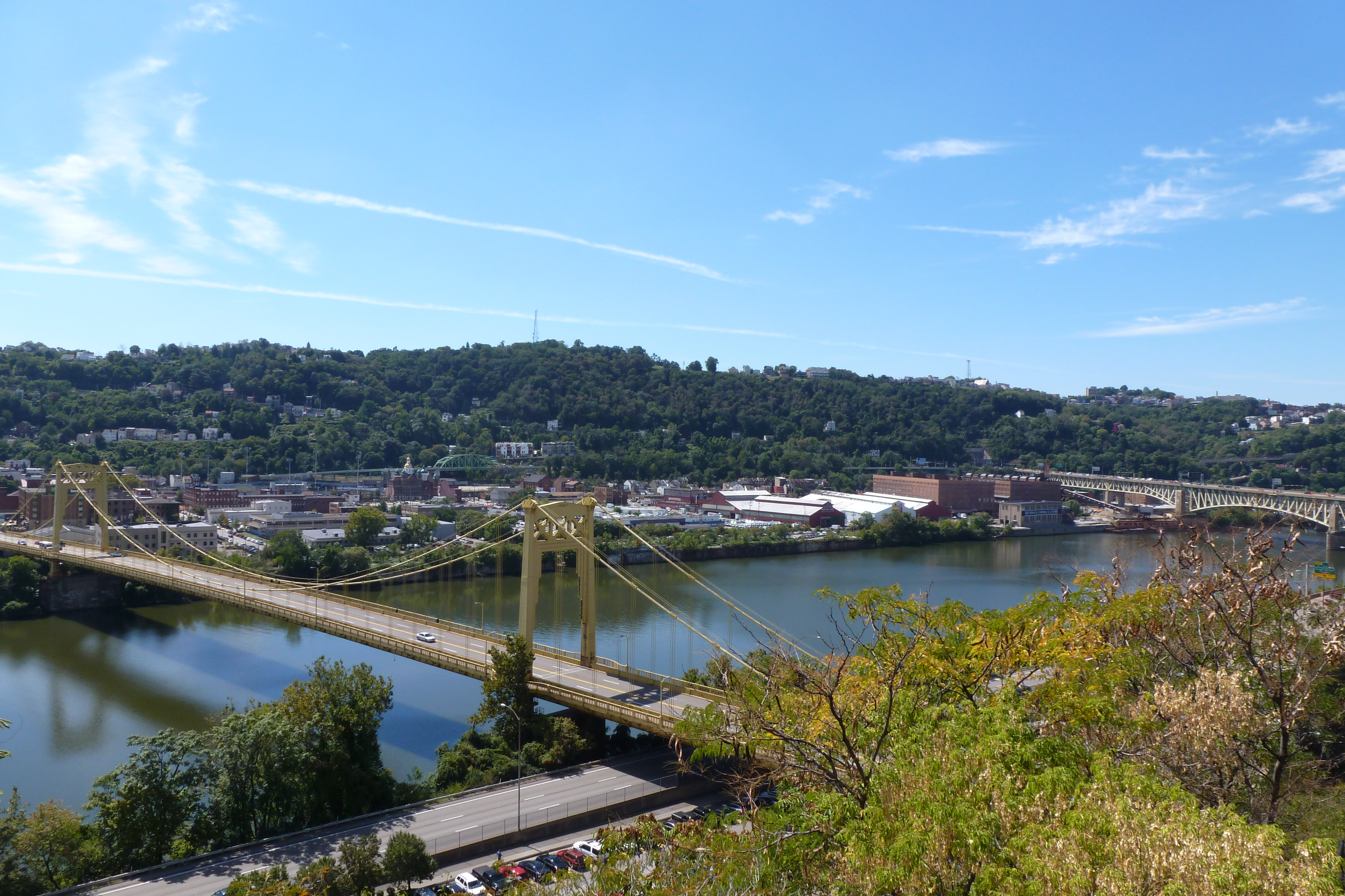
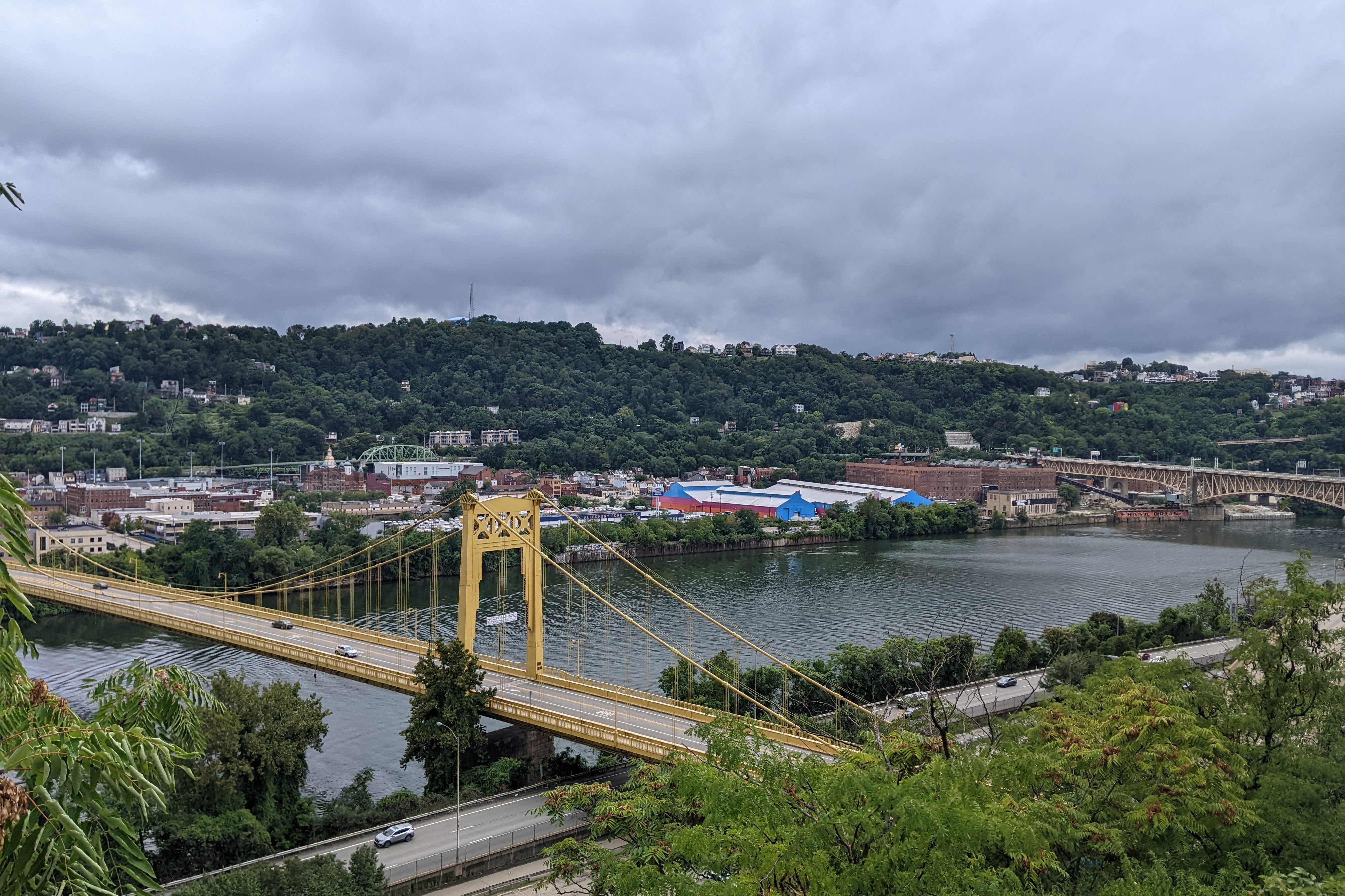
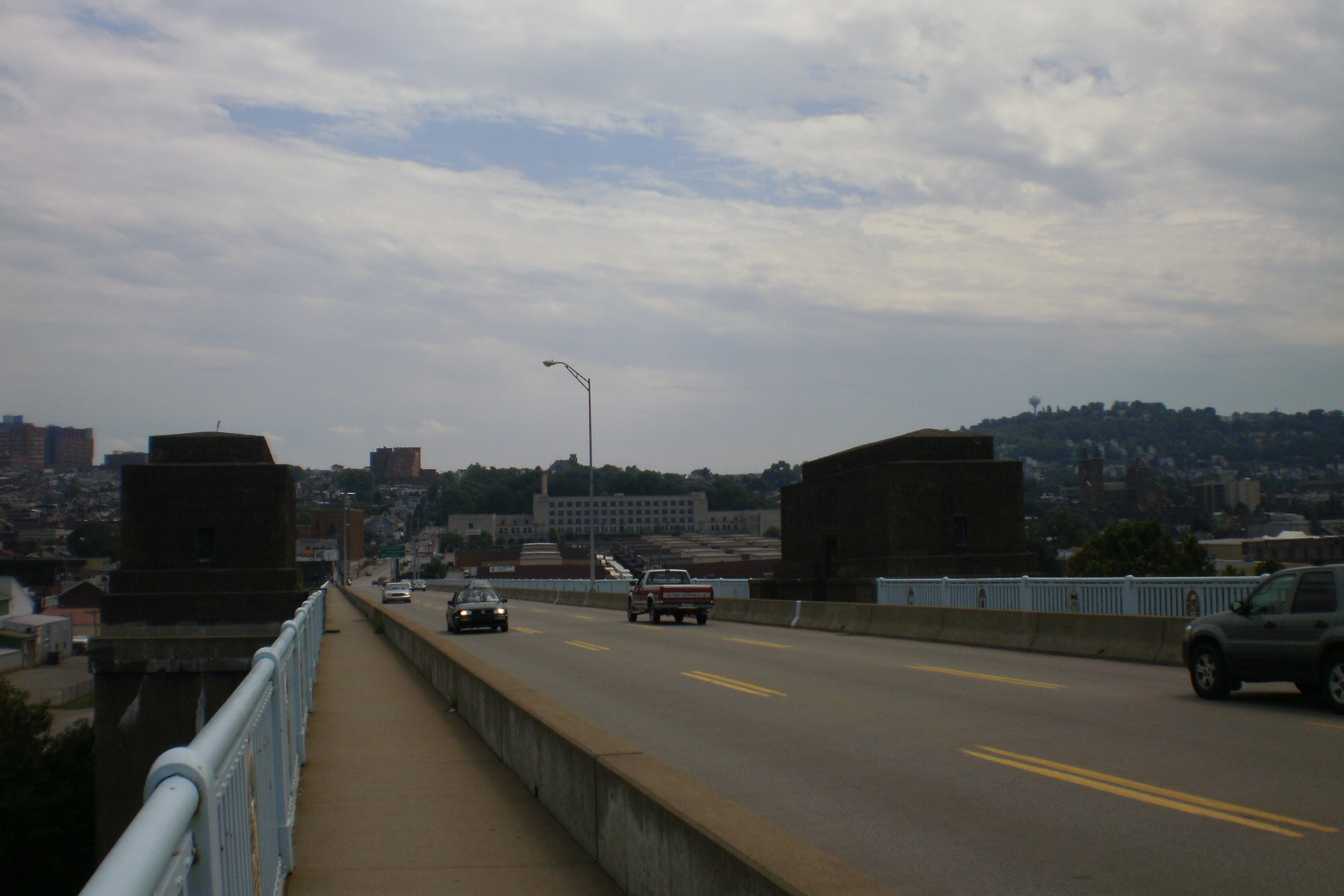
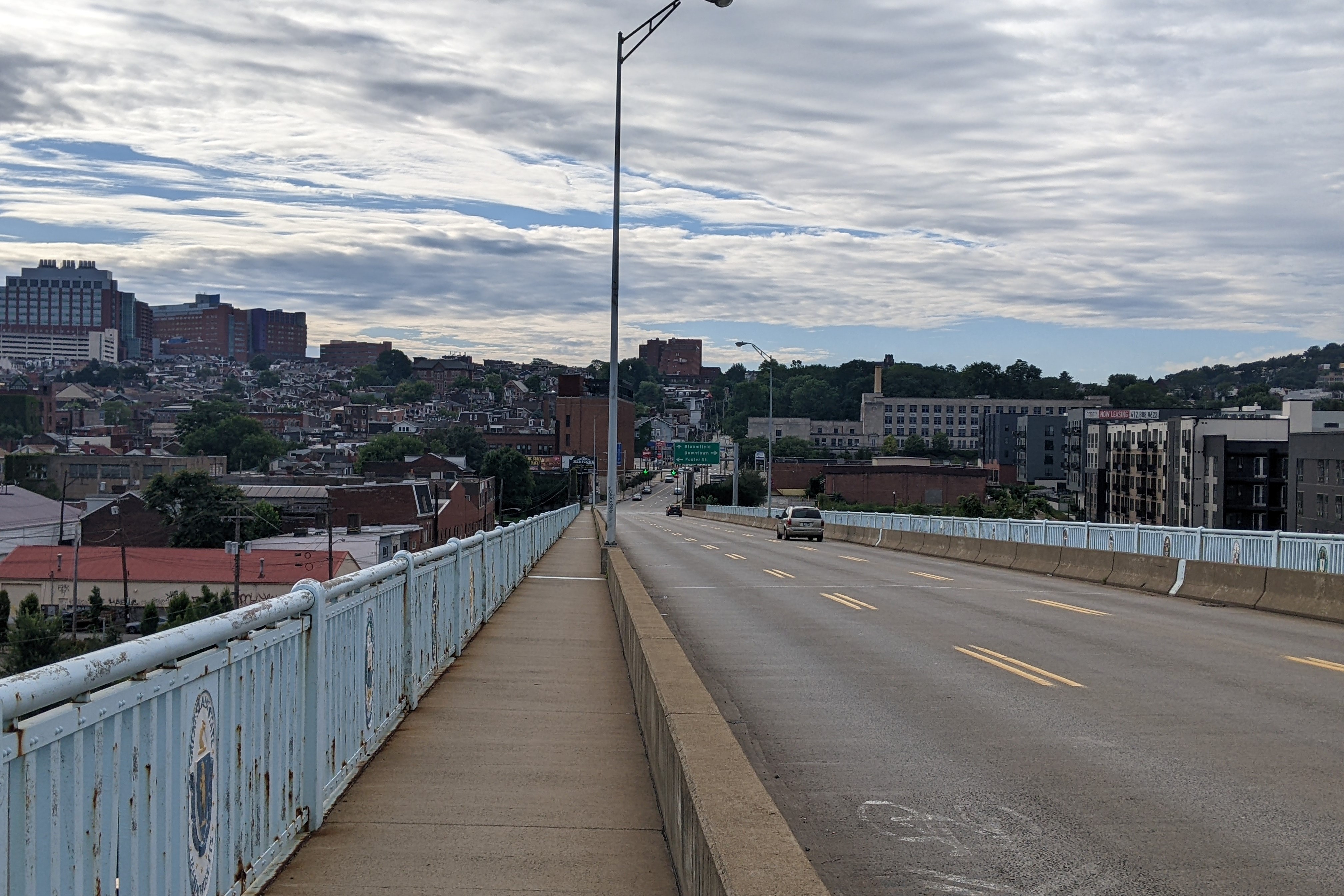
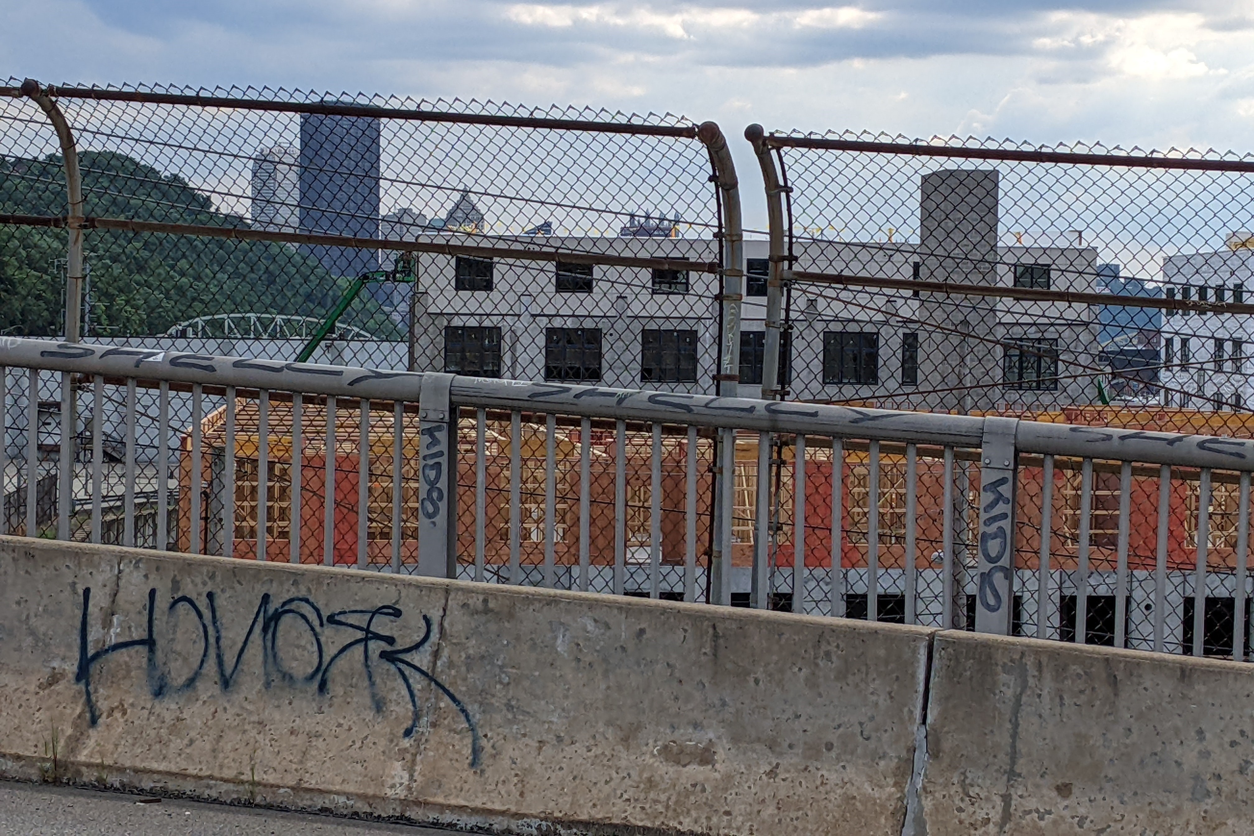
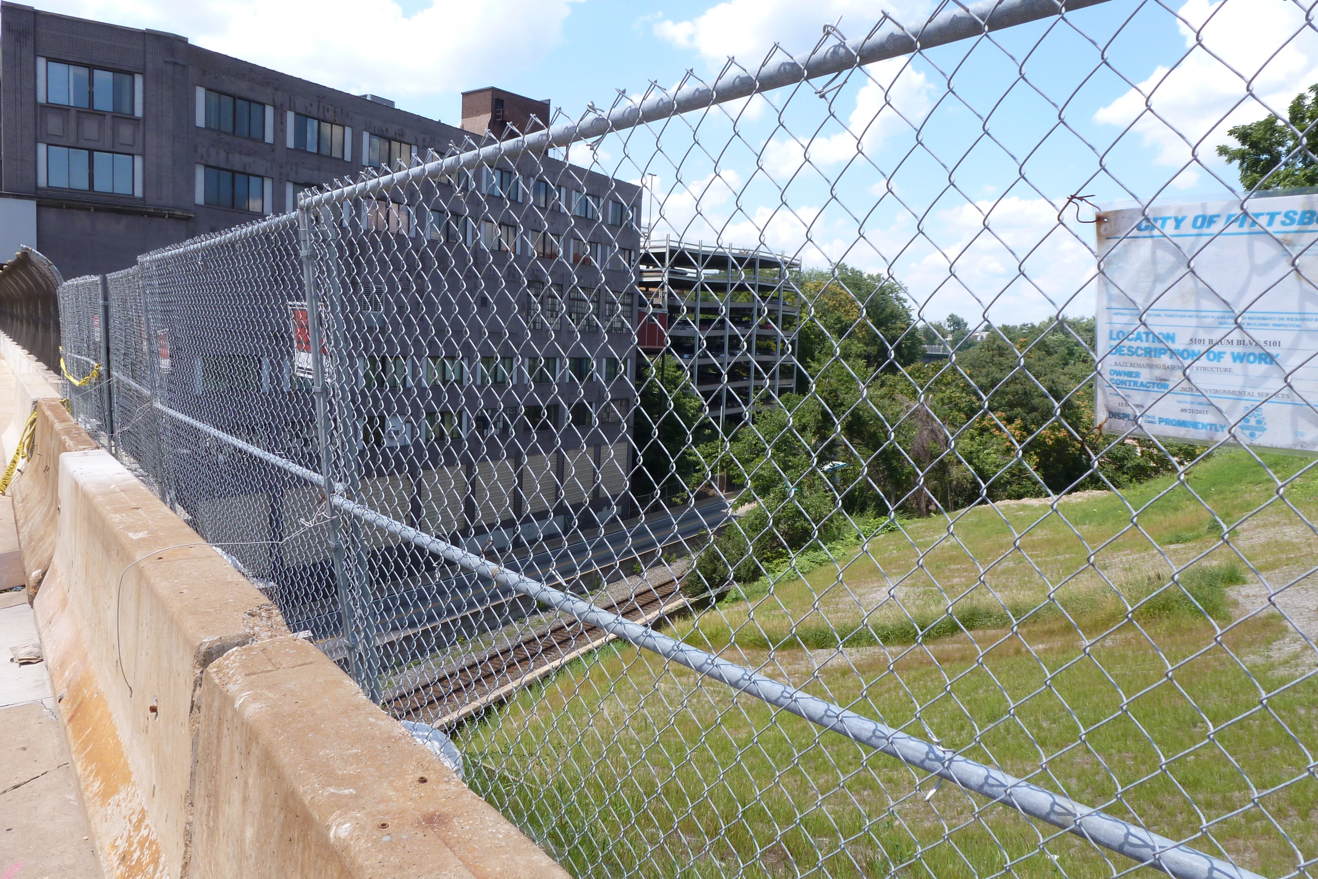
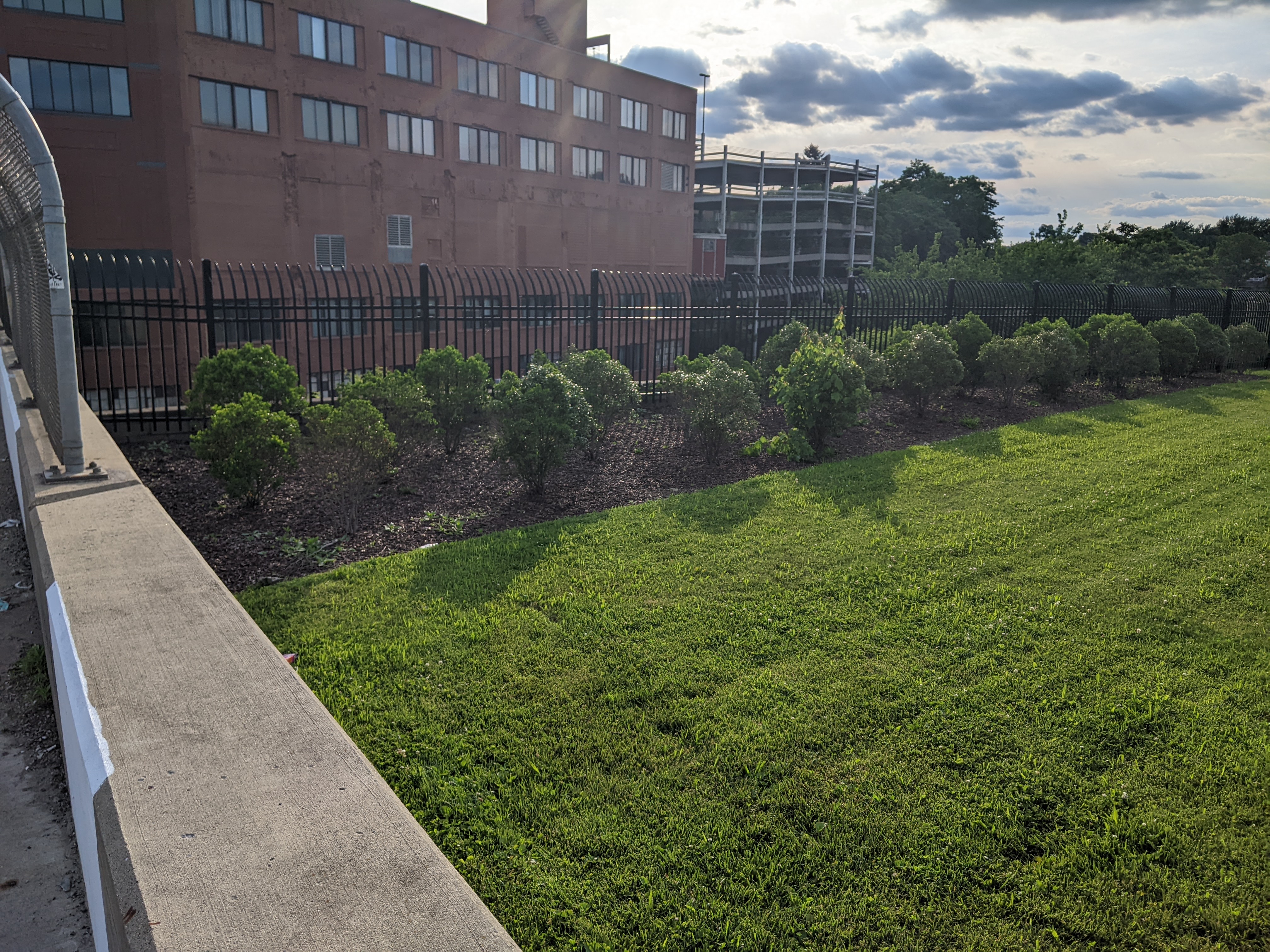
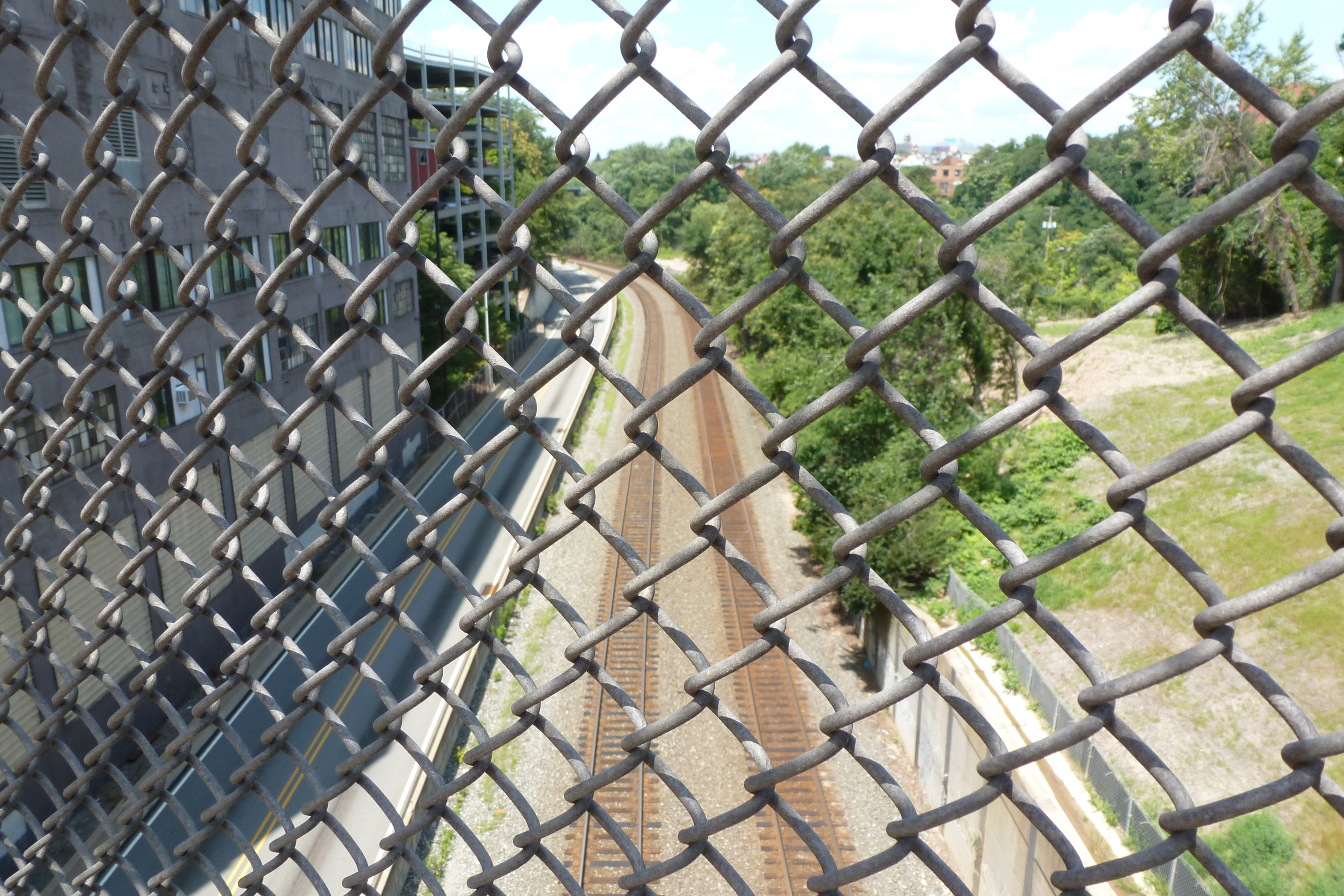
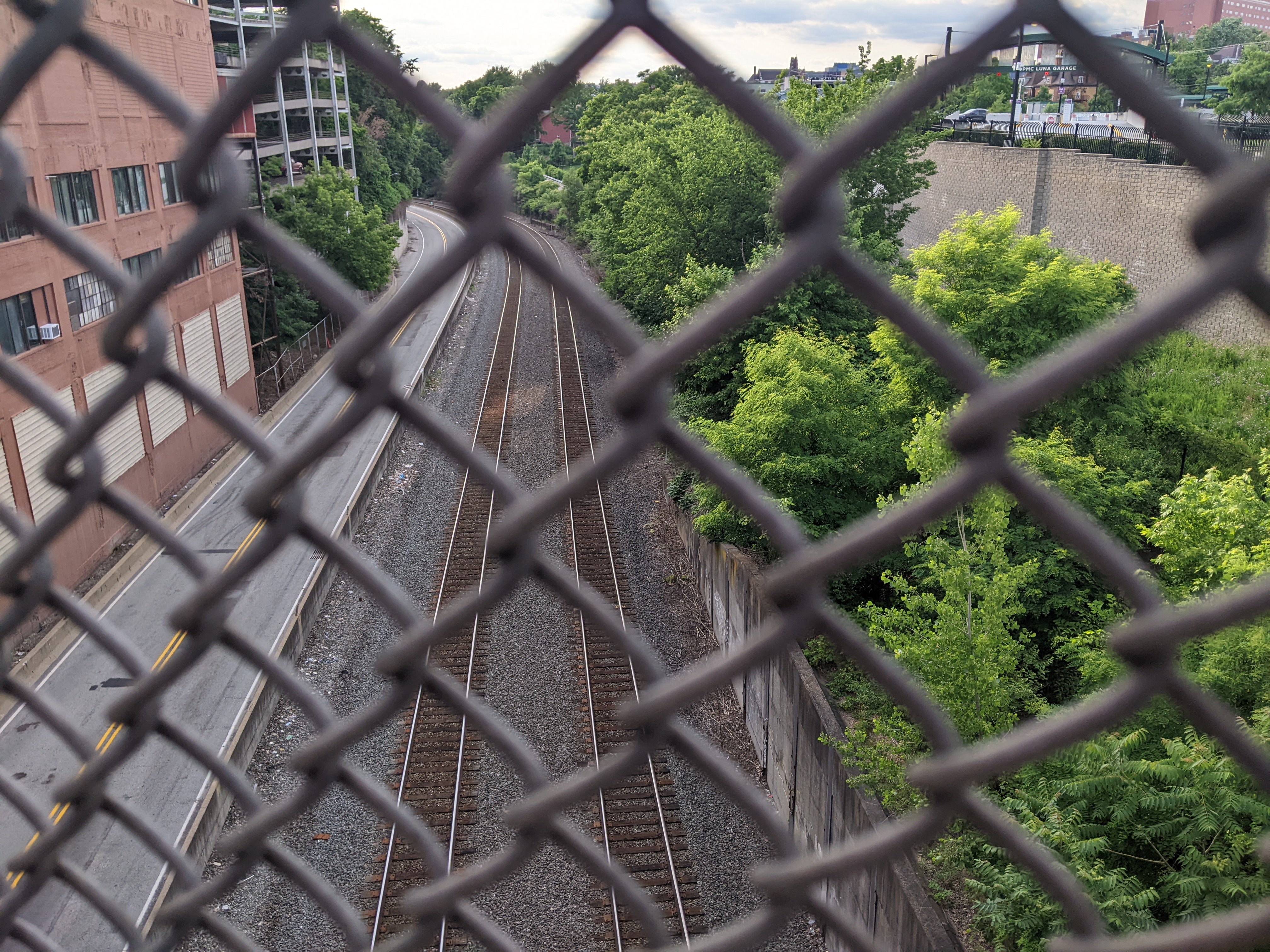
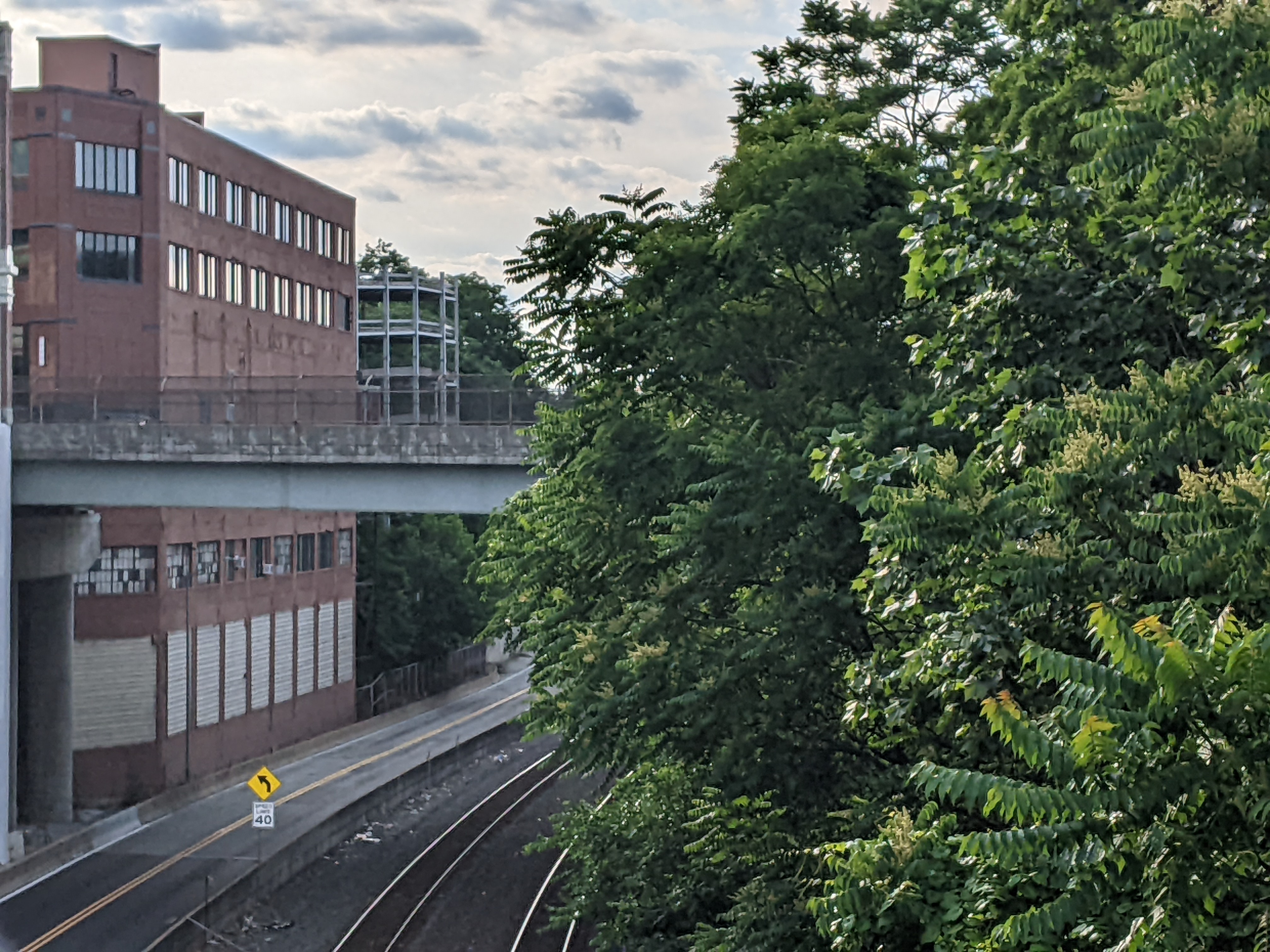
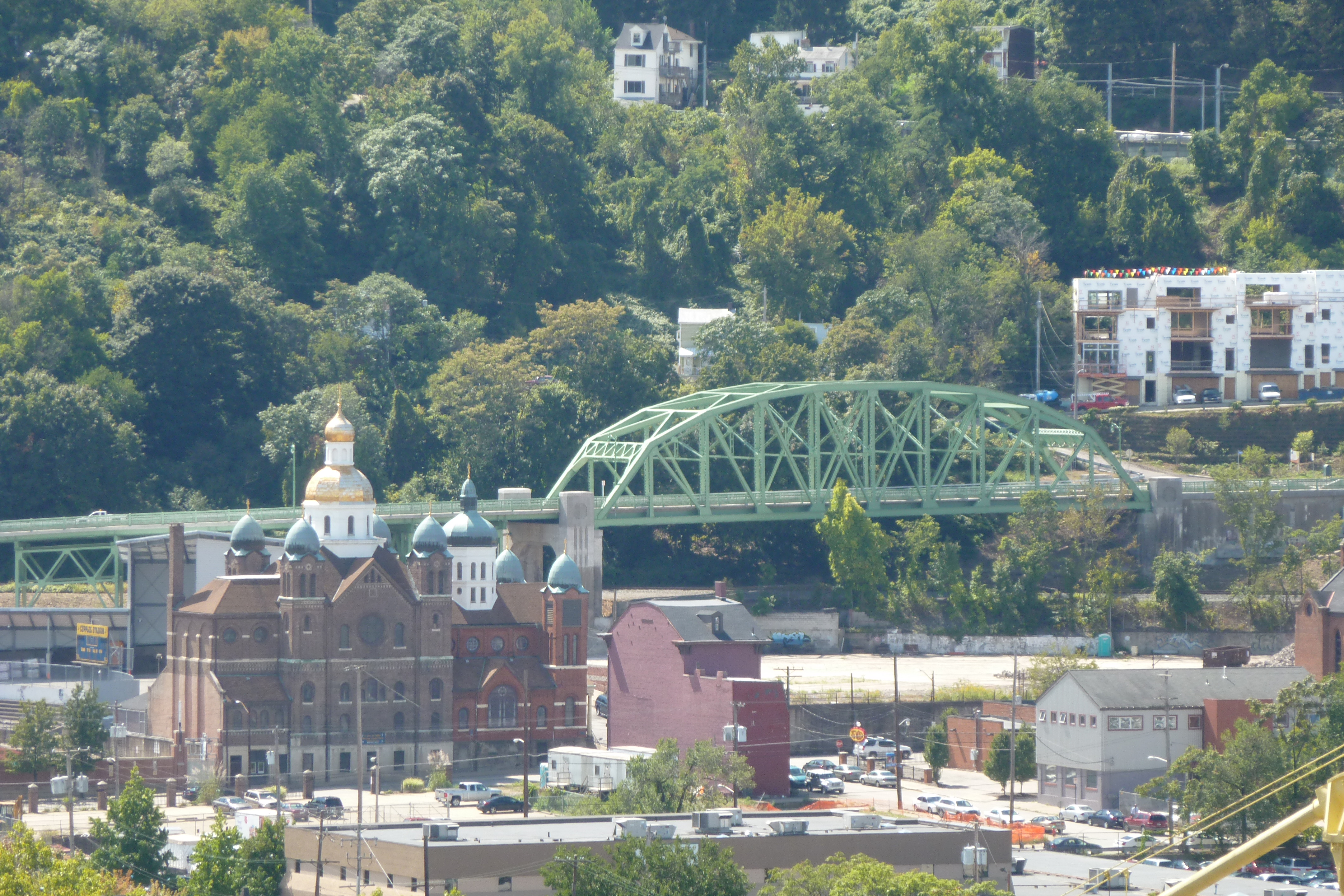
Because of this bridge’s perch on The Bluff, it has great views up and down the Monongahela River. Some of the developments that have happened since 2012 along this river are visible from this bridge. The first pair of photos show a new construction self-storage complex that was built on a vacant, but complex, industrial site. Zooming out some in the second pair, a now brightly colored set of warehouses stand out (which incidentally are next to the Highline/Terminal Way Bridge). Less clearly visible is the white smudge that is the extension into the river built by the gravel company just on the other side of the Liberty Bridge.
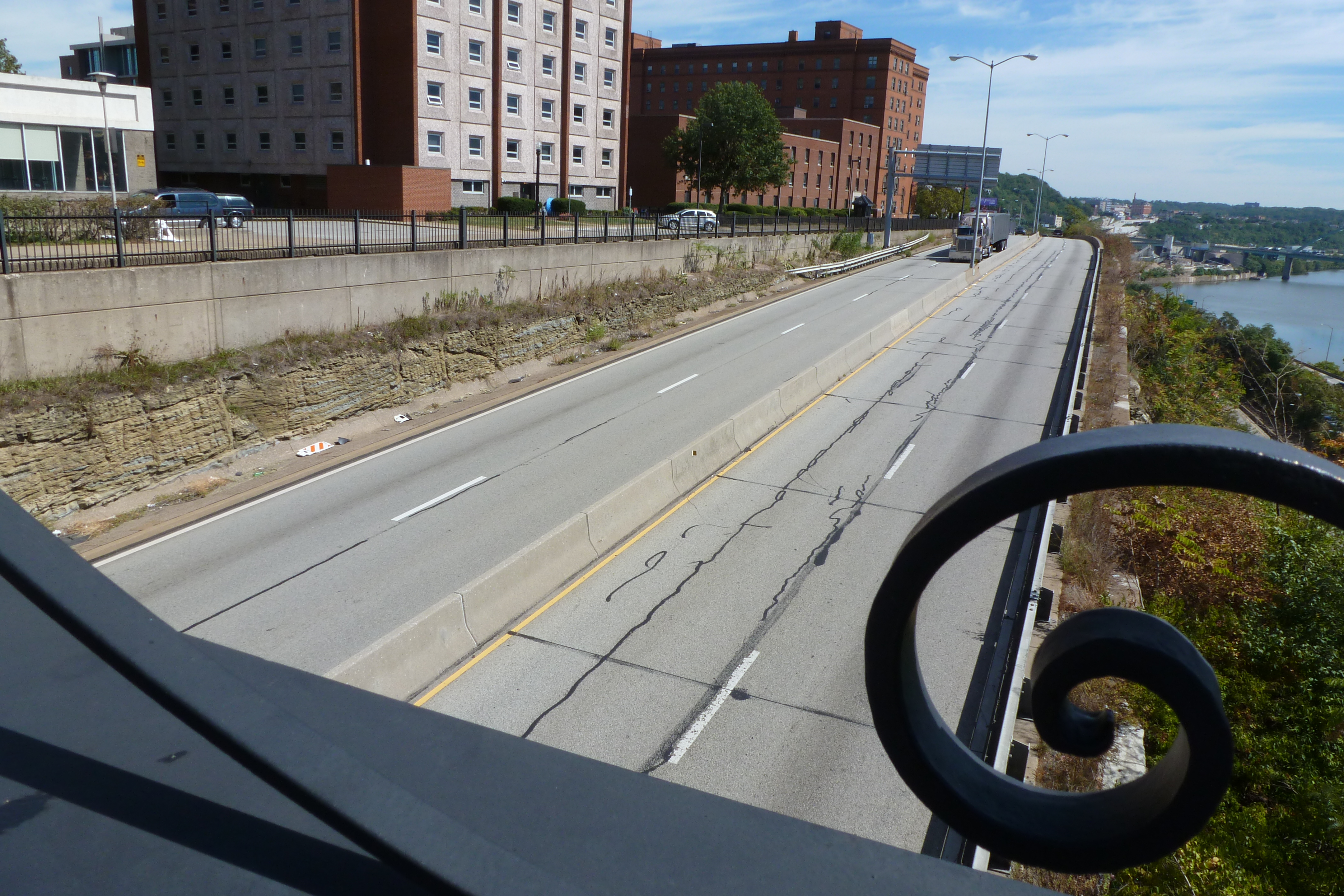
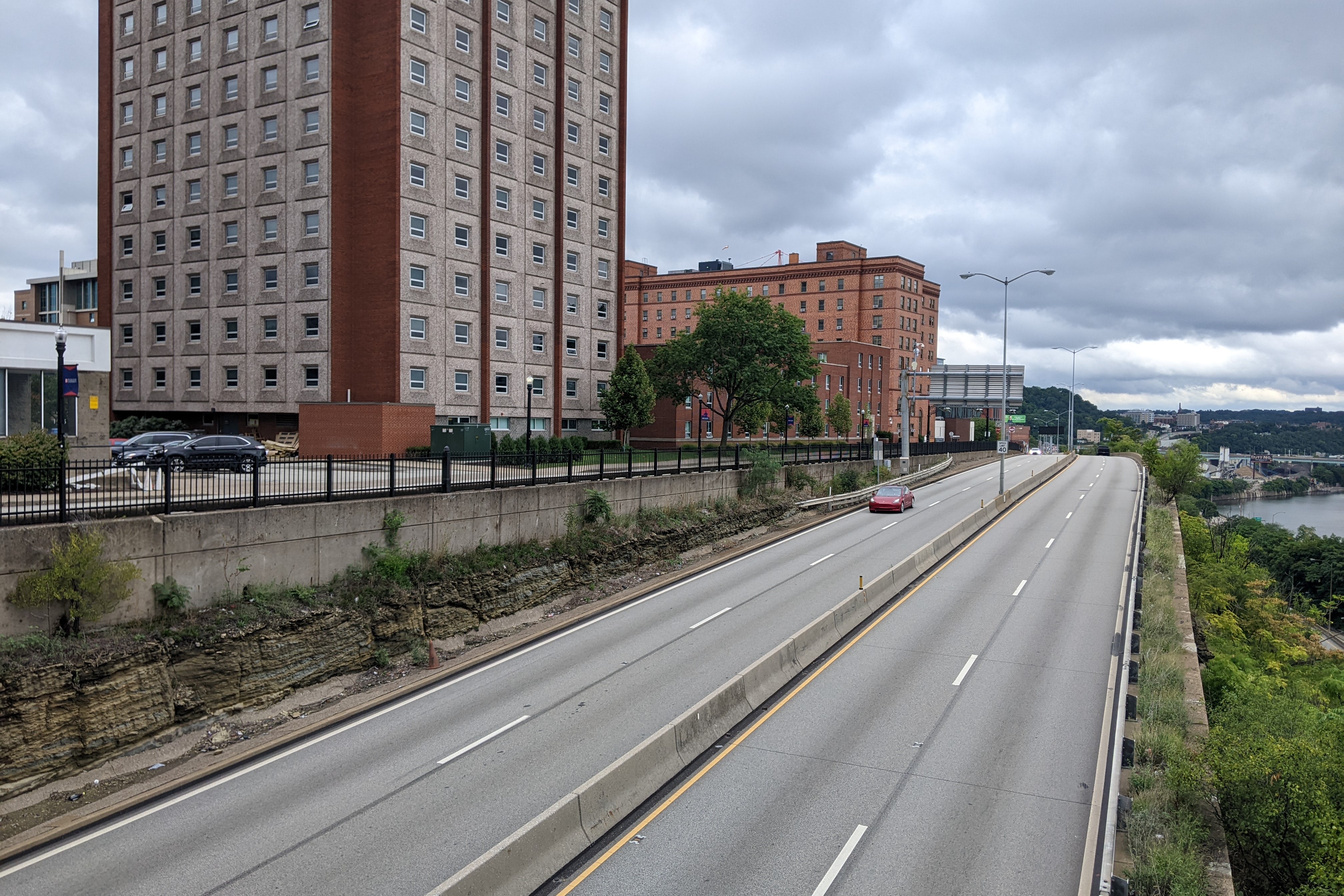
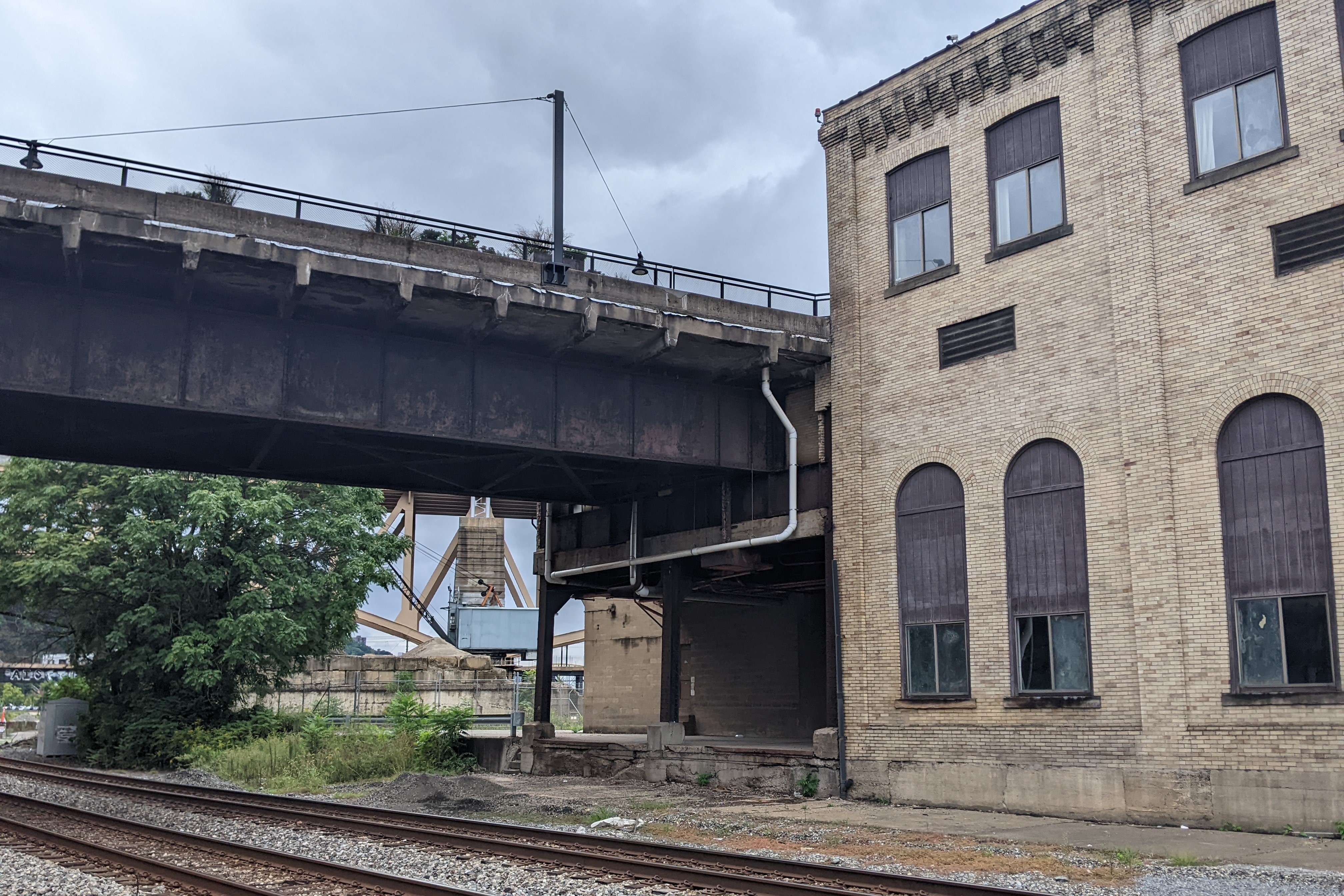
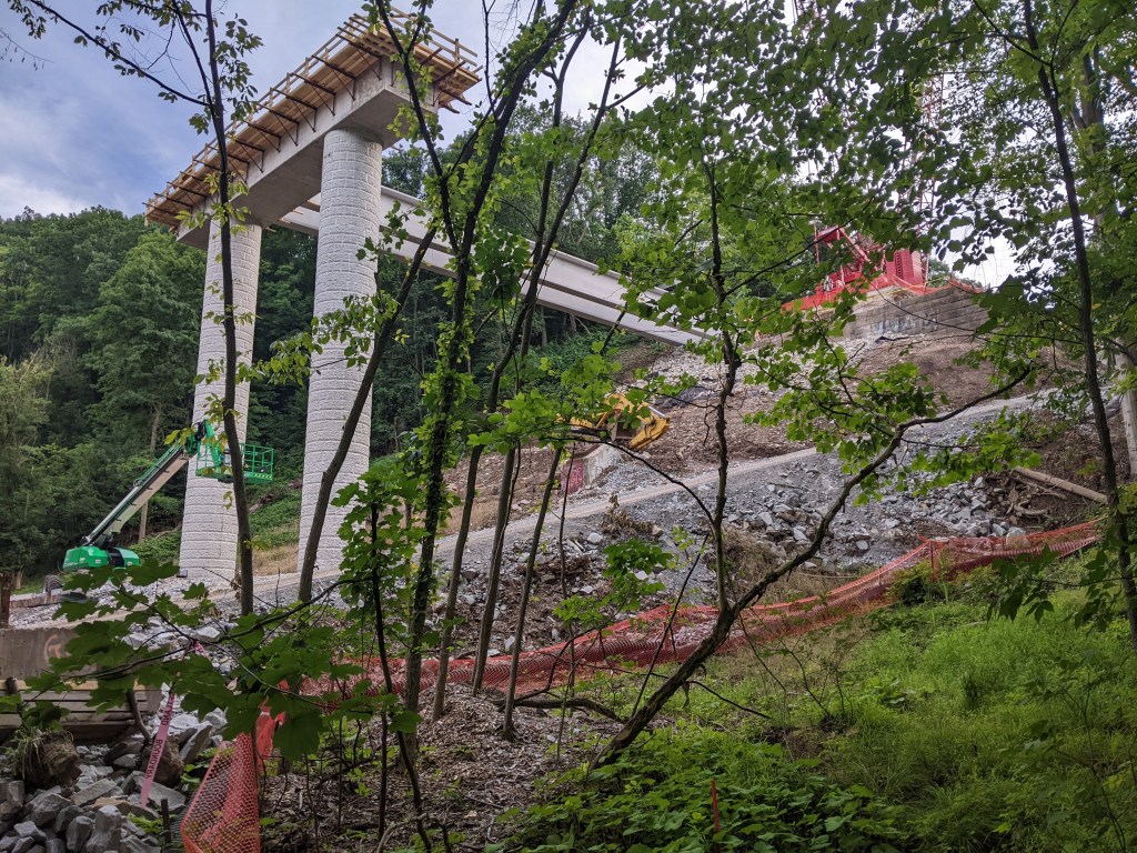
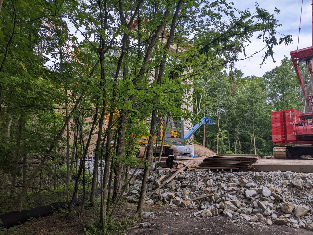
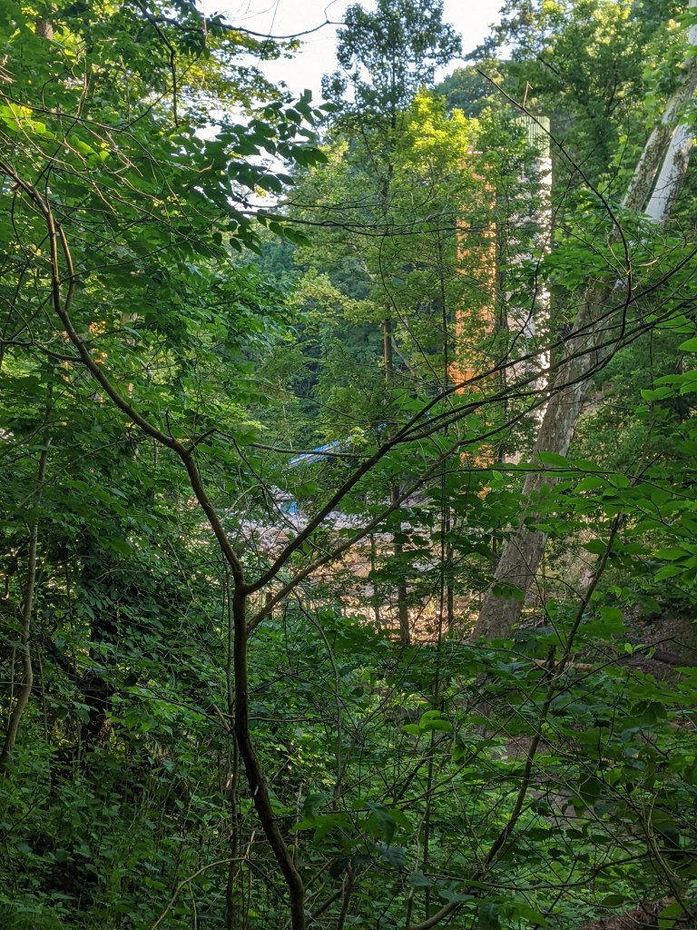
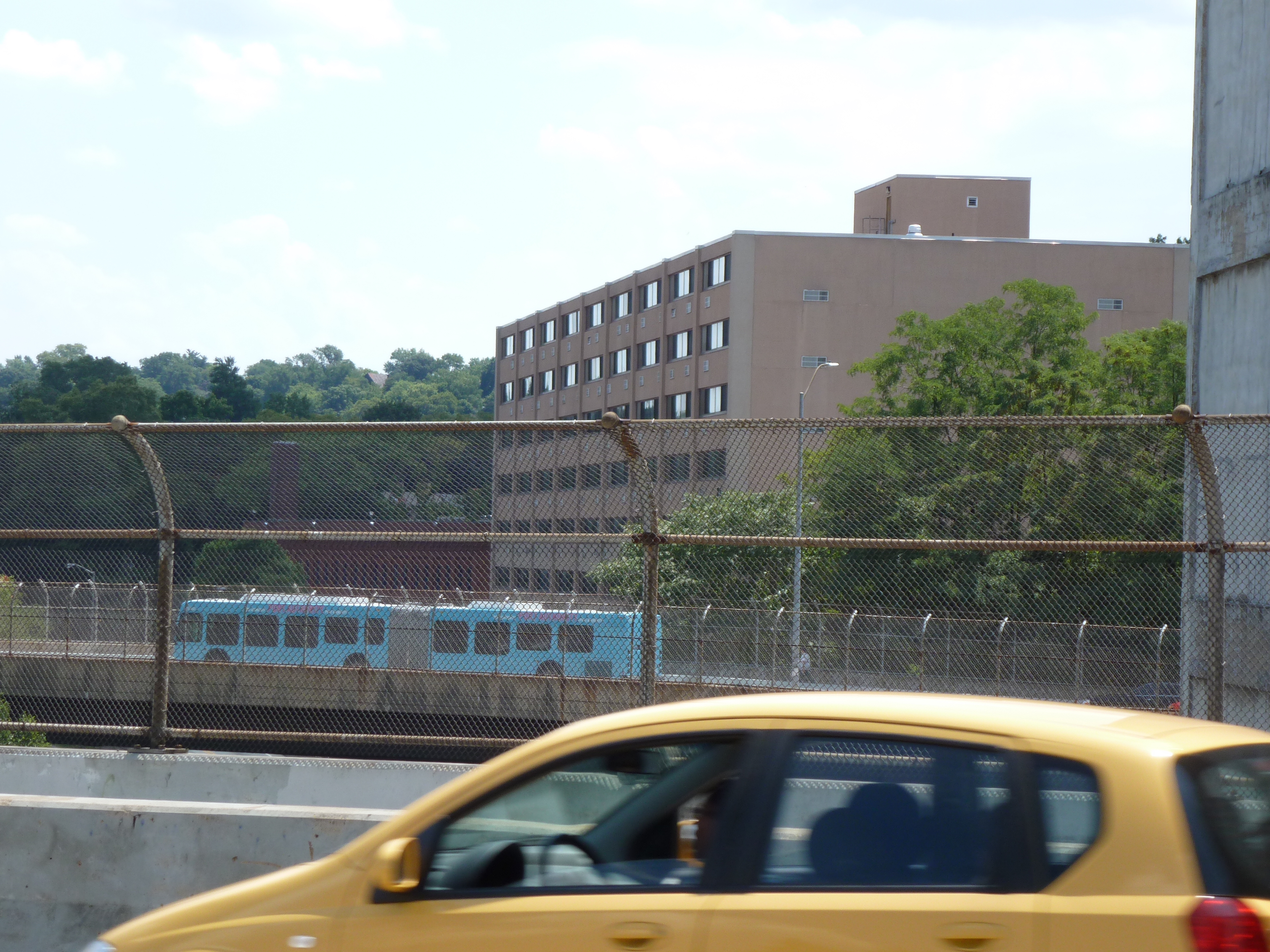
The most surprising thing to me on this return trip is that the new UPMC Mercy Vision Rehabilitation Center that is still under construction and looks massive from the views in my Keeping an Eye on Uptown series is not very visible from this bridge. If it had been a sunny day when I was out taking photos, perhaps the glass would have glinted a little more behind the freeway sign, but as it is, the dark spot visible under the freeway sign now isn’t much different than the dark spot from 10 years unless you zoom in close (final photo pair).
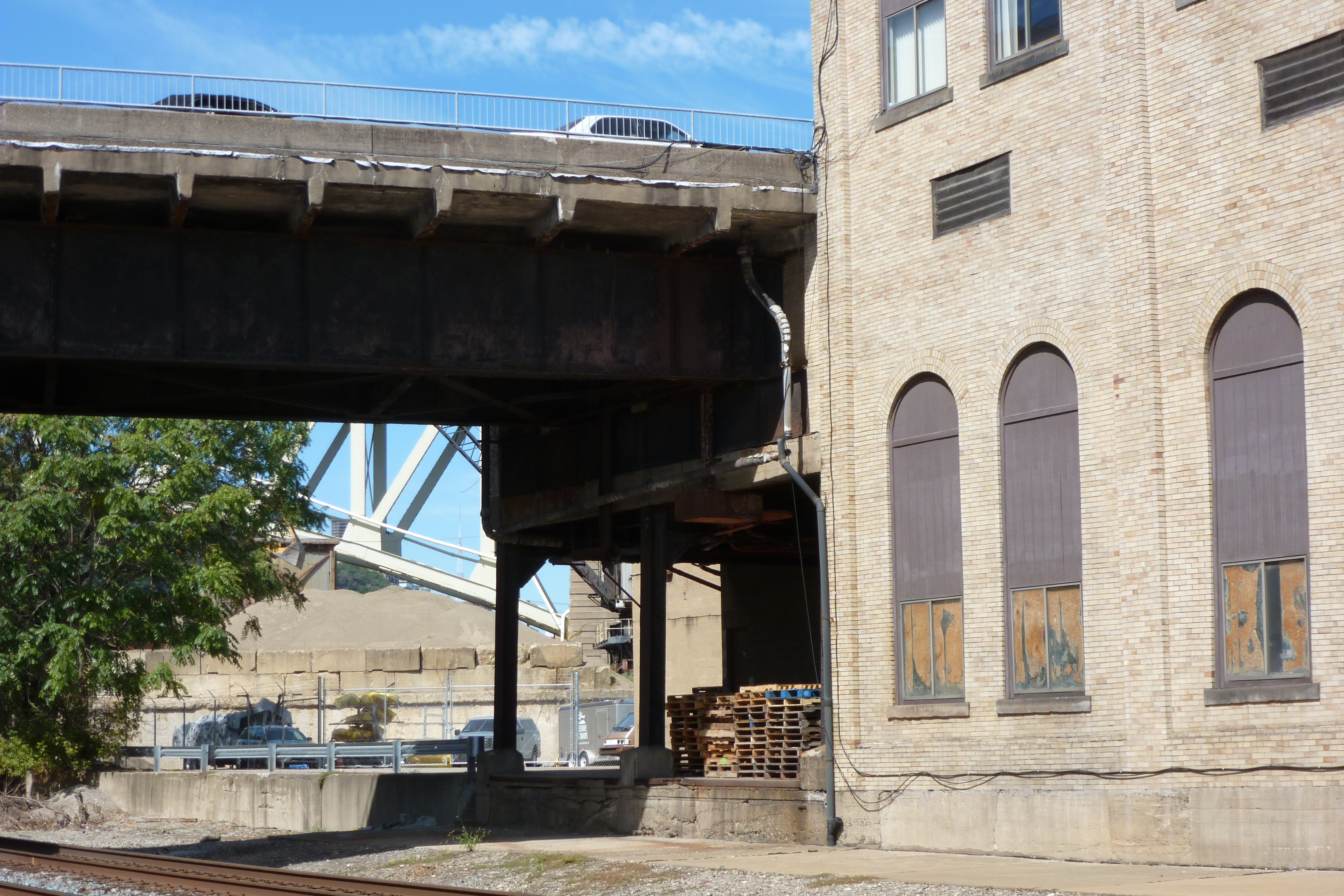
September 2012

September 2022