The Story of the Spires – Scranton

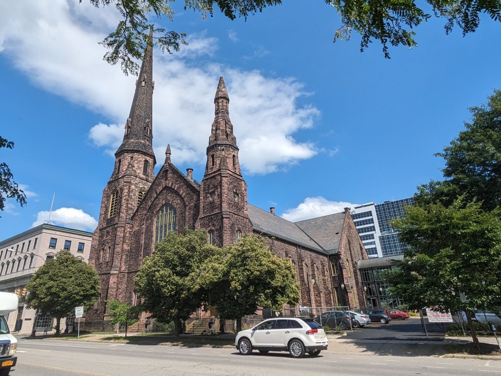
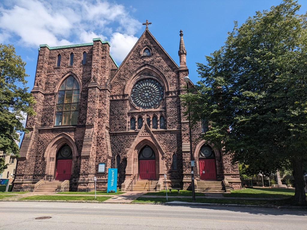
Walking toward the spires in Scranton, PA, I started and ended in Downtown and explored a portion of the Medical and University neighborhoods. Like Pittsburgh and Buffalo, the few religious buildings I found in the heart of downtown remained active. In the adjoining neighborhoods, I found several active religious buildings and others that had been converted to new uses.

Of the 10 total buildings built for religion that I encountered, six remained active while four had been converted to secular uses. One former synagogue is now used for housing. Two former churches are now university buildings. One former church is now a children’s library. This sampling seemed representative enough to contribute to my observations on trends in adaptive reuse and population change. Scranton has experienced a 47% drop in population since its peak population in the 1930s. Based on this information, I expected to find several vacant and reused religious buildings. The surprise finding was that none of them appeared vacant when I got out on the ground.

I also noticed several religious buildings as I drove through the southern neighborhoods on my way home. Because I was driving, I didn’t have the ability to stop and take notes or photos of these buildings, but those that I noticed appeared to be either active religious buildings or active in a secular reuse.

The lack of vacant buildings may perhaps be explained by the recent population trends. While overall, the population is significantly down from the peak, in the last couple decades the decline in population has slowed and the 2020 census showed a miniscule increase in population. It is, so far, the only one of my comparison cities that had a major population drop and a recent increase in population. While Bethlehem and Stroudsburg also saw population increases in the 2020 census, they did not have the same steep drop since the peak population that Scranton and most of the other cities in this survey did.

CityPopulation Loss Since Peak (Peak Year)Population Change in 2020Status of Religious Buildings
Bethlehem1% (1960)0.86%Primarily active sacred uses
Erie26% (1960)-6.82%Primarily active sacred uses
Homestead85% (1920)-9.04%Significant numbers closed or converted to secular uses
Pittsburgh55% (1950)-0.96%Significant numbers closed or converted to secular uses
Scranton47% (1930)0.30%Significant numbers converted to secular uses
Stroudsburg14% (1950)6.47%Primarily active sacred uses
Wilkinsburg49% (1950)-10%Significant numbers closed or converted to secular uses

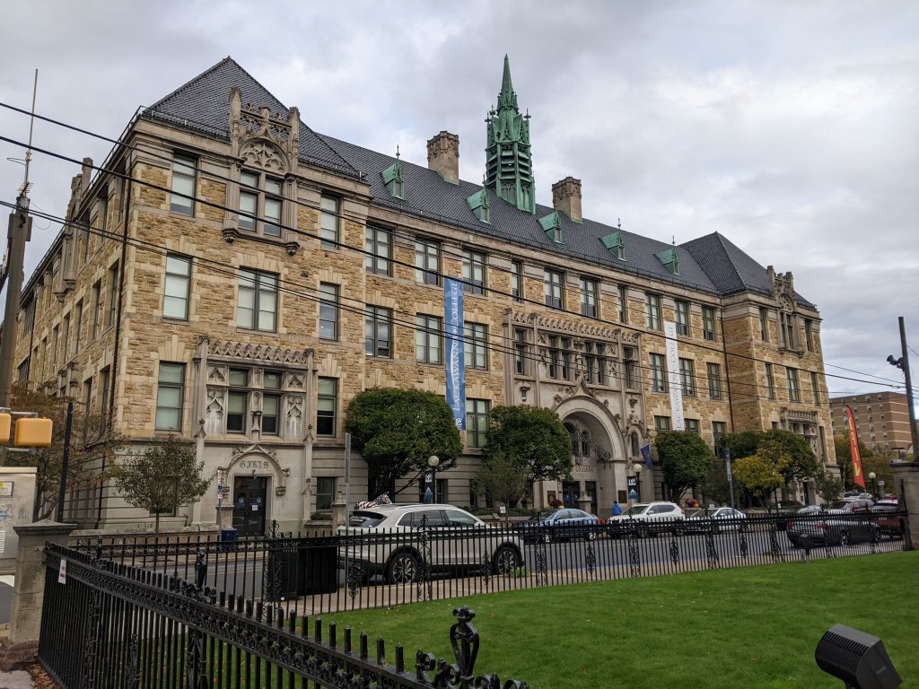
In addition to the religious and former religious buildings, I found 2 civic buildings and 1 school that sported spires.

The Story of the Spires – Buffalo

When I visit a town, I have a habit of searching out the bridges and the spires to get a feel for the place. Buffalo is one of the most recent places where I applied this approach. Given the size of Buffalo (52 square miles with a population over 275,000), I wasn’t able to explore enough of the city on this trip to add to observations of population trends and adaptive reuse of the religious buildings. So instead, I focused on the spires I could see in downtown. Comparing this to Pittsburgh, where the downtown also has several spires and where I have done a pretty thorough survey of the entire city, I realized that neither Pittsburgh’s nor Buffalo’s downtowns would be indicative of the city-wide trends of adaptive reuse of sacred buildings. The development pressures of a downtown are significantly different from the outlying neighborhoods. In both cities, the religious buildings that survived the development pressures of a downtown have remained in active use.

What struck me while walking toward the spires in downtown Buffalo was how I typically eliminate or discount spires for secular buildings that I find while on these searches. In Buffalo, I felt that if I’m calling my approach “the story of the spires” leaving out the secular spires leaves out a part of the story.1 The secular spires that caught my eye were for buildings across a spectrum of uses. The Erie County building (1872); a former US Post Office (1901), now a part of SUNY Buffalo’s campus; and the former headquarters of the Buffalo General Electric Company (1912), now an office building, were the three secular spires that caught my eye. These three buildings underscore the larger trend in monumental architecture passing from religious to government to corporate buildings.

Below, I share photos of both the sacred and the secular spires that I found in downtown Buffalo.

Sacred Spires

Secular Spires

  1. For those of you who are word nerds, I double checked the definition of spire as I typically only use it when talking about religious buildings, so I wanted to make sure that the term applies to the same kind of structure whatever the building’s use is. In doing this, I got the confirmation I wanted, but also discovered that Merriam-Webster’s #1 definition for spire is: “a slender tapering blade or stalk (as of grass).” ↩︎

Bridge Collapse: Eighteen Months Later

According to the Pittsburgh Business Times, the collapse of the Fern Hollow Bridge in Pittsburgh ranked 4th in the top stories of 2022. Ranked higher were the New Normal (#1), Economic Stressors (#2), and the Shutdown of Tech Startups (#3).

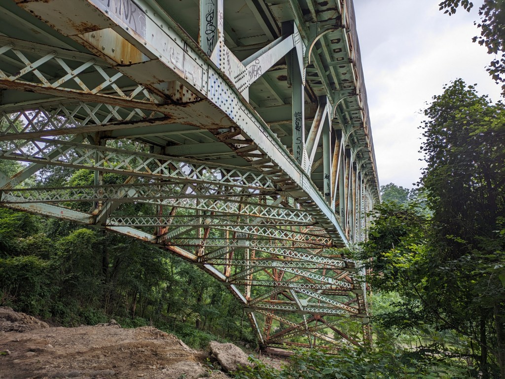
As the first bridge collapse in nearly 100 years within the city limits of Pittsburgh, this remains a top story on urbantraipsing. In the six months since our last look at the bridge, there have been four important updates:

  • The preliminary findings of the National Transportation Safety Board’s investigation into the collapse have been released
  • The bridge is now fully open to vehicular, bicycle, and pedestrian traffic
  • The two art installations have been installed
  • My feet are back to being fully functional

Update 1: Unsurprisingly, the NTSB’s investigation found that a decade of ignoring the calls for maintenance in the annual bridge inspection resulted in the deterioration of the steel structure of the bridge. The findings reference the inspections of bridges of similar construction in Pennsylvania following the collapse of the Fern Hollow Bridge. It noted that while those bridges have also experienced deferred maintenance, none of them are exhibiting deterioration as bad as Fern Hollow’s. The report did express concern that the status of similar bridges outside of Pennsylvania is unknown.

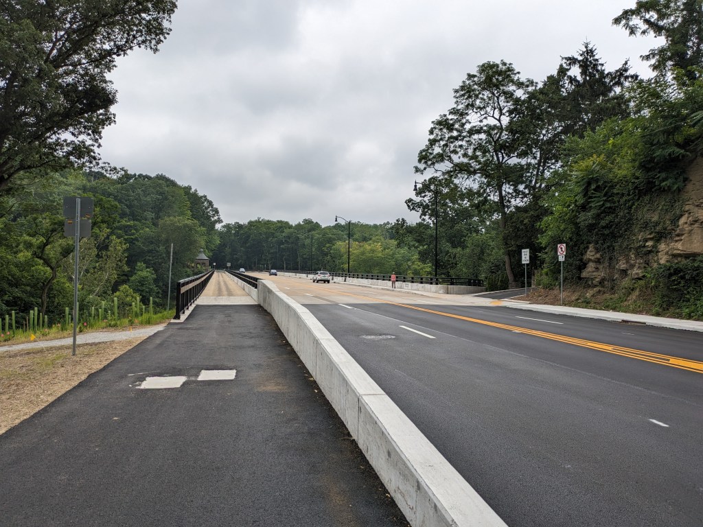
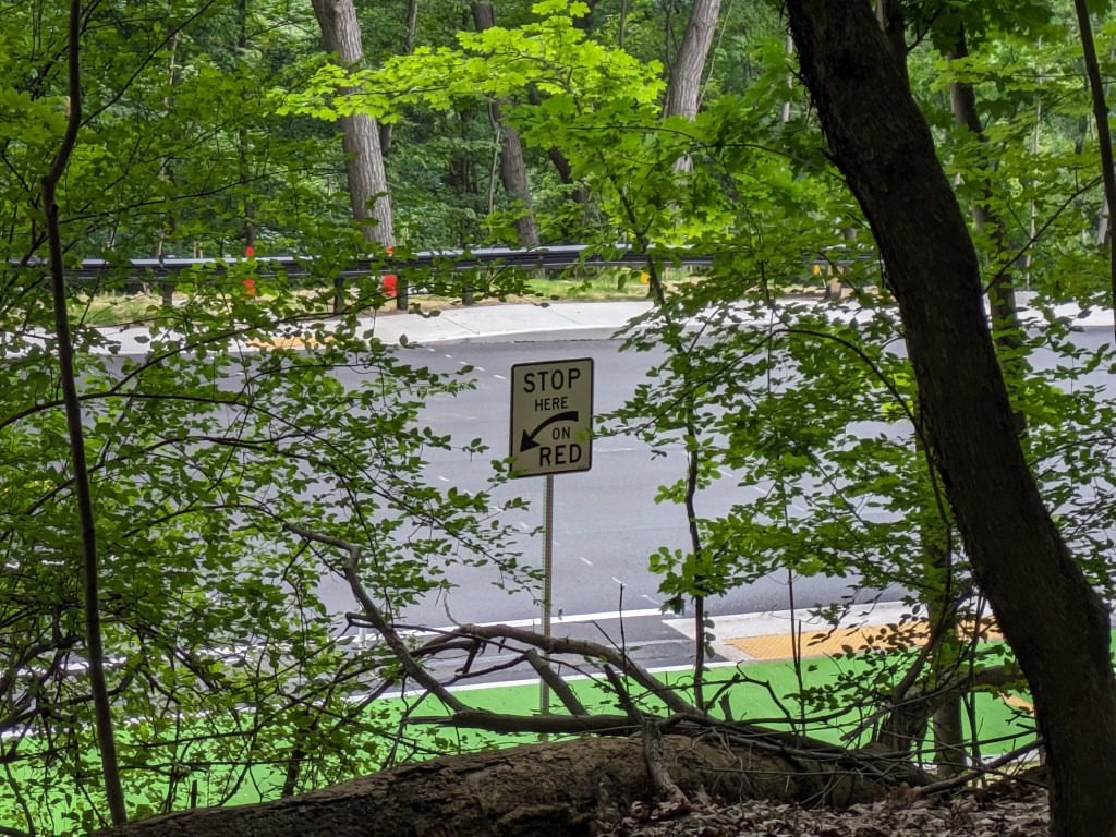
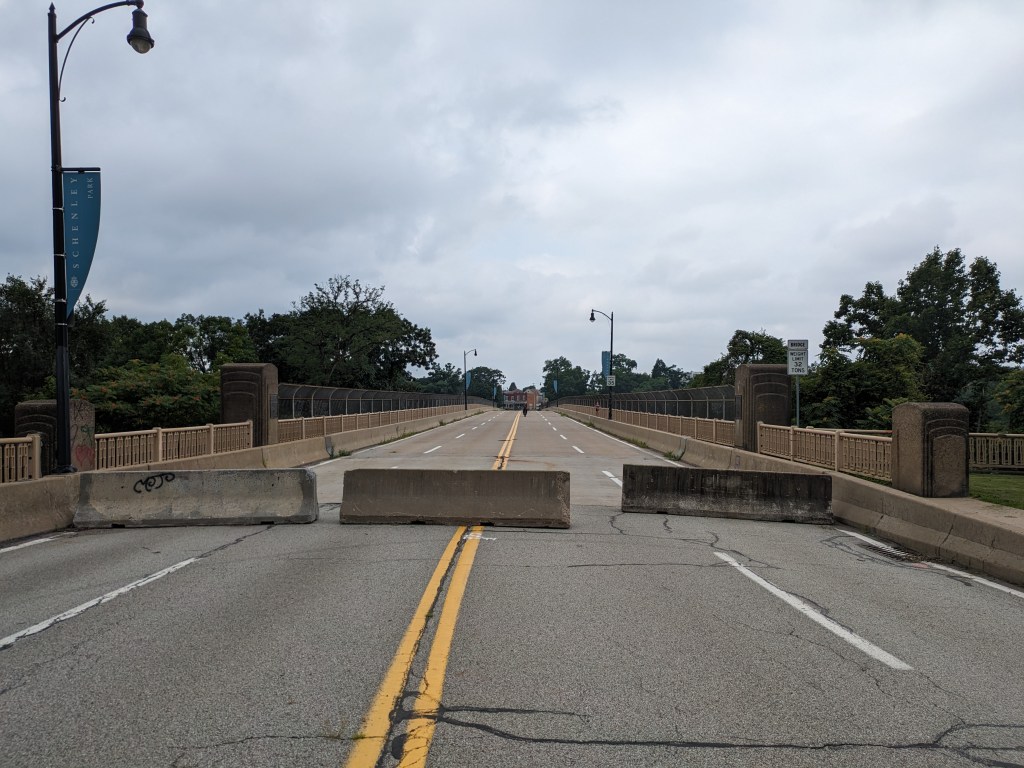
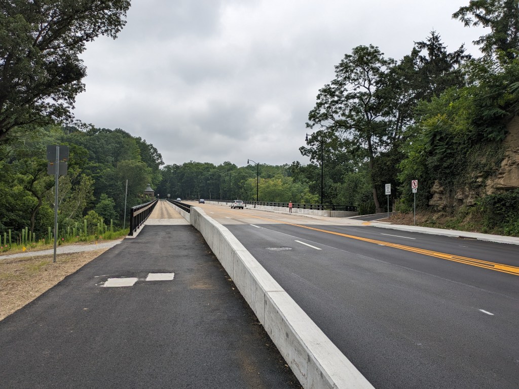
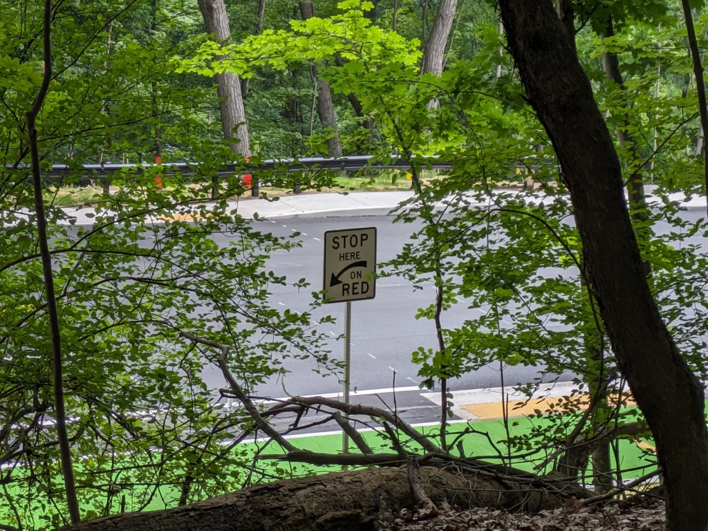
Update 2: While all lanes, the sidewalk, and multi-modal path are now open, there is evidence of some more work to be done. A little beyond the western end of the bridge, there are the preliminary markings for a crosswalk. Also, a “stop here on red” sign was installed, though it currently faces the park, not the traffic. Both of these suggest that a new traffic light will be installed to create a safe pedestrian crossing.

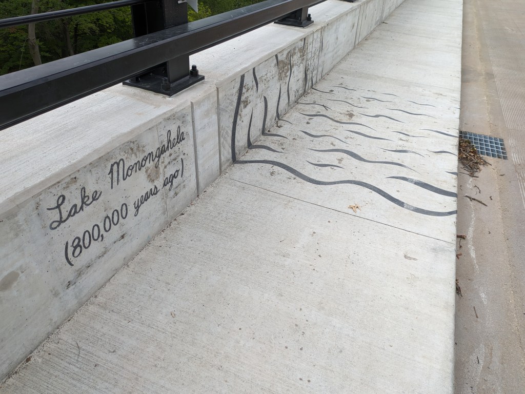
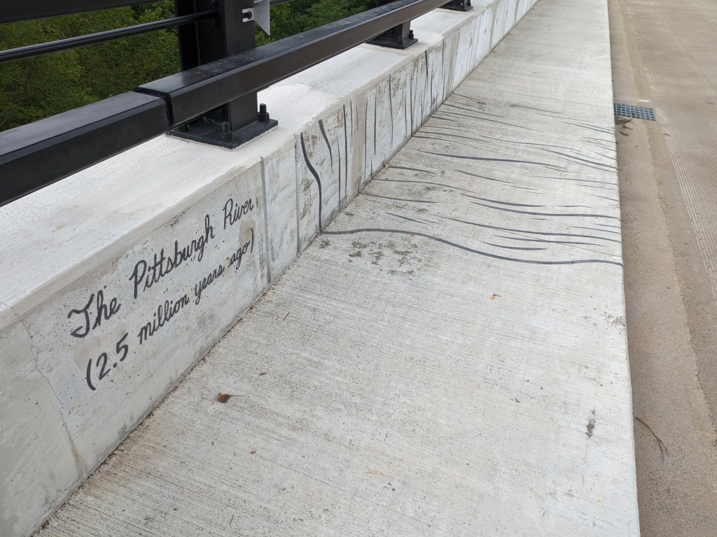
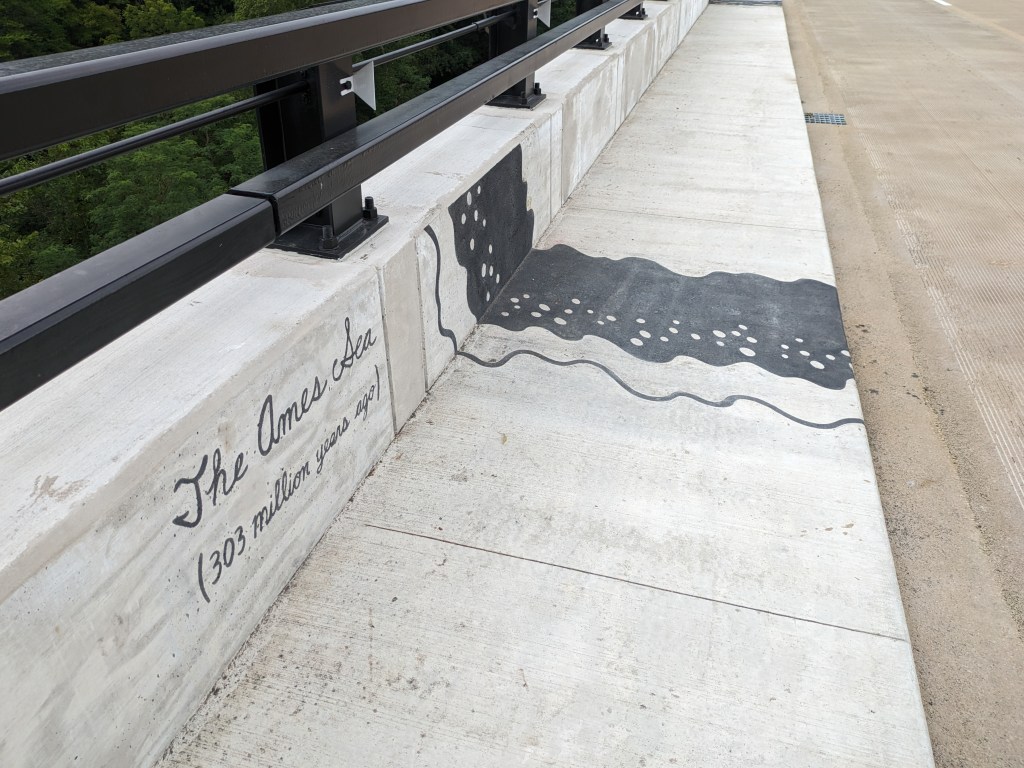
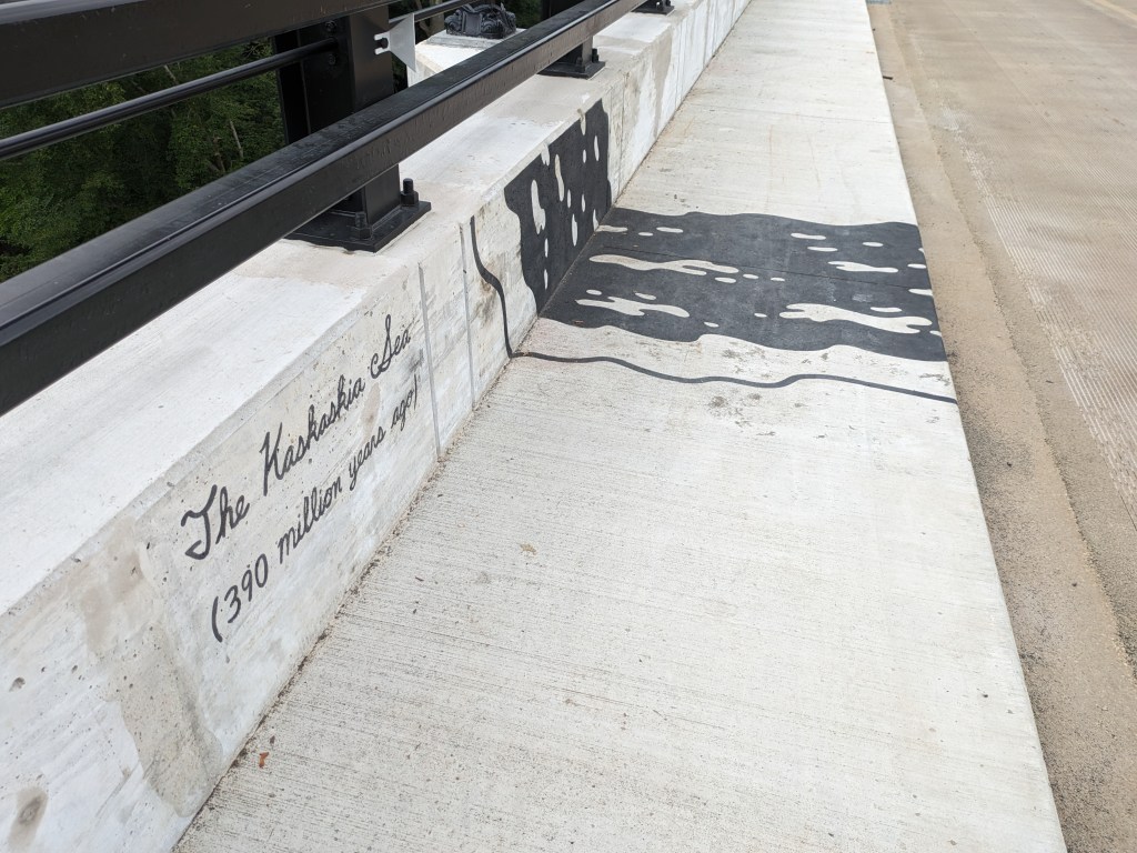
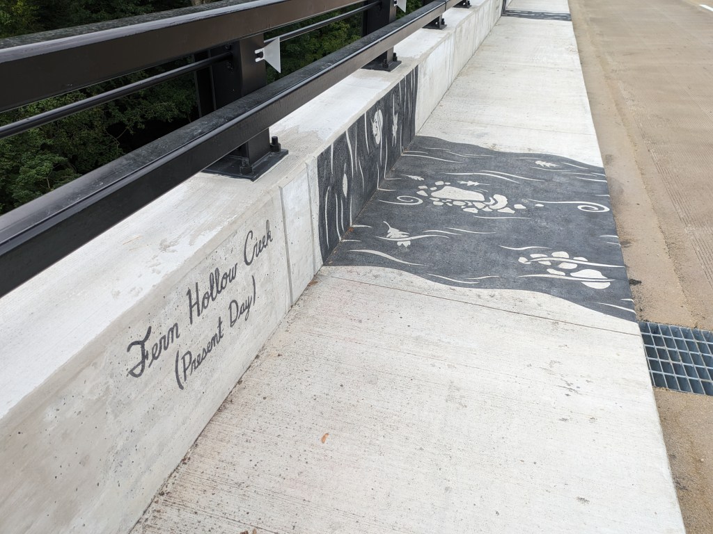
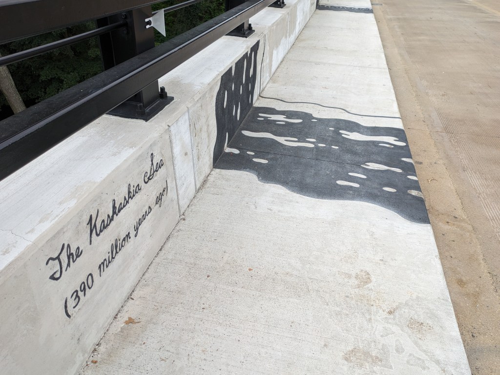
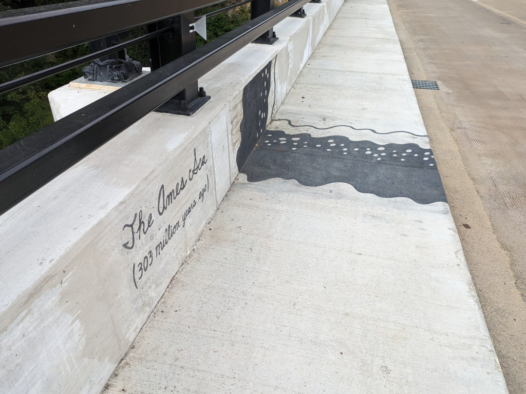
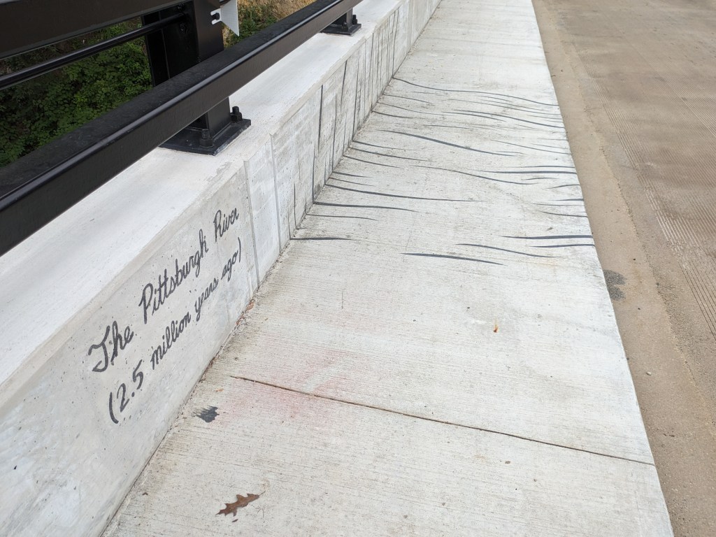
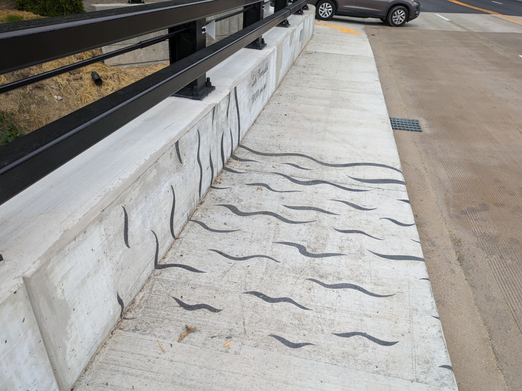
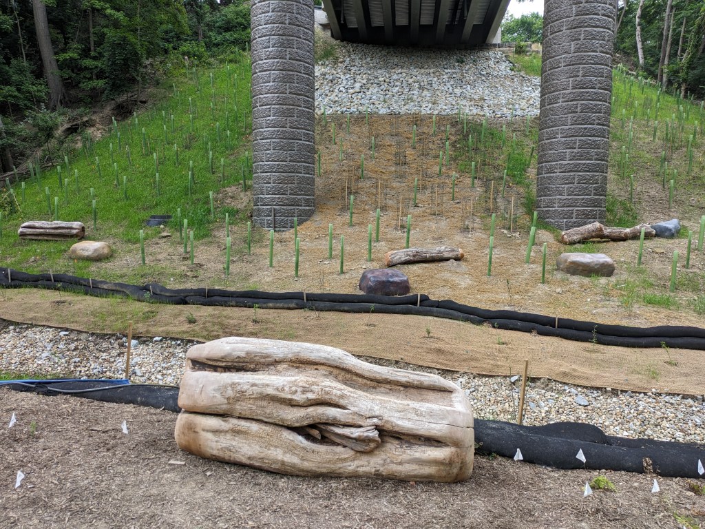
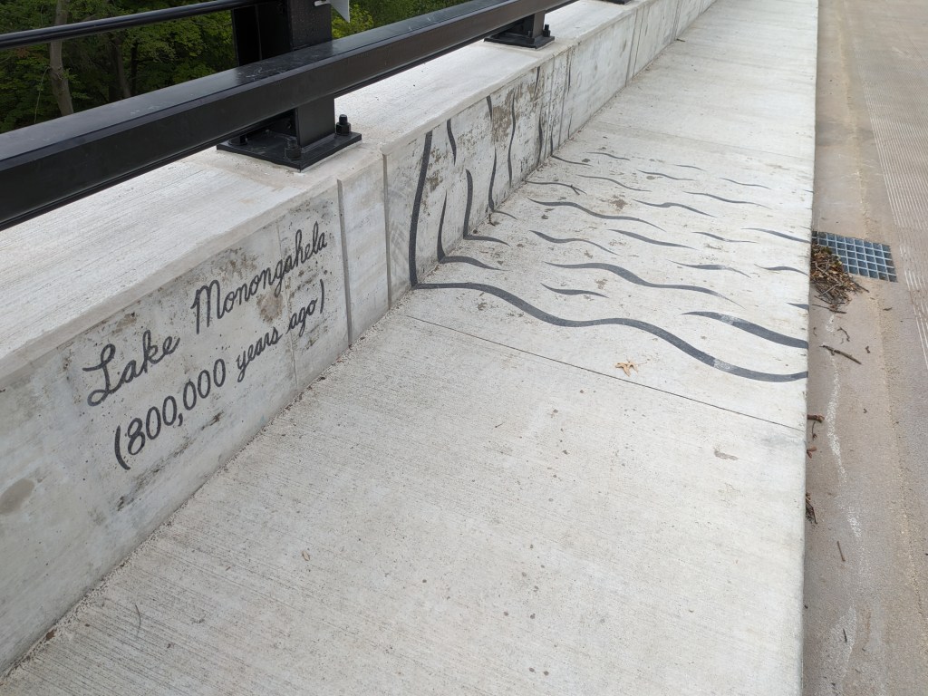
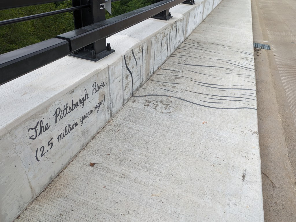
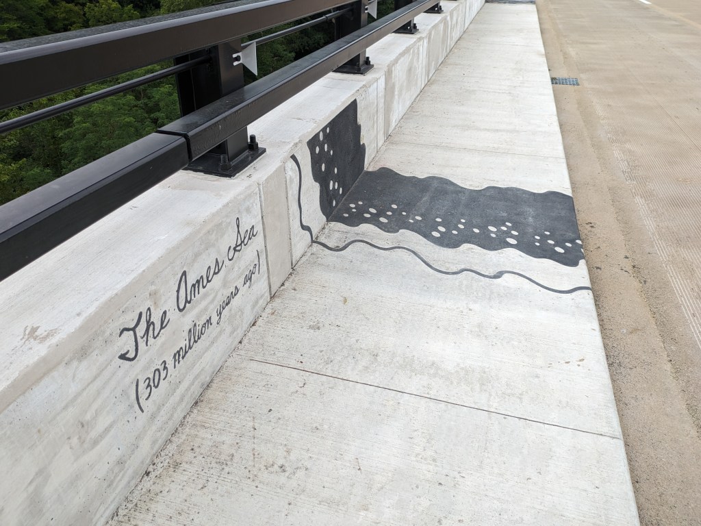
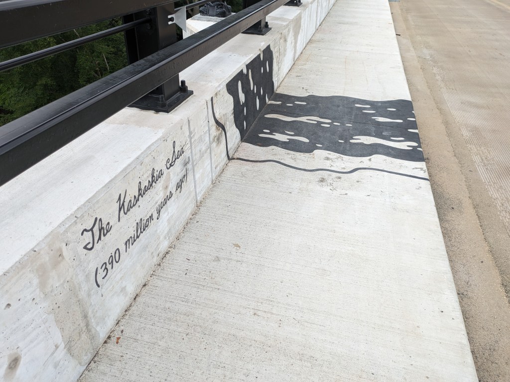
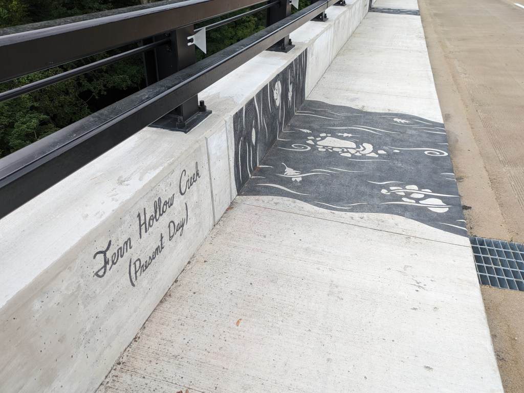
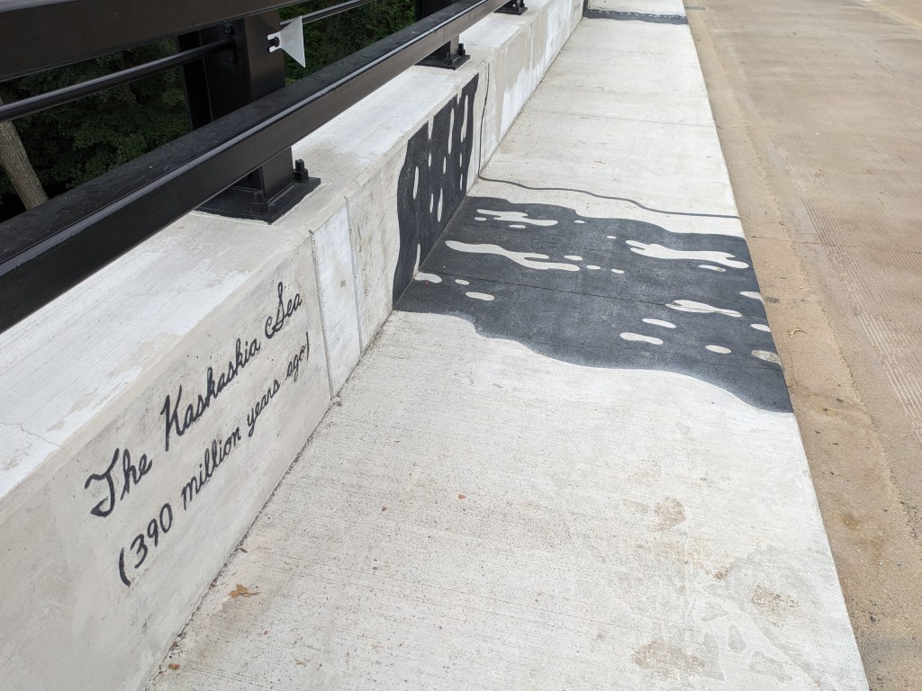
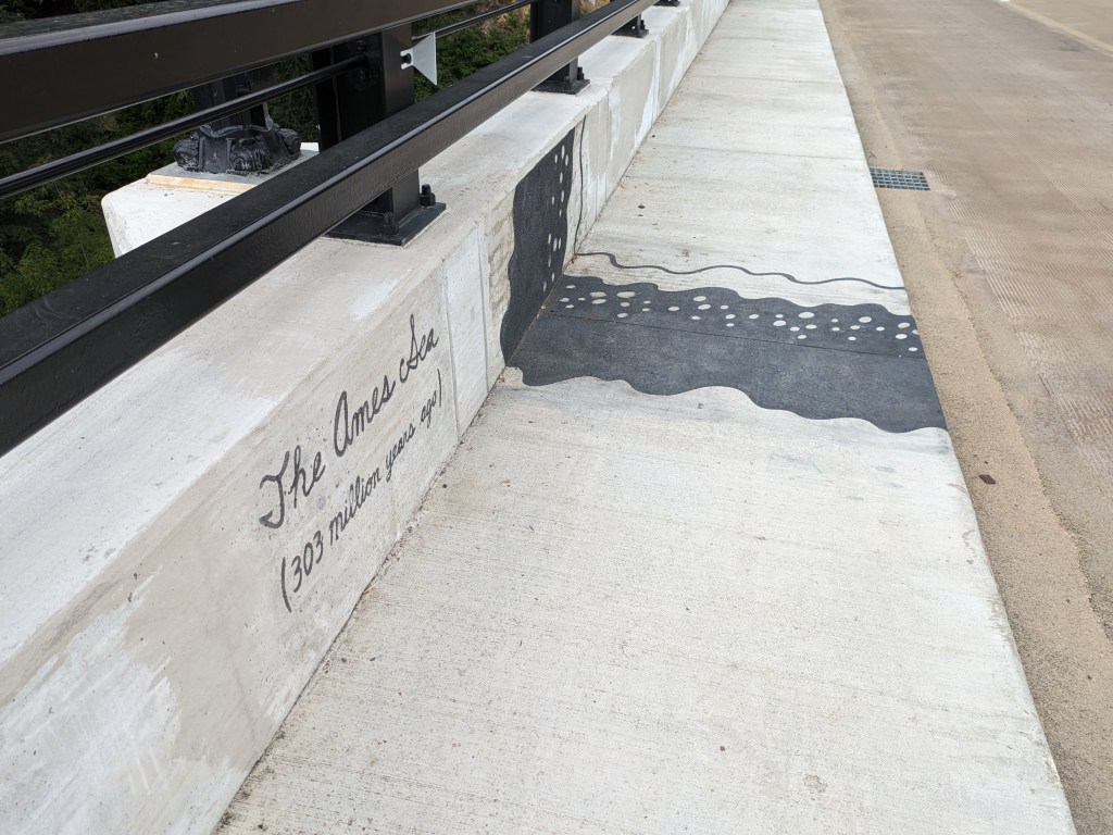
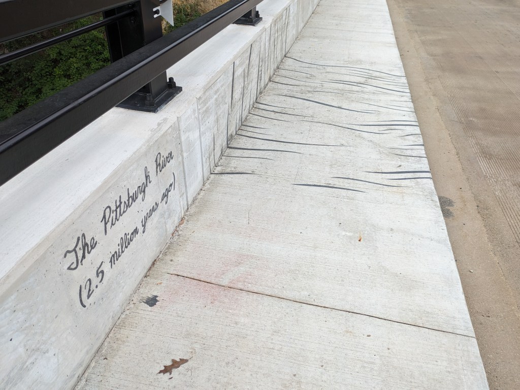
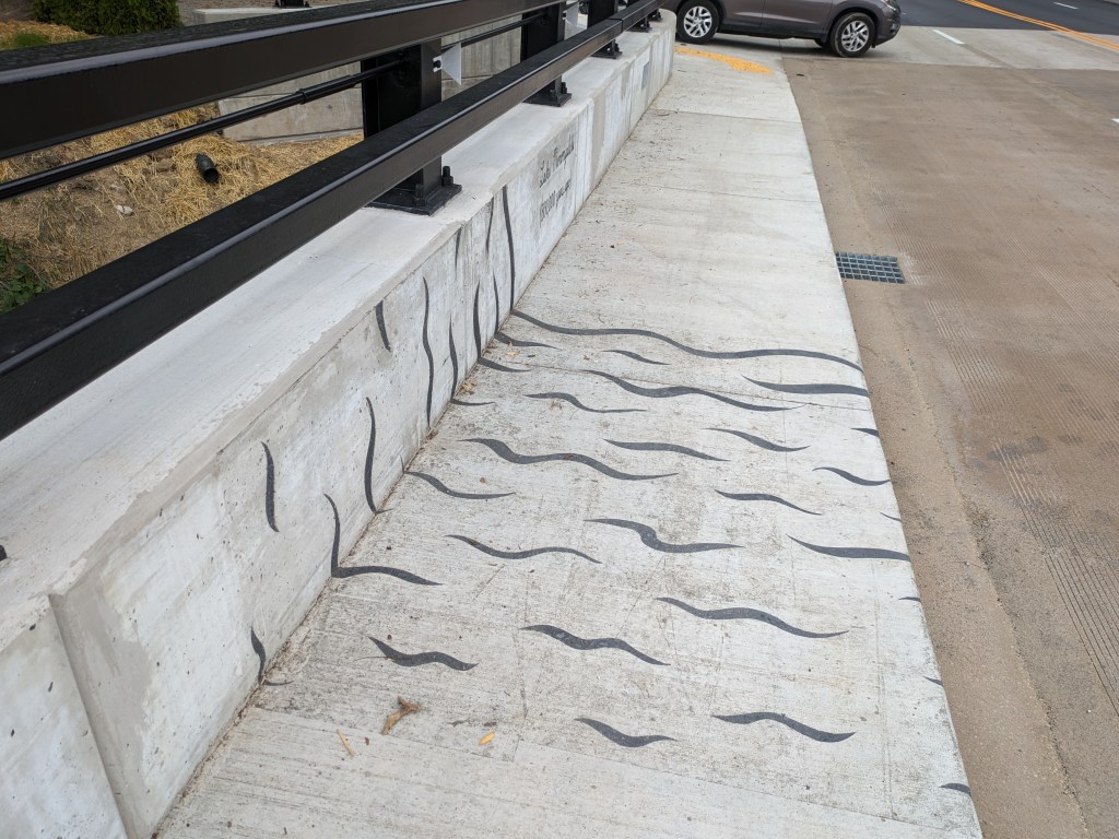
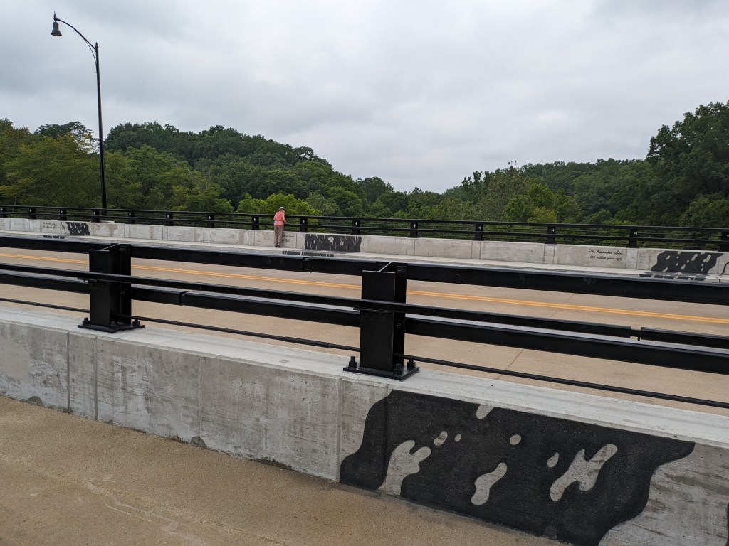
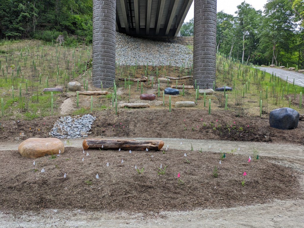
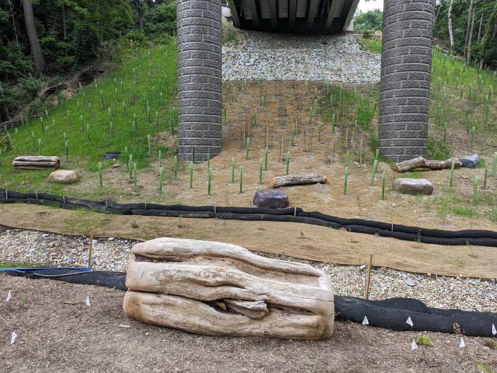
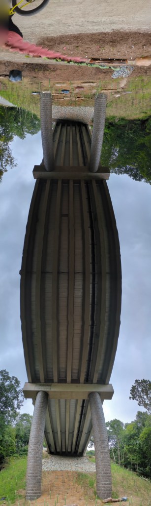
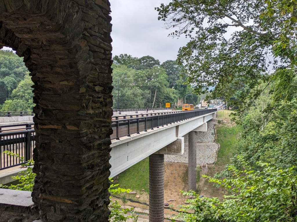
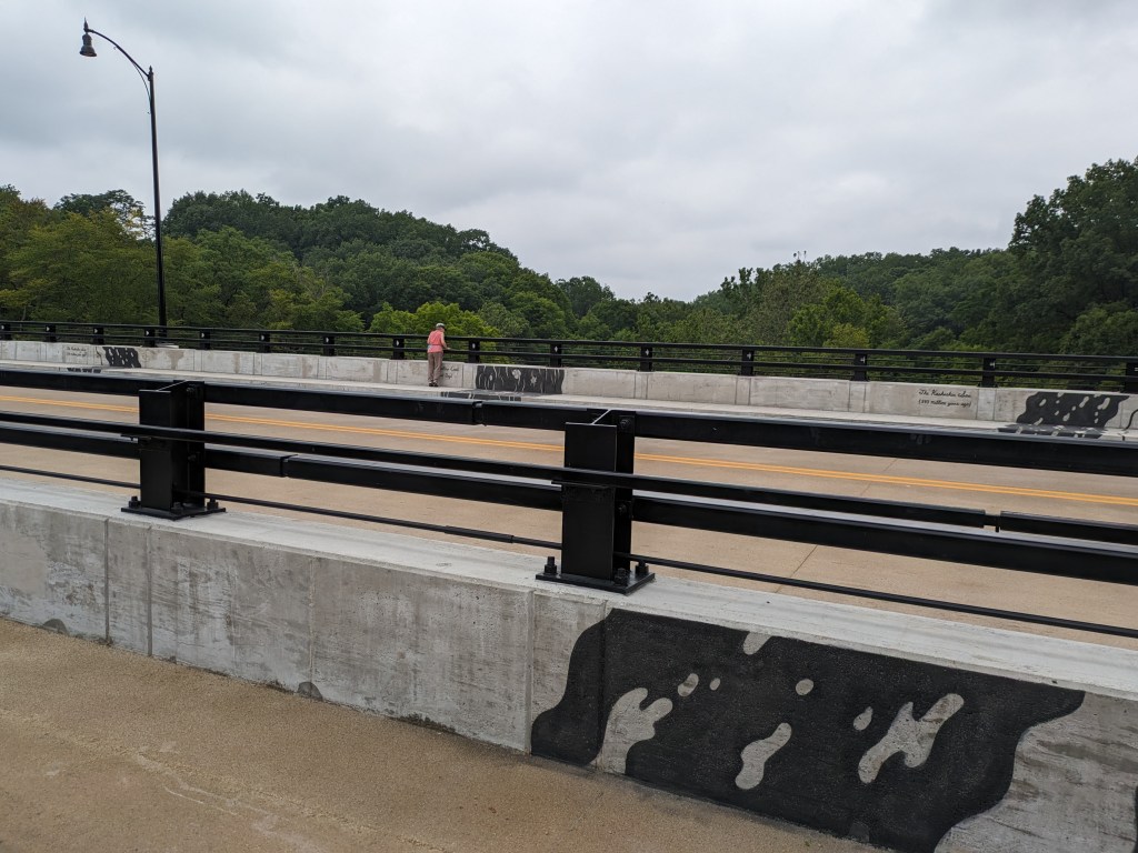
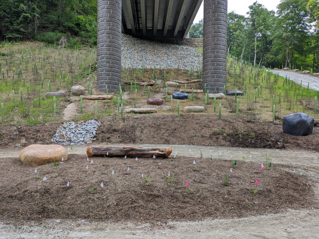
Update 3: John Peña’s A History of Fern Hollow Creek was installed on the bridge and Carin Mincemoyer’s Trail Meander was installed under the bridge. Mincemoyer’s alternative concept of a rain arch that paid homage to the arch of the former bridge did not move forward as it was found to not be feasible within the time and budget constraints of the project. I enjoyed the historical timeline of the bodies of water on this site illustrated in Peña’s installation – it provides and opportunity to stop and think about the different bodies of water that have shaped the landscape of Pittsburgh over millennia. I haven’t yet cracked the pattern of the order in which they are displayed, if there is one.

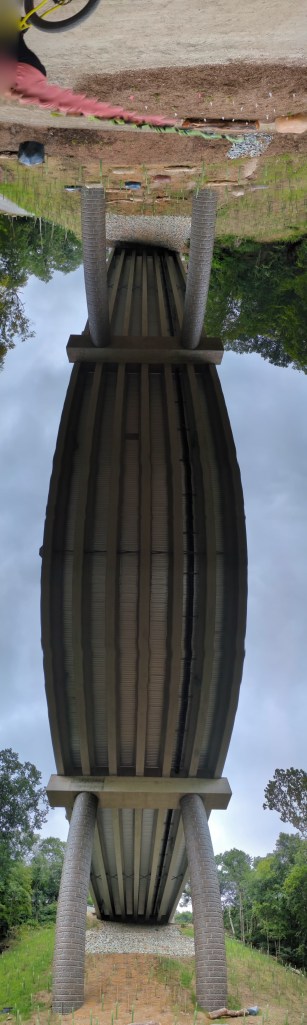
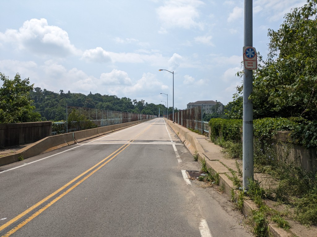
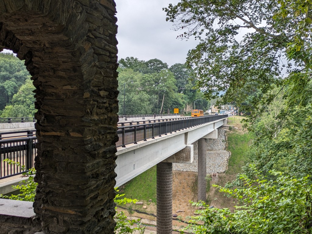
Update 4: As I do not currently have any mobility limitations, I was able to take many more pictures from different angles.

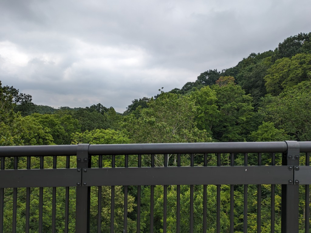
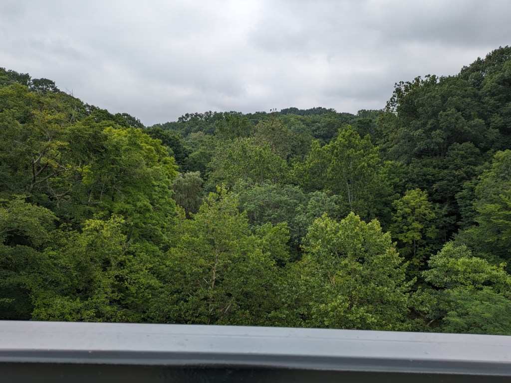
Photos: Fern Hollow

Below are the news updates on the Fern Hollow Bridge and other bridge maintenance and replacement efforts in Pittsburgh and Allegheny County.

  • The artwork on the bridge was approved by the Public Art + Civic Design Commission in October 26, 2022 (Agenda, Application, Minutes). The artwork for the trail experience under the bridge was approved by the Public Art + Civic Design Commission in March 22, 2023 (Agenda, Application, Minutes).
  • PennDOT’s project page regarding the reconstruction of the bridge has not been updated since March 2022, except to add a sentence at the beginning to say that the bridge is now complete and operational prior to my last update in January, despite the fact that the bridge was fully closed again for a month in June 2023 to “complete all remaining bridge work.” (Mayor’s Press Release, June 8, 2023; WESA, June 8, 2023; Pittsburgh Magazine, June 9, 2023; Roads & Bridges, June 9, 2023; WPXI, June 11, 2023; WTAE, June 12, 2023)
  • Preliminary findings have been released in the National Transportation Safety Board’s ongoing investigation. Corrosion and deterioration of Fern Hollow Bridge’s uncoated weathering steel components is the key finding along. In addition, while the annual inspection of the bridge had identified maintenance activities that would have addressed these issues for over a decade, the maintenance was not completed.
  • The City created a Commission on Infrastructure Asset Reporting and Investment in March 2022, but no one has been appointed to the commission and it hasn’t been added yet to the city’s website listing all Boards and Commissions. Earlier this year, Mayor Gainey (WESA, June 26, 2023) and Councilwoman Strassburger (Pittsburgh Union Progress, April 3, 2023) both discussed the value of the commission – when it is operational. Neither discussed why the Mayor hasn’t appointed anyone to the board yet (Post-Gazette, June 8, 2023).
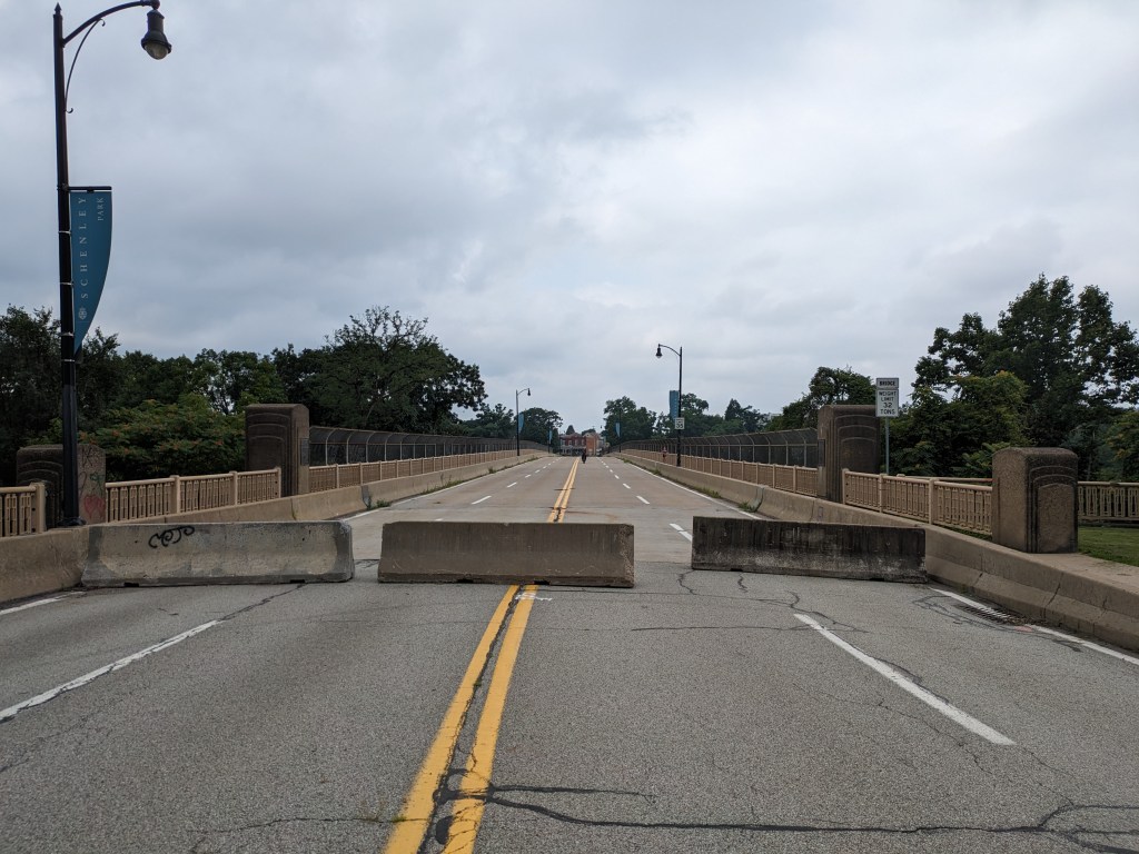
  • The temporary closure of the Charles Anderson Bridge turned into a long-term closure as expedited funding was negotiated to move the full rehabilitation forward sooner. The project may take until 2025 or 2027 and will include a new 2-way bike lane. The Panther Hollow Overpass will also be repaired while the Charles Anderson Bridge is closed because the overpass “is approaching the end of its functional life” and the road is already closed. (Mayor’s Press Release, March 16, 2023; KDKA, March 17, 2023; KDKA, March 23, 2023; WTAE, April 18, 2023; Patch, April 18, 2023; Post-Gazette, April 18, 2023; WPXI, April 19, 2023; WESA, June 1, 2023; Pittsburgh Engage project page)
  • Pittsburgh’s Swindell Bridge, which closed from July to September 2022 due to falling debris, closed for about a week in April to set-up platforms for future construction and then closed again in July to install new beams. One of the articles says that this will finish the work on the Swindell Bridge, while another says that a full rehabilitation project is yet to come. Pittsburgh’s Engage site only shows the public meeting from April. (Triblive, April 22, 2023; Mayor’s Press Release, April 21, 2023; WTAE, April 27, 2023; Mayor’s Press Release, April 27, 2023; KDKA, July 9, 2023; Pittsburgh Engage page; Mayor’s Press Release, July 7, 2023; Post-Gazette, July 10, 2023)
  • In searching for new news on the South Negley Avenue Bridge, I didn’t find anything new, but I found an article from 2015 that said the renovation of the bridge was scheduled to start 2 years from then – that has come and gone with no new start date in sight. In addition to not finding anything new about what is happening to this poor condition bridge, it’s not clear if the closure of the west sidewalk of the South Negley Avenue Bridge from 2022 officially ended or if pedestrians took matters into their own hands and moved the barriers aside themselves. (The Philadelphia Tribune, February 2, 2015)
  • Construction began on the 30th Street Bridge rehabilitation in April 2023. (Triblive, April 22, 2023; Mayor’s Press Release, April 21, 2023; Pittsburgh Engage page)
  • There’s evidence of that the construction of the new Davis Avenue Bridge is moving forward from the approval of the Public Art + Civic Design (PACD) Commission in March to the listing in the Construction Journal for bids. (Triblive, March 24, 2023; Construction Journal, June 9, 2023; Bridge Engage Page; Public Art Engage page; PACD Agenda, Application, Minutes)
  • Maintenance work on Swinburne Bridge was scheduled for May 2023. Full rehabilitation will happen later, after the Charles Anderson Bridge is reopened as the Swinburne Bridge is part of the detour route. (Mayor’s Press Release, May 19, 2023)
  • The Lincoln Avenue and Fremont Street bridges were closed indefinitely for repair January 2023 by PennDOT to the surprise of Millvale, PA – a small town across the 40th Street Bridge from Pittsburgh – the borough is seeking funding for the repairs (Borough’s Announcement, January 23, 2023)

Photos: Other Bridges


Historic Pittsburgh Bridge Disasters

According to Bob Regan’s 2006 book “The Bridges of Pittsburgh,” Pittsburgh is no stranger to bridge disasters:

  • 1845 – The original Smithfield Street Bridge burned down
  • 1851 – The 16th Street Bridge burned down
  • 1865 – Two spans of the 16th Street Bridge was washed away in a flood
  • late 1880s – The 6th Street/St. Clair Street Bridge burned down
  • 1903 – The Wabash Bridge collapsed during construction
  • 1918 – The 16th Street Bridge burned down (again)
  • 1921 – The 30th Street Bridge burned down
  • 1927 – The Mount Washington Roadway Bridge collapsed during construction

Map of bridges discussed in the Bridge Collapse series:


Additional Resources:

Both PennDOT and the Federal Highway Administration have interactive maps of bridges for the state and country respective, and their inspection statuses. Pittsburgh now has the static Comprehensive Bridge Asset Management Program Report of the 147 bridges owned by the City of Pittsburgh.

Bridges in Pittsburgh with community engagement pages for pending rehabilitation or replacement projects:


Previous Fern Hollow Bridge Posts:

One-Year Update

Eleven-Month Update

Six-Month Update

Five-Month Update

Four-Month Update

Two-Month Update

One-Month Update

Two-Week Update

One-Week Update

Day After

Breaking News

Homage in Bridge Reconstruction

I’ve written before about how some bridges pay homage to the ones they replaced. Pittsburgh’s Greenfield and Heth’s Run Bridges did this. When writing about those bridges, I assumed that this approach might reassure a community by honoring the local memory and thereby maintaining a sense of stability. However, this was only a guess. While I had used the old Heth’s Run Bridge hundreds of times, I didn’t know it was a bridge until shortly before its replacement and most of its characteristics features had been removed, buried, or eroded long before. I don’t know if I had ever been on the Greenfield Bridge before the day I intentionally walked it for this blog. So I had no emotional connection to that bridge. Therefore, I cannot speak personally about the homage these bridges paid to the past.

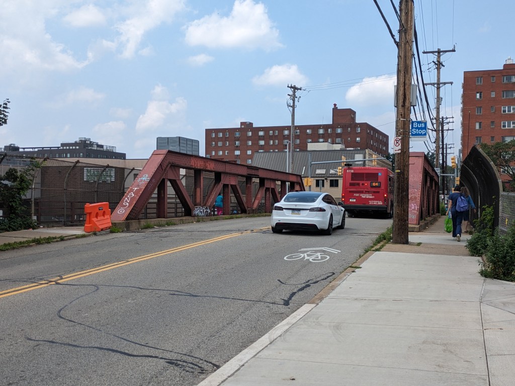
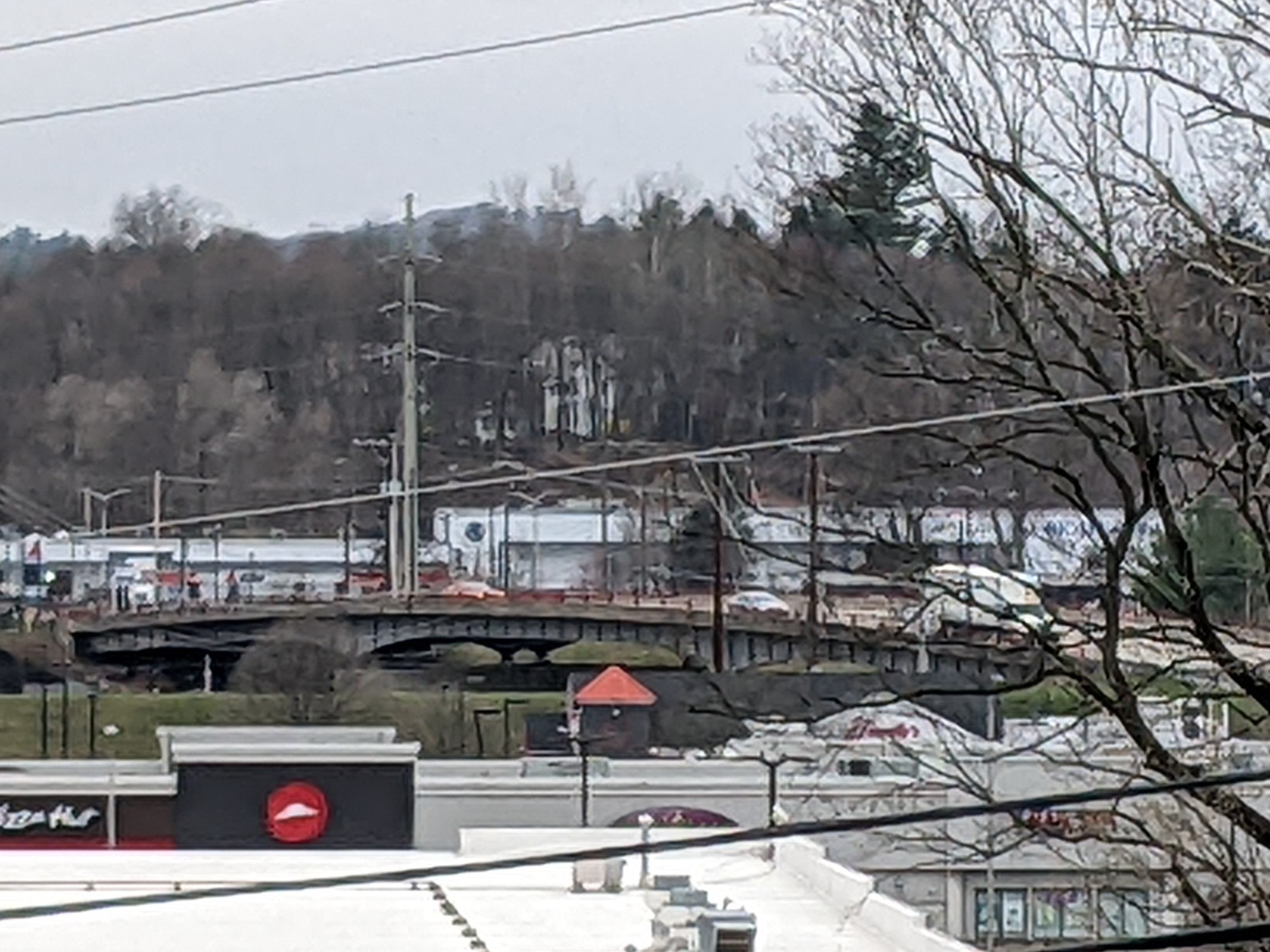
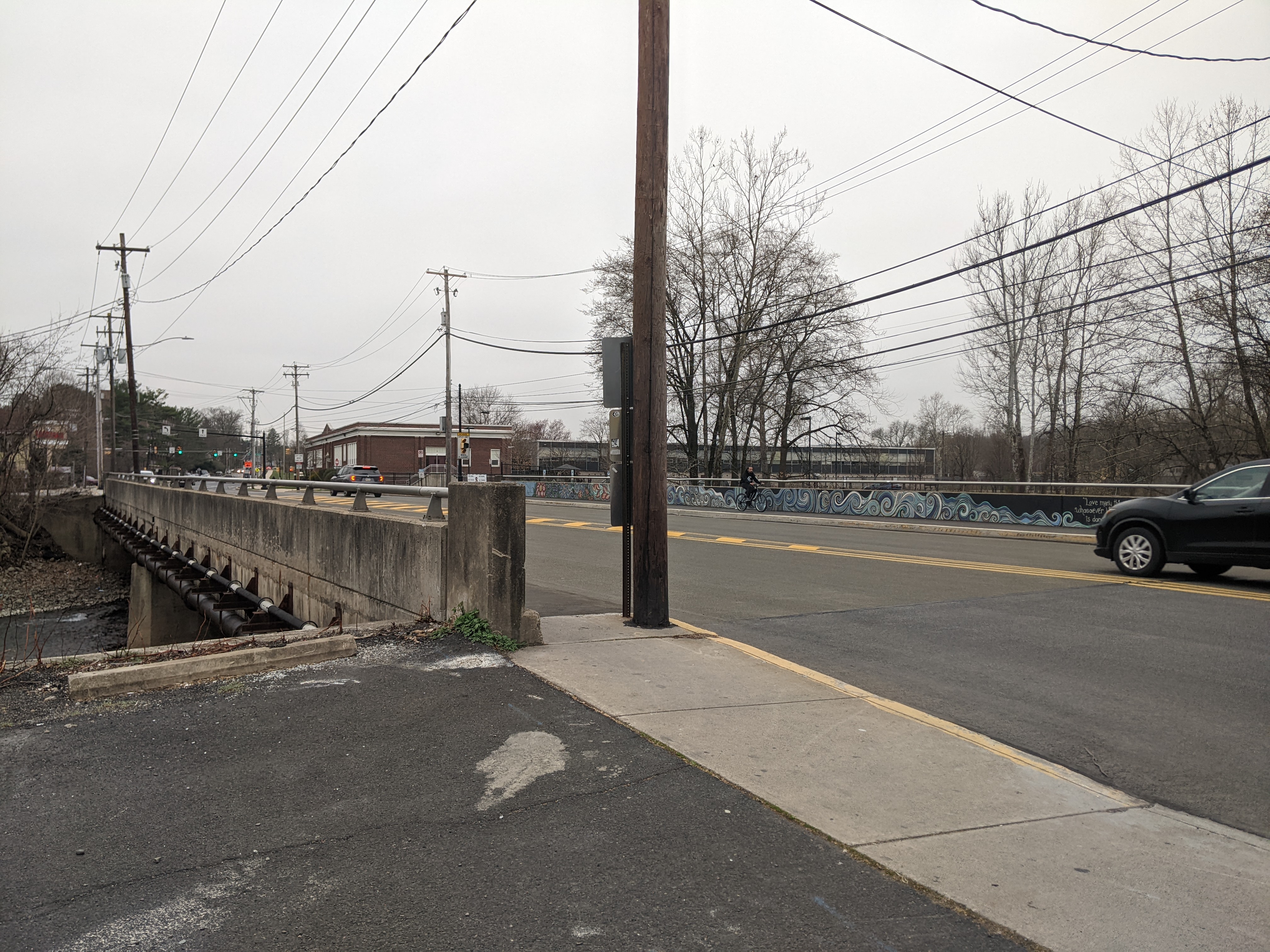
When I arrived in East Stroudsburg, the blood-red, rounded through-truss bridge was no longer there (officially, it was a Warren pony truss style). This bridge had been an important landmark for me as a child, probably because its design was distinctive. It made me smile when I saw the new bridge had paid homage to the shape of the former truss. While the change of color and style of the bridge was significant, I felt a sense of comfort at the continuity created by the way the new design acknowledged the former bridge.

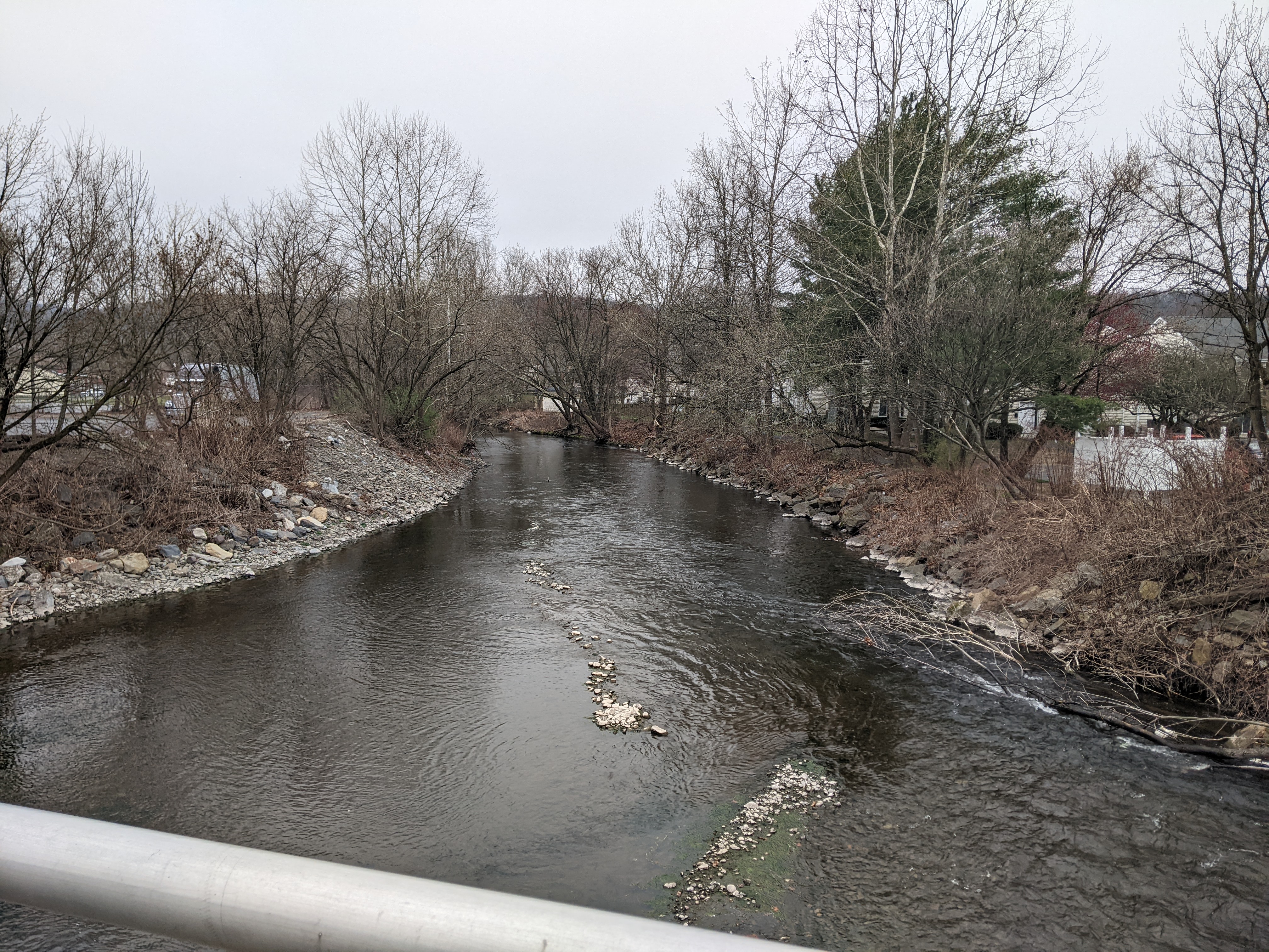
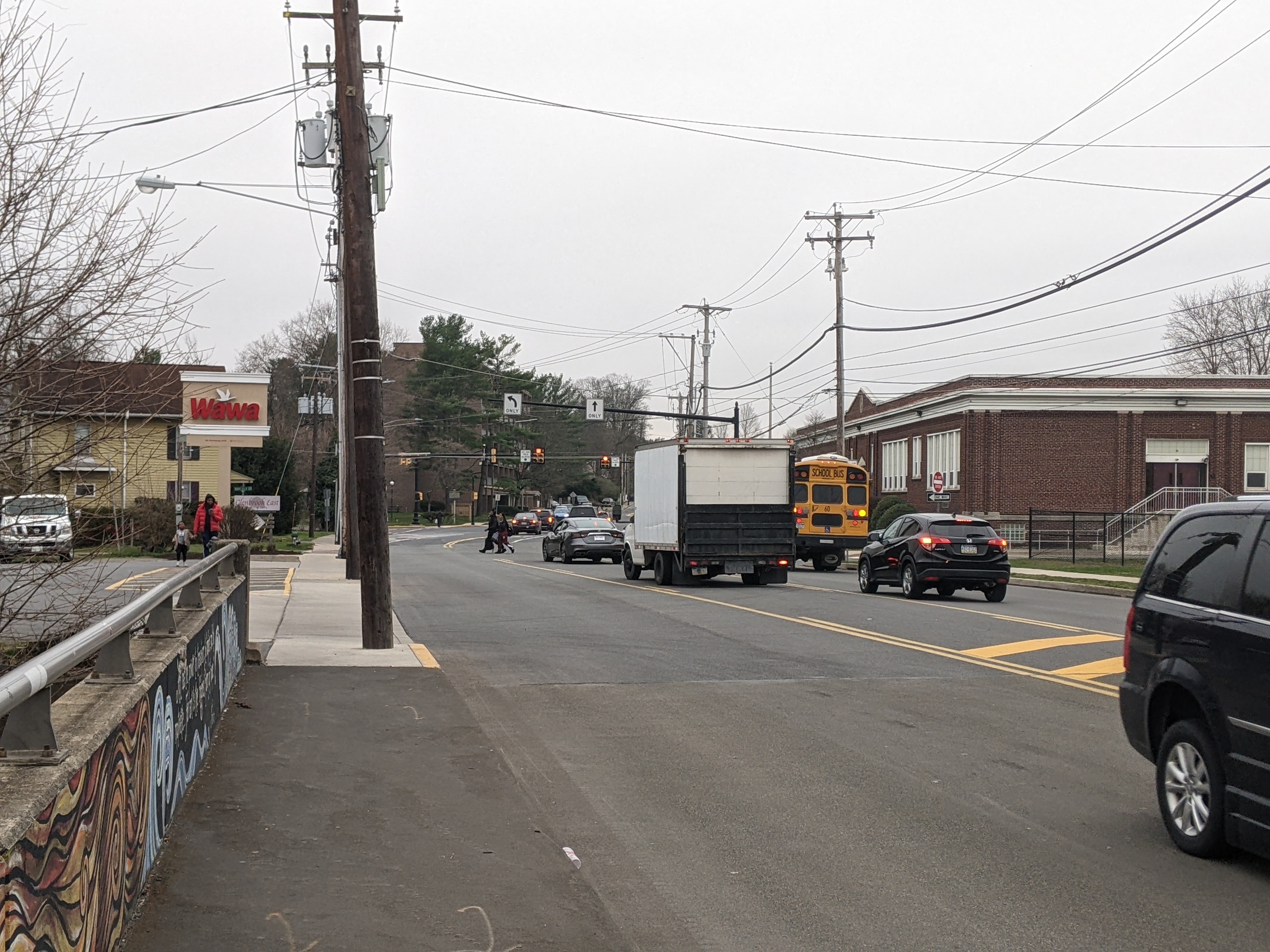
Down the hill from this bridge is the Interborough Bridge. This bridge connecting East Stroudsburg and Stroudsburg used to be a through-truss, possibly also a Warren pony truss bridge. When it was destroyed by a flood in 1955, the replacement did not pay homage to the past. The plain replacement bridge is very utilitarian and not much else. My foot had reached the end of its stamina before I was able to walk across it on this trip – which was actually a relief. I walked across it at least once when I was a kid. I remember it feeling unpleasant. There are sidewalks, but the proportion of vehicles lanes is quite large, cars move fast, and either end features auto-oriented uses. The one nice feature of the bridge are the views of Brodheads Creek, but there are plenty other more pleasant vantage points to view the creek.

In another form of homage, Brodheads Creek, the dividing line between East Stroudsburg and Stroudsburg, is named after Daniel Brodhead. On this trip, I learned that in 1737 Daniel was the first white settler in the area to purchase his land from the descendants of William Penn instead of the Lenni Lenape, the indigenous people who still lived on the land. Although, Penn began purchasing the land that the King of England had given him from the Lenape in 1683, it seems that the area around East Stroudsburg and Stroudsburg had not been purchased by the Penn family before they started selling it to settlers. The Walking Purchase of 1737 attempted to resolve this issue, though it seems the terms of the purchase were not explained clearly the Lenni Lenape beforehand. (Monroe County Historical Association, November 11, 2005; Pennsylvania Historical & Museum Commission)

Stroudsburg’s Bridges

Speaking of federal highways built after WWII (potentially through communities), Interstate Route 80 runs through Stroudsburg and East Stroudsburg. President Johnson mentions the recent completion of this highway in his letter to Stroudsburg’s mayor celebrating the borough’s sesquicentennial:

The recent completion of the Interstate Highways through the Poconos has made Stroudsburg and the communities around it more accessible than ever before. The Federal Government is proud to have played an important role in this acheivement.

Letter from President Johnson dated May 31, 1965

I do not know if any communities were demolished to build this interstate highway. It is likely that the presence of this interstate is part of the reason why some New Yorkers chose to relocate here following 9/11. It is certain that some of the local bridges owe part or all of their existence to this interstate. Many of the local bridges also owe their existence to the several creeks in the area.

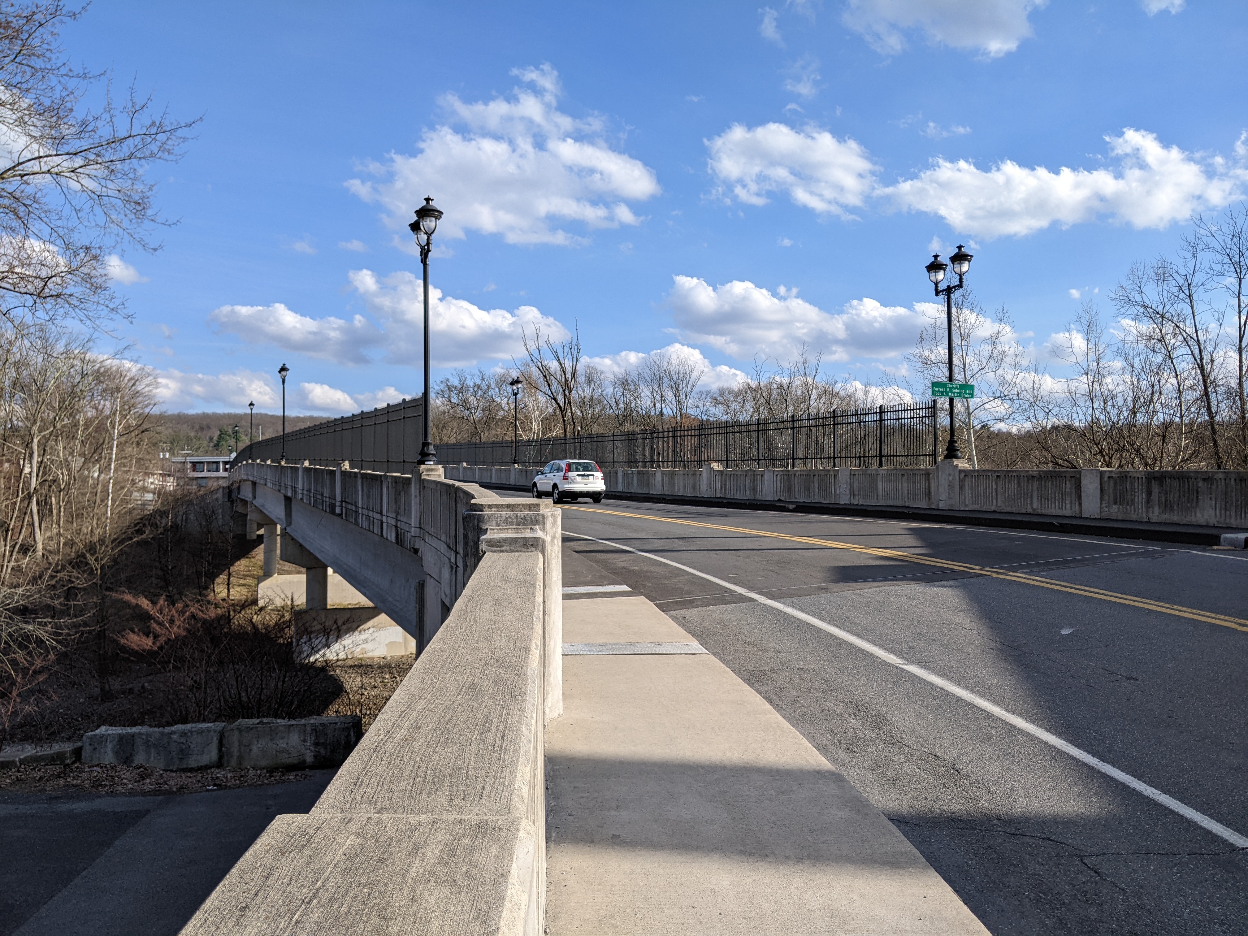
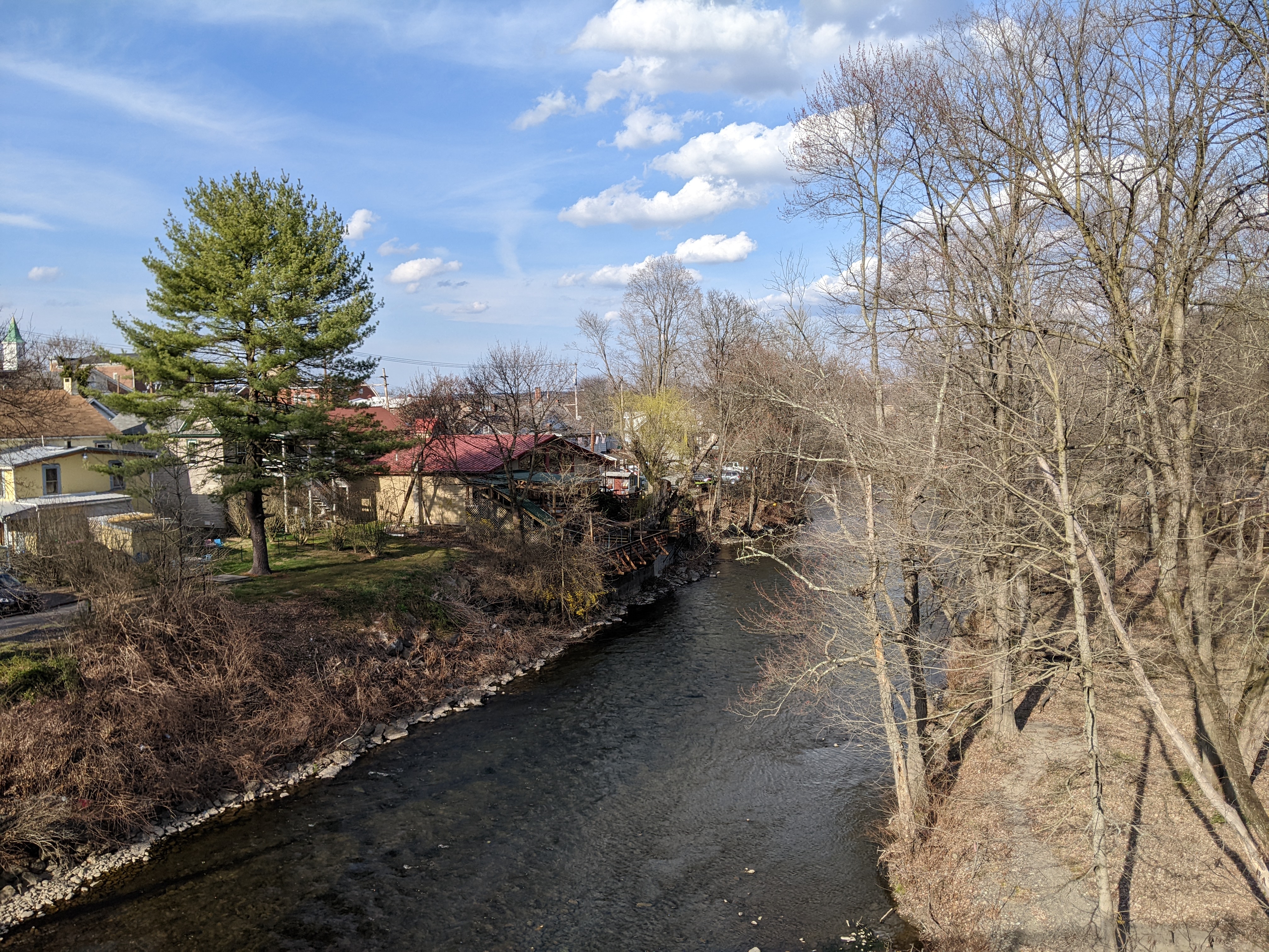
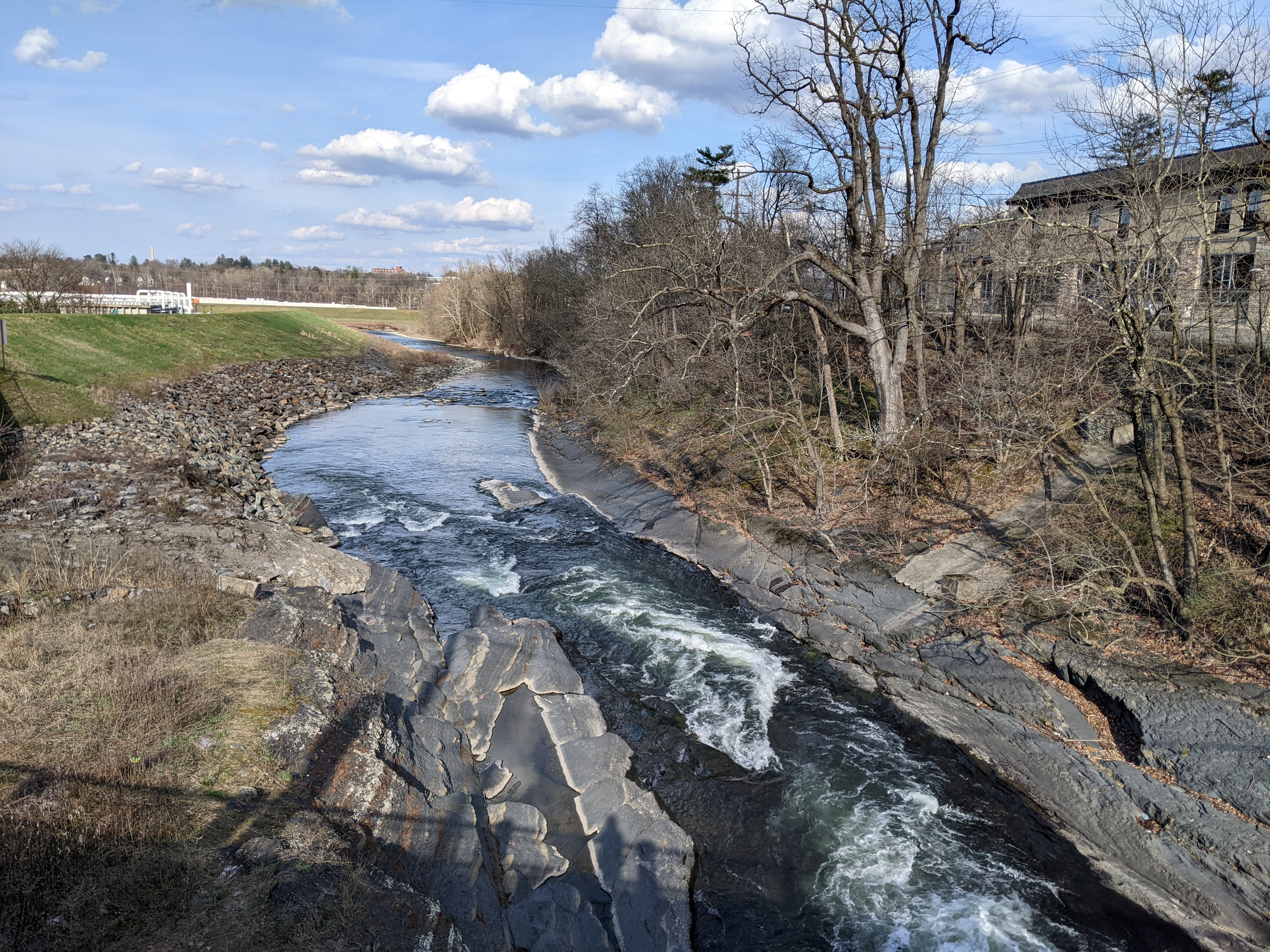
The Seventh Street Bridge spans both Route 80 and McMichael’s Creek. (According to signs on this bridge it’s name is Sherrifs Forrest B. Sebring and Todd A. Martin Bridge, but the Pocono Record’s article on the renaming of this bridge highlights the controversy and public backlash to this renaming which was led by a State Representative.) Further east, the freeway and the creek are farther apart and so two separate bridges carry Broad Street over both obstacles. Heading back west, another bridge carries Main Street over Pocono Creek.

Pocono Creek and its bridge (the J. Summerfield Staples Memorial Bridge) appear to mark the western boundary of the historic core of town. On the other side of the bridge, there is an uptick in the number and frequency of auto-oriented uses and building designs.

Seventh Street Bridge

Broad Street Bridges

J. Summerfield Staples Memorial Bridge

Urban Renewal in the Stroudsburgs

After WWII, while the federal government was building highways — sometimes through communities — and subsidizing and incentivizing the construction and purchase of detached single-family dwellings — that is, if you were of the “right” race, ethnicity, and economic level, — there was a growing sense that cities, and perhaps even towns, weren’t safe places to live. As people and jobs, or jobs and people, or some people and jobs starting leaving cities in large numbers, the cities started looking for ways to reinvent themselves to reattract people and jobs in order to survive. Pittsburgh was a leader at that time, inventing and defining the process of Urban Renewal. Other cities like Bethlehem looked up to Pittsburgh and tried to adopt the strategies and techniques of Urban Renewal used in Pittsburgh. Often these cities, as illustrated by Bethlehem, lacked the resources and power to pull off Urban Renewal on the same scale as Pittsburgh.

Revisiting the once familiar environs of Stroudsburg (pop. 5,950) and East Stroudsburg (pop. 9,669), I realized that even these small towns adopted practices and principals of Urban Renewal. And similar to the pairing of Allentown (pop. 125,944) and Bethlehem (pop.75,624), the larger of the two municipalities implemented more Urban Renewal projects while the smaller implemented more historic preservation practices.

Below is a very biased sample of the the Urban Renewal practices I believe I identified in the Stroudsburgs:
Urban Renewal Practice #1 – The Ring Road

Both boroughs contain a partial or complete loop of one-way streets around portions of their downtowns. This traffic pattern now appears to me as strongly reminiscent of the circles Pittsburgh built around important commercial neighborhoods – which subsequently nearly died, possibly because they were already dying, but probably aided by being choked off by these ring roads. In Stroudsburg and East Stroudsburg, it didn’t appear that the ring road has the same sort of death grip on the commercial enterprises they encircled. Several of the business I remembered were still operating and I didn’t notice significant numbers of vacant properties – though the couple vacant businesses I noticed were in East Stroudsburg. However, they weren’t areas that were tempting to explore more closely because they were sites developed along the second Urban Renewal practice.

Urban Renewal Practice #2 – Auto-oriented Uses

Both boroughs contained drive-through businesses in the center of their ring roads. In addition, strip malls are off to the right as you enter each borough on the ring road. In Stroudsburg, the auto-oriented uses felt like they were tightly centered on the ring road; nearby and spilling into the ring road was a dense, walkable downtown. On the other hand, in East Stroudsburg, it felt like the auto-oriented uses were spilling beyond the immediate environs of the ring road and into what was presumably once a much more extensive dense, walkable downtown.

Urban Renewal Practice #3 – Demolition for Underutilized Parking Lots

Part of what made the experience in East Stroudsburg feel more auto-oriented was the larger number of visible paved lots, presumably for parking, but largely empty. While I was most likely day-dreaming about the plot of my latest story featuring either princesses or cowboys when I previously spent time in downtown East Stroudsburg, there was a feeling of familiarity in the near empty parking lots suggesting that I would have felt uncomfortable if they were actually parked to capacity in the same way I felt uncomfortable passing locations where trees I used to know had been cut down.

Memory and Stability

I found myself making the sudden, sharp s-turn unto the Washington Crossing Bridge as a result of taking an opportunity to revisit scenes from my childhood. I have had a growing interest in returning to my first hometown partly to explore scenes the reflect concepts I encounter in my professional zoning life and partly due to the jealousy I felt when many of my friends were able to “go back home” in the early depths of the pandemic.

It’s been a quarter of a century since I had a place that I considered home in the sense of the homes that my friends found refuge in during the pandemic. While I’ve always had a roof over my head at a place where I lived and therefore a home, the deeper kind of home is a unique blend of people, place, memory, and stability. Pittsburgh is the closest substitute I have for a hometown, but one of my central themes when writing about Pittsburgh and the places within it is change. Last year’s Then and Now series focused on the changes to or around Pittsburgh’s bridges. The on-going Keeping an Eye On series is tracking major changes as they happen. And though I’ve researched lots, I’ve written less about the adaptive reuse of religious buildings in the city, a theme which also focuses on change.

There were changes when I went back to my first hometown. The house I grew up in has been painted, the backyard has been fenced in, and several important trees have been removed, including the one I crashed my bike into one summer.—They say once you learn, you never forget how to ride a bike. In my experience, once you crash into a tree because you forgot how to ride a bike, you never forget again.—Most of these changes I was already aware of from visiting a few years after we moved away. What struck me the most on this return visit was how much had stayed the same:
  • The chain link fence with slats that we used to love finding the gaps to peak through to see what was so secretly hidden.
  • The yellow safety rails were still there and still rusted.
  • All the houses on the block, except ours, were the same color with the same lack of fencing as I remembered, though one now has solar panels.
  • The year-round costume shop, the existence of which always fascinated me and that I still don’t understand how they survive 12 months in a row, let alone decades worth of 12 months in a row.
  • The bagel shop that made the best bagels, though apparently nobody orders just a bagel with nothing on it anymore and while the inside of the bagel tasted the same, it no longer had the smooth skin on the outside.
  • The local bank where I had my first savings account is still operating under the same bank name.
  • The ice cream shop with the best ice cream, though unfortunately its limited hours of operation did not coincide with the days I was in town.
  • The used bookstore, where I believe I bought my first Zane Grey novel and where I found several gems on this trip.

There is a narrow band of stability between stagnation and growth. This stability enables places like those listed above that are imbibed with memories to survive and provide a sense of the familiar, of comfort, and of home.