urbantraipsing turns 10 in May. To mark a decade of urban-traipsing and bridge-walking, I will be revisiting twelve of the Pittsburgh bridges I walked early on to see the changes 10 years brought to them and their surroundings.
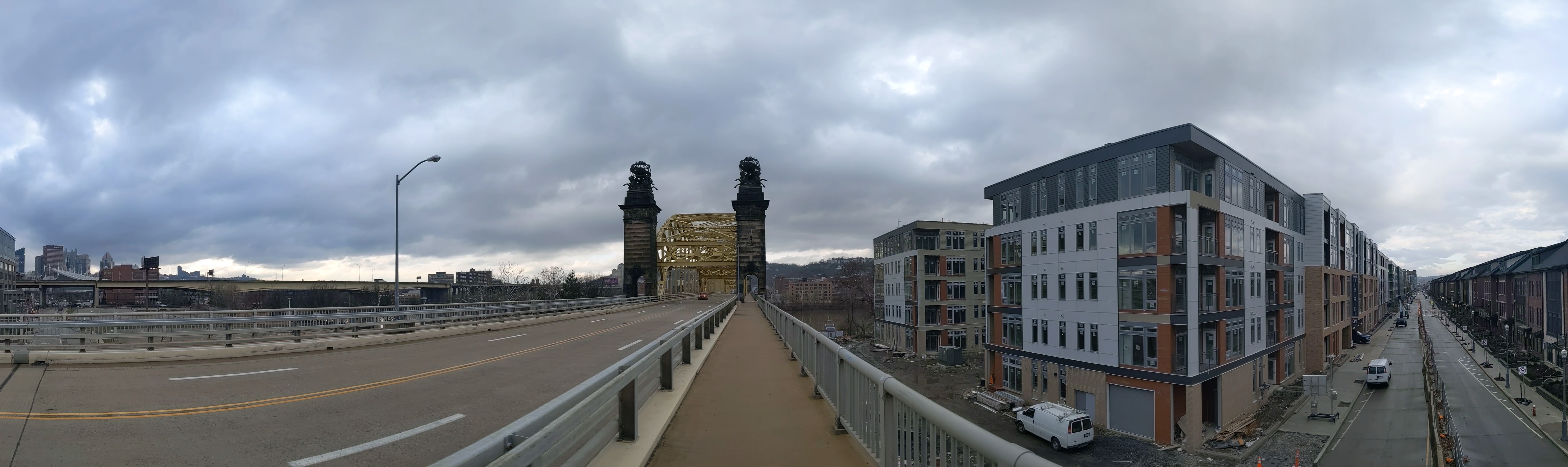
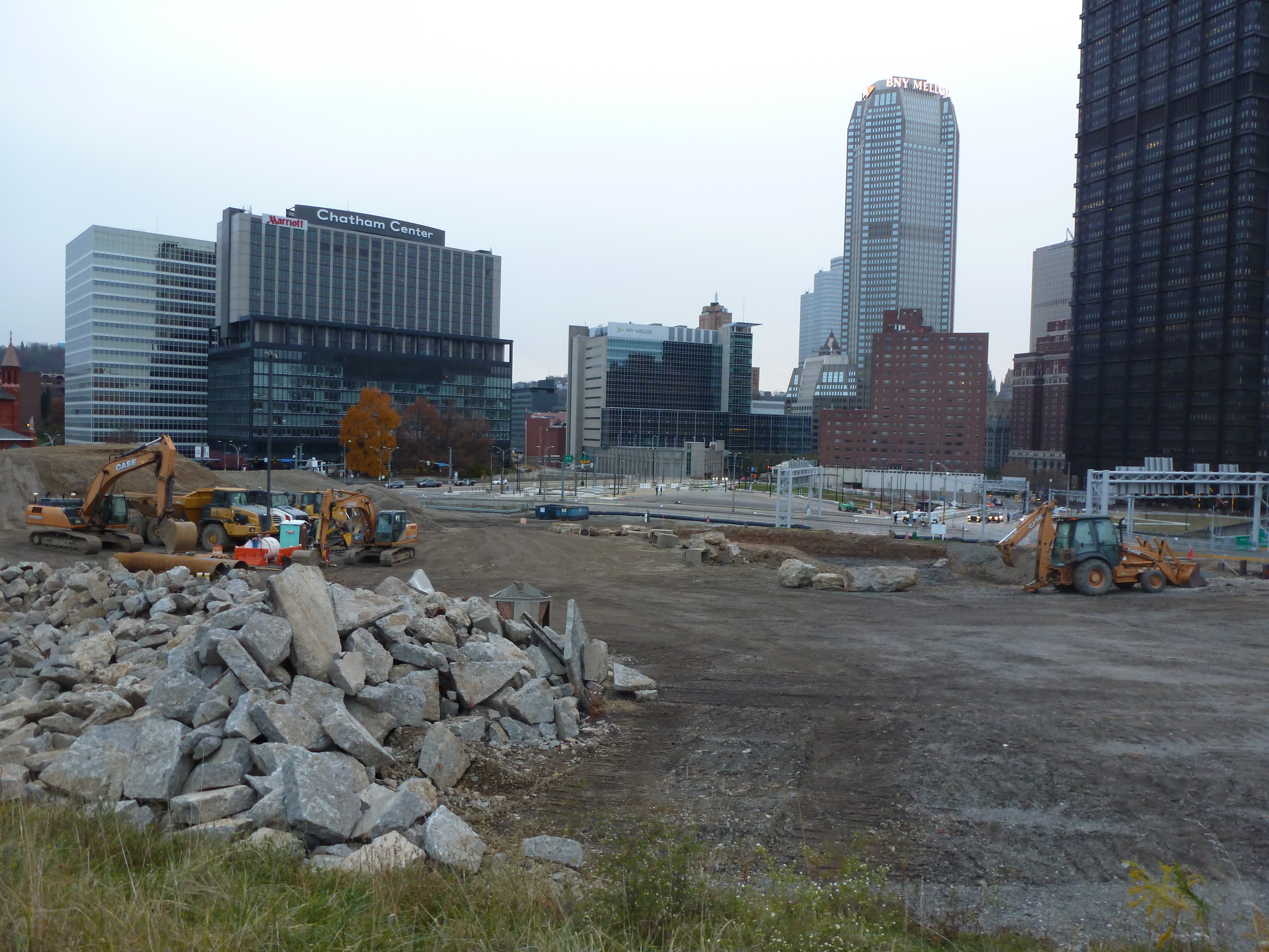
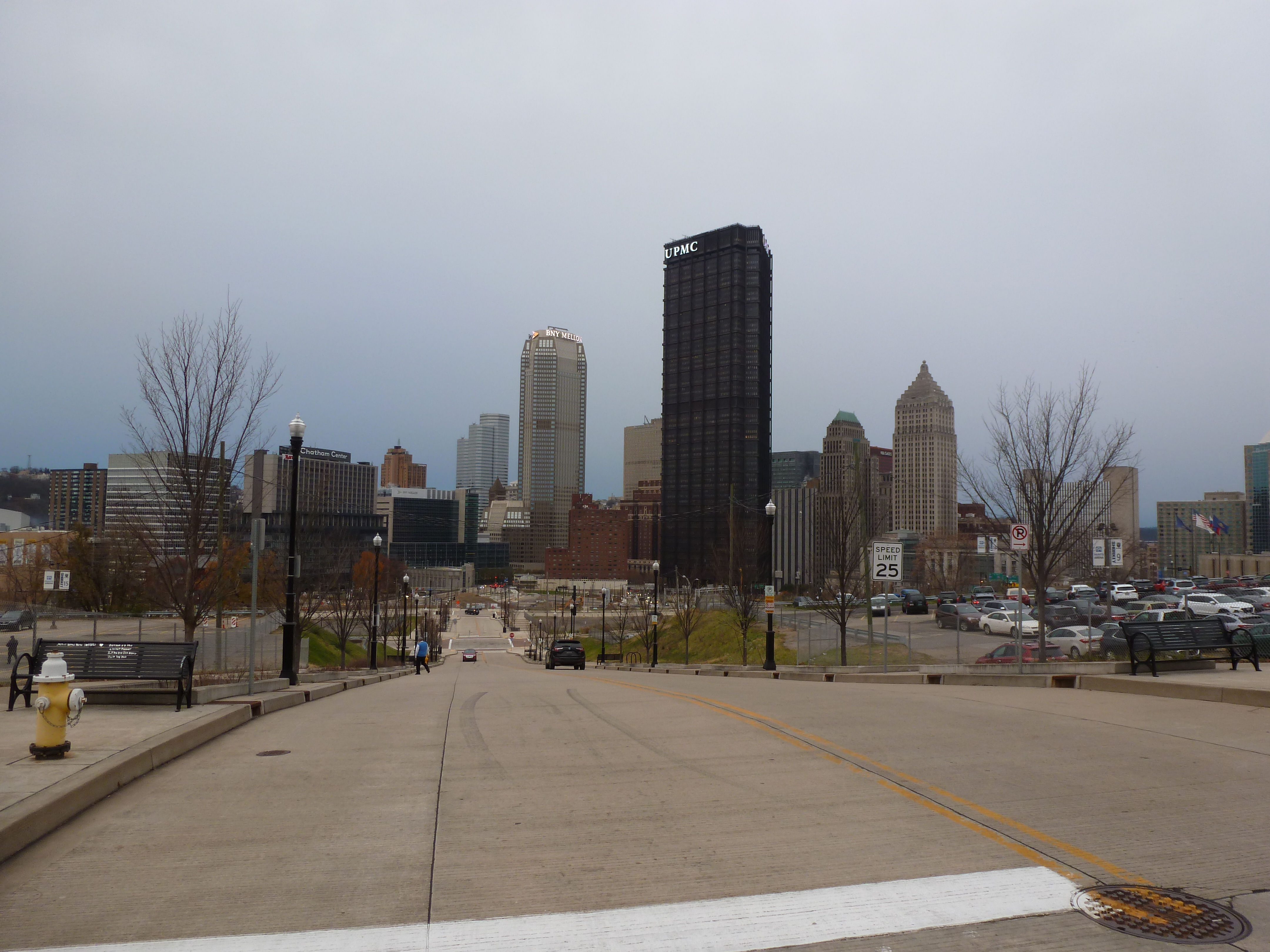
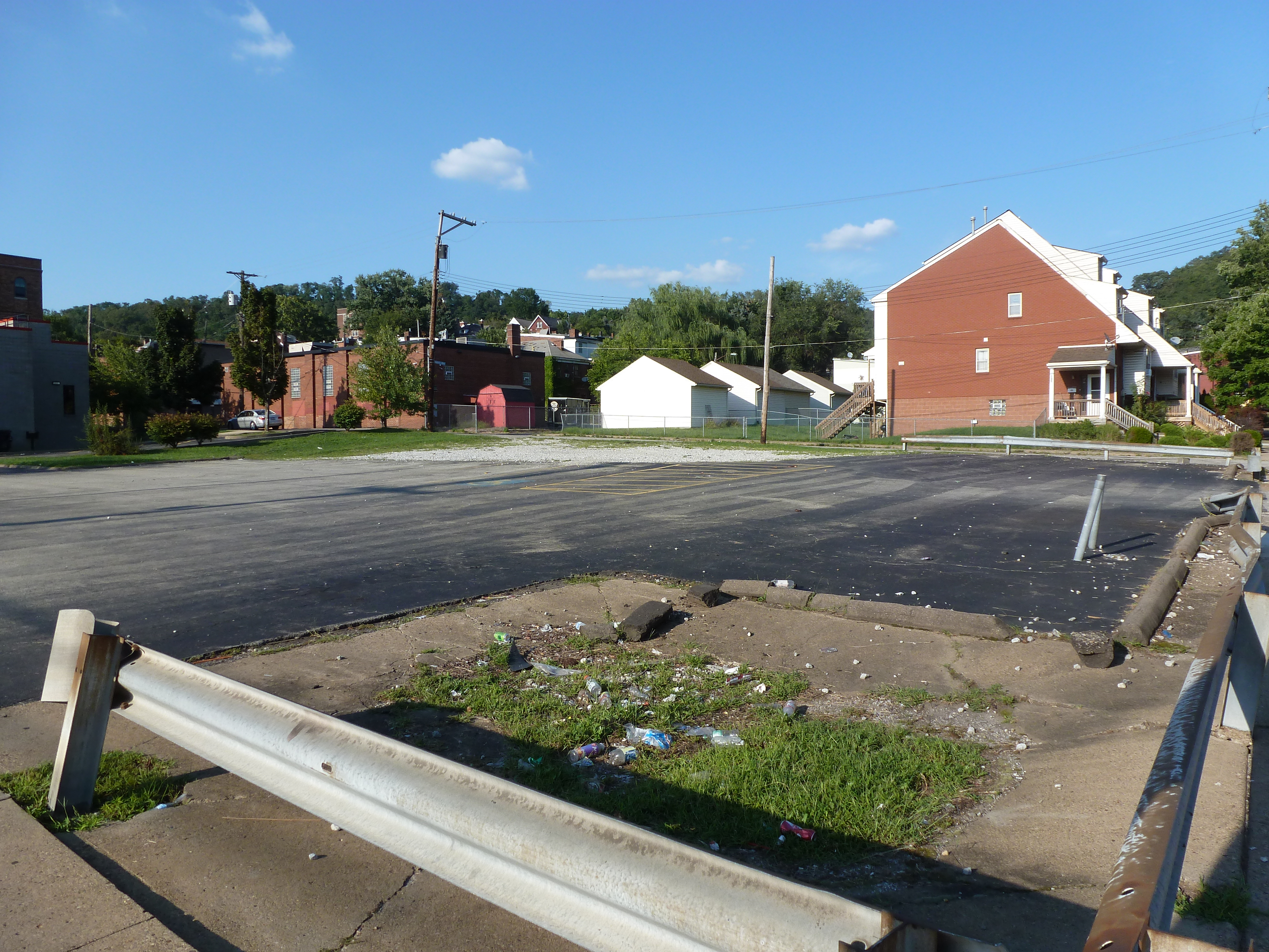
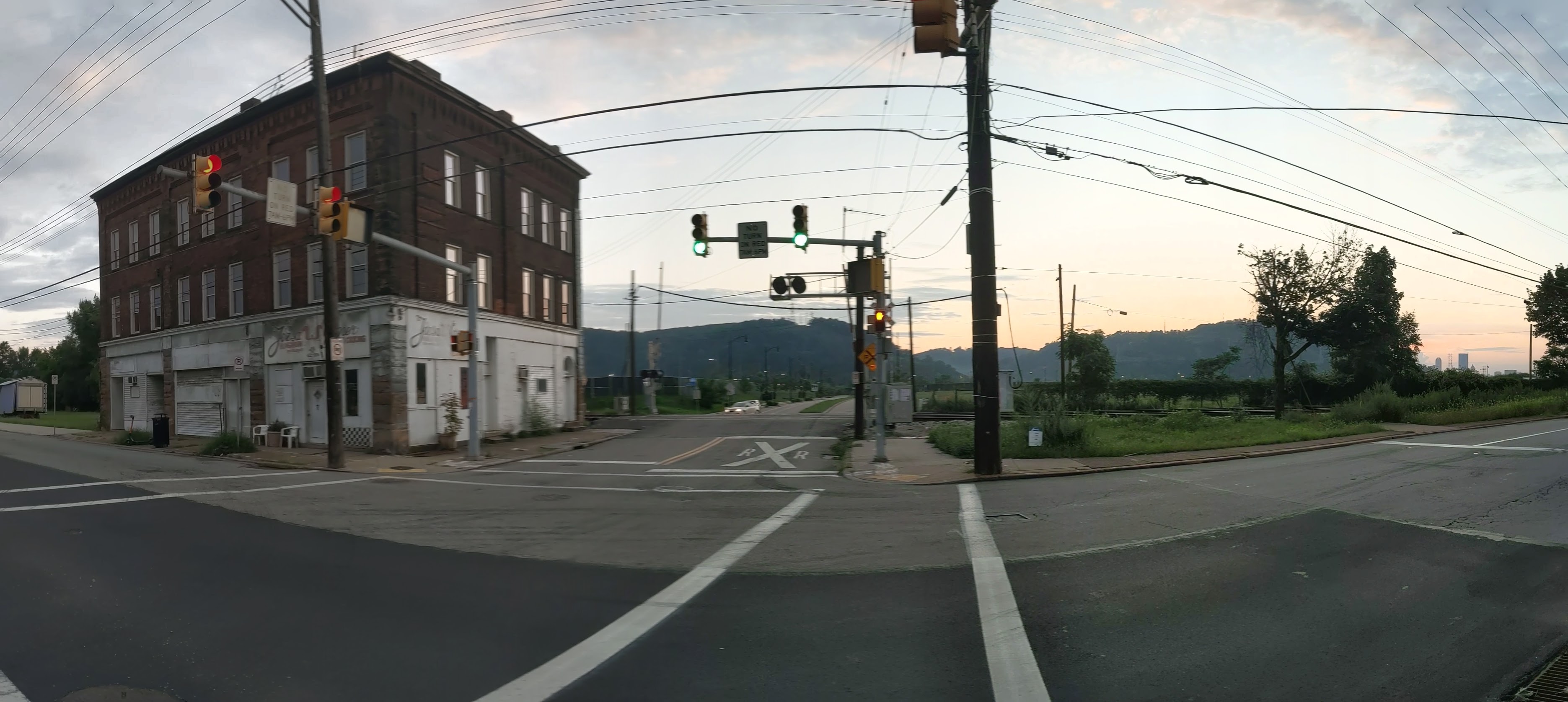
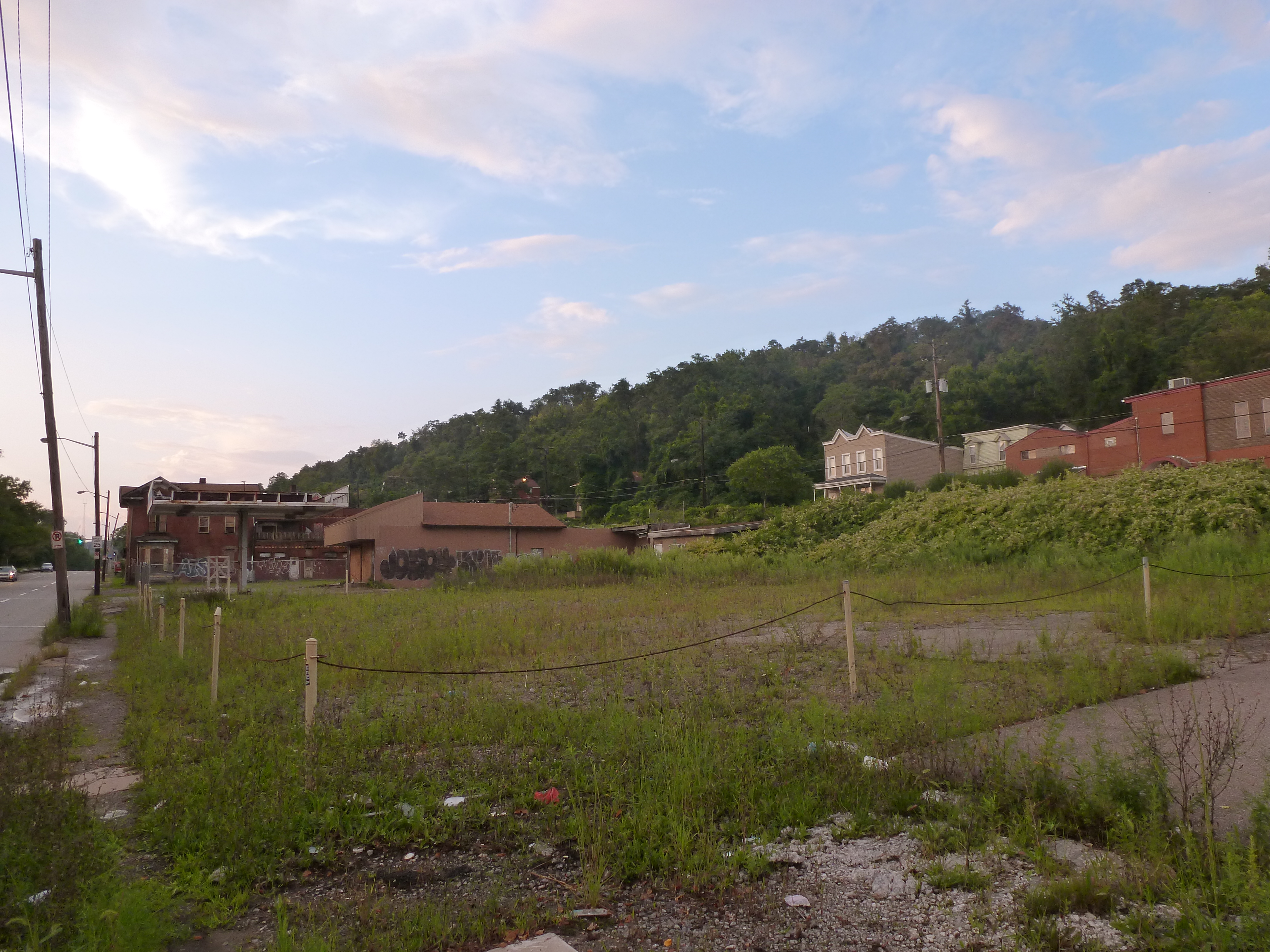
I started walking and photographing bridges to get different angles and views of the city. In 2012, the 16th Street Bridge provided views of two major, controversial development sites: the Produce Terminal and the former St. Nicholas Croatian Catholic Church.
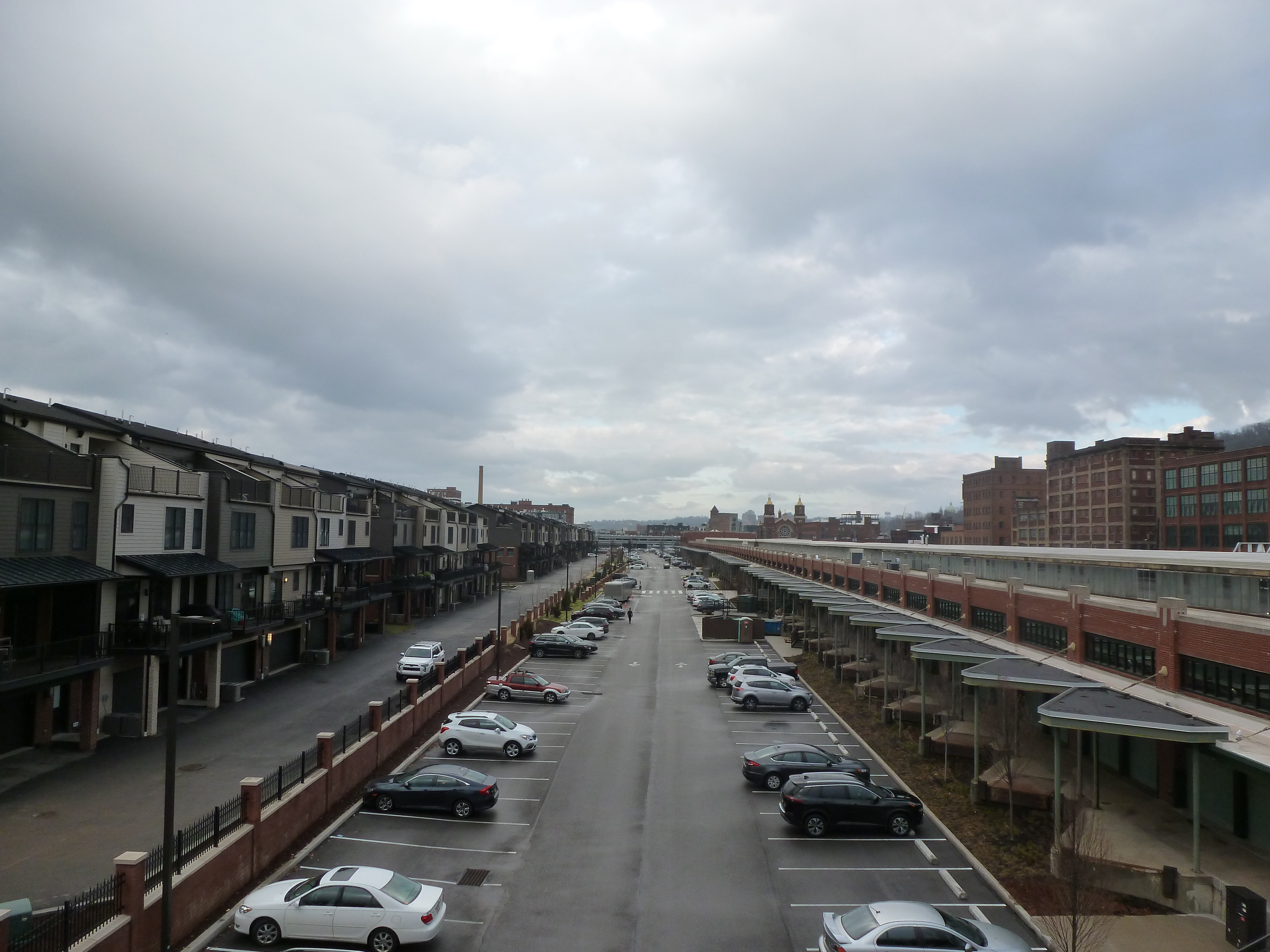
During the summer of 2012, the Produce Terminal seemed on the cusp of being redeveloped, and partly demolished. However, significant opposition to the demolition plans killed that proposal. For years there was no visible progress. Eventually, after extensive negotiations, a new development proposal was approved and implemented (see the first photo pair below). Simultaneously, several new developments popped up nearby, replacing much of the sea of parking I complained about in my original post on the bridge (see the second and third photo pairs below).
The former St Nicholas Croatian Catholic Church was visible from the 16th Street Bridge in 2012. Six months later, it was demolished to make way for the widening of Route 28 despite parishioners efforts to save their church (see a 2013 Tribune Review article for more). I followed the story of their fight for their building closely at the time, which is what I believe prompted me to take a photo of the church from the bridge (see the fourth photo pair below).
View of inland side of Produce Terminal (Smallman St) June 2012View of inland side of Produce Terminal (Smallman St) January 2022View of the riverside of Produce Terminal – June 2012View of riverside of Produce Terminal – January 2022Southwest view from 16th Street Bridge – June 2012Southwest view from 16th Street Bridge – January 2022View of the former St Nicholas site – June 2012View of the former St Nicholas site – January 2022
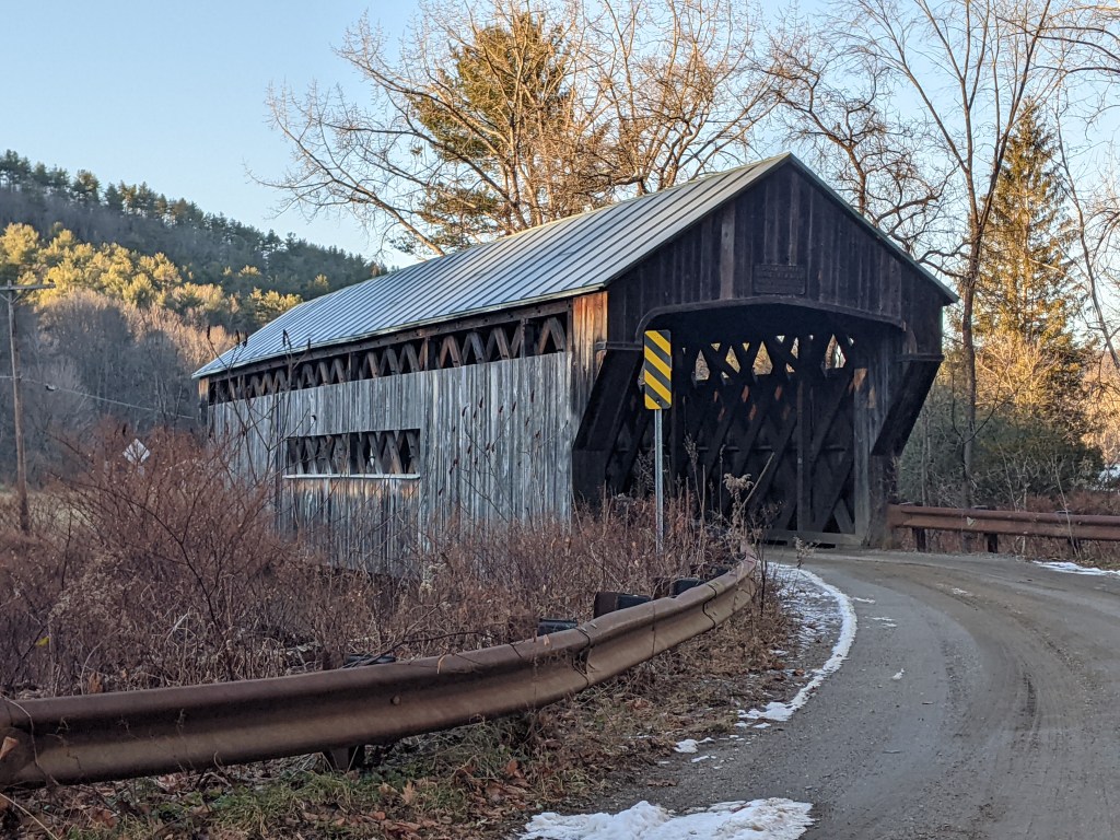
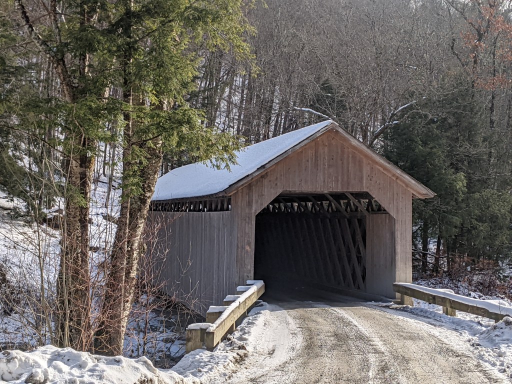
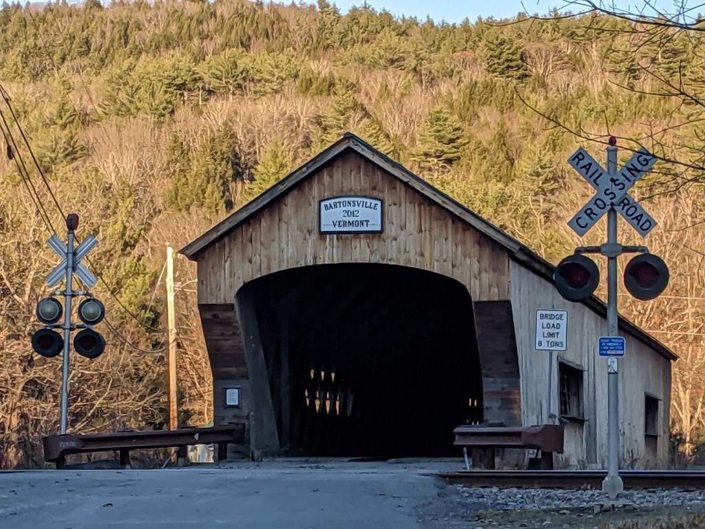
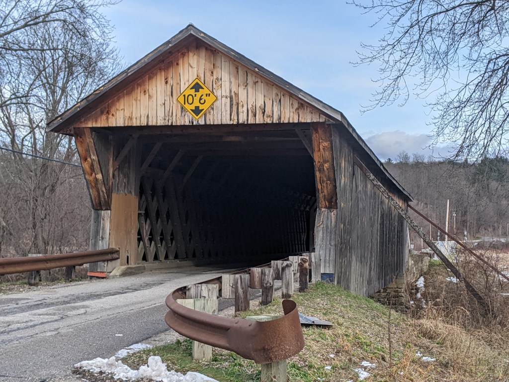
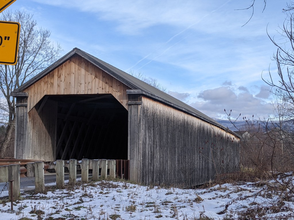
This year’s Architectural Dessert Masterpiece was inspired by a trip to Vermont where I explored 14 covered bridges within an hour’s drive of Rutland. I was surprised by the amount of variety in these bridges. Most were only wide enough for one car lane, but one was definitely made for two-way traffic and a couple had sidewalks incorporated. The colors and shapes varied from bridge to bridge. Some appeared to be based on a truss-type structure while at least one looked like it had an arch infrastructure. Ages also ranged from the 1830s (Taftsville Bridge) to 1970s (Quechee Bridge). You can view all 14 bridges in the slideshow below.
Sadly, shortly after construction, my covered bridge experienced a collapse. While the incident is still under investigation, an anonymous authority stated that the collapse is believed to have been trigged by a motorist exceeding the posted 5 mph speed limit.
I’m surprised that this is my first total collapse over the eight Architectural Dessert Masterpieces that I’ve created. My first, the Parthenon, experienced a partial collapse that actually made it look even more like the original. The next closest to disaster was the Marina Tower that merged into the Leaning Tower of Pisa.
The collapse highlighted several tips for future constructions. First, I confirmed that pretzels really do make excellent piers as I originally demonstrated in my Pittsburgh suspension bridge. Second, I learned that wheatless gingerbread still has the same (or similar) strength as traditional gingerbread as the roadbed remained secure throughout the disaster. Third, I found that wheatless gingerbread is more pliable than traditional gingerbread, which resulted in more warping when transferring the pieces to the baking sheet and during baking. However, the other side of the pliability is that it is easier to trim after baking than traditional gingerbread. If I use this recipe again, I will plan to make adjustments to the dimensions of the pieces post baking. I believe that will resolve the structural issues by creating straight edges that can support each other.
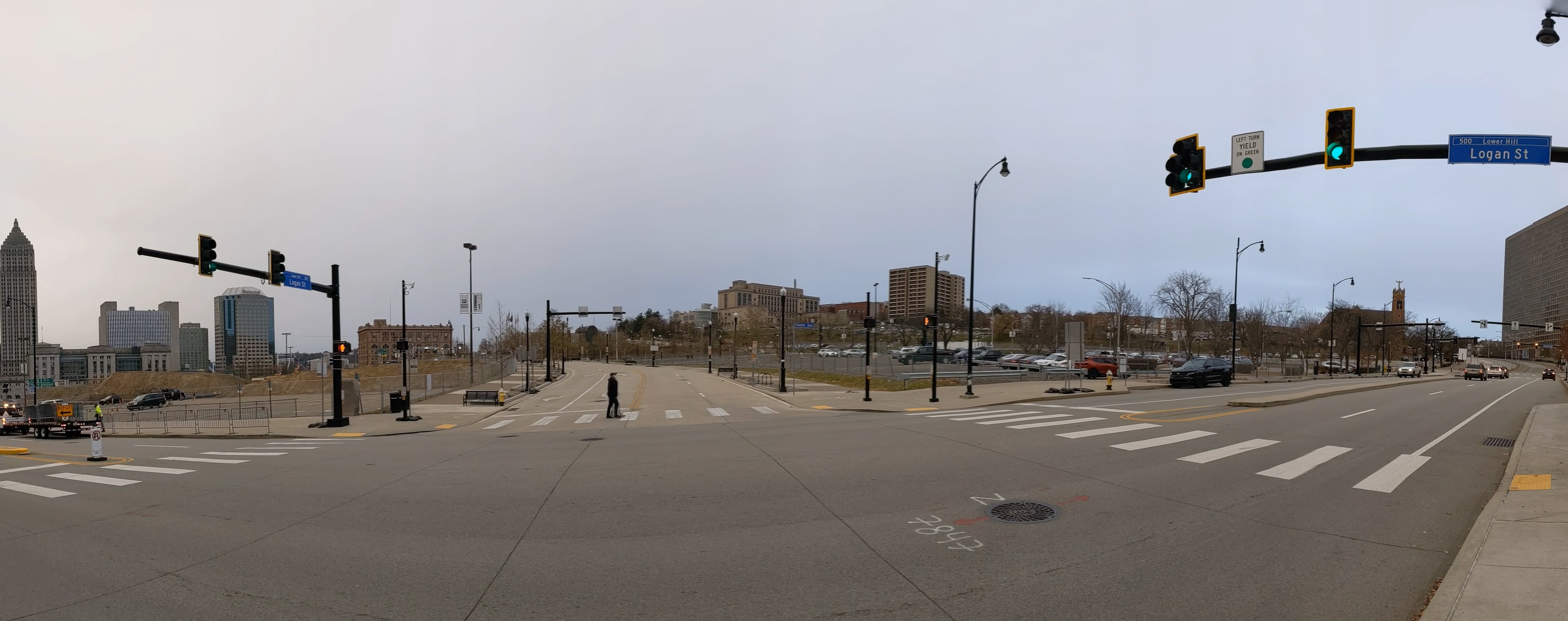
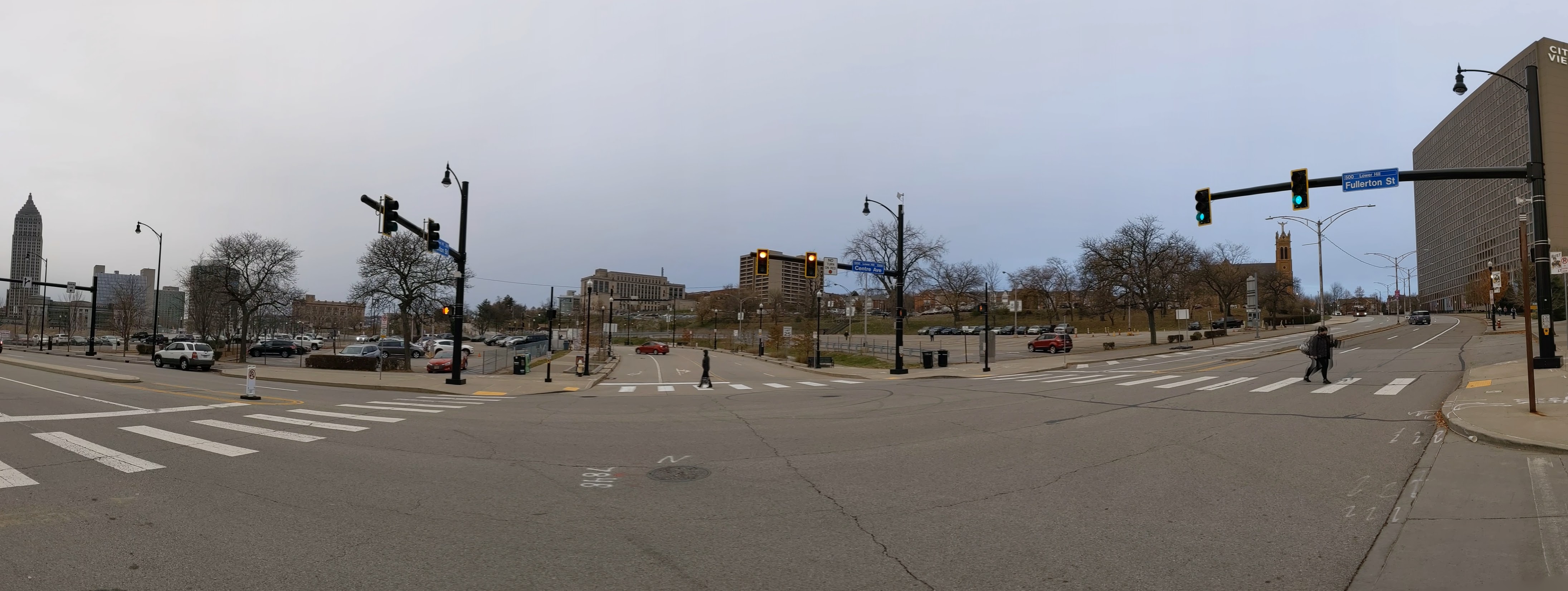
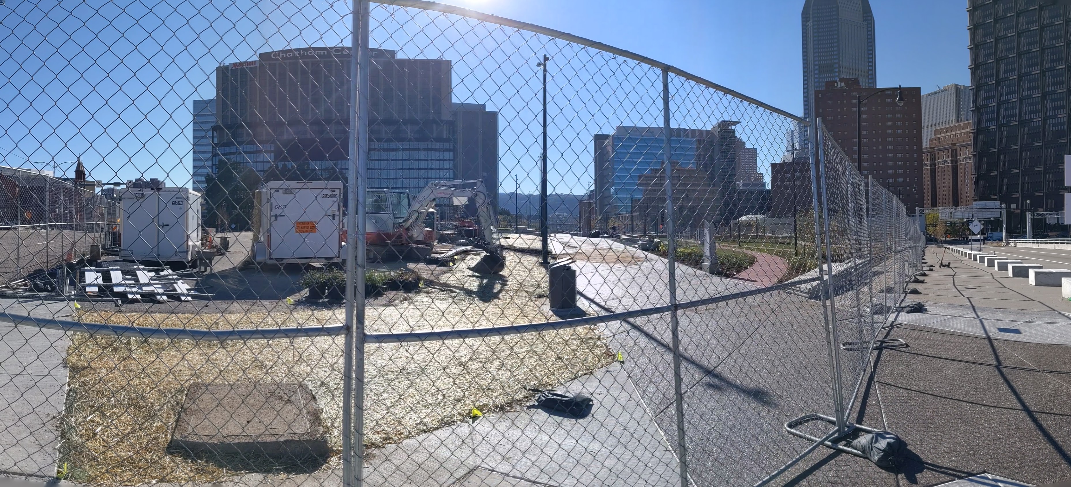
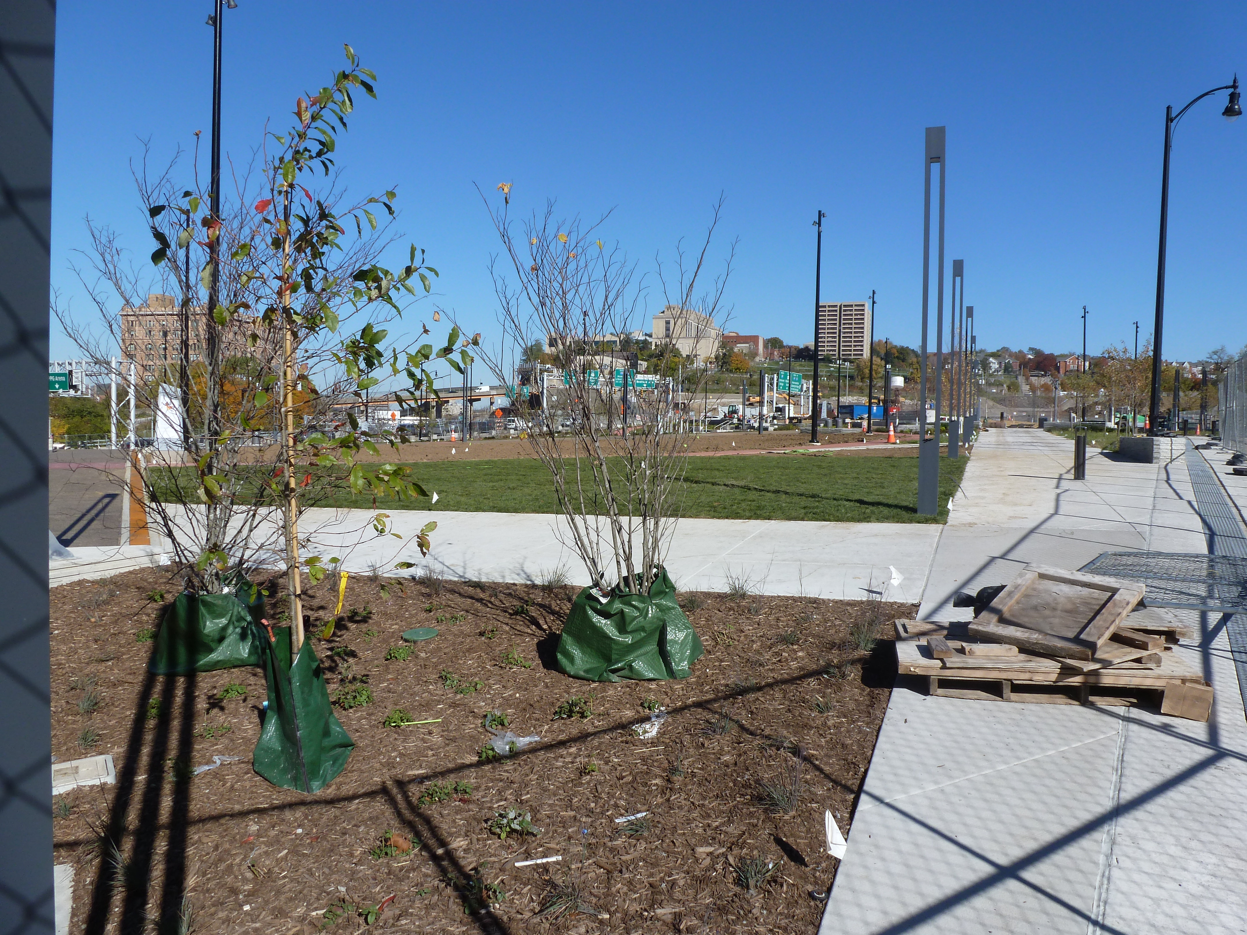
The ribbon-cutting for the CAP, now called the Frankie Pace Park, happened on schedule on November 22, 2021. The Tribune-Review, Pittsburgh Post=Gazette, WTAE, KDKA/CBS, and SAI Consulting Engineers reported on the ceremony. The Tribune-Review and WTAE also have articles on the resolution earlier this month by City Council to name the park after Frankie Pace (1905-1989), a community activist and business owner in the Lower Hill.
The CAP is a project in Pittsburgh “fixing the mistakes” of Urban Renewal. The Crosstown Blvd was built in the 1960s creating a freeway in a canyon dividing the Lower Hill neighborhood from downtown. The Lower Hill neighborhood, formerly predominantly poor and black, had already been demolished by this point to make way for the Civic Arena and other cultural amenities that were never built.
The CAP is a park on a bridge built over the Crosstown Blvd and is intended to reconnect downtown and the Lower Hill, while the Lower Hill is being rebuilt by the Penguins hockey team. Construction began in June 2019 and was completed in November 2021.
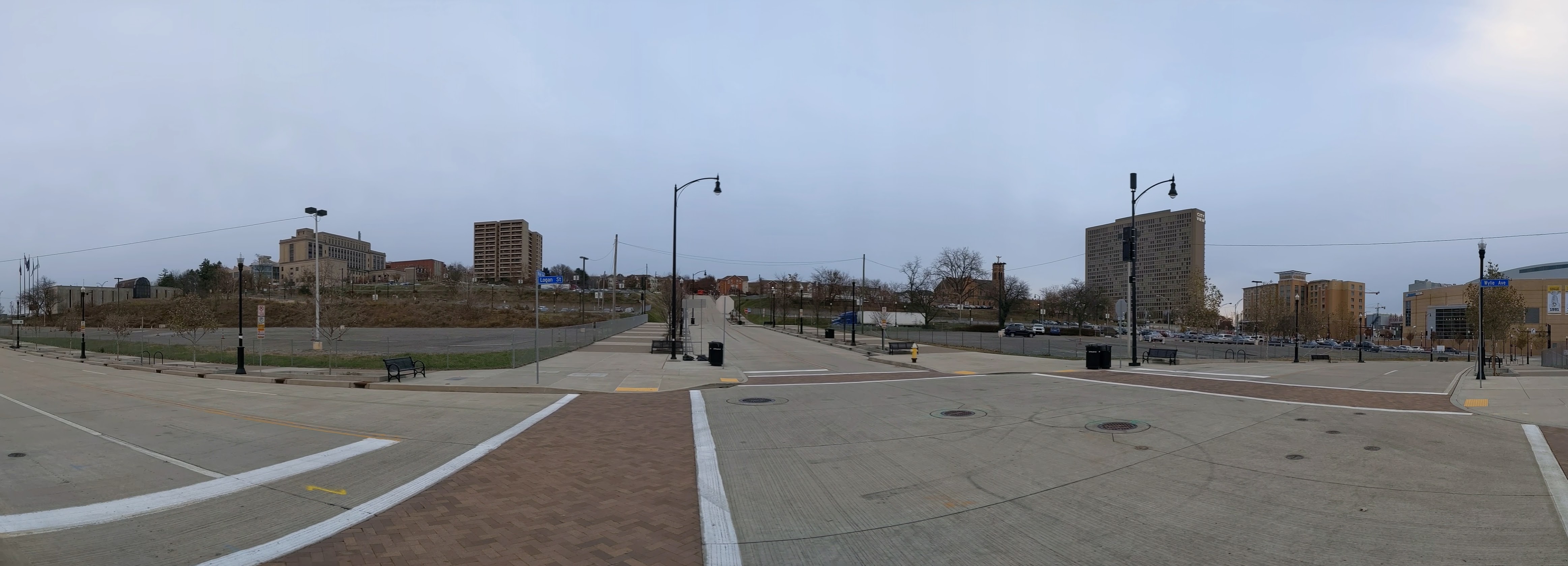
This post is an update on the on-going photographic series to watch the development and usage patterns of the CAP. Periodically, once or twice a year, I return to the site to take new photographs. I plan to take the next series of photos next year in the warmer weather to see who uses the park and how. At the end of the post, there are links to the previous posts in this series.
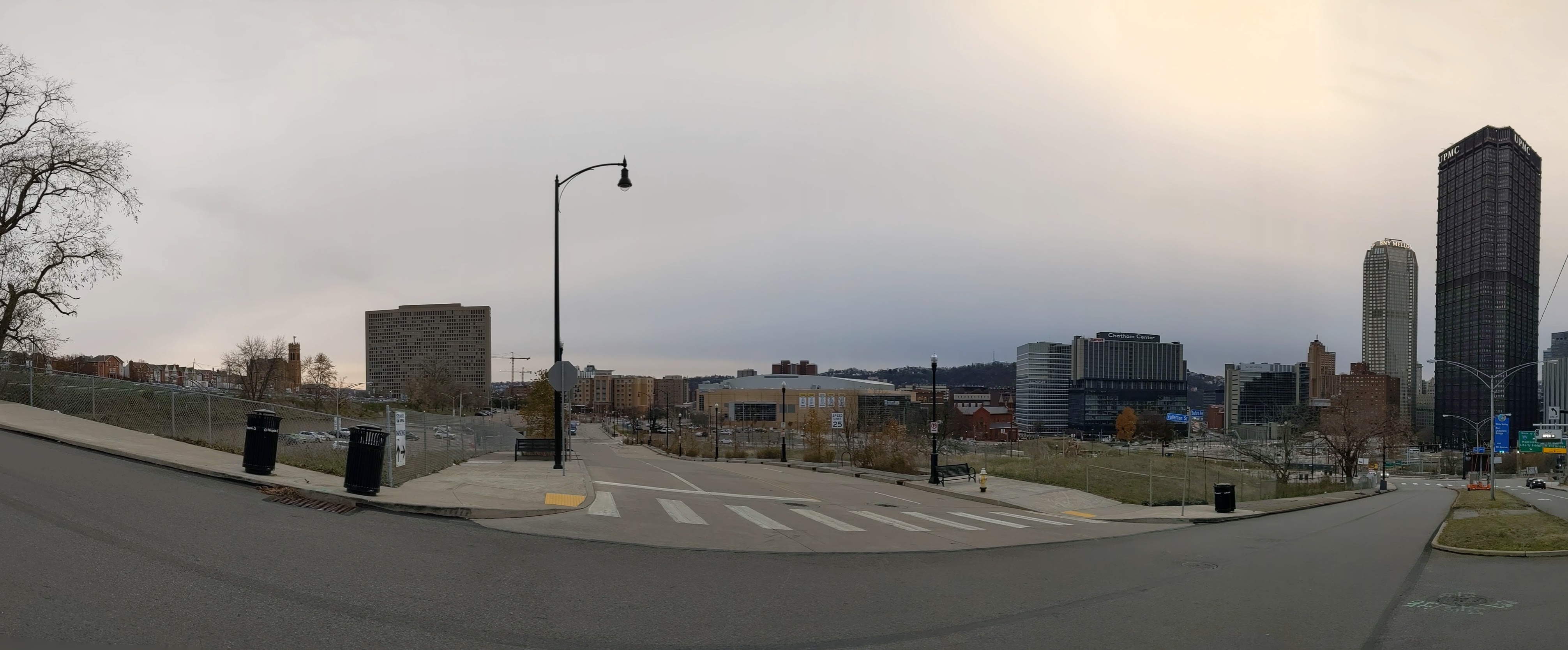
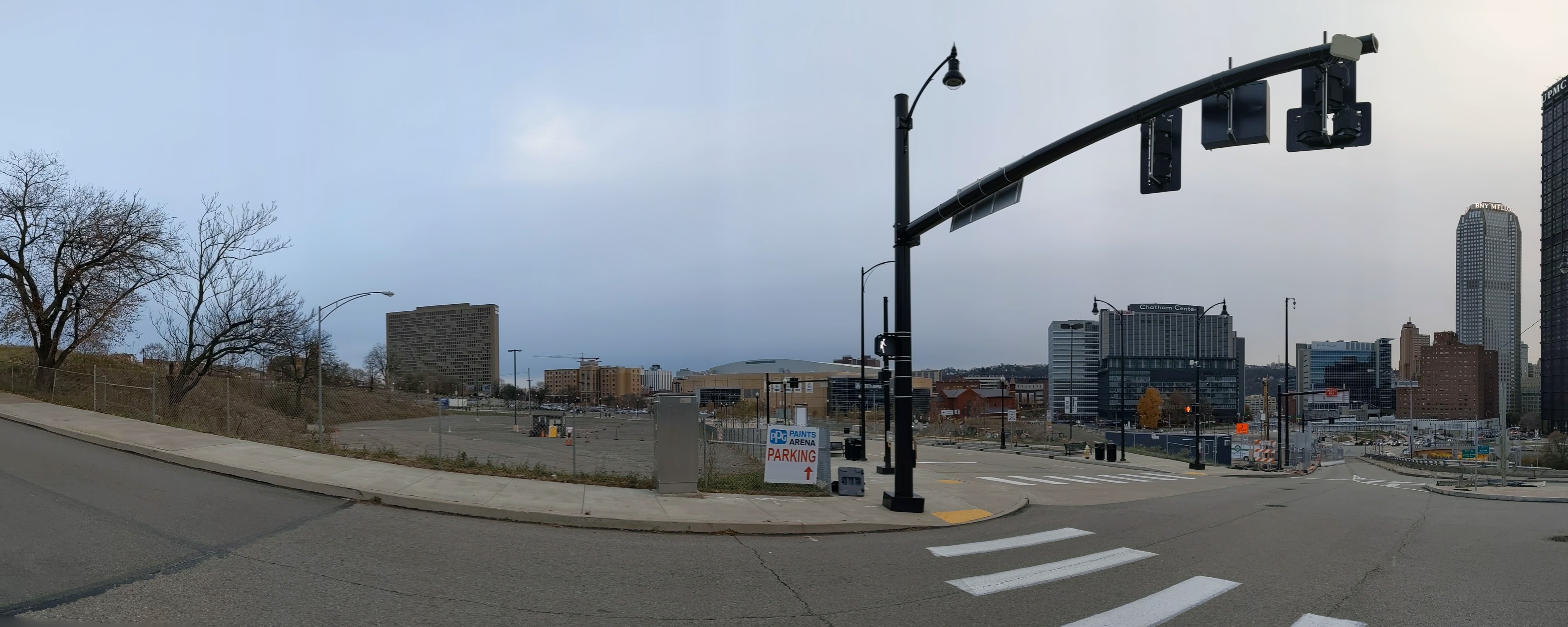
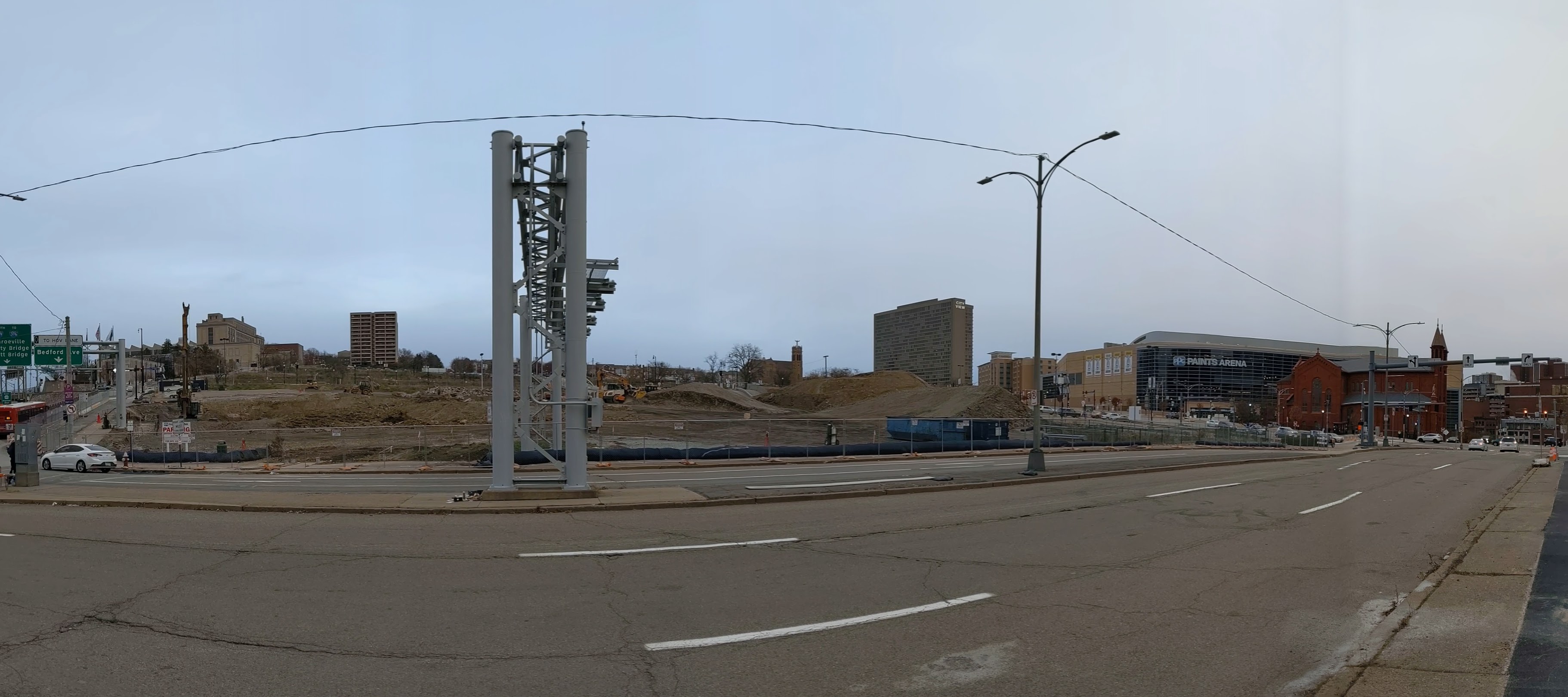
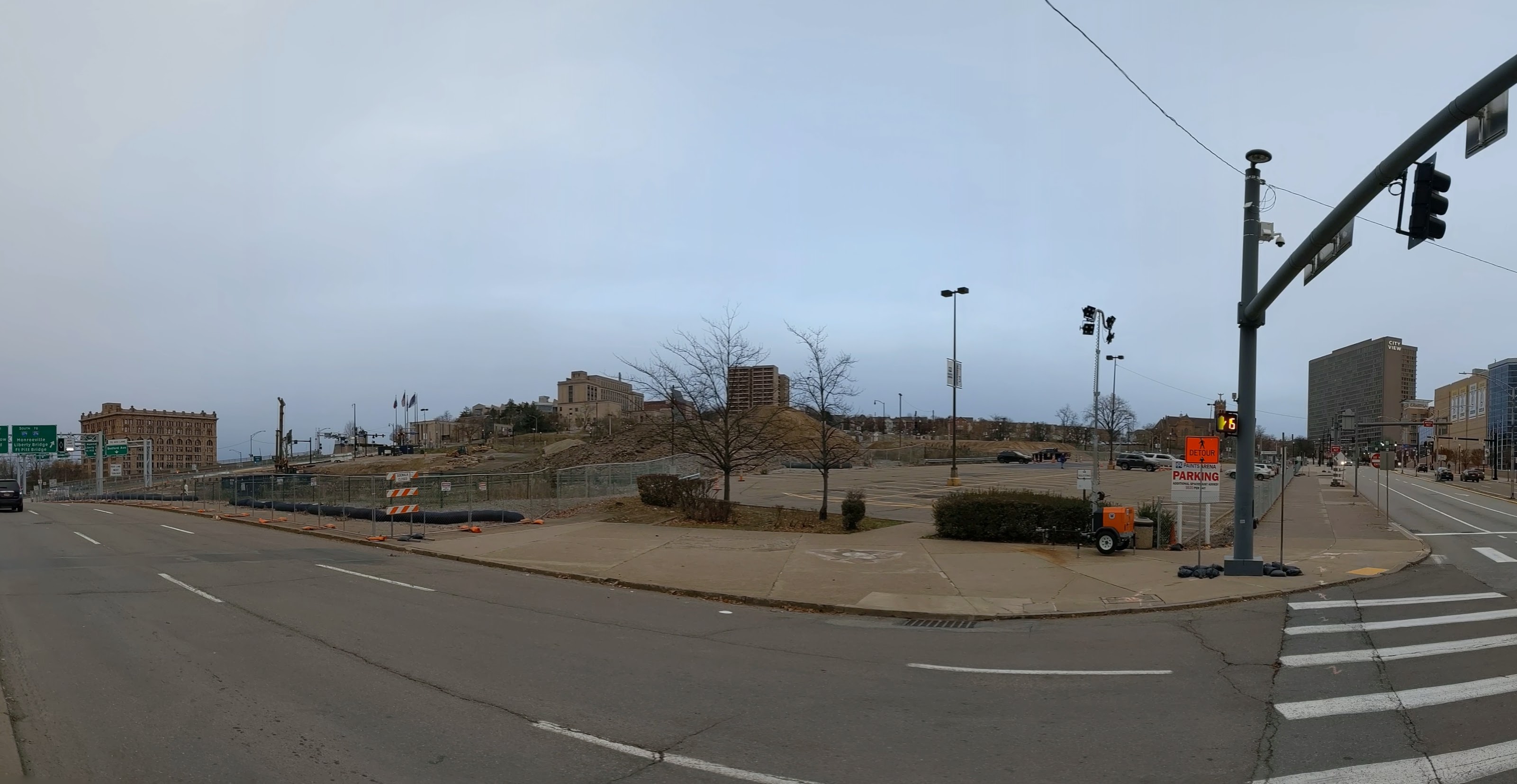
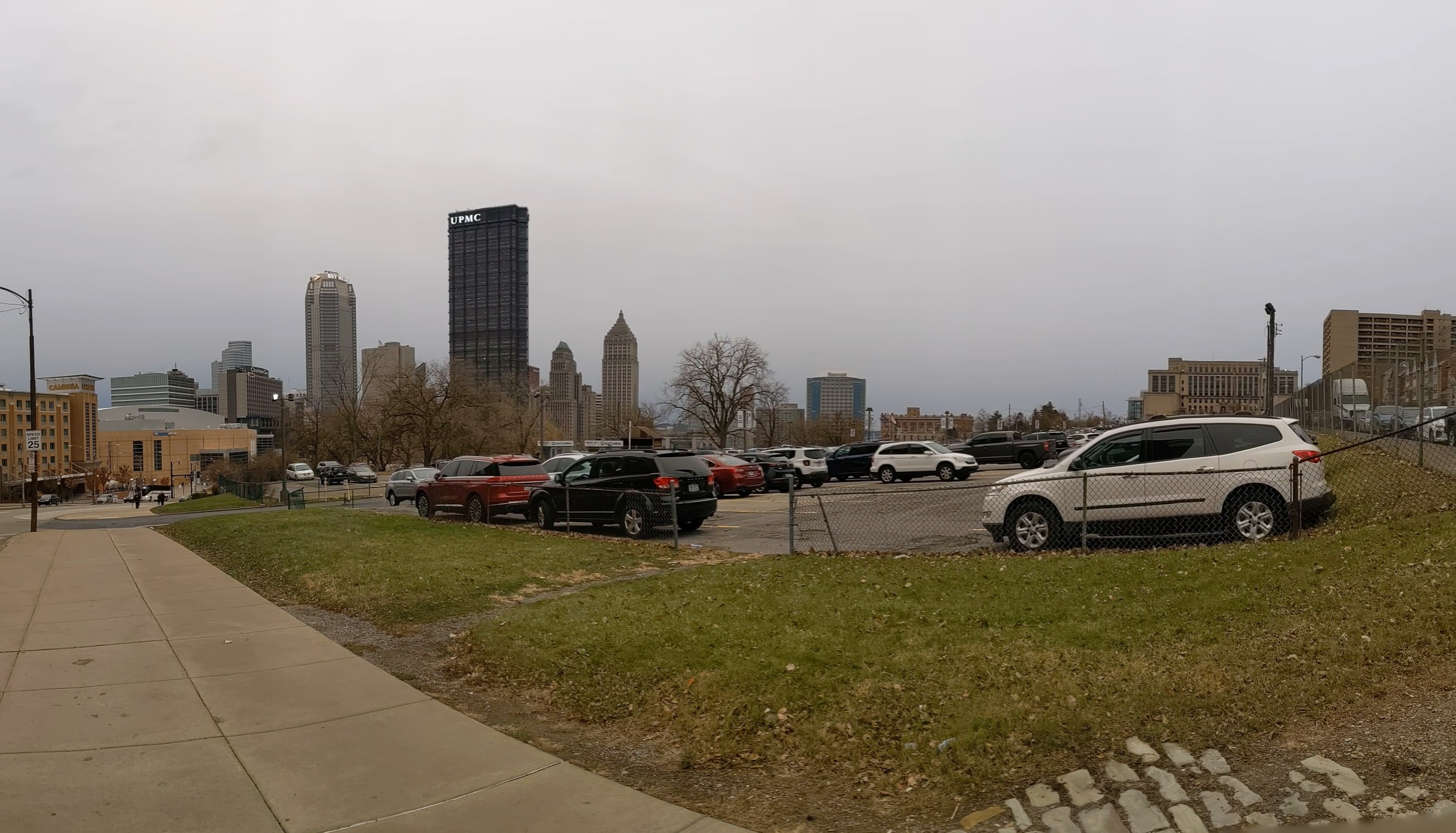
The Lower Hill is a notorious site in Pittsburgh, a scar on the city from the height of Urban Renewal. A vibrant (but poor and predominately Black) neighborhood was demolished in the 1950s so the City could build a cultural mecca centered on a Civic Arena, but most of the site ended up not being built and was left as parking lots.
Now that the arena has been demolished and replaced adjacent to the former location, the Penguins hockey team has the development rights to rebuild the Lower Hill, stitching back together the fabric of the city and reconnecting the remainder of the Hill District neighborhoods with downtown.
However, grand language describing the wonderful benefits to a city are part and parcel of any major development project, including the 1950’s Urban Renewal of the Lower Hill. Fifty years later, the Urban Renewal of the Lower Hill is rarely, if ever, described as a good thing. In fact, the current redevelopment is sometimes described as undoing the mistakes of that project. However, can the negative financial, social, and emotional repercussions of the original demolition and decades of disconnect be undone simply by reinstating (most of) the former street grid?
This blog post is part of an on-going photographic series to watch the redevelopment of the Lower Hill. Periodically, approximately once every six months, I return to the site to take new photographs. In addition, I include links to articles about the project that I’ve encountered since the previous post in the series. At the end of the post, there are links to all the previous posts in the series.
What’s New
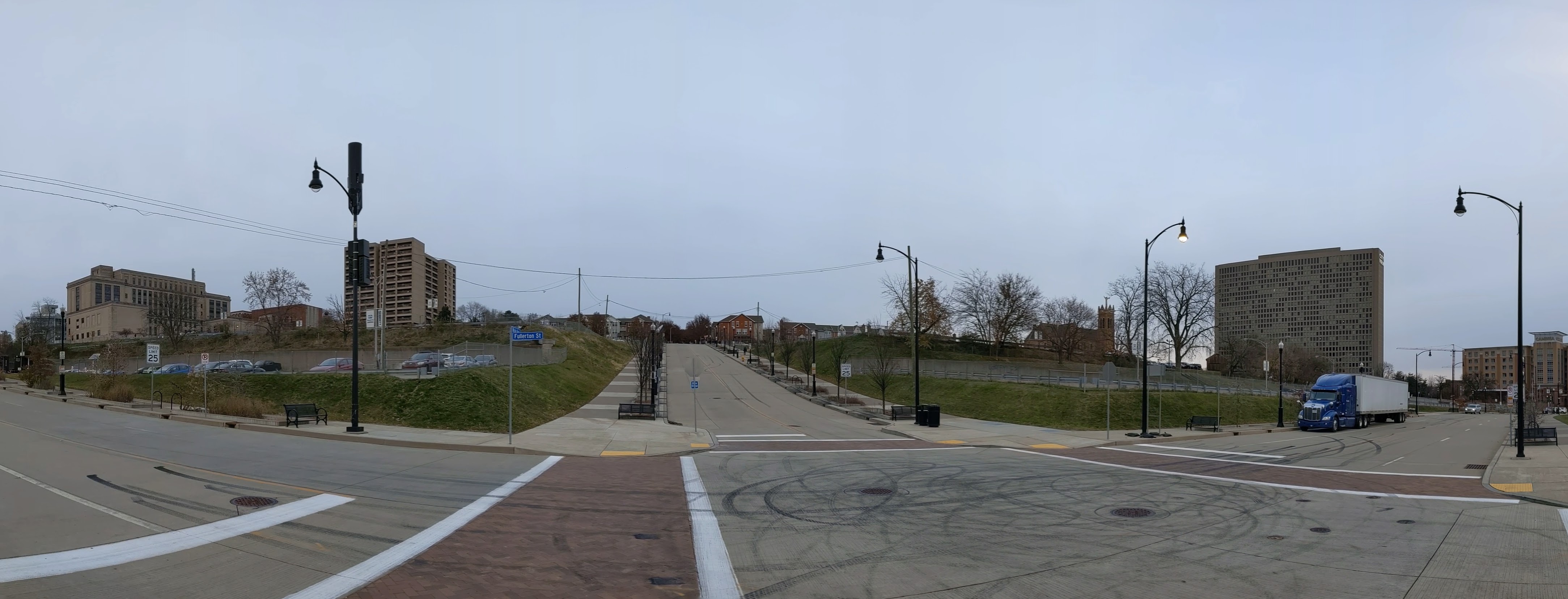
Ground has broken! There are a large hole, giant piles of dirt and debris, and closed sidewalks as construction begins for the new FNB Tower, the first building to be built on the site.
This was also the first time that I’ve visited the site on the day of a Penguins game, which was interesting to see how the sea of parking lots get used for events. At least one of the lots is reserved for employees only during events. There is also a slight price differential, the lot closet to the arena costs $30 to park for the event, while the one at the top of the hill is “only” $25.
Photos
Lower Hill in the News
Controversy and concerns continue over the redevelopment of the Lower Hill from the Executive Management Committee that was appointed to answer how the redevelopment would benefit the entire Hill District in private meetings (September 17, 2021, Public Source, & September 23, 2021, NextPittsburgh) to the impact of a pending change in owner of the Penguins (November 23, NextPittsburgh) and the pending registration of a second community organization in the Lower Hill, which would then also participate in the Lower Hill development activities meetings (November 19, 2021, Public Source). The potential new owner has previously been involved in real estate development around sports arenas (November 21, 2021, Post-Gazette).
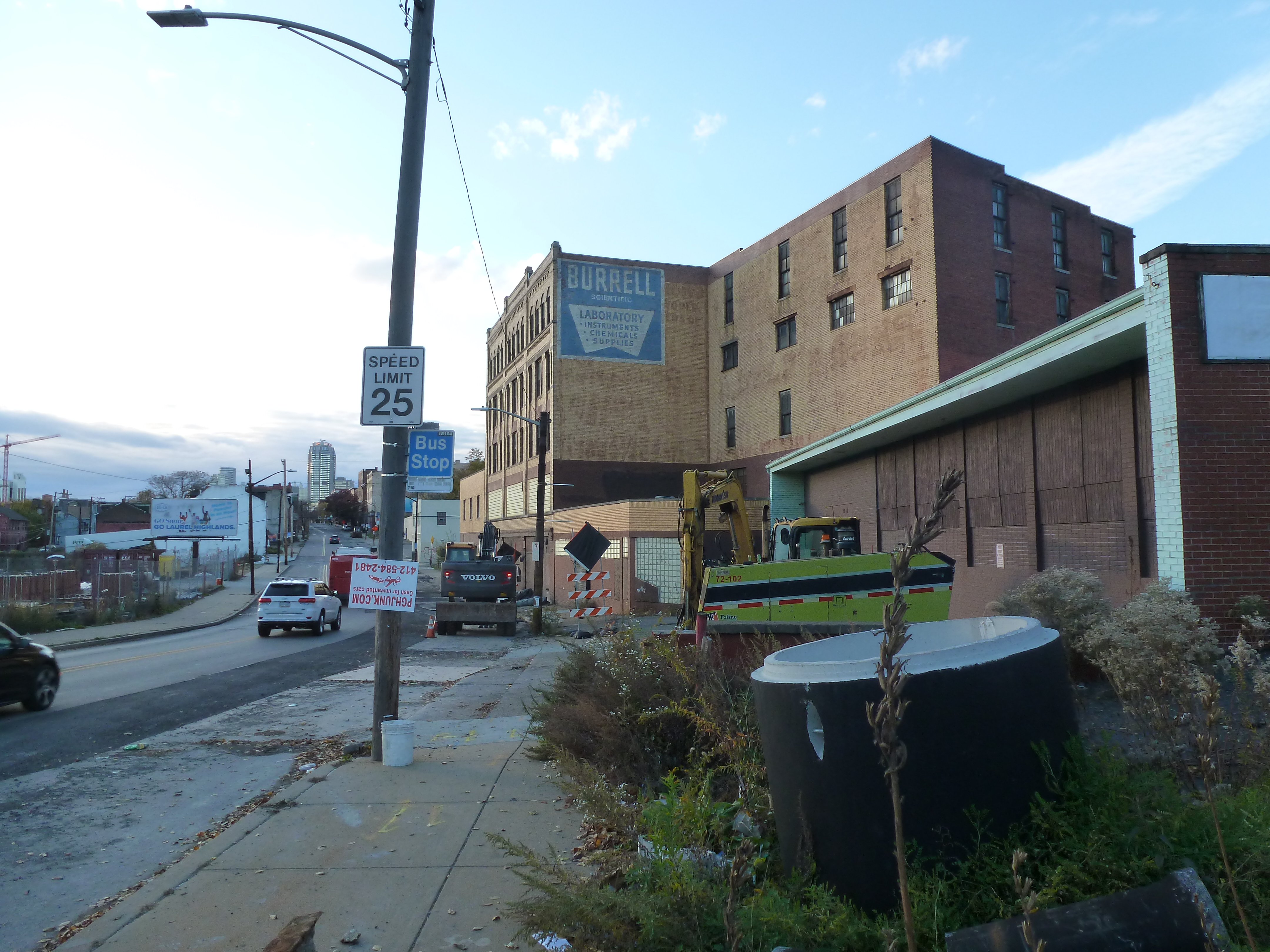
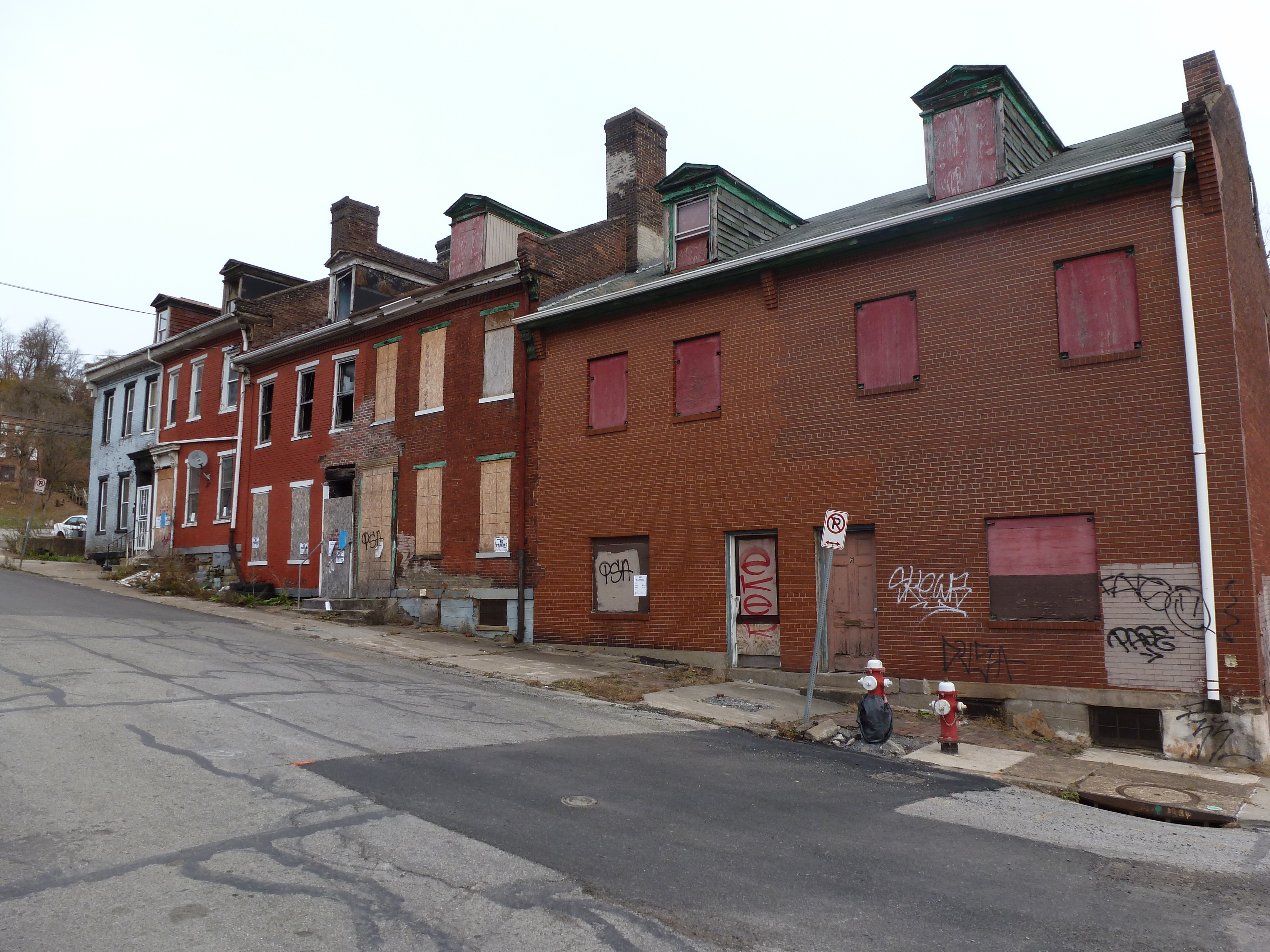
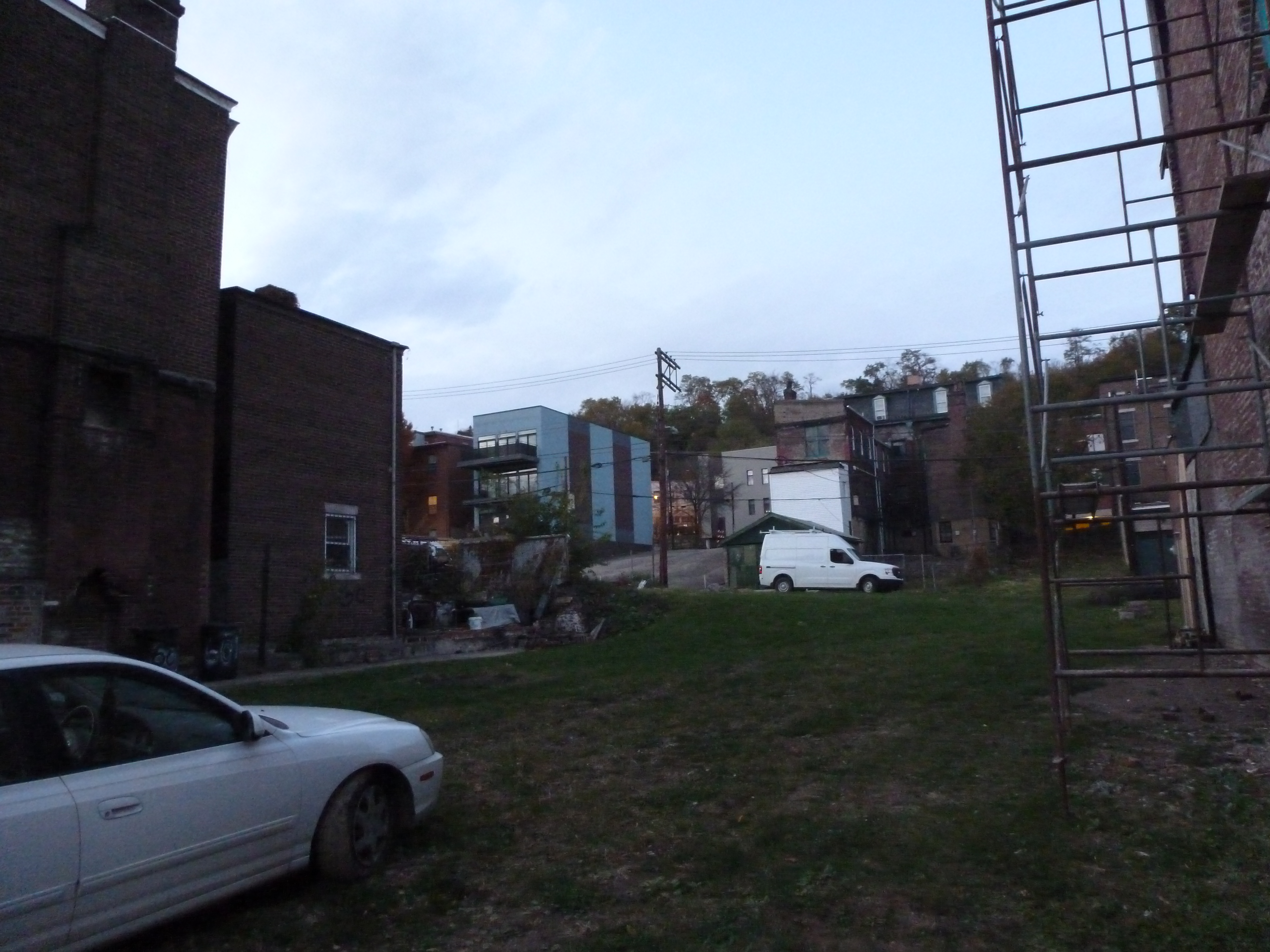
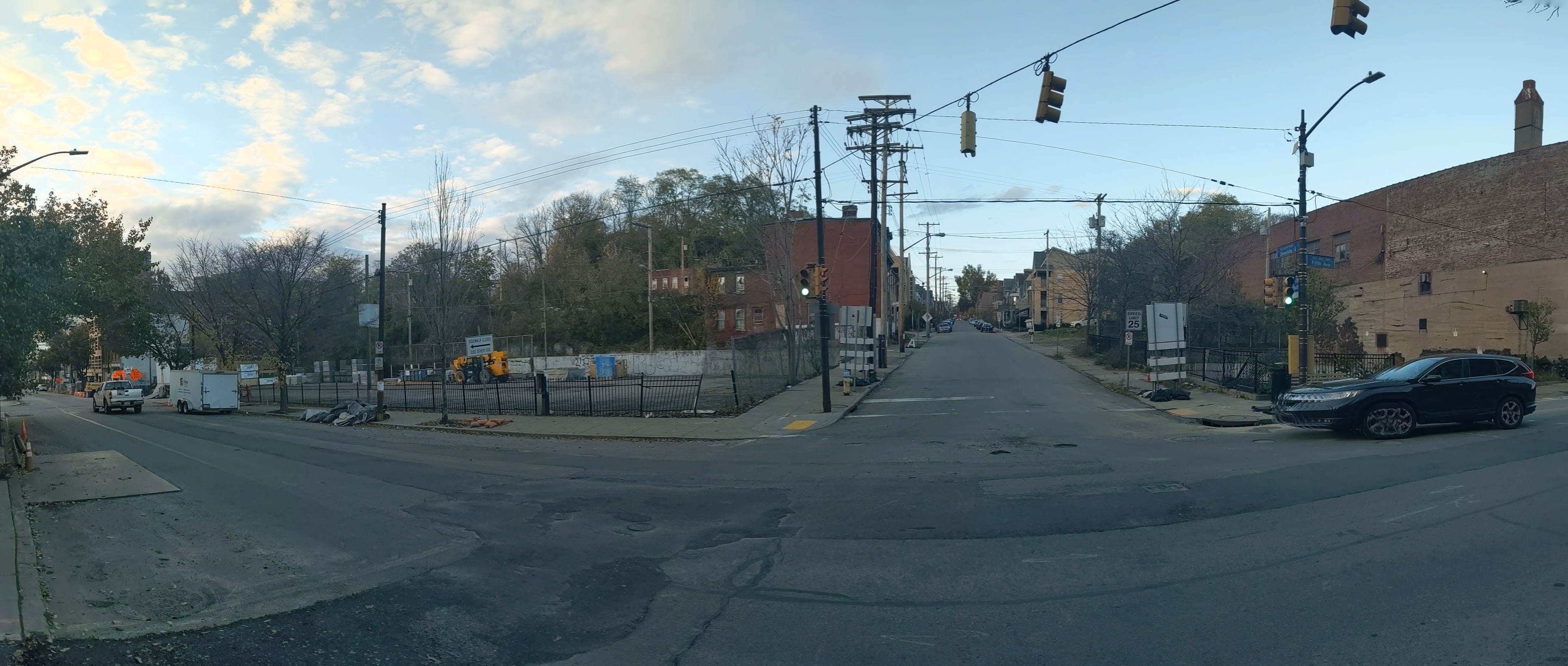
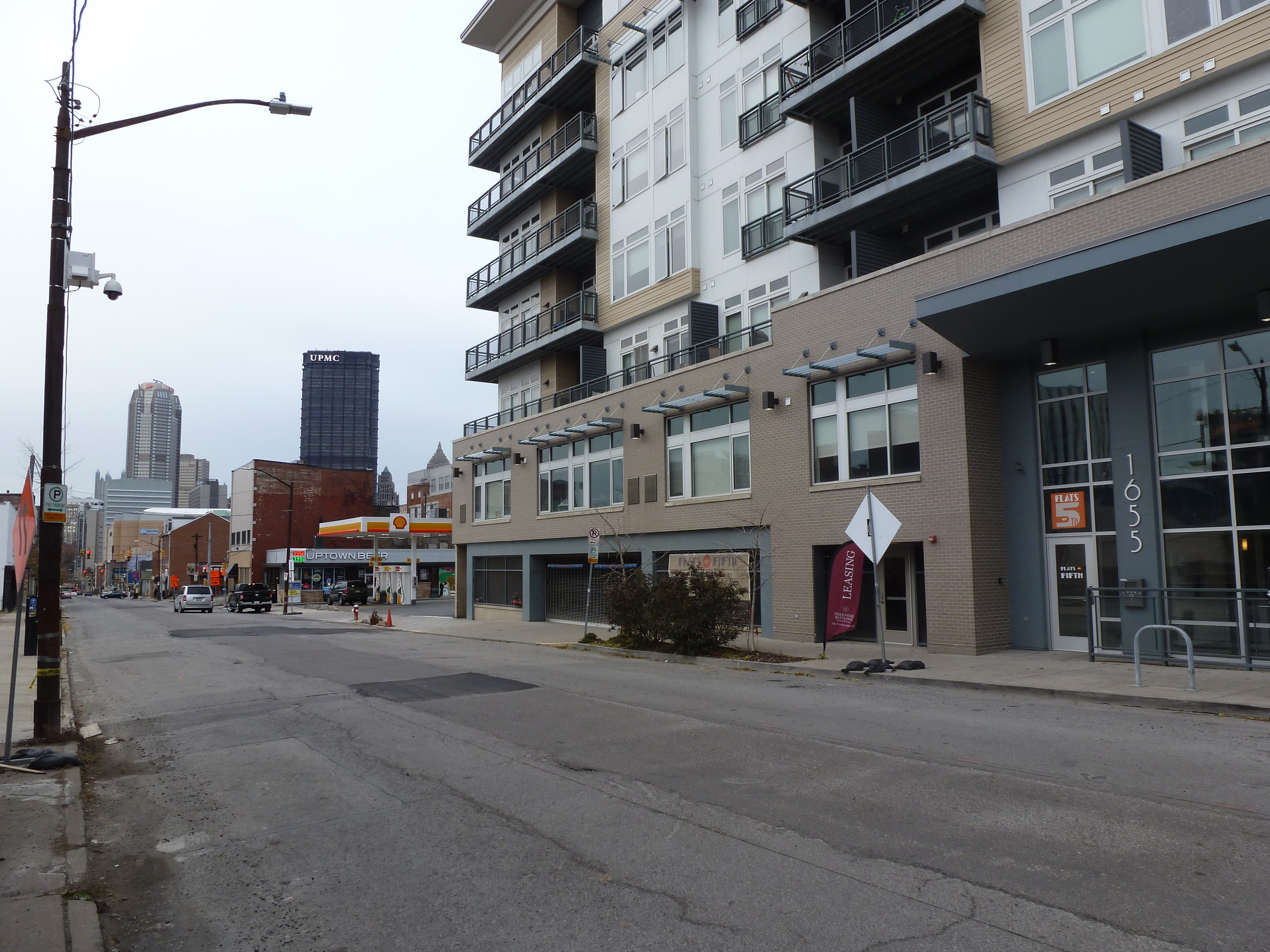
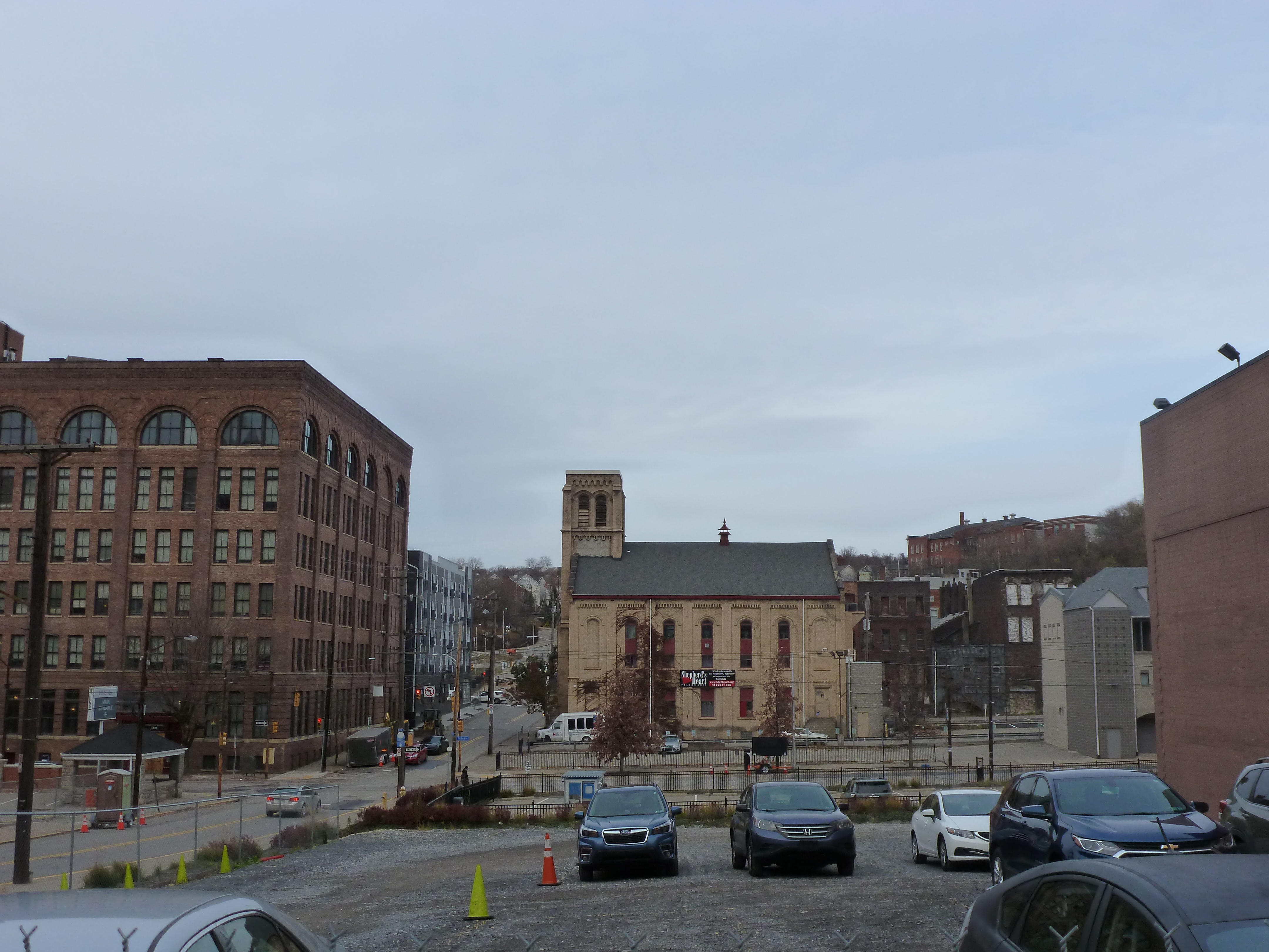
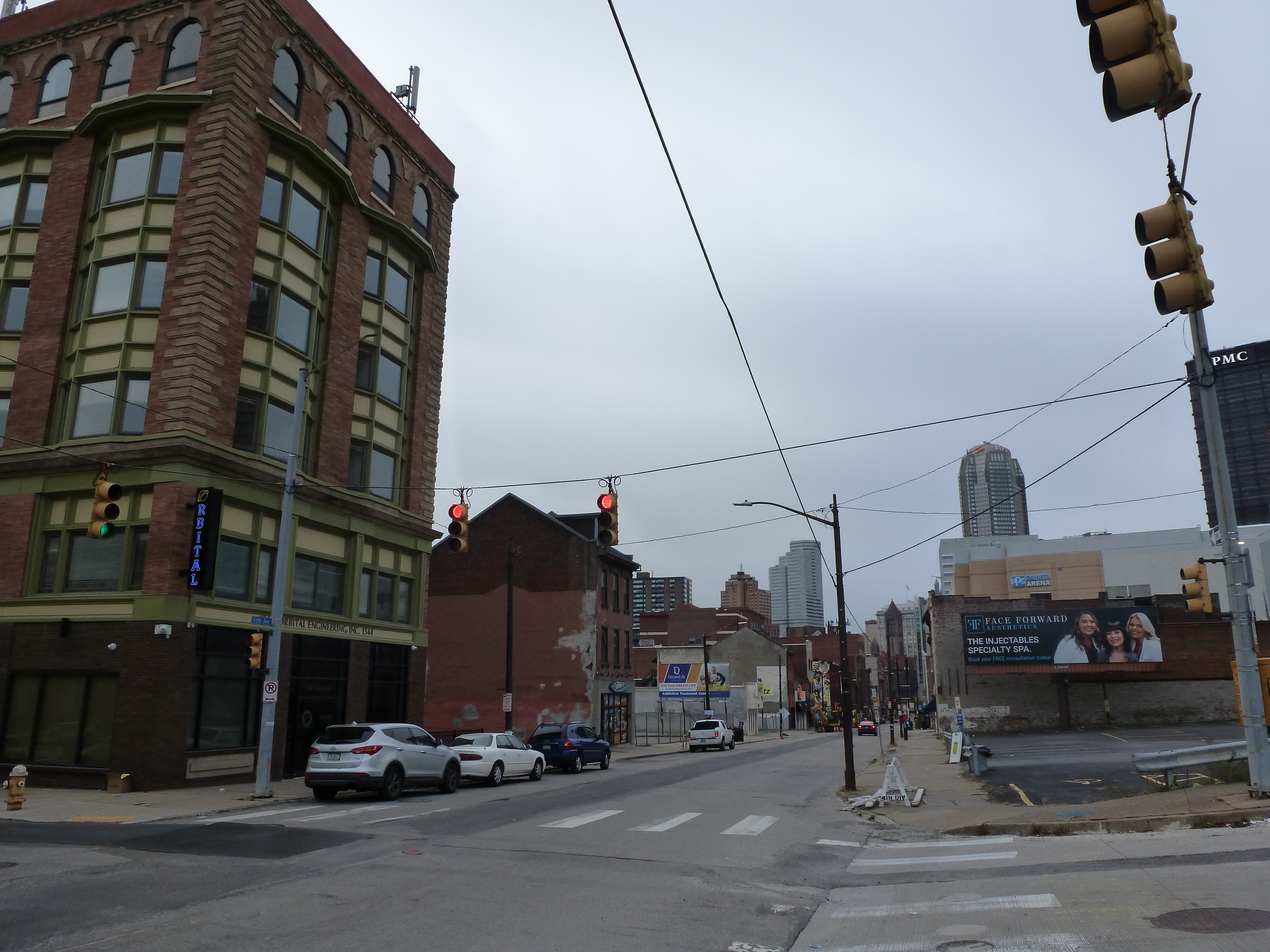
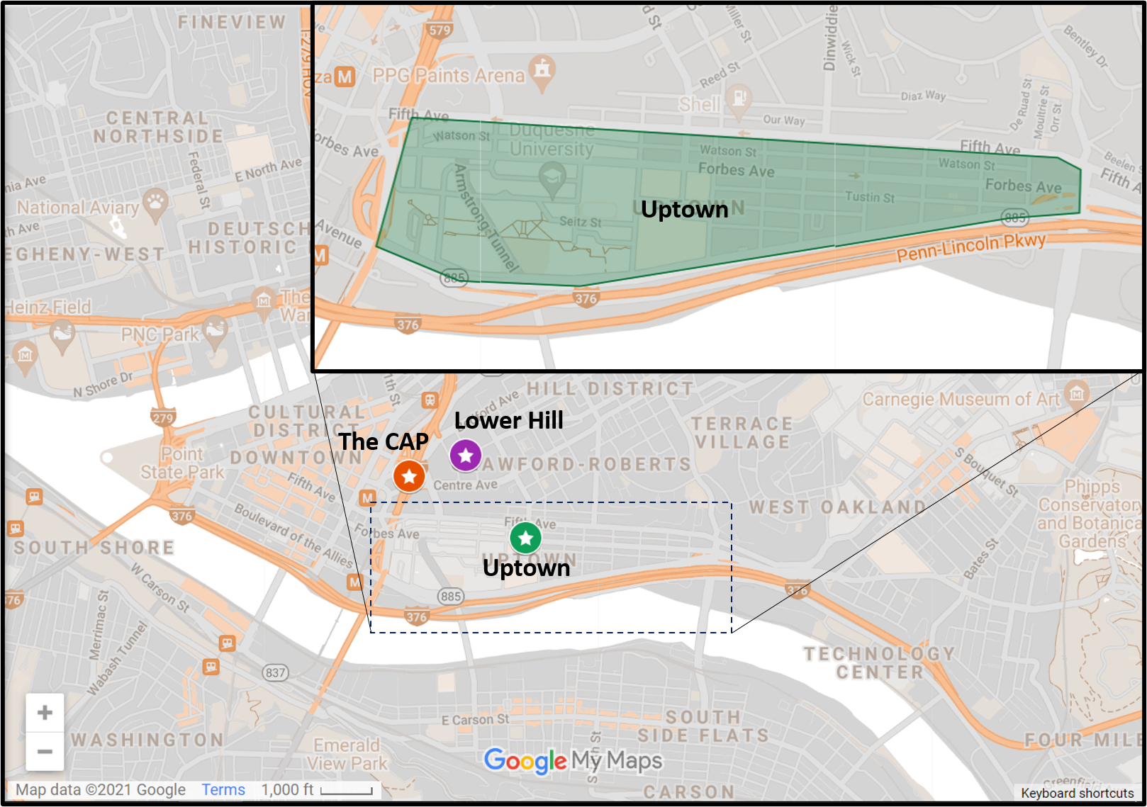
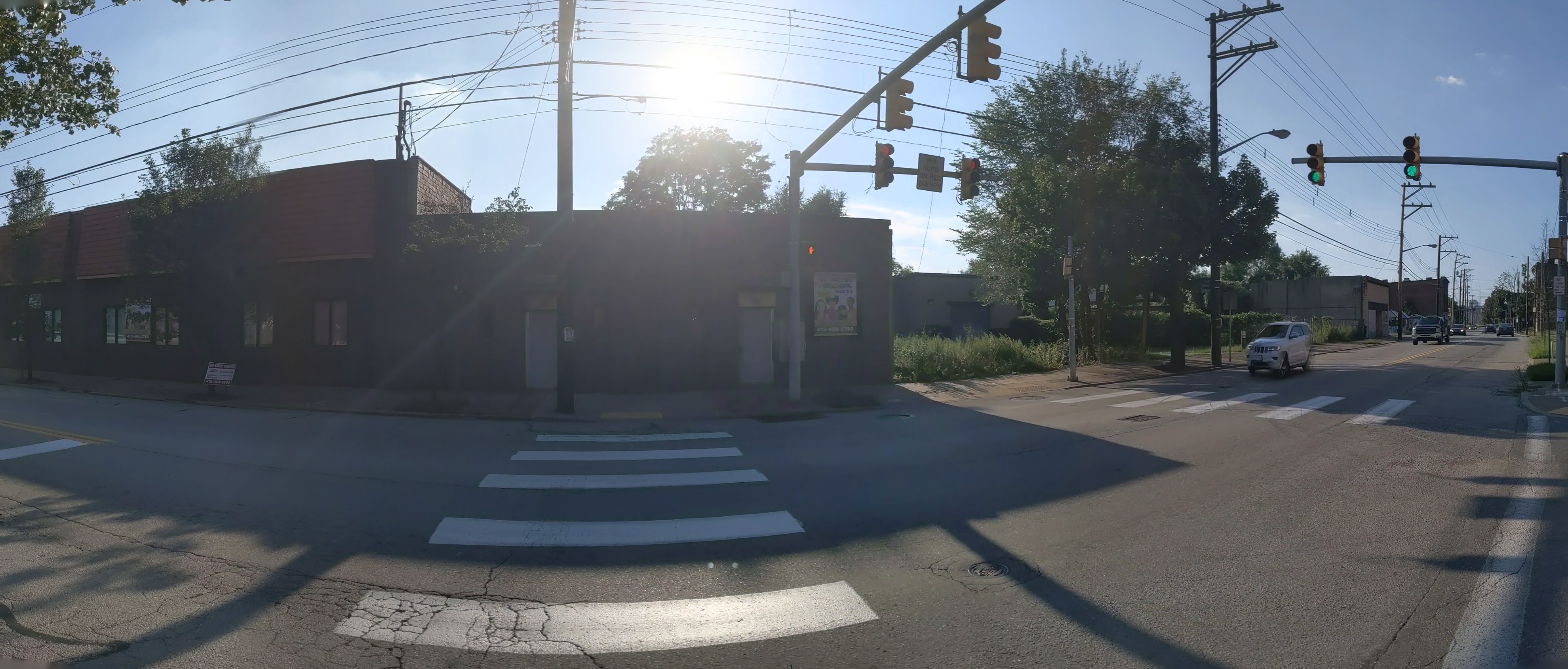
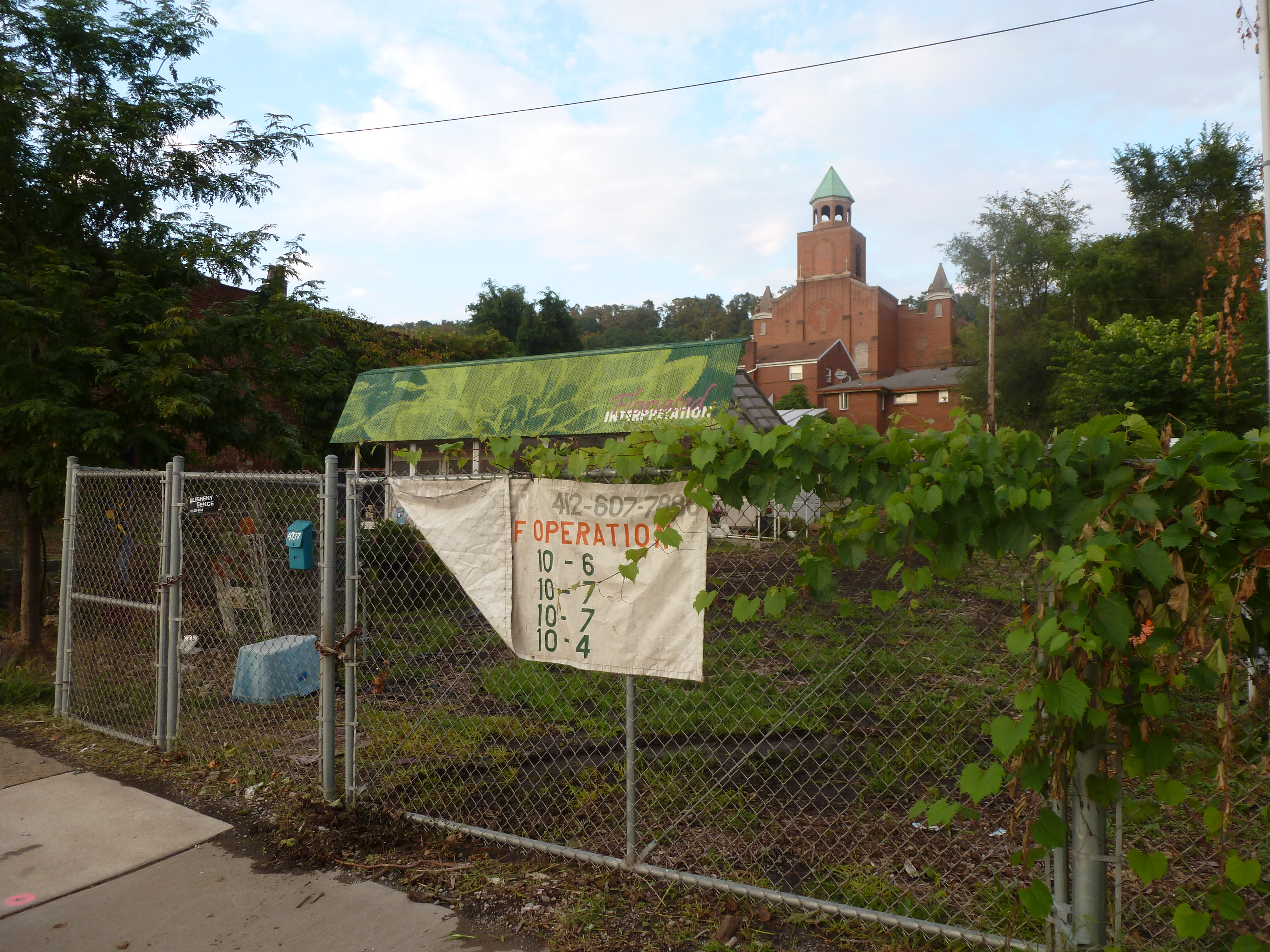
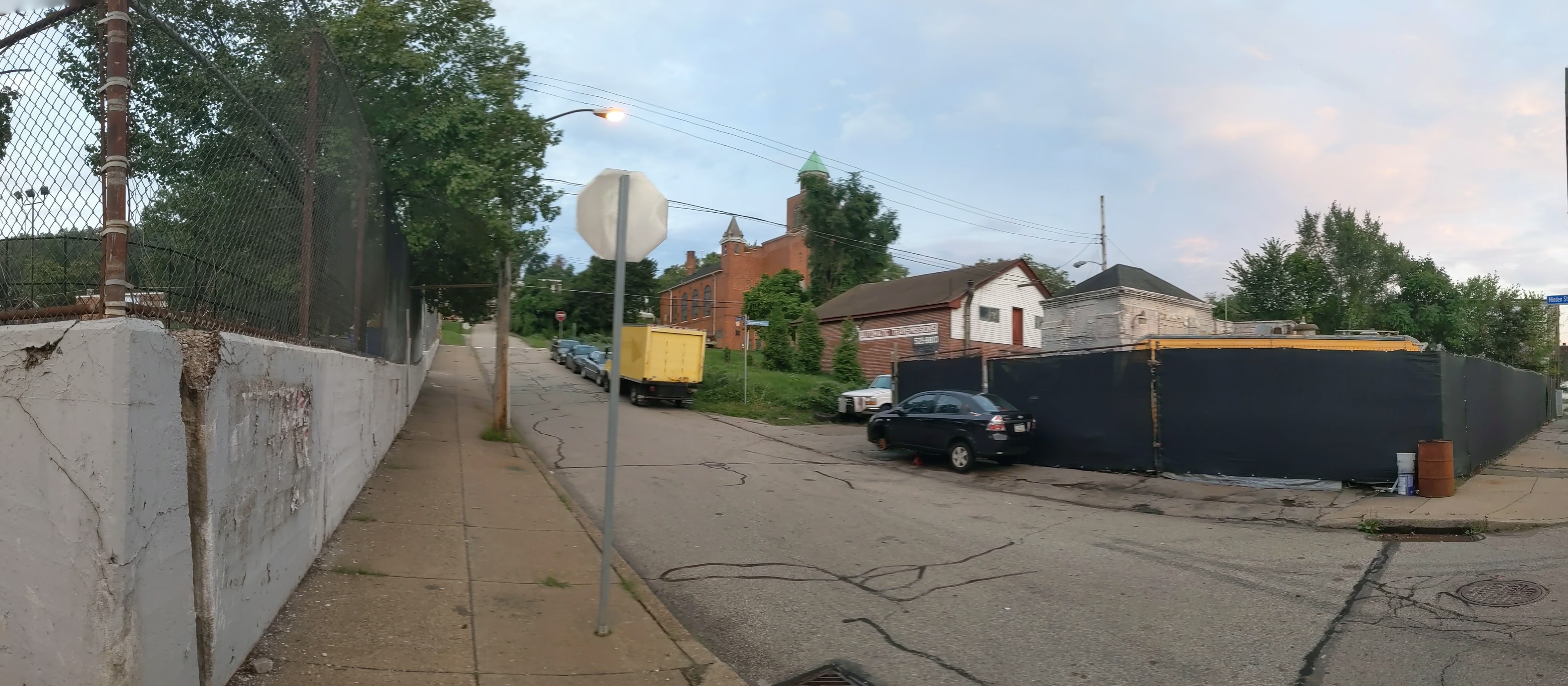
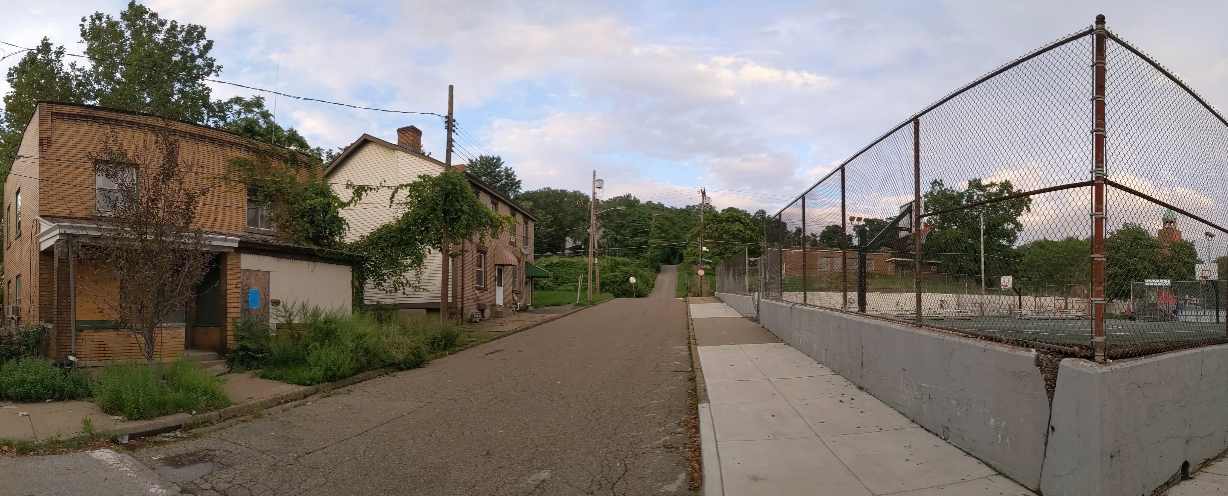
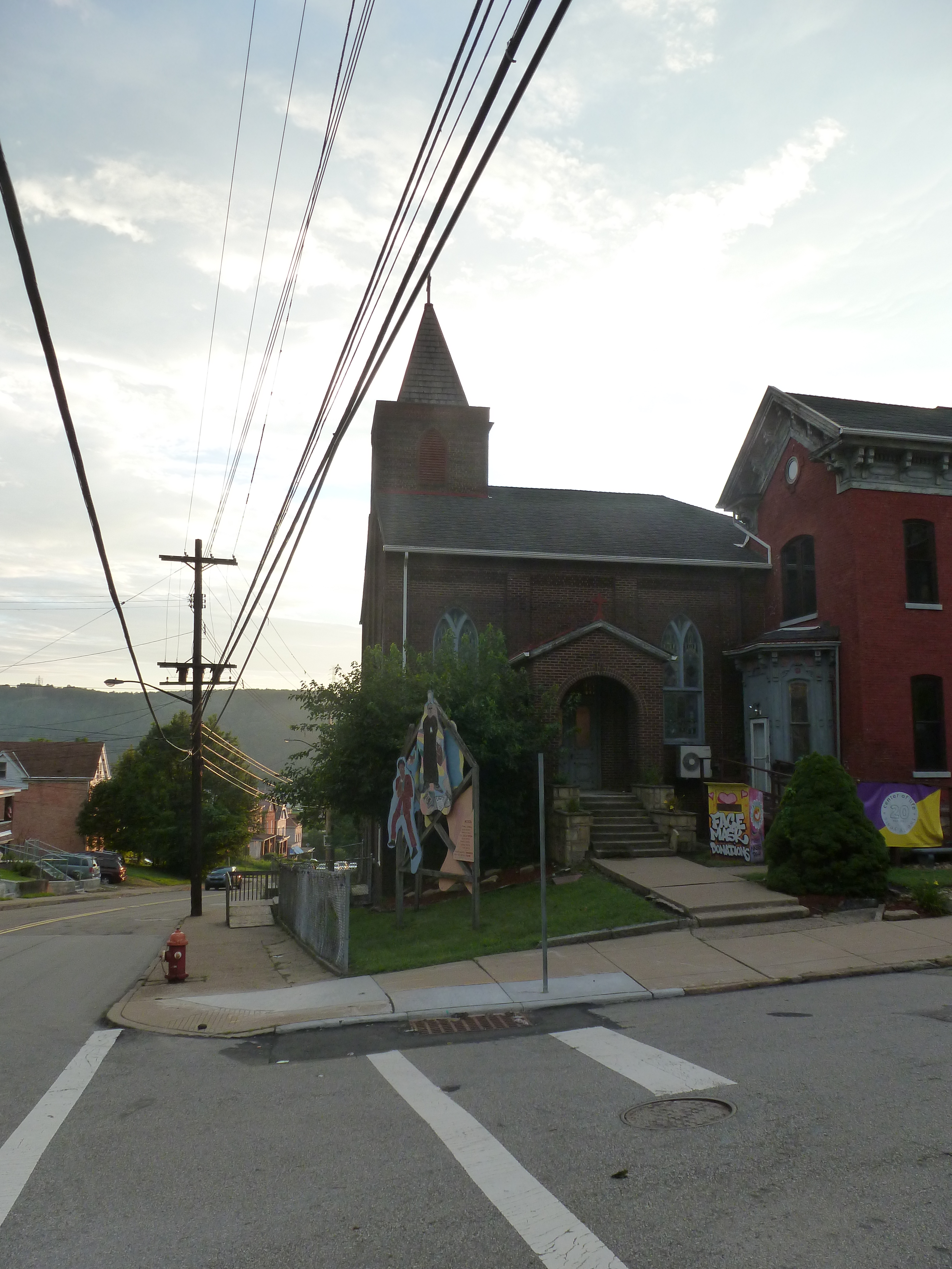
Uptown is one of the many neighborhoods in Pittsburgh that experienced decades of neglect. For this neighborhood, the neglect was despite Uptown being sandwiched between Oakland and downtown, two places among the state’s strongest economic regions. Zipping through Uptown from Oakland to downtown on Fifth Avenue or from downtown to Oakland on Forbes Avenue, it is easy to overlook or dismiss the hodgepodge of ruined home foundations turning back to forest; scattered vacant lots, parking lots, and industrial uses; and the intricate architectural details on abandoned and renovated townhomes.
In recent years, new buildings started springing up here and there. Some of these new projects are the work of the two institutions in the neighborhood: UPMC Mercy Hospital and Duquesne University. Others are the work of a variety of commercial and residential developers. Two reasons for this recent investment are the proposed Bus Rapid Transit system, which will eventually run through the neighborhood, and the in-progress redevelopment of the Lower Hill, an adjacent neighborhood.
The Uptown community saw these changes coming and prepared. Between 2015 and 2017, the community organization Uptown Partners collaborated UPMC Mercy, Duquesne University, the City of Pittsburgh, and others to create the EcoInnovation District Plan and the Uptown Public Realm zoning district. The plan and new zoning district are intended to guide future development and leverage their economic investment for the greater good of the neighborhood. Ideally, this will reduce the number of those who will be left behind.
This blog post is part of an on-going series watching the changes in Uptown. Periodically, once or twice a year, I return to the neighborhood to take new photographs of the same areas. In addition, I include links to articles about the project that I’ve encountered since the previous post in the series. At the end of the post, there is a map showing the location of the neighborhood and links to the previous posts in the series.
What’s new
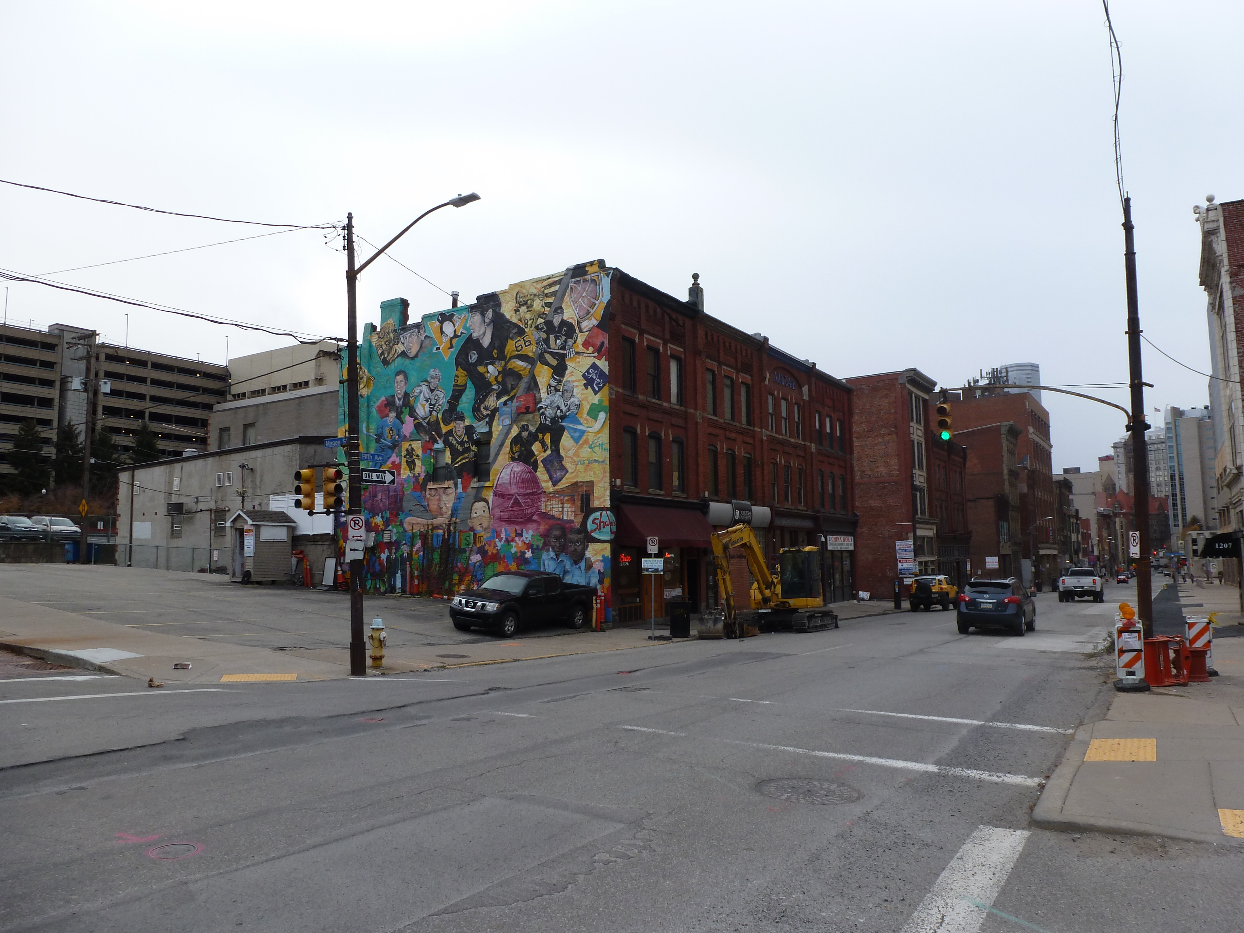
Since the last walk through the neighborhood, several buildings have been demolished while those that have been under construction continue to make progress. Progress also continues on a handful of housing renovations in the neighborhood.
The roads and sidewalks were even more rough and patched from the utility line replacements started this spring. According to a recent press release from the Mayor’s office, this utility work will continue next year, so a temporary repaving will be happening shortly to smooth out the roads for the winter season.
While I believe that this utility work is part of the Pittsburgh Water and Sewer Authority’s lead line replacement project, there were new signs up in the neighborhood apologizing for the mess as the neighborhood prepares for the Bus Rapid Transit (BRT). The utility replacement mess has happened in various neighborhoods throughout the city including those that are not part of the BRT routes. However, there was no other obvious mess, yet, that would be more directly associated with the construction of a BRT and need signs of apology.
The Photos
Uptown in the News & on the Web:
The pending Fifth and Dinwiddie development (image 8 above) proposes to be Passive House certified, include double the number of affordable housing units required by the URA as a condition of sale, and provide training on clean energy jobs. (September 20, 2021: NextPittsburgh)
UPMC’s Vision and Rehabilitation Center (images 19, 9, 12 above) is on track to open in 2023 despite construction disruptions, supply shortages, and the pressure placed on existing healthcare systems by COVID. (November 16, 2021: Pittsburgh Business Times, Tribune Review)
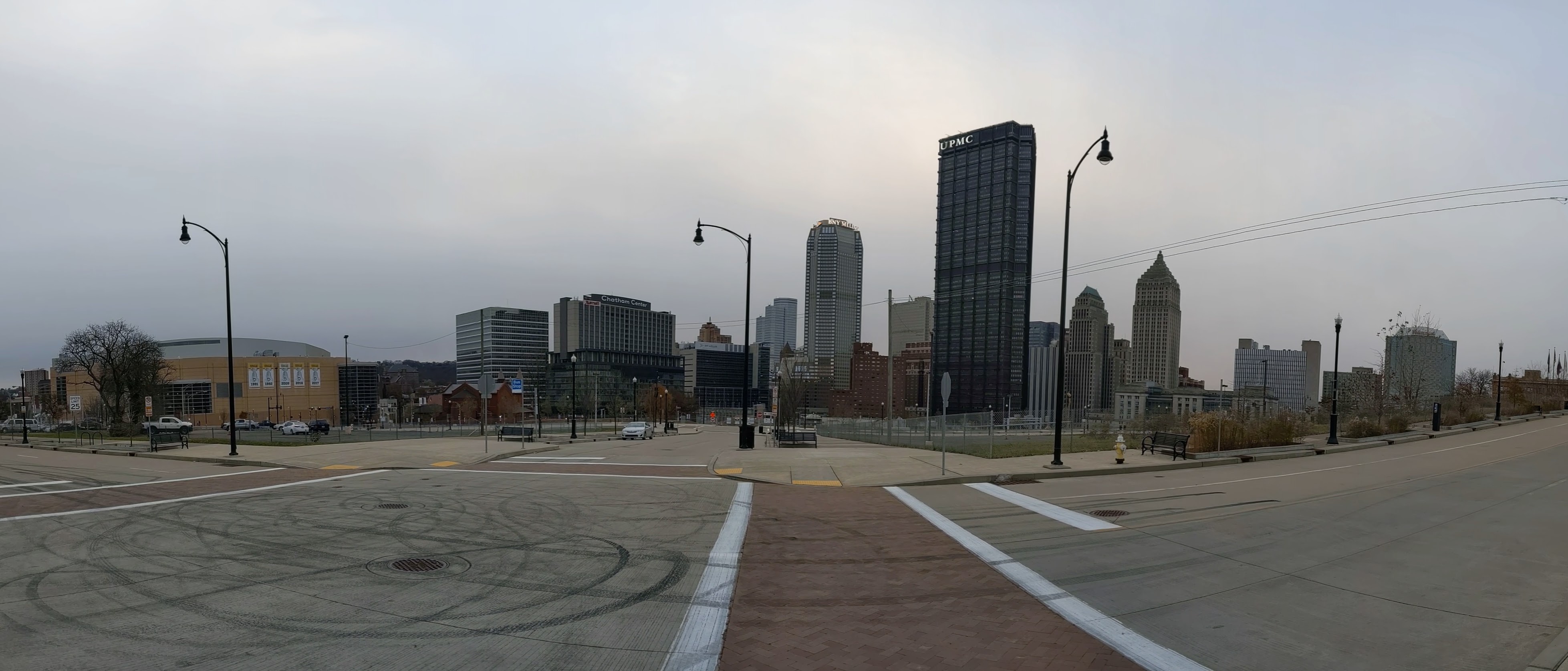
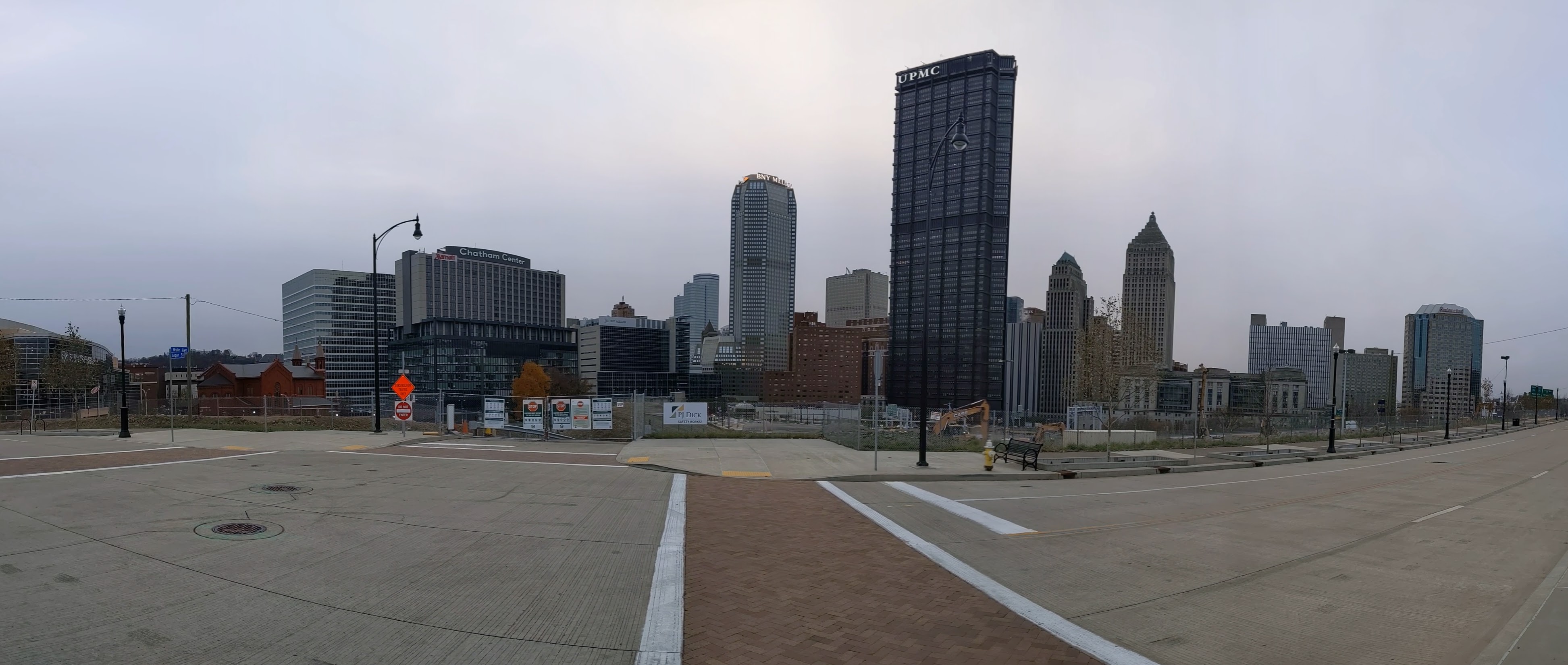
The CAP is a project in Pittsburgh “fixing the mistakes” of Urban Renewal. The Crosstown Blvd was built in the 1960s creating a freeway in a canyon dividing the Lower Hill neighborhood from downtown. The Lower Hill neighborhood, formerly predominantly poor and black, had already been demolished by this point to make way for the Civic Arena and other cultural amenities that were never built.
The CAP is a park on a bridge being built over the Crosstown Blvd and is intended to reconnect downtown and the Lower Hill, while the Lower Hill is being rebuilt by the Penguins hockey team. Construction began in June 2019 and was expected to be completed in November 2021. As the photos below show, it appears to be predominantly completed mid-November 2021, but the construction fence was still up. There are still a couple weeks left in the month to meet the project schedule. There do not appear to be any news articles about this project since the May post of Keeping an Eye on the CAP. The next bit of news about the site will probably be either announcing the ribbon cutting or a project delay.
This post is part of an on-going photographic series to watch the development and usage patterns of the CAP. Periodically, approximately once every six months, I return to the site to take new photographs. At the end of the post, there are links to all the previous posts in the series.
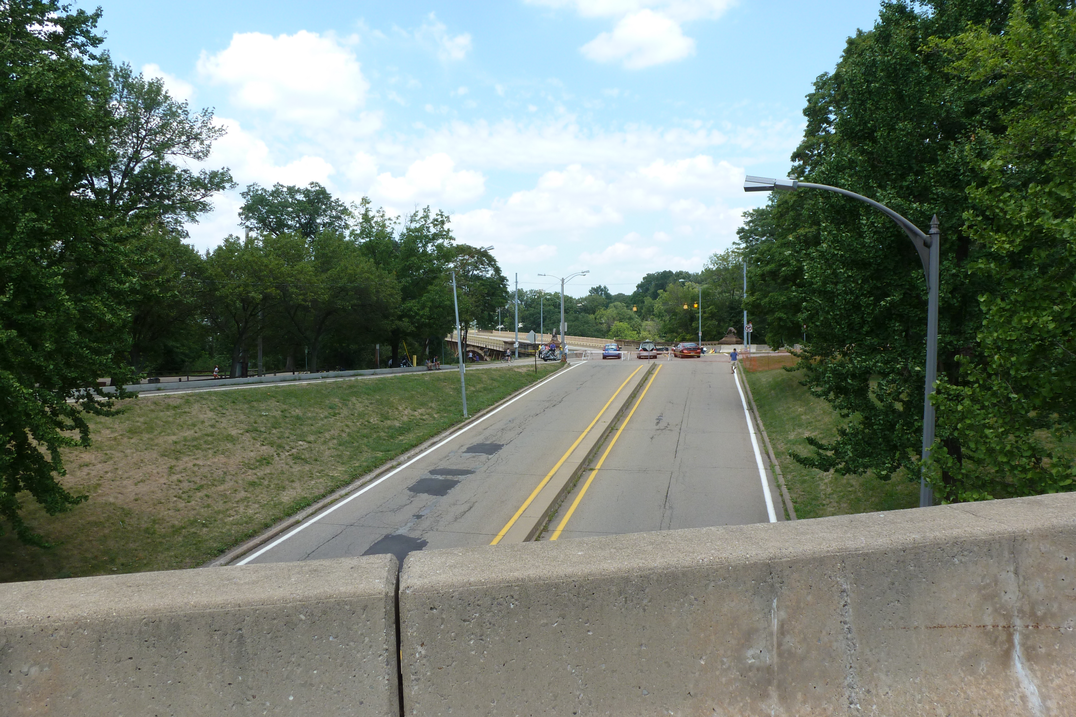
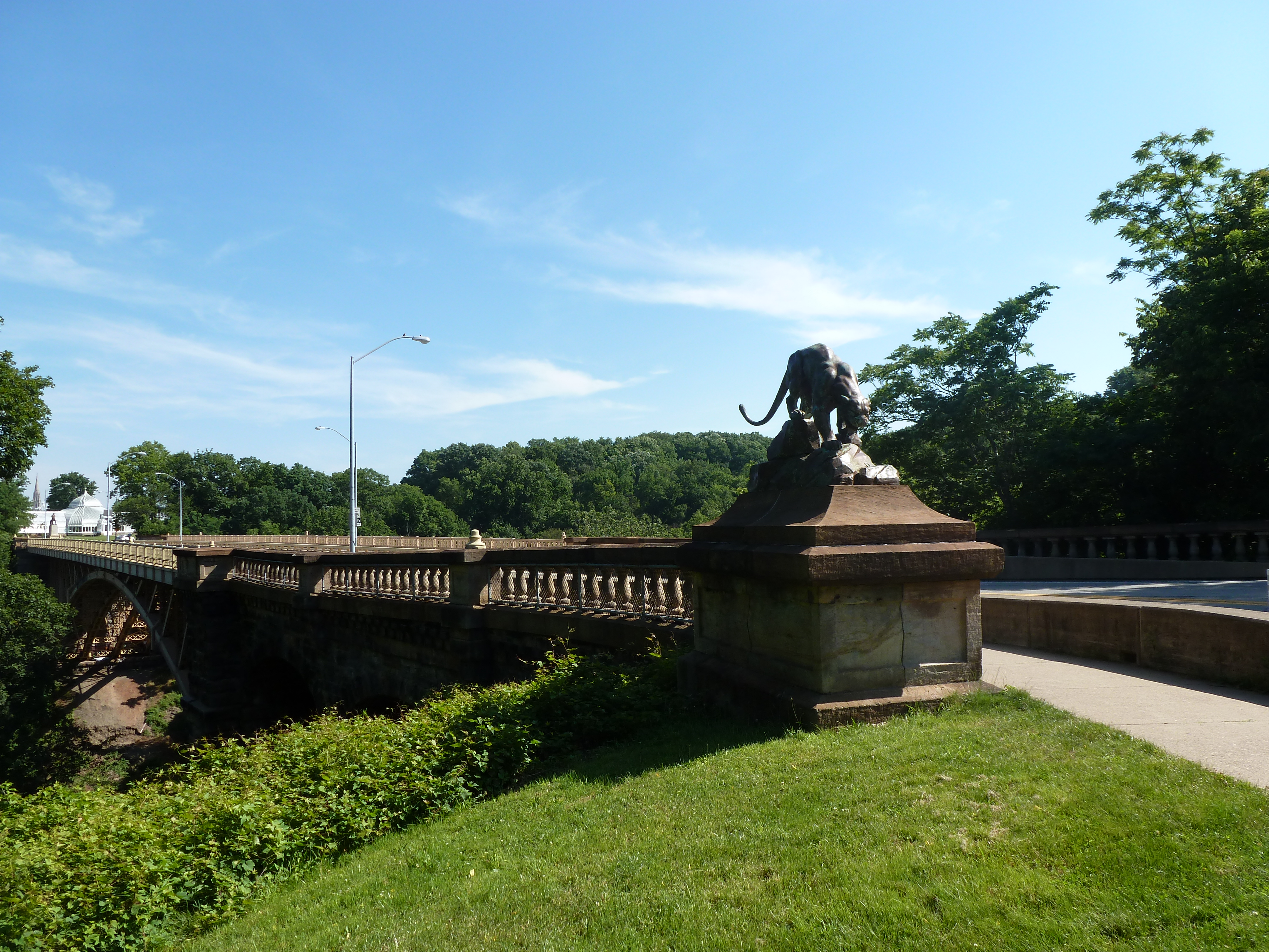
The Blvd of the Allies was one of Pittsburgh’s grand public works projects from the 1920s. It rises from downtown, passing along the backside of Uptown and cutting through South Oakland before wrapping up in Schenley Park.
Four bridges enable the Blvd to make its mark on Oakland. Under normal conditions, only one of these bridges is pedestrian usable.
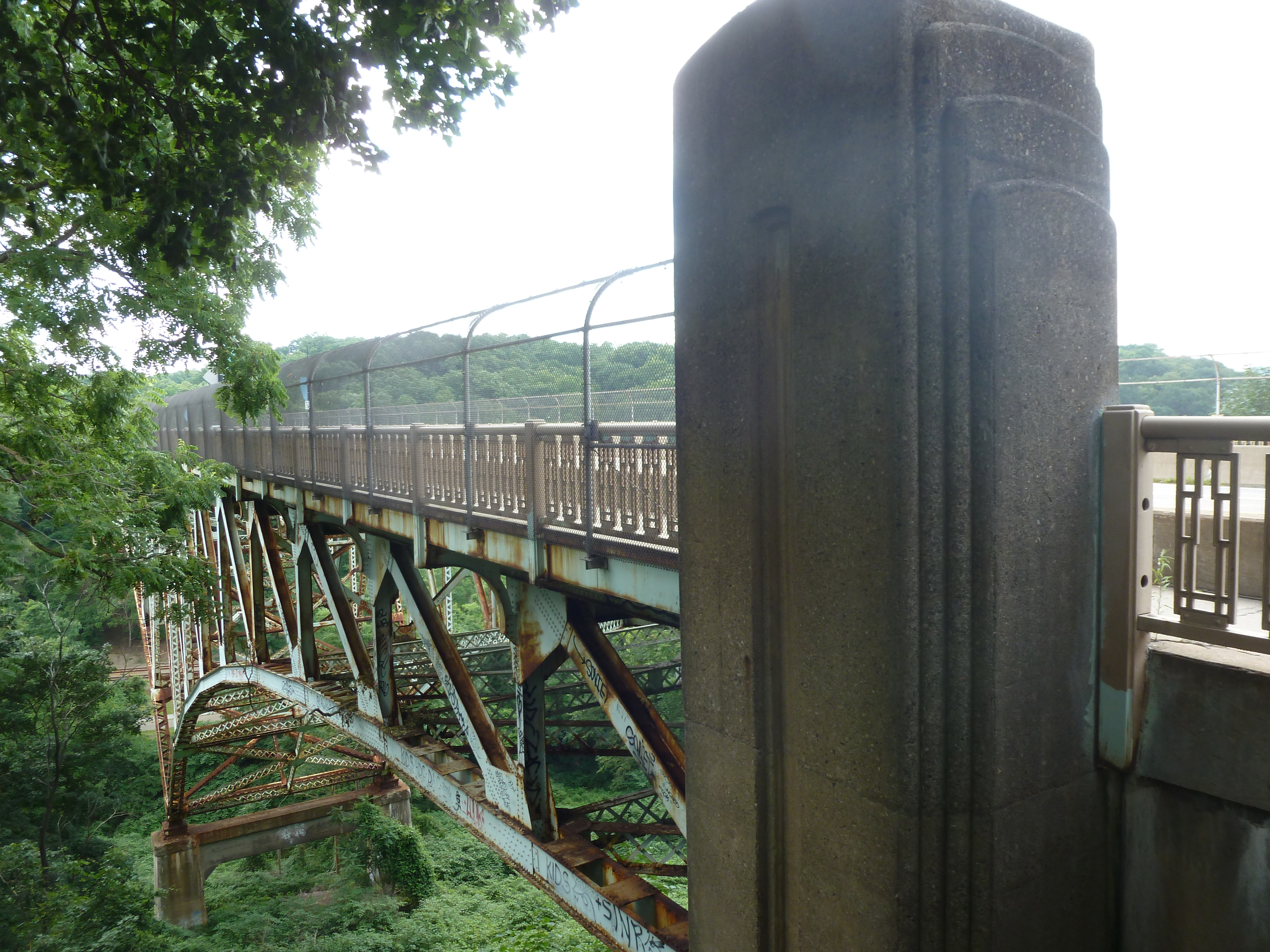
The road makes a flying leap into Oakland on the Boulevard of the Allies Bridge. On the South Oakland side, the Blvd enters a commercial corridor that begrudgingly gives pedestrians a place on a narrow sidewalk that abruptly begins (or ends) at the edge of the bridge. On the other side of the bridge, the Blvd is a mess of highway interchanges, so pedestrians are not welcome to utilize this bridge to go anywhere.
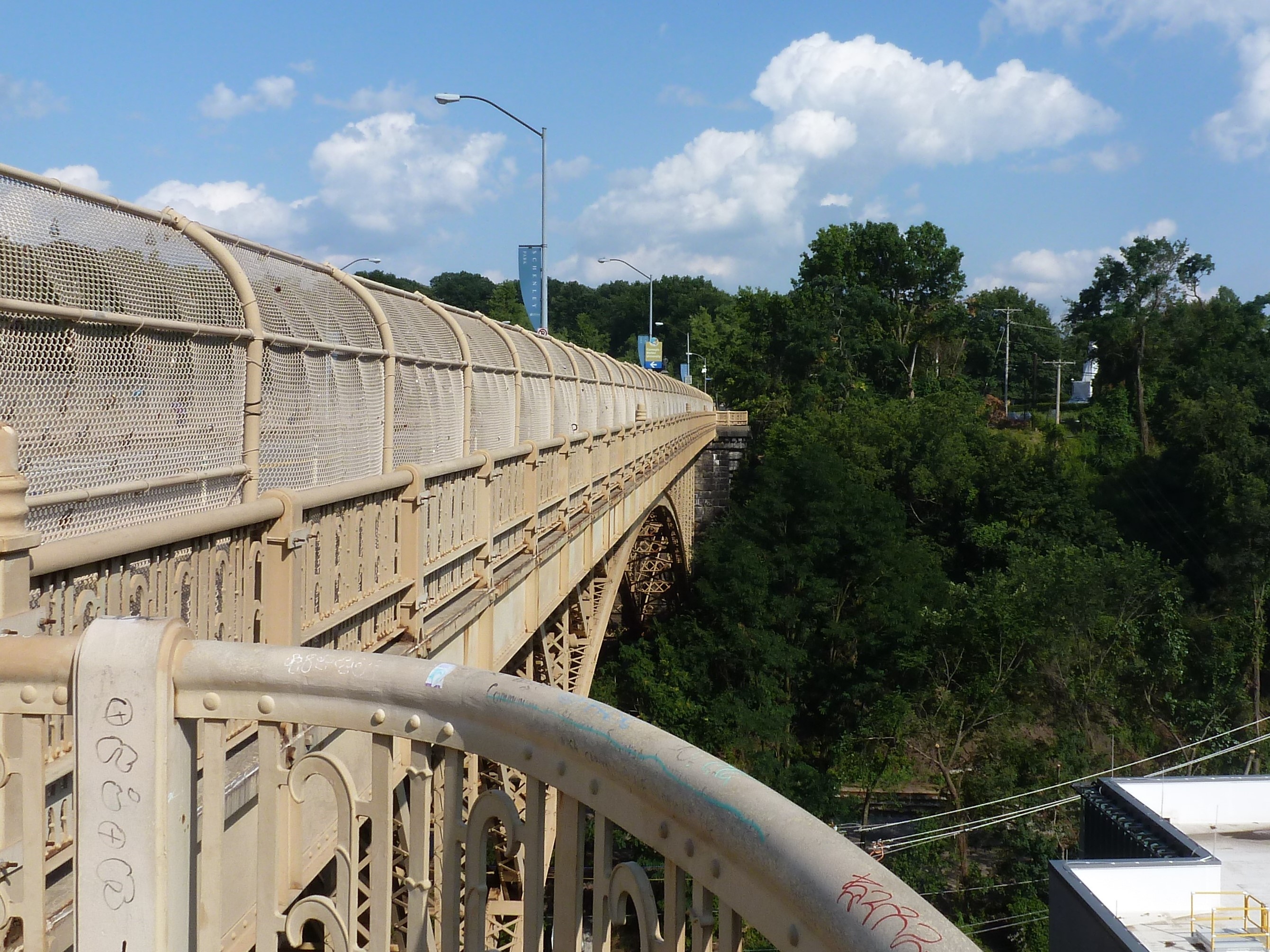
At the other end of the commercial corridor, pedestrians are invited to cross the Charles Anderson Bridge over Junction Hollow and into Schenley Park. (This bridge is also featured in Oakland Bridges – The Hollows.) However, once in the park, pedestrians are pushed away from the Blvd as it changes names and before it cruises through the Park.
The next two bridges are related as one is over the pedestrian route and one over the vehicular route to the recreational facilities of Schenley Park. These facilities include a pool, ice skating rink, disc golf course, tennis courts, and a track. The bridge over the pedestrian route is a small affair to cross over the pedestrian tunnel. The other is a slightly longer overpass over the two-lane segment connecting Panther Hollow Road and Overlook Drive. Neither the tunnel-bridge nor the overpass are open to pedestrians – except during the annual Pittsburgh Vintage Grand Prix, which I once took advantage of for some photographs.
Oakland is a cluster of Pittsburgh neighborhoods east of downtown. It has the highest concentration of institutions and cultural amenities in the city. It is home to Carlow College, the University of Pittsburgh (Pitt), Carnegie Mellon University (CMU), multiple UPMC hospitals, the Phipps Conservatory (Phipps), Schenley Park (the second largest city park), and the Carnegie Institute complex (housing the Carnegie Museums of Art and Natural History, the main Carnegie Library, and the Carnegie Music Hall). Most of these as well as much of the commercial and residential parts of Oakland were built on a shelf. The hospitals, part of Pitt, and some houses climb the slope toward the Hill District. Some houses also spill over the edge of the shelf, down into the hollows.
Several bridges span the Junction and Panther hollows in Oakland. The Forbes Avenue bridge connects CMU to the Carnegie Institute complex and one of the commercial districts. The Schenley Bridge connects Pitt and the Carnegie Institute complex to the Phipps and Schenley Park. The Panther Hollow Bridge spans a second hollow to connect the Phipps with the rest of Schenley Park. The Charles Anderson Memorial Bridge carries the Blvd of the Allies over Junction Hollow. A fifth bridge without pedestrian access carries 376 over the hollow. This bridge can be partially glimpsed from the Anderson Bridge, but its presence can be clearly marked by the traffic’s rushing whoosh that carries up the hollow.
By the Forbes Ave and Schenley bridges, Junction Hollow has an industrial feel. The railroad is mostly exposed at these points (further down it is surrounded by trees, shrubs, and other overgrowth). There are also several parking lots and CMU houses some of its facilities functions along the hollow. By the Schenley Bridge, a massive electrical substation was recently constructed across from the historic (and active) steam factory.
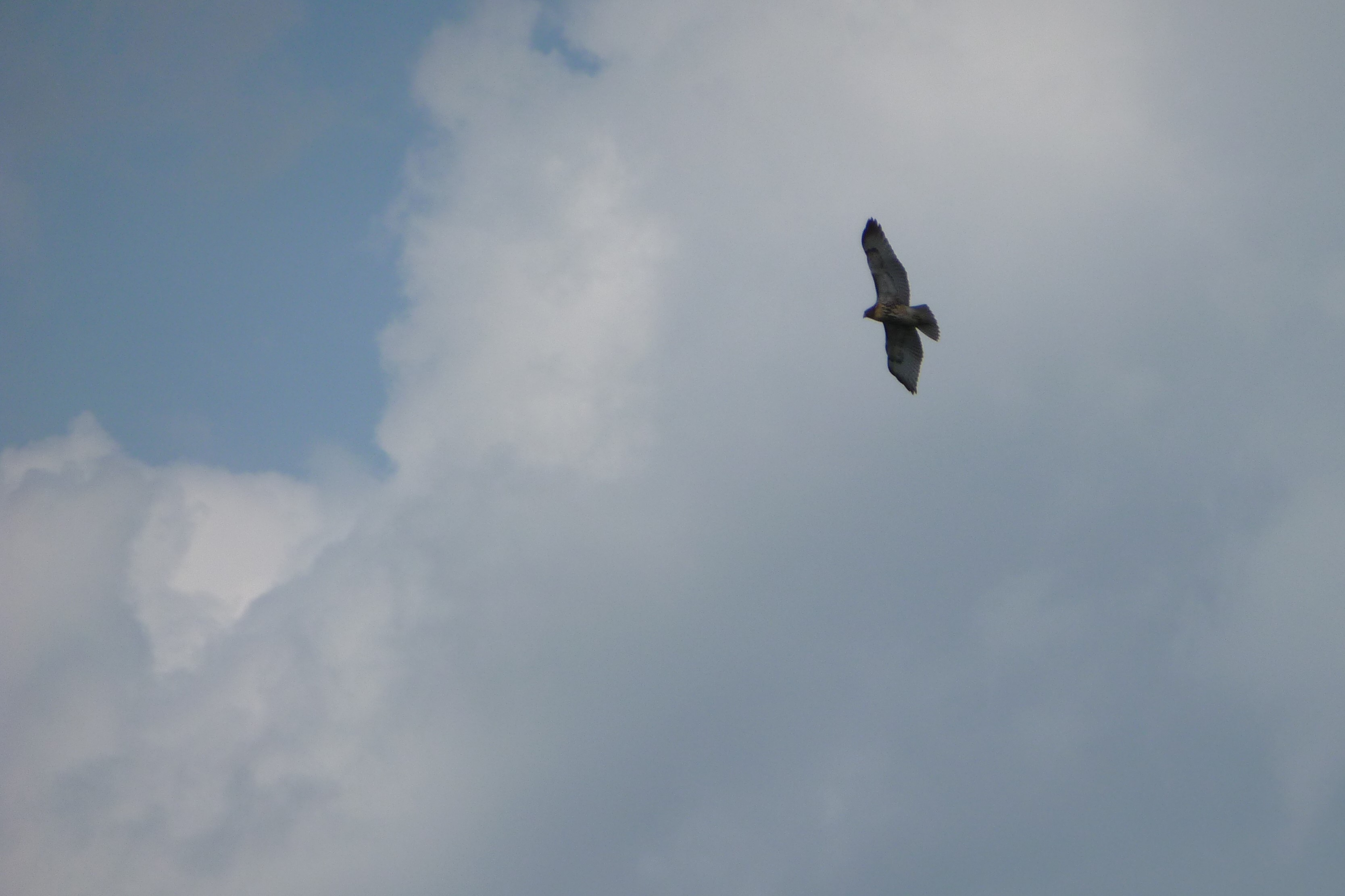
The Panther Hollow Bridge provides a completely different feel as its hollow is 100% park. It is the only one of these bridges that does not cross over the railroad and is therefore the only one without a cage. A small lake with walking trail is visible on one side (with the railroad beyond a row of weeds). The other side overlooks a forested hillside and valley floor. Hawks and/or falcons can often be seen gliding over this hollow.
The Anderson Bridge overlooks Junction Hollow at its most parklike point, but it has a less peaceful feel than the Panther Bridge. A combination of the almost-highway Blvd of the Allies, the bridge’s height above the hollow, and its pedestrian fence make the bridge feel isolated from nature when walking across.
While wandering around Rutland, Vermont’s third largest city coming in at around 16,000 residents, I found a bridge. Naturally, I walked across it. The bridge connects the worker housing on the flats to the cultural/civic center on the slope beyond which are the wealthier residences. In addition to overcoming the obstacle of the elevation change, the bridge spans the remnants of the formerly extensive rail yard much of which has been converted to a shopping center.
There was also a railroad bridge near the other end of the shopping center. By the time I found this bridge I was hungry, overcome by the humidity, and over a mile from where I was staying. A little farther on were some creeks that probably have bridges over them. I’ll have to look for those the next time I’m in town.
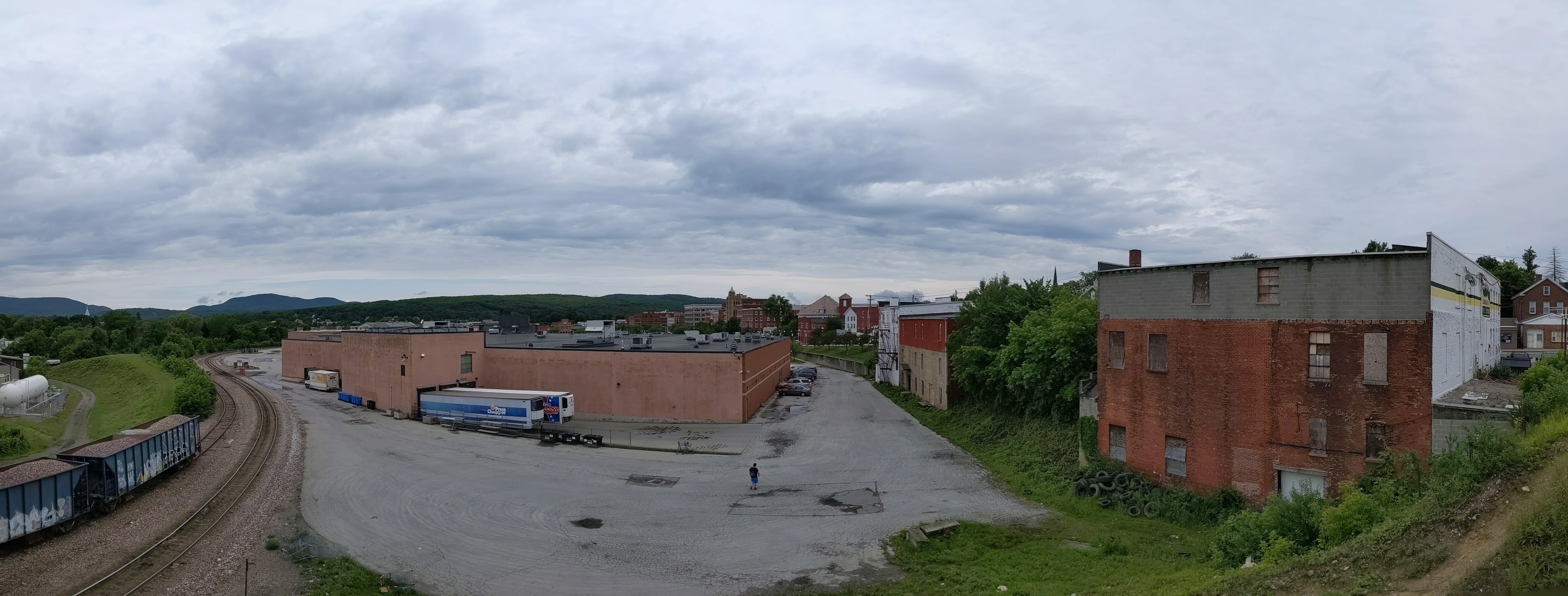
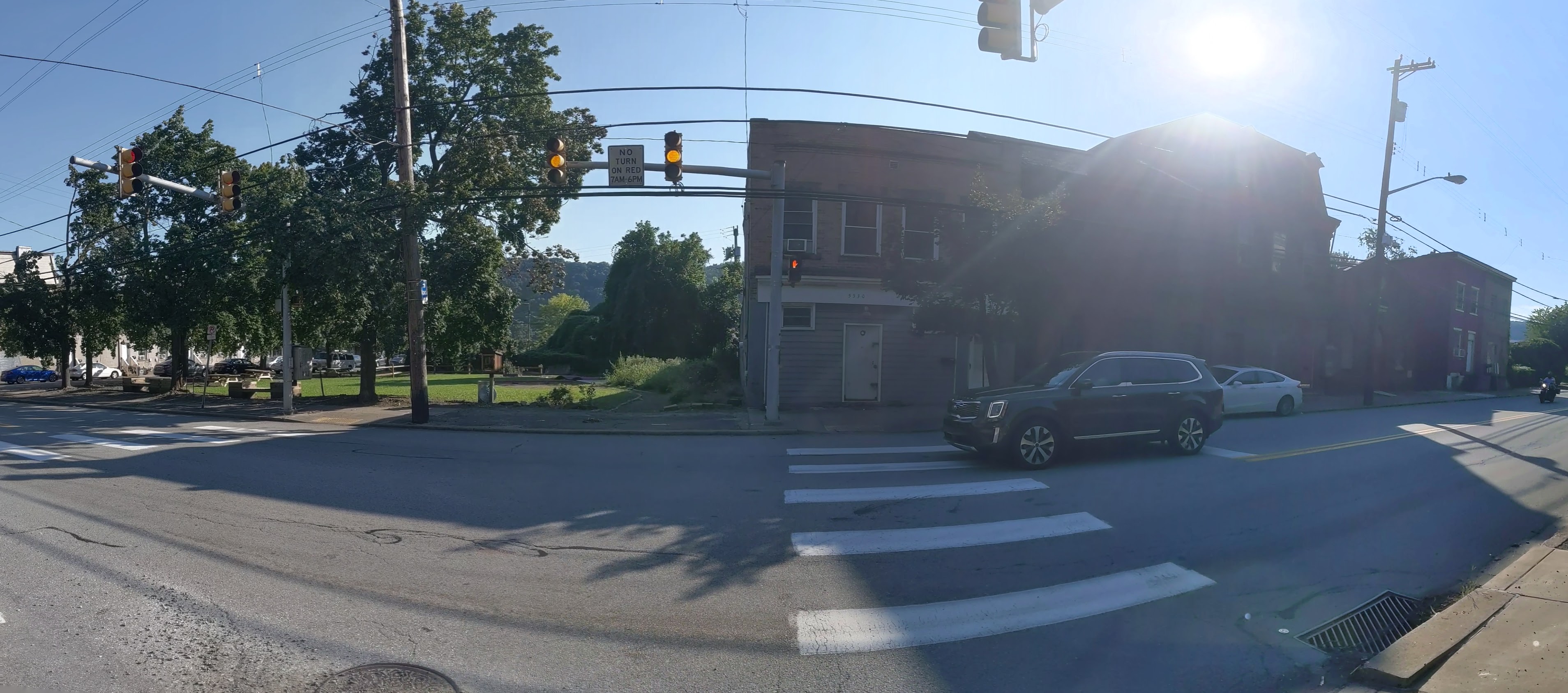
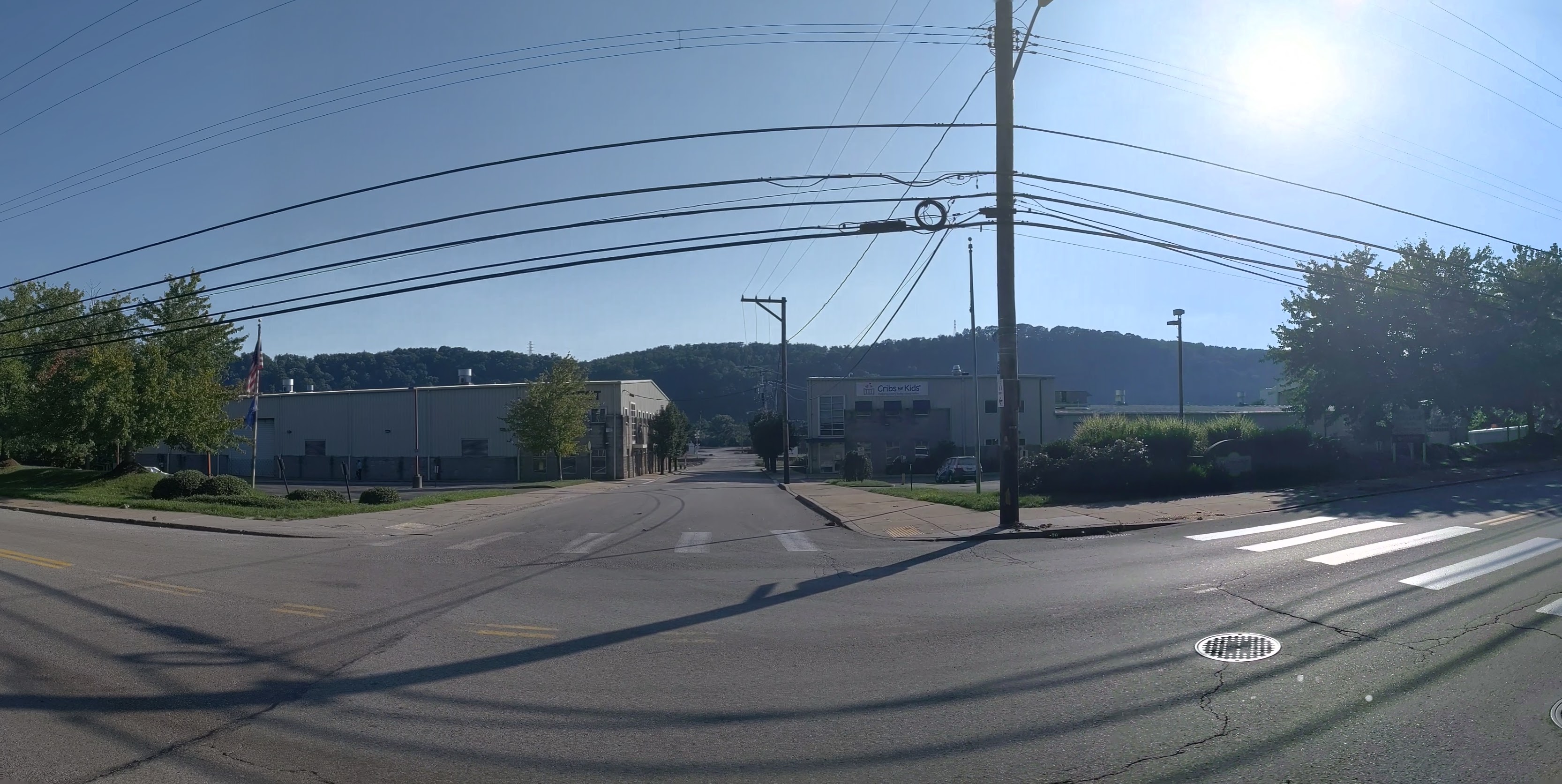
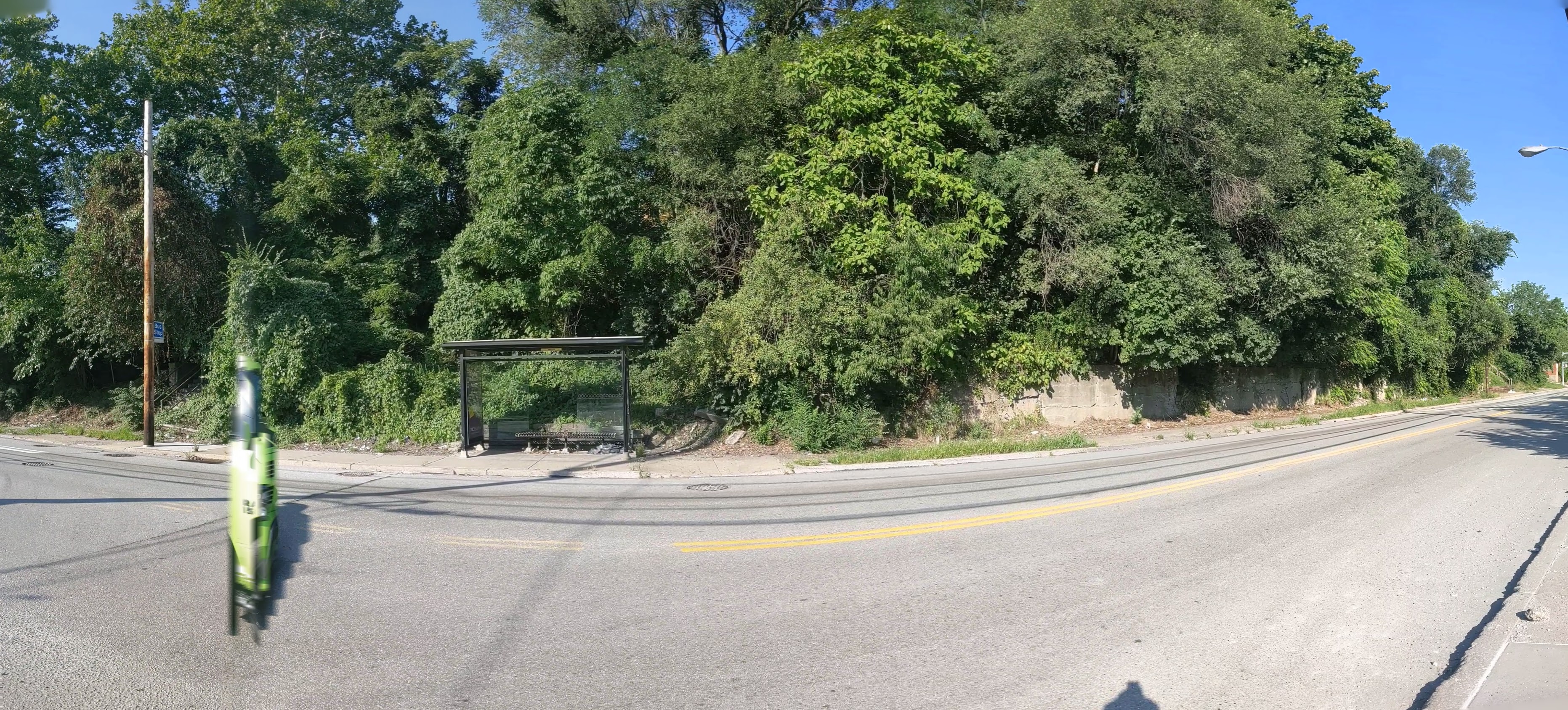
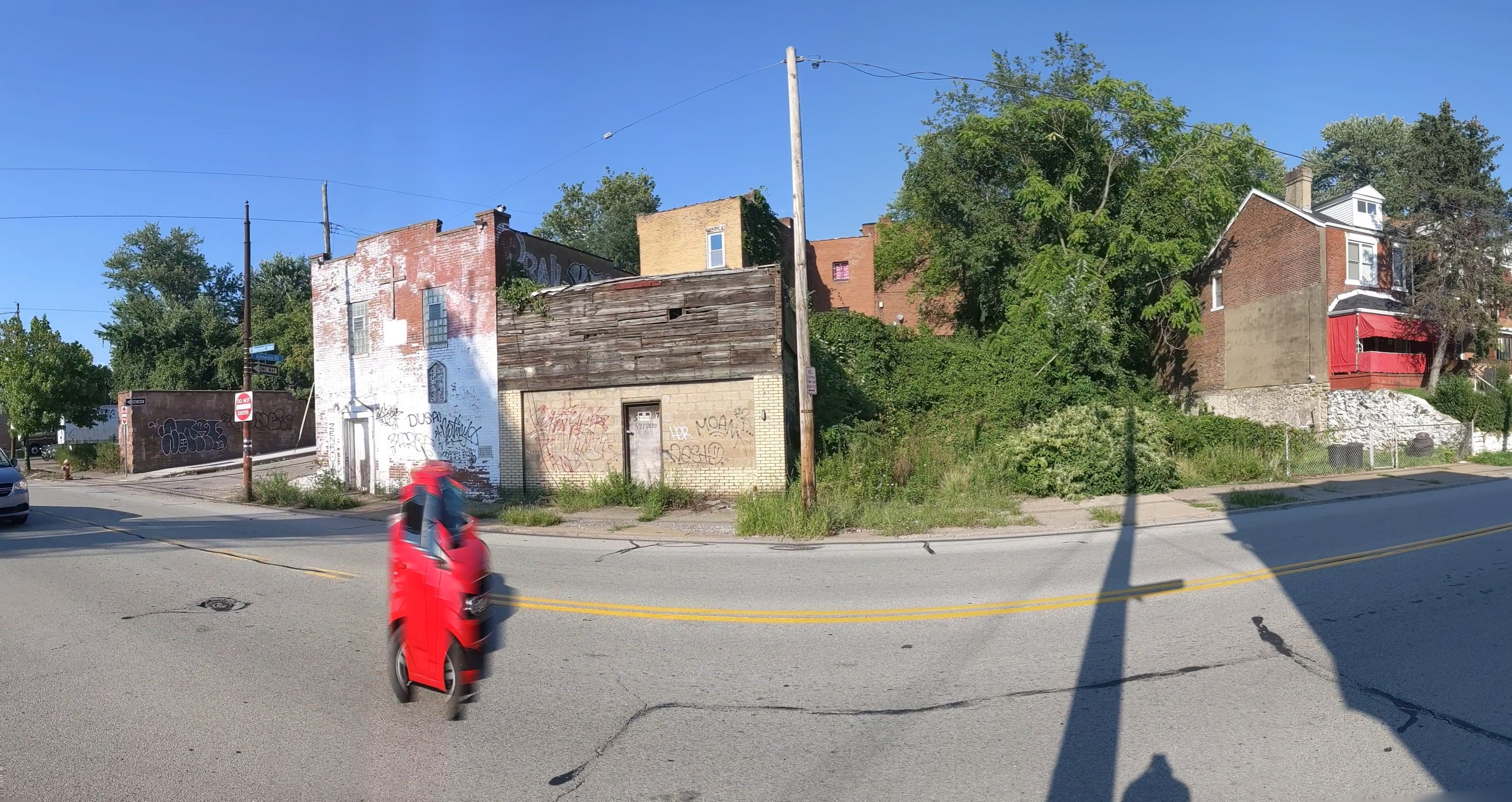
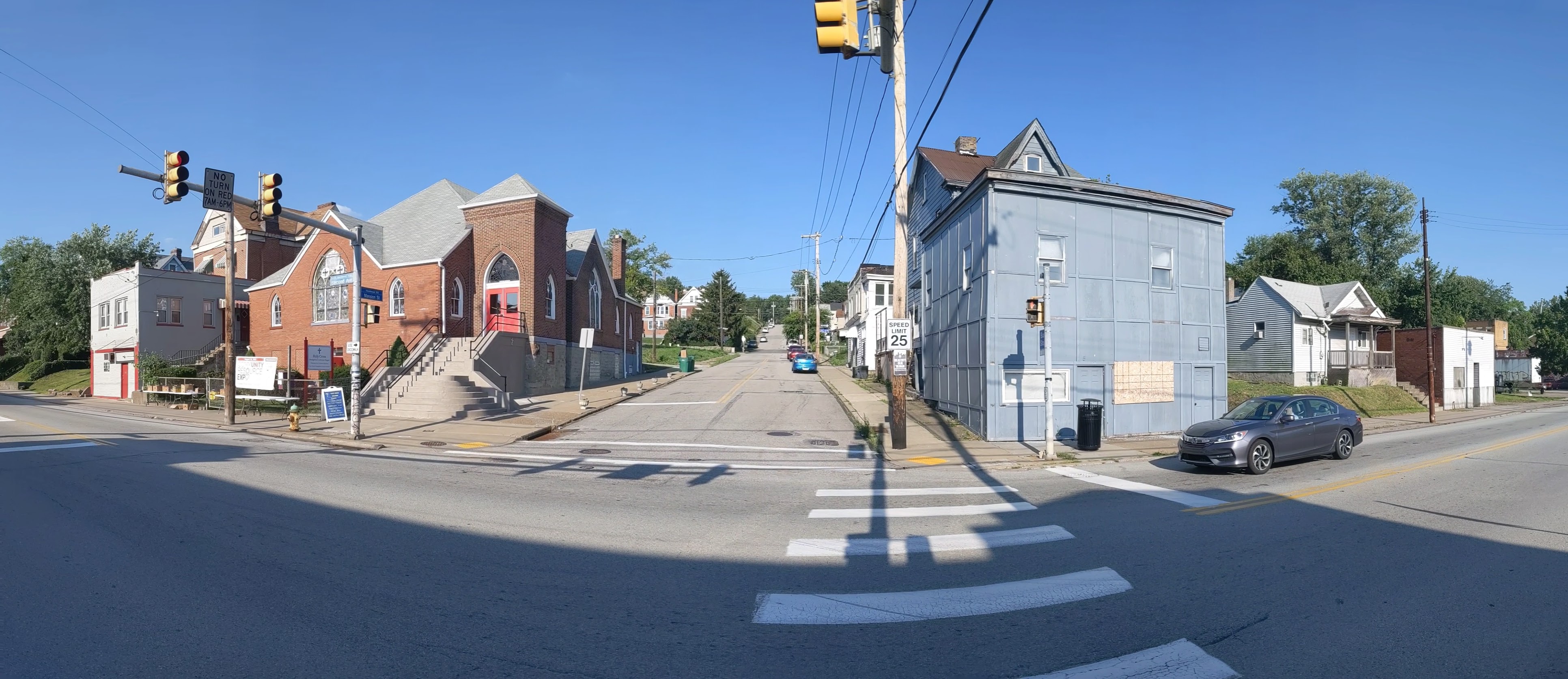
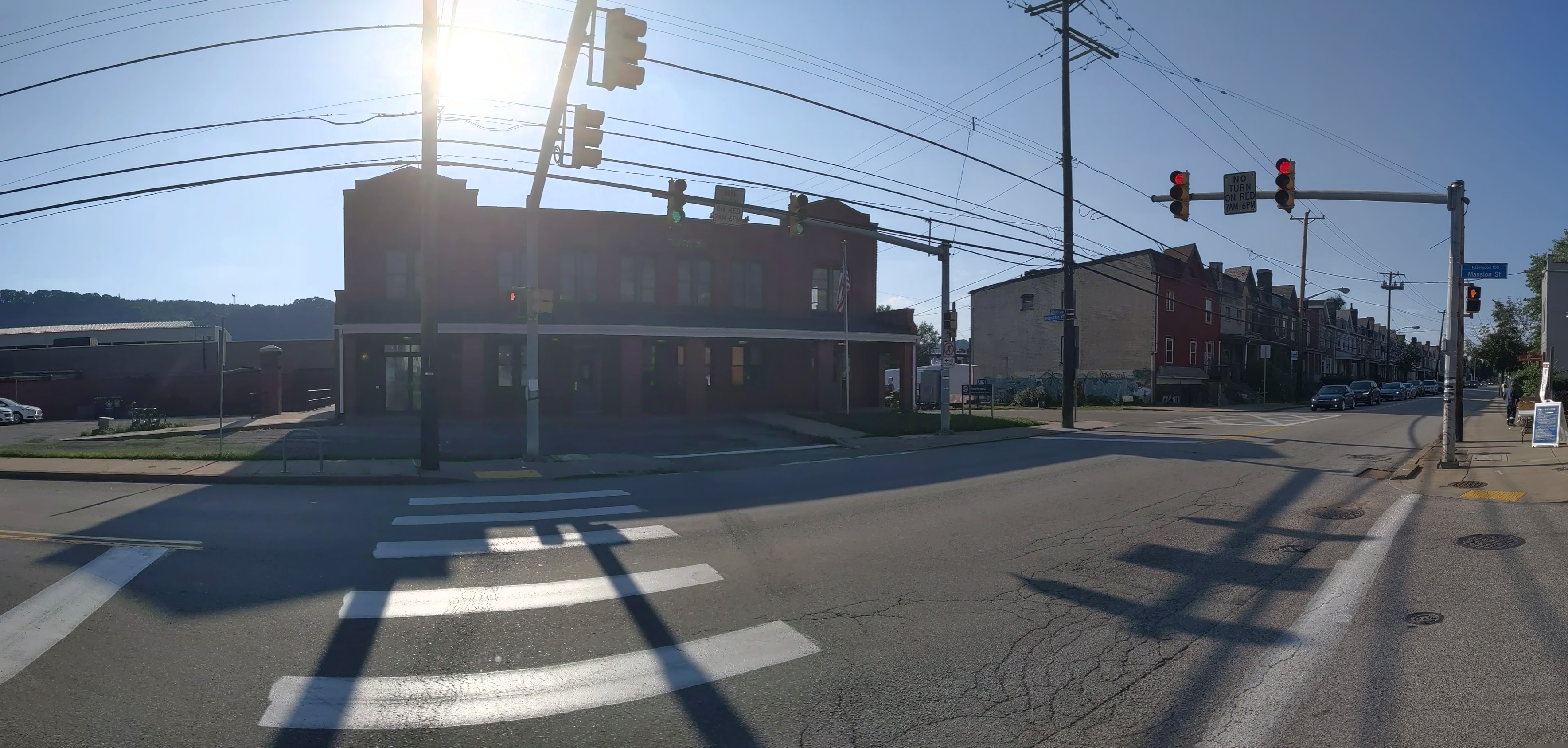
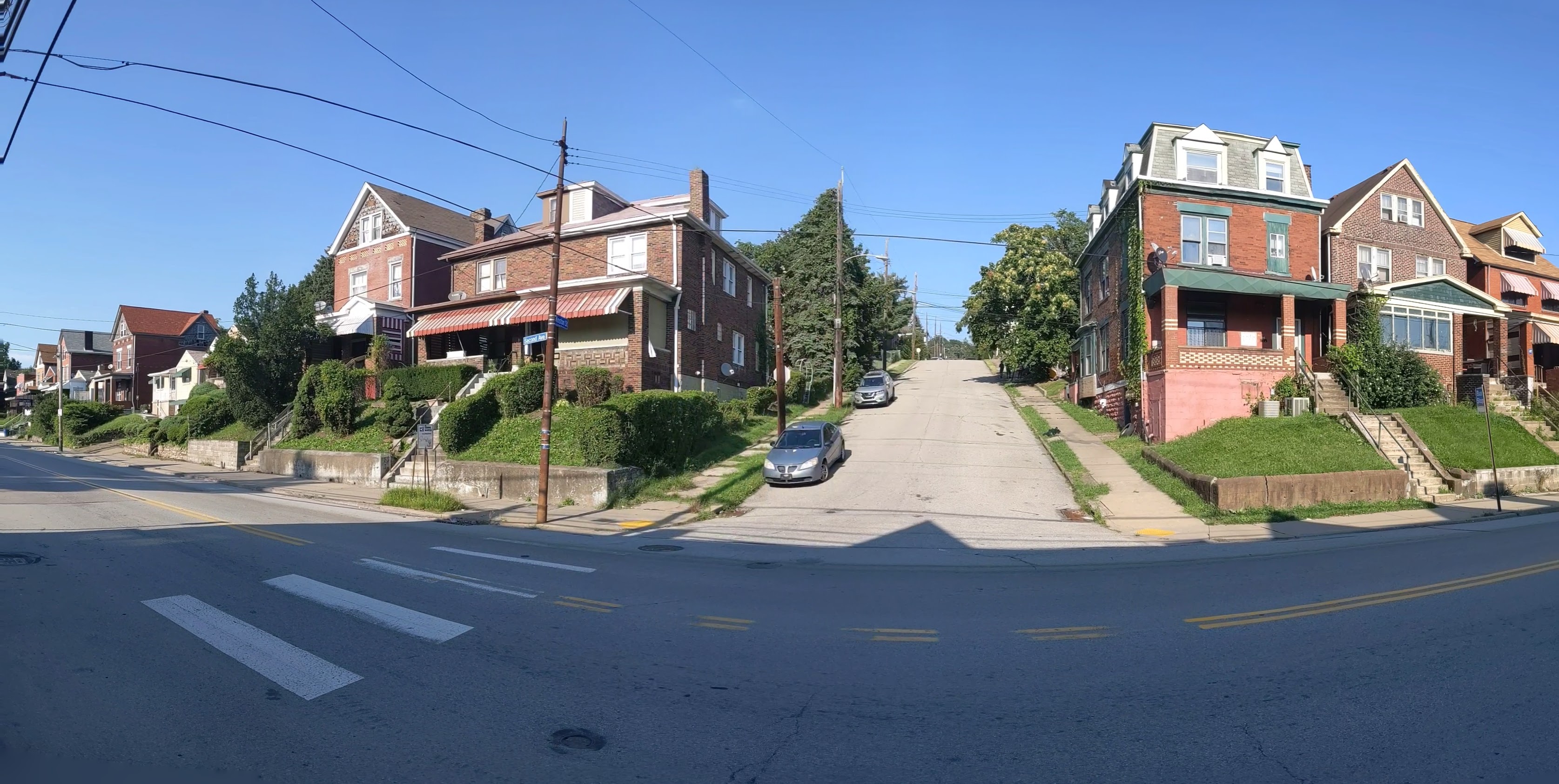
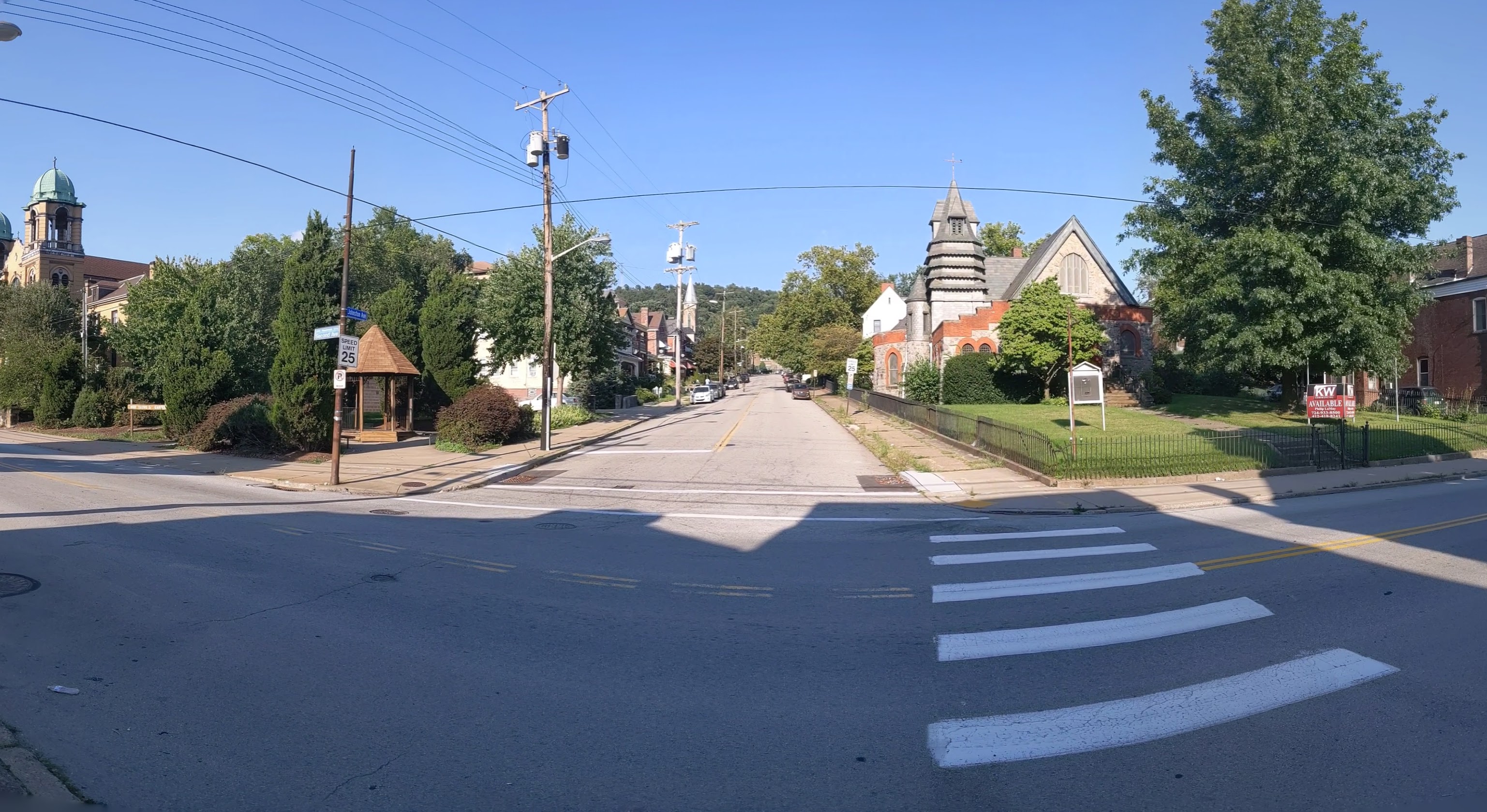
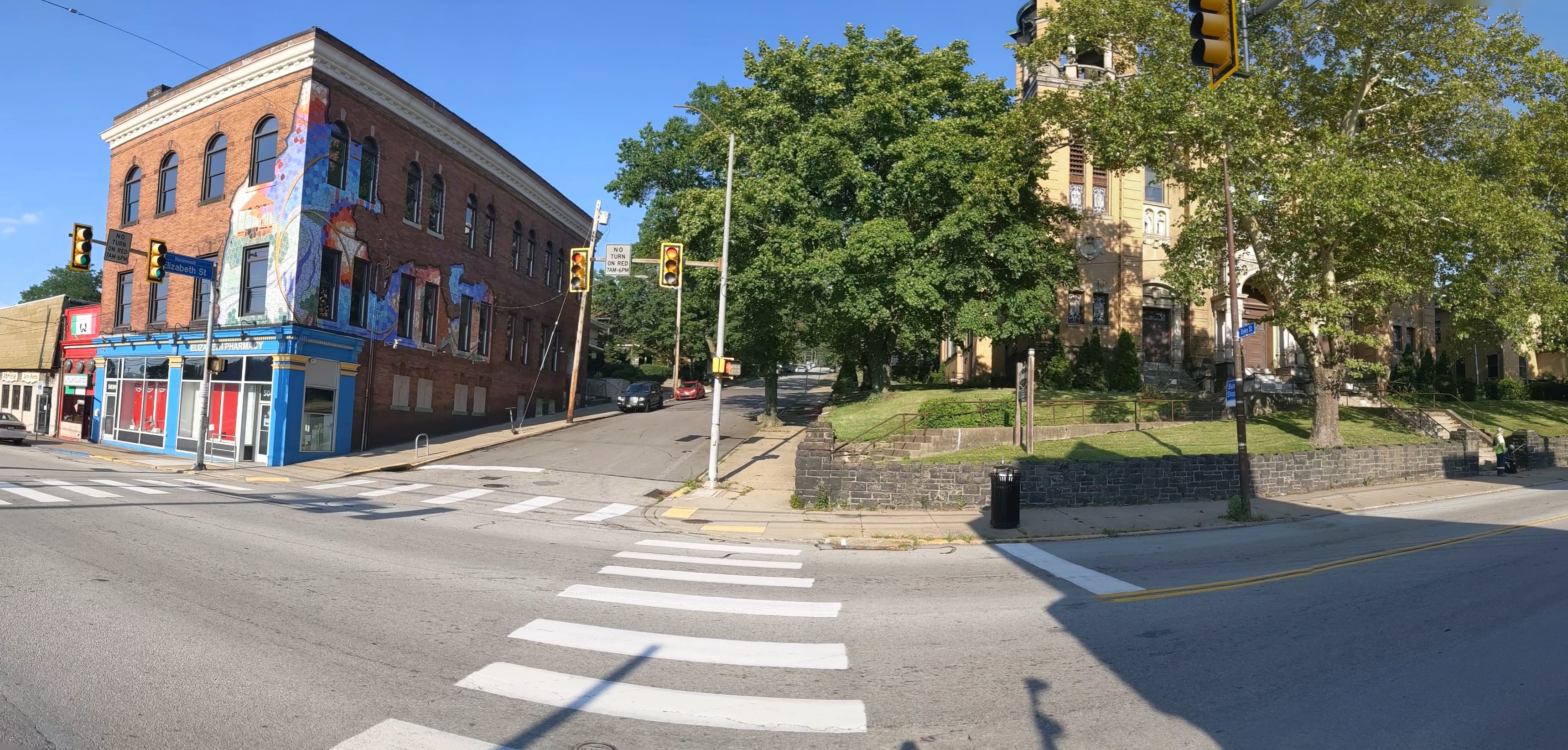
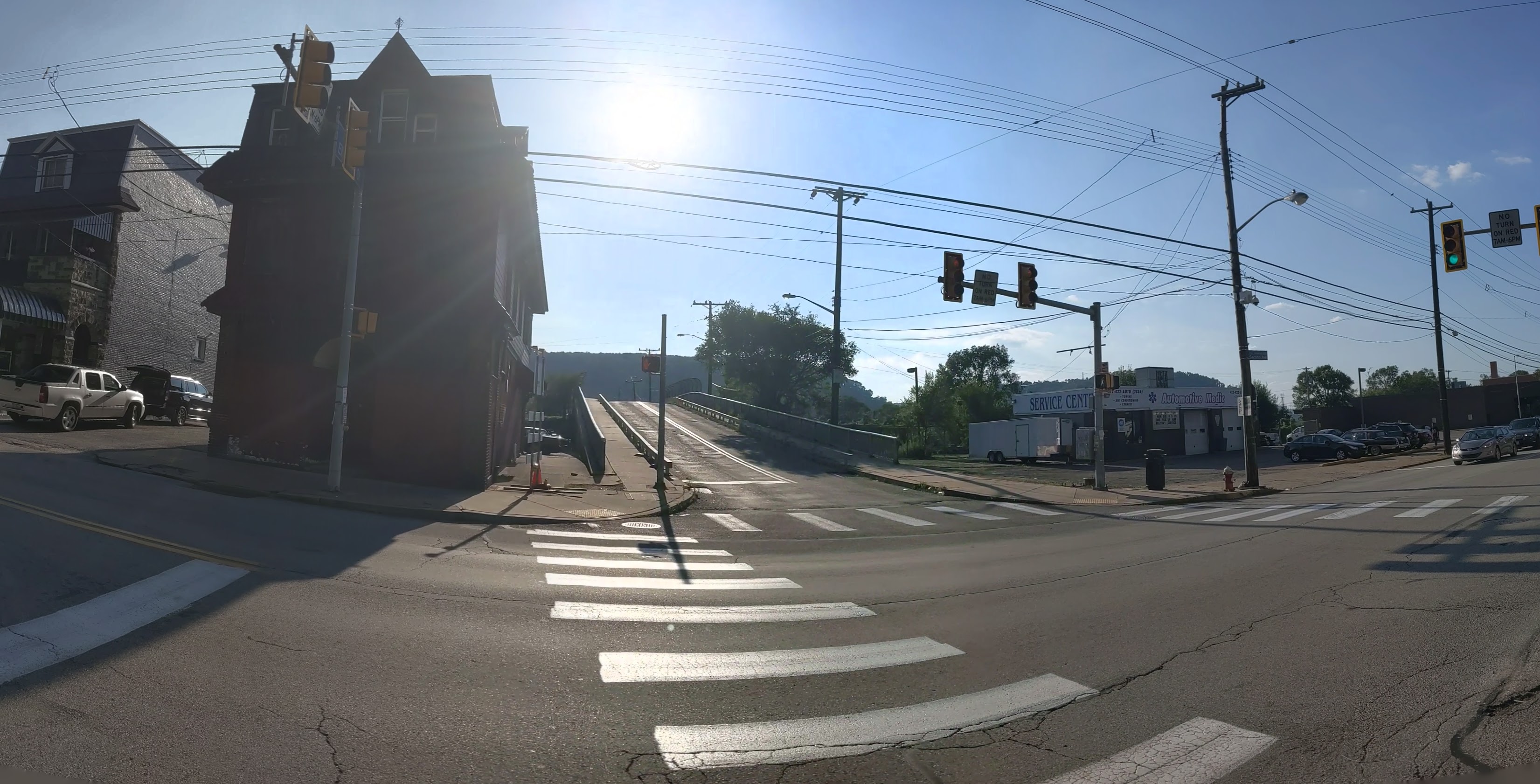
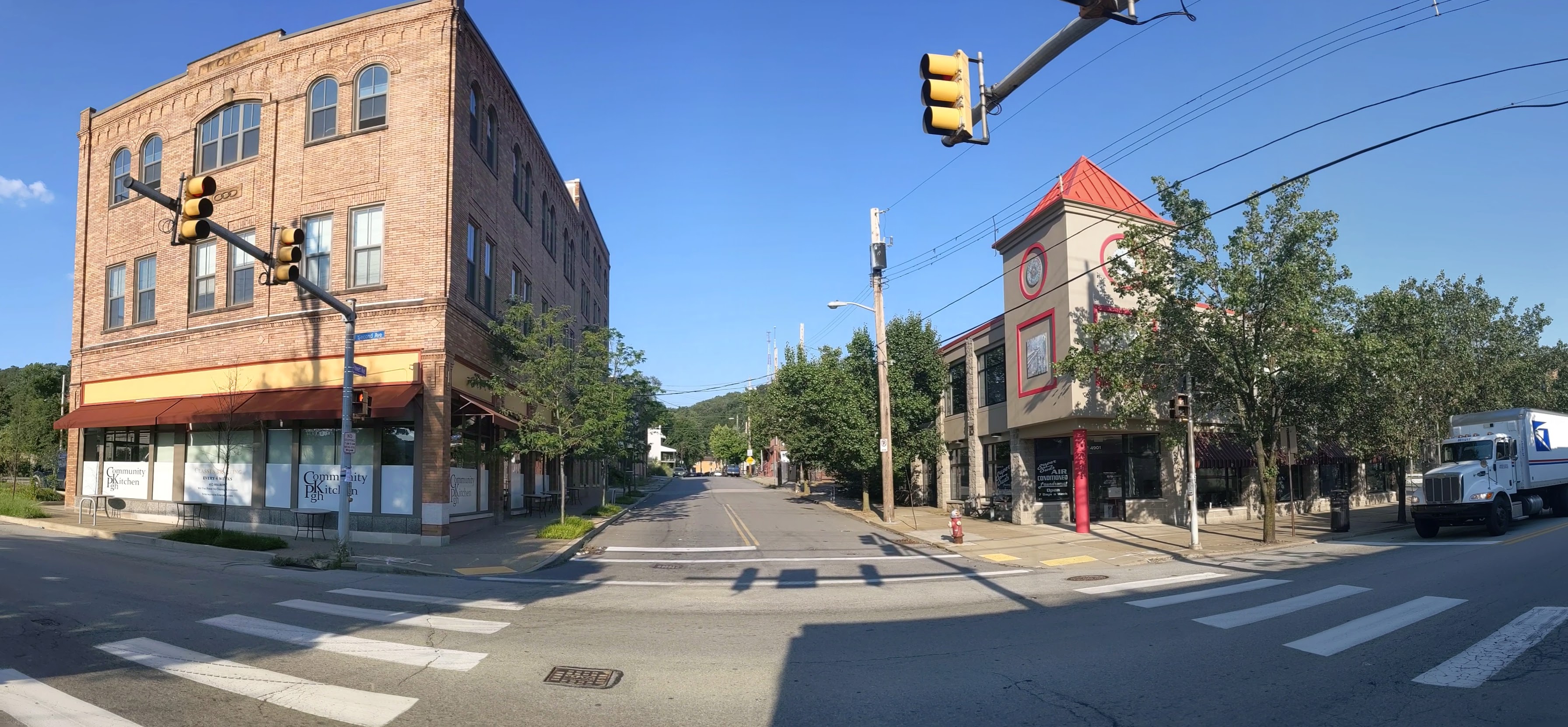
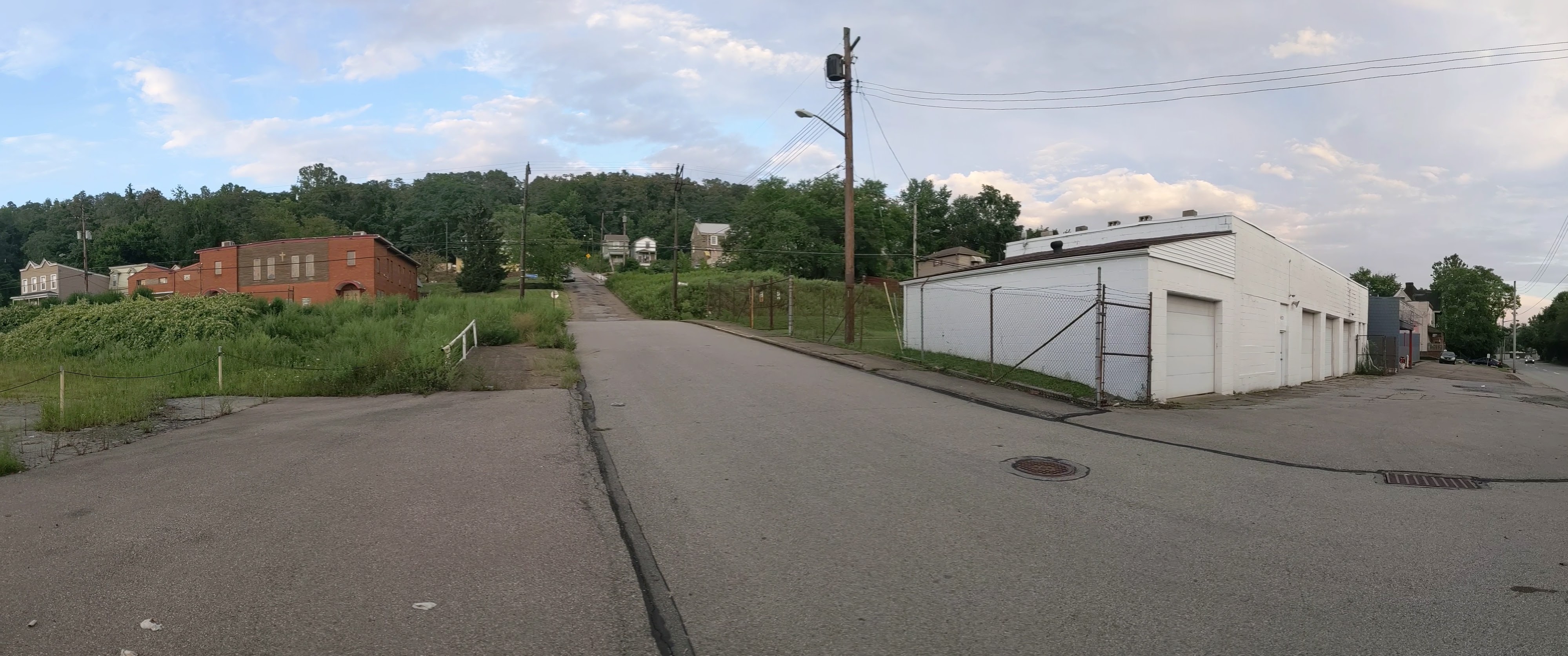
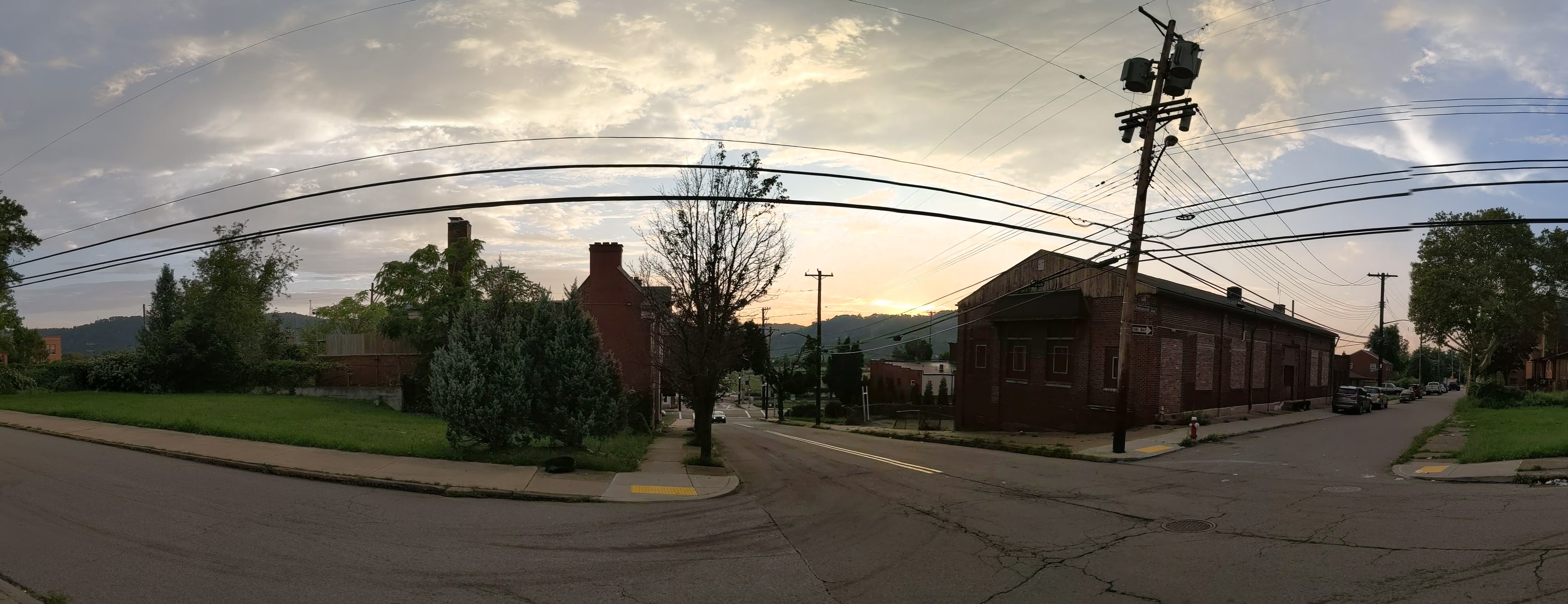
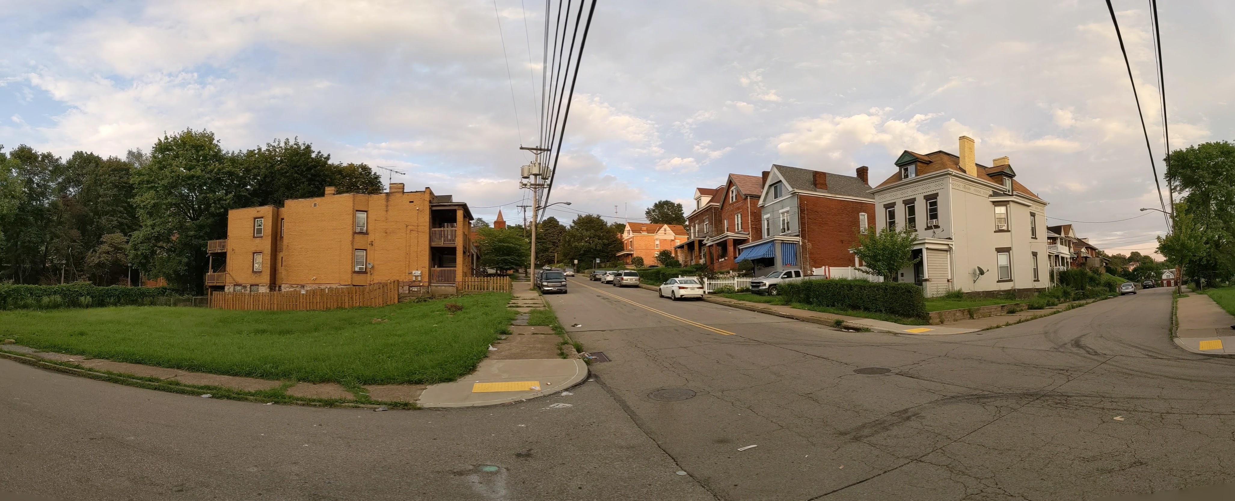
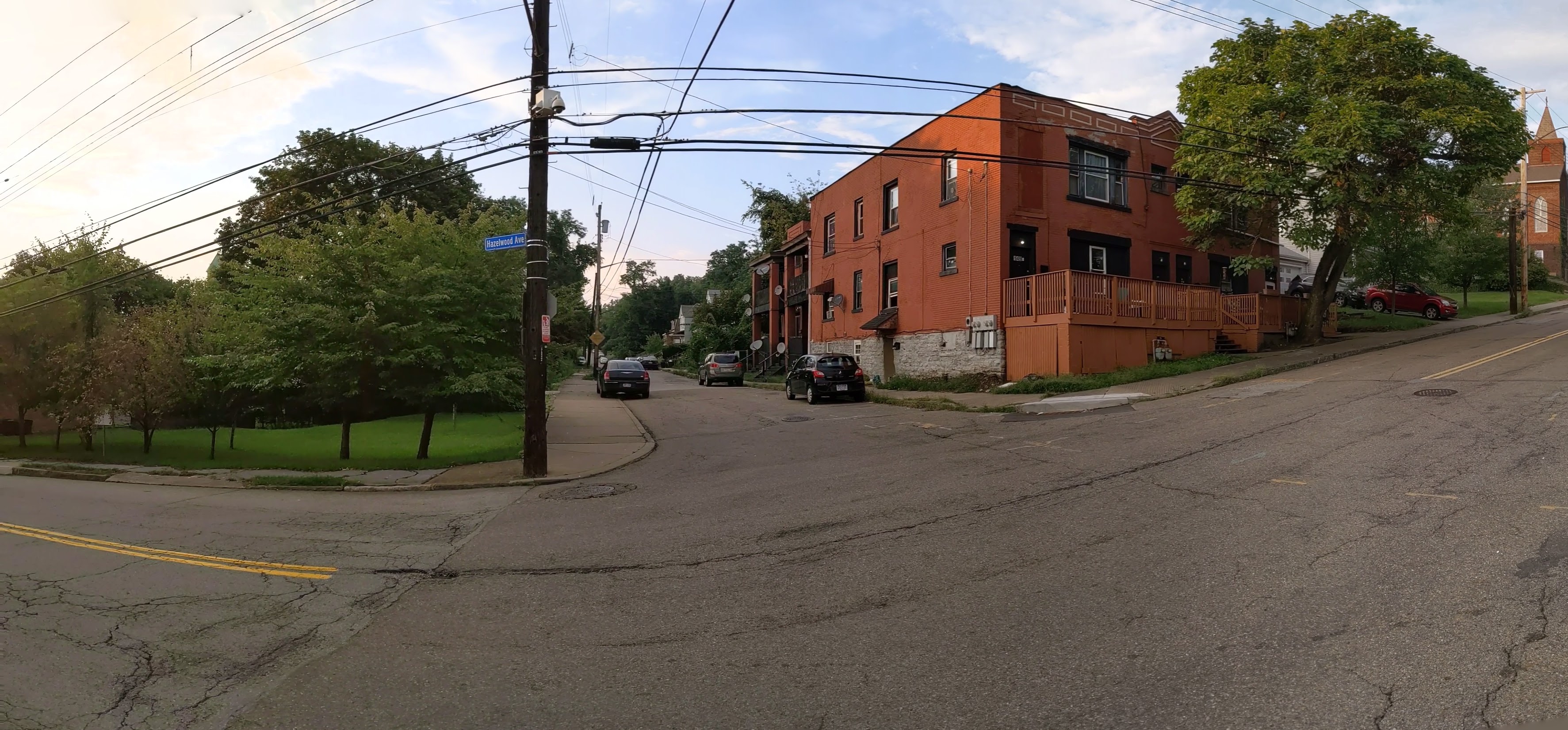
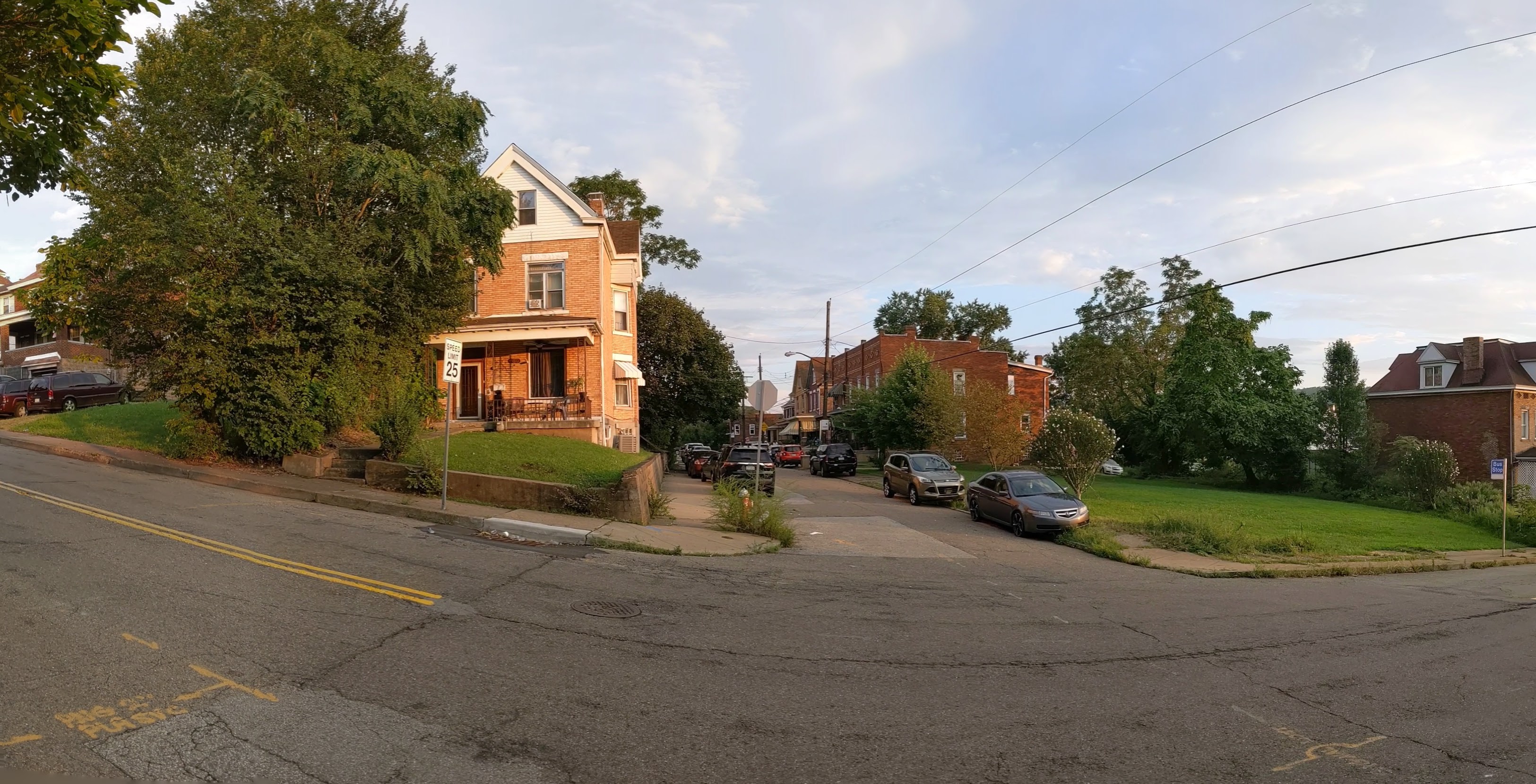
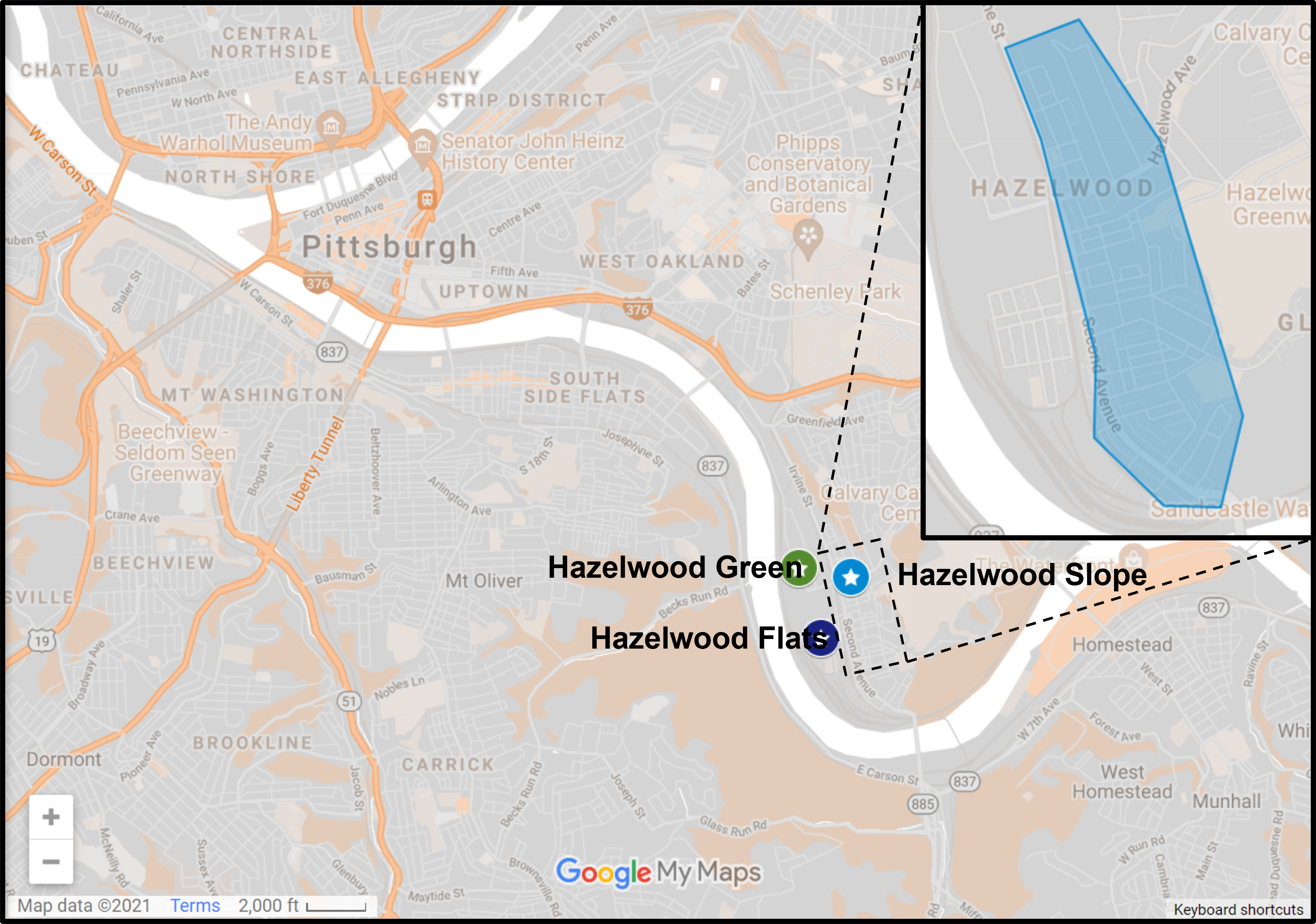
Hazelwood is a neighborhood about 4 miles down the Monongahela River from downtown Pittsburgh. It is currently experiencing significant change, at least in the Hazelwood Green portion. The area that I’m designating as Hazelwood Slope is everything outside Hazelwood Green and the small residential enclave between the tracks and the river that I call Hazelwood Flats. The Hazelwood Slope contains the neighborhood’s commercial corridor, cultural and historical sites, and the majority of the neighborhoods’ residences.
What’s New
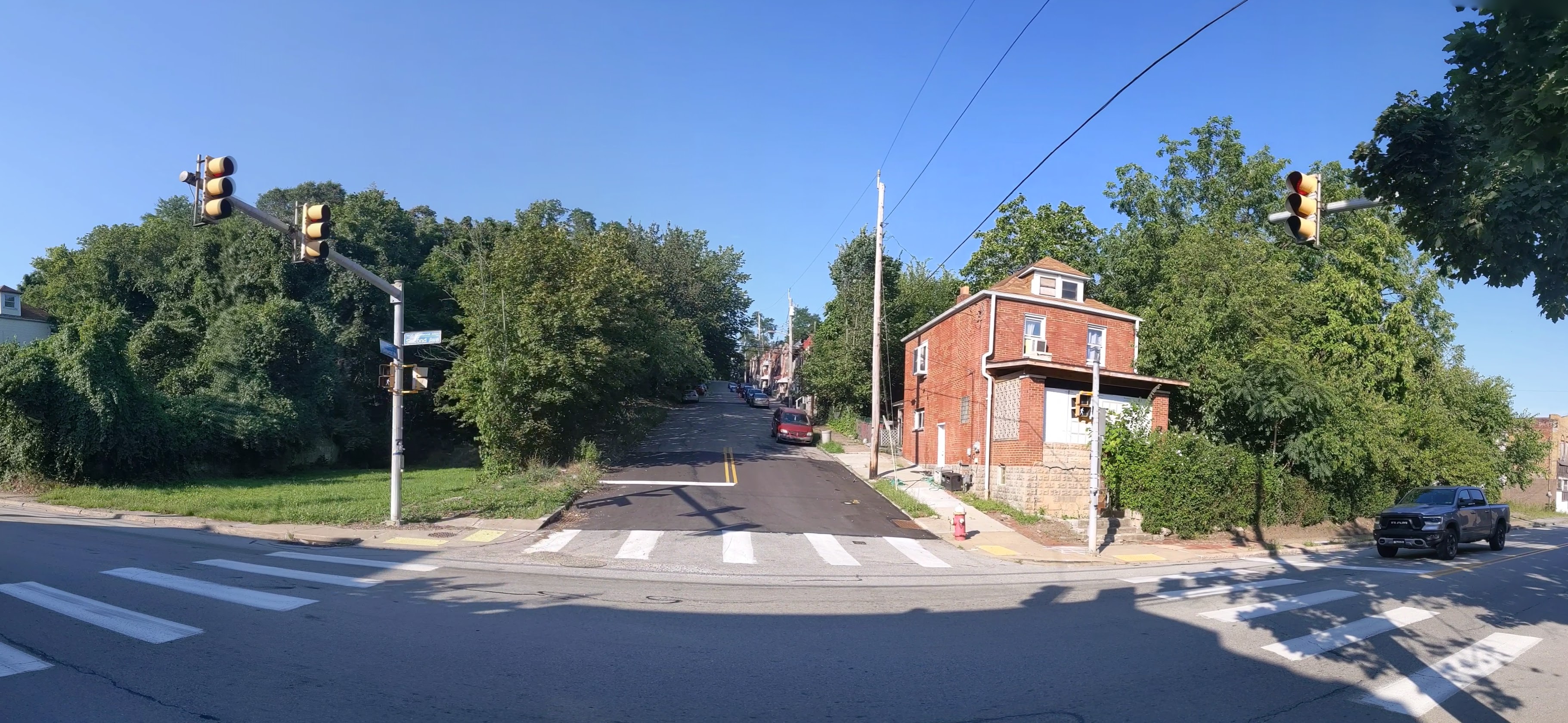
After my September 2020 check-in on Hazelwood, it seemed that changes in Hazelwood were happening at a slower pace than the other sites I’m keeping an eye on. So I decided to switch from a 6-month interval to a 12-month interval between visits. A few months ago, I saw construction vehicles and other signs of activity while driving down Second Ave through Hazelwood. I thought perhaps I was missing out on some activity. However, when I walked through the neighborhood this month, I couldn’t find any signs of recent demolition or recent construction.
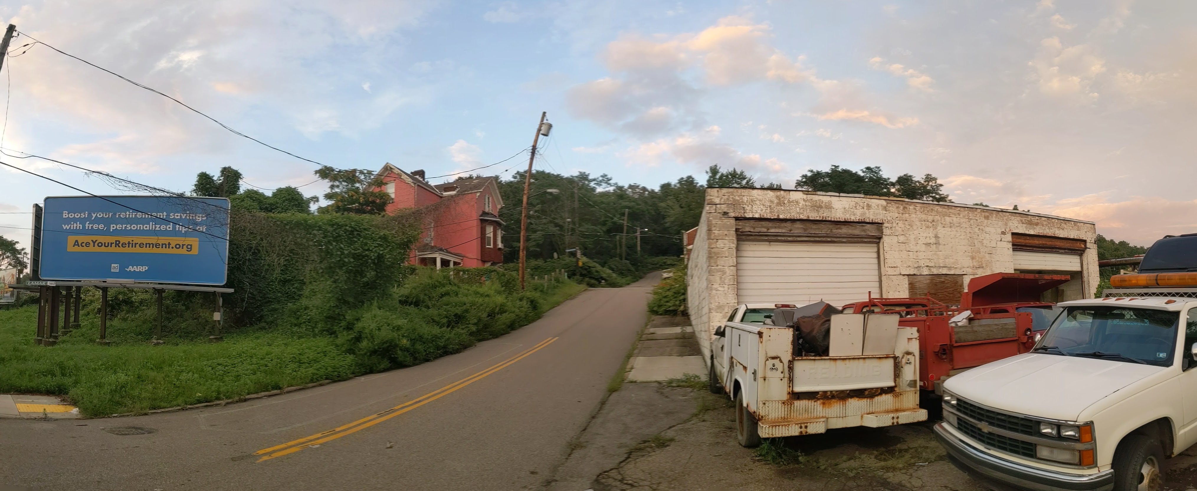
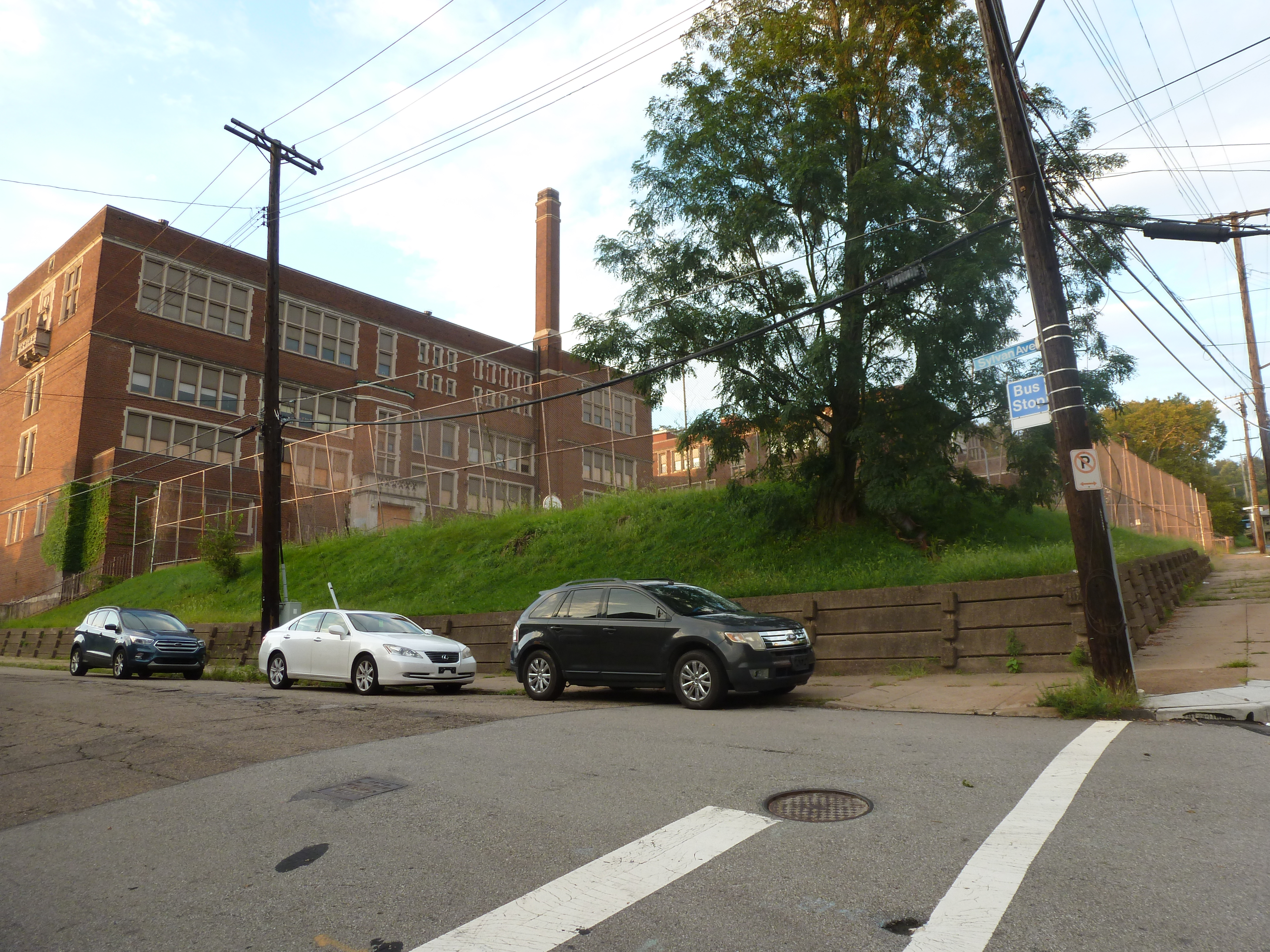
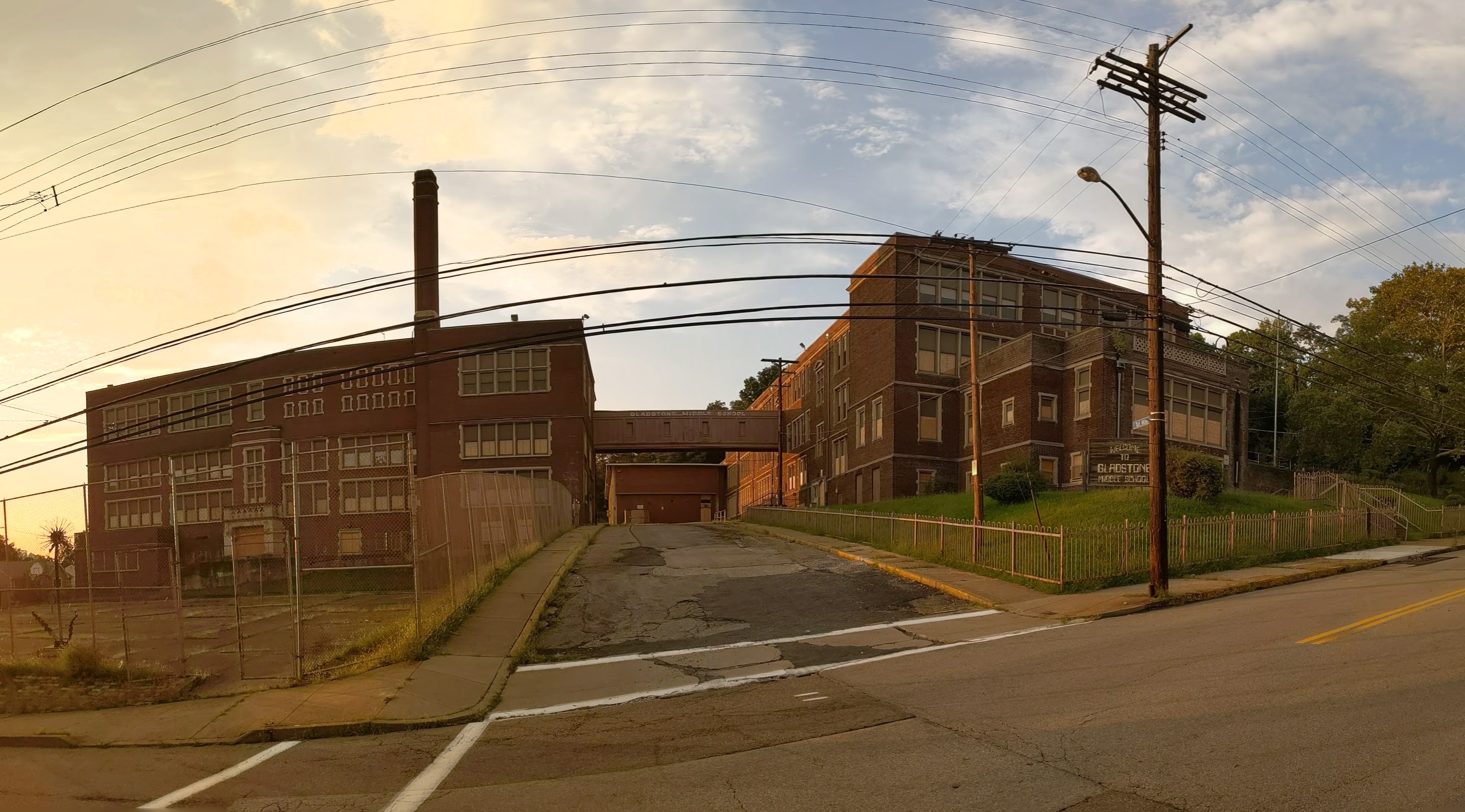
An exciting project that is projected to start soon is the conversion of the former Gladstone School to affordable housing. There were subtle signs of site prep when I walked by this month. Construction is expected to start before the end of the year with an anticipated completion date in 2023.