The Story of the Spires – Bethlehem

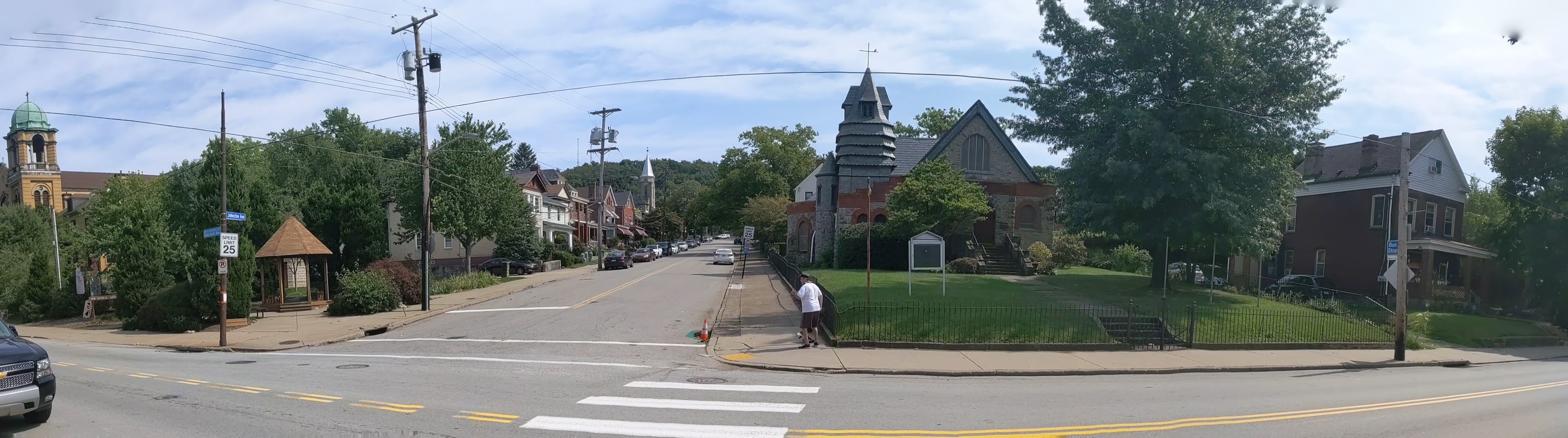
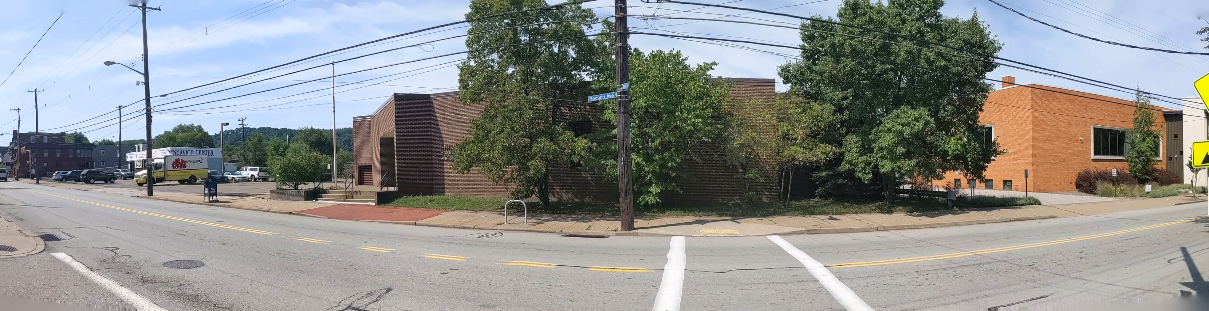
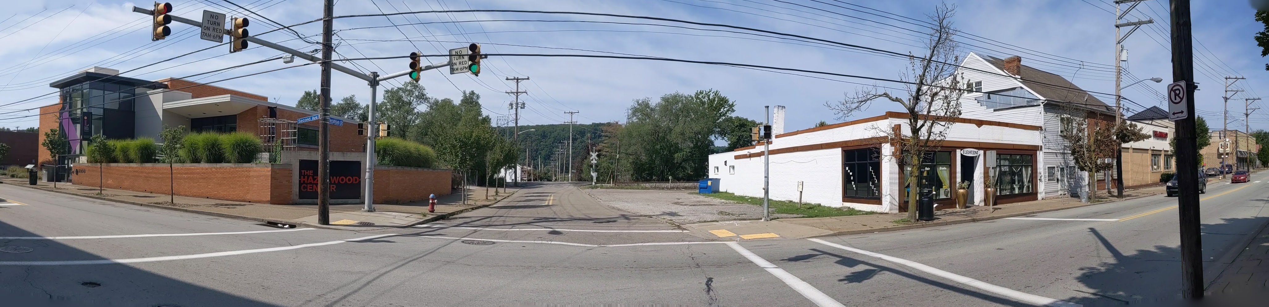
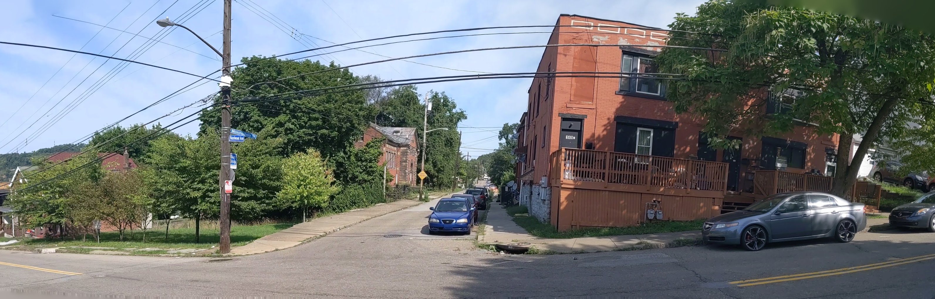
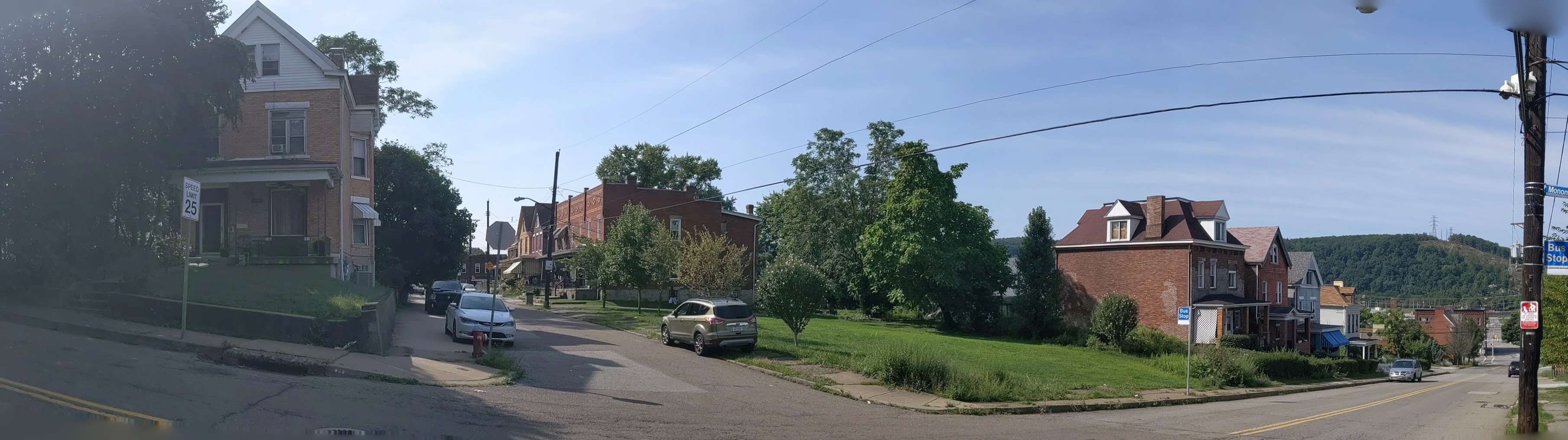
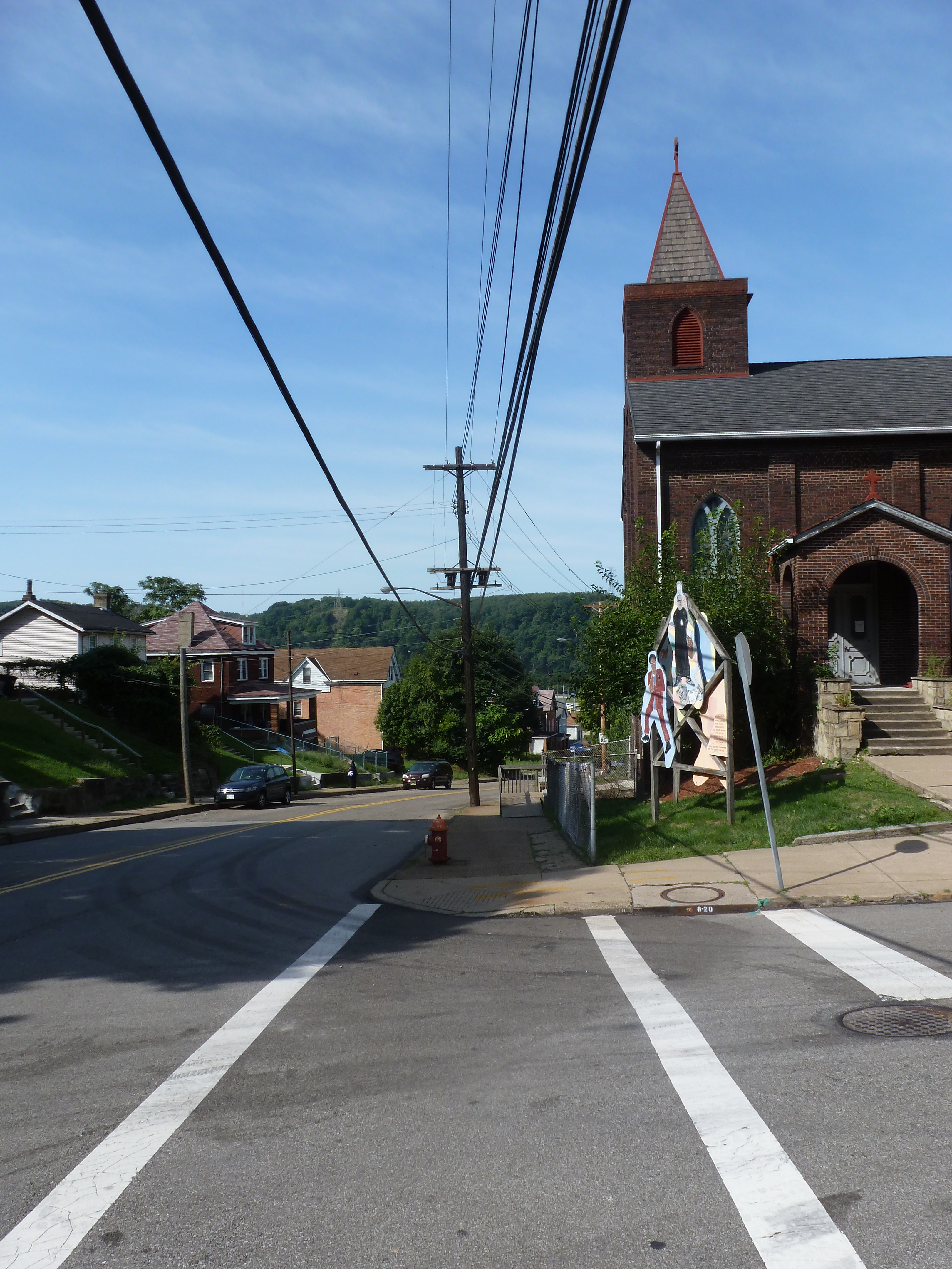
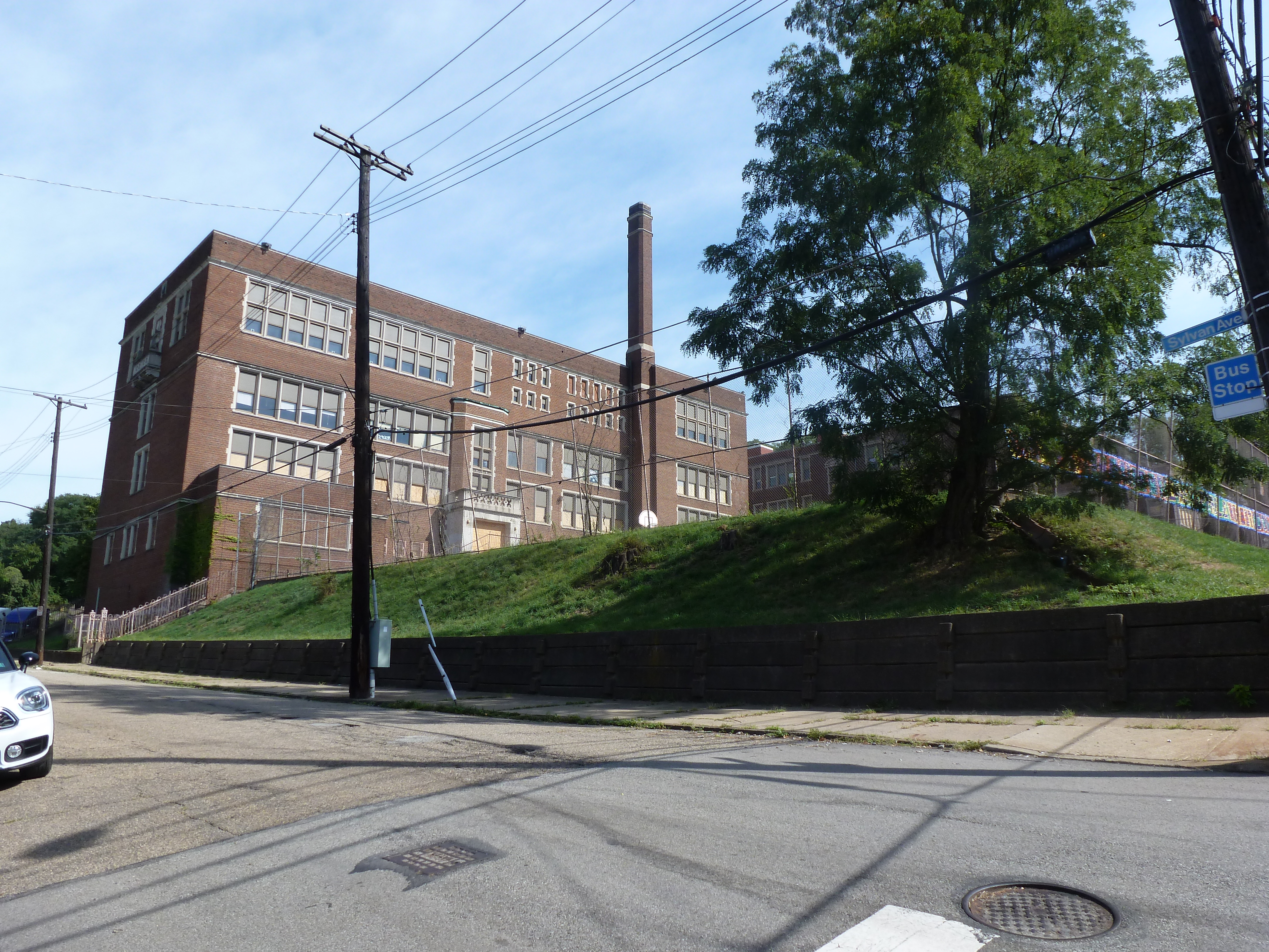
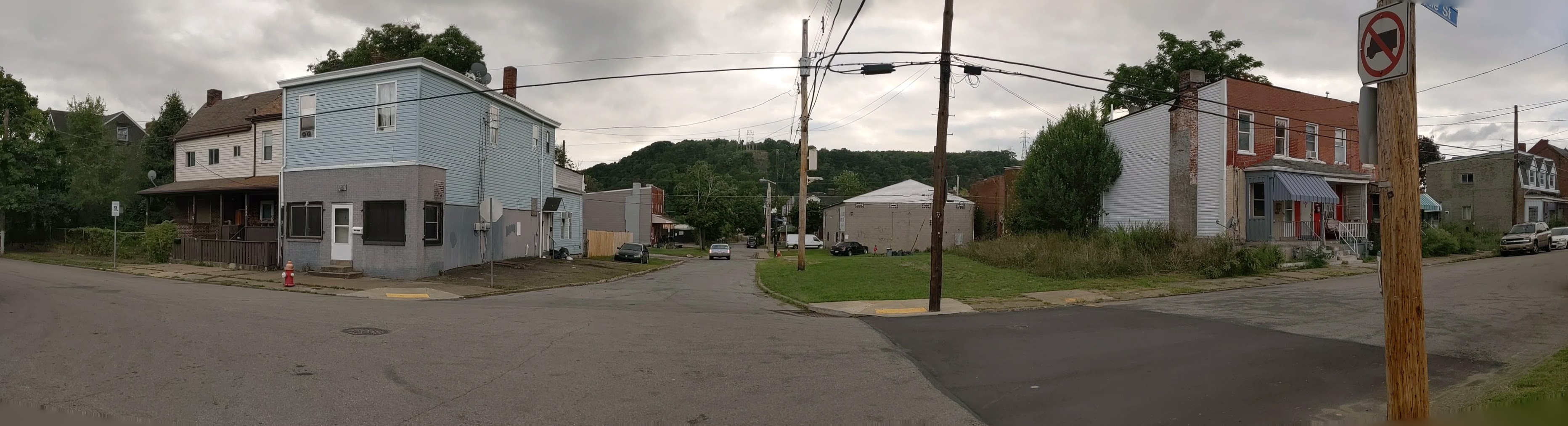
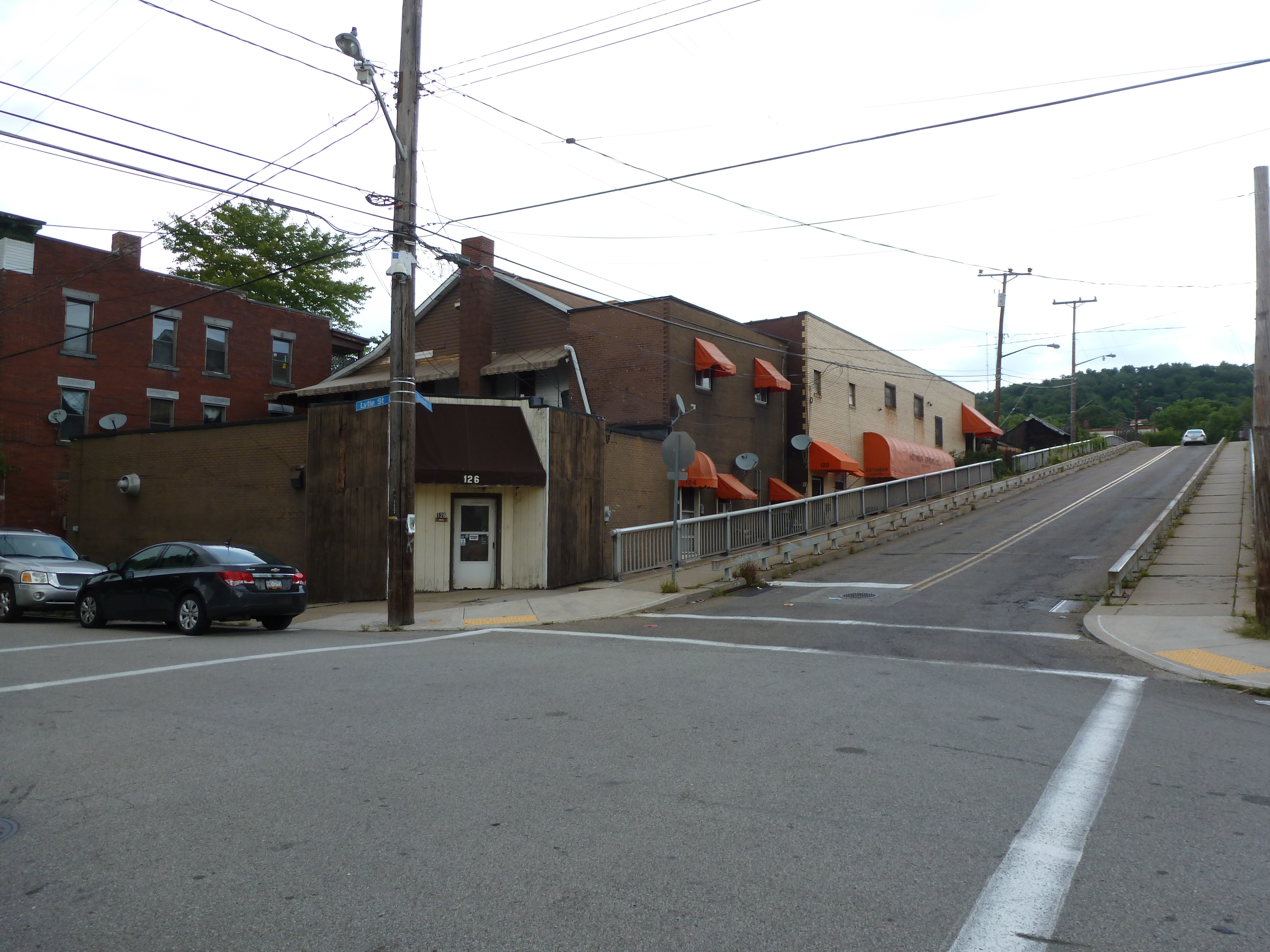
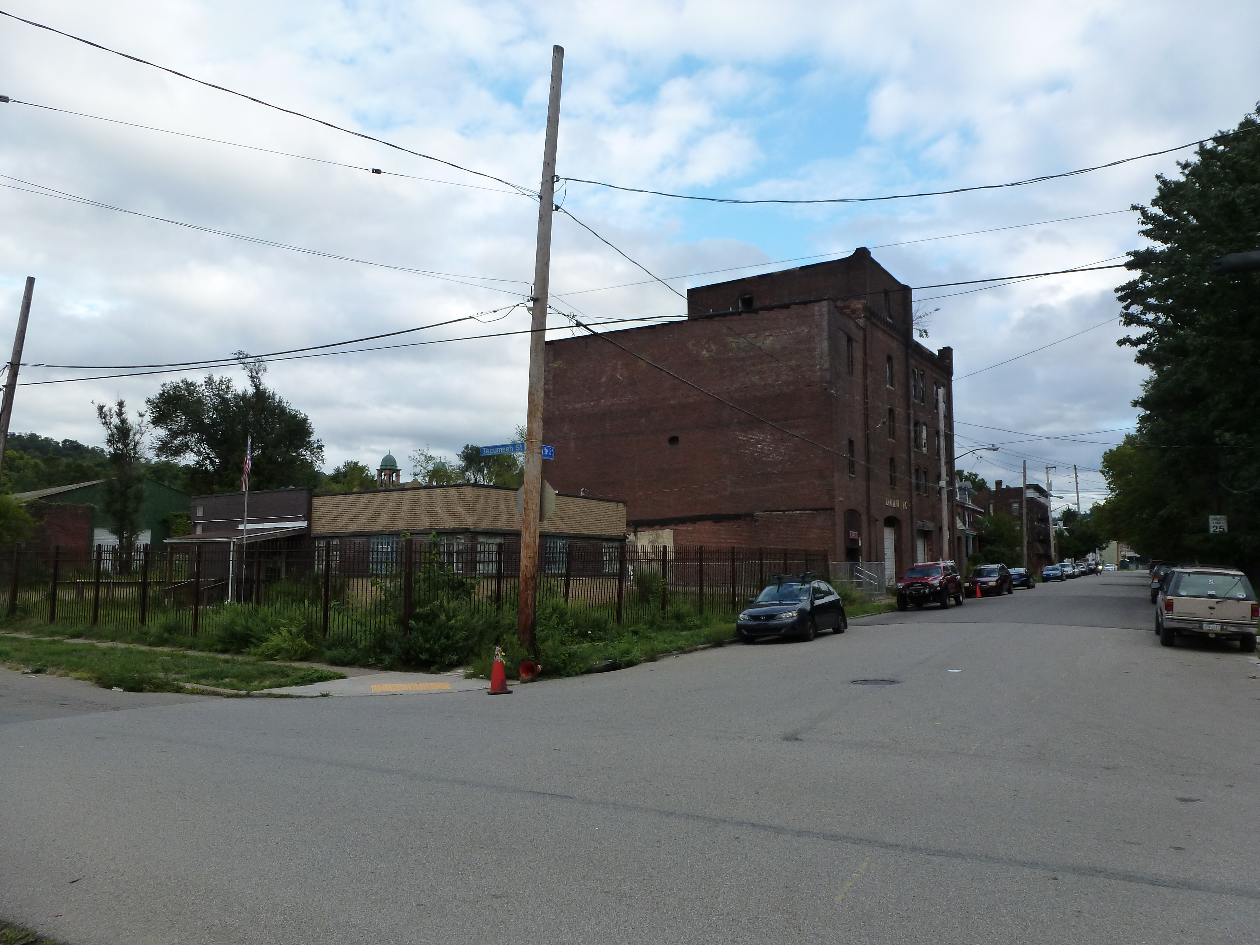
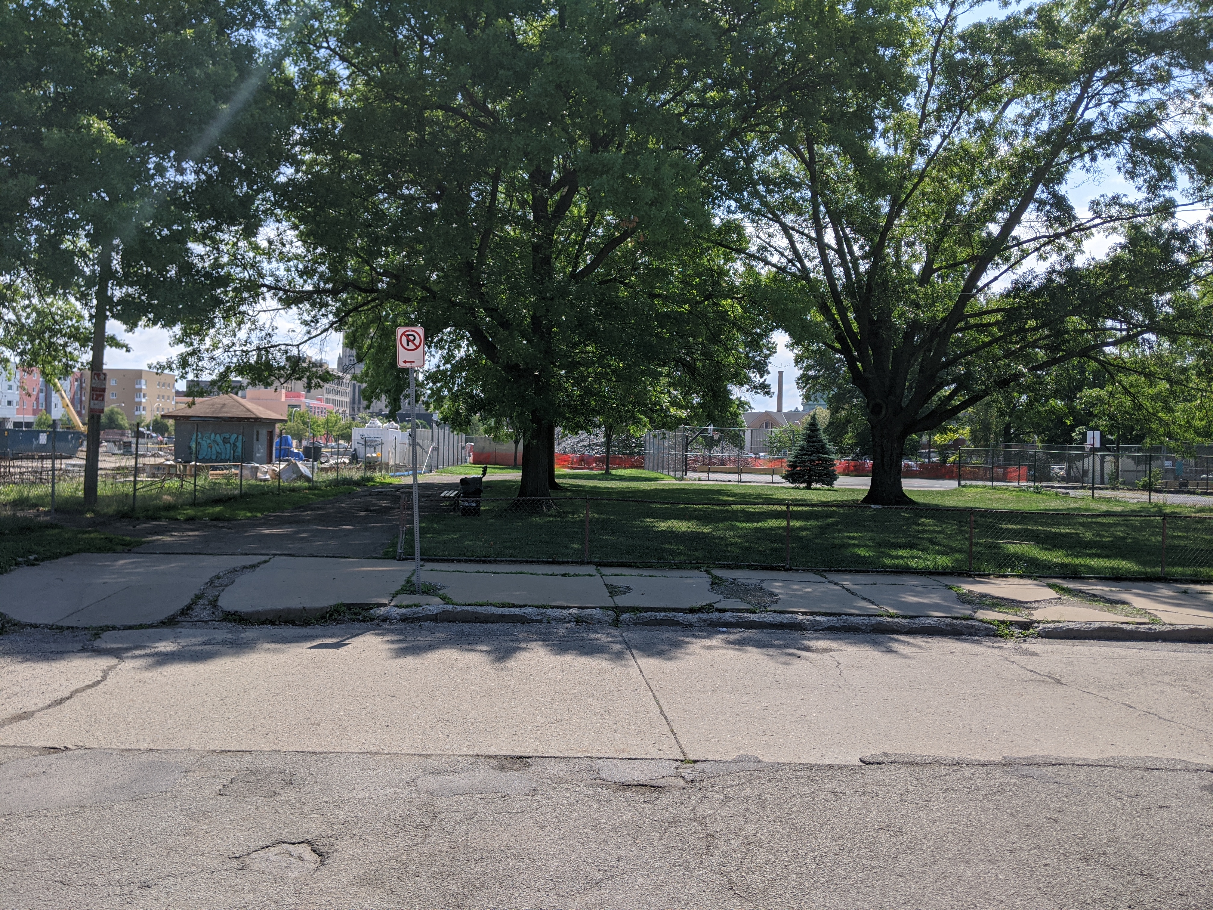
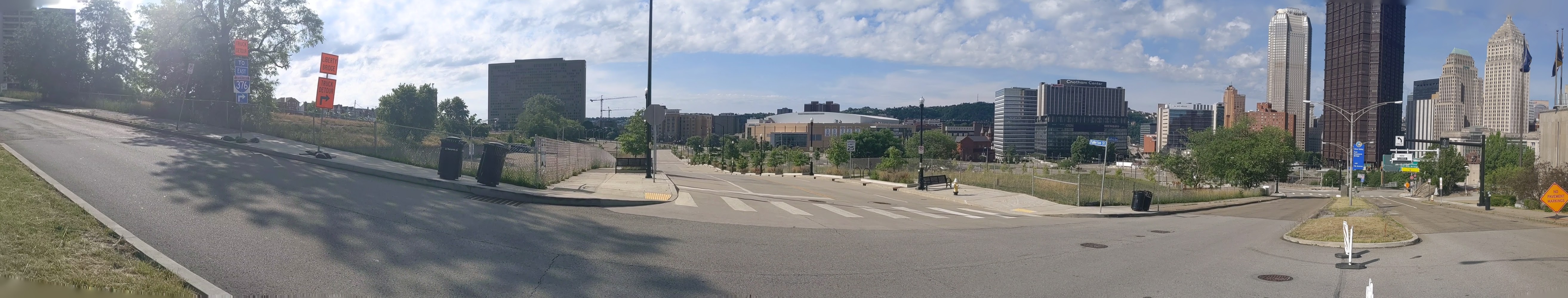
While exploring Bethlehem’s bridges, my eye was caught by the numerous spires rising above the surrounding buildings of South Bethlehem. Instead of resting upon returning to the hotel, I felt compelled to go back out and take a survey of religious buildings within walking distance. Due to the topography, those on the slopes of South Bethlehem were the easiest to spot, but I also located some in Bethlehem’s historic district and in West Bethlehem. I found twenty-three buildings in all.

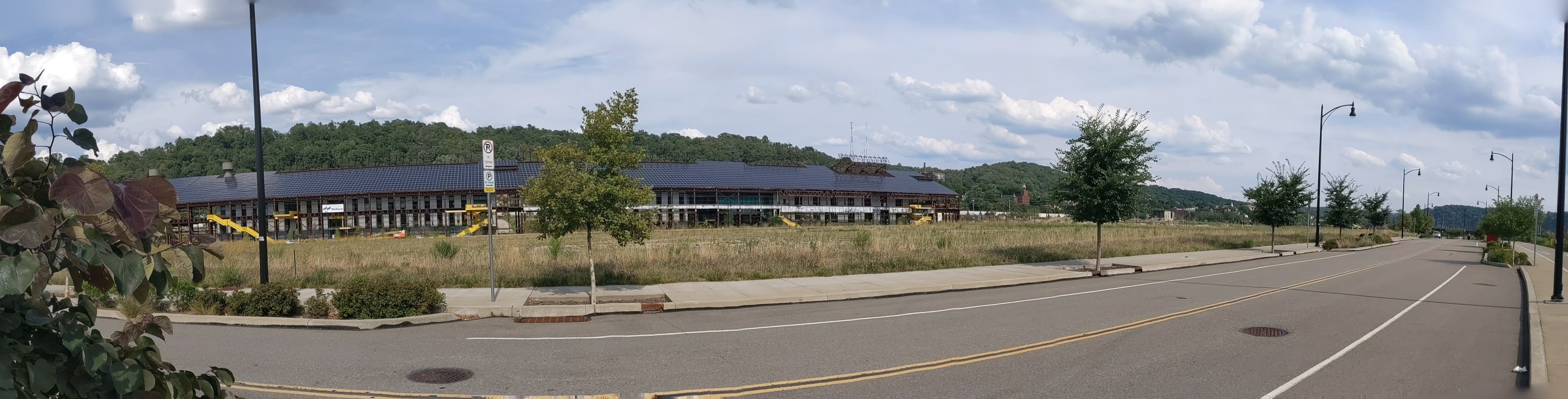
As with my experience in Erie, I was surprised that the vast majority of these buildings were still open for use as religious worship. Bethlehem Steel Company was the main employer in Bethlehem for most of the 20th Century. Like steel mills elsewhere in the northeast, its business declined. In the early 2000s, the company went bankrupt. This makes it seem like the town should have experienced the classic rise and decline of other Rust Belt Cities.

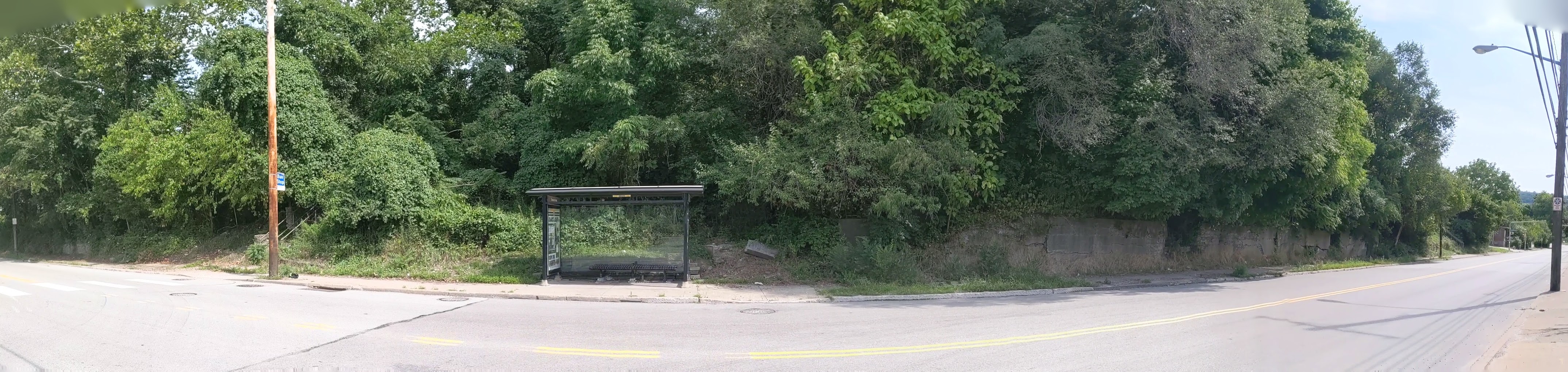
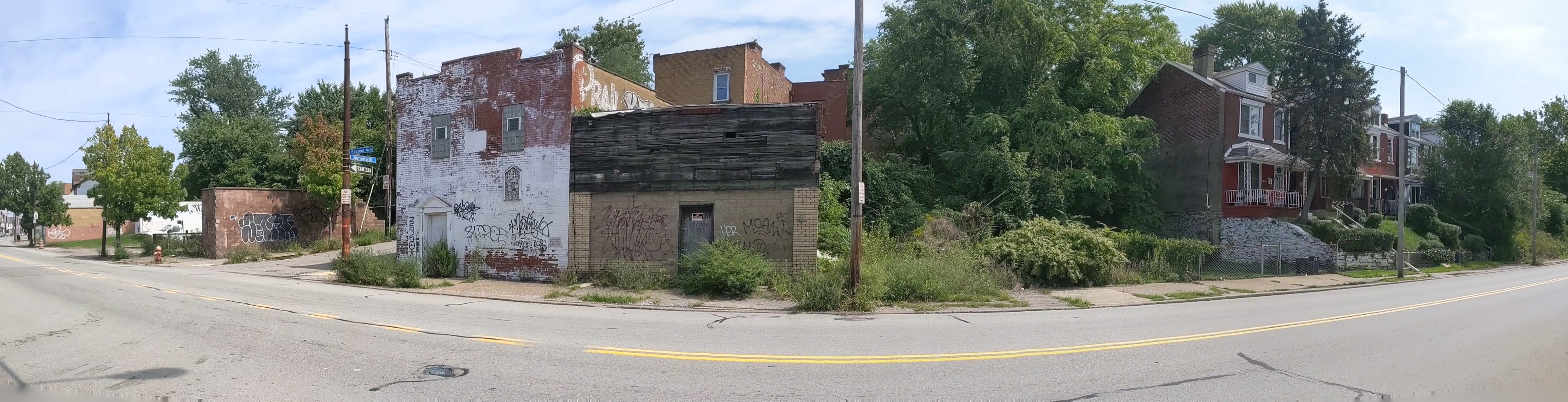
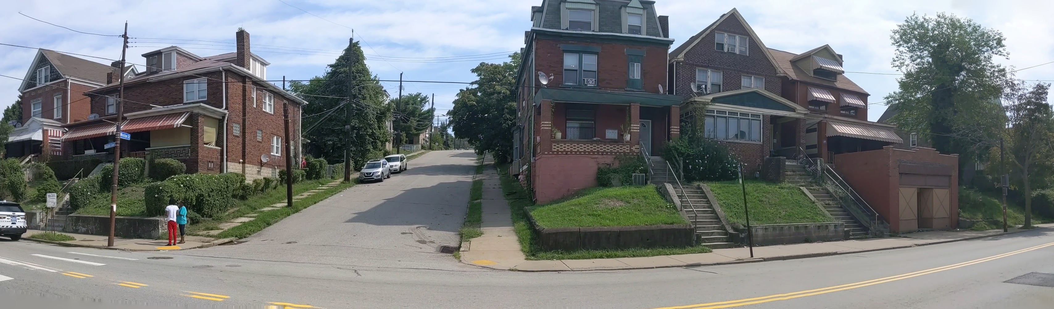
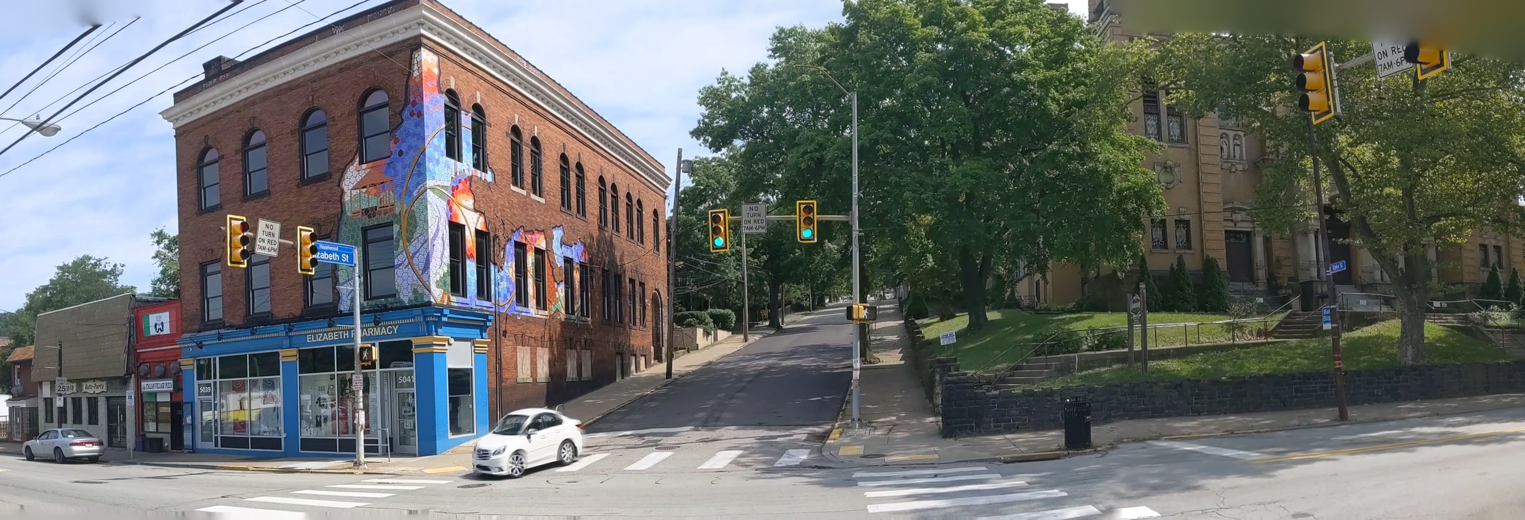
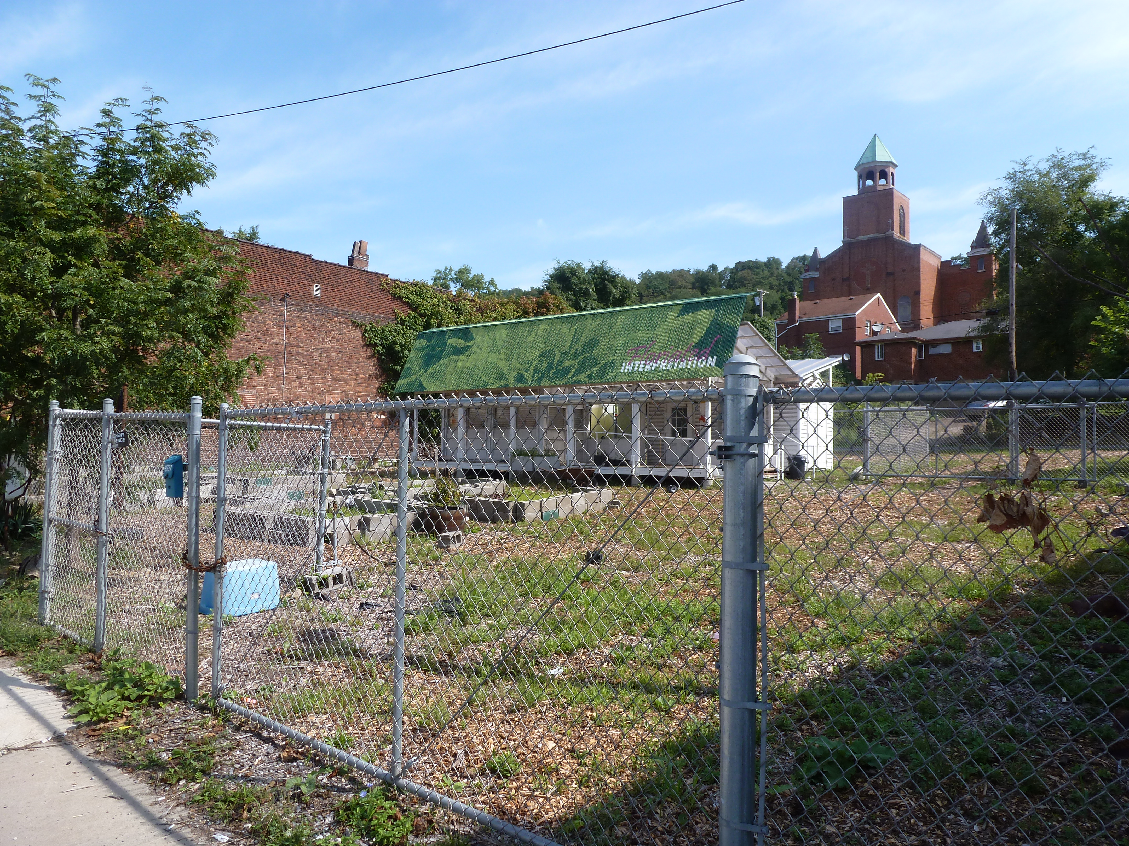
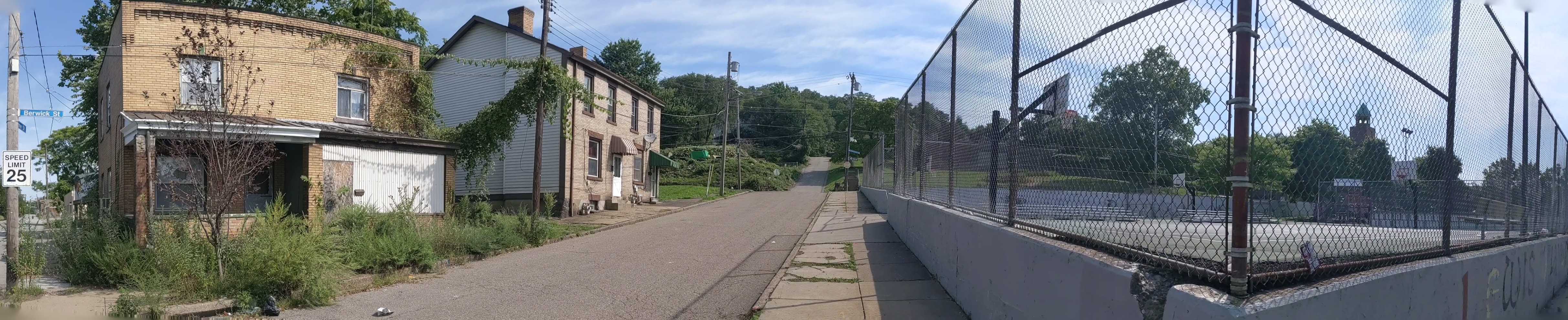
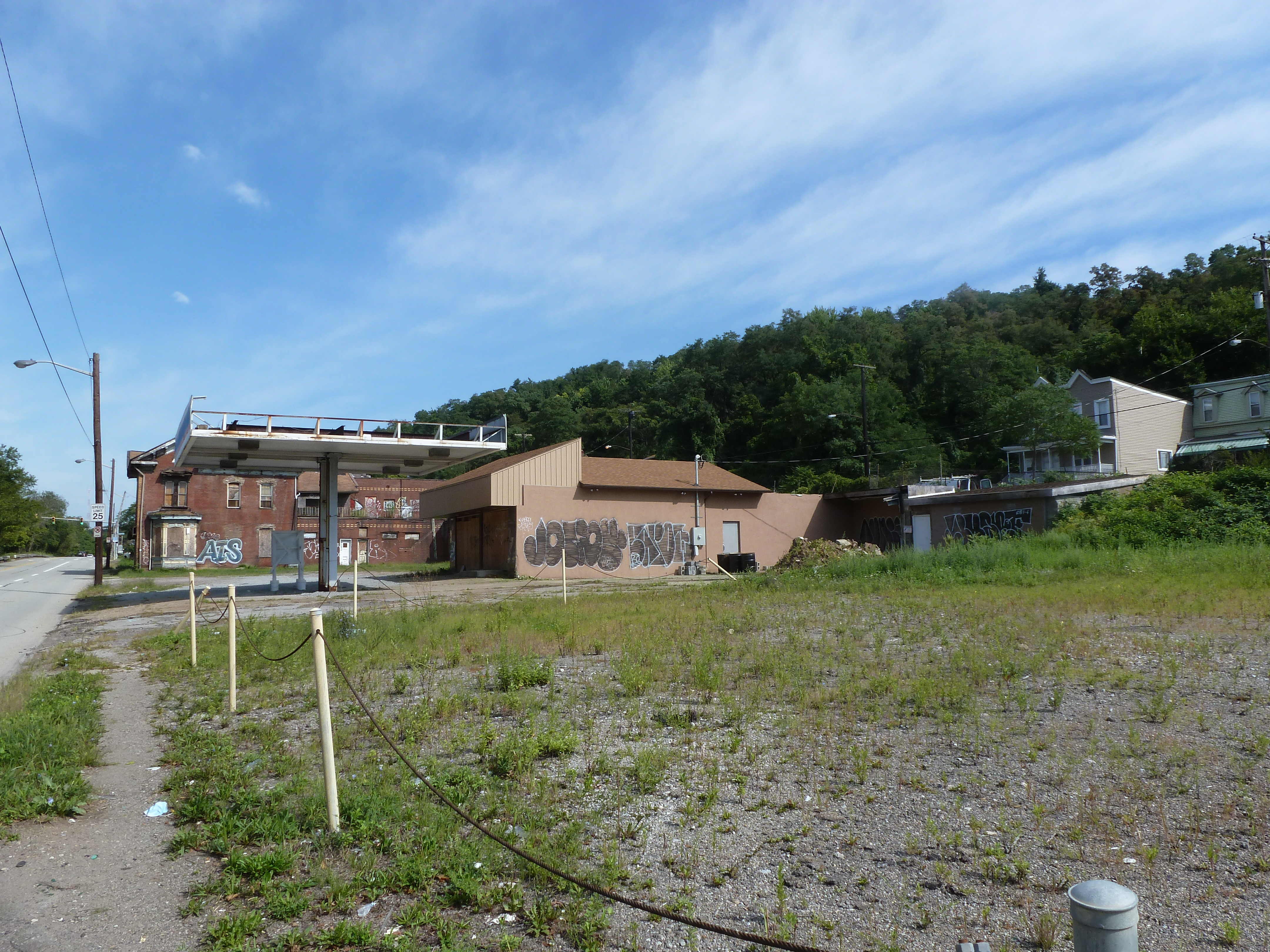
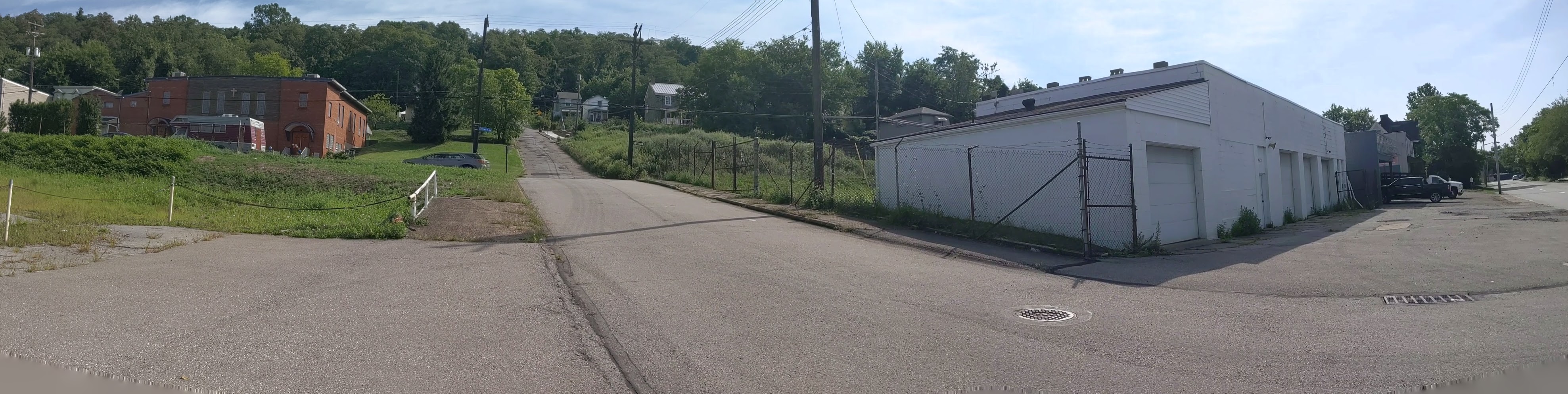
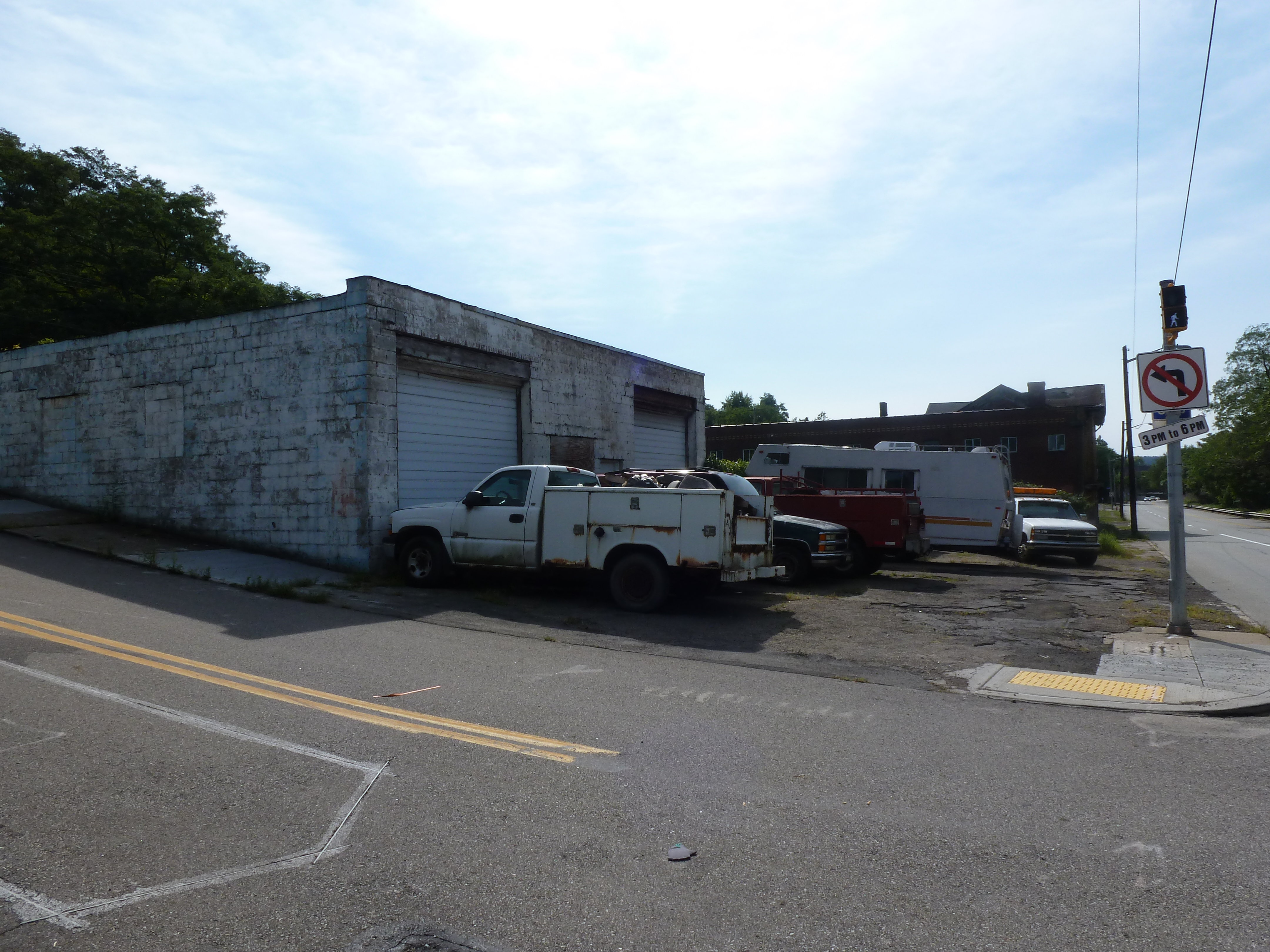
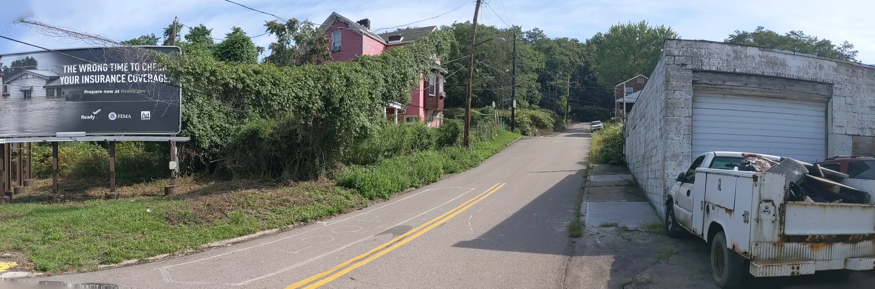
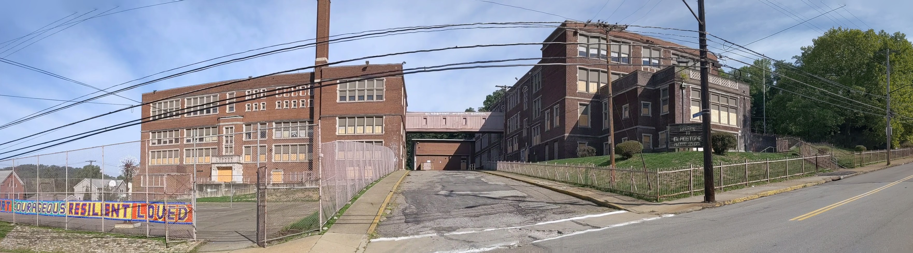
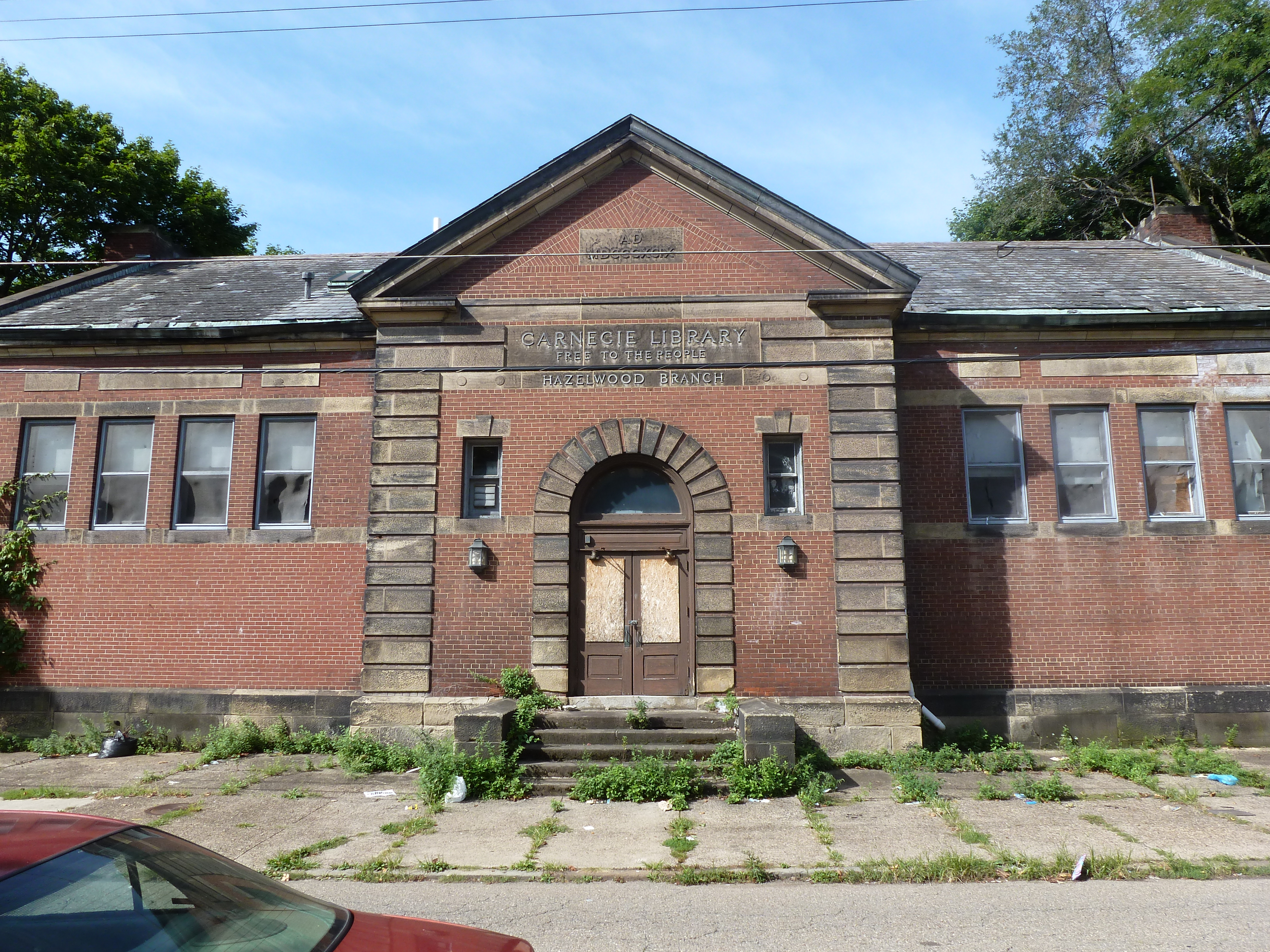
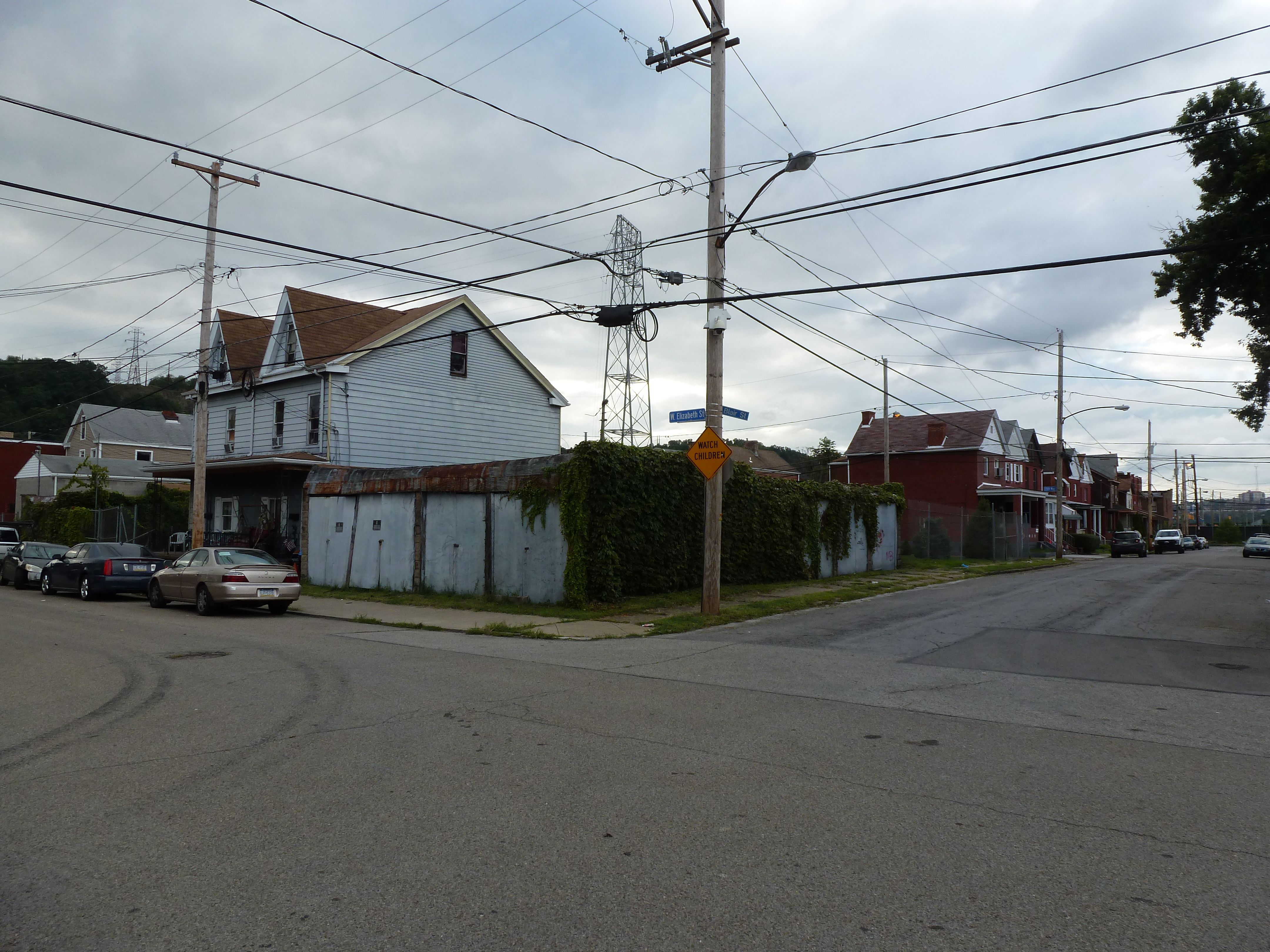
One of the typical landmarks of this change is an abundance of vacant or adaptively reused religious buildings. In Pittsburgh, I have found over 50 former churches and synagogues now being used for secular purposes or in the process of being converted to secular purposes. Many more are vacant and boarded. Wilkinsburg, a town adjacent to Pittsburgh, has so many closed churches that its zoning code incorporates guidelines for converting church buildings to secular uses. Homestead, PA, the former home to US Steel and the site of the famous Homestead Steel Strike, has several shuttered churches. Bethlehem’s religious buildings did not fit this pattern.

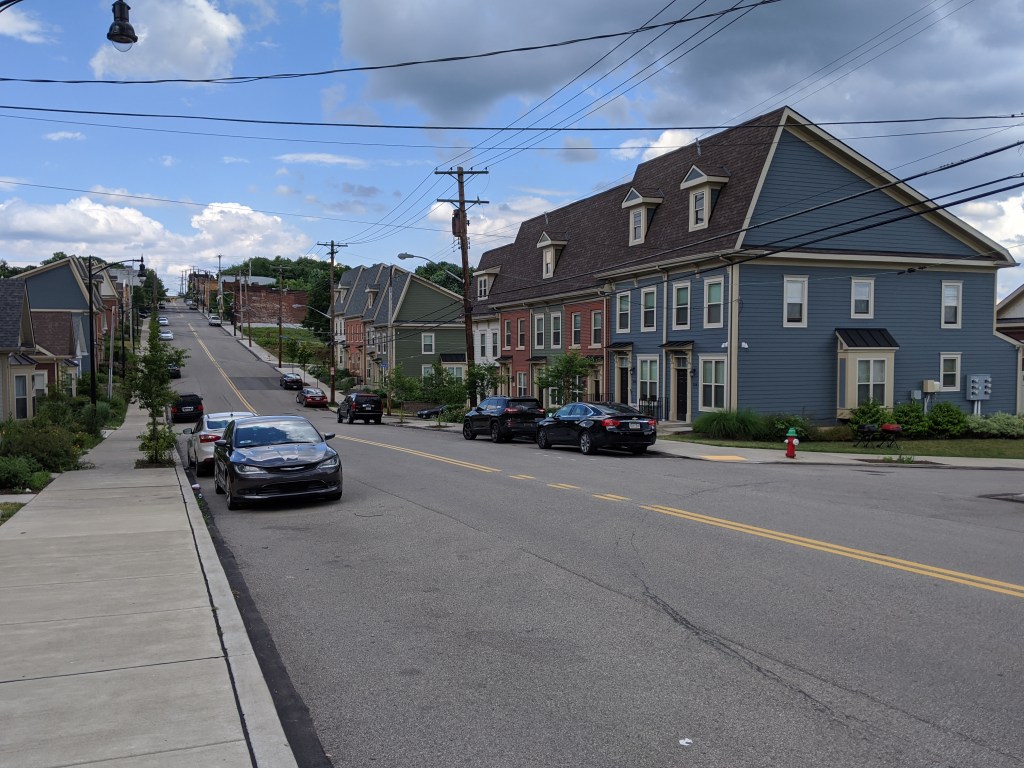
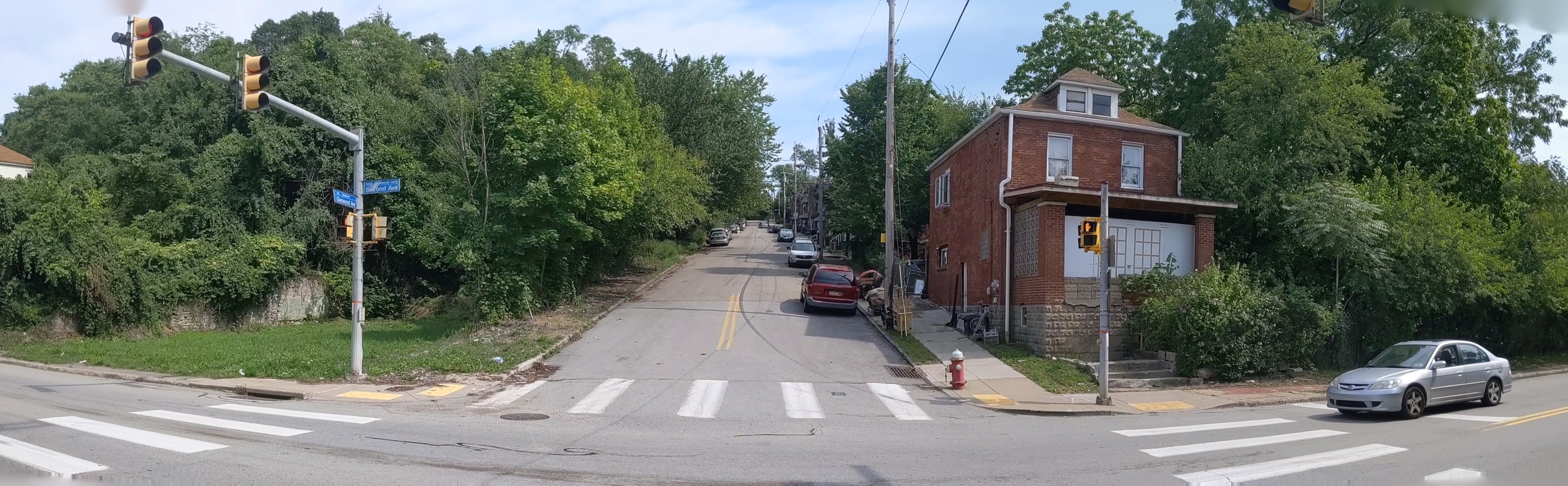
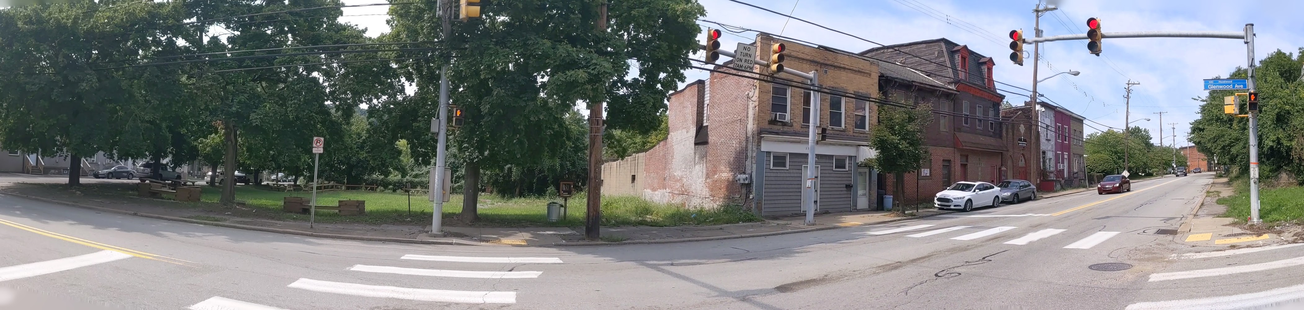
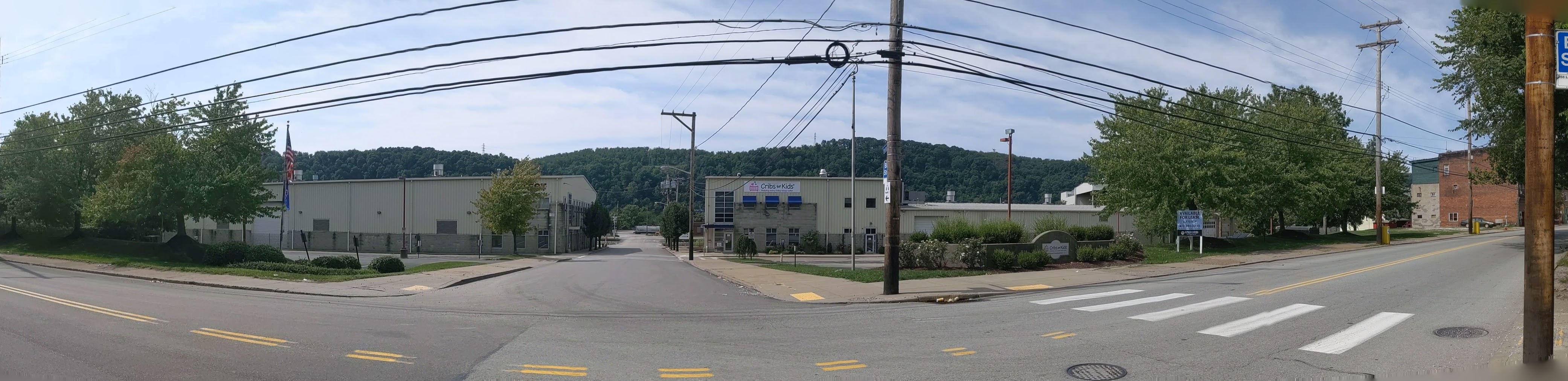
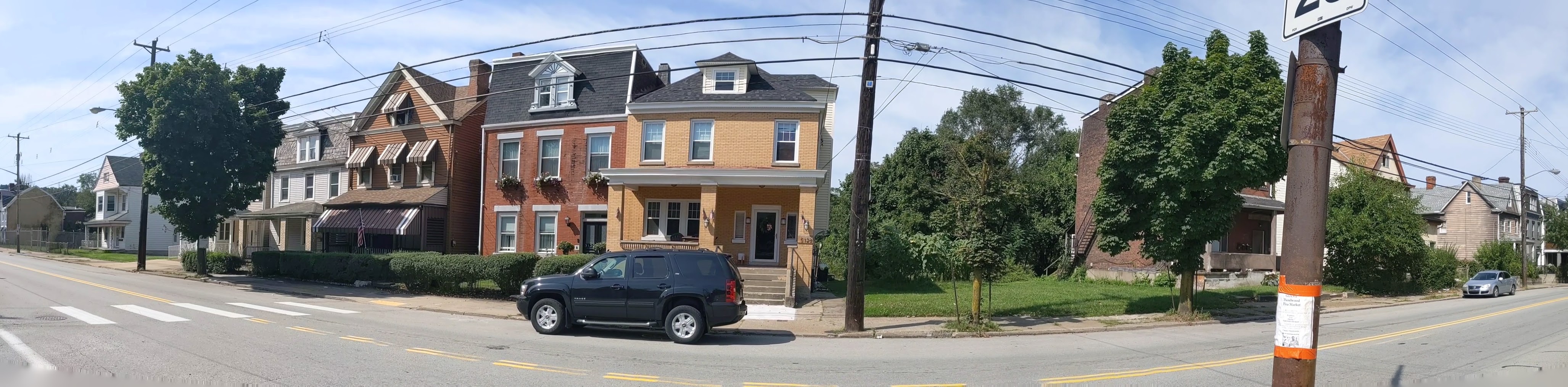
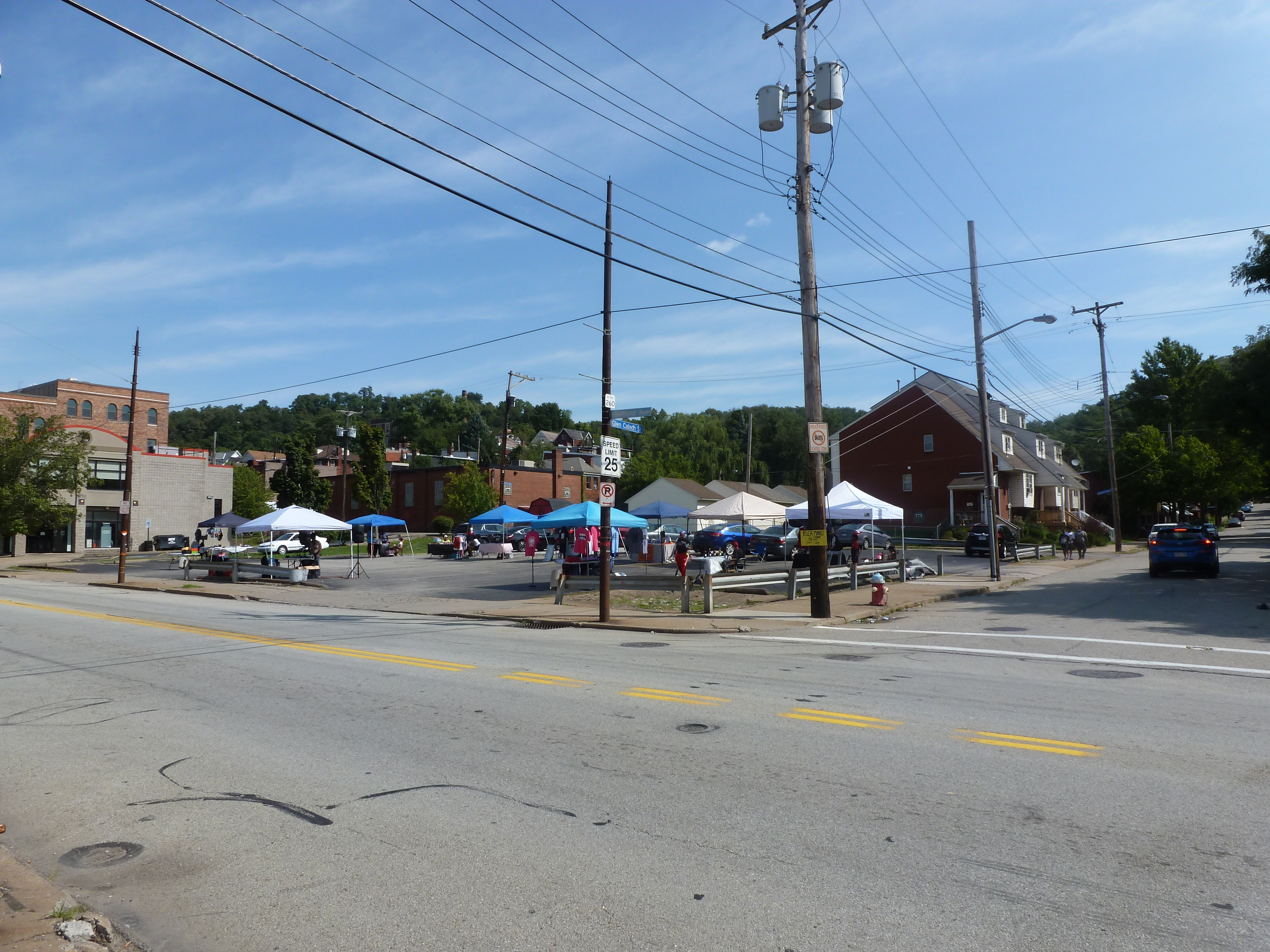
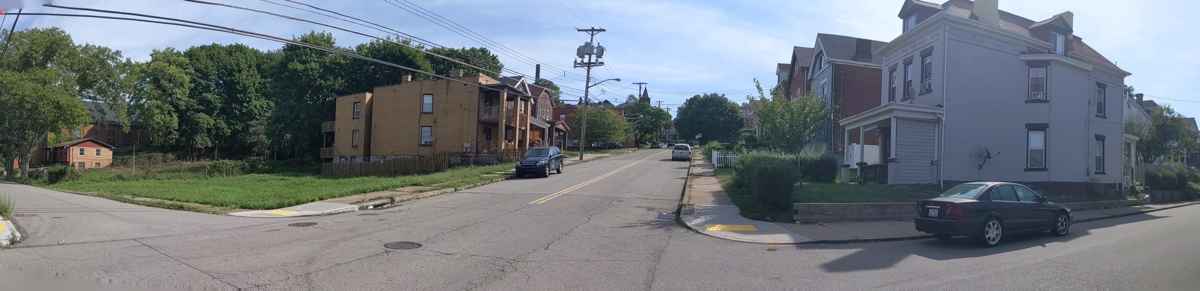
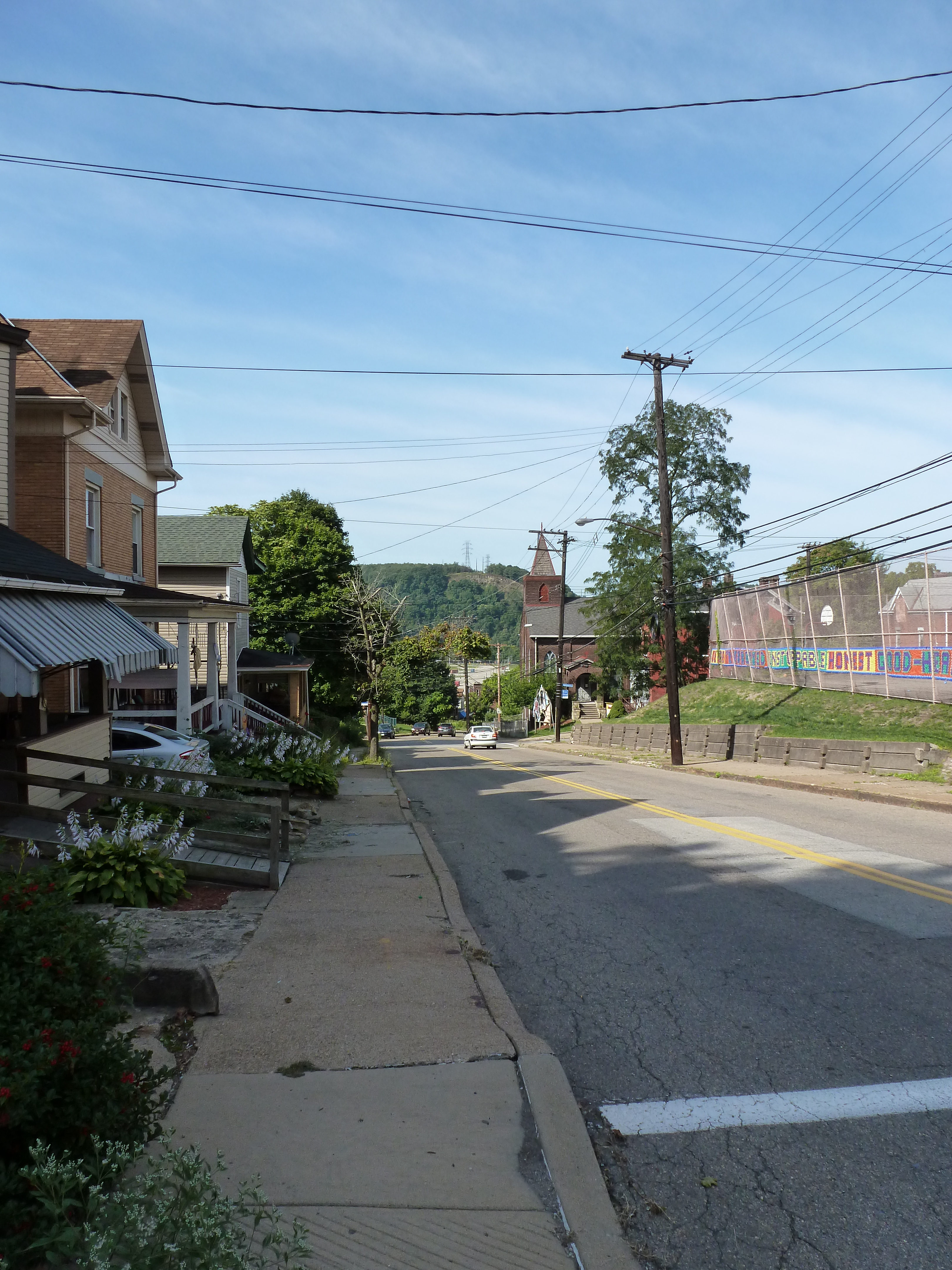
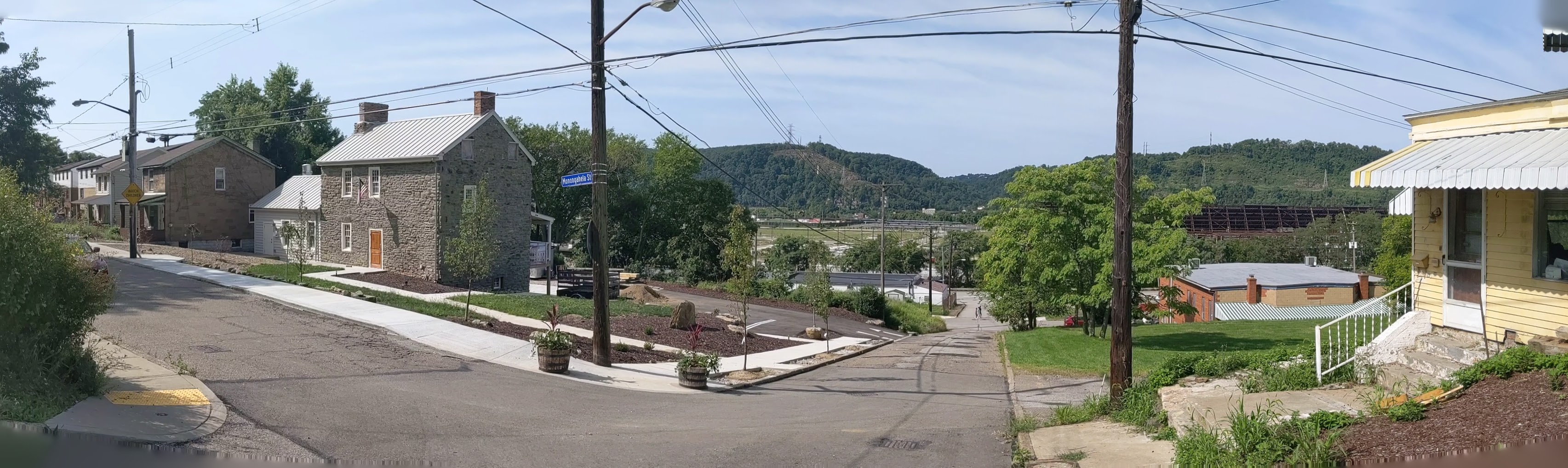
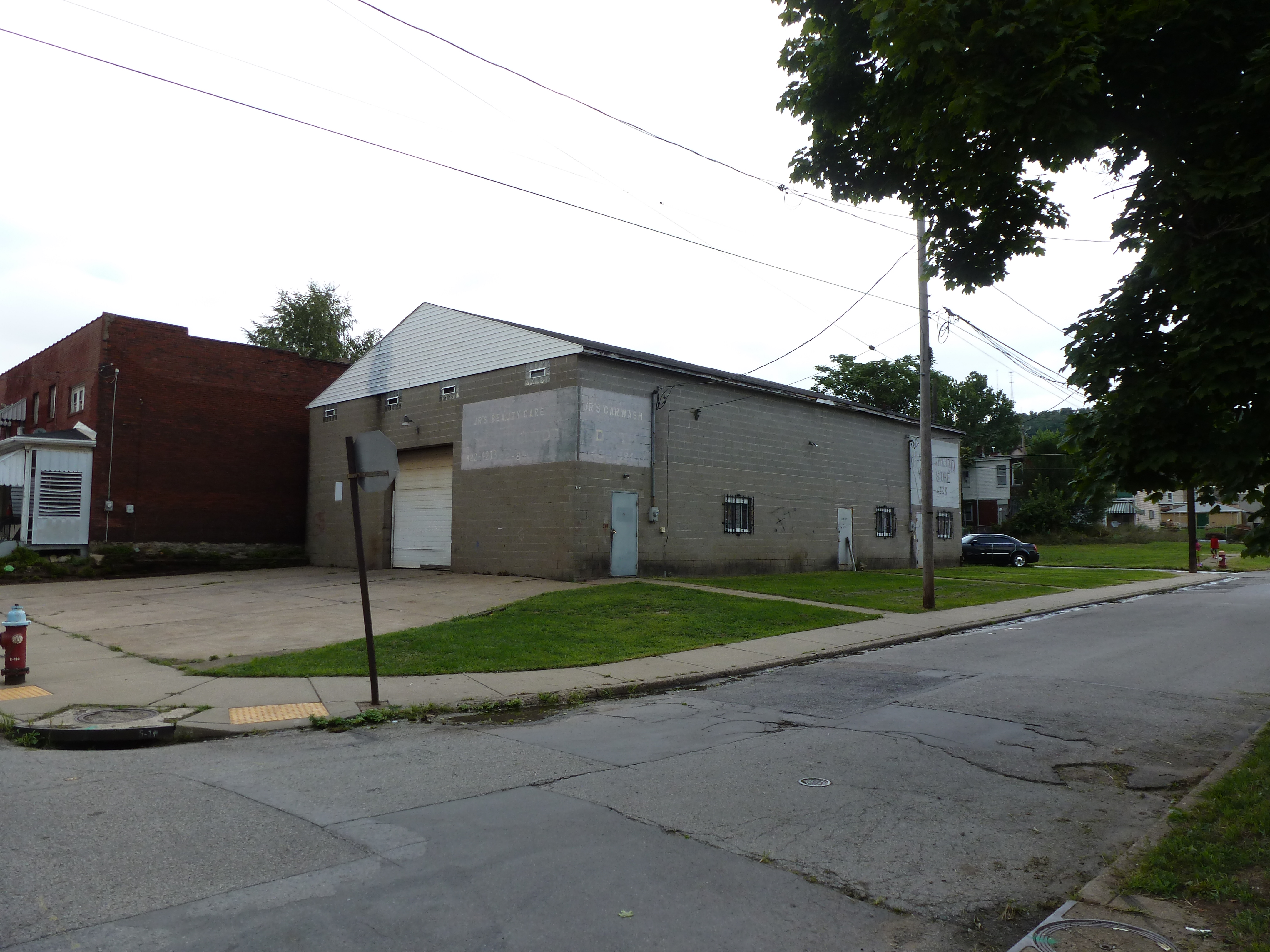
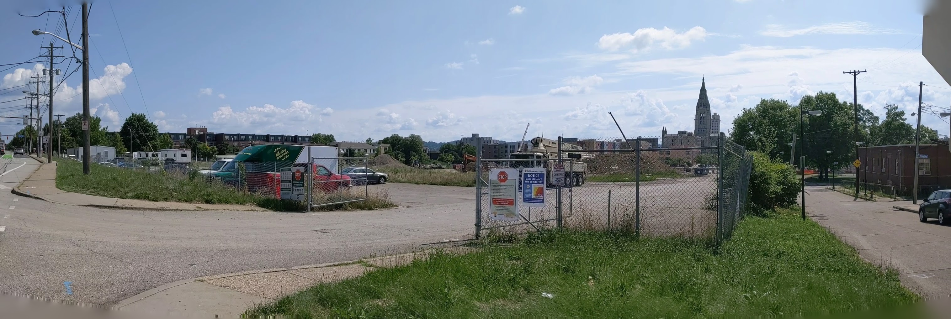
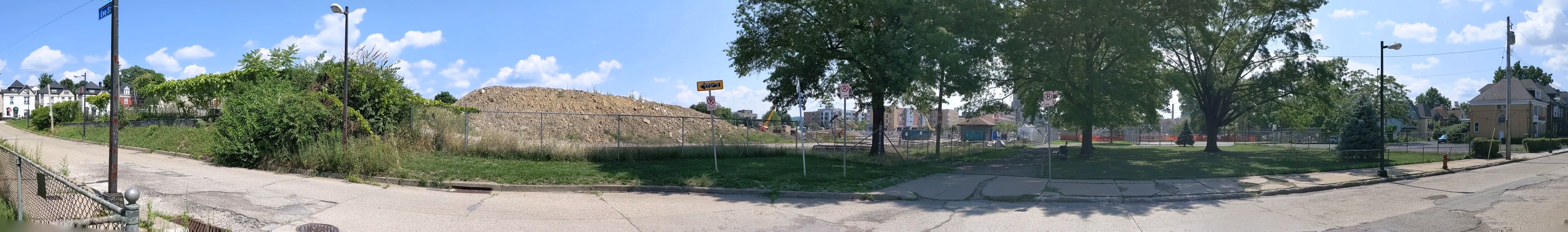
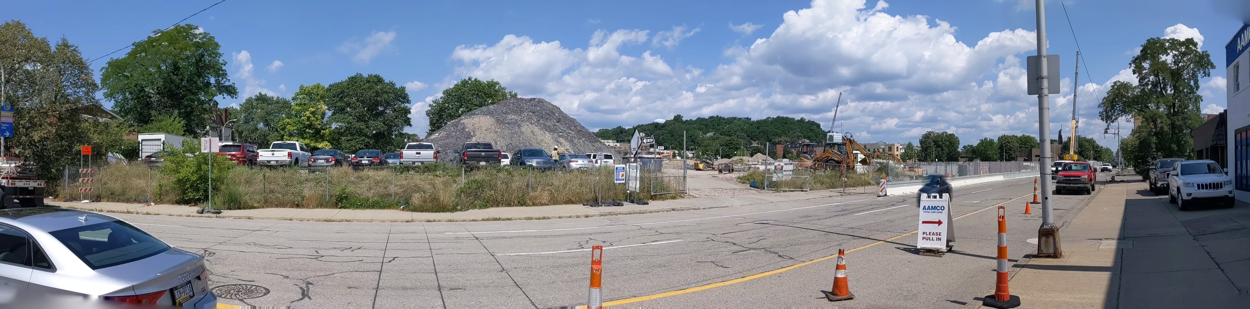
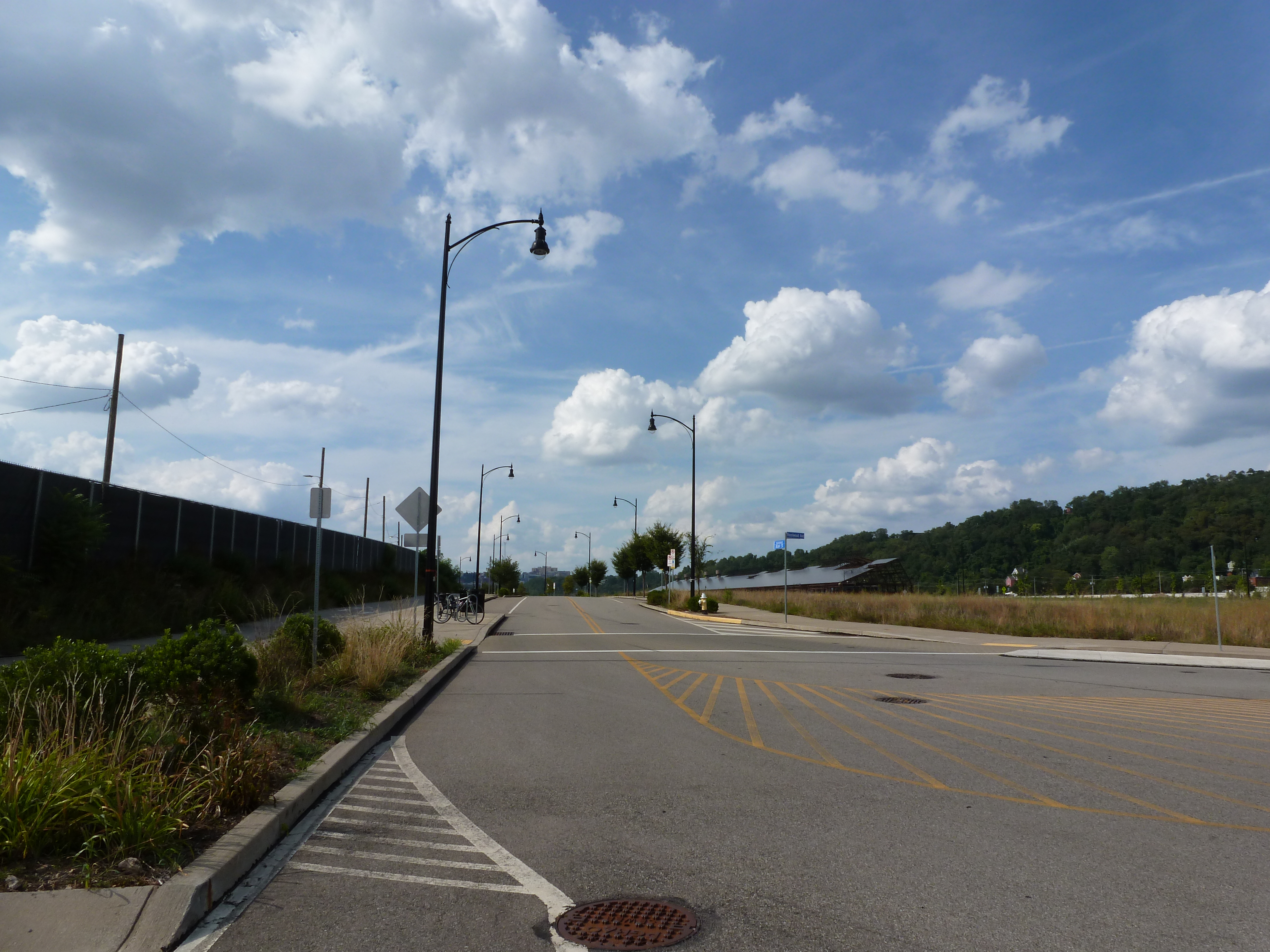
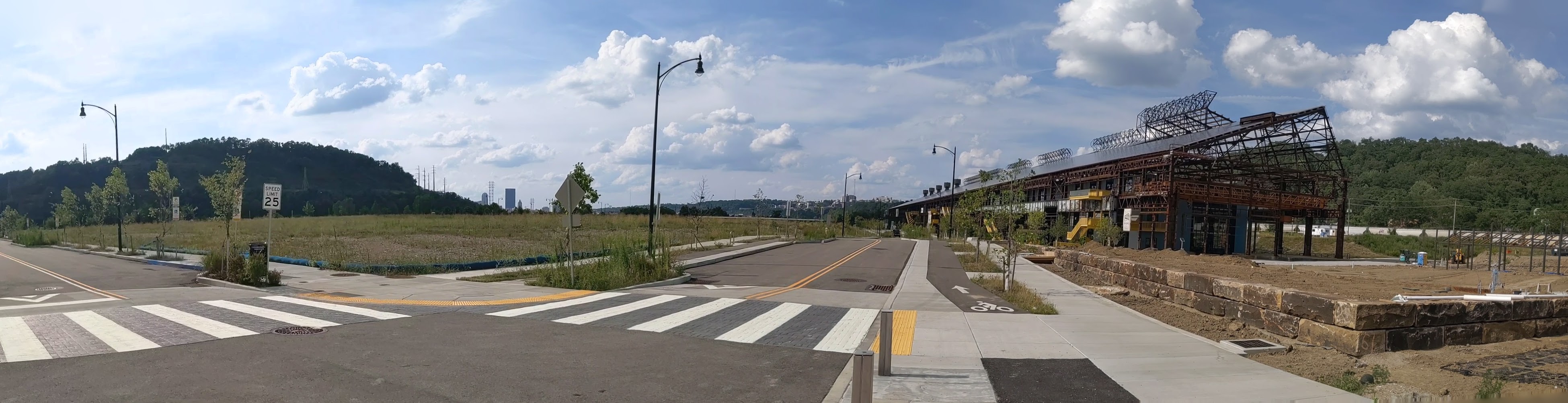
In searching for an answer to what made Bethlehem different than other steel towns, I realized that the business districts and residential areas I passed through were mostly intact. There were few vacant buildings and no vacant and abandoned grass lots. This suggested that Bethlehem did not experience the same decline as the other former steel towns that I have explored. The historical population data corroborated this hypothesis. Bethlehem and Erie experienced their peak populations in 1960; Pittsburgh and Wilkinsburg in 1950; and Homestead in 1920. In 2010, the cumulative population loss from each city’s peak was:

CityPopulation Loss
Bethlehem1%
Erie26%
Pittsburgh55%
Wilkinsburg49%
Homestead85%

The stable population of Bethlehem explains why so many religious institutions are still operating. It doesn’t explain why the people stayed when the jobs left.

I picked up Jeffrey A Parks’s “Stronger than Steel: Forging a Rust Belt Renaissance” to look for clues to what made Bethlehem different from other Rust Belt cities. For the most part, it seems to have pursued the same actions and initiatives as elsewhere. Bethlehem’s leaders even hired consultants from Pittsburgh in the 1950s to learn how to do Urban Renewal. Other similarities include the creation of a redevelopment authority, the use of eminent domain to force people out of their homes for commercial development, the building of a highway through town, and the change of traffic patterns to prioritize the regional over the local.

The one thing mentioned in Parks’s book that was different from other cities was the school district. In the 1960s, the Bethlehem School District expanded to incorporate two rural townships. These townships later became wealthy suburbs that combined with the population of Bethlehem to create a racially and economically diverse district. Parks’s implication seemed to be that the result was a school district with better funding and resources than its neighbors. Perhaps, as a result, families did not have the conversation about moving to the suburbs for better schools as their children approached school age.

A decent inner-city school district may reduce the flight to the suburbs. It also may attract new residents. Yet, I wonder if it is enough to prevent hemorrhaging population loss as a region’s major employer cuts jobs in the decades before it closes.

Street Trees: Alive or Dead

Street trees have a tough life. Between extensive pruning away from power, cable, and internet lines, baking in the radiant heat from the surrounding pavement, and (in winter climates) runoff from salt or sand, it is amazing any survive. Yet in some neighborhoods street trees are thriving while in others they are non-existent or barely hanging on.

Street trees first appeared in US cities in the 1840s and 1850s as part of a growing interest in landscape architecture. However, they soon encountered challenges. Fire insurance companies banned street trees in towns that relied on bucket brigades as the trees helped spread fires that decimated swaths of towns. Then, the street trees worst nemesis arrived – the overhead lines. First telephone companies then power companies pruned trees away from their lines. John R. Stilgoe in Outside Lies Magic notes that the resultant loss of street trees created a “nationwide uproar” by 1920. One hundred years later, this conflict between wires and trees is still unresolved.

As I traveled around Pittsburgh this spring and summer, I noticed that some neighborhoods seem to have found a way to maintain both old, large canopy street trees and overhead lines. Other neighborhoods appear to struggle to establish and maintain even understory or decorative trees. The pattern of where street trees are thriving versus where they aren’t appears to match the wealth of the neighborhood.

I first noticed this pattern as a child, though I couldn’t articulate it as such at the time. The Pennsylvania town where I partially grew up had a Green Street. The name made a strong impression on me at the time because half of Green Street was very aptly named. It had the oldest and thickest street tree canopy in town. The other half of the street, as I remember it, did not have a single street tree (or yard tree). This dichotomy fascinated me as a child.

Now, looking back on this memory with my urbanist eyes, it seems the perfect example of the correlation between wealth and street trees. The half of Green Street with the street trees was predominantly detached, single-family dwellings with large front, side, and rear yards. The half of Green Street without street trees was predominantly attached homes, possibly with some duplexes, and shallower front yards.

In Pittsburgh, the division is by neighborhood, not block. Neighborhoods like Squirrel Hill, Point Breeze, and Shadyside, which used to contain most of the city’s millionaires rows and continue to have housing values 3-4 times the city’s average, have old, well-established street trees that are somehow able to grow around the overhead lines. Neighborhoods like Homewood and the Hill District, which were victimized by Urban Renewal policies in the ‘50s and ‘60s and now have housing values two-thirds the city’s average, have few street trees, most of which were planted within the last ten years.

Keeping an Eye on Hazelwood (across the tracks): Sept. 2020

Hazelwood is a neighborhood divided in two by railroad tracks. On one side of the tracks are Hazelwood Green, a residential enclave, and some industrial and commercial uses. This is what is across the tracks:

Second Ave

Hazelwood Ave

Other Sites


Hazelwood in the News:

New Businesses Revitalizing Second Ave (Next Pittsburgh, November 21, 2019)

URA Picks Community Builders for Affordable Housing Development on Second Ave (Pittsburgh Business Times, January 15, 2020)

Study Pushes Multi-modal Transit Improvements to Hazelwood’s 2nd Avenue (Post-Gazette, February 10, 2020)

Report Says Traditional Buses Better for Hazelwood than Autonomous Shuttles (City Paper, April 21, 2020)

Restaurants Reopen – Diners Return (Post-Gazette, June 28, 2020)

66 New Homes Proposed (Pittsburgh Business Times, September 10, 2020)


Previous posts in series:

Keeping an Eye on Hazelwood (across the tracks): Apr. 2020

Keeping an Eye on Hazelwood: Introduction


Keeping an Eye on Hazelwood: Sept. 2020

Hazelwood is a neighborhood divided in two by railroad tracks. This is what is on the same side of the railroad tracks as Hazelwood Green, but on the other side of the black fence surrounding the Uber test track:


Hazelwood in the news:

The Progress Fund Proposes Turning a Former Brewery into a Craft Brewpub Hub (Pittsburgh Business Times, July 31, 2020)


Previous posts in series:

Keeping an Eye on Hazelwood: May 2020

Keeping an Eye on Hazelwood: Introduction


Keeping an Eye on Penn Plaza – Aug. 2020

I regret not starting this series on the former Penn Plaza site sooner. I missed opportunities to photograph the former apartments in their neglected, partially occupied state and the demolition of the buildings. Starting with the project several months into construction is a case of better late than never and provides an opportunity to watch how the promise to rebuild the neighborhood park becomes fulfilled.


Penn Plaza in the News


Evictions 2015-2019:

Evictions Highlight Lack of Affordable Housing (City Paper, July 22, 2015)

Residents Meet About Eviction Notices (New Pittsburgh Courier, July 23, 2015)

Evictions Set Standard for Future (WESA, February 29, 2016)

Owners and Displaced Tenants Work out Deal (WTAE, February 29, 2016)

Final Residents Move Out (WESA, March 31, 2017)

Mass Evictions (Downstream, February 15, 2018)

Protesters Call for Action Years After Evictions (KDKA, July 28, 2018)

Dark Stain on the City (Pittsburgh Current, July 30, 2018)

Defining Community (Public Source, September 27, 2019)


Negotiations 2017-2019:

Penn Plaza Support and Action Blog

City, Community, Developer Reach Agreement (WESA, October 27, 2017)

Final Go-Ahead Approved (Post-Gazette, February 12, 2019)

City Seeks Land Swap (WESA, October 4, 2019)

Controversy Continues with Land Swap Proposal (Tribune Review, October 15, 2019)

City Fails to Keep Promises (WESA, October 23, 2019)

City Falling Short on Guarantees (Post-Gazette, October 28, 2019)

Residents Concerned About Park Reconfiguration (Tribune Review, October 28, 2019)


Construction 2019-current:

City Council Clears the Way (WESA, October 29, 2019)

Construction Starts (Pittsburgh Business Times, October 30, 2019)

Groundbreaking Announced for December 2019 (Next Pittsburgh, October 30, 2019)


Keeping an Eye on Hazelwood Green: Aug. 2020

Hazelwood Green in the News:

Roundhouse Renovation Next For Hazelwood Green (Next Pittsburgh, January 26, 2020)

Locomotive Roundhouse to Host Co-working Space (Pittsburgh Post-Gazette, January 28, 2020)

Tenant Landed for Roundhouse (Pittsburgh Business Times, February 25, 2020)

From Blight to Tech Node? (CoStar, June 3, 2020)

Largest Solar Installation (Next Pittsburgh, June 29, 2020)

Hazelwood Green – Mill 19 Building A Named 2020 Best Project (ENR MidAtlantic, July 29, 2020)

Largest Solar Installation Completed (Solar Power World, August 13, 2020)

Drive-In Arts Festival at Hazelwood Green (Twitter, August 13, 2020)


Previous posts in series:

Keeping an Eye on Hazelwood Green: Mar. 2020

Keeping an Eye on Hazelwood: Introduction

Heth’s Run Bridge – Post Reconstruction

My experiment of living without home internet in 2014 interfered with posting the images of Heth’s Run Bridge I took that fall as it reopened with an actual gap underneath:

I went back this year to get an updated view:

Previous posts in the Heth’s Run Bridge series:

What is a Bridge? Bethlehem Edition II

Looking back at the original intent of the Hill-to-Hill Bridge and comparing it to its use today, I find myself asking a new question: what is the purpose of a bridge? The word bridge is often used metaphorically to describe something that brings two things together. At the same time, there is a running joke in Pittsburgh (the City of Bridges) that if it involves crossing a bridge, people would rather stay home. This conflict of ideas between a bridge as a connector and a bridge as a divider is illustrated by the Hill-to-Hill Bridge.

The Hill-to-Hill Bridge started out as a connector. A Y at the north end linked West Bethlehem and Bethlehem to the main span which connected to South Bethlehem. The ramps in-between connected the neighborhoods to the businesses on the flats by the water.* Over time, the priority on connection disappeared as the bridge was modified. Of the seven original approaches, three were demolished, one was permanently closed to through traffic, and one was changed to one-way traffic.

The explanations I came across for alterations to the bridge seem reasonable, but they do not tell the whole story.

  • Reason #1: Industry changed and shut down in Bethlehem as with other Rust Belt cities. Some of the business destinations connected to the bridge were among those that closed, removing the need for the connection.
  • Reason #2: Cars became bigger, faster, and more numerous, making it harder to navigate the tight turns on some of the approaches.

The story that is overlooked by these explanations is that in the 1960s a new highway was built from the north directly tying into the bridge. The introduction of high-speed traffic to the bridge, or to any roadway, certainly makes it less safe for local traffic.

As a result of the addition of the highway, instead of connecting the neighborhoods of West Bethlehem, Bethlehem, and South Bethlehem, the bridge funnels traffic directly toward the former steel mill, Lehigh University, and other points south. In fact, the residents of West Bethlehem are practically excluded from using the bridge to get anywhere, as the western ramp is closed to through traffic (though open to parking). To use the Hill-to-Hill Bridge to reach South Bethlehem, a resident of West Bethlehem would have to drive north several blocks to get on the highway going south. Alternately, a resident could go south by taking Spring Street, a road parallel to the western and eastern wings of the bridge, (by)passing under the main span, then skirting around the hill of historic downtown, and taking the Fahy Bridge instead.

People living and working in the historic downtown area (the Bethlehem neighborhood) are also now limited in their use of the bridge. If coming across the bridge from the south, they can take the eastern viaduct to enter the historic downtown, but to leave the area by way of the Hill-to-Hill Bridge, they would have to drive north to the same highway access point as the residents of West Bethlehem. They could alternately take the Fahy Bridge for a more direct route south.

Use of the bridge is a little easier as a pedestrian, though it is still the most challenging for residents of West Bethlehem. For pedestrians to access the bridge from the west, they would have to use the sidewalks on Spring Street, walk under the main span, and climb a towering staircase up to the sidewalks on the bridge. If they are not able to use the stairs, they could keep going on Spring Street up the hill to the eastern end of the viaduct. Once on the bridge, both the historic downtown and south side are accessible. Given the history of the bridge, I imagine that there once was a time when there were crosswalks at the intersection of the main span and the east and west spurs so that pedestrians had full use of the structure just as drivers would have had.

The shift in the bridge’s focus from local to regional traffic seems like a classic case of the Urban Renewal efforts of the 1950s and 1960s. The discussion among planners and officials in recent years is how do they undo or erase the mistakes of Urban Renewal. Pittsburgh is trying to reconnect the local by returning some one-way roads to two-way traffic and by building a cap over the highway that divided downtown and the Hill District. As I watch these developments in Pittsburgh, I wonder if there are ways to return the Hill-to-Hill Bridge to a focus on the local.

For example: The highway has to end at some point, which is currently at the southern end of the bridge. What if it were moved to the north end of the bridge? If a traffic light were introduced there, the western branch could be reopened to through traffic and the eastern branch could be restored to two-way traffic. Pedestrians would also be able to then use all the remaining approaches. Thus, West Bethlehem, Bethlehem, and South Bethlehem would be reconnected for the enjoyment of pedestrians and drivers.

This suggestion is based upon the assumption that the local community would want to be better connected by way of this bridge. Perhaps the question that should come before “what is the purpose of a bridge?” is “who gets to decide the purpose of a bridge?”


*By prioritizing connections, Clarence W Hudson, the bridge’s designer, was forced to develop a one-of-a-kind truss design to accommodate the railroad tracks beneath the bridge and the connections coming into the bridge. There is no record of this truss design being used on any other bridge.


Additional Posts in Series:

What is a Bridge? Bethlehem Edition I

I was in the midst of trying to understand what is a viaduct when I traveled to Bethlehem, PA, with my family. One of our activities was to explore the bridges (see also Cage-free Bridges). As we walked the Hill-to-Hill Bridge, my initial reaction was “now here is a viaduct.” I hadn’t reached the point of developing a semi-clear definition for viaduct but looking at the flat roadbed supported by multiple arches over the floodplain, viaduct seemed the most appropriate word for the structure.

As we kept walking, it turned out that the viaduct was only a portion of the Hill-to-Hill Bridge. In fact, it would be more appropriately called the Hill-to-Hill-to-Hill-to-Hill Bridge. There are two approaches to the main span on the south end and three on the north end, including the viaduct and one approach permanently closed to through traffic. When the bridge was built in 1924, there were a total of seven approaches at various points along the main span. With so many components, this structure brings me back to the question of how many is one bridge?

Unlike when I asked this question of the 30th and 31st Street bridges in Pittsburgh, here the main bridge, the intersecting viaduct, and the numerous connections seem to be considered one bridge. They are together called the Hill-to-Hill Bridge while the structure in Pittsburgh has three distinct names (including River Avenue Ramp). Perhaps the deciding factor in whether it is one or more bridges is the original intent. The Hill-to-Hill Bridge was designed as a multifaceted structure whereas the 30th and 31st Street bridges were developed independently.

The best indication of the original intent seems to be the name. The Hill-to-Hill Bridge has a single name whereas the 30th and 31st Street bridges have separate names. The other examples I looked at in 2012 were the Veterans Bridge (Pittsburgh), the Fort Duquesne Bridge (Pittsburgh), and what I called the Jubilee Bridge (London).

The Veterans Bridge joins three approaches into one bridge, all under a single name. Therefore, it is one bridge, not three.

The pedestrian walkway of the Fort Duquesne Bridge was built decades after the vehicular portion but does not have a separate name. Therefore, it is one bridge, not two.

What I called the Jubilee Bridge (despite the photo I took at the time of the dedication plaque stating otherwise) is actually called the Golden Jubilee Bridges. While these bridges share the support structure of the underground’s Hungerford Bridge due to concerns about unexploded WWII bombs in the area, they have separate names. Therefore, it is three bridges, not one nor two.


Keeping an Eye on the Lower Hill: Jun. 2020

Lower Hill in the News:

Mayor’s Press Release (May 5, 2020)

Penguins Stop Development (Public Source, May 14, 2020)

Penguins Pull Out (Trib, May 14, 2020)

Penguins Back Out (WPXI, May 15, 2020)

Penguins Cease Redevelopment (Patch, May 15, 2020)

Penguins Halt Lower Hill Development (WESA, May 18, 2020)

Mayor’s Press Release (May 20, 2020)

Mayor Urges URA to Approve Development (Trib, May 20, 2020)

URA Explanation of Community Benefits

URA Board Votes to Move Lower Hill Development Forward (May 21, 2020)

URA Board Approves Development Project (WPXI, May 21, 2020)

Never Mind, Penguins Back In (WTAE, May 21, 2020)

President Trump Tweets about BRT Grant Award (May 29, 2020)


Previous posts in series:

Keeping an Eye on the Lower Hill: Jan. 2020

Keeping an Eye on Uptown: Introduction