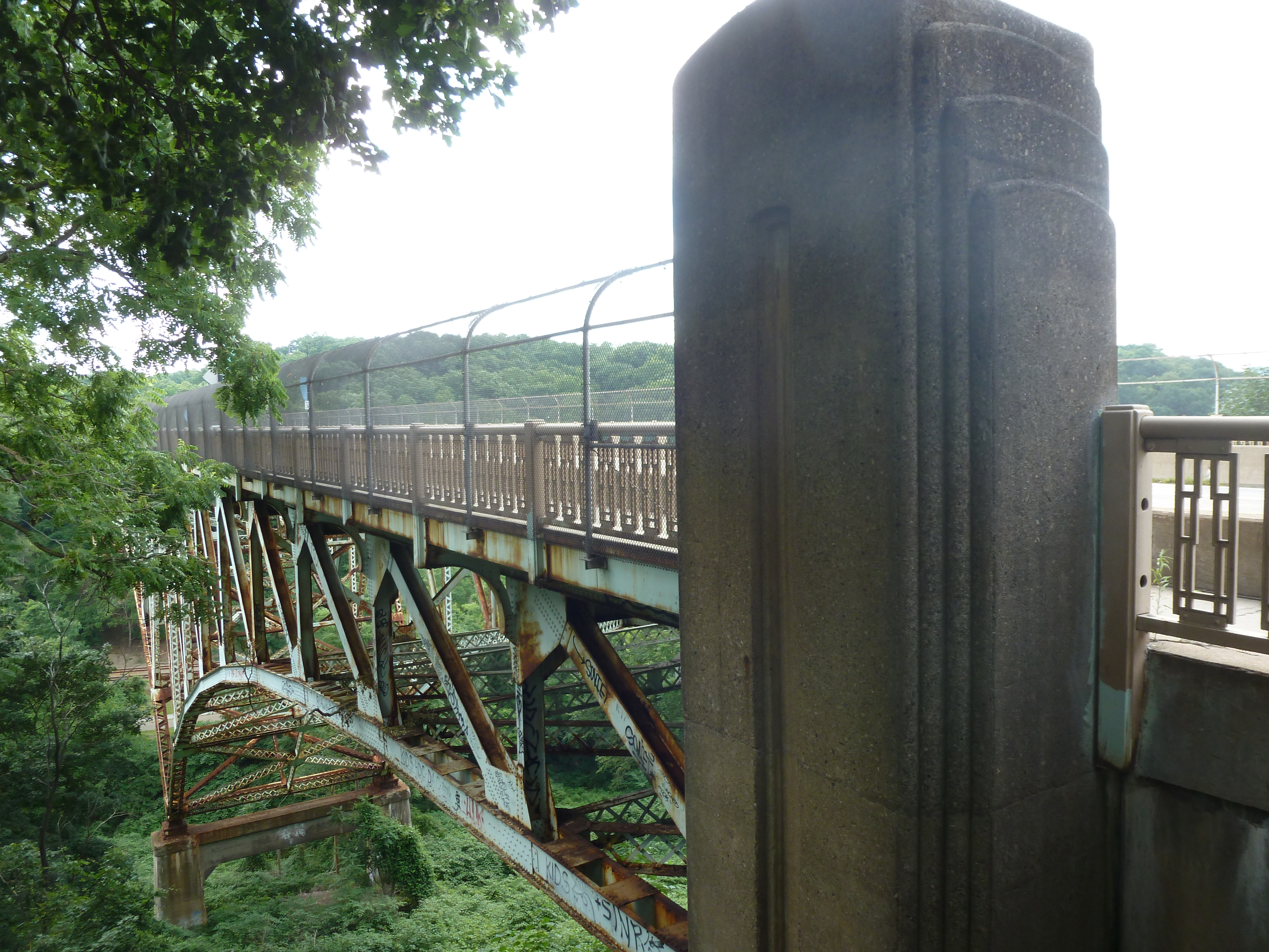
The Blvd of the Allies was one of Pittsburgh’s grand public works projects from the 1920s. It rises from downtown, passing along the backside of Uptown and cutting through South Oakland before wrapping up in Schenley Park.
Four bridges enable the Blvd to make its mark on Oakland. Under normal conditions, only one of these bridges is pedestrian usable.
The road makes a flying leap into Oakland on the Boulevard of the Allies Bridge. On the South Oakland side, the Blvd enters a commercial corridor that begrudgingly gives pedestrians a place on a narrow sidewalk that abruptly begins (or ends) at the edge of the bridge. On the other side of the bridge, the Blvd is a mess of highway interchanges, so pedestrians are not welcome to utilize this bridge to go anywhere.
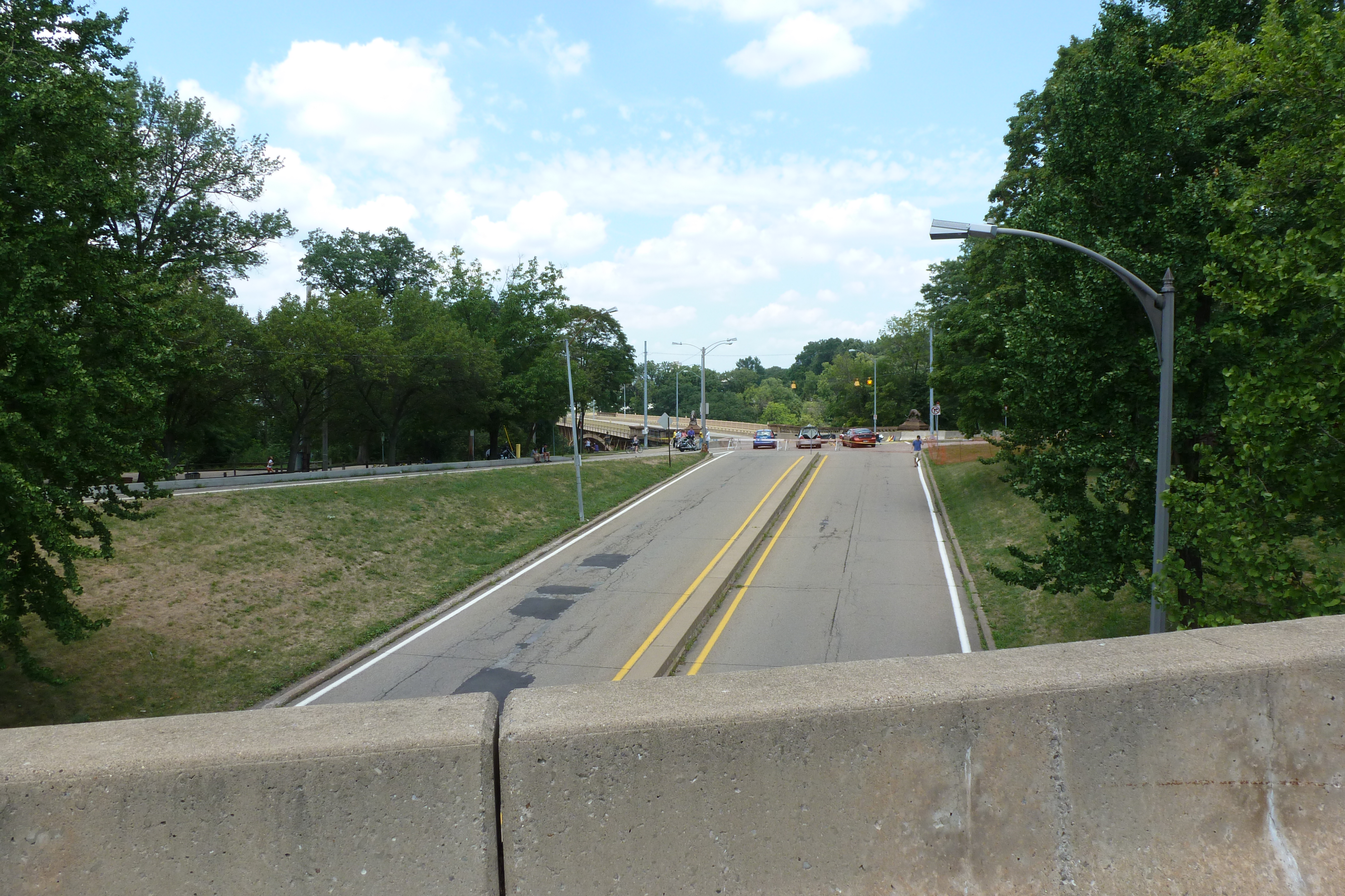
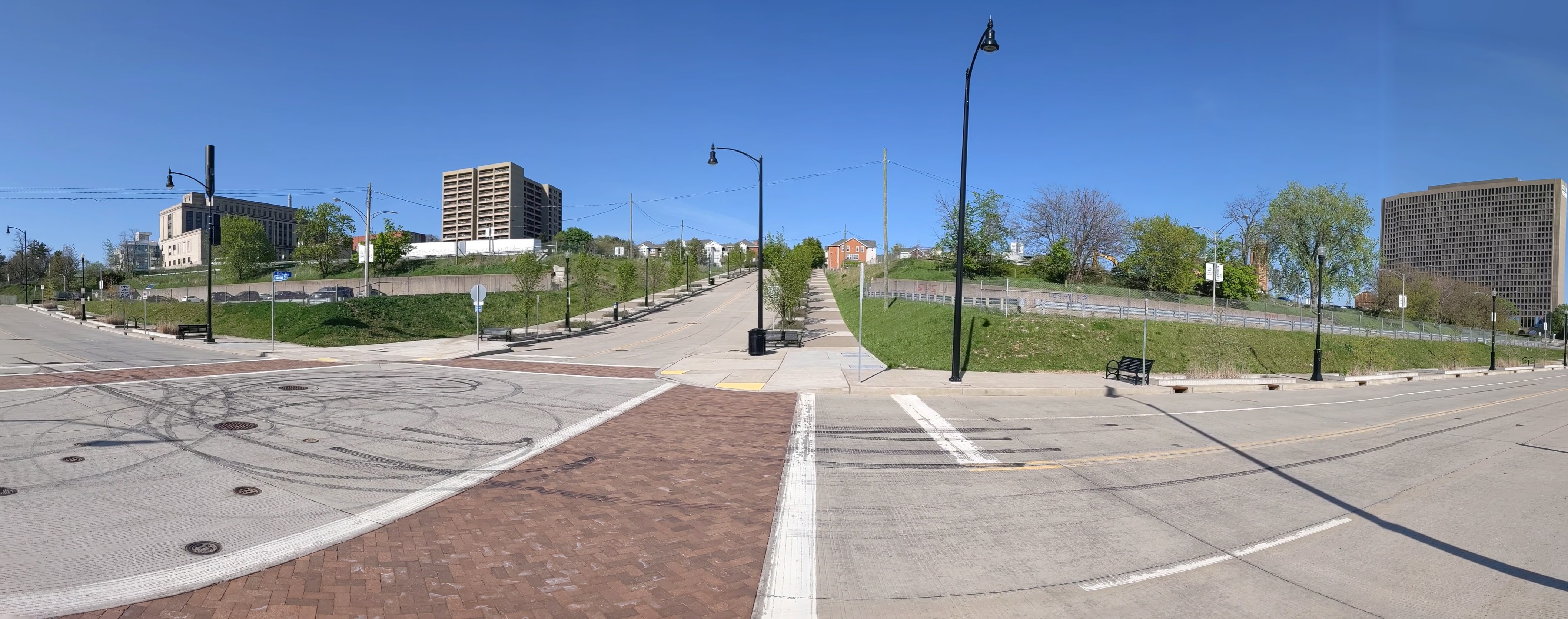
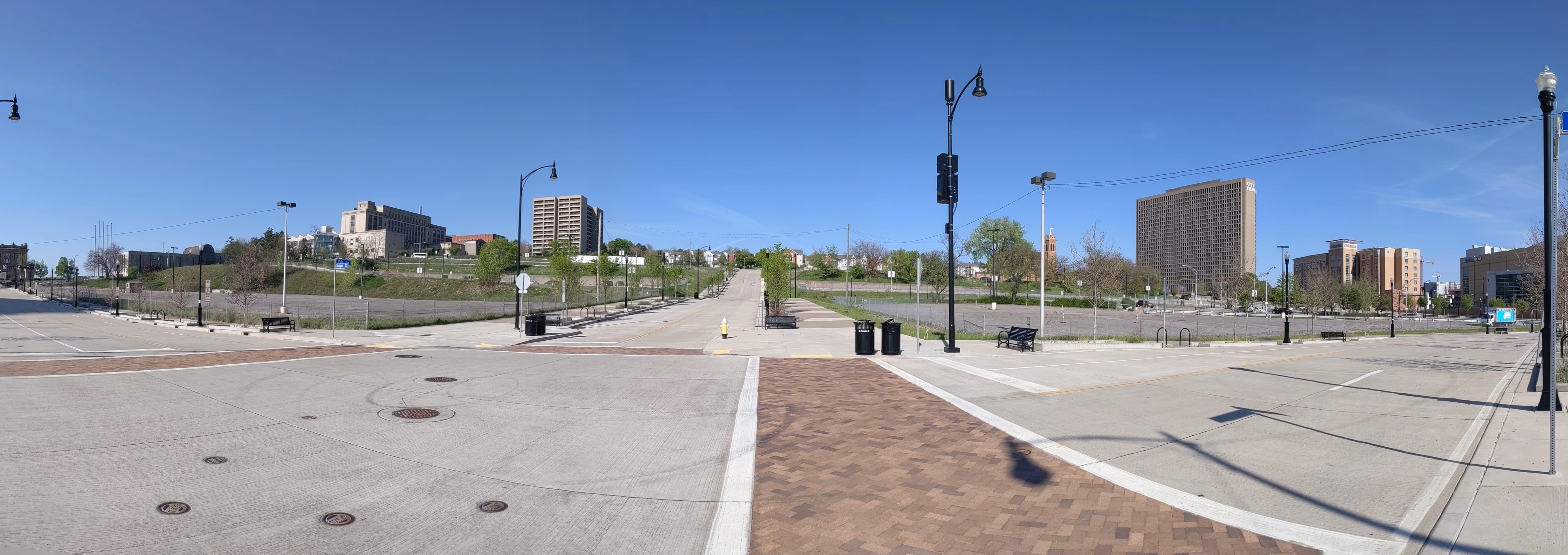
At the other end of the commercial corridor, pedestrians are invited to cross the Charles Anderson Bridge over Junction Hollow and into Schenley Park. (This bridge is also featured in Oakland Bridges – The Hollows.) However, once in the park, pedestrians are pushed away from the Blvd as it changes names and before it cruises through the Park.
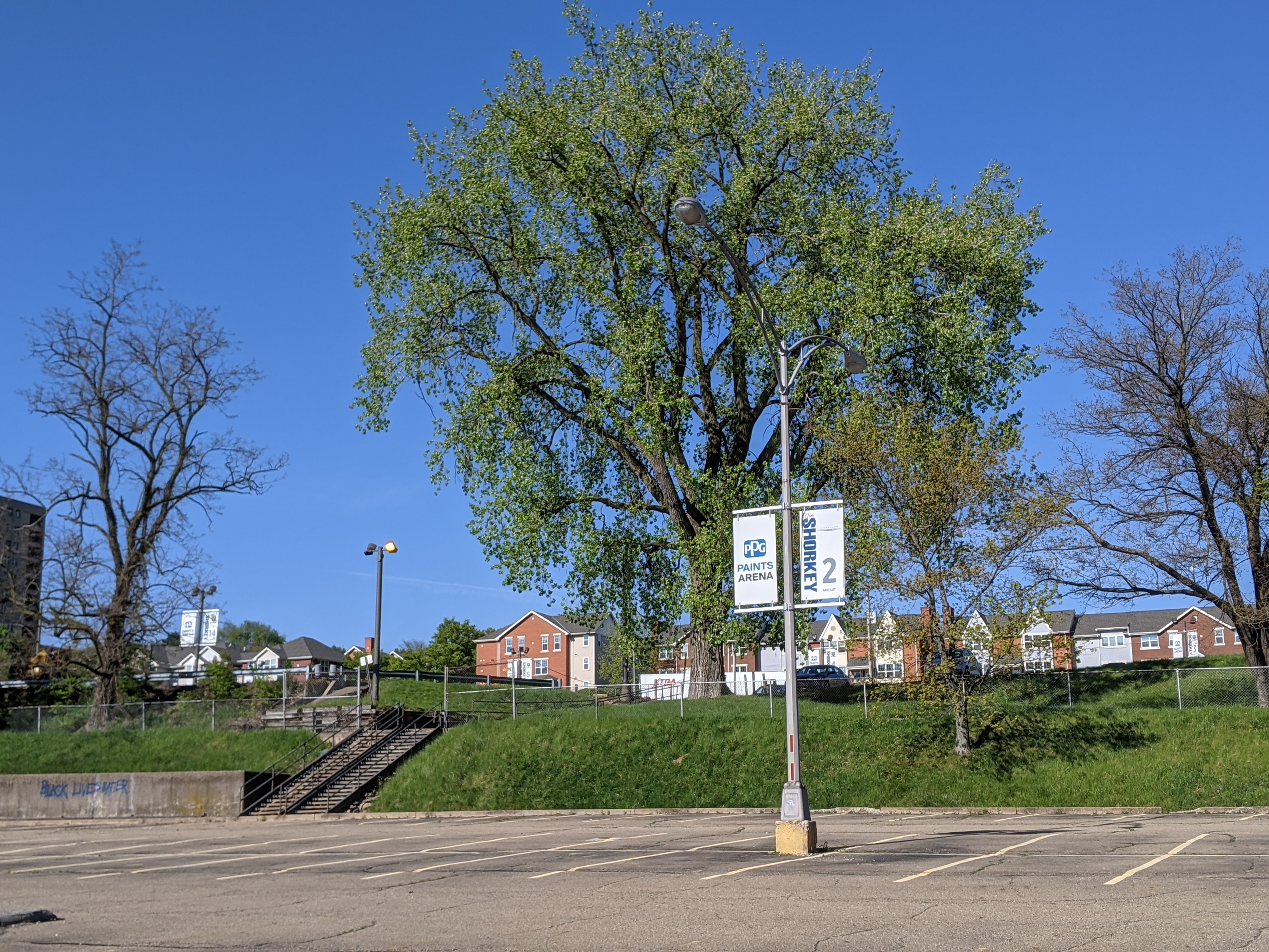
The next two bridges are related as one is over the pedestrian route and one over the vehicular route to the recreational facilities of Schenley Park. These facilities include a pool, ice skating rink, disc golf course, tennis courts, and a track. The bridge over the pedestrian route is a small affair to cross over the pedestrian tunnel. The other is a slightly longer overpass over the two-lane segment connecting Panther Hollow Road and Overlook Drive. Neither the tunnel-bridge nor the overpass are open to pedestrians – except during the annual Pittsburgh Vintage Grand Prix, which I once took advantage of for some photographs.
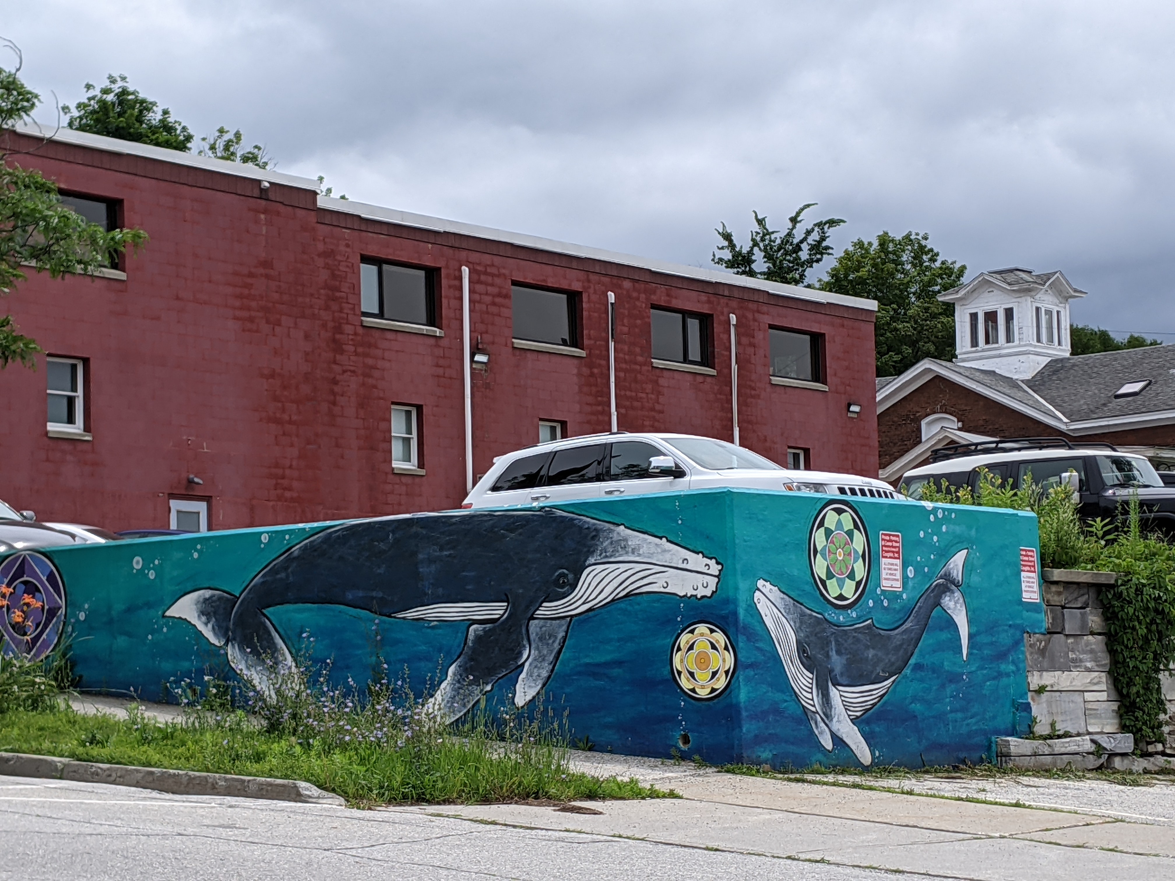
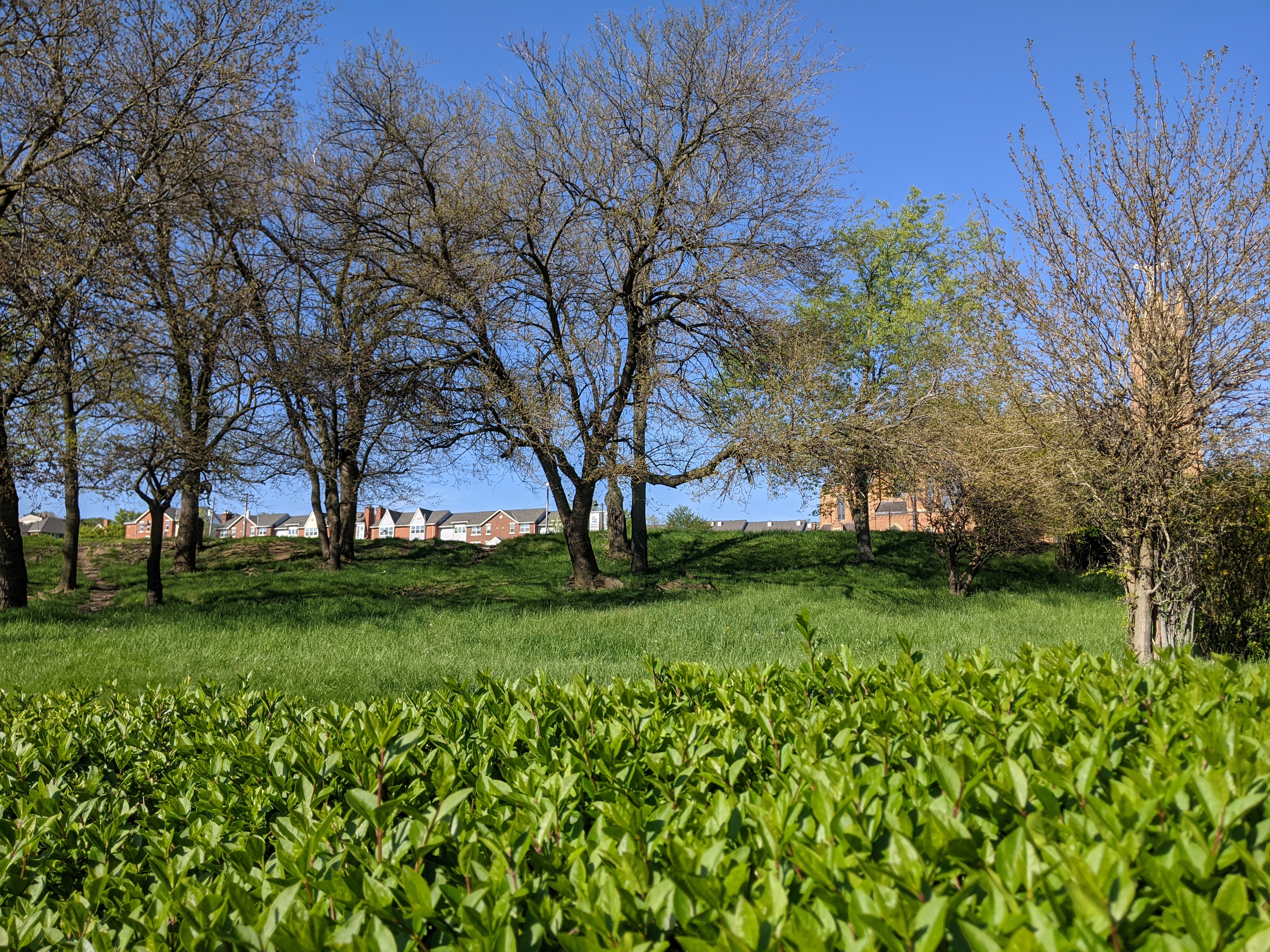
Rutland is a small town in Vermont of just over 15,000 residents incorporated in 1892. At one point, it was a major railroad hub for local marble quarries. Its past and present is clearly reflected in its public art.
Instead of the fiberglass sculptures I stumble upon in many cities, in Rutland, I discovered a series of marble sculptures featuring important people from Rutland. The people honored in the sculptures I found are Paul Harris, founder of the first Rotary club; Andrea Mead Lawrence, an Olympic skier; William G. Wilson, co-founder of Alcoholics Anonymous; the immigrants who worked in the quarries; and Martin Henry Freeman, an African American educator and abolitionist.
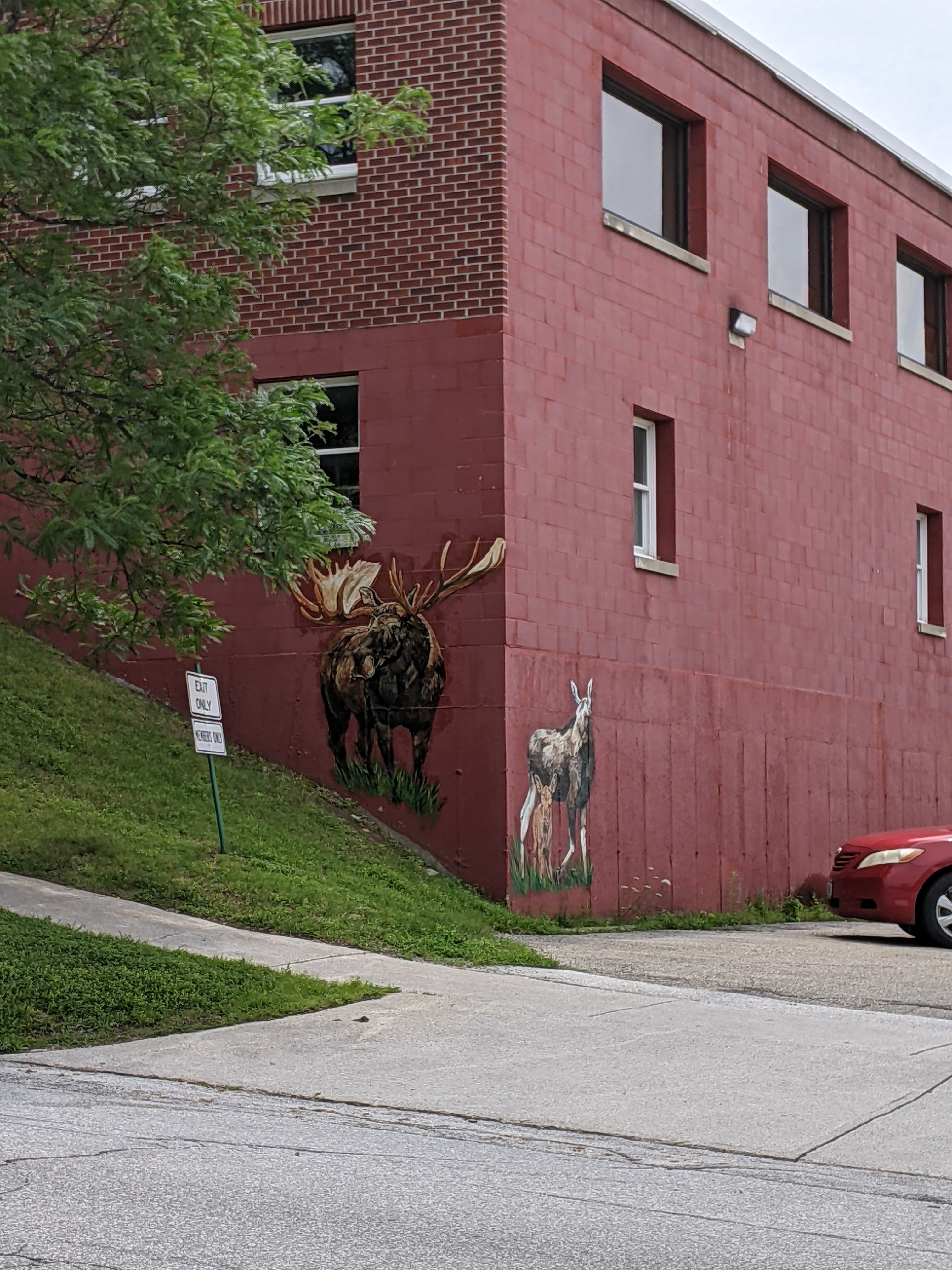
Today, Rutland has a strong environmental and arts focus. In my wanderings, I discovered two sculptures from the Trash2Art series, one from the HeART of Rutland series, and several murals. The mural of whales was particularly eye-catching given that the ocean is hours away. I wondered about the choice of subject until I saw the closest cross street was called Wales Street. The moose just up the street were almost as elusive as real moose – despite multiple trips to Vermont and one to Alaska, I have yet to see a live moose.
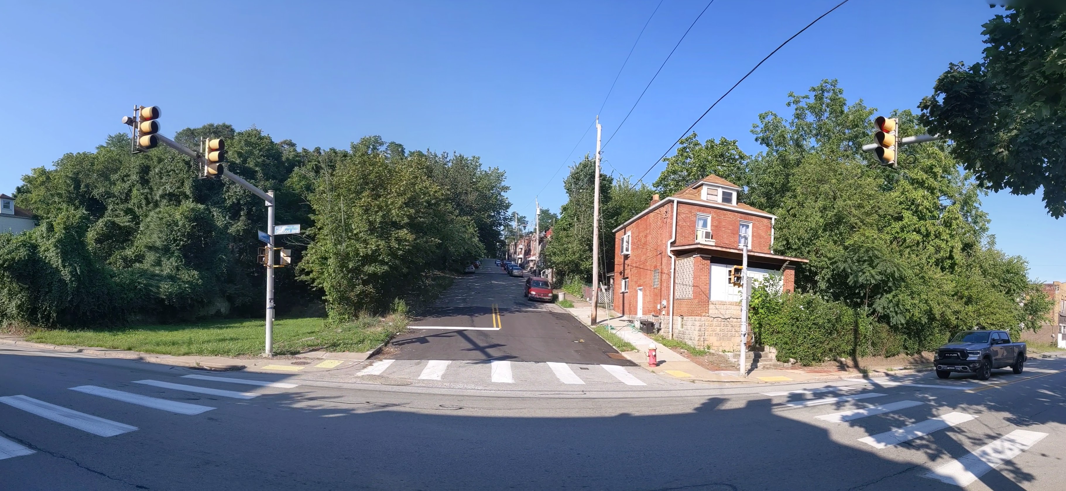
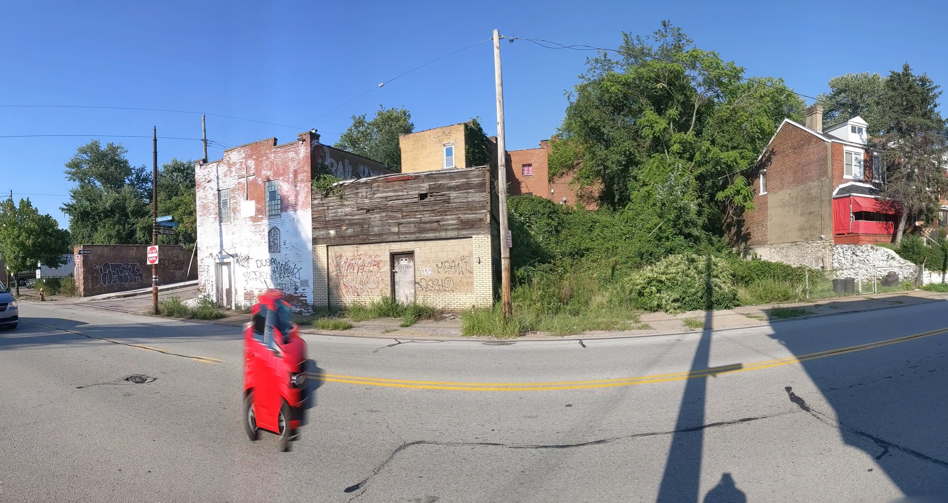
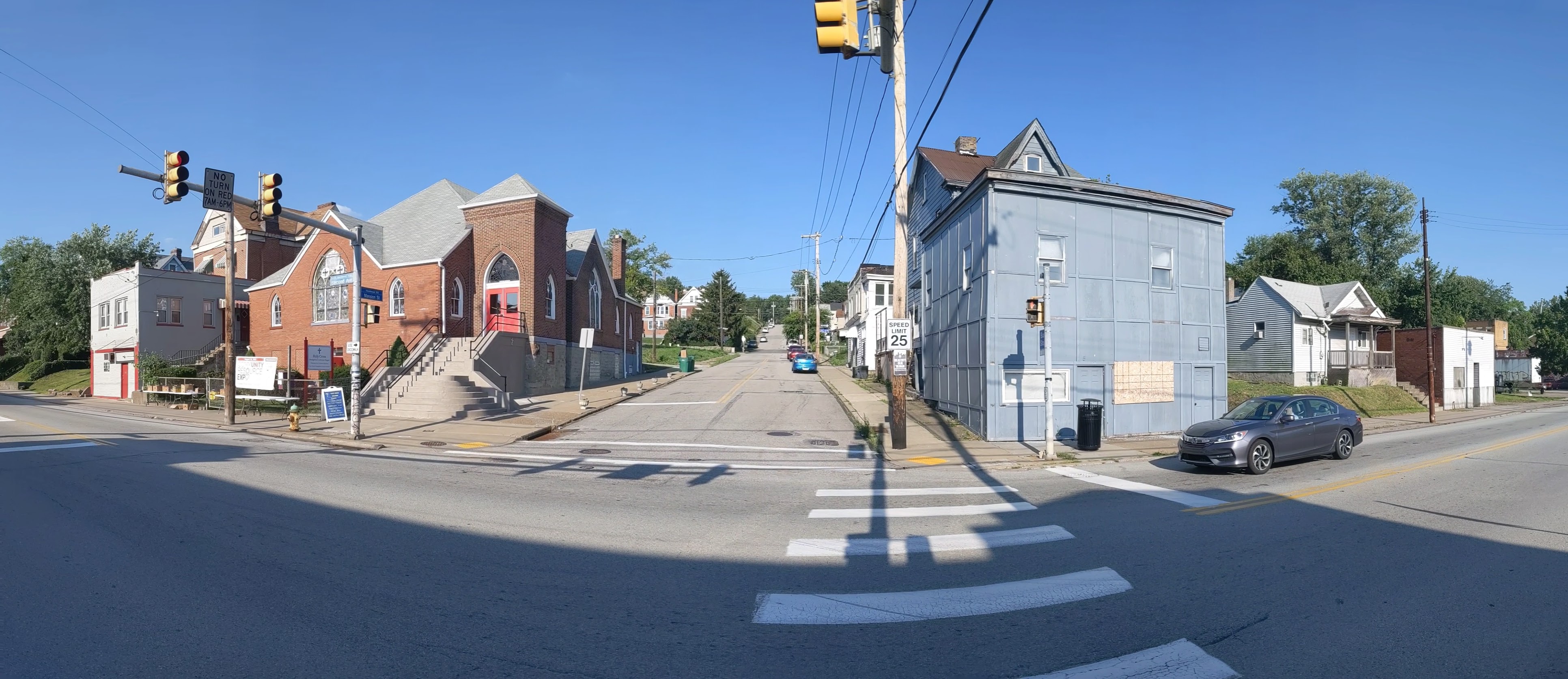
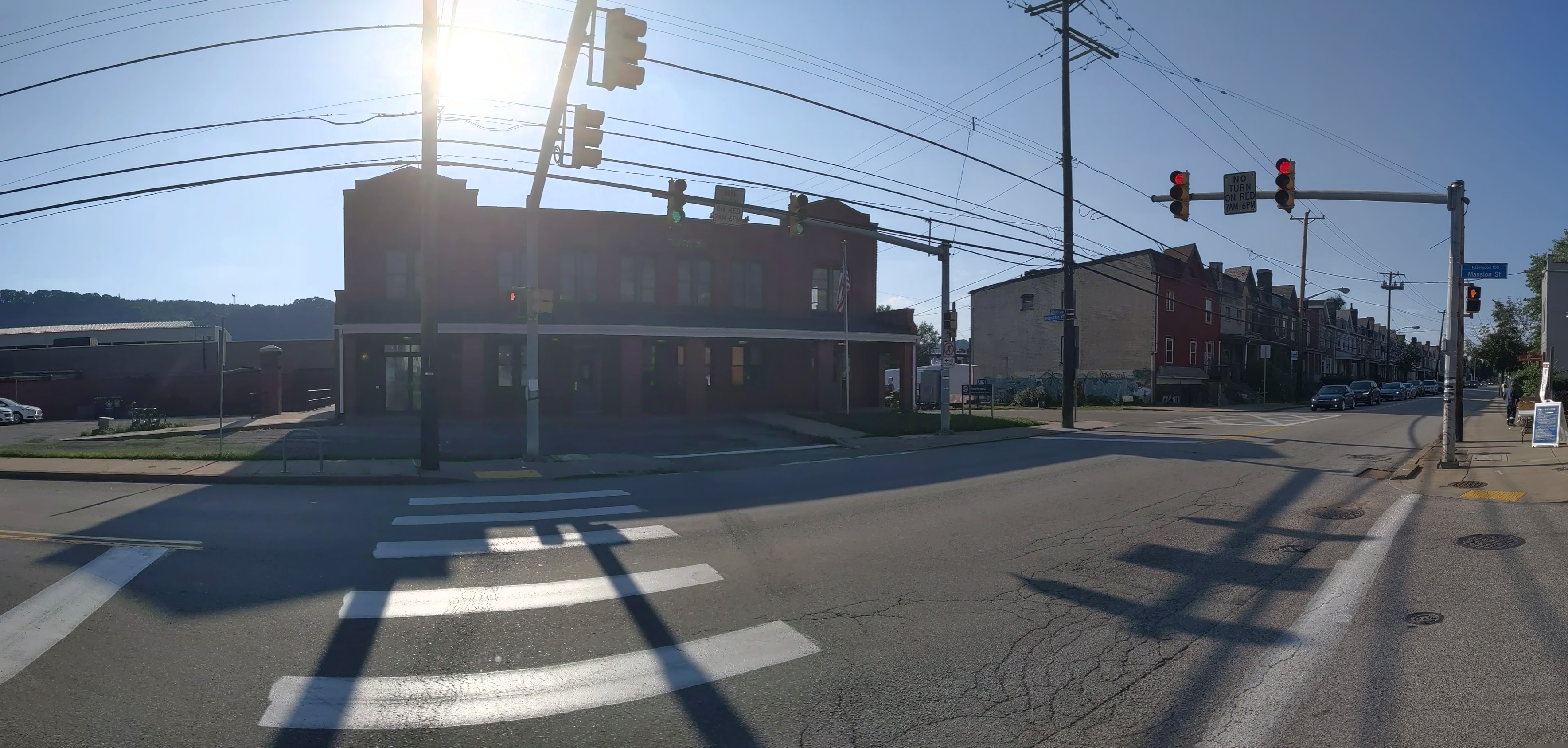
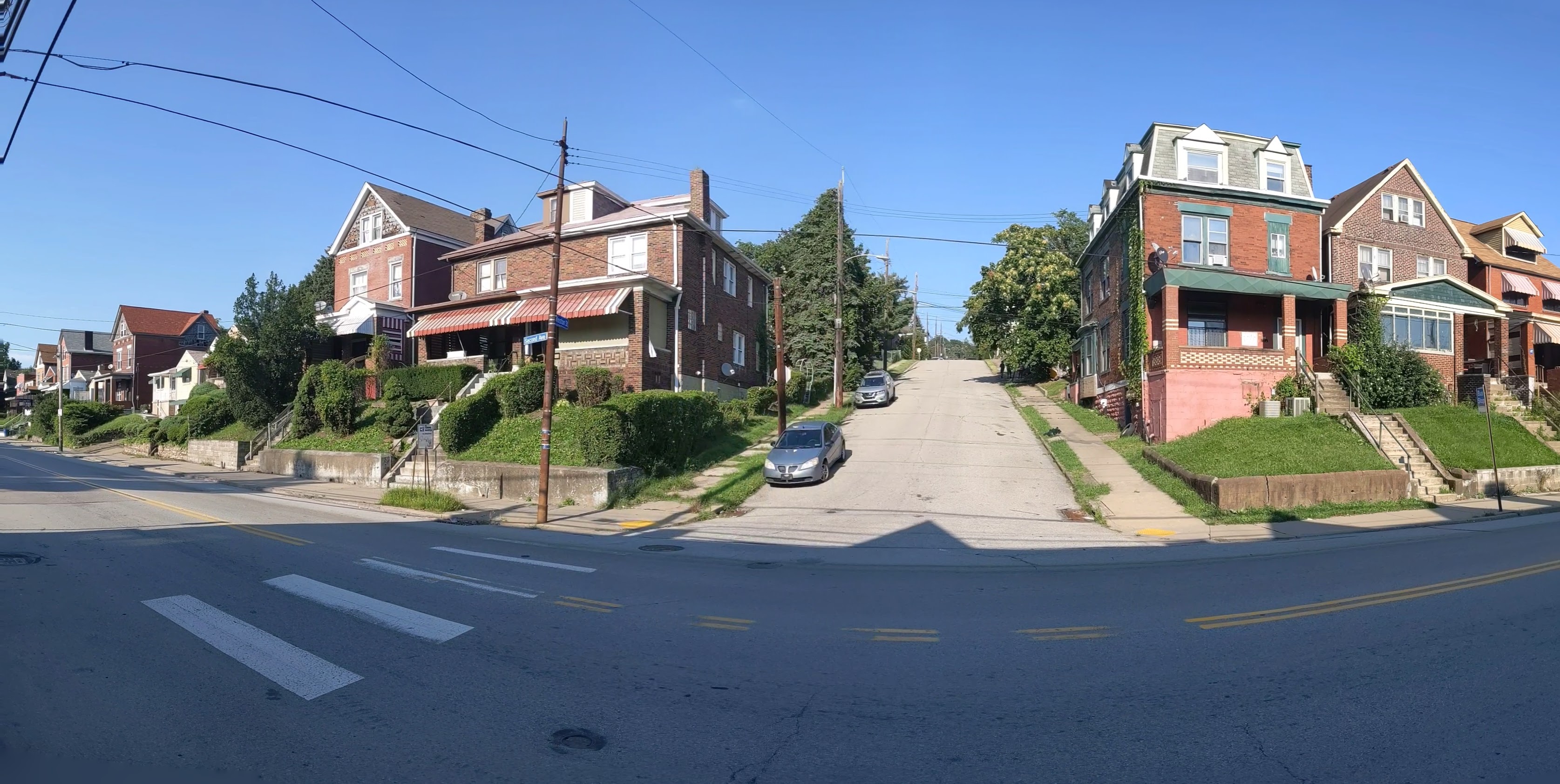
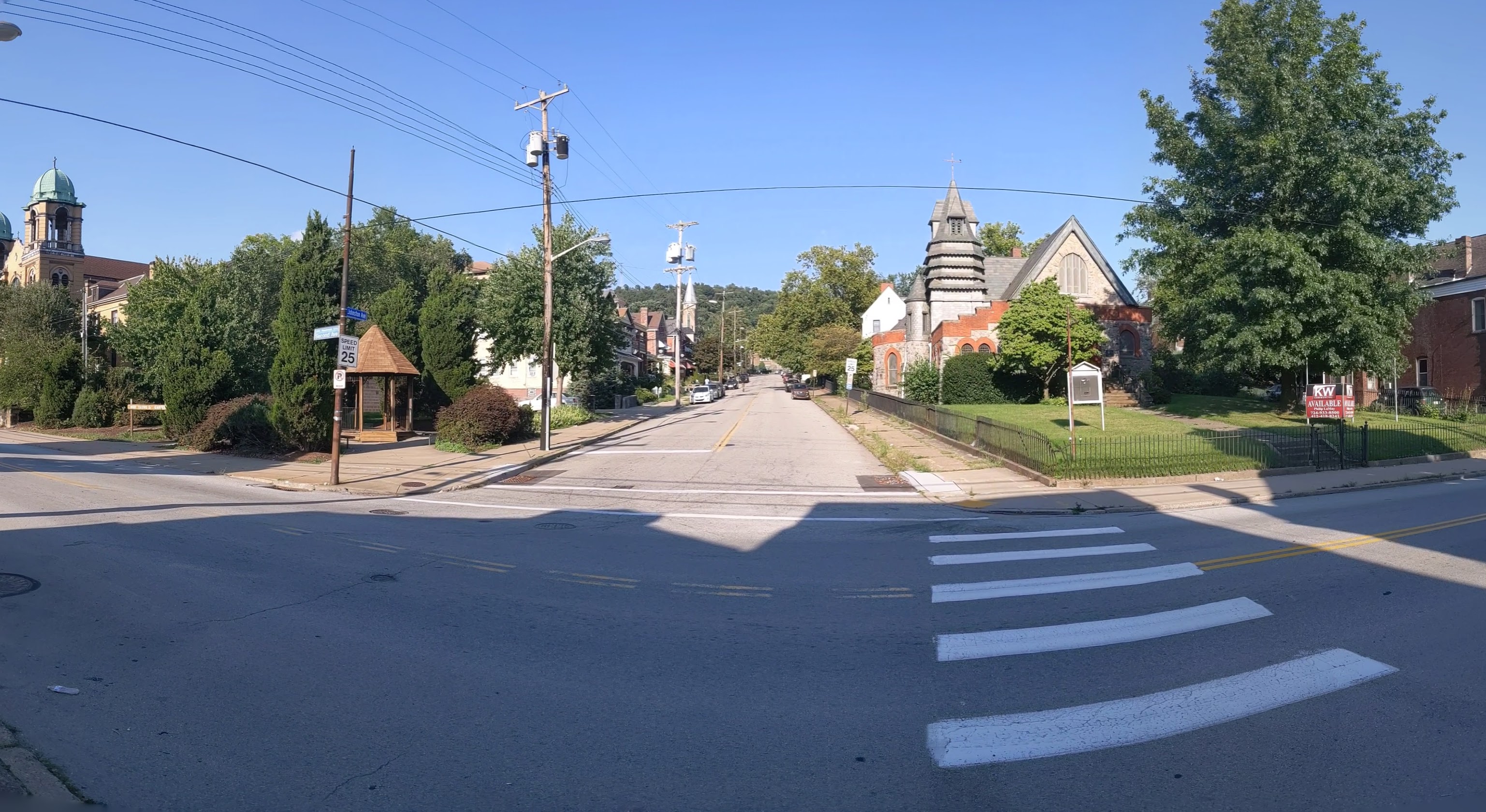
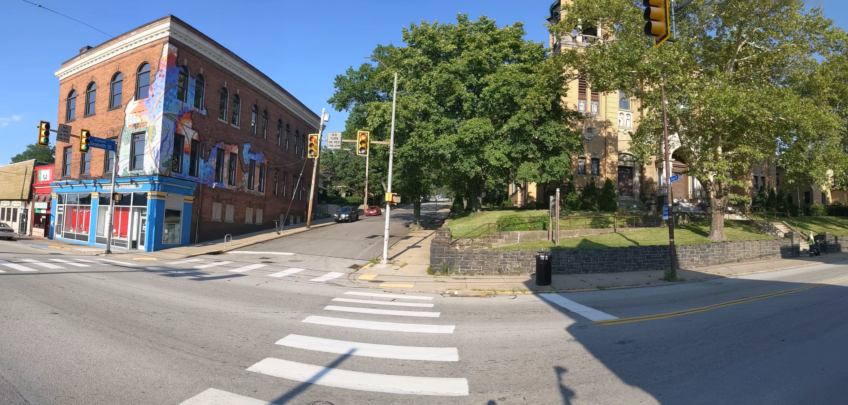
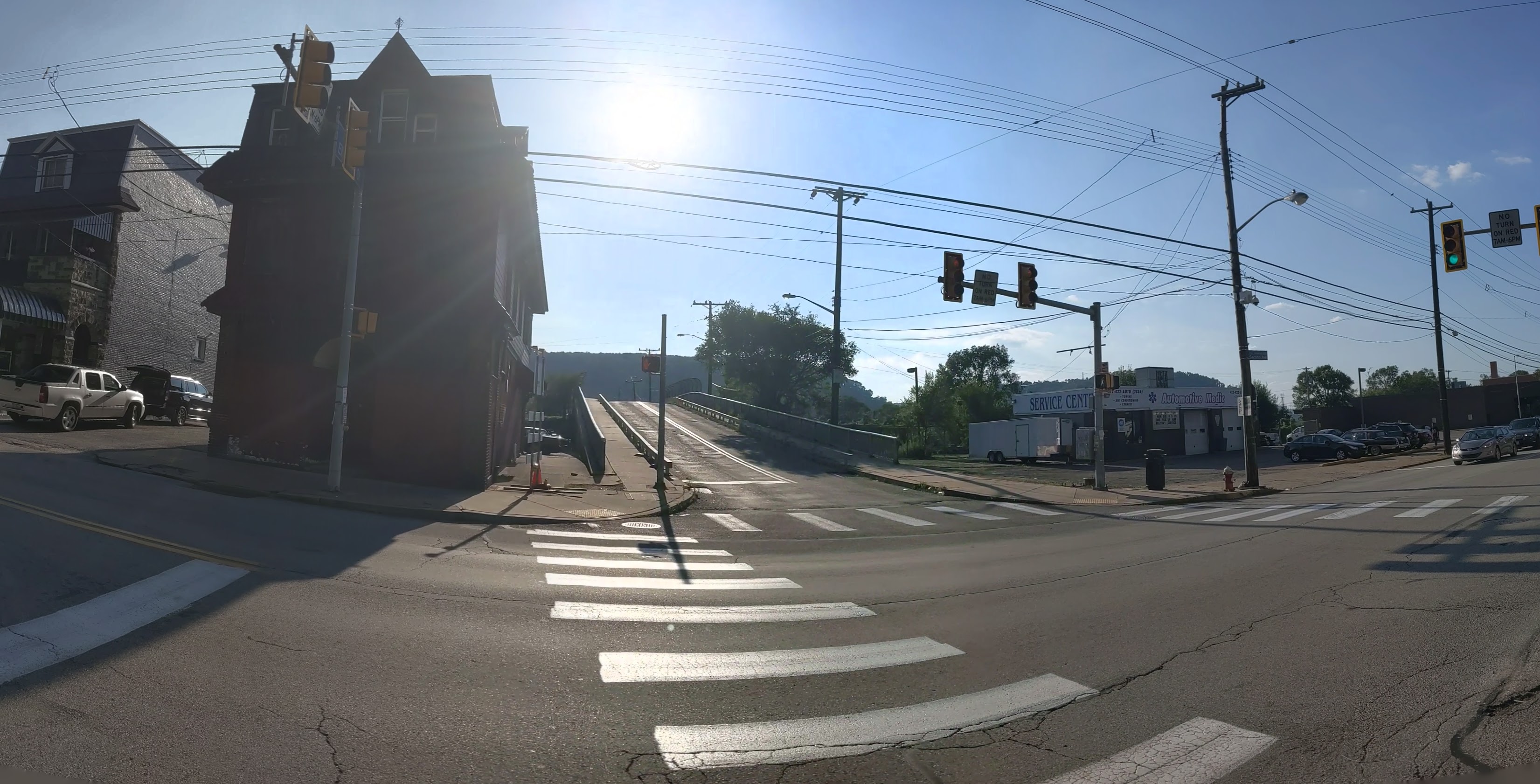
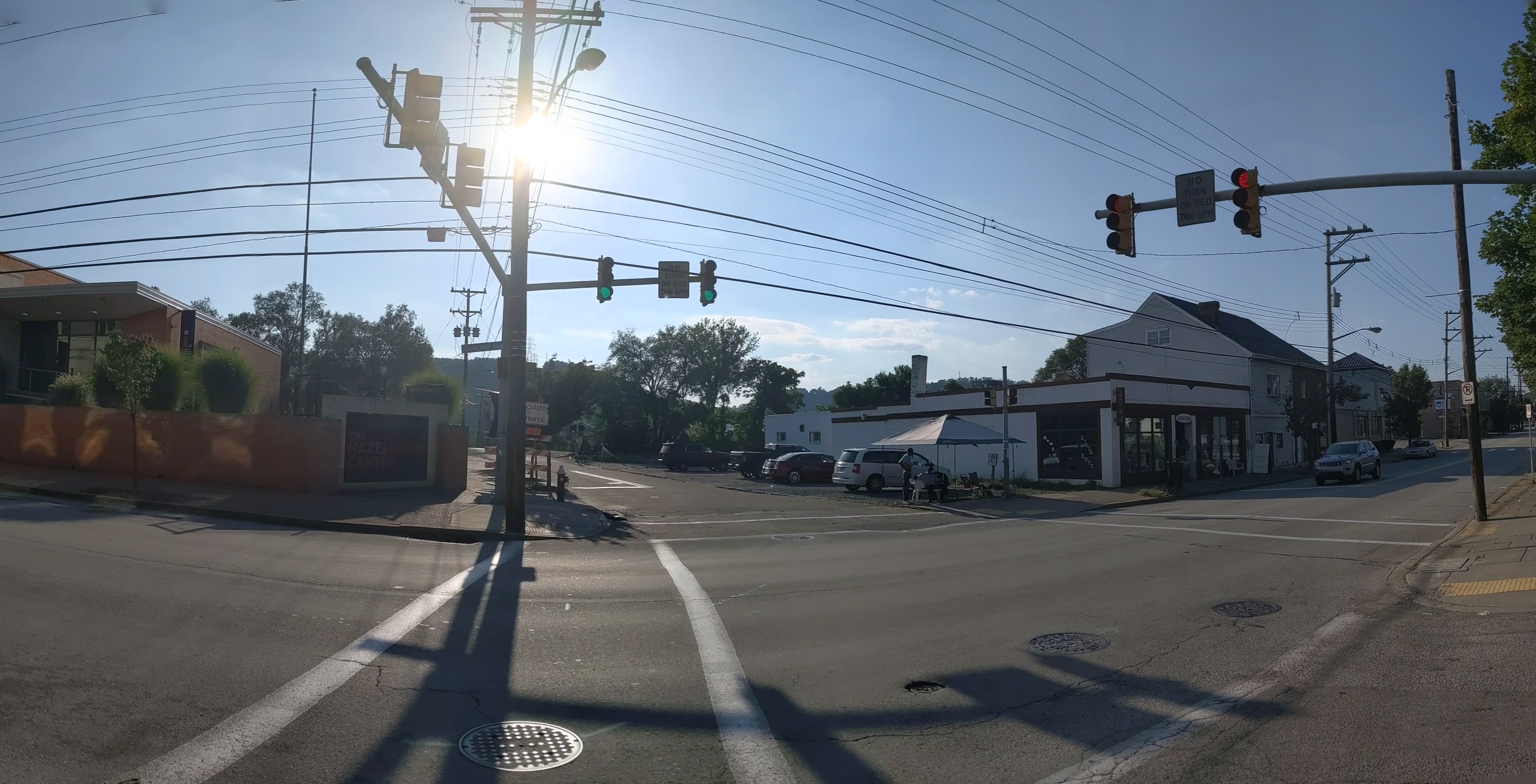
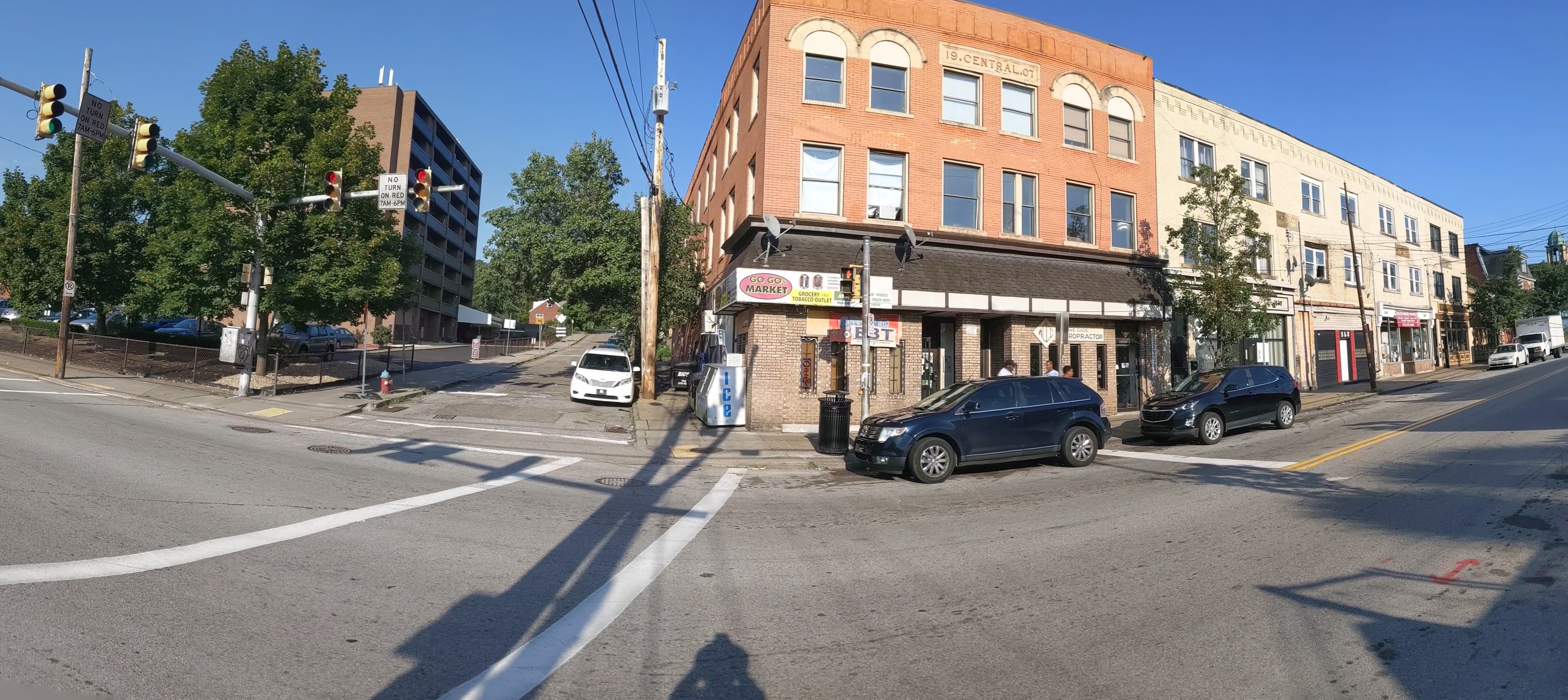
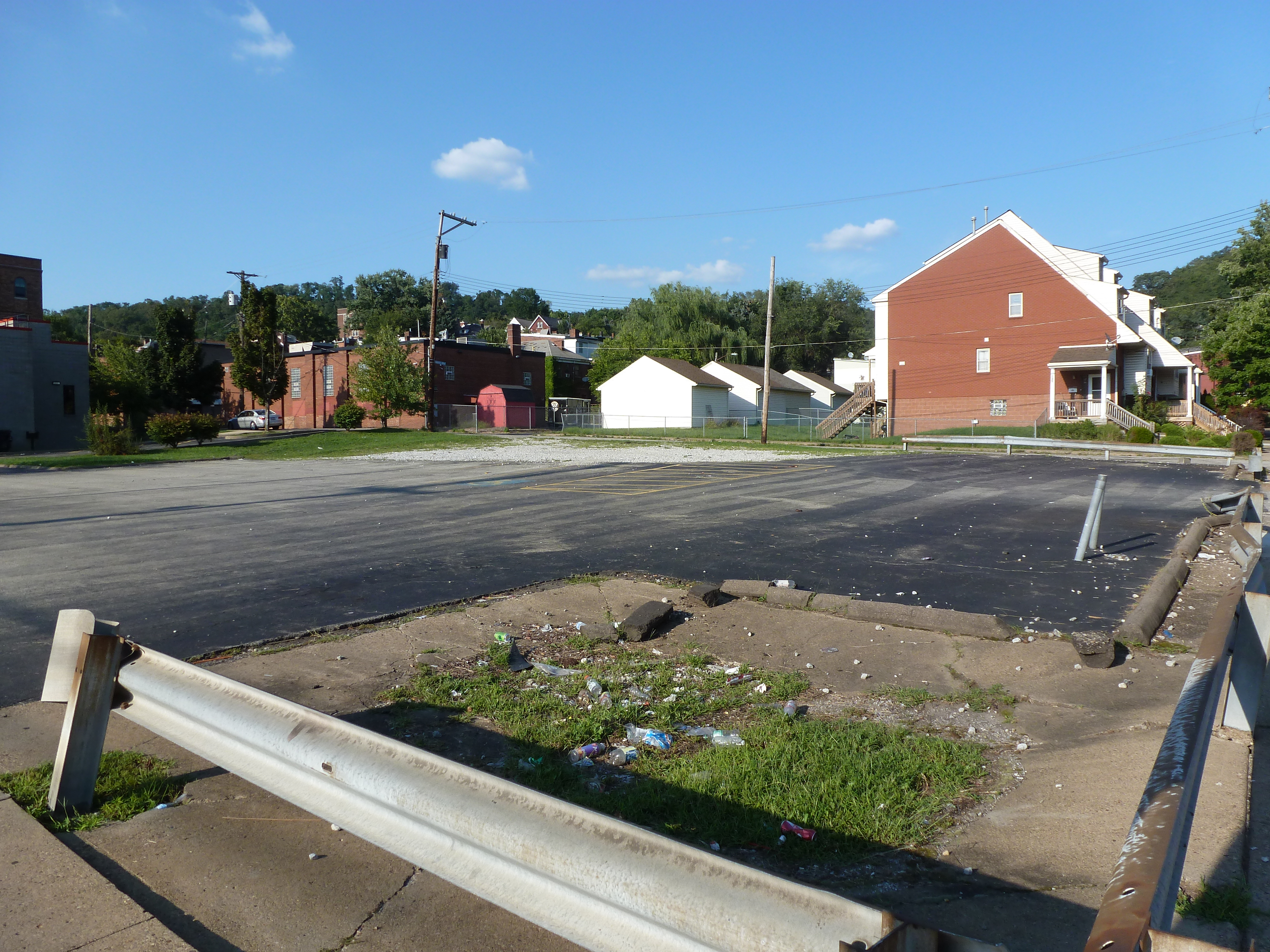
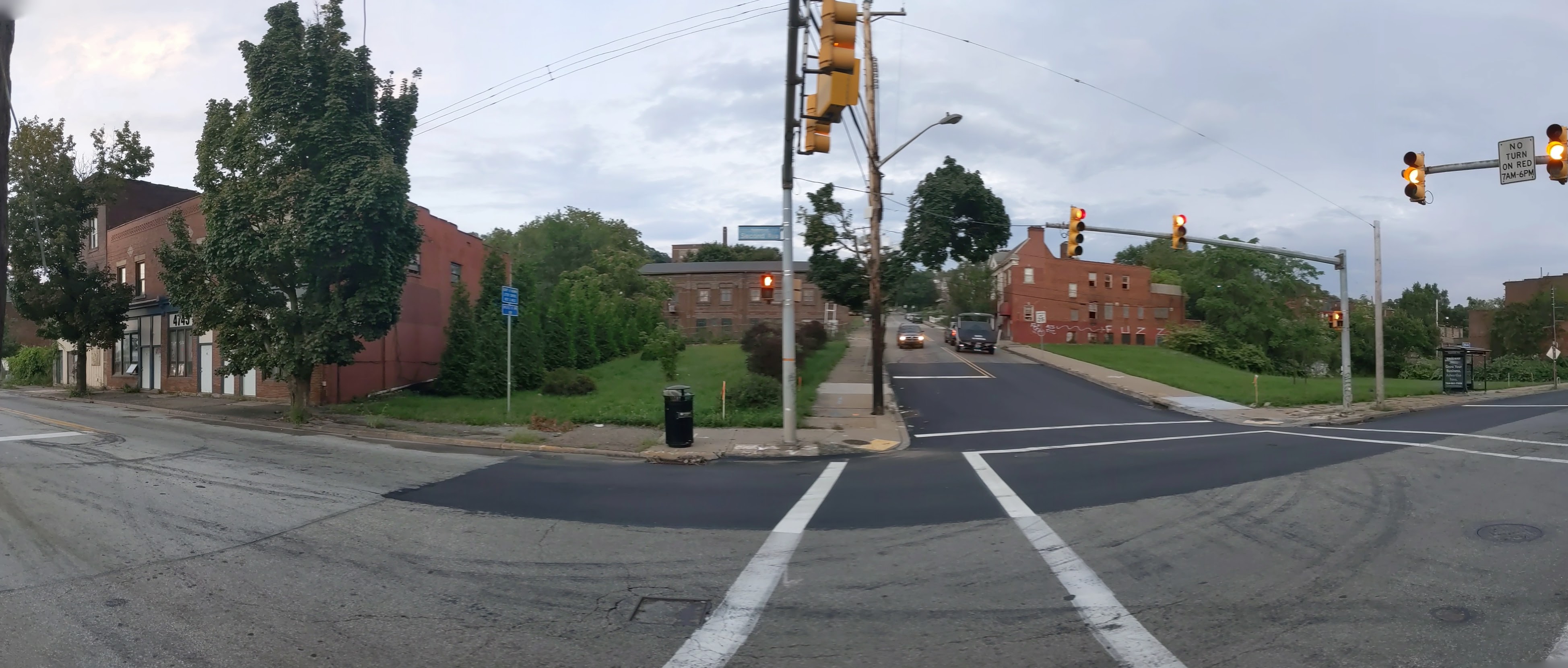
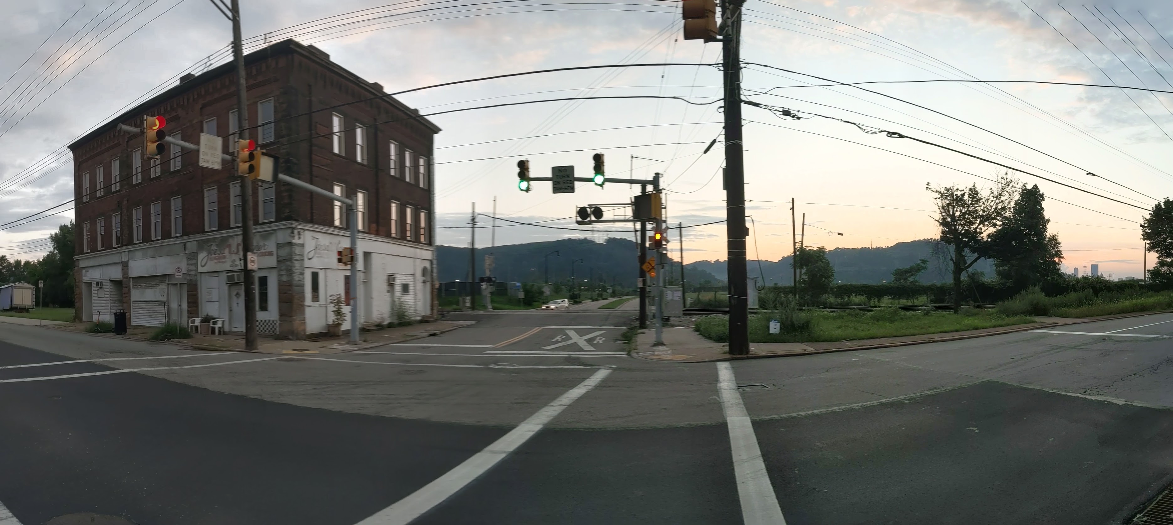
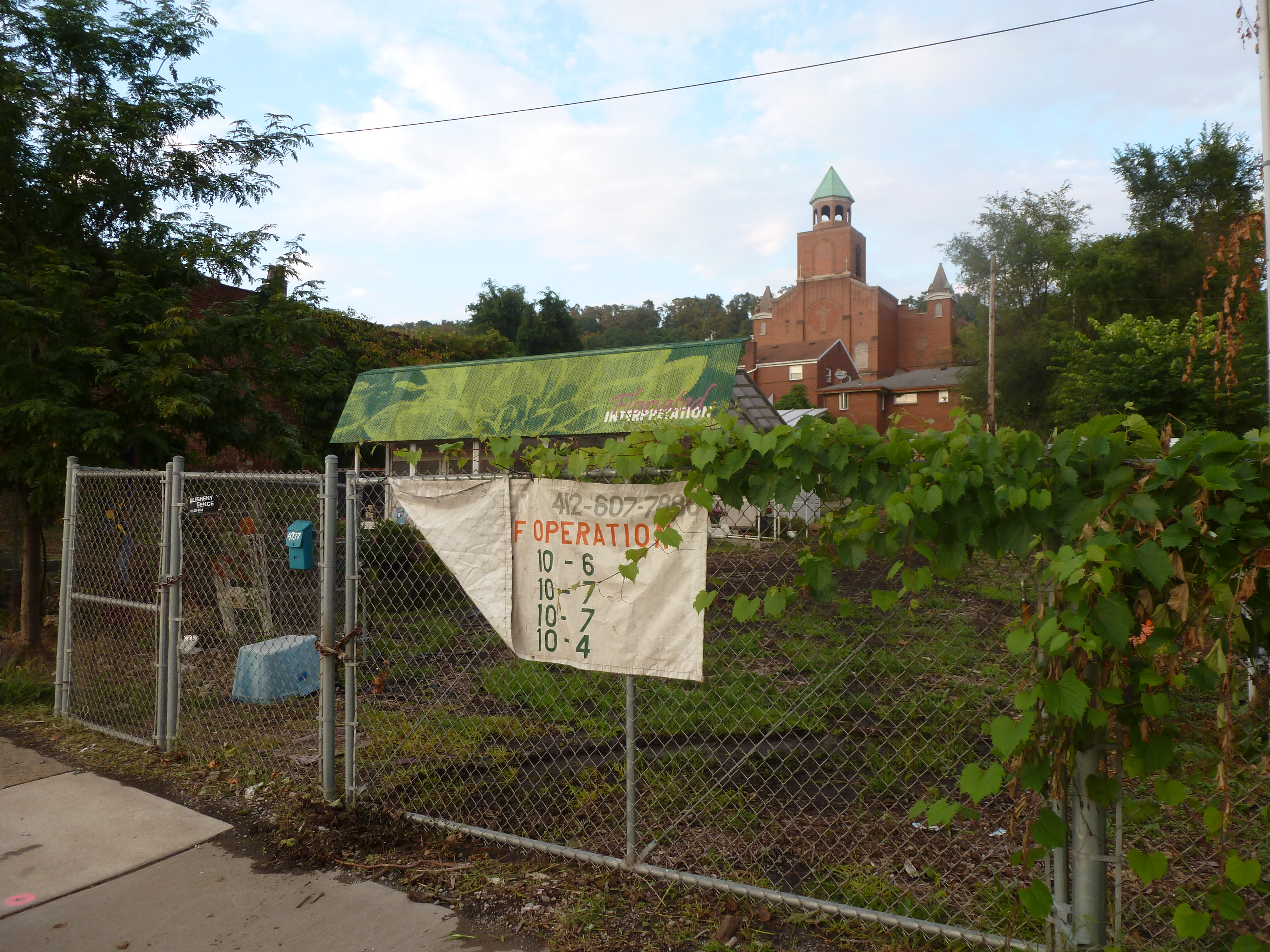
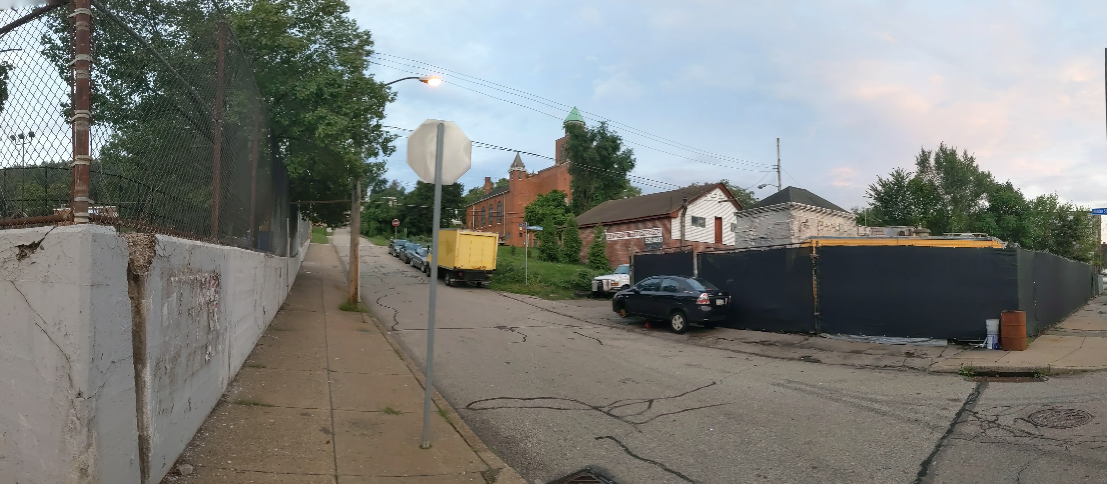
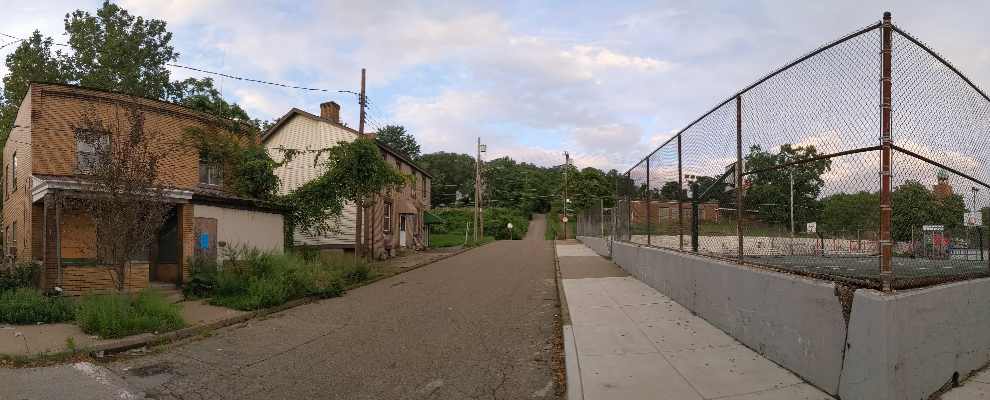
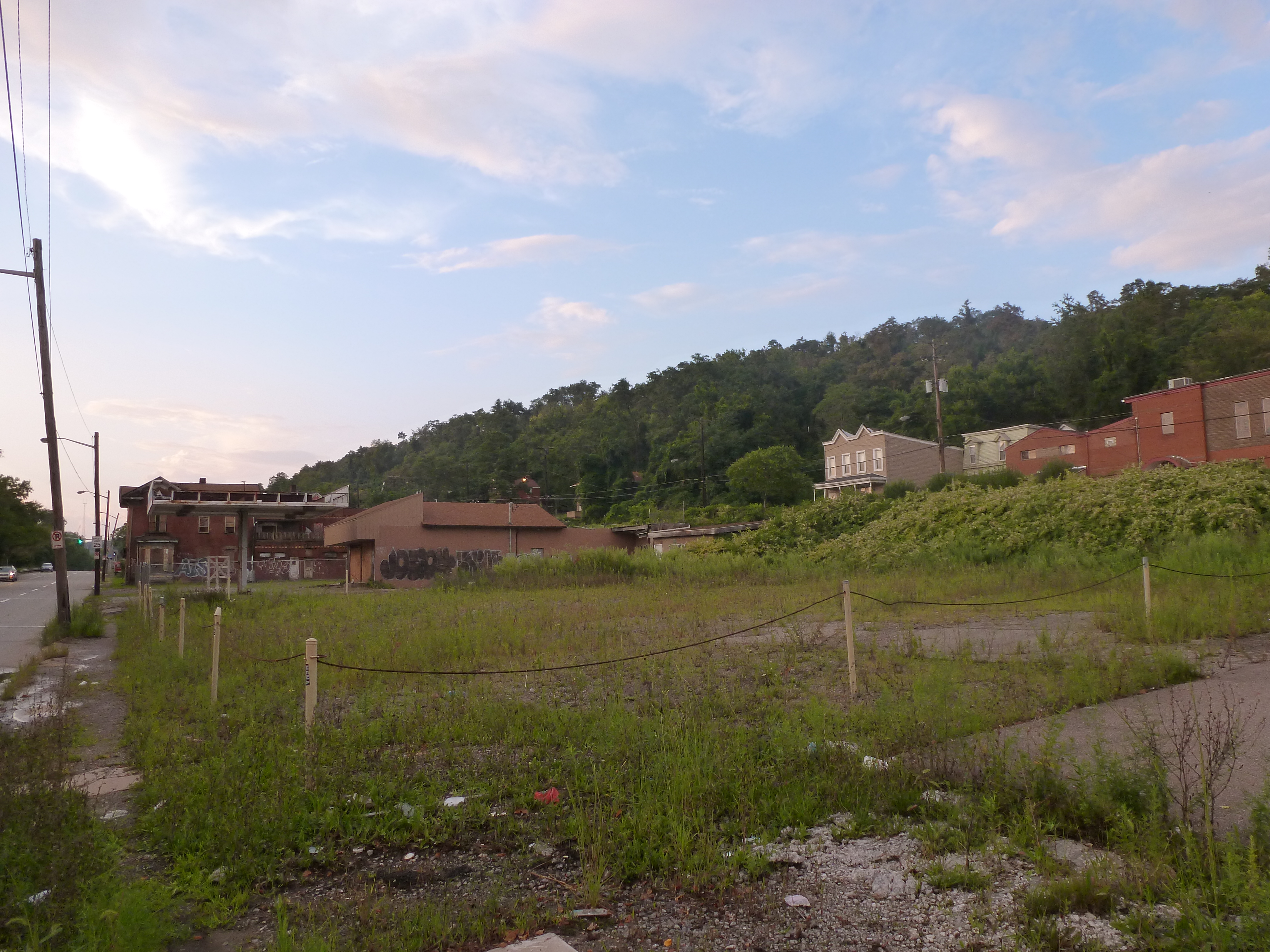
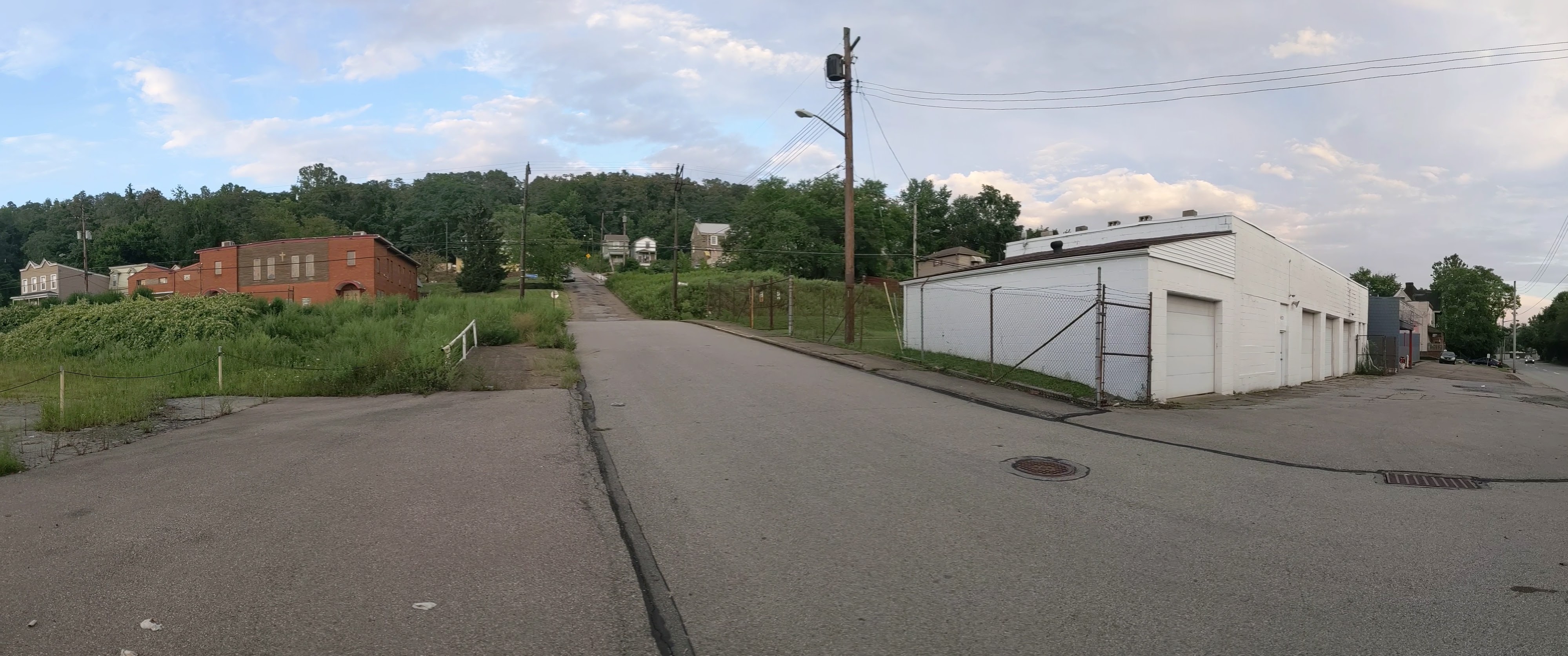
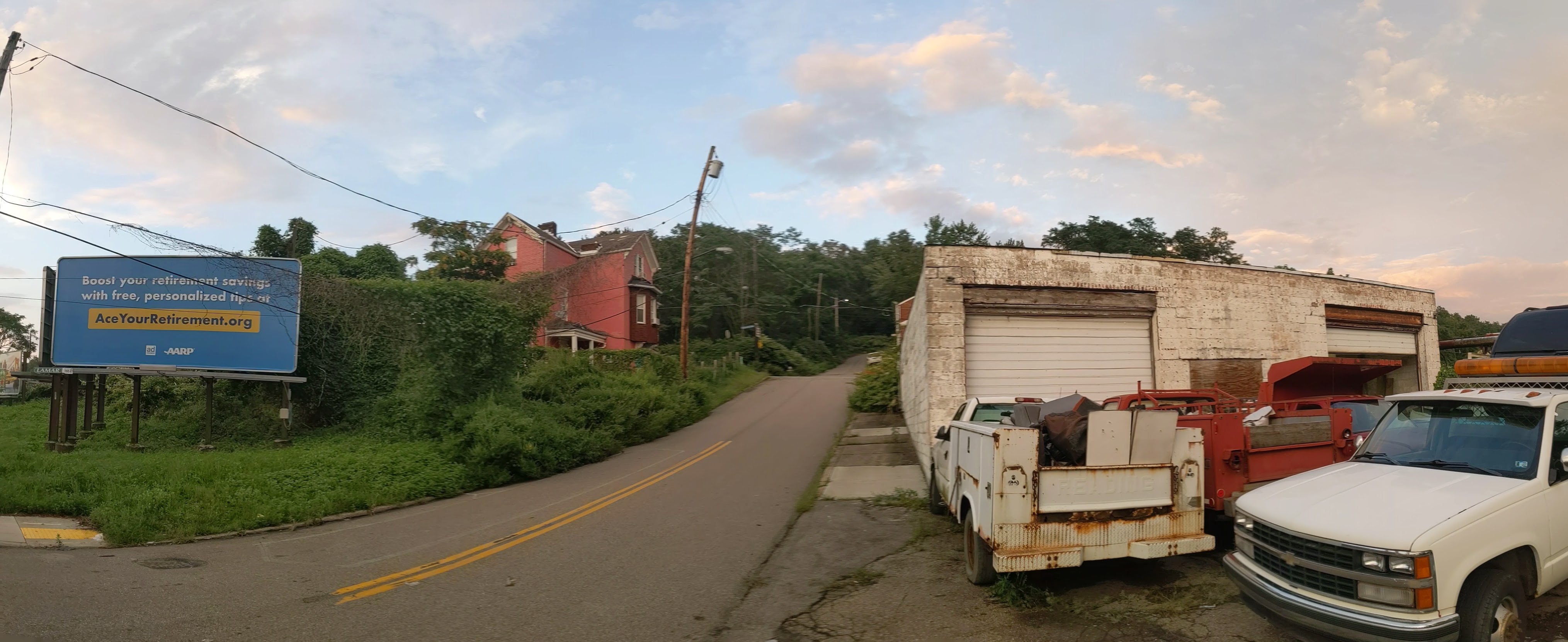
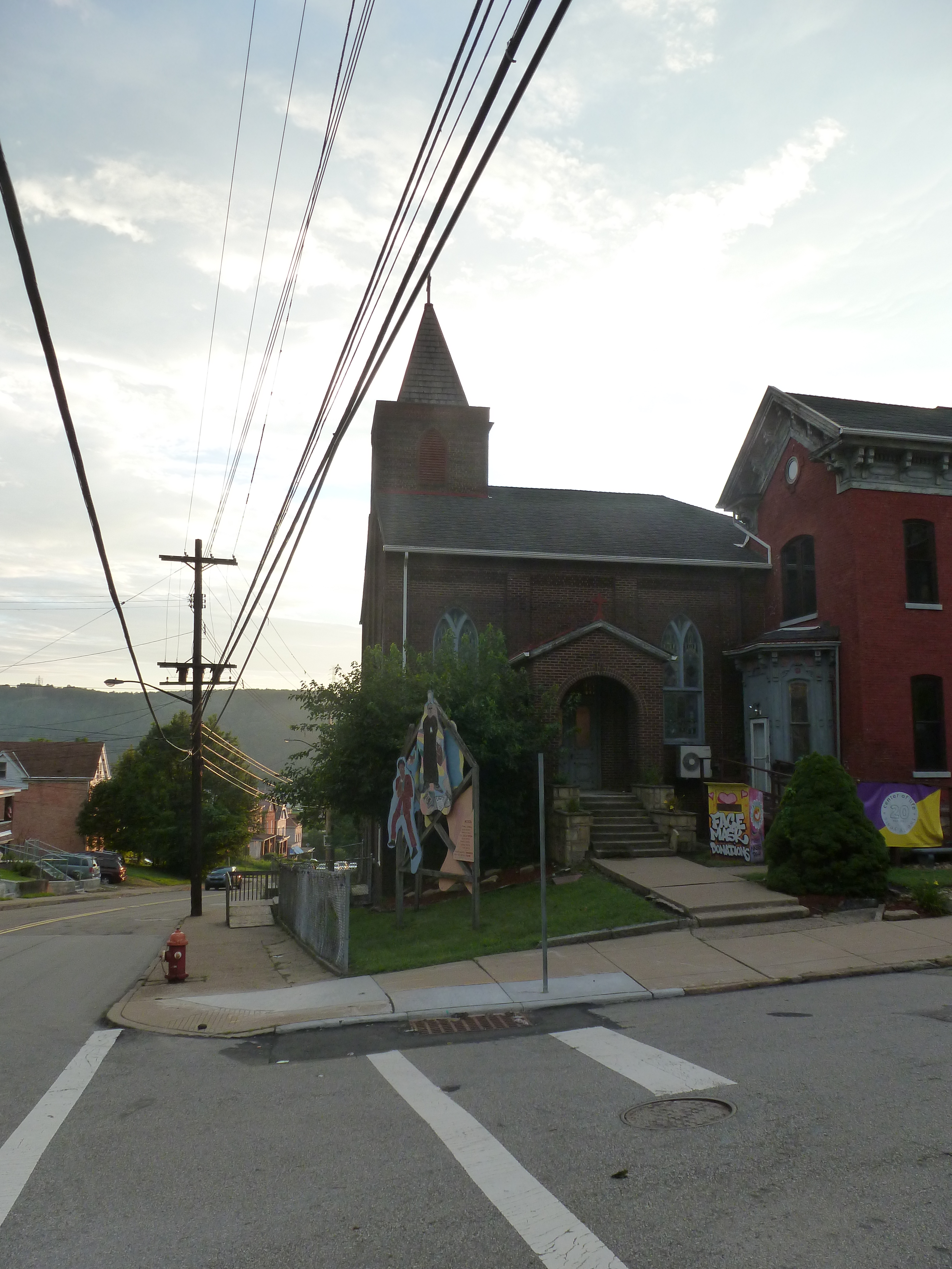
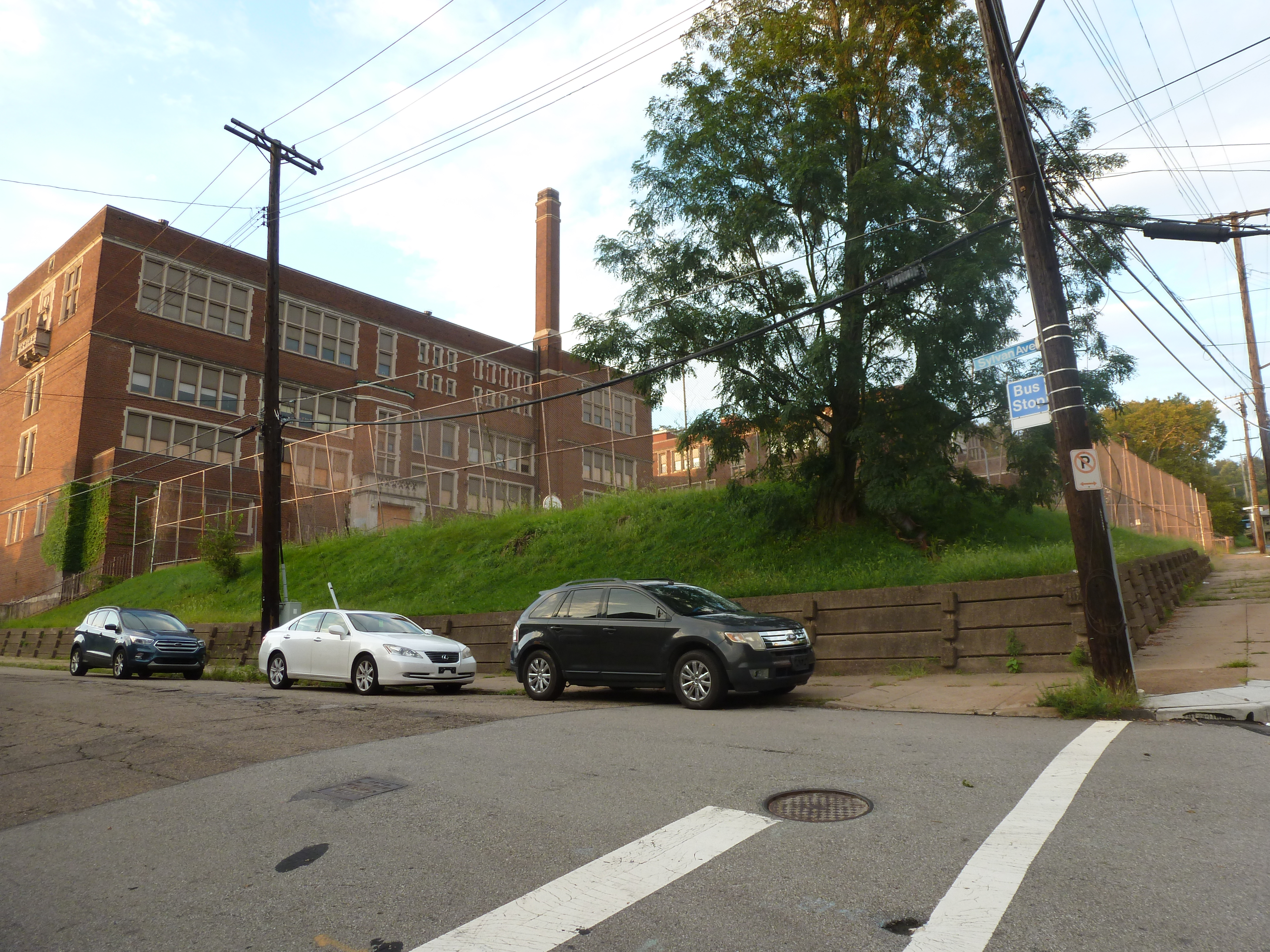
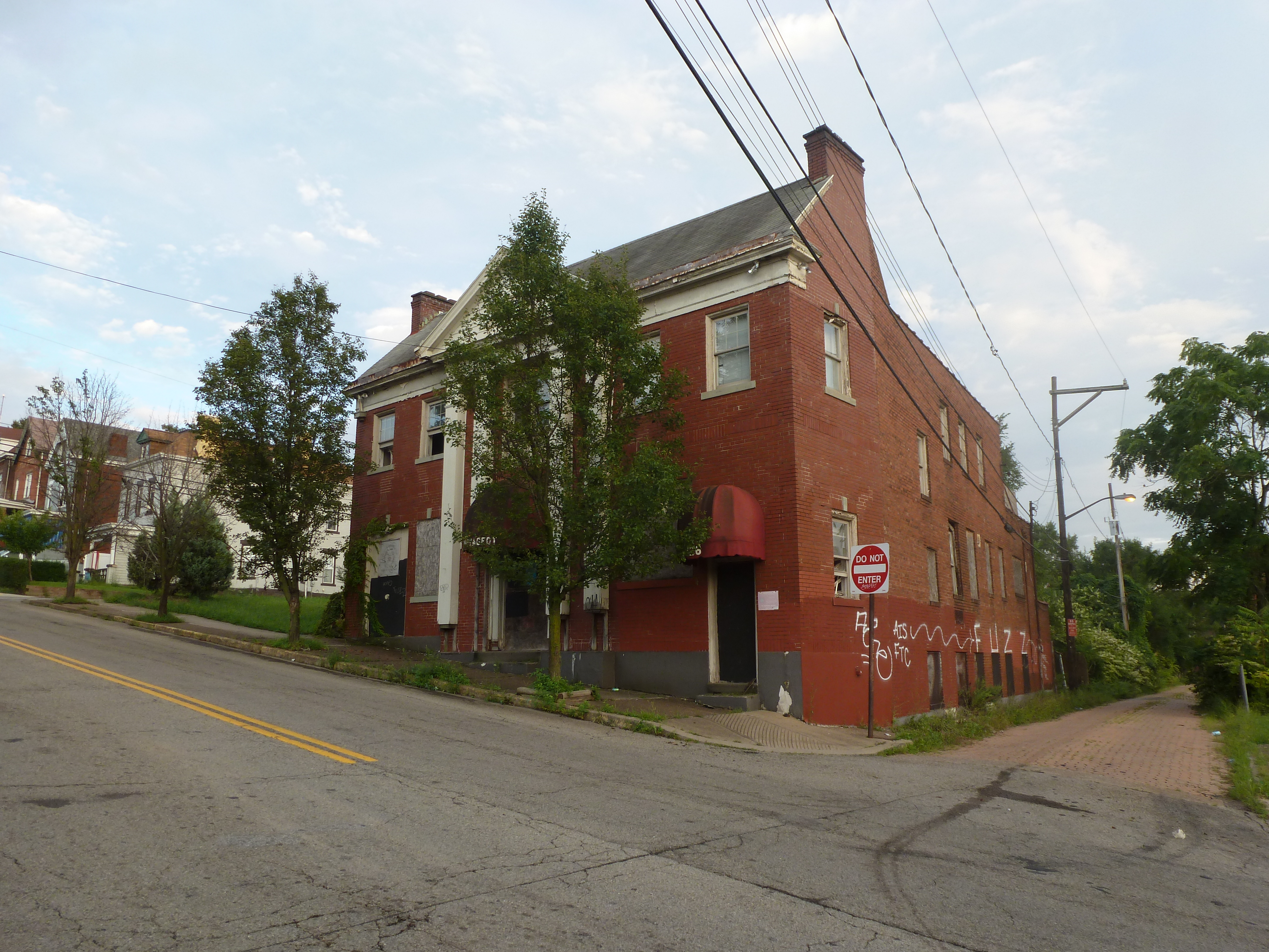
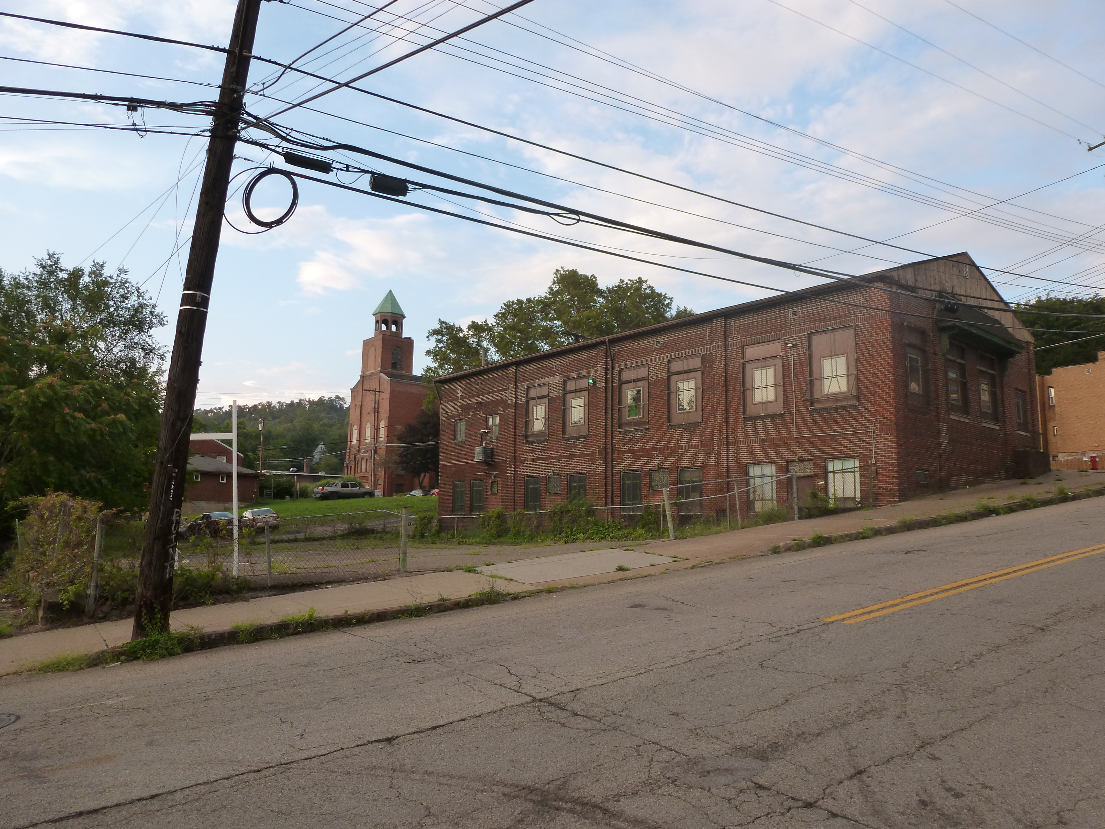
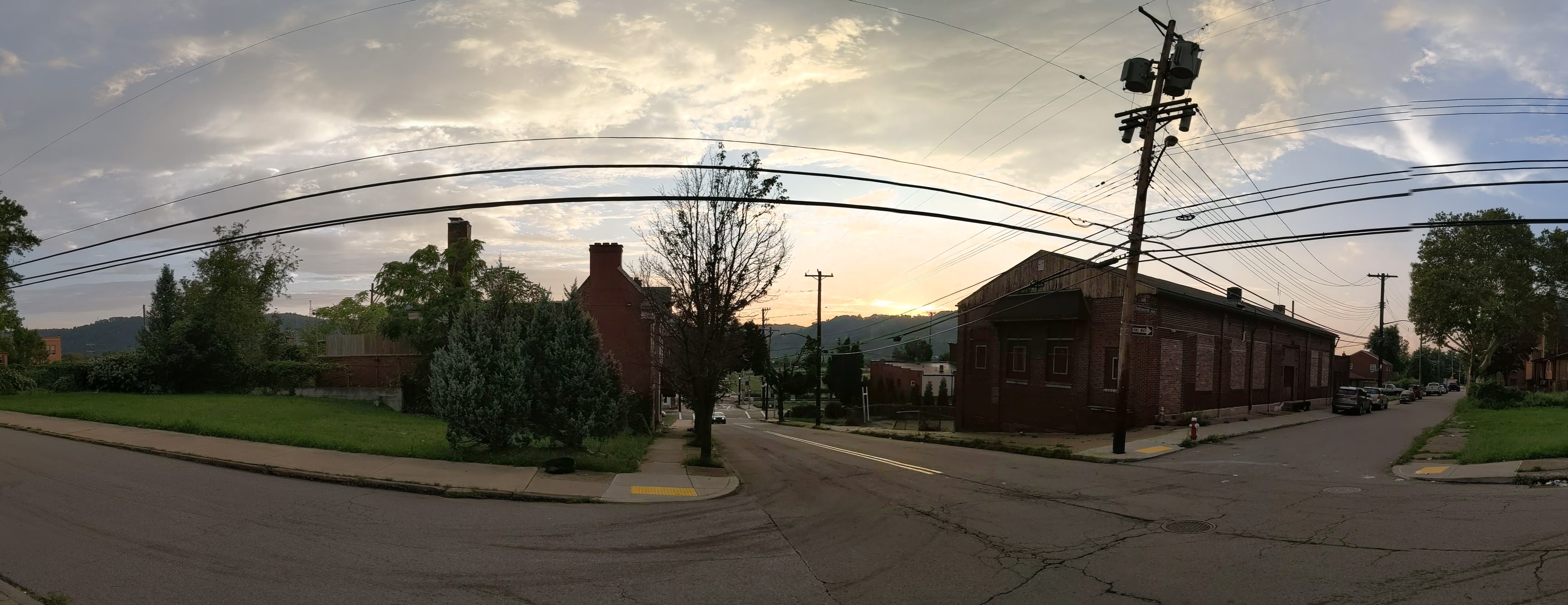
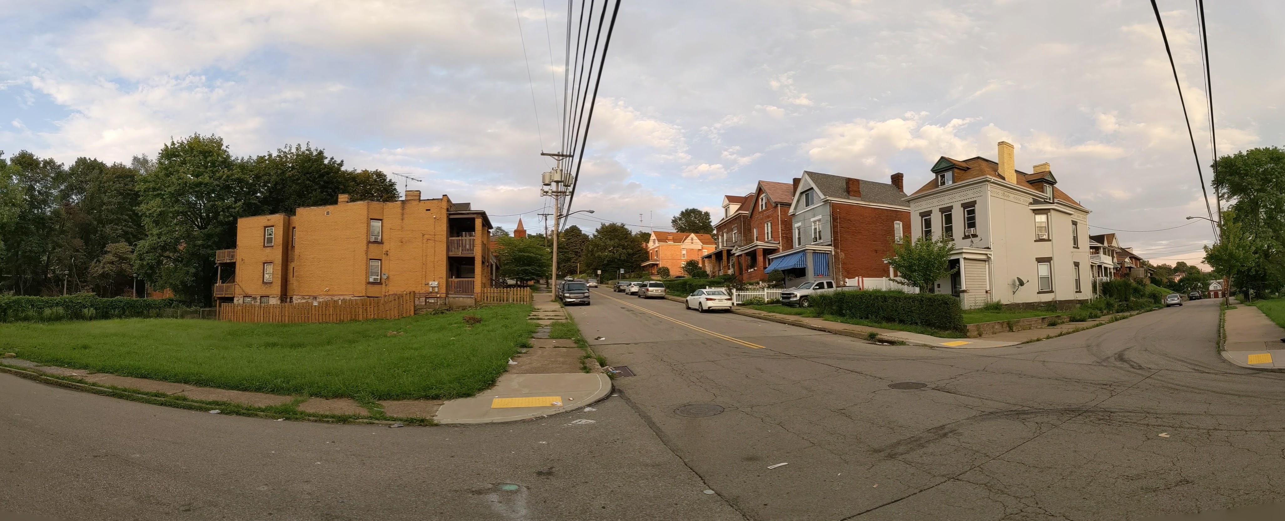
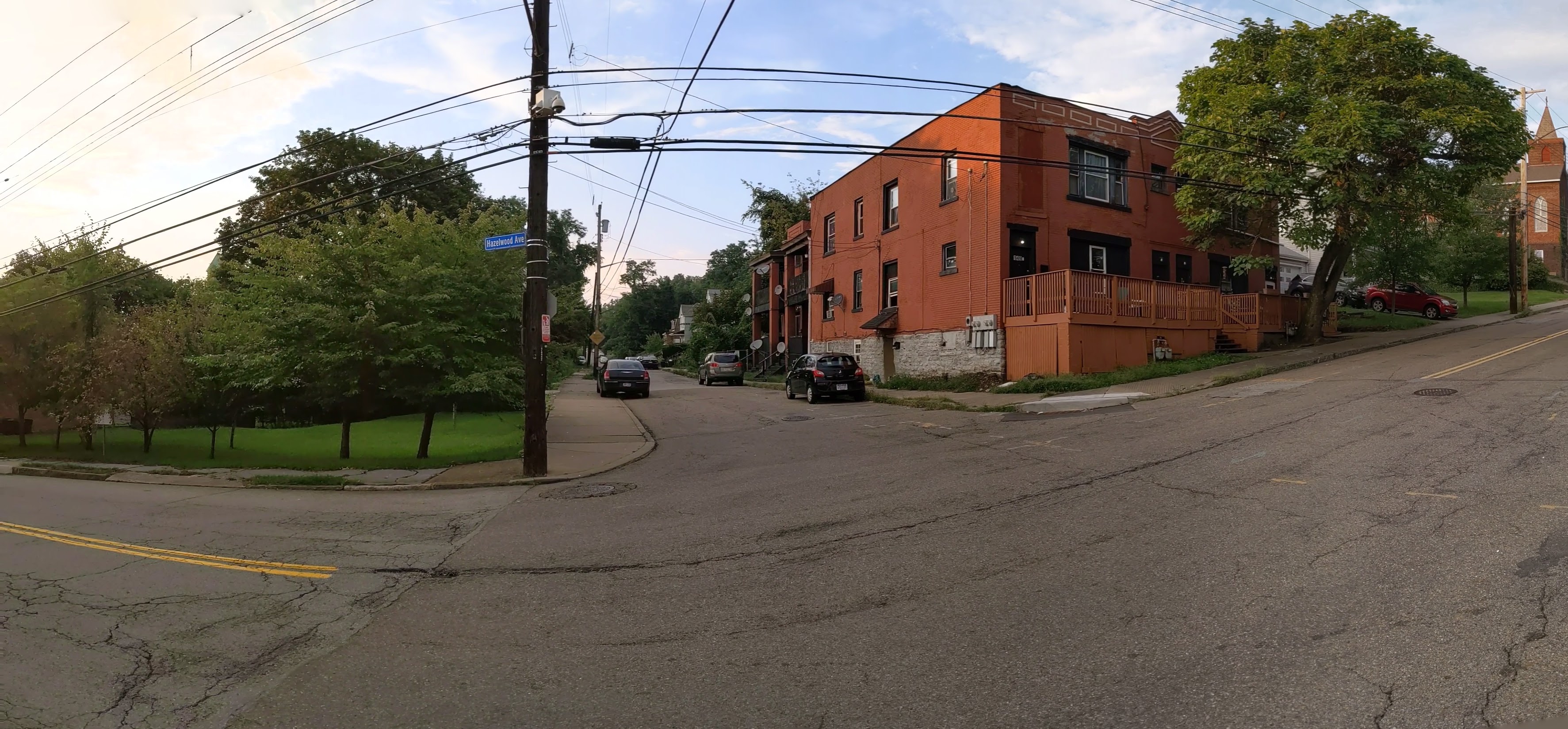
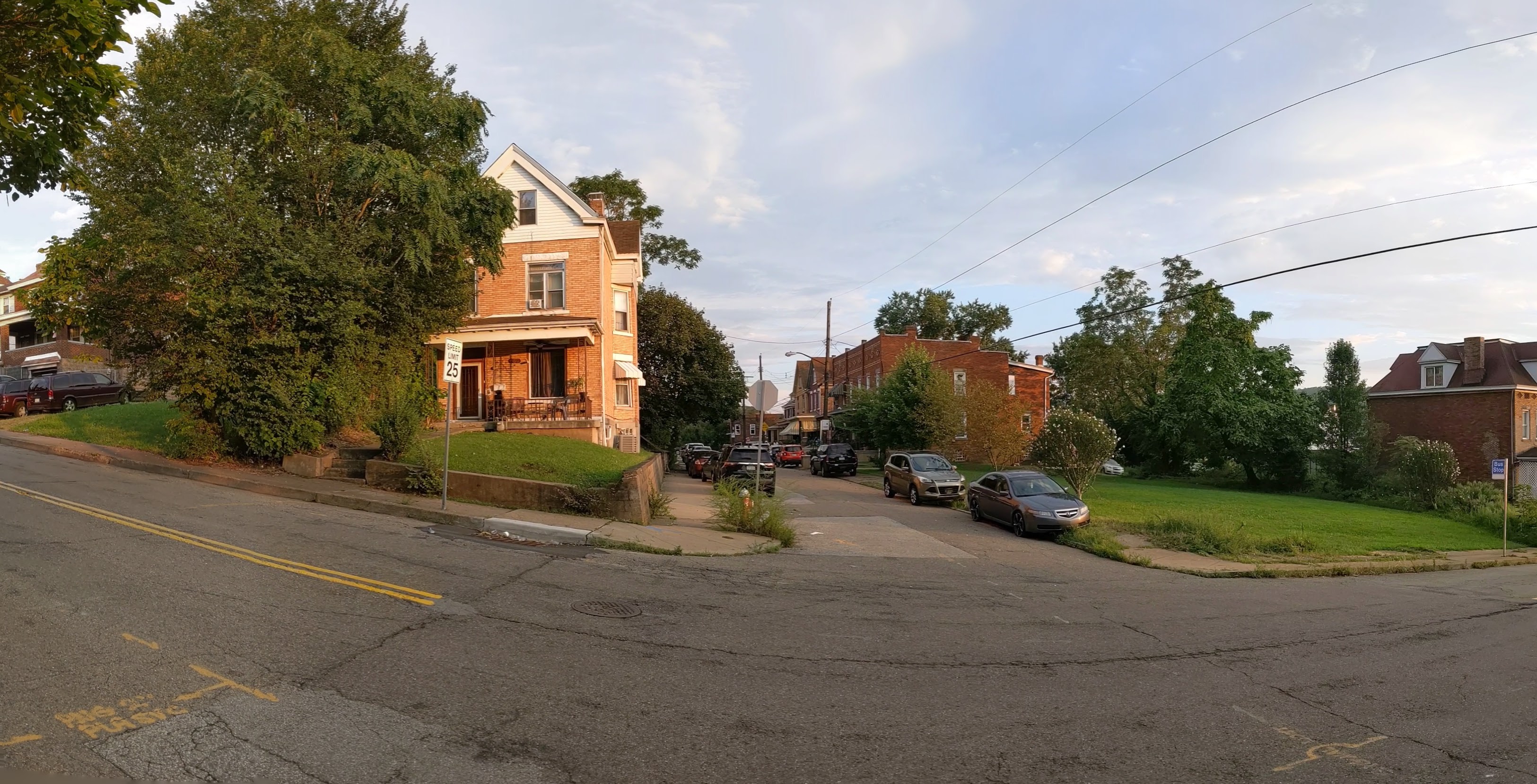
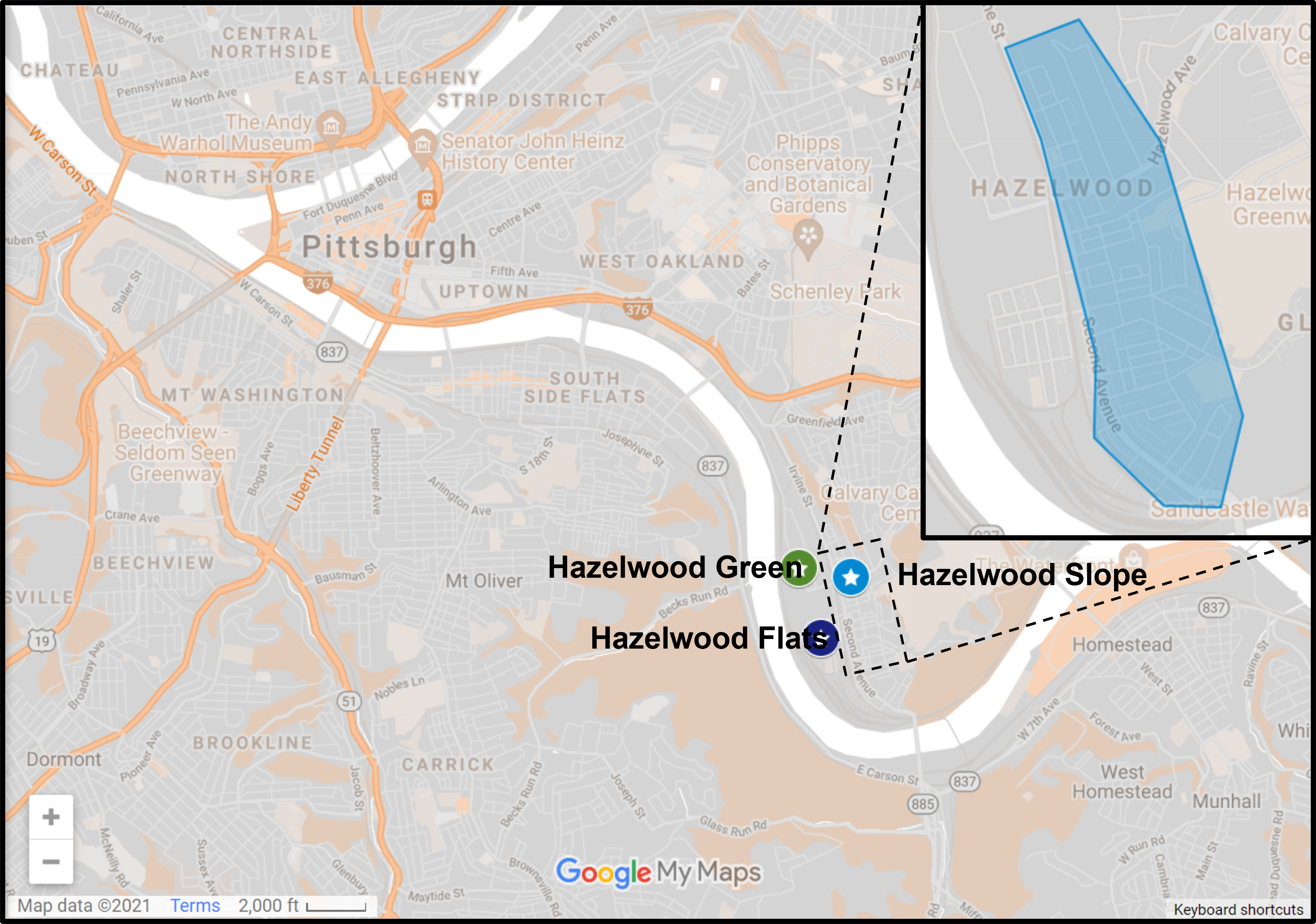
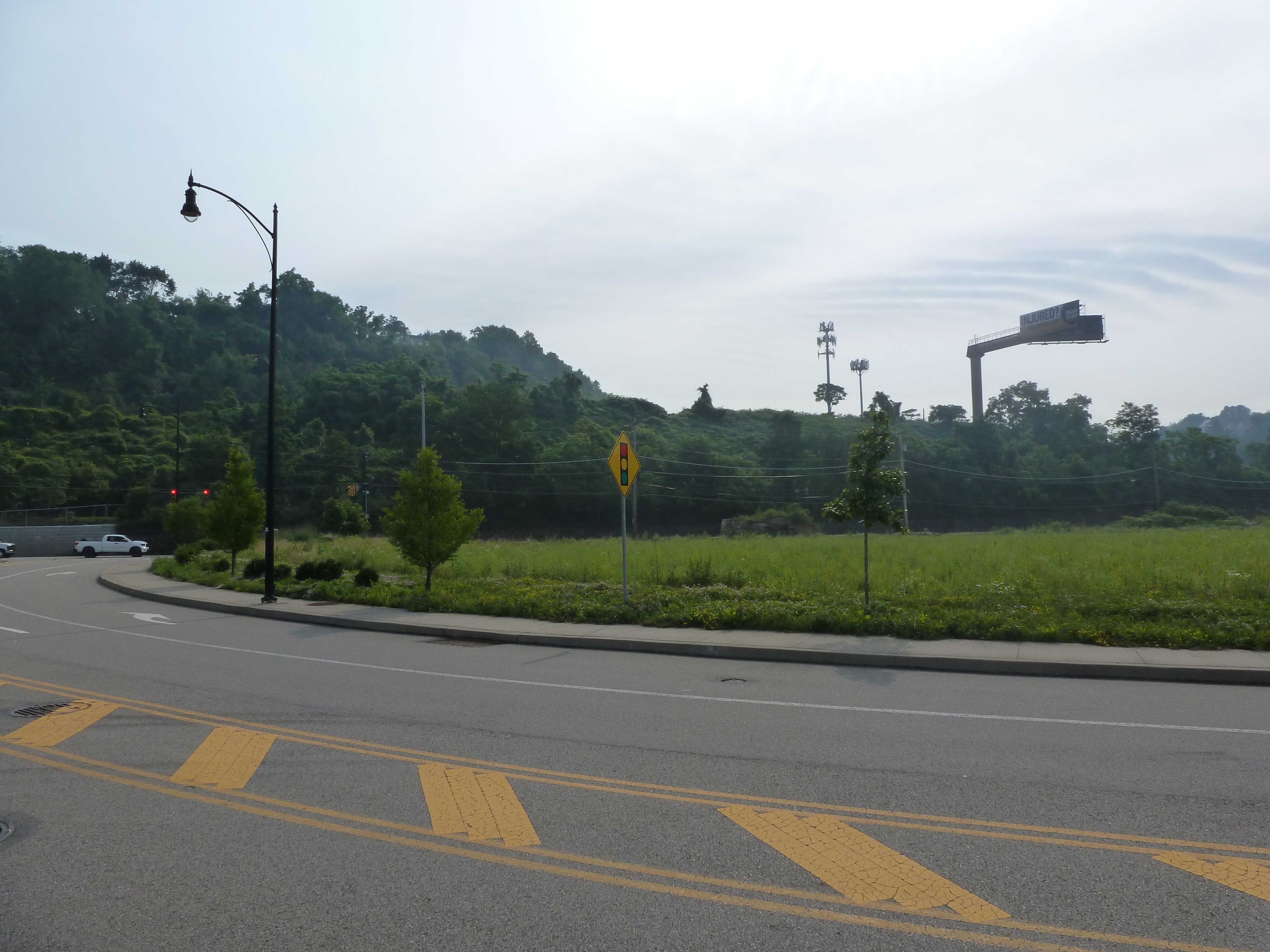
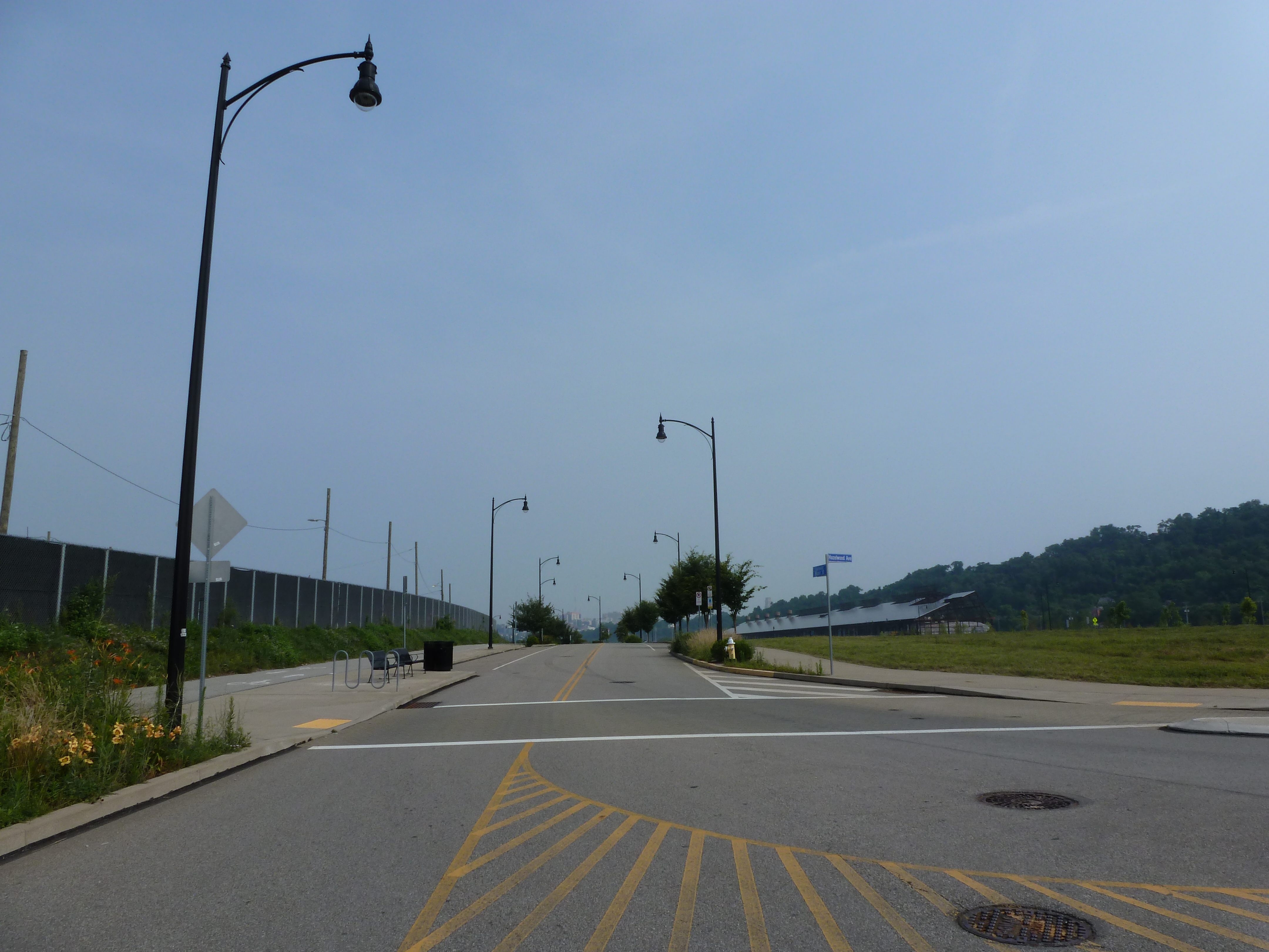
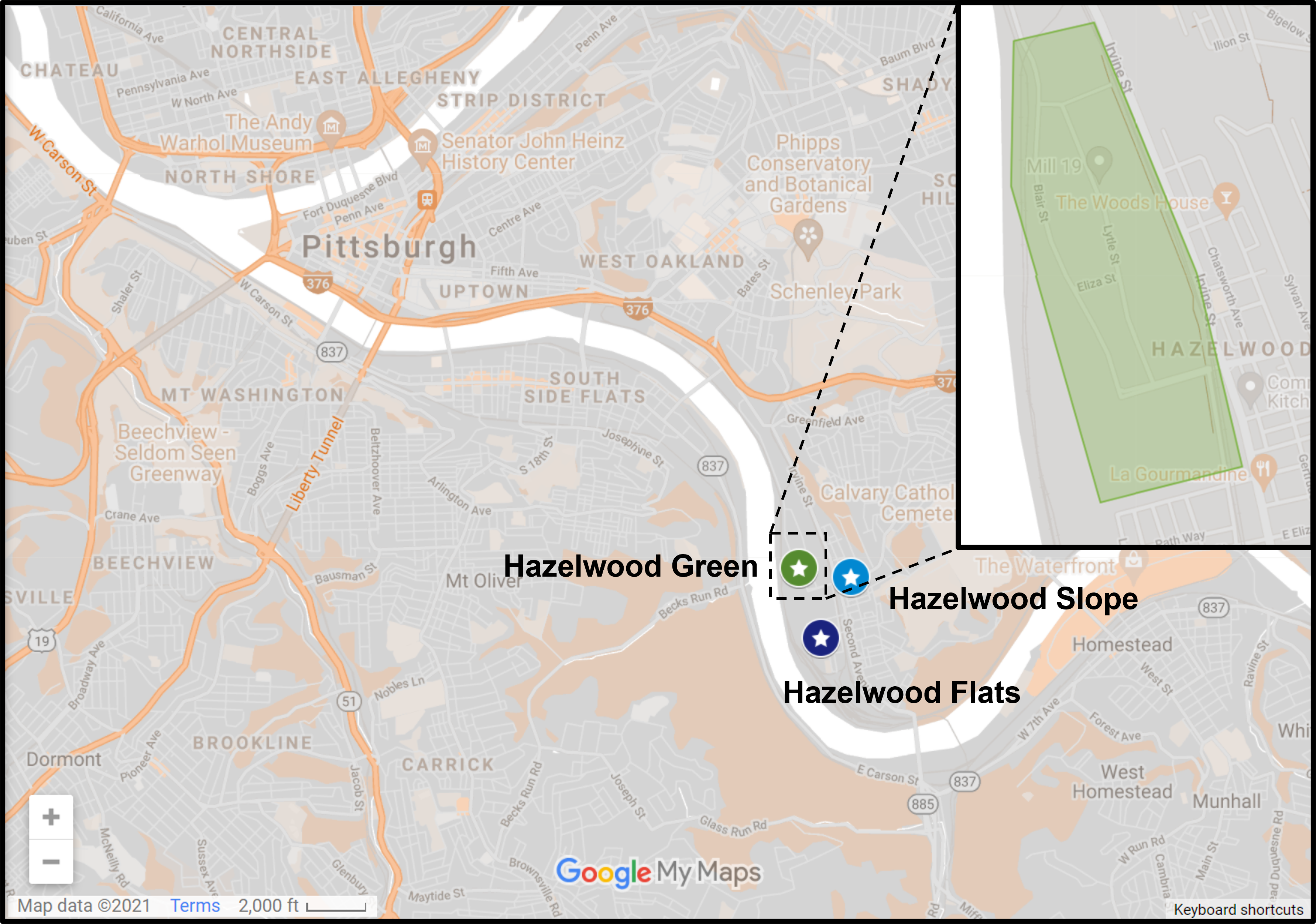
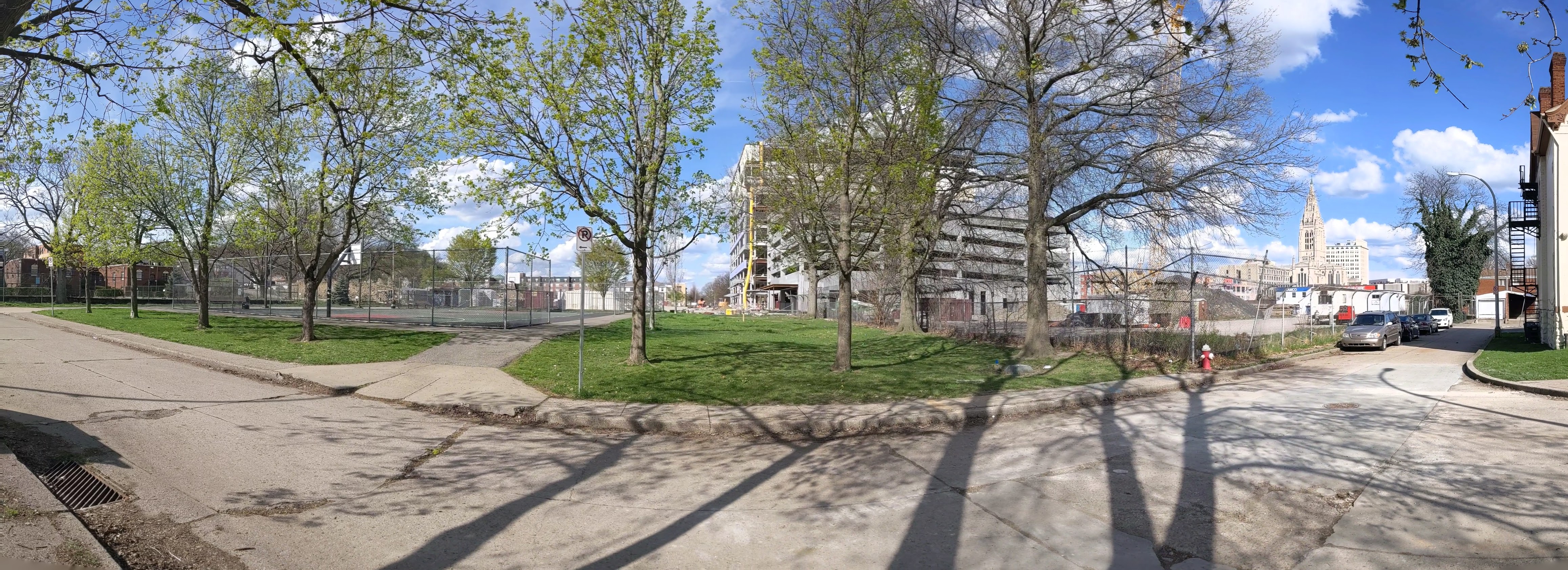
Hazelwood is a neighborhood about 4 miles down the Monongahela River from downtown Pittsburgh. It is currently experiencing significant change, at least in the Hazelwood Green portion. The area that I’m designating as Hazelwood Slope is everything outside Hazelwood Green and the small residential enclave between the tracks and the river that I call Hazelwood Flats. The Hazelwood Slope contains the neighborhood’s commercial corridor, cultural and historical sites, and the majority of the neighborhoods’ residences.
What’s New
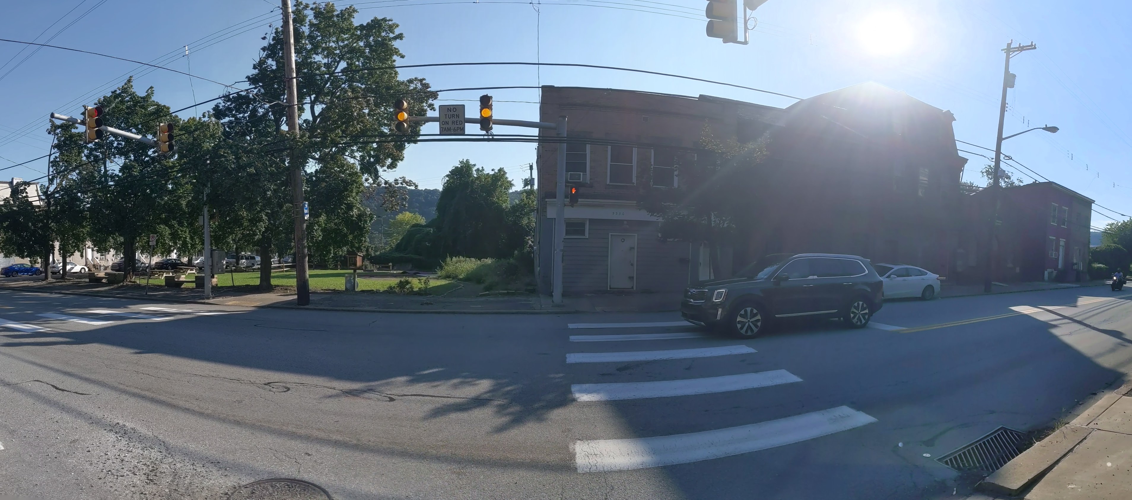
After my September 2020 check-in on Hazelwood, it seemed that changes in Hazelwood were happening at a slower pace than the other sites I’m keeping an eye on. So I decided to switch from a 6-month interval to a 12-month interval between visits. A few months ago, I saw construction vehicles and other signs of activity while driving down Second Ave through Hazelwood. I thought perhaps I was missing out on some activity. However, when I walked through the neighborhood this month, I couldn’t find any signs of recent demolition or recent construction.
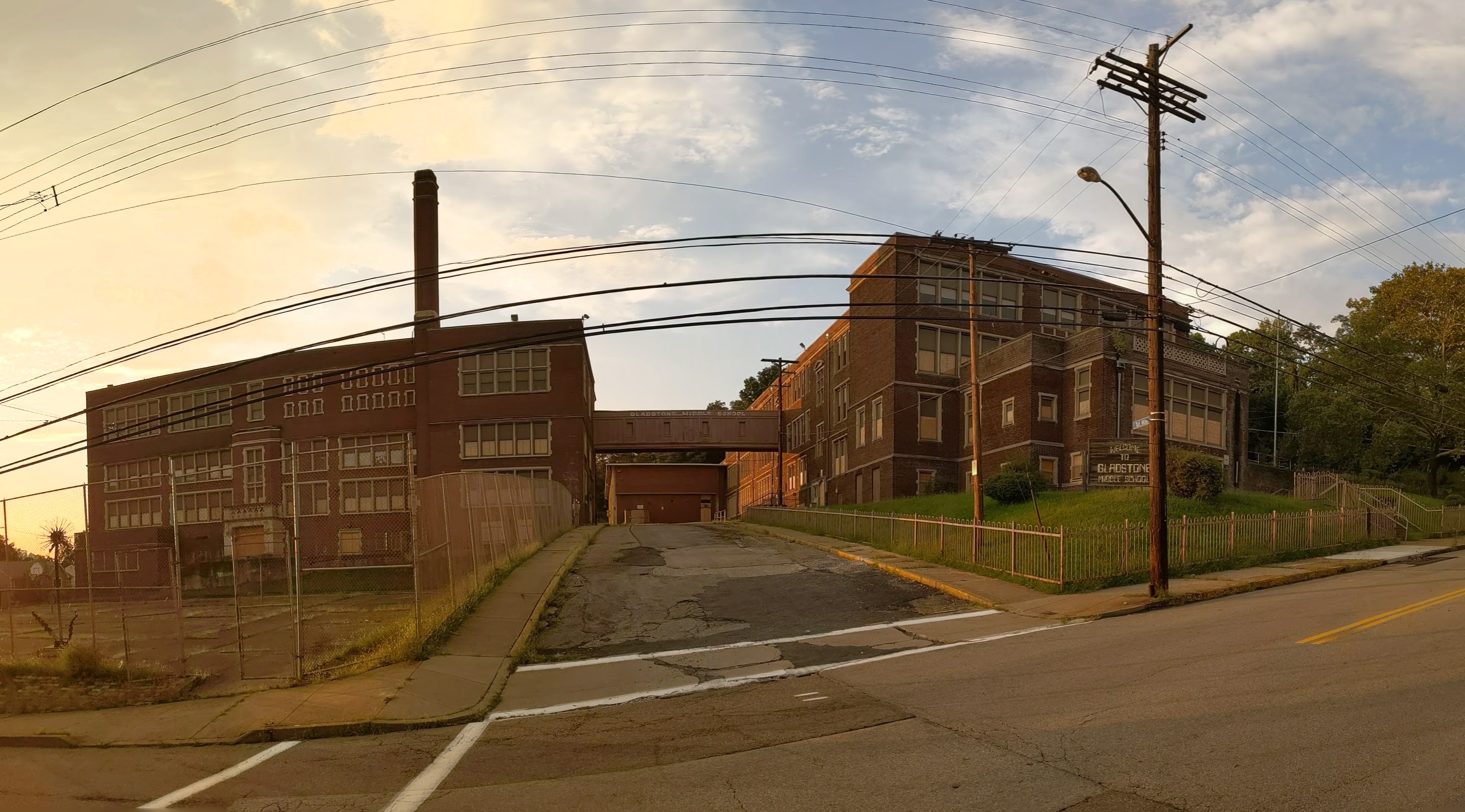
An exciting project that is projected to start soon is the conversion of the former Gladstone School to affordable housing. There were subtle signs of site prep when I walked by this month. Construction is expected to start before the end of the year with an anticipated completion date in 2023.
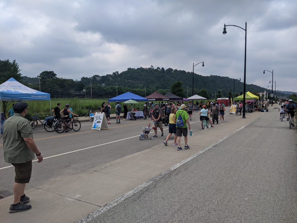
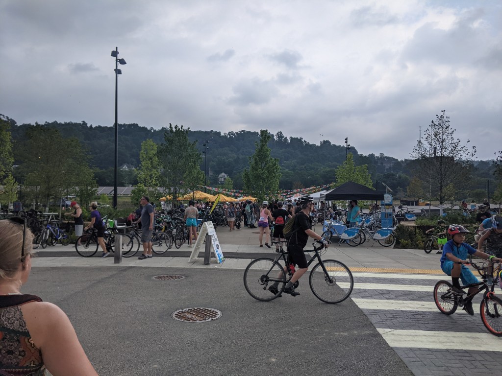
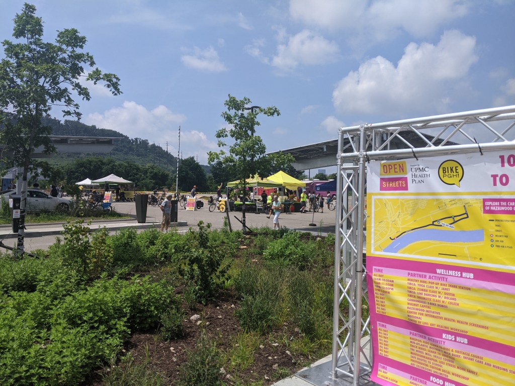
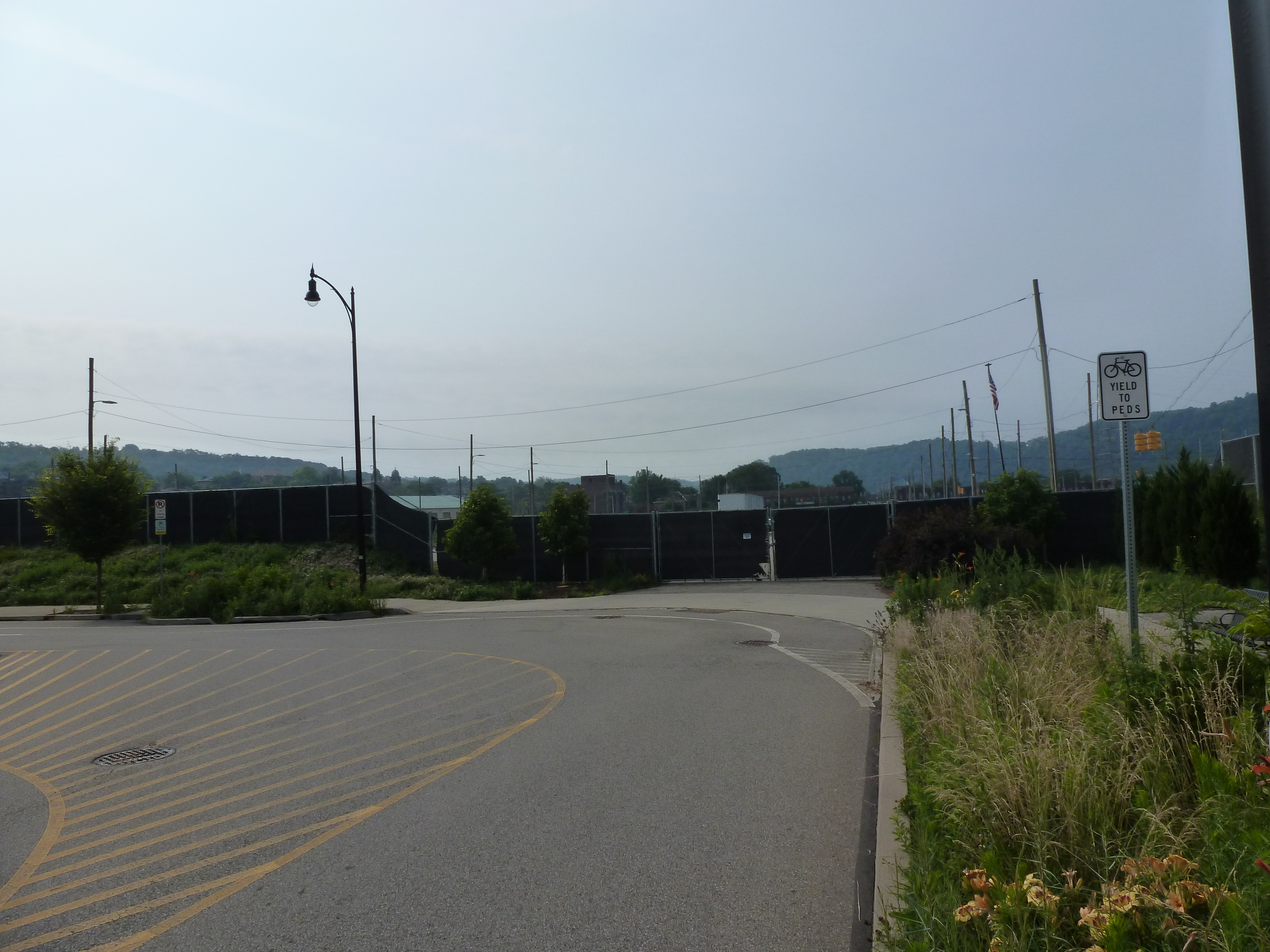
I was confused when Open Streets Pittsburgh announced that it was closing the streets in Hazelwood Green to cars and opening them to bicycles, roller skates, walkers, etc. Unlike the other locations they’ve done, not many cars use these streets and there aren’t any businesses on the site that people would come back to patronize after the festival.
However, it worked as a vehicle to increase awareness of the bike trail, plaza, and repurposed industrial buildings on the site. People who never or rarely come to Hazelwood, but come to Open Streets, came and participated. There were far more people than I’ve seen congregated in a single location since the beginning of the pandemic, which is also an exponential increase in the number of people I’ve seen in Hazelwood Green either pre-, post-, or during pandemic.
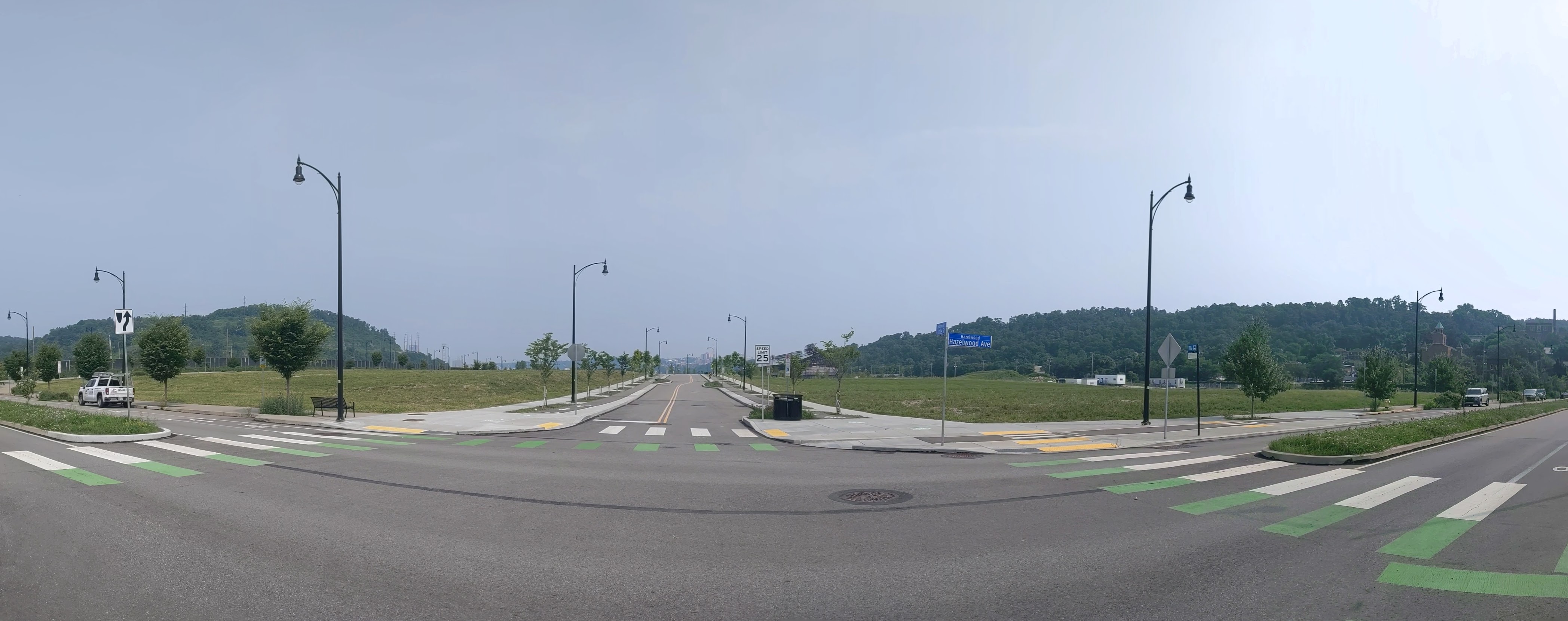
It was great to see the new plaza put to one of its intended uses as a concert venue with vendors on the paved portion. I arrived in time to grab some lunch from the tent for C&D’s Kitchen, a local Hazelwood restaurant, before finding a good seat to enjoy Jimmy Adler’s Blues Band and people watch. A young girl unconsciously stopped in her tracks to swing her hips to the music (not having the muscle coordination yet to do both). Across the green, a man kicked off his shoes to boogie on the grass.
I hope to enjoy many more such sights at events in this plaza.
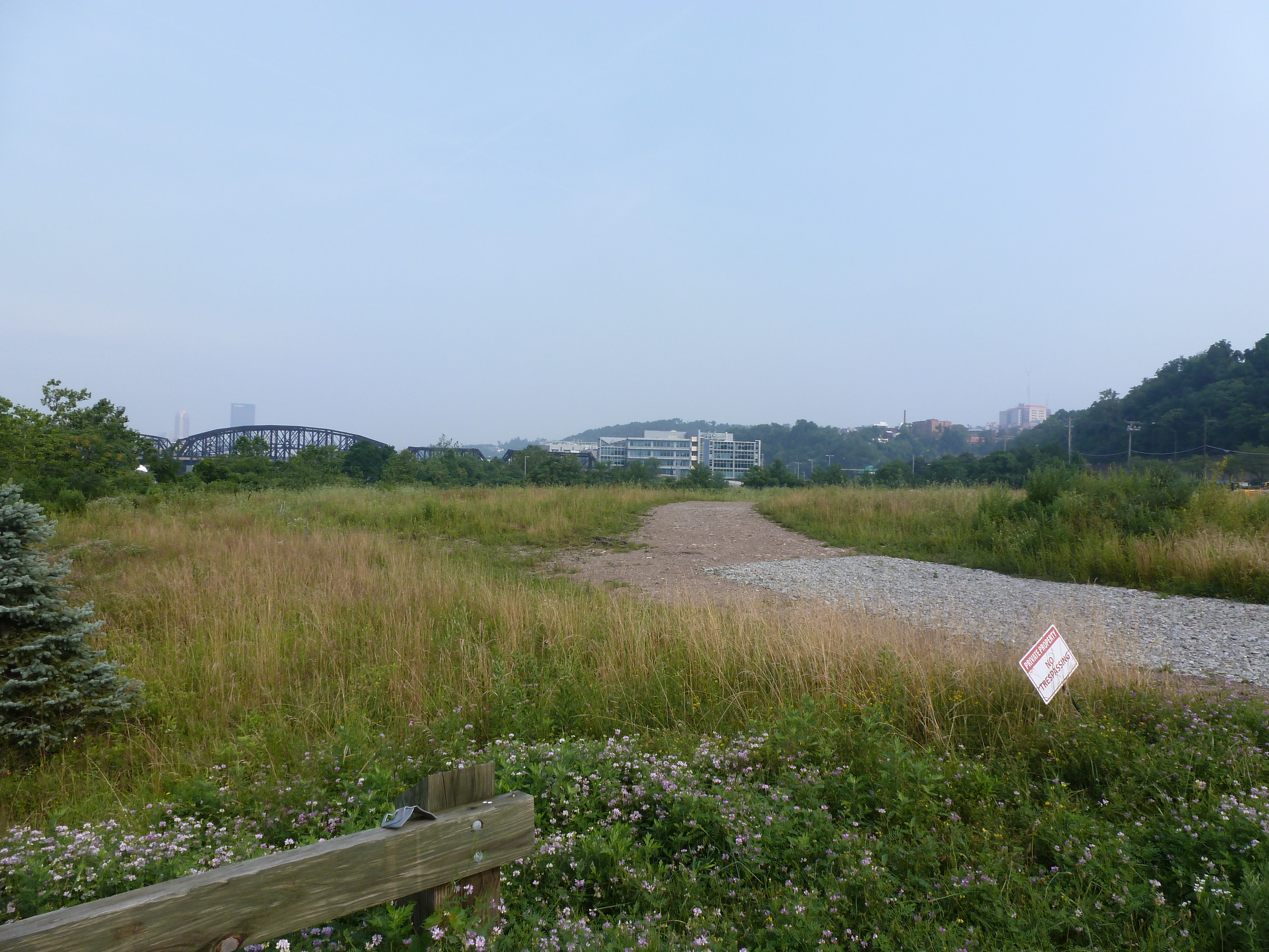
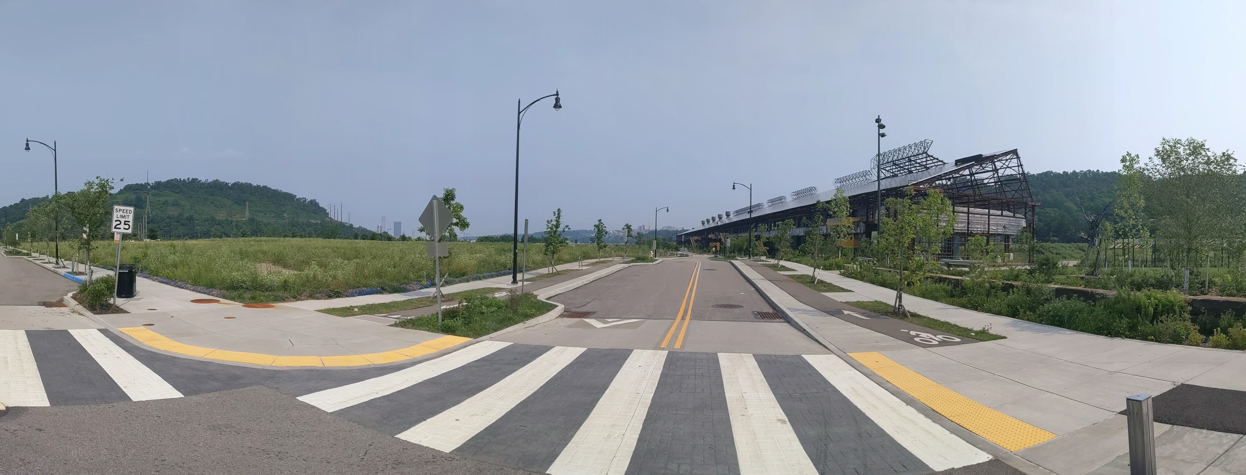
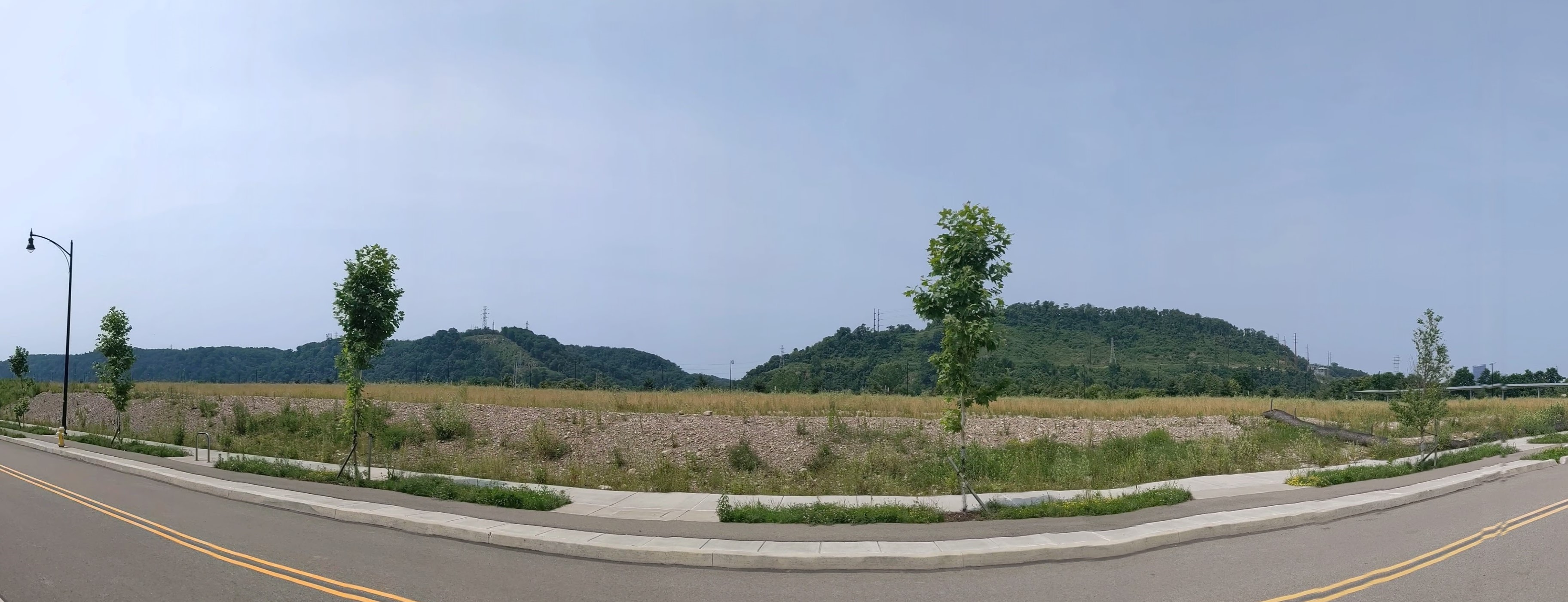
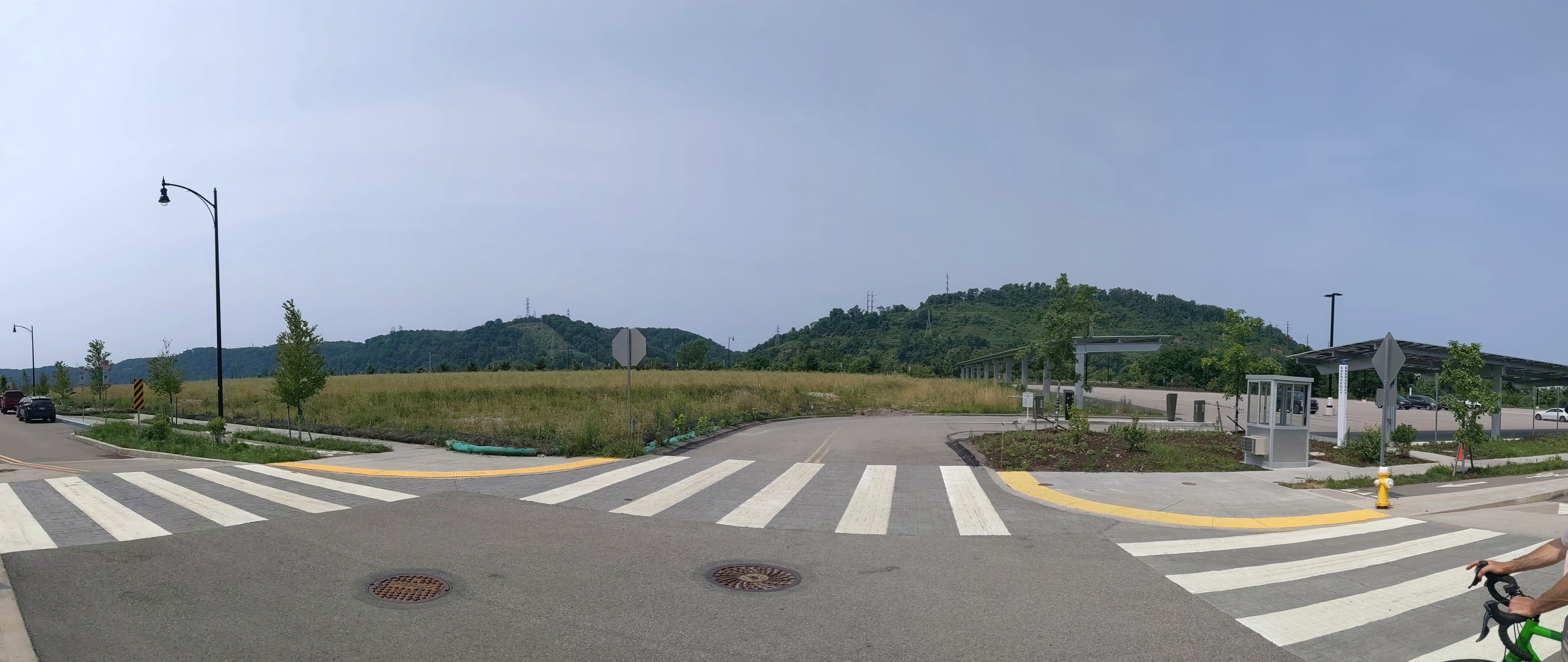
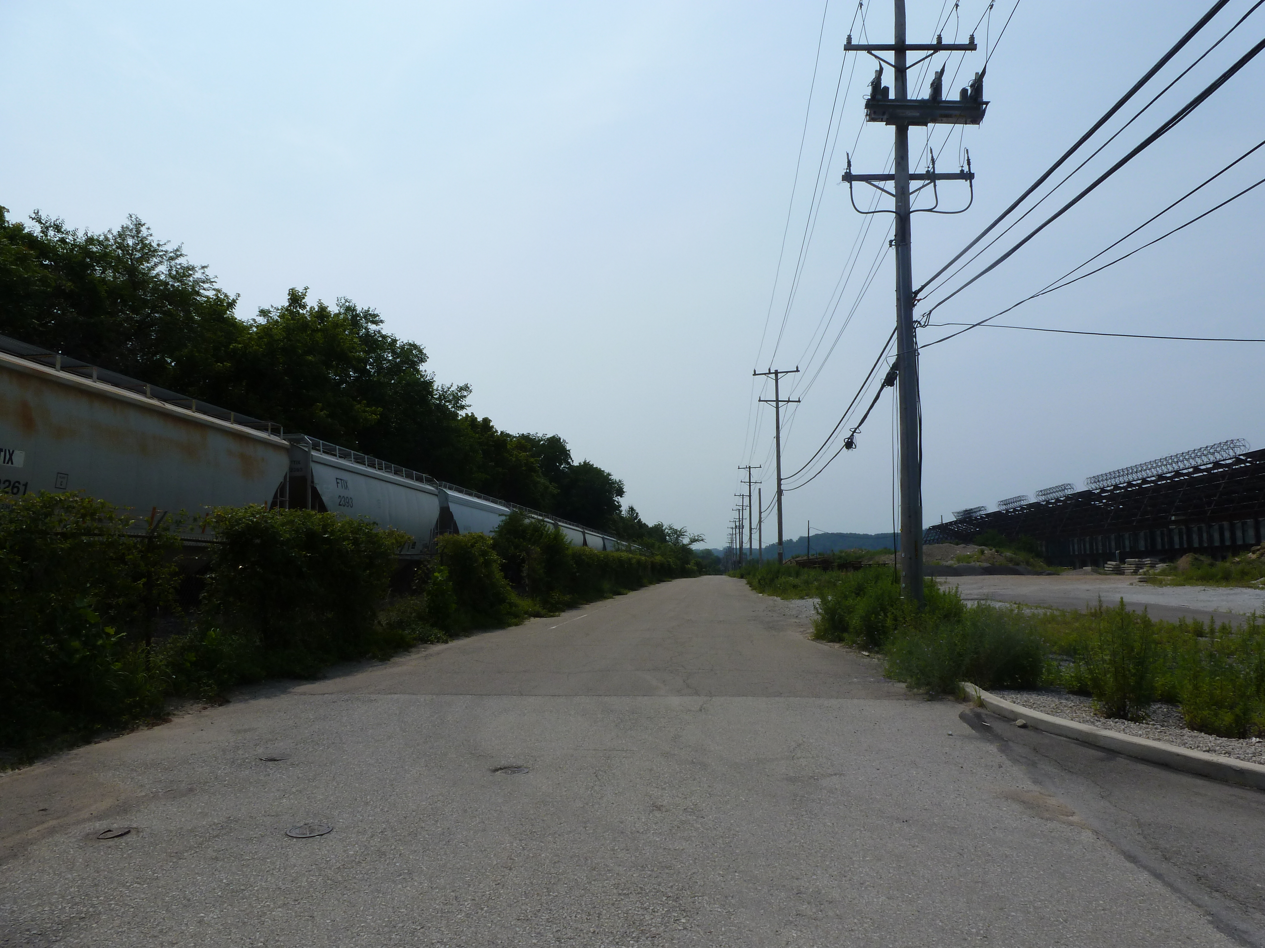
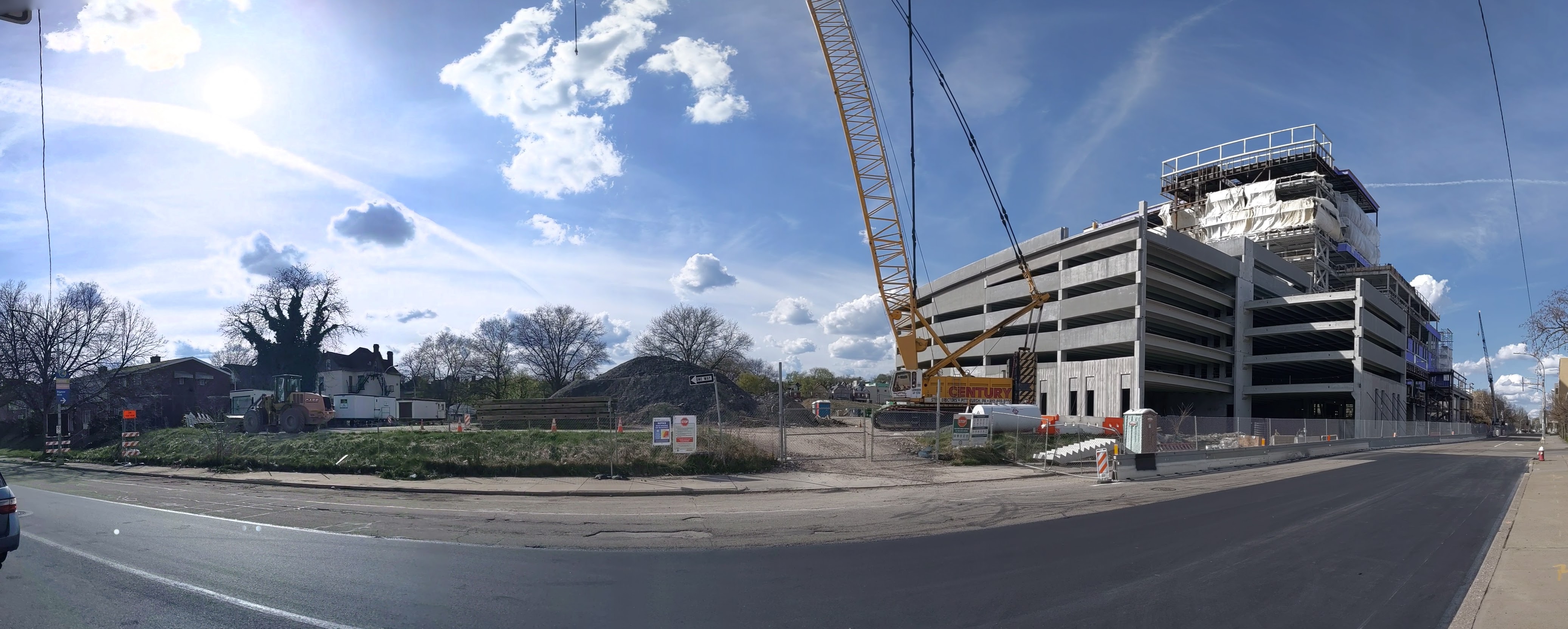
Hazelwood is a neighborhood about 4 miles down the Monongahela River from downtown Pittsburgh. It is currently experiencing significant change. Between Hazelwood’s main street (2nd Avenue) and the Monongahela River is a 178-acre site of the former Jones and Laughlin Steel Company. Most of the structures from the mill were demolished, leaving a large brownfield. In 2002, the site was purchased for redevelopment by Almono LP (at the time, an entity made up of four Pittsburgh foundations). After years of planning and a rebranding of the site as Hazelwood Green, a series of public streets and the first building opened for use in 2019. Construction is underway for more buildings and a public plaza.
During the planning and preparation stages, a question arose as to the effects of this redevelopment on the surrounding neighborhood. Hazelwood is one of Pittsburgh’s neighborhoods that has experienced high vacancy rates and subsequent demolition in its residential and business districts. While the building stock of the neighborhood has experienced a long downward trend, the community of people is strong. Only time will tell if the redevelopment of Hazelwood Green will connect with this community or if Hazelwood Green will become and isolated spot of prosperity for others.
Through three photographic series, Keeping an Eye on Hazelwood Green, Keeping an Eye on Hazelwood Flats, and Keeping an Eye on Hazelwood Slope, I will periodically document the physical changes to the former steel mill site and to the surrounding neighborhood.
What’s New
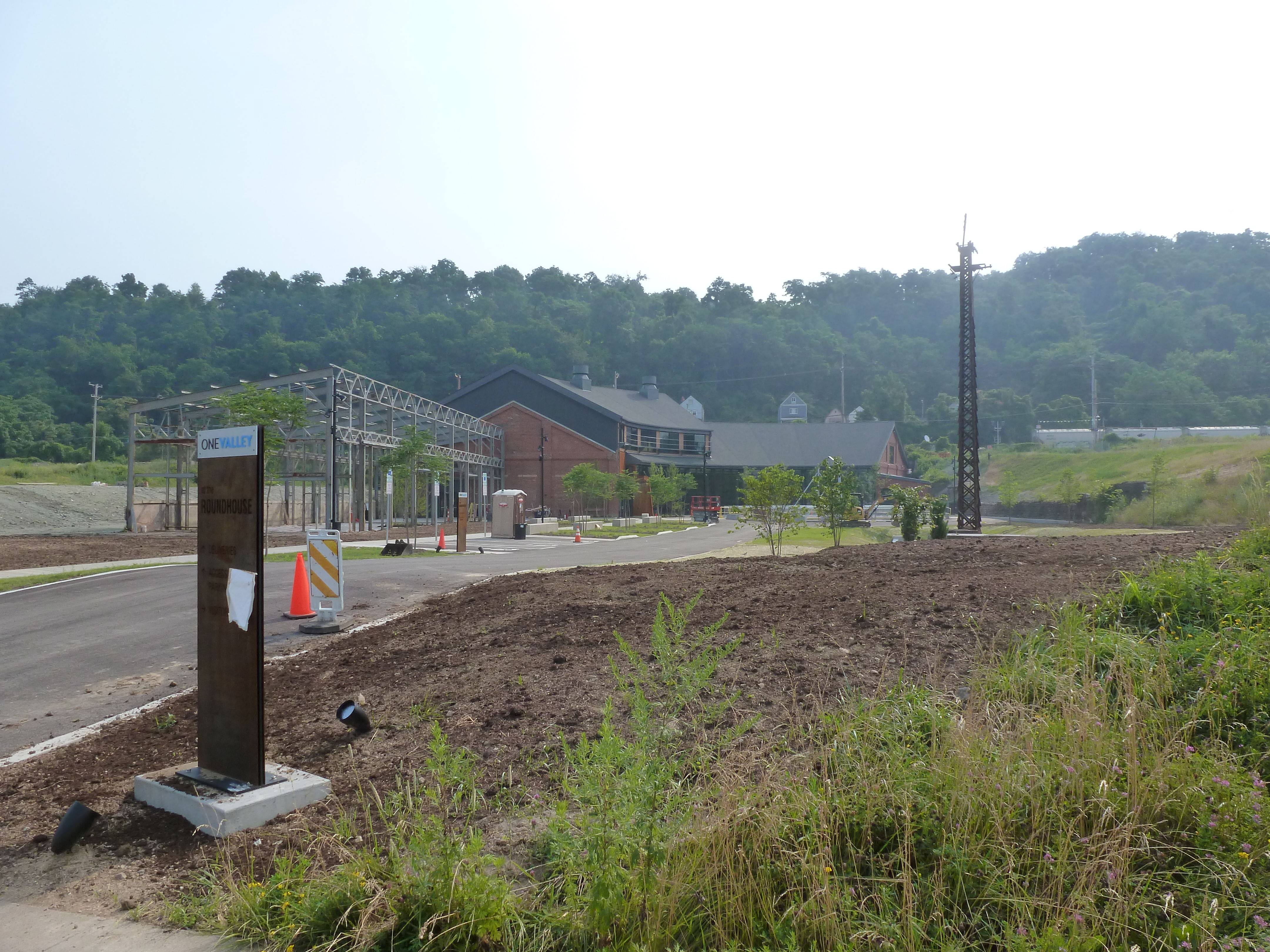
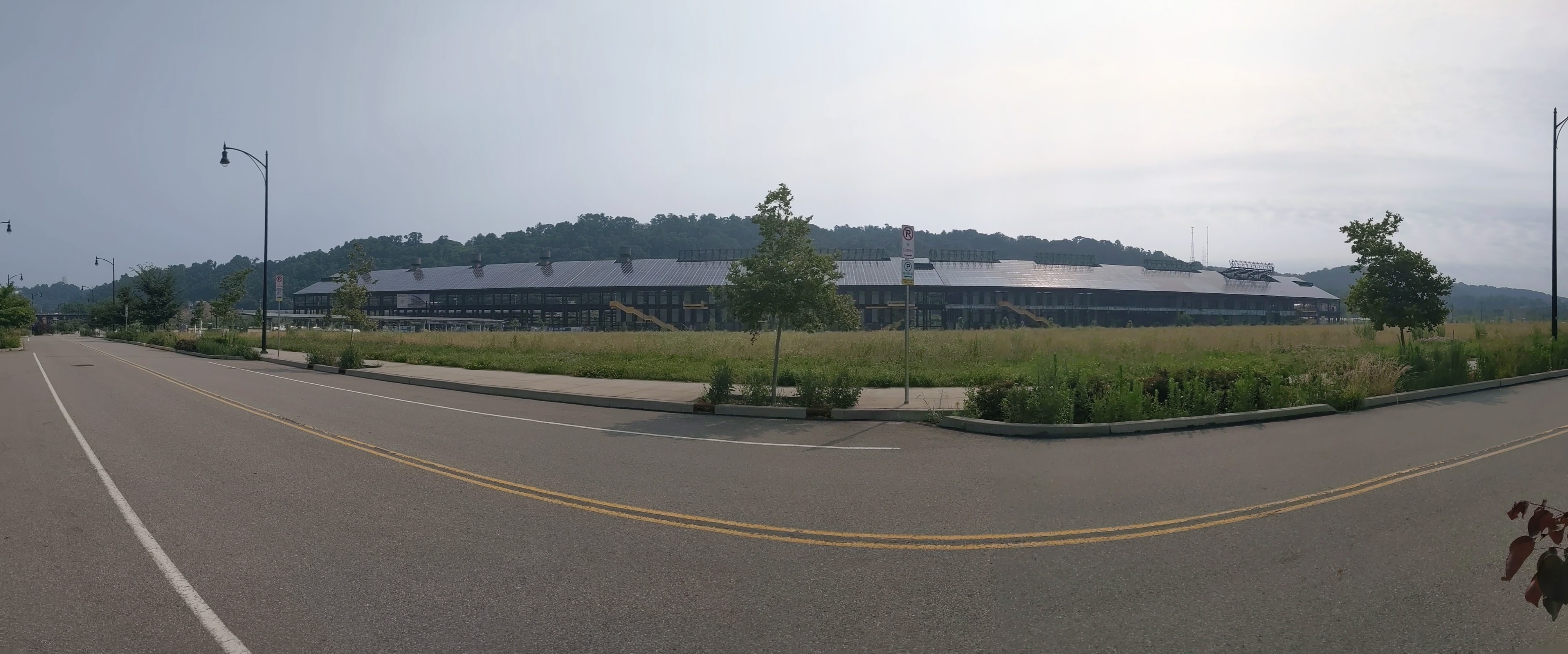
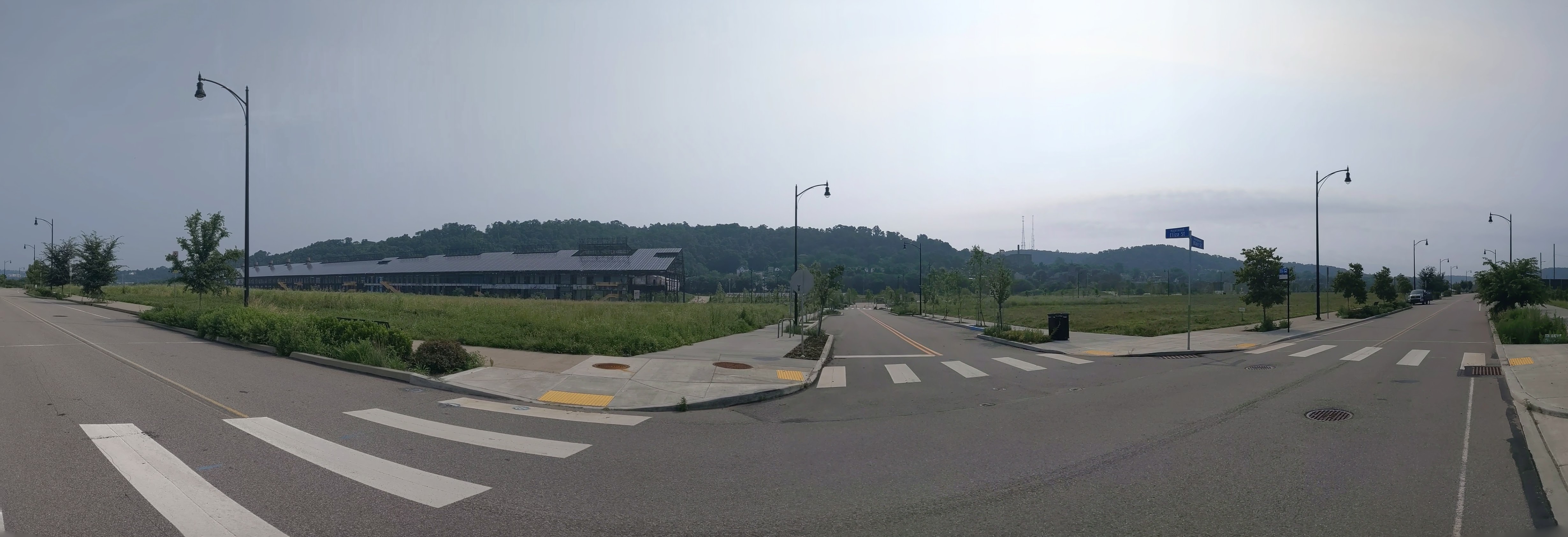
Since the last time I photographed Hazelwood Green, the most significant changes are the near completion of the public plaza (photo 24a) and the Roundhouse (photo 8), a former mill building converted to office space. Construction is also underway for the final building in Mill 19 (photos 29, 31, and 33), the remaining steel frame of one of the former mill buildings.
Almono LP led a process to develop a riverfront master plan for the site. The Post-Gazette and Tribune Review announced the proposal to seek input on the plan in September 2020. The Pennsylvania Environment Council updated their September 2020 announcement of the planning process with a link to the report on the fall planning process. WPXI and Pittsburgh Business Times reported on the release of the riverfront master plan in April 2021.
The Roundhouse renovation’s press is skewed toward the stories on the construction from October 2020 (WPXI, Tribune Review, NextPittsburgh, Post-Gazette) and the stories on the start-up challenge that coincided with OneValley’s February 2021 announcement that they would be opening an innovation center at the Roundhouse (NextPittsburgh, technical.ly, OneValley, Innovate PGH, PR Newswire). Technical.ly’s article is the only one I found on the opening of OneValley’s innovation center this month.
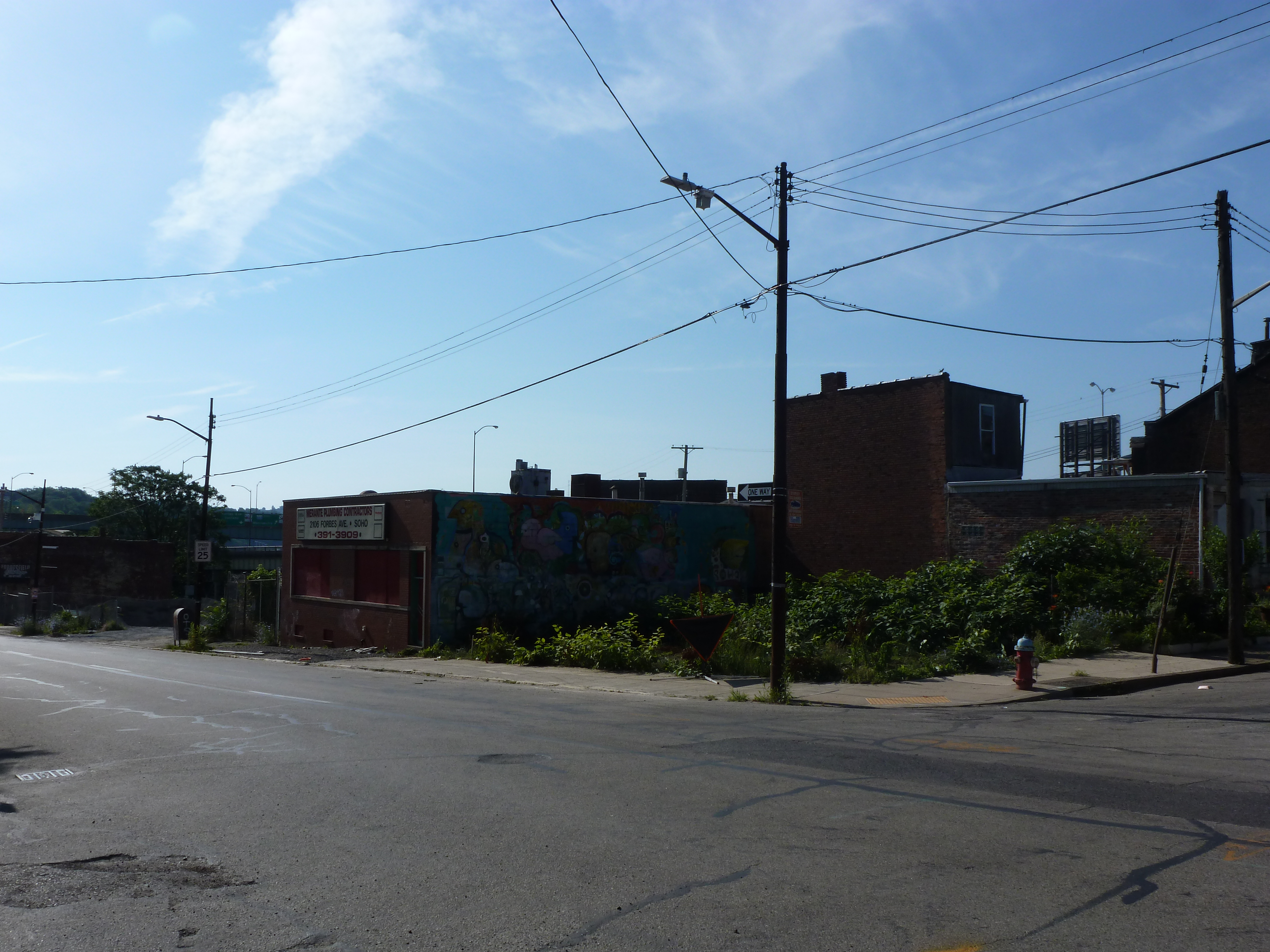
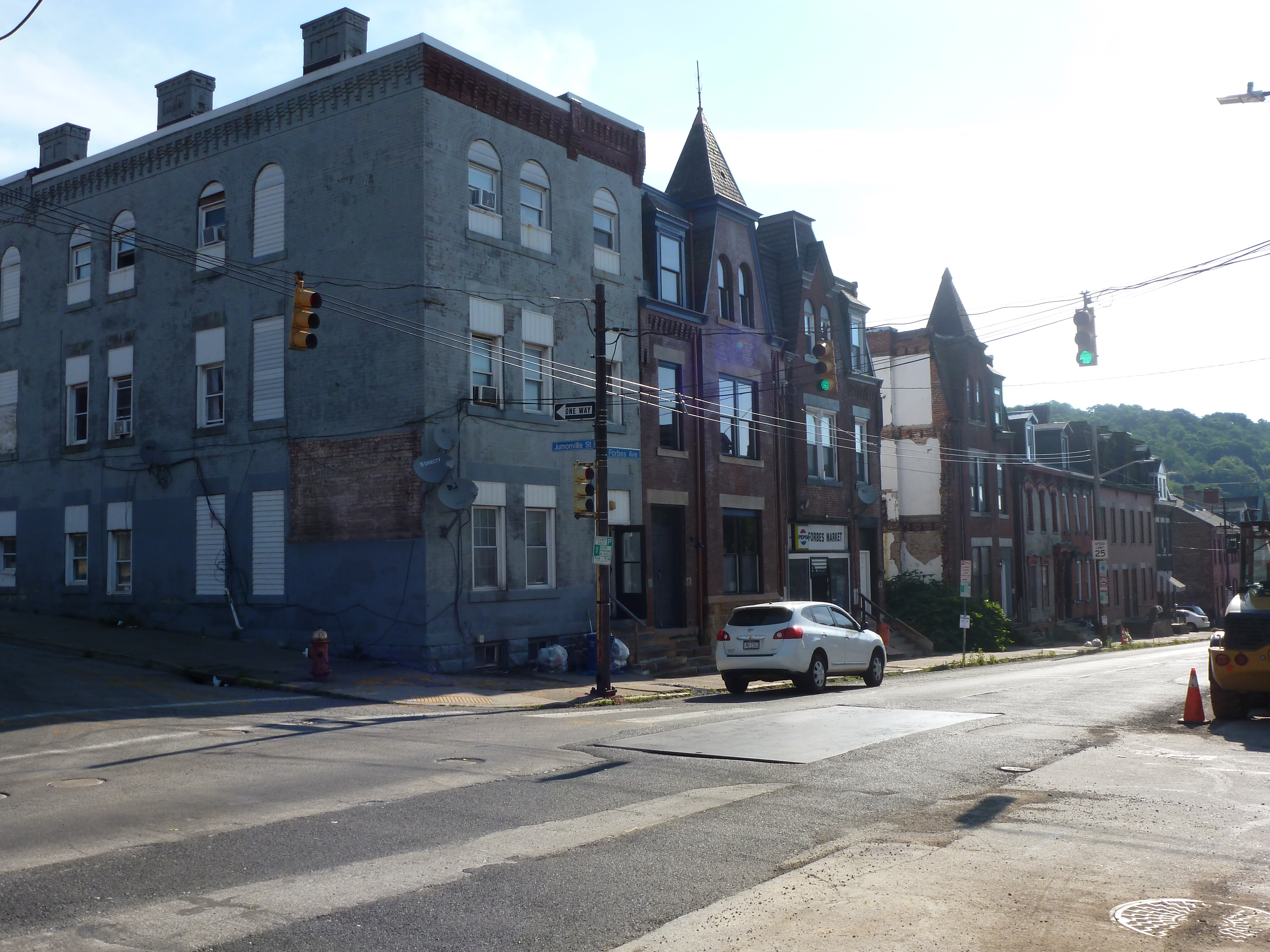
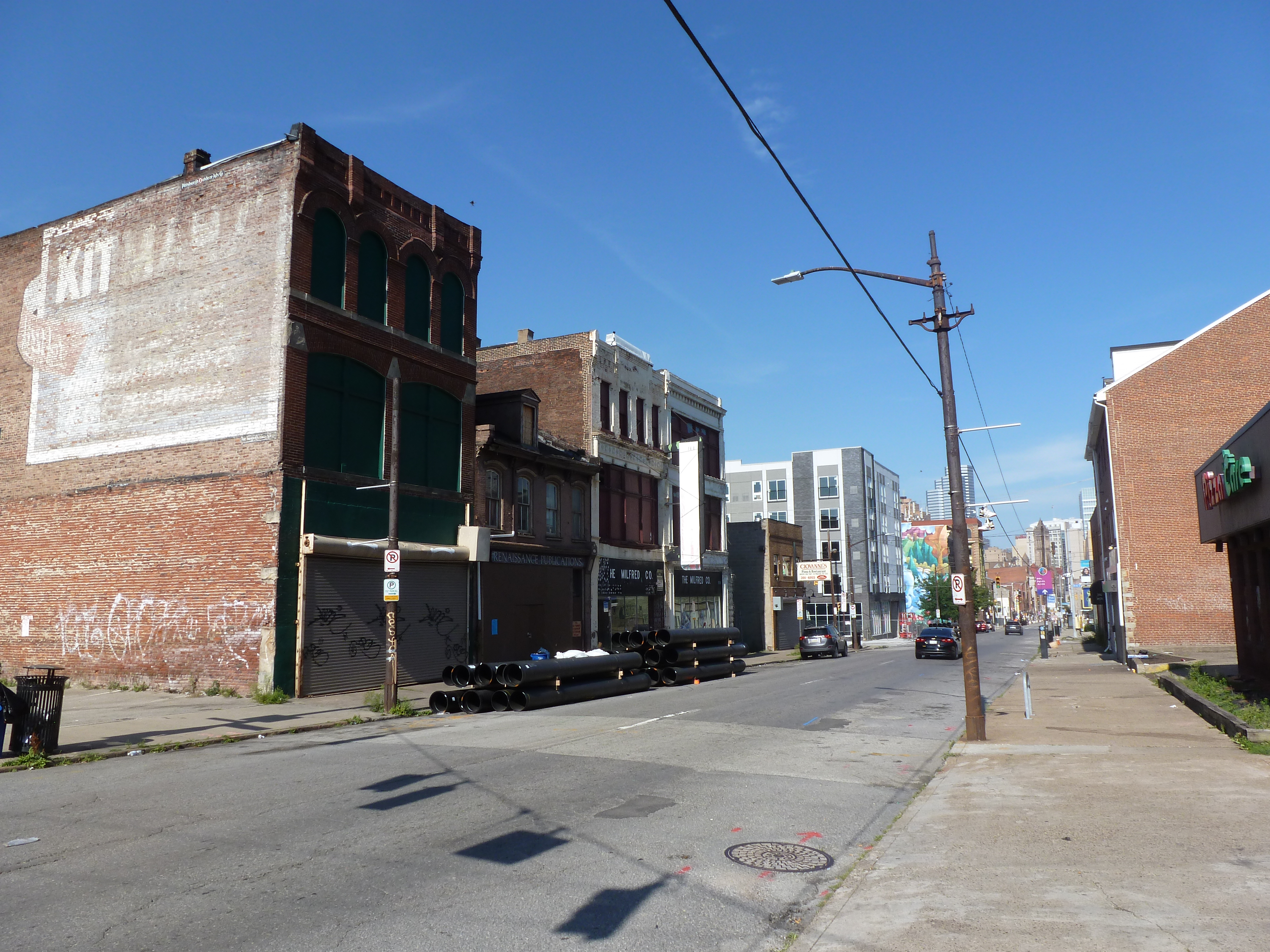
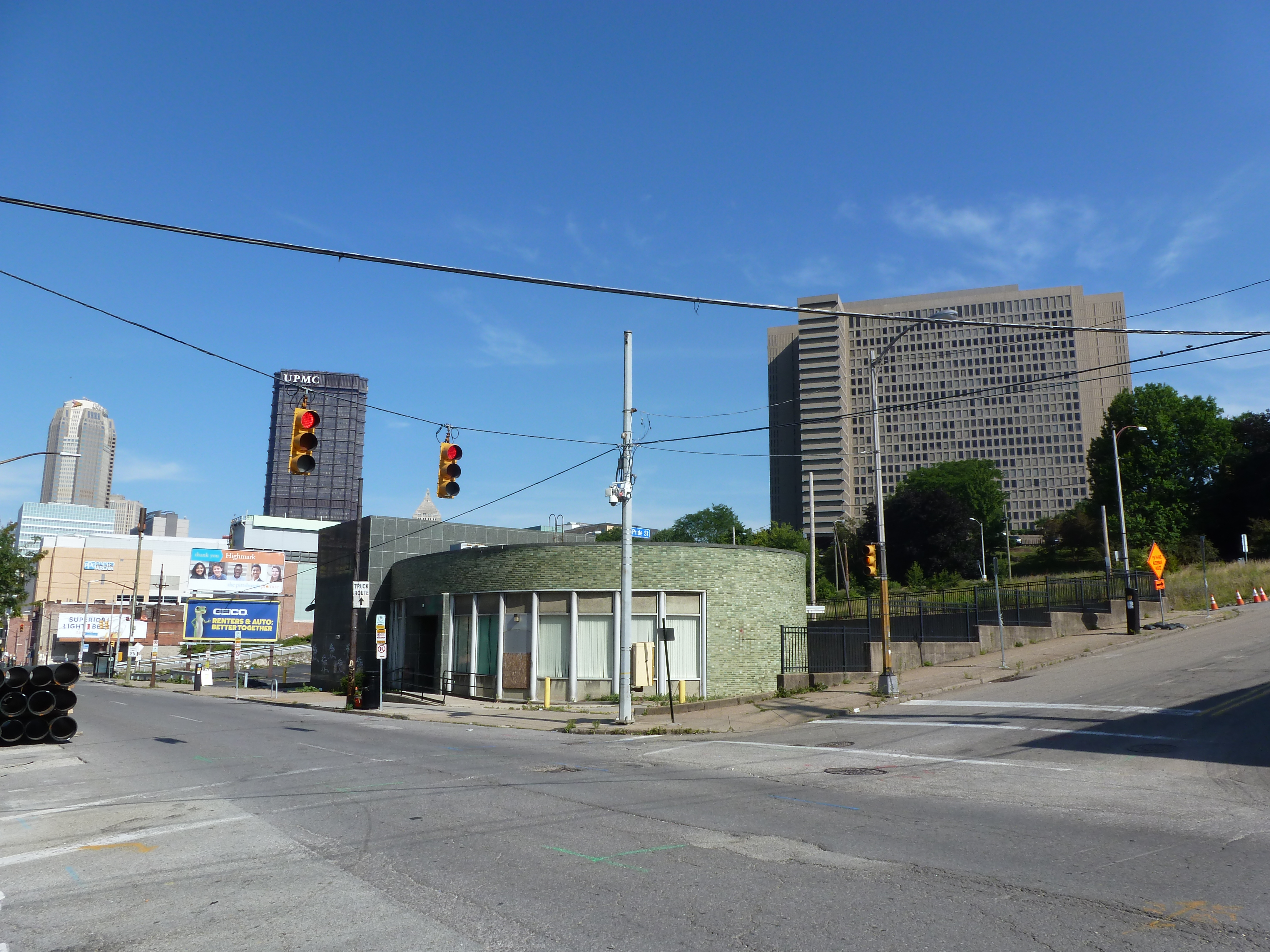
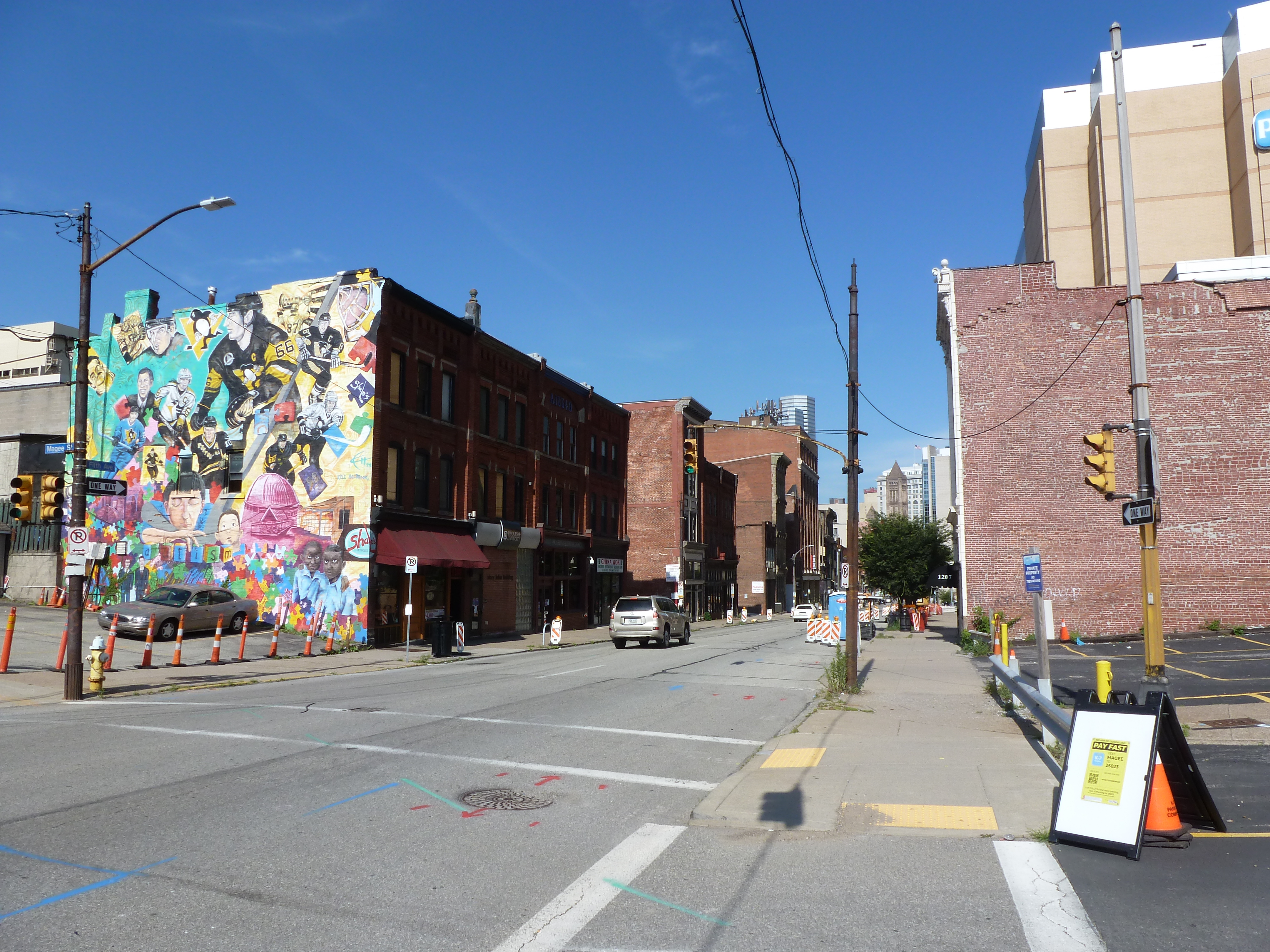
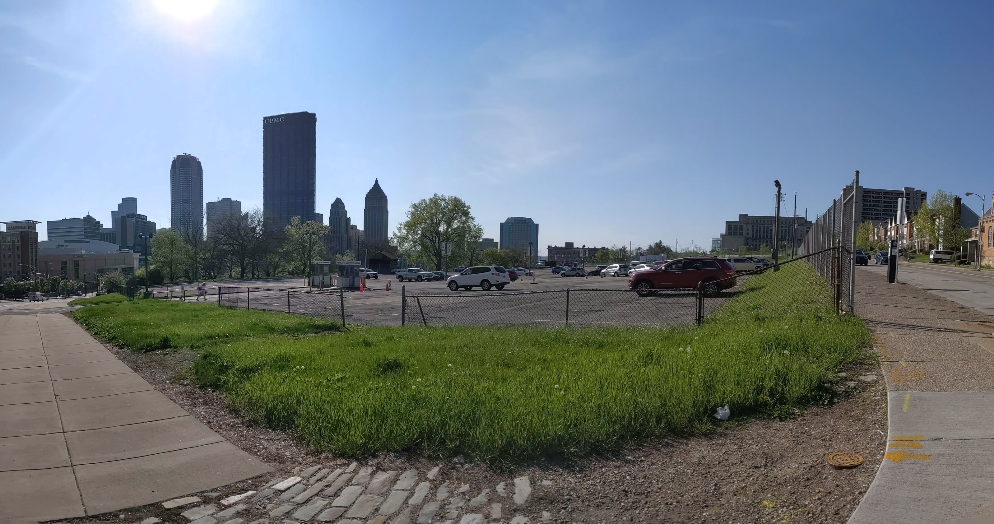
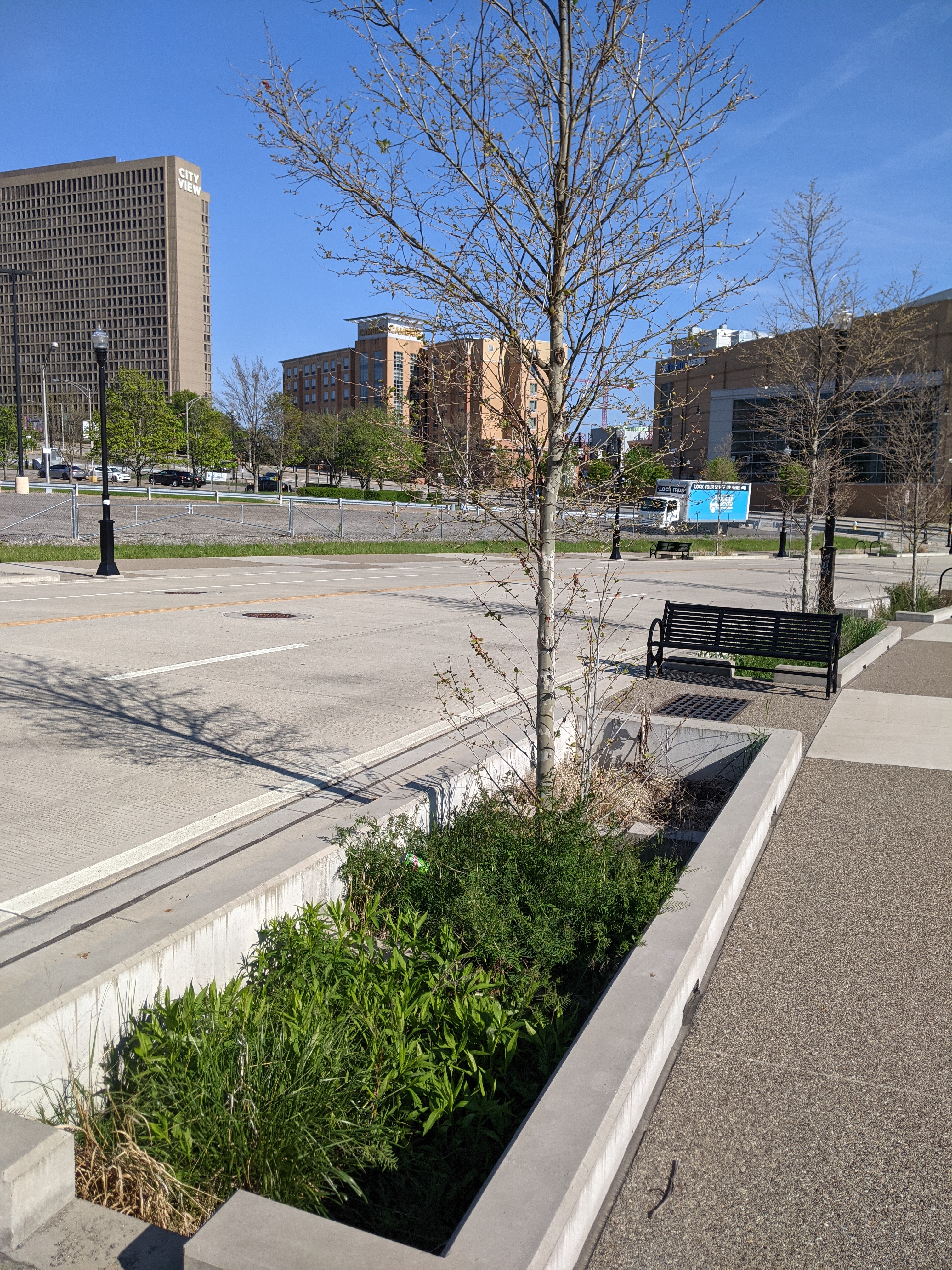
Uptown is one of the many neighborhoods in Pittsburgh that experienced decades of neglect. For this neighborhood, the neglect was despite Uptown being sandwiched between Oakland and downtown, two places among the state’s strongest economic regions. Zipping through Uptown from Oakland to downtown on Fifth Avenue or from downtown to Oakland on Forbes Avenue, it is easy to overlook or dismiss the hodgepodge of ruined home foundations turning back to forest; scattered vacant lots, parking lots, and industrial uses; and the intricate architectural details on abandoned and renovated townhomes.
In recent years, new buildings started springing up here and there. Some of these new projects are the work of the two institutions in the neighborhood: UPMC Mercy Hospital and Duquesne University. Others are the work of a variety of commercial and residential developers. Two reasons for this recent investment are the proposed Bus Rapid Transit system, which will eventually run through the neighborhood, and the in-progress redevelopment of the Lower Hill, an adjacent neighborhood.
The Uptown community saw these changes coming and prepared. Between 2015 and 2017, the community organization Uptown Partners collaborated UPMC Mercy, Duquesne University, the City of Pittsburgh, and others to create the EcoInnovation District Plan and the Uptown Public Realm zoning district. The plan and new zoning district are intended to guide future development and leverage their economic investment for the greater good of the neighborhood. Ideally, this will reduce the number of those who will be left behind.
This blog post is part of an on-going series watching the changes in Uptown. Periodically, approximately every six months, I return to the neighborhood to take new photographs of the same areas. In addition, I include links to articles about the project that I’ve encountered since the previous post in the series. At the end of the post, there is a map showing the location of the neighborhood and links to the previous posts in the series.
What’s new
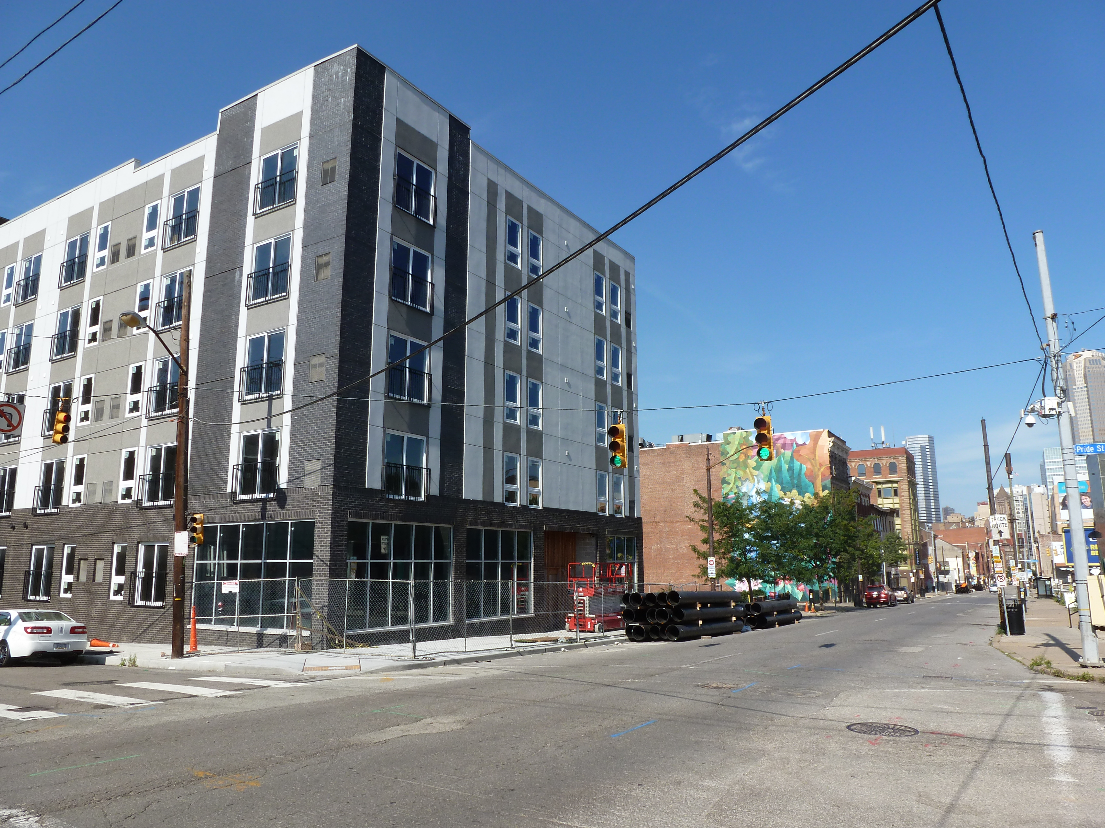
Development activity is picking up in Uptown. Walking around the neighborhood for this update required skirting closed sidewalks, uneven pavement, and construction staging of materials and equipment. The new activity includes:
PWSA’s (Pittsburgh Water and Sewer Authority) replacement of the watermain and lead service lines along Forbes Avenue
Evidence of demolition work on the long boarded-up Seneca Street rowhouses (image 3)
A new project for apartments and retail going up on 5th Avenue while the buildings around it appear to be preparing for renovation or demolition (image 8a)
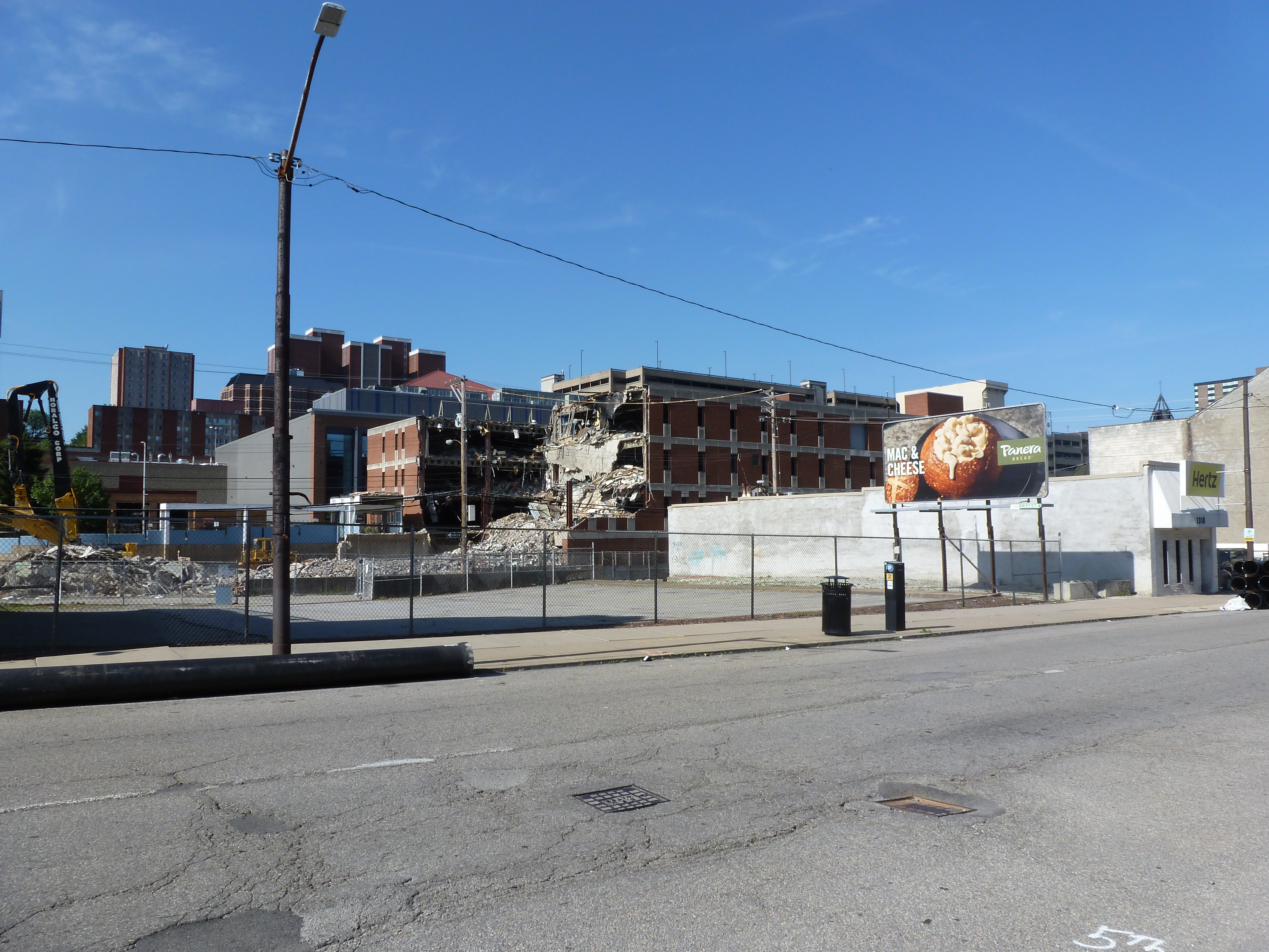
Duquesne University’s next project to demolish and build on the site across the street from its newly rebuilt fieldhouse (images 21a & 22a)
Uptown Partners began to install free community wi-fi in the neighborhood (Pittsburgh Business Times, November 10, 2020).
And more federal funds have been directed toward the ongoing development of the Bus Rapid Transit system through Uptown to connect downtown and Oakland (Pittsburgh Business Times, June 11, 2021).
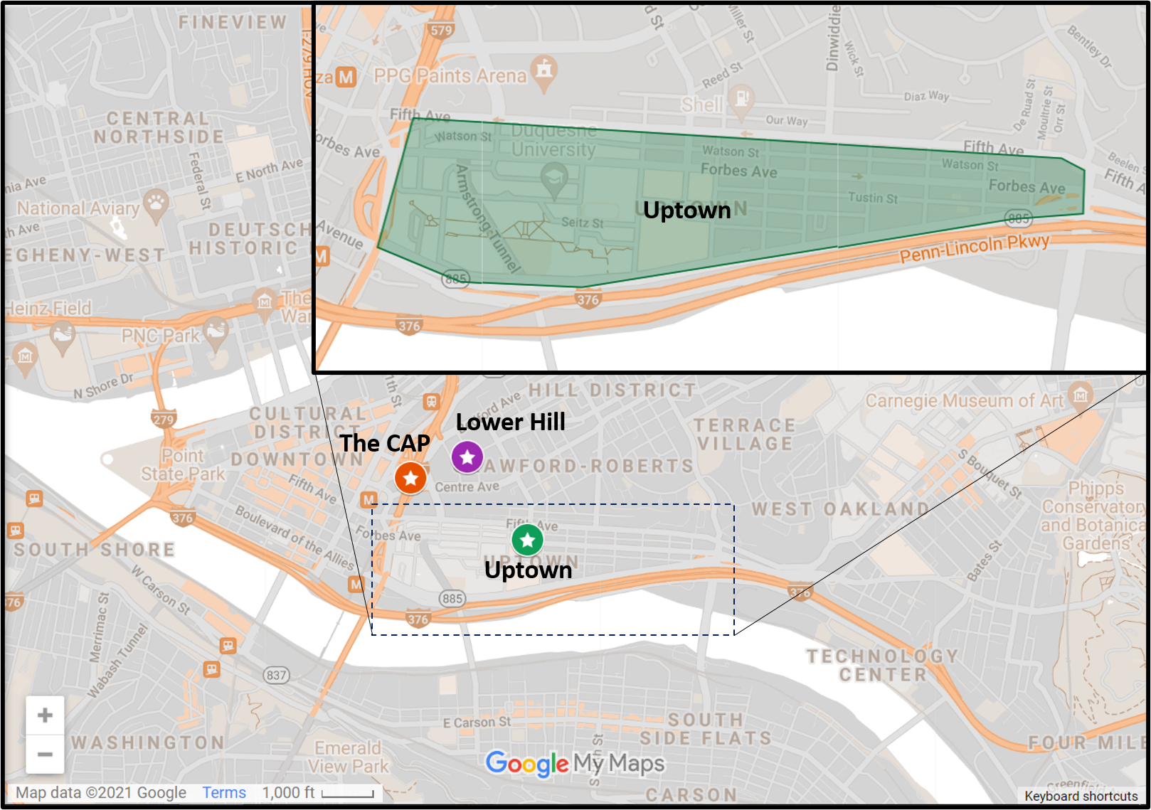
The CAP is a project in Pittsburgh “fixing the mistakes” of Urban Renewal. The Crosstown Blvd was built in the 1960s creating a freeway in a canyon dividing the Lower Hill neighborhood from downtown. The Lower Hill neighborhood, formerly predominantly poor and black, had already been demolished by this point to make way for the Civic Arena and other cultural amenities that were never built.
The CAP is a park on a bridge being built over the Crosstown Blvd and is intended to reconnect downtown and the Lower Hill, while the Lower Hill is being rebuilt by the Penguins hockey team. Construction began in June 2019 and is expected to complete in November 2021.
This blog post is part of an on-going photographic series to watch the development and usage patterns of the CAP. Periodically, approximately once every six months, I return to the site to take new photographs. In addition, I include links to articles about the project that I’ve encountered since the previous post in the series. At the end of the post, there are links to all the previous posts in the series.
The CAP in the News:
WPXI and the Post-Gazette both shared an update on the project in March noting that construction had progressed far enough for the outlines of a park to begin to be recognizable.
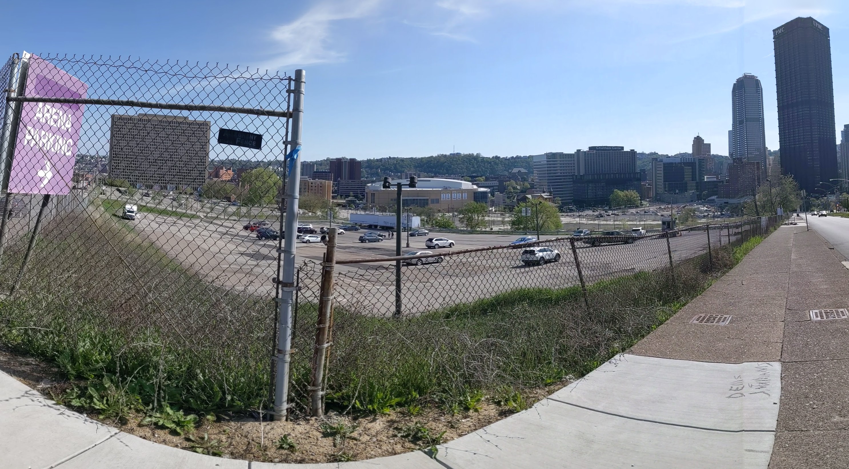
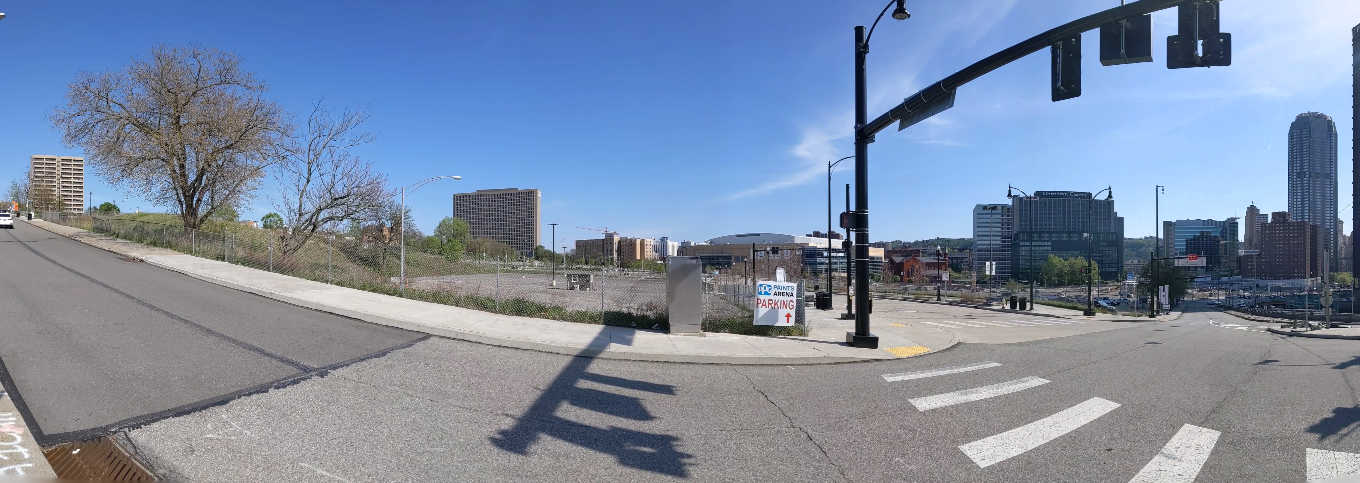
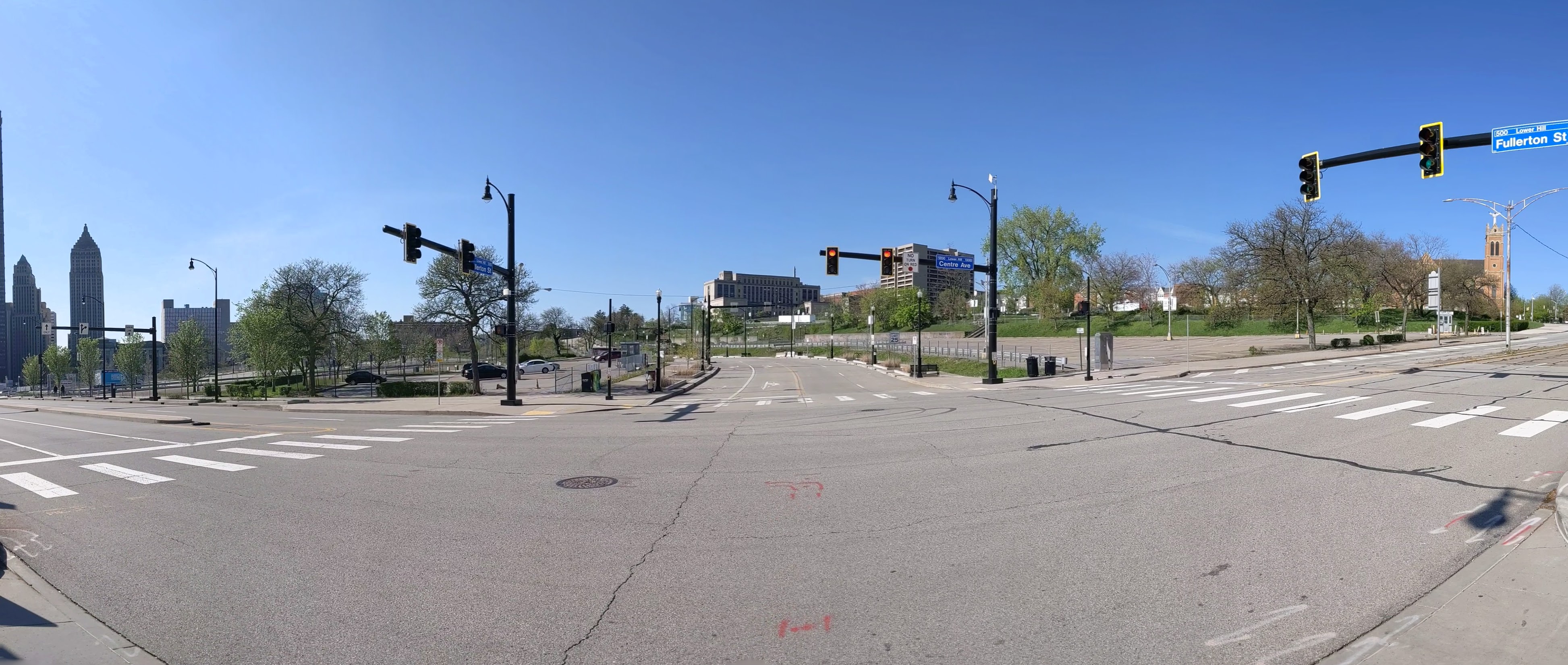
The Lower Hill is a notorious site in Pittsburgh, a scar on the city from the height of Urban Renewal. A vibrant (but poor and predominately Black) neighborhood was demolished in the 1950s so the City could build a cultural mecca centered on a Civic Arena, most of which ended up not being built and was left as parking lots.
Now that the arena has been demolished and replaced adjacent to the former location, the Penguins hockey team has the development rights to rebuild the Lower Hill, stitching back together the fabric of the city and reconnecting the remainder of the Hill District neighborhoods with downtown.
However, grand language describing the wonderful benefits to a city are part and parcel of any major development project, including the 1950’s Urban Renewal of the Lower Hill. Fifty years later, the Urban Renewal of the Lower Hill is rarely, if ever described as a good thing. In fact the current redevelopment is sometimes described as undoing the mistakes of that project. However, can the negative financial, social, and emotional repercussions of the original demolition and decades of disconnect be undone simply by reinstating (most of) the former street grid?
This blog post is part of an on-going photographic series to watch the redevelopment of the Lower Hill. Periodically, approximately once every six months, I return to the site to take new photographs. In addition, I include links to articles about the project that I’ve encountered since the previous post in the series. At the end of the post, there are links to all the previous posts in the series.
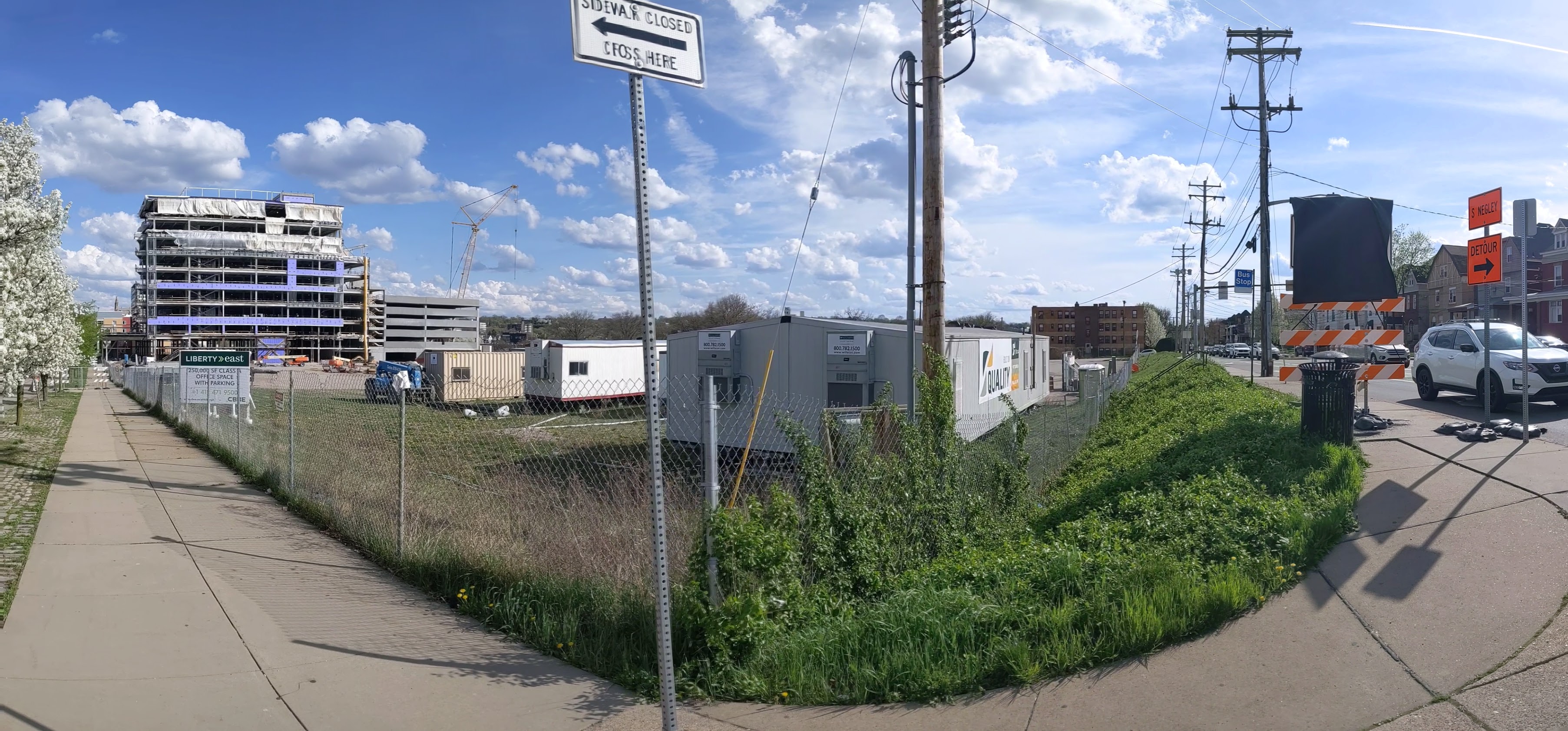
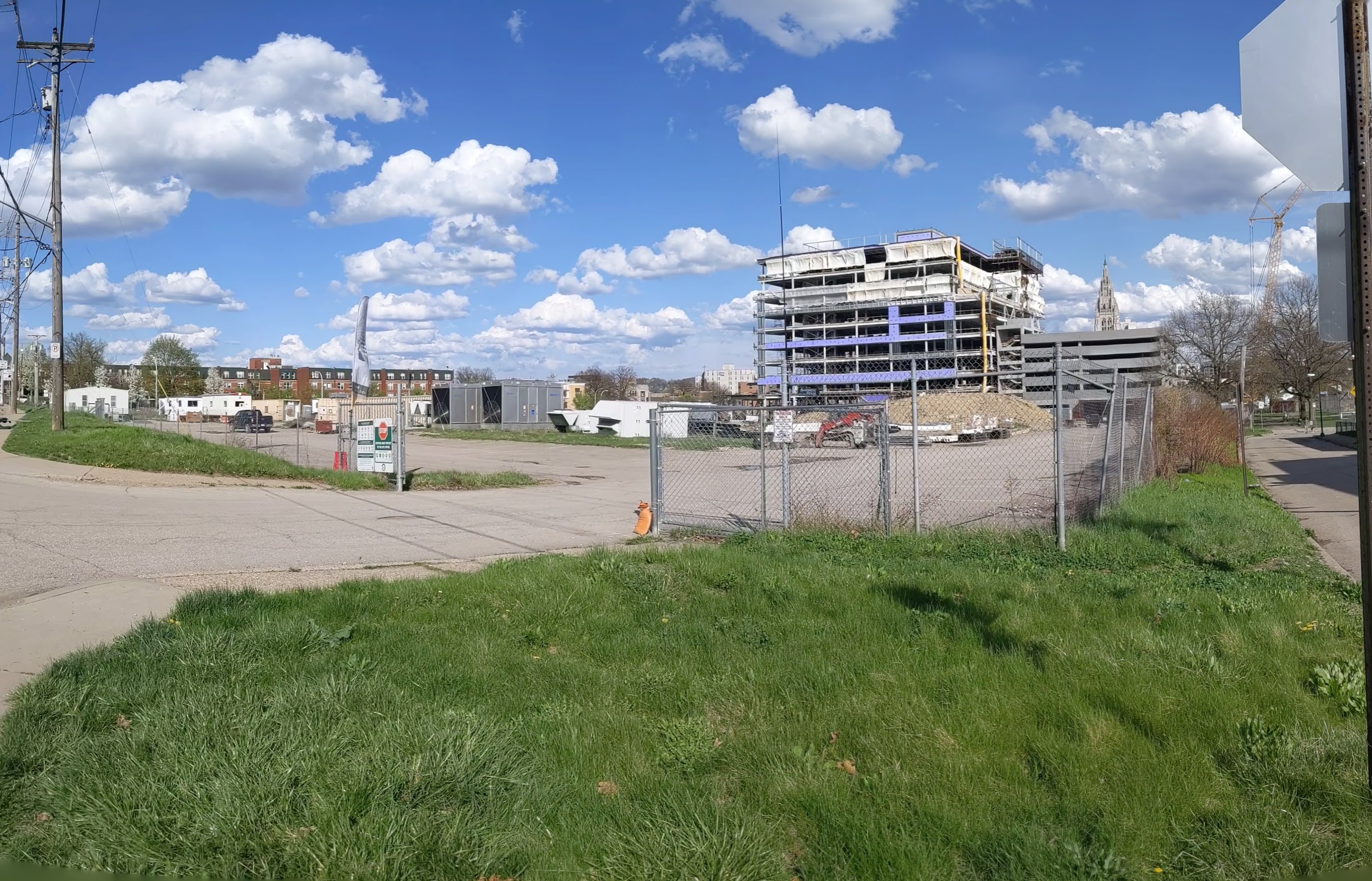
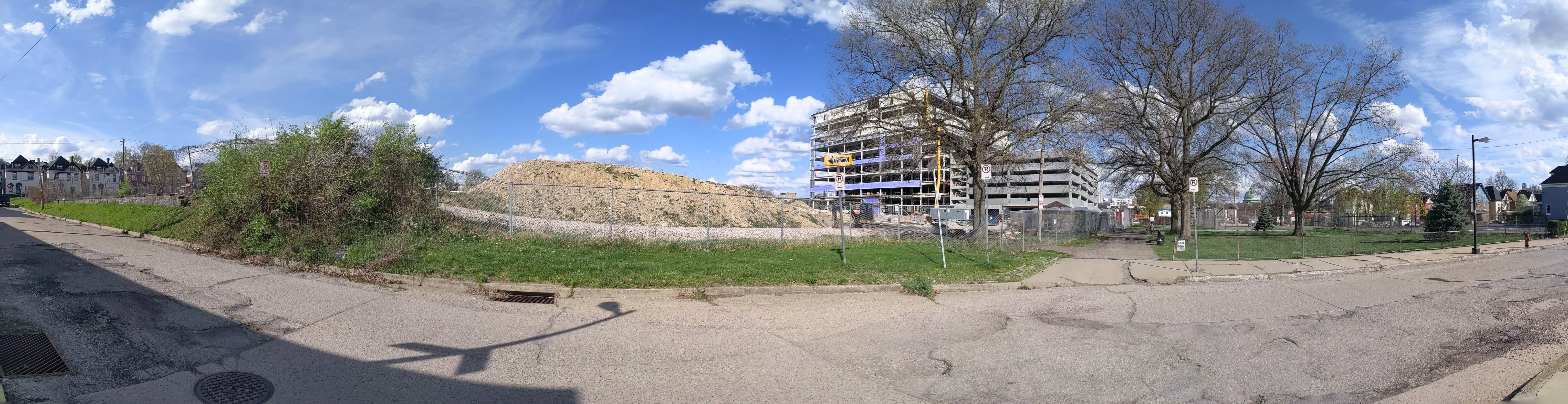
“@#$%&!” slipped out of my mouth when I was several blocks away from the former Penn Plaza site and I saw a hulking behemoth of a building looming high above the surrounding neighborhood. In it’s current state, the new development appears to be as tall as the Daniel Burnham apartment building on Highland Ave opposite East Liberty Presbyterian Church, which is much taller than any other structure remaining in the neighborhood besides the church. While I had seen the early drawings of the proposed development when I worked at the City, I was bowled over by seeing the actual size and how it has no relation to the surrounding neighborhood.
This has promoted me to look back at the process of how this project got approval from the city. What I have found so far has only prompted more questions. When a developer proposes a project that is in compliance with the zoning code regulations, there is not much the city can do besides ask “pretty please.” I had assumed that was what the story was here, but so far I don’t see how this project was in compliance with the zoning requirements. I’ll continue digging through the past records to try and wrap my head around the zoning approval for this project. In the meantime, below are photos of the current building progress and some news articles about the development since my last post.