Overview
Uptown is one of the many neighborhoods in Pittsburgh that experienced decades of neglect. For this neighborhood, the neglect was despite Uptown being sandwiched between Oakland and downtown, two places among the state’s strongest economic regions. Zipping through Uptown from Oakland to downtown on Fifth Avenue or from downtown to Oakland on Forbes Avenue, it is easy to overlook or dismiss the hodgepodge of ruined home foundations turning back to forest; scattered vacant lots, parking lots, and industrial uses; and the intricate architectural details on abandoned and renovated townhomes.
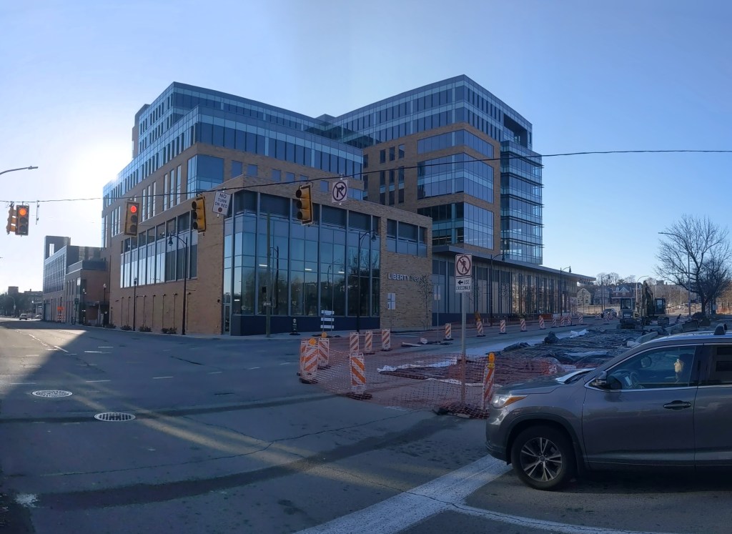
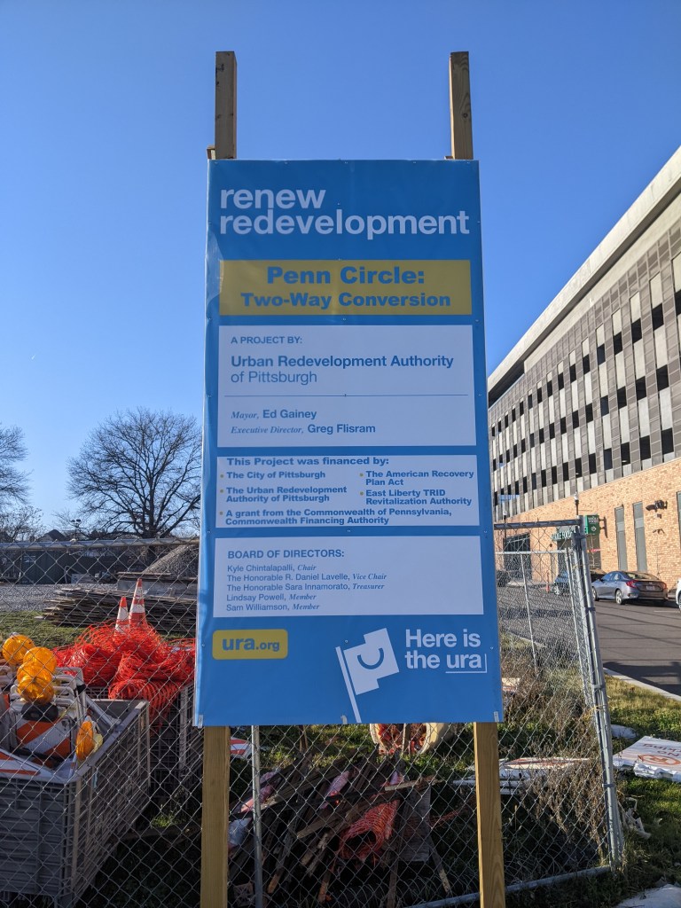
In recent years, new buildings started springing up here and there. Some of these new projects are the work of the two institutions in the neighborhood: UPMC Mercy Hospital and Duquesne University. Others are the work of a variety of commercial and residential developers. Two reasons for this recent investment are the proposed Bus Rapid Transit system, which will eventually run through the neighborhood, and the in-progress redevelopment of the Lower Hill, an adjacent neighborhood.
The Uptown community saw these changes coming and prepared. Between 2015 and 2017, the community organization Uptown Partners collaborated UPMC Mercy, Duquesne University, the City of Pittsburgh, and others to create the EcoInnovation District Plan and the Uptown Public Realm zoning district. The plan and new zoning district are intended to guide future development and leverage their economic investment for the greater good of the neighborhood. Ideally, this will reduce the number of those who will be left behind.
This blog post is part of an on-going series watching the changes in Uptown. Periodically, approximately once a year, I return to the neighborhood to take new photographs of the same areas. In addition, I include links to articles about the project that I’ve encountered since the previous post in the series. At the end of the post, there is a map showing the location of the neighborhood and links to the previous posts in the series.
What’s new
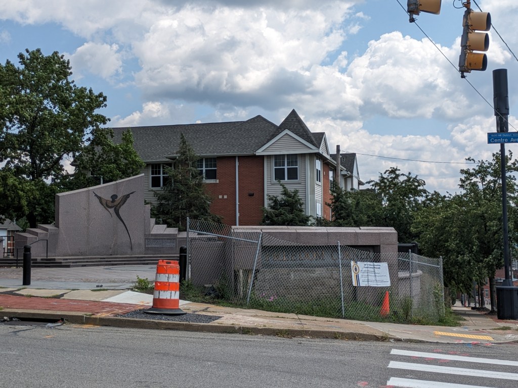
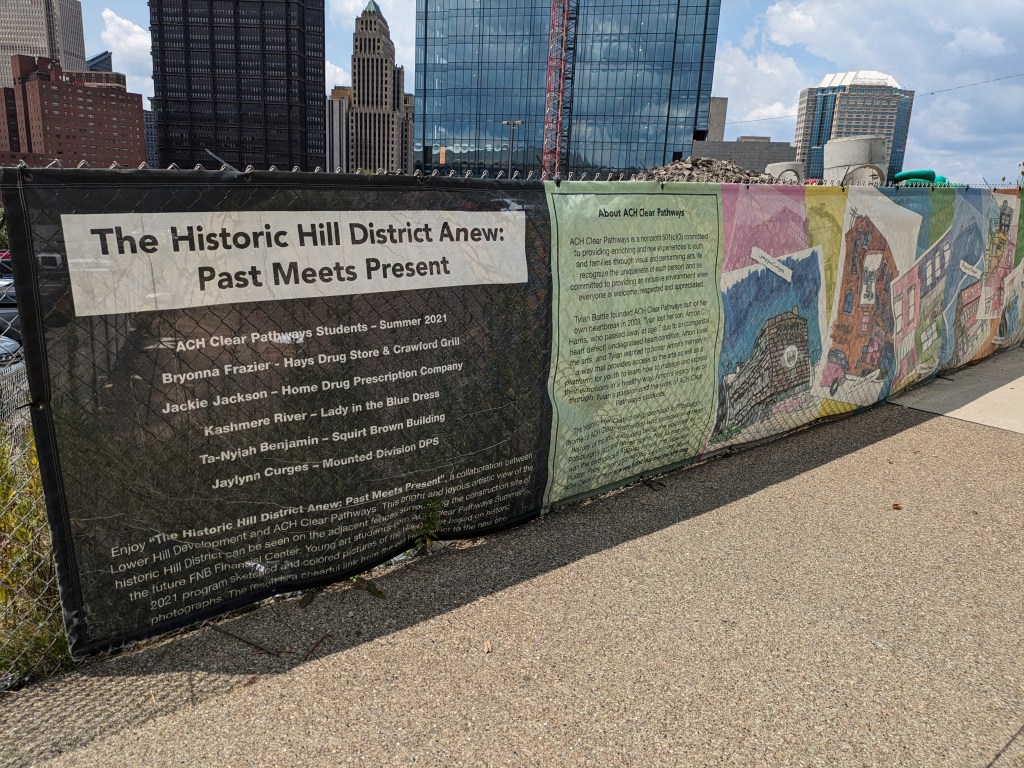
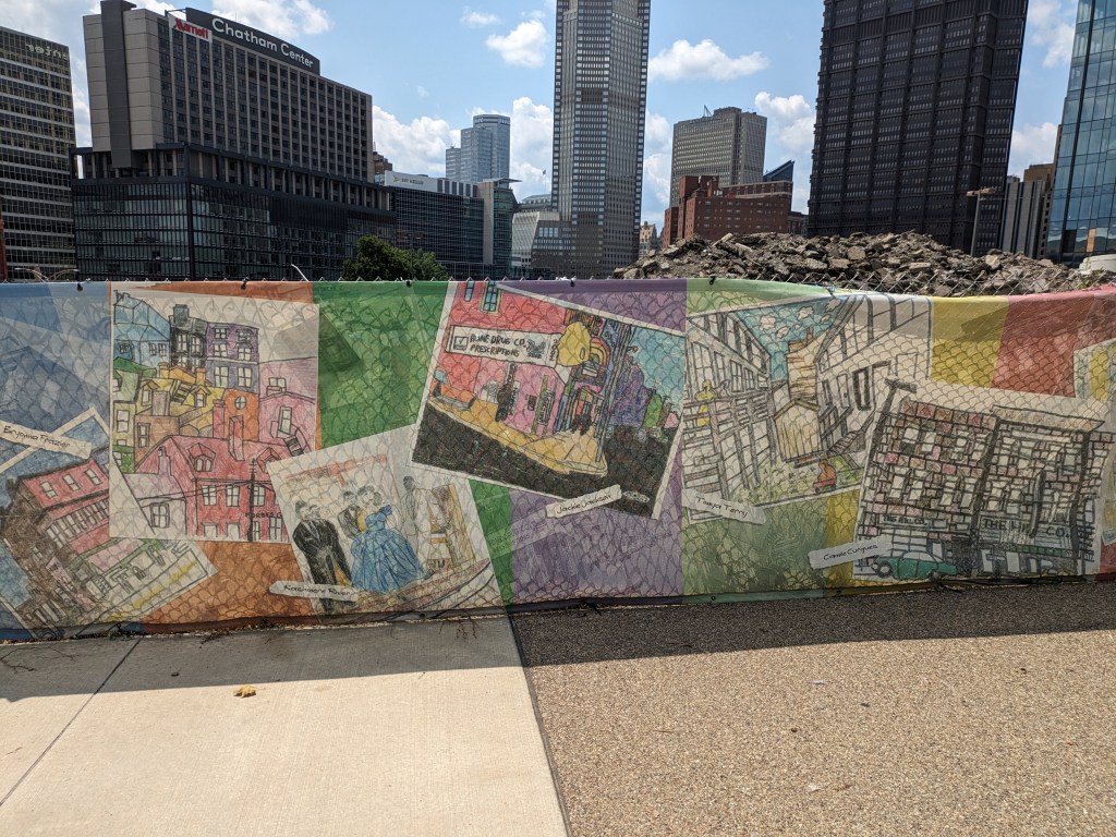
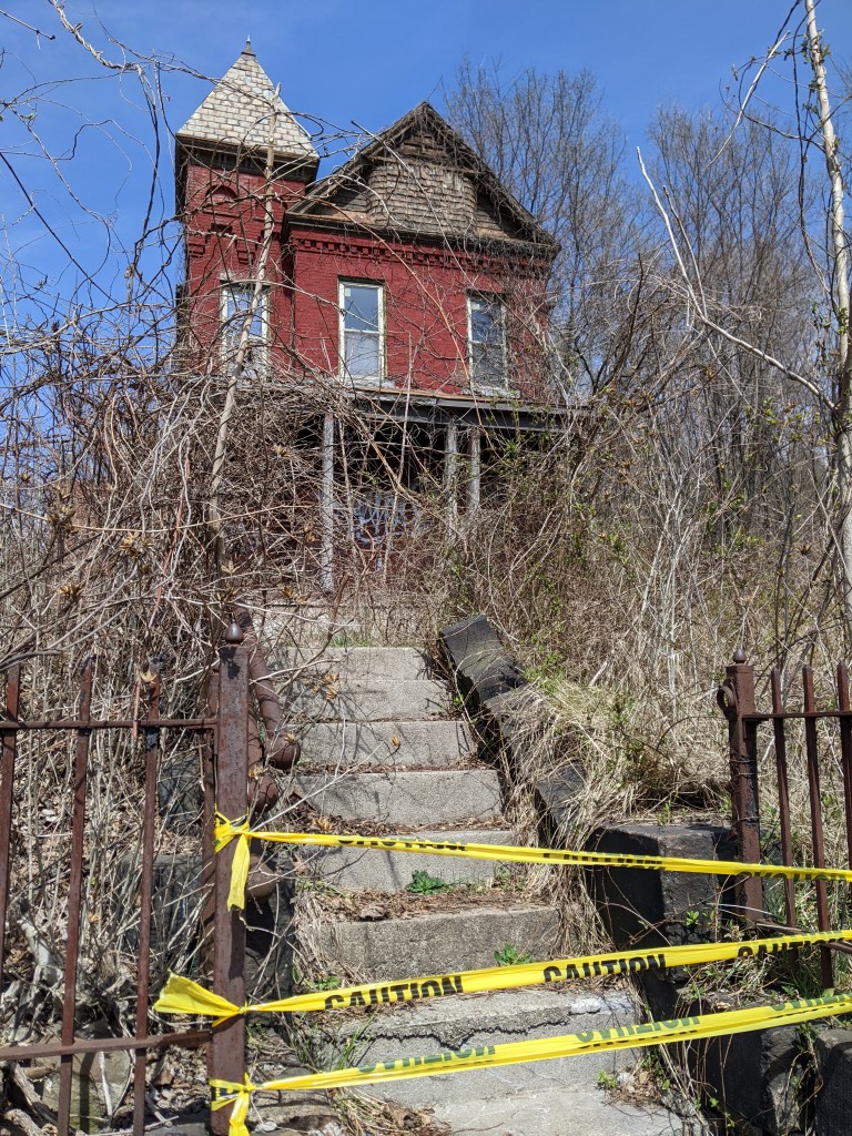
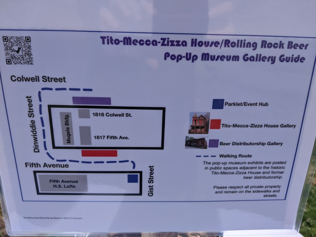
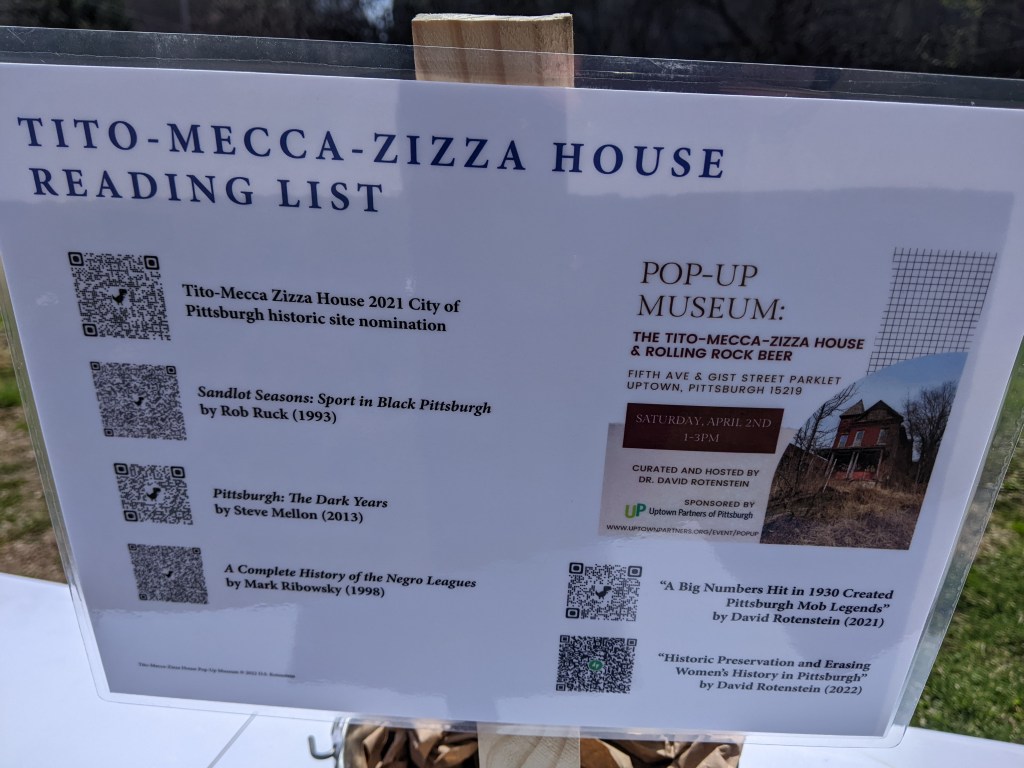
The big news of 2022 was the successful nomination of the Tito-Mecca-Zizza House for historic preservation. Despite a rocky road, in June, City Council voted to designate the house as a historic property. The property owners were vehemently opposed to the nomination throughout the process. The process to nomination involved two meetings at each of the Historic Commission, Planning Commission, and City Council. The Historic Commission did not recommend the nomination to City Council, but the Planning Commission did. The property is considered architectural significant and unique and it has ties to Rolling Rock beer, the Negro League, and the American-Italian community of Pittsburgh. I attended a pop-museum event at the site during the nomination process and include photos below.
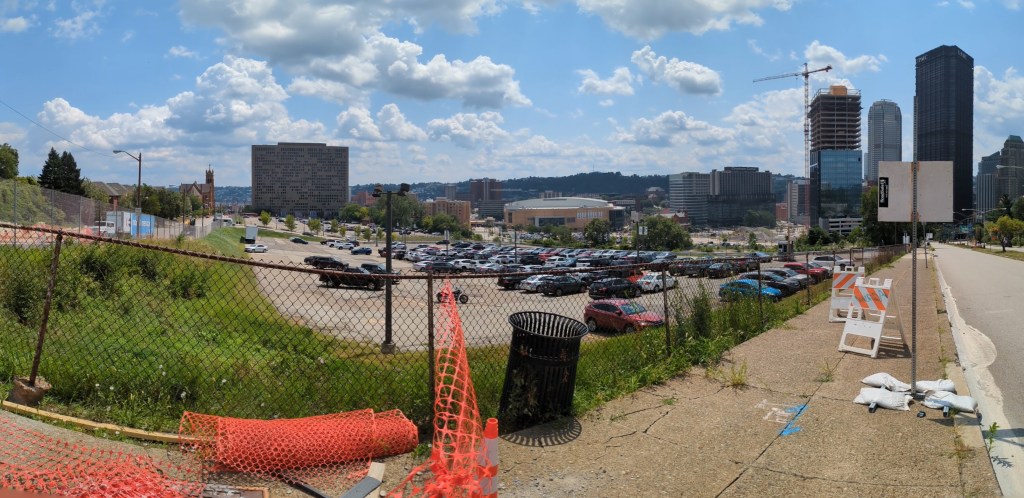
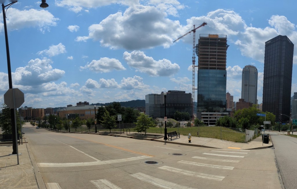
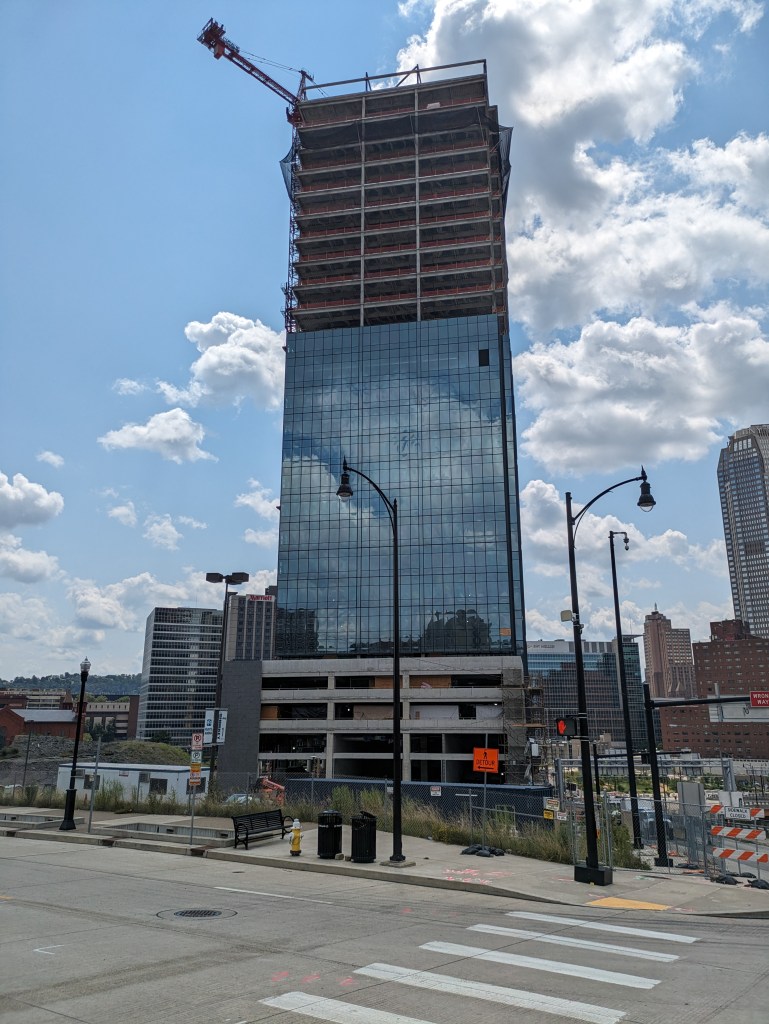
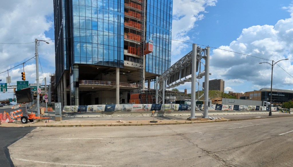
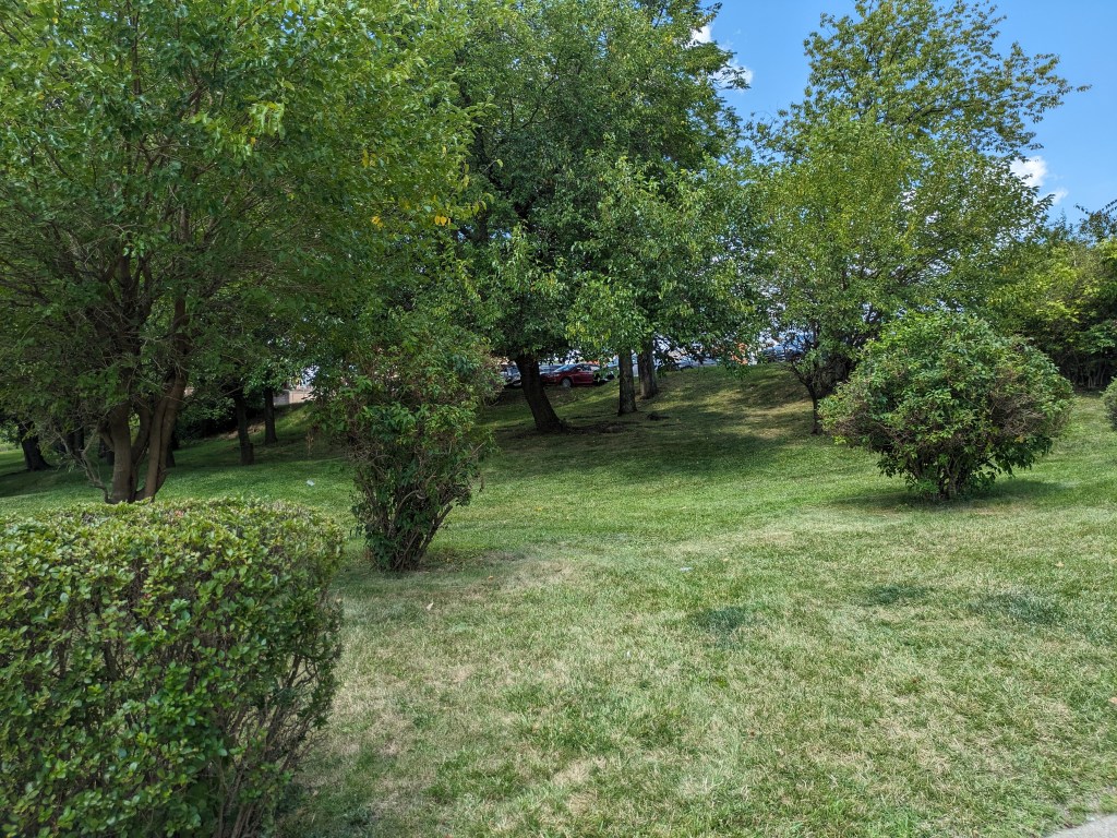
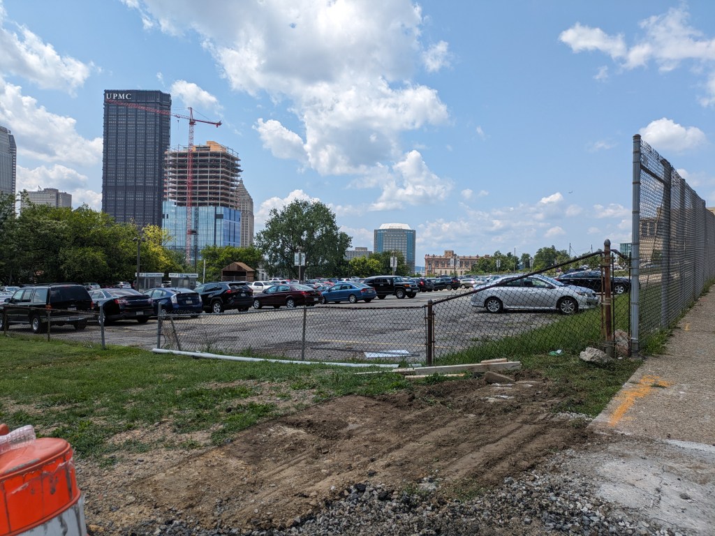
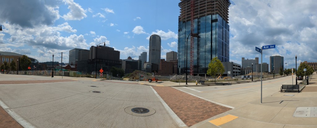
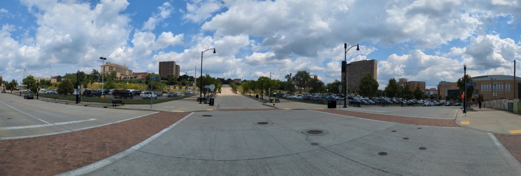
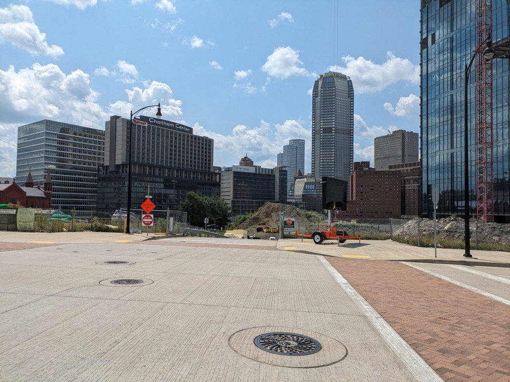
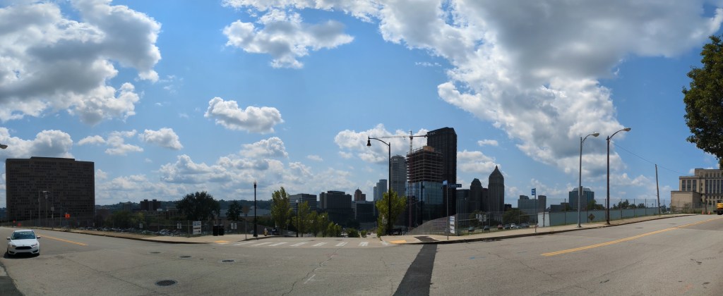
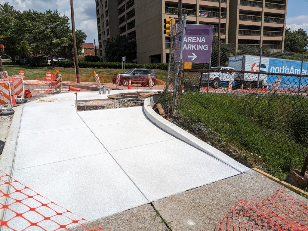
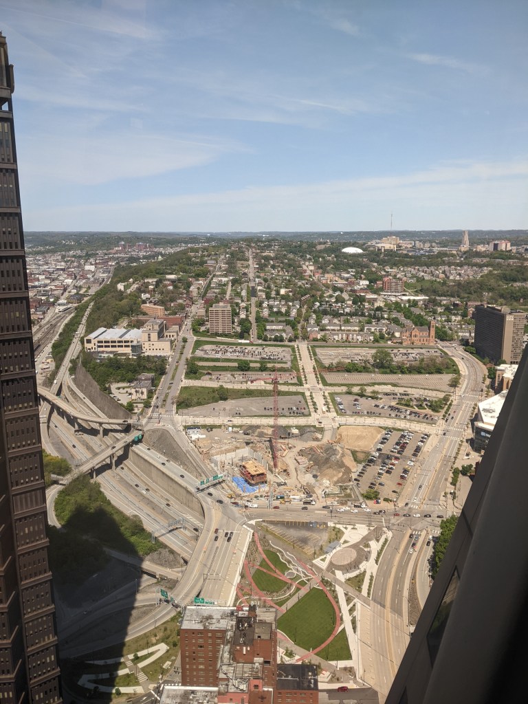
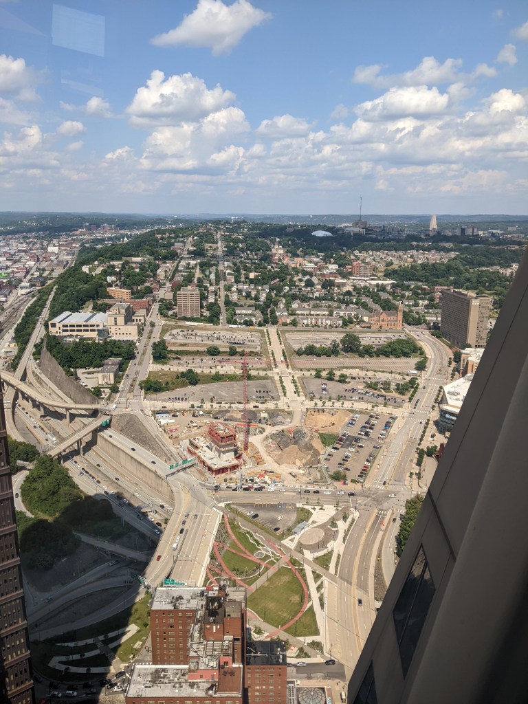
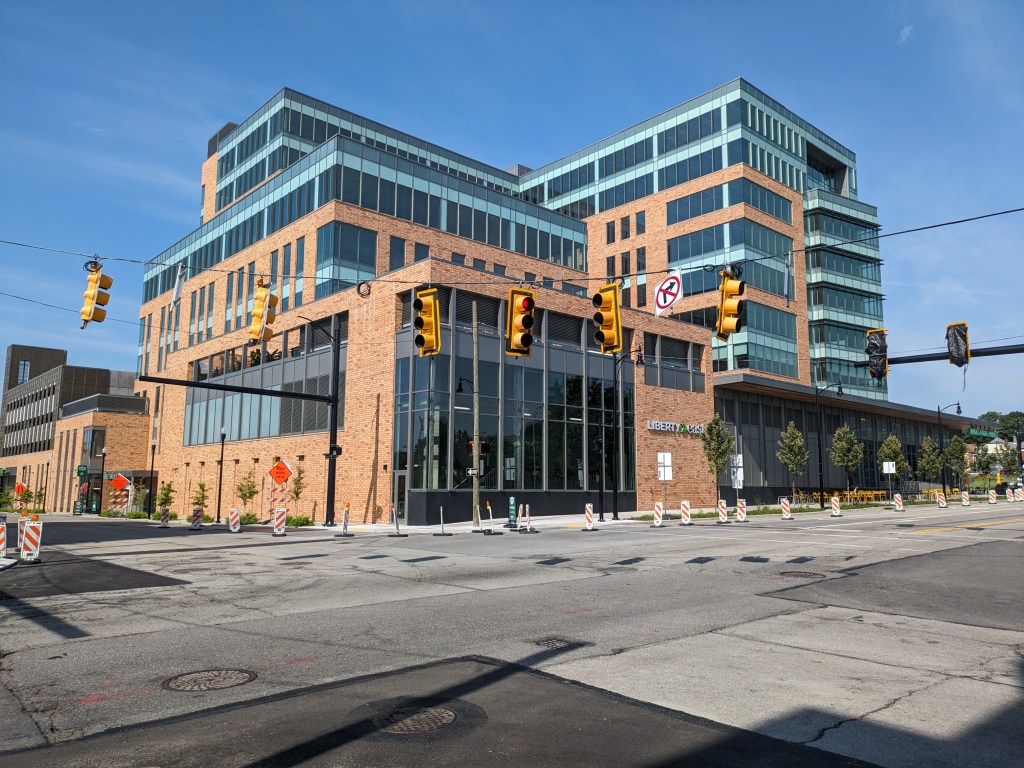
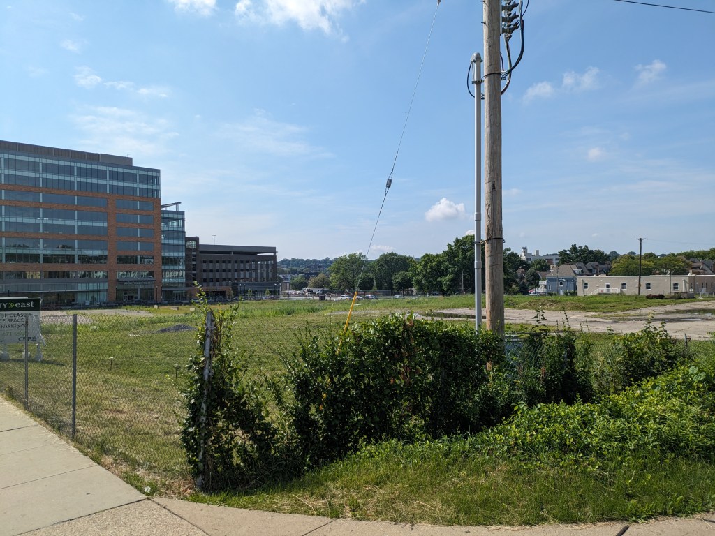
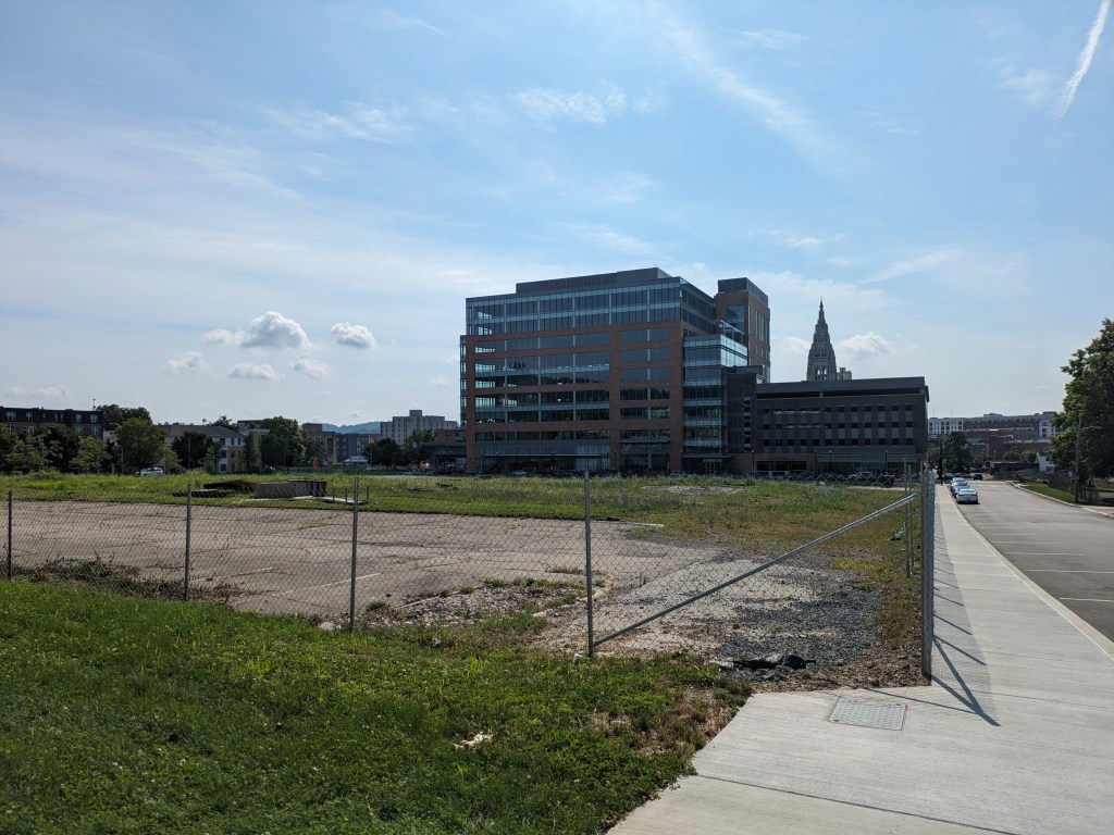
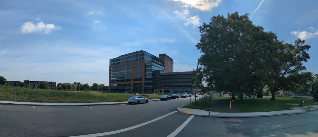
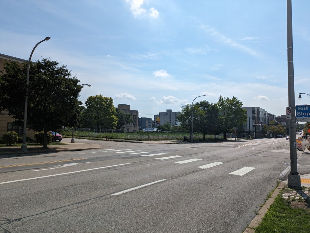
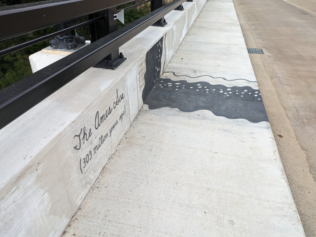
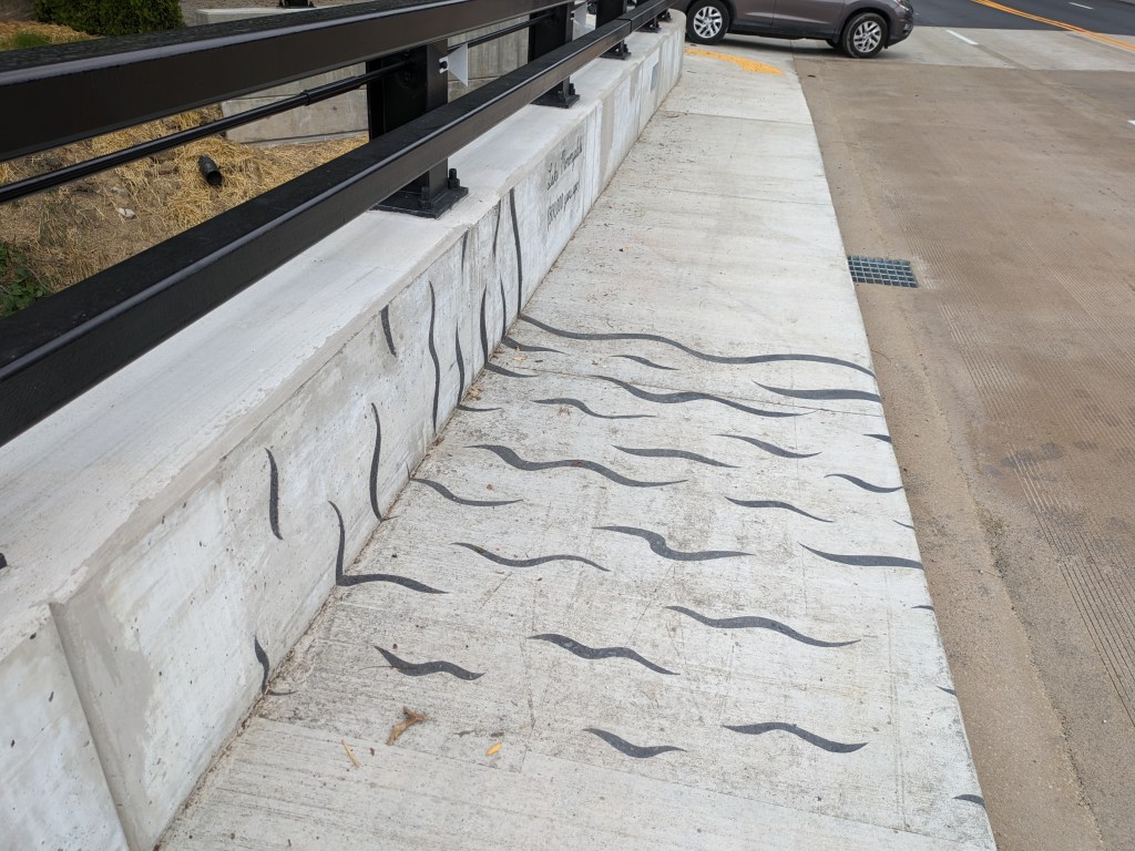
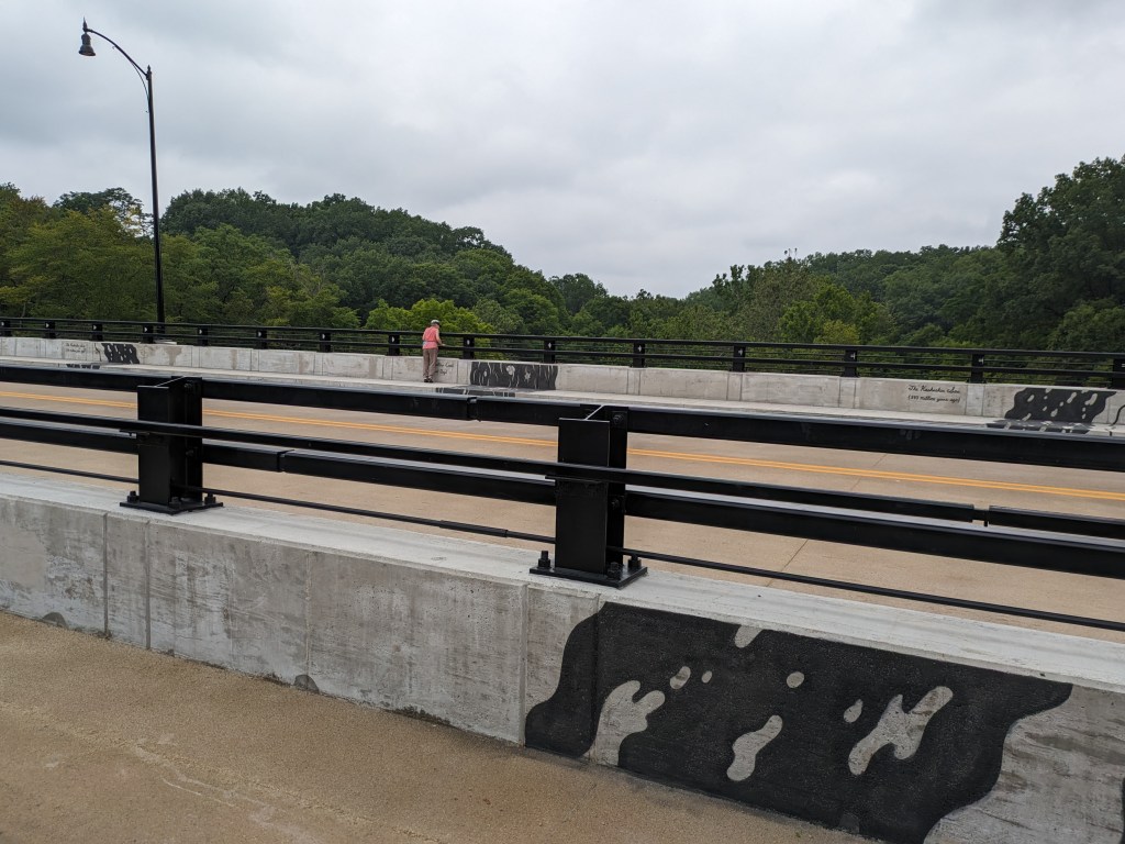
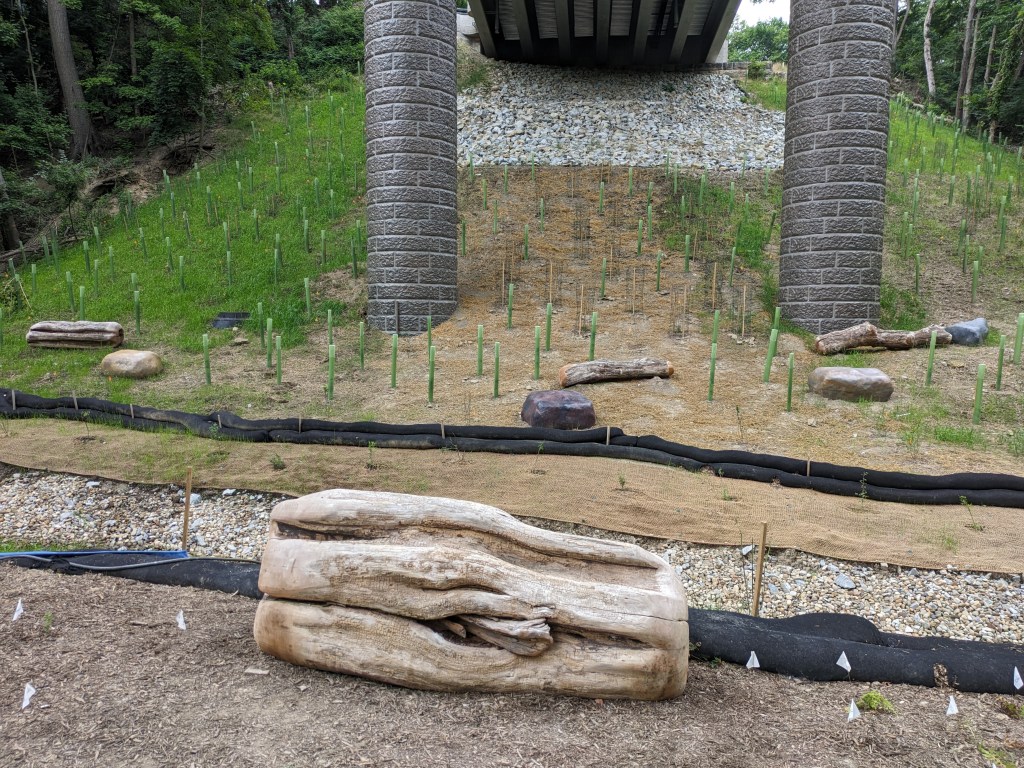
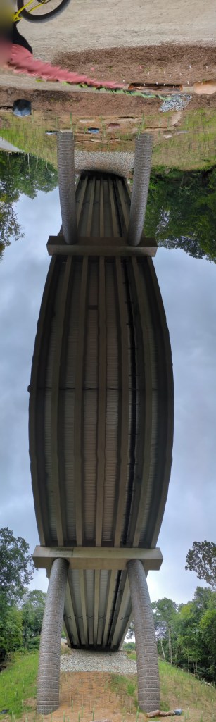
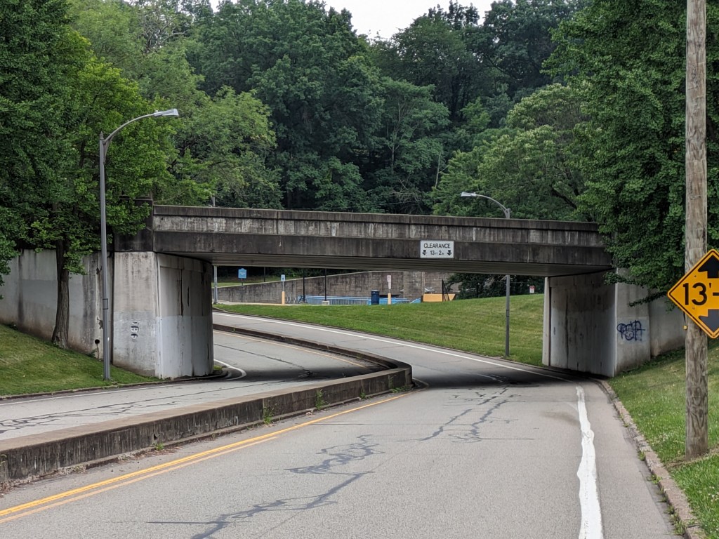
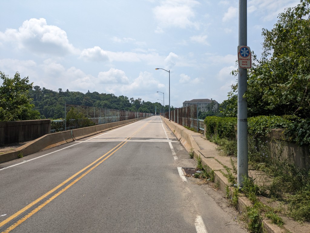
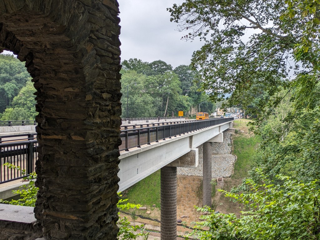
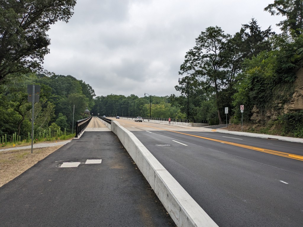
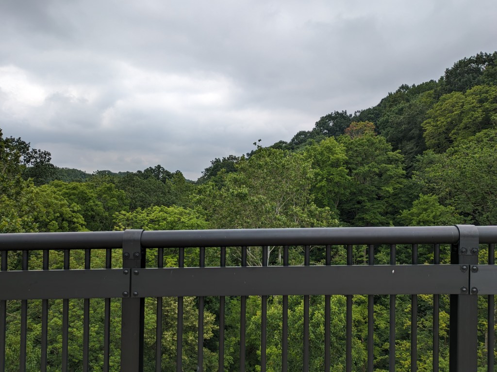
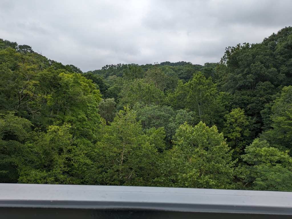
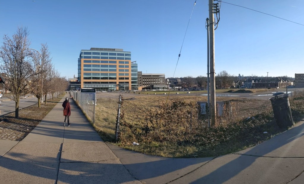
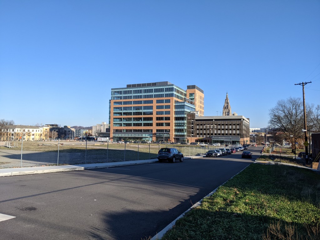
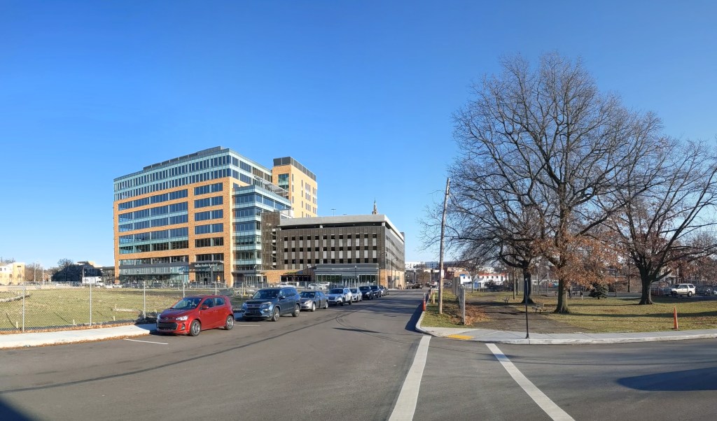
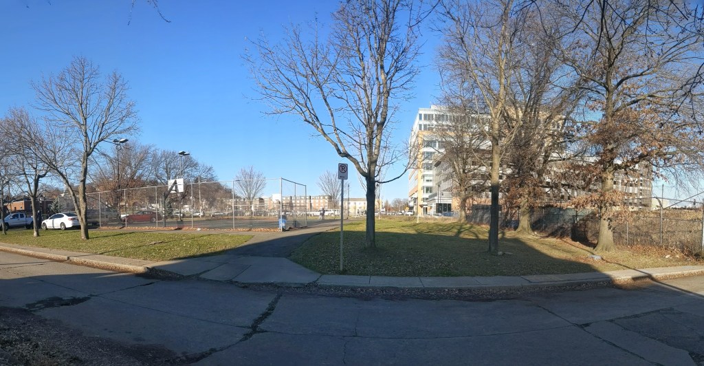
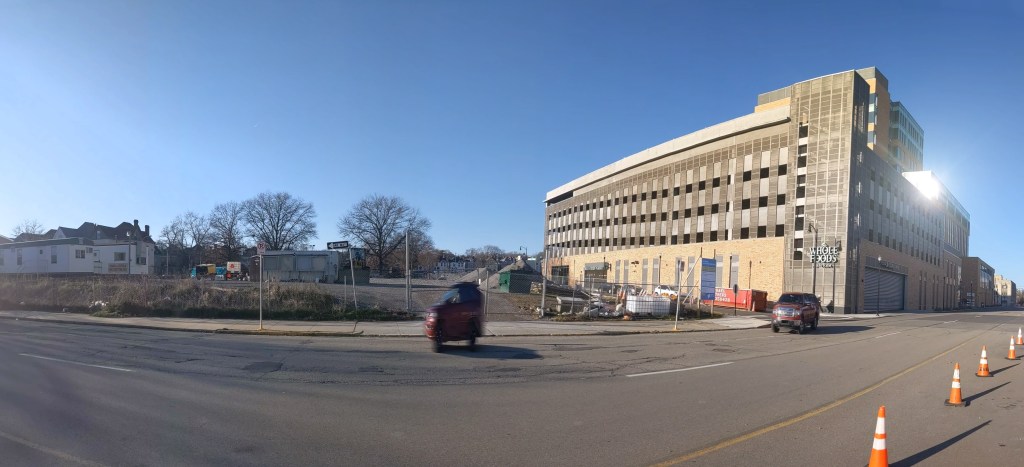
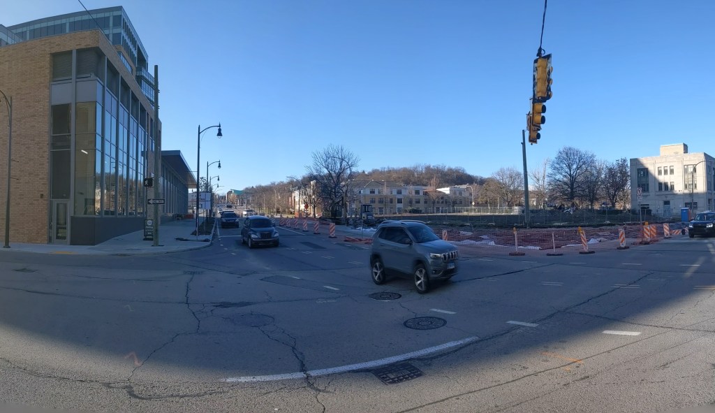
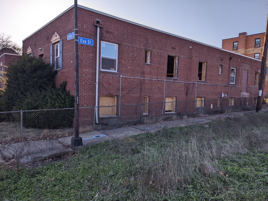
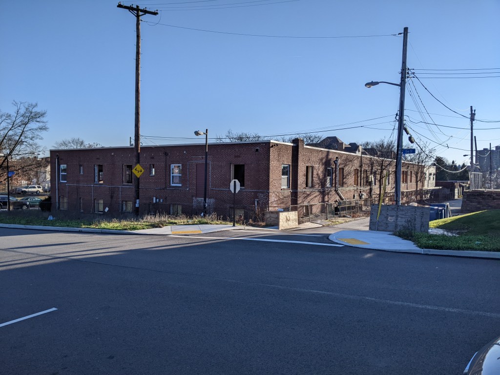
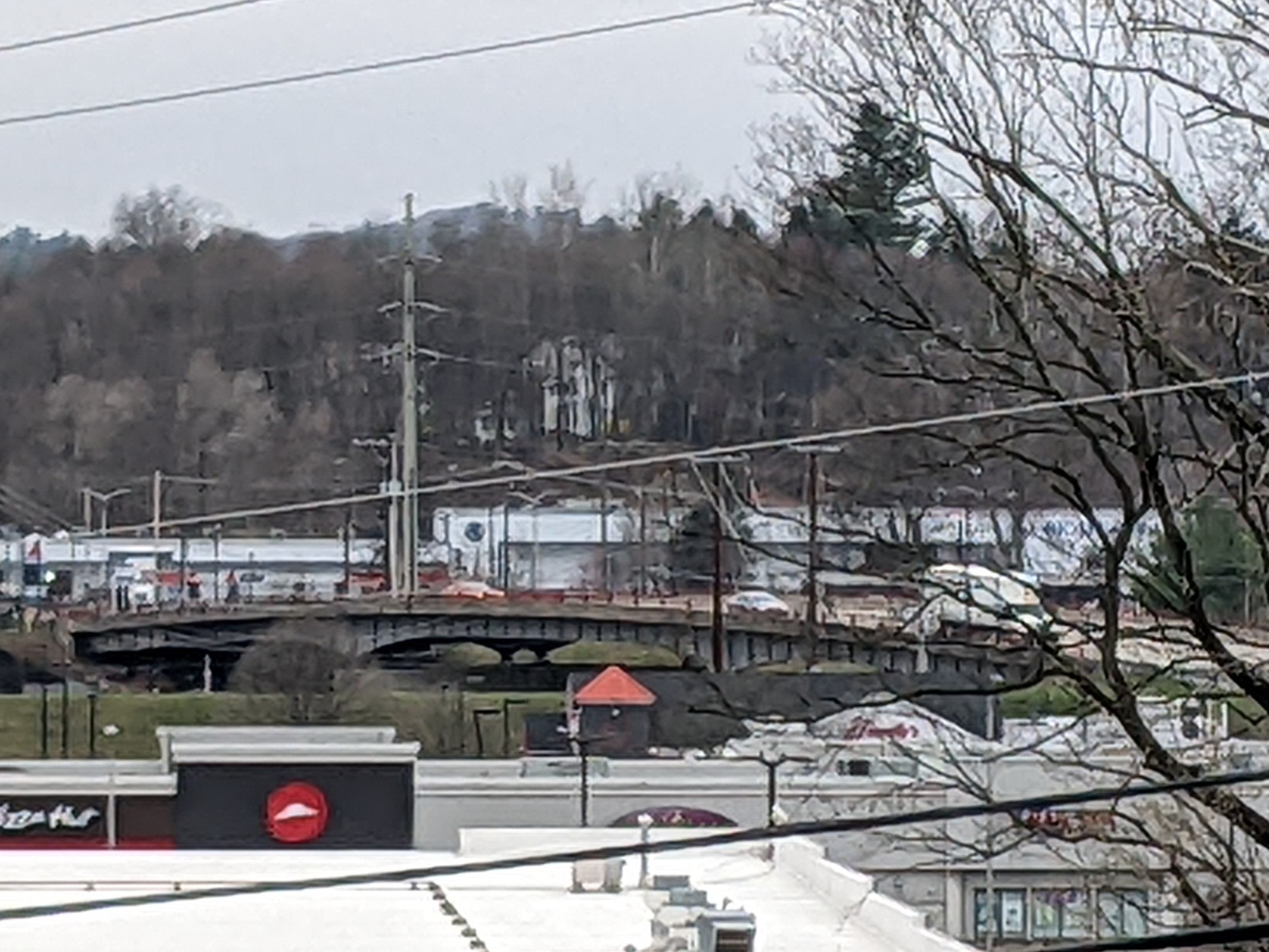
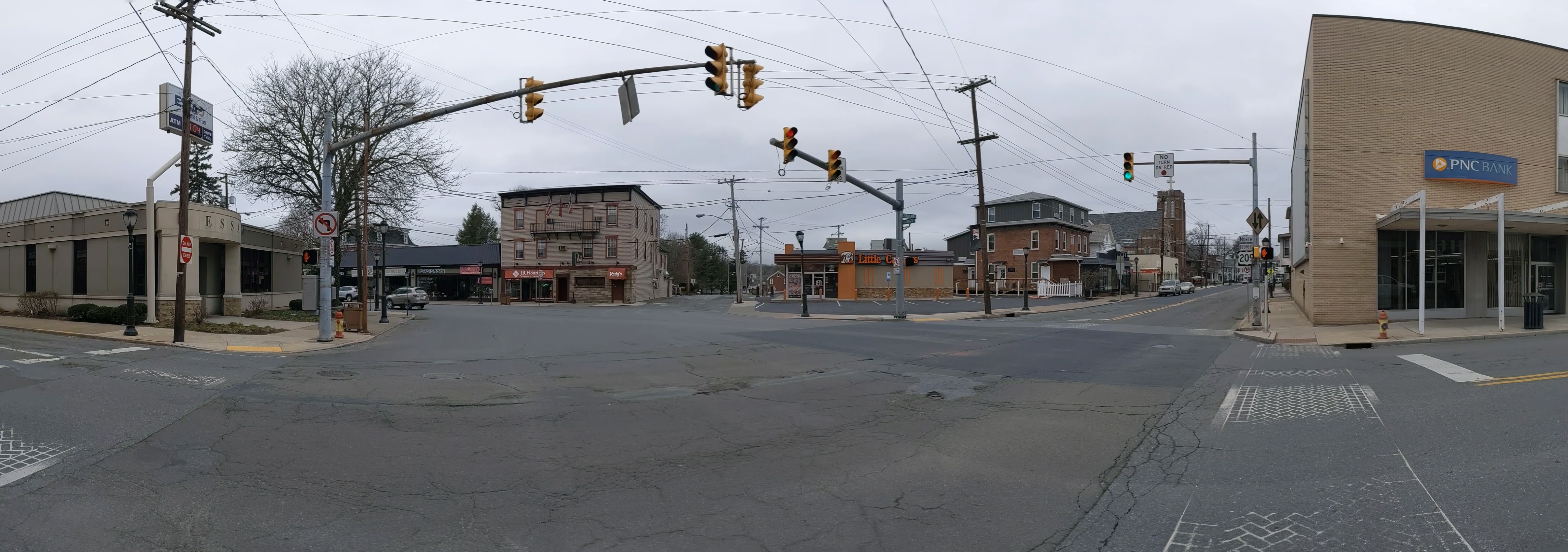
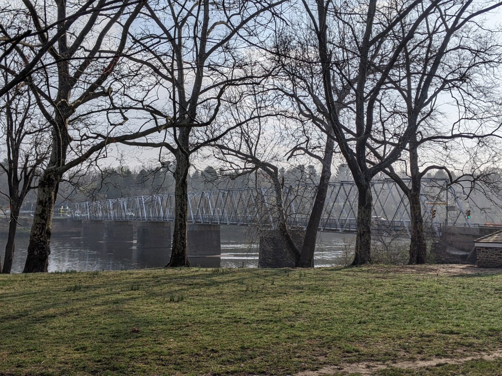
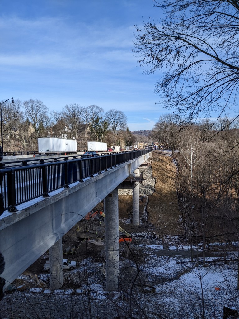
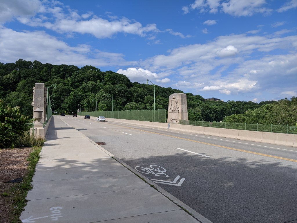
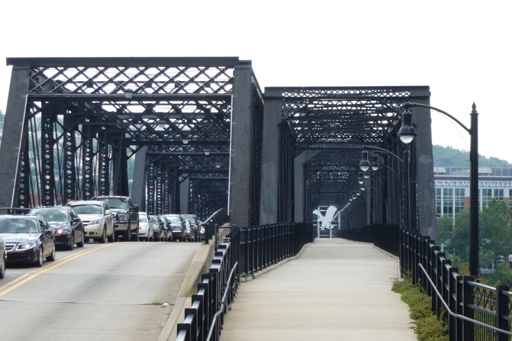
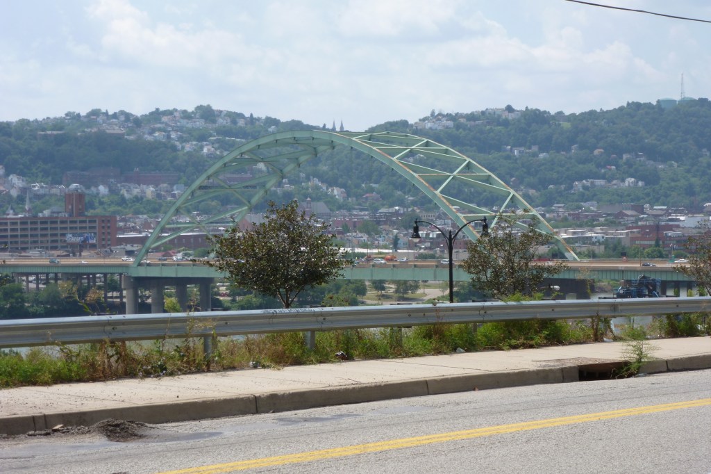
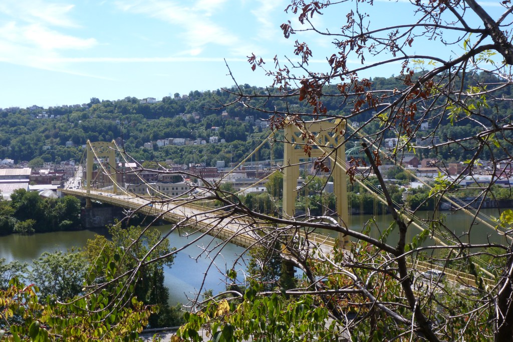
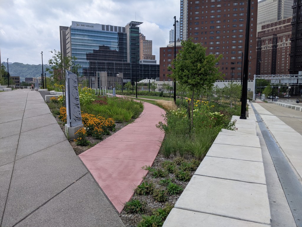
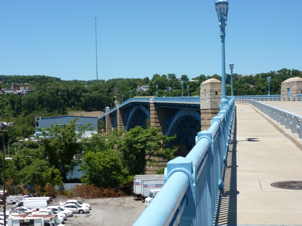
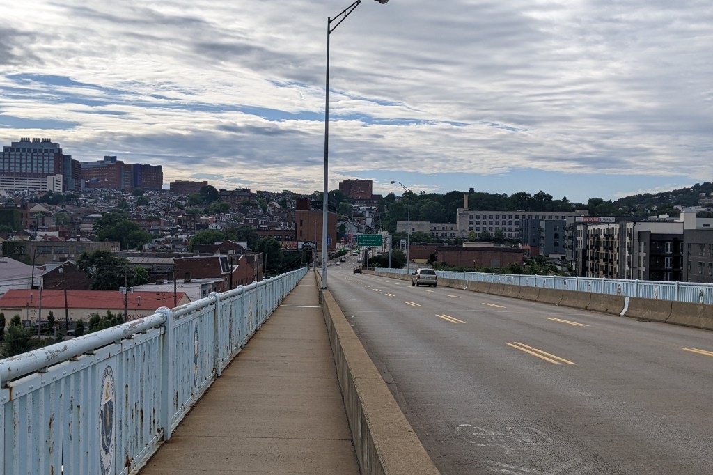
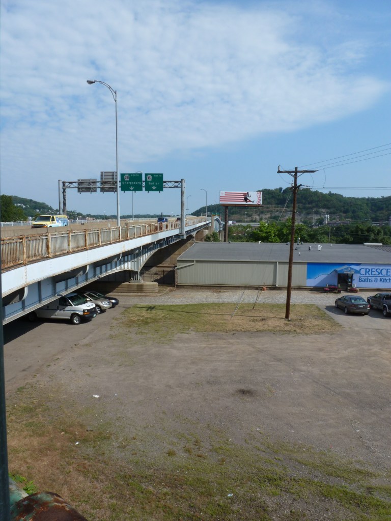
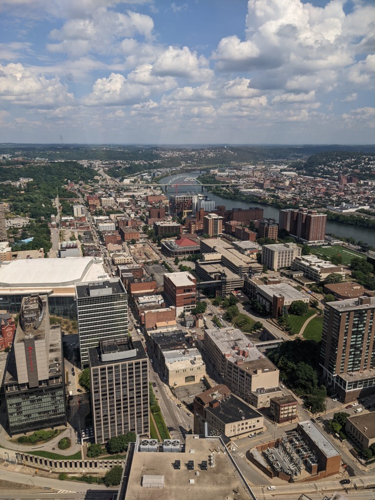
While this house is clearly unique – long before I knew its history, it had caught my eye as something completely different from its surroundings – I did not include it in the photographs I’ve been taking of the neighborhood in the this series. This is a clear illustration of one of the challenges of Keeping an Eye on a neighborhood – predicting which portions are going to be most illustrative of changes over time. Unfortunately, I was not able to get out in the neighborhood for the usual photos this year, though I do have a few bird’s eye view photos to share.
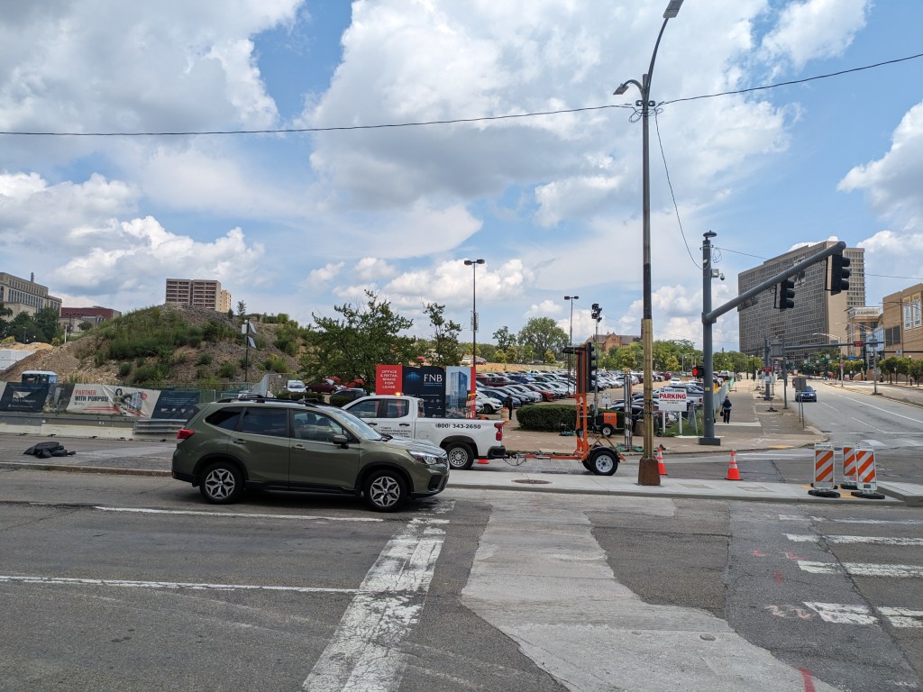
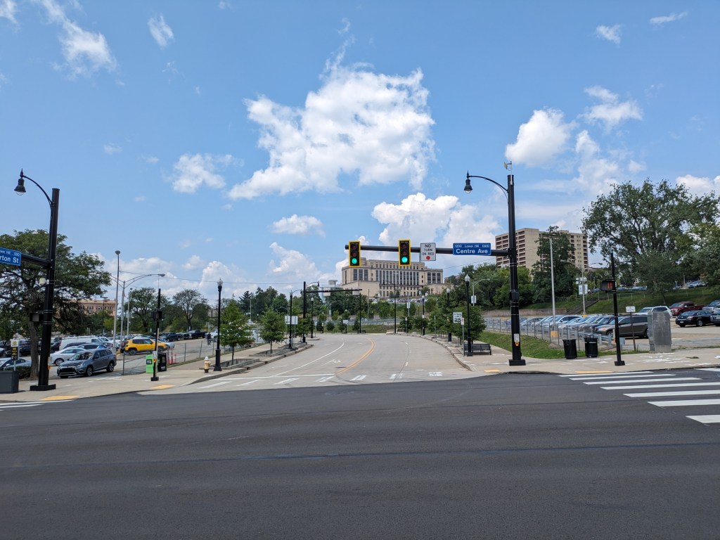
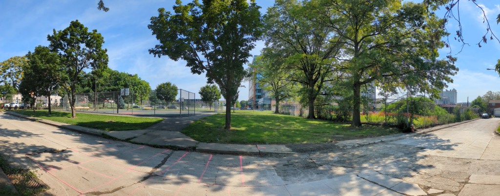
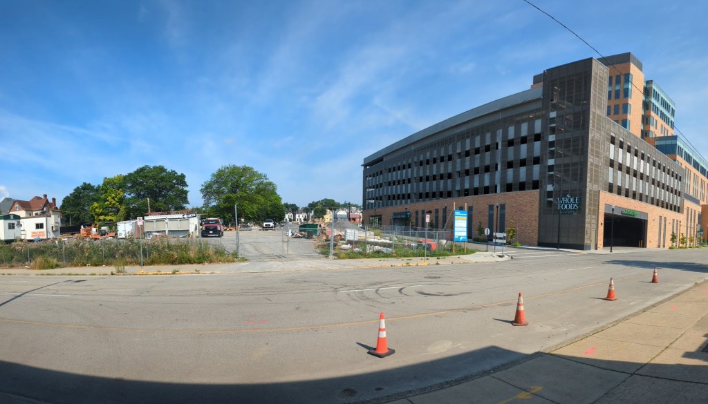
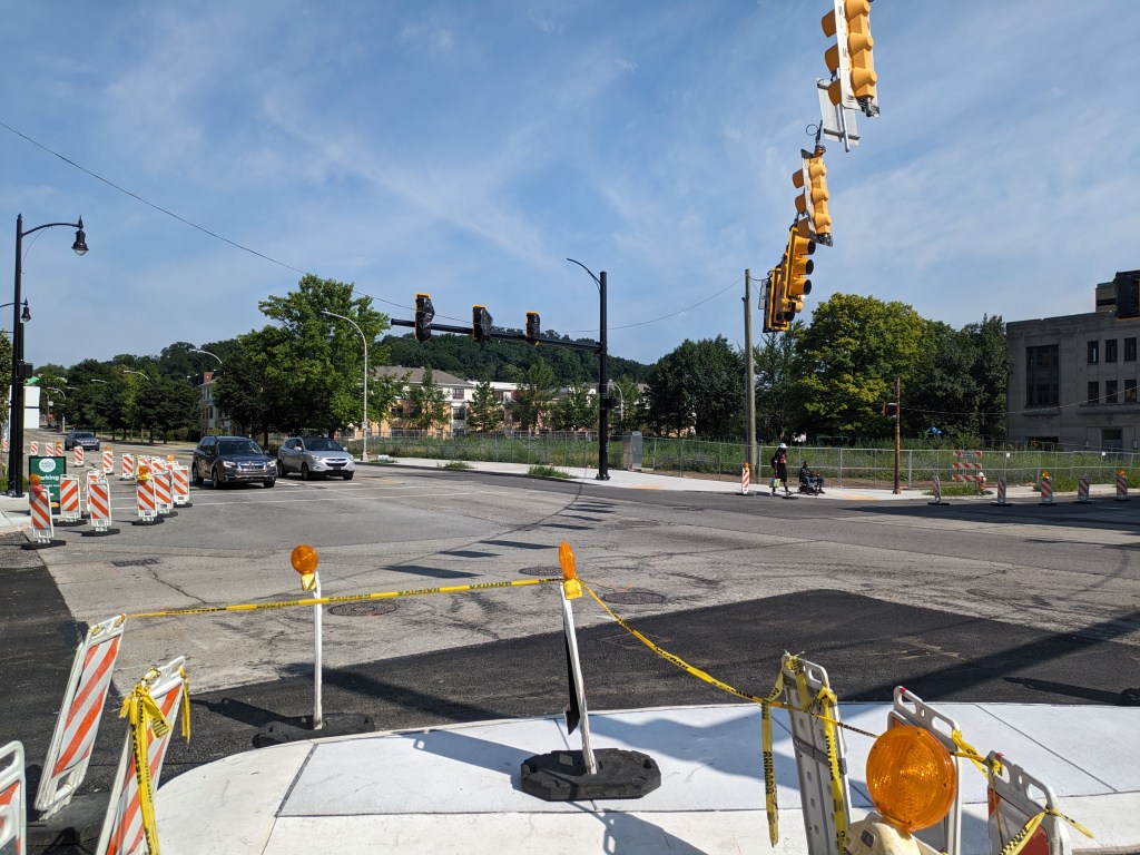
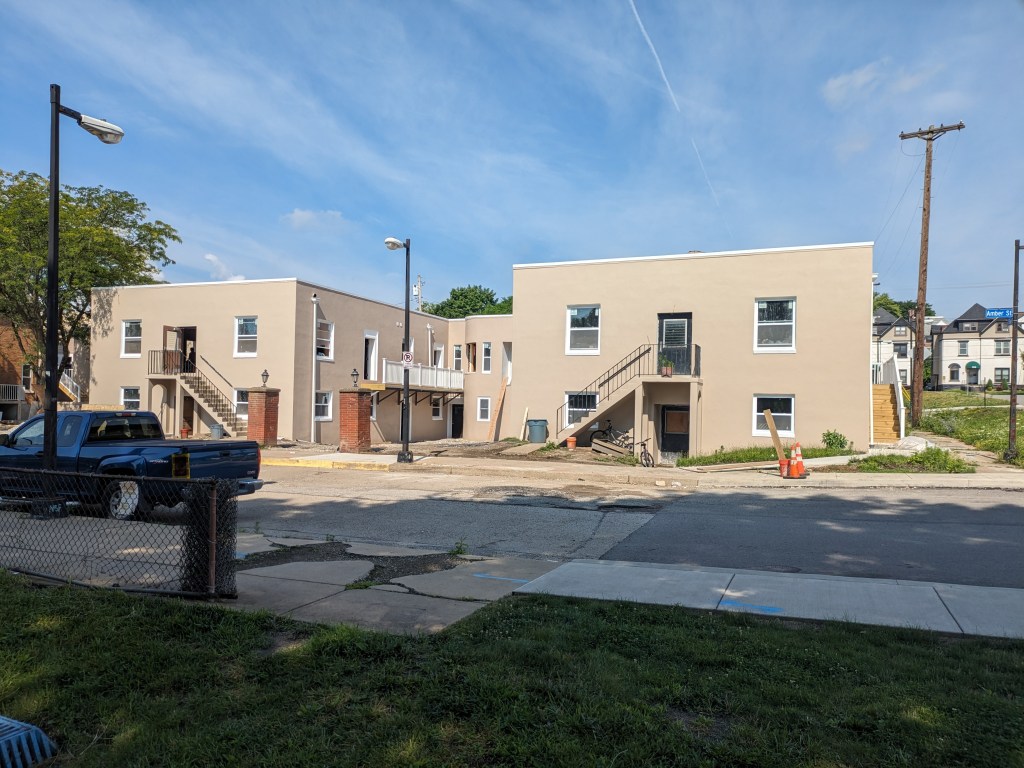
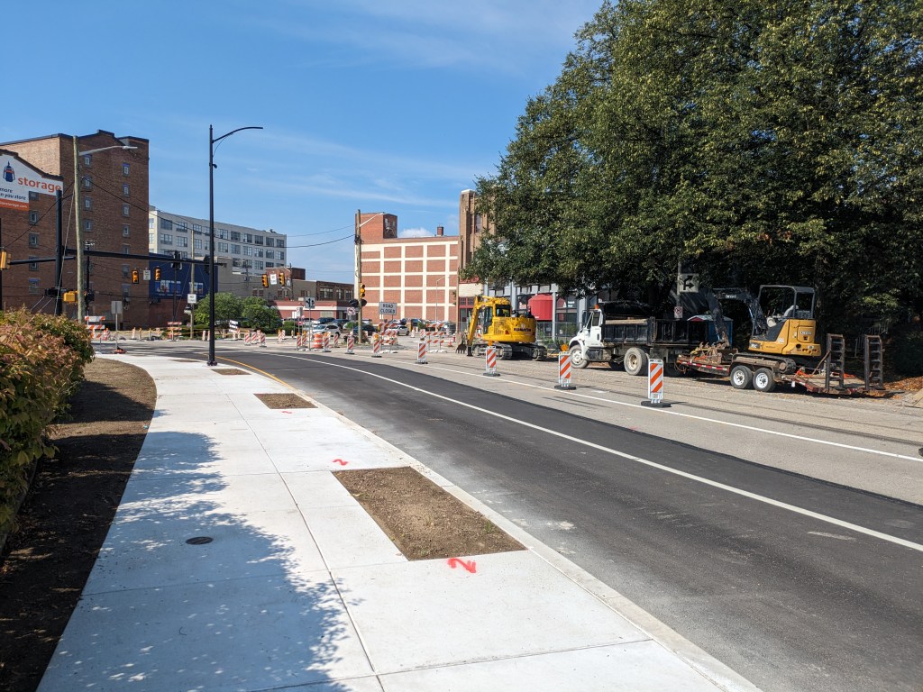
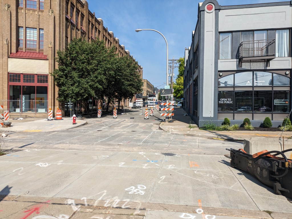
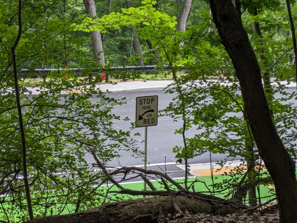
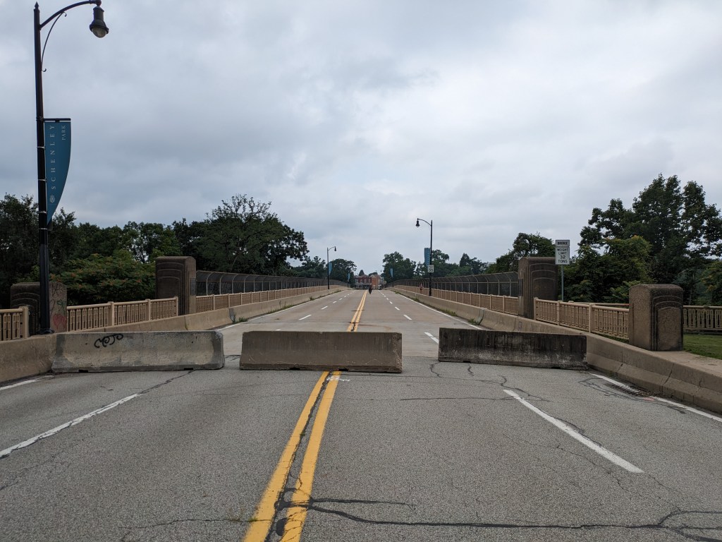
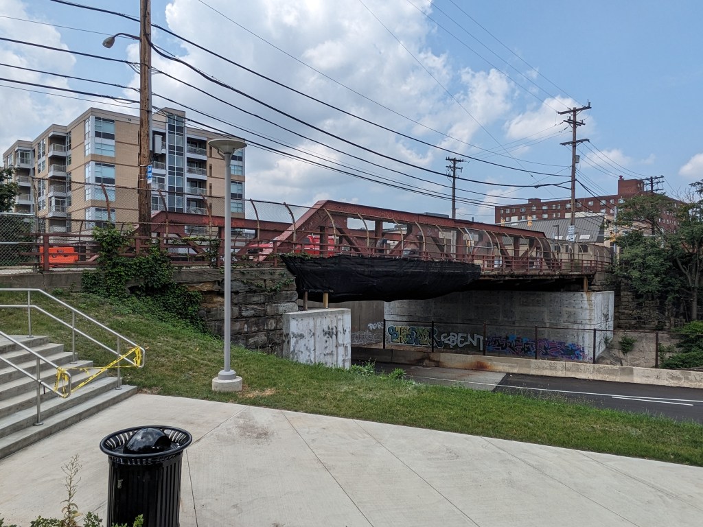
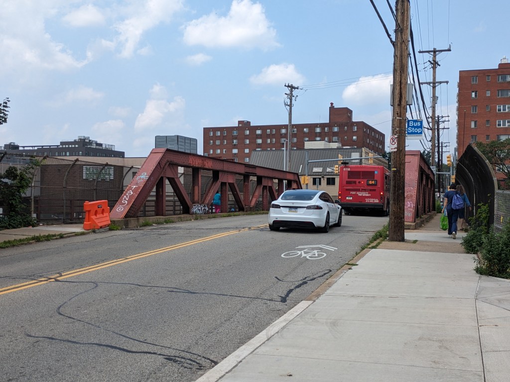
The Photos


Uptown in the News & on the Web
The Tito-Mecca-Zazza House nomination (Uptown Parners project website) went through Historic Commission Review (Historic Commission Agenda Dec 2021 with all applications, Historic Commission Minutes Dec 2021, Historic Commission Agenda Feb. 2022 with all applications, Historic Commission Minutes Feb. 2022), Planning Commission Review (Planning Commission Agenda, Planning Commission Application, Planning Commission Minutes; Public Source, February 8, 2022), and City Council approval (Tribune Review, April 22, 2022; Post-Gazette, June 8, 2022; WTAE, June 8, 2022; City Paper, June 15, 2022). Between the commission reviews and City Council, a pop-up museum was installed at the site to help tell the story (WESA, March 28, 2022; The Metropole, March 30, 2022).
A developer proposed a project on 1.8 acres including the Tito House site that would be a new construction mixed-use project including 260 apartments (Pittsburgh Business Times, February 11, 2022) and another developer proposed a 51-unit building at the western end of the neighborhood (Pittsburgh Business Times, December 9, 2022)
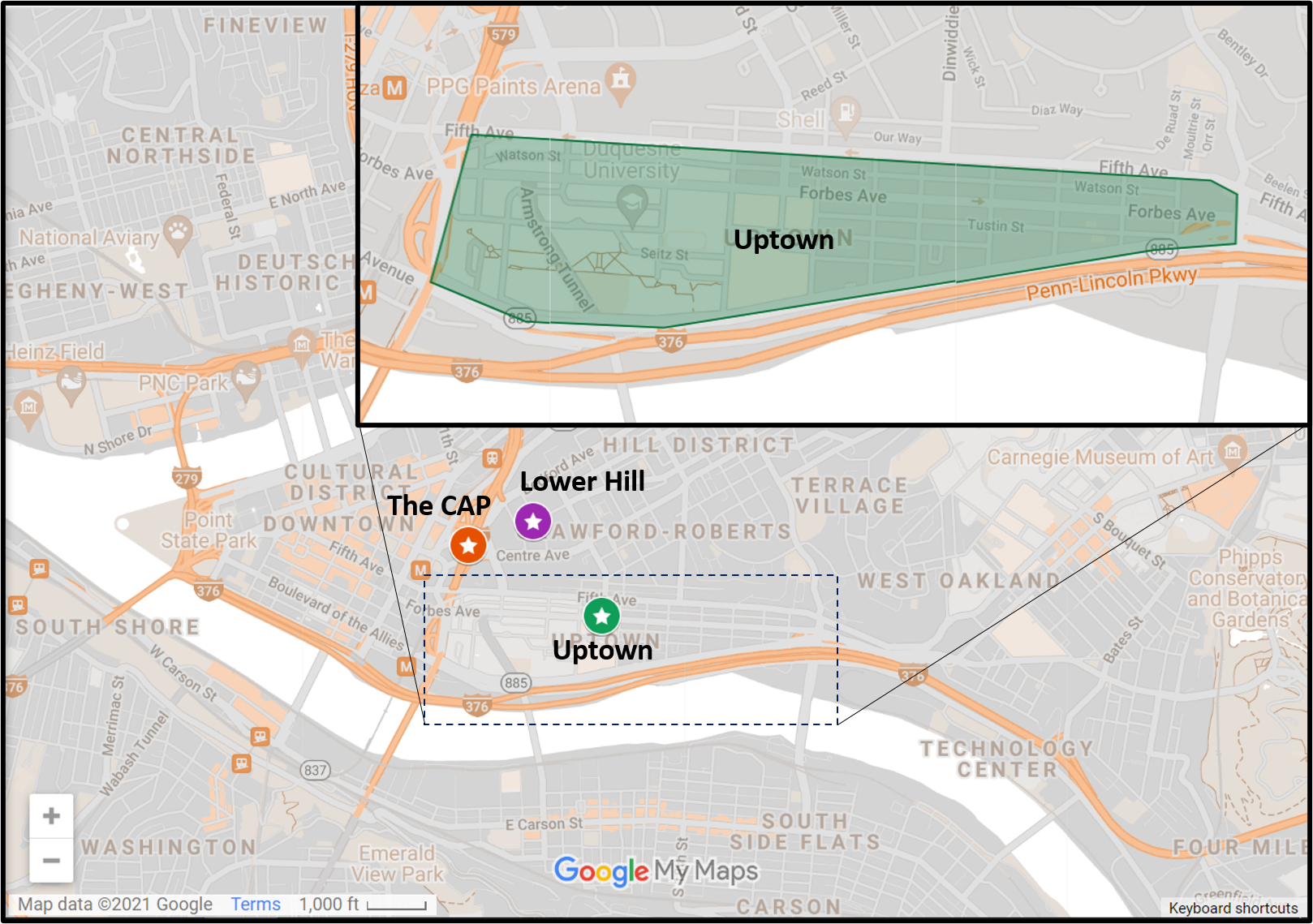
Locating Uptown
Previous posts in series:
Keeping an Eye on Uptown: Dec. 2021
Keeping an Eye on Uptown: Jul. 2021
Keeping an Eye on Uptown: Nov. 2020
Keeping an Eye on Uptown: May 2020
Keeping an Eye on Uptown: Nov. 2019
Keeping an Eye on Uptown: Introduction (November 15, 2019)
Moral Economics (September 1, 2019)