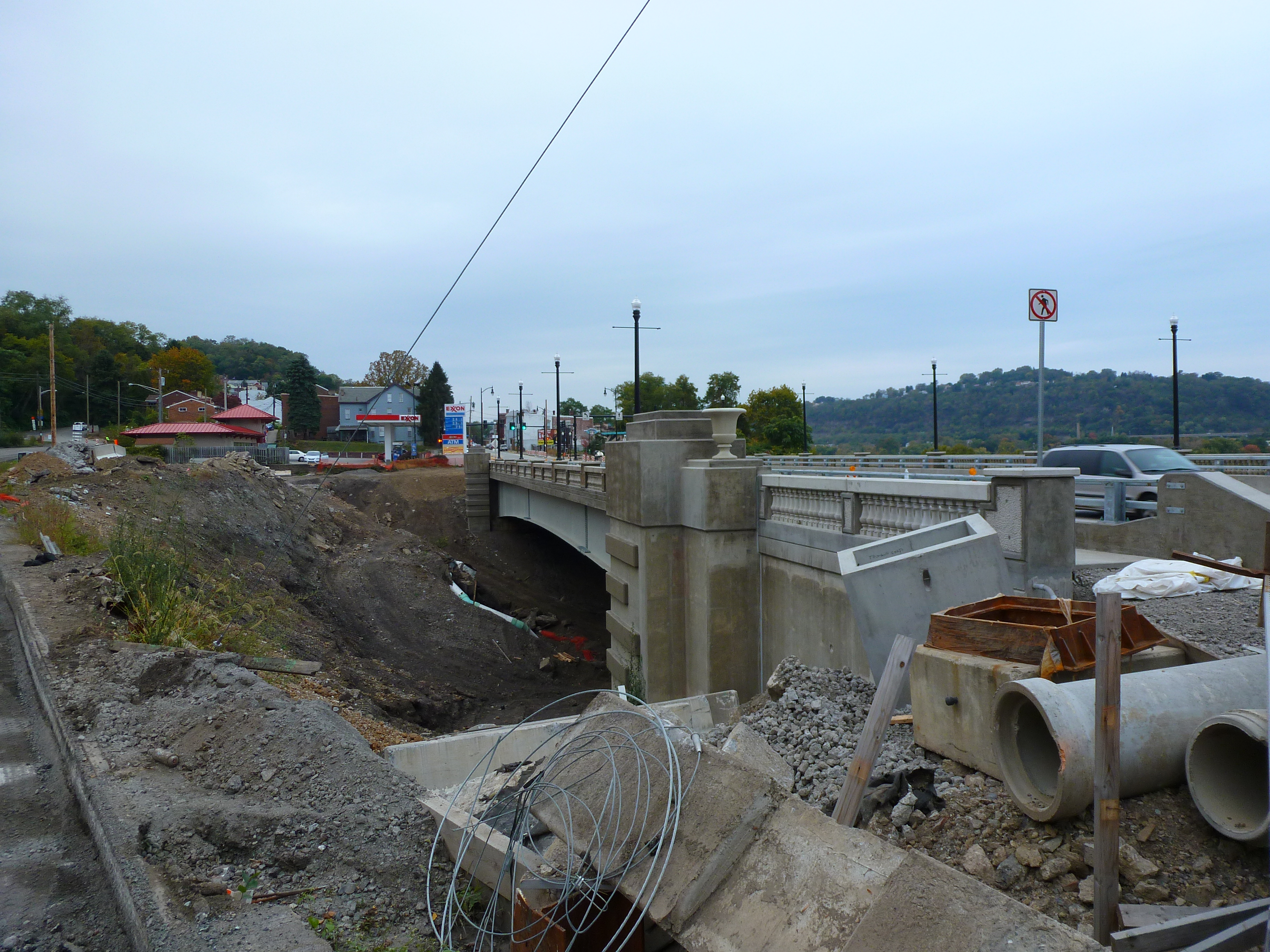
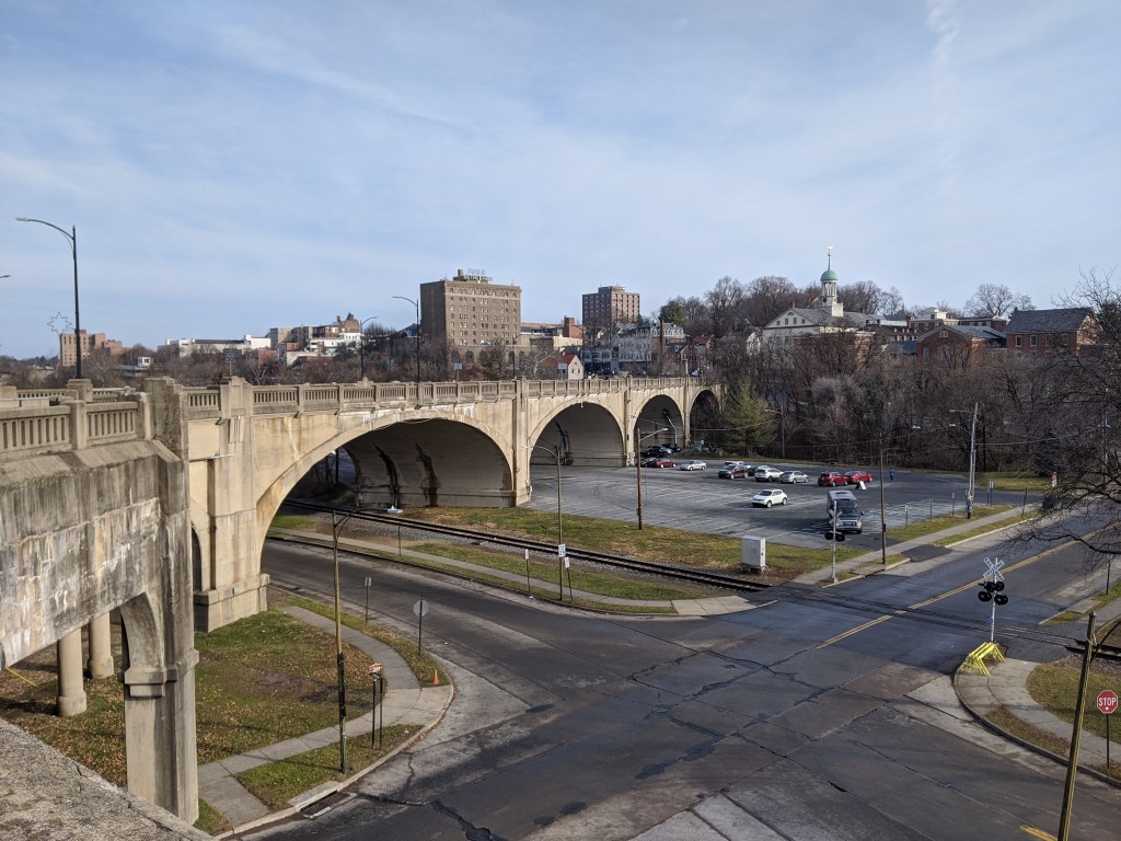
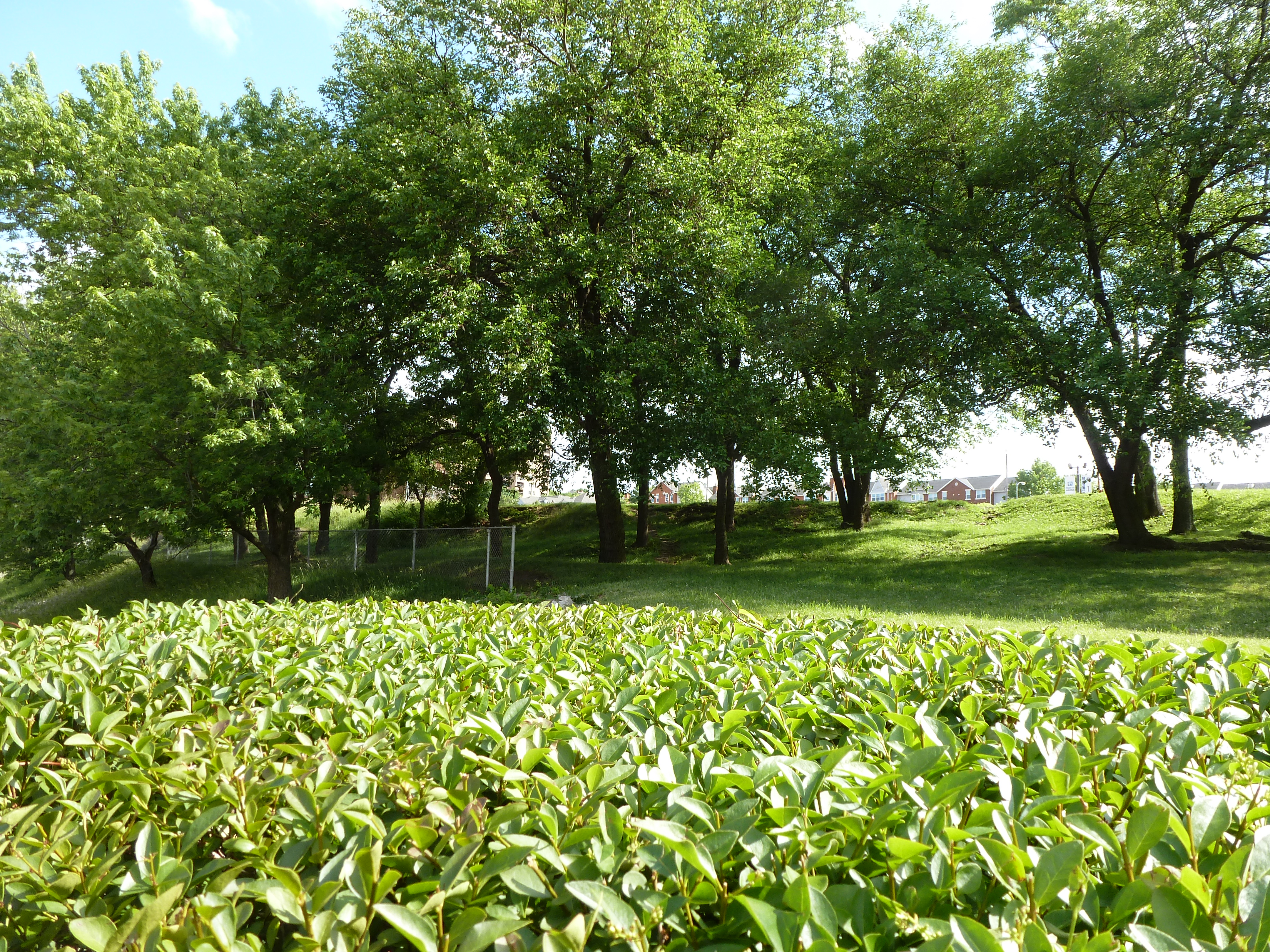
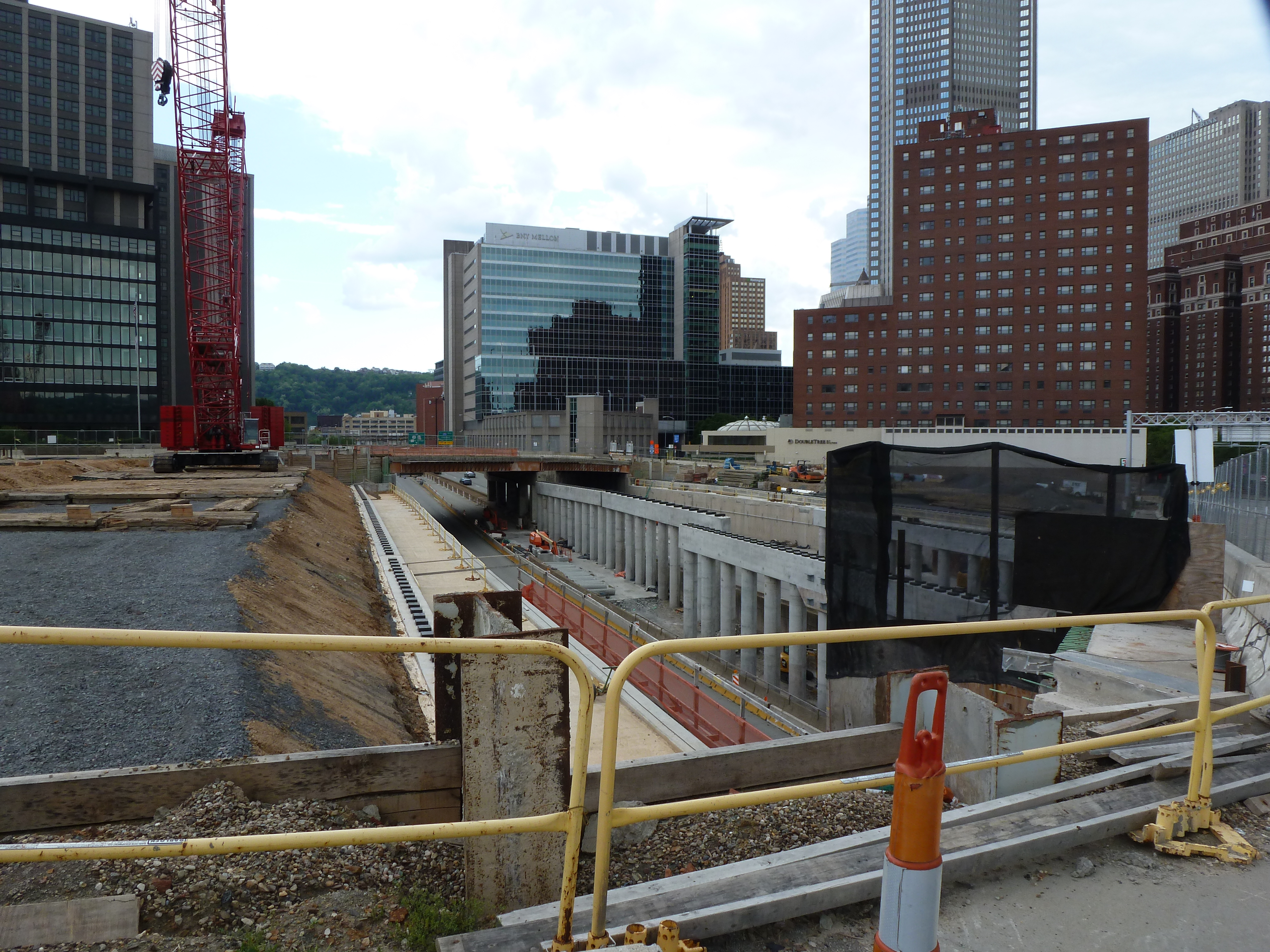
My experiment of living without home internet in 2014 interfered with posting the images of Heth’s Run Bridge I took that fall as it reopened with an actual gap underneath:
Looking back at the original intent of the Hill-to-Hill Bridge and comparing it to its use today, I find myself asking a new question: what is the purpose of a bridge? The word bridge is often used metaphorically to describe something that brings two things together. At the same time, there is a running joke in Pittsburgh (the City of Bridges) that if it involves crossing a bridge, people would rather stay home. This conflict of ideas between a bridge as a connector and a bridge as a divider is illustrated by the Hill-to-Hill Bridge.
The Hill-to-Hill Bridge started out as a connector. A Y at the north end linked West Bethlehem and Bethlehem to the main span which connected to South Bethlehem. The ramps in-between connected the neighborhoods to the businesses on the flats by the water.* Over time, the priority on connection disappeared as the bridge was modified. Of the seven original approaches, three were demolished, one was permanently closed to through traffic, and one was changed to one-way traffic.
The explanations I came across for alterations to the bridge seem reasonable, but they do not tell the whole story.
Reason #1: Industry changed and shut down in Bethlehem as with other Rust Belt cities. Some of the business destinations connected to the bridge were among those that closed, removing the need for the connection.
Reason #2: Cars became bigger, faster, and more numerous, making it harder to navigate the tight turns on some of the approaches.
The story that is overlooked by these explanations is that in the 1960s a new highway was built from the north directly tying into the bridge. The introduction of high-speed traffic to the bridge, or to any roadway, certainly makes it less safe for local traffic.
As a result of the addition of the highway, instead of connecting the neighborhoods of West Bethlehem, Bethlehem, and South Bethlehem, the bridge funnels traffic directly toward the former steel mill, Lehigh University, and other points south. In fact, the residents of West Bethlehem are practically excluded from using the bridge to get anywhere, as the western ramp is closed to through traffic (though open to parking). To use the Hill-to-Hill Bridge to reach South Bethlehem, a resident of West Bethlehem would have to drive north several blocks to get on the highway going south. Alternately, a resident could go south by taking Spring Street, a road parallel to the western and eastern wings of the bridge, (by)passing under the main span, then skirting around the hill of historic downtown, and taking the Fahy Bridge instead.
People living and working in the historic downtown area (the Bethlehem neighborhood) are also now limited in their use of the bridge. If coming across the bridge from the south, they can take the eastern viaduct to enter the historic downtown, but to leave the area by way of the Hill-to-Hill Bridge, they would have to drive north to the same highway access point as the residents of West Bethlehem. They could alternately take the Fahy Bridge for a more direct route south.
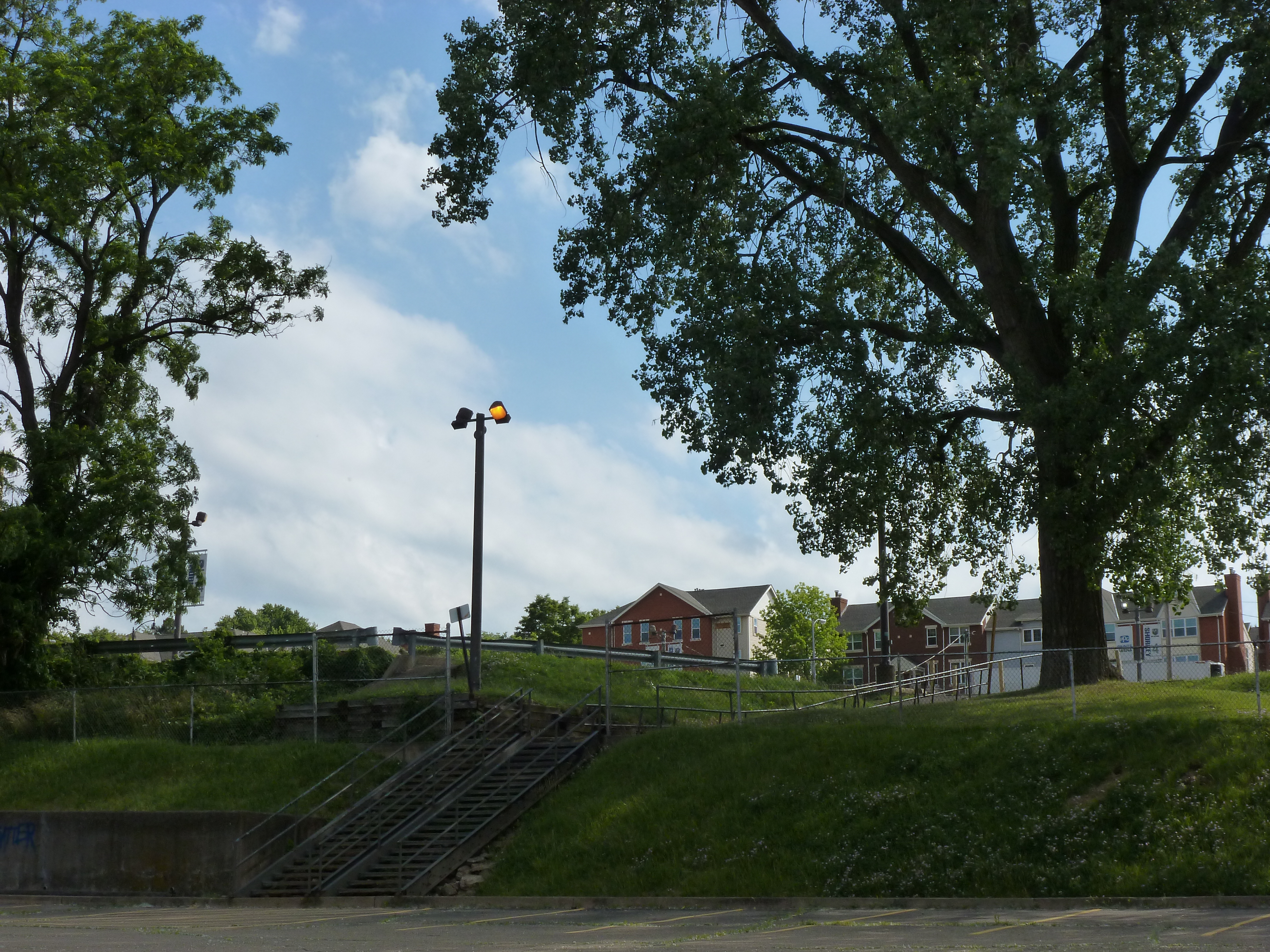
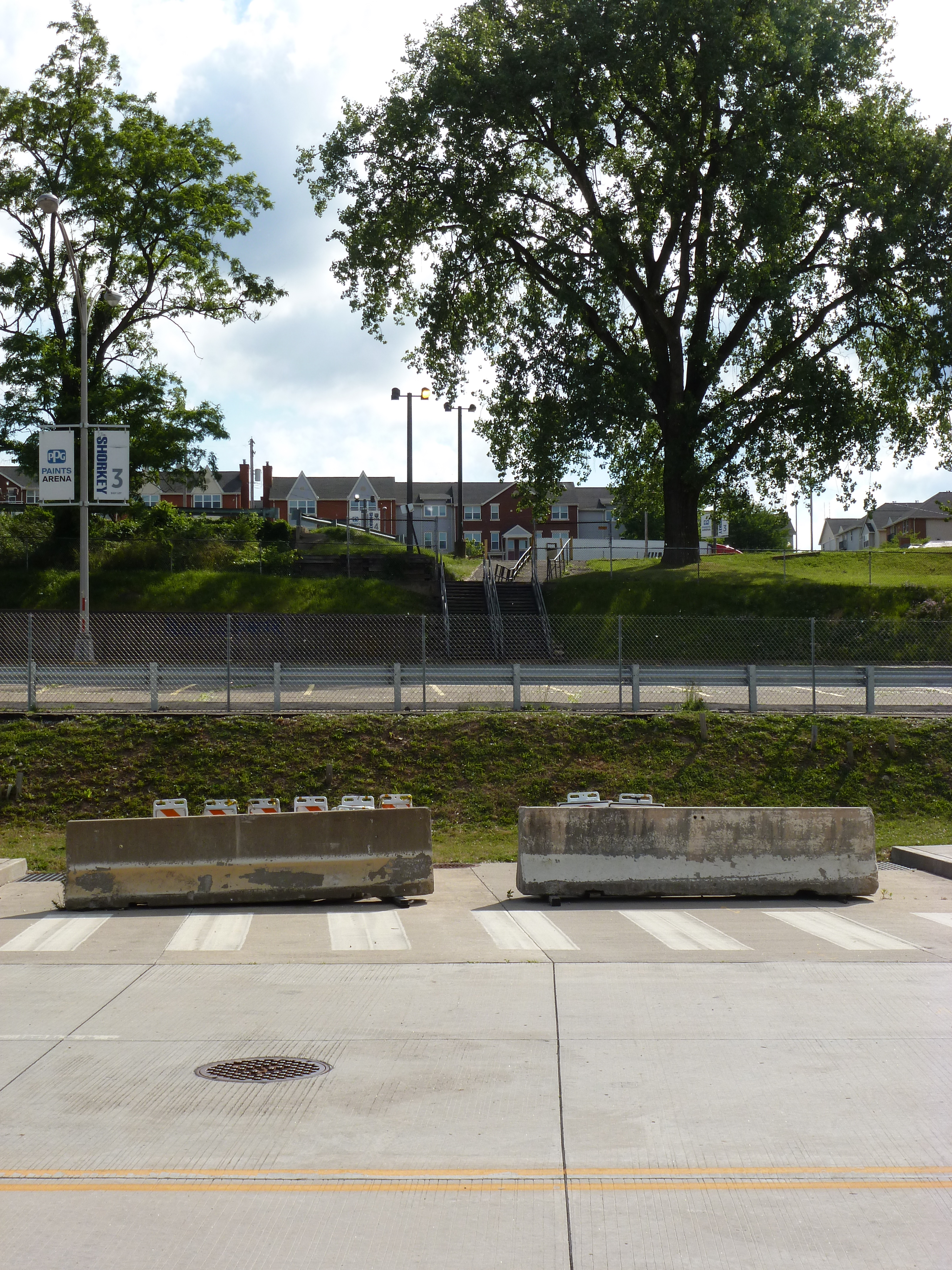
Use of the bridge is a little easier as a pedestrian, though it is still the most challenging for residents of West Bethlehem. For pedestrians to access the bridge from the west, they would have to use the sidewalks on Spring Street, walk under the main span, and climb a towering staircase up to the sidewalks on the bridge. If they are not able to use the stairs, they could keep going on Spring Street up the hill to the eastern end of the viaduct. Once on the bridge, both the historic downtown and south side are accessible. Given the history of the bridge, I imagine that there once was a time when there were crosswalks at the intersection of the main span and the east and west spurs so that pedestrians had full use of the structure just as drivers would have had.
The shift in the bridge’s focus from local to regional traffic seems like a classic case of the Urban Renewal efforts of the 1950s and 1960s. The discussion among planners and officials in recent years is how do they undo or erase the mistakes of Urban Renewal. Pittsburgh is trying to reconnect the local by returning some one-way roads to two-way traffic and by building a cap over the highway that divided downtown and the Hill District. As I watch these developments in Pittsburgh, I wonder if there are ways to return the Hill-to-Hill Bridge to a focus on the local.
For example: The highway has to end at some point, which is currently at the southern end of the bridge. What if it were moved to the north end of the bridge? If a traffic light were introduced there, the western branch could be reopened to through traffic and the eastern branch could be restored to two-way traffic. Pedestrians would also be able to then use all the remaining approaches. Thus, West Bethlehem, Bethlehem, and South Bethlehem would be reconnected for the enjoyment of pedestrians and drivers.
This suggestion is based upon the assumption that the local community would want to be better connected by way of this bridge. Perhaps the question that should come before “what is the purpose of a bridge?” is “who gets to decide the purpose of a bridge?”
*By prioritizing connections, Clarence W Hudson, the bridge’s designer, was forced to develop a one-of-a-kind truss design to accommodate the railroad tracks beneath the bridge and the connections coming into the bridge. There is no record of this truss design being used on any other bridge.
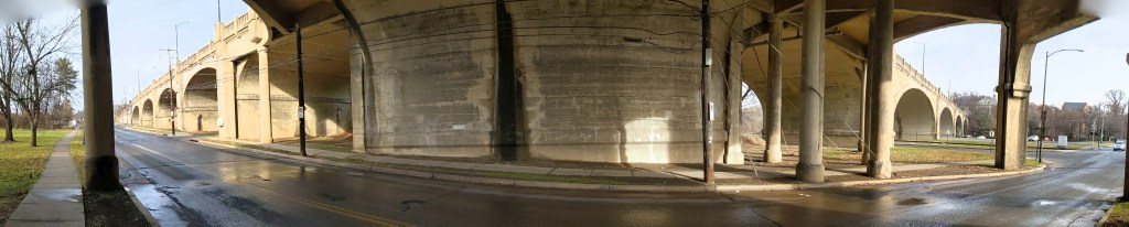
I was in the midst of trying to understand what is a viaduct when I traveled to Bethlehem, PA, with my family. One of our activities was to explore the bridges (see also Cage-free Bridges). As we walked the Hill-to-Hill Bridge, my initial reaction was “now here is a viaduct.” I hadn’t reached the point of developing a semi-clear definition for viaduct but looking at the flat roadbed supported by multiple arches over the floodplain, viaduct seemed the most appropriate word for the structure.
As we kept walking, it turned out that the viaduct was only a portion of the Hill-to-Hill Bridge. In fact, it would be more appropriately called the Hill-to-Hill-to-Hill-to-Hill Bridge. There are two approaches to the main span on the south end and three on the north end, including the viaduct and one approach permanently closed to through traffic. When the bridge was built in 1924, there were a total of seven approaches at various points along the main span. With so many components, this structure brings me back to the question of how many is one bridge?
Unlike when I asked this question of the 30th and 31st Street bridges in Pittsburgh, here the main bridge, the intersecting viaduct, and the numerous connections seem to be considered one bridge. They are together called the Hill-to-Hill Bridge while the structure in Pittsburgh has three distinct names (including River Avenue Ramp). Perhaps the deciding factor in whether it is one or more bridges is the original intent. The Hill-to-Hill Bridge was designed as a multifaceted structure whereas the 30th and 31st Street bridges were developed independently.
The best indication of the original intent seems to be the name. The Hill-to-Hill Bridge has a single name whereas the 30th and 31st Street bridges have separate names. The other examples I looked at in 2012 were the Veterans Bridge (Pittsburgh), the Fort Duquesne Bridge (Pittsburgh), and what I called the Jubilee Bridge (London).
The Veterans Bridge joins three approaches into one bridge, all under a single name. Therefore, it is one bridge, not three.
The pedestrian walkway of the Fort Duquesne Bridge was built decades after the vehicular portion but does not have a separate name. Therefore, it is one bridge, not two.
What I called the Jubilee Bridge (despite the photo I took at the time of the dedication plaque stating otherwise) is actually called the Golden Jubilee Bridges. While these bridges share the support structure of the underground’s Hungerford Bridge due to concerns about unexploded WWII bombs in the area, they have separate names. Therefore, it is three bridges, not one nor two.
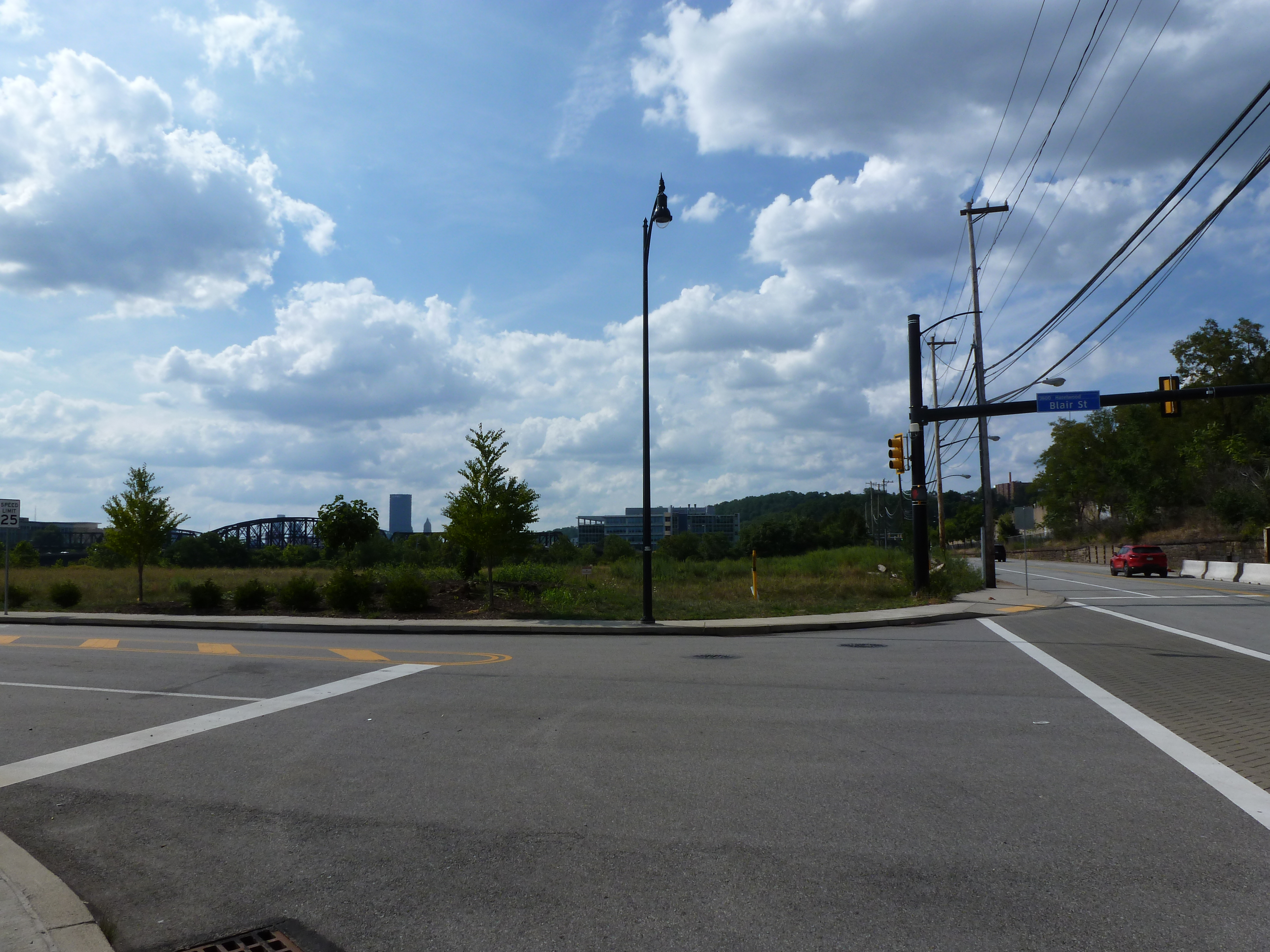
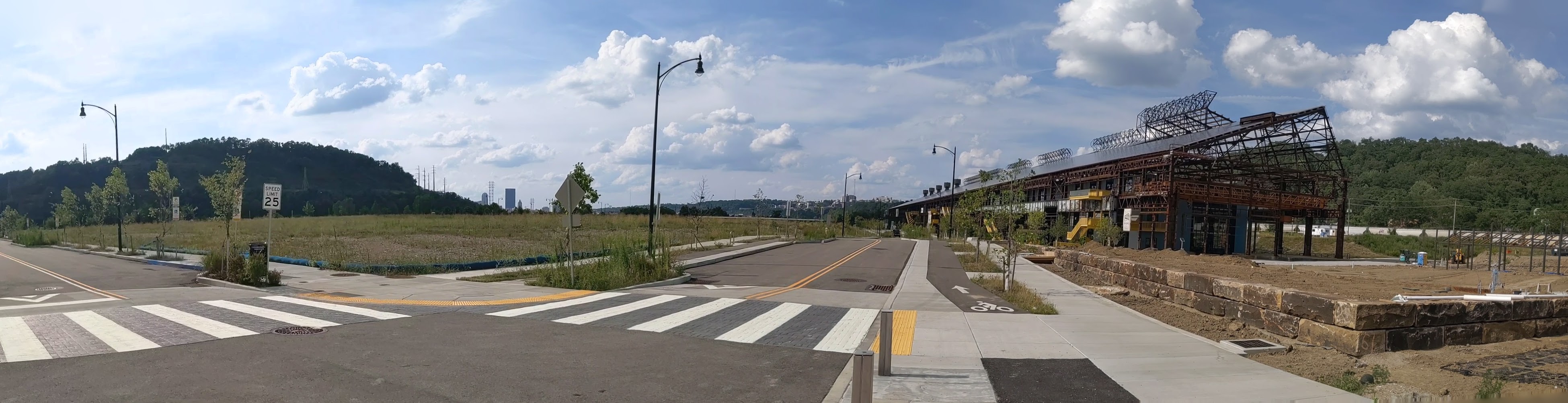
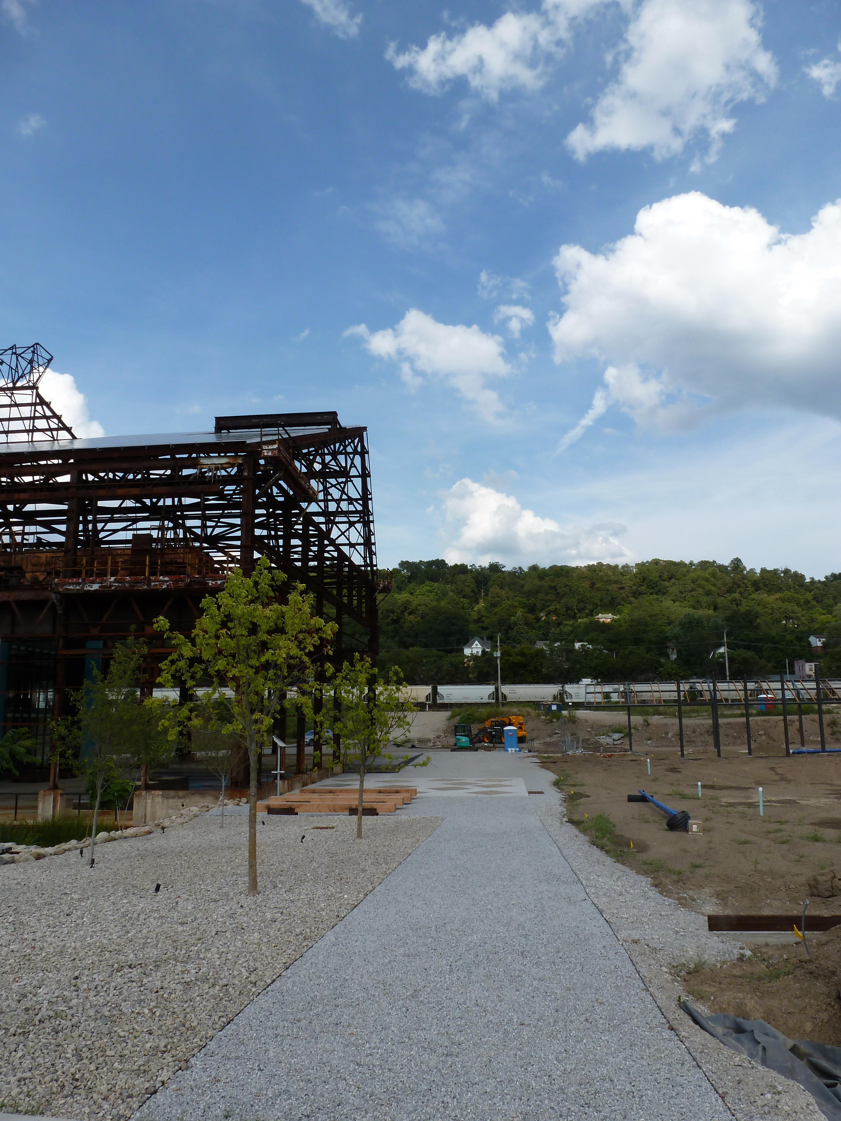
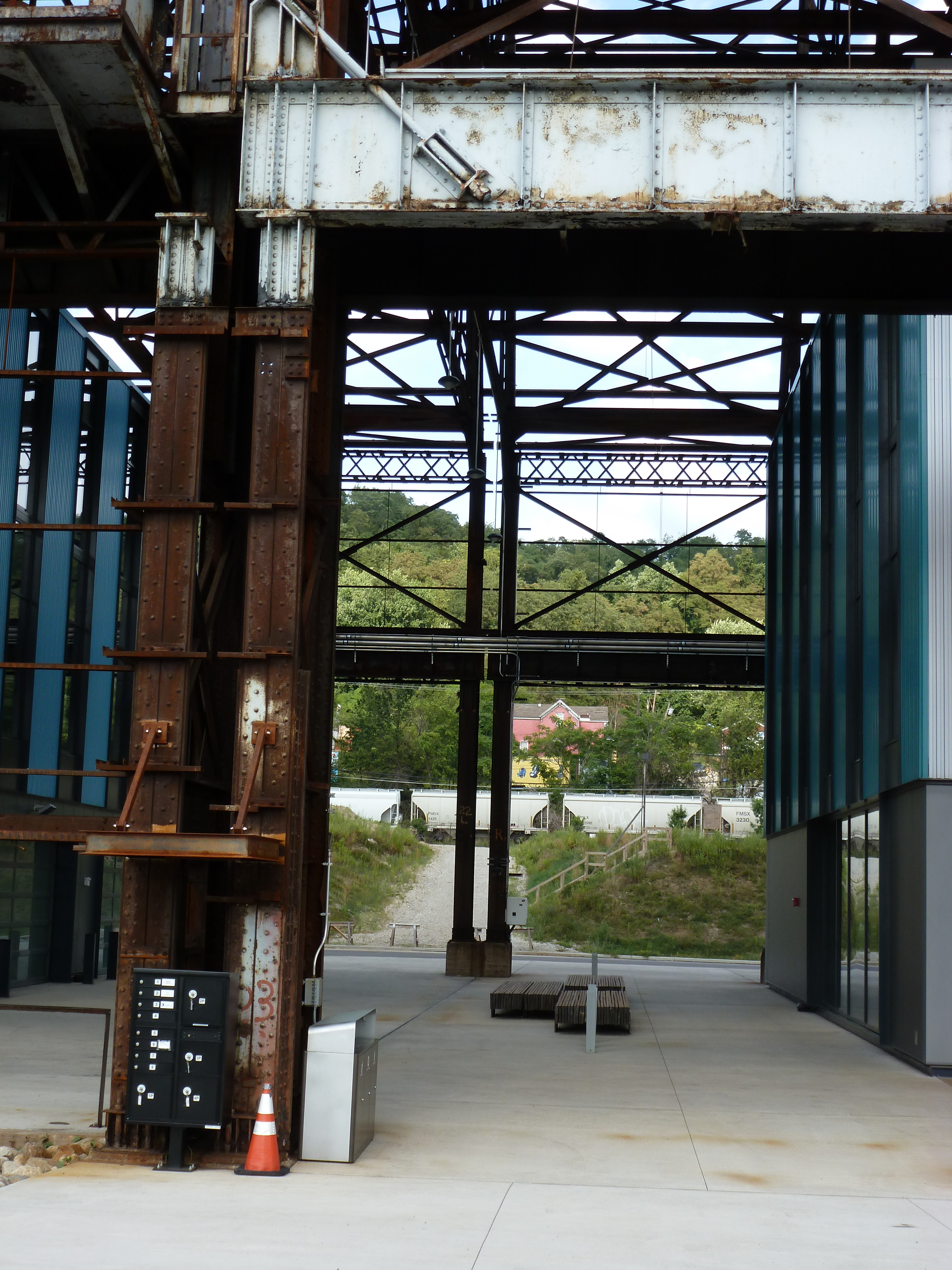
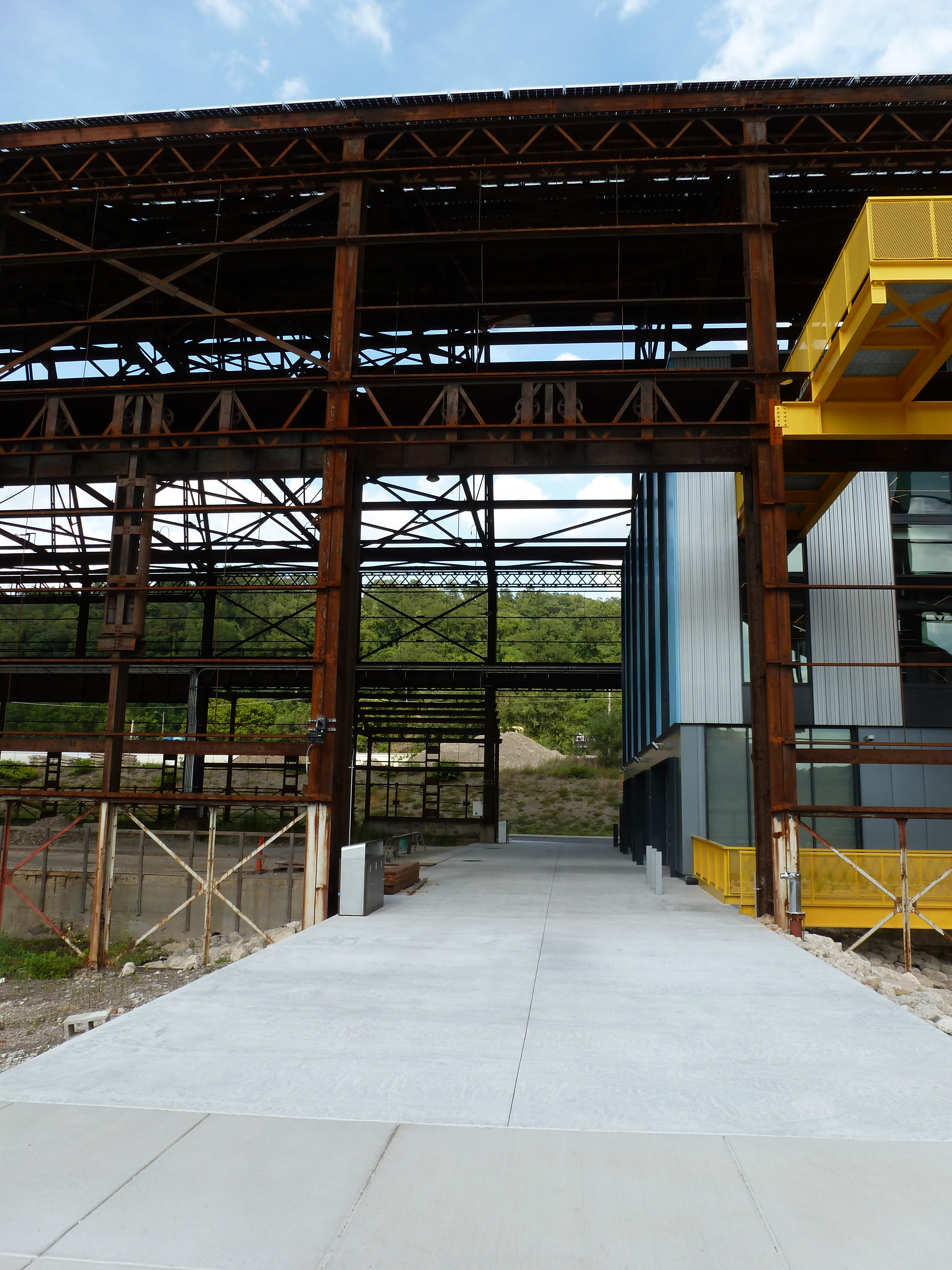
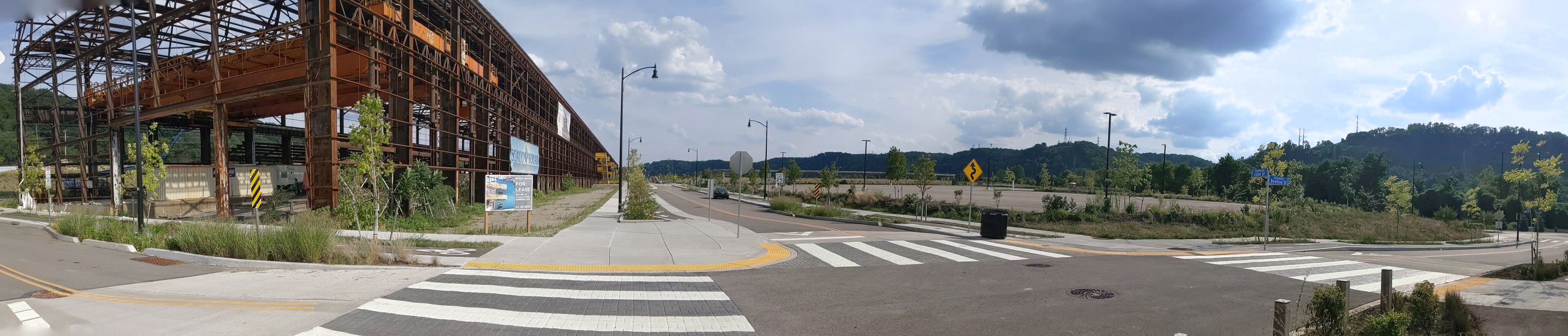
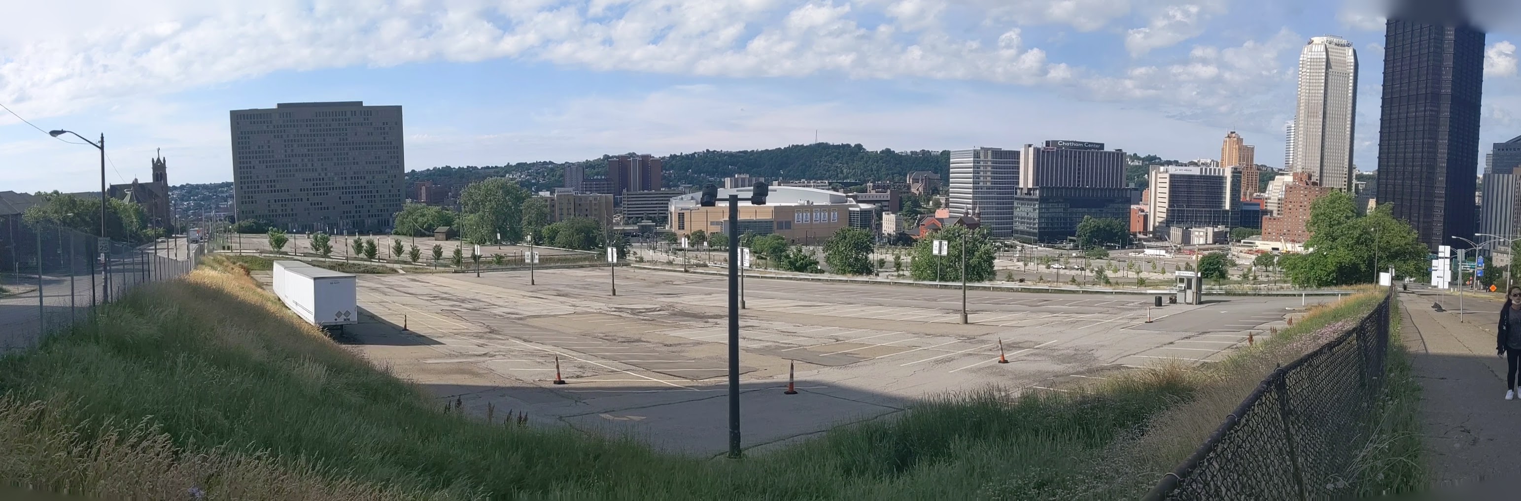
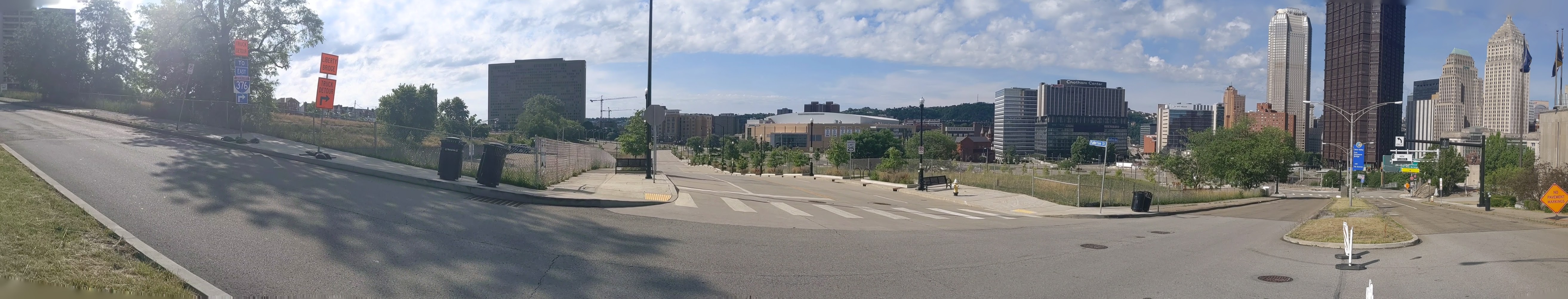
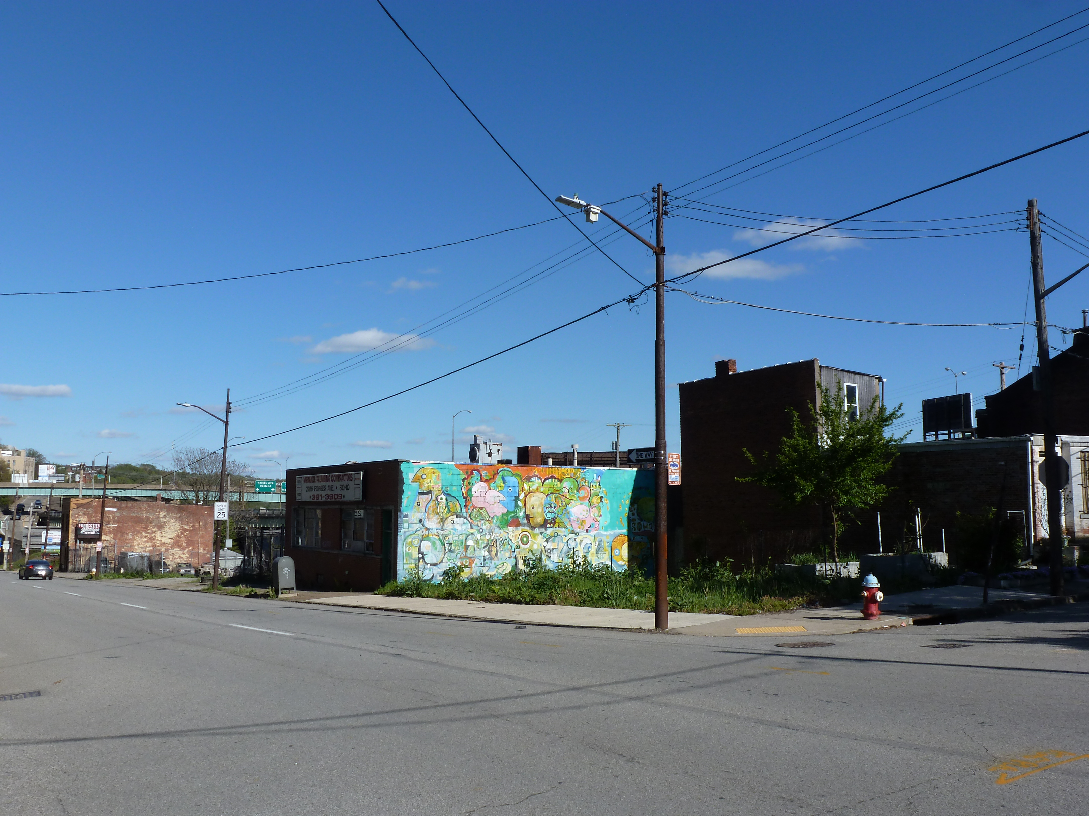
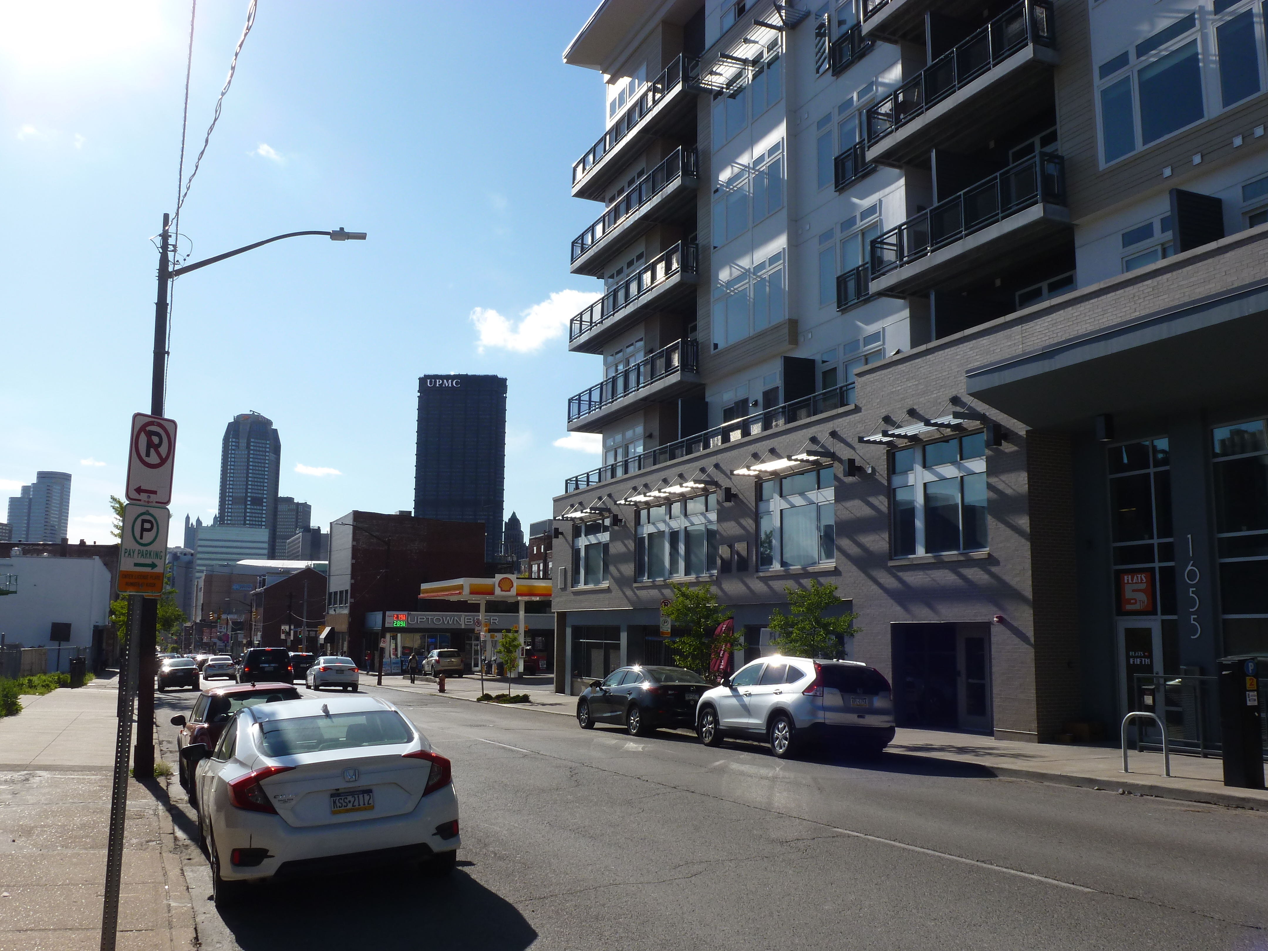
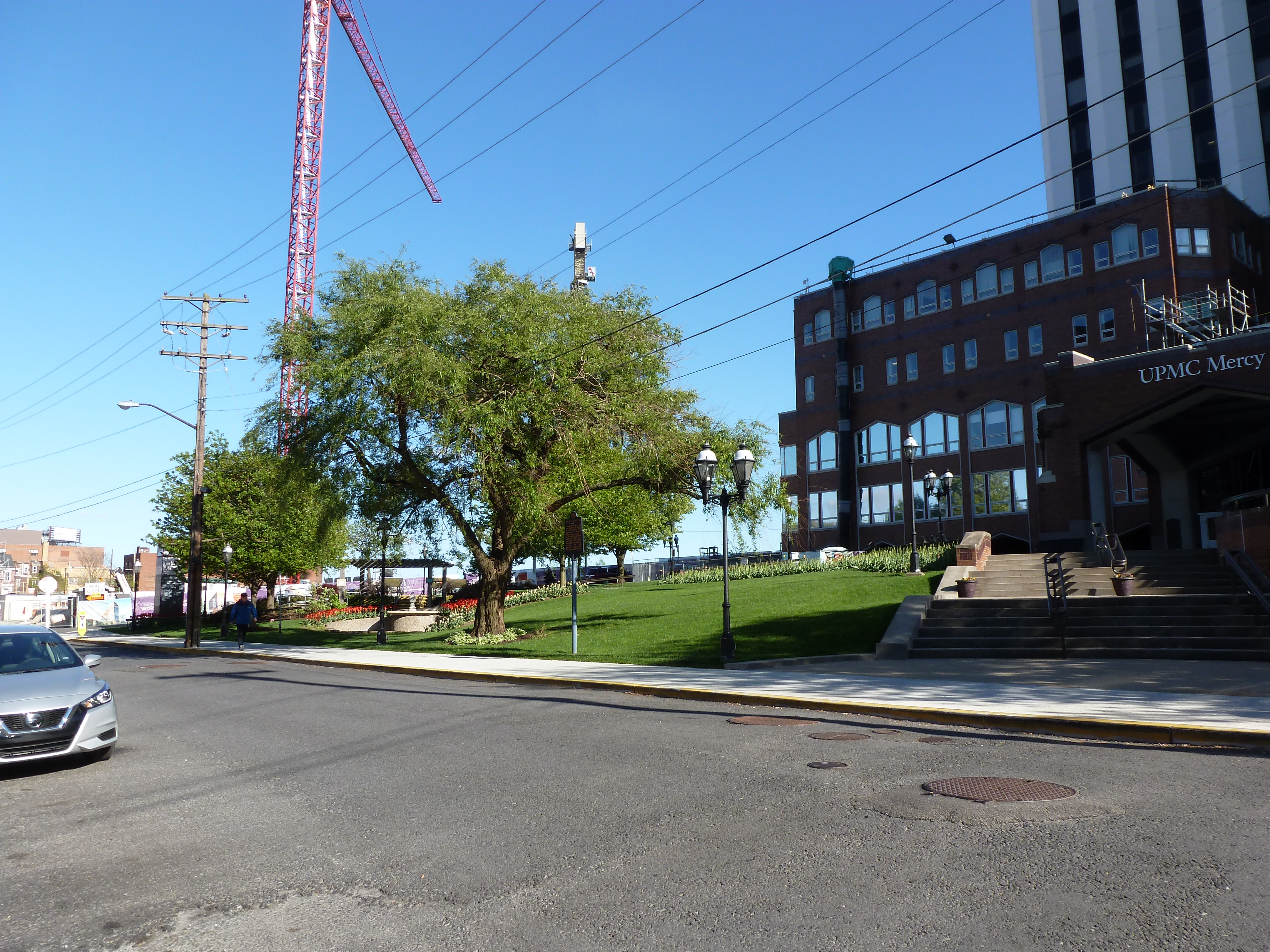
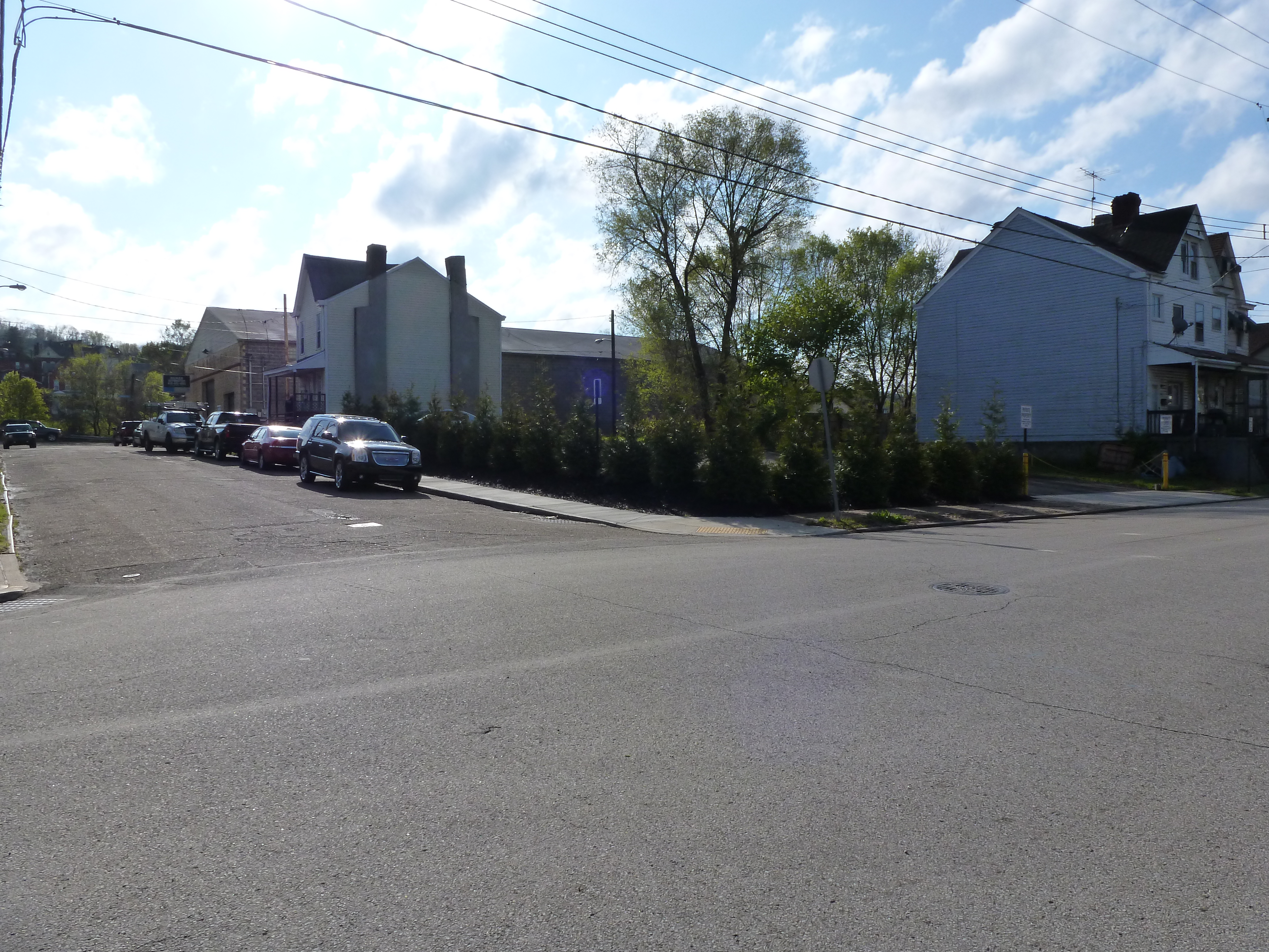
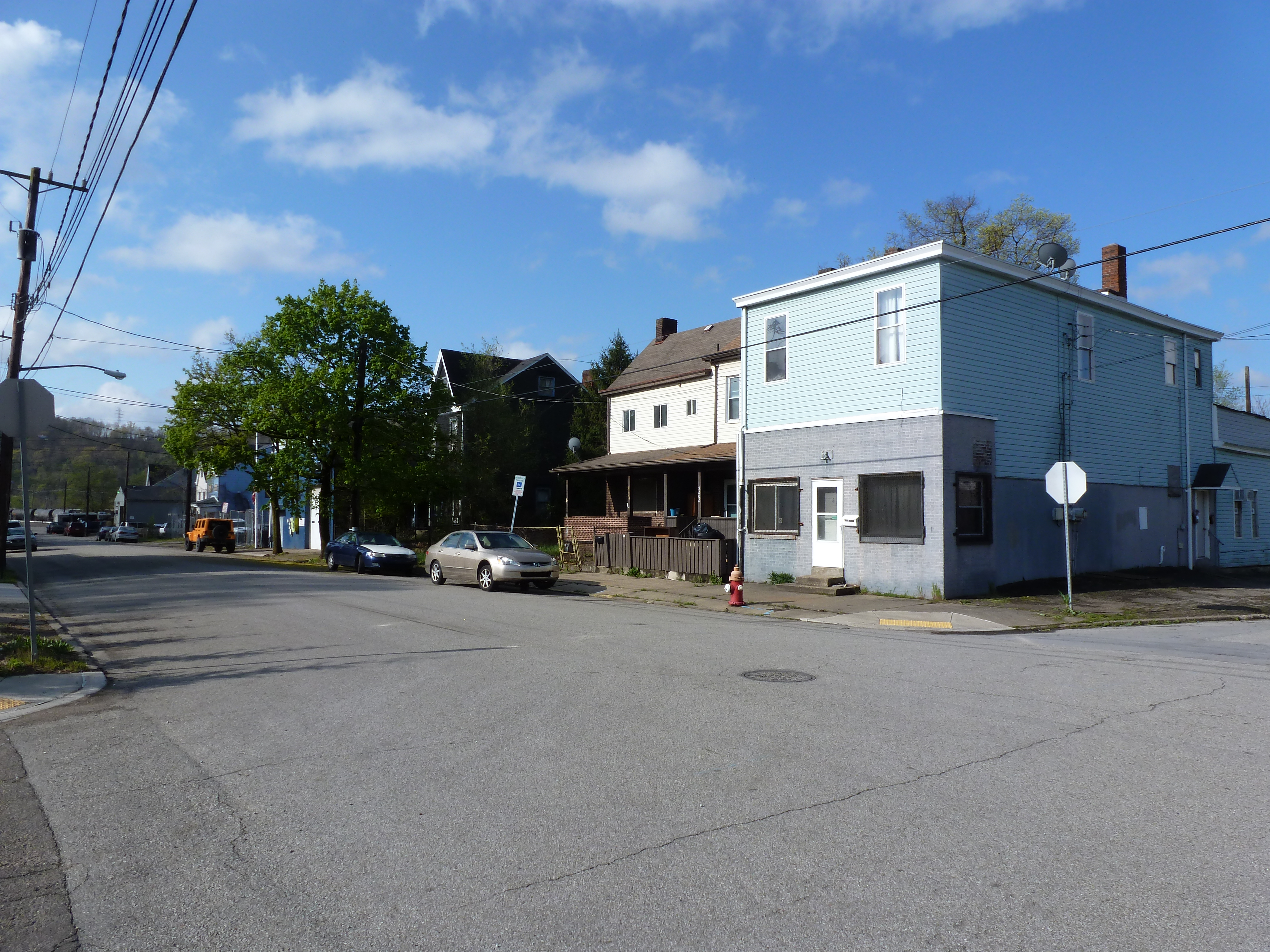
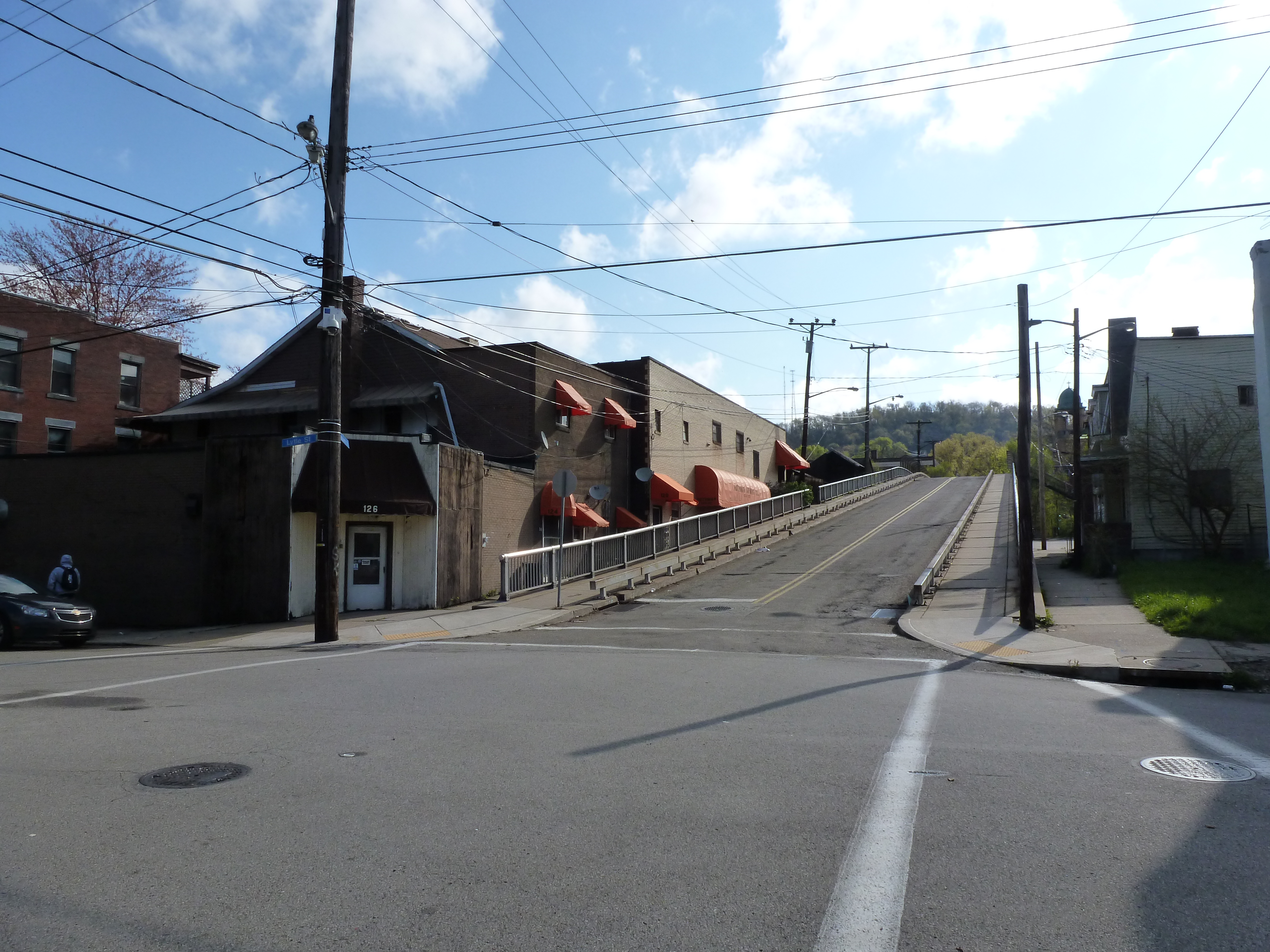
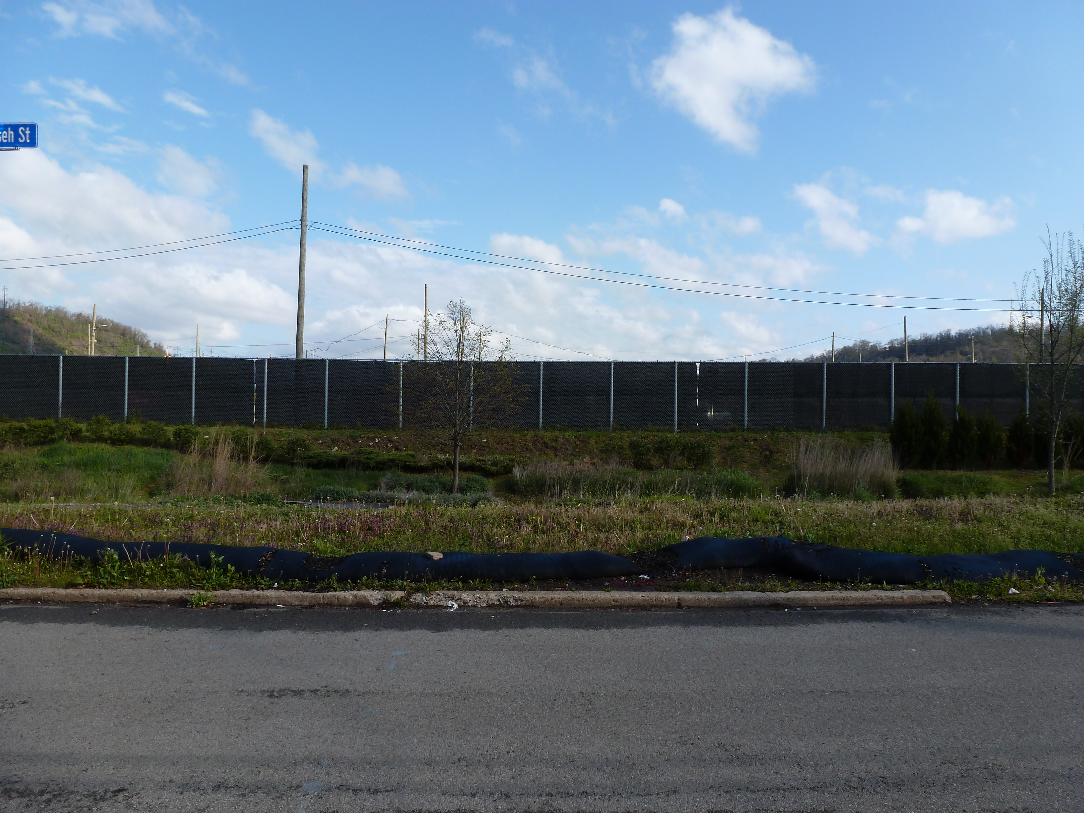
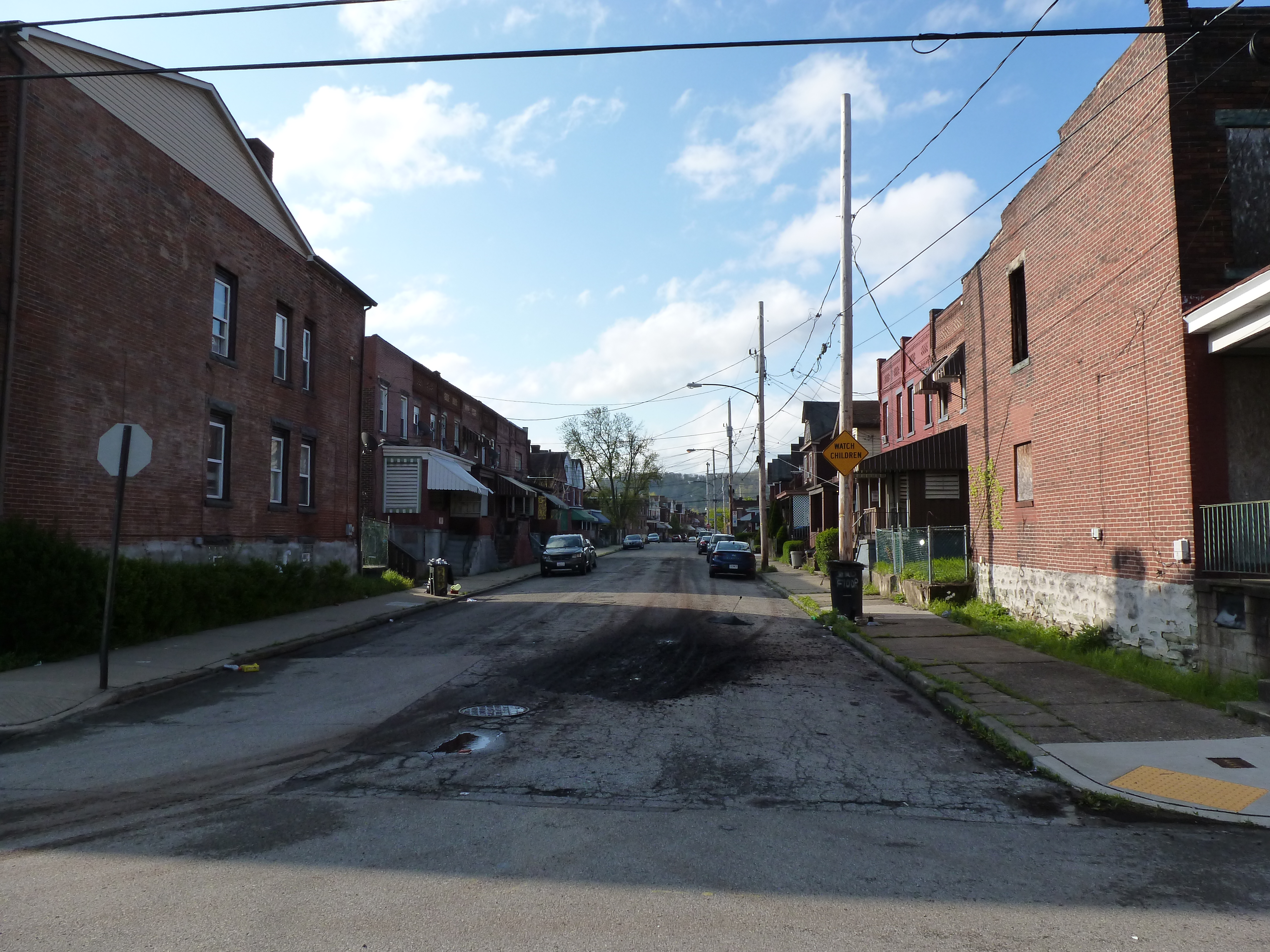
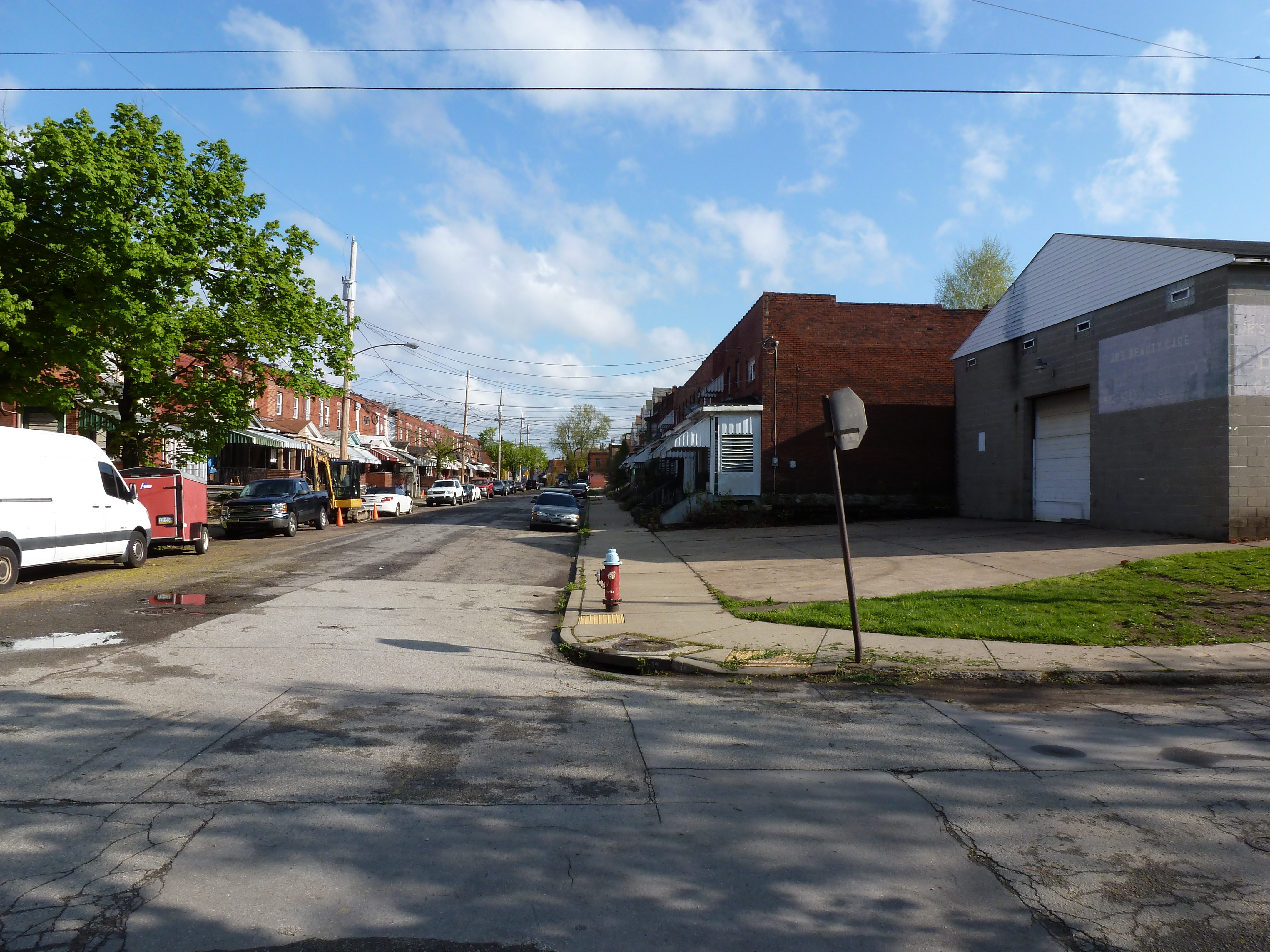
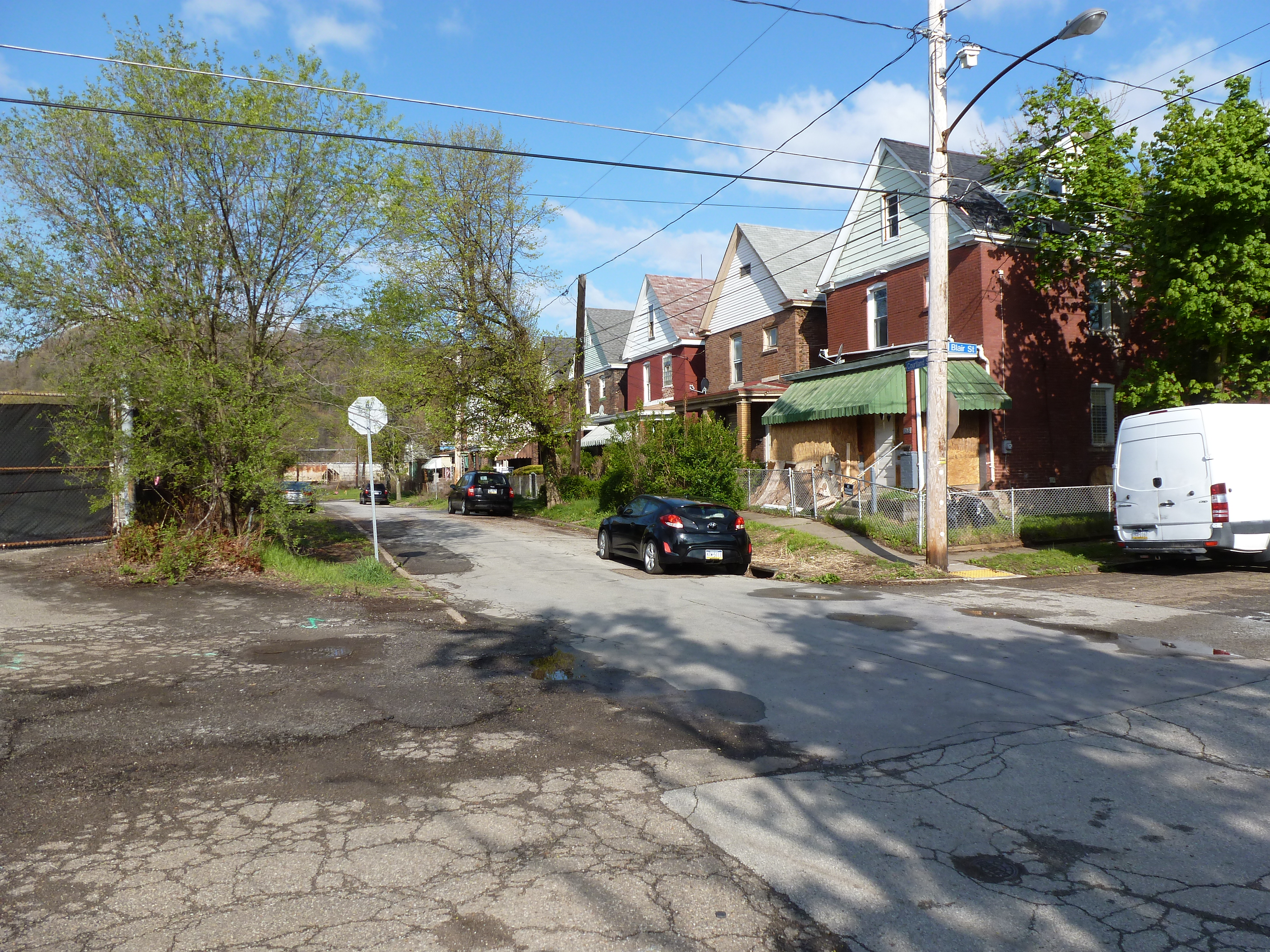
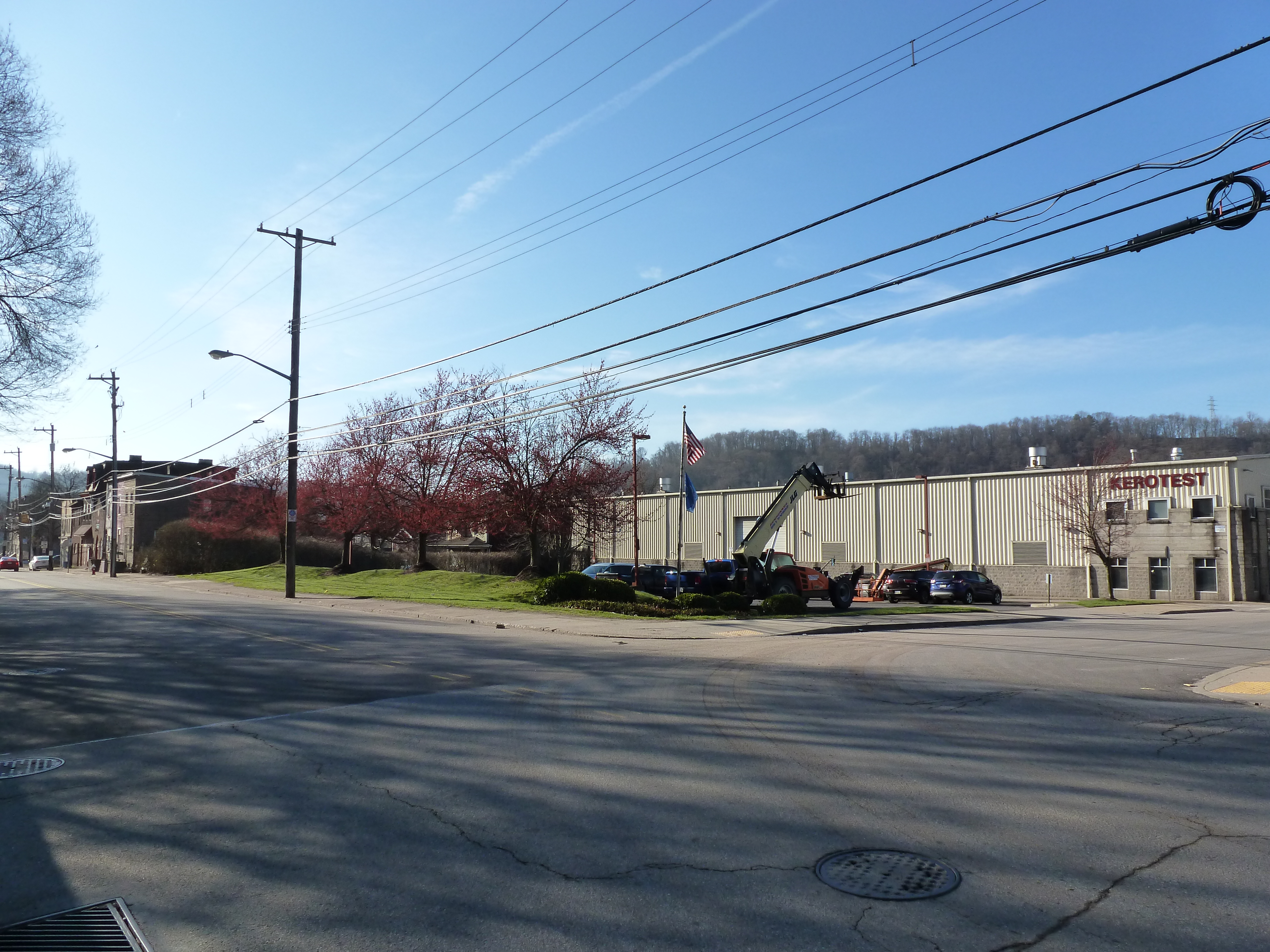
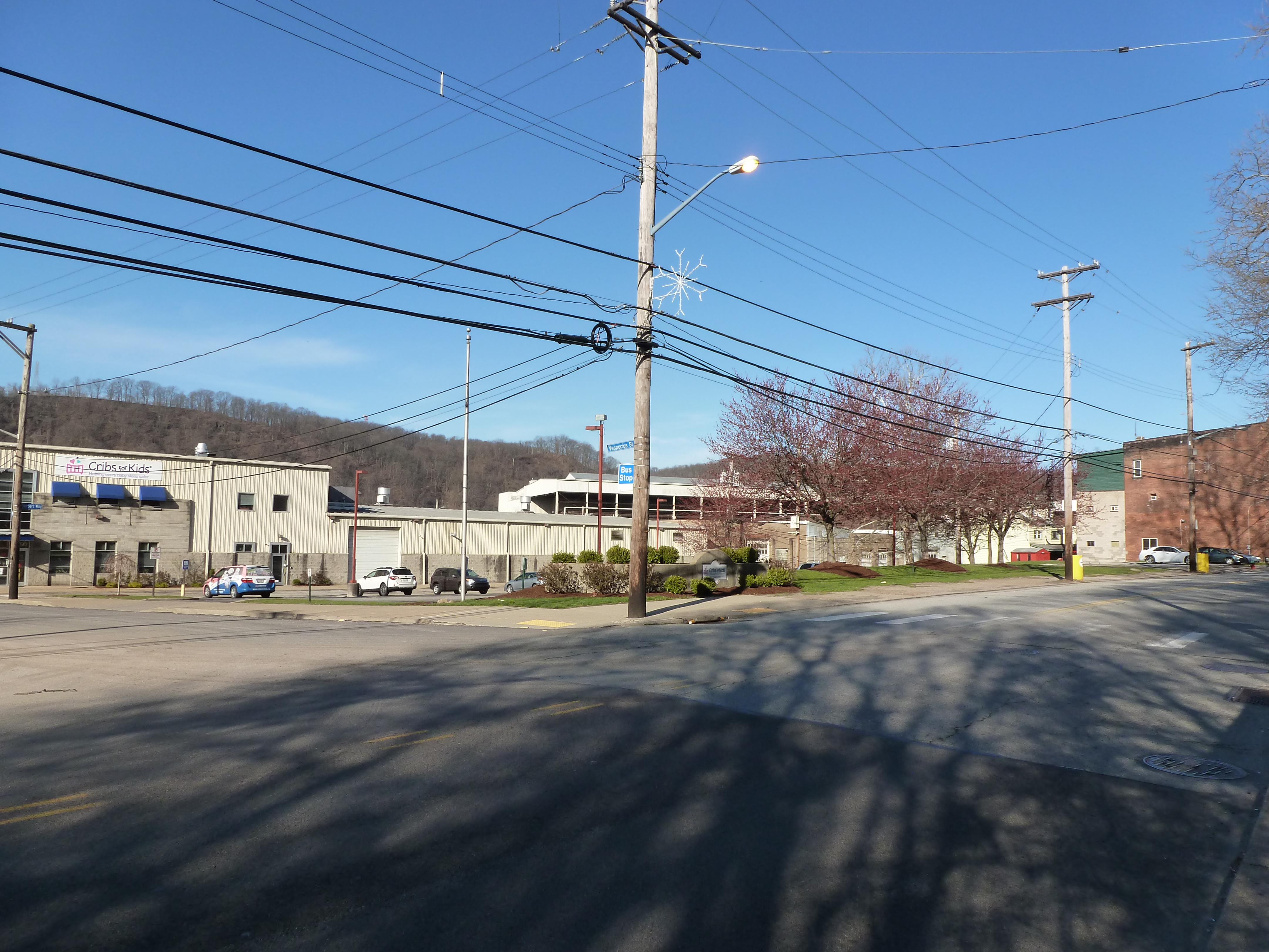
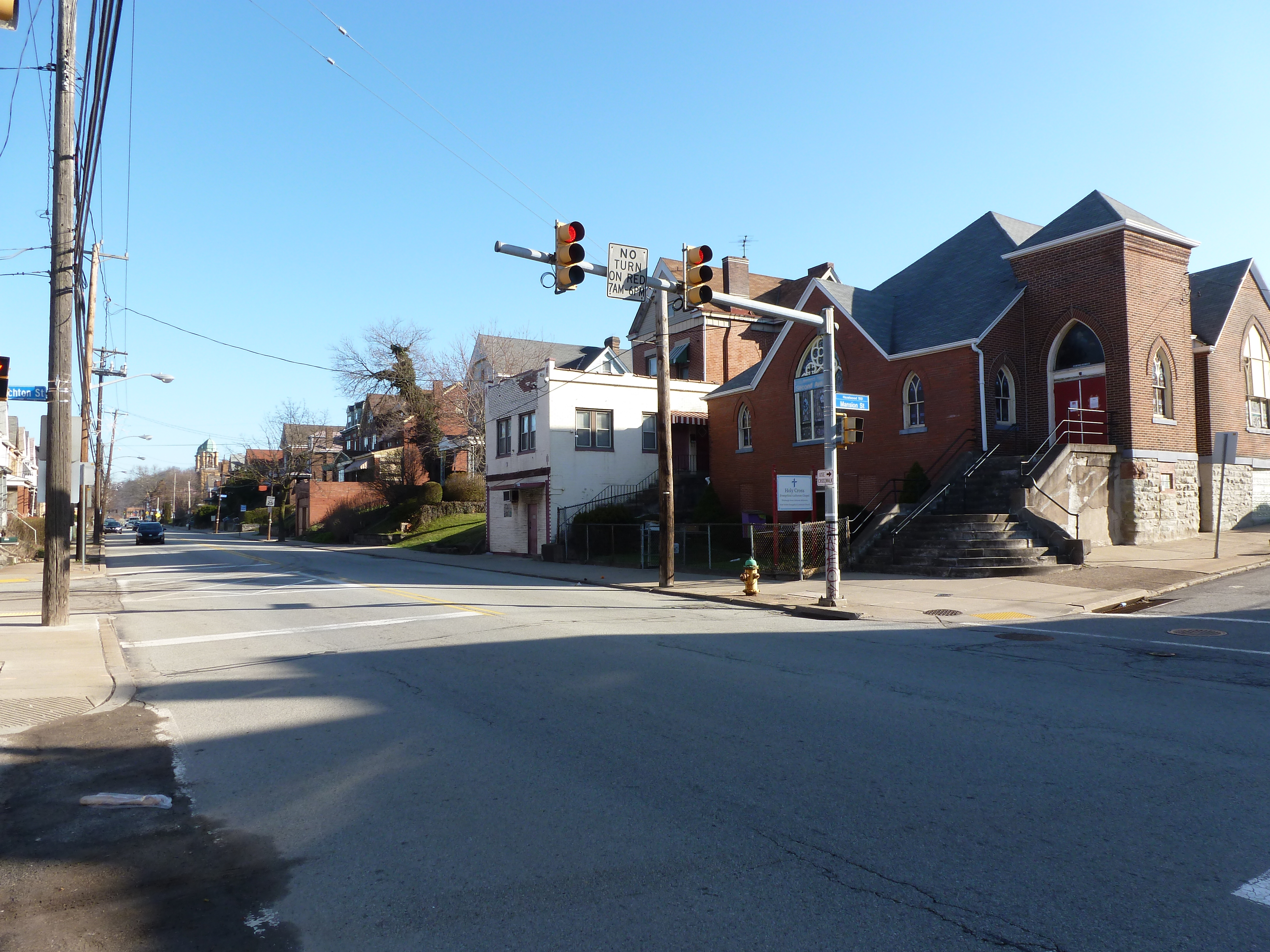
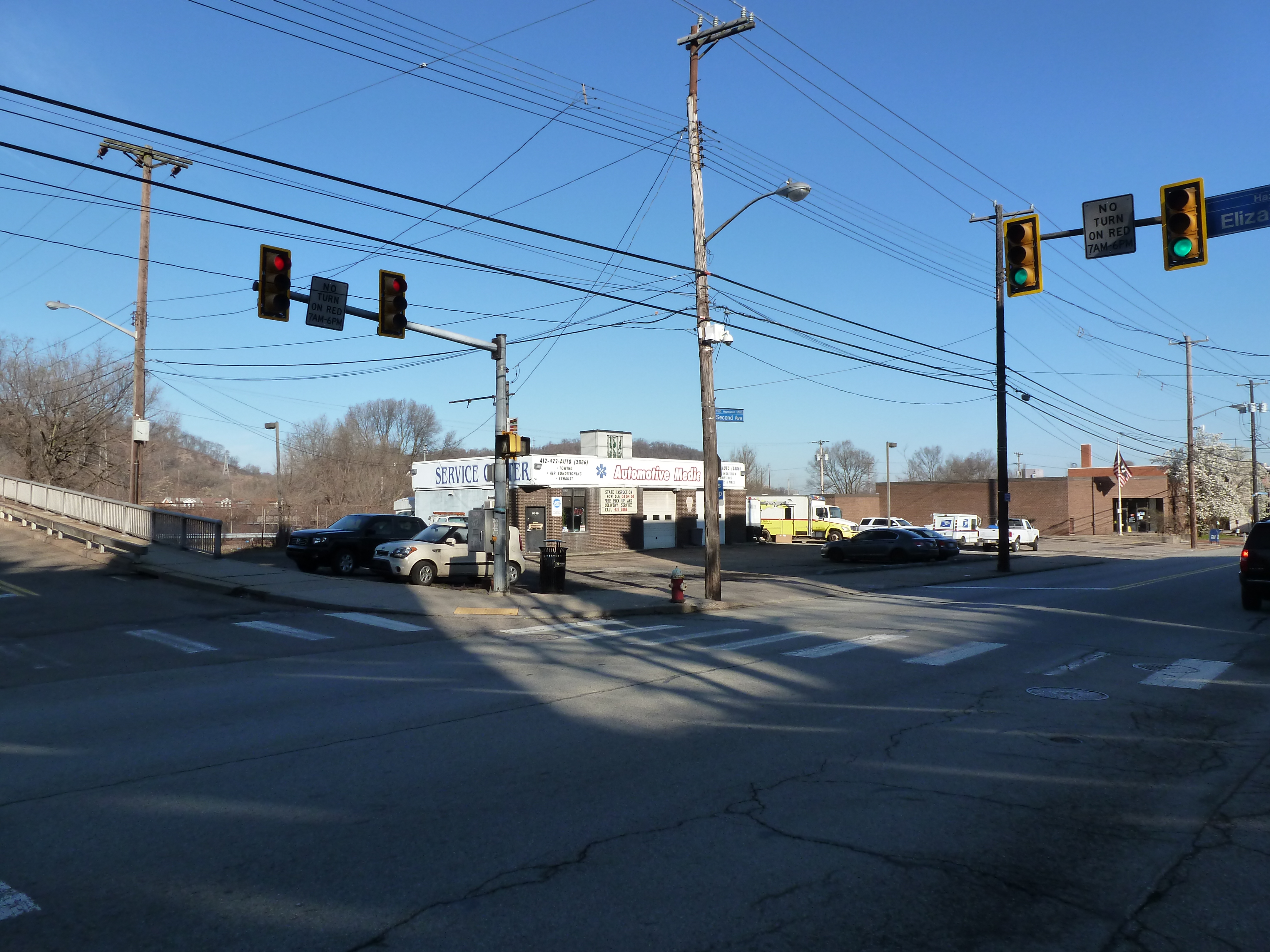
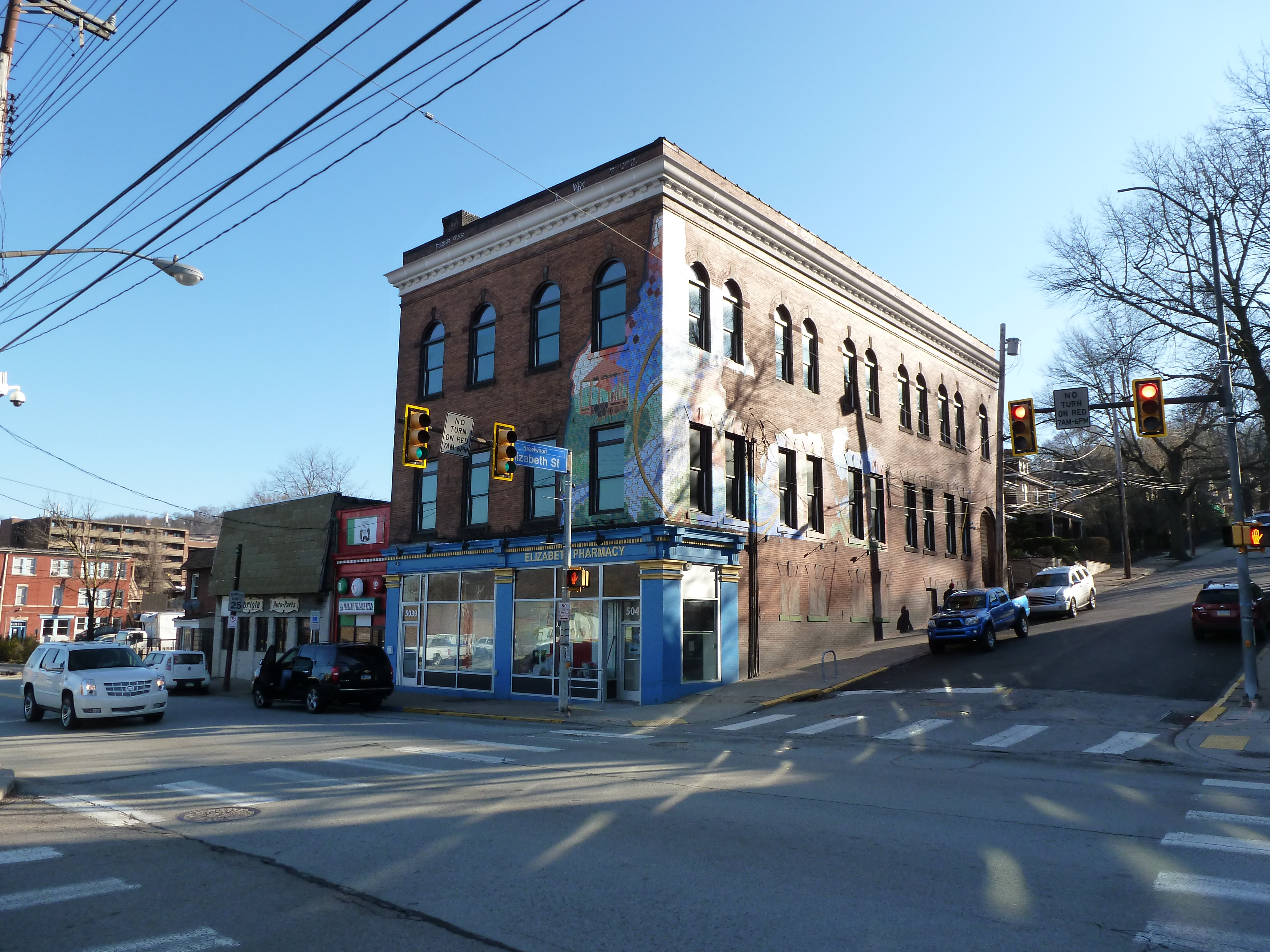
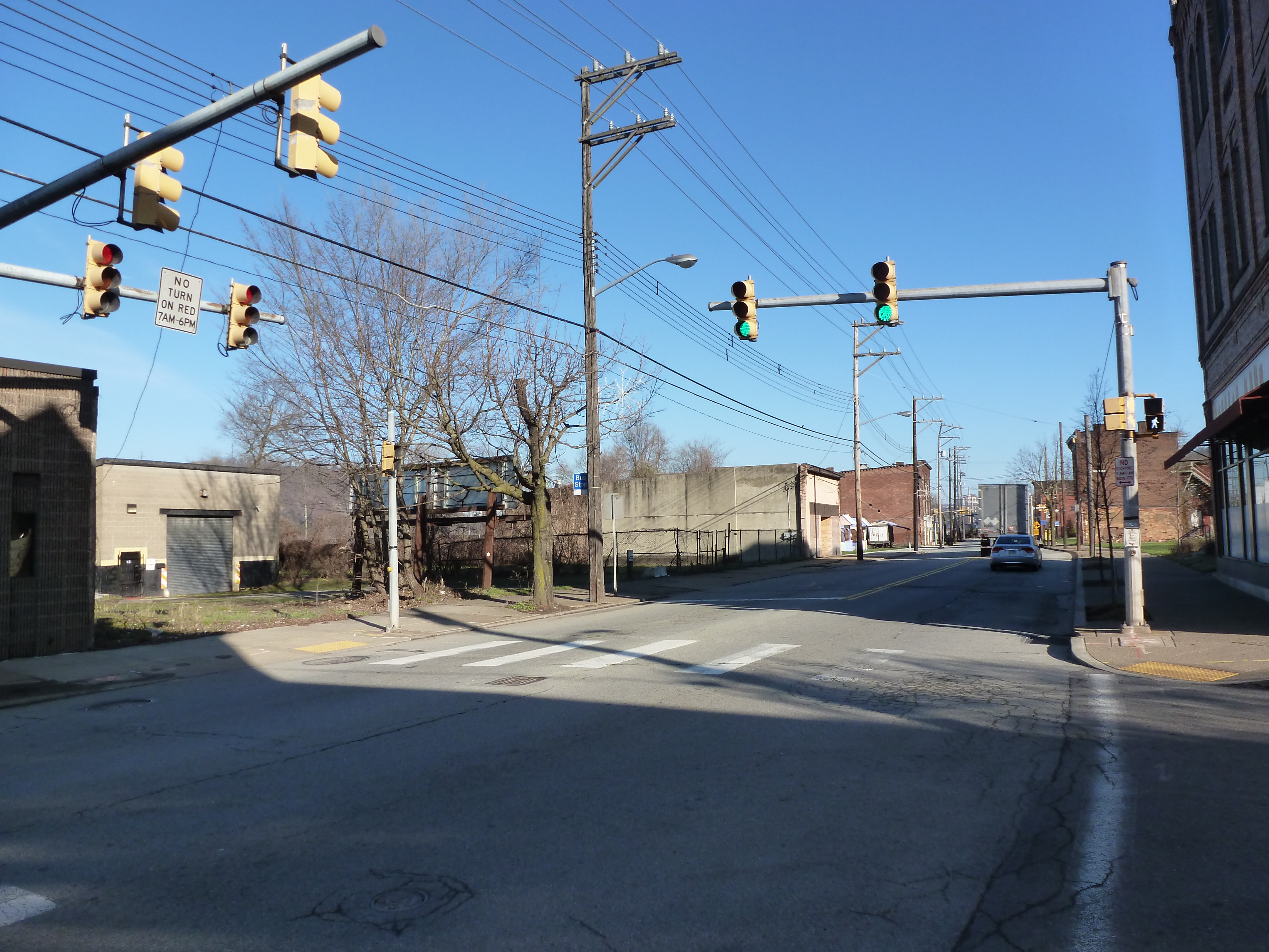
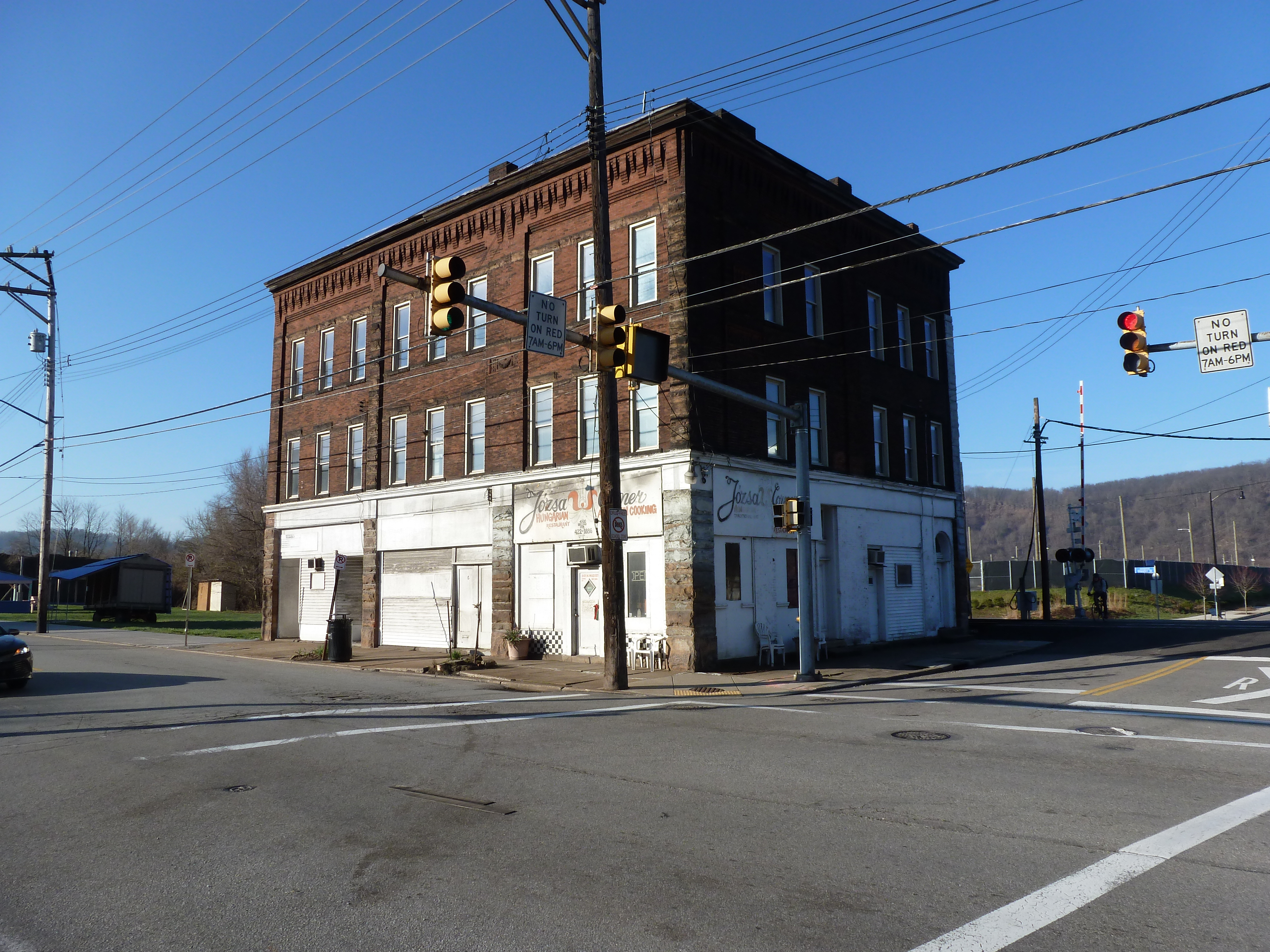
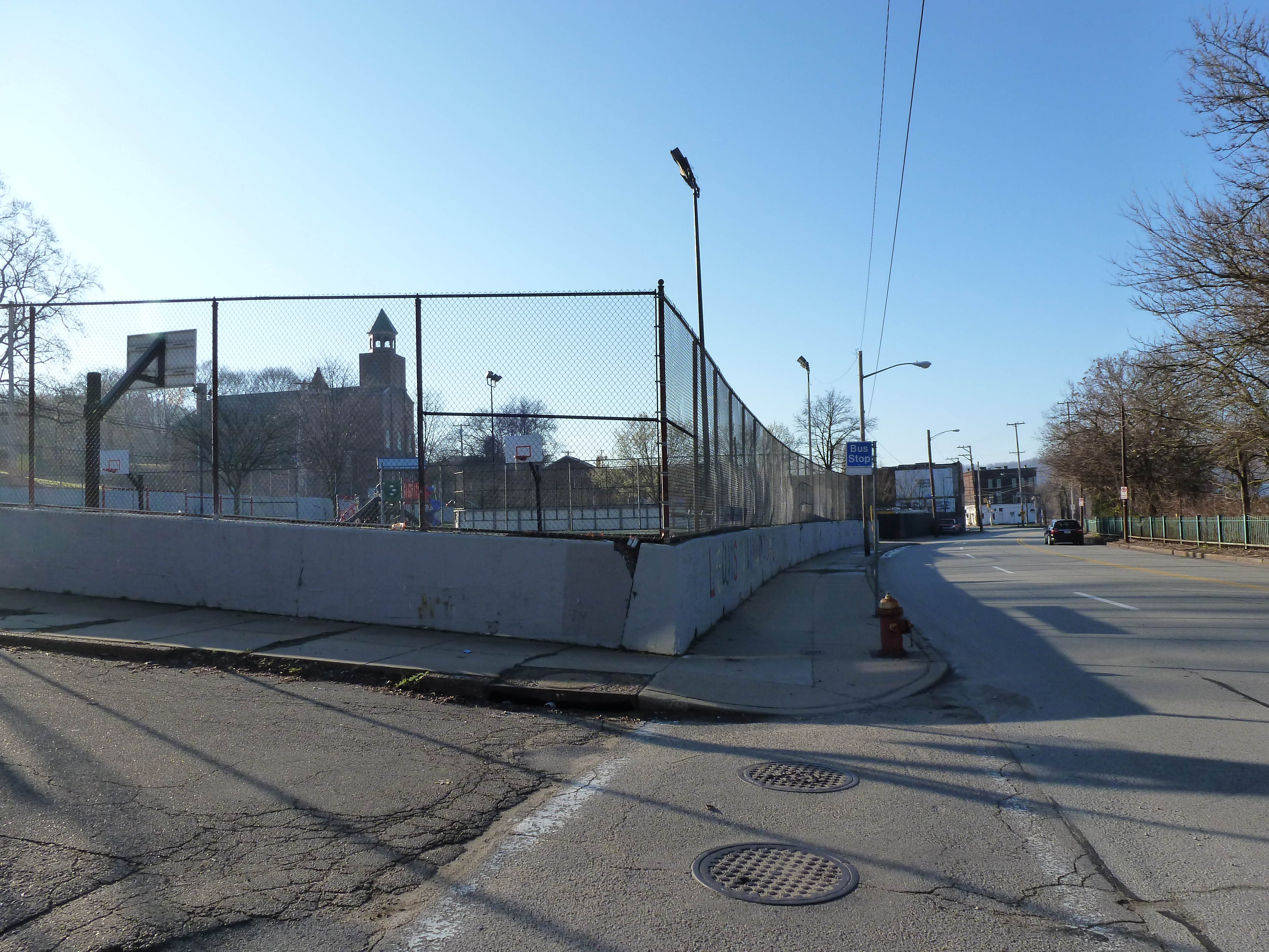
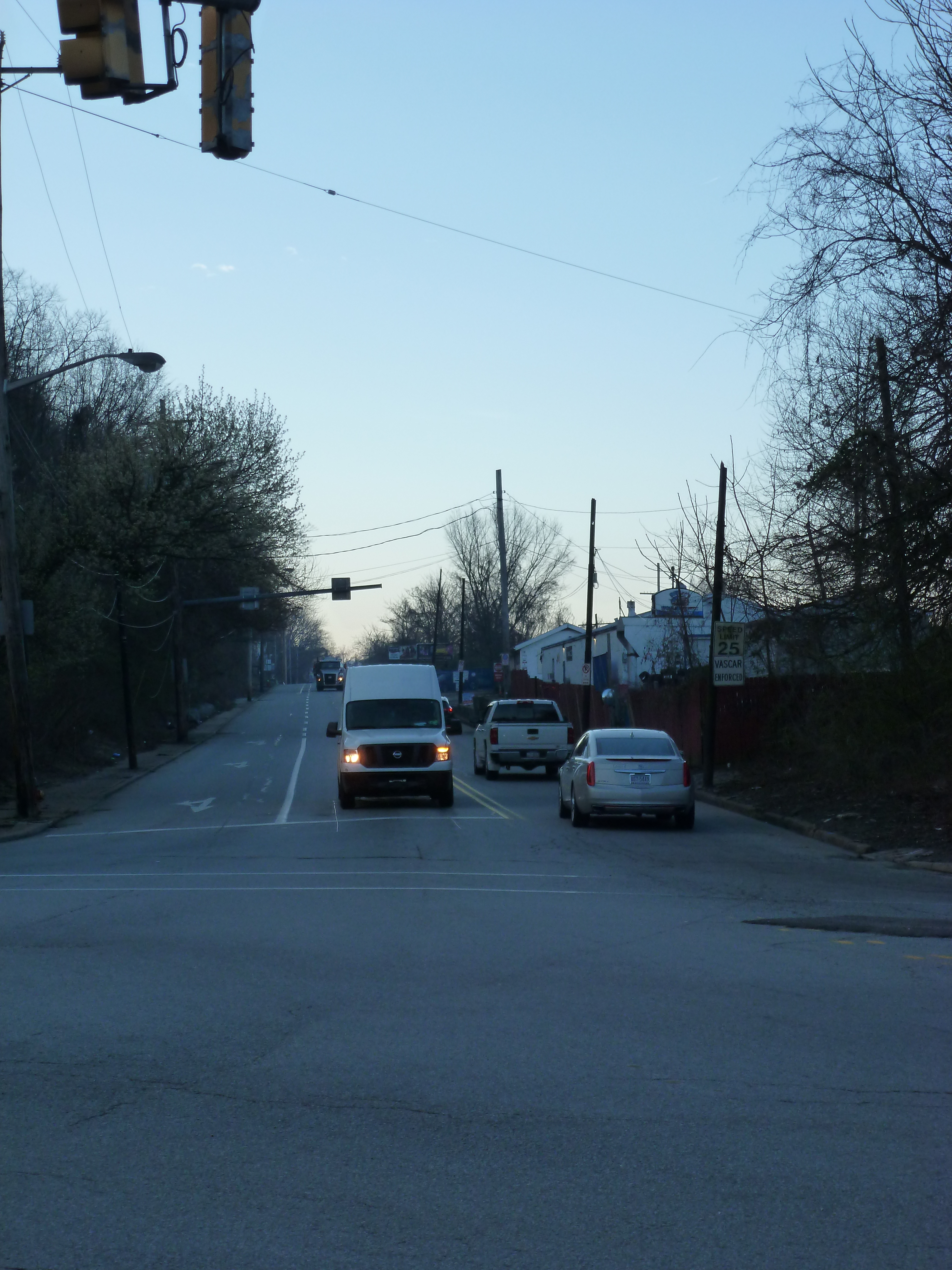
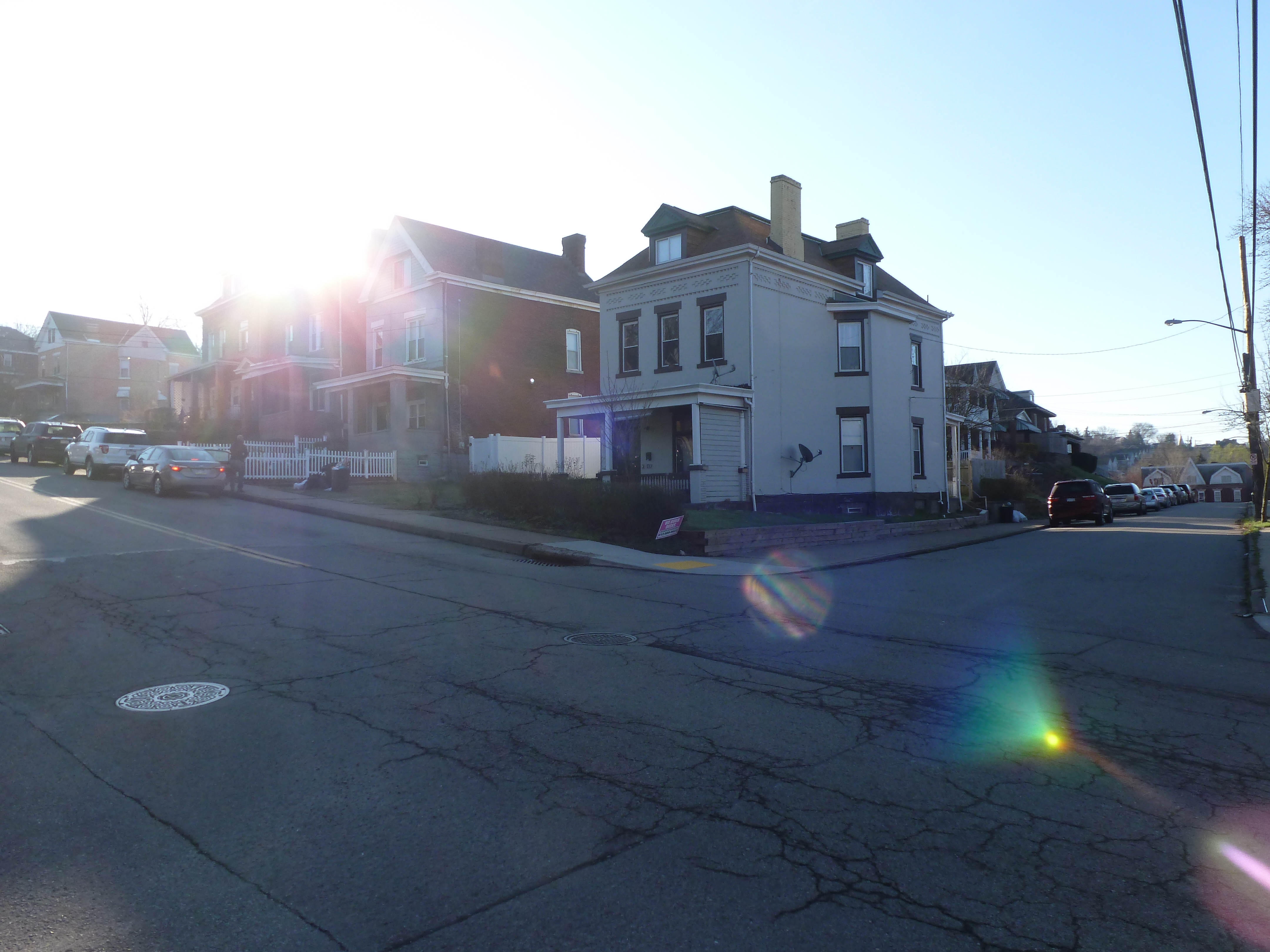
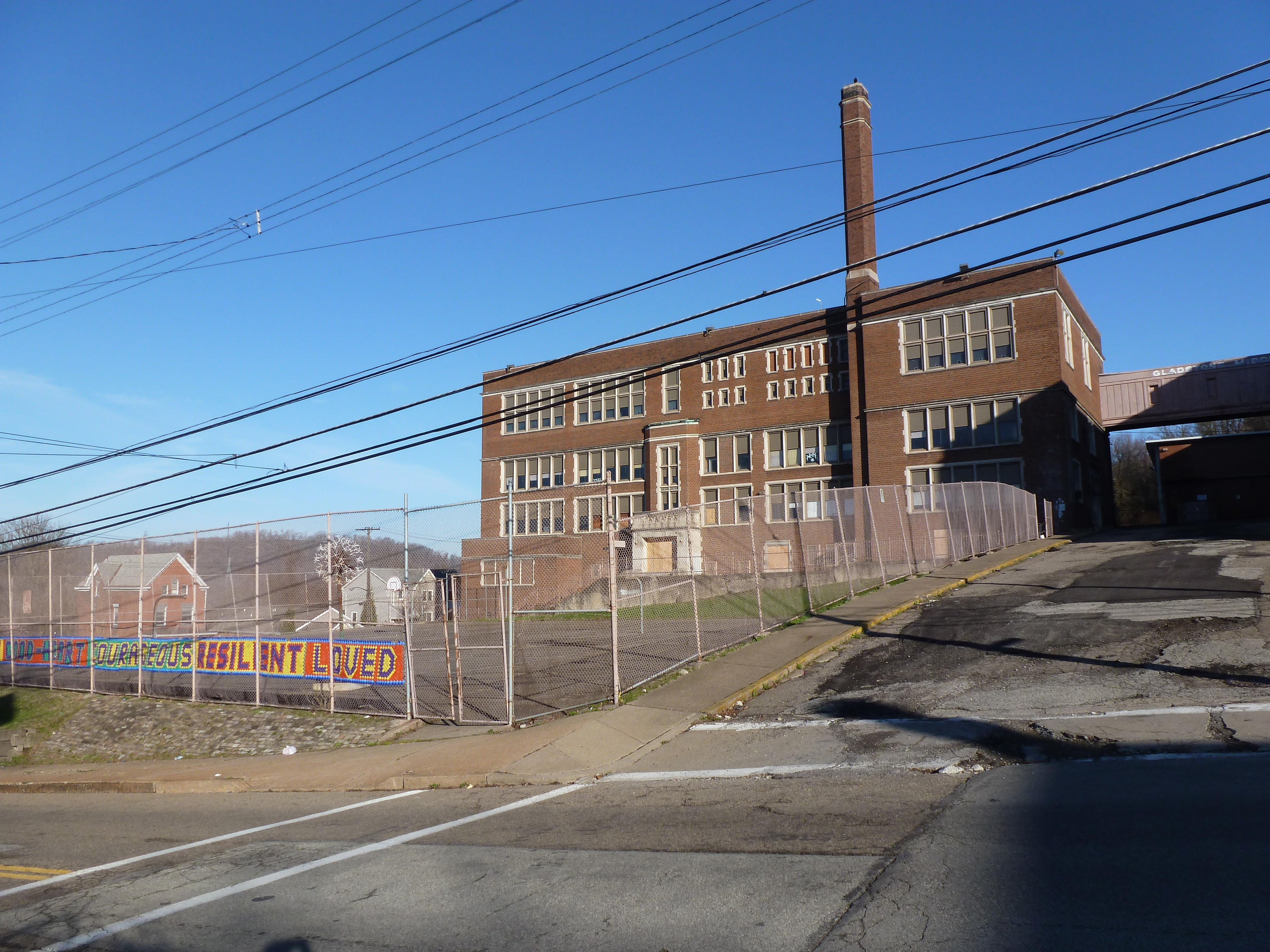
Hazelwood is a neighborhood divided in two by railroad tracks. On one side of the tracks are Hazelwood Green, a residential enclave, and some industrial and commercial uses. Here is a snapshot of the residential enclave and surrounding uses:
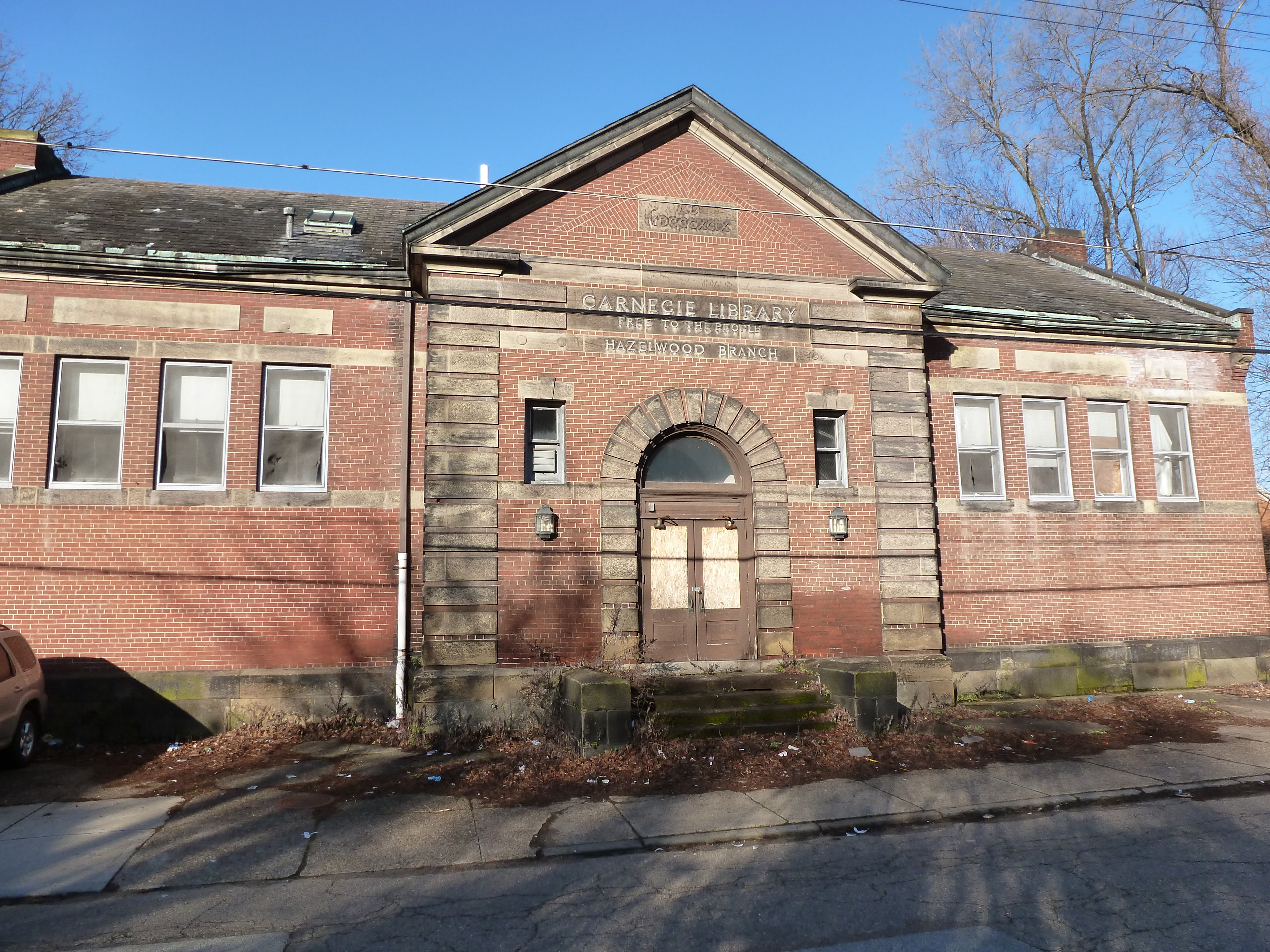
When I first saw this building from a distance, its rooftop ornamentation made it stand out from its surroundings. I didn’t have time to investigate on that trip, but my curiosity was peaked. I built up a story about the long history of this building that I surmised started out as a produce terminal in the 19th Century.
Six years later, I walked past the building on my way to my hotel. I was surprised to see it was a public library. It seemed unusual for a former marketplace to be converted to a library. As soon as I checked-in, I hurried back over to explore this unique building.
Despite entering immediately into a narrow, angular, white hallway, I held onto my belief that it was an old building. The hallway felt odd in that narrative, but I quickly forgot that feeling once I emerged into the main lobby with its high ceiling and sparkling white marble floors, counters, and walls. I found a directory and decided to make my way to the map room several floors above. This “room” turned out to be a corner in an open floor plan. The corner featured one row of computers and a full-service counter. Unable to browse a collection of maps, I made up a research question and asked the staff if they had maps to help. While one librarian looked in the back room for hard copy maps and another showed me their digital resources, our conversation ranged from how awesome maps are to the history of the building.
I was surprised and embarrassed to learn that the library was built in the 1990s. The rooftop sculptures of owls stand out so much in part because they were designed for a taller structure; the final floor of the library was cut from the project due to the financial crisis. I suggested it was nice that the designers included such details as the sculptures and marble countertops. The librarian pointed out that the marble was faux and did nothing to alleviate the industrial feel of the building.
Looking again, beyond the cleanliness and sparkle of the space, I noticed the low ceilings and uniform bright white light throughout the open floor plan. I also noticed the distortion of the wooden escalator enclosure. The proportions would have been better balanced if the enclosure reached twice as high to the next floor.
This discussion with the librarian made me question my default reactions to the space. My initial reaction of excitement for a unique example of adaptive reuse changed to awe when I thought that a new building, open to the public, incorporated expensive historical material. But this reaction did not match reality any more than the first. Both assumptions blinded me to the cramped spaces with migraine inducing lighting. This experience also taught me that it isn’t just the material that matters. Incorporating the materials, whether faux or real, while leaving out the related historic design elements such as natural lighting and high ceilings does not lead to a better building.
I came away with a better appreciation for my neighborhood library branch that combines modern materials (such as curtain wall windows and bamboo flooring) with thoughtful design. From the outside, I cringe at the modern angular look, but inside it is a warm and welcoming space. Apparently, the lesson of never judging a book by its cover applies to buildings, too. Never judge a building by its facade.
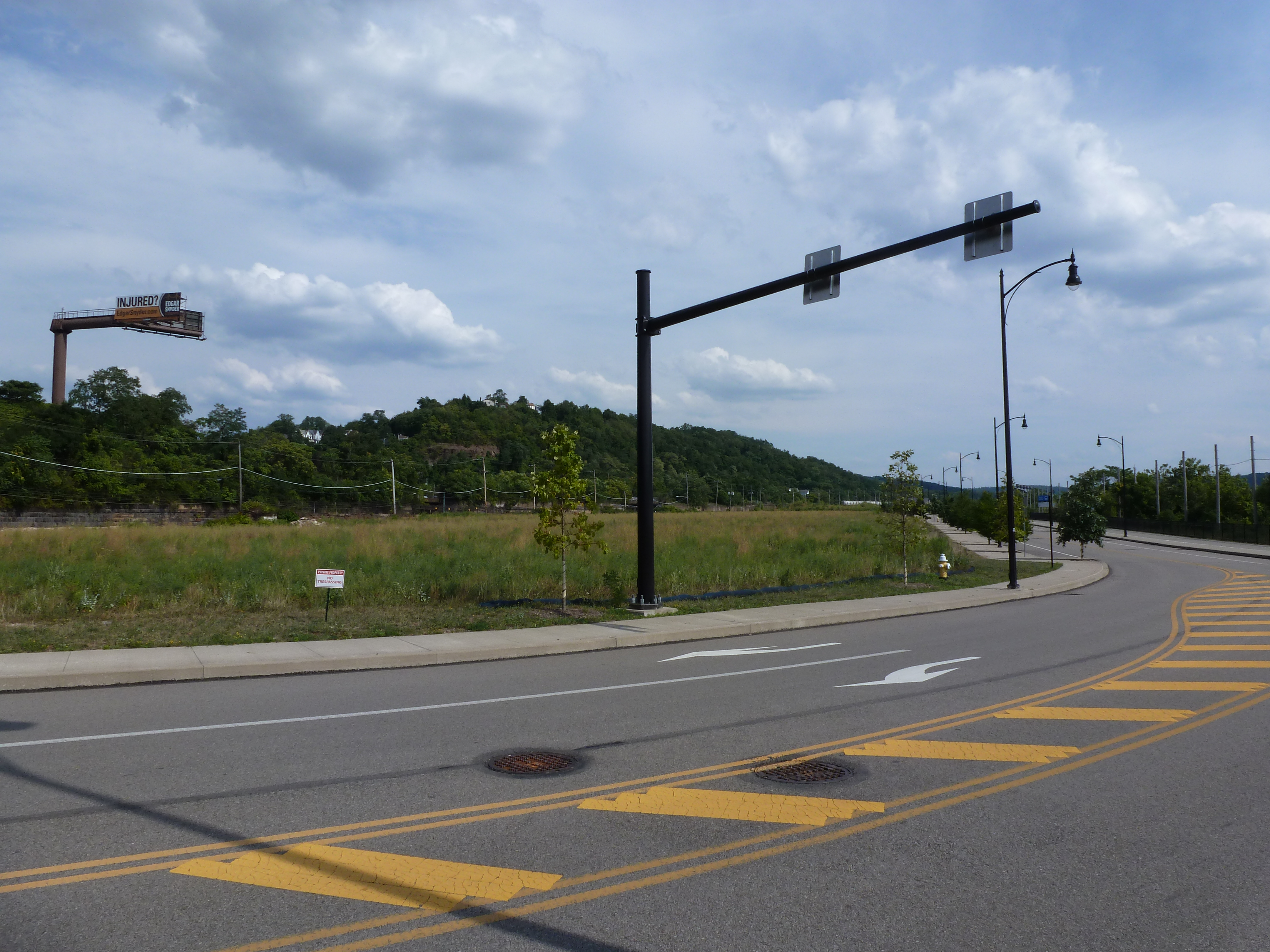
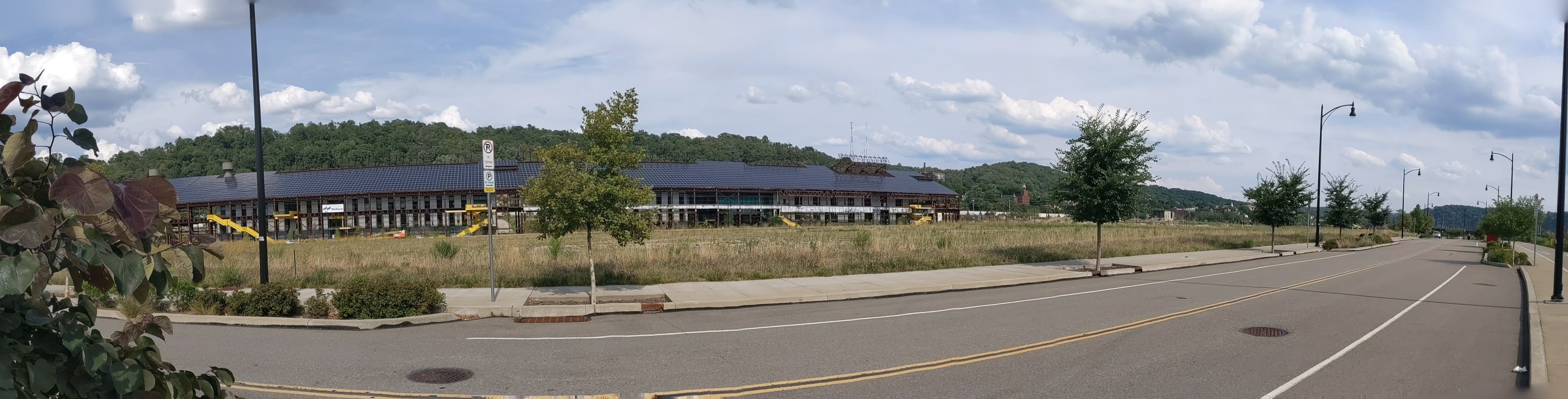
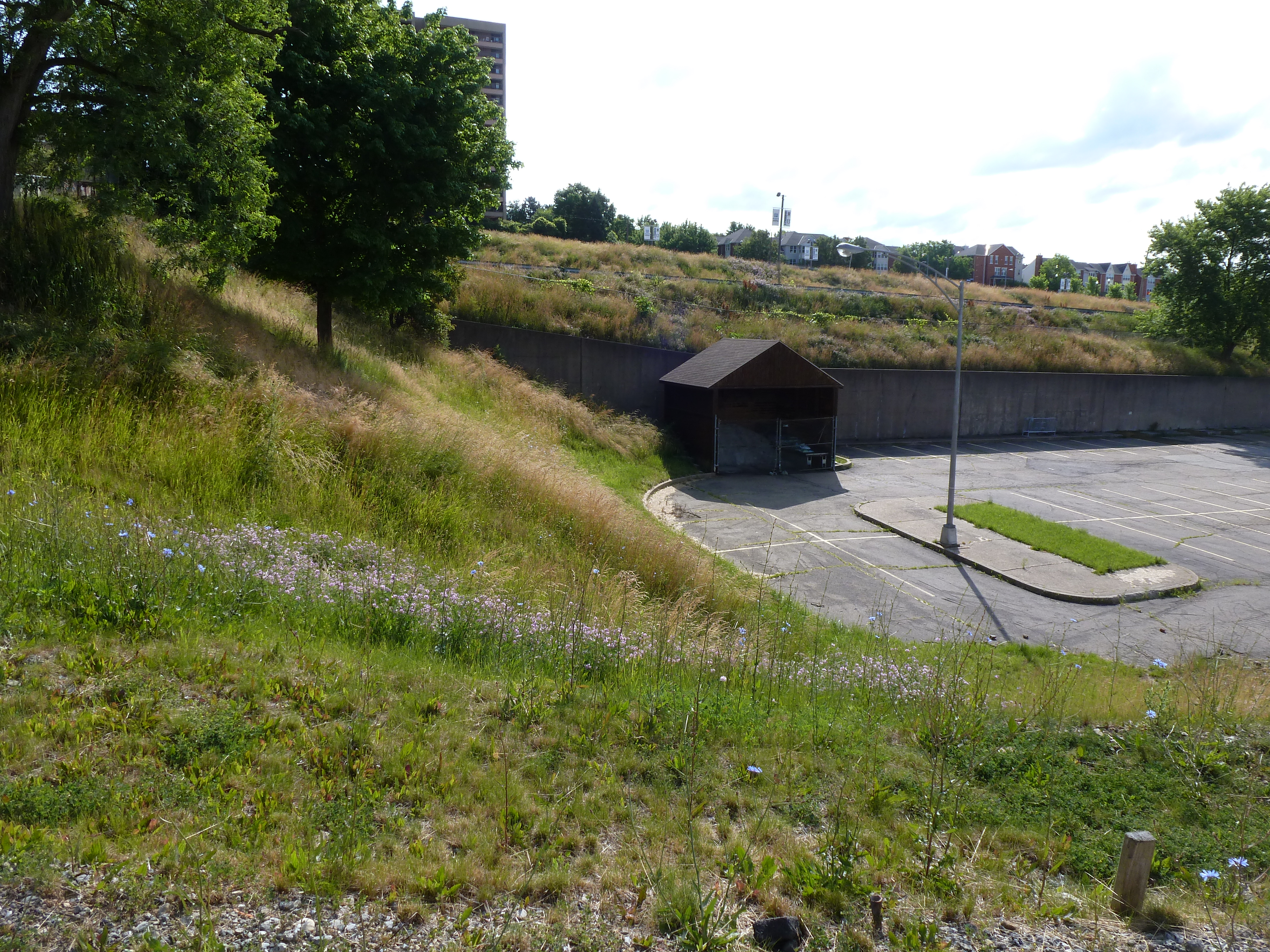
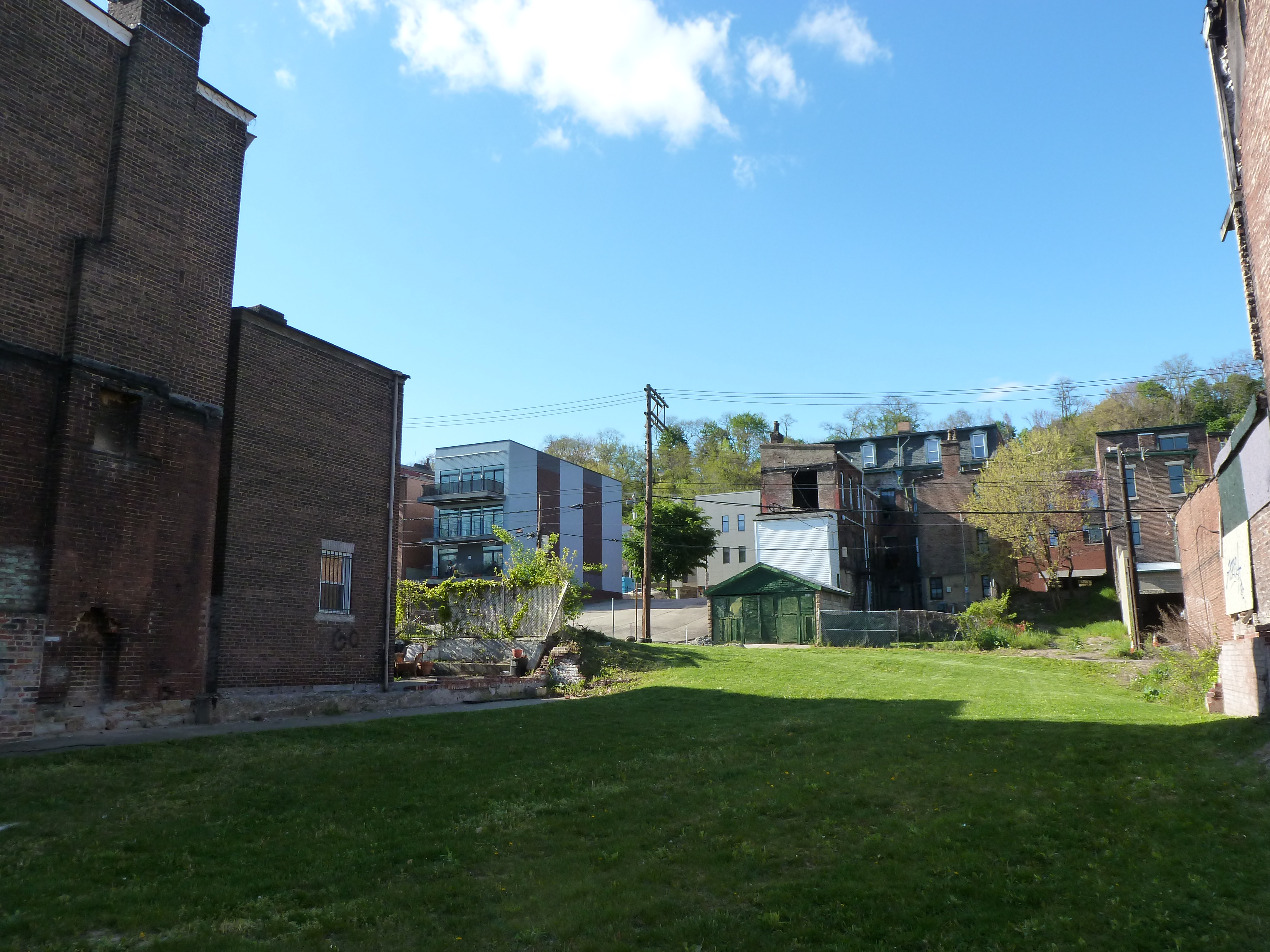
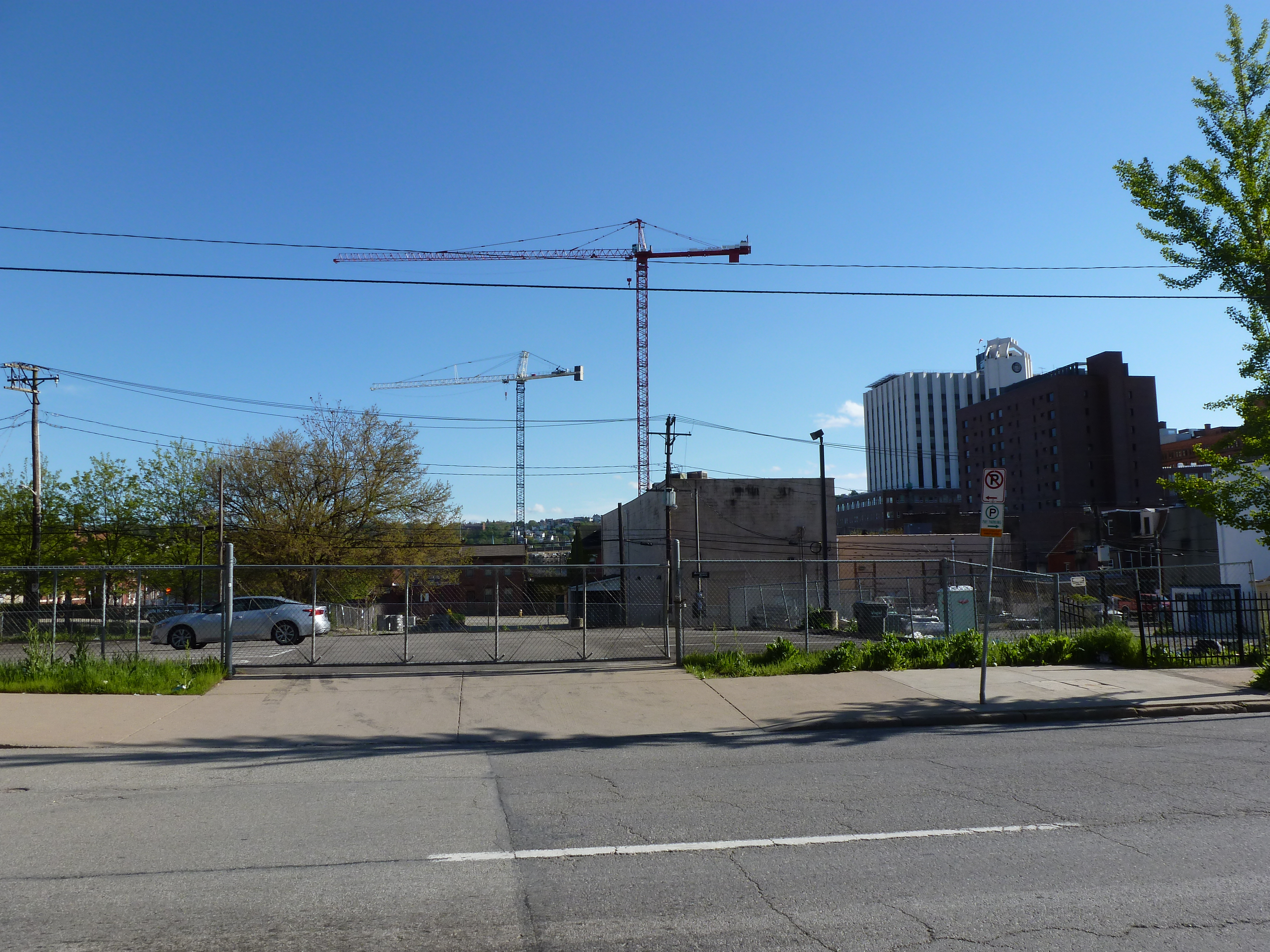
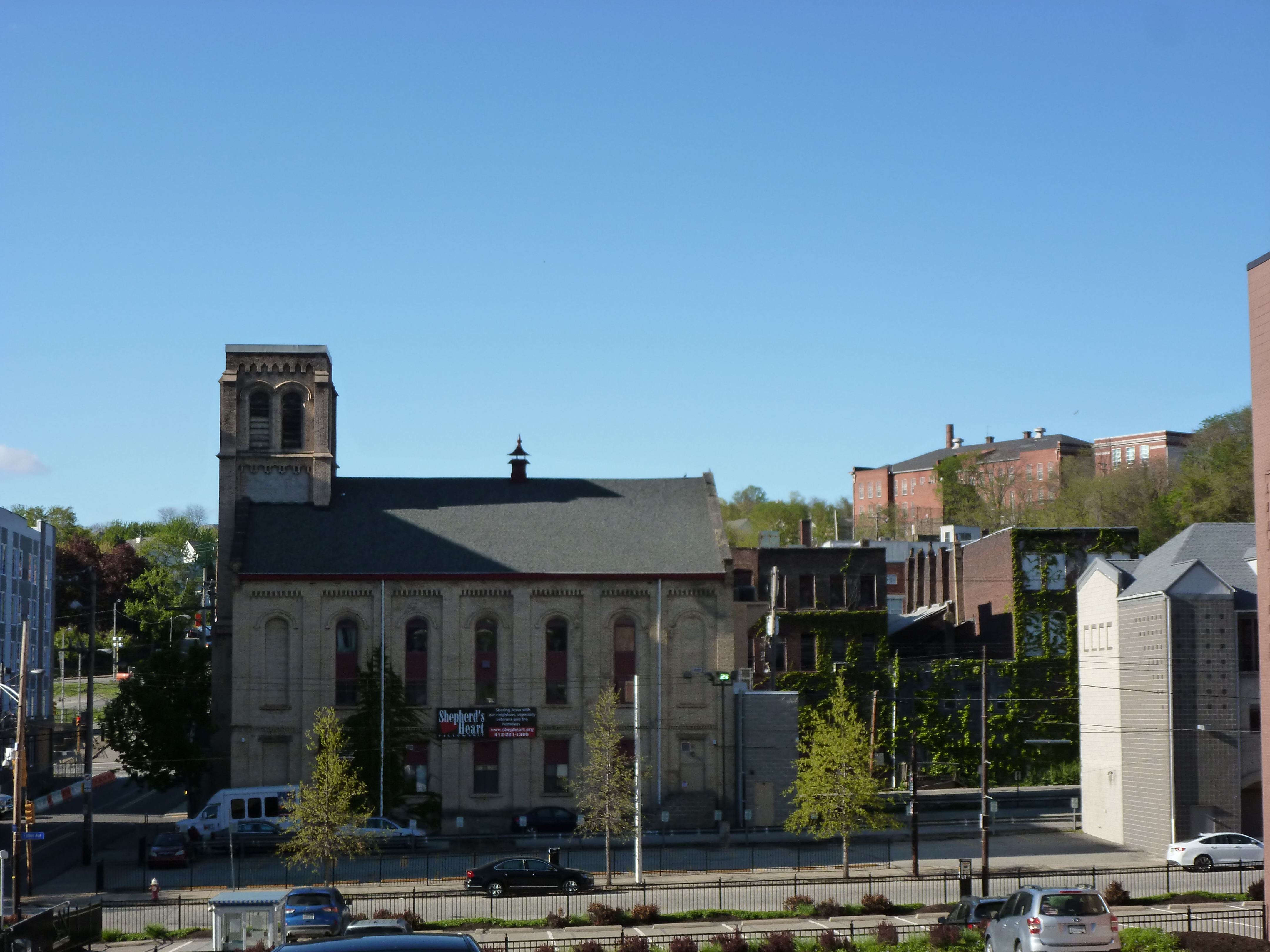
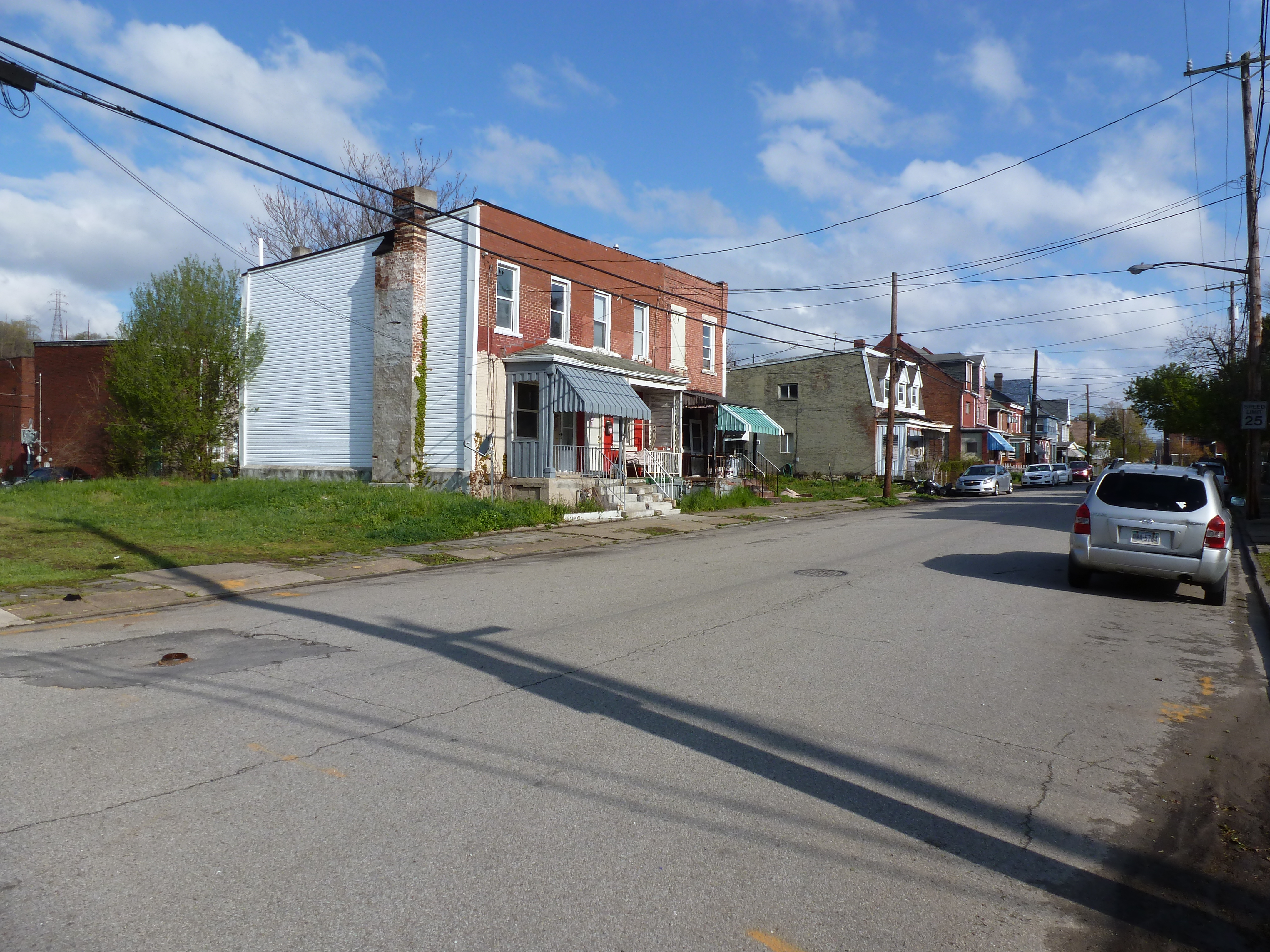
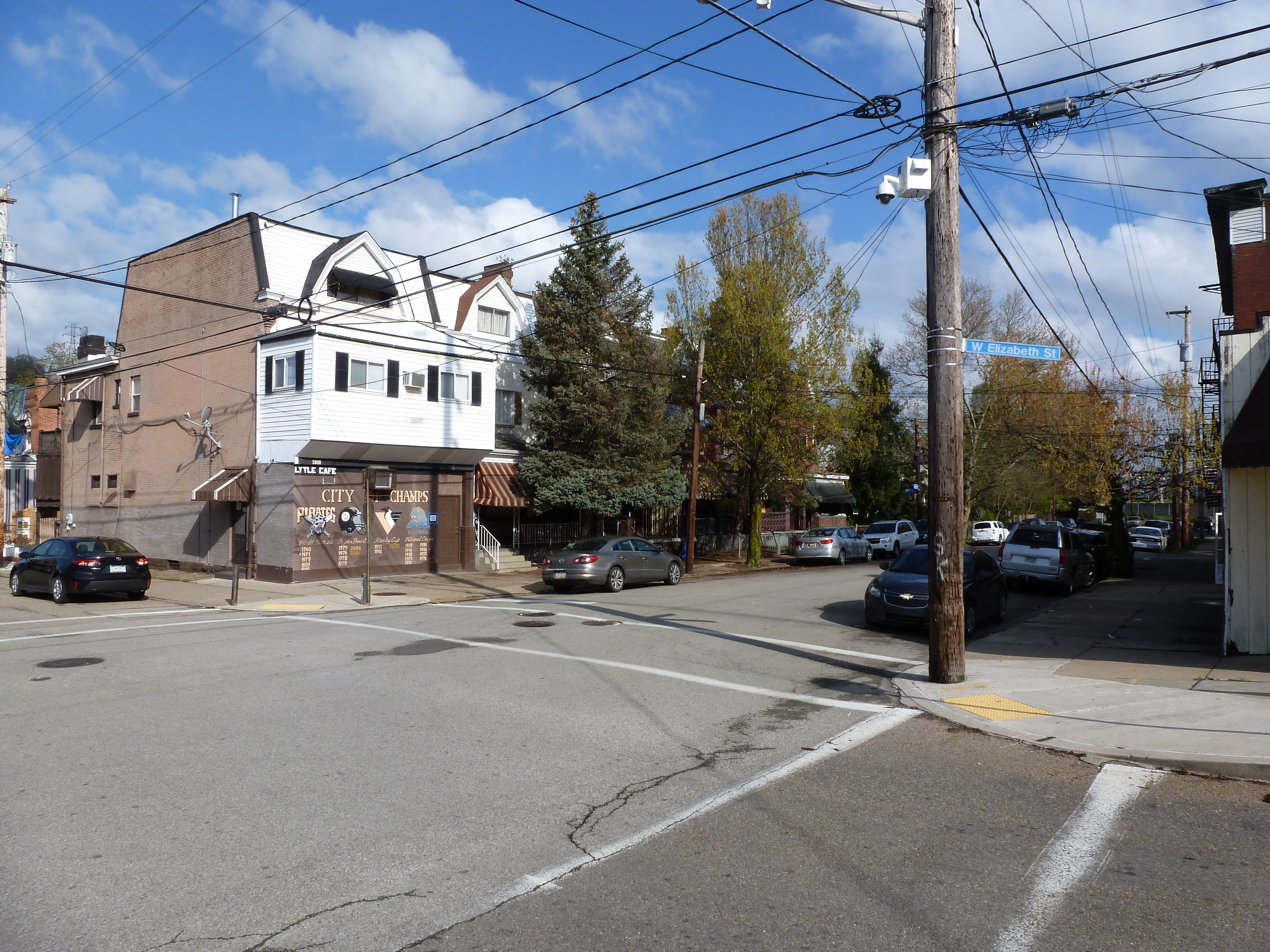
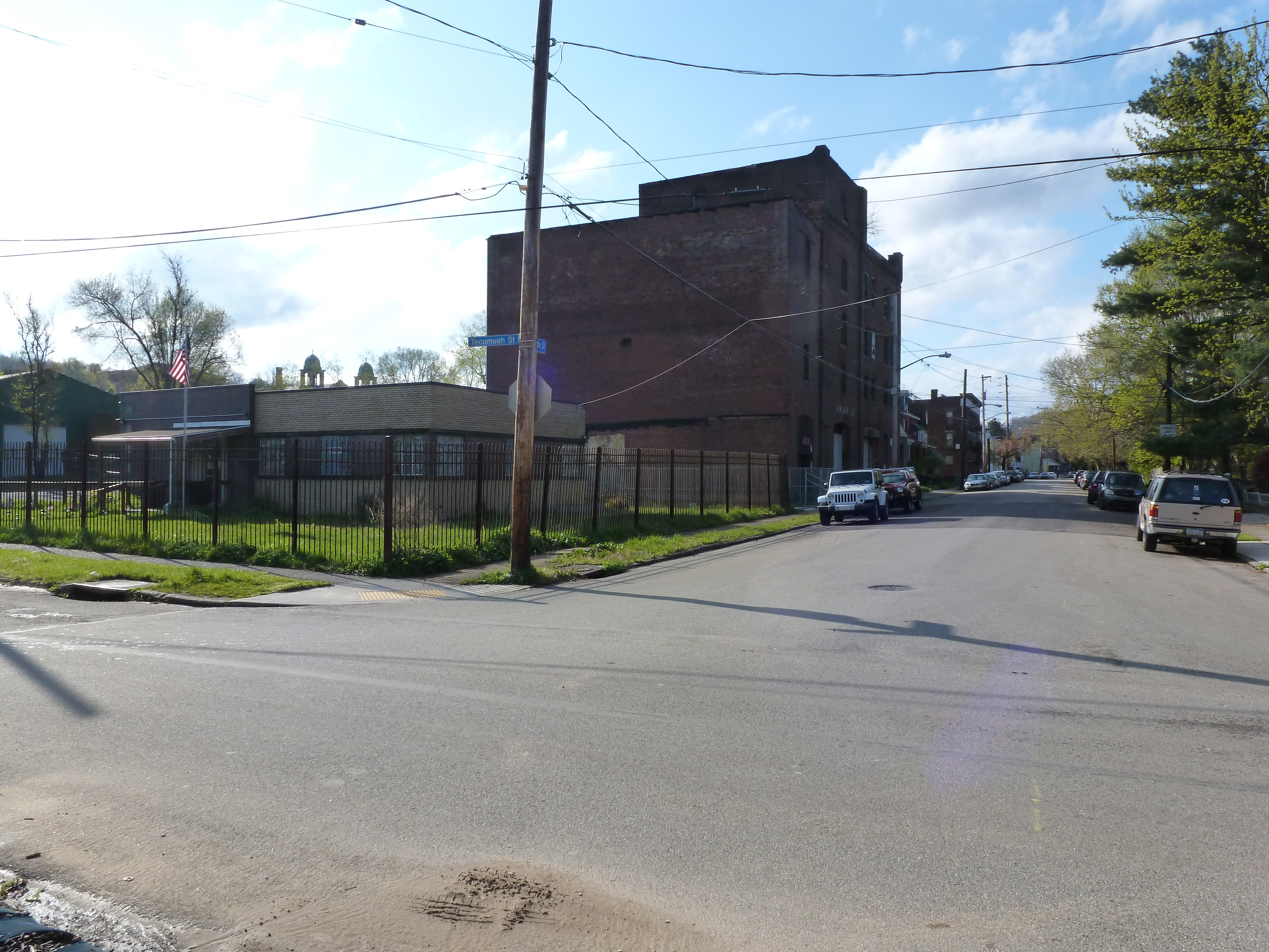
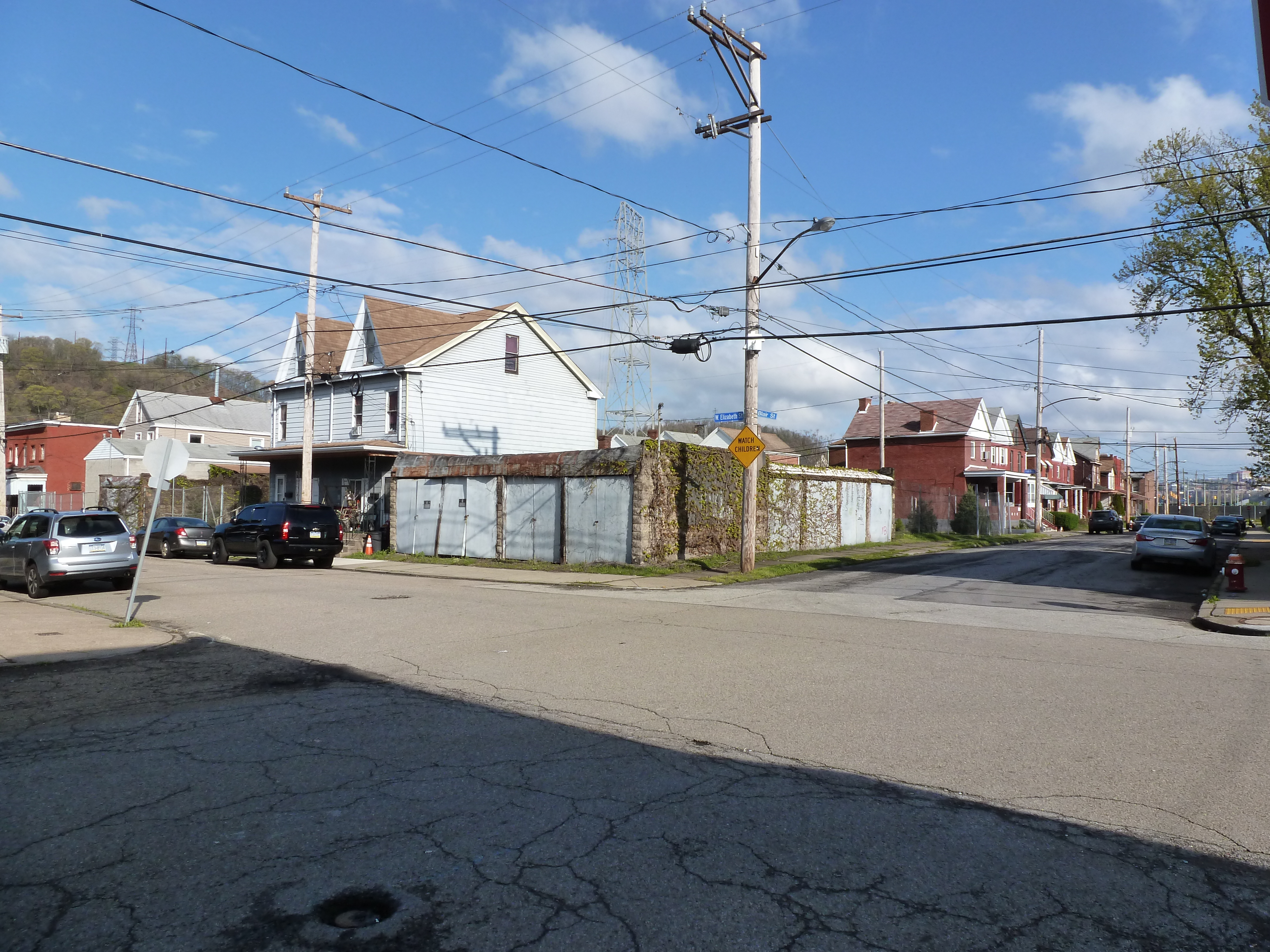
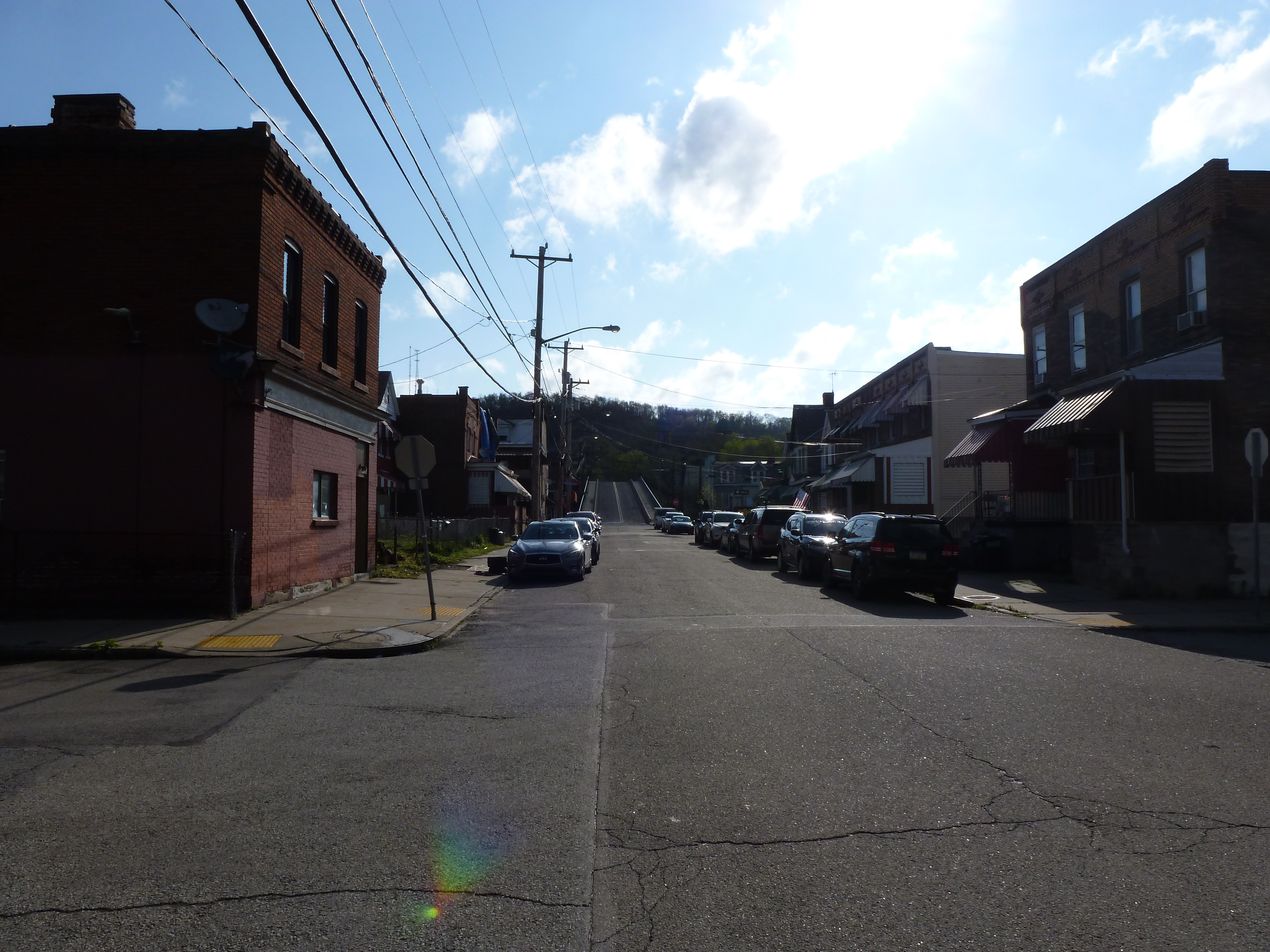
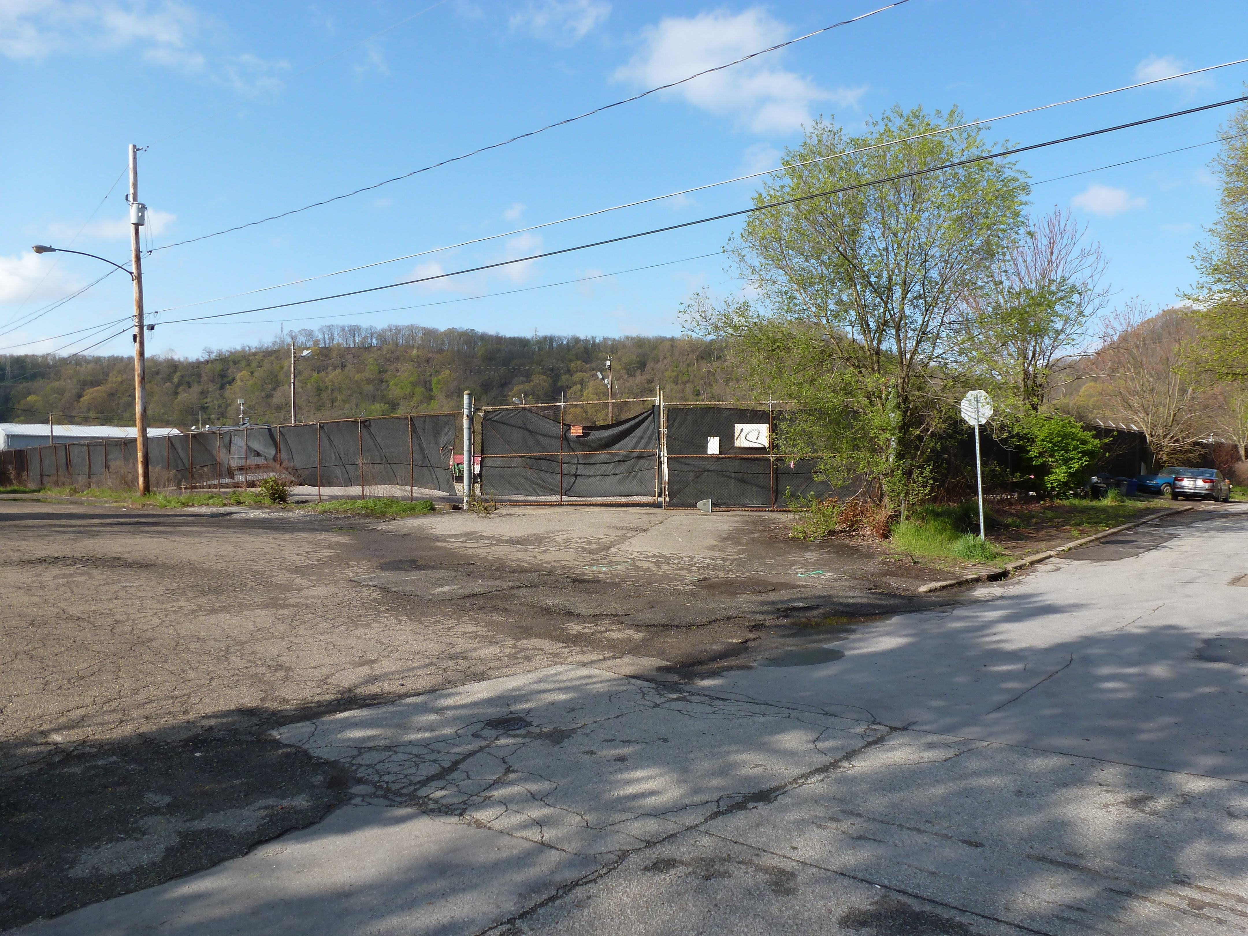
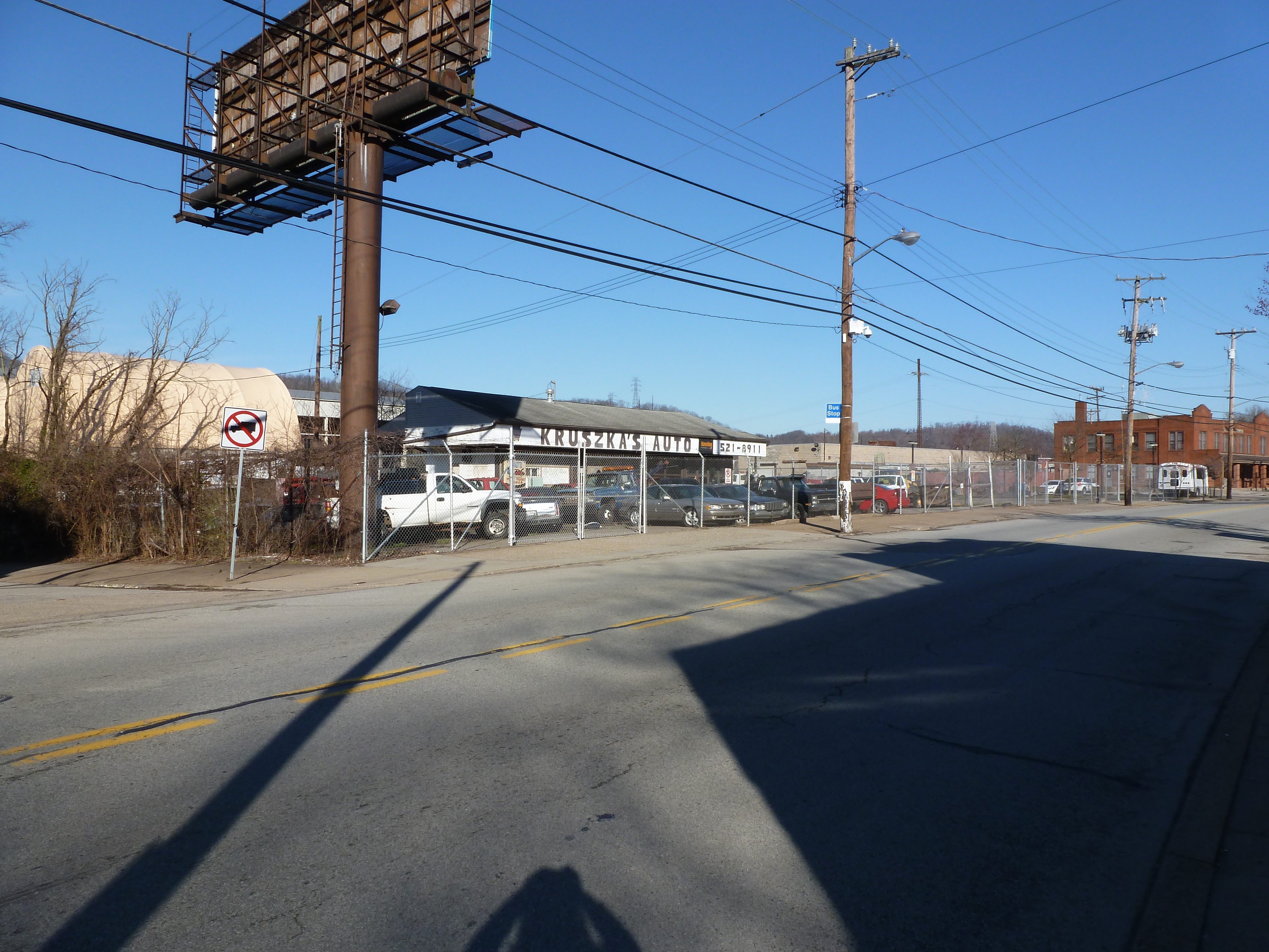
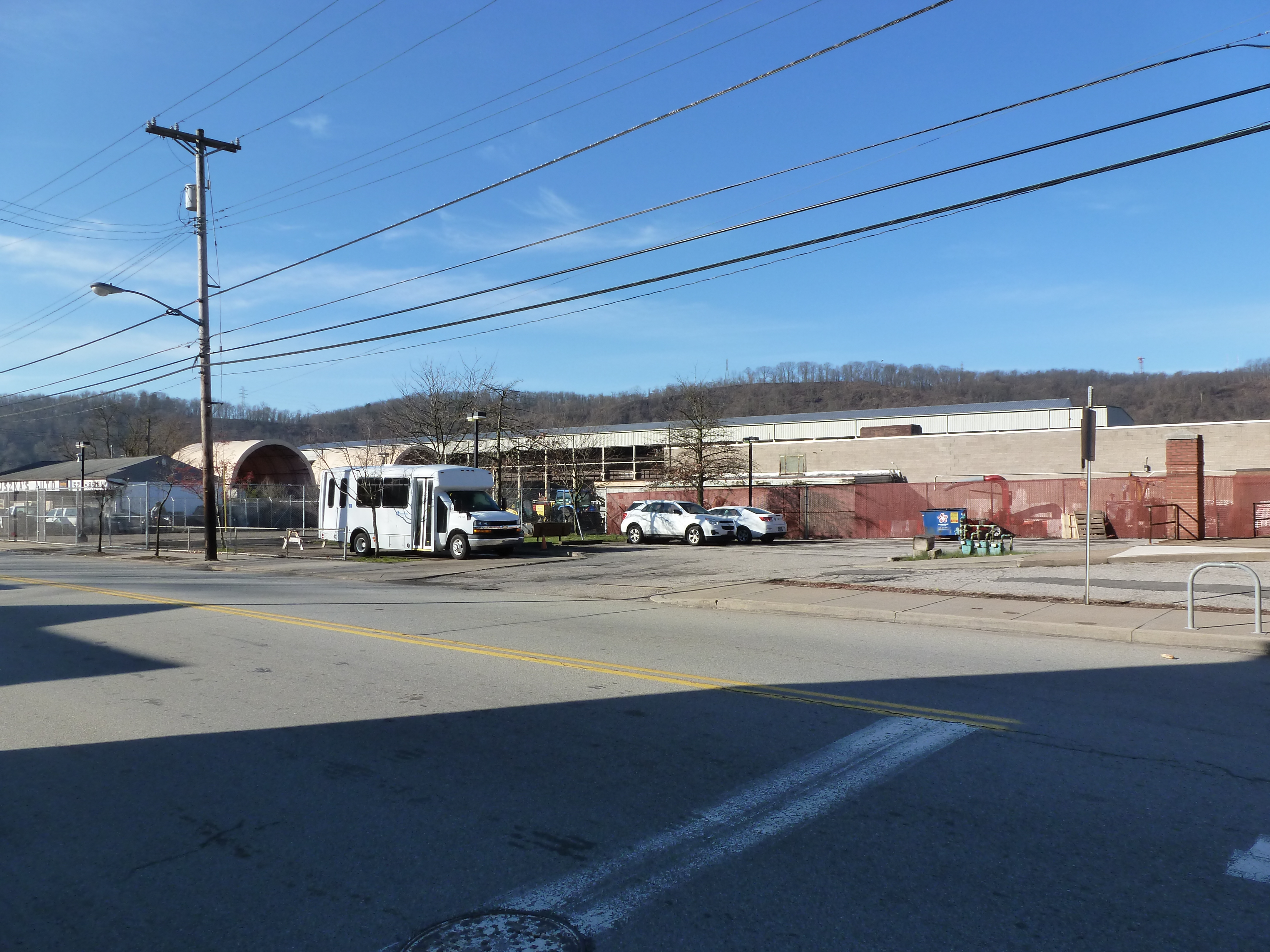
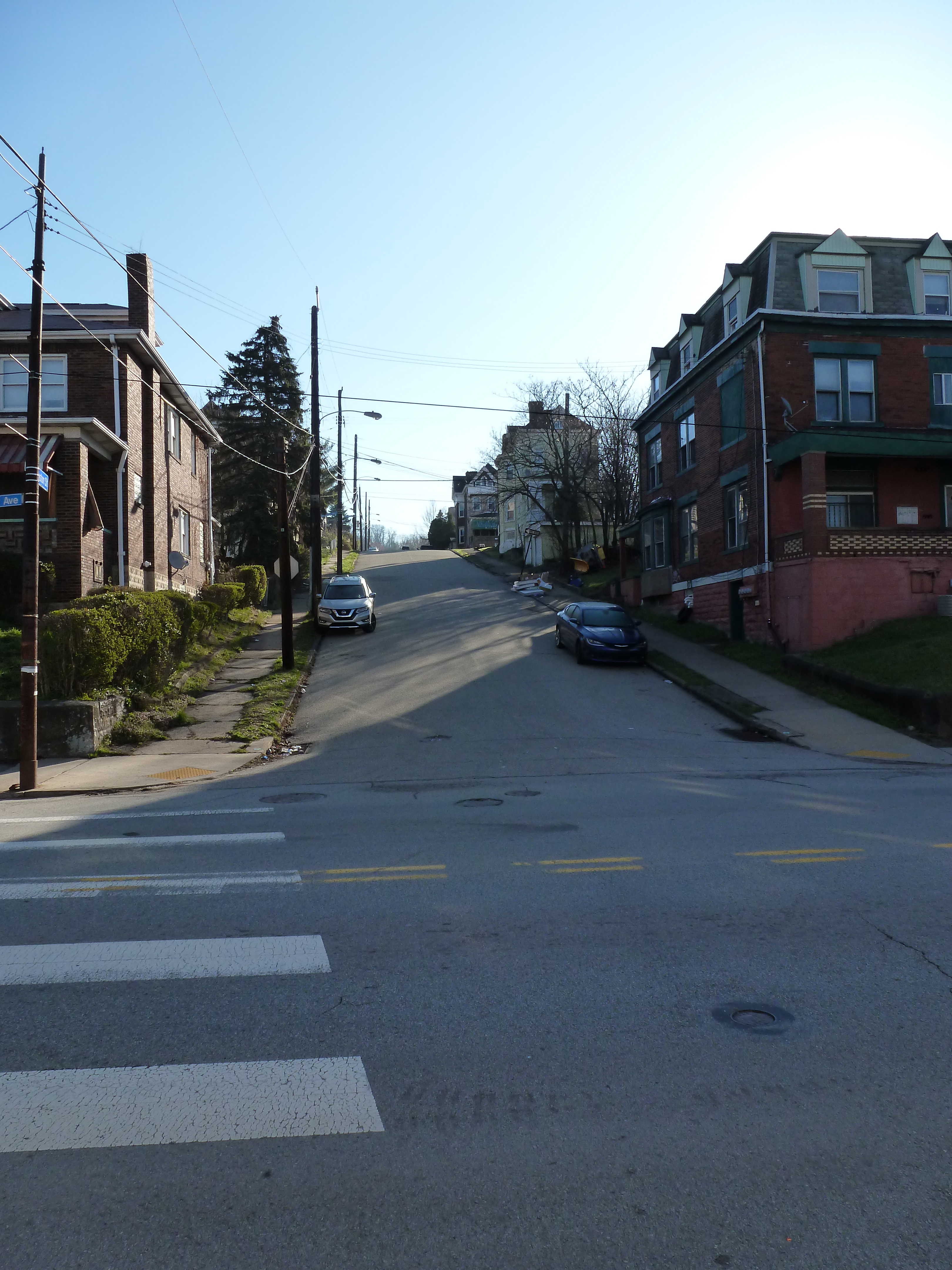
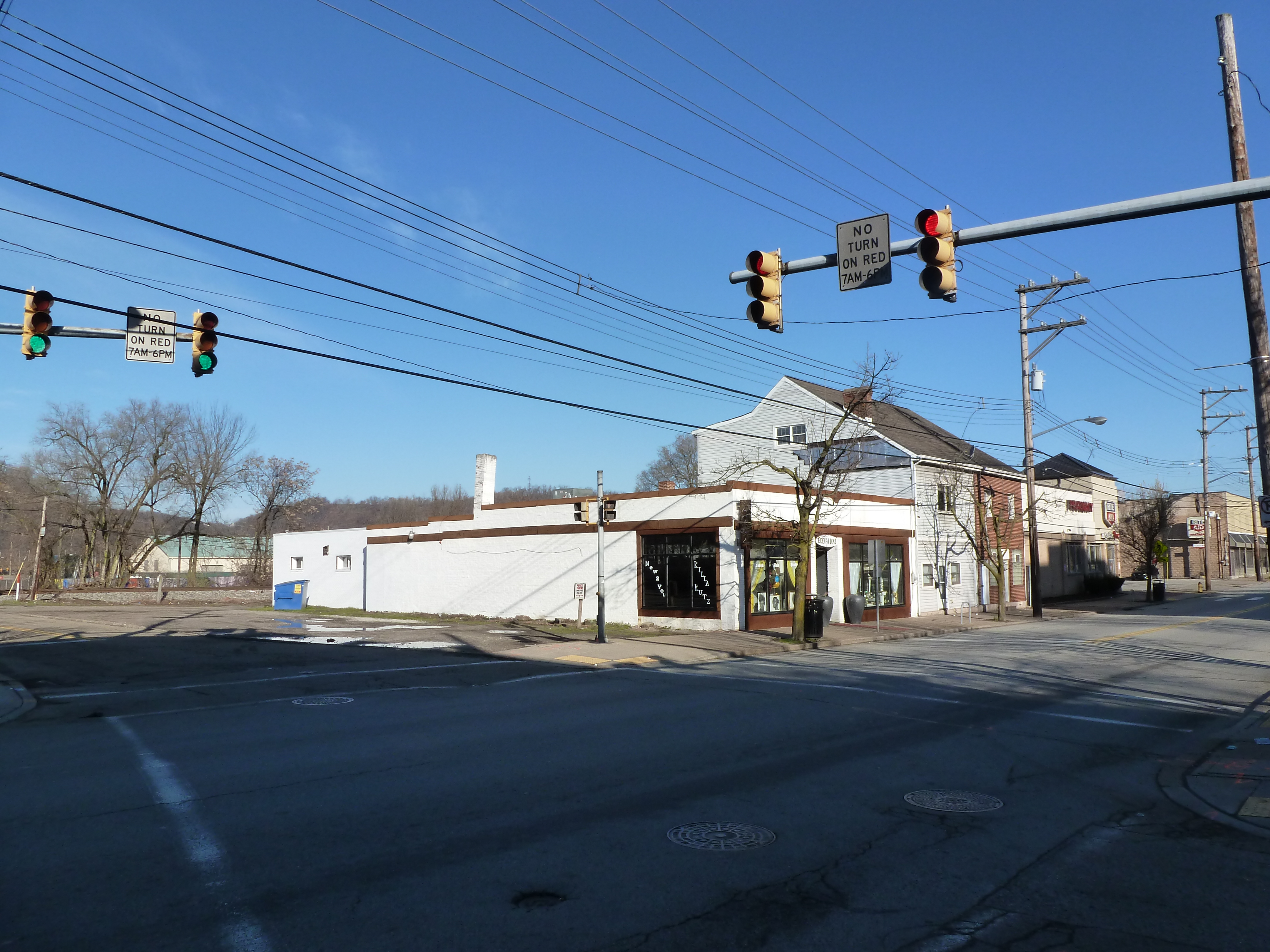
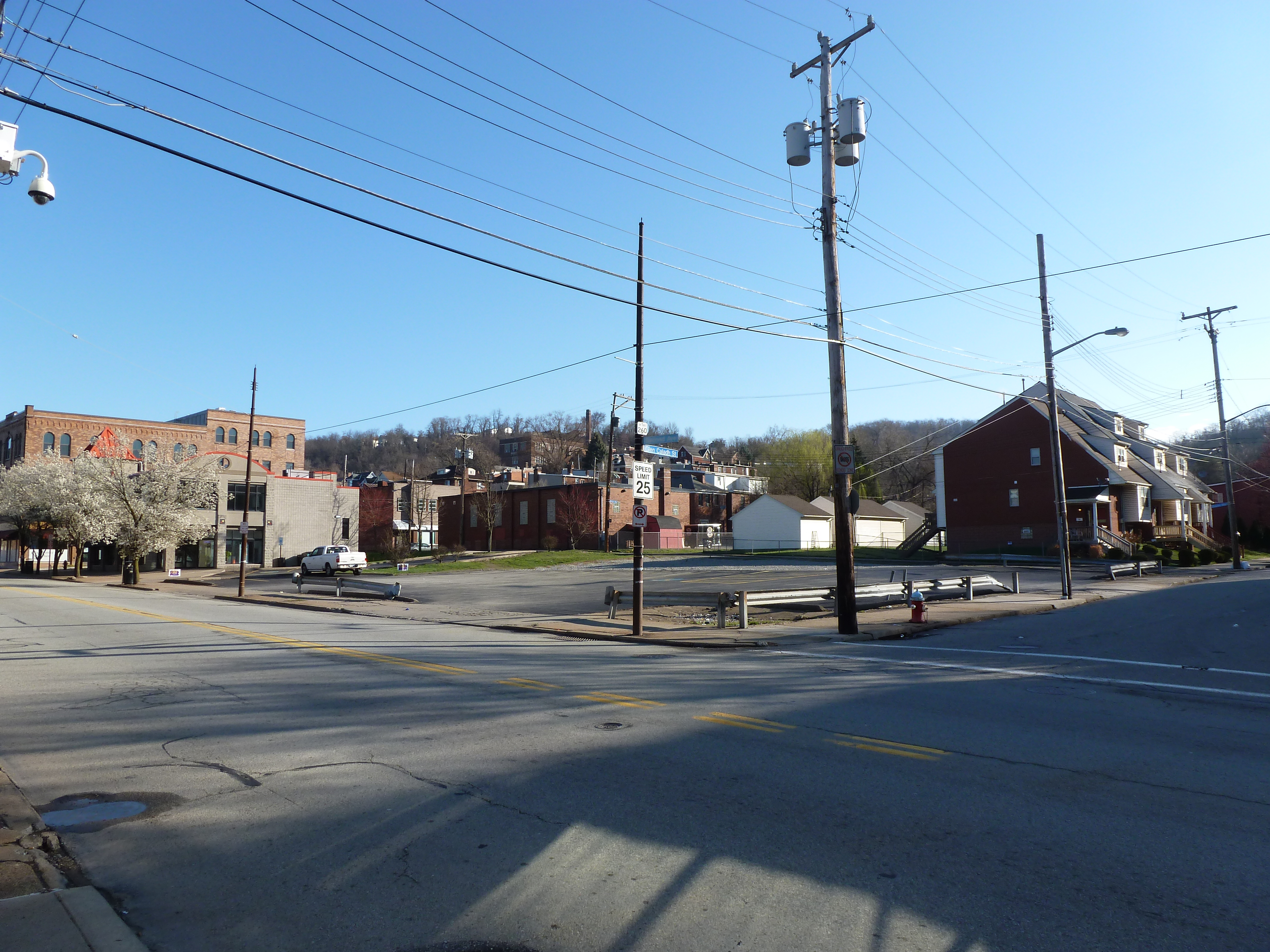
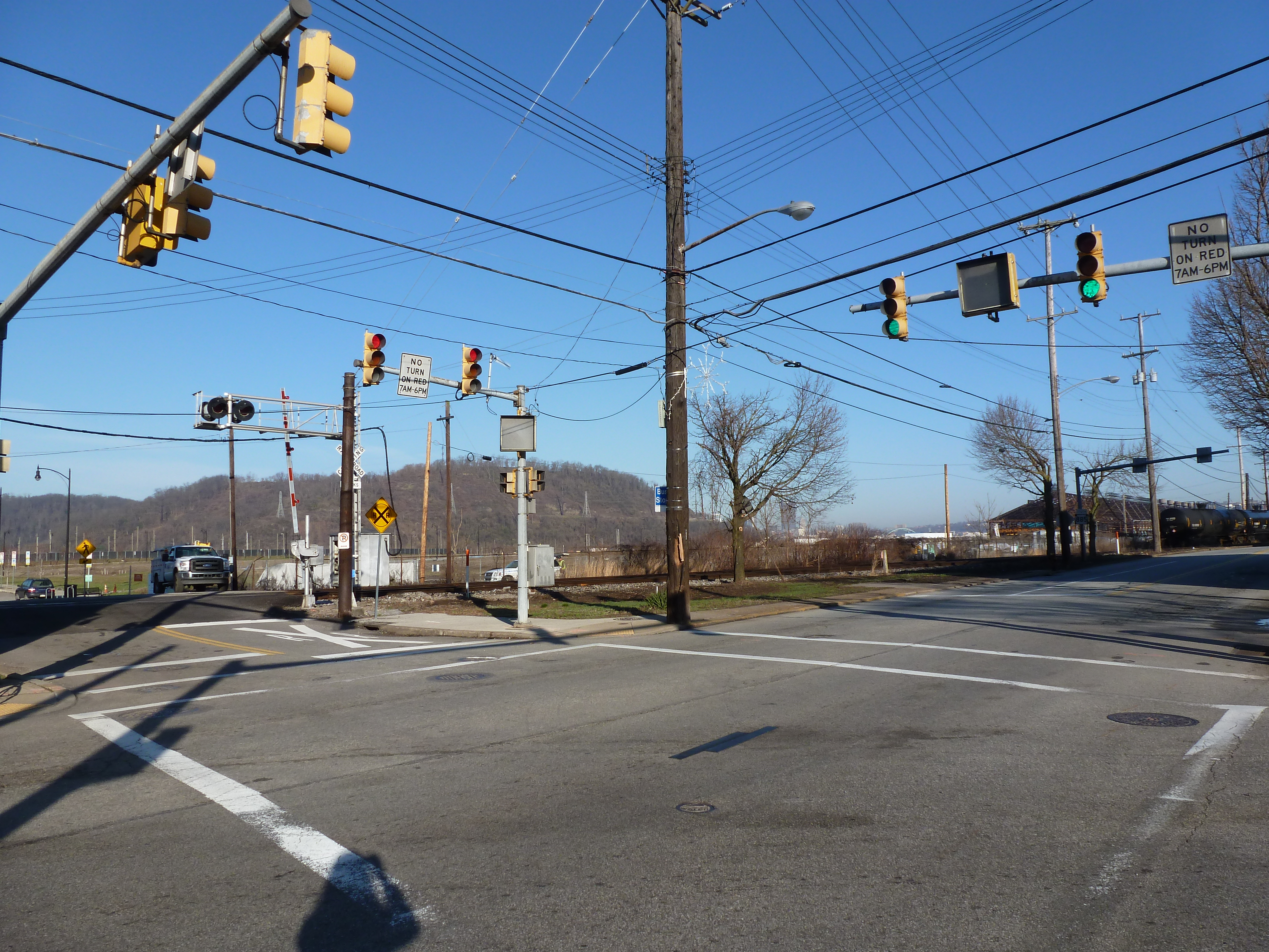
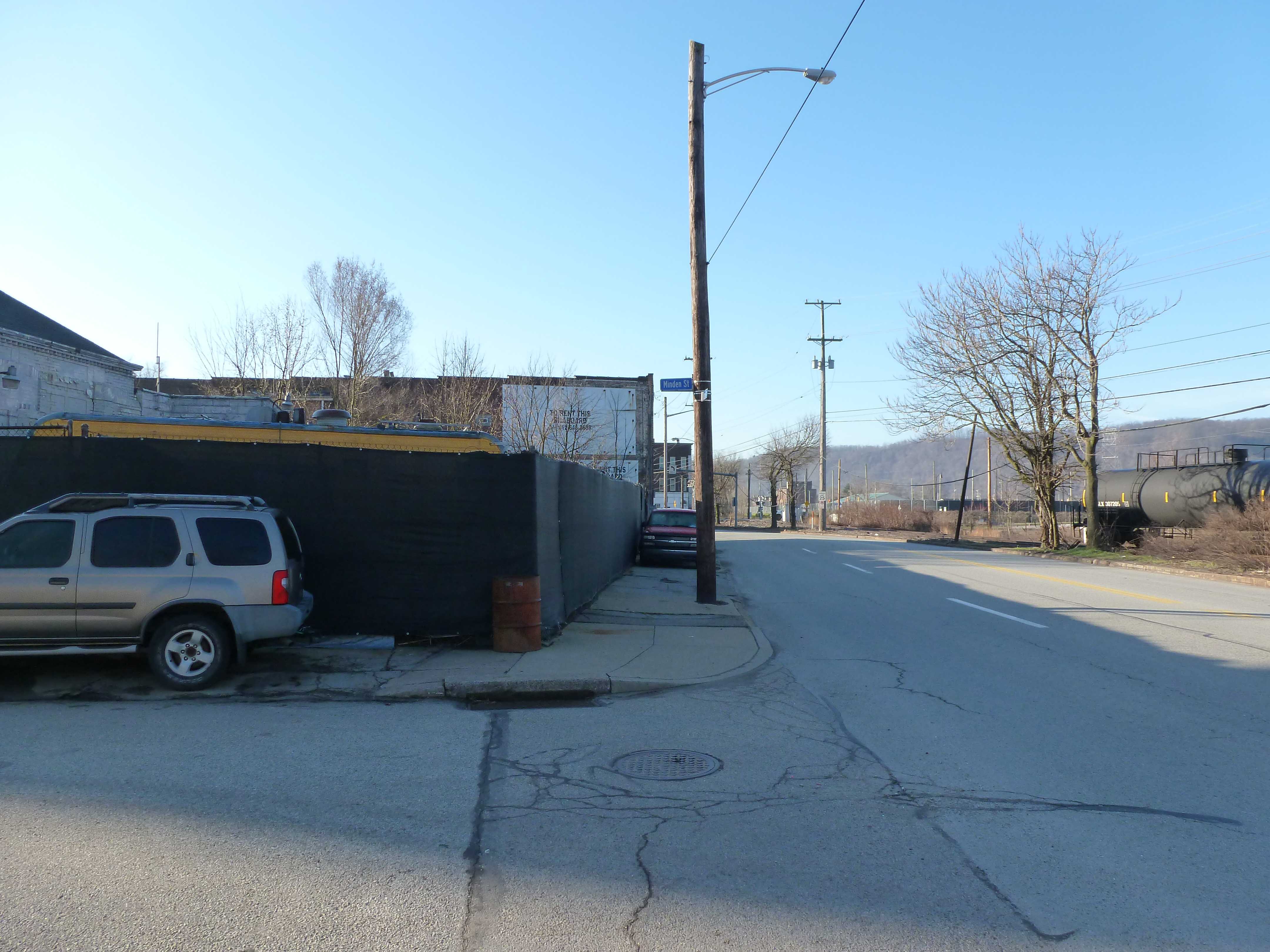
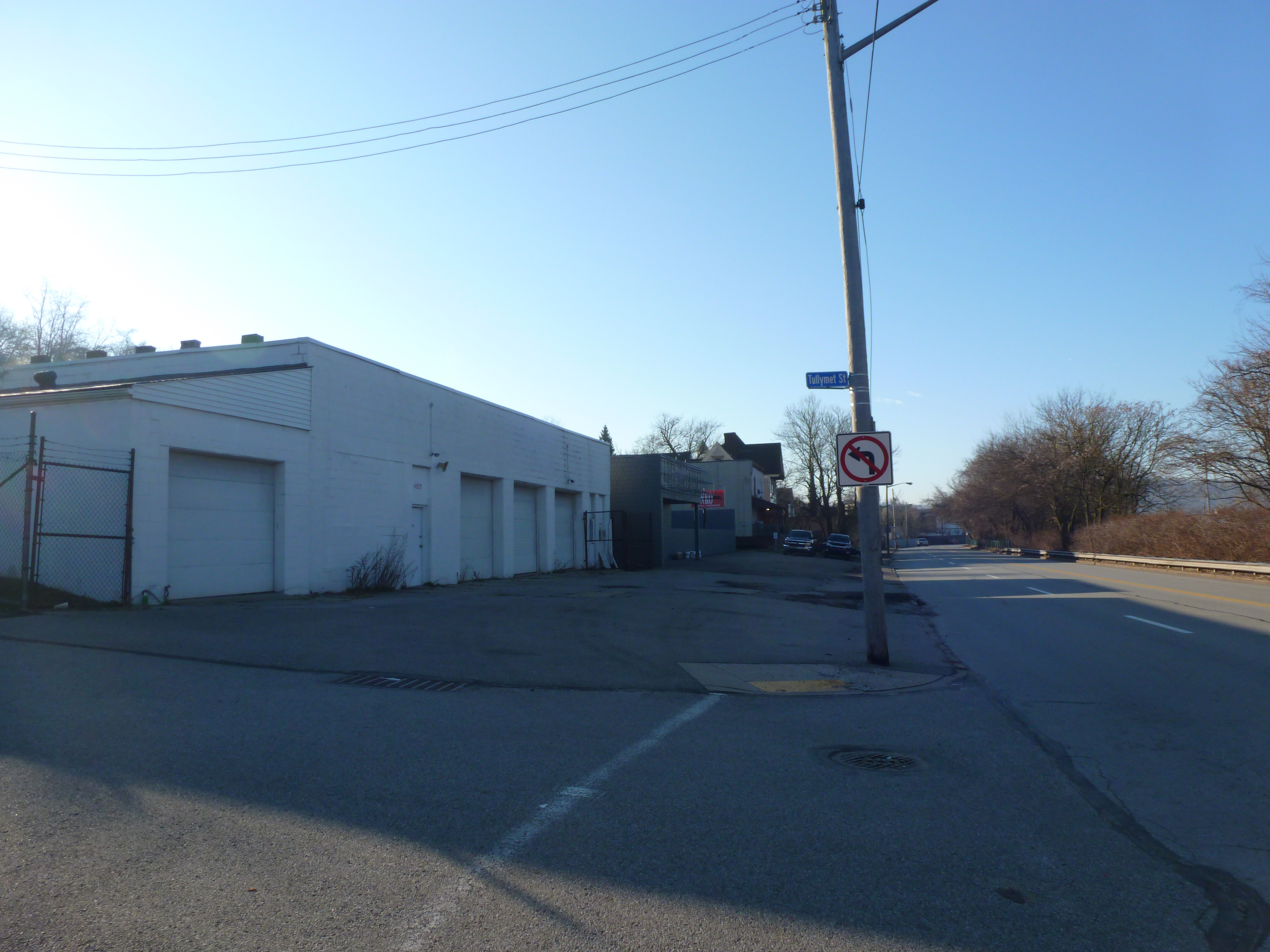
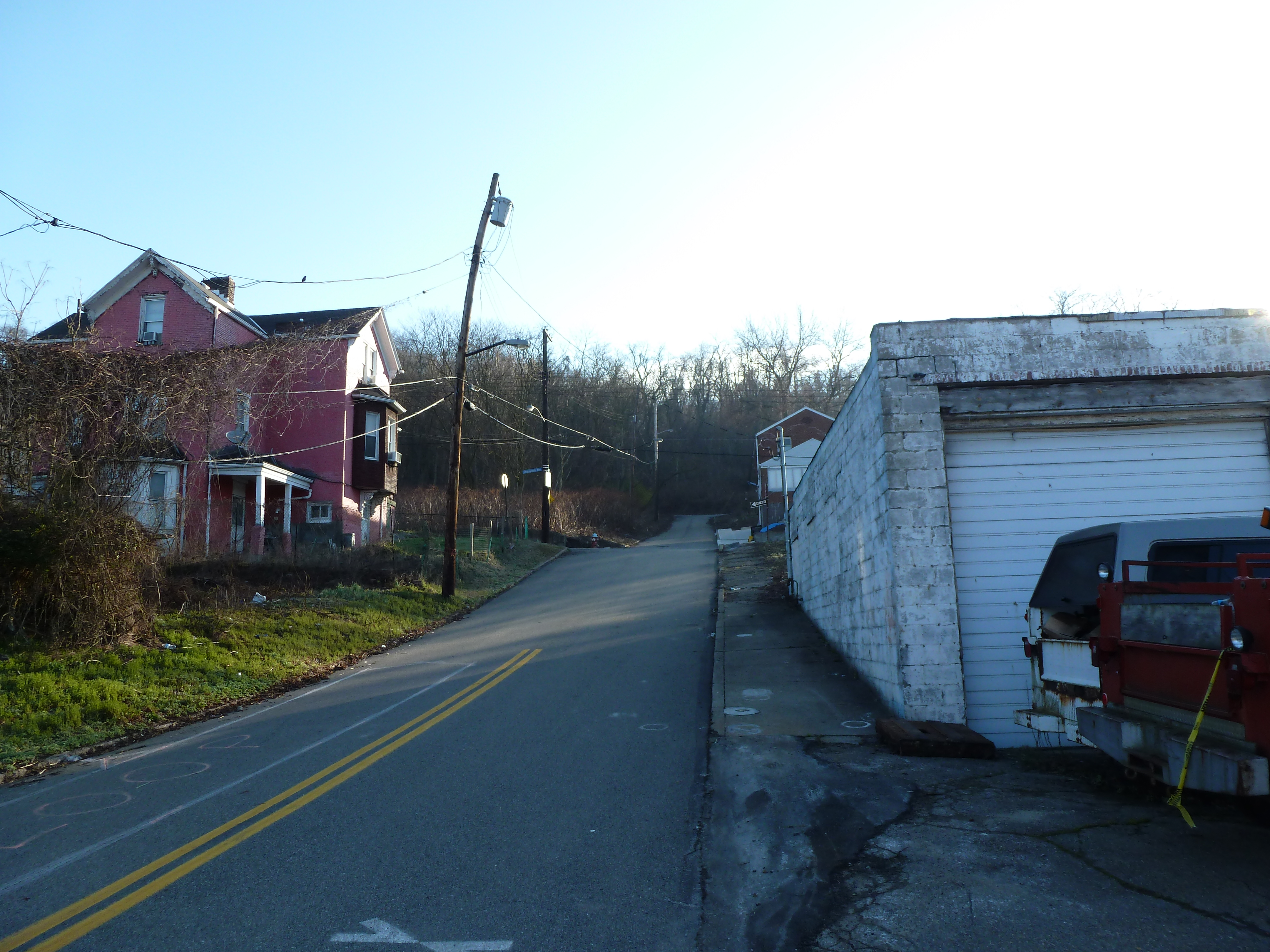
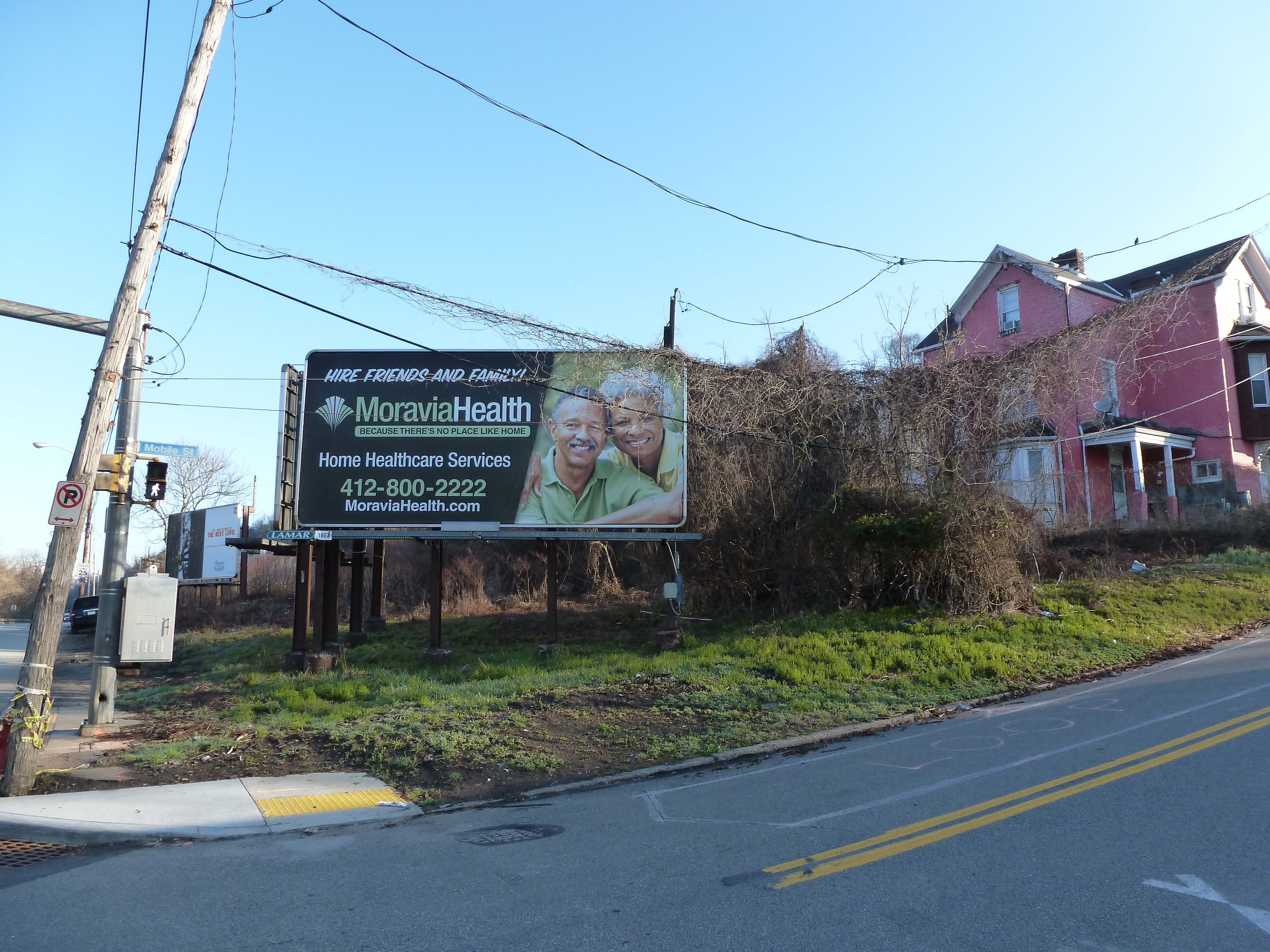
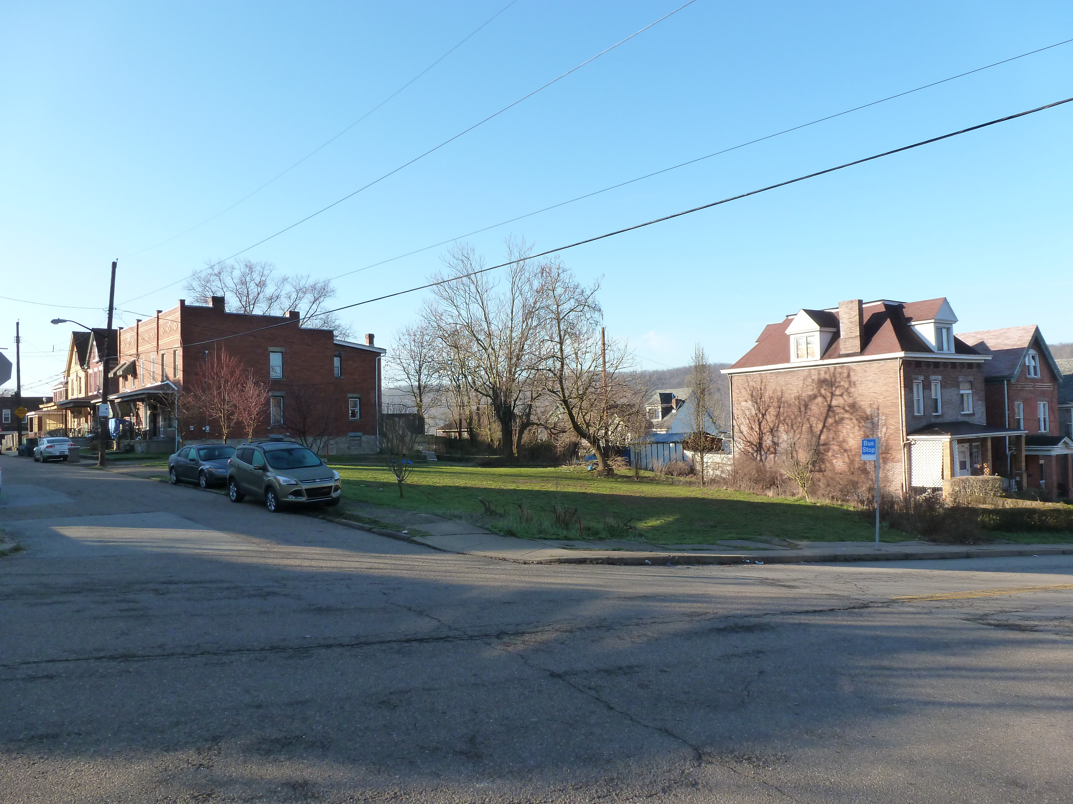
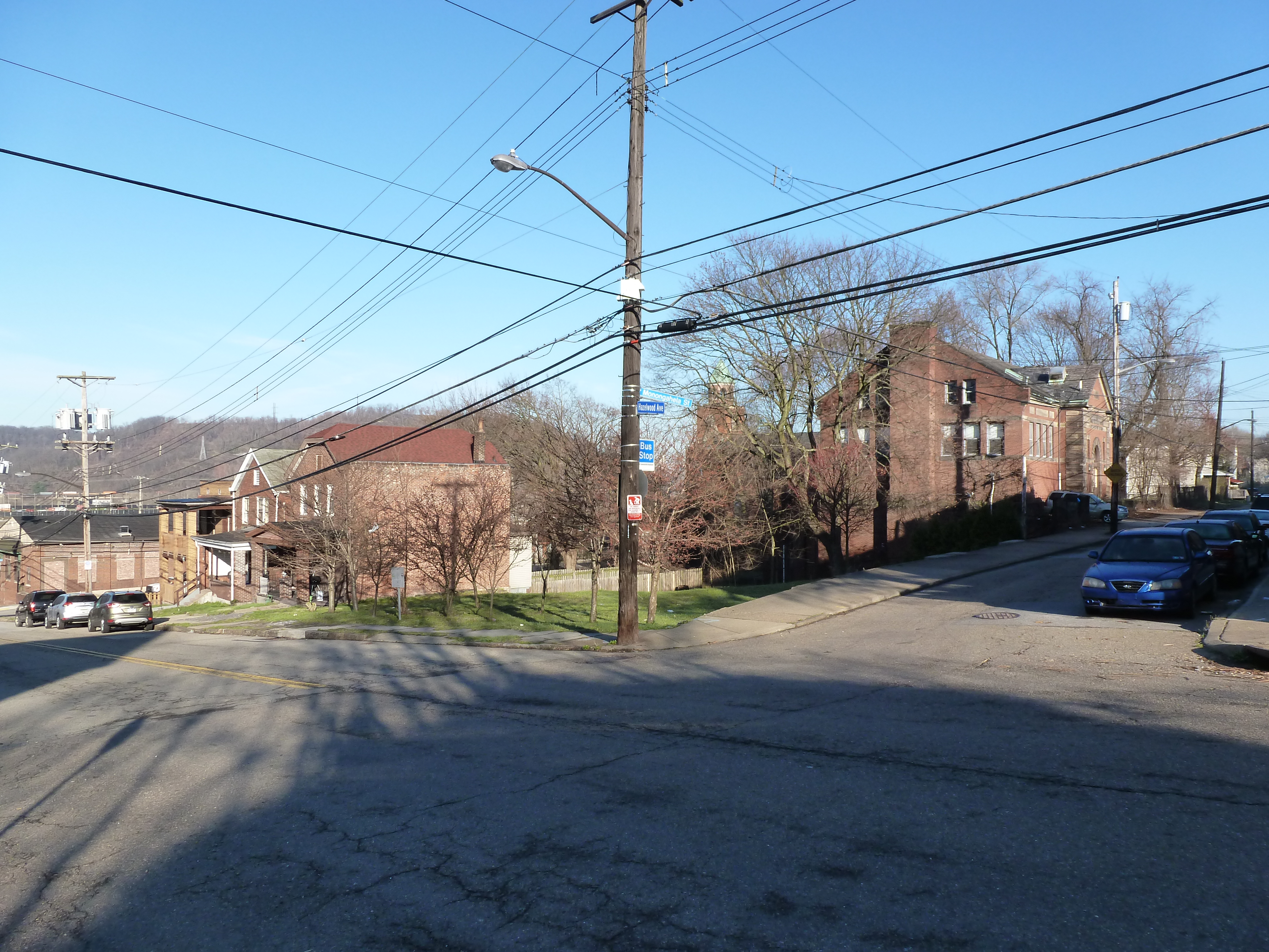
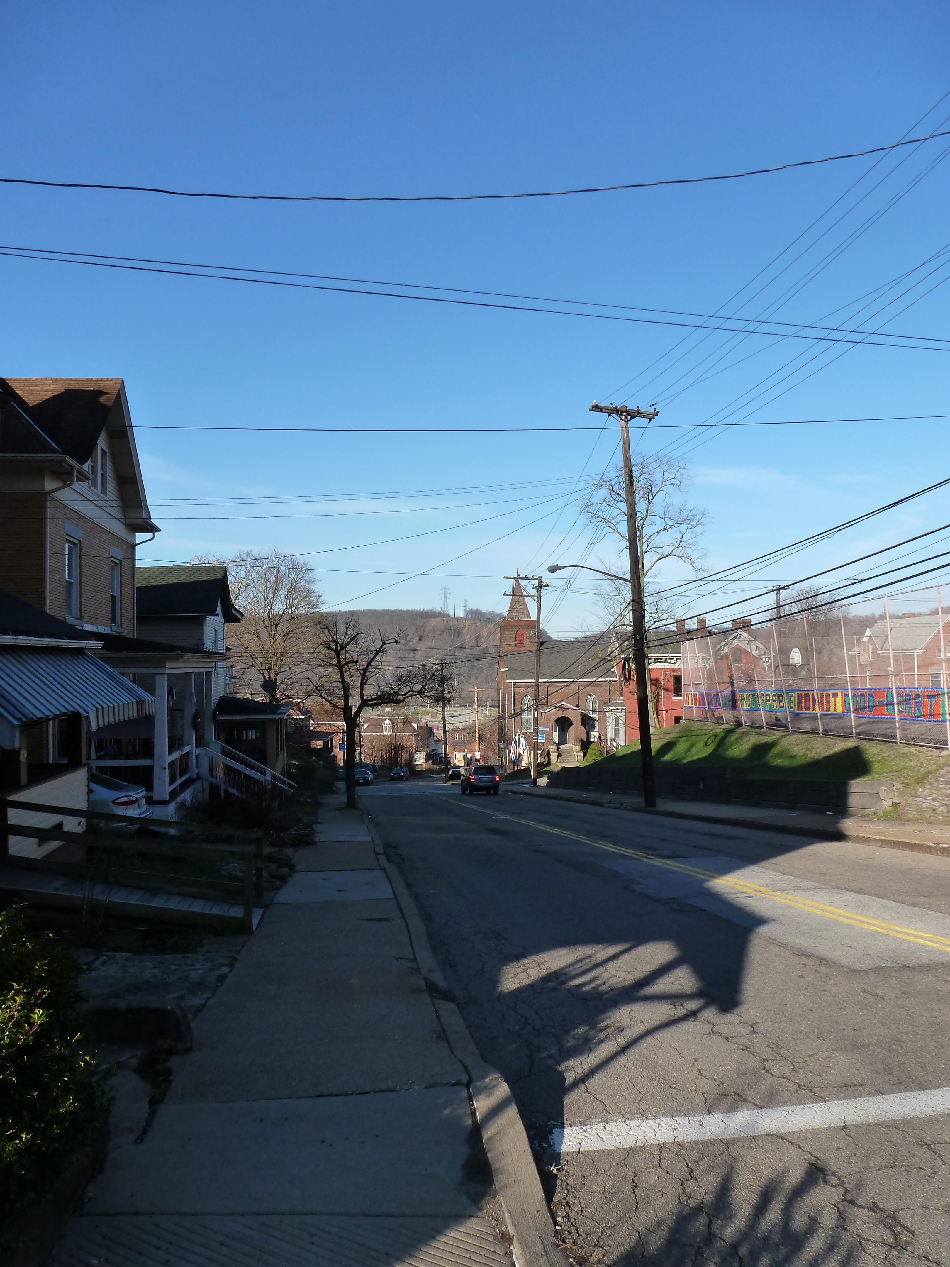
Hazelwood is a neighborhood divided in two by railroad tracks. On one side of the tracks are Hazelwood Green, a residential enclave, and some industrial and commercial uses. This is what is across the tracks: