Pittsburgh DinoMite Parade 8

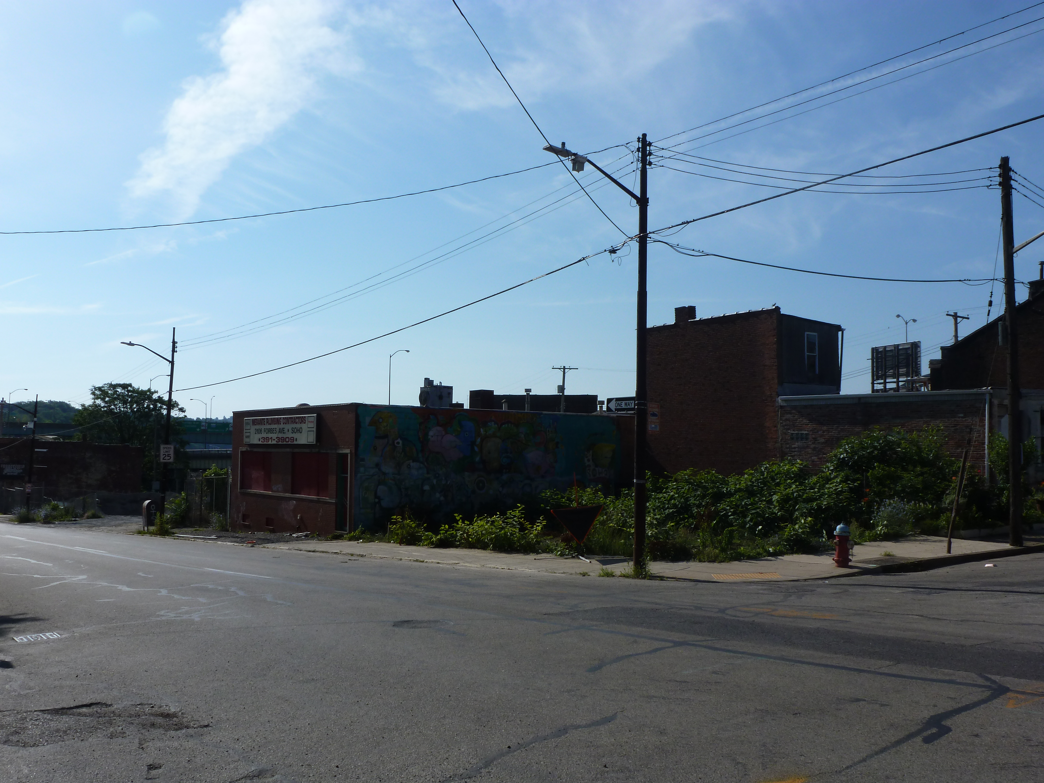
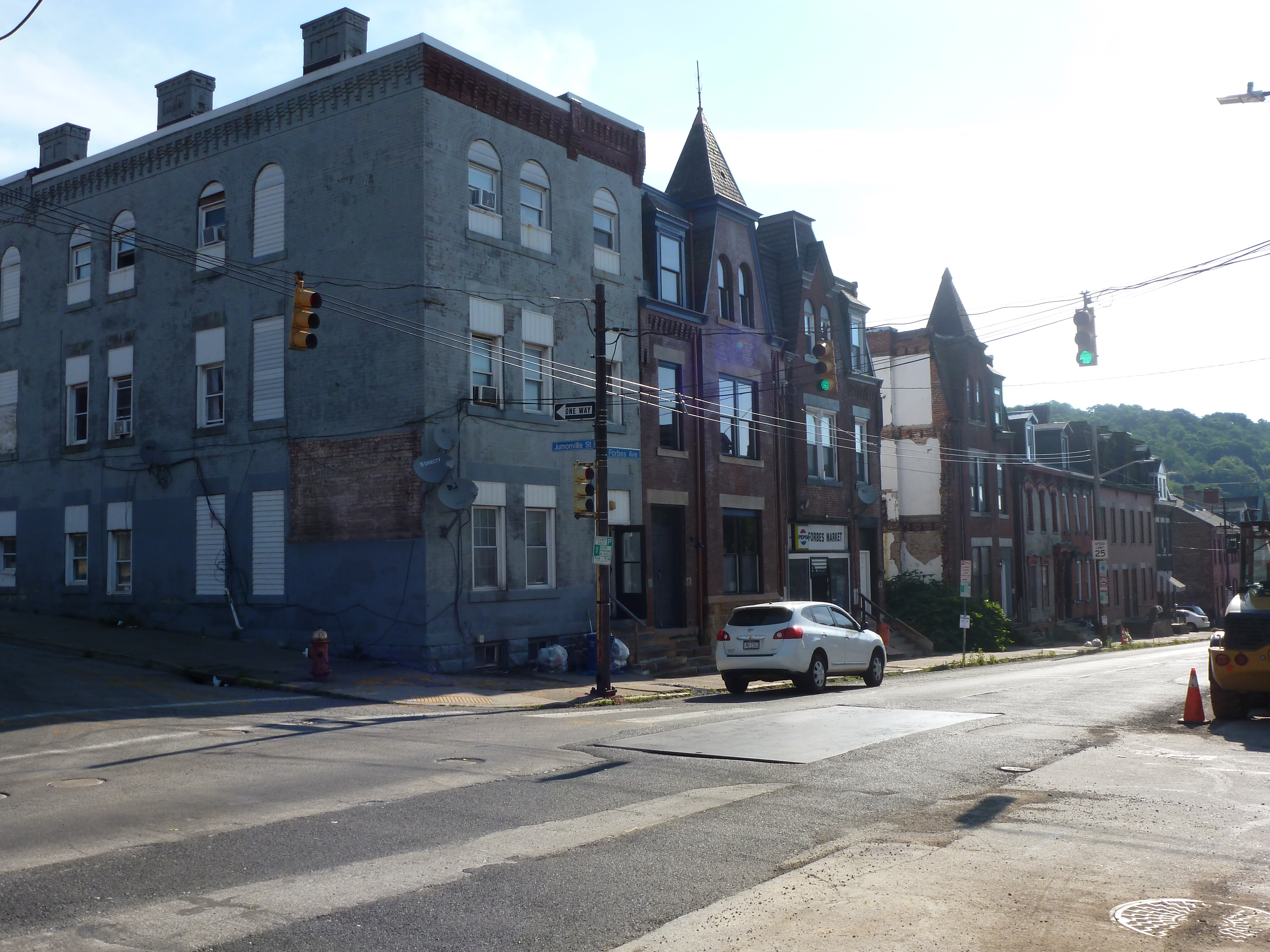
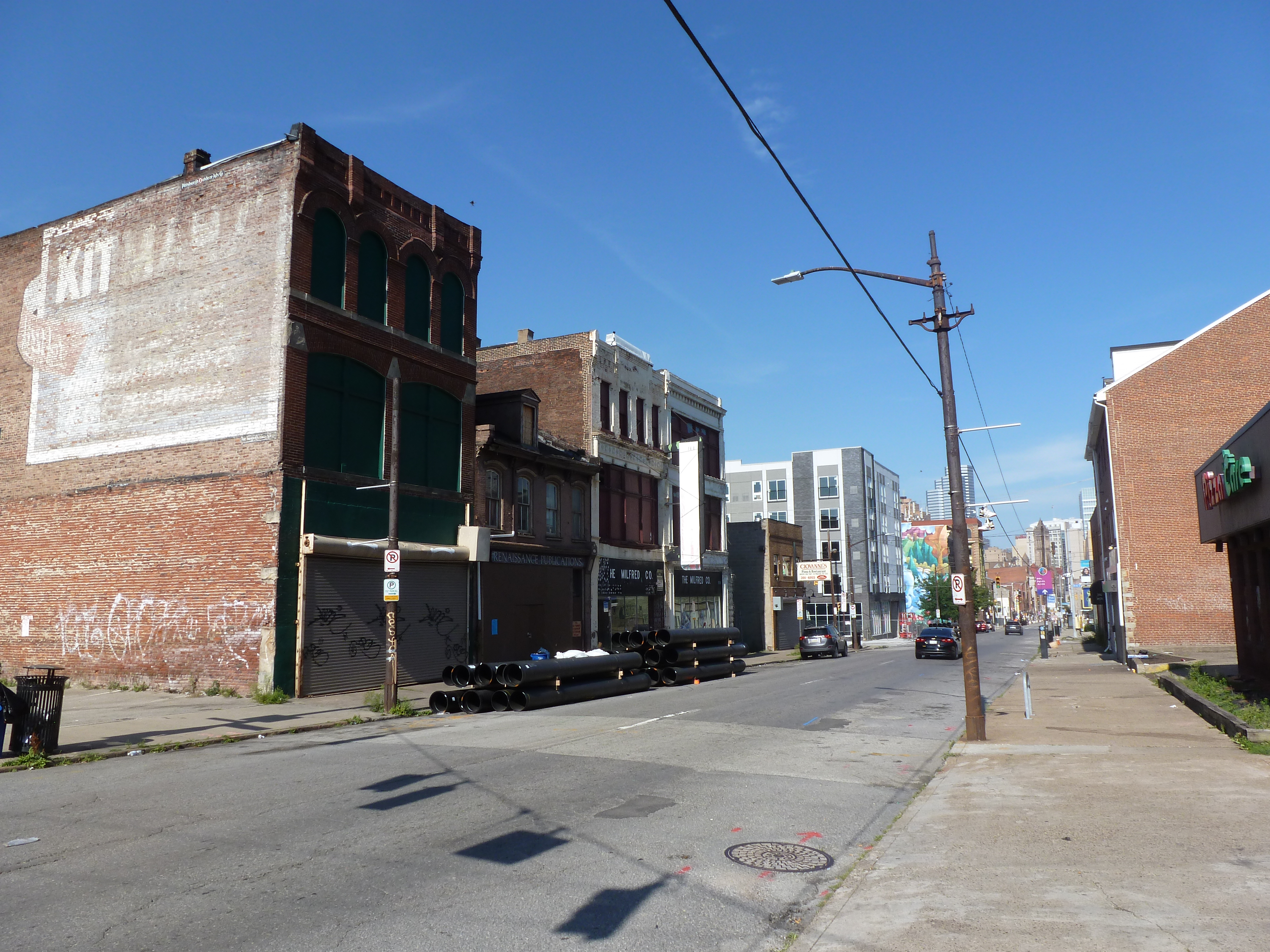
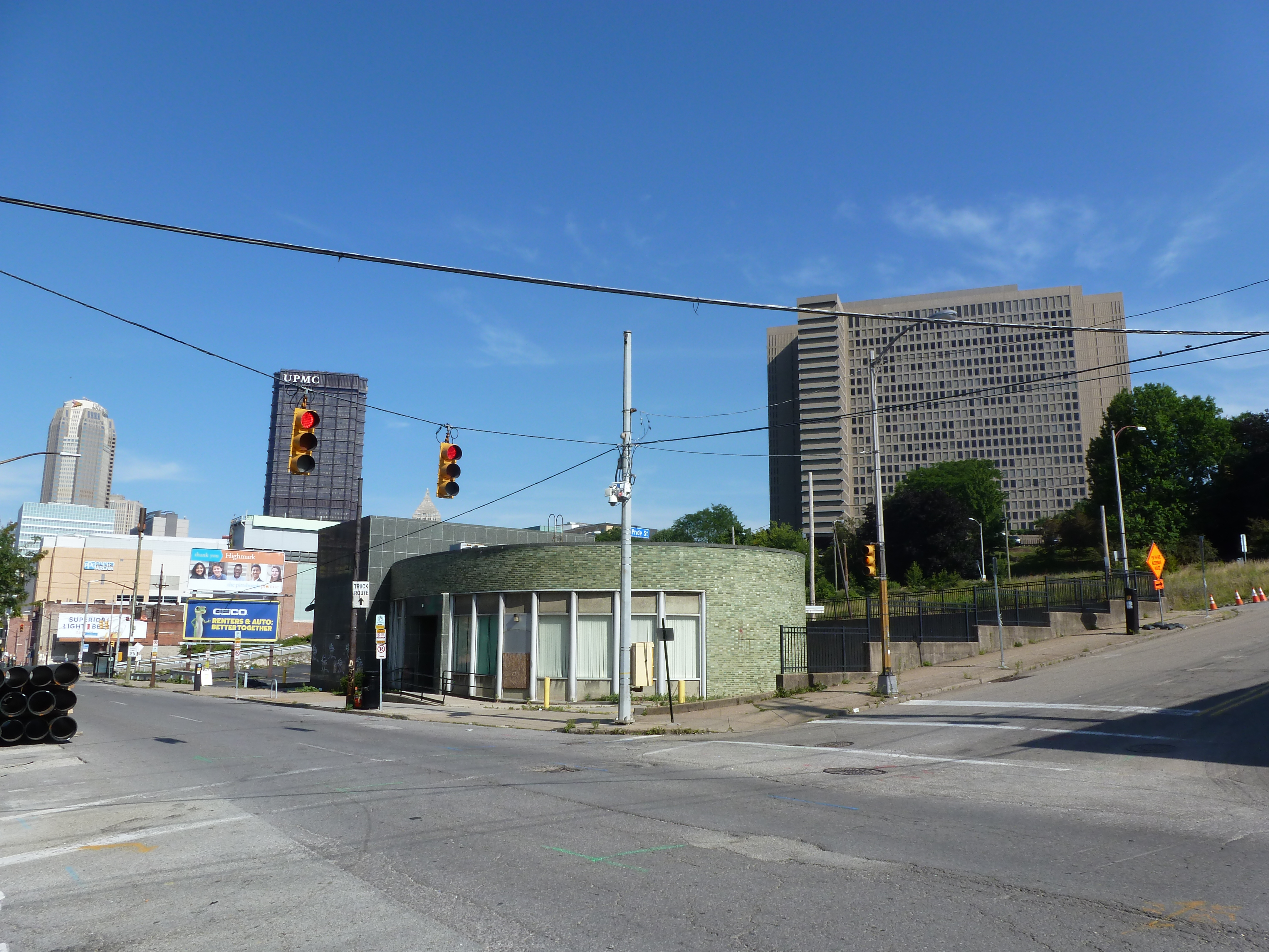
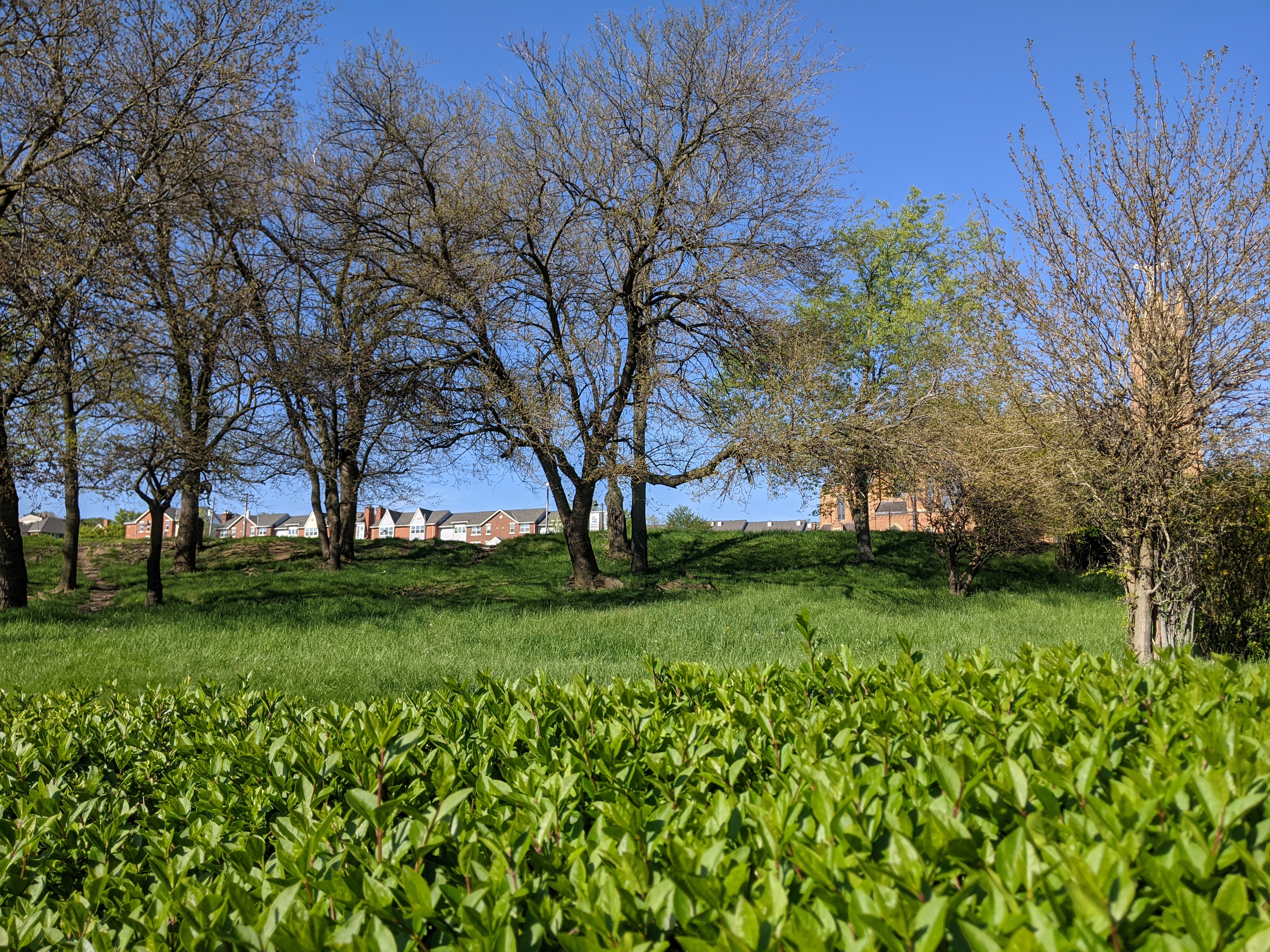
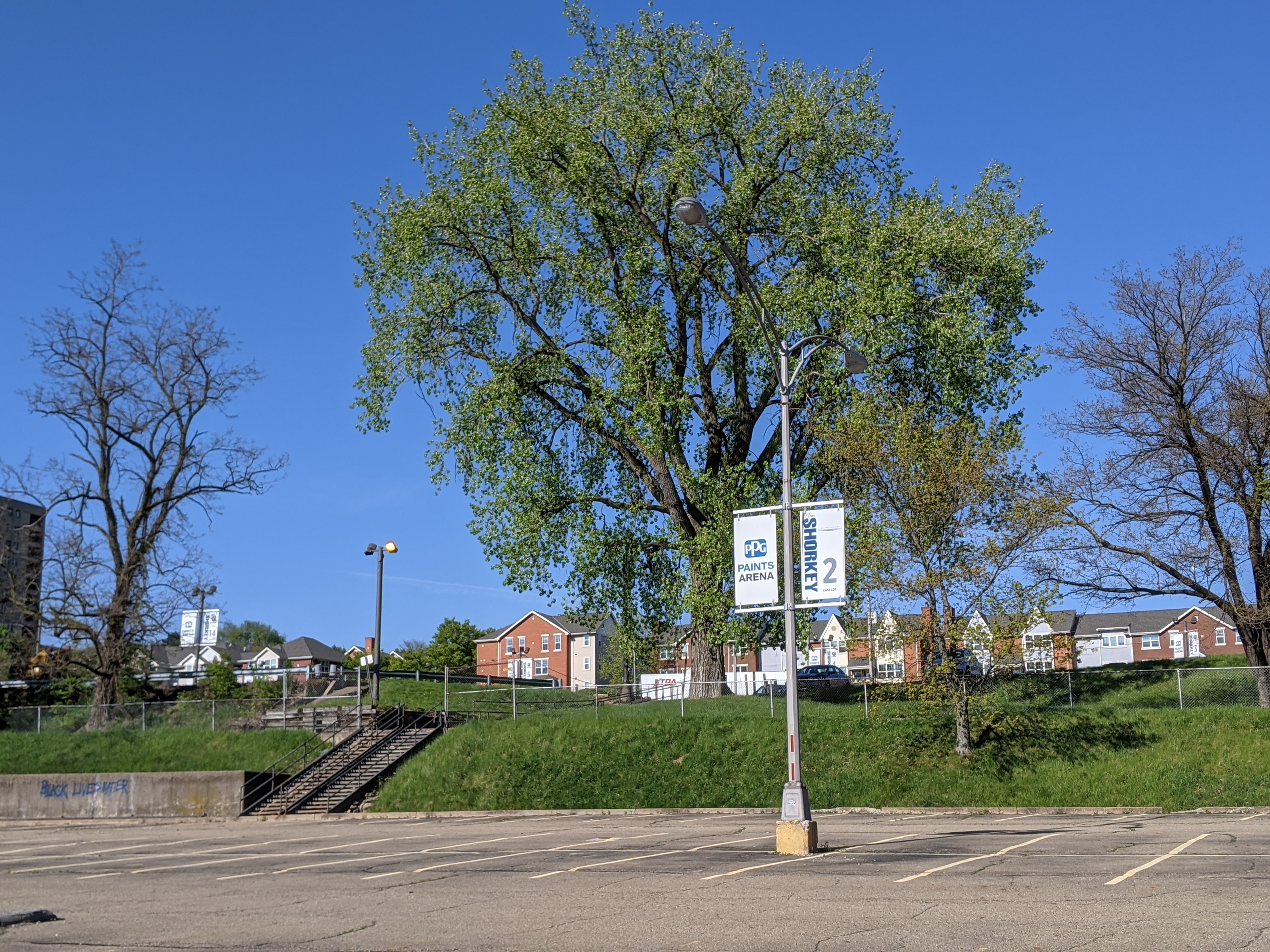
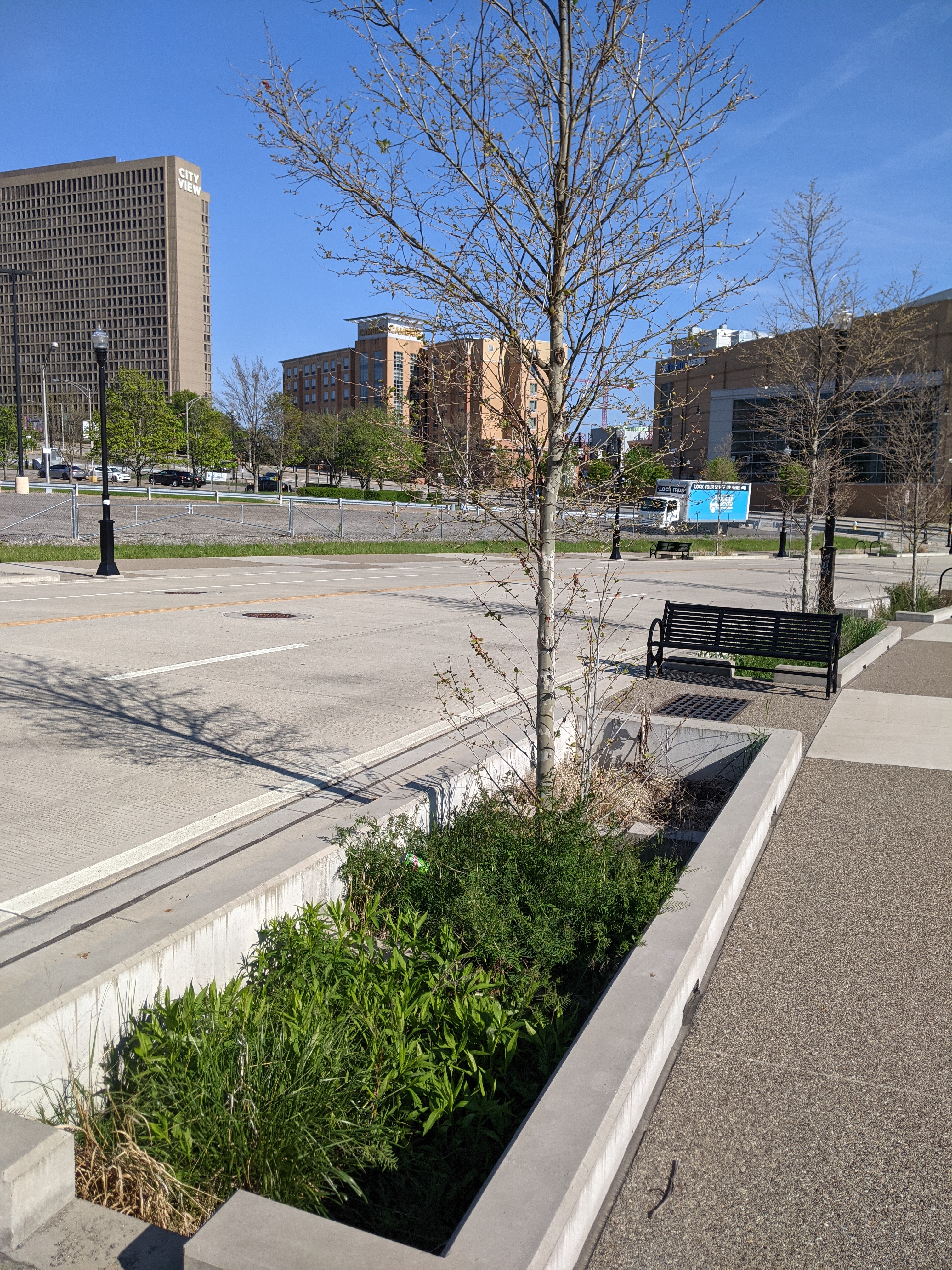
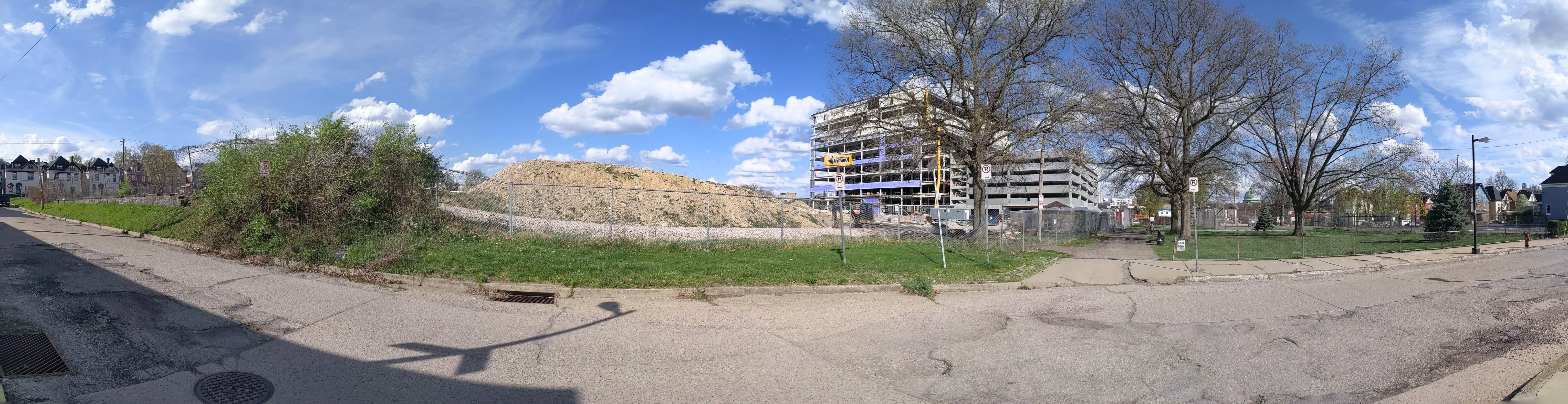
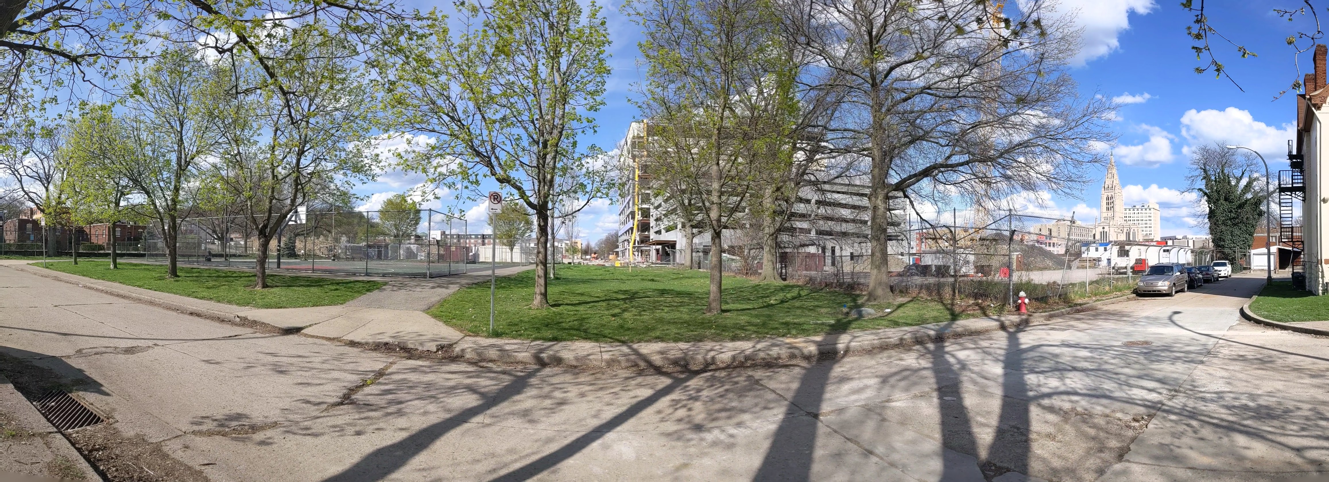
Uptown is one of the many neighborhoods in Pittsburgh that experienced decades of neglect. For this neighborhood, the neglect was despite Uptown being sandwiched between Oakland and downtown, two places among the state’s strongest economic regions. Zipping through Uptown from Oakland to downtown on Fifth Avenue or from downtown to Oakland on Forbes Avenue, it is easy to overlook or dismiss the hodgepodge of ruined home foundations turning back to forest; scattered vacant lots, parking lots, and industrial uses; and the intricate architectural details on abandoned and renovated townhomes.
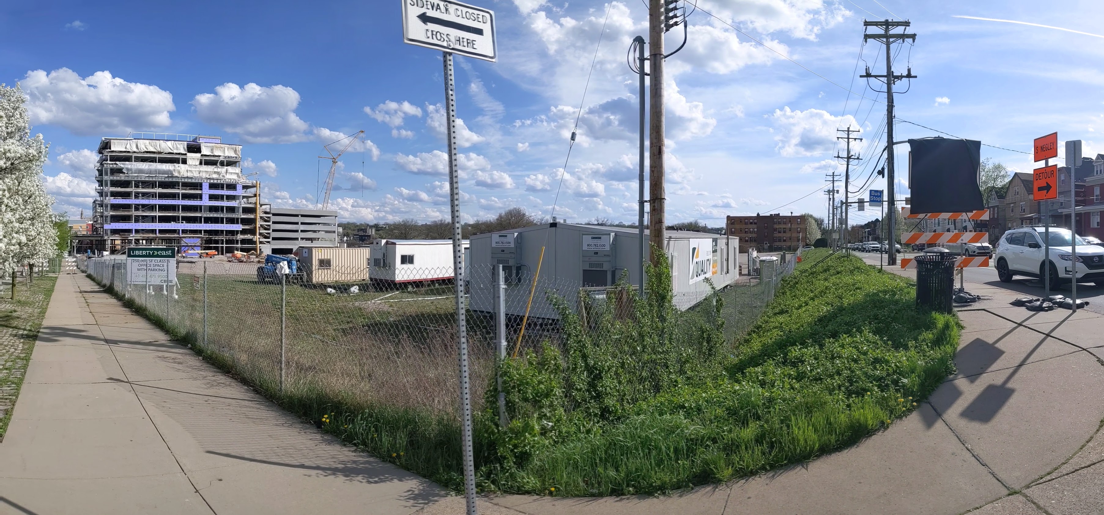
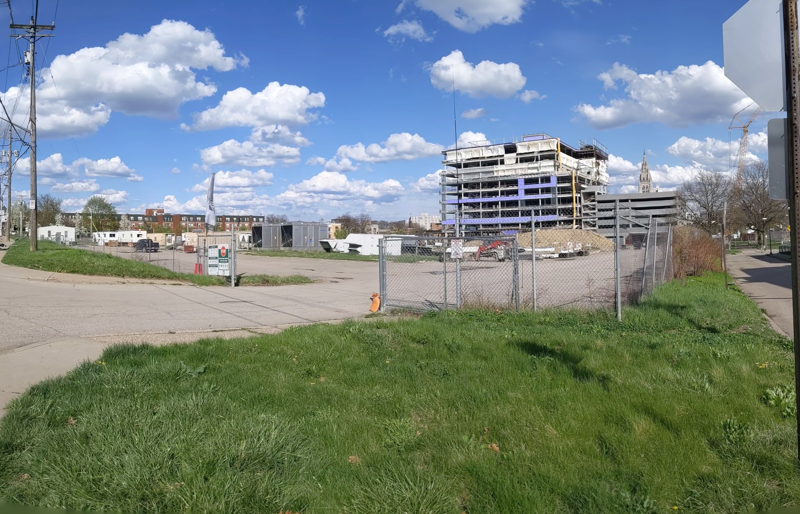
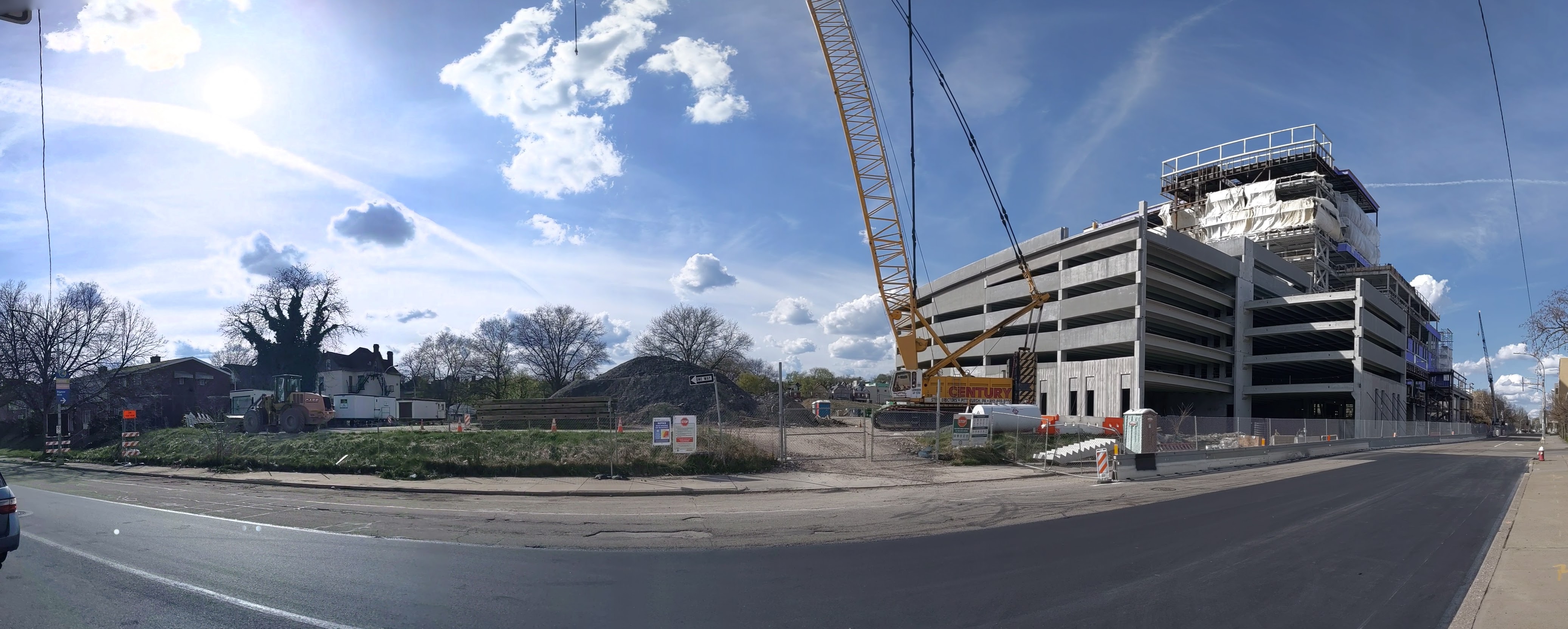
In recent years, new buildings started springing up here and there. Some of these new projects are the work of the two institutions in the neighborhood: UPMC Mercy Hospital and Duquesne University. Others are the work of a variety of commercial and residential developers. Two reasons for this recent investment are the proposed Bus Rapid Transit system, which will eventually run through the neighborhood, and the in-progress redevelopment of the Lower Hill, an adjacent neighborhood.
The Uptown community saw these changes coming and prepared. Between 2015 and 2017, the community organization Uptown Partners collaborated UPMC Mercy, Duquesne University, the City of Pittsburgh, and others to create the EcoInnovation District Plan and the Uptown Public Realm zoning district. The plan and new zoning district are intended to guide future development and leverage their economic investment for the greater good of the neighborhood. Ideally, this will reduce the number of those who will be left behind.
This blog post is part of an on-going series watching the changes in Uptown. Periodically, approximately every six months, I return to the neighborhood to take new photographs of the same areas. In addition, I include links to articles about the project that I’ve encountered since the previous post in the series. At the end of the post, there is a map showing the location of the neighborhood and links to the previous posts in the series.
Development activity is picking up in Uptown. Walking around the neighborhood for this update required skirting closed sidewalks, uneven pavement, and construction staging of materials and equipment. The new activity includes:


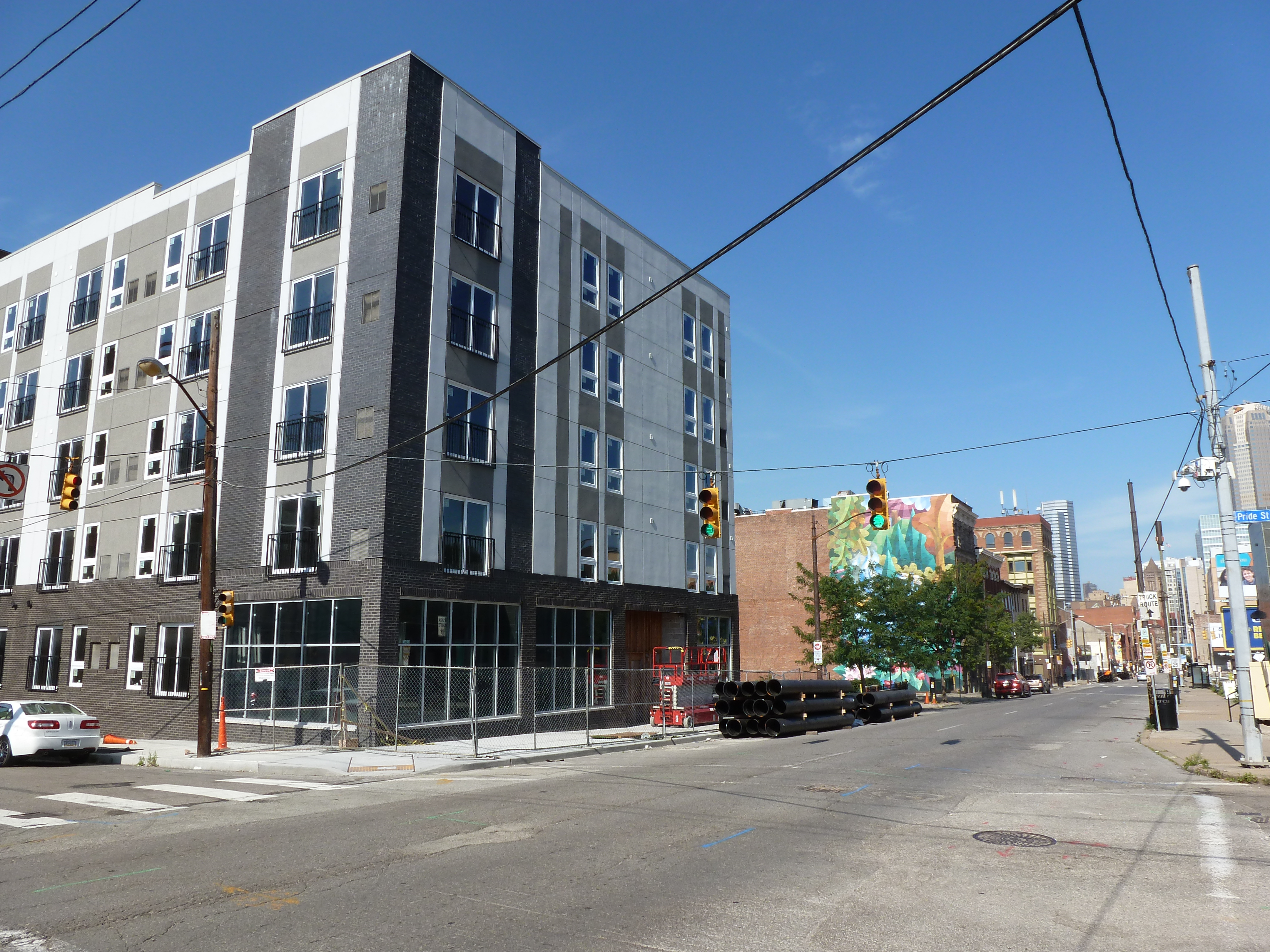


Next Pittsburgh reported on the start of construction for the new 51-unit apartment building on 5th Avenue (June 3, 2020), captured in image 8a above, and the opening of Duquesne University’s UPMC Cooper Fieldhouse (February 1, 2021), shown in image 22a above. The Pittsburgh Business Times shared what students will experience in Duquesne’s new College of Osteopathic Medicine (May 13, 2021) that is being built across from the fieldhouse (images 21a and 22a above).
Uptown Partners began to install free community wi-fi in the neighborhood (Pittsburgh Business Times, November 10, 2020).
And more federal funds have been directed toward the ongoing development of the Bus Rapid Transit system through Uptown to connect downtown and Oakland (Pittsburgh Business Times, June 11, 2021).
Keeping an Eye on Uptown: Nov. 2020
Keeping an Eye on Uptown: May 2020
Keeping an Eye on Uptown: Nov. 2019
Keeping an Eye on Uptown: Introduction (November 15, 2019)
Moral Economics (September 1, 2019)

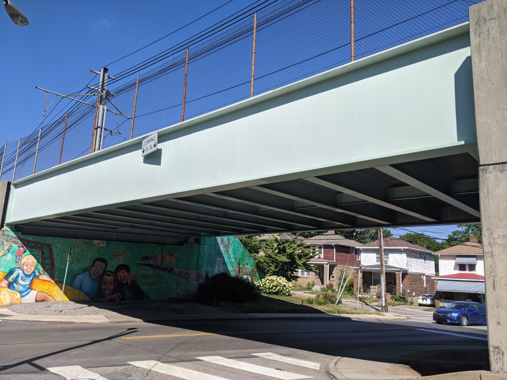
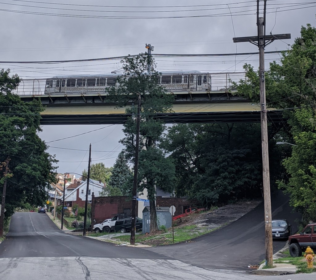
Beechview is a neighborhood built on the crest of a hill and spilling down all the sides of the ravines and runs. It claims the steepest paved car “accessible” street in the US, if not the world. Traveling in almost any direction around or through the neighborhood includes an uphill portion. It is a place where anyone driving without chains ought to call in sick or request to work from home after a snow or ice storm to avoid sliding back down the hill when attempting to leave the neighborhood.
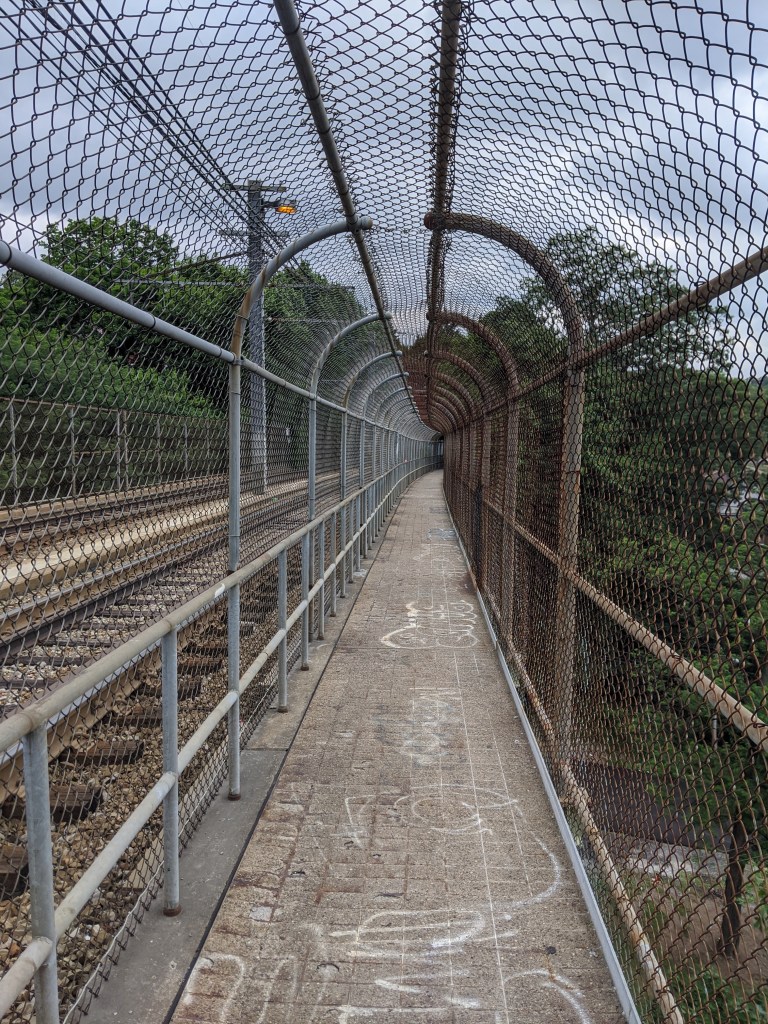
Bridges are used to create more level routes, spanning hillsides, runs, and dips. However, none of the two and a half bridges in the neighborhood are for cars. (The half bridge crosses the city boundary into the neighboring borough of Dormont.) The bridges are for the “T”, the local light rail system. Cars are left to manage the ups and downs as best they can. Pedestrians have access to one of the bridges, but otherwise, they are also left to manage the slopes as best they can.
The bridge with pedestrian access was constructed in the era of cages (see post). I am noticing a theme of completely enclosed pedestrian walkways found in association with major transit lines (ex. Beechview’s bridge, Graham Street Bridge, and the former pedestrian bridges over the East Liberty busway) while partially enclosed cages are found in association with roads and rivers (ex. Highland Park Bridge and the pedestrian bridge over Bigelow Blvd).


The New Bethlehem, PA, Memorial Bridge holds a special place in my heart. After going through the woods for hours on the way to grandmother’s house, New Bethlehem was a landmark that we were getting close. A few more wooded hills and a few more river crossings and we’d be there.
I wonder if in addition to the answer to “are we there yet?” changing from “no” to “almost,” I also enjoyed the intimacy of New Bethlehem after hours on the impersonal and distant freeway. In the previous five hours of diving, we crossed many bridges over many waterways including both the eastern and western branches of the Susquehanna River. But what little I remember of the bridges on Rt 80, they are distant from the water and between the speed and concrete barriers, there is not much to see. At New Bethlehem, the water is right there, almost within reach. Plus there’s a mini waterfall to enjoy.
In my new habit of taking “Sunday drives” (though usually on Saturday), I recently wended my way through the hills to drive across this bridge again for the first time since I was 12 (and first time across as the driver). Of course, I stopped the car to be able to get out and walk across. There is a nice riverfront park on the eastern side, which is either “new” or just not as noticeable when driving.


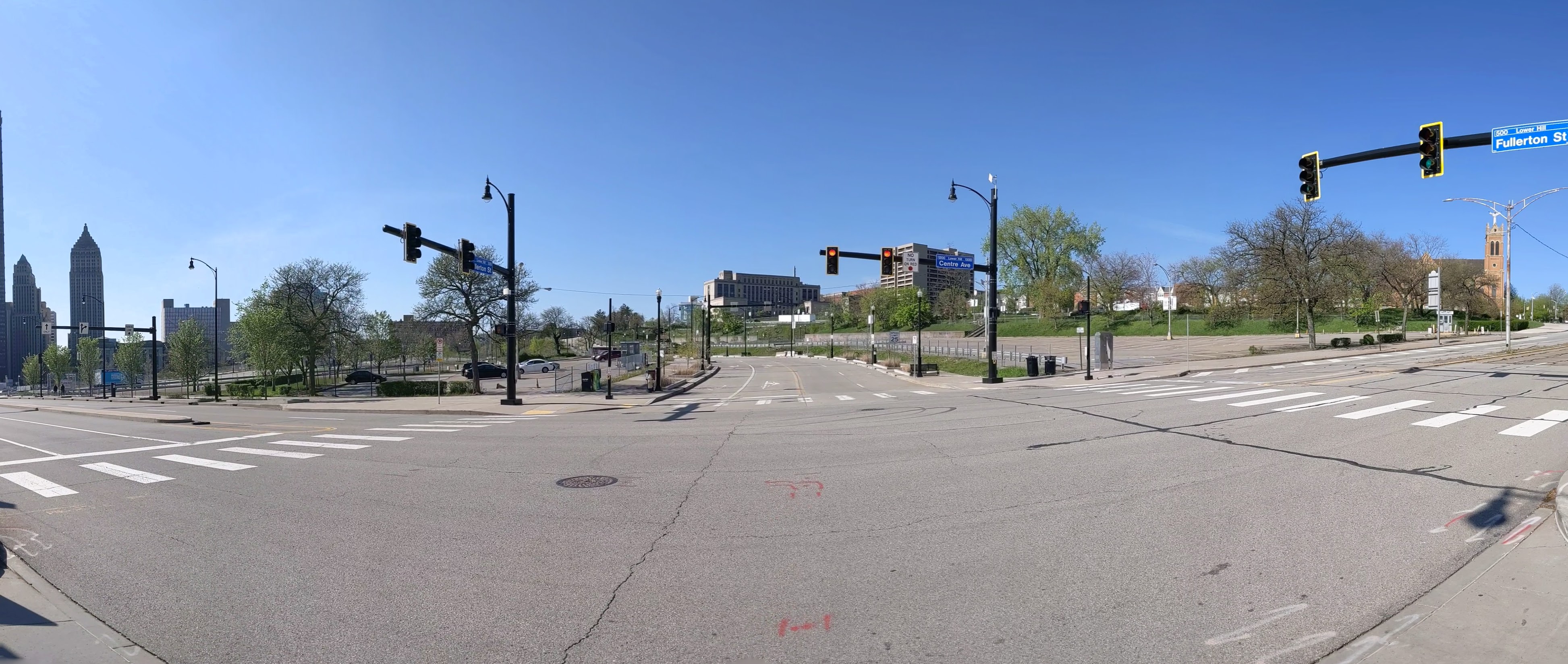
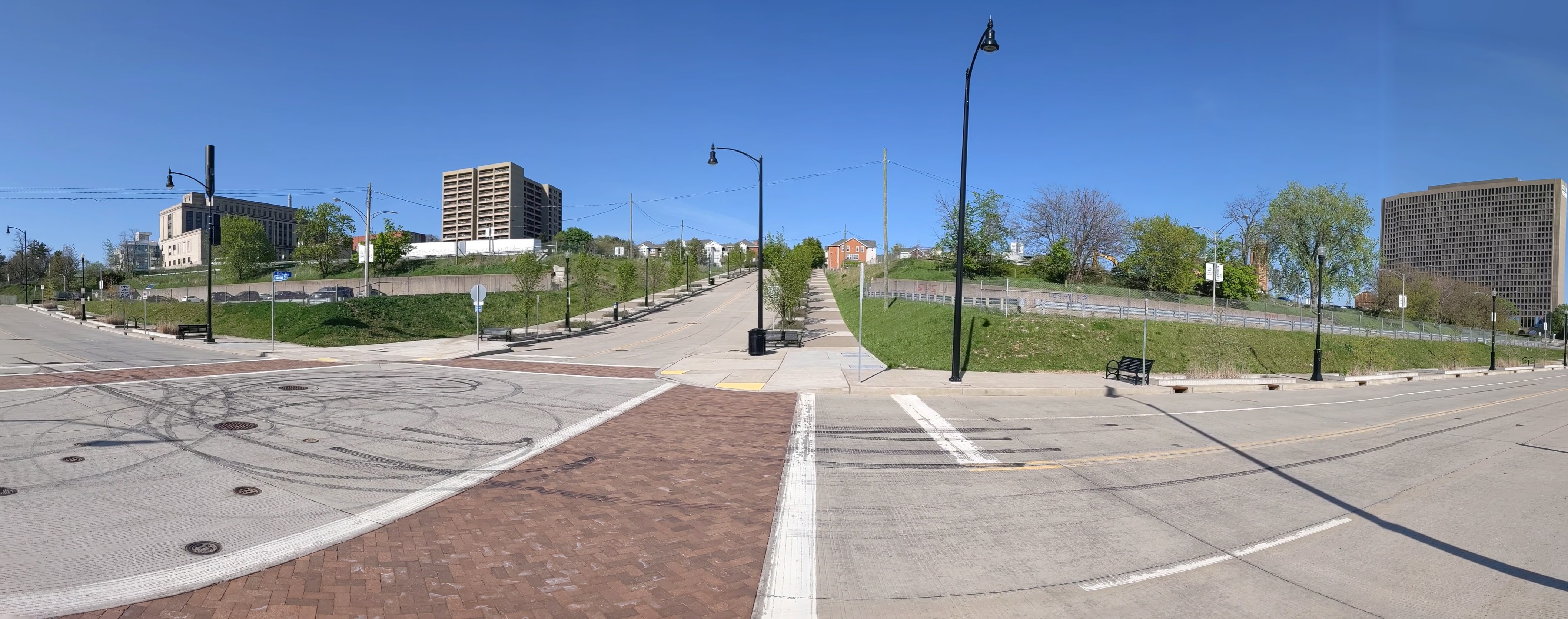
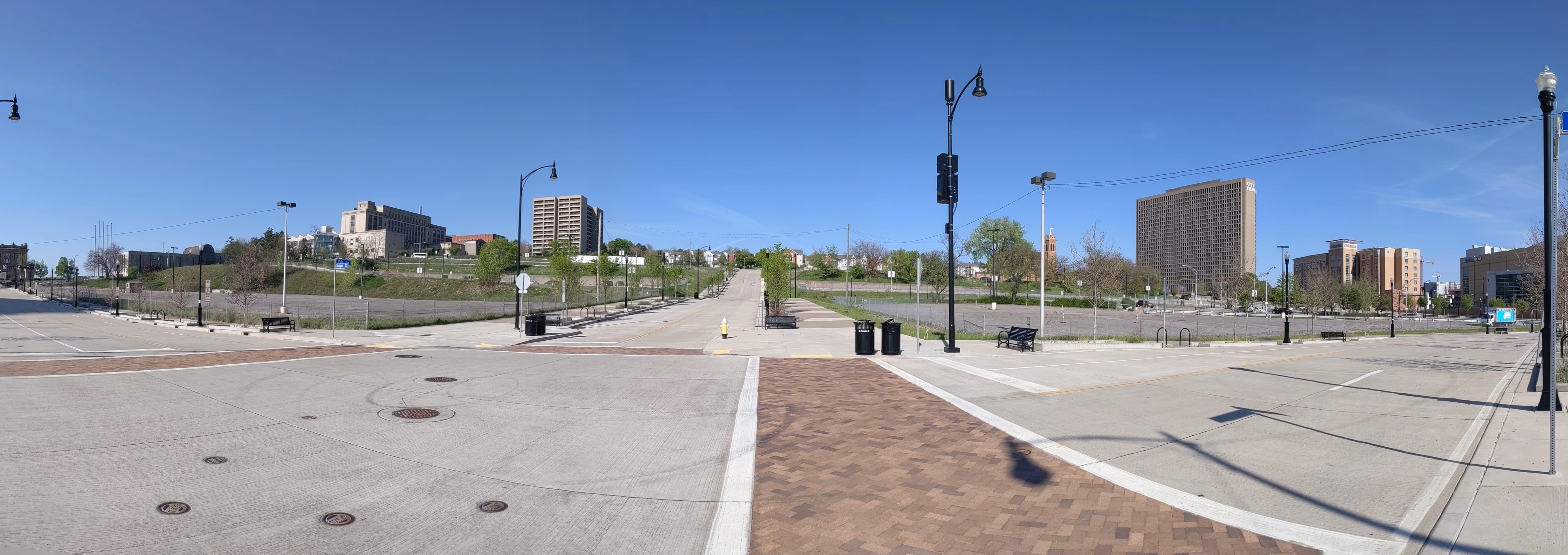
The CAP is a project in Pittsburgh “fixing the mistakes” of Urban Renewal. The Crosstown Blvd was built in the 1960s creating a freeway in a canyon dividing the Lower Hill neighborhood from downtown. The Lower Hill neighborhood, formerly predominantly poor and black, had already been demolished by this point to make way for the Civic Arena and other cultural amenities that were never built.
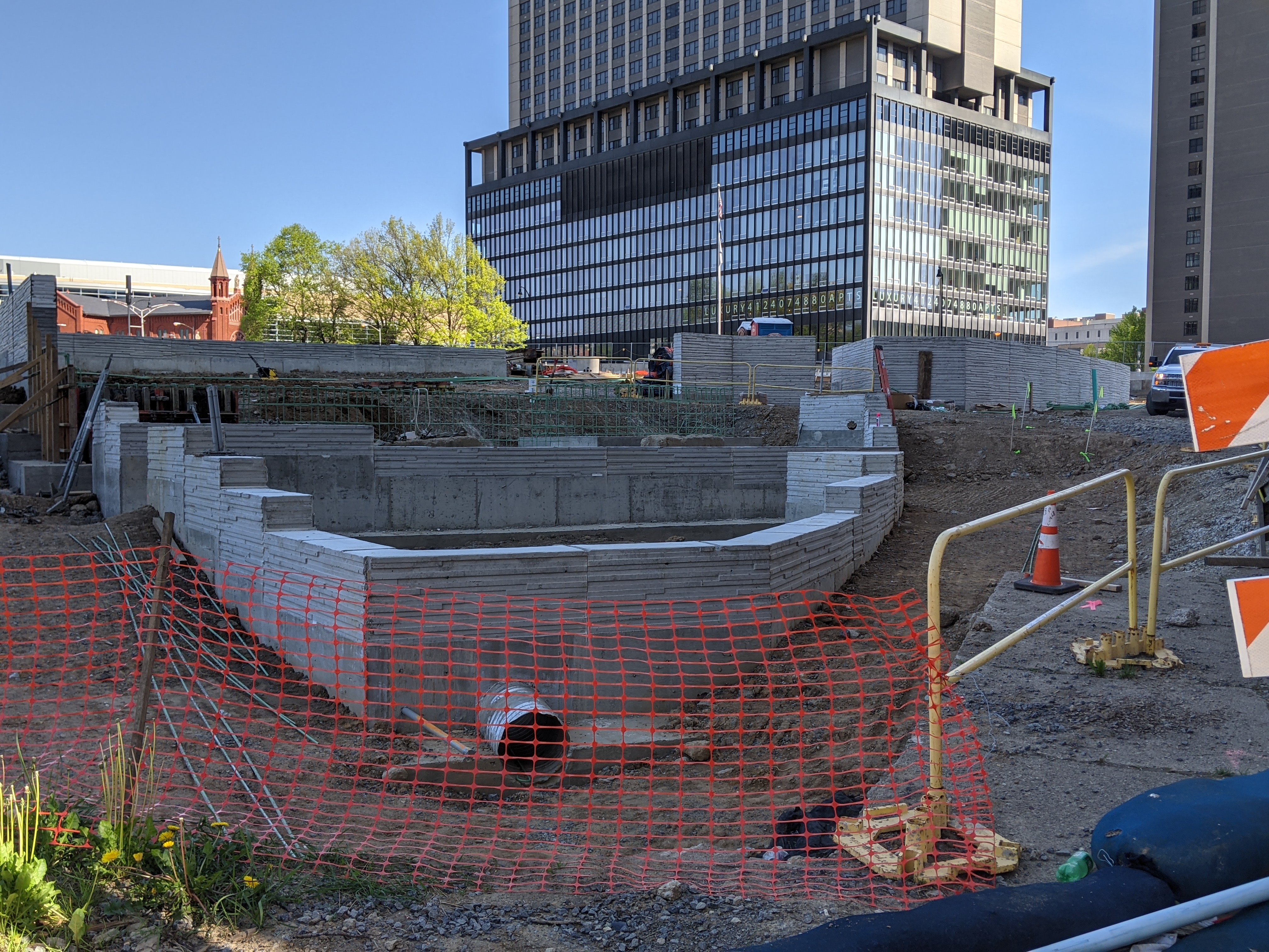
The CAP is a park on a bridge being built over the Crosstown Blvd and is intended to reconnect downtown and the Lower Hill, while the Lower Hill is being rebuilt by the Penguins hockey team. Construction began in June 2019 and is expected to complete in November 2021.
This blog post is part of an on-going photographic series to watch the development and usage patterns of the CAP. Periodically, approximately once every six months, I return to the site to take new photographs. In addition, I include links to articles about the project that I’ve encountered since the previous post in the series. At the end of the post, there are links to all the previous posts in the series.


The CAP in the News:
WPXI and the Post-Gazette both shared an update on the project in March noting that construction had progressed far enough for the outlines of a park to begin to be recognizable.
Previous Posts in the Series:
Keeping an Eye on the CAP: Dec. 2020
Keeping an Eye on the CAP: Jun. 2020
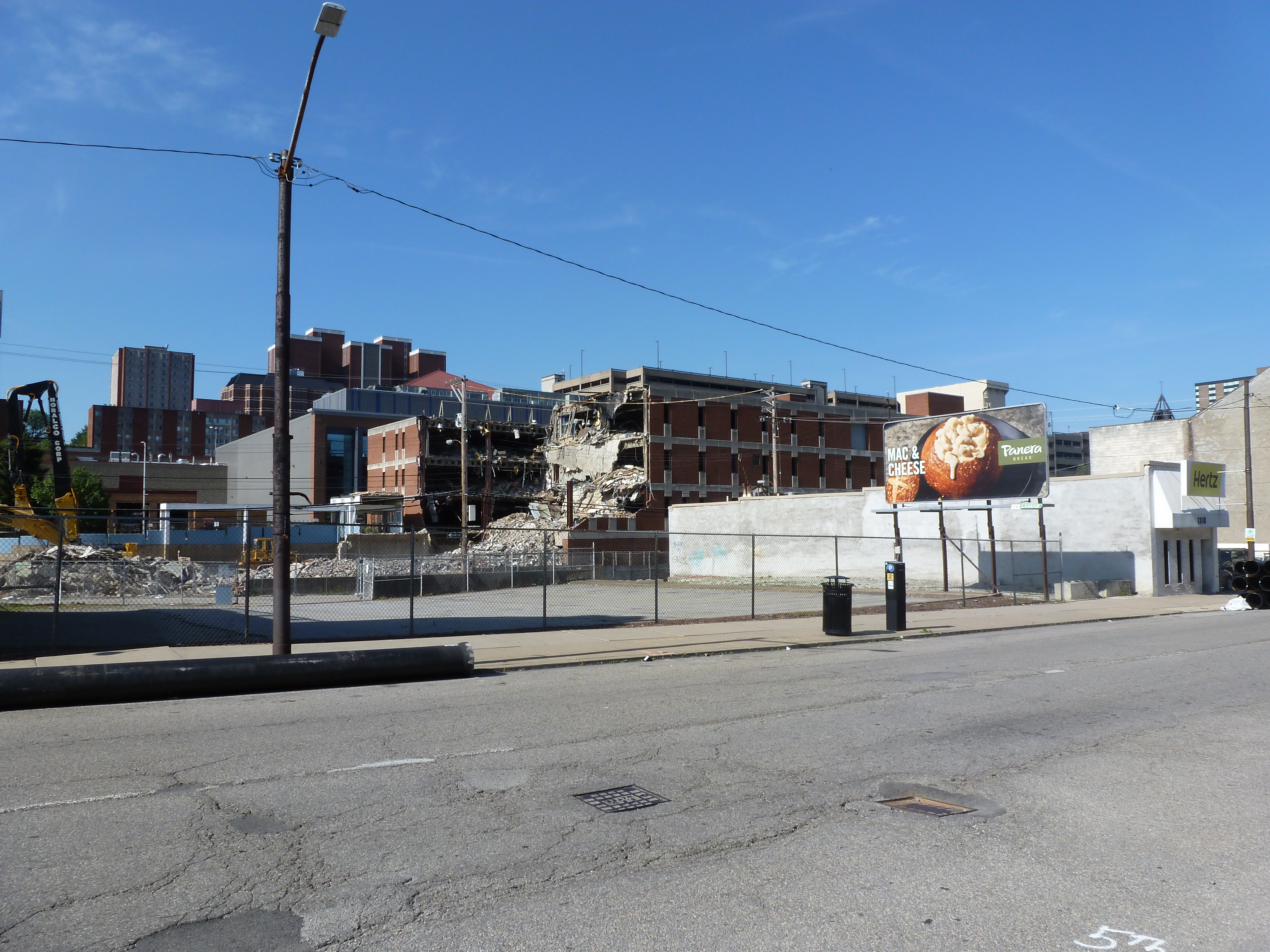
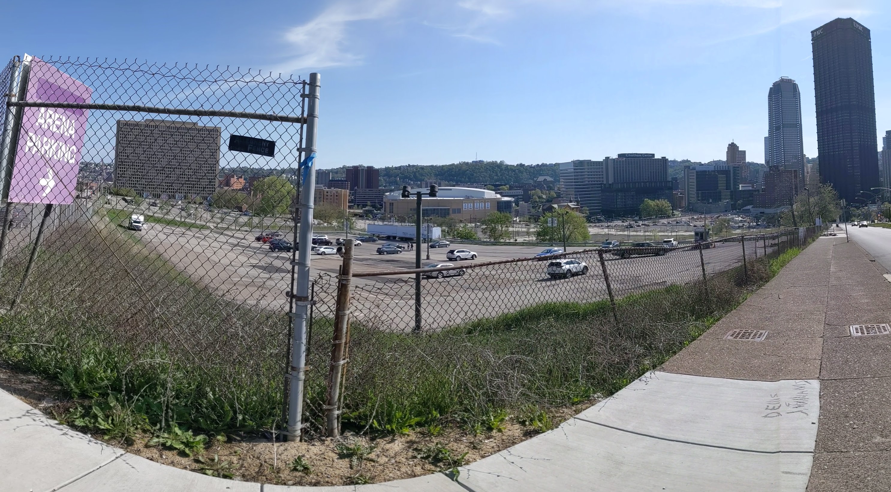
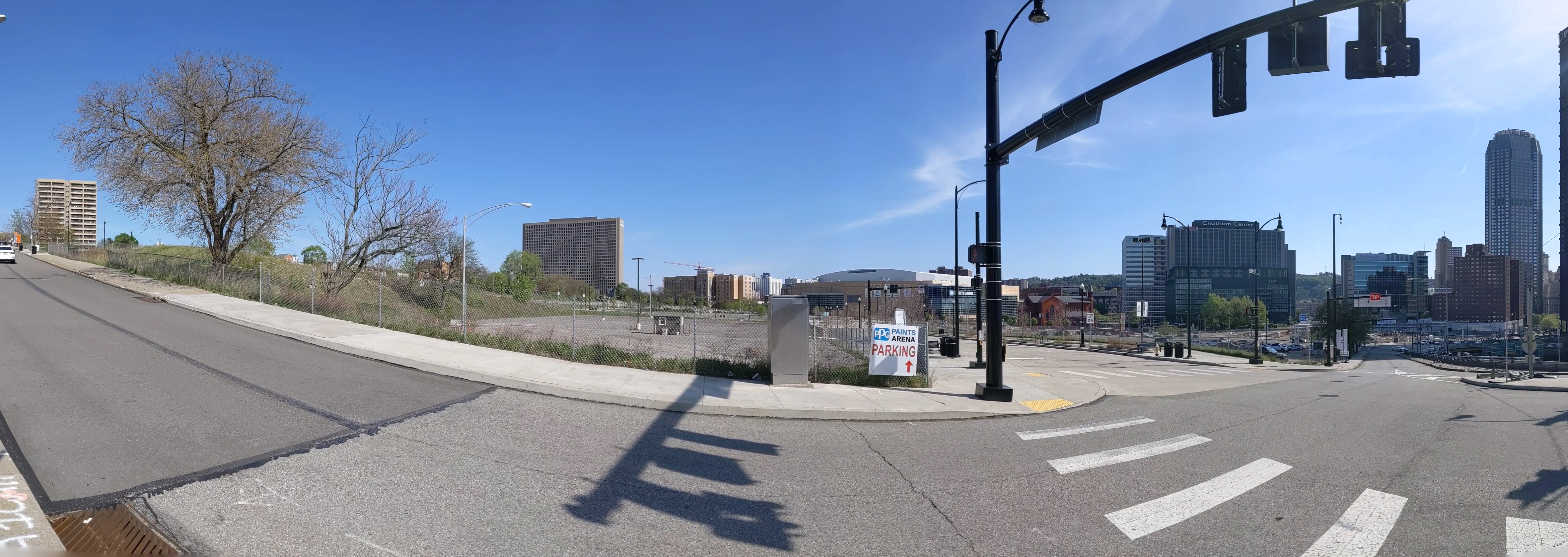
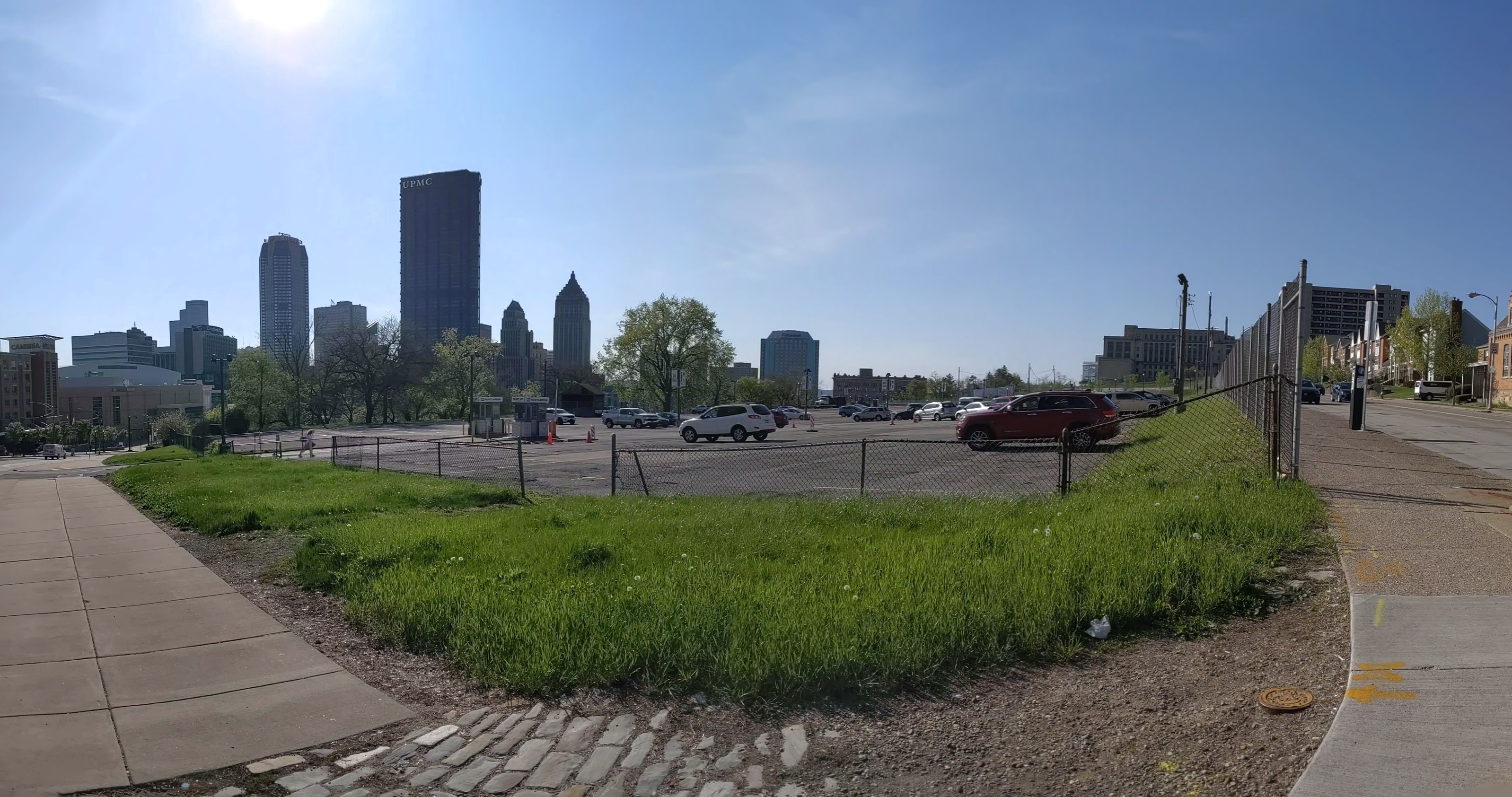
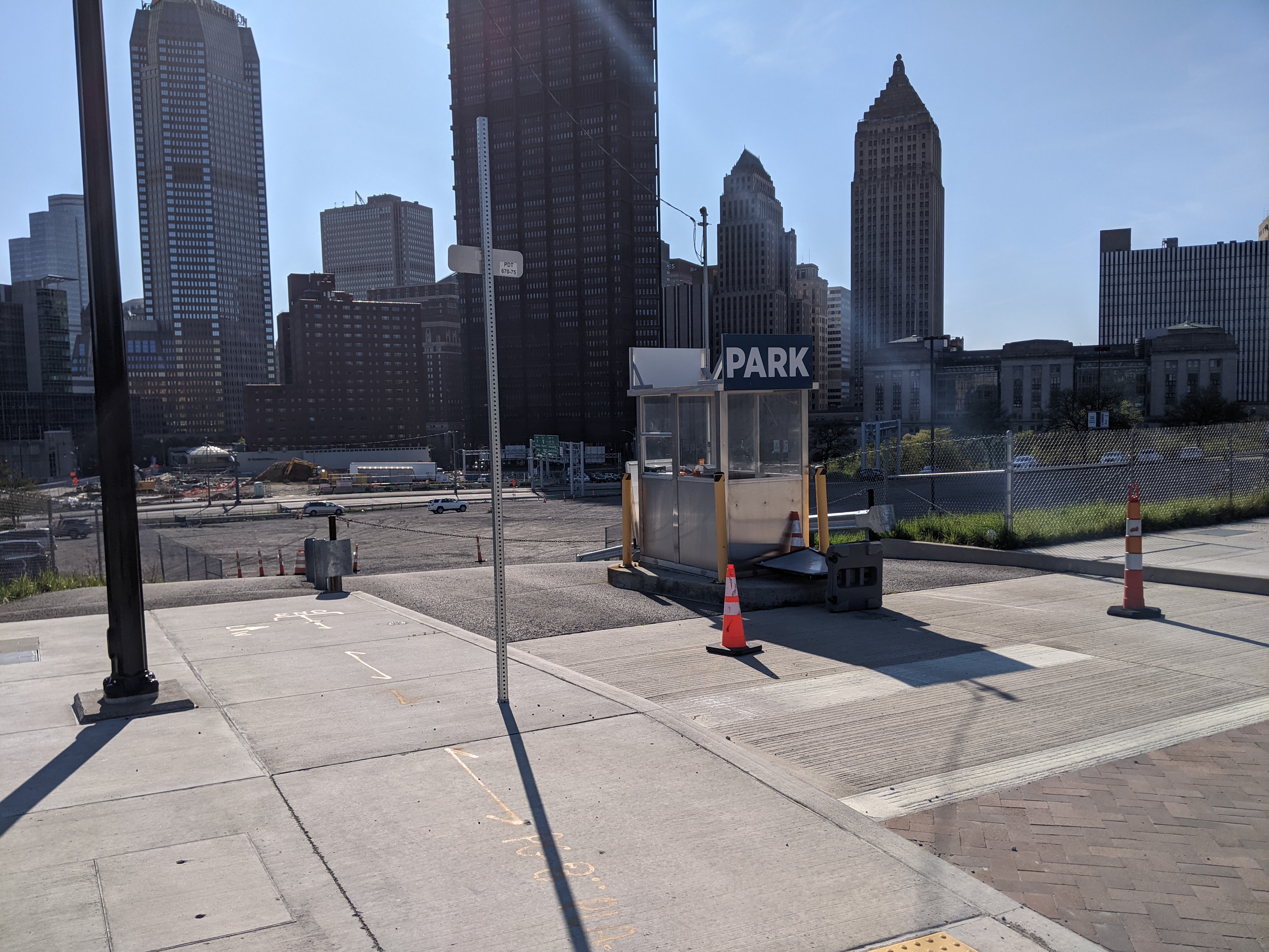
The Lower Hill is a notorious site in Pittsburgh, a scar on the city from the height of Urban Renewal. A vibrant (but poor and predominately Black) neighborhood was demolished in the 1950s so the City could build a cultural mecca centered on a Civic Arena, most of which ended up not being built and was left as parking lots.
Now that the arena has been demolished and replaced adjacent to the former location, the Penguins hockey team has the development rights to rebuild the Lower Hill, stitching back together the fabric of the city and reconnecting the remainder of the Hill District neighborhoods with downtown.
However, grand language describing the wonderful benefits to a city are part and parcel of any major development project, including the 1950’s Urban Renewal of the Lower Hill. Fifty years later, the Urban Renewal of the Lower Hill is rarely, if ever described as a good thing. In fact the current redevelopment is sometimes described as undoing the mistakes of that project. However, can the negative financial, social, and emotional repercussions of the original demolition and decades of disconnect be undone simply by reinstating (most of) the former street grid?
This blog post is part of an on-going photographic series to watch the redevelopment of the Lower Hill. Periodically, approximately once every six months, I return to the site to take new photographs. In addition, I include links to articles about the project that I’ve encountered since the previous post in the series. At the end of the post, there are links to all the previous posts in the series.


Lower Hill in the News:
A deep look at the Penguins development in anticipation of ground breaking later this year (January 13, 2021, The Undefeated)
Is the project moving too fast to make sure it is done right for the community? (March 15, 2021, Pittsburgh Post-Gazette)
Community questions if the first building is being rushed at the community’s expense (March 16, 2021, WESA)
Pittsburgh’s Equal Opportunity Commission approved the Penguins’ MWBE participation plan (March 18, 2021, Pittsburgh Business Times)
Penguins updated the community on progress of MWBE inclusion as ground breaking approaches (April 1, 2021, Pittsburgh Business Times)
The census line is moved to undo the Urban Renewal inclusion of the Lower Hill in the downtown census tract, but will this divert needed funds from the rest of the Hill District? (April 7, 2021, Public Source)
A major Black church was demolished as part of Urban Renewal while a nearby White church was saved from the wrecking ball, are reparations now possible? (April 14, 2021, Public Source)
Penguins propose a $5 million Opportunity Zone fund (April 16, 2021, Pittsburgh Post-Gazette)
The final plan presented to Pittsburgh’s Planning Commission for the new FNB Tower proposes not finishing the last block to reconnect Wylie Ave to downtown. This is a change from the guiding redevelopment plan and technically requires an amendment that the developer says will take too long. (April 20, 2021, Pittsburgh Business Times)
Previous posts in series:
Keeping an Eye on the Lower Hill: Dec. 2020
Keeping an Eye on the Lower Hill: Jun. 2020
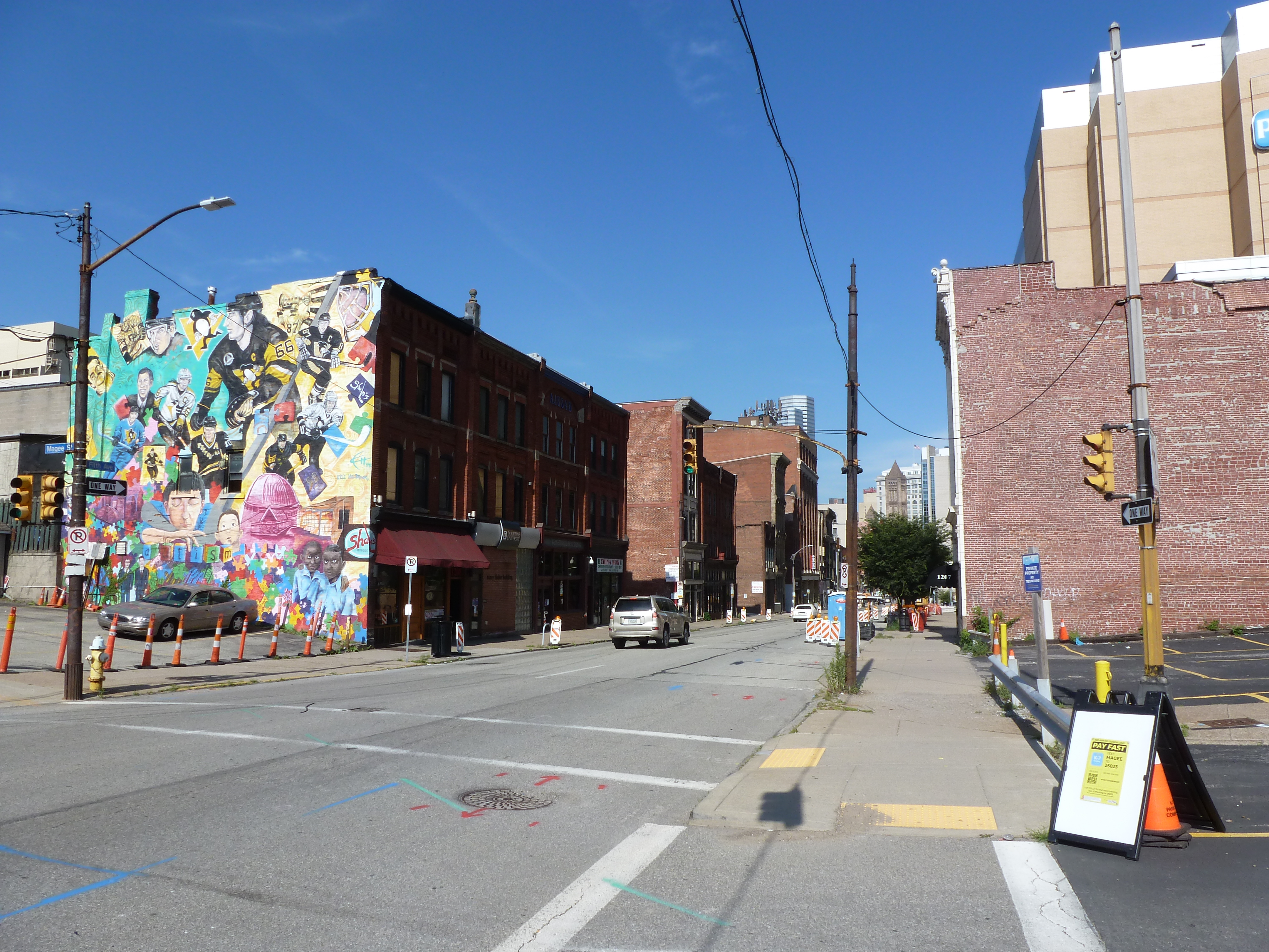
“@#$%&!” slipped out of my mouth when I was several blocks away from the former Penn Plaza site and I saw a hulking behemoth of a building looming high above the surrounding neighborhood. In it’s current state, the new development appears to be as tall as the Daniel Burnham apartment building on Highland Ave opposite East Liberty Presbyterian Church, which is much taller than any other structure remaining in the neighborhood besides the church. While I had seen the early drawings of the proposed development when I worked at the City, I was bowled over by seeing the actual size and how it has no relation to the surrounding neighborhood.
This has promoted me to look back at the process of how this project got approval from the city. What I have found so far has only prompted more questions. When a developer proposes a project that is in compliance with the zoning code regulations, there is not much the city can do besides ask “pretty please.” I had assumed that was what the story was here, but so far I don’t see how this project was in compliance with the zoning requirements. I’ll continue digging through the past records to try and wrap my head around the zoning approval for this project. In the meantime, below are photos of the current building progress and some news articles about the development since my last post.

Penn Plaza in the News
In a November 23, 2020, article WESA explores what the Mayor’s Office really knew before the eviction notices. WESA also produced a podcast on Land & Power to explore what happened and how in this East Liberty site.
Former Penn Plaza Residents are being given an opportunity to return to the neighborhood in the new Mellon Orchard Development as reported by ELDI (December 15, 2020) and the Post-Gazette (February 17, 2021).
Previous Posts in the Series

