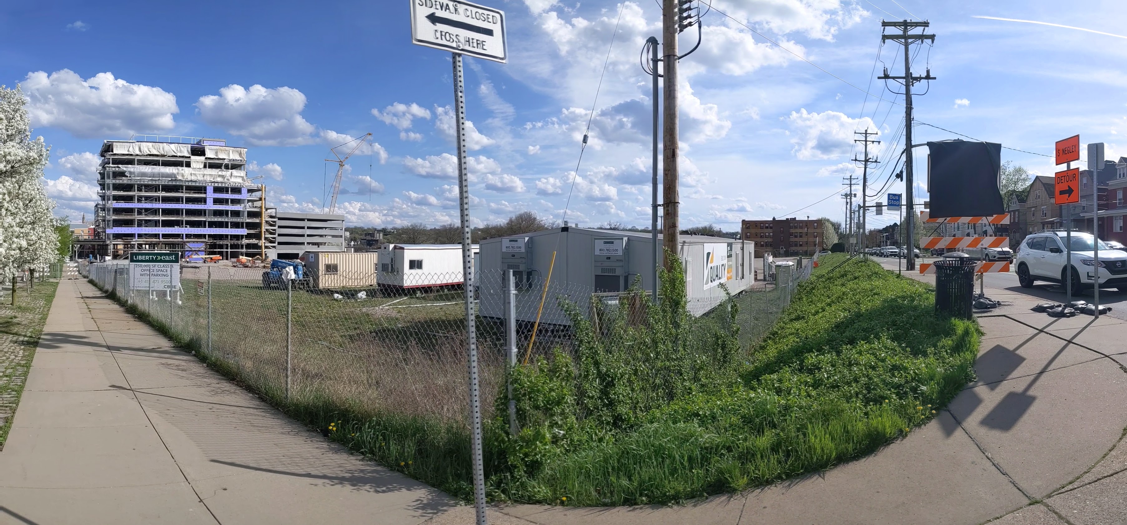
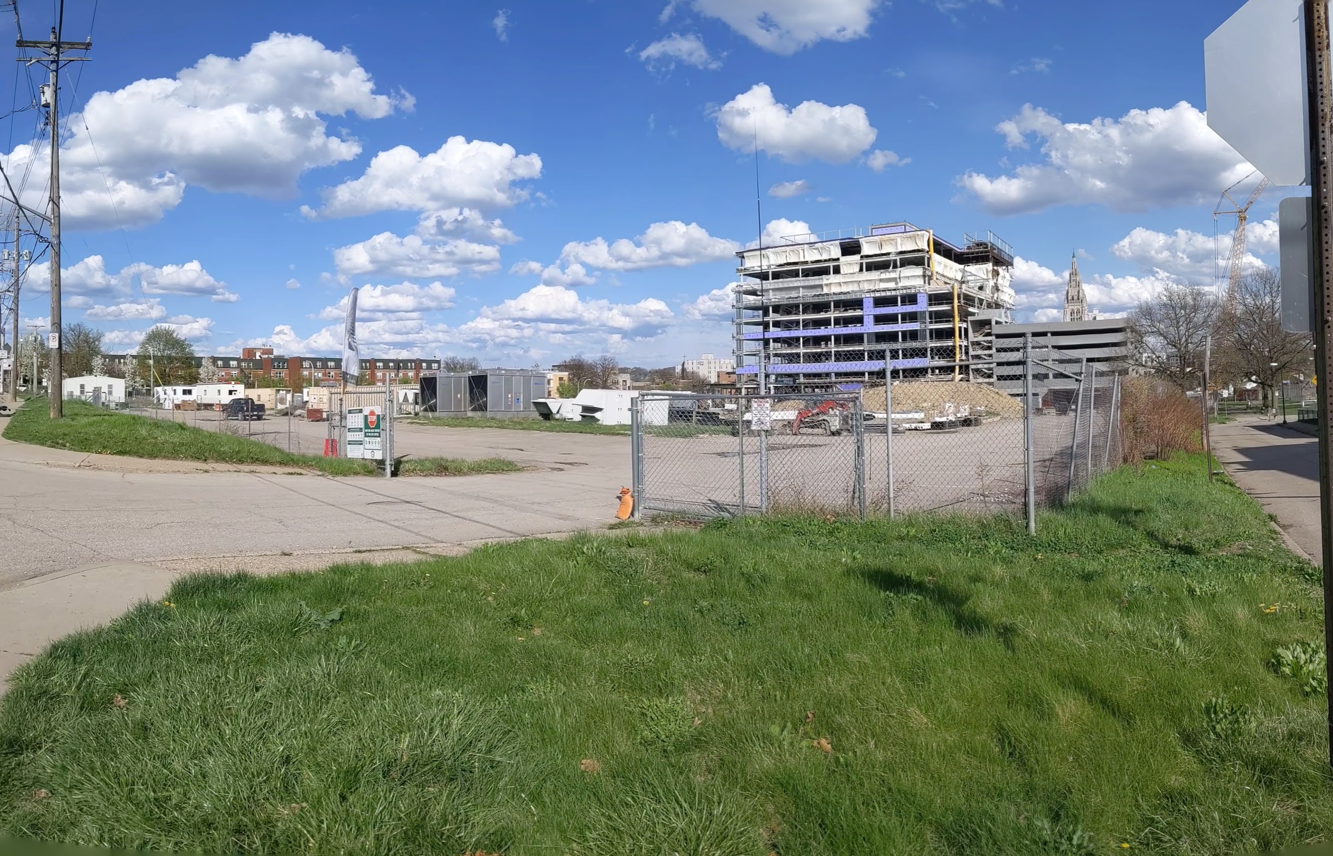
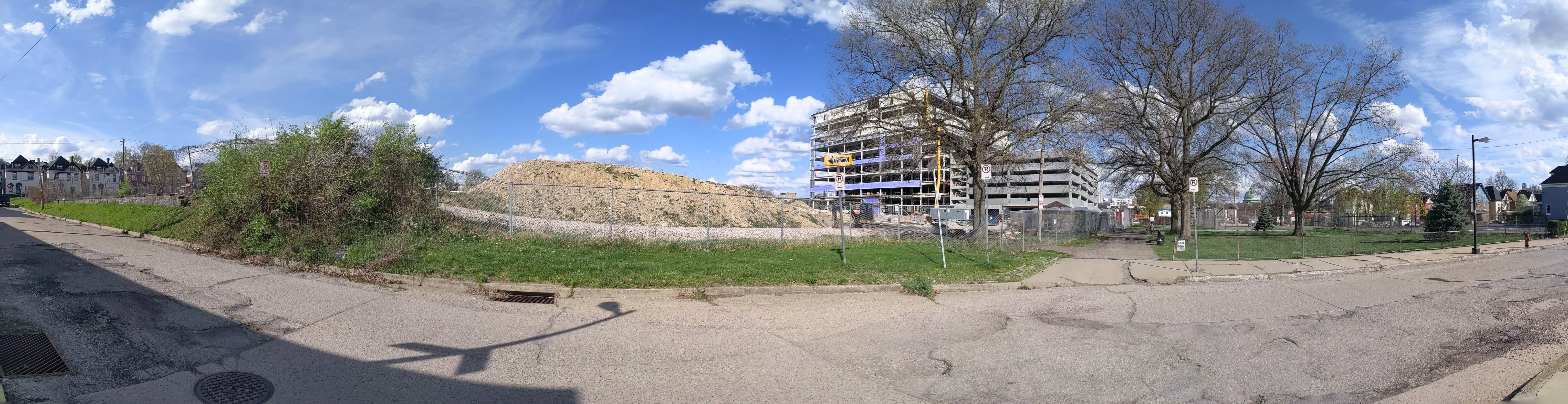
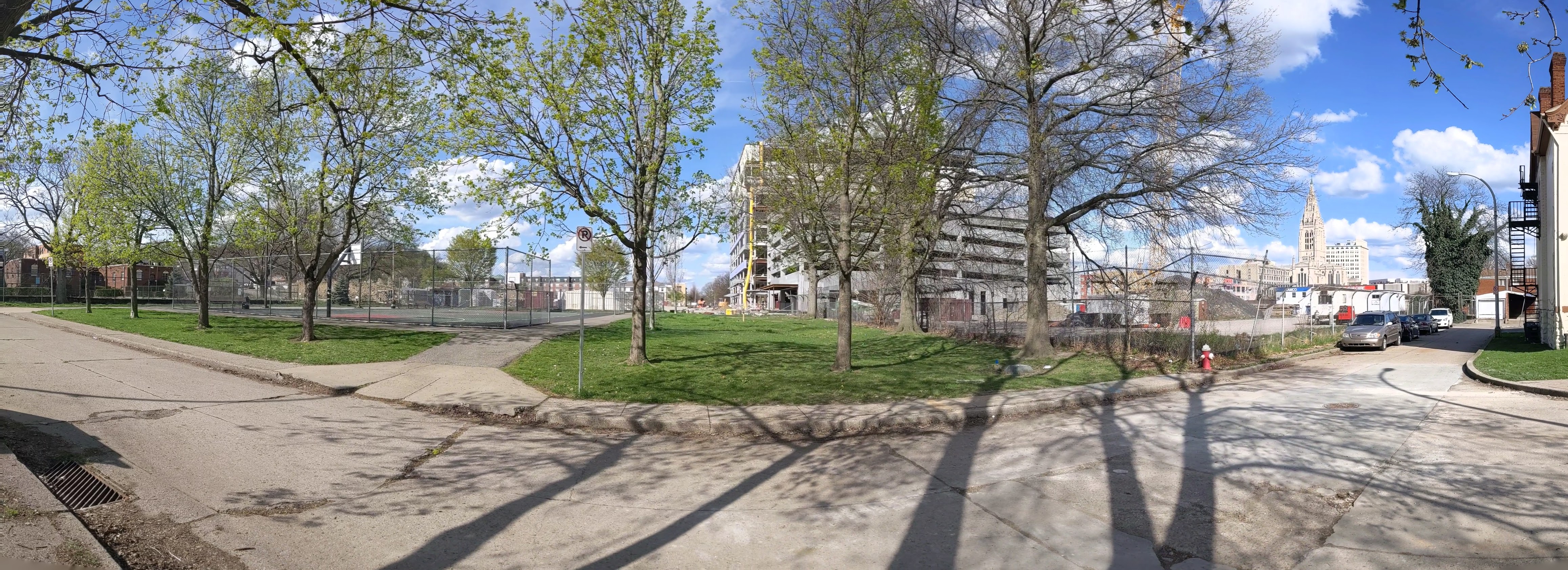
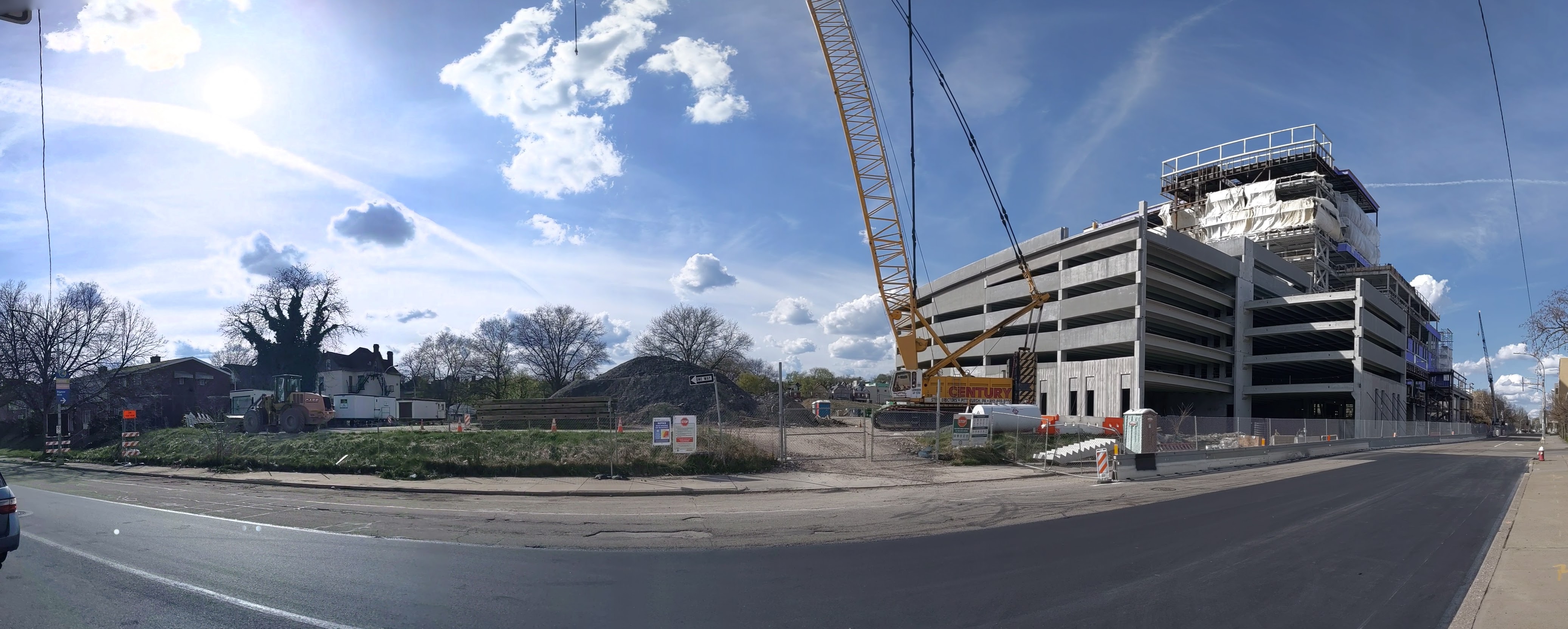
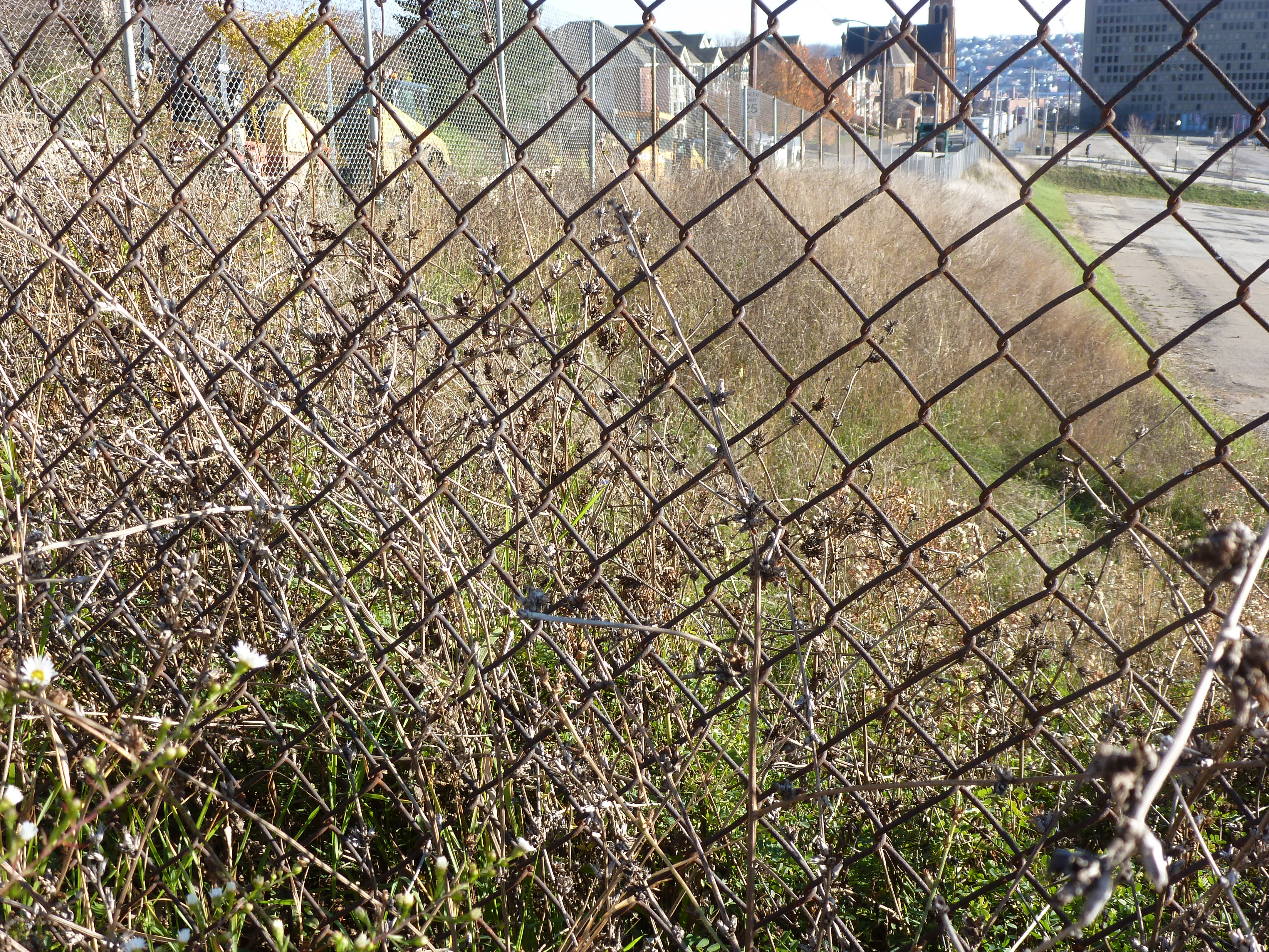
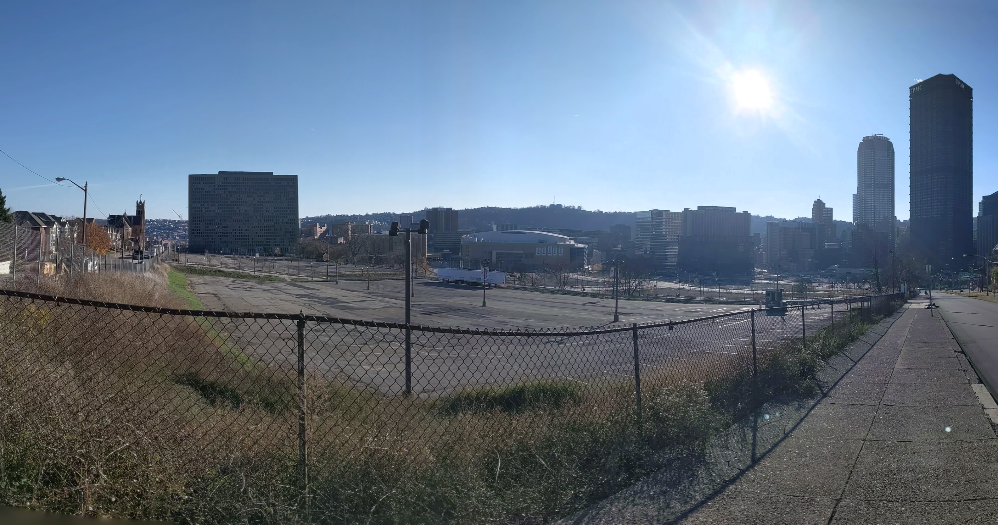
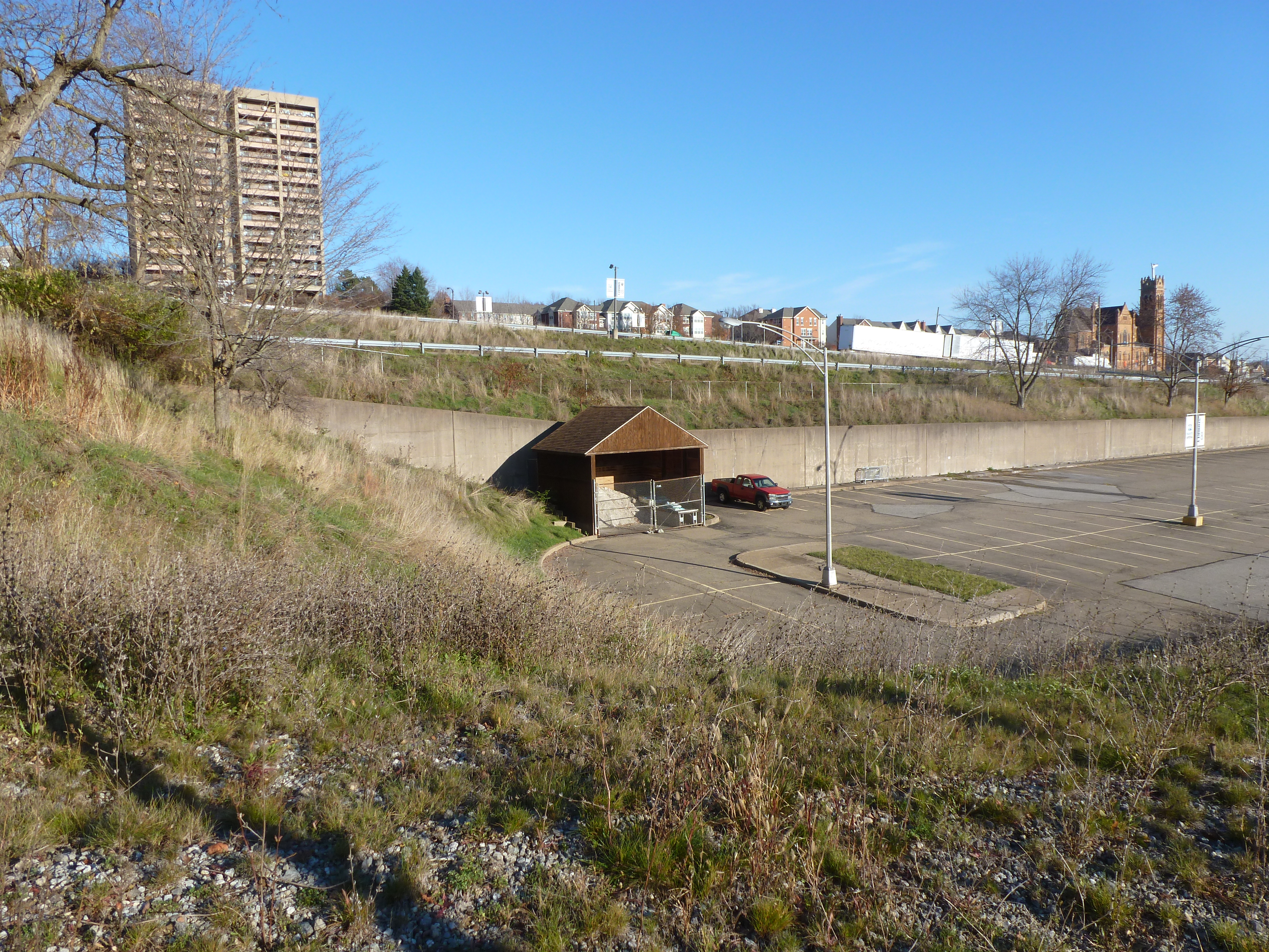
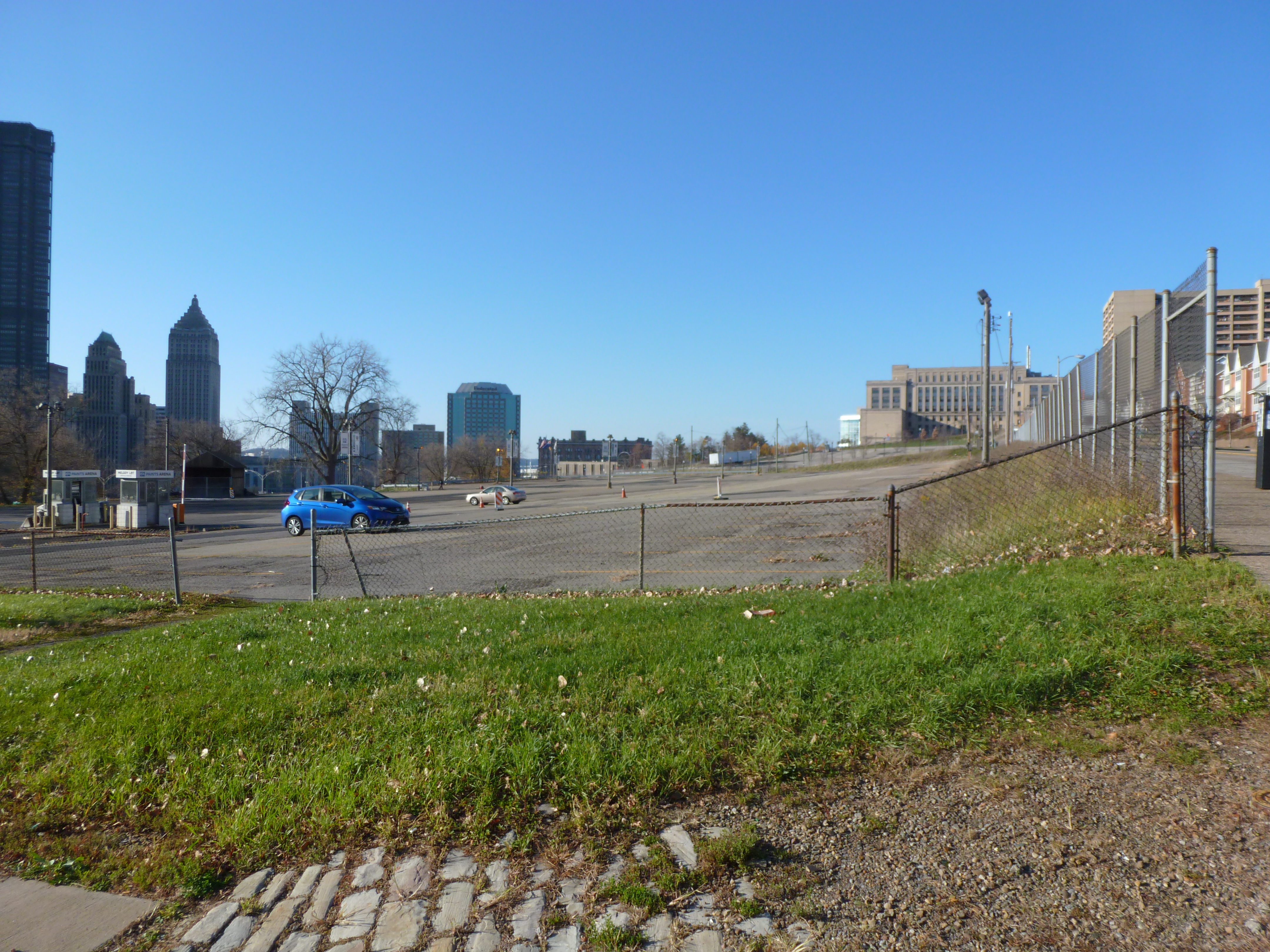
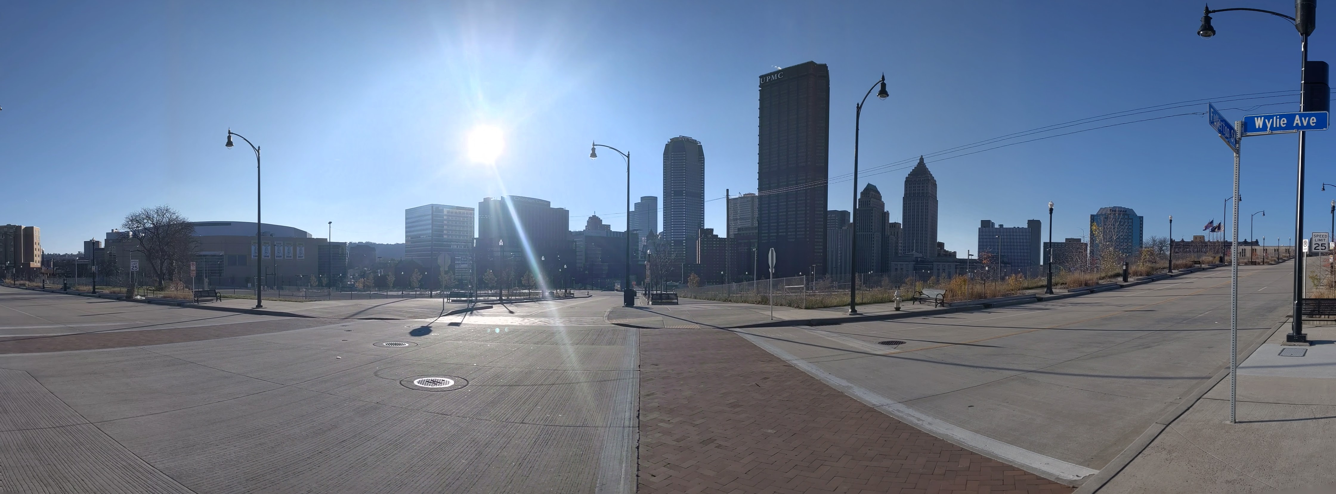
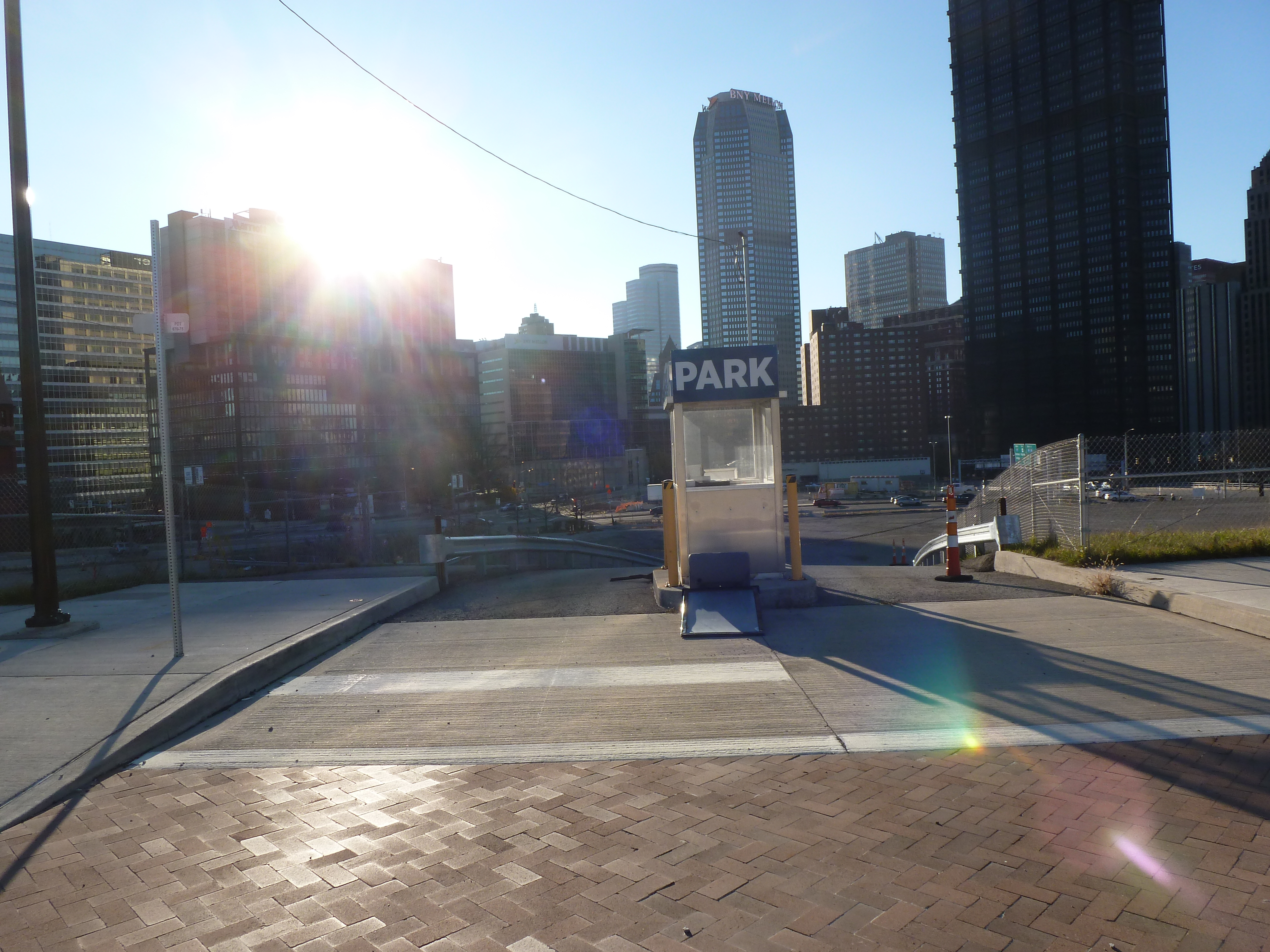
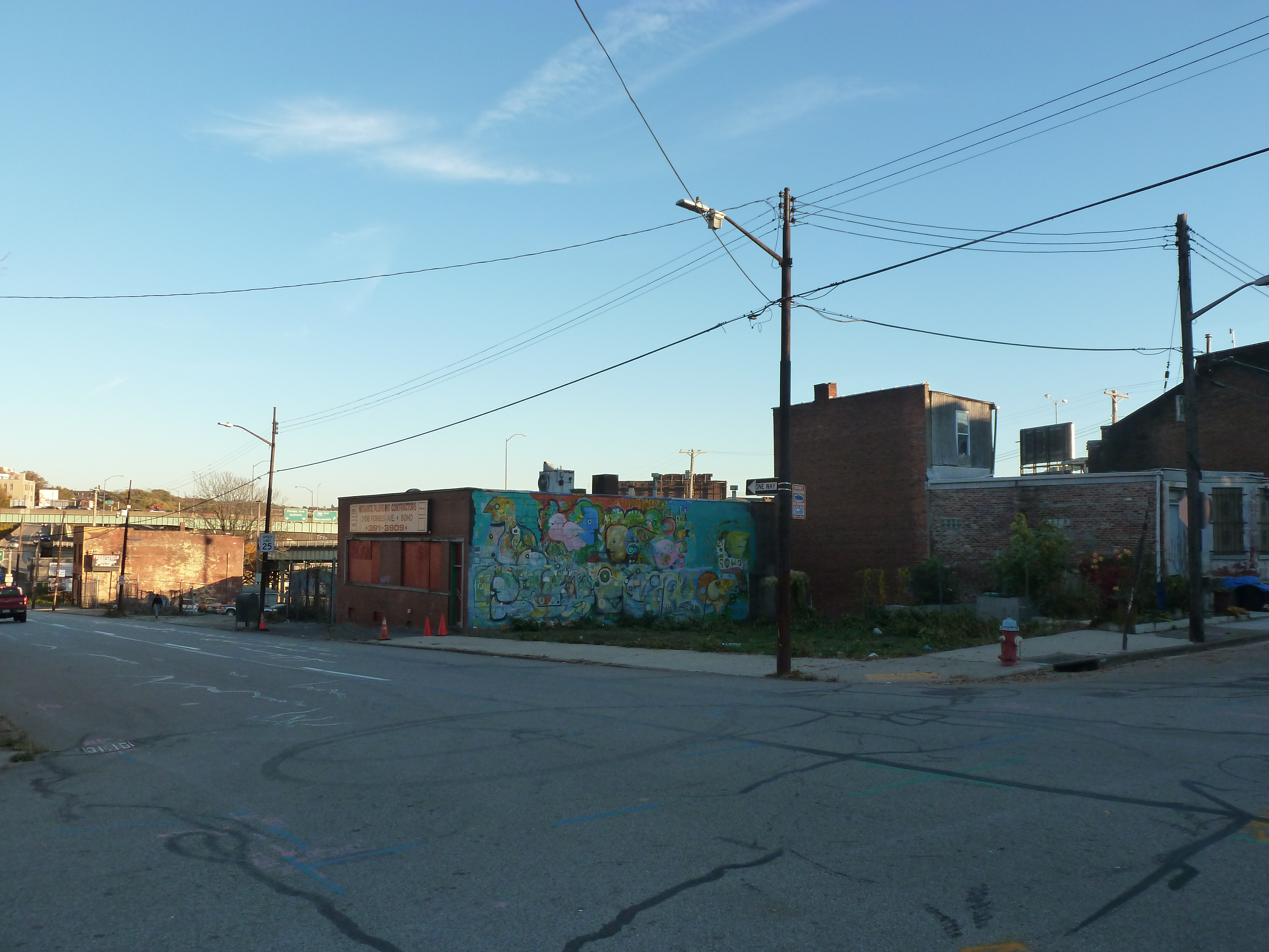
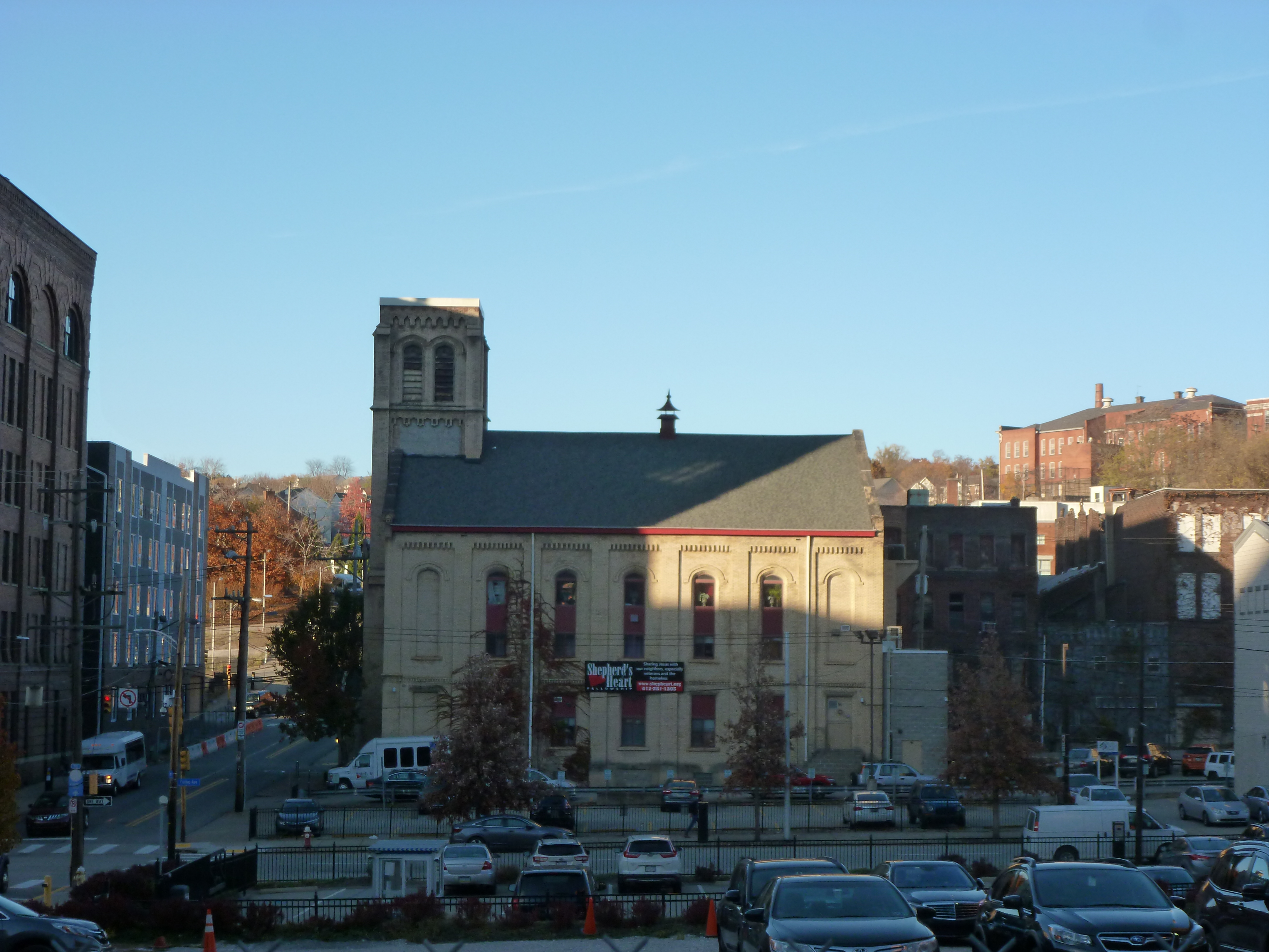
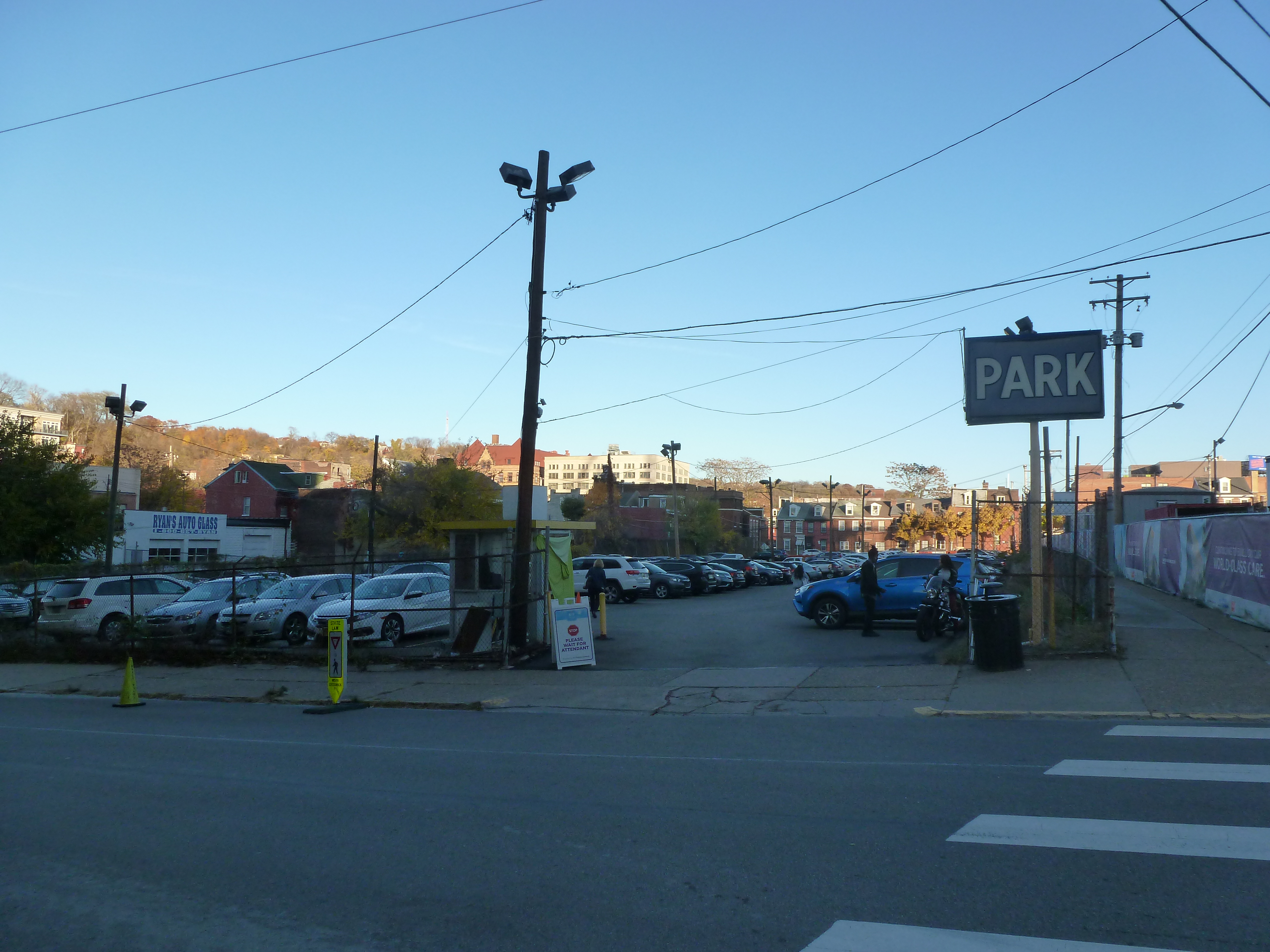
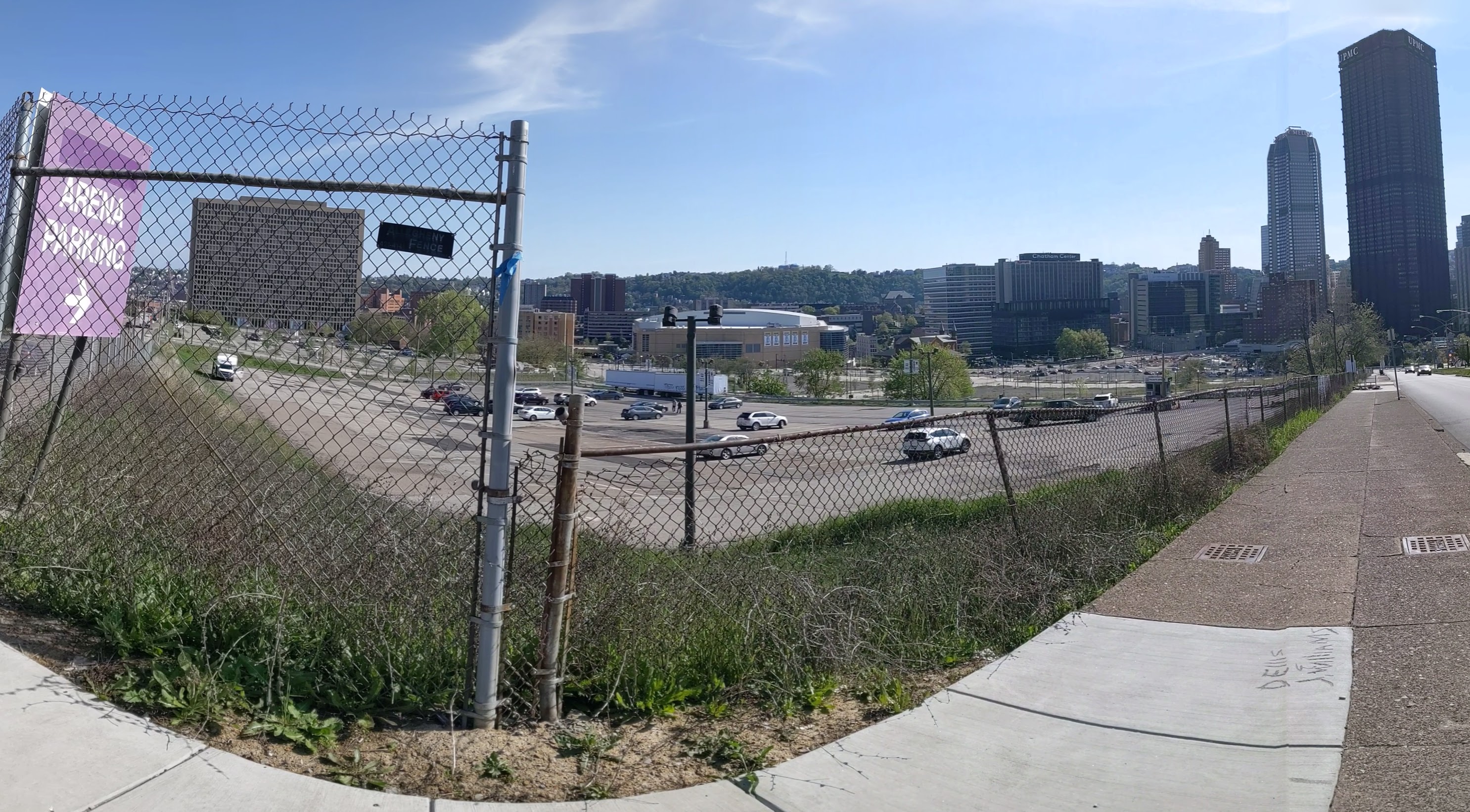
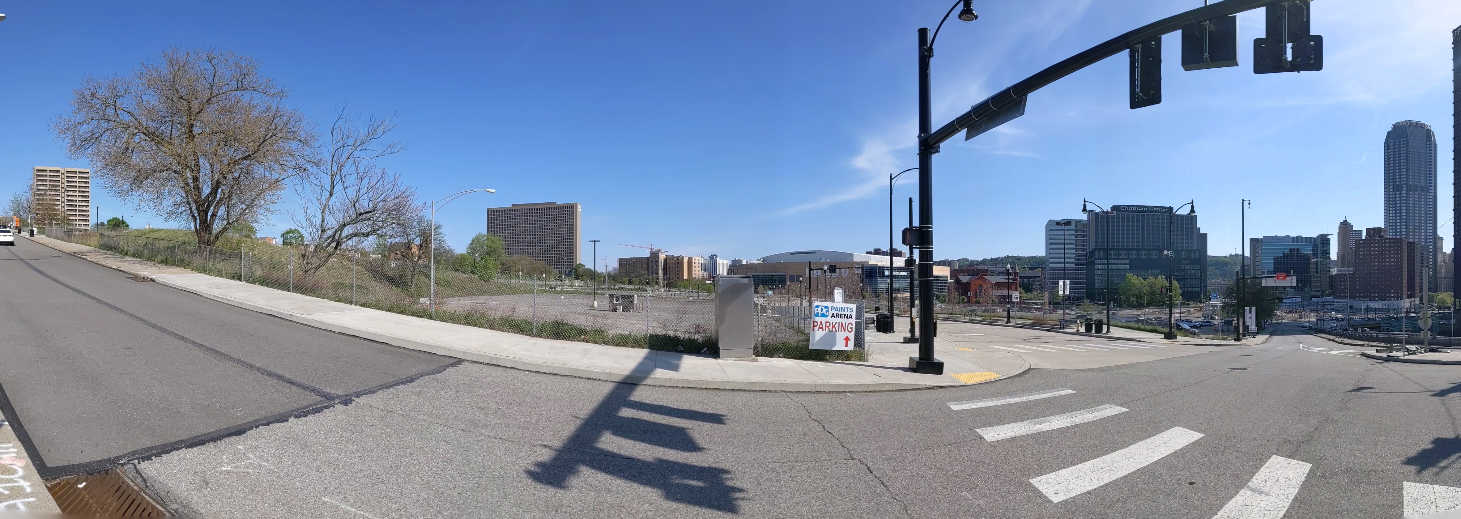
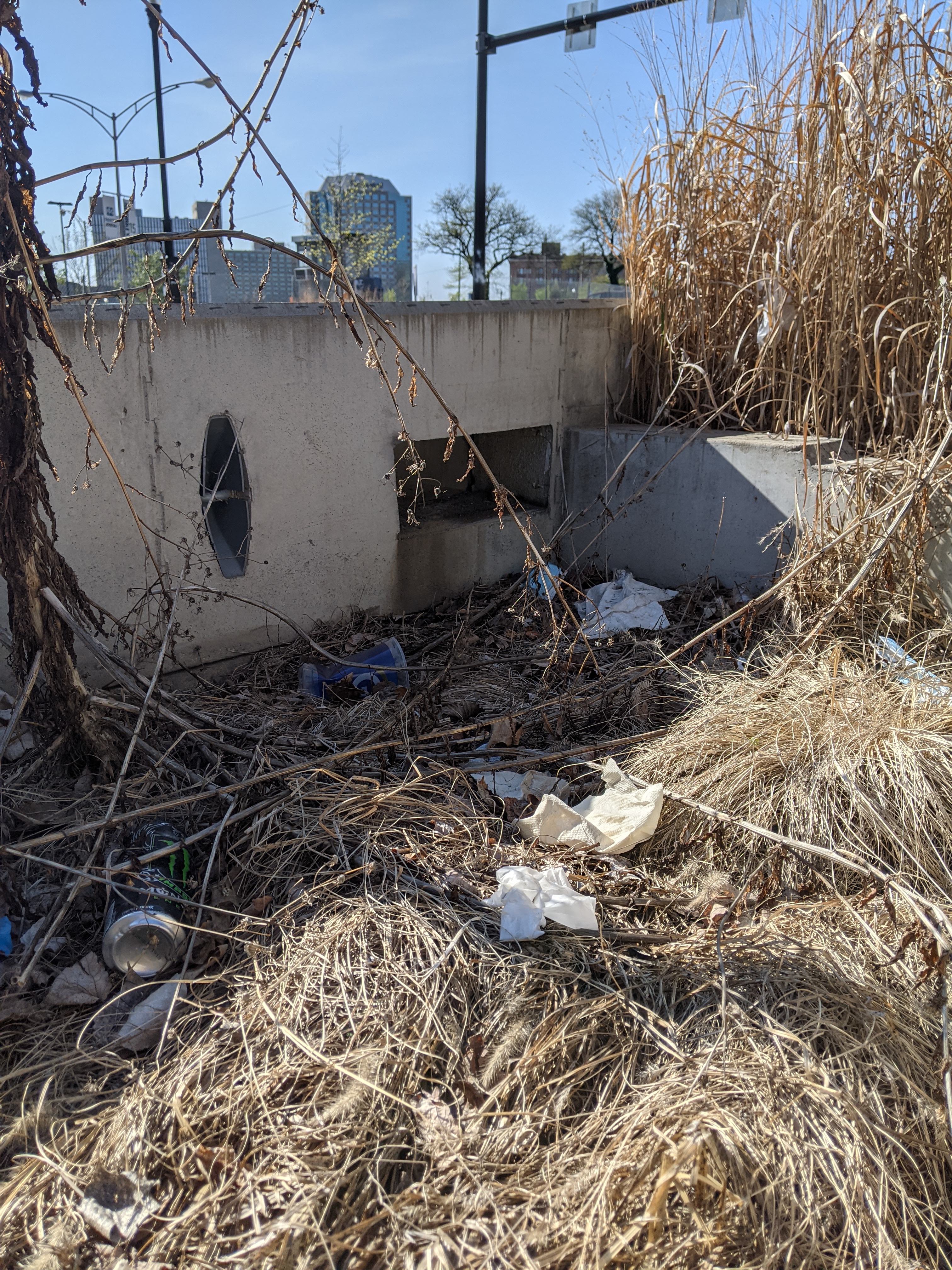
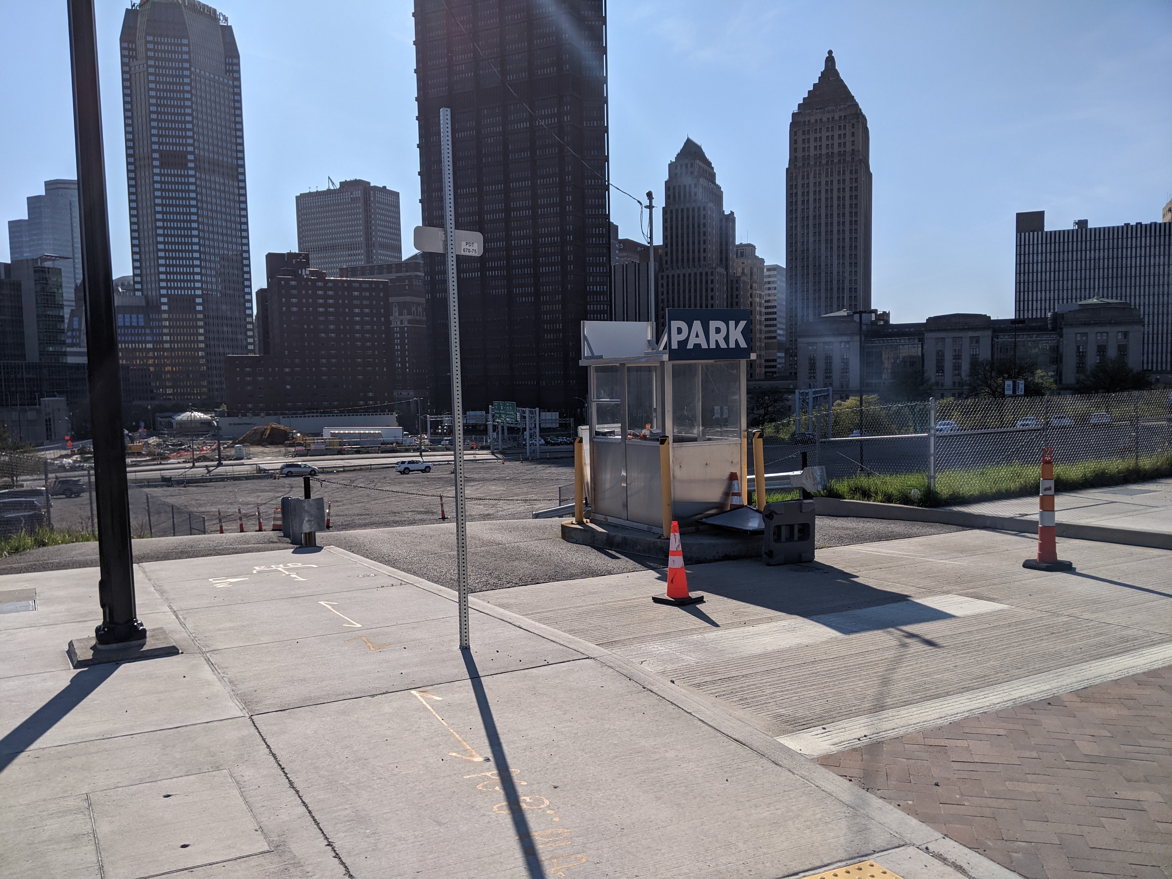
The Lower Hill is a notorious site in Pittsburgh, a scar on the city from the height of Urban Renewal. A vibrant (but poor and predominately Black) neighborhood was demolished in the 1950s so the City could build a cultural mecca centered on a Civic Arena, most of which ended up not being built and was left as parking lots.
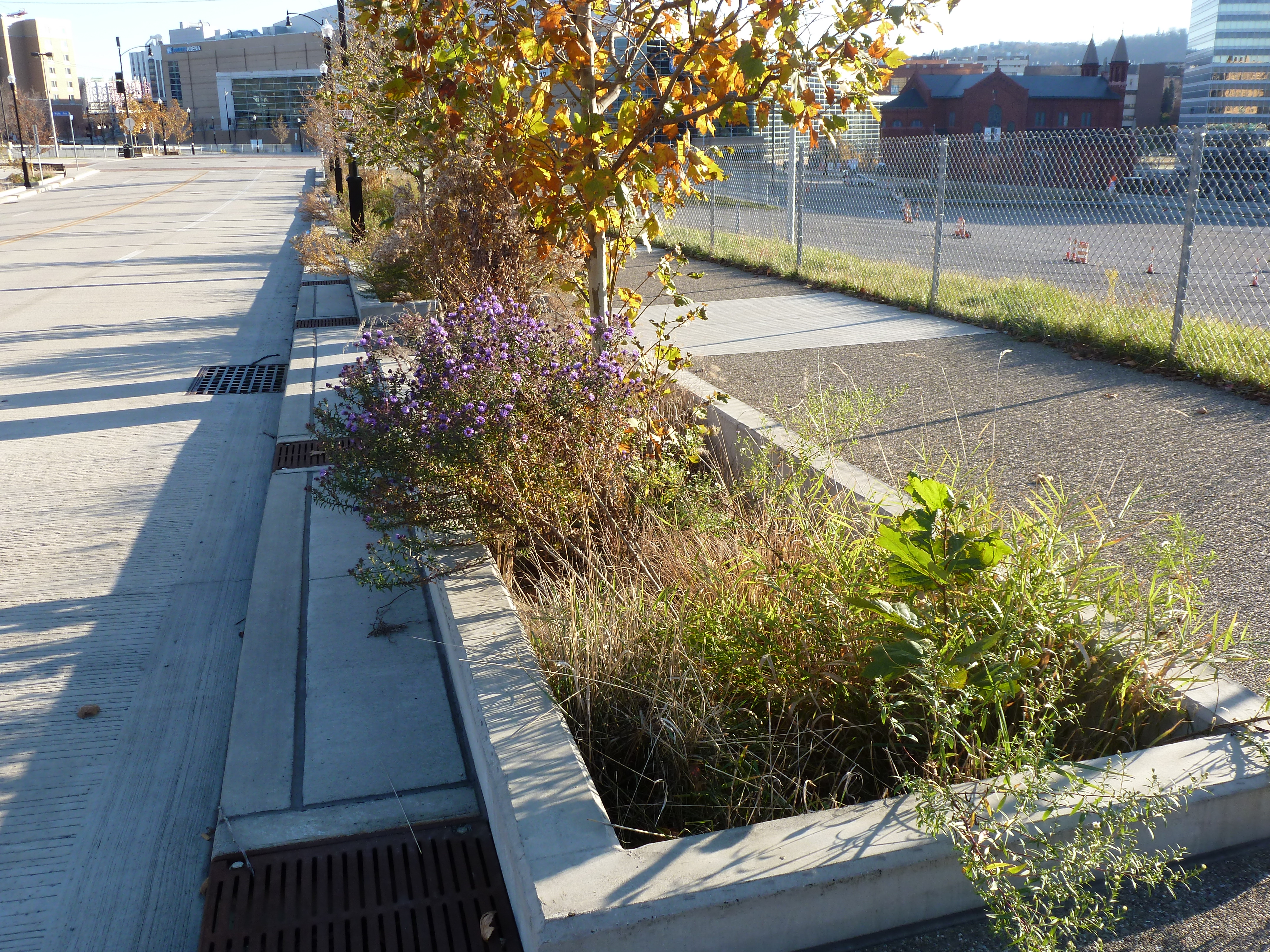
Now that the arena has been demolished and replaced adjacent to the former location, the Penguins hockey team has the development rights to rebuild the Lower Hill, stitching back together the fabric of the city and reconnecting the remainder of the Hill District neighborhoods with downtown.
However, grand language describing the wonderful benefits to a city are part and parcel of any major development project, including the 1950’s Urban Renewal of the Lower Hill. Fifty years later, the Urban Renewal of the Lower Hill is rarely, if ever described as a good thing. In fact the current redevelopment is sometimes described as undoing the mistakes of that project. However, can the negative financial, social, and emotional repercussions of the original demolition and decades of disconnect be undone simply by reinstating (most of) the former street grid?
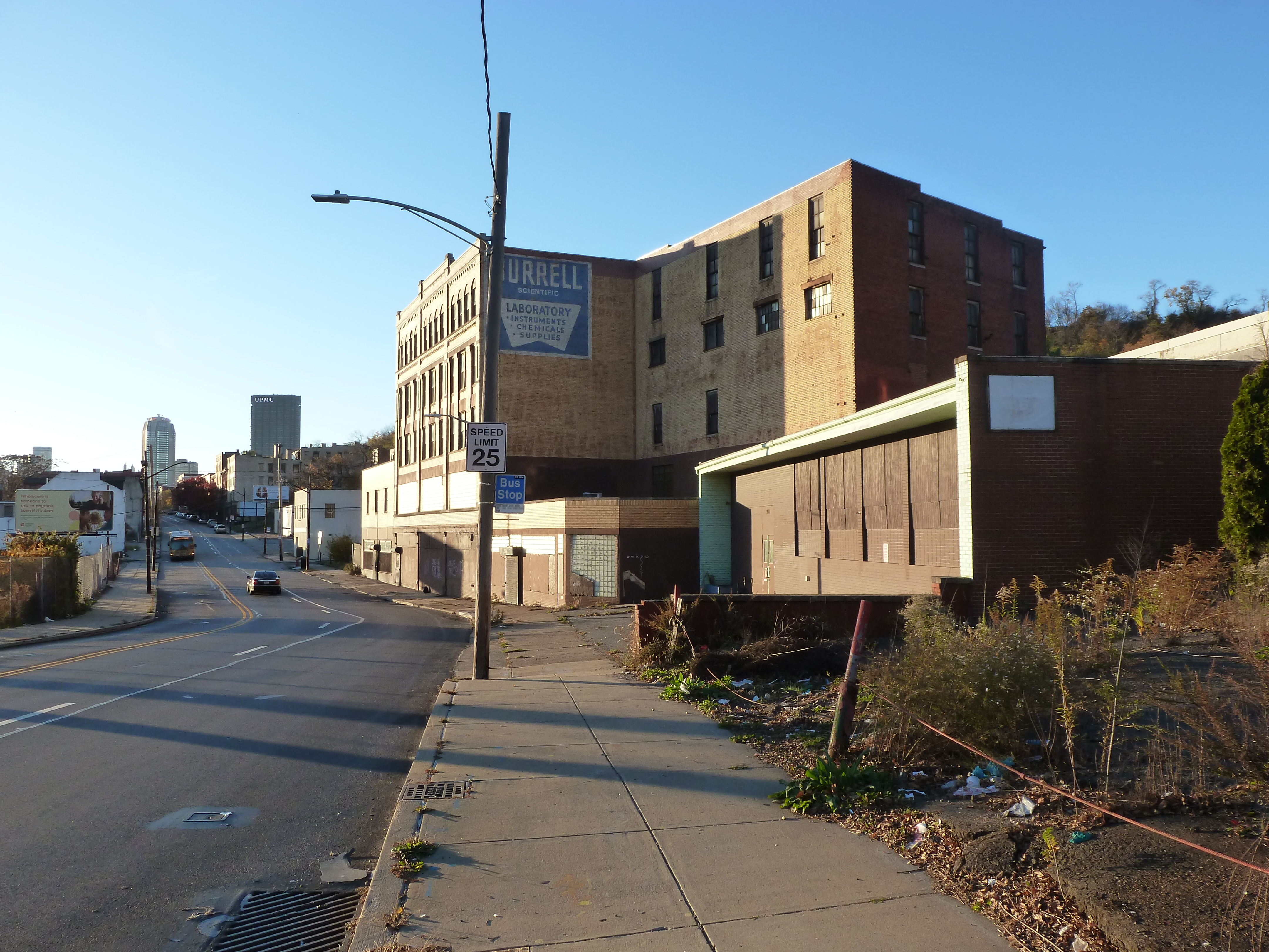
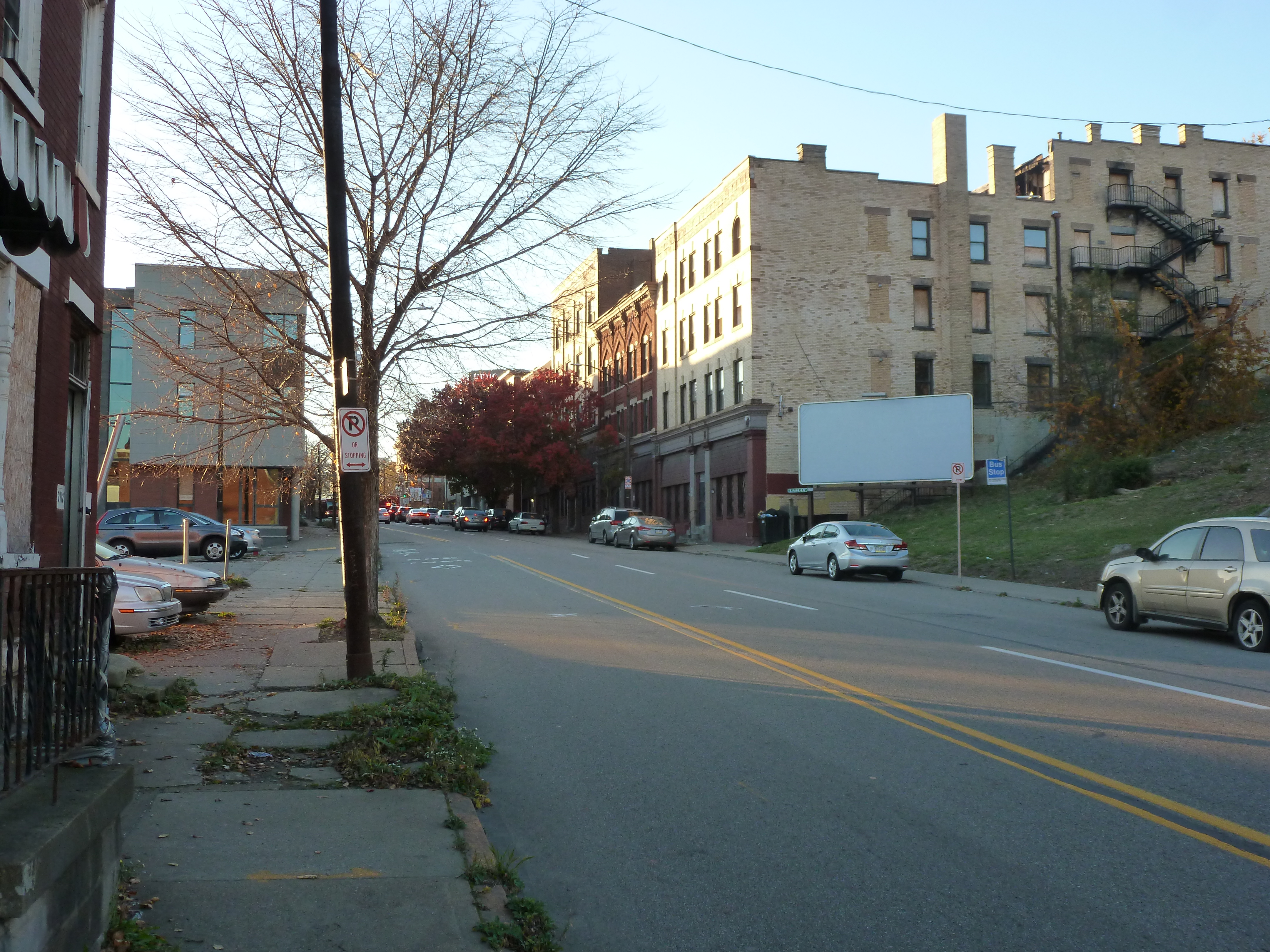
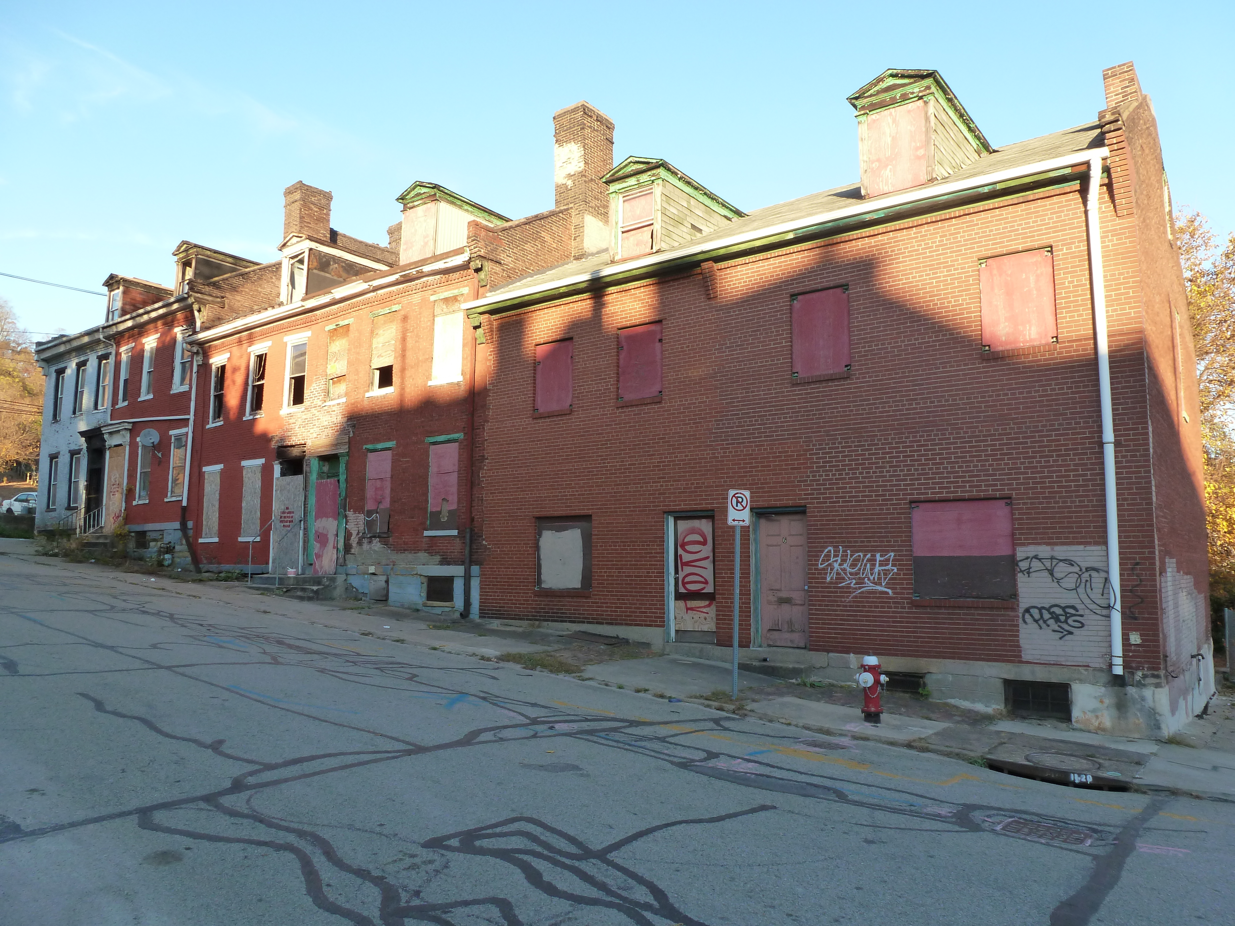
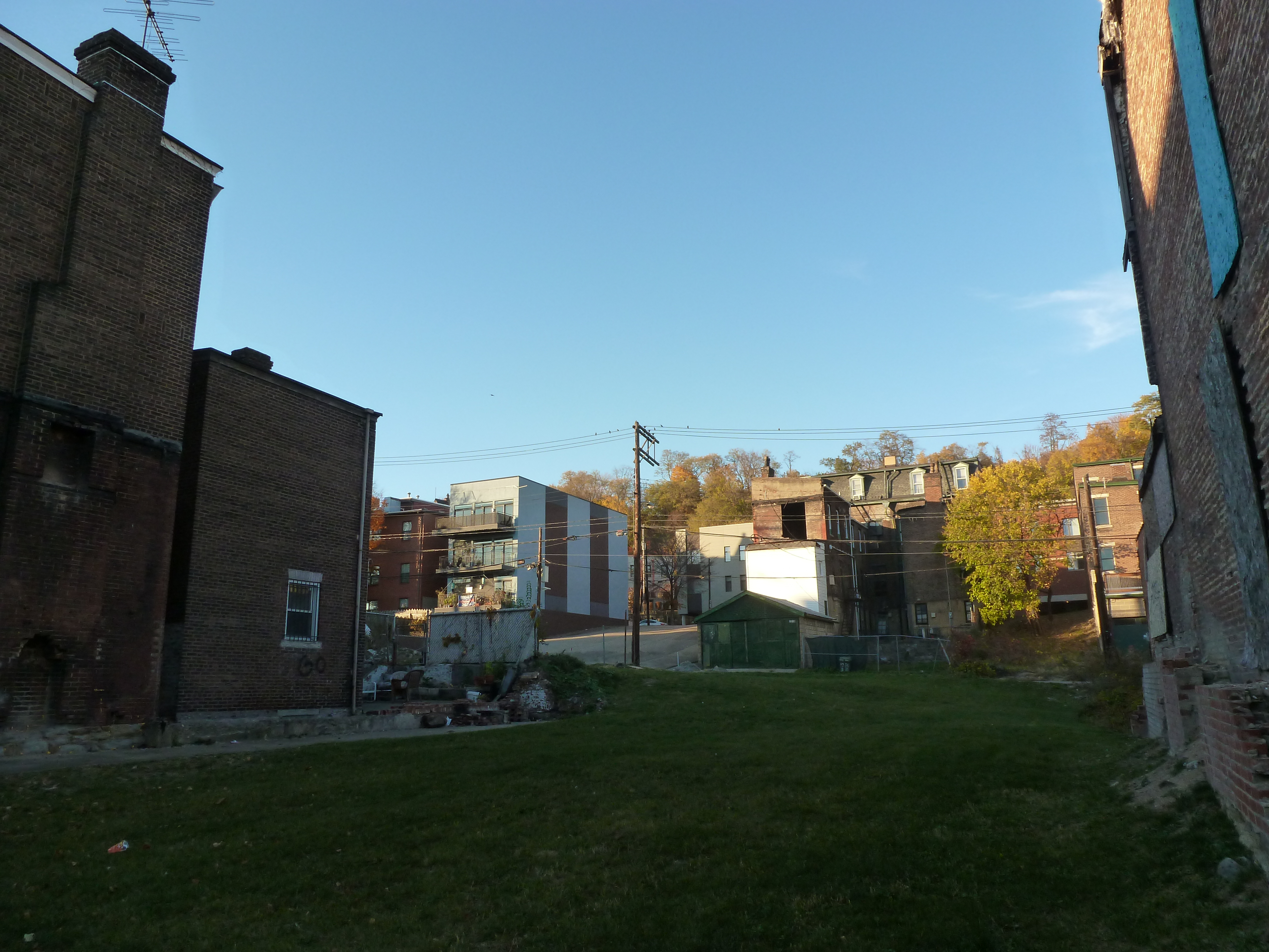
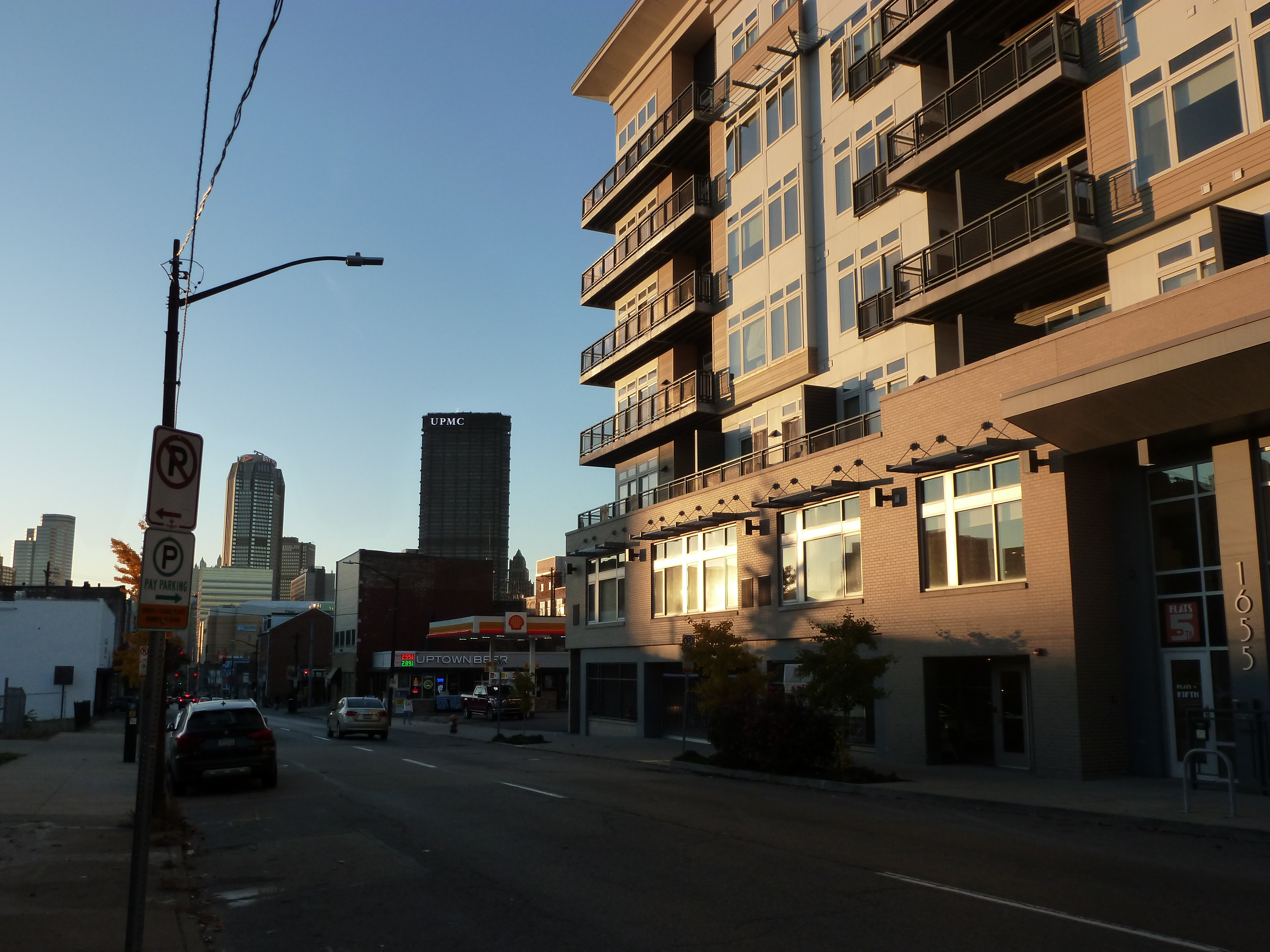
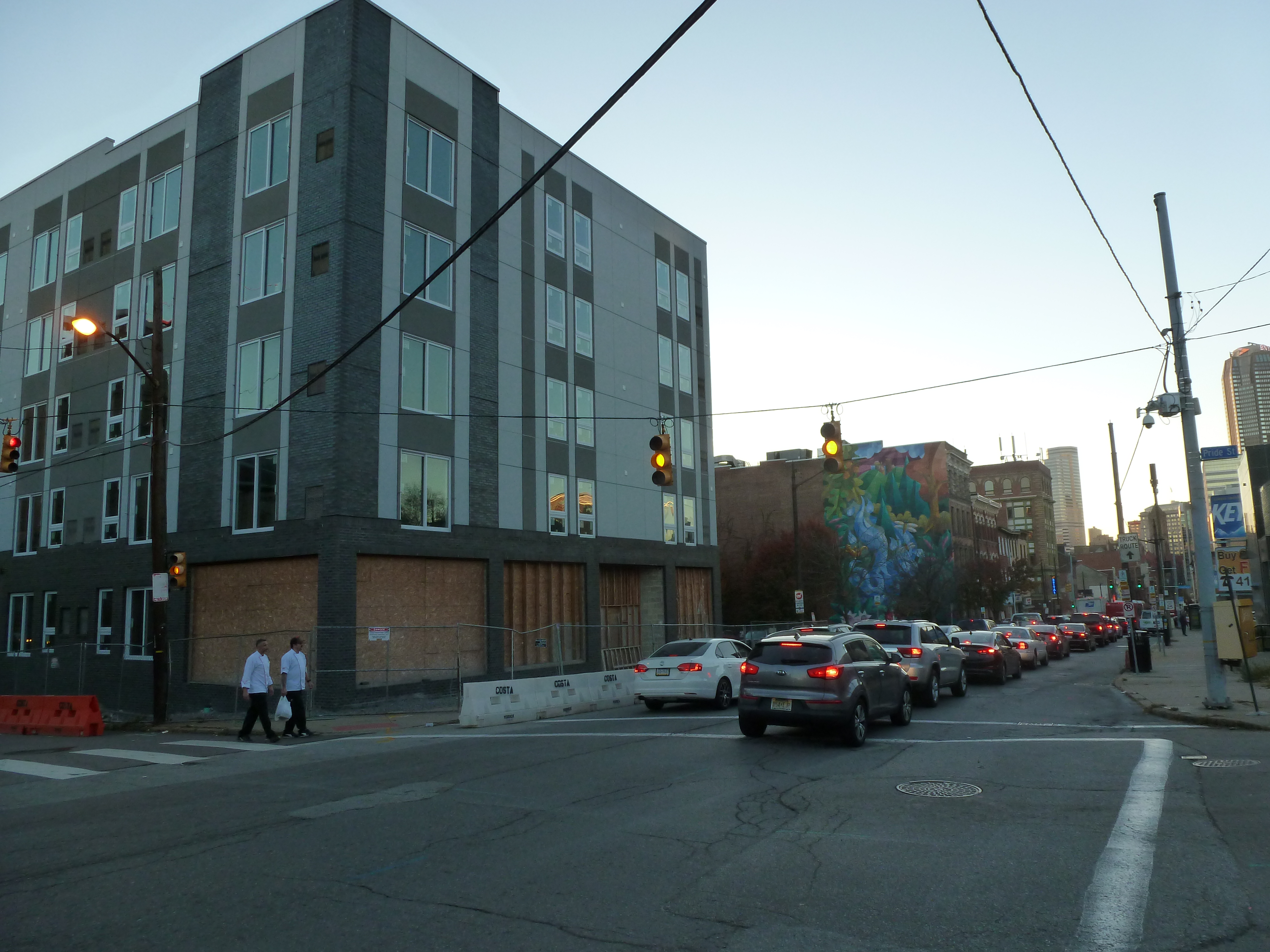
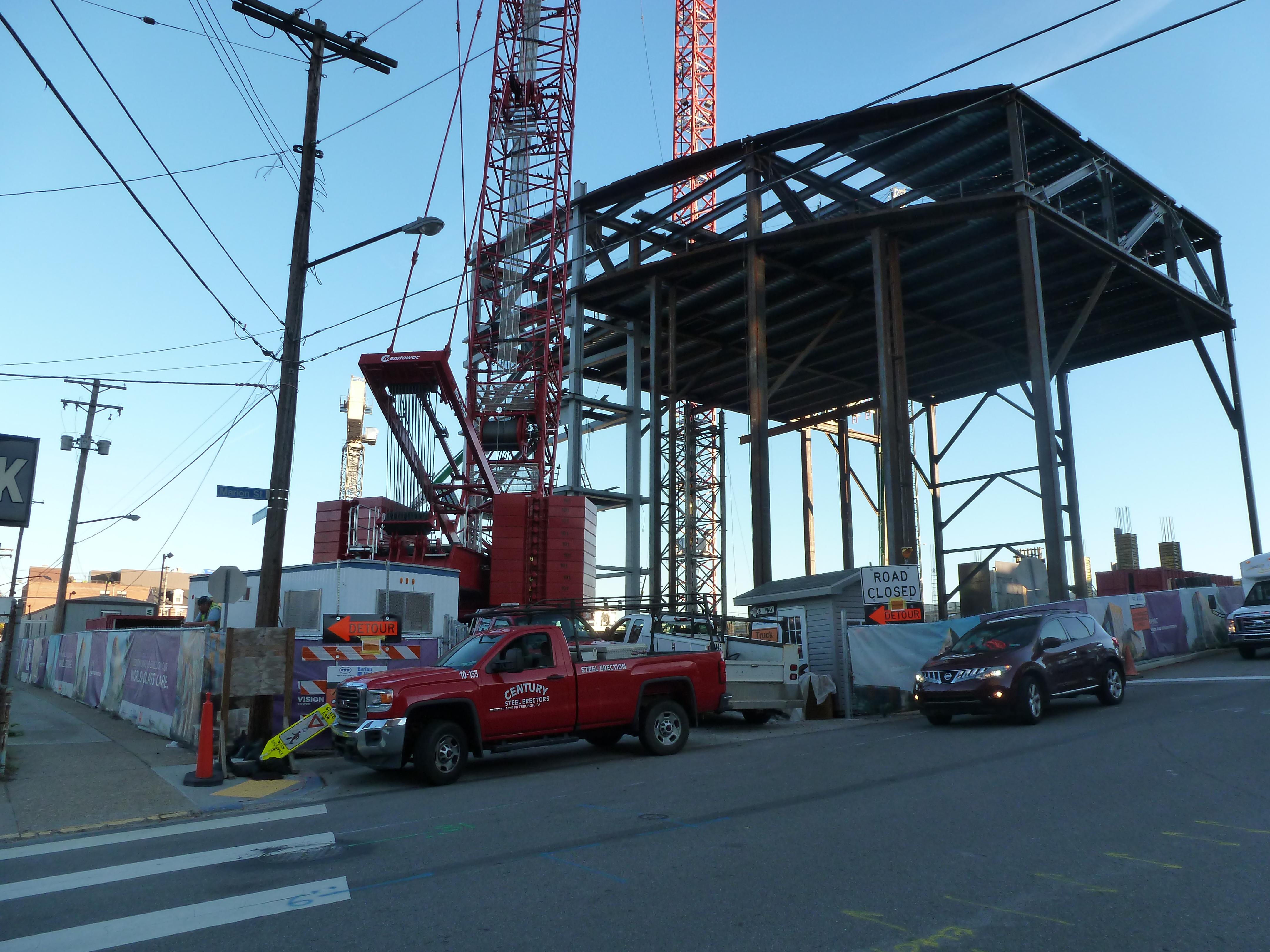
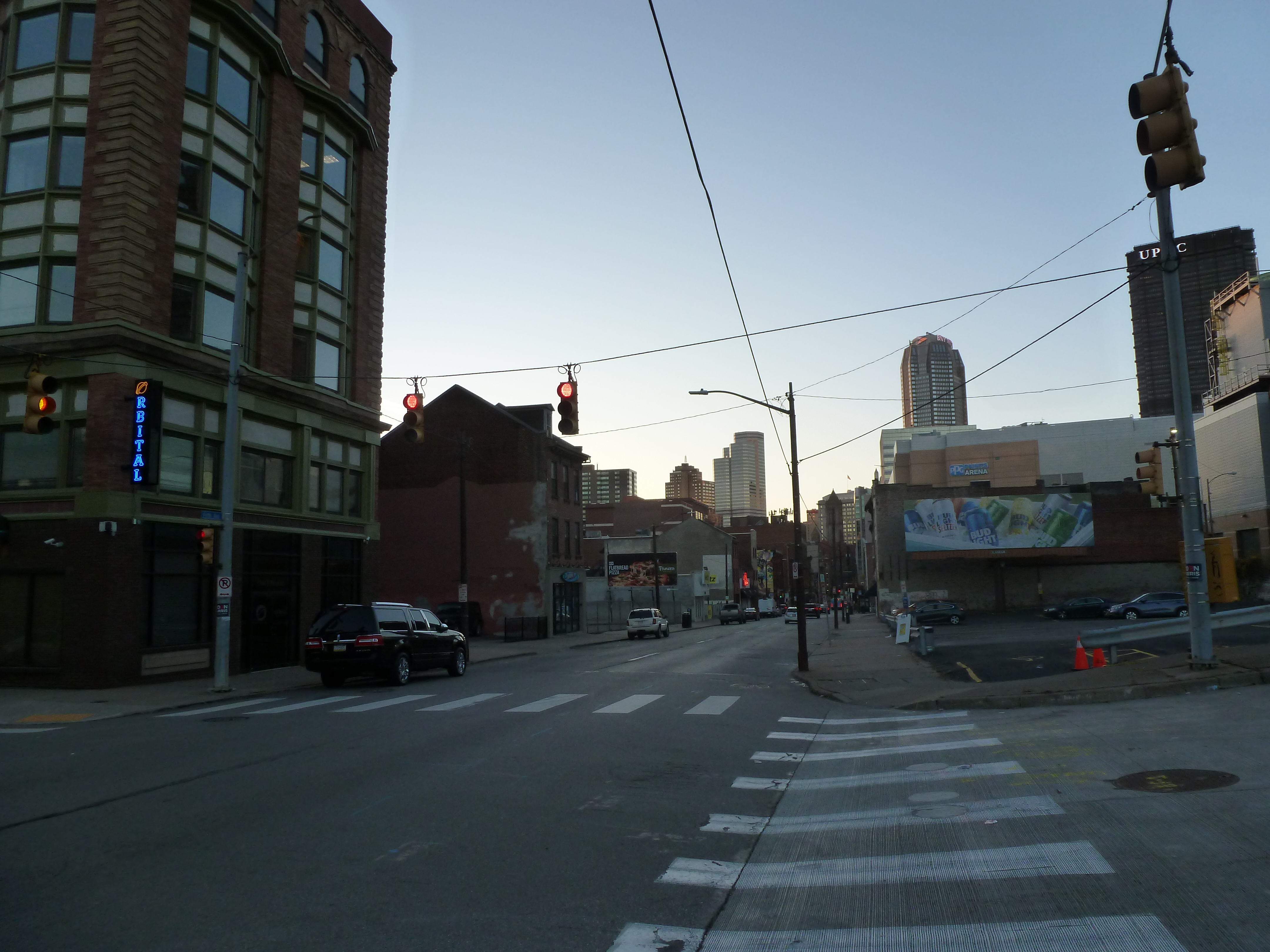
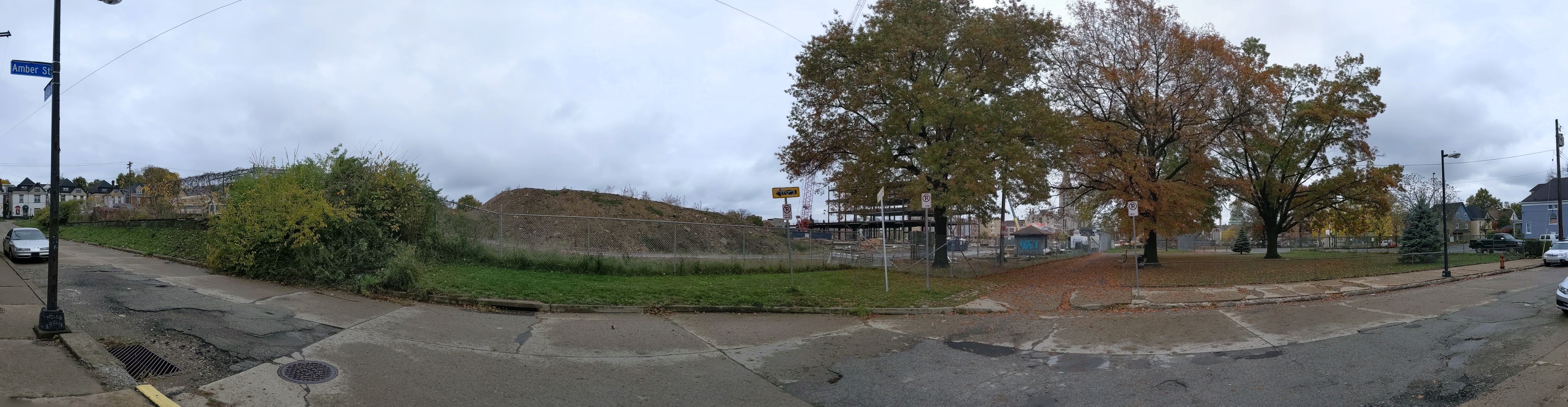
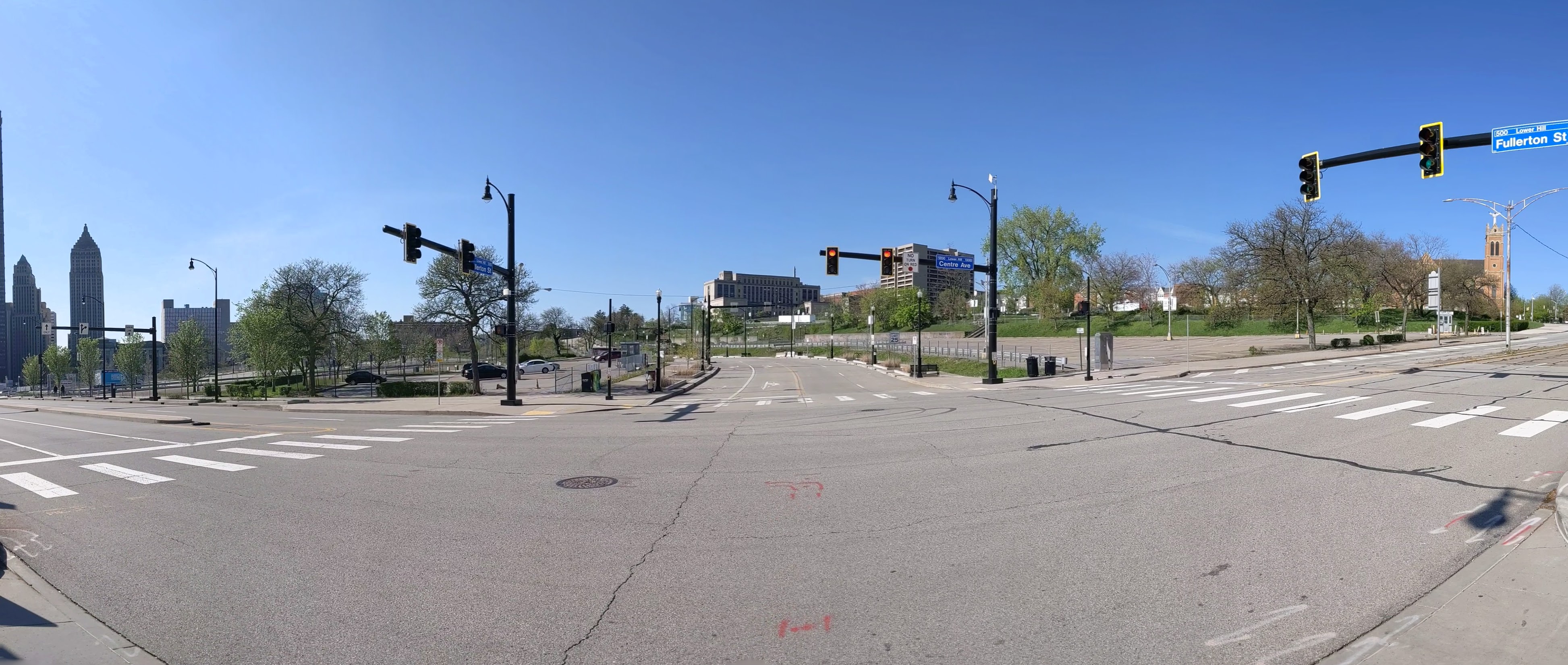
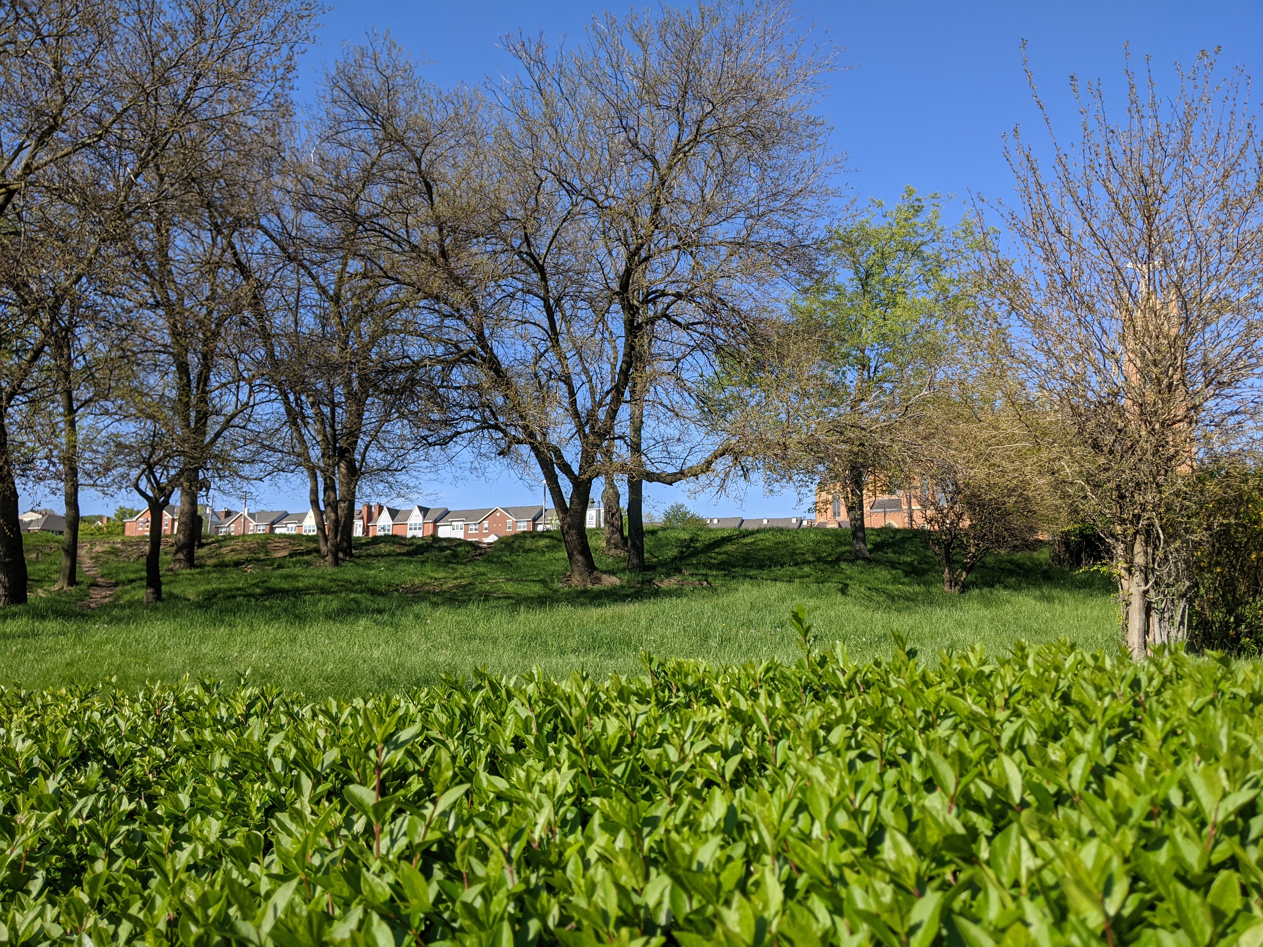
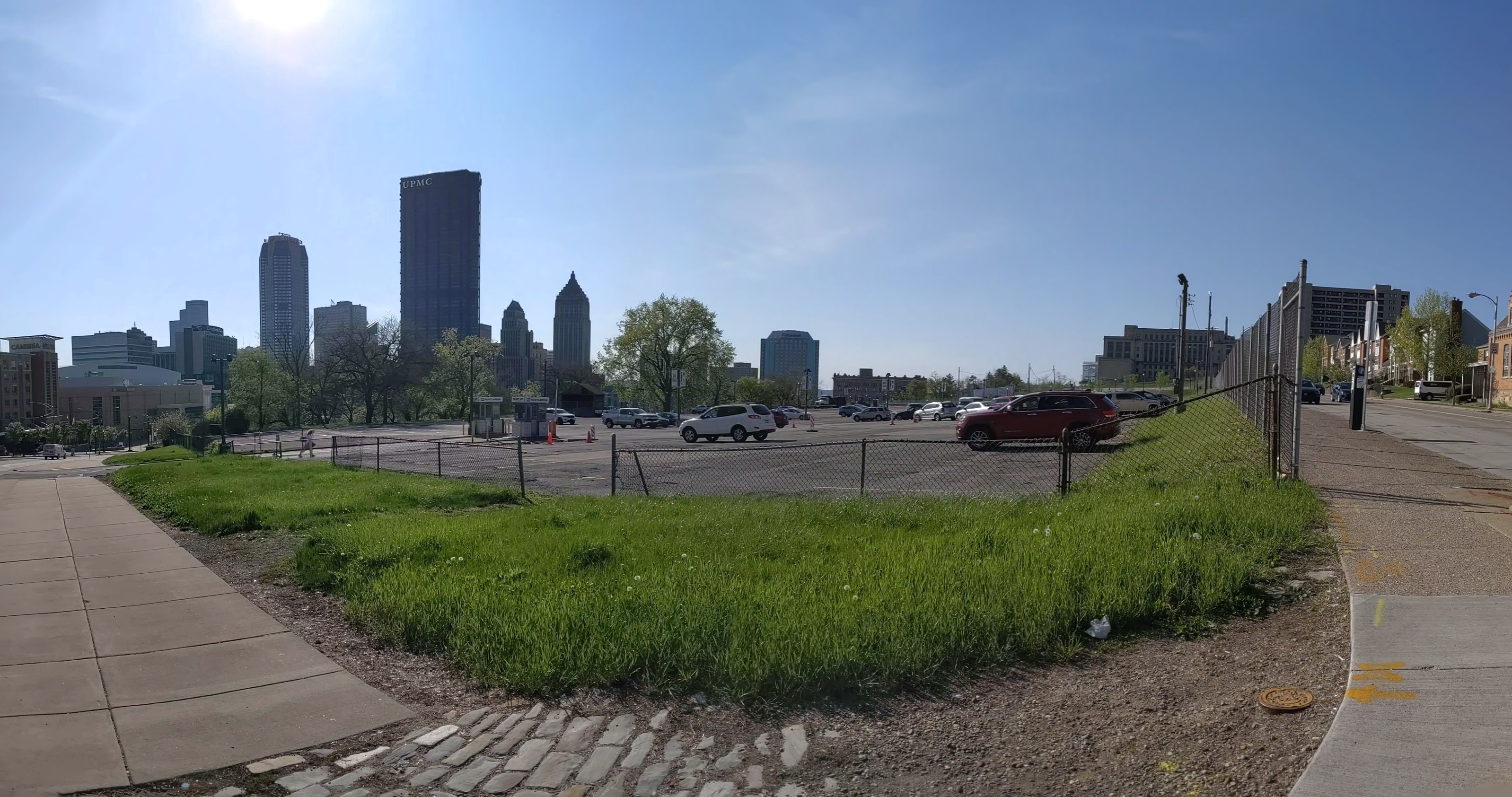
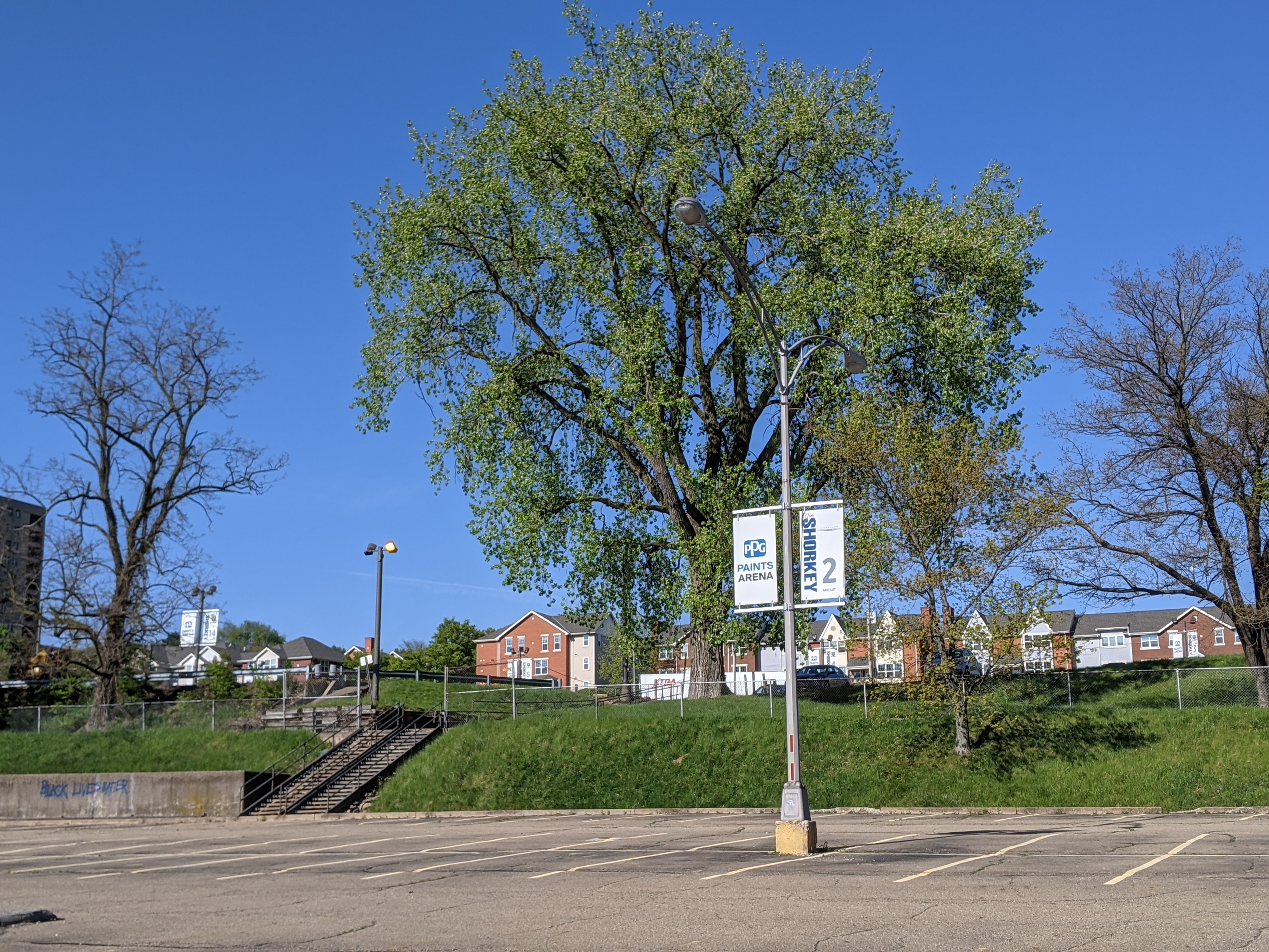
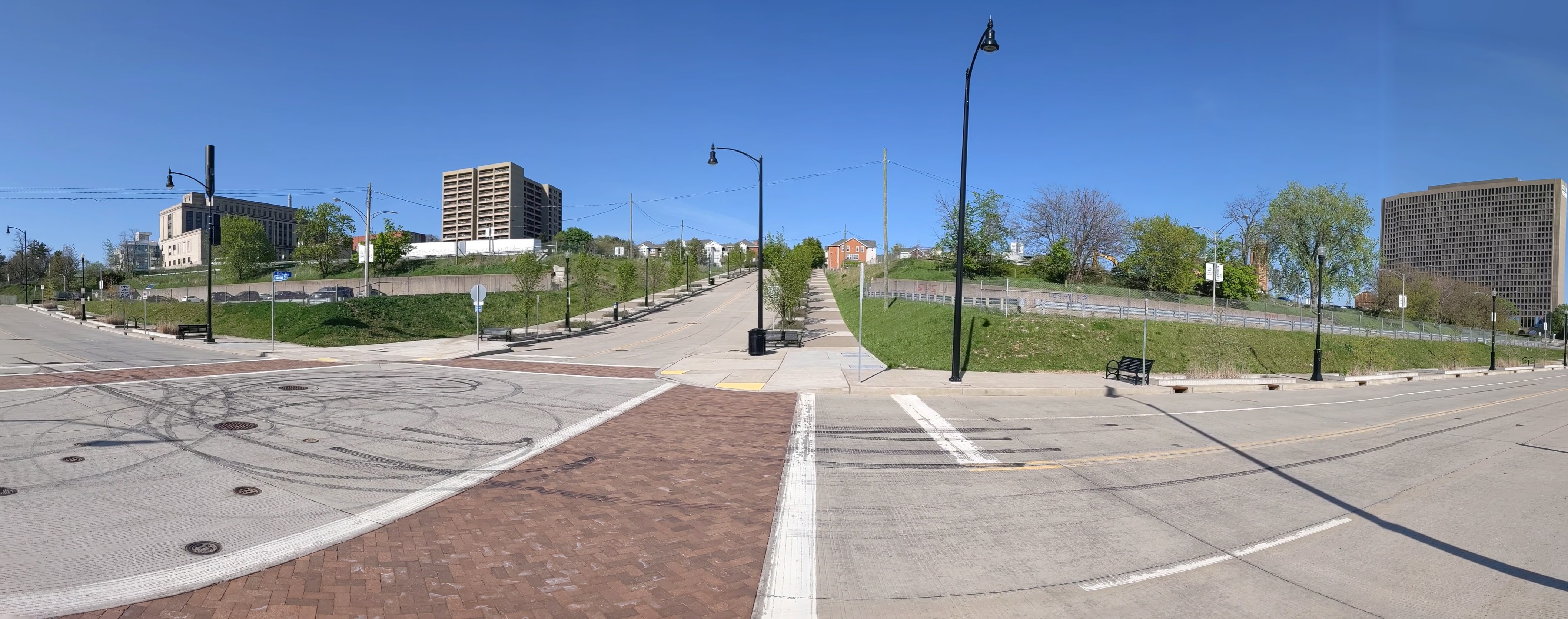
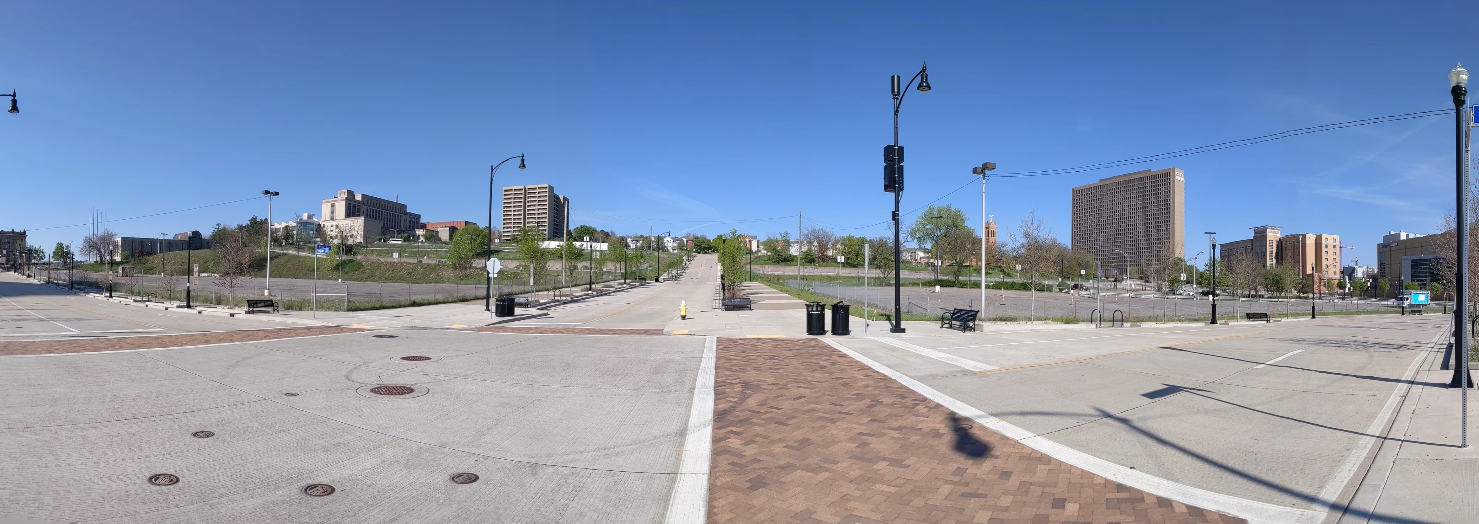
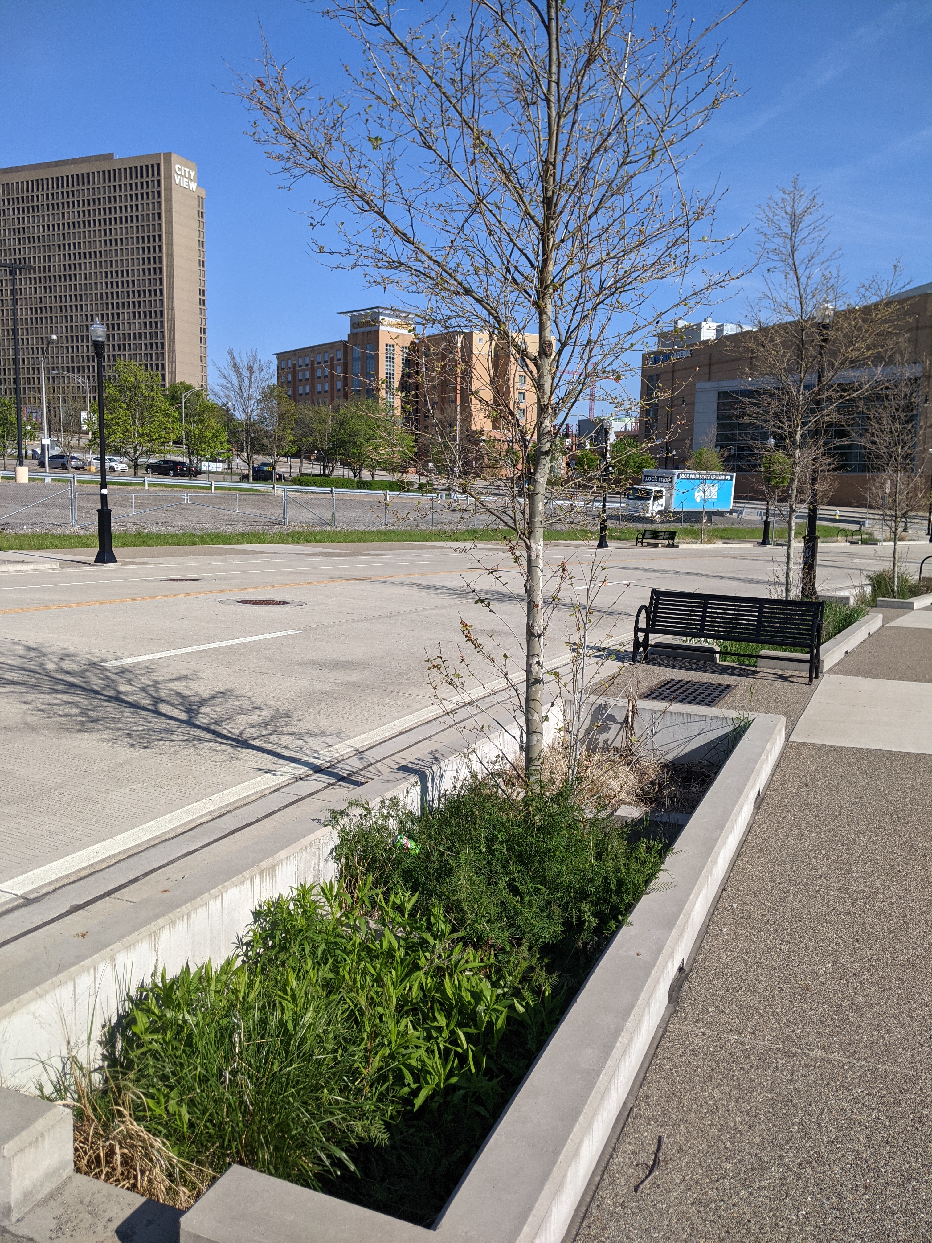
This blog post is part of an on-going photographic series to watch the redevelopment of the Lower Hill. Periodically, approximately once every six months, I return to the site to take new photographs. In addition, I include links to articles about the project that I’ve encountered since the previous post in the series. At the end of the post, there are links to all the previous posts in the series.


Lower Hill in the News:
A deep look at the Penguins development in anticipation of ground breaking later this year (January 13, 2021, The Undefeated)
Is the project moving too fast to make sure it is done right for the community? (March 15, 2021, Pittsburgh Post-Gazette)
Community questions if the first building is being rushed at the community’s expense (March 16, 2021, WESA)
Pittsburgh’s Equal Opportunity Commission approved the Penguins’ MWBE participation plan (March 18, 2021, Pittsburgh Business Times)
Penguins updated the community on progress of MWBE inclusion as ground breaking approaches (April 1, 2021, Pittsburgh Business Times)
The census line is moved to undo the Urban Renewal inclusion of the Lower Hill in the downtown census tract, but will this divert needed funds from the rest of the Hill District? (April 7, 2021, Public Source)
A major Black church was demolished as part of Urban Renewal while a nearby White church was saved from the wrecking ball, are reparations now possible? (April 14, 2021, Public Source)
Penguins propose a $5 million Opportunity Zone fund (April 16, 2021, Pittsburgh Post-Gazette)
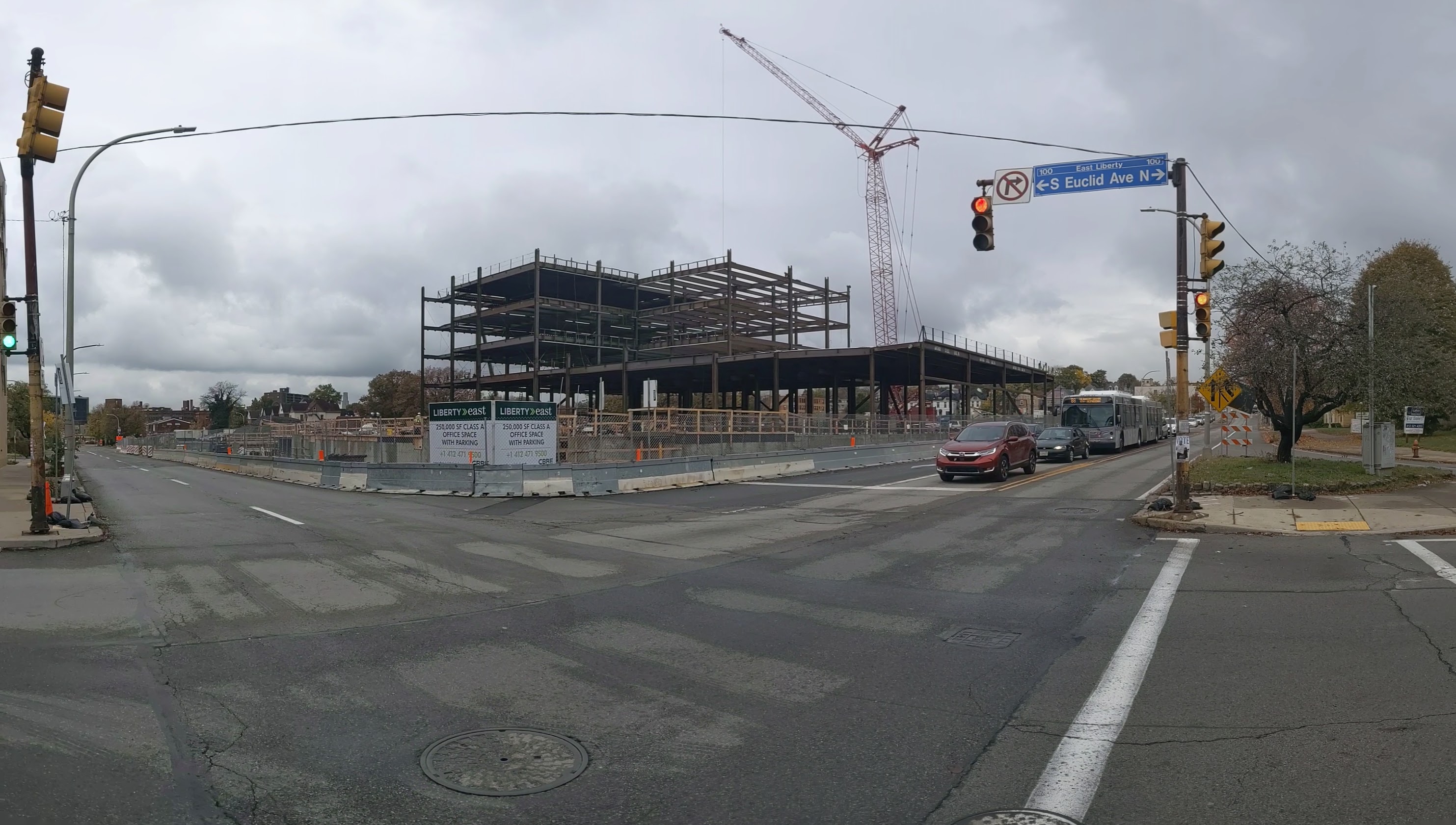
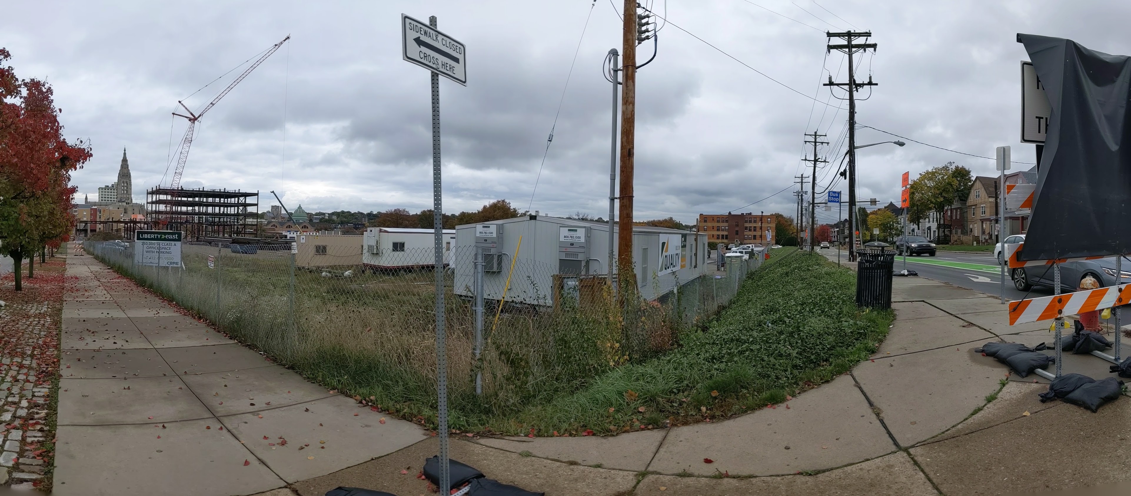
The final plan presented to Pittsburgh’s Planning Commission for the new FNB Tower proposes not finishing the last block to reconnect Wylie Ave to downtown. This is a change from the guiding redevelopment plan and technically requires an amendment that the developer says will take too long. (April 20, 2021, Pittsburgh Business Times)
Previous posts in series:
Keeping an Eye on the Lower Hill: Dec. 2020
Keeping an Eye on the Lower Hill: Jun. 2020