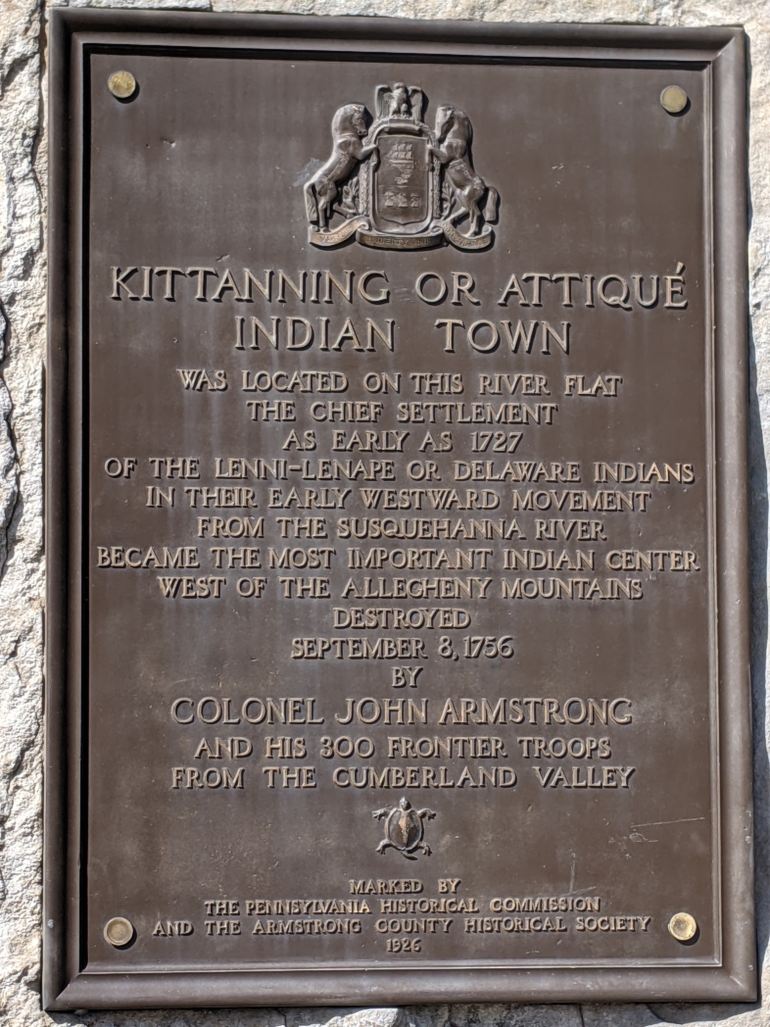
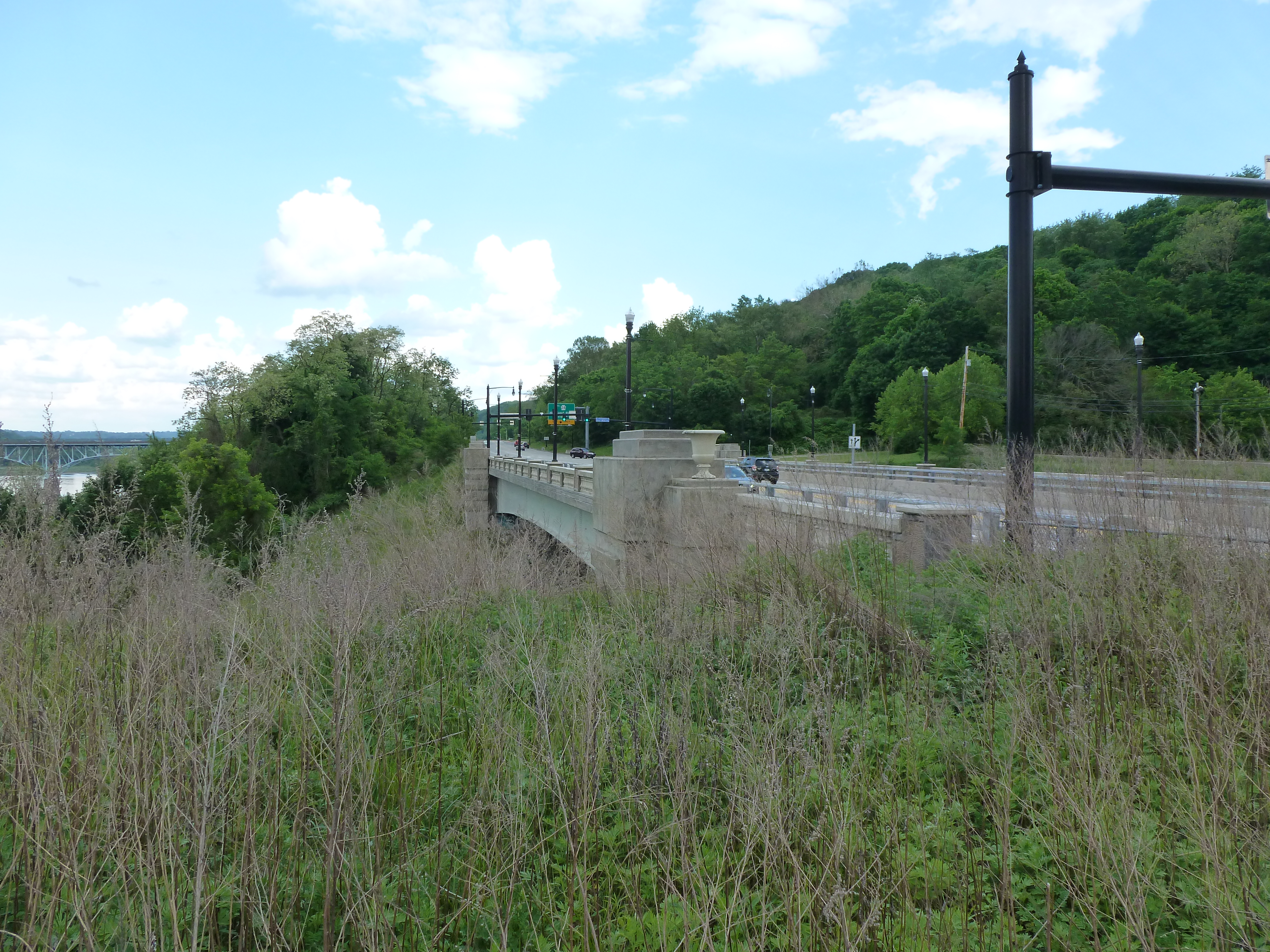
Kittanning is a small town of just under 4,000 residents on the Allegheny River northeast of Pittsburgh. The name is from a Native American village destroyed in 1756 and is thought to mean “the place at the Great River.” It has a single bridge, the Kittanning Citizens Bridge, which was built in 1932 and renovated in 2010. According to historicbridges.org, “In a rare gesture of good faith to taxpayers and preservationists, PennDOT has made the logical decision to rehabilitate this bridge rather than demolish and replace it.” So while this bridge was an unplanned stop on my weekend wanderings and in my blog schedule, it fits nicely with the current theme of demolish & replace or renovate.
The northeastern shore (the Kittanning side) has a nice waterfront park with a boat launch, amphitheater, upper and lower walking paths, fishing and seating areas, and seasonal public restrooms. The southeastern shore (the West Kittanning side) has some houses set back across a road looking out toward the river.
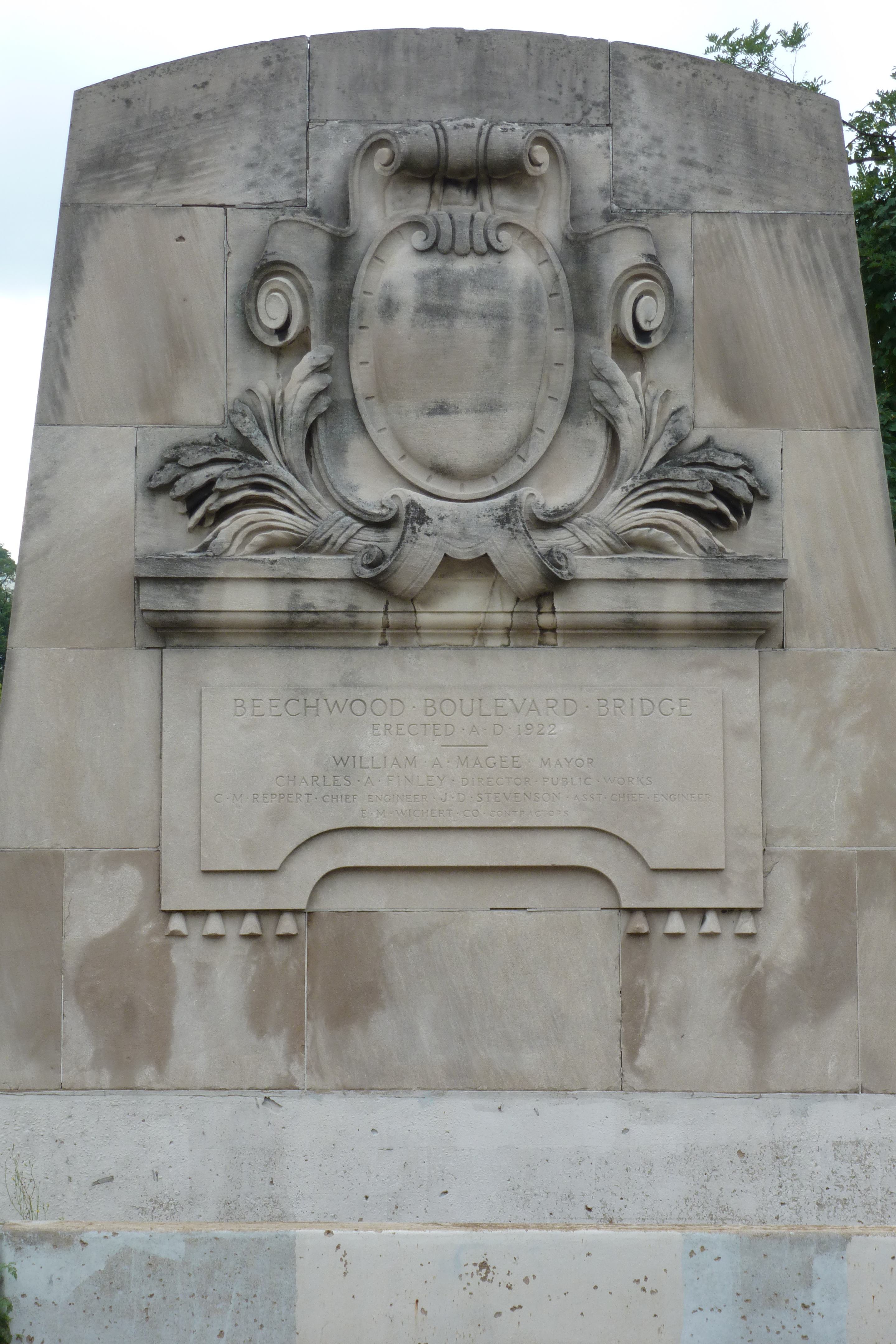
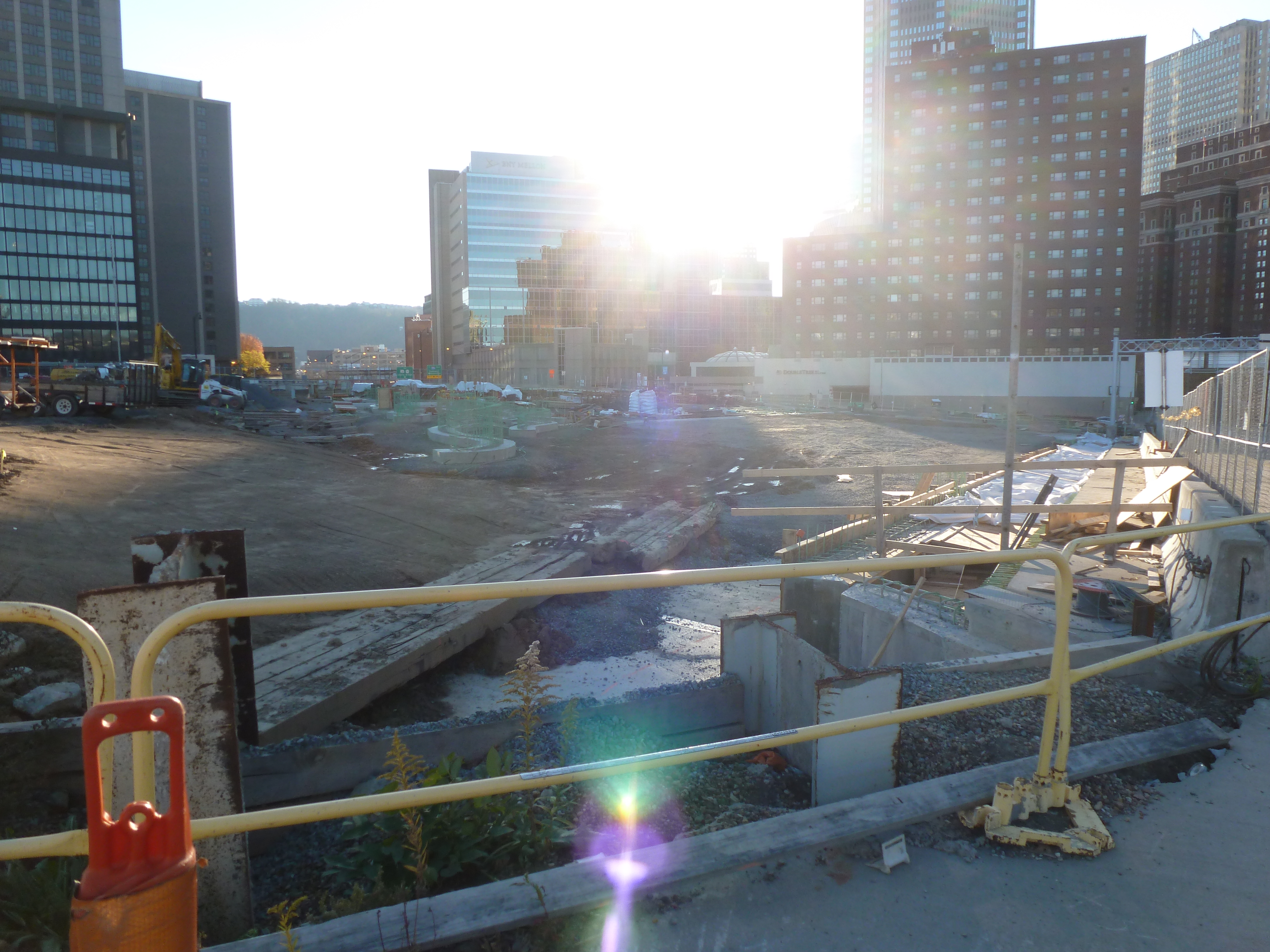
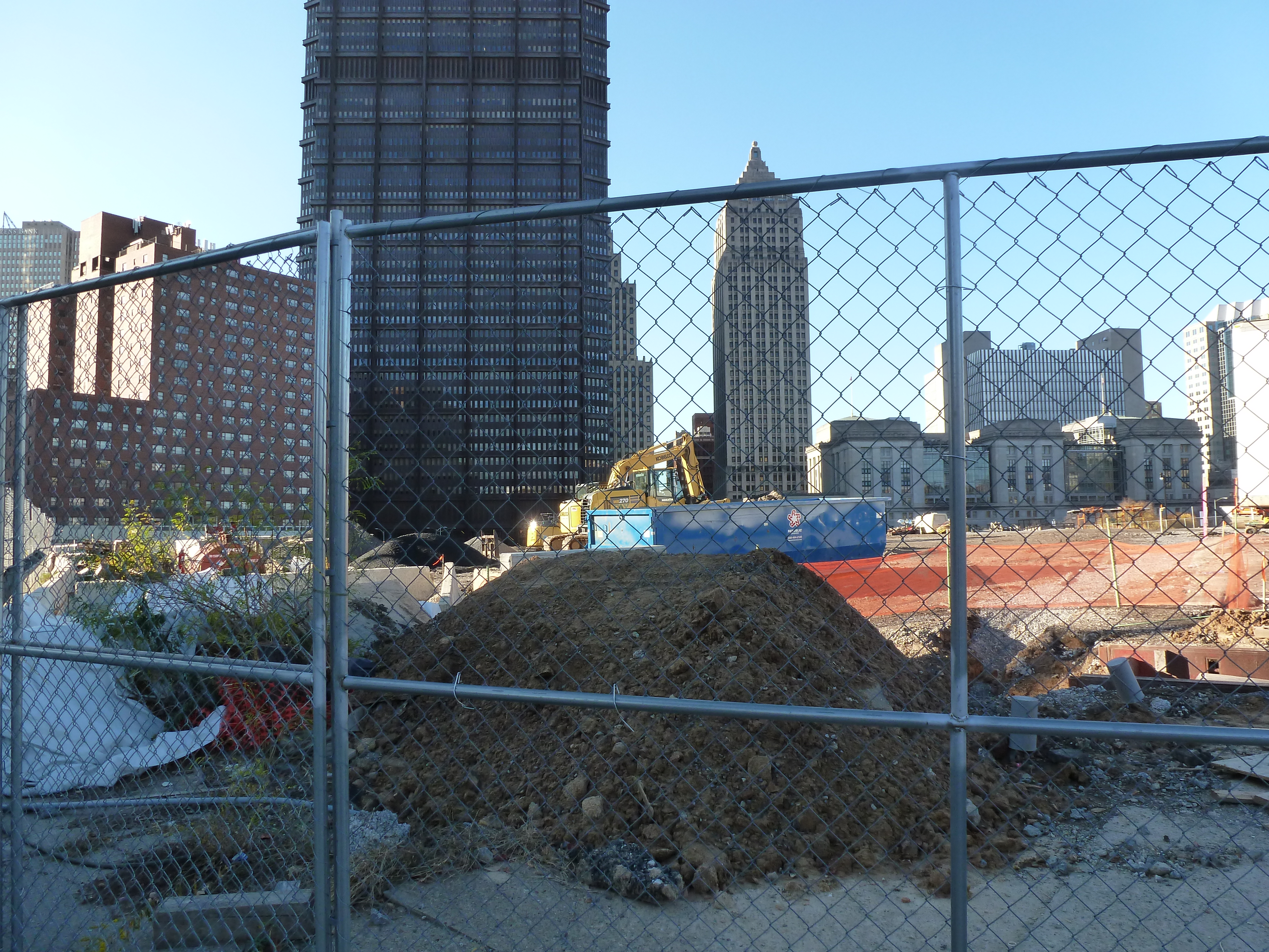
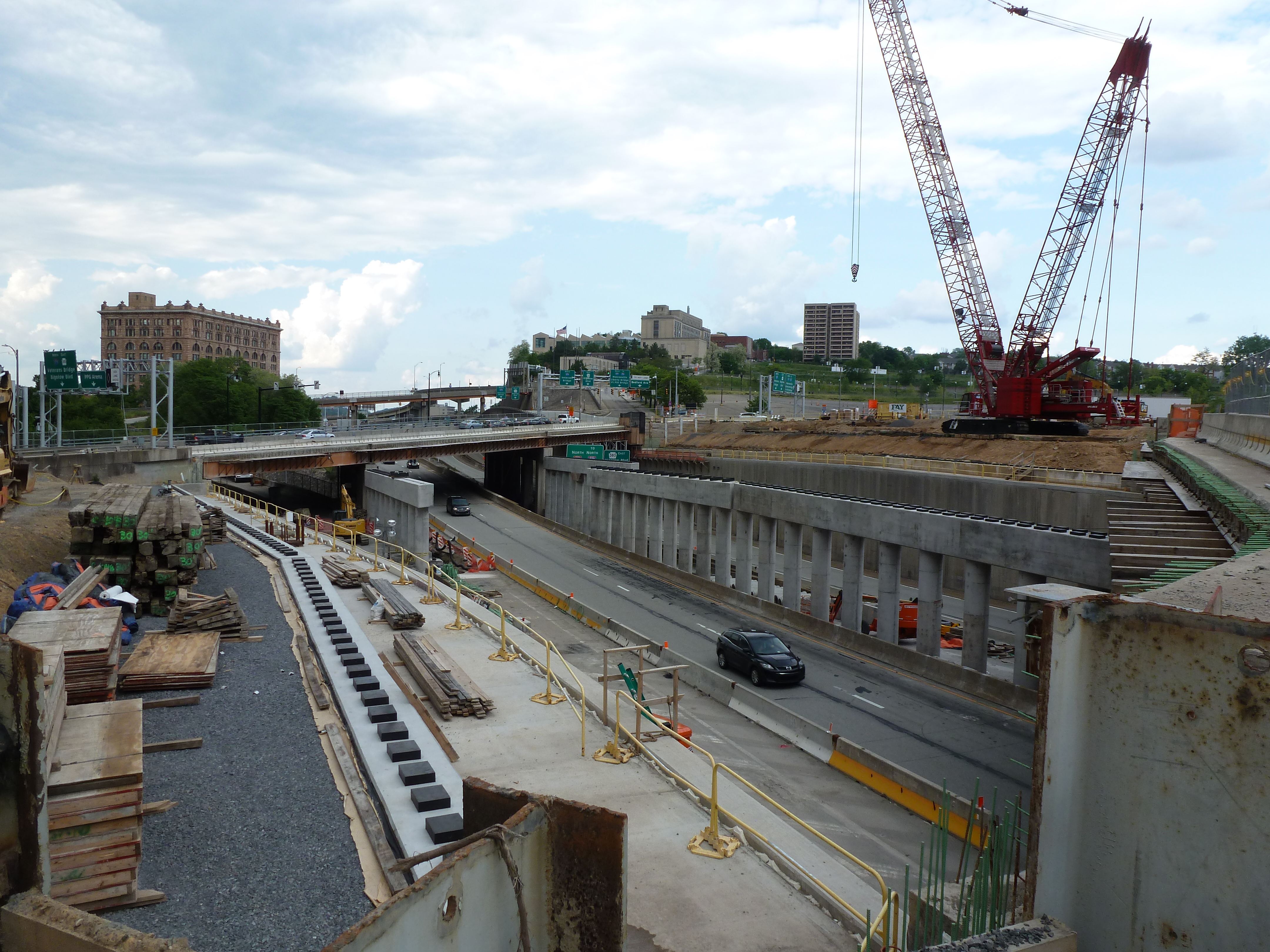
The Greenfield Bridge, formerly known as the Beechwood Boulevard Bridge, was originally built in 1922, demolished in 2015, rebuilt in 2017, and repaired in 2020. It was a classic case of waiting until the bridge was falling down before replacing it. To increase the lifespan of the original bridge, a second bridge was built underneath, and a net installed as early as the late 1980s to protect cars on the freeway below from the falling debris.
Yet it remained in that deteriorating condition for decades before being imploded in a grand ceremony between Christmas and New Year’s Eve 2015. The freeway was covered with tons of dirt, the bridge dropped onto this pile, and the debris cleared away before the highway was needed again for regular commuting. Many people (myself and my family included) stationed themselves on either hillside to watch. We picked a distant vantage point in Schenley Park where we had a great view of the dust cloud that resulted from the demolition.
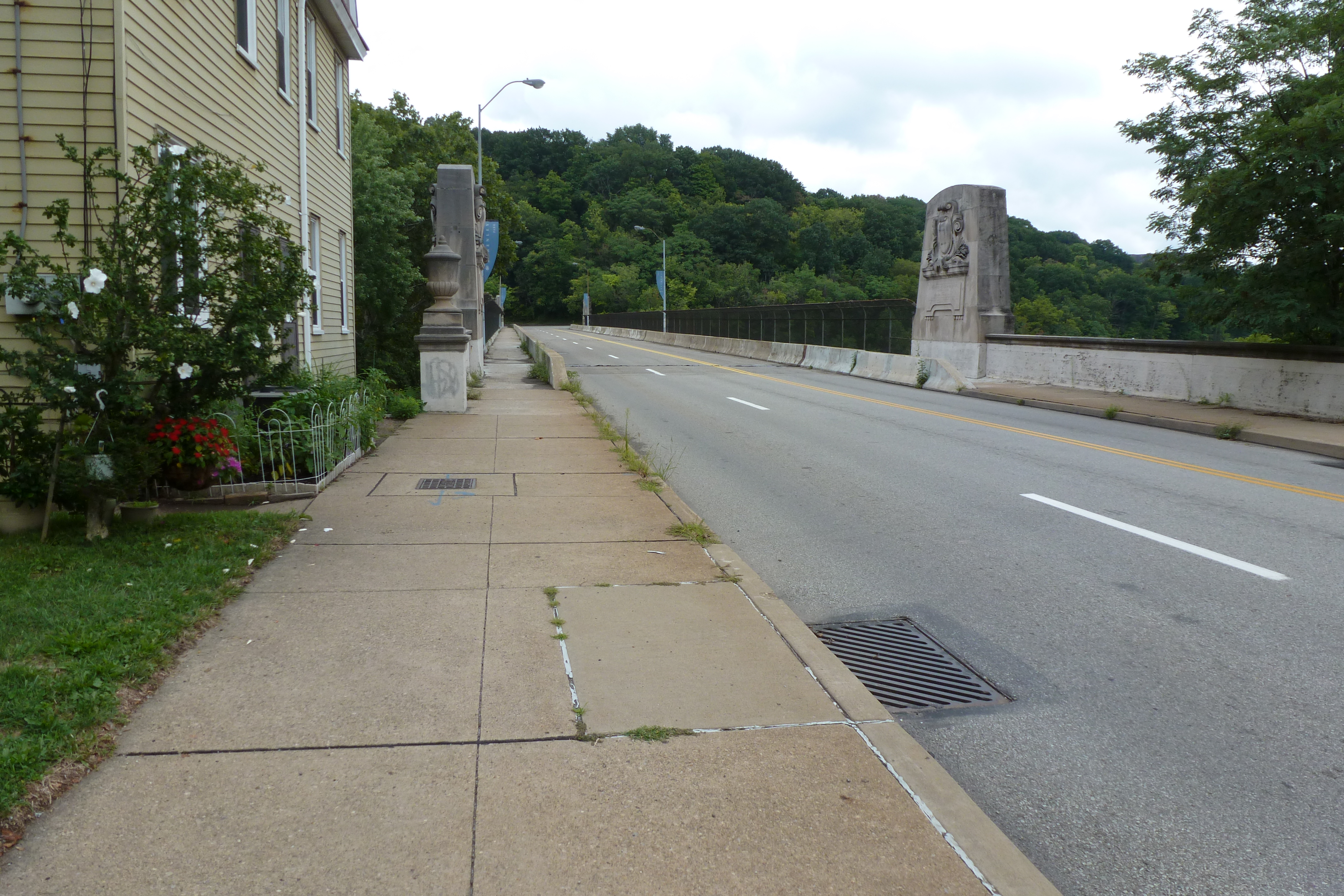
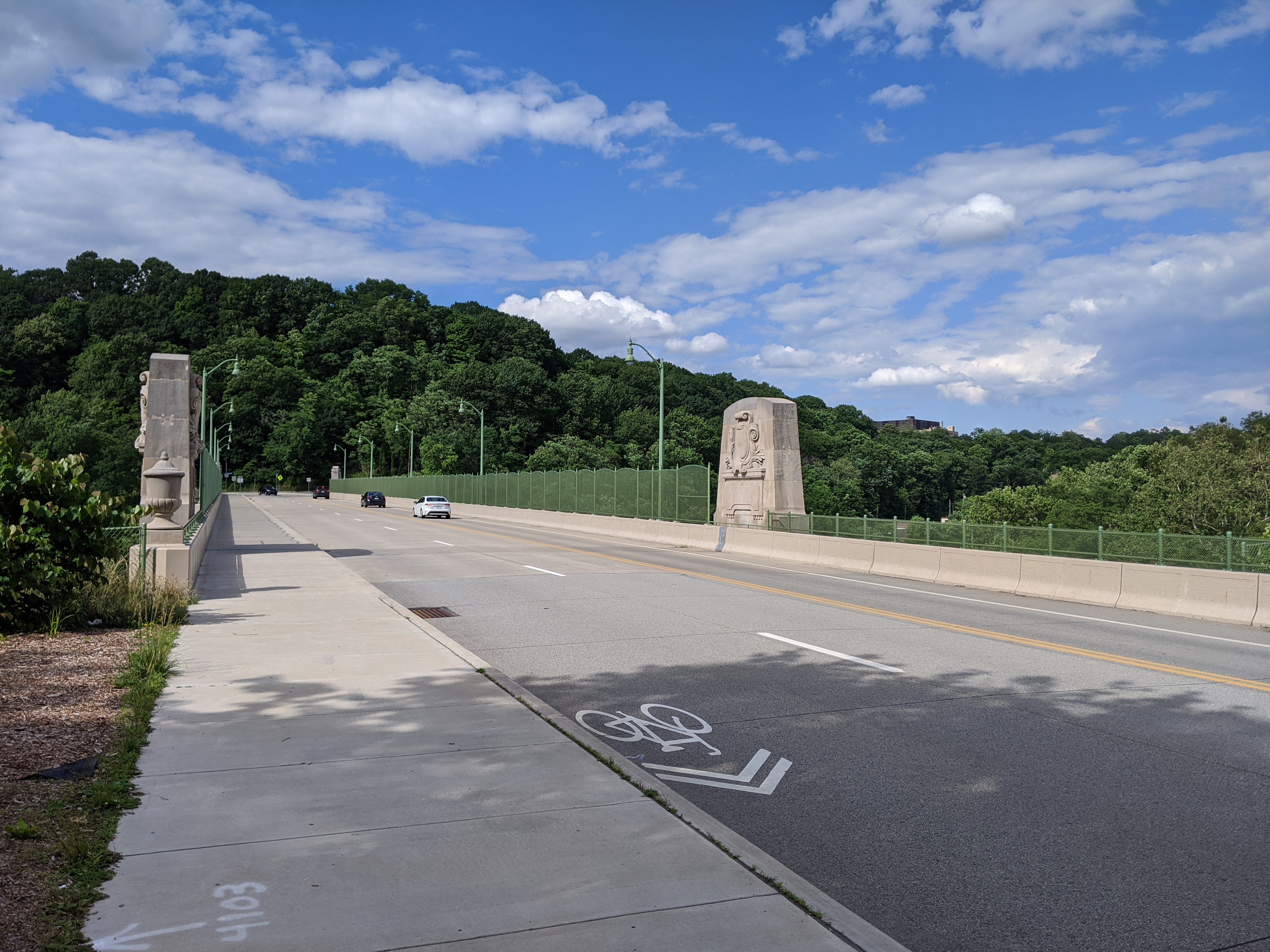
Another grand ribbon cutting ceremony took place when the new bridge reopened in 2017. A part of the reason for celebration was that, similar to the rebuilding of Heth’s Run Bridge, the historical decorative elements of the bridge were restored or reinstated. The new fencing on the bridge also aimed for a more decorative feel compared to the previous cage-like fencing.
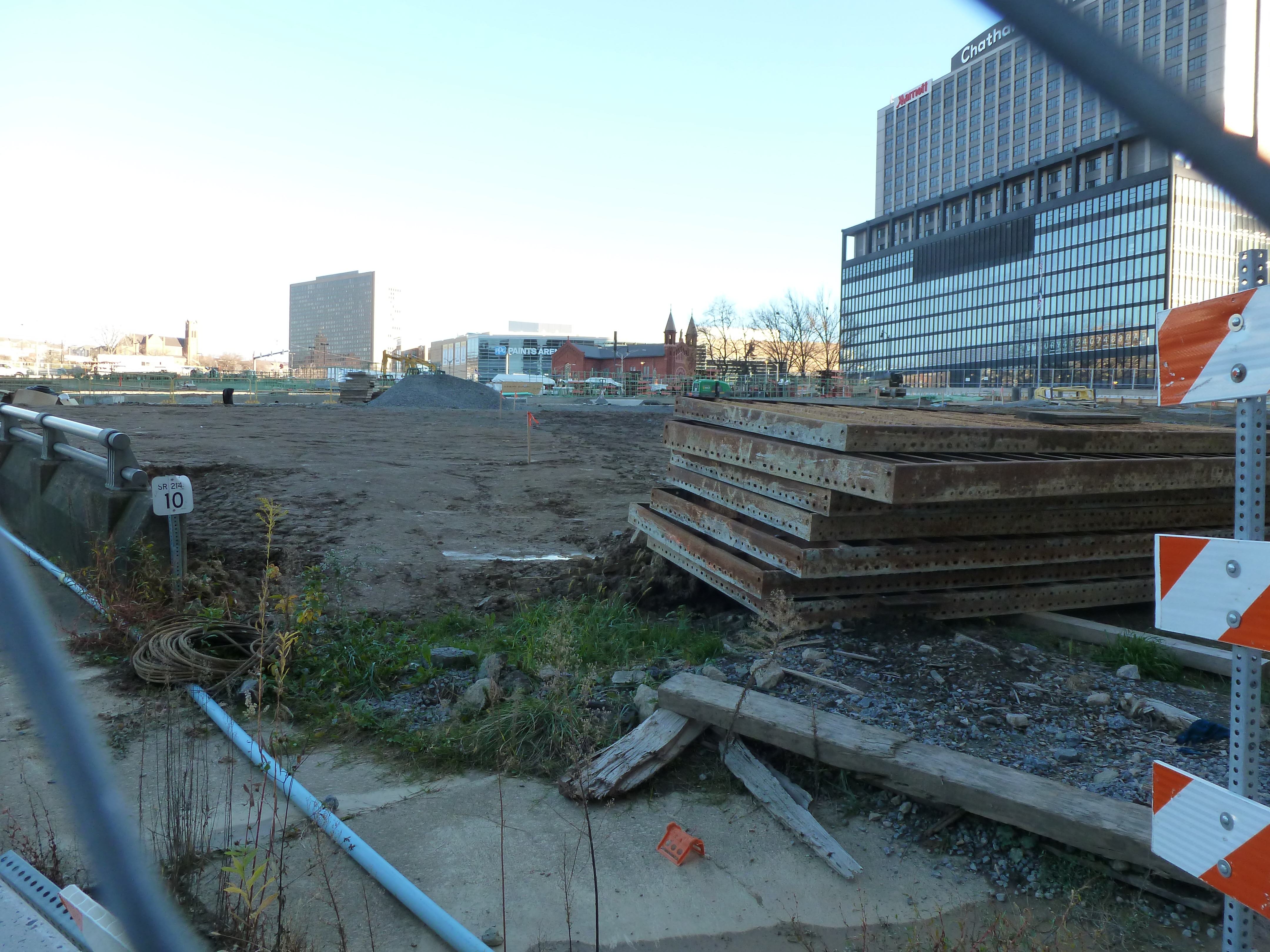
After all the ceremonies and splash around the new bridge, I was surprised to receive a press release three years later announcing that the bridge would be closed for a month to undergo repaving and other repairs. On the one hand, it was nice to see that a bridge was undergoing maintenance instead of being left to fall to pieces before being replaced, but three years seemed early to need this kind of maintenance. According to the Post-Gazette, the repairs were for issues identified in the final inspection before the 2017 reopening. These issues threatened to significantly shorten the projected 50-year life span if unaddressed. Now that those issues have been resolved, I assume it will be at least 50 years before the next press release about repair or renovation for this bridge.
As if there weren’t already enough crises, London’s bridges were “falling down” in 2020. Three were closed for vital repairs. Hammersmith Bridge remains suspended in limbo while the other two, London Bridge and Vauxhall Bridge, reopened after months of work. Yet, none are totally in the clear. London Bridge’s reopening included significant daytime traffic restrictions. Traffic restrictions may be implemented for Vauxhall Bridge, if money cannot be found for more repairs. Financial straits threaten Hammersmith Bridge as well. It was first closed to vehicular traffic in April 2019 and closed to all traffic, pedestrian and bicycles over and boat traffic under, in August 2020 due to widened cracks feared to portend imminent collapse. The estimate to repair this bridge is £140 million and nearly seven years of work.
London Bridge is falling down,
Falling down, falling down,
London Bridge is falling down,
My fair Lady.
In my experiences walking bridges, it seems common to wait until a bridge is almost falling down to invest in it. It appears politically unappealing to direct funds to maintaining bridges, so we live in a world with a dire refrain of our collapsing infrastructure.
Build it up with bricks and mortar,
Bricks and mortar, bricks and mortar,
Build it up with bricks and mortar,
My fair Lady.
Bricks and mortar will not stay,
Will not stay, will not stay,
Bricks and mortar will not stay,
My fair Lady.
In Pittsburgh, bridges are often left to run the course of their lives without regular maintenance, then are replaced with a new bridge. The resulting demolition ceremonies and ribbon cuttings make splashy political news stories. The river bridges are an exception. Probably because of their character and contribution to the city’s photogenetic downtown, they are occasionally partially or completely closed for maintenance.
Build it up with iron and steel,
Iron and steel, iron and steel,
Build it up with iron and steel,
My fair Lady.
Iron and steel will bend and bow,
Bend and bow, bend and bow,
Iron and steel will bend and bow,
My fair Lady.
London’s river bridges have more history and, sometimes, more character than Pittsburgh’s bridges. Hammersmith Bridge is one of the city’s unique and historical bridges. The steep price tag to repair this bridge, perhaps the result of mounting deferred maintenance, begs the question of at what point in the decades of non-investment is the threshold crossed beyond which repair is no longer an option.
Build it up with silver and gold,
Silver and gold, silver and gold,
Build it up with silver and gold,
My fair Lady.
Silver and gold will be stolen away,
Stolen away, stolen away,
Silver and gold will be stolen away,
My fair Lady.
The decades of neglect in Pittsburgh and London overlooks bridges’ frequent role as practical infrastructure built to assist in crossing an obstacle. Even temporary closings can cause extreme headaches and delays to those who rely on the bridge. Hammersmith Bridge was left to deteriorate so long, it had to be closed before a plan was in place. As funds and a repair approach are sought, the residents and businesses of Hammersmith continue to be seriously inconvenienced by not being able to cross the river close to home.
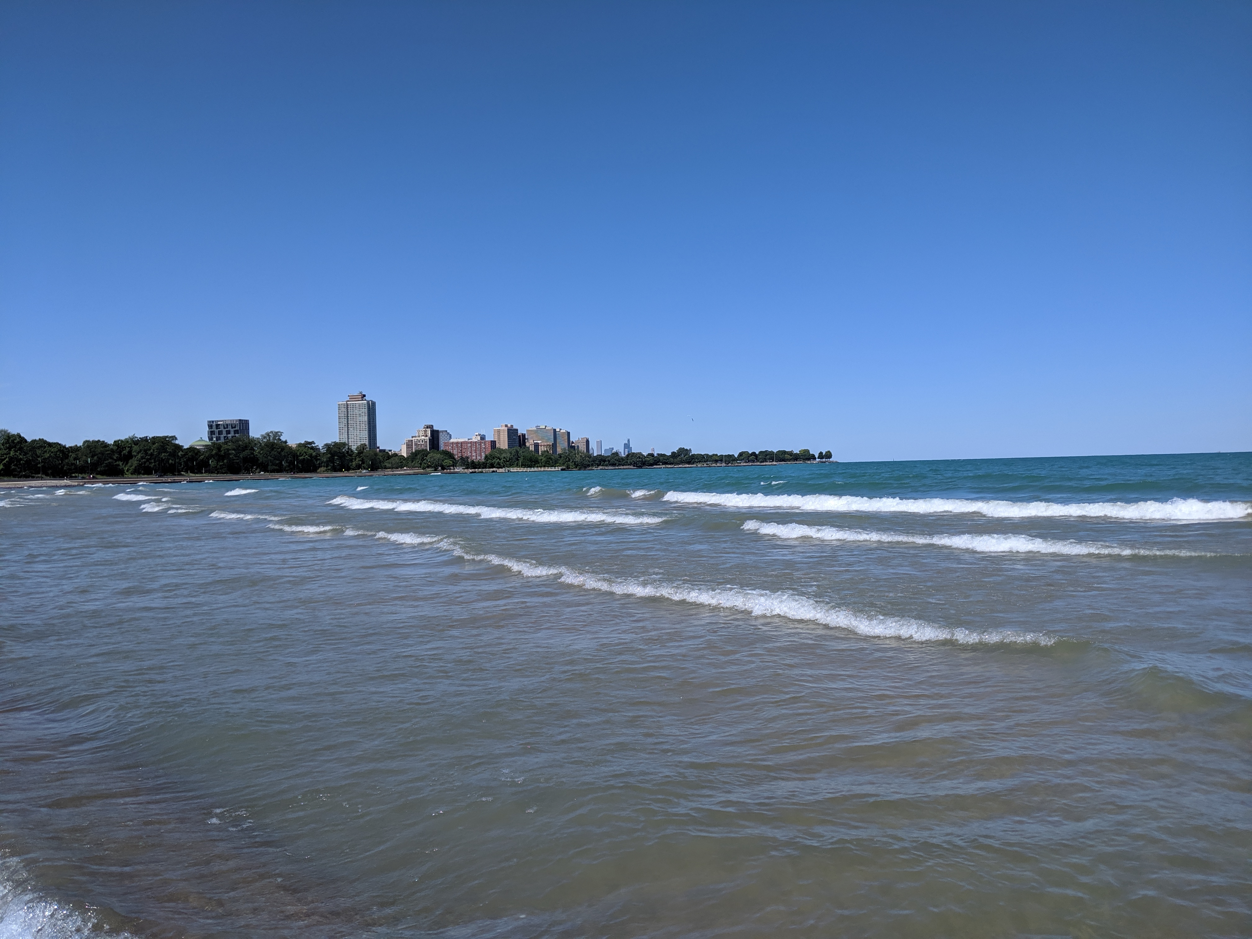
After my disappointment in trying to reach the lakefront at Grant Park, I had given up on reaching the shore on that trip. The weather had been perfect (being August instead of April), but it seemed I was fated to not wade in the lake.
However, after exploring the former site of the 1893 Chicago World’s Fair in Jackson Park, I was making my way to a bus stop to return to my hotel and found myself on a path to the 63rd Street Beach. Lake Shore Drive still continued along the lake’s shore, but it was not an obstacle here as it bridged over the pedestrian trail.
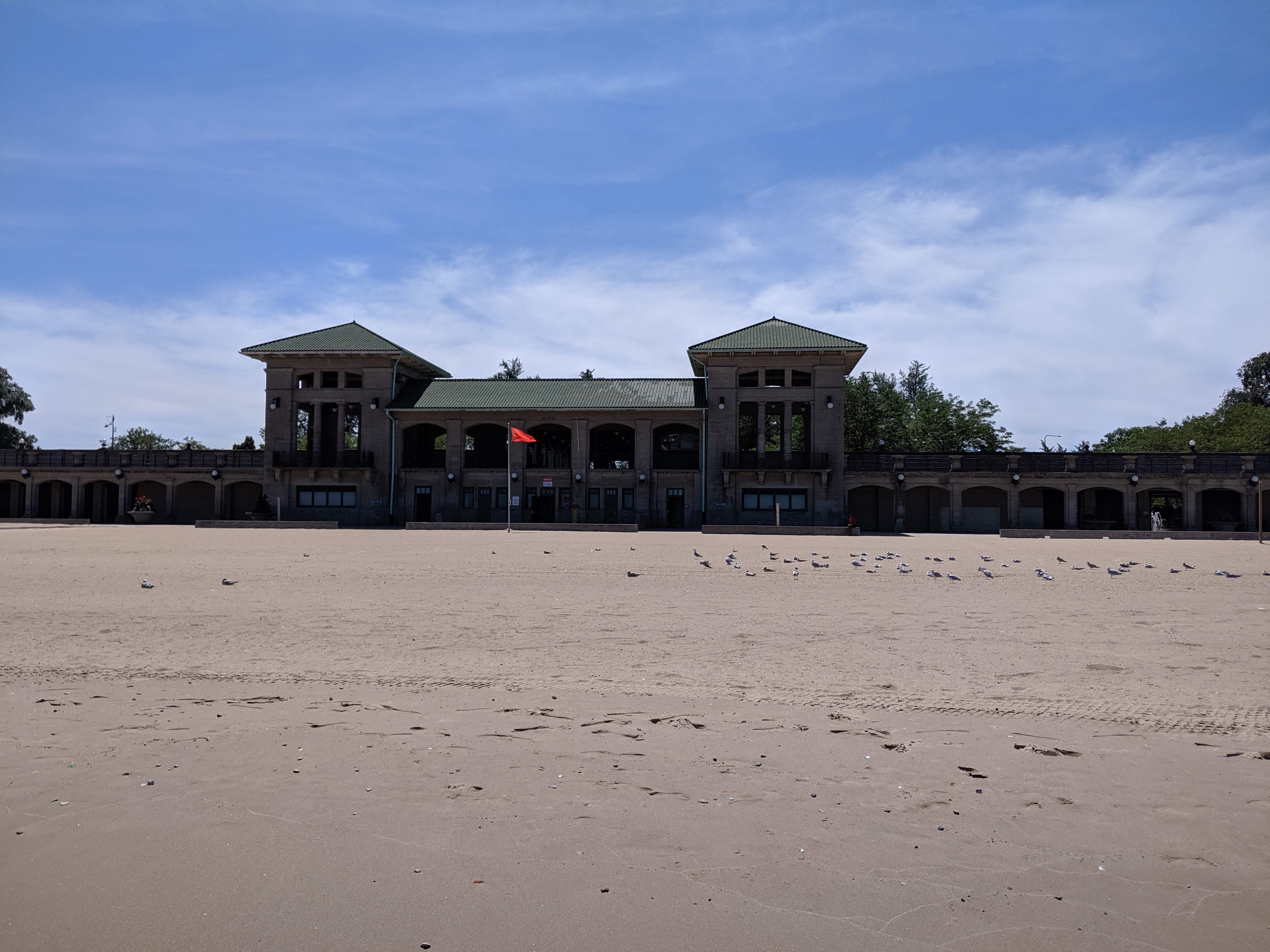
While mounting frustration had turned me back from the lake in Grant Park, the ease of following Jackson Park’s meandering trail turned me away from my original goal to add a stop at the lake beach. The beach house suggested days of better maintenance and greater usage, but the beach and adjoining greenspace appeared to be a pleasant amenity for local traffic.* While tourists may have found their way there in 1893, I seemed to be the only one when I visited.
*My tendency to take photos of things rather than people presented a missed opportunity when picking photos for this post. There were several small groups of people on the beach and more carloads of people enjoying picnics on the other side of the beach house. Yet, none of the photos I took that day included any of these people.
My experiment of living without home internet in 2014 interfered with posting the images of Heth’s Run Bridge I took that fall as it reopened with an actual gap underneath:
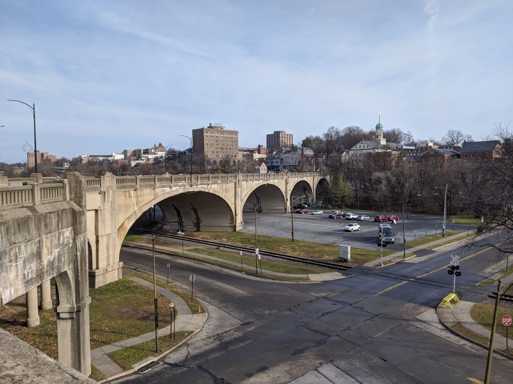
I was in the midst of trying to understand what is a viaduct when I traveled to Bethlehem, PA, with my family. One of our activities was to explore the bridges (see also Cage-free Bridges). As we walked the Hill-to-Hill Bridge, my initial reaction was “now here is a viaduct.” I hadn’t reached the point of developing a semi-clear definition for viaduct but looking at the flat roadbed supported by multiple arches over the floodplain, viaduct seemed the most appropriate word for the structure.
As we kept walking, it turned out that the viaduct was only a portion of the Hill-to-Hill Bridge. In fact, it would be more appropriately called the Hill-to-Hill-to-Hill-to-Hill Bridge. There are two approaches to the main span on the south end and three on the north end, including the viaduct and one approach permanently closed to through traffic. When the bridge was built in 1924, there were a total of seven approaches at various points along the main span. With so many components, this structure brings me back to the question of how many is one bridge?
Unlike when I asked this question of the 30th and 31st Street bridges in Pittsburgh, here the main bridge, the intersecting viaduct, and the numerous connections seem to be considered one bridge. They are together called the Hill-to-Hill Bridge while the structure in Pittsburgh has three distinct names (including River Avenue Ramp). Perhaps the deciding factor in whether it is one or more bridges is the original intent. The Hill-to-Hill Bridge was designed as a multifaceted structure whereas the 30th and 31st Street bridges were developed independently.
The best indication of the original intent seems to be the name. The Hill-to-Hill Bridge has a single name whereas the 30th and 31st Street bridges have separate names. The other examples I looked at in 2012 were the Veterans Bridge (Pittsburgh), the Fort Duquesne Bridge (Pittsburgh), and what I called the Jubilee Bridge (London).
The Veterans Bridge joins three approaches into one bridge, all under a single name. Therefore, it is one bridge, not three.
The pedestrian walkway of the Fort Duquesne Bridge was built decades after the vehicular portion but does not have a separate name. Therefore, it is one bridge, not two.
What I called the Jubilee Bridge (despite the photo I took at the time of the dedication plaque stating otherwise) is actually called the Golden Jubilee Bridges. While these bridges share the support structure of the underground’s Hungerford Bridge due to concerns about unexploded WWII bombs in the area, they have separate names. Therefore, it is three bridges, not one nor two.
The summer I spent walking Pittsburgh bridges, I complained about the cages on the Millvale Avenue Bridge, the Highland Park Bridge, and the Graham Street pedestrian bridge. The narrow sidewalk and chain link fences on the first two examples and the chain link cage on the third example made me feel yucky and claustrophobic. Thanks to one of my blog followers, I recently learned that people tend to throw things onto moving objects, which is why bridges like the Millvale bridge have higher fencing along portions over roads and railroads. I still wished there was a cage-free option to meet the same goals of the bridge builders.
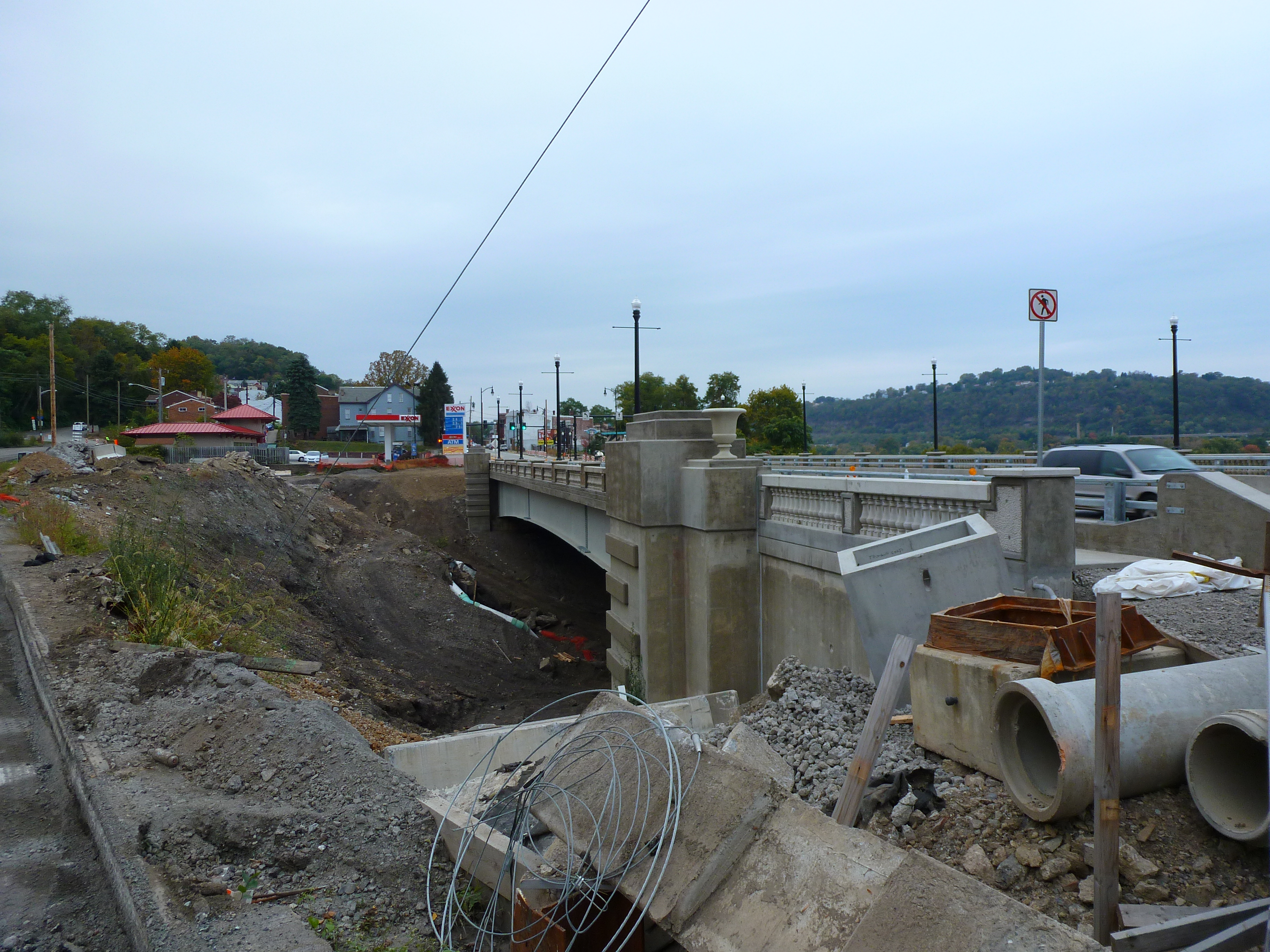
In Bethlehem, PA, I found just such an option on the Fahy Bridge. It is a fairly plain concrete bridge saved from the ugliness and gloom of many concrete bridges by using a functional, yet decorative, railing instead of the more common functional, yet ugly, chain link fence. This railing was installed during the 2016-18 renovation of the Fahy Bridge. Recent bridge renovations and replacements in Pittsburgh also feature more decorative railings. While the first of these new bridges in Pittsburgh tried to dress-up a chain link fence cage, the later ones are successful cage-free bridges even when they incorporate chain link fencing.* These examples give me hope that the days of caged bridges may be a thing of the past.
*Note: I have a to-do item to go back and photograph these new bridges for future posts, but no set timeline for the completion of this task.
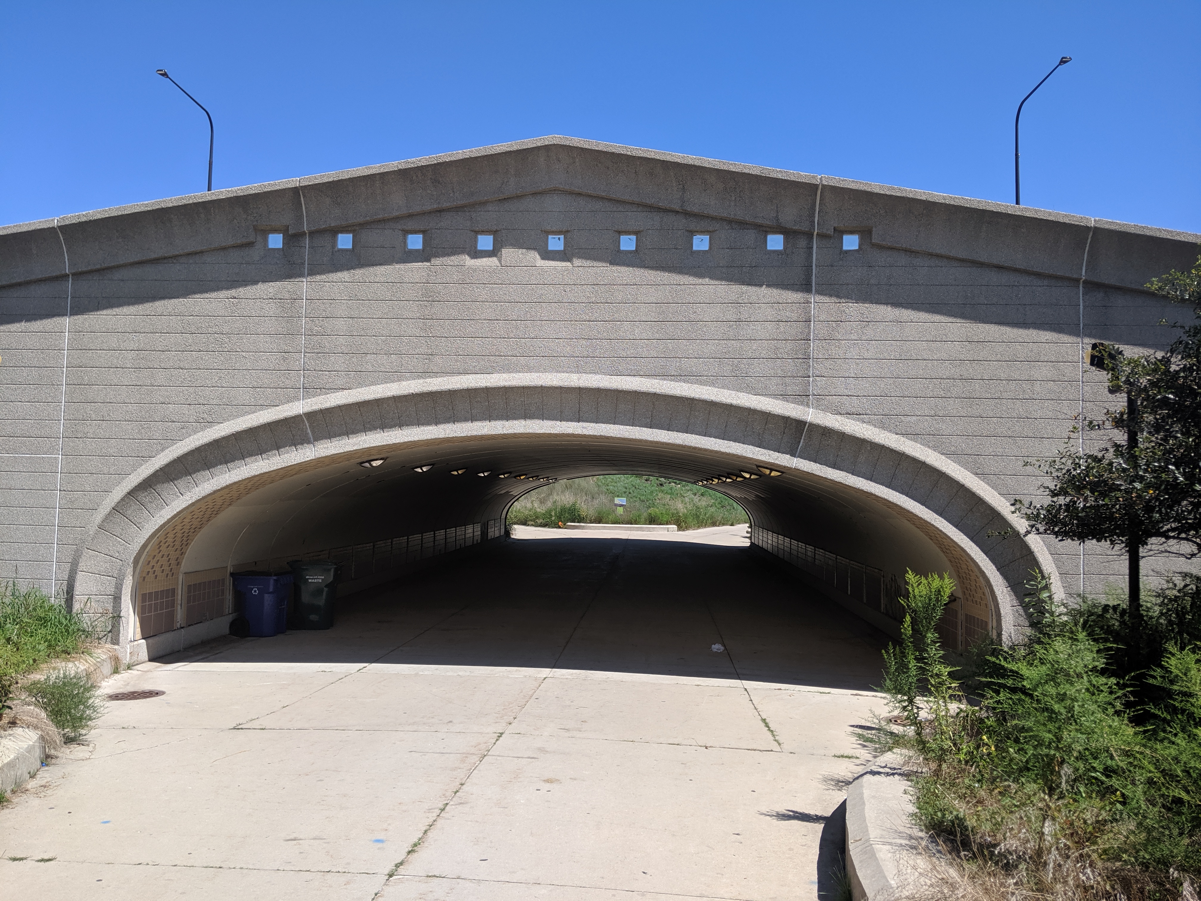
While poking around the map collection at Chicago’s Public Library, I discovered that the structures carrying roads over the railroad tracks in Grant Park are considered viaducts. The word viaduct brings to my mind a Roman structure soaring over a valley floor and conveying a flat road on top of towering stone arches. The Chicago “viaducts” do not fit that image. To me, they look like bridges with no striking difference between them and Chicago’s river bridges other than color and style of ornamentation. Both groups of structures have fairly flat roadbeds supported by piers. I am puzzled why one set of structures is called bridges and the other viaducts.
The main difference seems to be that the bridges are crossing a body of water while the viaducts are crossing an obstacle on land. This doesn’t feel like the answer, though. I’ve walked over 50 bridges in Pittsburgh, the majority of which are over land. Not one of these structures is called a viaduct. To help find clues to solve this puzzle, I looked up the definitions of bridge and viaduct.
Merriam-Webster’s definitions are not much help:
Viaduct: a long elevated roadway usually consisting of a series of short spans supported by arches, piers, or columns
Bridge: a structure carrying a pathway or roadway over a depression or obstacle
The Oxford English Dictionary has similar definitions:
Viaduct: an elevated structure consisting of a series of arches or spans, by means of which a railroad or road is carried over a valley, road, river, or marshy low-lying ground
Bridge: a structure forming or carrying a road, path, or (in later use) a railroad, etc., which spans a body of water, a roadway, a valley, or some other obstacle or gap, and allows a person or vehicle to pass unimpeded over or across it
Based on these definitions, the features that seem to distinguish a viaduct from a bridge are elevation and short spans. This still doesn’t help solve the question of why the Grant Park structures are viaducts and the Chicago River structures are bridges.
Next, I turned to “How to Read Bridges” by Edward Denison and Ian Stewart. The glossary defines viaduct as “a type of bridge over land formed by a series of small (usually arched) spans.” This definition seems to work best for the viaducts in Chicago. They are over land and have a series of spans, though the spans are not arched.
To further develop my understanding, I paged through the nine examples of viaducts in “How to Read Bridges.” All nine examples are elevated (such as the 330-foot high Goltzsch Viaduct and the 407-foot high Garabit Viaduct) and have multiple arches or piers (such as the 21-arch Glenfinnan Viaduct, the 8-arch Wharncliffe Viaduct, and the 5-pier Busseau Sur Grusse Viaduct). All, but one, have no support system above the road deck. The exception is the Millau Viaduct, which uses a cable-stayed deck on top of seven piers that range from 253 feet to 800 feet tall. All, but one, are over land. The Garabit Viaduct spans the Truyère Valley and one-third of its length crosses the Truyère River. In another example, the approaches to the Cubzac-les-Ponts over the River Dordogne are considered viaducts, but it is a bridge that crosses the river.
I find myself again at a loss. While the definition in this book seems to work for the Chicago viaducts, the examples do not look like the Chicago structures. To help the Chicago viaducts fit in, I propose a new definition built from the three definitions and nine examples above:
Viaduct: an elevated roadway, supported by many arches or piers over land.
Yet, there are exceptions to every rule. The nine examples in “How to Read Bridges” include exceptions to the support system of the viaduct and to the obstacle spanned by a viaduct. Expanding upon this, the Chicago viaducts, which are supported by multiple piers over land, become the exception to the elevated part of the rule or definition.
My biggest take away is that it is no easier to define a viaduct than it is to define a bridge. In most cases, as with bridges, a viaduct is something you know when you see it, even if you cannot define it. However, sometimes it takes a label or a sign, such as the maps of Chicago’s viaducts and, prior to its restoration, the maps of Heth’s Run Bridge, to know what you are seeing.