Keeping an Eye on the Lower Hill: Dec. 2020

Lower Hill in the News:

URA board votes in favor of FNB Tower (Pittsburgh Business Times, May 21, 2020)

FNB tower will be among first post-pandemic buildings (Pittsburgh Business Times, May 22, 2020)

The Penguins and FNB Corp provide funds for tech center in the Hill District (Pittsburgh Business Times, August 27, 2020)

FNB and Penguins establish partnership (Pittsburgh Business Times, September 10, 2020)

Funding secured for FNB tower in Lower Hill (Pittsburgh Business Times, October 8, 2020)

Penguins miss deadline; URA considering next moves (Pittsburgh Business Times, November 12, 2020)

Lower Hill commercial redeveloper, Mayor Peduto, and Councilman Lavelle announce partnership (Mayor’s Press Release, November 19, 2020)

New Lower Hill partnership could move project forward (Public Source, November 19, 2020)

Lower Hill redeveloper establishes downtown office and announces local firms and personnel added to team (Pittsburgh Business Times, November 19, 2020)

Previous posts in series:

Keeping an Eye on the Lower Hill: Jun. 2020

Keeping an Eye on the Lower Hill: Jan. 2020

Keeping an Eye on Uptown: Introduction

Keeping an Eye on the CAP: Dec. 2020


The CAP in the News:

Project on schedule despite pandemic (Tribune Review, July 29, 2020)

Project continues on schedule (WESA, October 5, 2020)


Previous Posts in the Series:

Keeping an Eye on the CAP: Jun. 2020

Keeping an Eye on the CAP: Dec. 2019

Keeping an Eye on Uptown: Introduction

Arena Developments

Allentown, PA, had been on my travel list for years because of the awards and acknowledgements it was receiving from the planning community (and because I grew up near there). When I finally visited, the only thing that engaged my interest was the Liberty Bell Museum. There was a stark contrast between the cohesion and vibrancy of Bethlehem’s main street, where I stayed, and the hodge-podge of Allentown’s main street. The proportions in Allentown felt all wrong. In the core, the roads and sidewalks felt too narrow for the density and height of the buildings. At odd moments, this claustrophobic spacing suddenly opened out into large vacant plazas with buildings placed far from the road. After the pleasant surprise of Bethlehem’s tree-lined, historic business district with wide sidewalks for promenading and window shopping (and now social distancing), Allentown was a disappointment.

However, since being home, I find I have a growing appreciation for one of Allentown’s newer developments. The PPL Center gave me a sterile vibe at the time. I only glanced at the façade as I investigated the map out front with recommended lunchbreak walks and the historic building next door. From the outside, the partial attention I gave the center suggested a shopping or office complex. It wasn’t until I accidentally entered the lobby and saw the stadium seating beyond the ticket booth that I realized it was an arena. Perhaps due to my distraction at the time, it was only in the comfort of my home that I registered my shock over finding an arena that managed the rare feat of fitting into its surroundings.

Pittsburgh’s arenas have done the opposite. For decades, there was the Civic Arena that looked like a spaceship plopped down in the middle of a city spewing parking lots out from the landing center. A flagship of Pittsburgh’s Urban Renewal, it has since been demolished with the plan to rebuild the urban fabric on the site to reconnect the Hill District to downtown. The replacement arena made some attempts to fit in more with its neighborhood. It is built up to the sidewalk or, rather, the sidewalk is built up to it creating a large sea of concrete out of proportion with the sidewalks opposite. The principal street façade includes one restaurant open to anyone inside or outside the arena during normal restaurant hours, though I don’t recall ever seeing anyone eating at their sidewalk café (even before quarantine and social distancing). Instead, the restaurant feels like a weird mistake pasted onto the building’s towering blank wall.

In contrast, the street facing restaurants in Allentown’s arena are part of the reason I mistakenly identified the structure as a retail and office building. They felt like places with lives of their own, independent of special events. The plaza in front of the arena is proportional to the plaza on the adjacent corner. The building is built up to the sidewalks with the same building height and sidewalk width as the surrounding urban fabric. As a result, this arena blends into its neighborhood, such as it is.

Keeping an Eye on the Lower Hill: Jun. 2020

Lower Hill in the News:

Mayor’s Press Release (May 5, 2020)

Penguins Stop Development (Public Source, May 14, 2020)

Penguins Pull Out (Trib, May 14, 2020)

Penguins Back Out (WPXI, May 15, 2020)

Penguins Cease Redevelopment (Patch, May 15, 2020)

Penguins Halt Lower Hill Development (WESA, May 18, 2020)

Mayor’s Press Release (May 20, 2020)

Mayor Urges URA to Approve Development (Trib, May 20, 2020)

URA Explanation of Community Benefits

URA Board Votes to Move Lower Hill Development Forward (May 21, 2020)

URA Board Approves Development Project (WPXI, May 21, 2020)

Never Mind, Penguins Back In (WTAE, May 21, 2020)

President Trump Tweets about BRT Grant Award (May 29, 2020)


Previous posts in series:

Keeping an Eye on the Lower Hill: Jan. 2020

Keeping an Eye on Uptown: Introduction

Keeping an Eye on the CAP: Jun. 2020


Previous posts in series:

Keeping an Eye on the CAP: Dec. 2019

Keeping an Eye on Uptown: Introduction

Keeping an Eye on the Lower Hill: Jan. 2020


Lower Hill Redevelopment in the news:

October 8, 2019, Post-Gazette: Lacing the skates: Former Civic Arena redevelopment may be ready to roll

October 9, 2019, Post-Gazette: First wave of ex-Civic Arena site redevelopment would add garage, music and maybe money for Hill projects

October 10, 2019, KDKA: Urban Redevelopment Authority To Vote On Civic Arena Site Plans

October 10, 2019, Tribune-Review: Pittsburgh redevelopment authority postpones vote on construction at Civic Arena site

October 18, 2019, Tribune-Review: Pittsburgh authority gives preliminary OK for development of former Civic Arena site

October 18, 2019, WESA: URA Vote Sets the Stage for Lower Hill Development in Spring 2020

October 18, 2019, WPXI: City board green lights former Civic Arena site redevelopment

October 21, 2019, Arena Digest: Civic Arena Redevelopment Plan Moves Forward


Lower Hill Redevelopment project sites:

Lower Hill Redevelopment

Sports and Exhibition Authority

Urban Redevelopment Authority


Keeping an Eye on Uptown: Introduction

Inspired by my post from this summer, I decided to start a photographic series of Pittsburgh’s Uptown neighborhood. This neighborhood is a hodgepodge of abandoned and renovated townhomes, parking lots, car-oriented businesses, corner stores, industrial uses, and new construction residential buildings. It is predicted to be on a tipping point from being mostly ignored to experiencing intense growth fueled by activities in and around the neighborhood. These activities include:

  • UPMC Mercy hospital is currently building a 410,000 sq ft vision and rehabilitation center in the middle of Uptown.
  • The Penguins hockey team is supposed to be finally getting off the ground with their redevelopment of the Lower Hill neighborhood, which is adjacent to Uptown.
  • June 2019 saw the groundbreaking for the CAP project to reconnect the Lower Hill to Downtown over the freeway that bisected the two in the 1960s.
  • The Bus Rapid Transit system currently in the planning stage will one day connect Downtown and Oakland through Uptown.

As these projects move forward, there will likely be more investment and changes to Uptown. This photographic series is intended to capture these changes by revisiting the same sites at regular intervals over the next several years.

In the coming months, I intend to release two related series to record the progress of the CAP and the Lower Hill redevelopment.

Three Sisters: 9th Street Bridge

I decided to address each of the Three Sisters separately after all and for some reason to do it out of order (which is quite unusual for me as I am generally very methodical).  The 9th Street Bridge is also called the Rachel Carson Bridge.  Rachel Carson was an environmentalist who grew up near Pittsburgh and attended college at the forerunner of Chatham University (one of Pittsburgh’s many universities).  The bridge was named in her honor on Earth Day in 2006.  Unlike the other Three Sisters Bridges, there is no specific reason why this bridge should have been named for Rachel Carson.  The 6th Street Bridge (see June 14th post) renamed for Roberto Clemente, a former Pirates player, connects to PNC Park, the current home of the Pittsburgh Pirates, while the 7th Street Bridge renamed for Andy Warhol connects to the Andy Warhol Museum (see June 22 post).  As far as I am aware, there is no similar connection between the location of the 9th Street Bridge and its namesake.

As far as my observations go, this bridge is the least used of the Three Sisters.  The south end of the bridge is near CAPA High School (for performing arts) and the Convention Center, but the north end does not connect to any buildings or sights that seem like they attract much traffic, while the north end of the other two connect to a museum and a ballpark.  In addition to the surroundings, the condition of the bridge suggested that it is not as well cared for (perhaps because there is less traffic) than the others.  There are two stone pillars at each end of each of the three bridges.  One of these on the Rachel Carson Bridge was almost completely covered in vines and weeds.  The side facing into the bridge holds the plaque identifying the bridge and was the only side not covered in growth.  On second thought, perhaps this is not due to a lack of maintenance but rather in recognition of the fact that Rachel Carson was an environmentalist.

The views up and downriver from the Rachel Carson Bridge encompass mostly the other bridges around it.  Upriver are a railroad bridge, the Veteran’s Bridge (see June 24 post), and the 16th Street Bridge (see July 13 and July 14 posts).  However, rising above these bridges is the Children’s Hospital in Lawrenceville, another iconic Pittsburgh building visible from multiple points around the city and displaying a color scheme as intriguing as any of the London bridges.

A Sidewalk to Nowhere

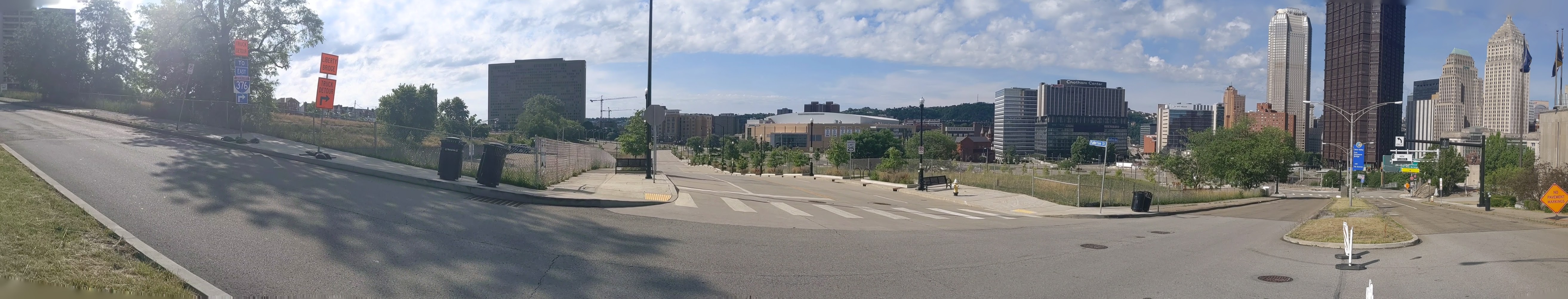
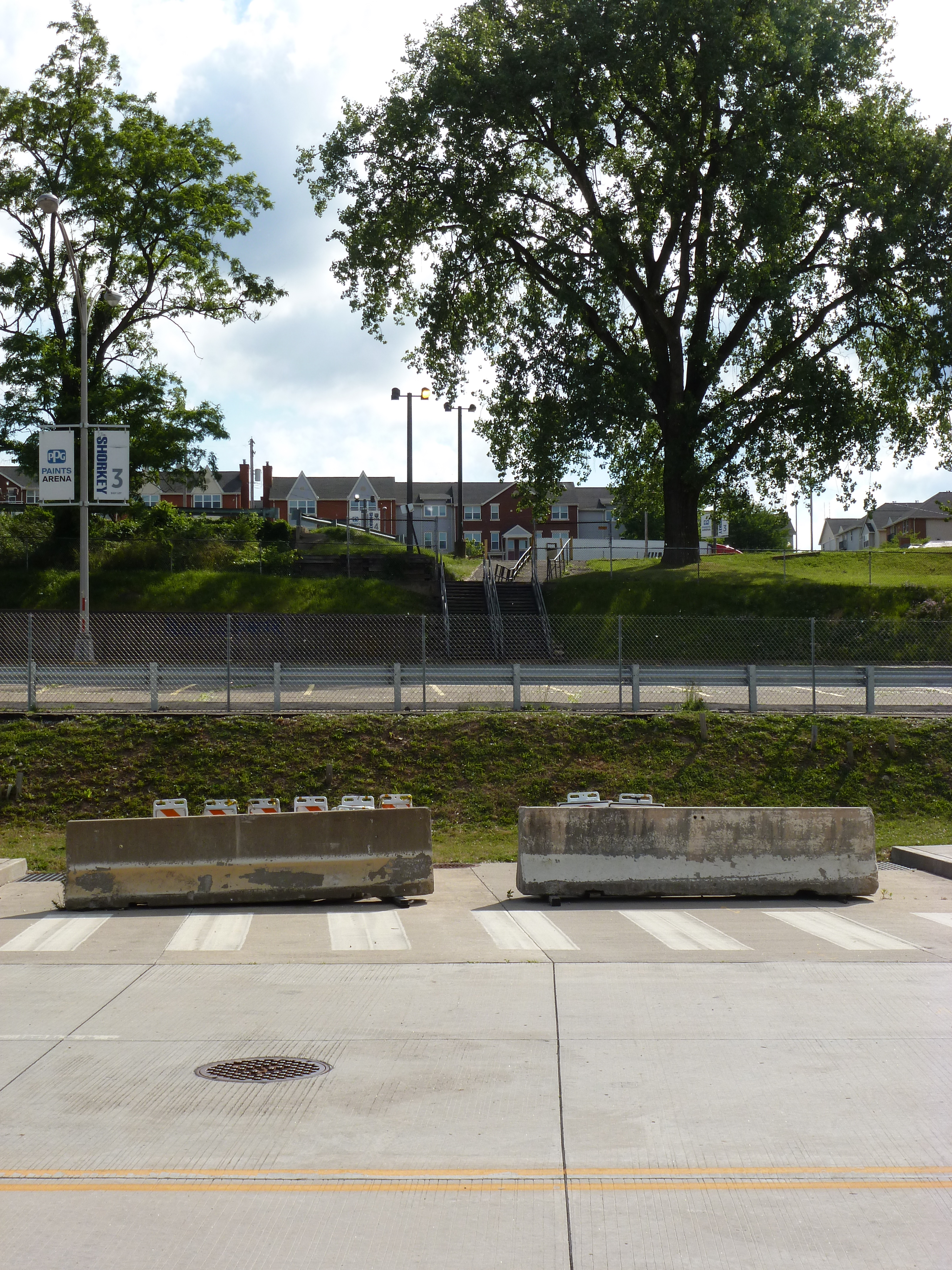
For those who may not want to walk the 6th Street Bridge (click to view June 14th’s post) to get from downtown Pittsburgh to a Steelers or Pitt football game, the Fort Duquesne Bridge provides a pleasant alternative.  As the picture above indicates, the sidewalk is not directly connected to the bridge for most of the way.  The walkway starts from a pleasant path through Point State Park (which means crossing the Bridge Under a Bridge, June 15th’s post) and ends on the North Side about halfway between PNC Park and Heinz Field.

I was surprised by how new and clean this bridge appeared.  Before crossing, I had my doubts as to whether there was a pedestrian path across the Allegheny at this point as Fort Duquesne Bridge carries one of the interstates and pedestrians and interstates do not usually go together.  At first I thought the newness of this pedestrian bridge accounted for the presence of the pedestrian access, but then I saw the sidewalk to nowhere on the Fort Duquesne Bridge itself.

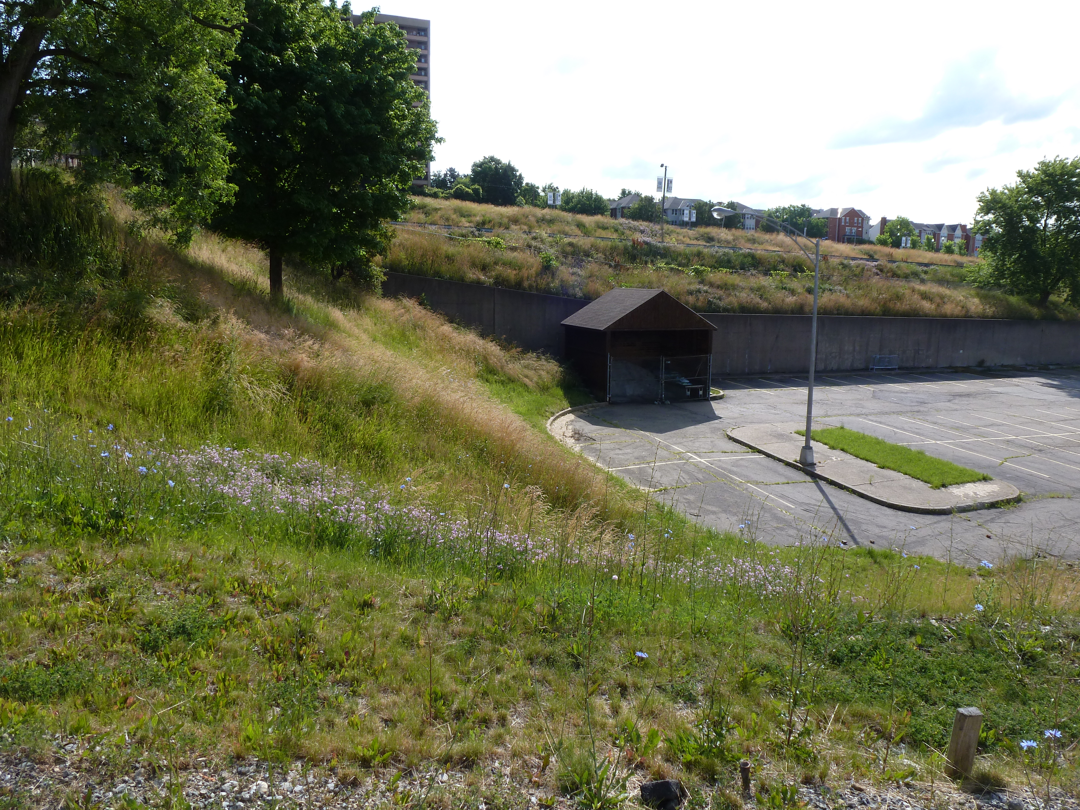
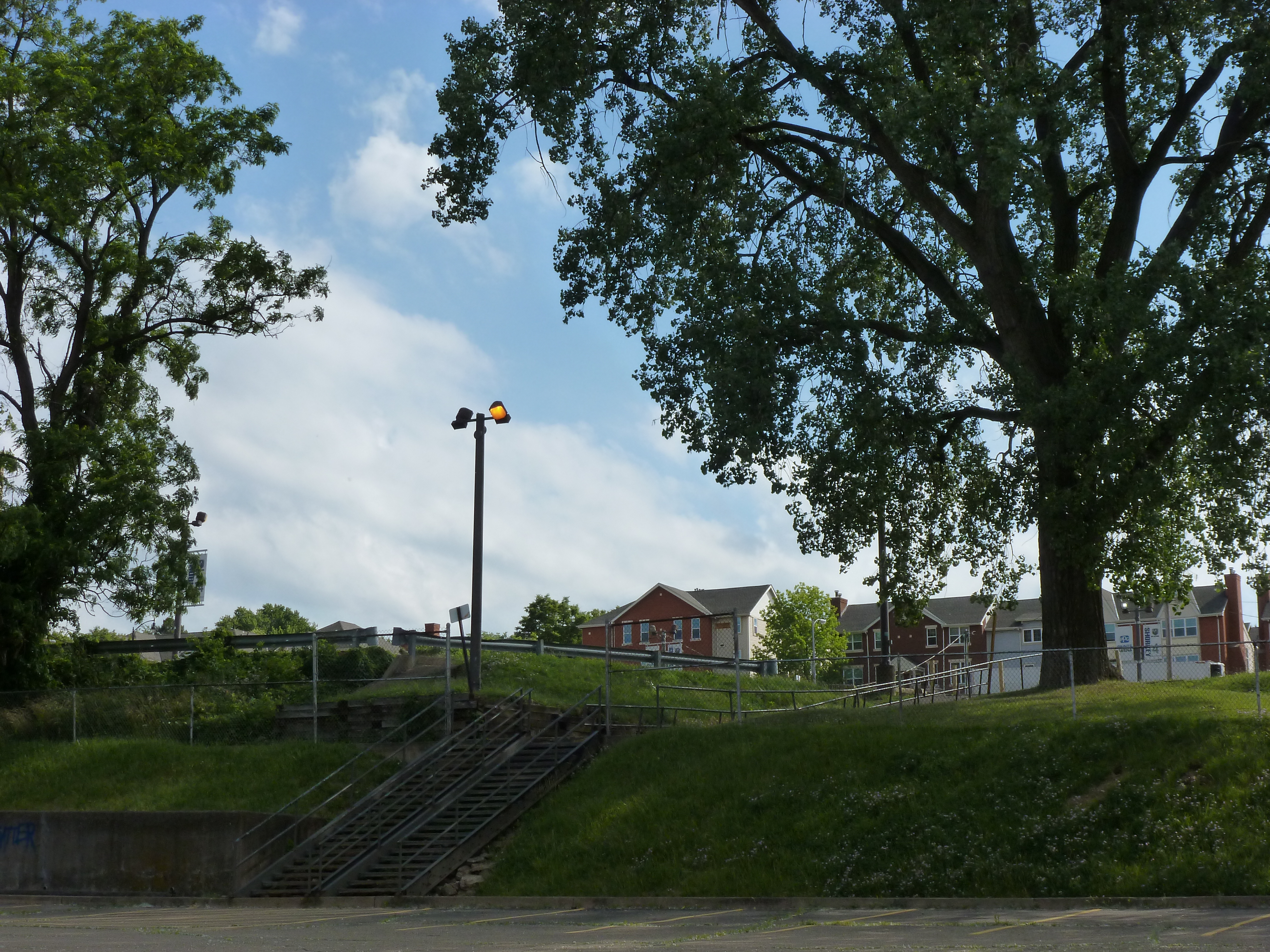
This suggested that at the time the bridge was built in the late 1950s and early 1960s, people were not quite as adverse to having pedestrians and interstates share infrastructure.  However, this is evidence of the violence of the feelings against such an arrangement today.  PGHbridges.com has a picture of this severely truncated sidewalk that includes a remnant of the staircase that used to lead to it.  I do not believe that the staircase remnant exists any longer.  When I saw the sidewalk to nowhere I looked around for some sign of where it used to go and did not find any, but I cannot remember if I looked down.  I have walked around the part of Point State Park near where the staircase would have been several times and never noticed any steps.  I will look carefully the next time I am there to make sure they have been completely removed.

While I have been referring to the Fort Duquesne Pedestrian Bridge as new, it is actually over 10 years old.  Though I have not been able to find an exact date for its construction and/or opening, it was in use before the demolition of Three Rivers Stadium in 2001.  (Here are two YouTube videos of the demolition: one and two.  I find it fascinating that the demolition was celebrated with fireworks.)  A website with directions between North Side, Point State Park, and the Duquesne Incline refers to the “new pedestrian bridge” that provides access to Three Rivers Stadium accompanied by a photo of the stadium taken before the start of the construction of Heinz Field in 1999.  This website has no dates, but based on this information the pedestrian bridge must be over 13 years old, which I suppose is still fairly new for a bridge, but it is older than I had imagined.

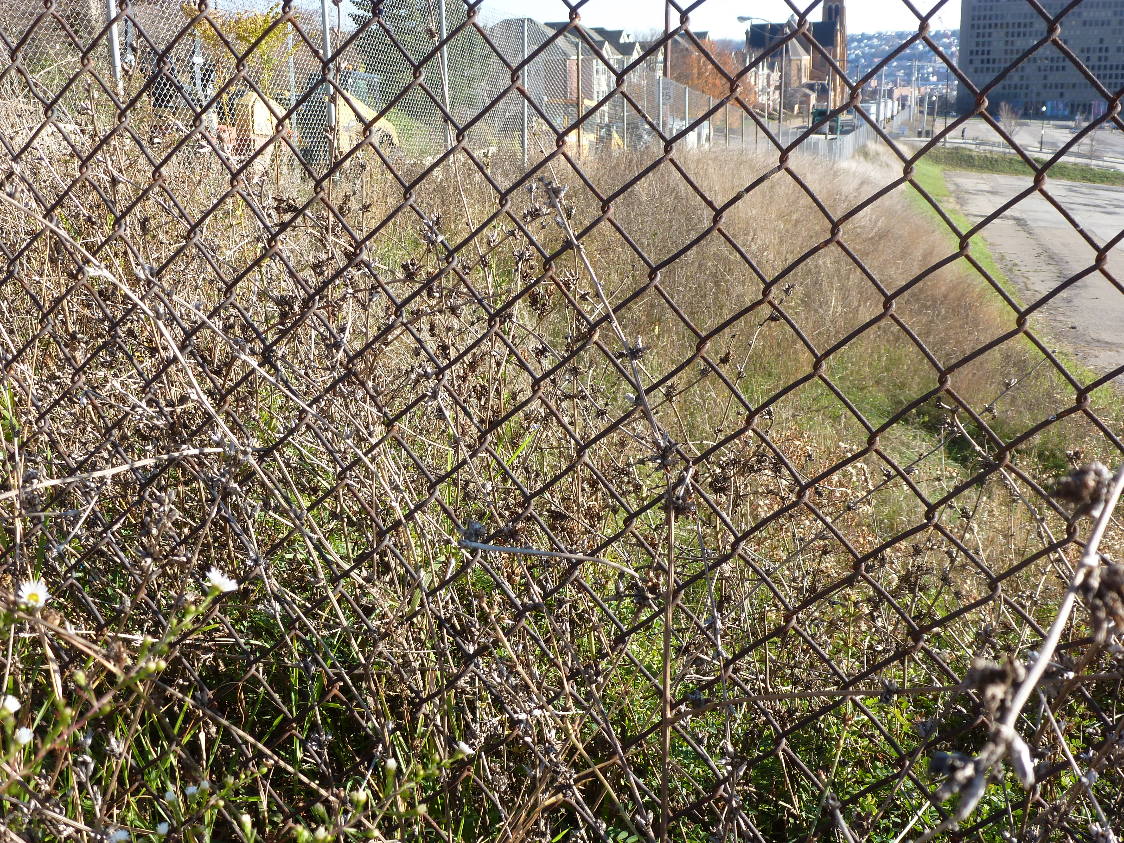
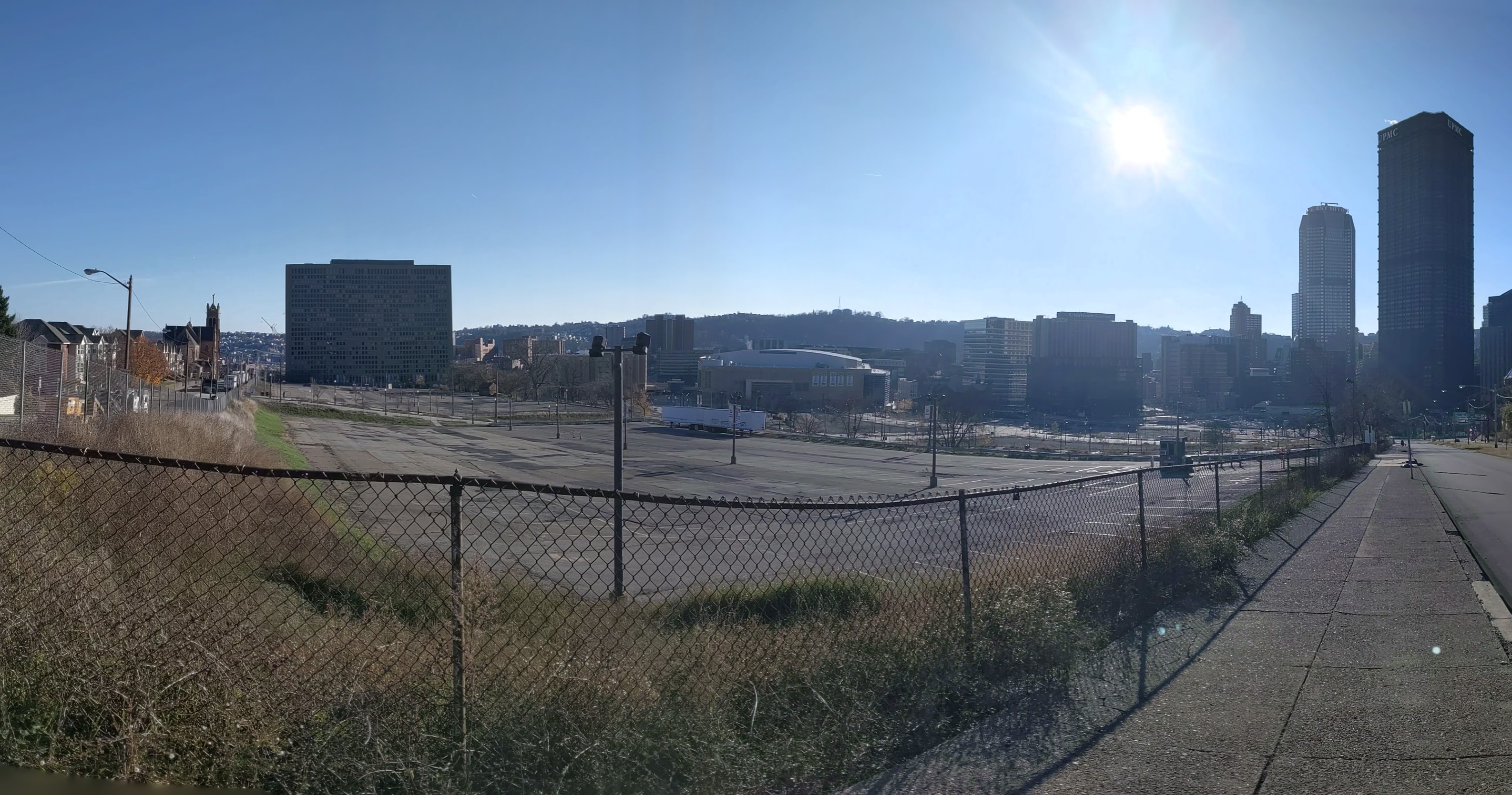
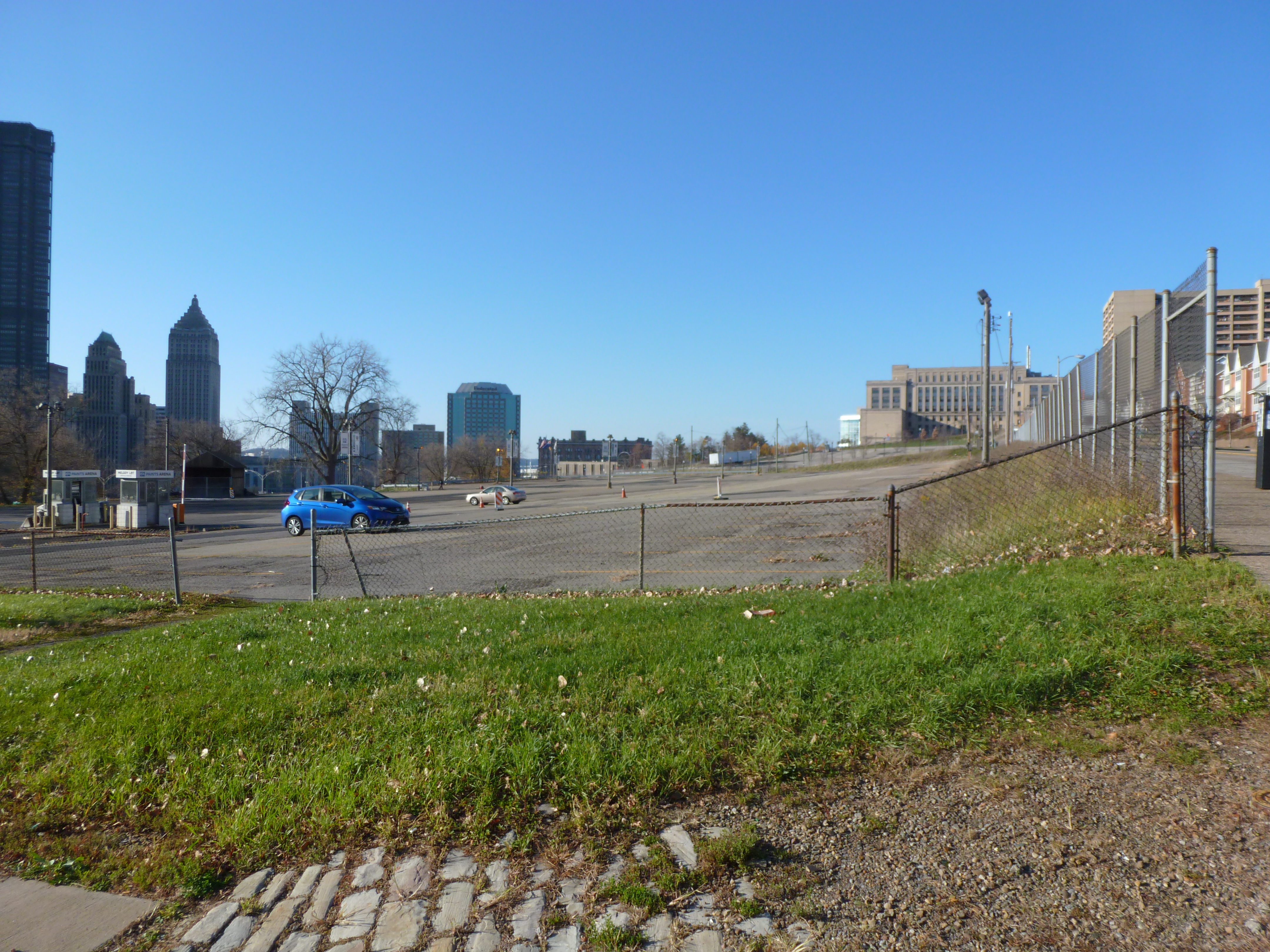
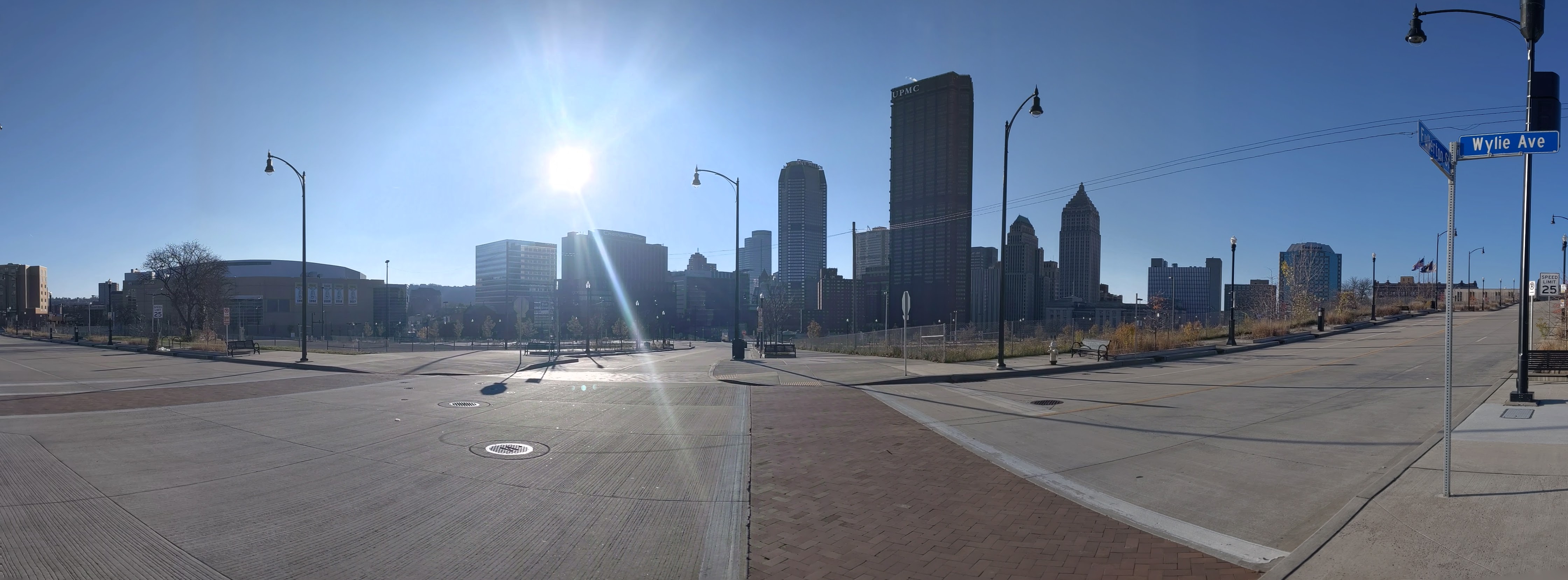
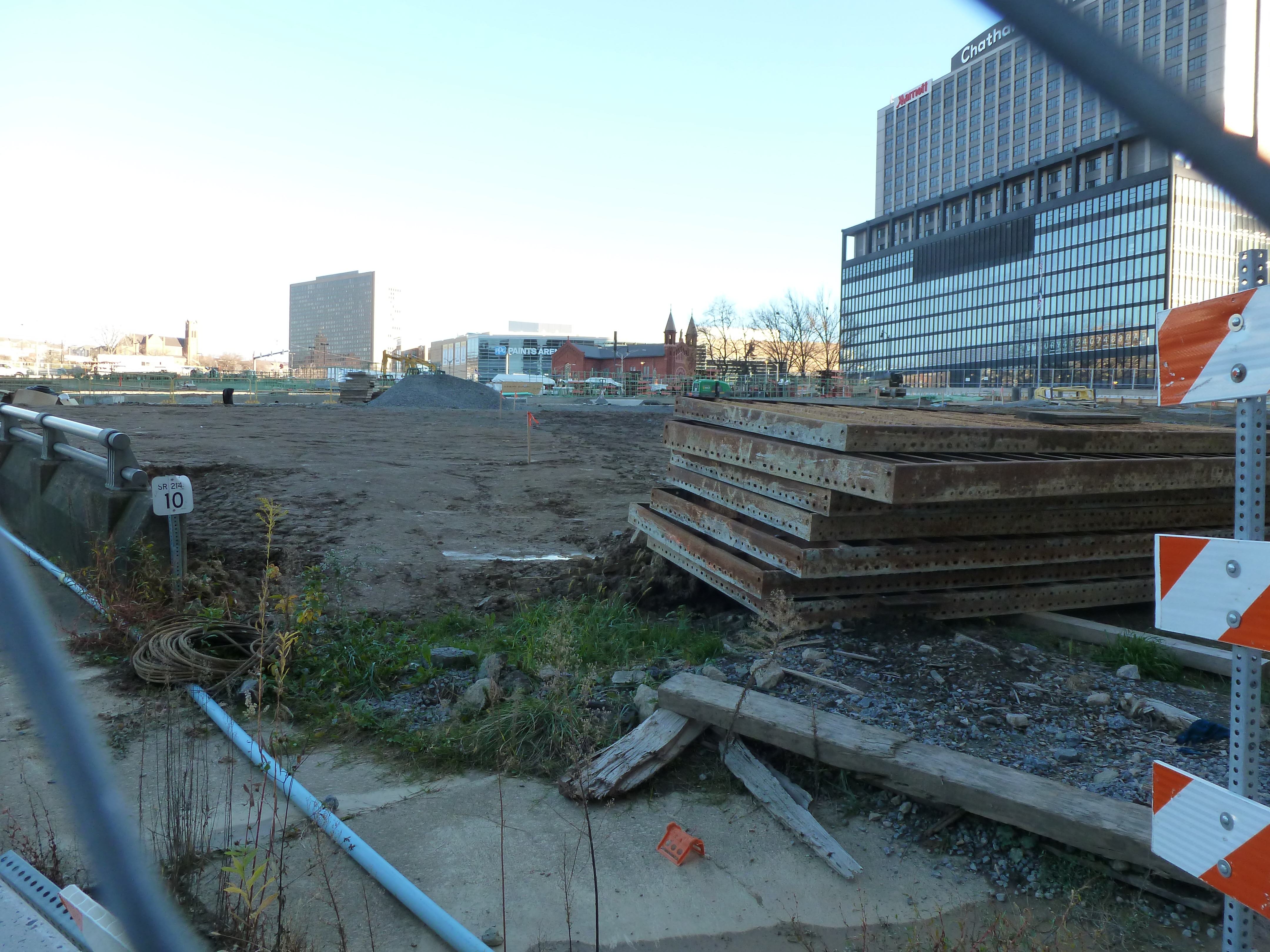
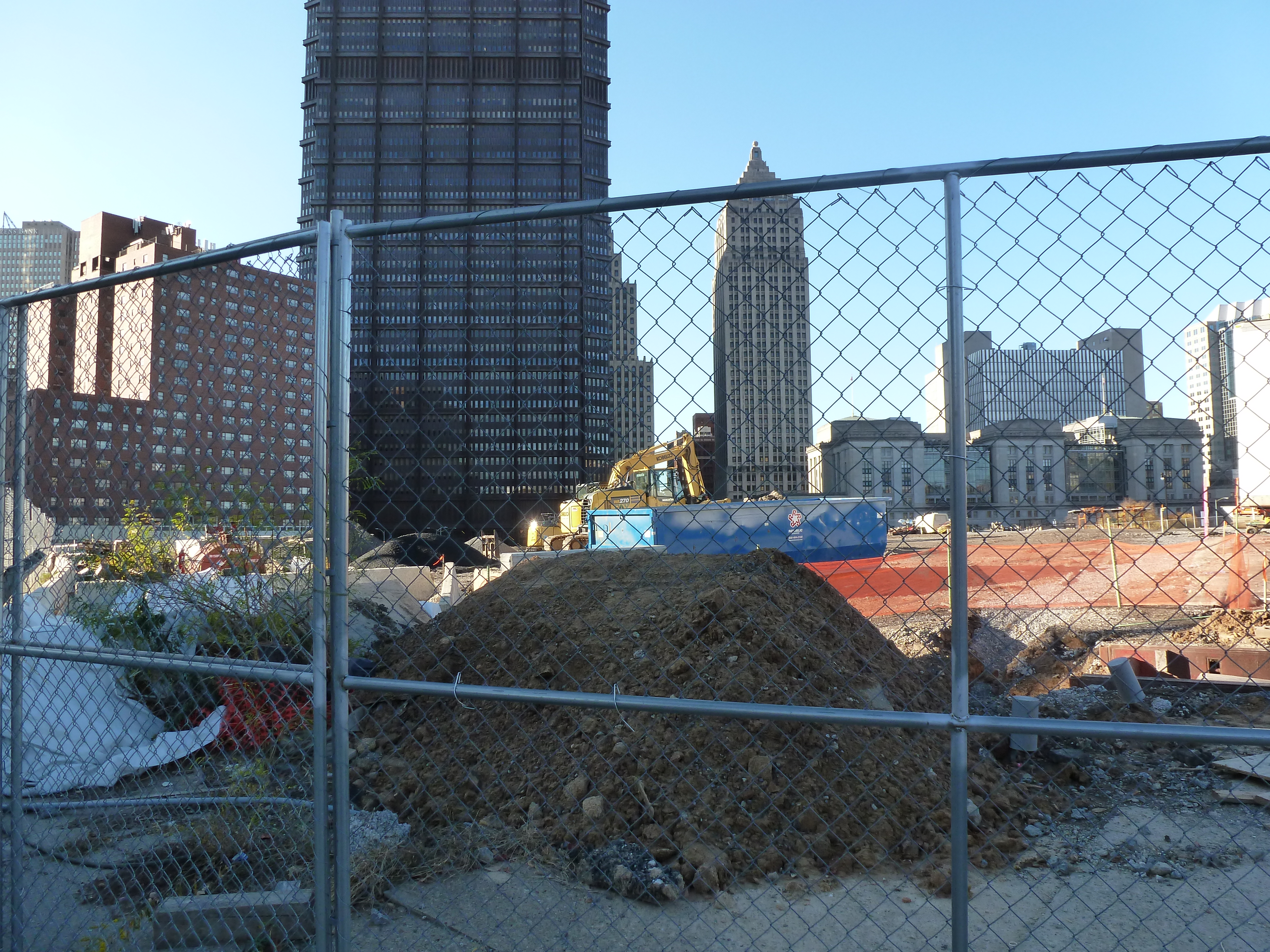
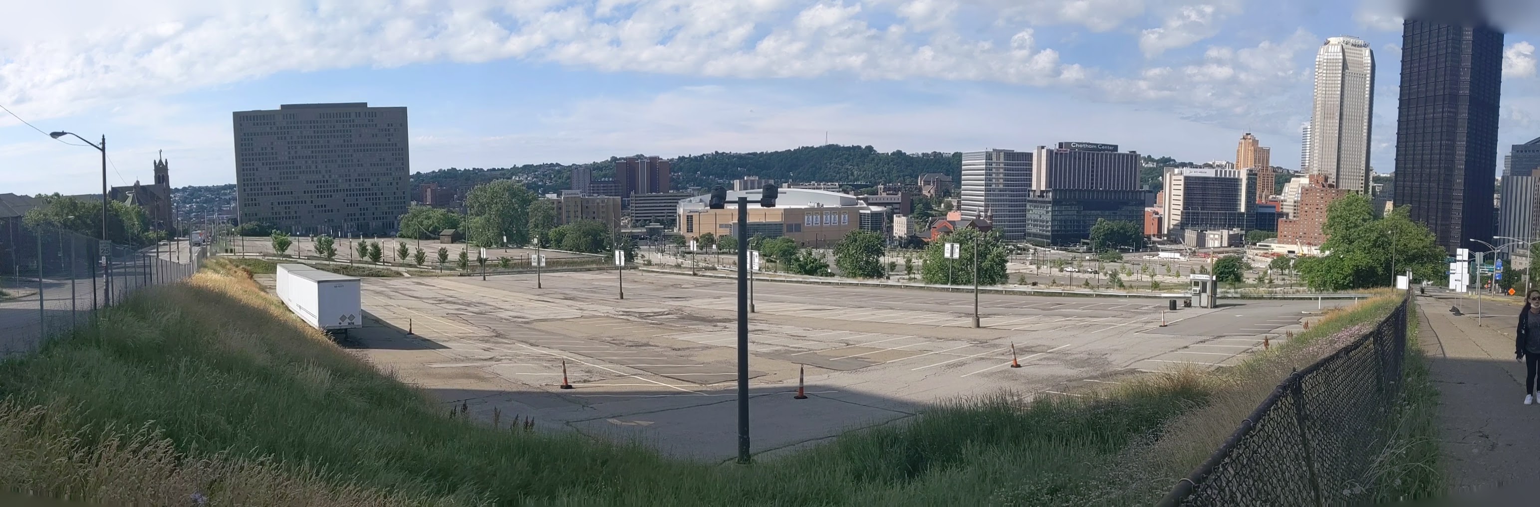
There is a nice view downriver from this bridge.  Several famous Pittsburgh sites are included in the view: the Point, the Duquesne Incline, and Heinz Field.  Other sites of interest in this view are the Carnegie Science Center, the West End Bridge, and the remnant of a former bridge across the Allegheny.  The view upriver is partially obstructed by the wire mesh fence along the interstate bridge.  I did get a couple of shots that you can mostly make out what is there.  One shows downtown Pittsburgh and the other shows the bridges upriver including the Three Sisters (see June 14th, June 21, and June 22 post) and a railroad bridge.  There is an item of interest I want to point out in this second view: just about in the middle of the frame, the domes of the Immaculate Heart of Mary Catholic Church on Polish Hill.  This is one of my favorite buildings in Pittsburgh, because of its unique green domes that are a significant landmark visible for miles up and down the Allegheny River.


I have to add that I chose the name for this post (A Sidewalk to Nowhere) before I was aware that the Fort Duquesne Bridge’s nickname is “The Bridge to Nowhere.”  While the pedestrian bridge attachment connects two points, the Bridge itself does not directly connect any points of interest.  Instead it ferries cars from one interstate to another.  The north end of the bridge continues onto elevated ramps in between various highways and freeways.  The south end connects seamlessly to the Fort Pitt Bridge and Tunnels by way of the Portal Bridge (mentioned in June 15th’s post) and though there is also some access to downtown it is directed to the roadways along the rivers that permit cars to bypass downtown.