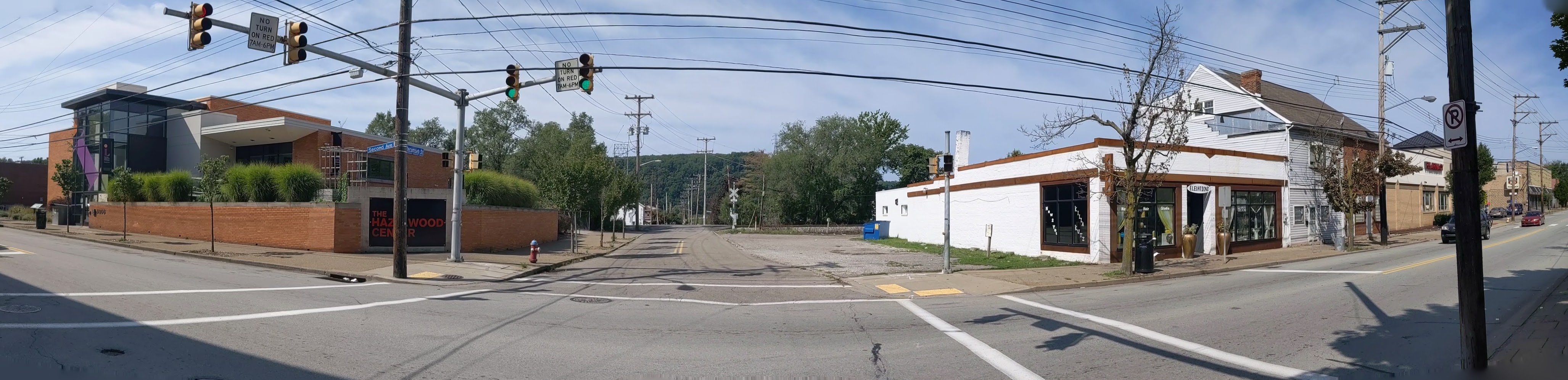
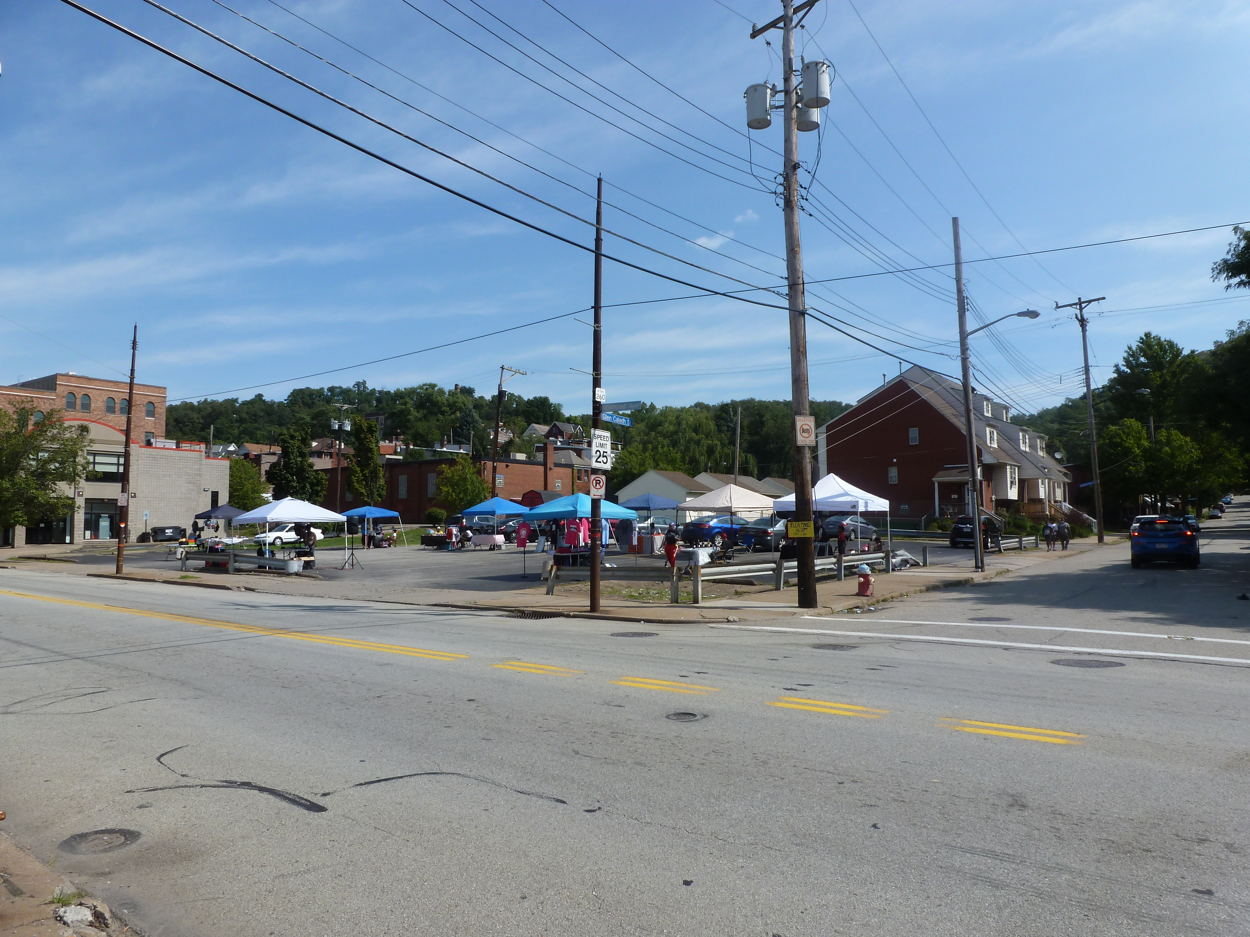
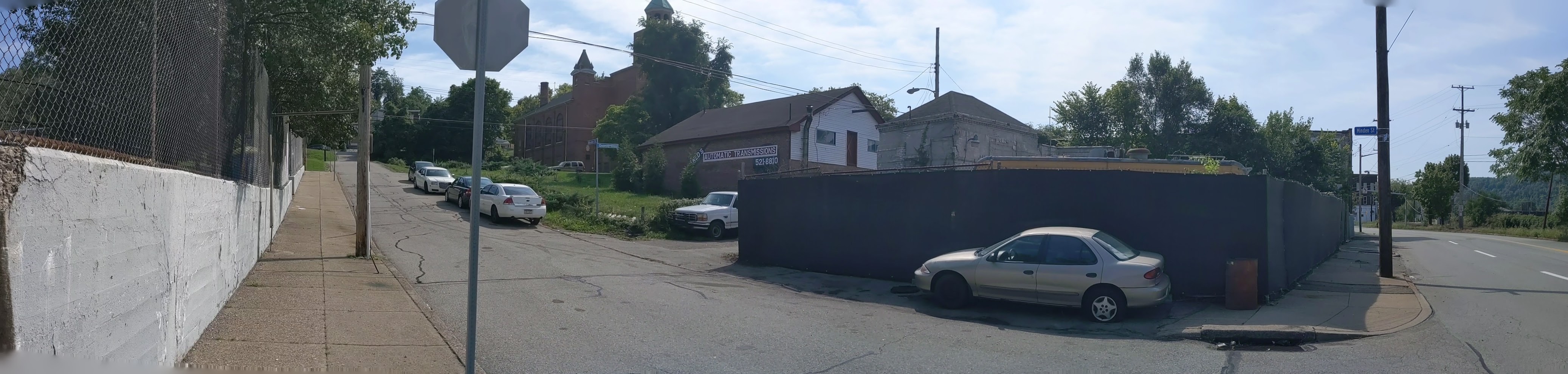
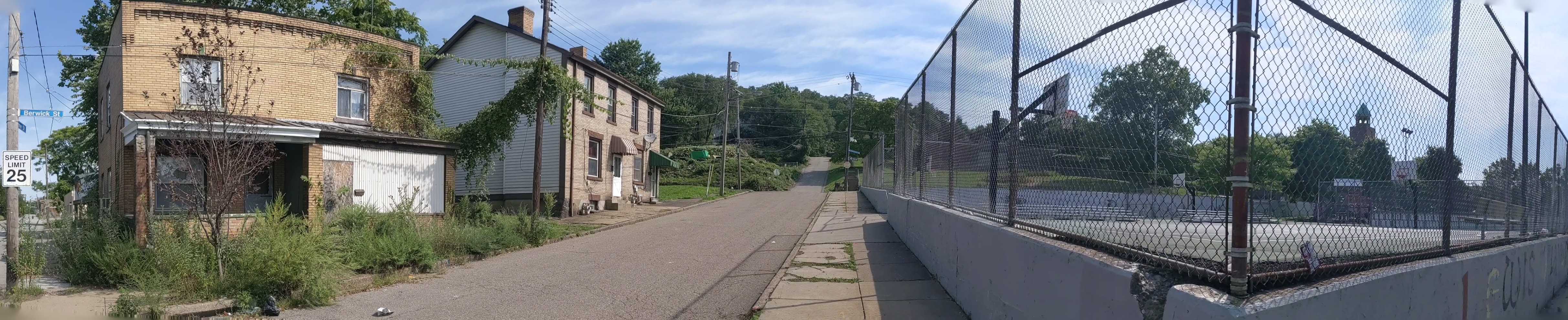
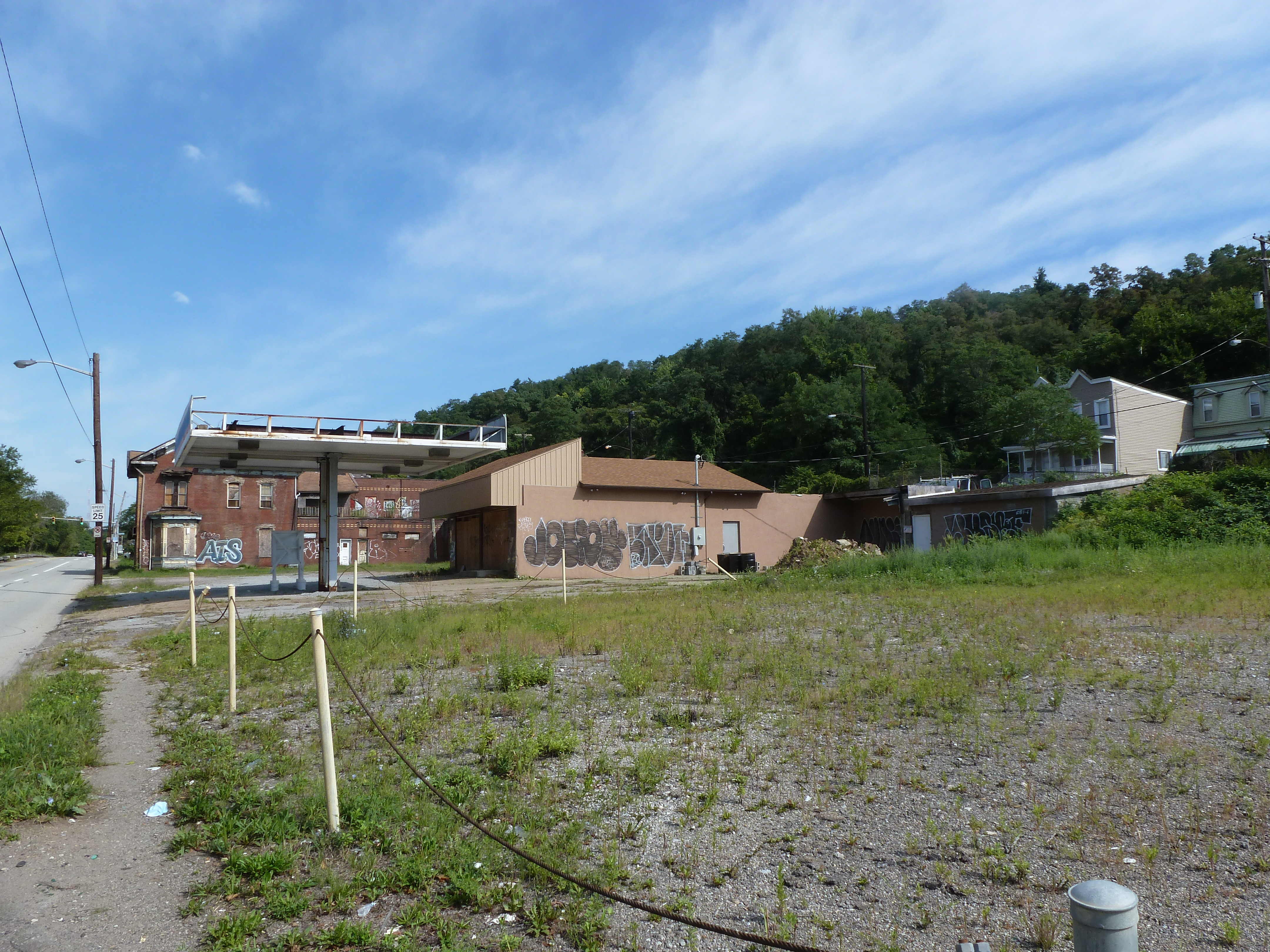
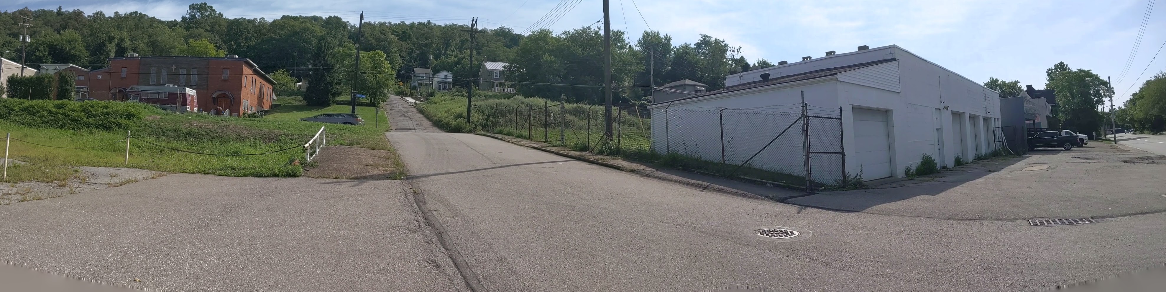
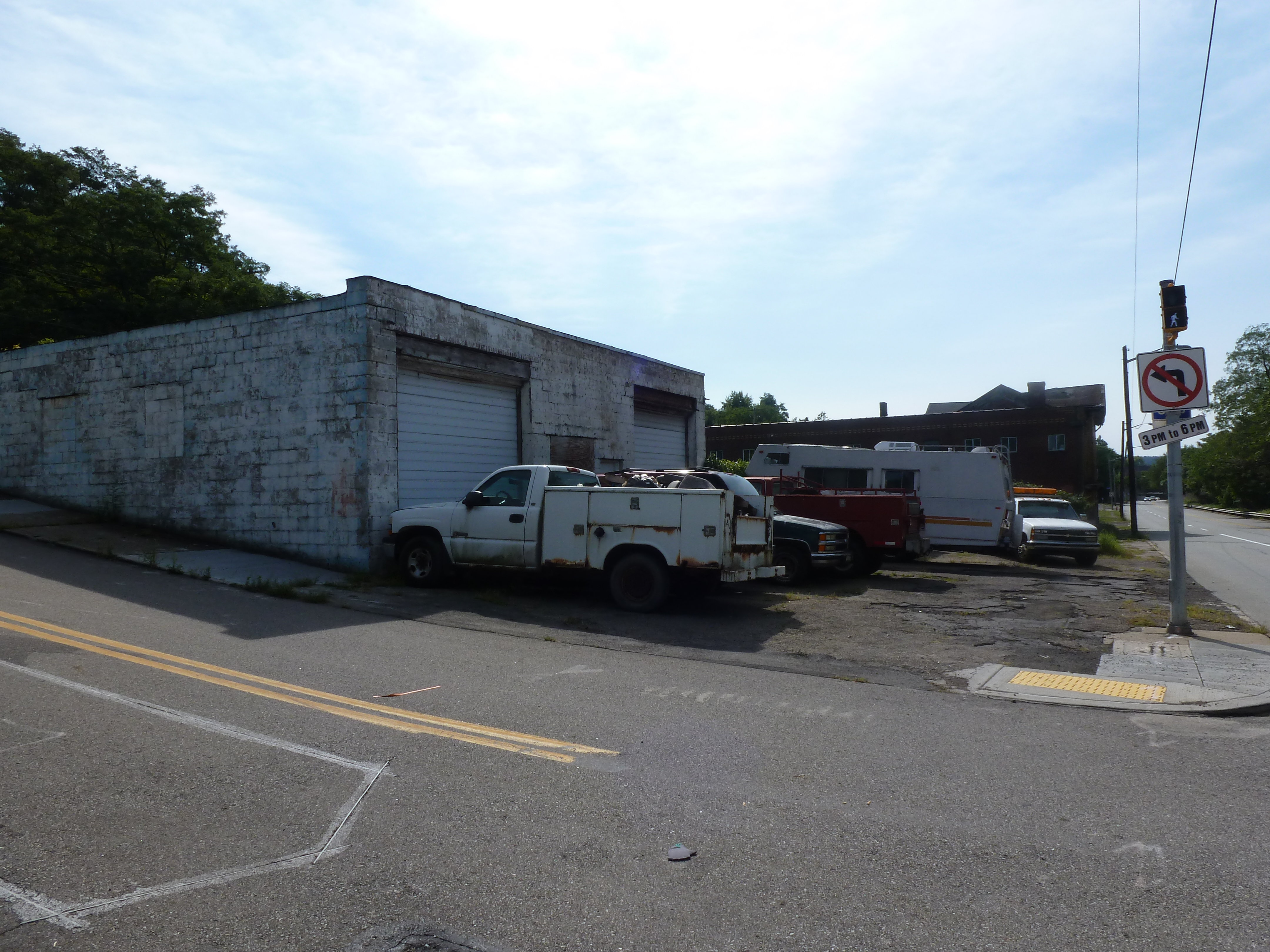
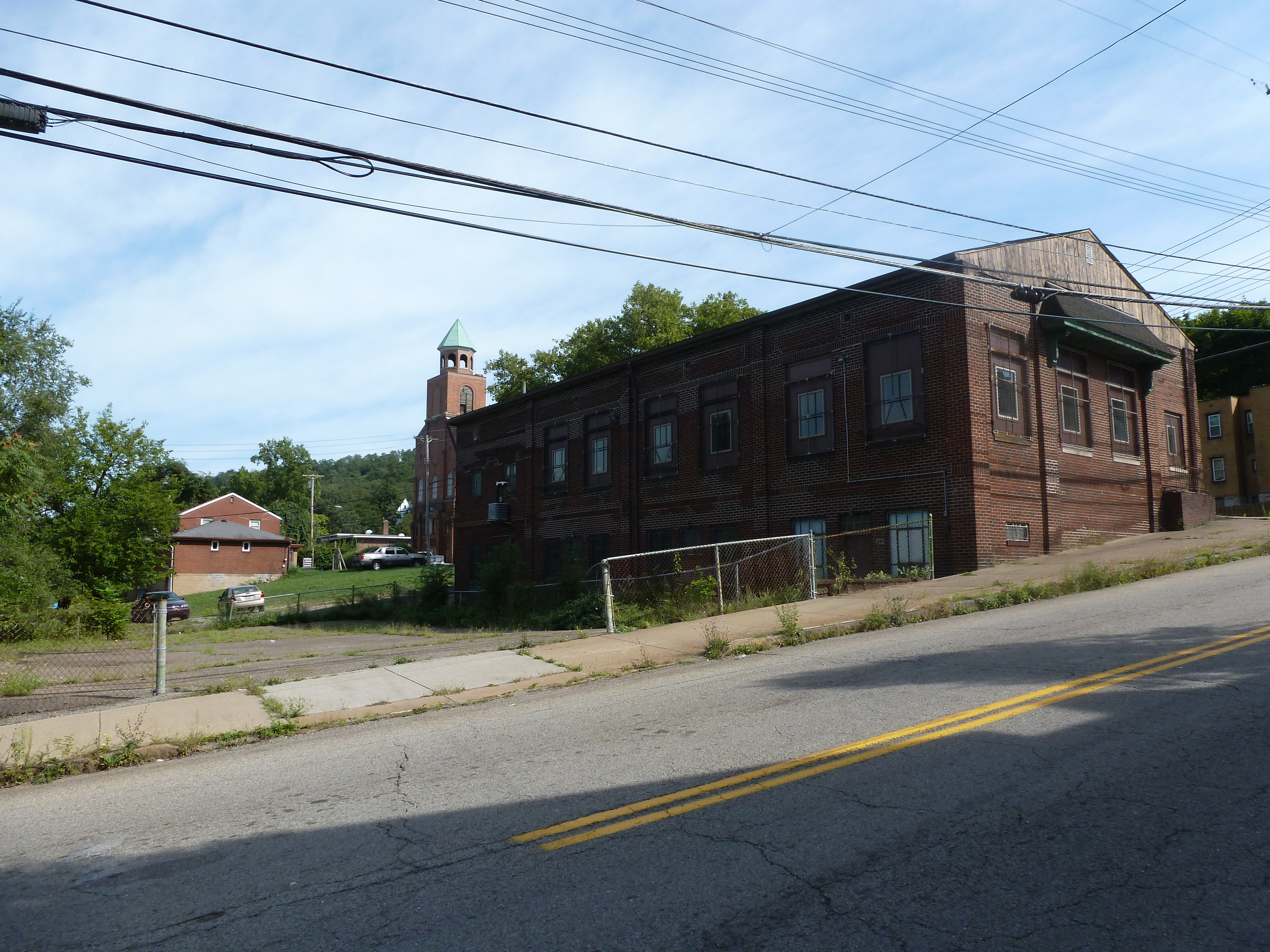
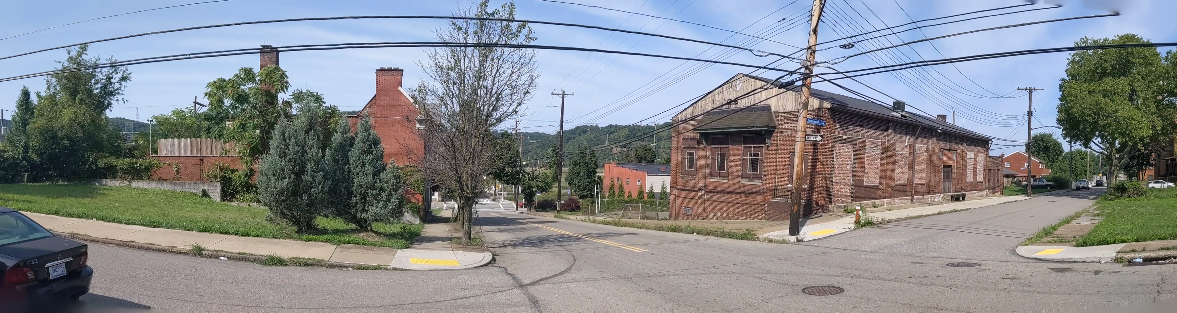
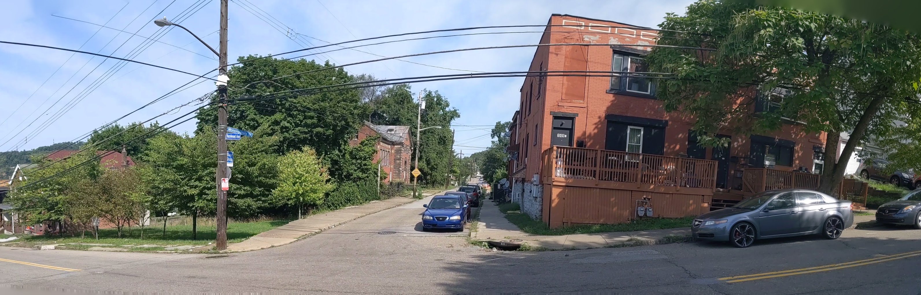
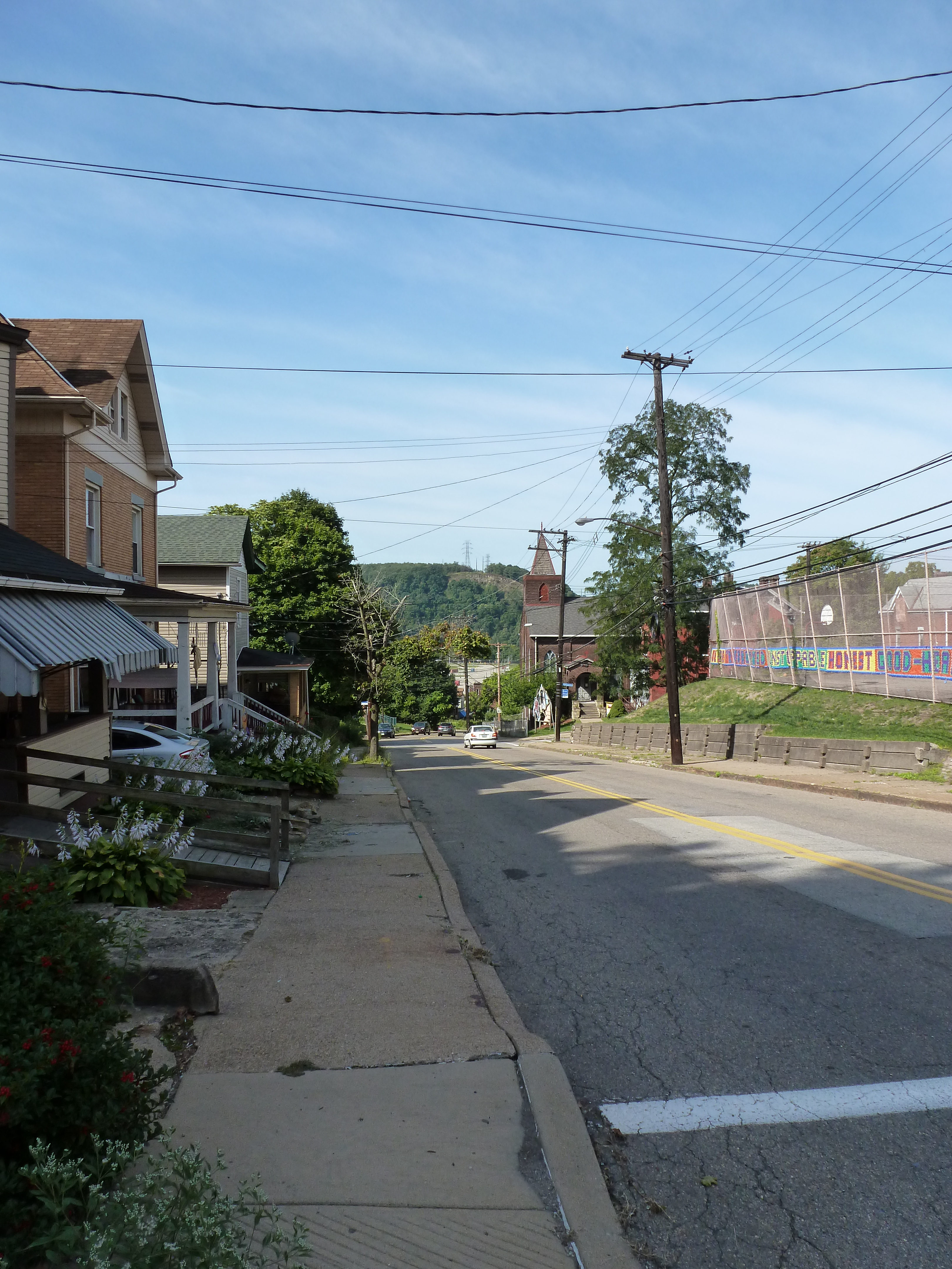
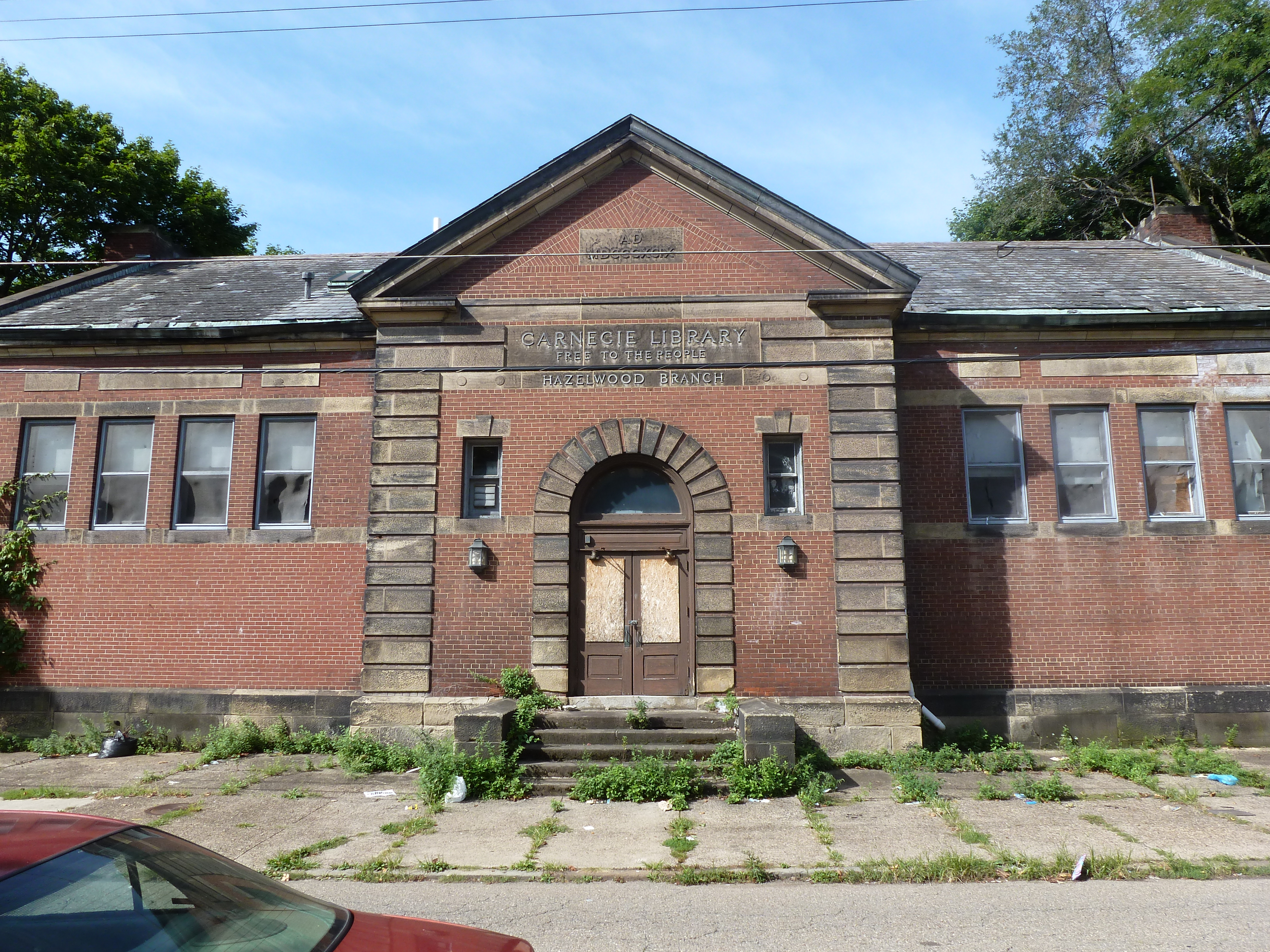
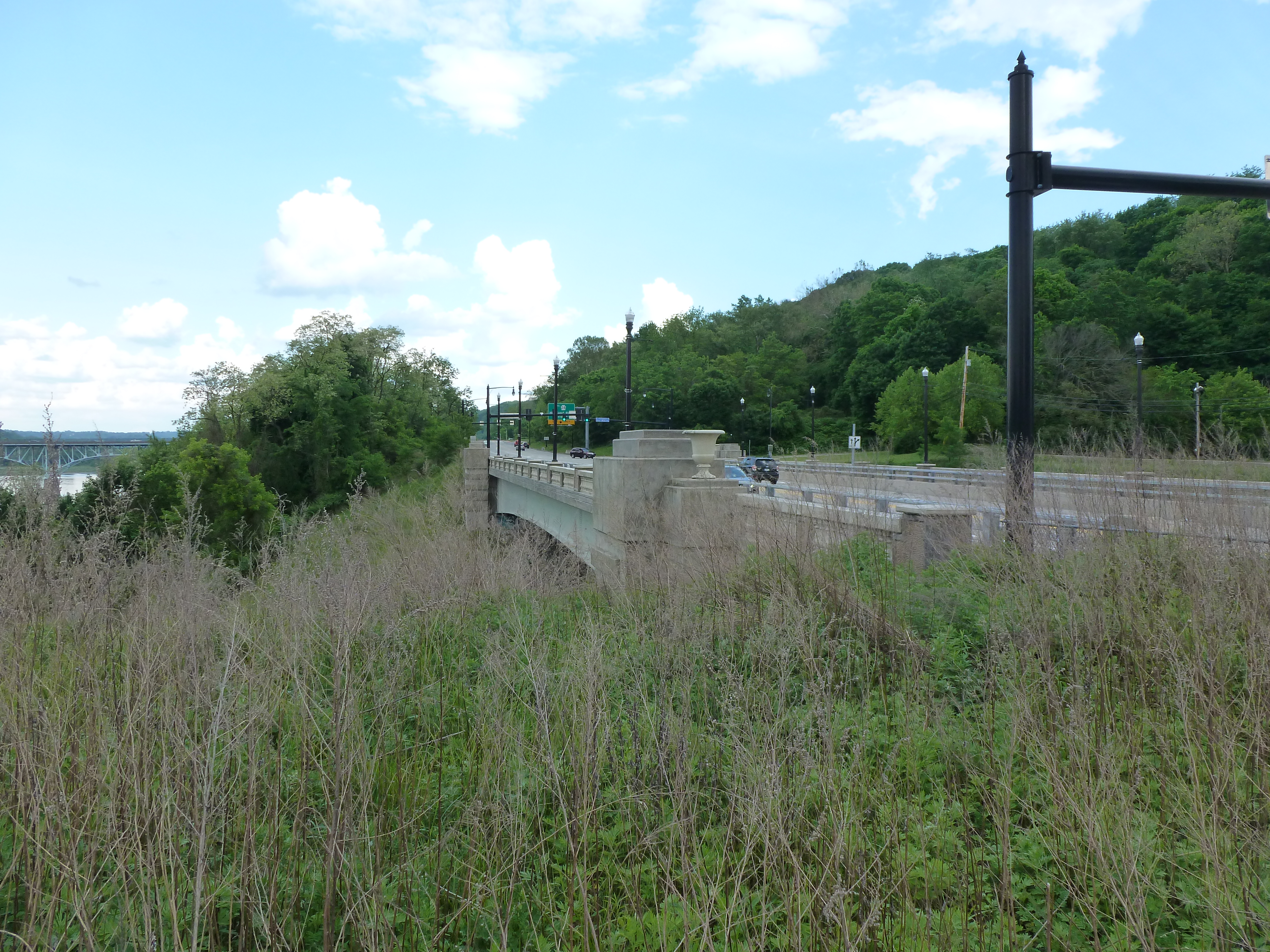
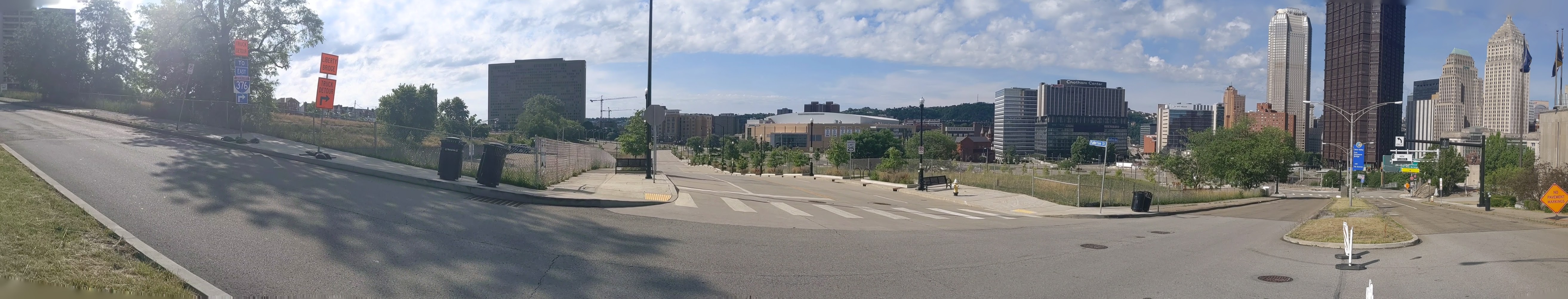
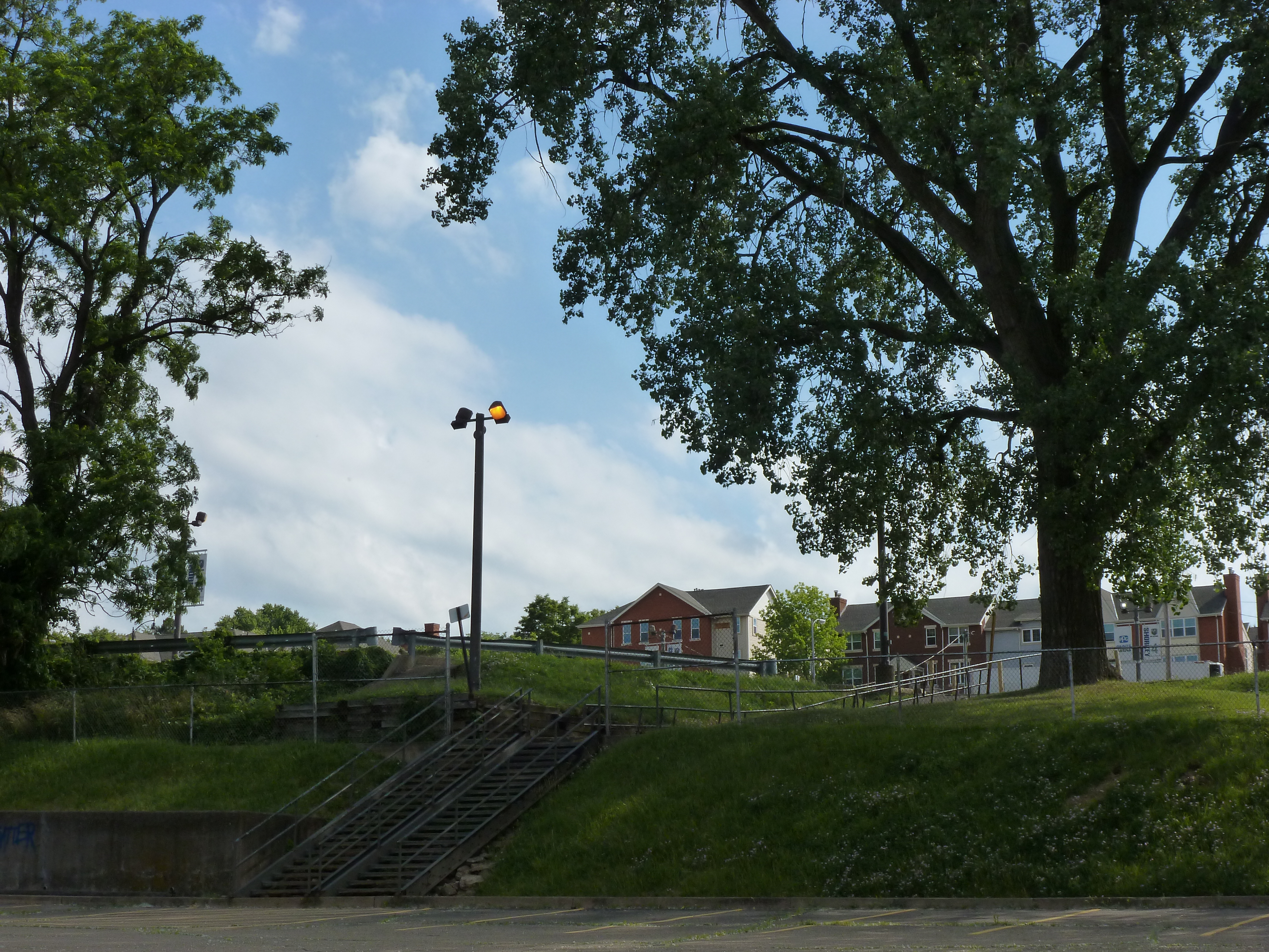
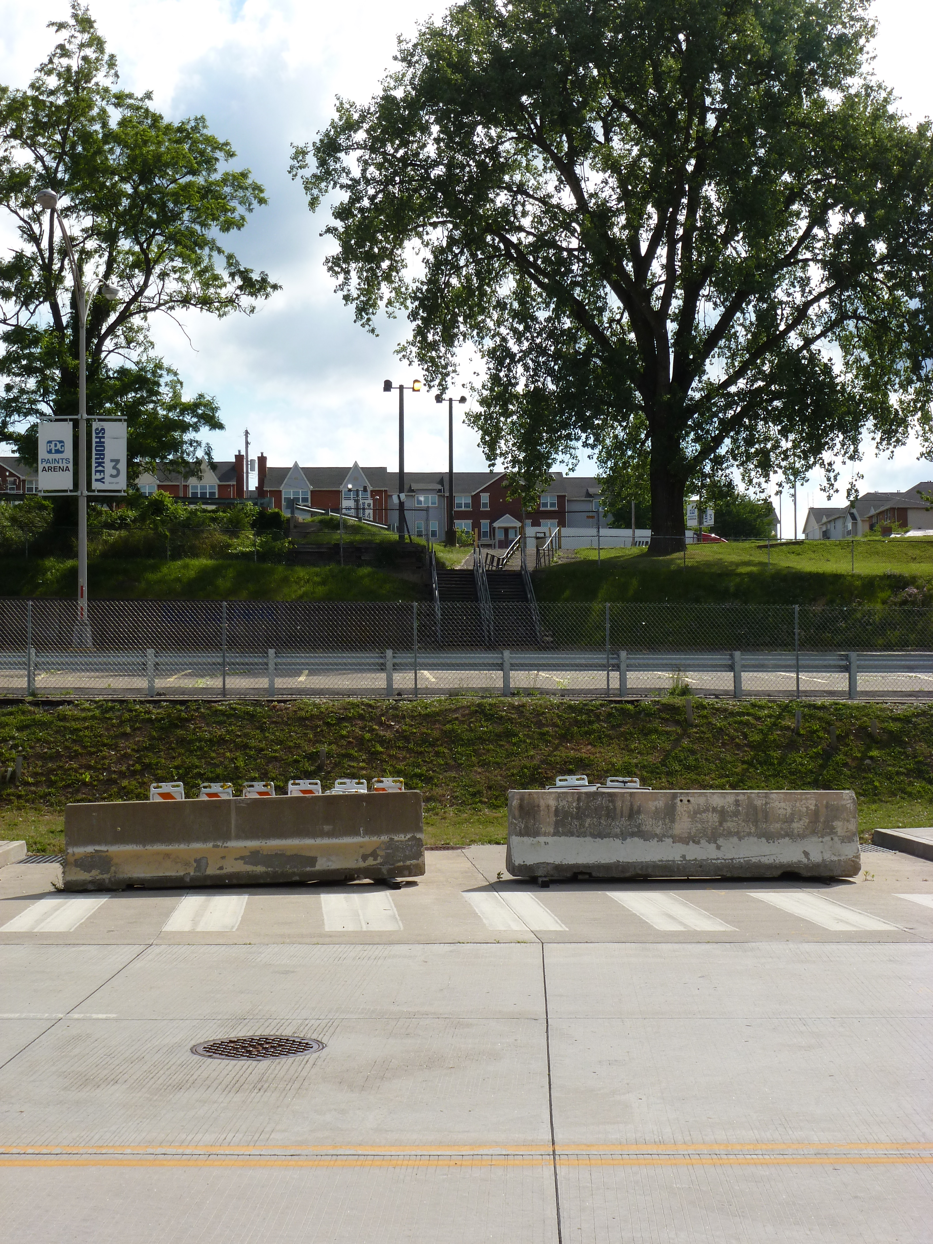
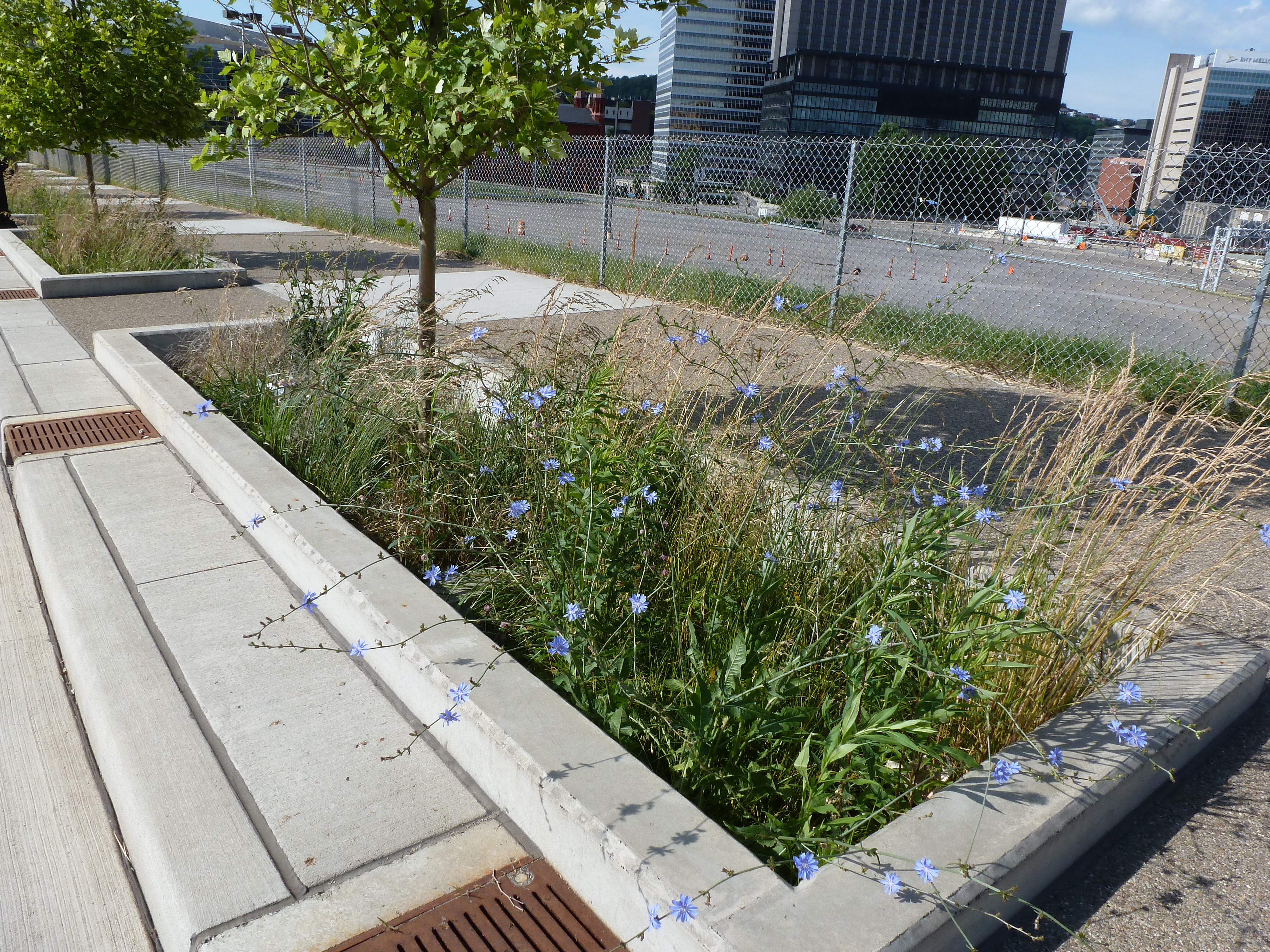
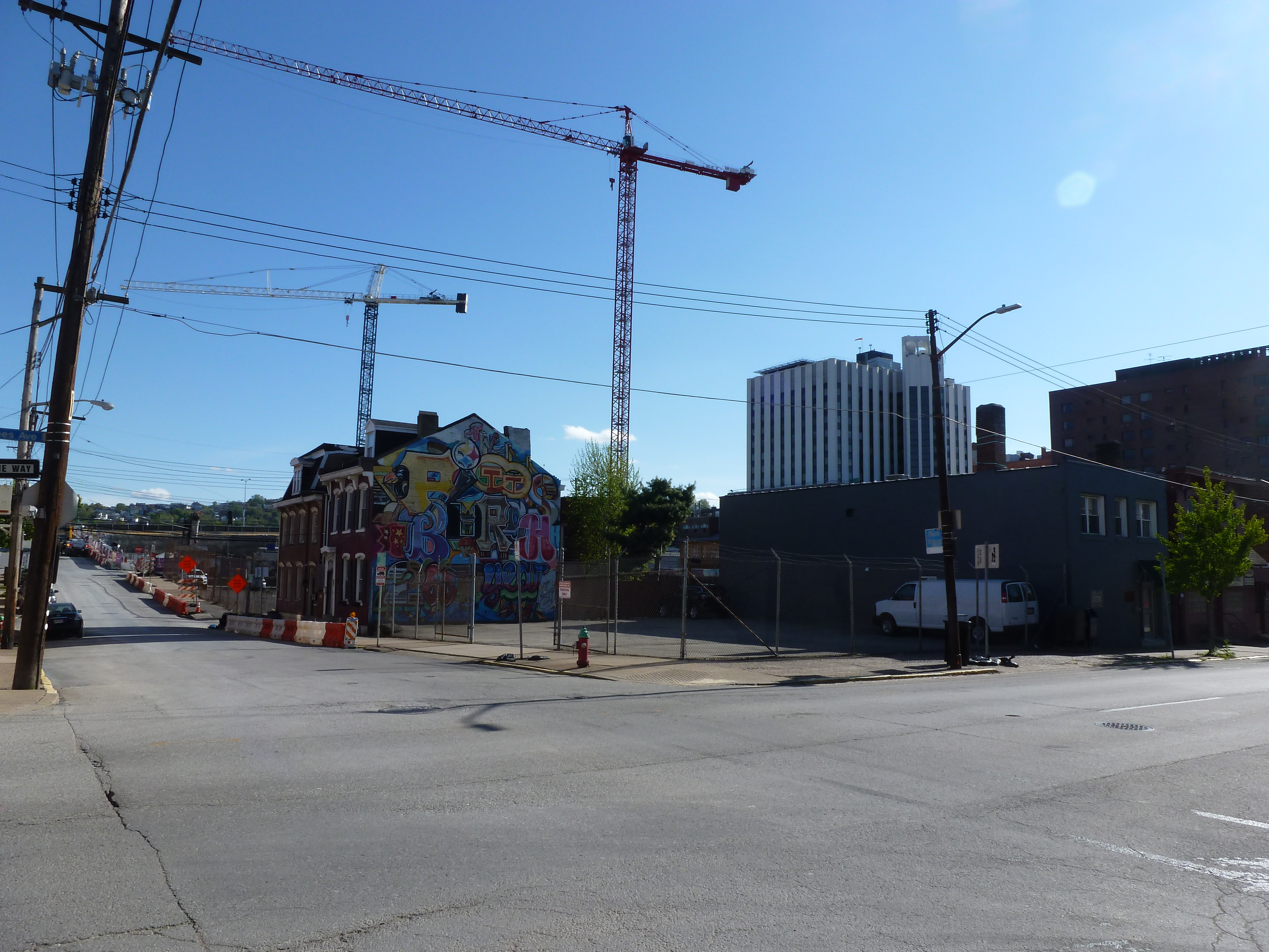
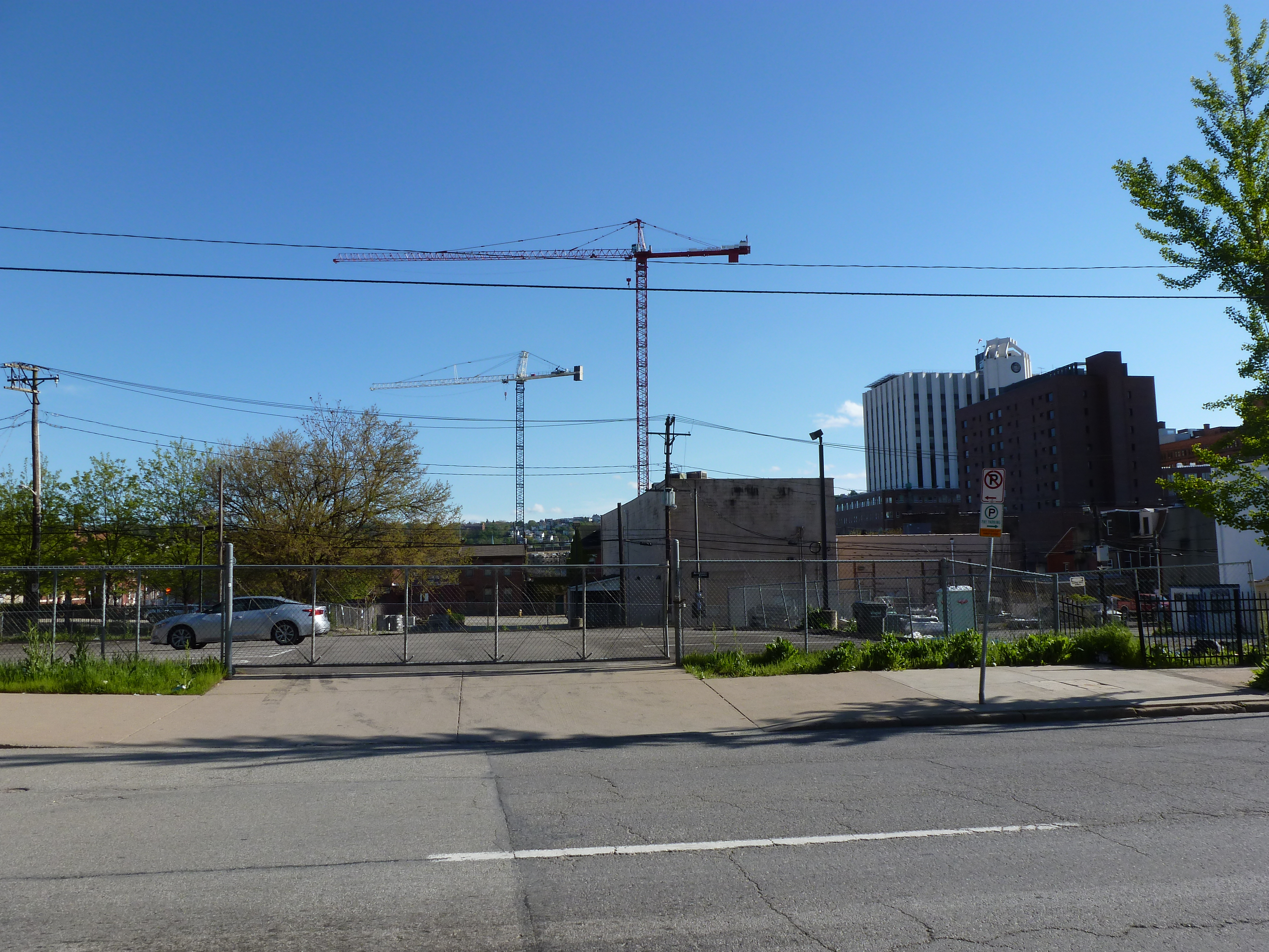
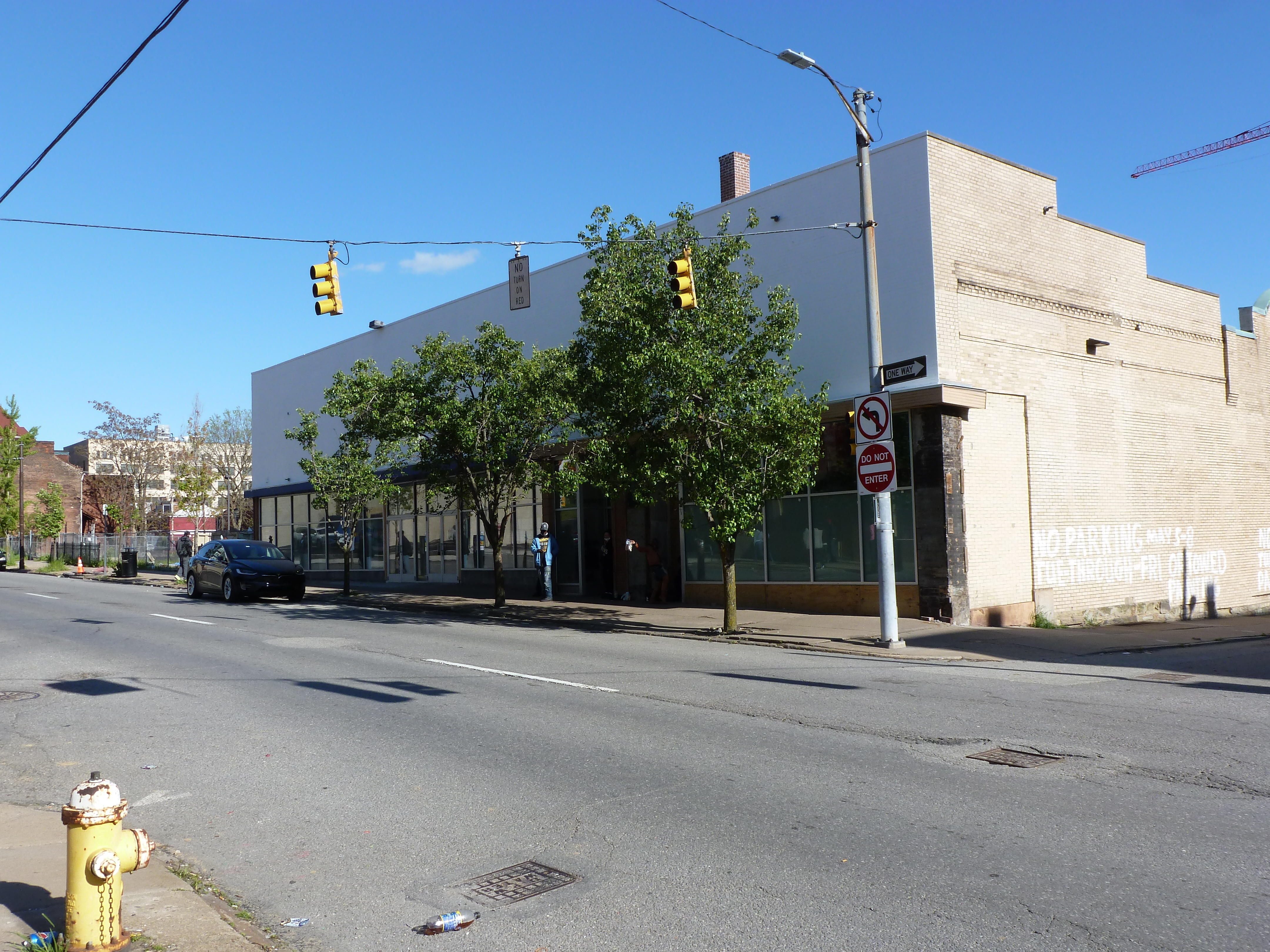
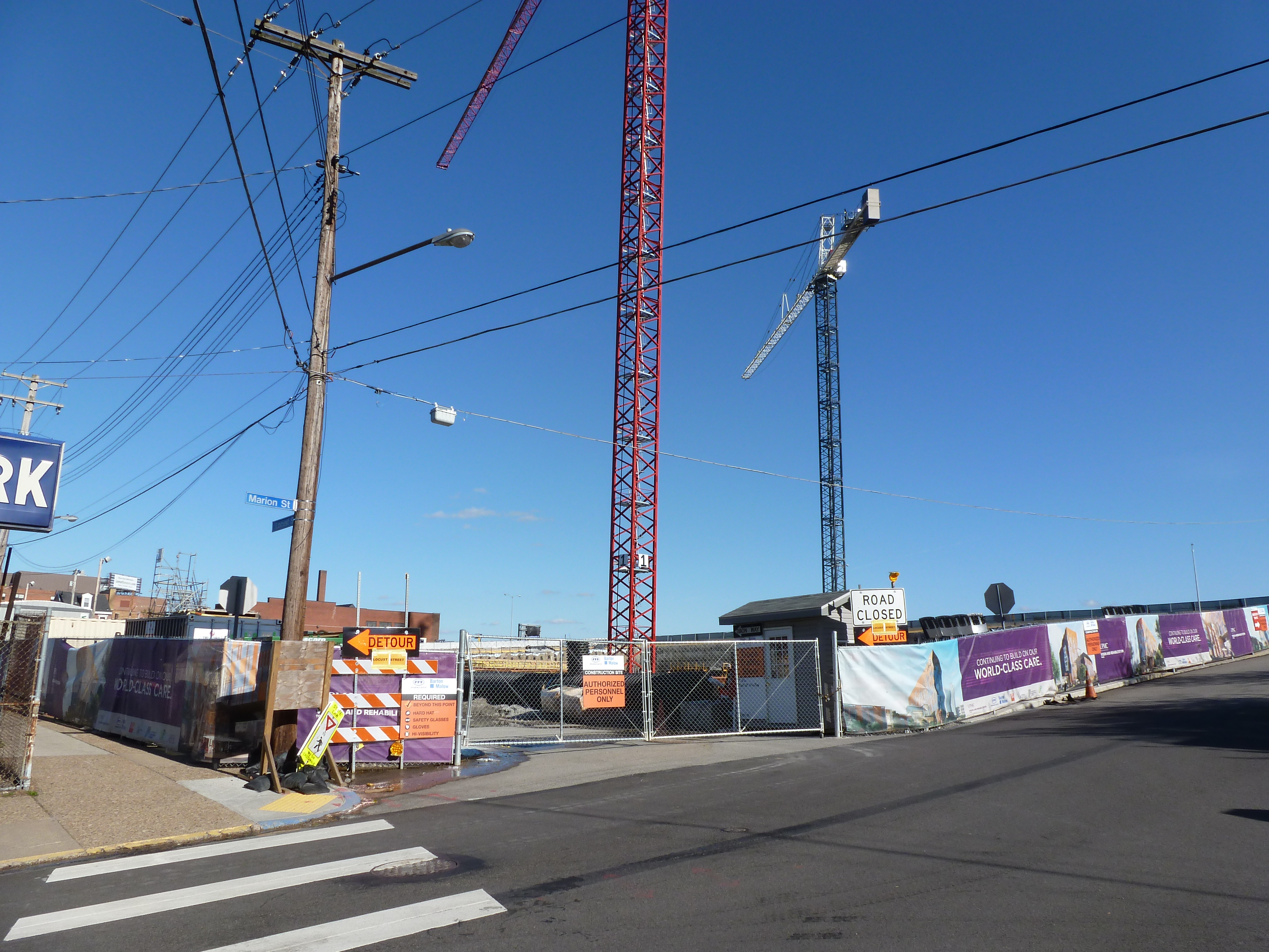
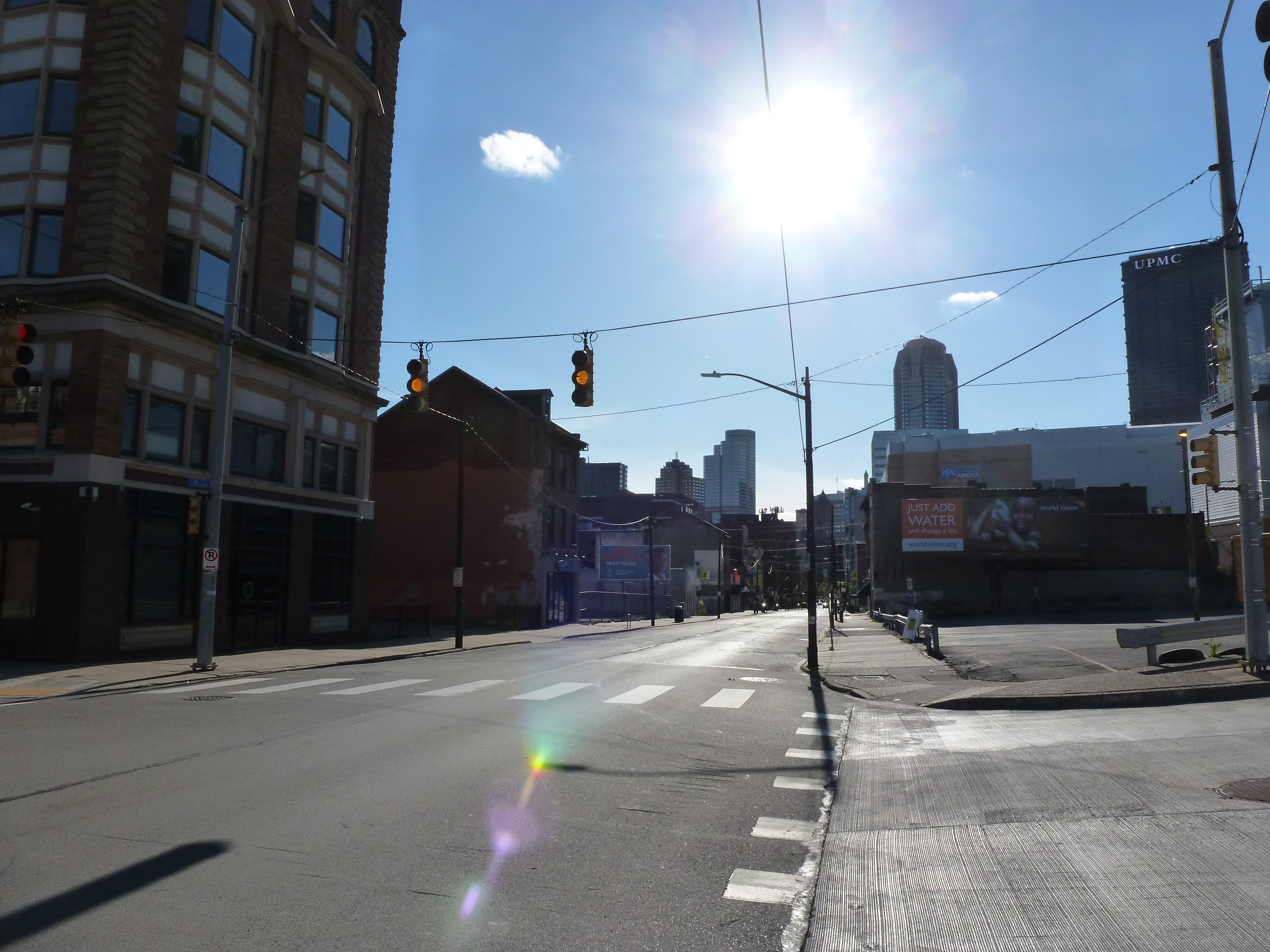
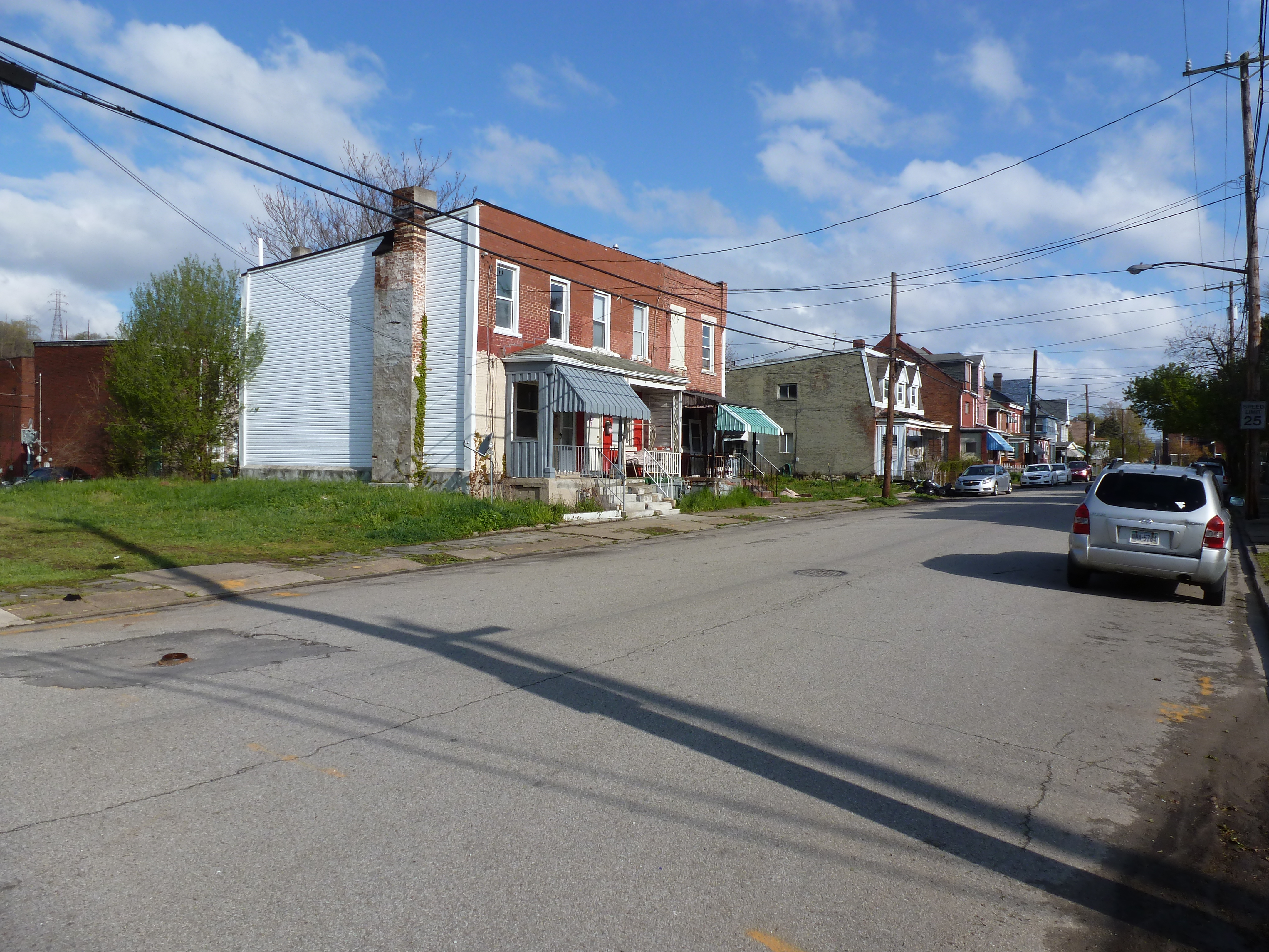
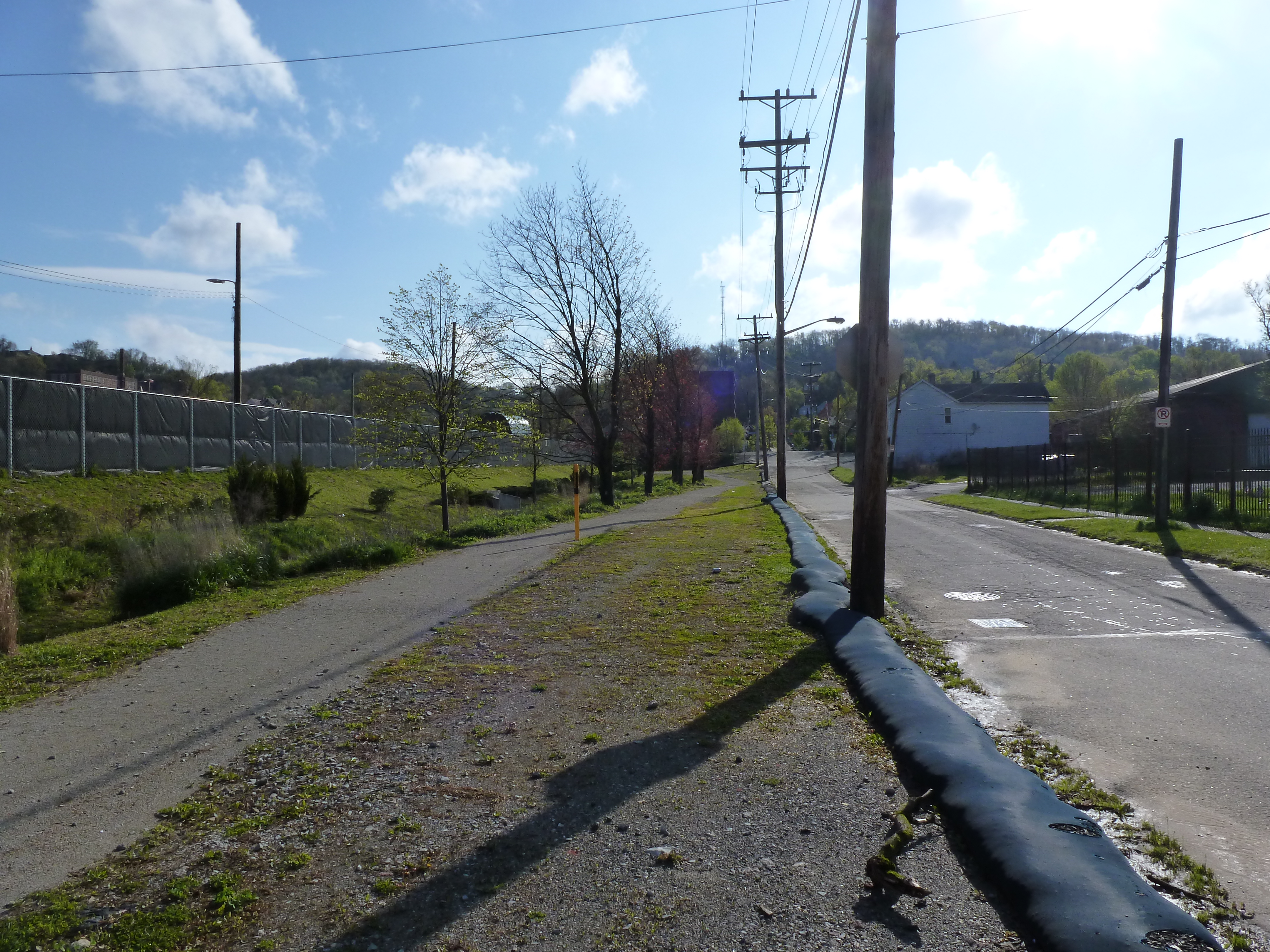
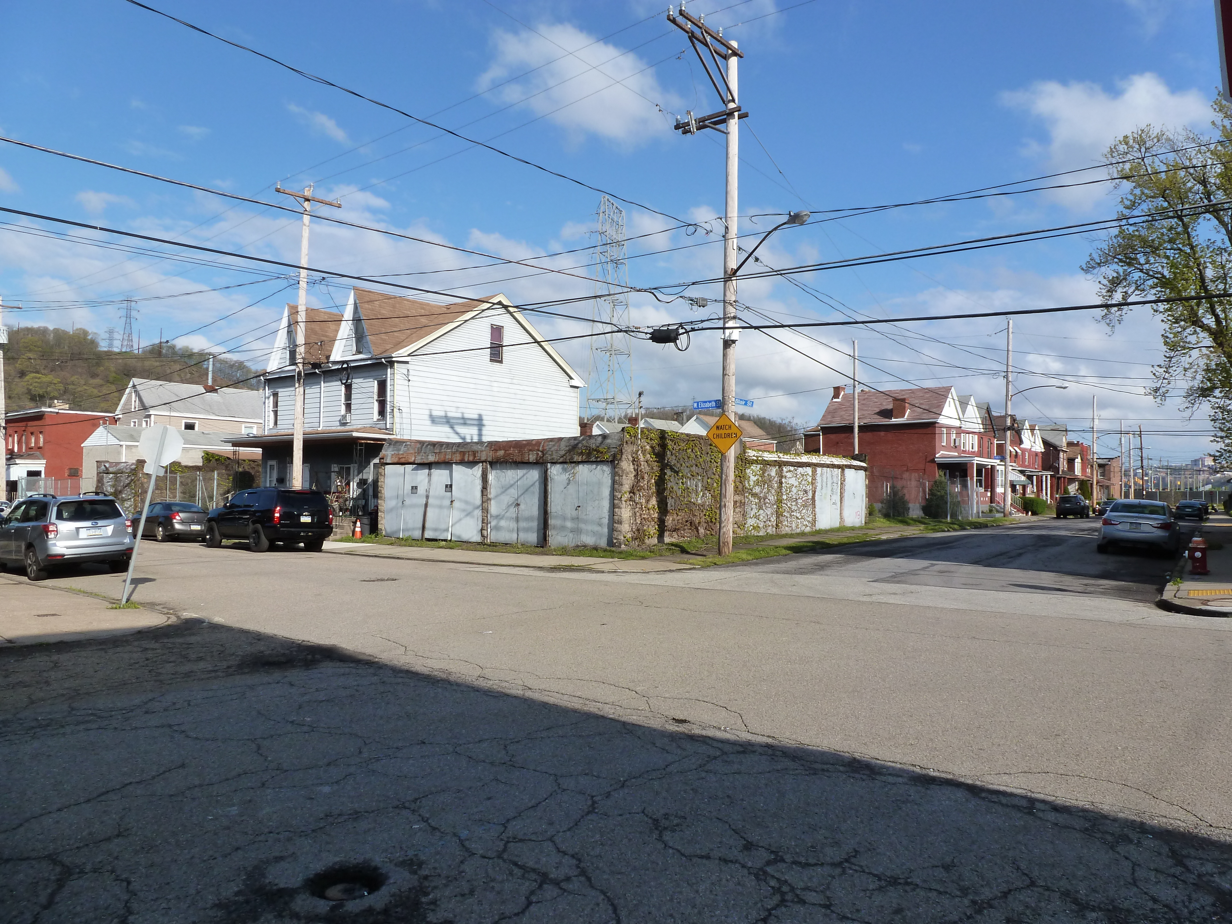
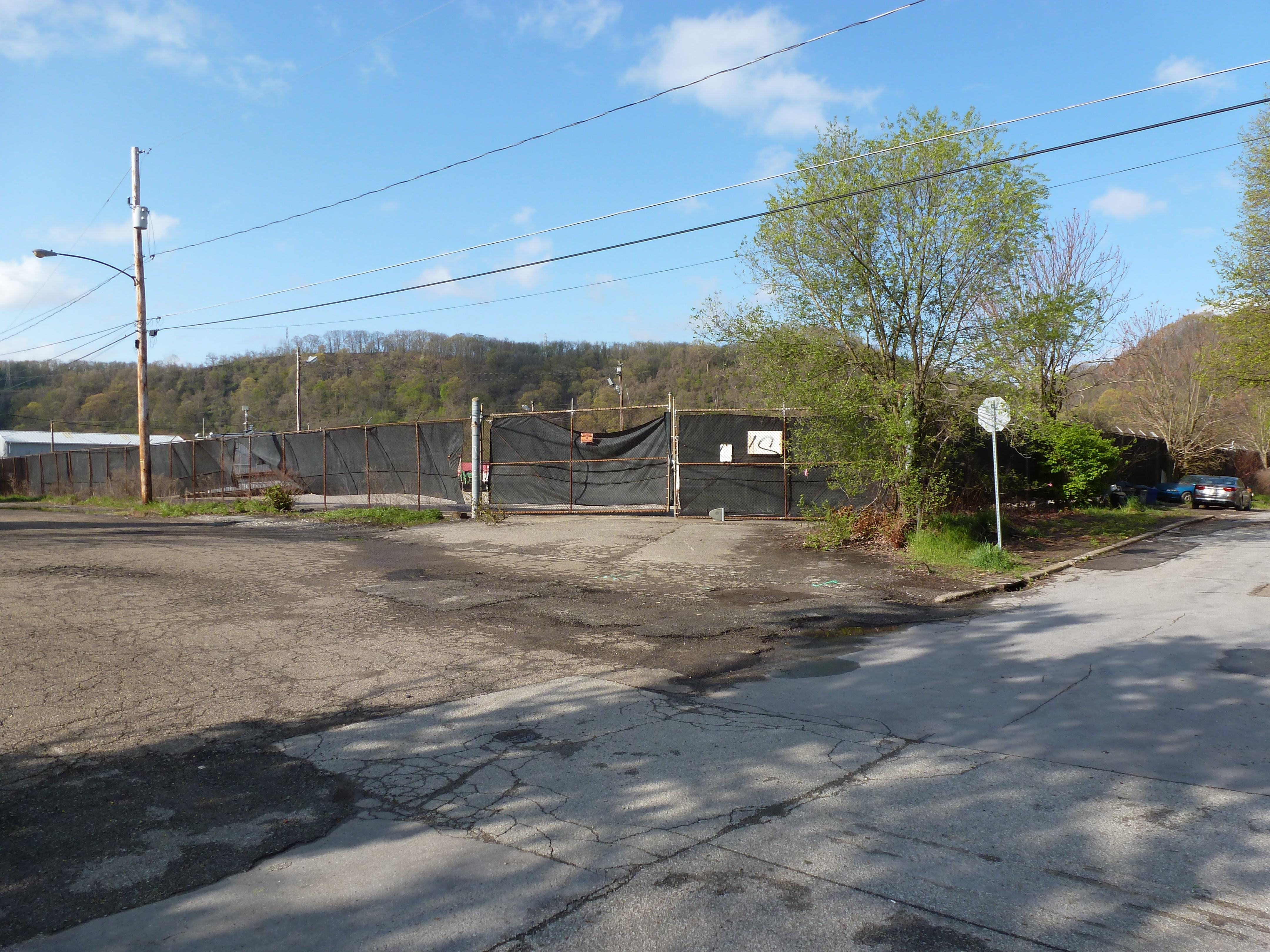
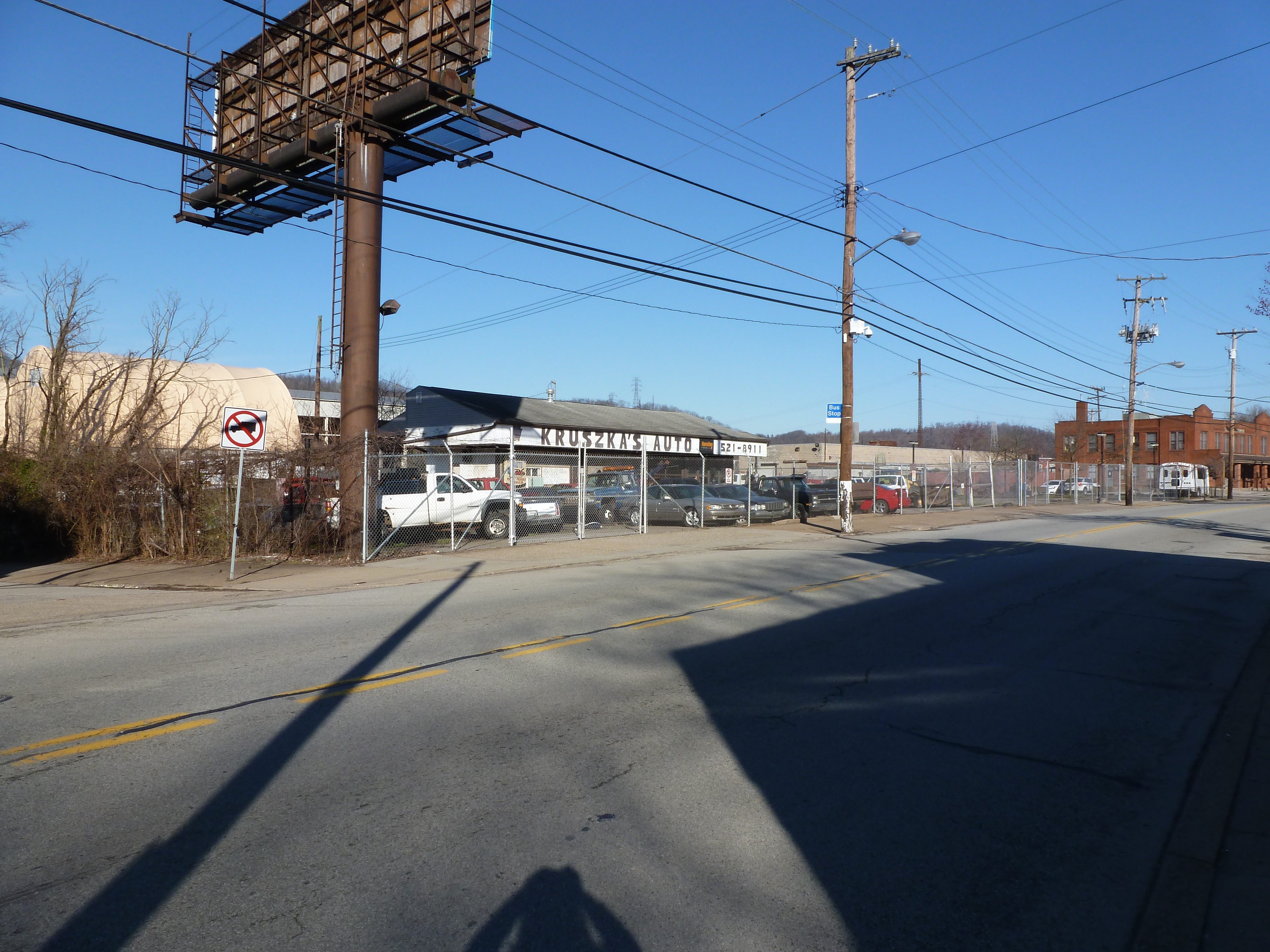
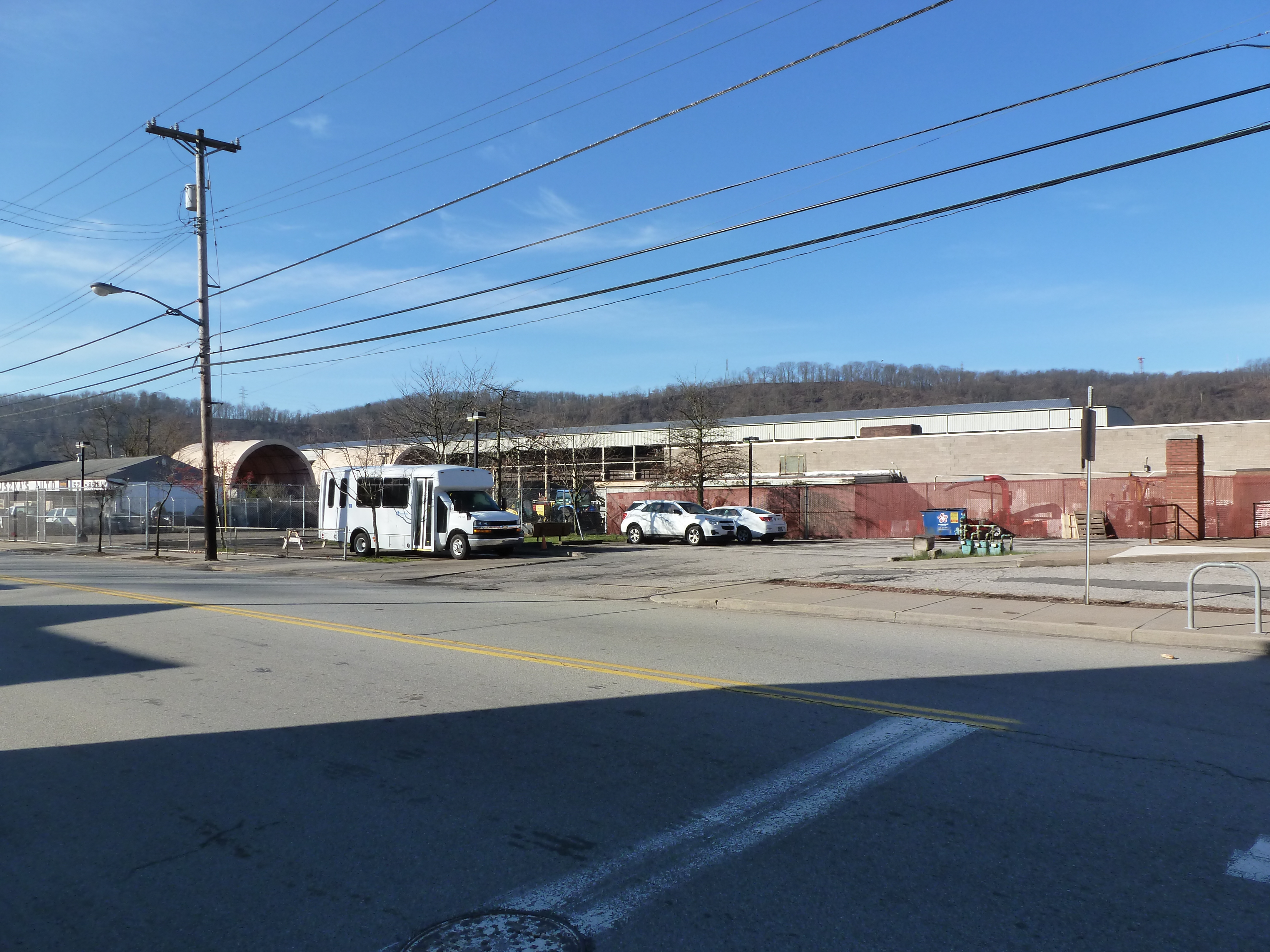
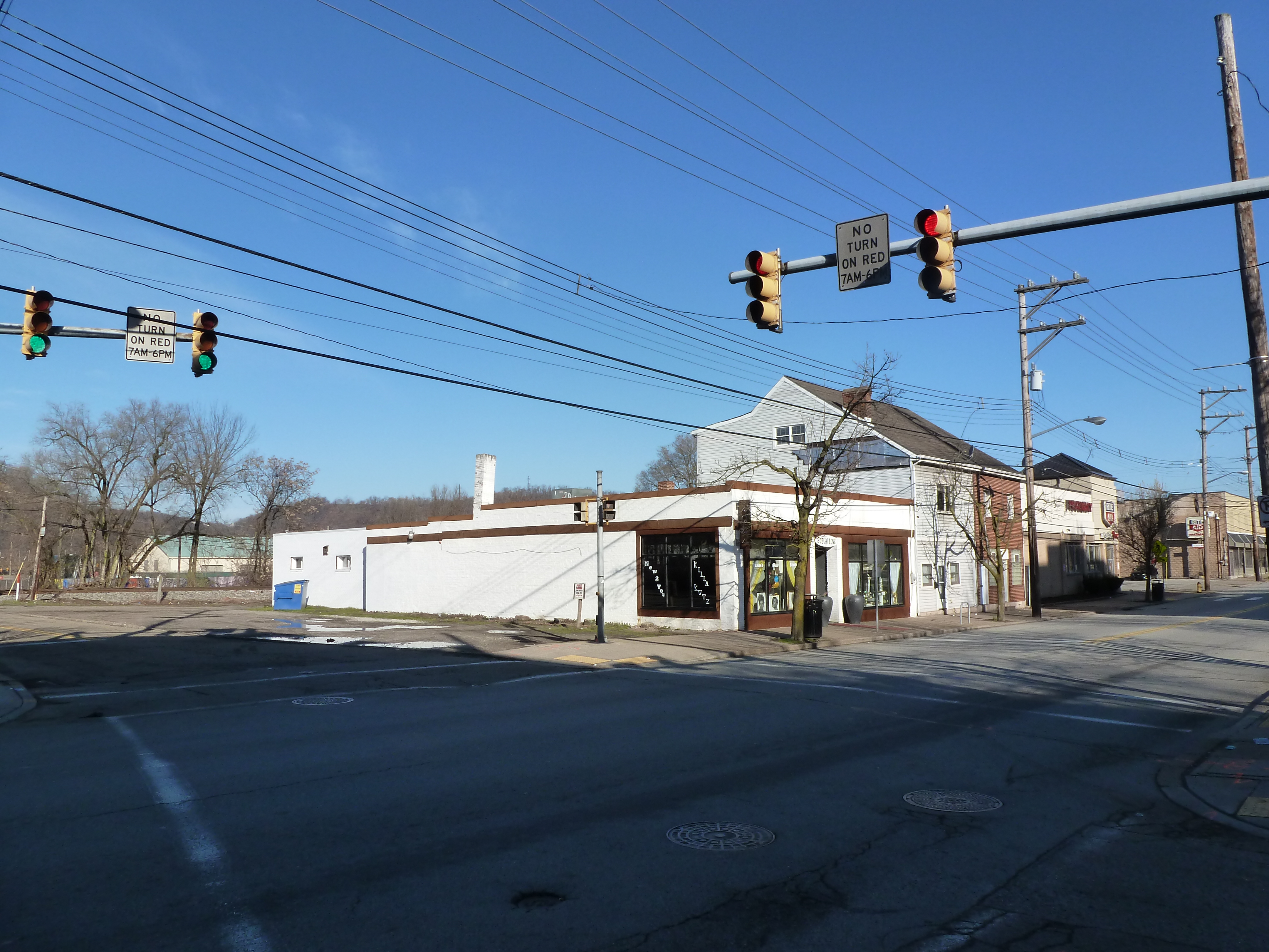
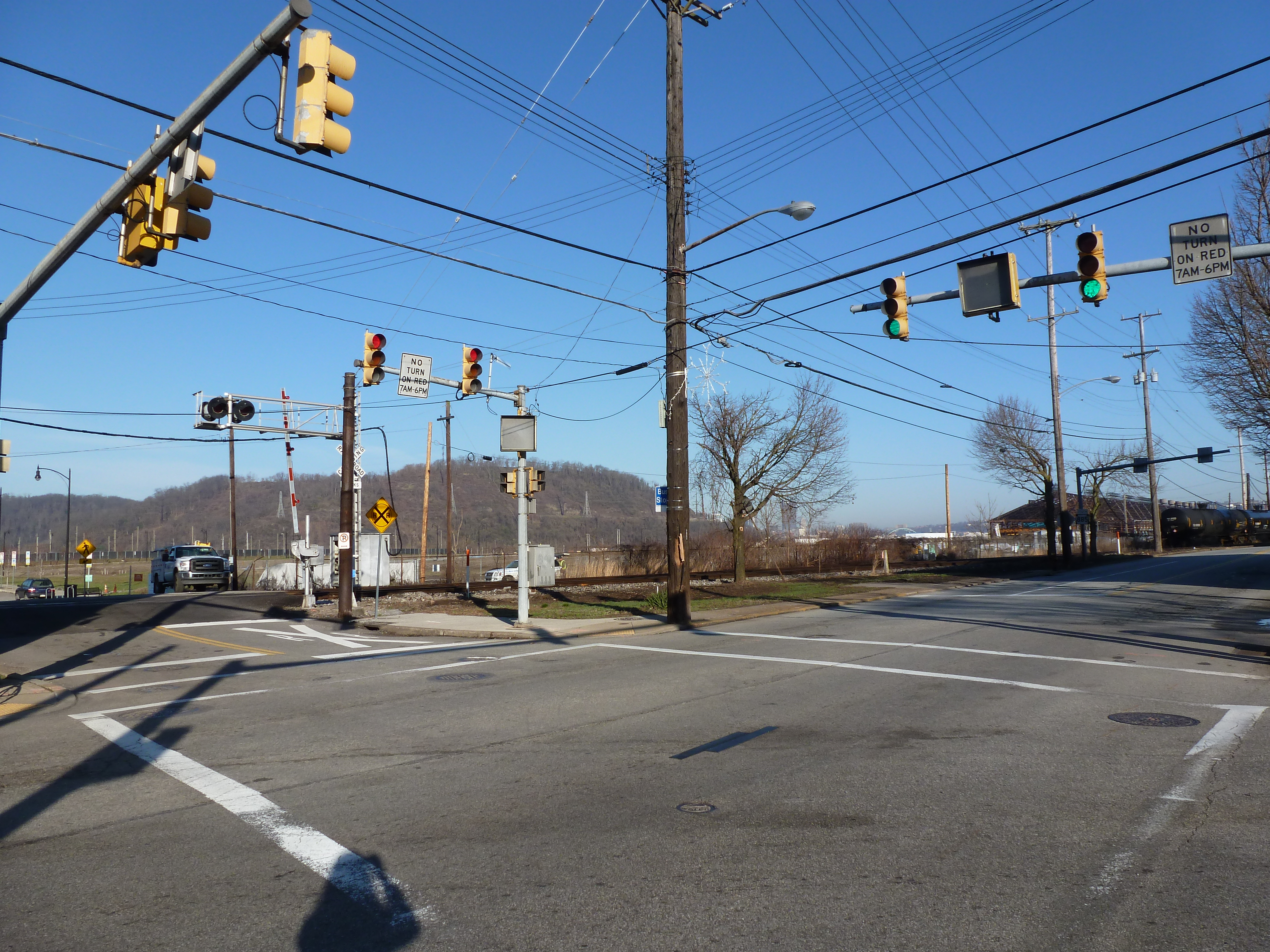
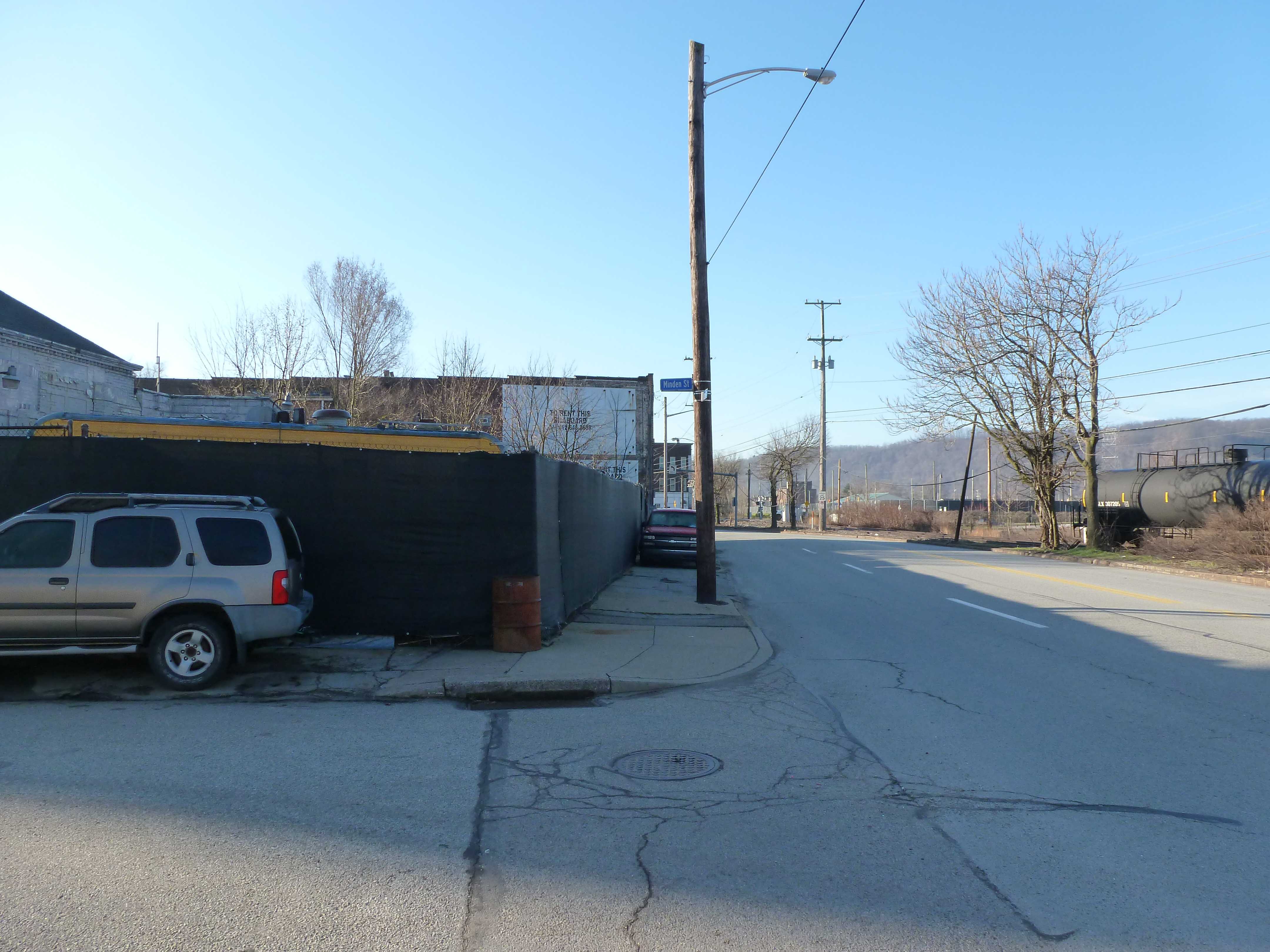
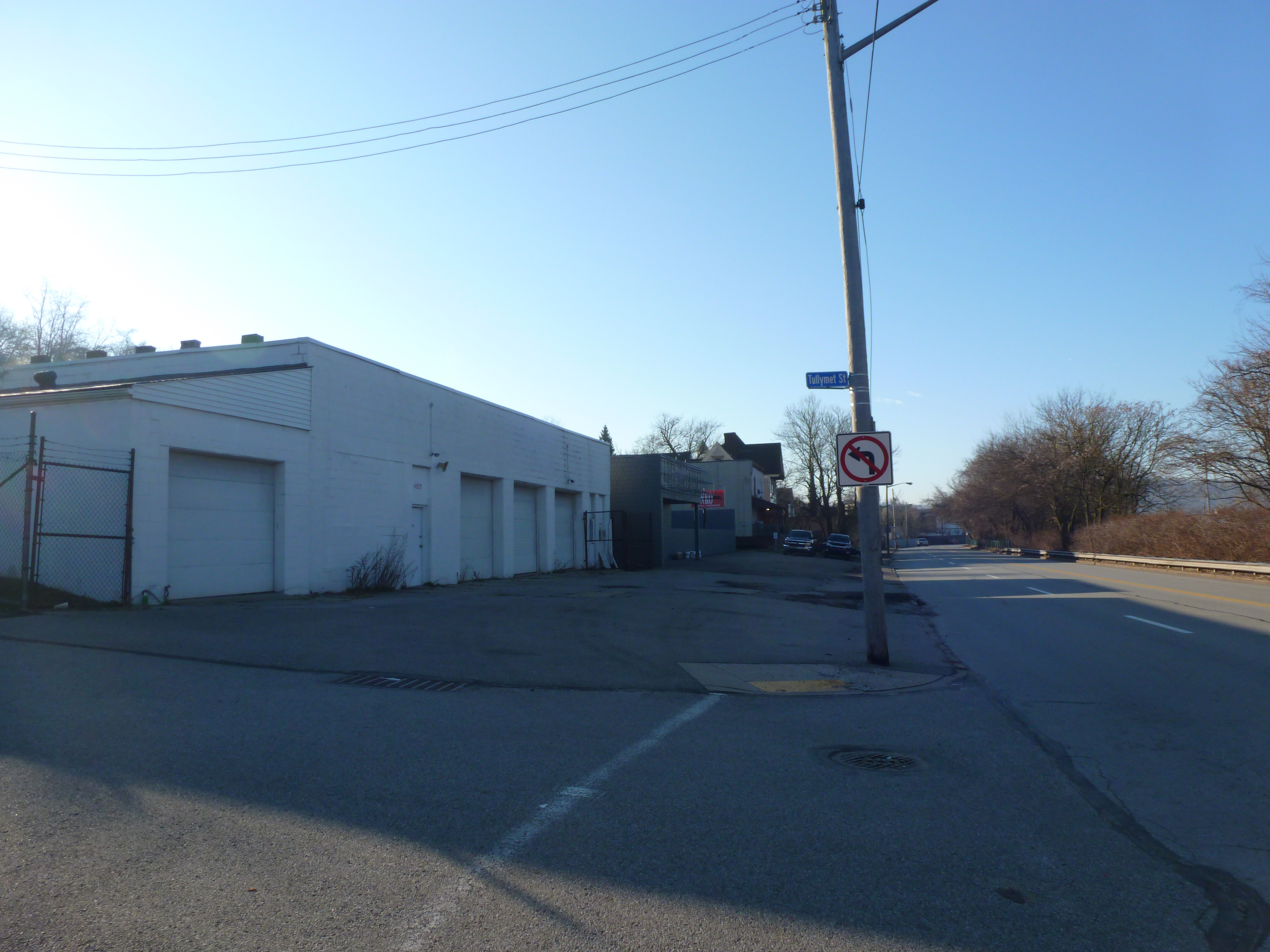
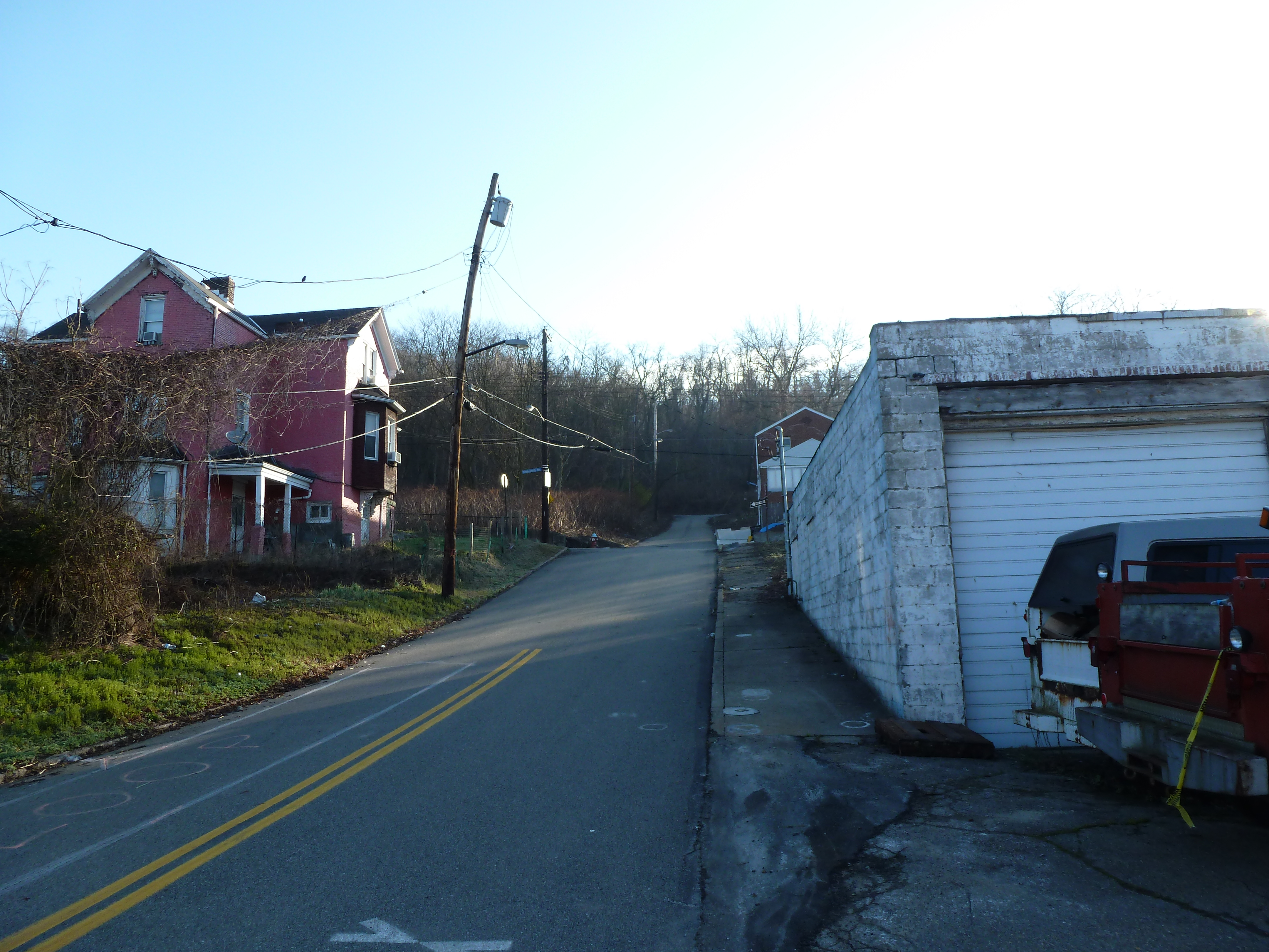
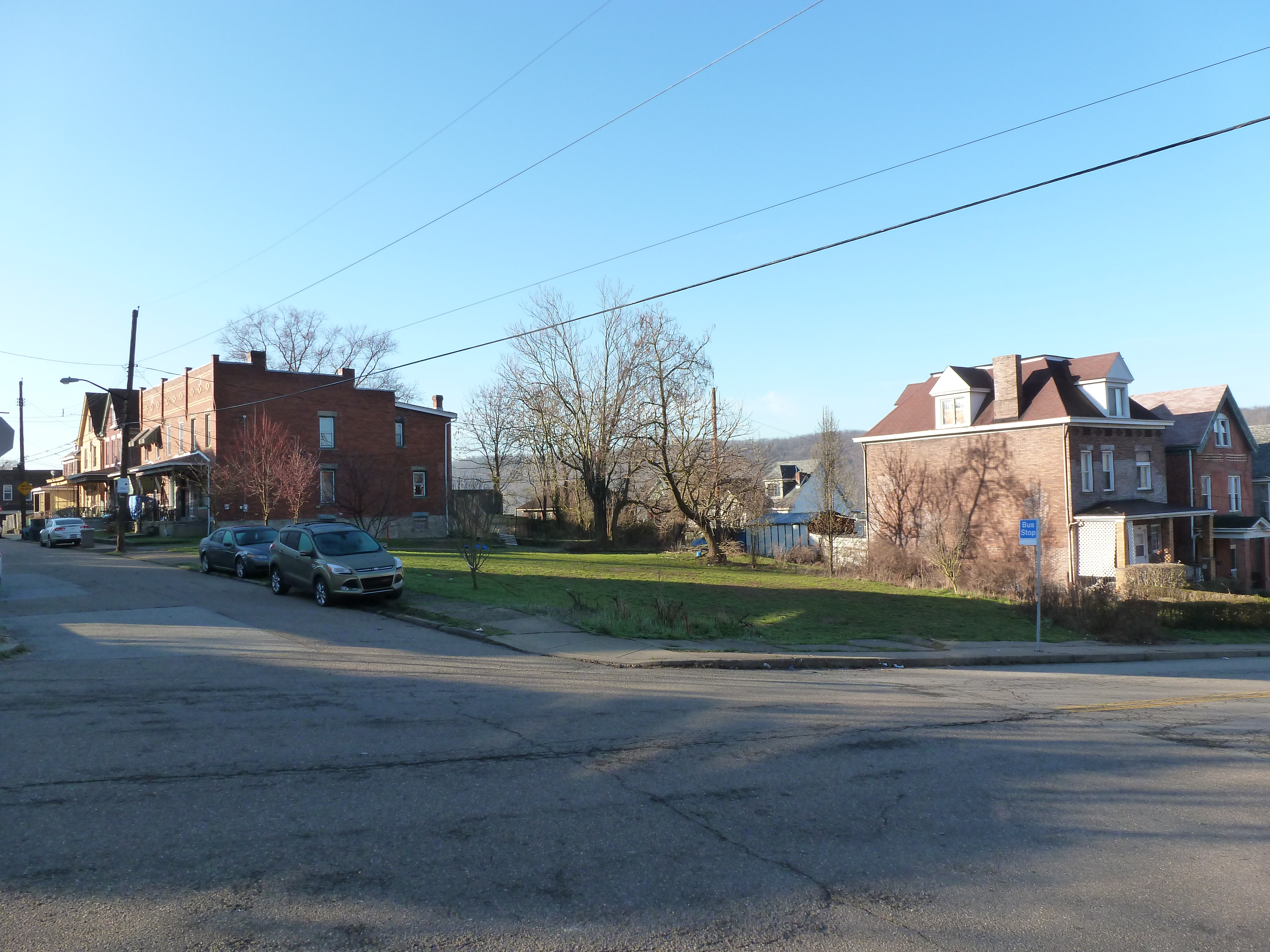
Hazelwood is a neighborhood divided in two by railroad tracks. On one side of the tracks are Hazelwood Green, a residential enclave, and some industrial and commercial uses. This is what is across the tracks:
My experiment of living without home internet in 2014 interfered with posting the images of Heth’s Run Bridge I took that fall as it reopened with an actual gap underneath:
Looking back at the original intent of the Hill-to-Hill Bridge and comparing it to its use today, I find myself asking a new question: what is the purpose of a bridge? The word bridge is often used metaphorically to describe something that brings two things together. At the same time, there is a running joke in Pittsburgh (the City of Bridges) that if it involves crossing a bridge, people would rather stay home. This conflict of ideas between a bridge as a connector and a bridge as a divider is illustrated by the Hill-to-Hill Bridge.
The Hill-to-Hill Bridge started out as a connector. A Y at the north end linked West Bethlehem and Bethlehem to the main span which connected to South Bethlehem. The ramps in-between connected the neighborhoods to the businesses on the flats by the water.* Over time, the priority on connection disappeared as the bridge was modified. Of the seven original approaches, three were demolished, one was permanently closed to through traffic, and one was changed to one-way traffic.
The explanations I came across for alterations to the bridge seem reasonable, but they do not tell the whole story.
Reason #1: Industry changed and shut down in Bethlehem as with other Rust Belt cities. Some of the business destinations connected to the bridge were among those that closed, removing the need for the connection.
Reason #2: Cars became bigger, faster, and more numerous, making it harder to navigate the tight turns on some of the approaches.
The story that is overlooked by these explanations is that in the 1960s a new highway was built from the north directly tying into the bridge. The introduction of high-speed traffic to the bridge, or to any roadway, certainly makes it less safe for local traffic.
As a result of the addition of the highway, instead of connecting the neighborhoods of West Bethlehem, Bethlehem, and South Bethlehem, the bridge funnels traffic directly toward the former steel mill, Lehigh University, and other points south. In fact, the residents of West Bethlehem are practically excluded from using the bridge to get anywhere, as the western ramp is closed to through traffic (though open to parking). To use the Hill-to-Hill Bridge to reach South Bethlehem, a resident of West Bethlehem would have to drive north several blocks to get on the highway going south. Alternately, a resident could go south by taking Spring Street, a road parallel to the western and eastern wings of the bridge, (by)passing under the main span, then skirting around the hill of historic downtown, and taking the Fahy Bridge instead.
People living and working in the historic downtown area (the Bethlehem neighborhood) are also now limited in their use of the bridge. If coming across the bridge from the south, they can take the eastern viaduct to enter the historic downtown, but to leave the area by way of the Hill-to-Hill Bridge, they would have to drive north to the same highway access point as the residents of West Bethlehem. They could alternately take the Fahy Bridge for a more direct route south.
Use of the bridge is a little easier as a pedestrian, though it is still the most challenging for residents of West Bethlehem. For pedestrians to access the bridge from the west, they would have to use the sidewalks on Spring Street, walk under the main span, and climb a towering staircase up to the sidewalks on the bridge. If they are not able to use the stairs, they could keep going on Spring Street up the hill to the eastern end of the viaduct. Once on the bridge, both the historic downtown and south side are accessible. Given the history of the bridge, I imagine that there once was a time when there were crosswalks at the intersection of the main span and the east and west spurs so that pedestrians had full use of the structure just as drivers would have had.
The shift in the bridge’s focus from local to regional traffic seems like a classic case of the Urban Renewal efforts of the 1950s and 1960s. The discussion among planners and officials in recent years is how do they undo or erase the mistakes of Urban Renewal. Pittsburgh is trying to reconnect the local by returning some one-way roads to two-way traffic and by building a cap over the highway that divided downtown and the Hill District. As I watch these developments in Pittsburgh, I wonder if there are ways to return the Hill-to-Hill Bridge to a focus on the local.
For example: The highway has to end at some point, which is currently at the southern end of the bridge. What if it were moved to the north end of the bridge? If a traffic light were introduced there, the western branch could be reopened to through traffic and the eastern branch could be restored to two-way traffic. Pedestrians would also be able to then use all the remaining approaches. Thus, West Bethlehem, Bethlehem, and South Bethlehem would be reconnected for the enjoyment of pedestrians and drivers.
This suggestion is based upon the assumption that the local community would want to be better connected by way of this bridge. Perhaps the question that should come before “what is the purpose of a bridge?” is “who gets to decide the purpose of a bridge?”
*By prioritizing connections, Clarence W Hudson, the bridge’s designer, was forced to develop a one-of-a-kind truss design to accommodate the railroad tracks beneath the bridge and the connections coming into the bridge. There is no record of this truss design being used on any other bridge.
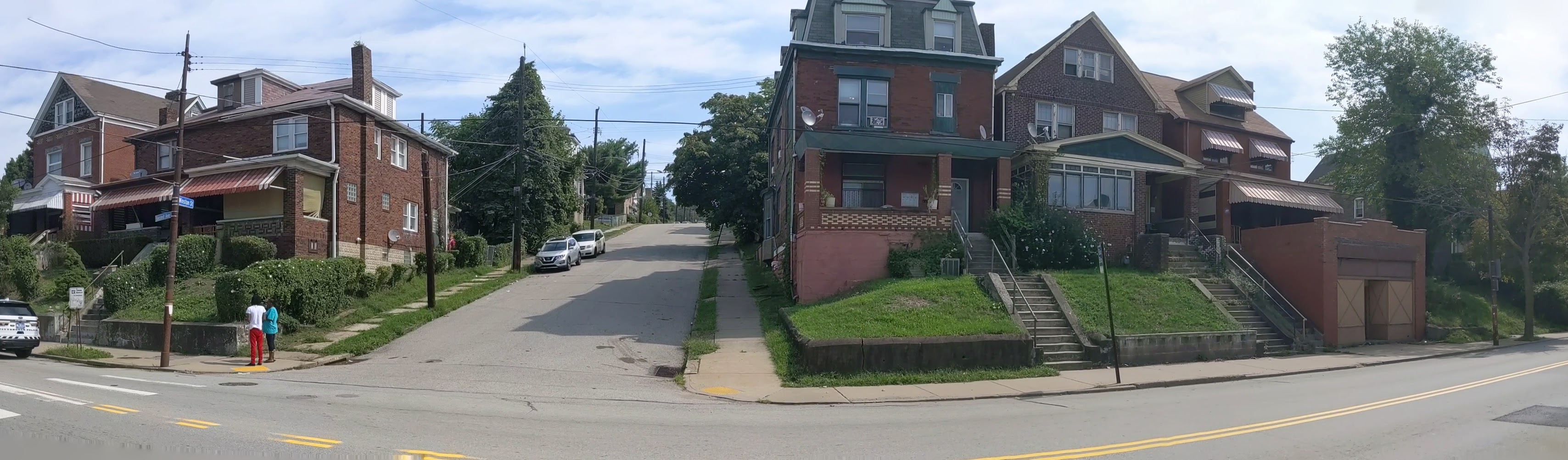
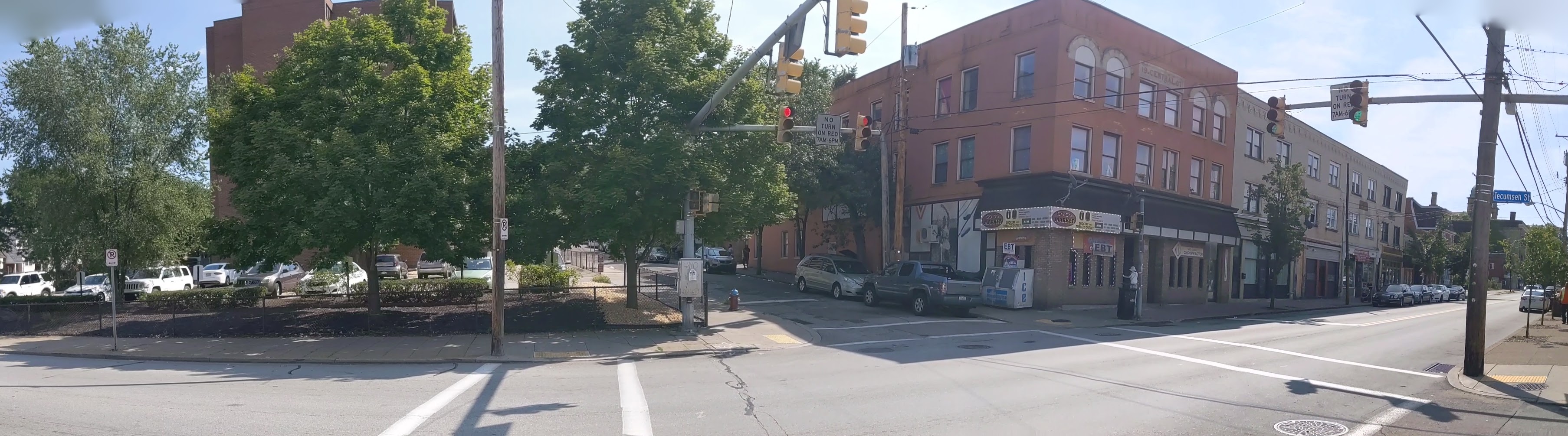
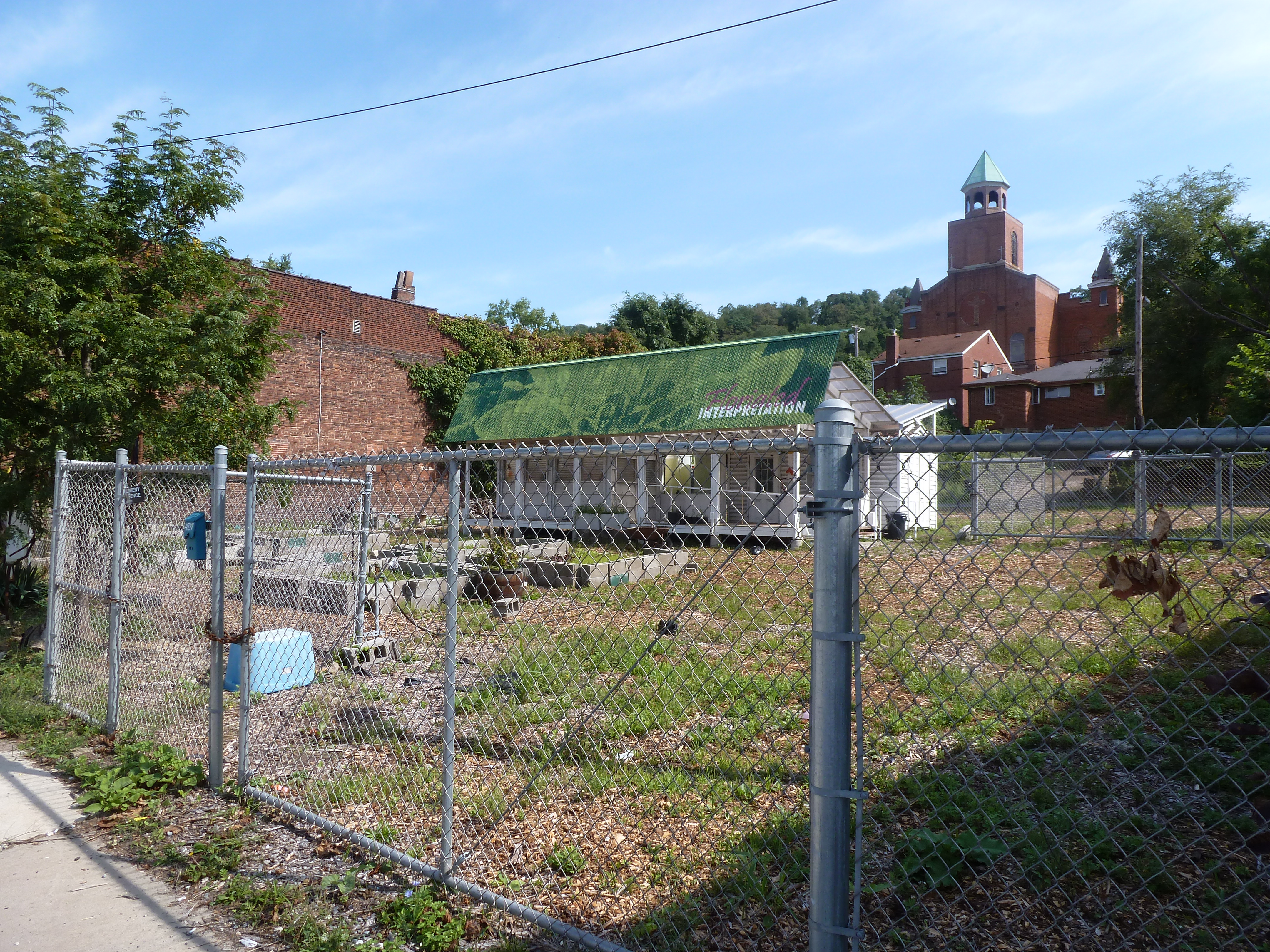
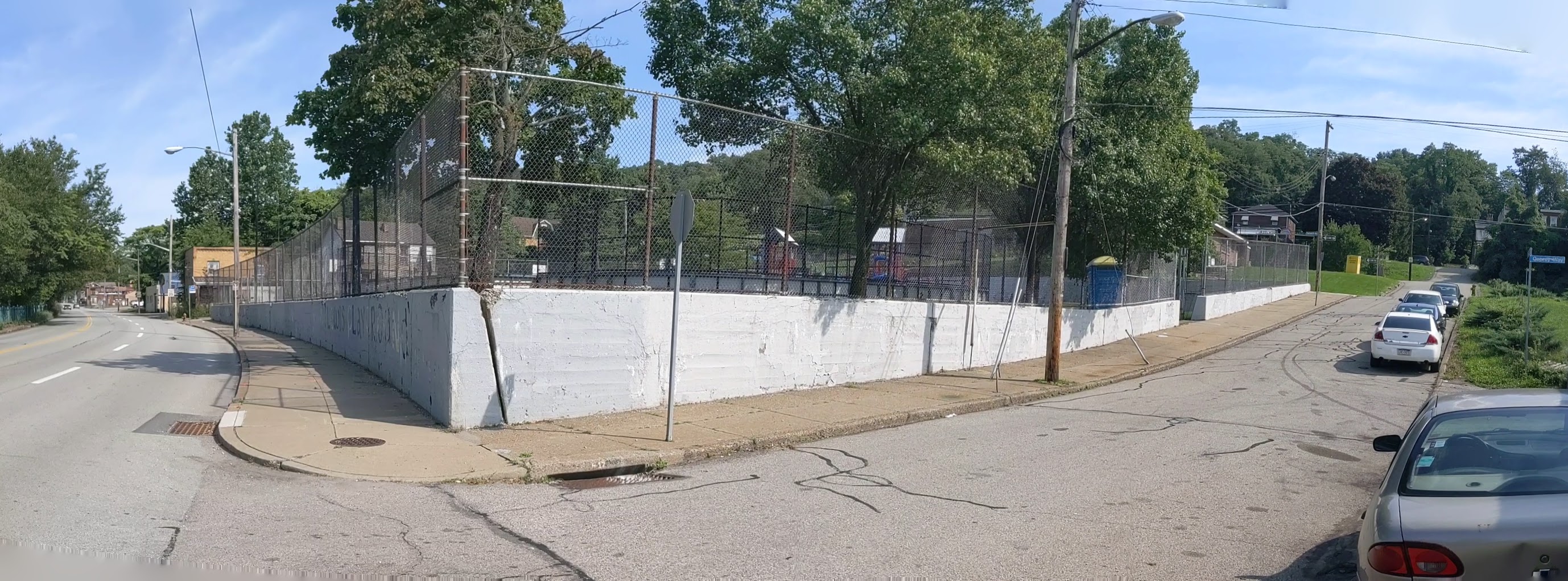
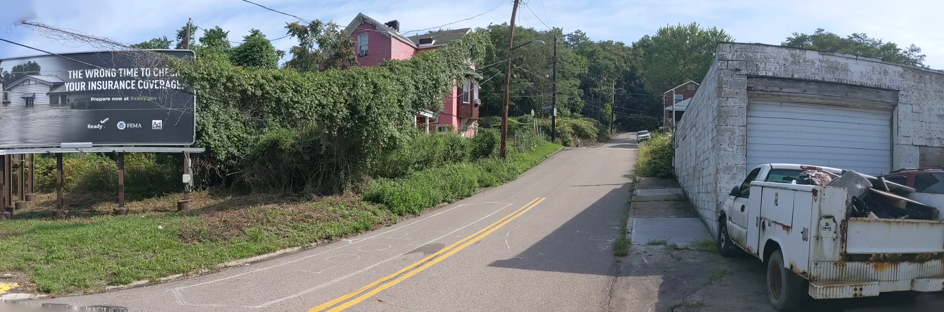
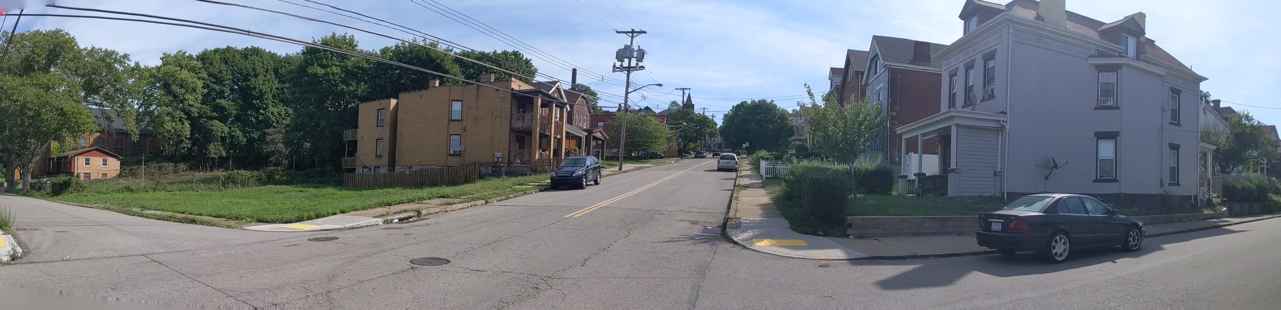
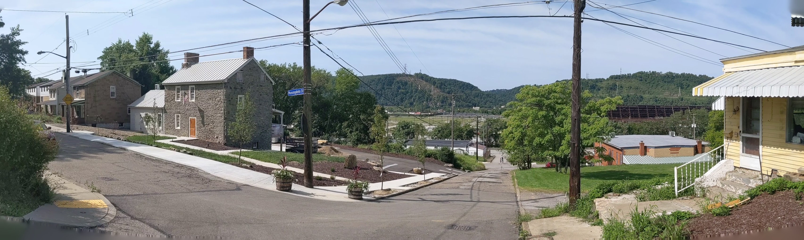
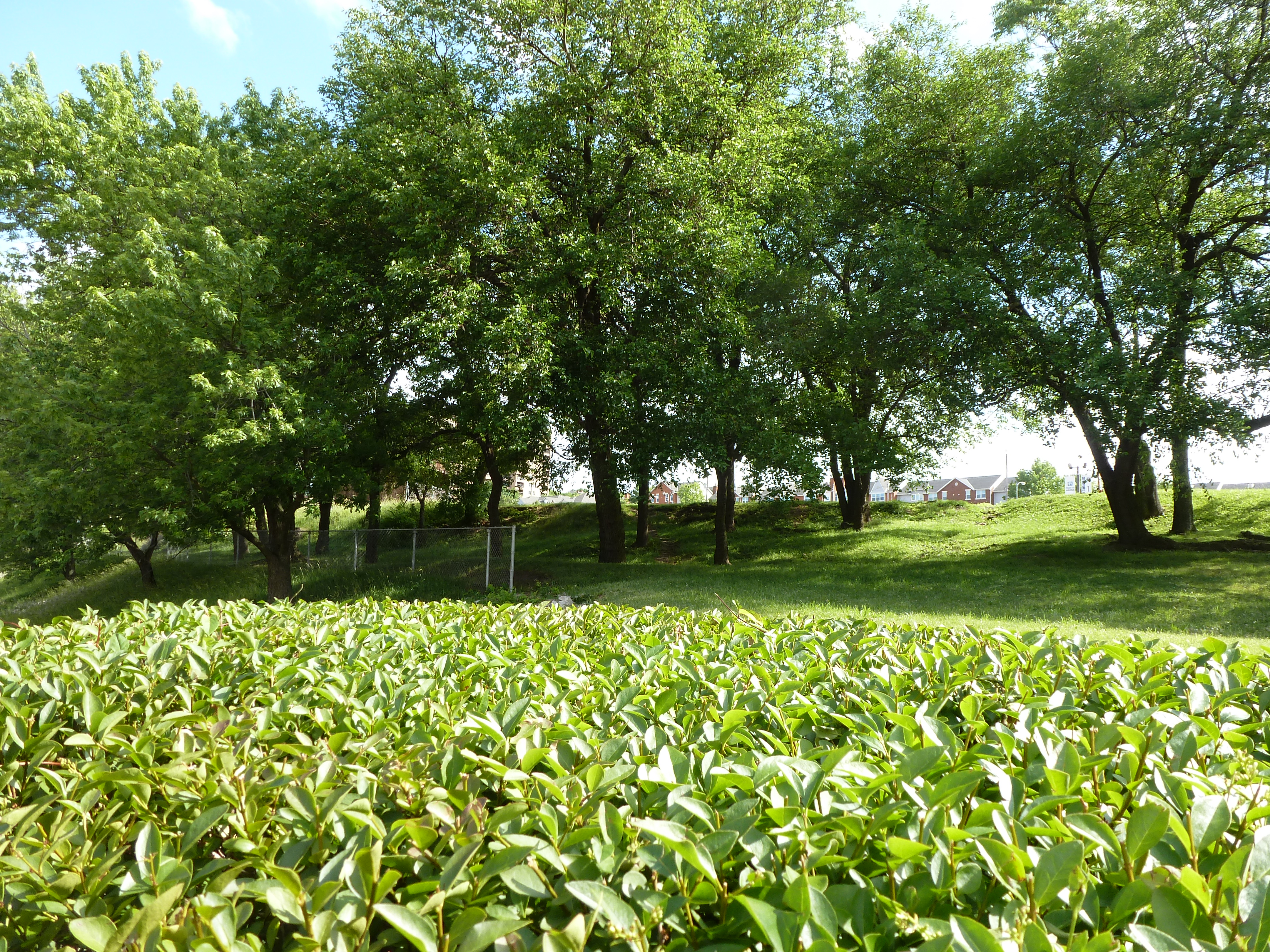
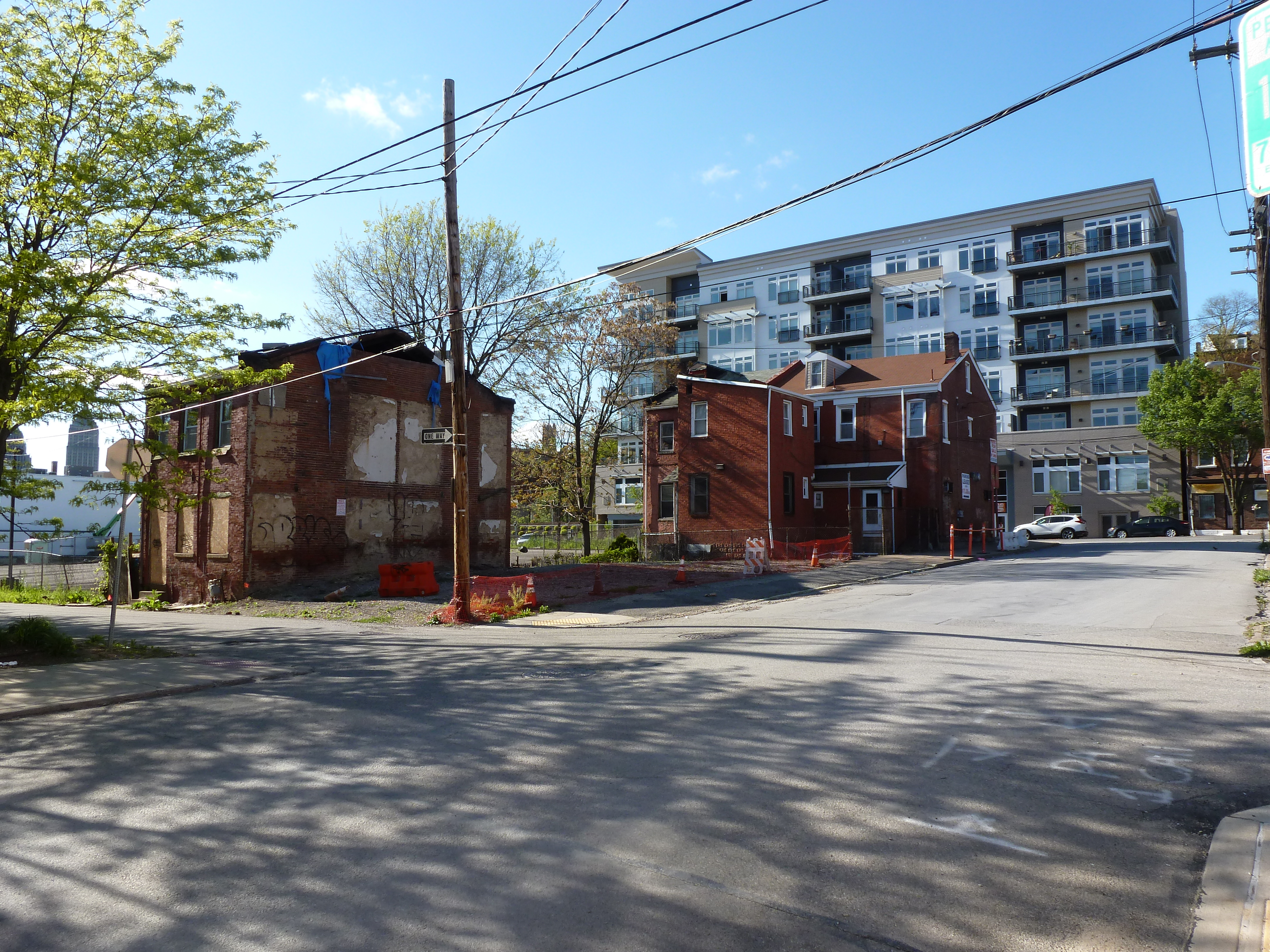
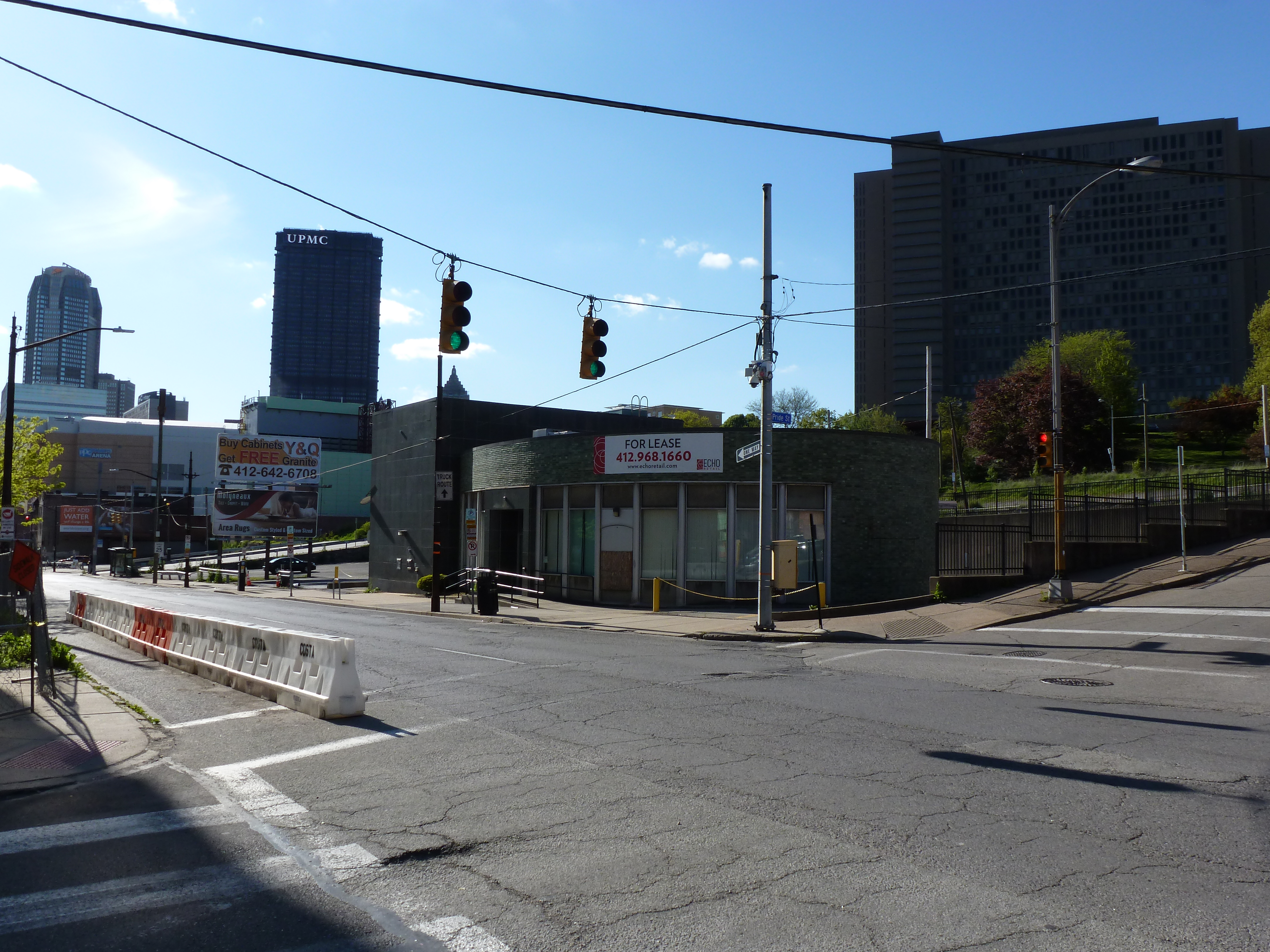
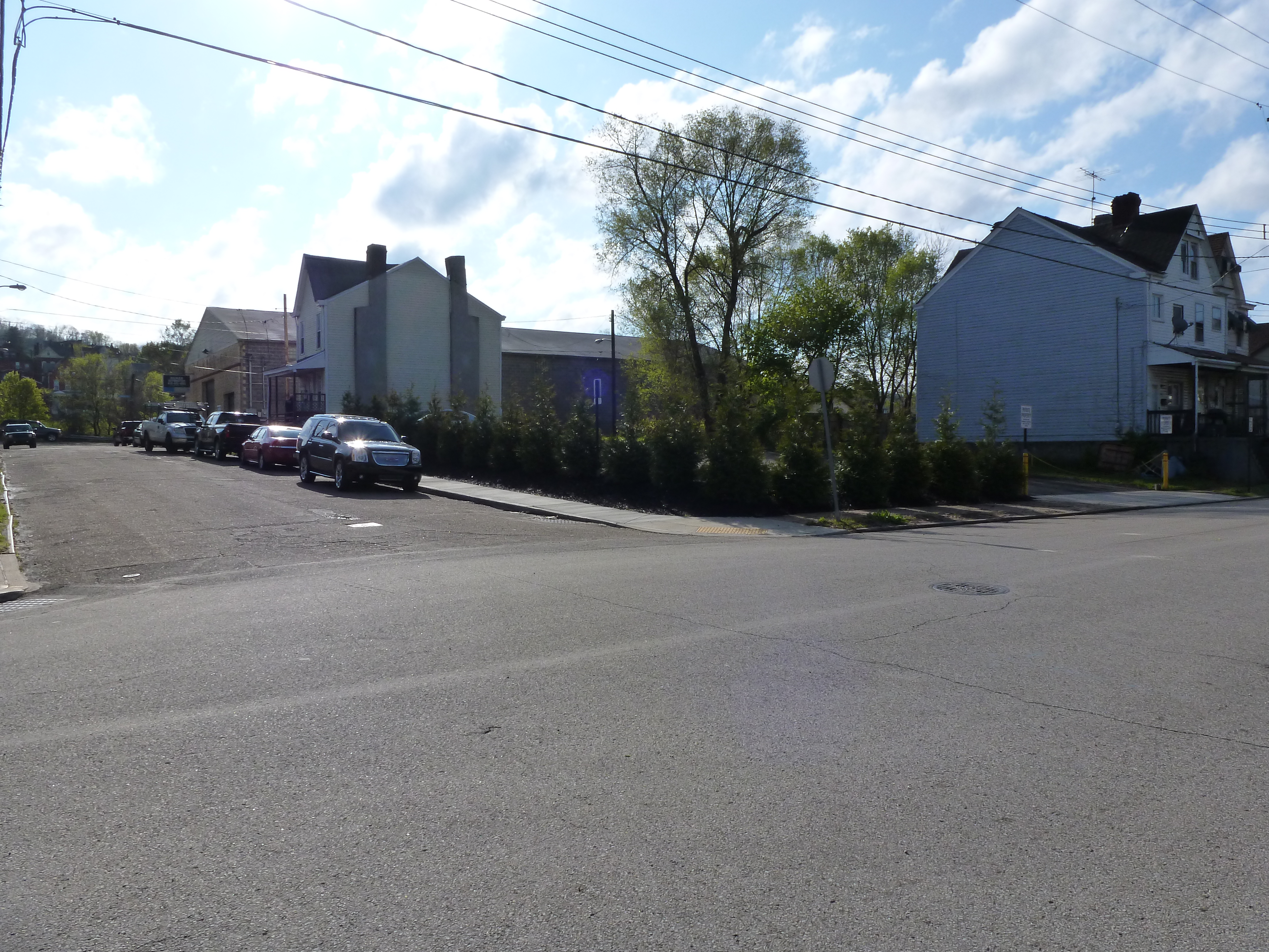
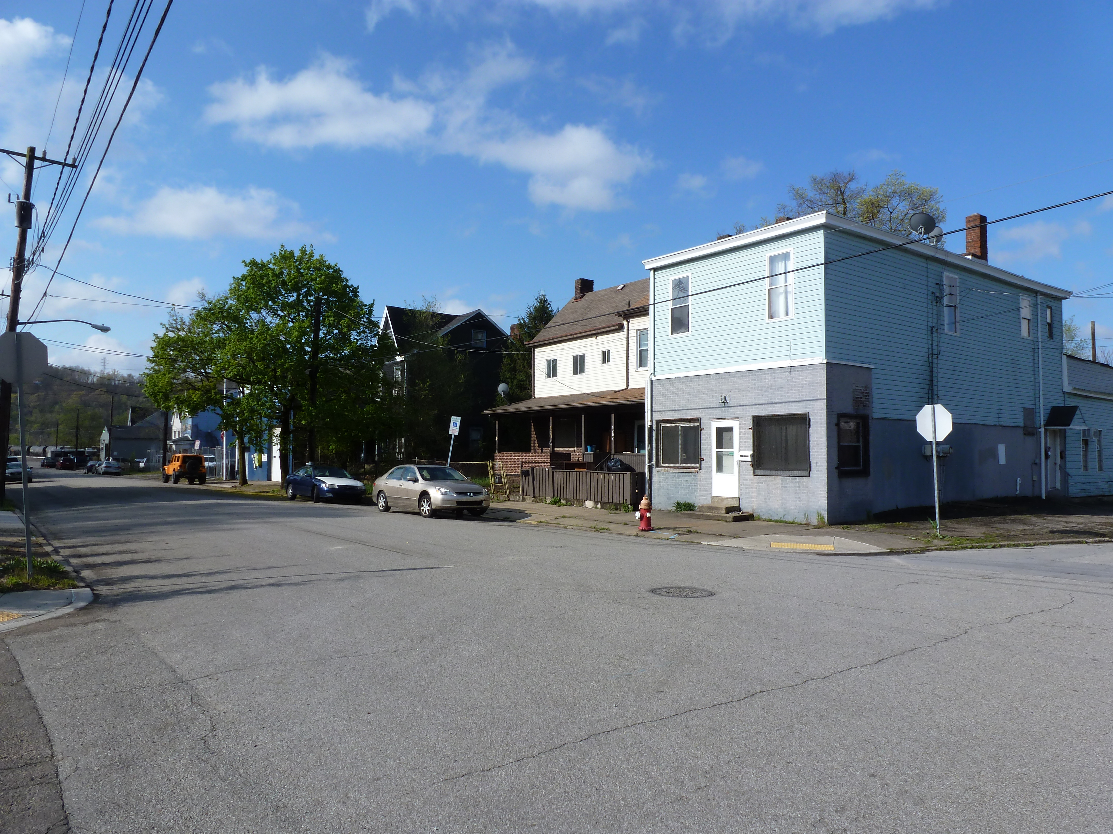
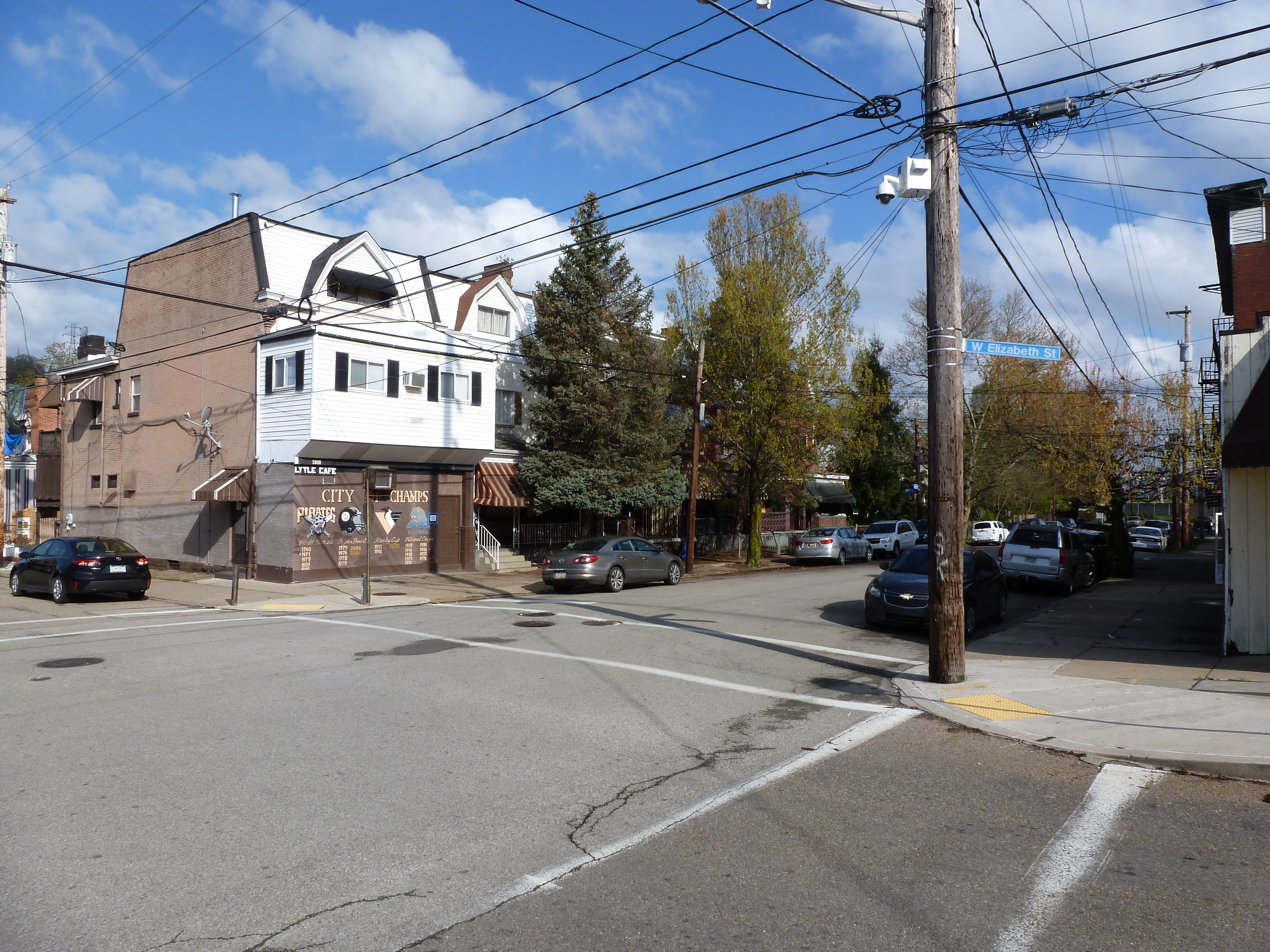
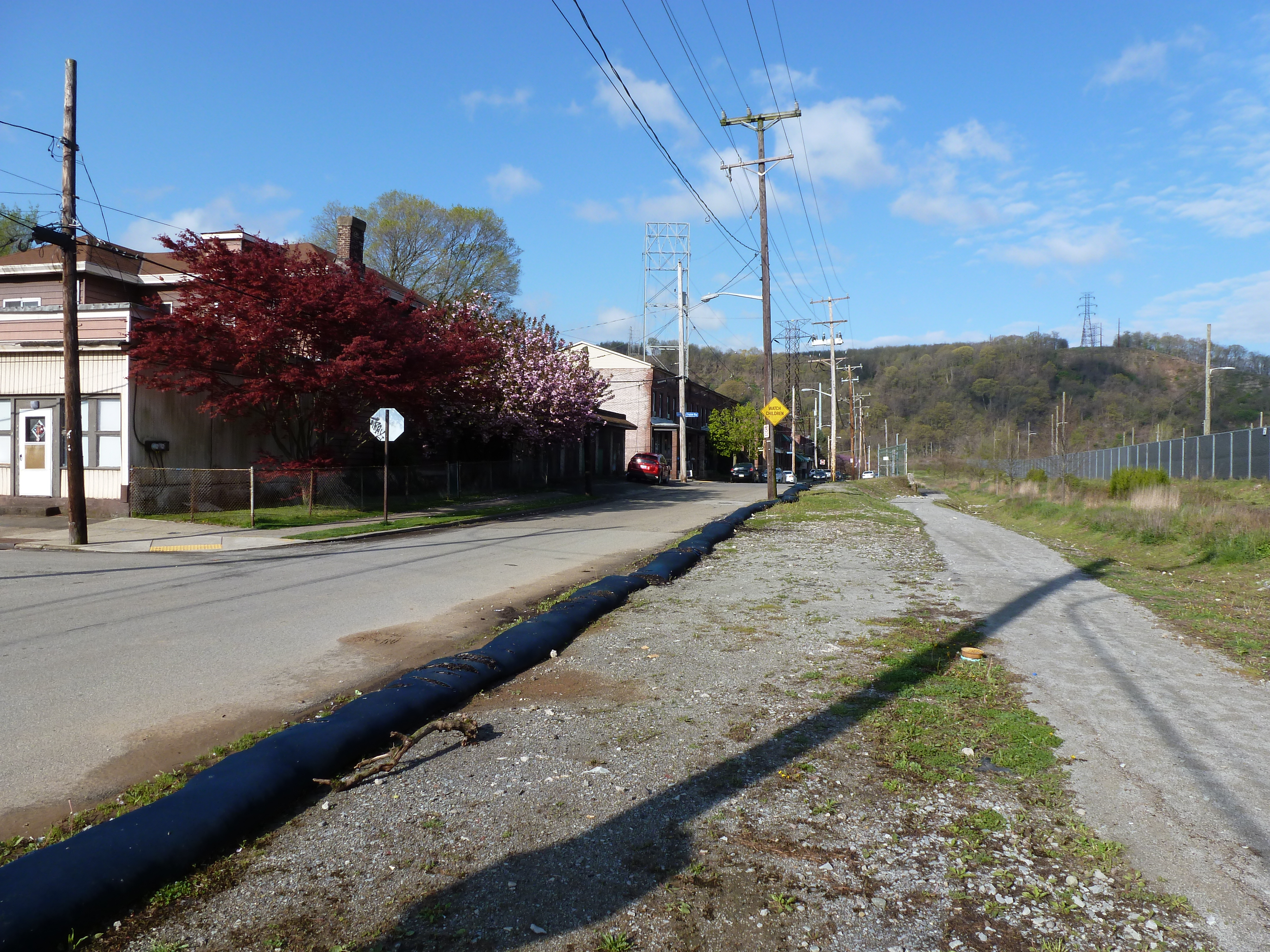
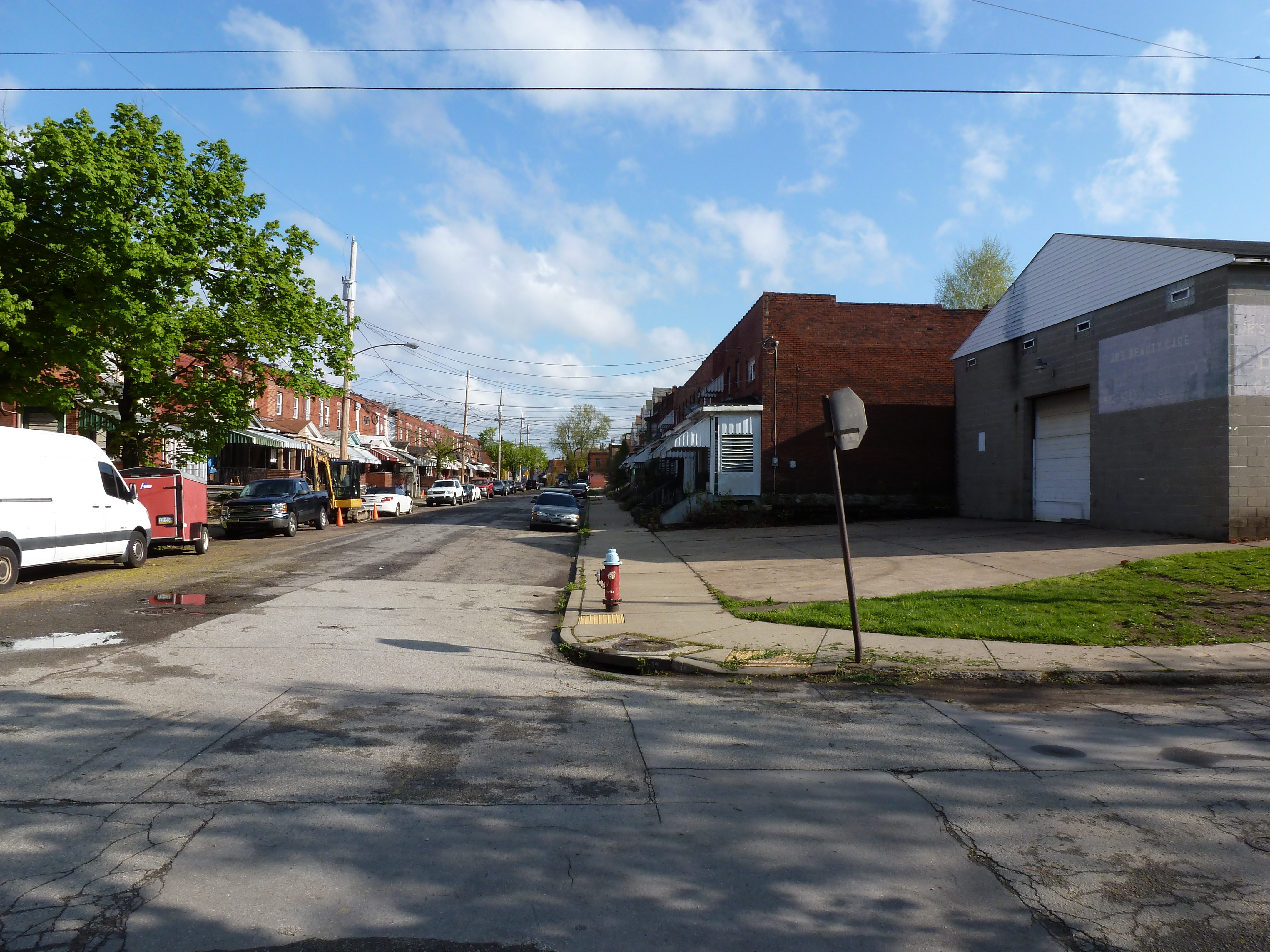
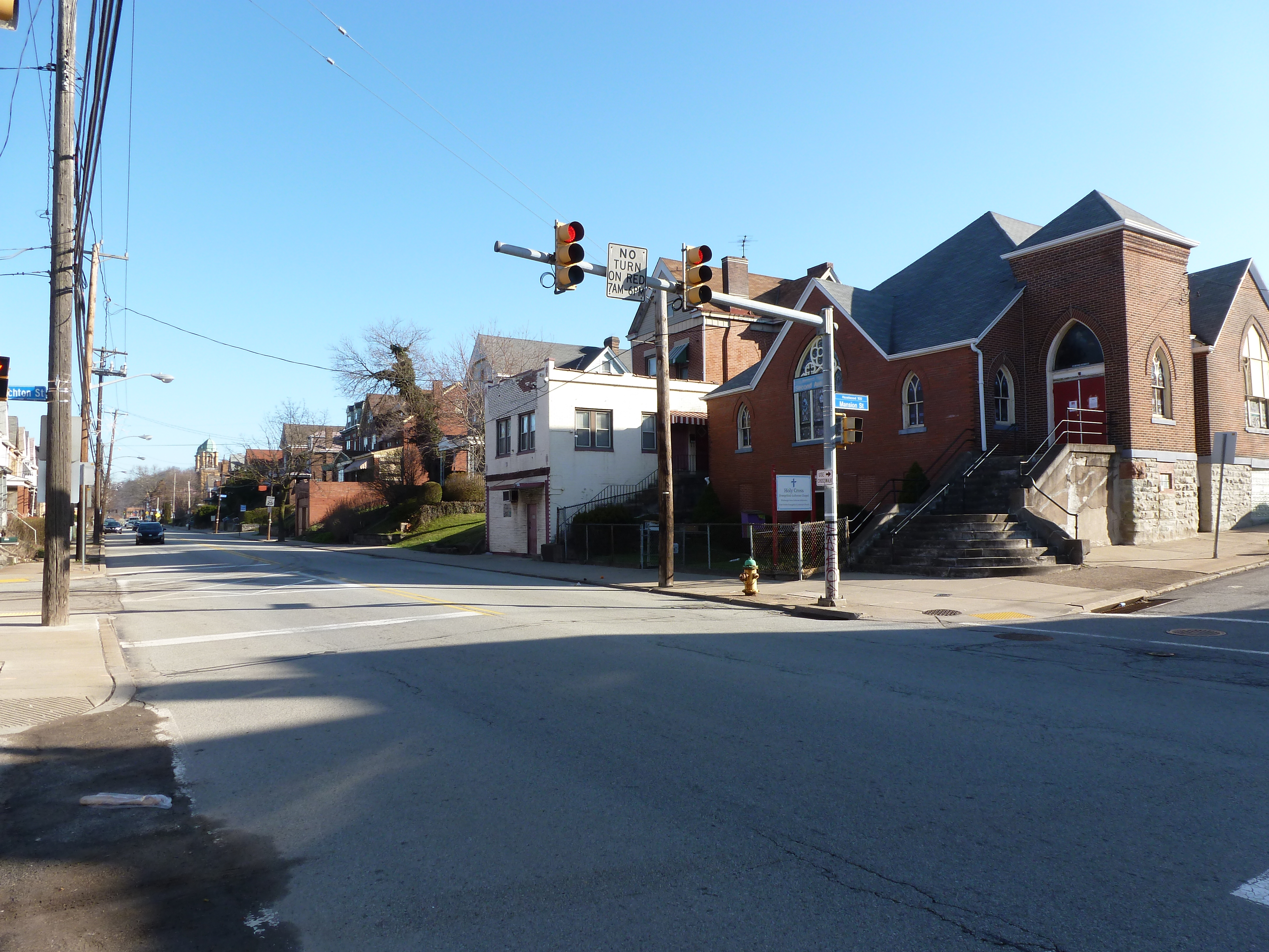
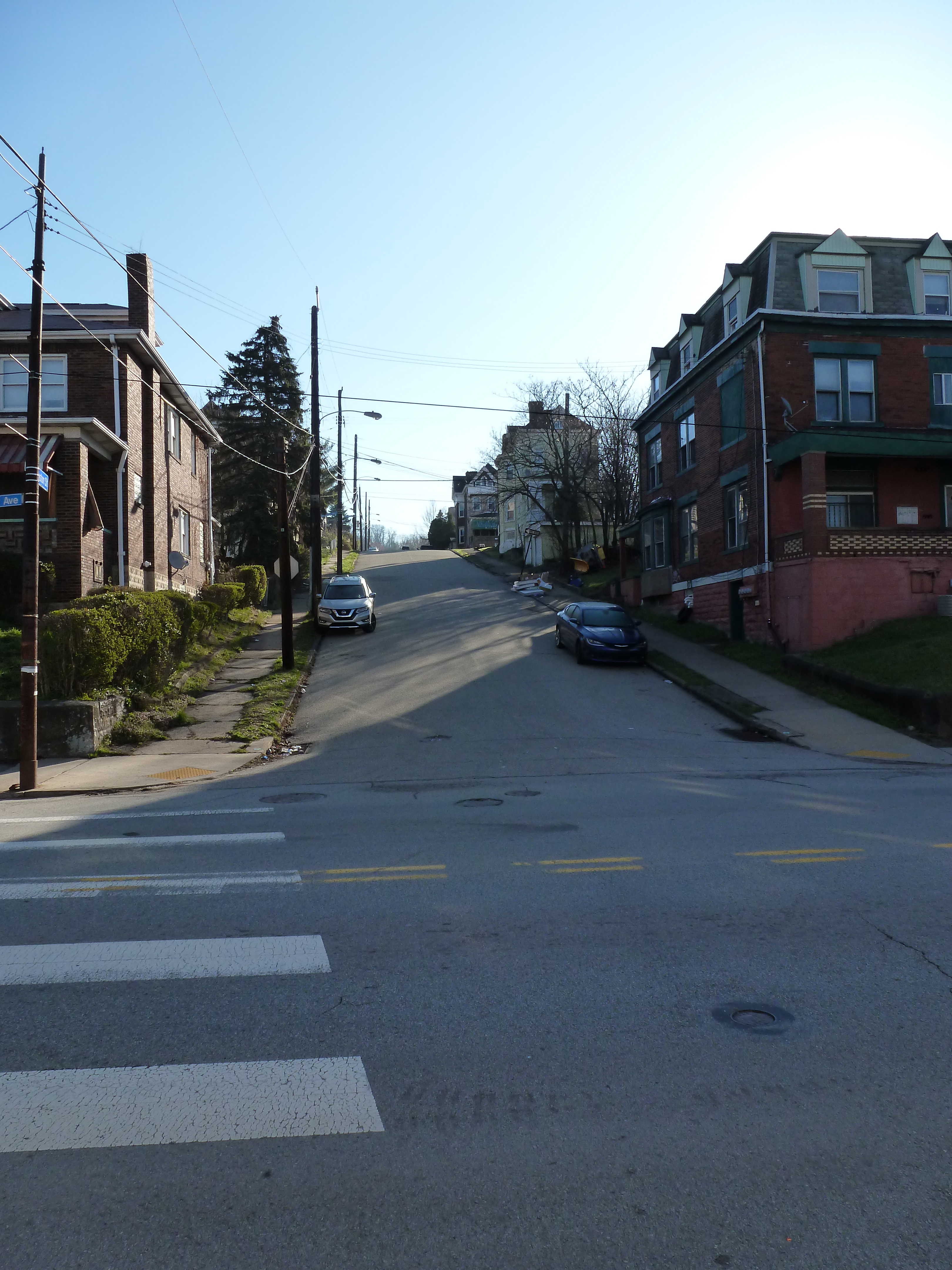
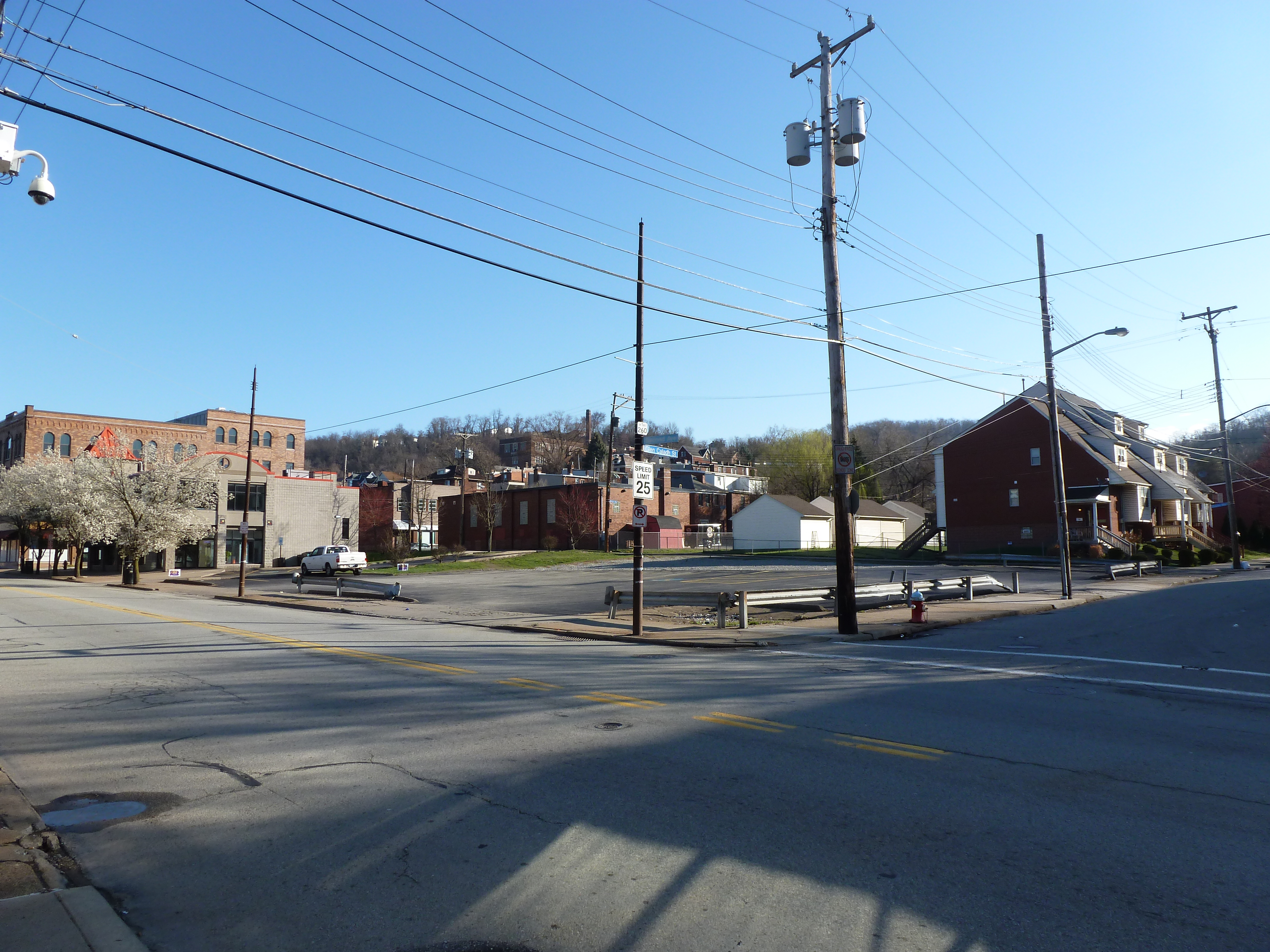
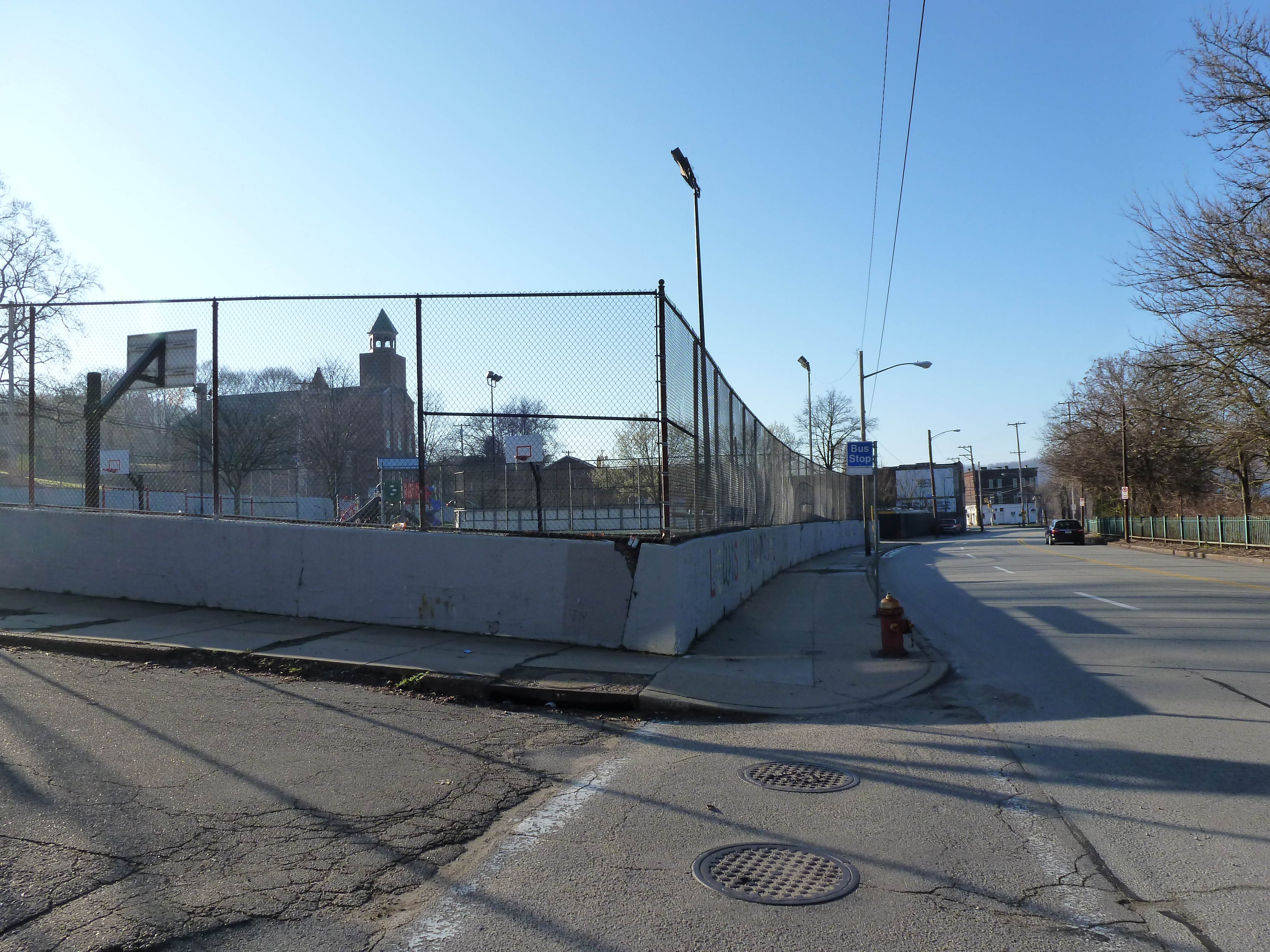
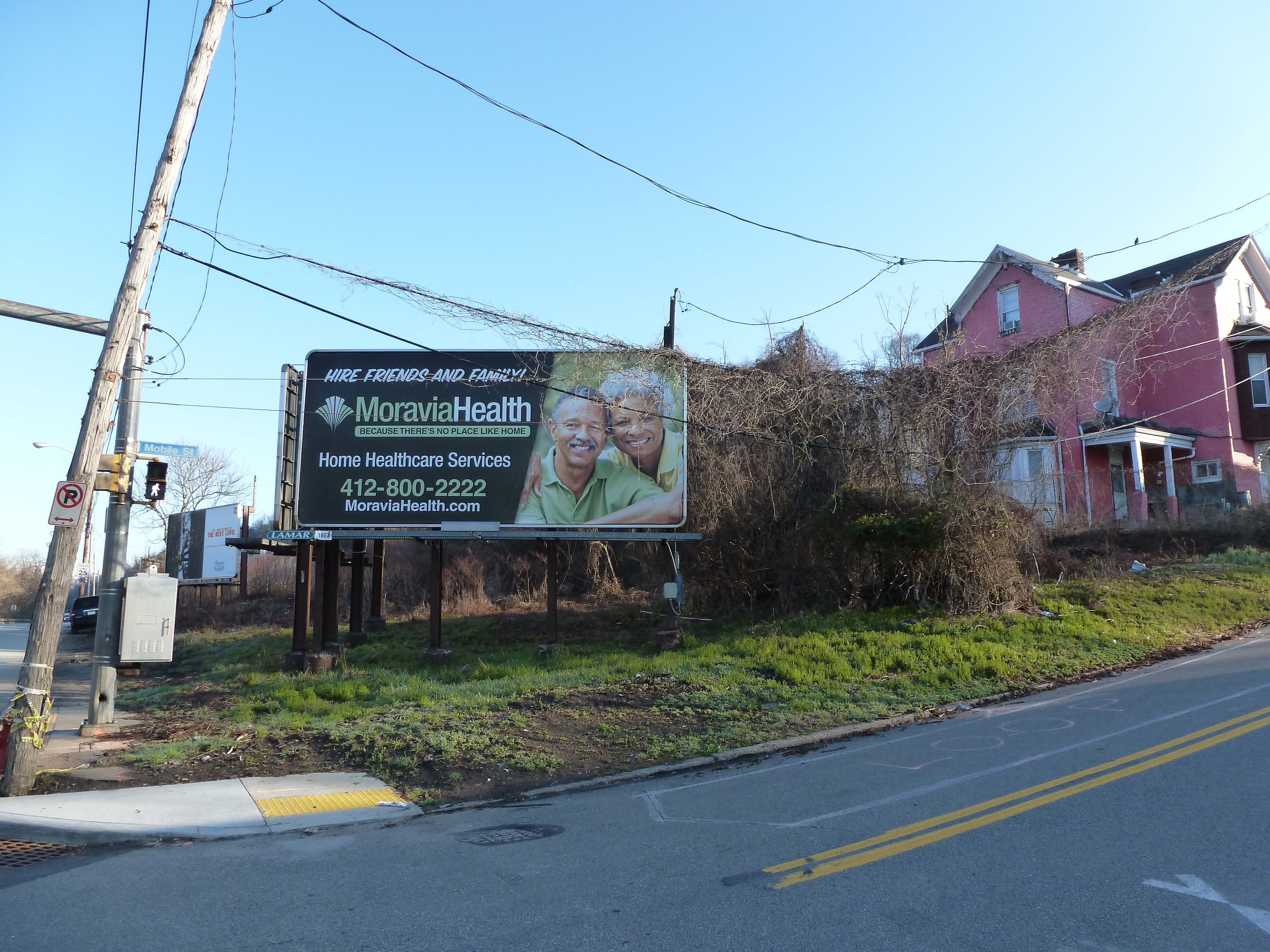
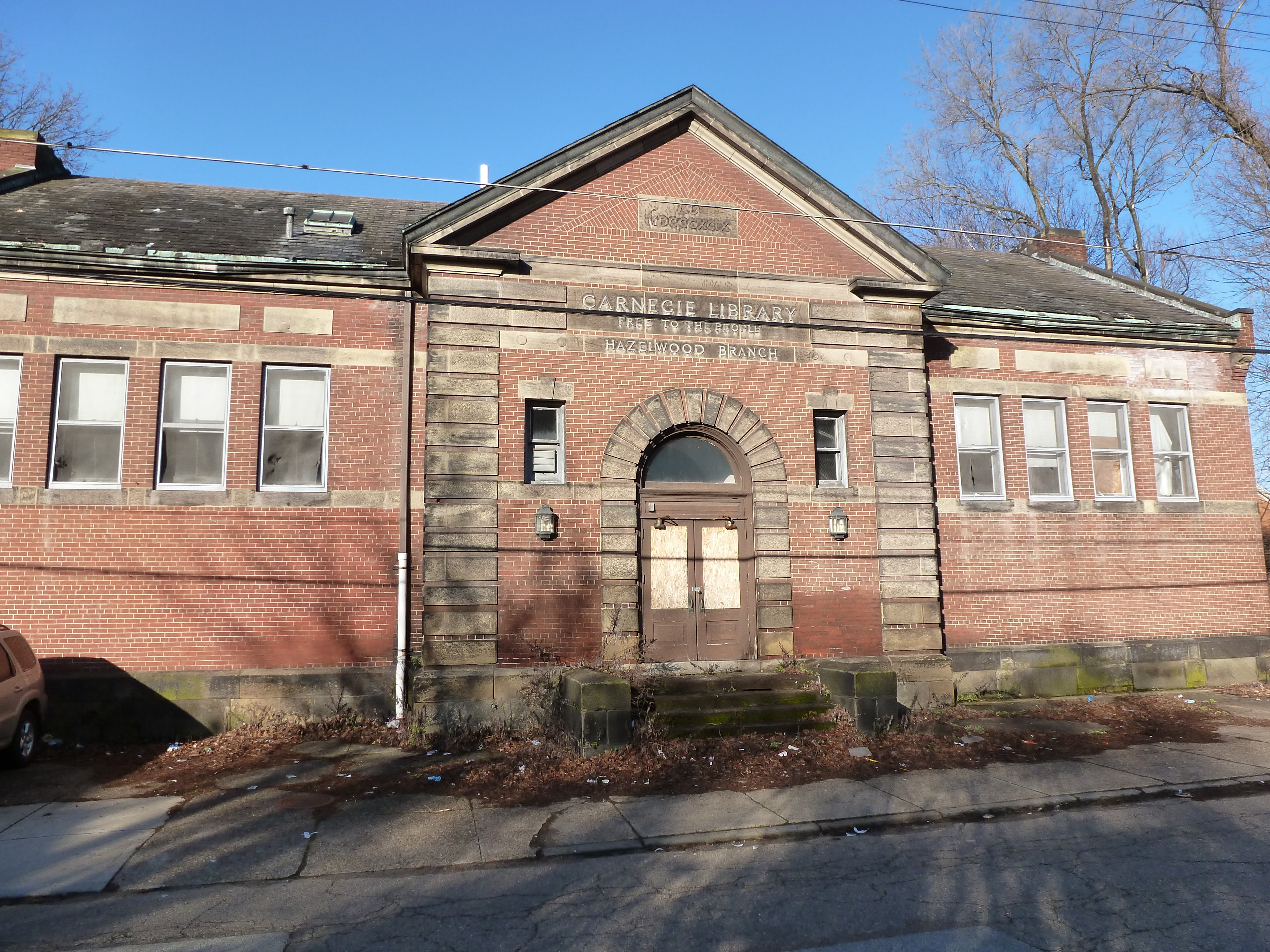
Hazelwood is a neighborhood divided in two by railroad tracks. On one side of the tracks are Hazelwood Green, a residential enclave, and some industrial and commercial uses. Here is a snapshot of the residential enclave and surrounding uses:
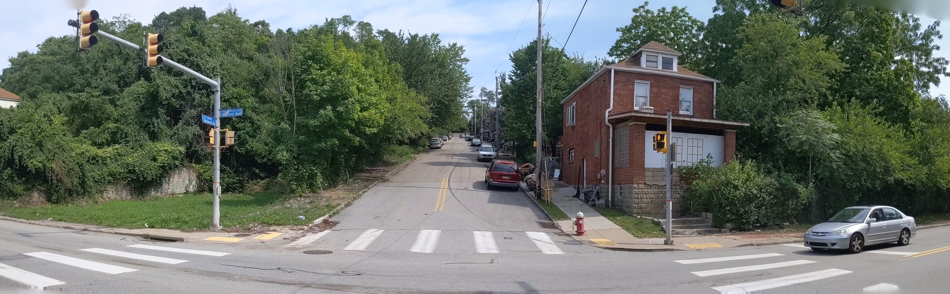
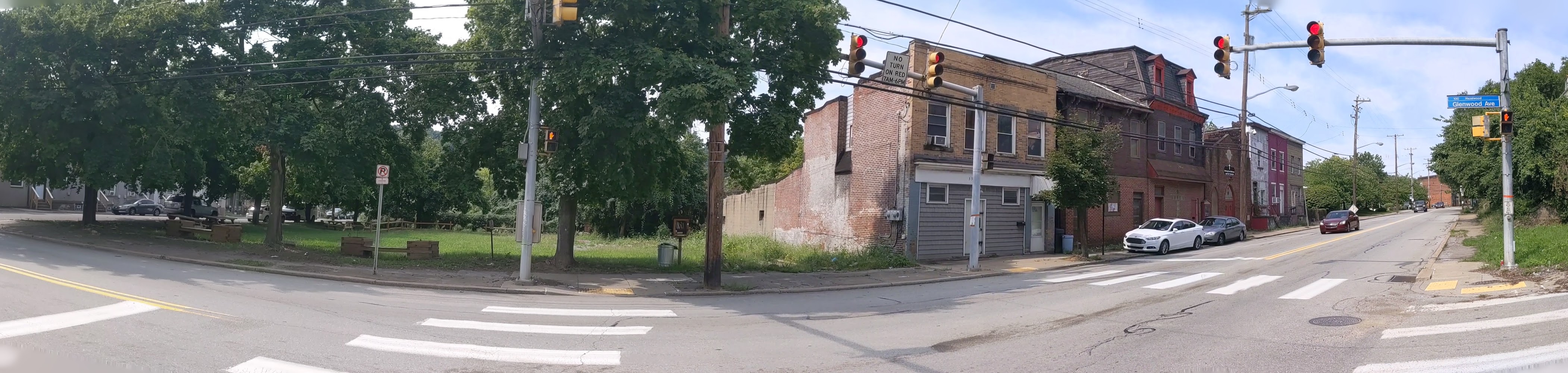
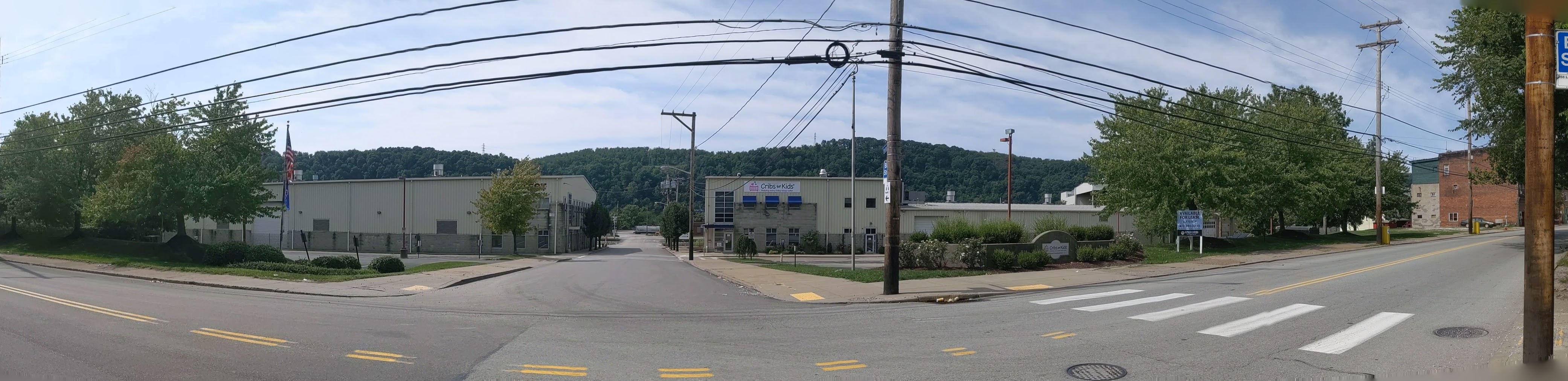
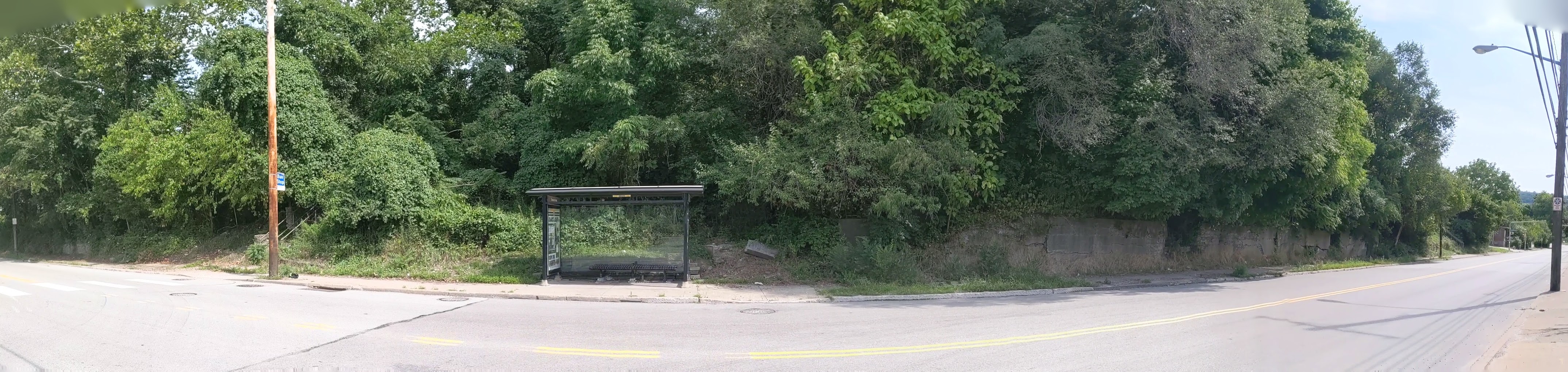
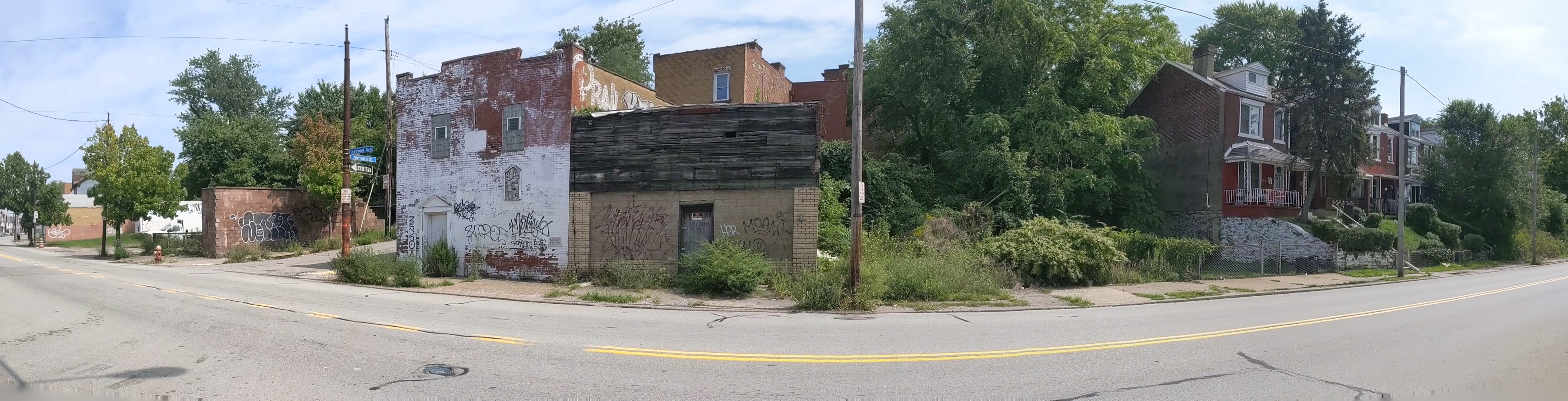
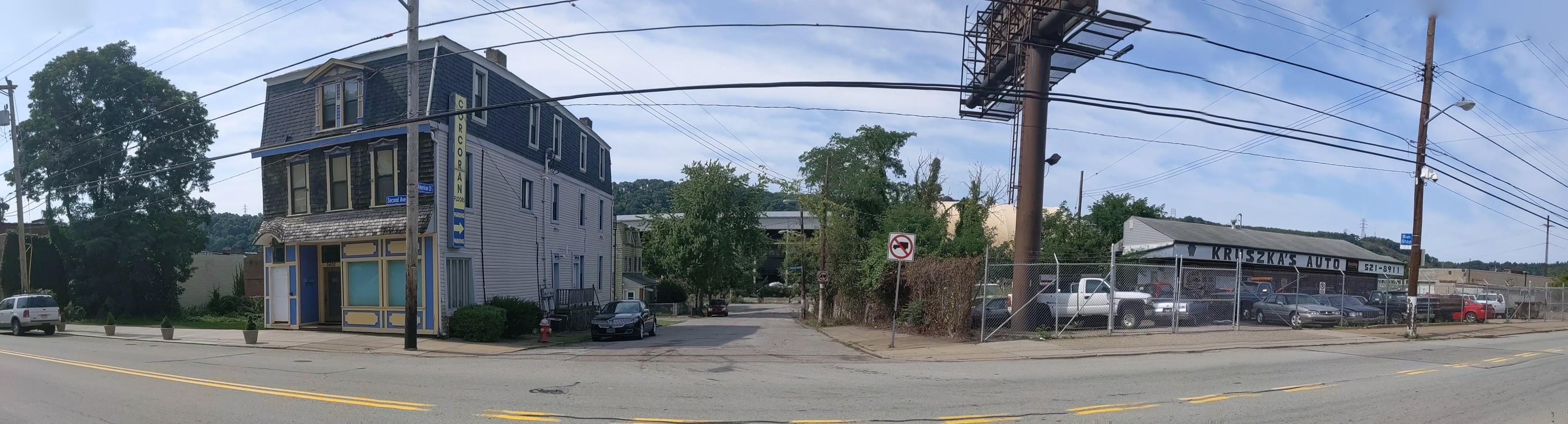
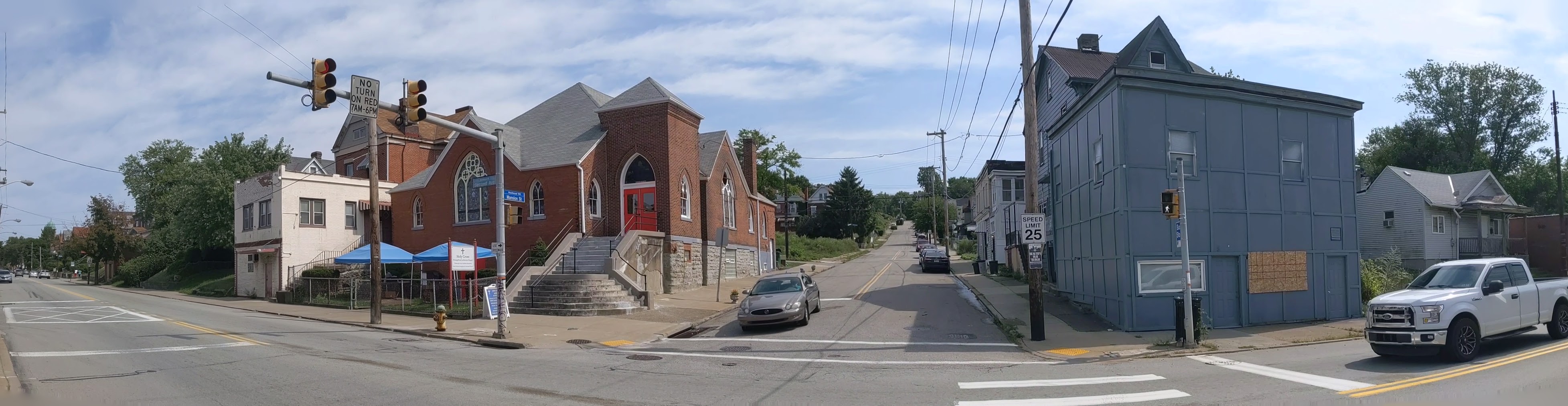
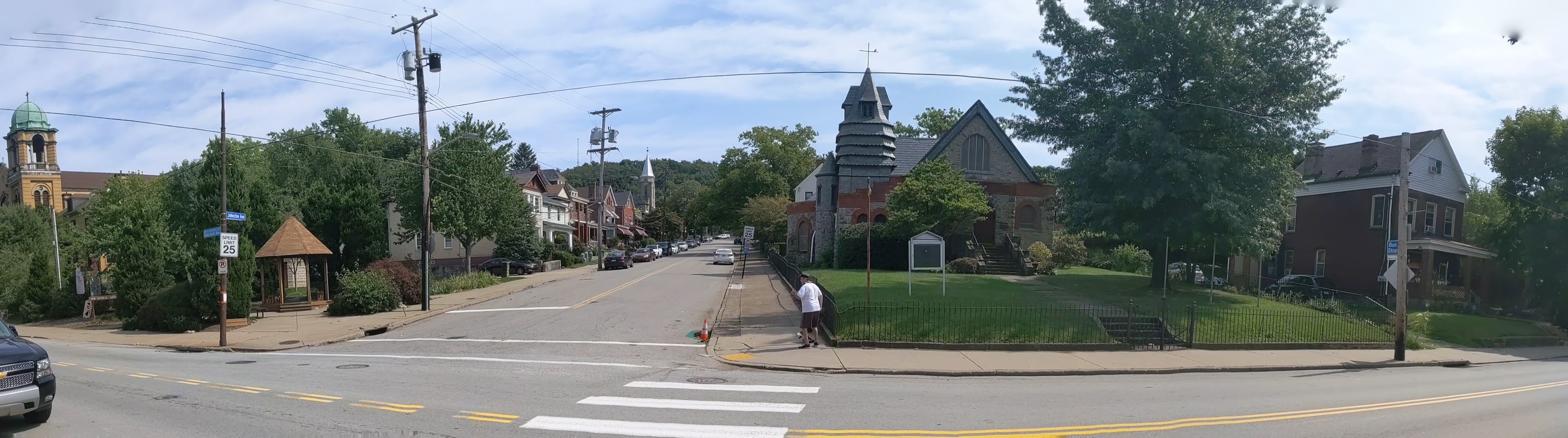
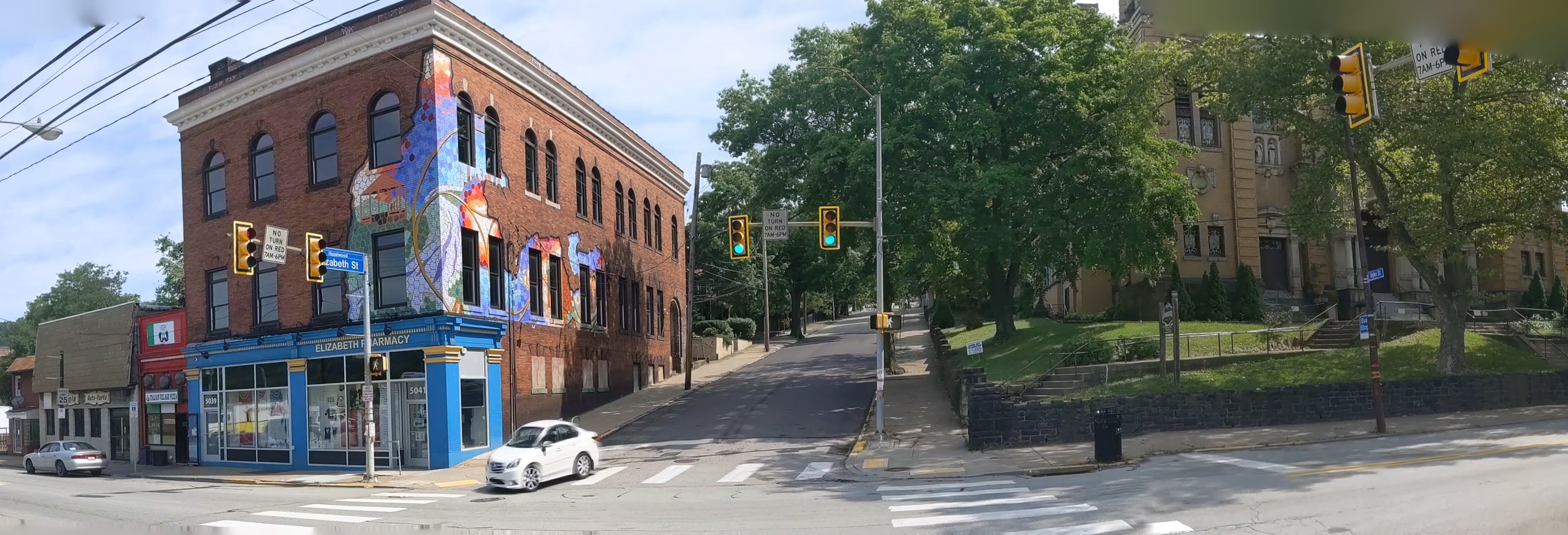
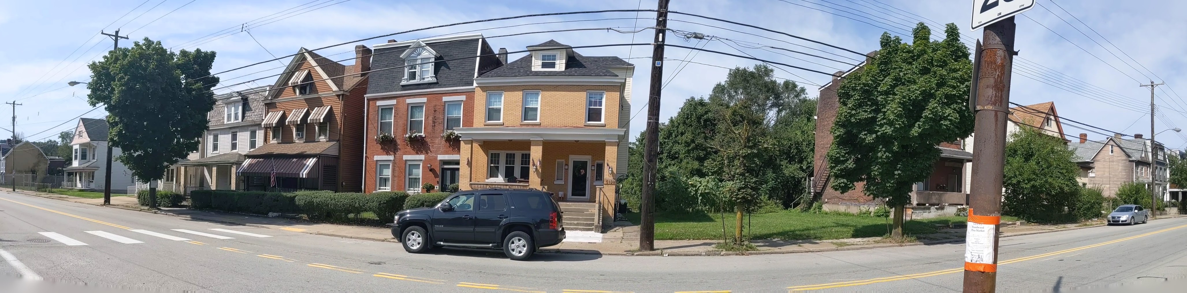
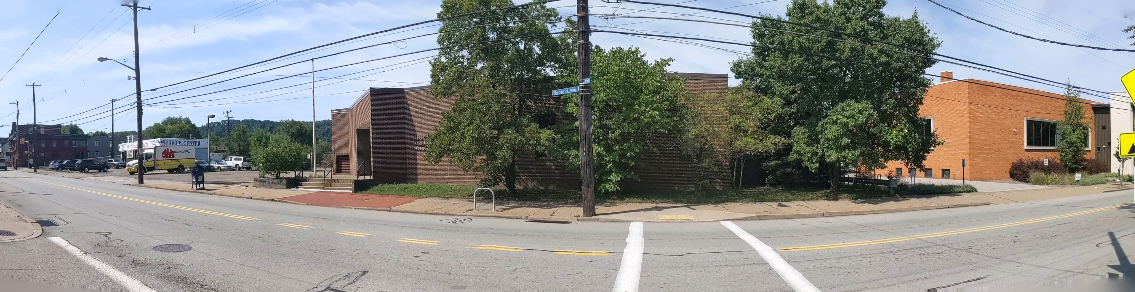
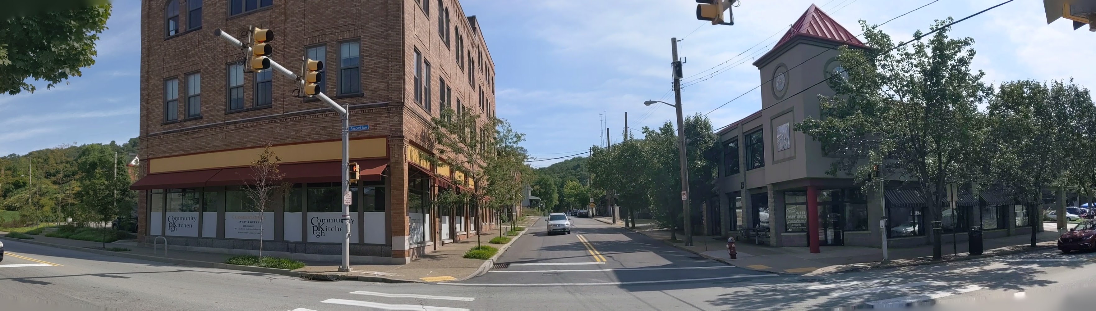
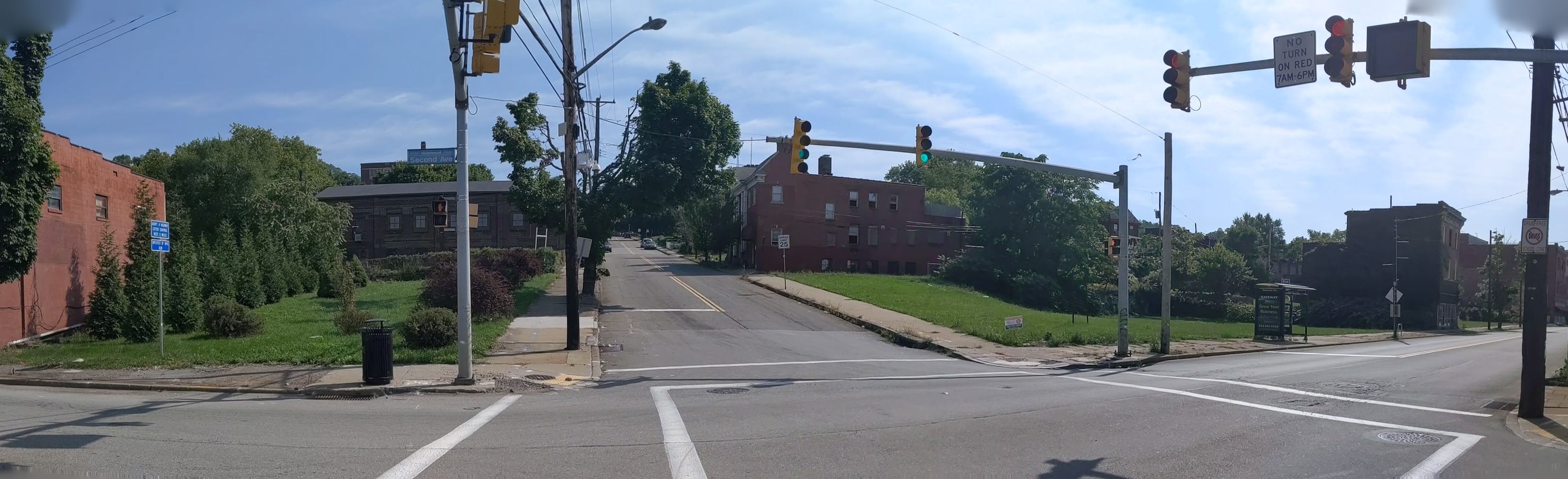
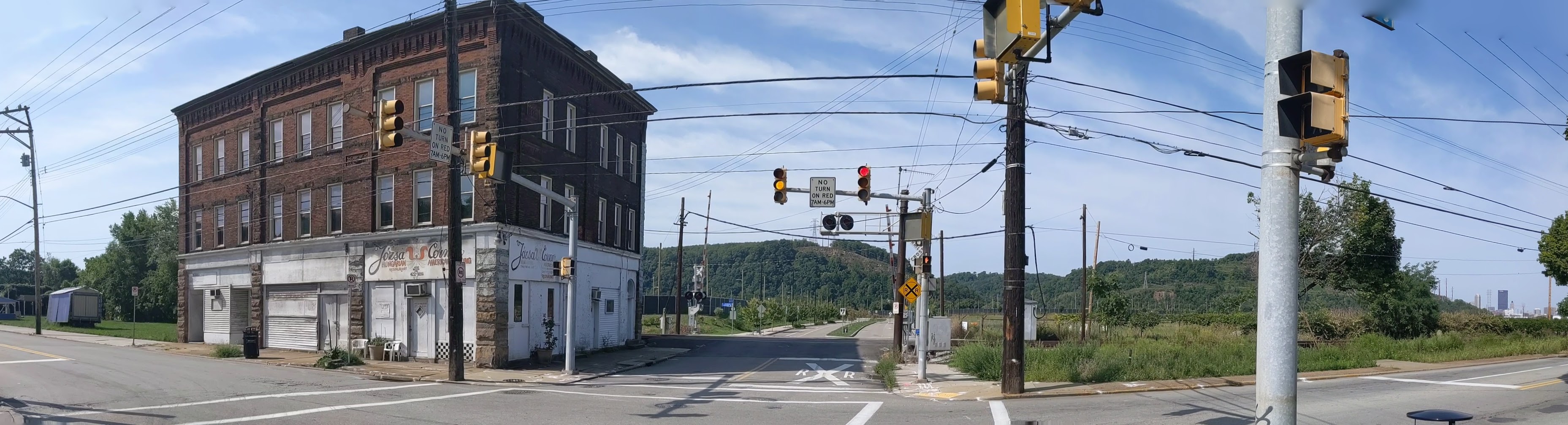
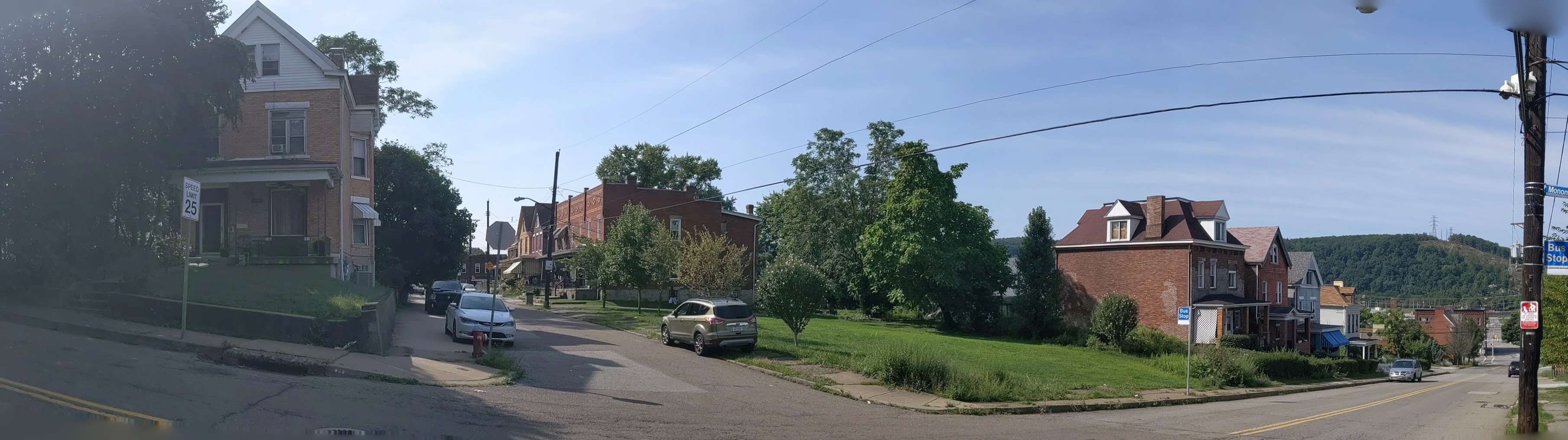
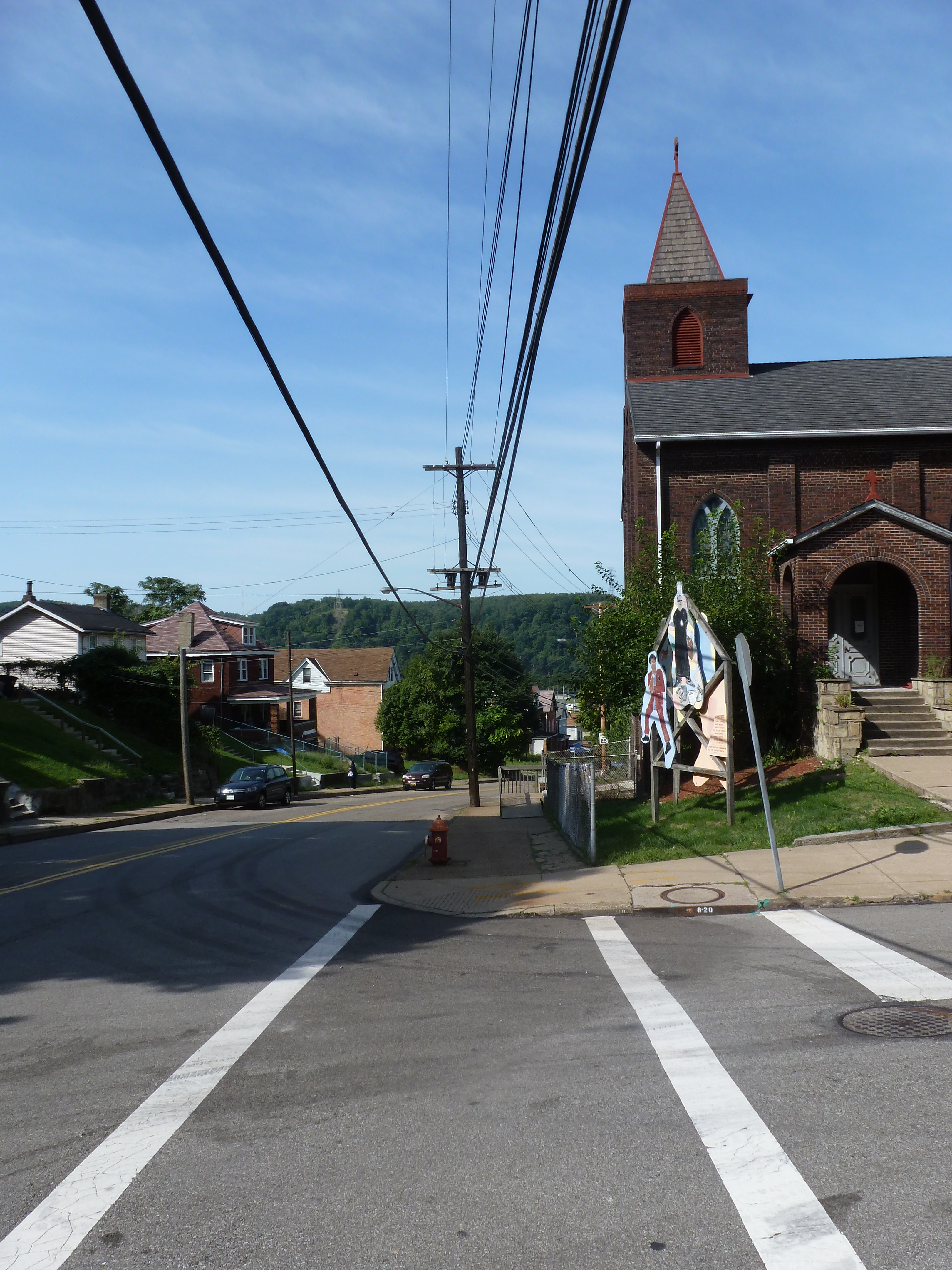
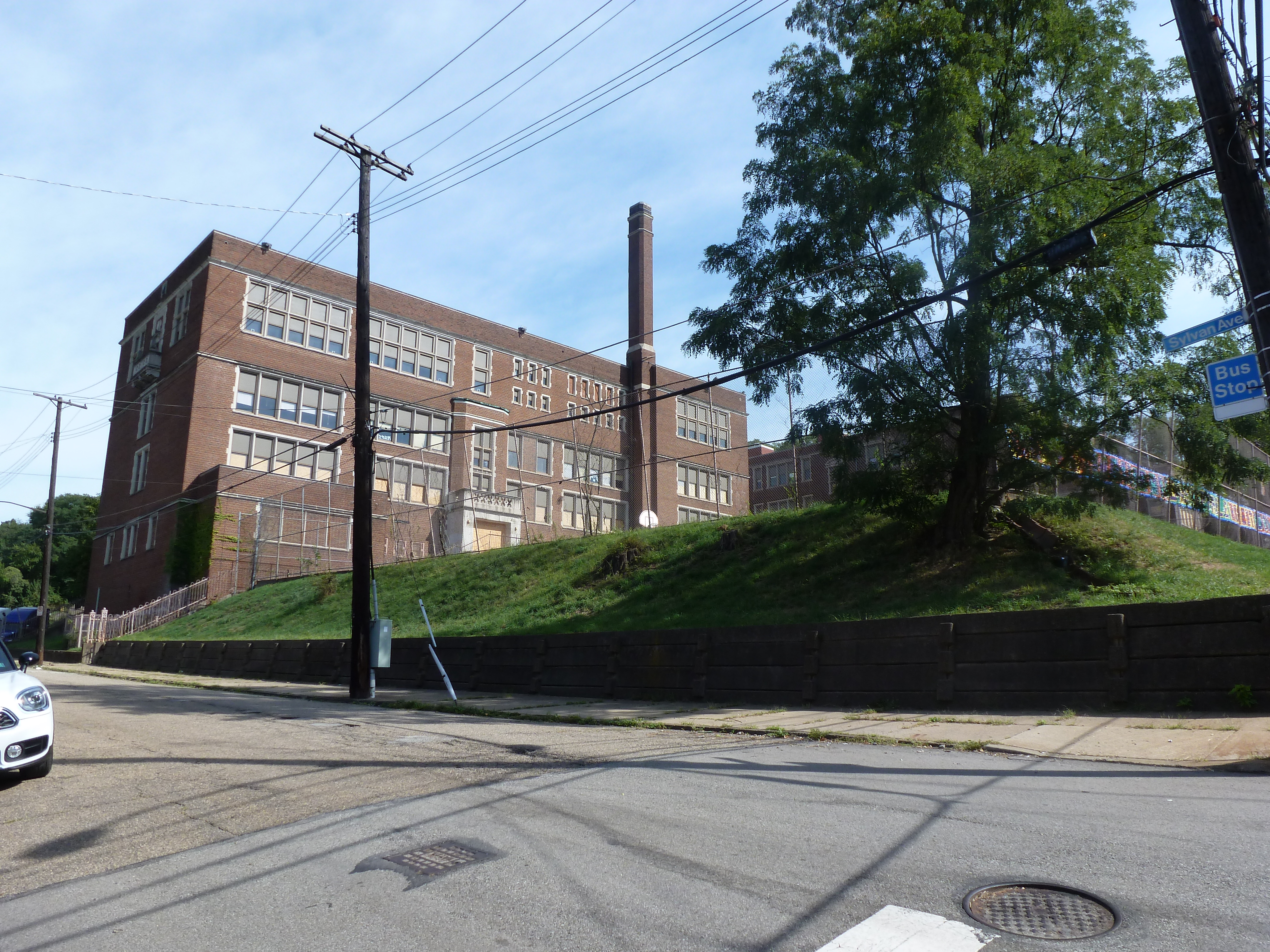
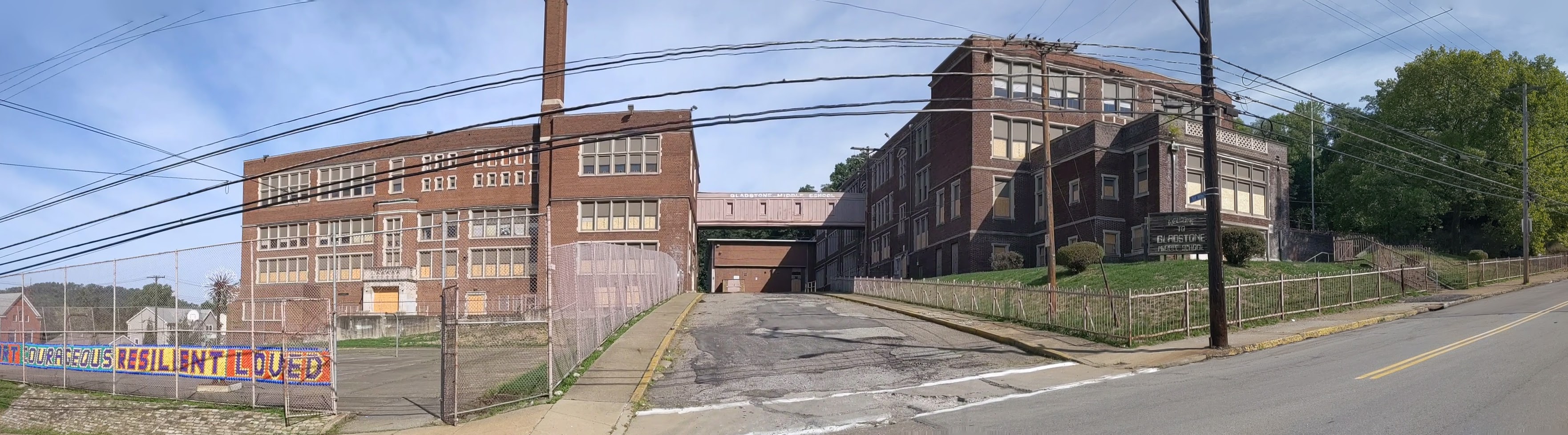
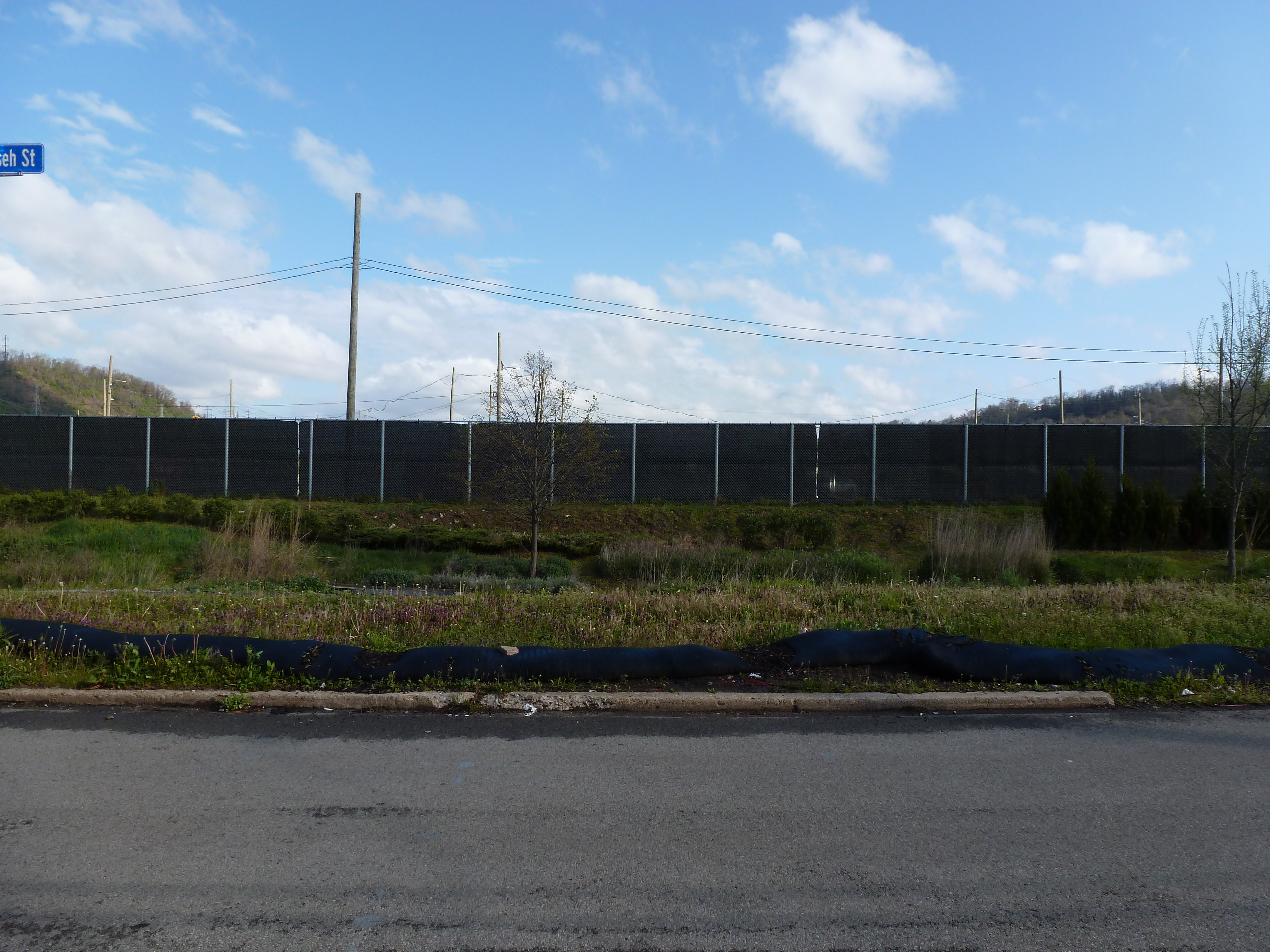
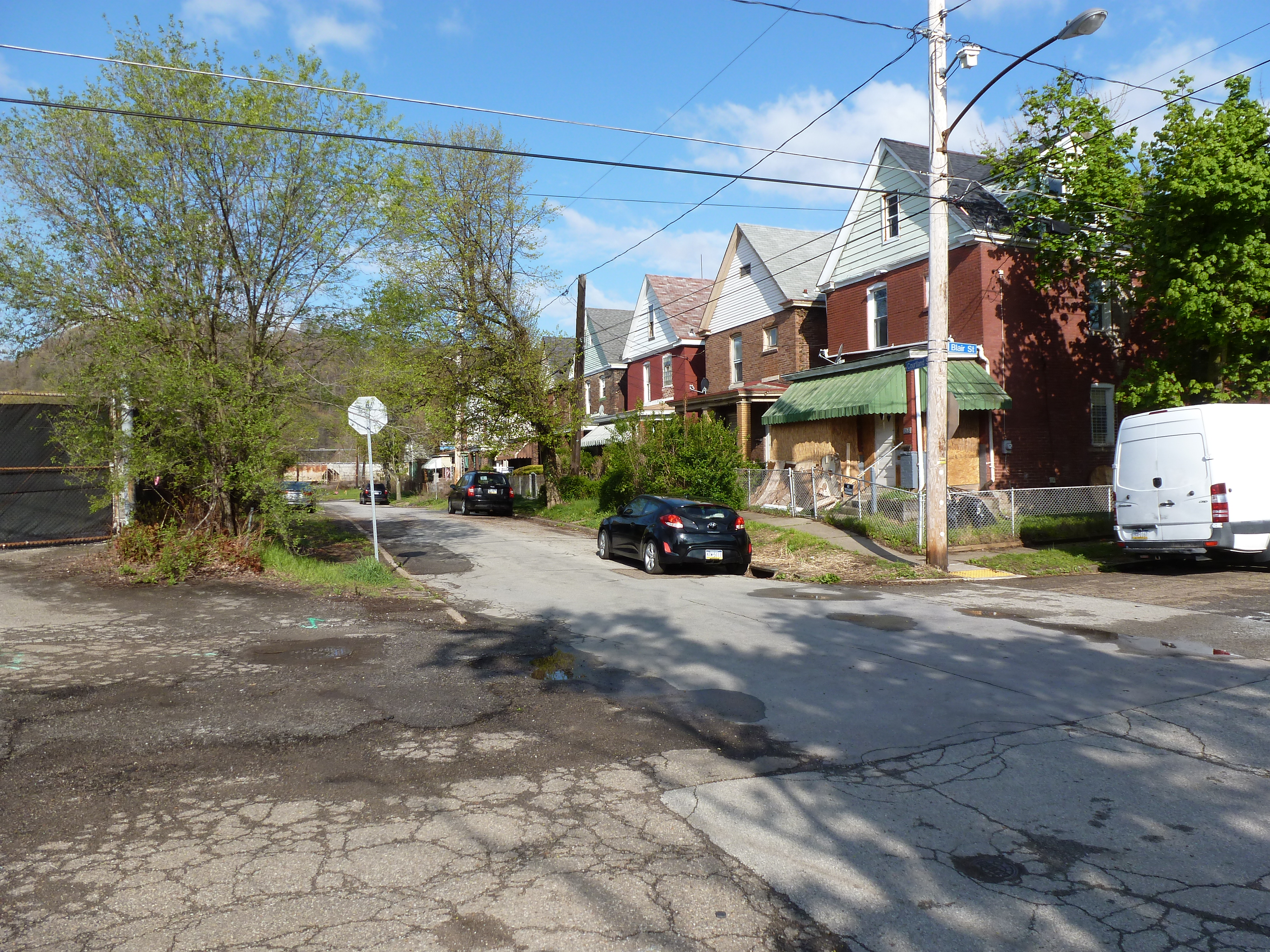
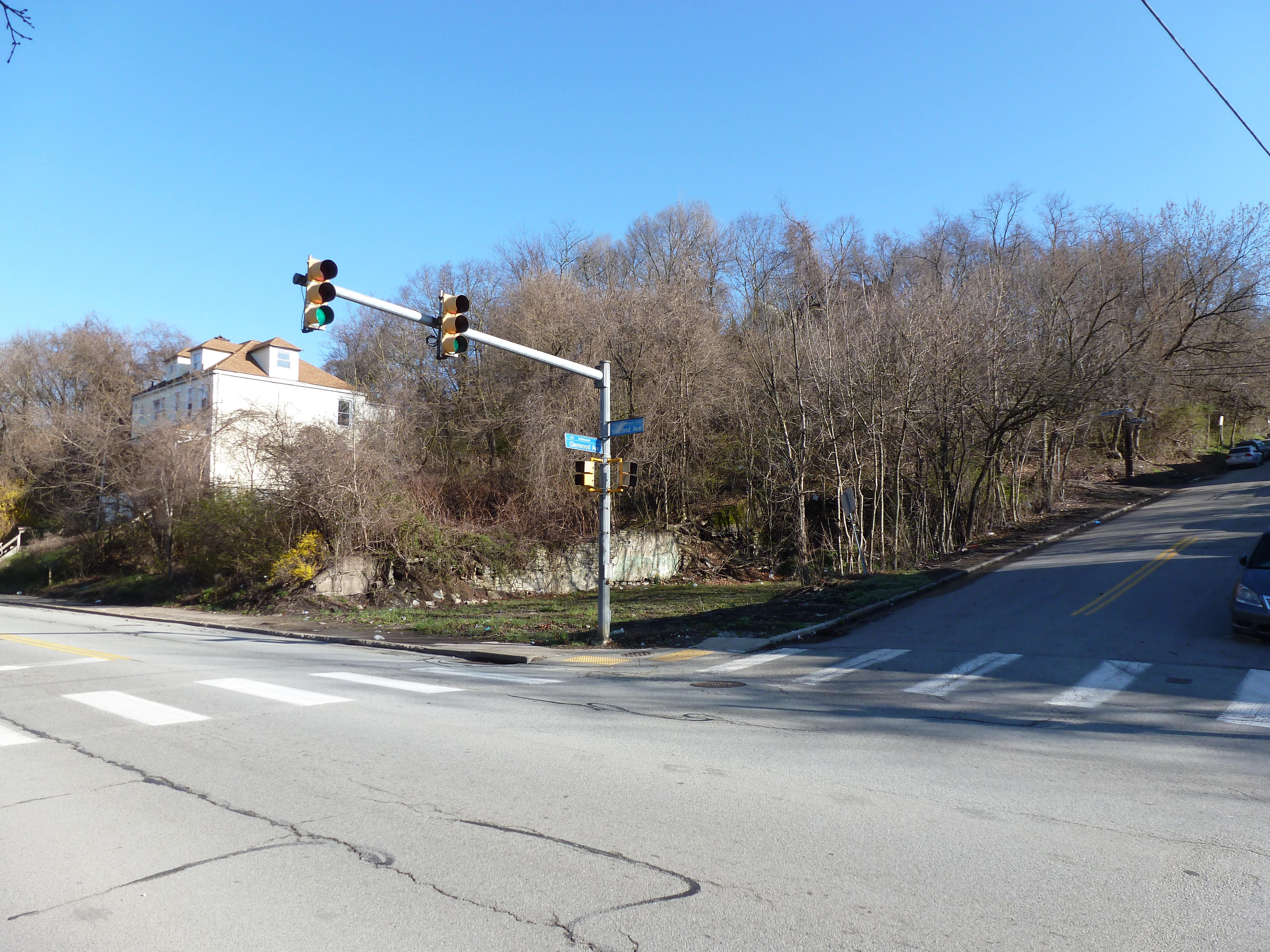
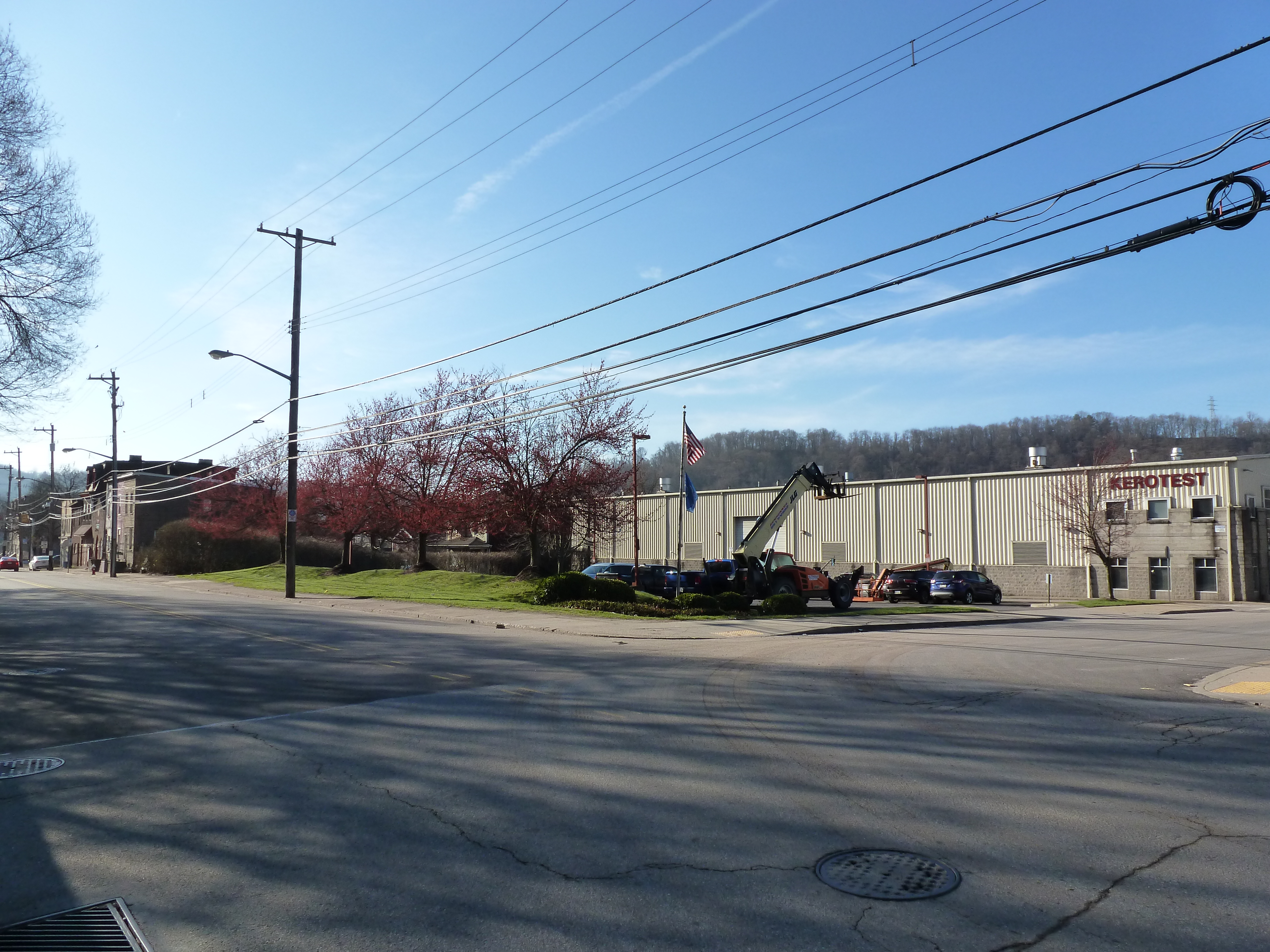
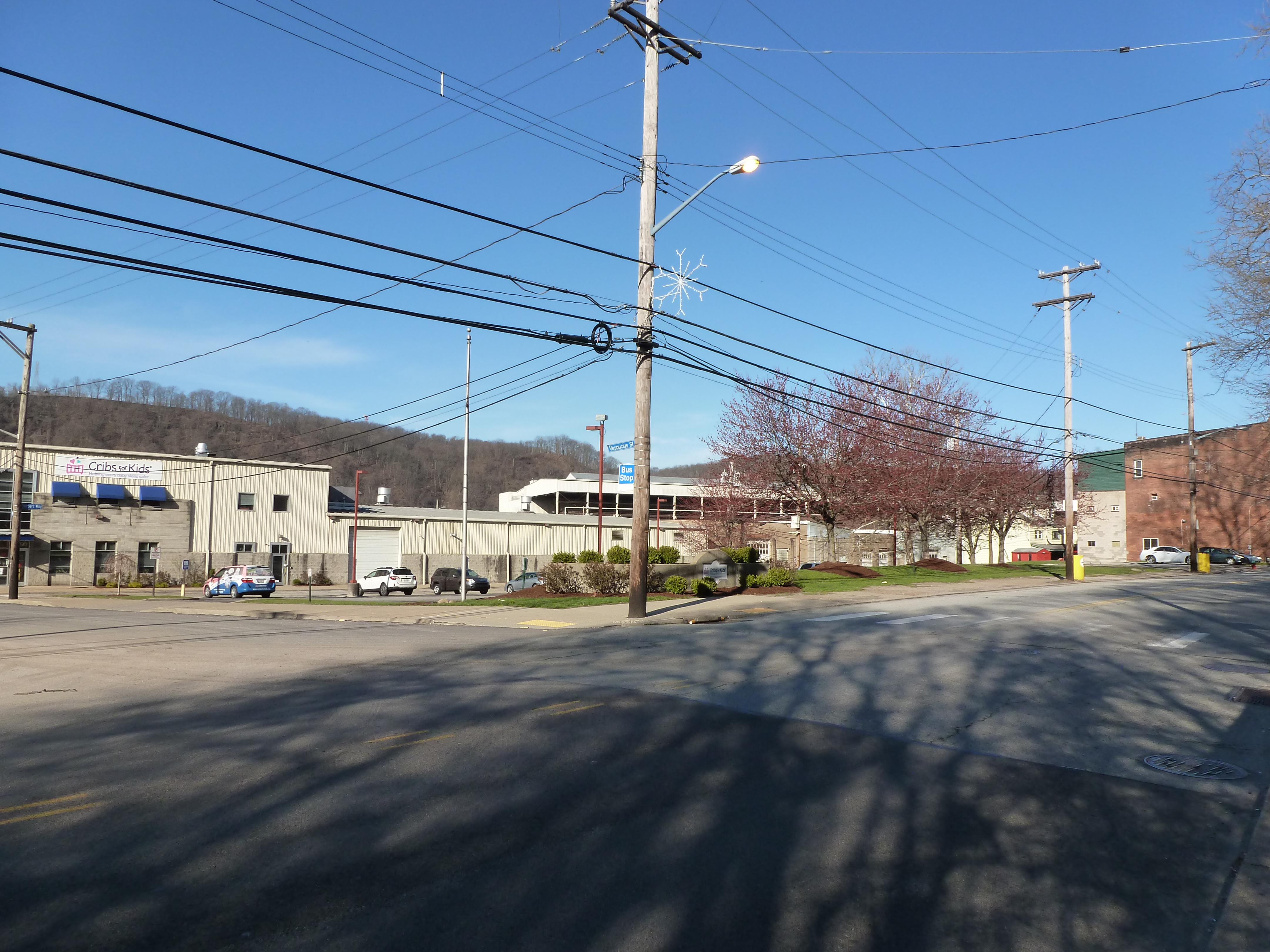
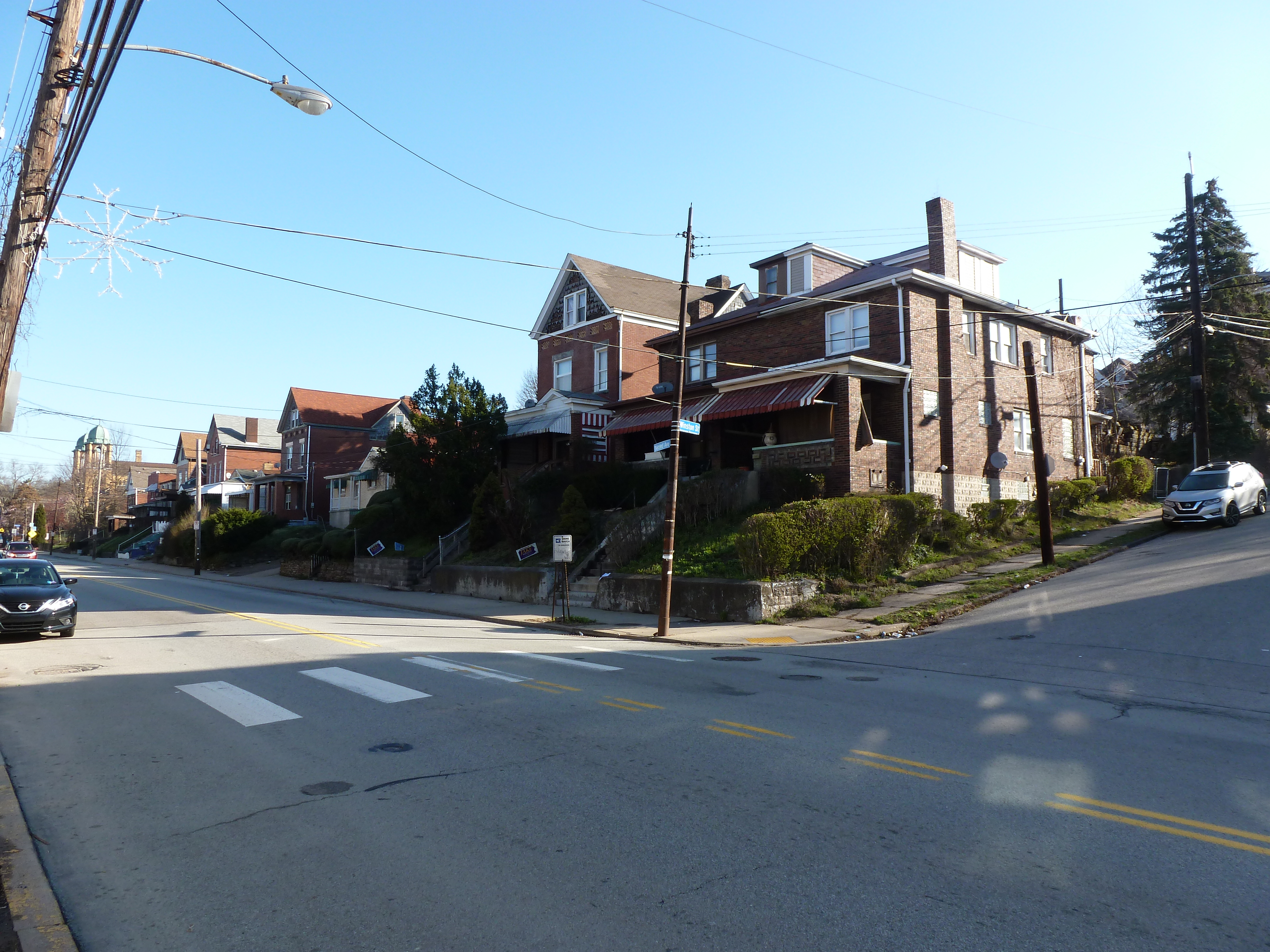
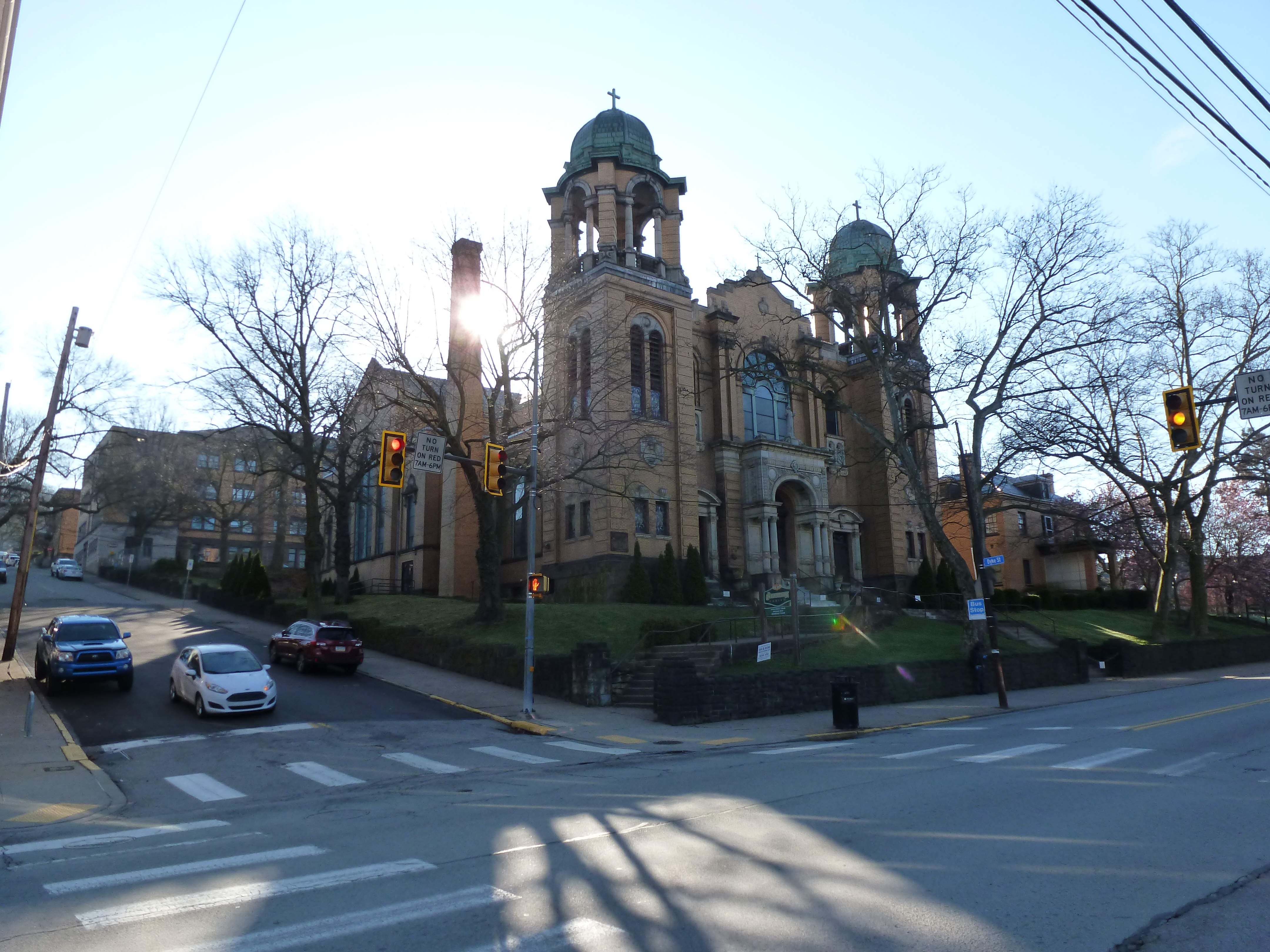
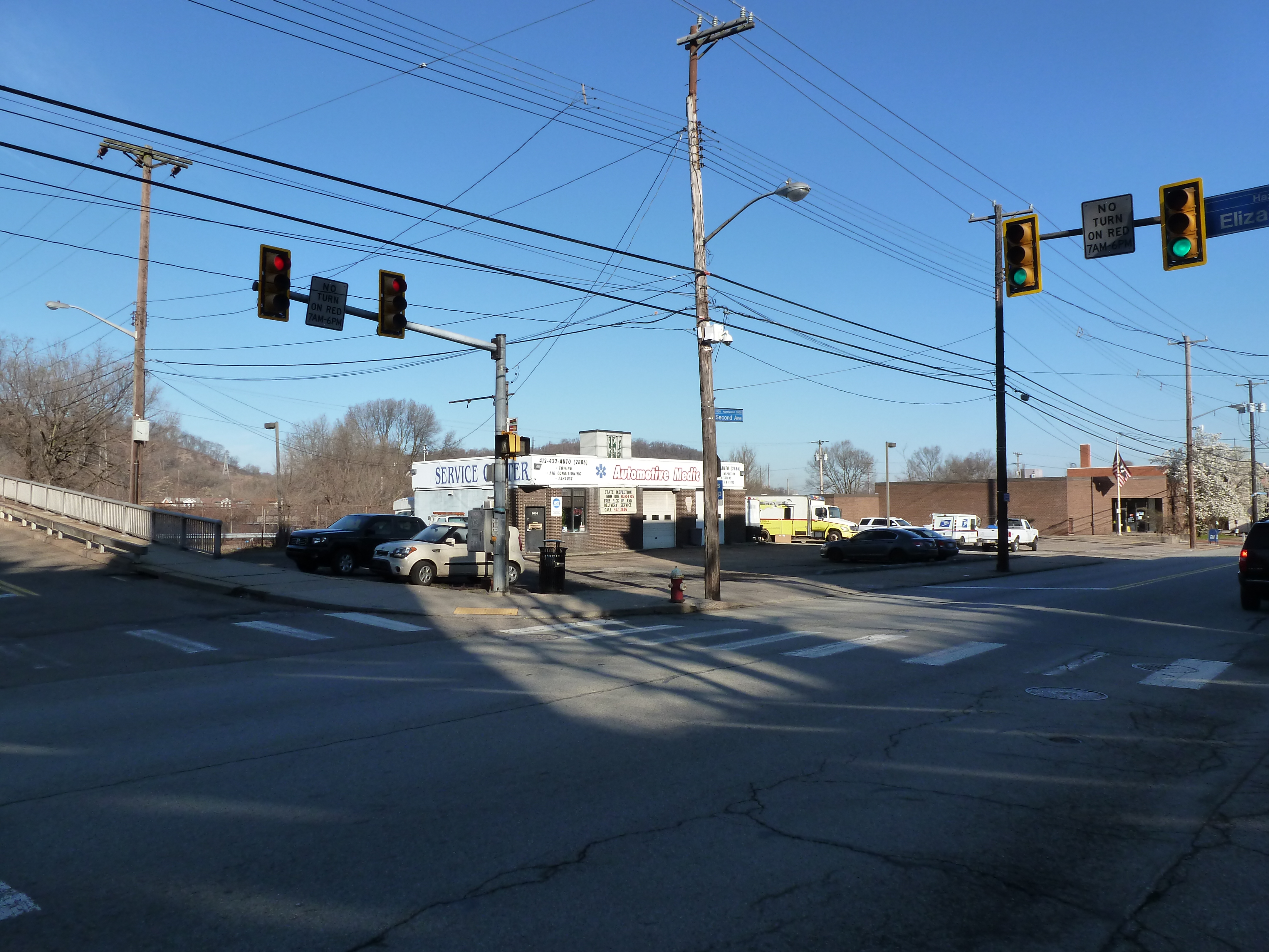
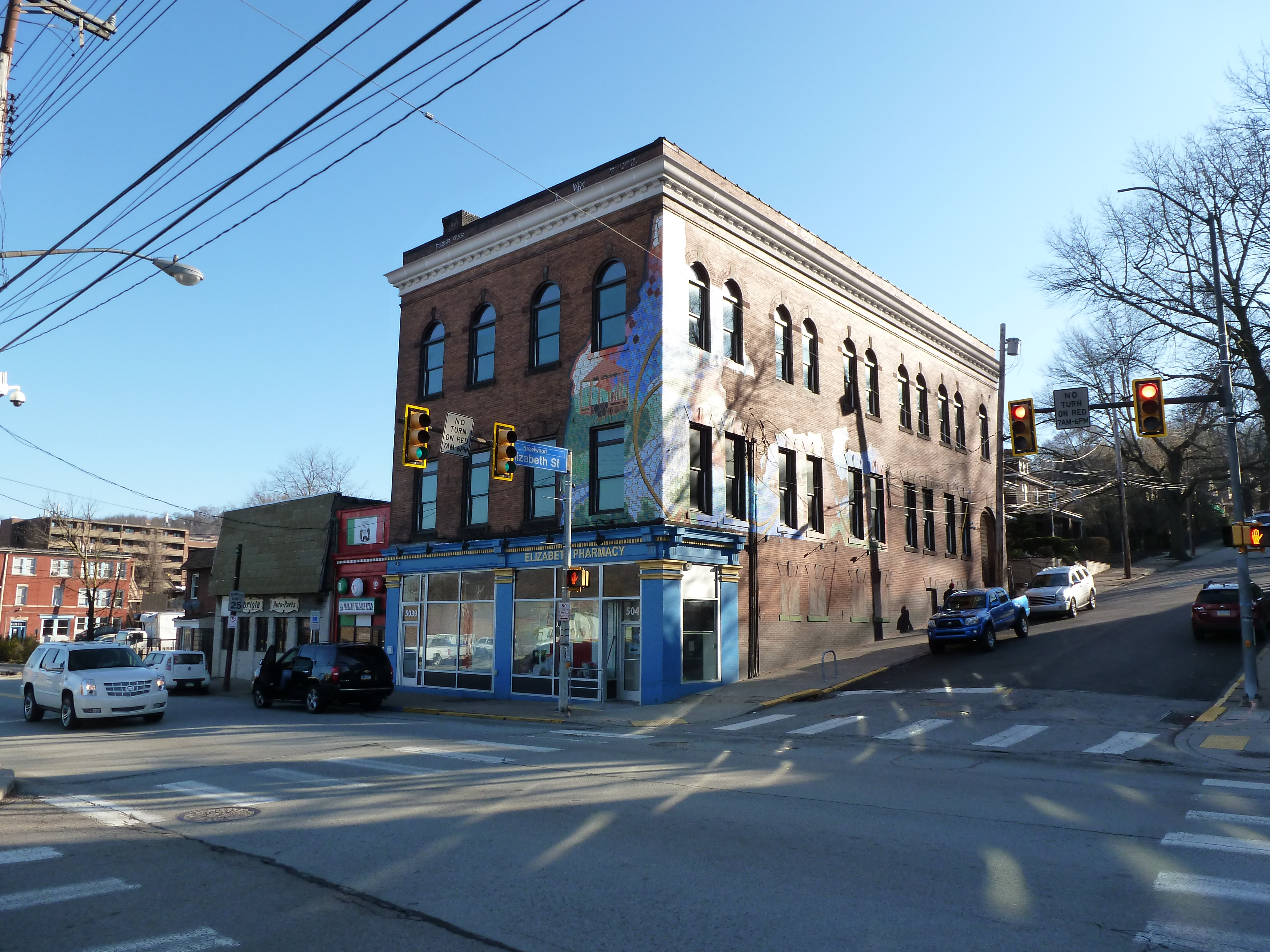
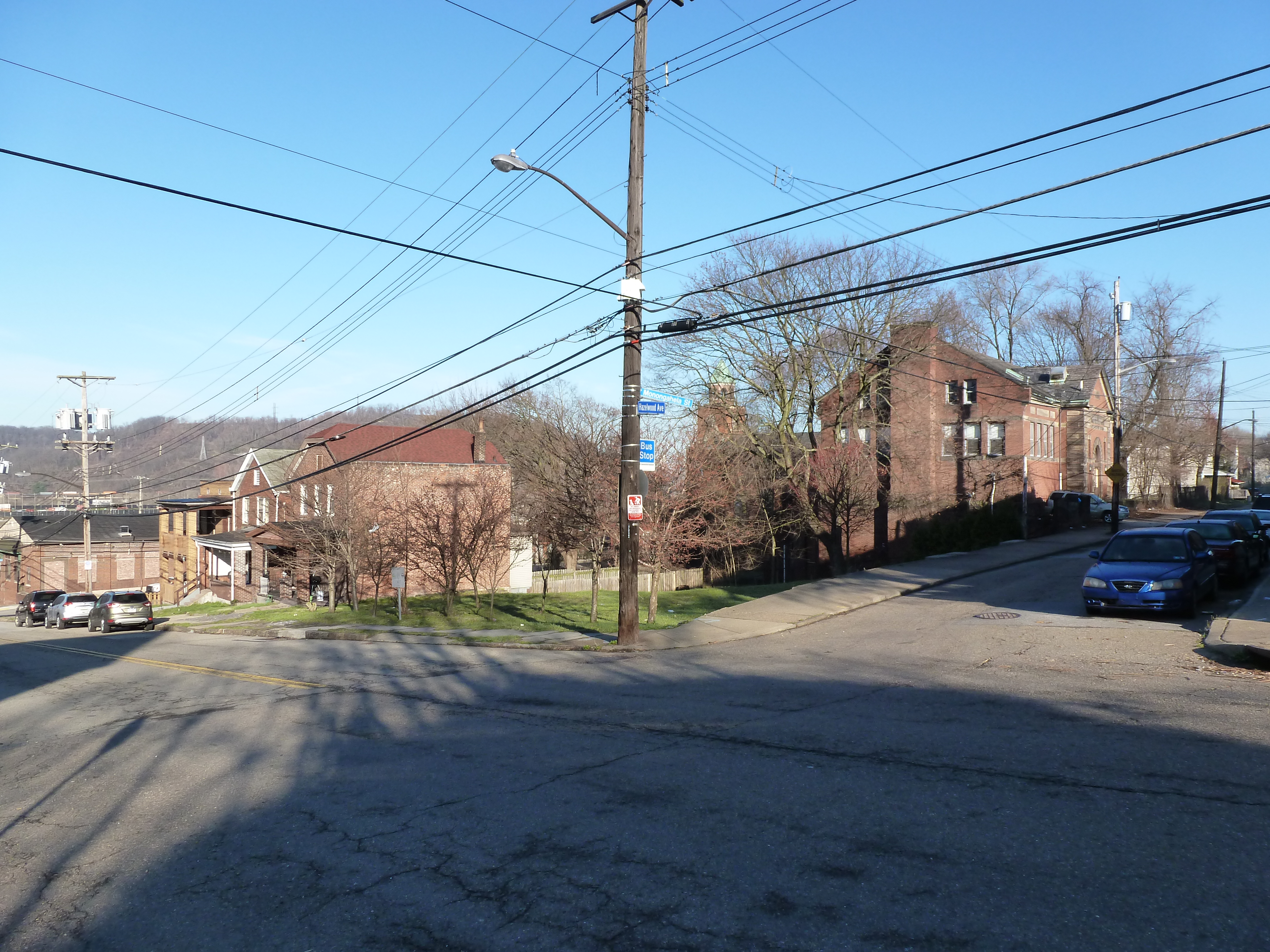
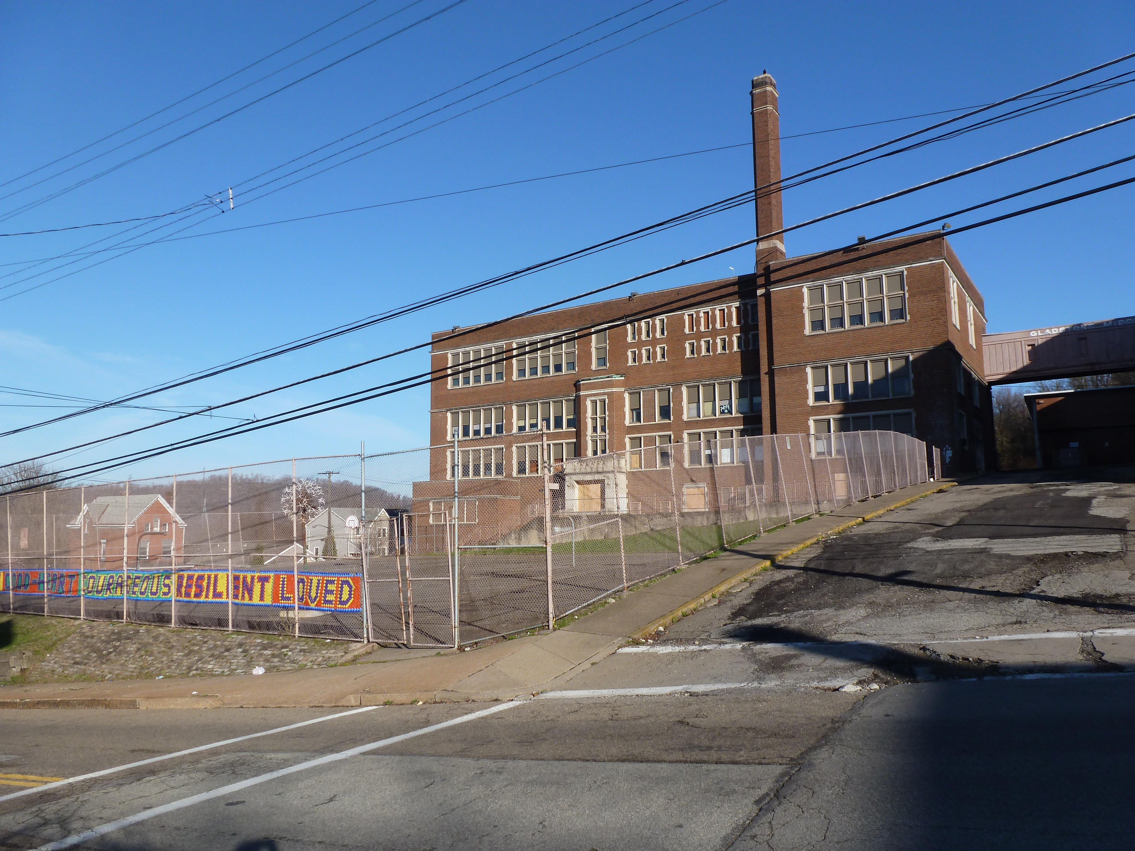
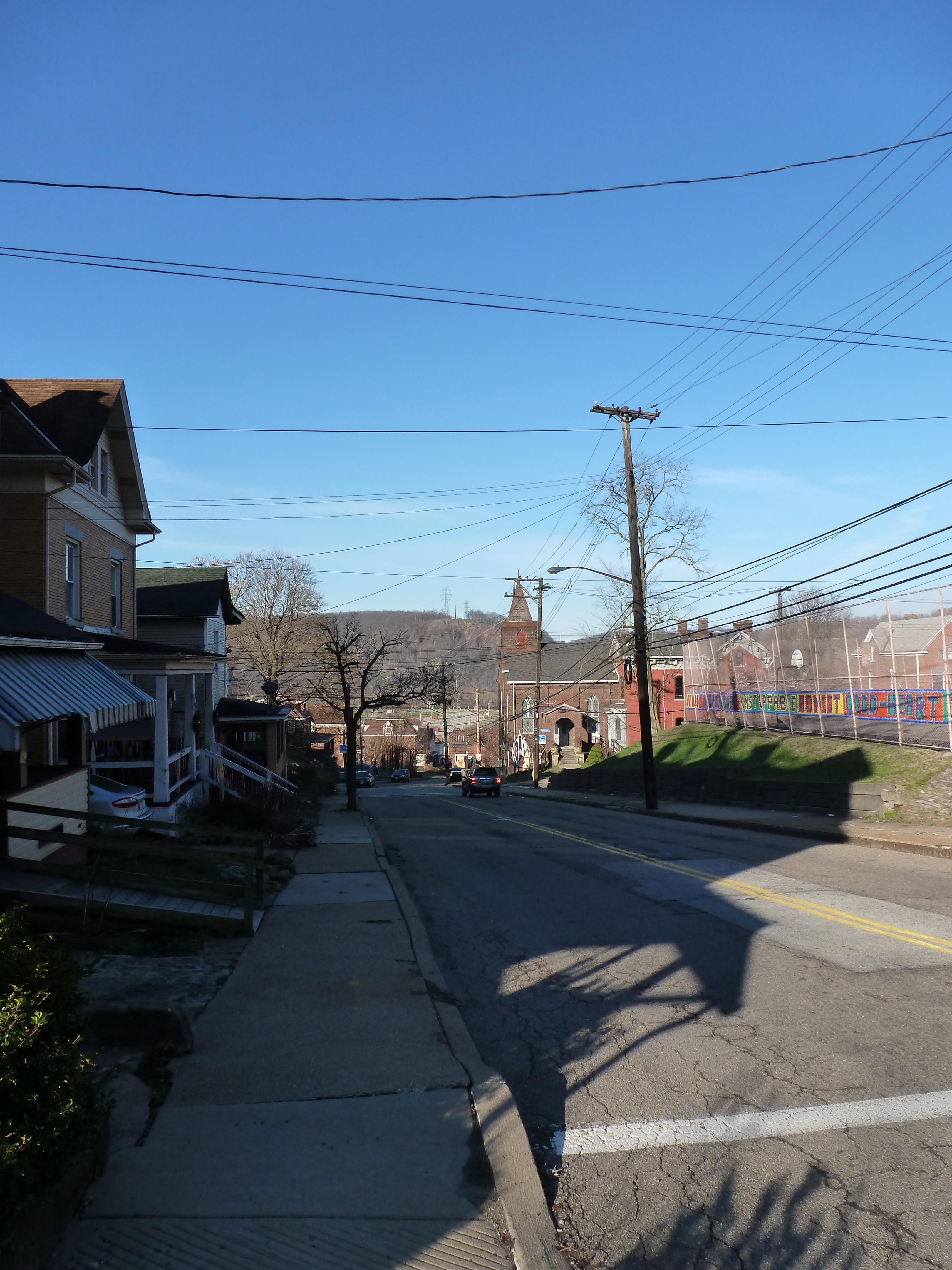
Hazelwood is a neighborhood divided in two by railroad tracks. On one side of the tracks are Hazelwood Green, a residential enclave, and some industrial and commercial uses. This is what is across the tracks:
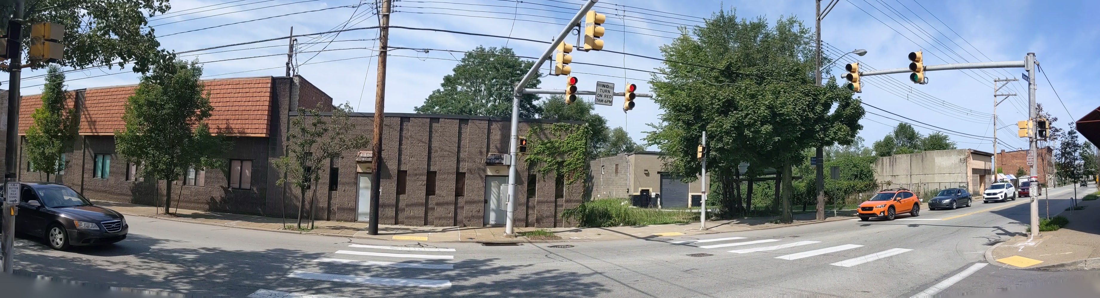
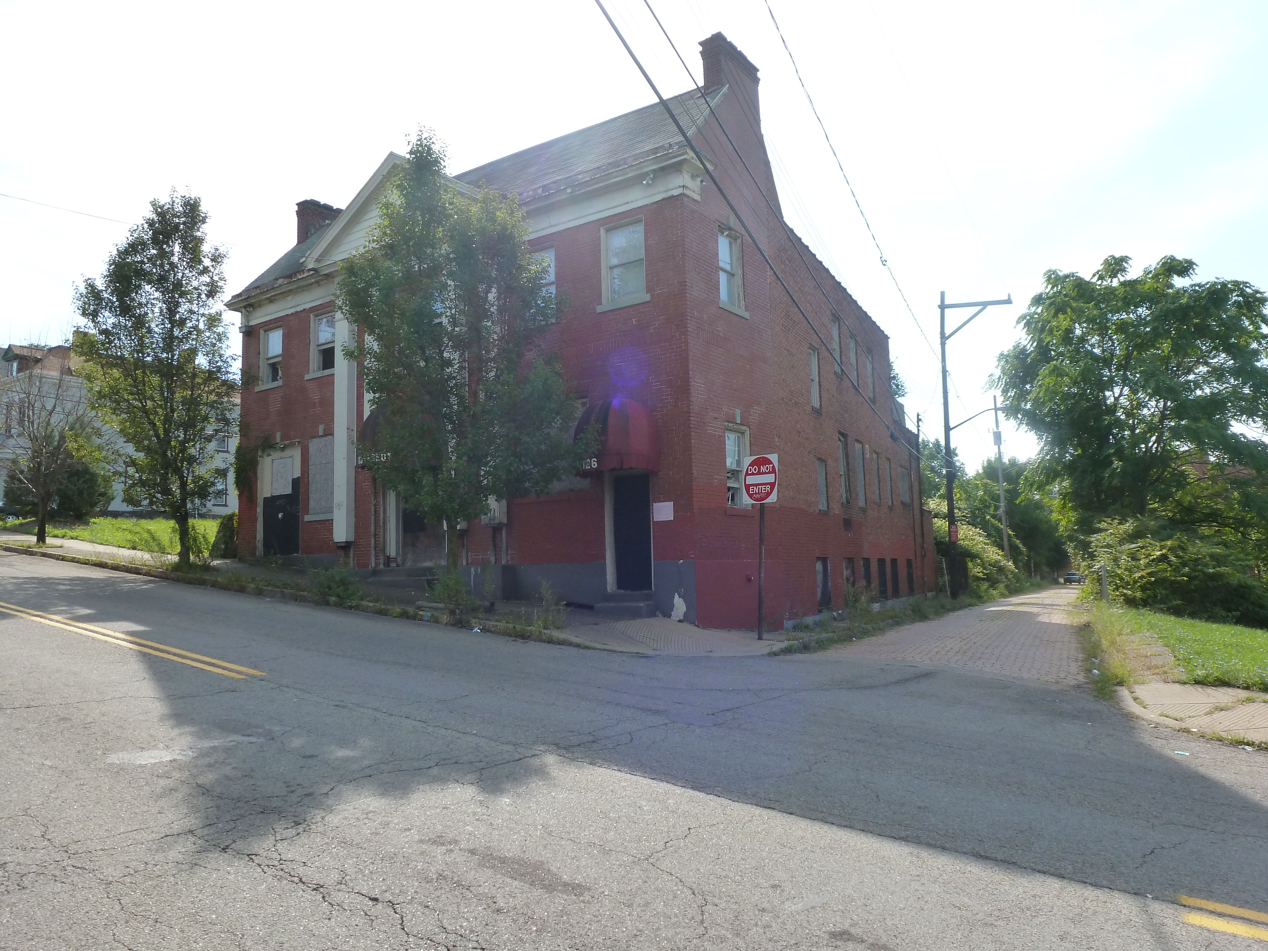
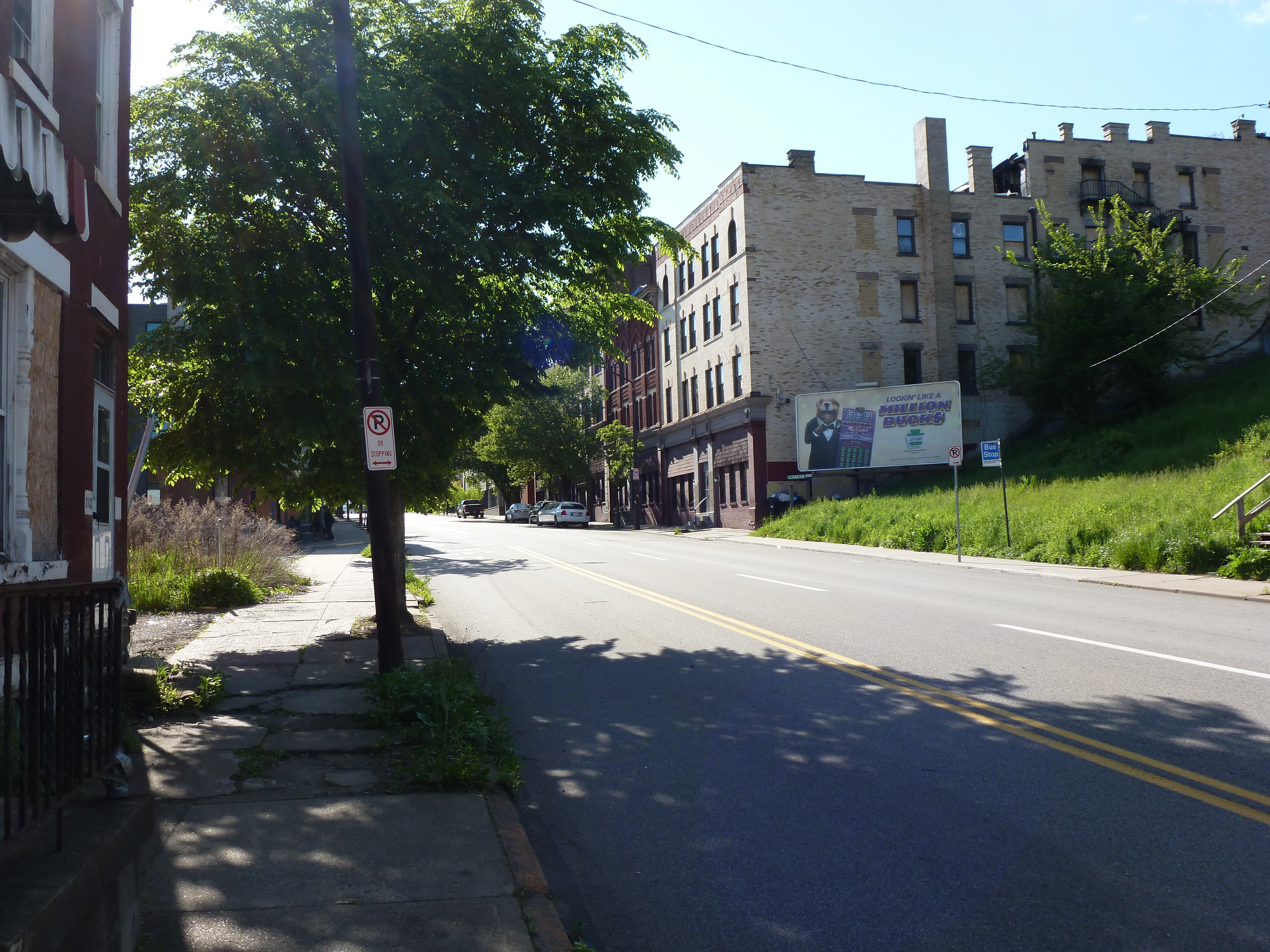
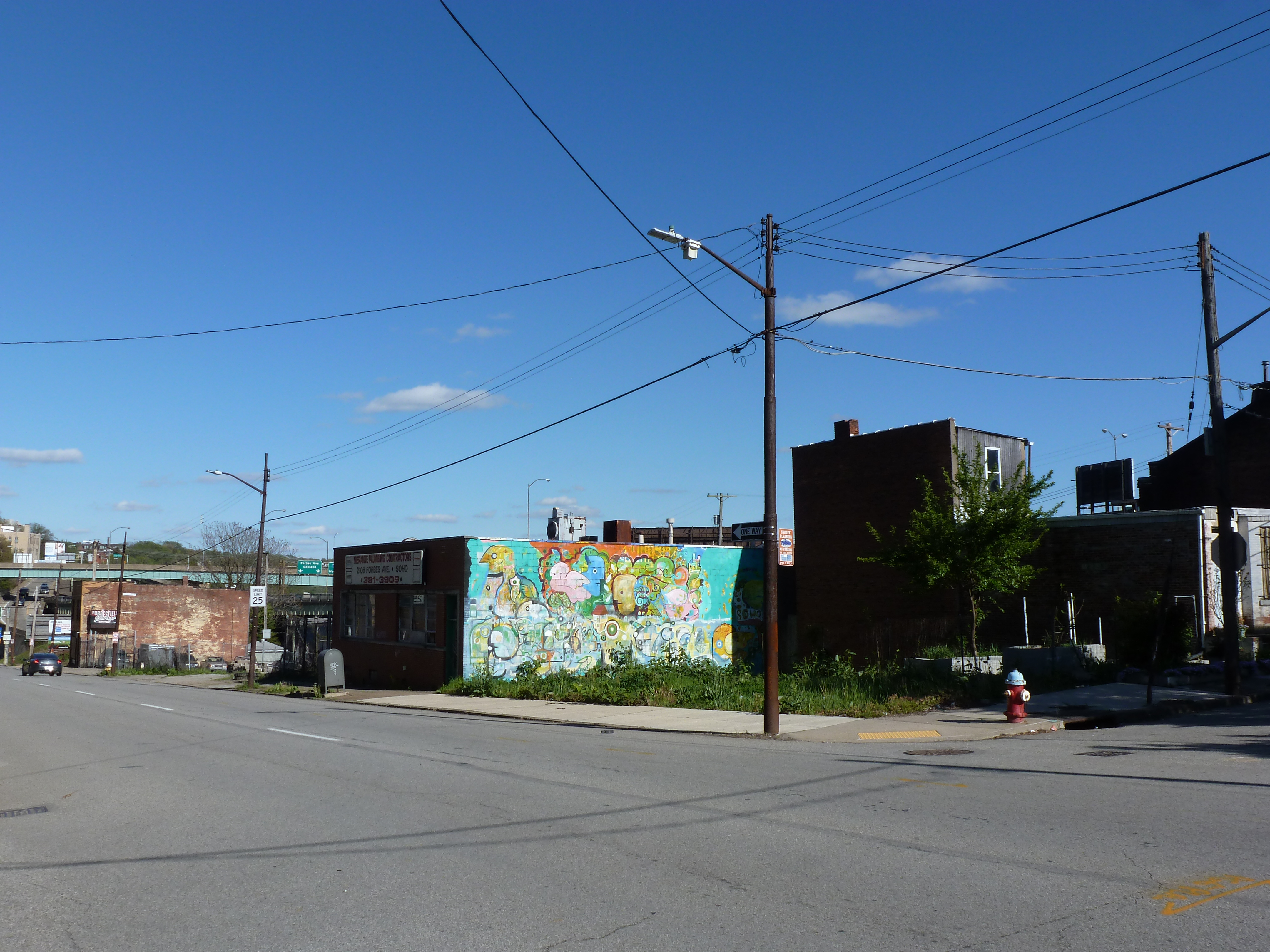
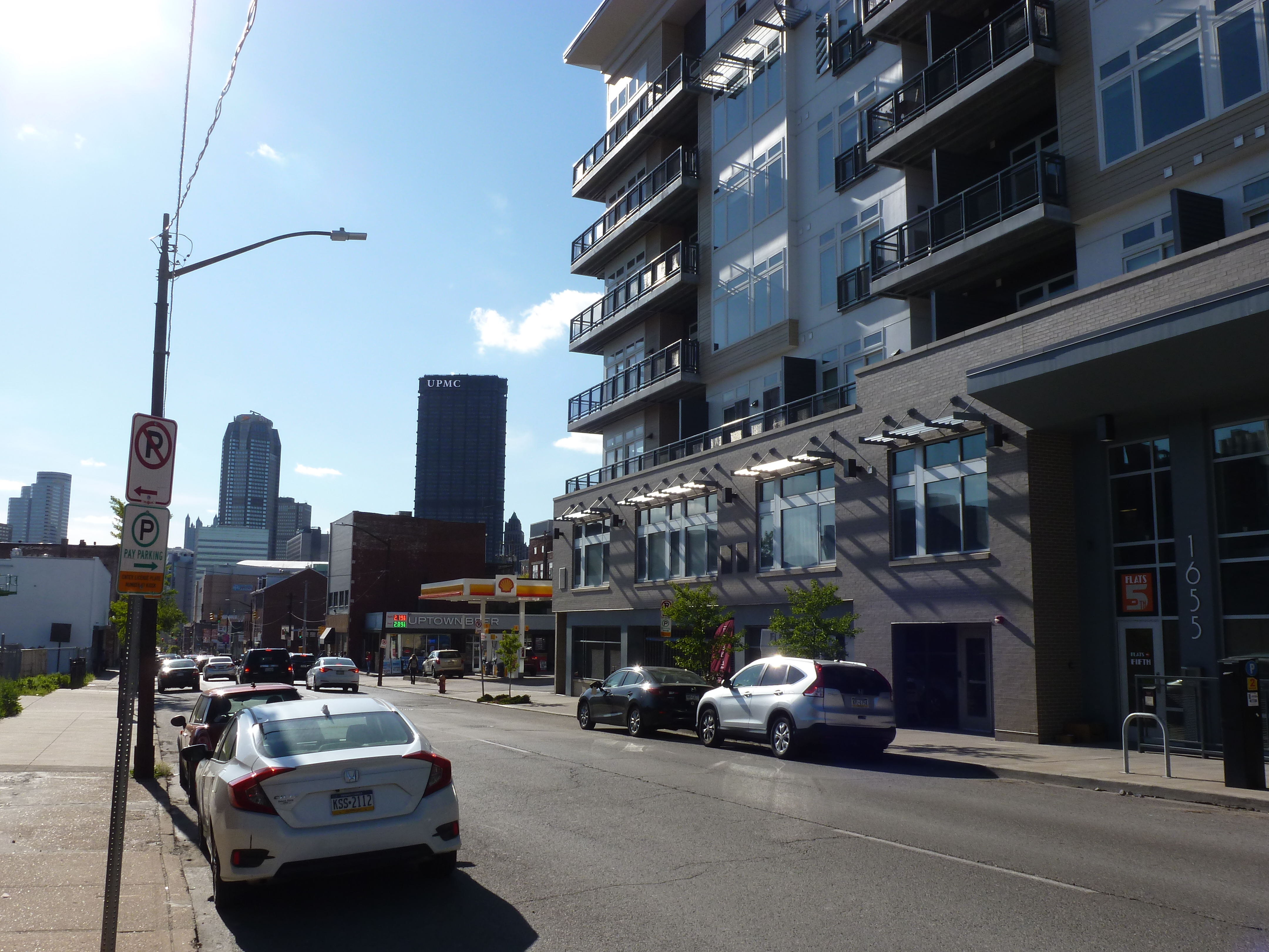
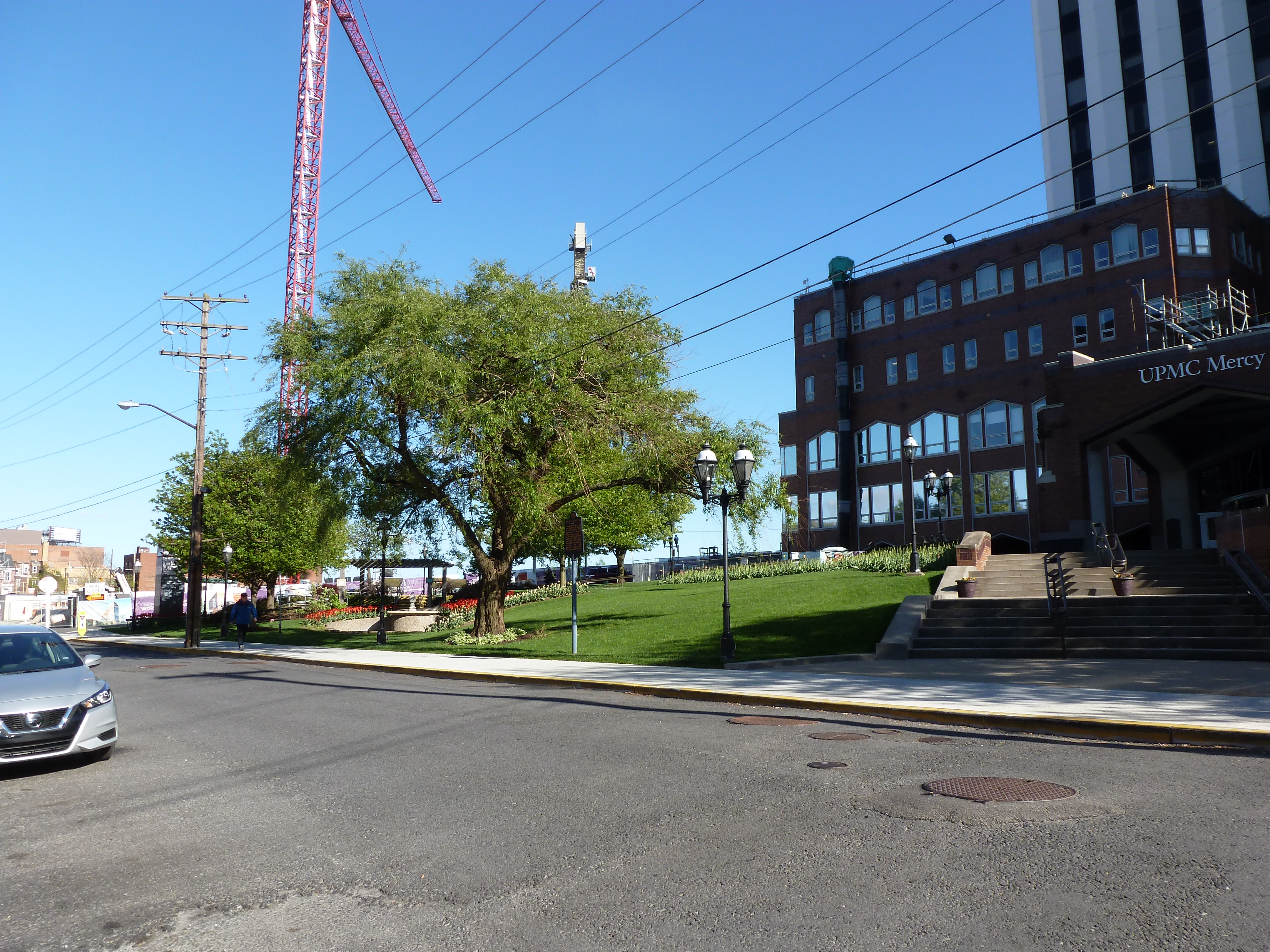
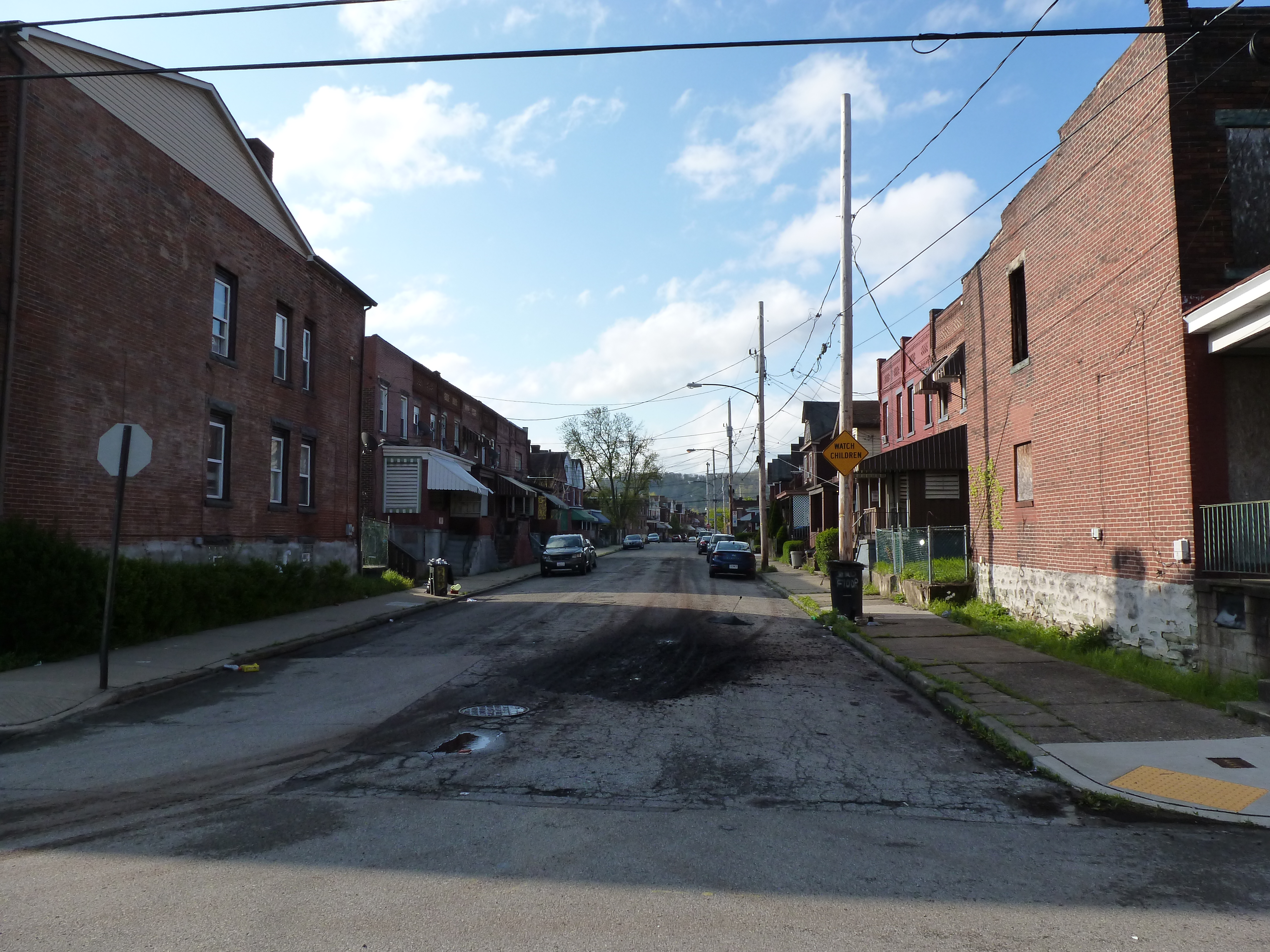
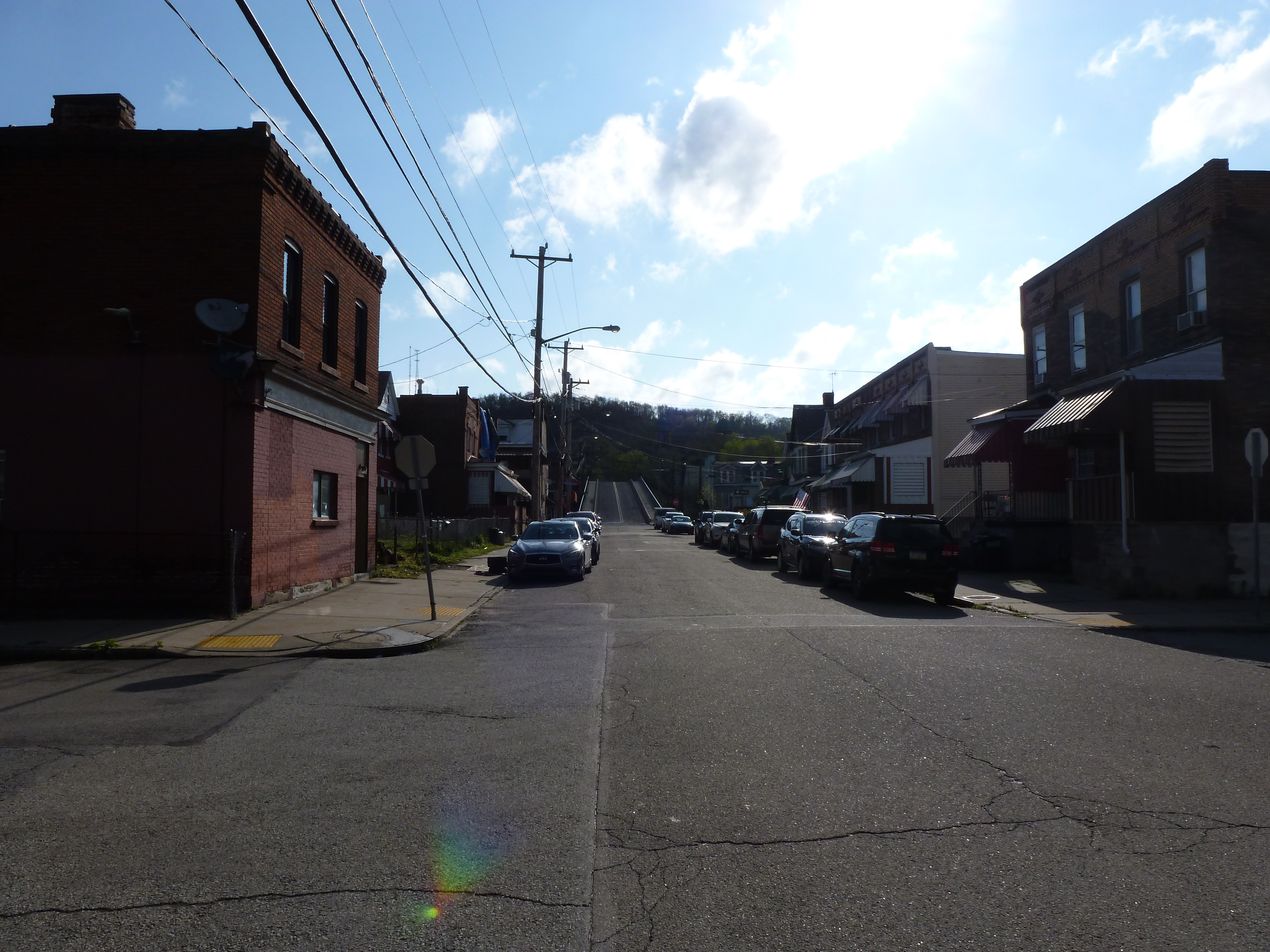
After introducing my series of Keeping an Eye on Uptown, the CAP, and the Lower Hill, I remembered that Hazelwood is another neighborhood expected to experience changes over the next several years. Between Hazelwood’s main street (2nd Avenue) and the Monongahela River is a 178-acre site of the former Jones and Laughlin Steel Company. Most of the structures from the mill have been demolished, leaving a large brownfield. In 2002, the site was purchased for redevelopment by Almono LP (at the time, an entity made up of four Pittsburgh foundations). After years of planning and a rebranding of the site as Hazelwood Green, a series of public streets and the first building opened for use in 2019. Construction is underway for more buildings and a public plaza.
During the planning and preparation stages, a question arose as to the effects of this redevelopment on the surrounding neighborhood. Hazelwood is one of Pittsburgh’s neighborhoods that has experienced high vacancy rates and subsequent demolition in its residential and business districts. While the building stock of the neighborhood has experienced a long downward trend, the community of people is strong. Only time will tell if the redevelopment of Hazelwood Green will connect with this community or if Hazelwood Green will become and isolated spot of prosperity for others.
Through two more photographic series, Keeping an Eye on Hazelwood Green and Keeping an Eye on Hazelwood, I will periodically document the physical changes to the former steel mill site and to the surrounding neighborhood.
The summer I spent walking Pittsburgh bridges, I complained about the cages on the Millvale Avenue Bridge, the Highland Park Bridge, and the Graham Street pedestrian bridge. The narrow sidewalk and chain link fences on the first two examples and the chain link cage on the third example made me feel yucky and claustrophobic. Thanks to one of my blog followers, I recently learned that people tend to throw things onto moving objects, which is why bridges like the Millvale bridge have higher fencing along portions over roads and railroads. I still wished there was a cage-free option to meet the same goals of the bridge builders.
In Bethlehem, PA, I found just such an option on the Fahy Bridge. It is a fairly plain concrete bridge saved from the ugliness and gloom of many concrete bridges by using a functional, yet decorative, railing instead of the more common functional, yet ugly, chain link fence. This railing was installed during the 2016-18 renovation of the Fahy Bridge. Recent bridge renovations and replacements in Pittsburgh also feature more decorative railings. While the first of these new bridges in Pittsburgh tried to dress-up a chain link fence cage, the later ones are successful cage-free bridges even when they incorporate chain link fencing.* These examples give me hope that the days of caged bridges may be a thing of the past.
*Note: I have a to-do item to go back and photograph these new bridges for future posts, but no set timeline for the completion of this task.
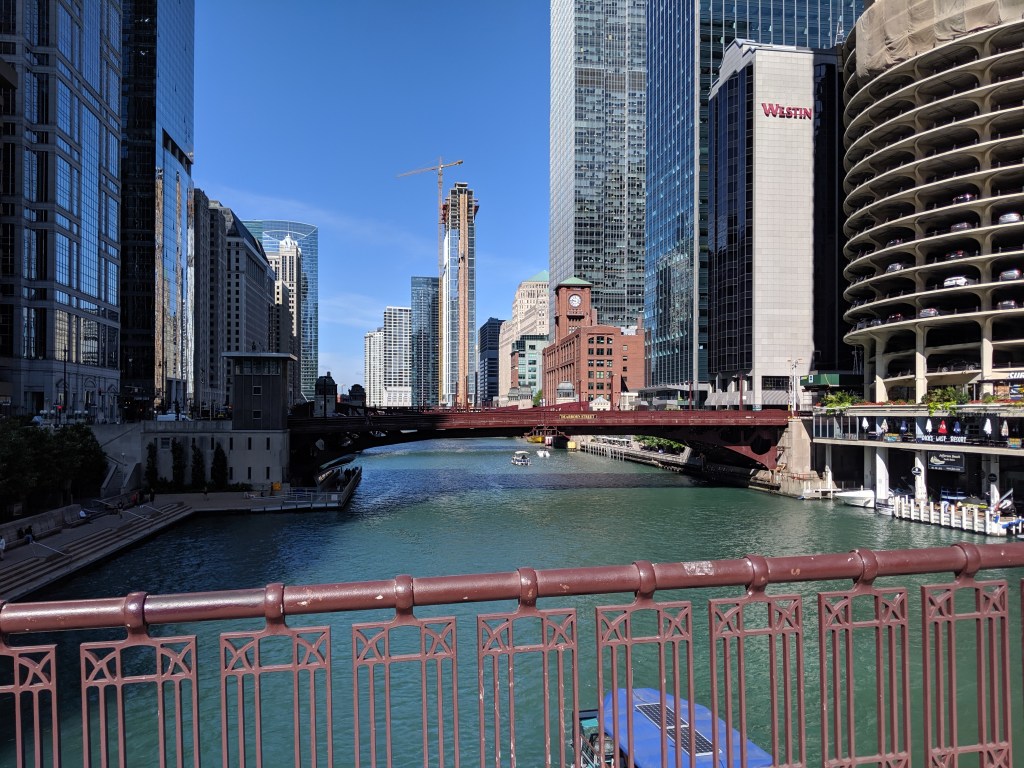
While poking around the map collection at Chicago’s Public Library, I discovered that the structures carrying roads over the railroad tracks in Grant Park are considered viaducts. The word viaduct brings to my mind a Roman structure soaring over a valley floor and conveying a flat road on top of towering stone arches. The Chicago “viaducts” do not fit that image. To me, they look like bridges with no striking difference between them and Chicago’s river bridges other than color and style of ornamentation. Both groups of structures have fairly flat roadbeds supported by piers. I am puzzled why one set of structures is called bridges and the other viaducts.
The main difference seems to be that the bridges are crossing a body of water while the viaducts are crossing an obstacle on land. This doesn’t feel like the answer, though. I’ve walked over 50 bridges in Pittsburgh, the majority of which are over land. Not one of these structures is called a viaduct. To help find clues to solve this puzzle, I looked up the definitions of bridge and viaduct.
Merriam-Webster’s definitions are not much help:
Viaduct: a long elevated roadway usually consisting of a series of short spans supported by arches, piers, or columns
Bridge: a structure carrying a pathway or roadway over a depression or obstacle
The Oxford English Dictionary has similar definitions:
Viaduct: an elevated structure consisting of a series of arches or spans, by means of which a railroad or road is carried over a valley, road, river, or marshy low-lying ground
Bridge: a structure forming or carrying a road, path, or (in later use) a railroad, etc., which spans a body of water, a roadway, a valley, or some other obstacle or gap, and allows a person or vehicle to pass unimpeded over or across it
Based on these definitions, the features that seem to distinguish a viaduct from a bridge are elevation and short spans. This still doesn’t help solve the question of why the Grant Park structures are viaducts and the Chicago River structures are bridges.
Next, I turned to “How to Read Bridges” by Edward Denison and Ian Stewart. The glossary defines viaduct as “a type of bridge over land formed by a series of small (usually arched) spans.” This definition seems to work best for the viaducts in Chicago. They are over land and have a series of spans, though the spans are not arched.
To further develop my understanding, I paged through the nine examples of viaducts in “How to Read Bridges.” All nine examples are elevated (such as the 330-foot high Goltzsch Viaduct and the 407-foot high Garabit Viaduct) and have multiple arches or piers (such as the 21-arch Glenfinnan Viaduct, the 8-arch Wharncliffe Viaduct, and the 5-pier Busseau Sur Grusse Viaduct). All, but one, have no support system above the road deck. The exception is the Millau Viaduct, which uses a cable-stayed deck on top of seven piers that range from 253 feet to 800 feet tall. All, but one, are over land. The Garabit Viaduct spans the Truyère Valley and one-third of its length crosses the Truyère River. In another example, the approaches to the Cubzac-les-Ponts over the River Dordogne are considered viaducts, but it is a bridge that crosses the river.
I find myself again at a loss. While the definition in this book seems to work for the Chicago viaducts, the examples do not look like the Chicago structures. To help the Chicago viaducts fit in, I propose a new definition built from the three definitions and nine examples above:
Viaduct: an elevated roadway, supported by many arches or piers over land.
Yet, there are exceptions to every rule. The nine examples in “How to Read Bridges” include exceptions to the support system of the viaduct and to the obstacle spanned by a viaduct. Expanding upon this, the Chicago viaducts, which are supported by multiple piers over land, become the exception to the elevated part of the rule or definition.
My biggest take away is that it is no easier to define a viaduct than it is to define a bridge. In most cases, as with bridges, a viaduct is something you know when you see it, even if you cannot define it. However, sometimes it takes a label or a sign, such as the maps of Chicago’s viaducts and, prior to its restoration, the maps of Heth’s Run Bridge, to know what you are seeing.