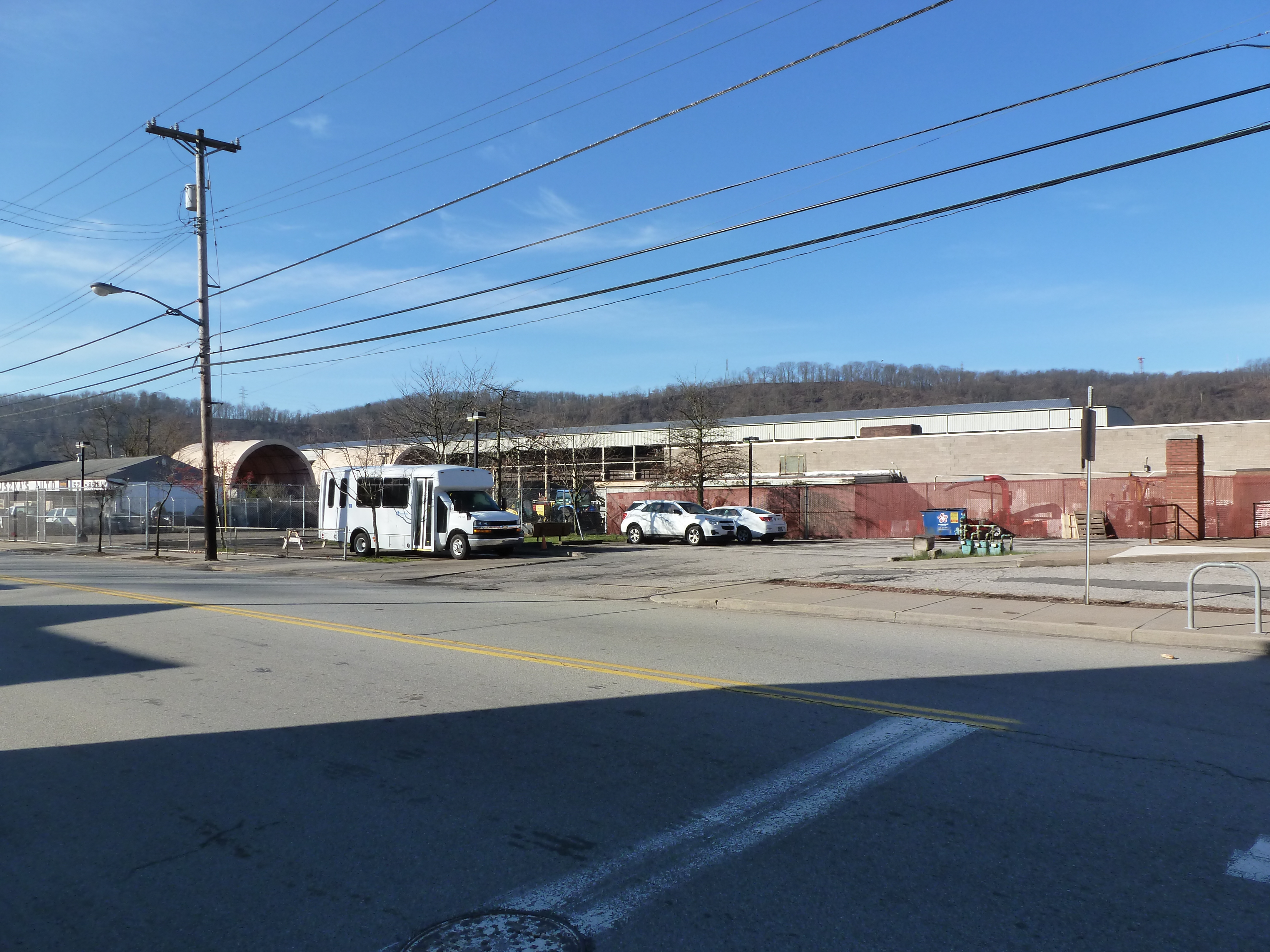
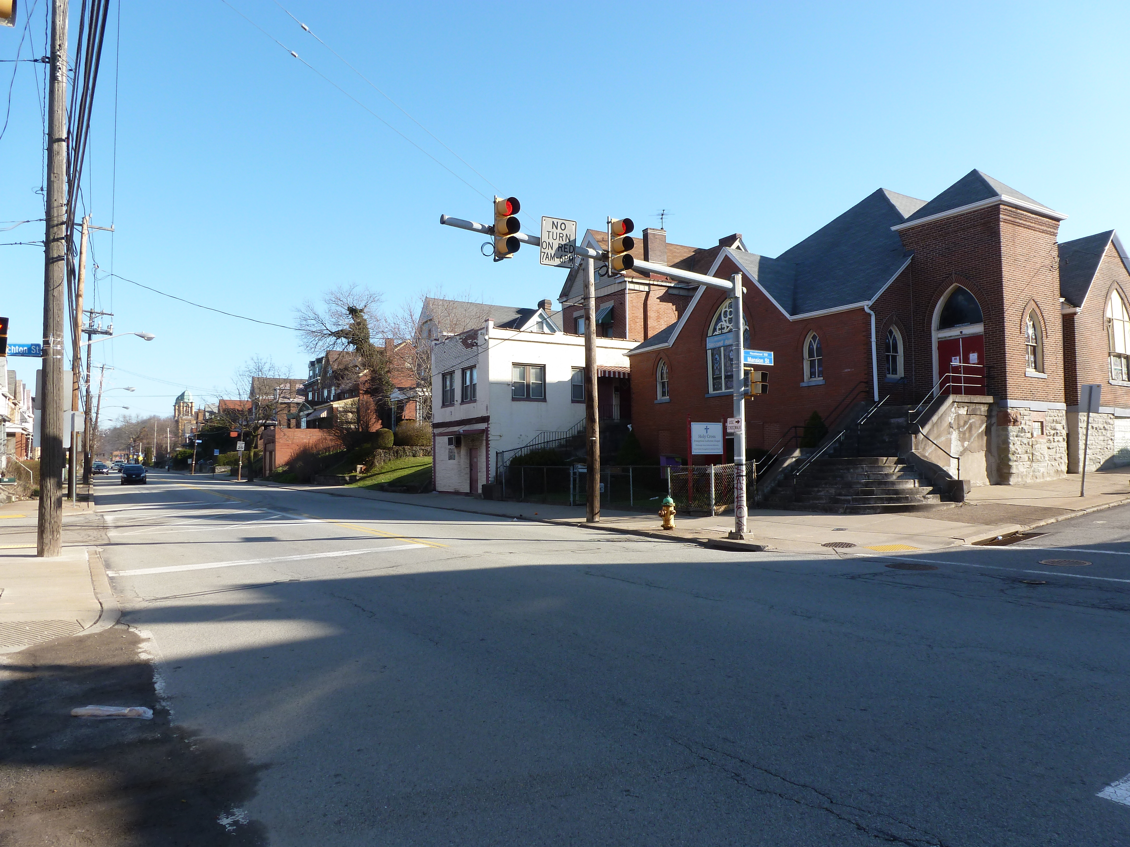
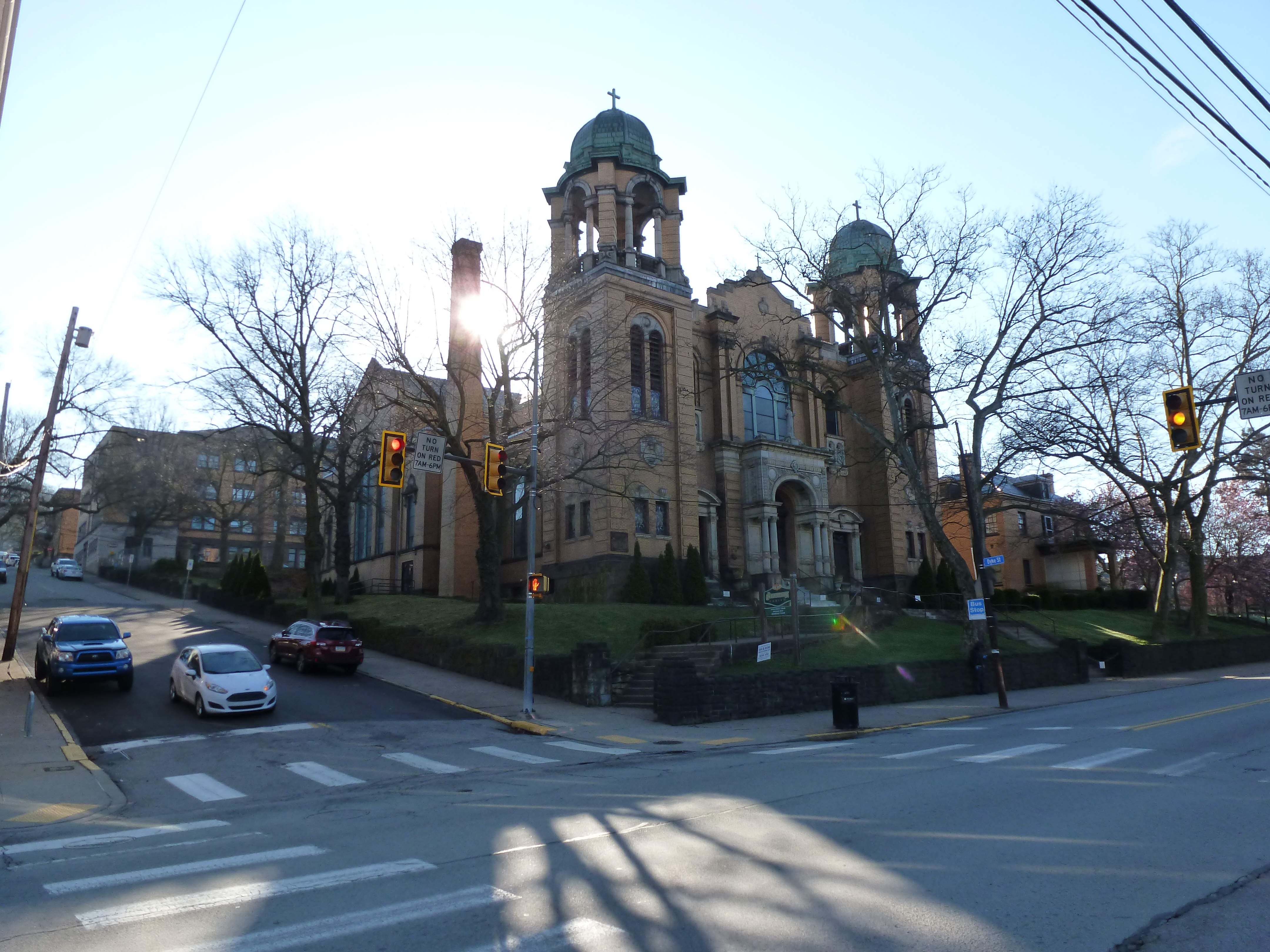
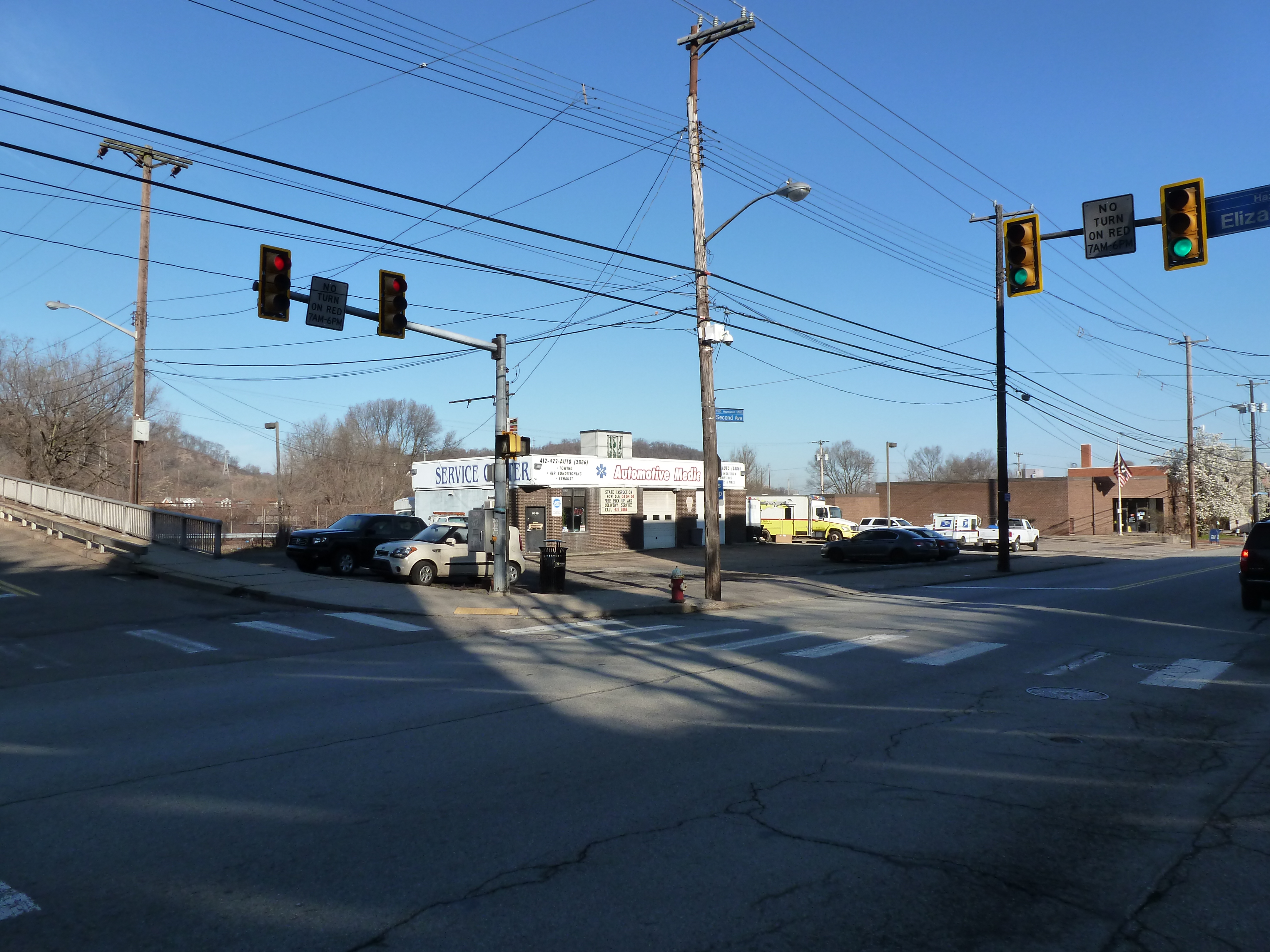
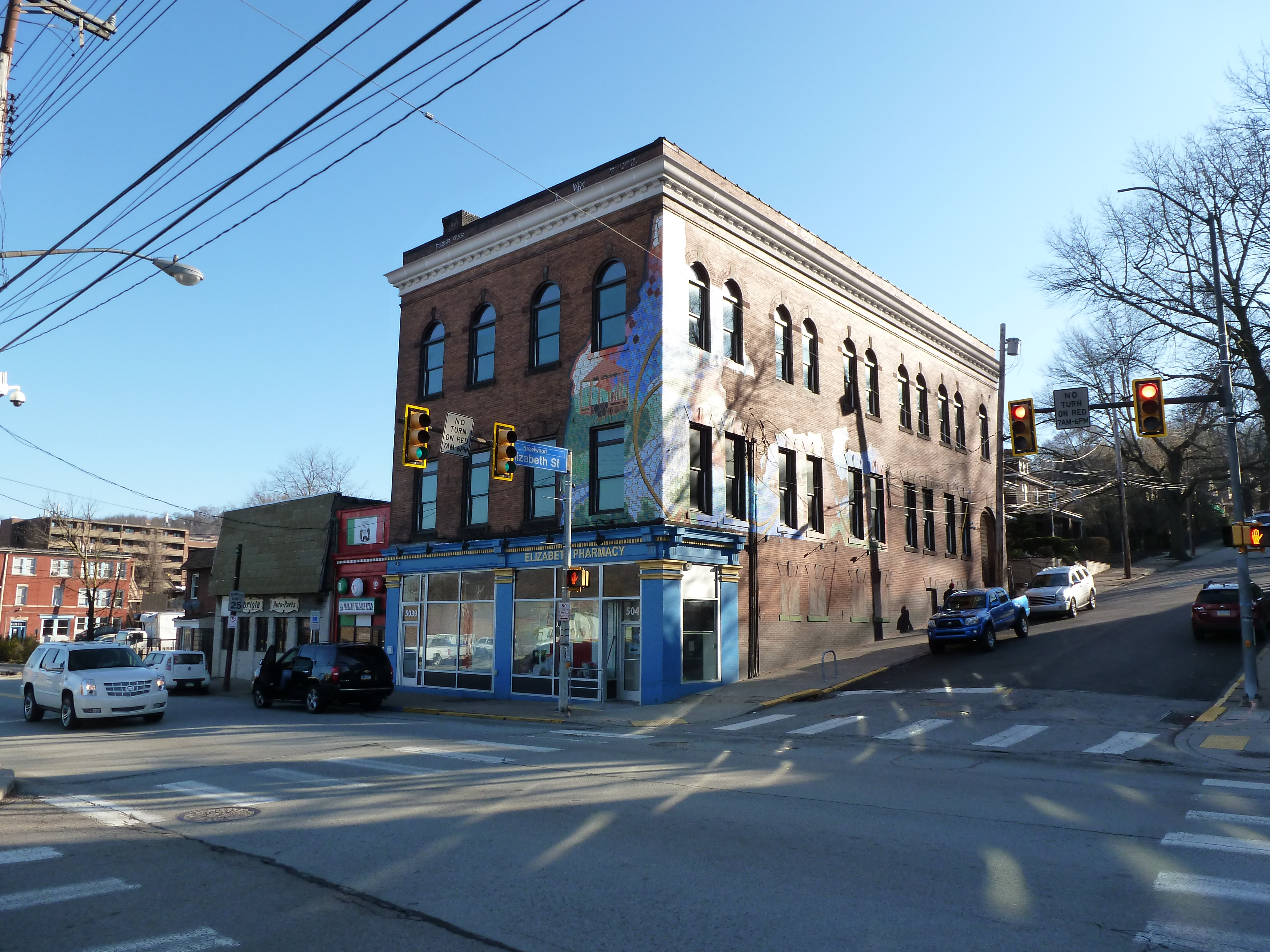
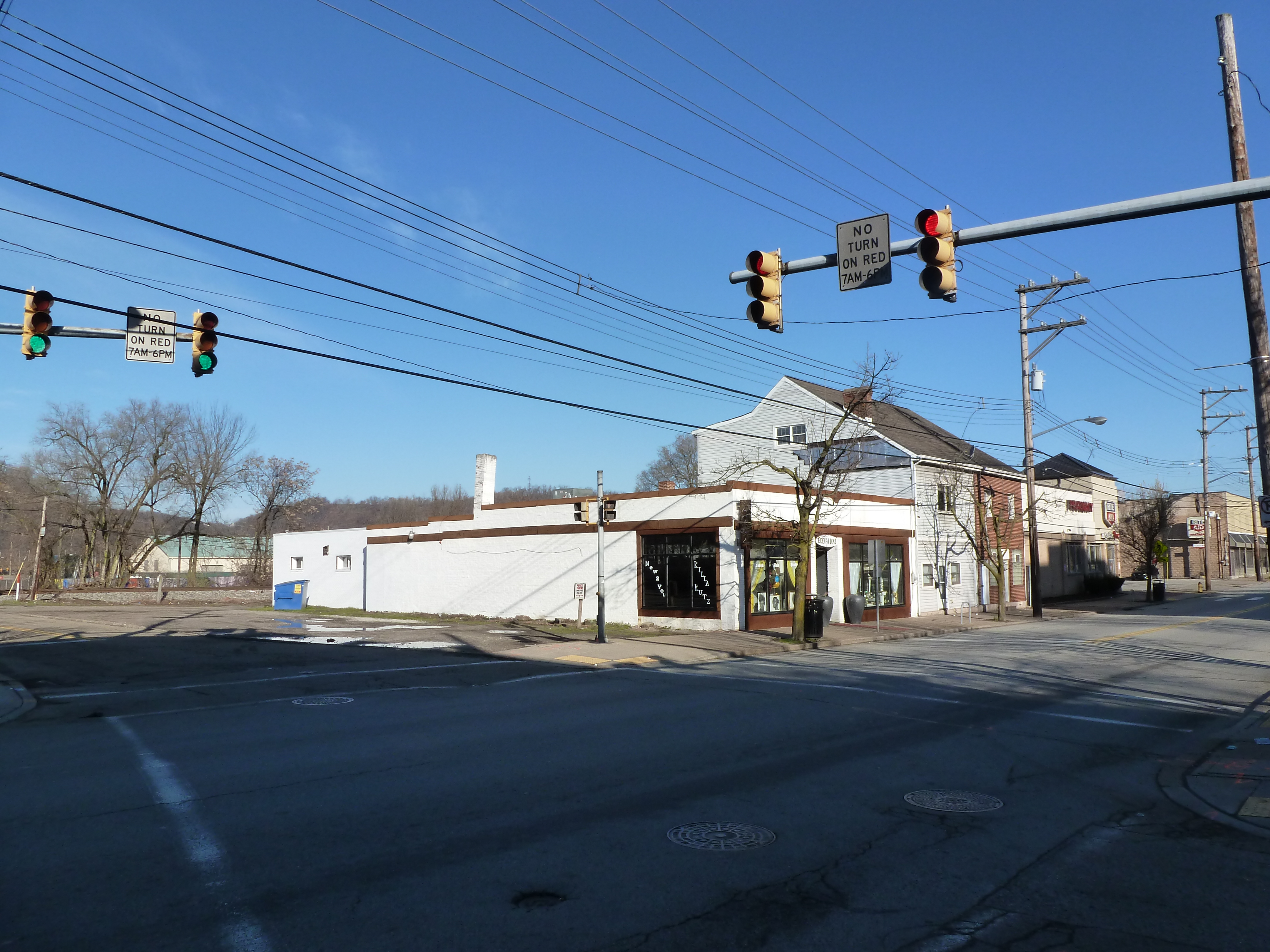
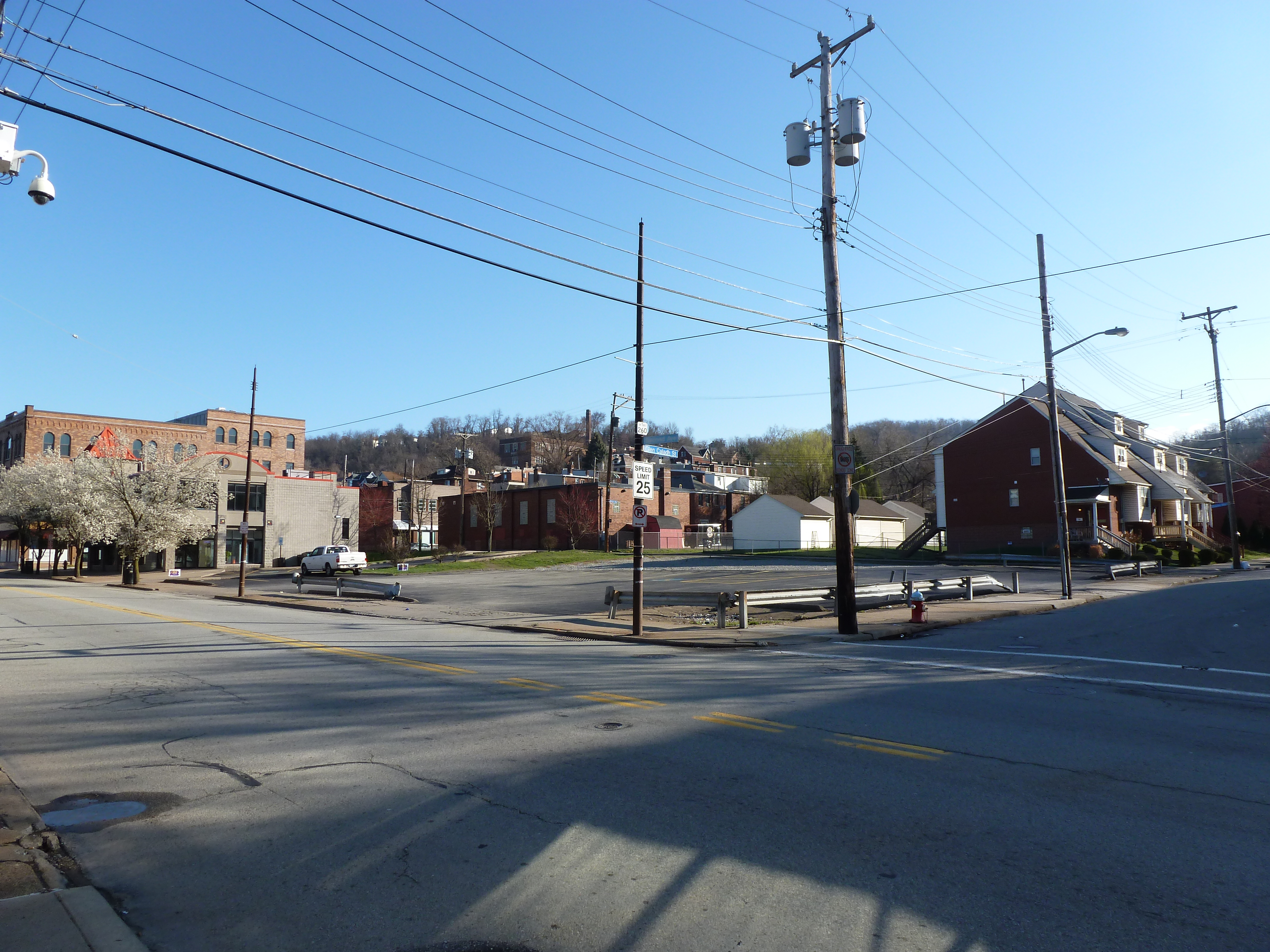
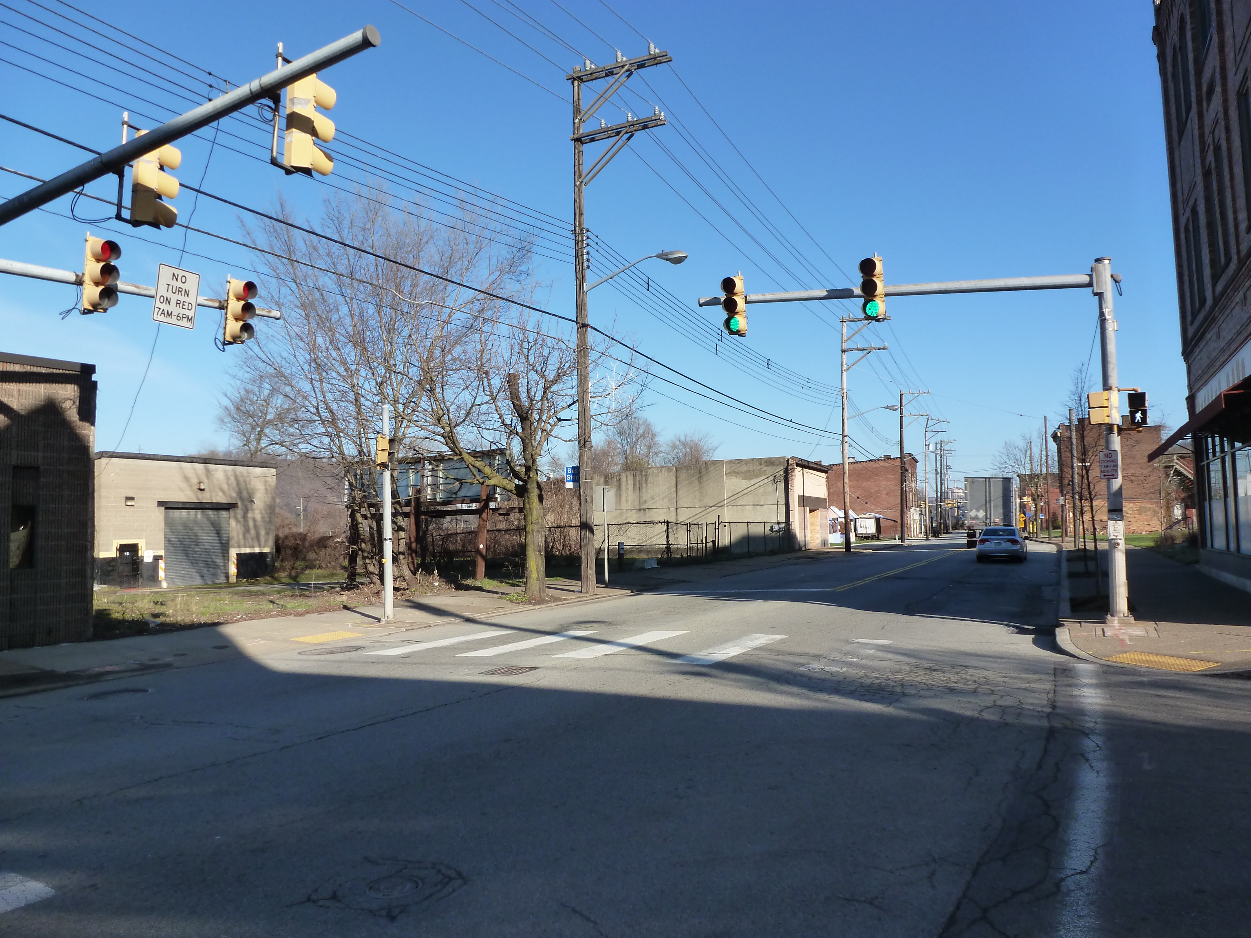
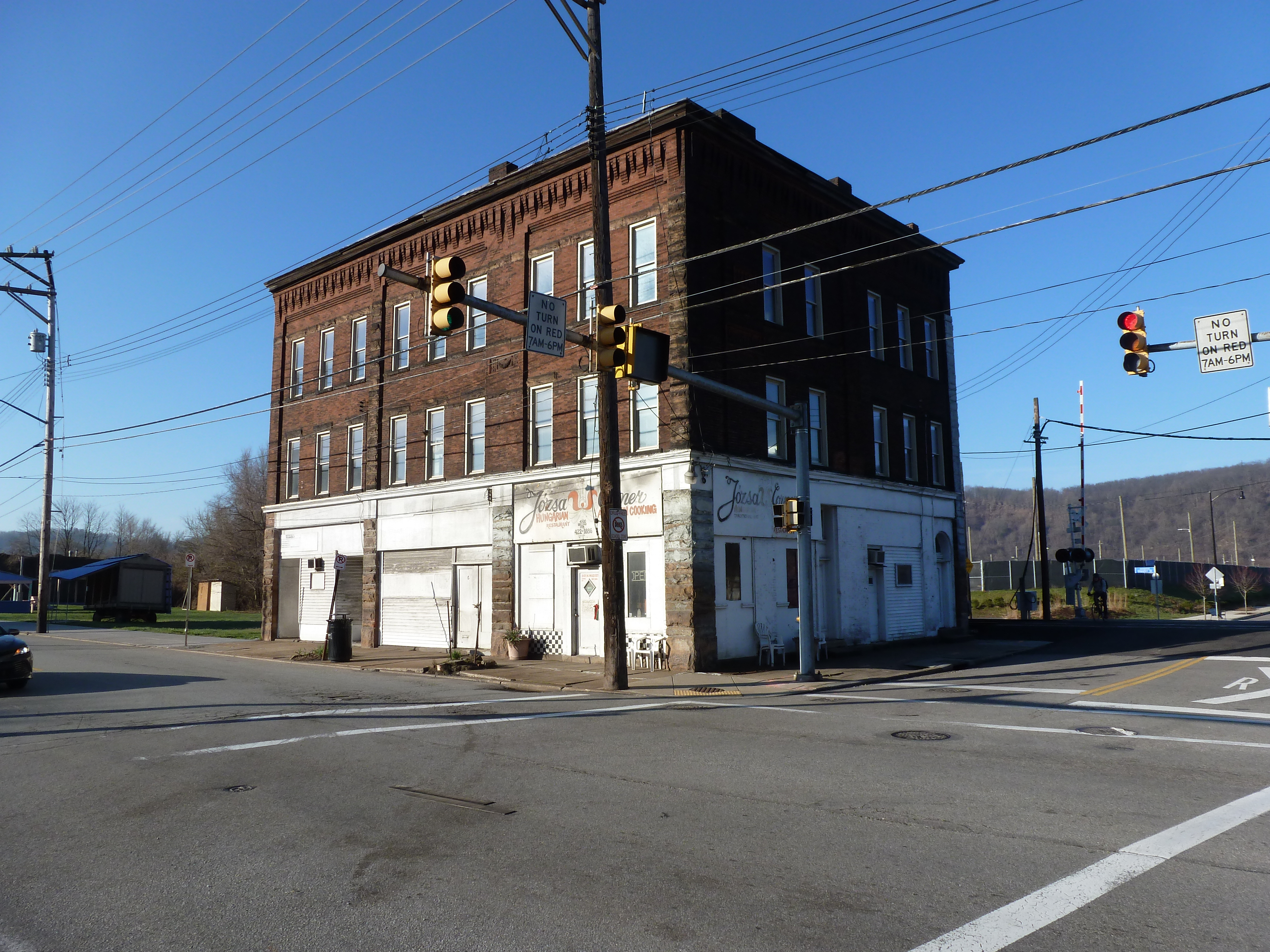
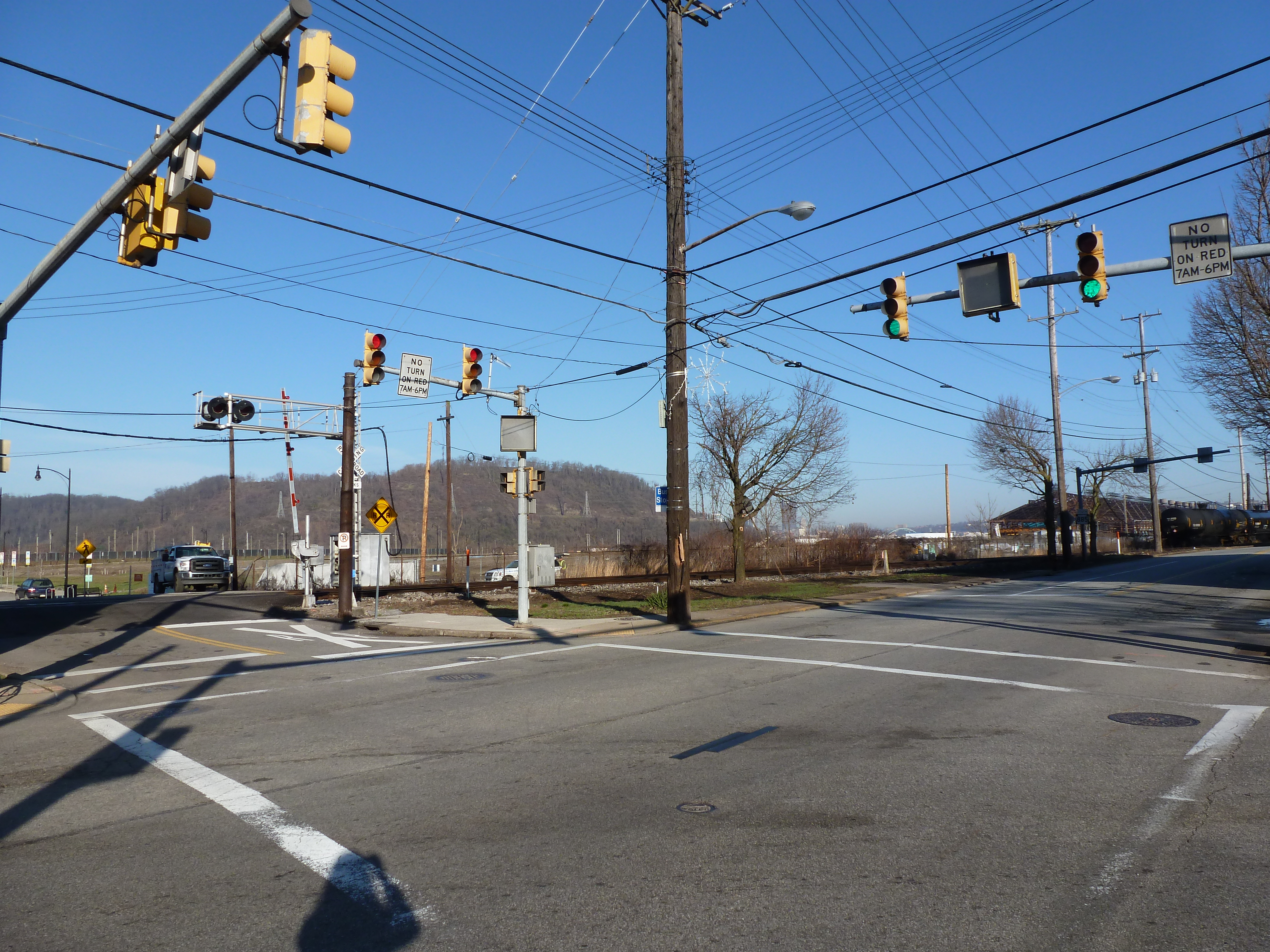
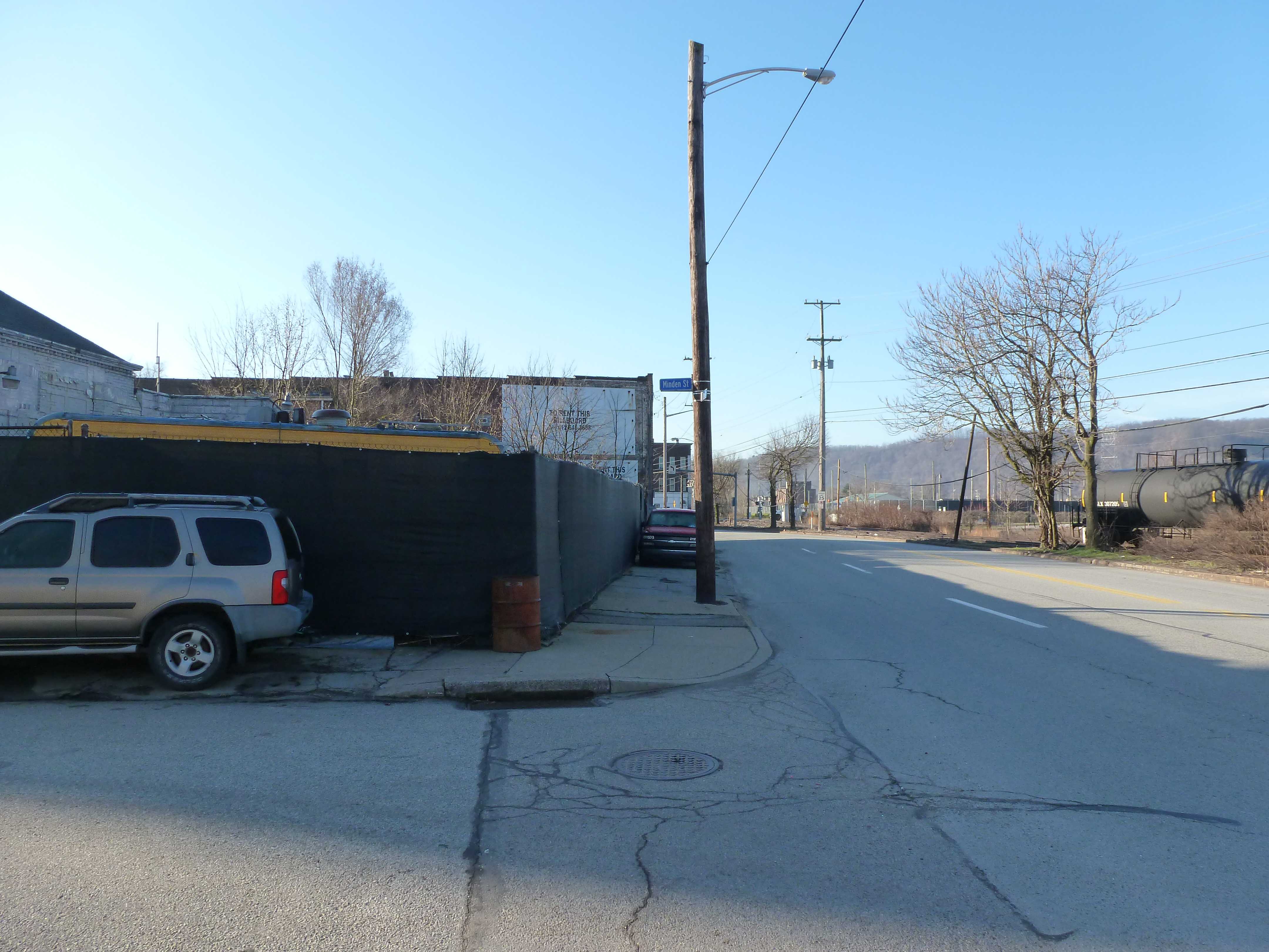
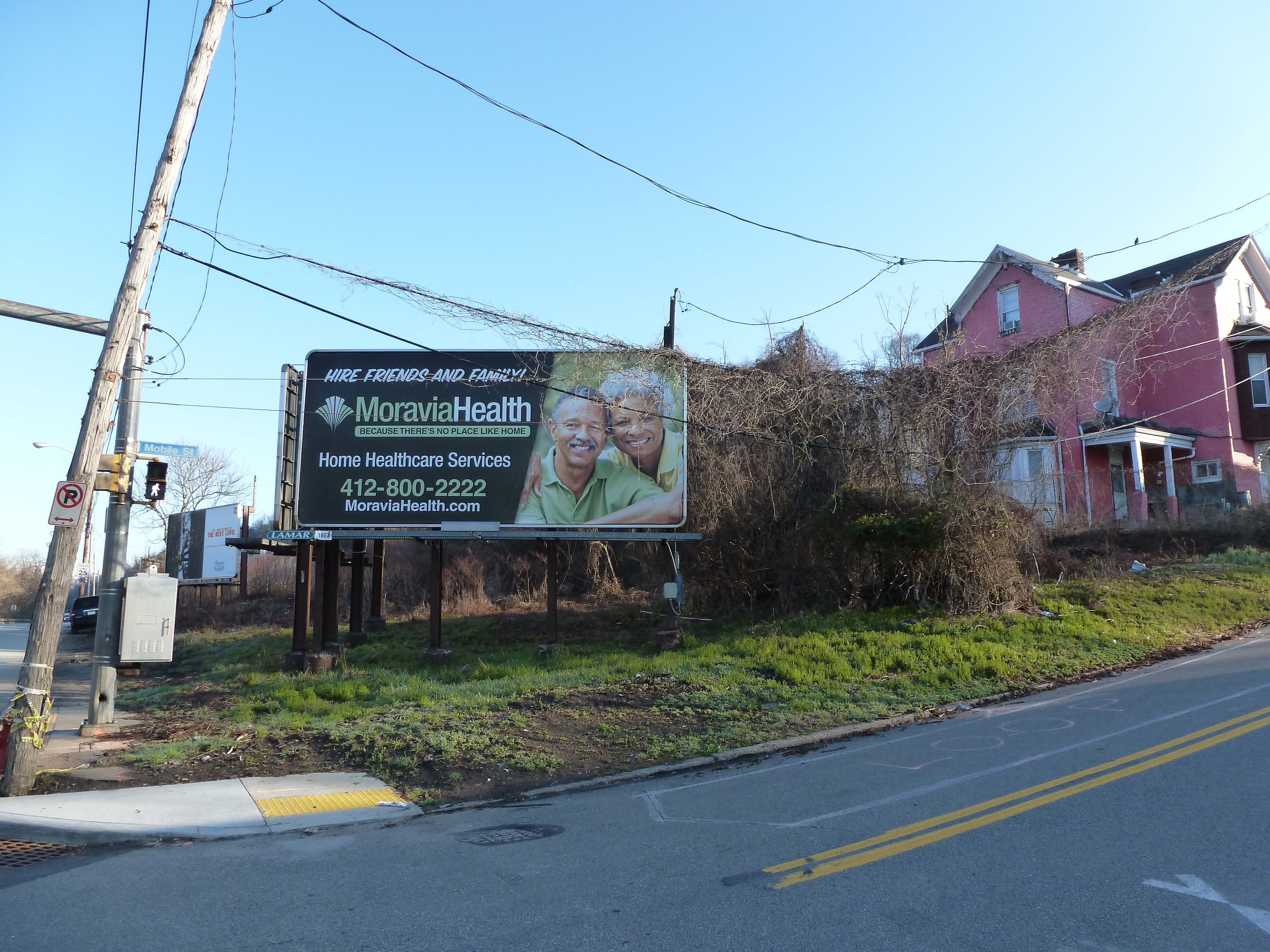
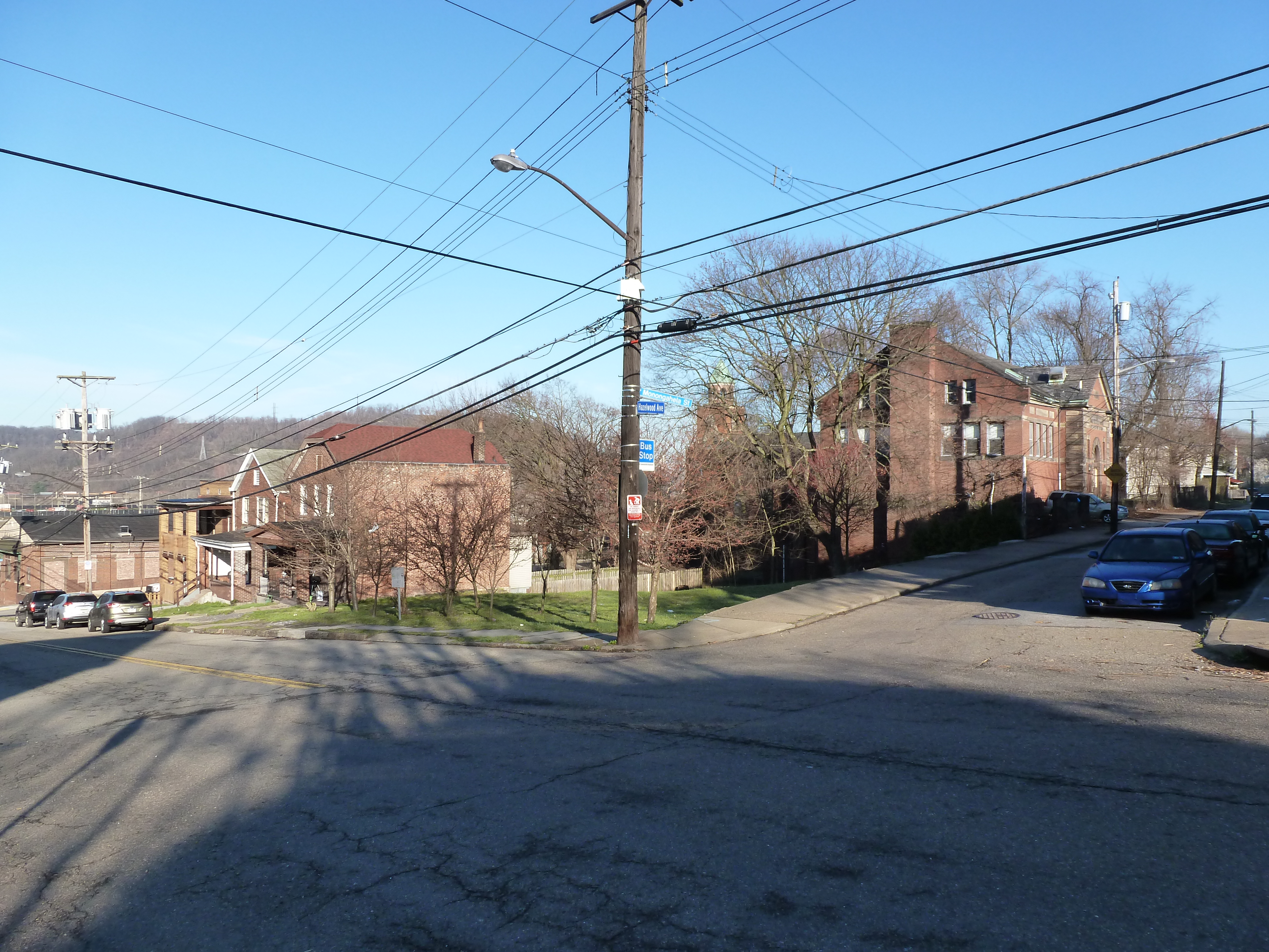
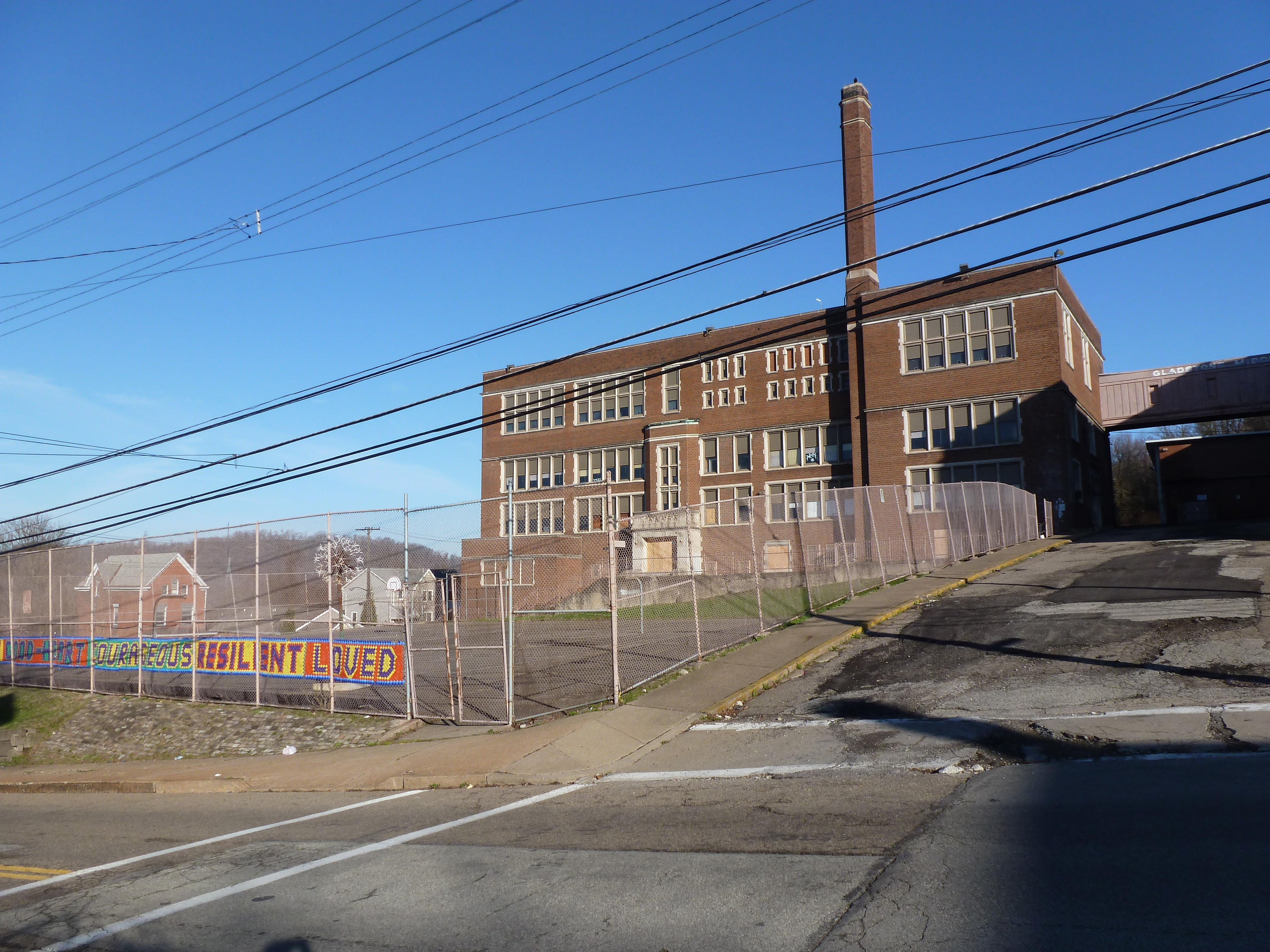
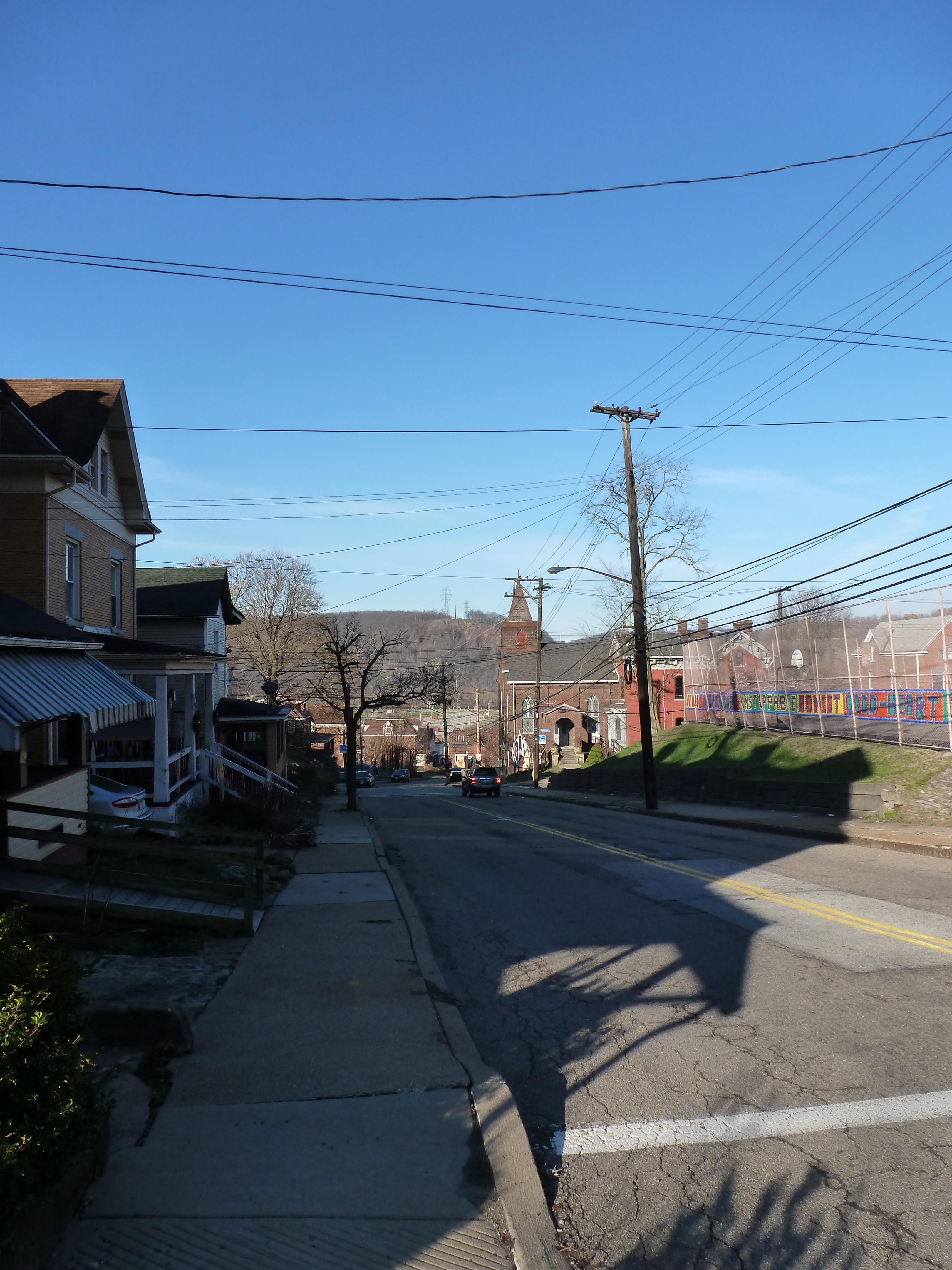
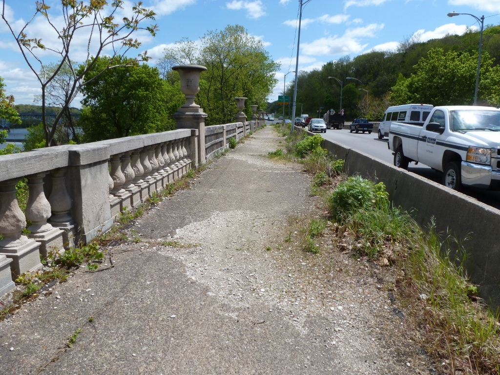
Hazelwood is a neighborhood divided in two by railroad tracks. On one side of the tracks are Hazelwood Green, a residential enclave, and some industrial and commercial uses. This is what is across the tracks:
Second Ave


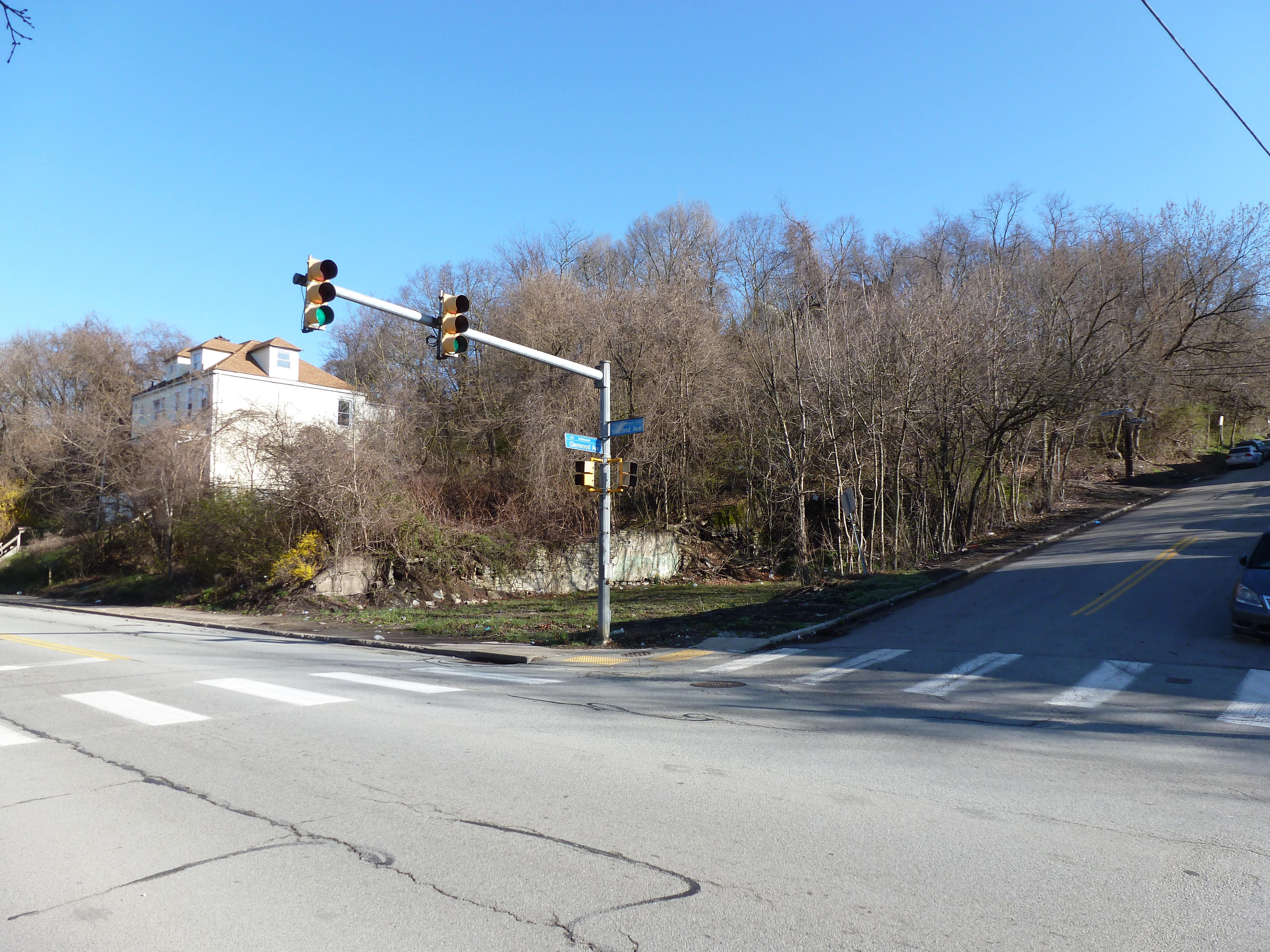


Hazelwood Ave


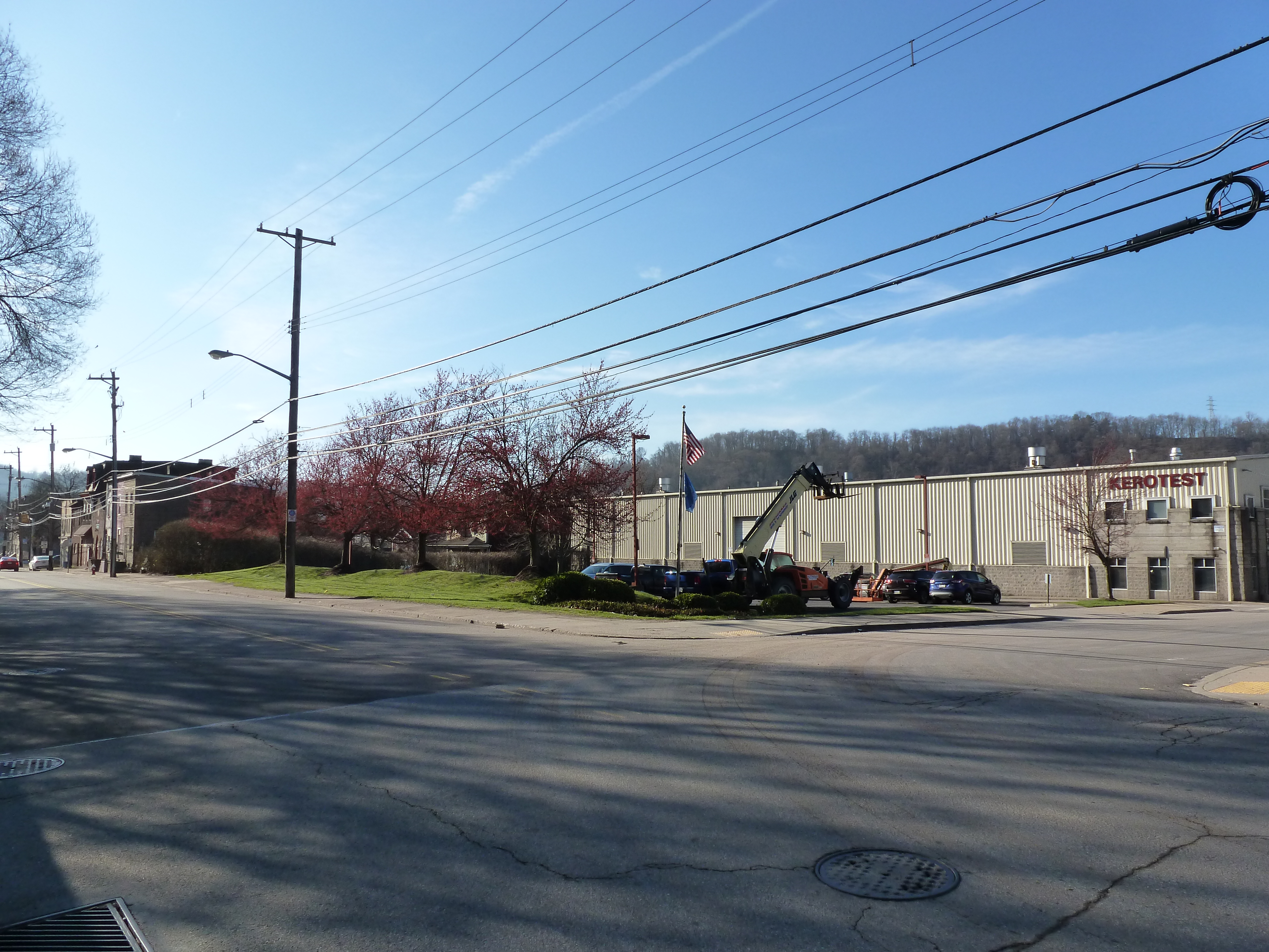
Other Sites:
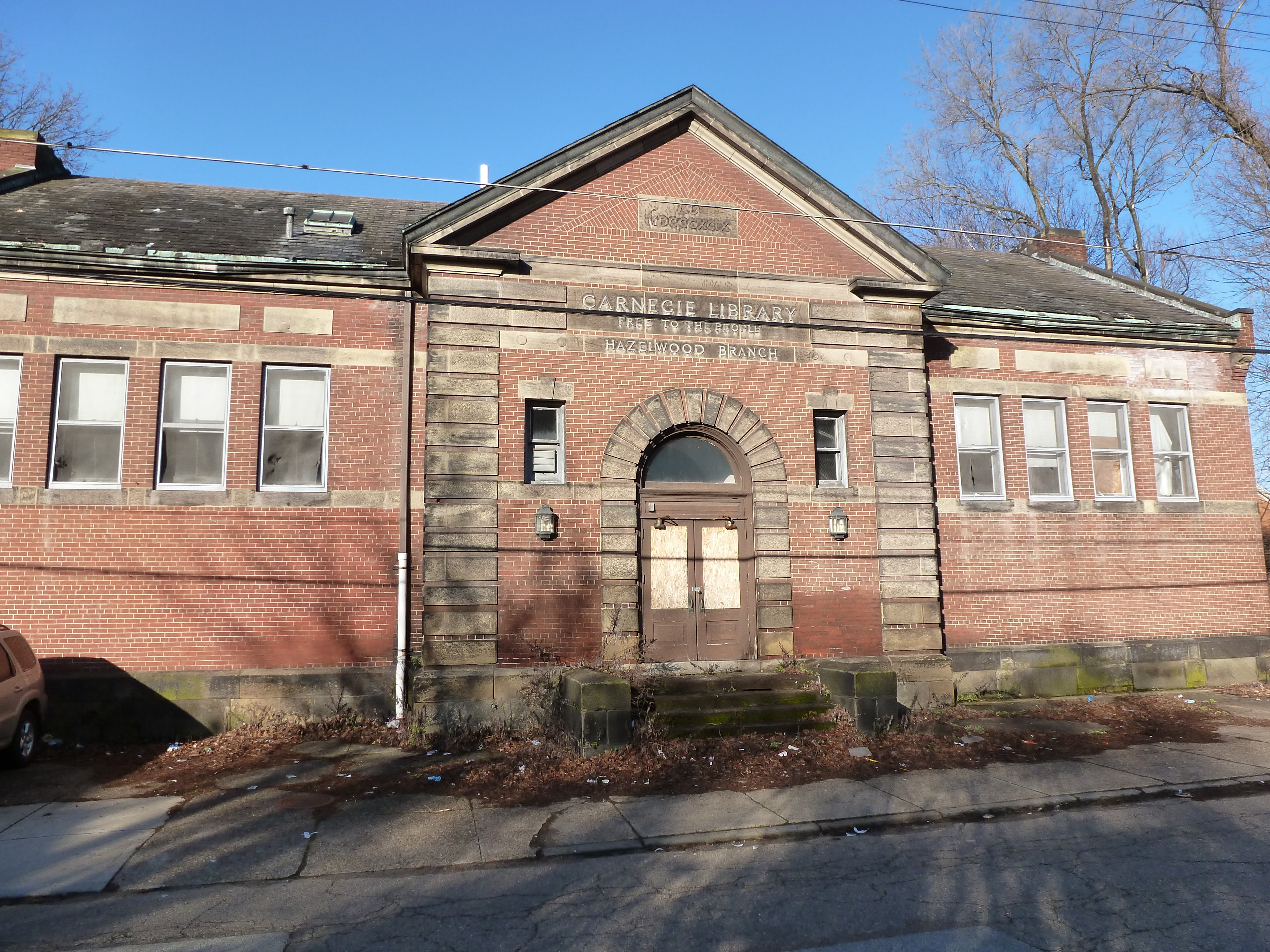


Hazelwood is a neighborhood divided in two by railroad tracks. On one side of the tracks are Hazelwood Green, a residential enclave, and some industrial and commercial uses. This is what is across the tracks:
Second Ave
Hazelwood Ave
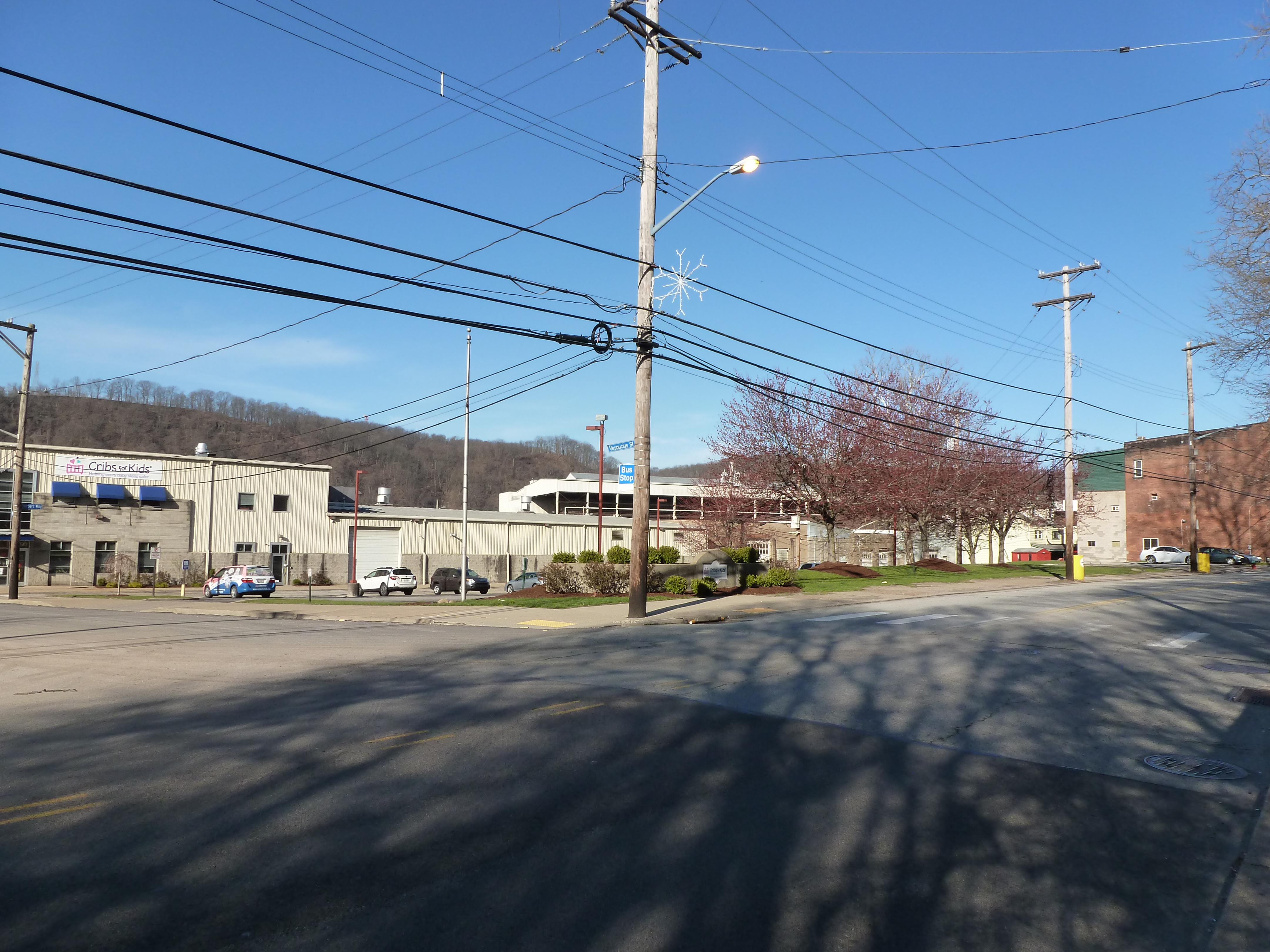
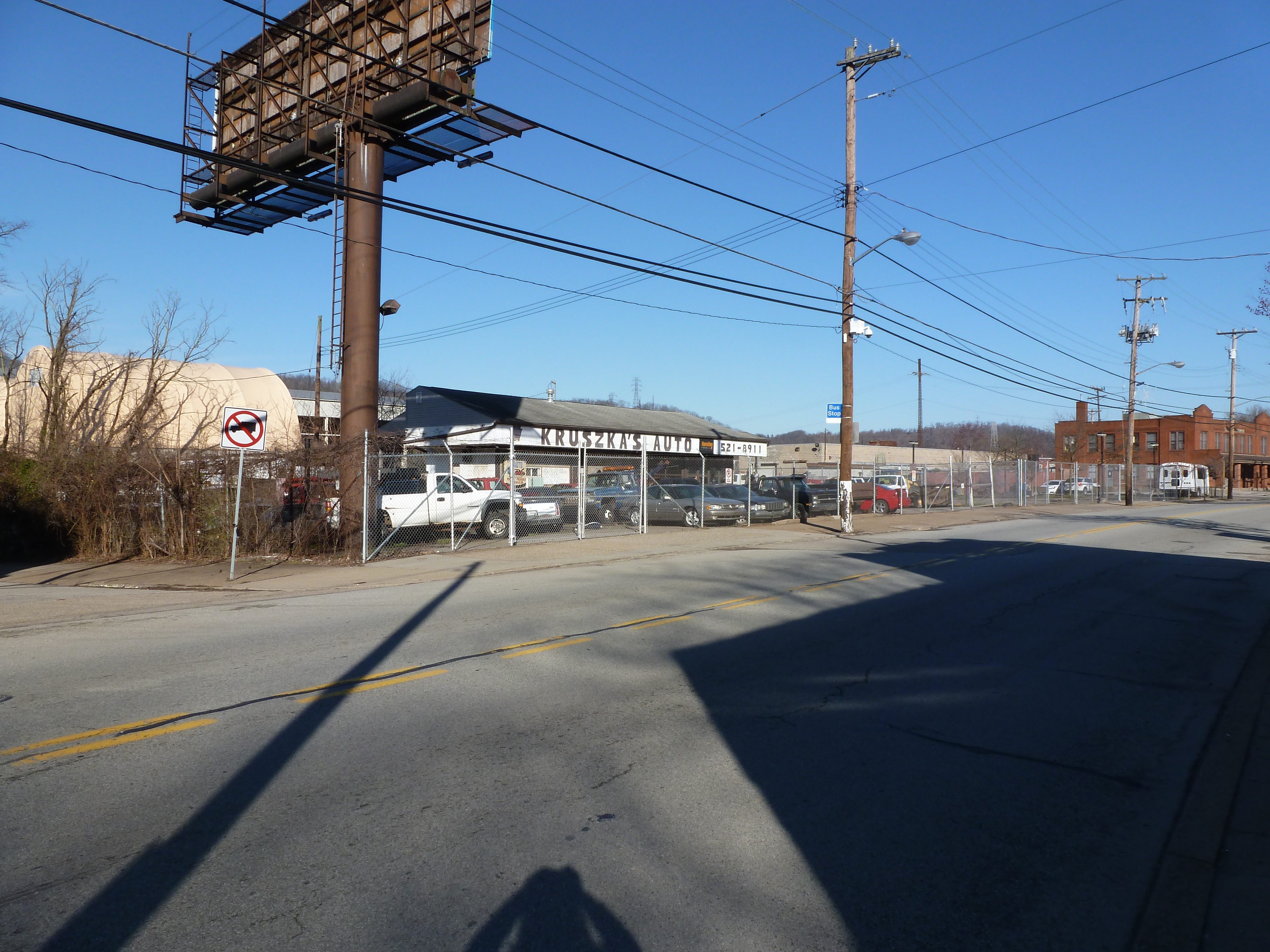
Other Sites:
Amid writing my posts about how the wealth gap manifests itself in the built environment and the morality of unequal economic investment in cities, I took another trip to Chicago. I spent most of my stay in the downtown areas within a mile of Grant Park. I love the old stone buildings, established green parks, ornate fountains, and modern glass skyscrapers with interesting architectural embellishments. Yet this trip, I felt hypocritical as I walked around soaking it all in. All these elements that I enjoy are the result of significant financial outlay that I know is not evenly distributed throughout the city. So where was my moral indignation at this display of deeply entrenched wealth unequally spread?
Chicago’s display of wealth isn’t gaudy like Tijuana or Las Vegas. The message I absorb in places like those with their flashing lights is “come on in, so we can suck all the money out of your pockets.” Chicago businesses identified their presence on the street with regular signs leaving it up to the passers to decide whether to engage.
One bar did add a layer of enticement to their sidewalk advertising. I was searching for a place for dinner, with this bar in mind as the one that looked most appealing from Google maps. I was looking around to see if there were any other better options. The smell of the burgers from this first bar convinced me that it was the best option in that vicinity. It was only after I had sat down and ordered that I realized the smell wasn’t coming from the open window, but rather it came from pipes pumping the kitchen smells to the sidewalk. Still it was a subtle inducement and unlike flashing lights it did not have a nefarious undertone.
By pumping out the smell to the sidewalk, it also felt indiscriminate. Anyone passing was invited to enjoy. This was unlike my experience in Cardiff where if I couldn’t afford the items in the business, I felt I shouldn’t be walking past in the public space. I never felt like I didn’t belong in Chicago. There were economic barriers to certain experiences, but those places that I encountered still did not feel exclusionary. One example is the lounge on the 96th floor of Chicago’s Hancock Building. The stunning views are only accessible to those who can afford a $17 cocktail, but those who can afford one only once in a blue moon were just as welcome as those who can afford one or more every night.
In Chicago, I never saw that strong line, as in Tijuana and Cardiff, that divided those with and those without financial resources. Everywhere I went, there was a mix of people with different economic statuses, skin colors, and first languages. This diversity gave me the feeling that anyone is welcome to enjoy the well-maintained investment in public spaces with or without hitting a minimum financial threshold.
The first place to show me how a city can be stacked like a layer cake, Chicago provided ample opportunities to explore all levels of the city. The experience of noticing the expansion joints in roads that I assumed were on solid ground opened my eyes to the possibilities of stacking uses.
A vacant lot two stories below street level solved the mystery of the expansion joints, by exposing the inner guts. Two more roads sit below street level to segregate trash pick-up and deliveries from the flow of traffic. These lover levels also provide some opportunities for parking without monopolizing valuable real estate above. Retail shops connected by pedestrian passageways are also interspersed in these layers.
At the same elevation as the “underground life,” the Chicago River flows through the heart of the city. On and along the river are a variety of activities. Pedestrian paths, cafes, housing, parks, industrial uses, and homeless encampments line the shores. Meanwhile, the river abounds with ducks, boat tours, water taxis, construction staging, and marinas.
Back up on the street level, life buzzes. Vehicular and pedestrian traffic rush passed, occasionally pealing off to visit the numerous shops, offices, museums, restaurants, cafes, parks, and trails.
Yet, more life looms above. Several of the skyscrapers have penthouse, or nearly penthouse, restaurants. Others have rooftop observation platforms. Between these and the street are many other opportunities for enjoying life including a religious sanctuary, the “L”, gardens, art, pedestrian bridges, and of course, offices, apartments, hotel rooms, and shops.
Unlike Pittsburgh, in Chicago, the public is welcome in some form on every level to gain a full experience of the city.
It’s the classic story of industry moving on to greener pastures at the same time that suburban flight takes off. Pittsburgh politicians and notables tried everything they could think of to keep the loss of jobs and residents from increasing. Despite their efforts, the city’s population plummeted over the next several decades.
Today, planners and officials often cringe at the mention of the “Urban Renewal” of the 1950s and ’60s. The “bad” judgement applied by their earlier counterparts in efforts to keep the city attractive is an easy scapegoat for the problems of the intervening decades. The people in charge today are doing “good” work by erasing the “mistakes” of the past: tearing down the crime-ridden high rises and replacing them with newly constructed mid-rises and townhomes, returning one-way ring roads to two-way traffic, rebuilding a neighborhood torn down for the sake of a grand civic project only partially deployed, etc.
This rhetoric is seductive. “Urban renewal was evil” is a catchy phrase. It is easy to point the finger and blame what is visible for the effects caused by complicated invisible factors. Yet underneath all this rhetoric and finger pointing there are examples of Urban Renewal success stories in Pittsburgh.
ALCOA is one of Pittsburgh’s highly successful homegrown industrial companies. When it threatened to move its headquarters to New York City in the 1950s, Richard King Mellon and the Mellon Foundation instigated the creation of a package that kept ALCOA in town. ALCOA finally moved its “headquarters” to NYC in 2006, but 11 years later it returned to Pittsburgh. In fact, this was only the executive headquarters with less than 100 staff. ALCOA still continued to have operational headquarters in Pittsburgh throughout that time.
The 1950s package deal that induced ALCOA to stay was a new office building, garage, and public plaza known as Mellon Square. Not only did this succeed in persuading the company to stay, thereby retaining jobs in the heart of downtown Pittsburgh, but the plaza recently underwent a $10 million refresh.
Today, Mellon Square is a gem as an outdoor lunchtime retreat downtown. Unlike Market Square and Mellon Park, it is usually possible even during peak lunchtime to find a seat in Mellon Square, either in the shade of trees or buildings or basking in the sun. Seats near the centerpiece fountain may be wet, especially if it’s a particularly windy day, but there are also seats in more hidden away areas. On different days of the week, there might be a Farmers Market, yoga or other outdoor exercise, or live music to enjoy as well.
When enjoying the ambiance on top, it is easy to forget that there is a parking garage underneath. This garage continues to serve downtown visitors and workers. As the parking levels go down below ground instead of stacking up into the air, it brings less blight to the urban landscape than most other downtown garages. During the 1950s when the idea of car as king was being imprinted in the city’s design through its new ring roads and new Zoning Code, it is amazing to me that Mellon’s team had the insight to say let’s hide the cars out of the way, underground.

In a recent post, I complained about the lack of engaging outdoor spaces in Pittsburgh. I recently realized that I was perhaps a little harsh in that assessment. One of the things that attracted me to Pittsburgh in the first place was the abundance of parks and welcoming open spaces. Now, as a naturalized Pittsburgher, I may take these places too much for granted.
Pittsburgh is home to five large city parks: Emerald View Park, Frick Park, Highland Park, Riverview Park, and Schenley Park. In addition, there are Point State Park, neighborhood parks and playgrounds, and parklets and green spaces.

Downtown has a welcoming outdoor space within a 5 minute walk of almost every office building. Come noon, the most popular ones are out of seats. Some have programming on different days. Market Square and Mellon Square regularly host farmers’ markets, live music, interactive art, and activities.
Yet, these oases are not spread out evenly across the Pittsburgh. East Liberty used to be considered Pittsburgh’s second downtown and was the third largest economic engine in the state. After decades of suburban flight and decay, this neighborhood is experiencing a resurgence that is recapturing much of its former dominance. Yet, when I worked in East Liberty, there were no welcoming outdoor places for me to reasonably get to in my lunch hour. I ended up eating everyday in the office, which meant the only time I left the office between starting and quitting times was when there was an off-site meeting.
It’s not just East Liberty that is missing out on these outdoor pockets and treasures. Much of the city’s riverfronts are still dominated by industry or freeways. Many neighborhood don’t have parks or the ones that are they have not been maintained.
Pittsburgh does have good outdoor spaces, but it could have better. The riverfront is a visible place to expand upon the earlier successes such as Point State Park and the Watersteps. The adult-friendly, public swings which spurred my previous post Engaging Riverfronts is one way to expand upon that. I look forward to more ideas and implementations across the city.

Cincinnati’s riverfront park with swings
There is a proposal in Pittsburgh to introduce a new feature to its riverfronts: swings. I am excited about this possibility as a swing lover and as someone who wants to see more welcoming and engaging spaces along Pittsburgh’s rivers. One of the inspirations for this idea are swings found in Cincinnati’s riverfront park. Last summer, I happened upon that park in a search for bridges by Roebling. On an ordinary summer evening, this enormous riverfront park was filled with people of all ages enjoying the various activities from walking paths to playgrounds to interactive art installations.


Previously, when walking around Istanbul, I experienced jealousy at seeing the number of parks with adult exercise equipment installed. This sort of acknowledgement that adults enjoy playing outdoors as much as children seemed lacking in parks across the United States. Cincinnati’s park showed me that inviting adults to play outside is embraced in some parts of our country.


Pittsburgh has kayak and bike rentals for adults to play outside. The walking trails, Fountain at the Point, and Watersteps attract people to enjoy the outdoors and the rivers. However, if this swing proposal pans out, Pittsburgh may move up into the next tier of engaging outdoor spaces with the introduction of free play equipment for adults on par with Cincinnati and Istanbul.
Heth’s Run Bridge, the first bridge I posted about in my Pittsburgh bridges project, is scheduled to be replaced by the end of next year. The notice to proceed was expected to be issued last week with construction beginning on Sept. 24 with the installation of a temporary road around the bridge, through the zoo’s parking lot. According to the schedule that was passed out at a community meeting at the end of August, the bridge is expected to close with all car traffic being diverted to the temporary road on Nov. 1st. Due to the turning radius constraints with the temporary road, trucks will not be permitted and will instead be by way of the Highland Park Bridge, Route 28 and the 62nd Street Bridge. If all goes according to schedule the bridge should reopen to all traffic on October 1, 2014. Additional road work will continue through October. After final inspections, the project is expected to be officially completed by December 8, 2014.
This is a PennDOT project expected to cost over $18.5 million and is definitely needed. As I discuss in my Heth’s Run Bridge Part II and Highland Park Bridge posts, the sidewalks here are in desperate need of repair and the proportion of sidewalk to road across the bridge is at least 50 years out of date. All this is going to be addressed in the reconstruction. The new bridge is going to have two lanes in each direction to match the roadway on either end. Additional features of the new bridge will be decorative railing, period lighting, entrance pylons, and “architectural features on the abutments with form liners” (which I believe refers to new urns). At the community meeting, it was mentioned that the current urns will be saved and kept in a warehouse until a new home is found for them.
In addition to the bridge, about 870 feet of Butler Street are going to be reconstructed including sidewalks. My understanding is that this is the part of Butler from the Heth’s Run Bridge to the ramps of the Highland Park Bridge, which should take care of my complaints about the condition of the sidewalk for those of us trying to cross the Highland Park Bridge without a car. This should also clear up the confusion for the outbound traffic of whether this part of the road is one lane or two as the plans include removing the “kink” from the existing alignment.
New signals and ADA ramps will be installed at the intersections of Butler with One Wild Place and with Baker Streets.
Another major part of the project is the excavation under the bridge to an elevation of 762. According to GoogleEarth, the bridge is at an elevation of 800 ft. I’m not sure if this will restore the bridge to its exact historic height, but it will be close (see the photo of the previous bridge from 1912). This will also pave the way for connecting this area to the proposed Allegheny Riverfront Green Boulevard project.
This project will no doubt cause some inconveniences during the construction process, but the construction of the temporary road will significantly cut down on this even though it adds over a month to the process. Imagine instead, everyone having to go on the truck detour or all the Zoo traffic coming down Morningside Ave and Baker Street instead of One Wild Place and Butler Street. That would be a true nightmare. Thank you, PennDOT and the Pittsburgh Zoo & PPG Aquarium for the temporary road. Thank you, PennDOT and any other funders, Sen. Jim Ferlo, Rep. Dom Costa, and anyone else who had a hand in helping bring about this long overdue project.
I can’t wait to walk over the new bridge when it’s finished!
More information about the project including the design of the temporary road can be found here: http://morningside-pa.org/wp-content/uploads/2013/08/hethsrunbridge.pdf
A renewed downtown Pittsburgh attraction is a great place on a hot day. With last weekend’s temperatures reaching near 90, the revitalized Fountain on the point of Point State Park was a popular place to be.
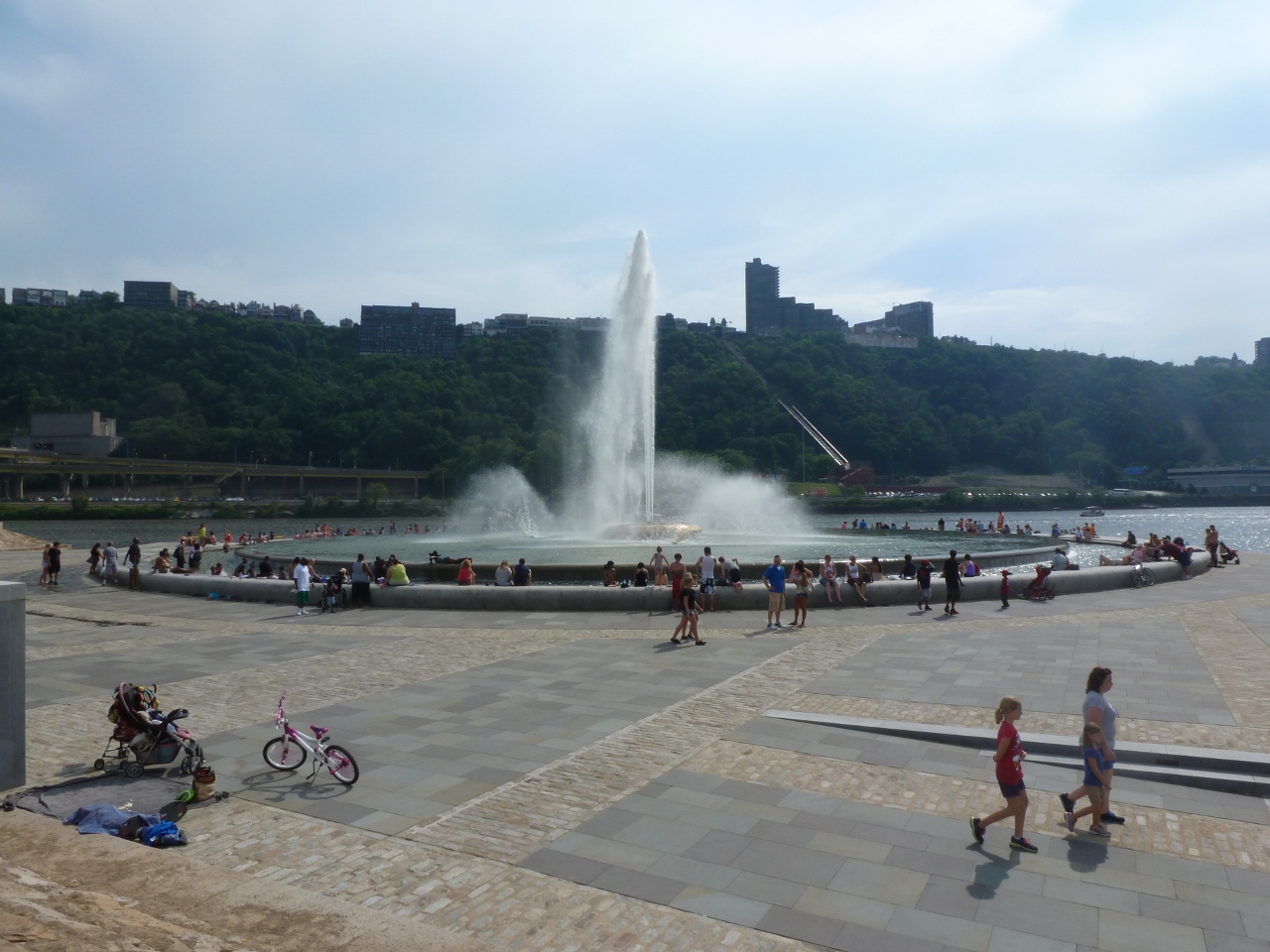
The new “wading” portion of the fountain was enjoyed by families, friends, couples, and pets.

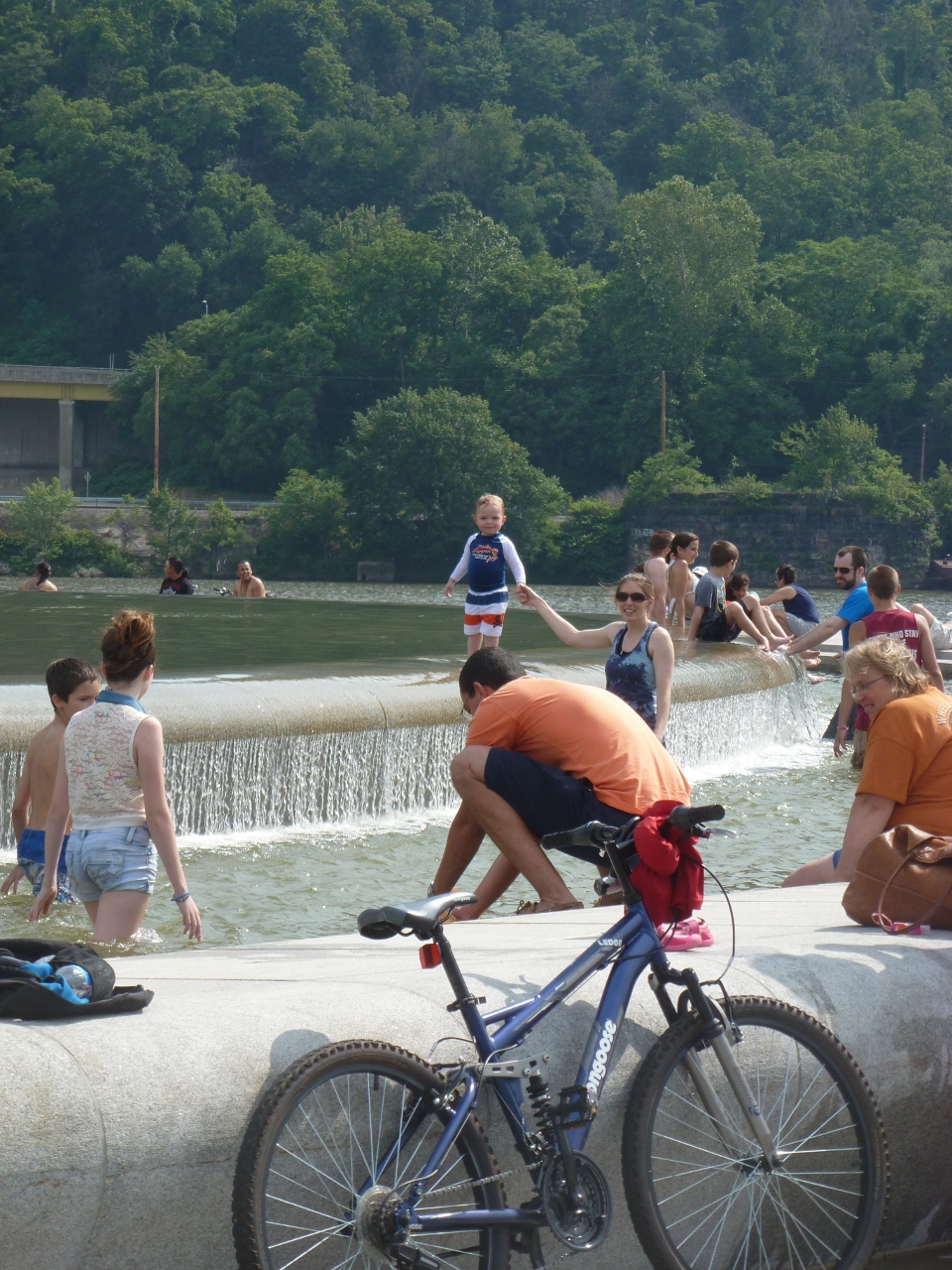
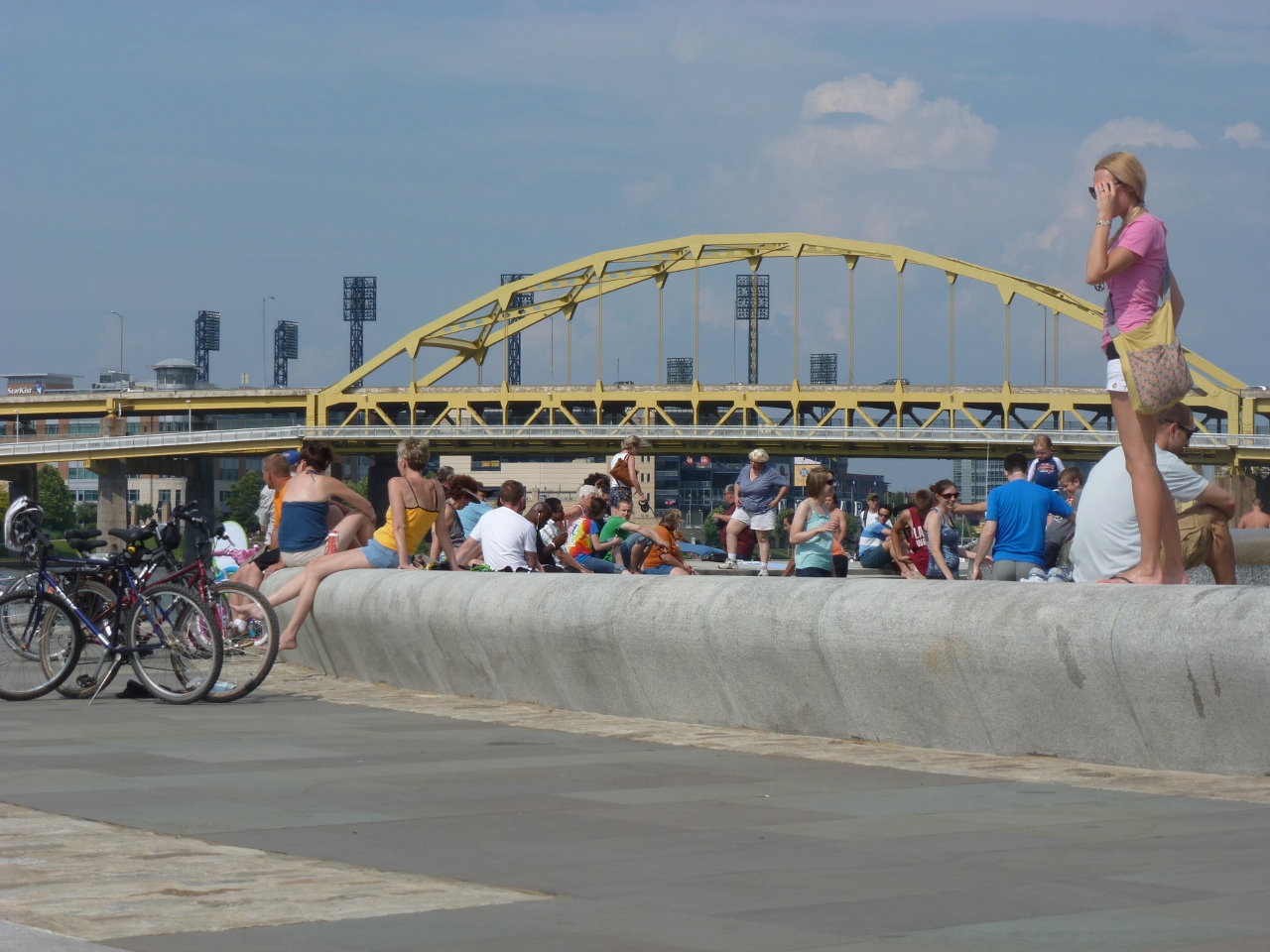
The fountain was also a gathering point for bikers enjoying the Three Rivers Heritage Trail System and Pittsburgh’s bike rental program and kayakers taking advantage of Venture Outdoors’ Kayak Pittsburgh rentals.

The Point is one of the key geographical features that influenced the creation and history of Pittsburgh. With the rebirth of the fountain, it will continue to be an important attraction in the city.
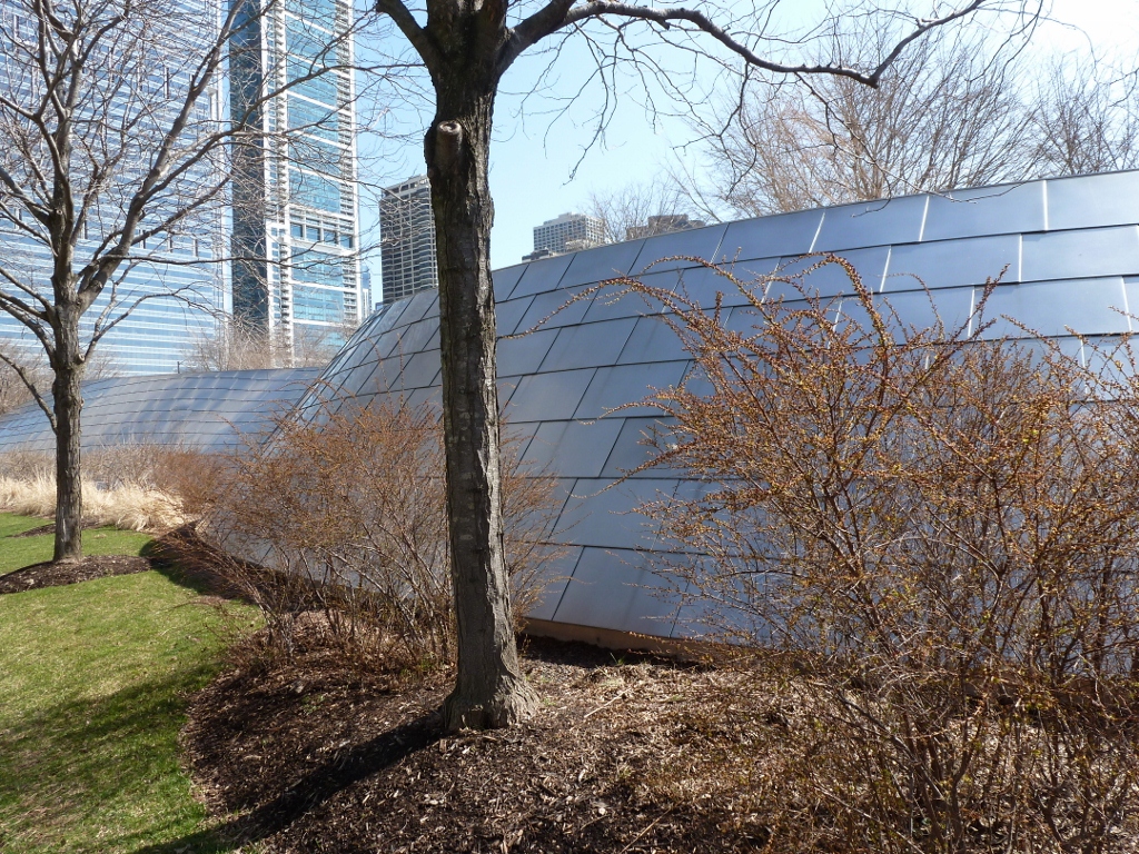
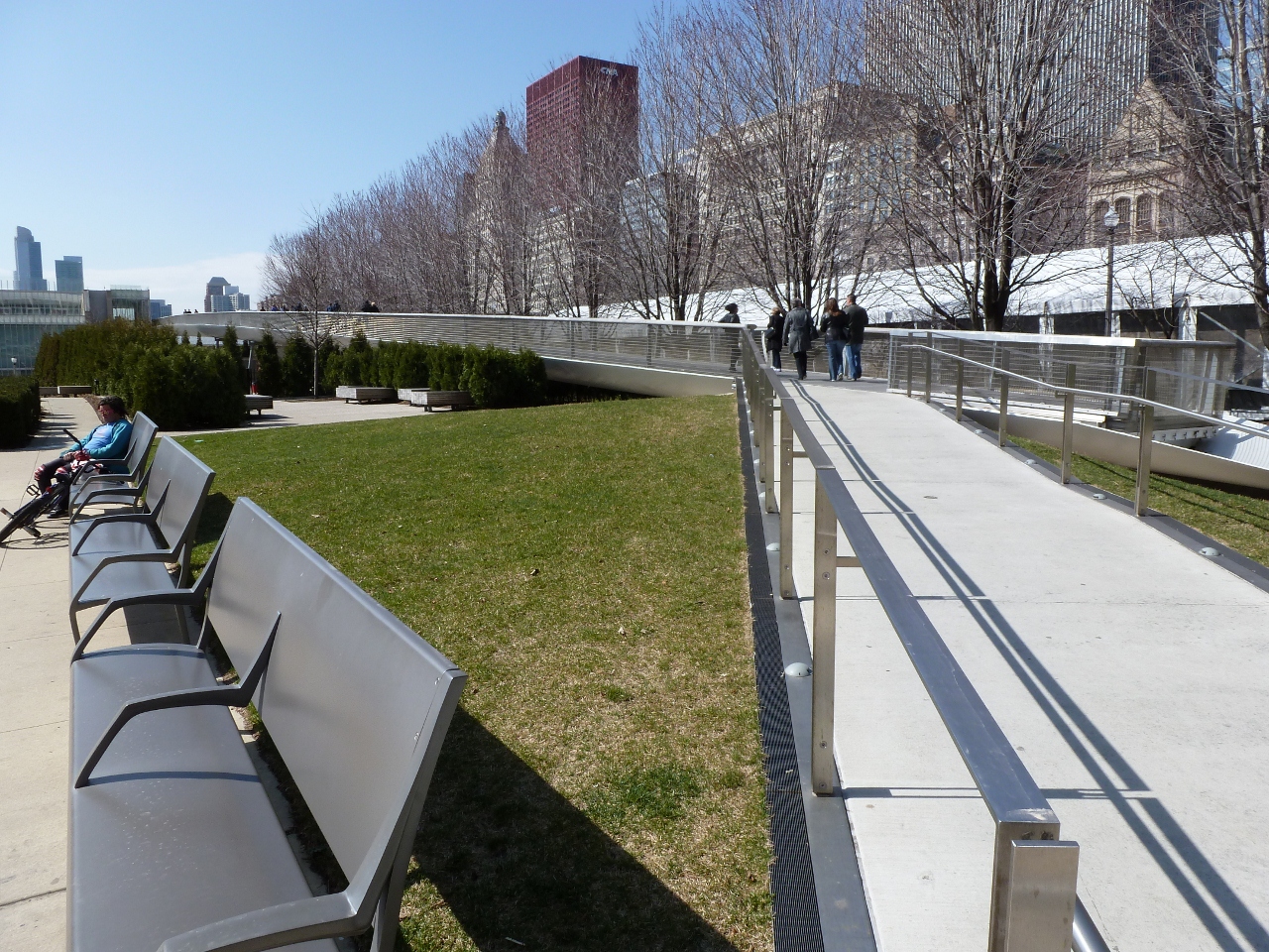
There are two pedestrian bridges connecting to Millennium Park in Chicago. The first I encountered was the BP Bridge. I admired the undulating silver sculpture above as I walked past and was thrilled to discover it was a pedestrian bridge. My excited was quickly crushed as the bridge was closed to traffic due to construction at the other end. I realized that I have become quite addicted to bridge-walking. I was on my way to see The Bean before renting a bike to ride along the lake, when seeing this bridge completely sidetracked me. I had a desperate urge to walk a bridge. Fortunately, there was another pedestrian bridge nearby and while it was not nearly as enticing, it had some interesting parts.
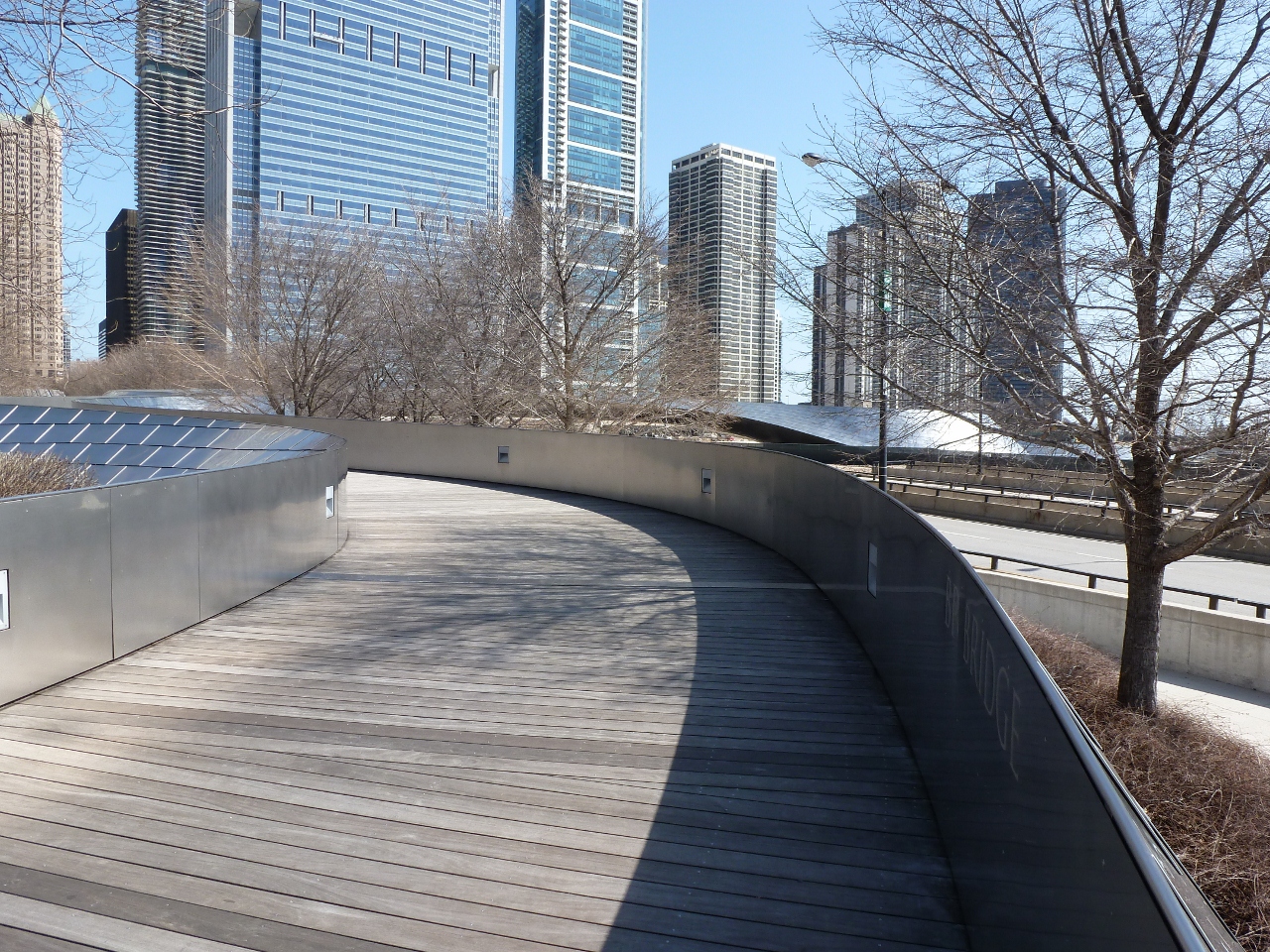
The Nichols Bridgeway connects Millennium Park with the Art Institute of Chicago. Both ends had space-age-like toughs, which I assumed were supposed to be a fancy drainage system. If their purpose is a drainage system, the upper end by the Institute has failed and been turned into a wishing well.

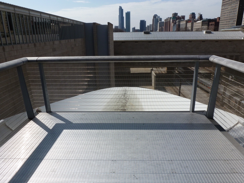
The part I liked best about this bridge was that while it looked like the surface was level, there were ridges or “speed-bumps” every few feet. I wondered if these were merely artistic or if they had a functional value like reducing the slipperiness of the bridge during icy conditions.


Some of my favorite Pittsburgh amenities are the city parks, which I don’t use nearly as much as I would like. Each park has a slightly different flavor. Highland Park has a reservoir that is popular among locals for walking and jogging exercising. When I was a kid, I loved Highland Park because it had the best playground in the city–the wooden playground, perfect for all kinds of imaginary games including those set in pirate ships and castles. Schenley Park is good for disc golf, ice skating and other sports. Frick Park is best for hiking and provides a good escape from the noise and traffic of the city.
I walked 7 “bridges” in Frick Park. Only one of these bridges can be counted toward the 446 non-railroad bridges of Pittsburgh. Three of them I consider bridges, but the actual bridging portion was significantly less than eight feet. While the other three are also called bridges on the map of Frick Park, they are really just glorified drain pipes. I do not have a lot to say about any of these bridges, so the rest of the post will be short on words and long on pictures.
The one bridge that counts toward my goal of walking as many of the 446 bridges I can carries Forbes Avenue over the park. It’s hard to see from the bridge because of all the trees, but one of the park’s main trails passes underneath the bridge.


The three structures I considered bridges crossed over a little stream that runs as parallel to the path mentioned above as nature allows.


The glorified drains are along the hillside where little stream-lets run down to the stream below.


