The Igloo (Civic Arena) 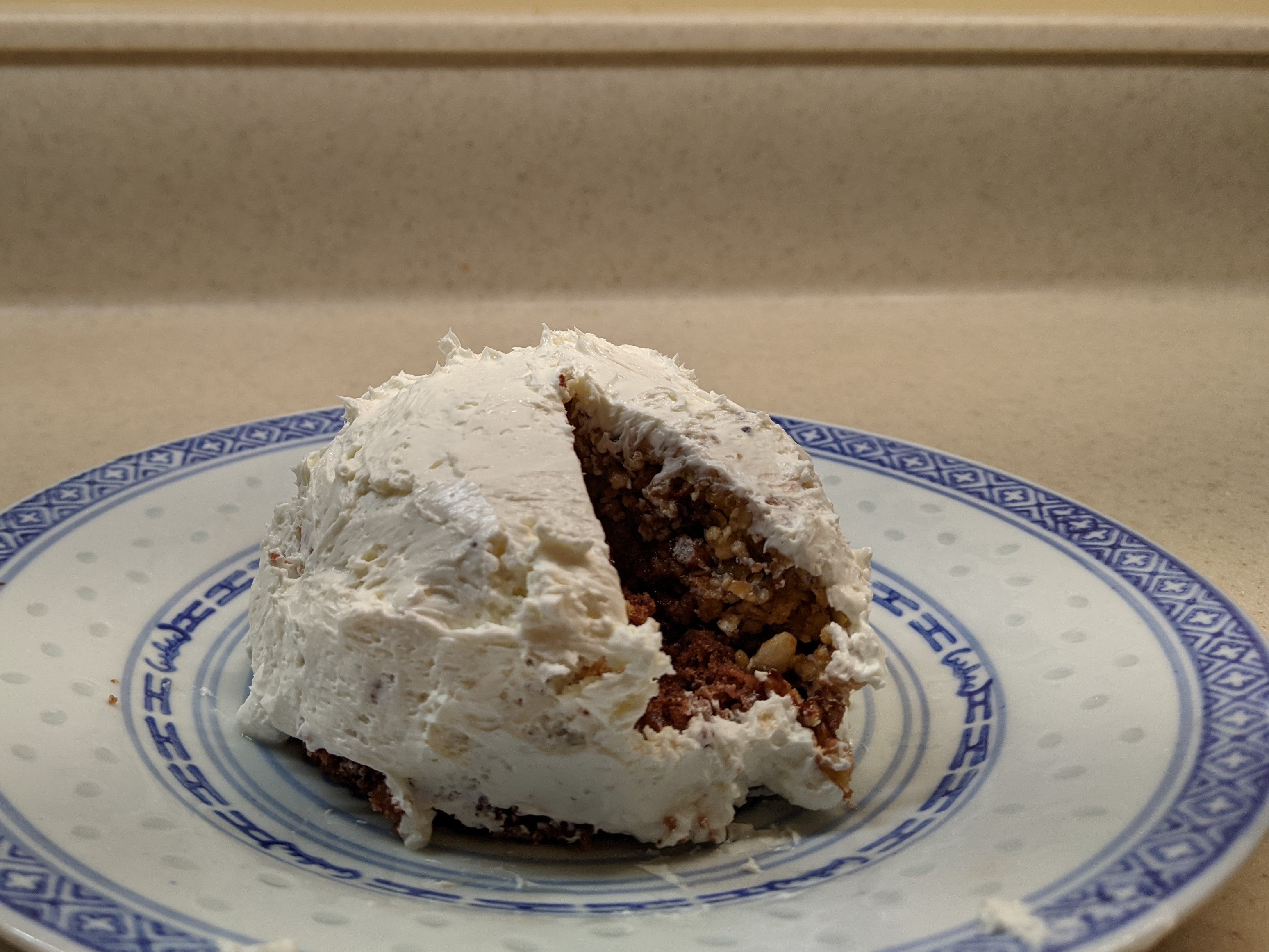
The Igloo (Civic Arena) roof opening
For this year’s Architectural Dessert Masterpiece, I chose Pittsburgh’s Civic Arena for the subject mostly because of the pandemic. The travel restrictions of 2020 prevented me from finding an inspiring building while exploring a new place. The social distancing requirements meant that whatever I made I would have to eat myself. Earlier in the year, I found a granola bar recipe that actually sticks together, which inspired me to take another foray into domes. As December drew near and I put together the conditions of a single-serve dessert with a dome that had some relationship to the themes of the year, the Civic Arena was the obvious choice.
The result was a single-serve cake topped with a granola bar dome and frosted with cream cheese to keep the sugar content down. Once frosted it looked to me more like an igloo than the Civic Arena, but fortunately, the building’s nickname was the Igloo. So, it all worked out in the end.
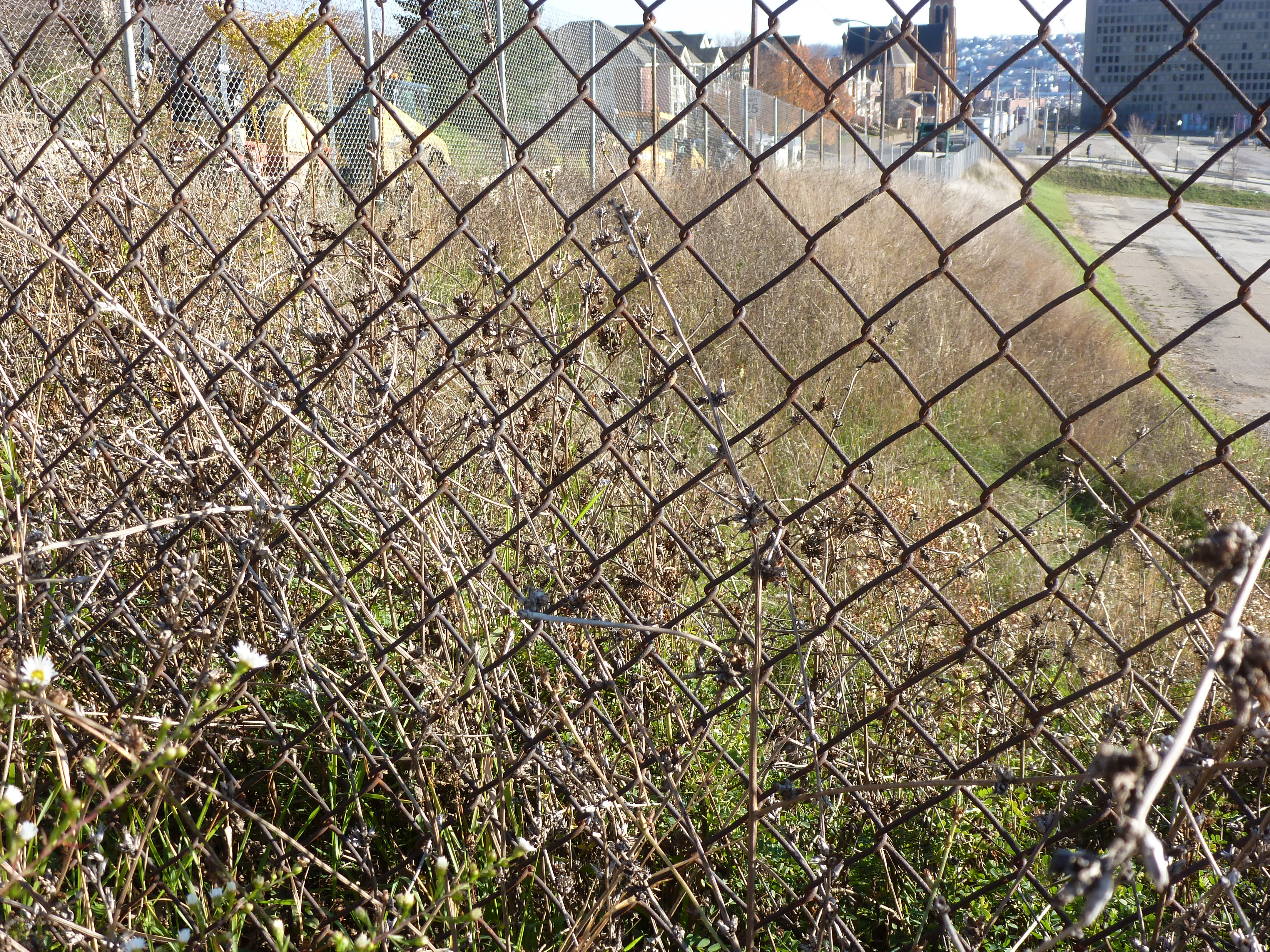
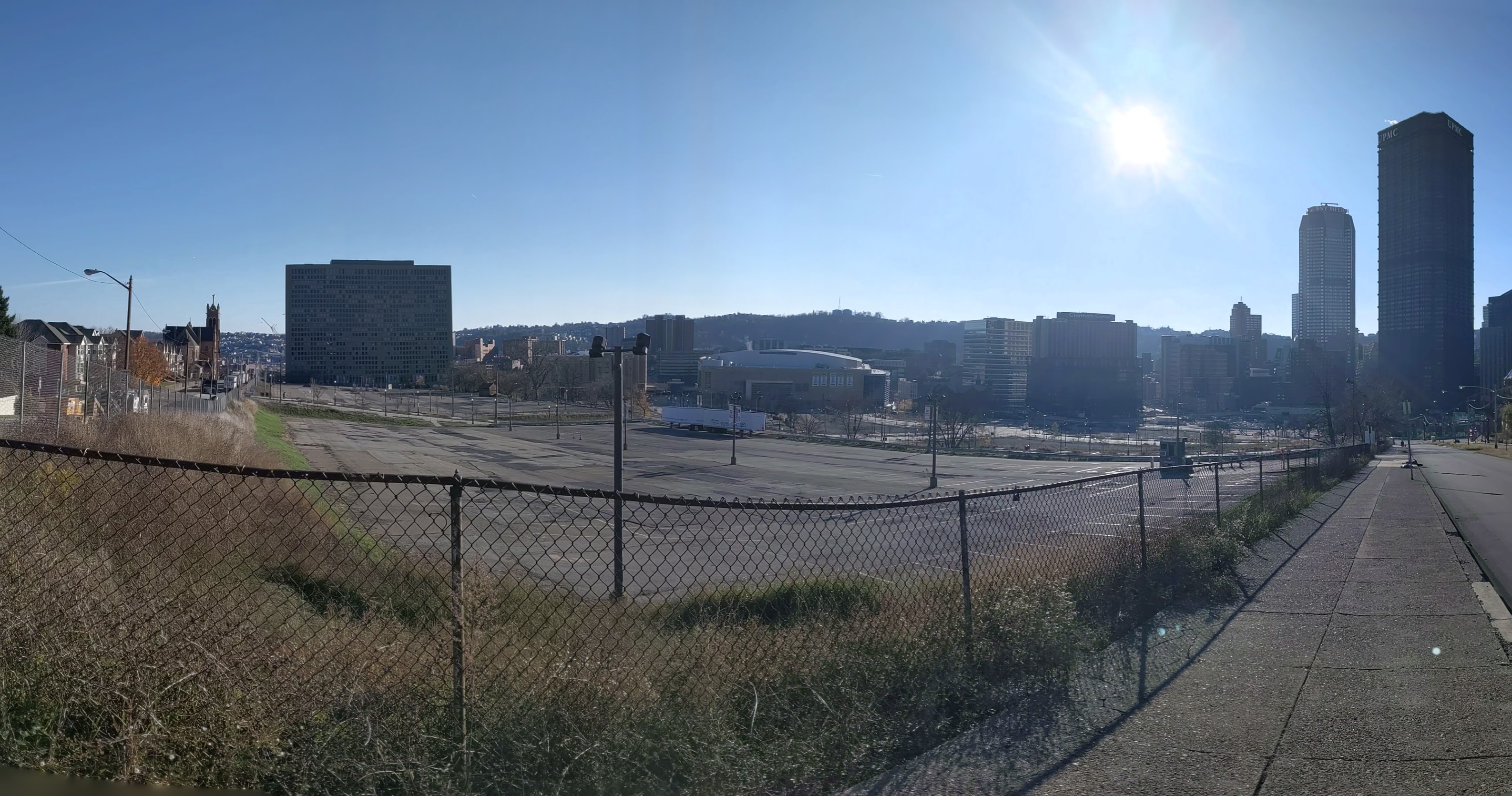
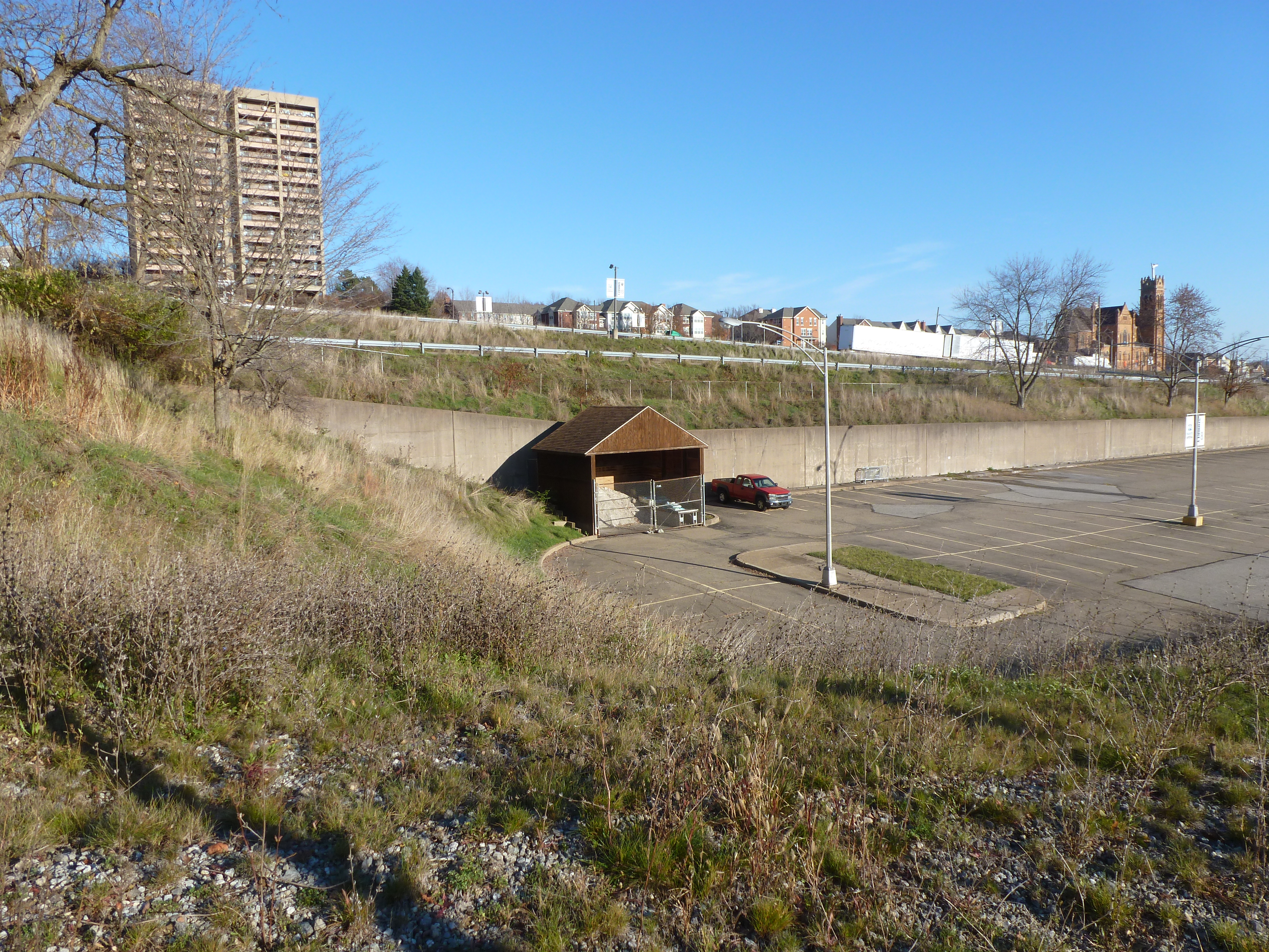
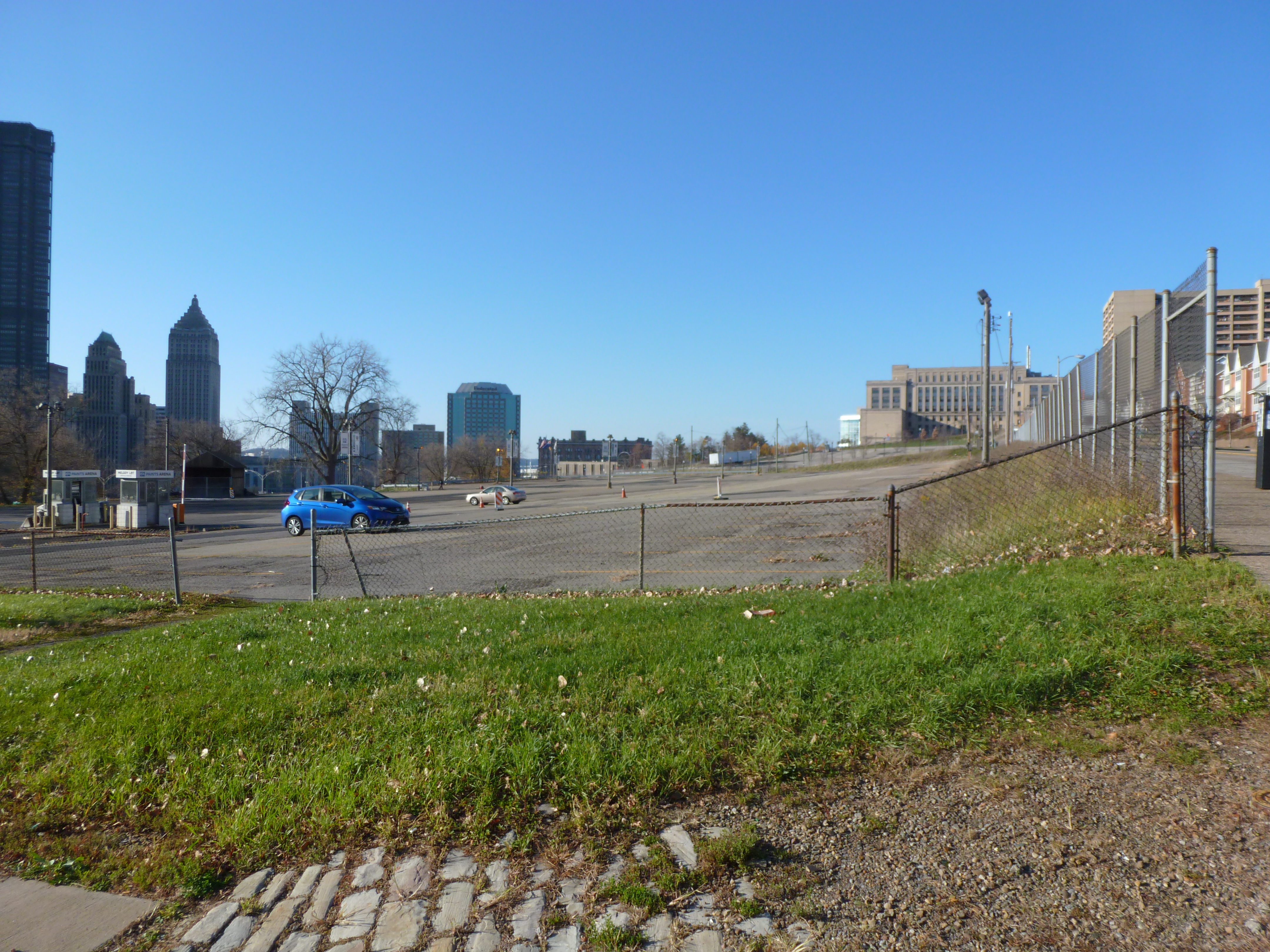
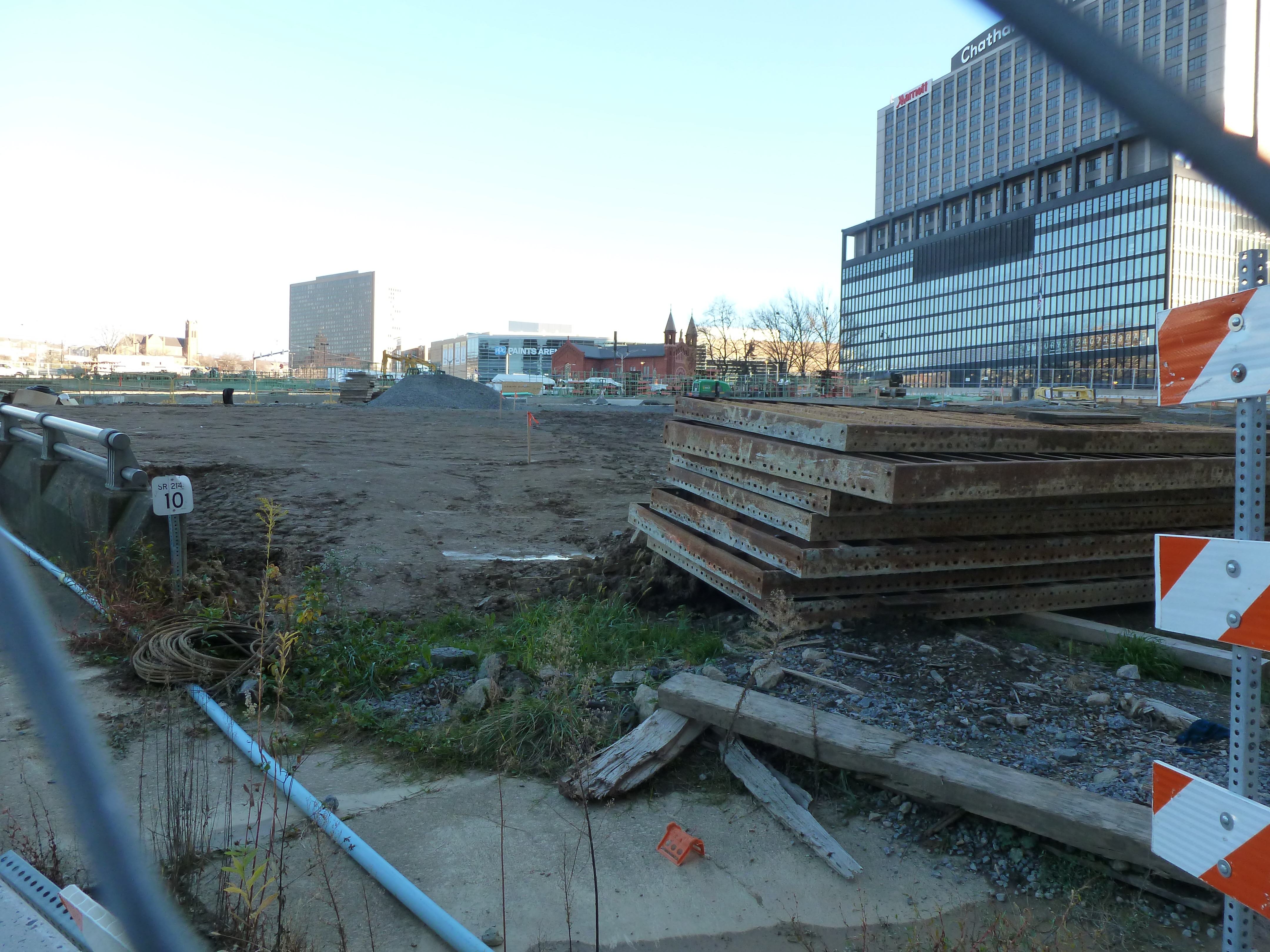
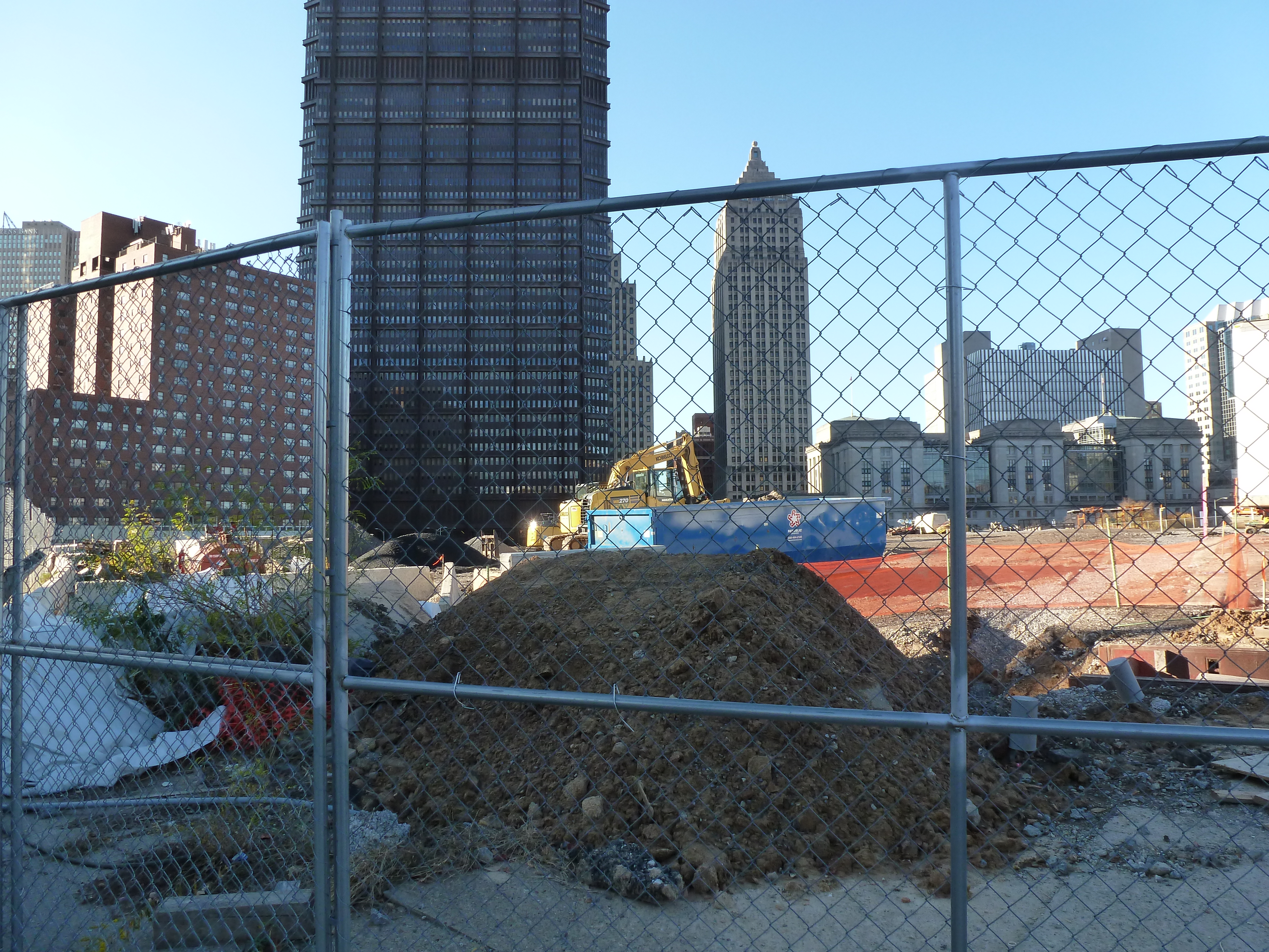
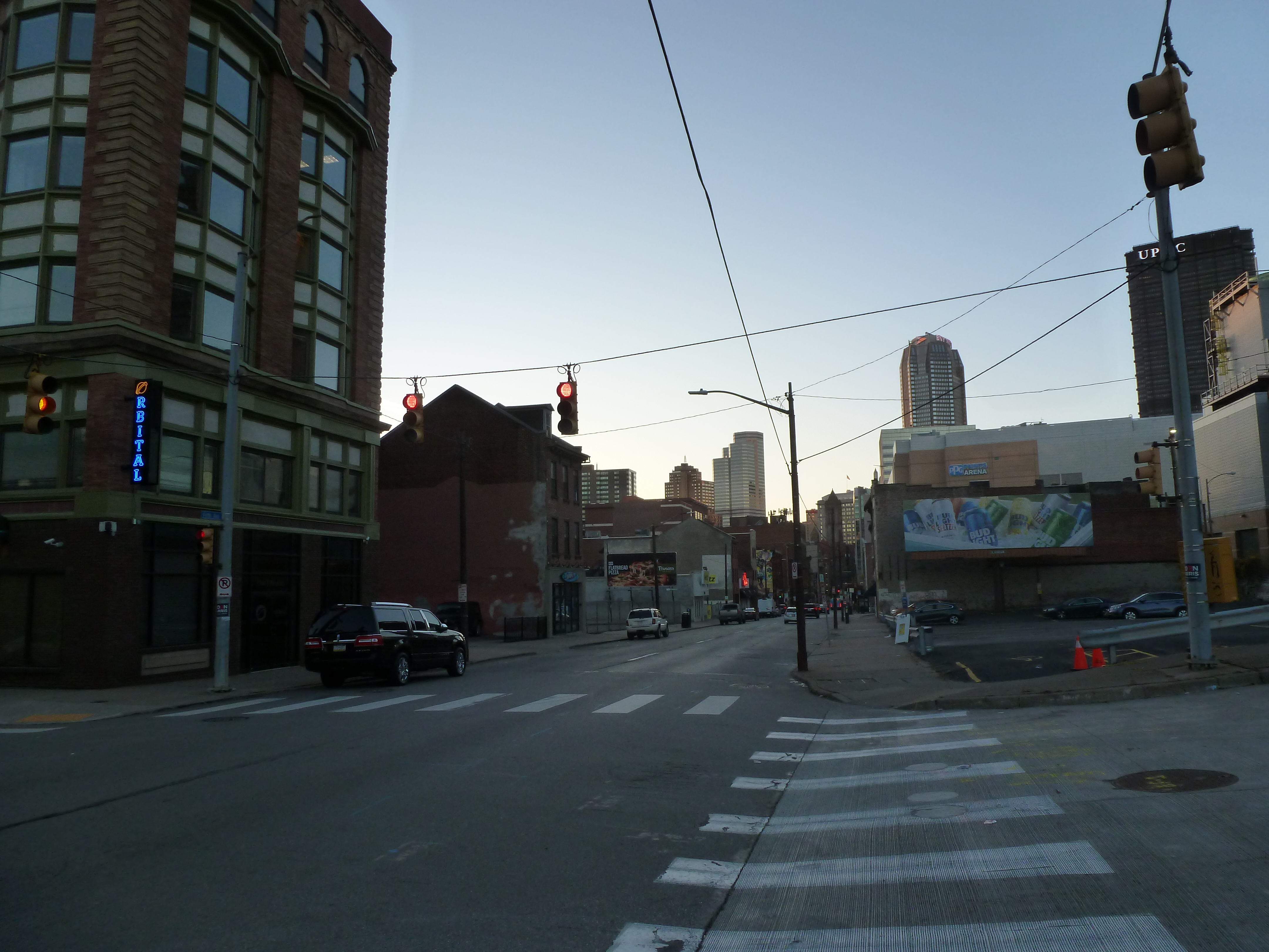
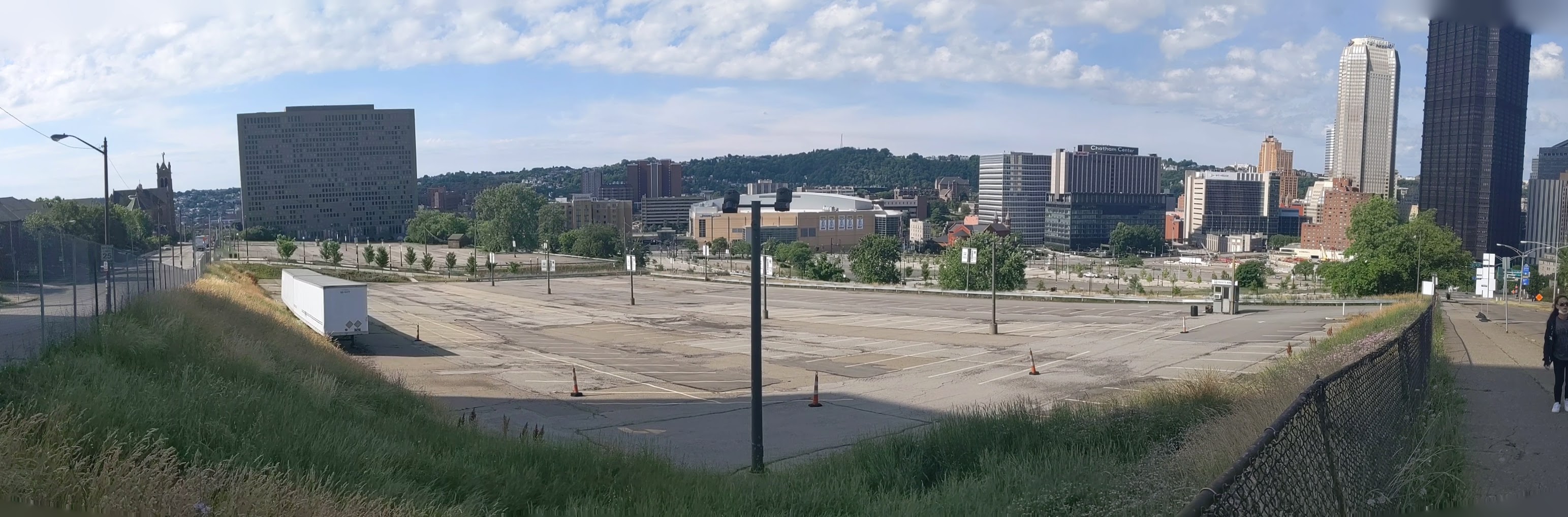
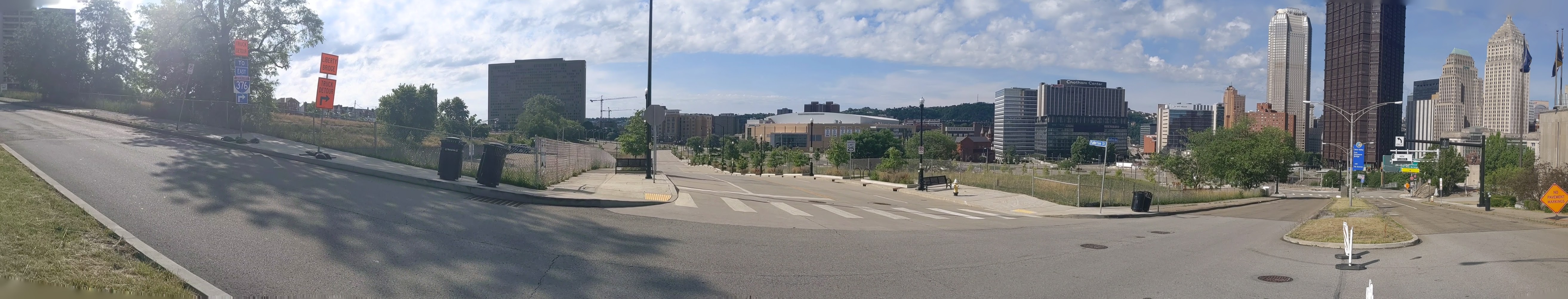
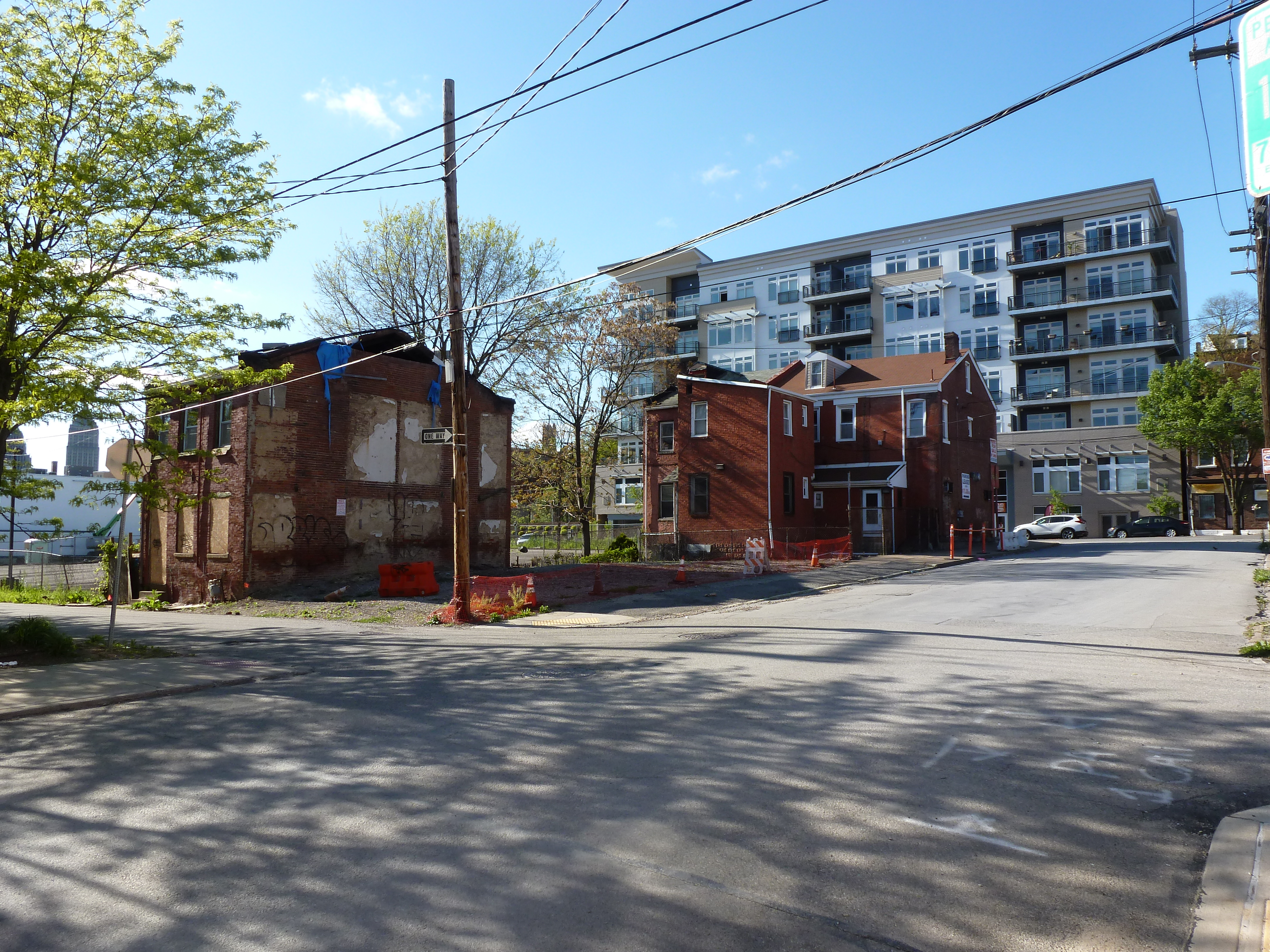
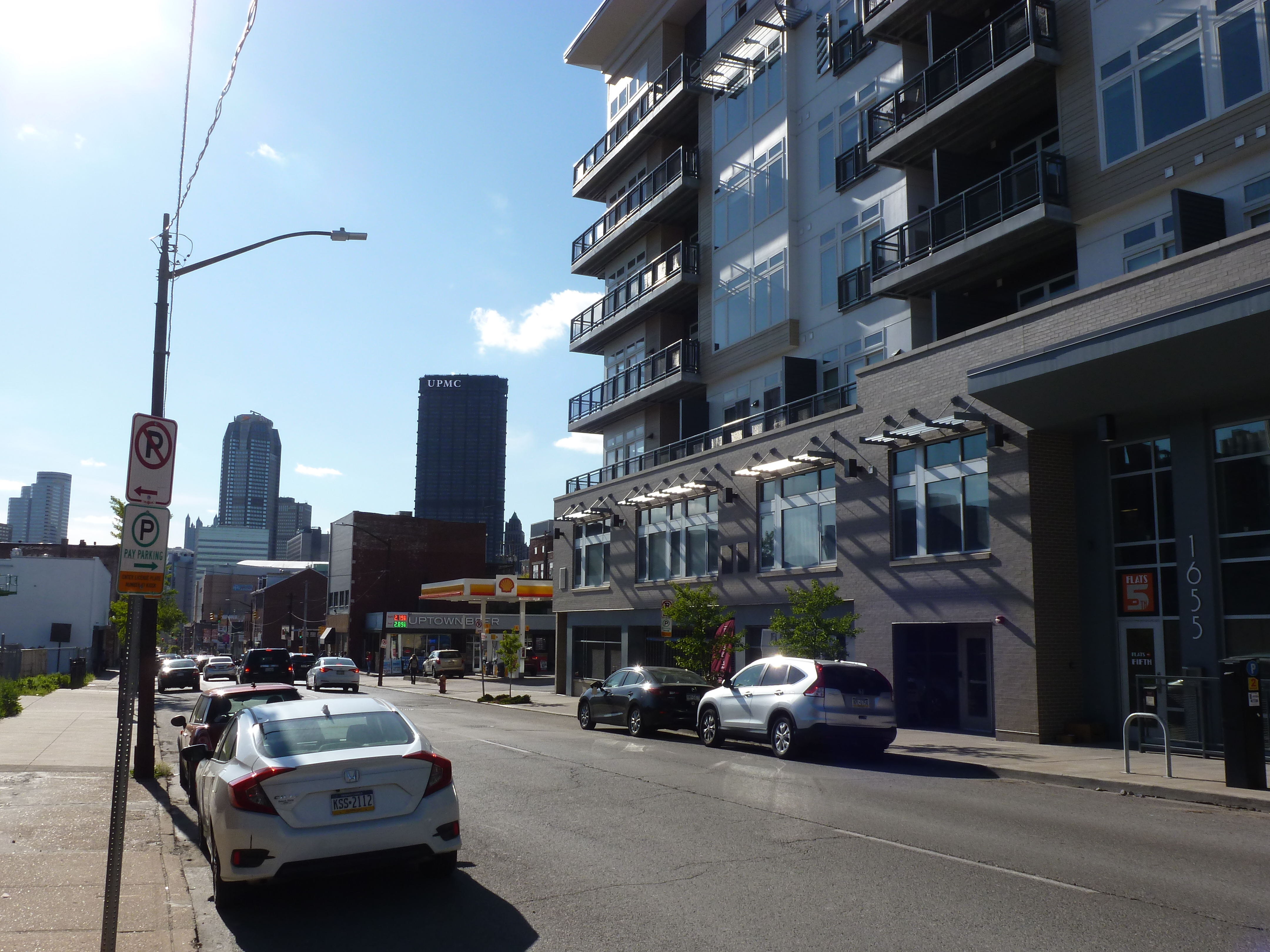
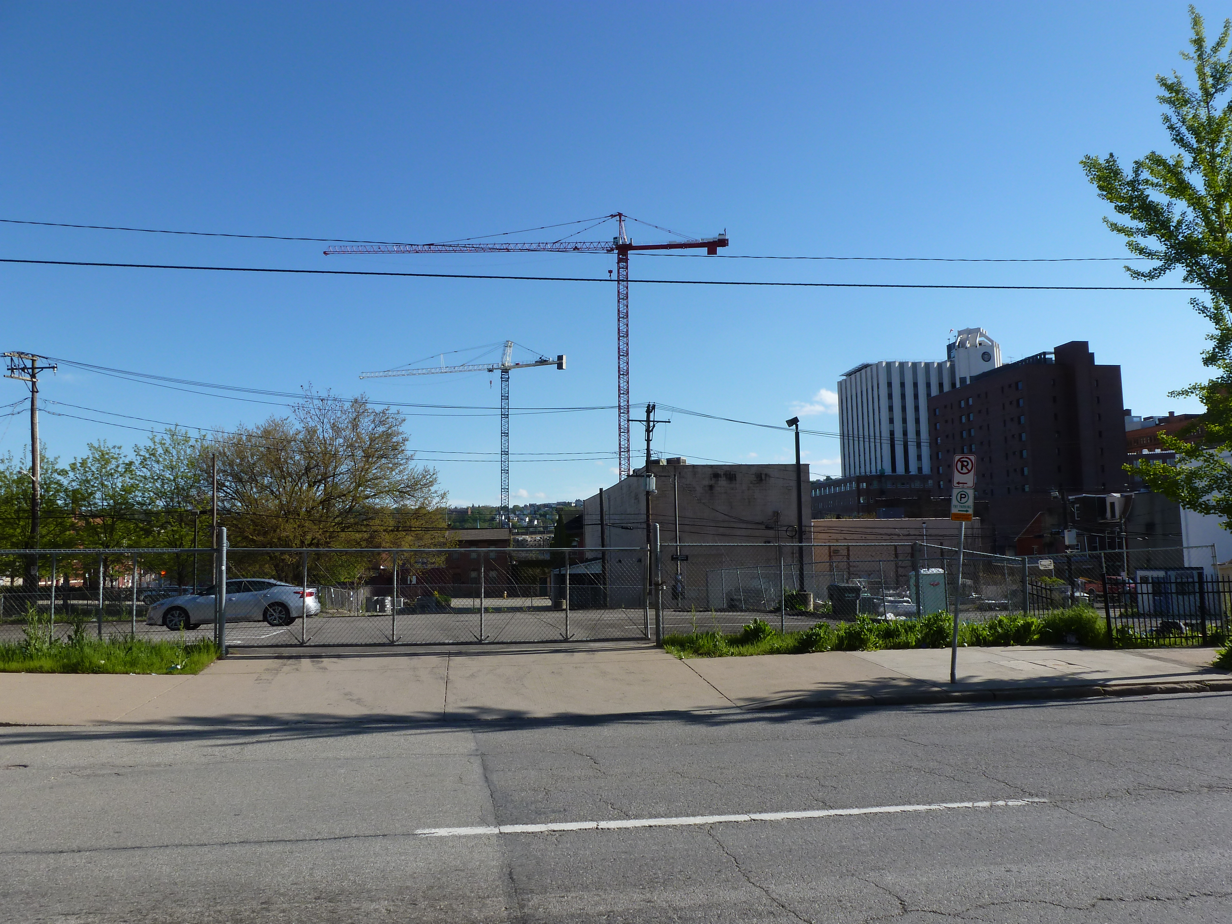
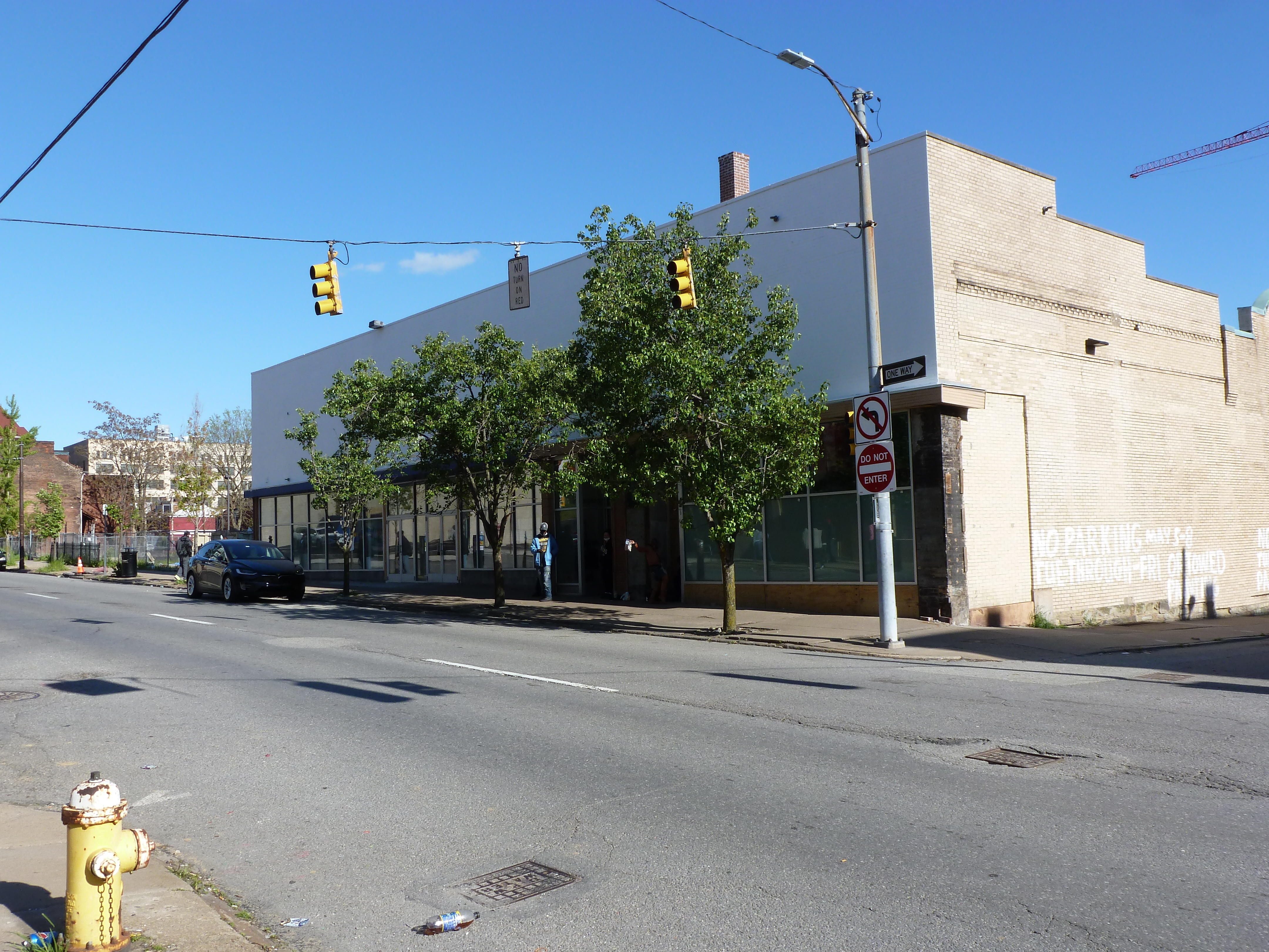
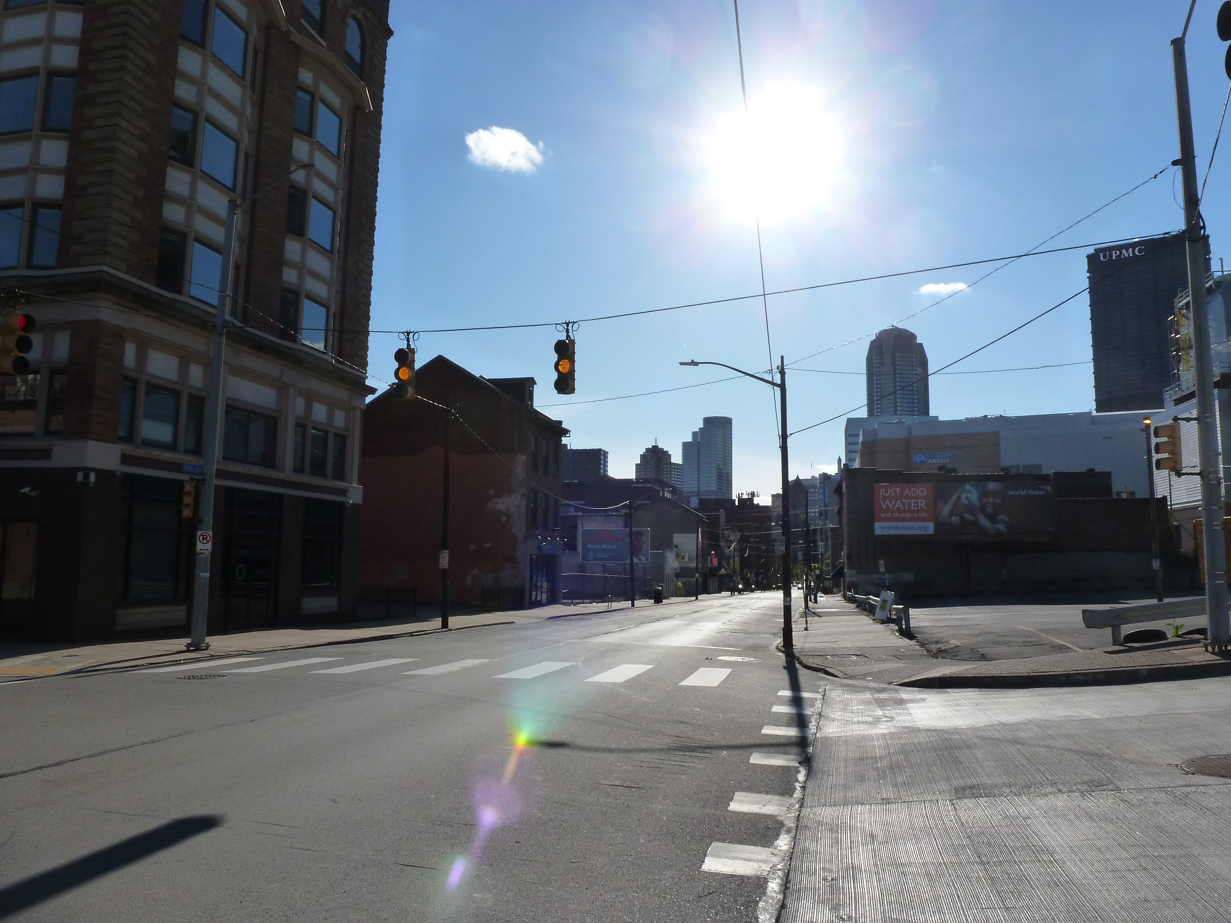
Whether it will all work out in the end and for who are still open questions for the site of the Civic Arena. The Arena opened in 1961 as the central feature of the redevelopment of the Lower Hill neighborhood that had been deemed “blighted” and in need of “revitalization.” Intended as a cultural mecca housing the Pittsburgh opera company, hockey, and other uses under a retractable roof, it rarely lived up to its promises. In the end, it was surrounded by a sea of parking lots instead of a cultural park, the roof rarely opened, and the opera quickly found a different home more conducive to using sets that need support from the ceiling. For a time, the building did find success as a hockey arena and concert venue until it was deemed obsolete and a new arena was built. The Civic Arena was demolished 50 years after opening, paving the way for a new redevelopment of the Lower Hill to “revitalize” the area.
Architectural historian Franklin Toker describes the first redevelopment of the Lower Hill in his 1986 book Pittsburgh: An Urban Portrait:
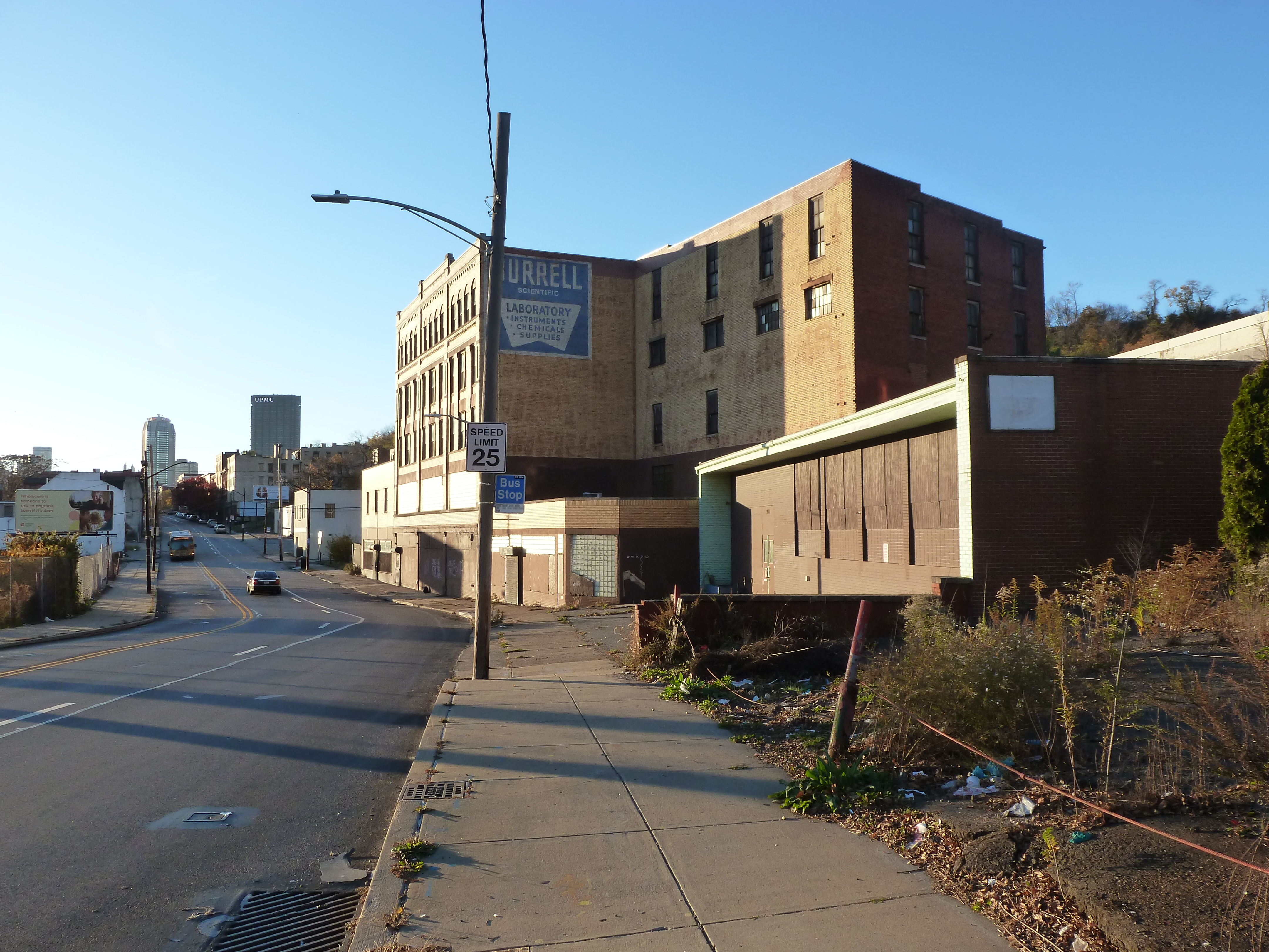
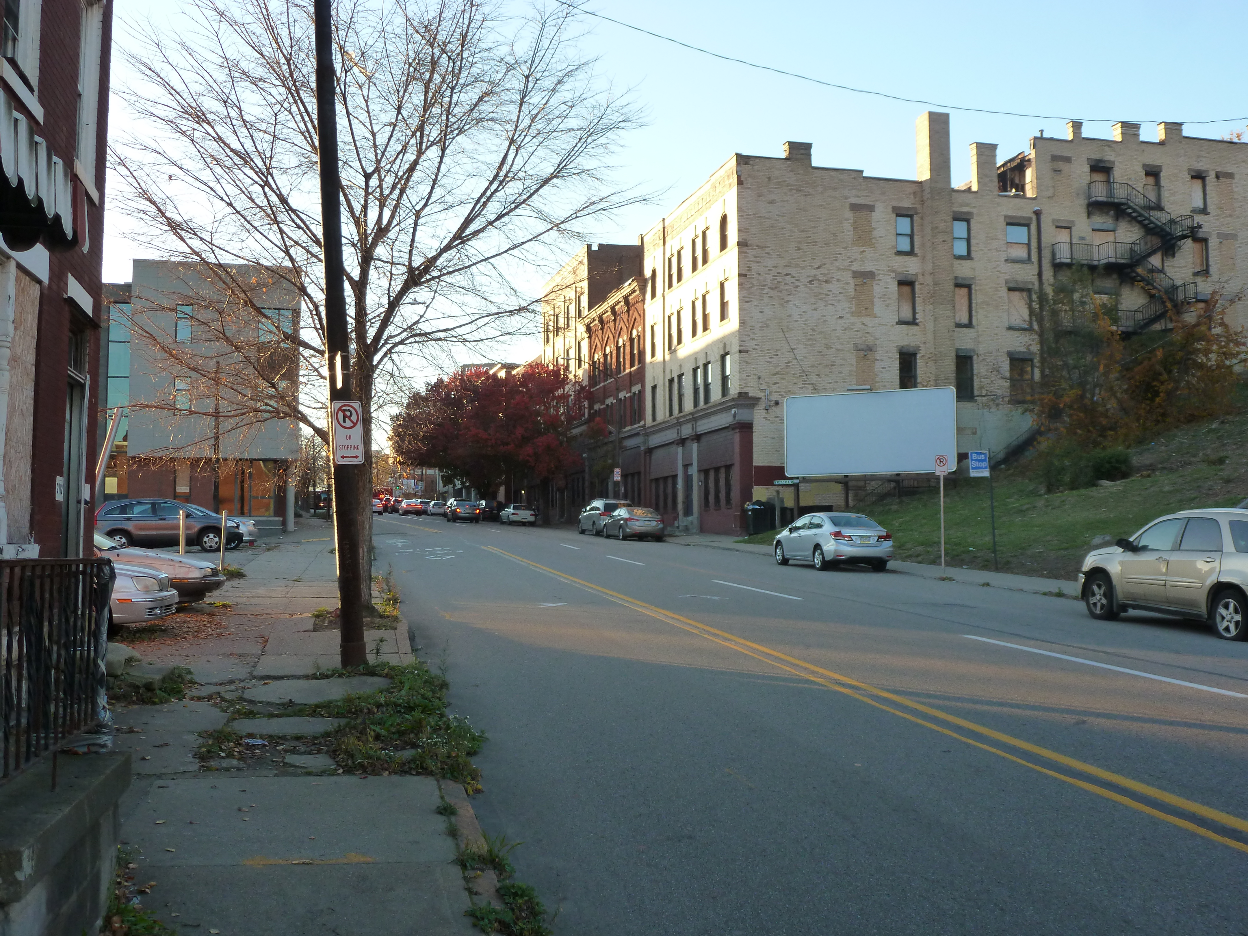
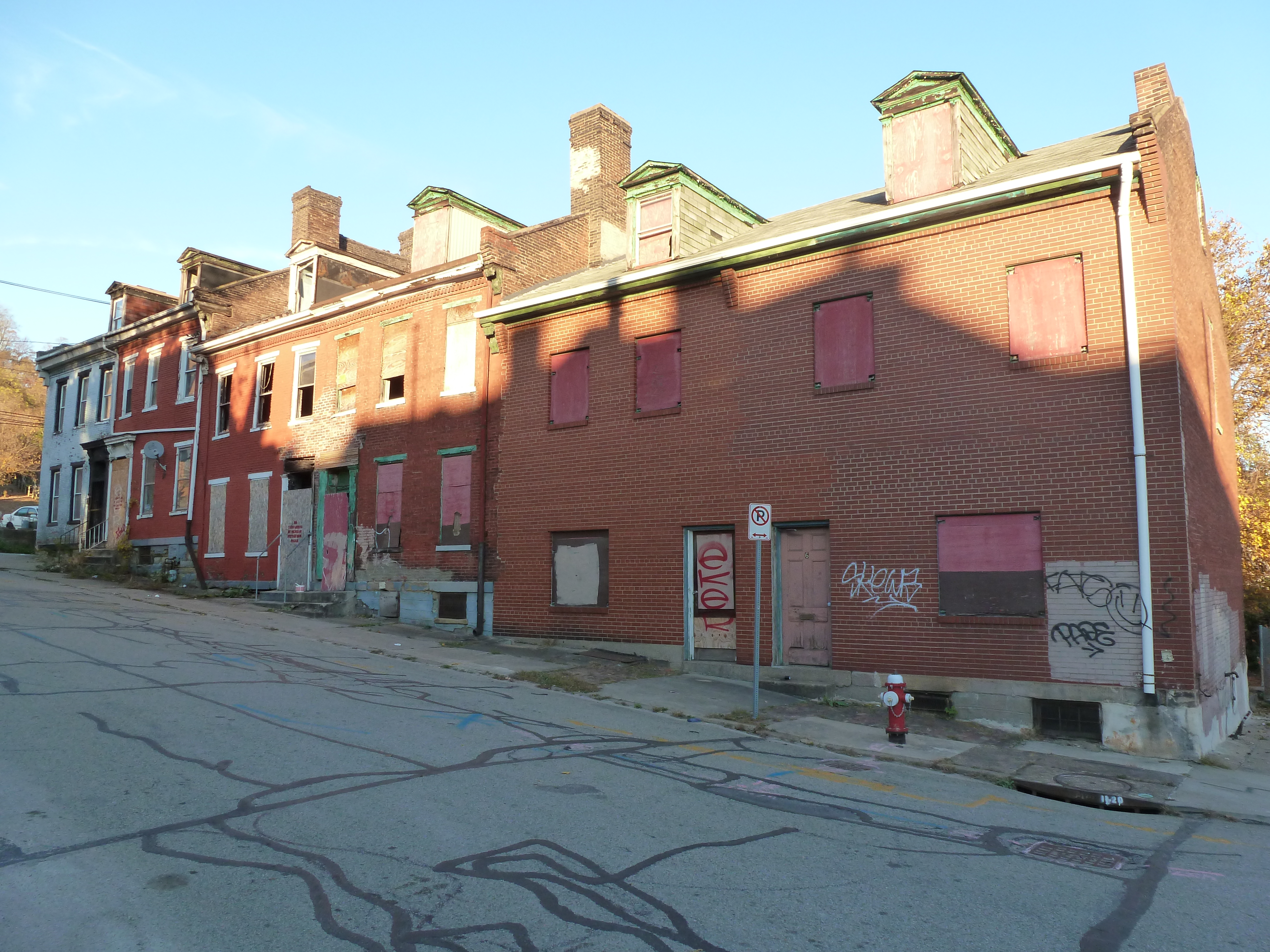
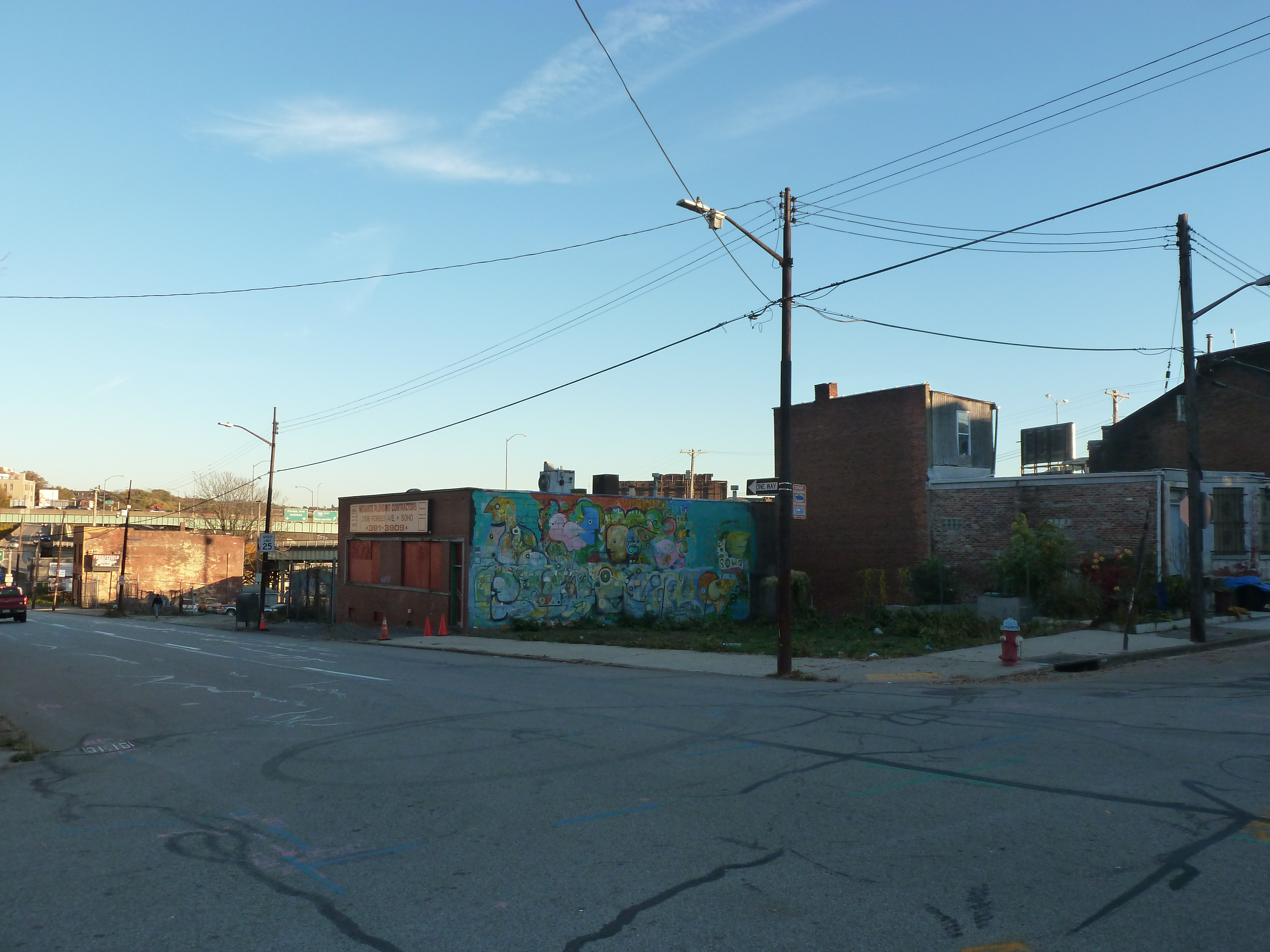
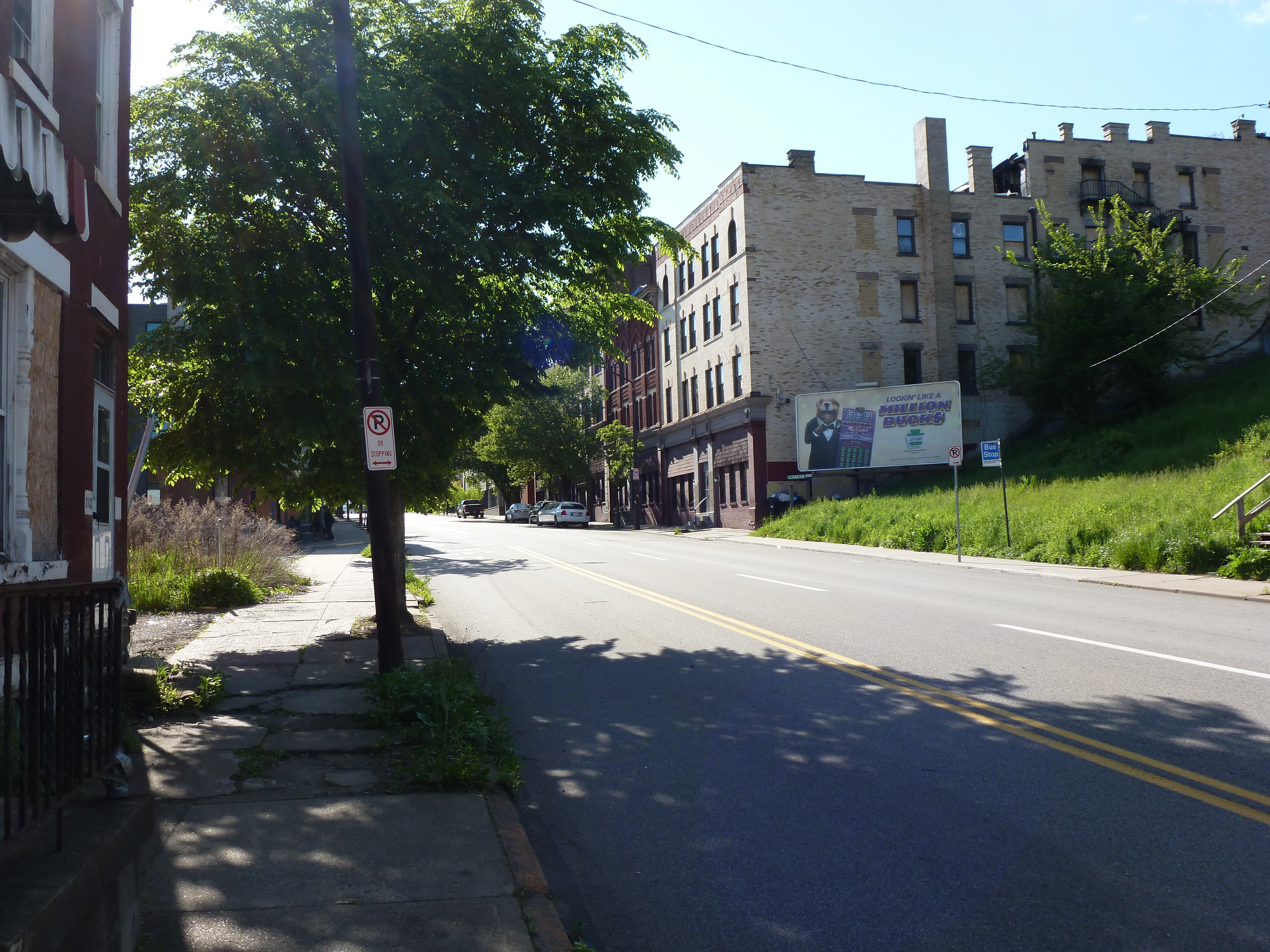
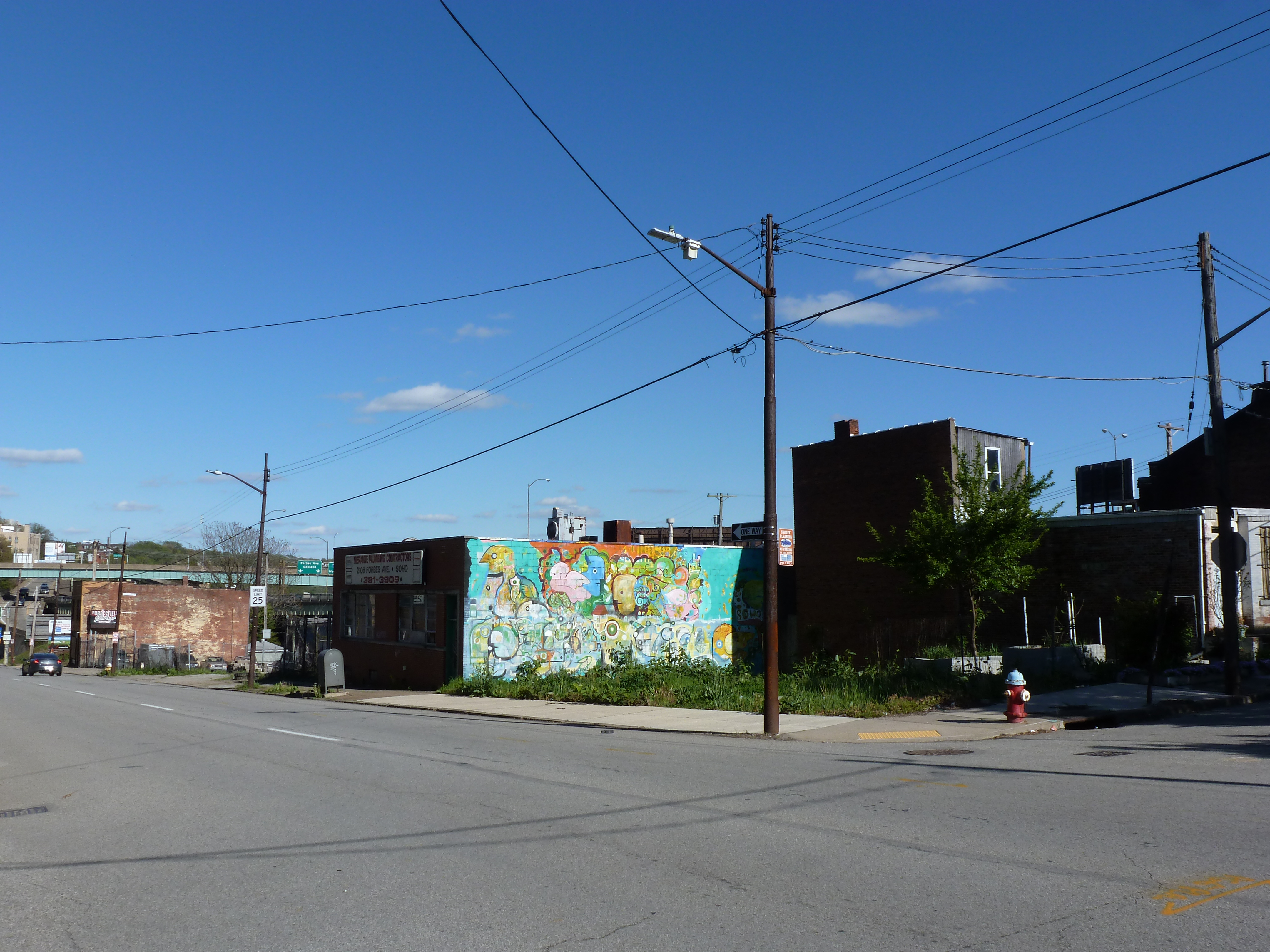
The reconstruction of the Lower Hill began in 1955 with $17 million in federal grants. In an area of 100 acres, 1,300 buildings housing 413 businesses and 8,000 residents (a majority of them black) were displaced in an attempt to extend the revitalization of the adjacent Golden Triangle. Even were one to overlook the devastating social impact of the Lower Hill redevelopment, its success could only be judged as minor. The new complex failed to graft on to the Golden Triangle because of the intrusion of the Crosstown Expressway and the misalignment of the street grids of the Golden Triangle and The Hill. Some bad luck also dogged the Lower Hill redevelopment, particularly the bankruptcy of William Zeckendorf, one of its major supporters, and the decision by the Heinz foundations to locate their new concert hall in the Triangle rather than on The Hill. But the major cause of its failure was the animosity between the developers and the black community. When that animosity boiled over as part of the nationwide racial riots of 1968, Pittsburgh’s dream of a cultural Acropolis on the Lower Hill ended. (234)
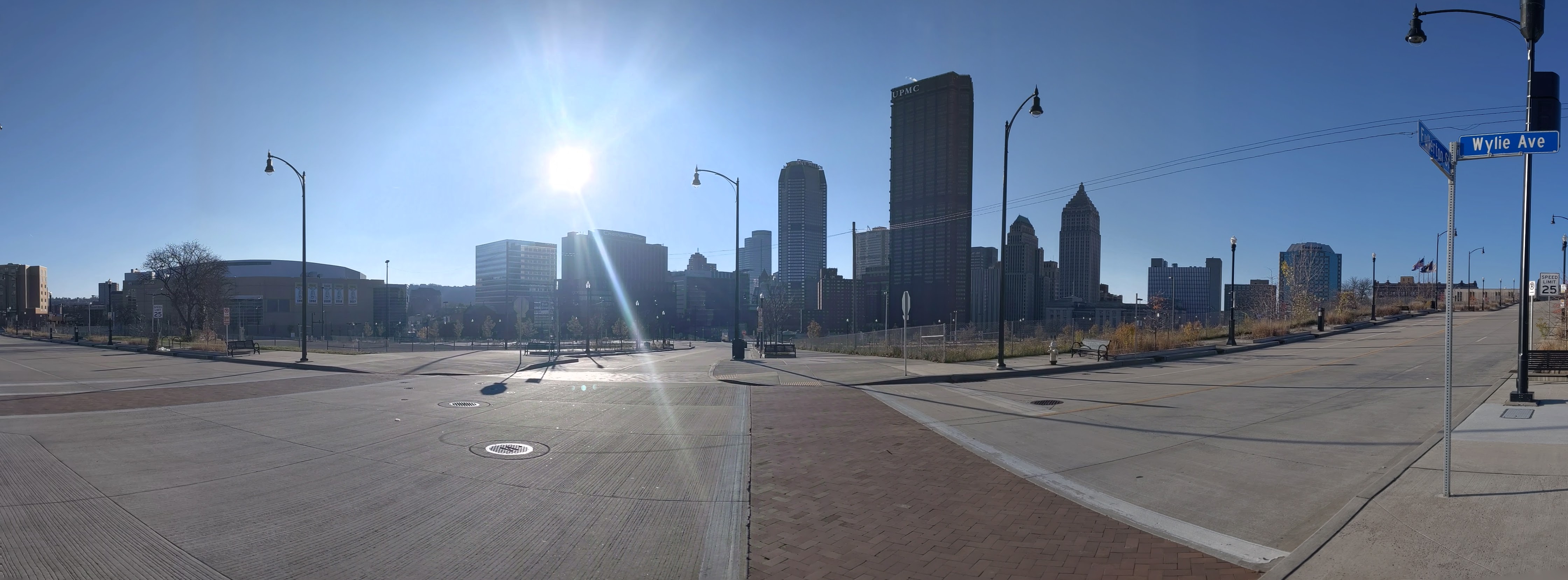
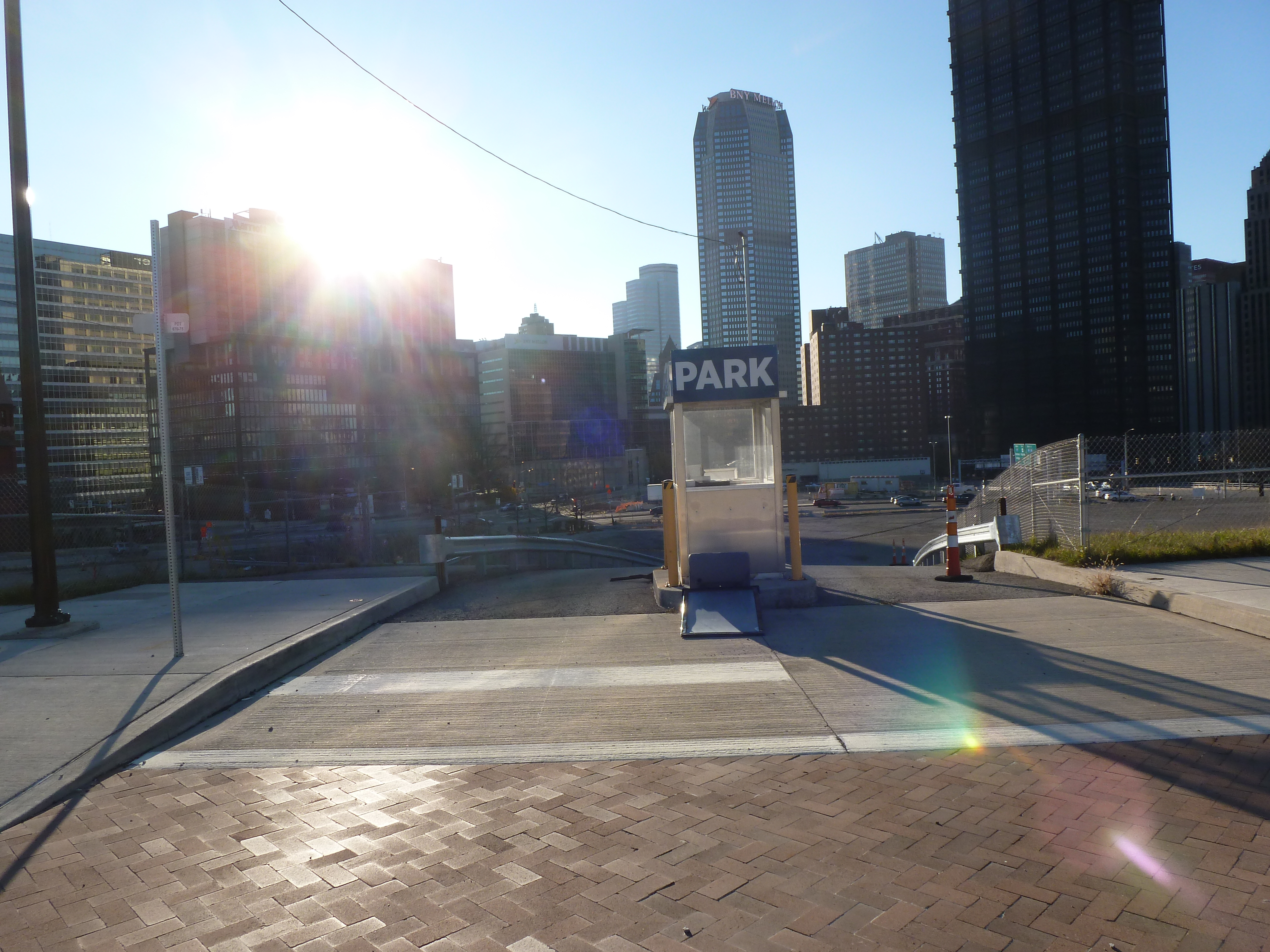
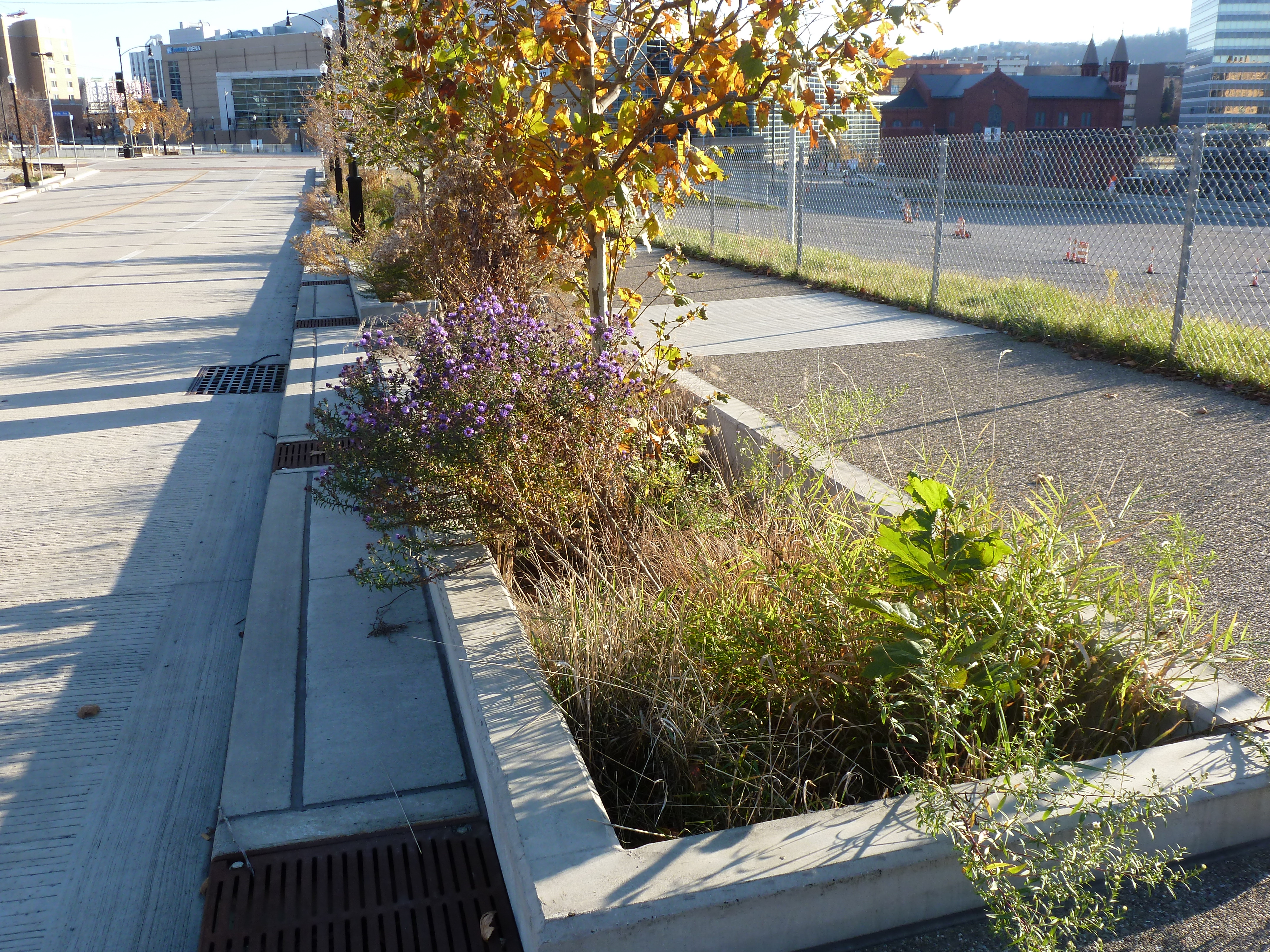
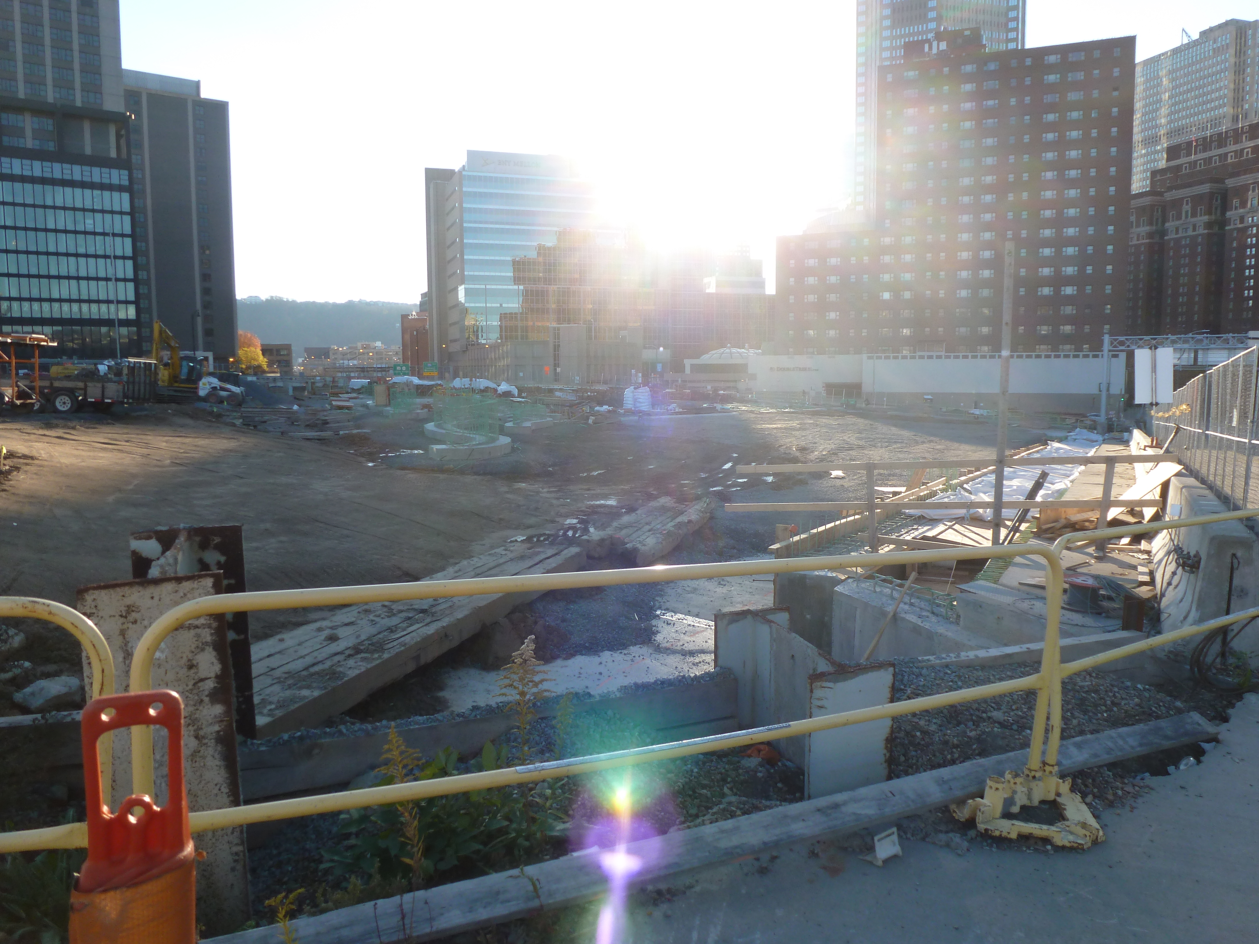
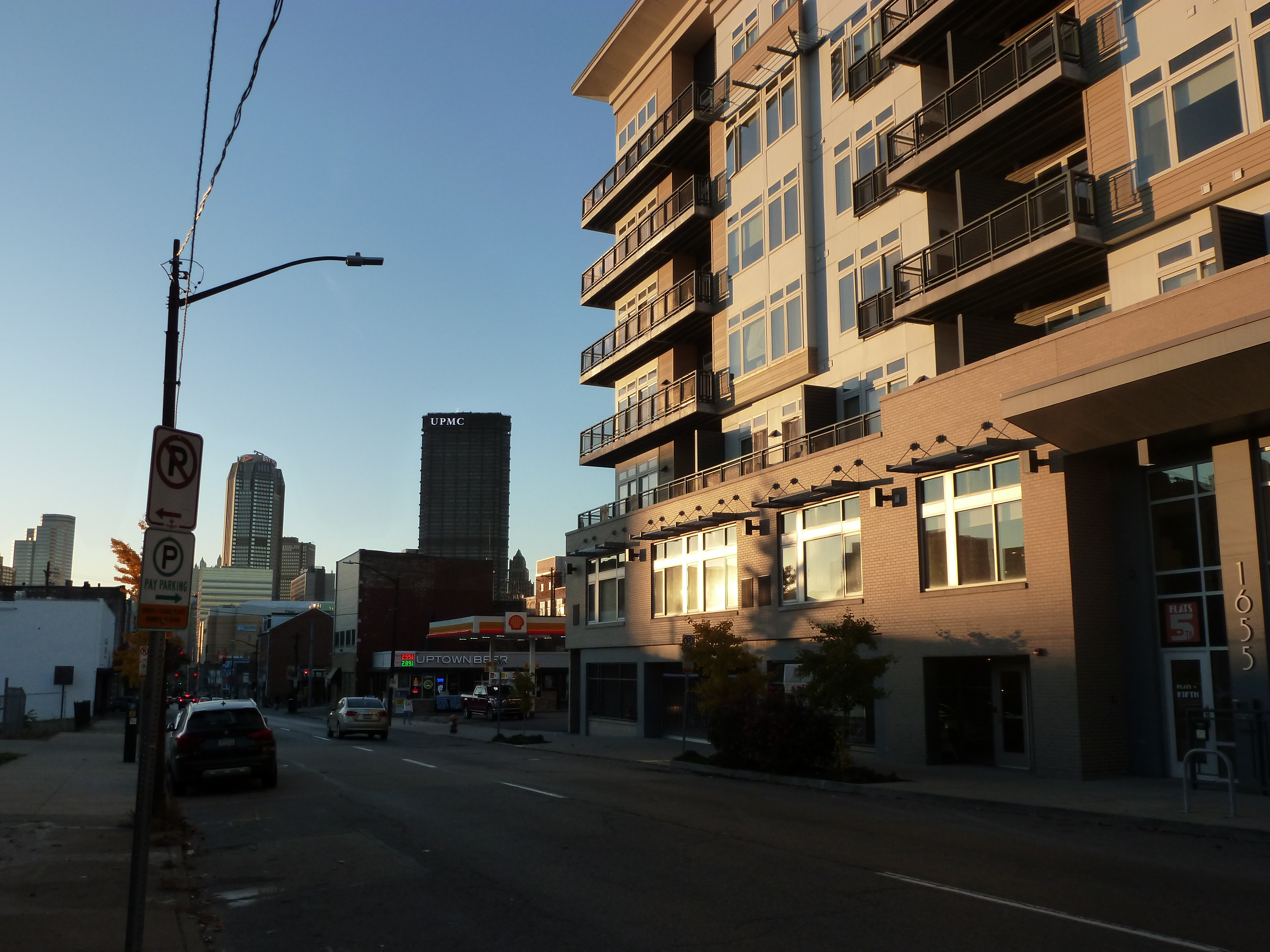
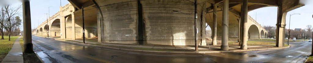
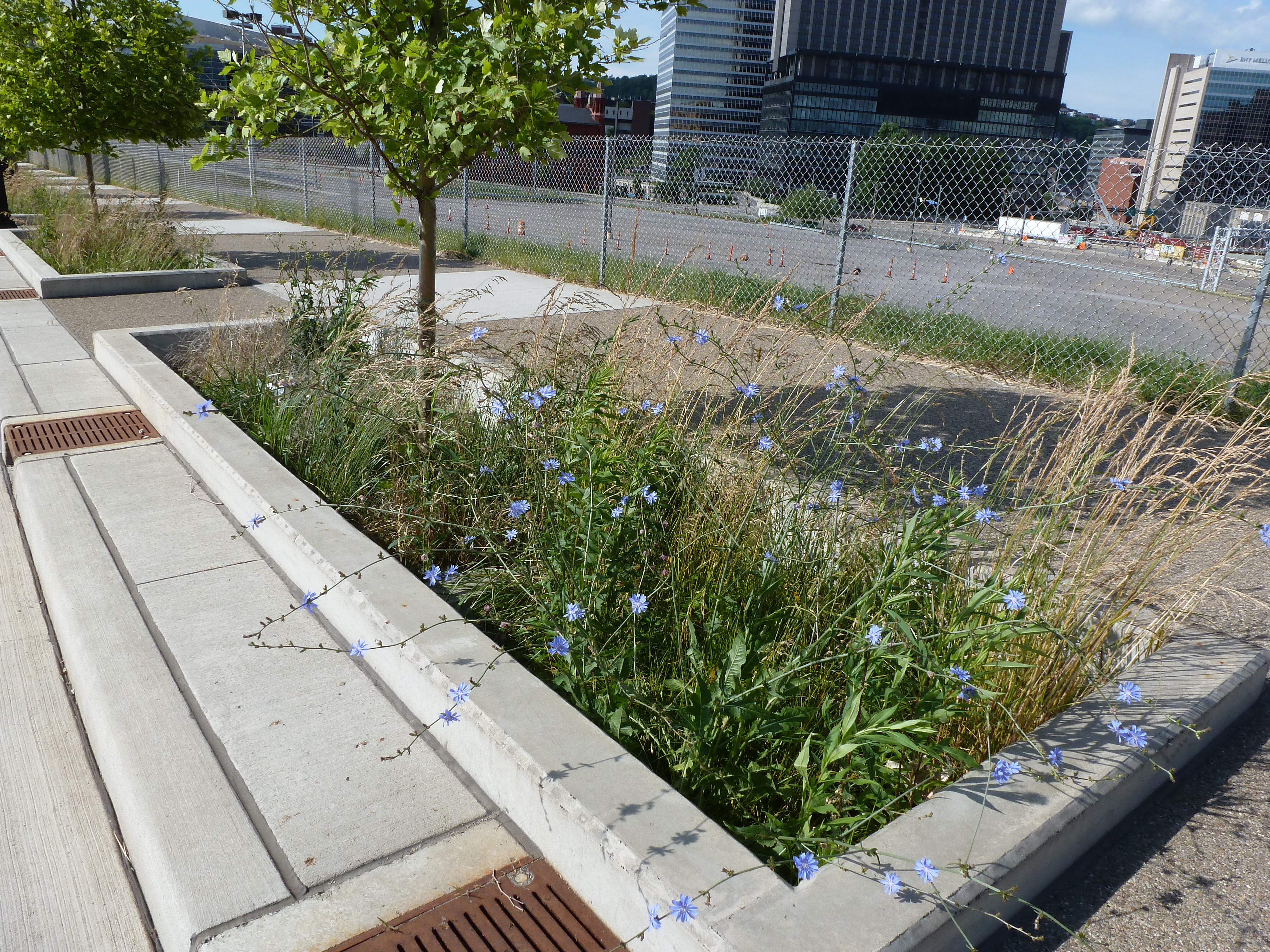
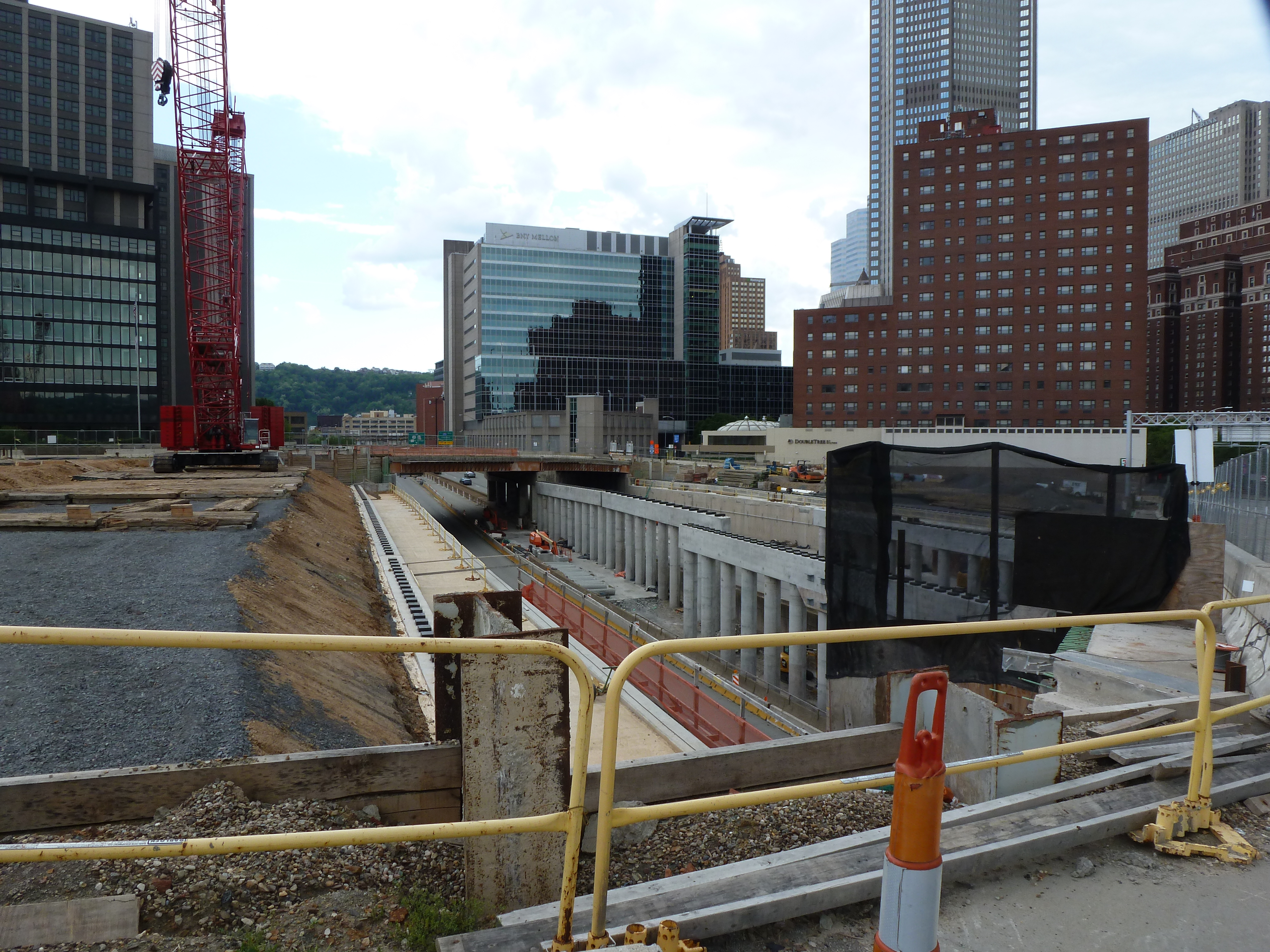
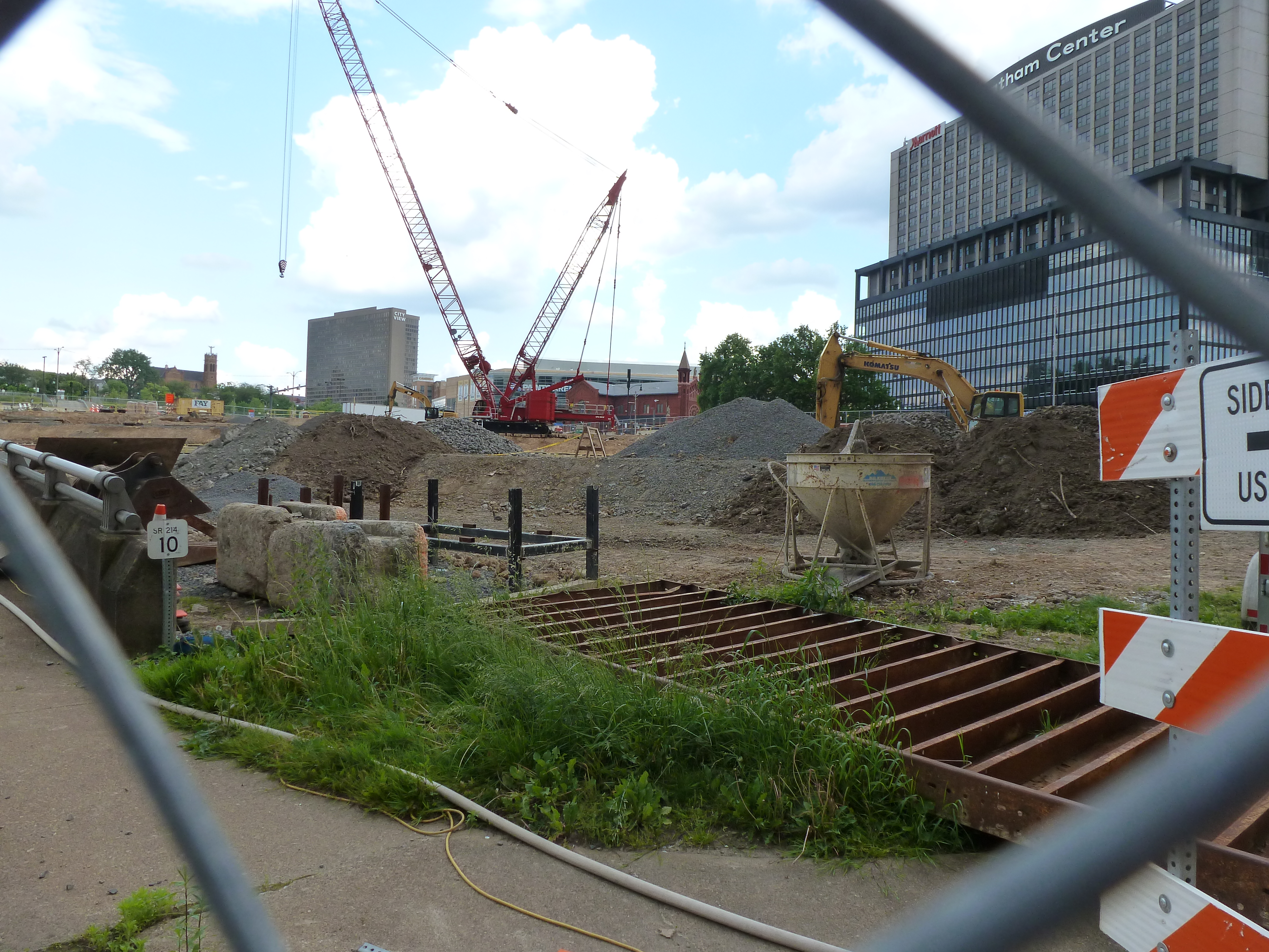
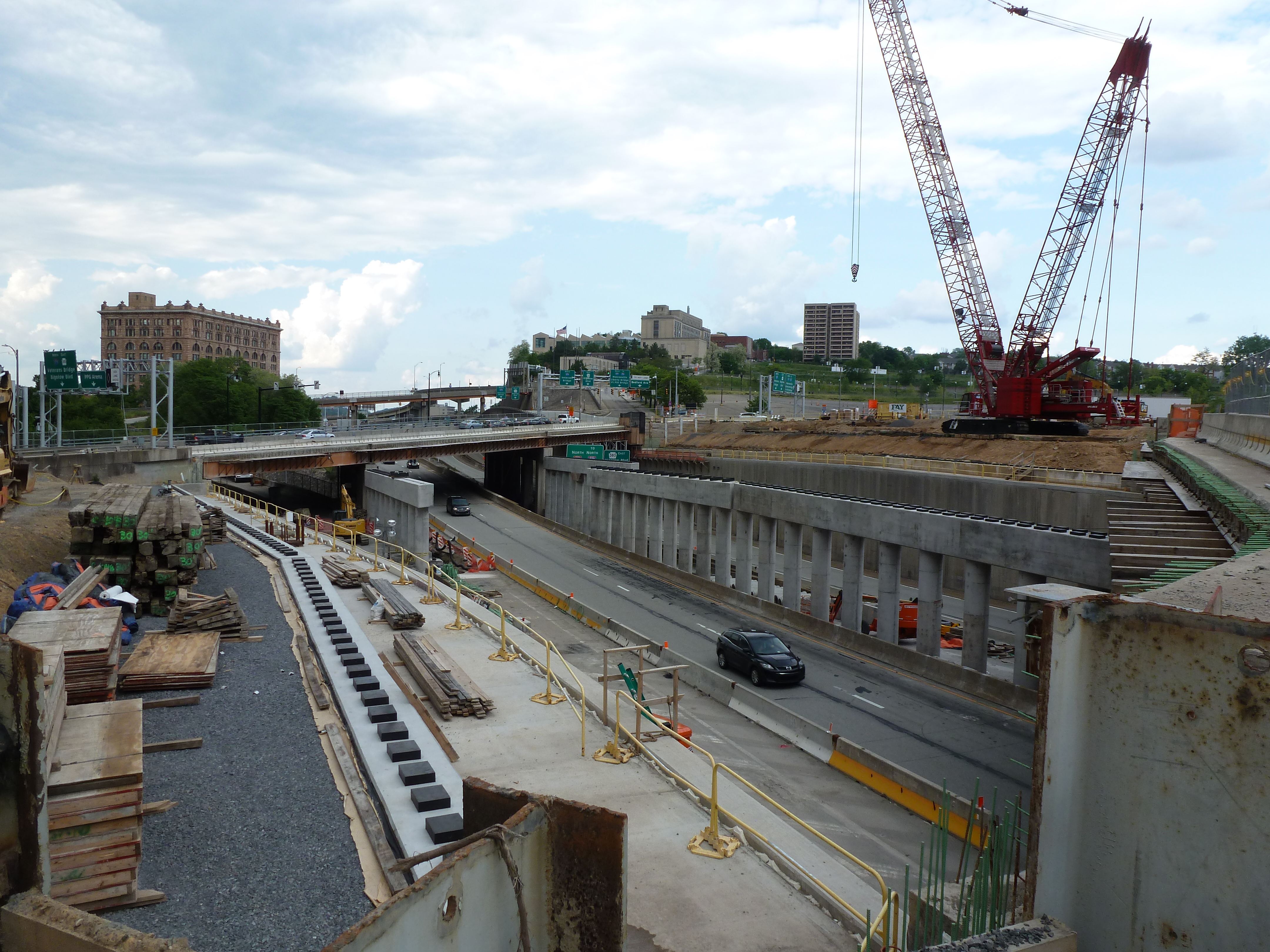
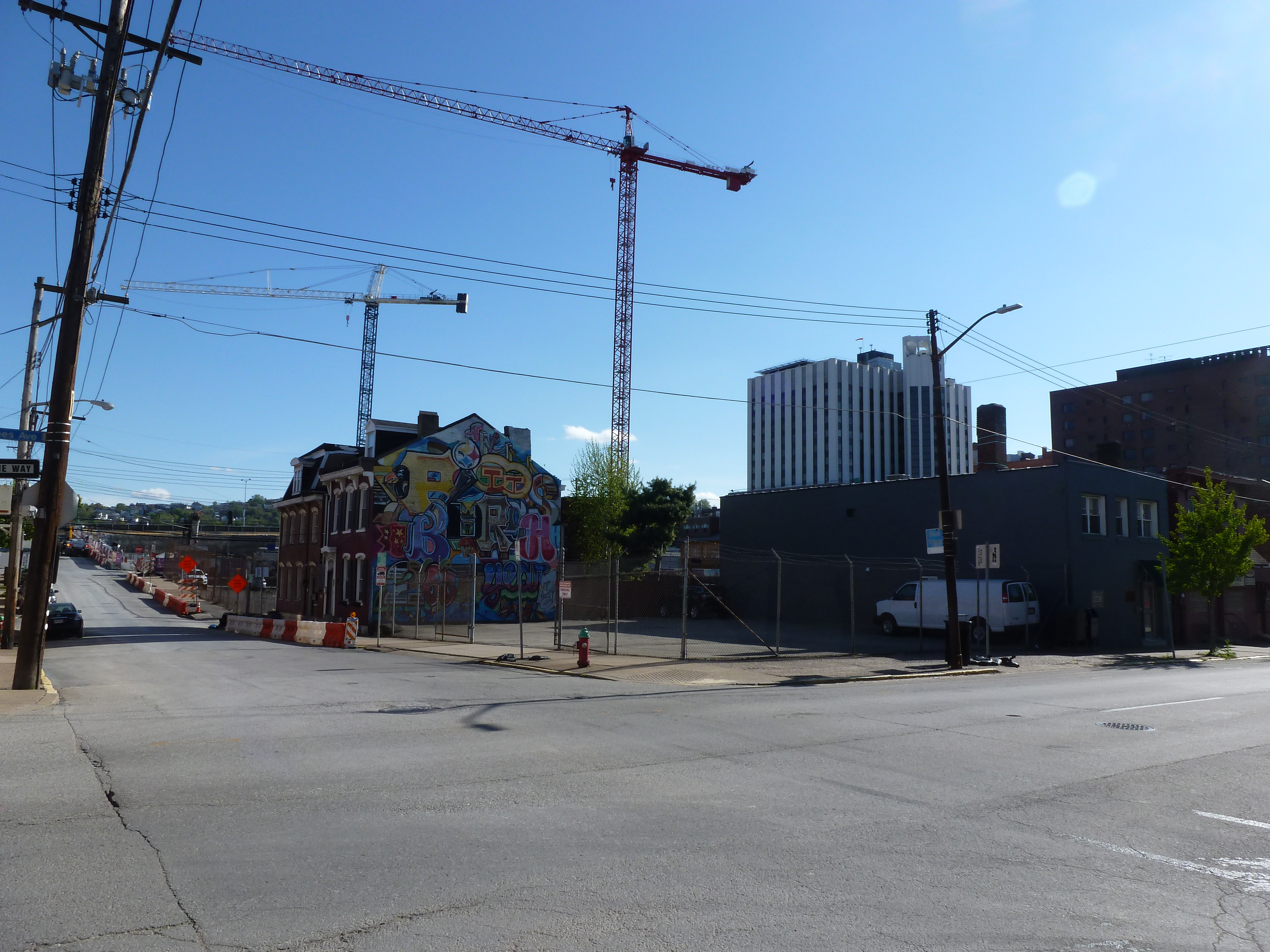
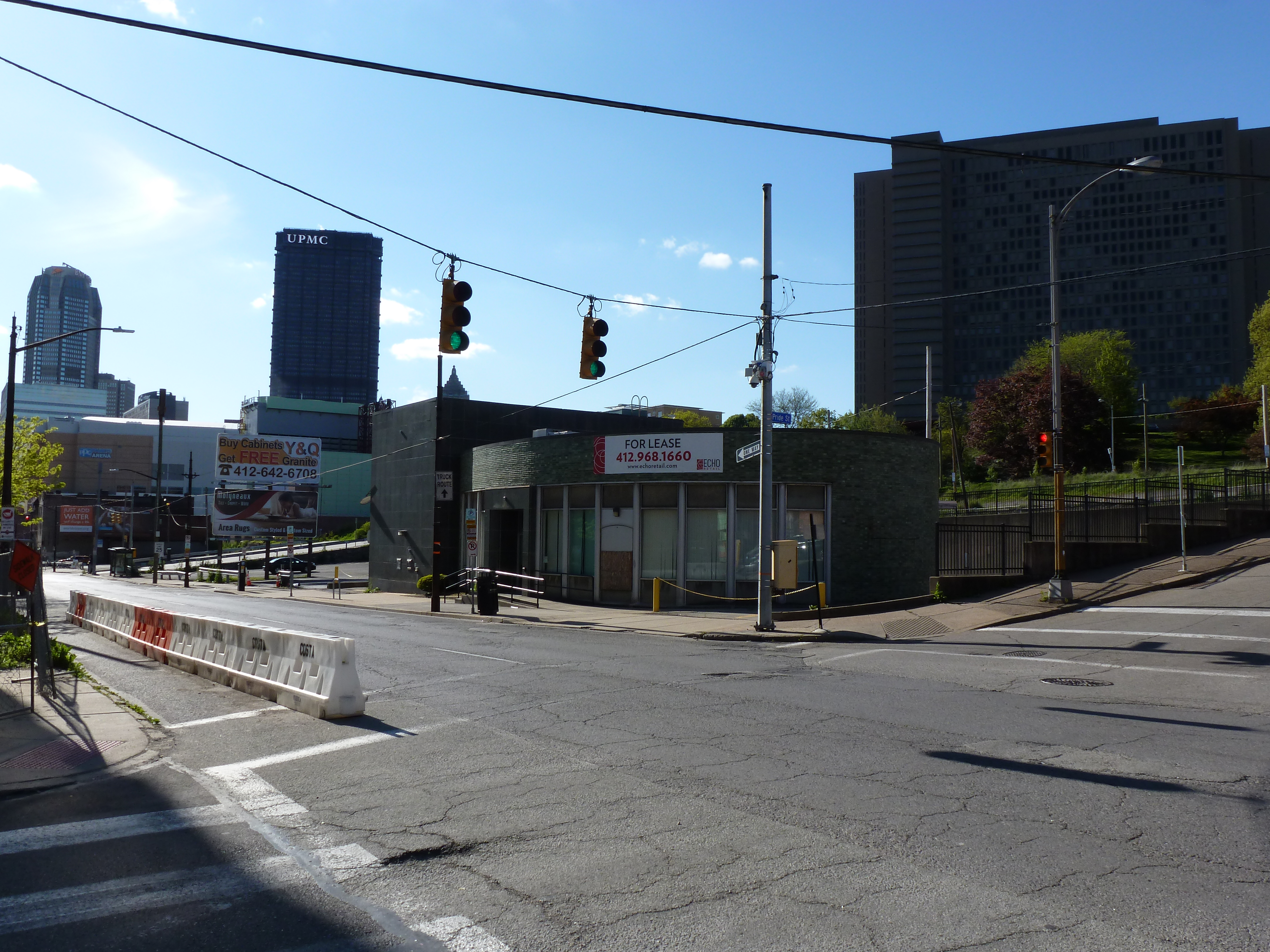
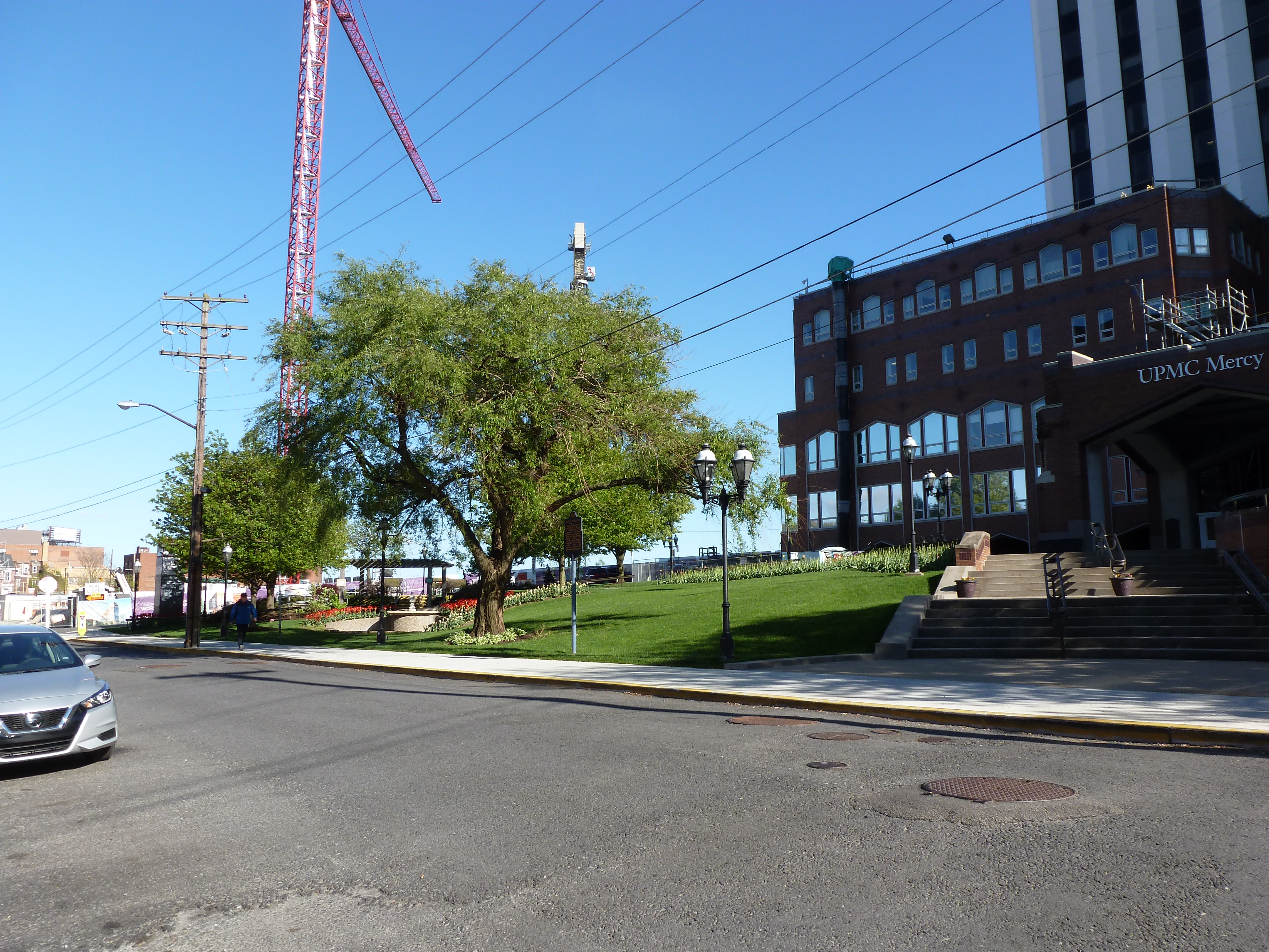
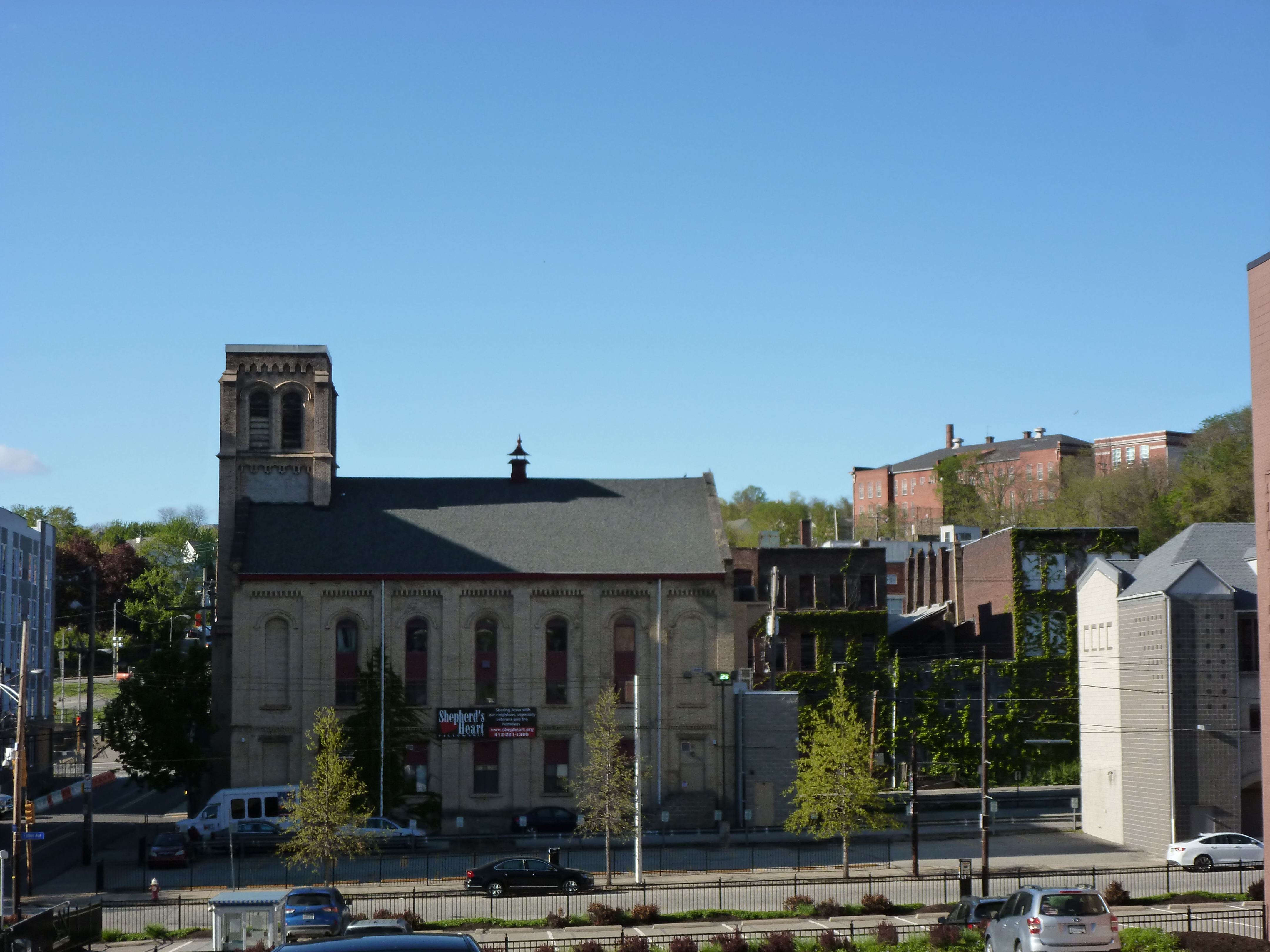
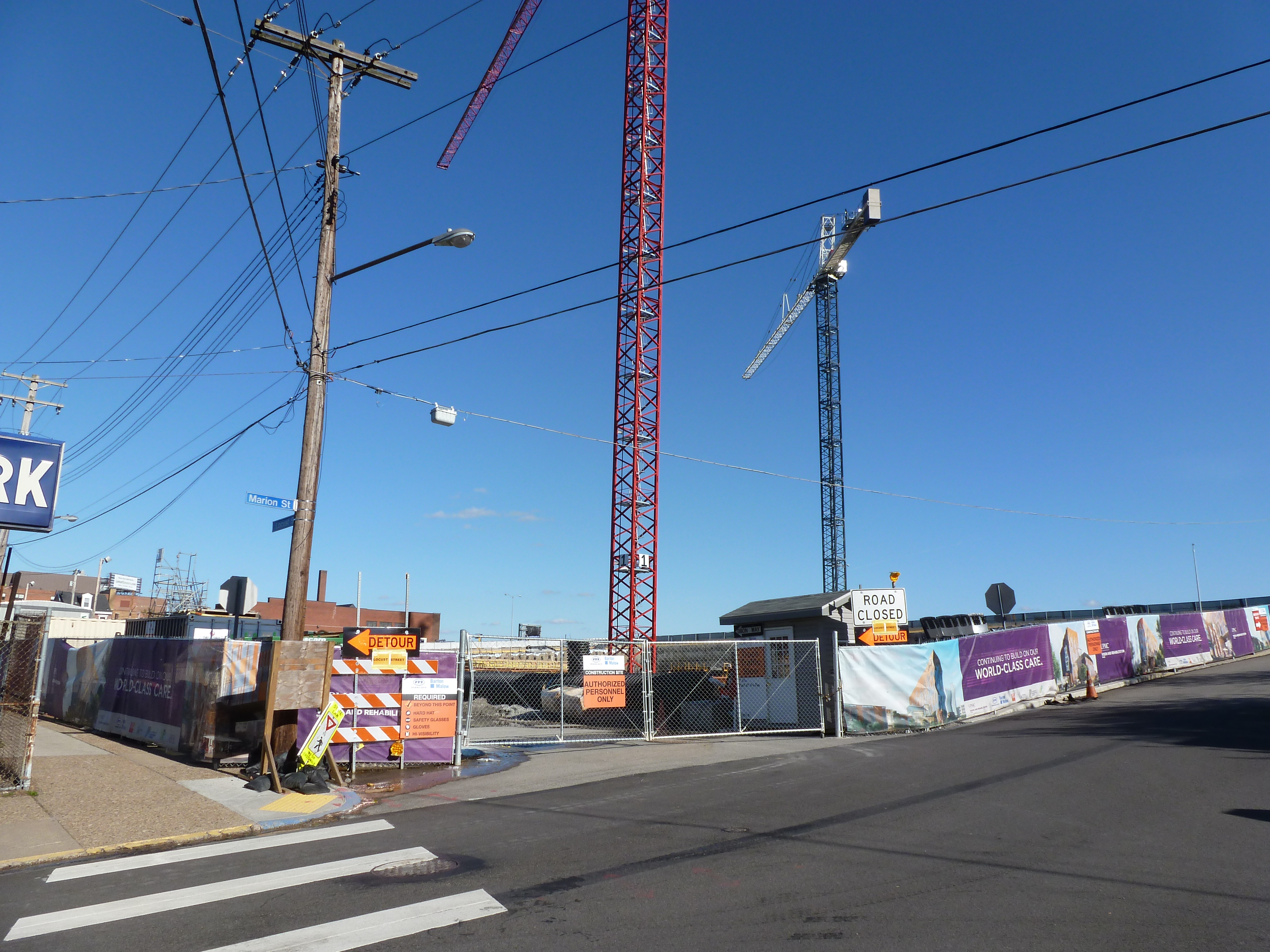
The second redevelopment started with restoring the street grid and building a CAP over the Crosstown Expressway. While it is easy to rebuild the roads, it will take a lot more to rebuild what was once “The Crossroads of the World” as the intersection of Wylie Ave and Fullerton Street was known prior to the first redevelopment, according to Mark Whittaker in Smoketown: The Untold Story of the Other Great Black Renaissance.
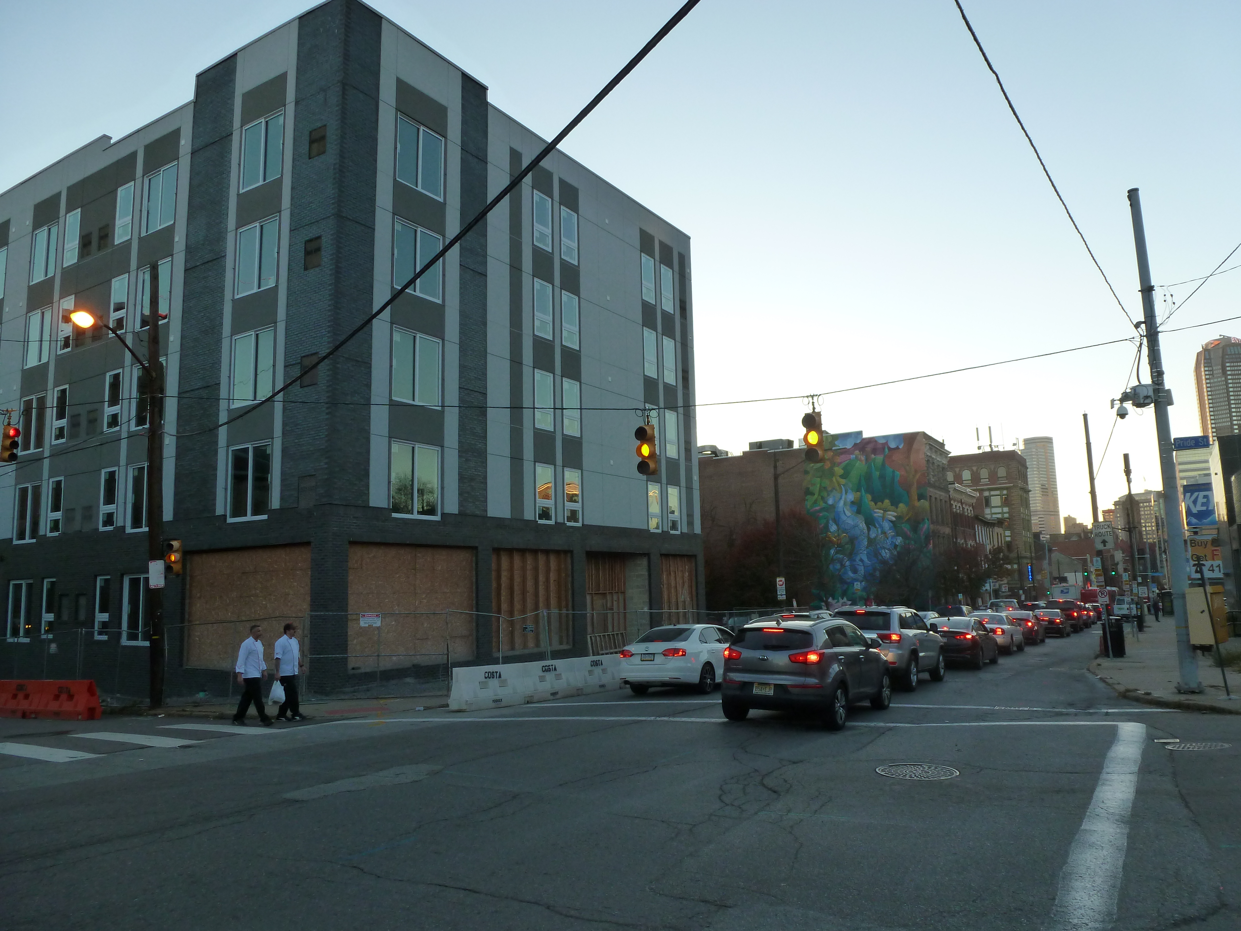
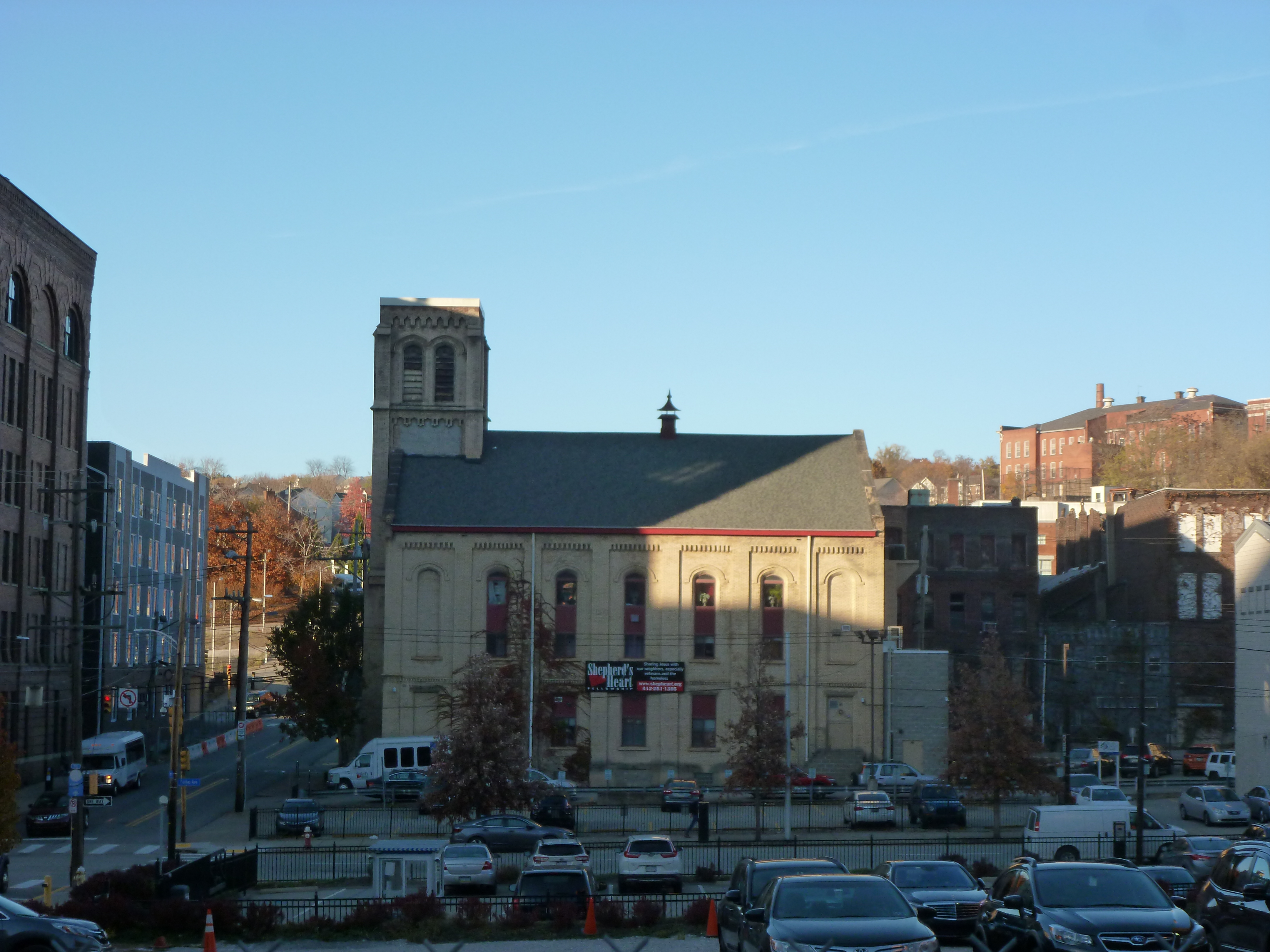
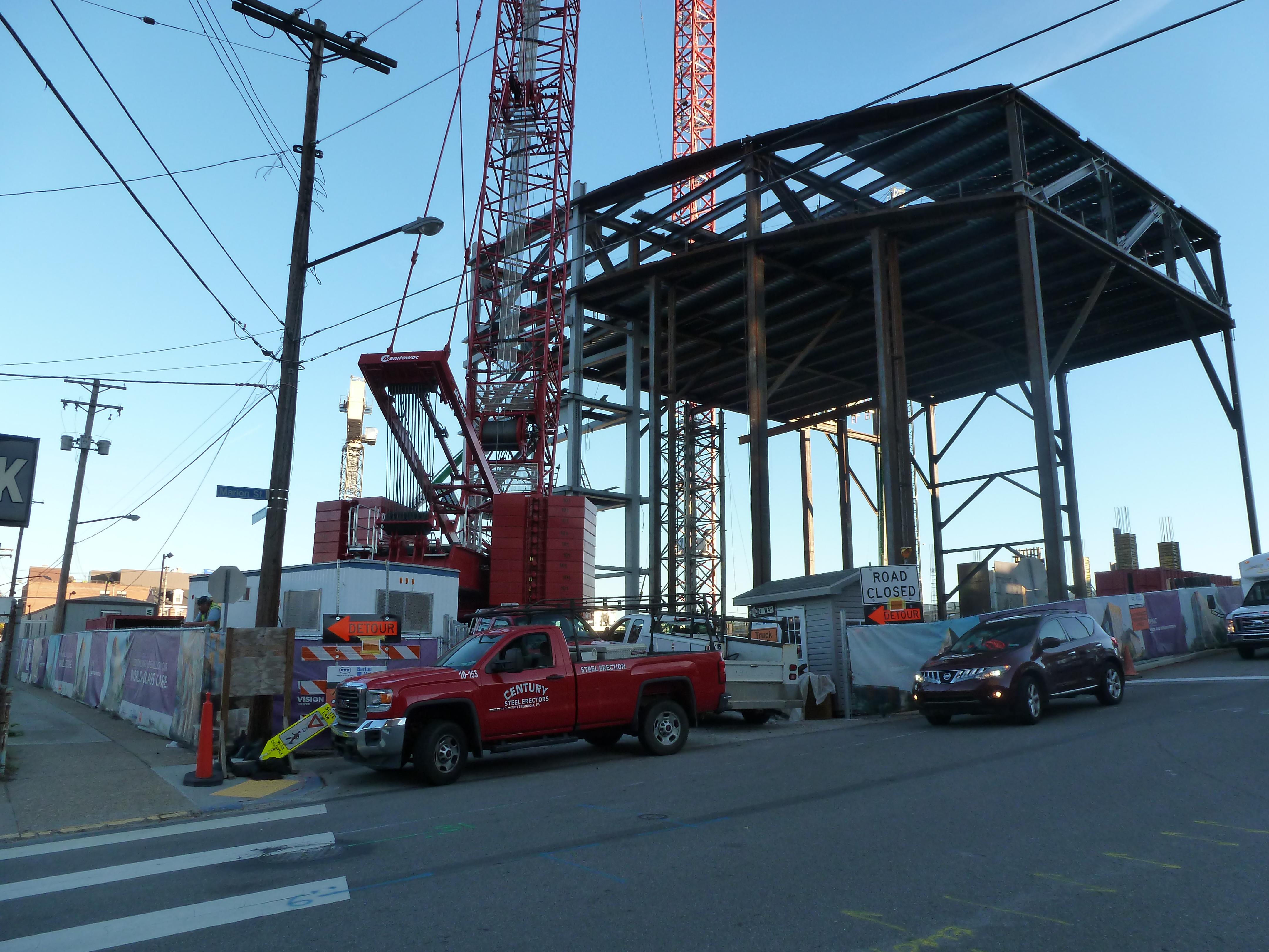
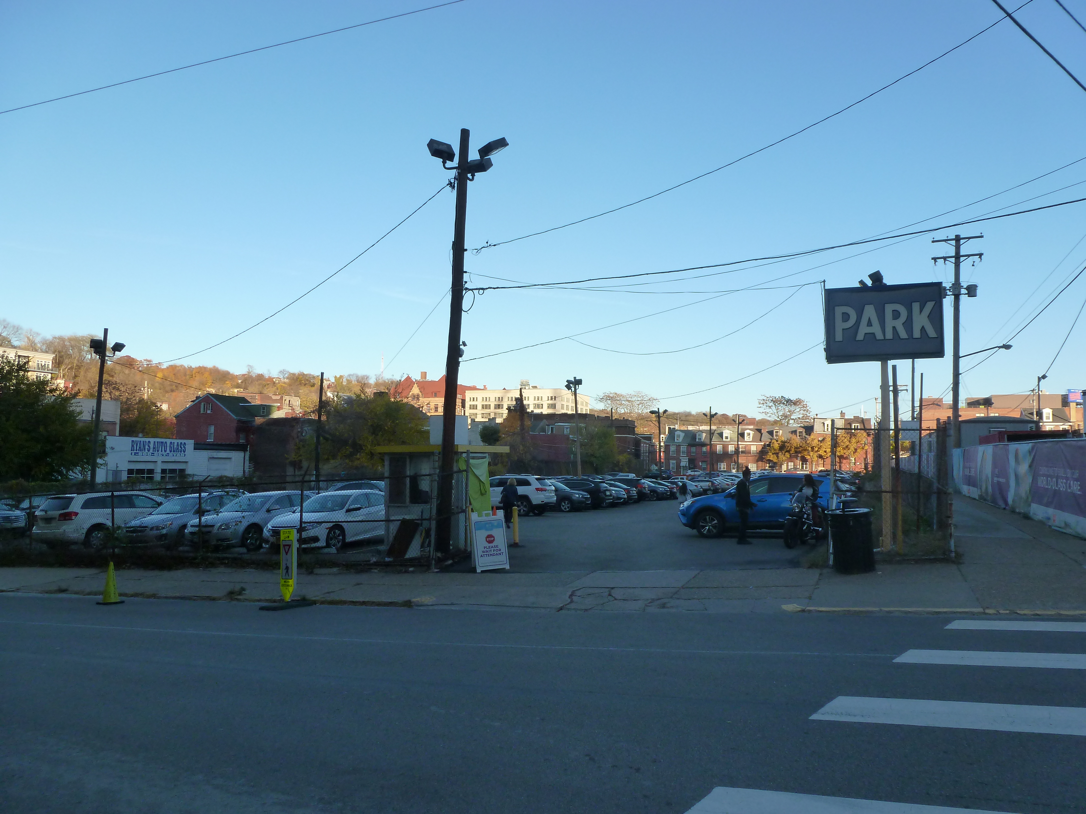
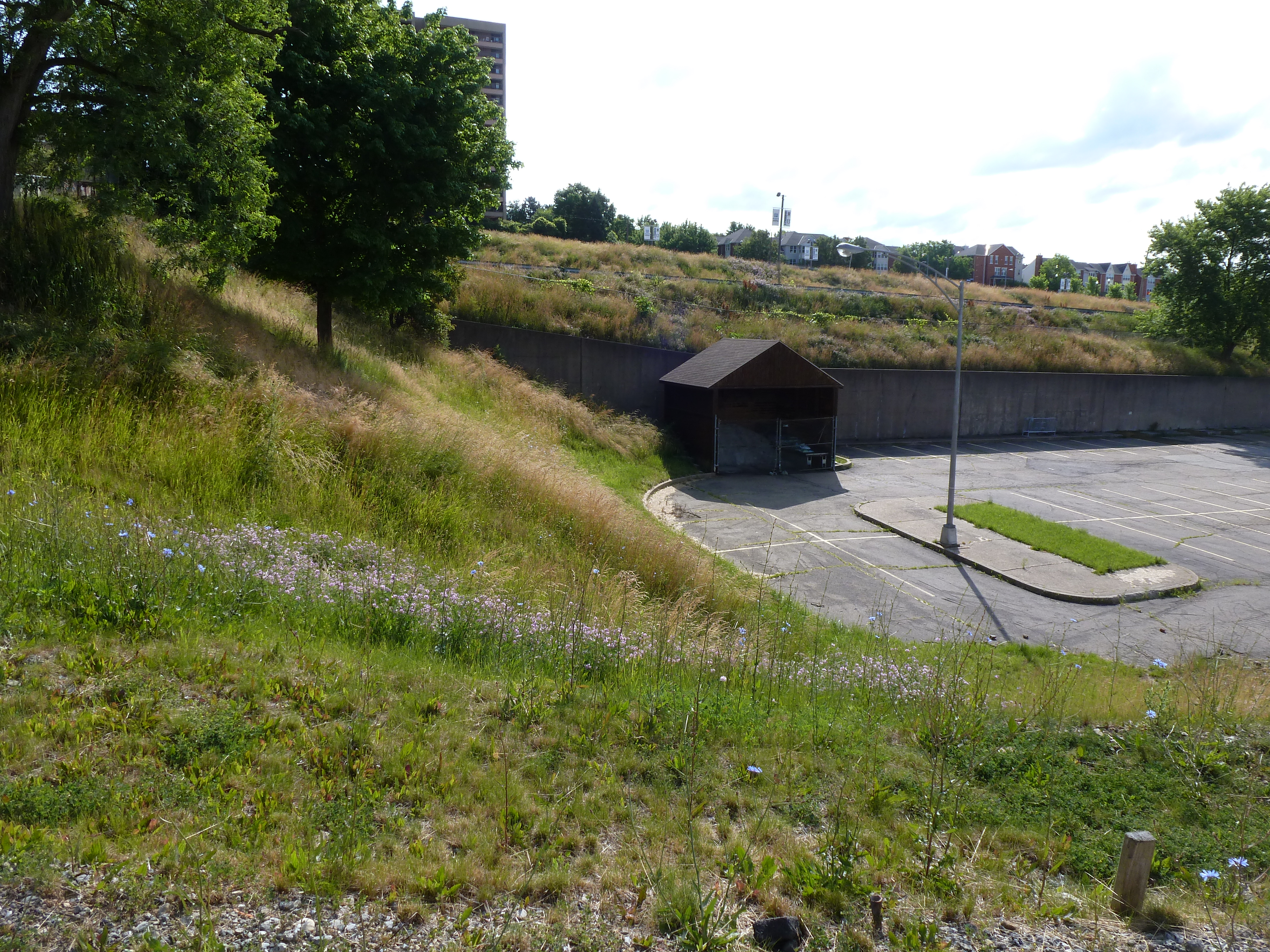
My series of posts Keeping an Eye on the Lower Hill is following the progress of this second redevelopment.
Want to see how my Architectural Dessert Masterpiece compares with the submissions in Pittsburgh’s 18th Annual Gingerbread Competition? Click here.
Previous Architectural Dessert Masterpieces:
Flying Cashews (Built December 2019)
Building the Bridge (Built December 2014)
Reaching for the Heights (Built December 2013)
Conquering the Dome (Built December 2012)
Gingerbread Blue Mosque (Built December 2011)
Parthenon Cake (Built December 2010)