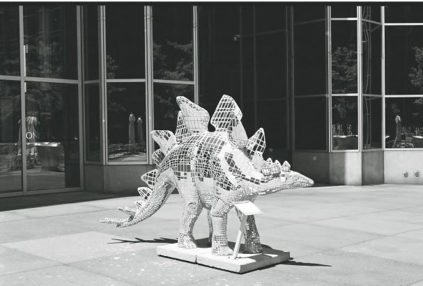
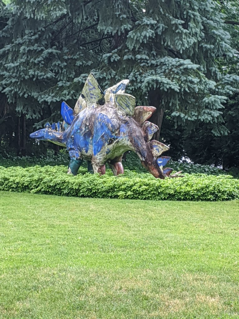
Pittsburgh DinoMite Parade 7

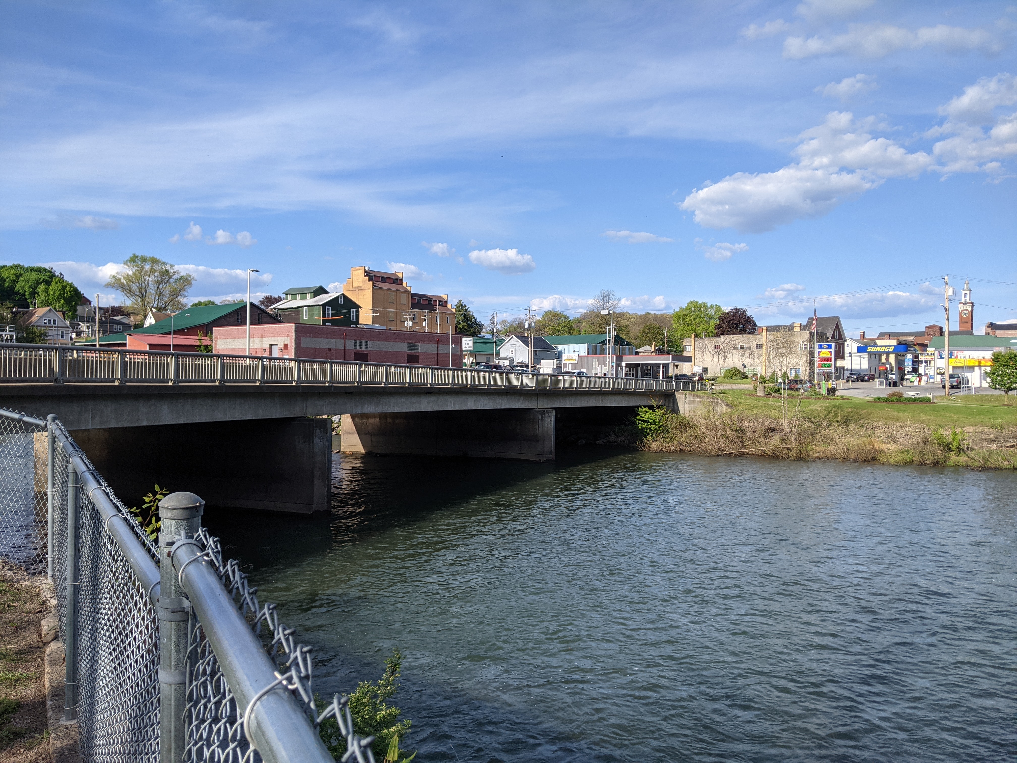
The New Bethlehem, PA, Memorial Bridge holds a special place in my heart. After going through the woods for hours on the way to grandmother’s house, New Bethlehem was a landmark that we were getting close. A few more wooded hills and a few more river crossings and we’d be there.
I wonder if in addition to the answer to “are we there yet?” changing from “no” to “almost,” I also enjoyed the intimacy of New Bethlehem after hours on the impersonal and distant freeway. In the previous five hours of diving, we crossed many bridges over many waterways including both the eastern and western branches of the Susquehanna River. But what little I remember of the bridges on Rt 80, they are distant from the water and between the speed and concrete barriers, there is not much to see. At New Bethlehem, the water is right there, almost within reach. Plus there’s a mini waterfall to enjoy.
In my new habit of taking “Sunday drives” (though usually on Saturday), I recently wended my way through the hills to drive across this bridge again for the first time since I was 12 (and first time across as the driver). Of course, I stopped the car to be able to get out and walk across. There is a nice riverfront park on the eastern side, which is either “new” or just not as noticeable when driving.




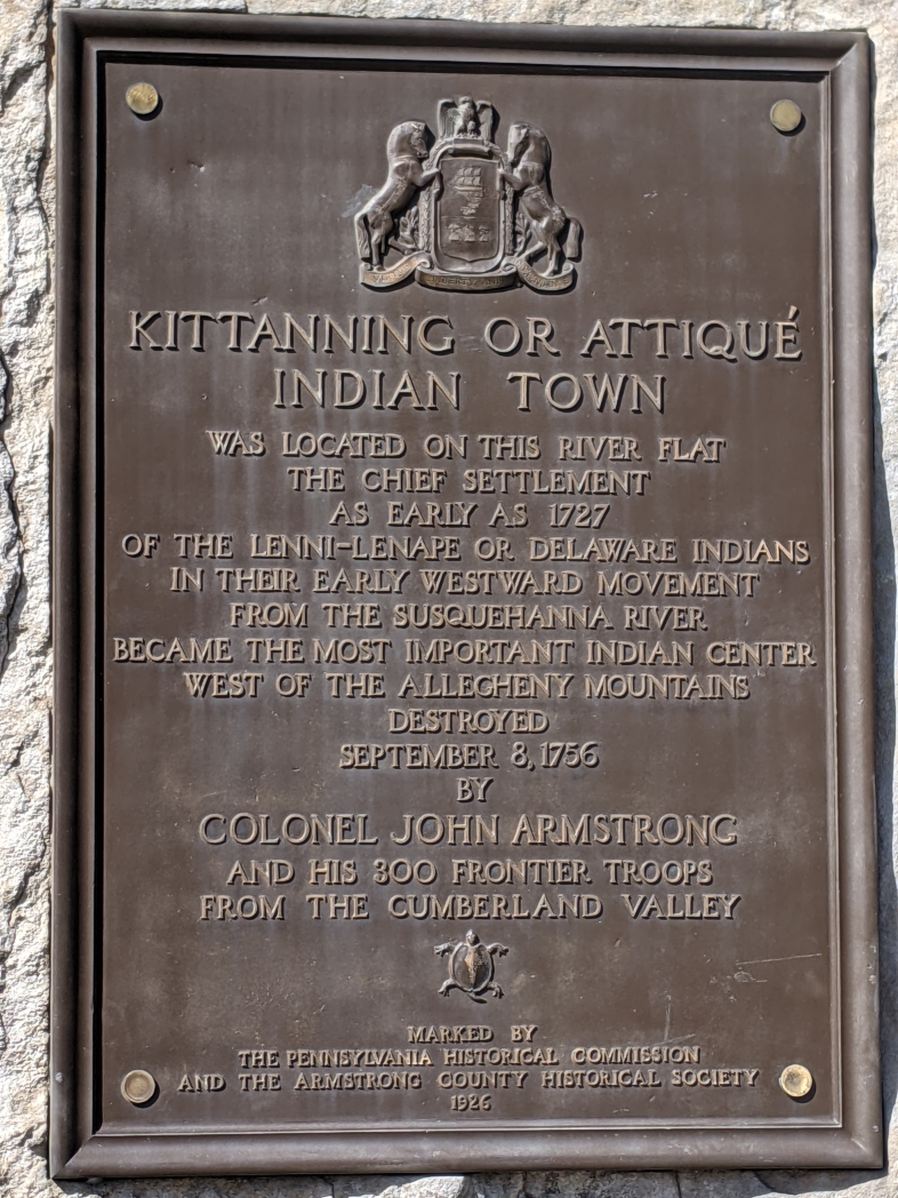
Kittanning is a small town of just under 4,000 residents on the Allegheny River northeast of Pittsburgh. The name is from a Native American village destroyed in 1756 and is thought to mean “the place at the Great River.” It has a single bridge, the Kittanning Citizens Bridge, which was built in 1932 and renovated in 2010. According to historicbridges.org, “In a rare gesture of good faith to taxpayers and preservationists, PennDOT has made the logical decision to rehabilitate this bridge rather than demolish and replace it.” So while this bridge was an unplanned stop on my weekend wanderings and in my blog schedule, it fits nicely with the current theme of demolish & replace or renovate.
The northeastern shore (the Kittanning side) has a nice waterfront park with a boat launch, amphitheater, upper and lower walking paths, fishing and seating areas, and seasonal public restrooms. The southeastern shore (the West Kittanning side) has some houses set back across a road looking out toward the river.


After my disappointment in trying to reach the lakefront at Grant Park, I had given up on reaching the shore on that trip. The weather had been perfect (being August instead of April), but it seemed I was fated to not wade in the lake.
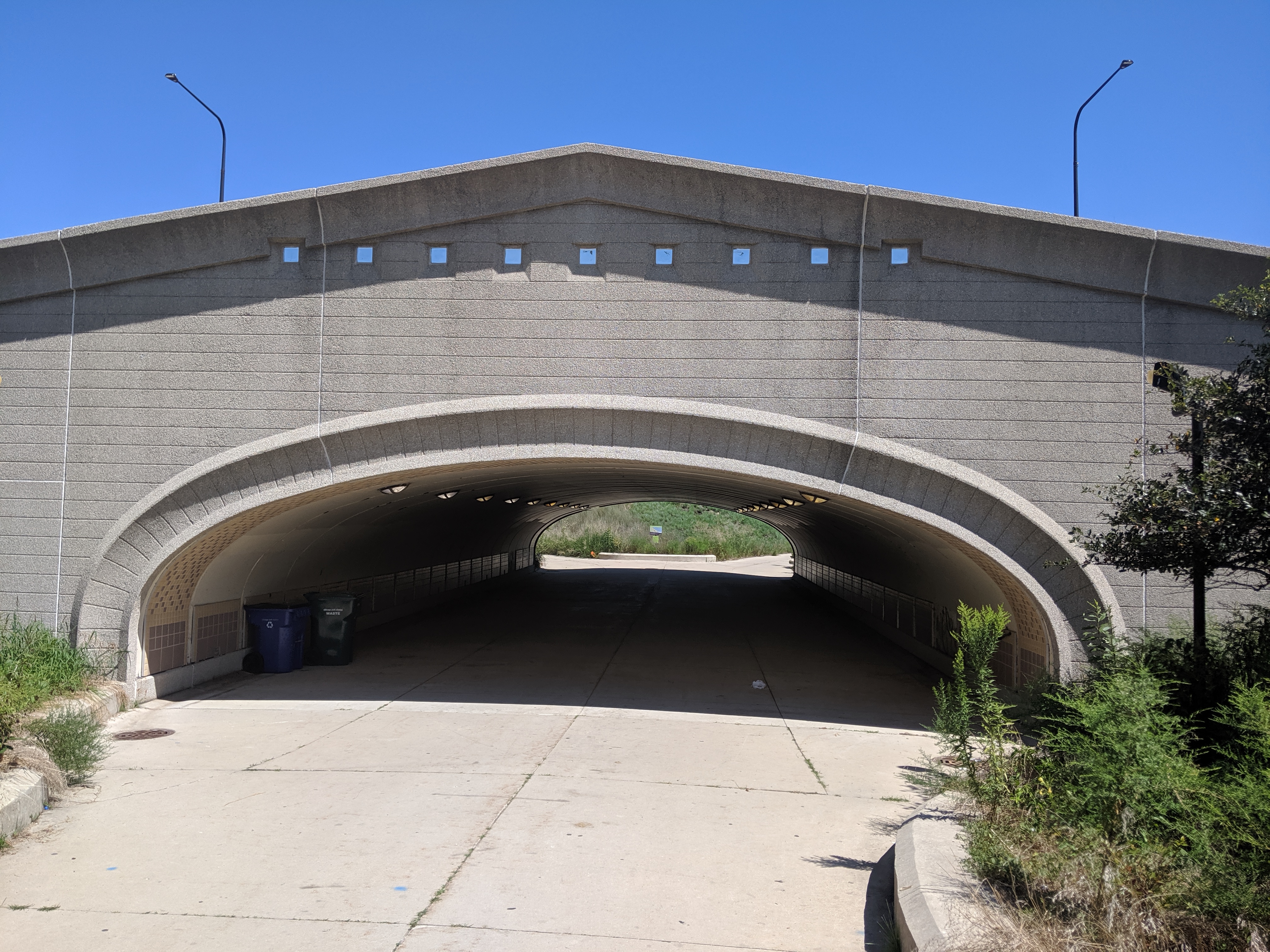
However, after exploring the former site of the 1893 Chicago World’s Fair in Jackson Park, I was making my way to a bus stop to return to my hotel and found myself on a path to the 63rd Street Beach. Lake Shore Drive still continued along the lake’s shore, but it was not an obstacle here as it bridged over the pedestrian trail.
While mounting frustration had turned me back from the lake in Grant Park, the ease of following Jackson Park’s meandering trail turned me away from my original goal to add a stop at the lake beach. The beach house suggested days of better maintenance and greater usage, but the beach and adjoining greenspace appeared to be a pleasant amenity for local traffic.* While tourists may have found their way there in 1893, I seemed to be the only one when I visited.
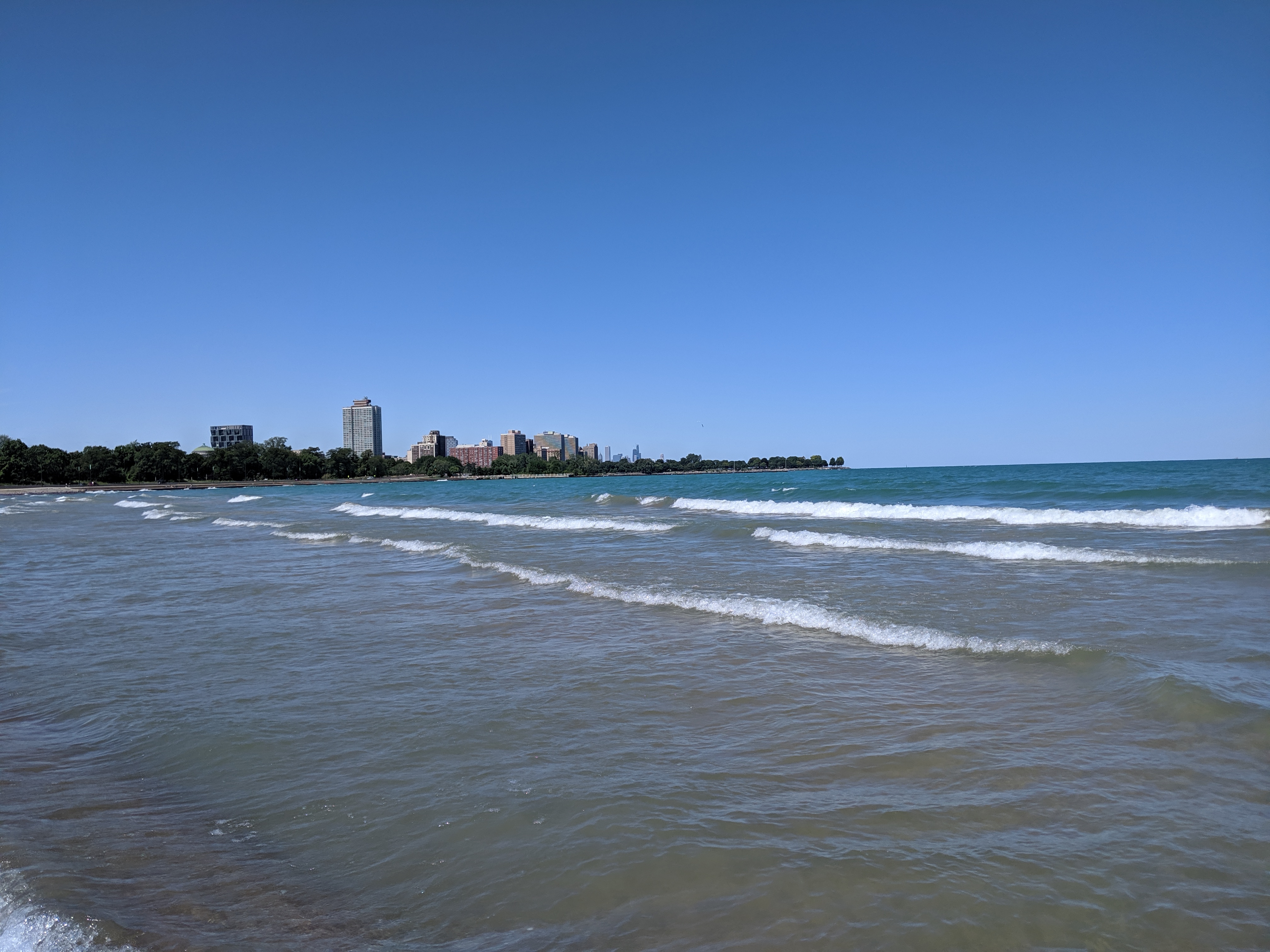
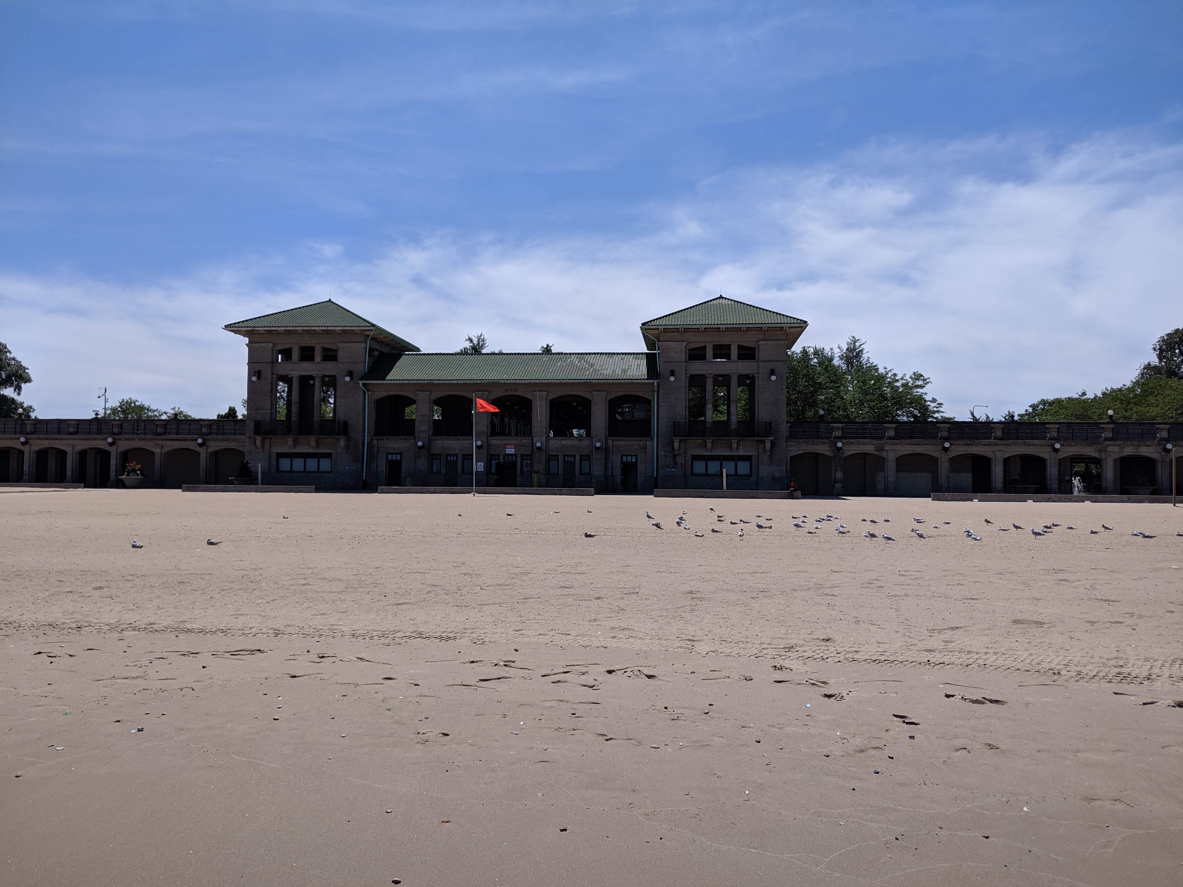
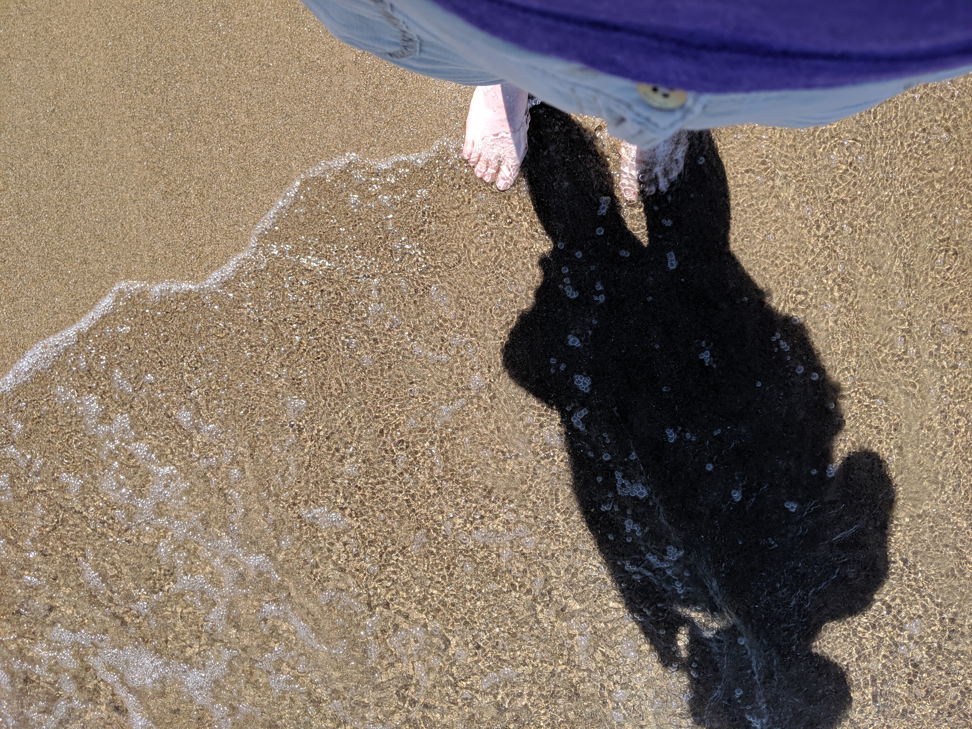
*My tendency to take photos of things rather than people presented a missed opportunity when picking photos for this post. There were several small groups of people on the beach and more carloads of people enjoying picnics on the other side of the beach house. Yet, none of the photos I took that day included any of these people.
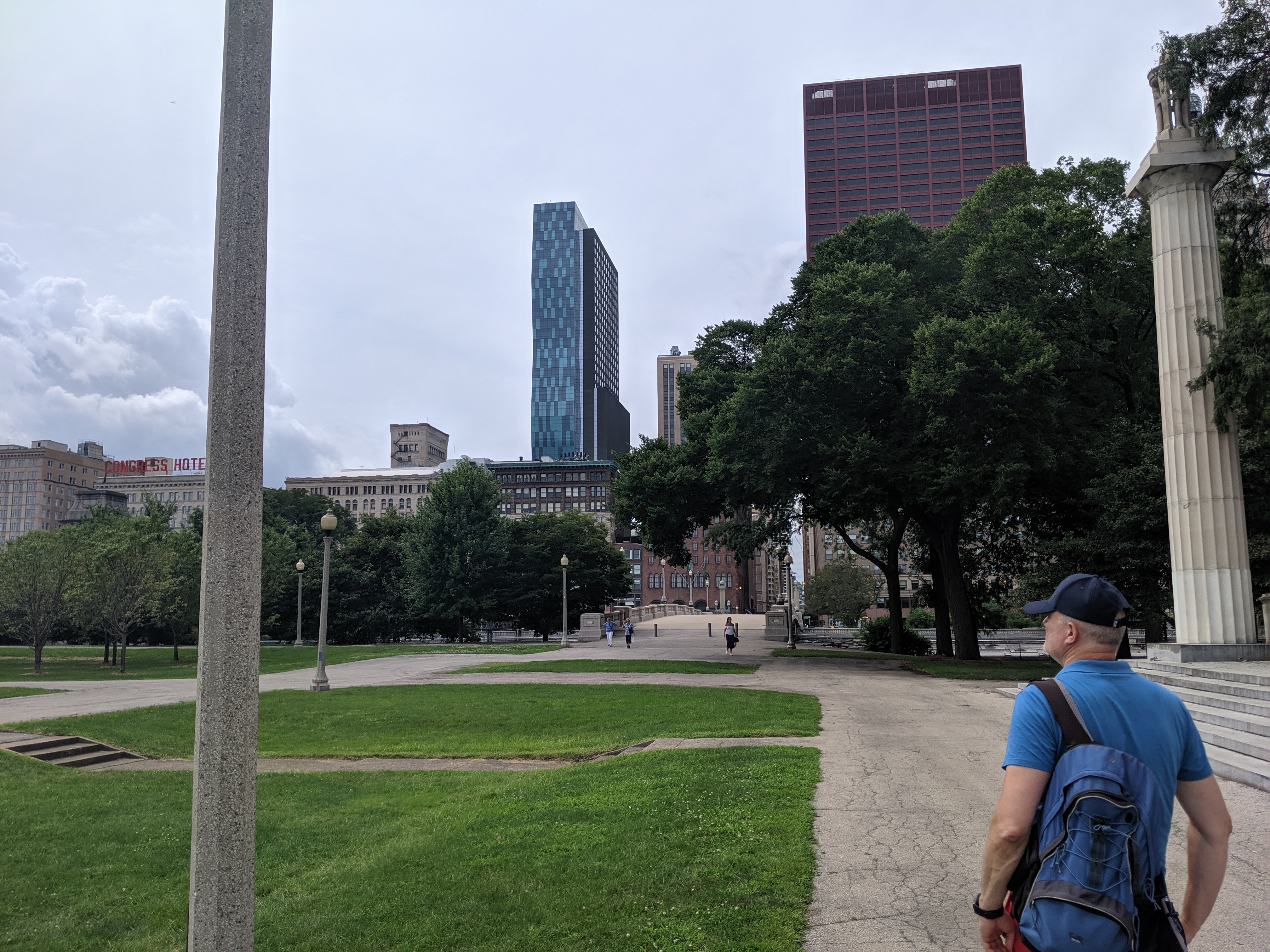
While exploring the Grant Park viaducts on my 2019 trip to Chicago, I discovered that they were connected to promenades leading to the lake. I decided to wend my way through Grant Park by strolling down one promenade to the lake and another back to Michigan Avenue and so on, weaving back and forth. It turns out that this is no longer an option.
On the 1920s map that inspired me to visit the viaducts, the only divider in Grant Park was the railroad tracks bridged by the viaducts. The rest of the park showed on the map as a vast open space where I assumed the promenades were designed for wealthy residents and visitors to take the air and see who else was in town (or perhaps that is just the influence of reading Jane Austen so much). While it didn’t matter to me who else was in town, strolling along the promenades seemed a nice way to take the air.
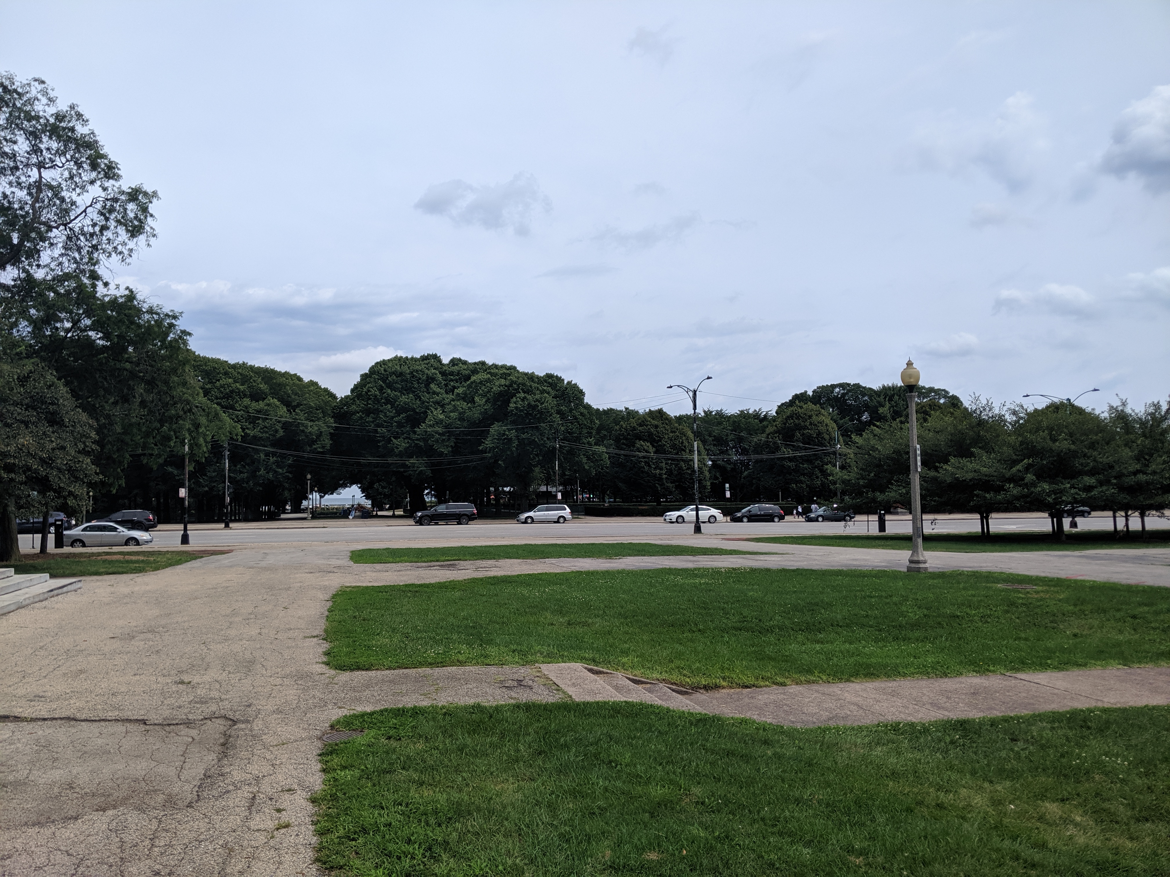

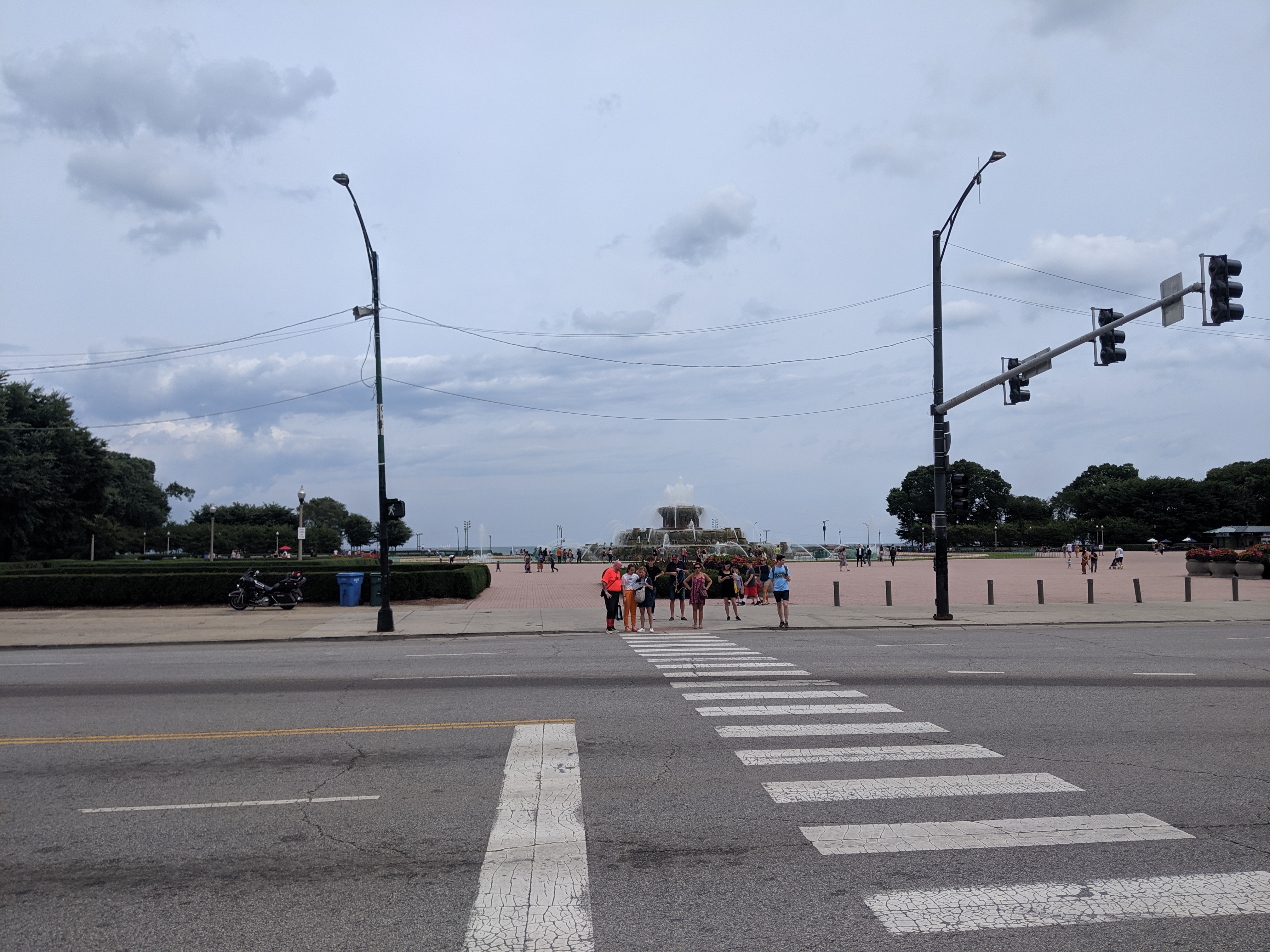
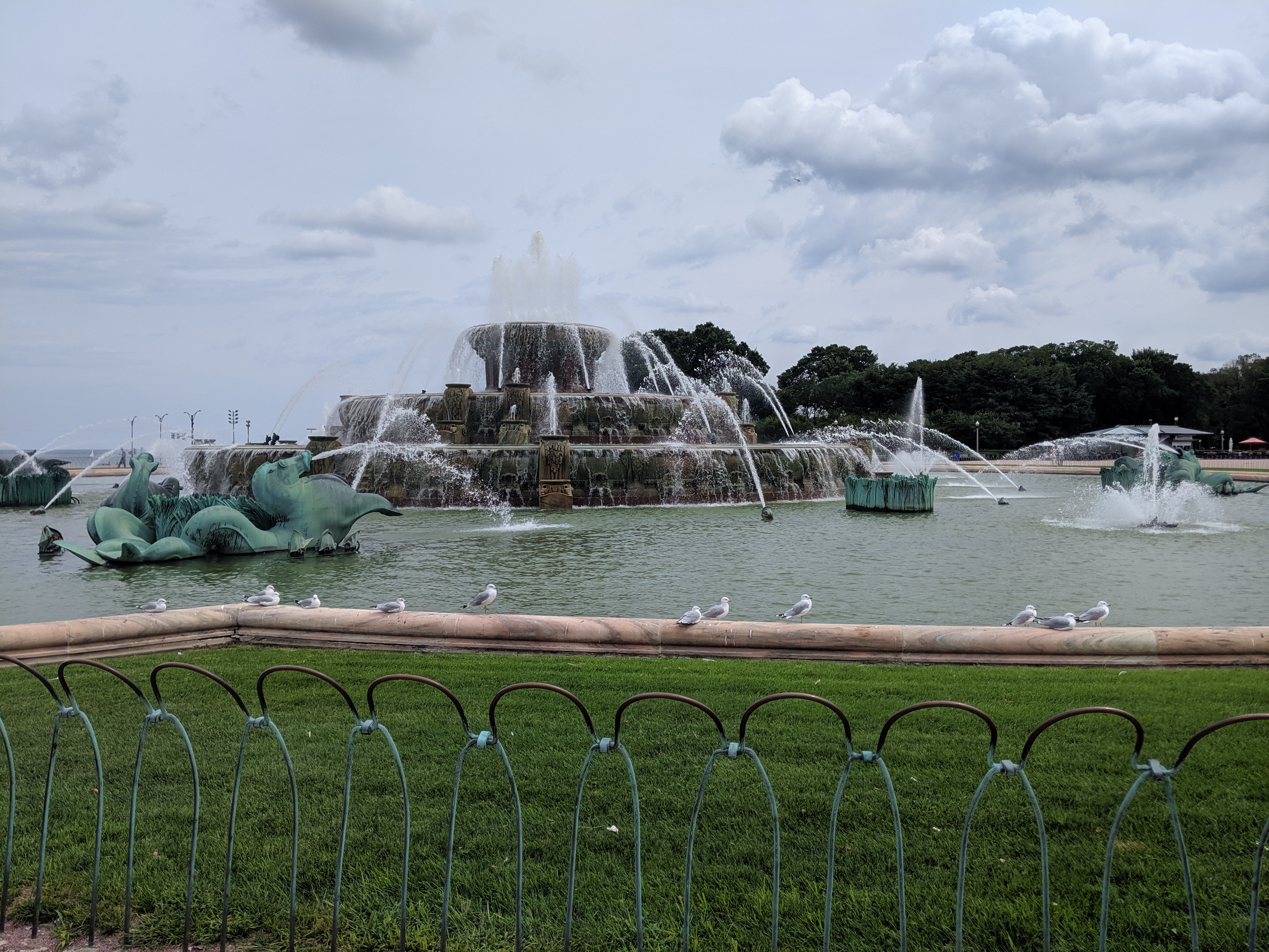
Whatever the original intent, today the promenades are chopped up by their modern antithesis – the multi-lane, high speed road. While there are several promenades spaced throughout the park, I only found one that had a protected pedestrian crossing over the many lanes of Columbus Drive. Clearly, this was the grand promenade. In addition to being the only one with a safe passage, past Columbus it featured an opulent water fountain.
Having already crossed a significant barrier, I assumed it would be a clear walk to the waterfront after that point. However, on the other side of the fountain, I found the even more formidable barrier of Lake Shore Drive, aka Route 41. All interest in continuing with my promenade evaporated even though the lights and crosswalks suggested the ability to cross safely. Instead, I spent some time admiring the fountain before returning to my hotel.
I was disappointed at discovering that the connection between the park and the lake was an optical illusion. Yet, it came as no surprise to find the lake front prioritized for cars. It is a recurring experience to find an urban waterfront cut off from the rest of the city by a major roadway barrier, or in this case two.