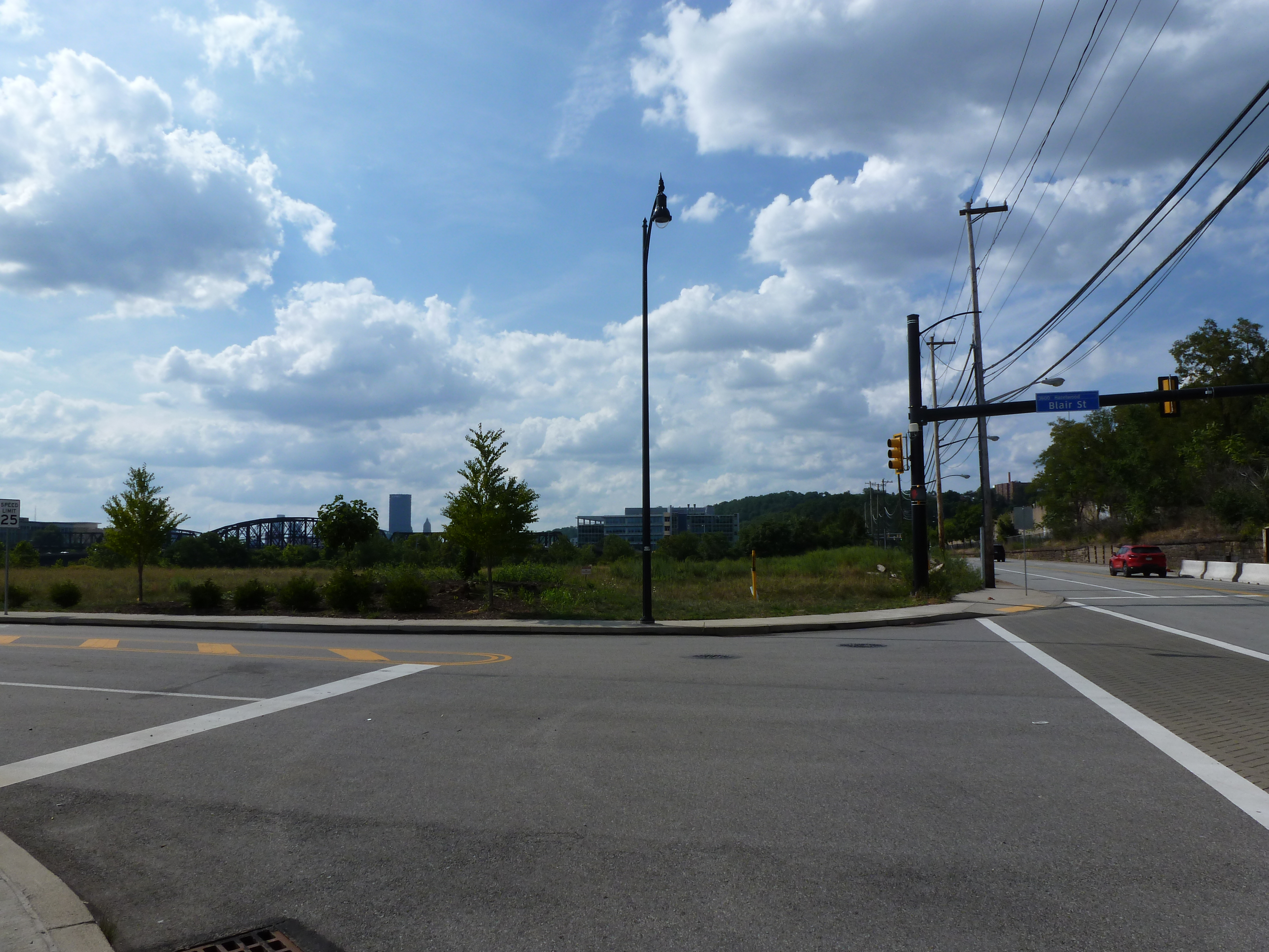
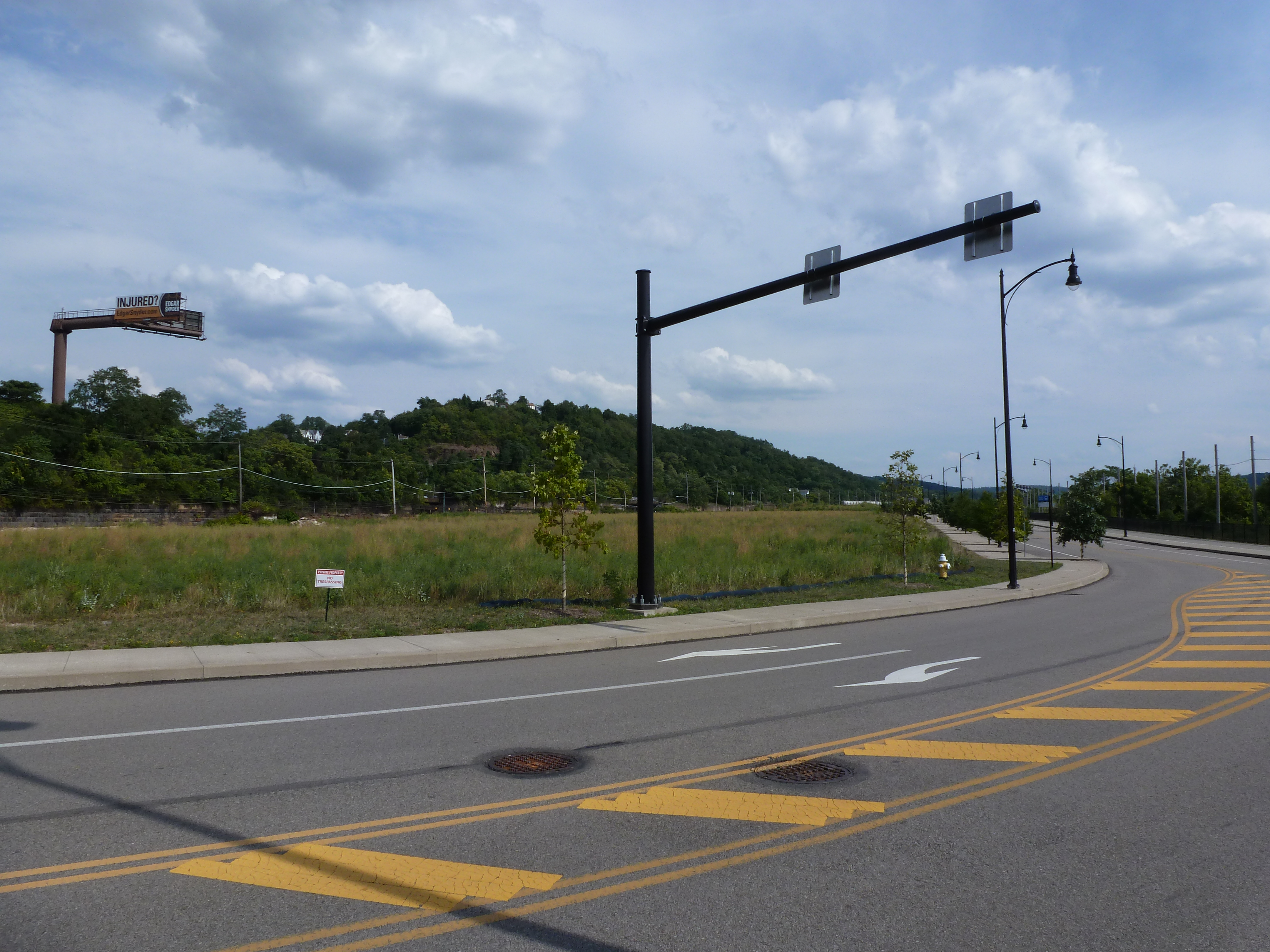
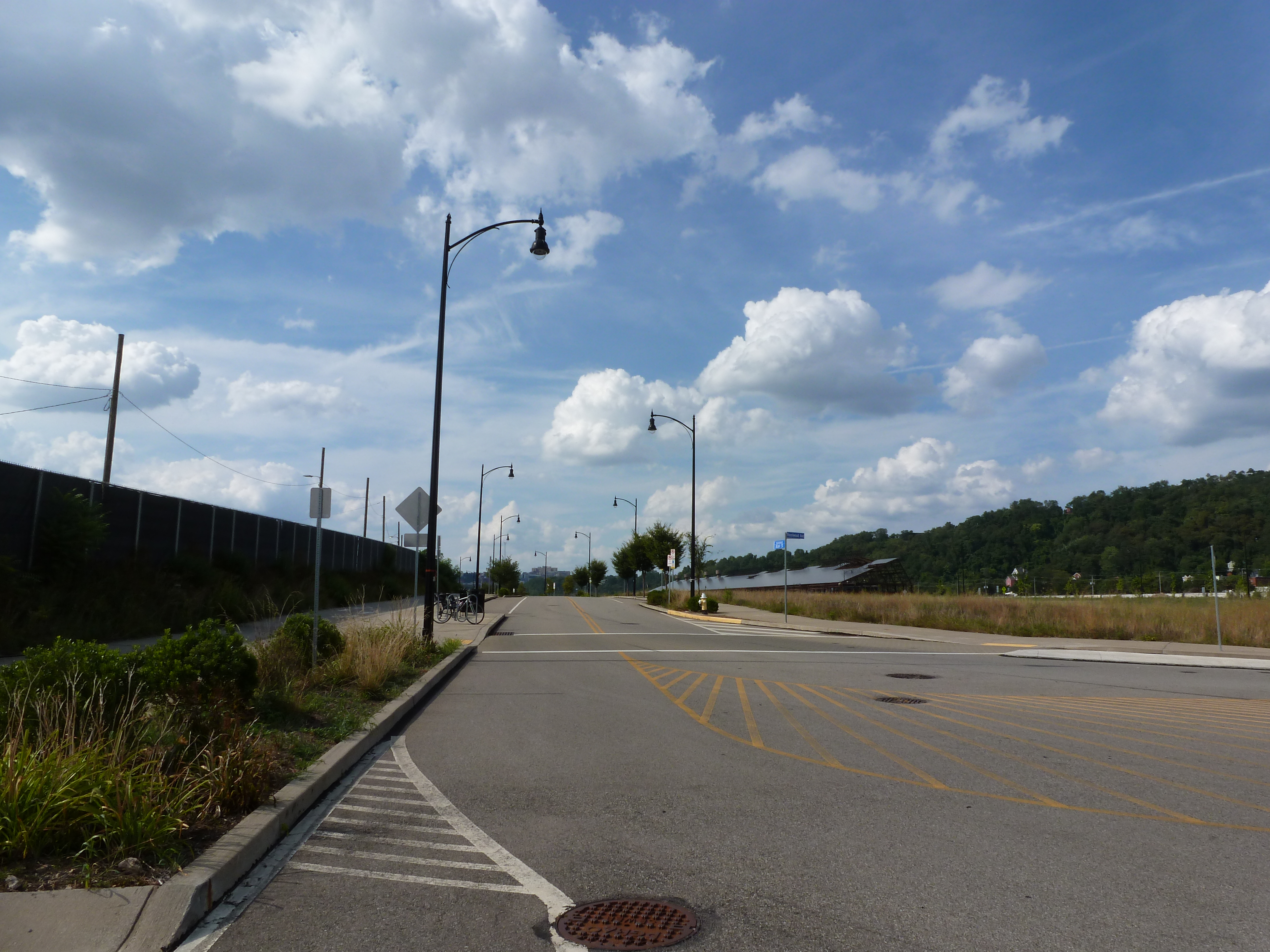
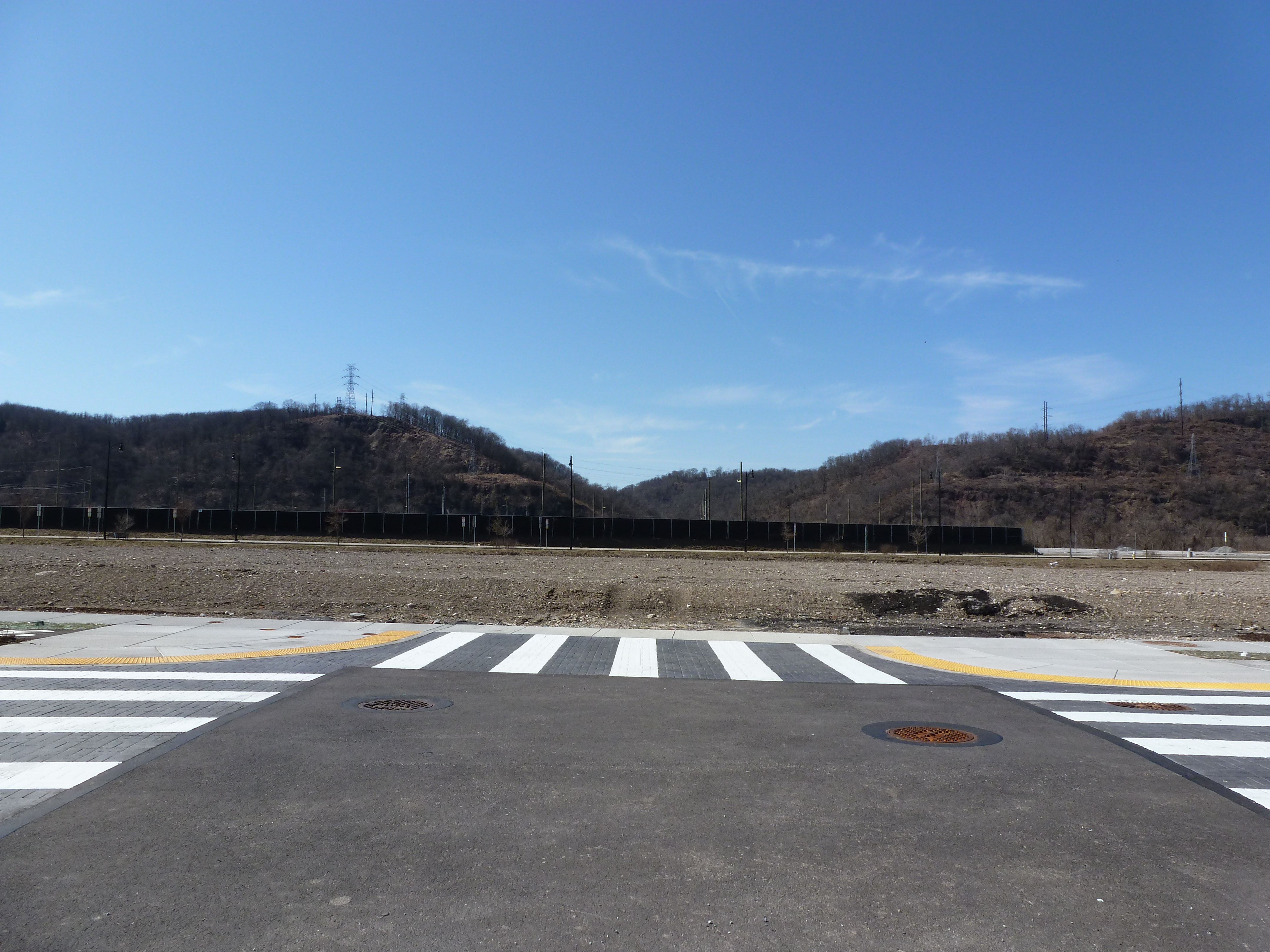
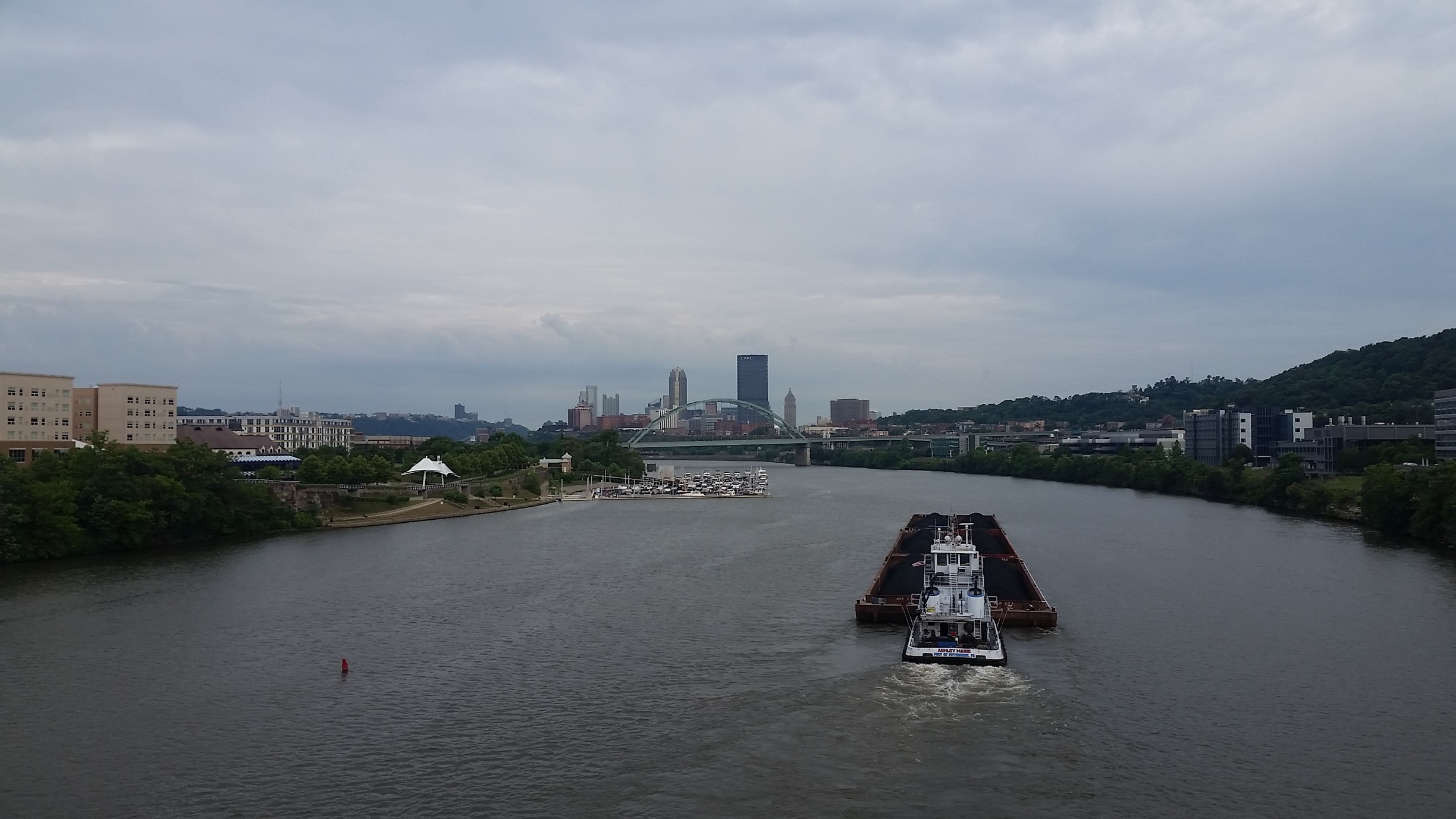
Overview
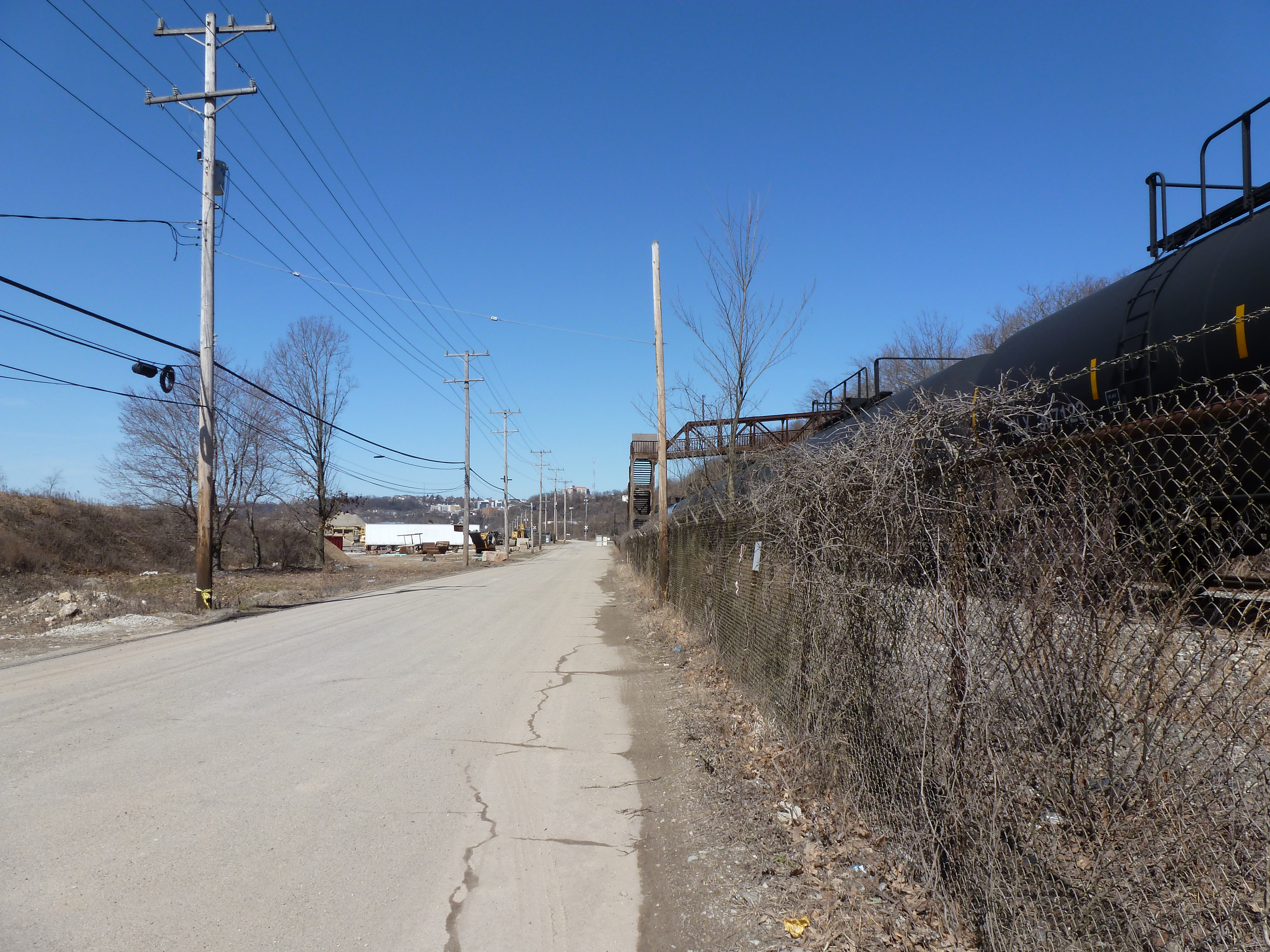
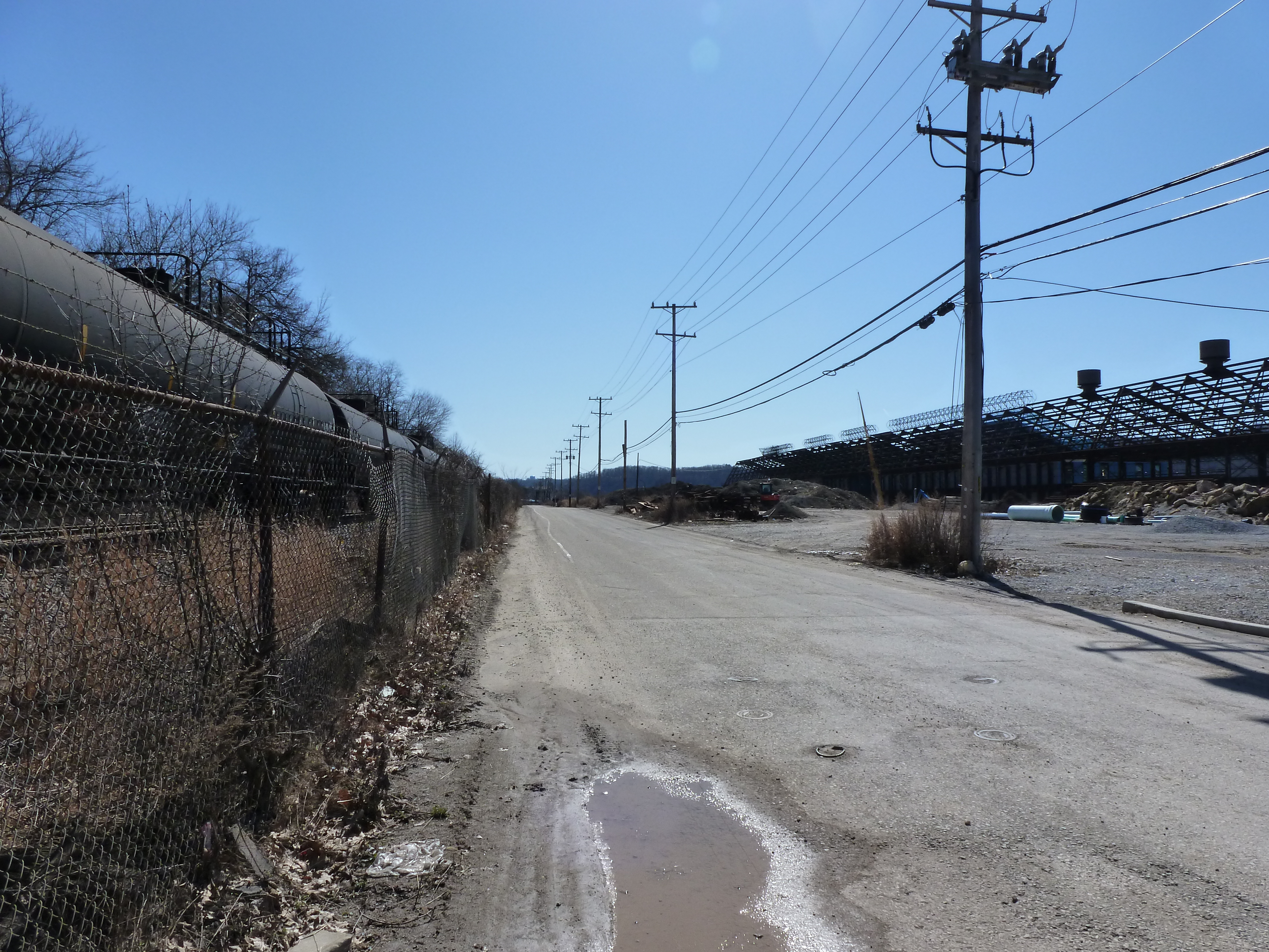
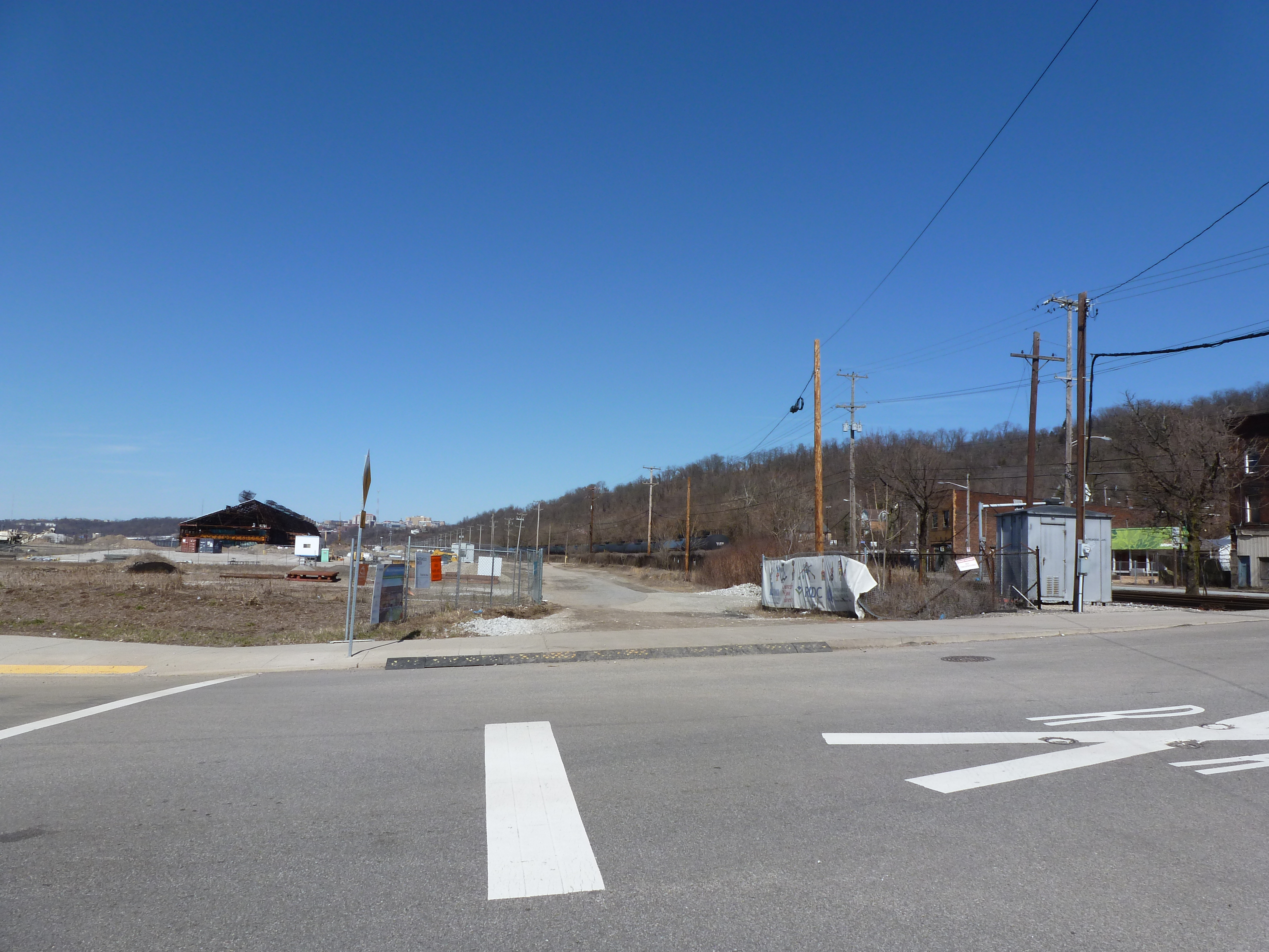
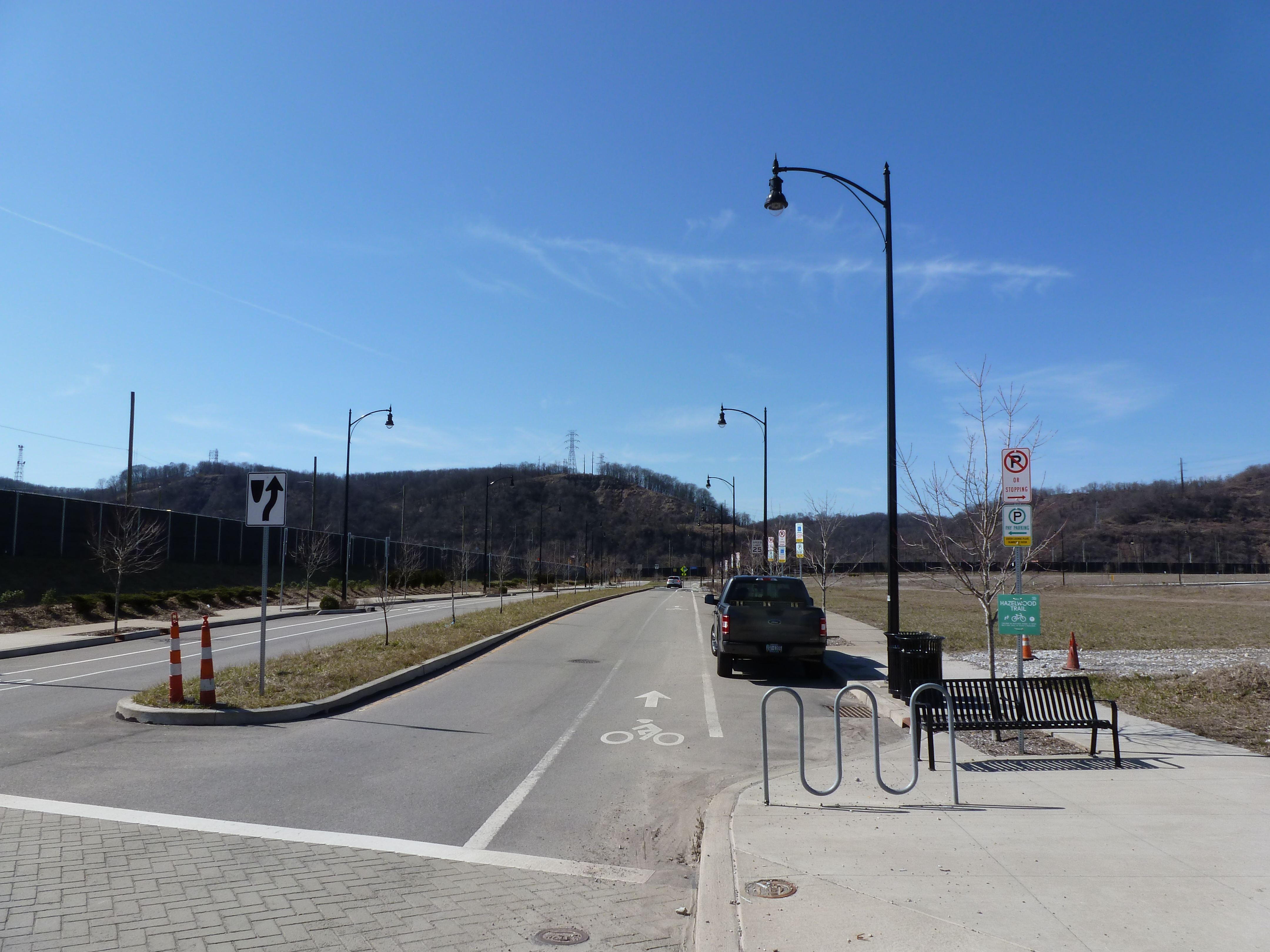
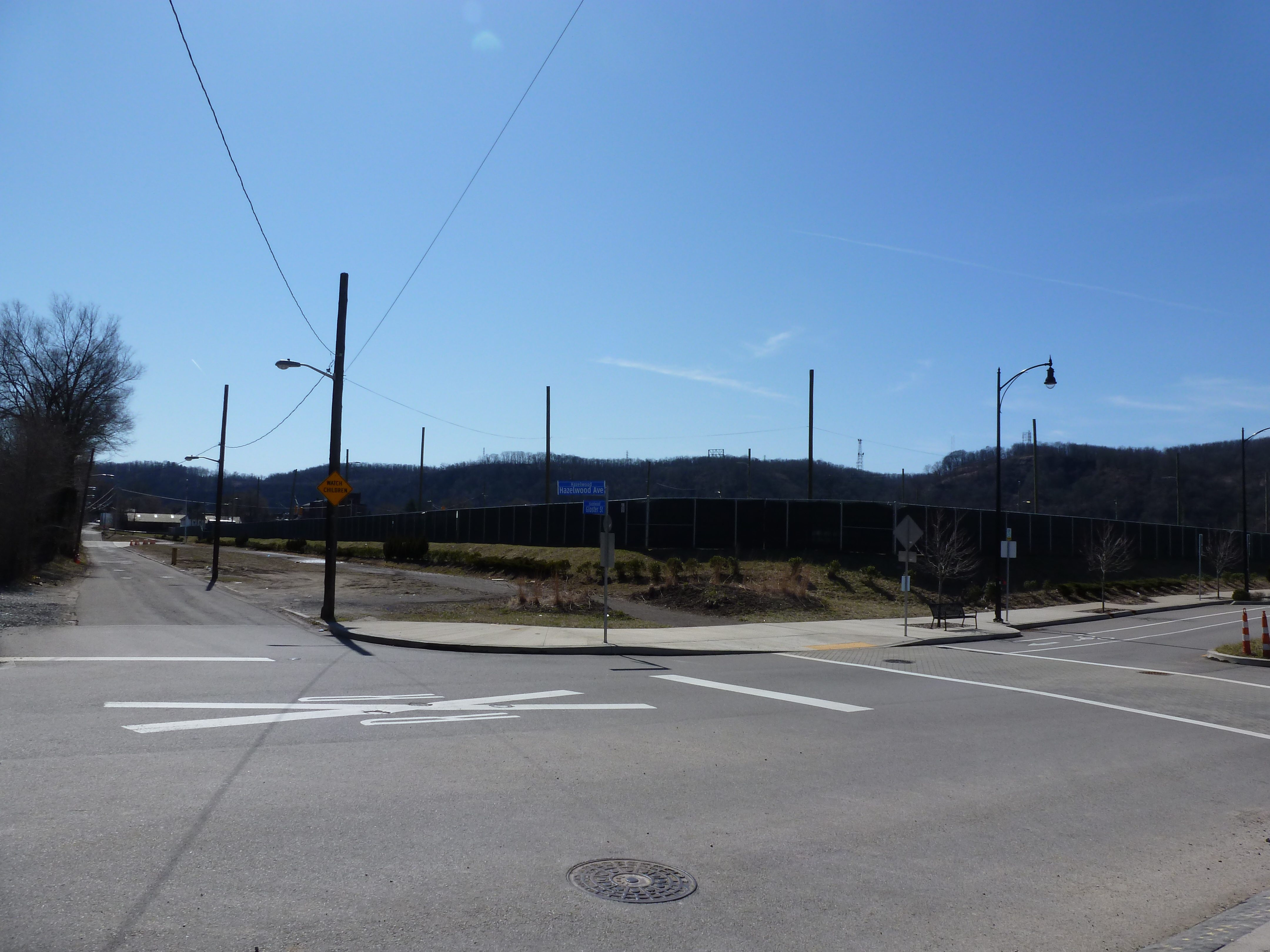
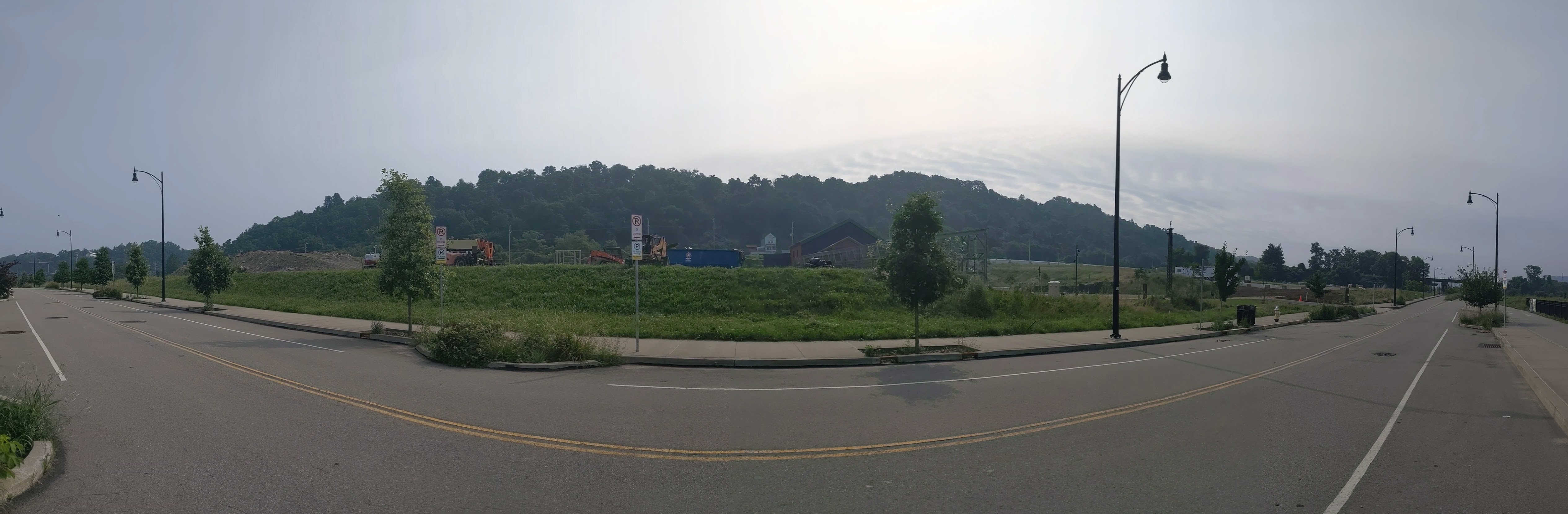
Hazelwood is a neighborhood about 4 miles down the Monongahela River from downtown Pittsburgh. It is currently experiencing significant change. Between Hazelwood’s main street (2nd Avenue) and the Monongahela River is a 178-acre site of the former Jones and Laughlin Steel Company. Most of the structures from the mill were demolished, leaving a large brownfield. In 2002, the site was purchased for redevelopment by Almono LP (at the time, an entity made up of four Pittsburgh foundations). After years of planning and a rebranding of the site as Hazelwood Green, a series of public streets and the first building opened for use in 2019. Construction is underway for more buildings and a public plaza.
During the planning and preparation stages, a question arose as to the effects of this redevelopment on the surrounding neighborhood. Hazelwood is one of Pittsburgh’s neighborhoods that has experienced high vacancy rates and subsequent demolition in its residential and business districts. While the building stock of the neighborhood has experienced a long downward trend, the community of people is strong. Only time will tell if the redevelopment of Hazelwood Green will connect with this community or if Hazelwood Green will become and isolated spot of prosperity for others.
Through three photographic series, Keeping an Eye on Hazelwood Green, Keeping an Eye on Hazelwood Flats, and Keeping an Eye on Hazelwood Slope, I will periodically document the physical changes to the former steel mill site and to the surrounding neighborhood.
What’s New
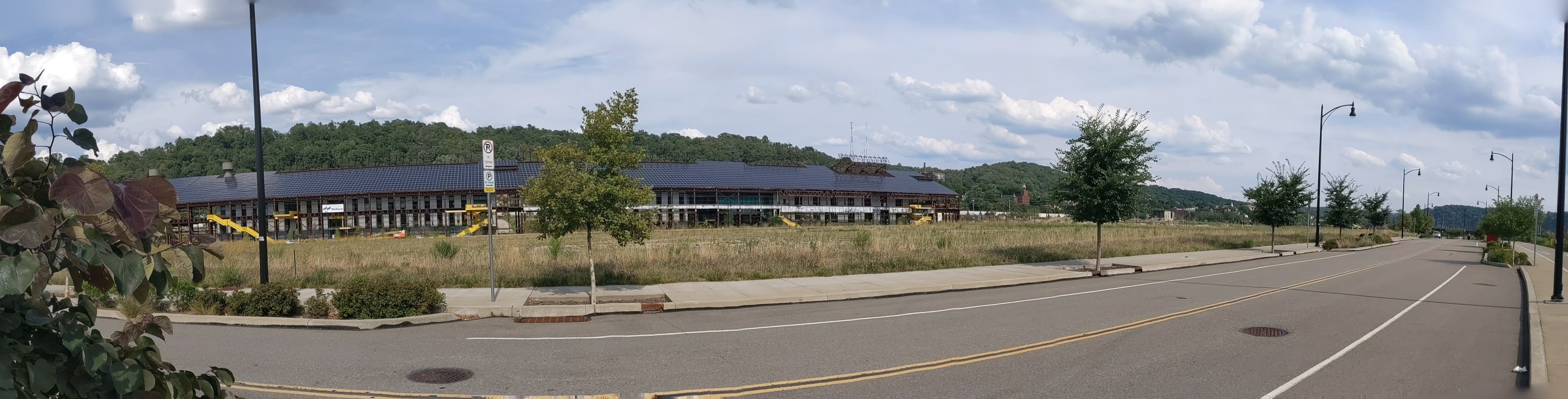
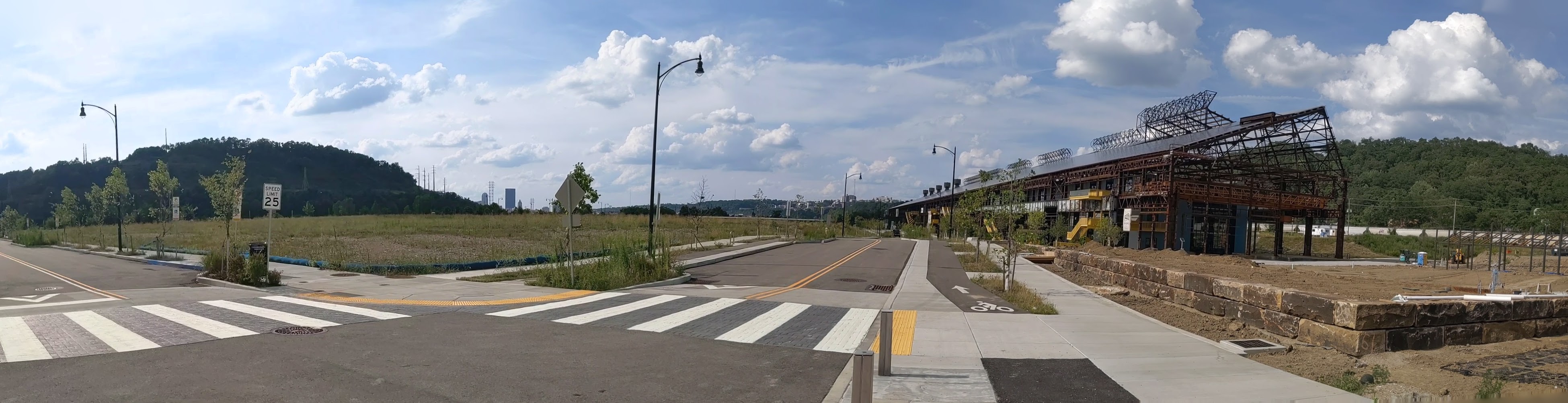
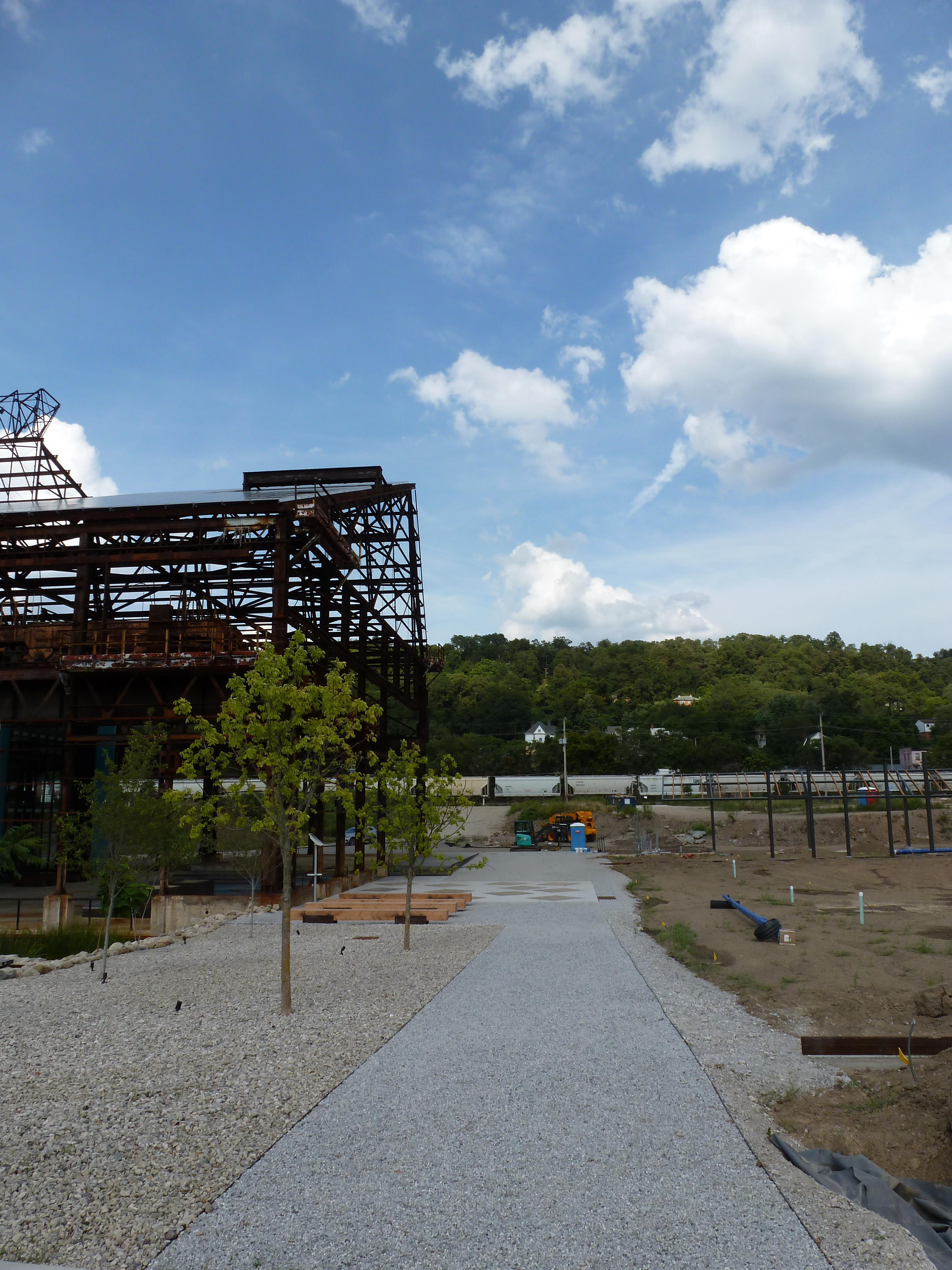
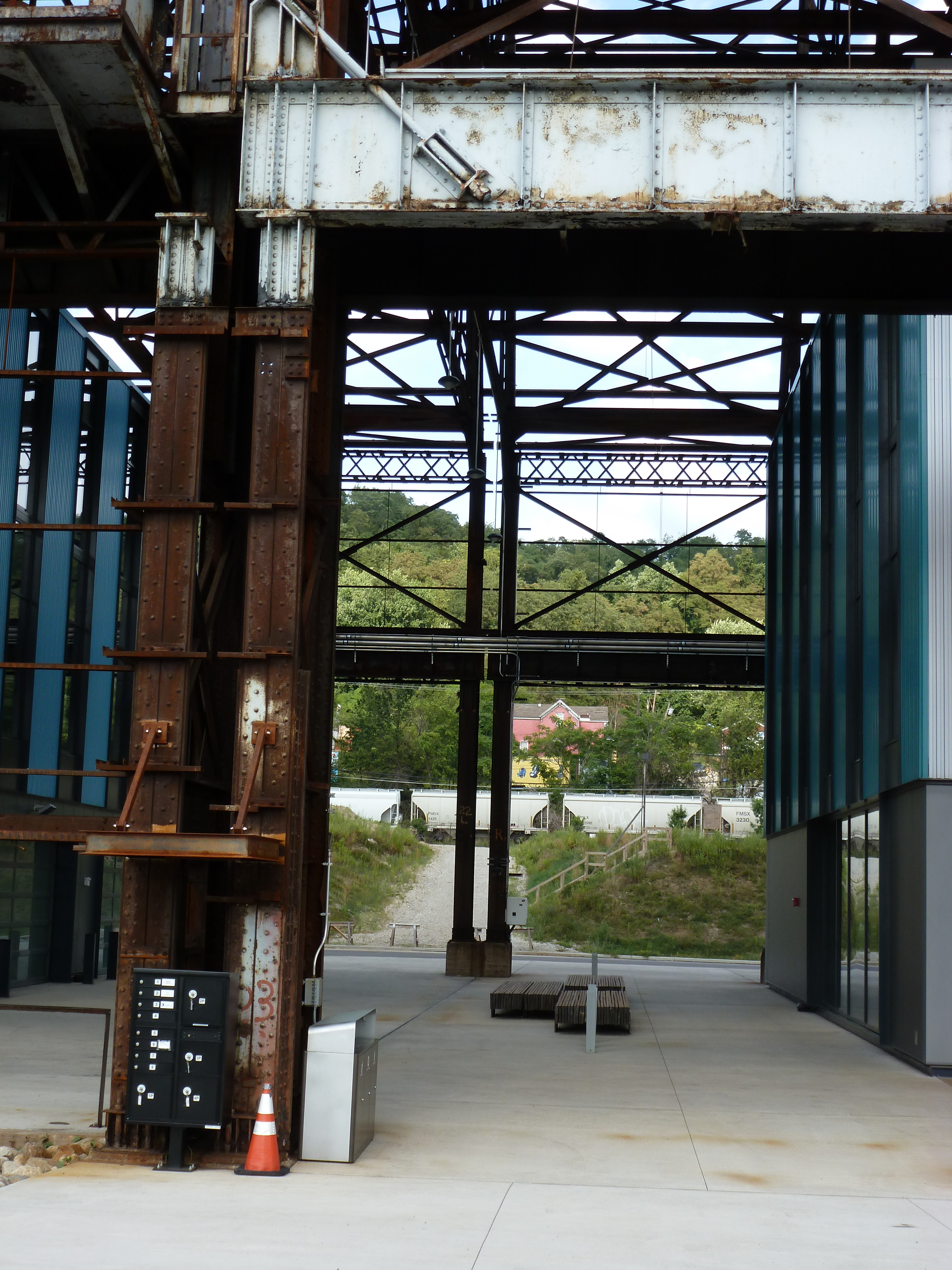
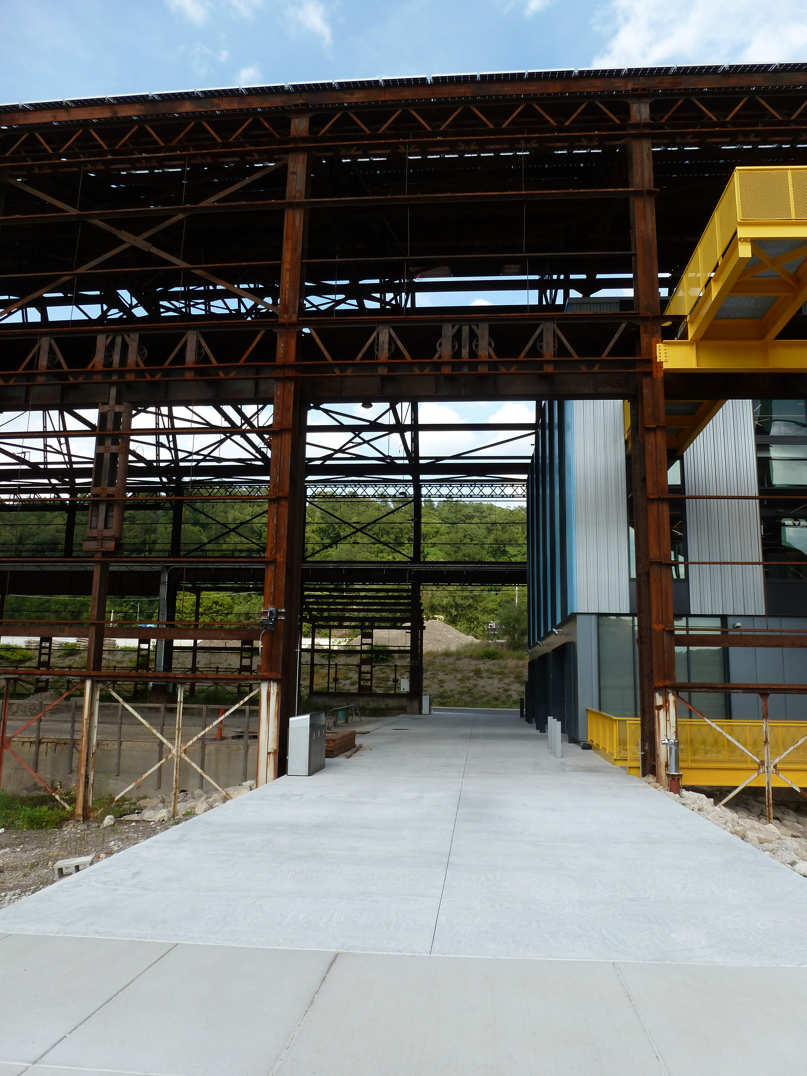
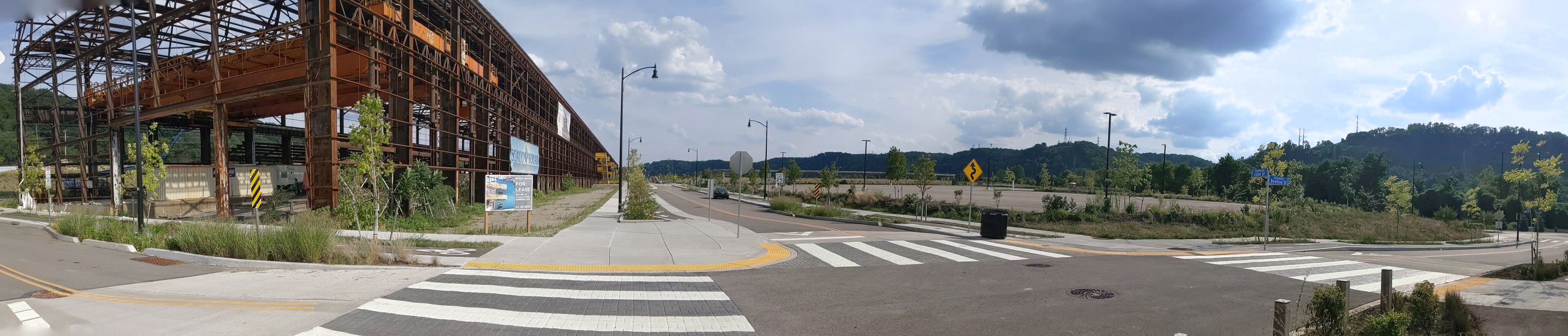
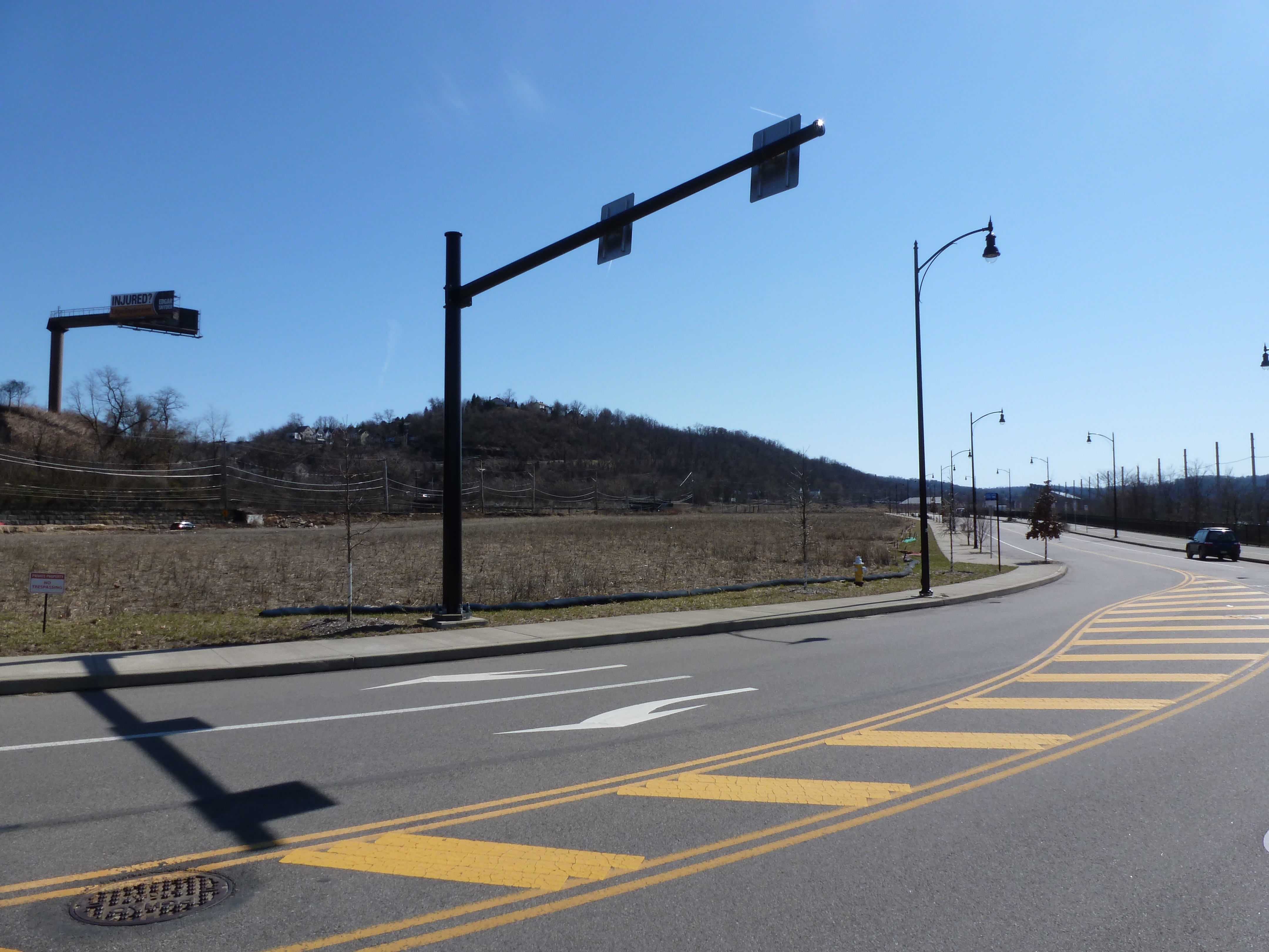
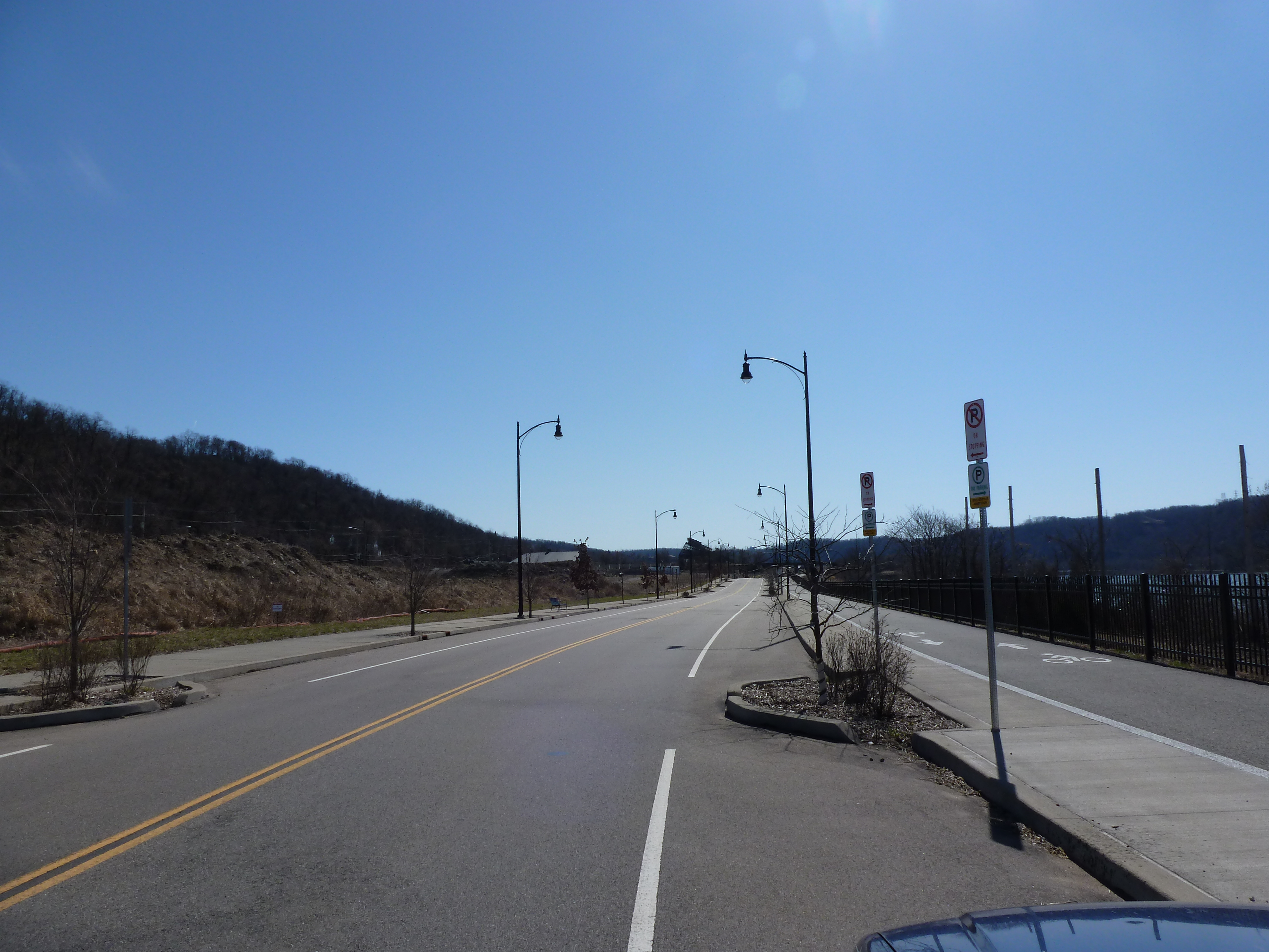
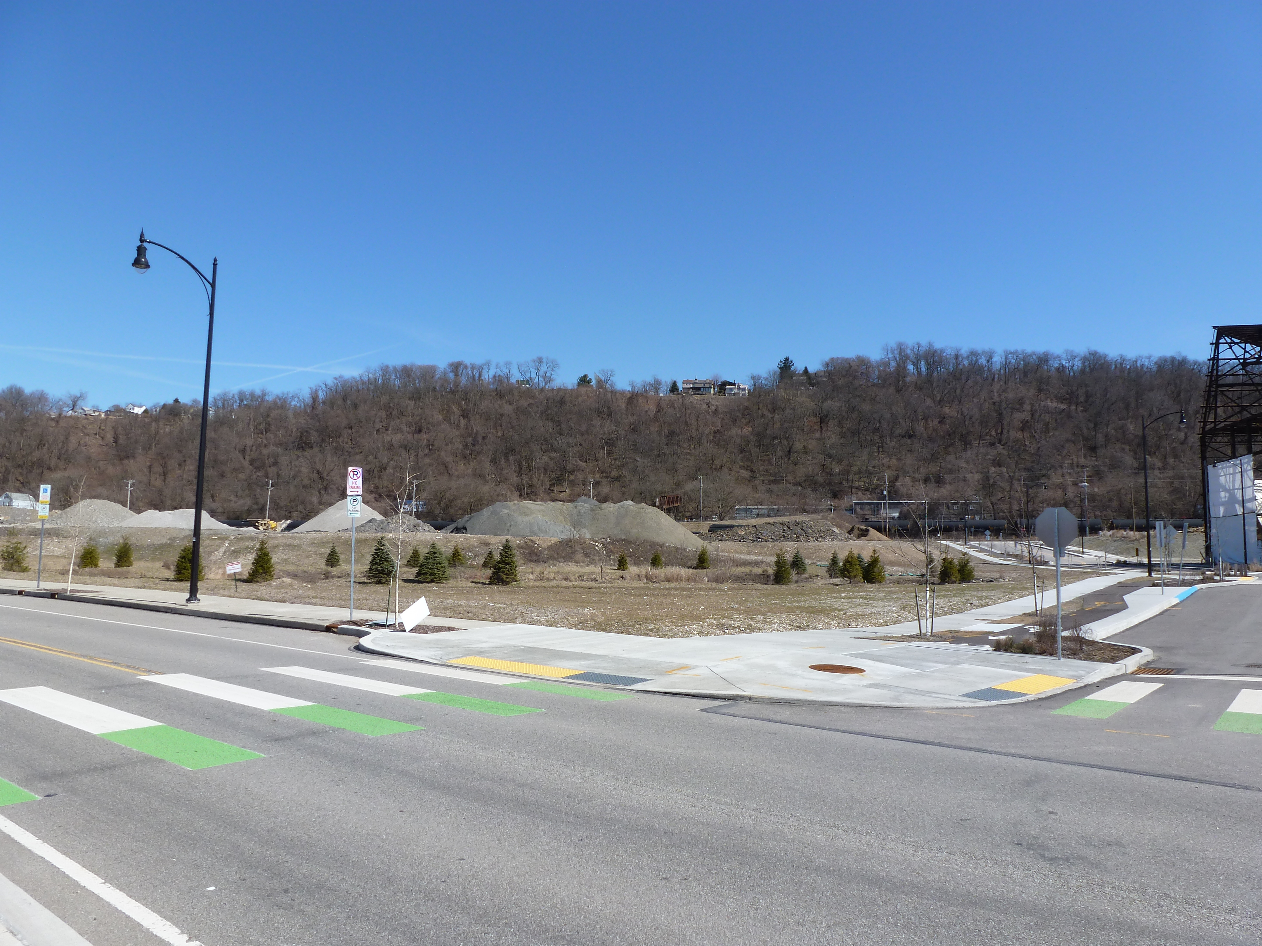
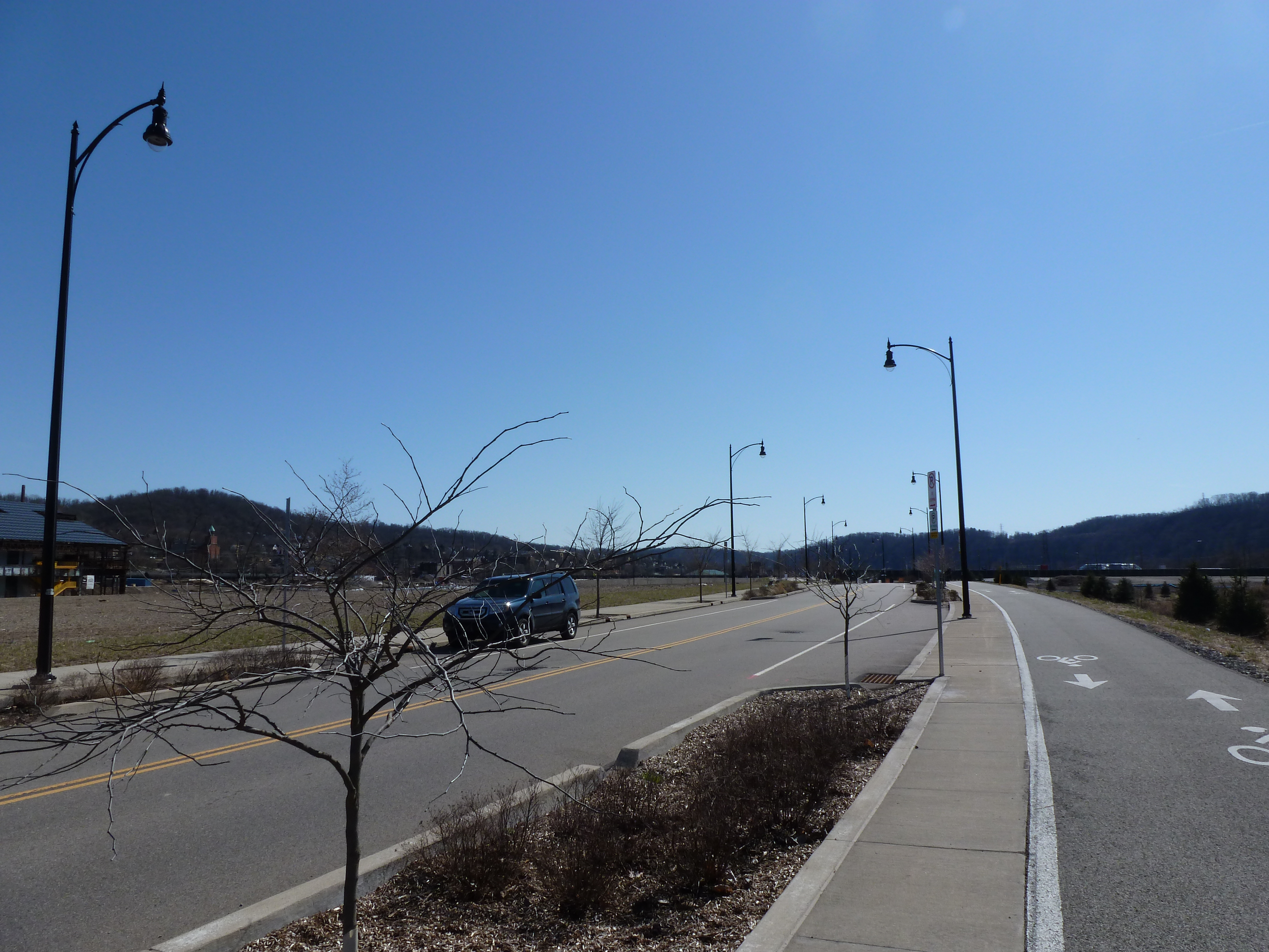
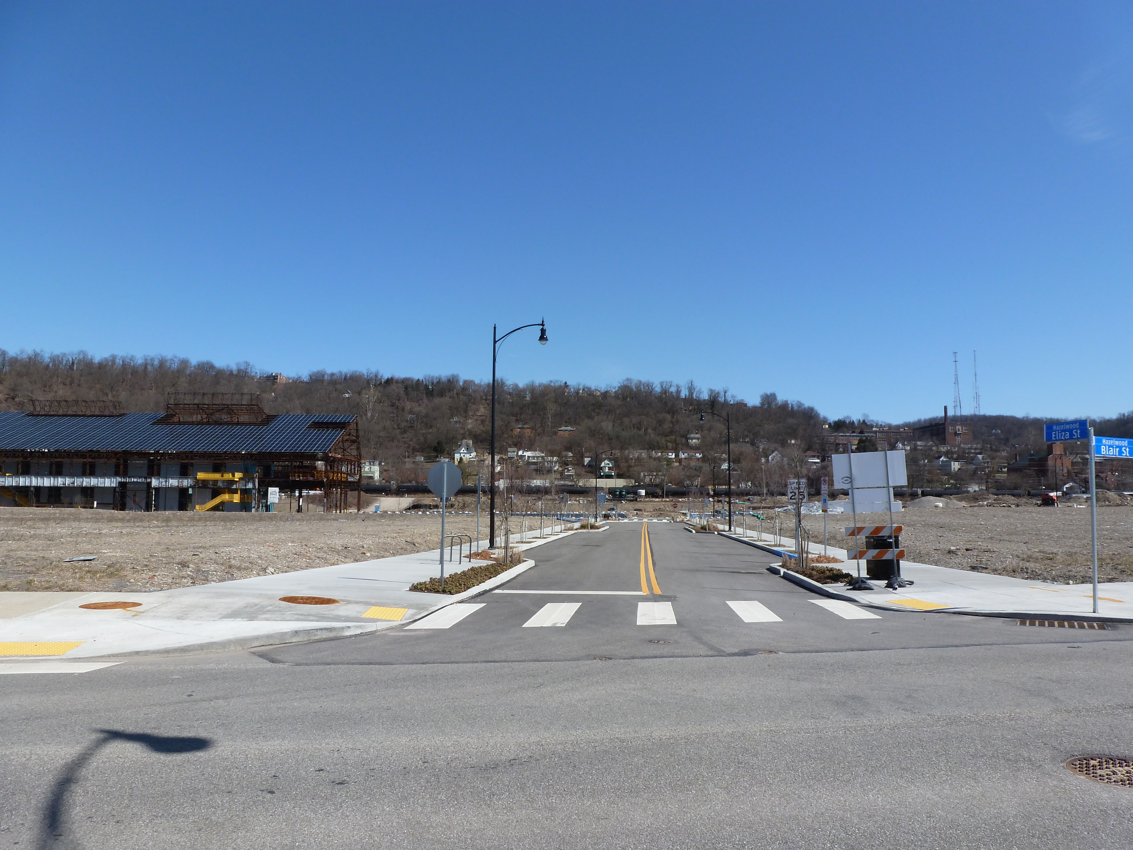
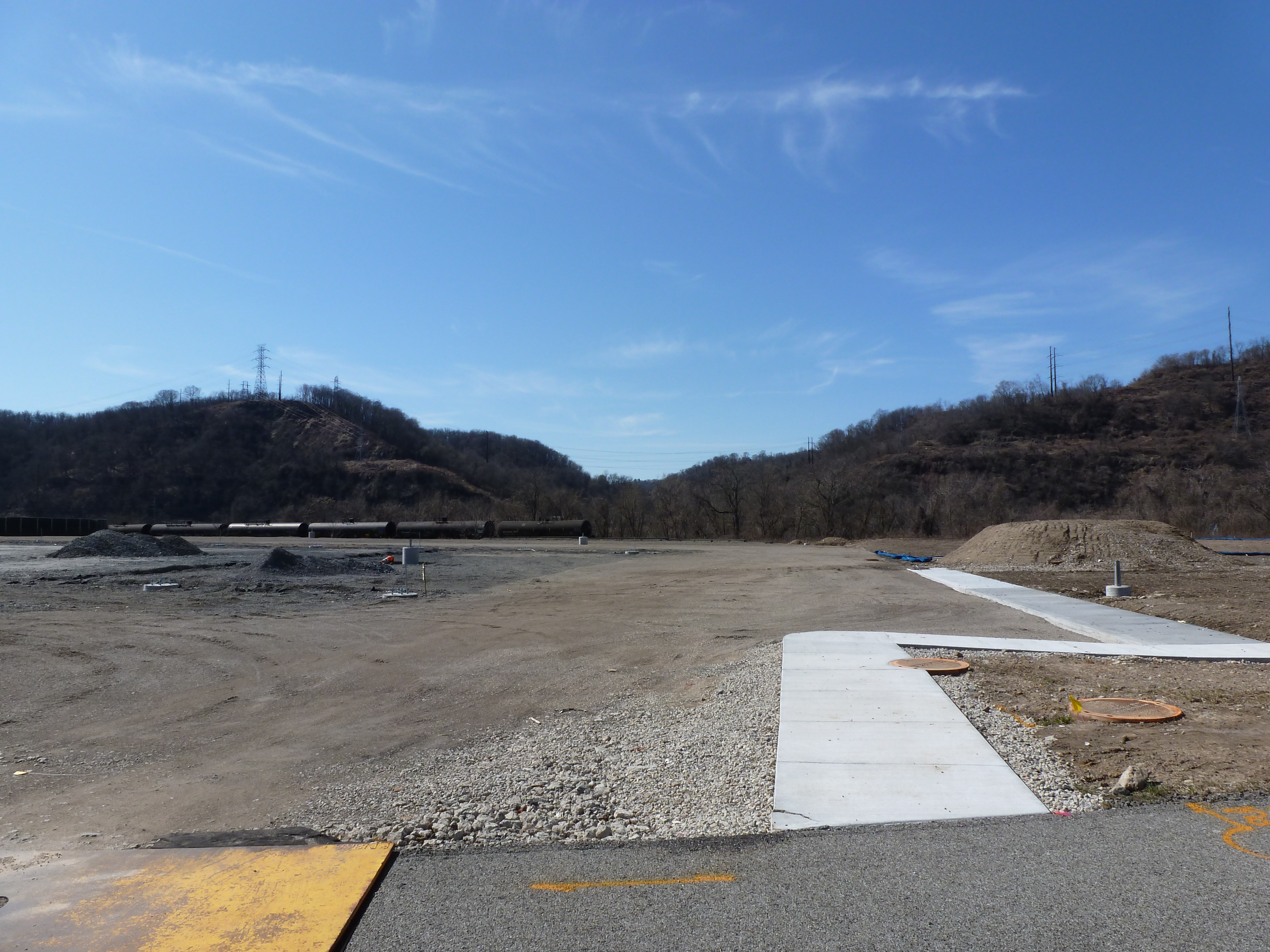
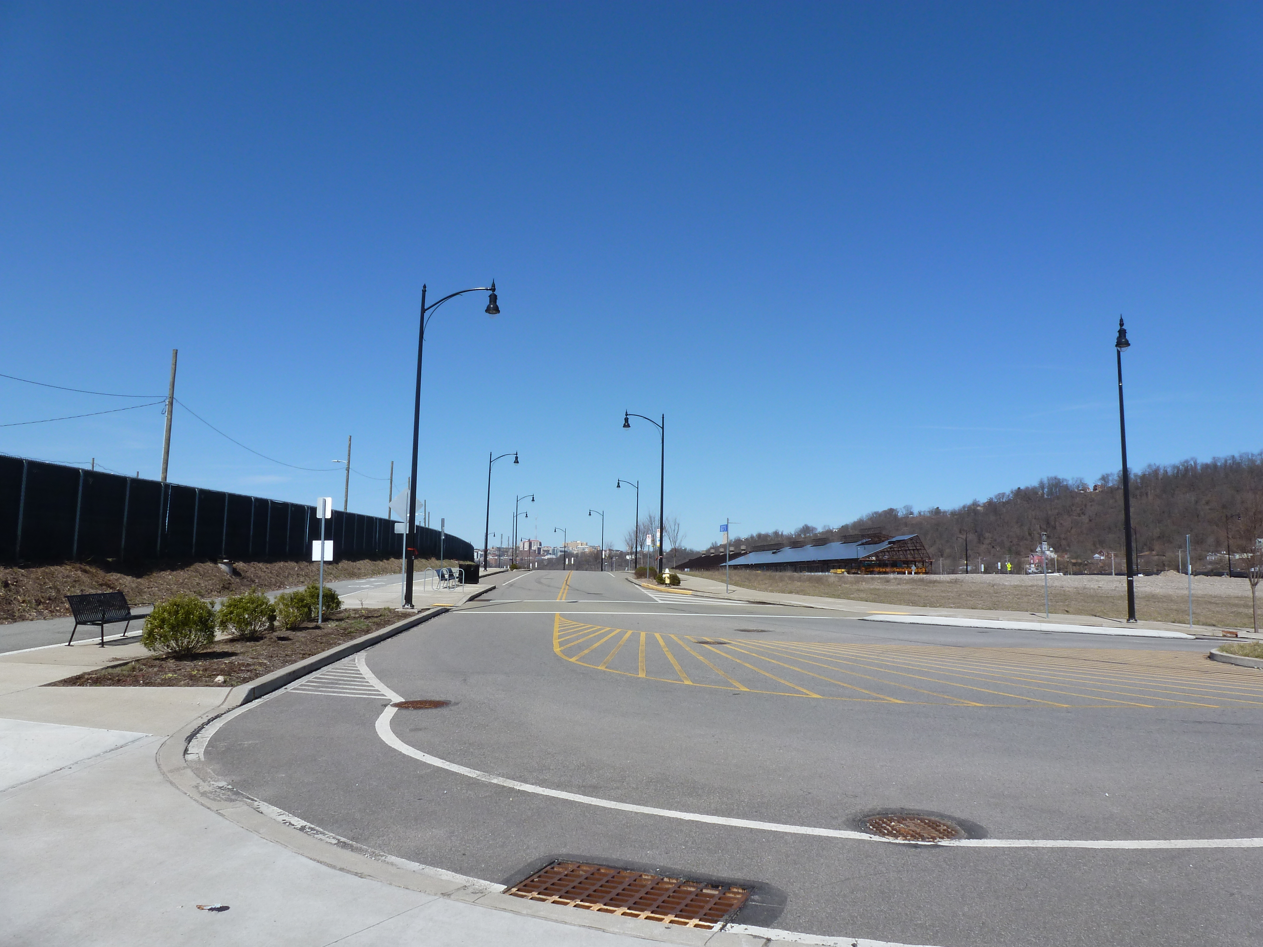
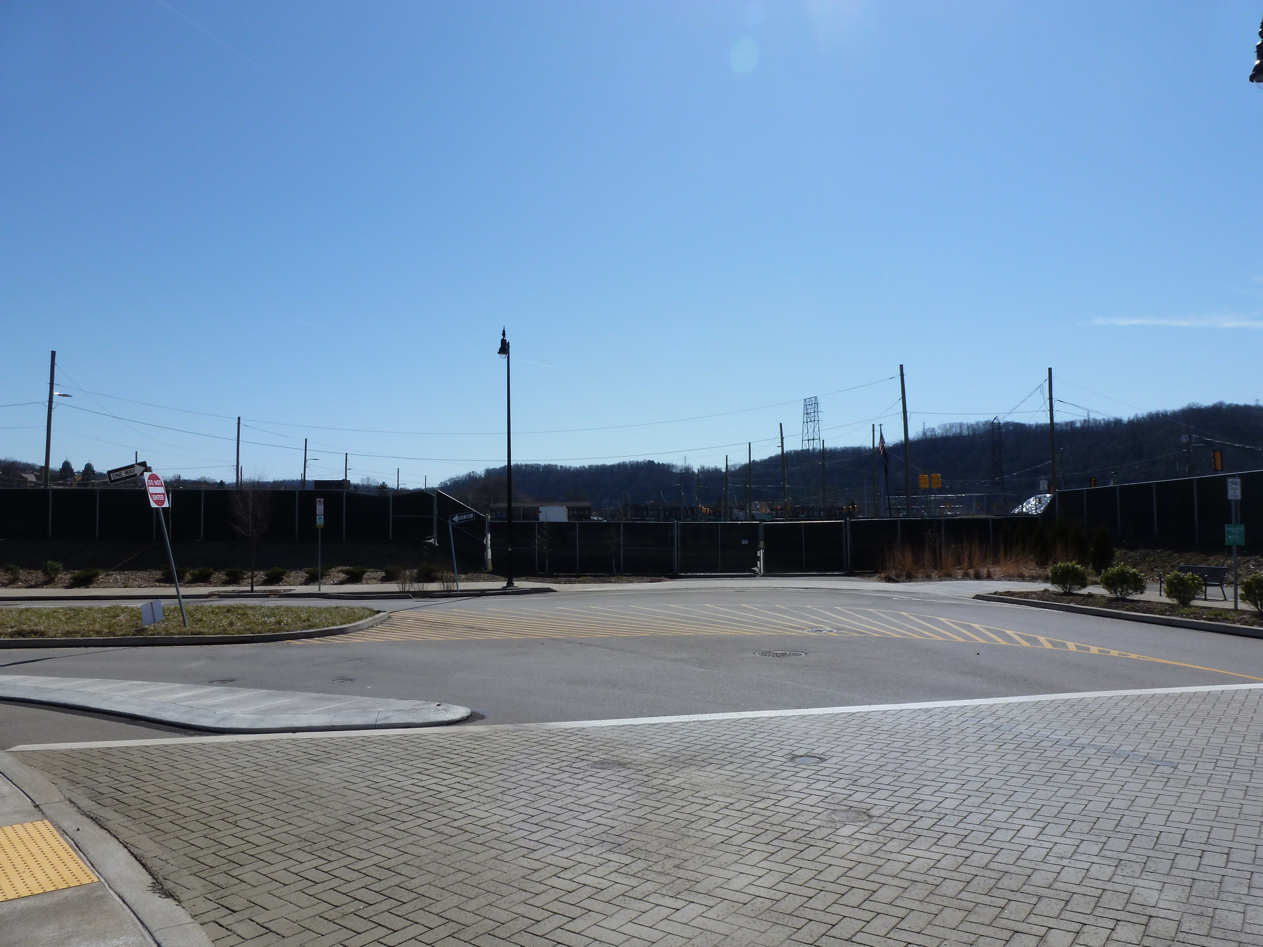
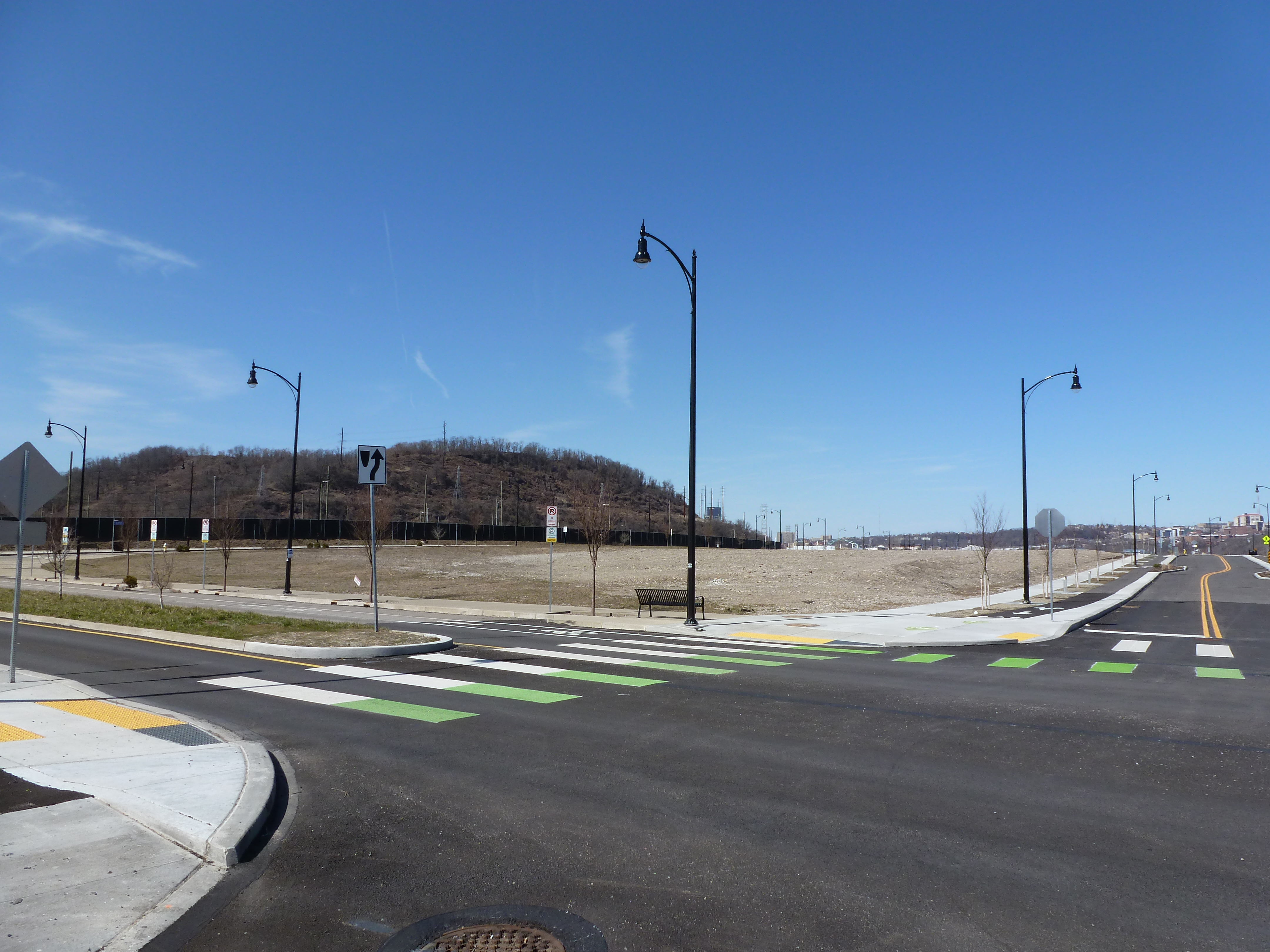
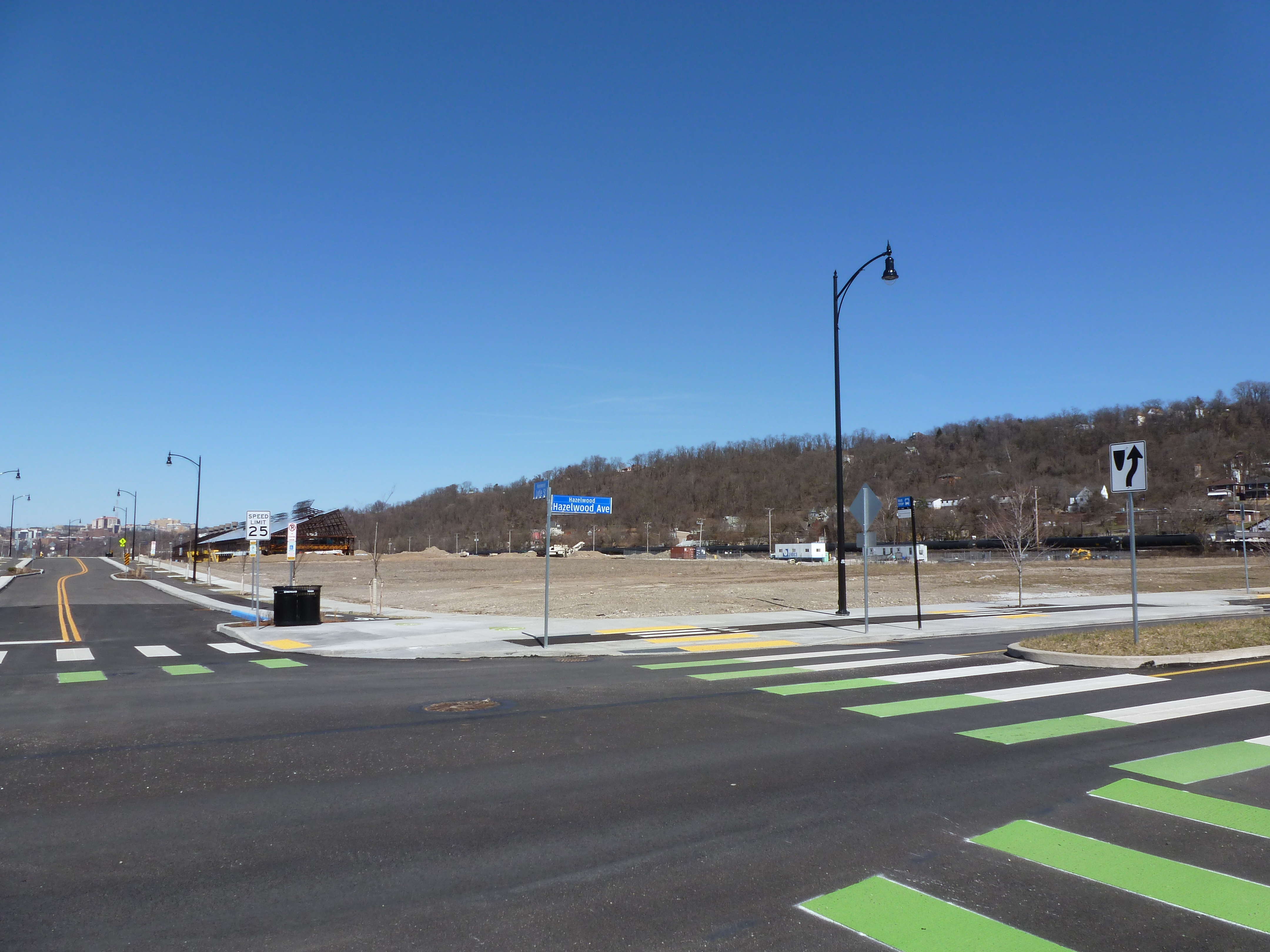
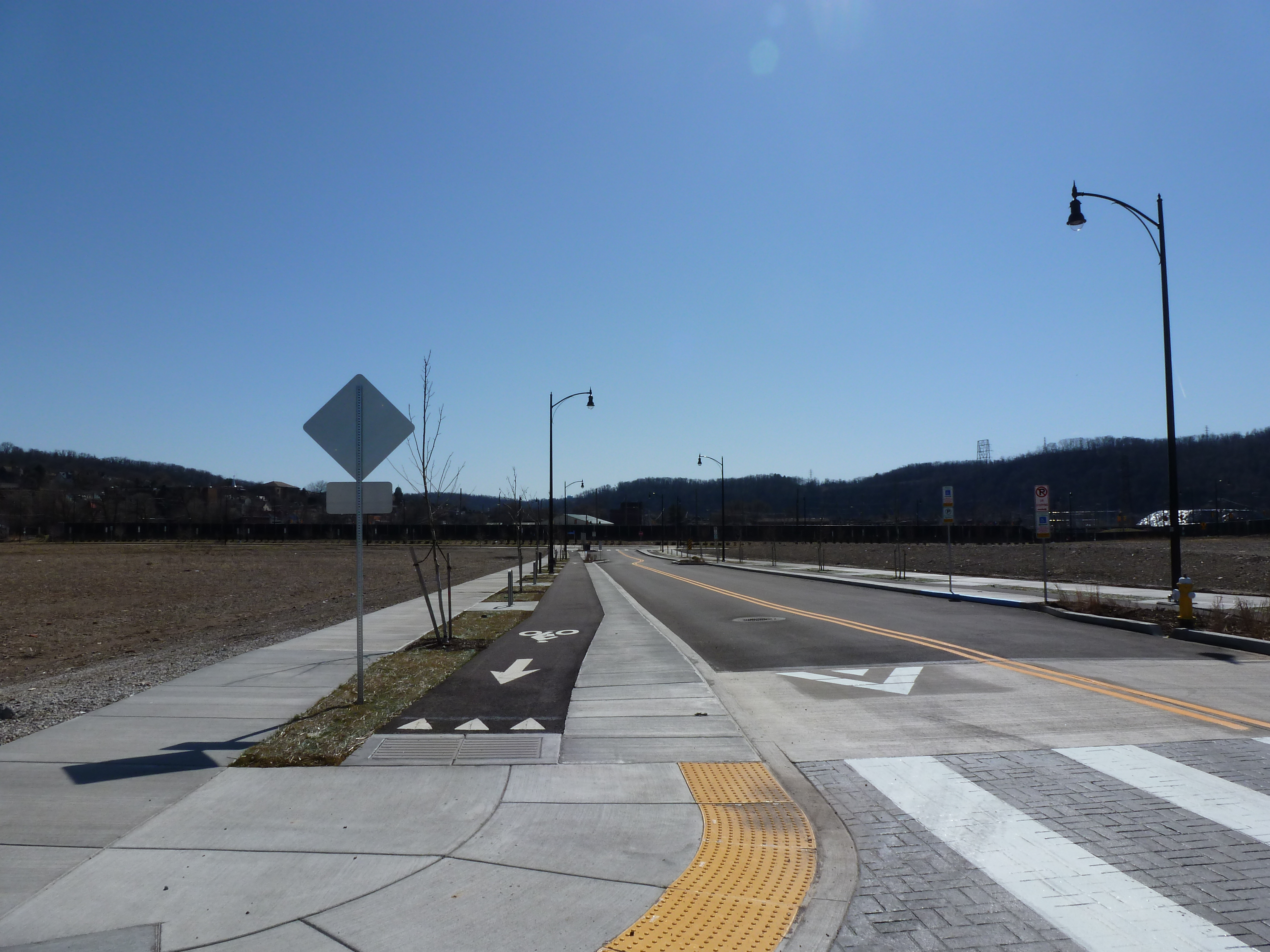
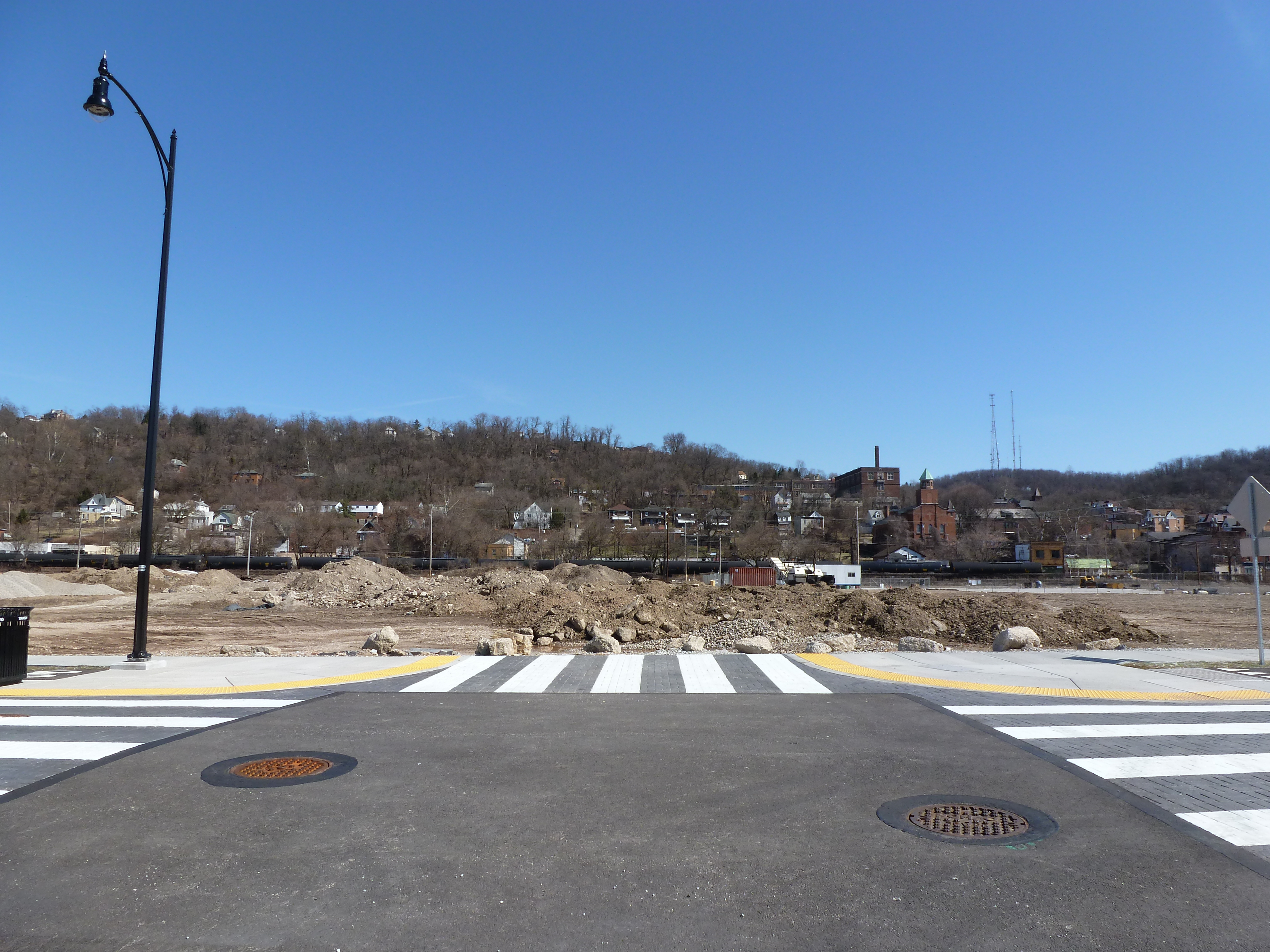
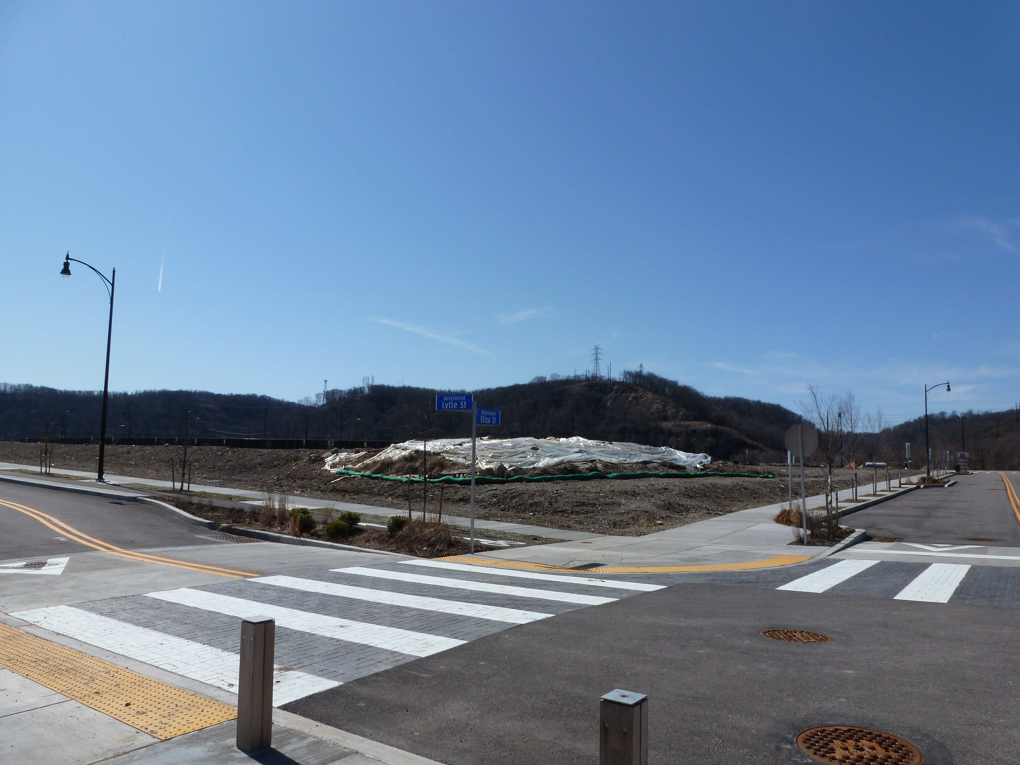
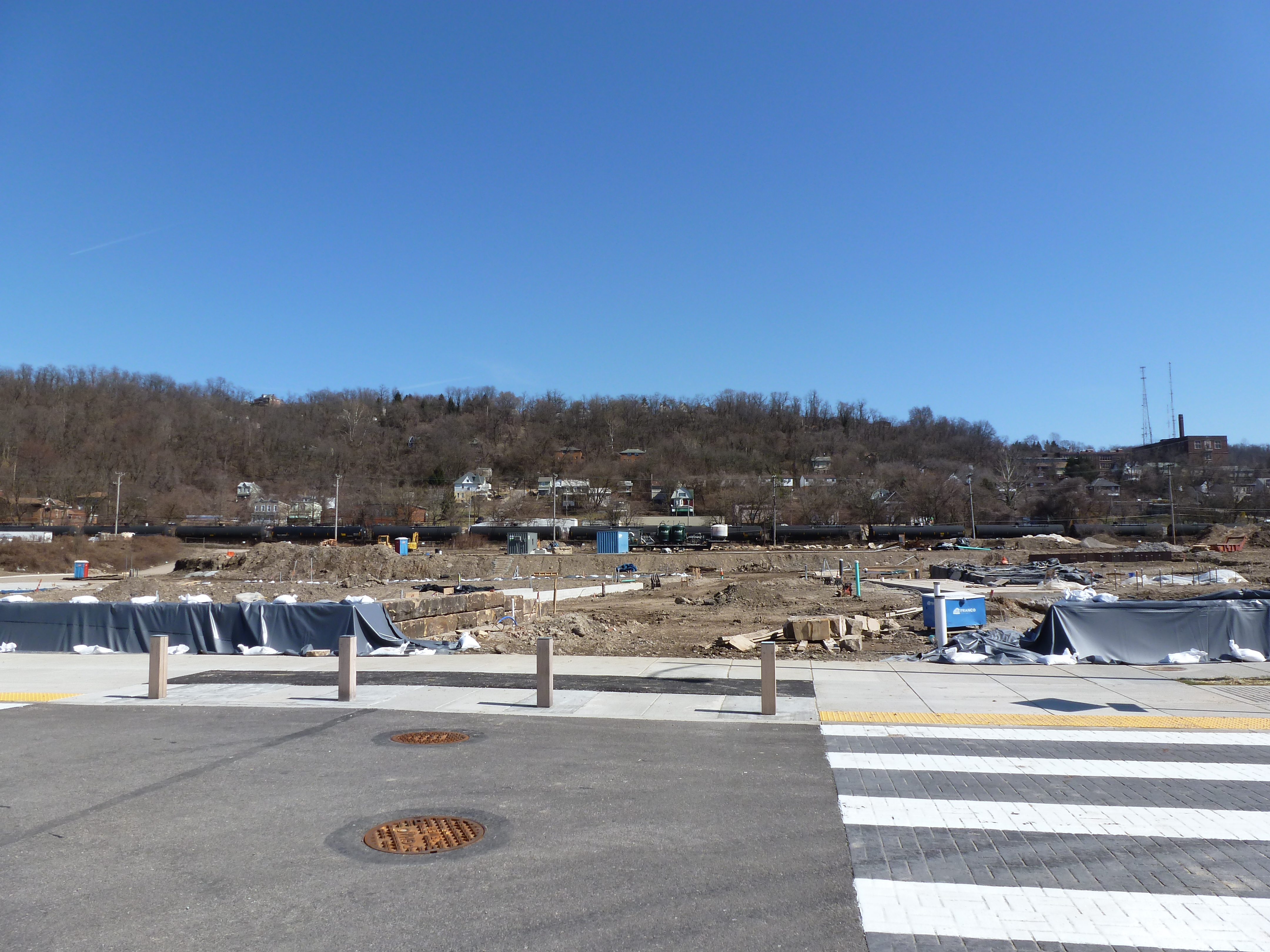
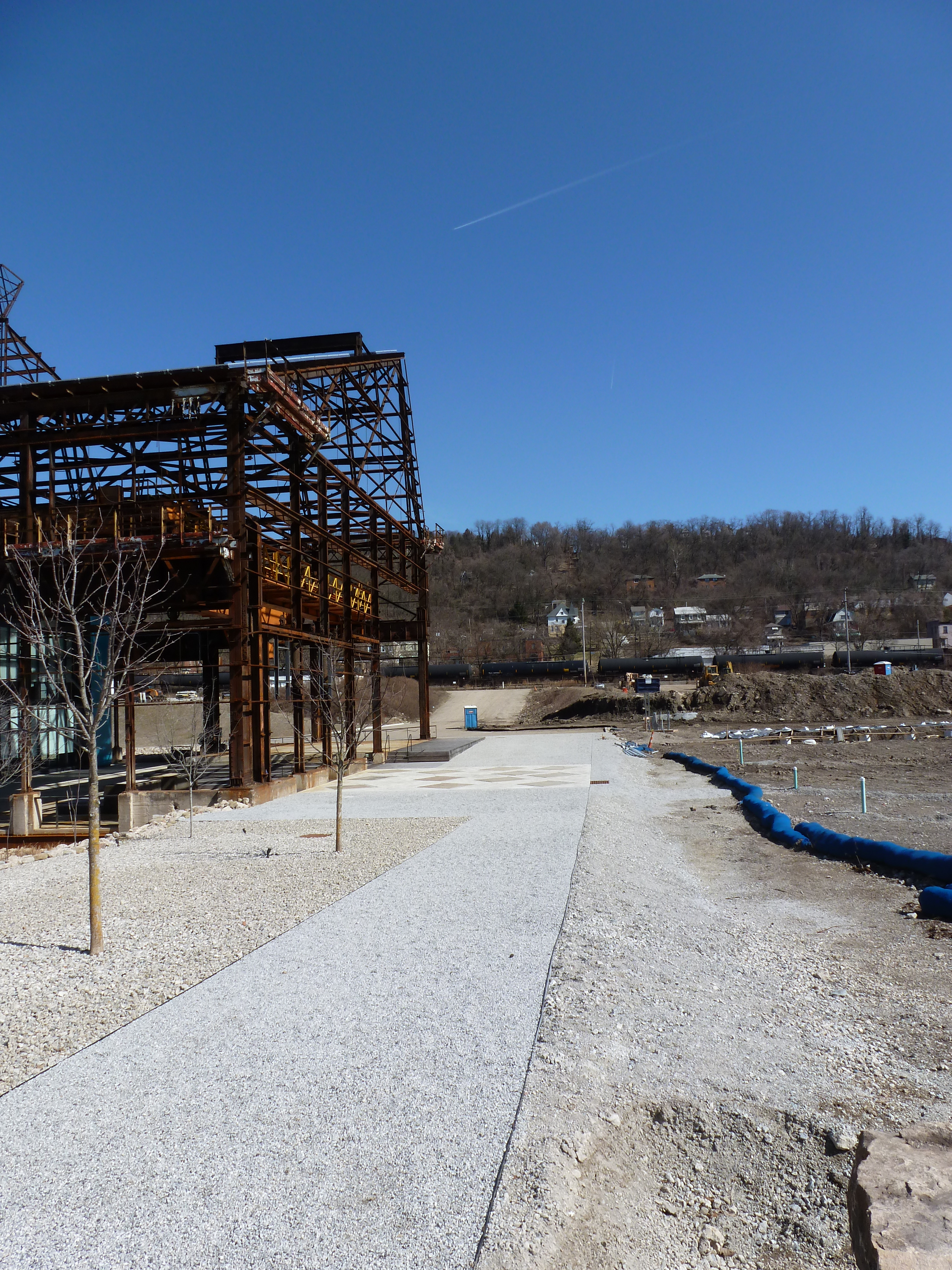
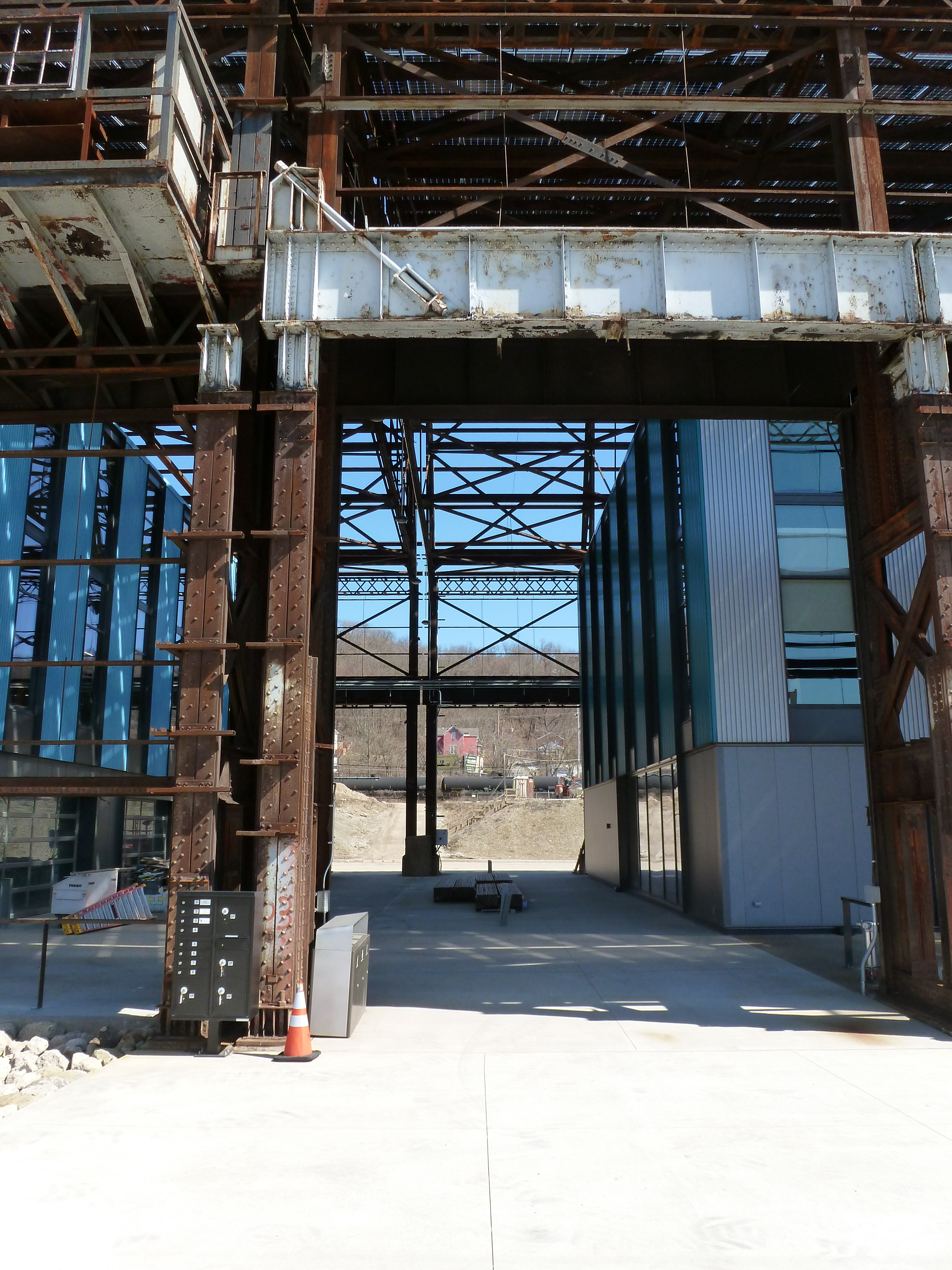
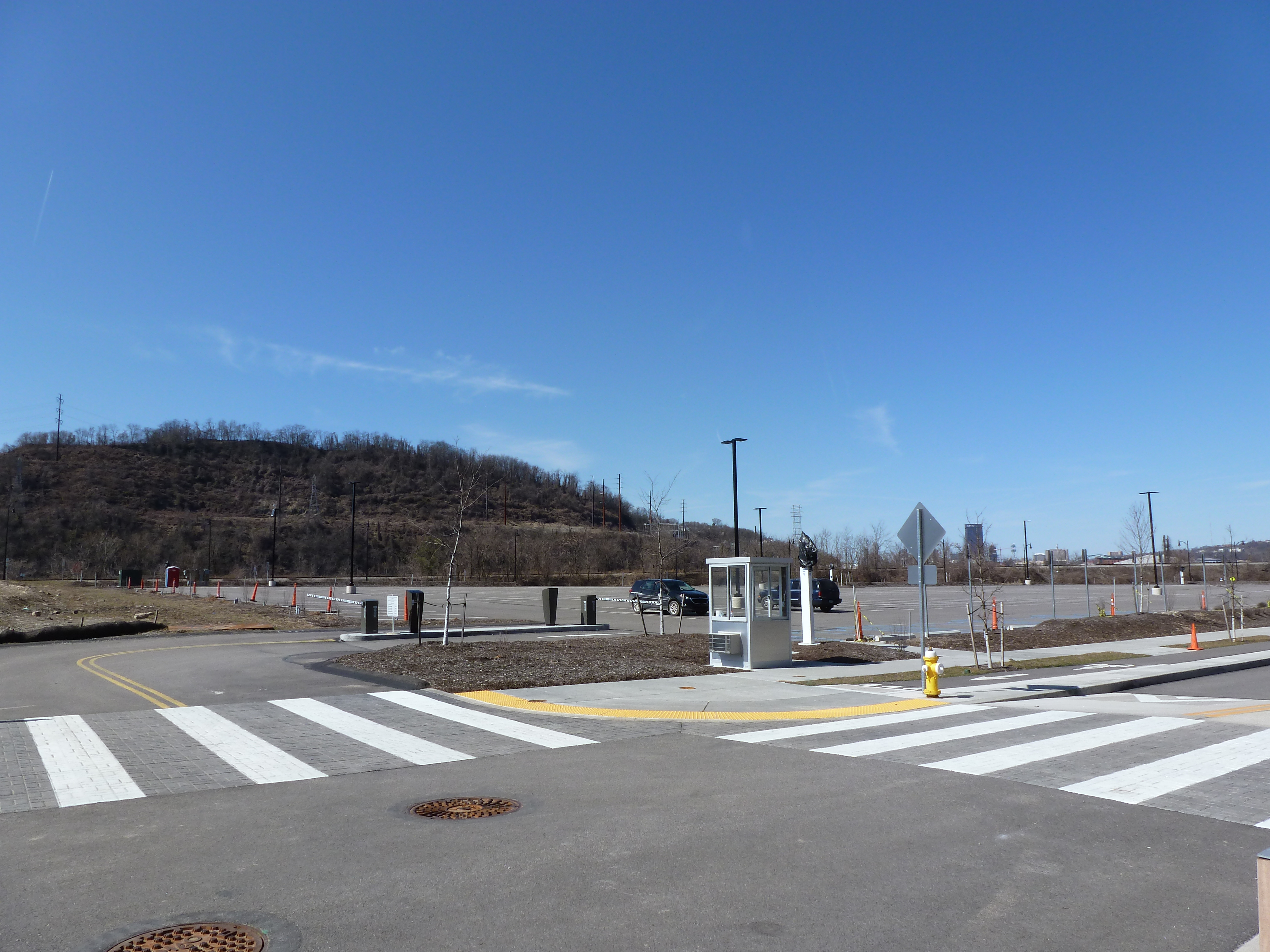
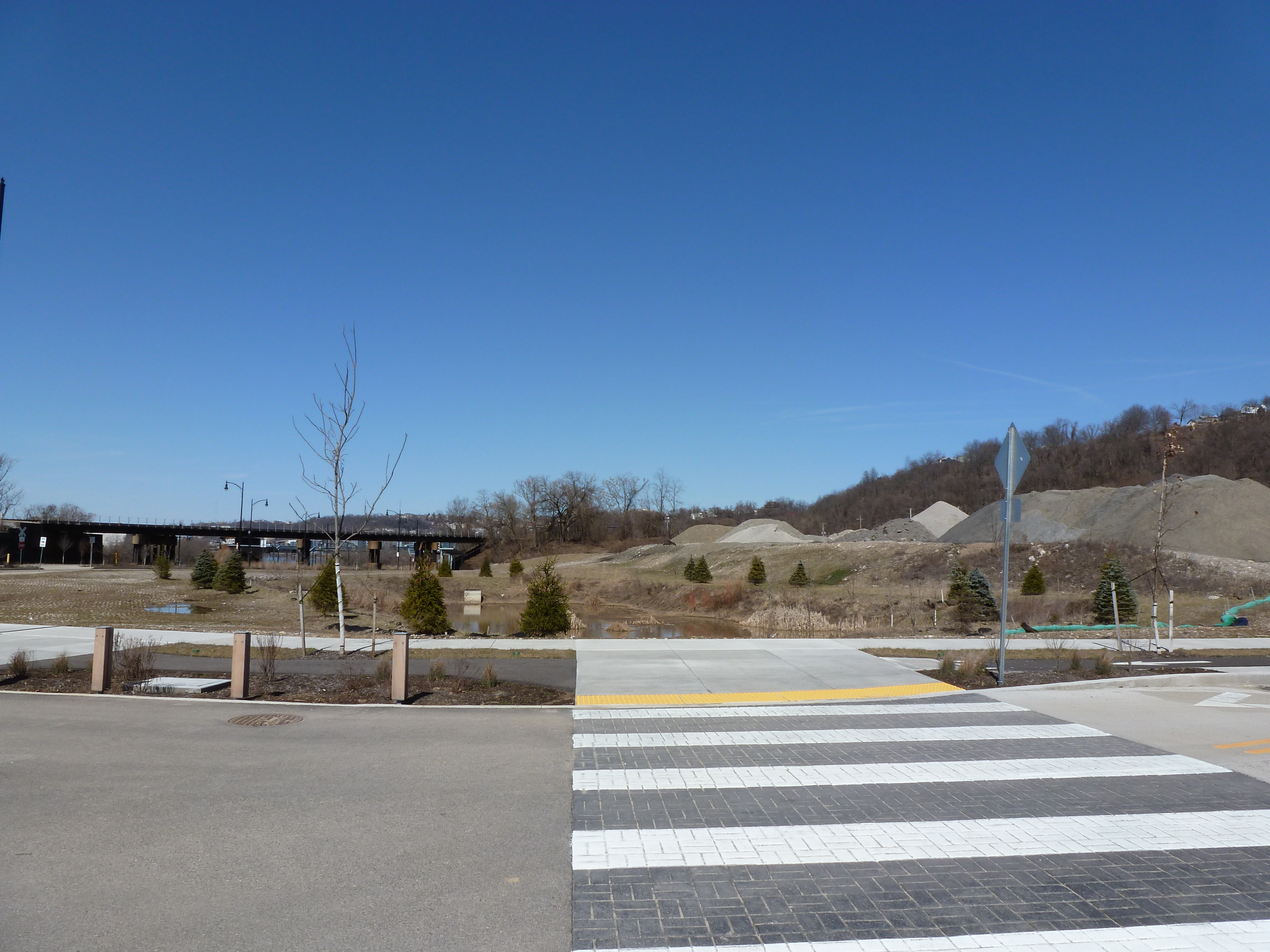
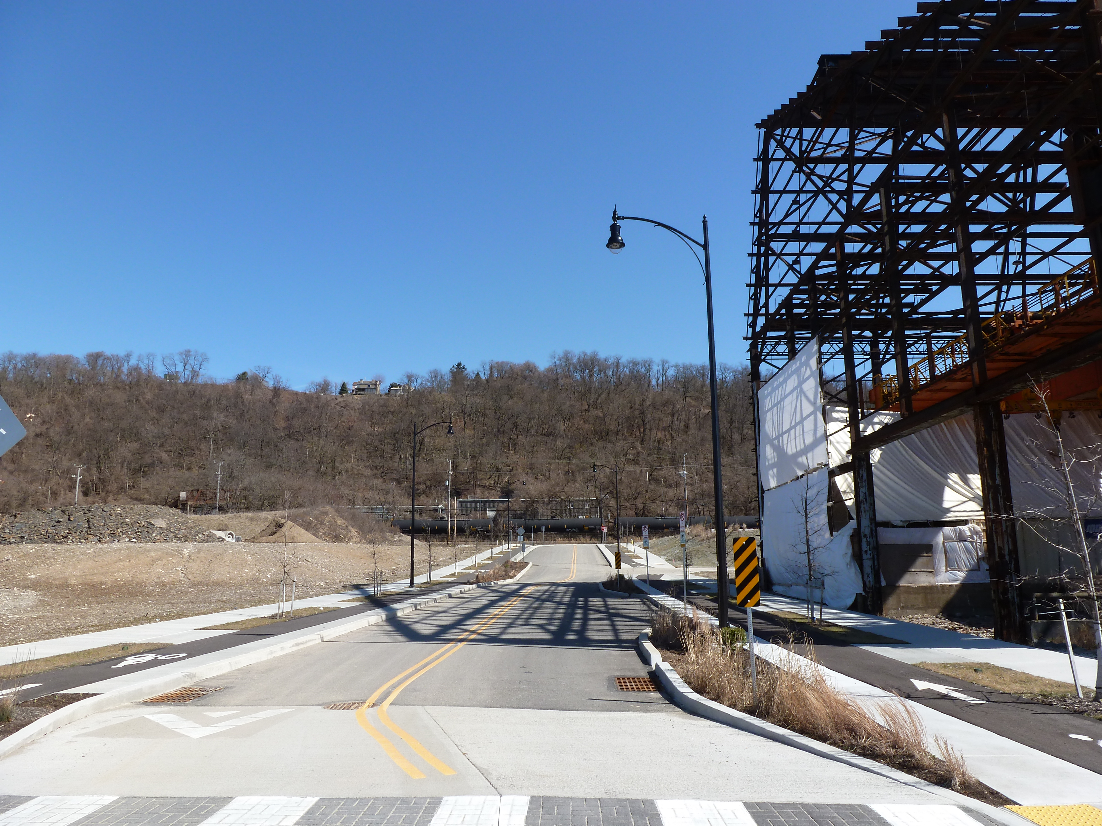
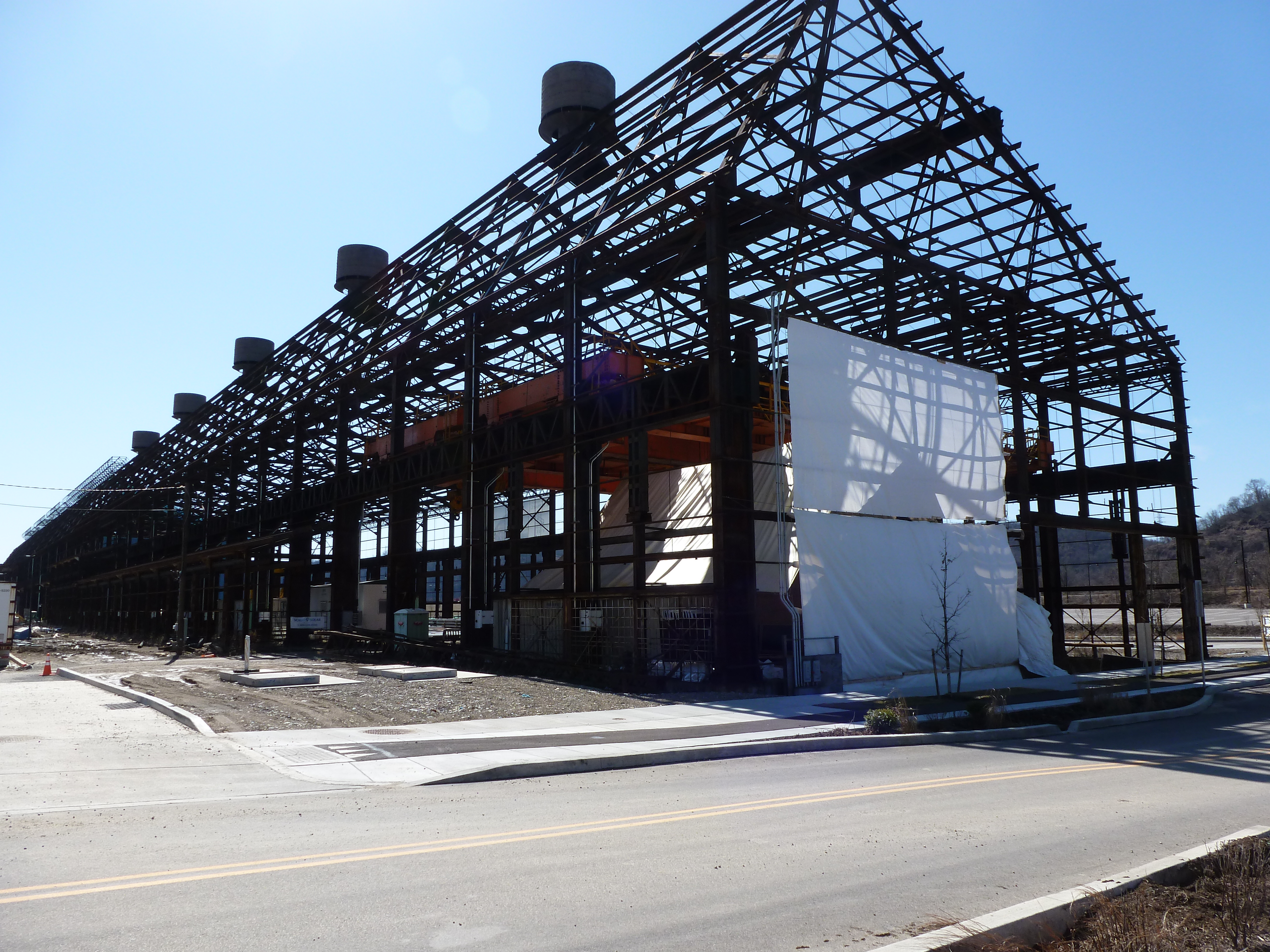
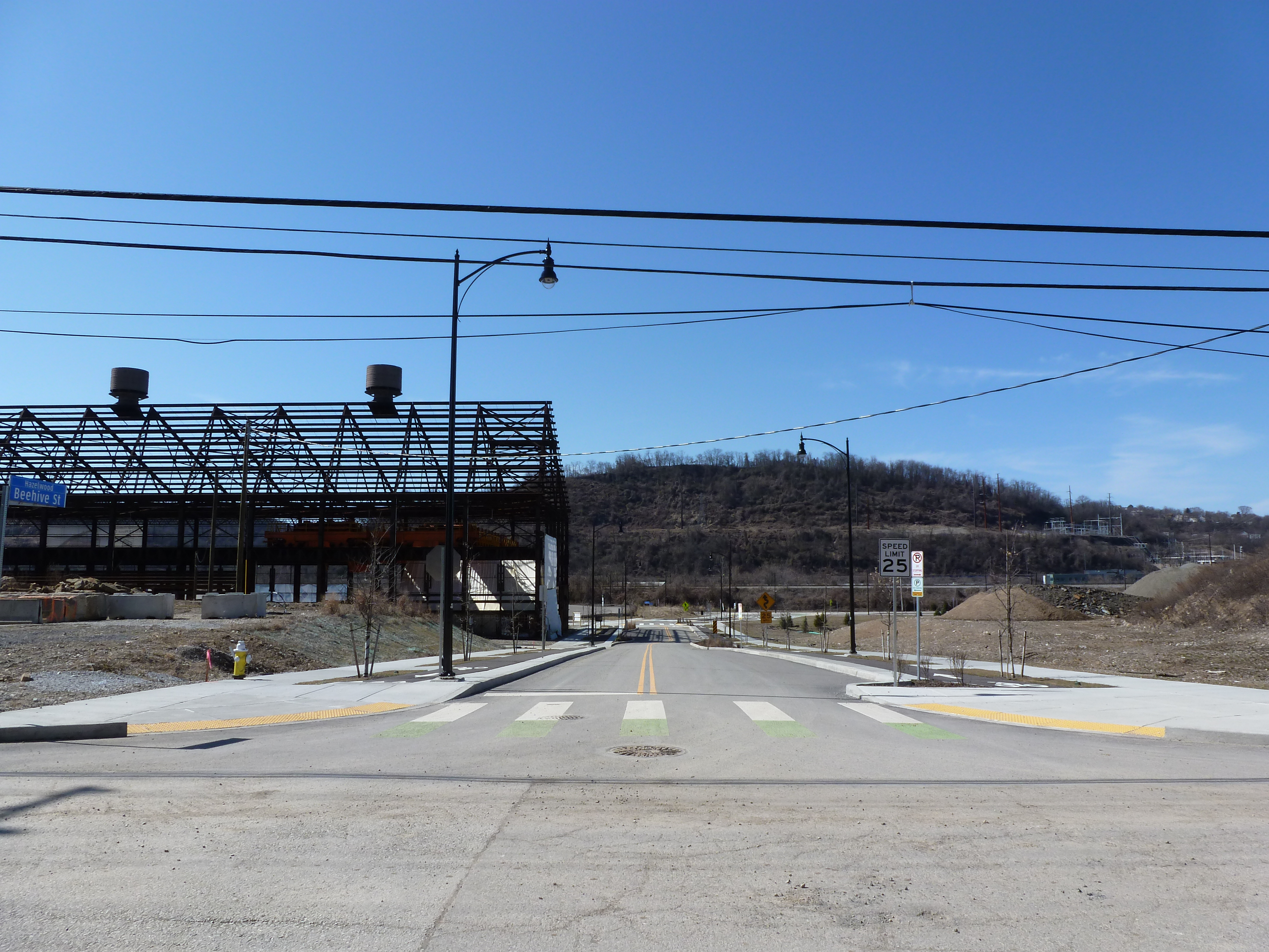
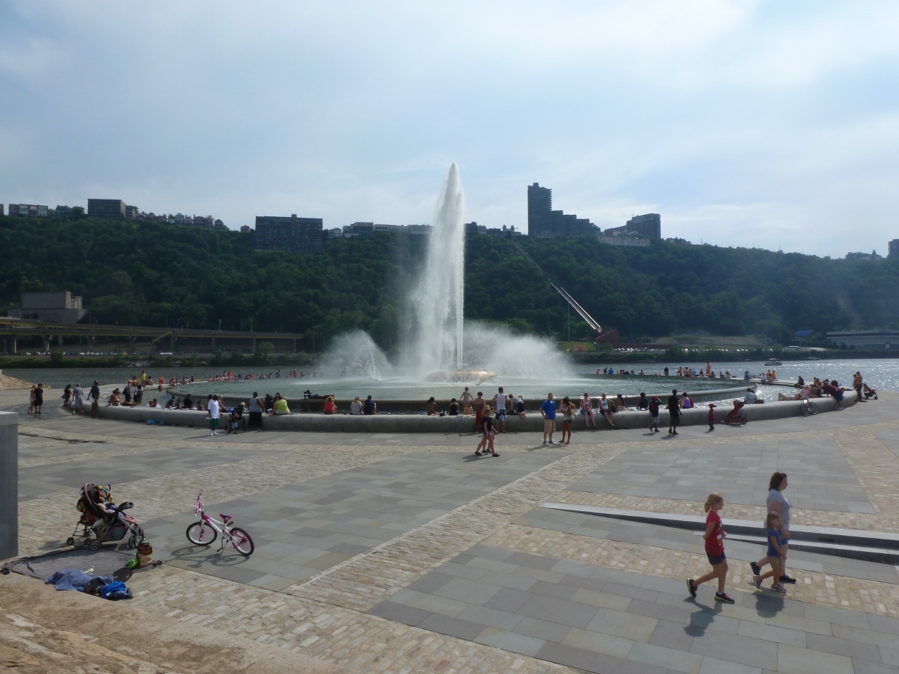
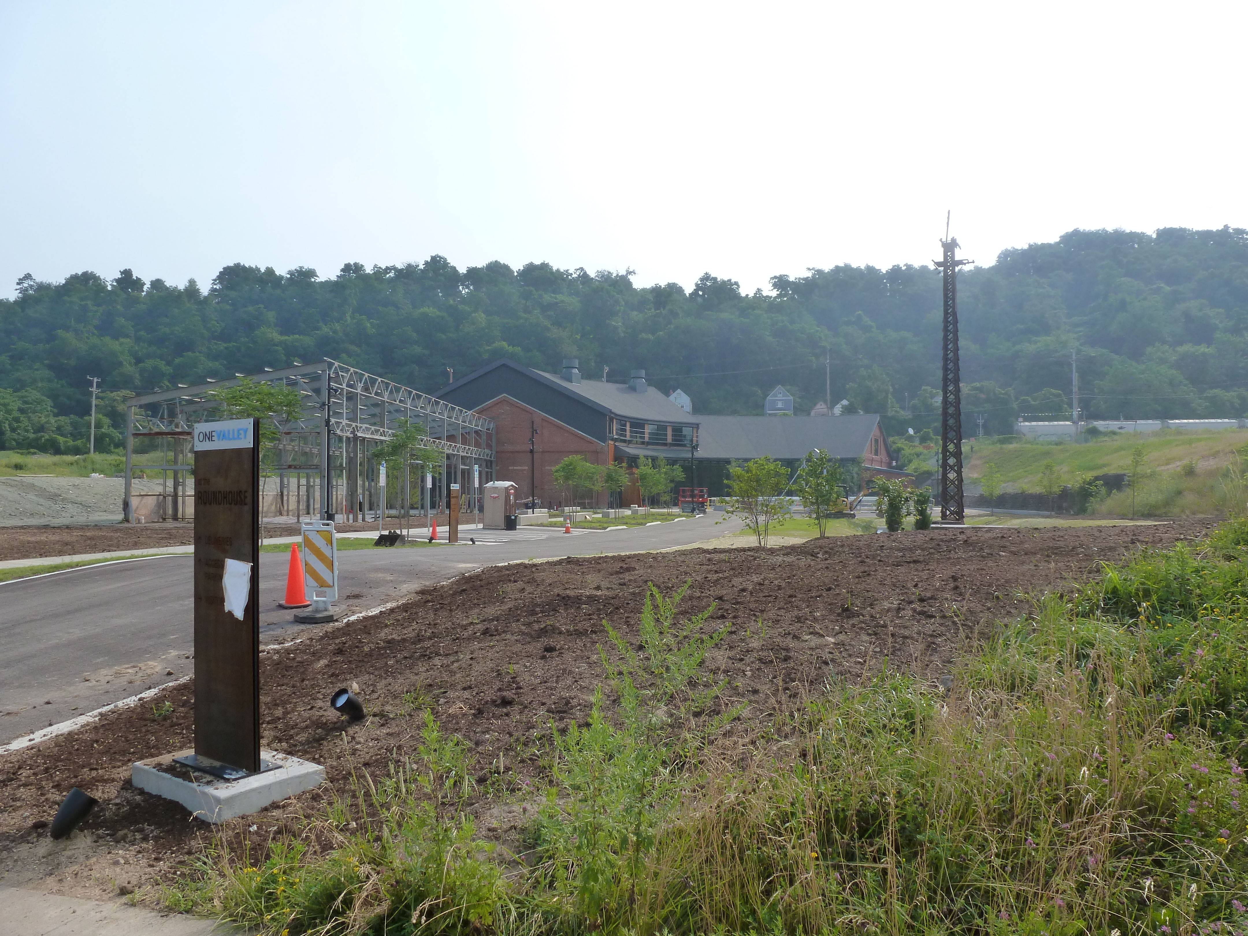
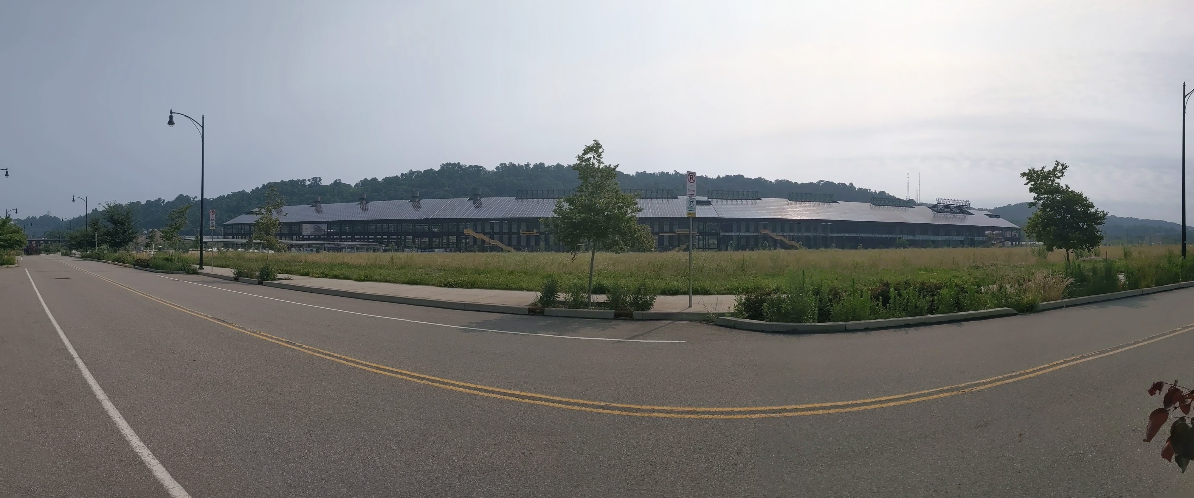
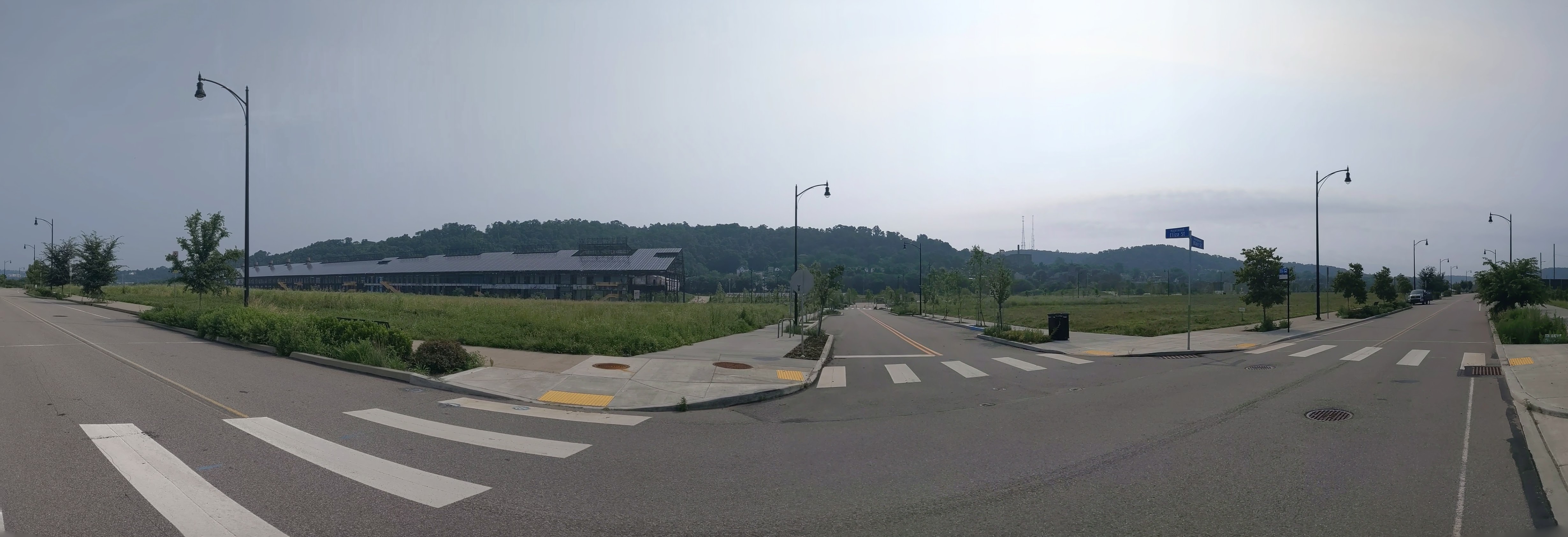
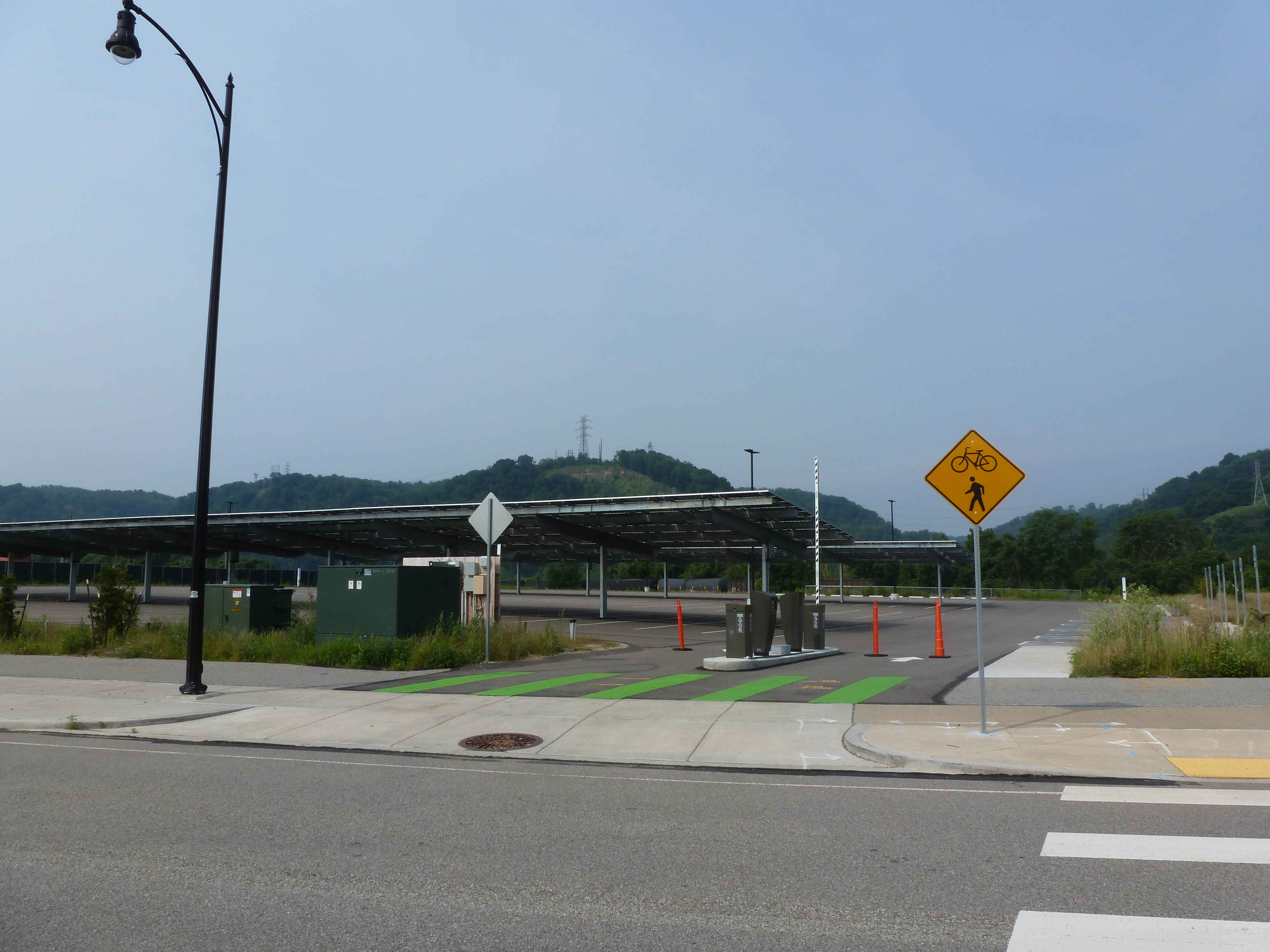
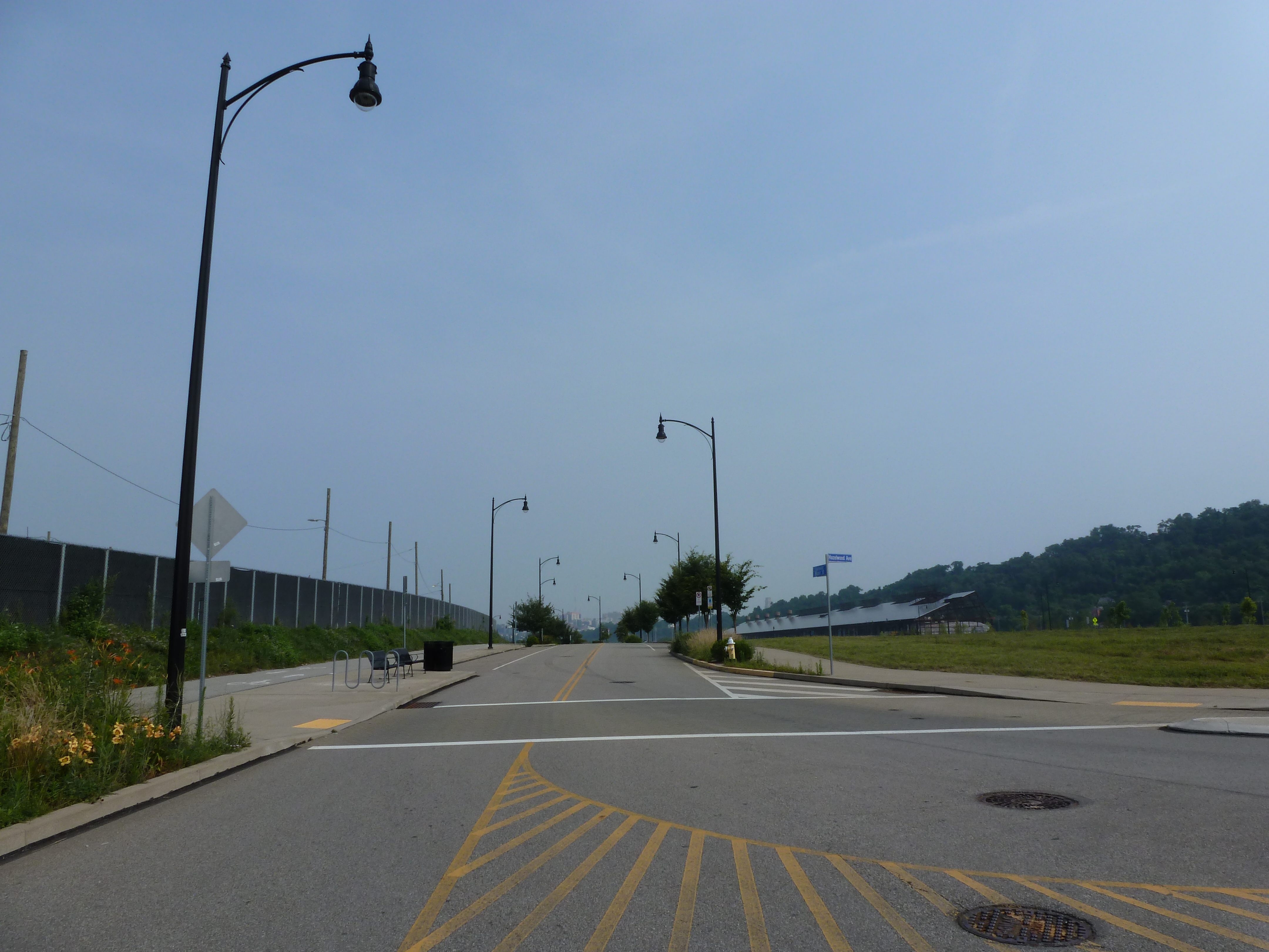
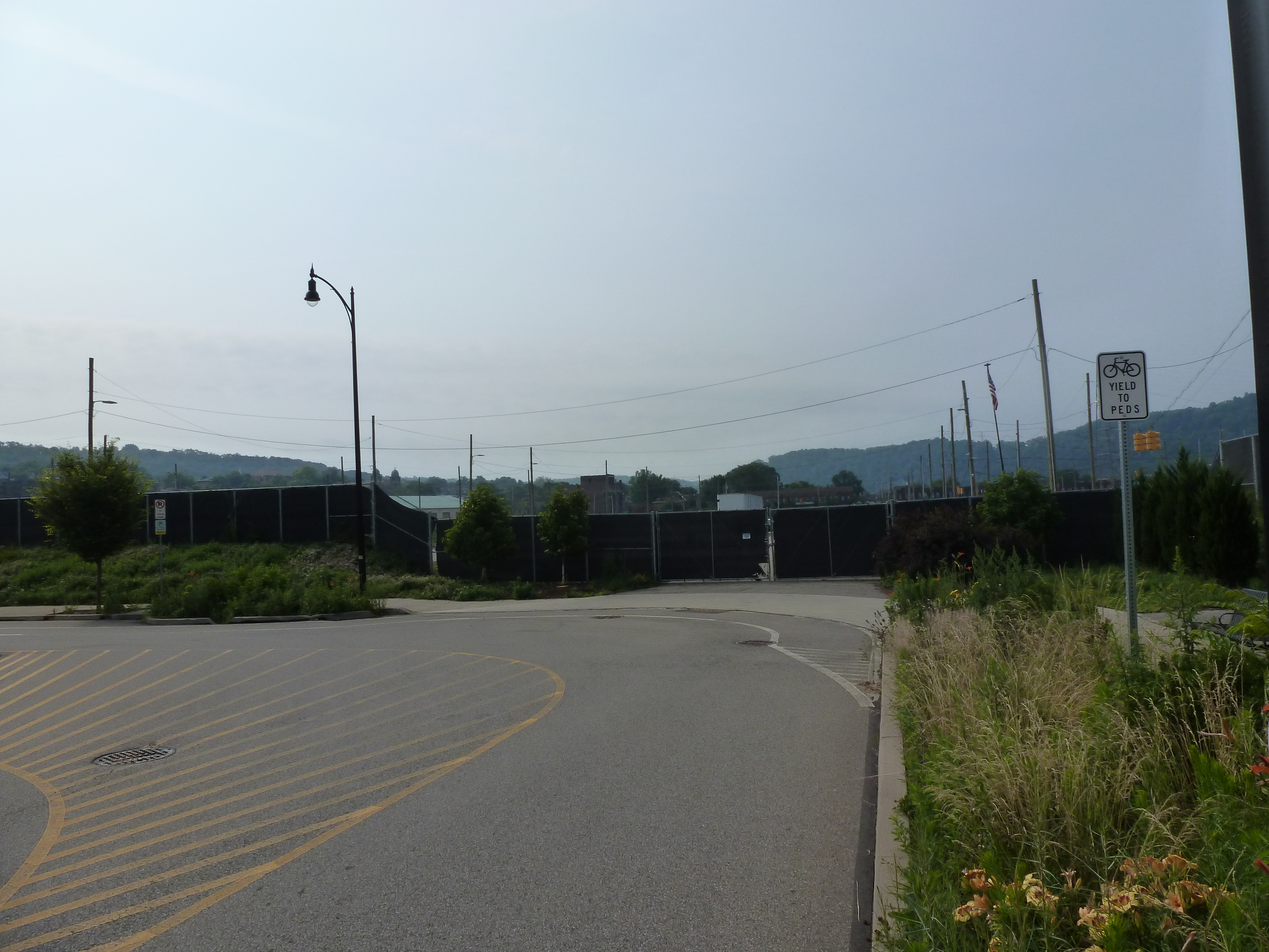
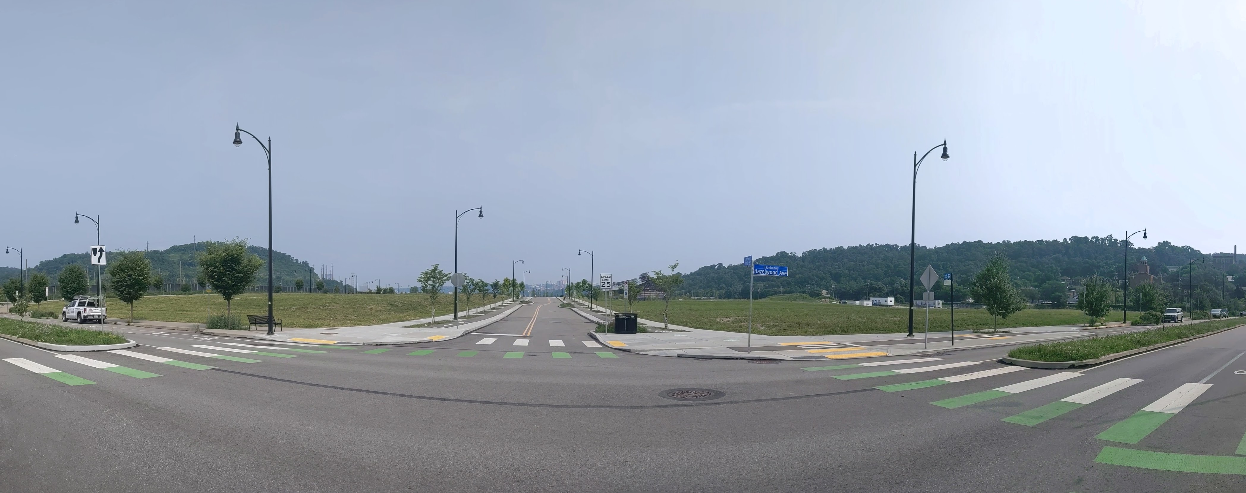
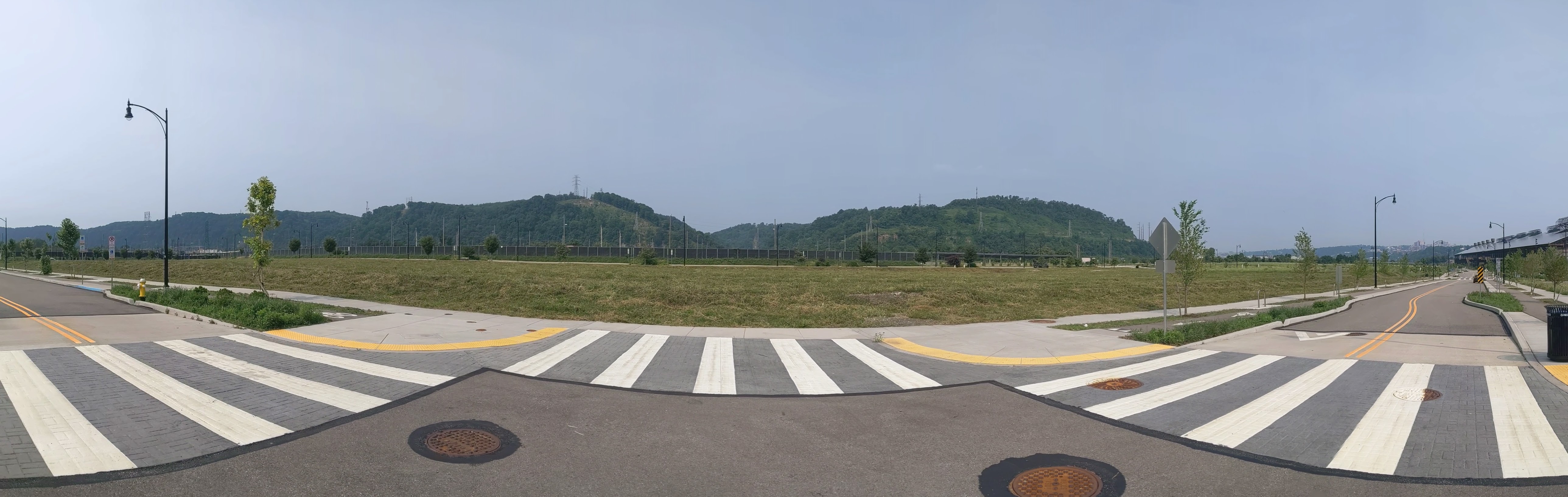
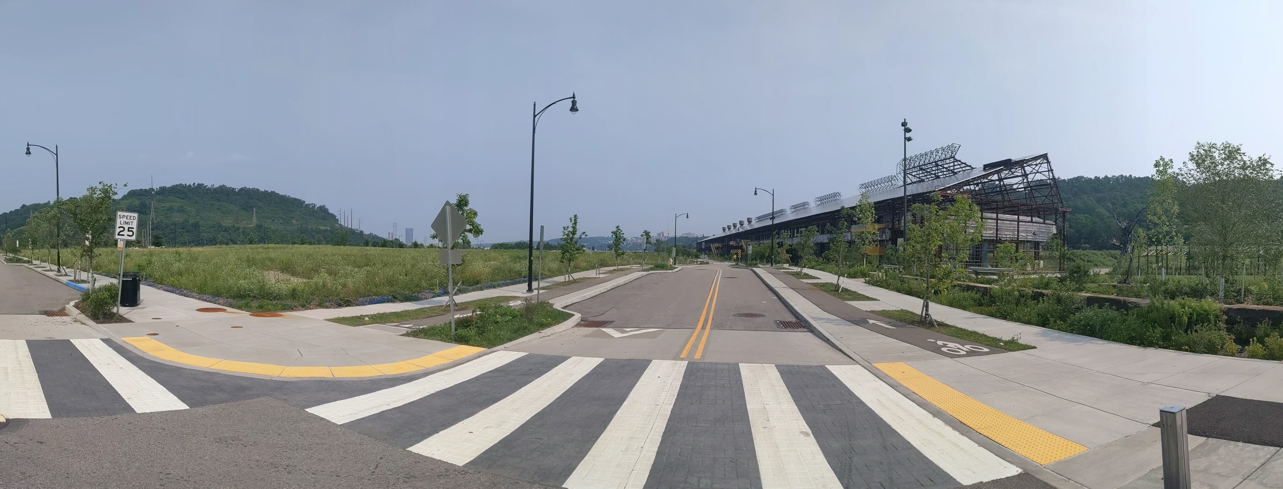
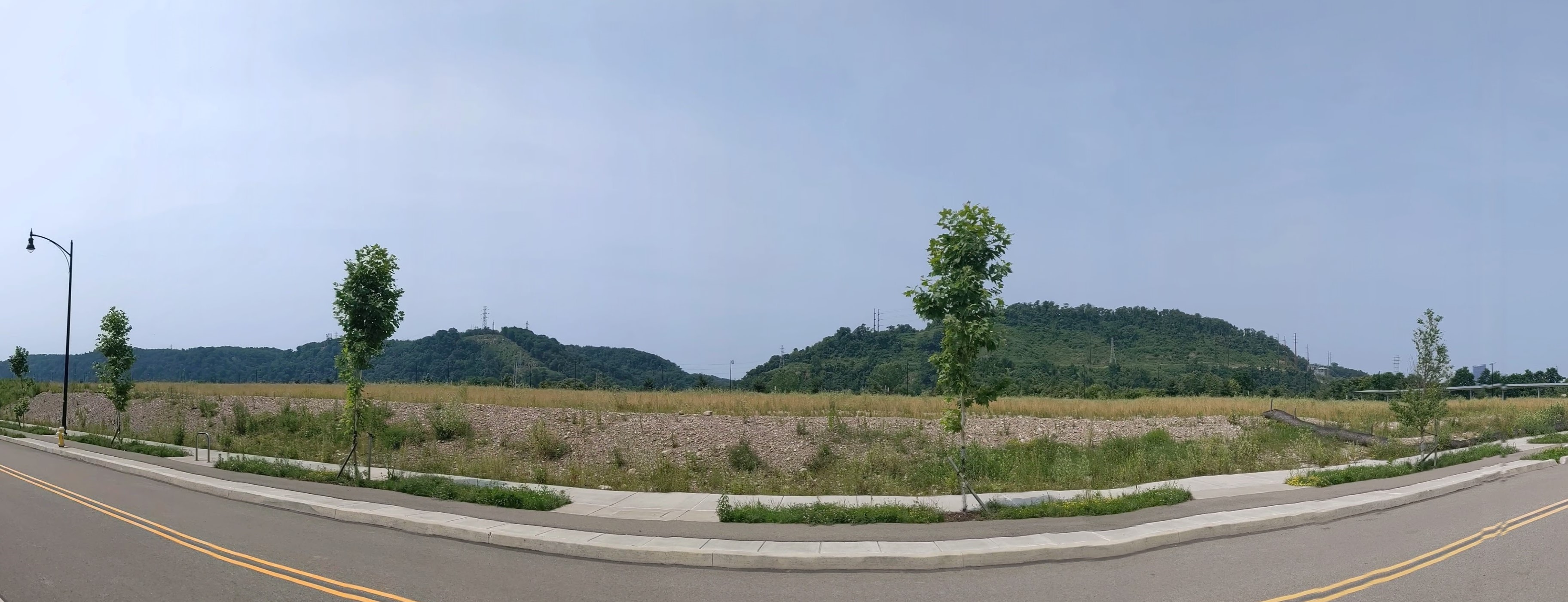
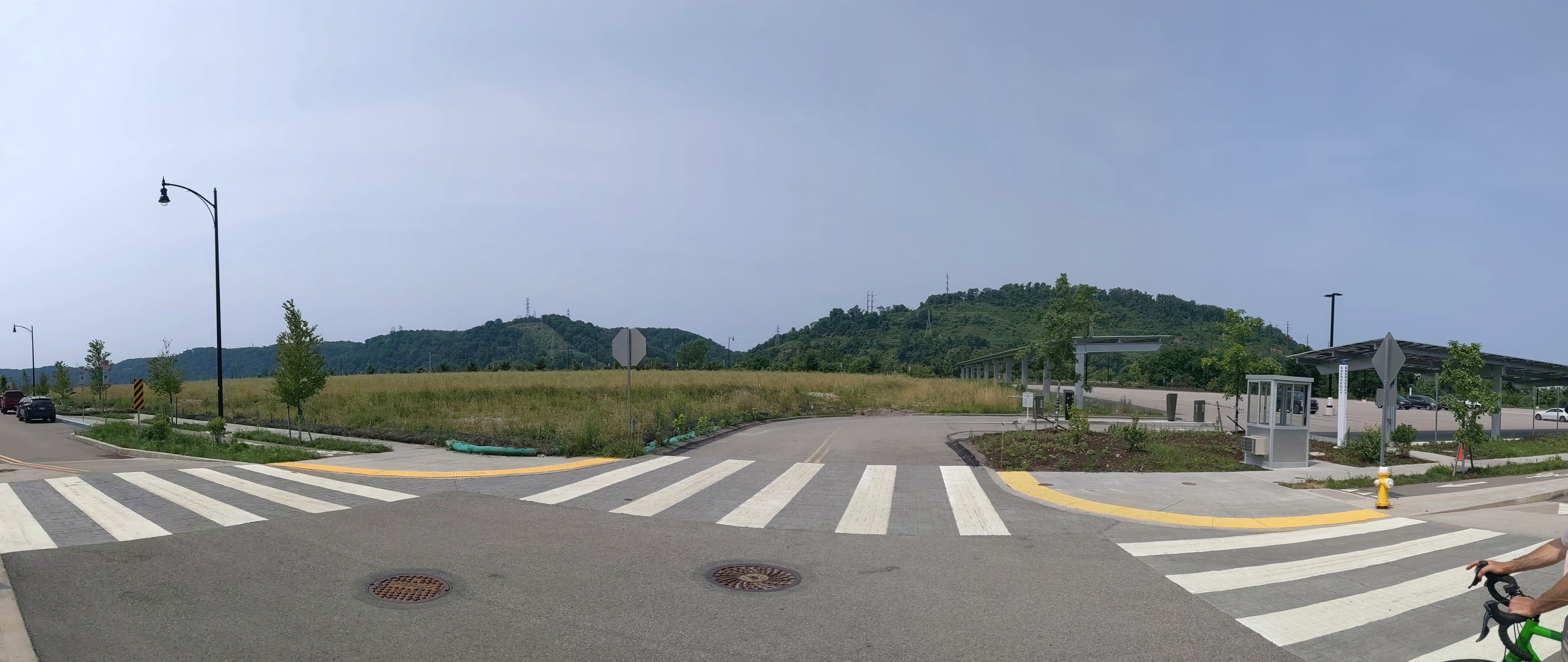
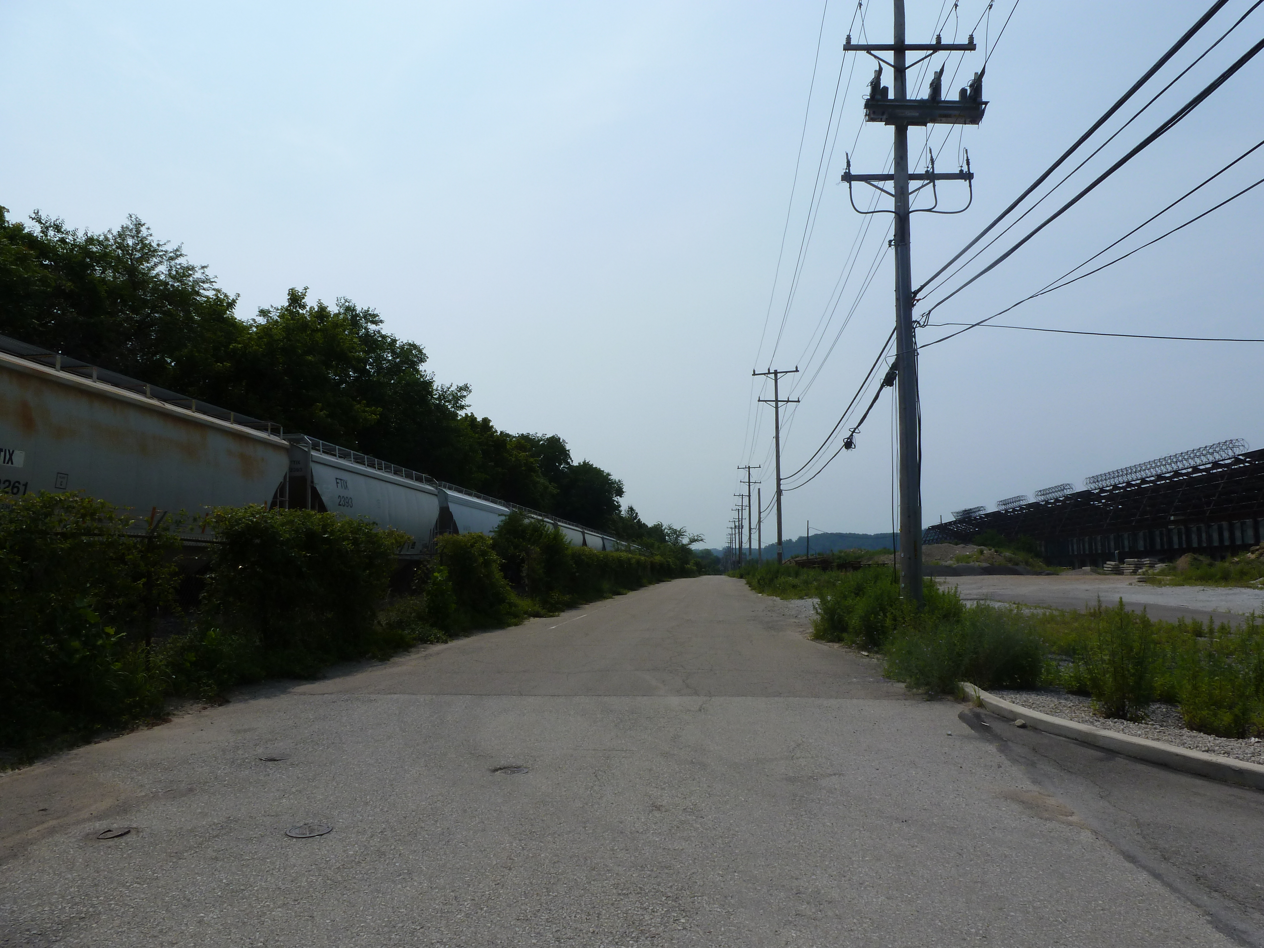
Since the last time I photographed Hazelwood Green, the most significant changes are the near completion of the public plaza (photo 24a) and the Roundhouse (photo 8), a former mill building converted to office space. Construction is also underway for the final building in Mill 19 (photos 29, 31, and 33), the remaining steel frame of one of the former mill buildings.
The Photos


Hazelwood Green in the News
The May 2021 opening of the public plaza was covered by NextPittsburgh (May 6, 2021), Pittsburgh Business Times (May 7, 20201), and KDKA (May 8, 2021).
Almono LP led a process to develop a riverfront master plan for the site. The Post-Gazette and Tribune Review announced the proposal to seek input on the plan in September 2020. The Pennsylvania Environment Council updated their September 2020 announcement of the planning process with a link to the report on the fall planning process. WPXI and Pittsburgh Business Times reported on the release of the riverfront master plan in April 2021.
The Roundhouse renovation’s press is skewed toward the stories on the construction from October 2020 (WPXI, Tribune Review, NextPittsburgh, Post-Gazette) and the stories on the start-up challenge that coincided with OneValley’s February 2021 announcement that they would be opening an innovation center at the Roundhouse (NextPittsburgh, technical.ly, OneValley, Innovate PGH, PR Newswire). Technical.ly’s article is the only one I found on the opening of OneValley’s innovation center this month.
In other news, a grant was awarded to abate asbestos and lead in Mill 19 (PA Environment Digest Blog, October 13, 2020), a contested shuttle proposal between Hazelwood and Oakland is moving forward again (WESA, October 20, 2020), a green manufacturing plant may come to the site (Post-Gazette, May 6, 2021), Michael Keaton, aka Batman, visited Hazelwood Green in May 2021 (Pittsburgh Business Times, May 20, 2021), artists will be designing bus stops for Hazelwood Green (evolveEA, May 21, 2021), Carnegie Mellon University announced a proposal for a new robotics innovation center while the community works to make sure development supports residents (technical.ly, June 23, 2021), and Tishman Speyer may become a private development investing partner with Almono LP (Pittsburgh Business Times, July 9, 2021)
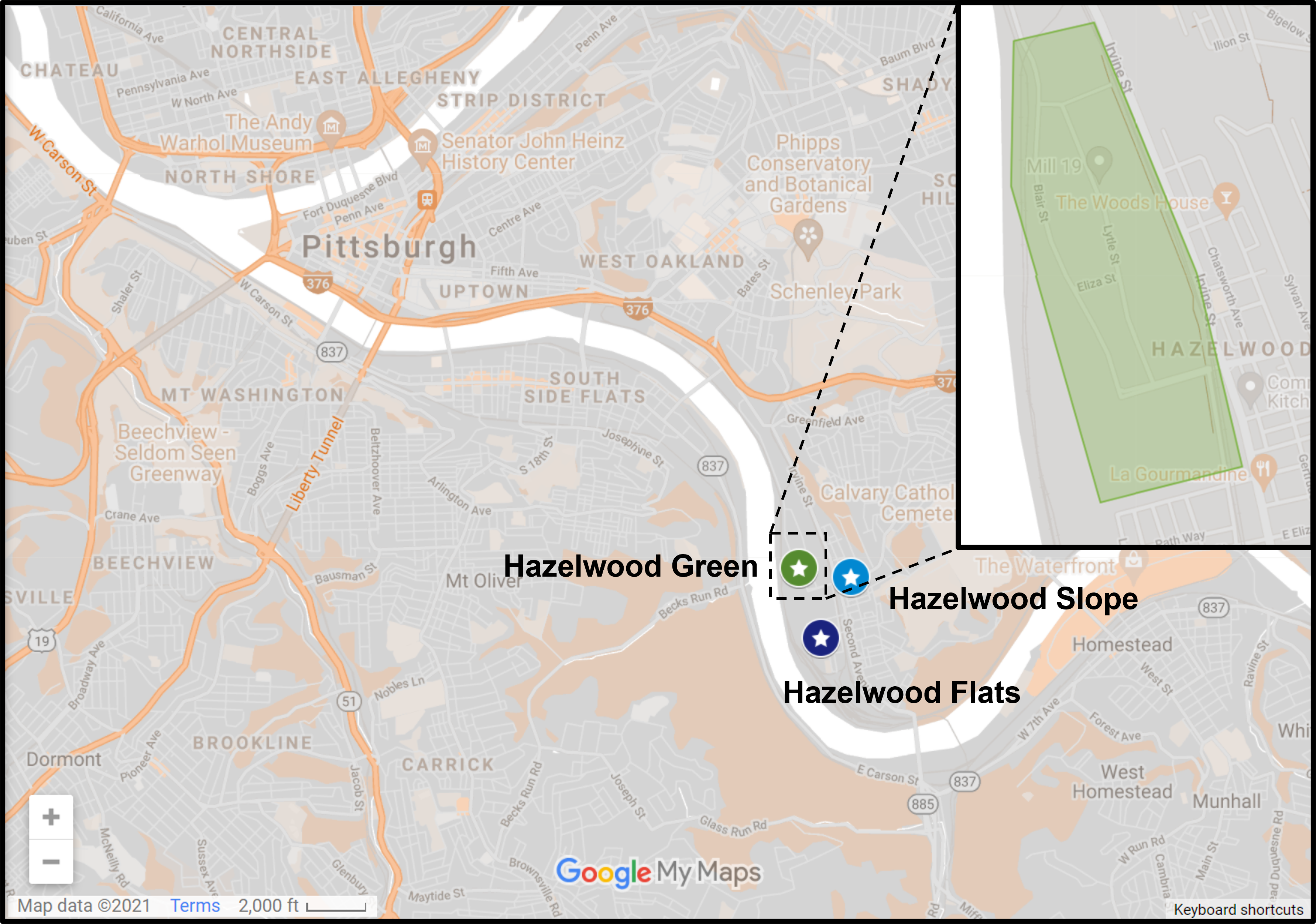
Locating Hazelwood Green
Previous posts in series
Keeping an Eye on Hazelwood Green: Aug 2020