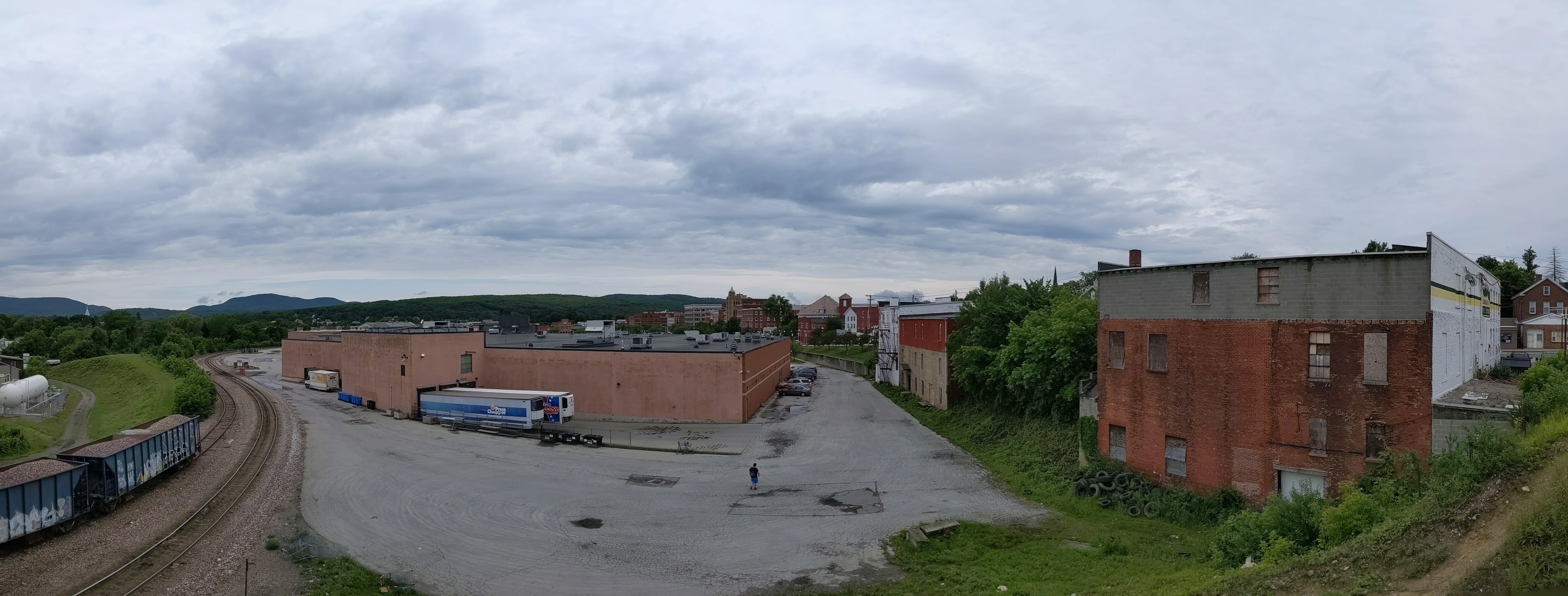
While wandering around Rutland, Vermont’s third largest city coming in at around 16,000 residents, I found a bridge. Naturally, I walked across it. The bridge connects the worker housing on the flats to the cultural/civic center on the slope beyond which are the wealthier residences. In addition to overcoming the obstacle of the elevation change, the bridge spans the remnants of the formerly extensive rail yard much of which has been converted to a shopping center.
There was also a railroad bridge near the other end of the shopping center. By the time I found this bridge I was hungry, overcome by the humidity, and over a mile from where I was staying. A little farther on were some creeks that probably have bridges over them. I’ll have to look for those the next time I’m in town.
Rutland is a small town in Vermont of just over 15,000 residents incorporated in 1892. At one point, it was a major railroad hub for local marble quarries. Its past and present is clearly reflected in its public art.
Instead of the fiberglass sculptures I stumble upon in many cities, in Rutland, I discovered a series of marble sculptures featuring important people from Rutland. The people honored in the sculptures I found are Paul Harris, founder of the first Rotary club; Andrea Mead Lawrence, an Olympic skier; William G. Wilson, co-founder of Alcoholics Anonymous; the immigrants who worked in the quarries; and Martin Henry Freeman, an African American educator and abolitionist.
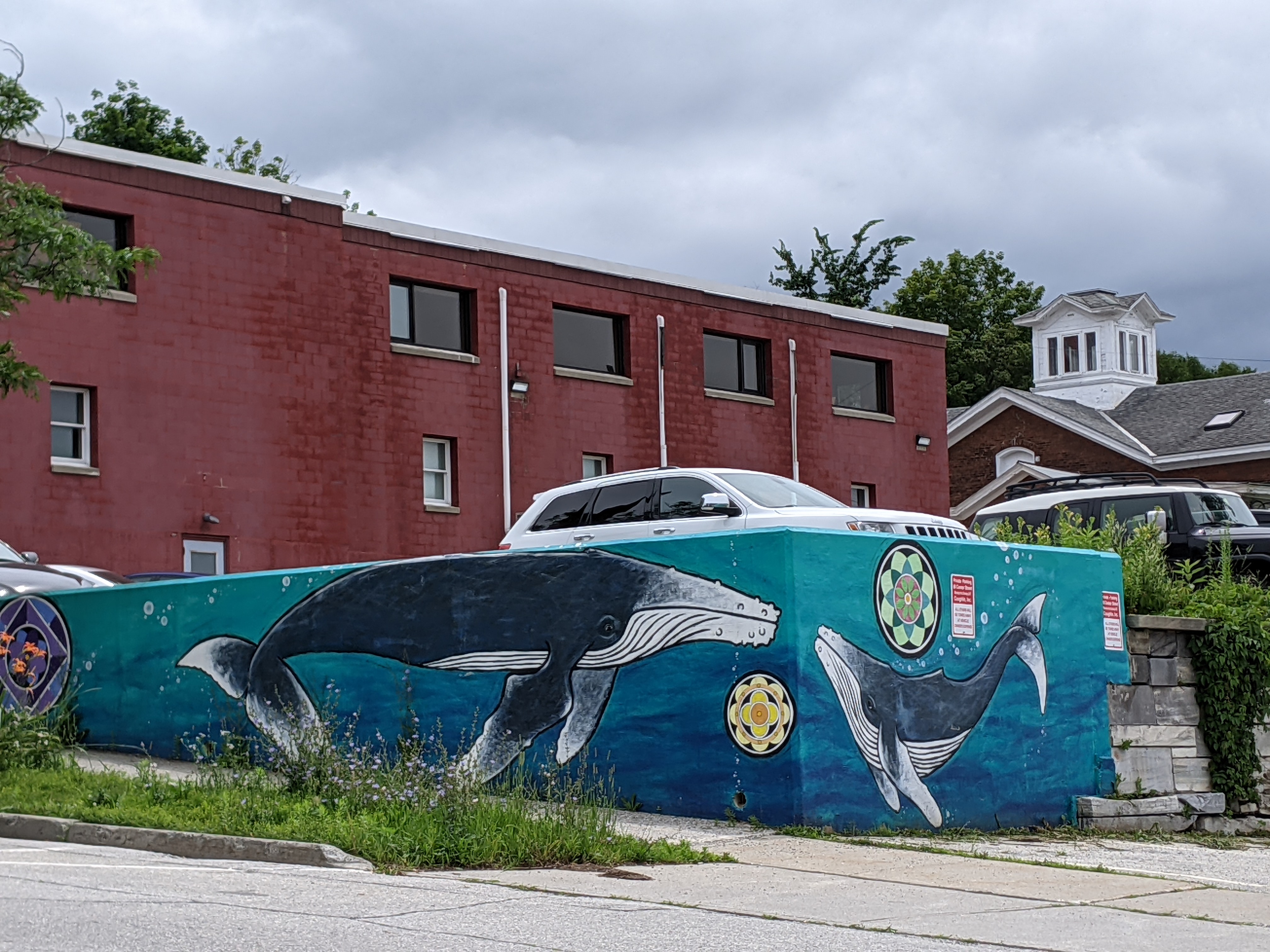
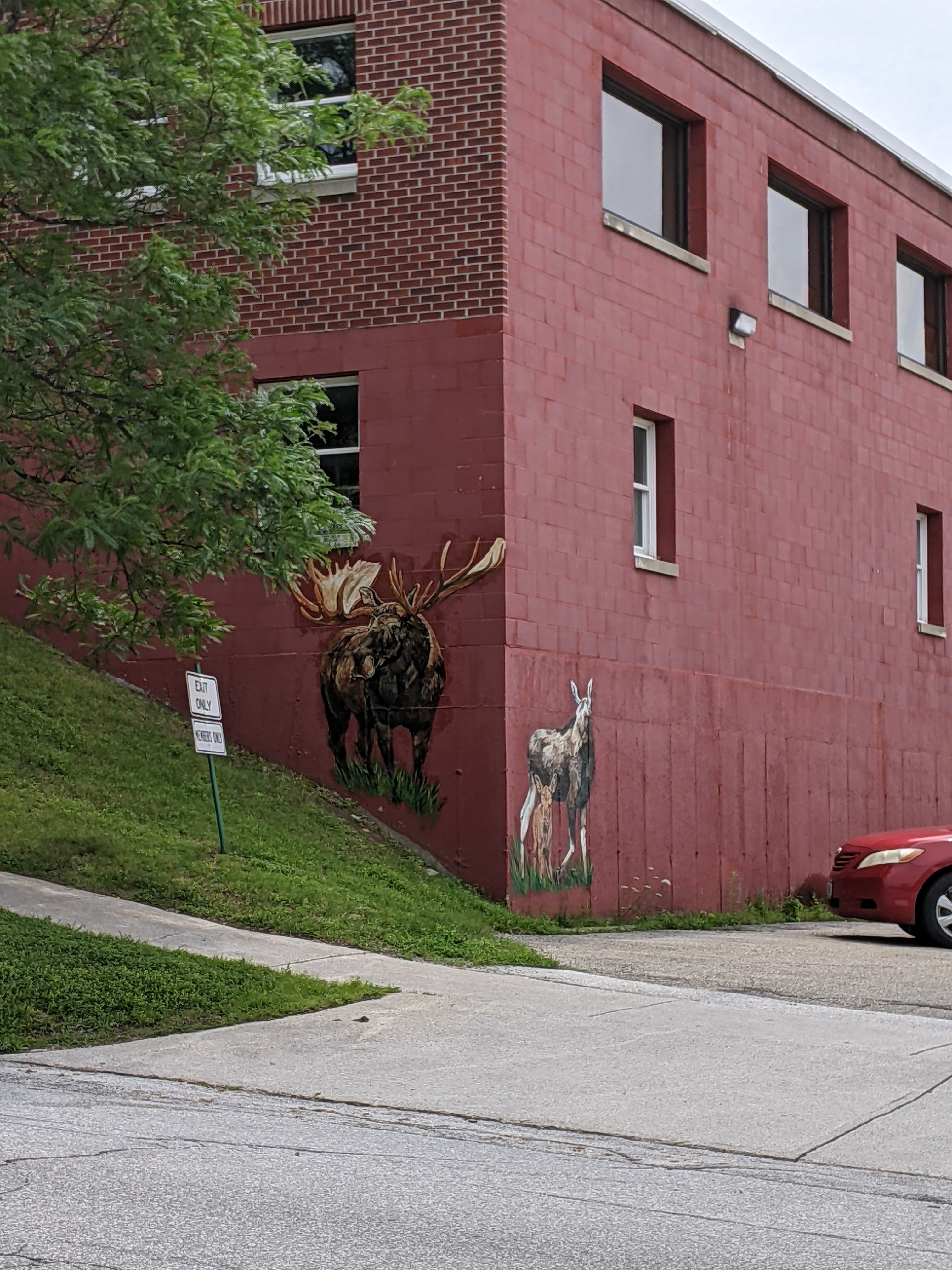
Today, Rutland has a strong environmental and arts focus. In my wanderings, I discovered two sculptures from the Trash2Art series, one from the HeART of Rutland series, and several murals. The mural of whales was particularly eye-catching given that the ocean is hours away. I wondered about the choice of subject until I saw the closest cross street was called Wales Street. The moose just up the street were almost as elusive as real moose – despite multiple trips to Vermont and one to Alaska, I have yet to see a live moose.
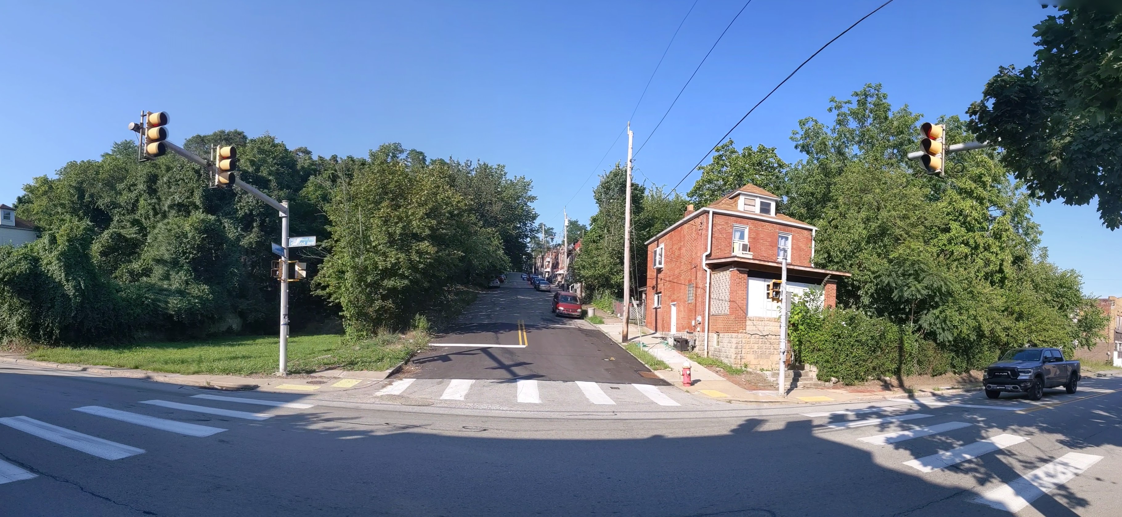
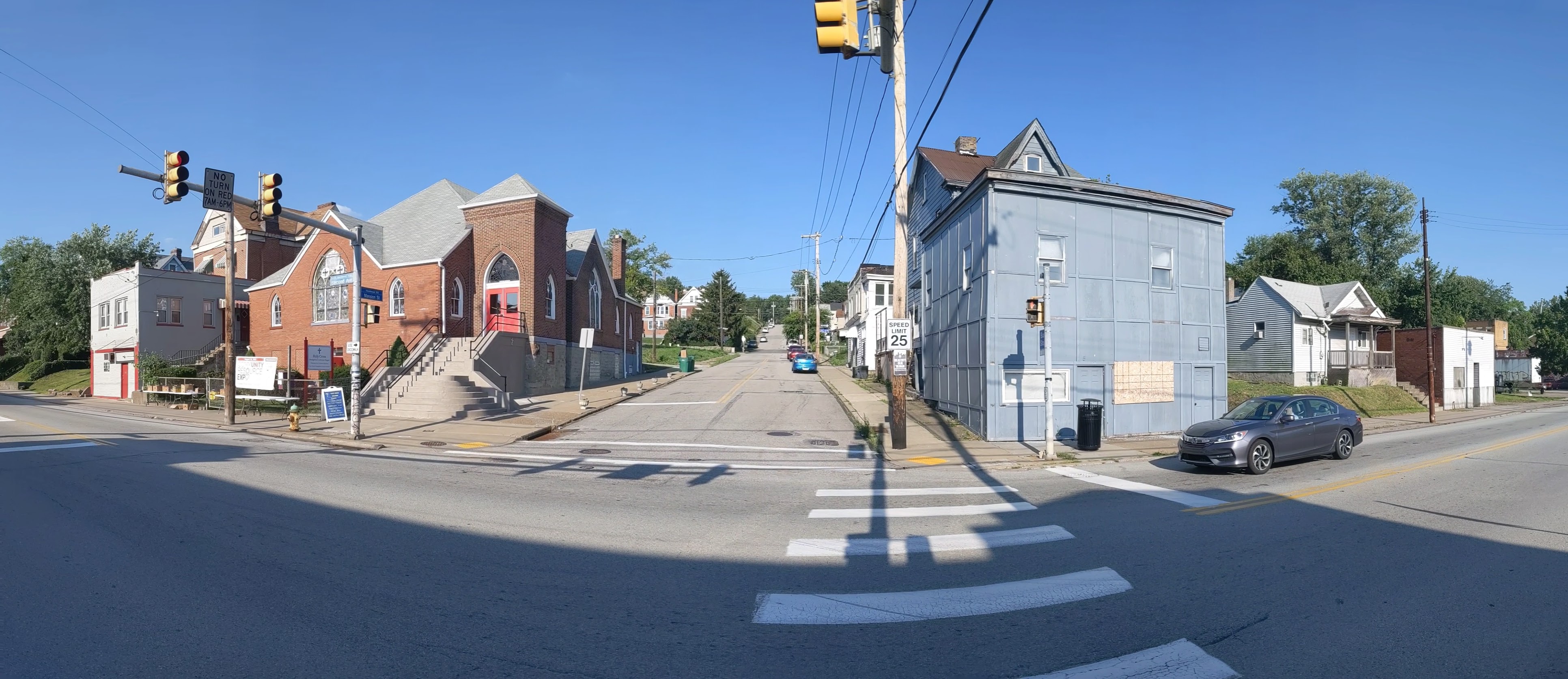
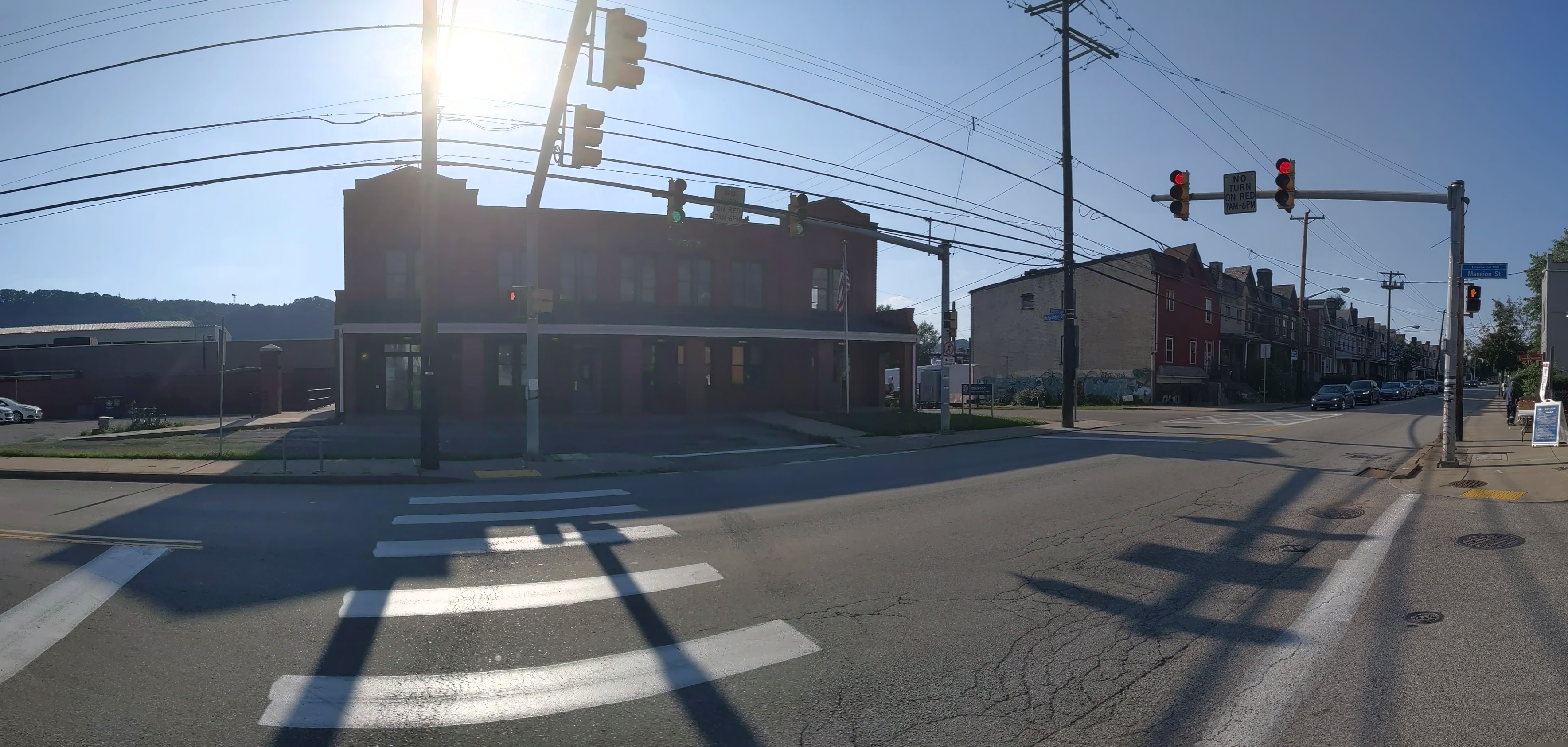
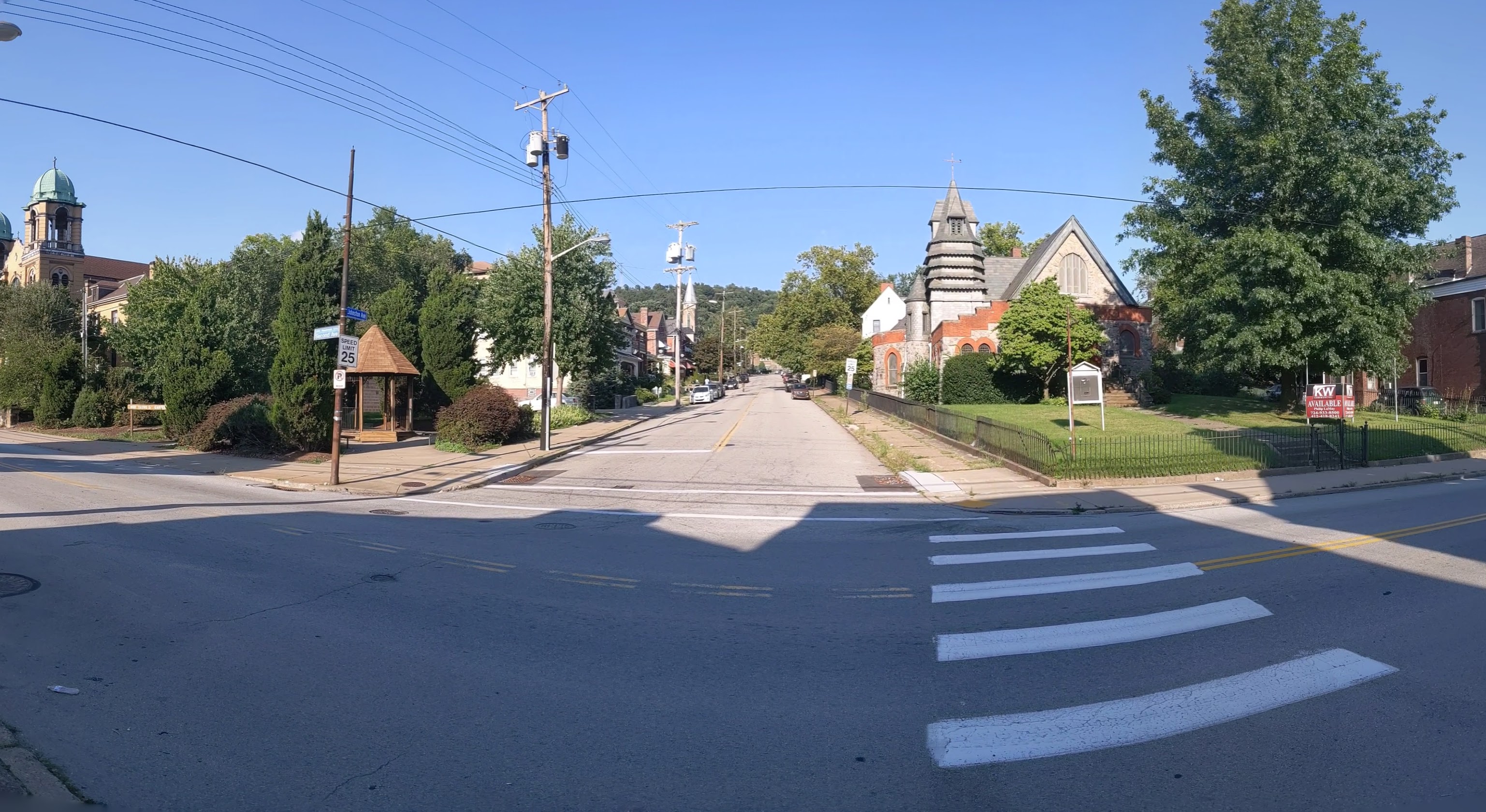
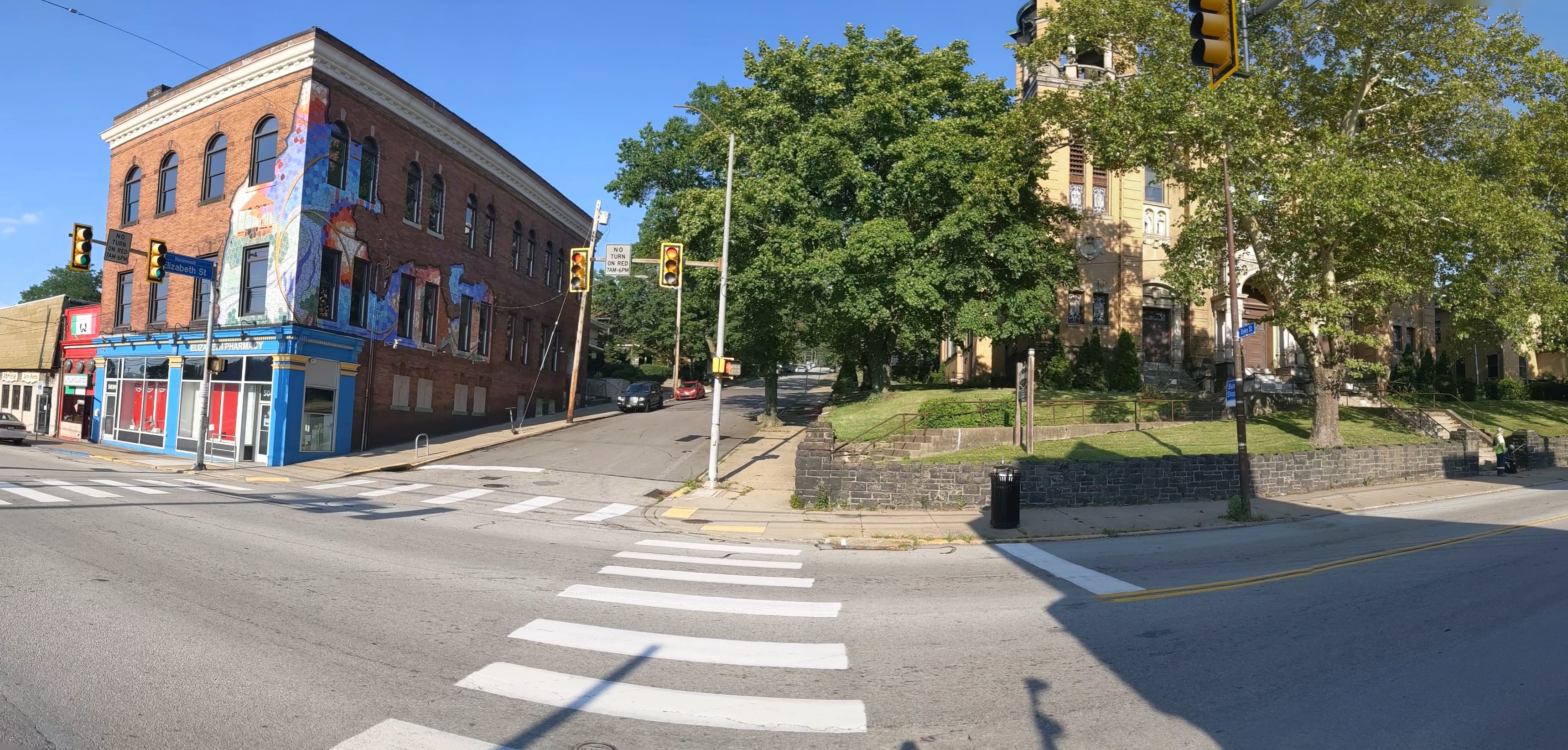
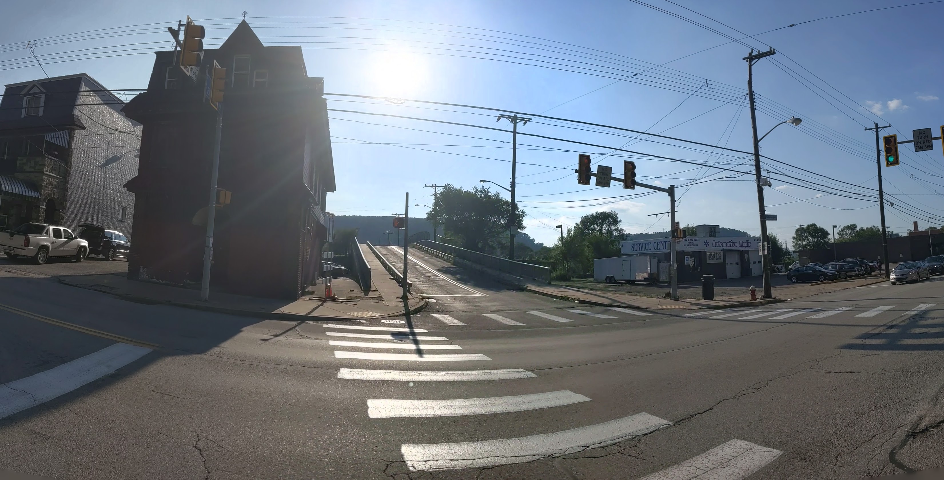
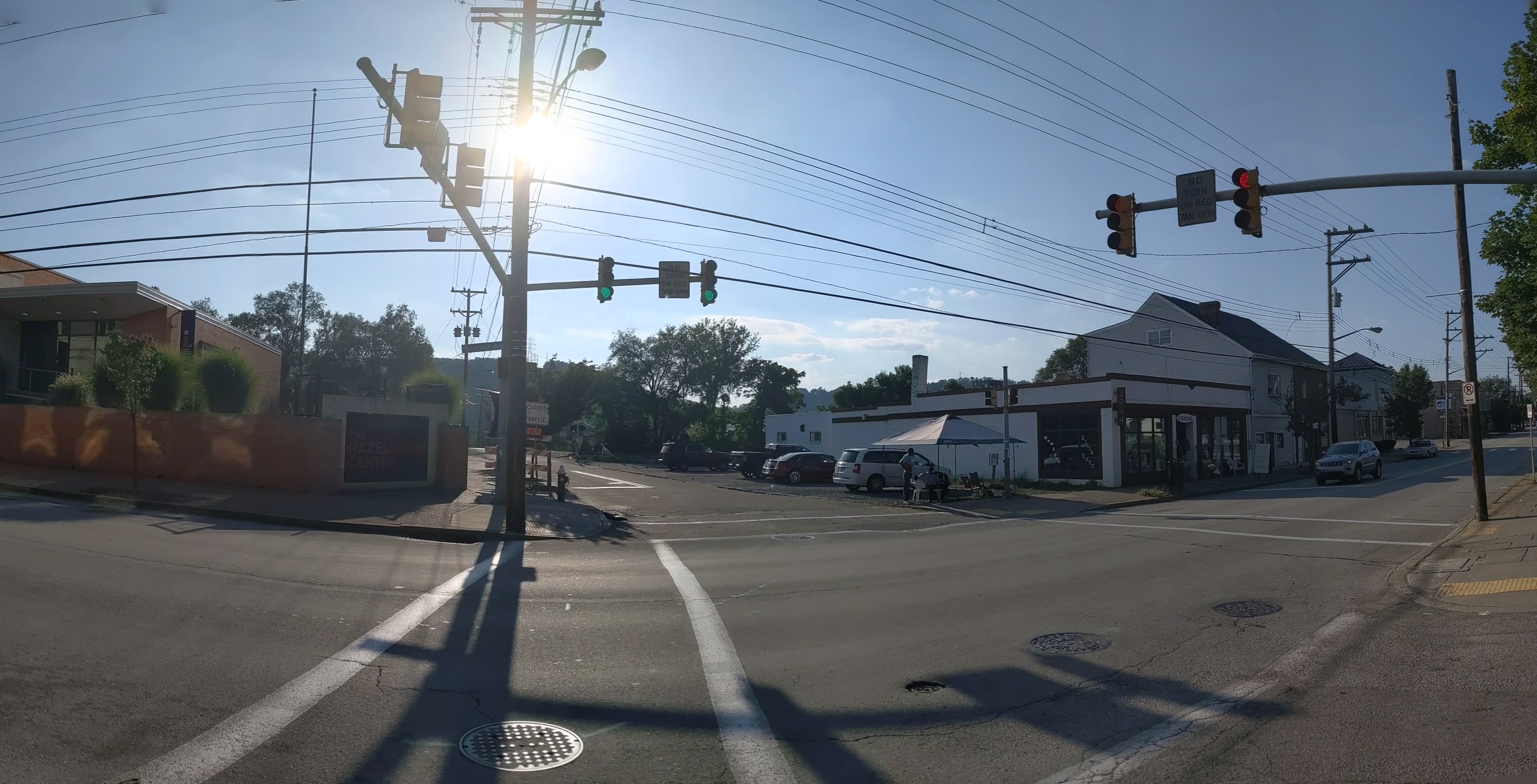
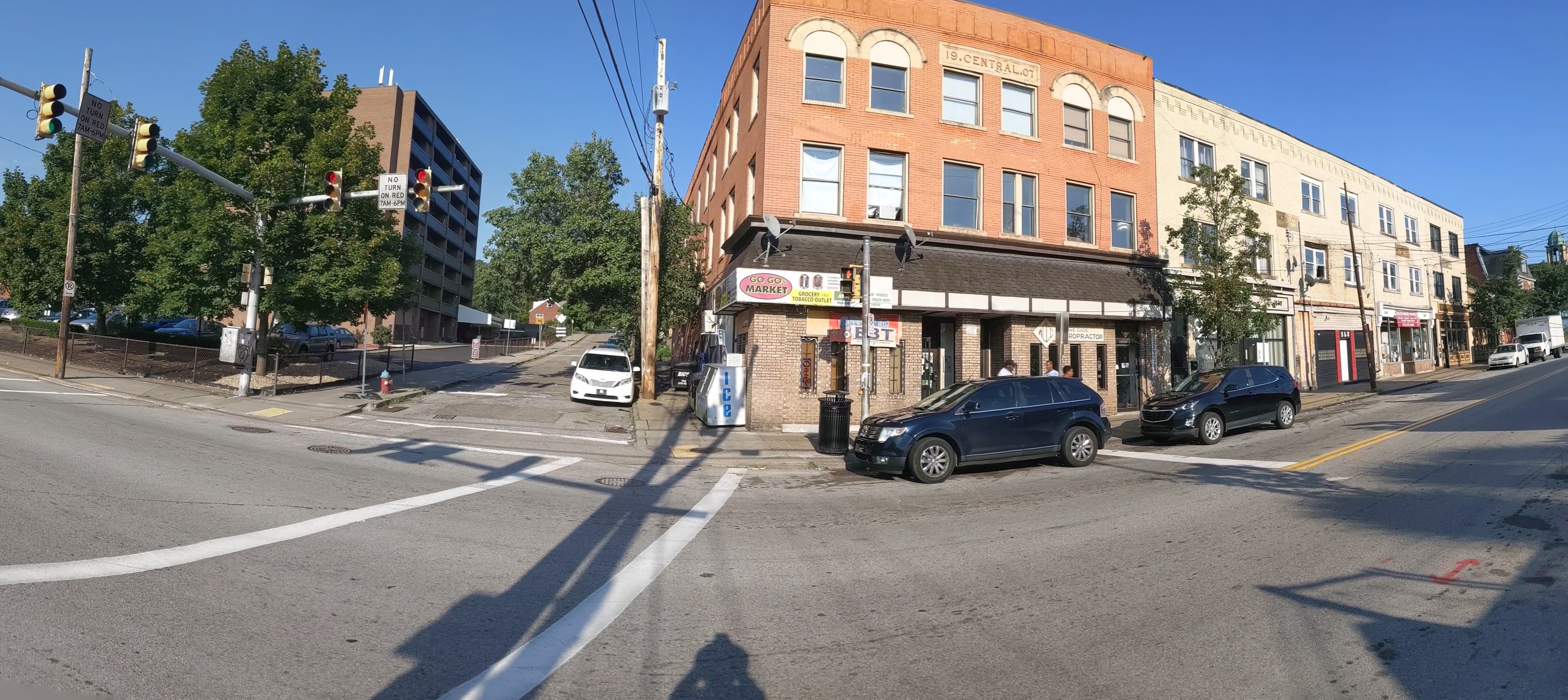
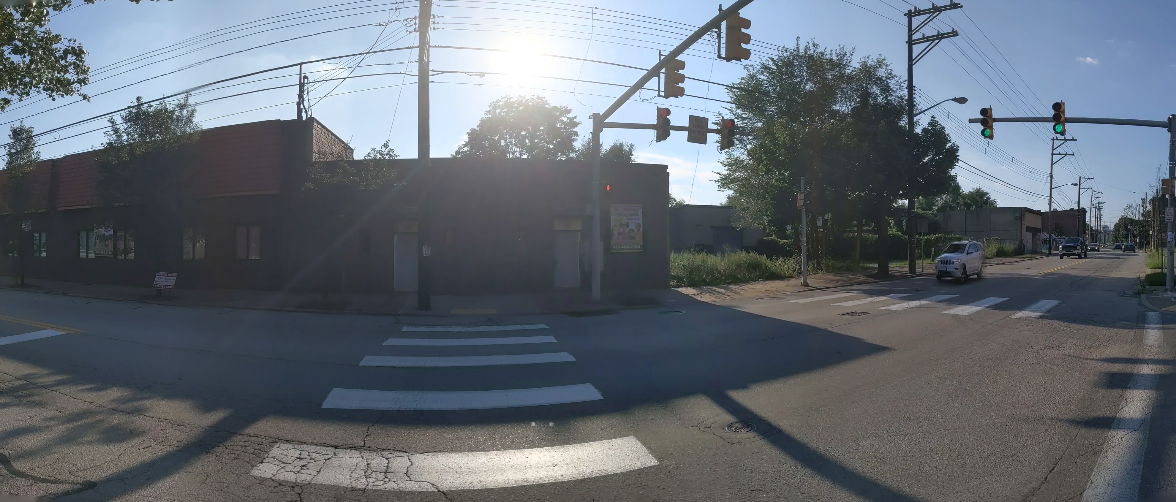
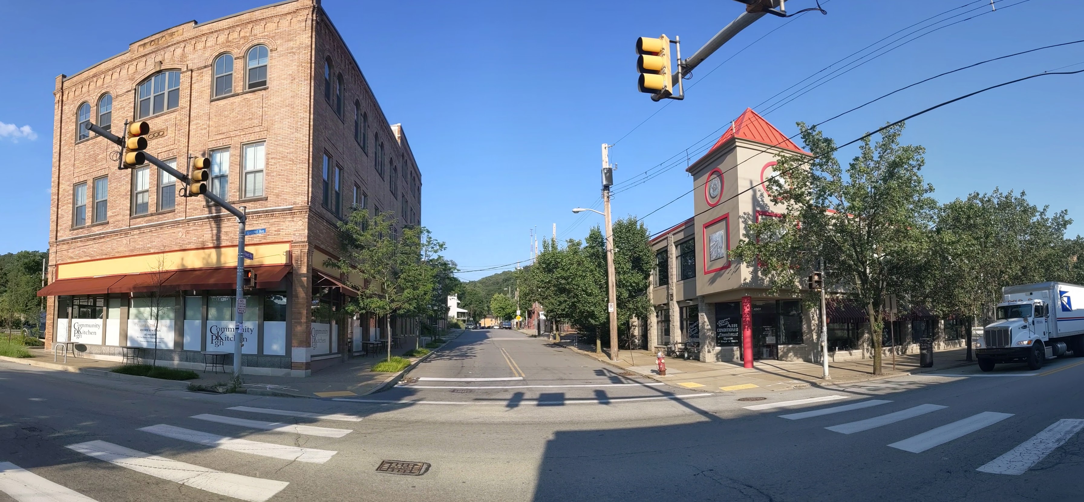
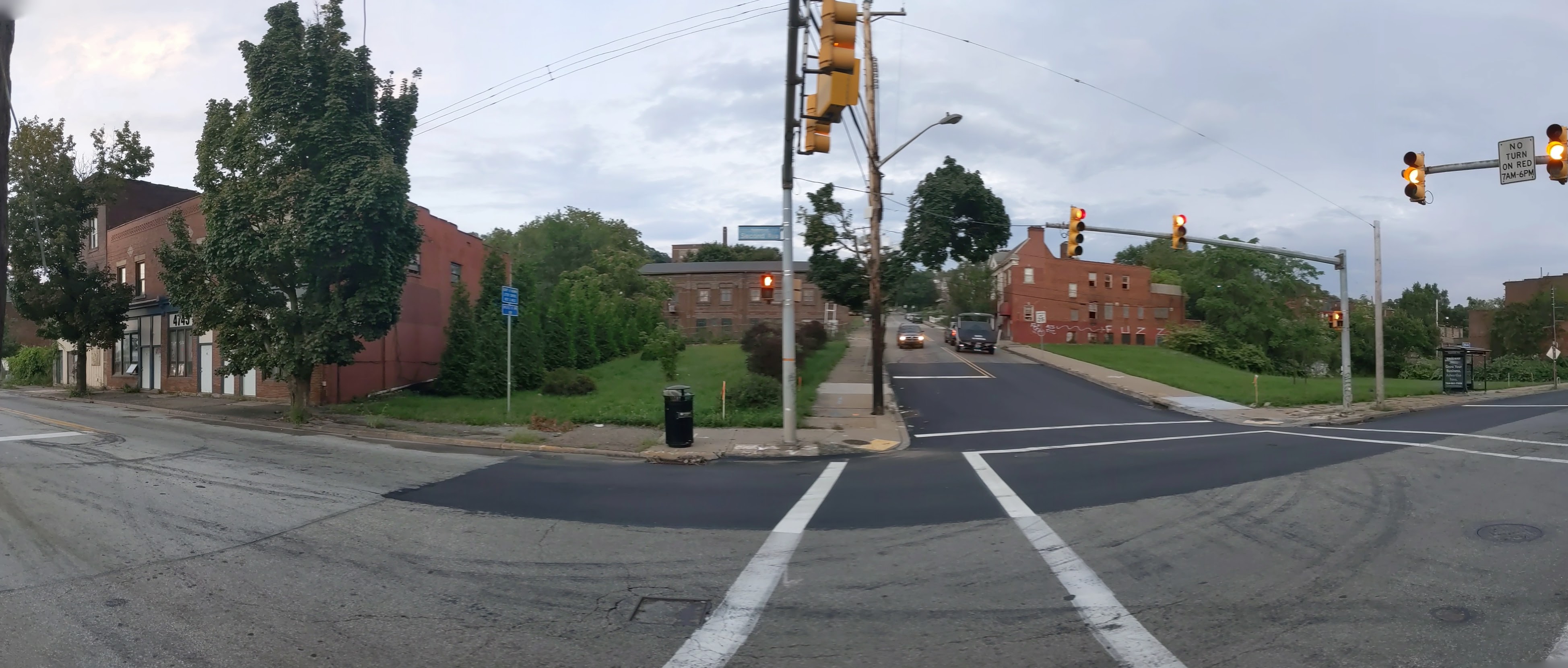
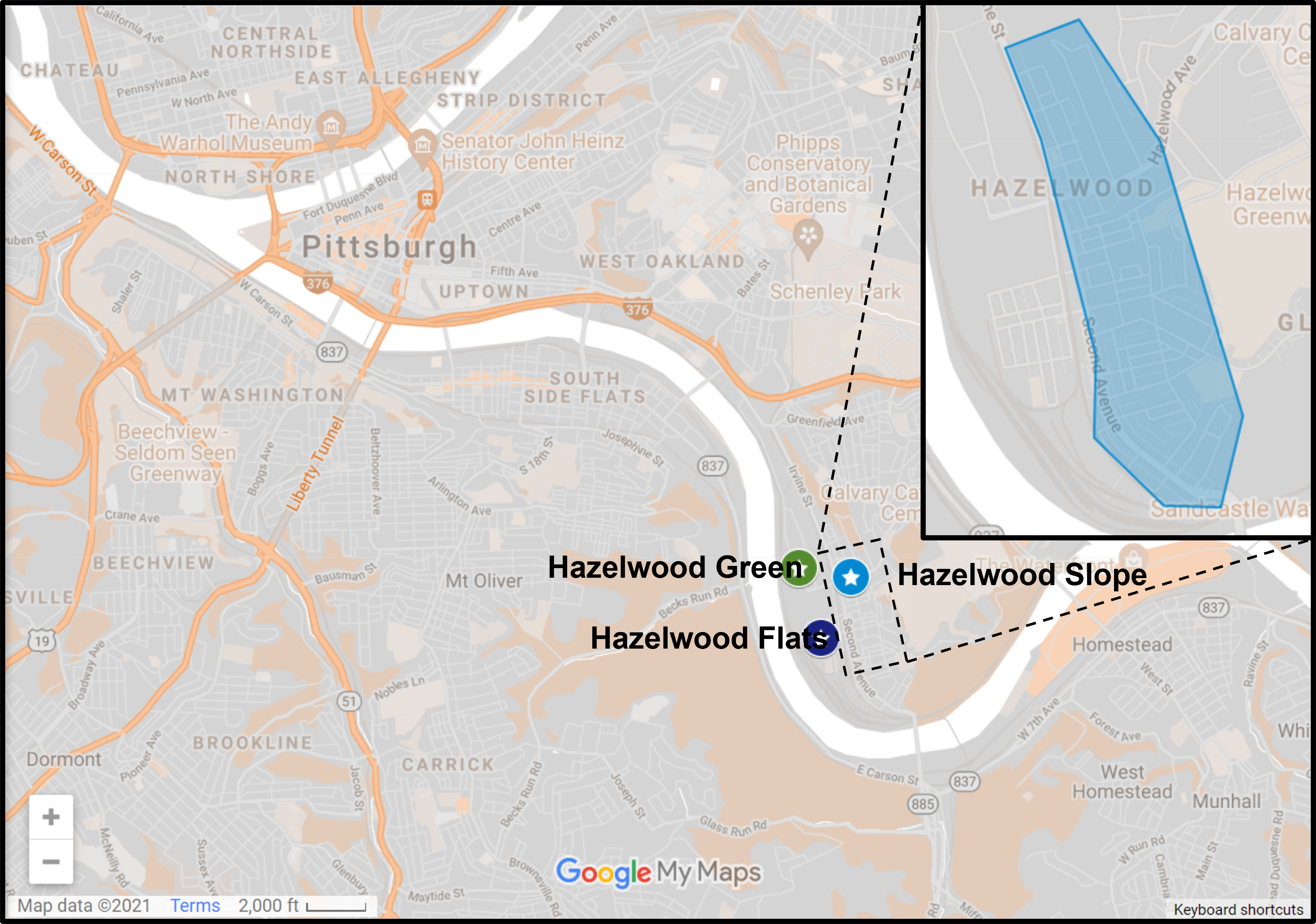
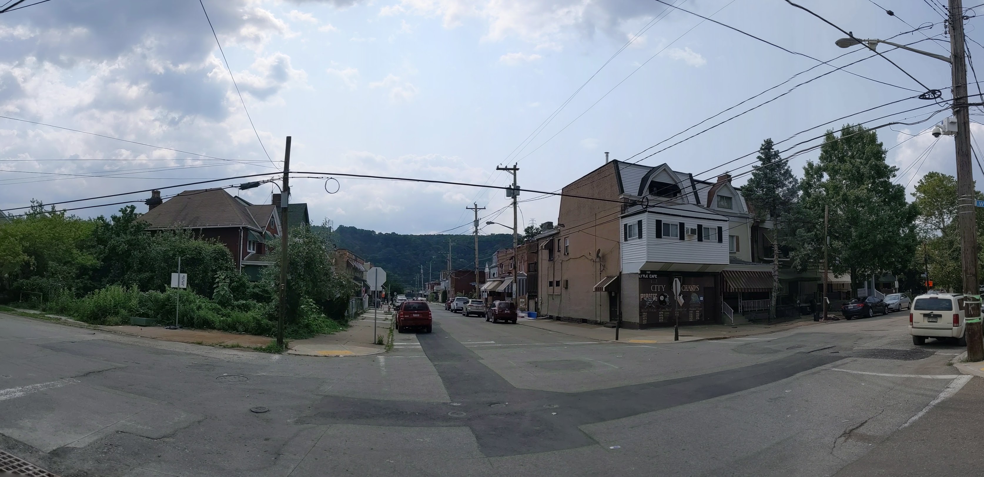
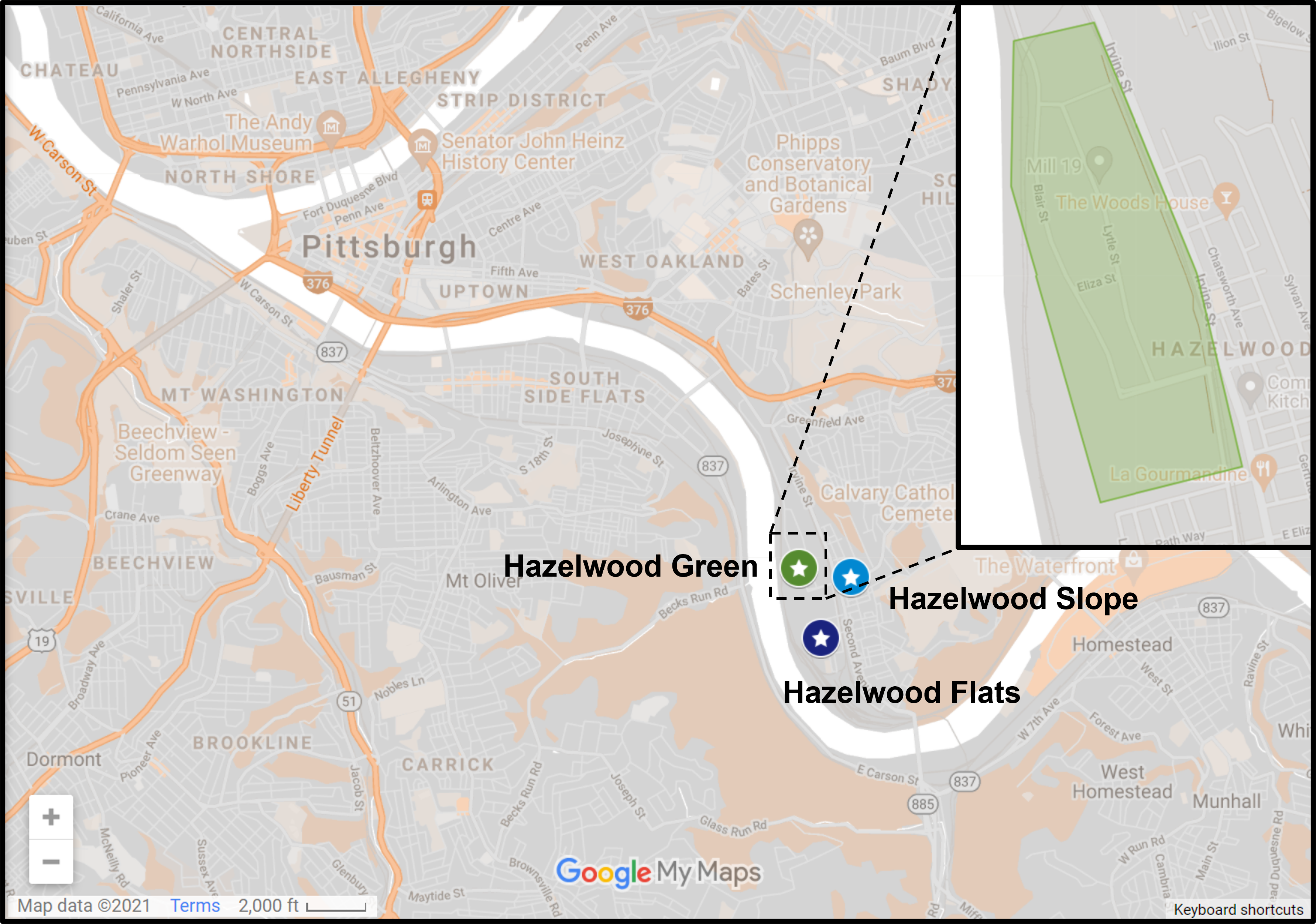
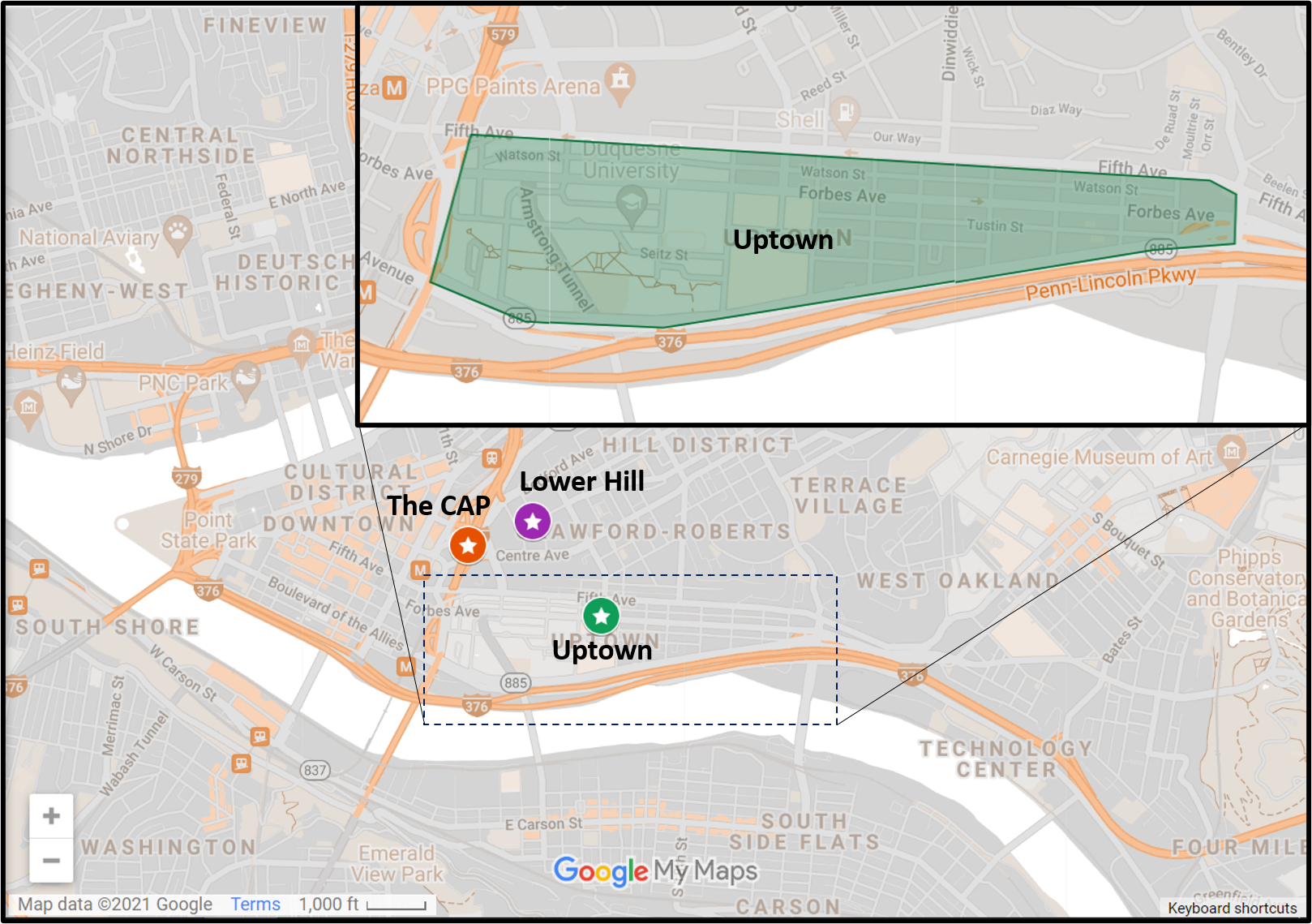
Hazelwood is a neighborhood about 4 miles down the Monongahela River from downtown Pittsburgh. It is currently experiencing significant change, at least in the Hazelwood Green portion. The area that I’m designating as Hazelwood Slope is everything outside Hazelwood Green and the small residential enclave between the tracks and the river that I call Hazelwood Flats. The Hazelwood Slope contains the neighborhood’s commercial corridor, cultural and historical sites, and the majority of the neighborhoods’ residences.
What’s New
After my September 2020 check-in on Hazelwood, it seemed that changes in Hazelwood were happening at a slower pace than the other sites I’m keeping an eye on. So I decided to switch from a 6-month interval to a 12-month interval between visits. A few months ago, I saw construction vehicles and other signs of activity while driving down Second Ave through Hazelwood. I thought perhaps I was missing out on some activity. However, when I walked through the neighborhood this month, I couldn’t find any signs of recent demolition or recent construction.
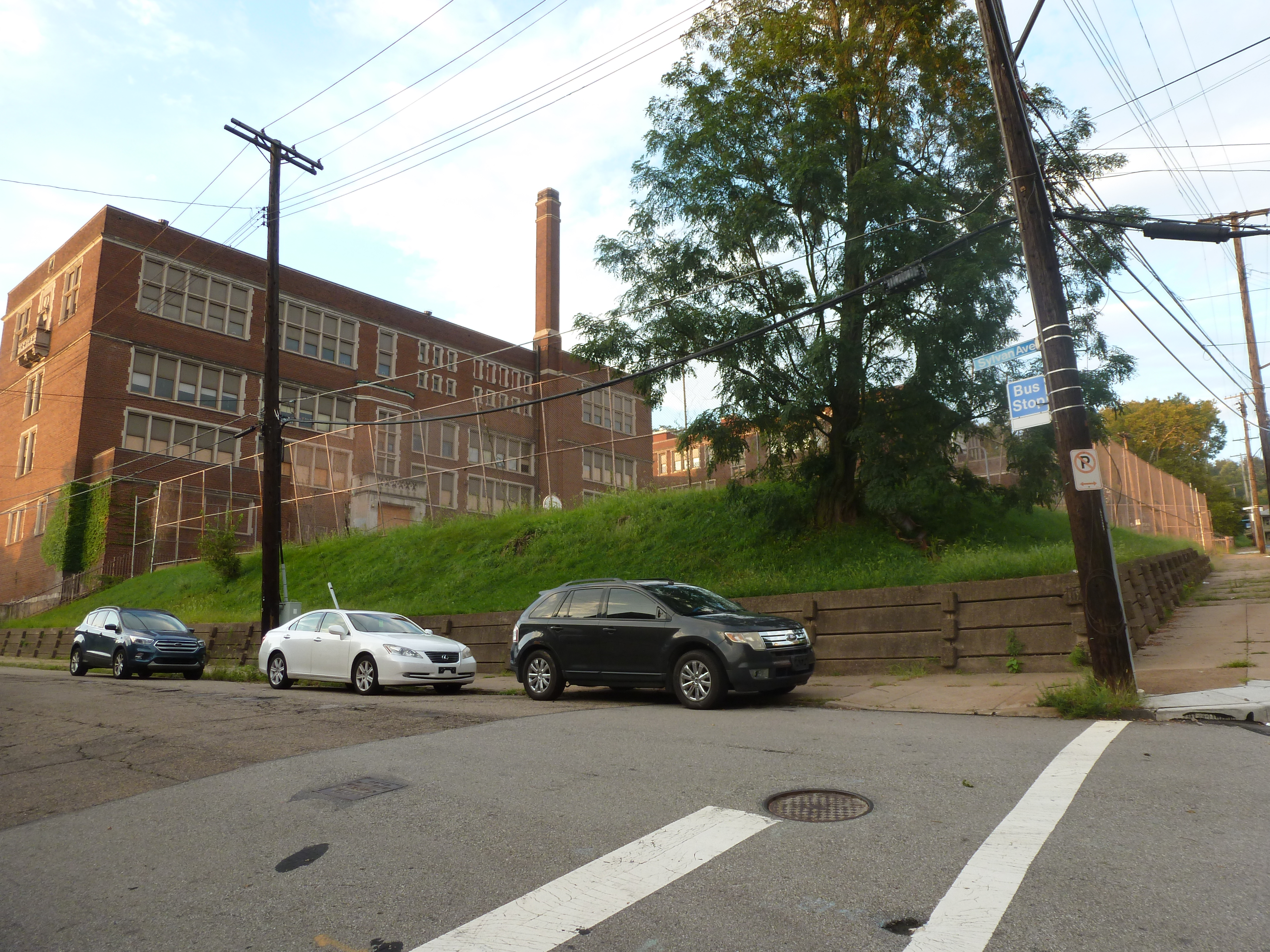
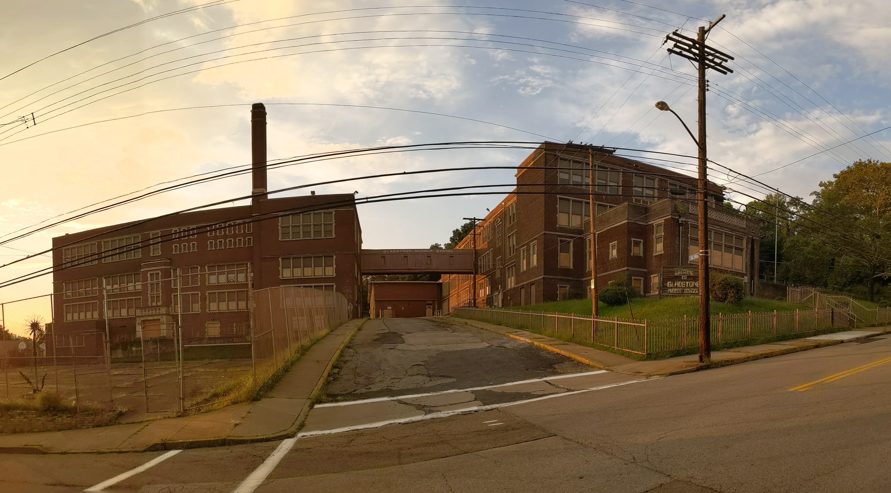
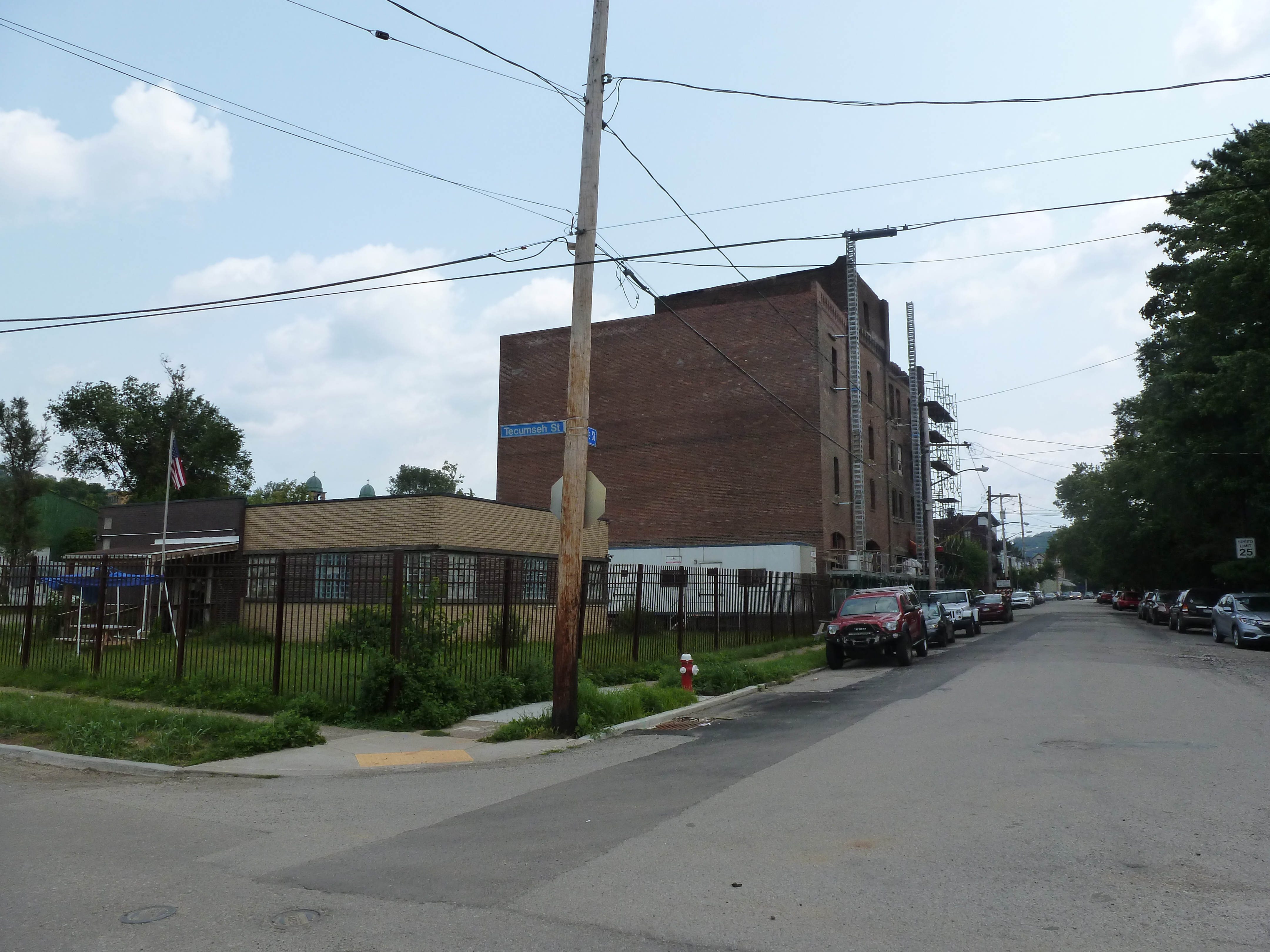
An exciting project that is projected to start soon is the conversion of the former Gladstone School to affordable housing. There were subtle signs of site prep when I walked by this month. Construction is expected to start before the end of the year with an anticipated completion date in 2023.
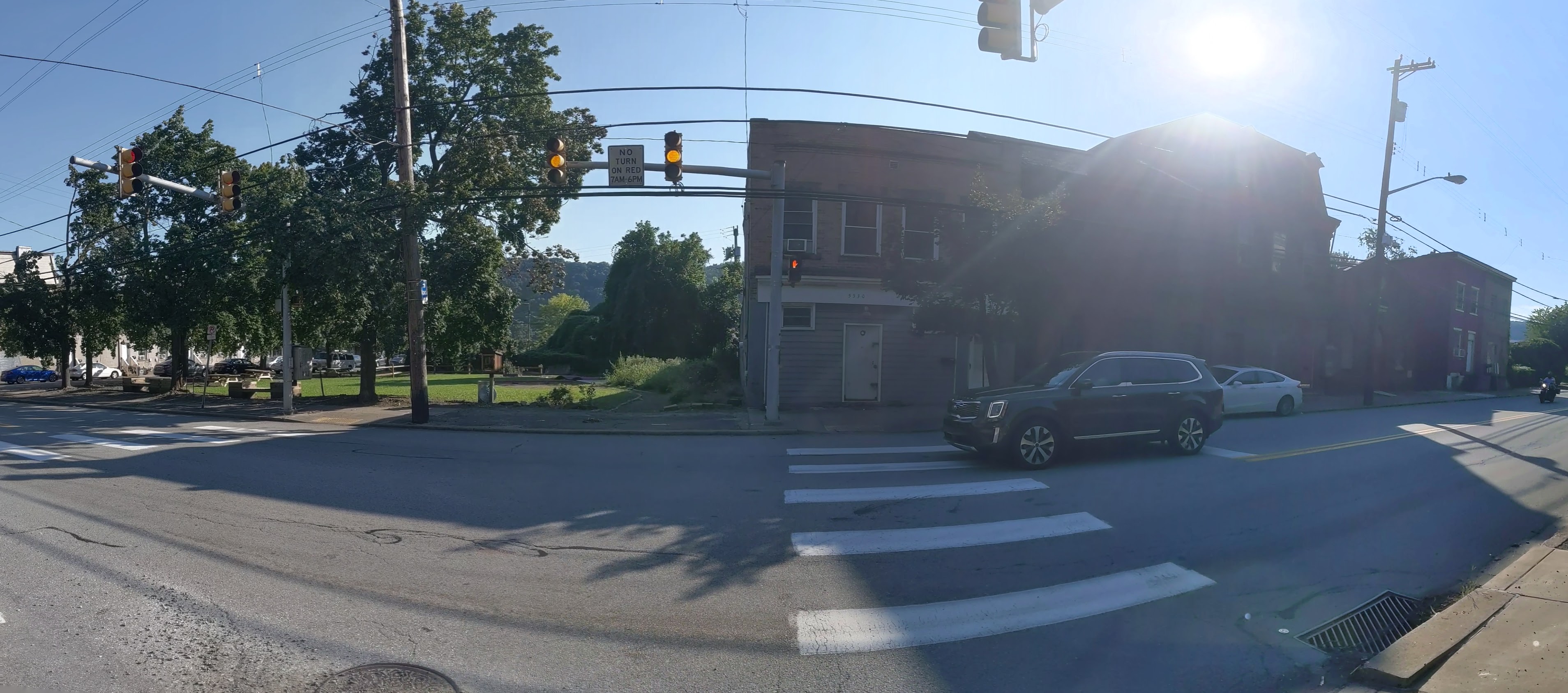
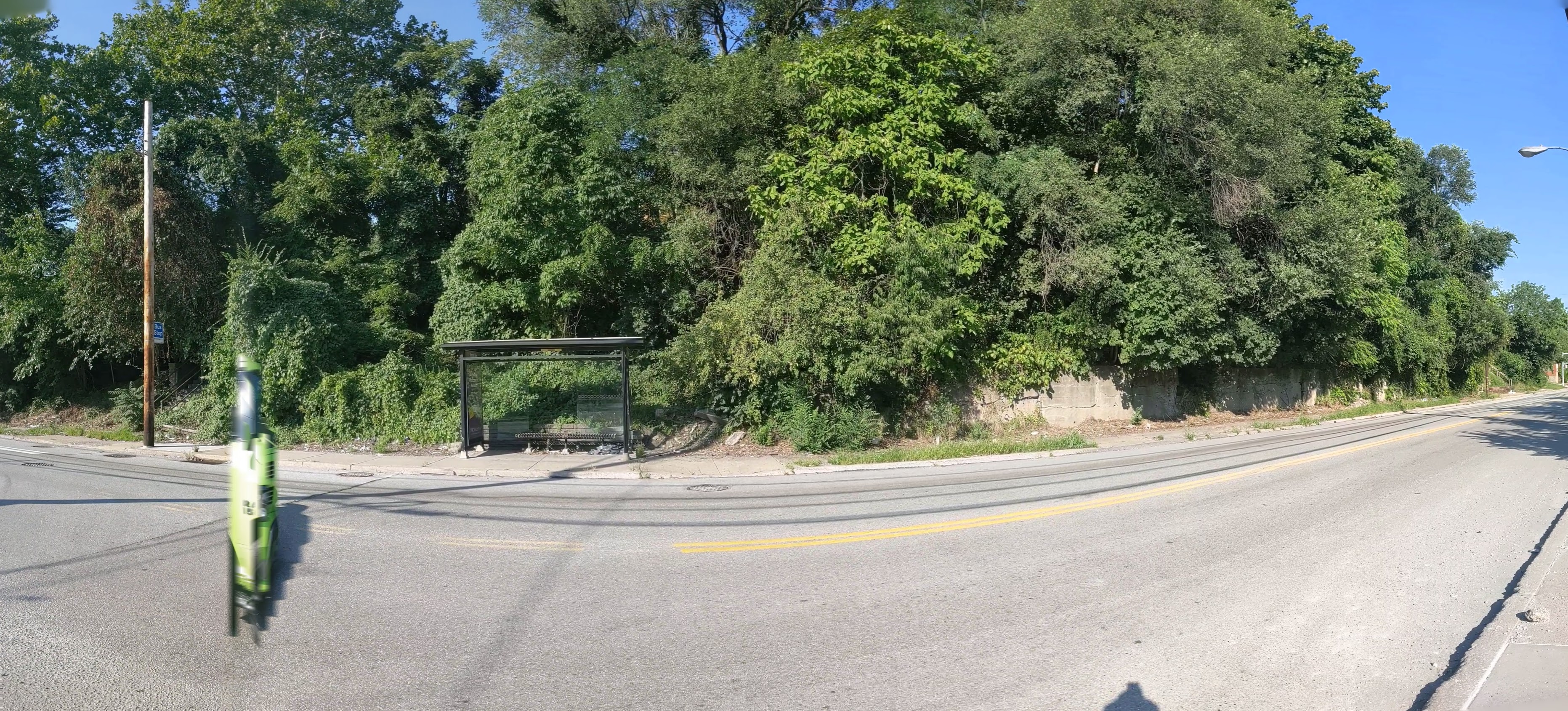
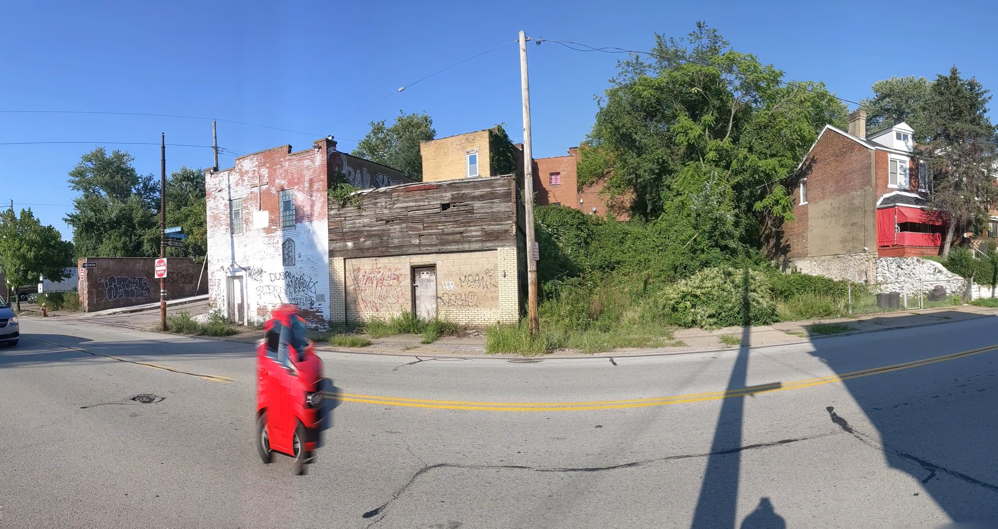
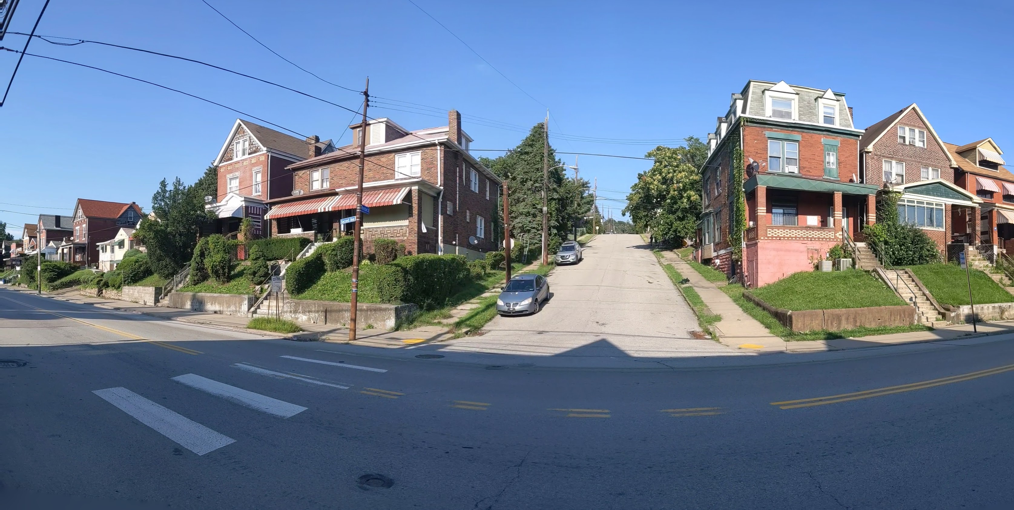
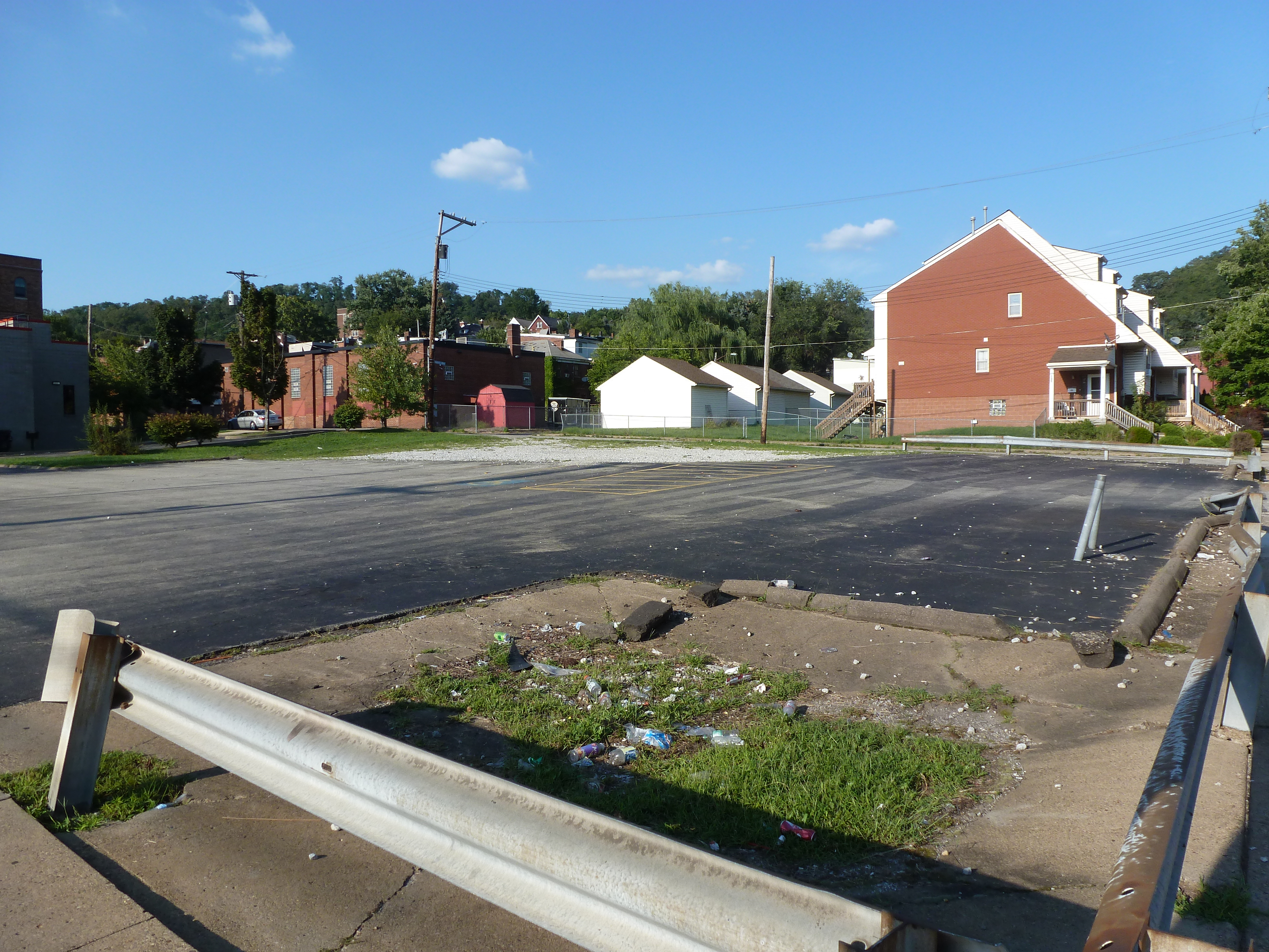
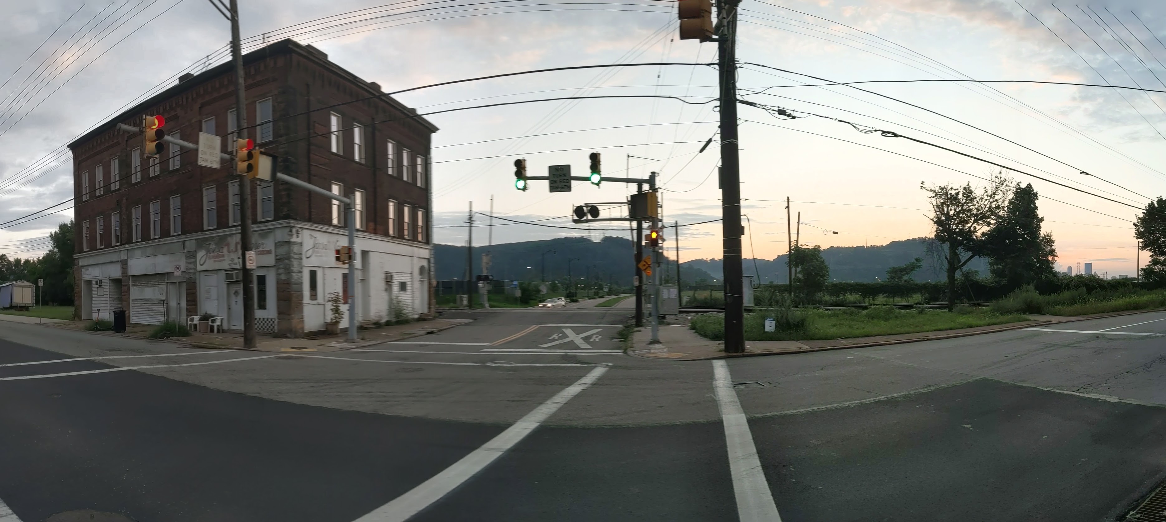
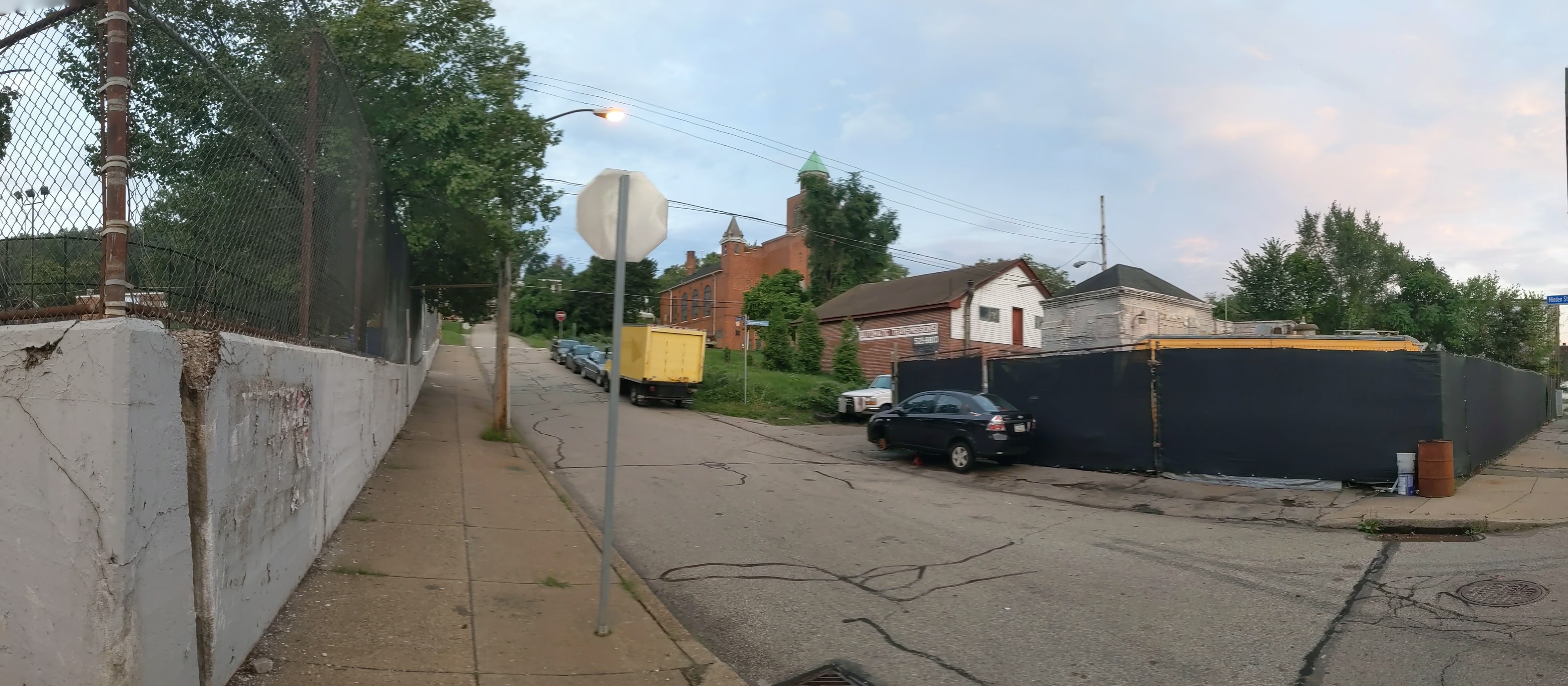
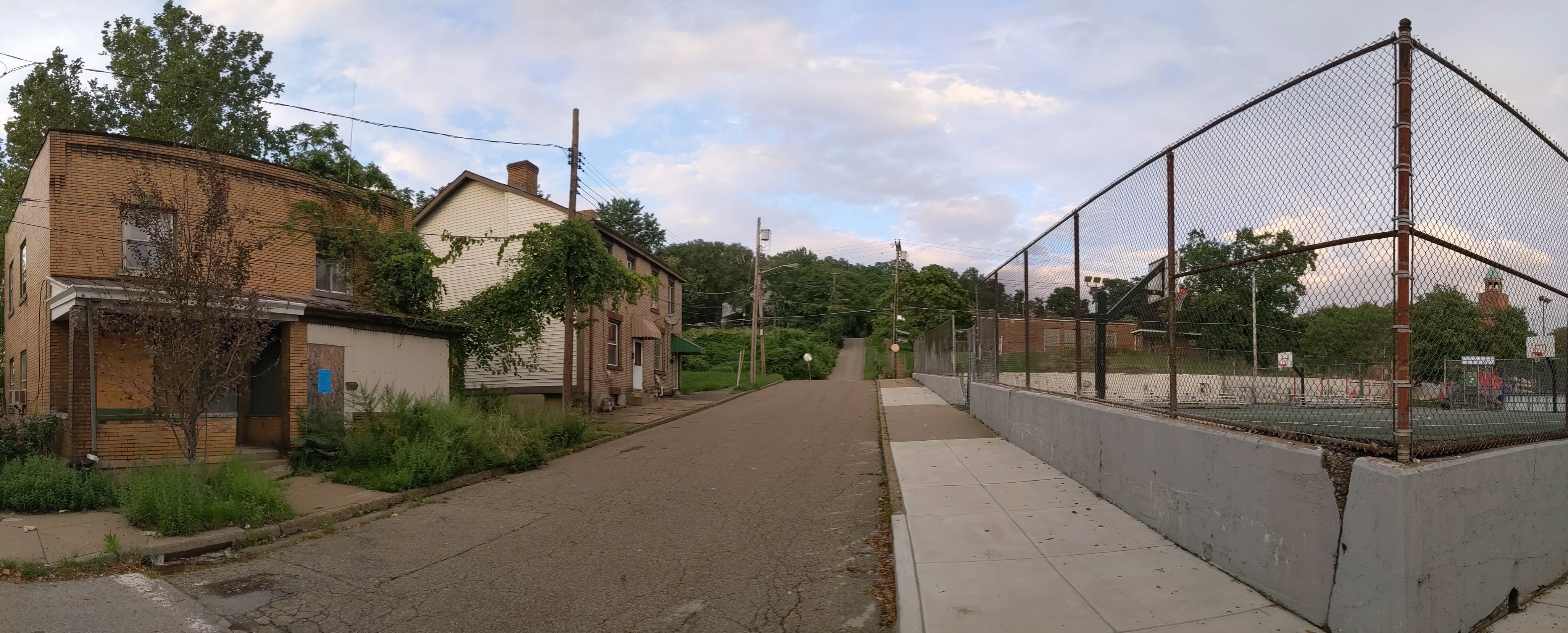
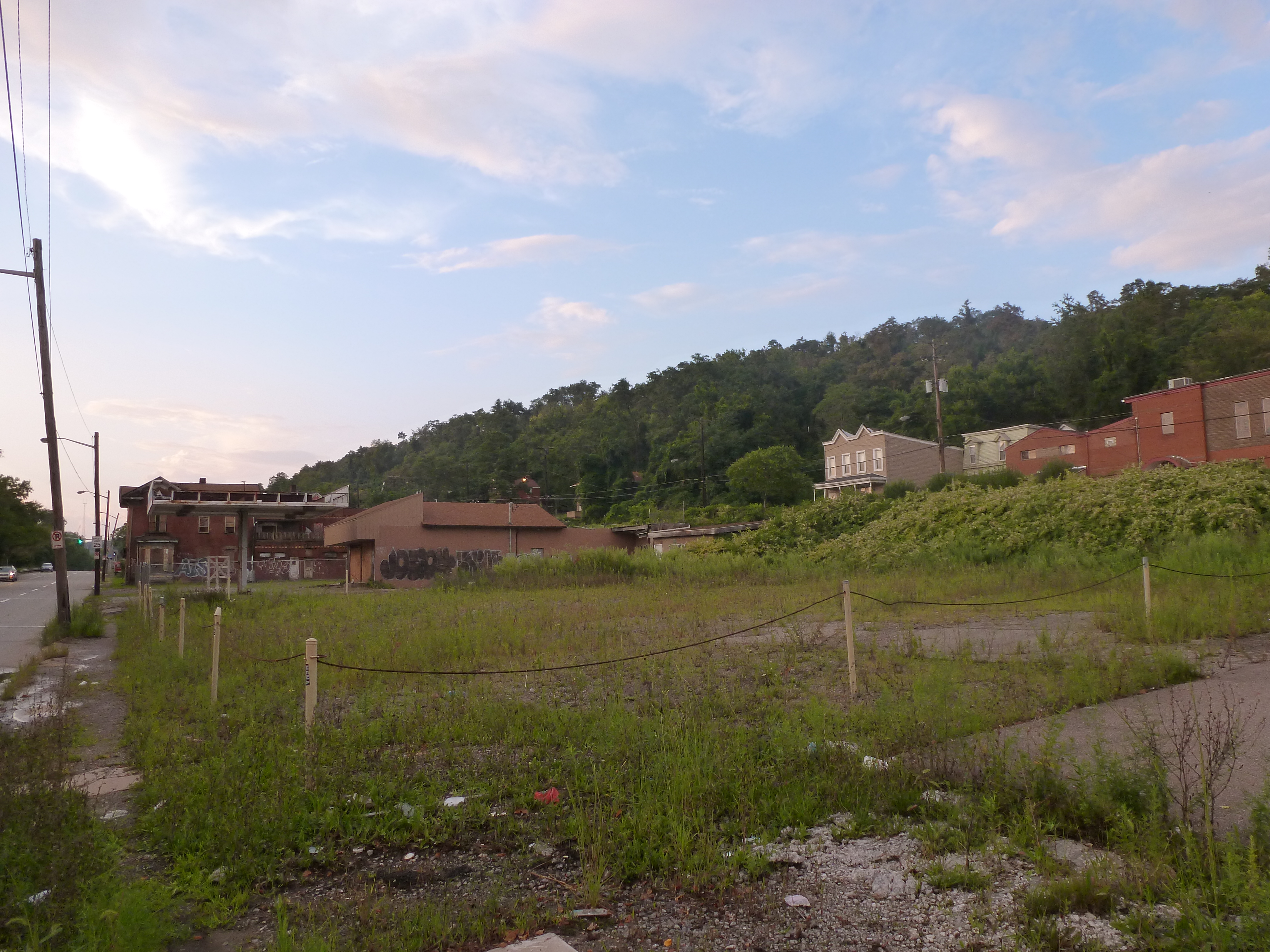
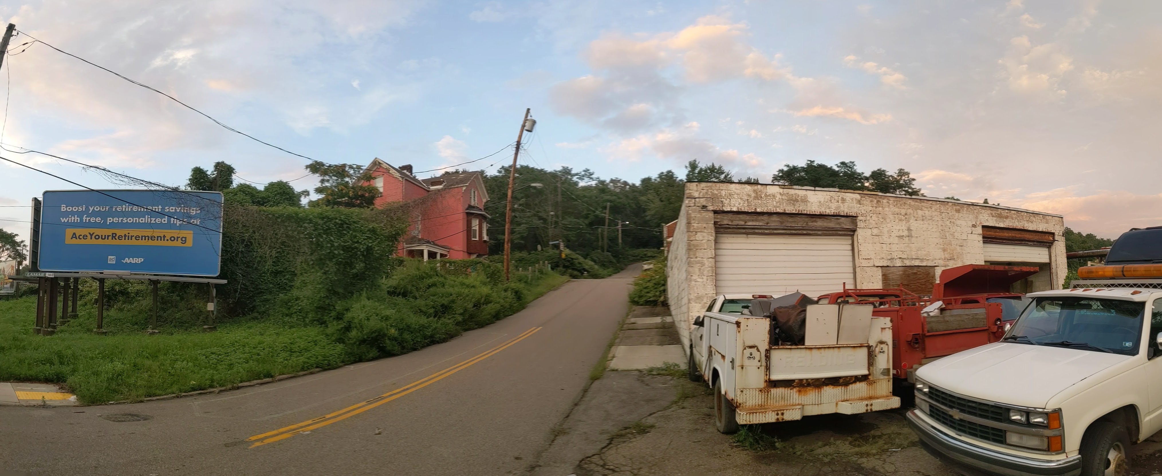
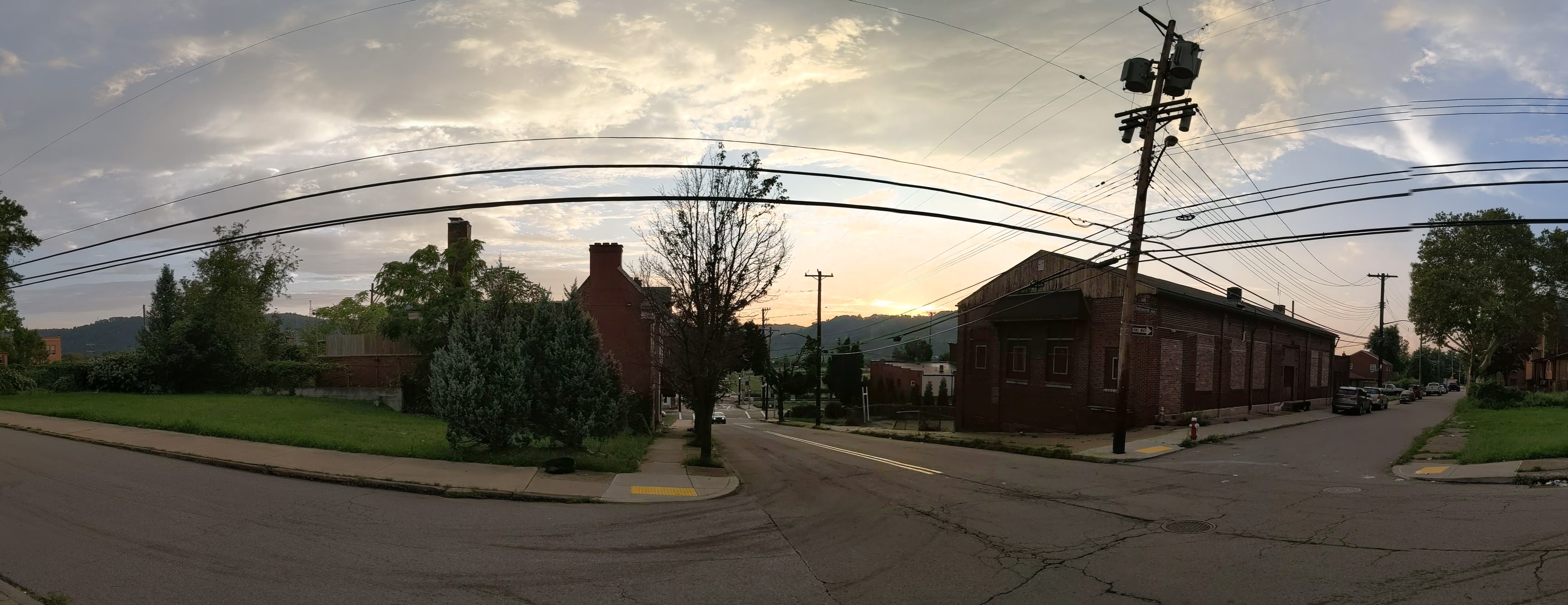
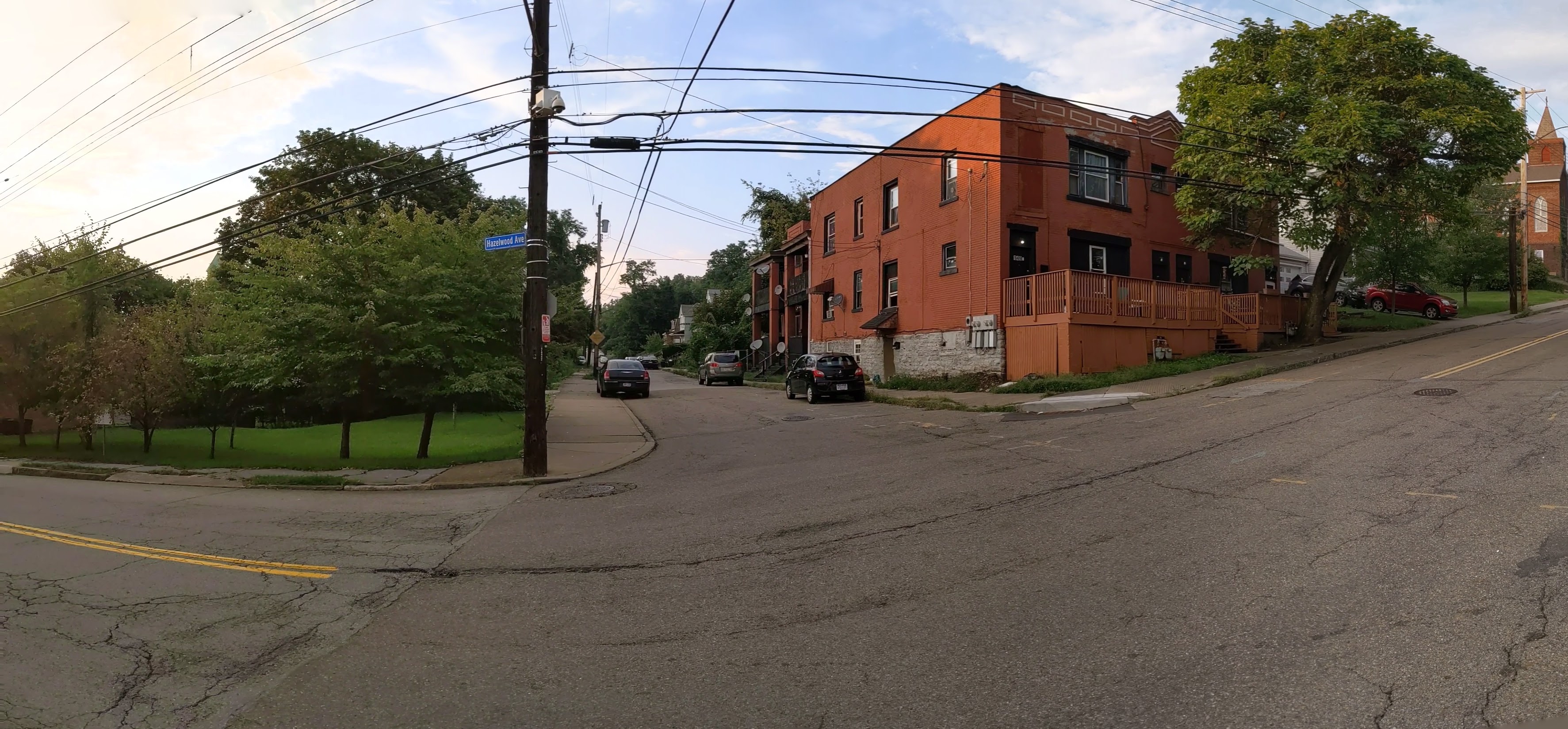
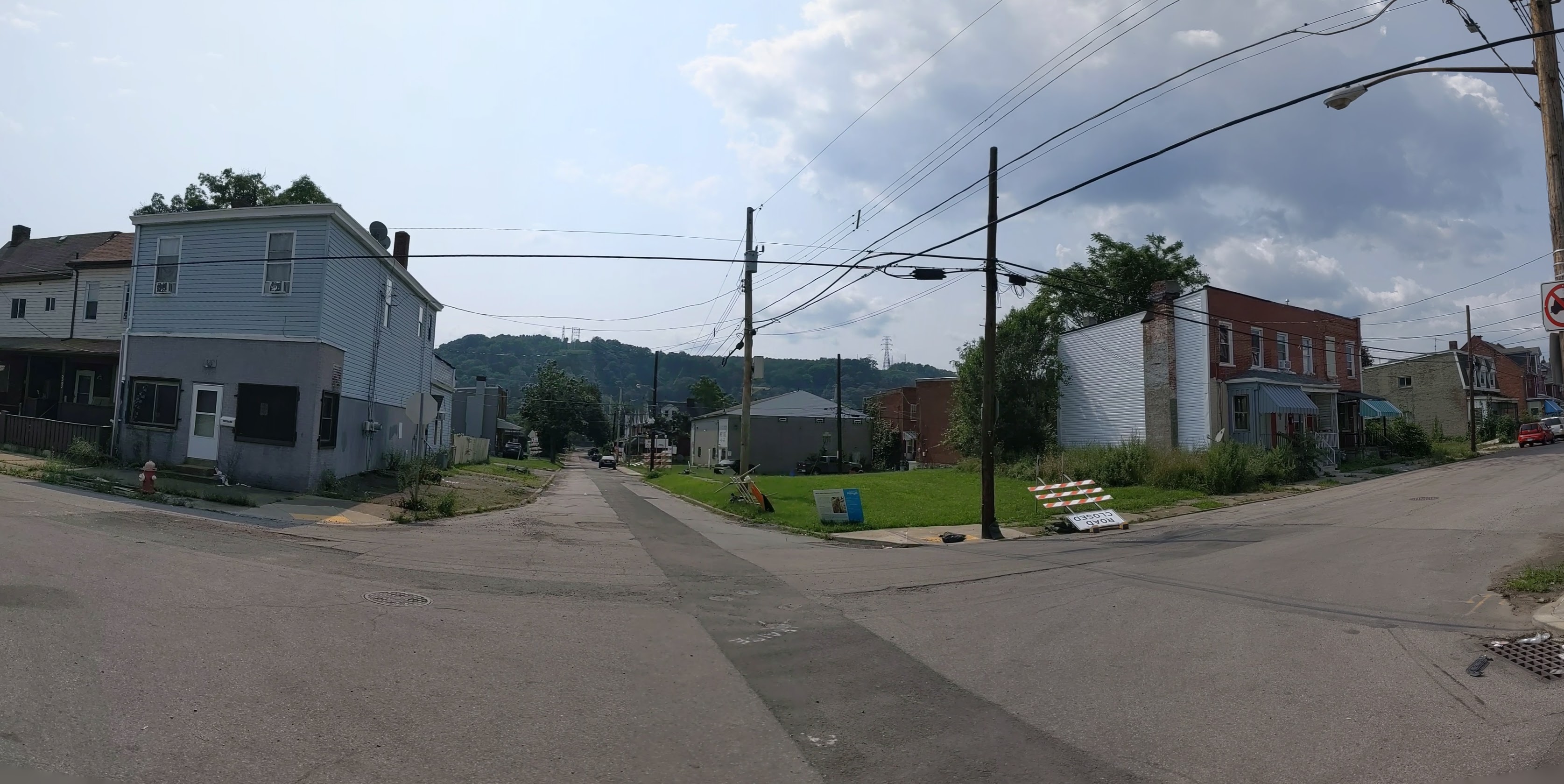
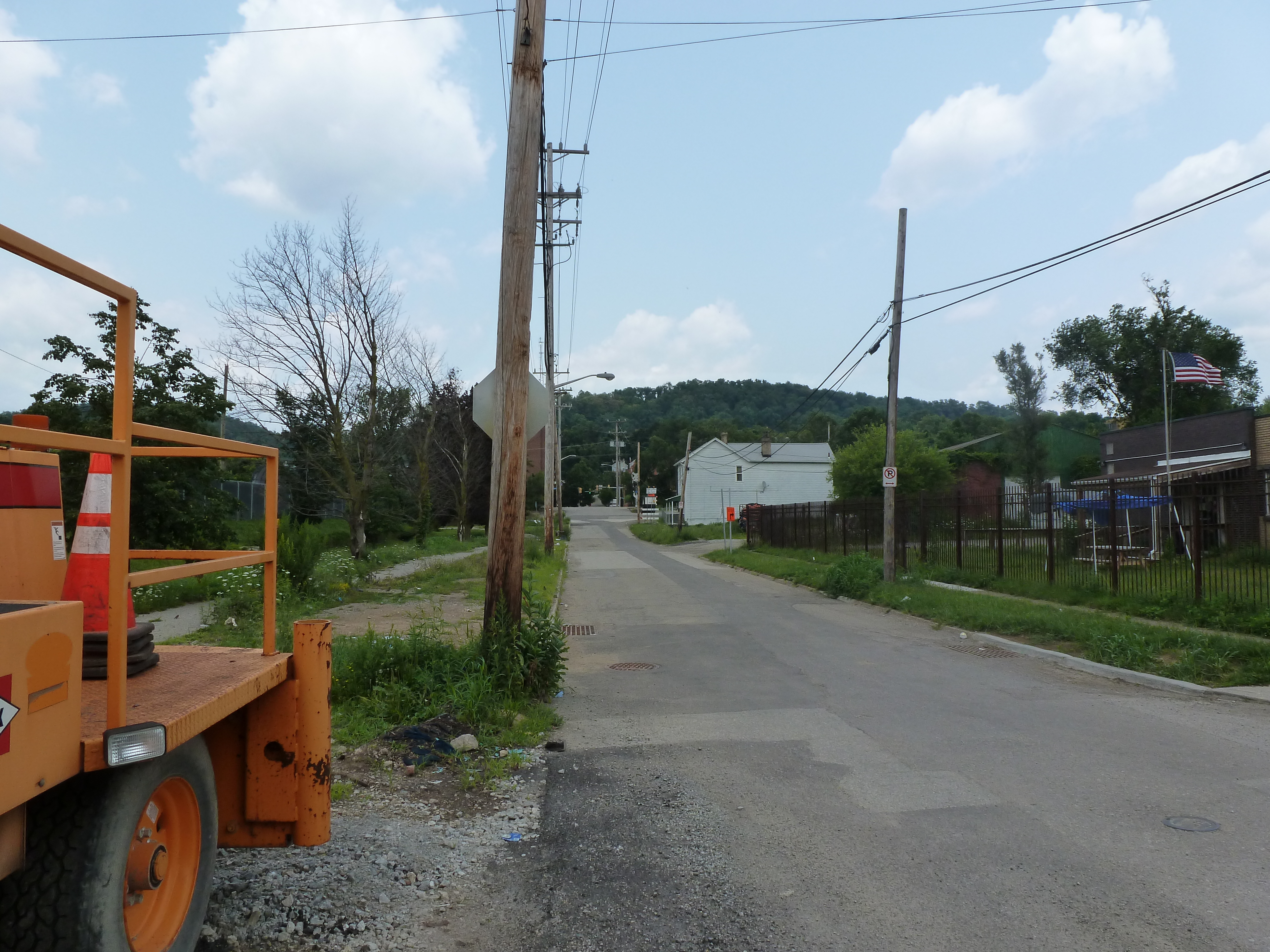
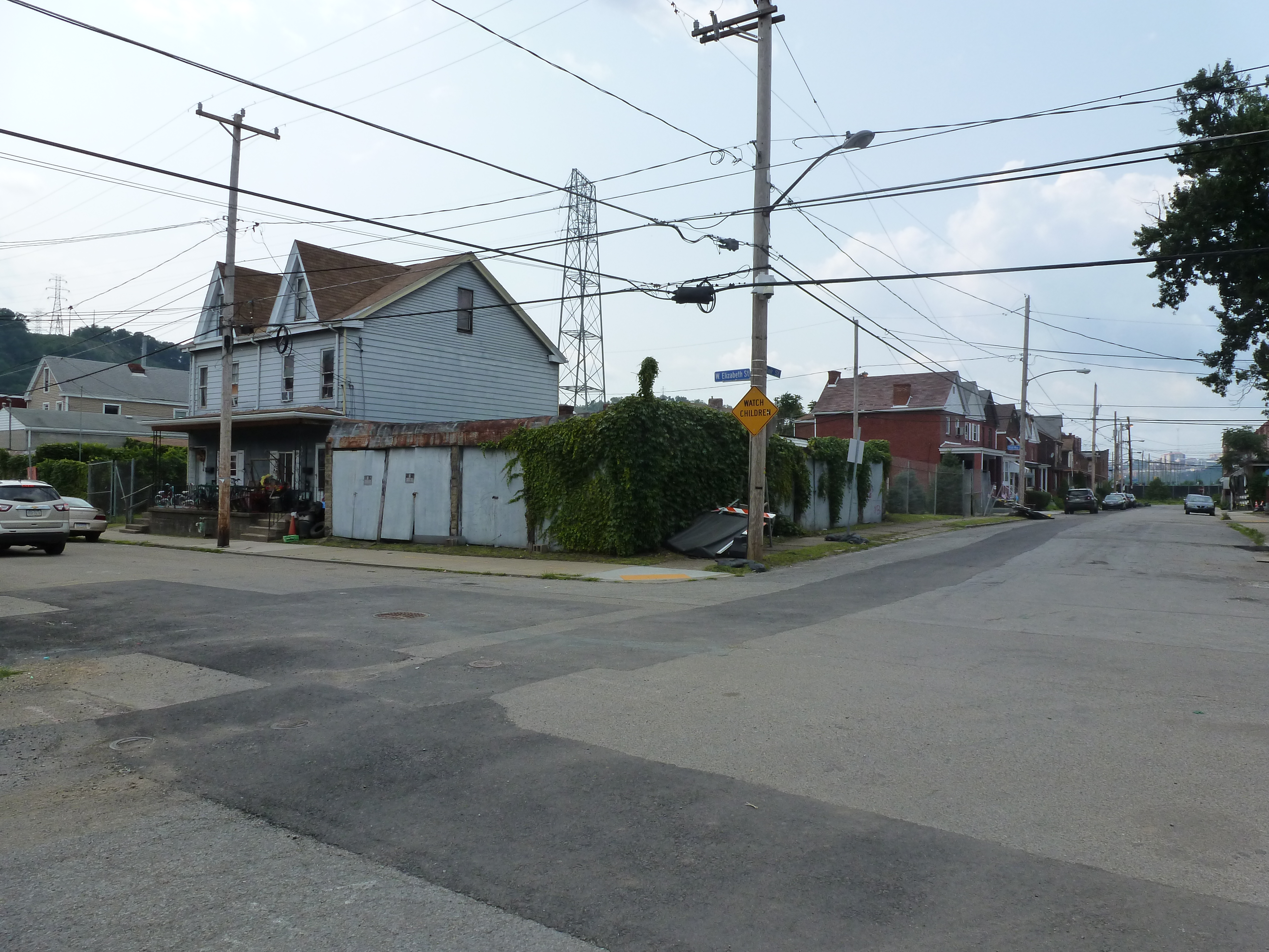
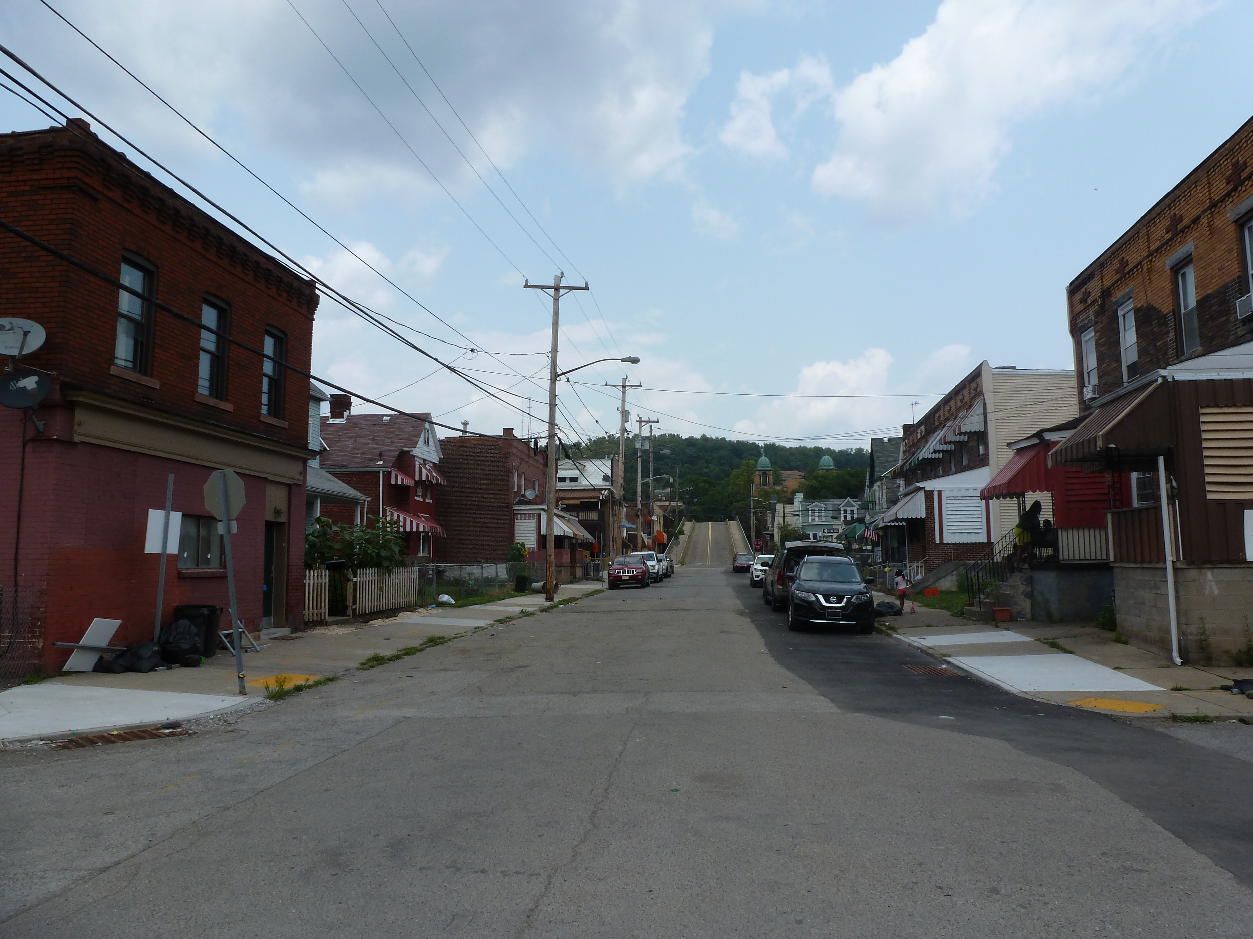
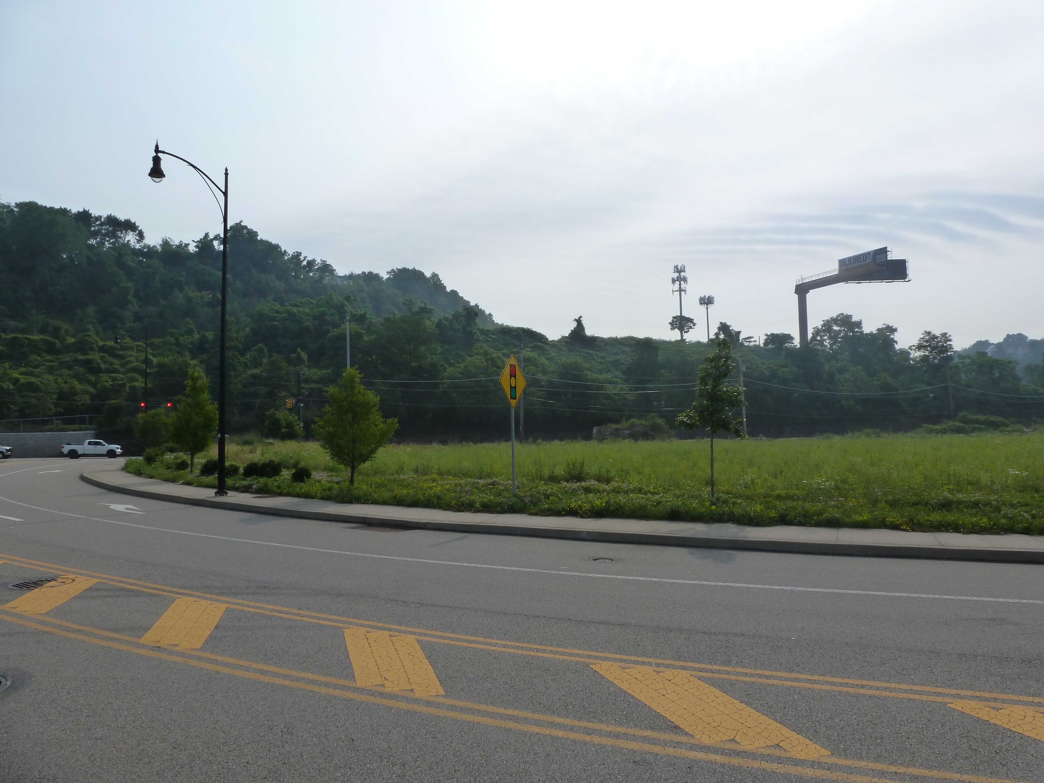
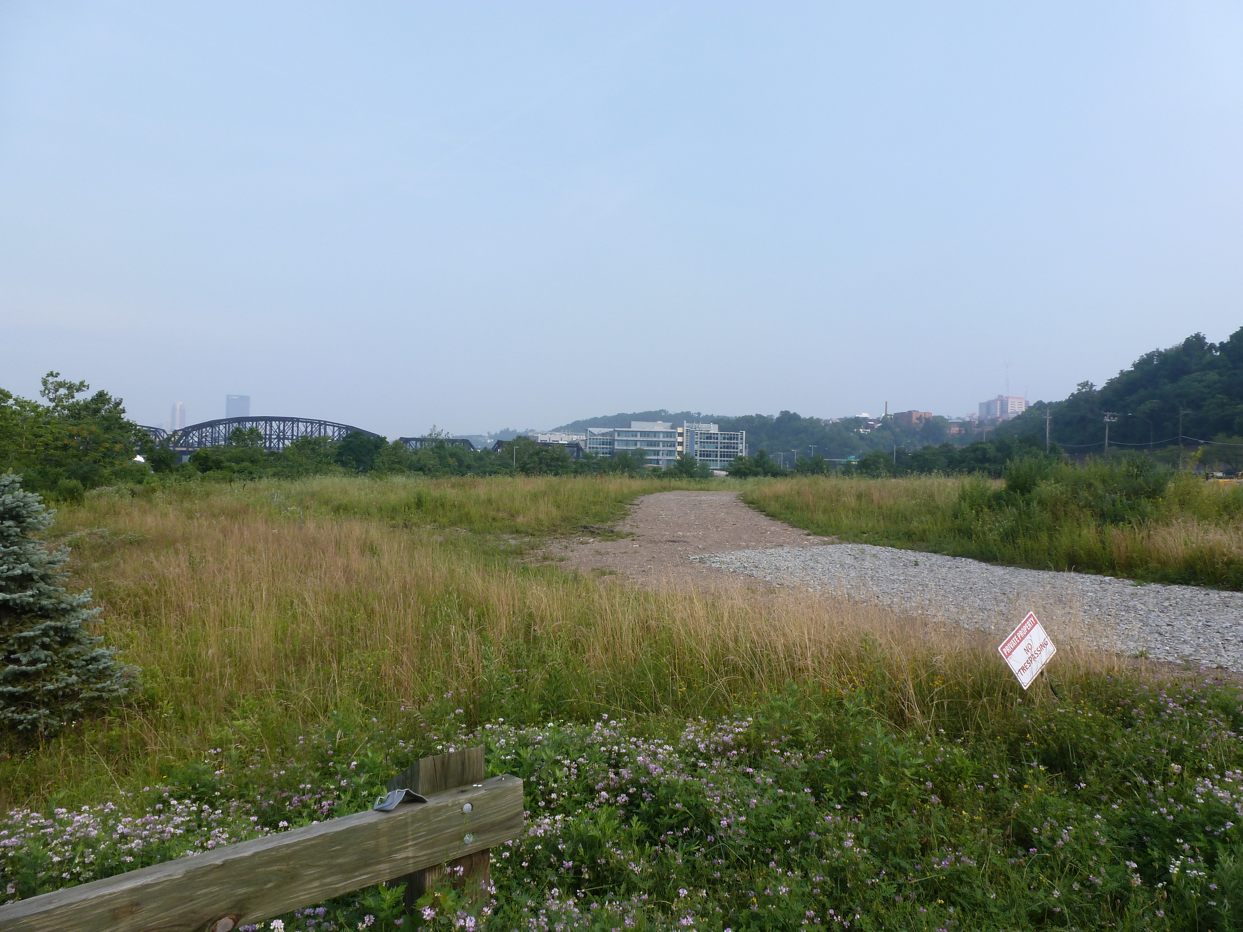
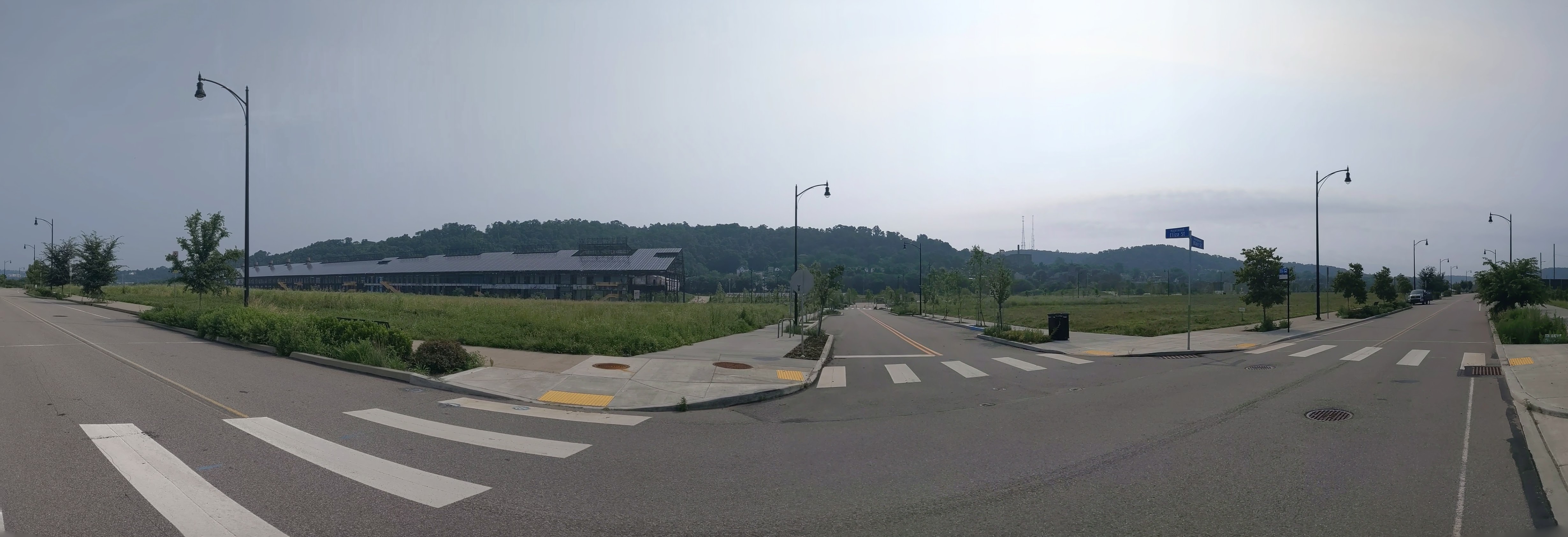
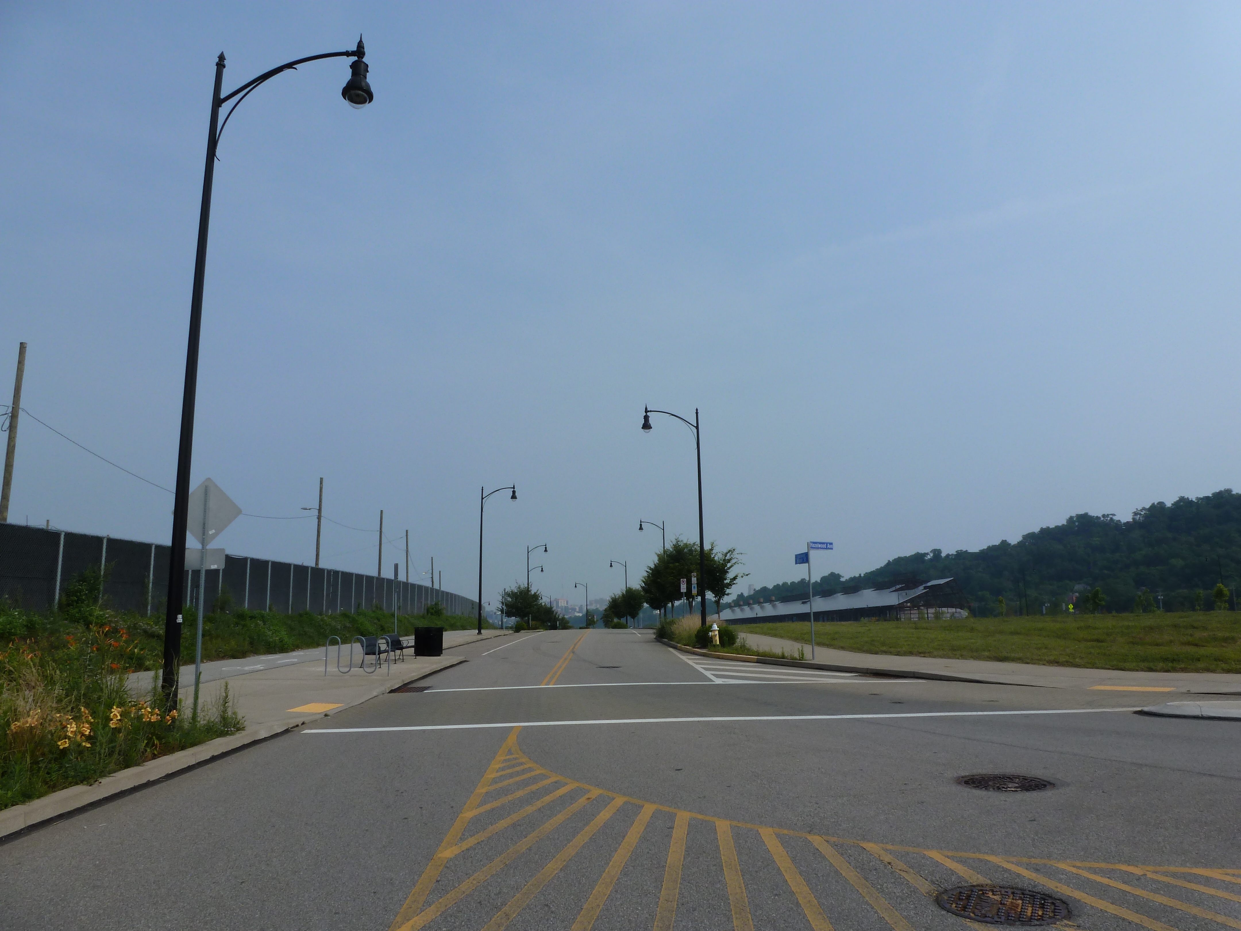
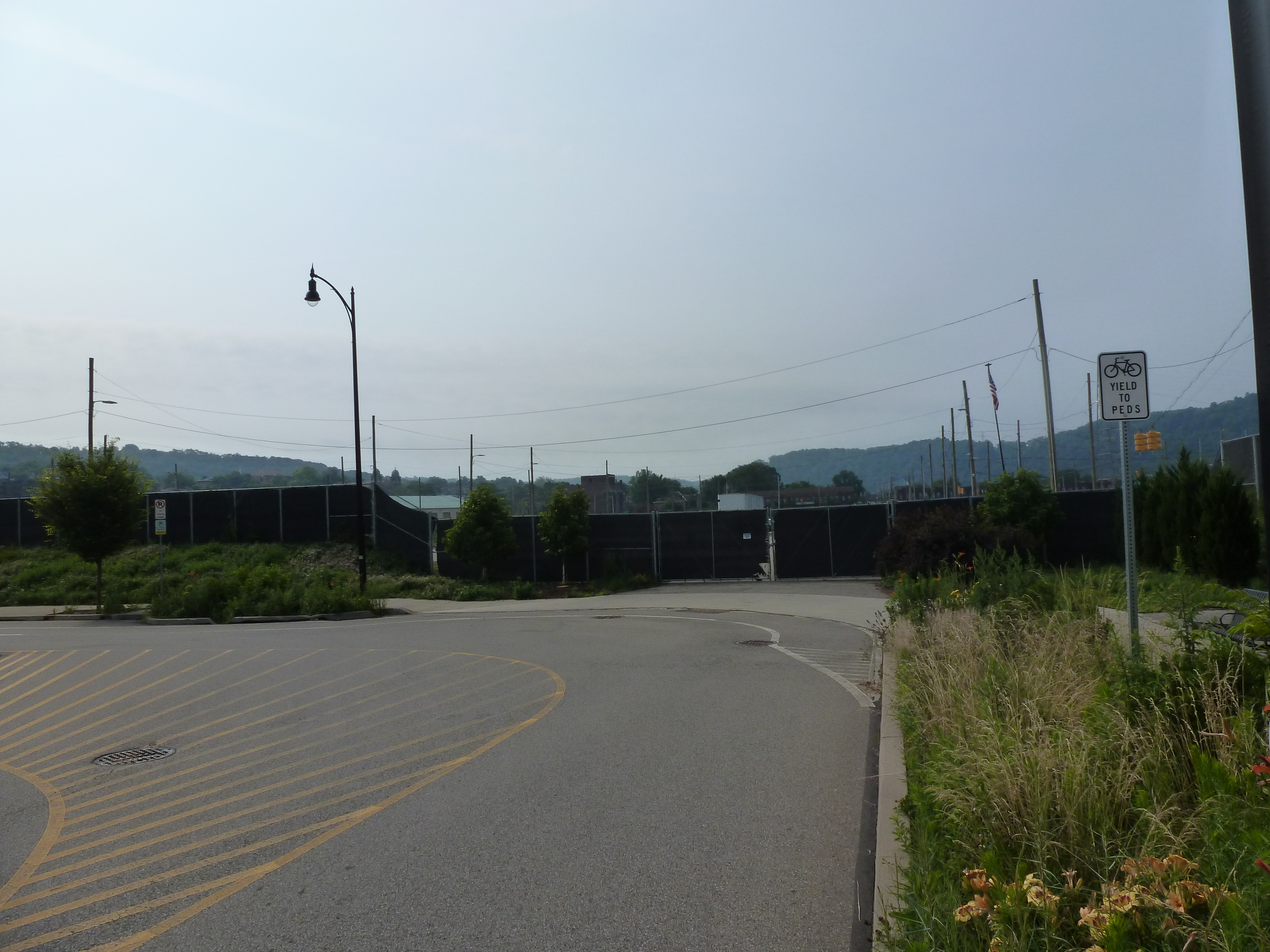
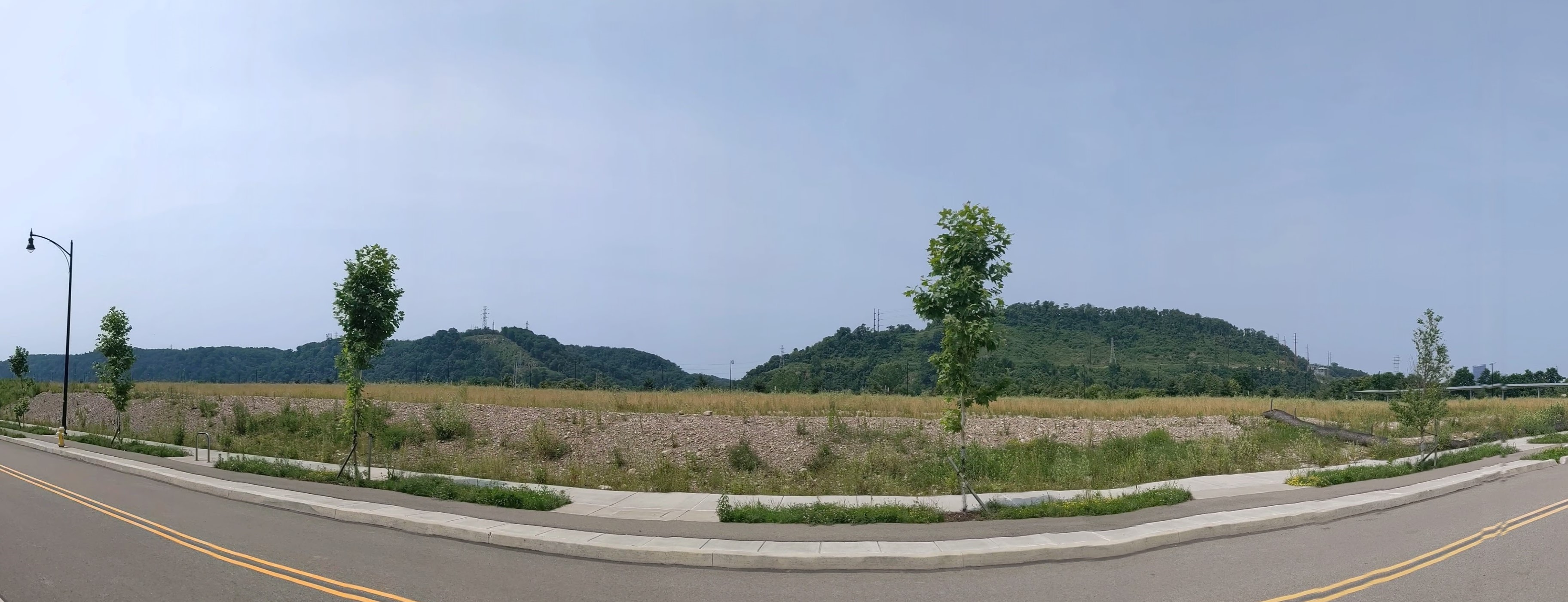
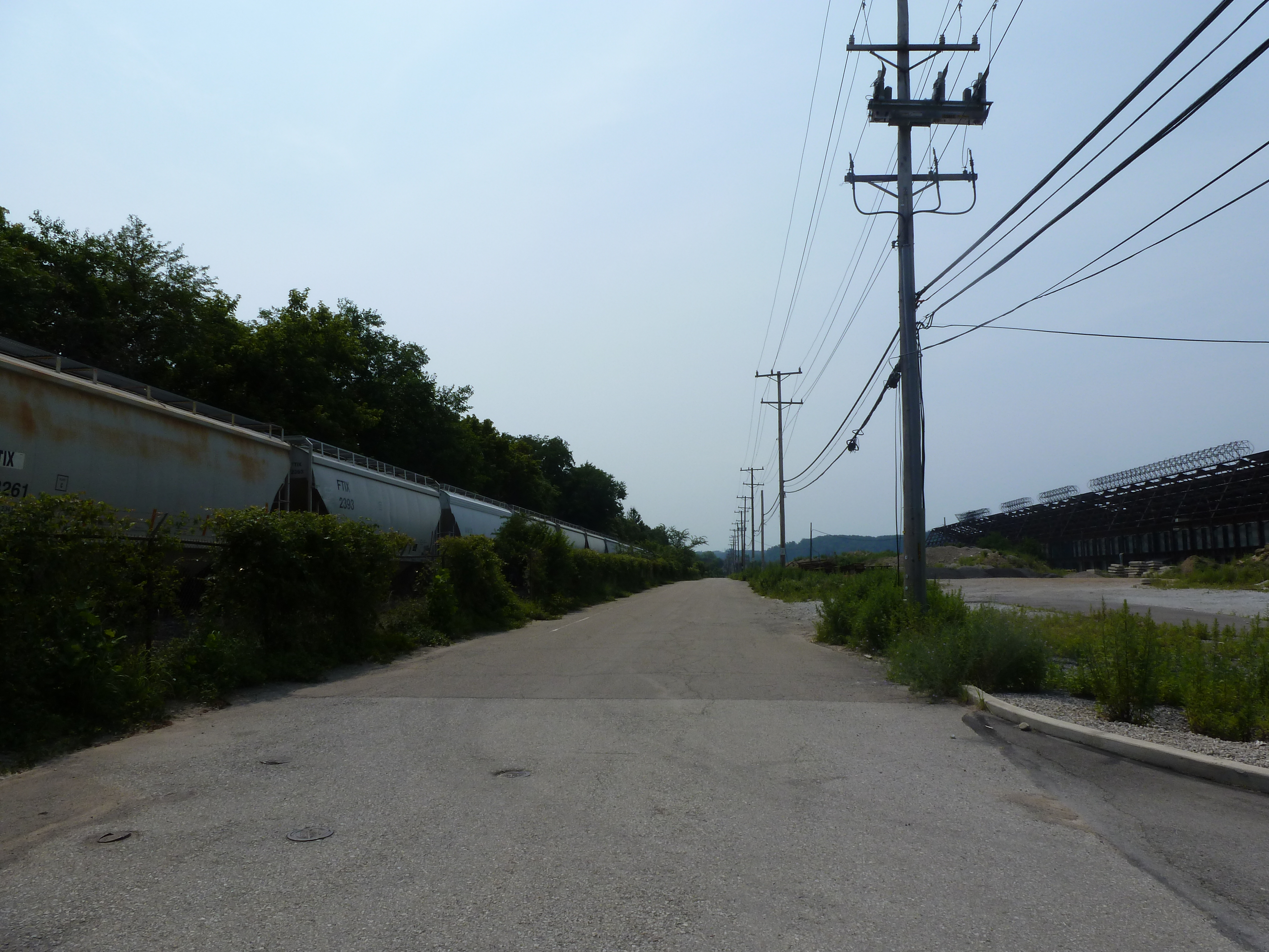
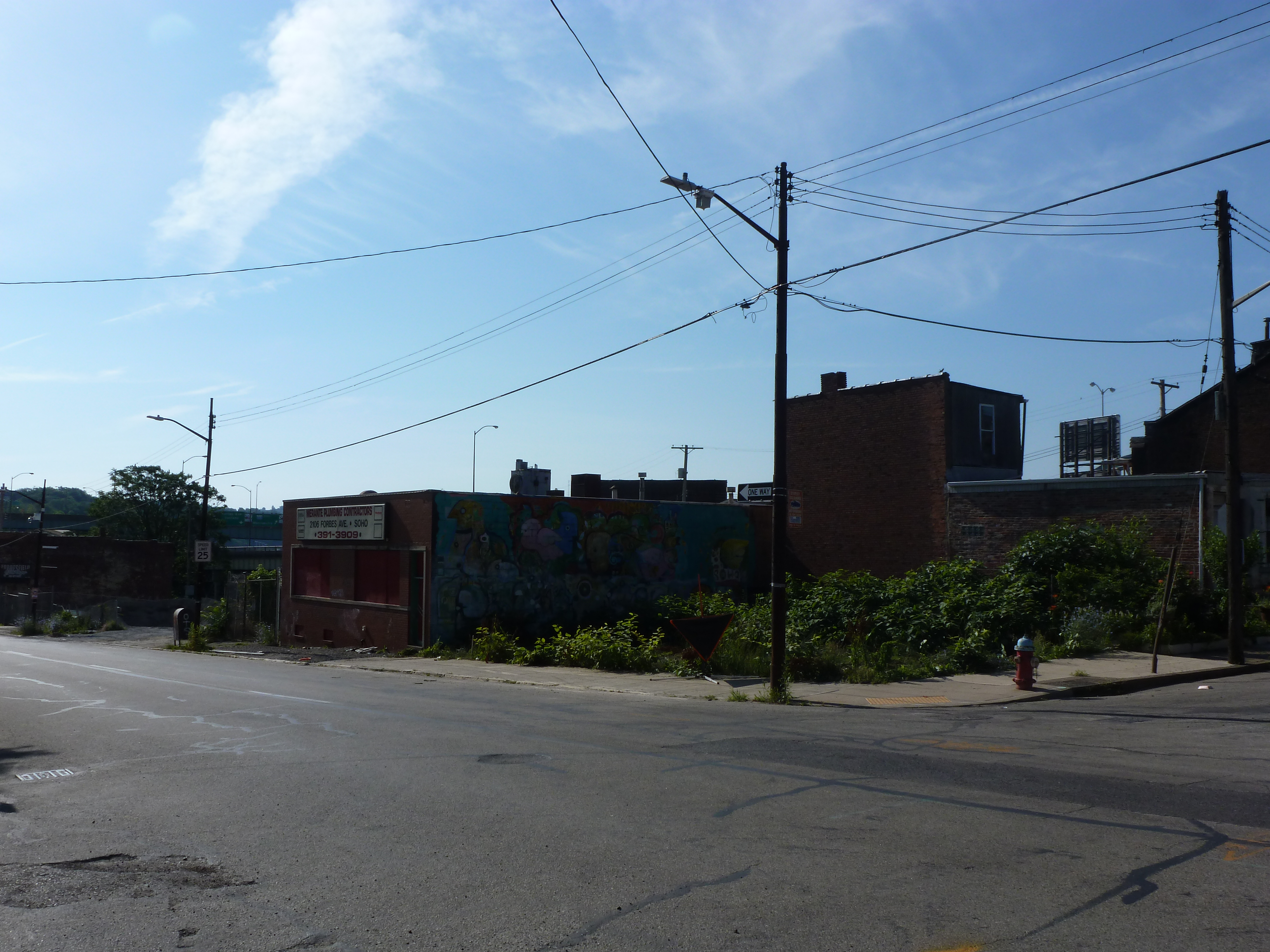
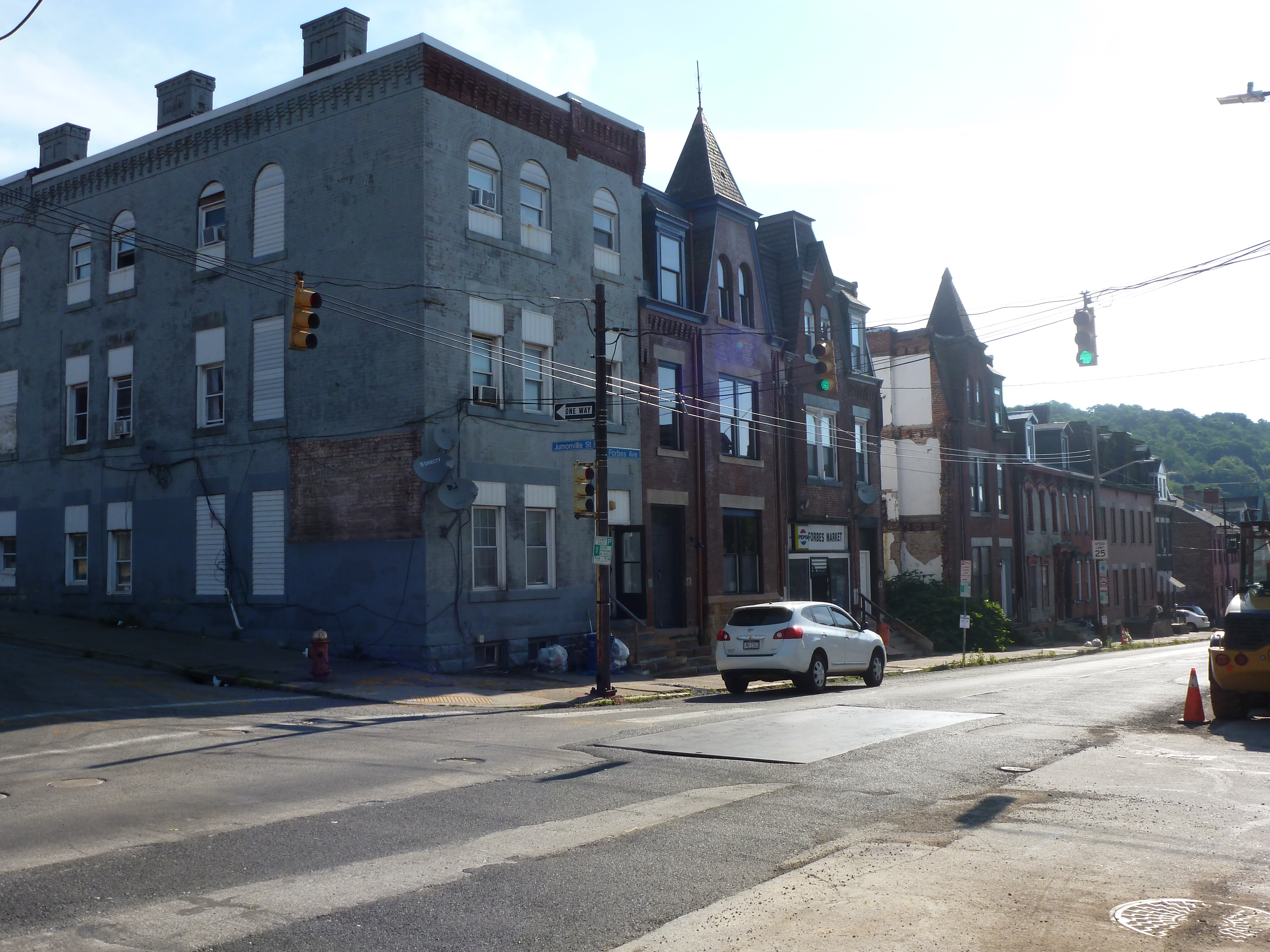
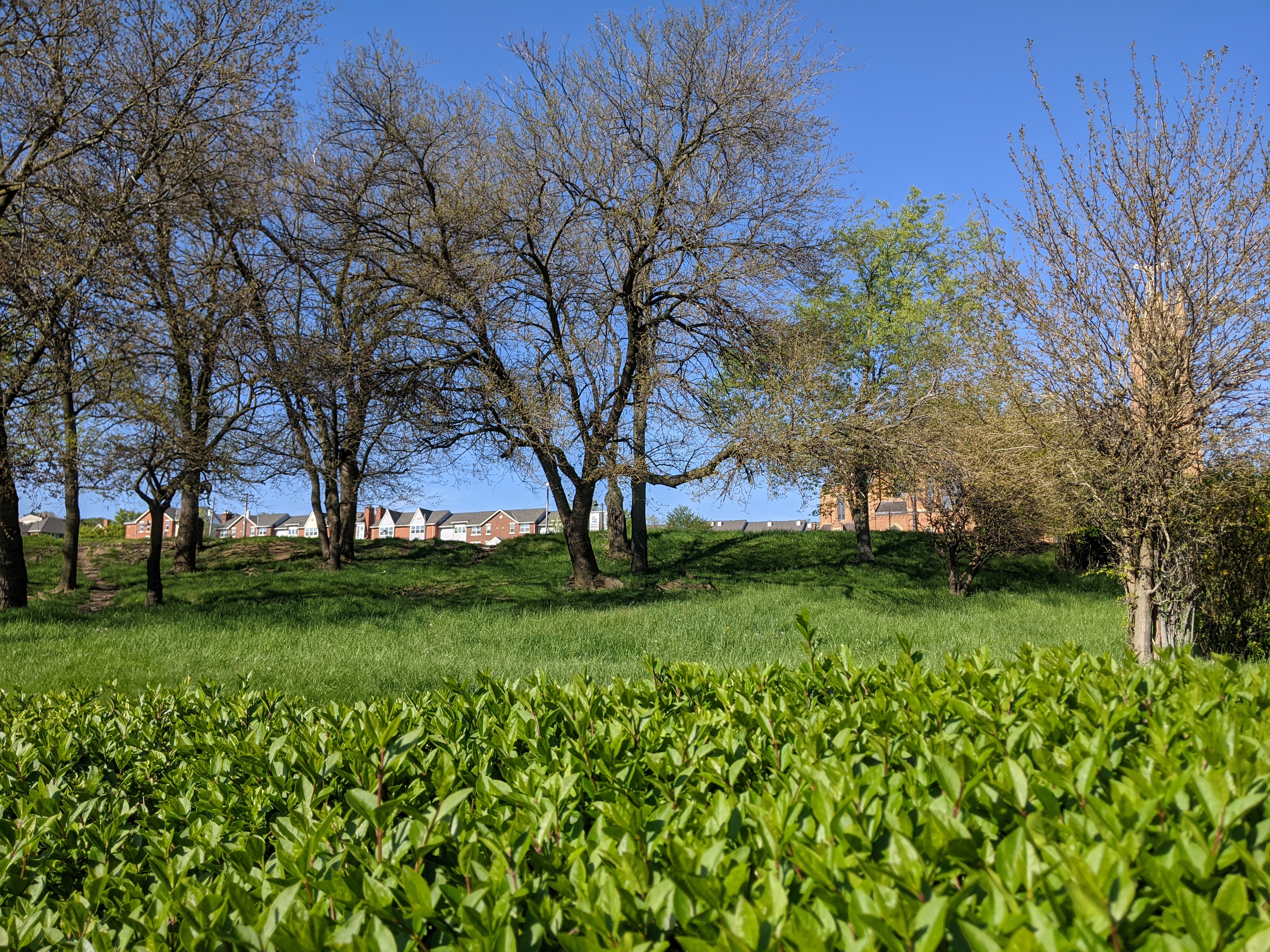
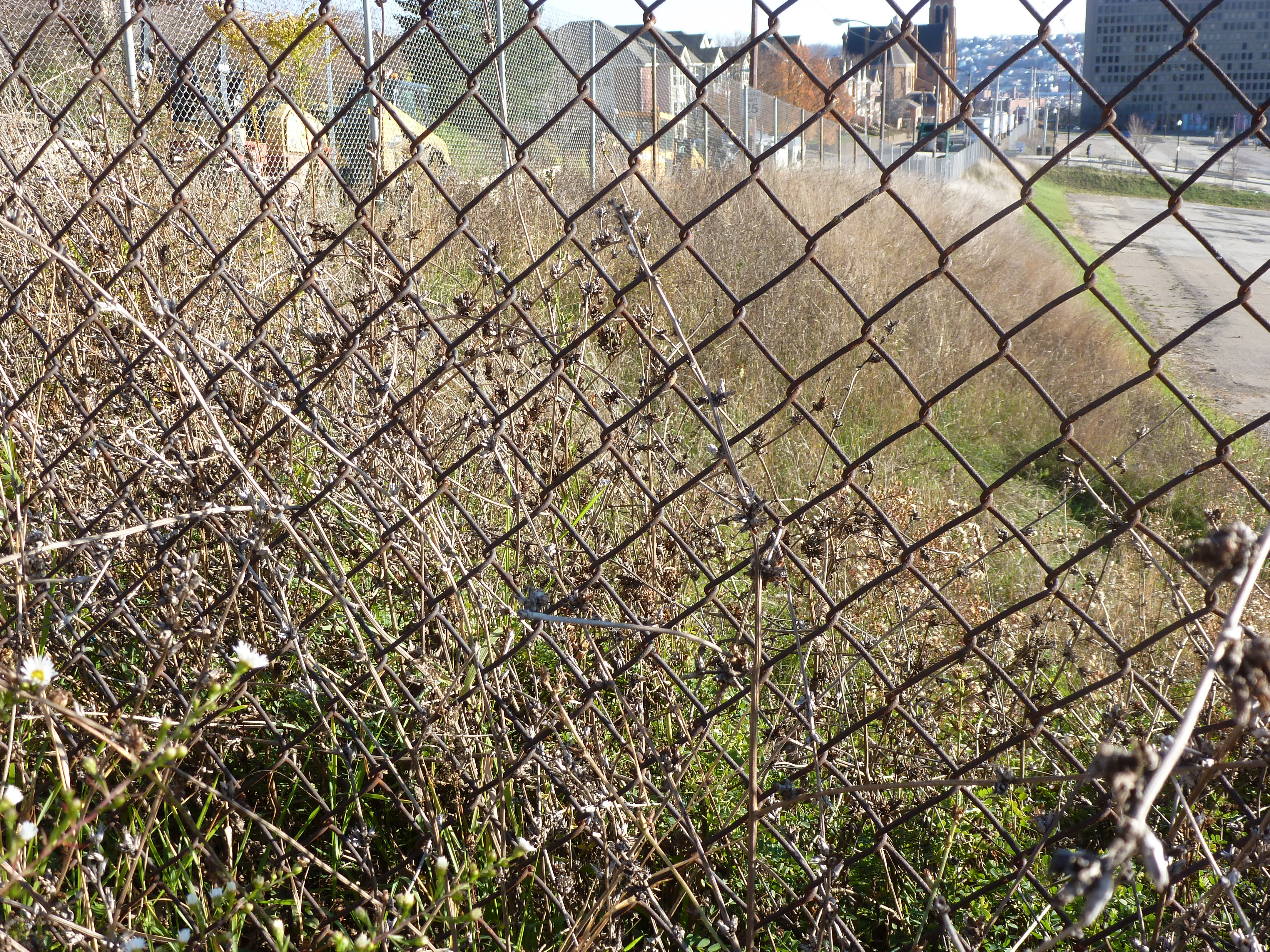
Hazelwood is a neighborhood about 4 miles down the Monongahela River from downtown Pittsburgh. It is currently experiencing significant change, at least in the Hazelwood Green portion. The area that I’m designating as Hazelwood Flats, is a small predominantly residential enclave. On the north-south axis, it is sandwiched between the former site of the Jones and Laughlin Steel Mill (now Hazelwood Green) and a mixed commercial/industrial area that includes the city’s recycling processing center. On the east-west axis, it is sandwiched between the river and the railroad tracks.
Given the extent of disinvestment in the Hazelwood in recent decades, this enclave is relatively intact with far fewer vacant lots than in the remainder of the neighborhood. The housing stock ranges from boarded up to maintained with vibrant yards.
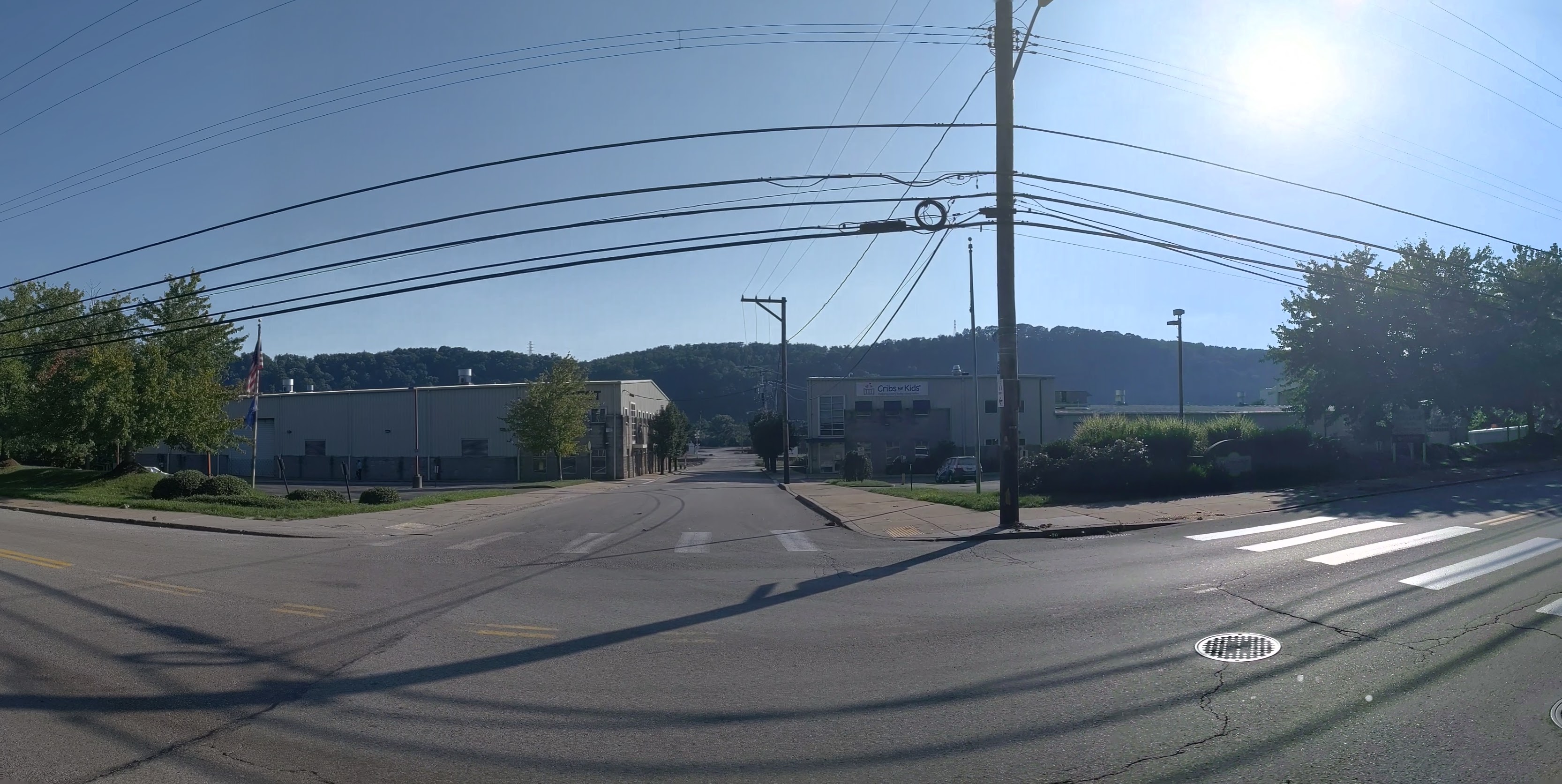
Only two streets cross the railroad tracks to connect this enclave with Second Ave, the neighborhood’s main street and a main artery for the city. A small road with car-swallowing potholes connects the enclave directly to Hazelwood Green bypassing the black wrapped fence surrounding Uber’s test track.
While Uber has a veiled presence in the neighborhood and robots are being tested nearby, the question is what will happen to the residents and the neighborhood. Through this photographic series, I will periodically return to the neighborhood to document the physical changes to the Hazelwood Flats to capture a part of the answer to that question as it unfolds. This is in conjunction with two related series documenting the changes to Hazelwood Green and the slope portion of Hazelwood on the other side of the railroad tracks.
What’s New
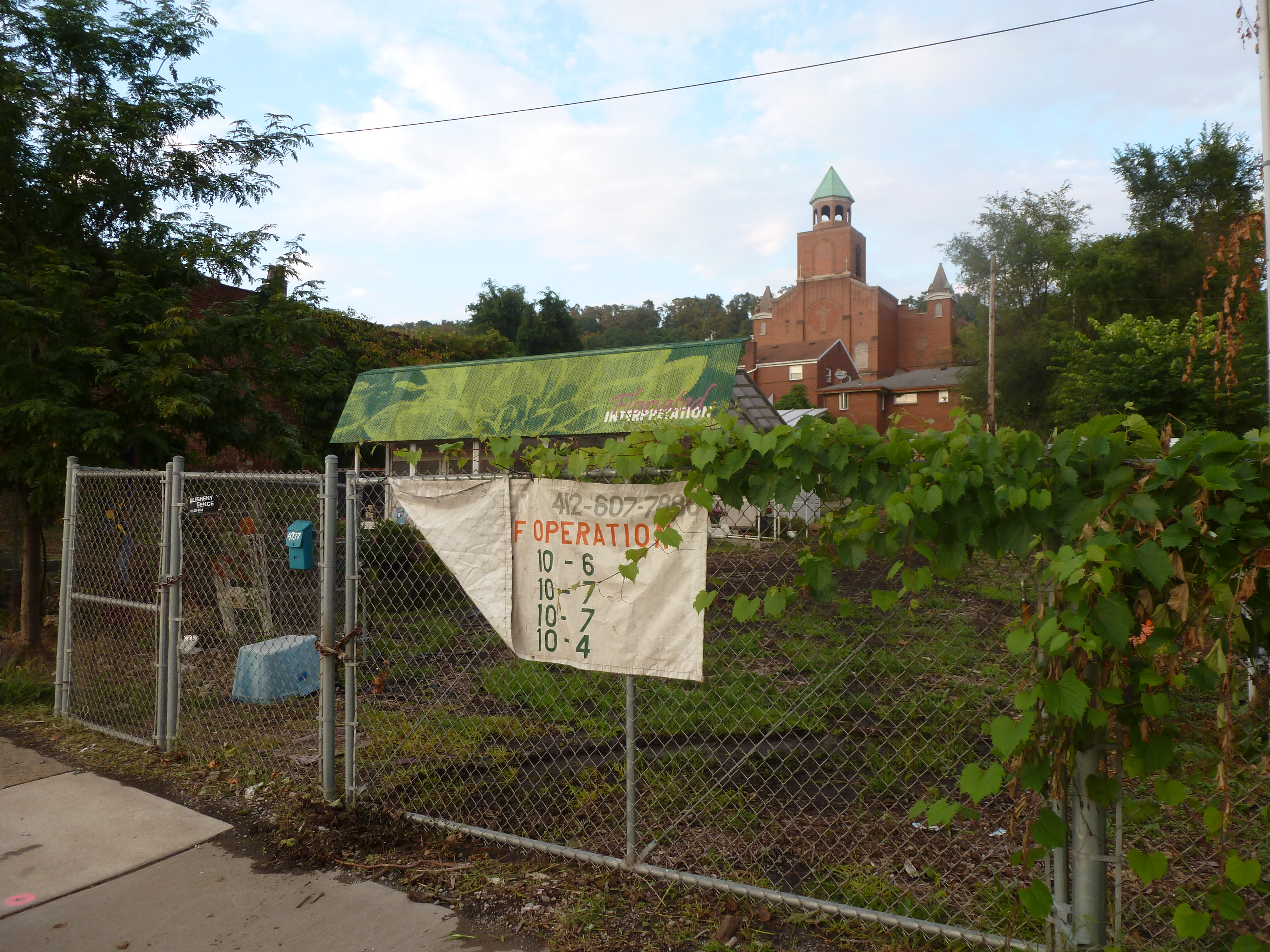
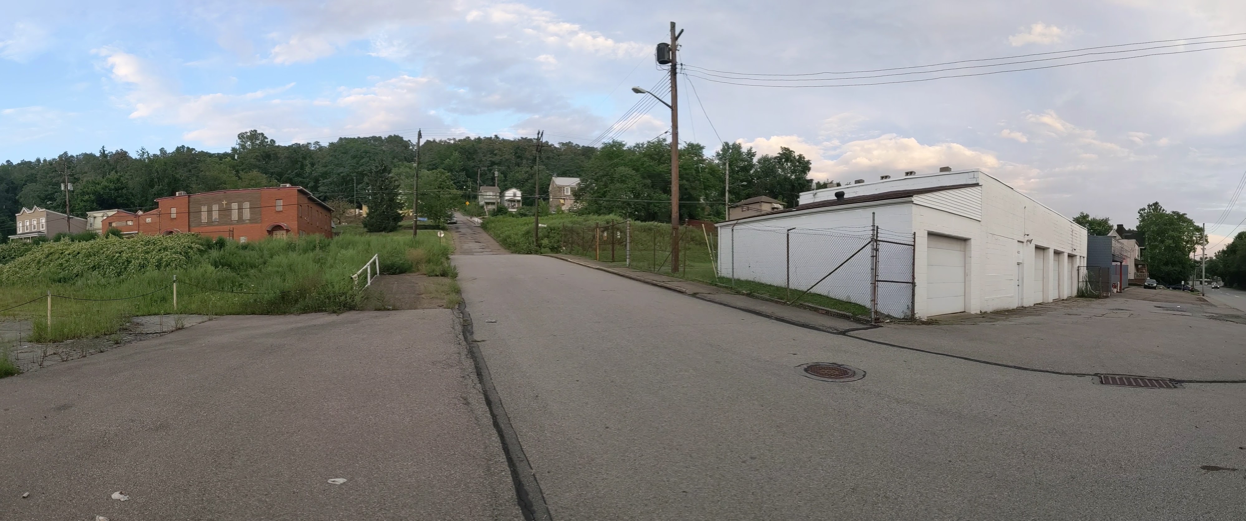
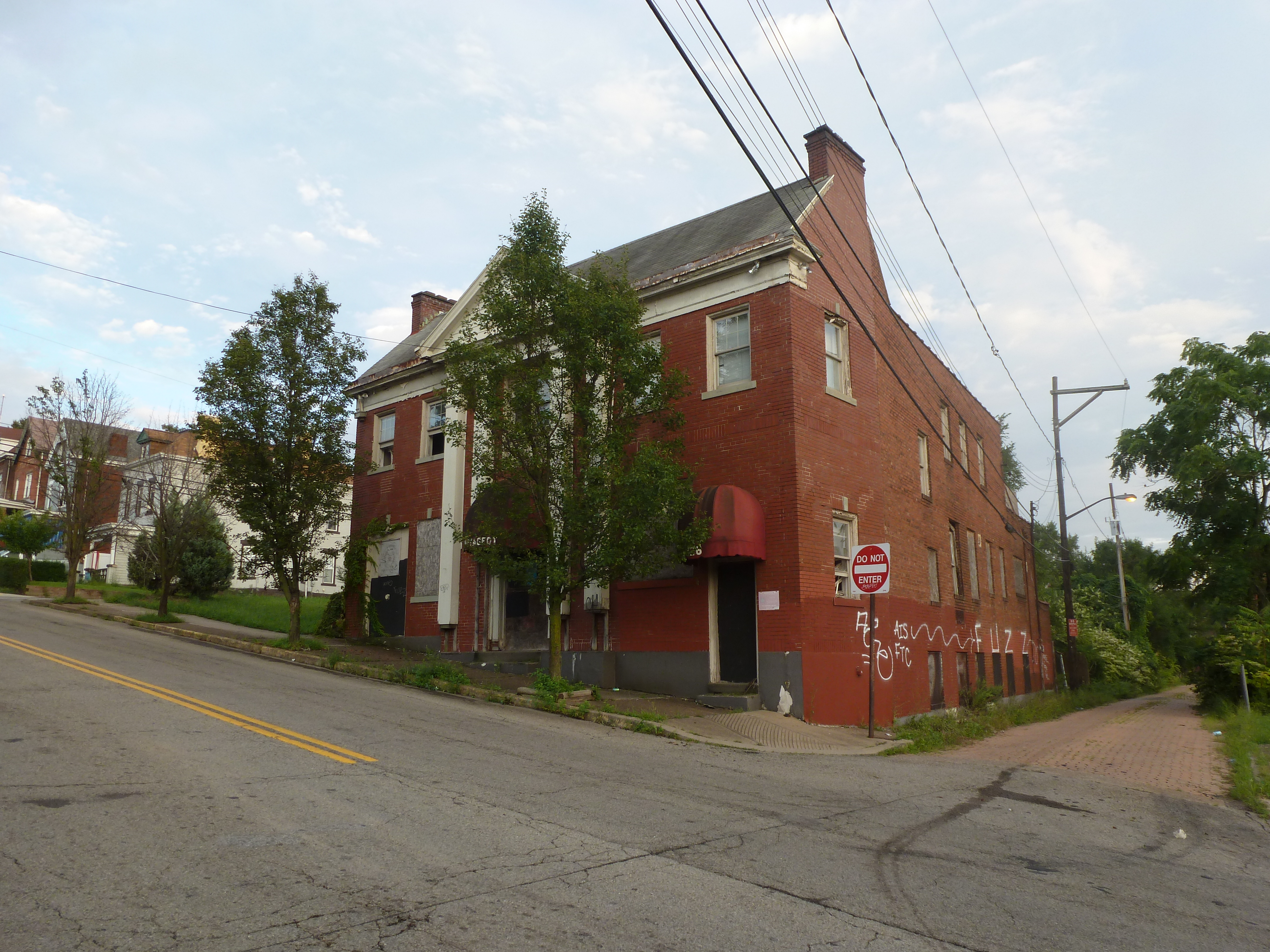
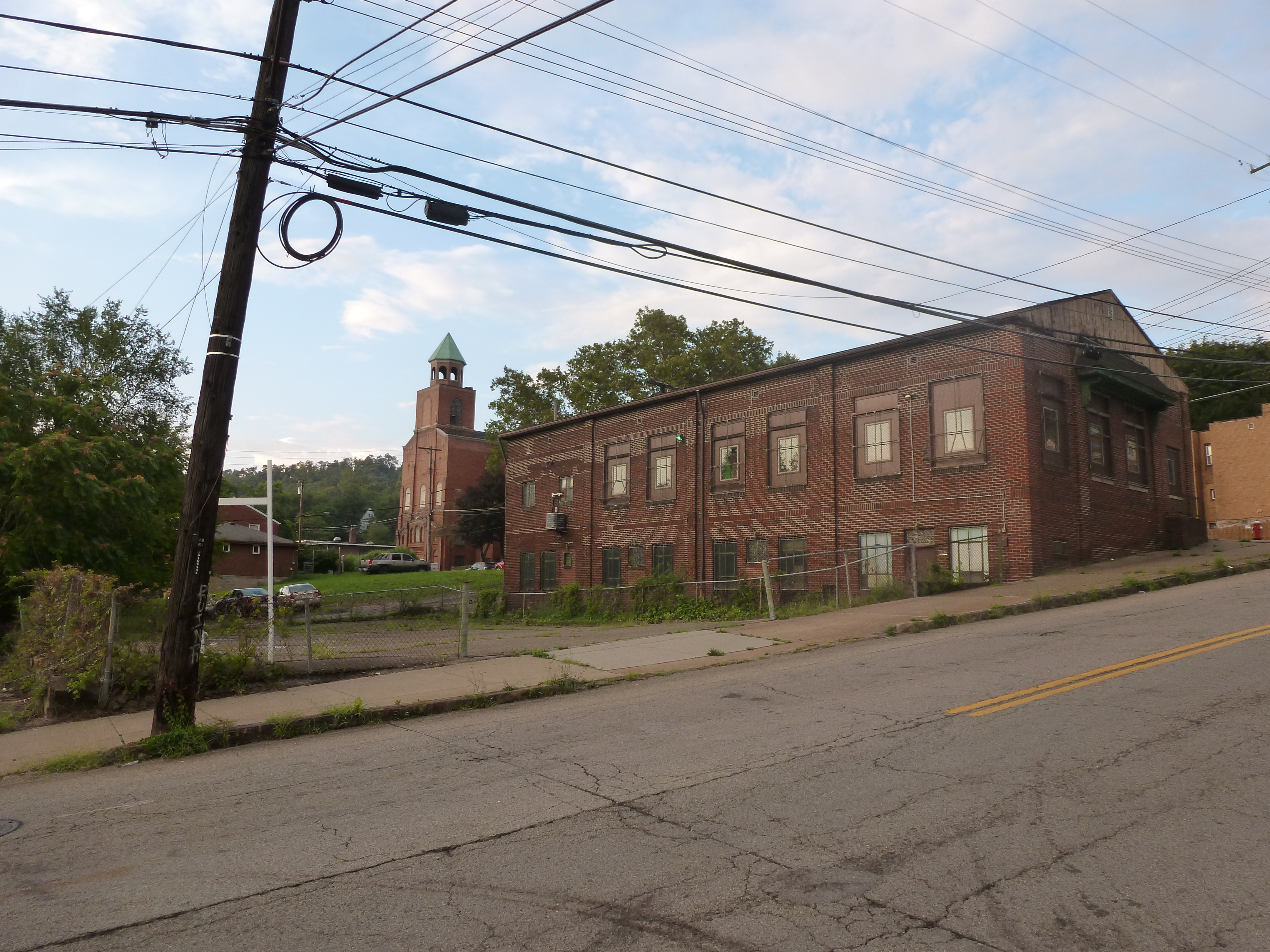
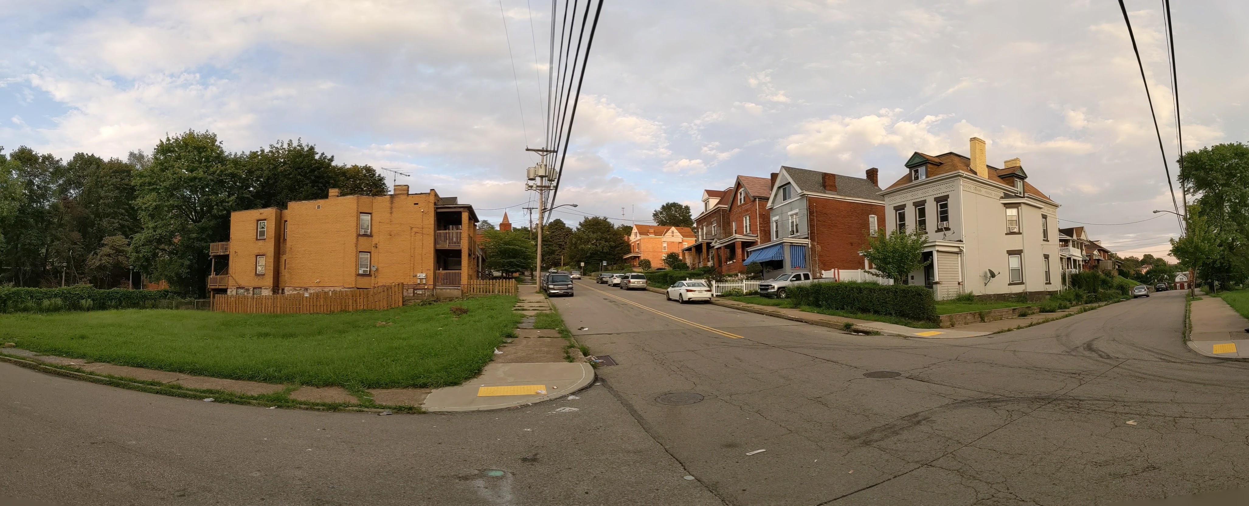
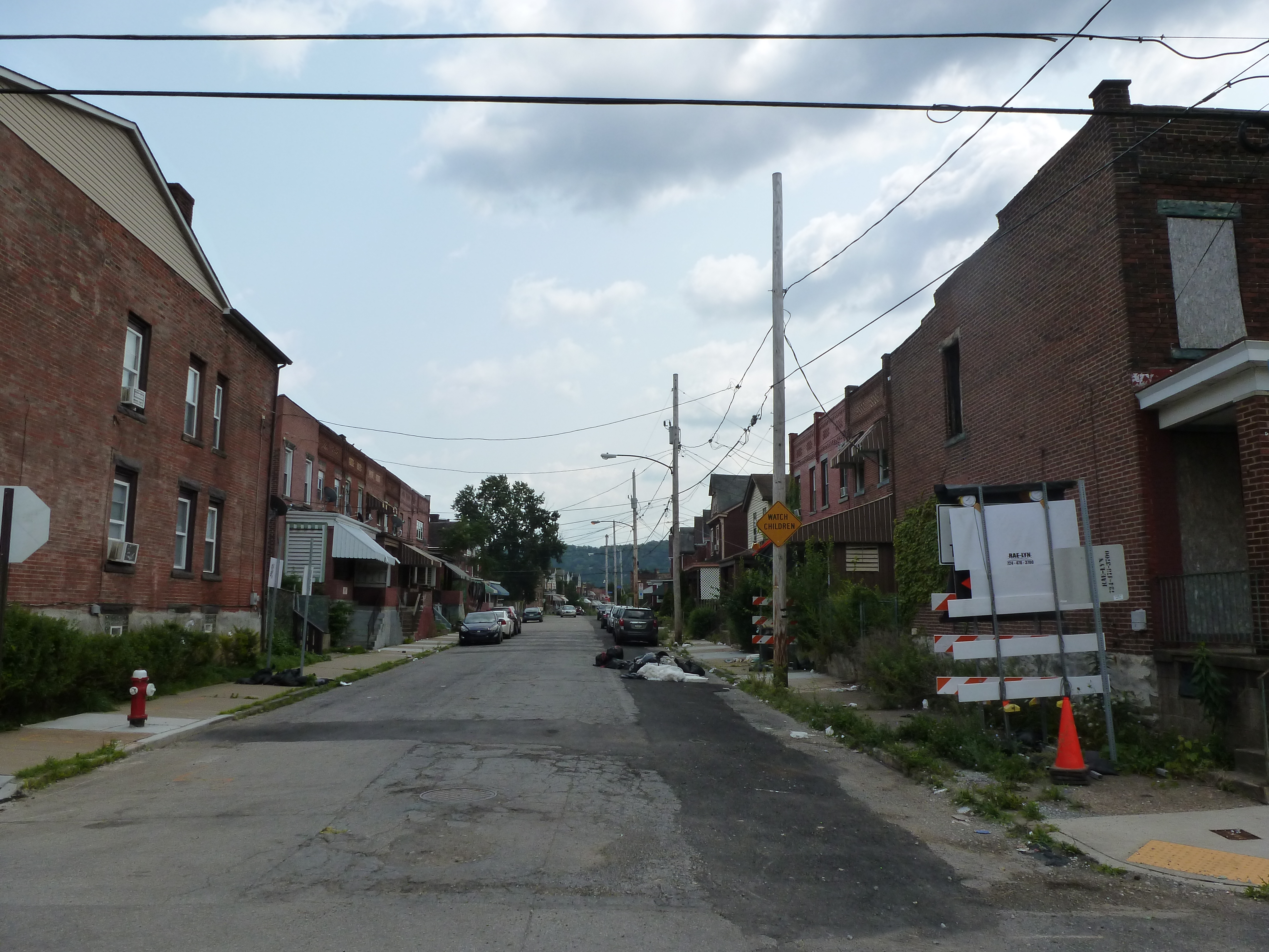
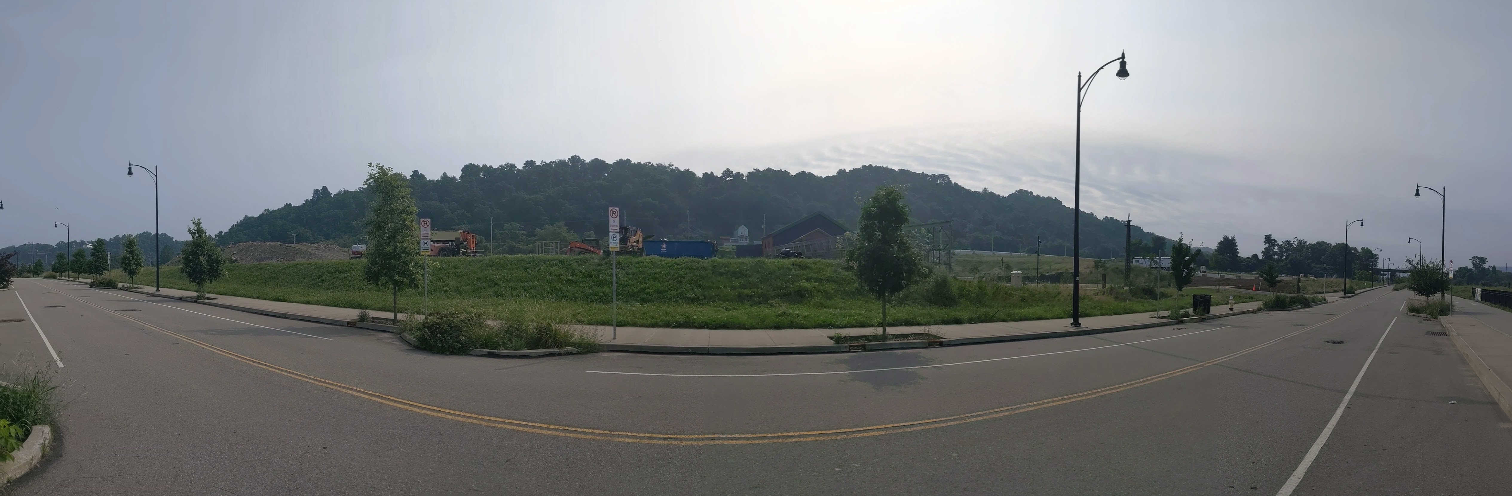
Since I last visited Hazelwood Flats, work has begun on the renovation of the former Hazelwood Brewery (image 5a). The proposed new use of this site is a hub for craft brewers. I noticed a vacant lot on Blair Street (image 9a) that may have been newly vacant or was just more noticeable as a staging area for the water main replacement in the neighborhood (similar to the water main replacement in Uptown this summer). As I’m becoming more familiar with the neighborhood, I’m seeing more details – such as noticing the rowhouses tucked along the Ways (image 15) similar to other worker housing neighborhoods in Pittsburgh like Lawrenceville and Garfield.
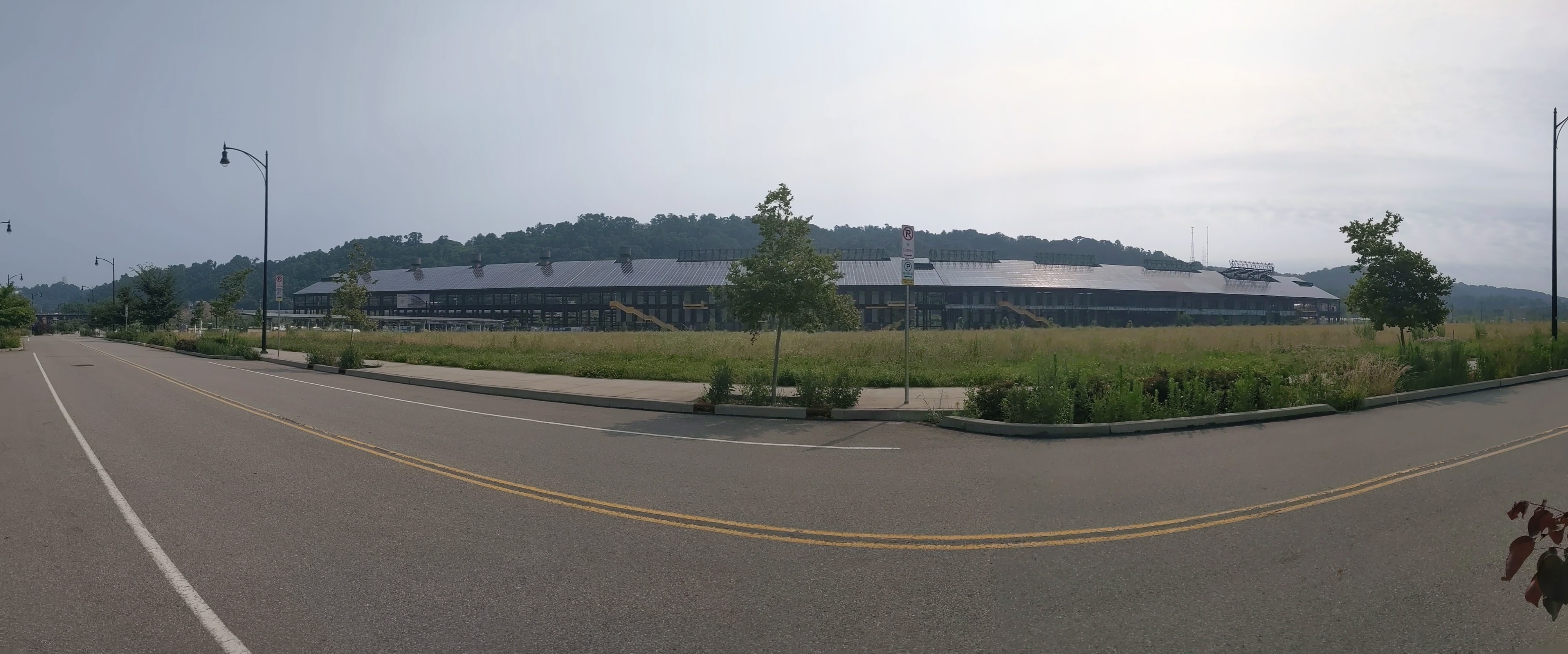
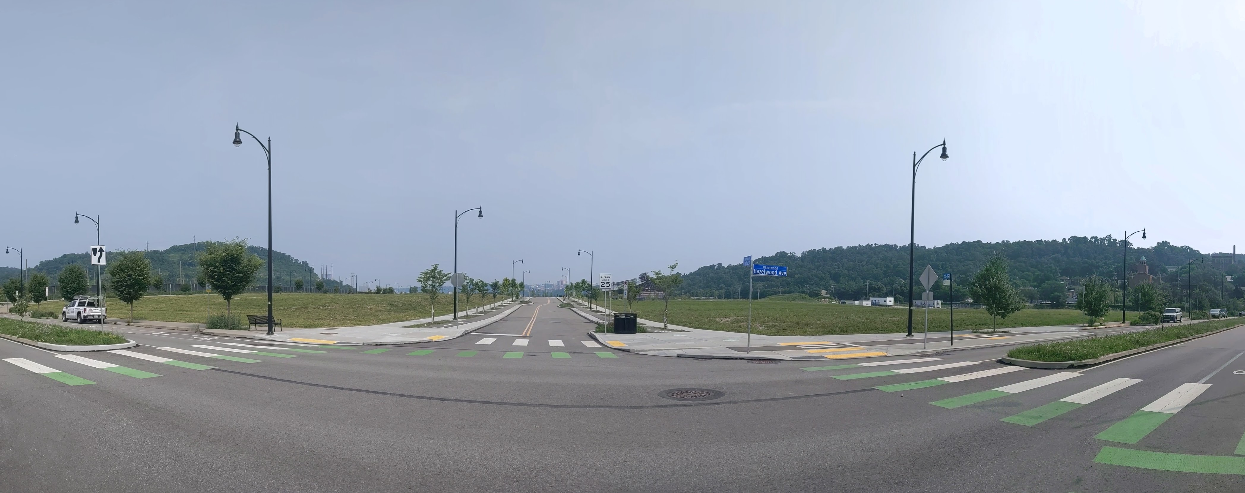
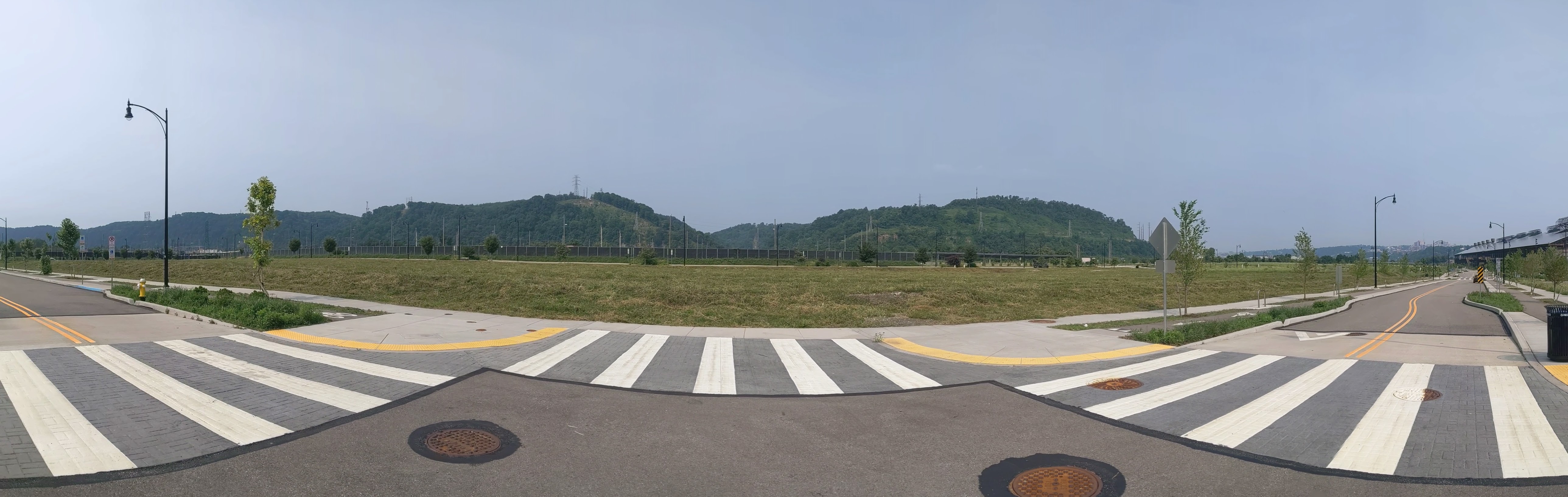
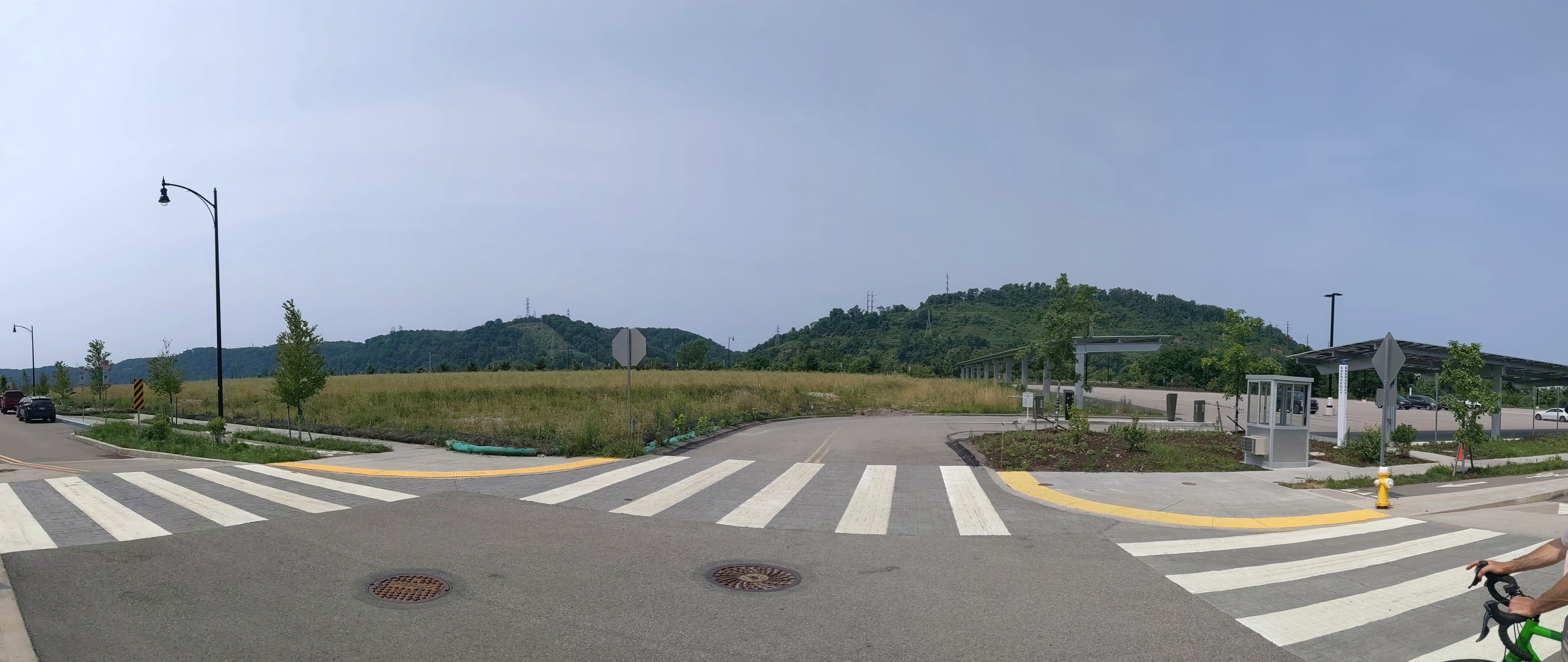
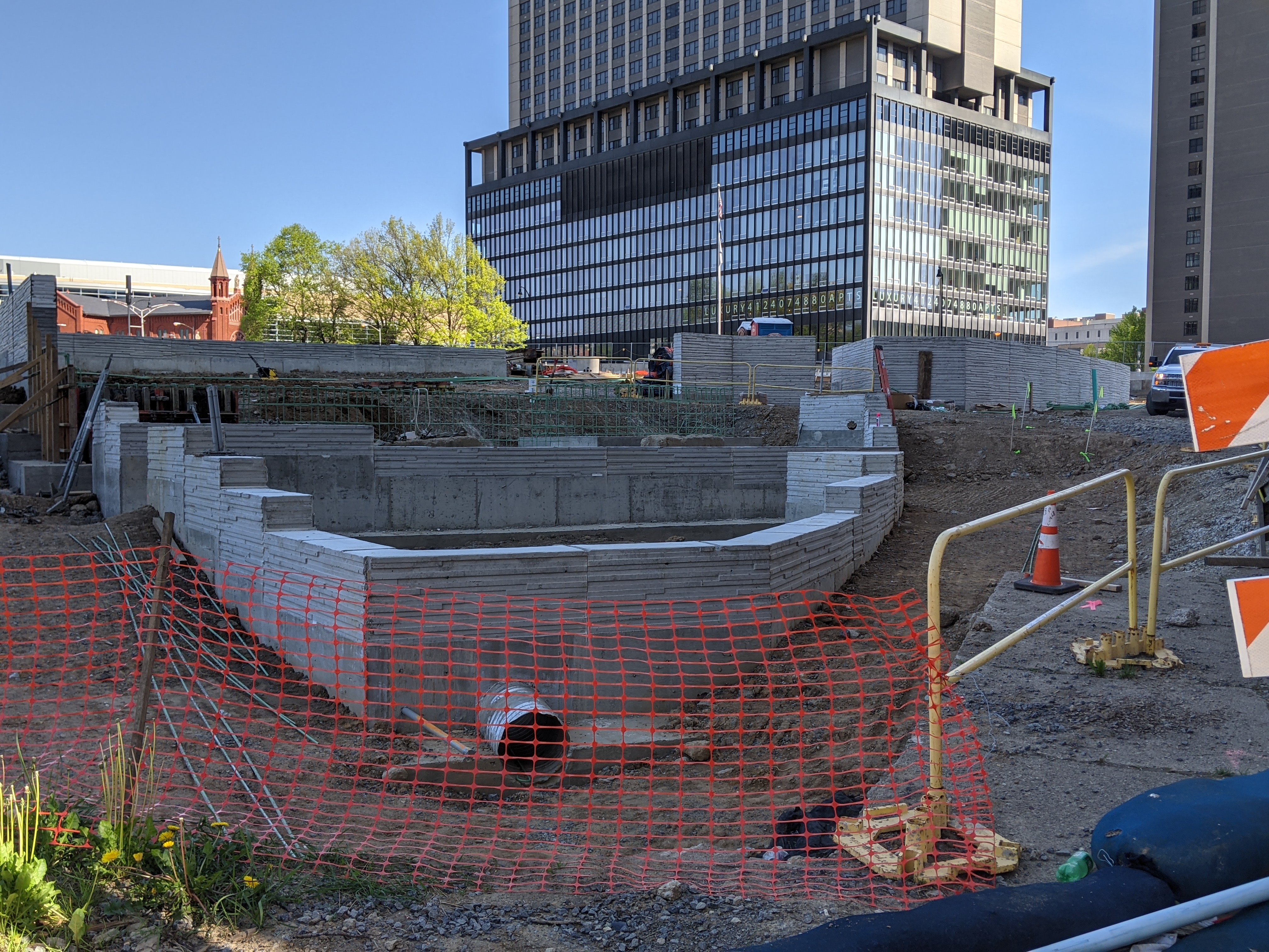
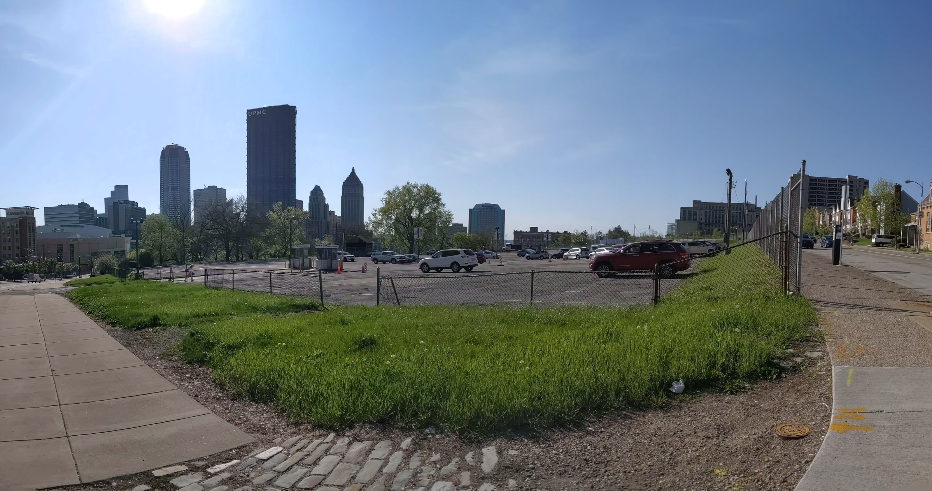
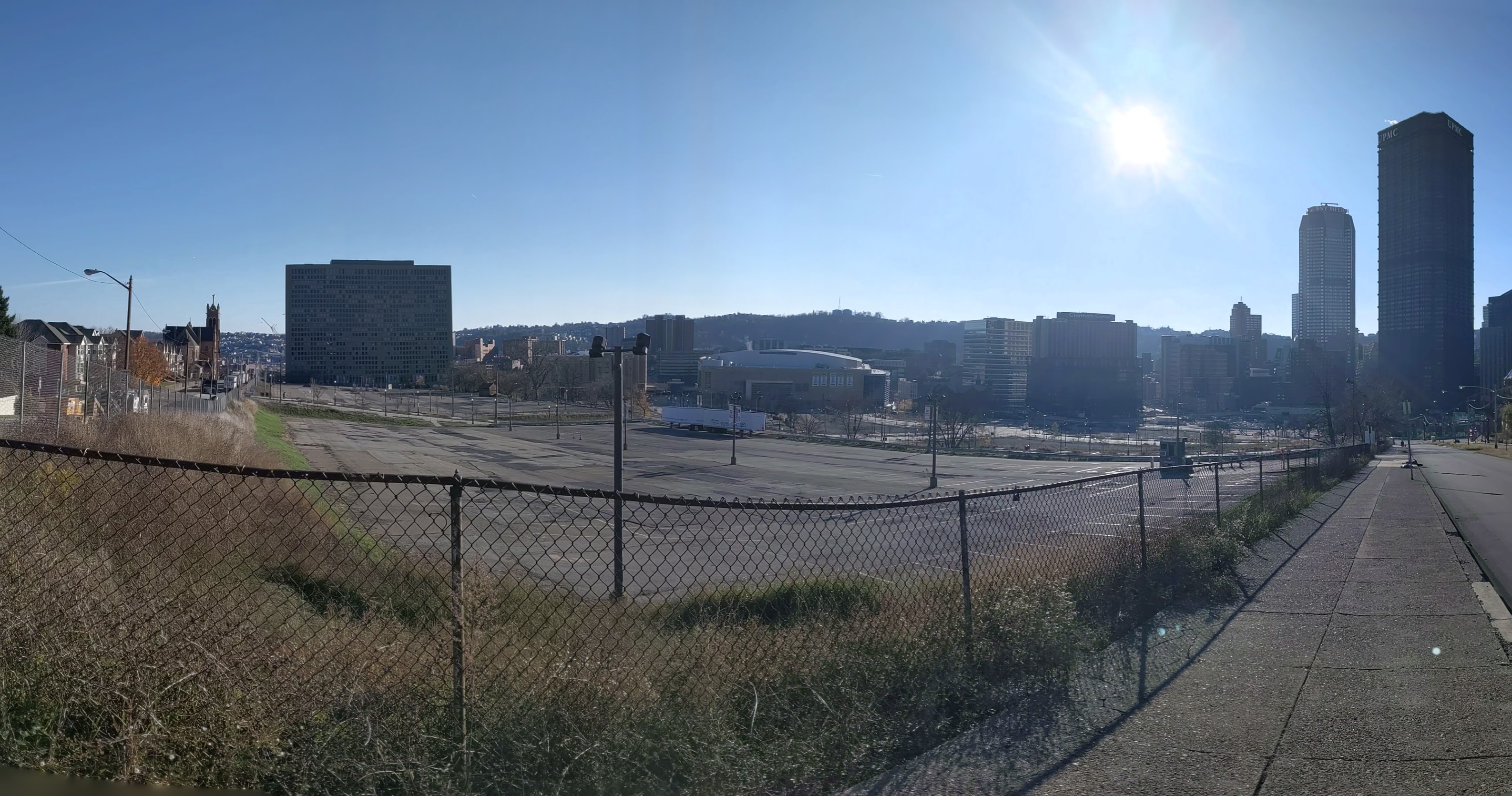
Hazelwood is a neighborhood about 4 miles down the Monongahela River from downtown Pittsburgh. It is currently experiencing significant change. Between Hazelwood’s main street (2nd Avenue) and the Monongahela River is a 178-acre site of the former Jones and Laughlin Steel Company. Most of the structures from the mill were demolished, leaving a large brownfield. In 2002, the site was purchased for redevelopment by Almono LP (at the time, an entity made up of four Pittsburgh foundations). After years of planning and a rebranding of the site as Hazelwood Green, a series of public streets and the first building opened for use in 2019. Construction is underway for more buildings and a public plaza.
During the planning and preparation stages, a question arose as to the effects of this redevelopment on the surrounding neighborhood. Hazelwood is one of Pittsburgh’s neighborhoods that has experienced high vacancy rates and subsequent demolition in its residential and business districts. While the building stock of the neighborhood has experienced a long downward trend, the community of people is strong. Only time will tell if the redevelopment of Hazelwood Green will connect with this community or if Hazelwood Green will become and isolated spot of prosperity for others.
Through three photographic series, Keeping an Eye on Hazelwood Green, Keeping an Eye on Hazelwood Flats, and Keeping an Eye on Hazelwood Slope, I will periodically document the physical changes to the former steel mill site and to the surrounding neighborhood.
What’s New
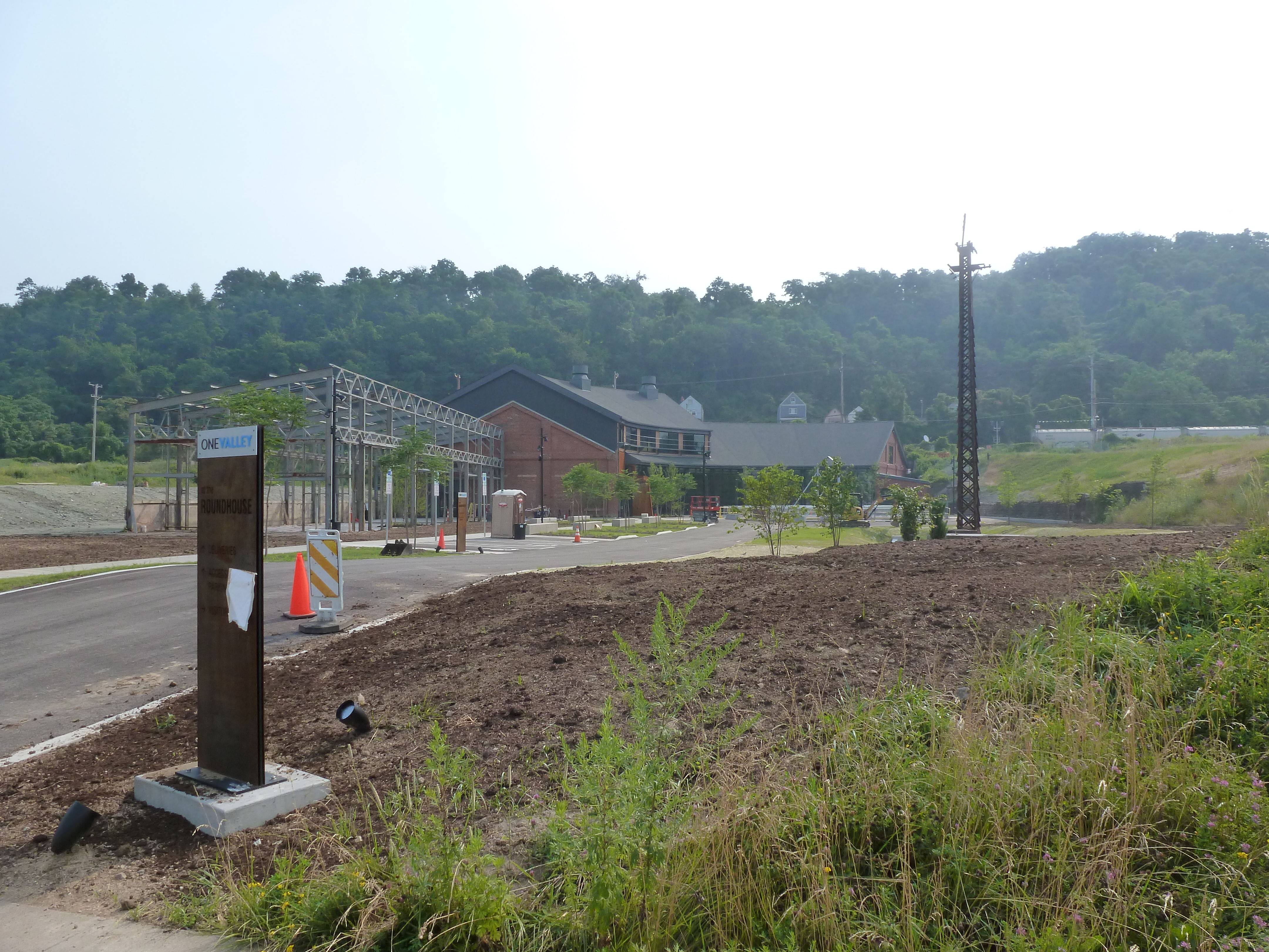
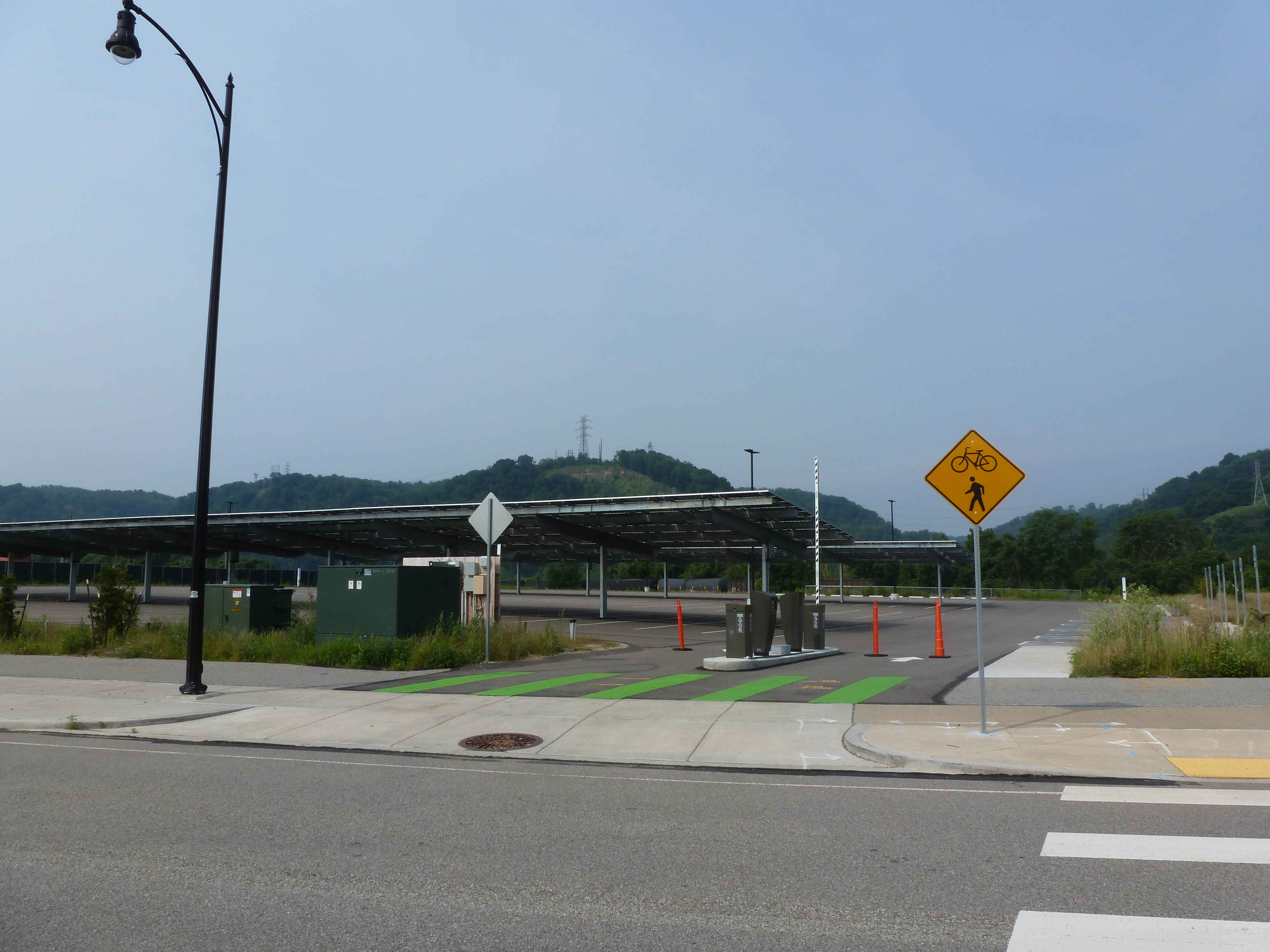
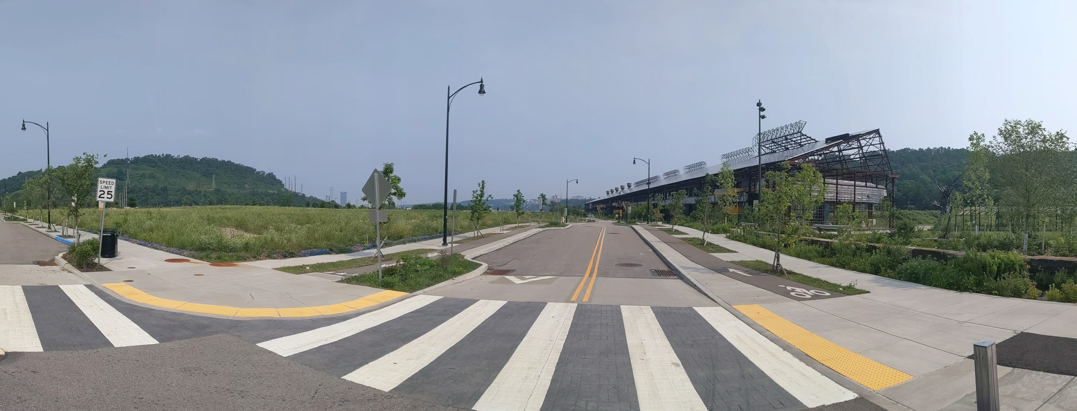
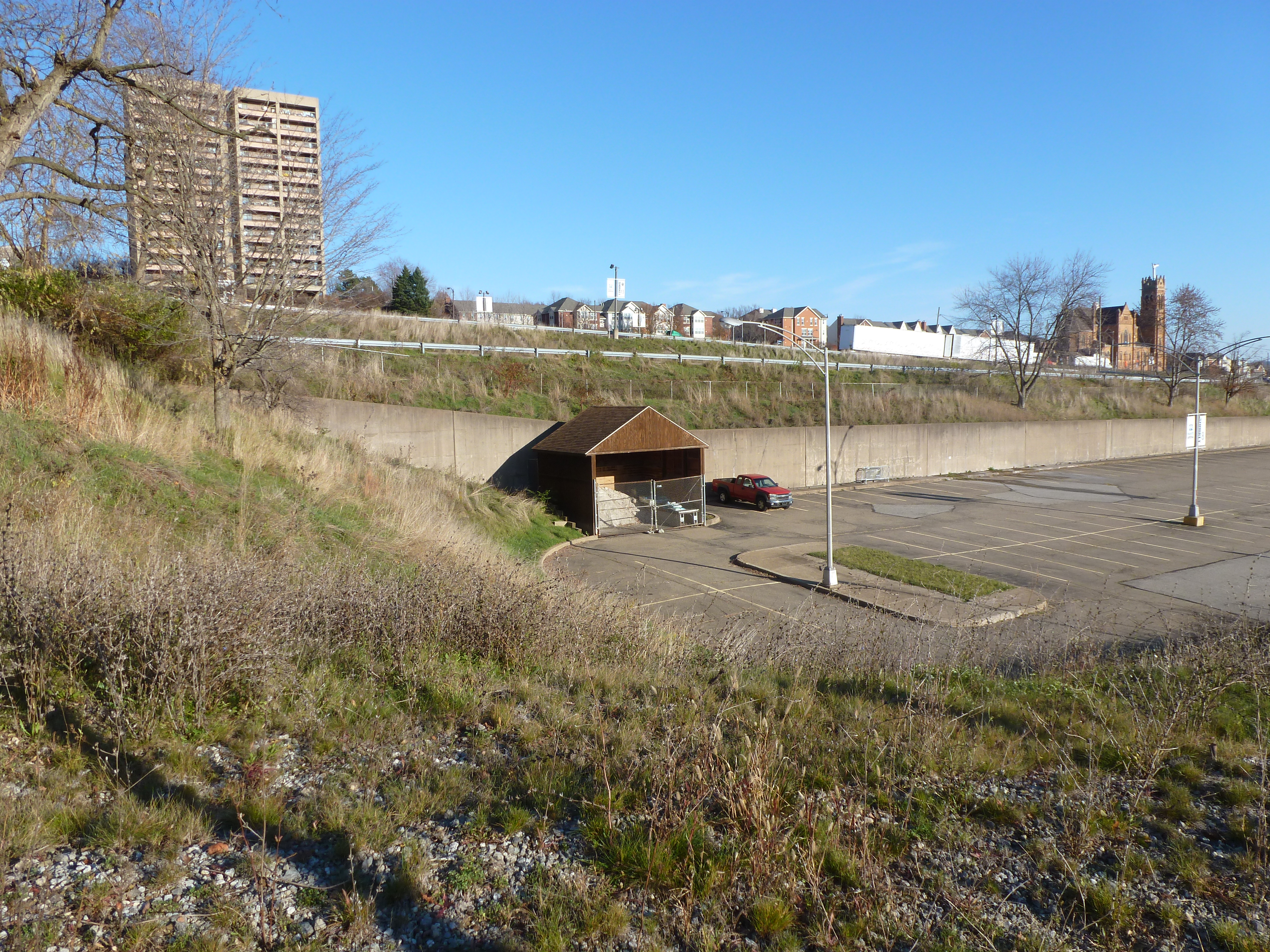
Since the last time I photographed Hazelwood Green, the most significant changes are the near completion of the public plaza (photo 24a) and the Roundhouse (photo 8), a former mill building converted to office space. Construction is also underway for the final building in Mill 19 (photos 29, 31, and 33), the remaining steel frame of one of the former mill buildings.
Almono LP led a process to develop a riverfront master plan for the site. The Post-Gazette and Tribune Review announced the proposal to seek input on the plan in September 2020. The Pennsylvania Environment Council updated their September 2020 announcement of the planning process with a link to the report on the fall planning process. WPXI and Pittsburgh Business Times reported on the release of the riverfront master plan in April 2021.
The Roundhouse renovation’s press is skewed toward the stories on the construction from October 2020 (WPXI, Tribune Review, NextPittsburgh, Post-Gazette) and the stories on the start-up challenge that coincided with OneValley’s February 2021 announcement that they would be opening an innovation center at the Roundhouse (NextPittsburgh, technical.ly, OneValley, Innovate PGH, PR Newswire). Technical.ly’s article is the only one I found on the opening of OneValley’s innovation center this month.
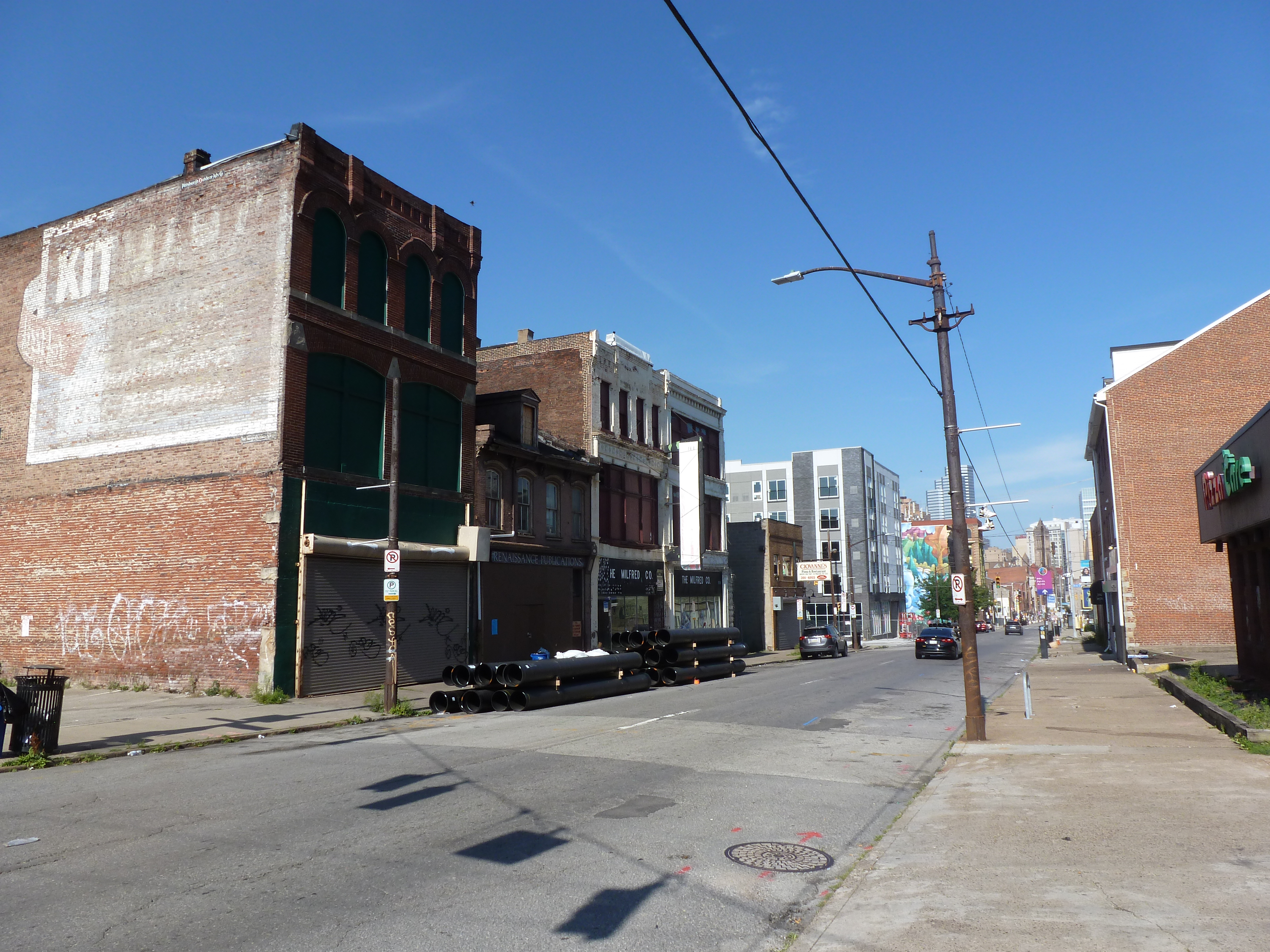
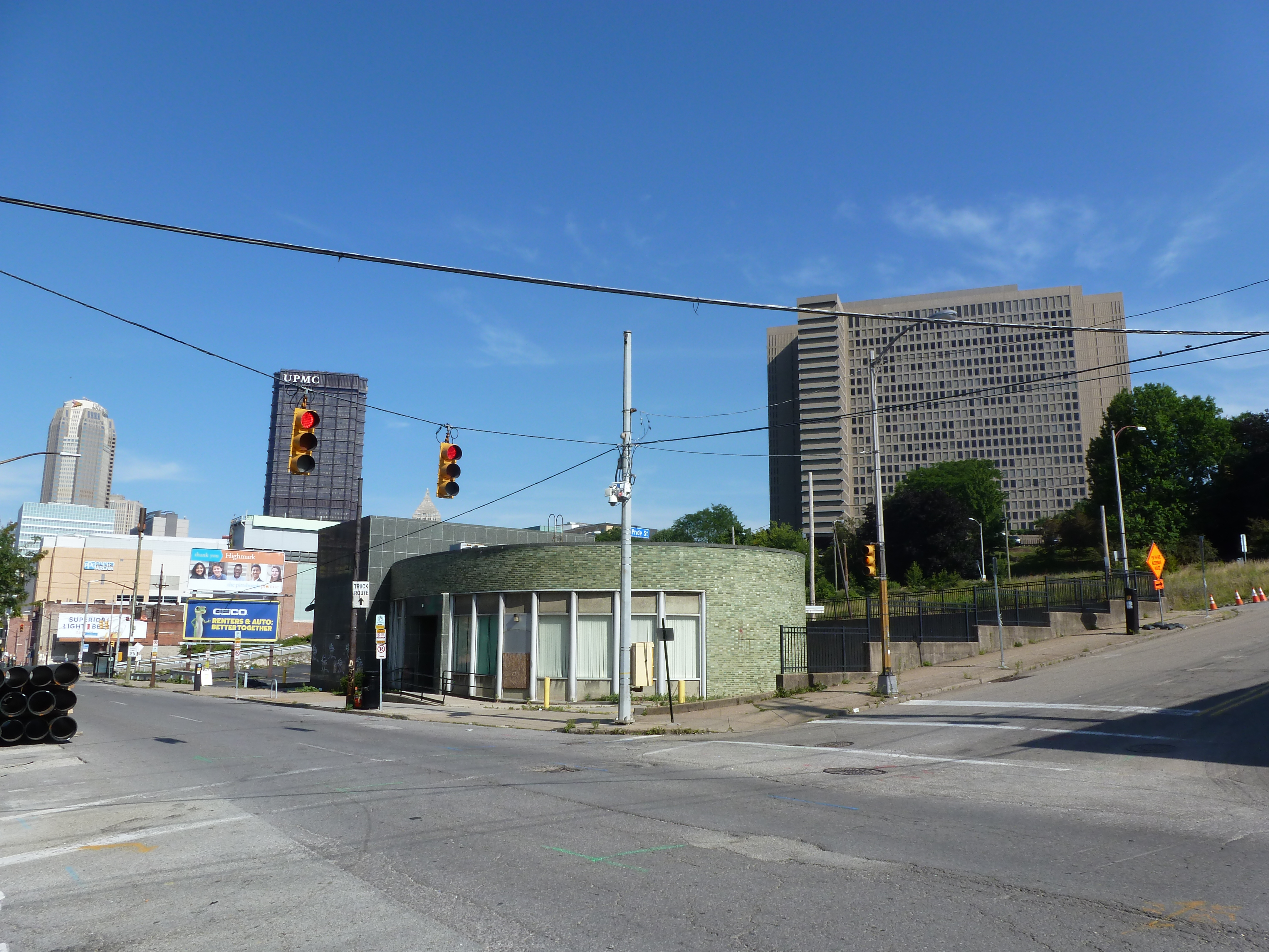
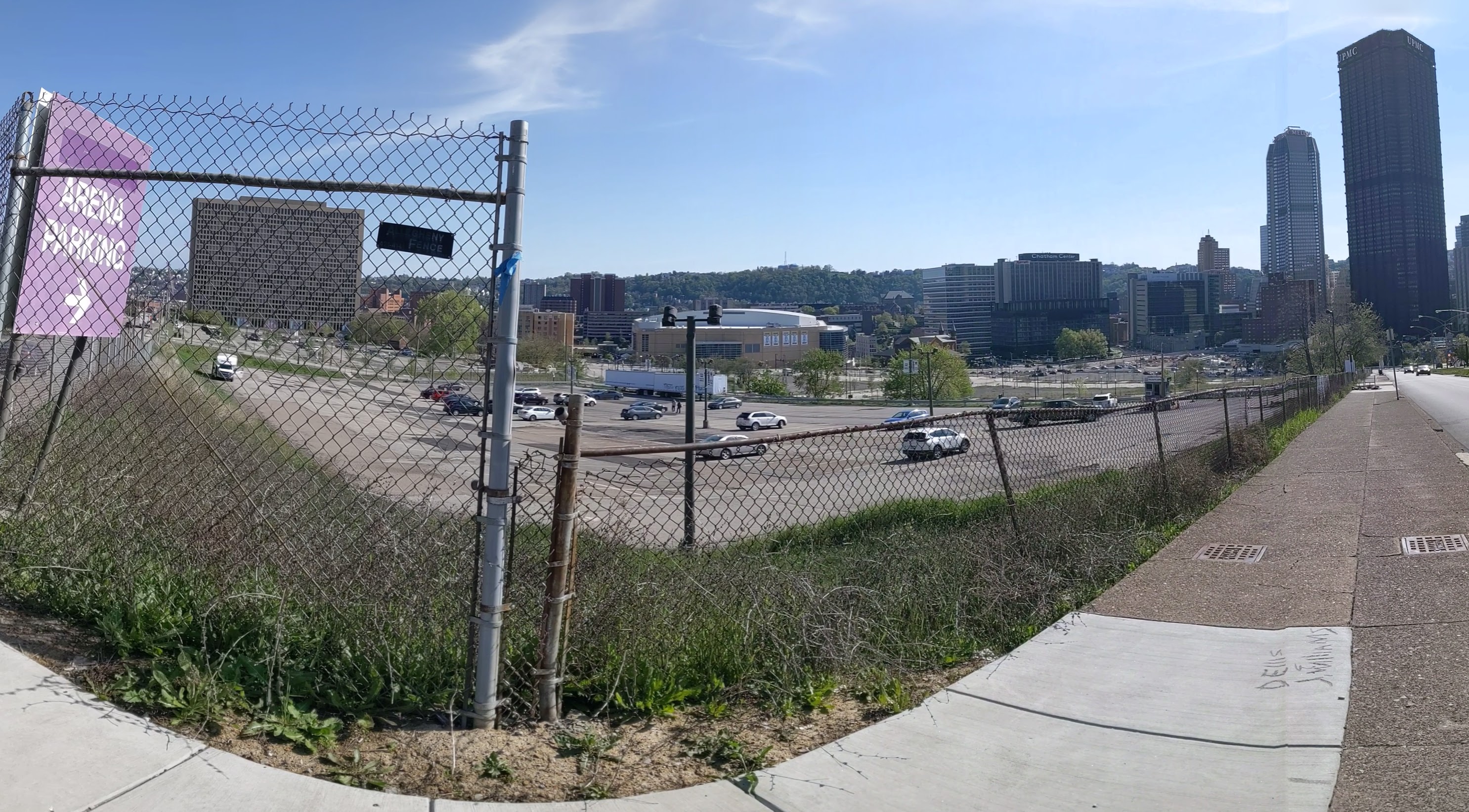
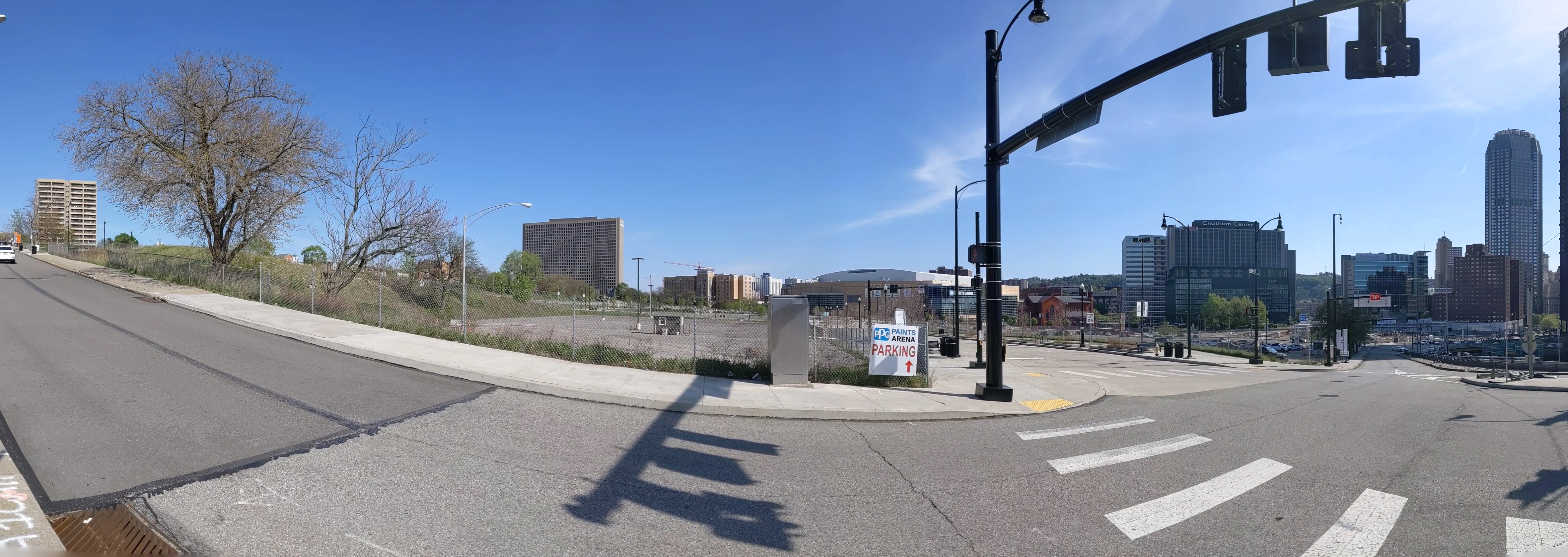
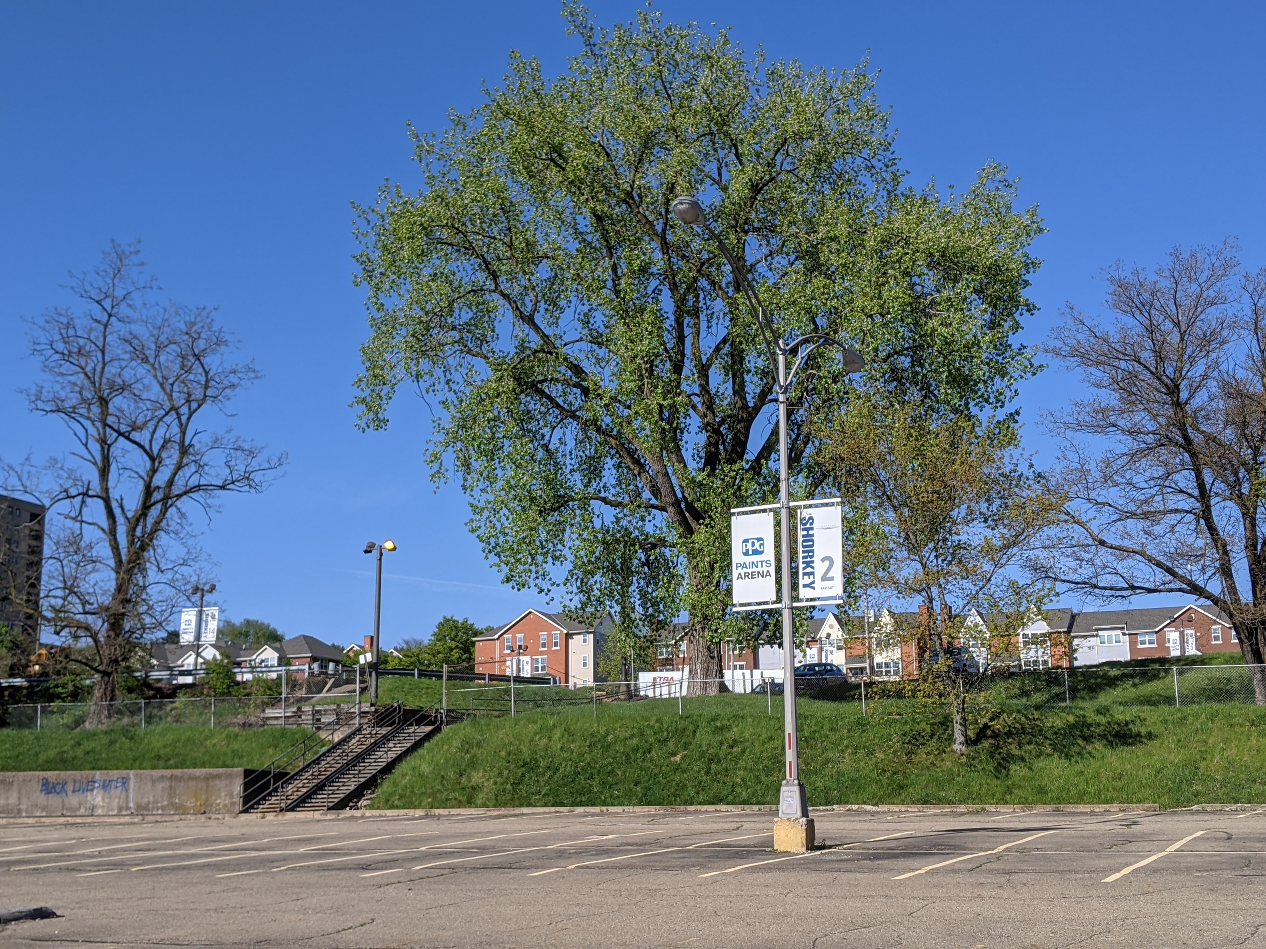
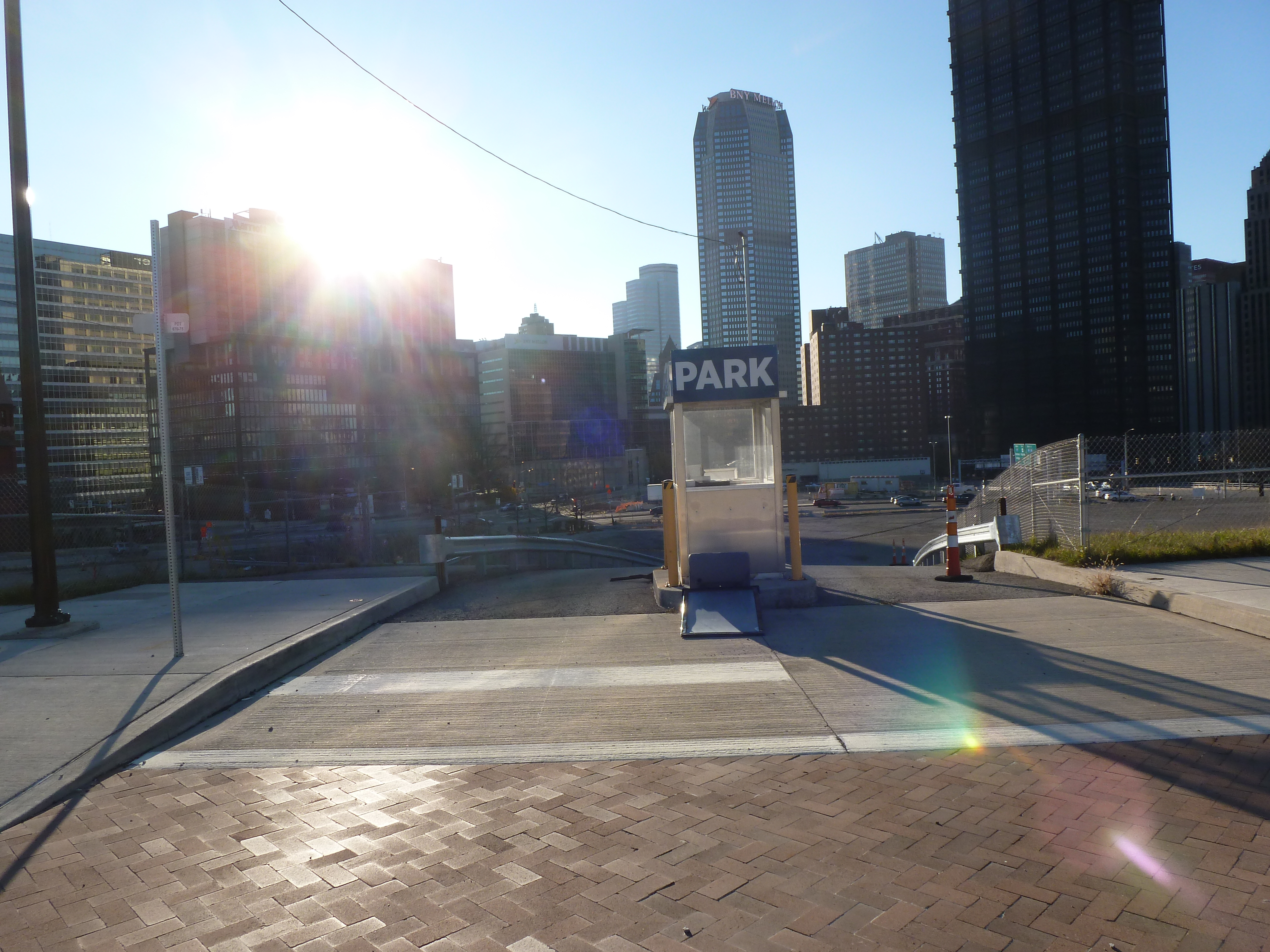
Uptown is one of the many neighborhoods in Pittsburgh that experienced decades of neglect. For this neighborhood, the neglect was despite Uptown being sandwiched between Oakland and downtown, two places among the state’s strongest economic regions. Zipping through Uptown from Oakland to downtown on Fifth Avenue or from downtown to Oakland on Forbes Avenue, it is easy to overlook or dismiss the hodgepodge of ruined home foundations turning back to forest; scattered vacant lots, parking lots, and industrial uses; and the intricate architectural details on abandoned and renovated townhomes.
In recent years, new buildings started springing up here and there. Some of these new projects are the work of the two institutions in the neighborhood: UPMC Mercy Hospital and Duquesne University. Others are the work of a variety of commercial and residential developers. Two reasons for this recent investment are the proposed Bus Rapid Transit system, which will eventually run through the neighborhood, and the in-progress redevelopment of the Lower Hill, an adjacent neighborhood.
The Uptown community saw these changes coming and prepared. Between 2015 and 2017, the community organization Uptown Partners collaborated UPMC Mercy, Duquesne University, the City of Pittsburgh, and others to create the EcoInnovation District Plan and the Uptown Public Realm zoning district. The plan and new zoning district are intended to guide future development and leverage their economic investment for the greater good of the neighborhood. Ideally, this will reduce the number of those who will be left behind.
This blog post is part of an on-going series watching the changes in Uptown. Periodically, approximately every six months, I return to the neighborhood to take new photographs of the same areas. In addition, I include links to articles about the project that I’ve encountered since the previous post in the series. At the end of the post, there is a map showing the location of the neighborhood and links to the previous posts in the series.
What’s new
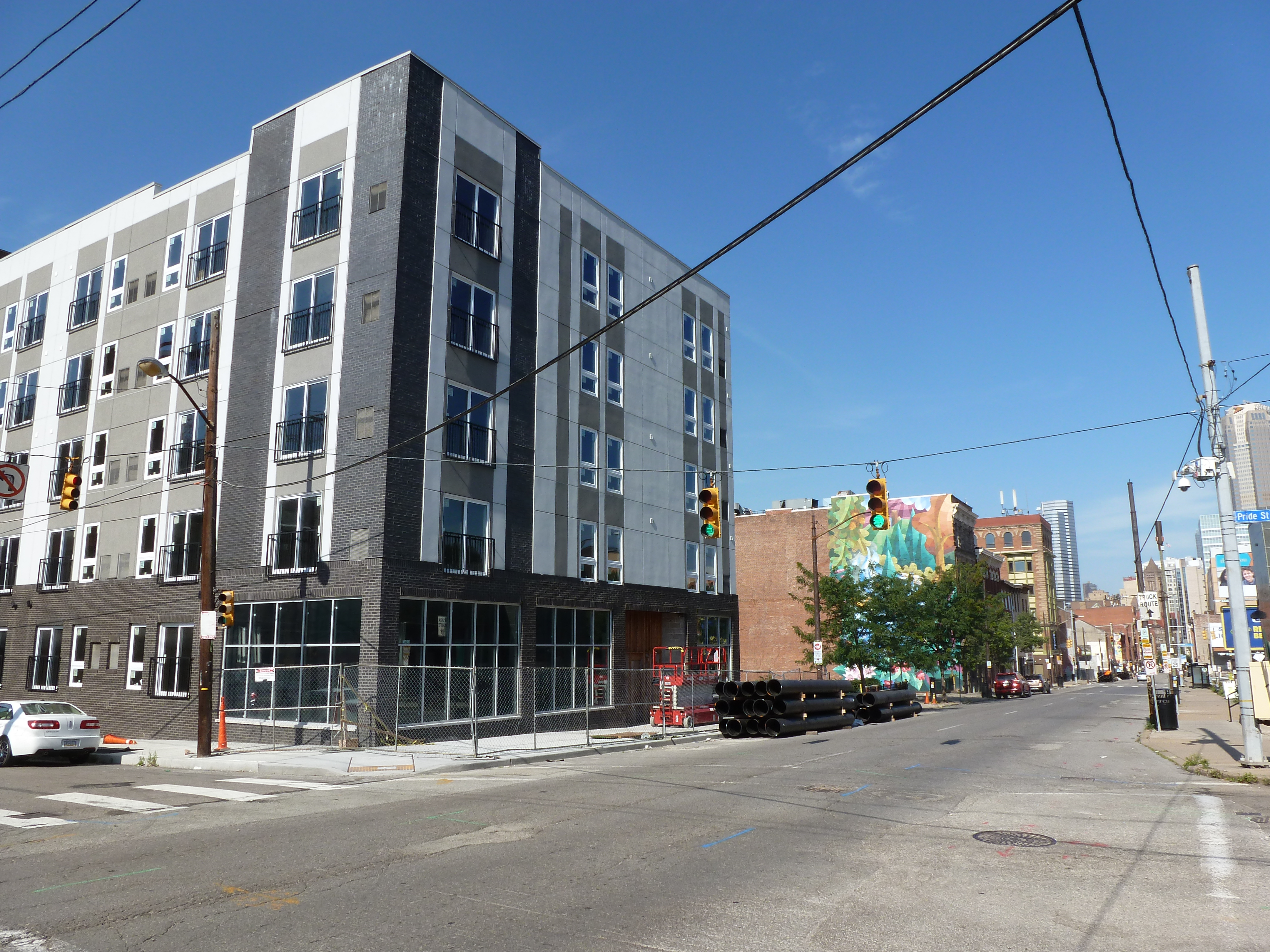
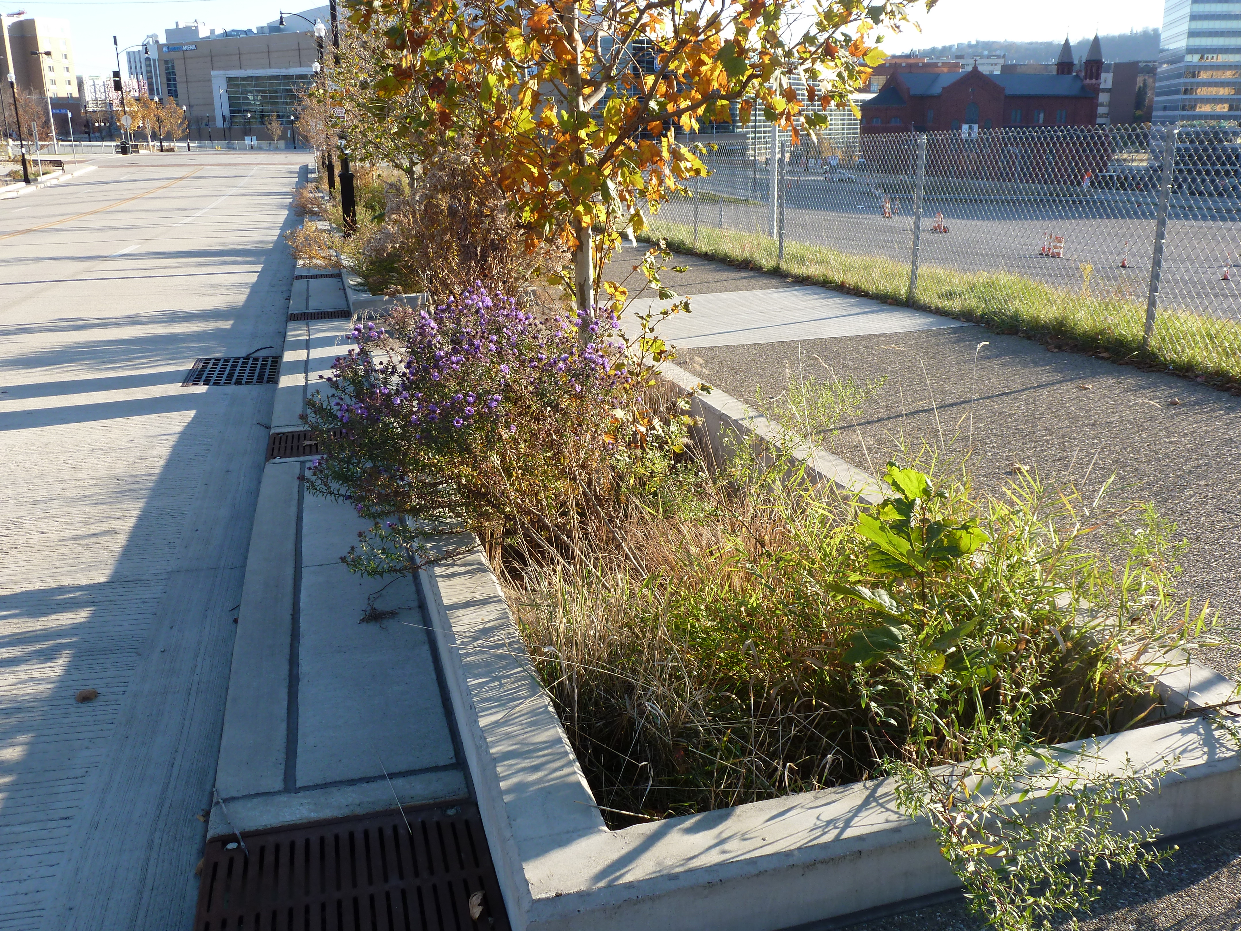
Development activity is picking up in Uptown. Walking around the neighborhood for this update required skirting closed sidewalks, uneven pavement, and construction staging of materials and equipment. The new activity includes:
PWSA’s (Pittsburgh Water and Sewer Authority) replacement of the watermain and lead service lines along Forbes Avenue
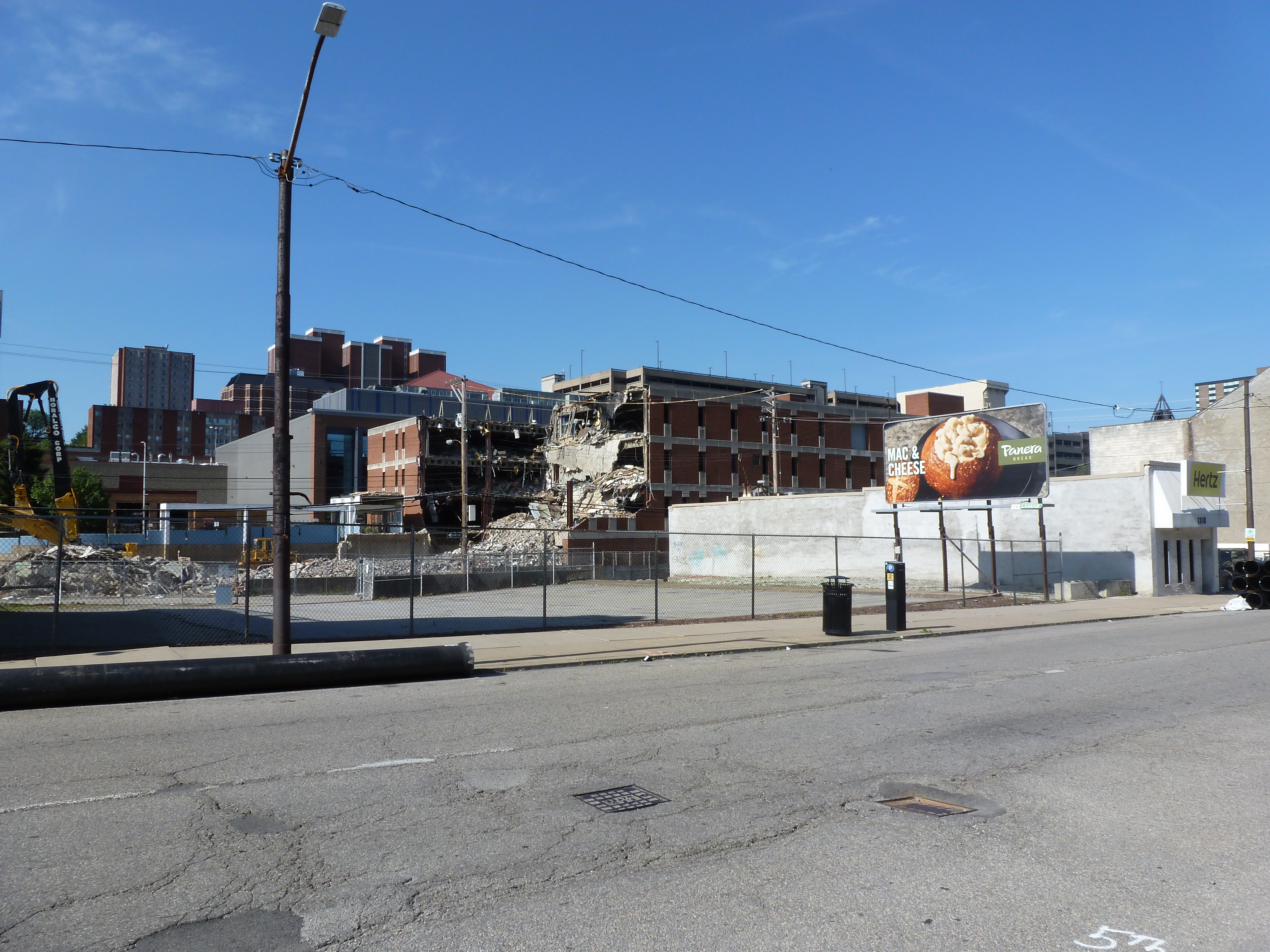
Evidence of demolition work on the long boarded-up Seneca Street rowhouses (image 3)
A new project for apartments and retail going up on 5th Avenue while the buildings around it appear to be preparing for renovation or demolition (image 8a)
Duquesne University’s next project to demolish and build on the site across the street from its newly rebuilt fieldhouse (images 21a & 22a)
Uptown Partners began to install free community wi-fi in the neighborhood (Pittsburgh Business Times, November 10, 2020).
And more federal funds have been directed toward the ongoing development of the Bus Rapid Transit system through Uptown to connect downtown and Oakland (Pittsburgh Business Times, June 11, 2021).
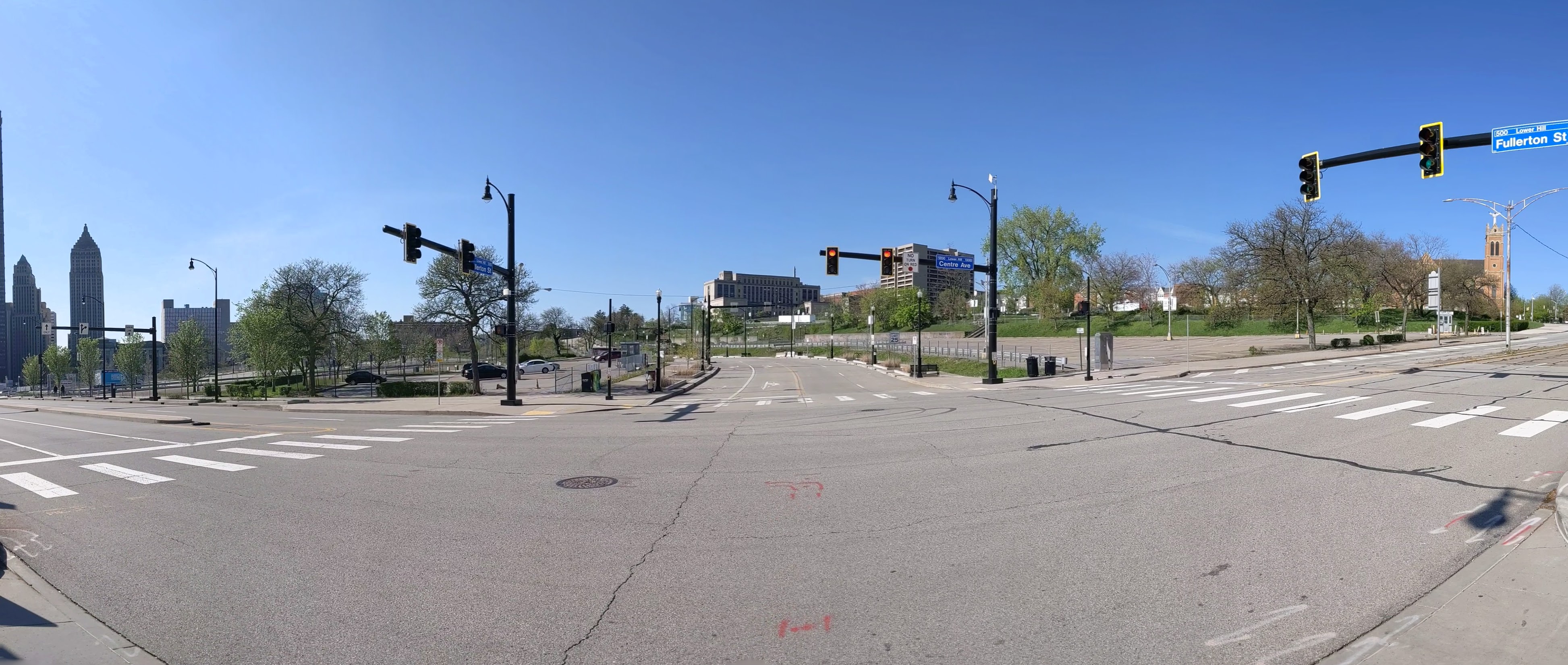
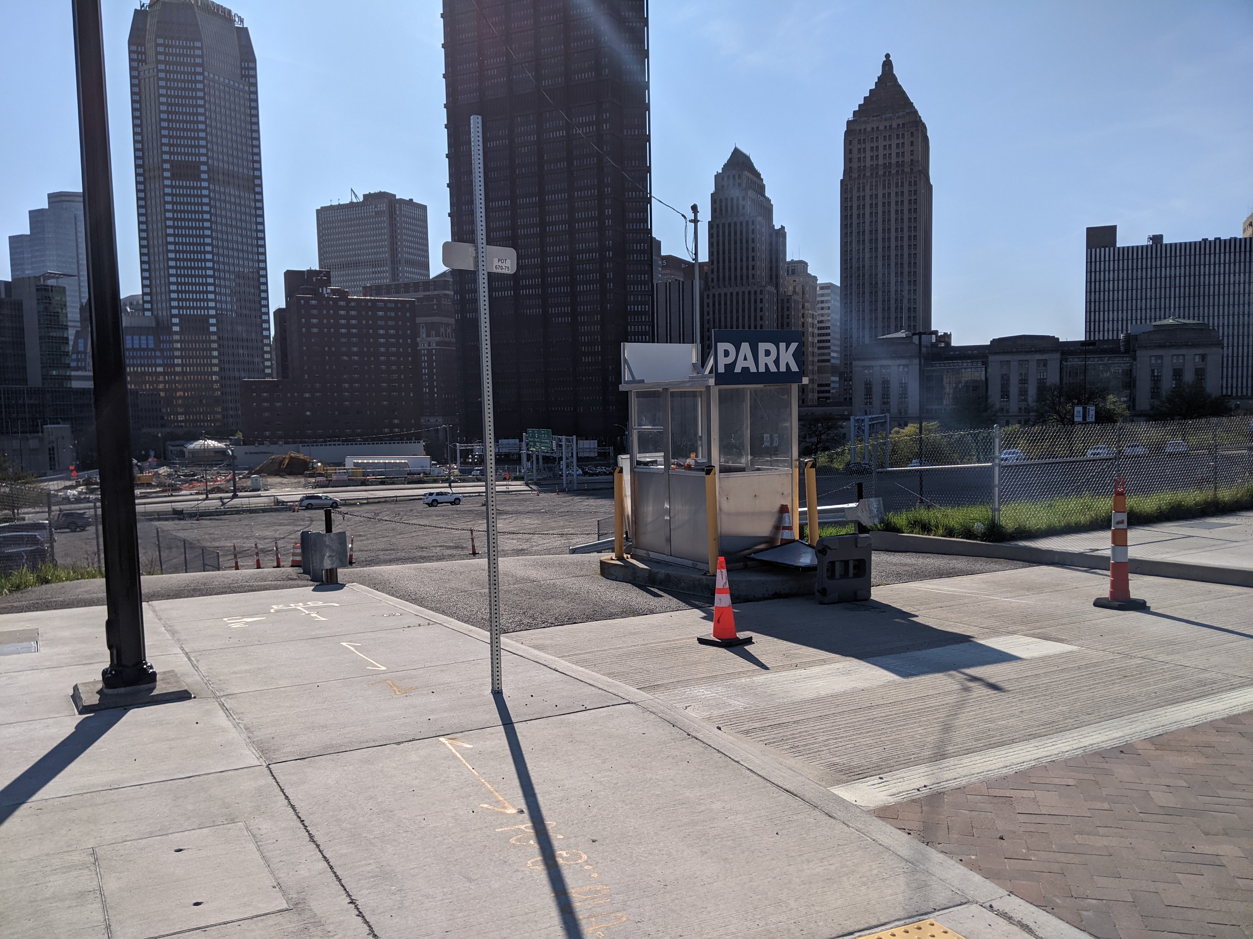
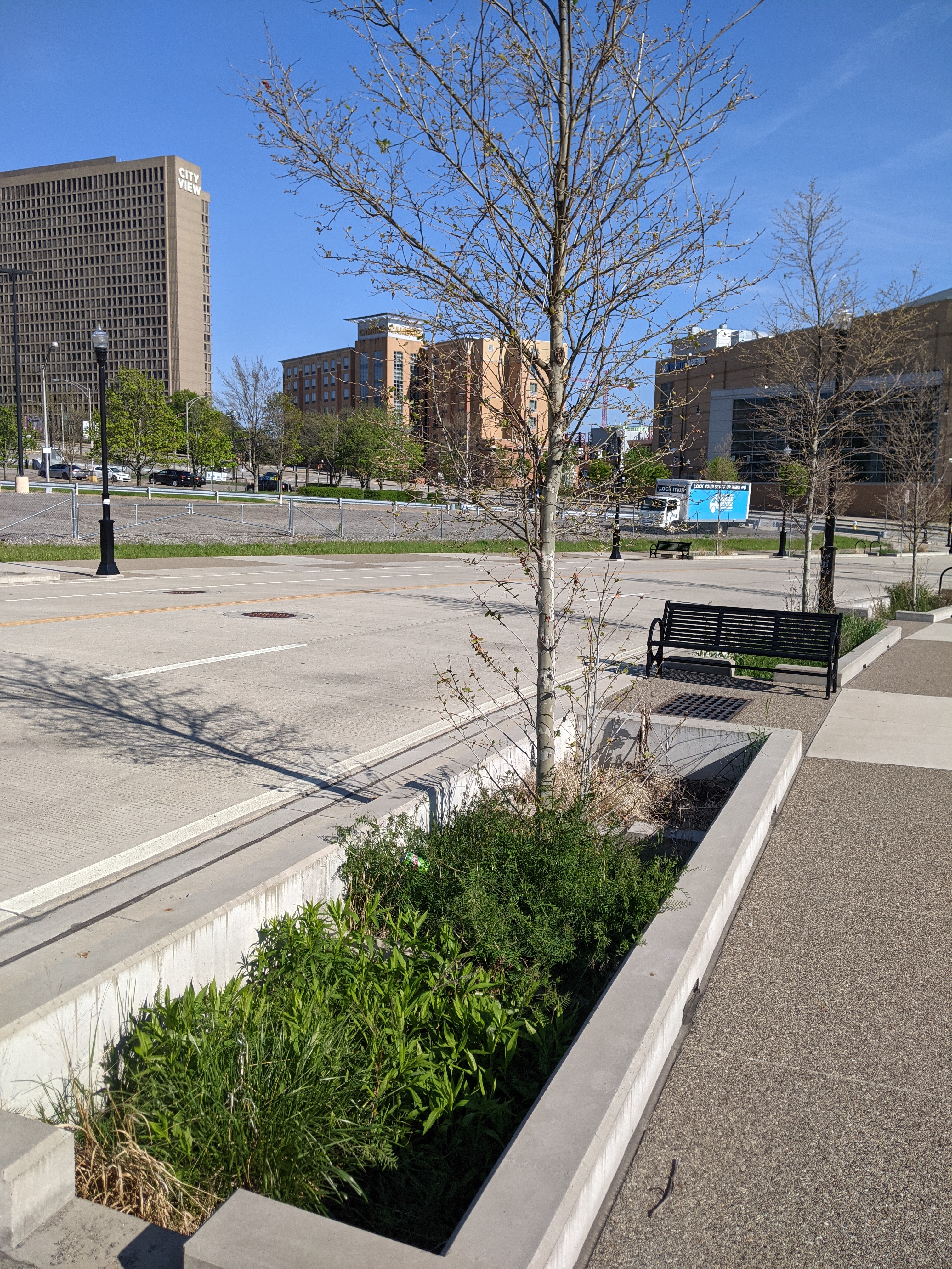
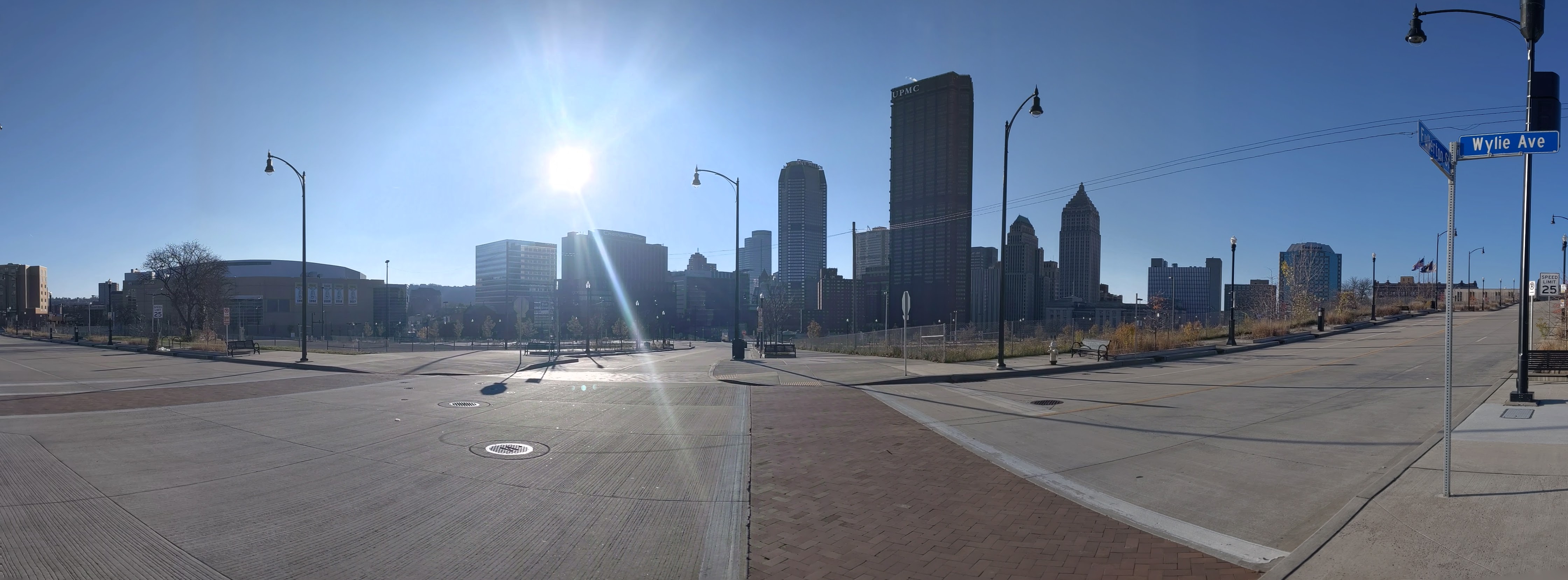
The CAP is a project in Pittsburgh “fixing the mistakes” of Urban Renewal. The Crosstown Blvd was built in the 1960s creating a freeway in a canyon dividing the Lower Hill neighborhood from downtown. The Lower Hill neighborhood, formerly predominantly poor and black, had already been demolished by this point to make way for the Civic Arena and other cultural amenities that were never built.
The CAP is a park on a bridge being built over the Crosstown Blvd and is intended to reconnect downtown and the Lower Hill, while the Lower Hill is being rebuilt by the Penguins hockey team. Construction began in June 2019 and is expected to complete in November 2021.
This blog post is part of an on-going photographic series to watch the development and usage patterns of the CAP. Periodically, approximately once every six months, I return to the site to take new photographs. In addition, I include links to articles about the project that I’ve encountered since the previous post in the series. At the end of the post, there are links to all the previous posts in the series.
The CAP in the News:
WPXI and the Post-Gazette both shared an update on the project in March noting that construction had progressed far enough for the outlines of a park to begin to be recognizable.
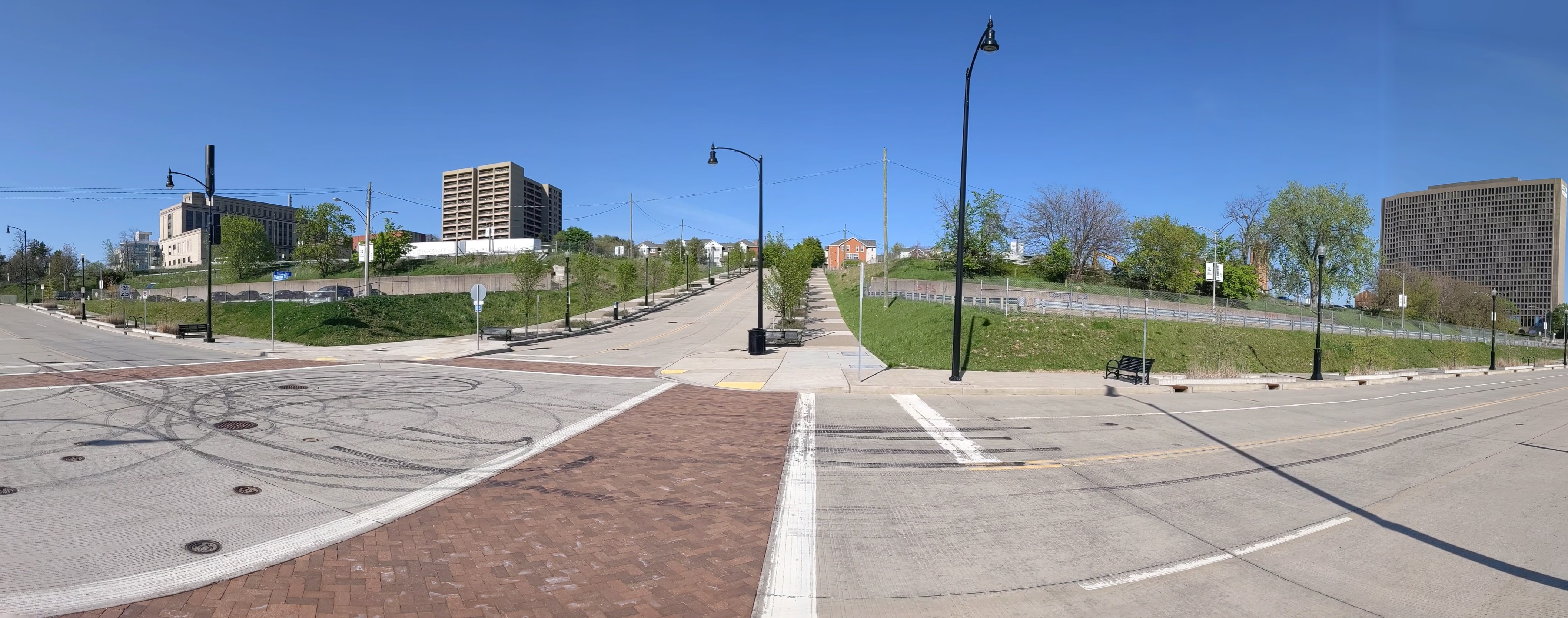
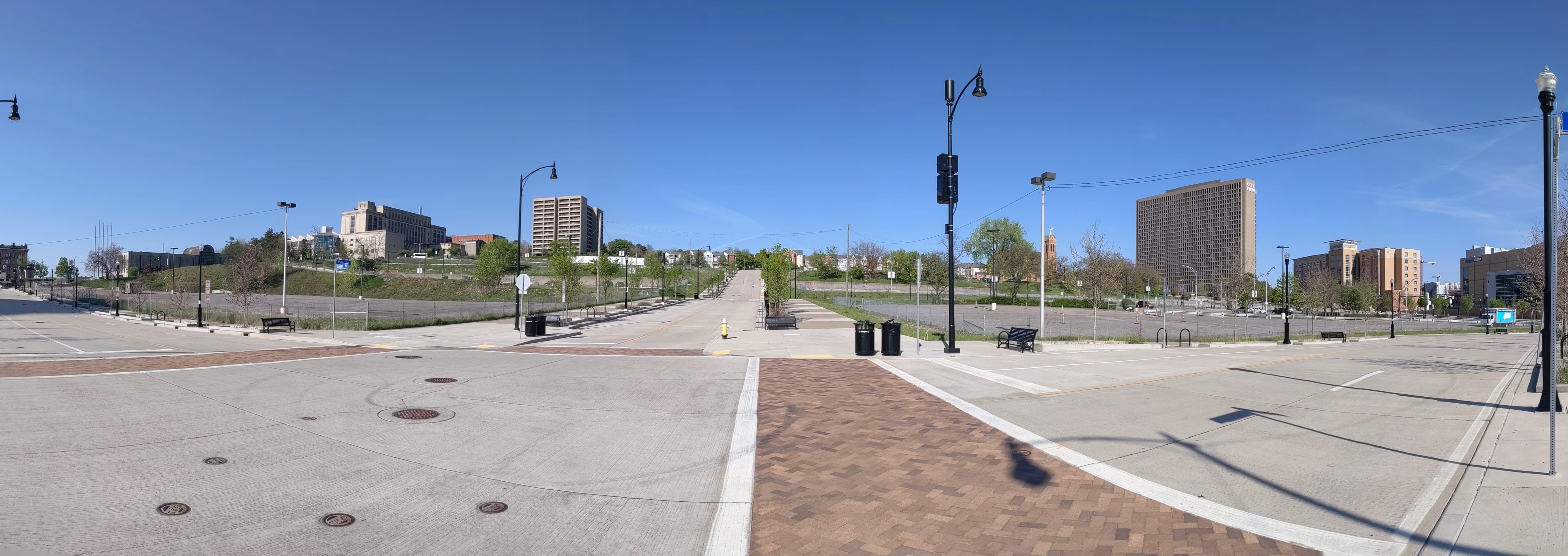
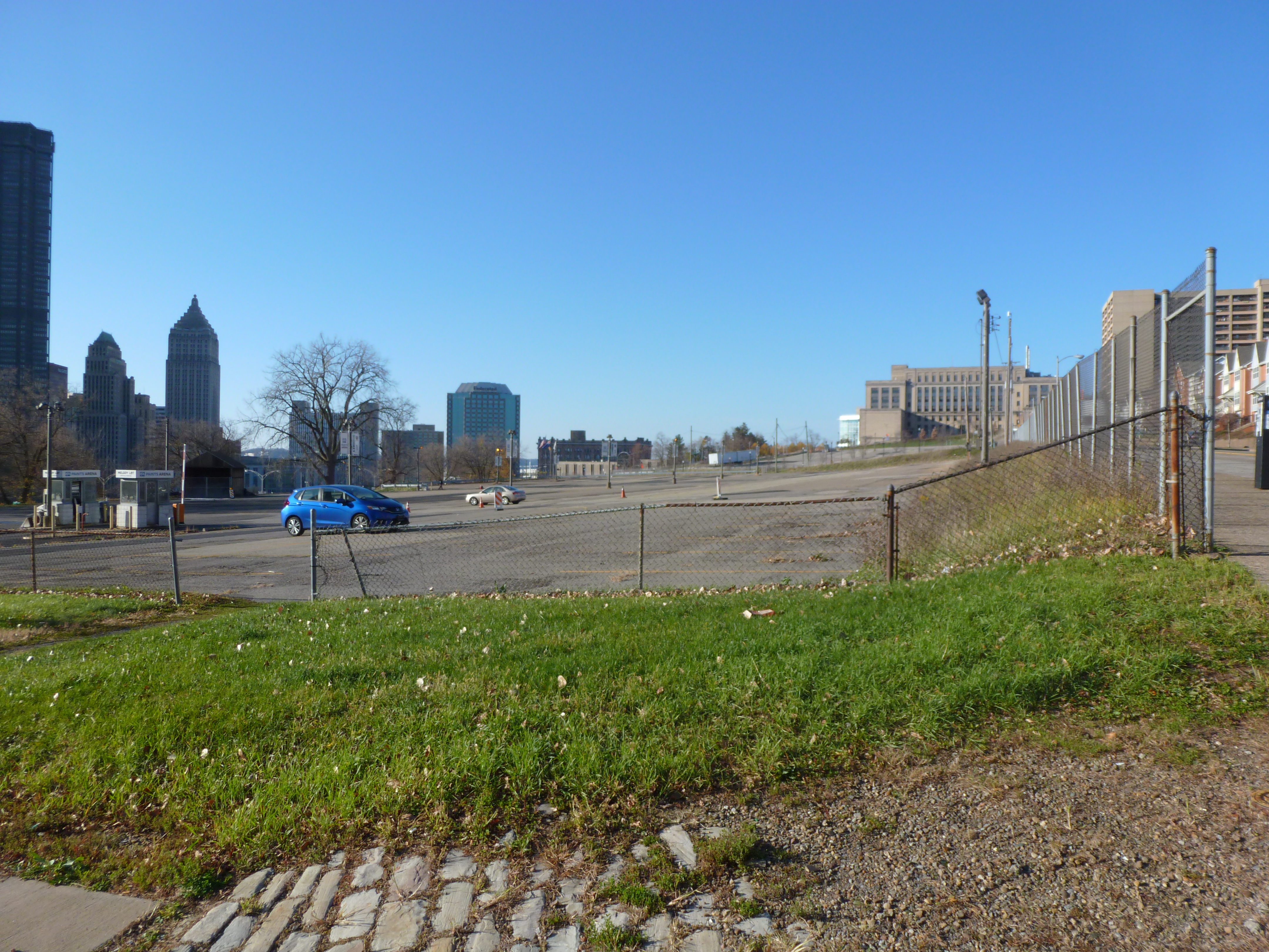
The Lower Hill is a notorious site in Pittsburgh, a scar on the city from the height of Urban Renewal. A vibrant (but poor and predominately Black) neighborhood was demolished in the 1950s so the City could build a cultural mecca centered on a Civic Arena, most of which ended up not being built and was left as parking lots.
Now that the arena has been demolished and replaced adjacent to the former location, the Penguins hockey team has the development rights to rebuild the Lower Hill, stitching back together the fabric of the city and reconnecting the remainder of the Hill District neighborhoods with downtown.
However, grand language describing the wonderful benefits to a city are part and parcel of any major development project, including the 1950’s Urban Renewal of the Lower Hill. Fifty years later, the Urban Renewal of the Lower Hill is rarely, if ever described as a good thing. In fact the current redevelopment is sometimes described as undoing the mistakes of that project. However, can the negative financial, social, and emotional repercussions of the original demolition and decades of disconnect be undone simply by reinstating (most of) the former street grid?
This blog post is part of an on-going photographic series to watch the redevelopment of the Lower Hill. Periodically, approximately once every six months, I return to the site to take new photographs. In addition, I include links to articles about the project that I’ve encountered since the previous post in the series. At the end of the post, there are links to all the previous posts in the series.
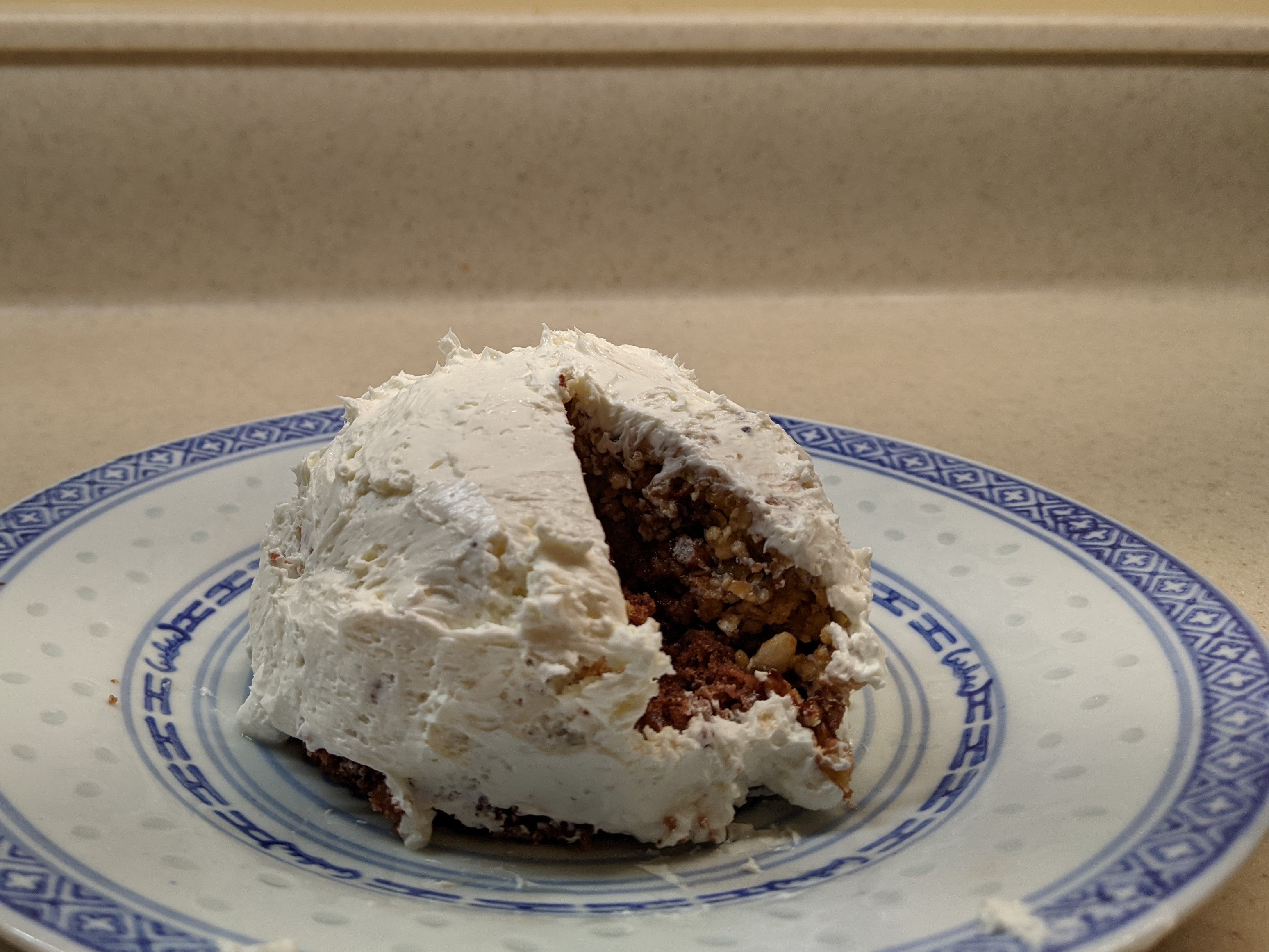
For this year’s Architectural Dessert Masterpiece, I chose Pittsburgh’s Civic Arena for the subject mostly because of the pandemic. The travel restrictions of 2020 prevented me from finding an inspiring building while exploring a new place. The social distancing requirements meant that whatever I made I would have to eat myself. Earlier in the year, I found a granola bar recipe that actually sticks together, which inspired me to take another foray into domes. As December drew near and I put together the conditions of a single-serve dessert with a dome that had some relationship to the themes of the year, the Civic Arena was the obvious choice.
The result was a single-serve cake topped with a granola bar dome and frosted with cream cheese to keep the sugar content down. Once frosted it looked to me more like an igloo than the Civic Arena, but fortunately, the building’s nickname was the Igloo. So, it all worked out in the end.
Whether it will all work out in the end and for who are still open questions for the site of the Civic Arena. The Arena opened in 1961 as the central feature of the redevelopment of the Lower Hill neighborhood that had been deemed “blighted” and in need of “revitalization.” Intended as a cultural mecca housing the Pittsburgh opera company, hockey, and other uses under a retractable roof, it rarely lived up to its promises. In the end, it was surrounded by a sea of parking lots instead of a cultural park, the roof rarely opened, and the opera quickly found a different home more conducive to using sets that need support from the ceiling. For a time, the building did find success as a hockey arena and concert venue until it was deemed obsolete and a new arena was built. The Civic Arena was demolished 50 years after opening, paving the way for a new redevelopment of the Lower Hill to “revitalize” the area.
Architectural historian Franklin Toker describes the first redevelopment of the Lower Hill in his 1986 book Pittsburgh: An Urban Portrait:
The reconstruction of the Lower Hill began in 1955 with $17 million in federal grants. In an area of 100 acres, 1,300 buildings housing 413 businesses and 8,000 residents (a majority of them black) were displaced in an attempt to extend the revitalization of the adjacent Golden Triangle. Even were one to overlook the devastating social impact of the Lower Hill redevelopment, its success could only be judged as minor. The new complex failed to graft on to the Golden Triangle because of the intrusion of the Crosstown Expressway and the misalignment of the street grids of the Golden Triangle and The Hill. Some bad luck also dogged the Lower Hill redevelopment, particularly the bankruptcy of William Zeckendorf, one of its major supporters, and the decision by the Heinz foundations to locate their new concert hall in the Triangle rather than on The Hill. But the major cause of its failure was the animosity between the developers and the black community. When that animosity boiled over as part of the nationwide racial riots of 1968, Pittsburgh’s dream of a cultural Acropolis on the Lower Hill ended. (234)
The second redevelopment started with restoring the street grid and building a CAP over the Crosstown Expressway. While it is easy to rebuild the roads, it will take a lot more to rebuild what was once “The Crossroads of the World” as the intersection of Wylie Ave and Fullerton Street was known prior to the first redevelopment, according to Mark Whittaker in Smoketown: The Untold Story of the Other Great Black Renaissance.