Busway Bridges: 28th Street

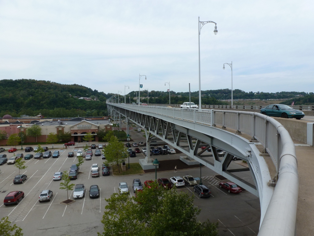
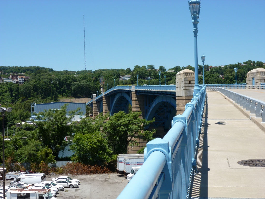
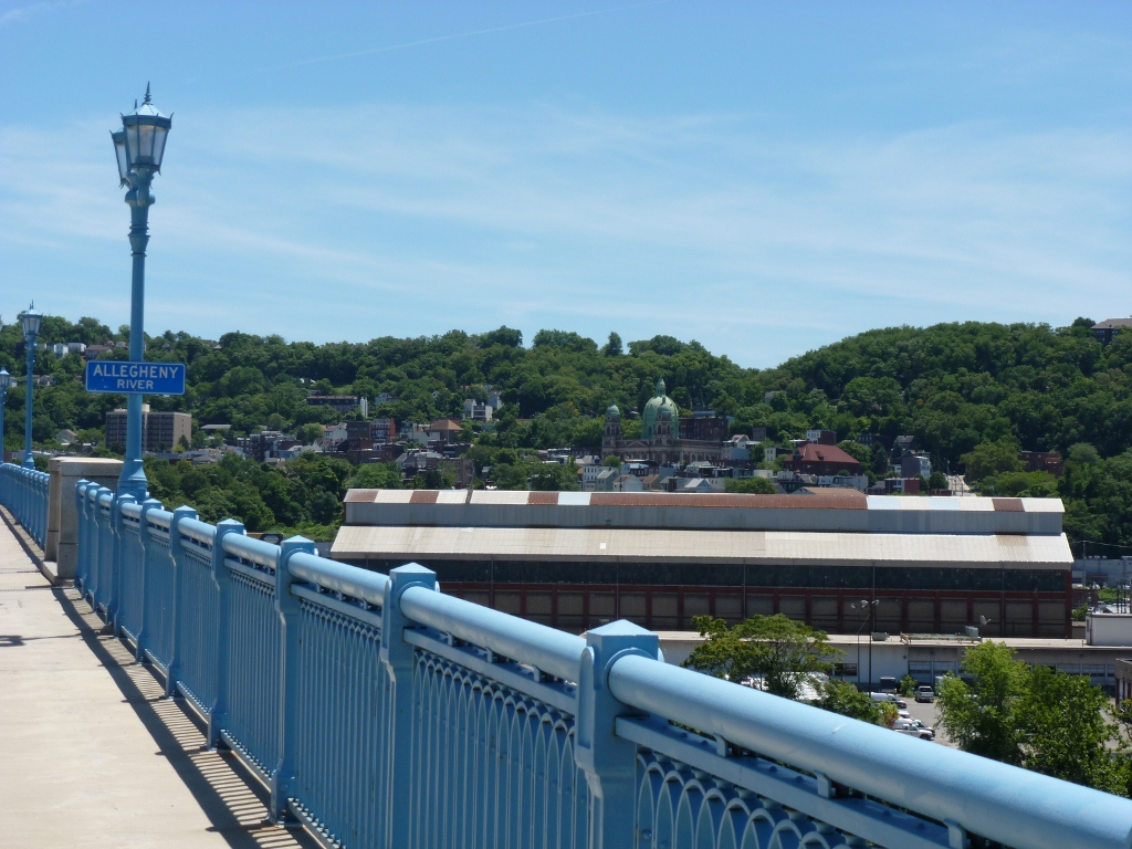
The 28th Street Bridge is one of Polish Hill’s two points of access to the lower regions between it and the Allegheny River, the second is the Herron Street Bridge (see post).  This bridge is also the last pedestrian accessible bridge across the busway before downtown.  Several of the views from this bridge are similar to, but better than, the ones from the Herron Street Bridge.

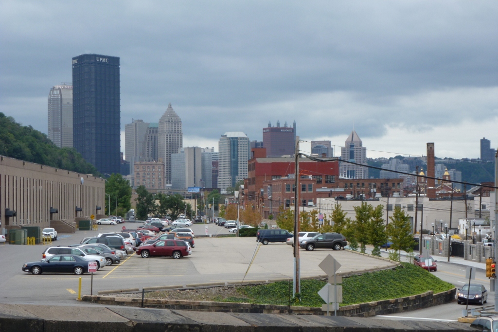
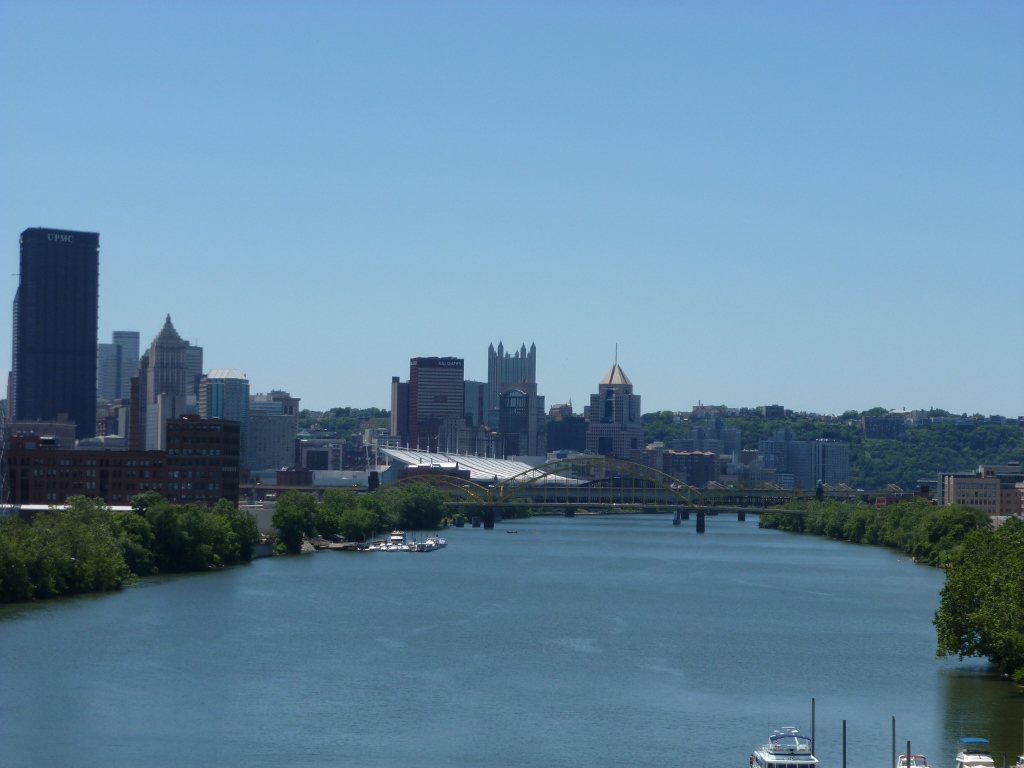
For instance, the images of downtown from the 28th Street Bridge have fewer non-downtown buildings blocking the view than those from the Herron Street Bridge.
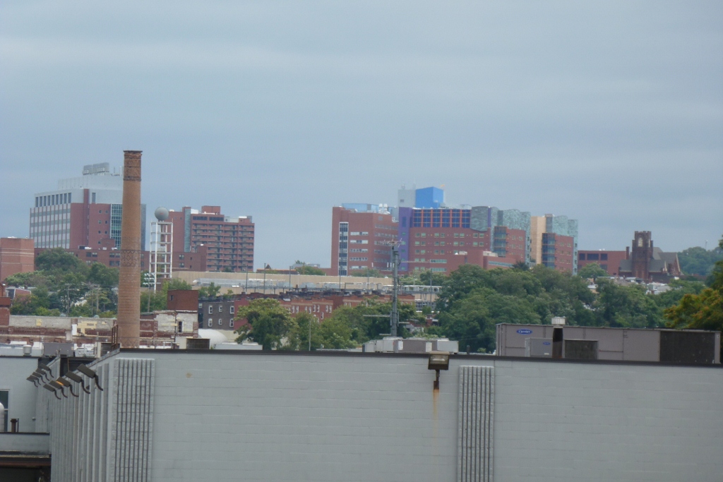
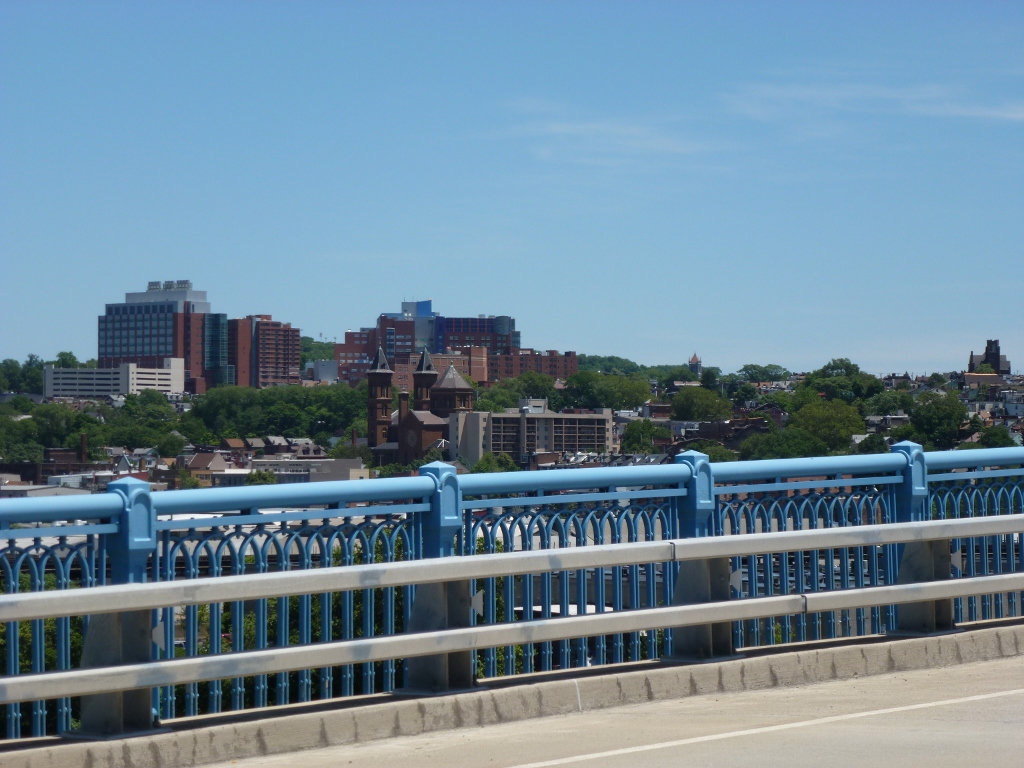
Also, the Children’s Hospital and Choir Loft Condominiums are visible from both bridges, but on the Herron Street Bridge only the tops of the buildings were visible while from the 28th Street Bridge most of the buildings are visible.
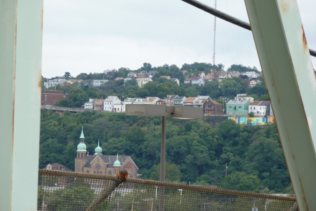
Across the river in Troy Hill, another site of contention within the city is visible.  The former St. Nicholas Church pictured above is the sister to the St. Nicholas Church I saw from the 40th Street Bridge (see post), has been vacant since 2004, and has been locked in a battle between preservationists and the parish for over a year.  The parish wants to demolish the building that it cannot afford to maintain and many people have called an eyesore, while the preservationists want to preserve the building.  This summer a county judge ruled in favor of the parish (see article), but the city has threatened to appeal this decision (see article).  The building is certainly architecturally interesting, however it is in a horrible location, smack up against route 28, which I believe provides the only access to the building.

Earlier this summer, when I was talking with someone about my project to walk the bridges of Pittsburgh, he asked me which bridge was my favorite so far.  I hadn’t thought about it before, but when he asked, I decided that the Heth’s Run Bridge was my favorite because its design and its existence called up many questions (see May 31 and June 9 posts).  Now I would say that the 28th Street Bridge is my favorite, despite the fact that it is rusting, the sidewalk is crumbling, and it has the cage-like fence I generally dislike.  I think the bridge is rather cute (if a bridge can be called cute)….Or perhaps I like it so much because it has a stone-lined approach.  I love stone.
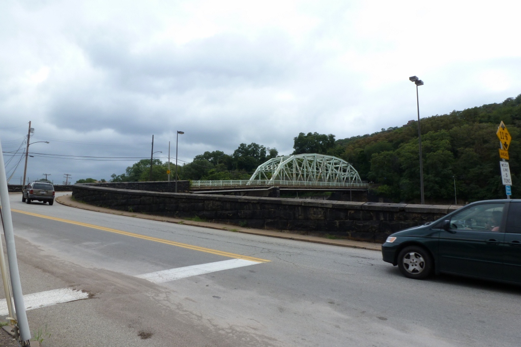
Homestead High Level Bridge

I got off the bus a stop or two before the Homestead High Level Bridge (aka Homestead Grays Bridge).  As I walked down Brown’s Hill Road, I was unpleasantly surprised to find that my sidewalk turned into a drain.  From a distance it looked like the sidewalk continued all the way to the bridge as it was the same material and same width the whole way down.  However, at one point it suddenly changed from being a flat sidewalk to a v-shaped drain.  Fortunately it had not rained recently, so the drain was dry and I was able to continue on my way.  If I were a person with a mobility disability trying to get down to the bridge, this would have presented a serious problem. There was no warning for this change and the nearest traffic light was some distance back uphill (because of the traffic level this is not a road where it is wise for any person to attempt to j-walk).  I did not walk on the other side of the road, so I am only assuming that the sidewalk there would be accessible (that is, not turn into a drain).

The walk across the bridge itself was fine.  There is sidewalk on both sides and no fence to cage you in or to block the views.  It was a windy crossing, which reminded me that every time I’ve walked the Highland Park Bridge, I’ve noticed the wind.  It made me wonder if there is something special about the location of these two bridges or if it is merely coincidence that they are windy.  One factor in common between the bridges is that there are the last bridges within the city on their respective rivers when traveling away from downtown.

There are several interesting sites visible from this bridge (most of which are not within the boundaries of the city of Pittsburgh).  First is the view above of Homestead.  In this shot there are five churches visible, just outside the frame are three more to the left and one more to the right, within several additional churches just a little farther out from this core.  I find the close proximity of so many churches interesting first because it is a clear indicator of the past of this town (a major mill town with numerous immigrant groups) and second because about half of these church buildings are vacant or for sale.  It is a dream of mine to create a master plan for adapting these churches to new uses that complement each other, address some of the needs of the town and act as a productive catalyst for lifting the town out of decay.  As I still haven’t figured out what these uses would be or how to implement the adaption, it currently remains a dream.

A project that I’ve heard was supposed to lead to the revitalization of Homestead was the creation of the Waterfront Mall on the former Homestead Steel Works site (originally part of the Carnegie steel empire before being sold to US Steel).  The revitalization plan did not work out and it is popular to criticize the design of the mall and point out all the reasons for this failure.  The most glaring reason is that the roads were designed so that people coming from the city can completely avoid going into the town when going to the mall.

Another negative factor about the mall, which doesn’t necessarily have any effect on the potential to revitalize the surrounding area, is the limited walkability of the site.  It drives me nuts and definitely is a major factor curtailing my use of the mall.  Part of the mall, pictured above, is walking friendly.  However, as someone once pointed out to me, this is where all the expensive stores are and chances are that people shopping here have cars.  On the other side of the bridge and across a couple parking lots are the rest of the shops laid out in a long string of big box stores including Target and the grocery store (which as the same helpful person pointed out are frequented by people without cars).  I have nightmares of the long trek lugging my growing number of purchases all over this site as I travel between stores and then try to find a bus stop that will take me out of this barren landscape toward home (an absurdly difficult feat).

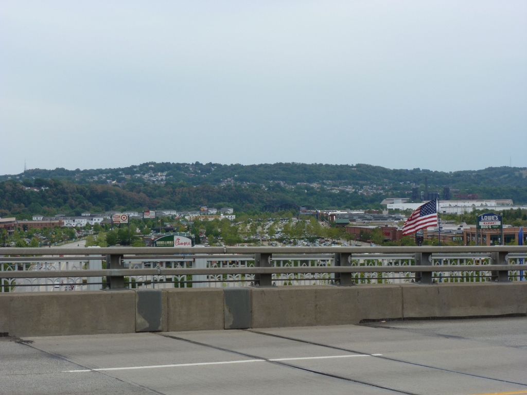
The image above shows the never-ending parking lots along the long string of stores.  From this view it looks far more green than it feels on the ground.  One other aspect of interest is the black shapes above the America flag, which are the abandoned structures of the Carrie Furnace, one of the few remnants from the Pittsburgh region’s industrial and steel past.  I say “abandoned” but this perhaps is not an accurate term as there are plans and efforts underway to use the site.  An August article in the Post-Gazette discusses the efforts of volunteers to save the site and turn it into a museum.  The first half of another article from June talks about development plans for turning the land surrounding the furnace into an office/industrial park.

A final site of interest visible from the Homestead High Level Bridge is the slag heap which is now home to the “Somerset at Frick Park” housing development.  When I get caught up with posting about the walks I’ve done since starting my blog, I’d like to write about some I took before my blog began, including the hike through Frick Park and over this slag heap.  I suppose given my interest in seeing vacant property, including brownfields, within a city reused, I should be pleased with this development.  I think I’m getting a bit hung up on the irony of the site–once a dump site for the refuse of mines and industrial sites, now the site of luxury homes and condominiums.

Busway Bridges: Baum-Centre Corridor

Baum Boulevard and Centre Ave run parallel along the border of Pittsburgh’s Shadyside and Bloomfield neighborhoods and are arteries that help people move from downtown and Oakland to East Liberty and other East End neighborhoods.  The Baum-Centre corridor is currently receiving a lot of attention from the perspective of the development of the city.  There is even a community group called the Baum-Centre Initiative made up of representatives from other groups along the corridor.  Their goal is to work together to promote development along the corridor that is beneficial and satisfactory to their respective groups and communities.

This area is attracting interest in part because of its arterial activity, but also because Baum used to be the car dealership district.  Most of the dealerships have closed their locations leaving behind many empty buildings.  Contrary to this disinvestment, Centre Ave hosts one of the UPMC hospitals and an urgent care center was recently added.  From what I’ve picked up, UPMC is working to expand in this area.

The large building between Centre and Baum last housed a party/costume supply store, but I image most of the building was sitting empty.  For about the last year, it has been under redevelopment.  The rumor I have heard is that something related to UPMC is going into the space.

I also heard that UPMC wants to build a parking lot for its employees in this area.  I couldn’t picture exactly where it was to be placed from the description I heard, but I wonder if it is this empty lot off of Baum Boulevard.

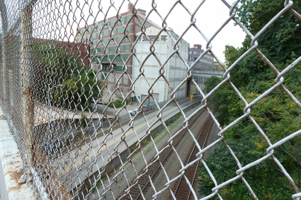
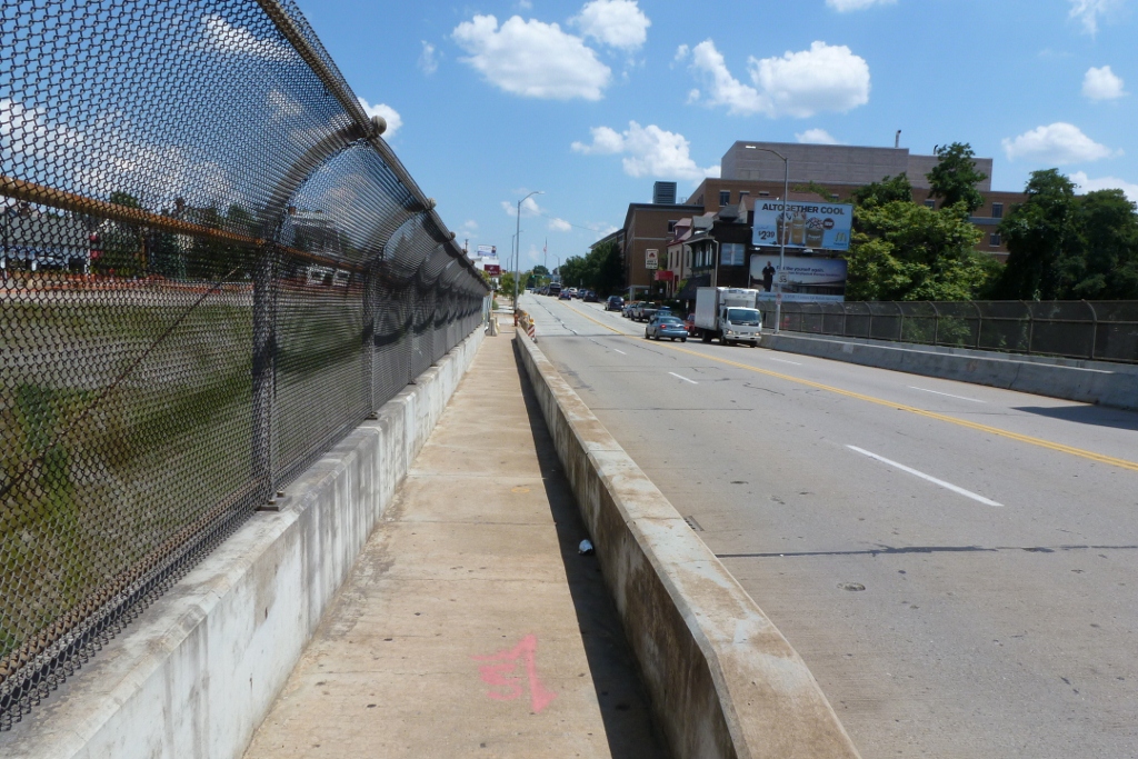
Outside of the developments going on near them, my impression of these two bridges is that they are quite ugly.  I am glad that except for when I walked them for my project, I’m in a bus when crossing Centre Avenue’s bridge and in a car when crossing Baum Boulevard’s bridge.  Now that I mention it, that’s how I felt about most of the bridges across the busway I’ve walked (except for the new pedestrian bridge, see July 26 post).  Though I haven’t written the posts for all of them yet, at this point I have walked all the bridges over the busway between Penn Avenue and the Bloomfield Bridge.

My favorite part about walking these two bridges was the view of Bloomfield/Lawrenceville from the Baum Boulevard Bridge.  This view captures two of Bloomfield’s churches (both currently active) with Lawrenceville’s Childrens Hospital sandwiched between them.

Millennium Bridge

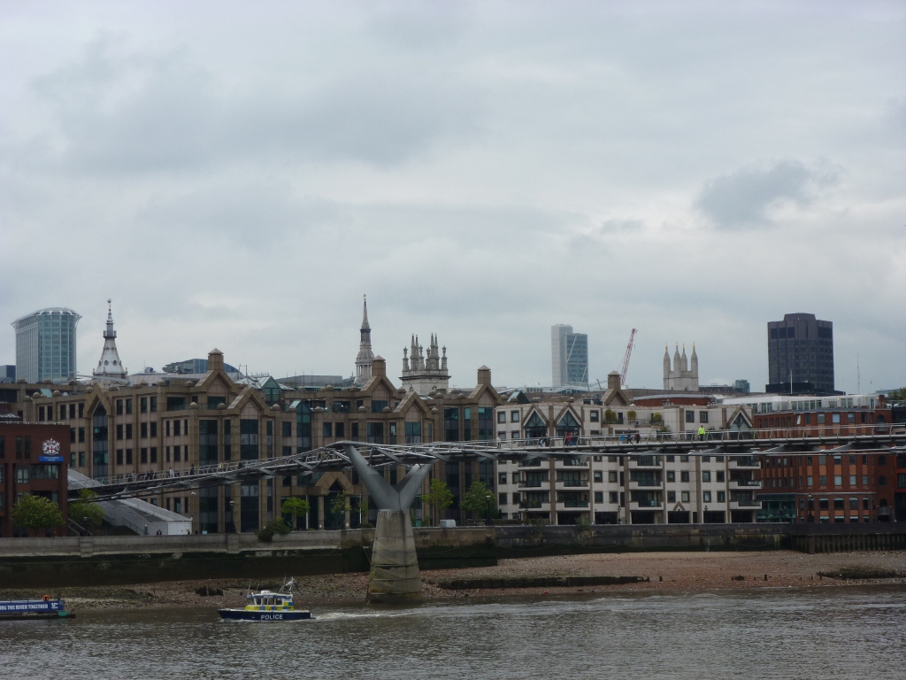
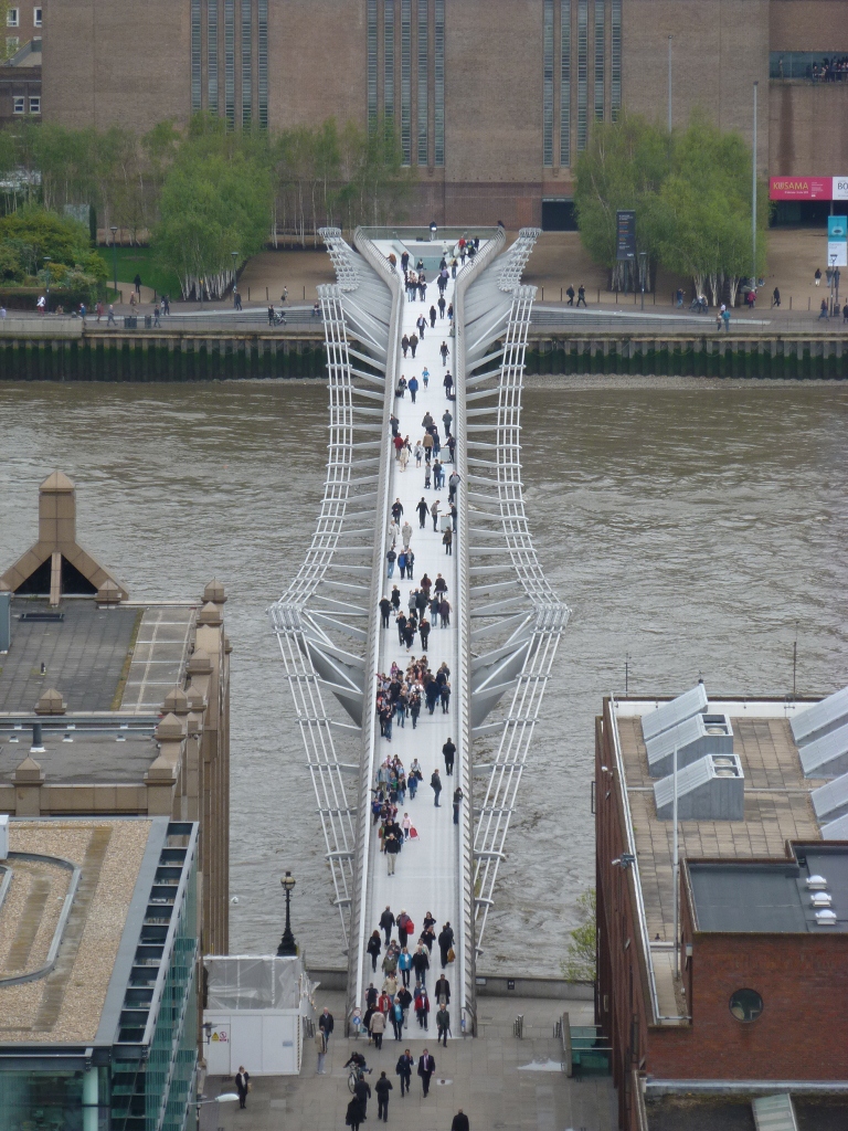
The Millennium Bridge is the first of two pedestrian bridges that cross the Thames.  The second, the Jubilee Bridge (click to see post), opened 3 years later in 2003.  While the Millennium Bridge is sadly only one color, I think it was probably the most photogenic bridge I walked in London.  Although I like the picture above less for the bridge and more for the buildings behind it, which show the city’s transition from a time when church steeples were the tallest thing around to today when that honor belongs to the skyscrapers.

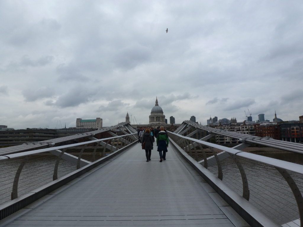
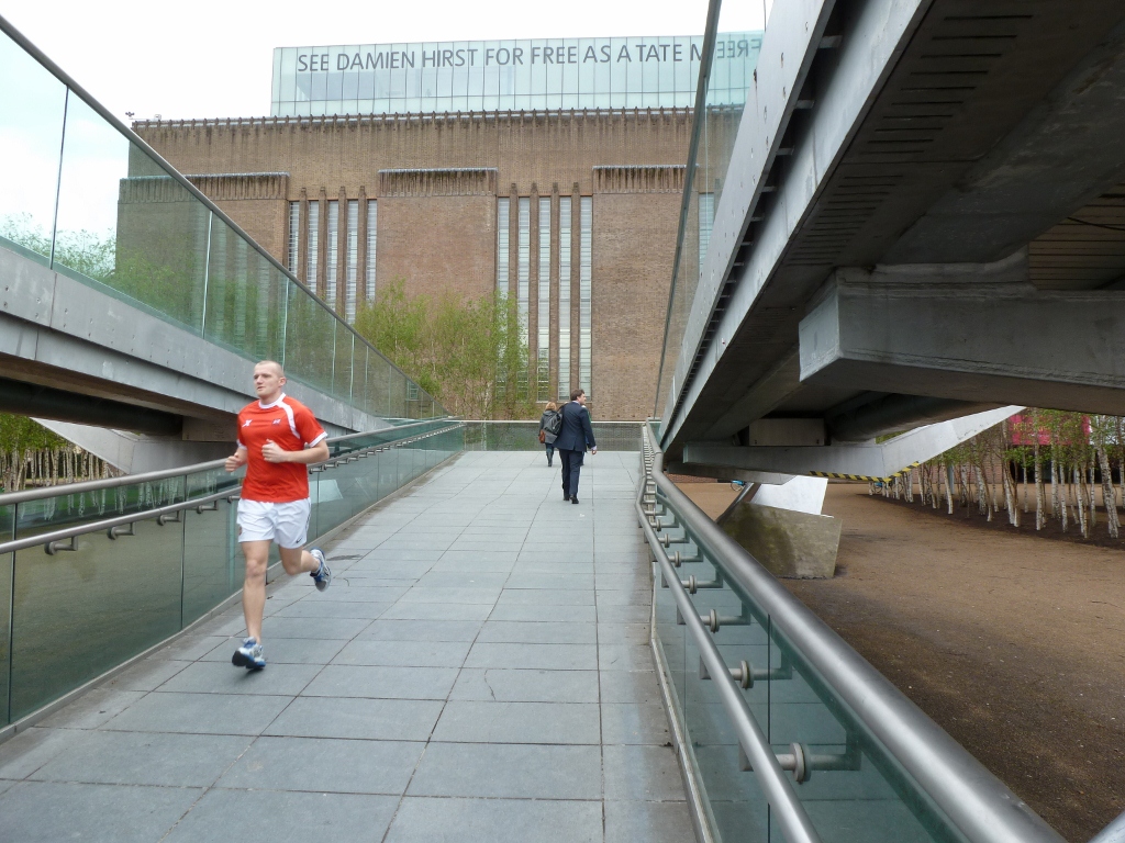
The location of the bridge was very good.  It leads directly to St. Paul’s Cathedral.  In some ways I am surprised that it wasn’t until 2000 that a bridge was built at this location.  (I picked up some souvenir maps while in London depicting the city in 1520, 1666, 1843 and 1902 and none have a bridge or even ferry boat at this location.)  On the other hand, the other side of the bridge connects to the Tate Modern, which didn’t open as the international modern and contemporary art museum until 2000.  Before then the site was a power plant from 1947 until 1981 when it became redundant and closed, remaining vacant until the Tate took it.

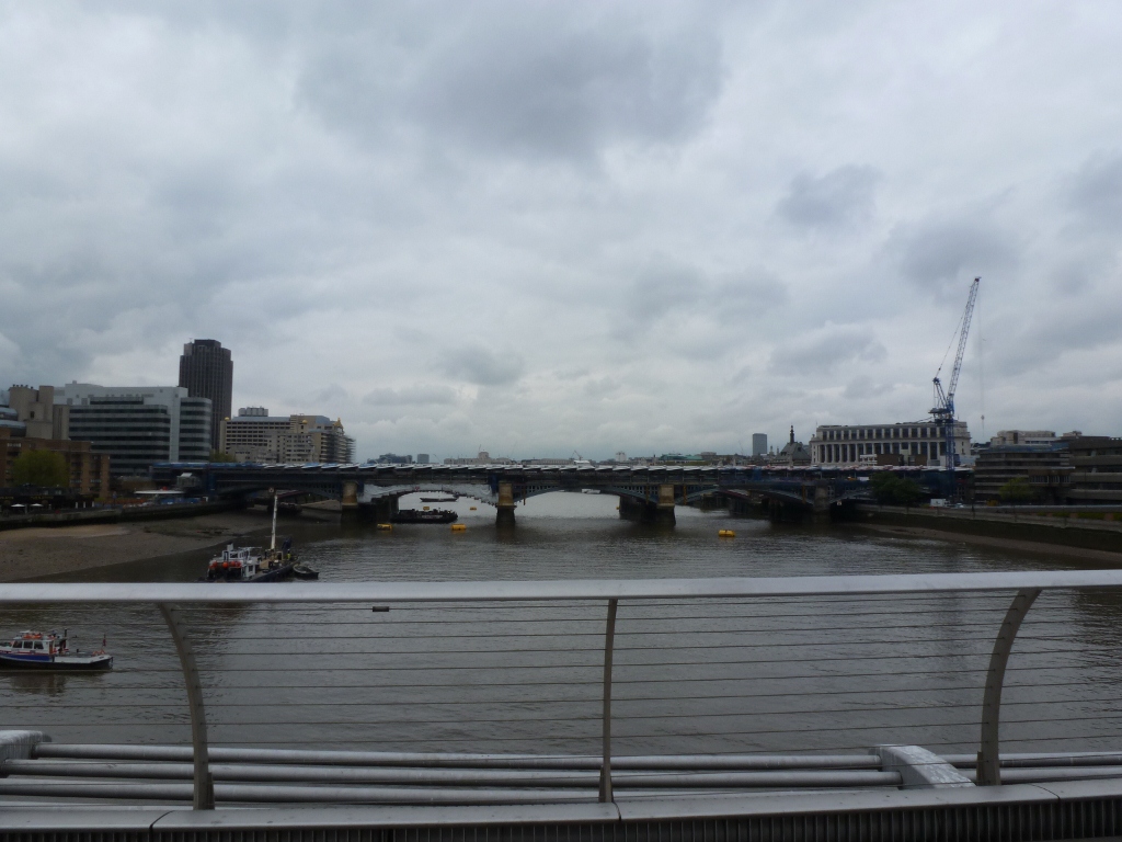
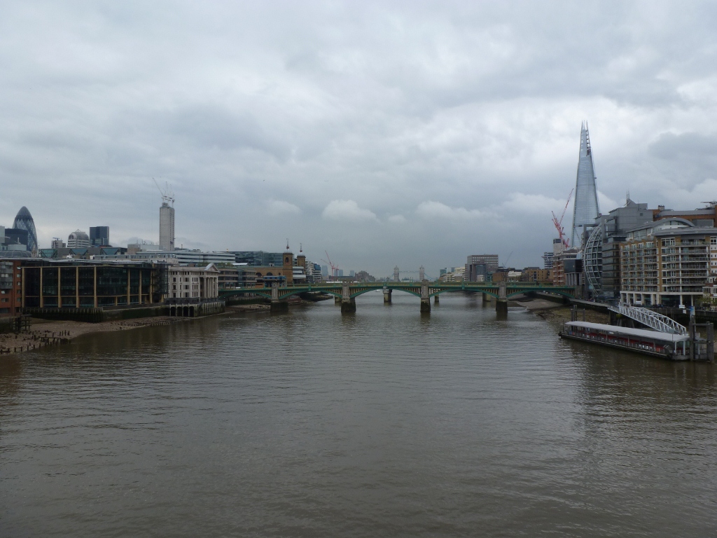
The views from the Millennium Bridge show two things of interest related to the other city bridges.  First, upriver is a view of the first rail station to span the Thames and the longest solar bridge in the world (see July 31 post).  Downriver, the Tower Bridge, which I believe is the most iconic London bridge, comes into view for the first time.

I started this post by claiming that the Millennium Bridge was the most photogenic of the London bridges.  The views of it above are pretty interesting, but the best shot was the one I took from the top of St. Paul’s Cathedral looking down.

31st Street Bridge

To date I have walked the 31st Street Bridge twice.  The first time was a few years ago when I had over two hours to kill between an event downtown and a meeting in the Strip a few blocks from the bridge.  So I naturally decided to spend it by walking from the first to second location along the Three Rivers Heritage Trail.  It was winter and I saw the first flurries of the season as I crossed this bridge.  For that reason, I remember the walk and the bridge fondly though I was disappointed and surprised when I arrived at the Strip District end of the bridge to realize how far away I was from the stores in the Strip.  I had been planning on getting a snack at one of the nice little ethnic groceries or perhaps at the bakery.  As I was in a car every other time I had been to the Strip, I never realized how little of the neighborhood the stores took up.  Fortunately, there was hot chocolate and a good spread of fruit and pastries at my meeting.

As I sat down to write this post, I realized that I have already discussed most of the observations I had or at least something similar in other posts.  So I went to PGHbridges.com to look for some inspiration of something new to write.  It has a nice description of the decorations on the bridge (see link), which I completely missed as I walked it this summer either because they aren’t there or because I looked in the wrong places as I thought there might be some decoration.  The other thing that intrigued me on the website was the name of the bridge which is 31st Street Bridge, Number Six Allegheny River.  I thought perhaps this meant it was the sixth bridge at this location; however PGHbridges.com says that the 31st Street Bridge replaced a former bridge at 30th Street.  While the streets aren’t that far apart, it seems more likely that “number six” refers to it being the sixth bridge up the Allegheny from the Point, yet this would have to be only counting road bridges (not railroad).  The 1929 G.M. Hopkins map shows that the sixth bridge from the point is the 16th Street Bridge when you count the railroad bridge between the 9th and 16th Street bridges.


These are the pictures that go with the topics I’ve discussed in other posts.  On the left is the cookie-cutter, perfectly manicured housing development on Herr’s Island.  In my Converted Railroad Bridge post, I mention how I feel like a trespasser when I walk through this part of the island.  Except for the little lighthouse/widow’s walk attachments on top of the houses (the circular, red peaked roof thing), the development looks identical to some of the newer developments (older being 1960s) in the California town I lived in for several years.

The view downriver, above on the right, shows again the two clusters of tall buildings downtown that I first observed on the 16th Street Bridge (see July 13 post).


Several well-known landmarks (which I have mentioned in other posts) are visible from the 31st Street Bridge.  First on the downstream side (above left) is the Immaculate Heart of Mary Church.  Perhaps because of the lighting and angle, I don’t think it appears as impressive in the picture as it does in real life.  I mentioned this landmark previously in my post about the Fort Duquesne Bridge.  On the other side of the bridge (above right), the most famous landmark is Children’s Hospital, which came up in the 9th Street Bridge post.  Before doing this project, I don’t think I realized just how big Children’s Hospital is.  I thought it was big, but I’ve learned from observing it from the 9th and 31st Street bridges that it is actually huge.  Closer to the bridge a little lower on the hill from the hospital is the St. Augustine Church in Lawrenceville, one of the many large, old, and beautiful churches in the city.  I’d also like to point out the little church on the right-hand side of the photo towering above its surroundings.  I don’t want to go into much detail about it now, but it is one of Pittsburgh’s repurposed churches and I will be coming back to it in a future post.

Lambeth Bridge

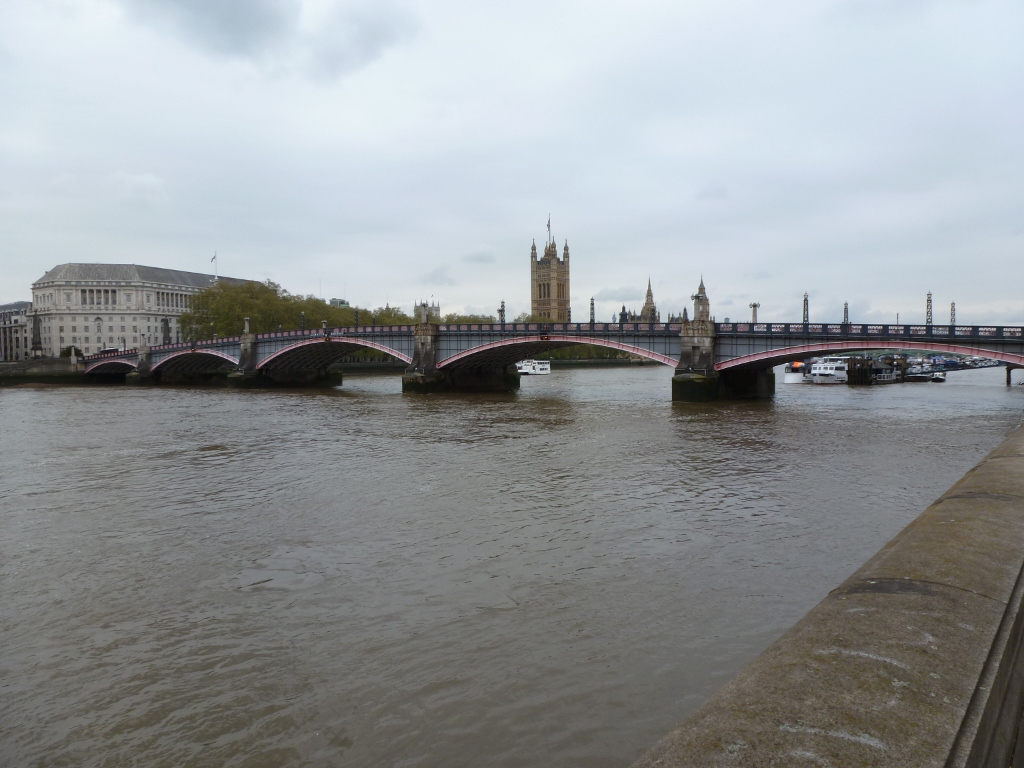
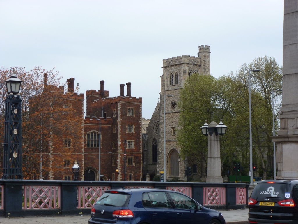
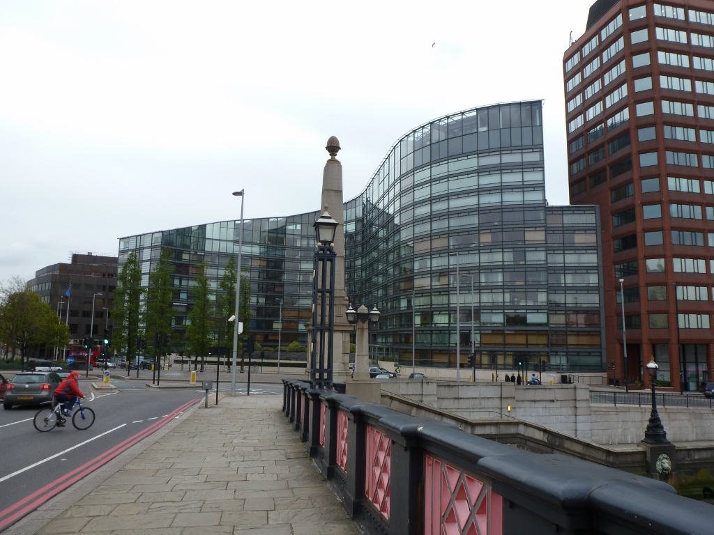
Lambeth Bridge toned down the color schemes a bit by using only two main colors, compared to the three or more colors found on the Vauxhall and Albert bridges (see June 20 and June 16 posts).  Also, the character of the area surrounding Lambeth Bridge changed from that surrounding the bridges I crossed previously.  There was much more of the older, classic London around Lambeth Bridge.  The southern shore combines the old and new.  On the left, looking from the bridge is the historic Lambeth Palace, the site of the Archbishop of Canterbury’s London residence since the 13th century.  (This accounts for the building’s religious appearance.  I had assumed when seeing it in person that it was some kind of church, so when I looked it up from the comfort of home and saw it was a palace I was initially disappointed at my error.)  To the right across the street from the Palace, is a sleek, modern, glass building housing the Parliament View Apartments.  In retrospect, I regret not taking a picture that includes both the Palace and the apartments in one frame.


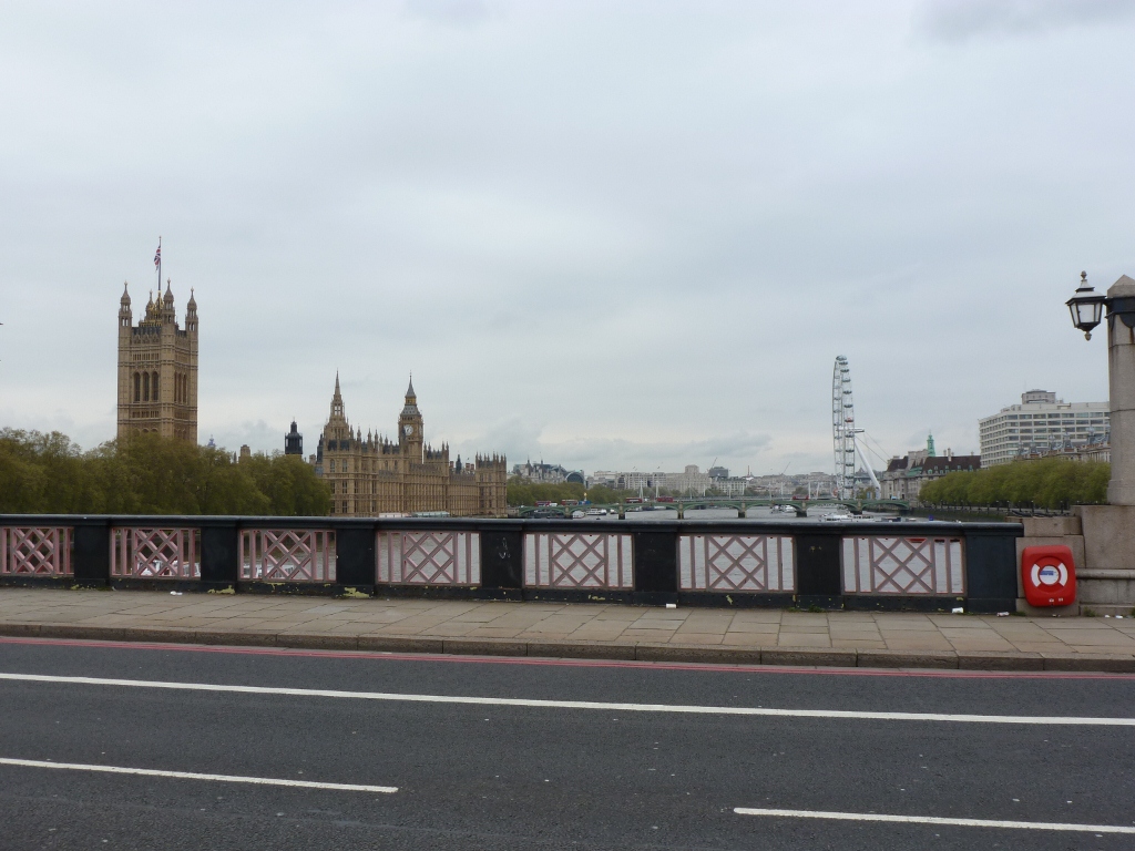
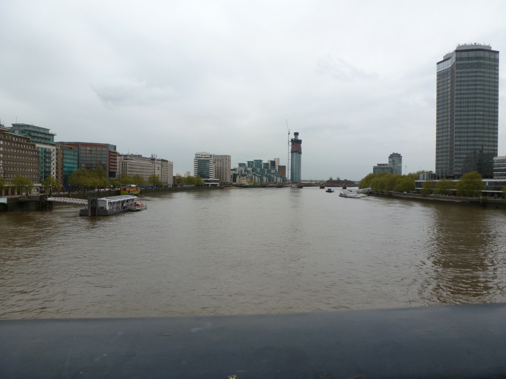
The views up- and down-river from the bridge correspond to the sites at the southern end of the bridge.  Downriver, the side corresponding to the old Lambeth Palace, the view is dominated by old London architecture particularly the Houses of Parliament.  At the same time the upriver view is dominated by newer architecture, like the Parliament View Apartments upriver from Lambeth Palace.


I would like to add a correction to my post on the Battersea Bridge where I identified the tower under construction, also visible in the Lambeth Bridge upriver photo above, as the Shard.  In the Battersea Bridge post, I identified the building as the Shard because it was the only tower under construction in London on which I could find any information on.  Also, one of the photos labeled as the Shard looked similar to this building.  However the Shard is closer to central London.  Today I learned that the complex next to the tower is the St Georges Wharf Apartments, which are rented by the night.  Based on the style of architecture of these buildings and the tower and their proximity to each other, I have a suspicion that they are related.  It would probably be a good thing if the tower was an expansion of the apartments because the current apartments are completely booked.  Out of curiosity, I searched multiple dates between now and June 2013; none of them had any availability.

Roald Dahl, Norwegians, Doctor Who, and a Church

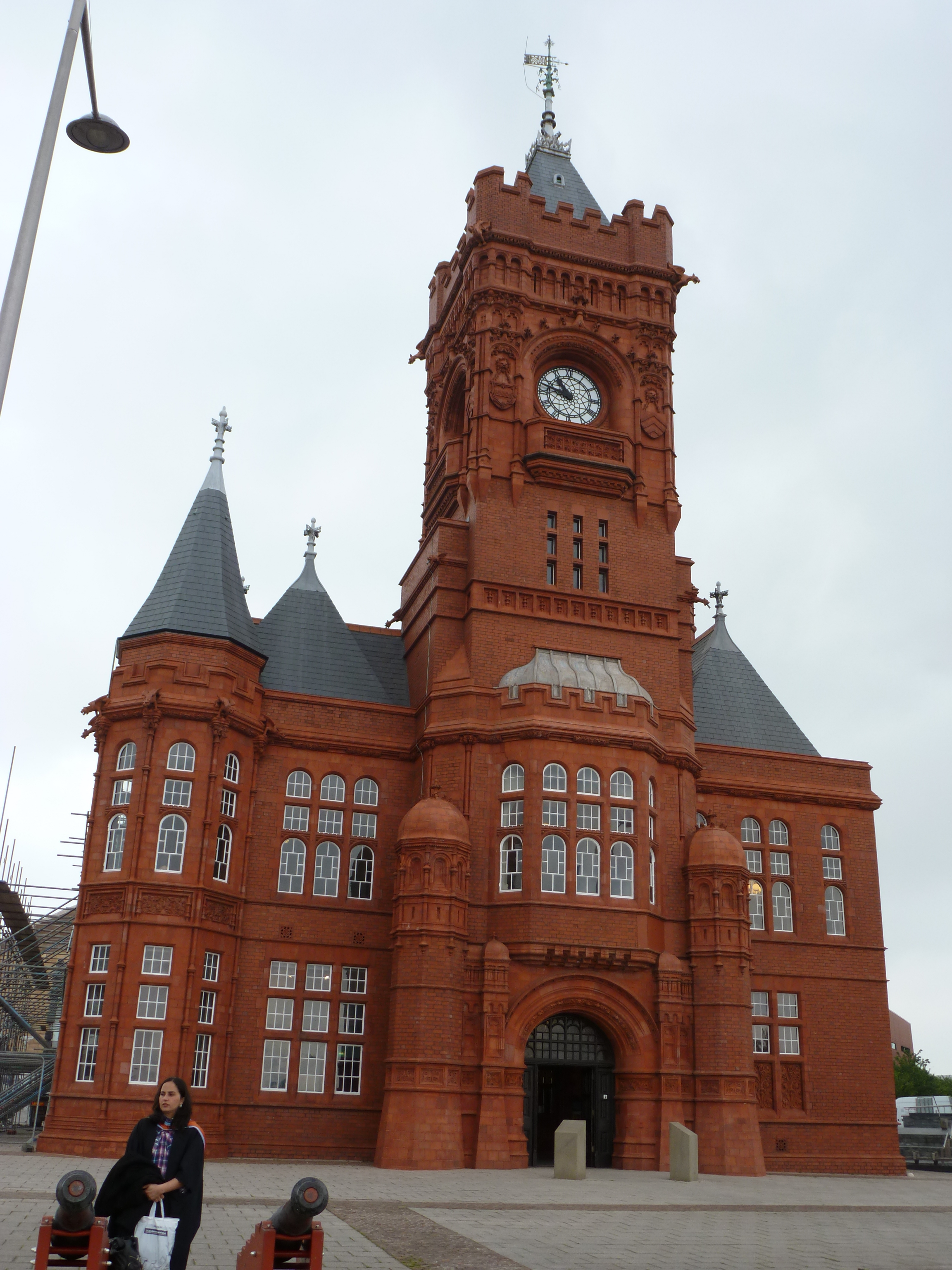
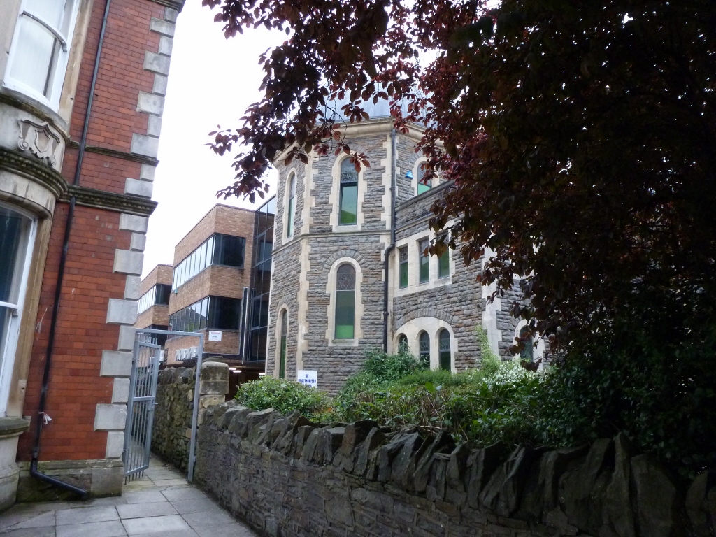
I watch the new Doctor Who series and the spin-off show Torchwood.  The Doctor Who episodes set in modern Cardiff are centered on Cardiff Bay and Torchwood is based in Cardiff Bay.  In the long shots of the area, I was most intrigued by the building pictured above.  I believed it must have been some sort of church.  When I was preparing to visit Cardiff, I was excited by the paragraph in my guidebook which referred to a repurposed church on Cardiff Bay.  I assumed that the building that intrigued me in Doctor Who and Torchwood must be the former Norwegian church now adapted to a rental facility.

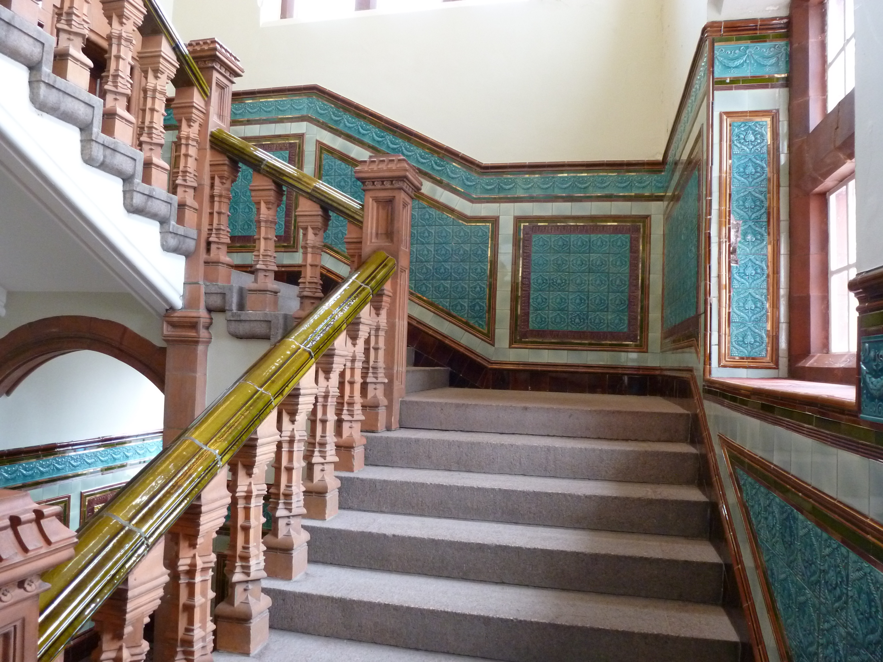
On arriving at the site, I had a feeling that something was off.  It wasn’t until I stepped inside that I figured out what it was.  It turned out that this building never held a church.  I suppose that the lack of stained glass, the small widows, and the cannons outside should have been a clue, but with the peaked roof (not visible in the above photo), the gargoyles, and the central tower I didn’t know what else it could be besides a church.  The building is called the Pierhead and it guarded the port, or at least kept track of the traffic coming and going in the port.  It is open to visitors now as a museum of the port.  I learned a lot about the history of Cardiff from a short, entertaining film, such as the name came from Welsh for “Fort on the River Taff.”  The color and decoration of the interior also intrigued me.


When I left the Pierhead, I looked around the bay and quickly spotted the actual church described in the guidebook.  Norwegian sailors who passed through the port built this church (pictured below).  Roald Dahl was baptized here.  Now the building is used as a rental facility.  The sanctuary is the rental hall, when I was there it was being set up for a wedding reception on the following day; the choir loft level is now an art gallery; and the space below the choir loft, which I imagine would have been the entryway/gathering space, is now a coffee shop with some delicious pastries.  Unique features of this building included the model of a Norwegian sailing ship hanging from the center of the ceiling in the main room and a stained glass window that featured fish.  Unfortunately my camera temporary malfunctioned while I was visiting this building and as a result I do not have any shots of the interior.

Newport Road, Cardiff

The one mile walk from the city center to the Inkspot along Newport Road revealed more church buildings of interest for adaptive reuse and the history of the city. (Newport Road is so named as it was the main road from Cardiff northeast to Newport before the highway came along.)

The first building of interest that I came across was just off Newport Road. My observations indicated that this building was a former church probably adapted to a new use similar to the Wallich Centre (see post on Cathedral Road, Cardiff) but with a strong religious component. A sign on the building read “UCKG Help Centre,” which suggested that it provided help to those in need. My ideas for the possible targeted audience included people experiencing homelessness, depression, or low-income. I identified the Centre’s religious focus from a sandwich board in front of the entrance advertising holy/healing oil.

I was correct in my supposition that the building’s original use was a church (after I discovered I mistakenly identified two other buildings as former churches I began to doubt my guess with this building). It was built as a Unitarian Church in the 1880s. However, I was mistaken in the new use. It turns out that UCKG stands for the Universal Church of the Kingdom of God and therefore the building is still being used as a church, just not its original denomination.

The second building appeared permanently closed when I passed. This one clearly used to be a church.  The building appeared to be secure and in good condition, which is beneficial for any potential reuse.  This building was built as the Church of St James the Great in the 1890s and closed in 2006. A newspaper article from 2008 announces the redevelopment of the church’s spire into a seven-story flat (flat=apartment, please excuse my British vocab and spellings, such as centre, while I discuss British places).  The rest of the structure would be converted into 11 other one- and two-bedroom flats. However, there was no indication when I was passing that this has occurred or was in the process of occurring. There is no further mention of this redevelopment online, suggested it either fell through or is being held up.

I passed one more church building on Newport Road, one still used for religious worship, before reaching the Inkspot. This building interested me as it was a larger church complex than any of the others I passed, was a block away from the Inkspot, and part of a complex blocked off for construction work of some unknown sort.

Passing four church buildings, three of which were no longer housing their original uses, intrigued me. Coming from Pittsburgh, my immediate assumption was that Cardiff must have experienced a significant population loss. After all it used to be a major port—exporting more coal than probably any other port in the world. The port closed some time ago and Cardiff stopped exporting coal. I imagined this change resulted in the loss of many jobs and therefore a significant population loss followed. Yet, the population statistics for Cardiff over the last 200 years destroyed this theory. The population dipped slightly from 1971 to 1981, but by 1991 Cardiff had more residents than ever (see Cardiff Timeline for population statistics). The port closing may have influenced the dip in population, but net population loss cannot be the cause of the closed and adaptively reused religious buildings I observed in Cardiff.

I cannot verify my second theory for the reason these buildings lost their original uses. This theory is a change in the religious views of the population. This can go two ways. The first idea is that people are becoming less religious (this is how the Dutch explain their large number of churches adapted to new uses). I found a few articles that identify a similar trend in all of Britain (Number of Christians falls, Muslims pass on faith at higher rates than Christians). The second idea is that while the overall population is growing, people are still moving out and those that are moving in are of a different demographic or religion and therefore do not want the same religious institutions as those that came before them. Both theories are mostly speculation as I haven’t found detailed statistics on religious beliefs and practices in Cardiff, Wales, or Britain.

Cathedral Road, Cardiff

As I mentioned in the post on Inkspot, it felt like I had more success with repurposed churches in Cardiff than London, despite having done extensive research on the adaptive reuse of churches in London.  Perhaps this is in part because it is far more exciting and rewarding to come upon a repurposed church than to go where you already know you will find one.  My first day in Cardiff I discovered two adapted religious buildings within a few blocks of each other—thrilling!
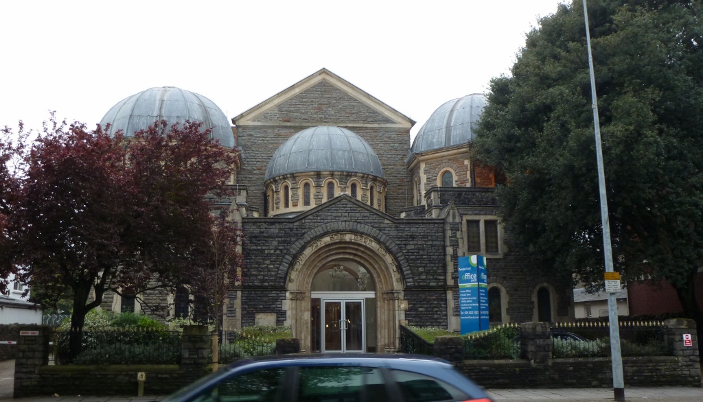
The first of these buildings, formerly the Cardiff New Synagogue now office space.  (I am also interested in the adaptive reuse of synagogues as there are some similar issues when repurposing synagogues or churches, but I am less familiar with the architecture and interior design of synagogues and they seem less common adapted church buildings.)  The façade of this former synagogue appeared to be unaltered, however in the back there was a modern office building extension.  I could not tell from my observations whether or not part of the original building was demolished to make way for the extension.  The original building seemed a bit short, which made me think that part of it might have been demolished.  However, some of the townhouses nearby had similar additions in the back as they were now used for businesses or apartment complexes.  The depth of these buildings matched those that did not have additions and that of the original structure of the synagogue, suggesting that the synagogue may have been intact.  I found the YouTube video on the building’s website interesting as it is easy to tell which rooms are in the original building and which in the addition.
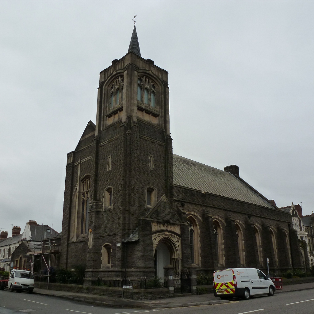
The second building was a former Presbyterian Church of Wales, now The Wallich Centre.  Their motto is “homeless people first” which gave a clear indication of their purpose, although the website suggests that this building may not be used directly for the homeless as it is identified as the administrative centre as well as a venue for hire for meetings, conferences, etc. which I don’t imagine would be used by the homeless.  There appeared to be little or no alteration to the exterior of this building, except for the glass doors inside the covered entrance.  Only a small sign (blocked by the van in the picture) indicated that this building no longer functioned as a religious institution.

Inkspot

Last month, I spent a few days each in Cardiff (the capital of Wales) and London. Before going, I had done some research on the adaptive reuse of church buildings in London, but none on Cardiff. Despite this, I almost had more success with exploring repurposed churches on the ground in Cardiff than London.

The pamphlet in my hotel room in Cardiff, highlighting things to do in the city, contained an ad for the Inkspot – a crafts store housed in a former church. This was an amazing find as not only am I into the adaptive reuse of church buildings, but I am also a craft-person. Additionally, none of the repurposed churches I have come across in Pittsburgh have a use like this. Most in Pittsburgh are adapted to housing, restaurants/bars, and community centers. So, this building showed me a new option for how a church space can be used.

As a crafts store, it was a bit disappointing. The items for sale were the same as what I would find in any crafts store in the US. Perhaps I should have expected that, as how different can paint or pencils be from country to country? I however was hoping for an experience more like going to the grocery store in the UK vs. the US. Both sell food, but the options are slightly different. First, the fruit is more naturally sized, unlike our bananas and apples on steroids. In the bakery department, I found personal-sized baguettes, brioche, and crumpets. Yogurt flavors were different–such as strawberries and clotted cream. Among the juices I found Apple & Beetroot and Grape & Elderberry flavors. I thought the crafts store would be like that, similar products, but just enough different that I would be able to find somethings I wouldn’t find in a crafts store in the US.

As a repurposed church, the Inkspot was fascinating. The owner was in while I was visiting so I was able to add some facts to my observations. The building was built in 1868. When the 100-year lease came up in 1968, the property owner refused to grant the church a renewal. The building is located on Newport Road, which at least at one time was the main road between Cardiff and Newport (another potentially important city in Wales), near two intersections. It is prime real estate and in the 60’s there was talk of the road being widened, which would have required the demolition of the church. For whatever reason, this plan did not go through and in 1995 the owner and his family purchased the building to move their crafts store into it. Upon purchasing, they were advised to tear down the building and start from scratch, but they took the risk of spending the money to repair the damage from decades of being empty.

They modified the building slightly, by making the sanctuary two stories. The first floor had paper crafts, kids’ crafts, yarn, etc., while the second floor was dedicated to painting supplies with an art gallery in the back above where the altar used to be. The downstairs felt a little claustrophobic, but the upstairs still felt huge and airy. I could not decide from just walking around and observing the building if the two-story design was original or added during the repurposing. It must have been huge inside when it was a church. In addition to the crafts supplies for sale and the art gallery, there was space for artists’ studios in what I assume must have been office space previously.

I did not feel comfortable taking pictures inside where the sale items were, but I did take the picture below of the staircase. The white walls and green carpeting were used throughout the store.