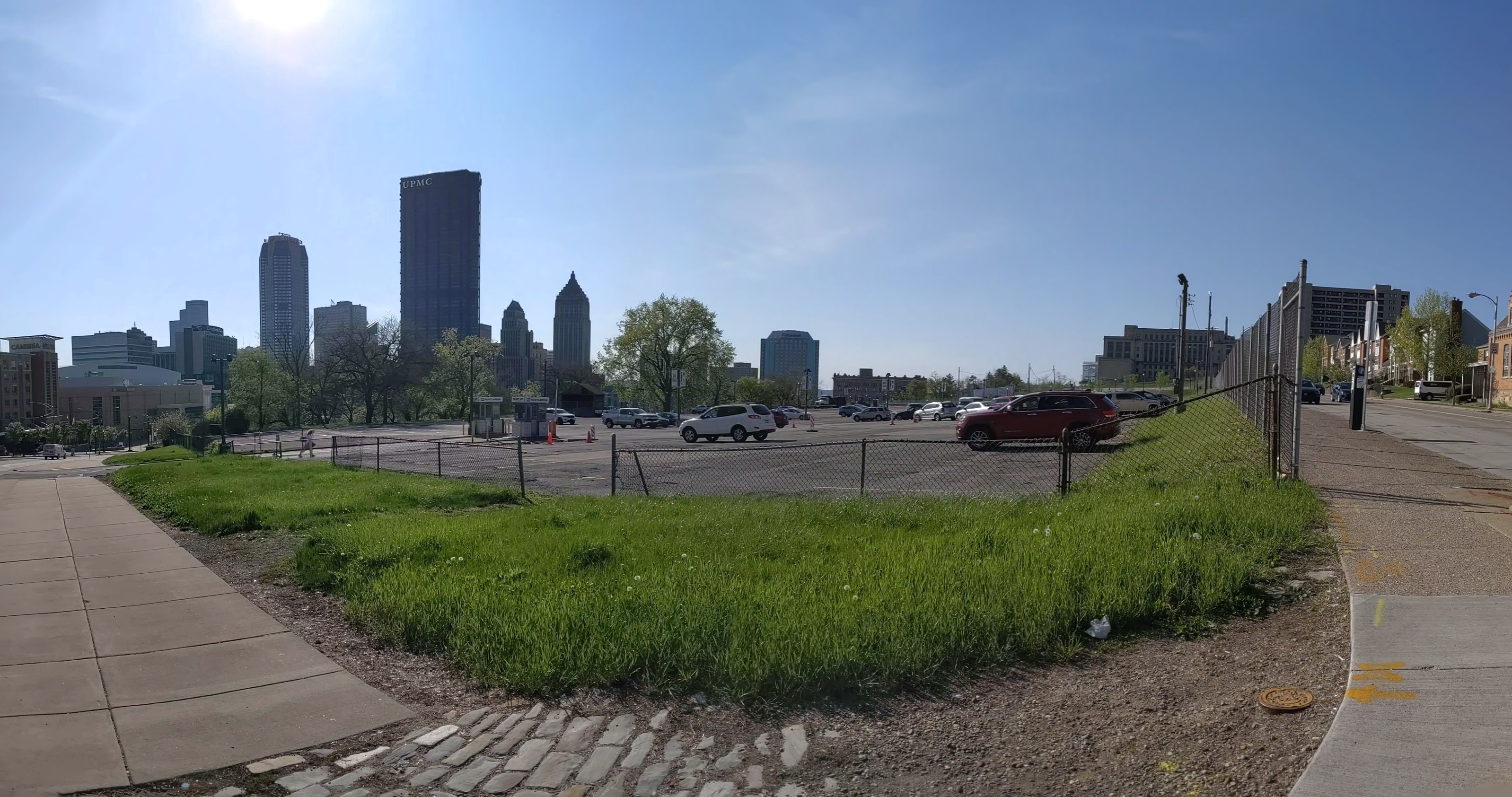
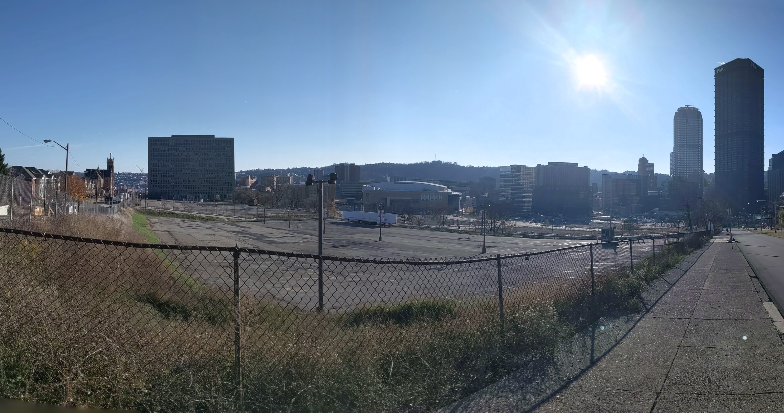
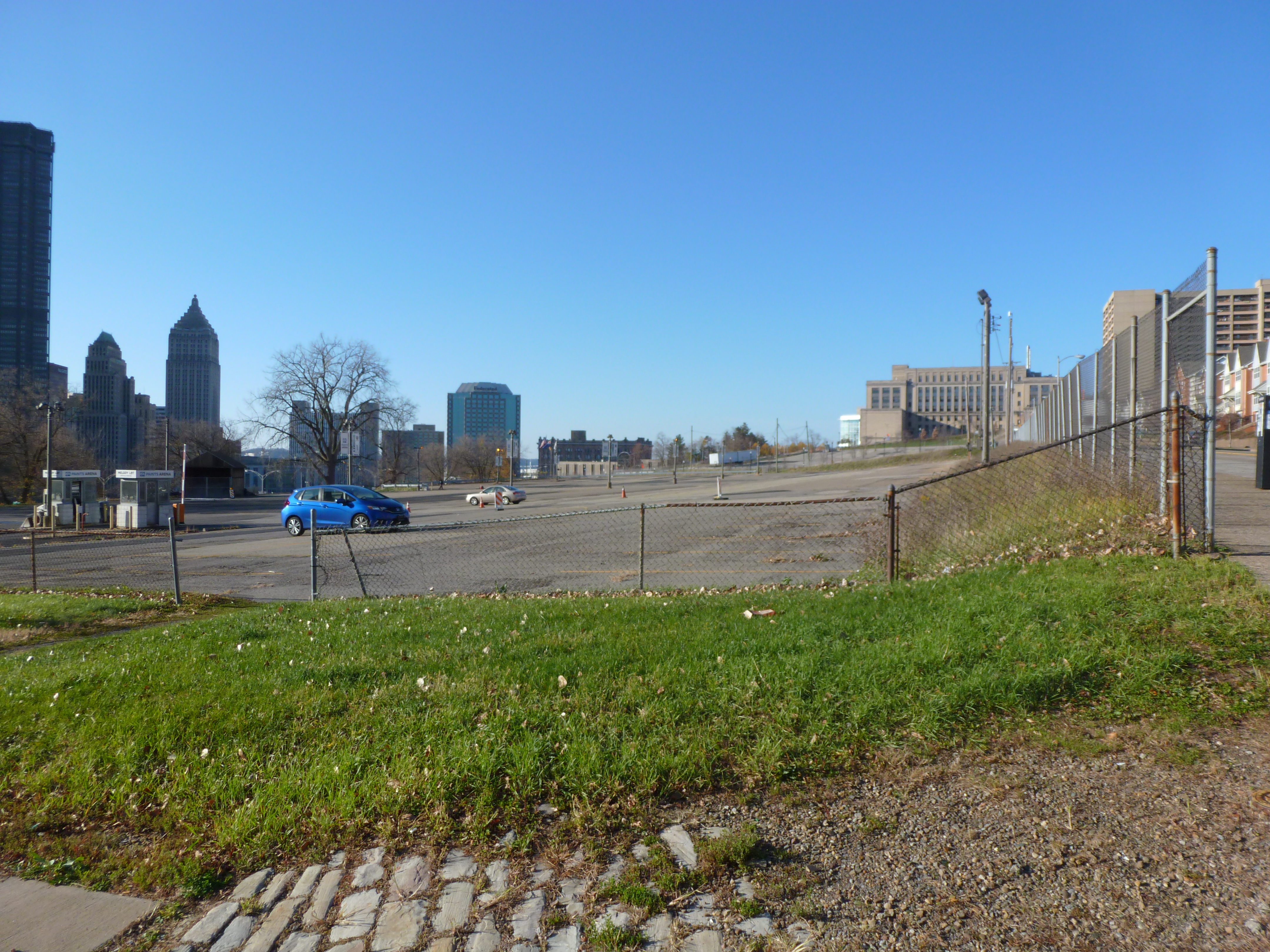
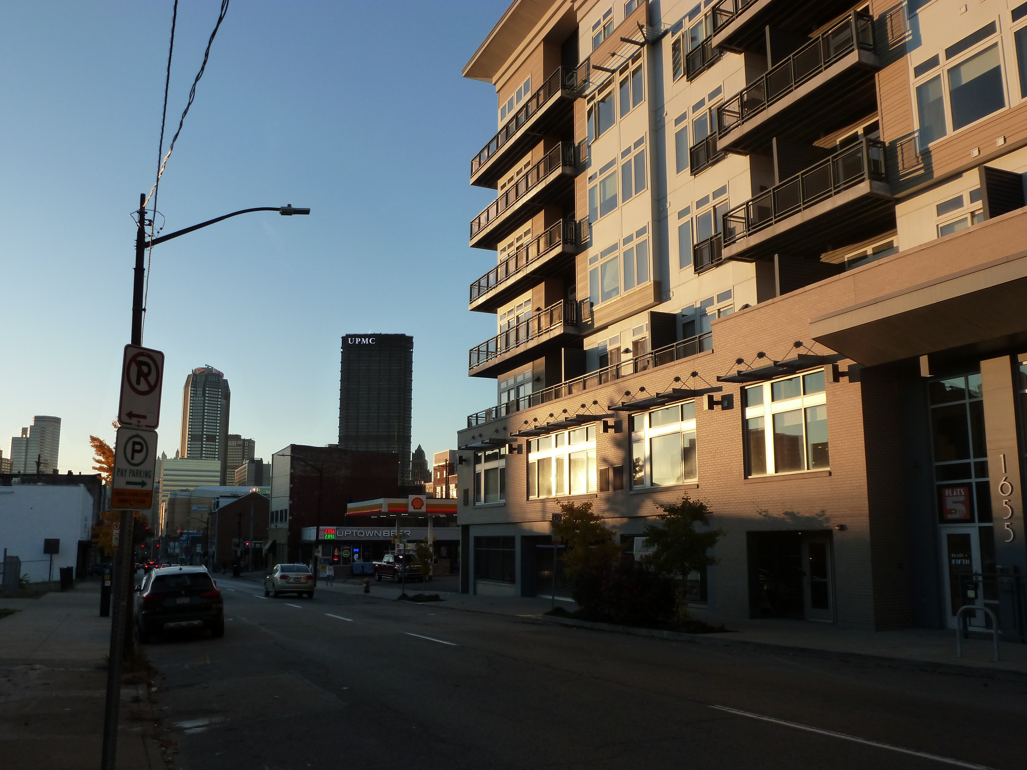
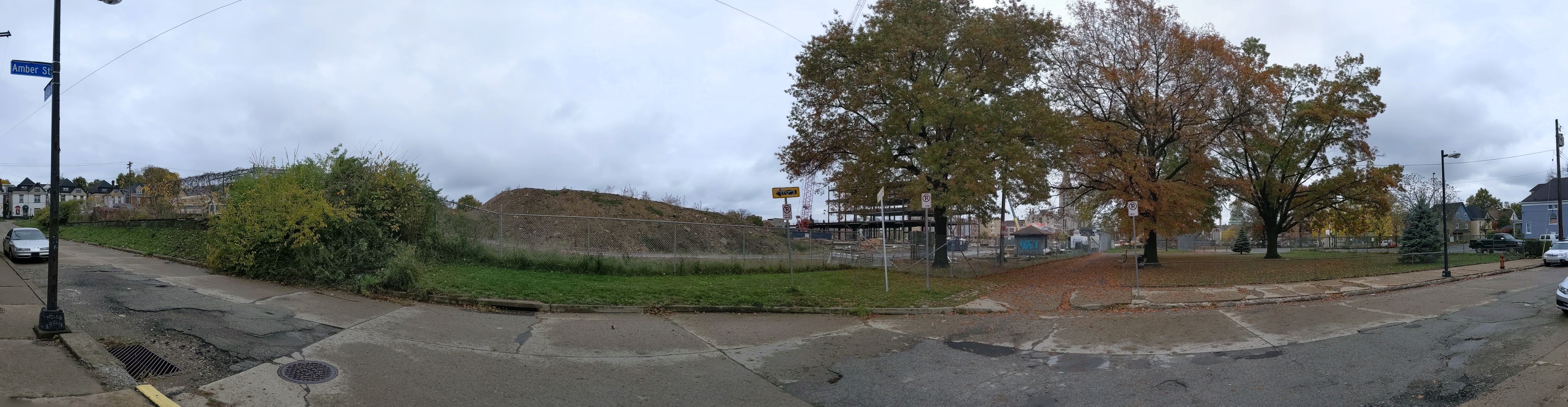
The CAP is a project in Pittsburgh “fixing the mistakes” of Urban Renewal. The Crosstown Blvd was built in the 1960s creating a freeway in a canyon dividing the Lower Hill neighborhood from downtown. The Lower Hill neighborhood, formerly predominantly poor and black, had already been demolished by this point to make way for the Civic Arena and other cultural amenities that were never built.
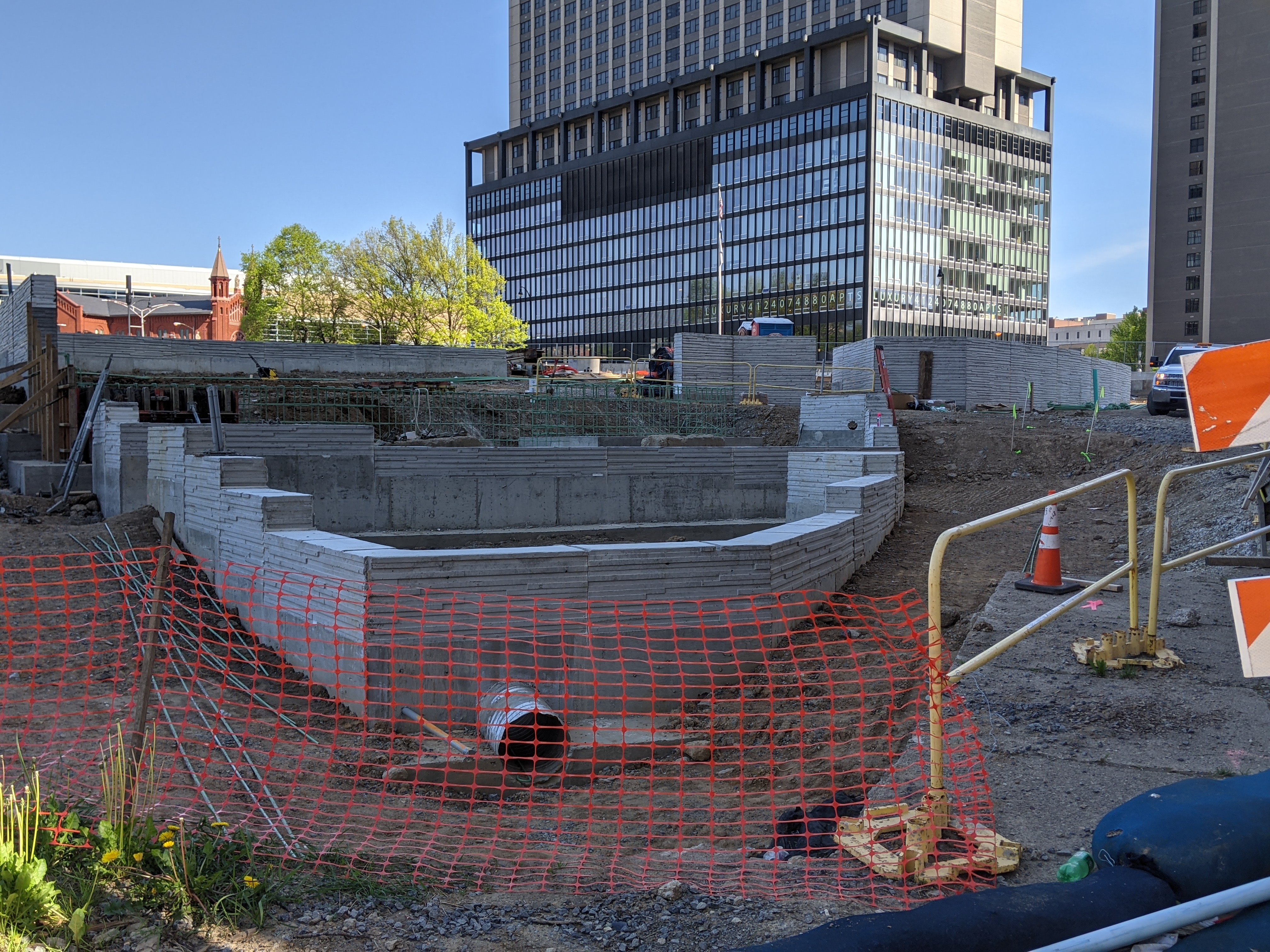
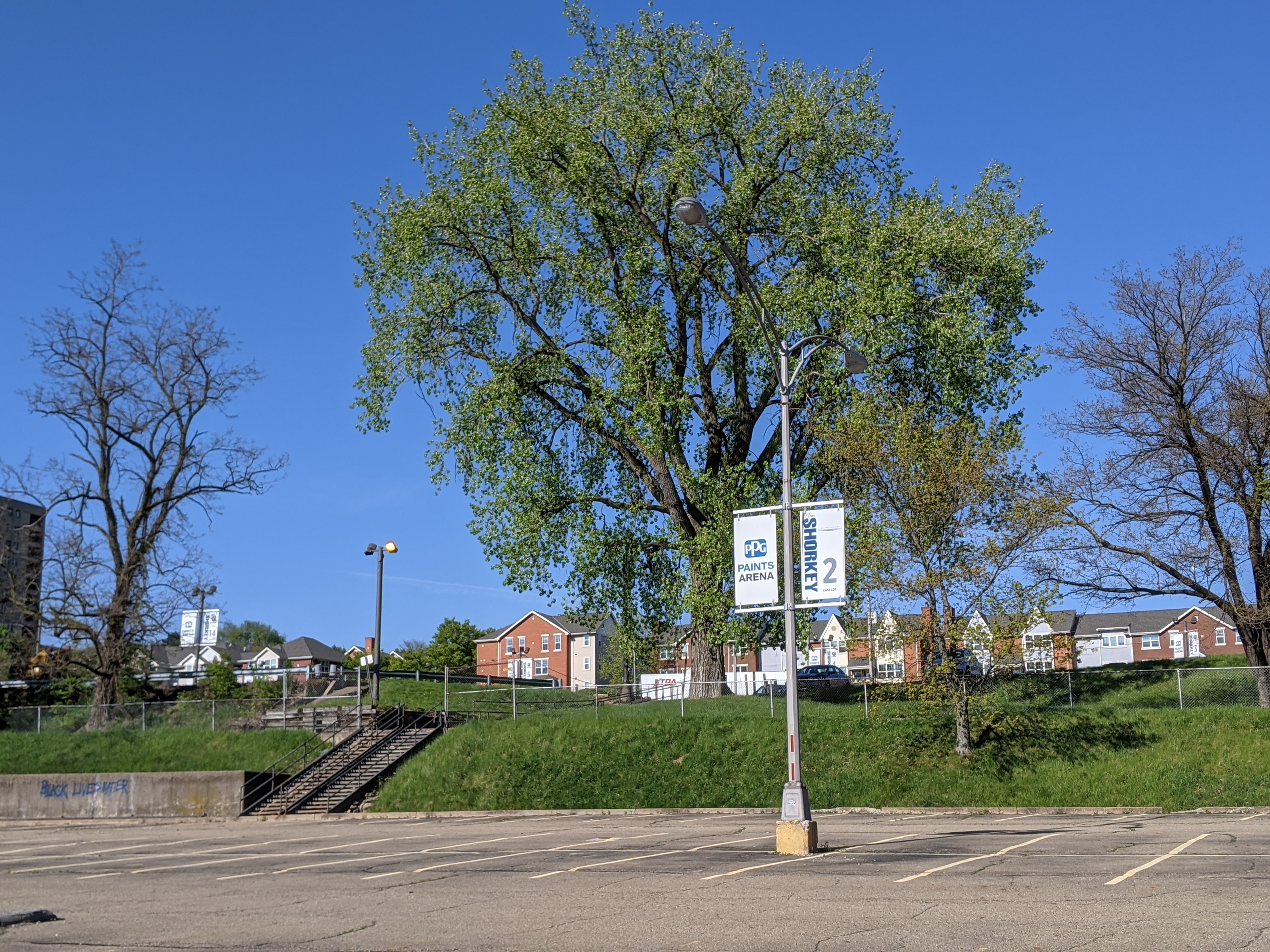
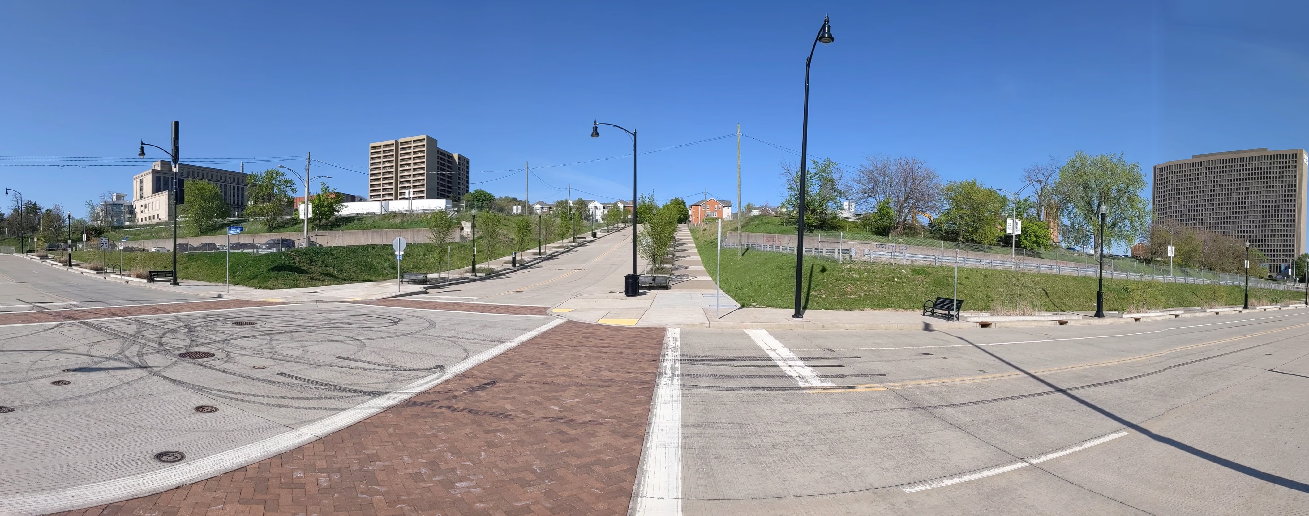
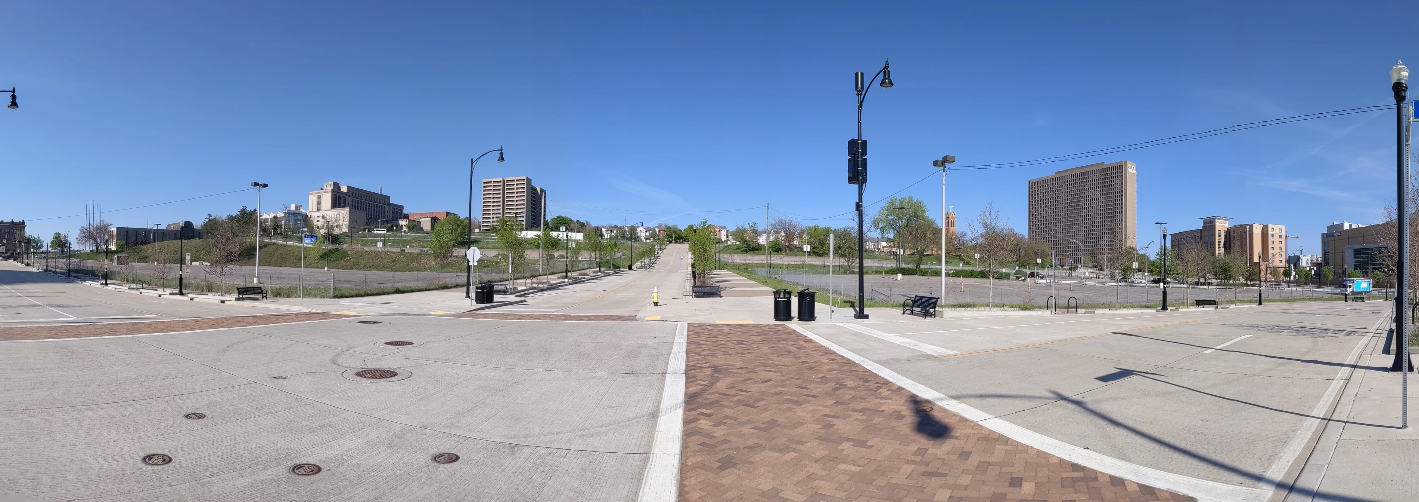
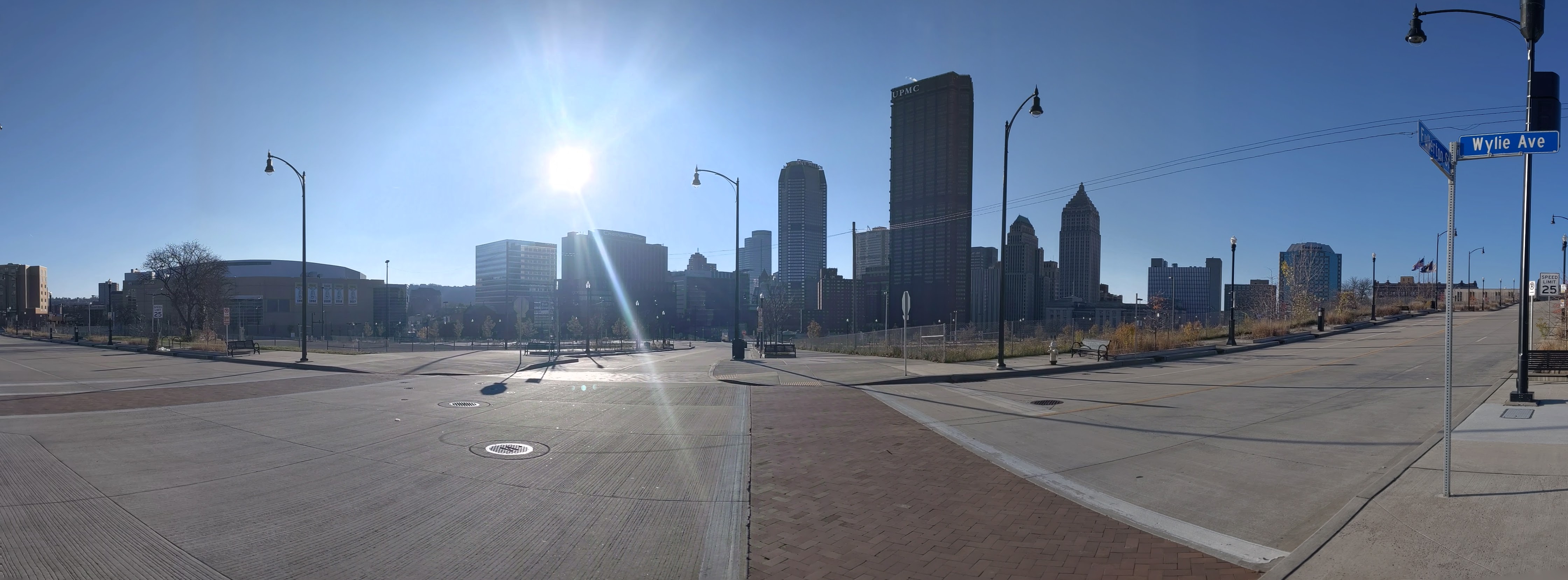
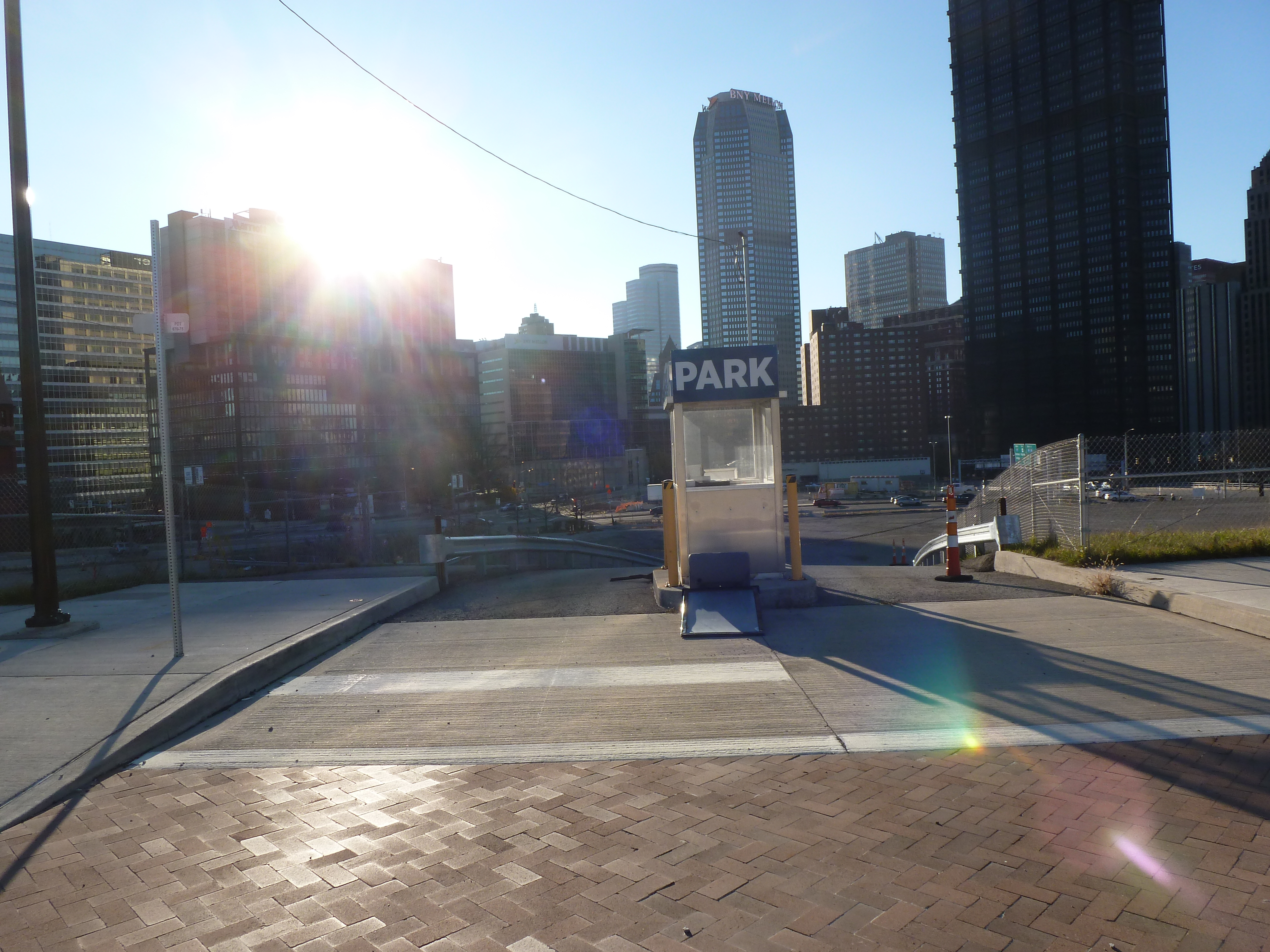
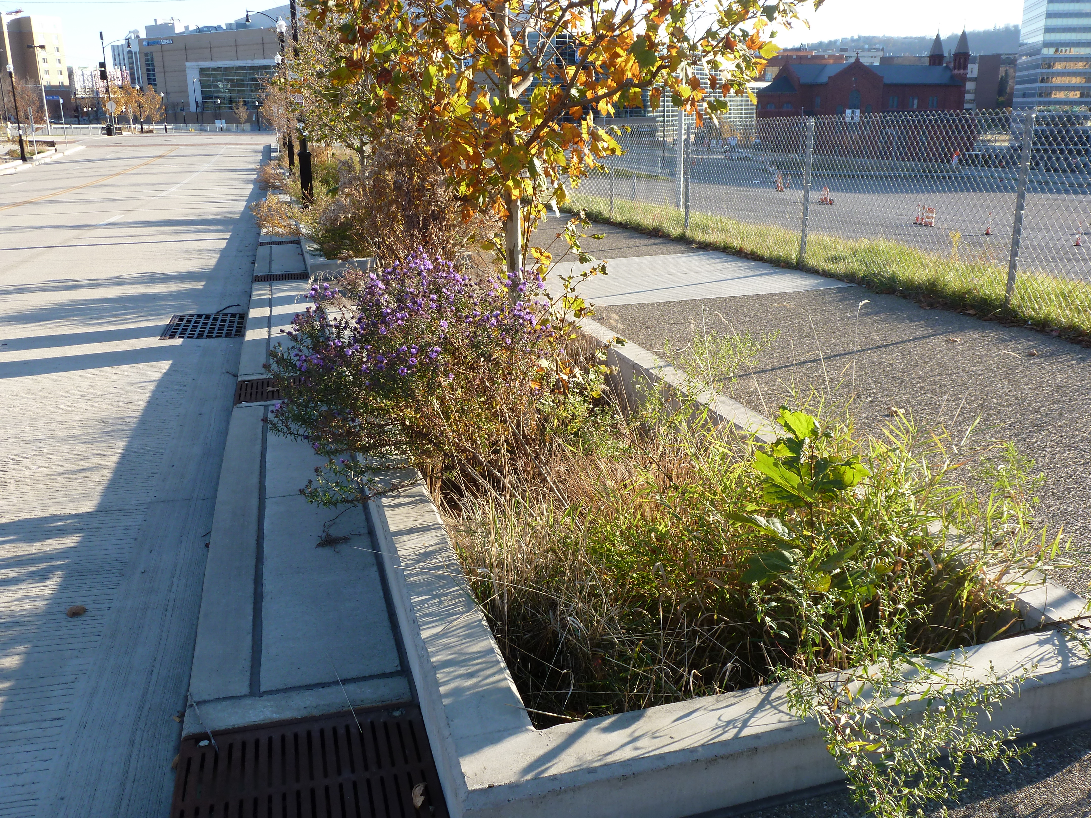
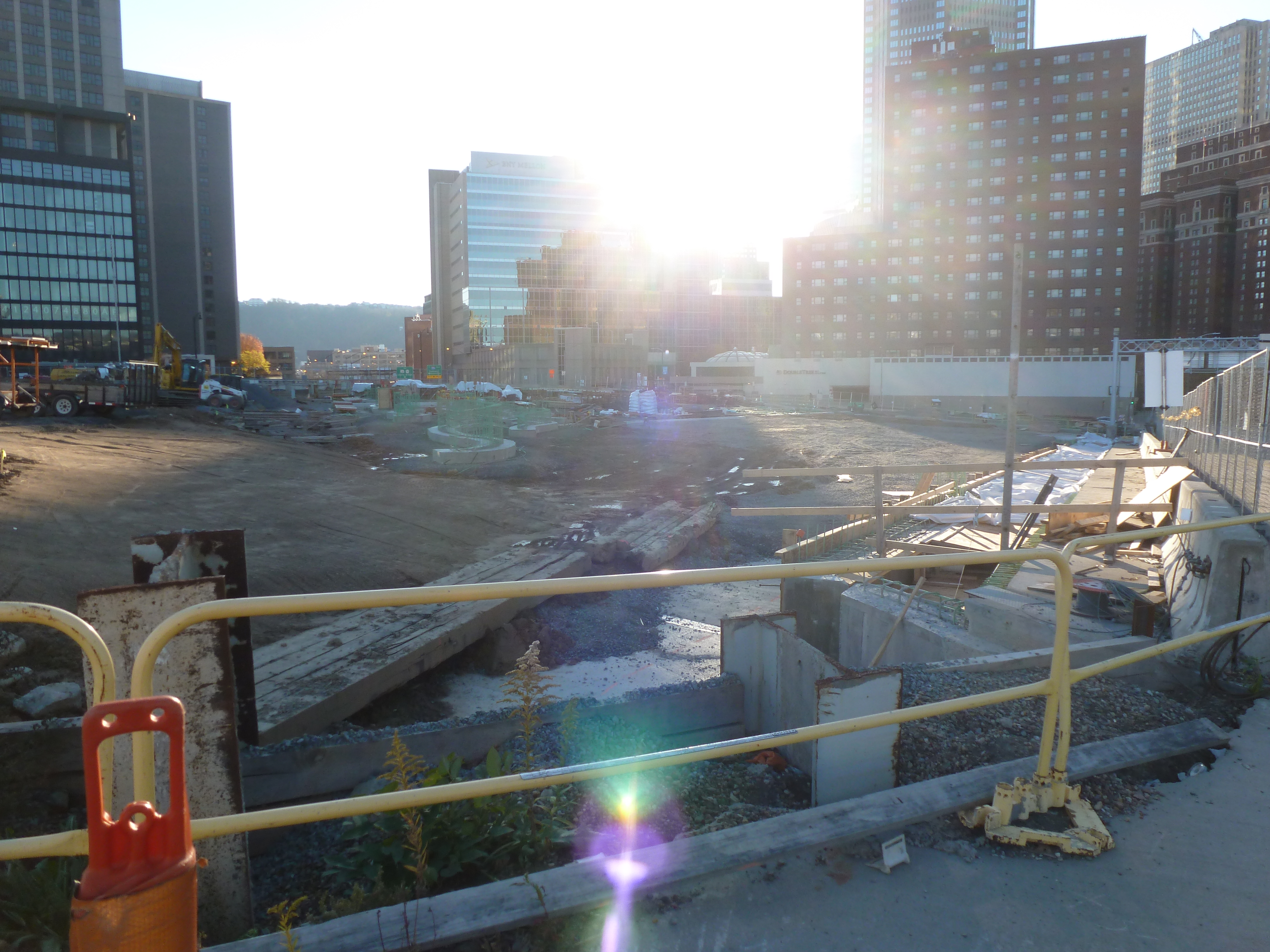
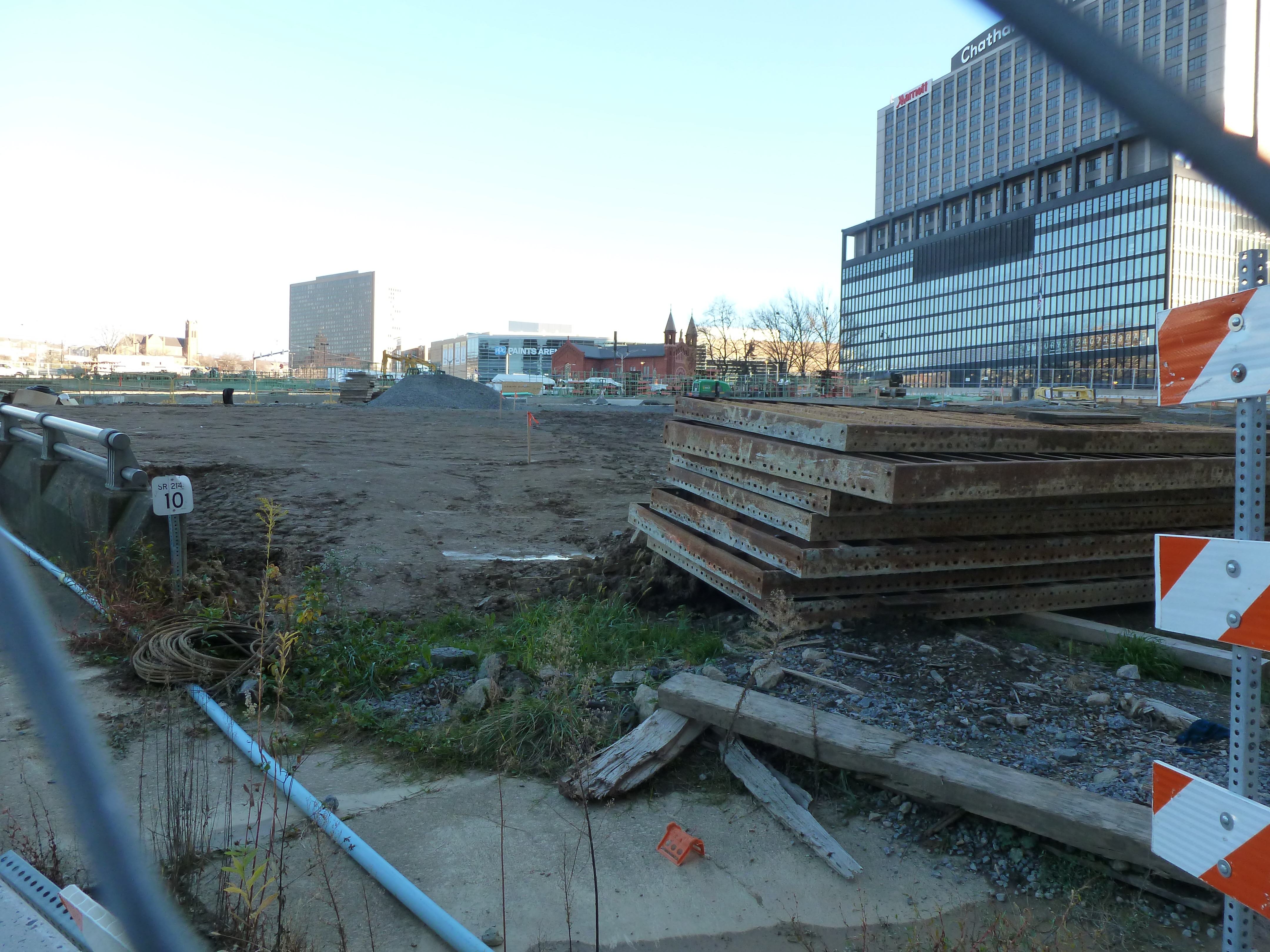
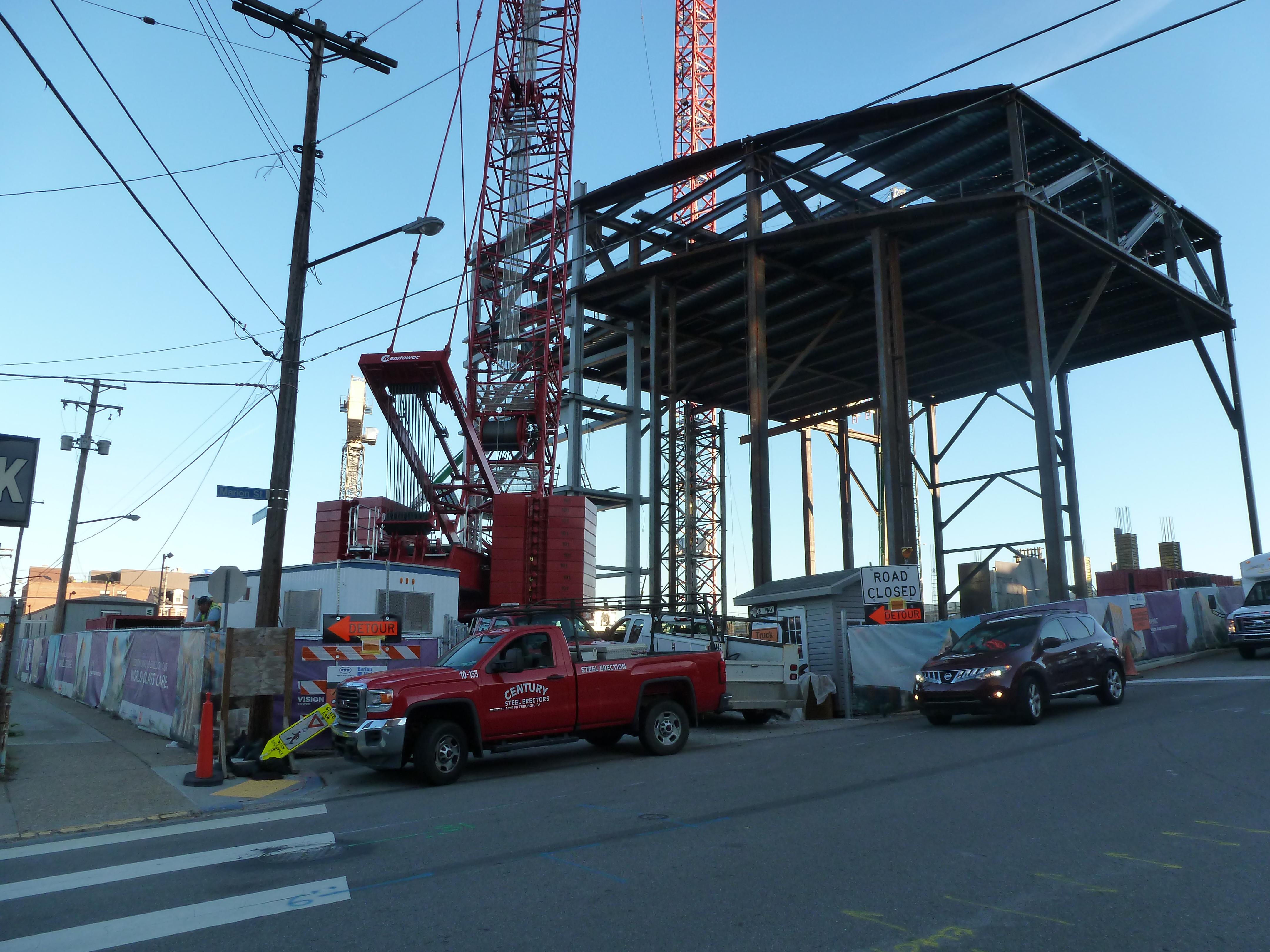
The CAP is a park on a bridge being built over the Crosstown Blvd and is intended to reconnect downtown and the Lower Hill, while the Lower Hill is being rebuilt by the Penguins hockey team. Construction began in June 2019 and is expected to complete in November 2021.
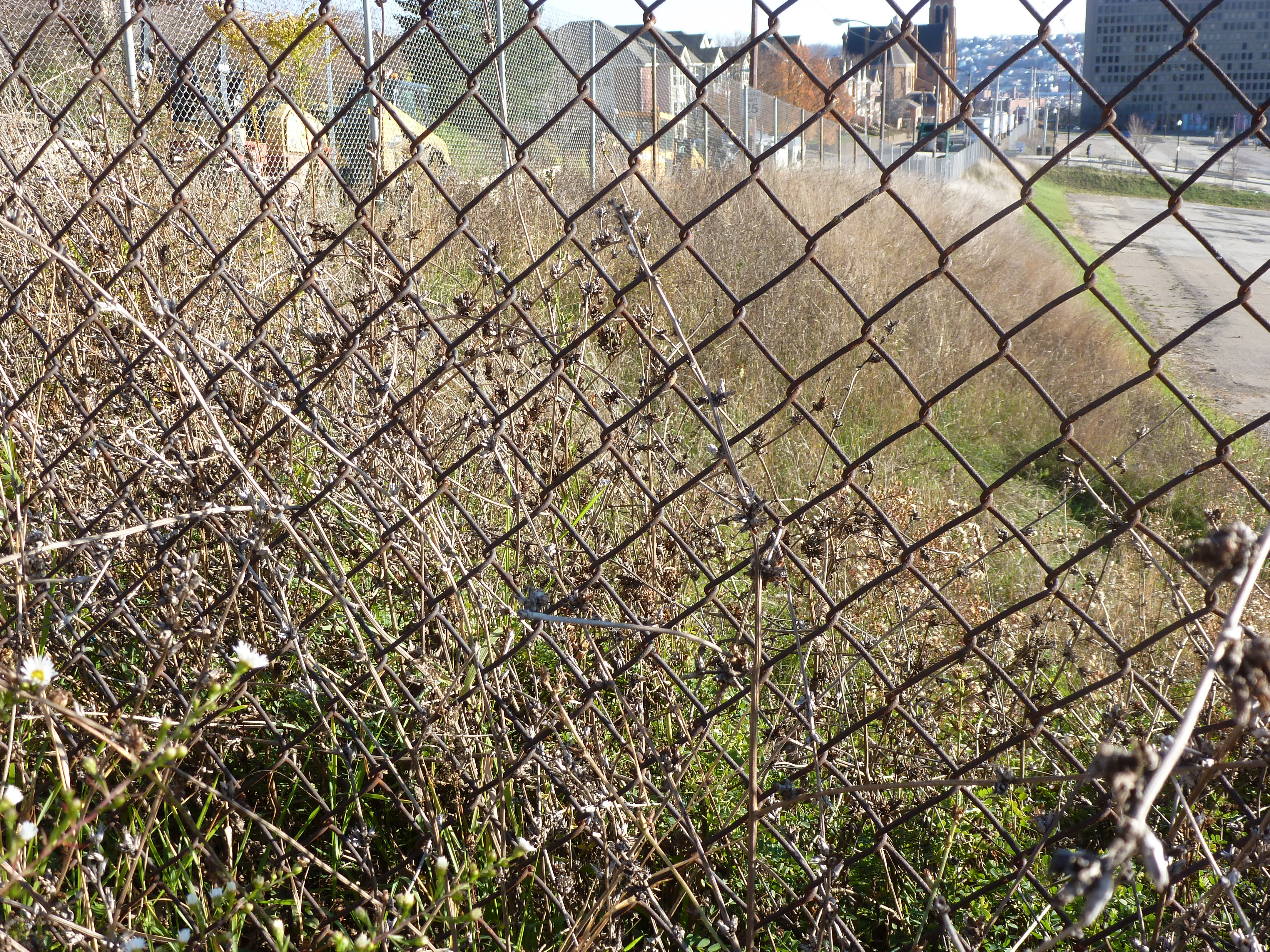
This blog post is part of an on-going photographic series to watch the development and usage patterns of the CAP. Periodically, approximately once every six months, I return to the site to take new photographs. In addition, I include links to articles about the project that I’ve encountered since the previous post in the series. At the end of the post, there are links to all the previous posts in the series.
The CAP in the News:
WPXI and the Post-Gazette both shared an update on the project in March noting that construction had progressed far enough for the outlines of a park to begin to be recognizable.
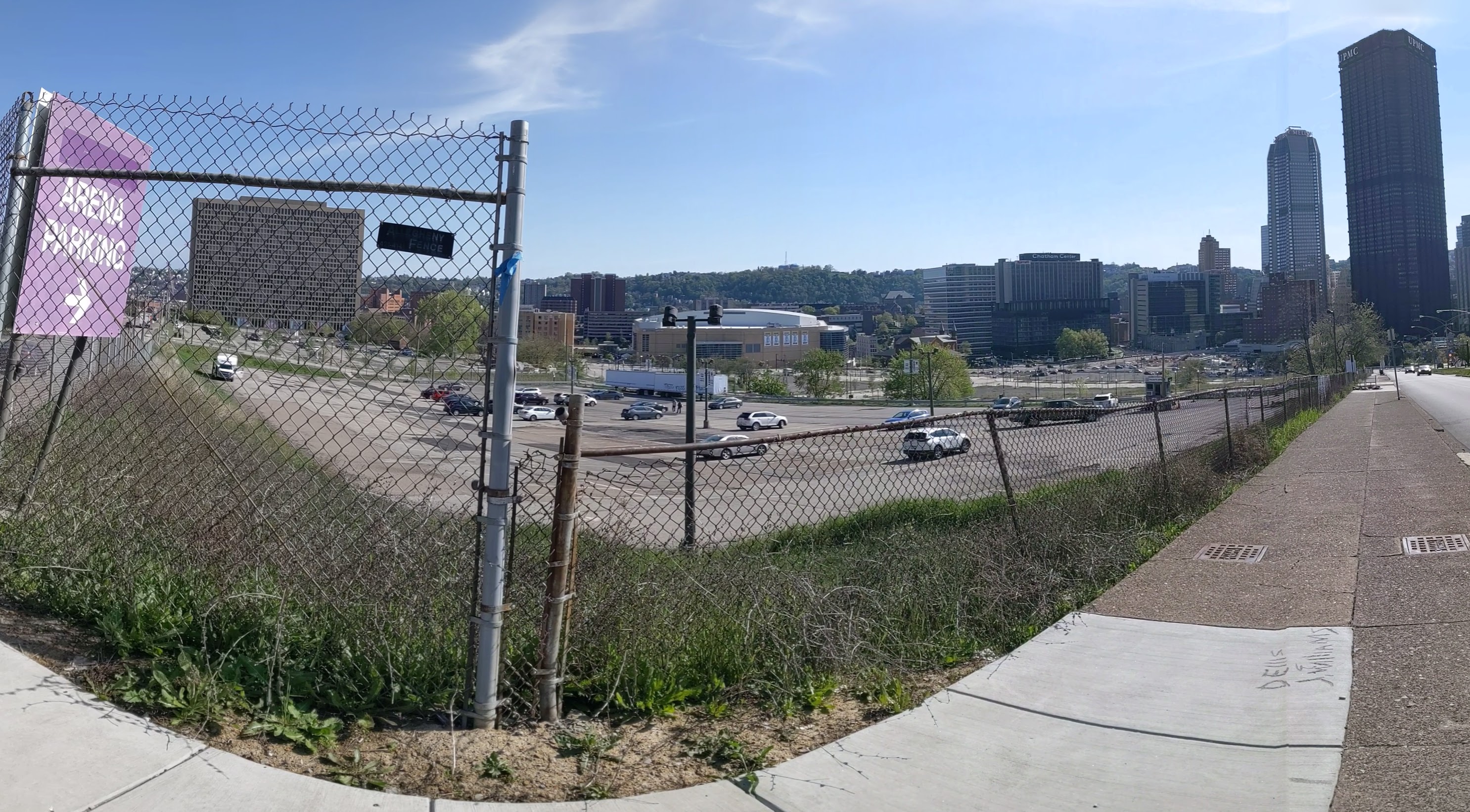
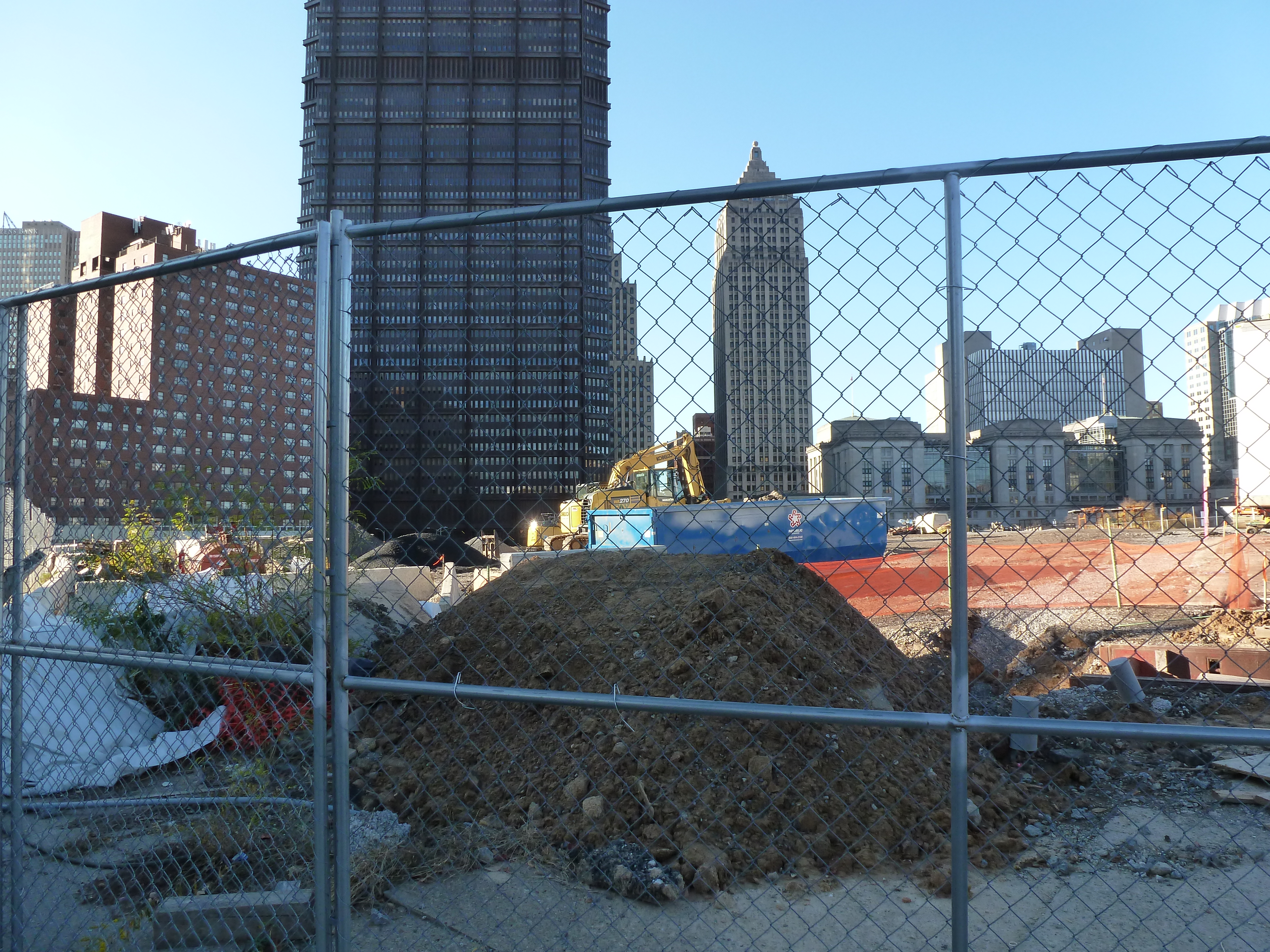
The Lower Hill is a notorious site in Pittsburgh, a scar on the city from the height of Urban Renewal. A vibrant (but poor and predominately Black) neighborhood was demolished in the 1950s so the City could build a cultural mecca centered on a Civic Arena, most of which ended up not being built and was left as parking lots.
Now that the arena has been demolished and replaced adjacent to the former location, the Penguins hockey team has the development rights to rebuild the Lower Hill, stitching back together the fabric of the city and reconnecting the remainder of the Hill District neighborhoods with downtown.
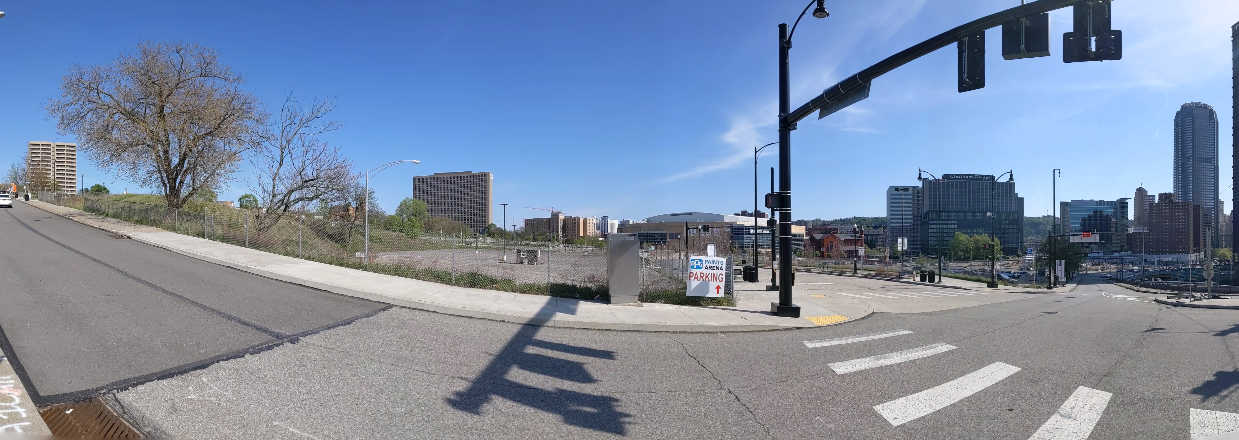
However, grand language describing the wonderful benefits to a city are part and parcel of any major development project, including the 1950’s Urban Renewal of the Lower Hill. Fifty years later, the Urban Renewal of the Lower Hill is rarely, if ever described as a good thing. In fact the current redevelopment is sometimes described as undoing the mistakes of that project. However, can the negative financial, social, and emotional repercussions of the original demolition and decades of disconnect be undone simply by reinstating (most of) the former street grid?
This blog post is part of an on-going photographic series to watch the redevelopment of the Lower Hill. Periodically, approximately once every six months, I return to the site to take new photographs. In addition, I include links to articles about the project that I’ve encountered since the previous post in the series. At the end of the post, there are links to all the previous posts in the series.
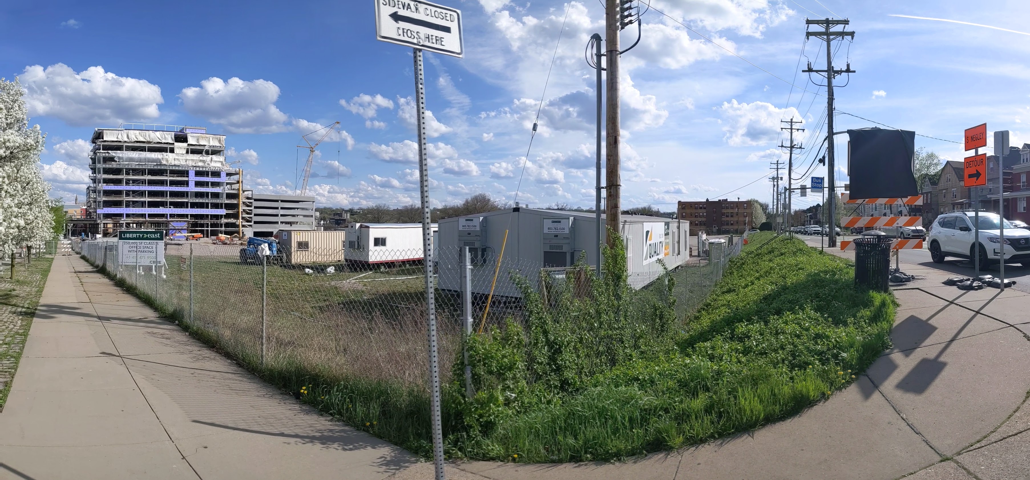
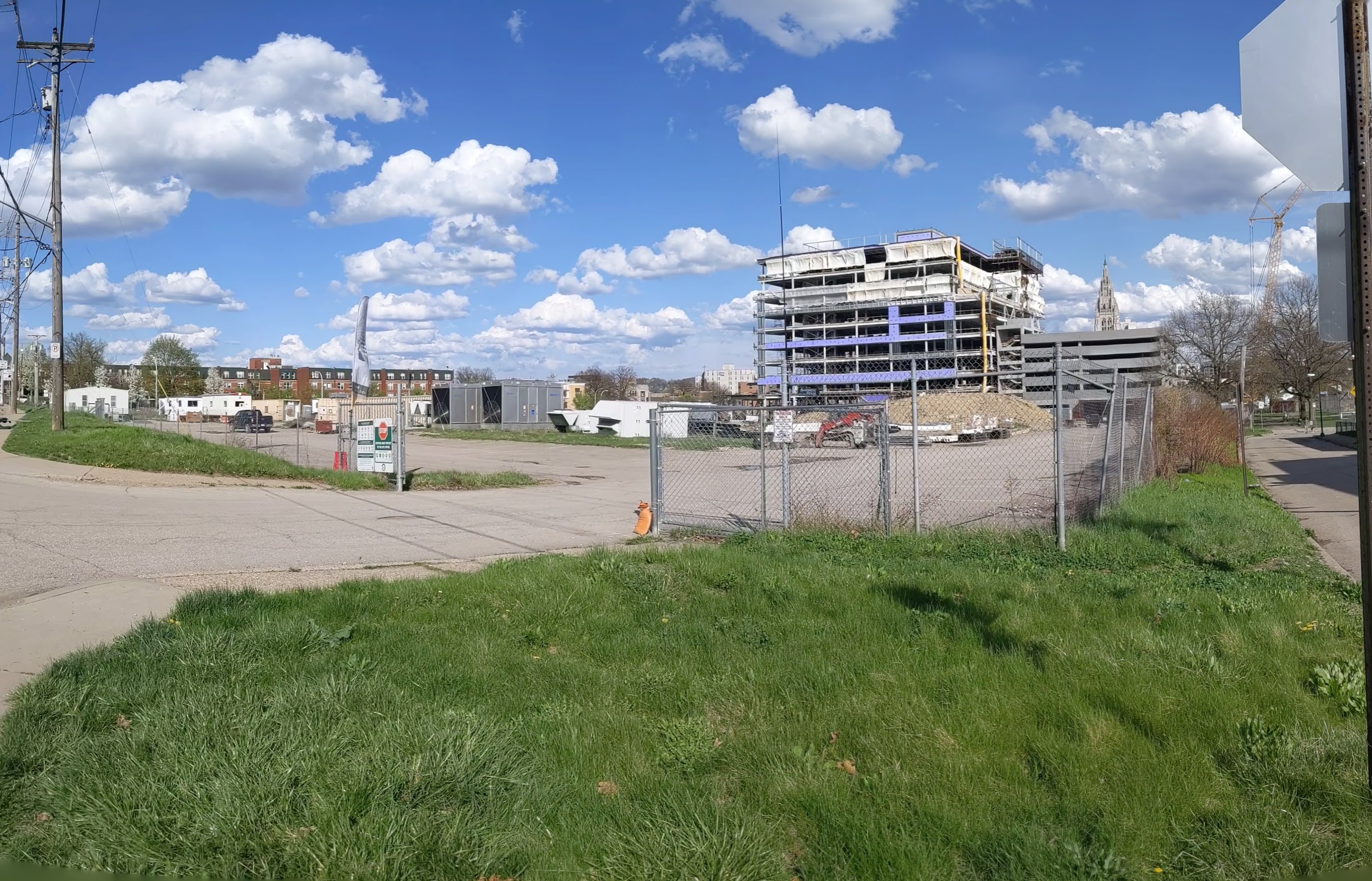
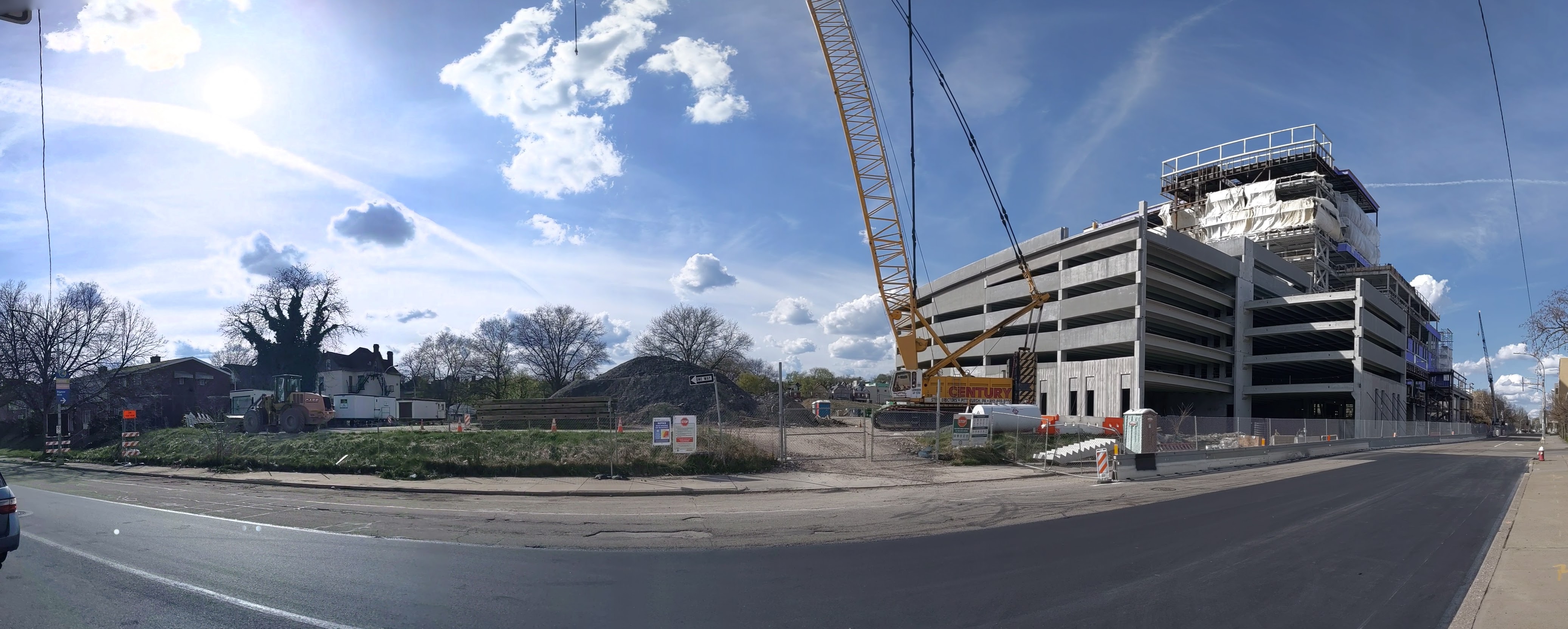
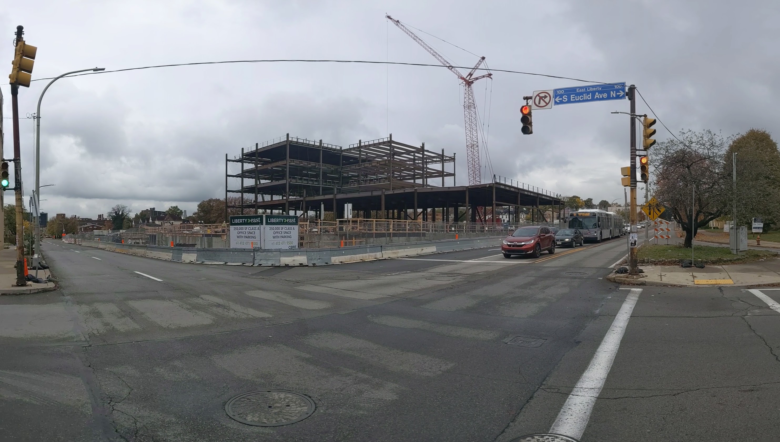
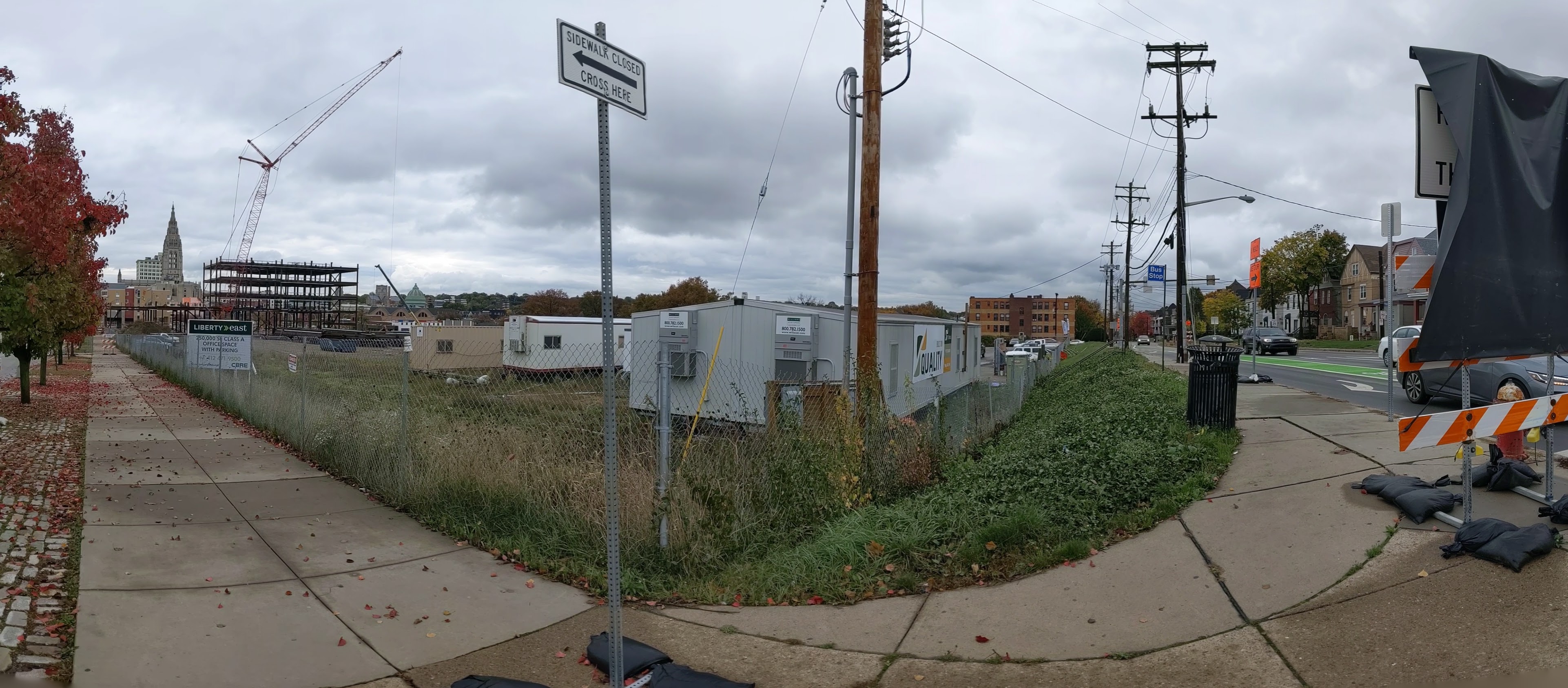
“@#$%&!” slipped out of my mouth when I was several blocks away from the former Penn Plaza site and I saw a hulking behemoth of a building looming high above the surrounding neighborhood. In it’s current state, the new development appears to be as tall as the Daniel Burnham apartment building on Highland Ave opposite East Liberty Presbyterian Church, which is much taller than any other structure remaining in the neighborhood besides the church. While I had seen the early drawings of the proposed development when I worked at the City, I was bowled over by seeing the actual size and how it has no relation to the surrounding neighborhood.
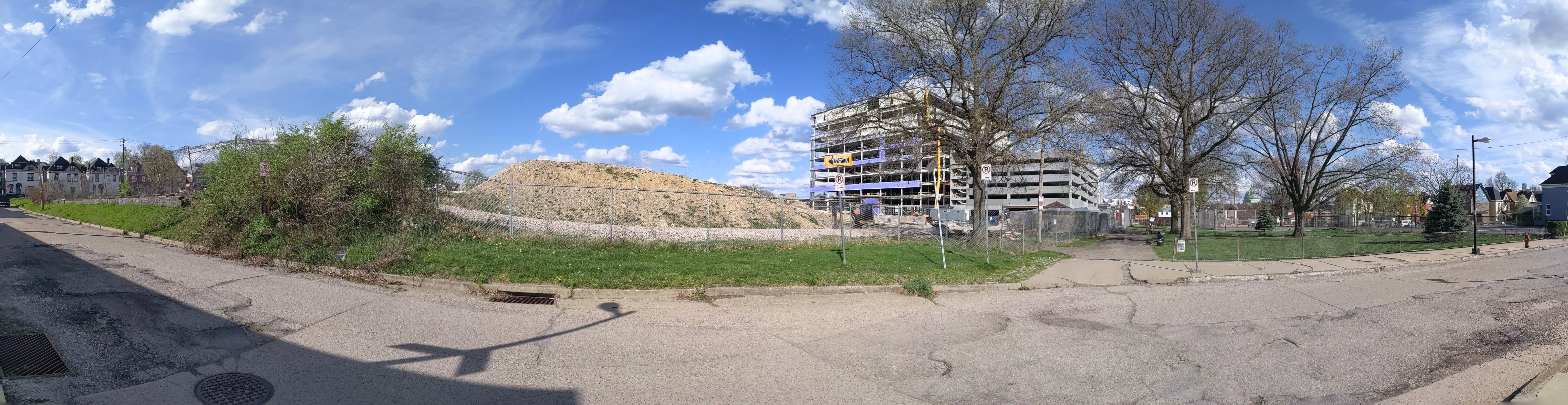
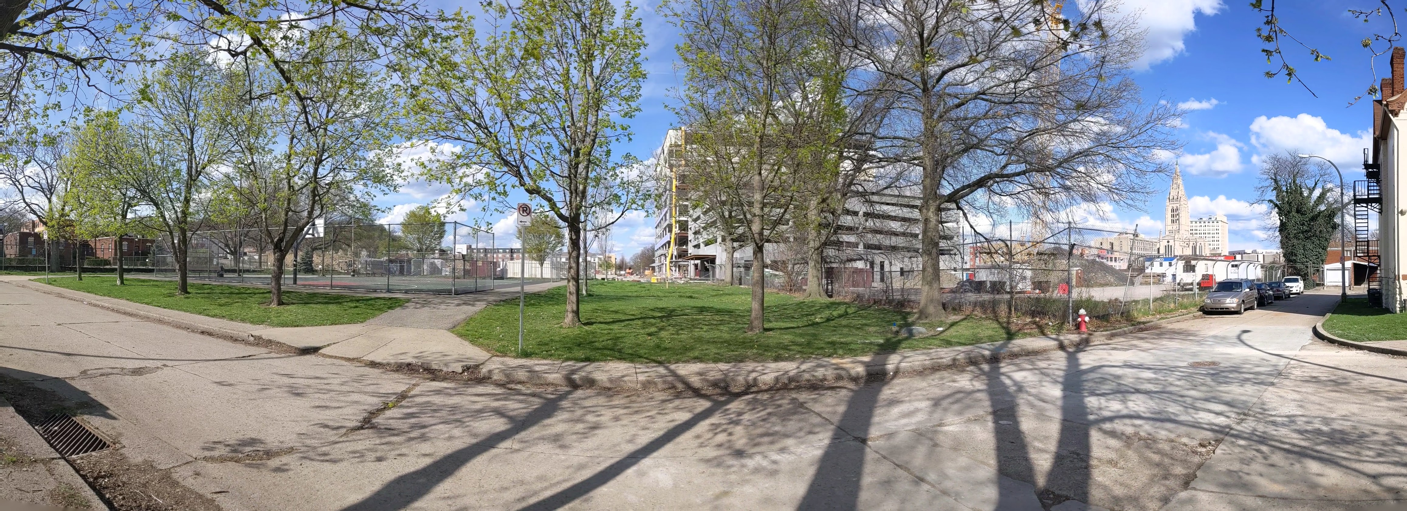
This has promoted me to look back at the process of how this project got approval from the city. What I have found so far has only prompted more questions. When a developer proposes a project that is in compliance with the zoning code regulations, there is not much the city can do besides ask “pretty please.” I had assumed that was what the story was here, but so far I don’t see how this project was in compliance with the zoning requirements. I’ll continue digging through the past records to try and wrap my head around the zoning approval for this project. In the meantime, below are photos of the current building progress and some news articles about the development since my last post.
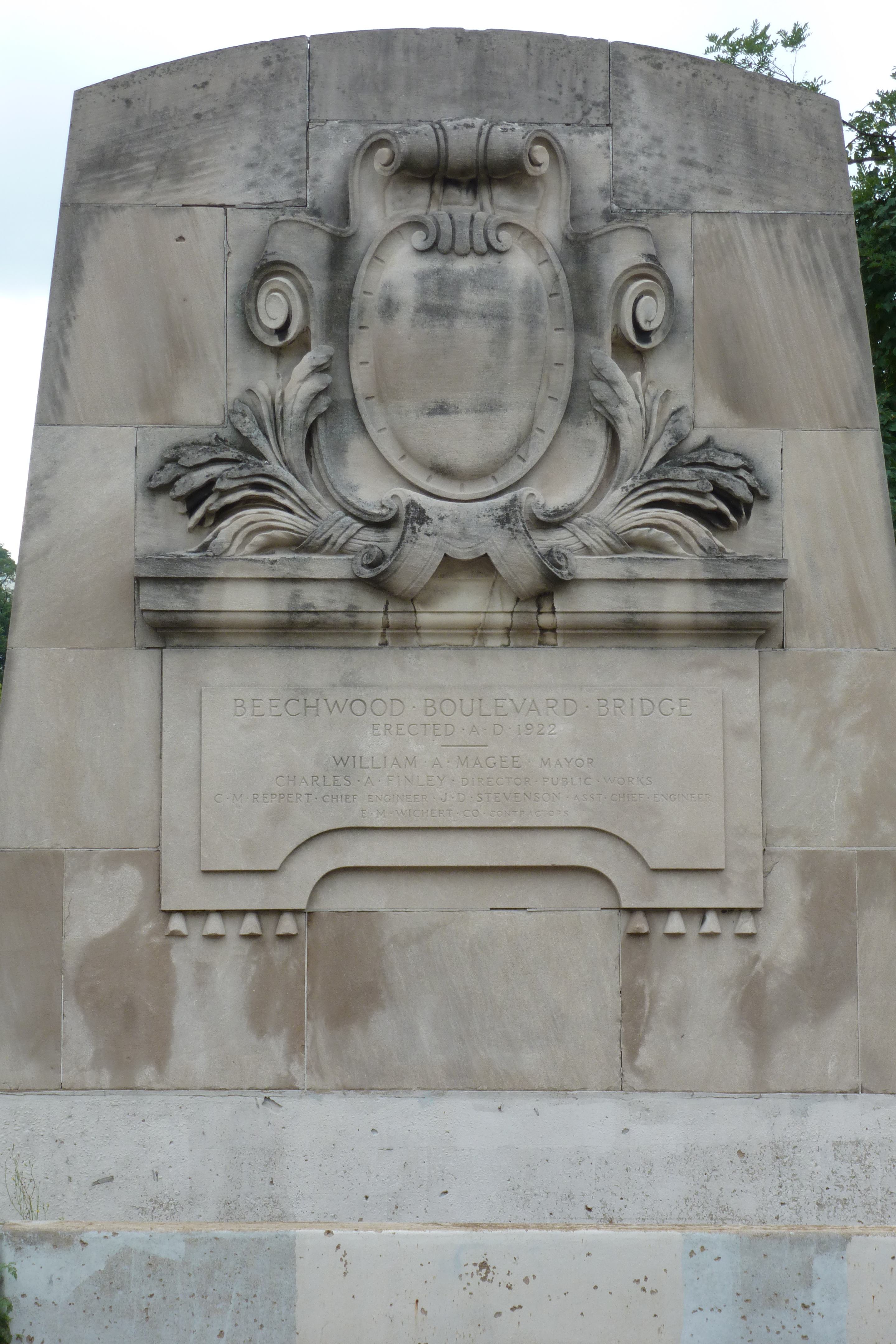
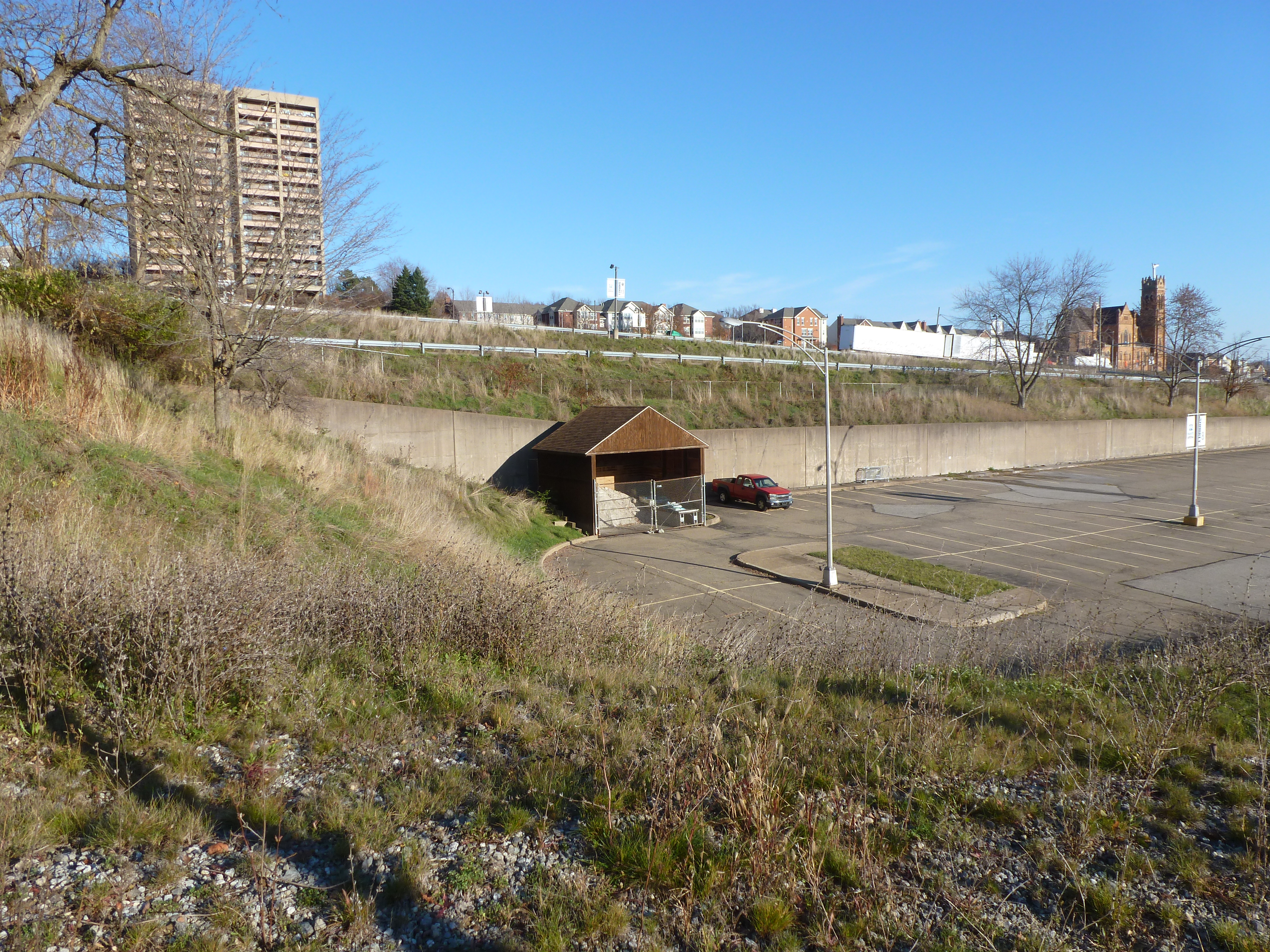
The Greenfield Bridge, formerly known as the Beechwood Boulevard Bridge, was originally built in 1922, demolished in 2015, rebuilt in 2017, and repaired in 2020. It was a classic case of waiting until the bridge was falling down before replacing it. To increase the lifespan of the original bridge, a second bridge was built underneath, and a net installed as early as the late 1980s to protect cars on the freeway below from the falling debris.
Yet it remained in that deteriorating condition for decades before being imploded in a grand ceremony between Christmas and New Year’s Eve 2015. The freeway was covered with tons of dirt, the bridge dropped onto this pile, and the debris cleared away before the highway was needed again for regular commuting. Many people (myself and my family included) stationed themselves on either hillside to watch. We picked a distant vantage point in Schenley Park where we had a great view of the dust cloud that resulted from the demolition.
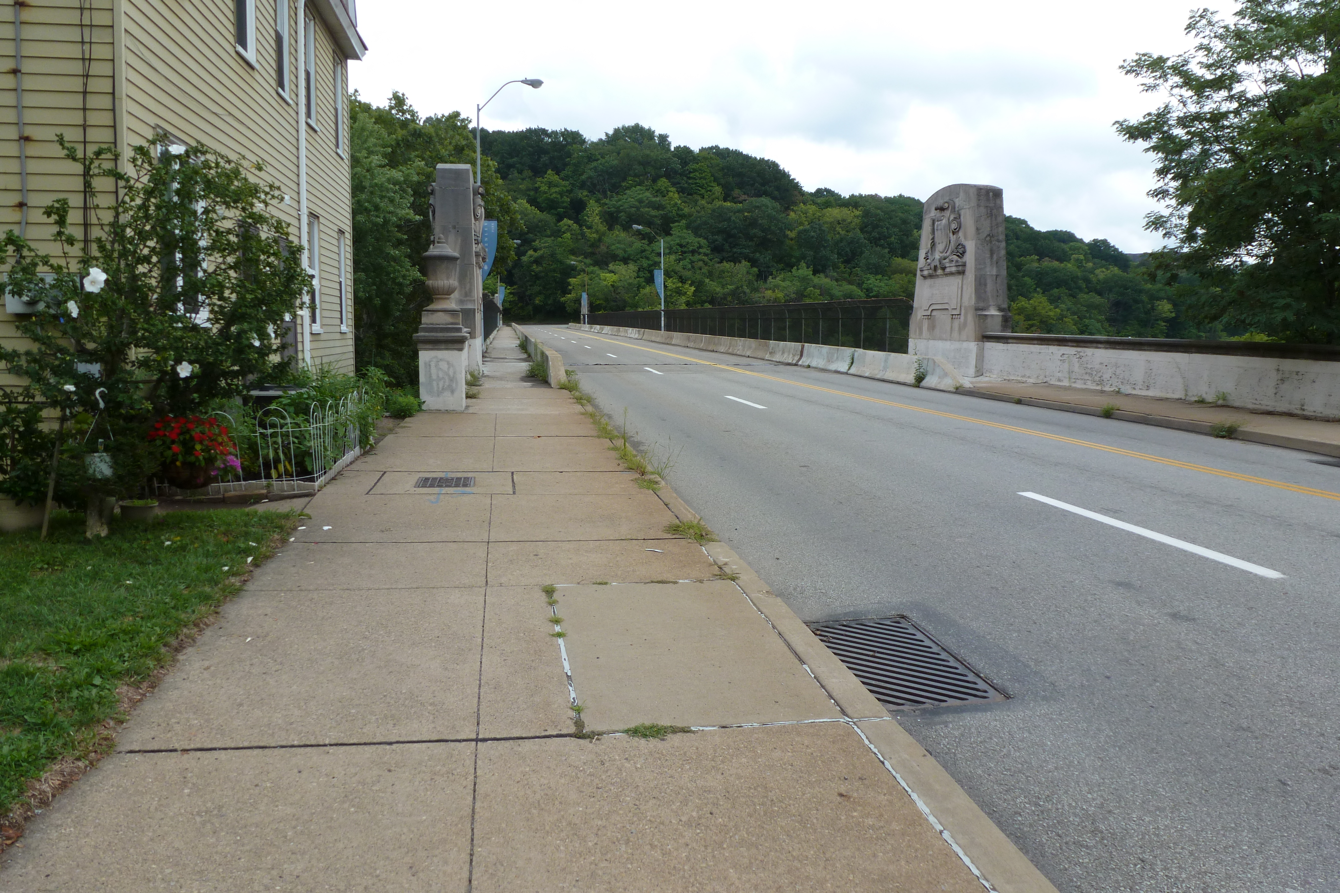
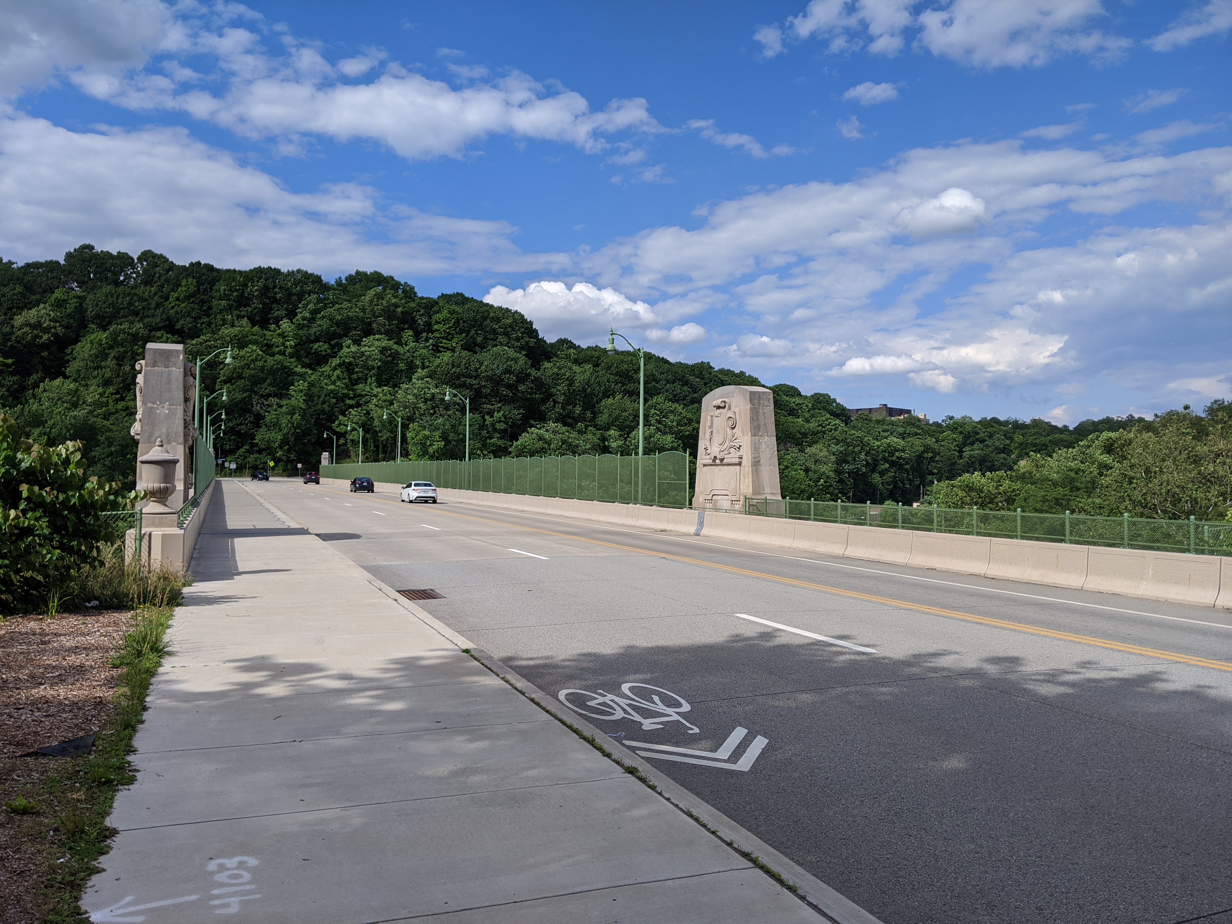
Another grand ribbon cutting ceremony took place when the new bridge reopened in 2017. A part of the reason for celebration was that, similar to the rebuilding of Heth’s Run Bridge, the historical decorative elements of the bridge were restored or reinstated. The new fencing on the bridge also aimed for a more decorative feel compared to the previous cage-like fencing.
After all the ceremonies and splash around the new bridge, I was surprised to receive a press release three years later announcing that the bridge would be closed for a month to undergo repaving and other repairs. On the one hand, it was nice to see that a bridge was undergoing maintenance instead of being left to fall to pieces before being replaced, but three years seemed early to need this kind of maintenance. According to the Post-Gazette, the repairs were for issues identified in the final inspection before the 2017 reopening. These issues threatened to significantly shorten the projected 50-year life span if unaddressed. Now that those issues have been resolved, I assume it will be at least 50 years before the next press release about repair or renovation for this bridge.
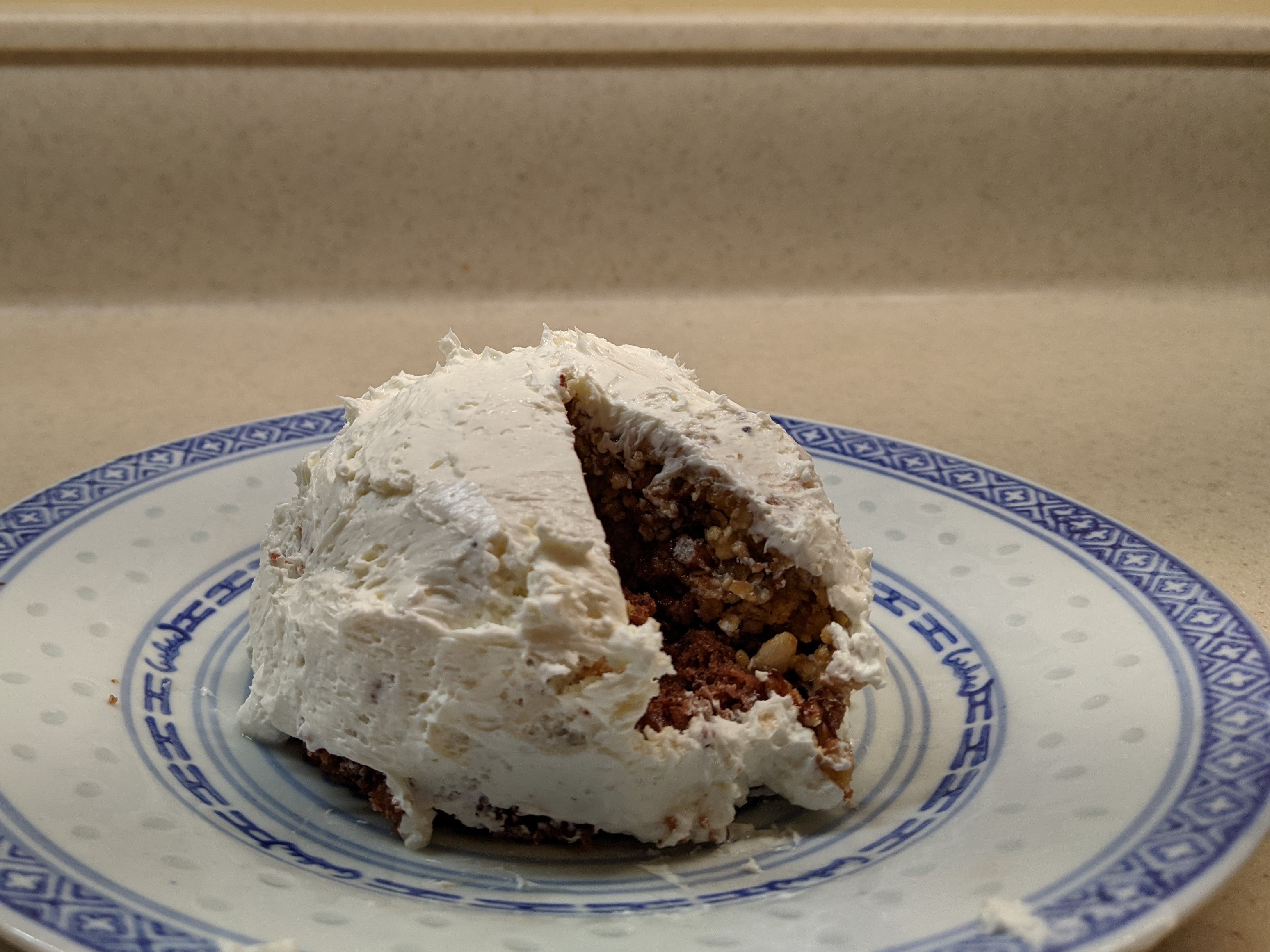
For this year’s Architectural Dessert Masterpiece, I chose Pittsburgh’s Civic Arena for the subject mostly because of the pandemic. The travel restrictions of 2020 prevented me from finding an inspiring building while exploring a new place. The social distancing requirements meant that whatever I made I would have to eat myself. Earlier in the year, I found a granola bar recipe that actually sticks together, which inspired me to take another foray into domes. As December drew near and I put together the conditions of a single-serve dessert with a dome that had some relationship to the themes of the year, the Civic Arena was the obvious choice.
The result was a single-serve cake topped with a granola bar dome and frosted with cream cheese to keep the sugar content down. Once frosted it looked to me more like an igloo than the Civic Arena, but fortunately, the building’s nickname was the Igloo. So, it all worked out in the end.
Whether it will all work out in the end and for who are still open questions for the site of the Civic Arena. The Arena opened in 1961 as the central feature of the redevelopment of the Lower Hill neighborhood that had been deemed “blighted” and in need of “revitalization.” Intended as a cultural mecca housing the Pittsburgh opera company, hockey, and other uses under a retractable roof, it rarely lived up to its promises. In the end, it was surrounded by a sea of parking lots instead of a cultural park, the roof rarely opened, and the opera quickly found a different home more conducive to using sets that need support from the ceiling. For a time, the building did find success as a hockey arena and concert venue until it was deemed obsolete and a new arena was built. The Civic Arena was demolished 50 years after opening, paving the way for a new redevelopment of the Lower Hill to “revitalize” the area.
Architectural historian Franklin Toker describes the first redevelopment of the Lower Hill in his 1986 book Pittsburgh: An Urban Portrait:
The reconstruction of the Lower Hill began in 1955 with $17 million in federal grants. In an area of 100 acres, 1,300 buildings housing 413 businesses and 8,000 residents (a majority of them black) were displaced in an attempt to extend the revitalization of the adjacent Golden Triangle. Even were one to overlook the devastating social impact of the Lower Hill redevelopment, its success could only be judged as minor. The new complex failed to graft on to the Golden Triangle because of the intrusion of the Crosstown Expressway and the misalignment of the street grids of the Golden Triangle and The Hill. Some bad luck also dogged the Lower Hill redevelopment, particularly the bankruptcy of William Zeckendorf, one of its major supporters, and the decision by the Heinz foundations to locate their new concert hall in the Triangle rather than on The Hill. But the major cause of its failure was the animosity between the developers and the black community. When that animosity boiled over as part of the nationwide racial riots of 1968, Pittsburgh’s dream of a cultural Acropolis on the Lower Hill ended. (234)
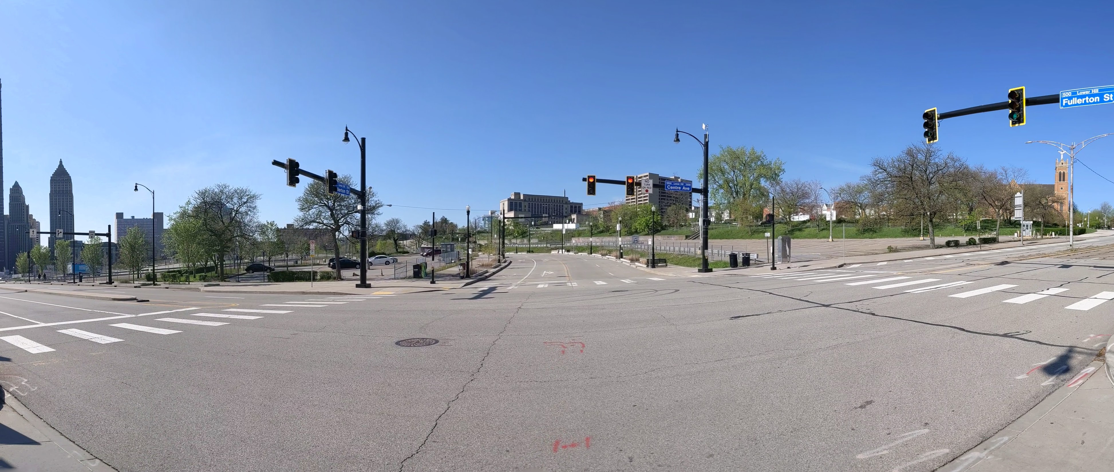
The second redevelopment started with restoring the street grid and building a CAP over the Crosstown Expressway. While it is easy to rebuild the roads, it will take a lot more to rebuild what was once “The Crossroads of the World” as the intersection of Wylie Ave and Fullerton Street was known prior to the first redevelopment, according to Mark Whittaker in Smoketown: The Untold Story of the Other Great Black Renaissance.
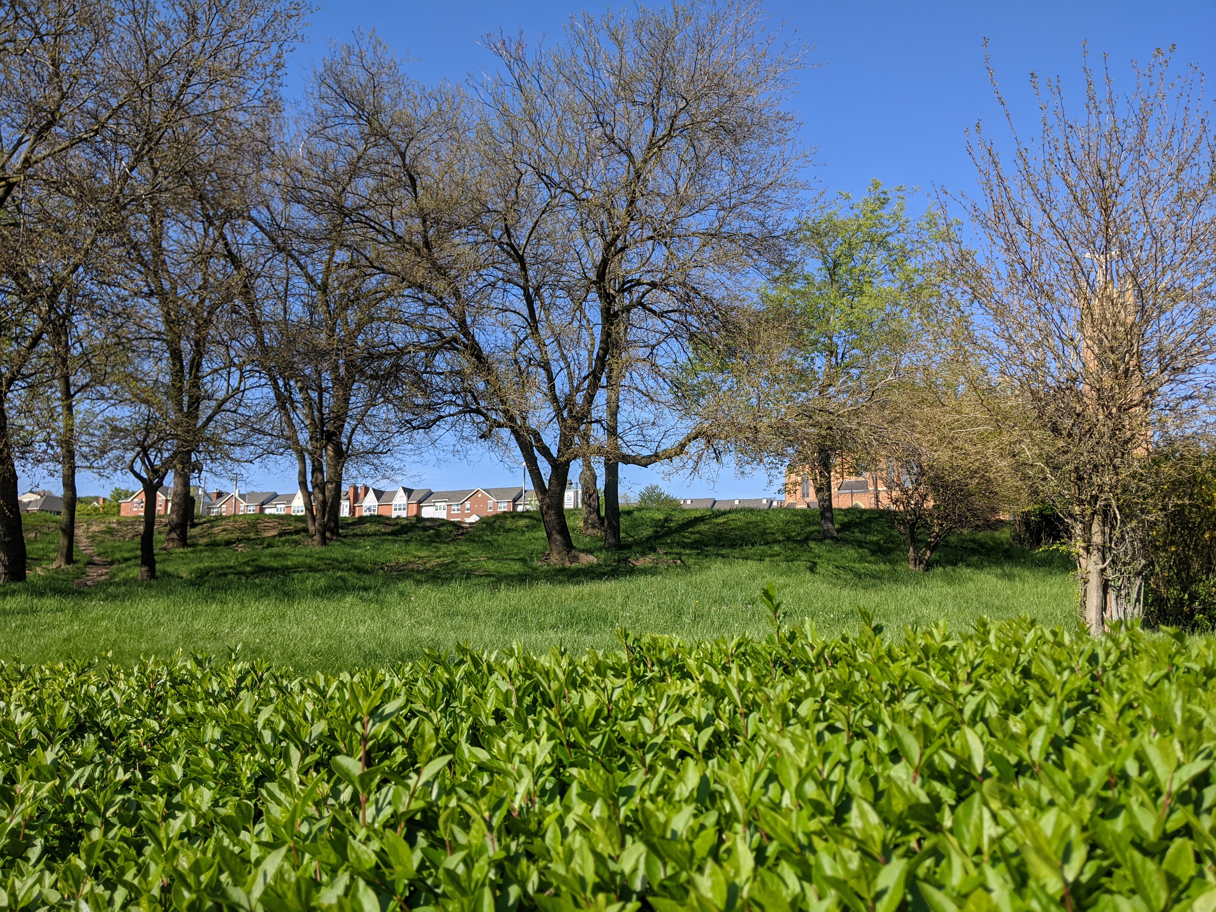
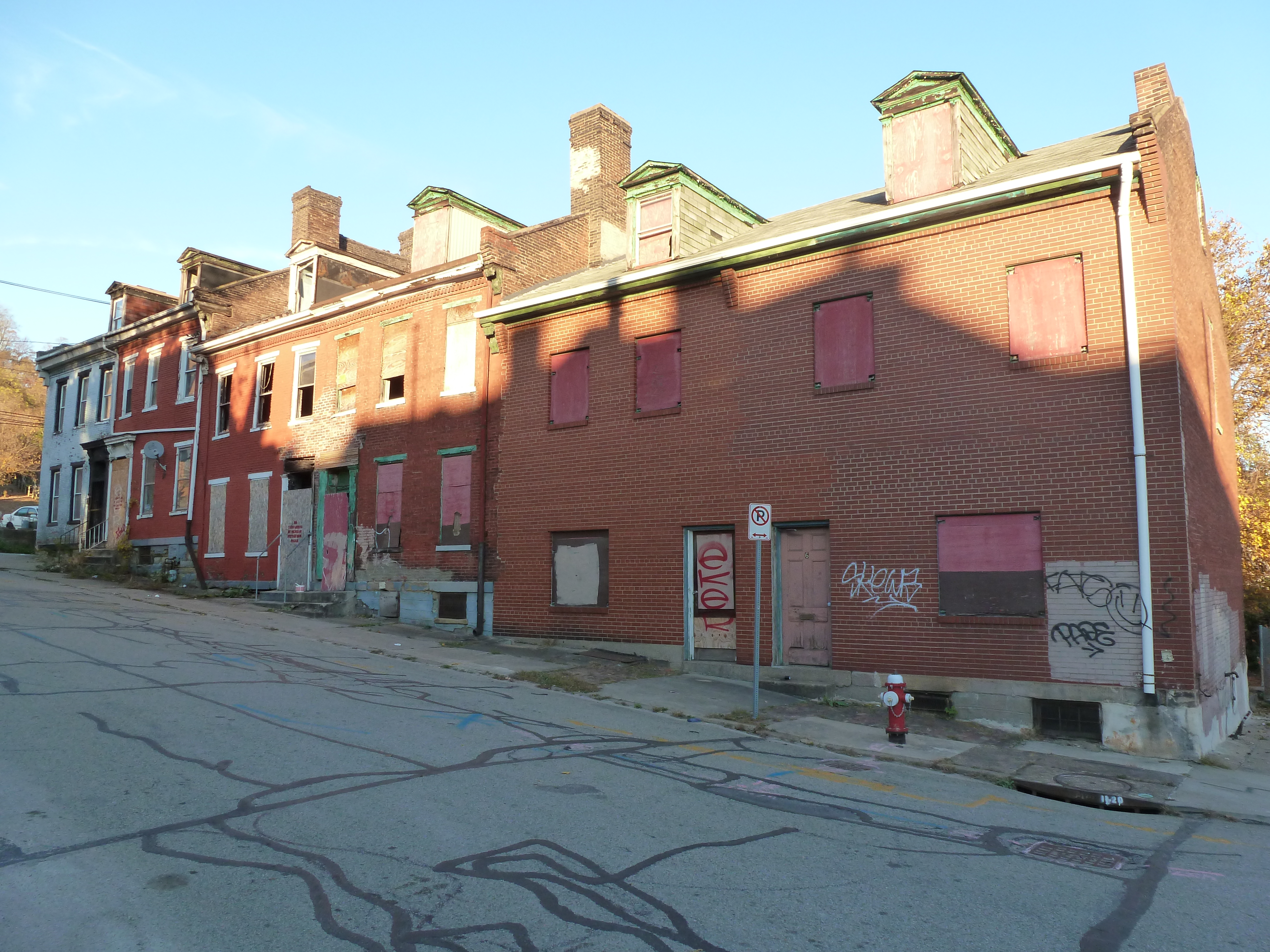
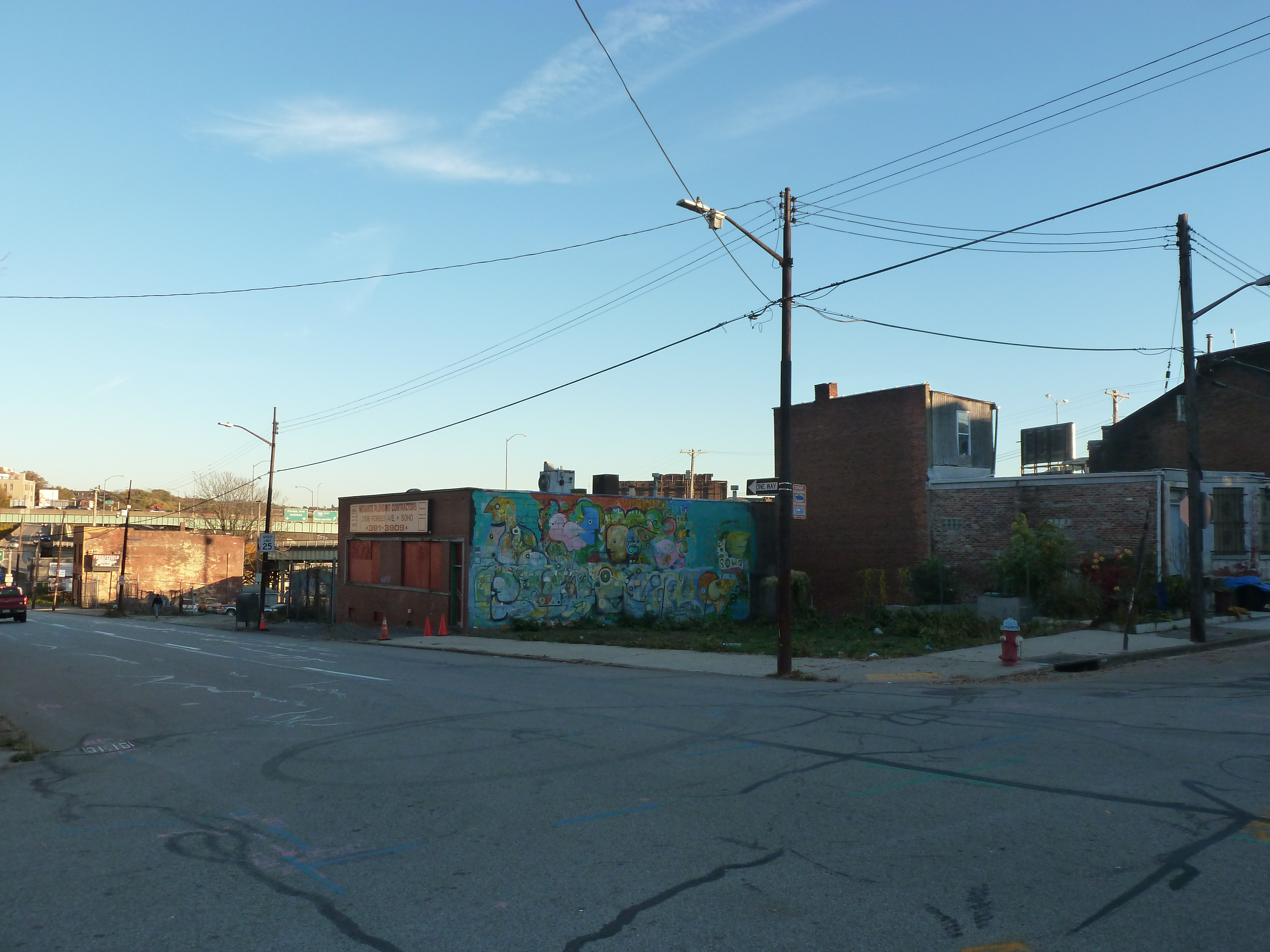
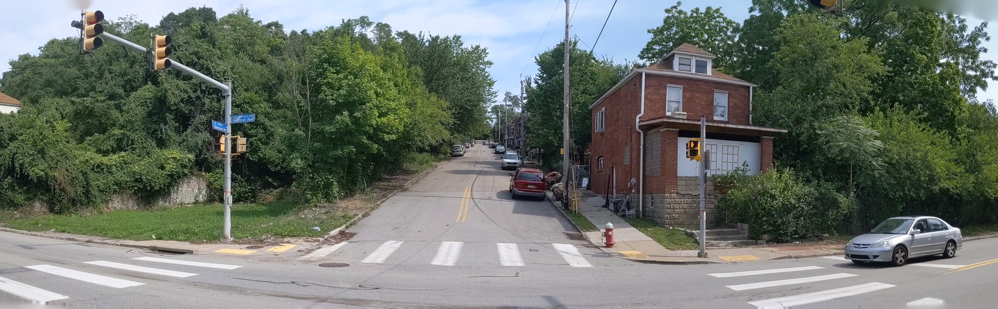
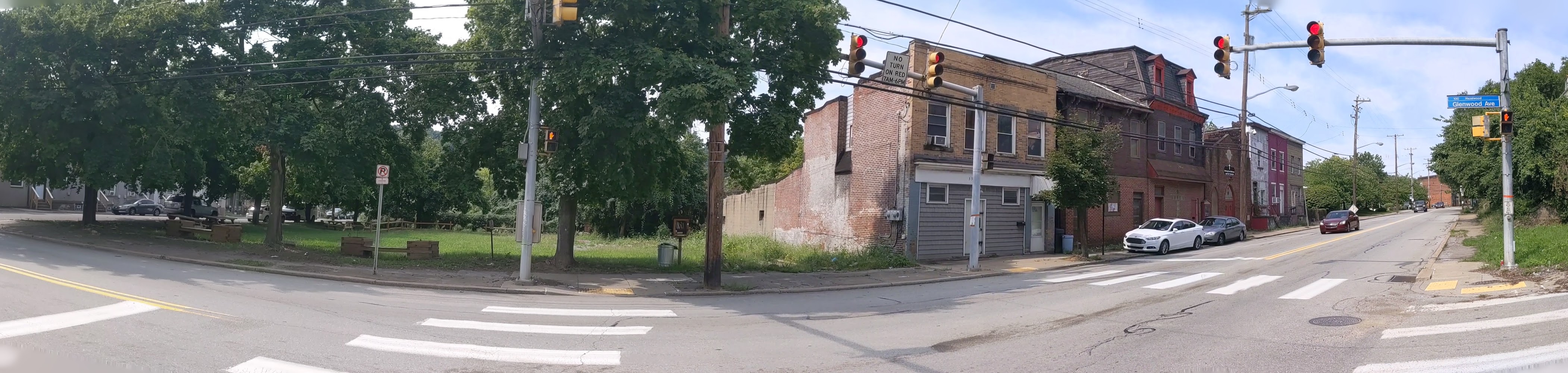
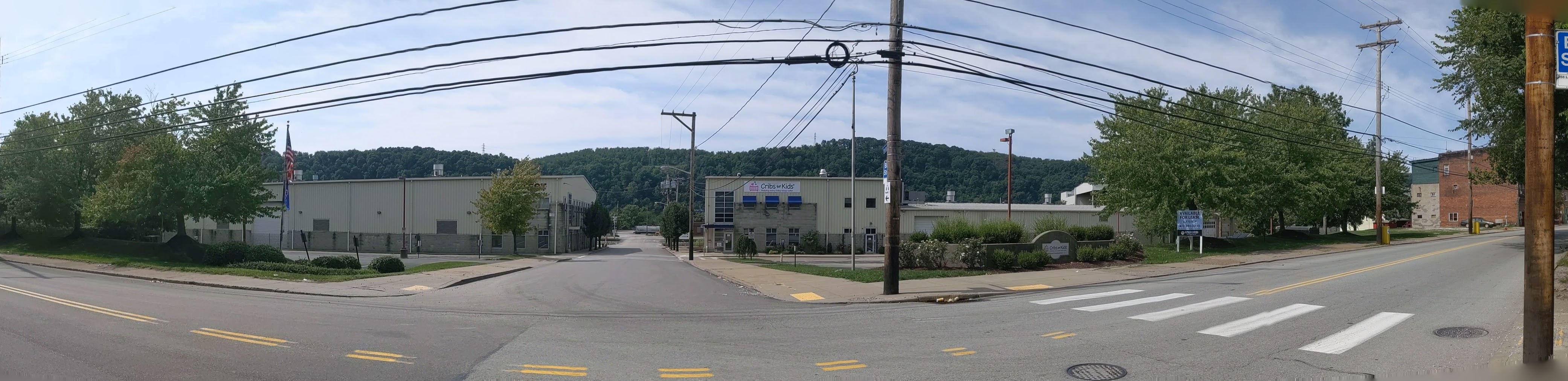
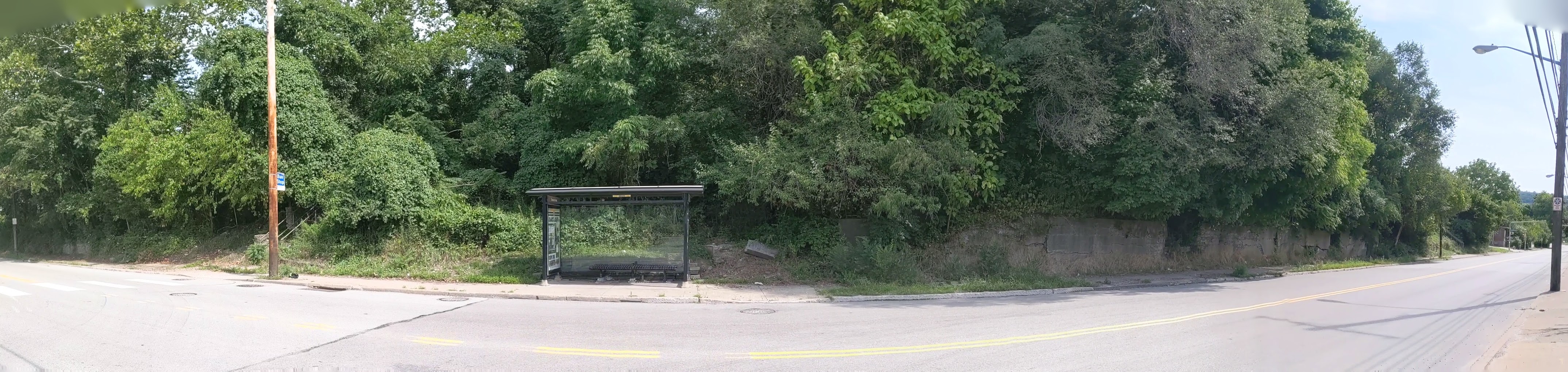
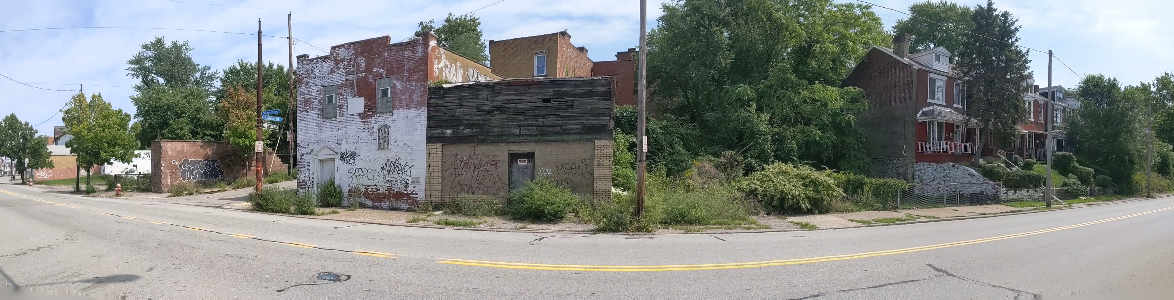
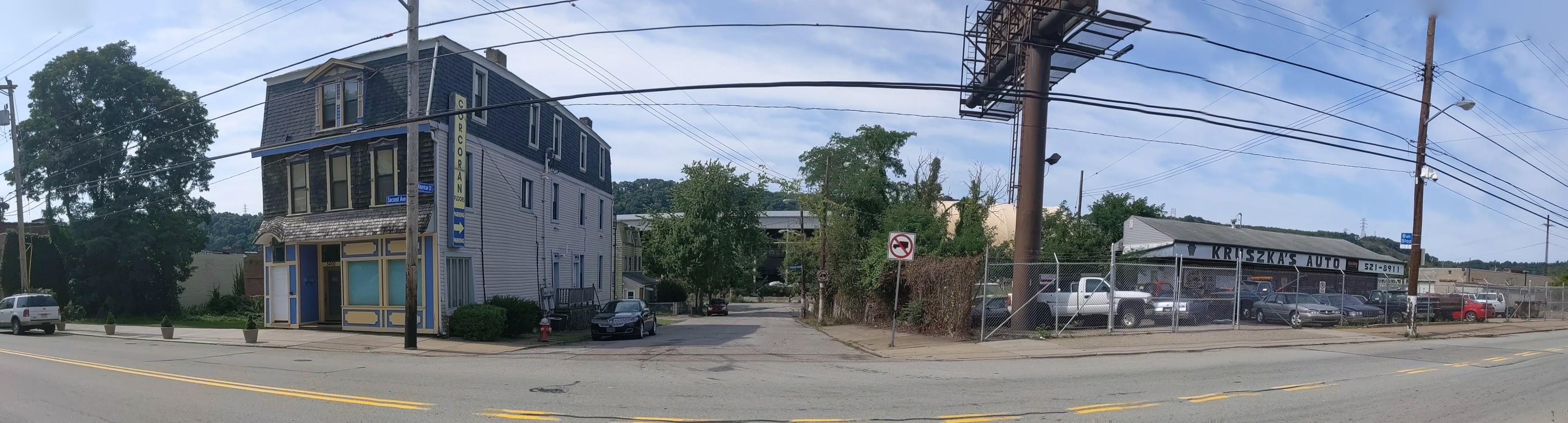
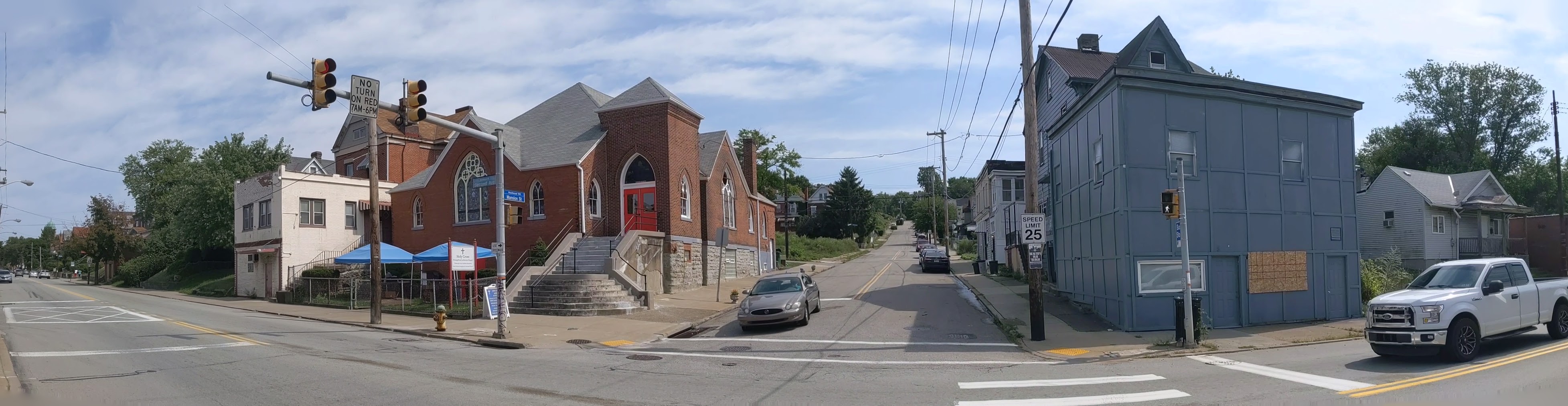
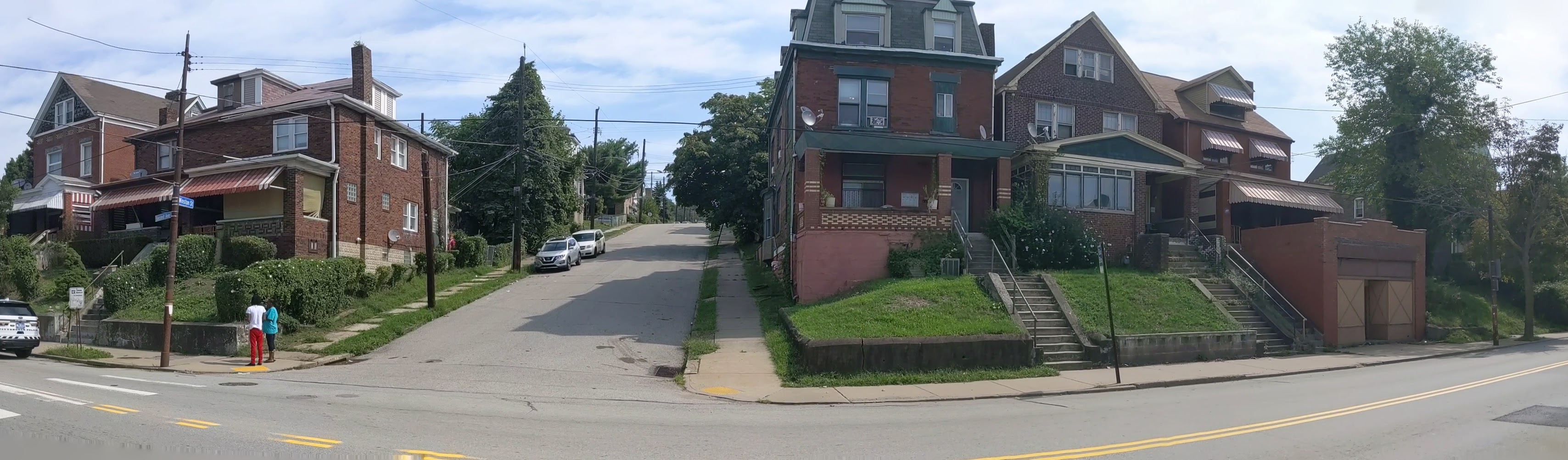
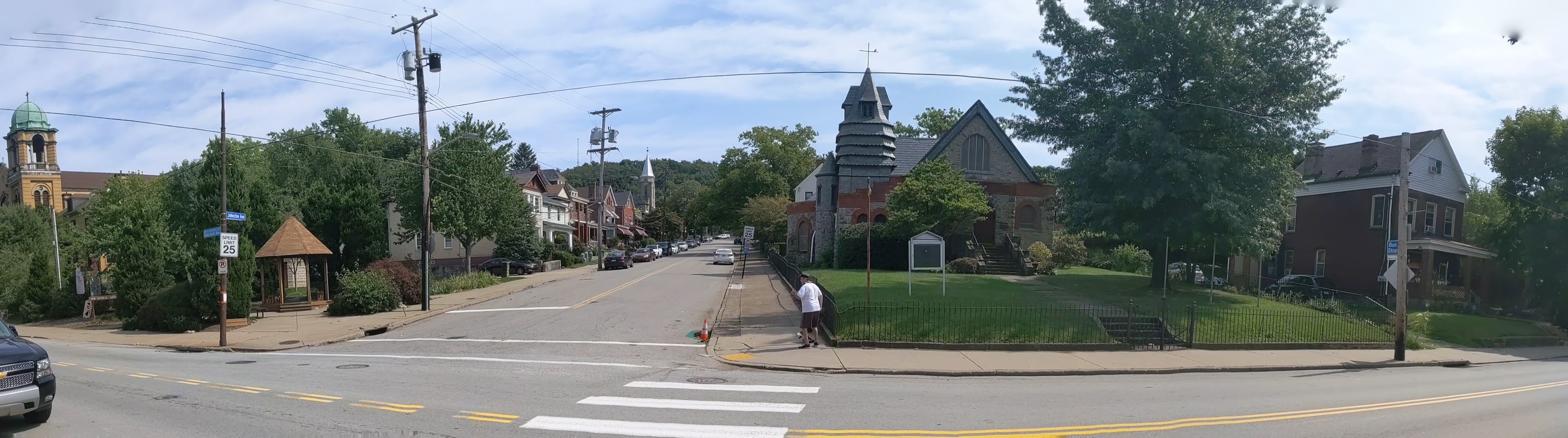
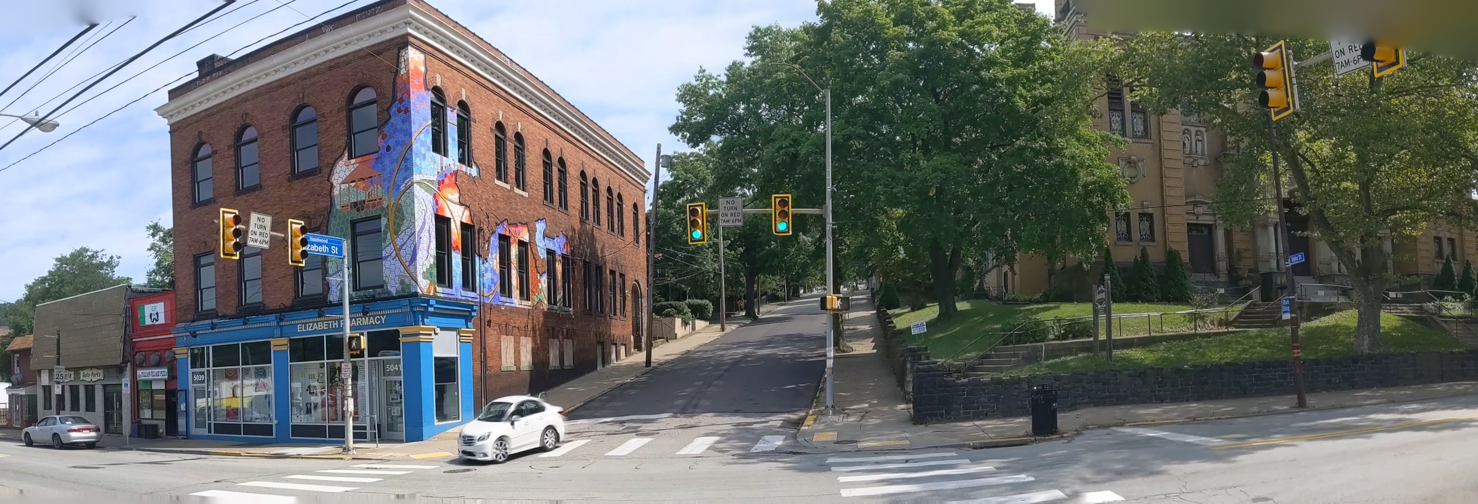
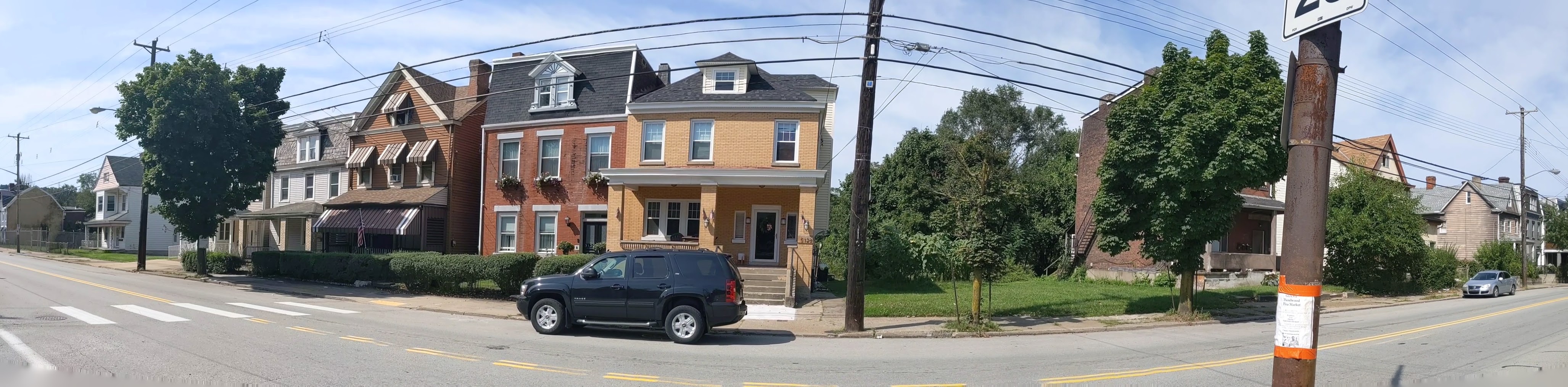
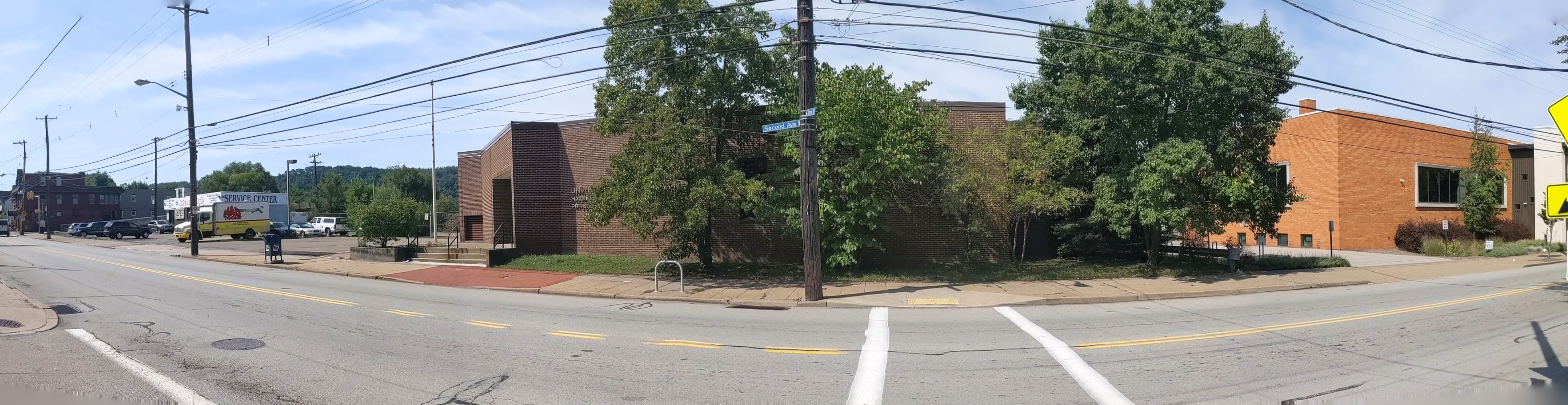
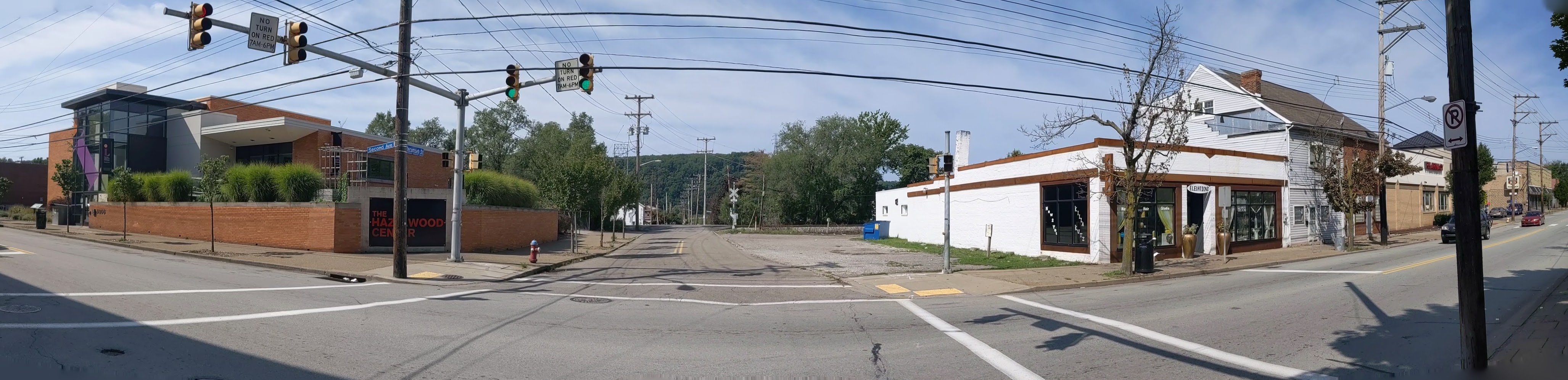
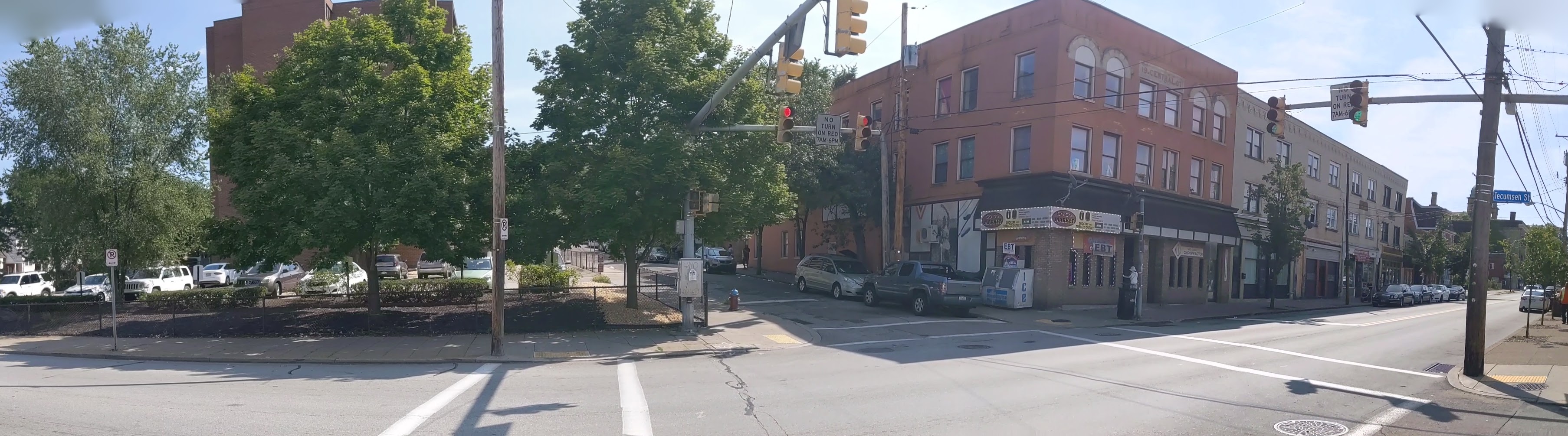
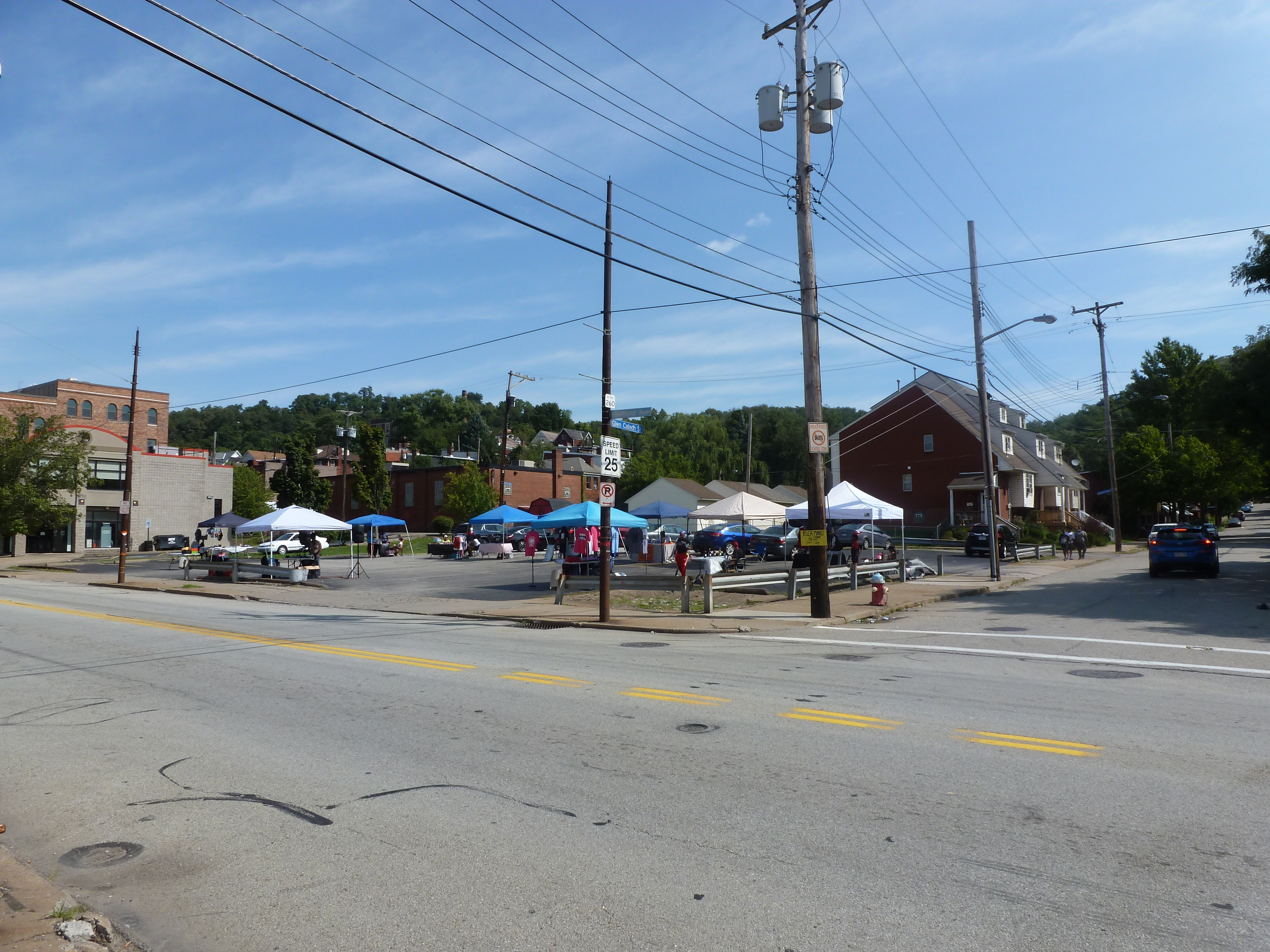
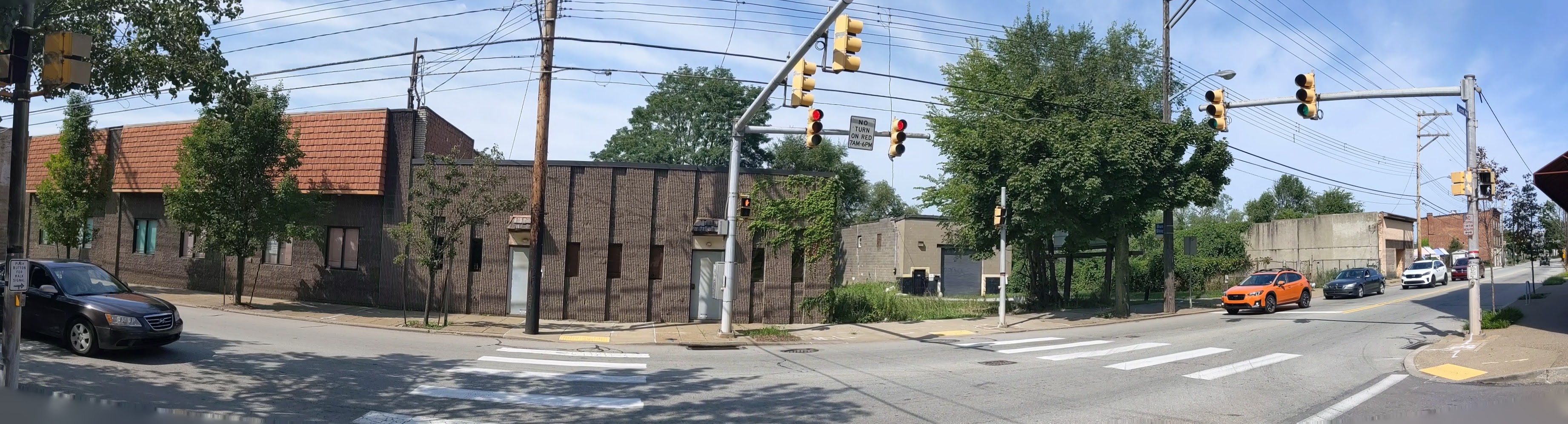
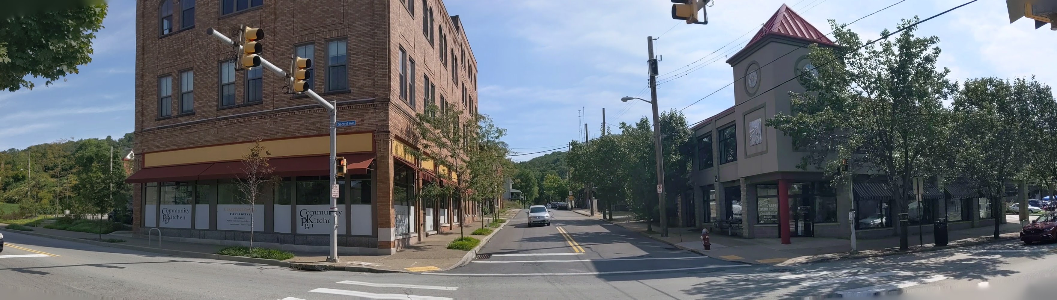
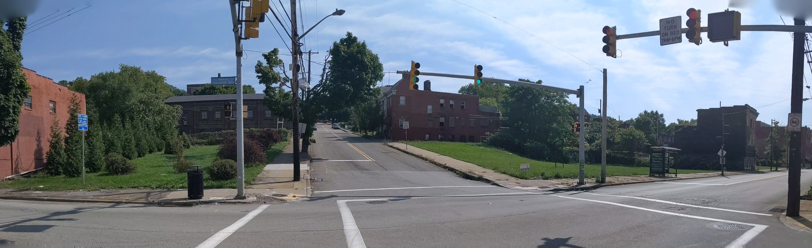
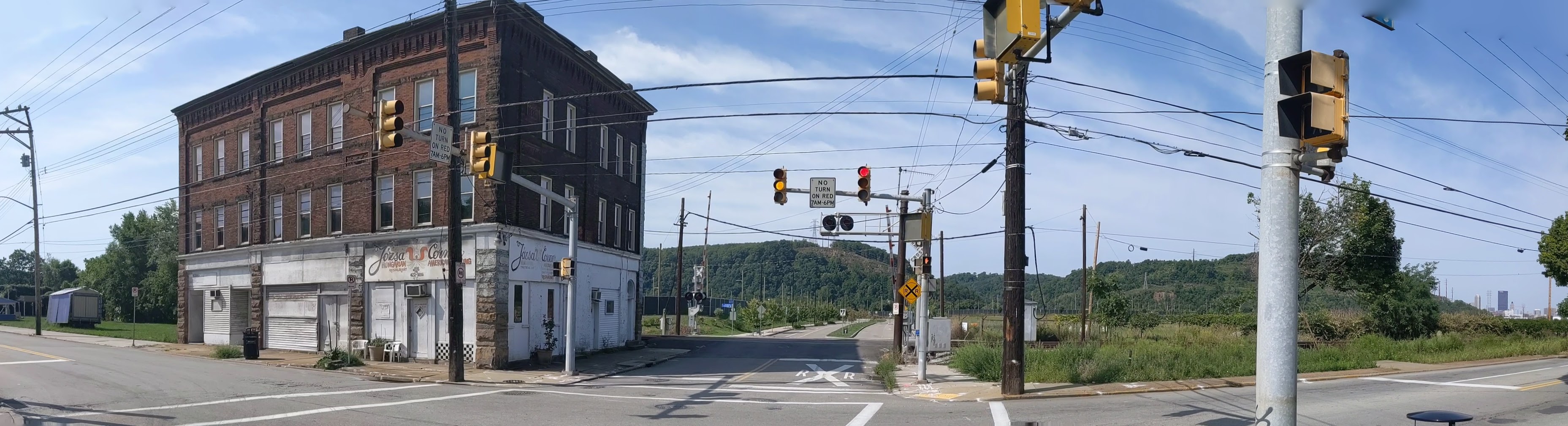
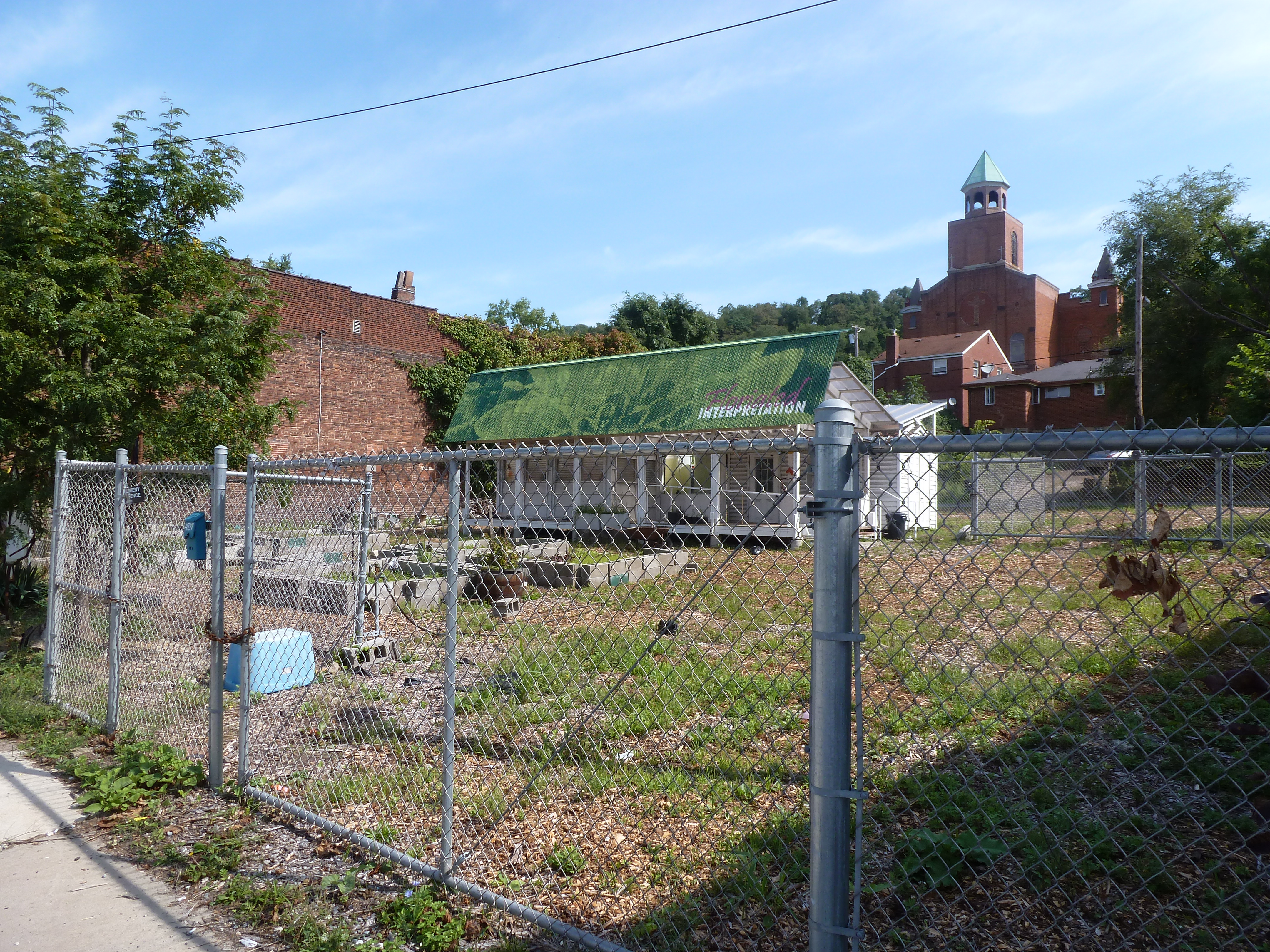
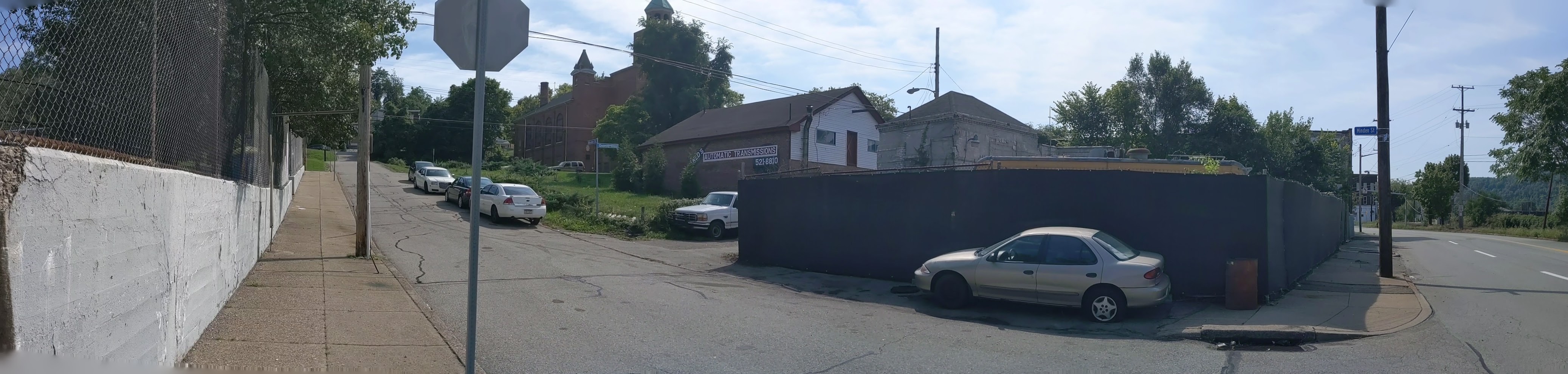
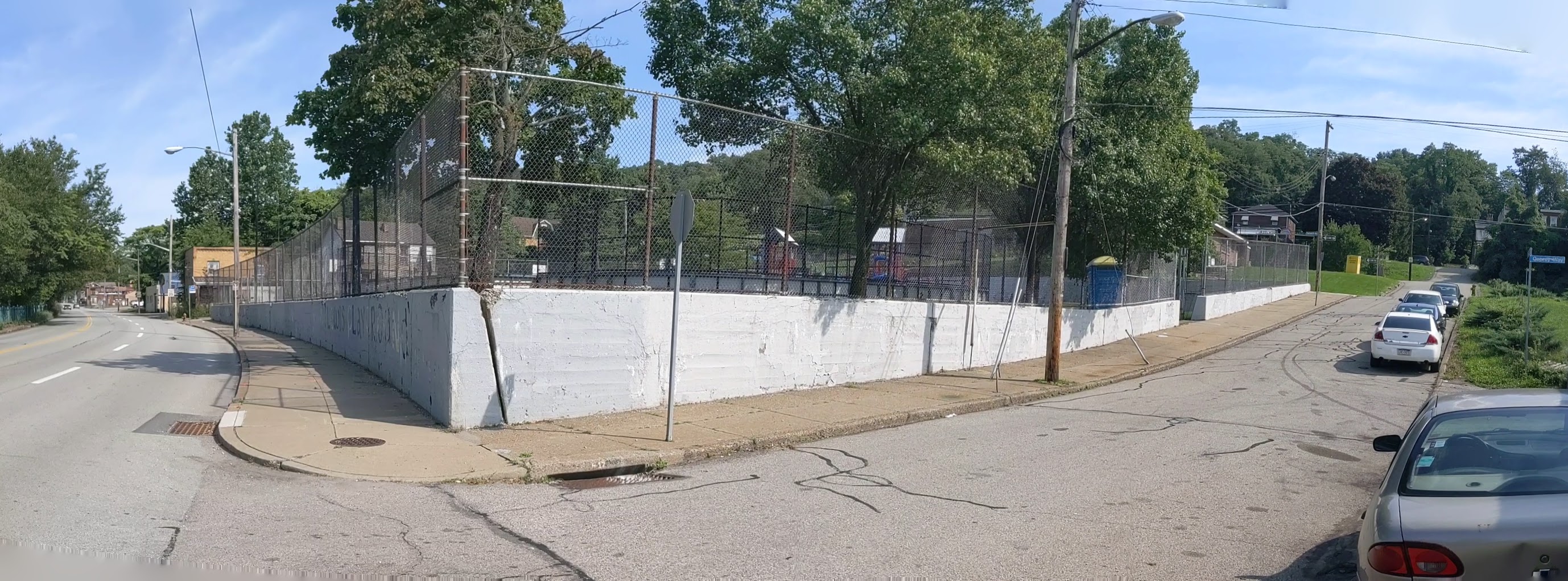
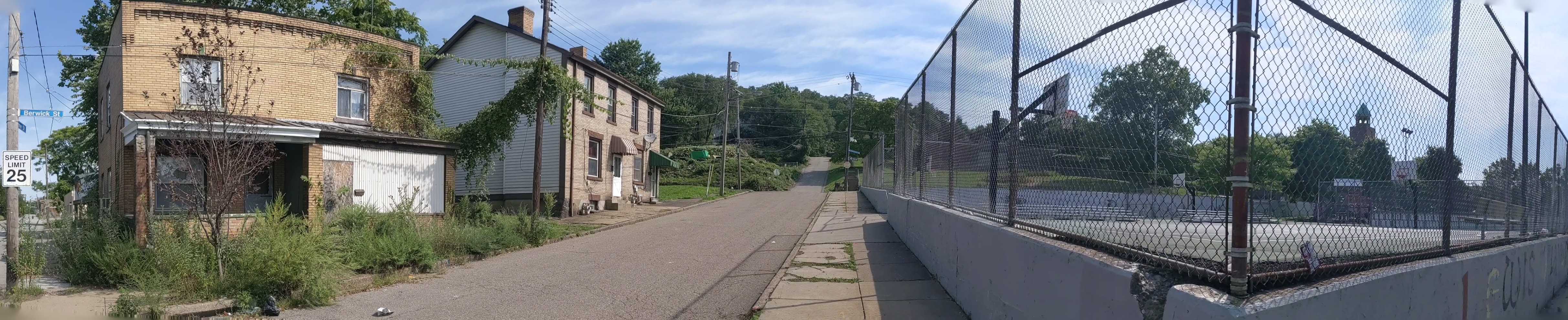
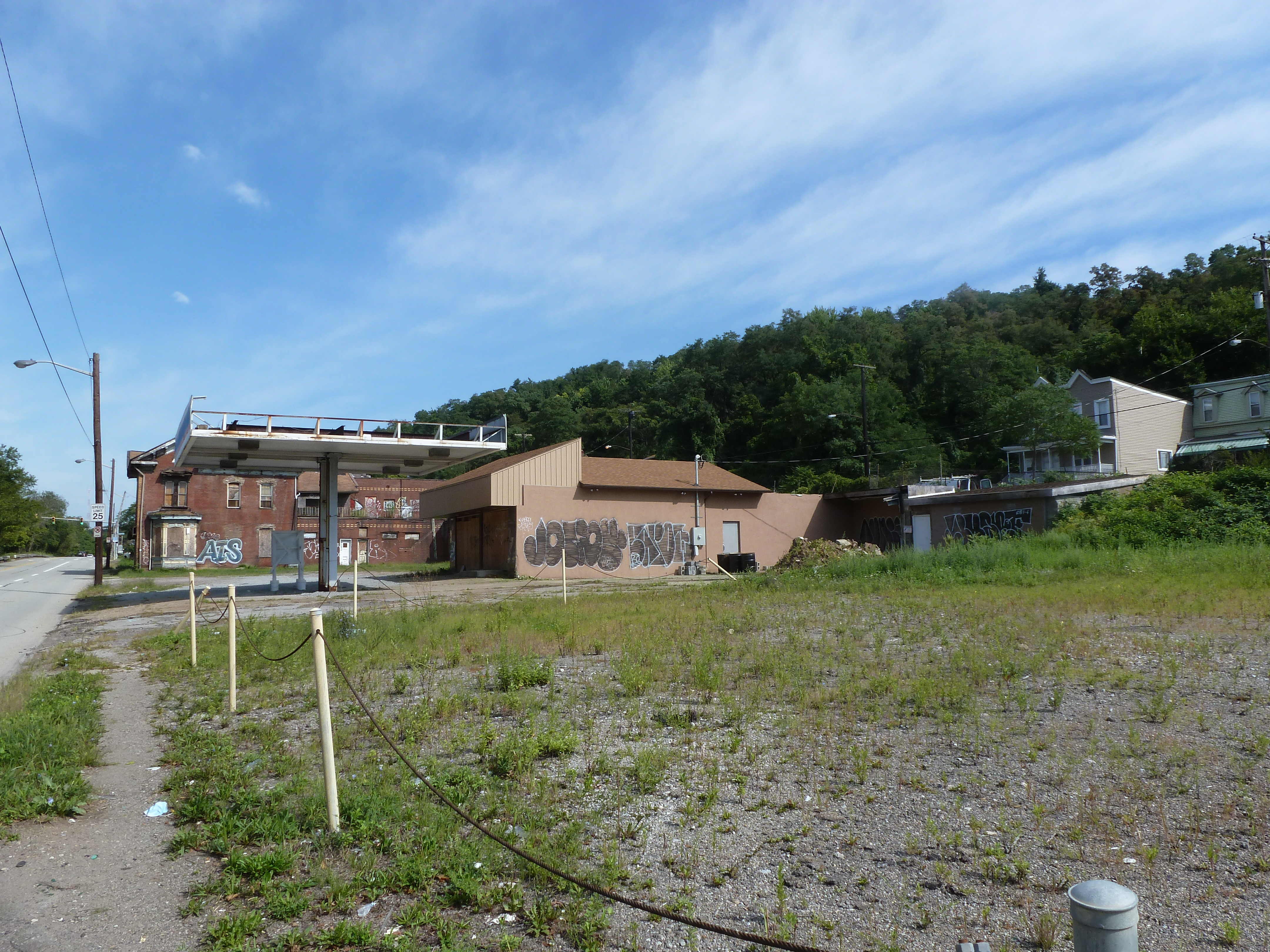
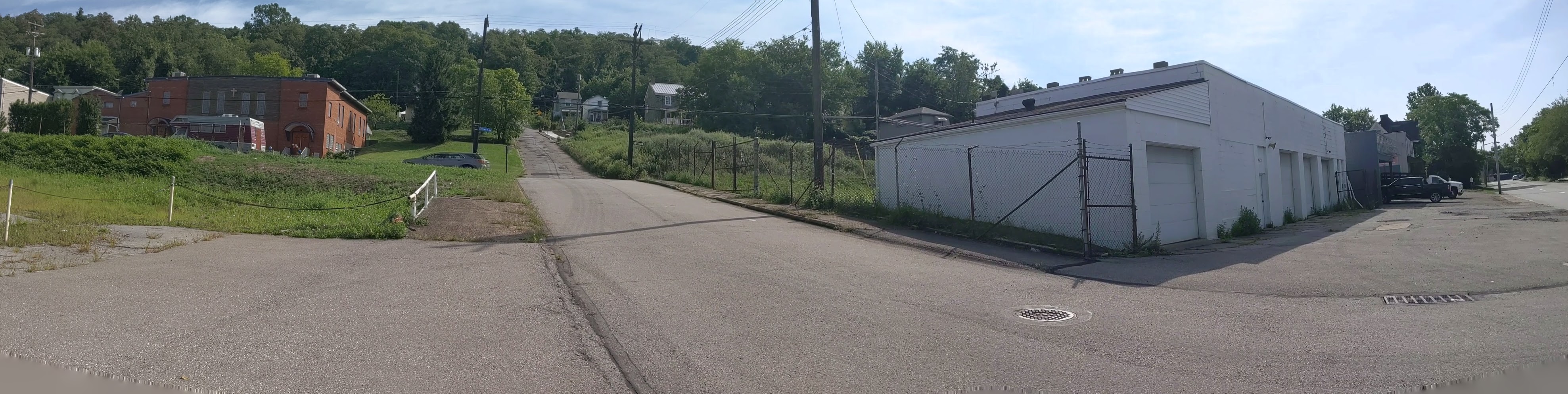
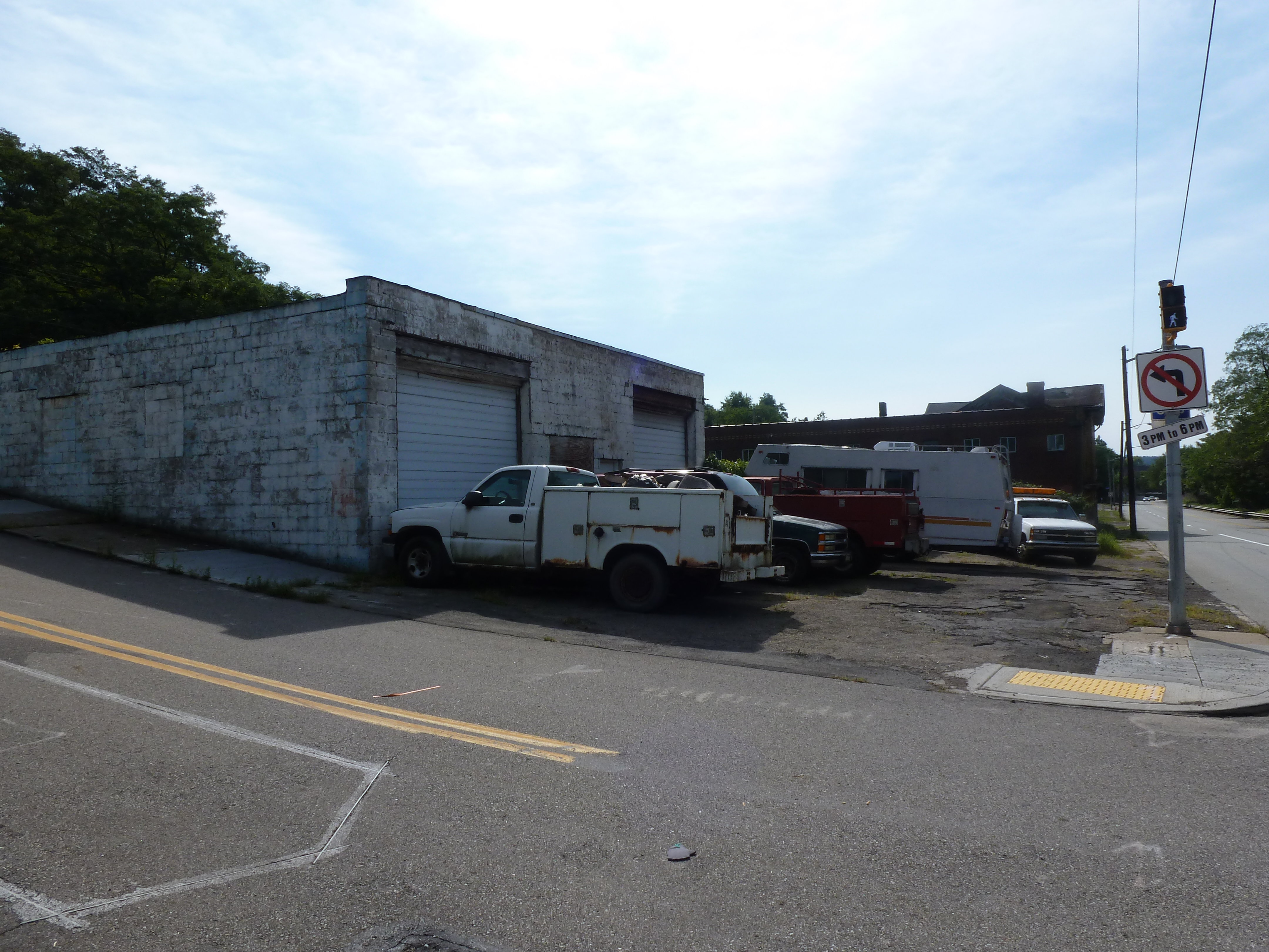
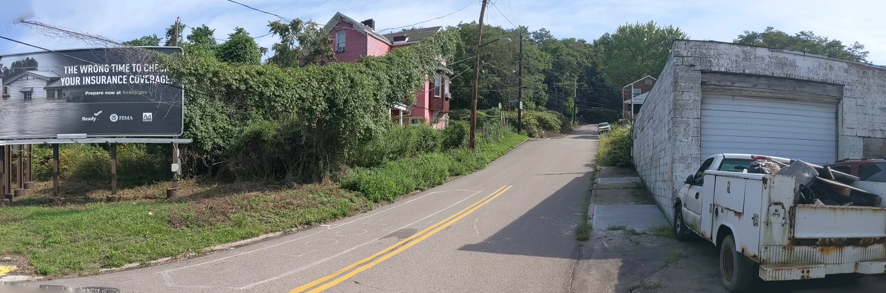
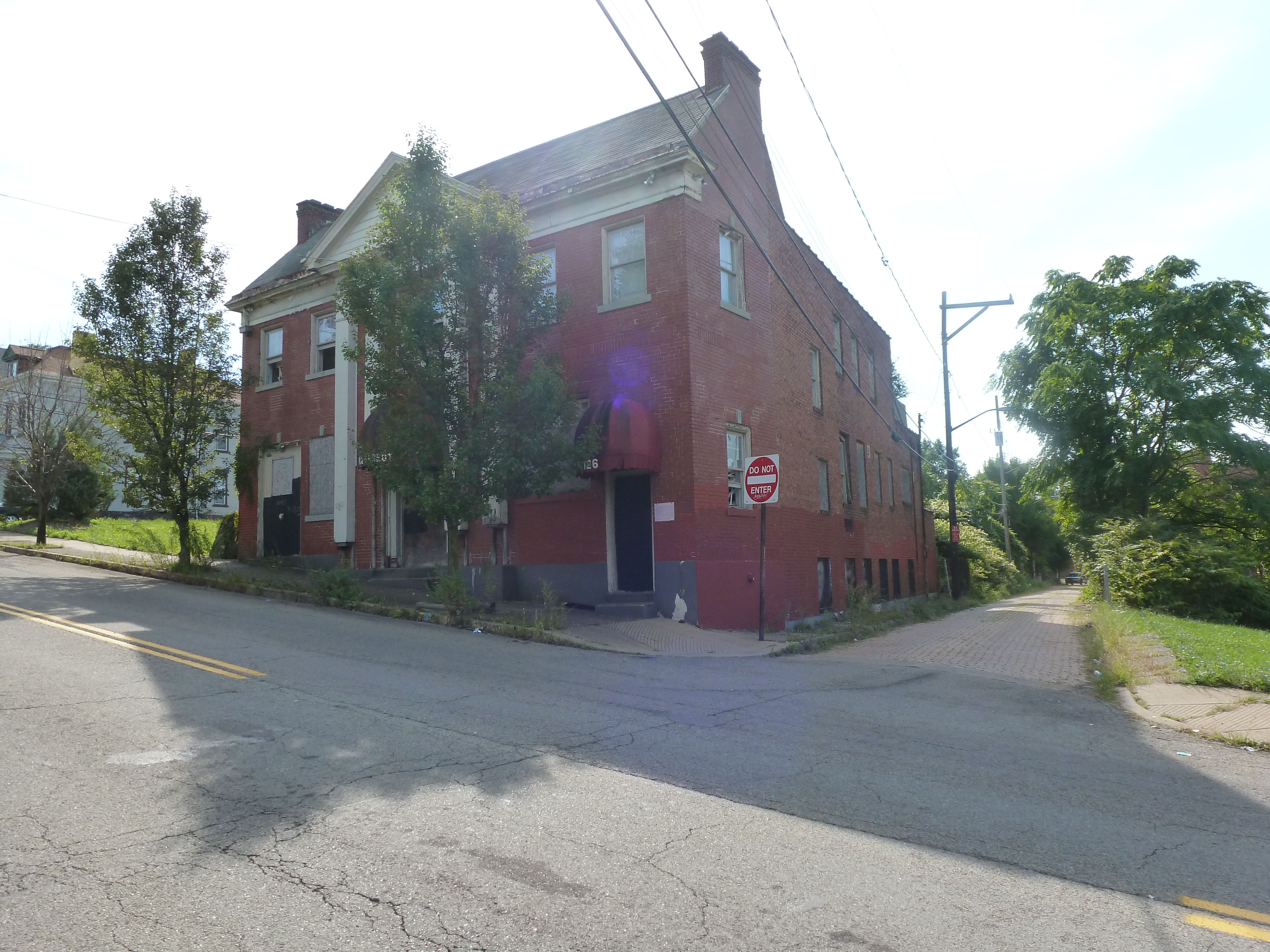
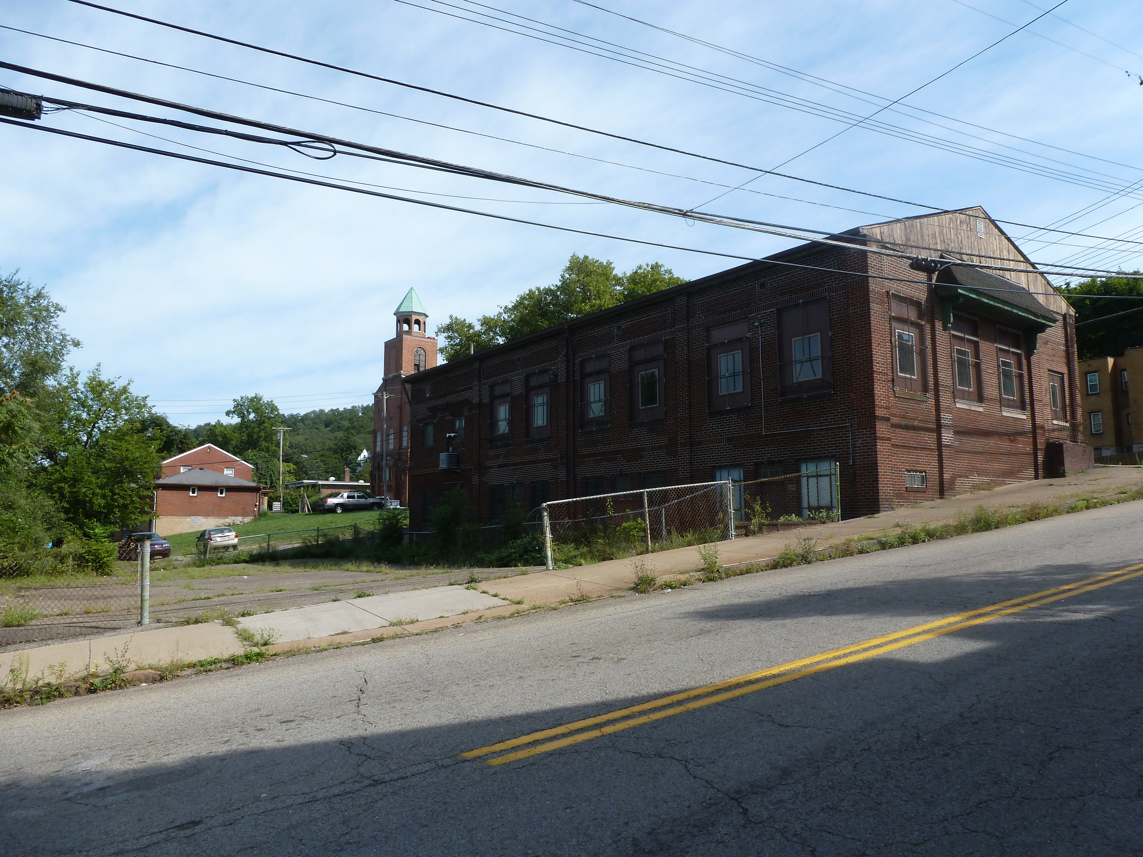
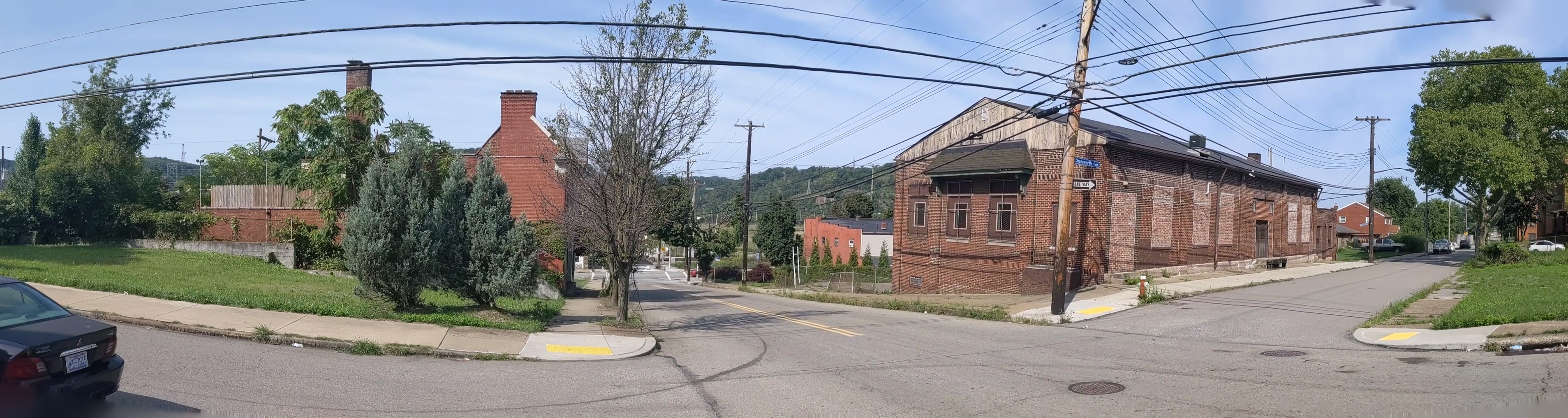
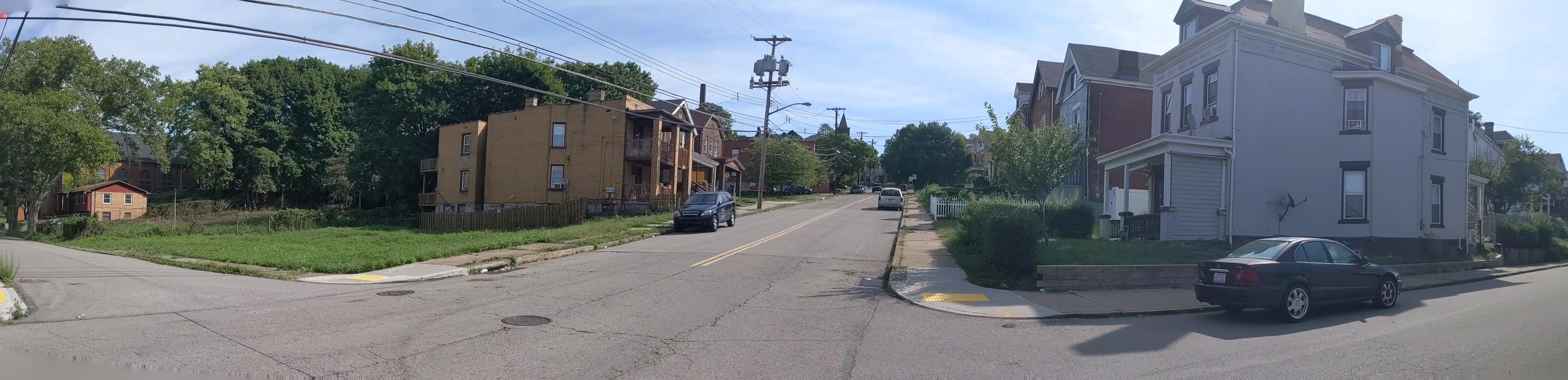
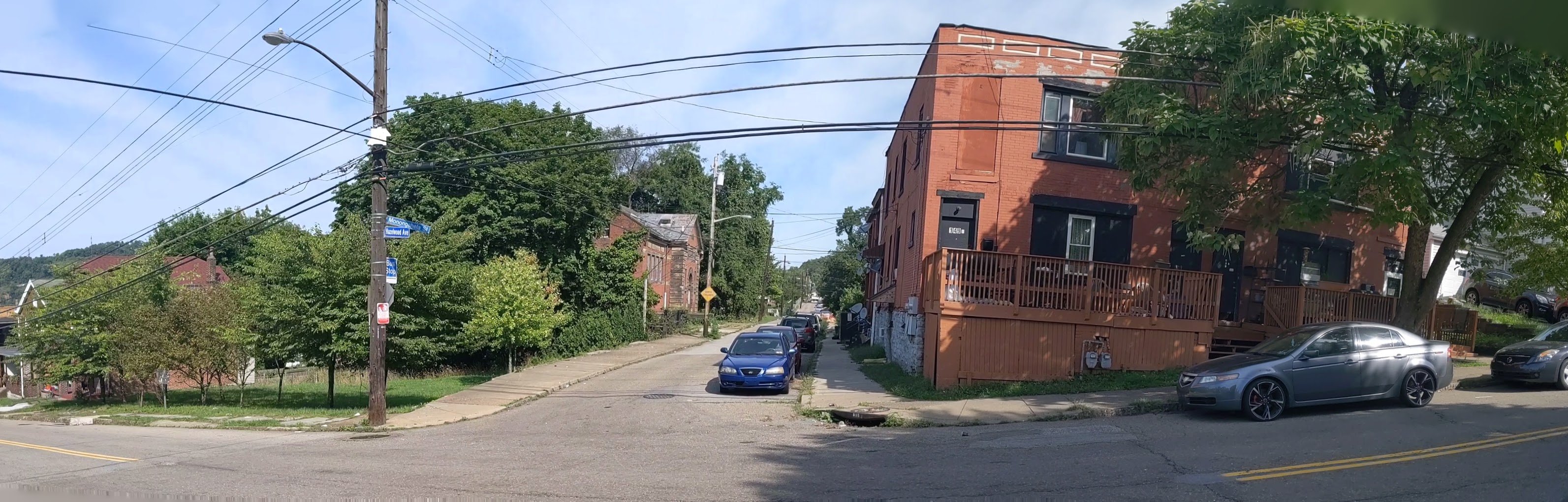
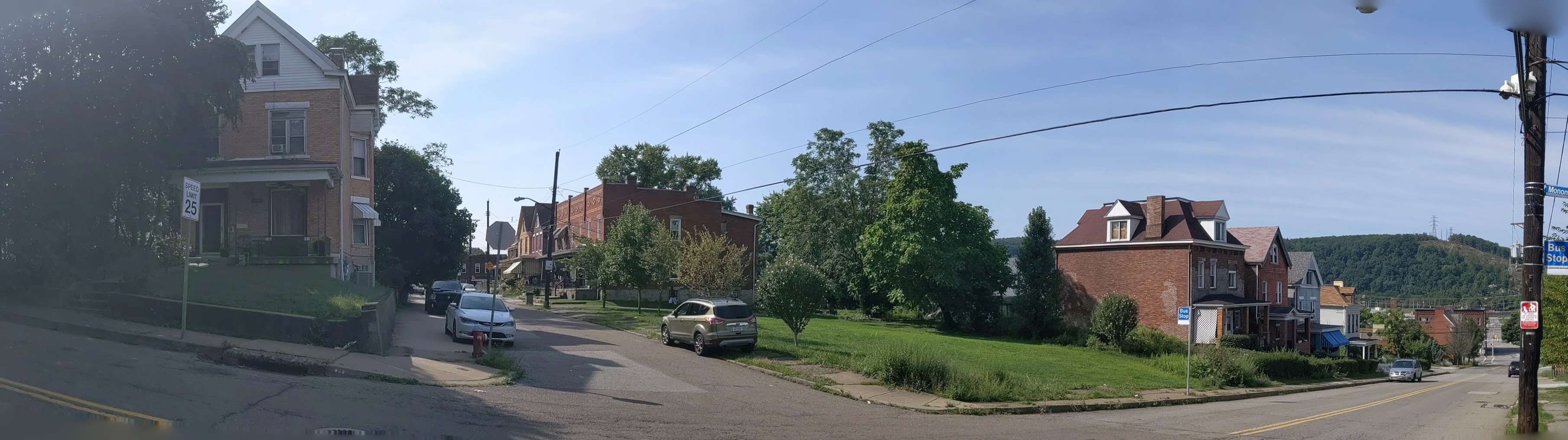
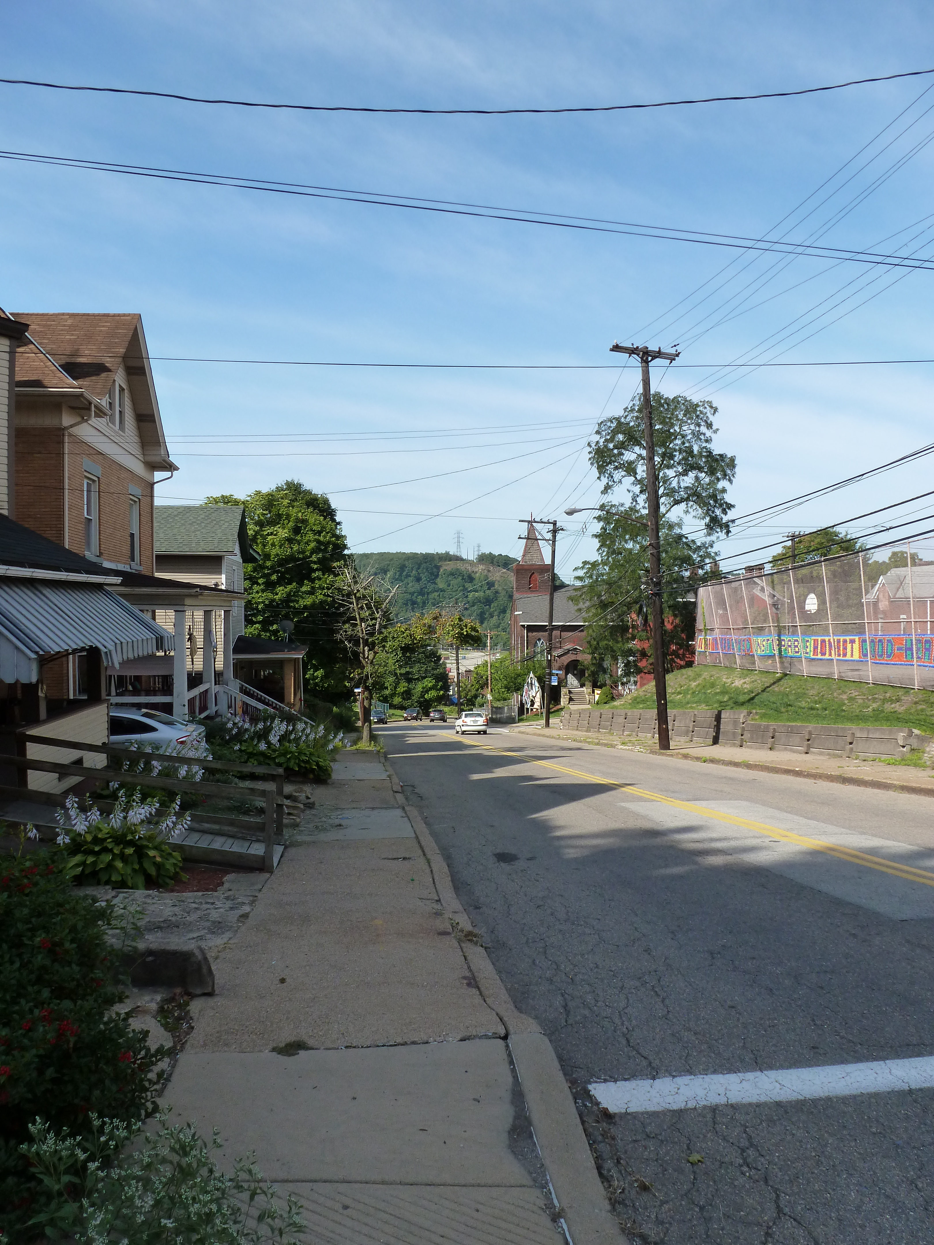
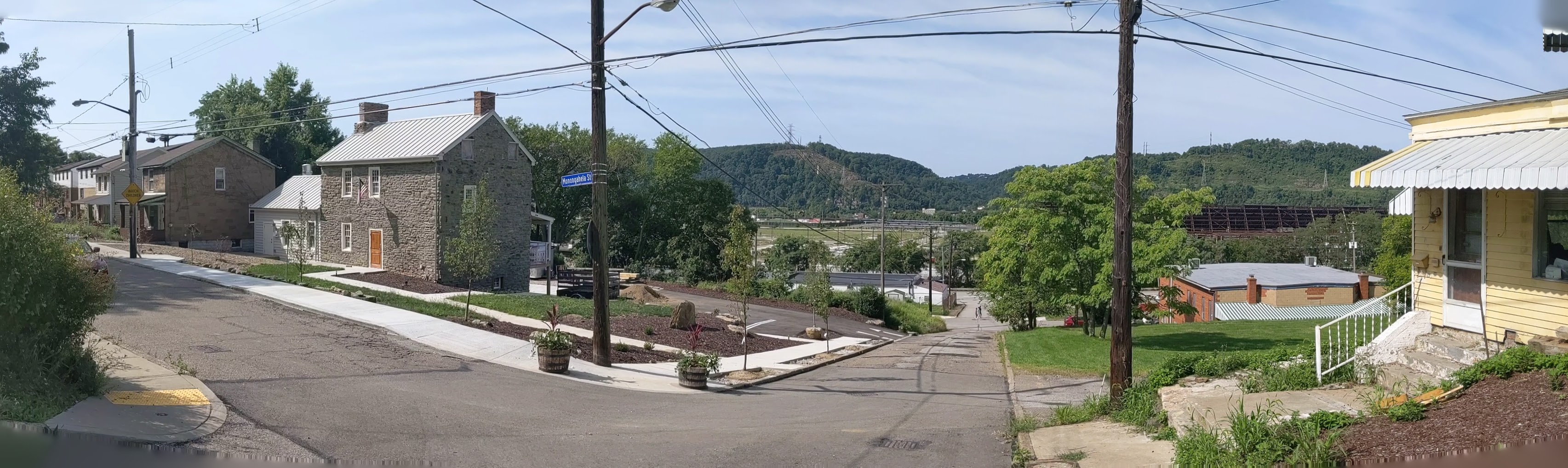
Hazelwood is a neighborhood divided in two by railroad tracks. On one side of the tracks are Hazelwood Green, a residential enclave, and some industrial and commercial uses. This is what is across the tracks: