
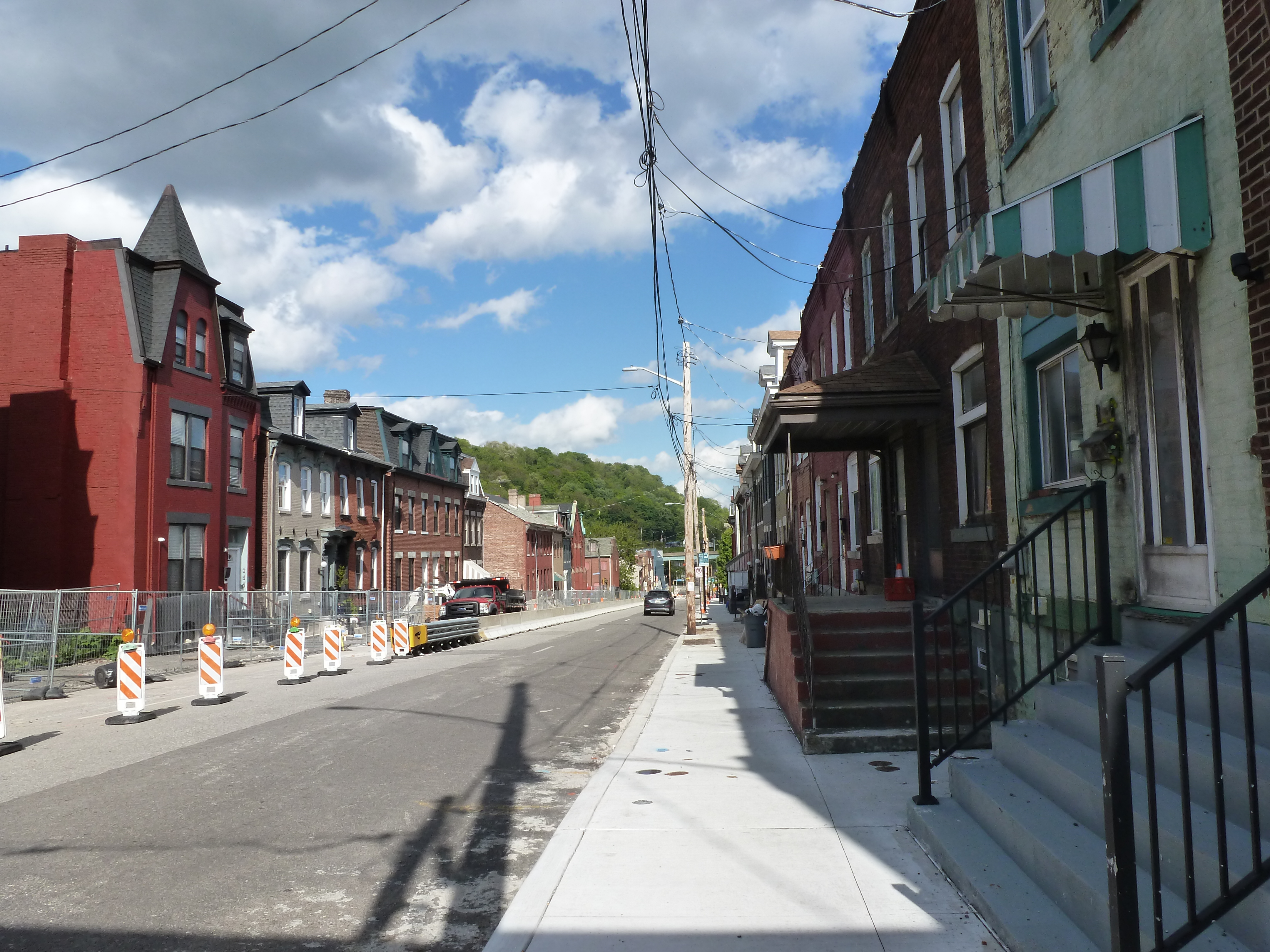
Bluff Neighborhood
“Bluff” is the name used on the official map of city-designated neighborhoods, but the local community organization calls it “Uptown” and the city used “Uptown” for the special zoning districts inspired by the EcoInnovation District Plan for “Uptown/West Oakland.”
Both names are descriptive of different aspects of the neighborhood. Located upriver from downtown Pittsburgh, “Uptown” is a logical (and attractive) name. On the other hand, near the southern border of the neighborhood, Bluff Street blends into Blvd of the Allies. Both streets line the edge of a sheer cliff and provide sweeping vistas across and down the Monongahela River to South Side Flats and Slopes neighborhoods and beyond.
Uptown suggests a dense and vibrant community, while Bluff suggests a steep, potentially tough, sparsely populated area. Between Bluff Street and Fifth Avenue, Uptown/Bluff is a densely developed neighborhood. Between Bluff Street and the Monongahela River, Uptown/Bluff is currently predominately freeways and parking lots where there used to be numerous railroad lines, rail yards, and a handful of small industries.
While Uptown/Bluff was densely built out in 1926, the neighborhood has experienced disjointed investment and disinvestment in the decades since.
The Bluff Street Urban Renewal project was investment for the expansion of Duquesne University. As of 1970, the city relocated 219 families, 252 individuals, and 101 businesses for this expansion, and had 288 new units of housing under construction. Another 5 families, 200 individuals, and 9 businesses were expected to be displaced before the end of the project. Another investment was planned for a different institution’s expansion. The Mercy Hospital Expansion Urban Renewal project was proposed to cover 20 acres, but no projections were provided in the 1970 report for any displacement in this dense neighborhood.
Decades of disinvestment are apparent in the number of vacant lots and vacant buildings. Many lots had been bought up and converted into surface parking lots, something the EcoInnovation Plan and subsequent zoning districts strongly curtail.
In the last 10 years, reinvestment in the neighborhood has grown significantly, shifting from small efforts of individuals who purchased homes and restored them to large developers filling in new, large, multi-story buildings. UPMC Mercy and Duquesne University also continue to expand and build large new institutional buildings in the neighborhood. The neighborhood’s infrastructure is also seeing investment now as Forbes and Fifth Avenues have been undergoing a multi-year reconstruction to support a future bus rapid transit line through the neighborhood.
What these patterns have in common is change. The religious sites from the 1926 directory reflect that change as none of them are what they were 100 years ago, except for the hospital chapel.
Neighborhood Statistics (Out of 70 in this Series)
- 46th largest by acreage
- 18th highest number of religious sites
- 9th most sites/acre
Locations
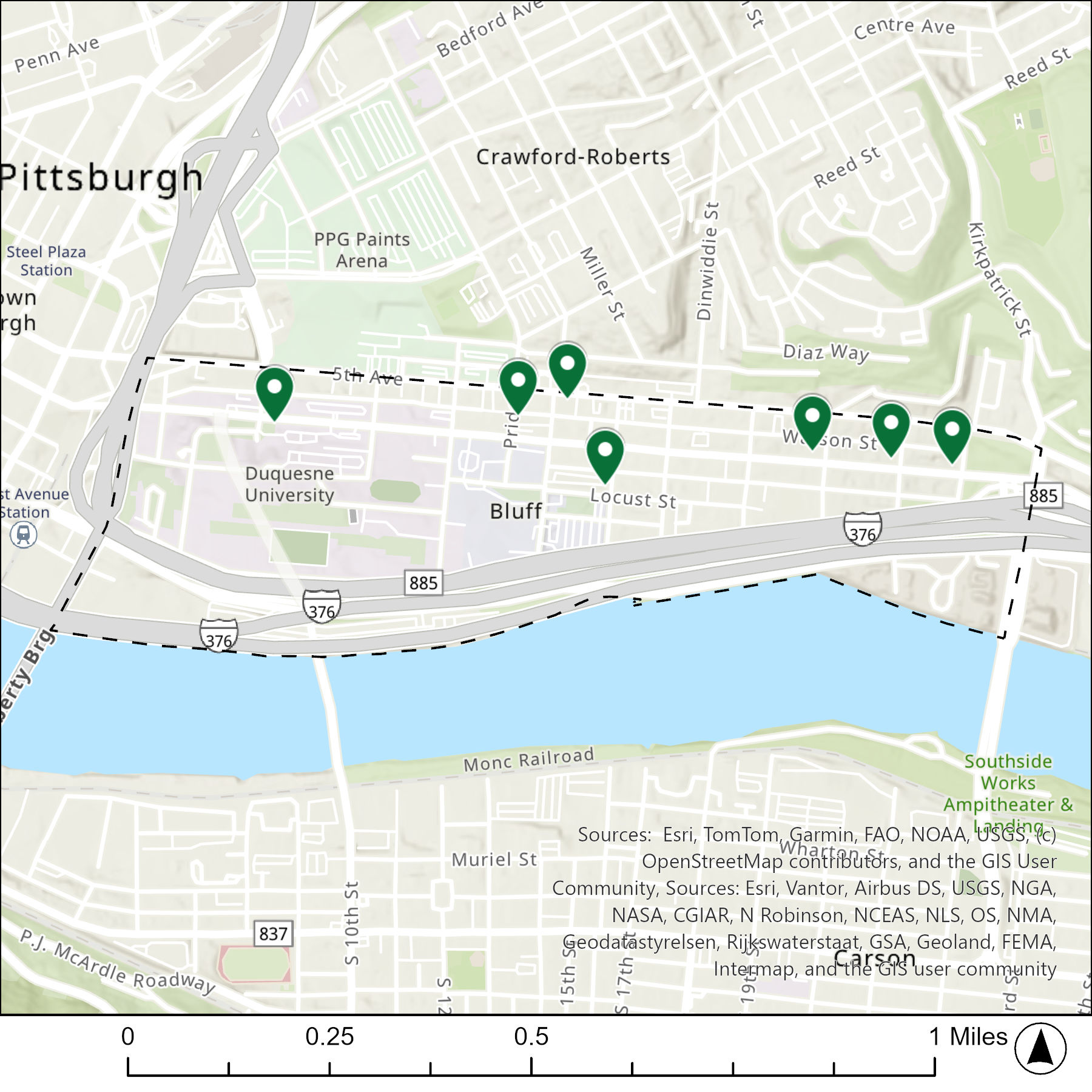
The map below shows the locations for 9 of the 10 congregations listed in the 1926 directory for the Bluff (the dotted line marks the neighborhood boundary). I’m intentionally leaving out the Mercy Hospital Chapel as a religious center that doesn’t fit the typology of what I’m studying. There are only 7 pins because some congregations appear to have shared buildings.
What are they now?
The table below matches the 10 congregations listed in the 1926 directory with the current use of the site.
| 1926 Congregation Name | By 2026 the Congregation’s Building is: |
| Central Presbyterian Church | being redeveloped into housing |
| Corinthian Baptist Church | vacant |
| Eighth United Presbyterian Church | replaced with a parking lot |
| First Pentecostal Church | location unclear, may be a parking lot |
| Jesus Saves Mission | replaced with a parking garage for a Catholic university |
| Mercy Hospital Chapel (no photo) | still Mercy Hospital Chapel |
| Russian Mission | being redeveloped into housing |
| Second Methodist Protestant | replaced with a commercial building that is now used by a religious institution |
| Second St. Paul Evangelical Lutheran (Missouri) Church | converted to a religion-based community service organization |
| St. John’s Evangelical Lutheran Church | replaced with a parking lot |
Photos
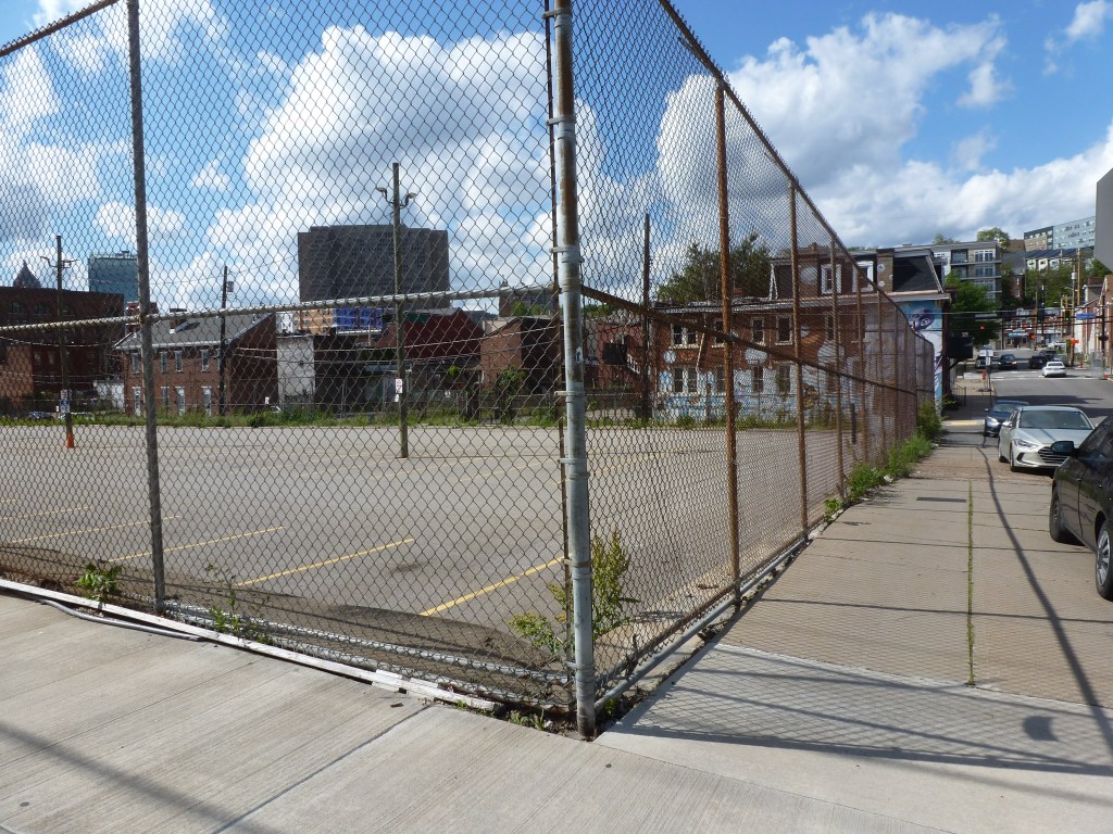
Eighth Presbyterian United Church site – 2026 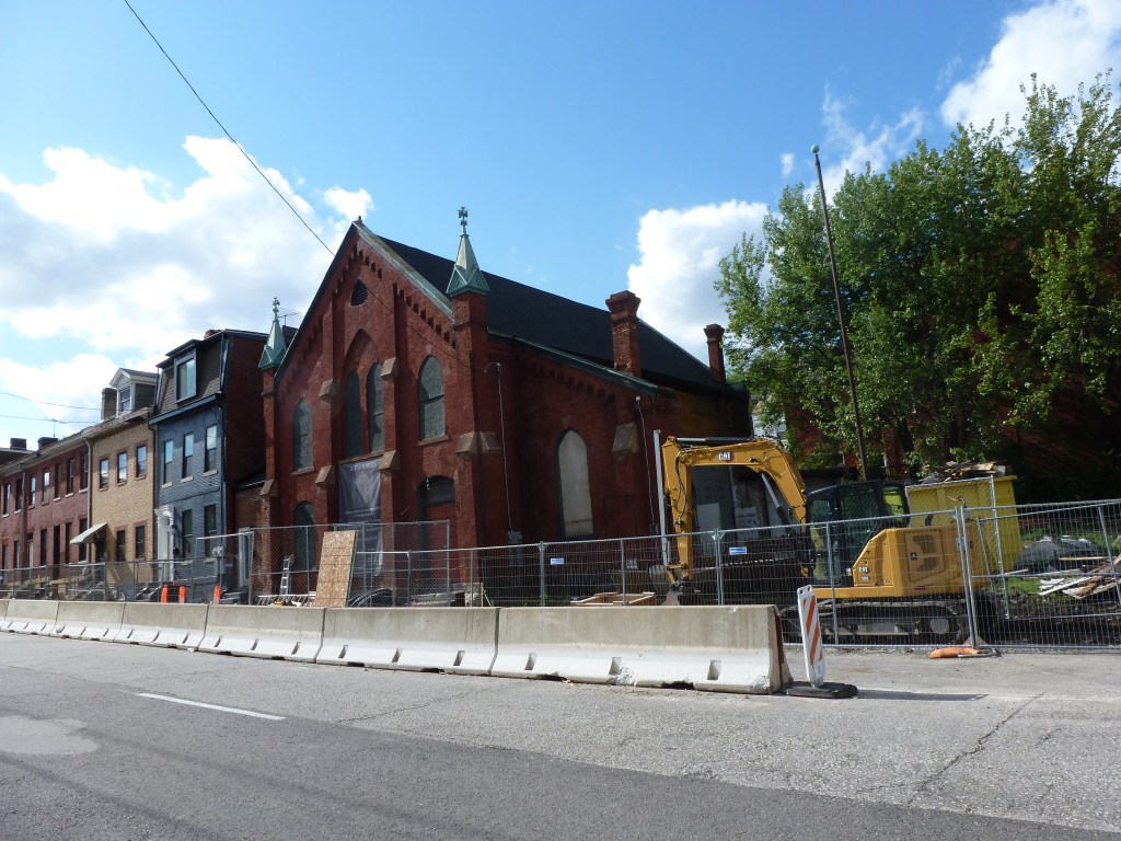
former Central Presbyterian Church and former Russian Mission – 2026 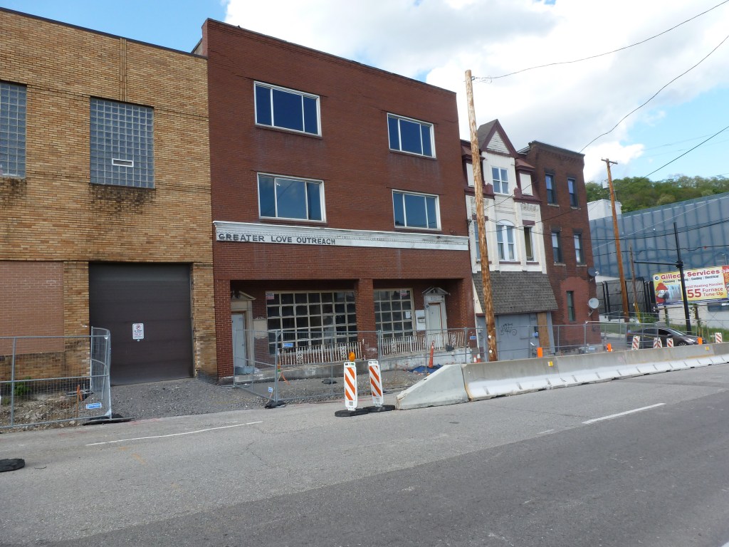
former Corinthian Baptist Church – 2026 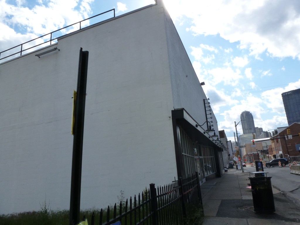
Second Methodist Protestant Church site – 2026 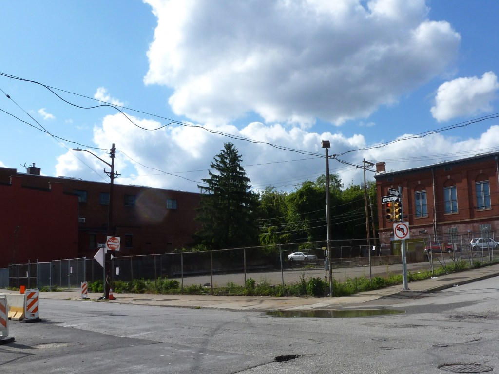
St. John’s Evangelical Lutheran Church (maybe also First Pentecostal) site – 2026 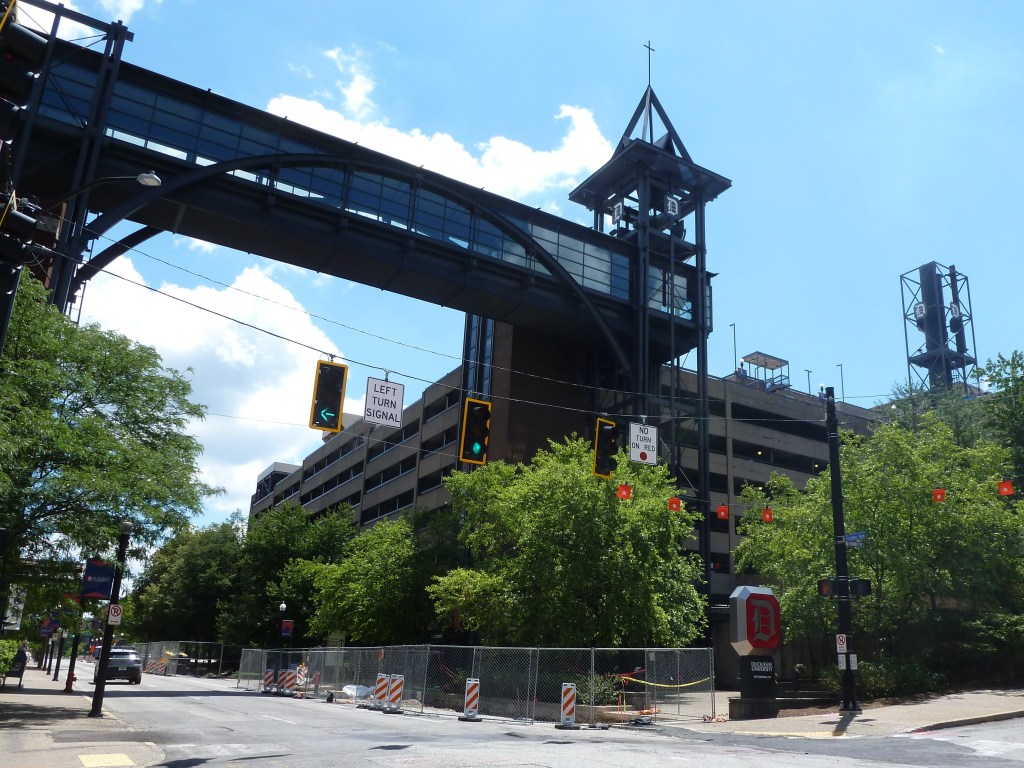
Jesus Saves Mission site – 2026 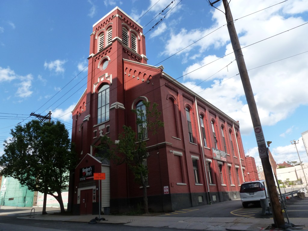
former St. Paul’s Evangelical Lutheran Church – 2026
For more on this series, visit our introductory post.
Sources:
G. M. Hopkins & Co. Bluff. Plate 14. 1914. https://historicpittsburgh.org/islandora/object/pitt:20090804-hopkins-0016
G. M. Hopkins & Co. Central Business District, Bluff. Plate 8. 1914. https://historicpittsburgh.org/islandora/object/pitt:20090804-hopkins-0010
Pittsburgh Department of City Planning. A Development and Renewal Program for Pittsburgh, Summary Documentation, Pittsburgh Community Renewal Program. Pittsburgh, 1970. https://pittsburgharchives.access.preservica.com/uncategorized/IO_d1f07da0-9303-4aee-a162-04c83a0eaaa0/
Pittsburgh Department of City Planning. EcoInnovation District: Uptown/West Oakland. September 2017. https://www.pittsburghpa.gov/files/assets/city/v/1/dcp/documents/3494_ecoinnovation_plan.pdf
Polk’s Pittsburgh City Directory, 1926. Pittsburgh: R. L. Polk & Co. https://digital.library.pitt.edu/islandora/object/pitt%3A31735056286846/viewer#page/4/mode/1up
Discover more from urbantraipsing
Subscribe to get the latest posts sent to your email.


Pingback: Then & Now 1926-2026: Pittsburgh’s Religious Buildings | urbantraipsing