Millvale, PA, sits tucked in a valley that spills out into the Allegheny River at the far end of Pittsburgh’s 40th Street Bridge. Like all the valleys in this region, it formed over time by a stream cutting into the bed of the Allegheny Plateau. But when PennDOT announced the indefinite closure of two of Millvale’s bridges, I struggled to pinpoint their location. One of the two streets appeared to be nowhere near the streambed.
Then, in 2024, while I was primarily home-bound due to Long COVID and my mom sometimes took me along on her errands to help me get out of the house, she wanted to stop at a shop in Millvale. I thought I would sit in the car and wait for her, but as she was looking for a parking space, I noticed a barrier across one of the roads we passed with a sign that appeared to say “Bridge Closed.”
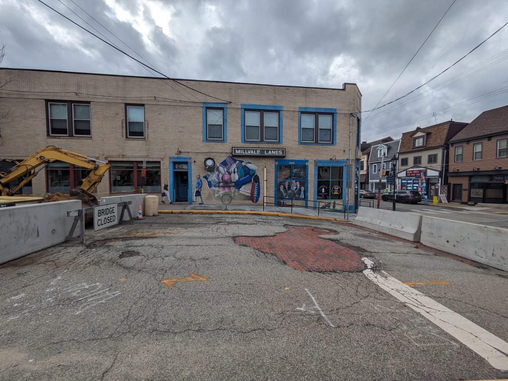
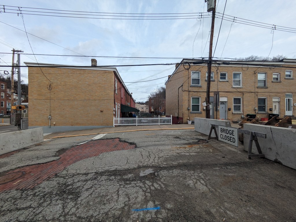
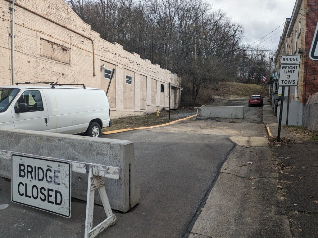
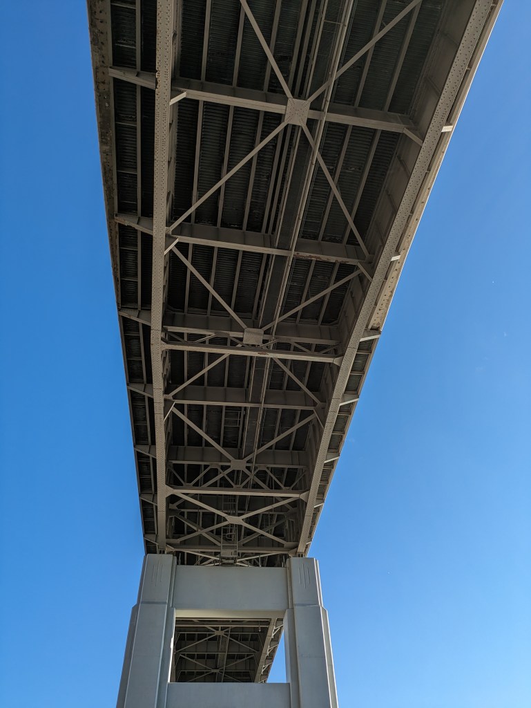
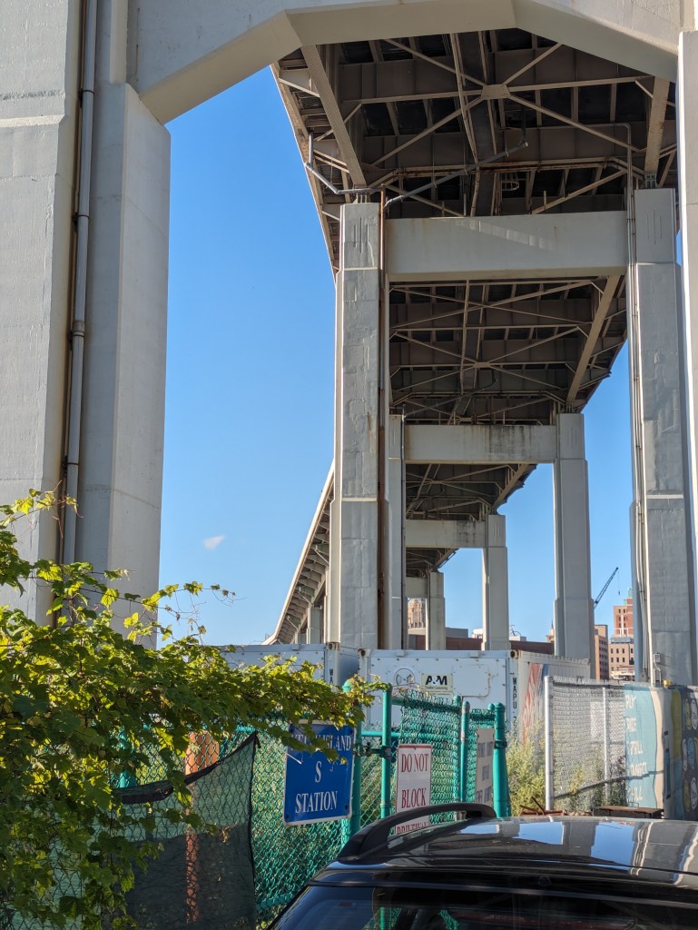
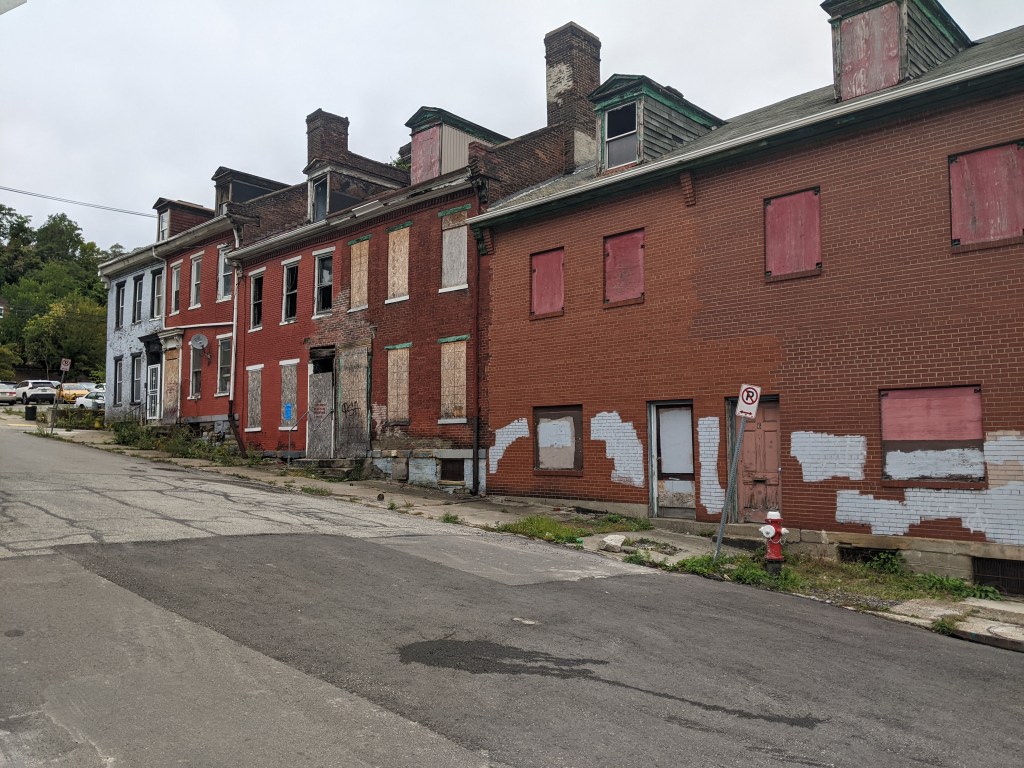
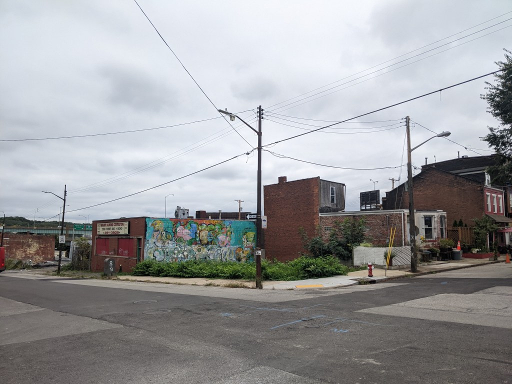
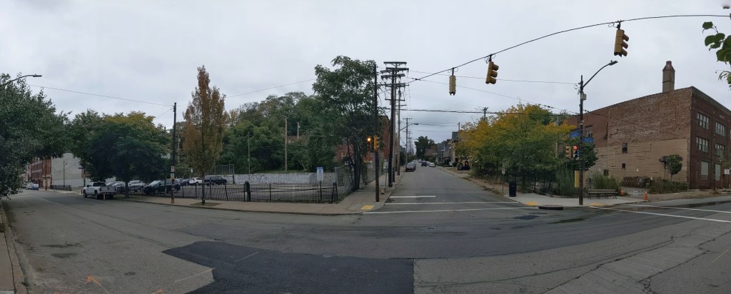
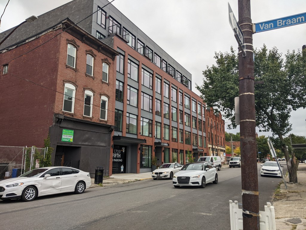
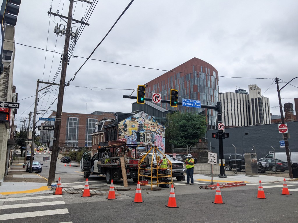
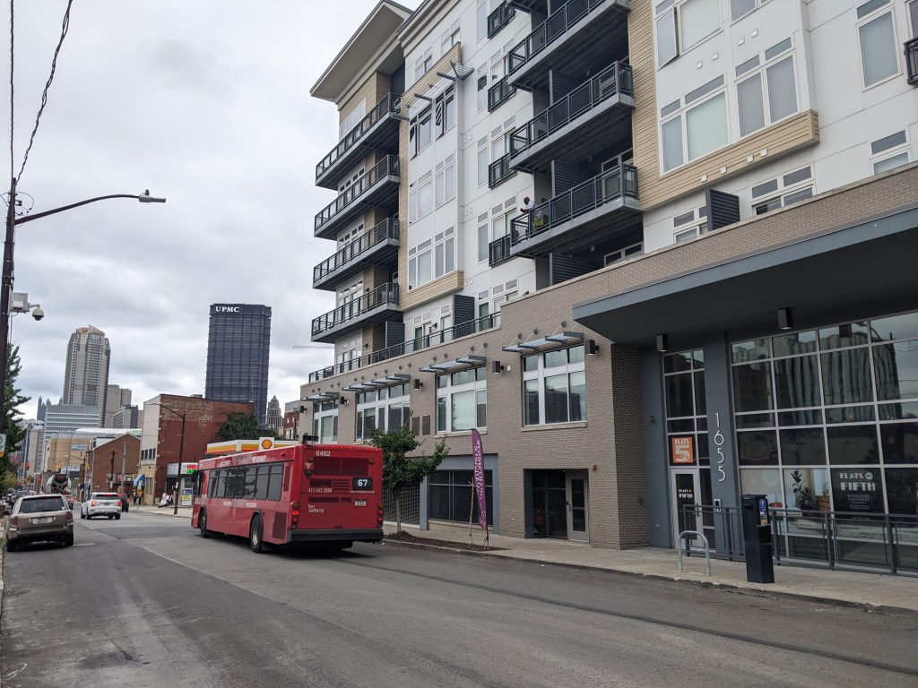
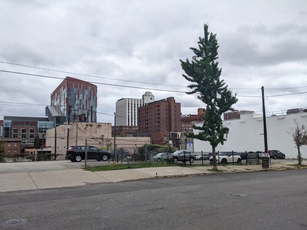
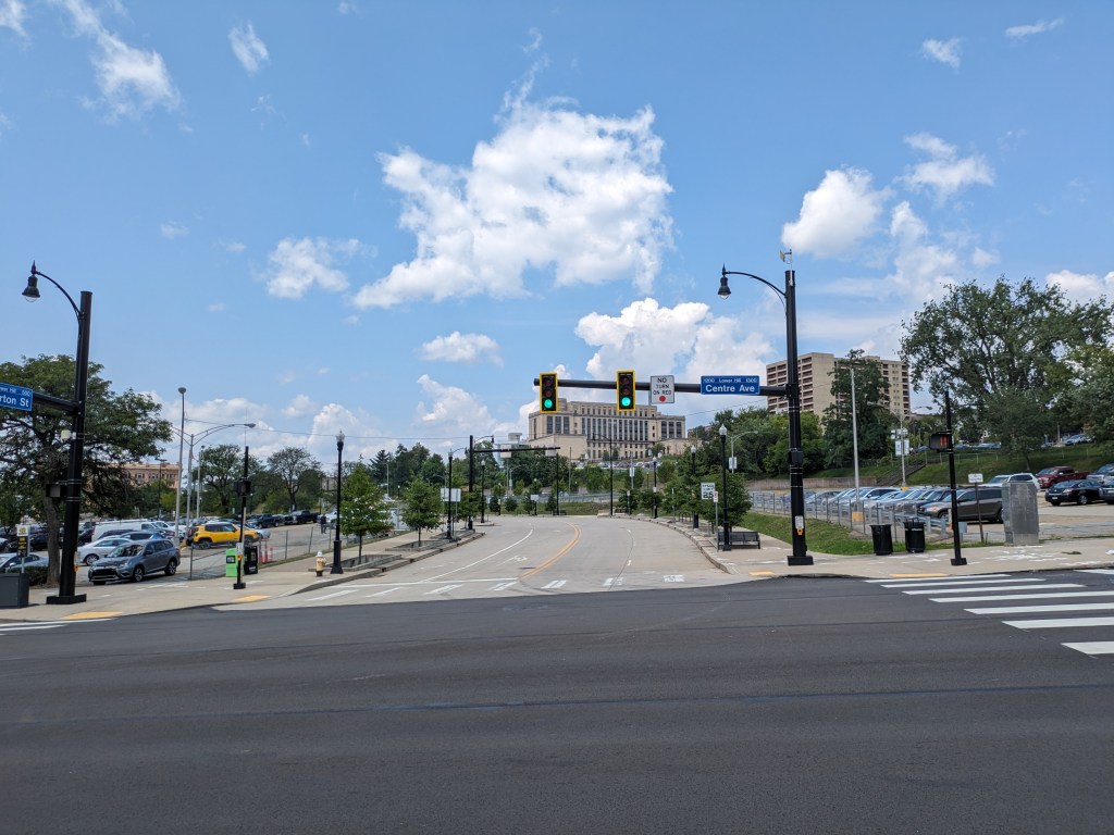
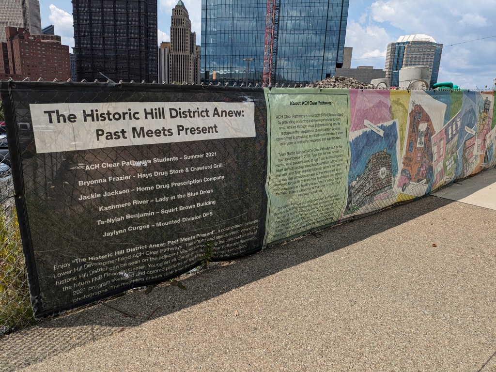
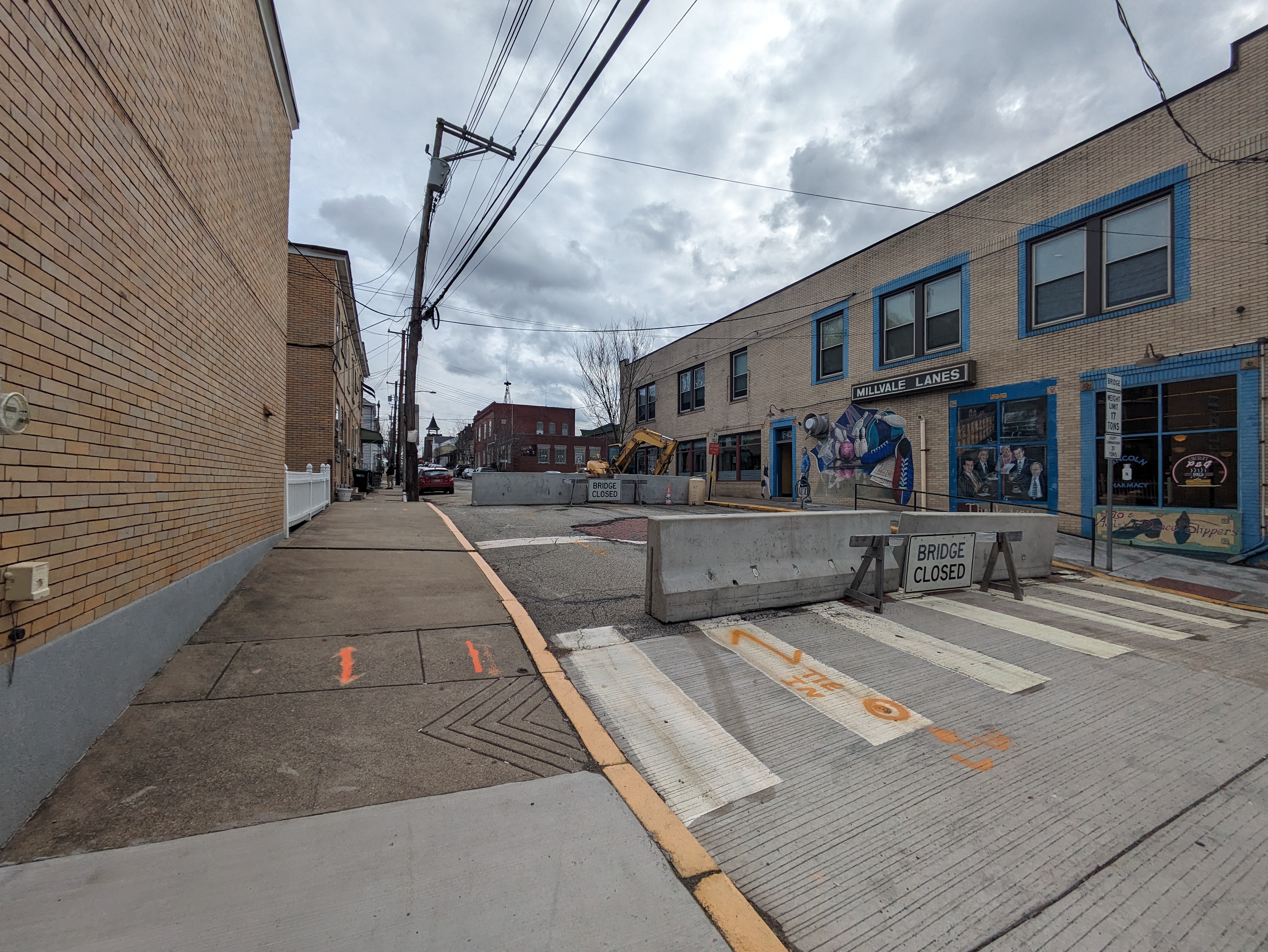
I investigated the closure while my mom went on her errand. Sure enough, on what looked like a street, just like all the other streets around, were jersey barriers marked with “Bridge Closed” signs (photo above). This street/bridge was the Lincoln Avenue Bridge that PennDOT had closed a year before. The only indication that this was a bridge was the “Bridge Closed” sign and the bridge weight limit sign on the right side of the bridge. A block over, Fremont Street had a similar barrier with “Bridge Closed” next to a bridge weight limit sign. Again, looking around from this bridge, it made perfect sense to me why I was unable to pinpoint its location on the map. (photos below)
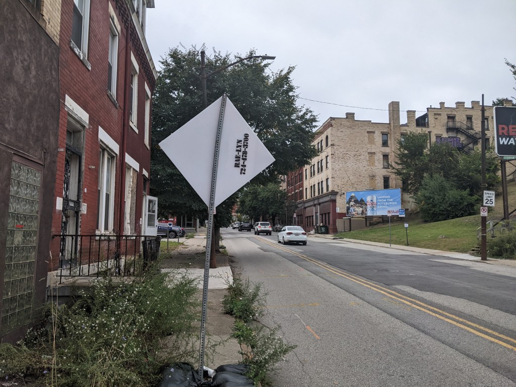
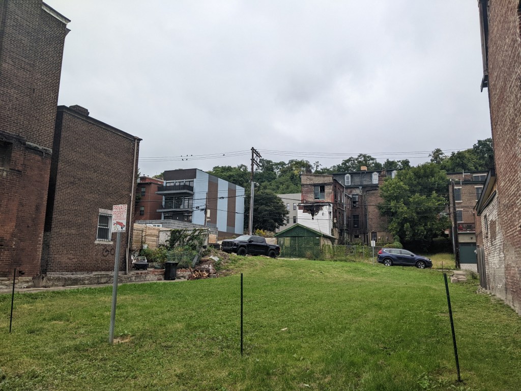
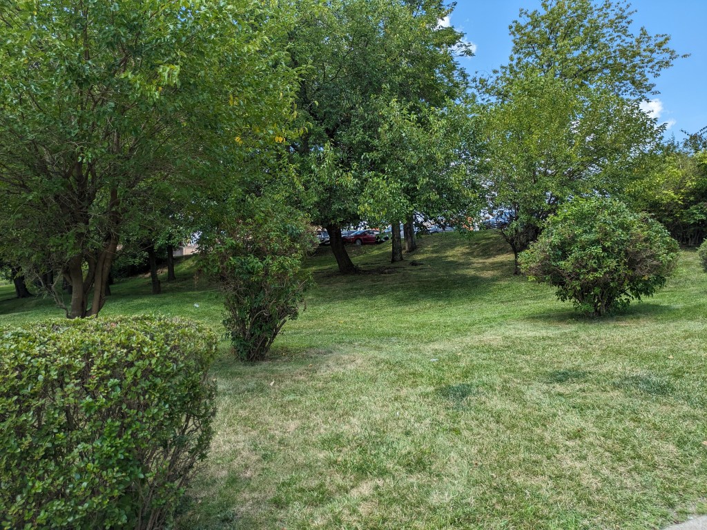
While standing on the Liberty Avenue Bridge, it struck me if this road was a bridge, then what are the buildings and back yards on either side of the bridge in the direction of the pathway of Girty’s Run? Is the bowling alley a bridge? Is the back lawn of the adjacent houses a bridge? Do the people who live and play in these spaces know that they are on bridges?
I asked similar questions in Chicago as the ground shook beneath my feet with the passing of trucks and buses and as I walked over expansion joints. However, there wasn’t a river running underneath the Chicago ground-bridges. Those “bridges” enabled a variety of activities to happen while stacked one above the other as a solution to work with the density of the city.
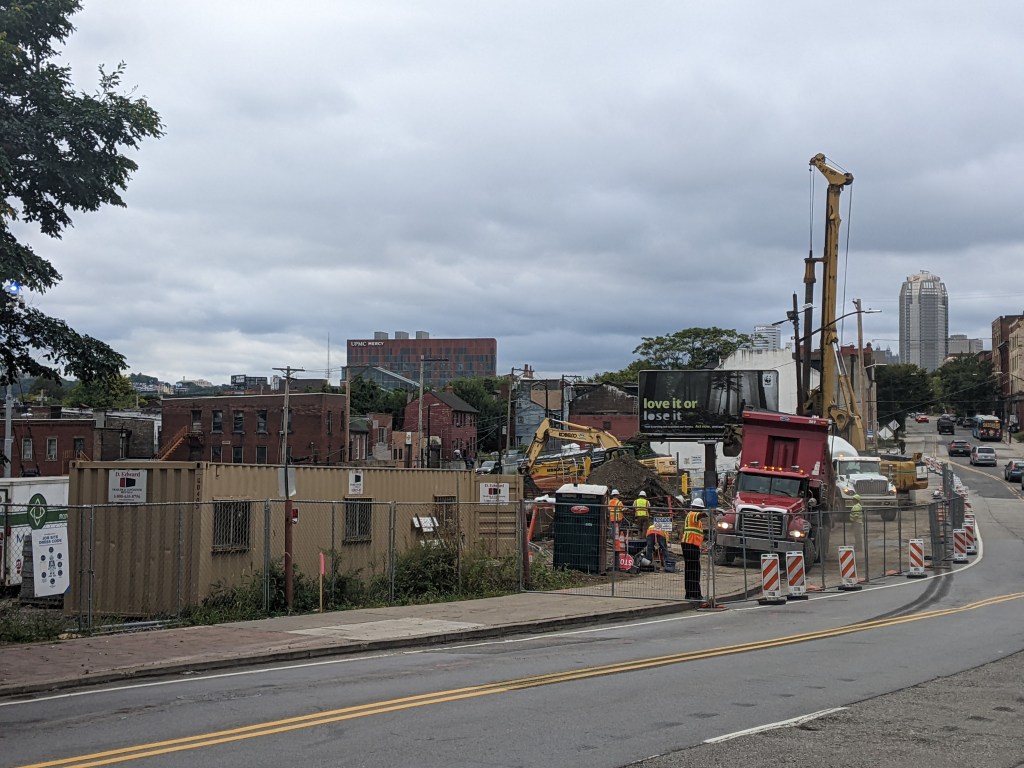
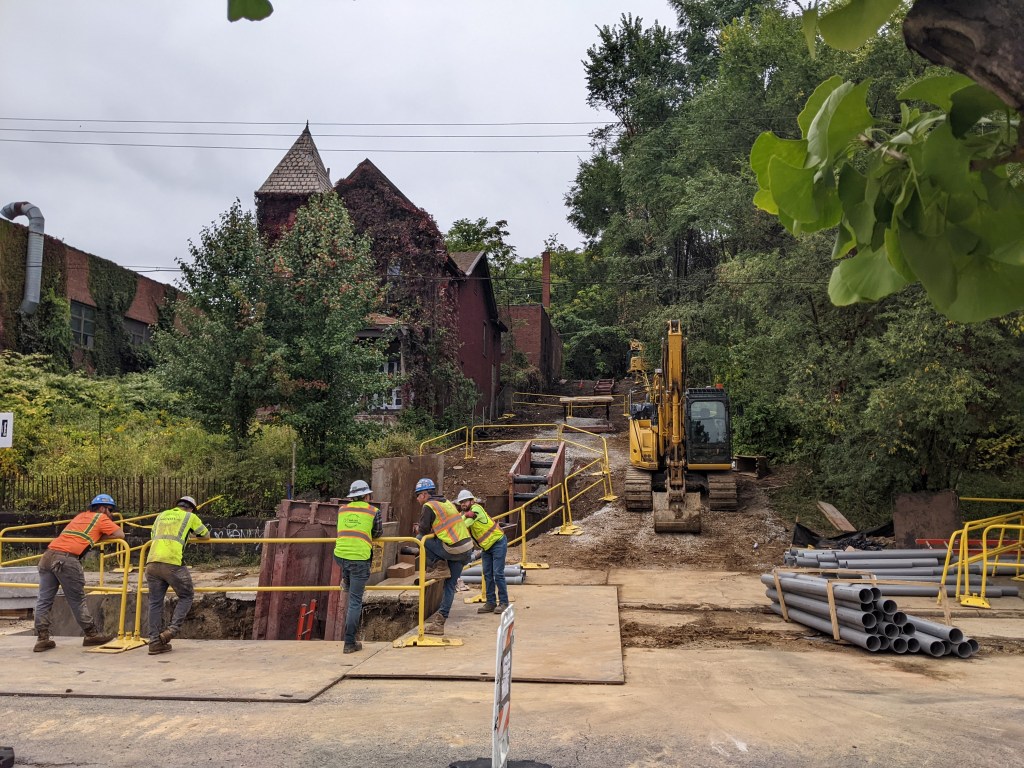
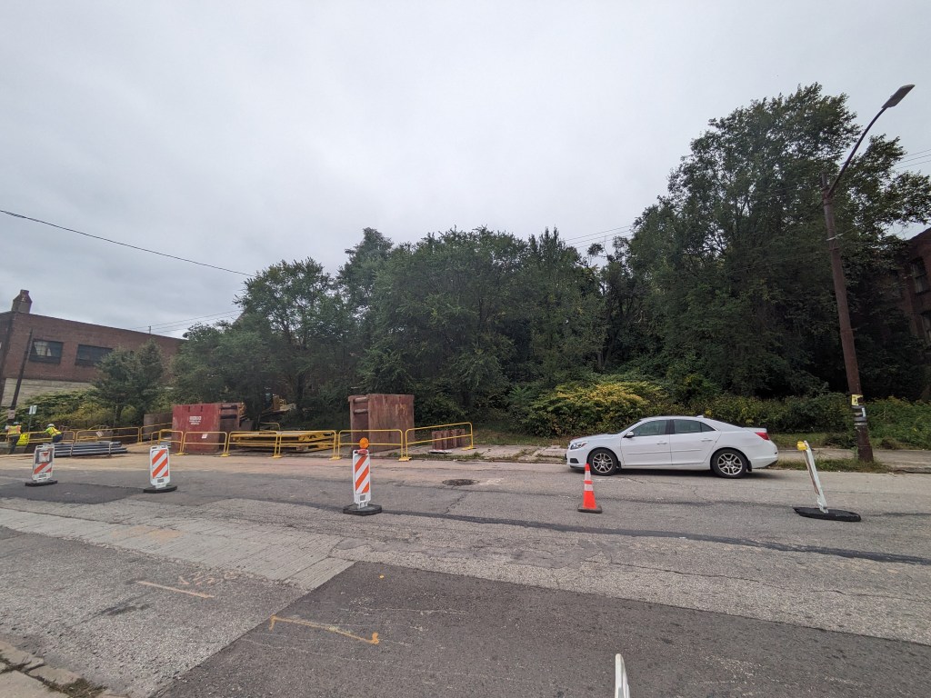
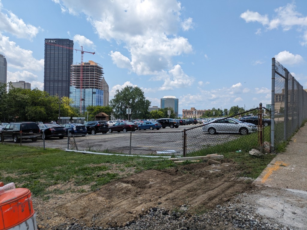
In Millvale, the presence of bridges hidden in plain sight bothered me. I’ve heard over the years that Millvale has lots of trouble with flooding, in a region where flooding is common. That hearsay has left the impression that Millvale’s flooding is worse than average for the area. The municipal website includes directions for what to do when you hear the town siren give off flood warnings, which seems to support my impression. When I saw how much of the stream was buried under “bridges” made of roads, buildings, and backyards, it instantly made sense that flooding would be a major problem here.
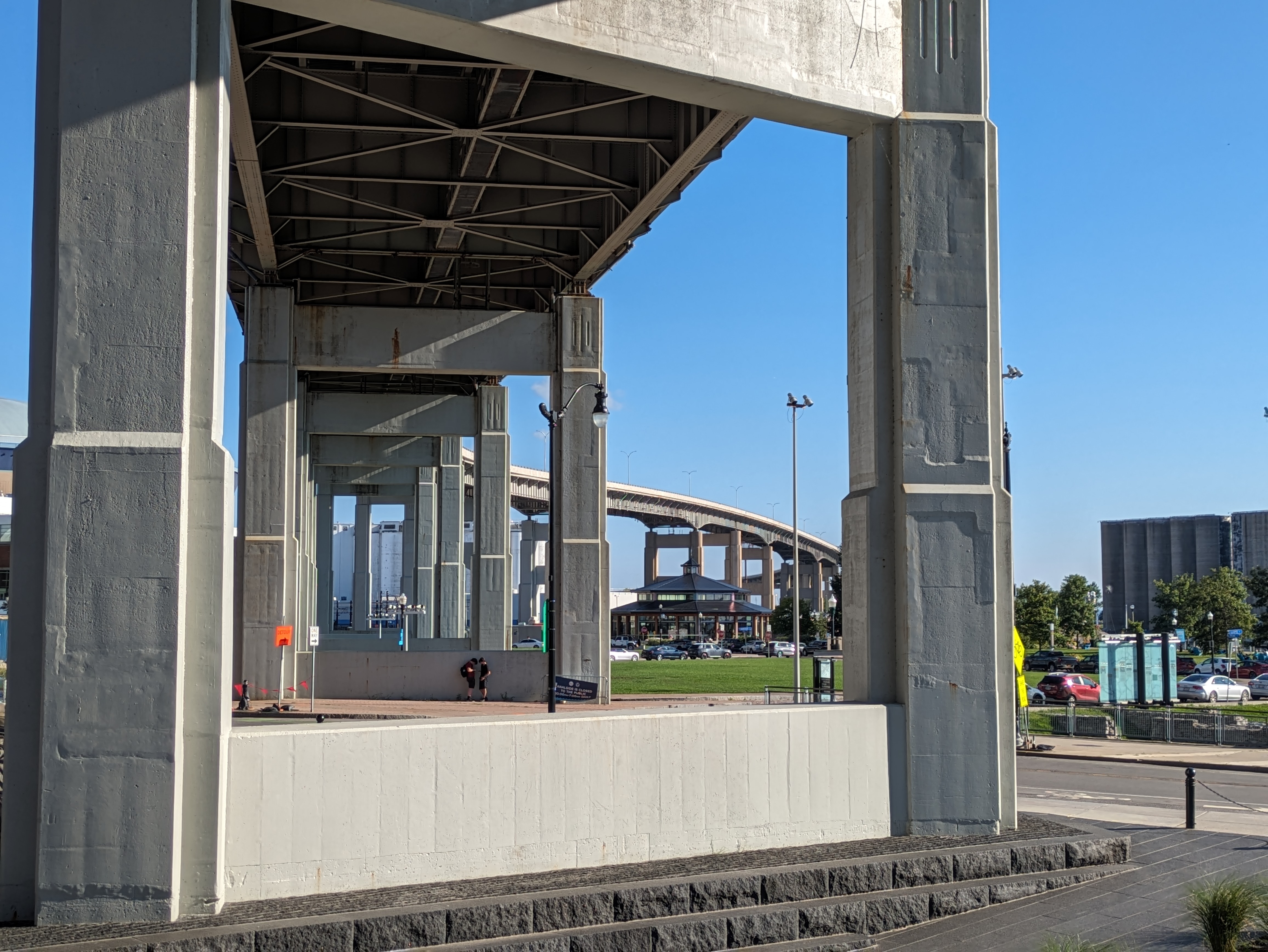
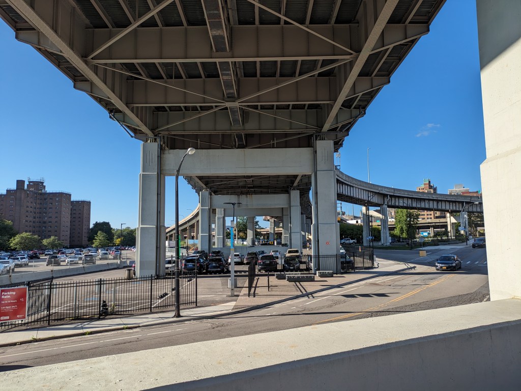
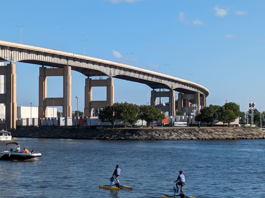
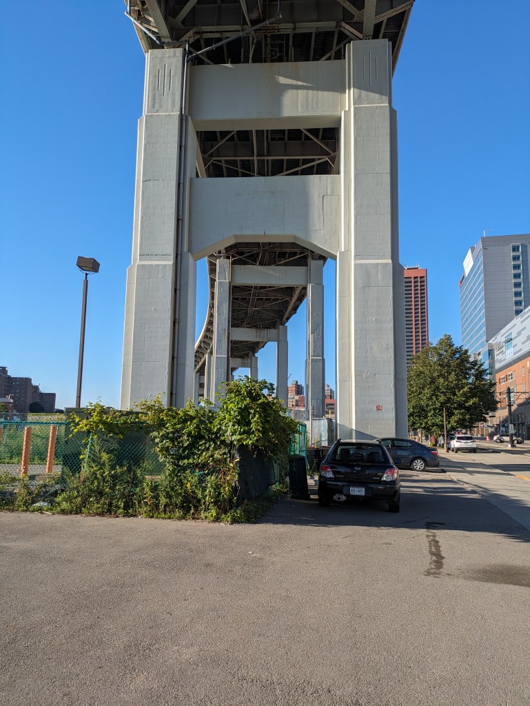
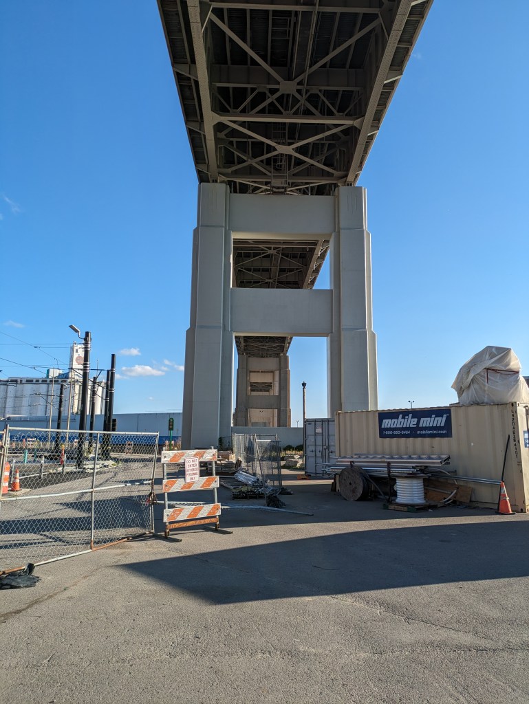
Over my years of bridge-walking, I have come to see that intent is a part of the definition of what a bridge is. Most bridges seem to have the intent of connecting two (or more) points. However, in Buffalo, I encountered a bridge that the number one intent seems to be passing over an area. Millvale illustrates a third, vital component. The intent seems to go beyond just connecting two points (and passing over something, in this case, a stream). The intent here seems to include a demonstration that humans best nature . . . a demonstration that doesn’t appear to be working in this particular town.