What’s New
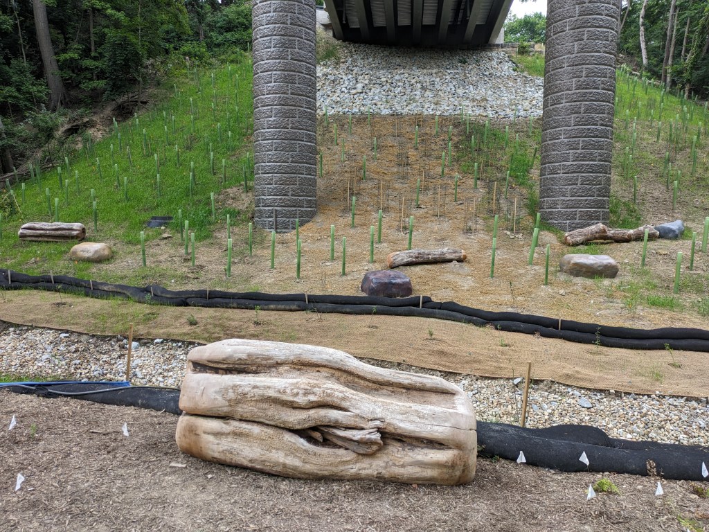
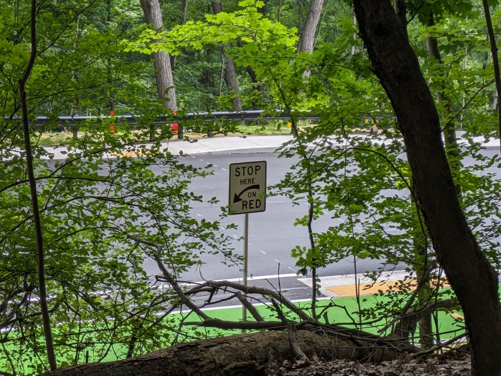
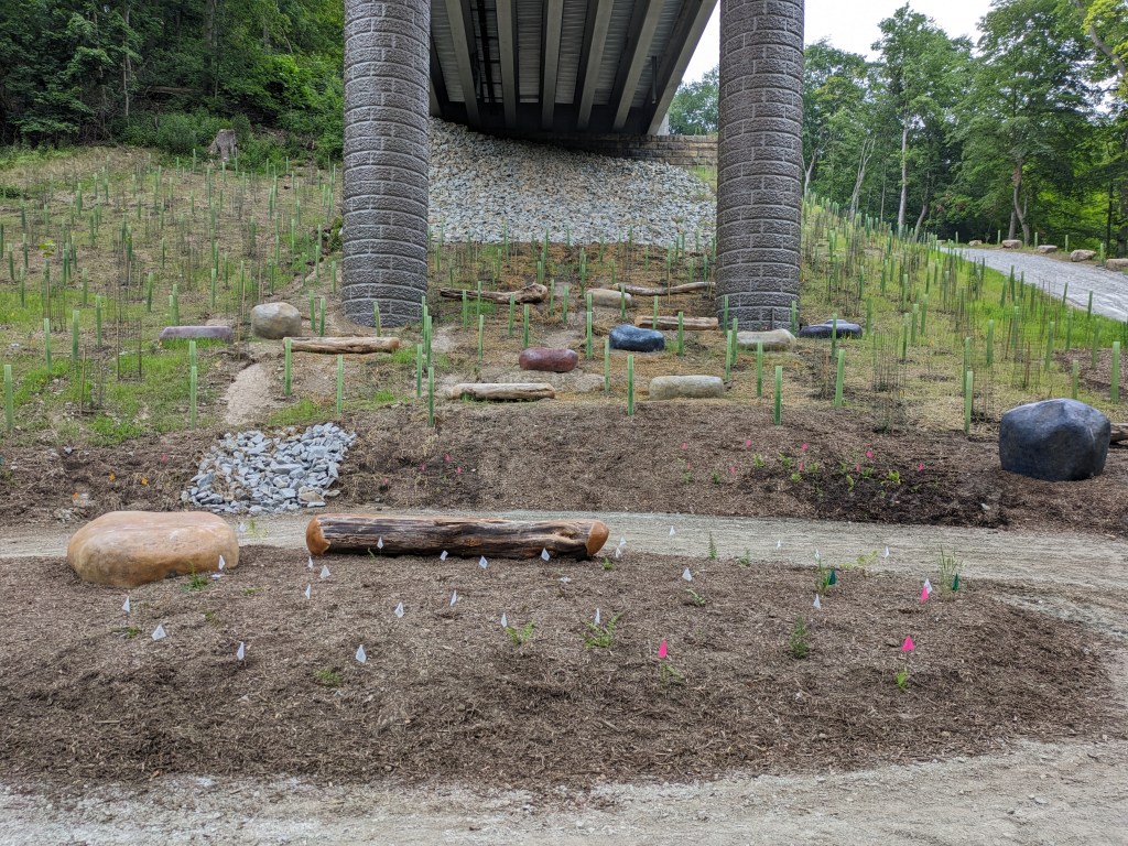
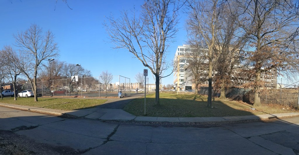
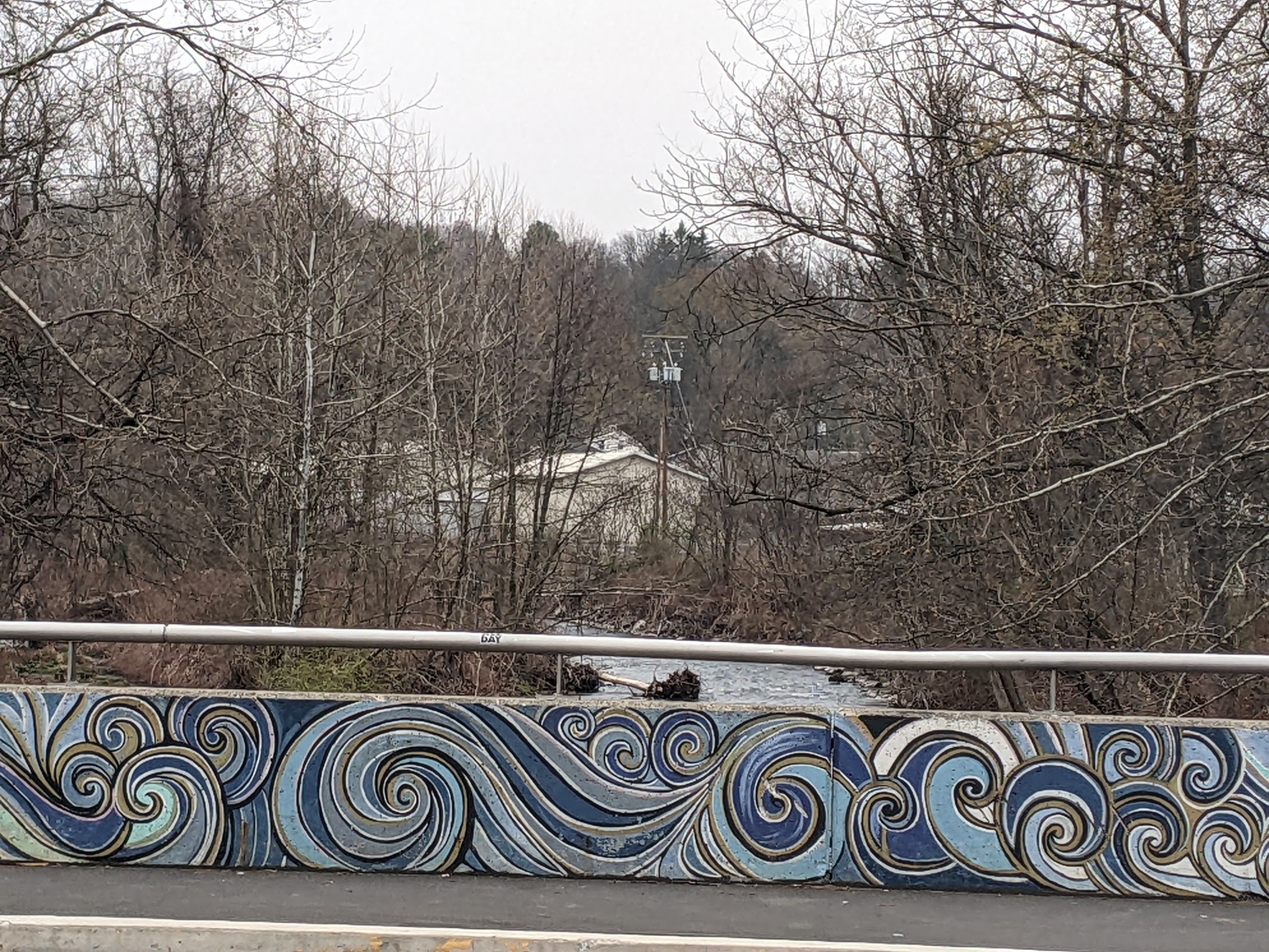
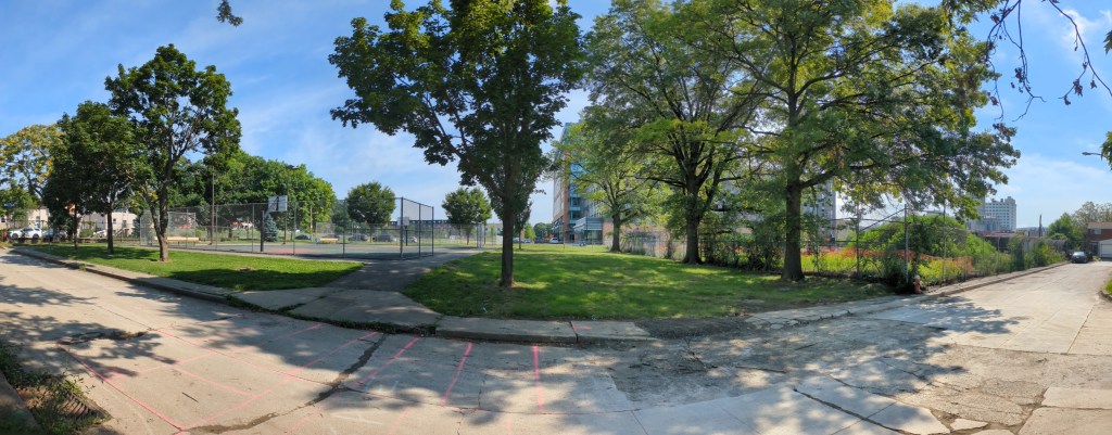
While there are no visible changes yet, the redevelopment of Enright Park has made significant progress so far this year. It has been presented to the Art Commission, the Zoning Board of Adjustment (ZBA), and the Planning Commission. Art Commission because any projects on city-owned land require Art Commission approval; ZBA because the proposal includes a fence taller than is permitted in the zoning regulations; and Planning Commission because of the zoning district where the park is located (AP – Mixed-Use Planned Unit Development). All three boards and commissions have approved the project.
Enright Park was one of the City’s bargaining chips when the developer of the Penn Plaza site was seeking approval to redevelop affordable housing that had been disinvested by the owner into a mixed-use development. For the new layout to work, the developer needed a portion of the land that Enright Park covered. The final agreement between the City and the developer included swapping land so that the park remained and at a similar size and the developer agreed to contribute a significant portion of the cost to redevelop the park.
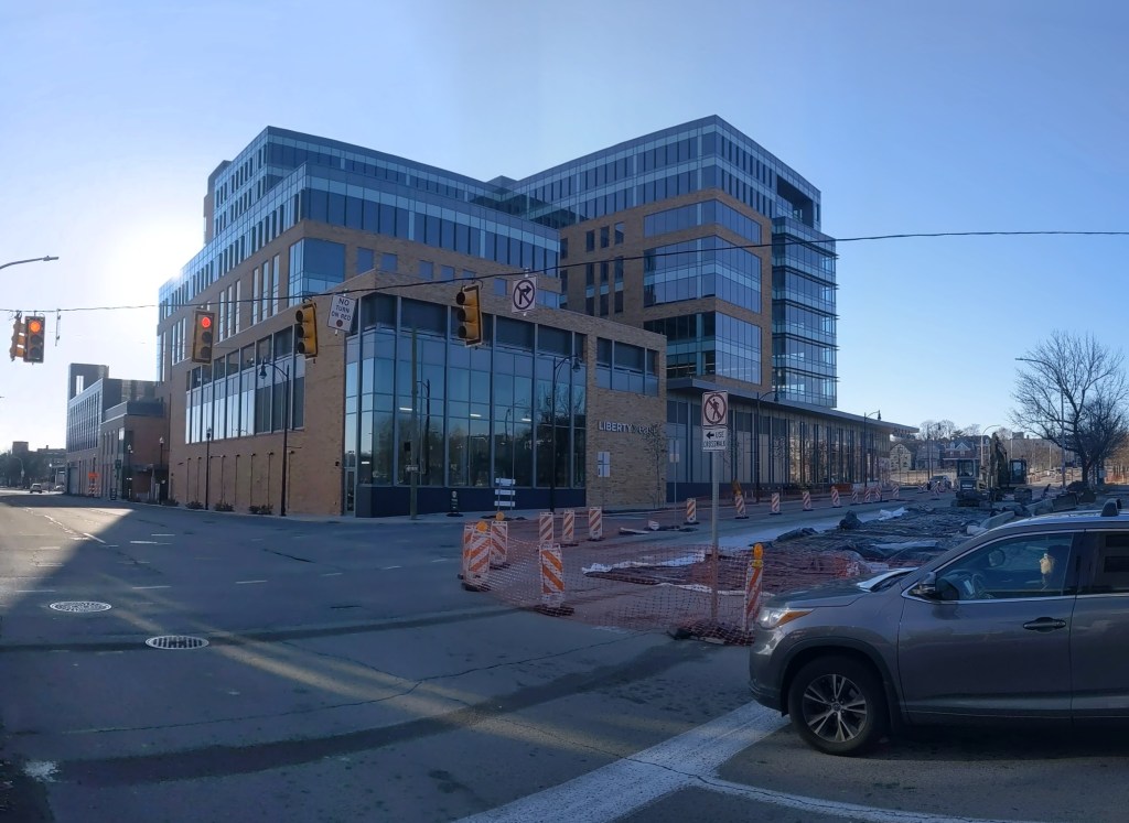
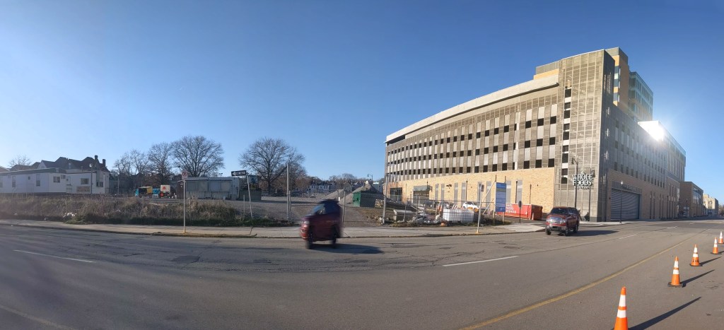
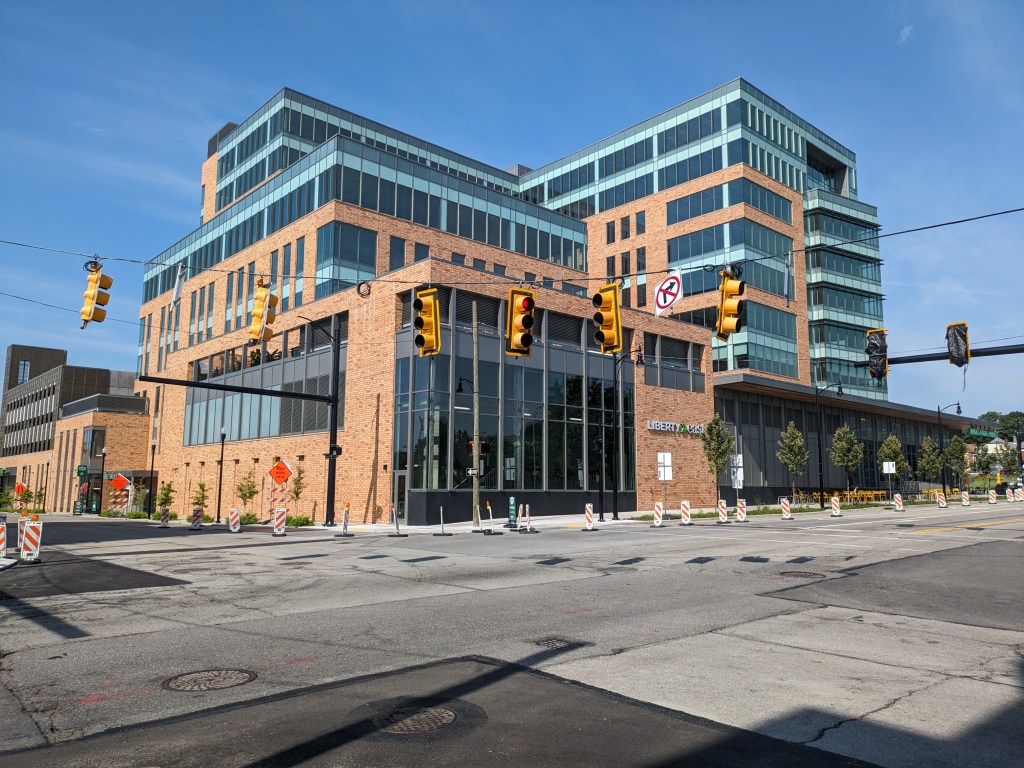
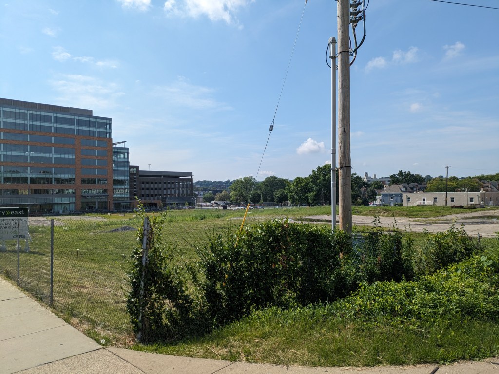
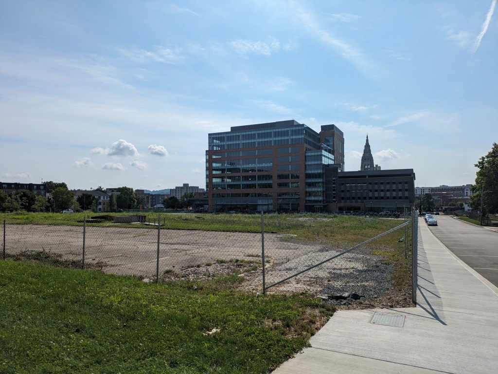
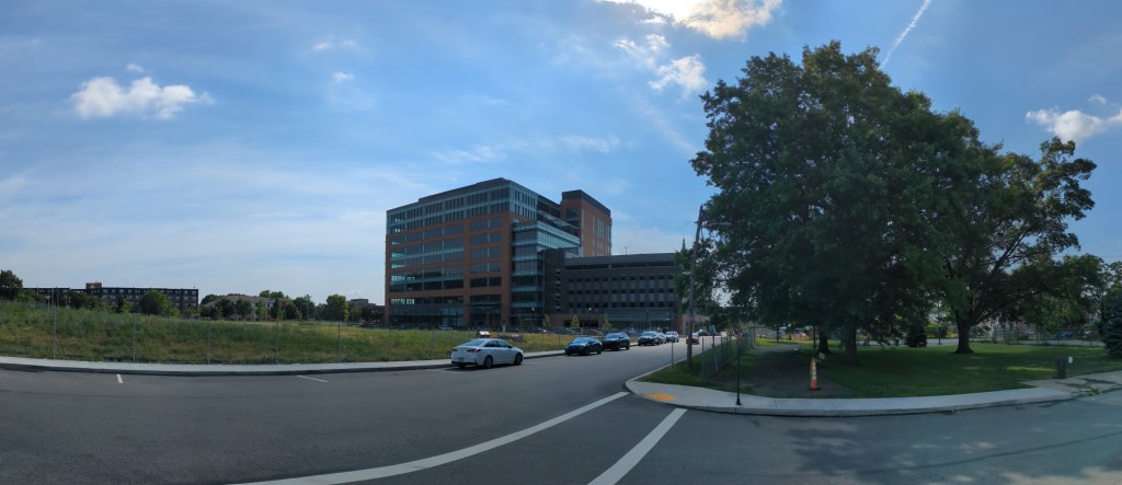
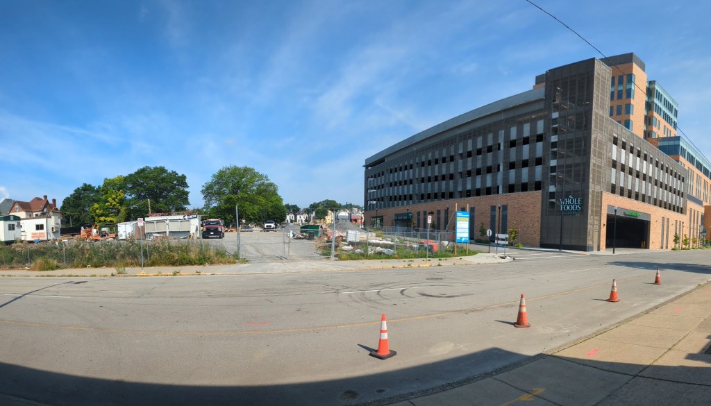
The Phase 1 building (Liberty East) remains much as it did in 2022. Whole Foods takes up most of the first floor and the one other space at ground level remains vacant. However, according to the news a second office space has been taken by the developer of the building (LG Realty). Duolingo was the first office tenant to move in.
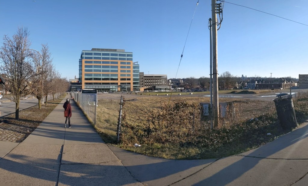
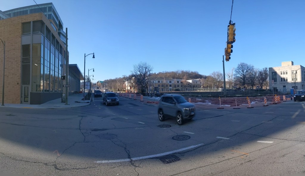
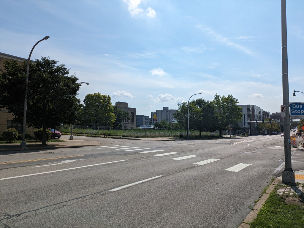
The large block where Phase 2 will go remains visible untouched. Perhaps behind the scenes work is moving forward.
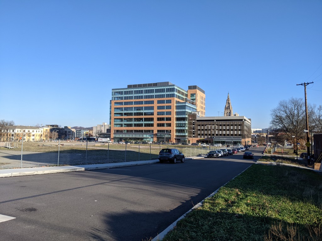
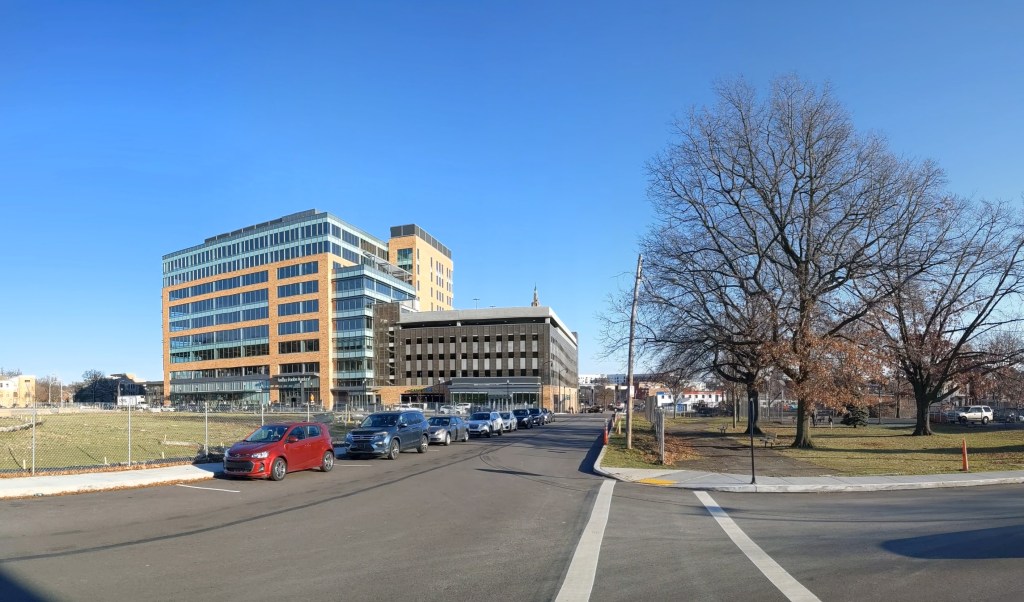
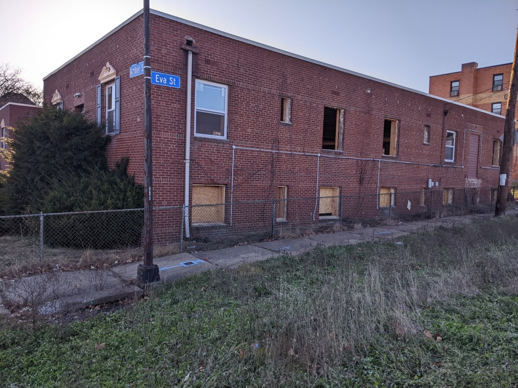
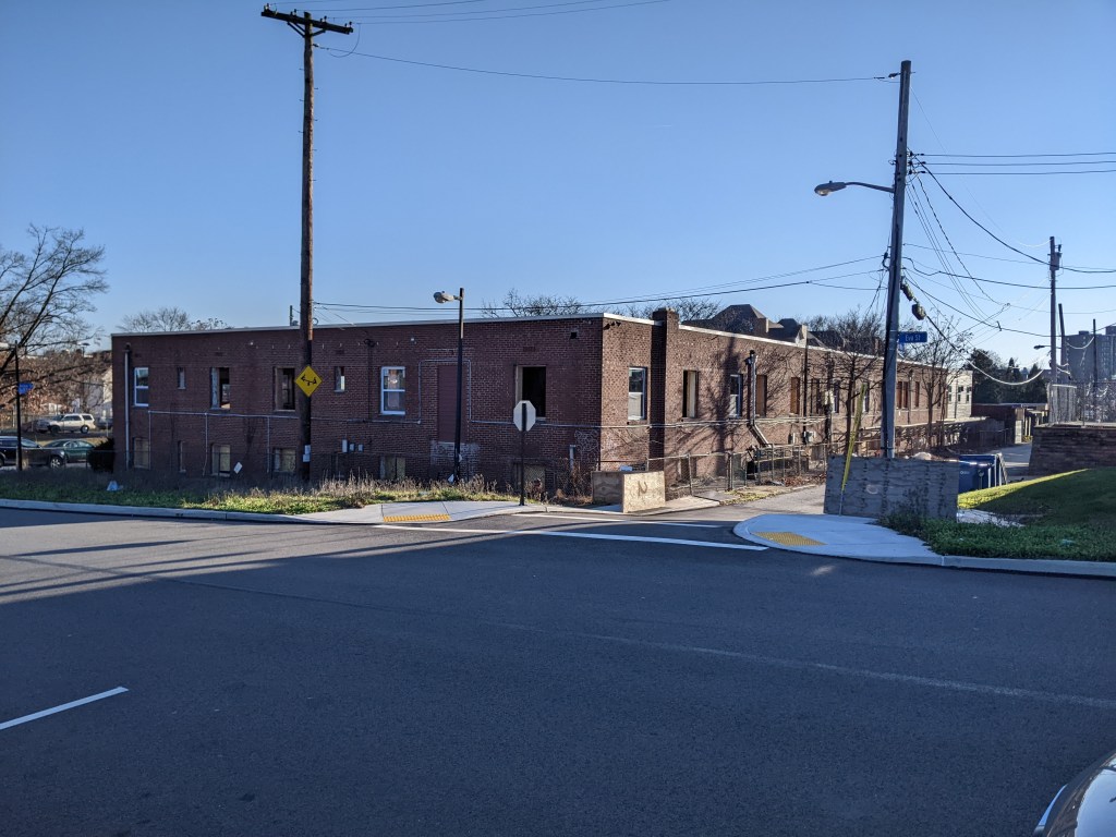
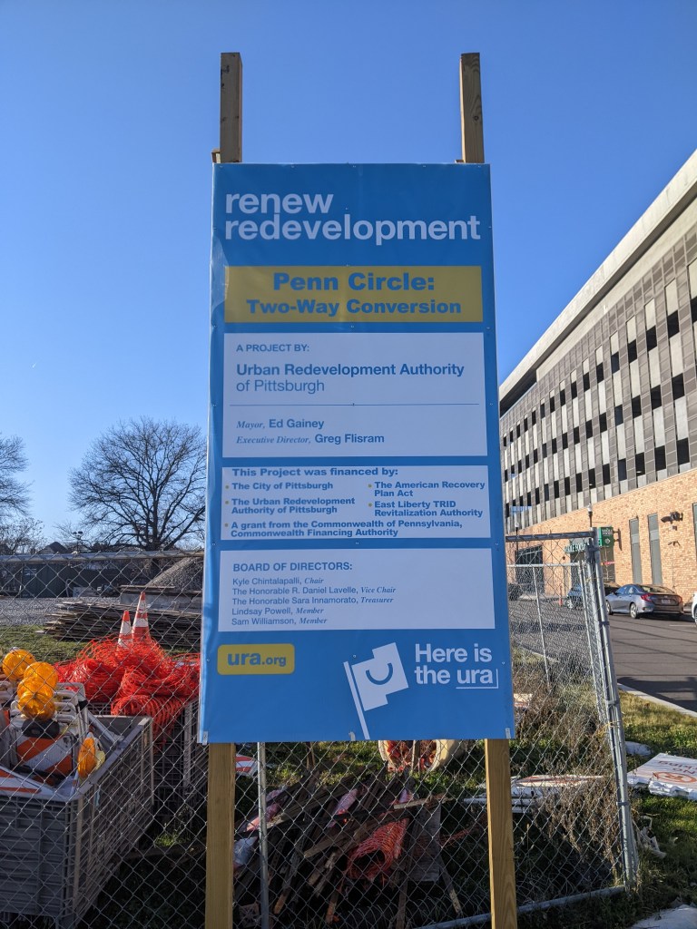
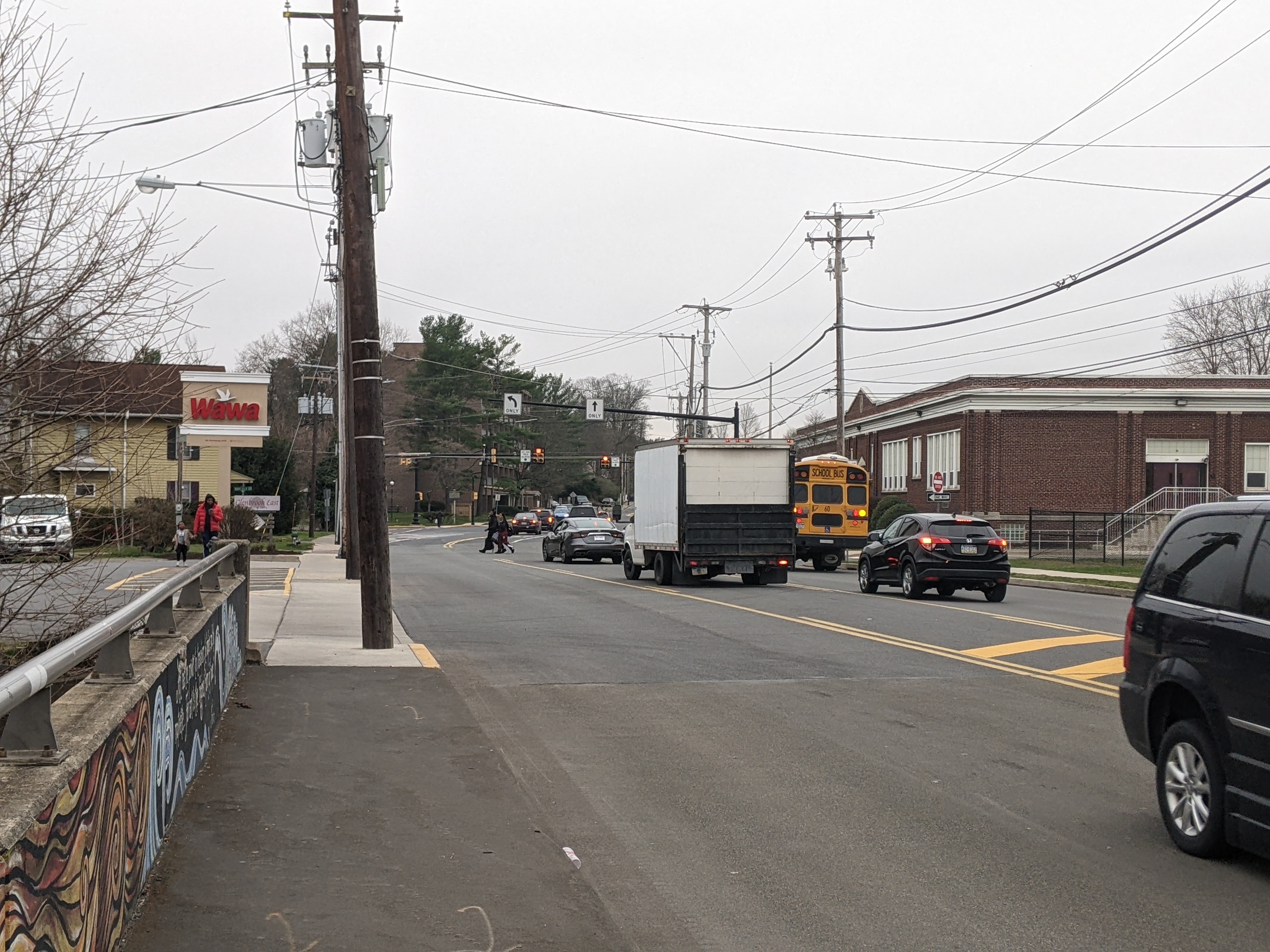
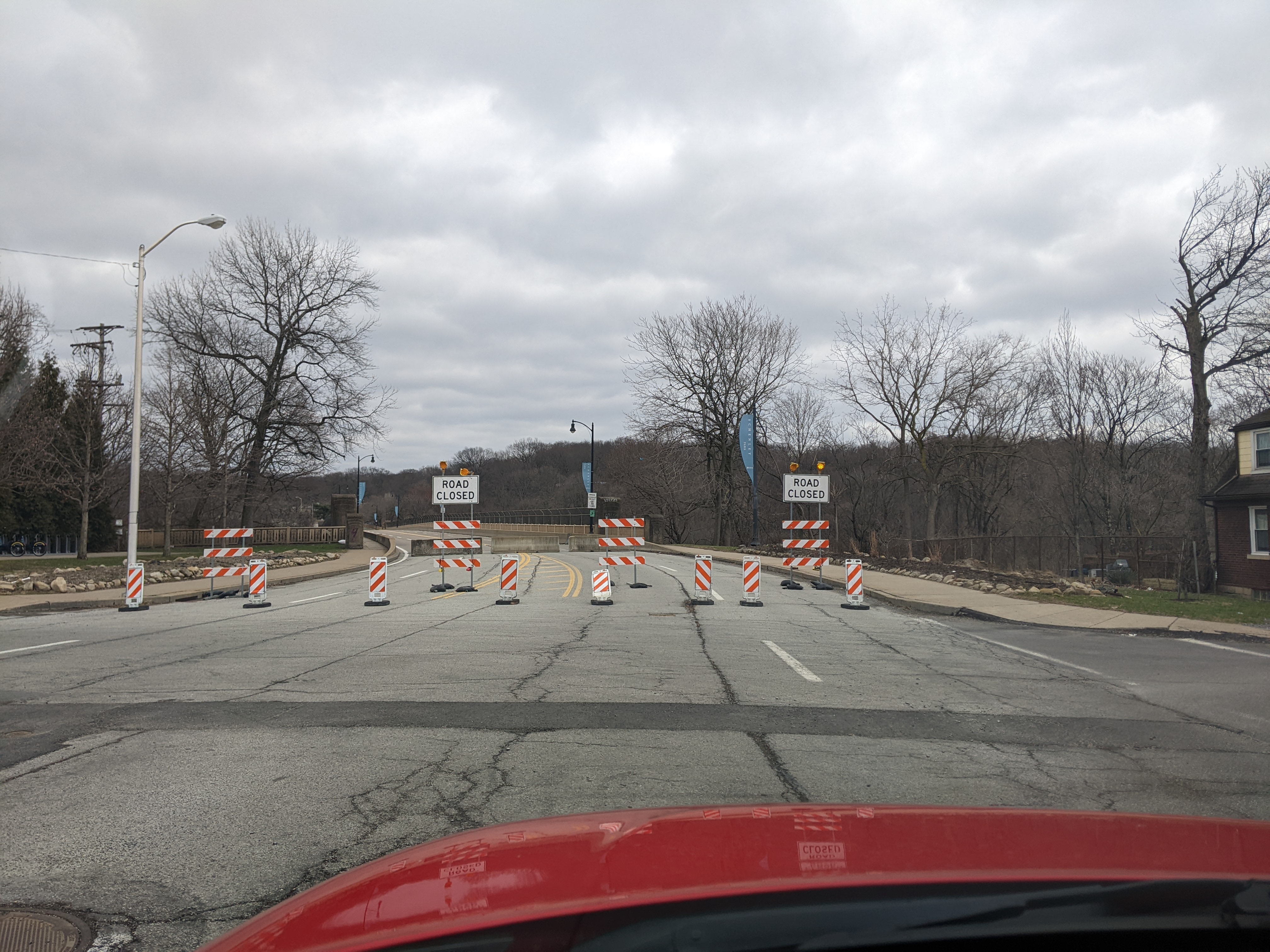
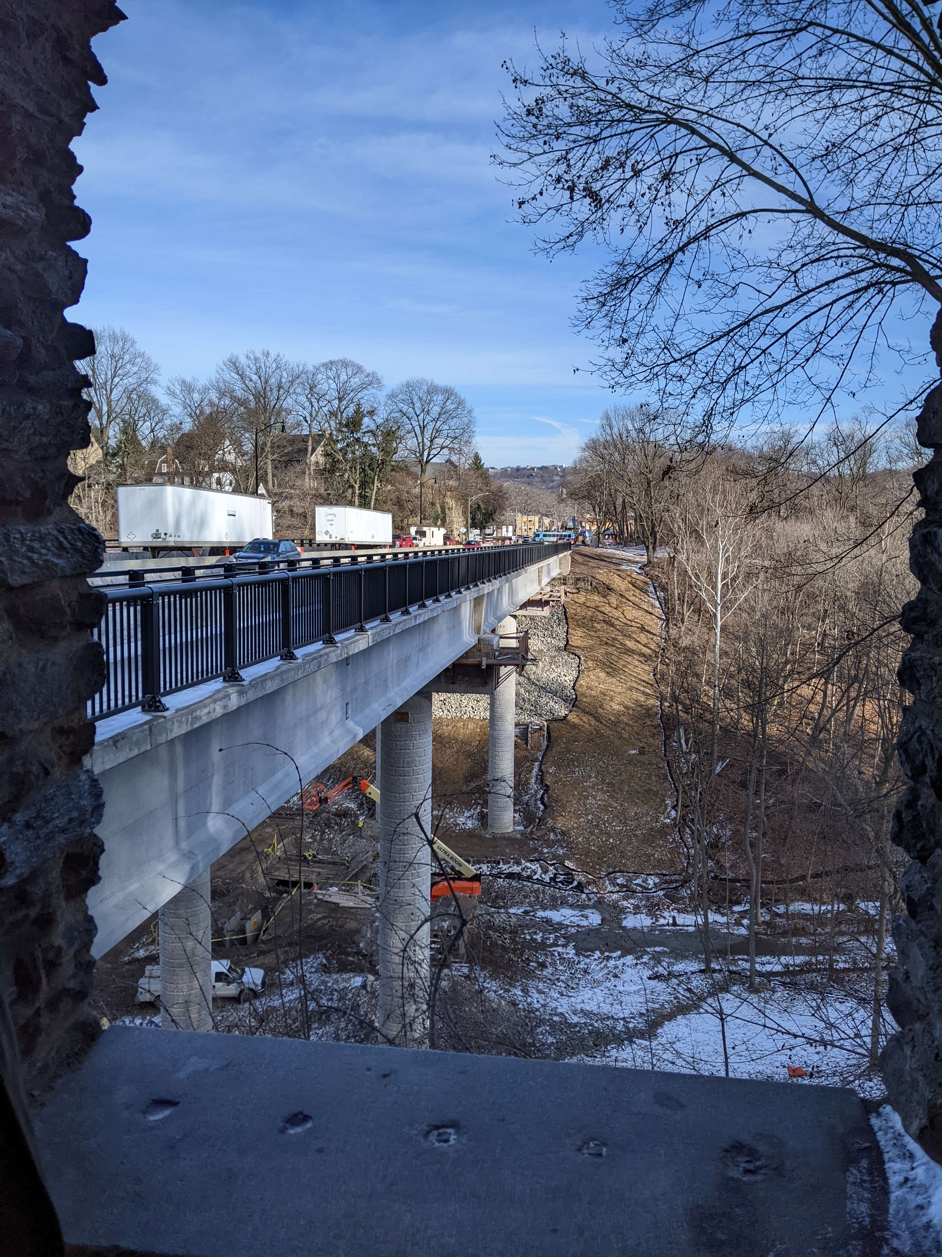
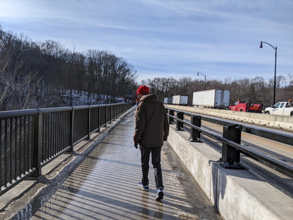
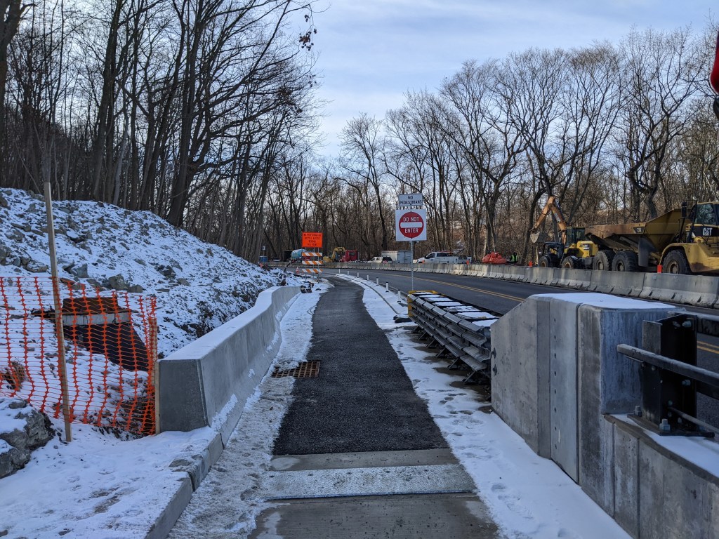
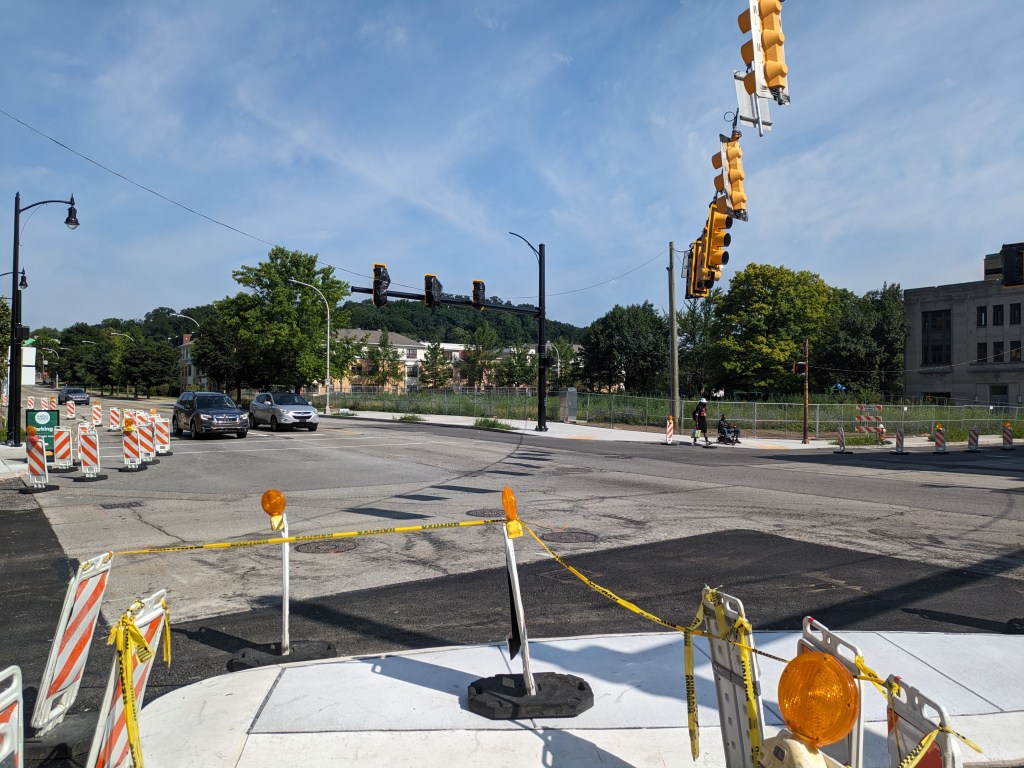
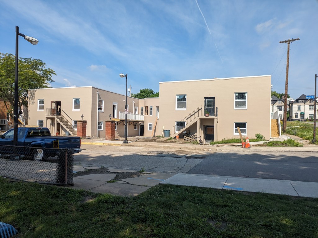
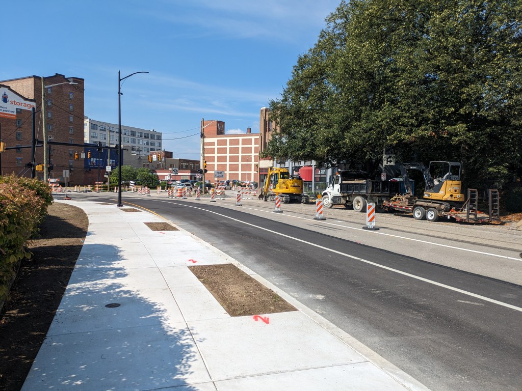
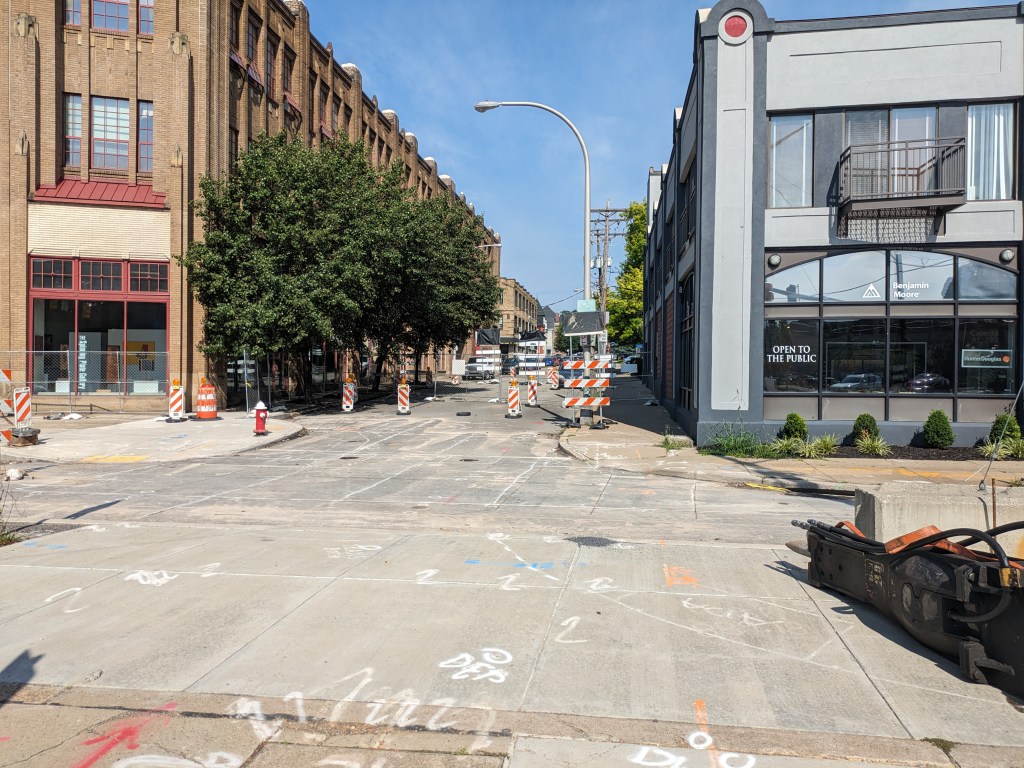
Around the site, the re-establishment of two-way traffic on Euclid Avenue continues; the renovation of the nearby apartment building also progresses, though now they look like they belong in California instead of Pittsburgh since the brick was covered up; and the former site of the East Liberty Lutheran Church remains vacant.
Background
The former Penn Plaza Apartments was a group of large of apartments buildings that served a low-income population. After years of neglecting these apartments, the owner gave 200 residents notice to vacate within 90 days in the summer of 2015. By then, the surrounding neighborhood of East Liberty was a hopping place to live with low vacancy rates and the average rent much higher than what these residents could afford. There was a large outcry at the time, which only got worse as the owner’s plans for the site were understood. The owner wanted to swap some land with the City and change the zoning district to build a large scale mixed-use development: 54,600 sq ft of retail and 246,090 sq ft of office with accessory parking (see the application materials starting on page 54 from the final Planning Commission review and approval). After months of negotiation with the City and the community, the land and the zone change were given to the development while the affordable housing crisis in Pittsburgh only got worse and the former residents were forced to uproot their lives.
The Penn Plaza Support and Action Coalition has more information on what was promised and what happened as the residents were forced to find new housing.
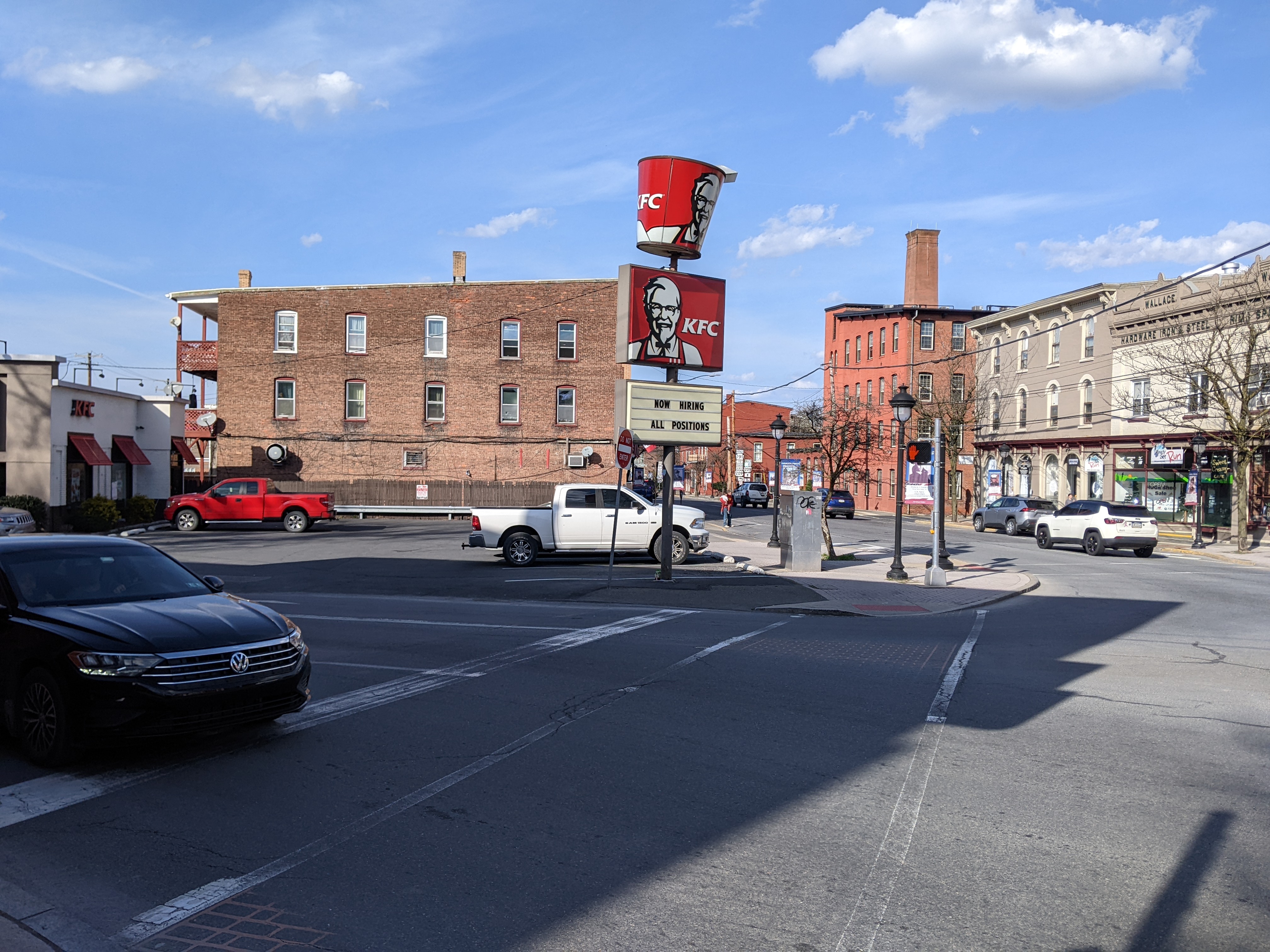
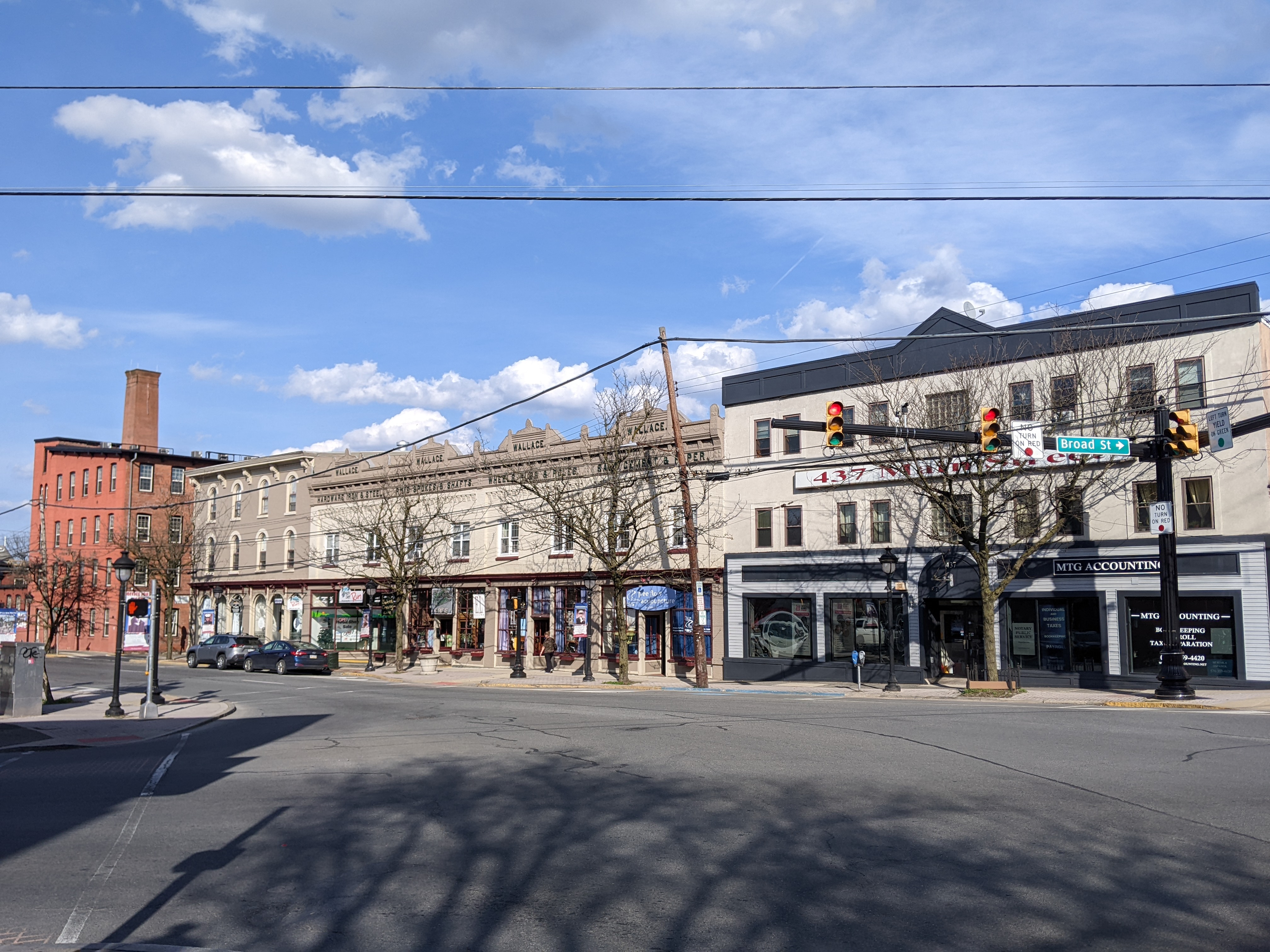
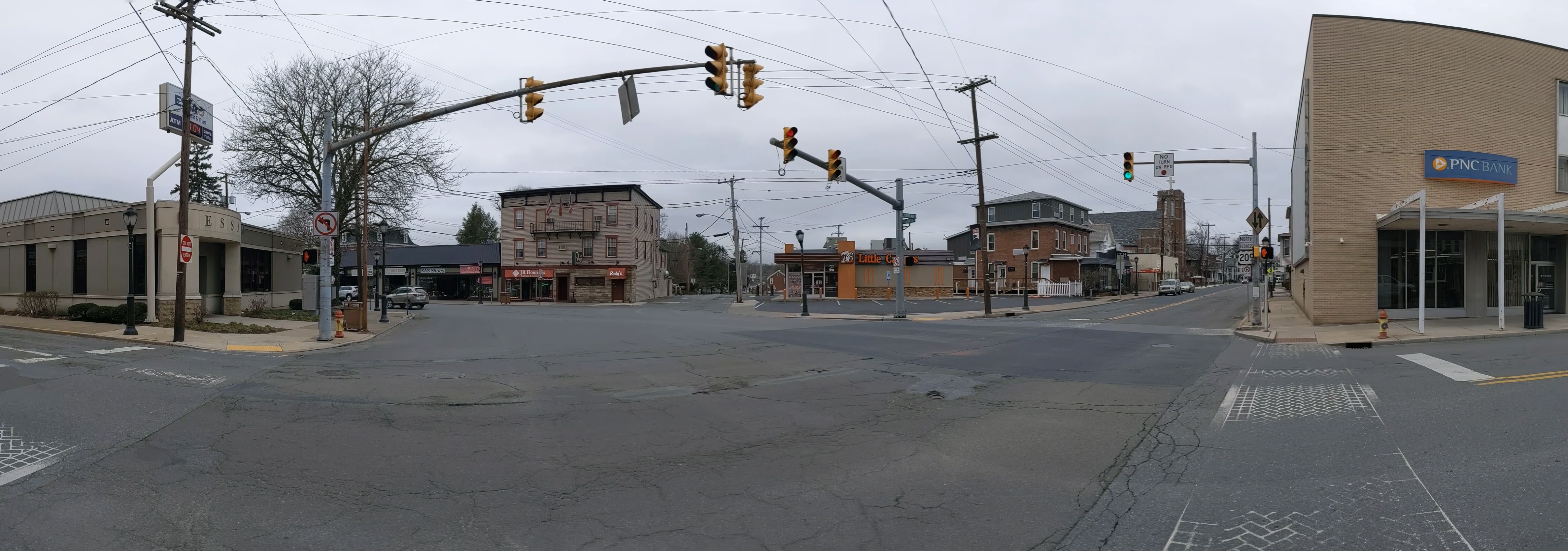
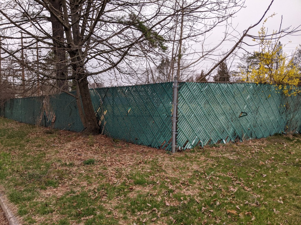
Photos: The Site
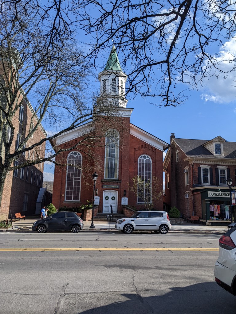
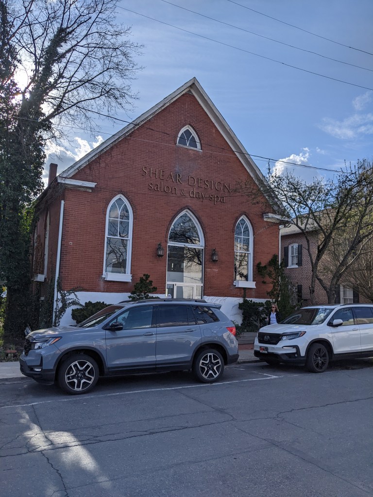
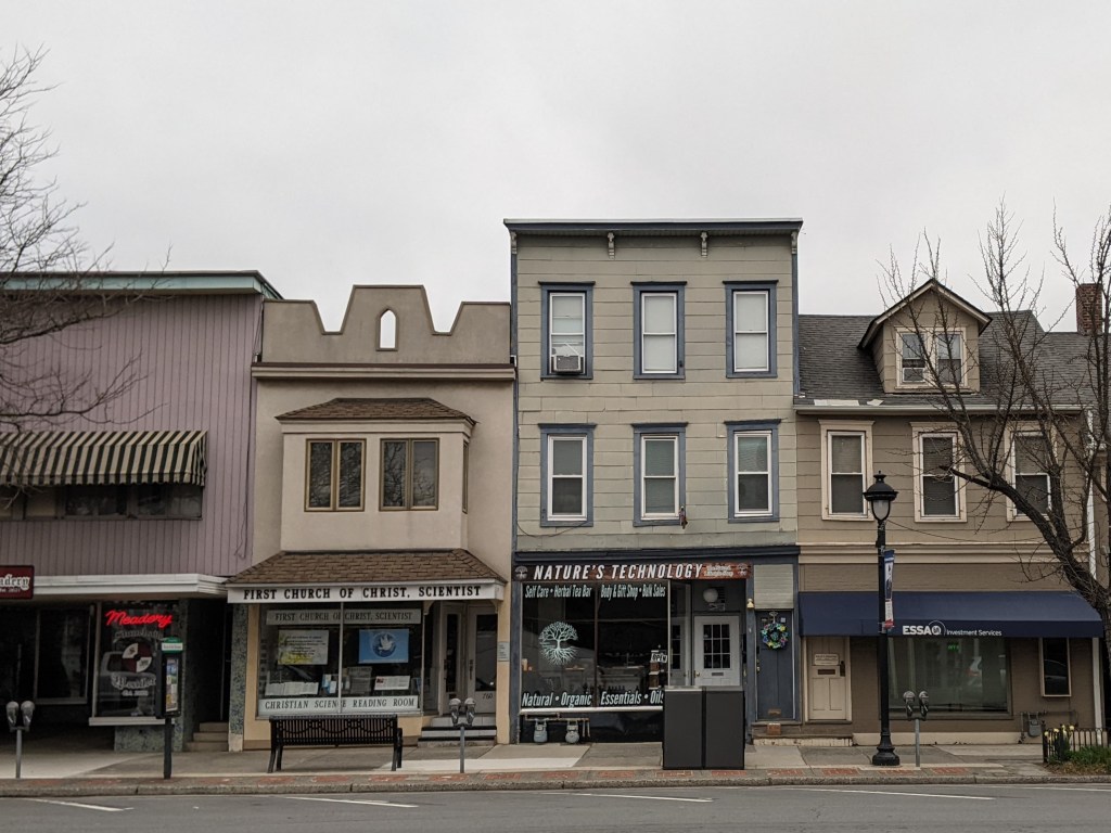
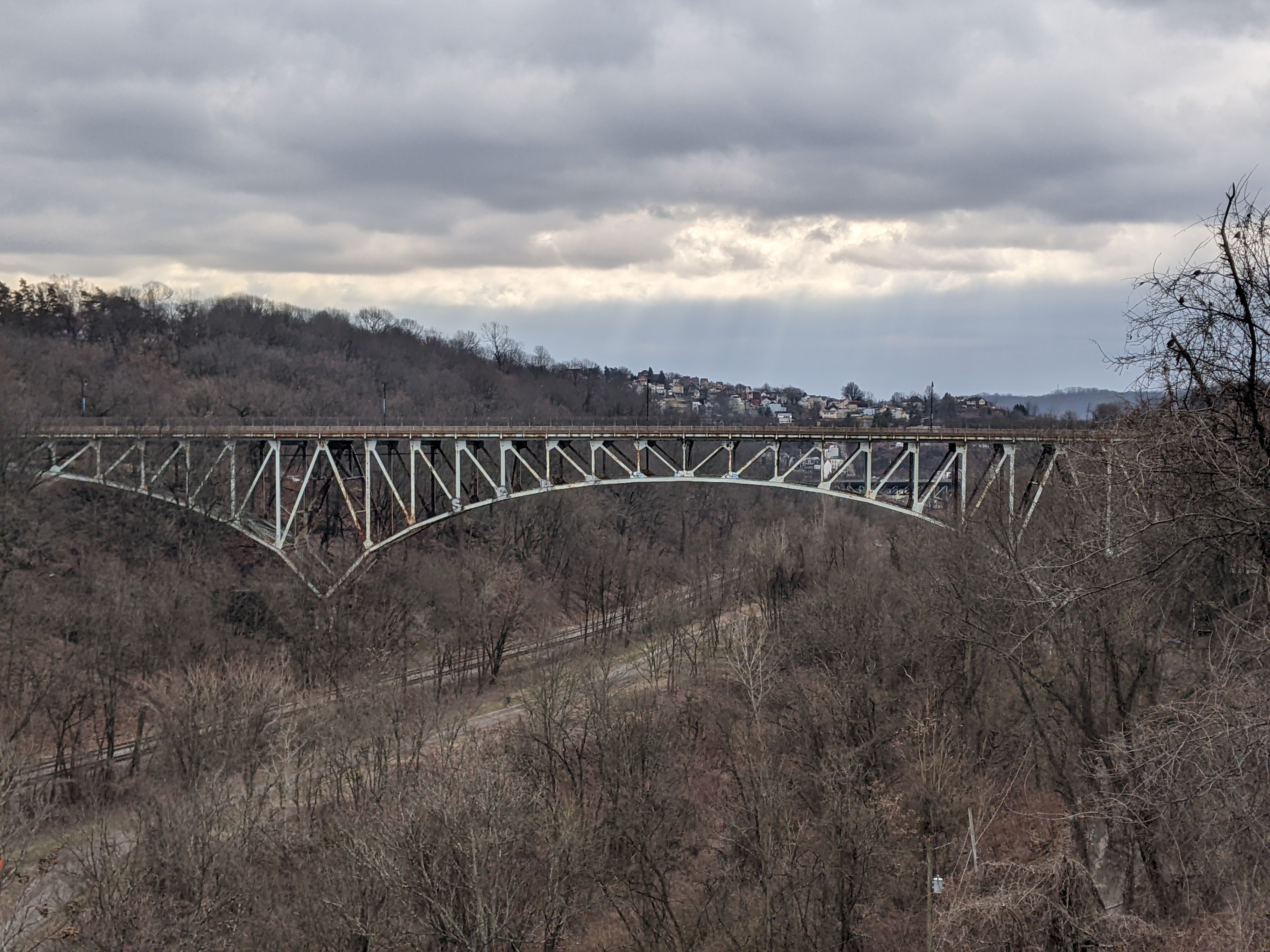
Photos: The Surroundings
Penn Plaza in the News and Additional Resources
Enright Park:
- City of Pittsburgh project page
- The Art Commission approved the plans (TribLive, March 23, 2023)
- The Zoning Board of Adjustment approved a variance to the fence height (ZBA agenda; ZBA application)
- The Planning Commission approved the plans (TribLive, May 16, 2023; Planning Commission agenda; Planning Commission presentation slides; Planning Commission hearing beginning at 1:06:30)
LG Reatlty moves into new office (Pittsburgh Business Times, June 16, 2023)
City of Pittsburgh project page for the two-conversion of Penn Circle (Euclid Avenue)
City of Pittsburgh project page for pedestrian and traffic improvements to East Liberty
Giant Eagle spoke at a community meeting in January 2023 to share what their plans are for the site that closed and is expected to reopen after redevelopment of the shopping center formerly known as Shady Hill or Shakespeare.
Locating Penn Plaza

Previous Posts in the Series
Keeping an Eye on Penn Plaza – 2022 Recap
Keeping an Eye on Penn Plaza – Jun. 2022
Keeping an Eye on Penn Plaza – Apr. 2021