Overview
The Lower Hill is a notorious site in Pittsburgh, a scar on the city from the height of Urban Renewal. A vibrant (but poor and predominately Black) neighborhood was demolished in the 1950s so the City could build a cultural mecca centered on a Civic Arena, but most of the site ended up not being built and was left as parking lots.
Now that the arena has been demolished and replaced adjacent to the former location, the Penguins hockey team has the development rights to rebuild the Lower Hill, stitching back together the fabric of the city and reconnecting the remainder of the Hill District neighborhoods with downtown.
However, grand language describing the wonderful benefits to a city are part and parcel of any major development project, including the 1950’s Urban Renewal of the Lower Hill. Fifty years later, the Urban Renewal of the Lower Hill is rarely, if ever, described as a good thing. In fact, the current redevelopment is sometimes described as undoing the mistakes of that project. However, can the negative financial, social, and emotional repercussions of the original demolition and decades of disconnect be undone simply by reinstating (most of) the former street grid?
This blog post is part of an on-going photographic series to watch the redevelopment of the Lower Hill. Periodically, approximately once every six months, I return to the site to take new photographs. In addition, I include links to articles about the project that I’ve encountered since the previous post in the series. At the end of the post, there are links to all the previous posts in the series.
What’s New
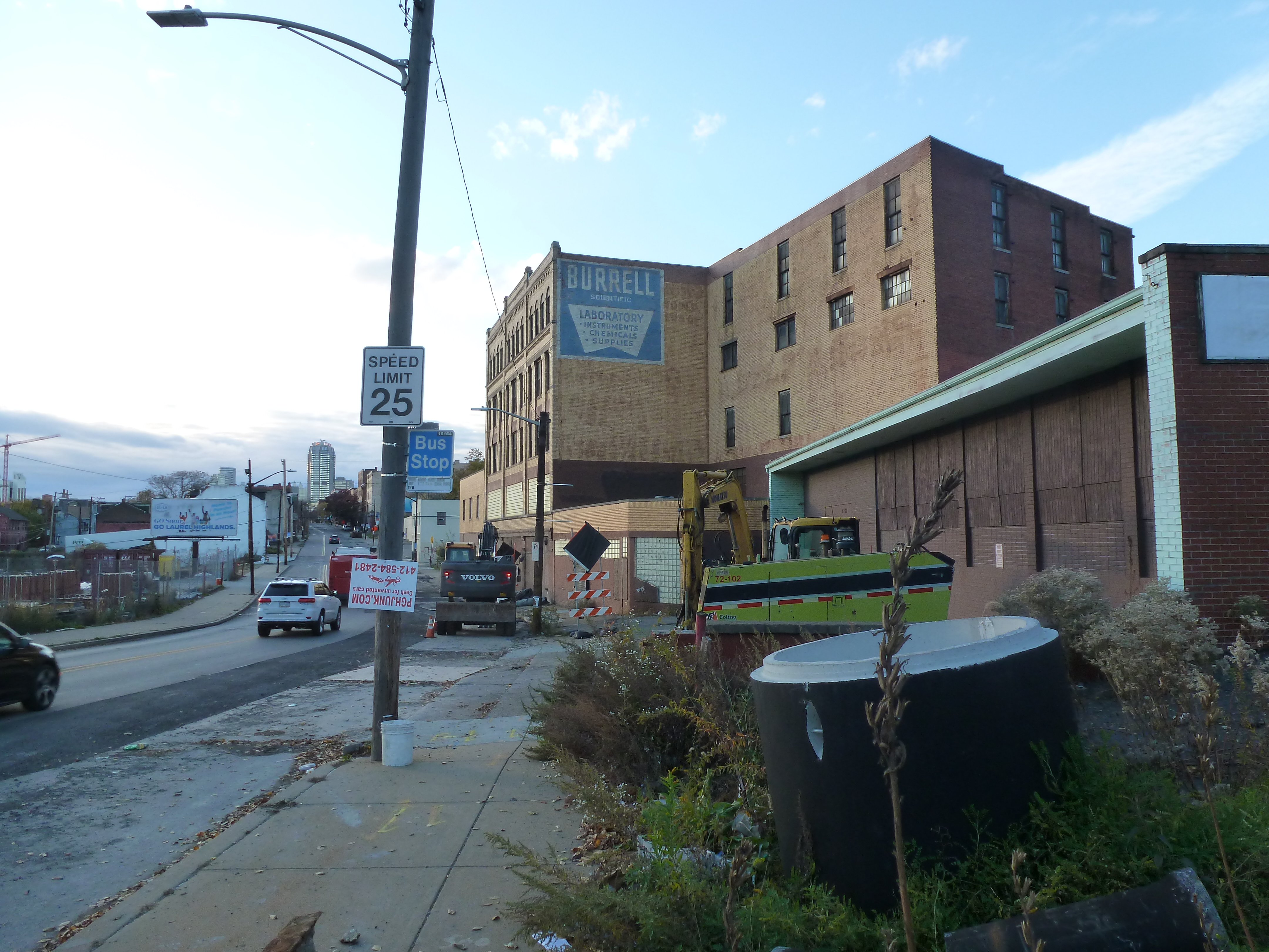
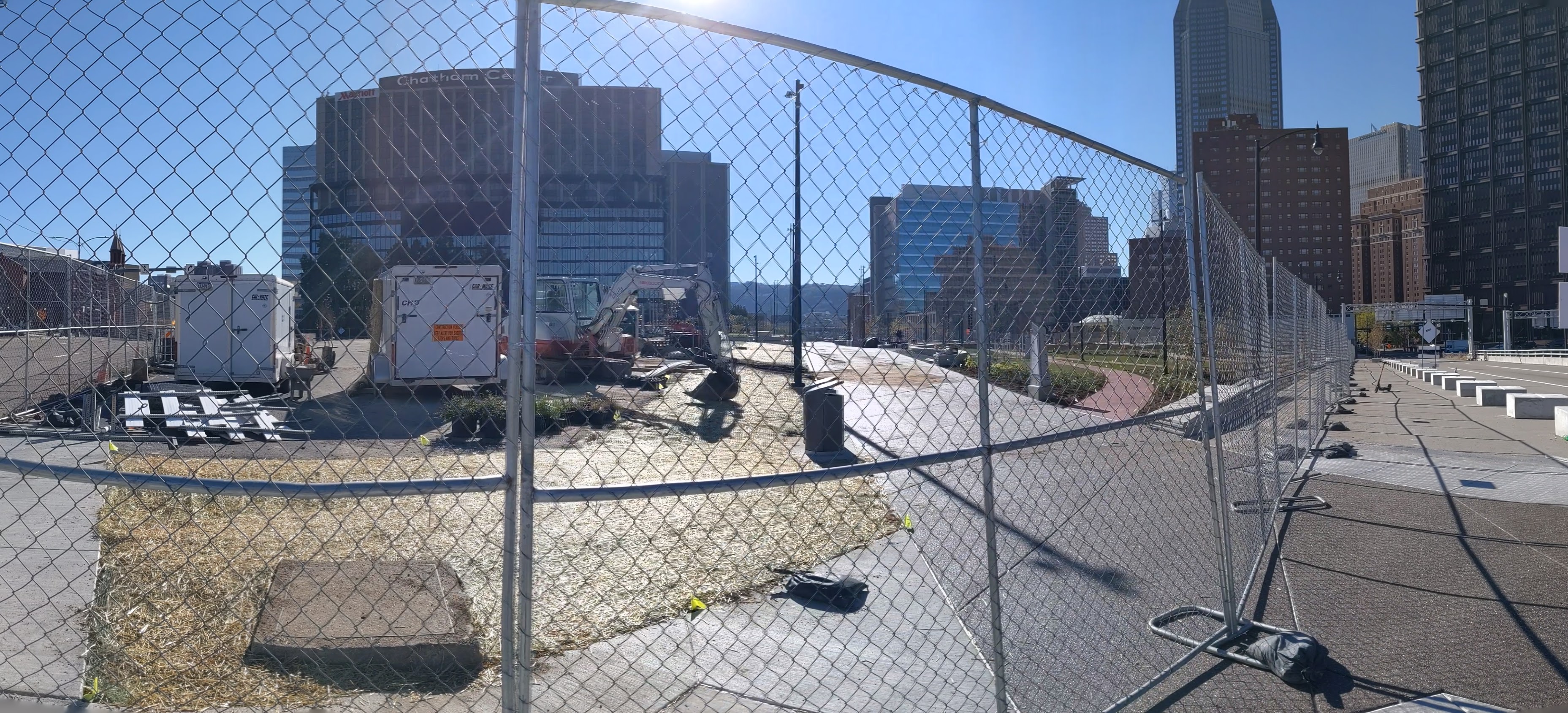
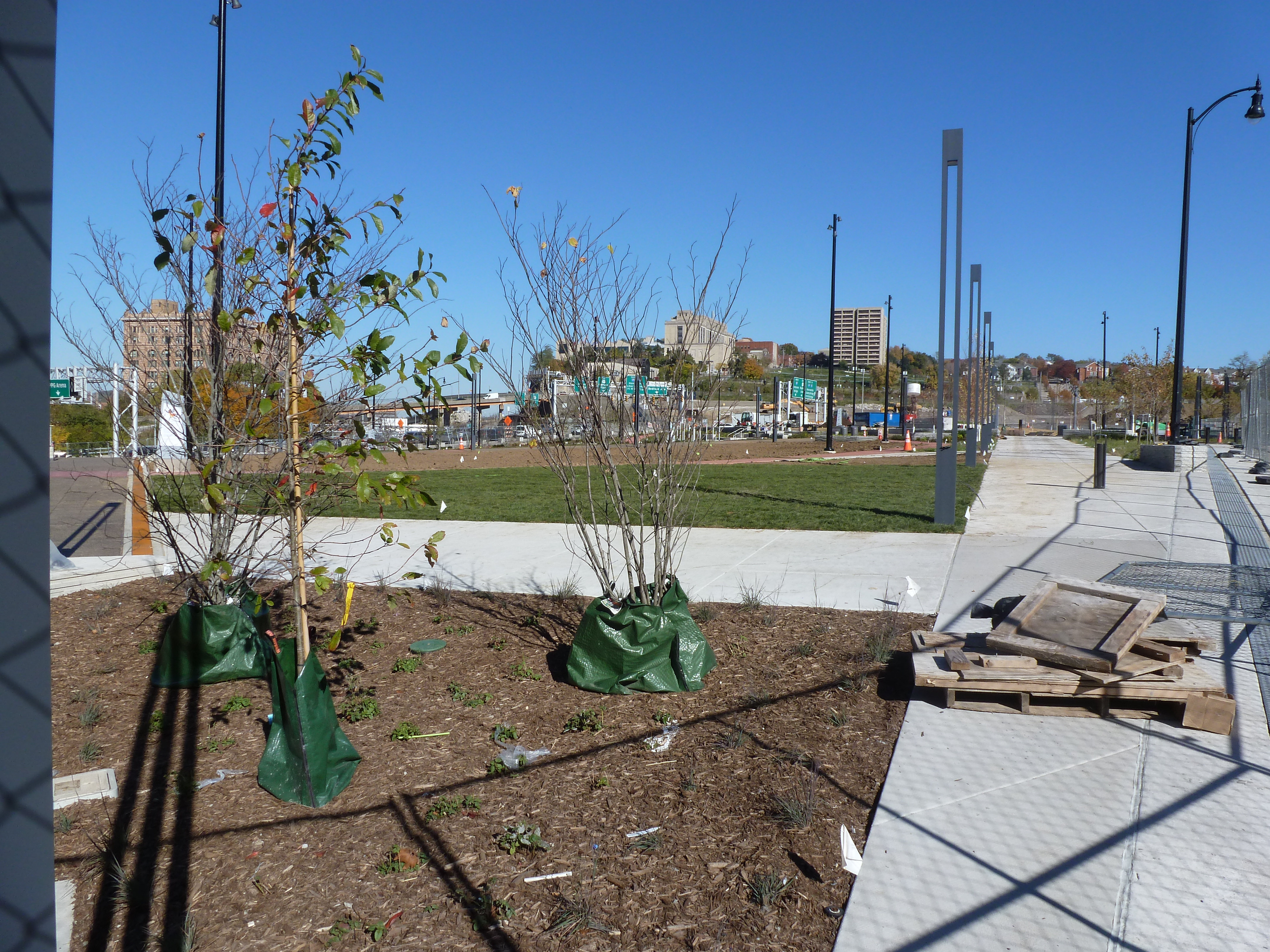
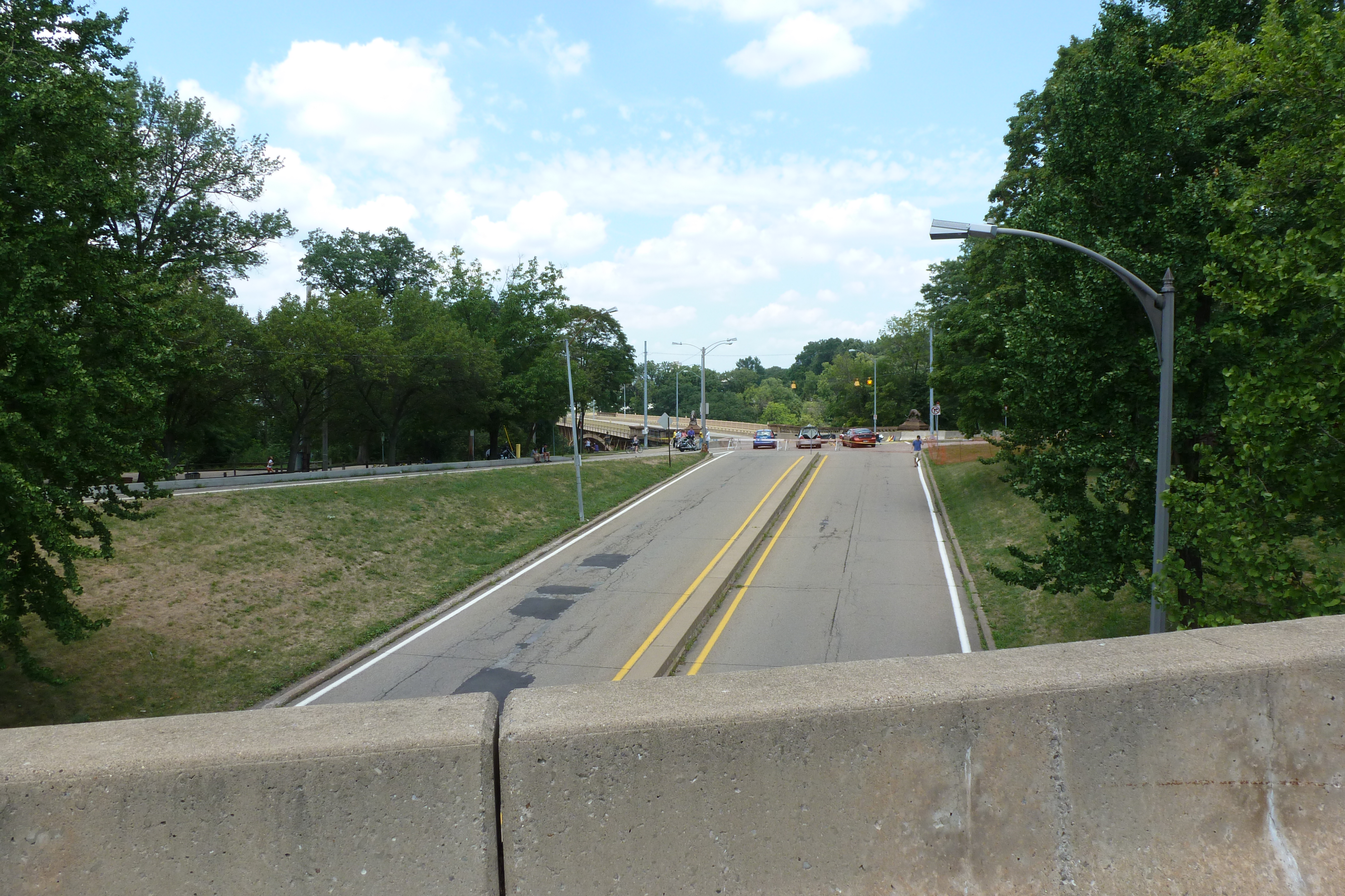
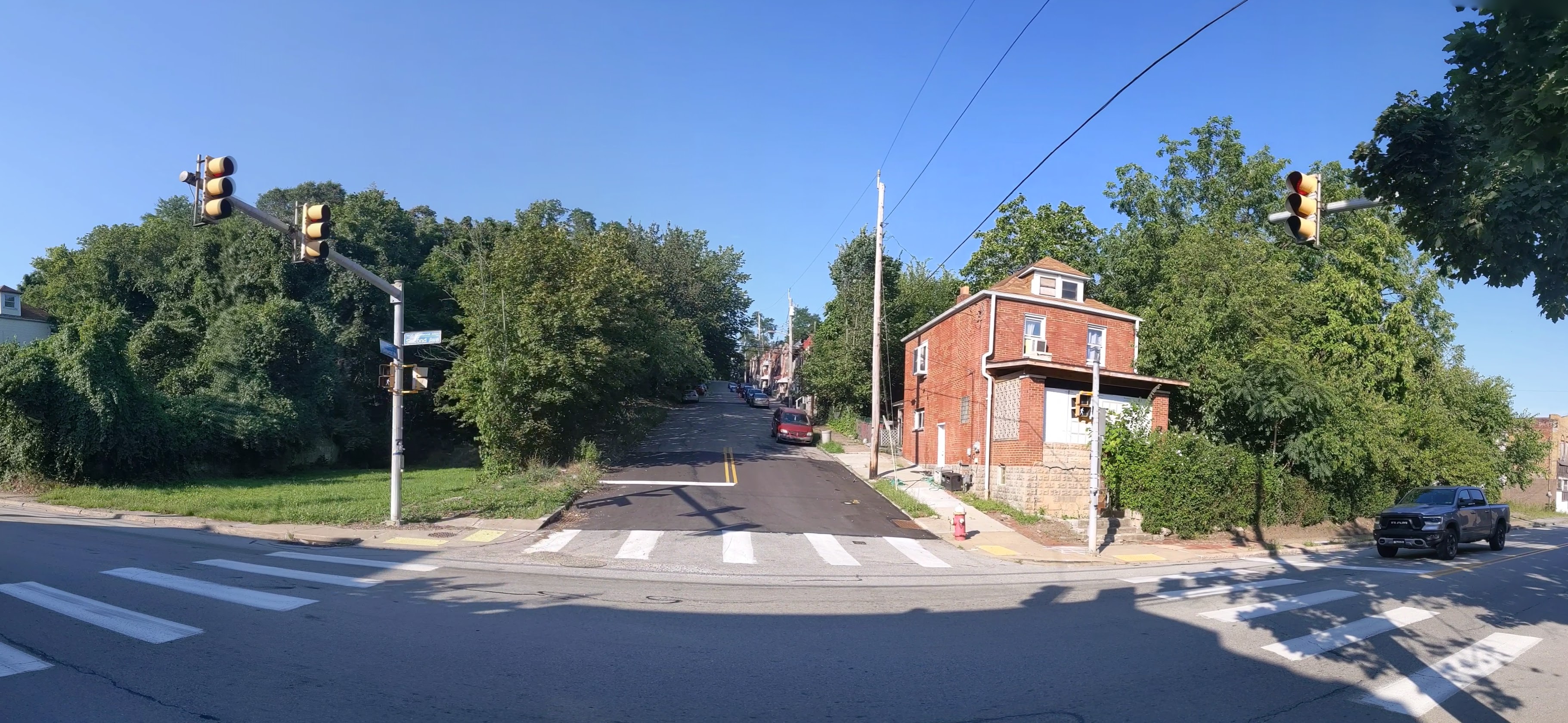
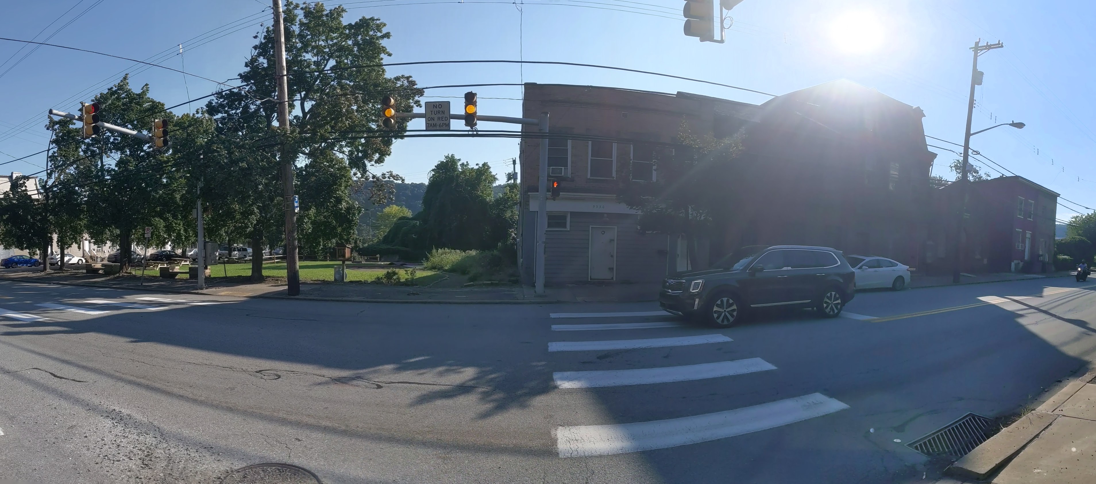
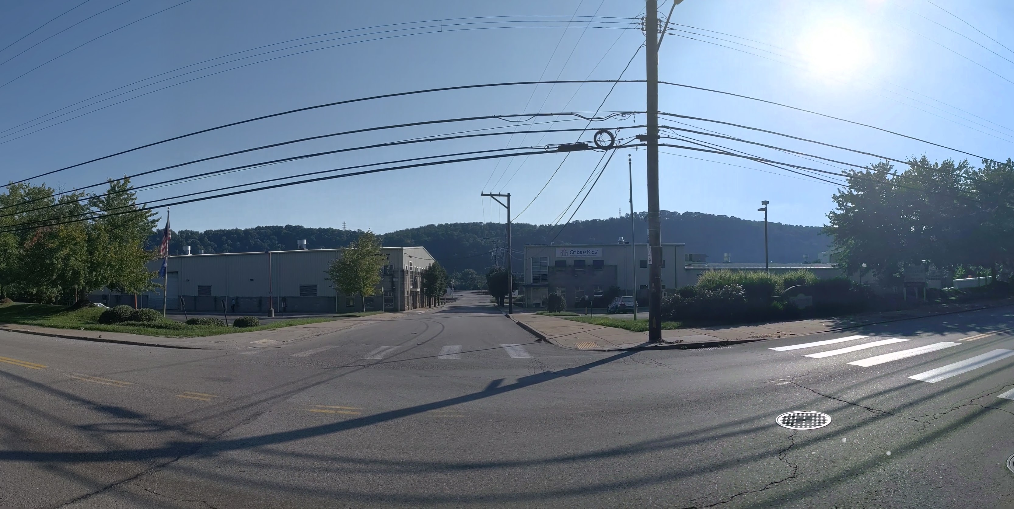
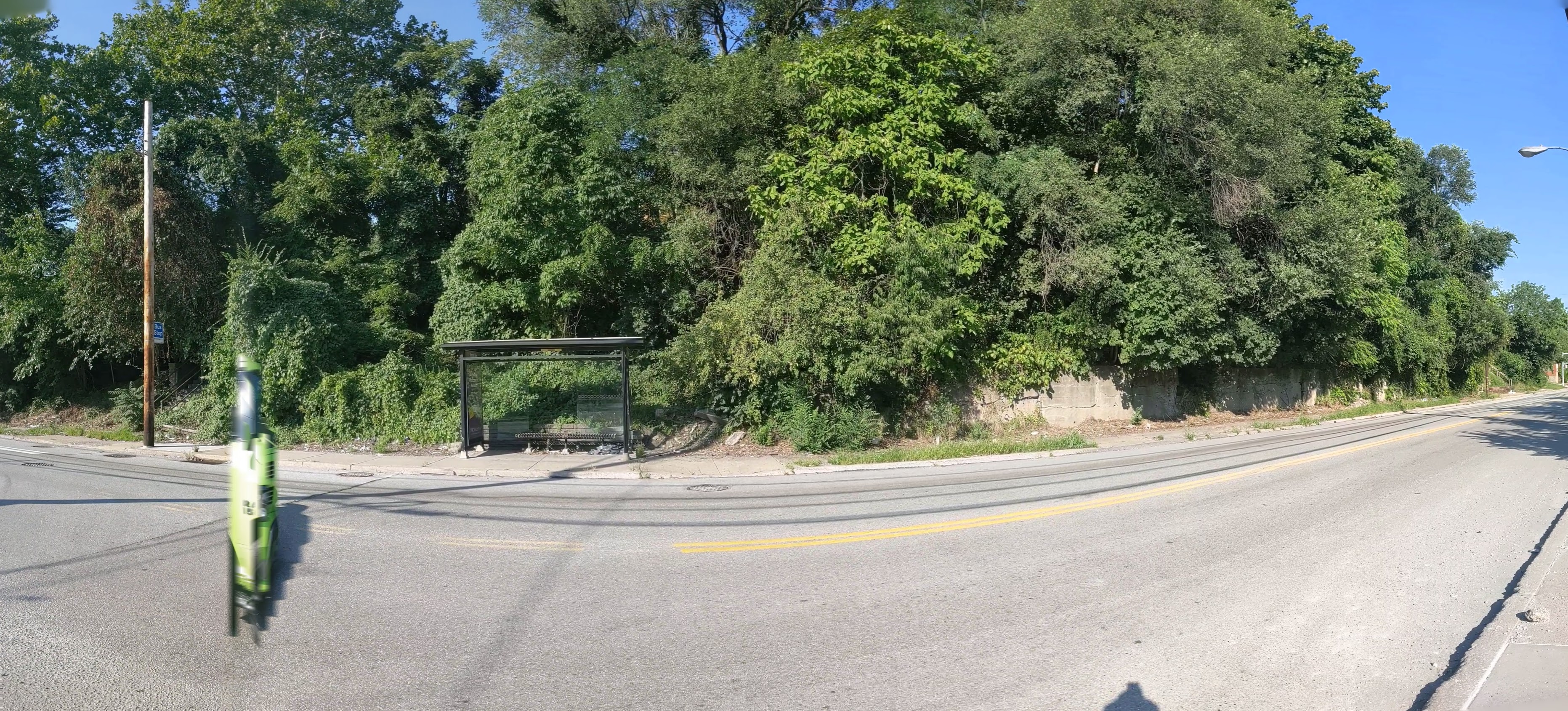
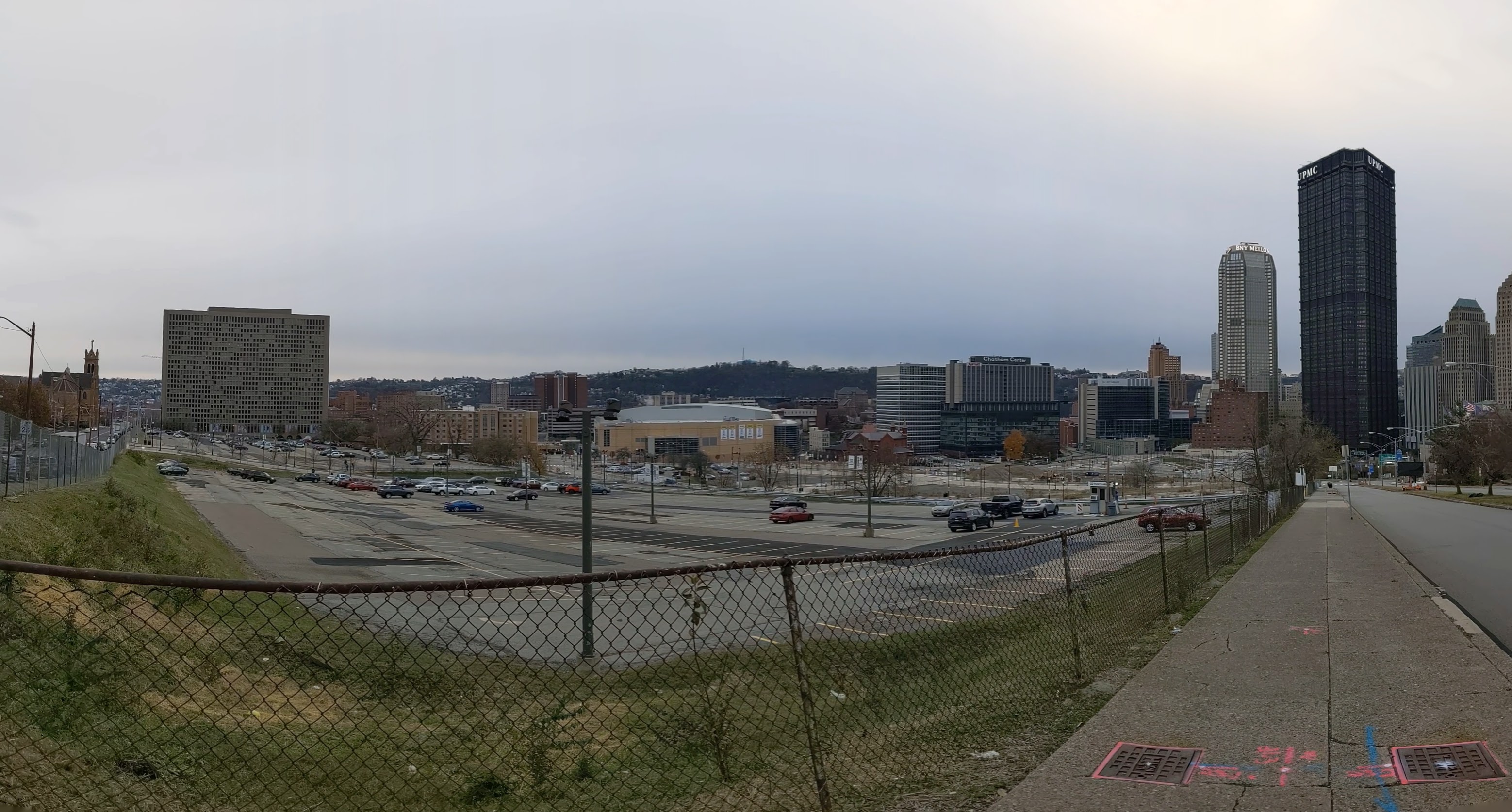
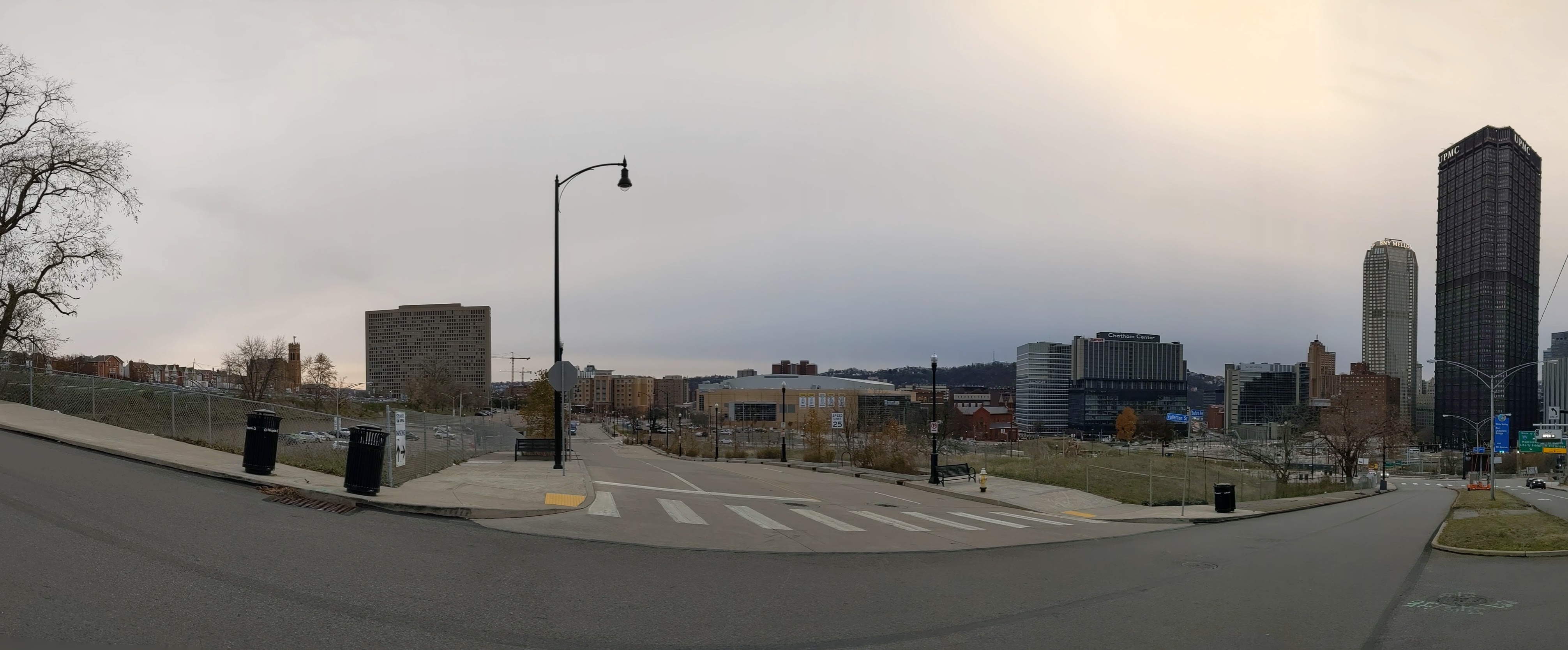
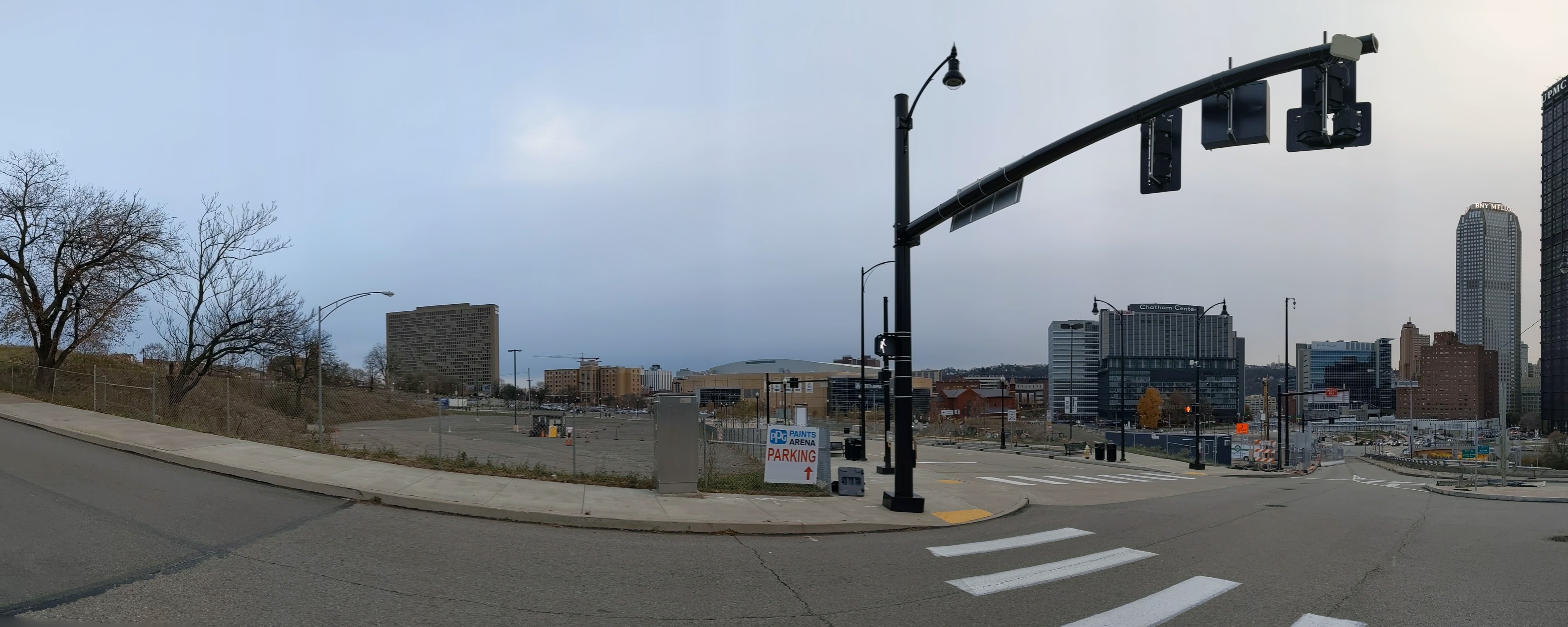
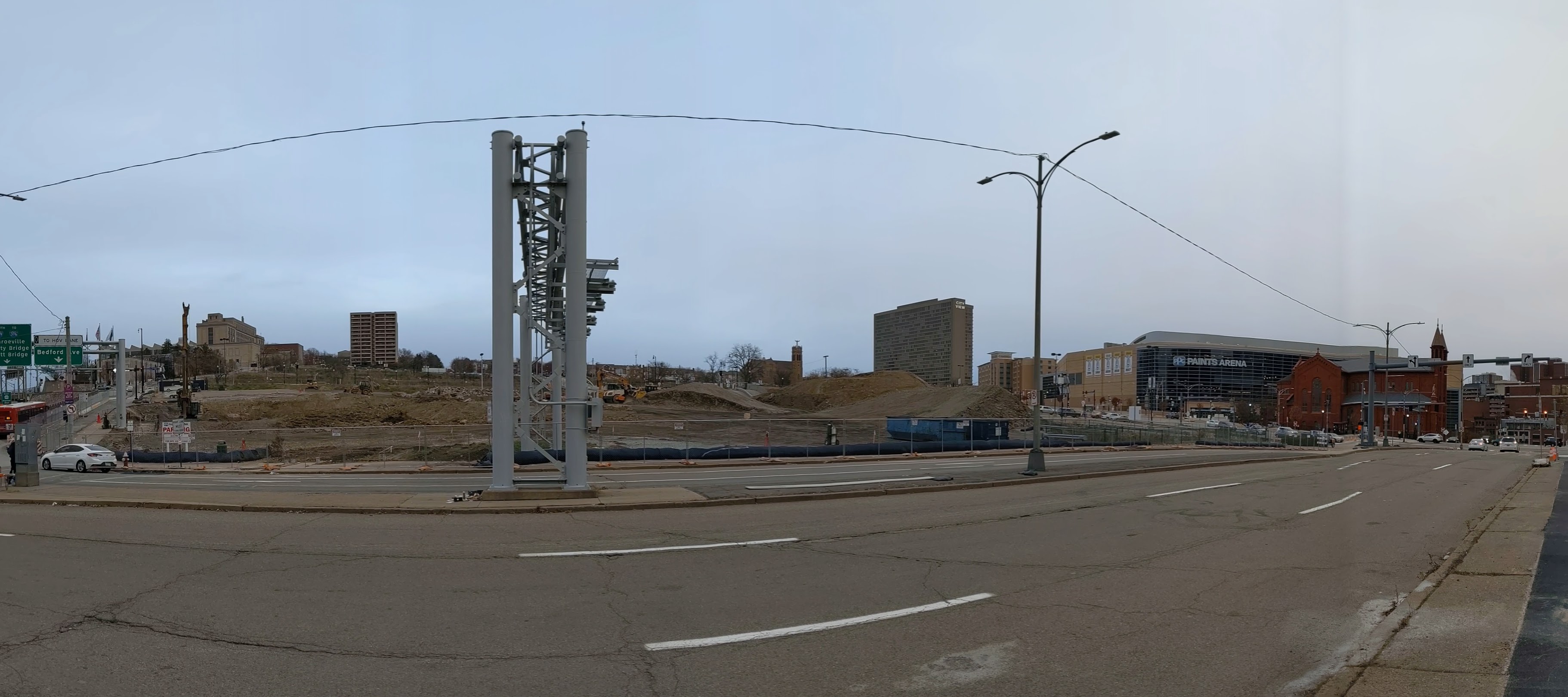
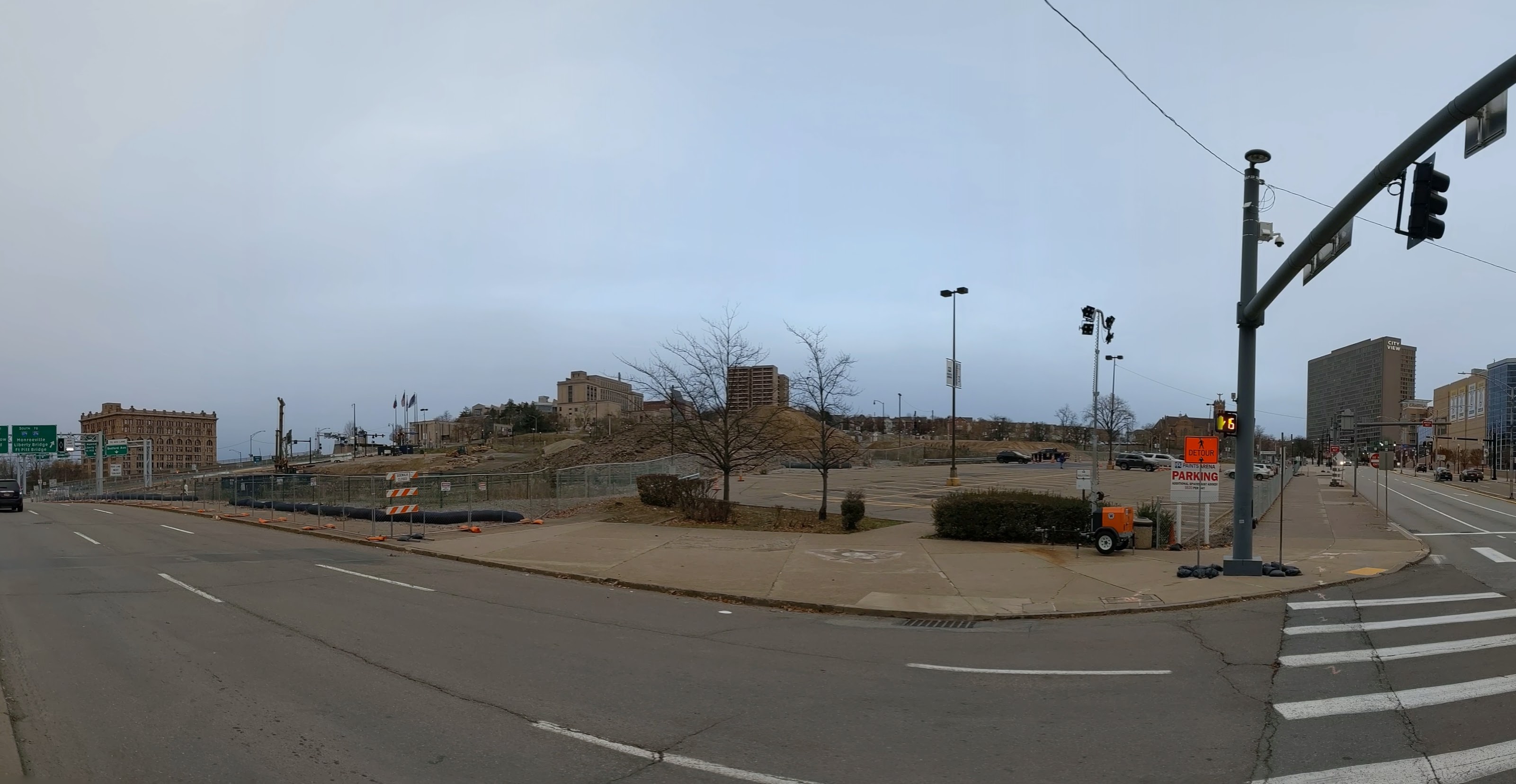
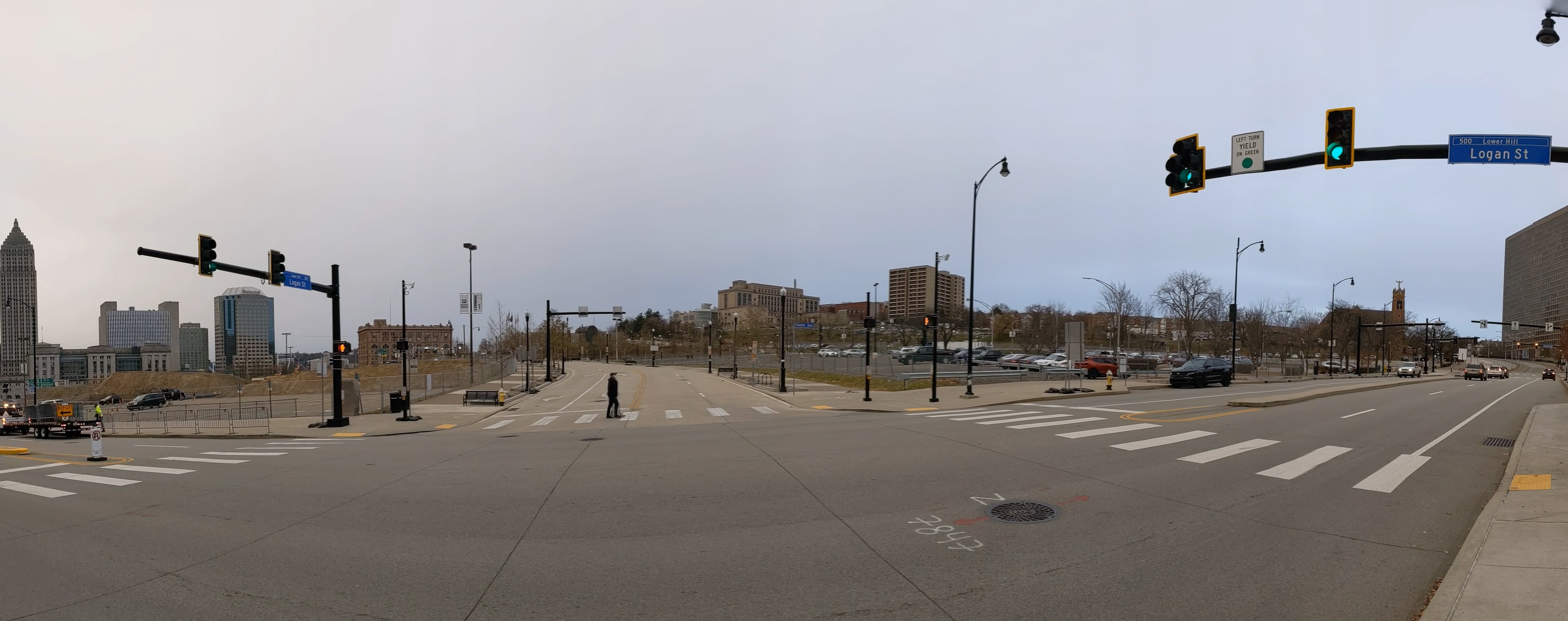
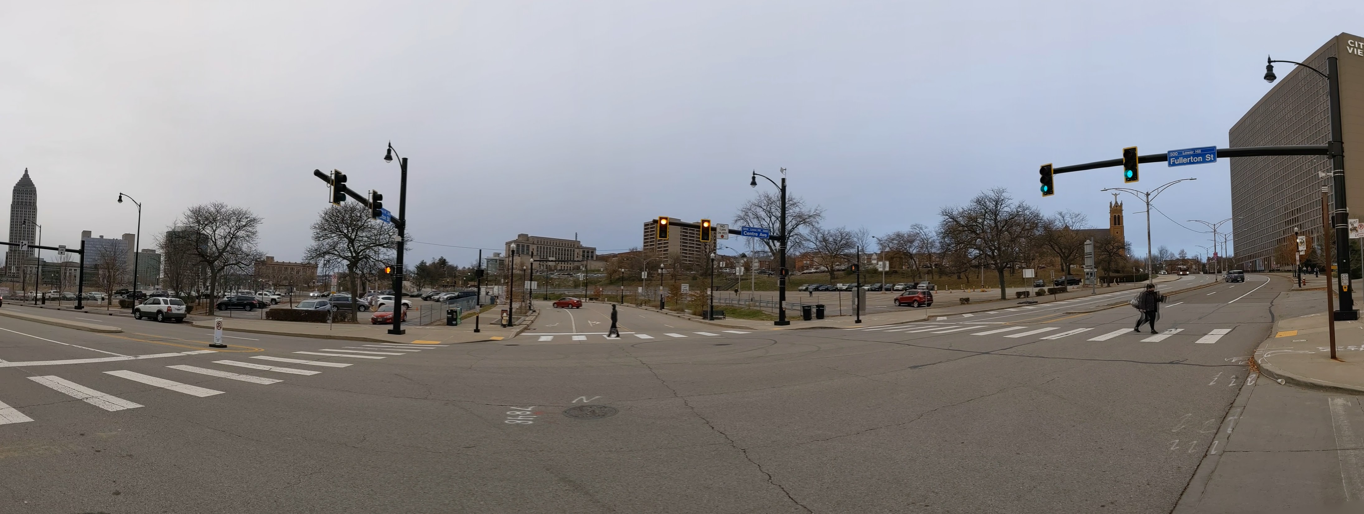
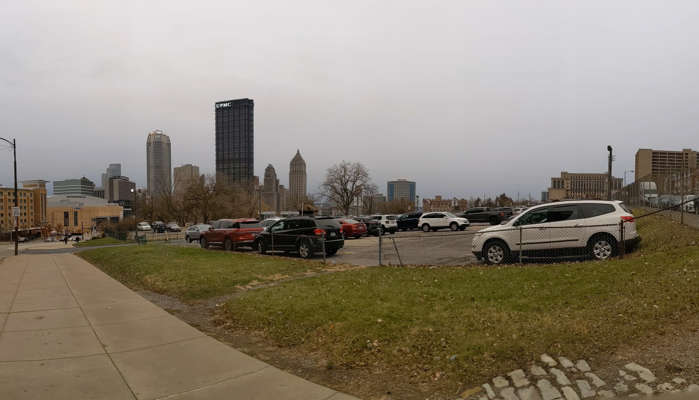
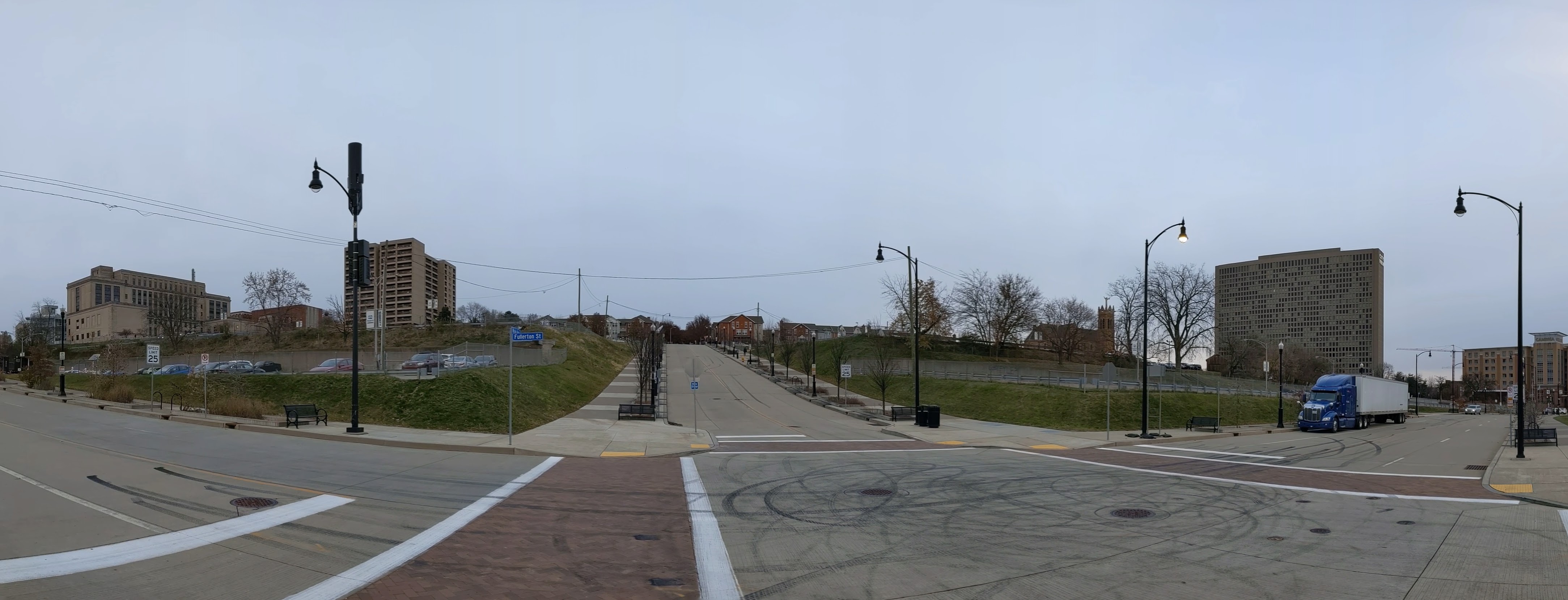
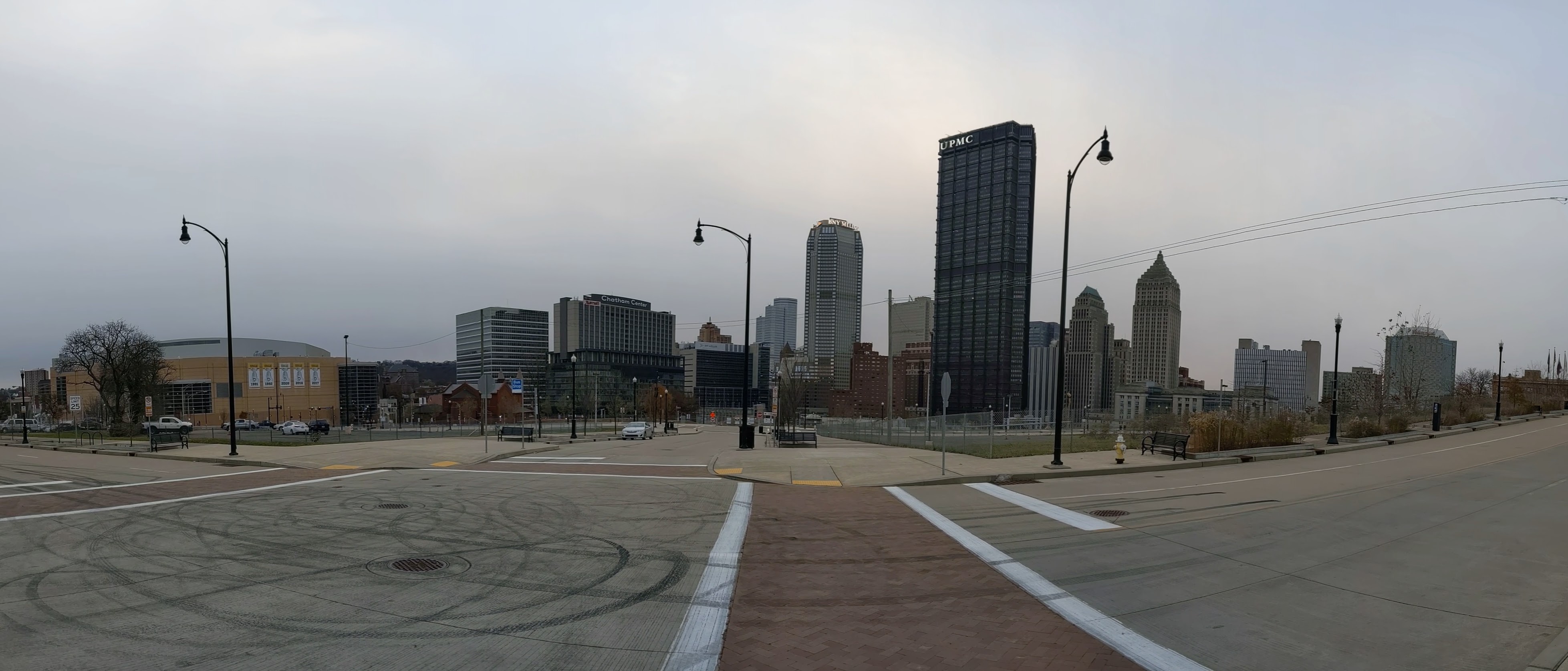
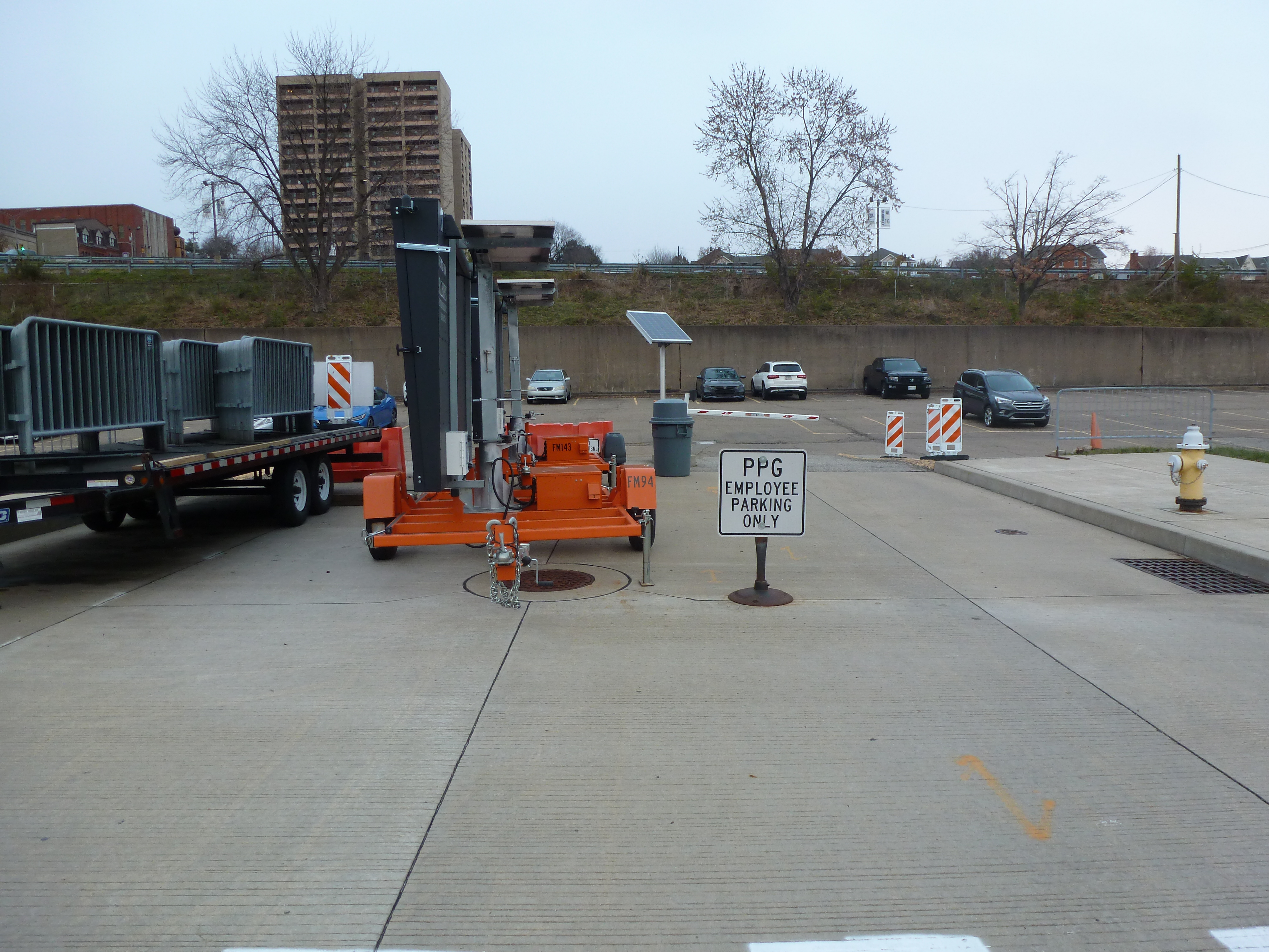
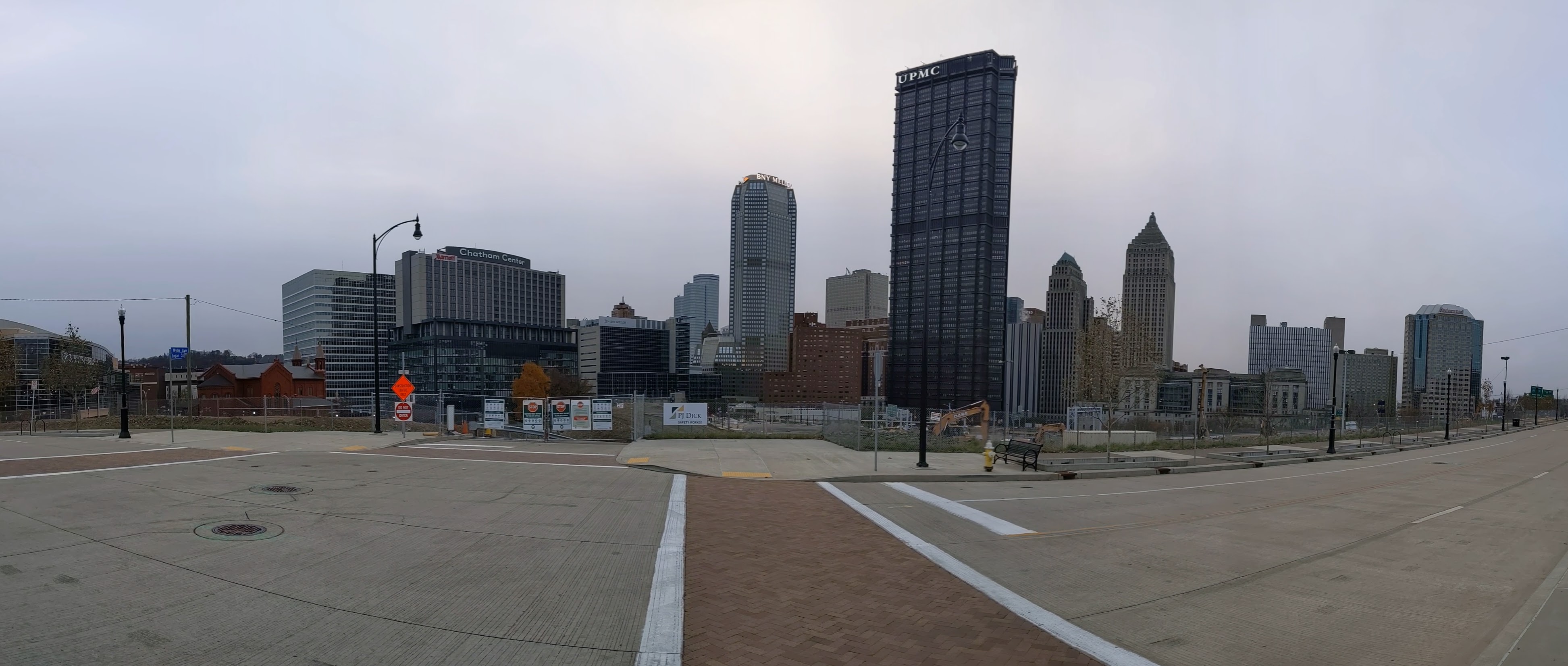
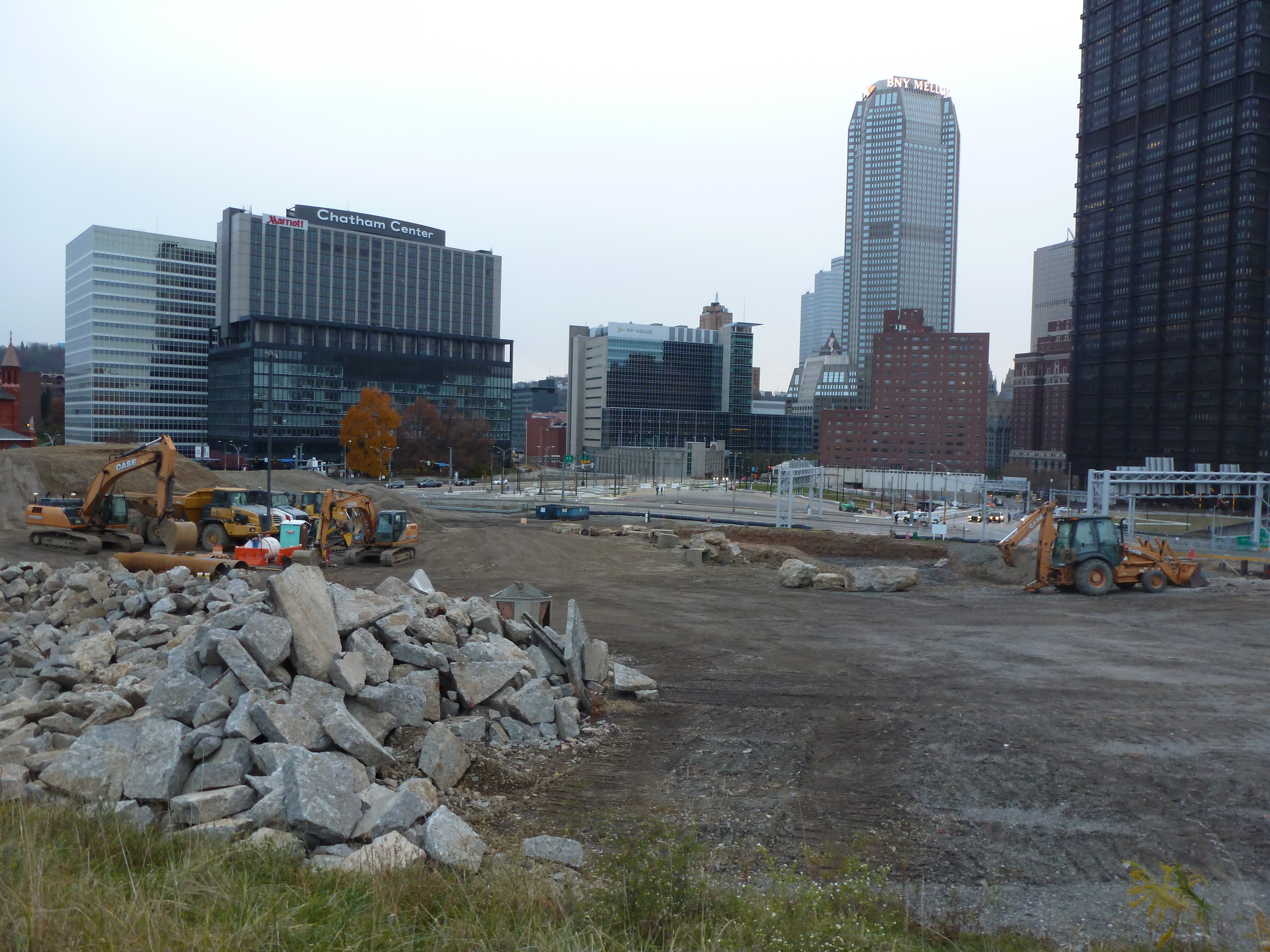
Ground has broken! There are a large hole, giant piles of dirt and debris, and closed sidewalks as construction begins for the new FNB Tower, the first building to be built on the site.
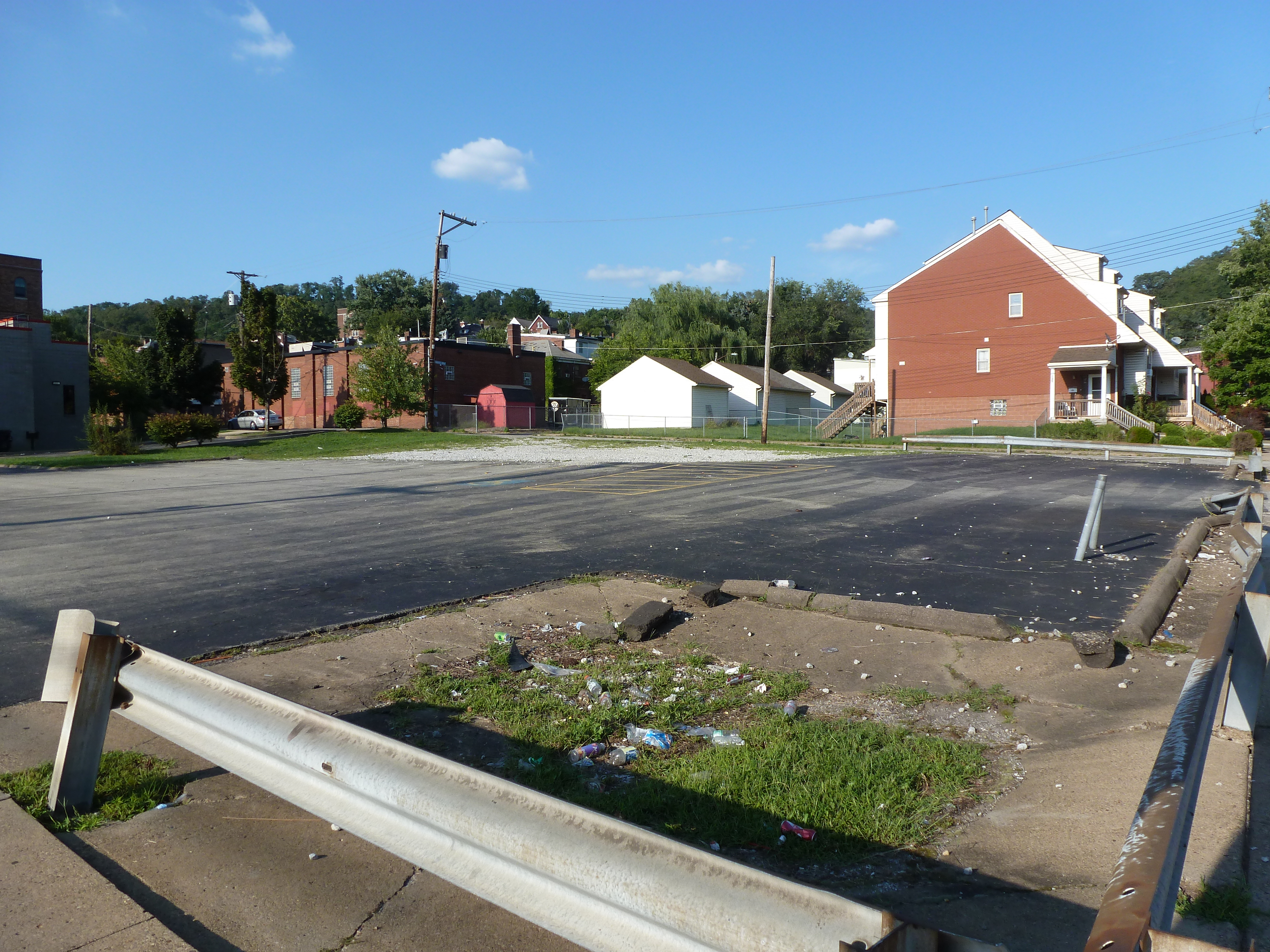
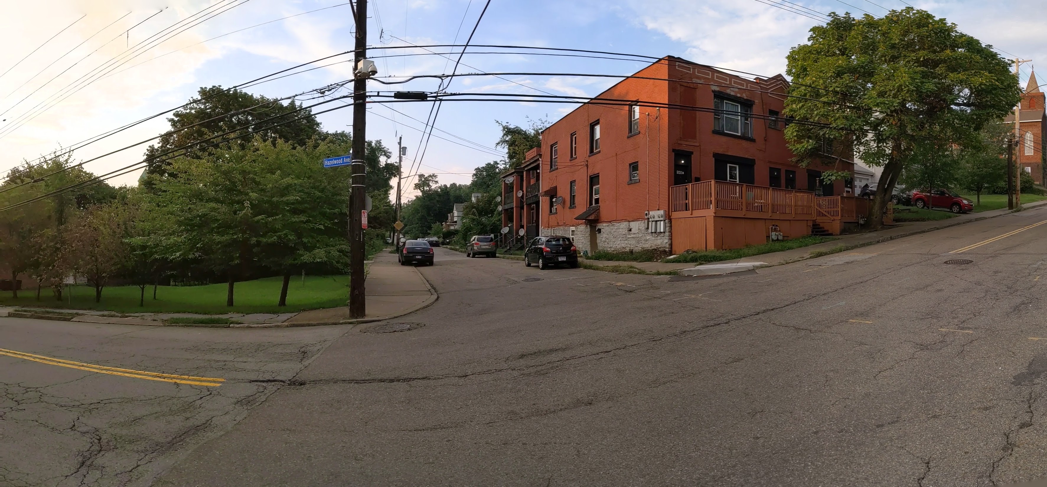
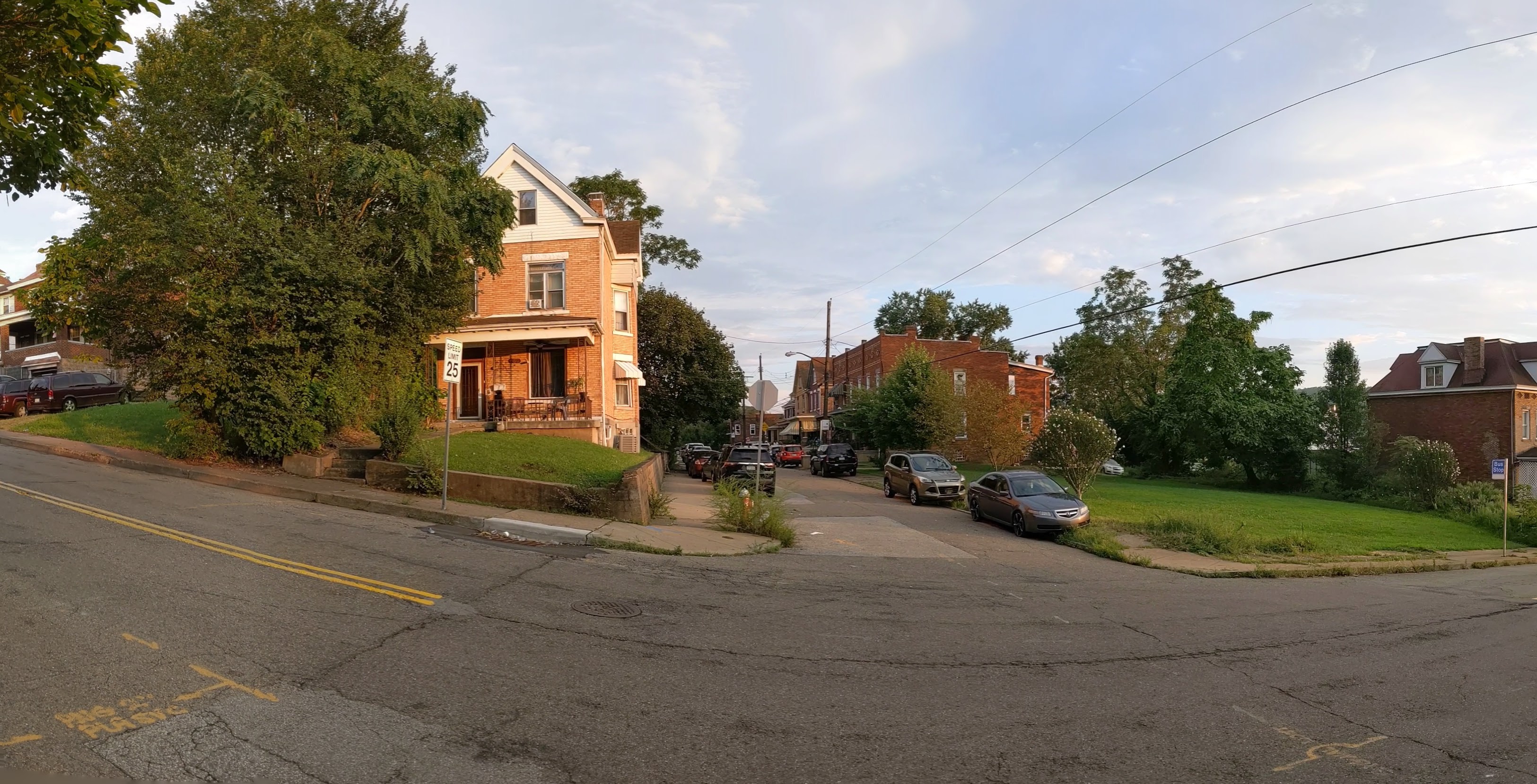
This was also the first time that I’ve visited the site on the day of a Penguins game, which was interesting to see how the sea of parking lots get used for events. At least one of the lots is reserved for employees only during events. There is also a slight price differential, the lot closet to the arena costs $30 to park for the event, while the one at the top of the hill is “only” $25.
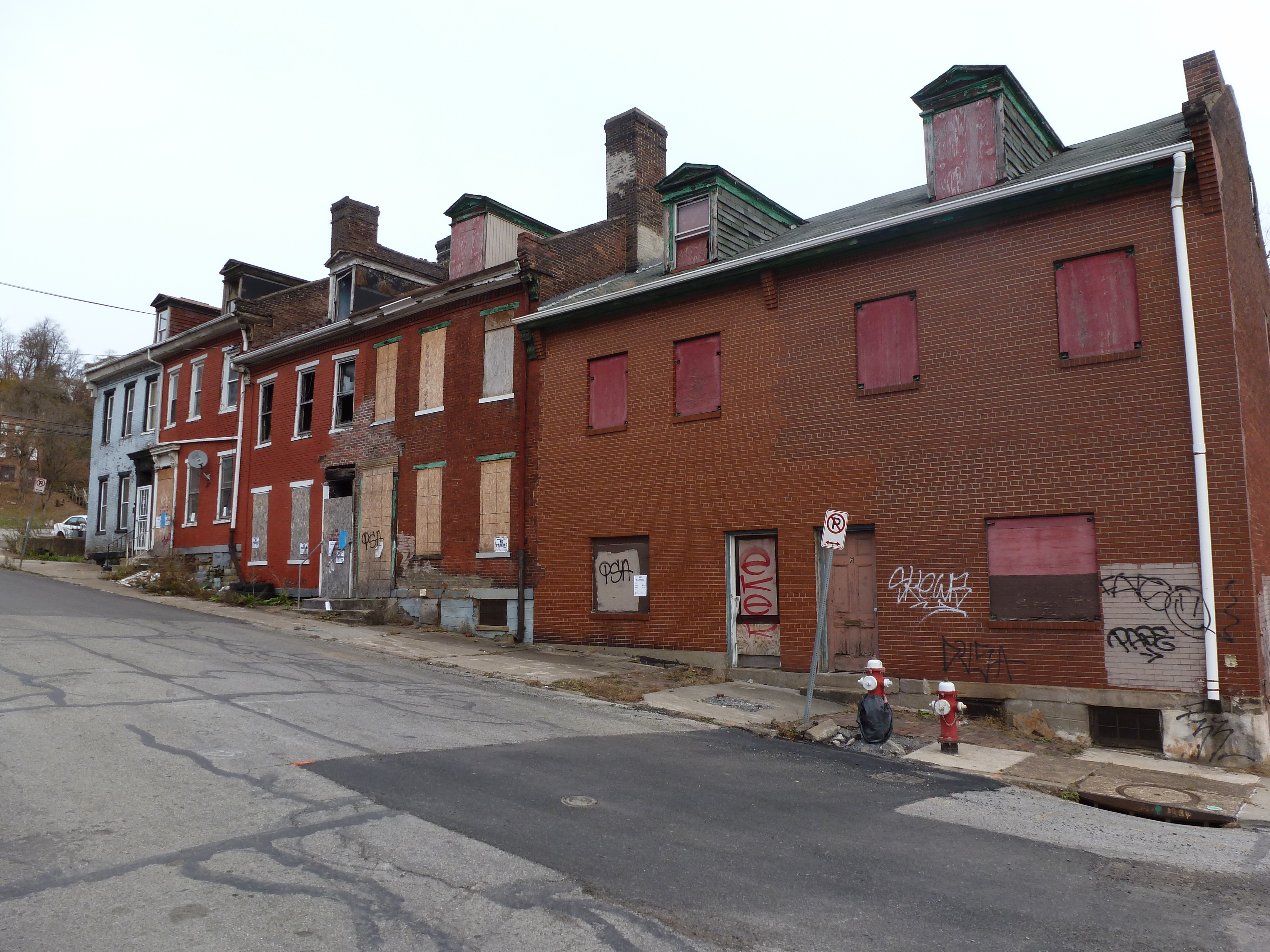
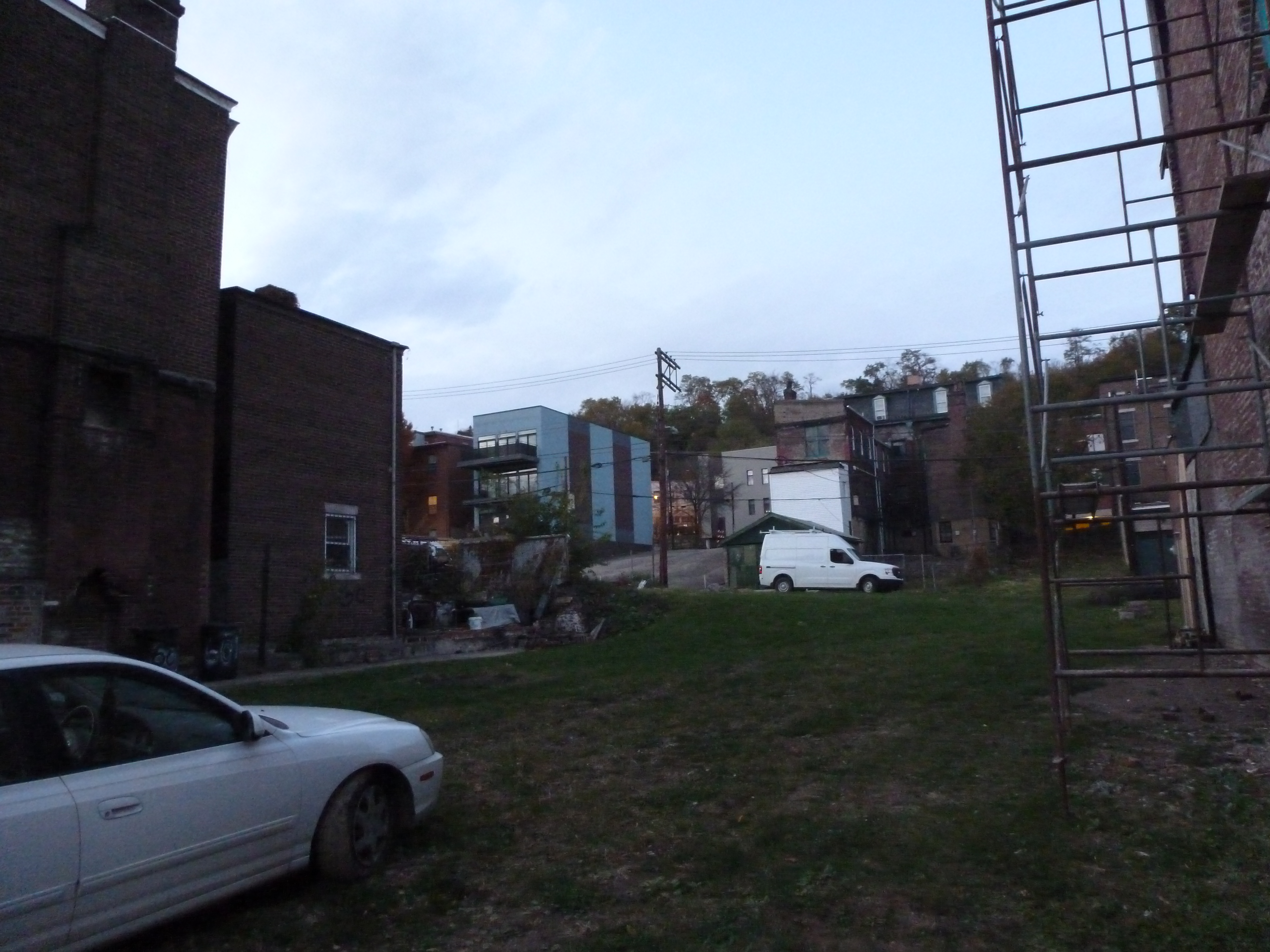
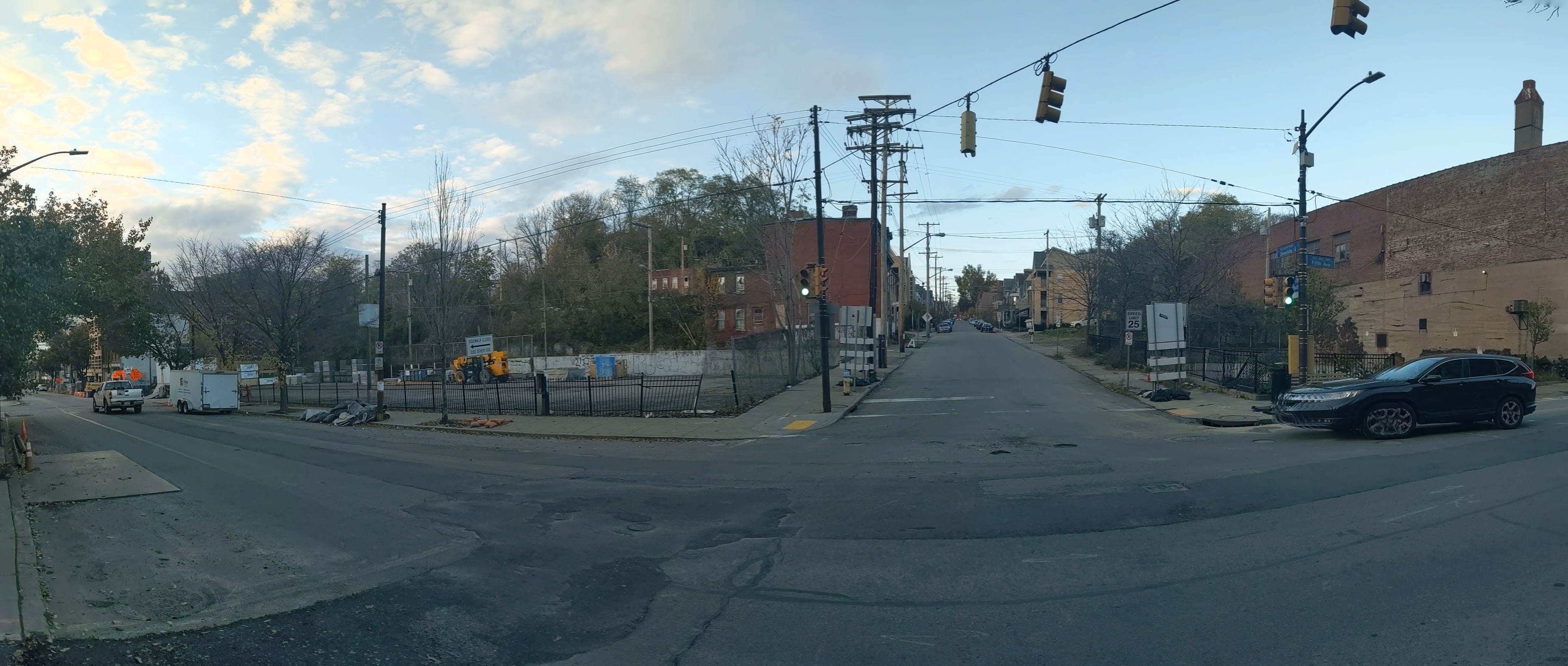
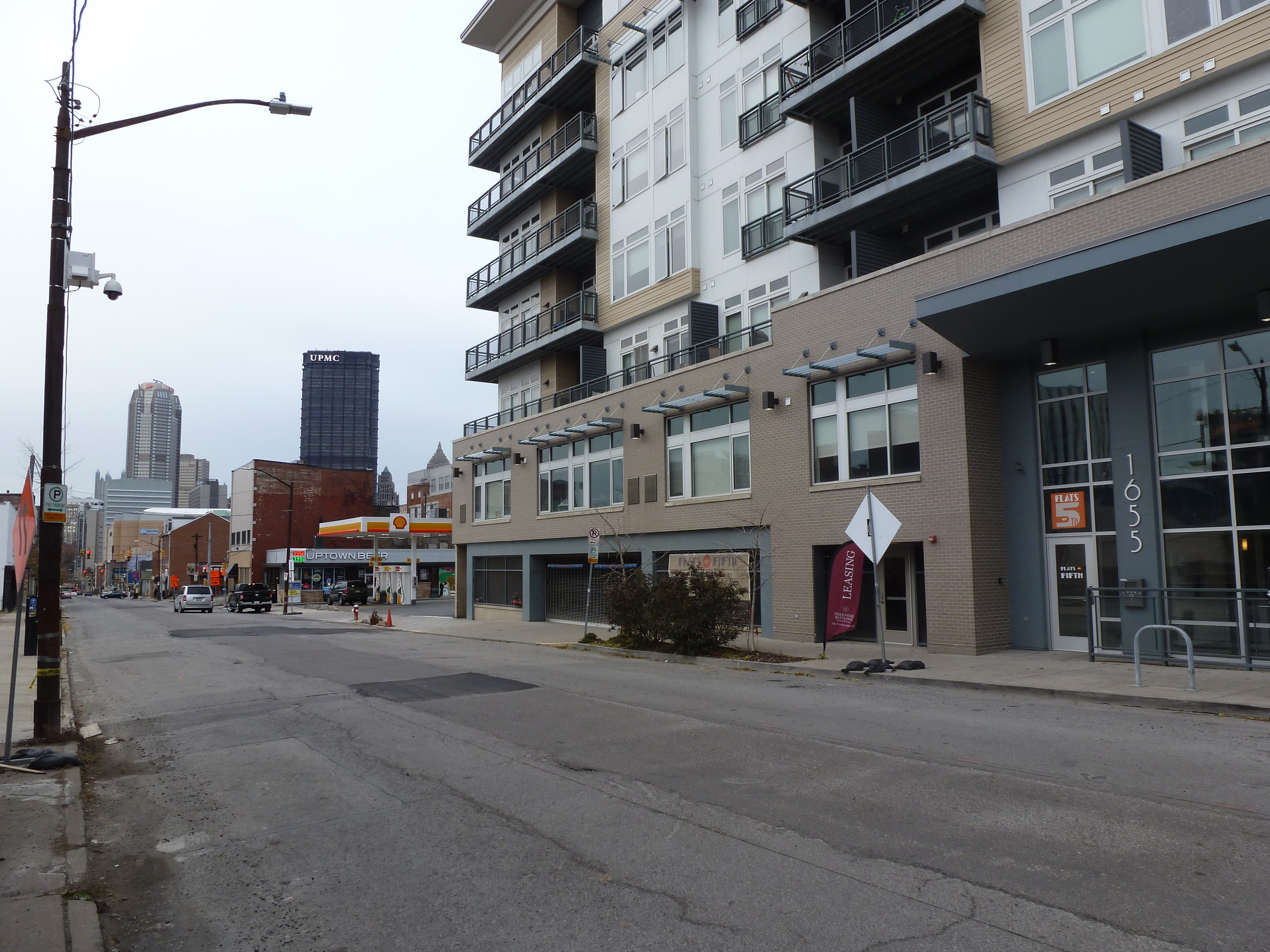
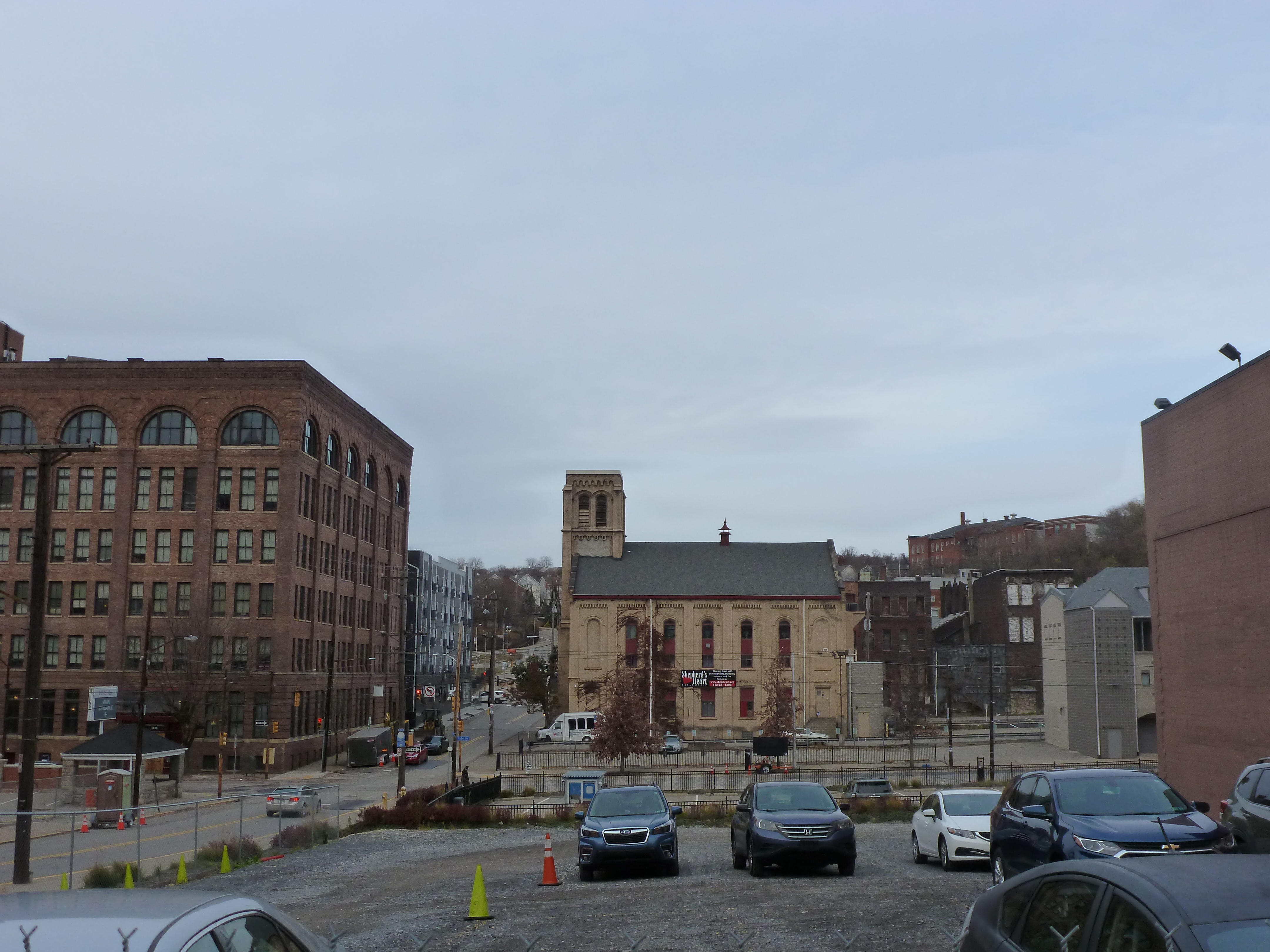
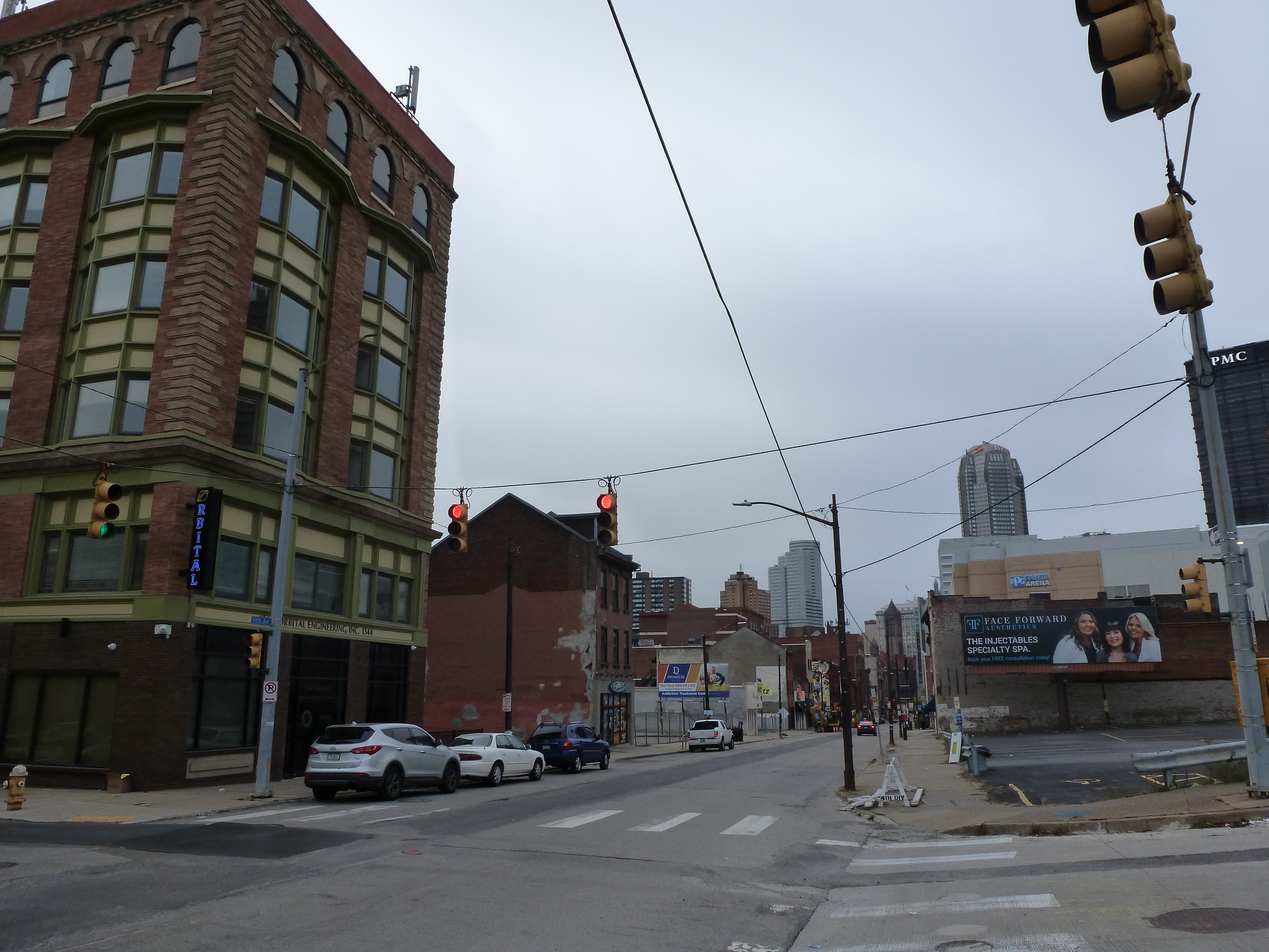
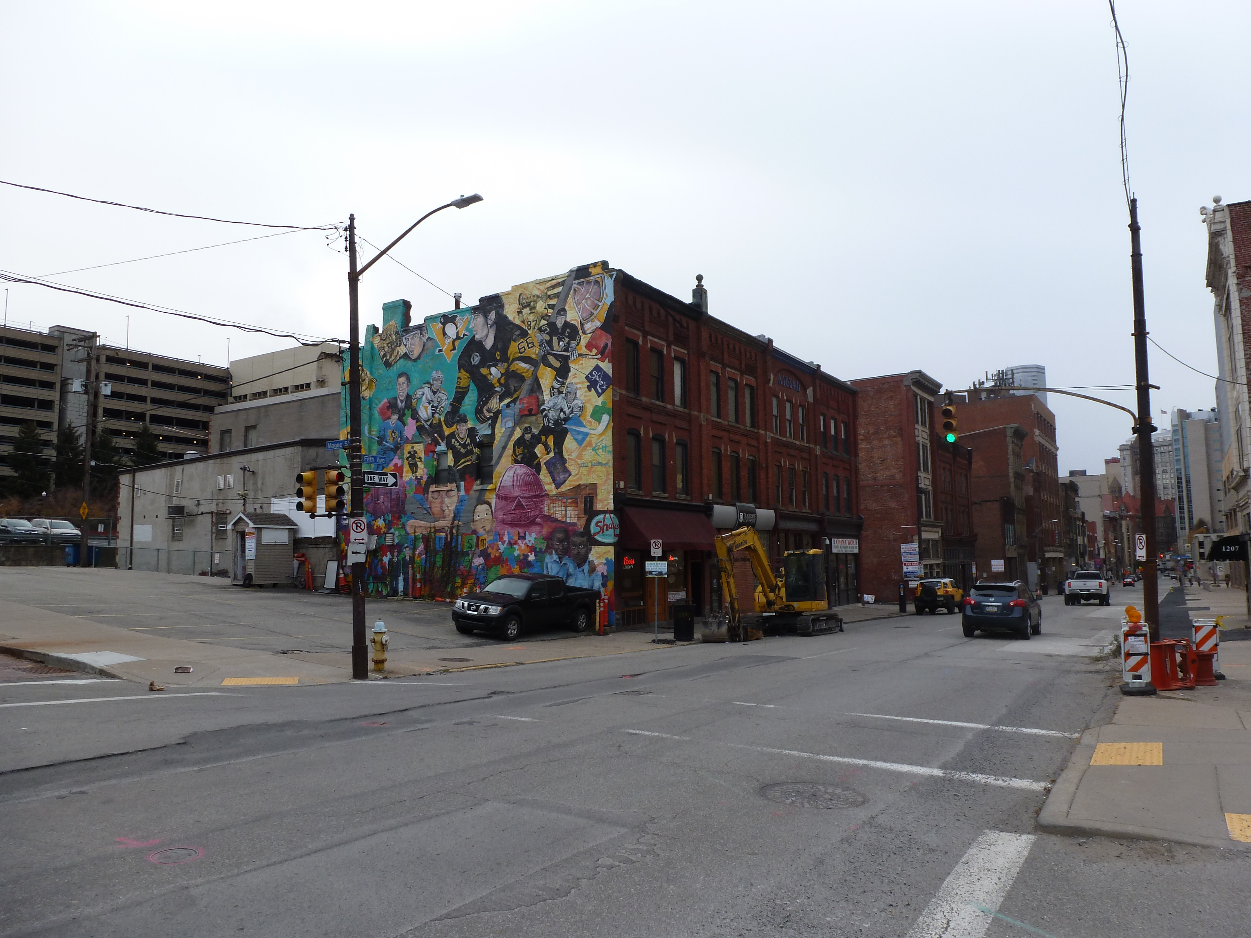
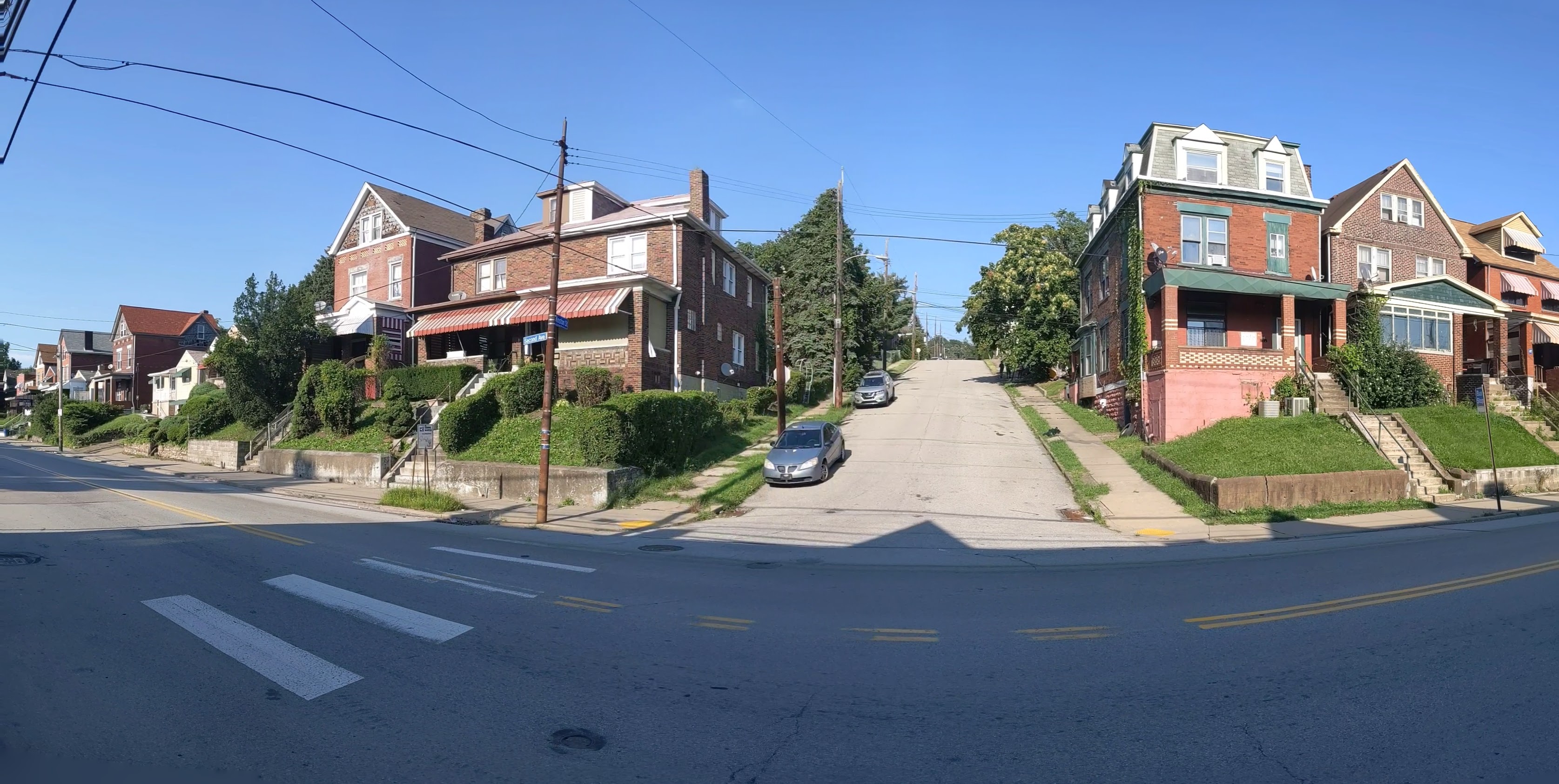
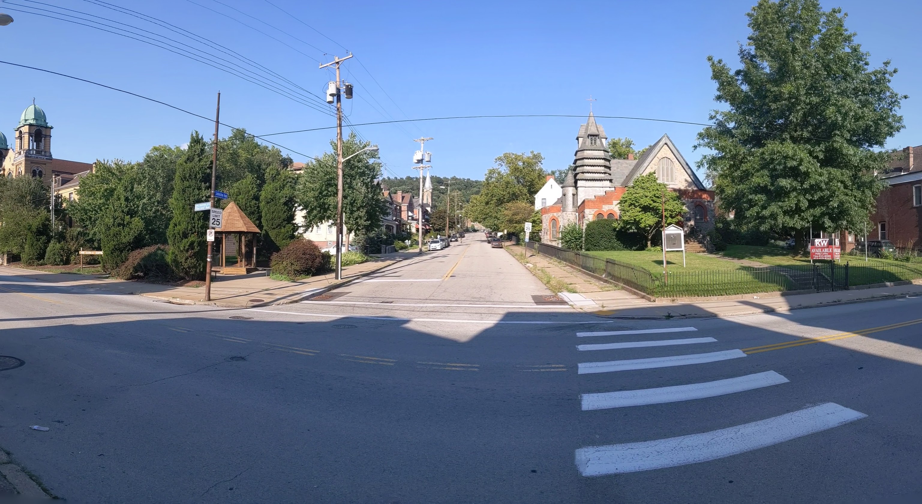
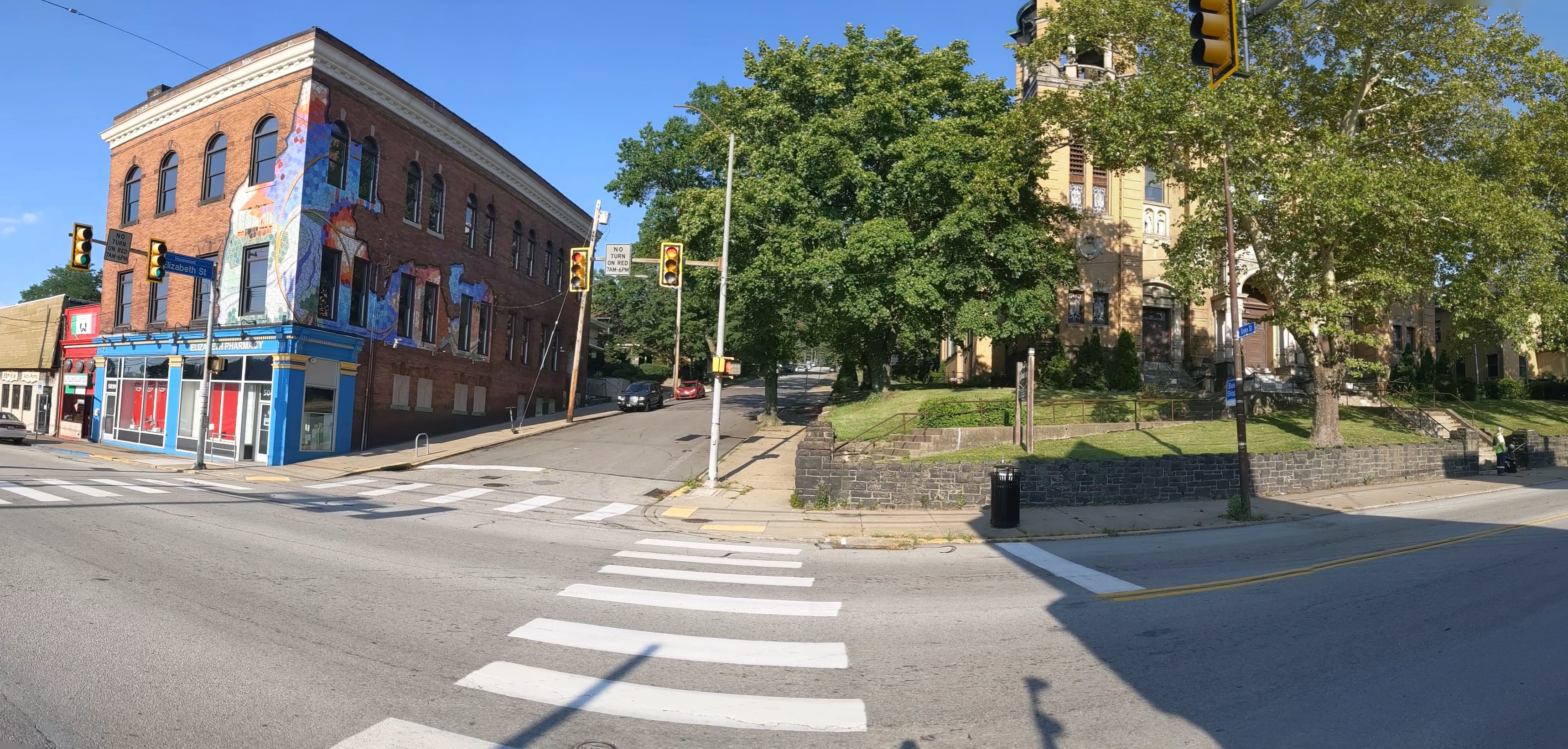
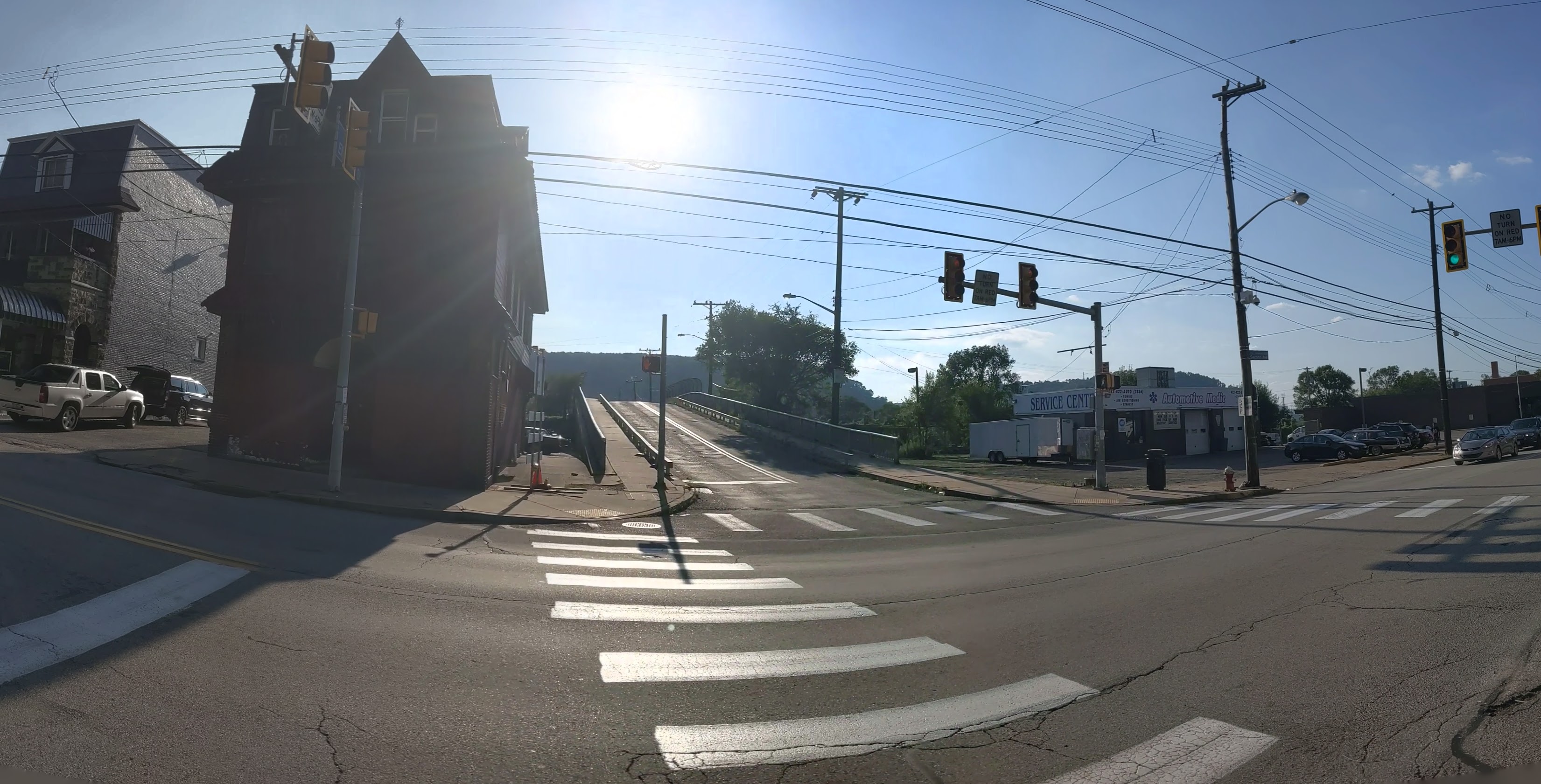
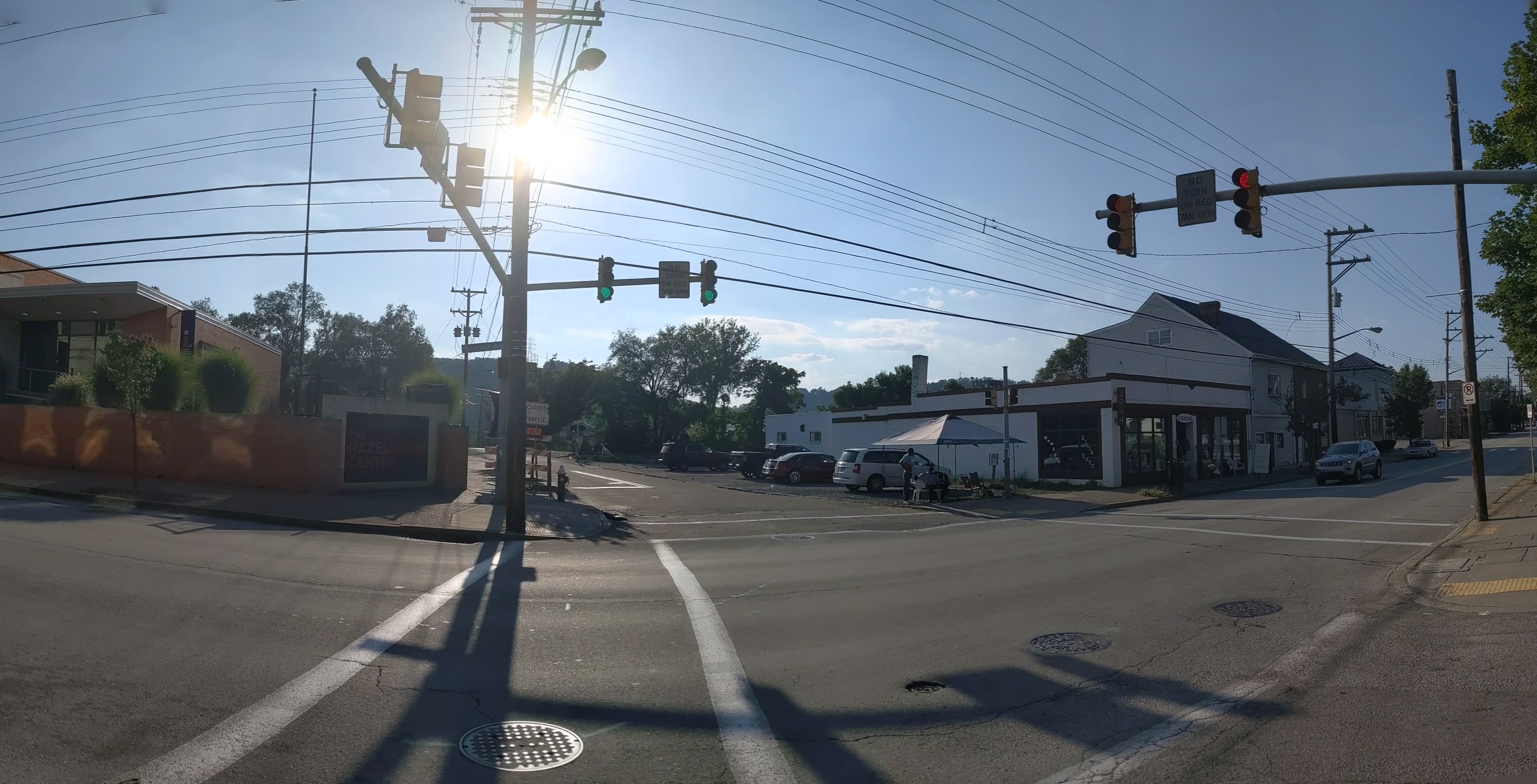
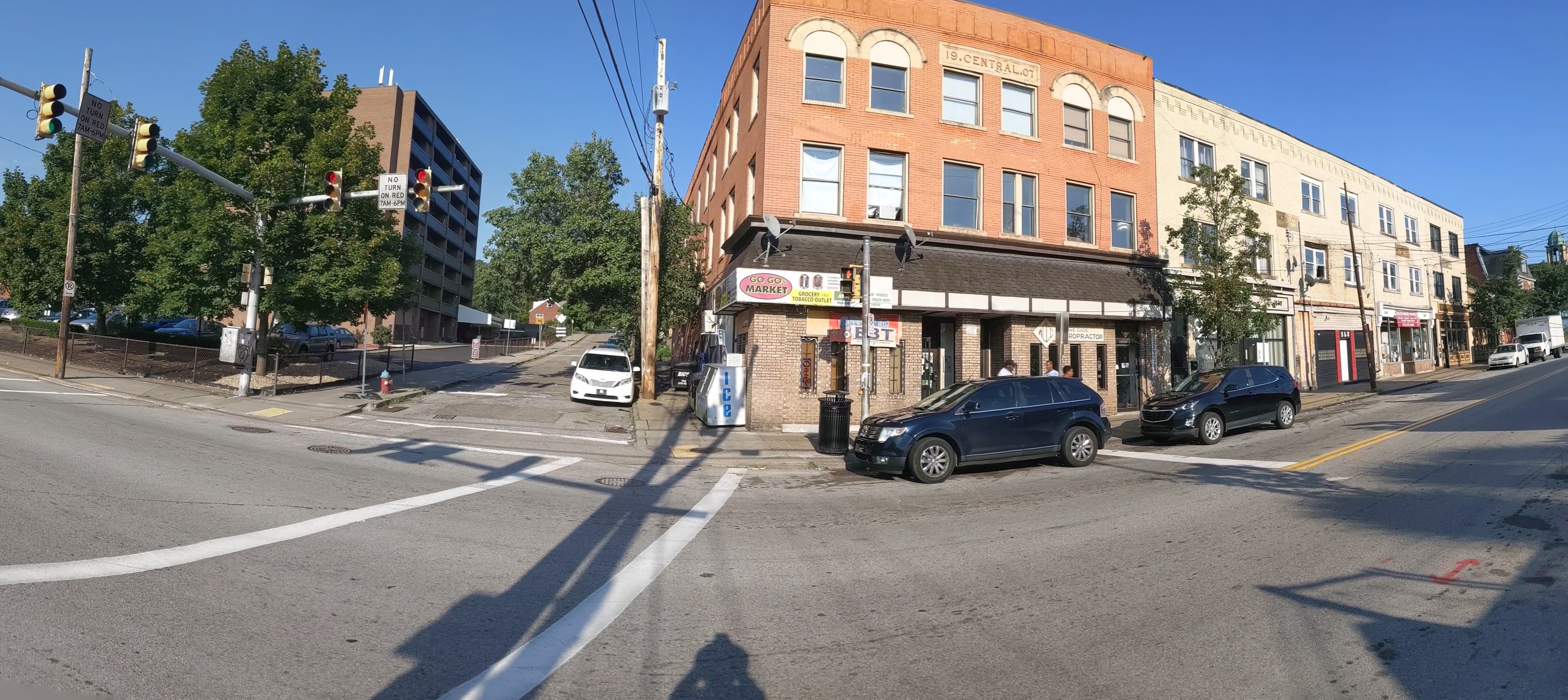
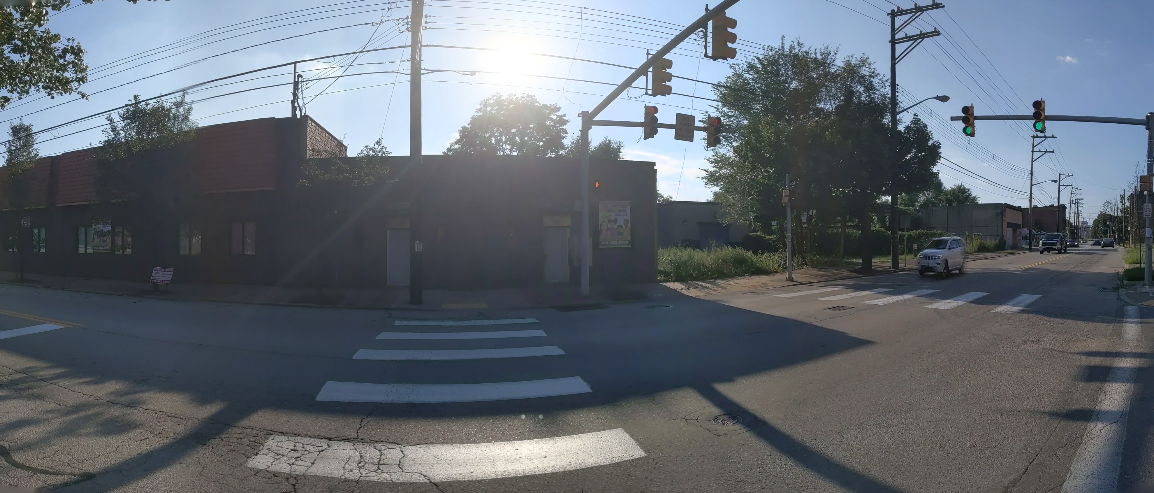
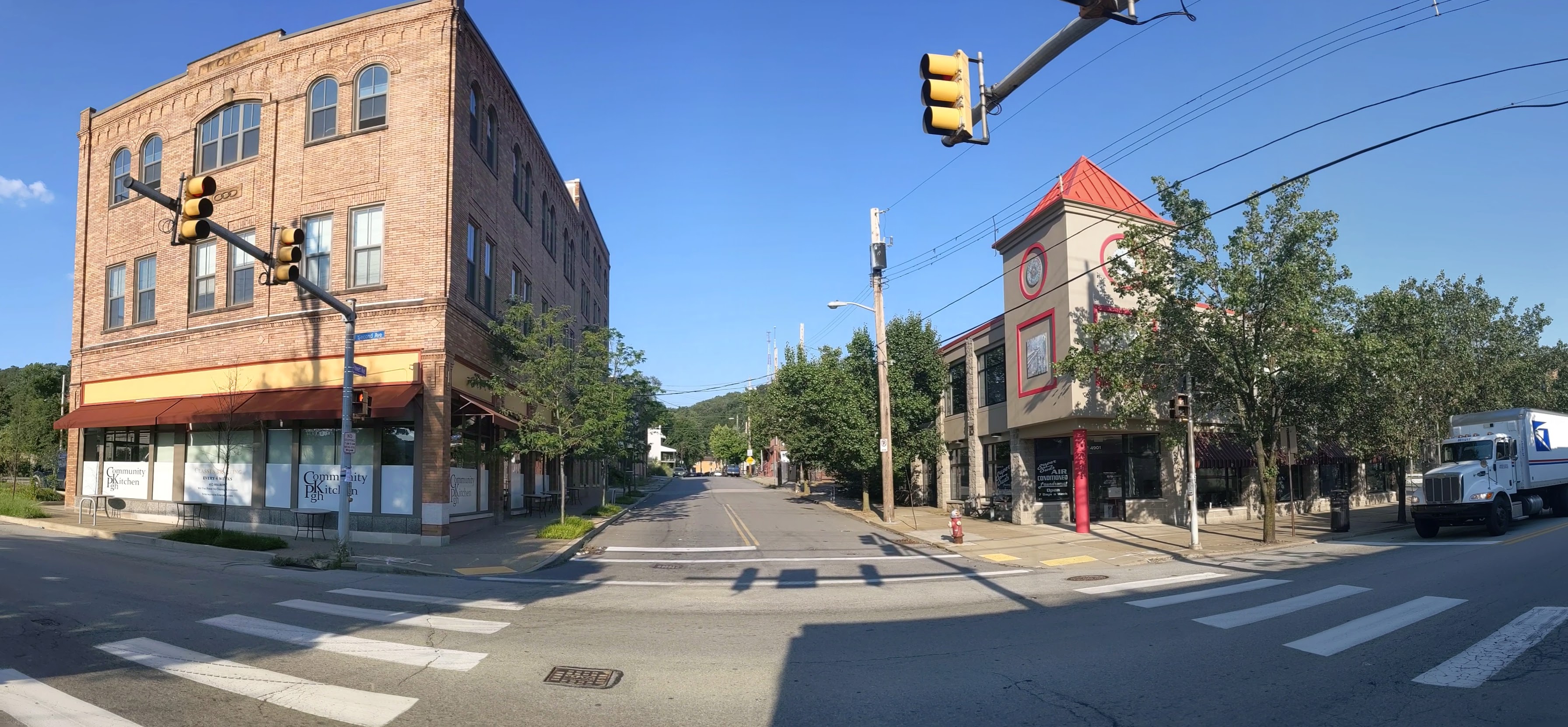
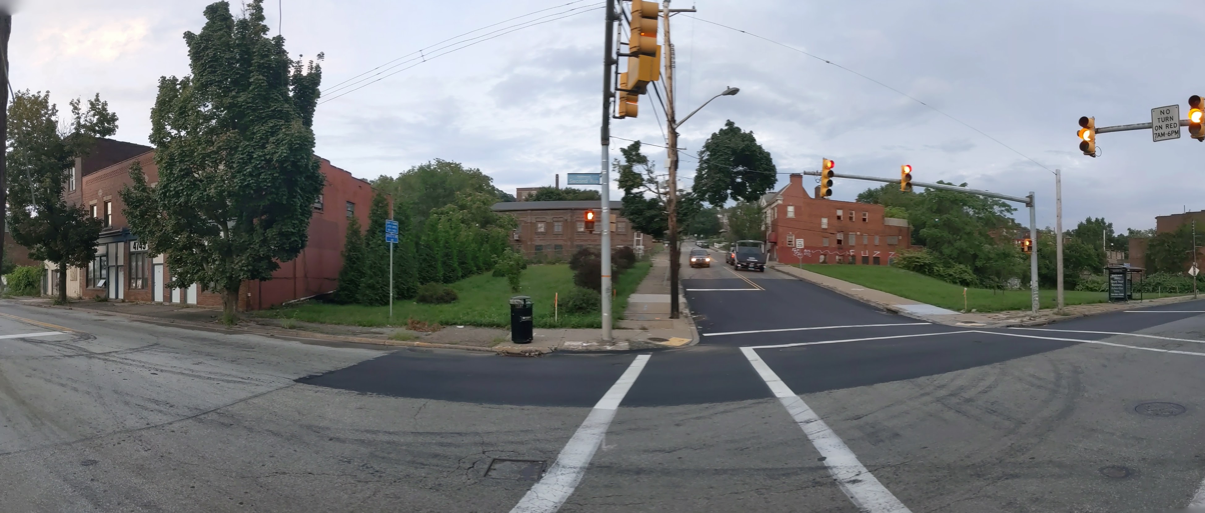
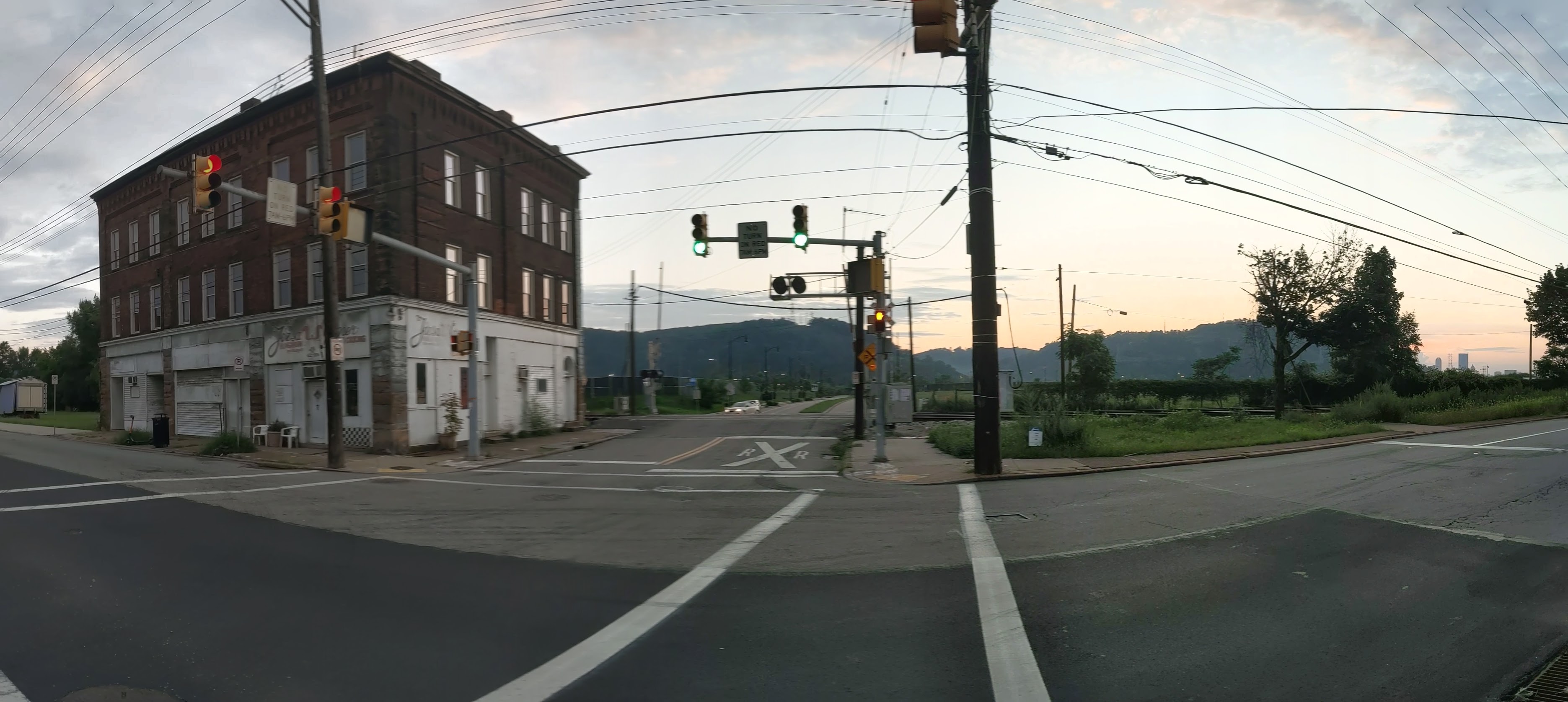
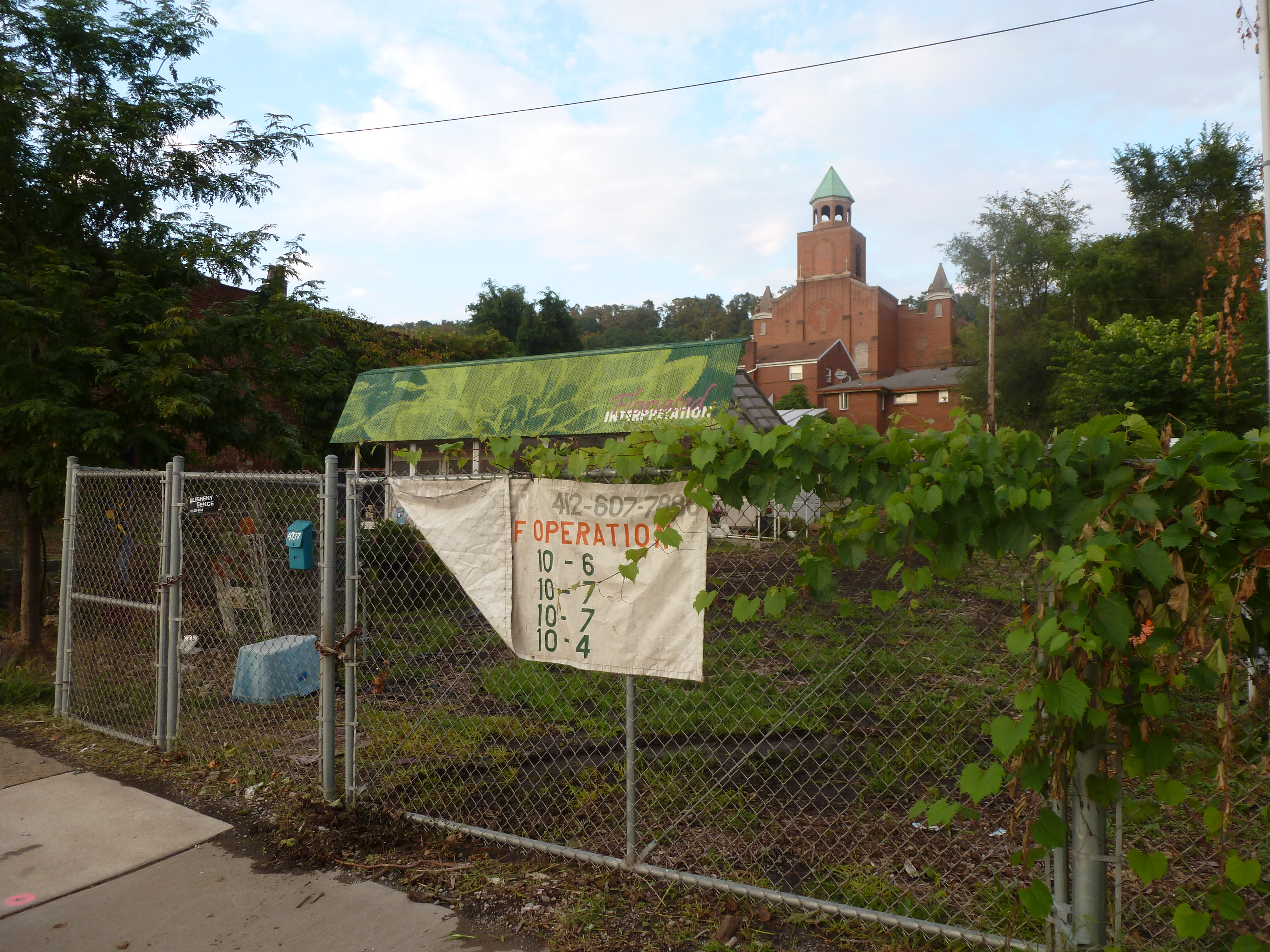
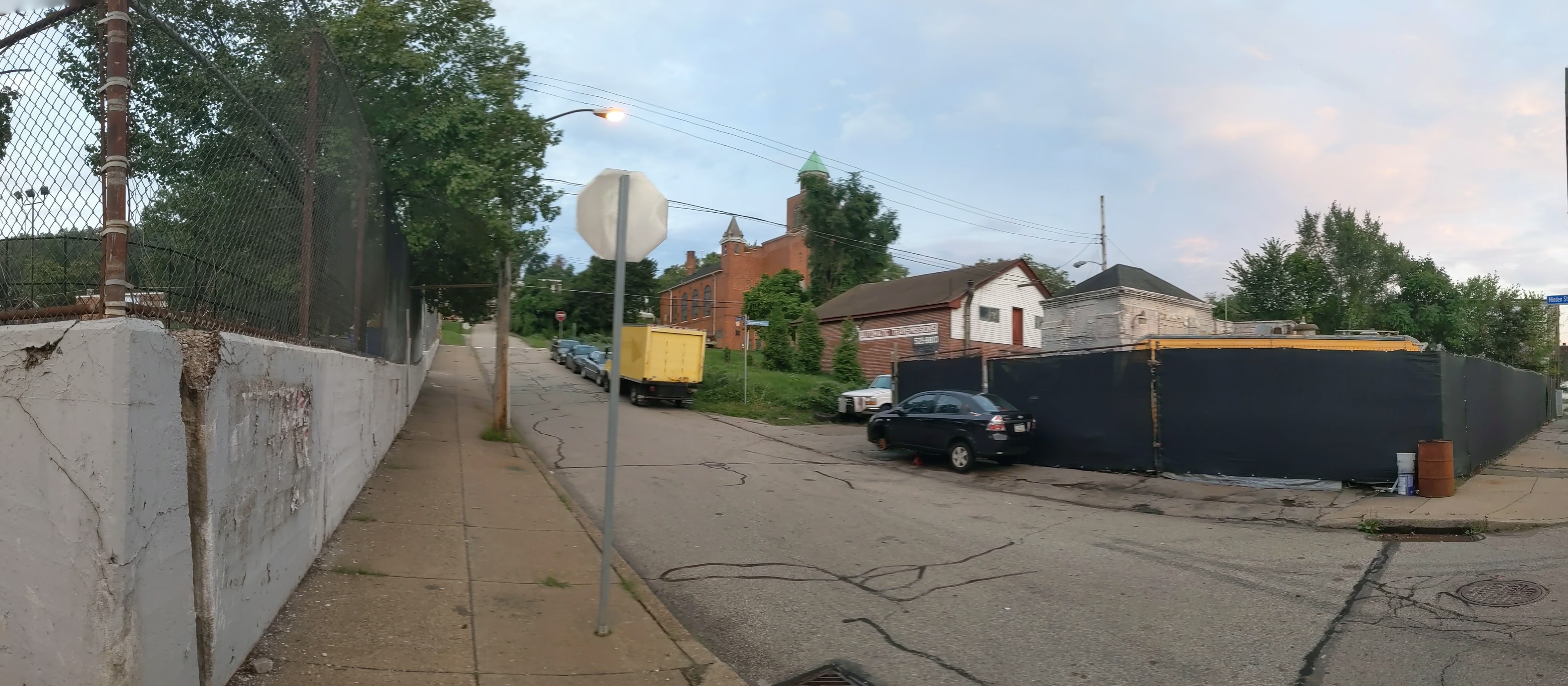
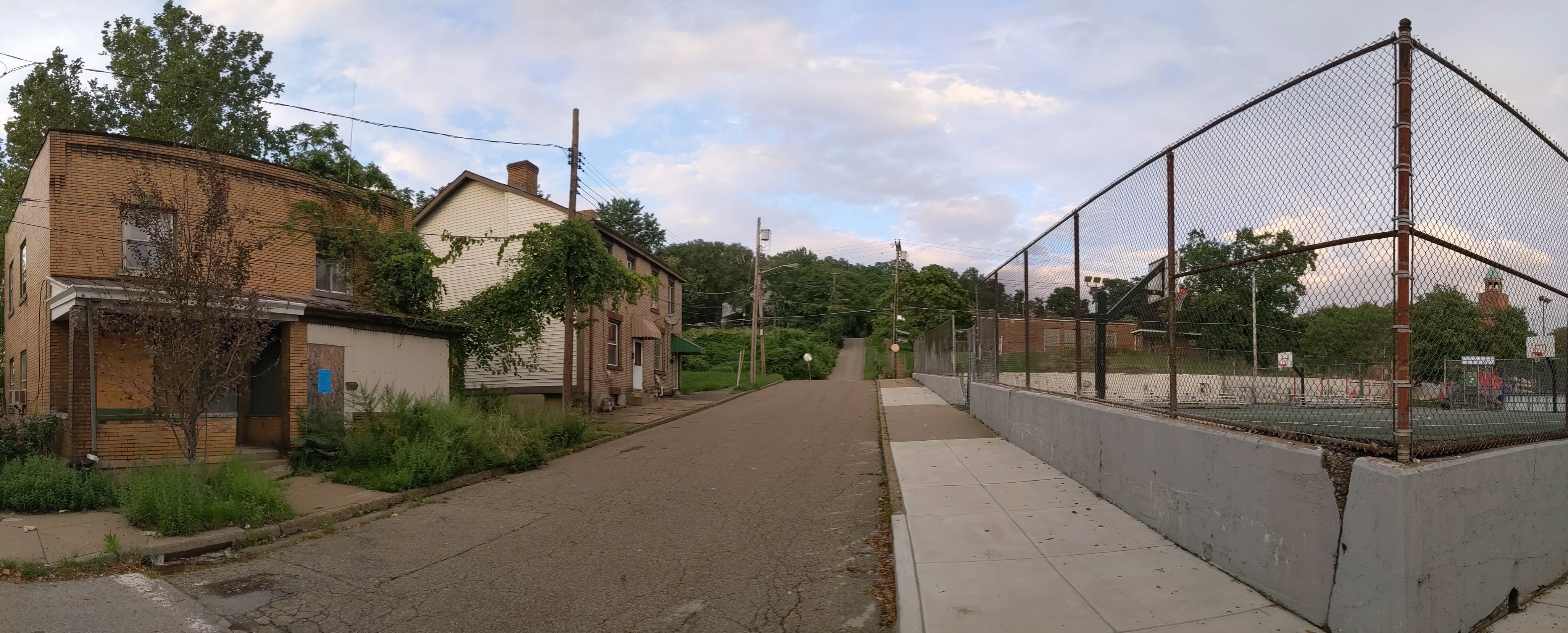
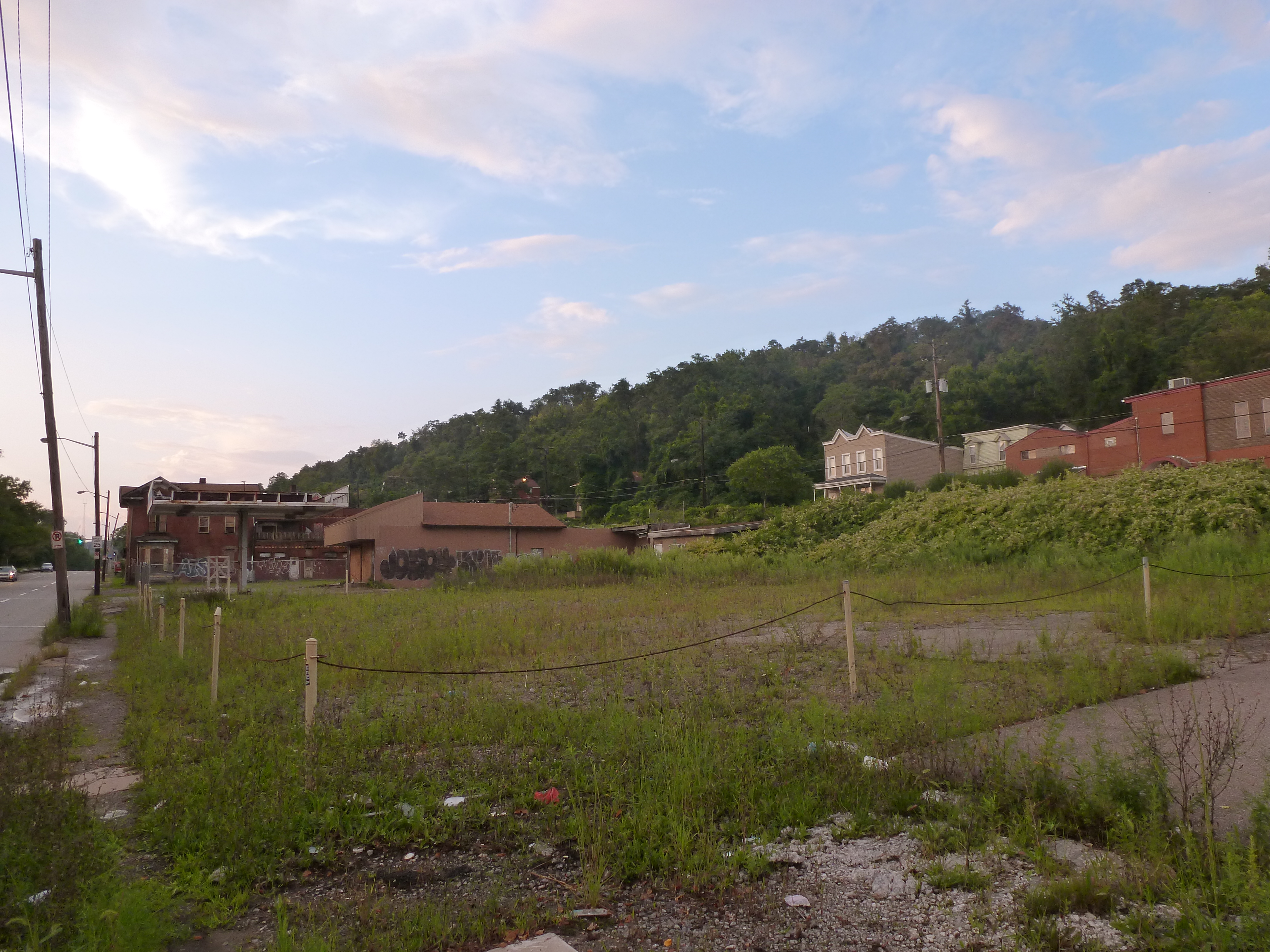
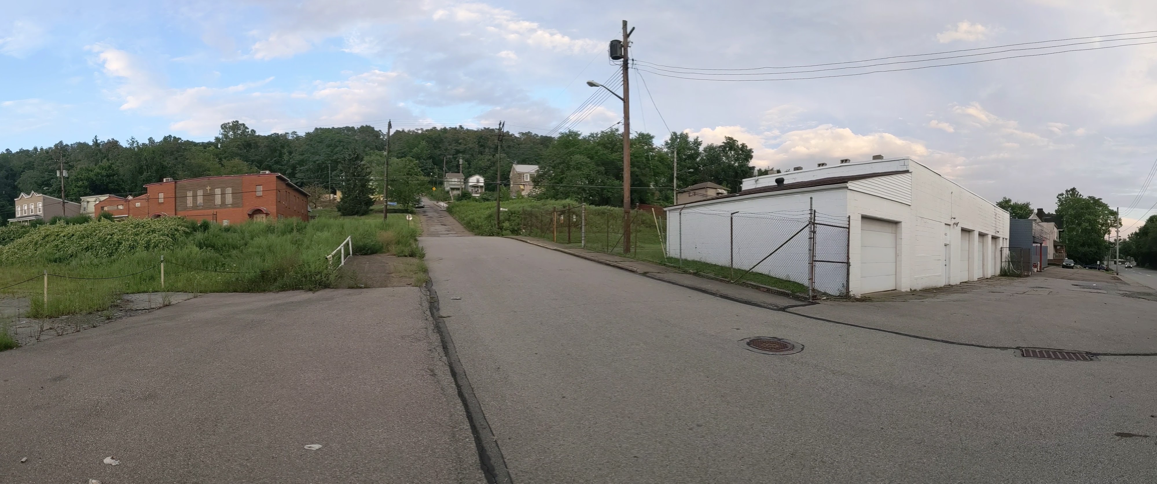
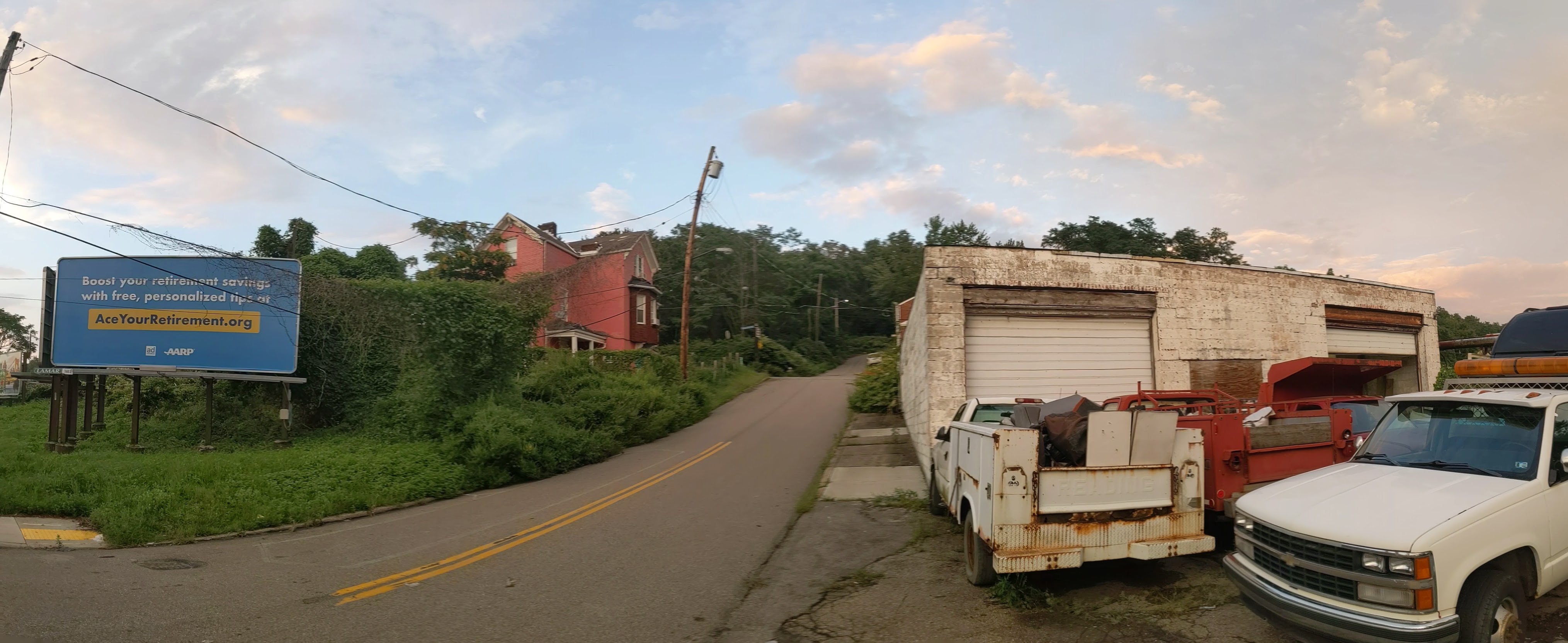
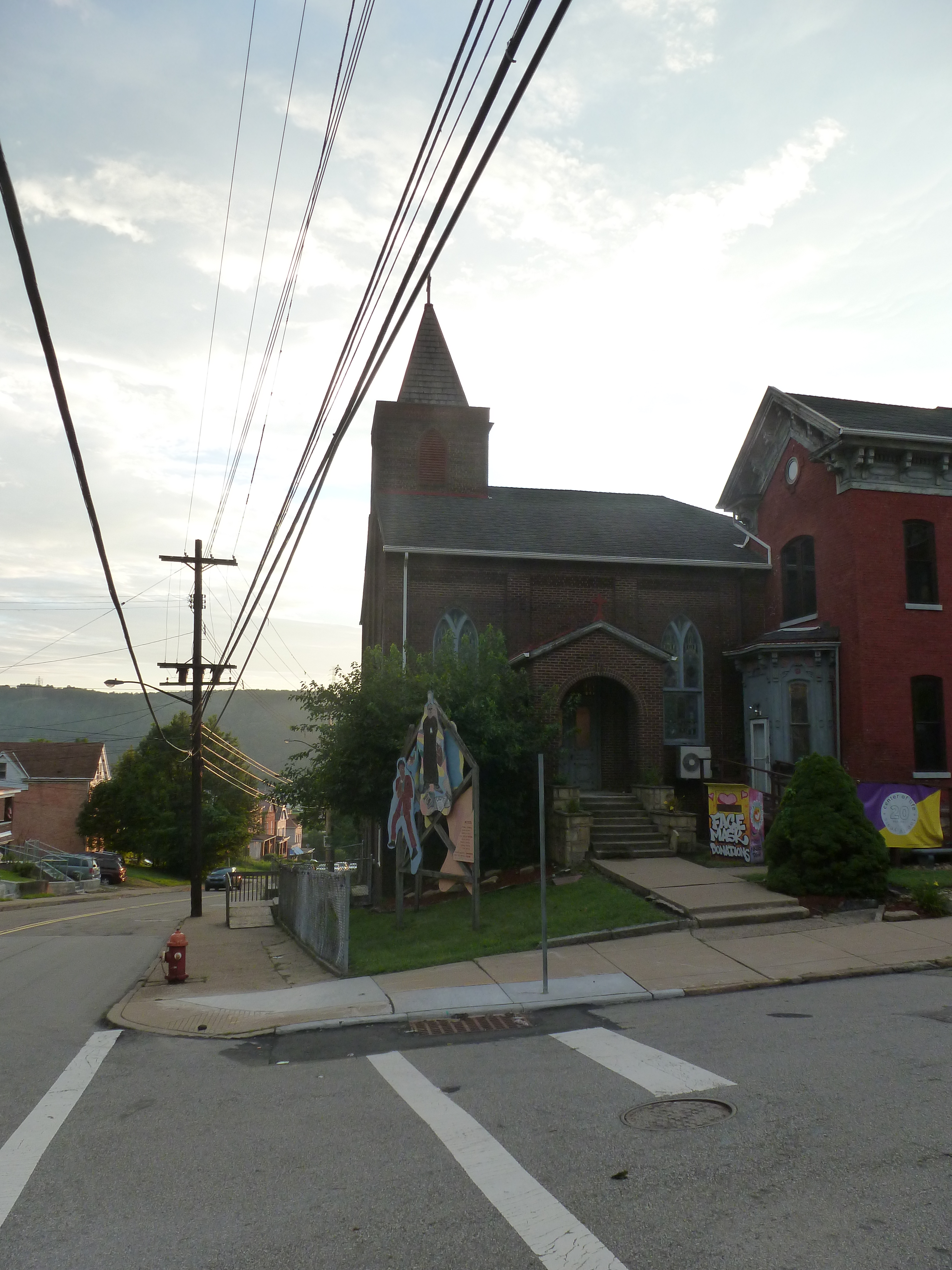
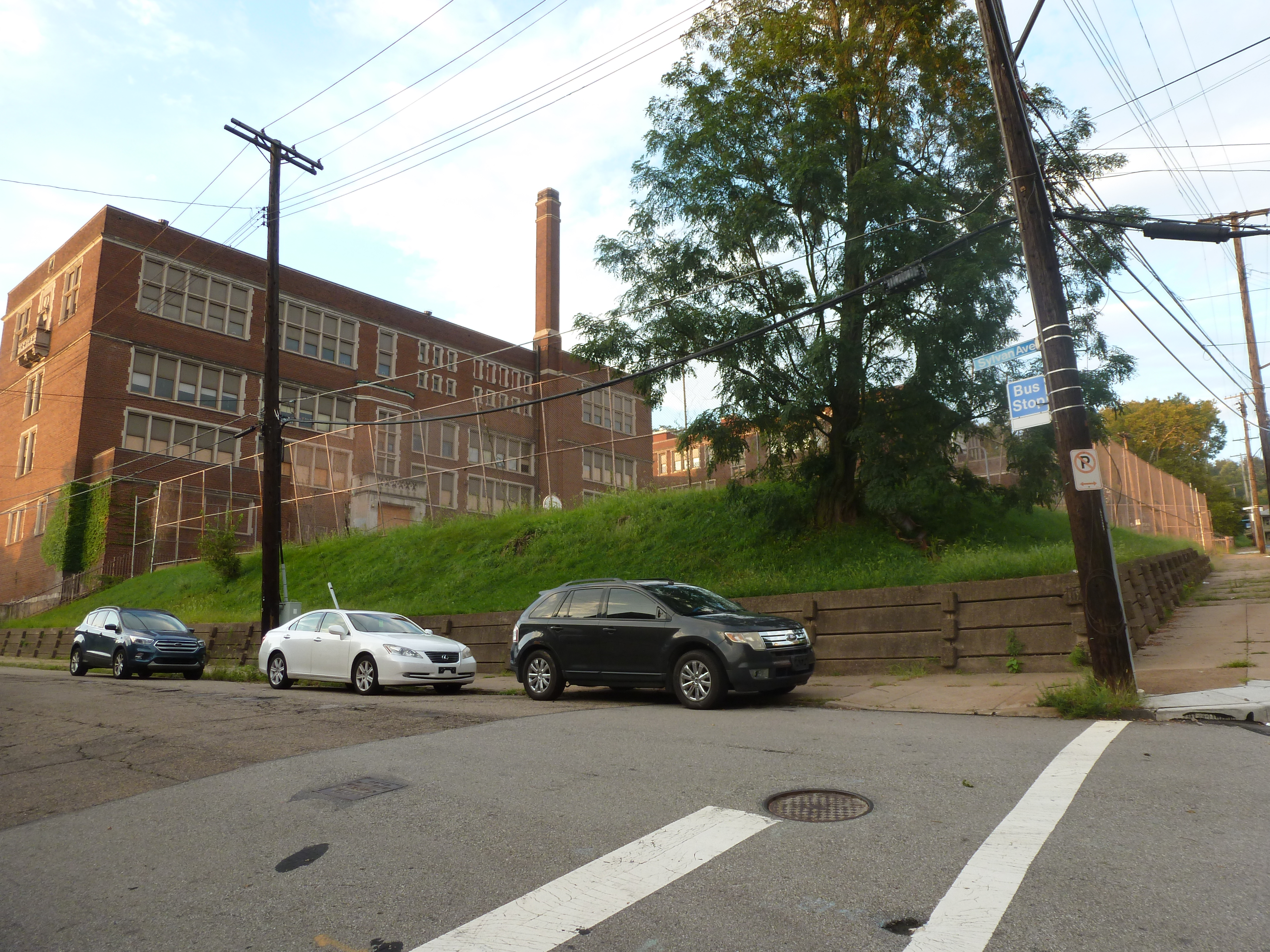
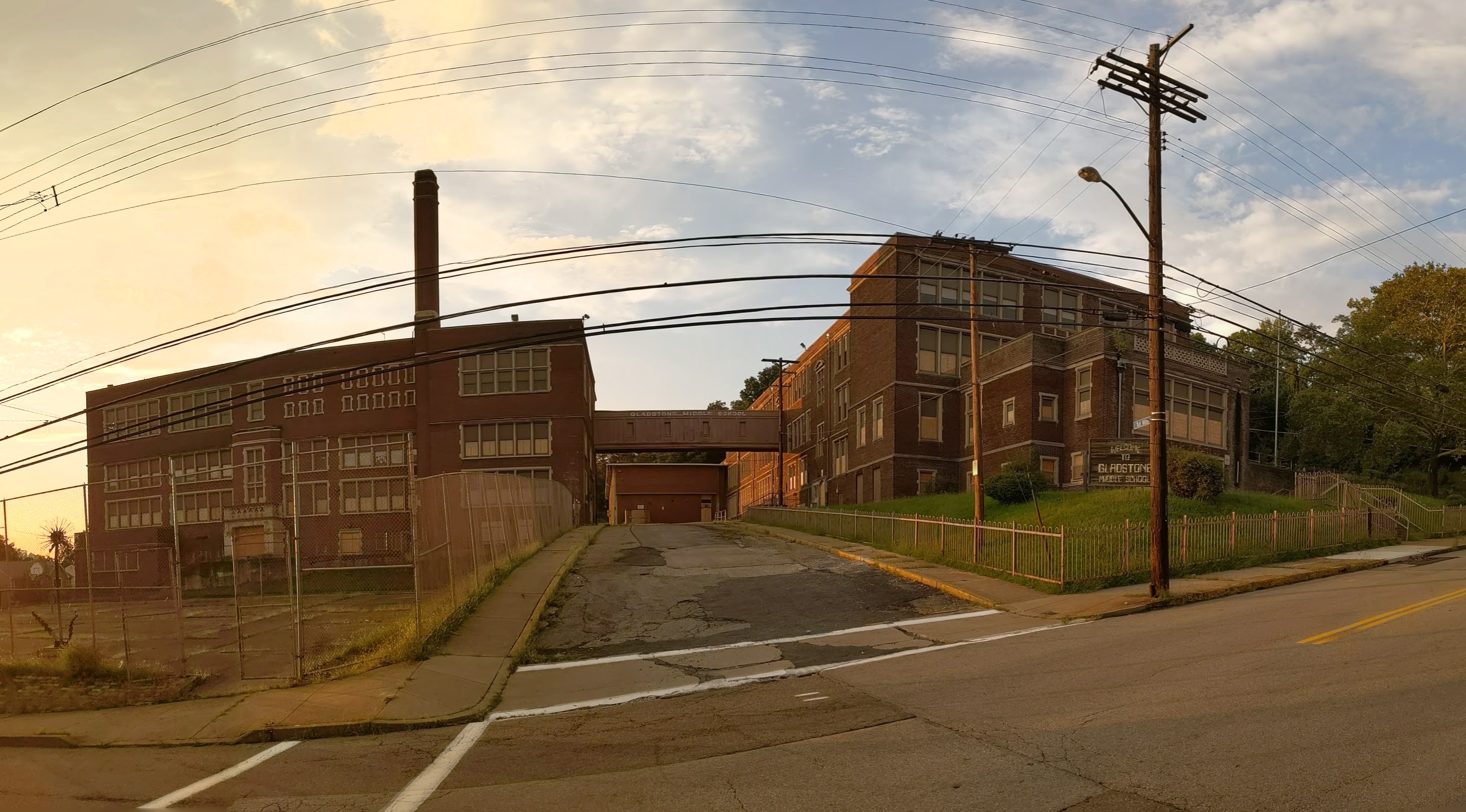
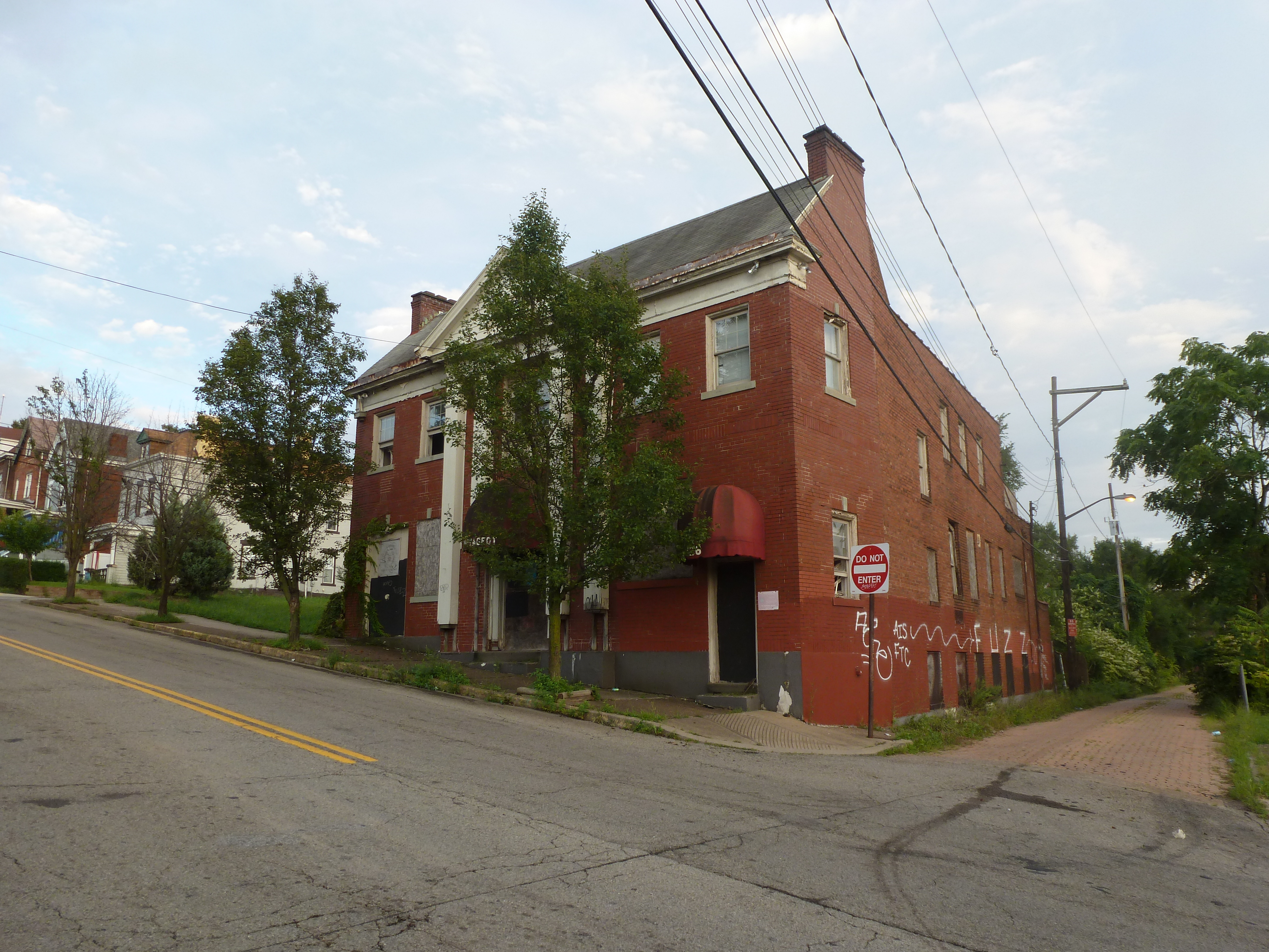
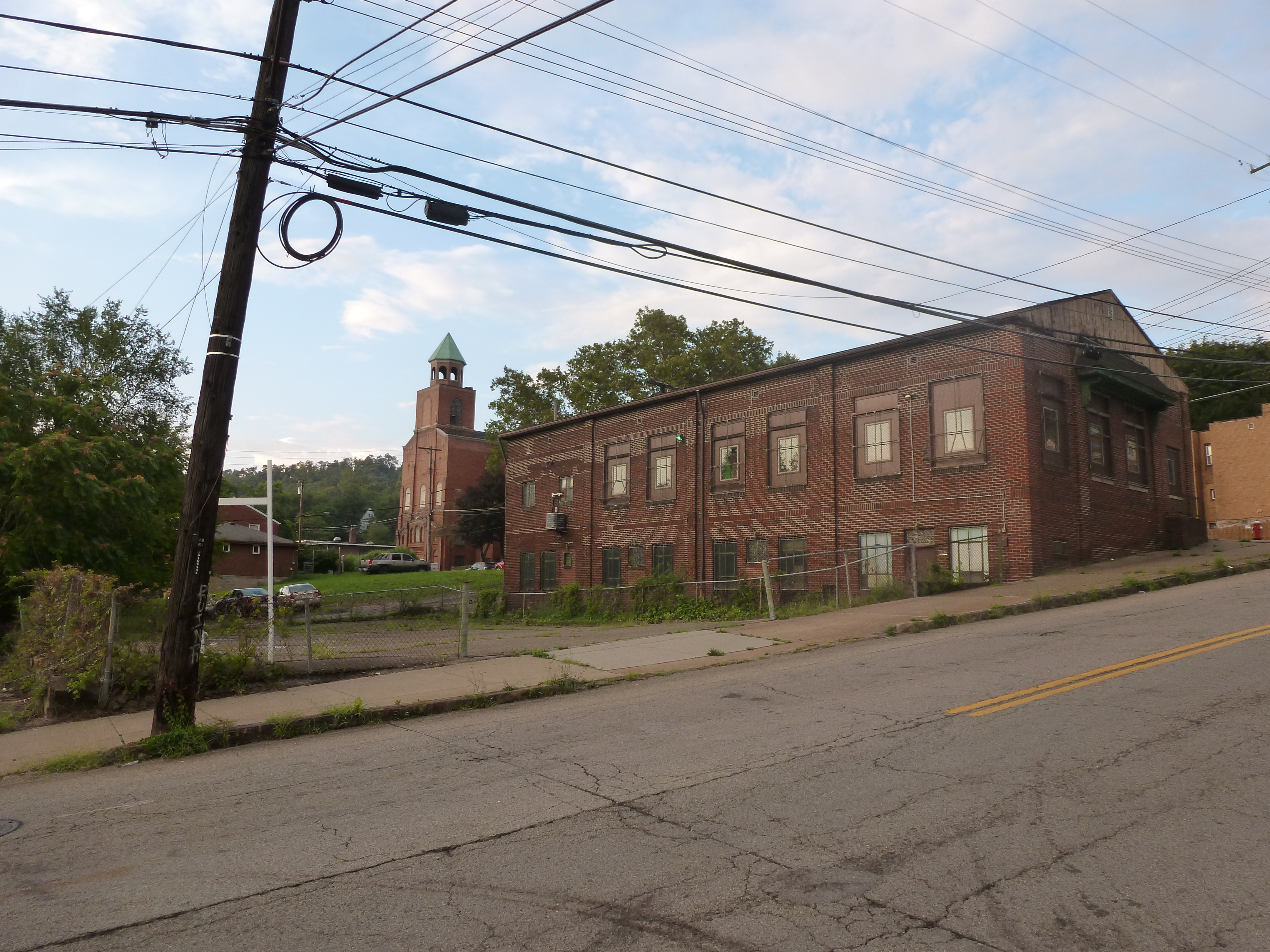
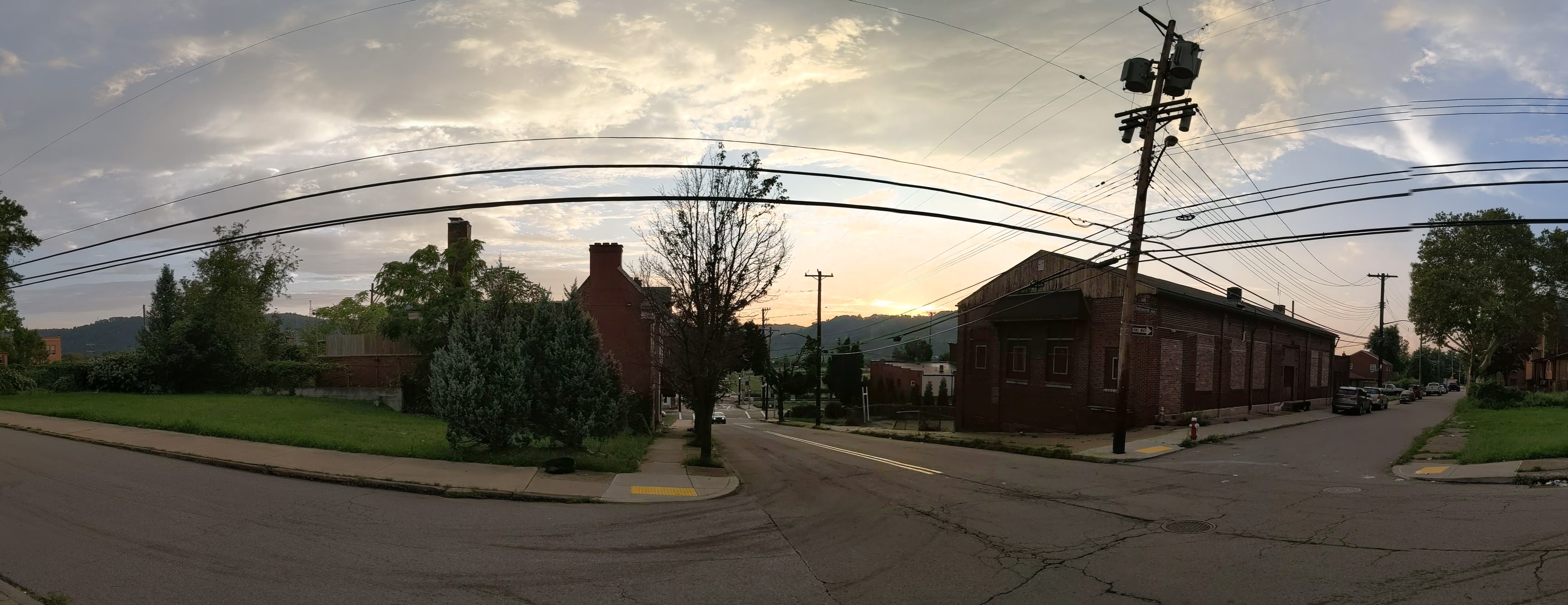
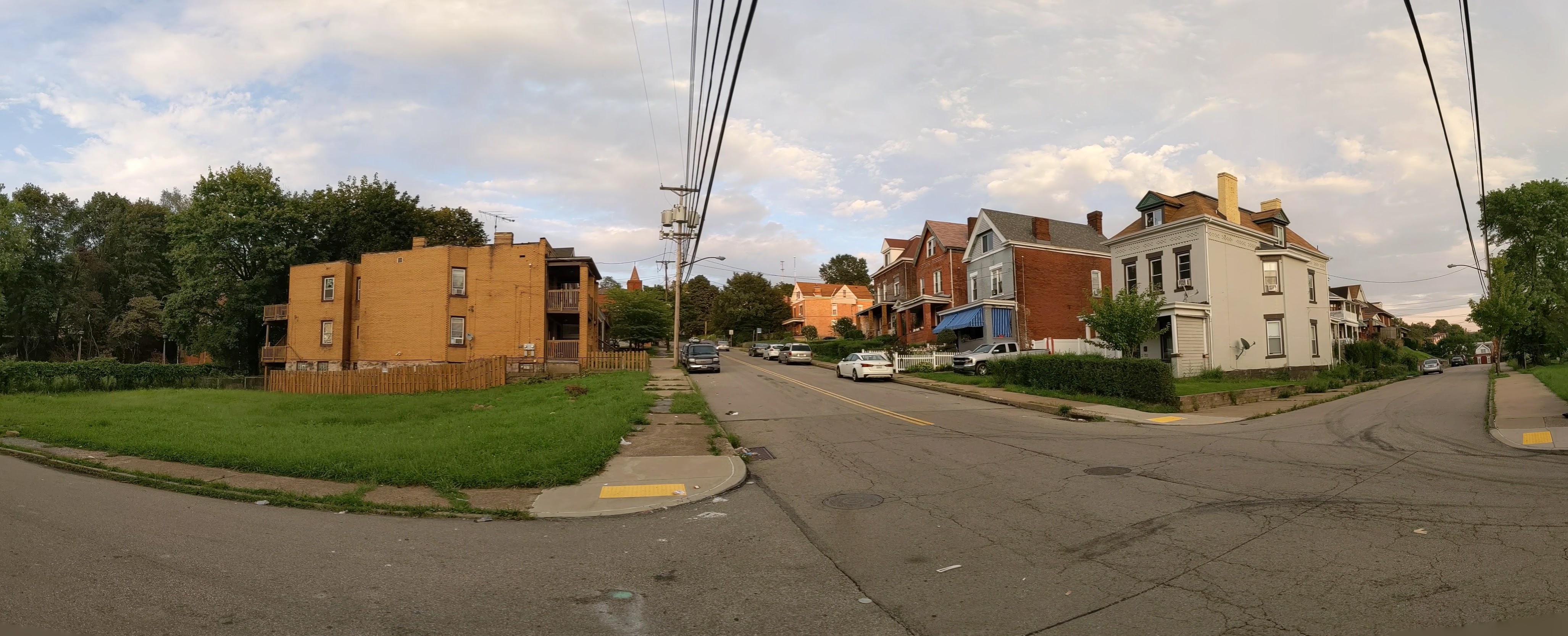
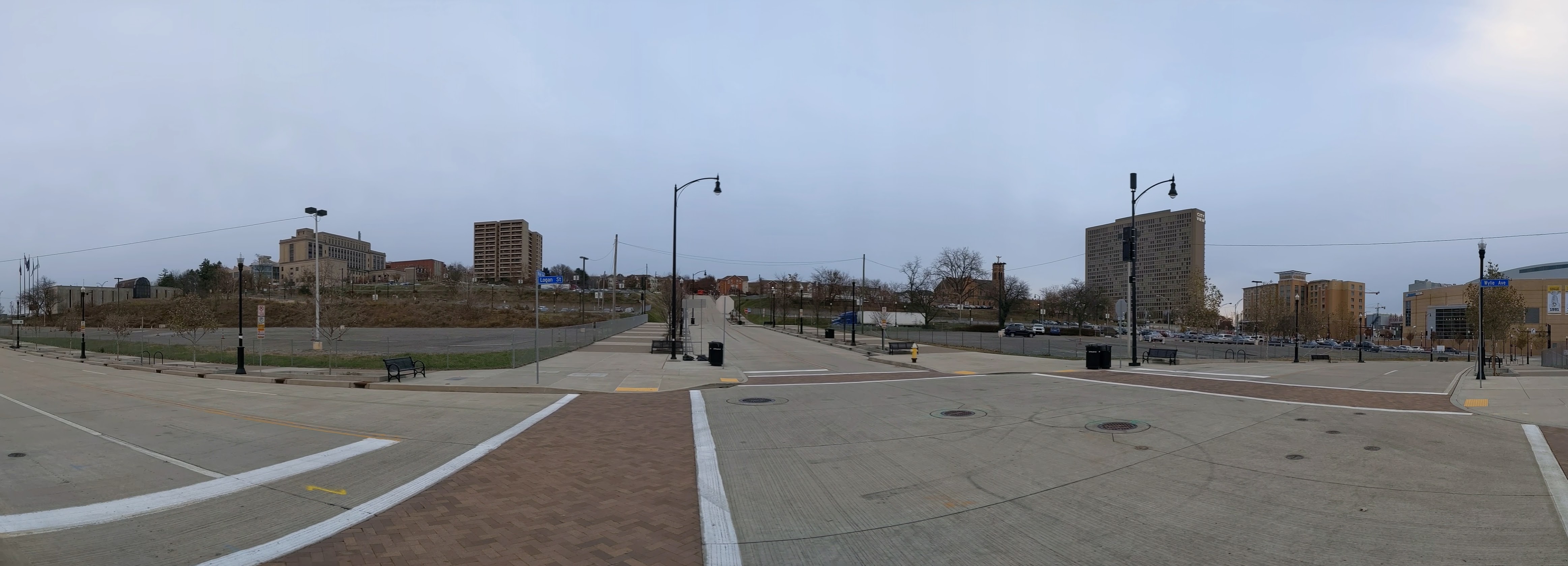
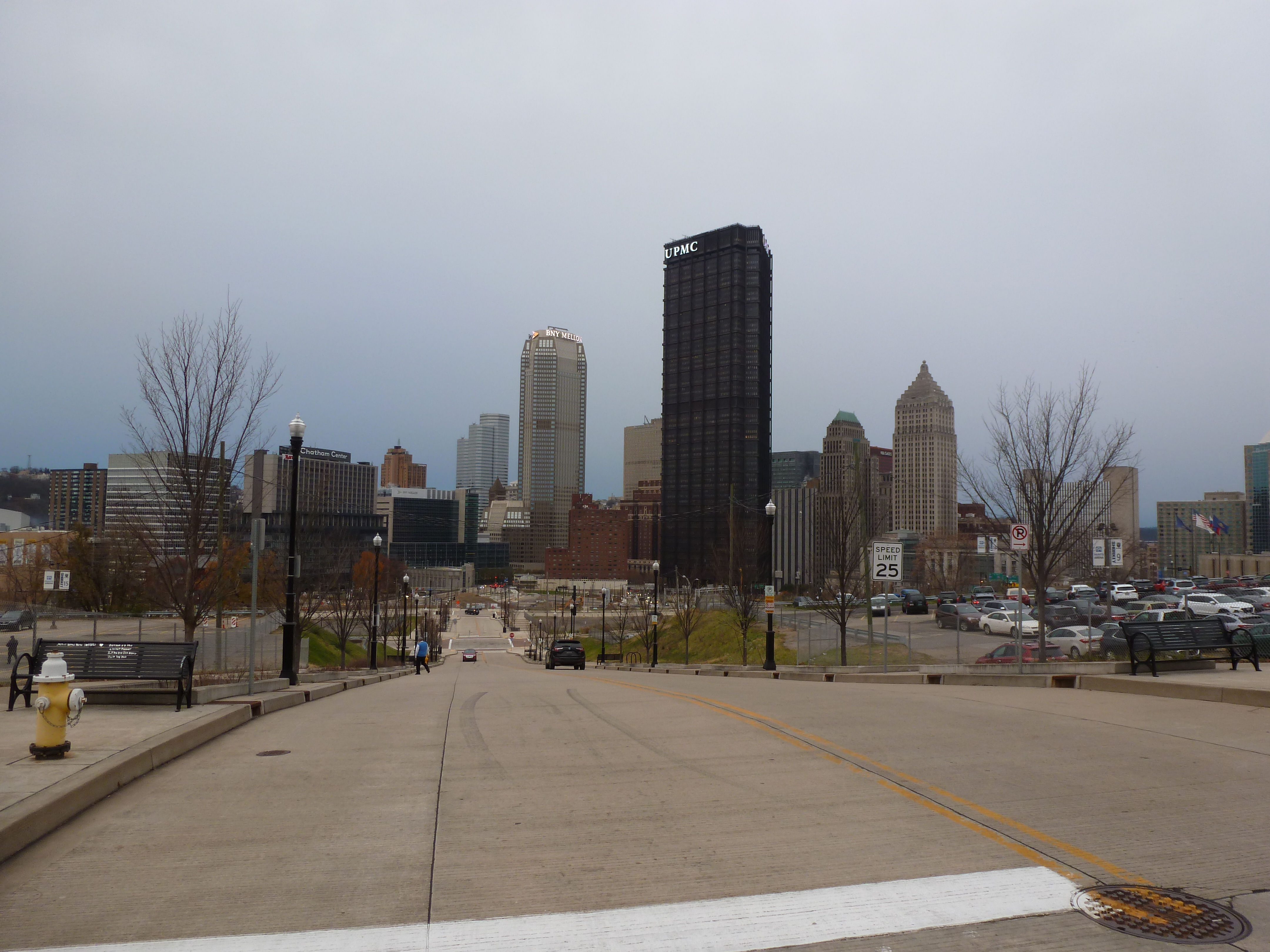
Photos
Lower Hill in the News
Controversy and concerns continue over the redevelopment of the Lower Hill from the Executive Management Committee that was appointed to answer how the redevelopment would benefit the entire Hill District in private meetings (September 17, 2021, Public Source, & September 23, 2021, NextPittsburgh) to the impact of a pending change in owner of the Penguins (November 23, NextPittsburgh) and the pending registration of a second community organization in the Lower Hill, which would then also participate in the Lower Hill development activities meetings (November 19, 2021, Public Source). The potential new owner has previously been involved in real estate development around sports arenas (November 21, 2021, Post-Gazette).
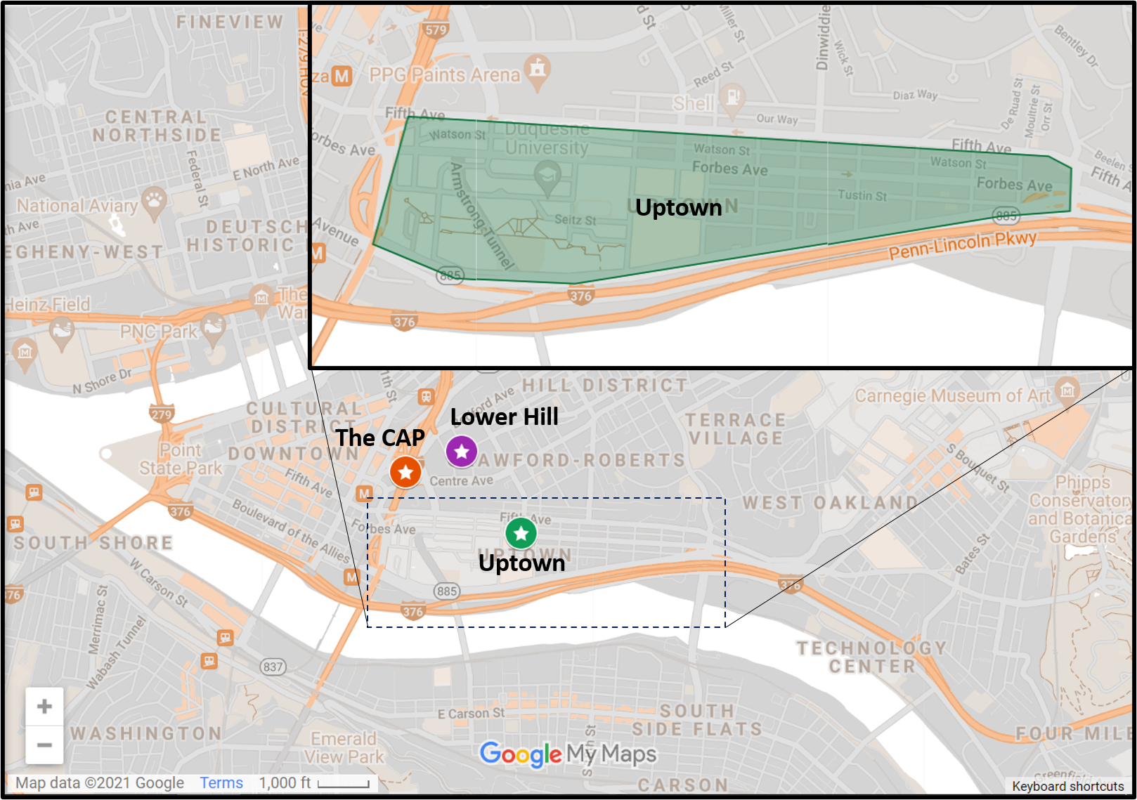
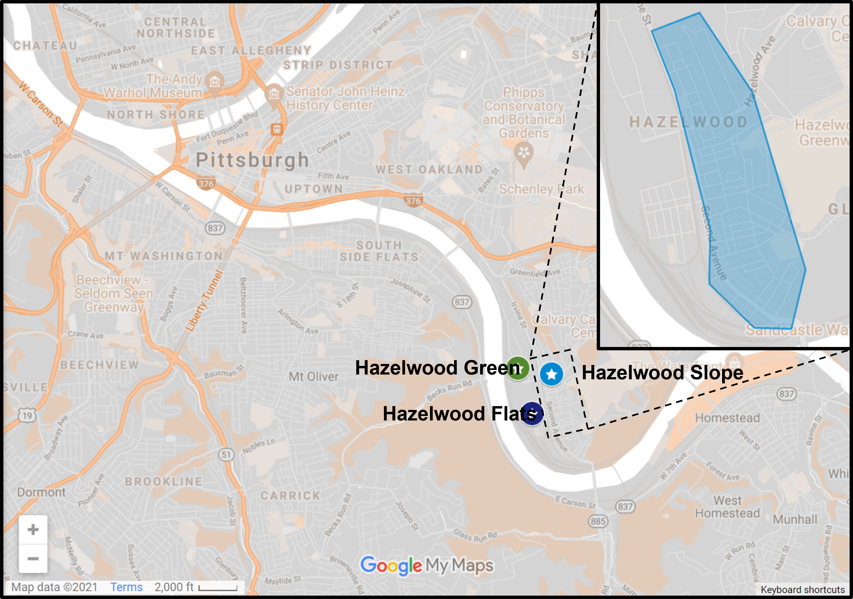
Locating the Lower Hill

Previous posts in series
Keeping an Eye on the Lower Hill: May 2021
Keeping an Eye on the Lower Hill: Dec. 2020
Keeping an Eye on the Lower Hill: Jun. 2020