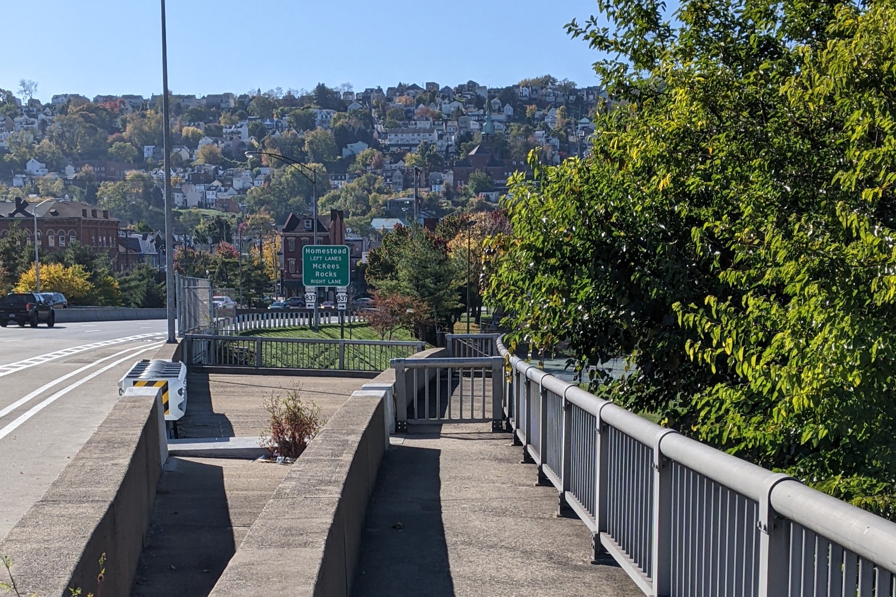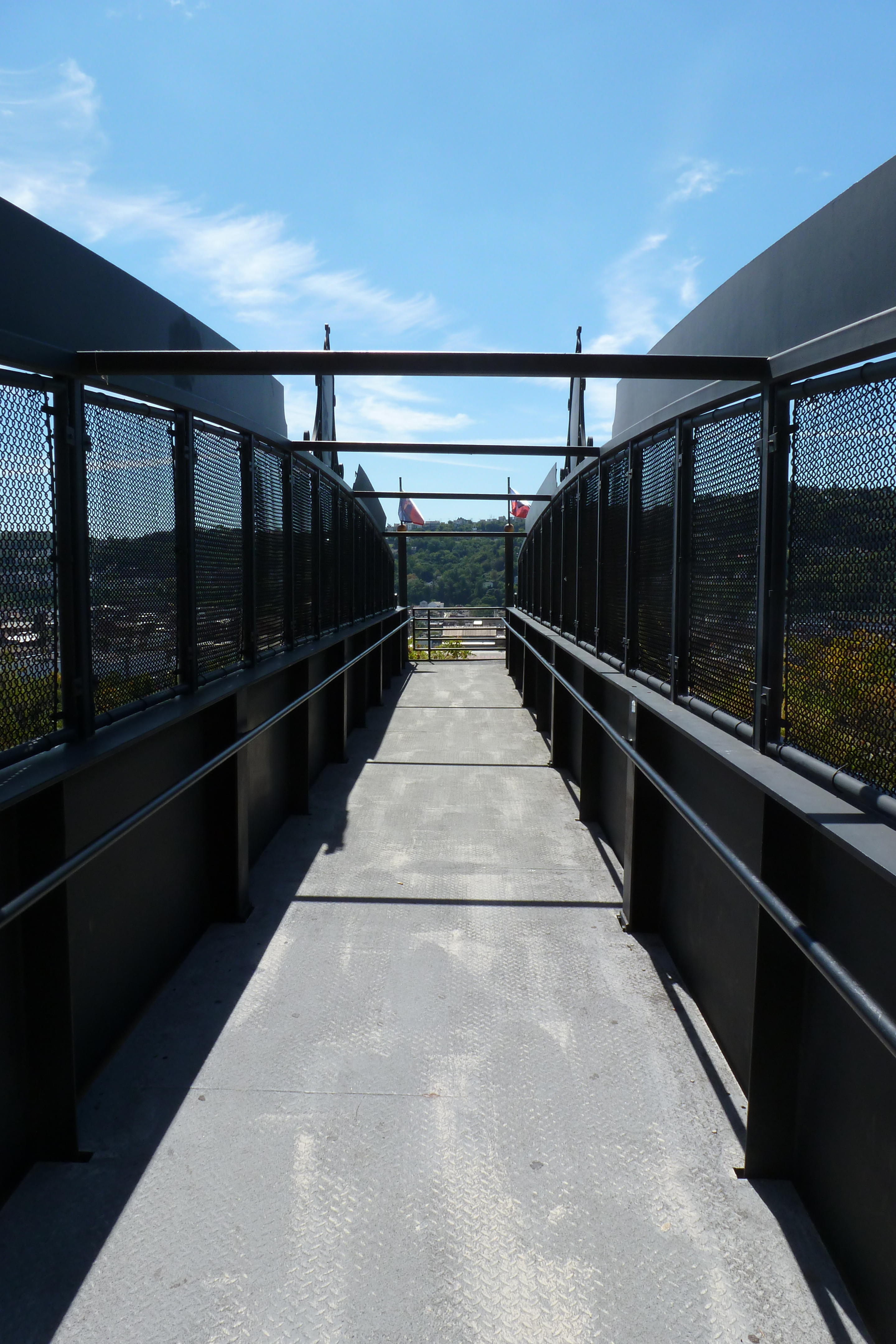
Irony? Serendipity? A sign I’ve walked too many bridges? It’s been one year since Pittsburgh’s Fern Hollow Bridge collapsed into Frick Park and another important arterial bridge is now closed and I am once again unable to fully explore due to another foot injury.
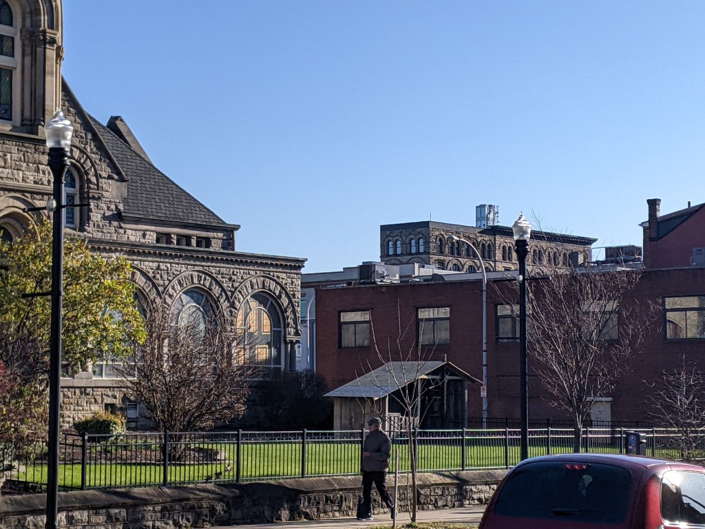
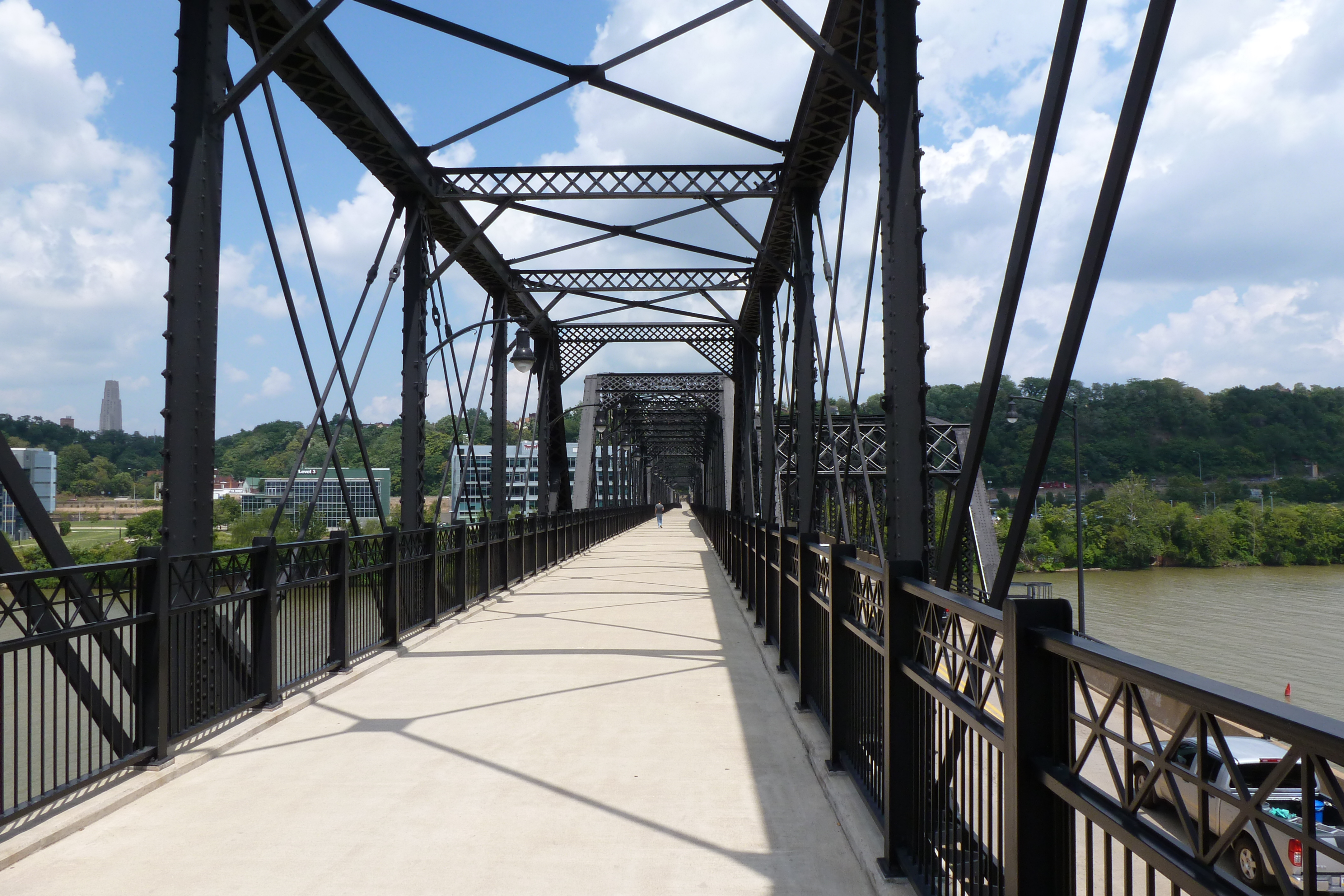
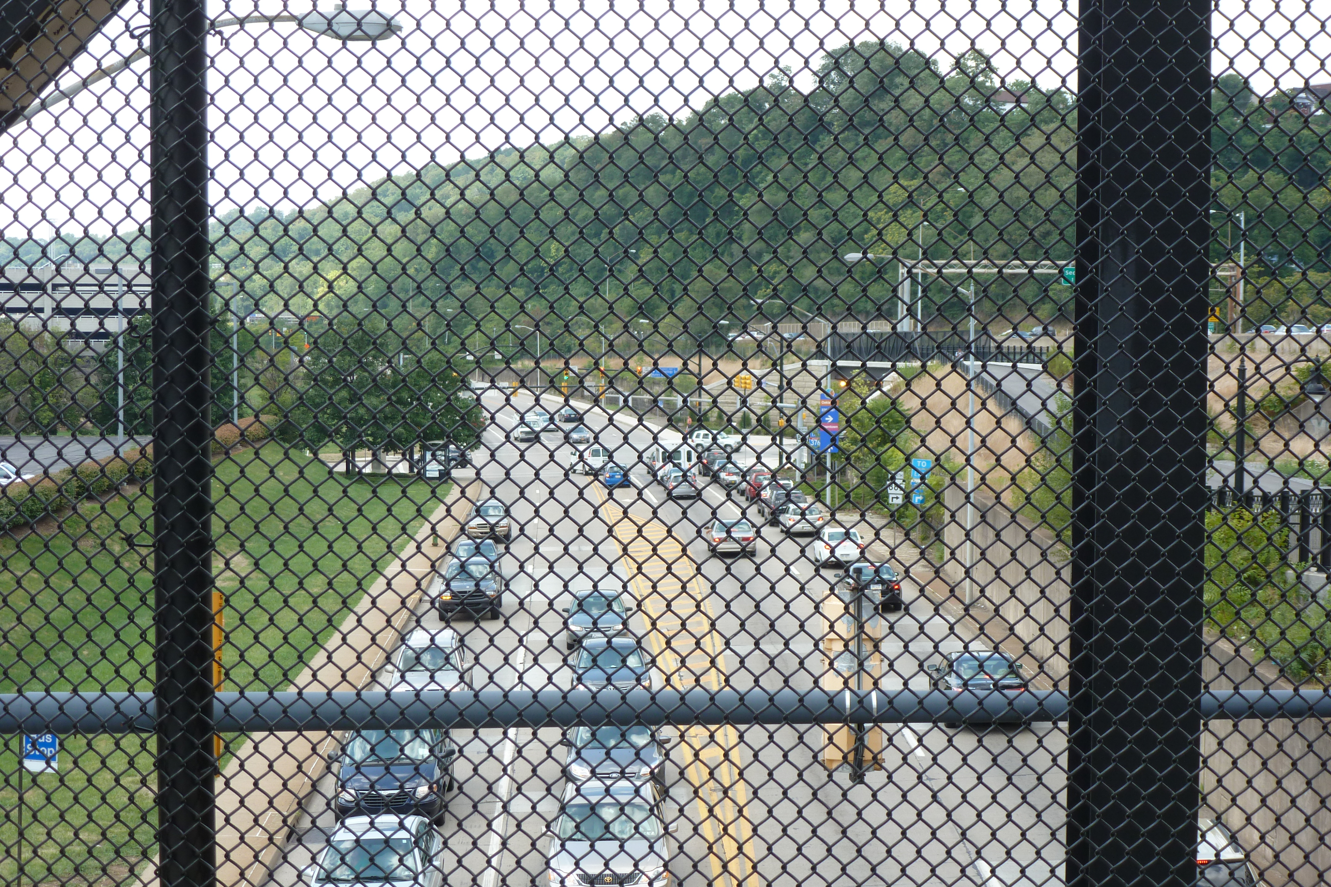
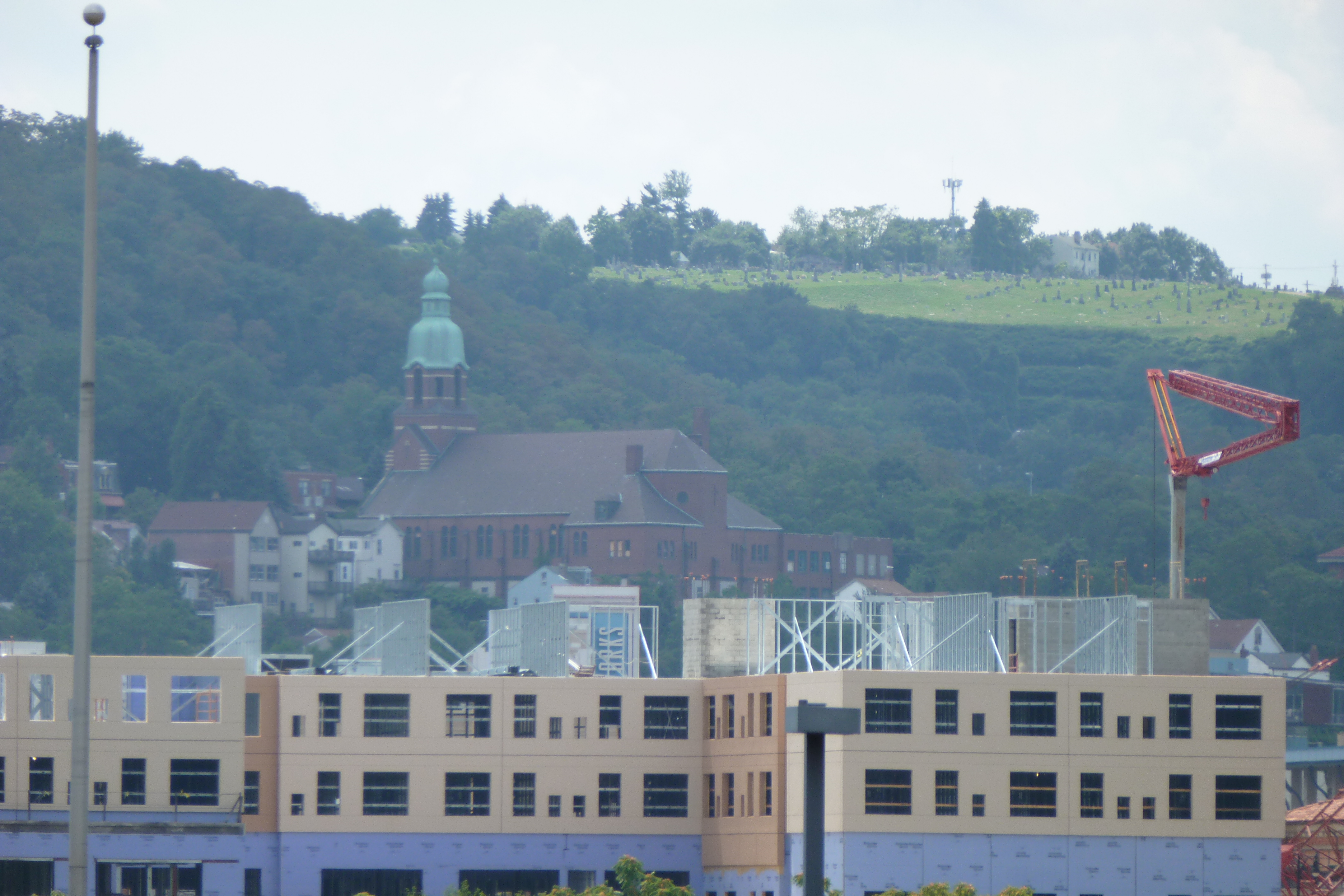
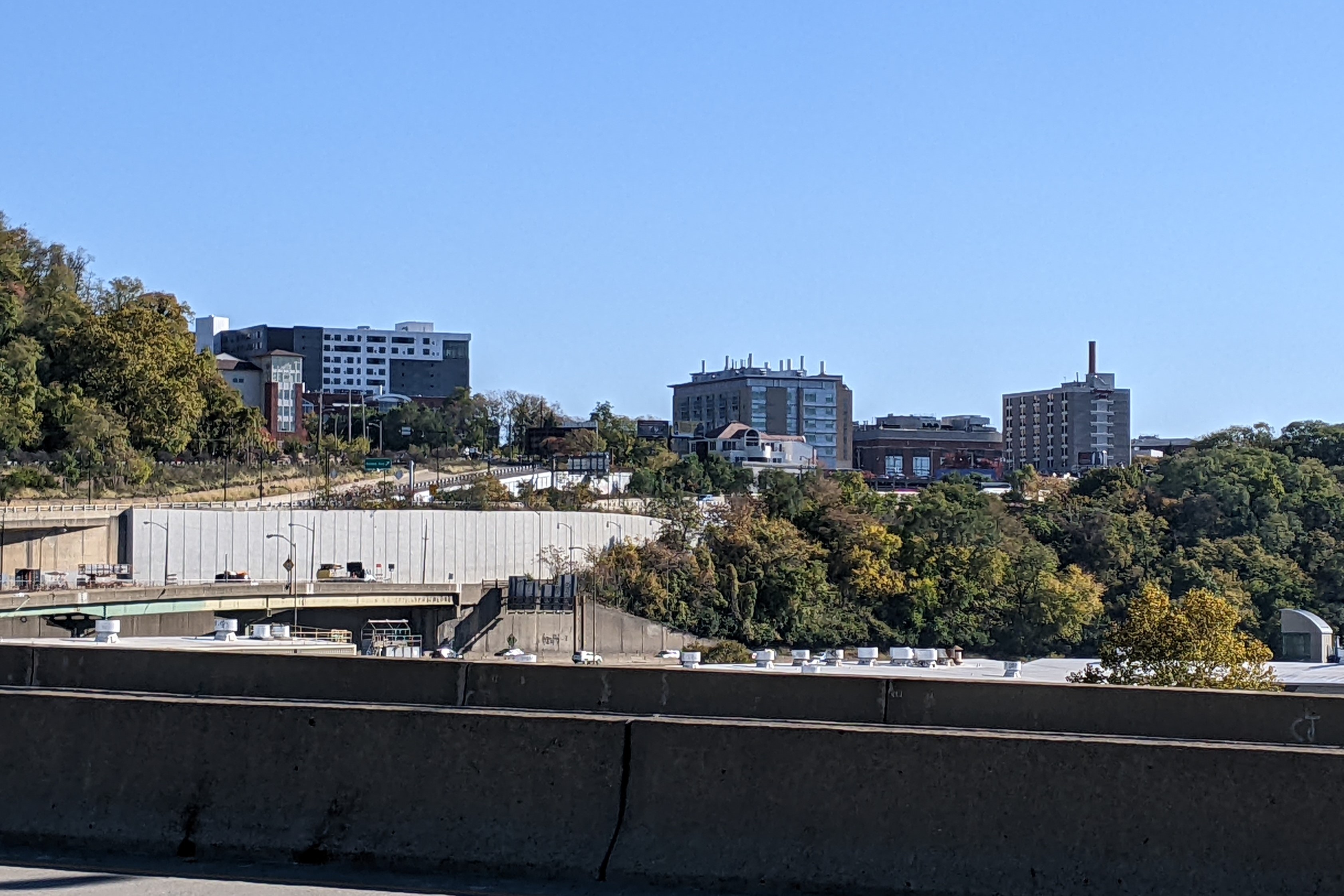
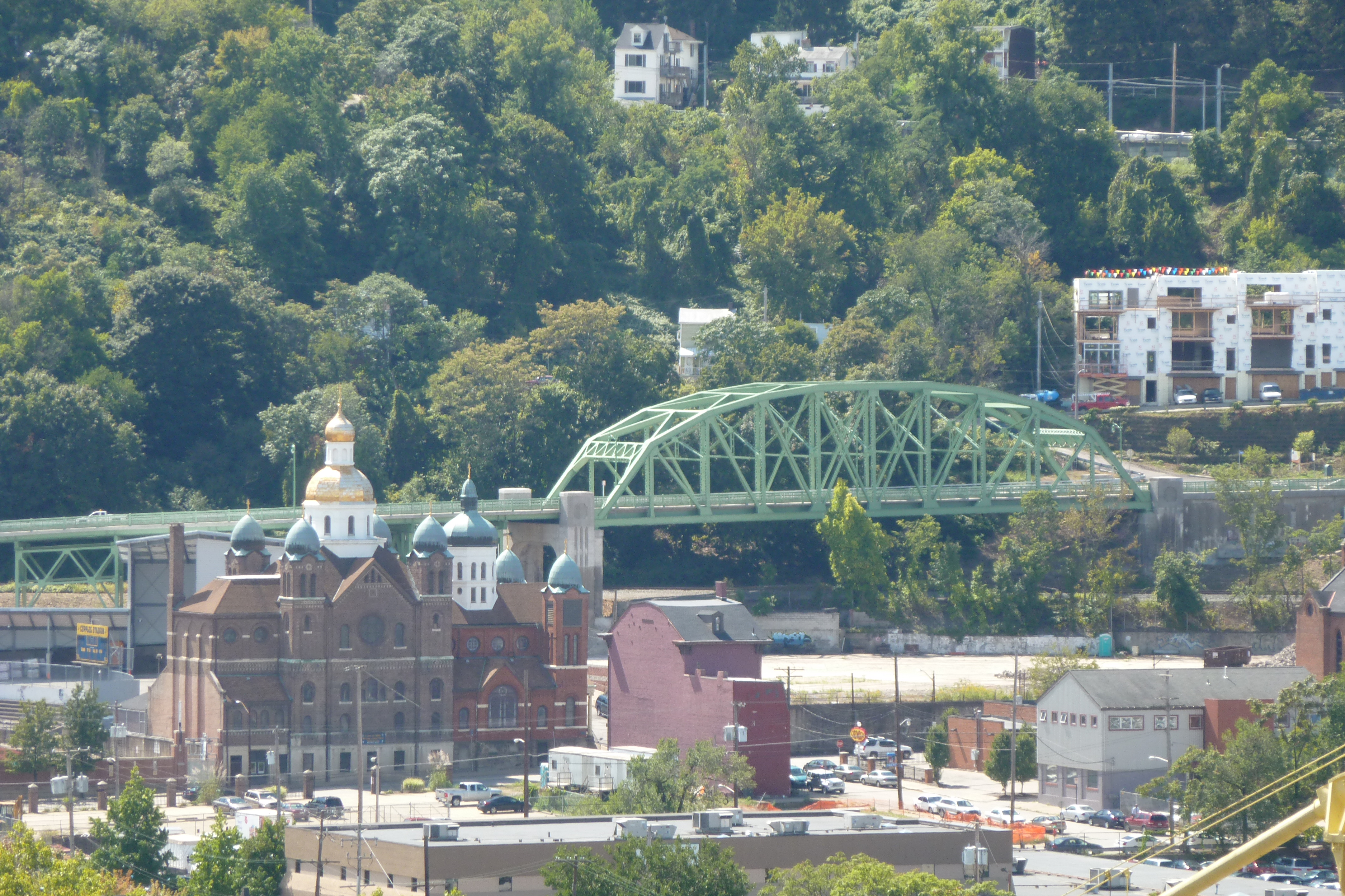
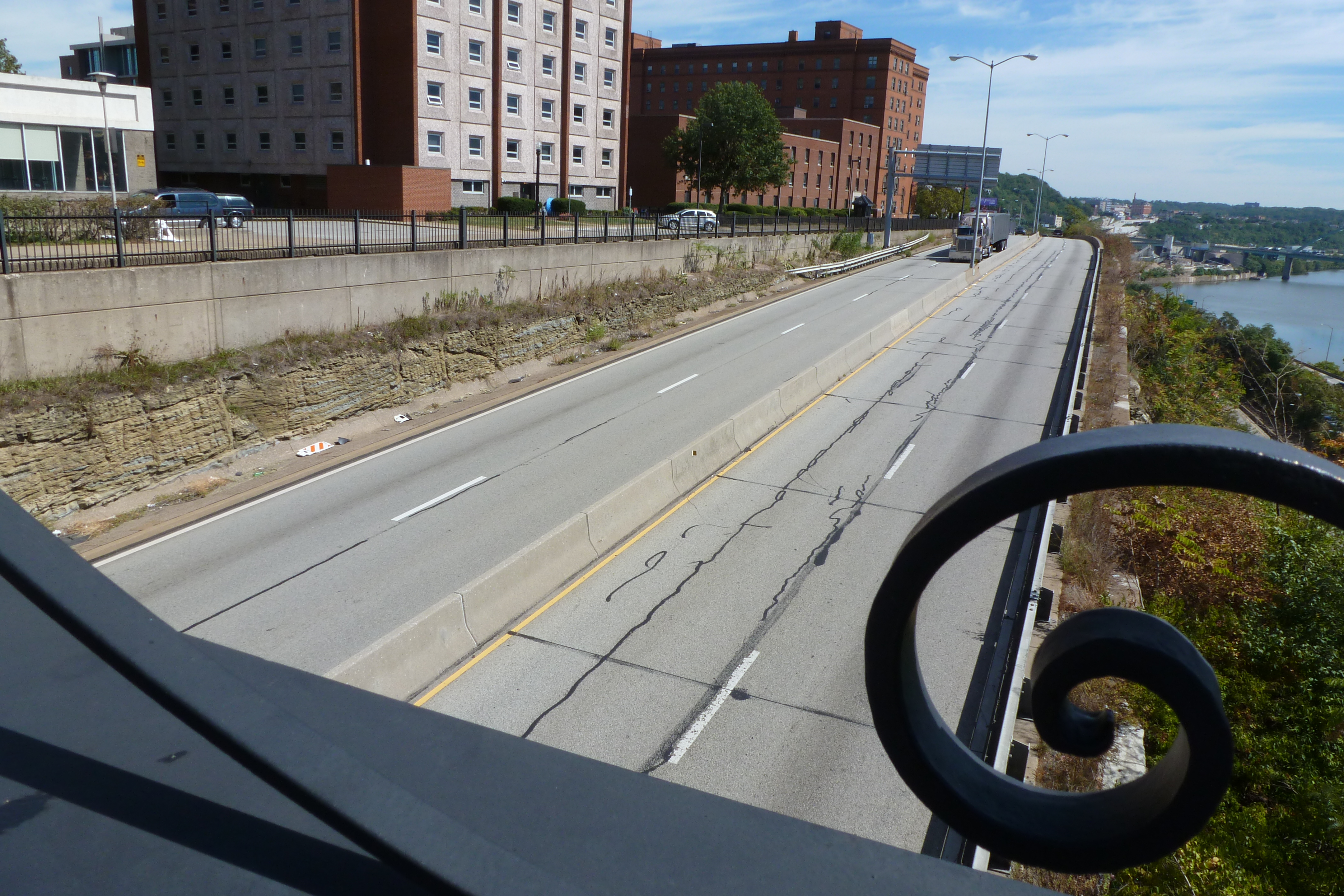
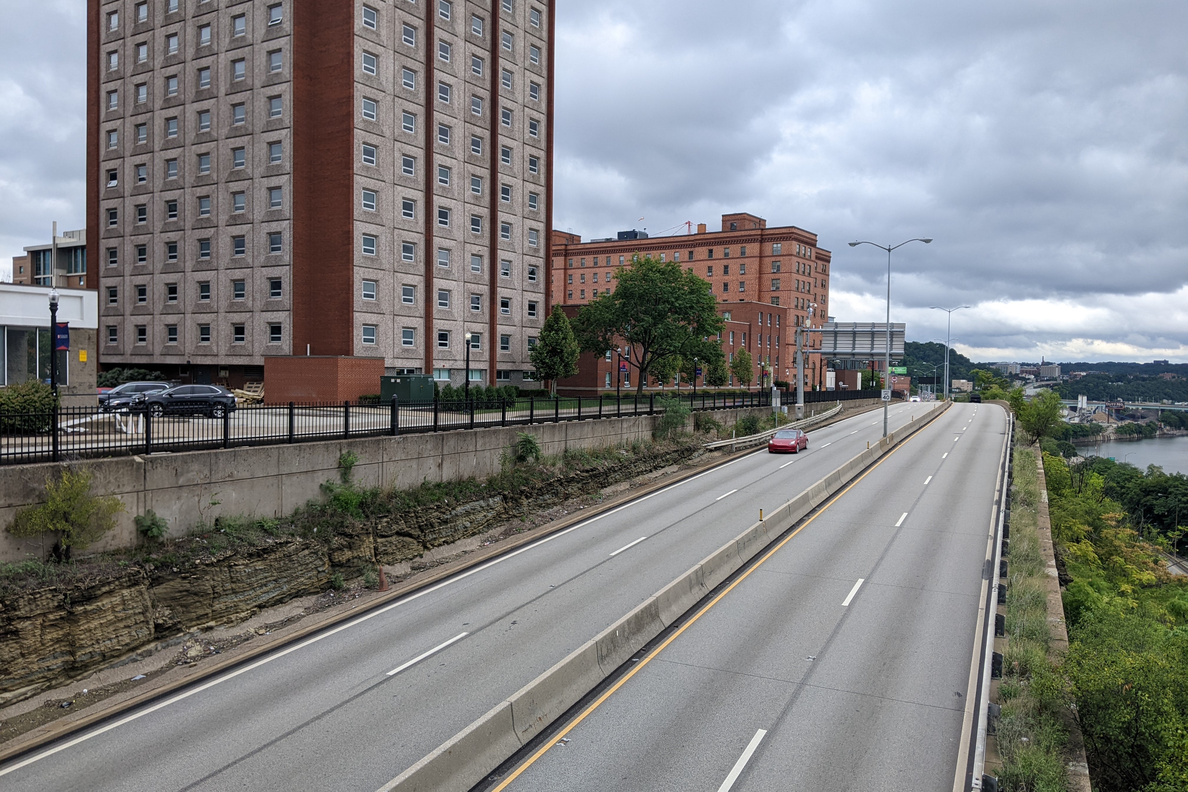
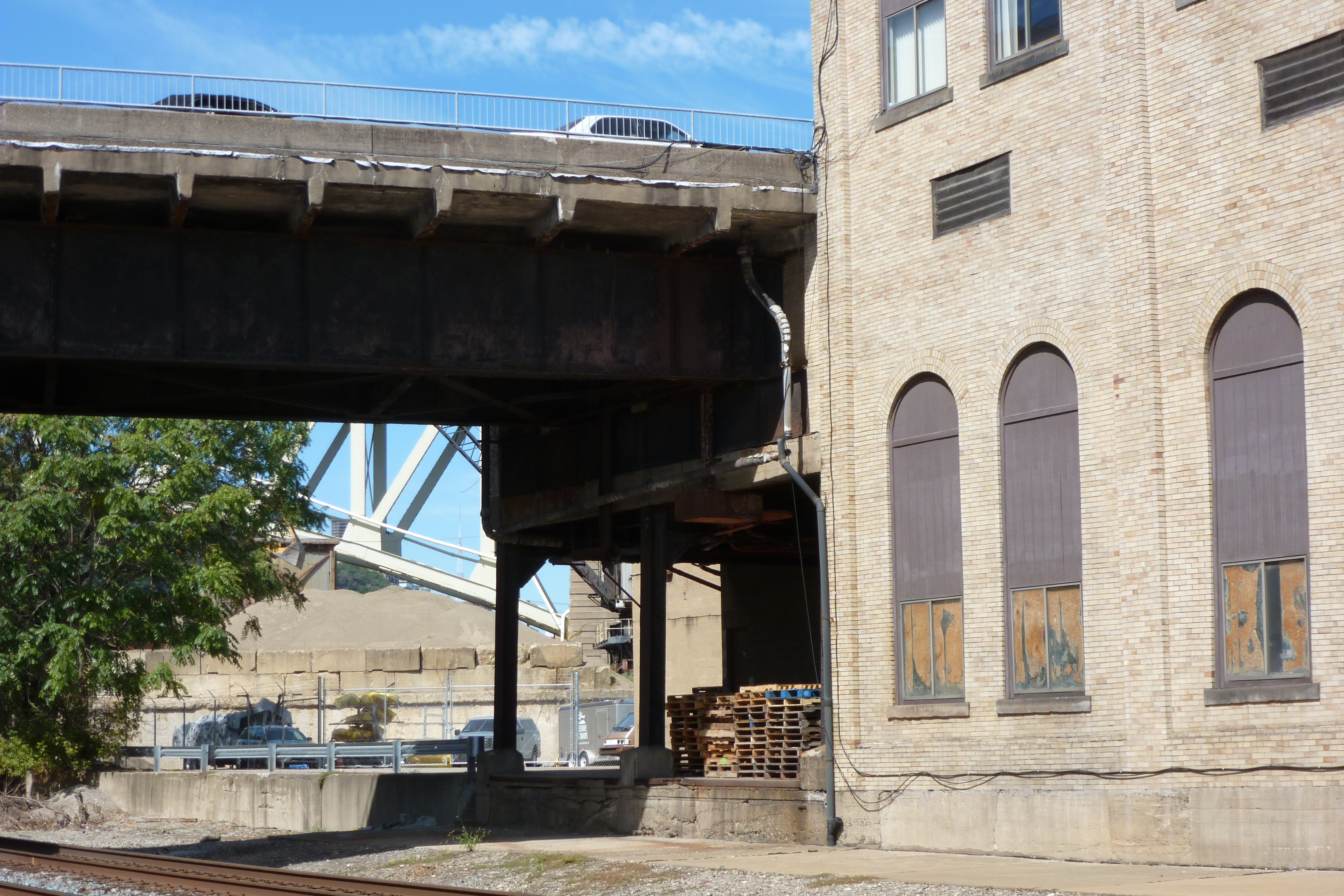
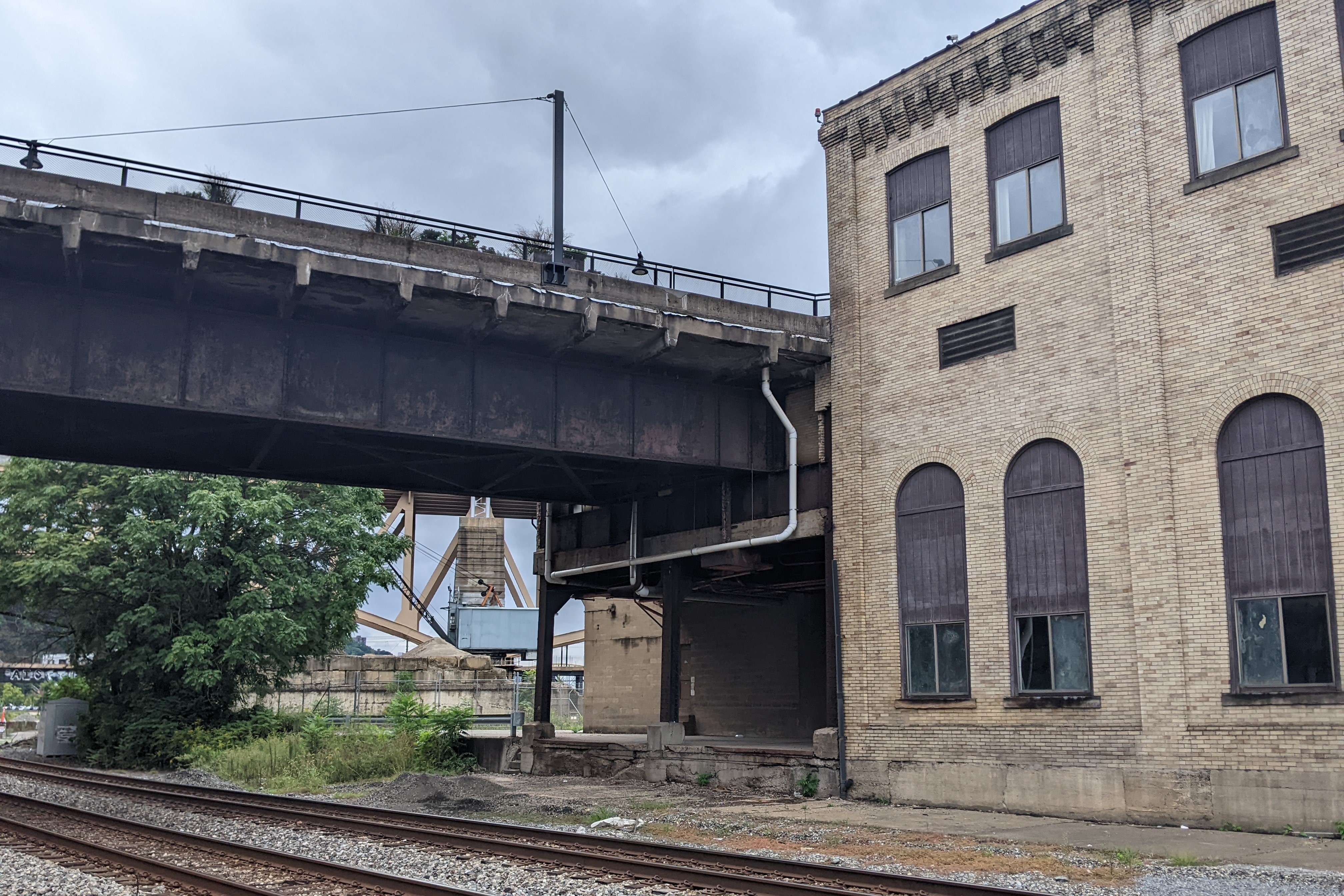
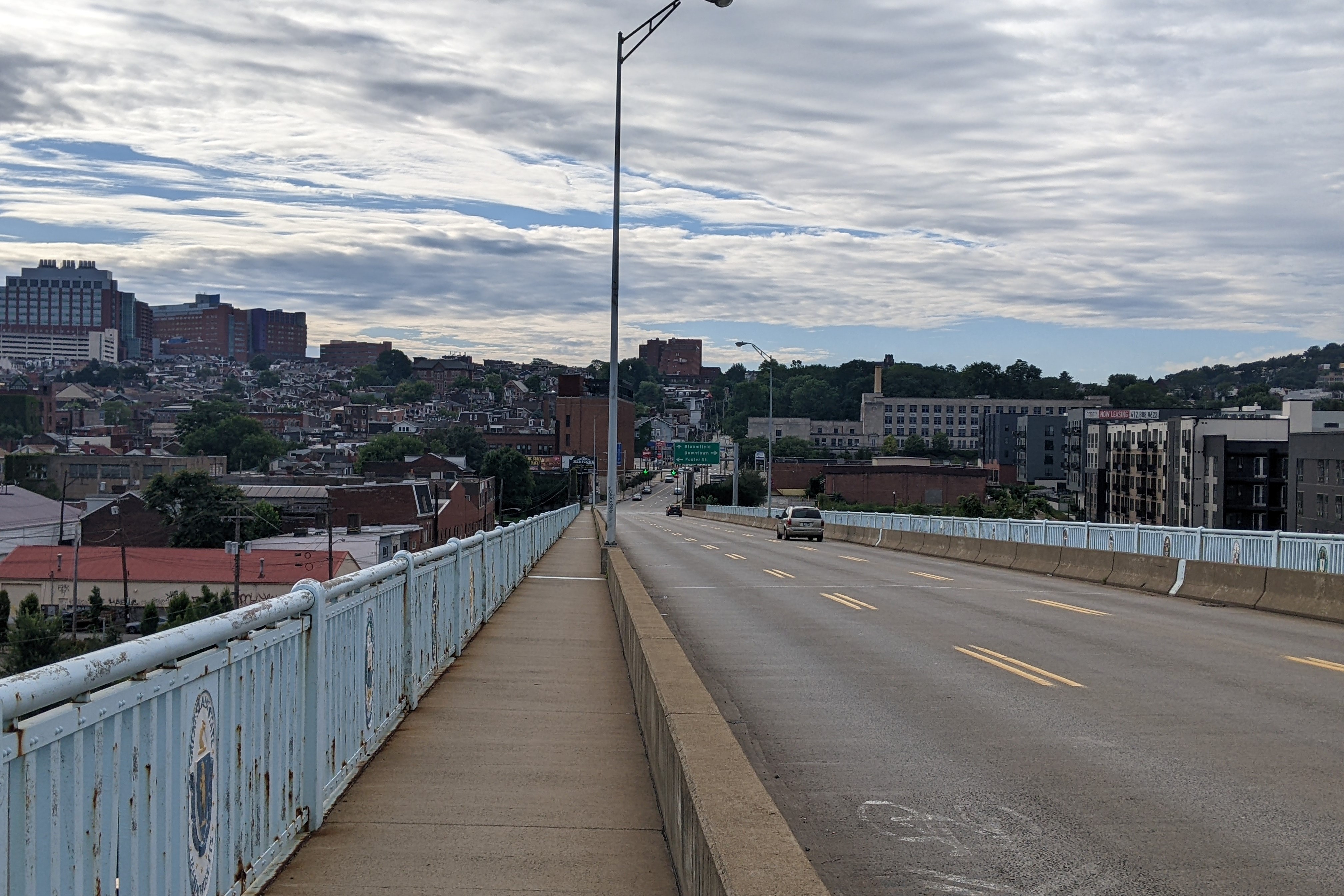
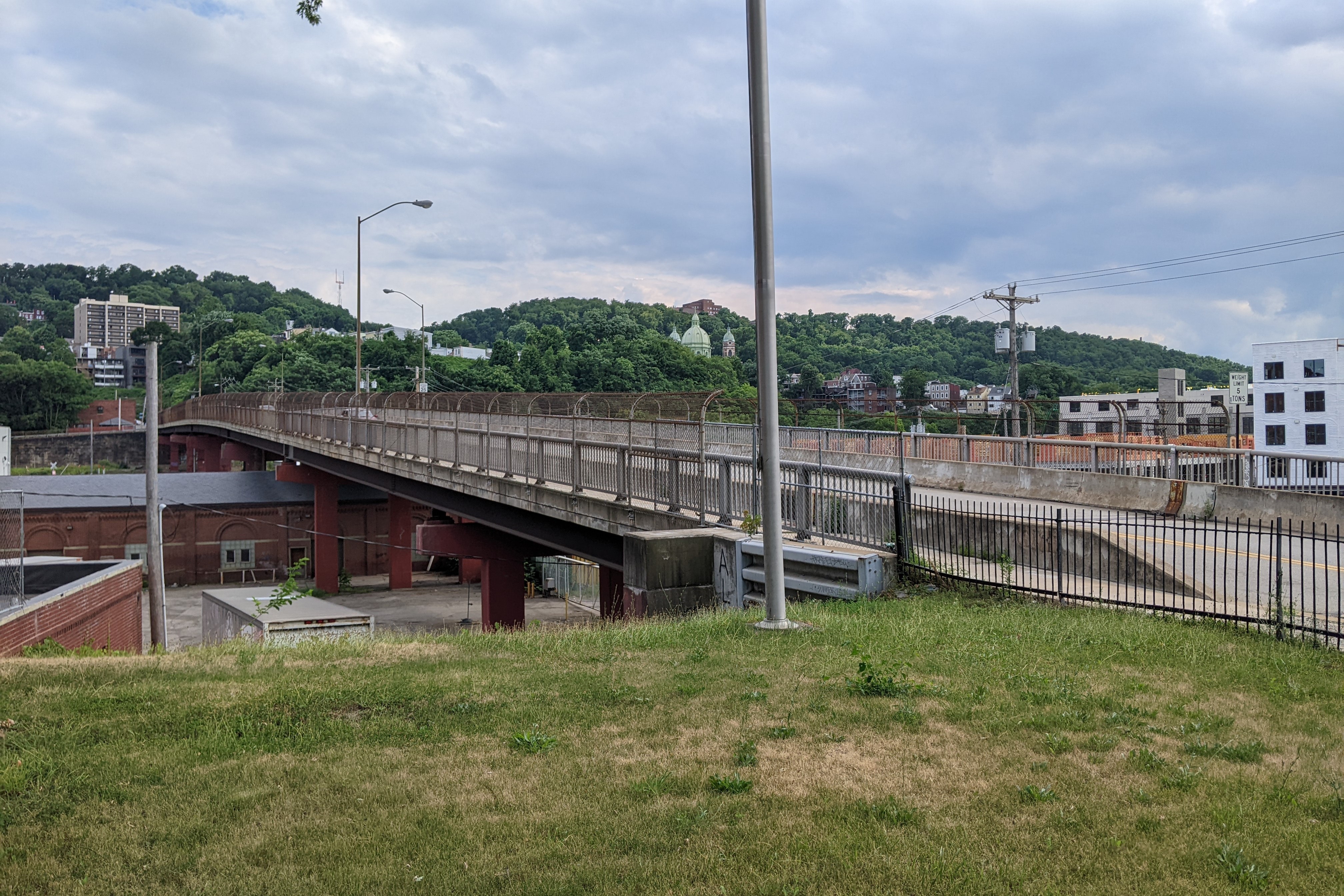
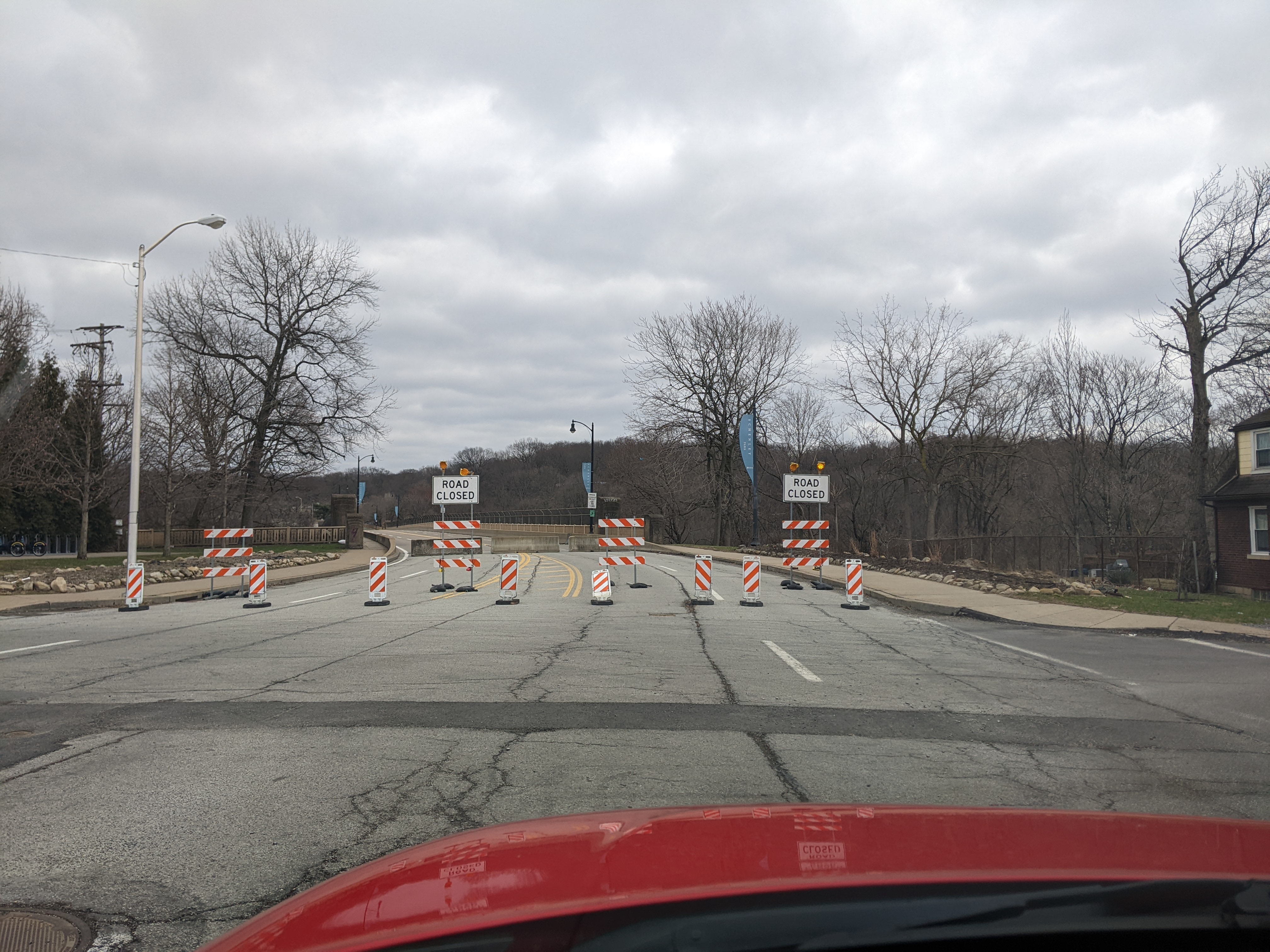
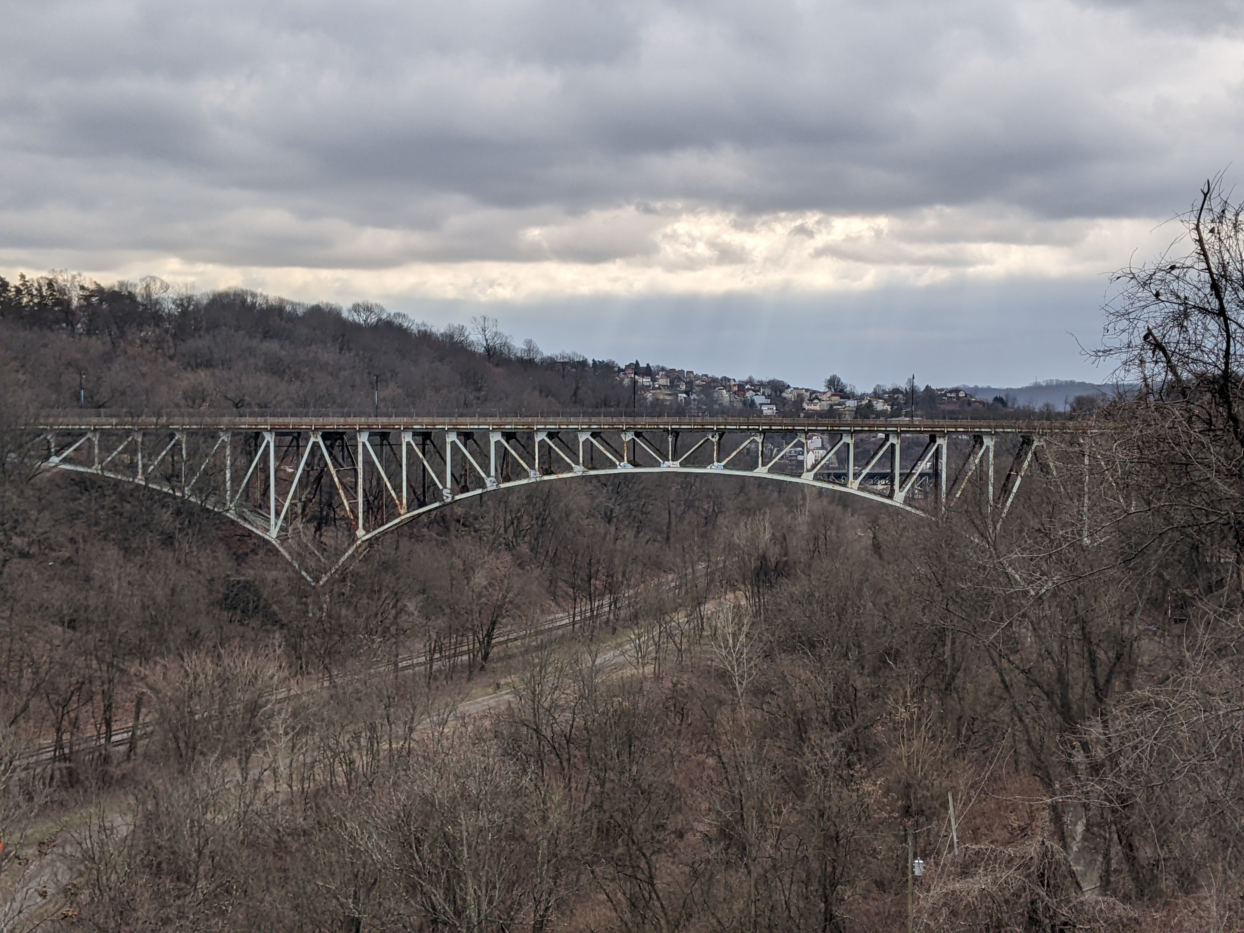
Shortly after the Fern Hollow Bridge collapsed, photos of temporary wires holding up the Charles Anderson Bridge supplementing the original metal structure that had rusted all the way through in places peppered social media and made the news with the question of would this be the next bridge to collapse? On February 1, 2023, the Charles Anderson Bridge was “immediately closed” to vehicular traffic (press release). Those with fully functioning limbs are still able to walk or bike across or under the bridge – it passes over another one of Pittsburgh’s major parks (Schenley Park).
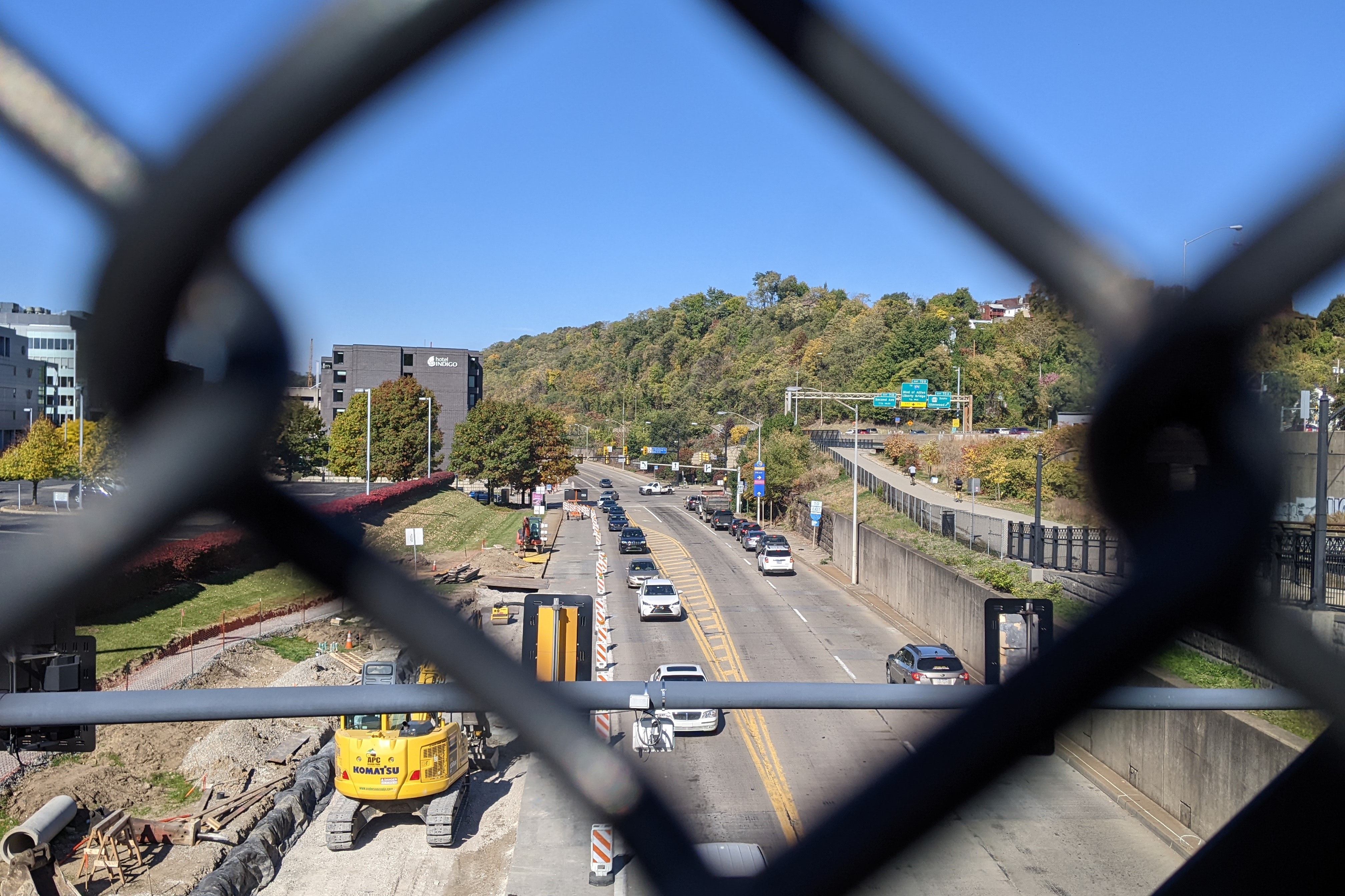
The bridge was closed to facilitate interim repairs that may take four months. The bridge has been slated for a full rehabilitation for several years (see the City’s project page for more). The original projection was that this project would be funded this year, but according to a press release from the Mayor’s office on February 2, the expected funds have been delayed until 2027 and the City is looking for ways to expedite the funding.
Also, along the lines of serendipity, I happened to be browsing my copy of Bob Regan’s “The Bridges of Pittsburgh” (2006) this week for unrelated reasons and came across the section “Bridge Disasters.” The section opens with the statement: “Although Pittsburgh area bridges are quite safe and there has been an absence of bridge problems in modern times, this was not always the case.” (page 50) After identifying several of the bridge disasters from pre-modern times (summarized below), he ends this section with “Since that time [1927] there has not been a bridge collapse in the Commonwealth of Pennsylvania and there has never been a collapse of an operating bridge. However, this record was somewhat blemished in late 2005 with the collapse of a portion (one side girder) of a bridge over I-70 near Washington, PA.” (page 51) Of course, any updated version of the book will now have to strike this claim due to the 2022 collapse of the operating Fern Hollow Bridge.
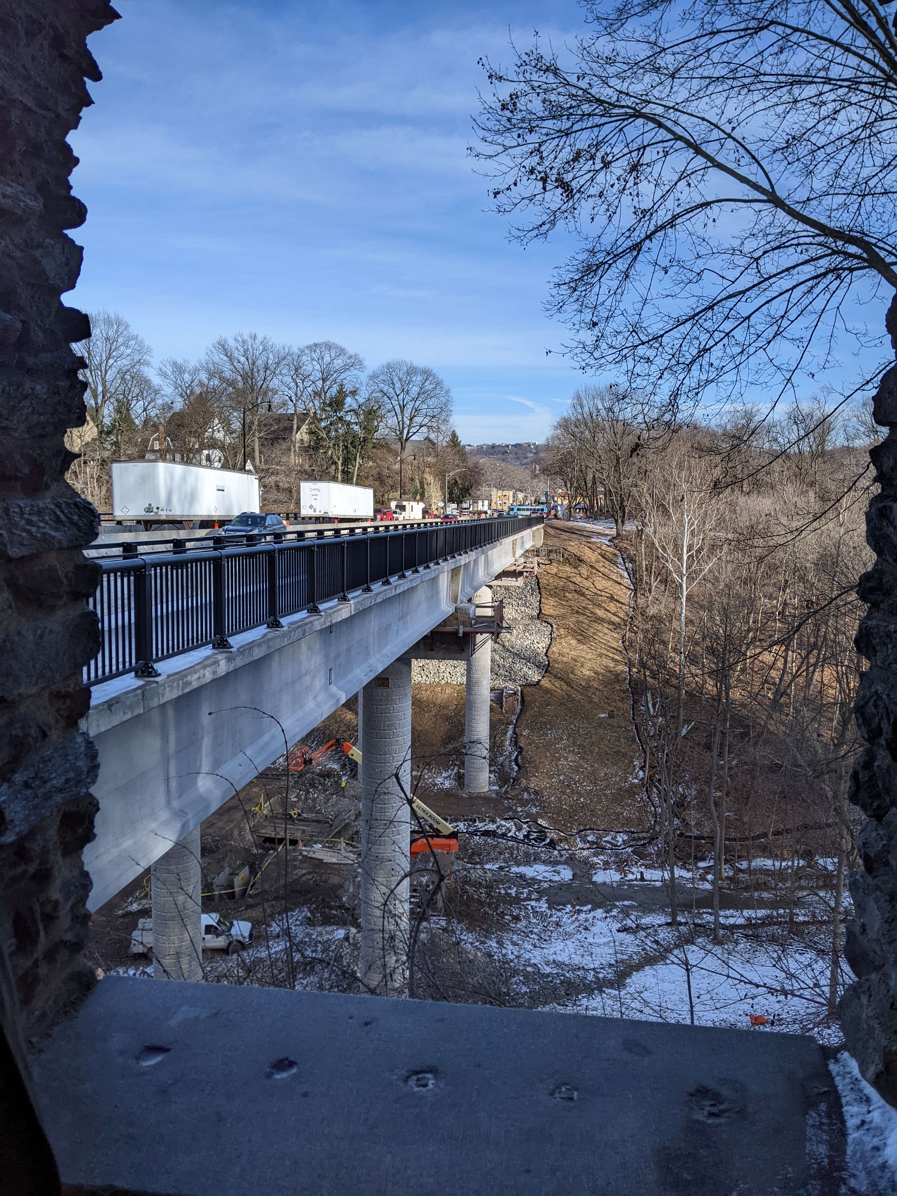
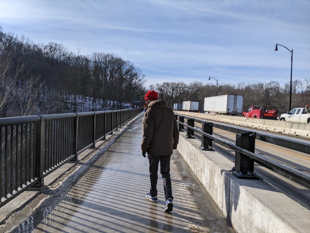
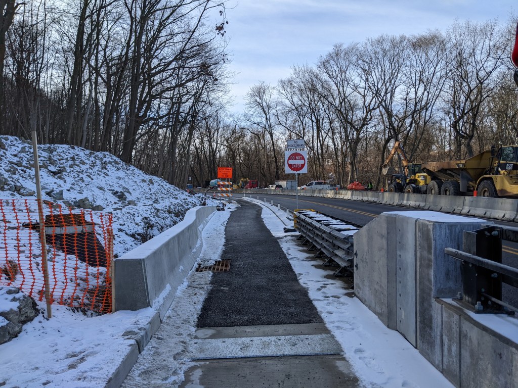
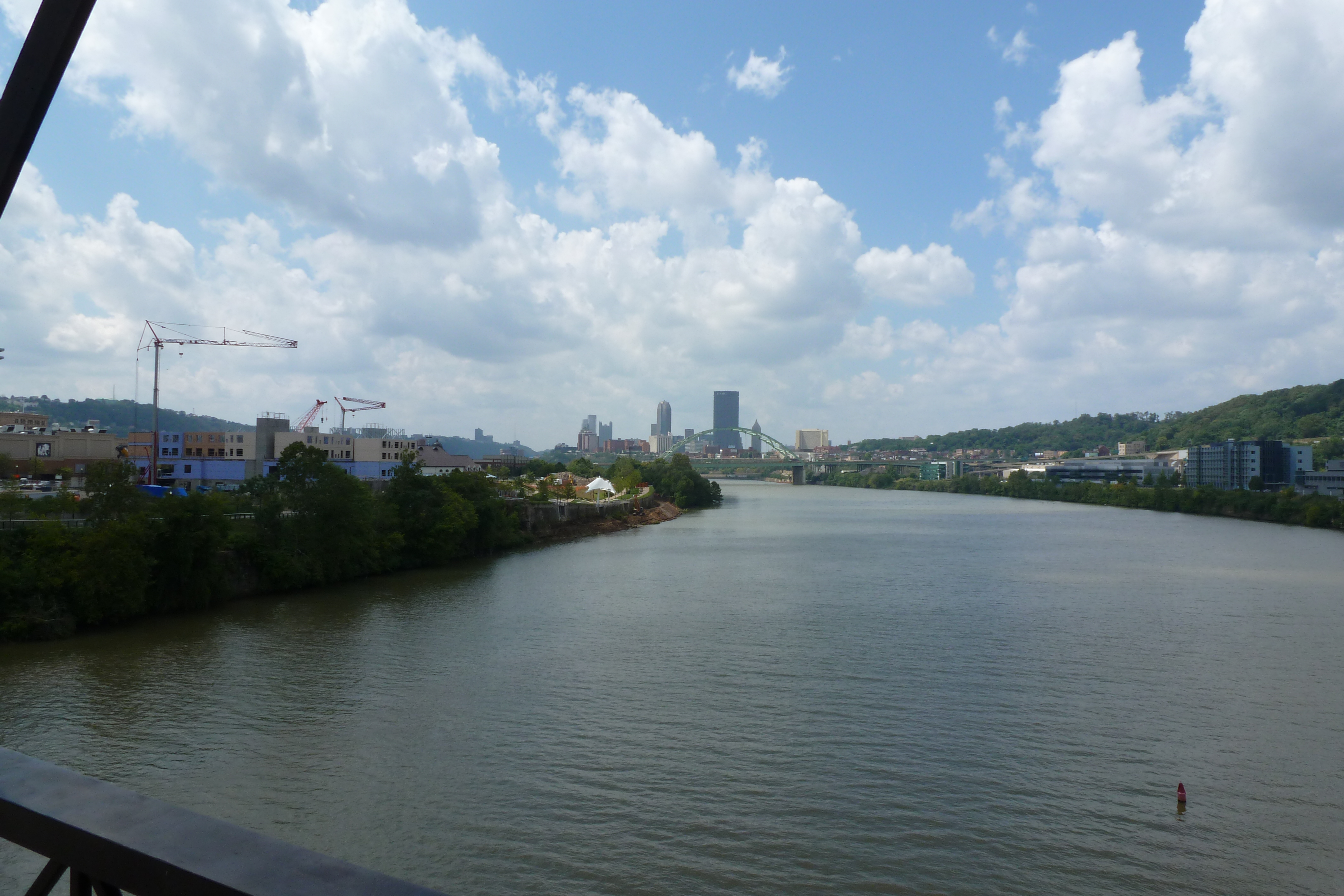
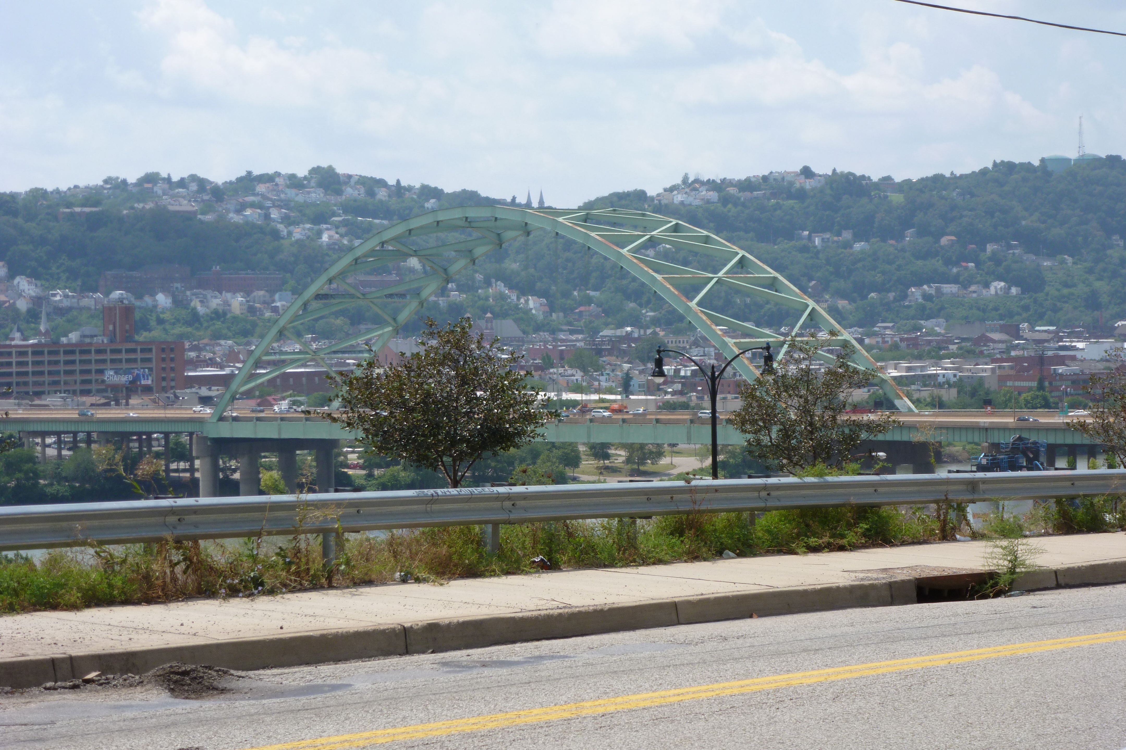
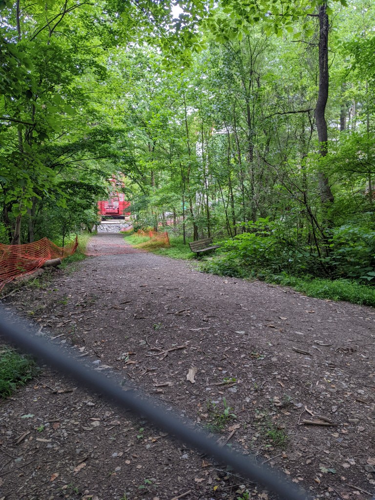
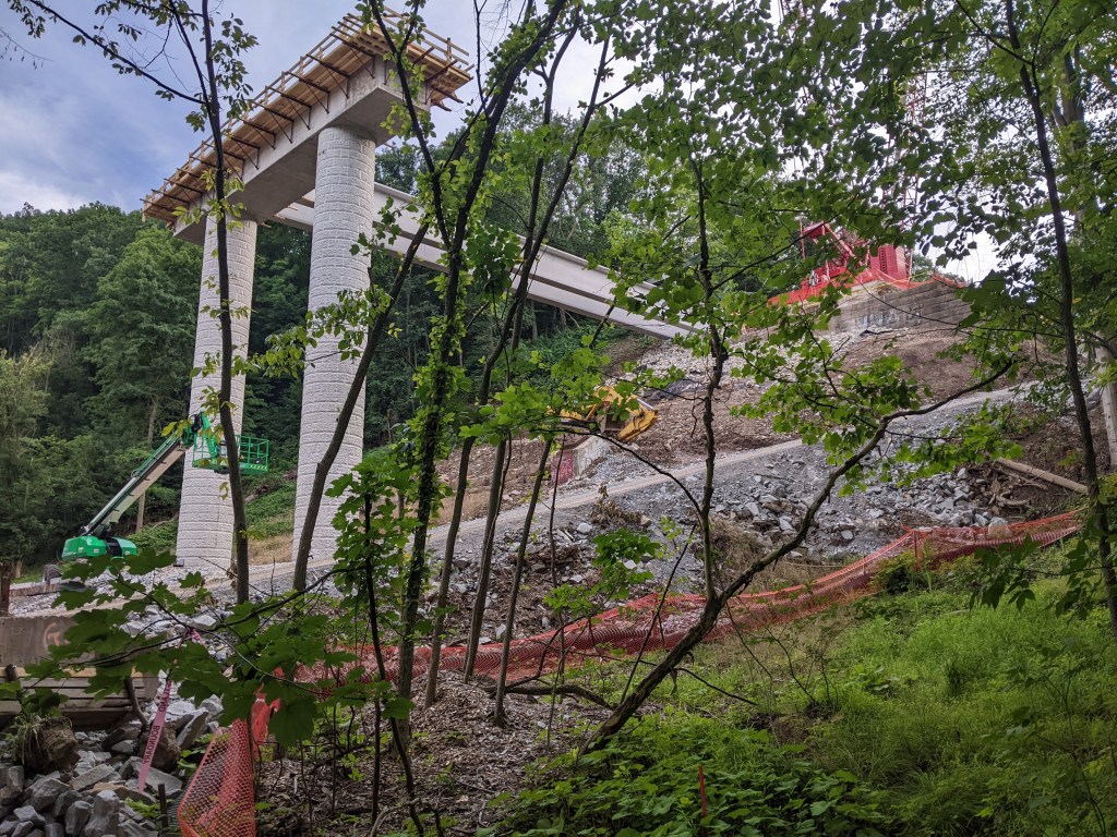
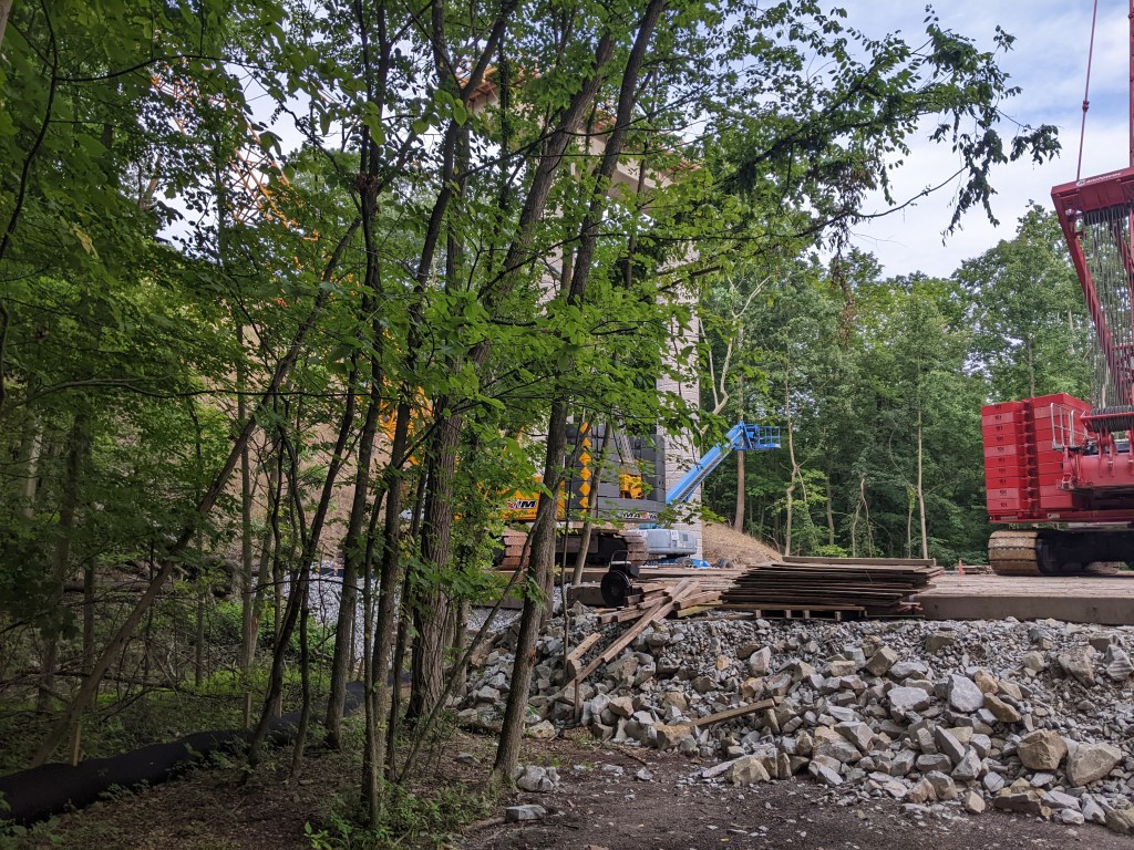
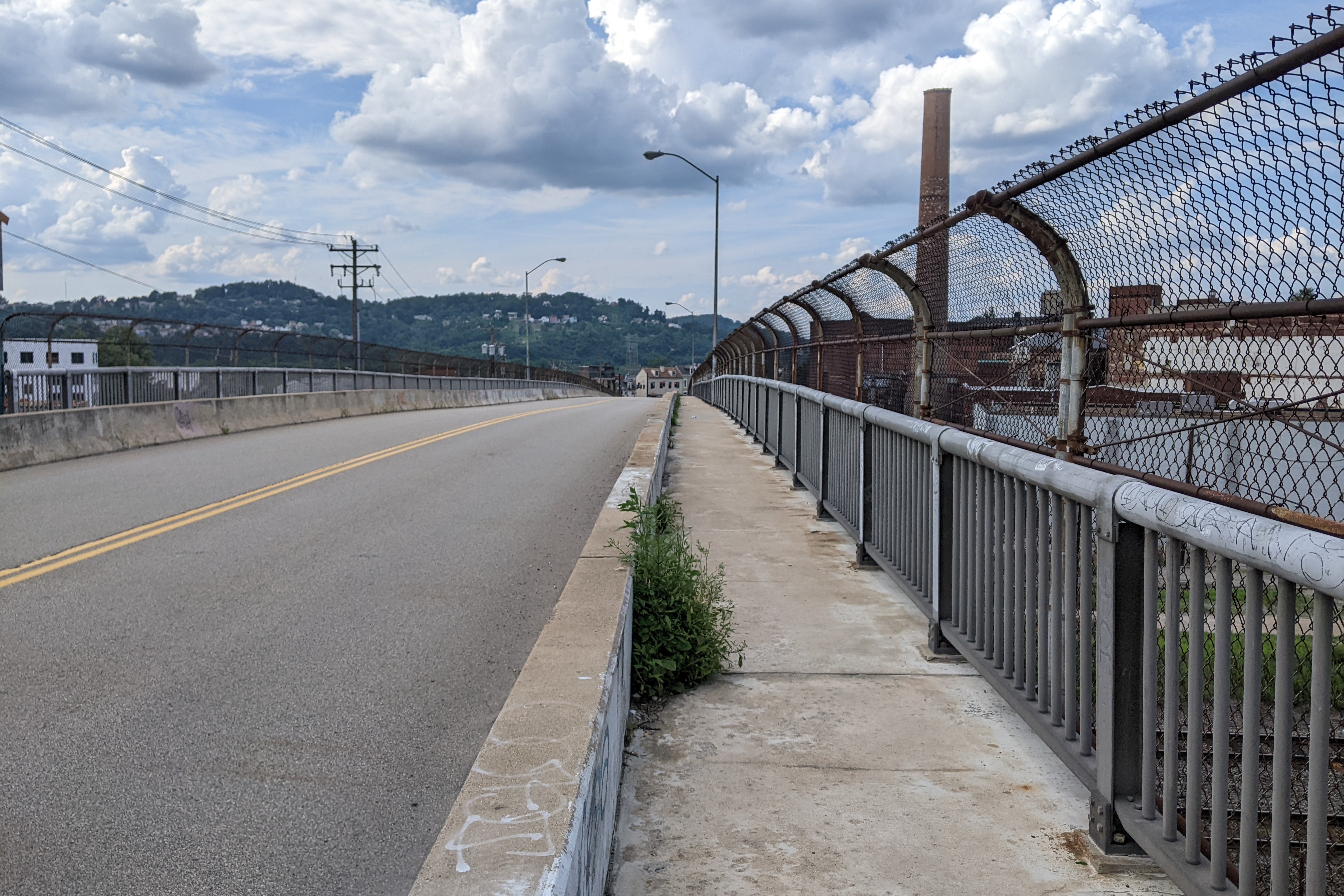
Driving over the new Fern Hollow Bridge this week, it looked in pretty much the same condition as in December with one lane of traffic in each direction and one shared path open. There were several bikers and pedestrians using it while we crossed during the latter part of rush hour.
Bridge disasters highlighted in “The Bridges of Pittsburgh:”
- 1845 – The original Smithfield Street Bridge burned down
- 1851 – The 16th Street Bridge burned down
- 1865 – Two spans of the 16th Street Bridge was washed away in a flood
- late 1880s – The 6th Street/St. Clair Street Bridge burned down
- 1903 – The Wabash Bridge collapsed during construction
- 1918 – The 16th Street Bridge burned down (again)
- 1921 – The 30th Street Bridge burned down
- 1927 – The Mount Washington Roadway Bridge collapsed during construction
Below are the news updates on the Fern Hollow Bridge and other bridge maintenance and replacement efforts in Pittsburgh and Allegheny County.
- The proposed artwork for the new bridge is among the elements not yet completed. I didn’t find any new information on this since the NextPittsburgh article of September 26, 2022, that I cited in the December update.
- PennDOT’s project page regarding the reconstruction of the bridge has not been updated since March 2022, except to add a sentence at the beginning to say that the bridge is now complete and operational, despite the fact that it is not fully open yet due to ongoing work/finishing touches.
- The National Transportation Safety Board’s ongoing investigation into the Fern Hollow Bridge collapse was updated on January 26, 2023, with details of what has been investigated to date including photos of some of the parts of the collapsed bridge. It also now contains a link to a preliminary docket of materials that have been gathered in the investigation. They are still working out the cause of the collapse and recommendations to prevent such incidents in future.
- The City created a Commission on Infrastructure Asset Reporting and Investment in March 2022, but this commission has not been added yet to the city’s website listing all Boards and Commissions and I have not seen any announcements of any appointments to the new Commission.
- Pittsburgh’s Swindell Bridge, which closed from July to September 2022 due to falling debris, is currently under lane restrictions and is expected to close for a month later this year for additional repairs. (Pittsburgh Union Progress, February 12, 2023)
- The closure of the west sidewalk of the South Negley Avenue Bridge doesn’t phase some people as they by-pass the barriers and continue on their way, in fact one of the barriers had been completely moved aside the last time I drove across the bridge, presumably by someone who found it in their way.
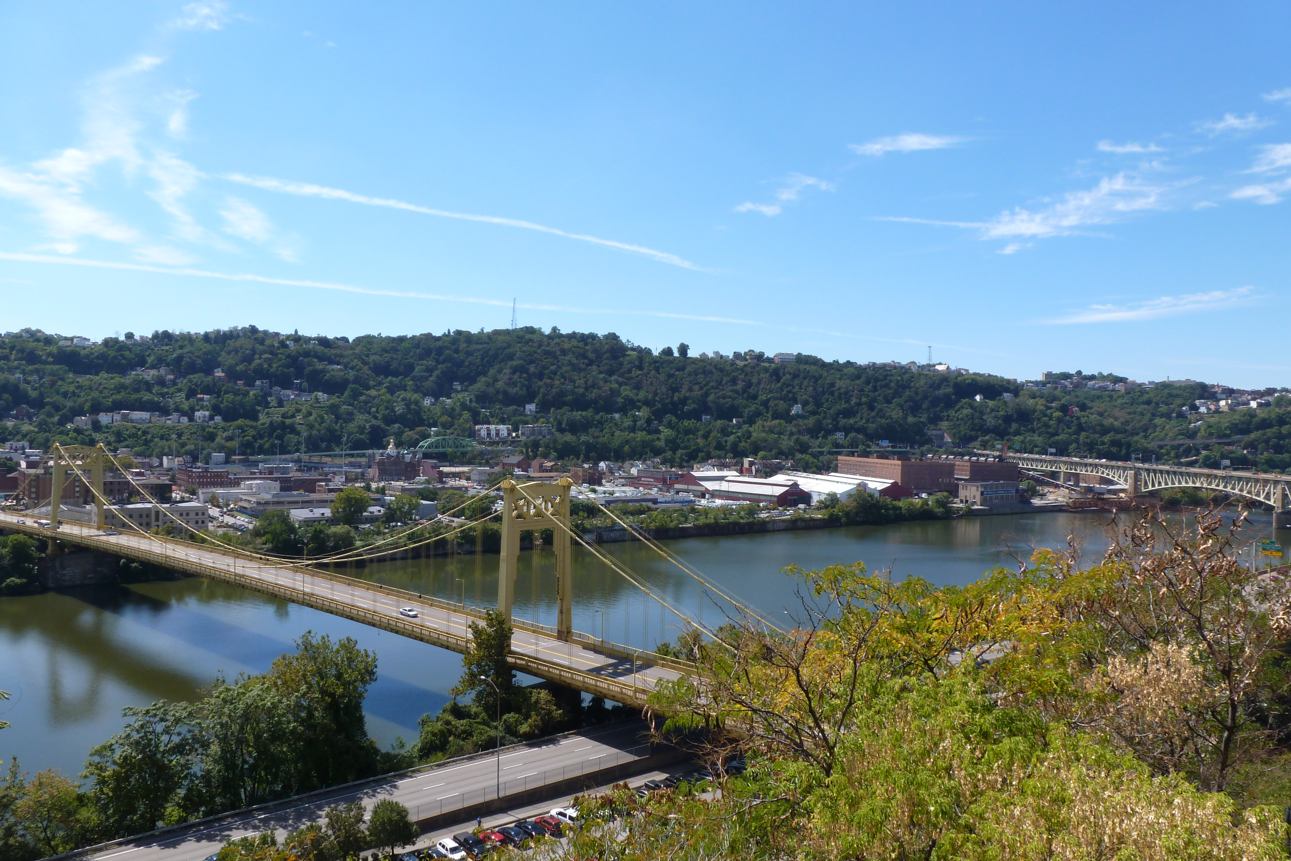
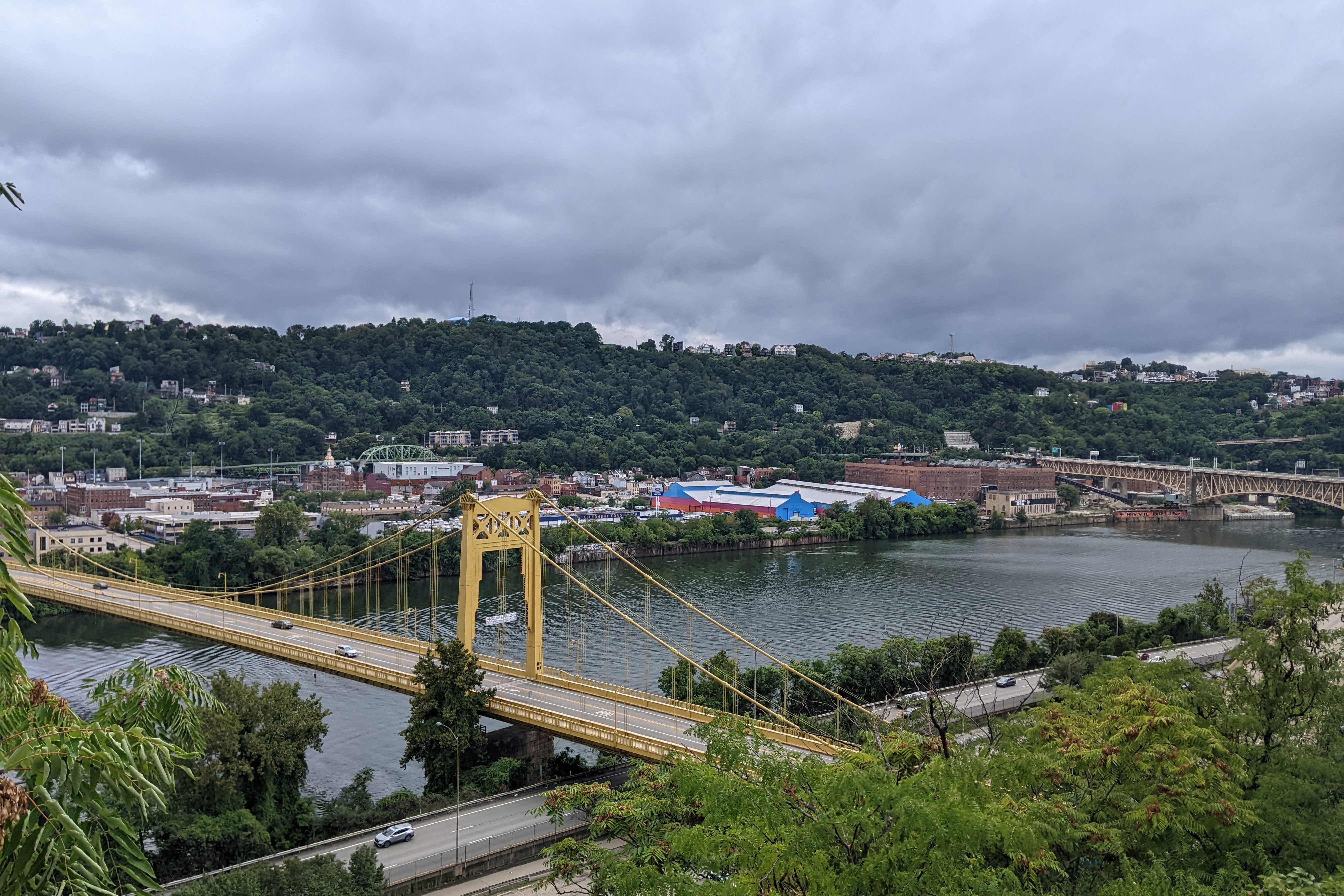
- The Lincoln Avenue and Fremont Street bridges were closed for repair January 2023 by PennDOT in Millvale, PA – a small town across the 40th Street Bridge from Pittsburgh (WPXI, January 27, 2023)
Map of bridges discussed in the Bridge Collapse series:
Additional Resources:
Both PennDOT and the Federal Highway Administration have interactive maps of bridges for the state and country respective, and their inspection statuses. Pittsburgh now has the static Comprehensive Bridge Asset Management Program Report of the 147 bridges owned by the City of Pittsburgh.
Bridges in Pittsburgh with community engagement pages for pending rehabilitation or replacement projects:
Previous Fern Hollow Bridge Posts: