
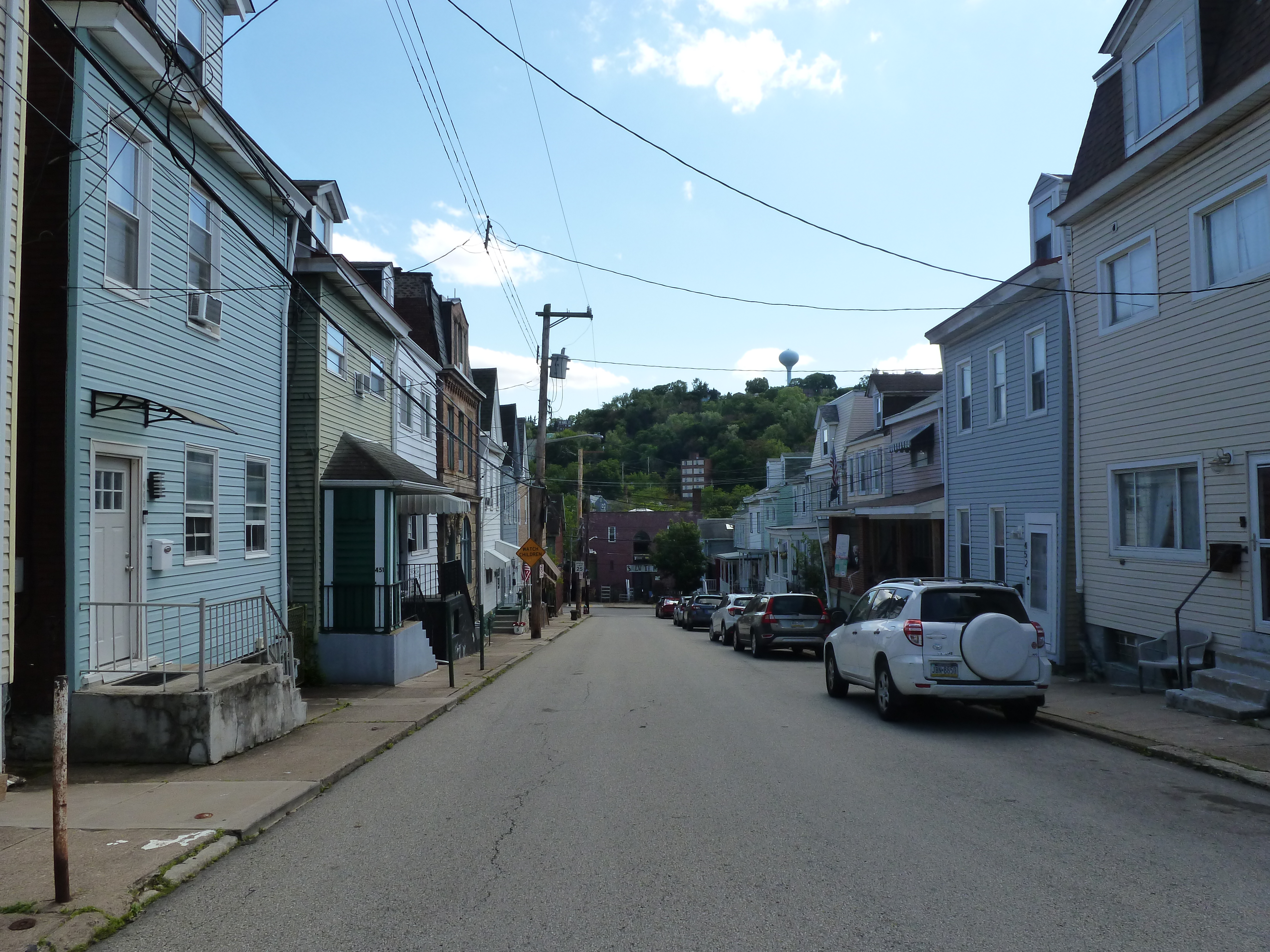
Bloomfield Neighborhood
The boundaries of Bloomfield are defined differently depending on who you’re talking to. This may be partially attributed to the two distinct patterns of residential development found within the city’s official boundary of the neighborhood. Much of the residential portion of Bloomfield, and the part I always picture when someone says they live in Bloomfield, is filled with small homes perched shoulder-to-shoulder at the sidewalk’s edge. The rest of the residential portion of Bloomfield features larger homes with modest front and rear lawns. The Liberty Avenue commercial corridor cuts through the middle of the neighborhood. Vacancy is low for both the residential and commercial properties.
While vacancy is low and most of the buildings present 100 years ago remain standing, Bloomfield still experienced change in that time. This is most clearly illustrated by its religious sites. Some remain religious site, though not for the congregations that worshipped there in 1926. Others have been converted to new uses. Several have been demolished. Three sites closed in the last two decades; two of which experienced strong contention between the former congregants and the religious entity owners over the fates of the buildings. One was demolished (not what the former congregants wanted) and the other was sold to a developer who restored it for secular uses (the former congregants’ preferred outcome).
Neighborhood Statistics (Out of 70 in this Series)
- 22nd largest by acreage
- 8th highest number of religious sites (tie)
- 15th most sites/acre
Locations
The map below shows the locations of the 15 congregations listed in the 1926 directory for Bloomfield (the dotted line marks the neighborhood boundary).

What are they now?
The table below matches the 15 congregations listed in the 1926 directory with the current use of the site.
| 1926 Congregation Name | By 2026 the Congregation’s Building is: |
| Christ Methodist Episcopal Church | now First United Methodist Church |
| First Evangelical Lutheran Church | converted to a secular use, may be vacant |
| Fourth United Presbyterian Church | converted to a faith-based community service use |
| Friendship Park Methodist Episcopal Church | replaced with a hospital building |
| Gospel Hall Mission | converted to a secular use |
| Gustavus Adolphus Evangelical Lutheran Church | now Evaline Lutheran Church |
| Holy Calvary Mission | converted to a secular use, possibly abandoned |
| Immaculate Conception Catholic Church | demolished |
| Luther Memorial Evangelical Lutheran Church | replaced with new building, now the East End Assembly of God |
| Mt. Olive Baptist Church | demolished |
| Olivet Mission | demolished |
| Shadyside United Presbyterian Church | replaced with a drive-thru restaurant |
| St. John’s (German) Evangelical Lutheran Church | converted to residential |
| St. Joseph’s (German) Catholic Church | vacant |
| St. Luke’s Episcopal Church | replaced with a parking lot |
Photos

former Holy Calvary Mission – 2026 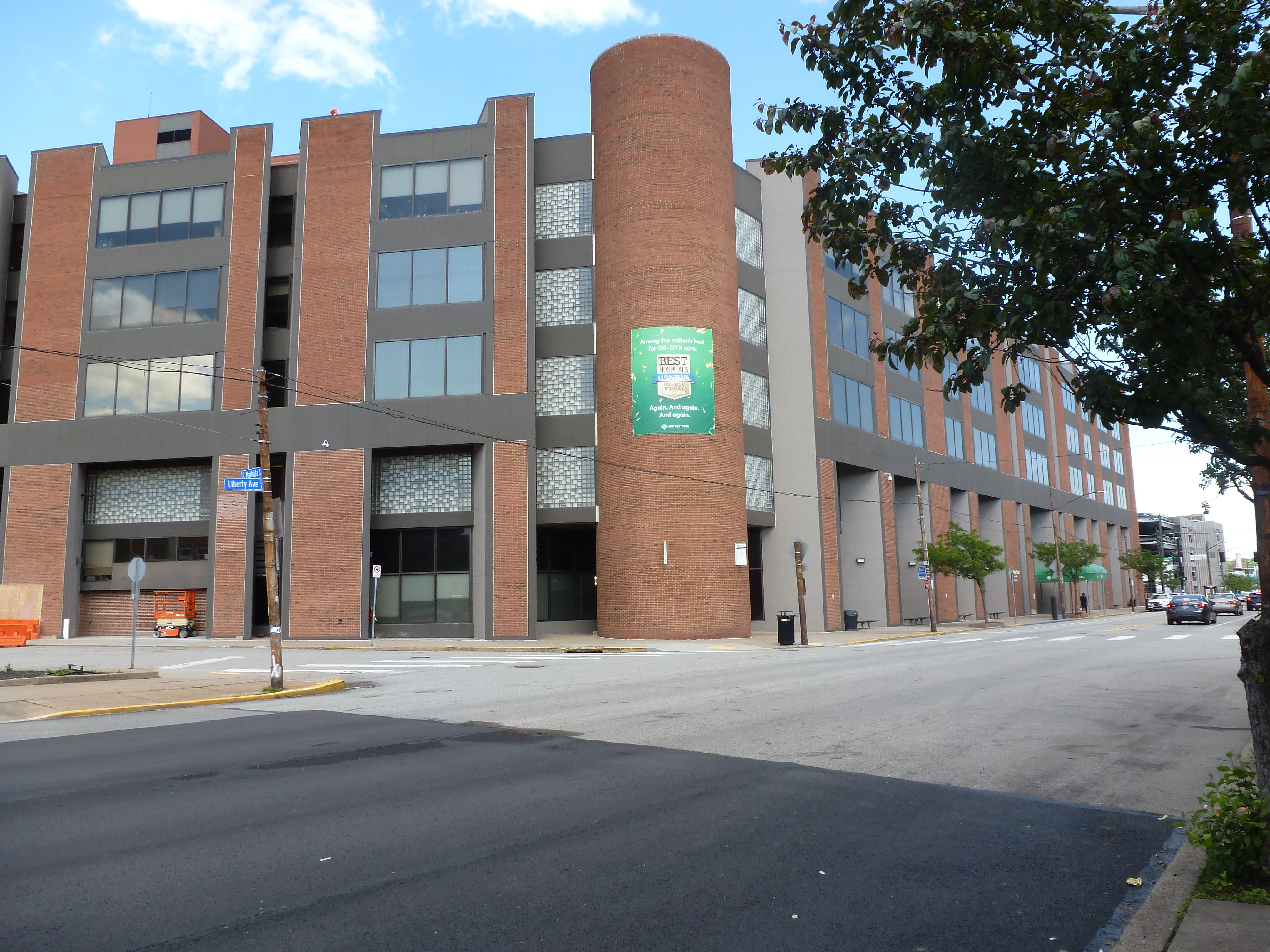
Friendship Park Methodist Episcopal Church site – 2026 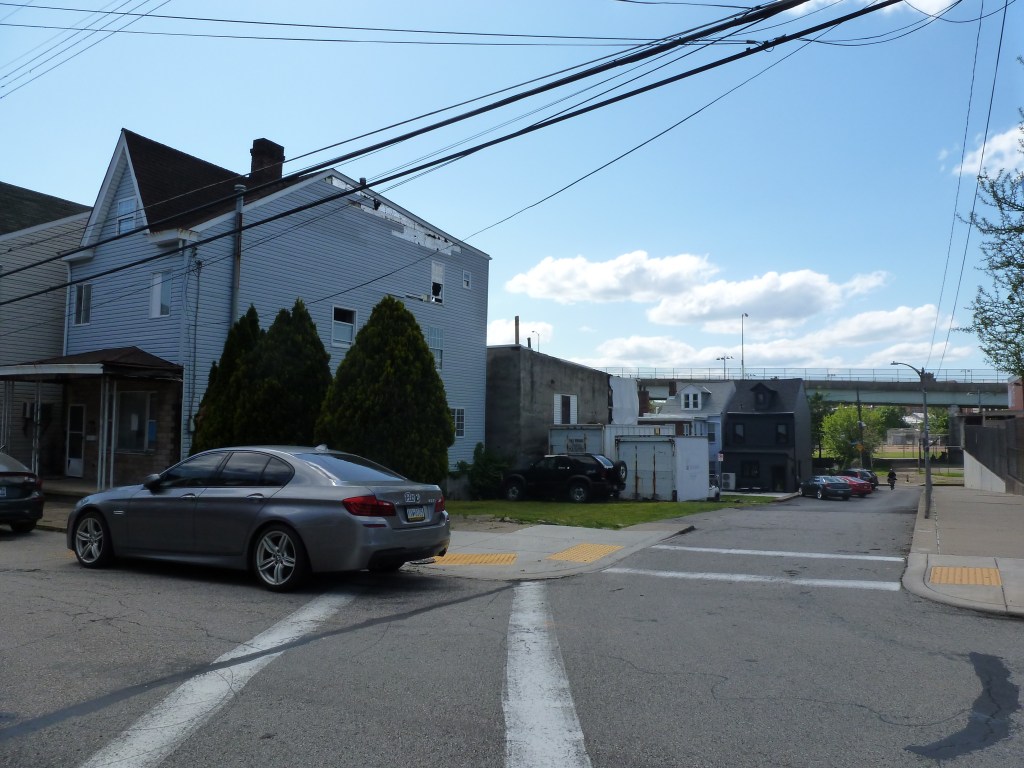
Olivet Mission site – 2026 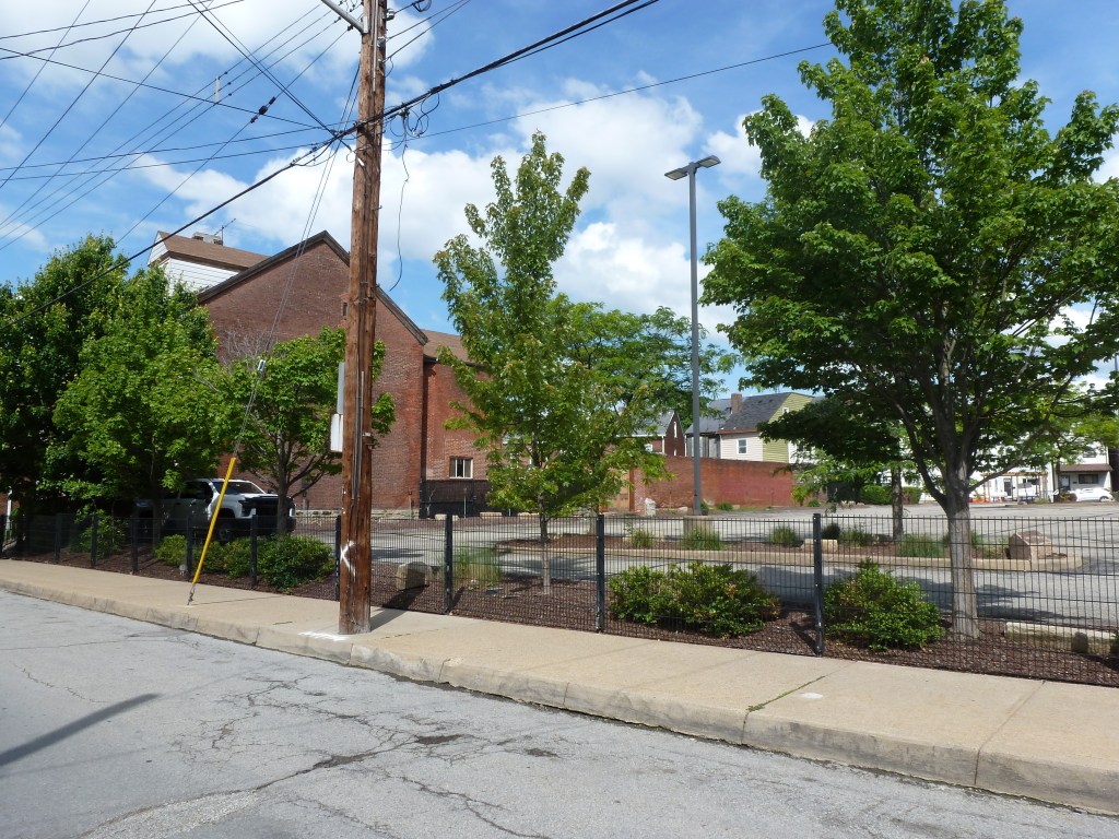
St. Luke’s Episcopal Church site – 2026 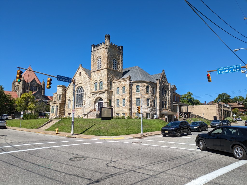
former First Evanglical Lutheran Church – 2023 
former St. John’s German Catholic Church – 2013 
Luther Memorial Evangelical Lutheran Church site – 2026 
Shadyside United Presbyterian Church site – 2026 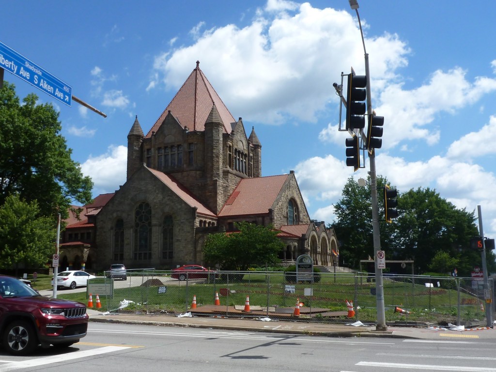
former Christ United Methodist Church – 2026 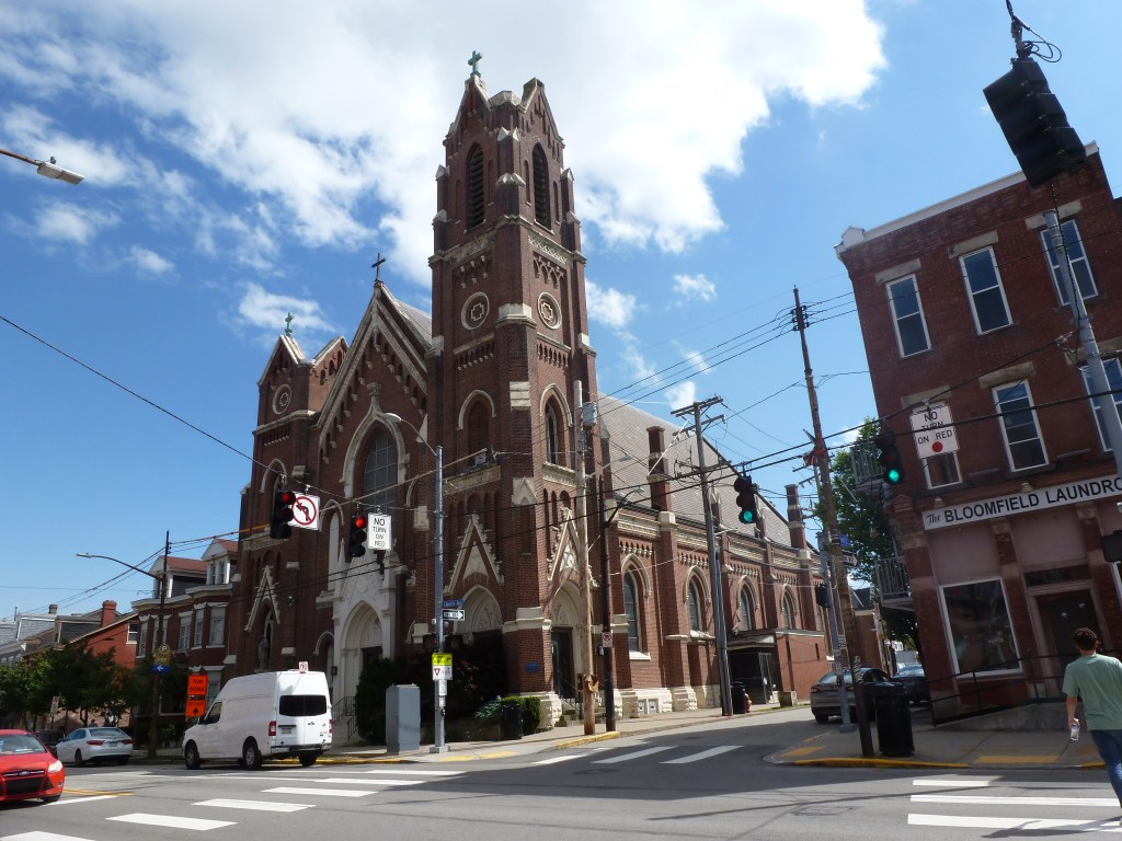
former St. Joseph’s Catholic Church – 2026 
Immaculate Conception Catholic Church site – 2026 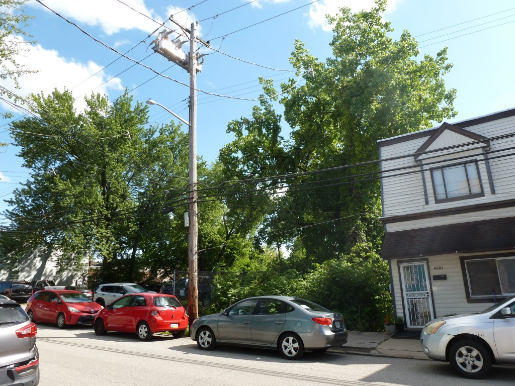
Mt. Olive Baptist Church site – 2026 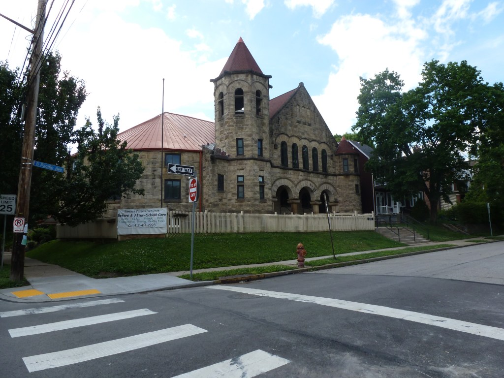
former Fourth United Presbyterian Church – 2026 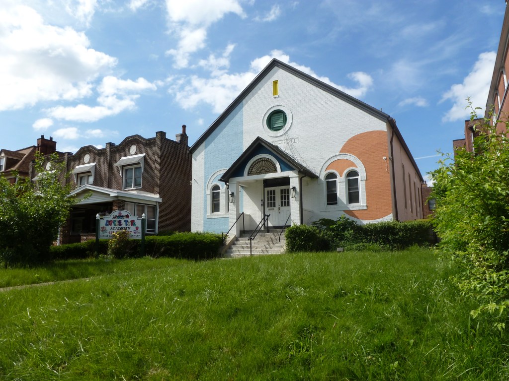
former Gospel Hall Mission – 2026 
former Gustavus Adolphus Lutheran Evangelical Church – 2026
For more on this series, visit our introductory post.
Sources:
Polk’s Pittsburgh City Directory, 1926. Pittsburgh: R. L. Polk & Co. https://digital.library.pitt.edu/islandora/object/pitt%3A31735056286846/viewer#page/4/mode/1up
 urbantraipsing