
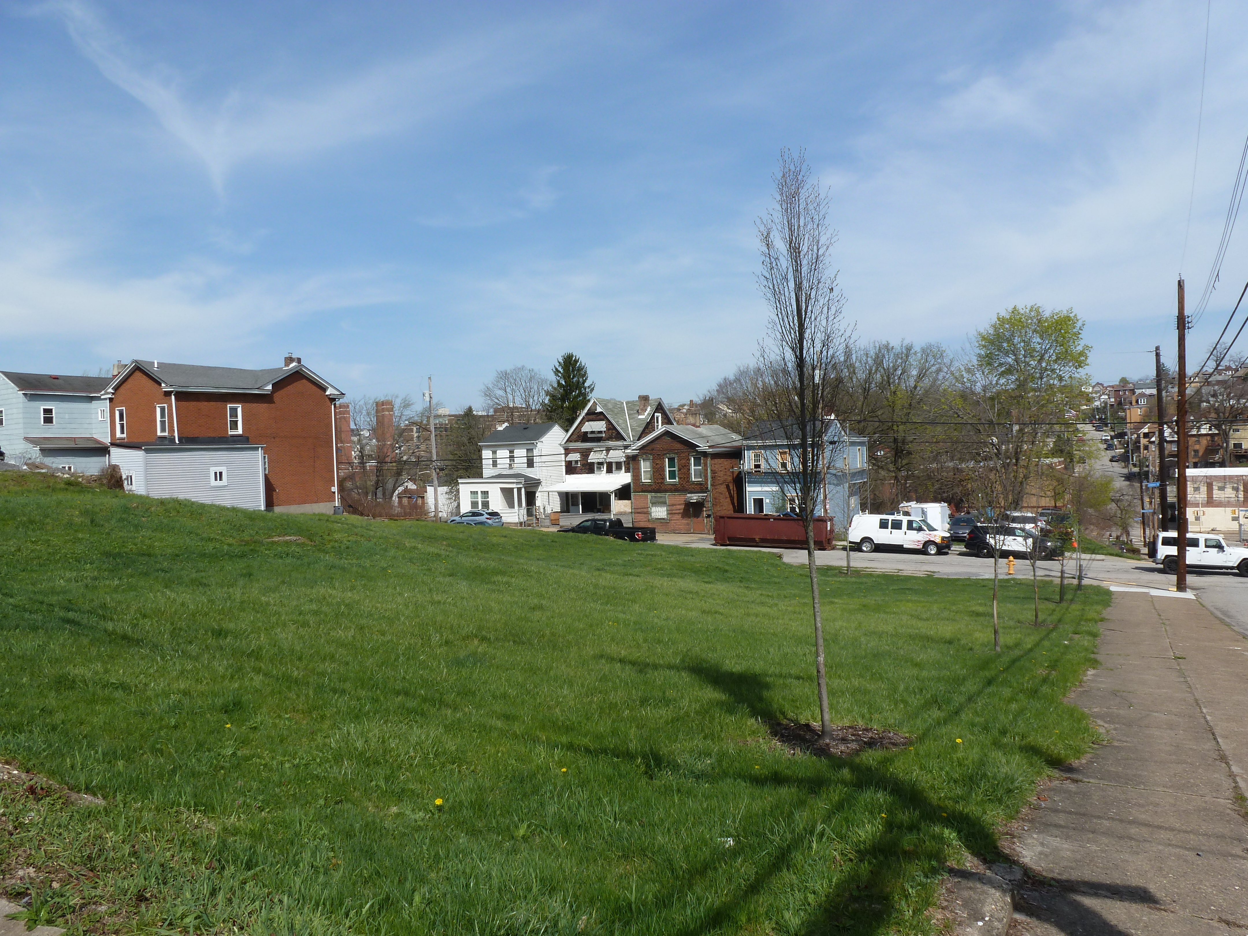
Beltzhoover Neighborhood
Beltzhoover is a neighborhood I am interested in learning more about. It usually doesn’t come up in the discourse around the intentional disinvestment and destruction of the buildings in Pittsburgh’s majority-minority neighborhoods. While it was not targeted with the traditional block-scale demolition and redevelopment of Urban Renewal, it was designated as an area needing “restoration” under the City’s Neighborhood Improvement Program in 1966 to “hold and stabilize declining area.”
Since that time, Beltzhoover has seen significantly more lot-by-lot disinvestment and demolition than the surrounding neighborhoods that have higher percentages of white residents. In 2010, Beltzhoover’s population was 83% Black, while it’s northeastern neighbor, Allentown, was 35% Black and it’s southeastern neighbor, Knoxville, was 52% Black.1 Between 1974 and 2010, Beltzhoover lost approximately 700 housing units while Allentown and Knoxville each lost only about 200 units.
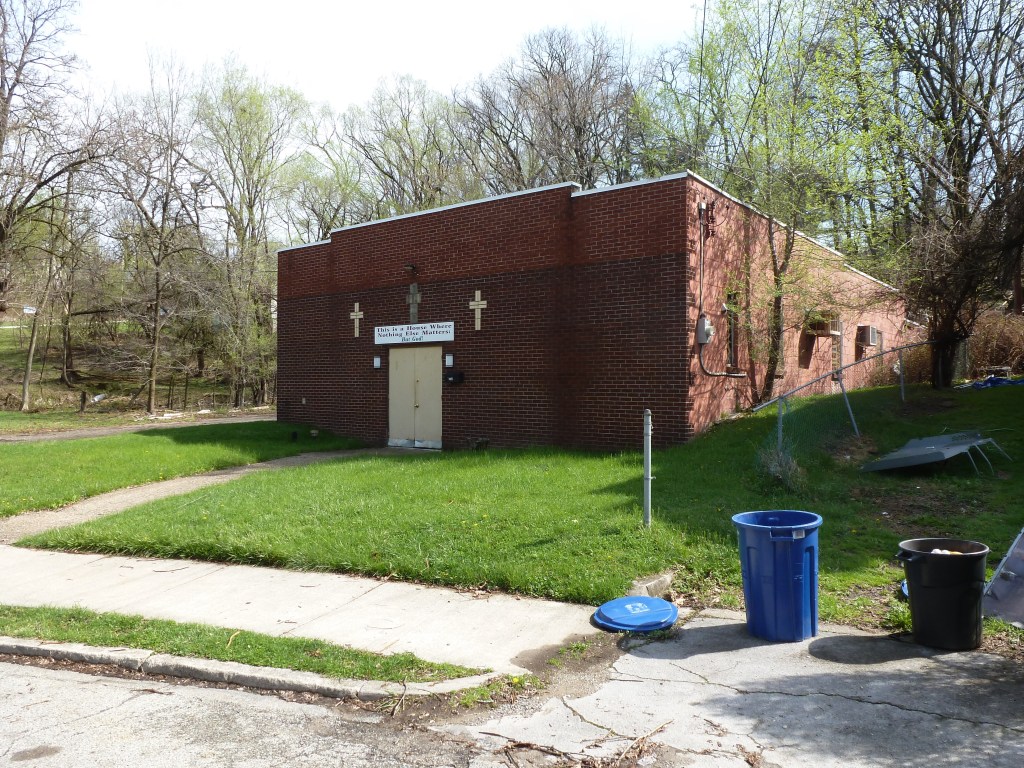
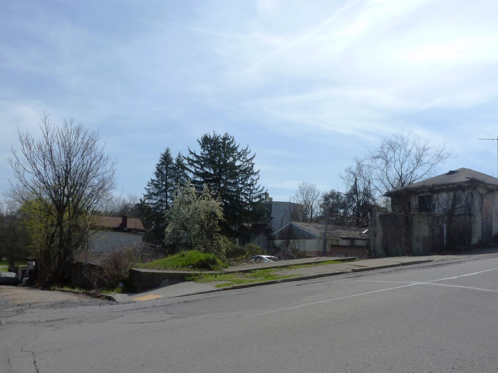
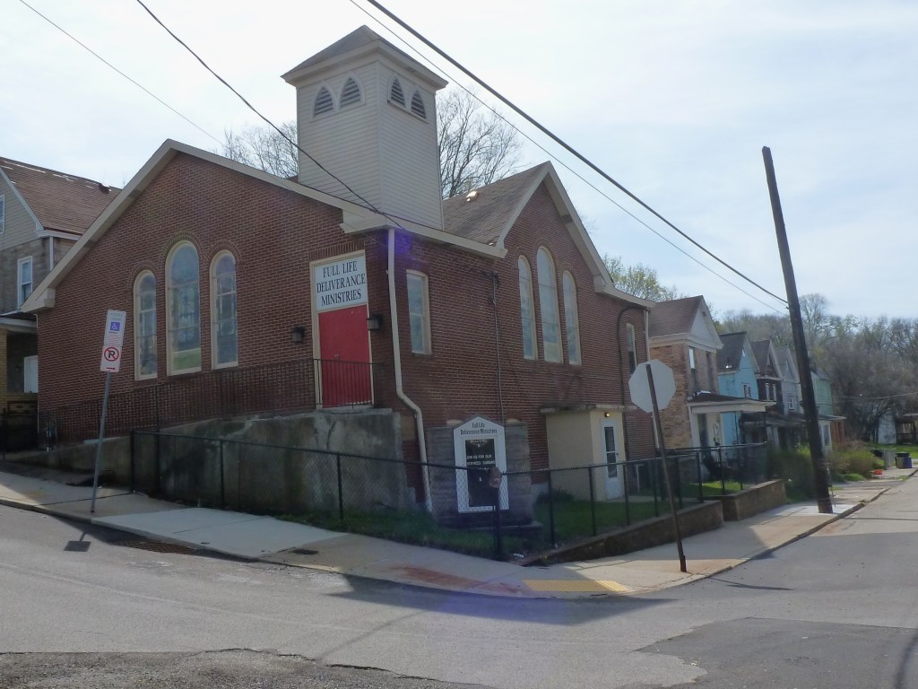
Walking the streets, the lines between these three neighborhoods are not apparent except that once you get into Beltzhoover, the exponentially higher number of vacant lots is very noticeable. Given the high rate of demolition in this neighborhood, it is interesting to note that only 1 of the 6 religious sites from 1926 is no longer actively used for religious purposes. However, two of these buildings indicate a different kind of story than the other neighborhoods we’ve visited in this series so far. The bunker-like appearance of the buildings on the sites of the former Montooth Methodist Episcopal Church and South Hills Baptist Church suggests perseverance in the face of financial struggles or social struggles or both. The recent renovations to McKinley Park and the strong blocks of housing edging the park also tell a story of community perseverance and success.
Neighborhood Statistics (Out of 70 in this Series)
- 40th largest by acreage
- 31st highest number of religious sites (multi-way tie)
- 22nd most sites/acre
Locations
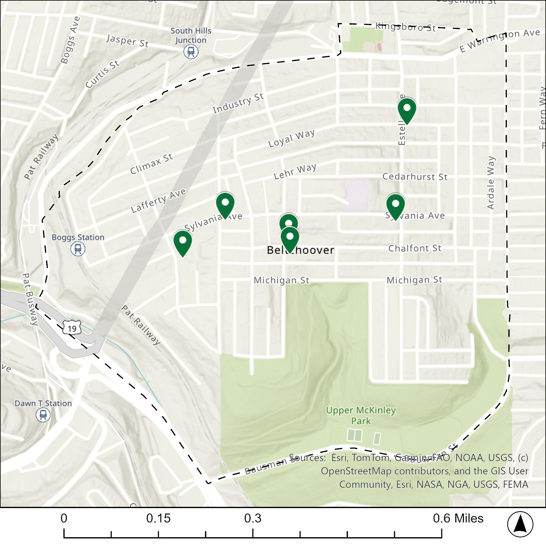
The map below shows the locations of the 6 congregations listed in the 1926 directory for Beltzhoover (the dotted line marks the neighborhood boundary).
What are they now?
The table below matches the 6 congregations listed in the 1926 directory with the current use of the site.
| 1926 Congregation Name | By 2026 the Congregation’s Building is: |
| Belulah Baptist Church | new Belulah Baptist Church |
| Church of Christ | demolished |
| McKinley Park Presbyterian Church | changed to a different religious institution |
| Montooth Methodist Episcopal Church | unclear, a different religious institution now uses the site |
| South Hills Baptist Church | unclear, a different religious institution now uses the site |
| St. Paul African Methodist Episcopal Church | changed to a different religious institution |
Photos



- The other edges of Beltzhoover are bordered by a steep ravine, highway, and park, creating clear separation and barriers to the adjoining neighborhoods on those sides. ↩︎
For more on this series, visit our introductory post.
Sources:
Pittsburgh Department of City Planning. A Development and Renewal Program for Pittsburgh, Summary Documentation, Pittsburgh Community Renewal Program. Pittsburgh, 1970. https://pittsburgharchives.access.preservica.com/uncategorized/IO_d1f07da0-9303-4aee-a162-04c83a0eaaa0/
Pittsburgh Neighborhood Alliance. An Atlas of the Allentown Neighborhood of Pittsburgh, 1977. https://historicpittsburgh.org/islandora/object/pitt%3A31735070288703/viewer#page/1/mode/1up
Pittsburgh Neighborhood Alliance. An Atlas of the Beltzhoover Neighborhood of Pittsburgh, 1977. https://historicpittsburgh.org/islandora/object/pitt%3A31735070288679/viewer#page/1/mode/2up
Pittsburgh Neighborhood Alliance. An Atlas of the Knoxville Neighborhood of Pittsburgh, 1977. https://historicpittsburgh.org/islandora/object/pitt%3A31735070288976/viewer#page/1/mode/1up
Pittsburgh Department of City Planning. Planning Commission Minutes 1966. City of Pittsburgh. (page 363) https://pittsburgharchives.access.preservica.com/uncategorized/IO_48290996-fb3f-41b9-8873-1189a3642972/
Pittsburgh Department of City planning. PGHSnap. City of Pittsburgh. 2011.
Polk’s Pittsburgh City Directory, 1926. Pittsburgh: R. L. Polk & Co. https://digital.library.pitt.edu/islandora/object/pitt%3A31735056286846/viewer#page/4/mode/1up

